Trails in Switzerland
15,055 hiking trails, each with its route, climb, walking time and grade.
All trails, page 282 of 314
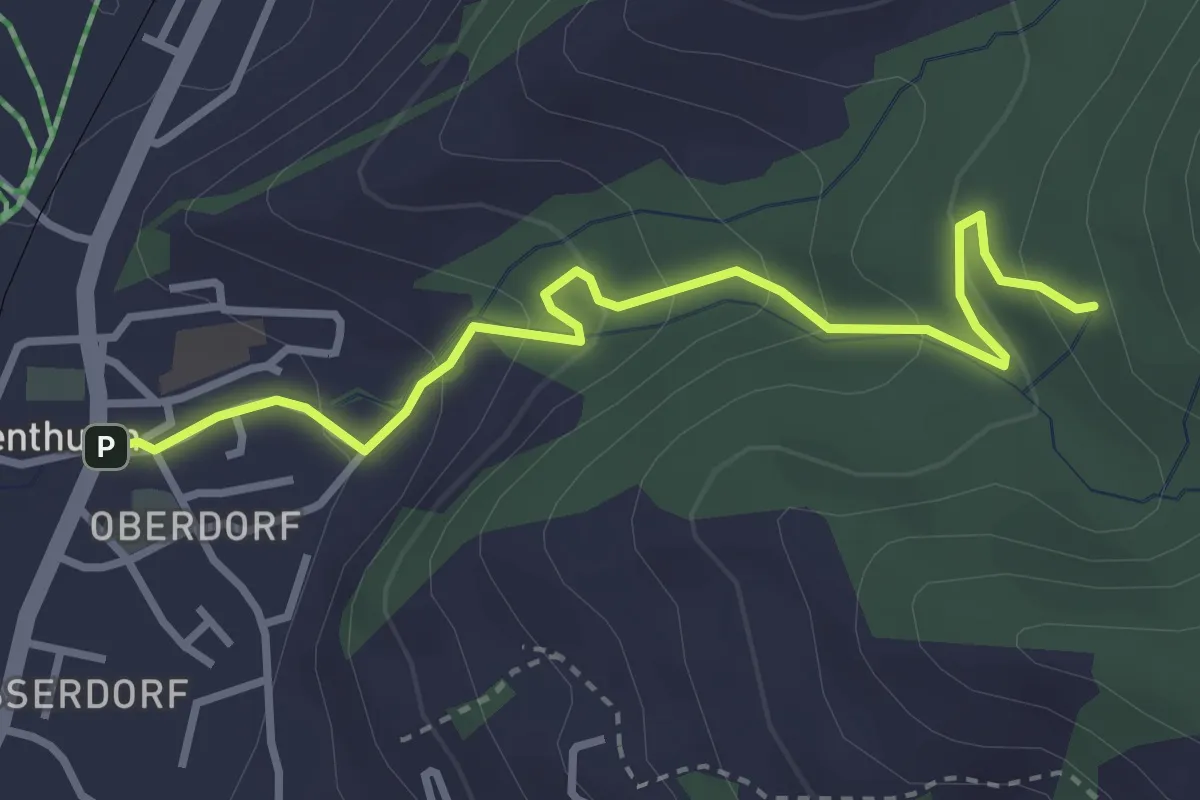
Easy · Trail
Rothenthurm – Herrenwald
3.4 km · ↑ 208 m · 1 h 15 min
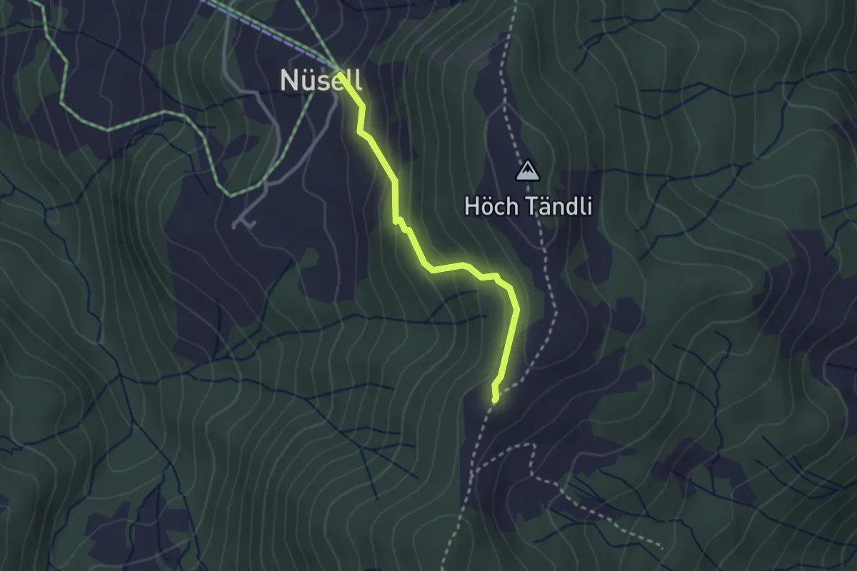
Medium · Summit
Nüsell – Chli Tandli
2.3 km · ↑ 159 m · 53 min
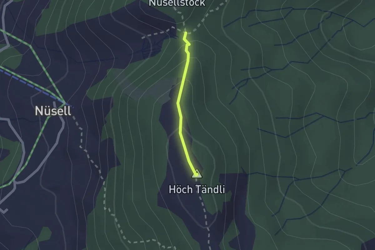
Medium · Summit
Teuffeli – Chli Tändli
1.2 km · ↑ 81 m · 27 min
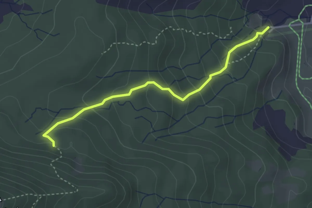
Medium · Trail
Steinschlag – Trachslau
3.2 km · ↑ 271 m · 1 h 21 min
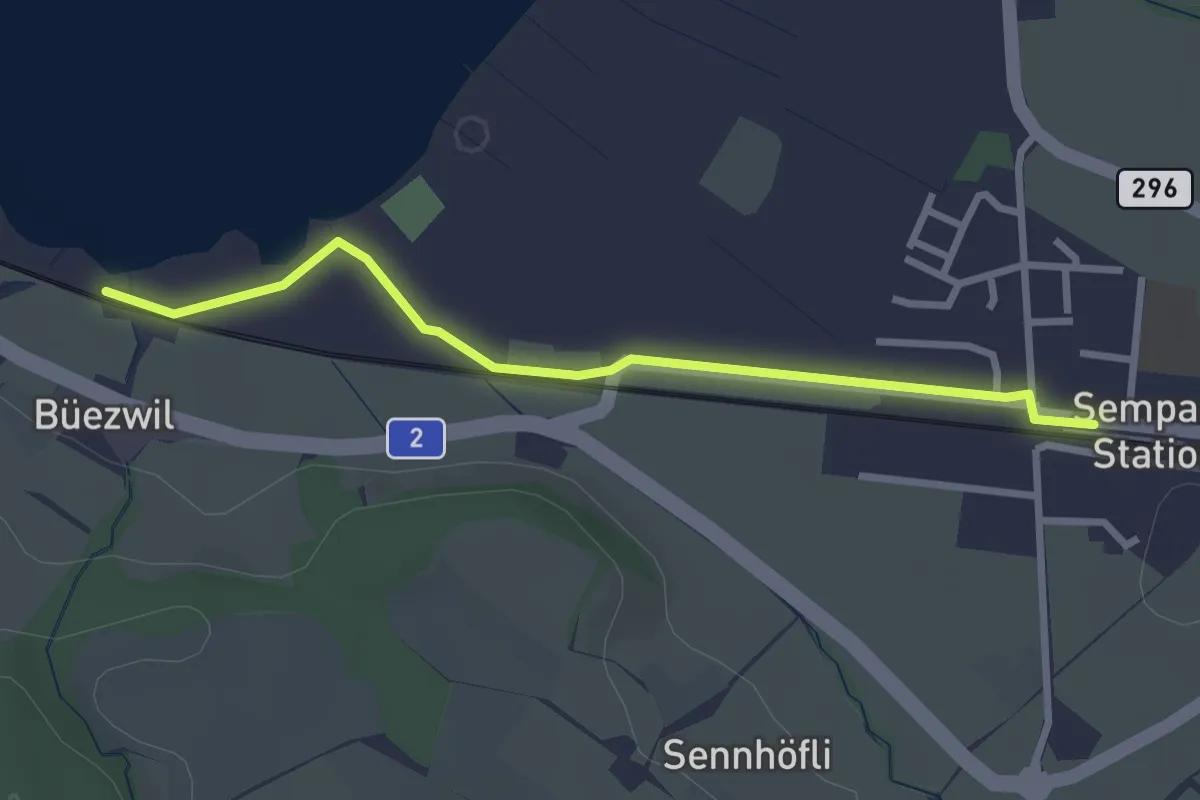
Easy · Trail
Büezwil – Sempach Station
2.8 km · ↑ 4 m · 40 min
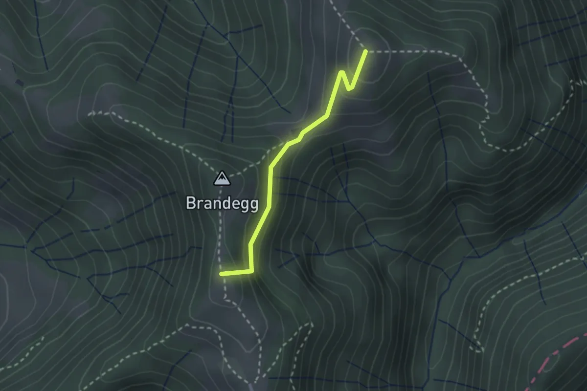
Easy · Summit
Scheidegg – Hüttchopf
2.1 km · ↑ 140 m · 48 min
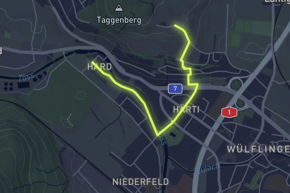
Easy · Trail
Taggenberg – Hardau
4.3 km · ↑ 80 m · 1 h 11 min
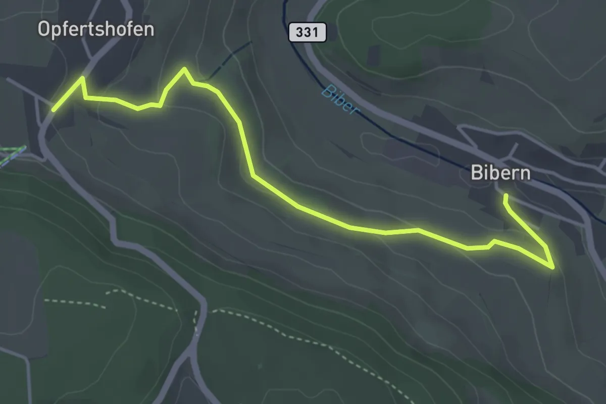
Easy · Trail
Bibern – Opfertshofen
4.3 km · ↑ 118 m · 1 h 17 min
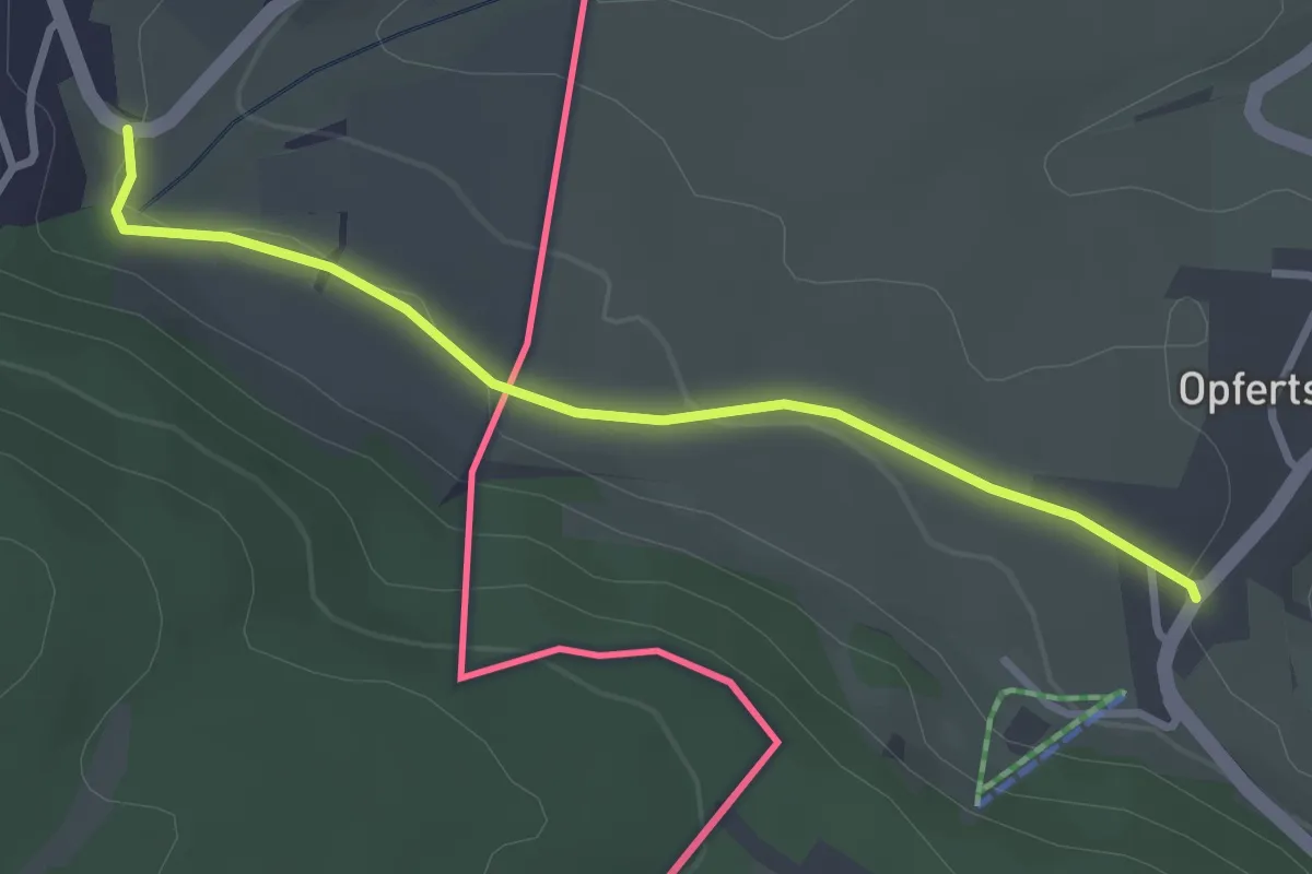
Easy · Trail
Opfertshofen – Bargen
2.9 km · ↑ 47 m · 48 min
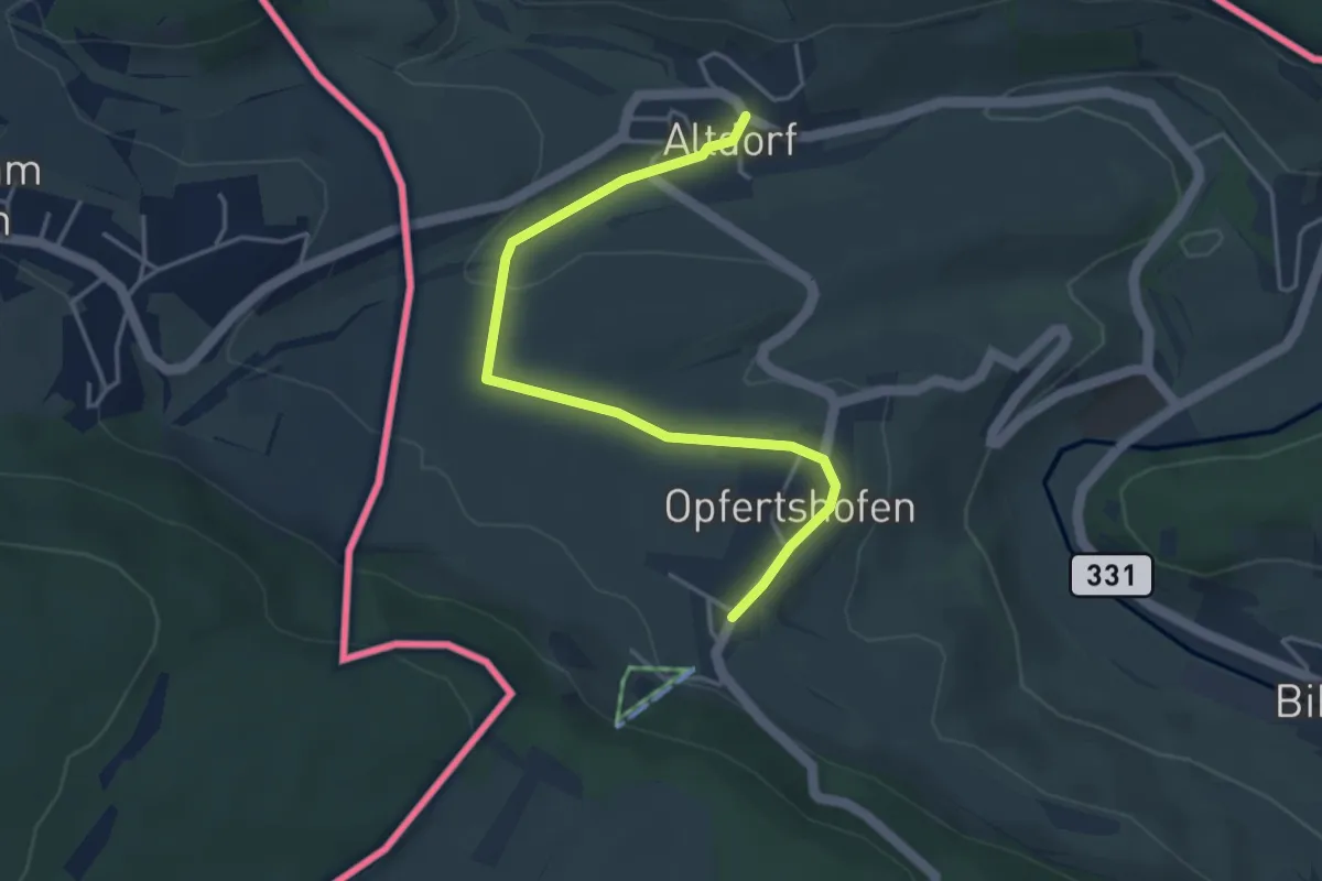
Easy · Trail
Opfertshofen – Altdorf
4.2 km · ↑ 77 m · 1 h 9 min
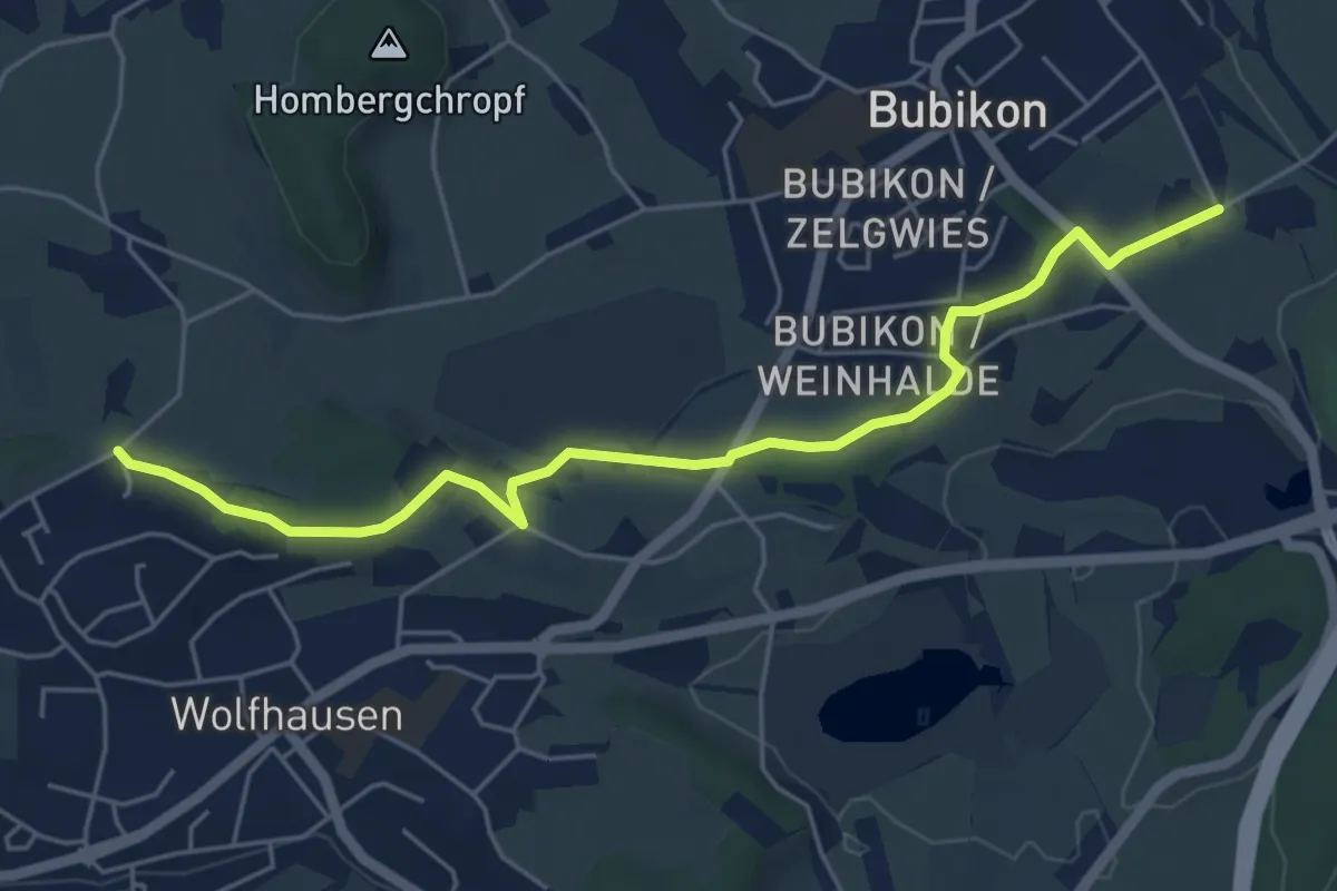
Easy · Trail
Ritterhaus – Bühlhof
5.7 km · ↑ 95 m · 1 h 34 min
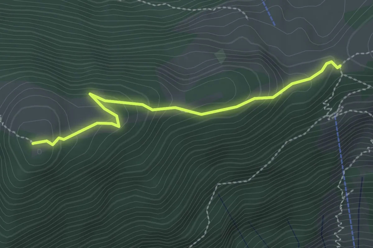
Medium · Summit
Gottertli – Schwand
2.4 km · ↑ 173 m · 57 min
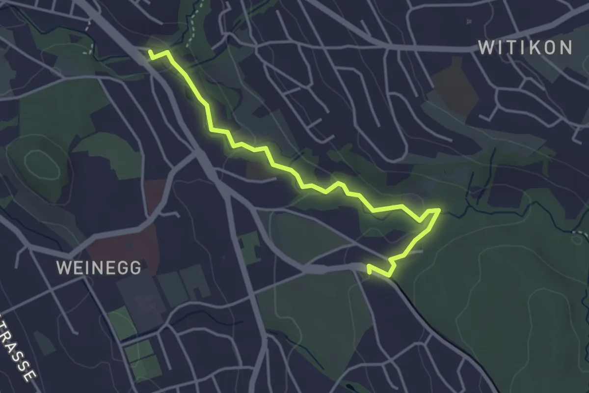
Easy · Trail
Burgwis – Rehalp
3.8 km · ↑ 69 m · 1 h 3 min
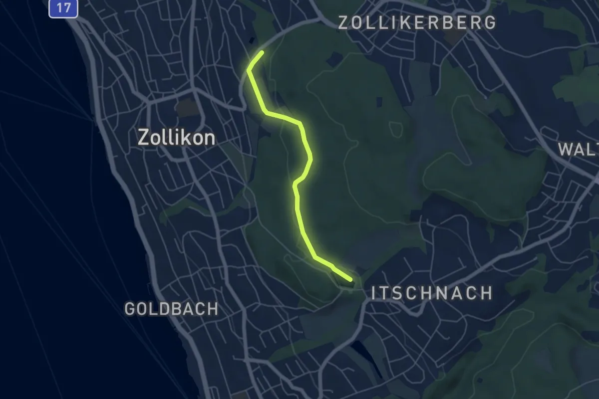
Easy · Trail
Zollikon – Allmend
4.3 km · ↑ 77 m · 1 h 11 min
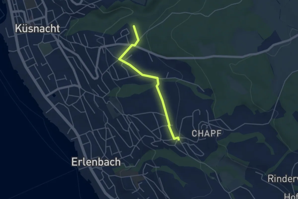
Easy · Trail
Küsnachter Tobel – Erlenbach Allmend
3.6 km · ↑ 47 m · 58 min
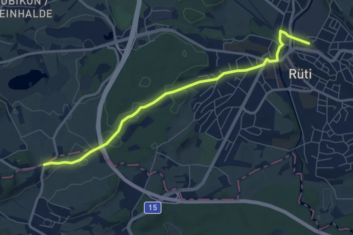
Easy · Trail
Rüssel – Rüti
6.4 km · ↑ 90 m · 1 h 43 min
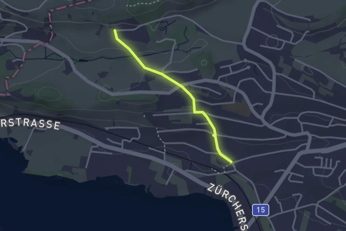
Easy · Trail
Fluh – Balm
2.3 km · ↑ 80 m · 43 min
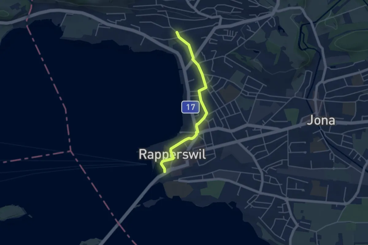
Easy · Trail
Fluh – Verkehrsbüro
4.0 km · ↑ 28 m · 1 h 1 min
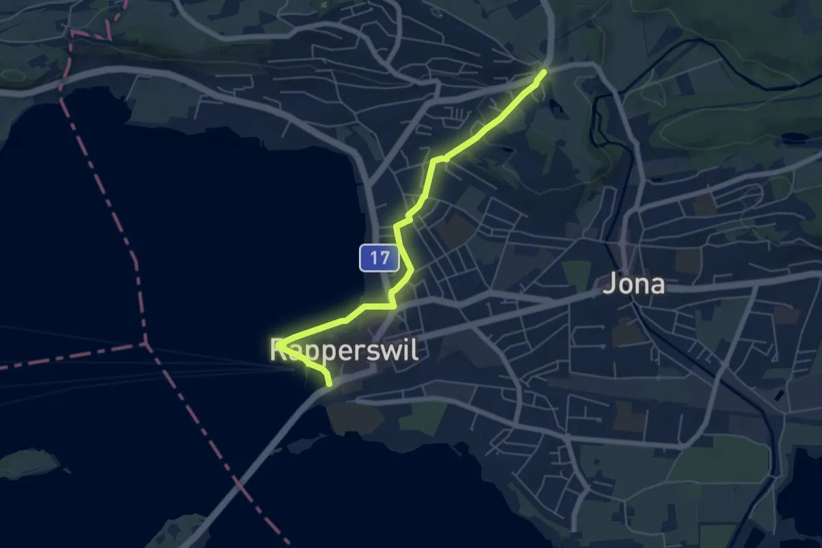
Easy · Trail
Verkehrsbüro – Schönau
5.7 km · ↑ 64 m · 1 h 29 min
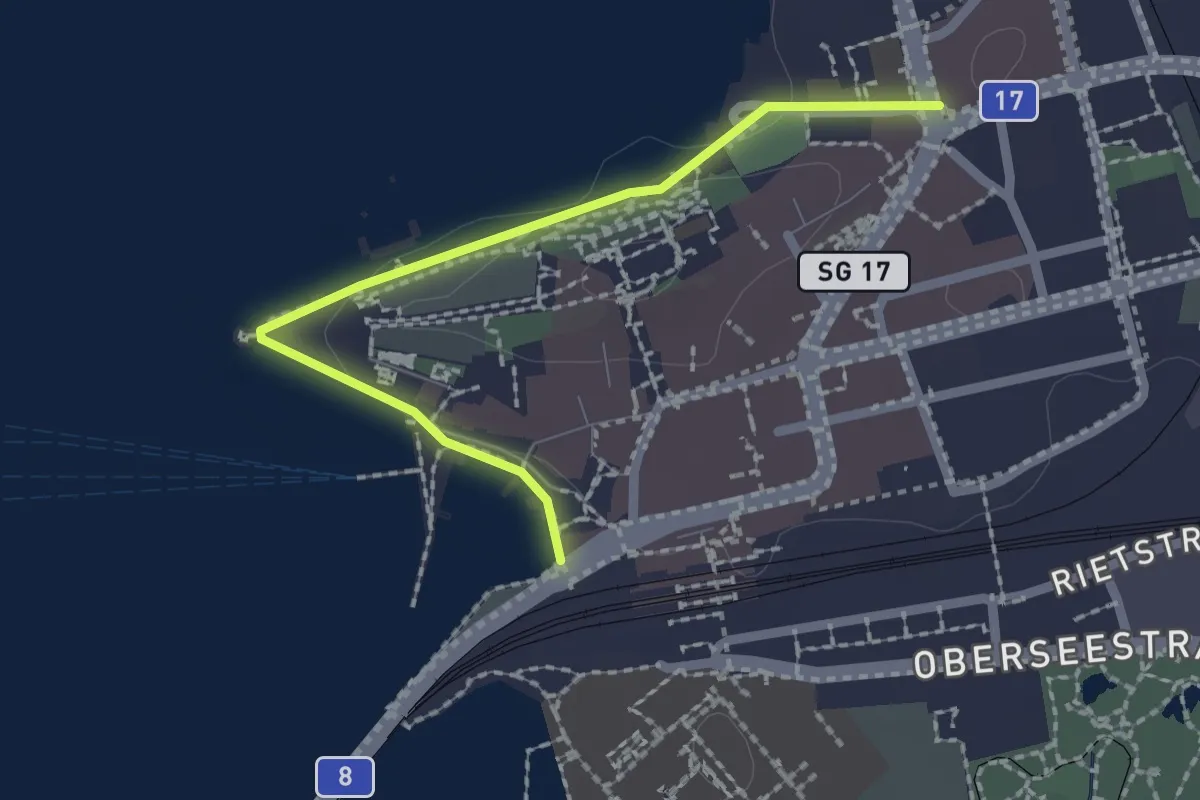
Easy · Trail
Stadthofplatz – Verkehrsbüro
2.1 km · ↑ 17 m · 33 min
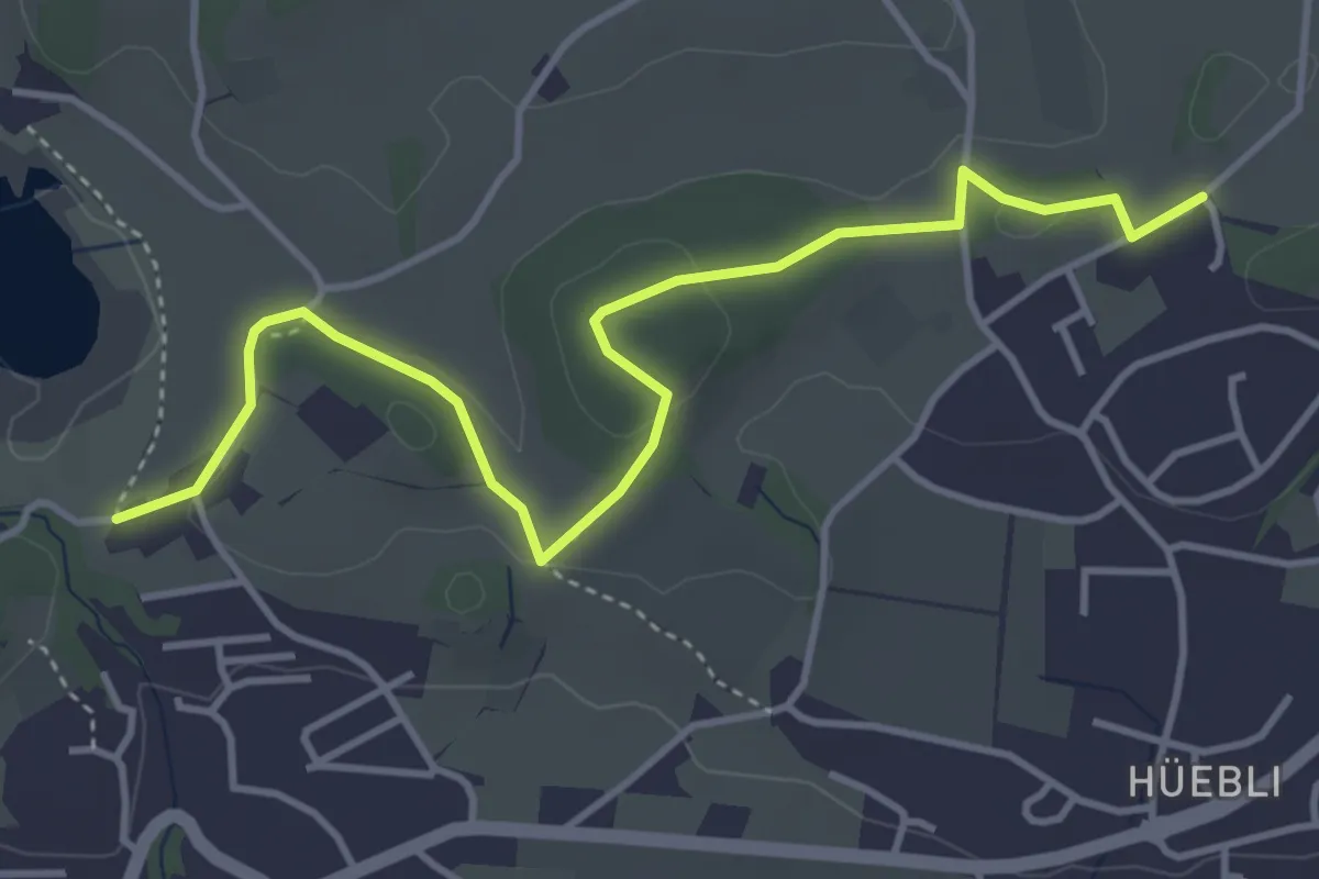
Easy · Trail
Lützelsee – Bühlhof
4.5 km · ↑ 86 m · 1 h 15 min
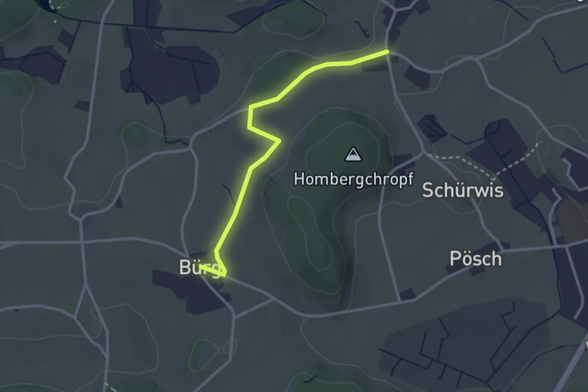
Easy · Trail
Sennschür – Bürg
2.7 km · ↑ 26 m · 41 min
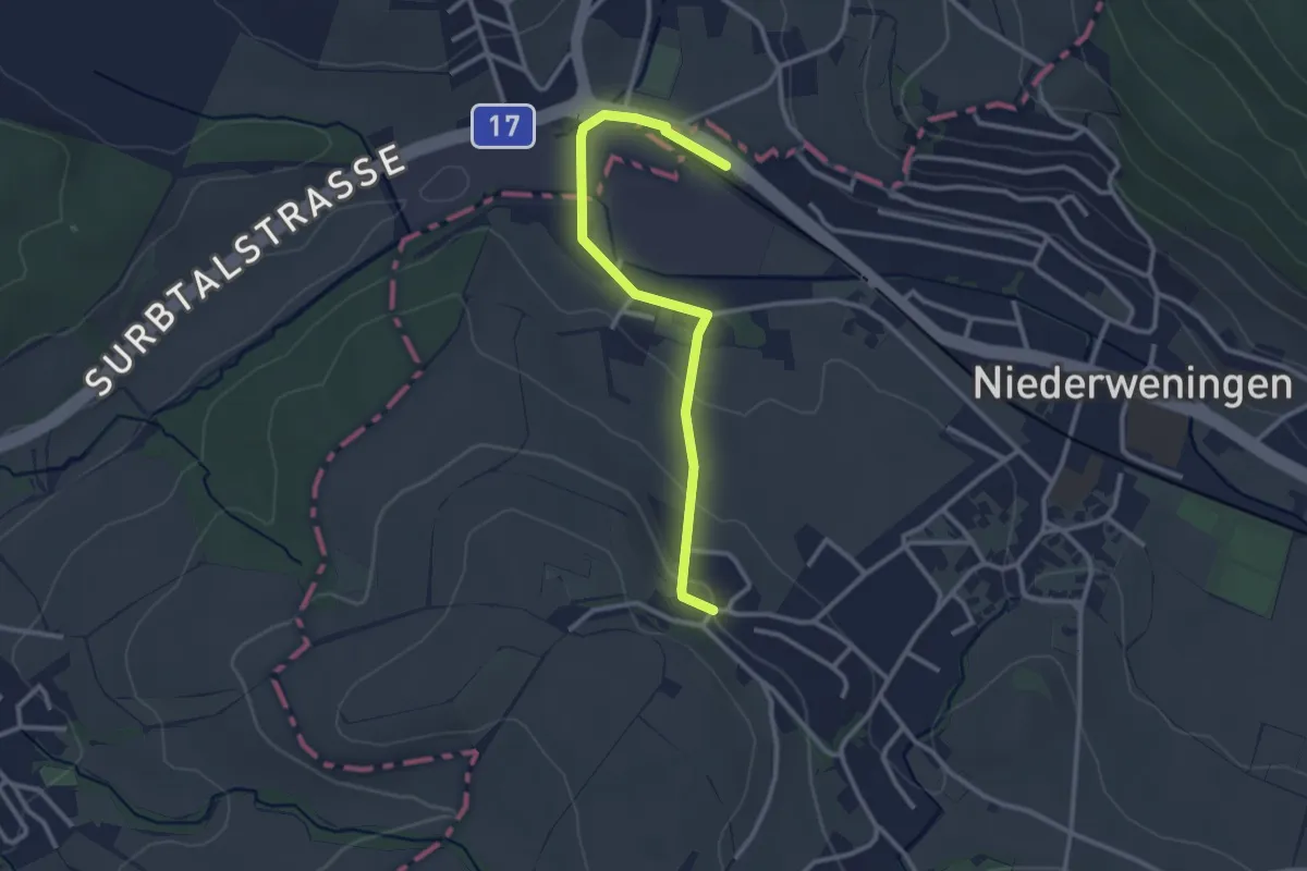
Easy · Trail
Niederweningen Kirche – Niederweningen
2.9 km · ↑ 62 m · 49 min
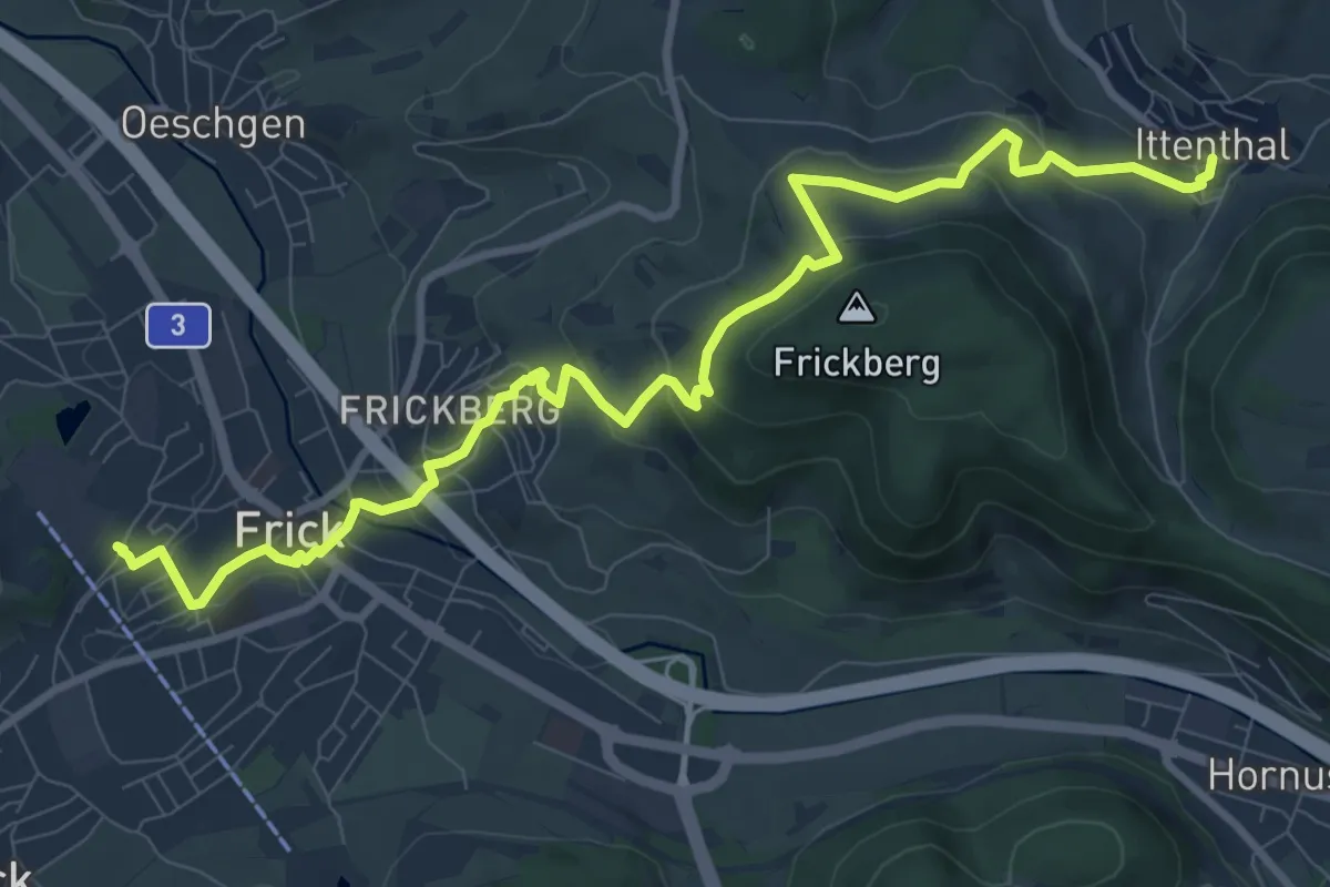
Medium · Trail
Ittenthal – Frick
11.1 km · ↑ 460 m · 3 h 36 min
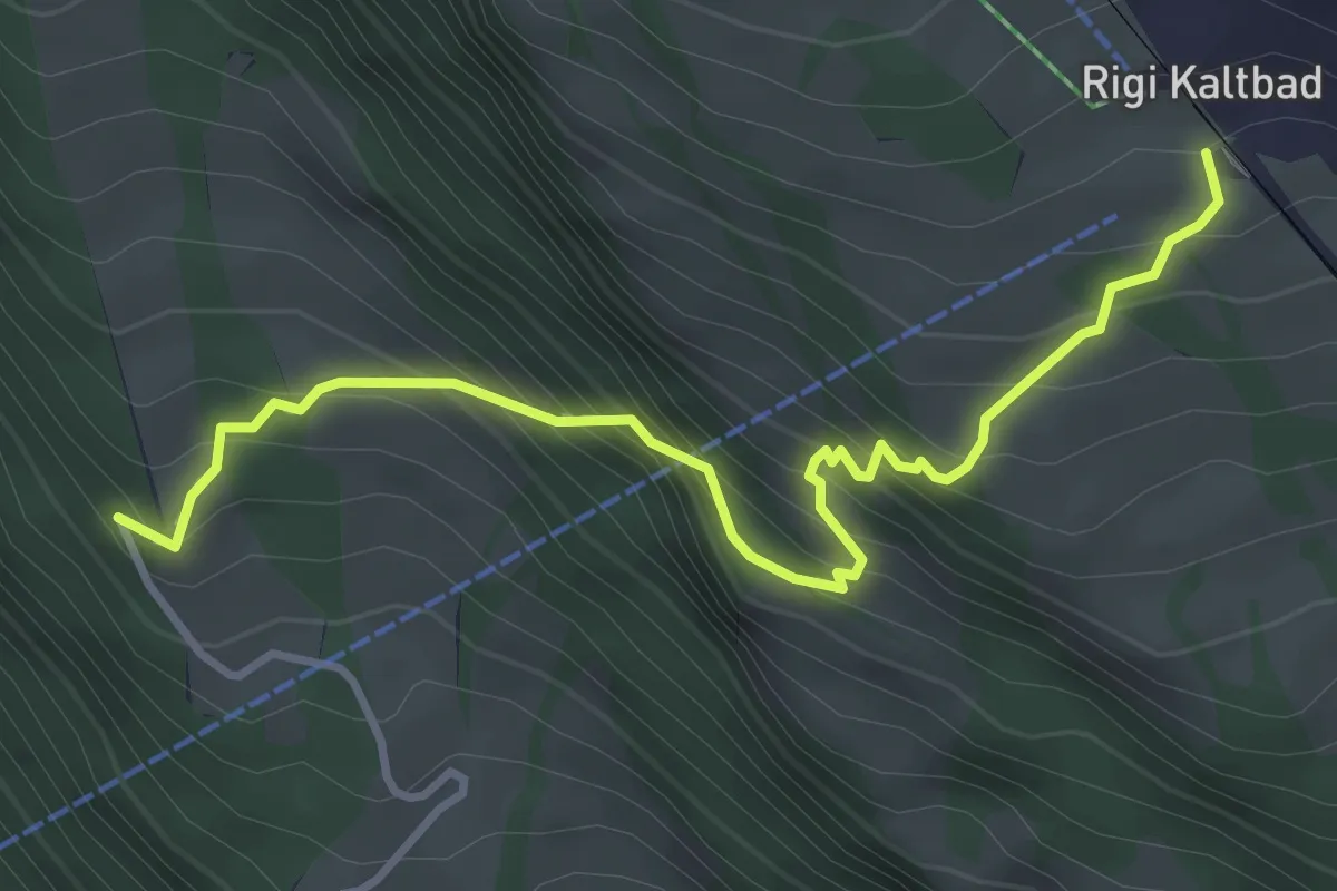
Demanding · Trail
Rigi Kaltbad – Müseralp
4.0 km · ↑ 484 m · 1 h 59 min
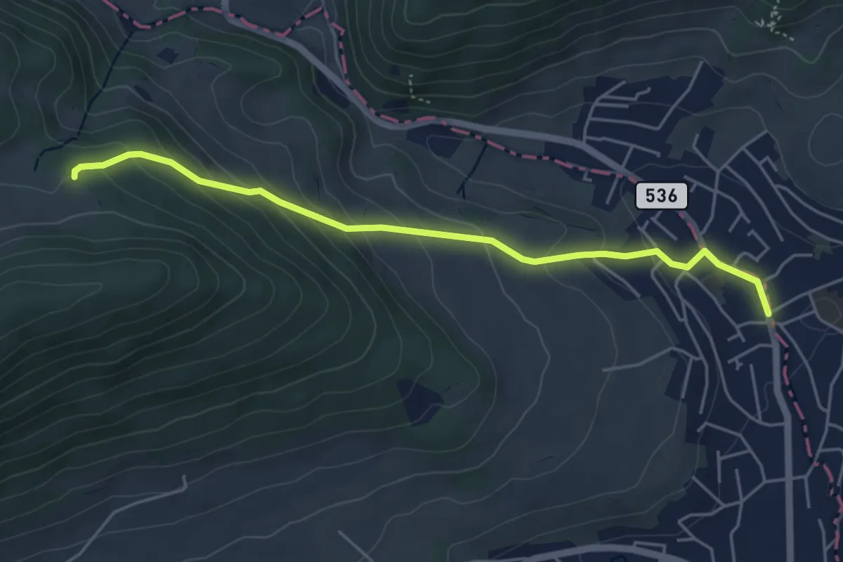
Easy · Trail
Rütmatt – Erlinsbach
4.7 km · ↑ 250 m · 1 h 39 min
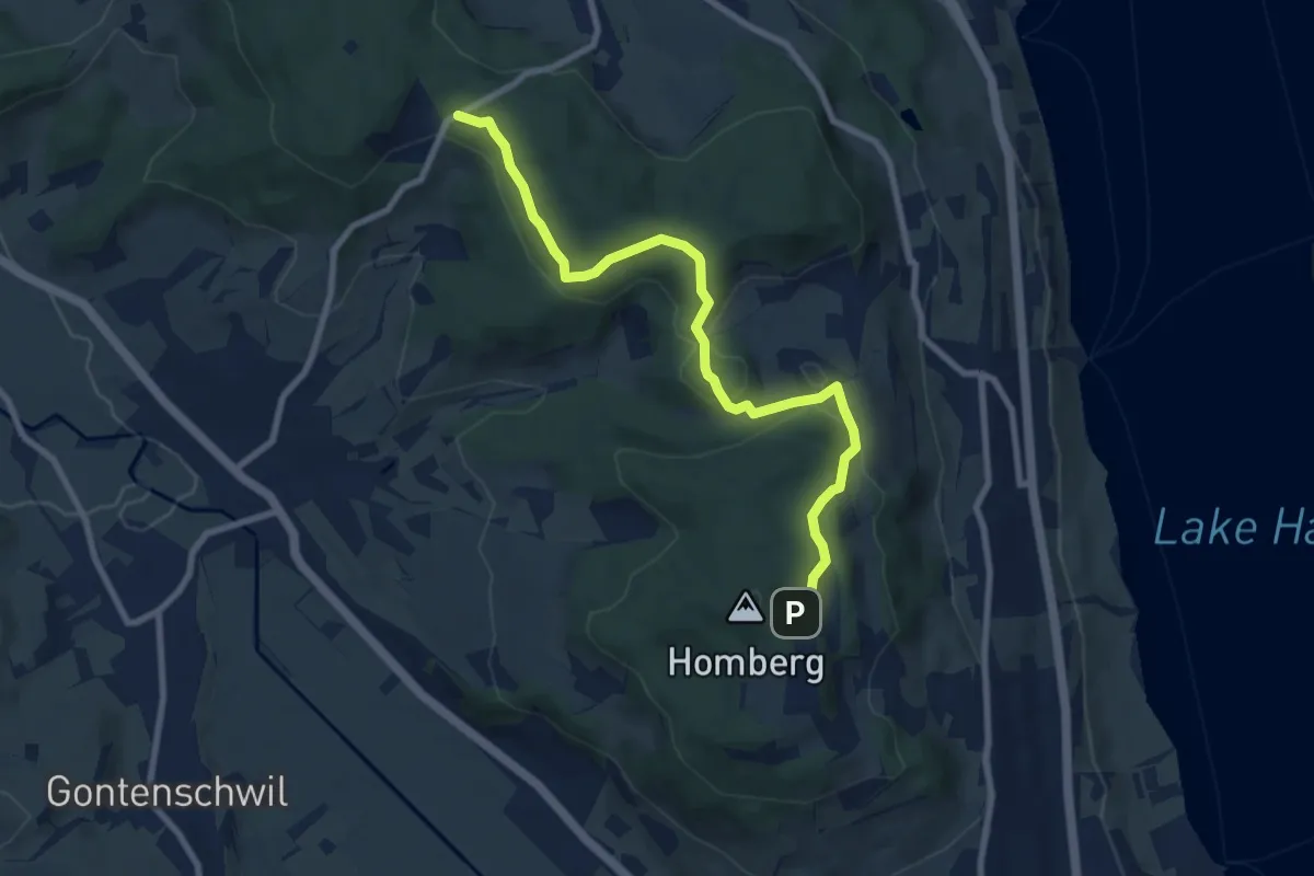
Medium · Trail
Ober Flügelberg – Wampfle
8.5 km · ↑ 248 m · 2 h 33 min
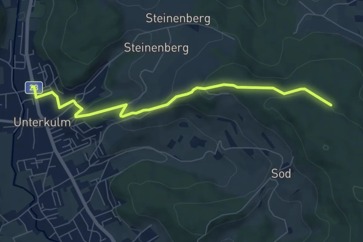
Easy · Trail
Unterkulm – Burghalden
6.8 km · ↑ 264 m · 2 h 11 min
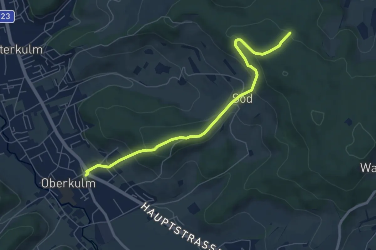
Medium · Trail
Oberkulm – Burghalden
6.1 km · ↑ 329 m · 2 h 10 min
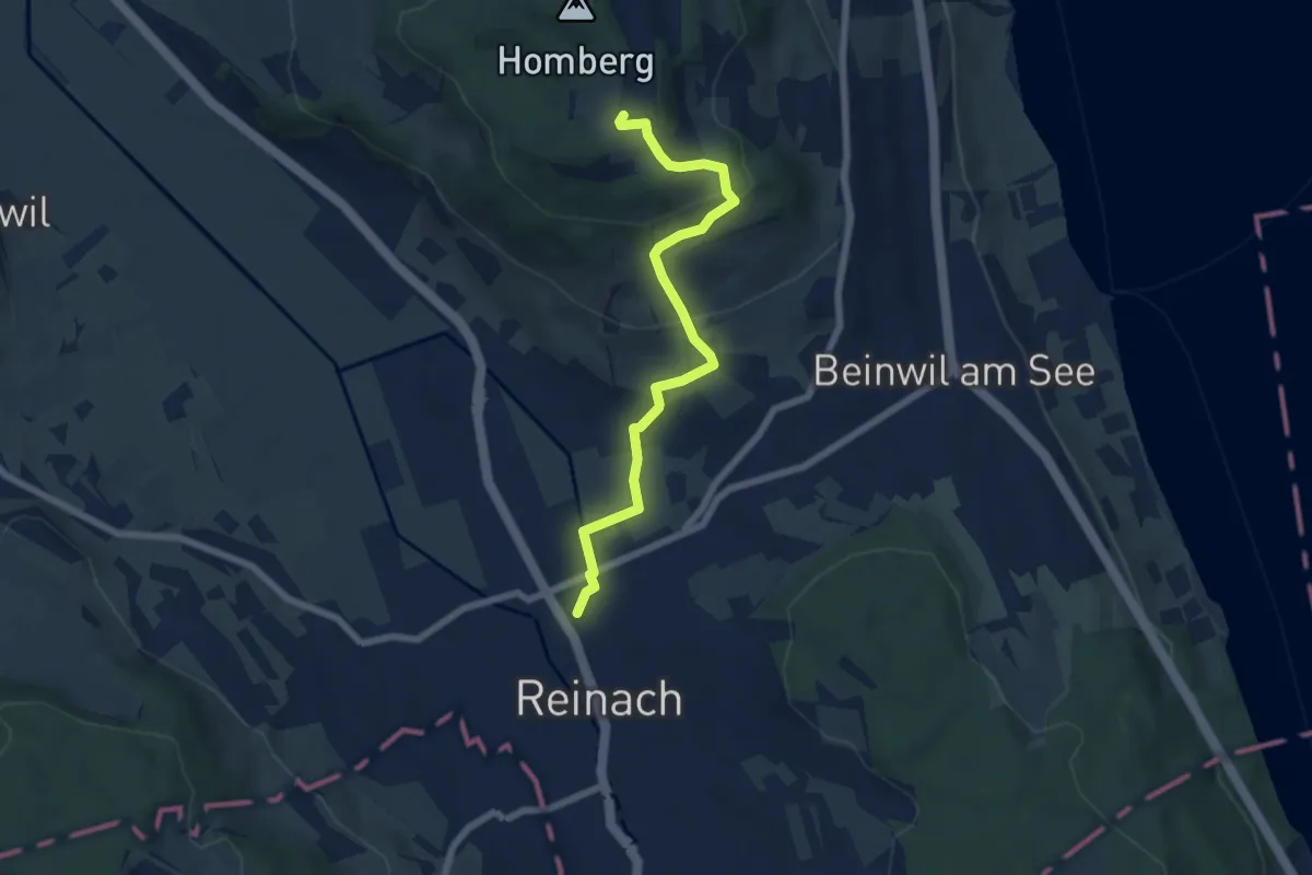
Easy · Trail
Reinach Nord – Homberg Hochwacht
6.4 km · ↑ 263 m · 2 h 4 min
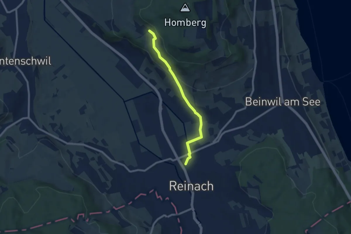
Easy · Trail
Seeberg – Reinach Nord
5.4 km · ↑ 164 m · 1 h 38 min
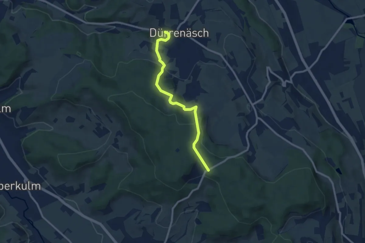
Easy · Trail
Wampfle – Dürrenäsch
6.4 km · ↑ 223 m · 1 h 59 min
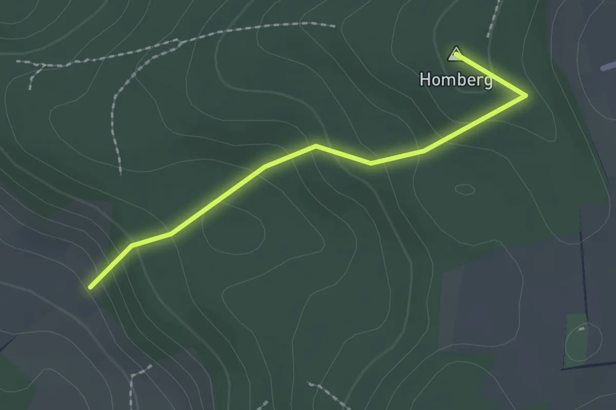
Easy · Summit
Seeberg – Homberg Hochwacht
1.9 km · ↑ 130 m · 43 min
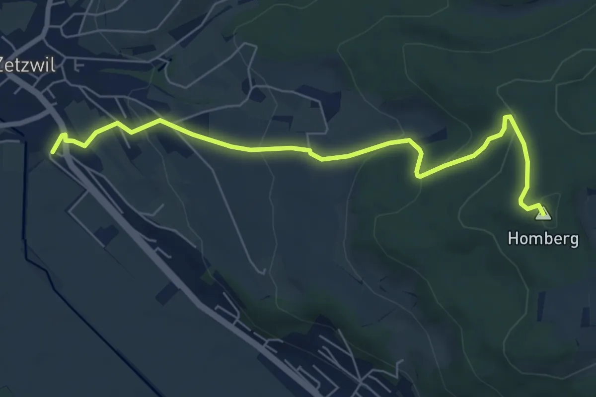
Easy · Summit
Zetzwil – Homberg Hochwacht
6.1 km · ↑ 286 m · 2 h 3 min
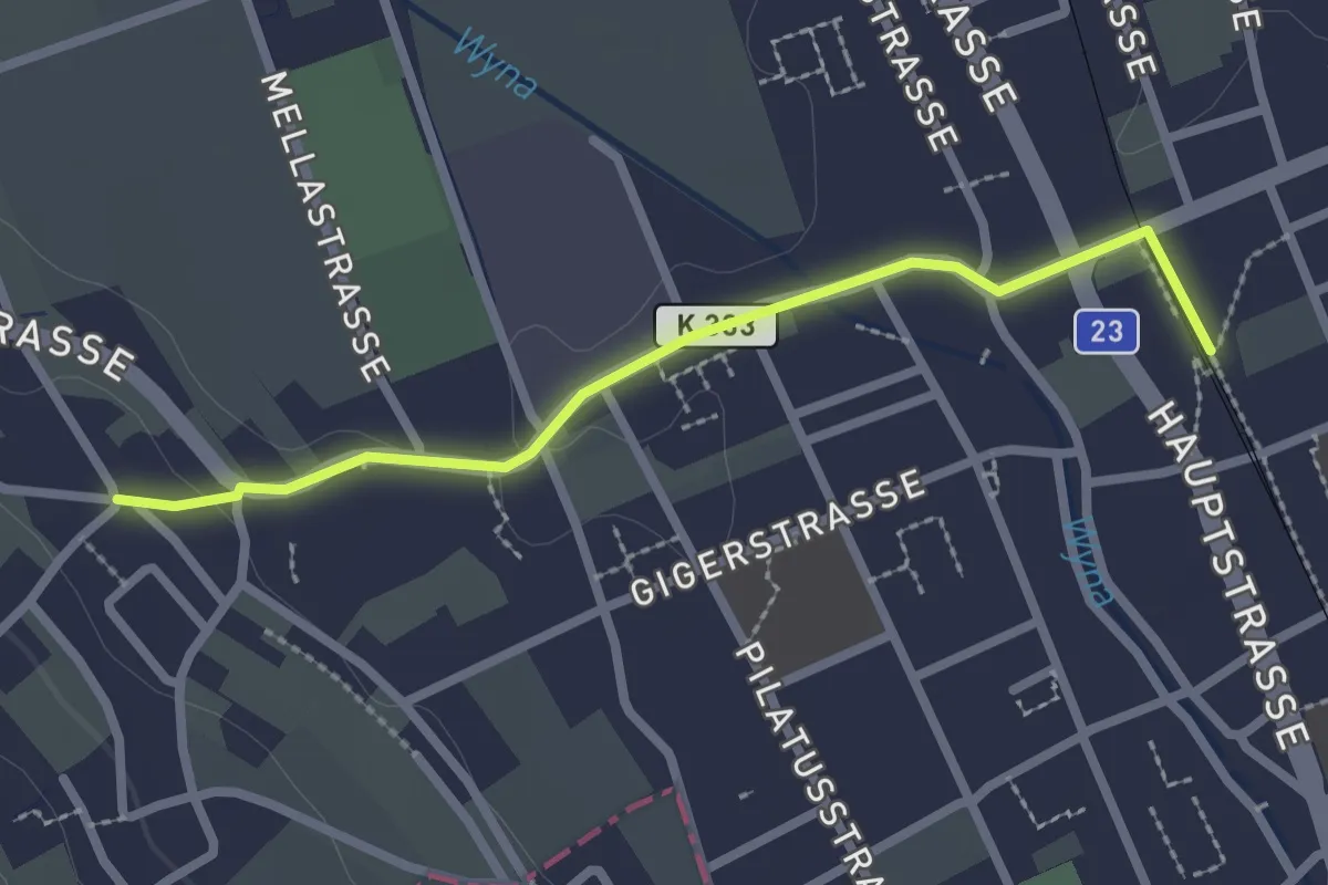
Easy · Trail
Herrenweg – Reinach Nord
2.4 km · ↑ 10 m · 35 min
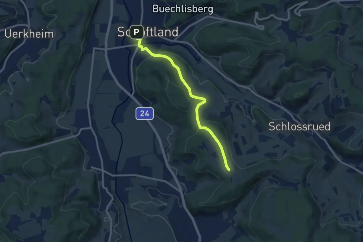
Easy · Trail
Schöftland – Hinter Nack
7.0 km · ↑ 202 m · 2 h 6 min
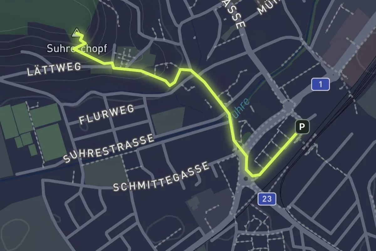
Easy · Summit
Suhrerchopf – Suhr
2.2 km · ↑ 59 m · 39 min
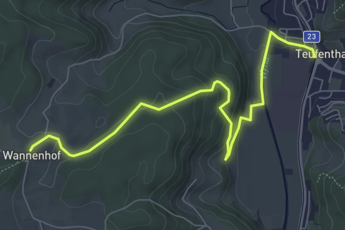
Easy · Trail
Teufenthal – Wannenhof
6.9 km · ↑ 235 m · 2 h 9 min
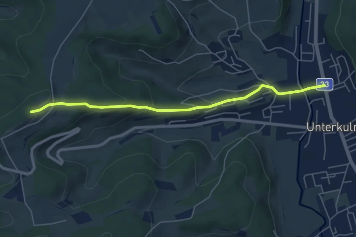
Easy · Trail
Unterkulm – Bööler Hochwacht
4.5 km · ↑ 193 m · 1 h 29 min
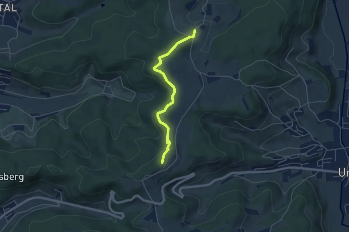
Easy · Trail
Wannenhof – Böhler Hochwacht
4.1 km · ↑ 136 m · 1 h 15 min
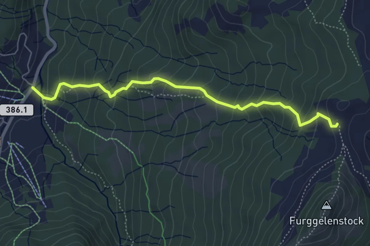
Medium · Trail
Brunni – Furggelen
5.1 km · ↑ 430 m · 2 h 8 min
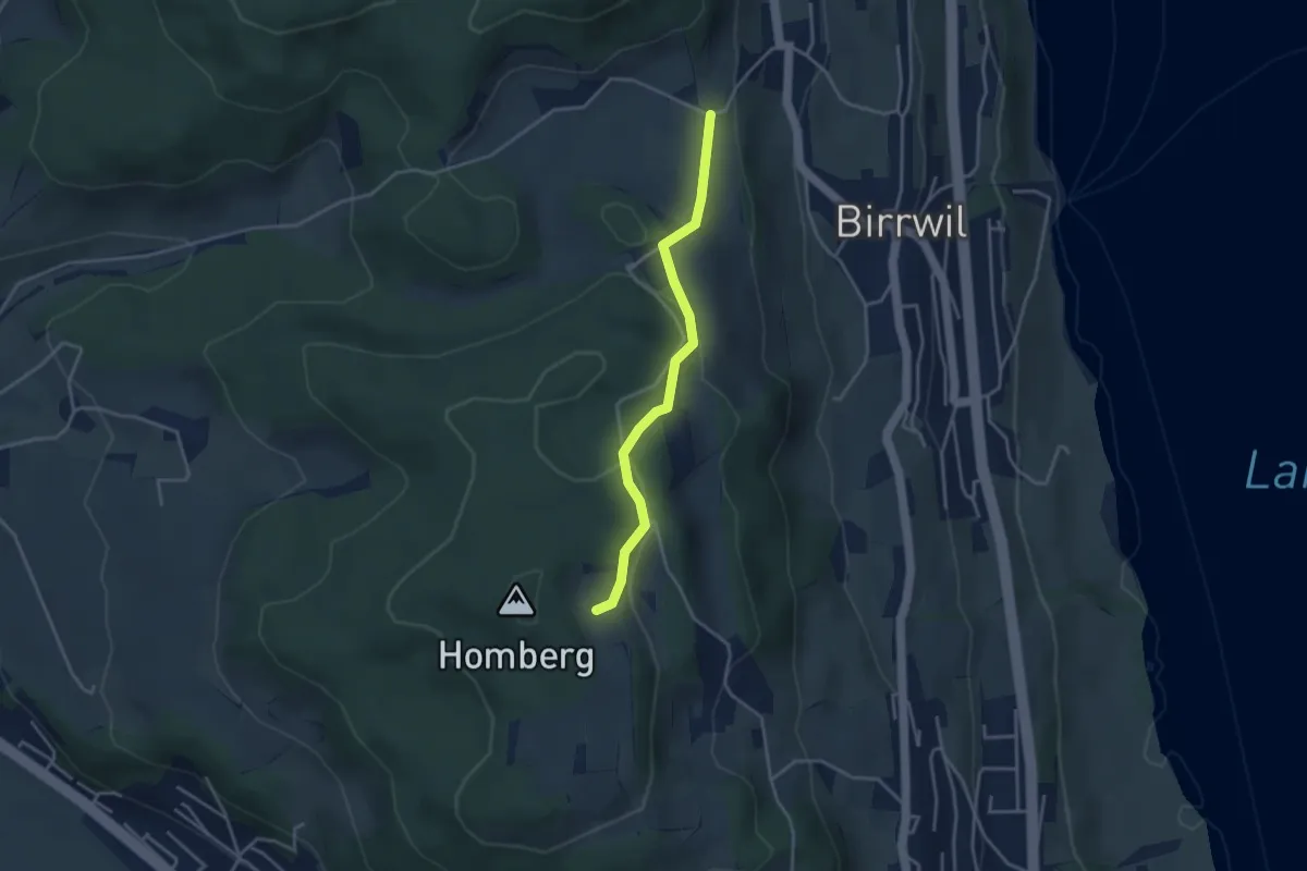
Easy · Trail
Birrwil Uf Berg – Oberer Flügelberg
3.4 km · ↑ 108 m · 1 h 2 min
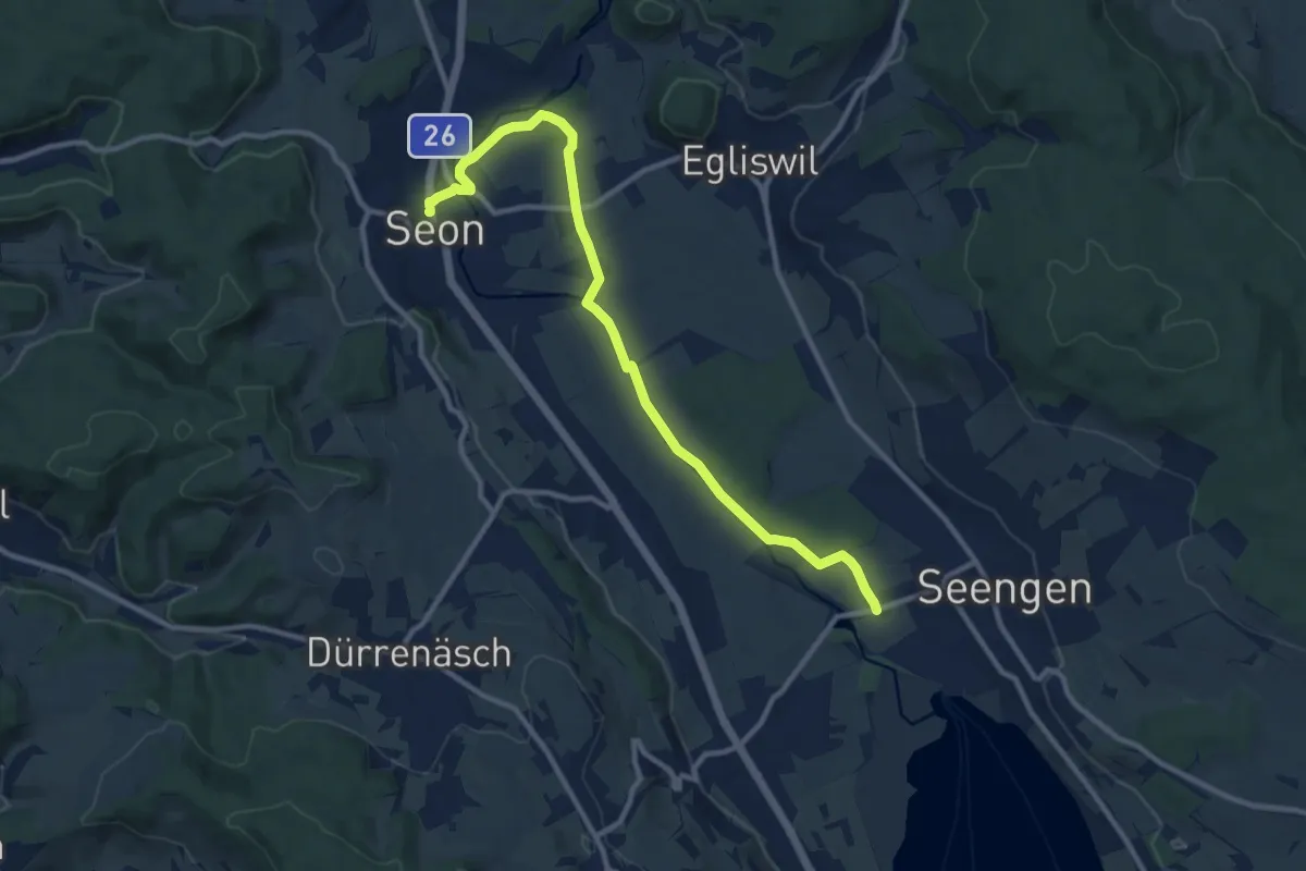
Medium · Trail
Seon – Schloss Hallwil
11.0 km · ↑ 76 m · 2 h 46 min
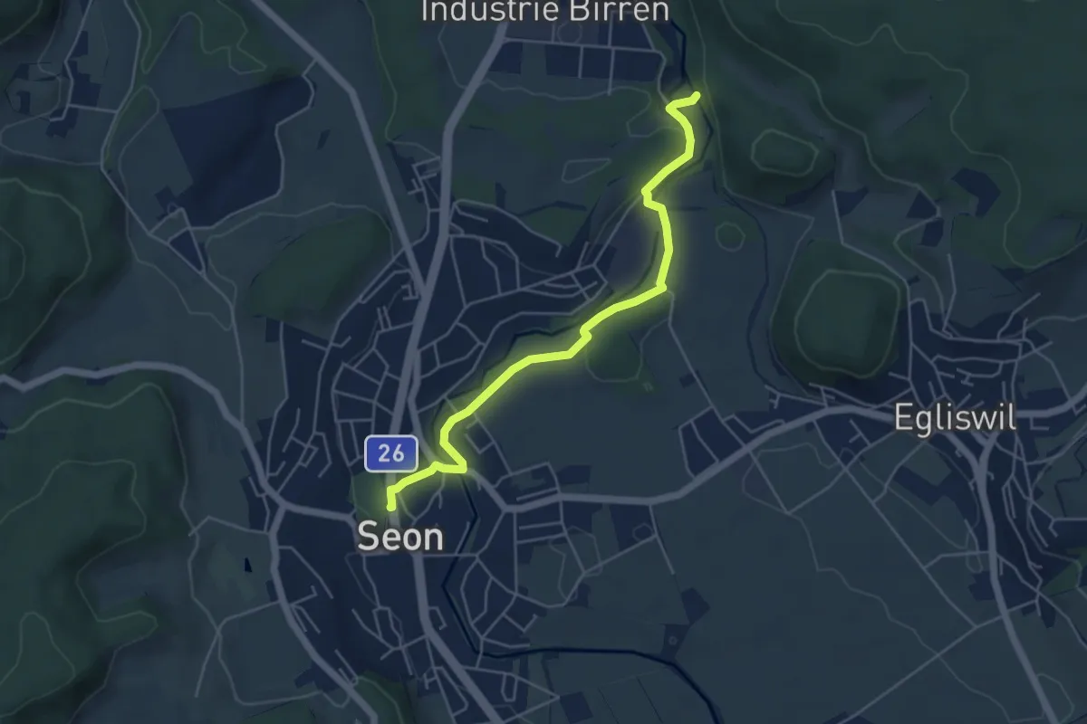
Easy · Trail
Seon – Siegismühle
5.0 km · ↑ 64 m · 1 h 19 min
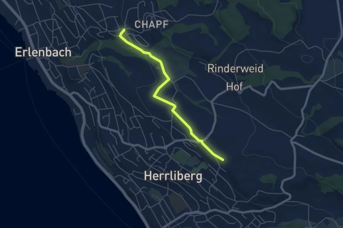
Easy · Trail
Erlenbach Allmend – Wängi
4.7 km · ↑ 77 m · 1 h 17 min
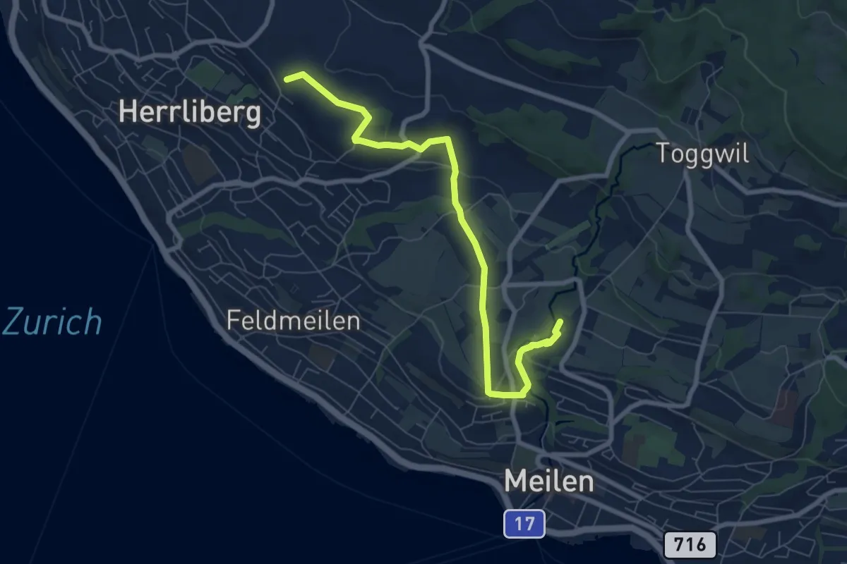
Easy · Trail
Wängi – Rne. Friedberg
7.6 km · ↑ 151 m · 2 h 8 min
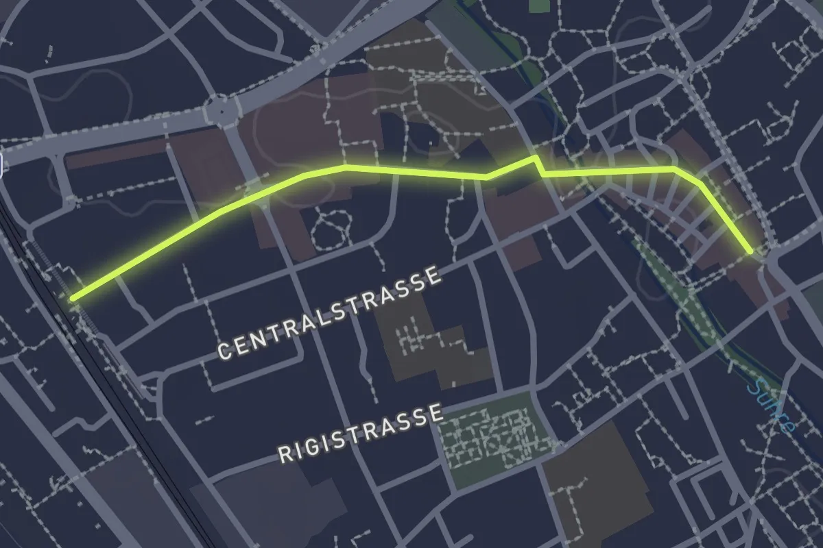
Easy · Trail
Sursee (Bahnhof) – Sursee (Oberstadt)
2.2 km · ↑ 4 m · 32 min
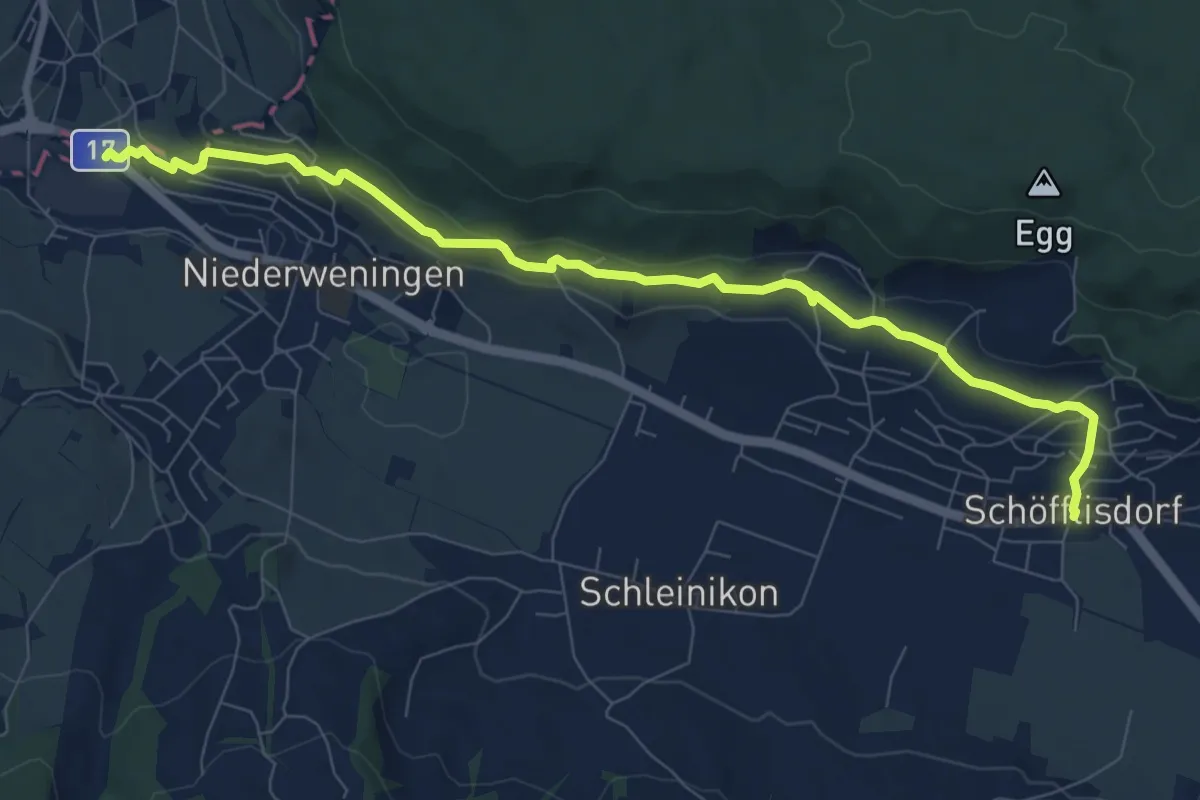
Medium · Trail
Niederweningen – Schöfflisdorf
9.1 km · ↑ 243 m · 2 h 40 min