Trails in Switzerland
15,055 hiking trails, each with its route, climb, walking time and grade.
All trails, page 283 of 314
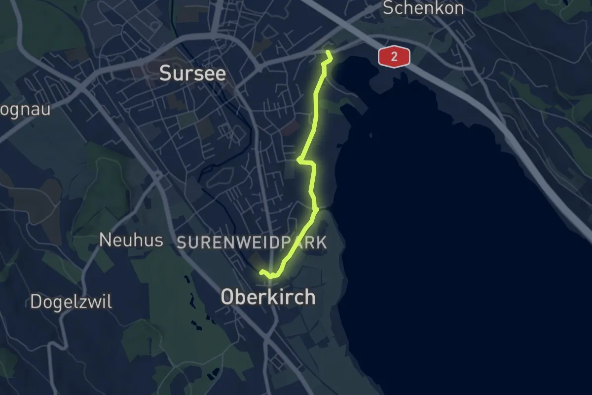
Easy · Trail
Oberkirch (Schulhaus) – Mariazell
4.7 km · ↑ 13 m · 1 h 9 min
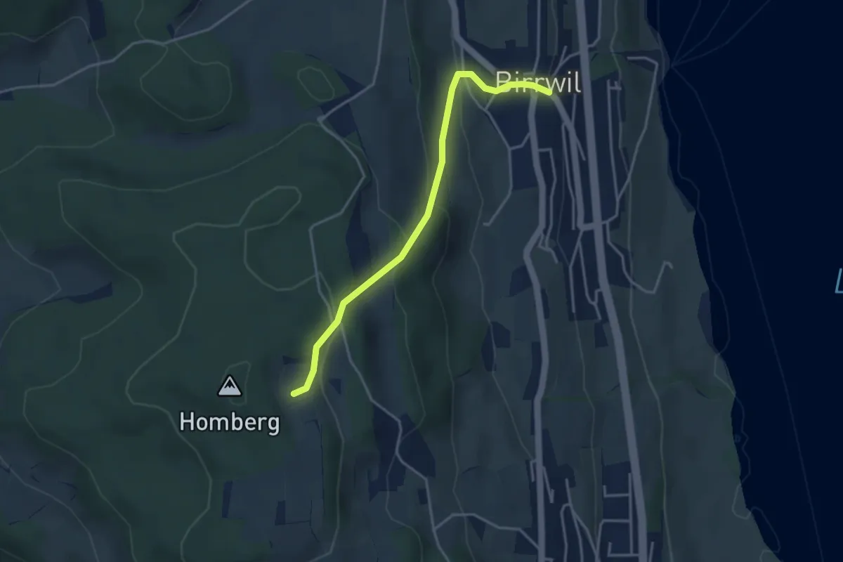
Easy · Trail
Birrwil – Oberer Flügelberg
3.5 km · ↑ 220 m · 1 h 18 min
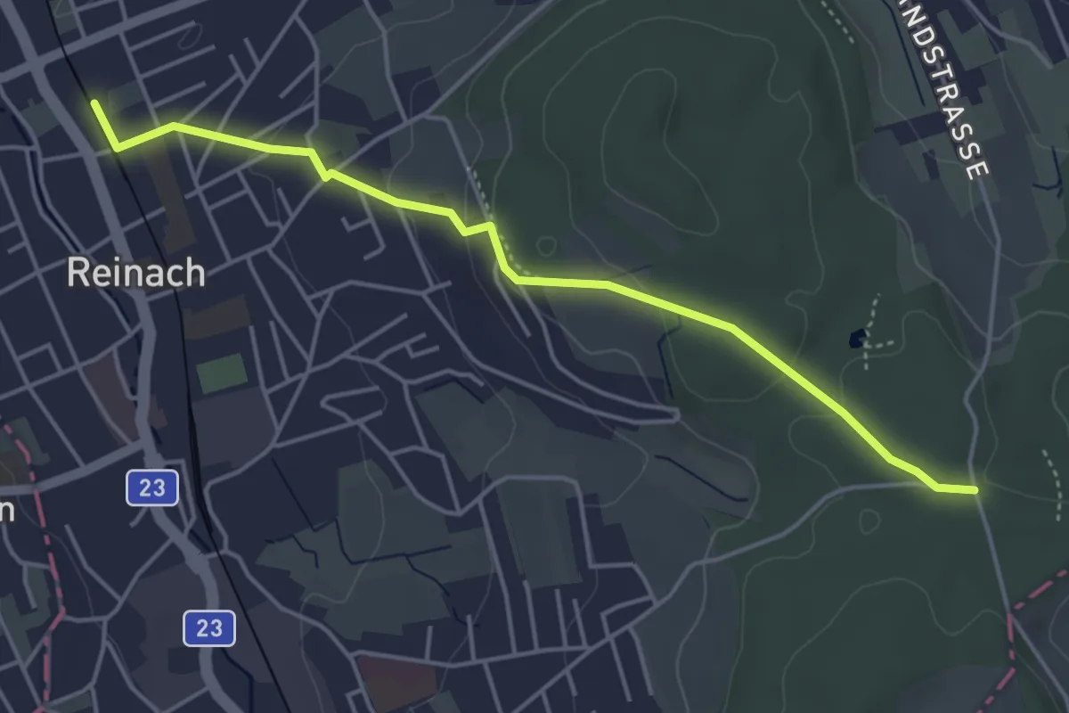
Easy · Trail
Reinach Nord – Breitholz
4.5 km · ↑ 116 m · 1 h 19 min
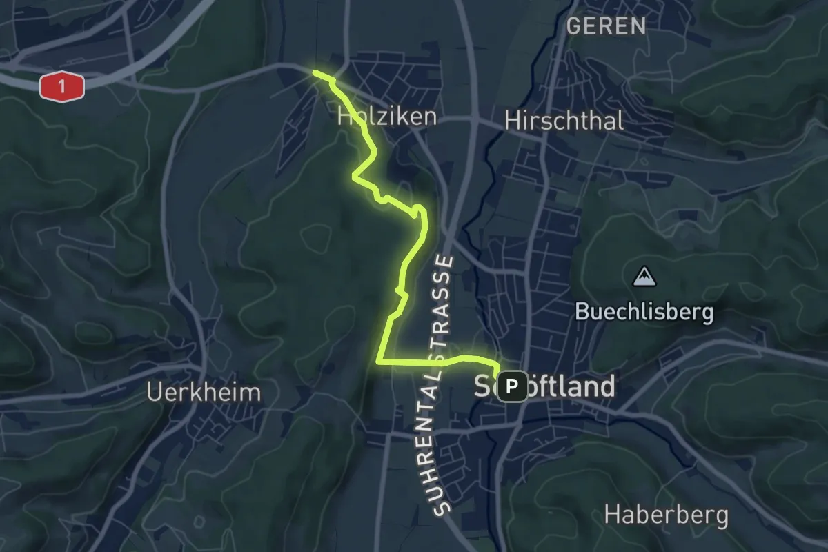
Easy · Trail
Holziken – Schöftland
6.7 km · ↑ 171 m · 1 h 58 min
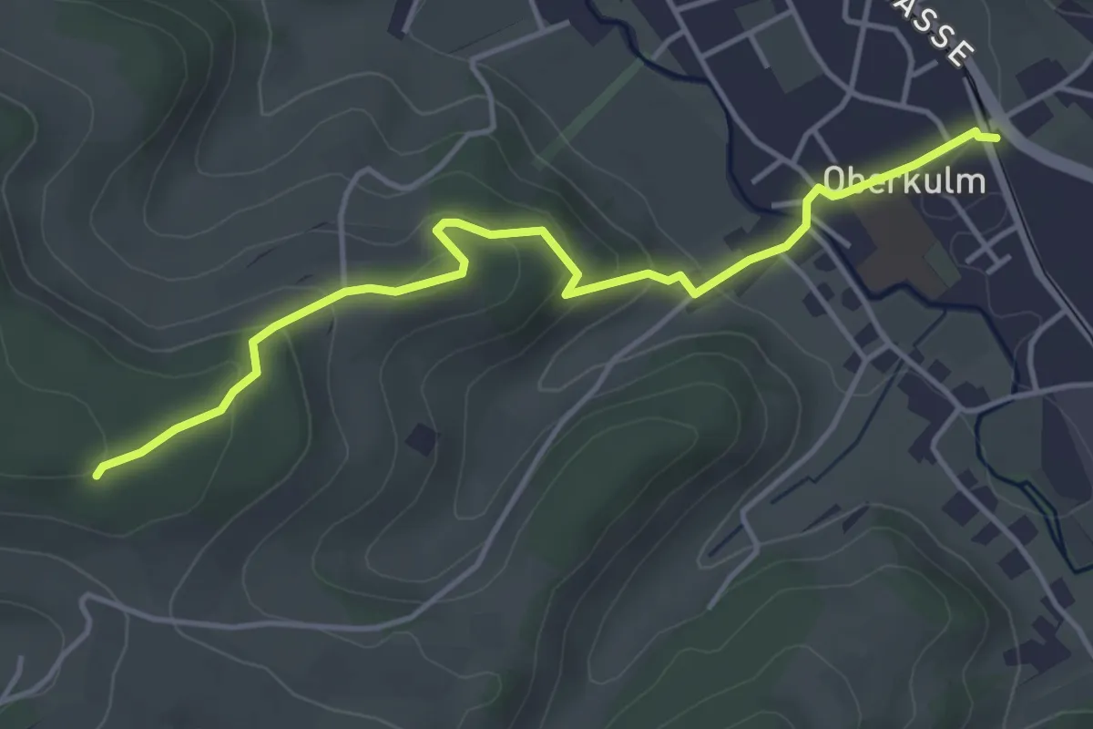
Easy · Trail
Oberkulm – Junkerwald
4.4 km · ↑ 167 m · 1 h 24 min
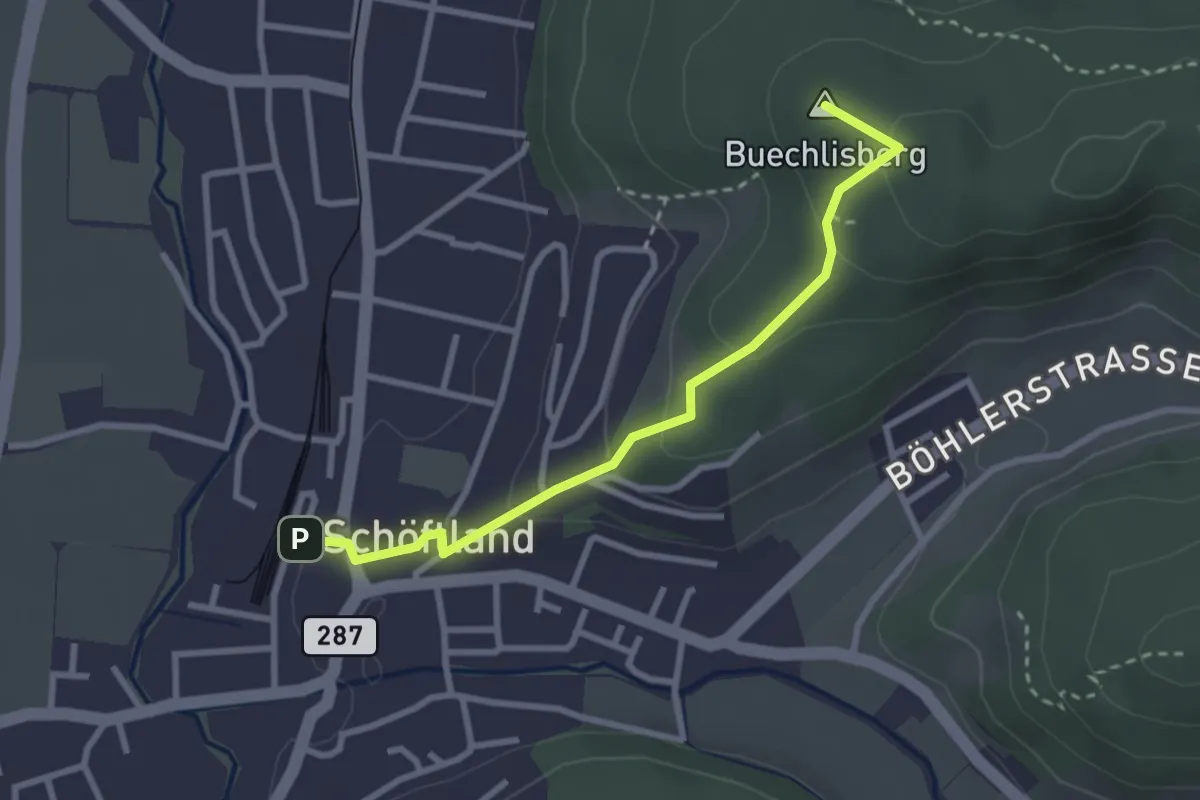
Easy · Summit
Schöftland – Bööler
2.8 km · ↑ 120 m · 55 min
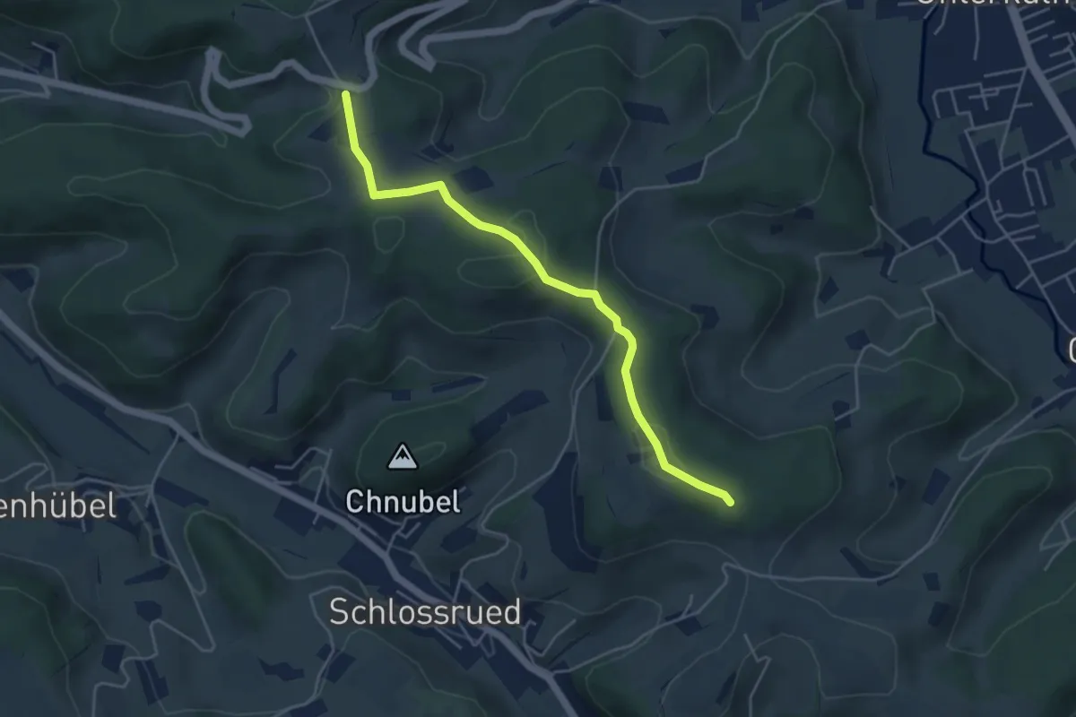
Easy · Trail
Bööler Passhöchi – Junkerwald
4.6 km · ↑ 124 m · 1 h 21 min
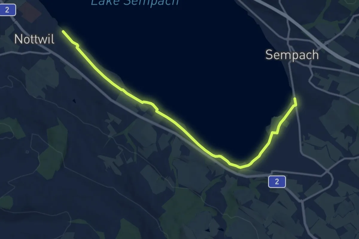
Medium · Trail
Nottwil – Sempach (Vogelwarte)
11.6 km · ↑ 41 m · 2 h 49 min
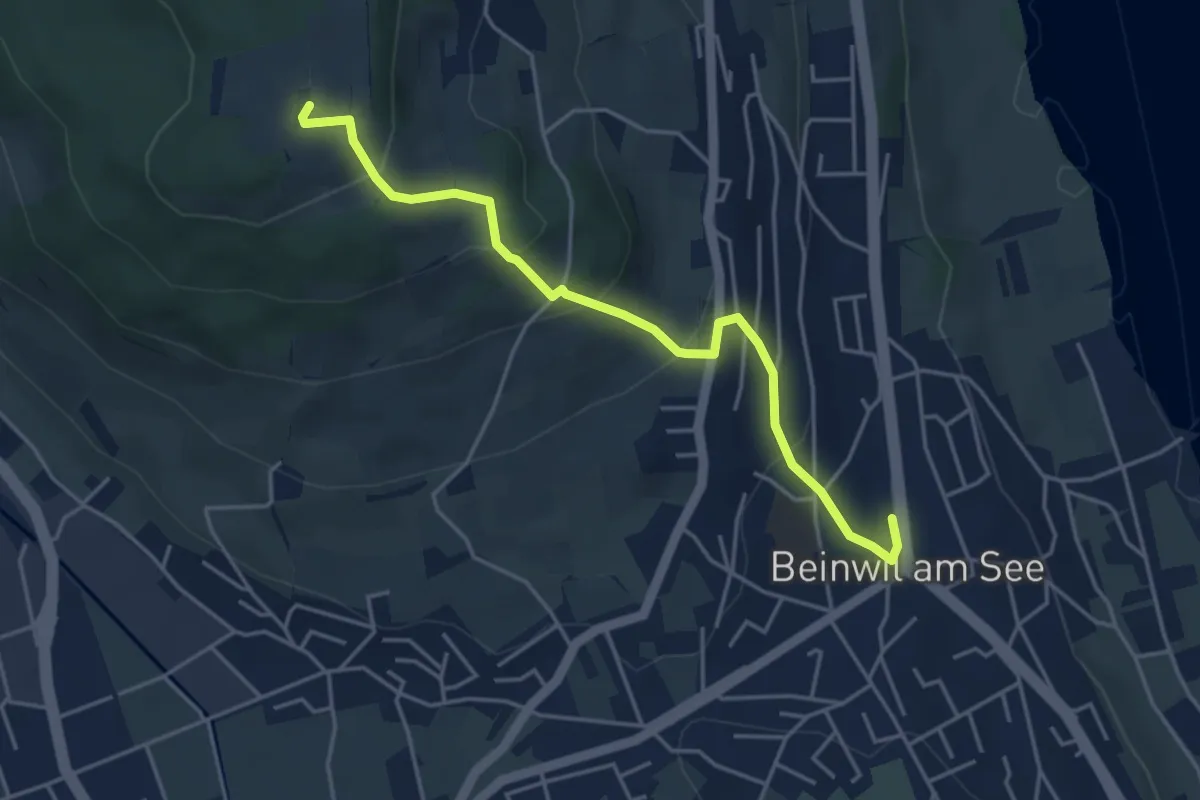
Easy · Trail
Beinwill am See – Homberg Hochwacht
4.5 km · ↑ 258 m · 1 h 37 min
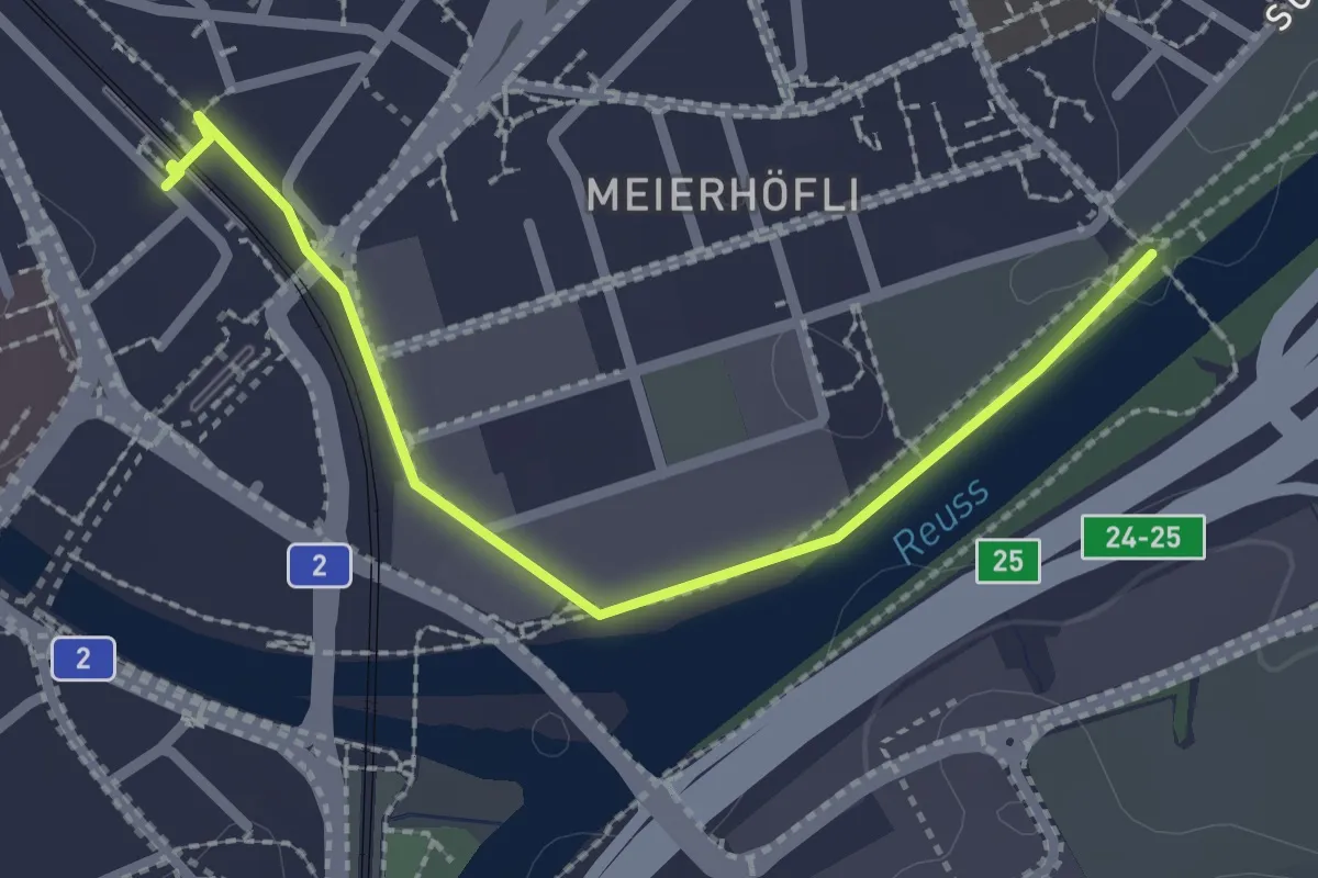
Easy · Trail
Sädelbrücke – Emmenbrücke (Bahnhof)
2.4 km · ↑ 4 m · 34 min
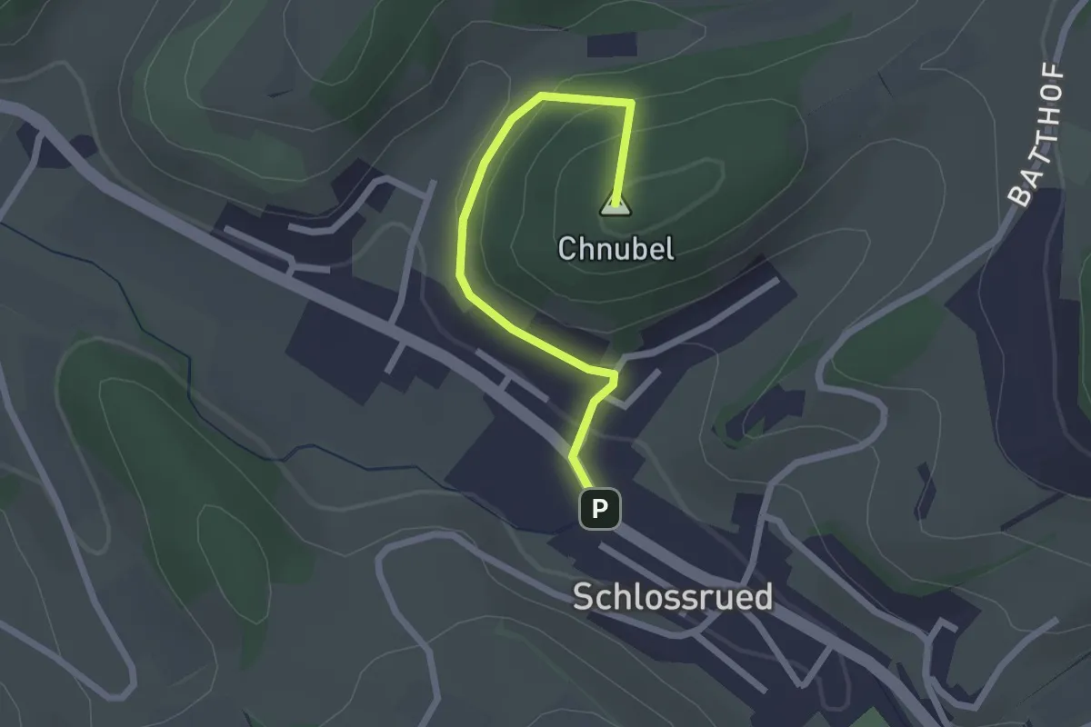
Easy · Summit
Schlossrued – Junkerenwald
2.1 km · ↑ 107 m · 43 min
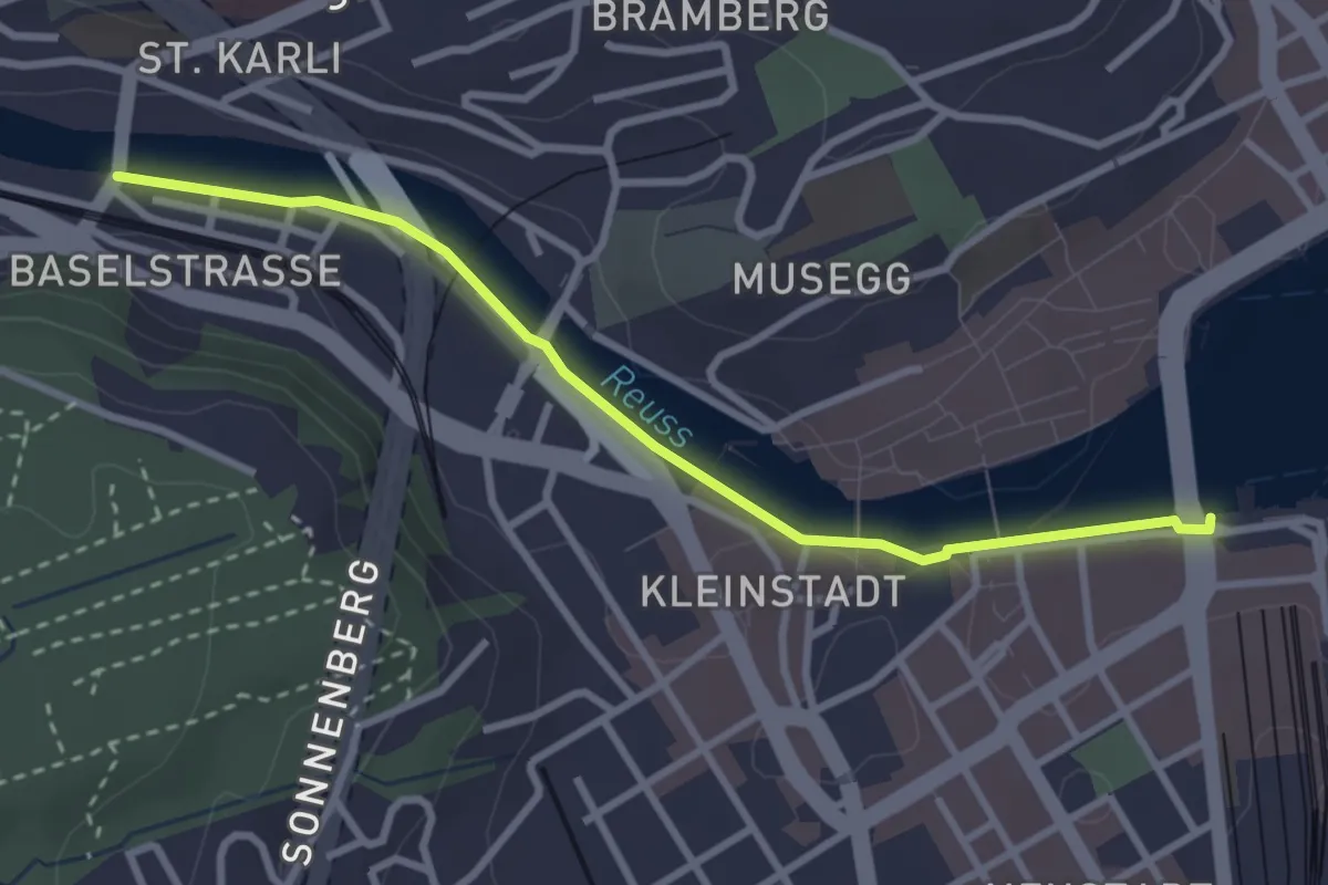
Easy · Trail
Luzern – St. Karli
3.0 km · ↑ 0 m · 43 min
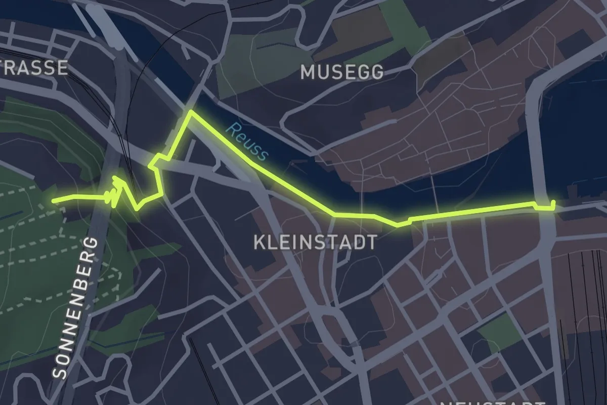
Easy · Trail
Luzern – Gütsch
3.3 km · ↑ 95 m · 58 min
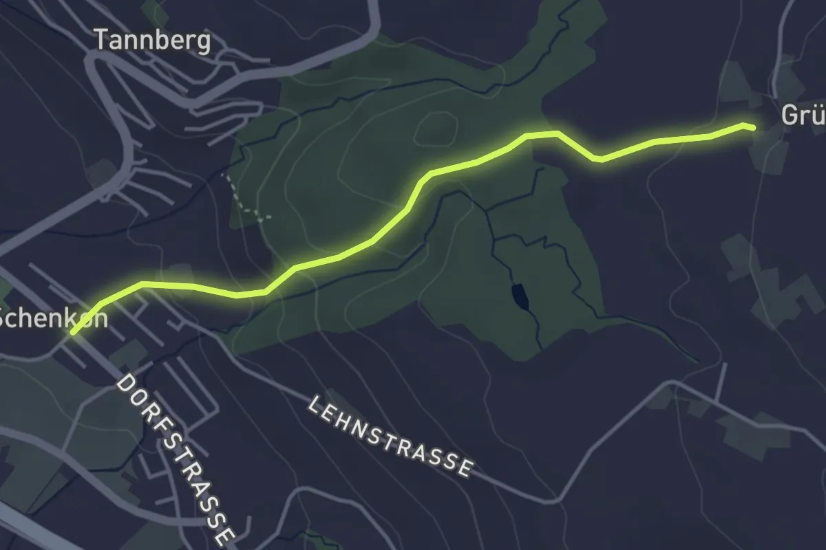
Easy · Trail
Schenkon Gemeindezentrum – Grüt
3.8 km · ↑ 147 m · 1 h 14 min
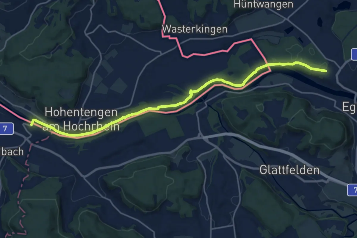
Medium · Trail
Hüntwangen-Wil – Kaiserstuhl
15.9 km · ↑ 129 m · 4 h 2 min
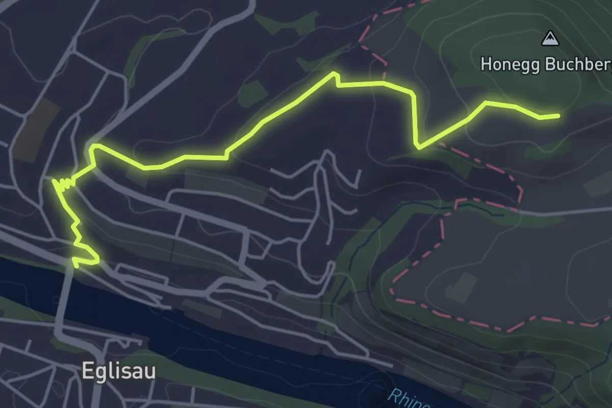
Easy · Trail
Eglisau Brücke – Honegg
4.8 km · ↑ 164 m · 1 h 30 min
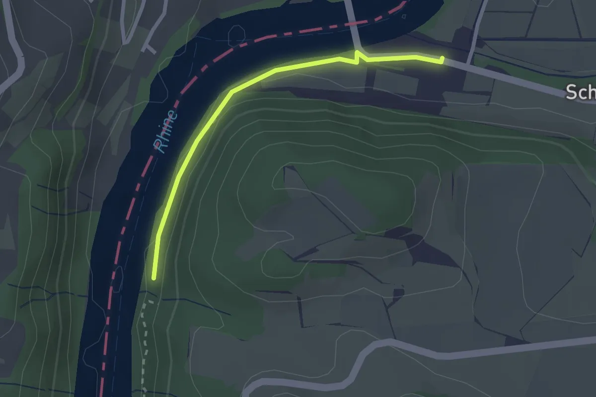
Easy · Trail
Ziegelhütte – Jöslirain
2.2 km · ↑ 30 m · 35 min
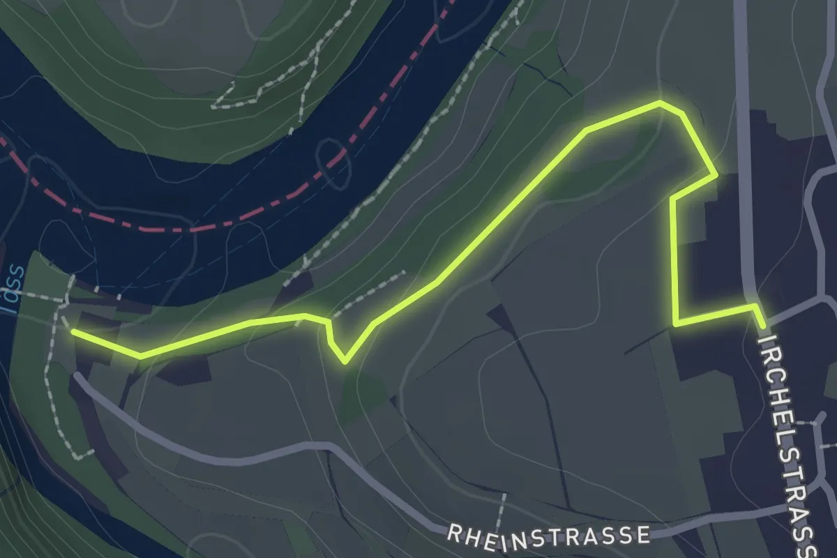
Easy · Trail
Tössegg – Unter Teufen
2.5 km · ↑ 62 m · 43 min
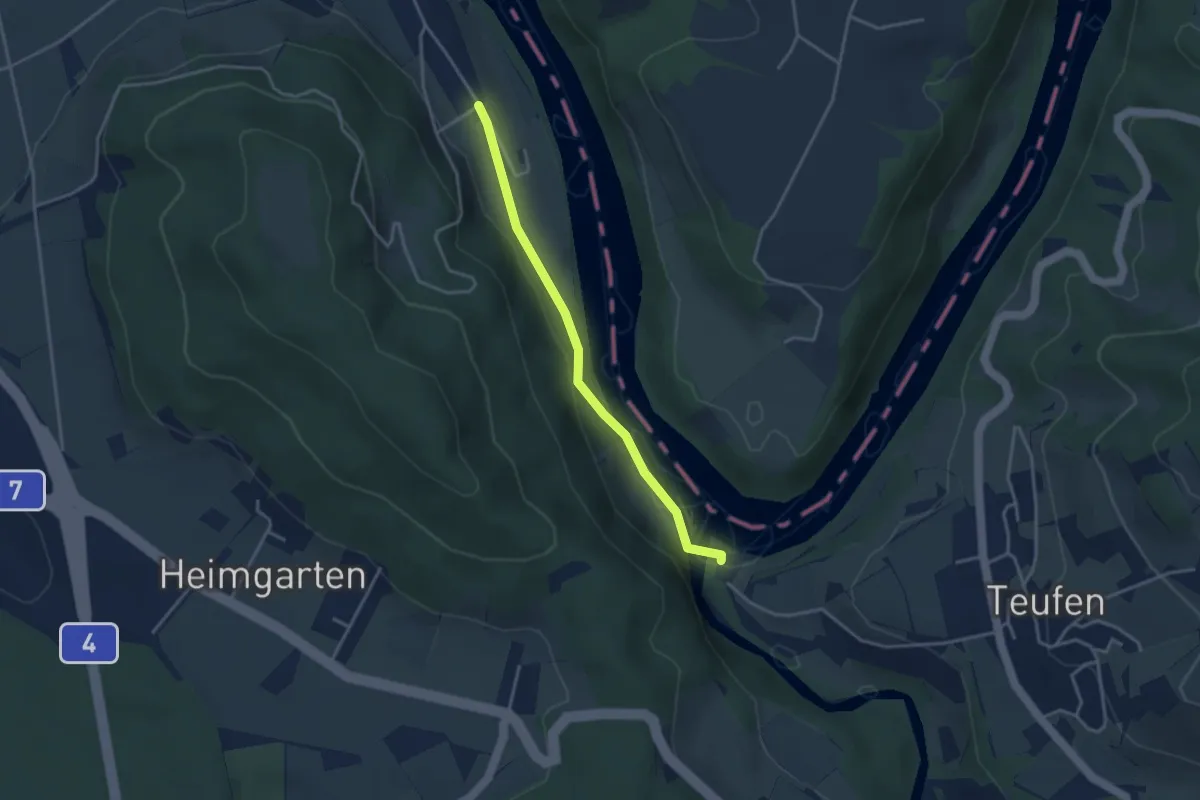
Easy · Trail
Tössegg Schiffsteg – Tössriederen
3.2 km · ↑ 93 m · 58 min
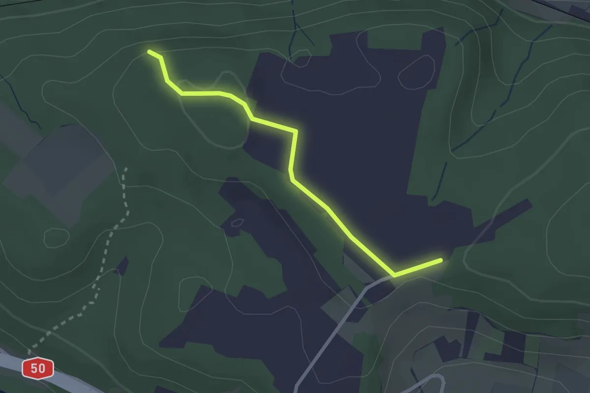
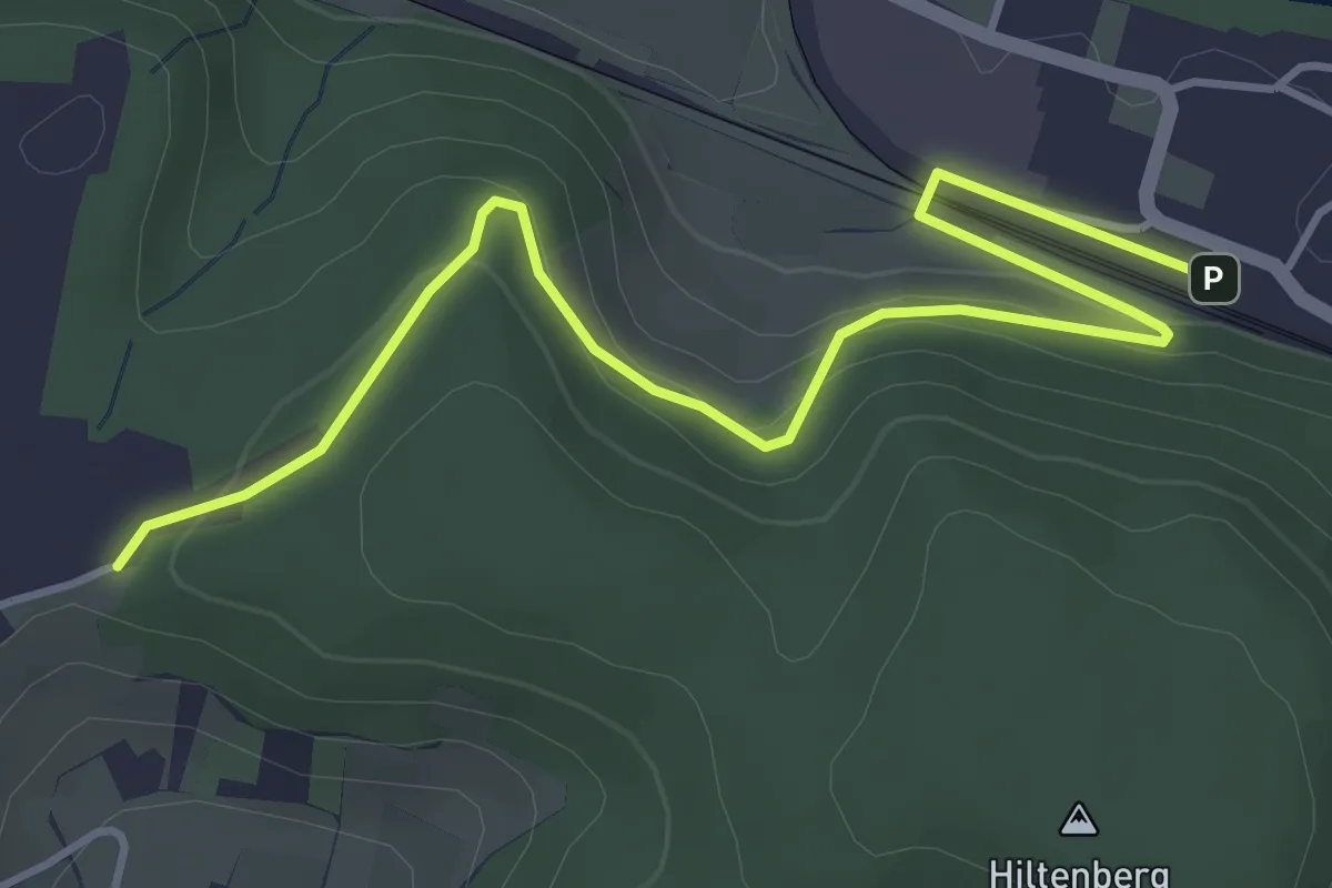
Easy · Trail
Laubberg – Paradiesgärtli
2.2 km · ↑ 58 m · 39 min
Easy · Trail
Laubberg – Eglisau Bahnhof
4.7 km · ↑ 175 m · 1 h 29 min
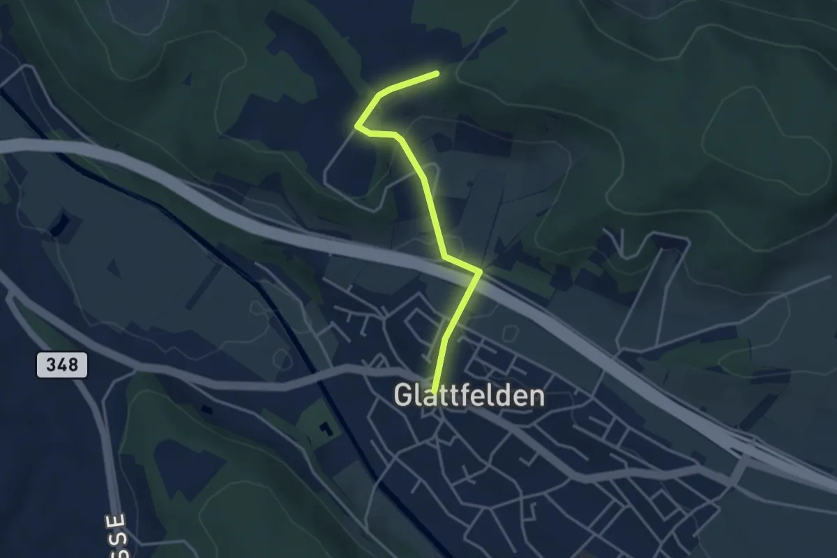
Easy · Trail
Laubberg – Glattfelden
3.0 km · ↑ 105 m · 56 min
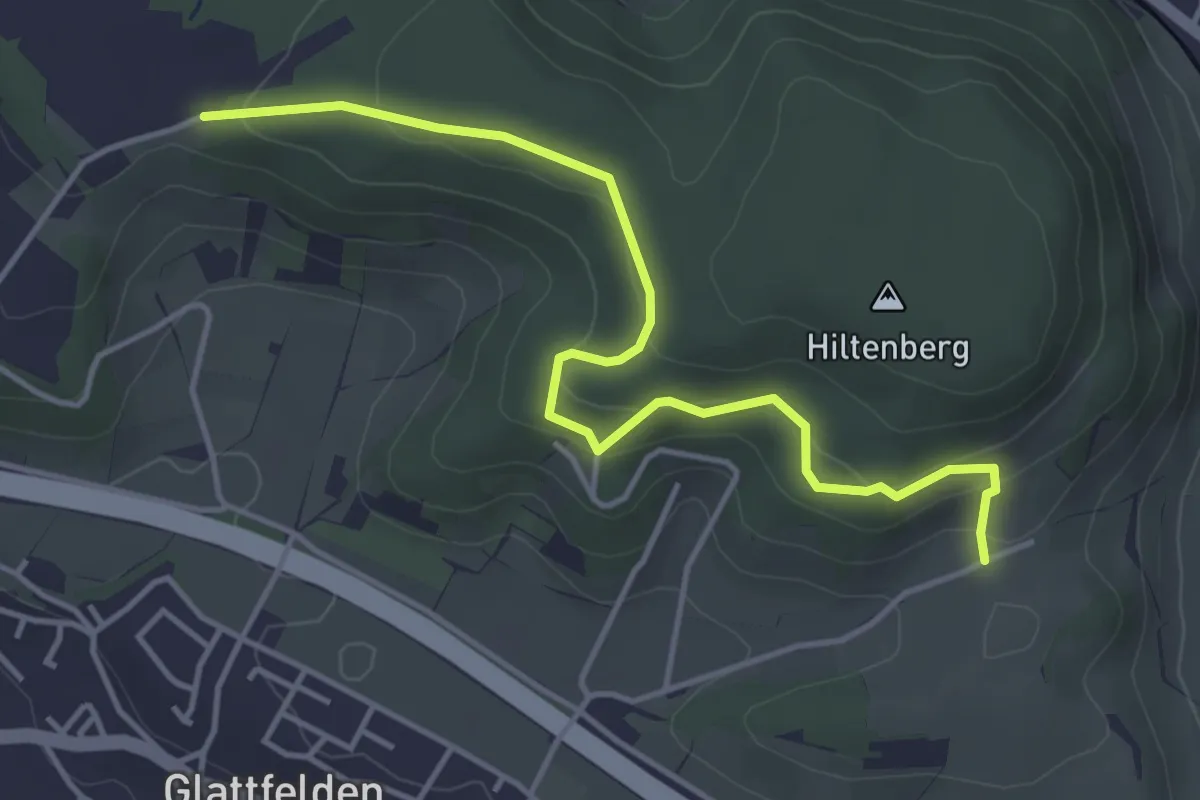
Easy · Trail
Wölflishalden – Laubberg
4.5 km · ↑ 226 m · 1 h 34 min
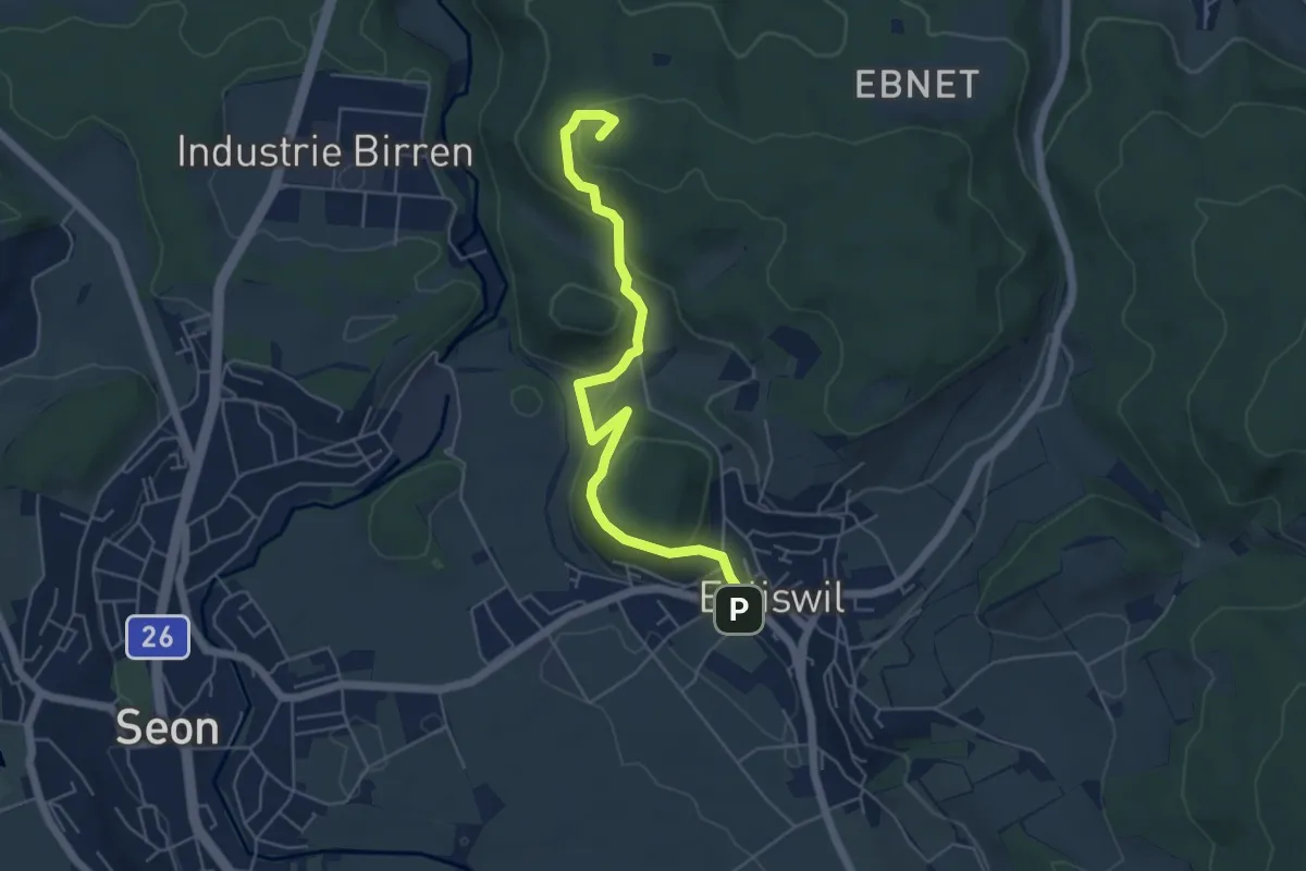
Easy · Summit
Egliswil – Esterliturm
5.6 km · ↑ 225 m · 1 h 48 min
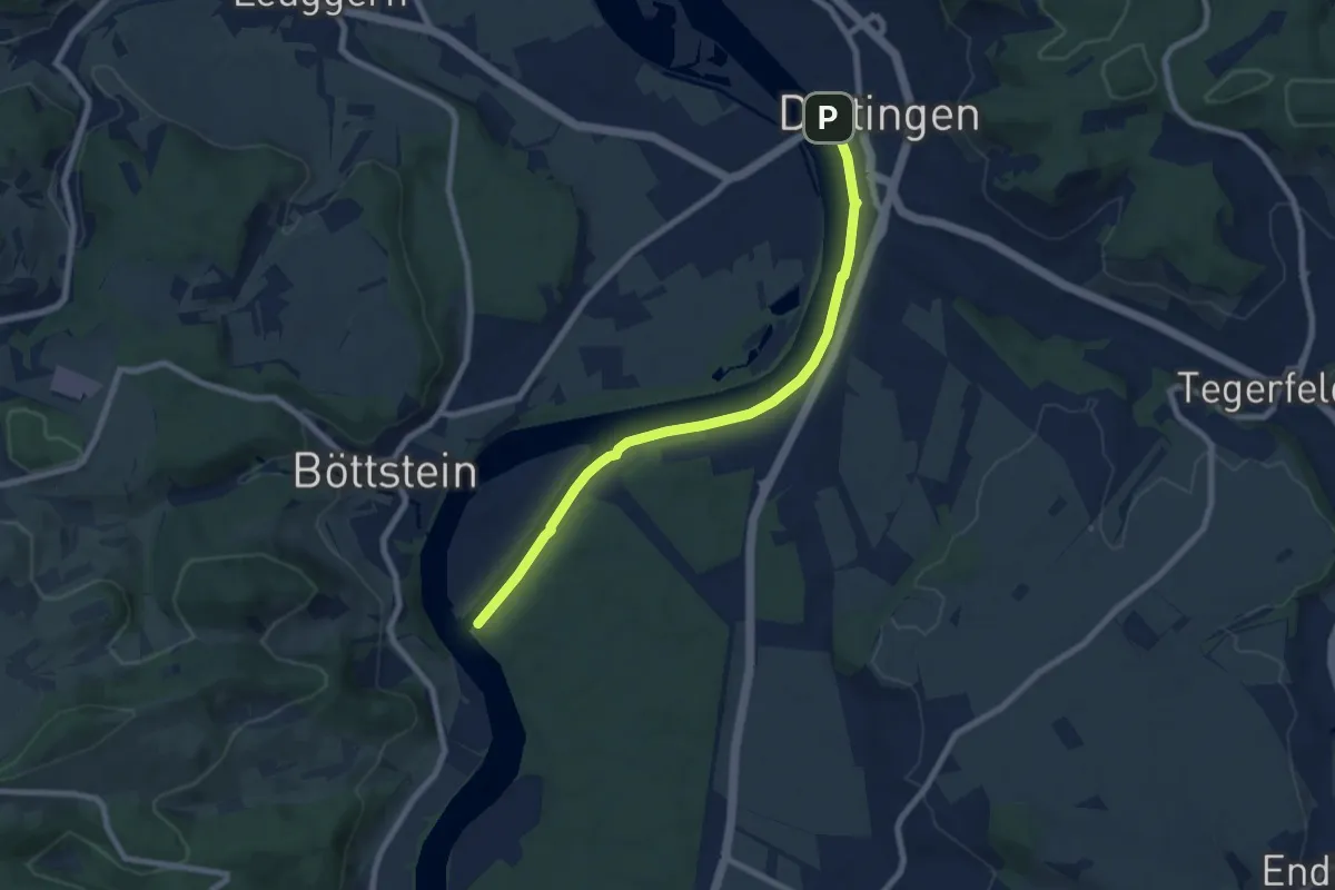
Easy · Trail
Beznau Steg – Döttingen Brücke
7.5 km · ↑ 33 m · 1 h 51 min
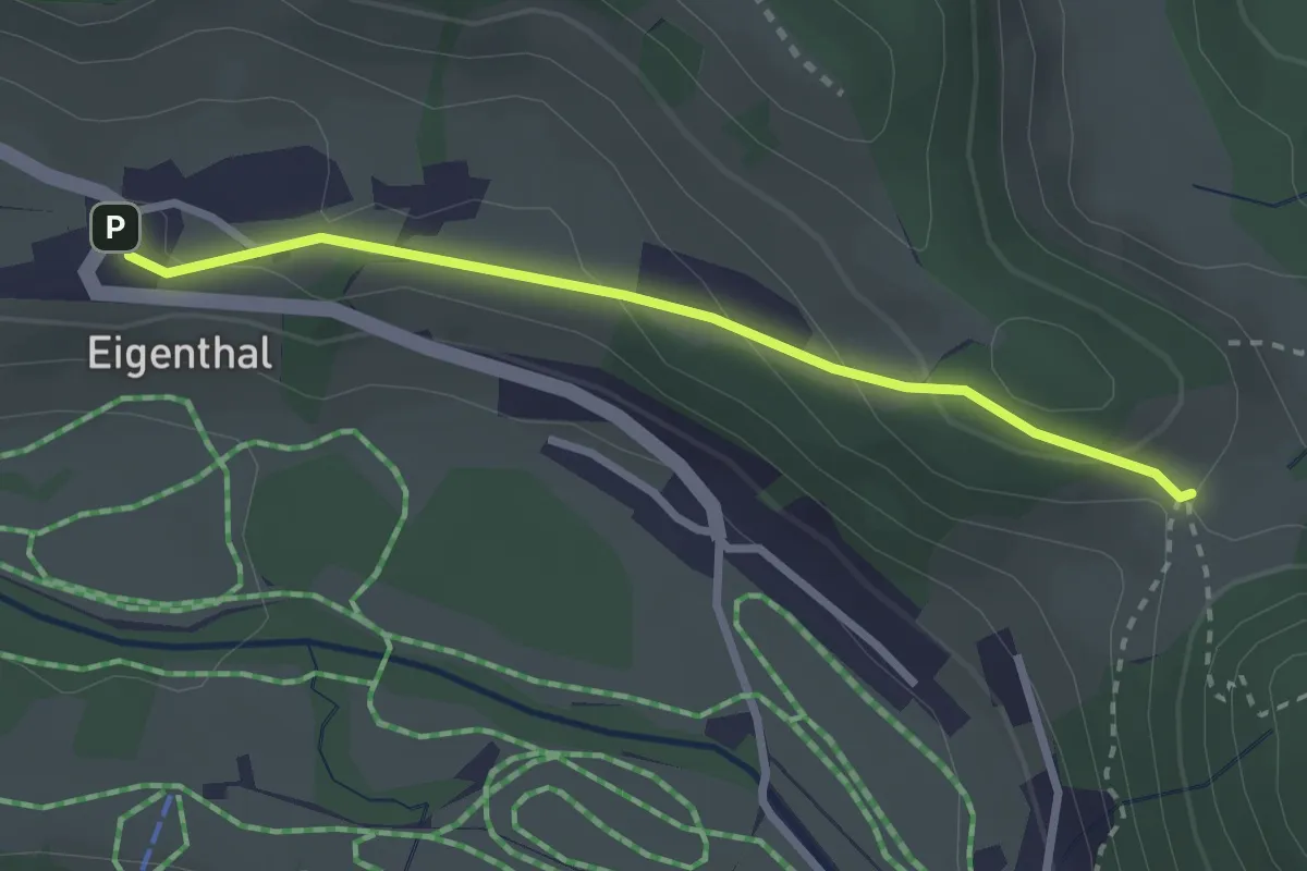
Easy · Trail
Chräigütsch – Eigenthal
2.6 km · ↑ 109 m · 51 min
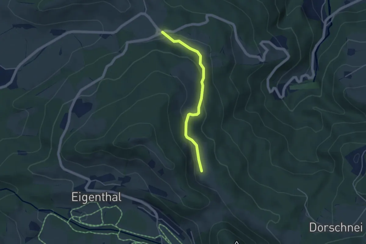
Easy · Trail
Holderkäppeli – Schilt
3.5 km · ↑ 122 m · 1 h 6 min
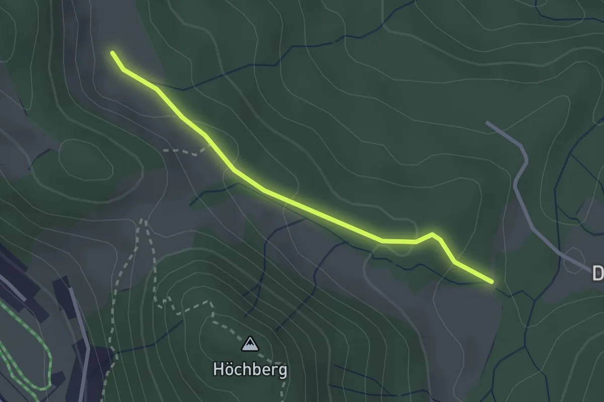
Easy · Trail
Rosshütte – Schilt
2.4 km · ↑ 83 m · 44 min
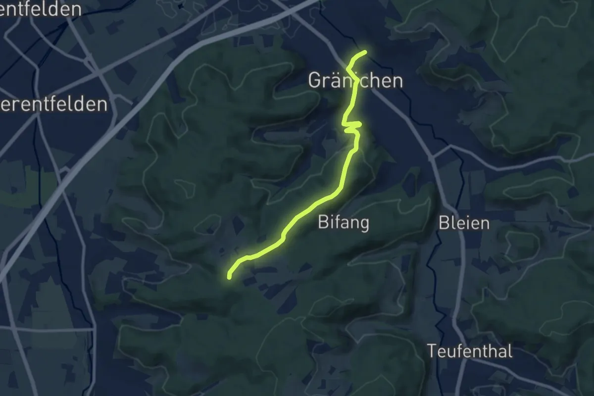
Medium · Trail
Gränichen – Rütihof
8.1 km · ↑ 192 m · 2 h 20 min
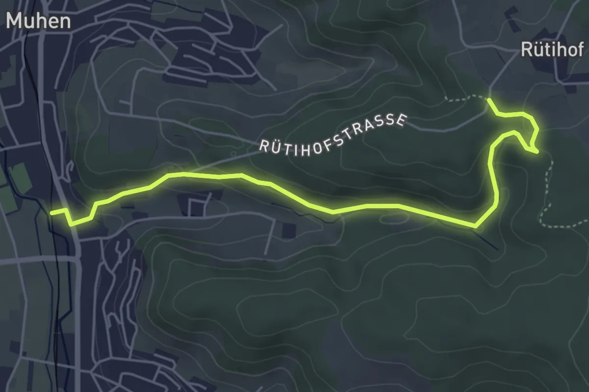
Easy · Trail
Mittel-Muhen – Rütihof
5.5 km · ↑ 183 m · 1 h 41 min
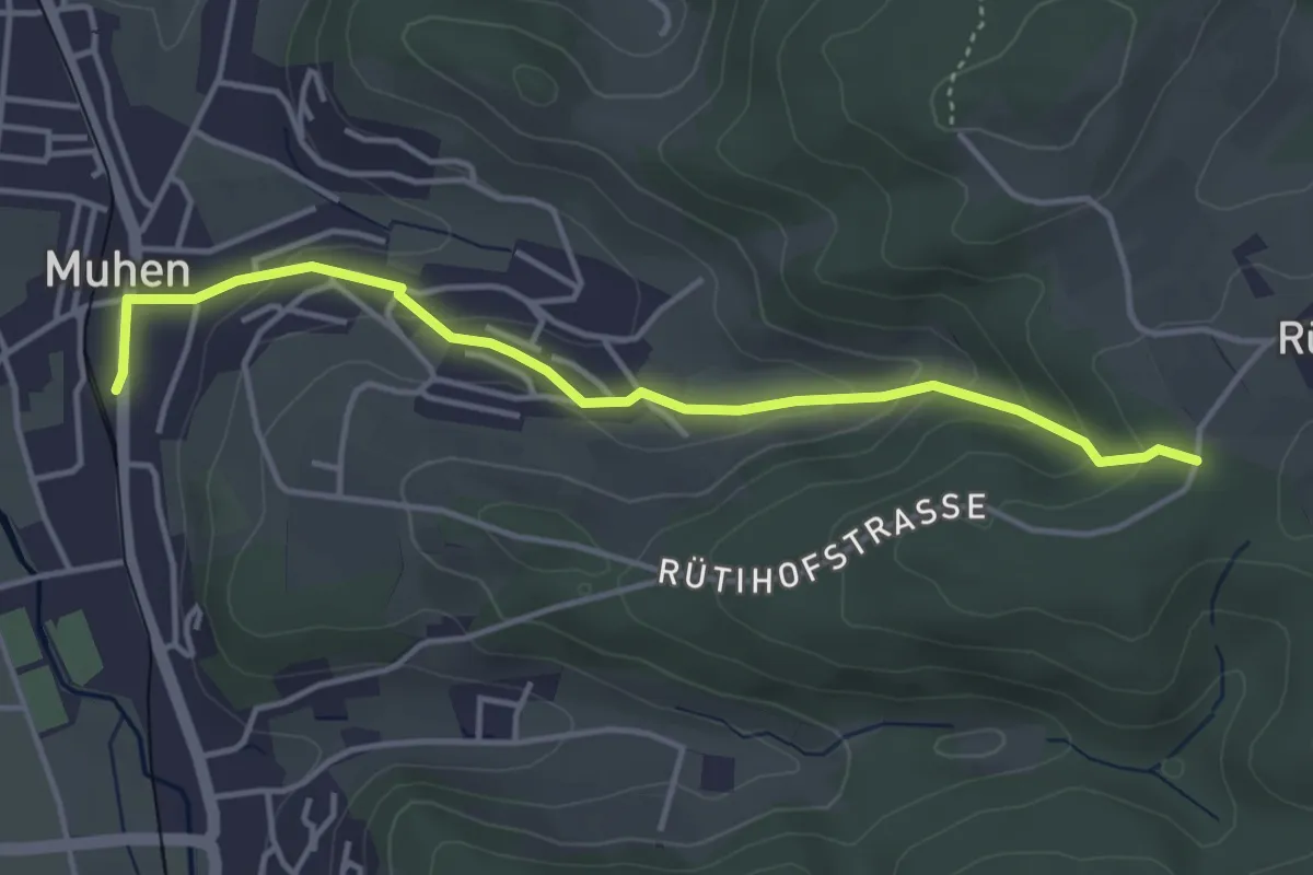
Easy · Trail
Muhen – Rütihof
4.1 km · ↑ 157 m · 1 h 18 min
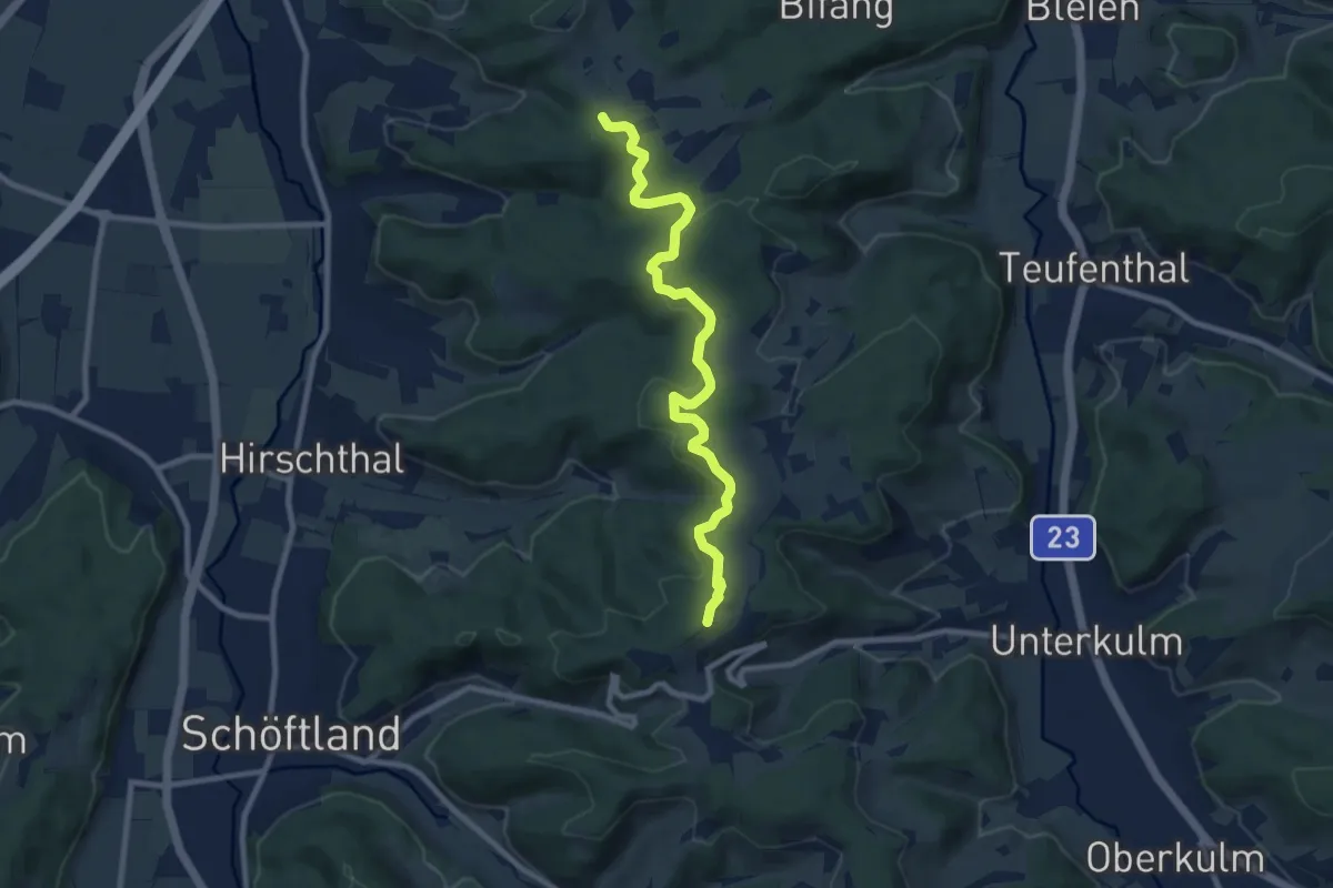
Medium · Trail
Rütihof – Bööler Hochwacht
9.2 km · ↑ 270 m · 2 h 45 min
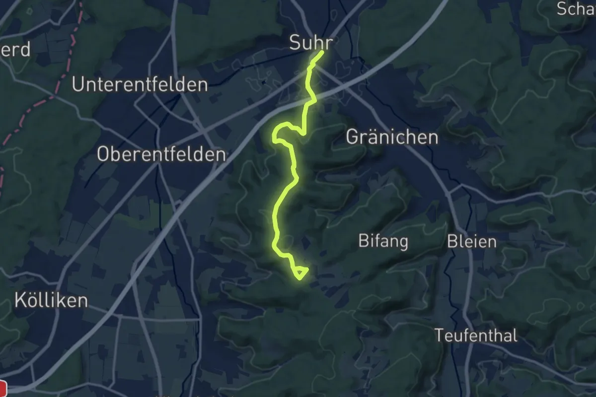
Medium · Trail
Suhr – Rütihof
11.0 km · ↑ 265 m · 3 h 10 min
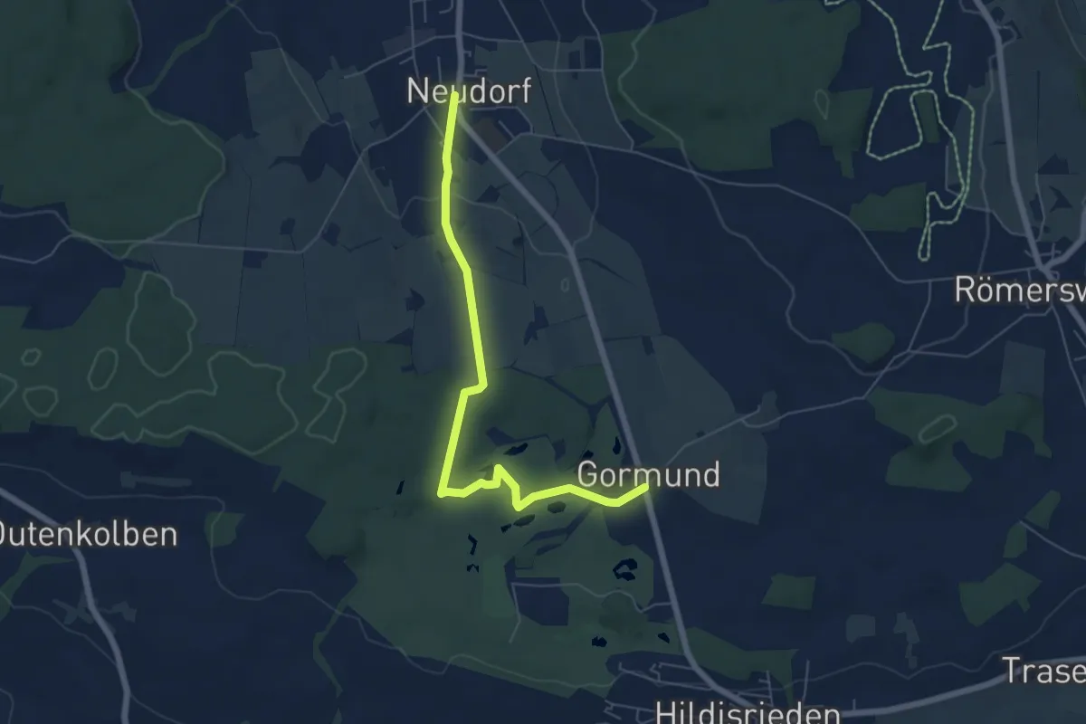
Easy · Trail
Gormund – Neudorf
6.2 km · ↑ 89 m · 1 h 40 min
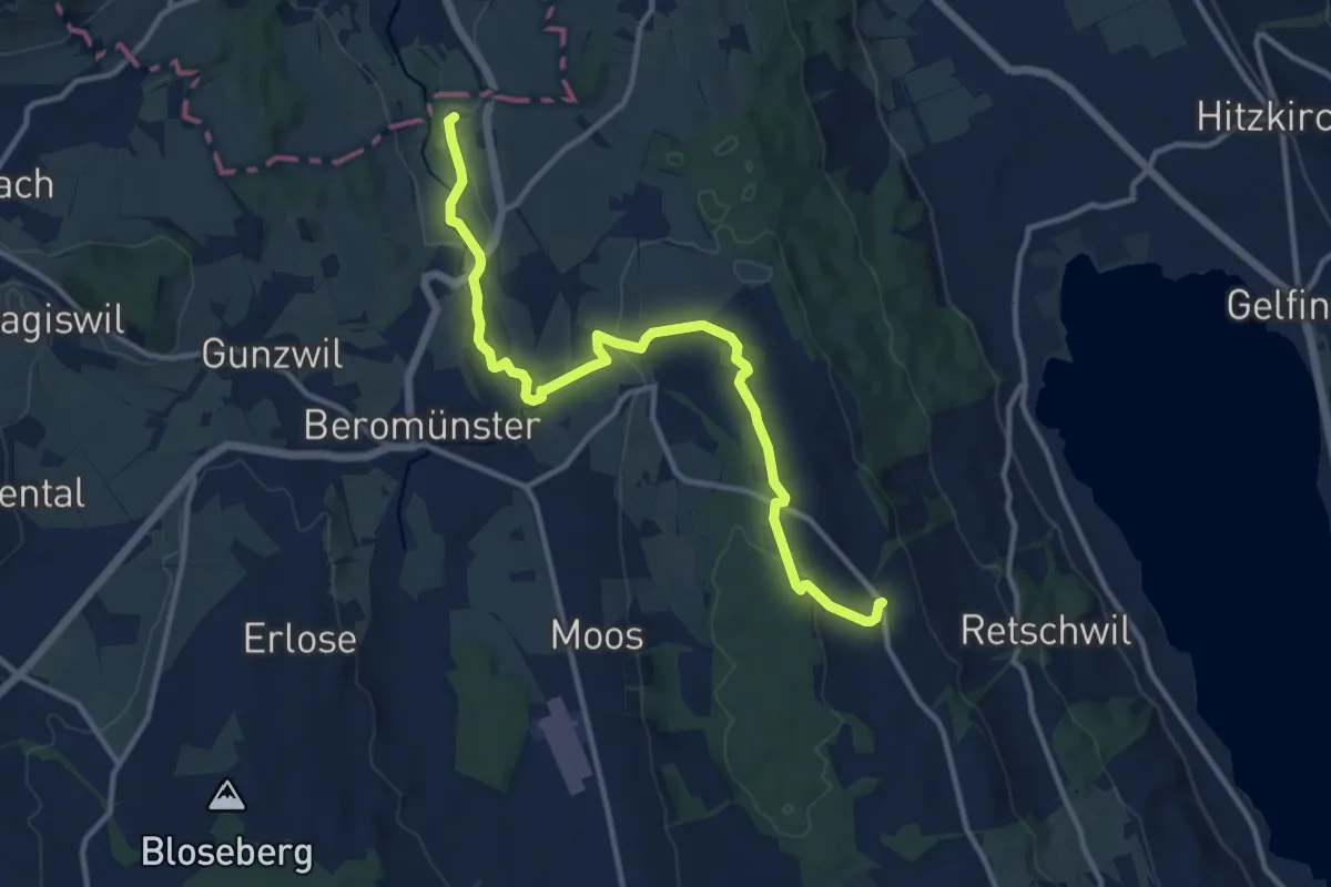
Medium · Trail
Maihusen – Herlisberg
12.6 km · ↑ 299 m · 3 h 38 min
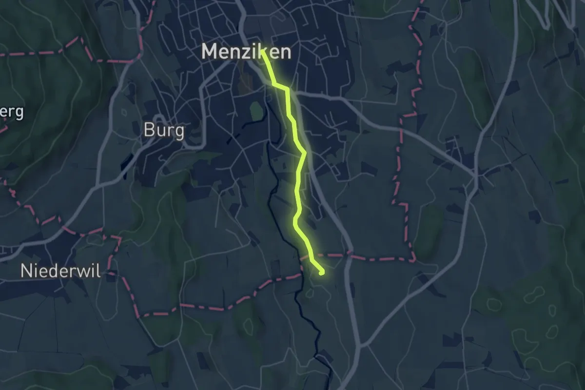
Easy · Trail
Menziken – Maihusen
4.0 km · ↑ 54 m · 1 h 3 min
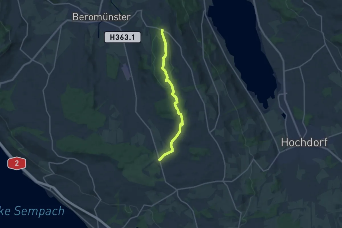
Medium · Trail
Waldhaus – Gormund
11.5 km · ↑ 144 m · 3 h 2 min
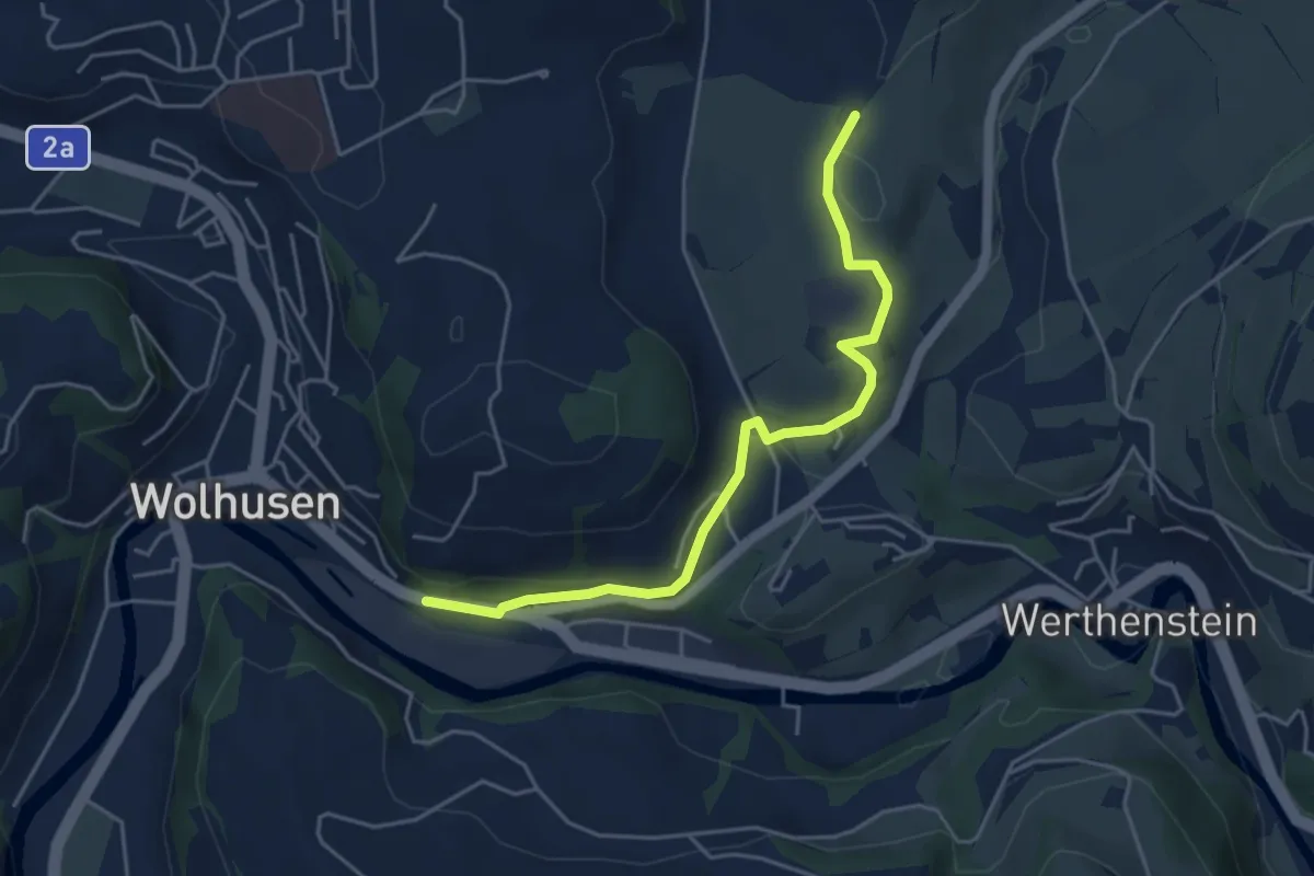
Easy · Trail
Wolhusen – Unter Chriesbaumen
4.7 km · ↑ 89 m · 1 h 18 min
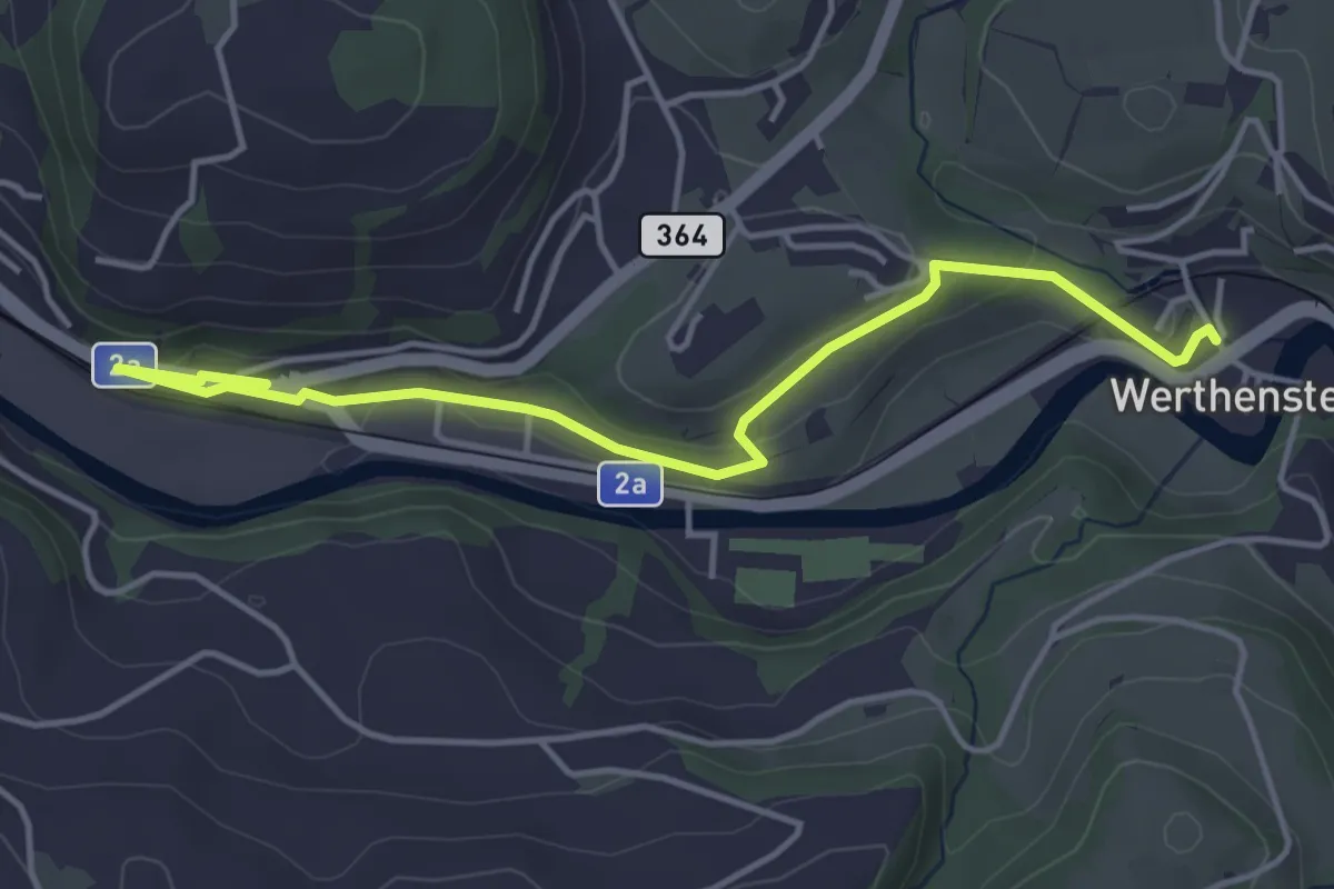
Easy · Trail
Werthenstein – Wolhusen
4.5 km · ↑ 80 m · 1 h 15 min
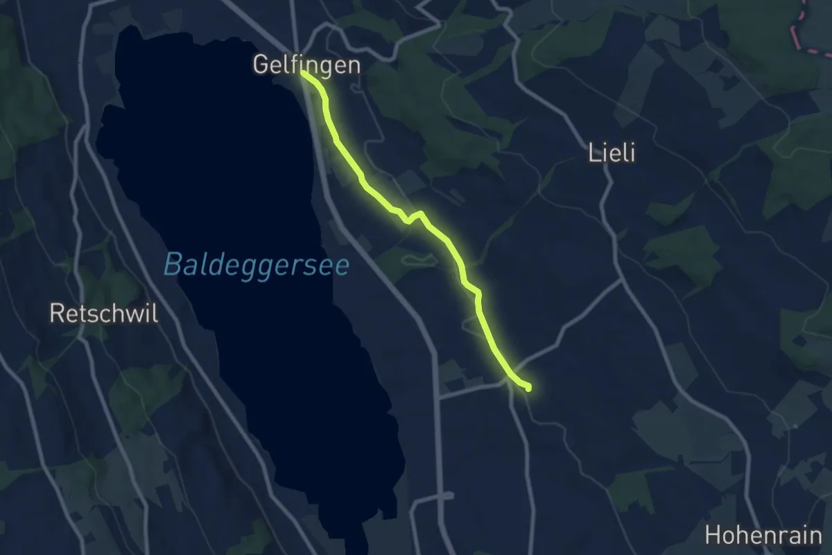
Easy · Trail
Gelfingen – Ferren
6.9 km · ↑ 40 m · 1 h 43 min
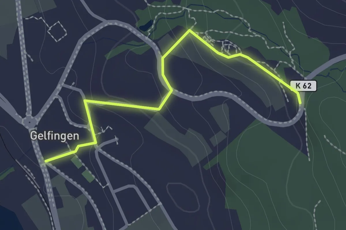
Easy · Trail
Gelfingen – Schloss Heidegg
2.4 km · ↑ 82 m · 45 min
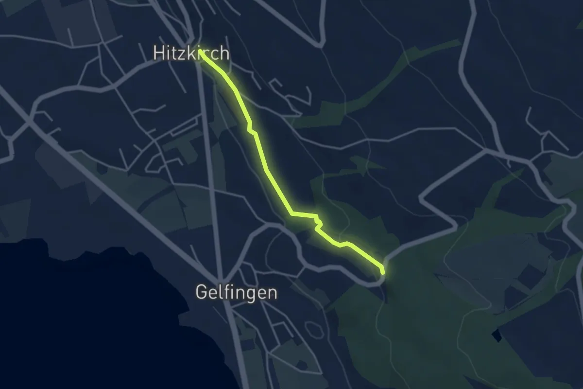
Easy · Trail
Station Hitzkirch – Schloss Heidegg
3.1 km · ↑ 48 m · 50 min
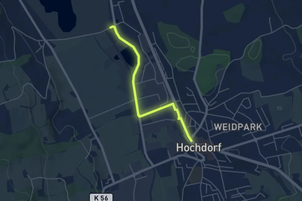
Easy · Trail
Ballwil – Hochdorf
4.0 km · ↑ 23 m · 59 min
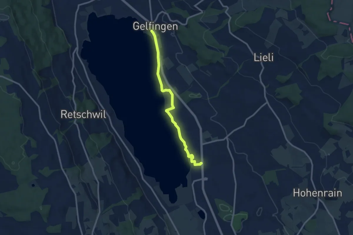
Medium · Trail
Gelfingen Station – Ballwil
8.0 km · ↑ 50 m · 2 h
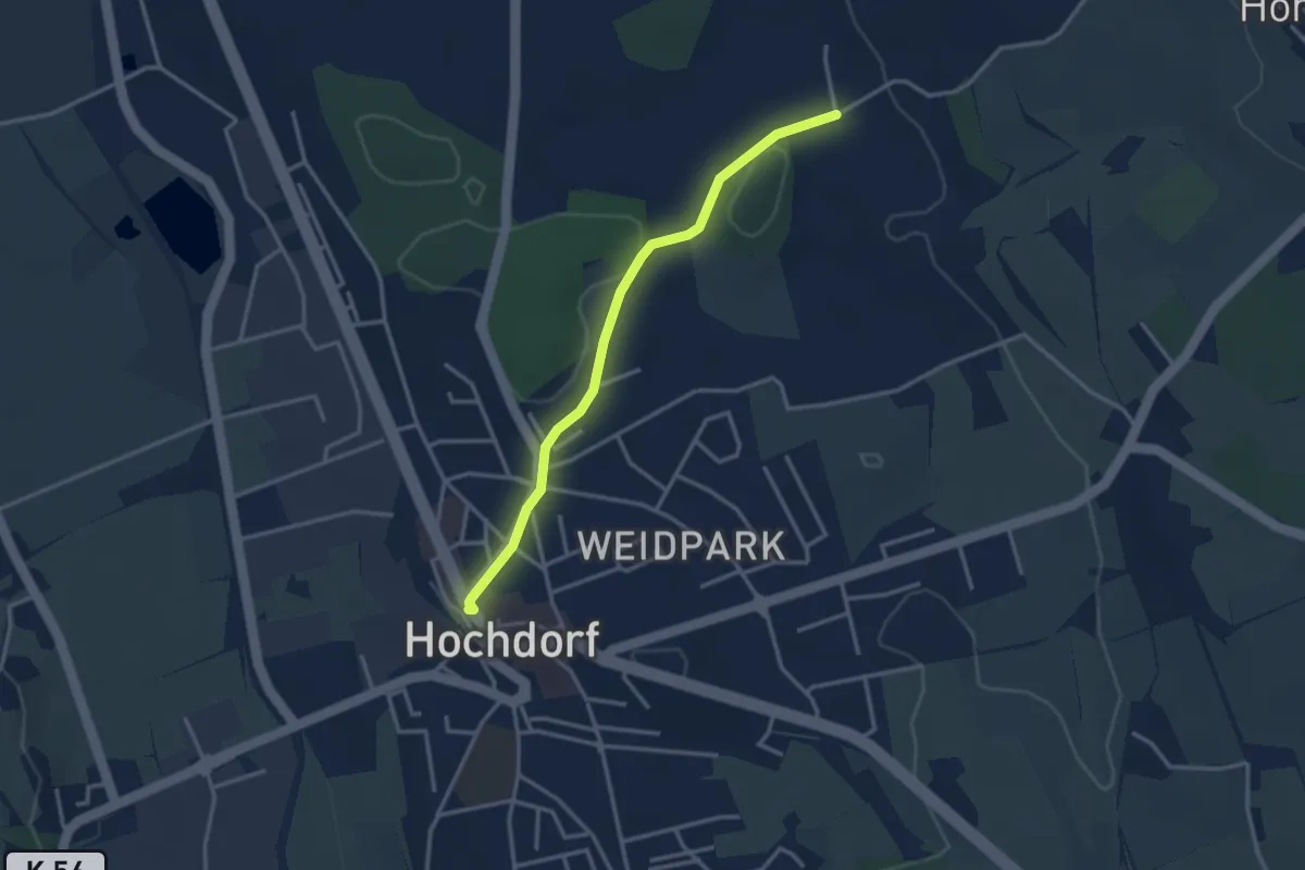
Easy · Trail
Hochdorf – Feldheim
3.1 km · ↑ 16 m · 46 min
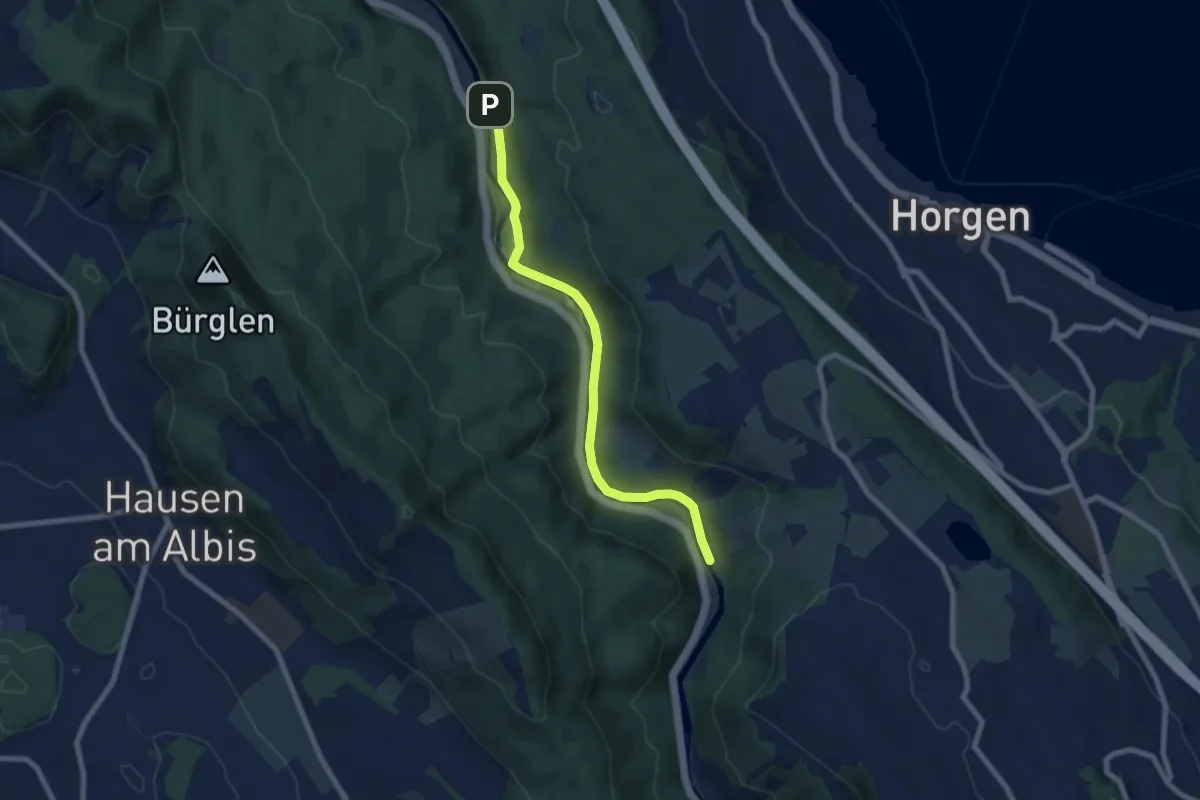
Easy · Trail
Schlegeltobel – Steinchratten
7.2 km · ↑ 99 m · 1 h 55 min
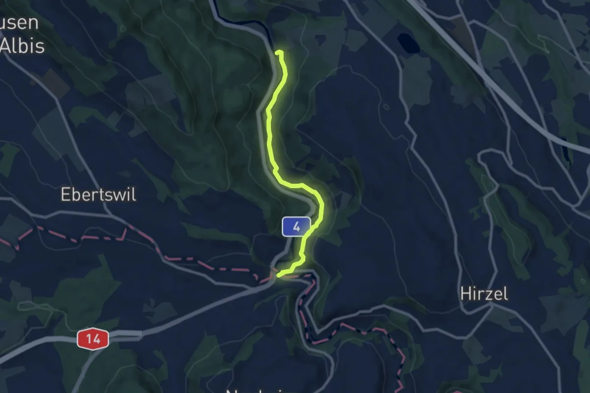
Easy · Trail
Steinchratten – Sihlbrugg Dorf
6.9 km · ↑ 174 m · 2 h 1 min
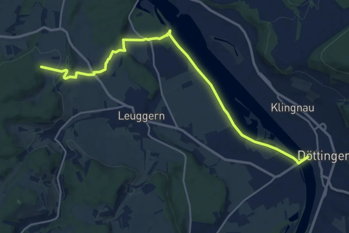
Medium · Trail
Regenhalden – Döttingen Brücke
12.4 km · ↑ 144 m · 3 h 15 min