Trails in Switzerland
15,055 hiking trails, each with its route, climb, walking time and grade.
All trails, page 284 of 314
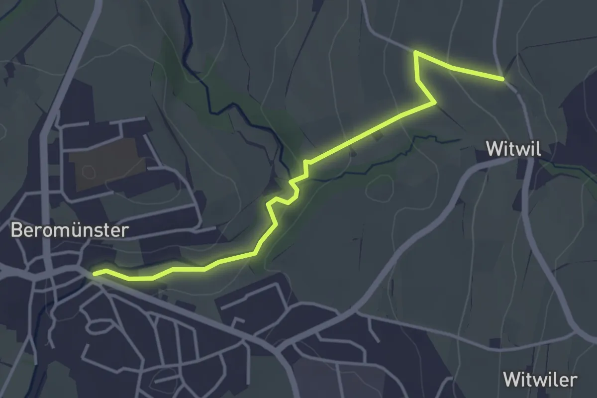
Easy · Trail
Beromünster – St. Wendel
3.8 km · ↑ 92 m · 1 h 5 min
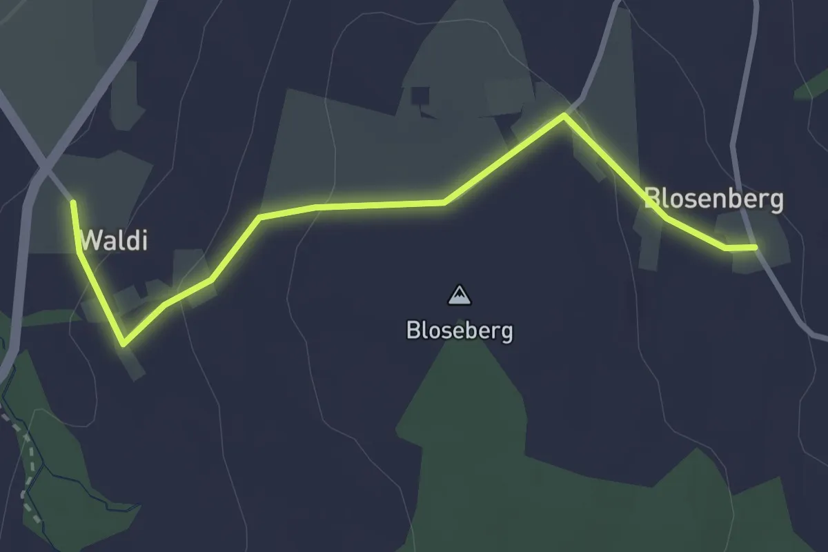
Easy · Trail
Unter Blosenberg – Waldi
3.0 km · ↑ 81 m · 53 min
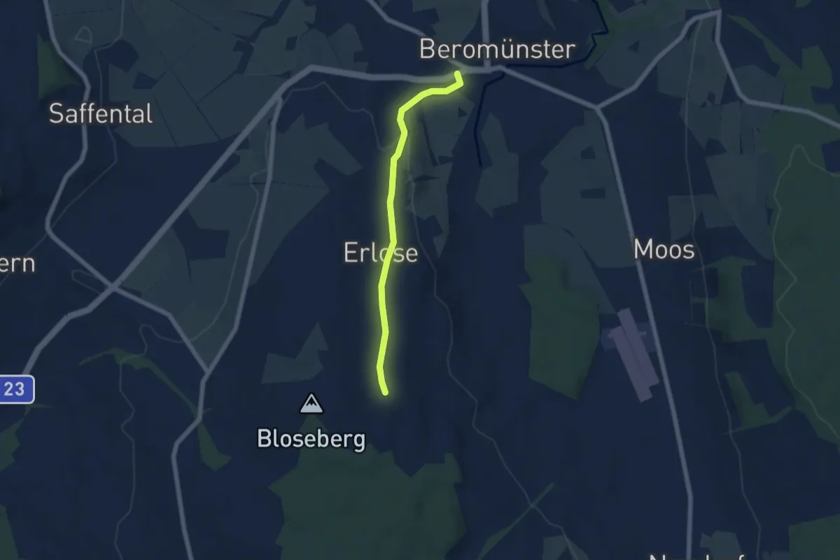
Easy · Trail
Beromünster – Unter Blosenberg
4.8 km · ↑ 106 m · 1 h 22 min
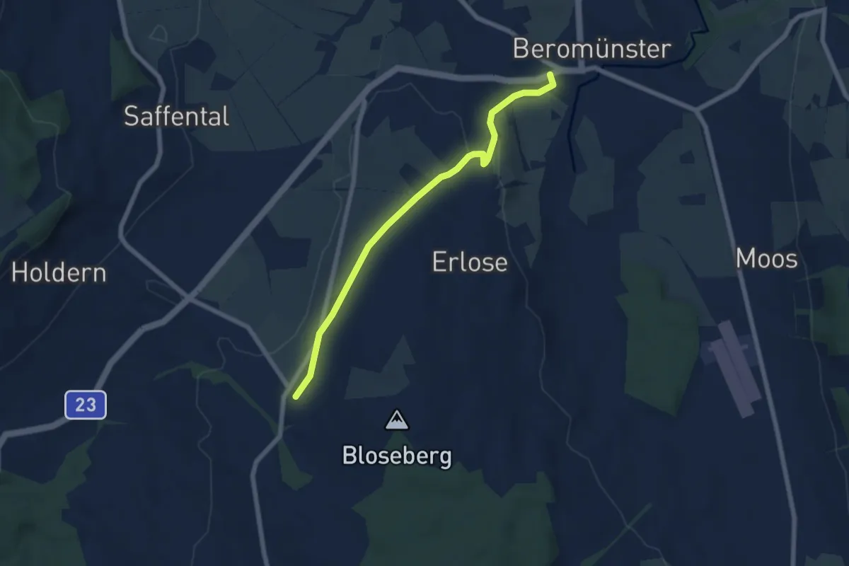
Easy · Trail
Waldi – Beromünster
5.8 km · ↑ 89 m · 1 h 34 min
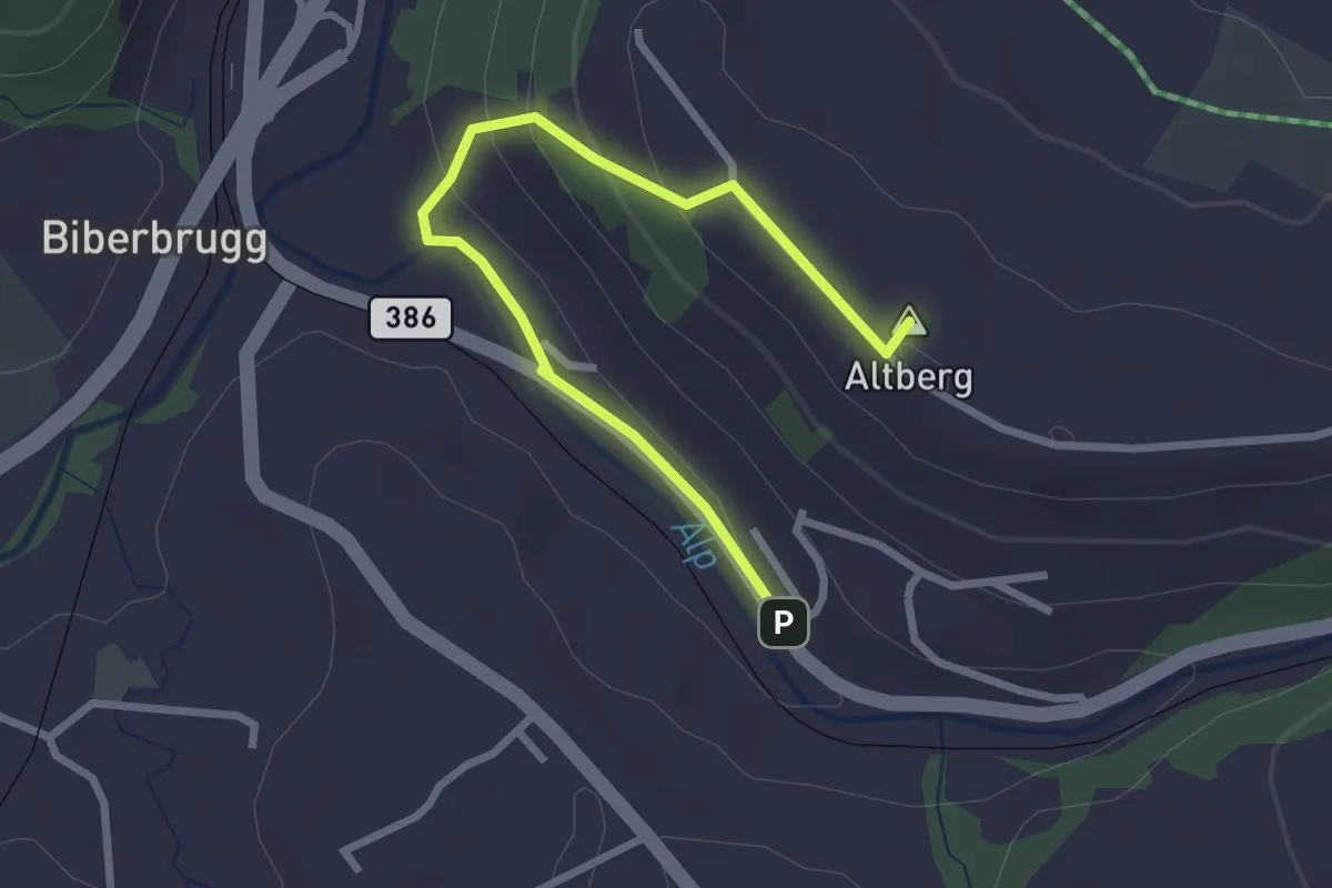
Easy · Summit
Biberbrugg – Altberg
2.9 km · ↑ 120 m · 57 min
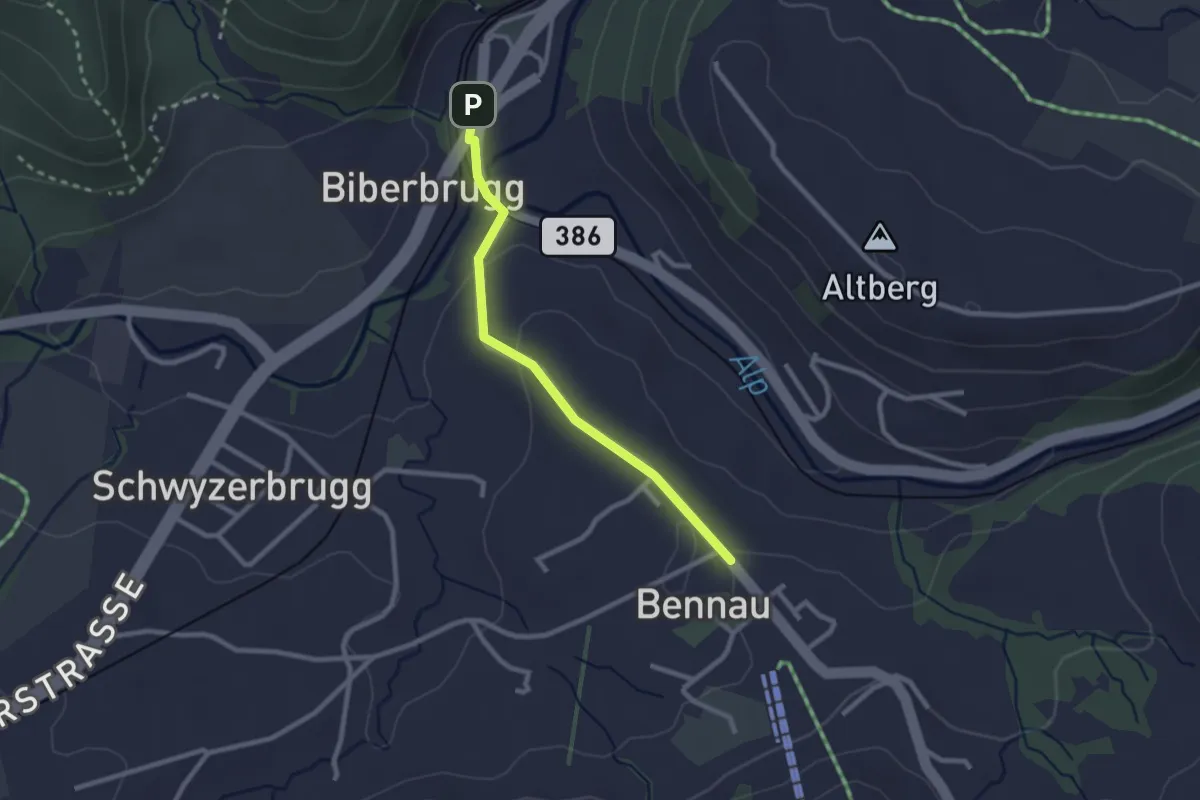
Easy · Trail
Biberbrugg – Bennau
2.3 km · ↑ 54 m · 40 min
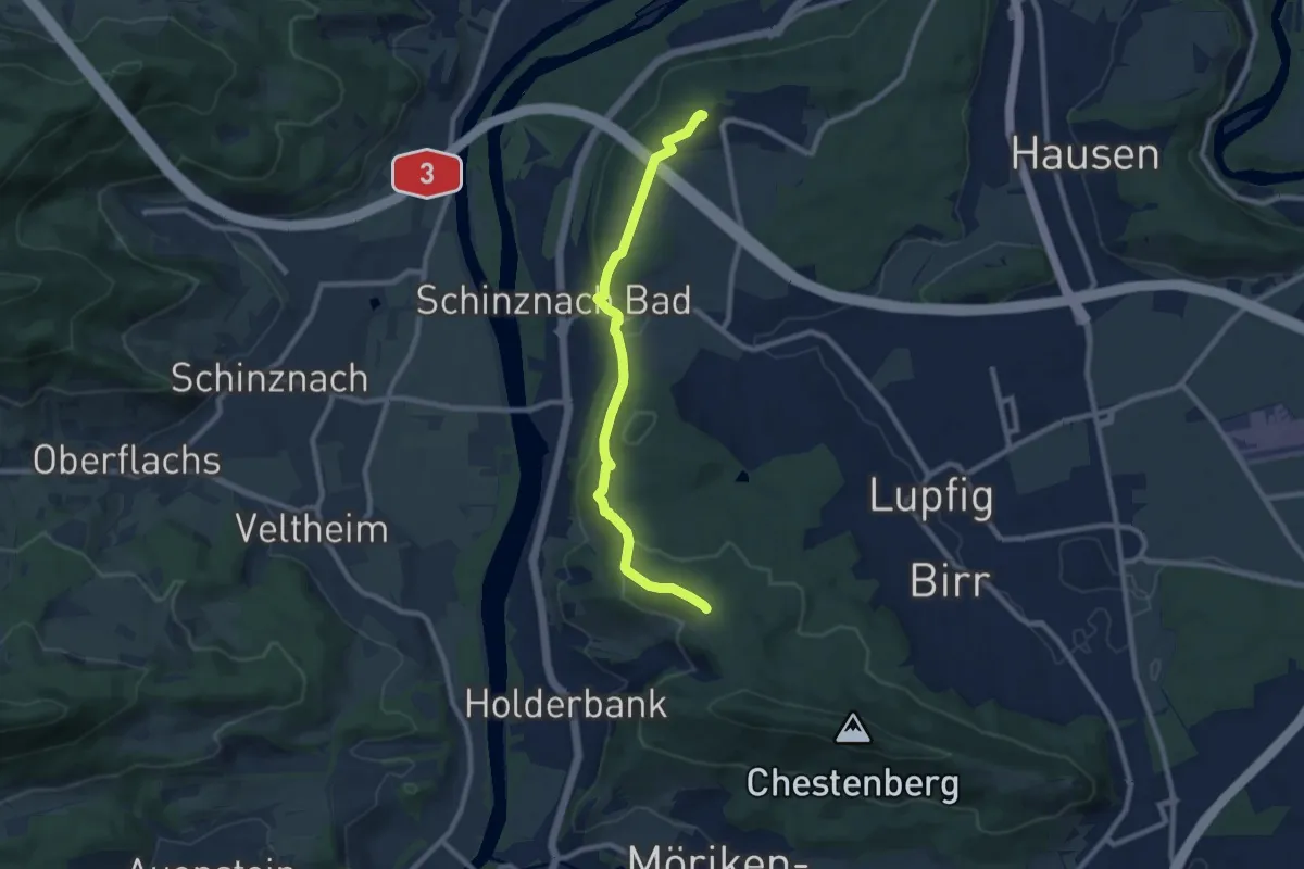
Medium · Summit
Habsburg – Chärnenberg
8.5 km · ↑ 310 m · 2 h 41 min
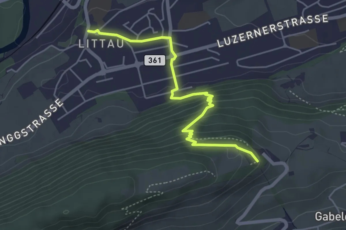
Easy · Trail
Littau Dorf – Sonnenberg
4.6 km · ↑ 229 m · 1 h 34 min
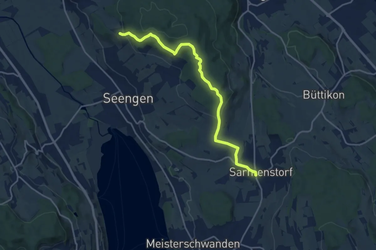
Medium · Trail
Eichberg – Sarmenstorf
12.4 km · ↑ 330 m · 3 h 38 min
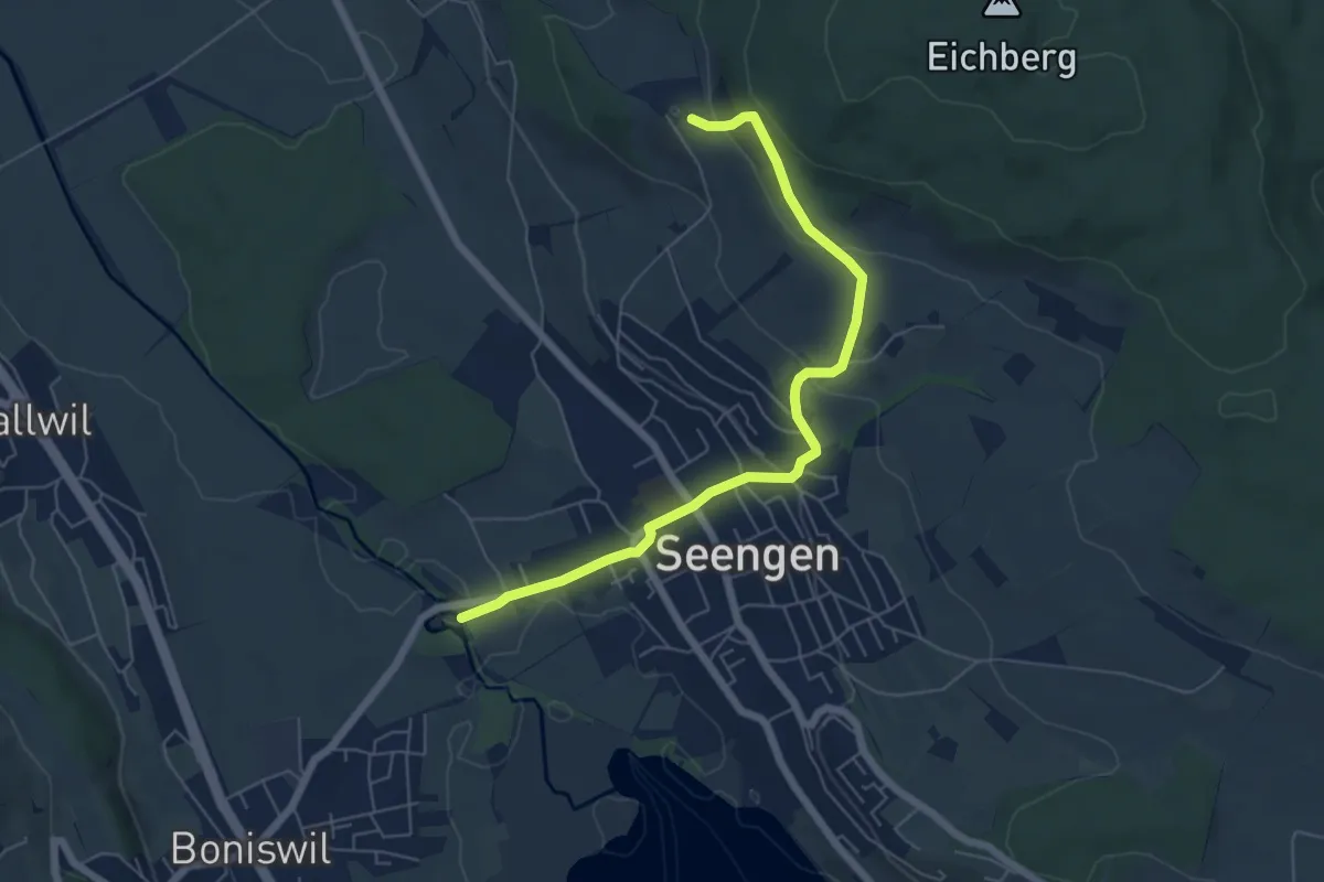
Easy · Trail
Schloss Hallwil -Seengen – Eichberg
6.2 km · ↑ 219 m · 1 h 56 min
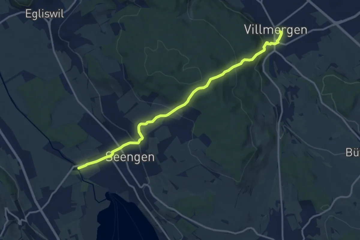
Medium · Trail
Schloss Hallwil -Seengen – Villmergen
10.6 km · ↑ 508 m · 3 h 36 min
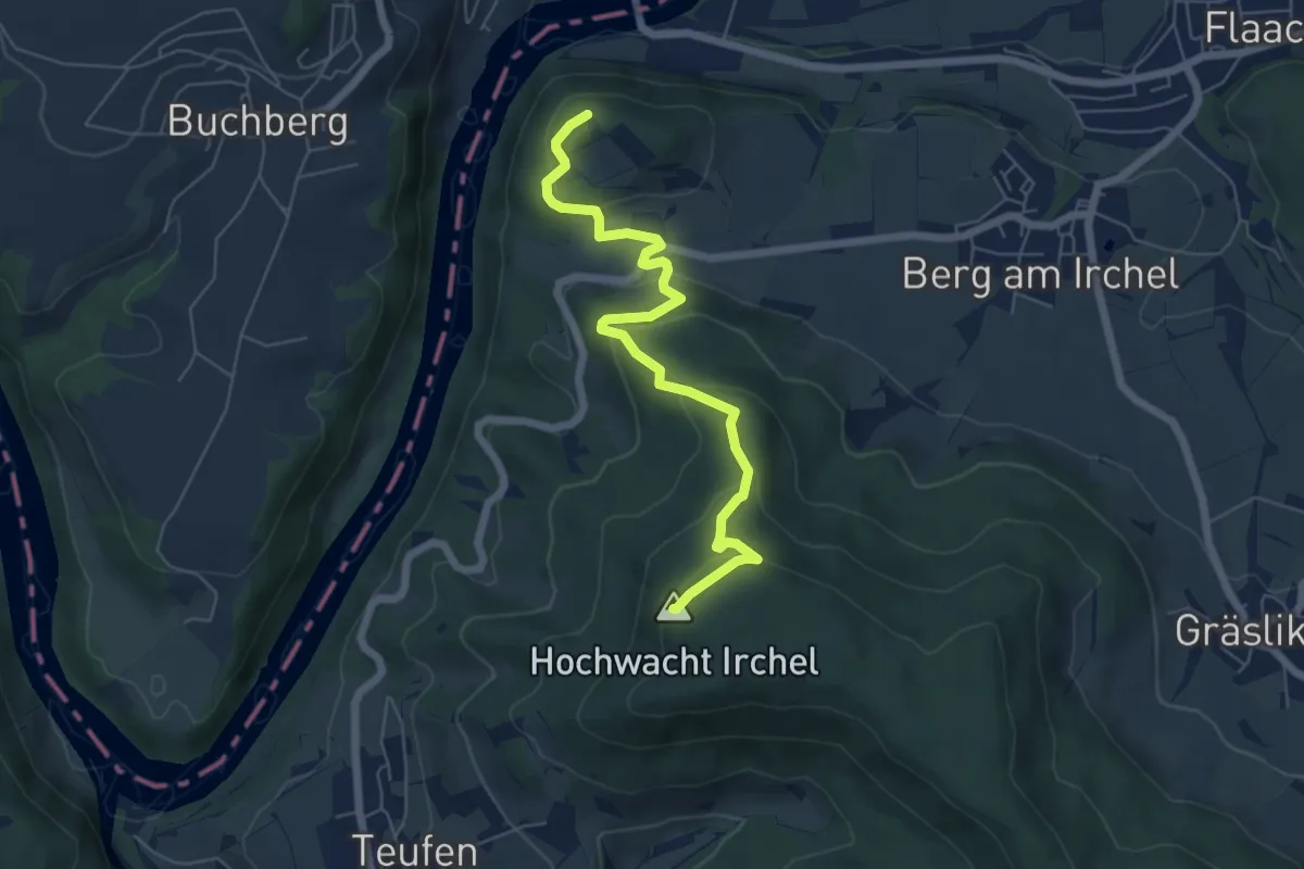
Easy · Summit
Irchel Hochwacht – Tüfels Chanzle
6.2 km · ↑ 290 m · 2 h 5 min
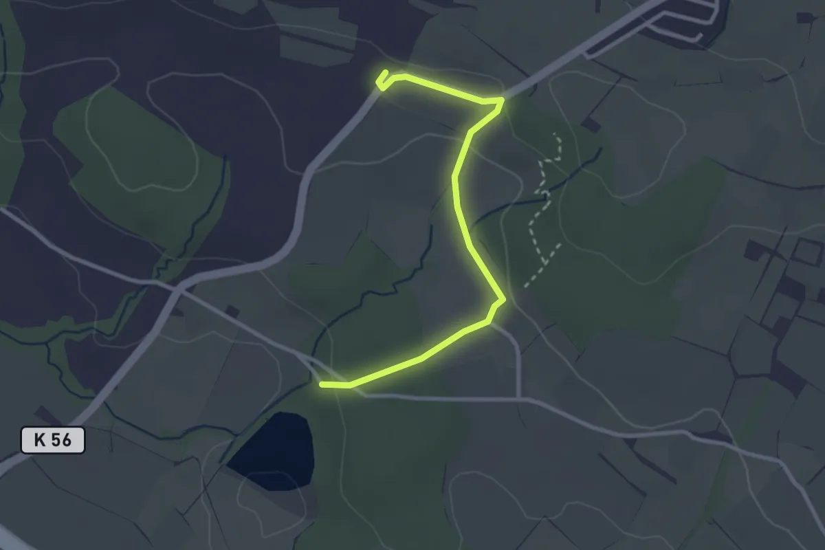
Easy · Trail
Steinibüel – Schlacht
2.8 km · ↑ 55 m · 47 min
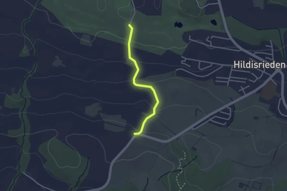
Easy · Trail
Schlacht – Schopfe
2.4 km · ↑ 97 m · 46 min
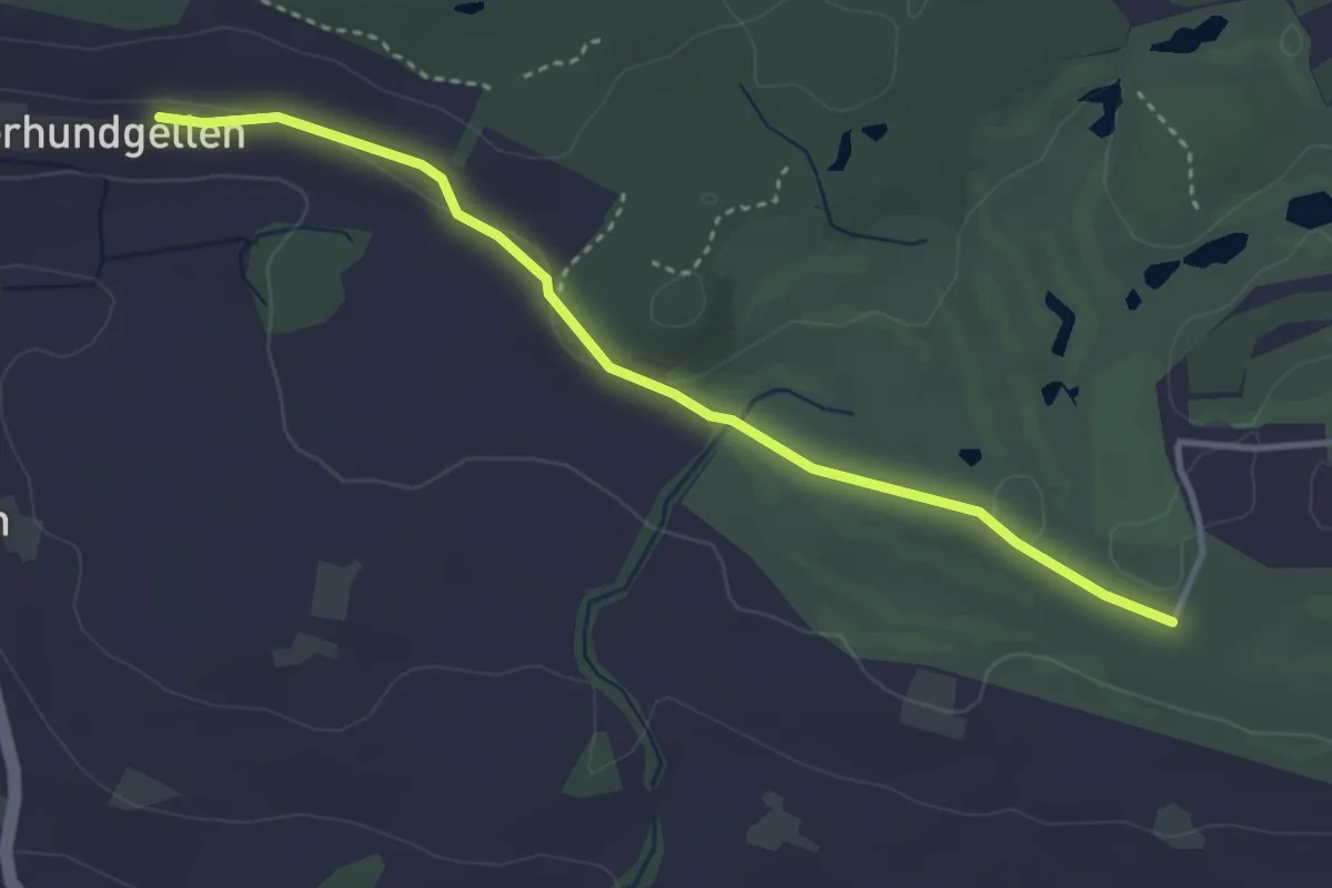
Easy · Trail
Schopfe – Ober Hundgellen
3.6 km · ↑ 24 m · 54 min
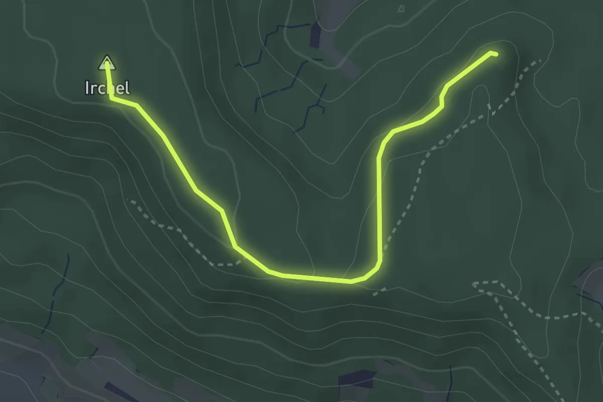
Easy · Summit
Heerenbänkli Irchelturm – Forenirchel
3.5 km · ↑ 86 m · 1 h 1 min
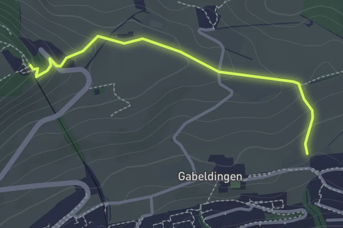
Easy · Trail
Amlehn – Sonnenberg
2.4 km · ↑ 103 m · 47 min
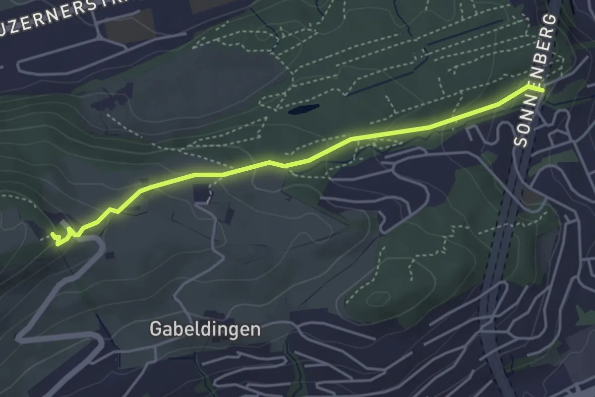
Easy · Trail
Bruchmatt – Sonnenberg
4.0 km · ↑ 197 m · 1 h 22 min
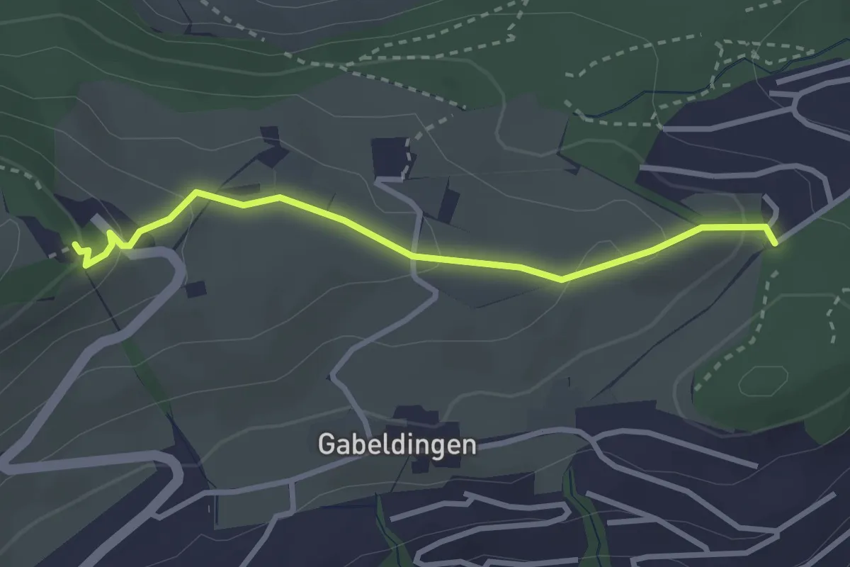
Easy · Trail
Ober Gütsch – Sonnenberg
2.8 km · ↑ 111 m · 53 min
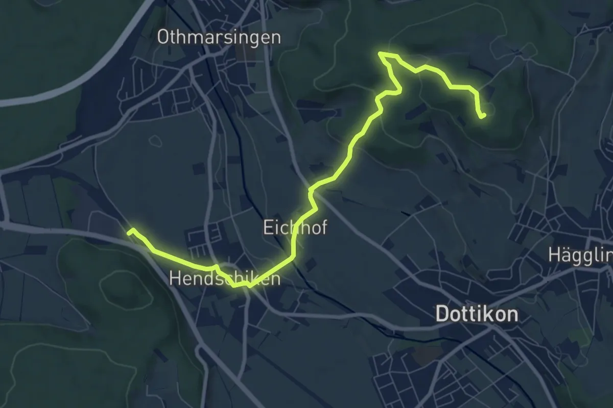
Medium · Summit
Meiengrüen – Hendschiken
9.0 km · ↑ 215 m · 2 h 36 min
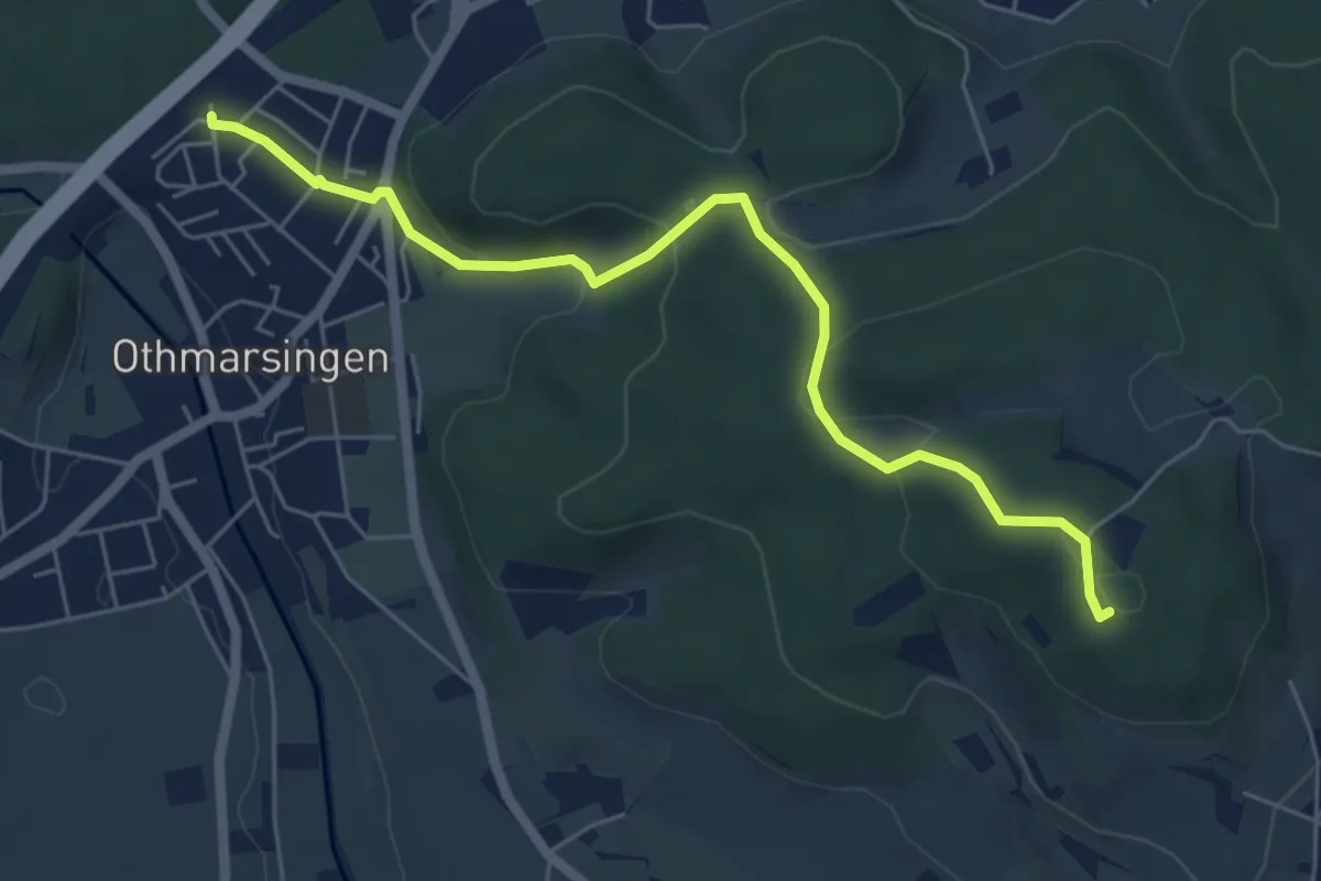
Easy · Summit
Meiengrüen – Othmarsingen
5.9 km · ↑ 188 m · 1 h 49 min
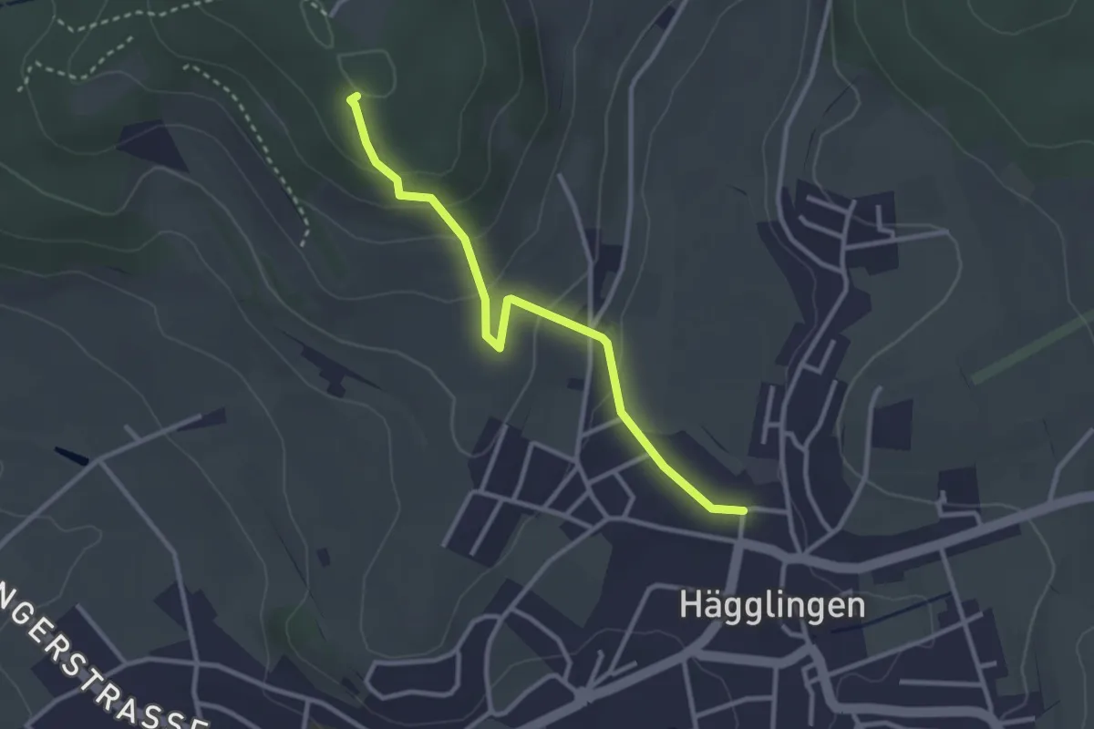
Easy · Summit
Meiengrüen – Hägglingen
2.9 km · ↑ 133 m · 58 min
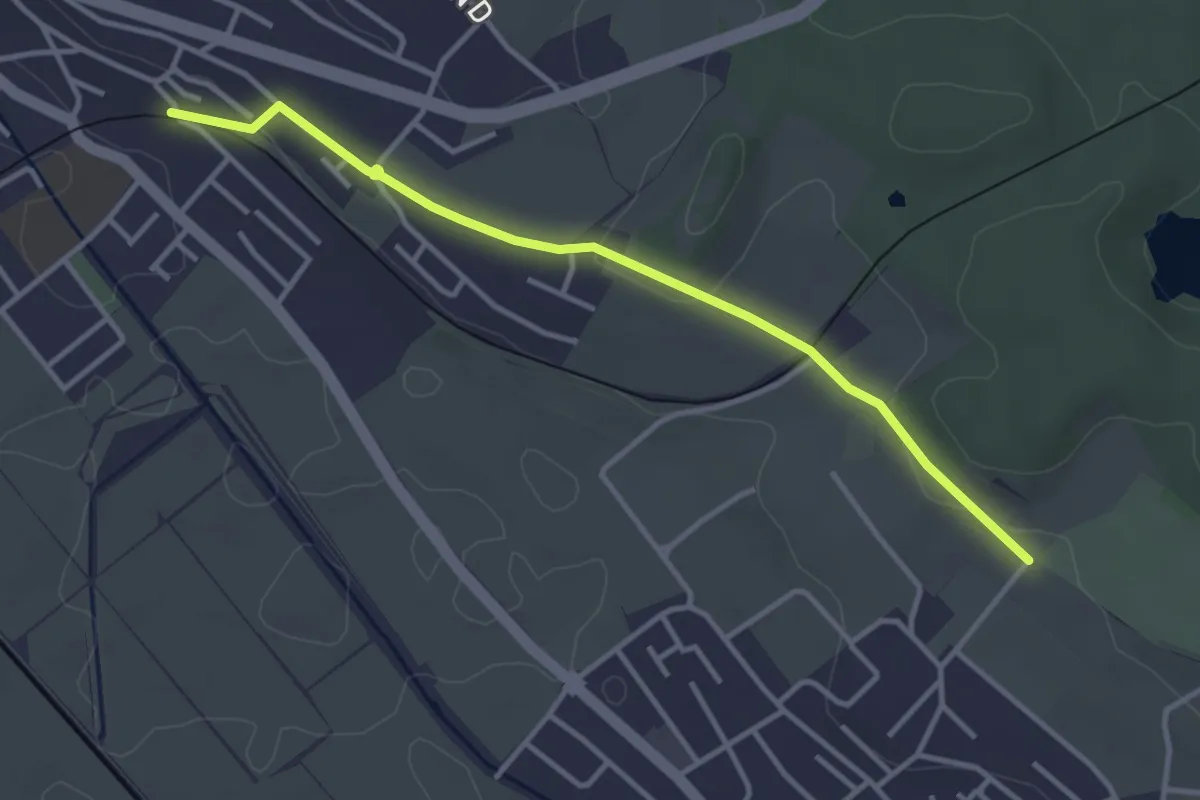
Easy · Trail
Tierpark – Wohlen Oberdorf
3.6 km · ↑ 55 m · 58 min
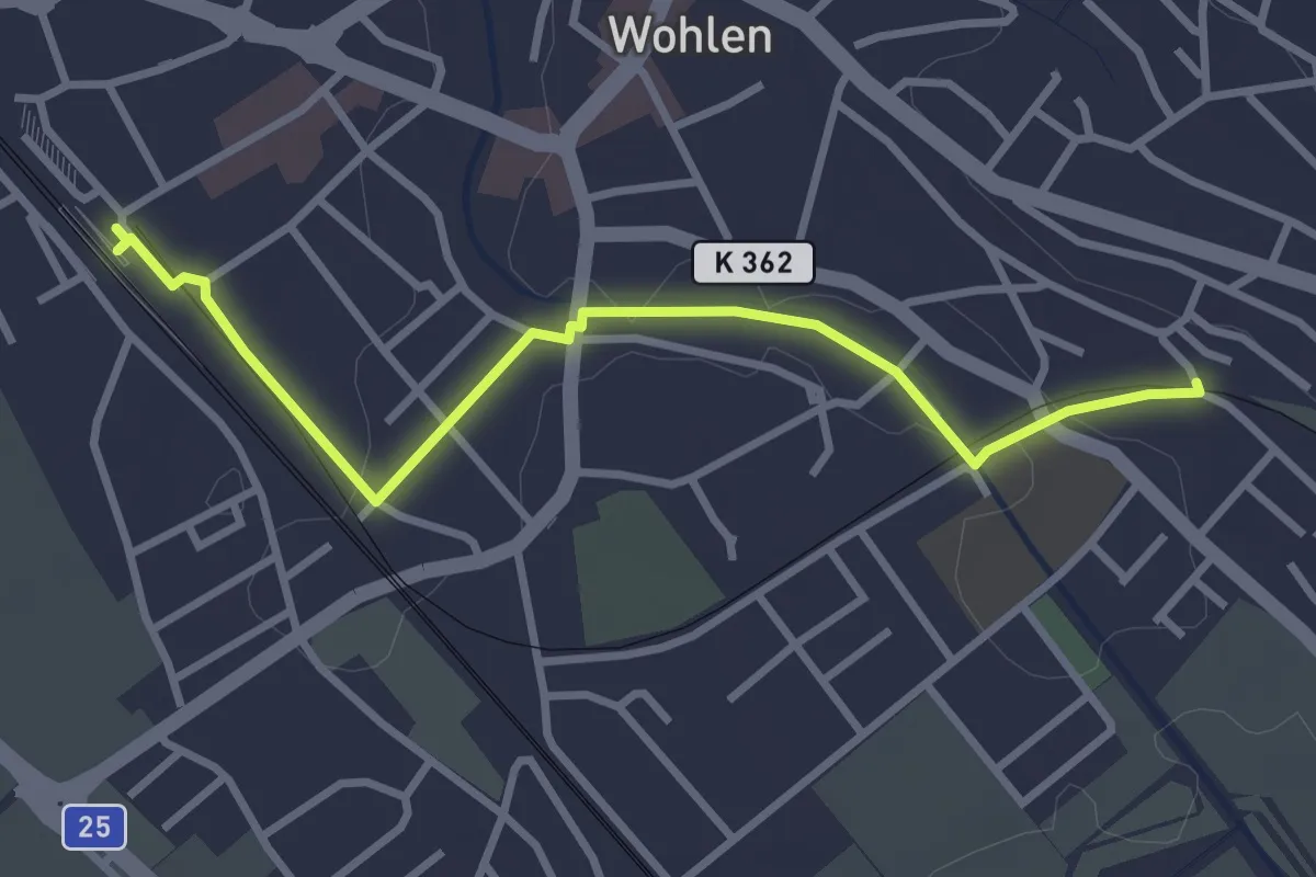
Easy · Trail
Wohlen – Wohlen Oberdorf
3.3 km · ↑ 18 m · 49 min
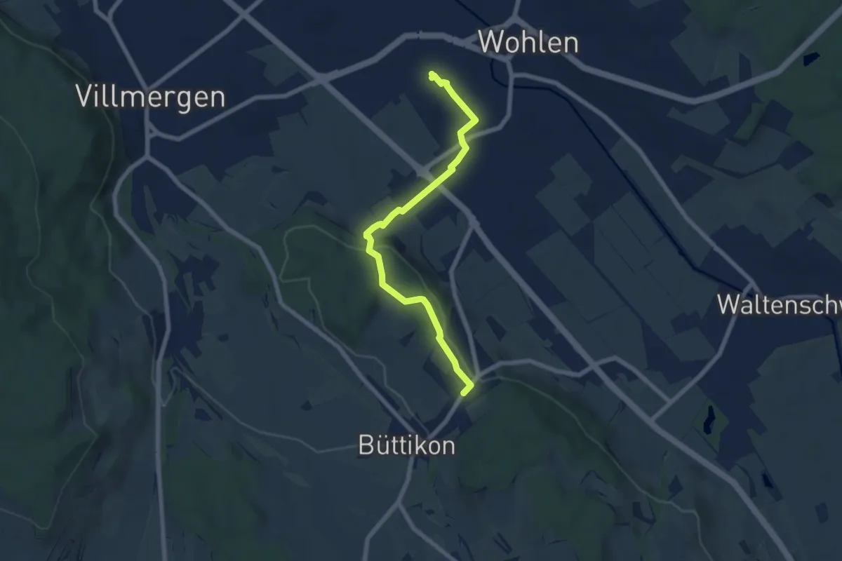
Easy · Trail
Wohlen – Büttikon
6.3 km · ↑ 133 m · 1 h 46 min
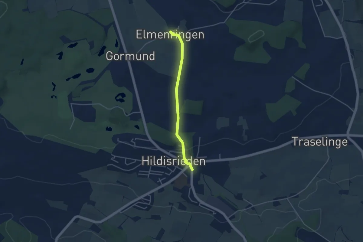
Easy · Trail
Hildisrieden – Älmeringe
3.2 km · ↑ 53 m · 52 min
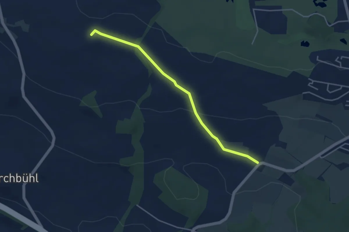
Easy · Trail
Schlacht – Horlachen
3.5 km · ↑ 76 m · 59 min
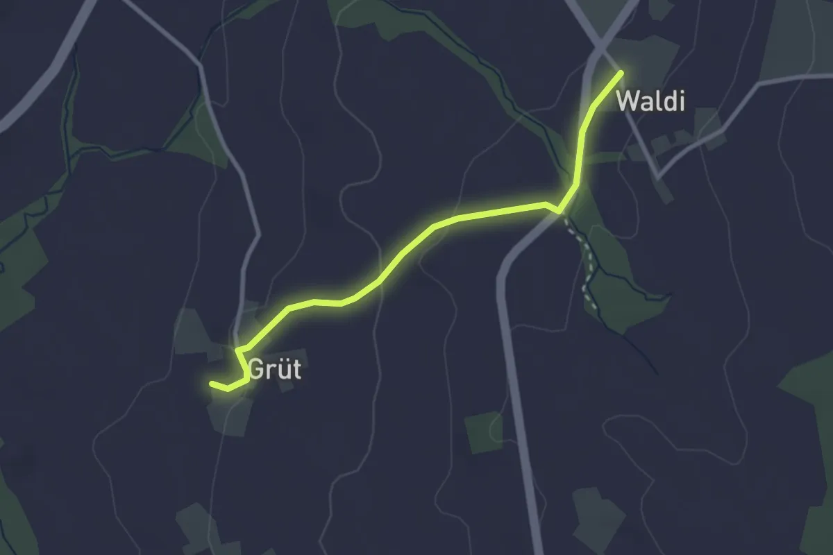
Easy · Trail
Waldi – Grüt
2.7 km · ↑ 63 m · 46 min
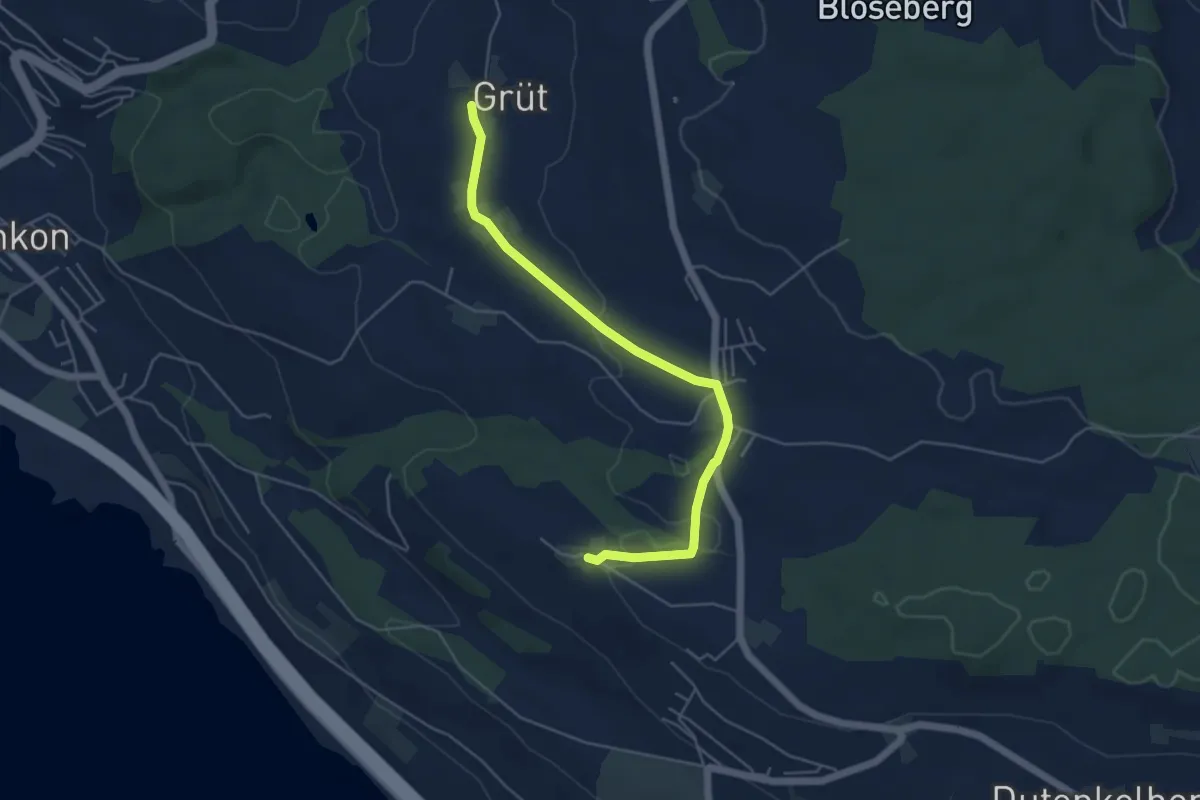
Easy · Trail
Voremwald – Grüt
5.1 km · ↑ 60 m · 1 h 20 min
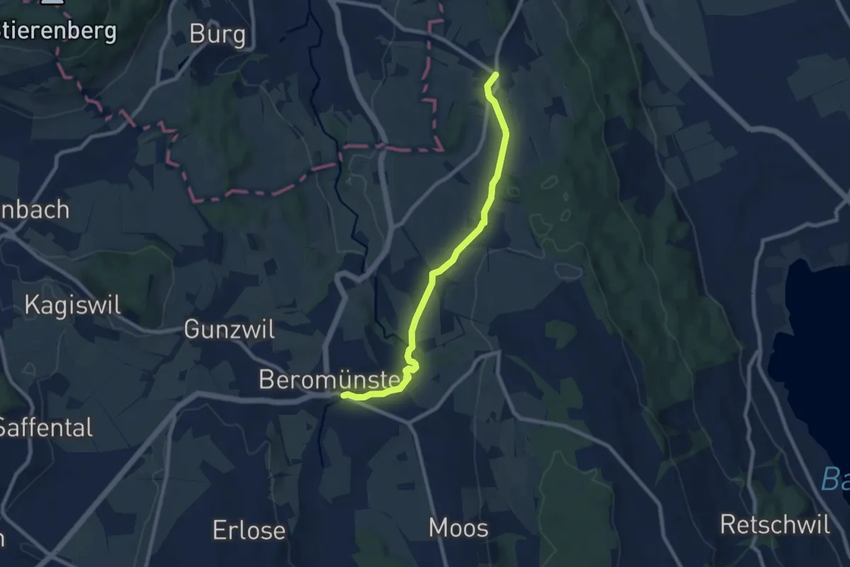
Easy · Trail
Schwarzenbach – Beromünster
7.6 km · ↑ 89 m · 2 h
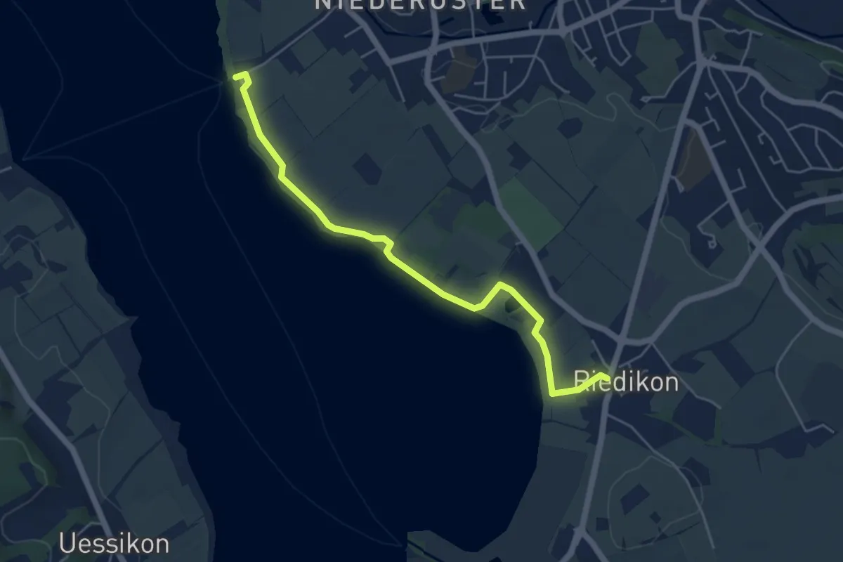
Easy · Trail
Niederuster – Riedikon
5.0 km · ↑ 13 m · 1 h 12 min
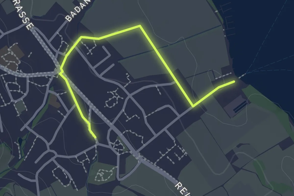
Easy · Trail
Maur – Maur Schifflände
2.5 km · ↑ 23 m · 38 min
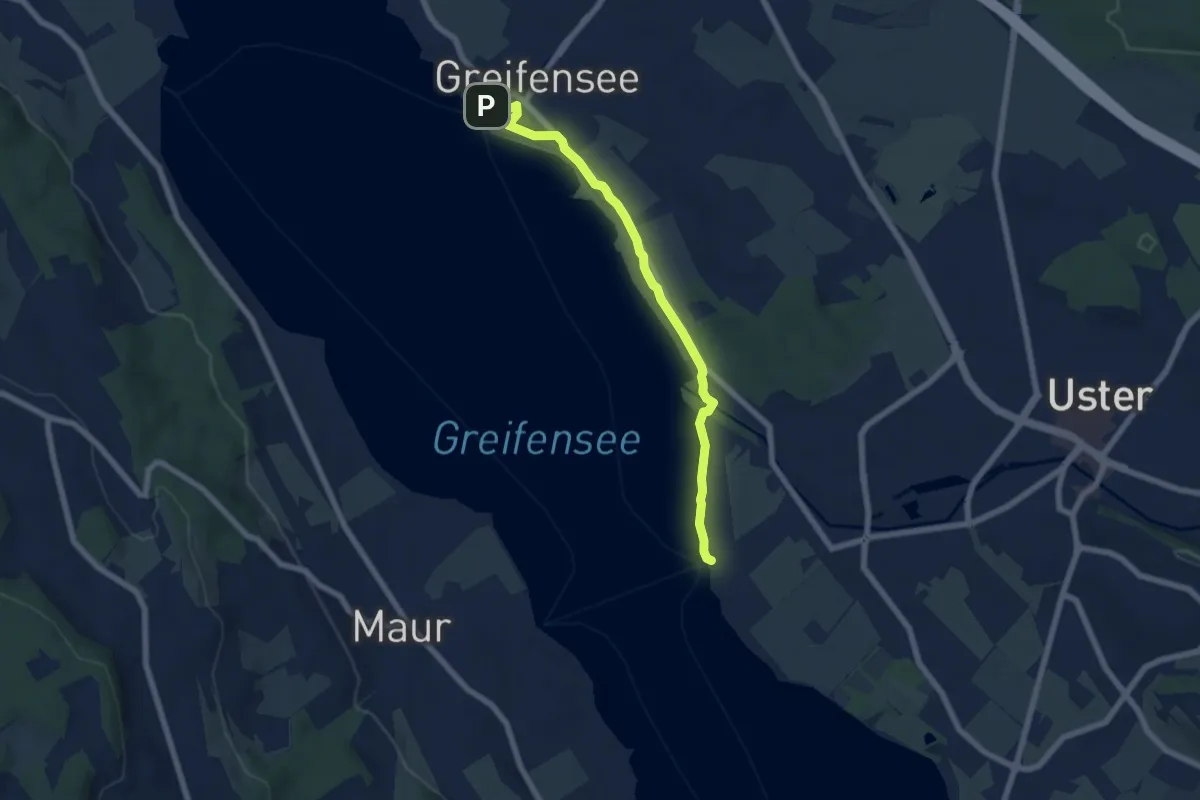
Easy · Trail
Greifensee – Niederuster
6.4 km · ↑ 5 m · 1 h 31 min
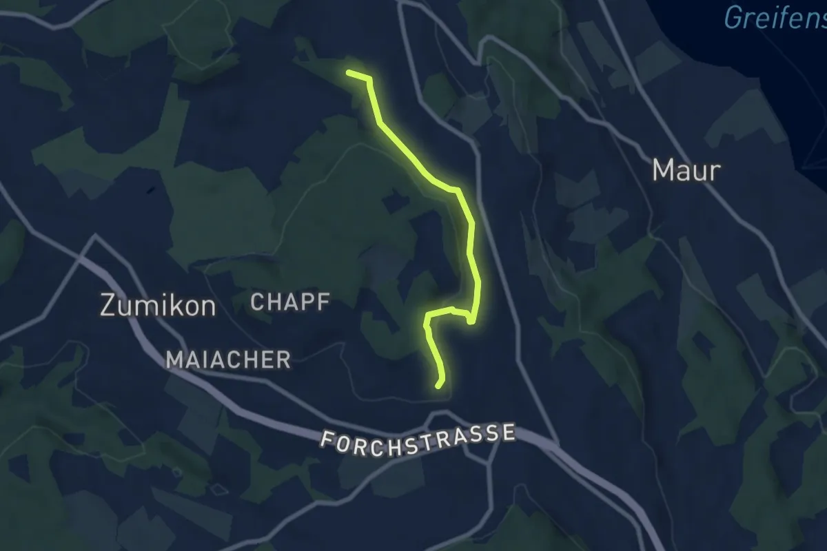
Easy · Summit
Ebmatingen – Wehrmännerdenkmal
5.6 km · ↑ 163 m · 1 h 41 min
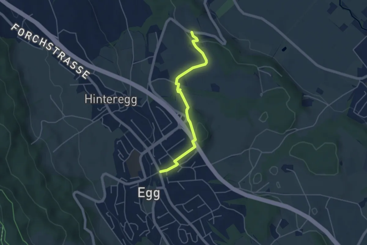
Easy · Trail
Unterhalden – Egg
4.1 km · ↑ 70 m · 1 h 7 min
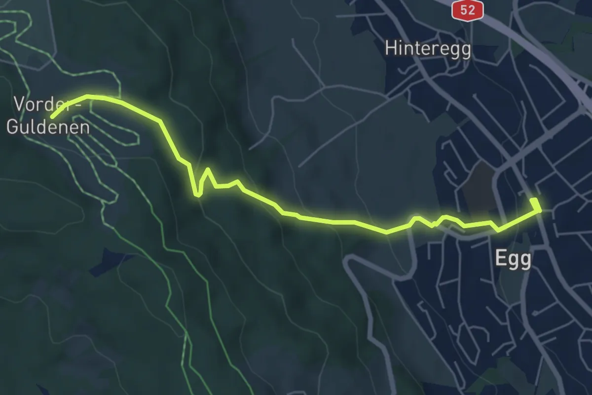
Easy · Trail
Egg – Vorderguldenen
5.6 km · ↑ 243 m · 1 h 52 min
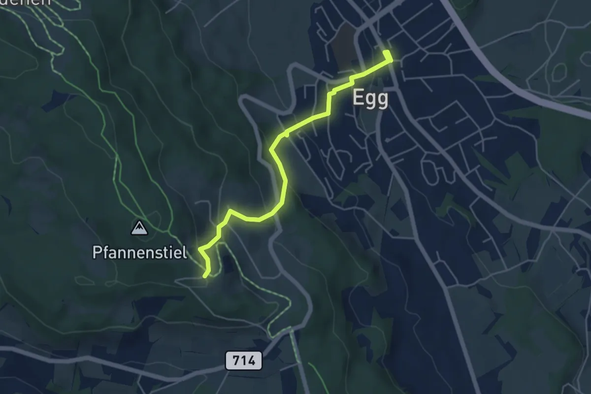
Easy · Trail
Egg – Pfannenstiel Hochwacht
4.4 km · ↑ 256 m · 1 h 36 min
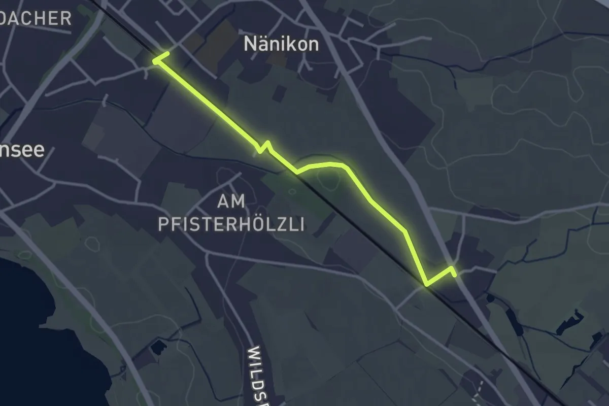
Easy · Trail
Werrikon – Nänikon-Greifensee
3.1 km · ↑ 13 m · 46 min
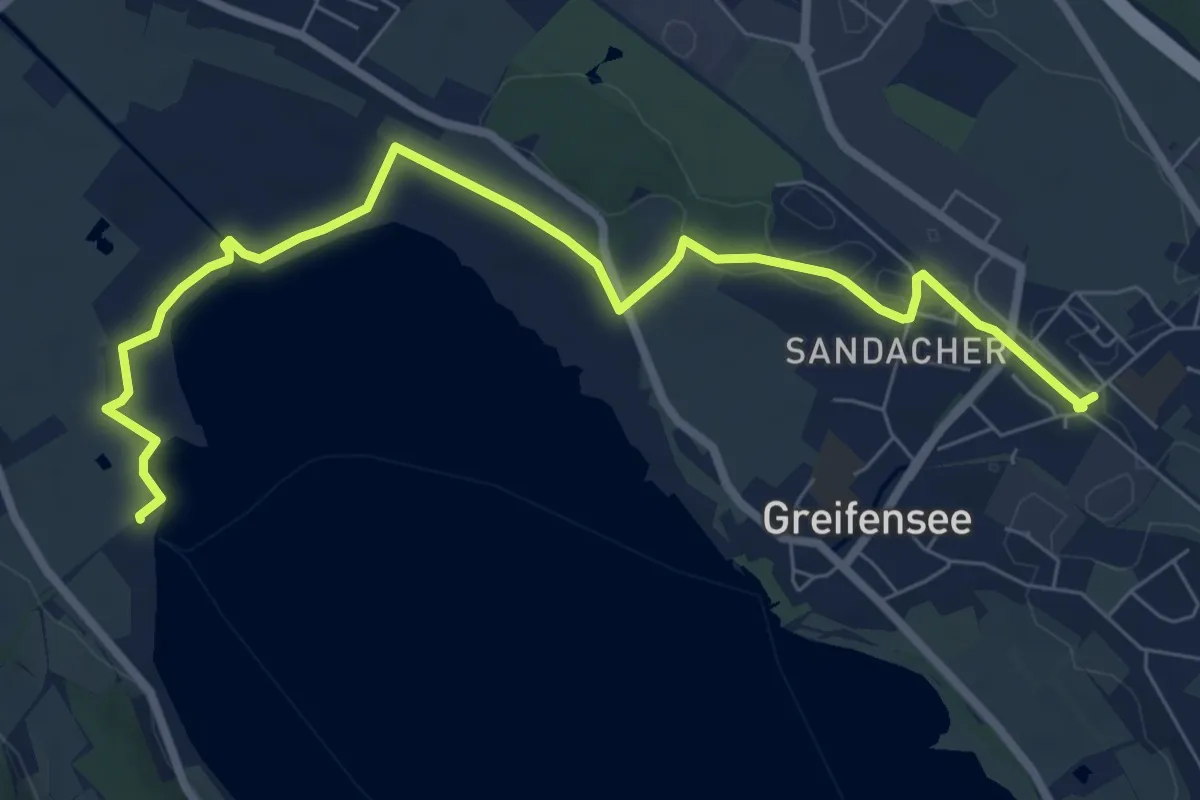
Medium · Trail
Nänikon-Greifensee – Fällanden Rohr
8.5 km · ↑ 29 m · 2 h 4 min
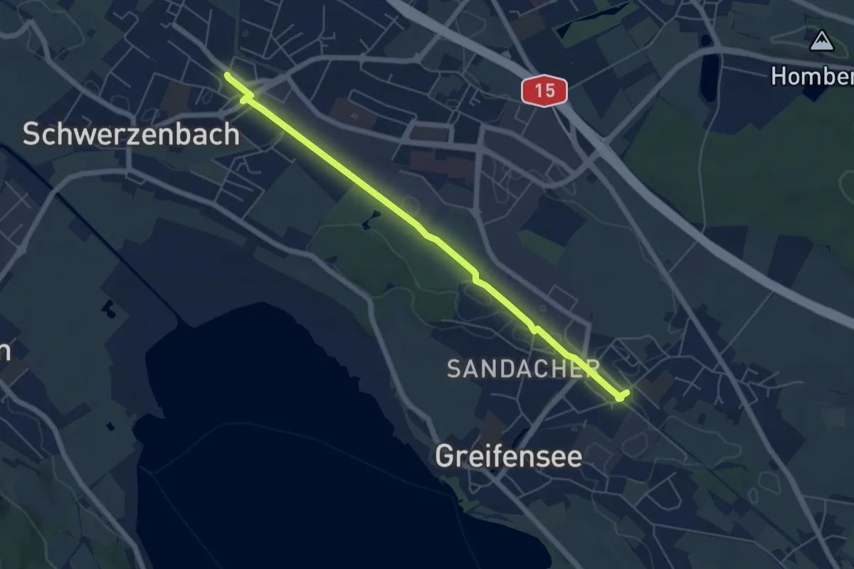
Easy · Trail
Nänikon-Greifensee – Schwerzenbach
5.8 km · ↑ 18 m · 1 h 24 min
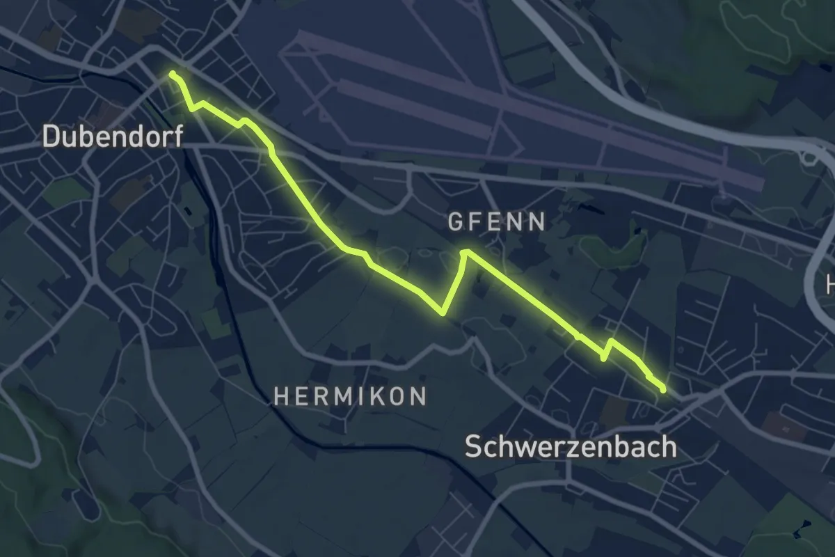
Medium · Trail
Dübendorf – Schwerzenbach
8.0 km · ↑ 29 m · 1 h 58 min
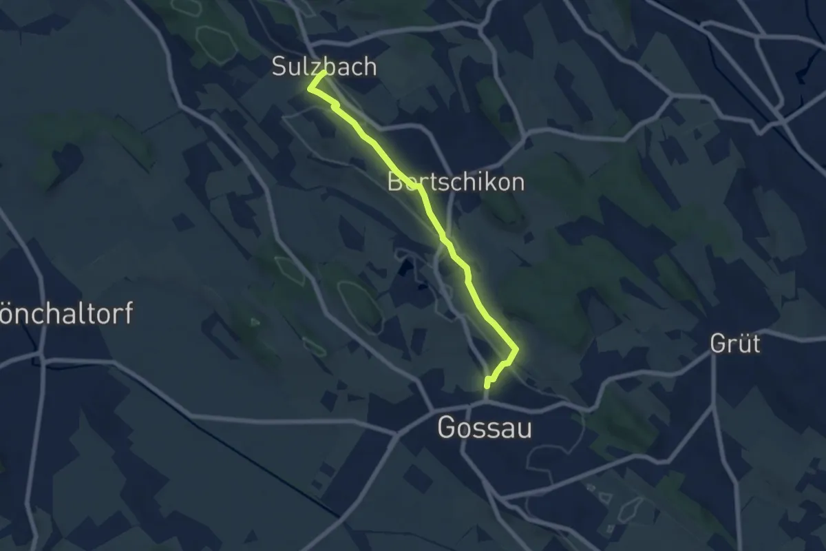
Easy · Trail
Sulzbach – Gossau
5.6 km · ↑ 104 m · 1 h 33 min
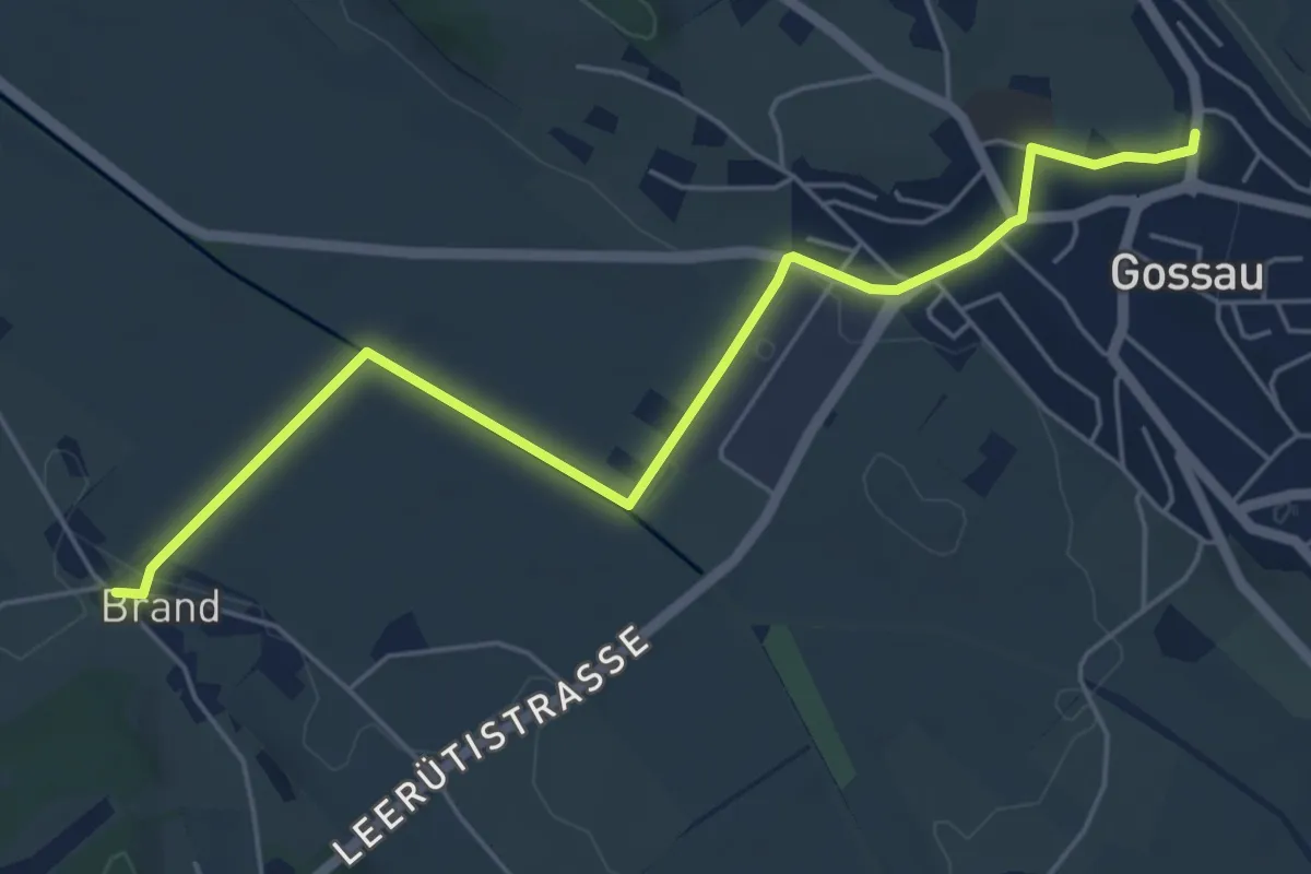
Easy · Trail
Brand – Gossau
5.8 km · ↑ 41 m · 1 h 28 min
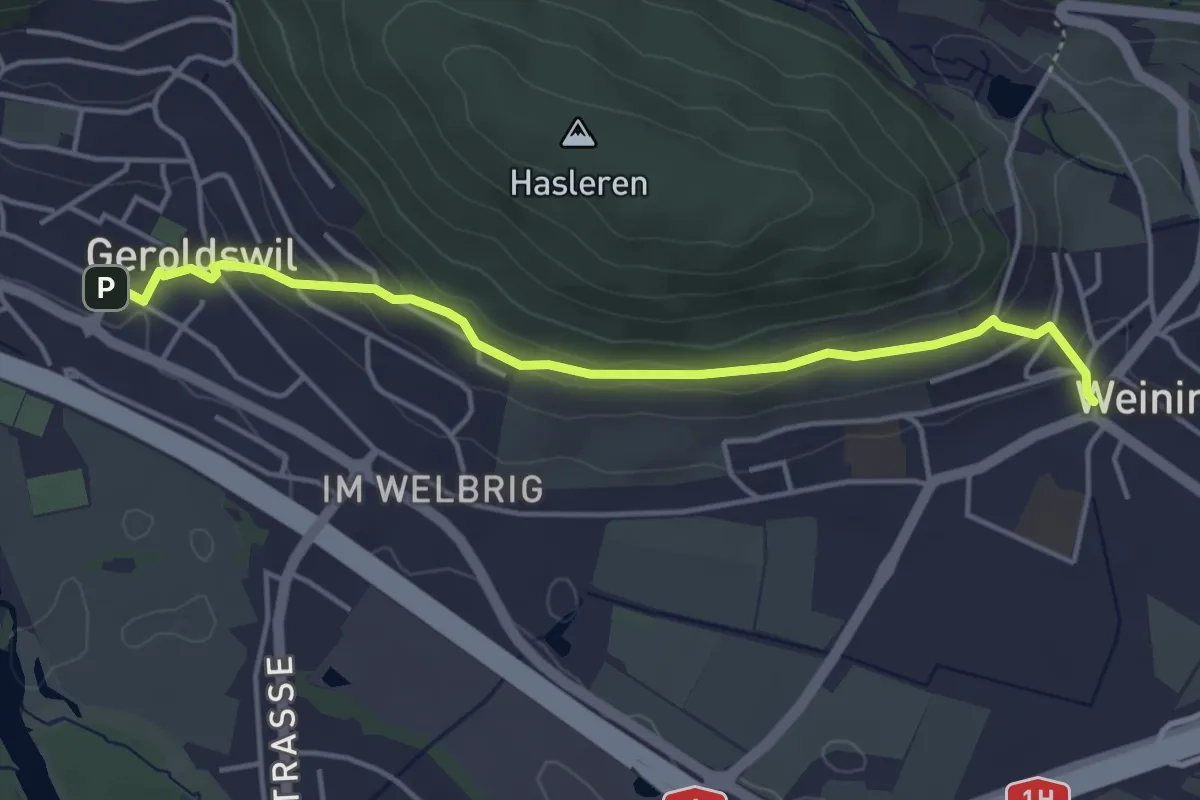
Easy · Trail
Weiningen – Geroldswil
4.3 km · ↑ 145 m · 1 h 19 min
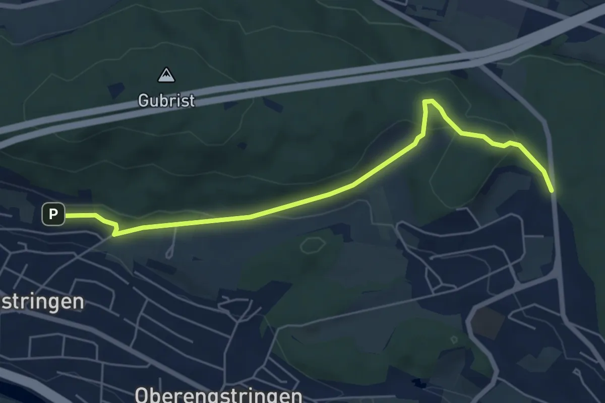
Easy · Trail
Sparrenberg – Grünwald
5.6 km · ↑ 172 m · 1 h 42 min
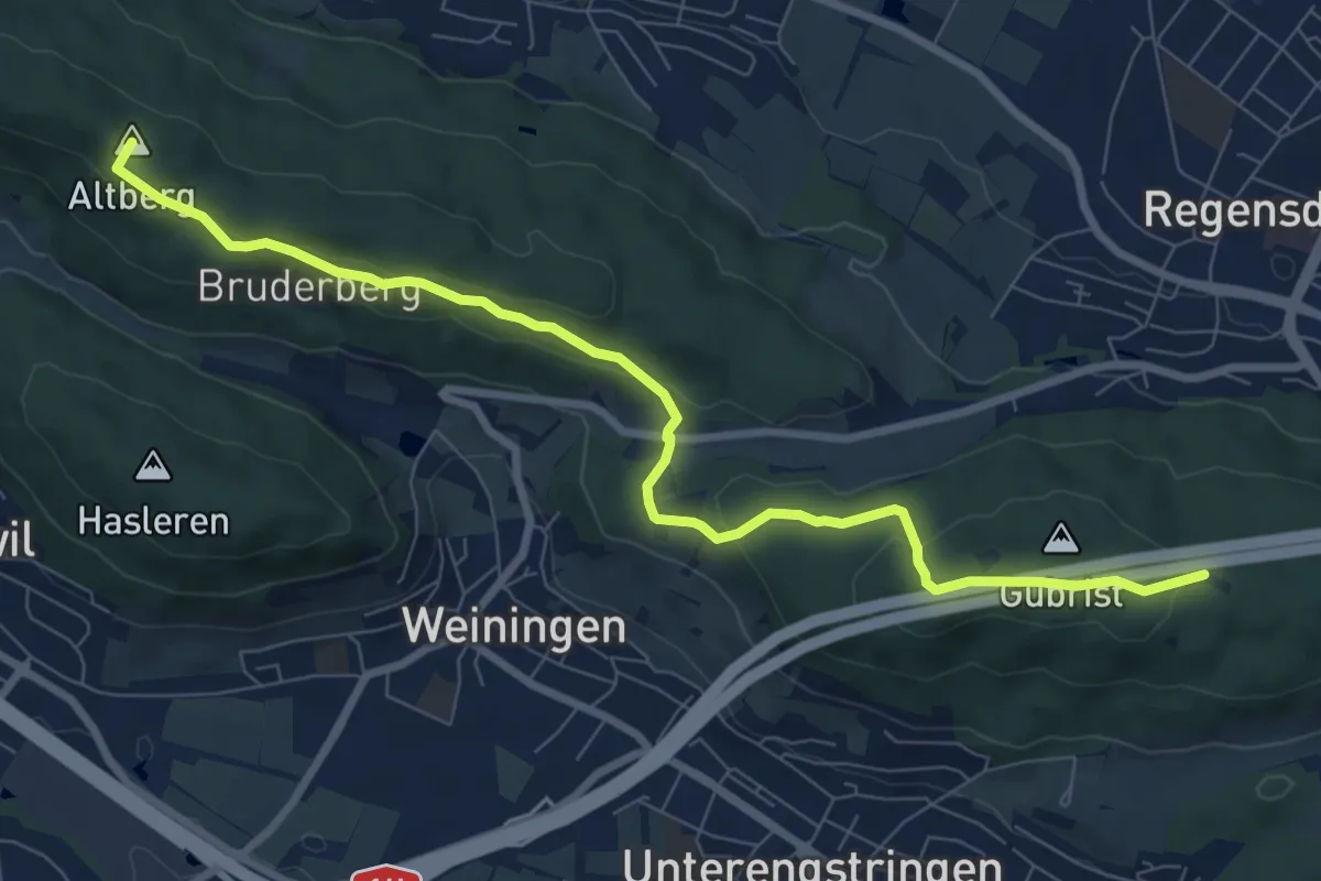
Medium · Summit
Gubrist – Altberg
8.9 km · ↑ 338 m · 2 h 50 min
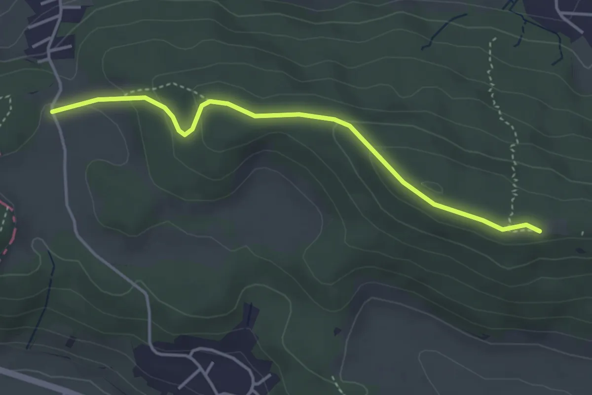
Easy · Trail
Altberg – Vorderhüttikerberg
3.8 km · ↑ 151 m · 1 h 13 min
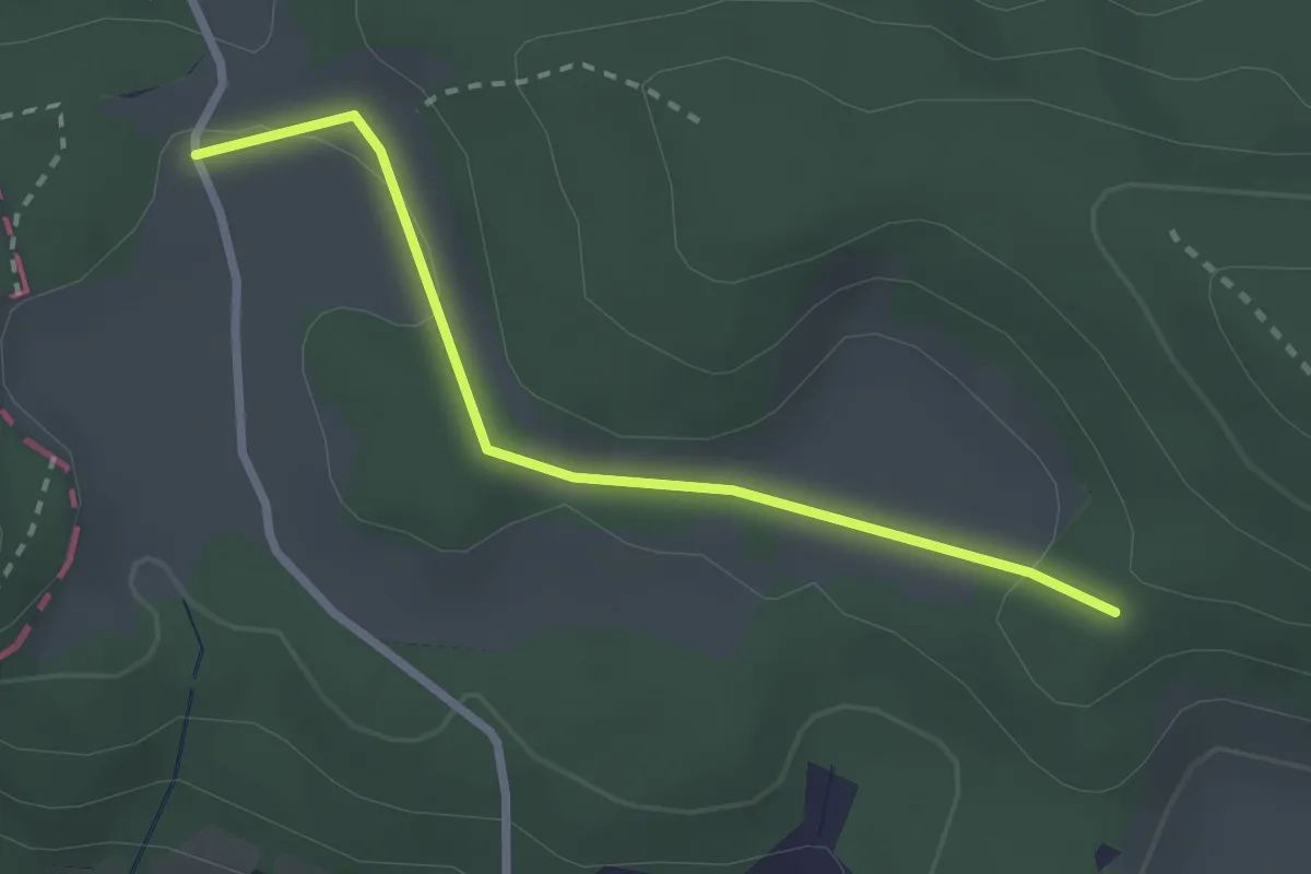
Easy · Trail
Vorderhüttikerberg – Rotris
2.4 km · ↑ 48 m · 41 min