Trails in Switzerland
15,055 hiking trails, each with its route, climb, walking time and grade.
All trails, page 285 of 314
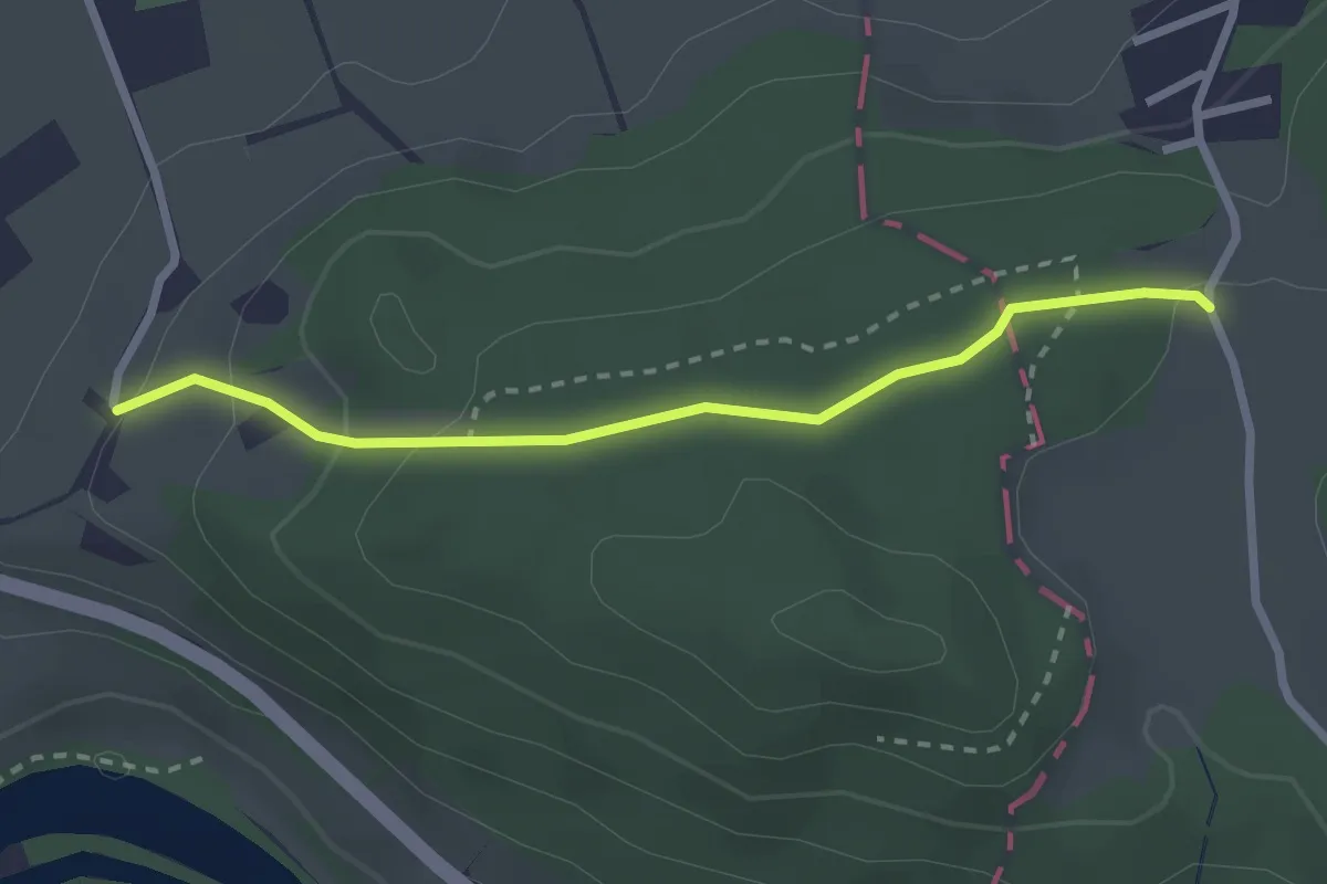
Easy · Trail
Vorderhüttikerberg – Gipf
2.4 km · ↑ 98 m · 47 min
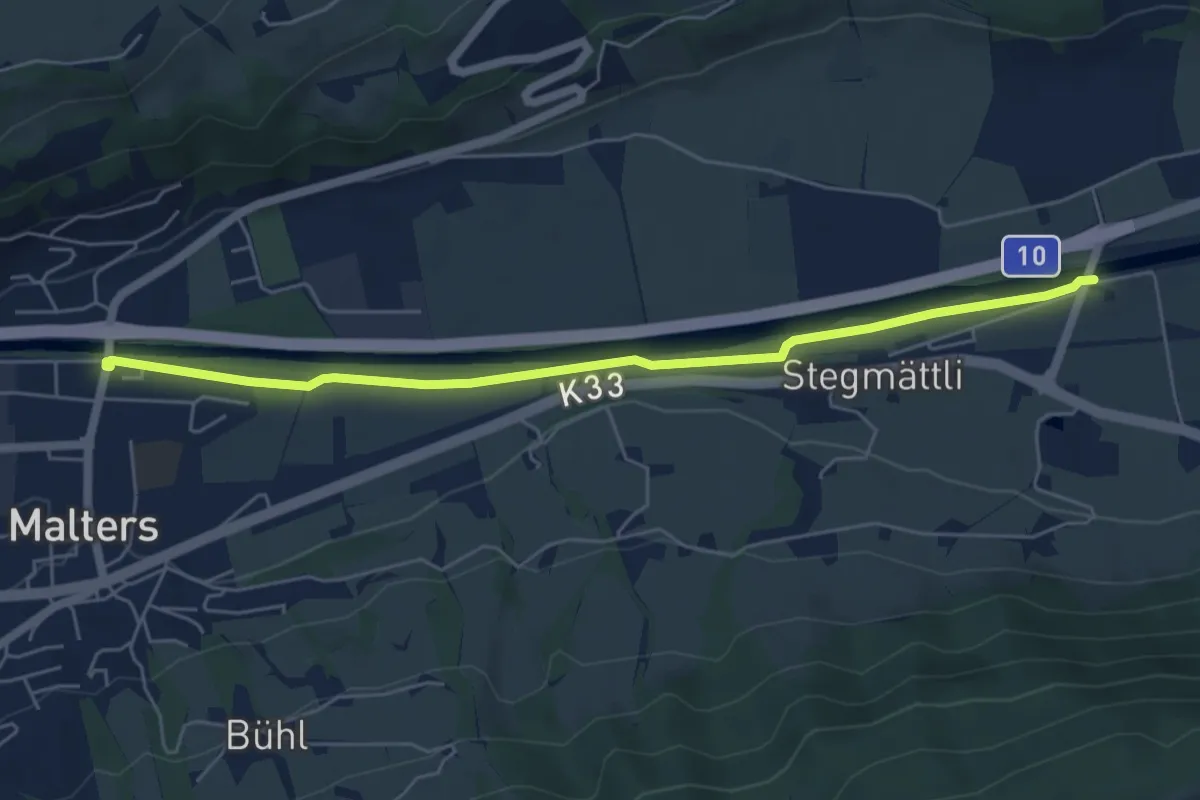
Easy · Trail
Blatterbrücke – Malters
5.7 km · ↑ 17 m · 1 h 23 min
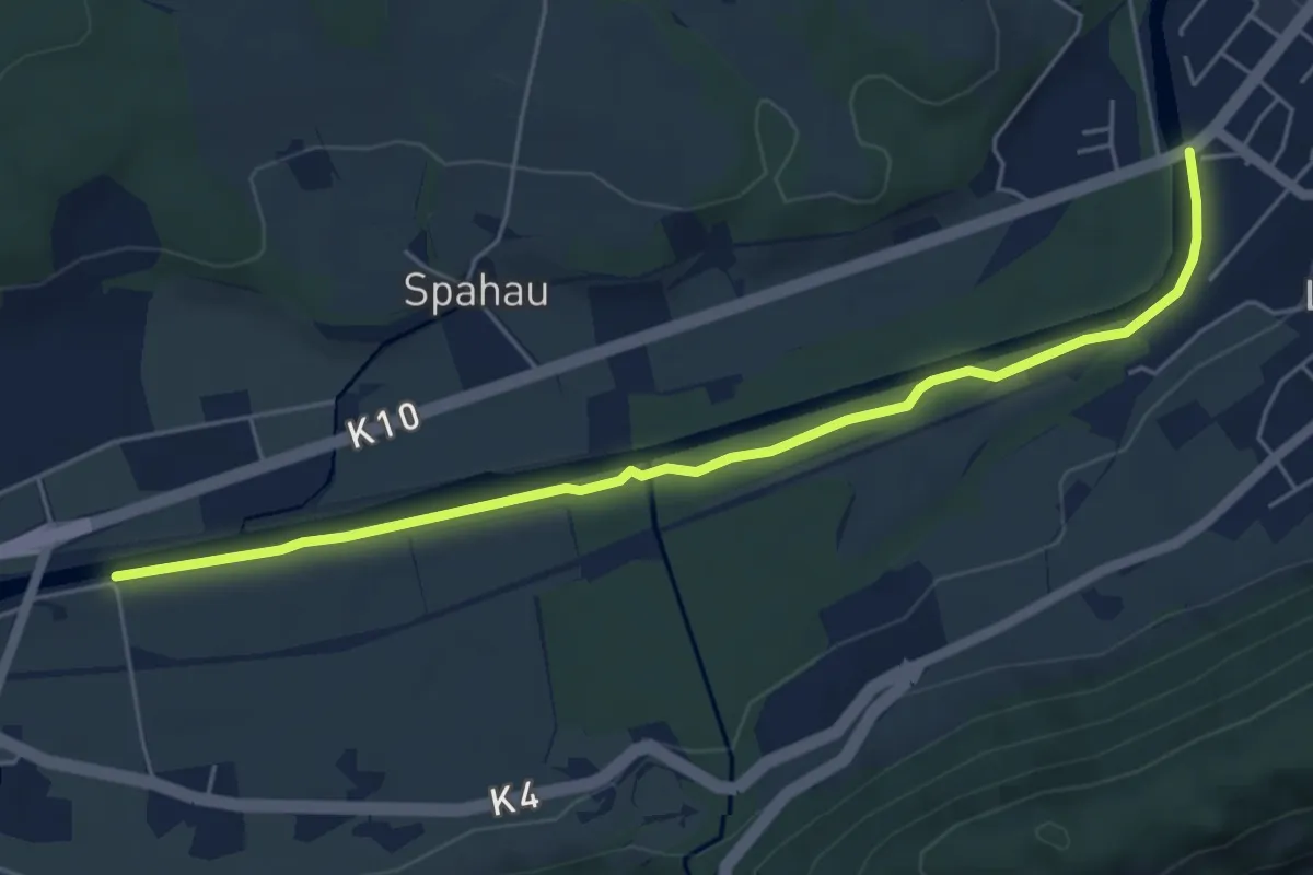
Easy · Trail
Blatten – Thorenbergbrücke
5.6 km · ↑ 13 m · 1 h 21 min
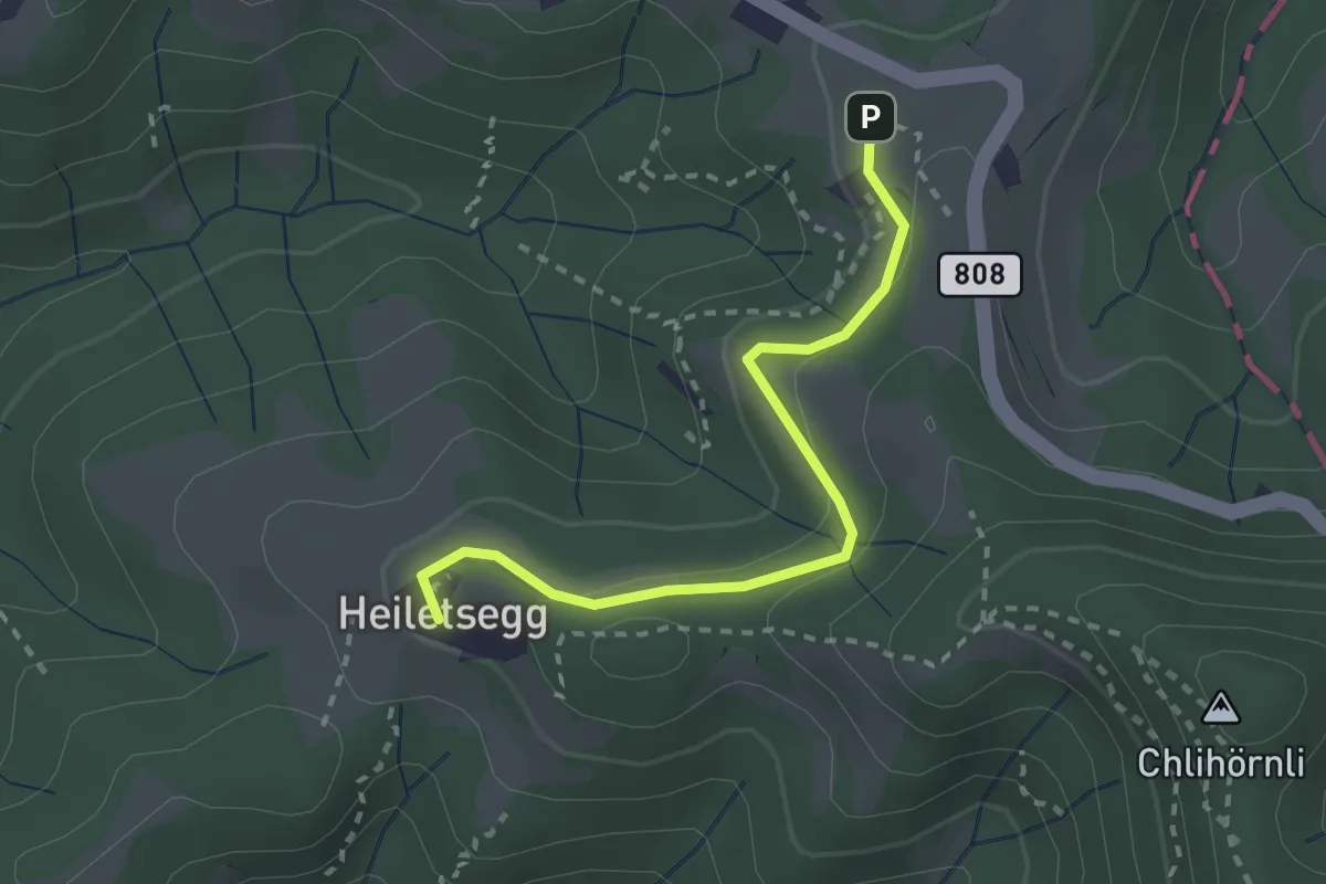
Easy · Trail
Sternenberg Gfellacher – Sternenberg Heiletsegg
2.5 km · ↑ 102 m · 48 min
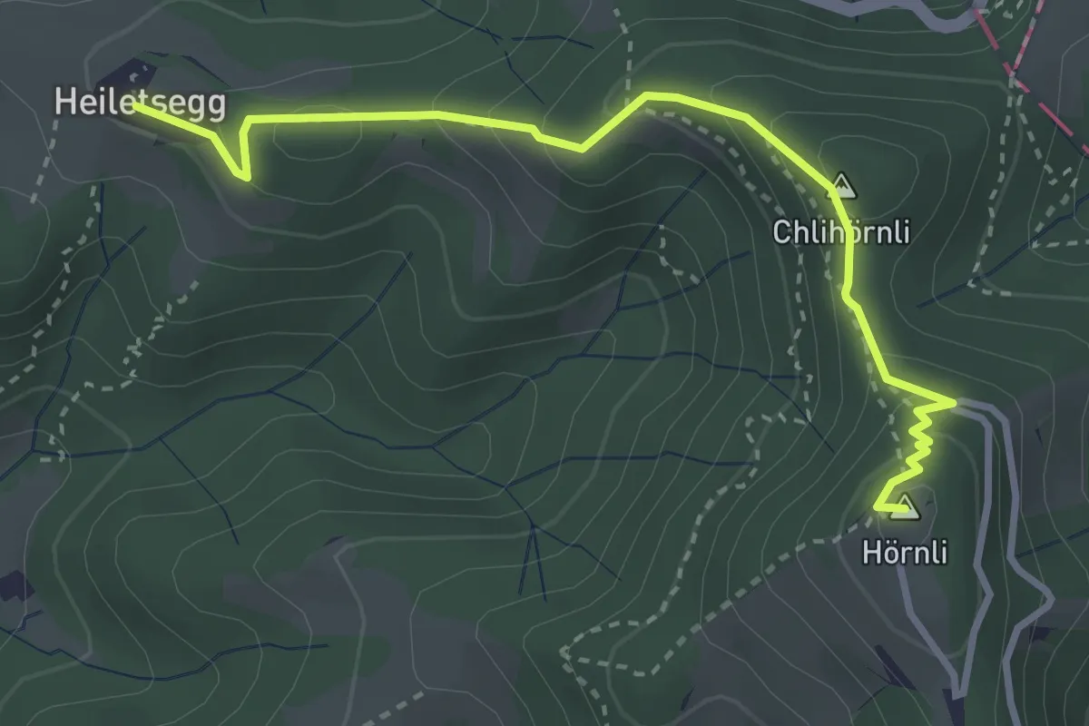
Easy · Summit
Heiletsegg – Hörnli
3.4 km · ↑ 220 m · 1 h 17 min
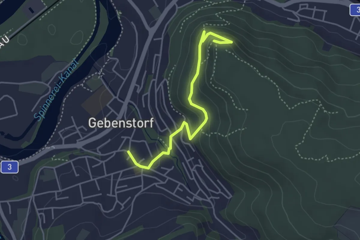
Easy · Trail
Gebenstorfer Horn – Gebenstorf
3.8 km · ↑ 193 m · 1 h 20 min
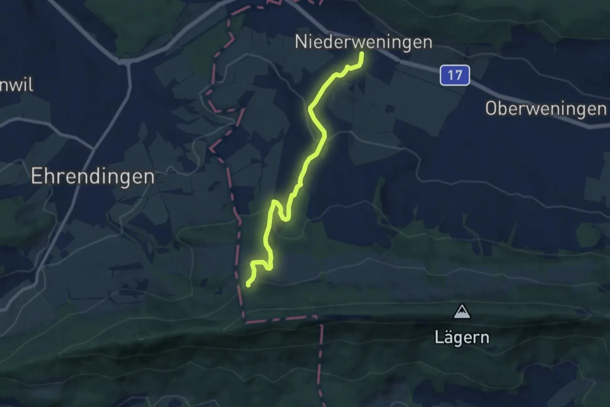
Medium · Trail
Bergwisen – Niederweningen
7.4 km · ↑ 255 m · 2 h 19 min
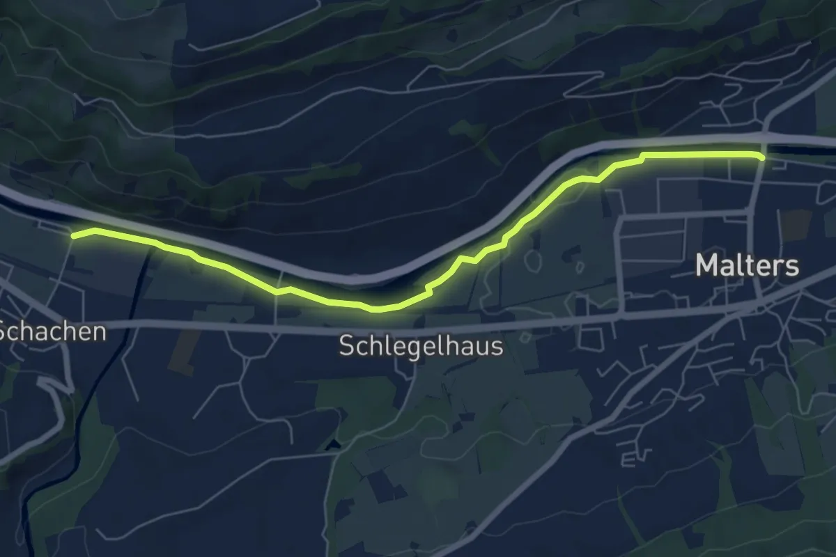
Easy · Trail
Schachen – Malters
6.6 km · ↑ 29 m · 1 h 37 min
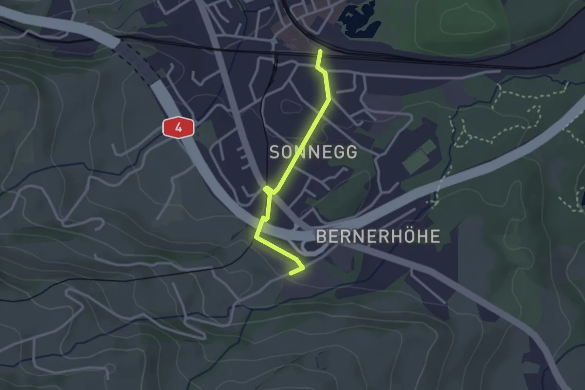
Easy · Trail
Parkplatz A4 – Goldau
2.3 km · ↑ 48 m · 38 min
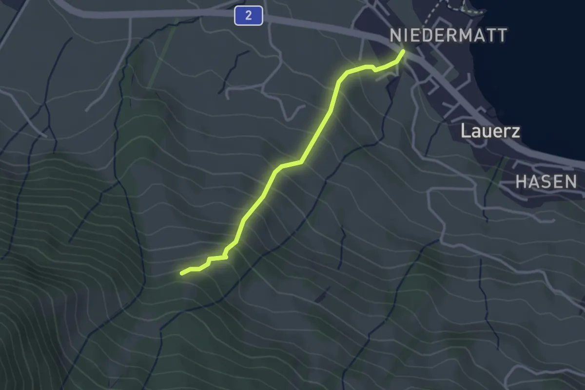
Easy · Trail
Punkt 775 m – Lauerz
2.6 km · ↑ 270 m · 1 h 12 min
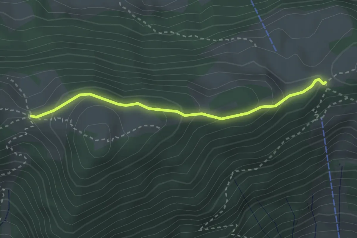
Easy · Trail
Egg – Schwand
2.5 km · ↑ 165 m · 57 min
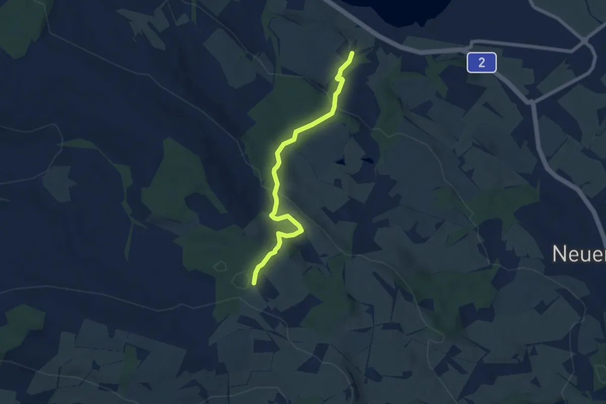
Easy · Trail
Schloss Wartensee – Ober Säliwald
5.8 km · ↑ 253 m · 1 h 55 min
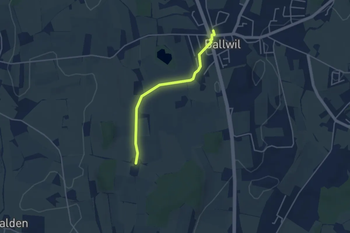
Easy · Trail
Räckebrunne – Ballwil
3.1 km · ↑ 14 m · 45 min
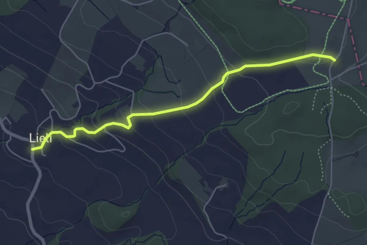
Easy · Trail
Oberillau – Lieli
4.5 km · ↑ 184 m · 1 h 28 min
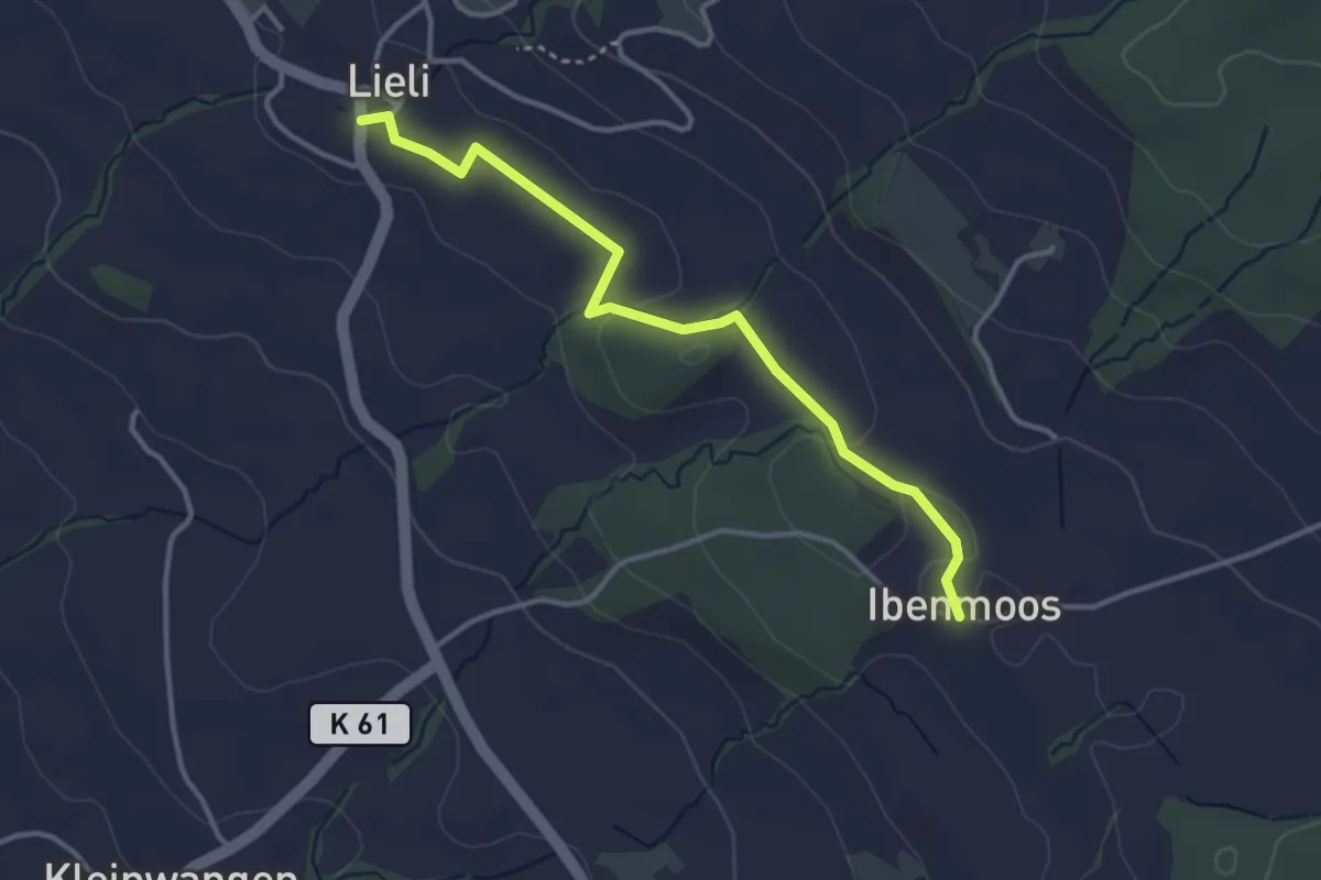
Easy · Trail
Lieli – Ibenmoos
3.4 km · ↑ 40 m · 54 min
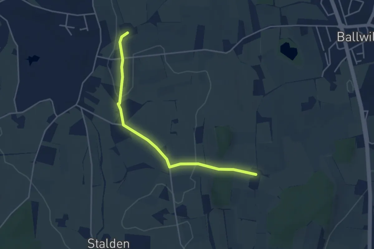
Easy · Trail
Räckebrunne – Urswil
3.6 km · ↑ 52 m · 58 min
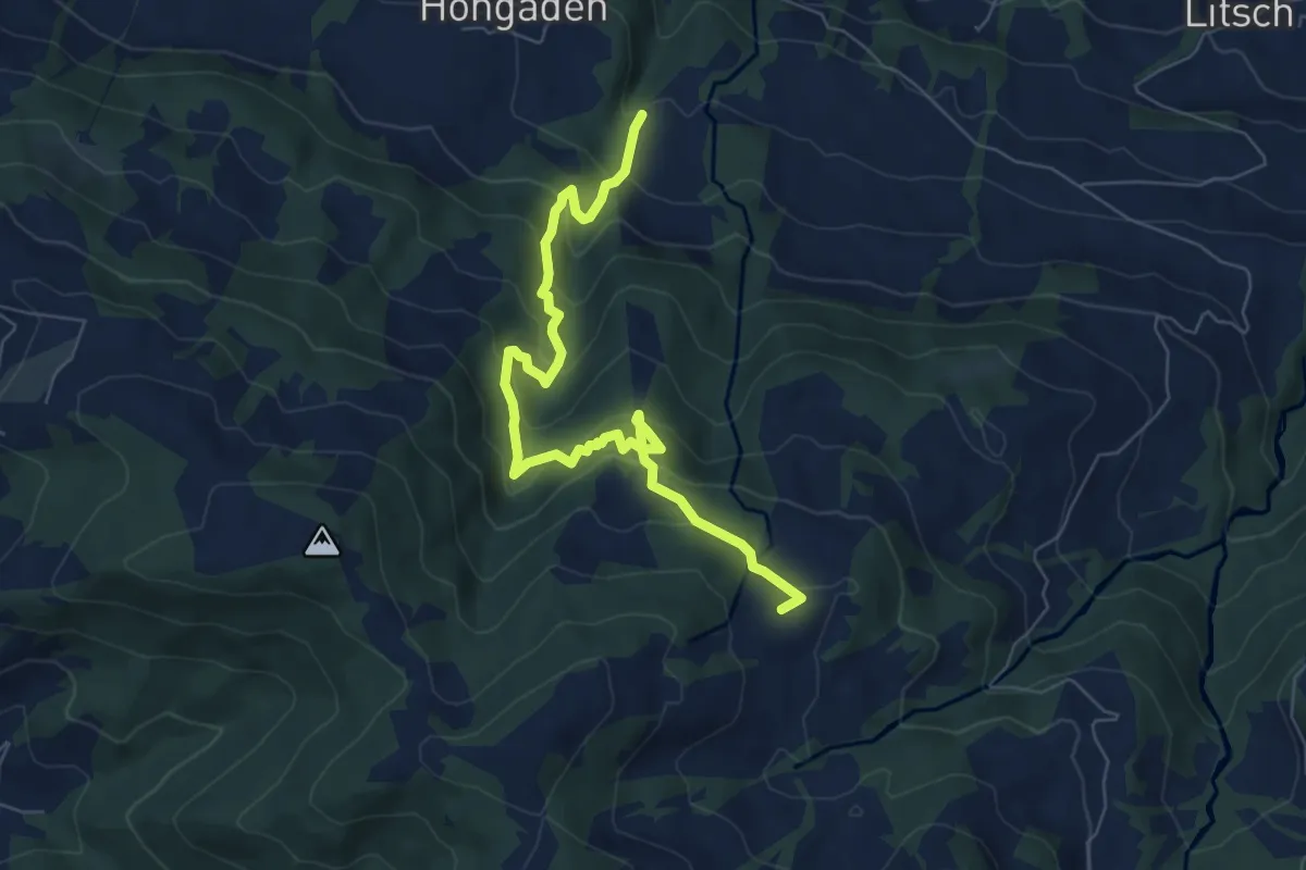
Medium · Trail
Autis – Diesbishütten
7.3 km · ↑ 572 m · 2 h 58 min
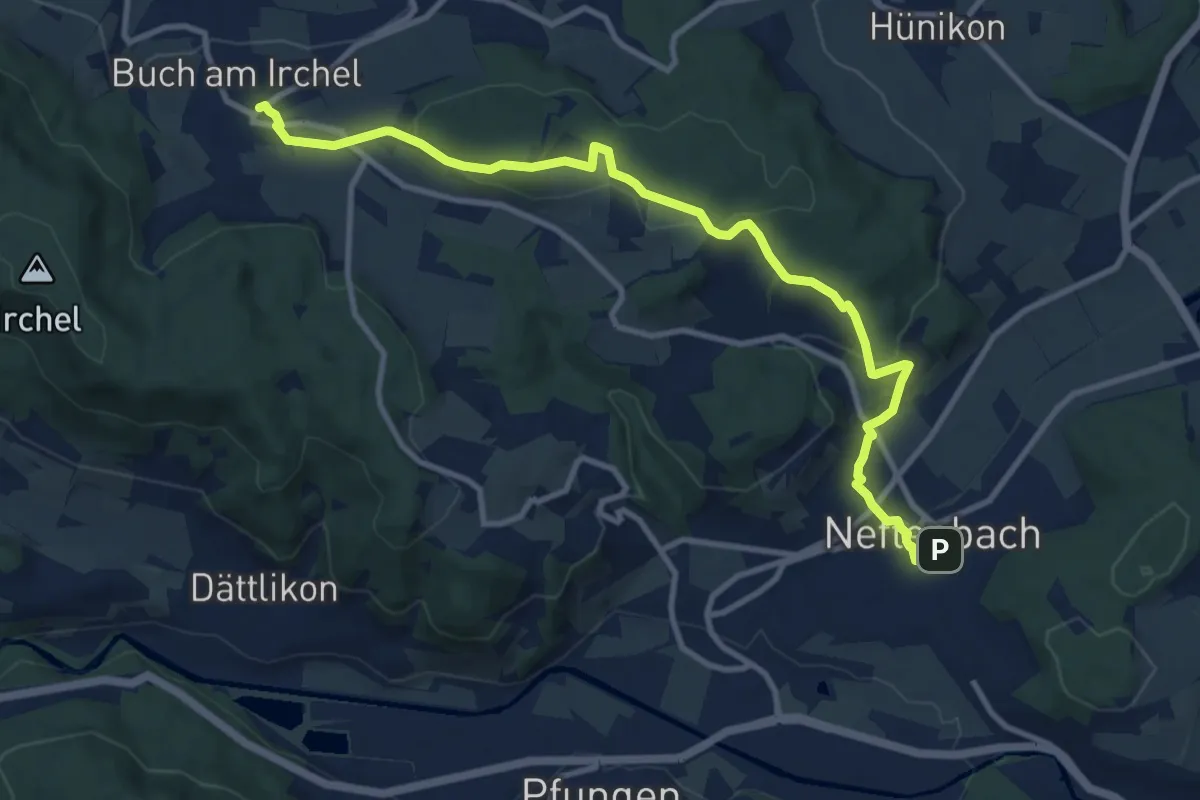
Medium · Trail
Neftenbach – Ober Buch am Irchel
11.5 km · ↑ 341 m · 3 h 28 min
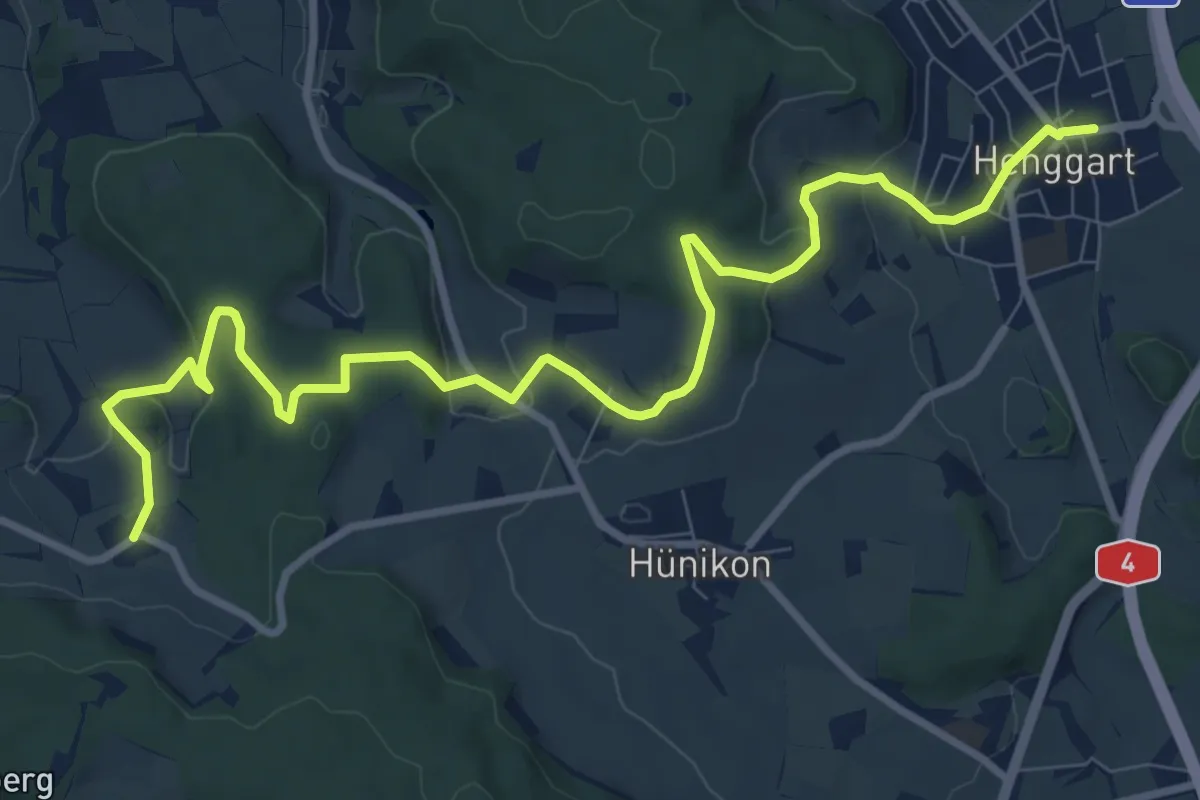
Medium · Trail
Desibach – Henggart
11.3 km · ↑ 307 m · 3 h 20 min
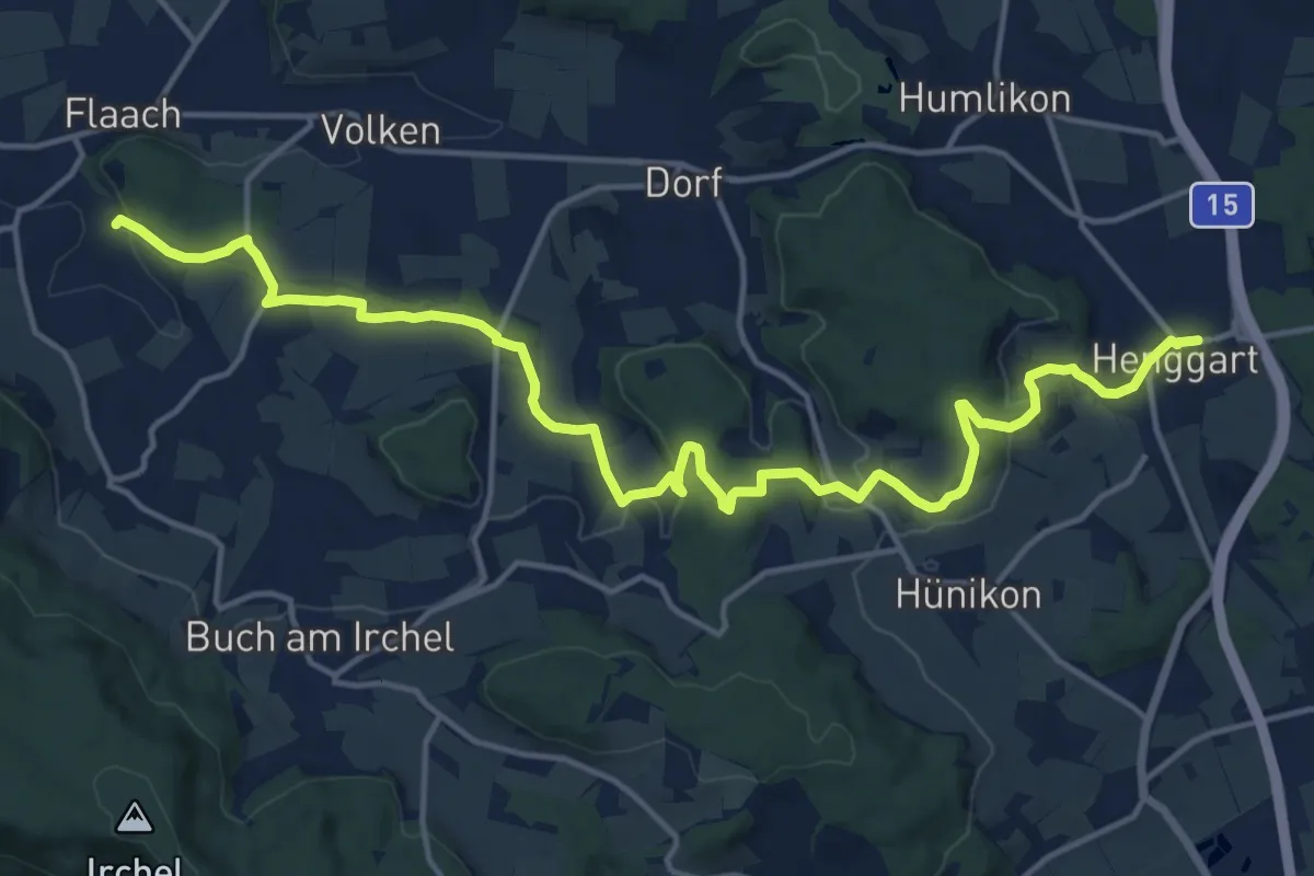
Demanding · Trail
Henggart – Eigental
18.3 km · ↑ 390 m · 5 h 9 min
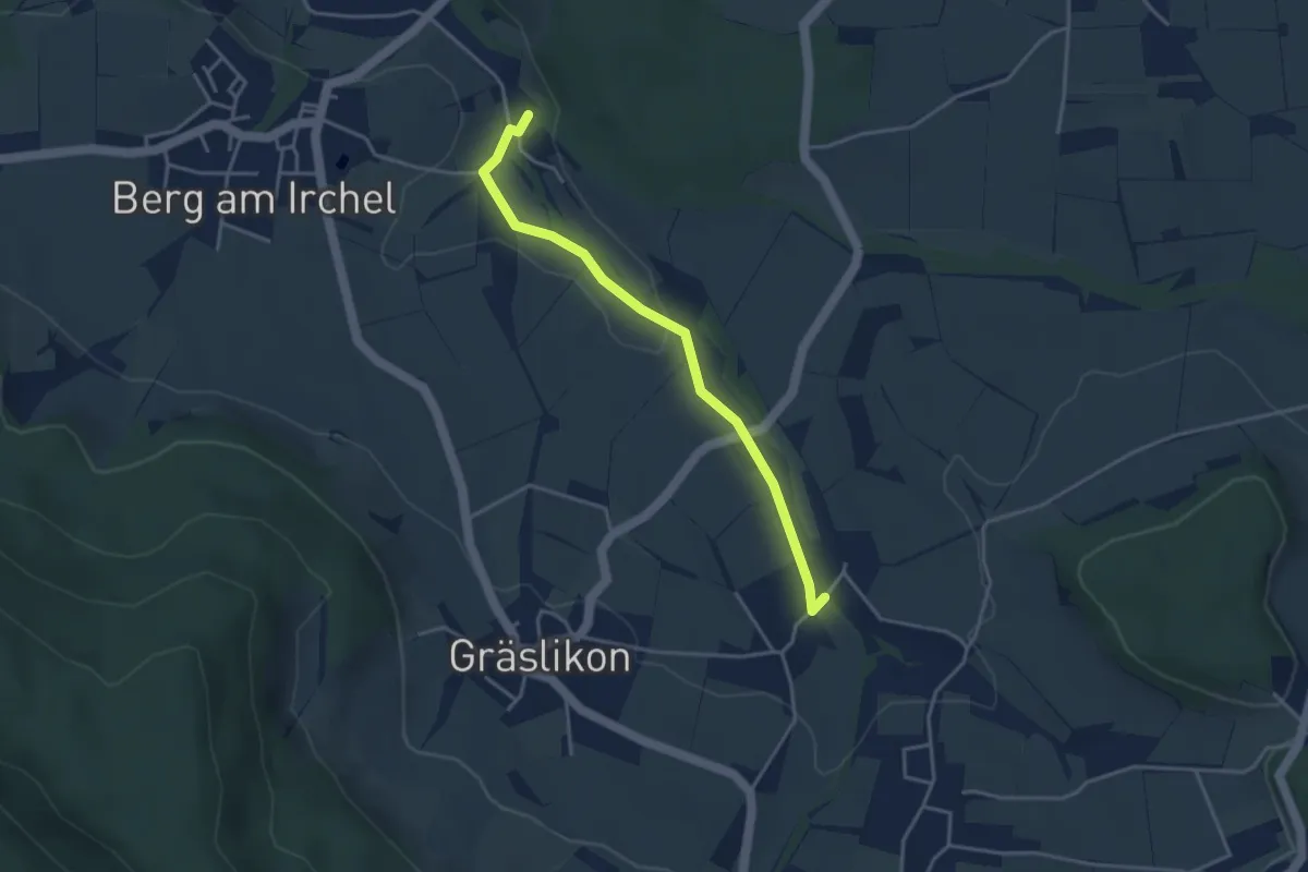
Easy · Trail
Eigental – Wiler
3.6 km · ↑ 41 m · 56 min
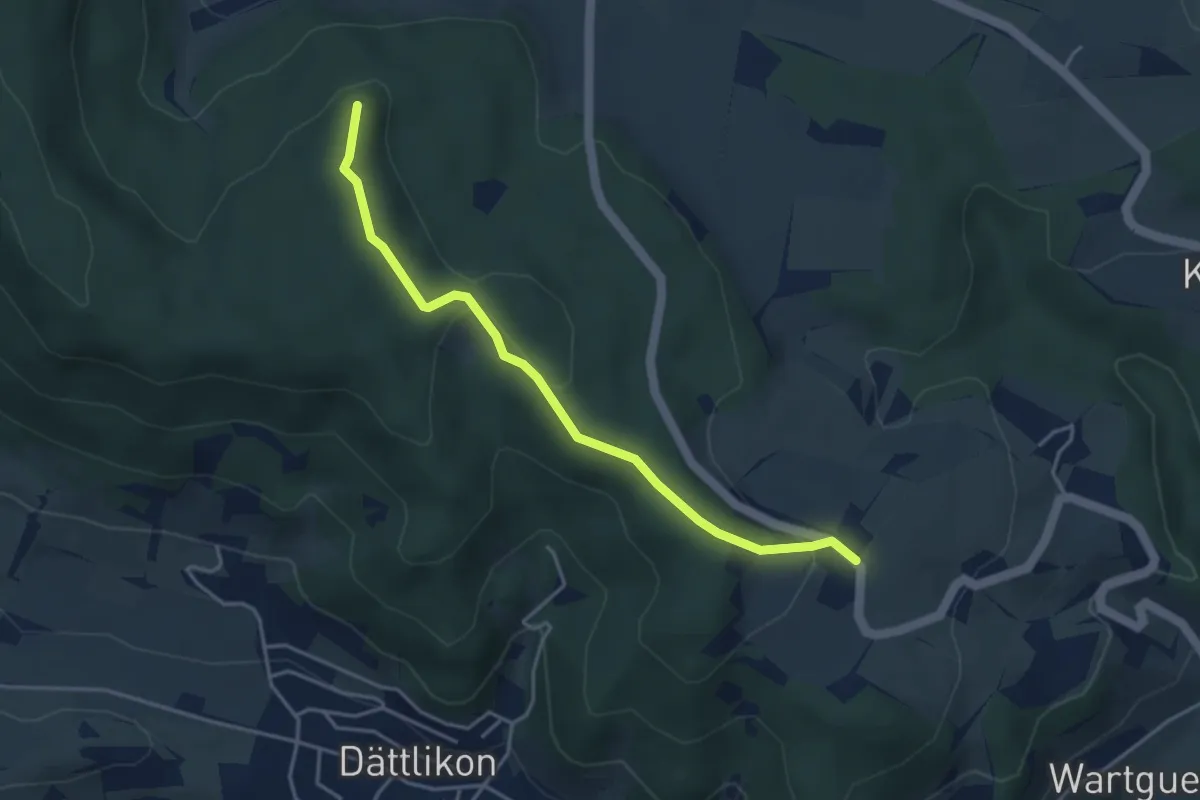
Easy · Trail
Herenbänkli Irchelturm – Oberhueb
3.9 km · ↑ 130 m · 1 h 12 min
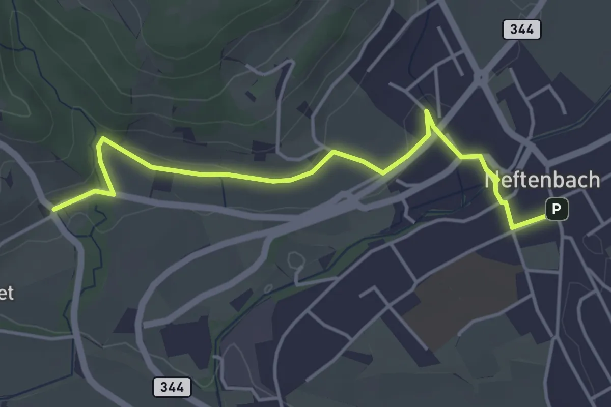
Easy · Trail
Museum – Neftenbach
4.1 km · ↑ 93 m · 1 h 11 min
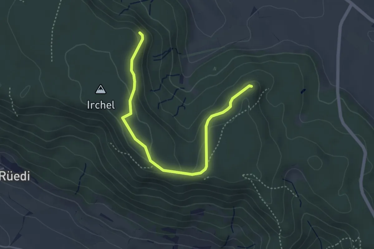
Easy · Trail
Schaffhuser – Heerenbänkli Irchelturm
4.2 km · ↑ 110 m · 1 h 14 min
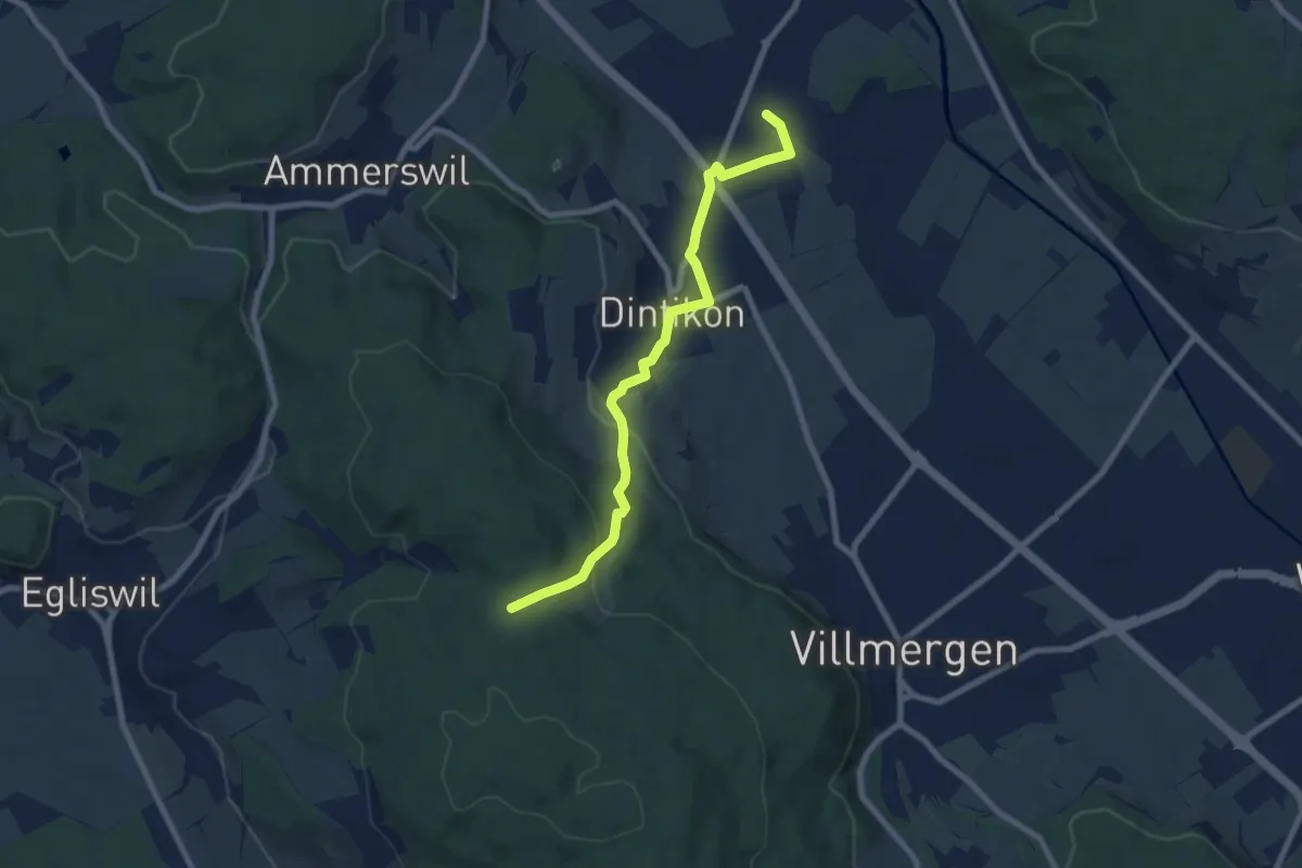
Easy · Trail
Dottikon - Dintikon – Grossmoos
7.8 km · ↑ 235 m · 2 h 21 min
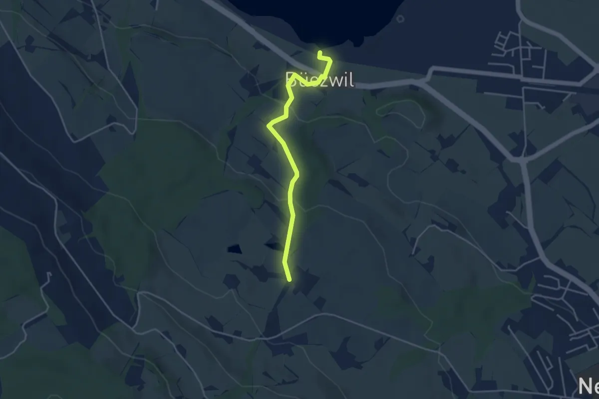
Easy · Trail
Schloss Wartensee – Wilistatt
3.5 km · ↑ 113 m · 1 h 4 min
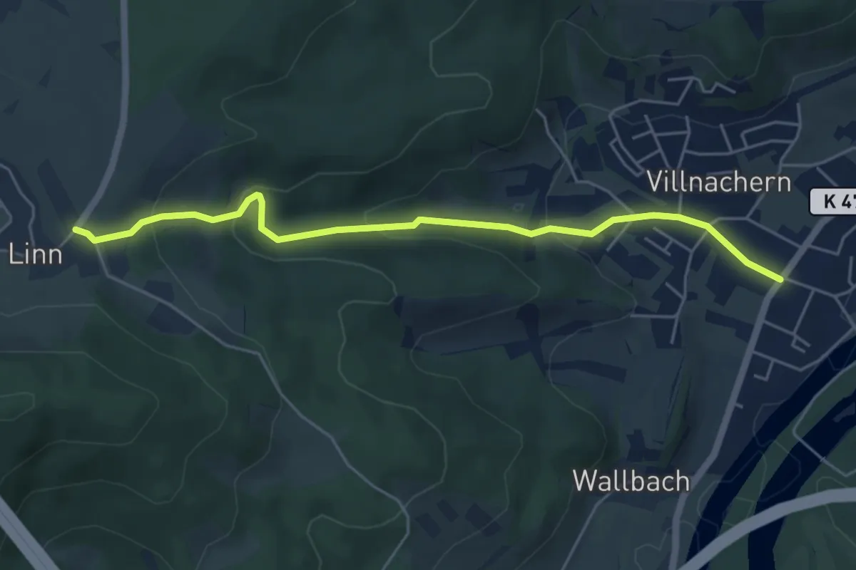
Easy · Trail
Villnachern – Linn
5.1 km · ↑ 220 m · 1 h 41 min
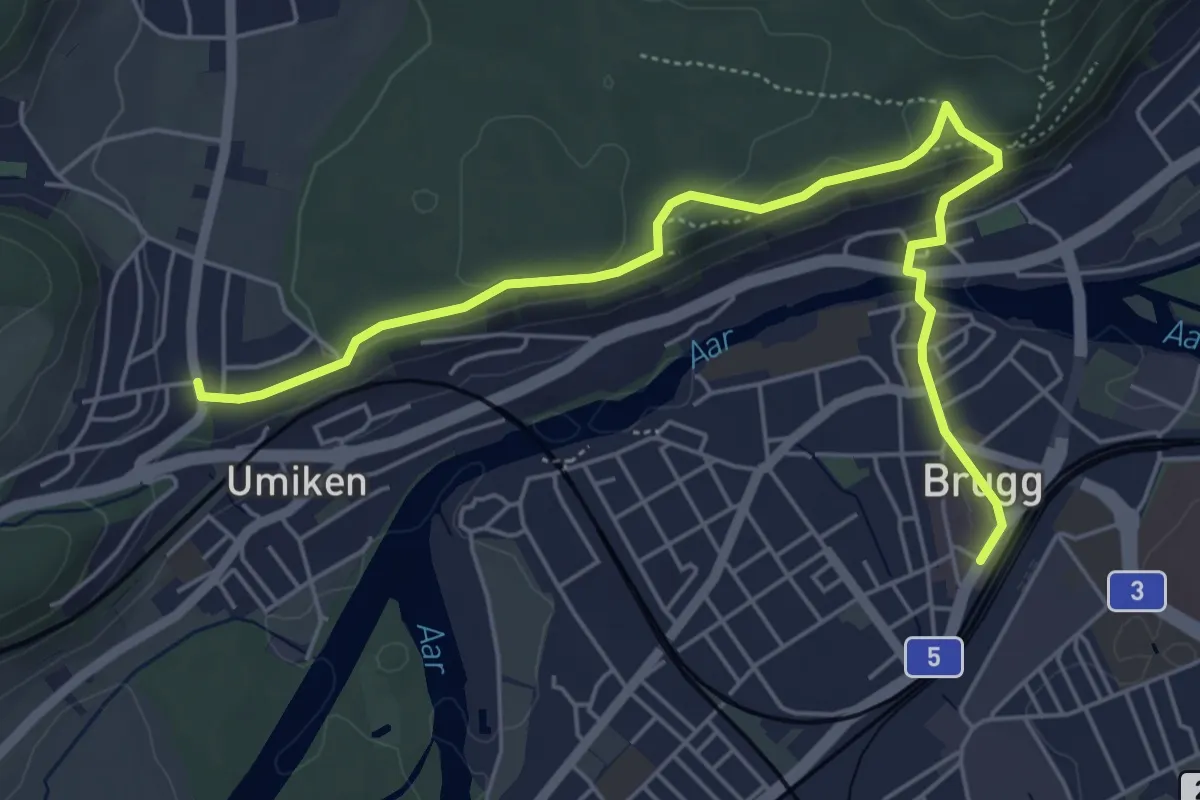
Easy · Trail
Riniken – Brugg
6.2 km · ↑ 137 m · 1 h 45 min
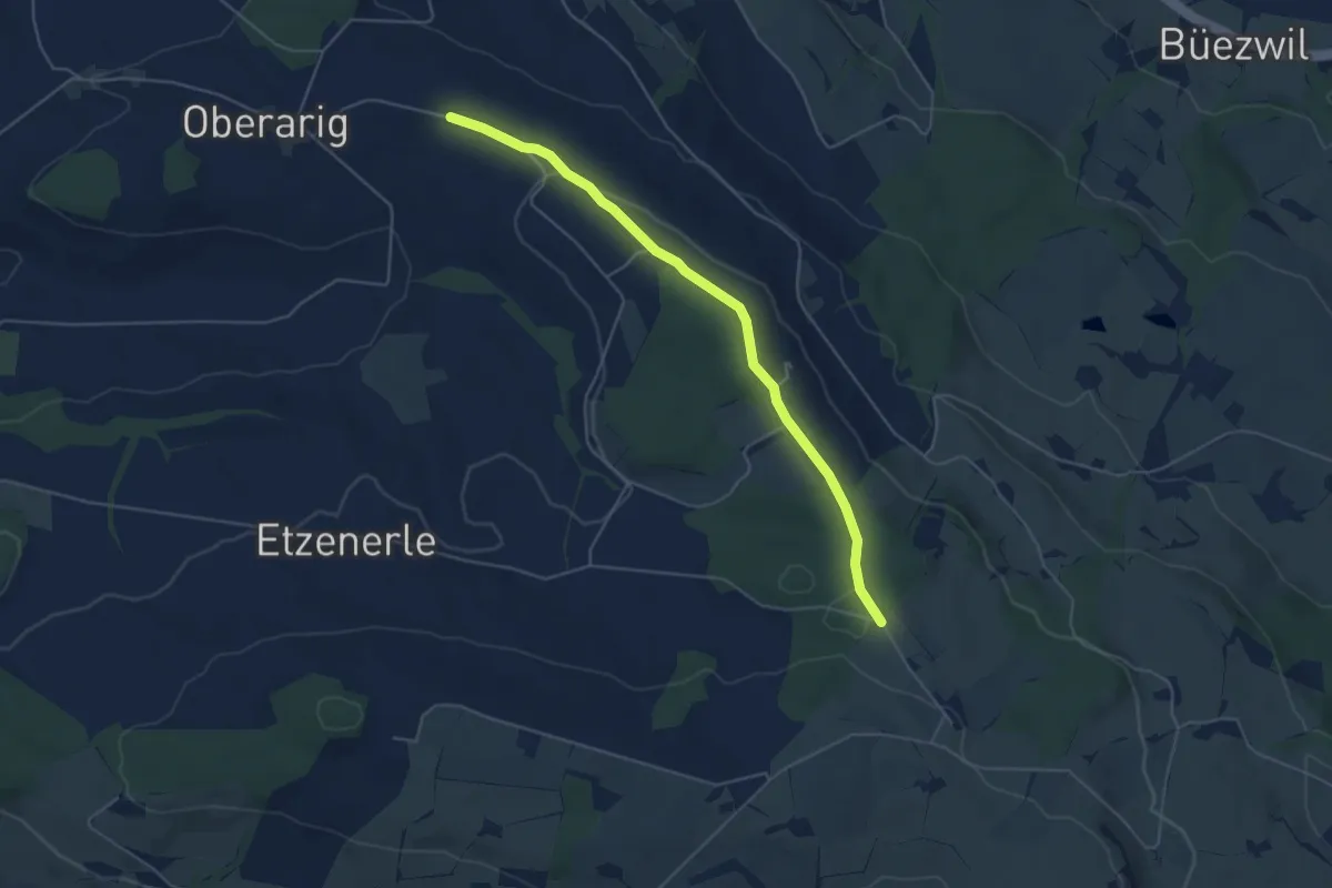
Easy · Trail
Flüss – Ober Saeliwald
5.0 km · ↑ 87 m · 1 h 22 min
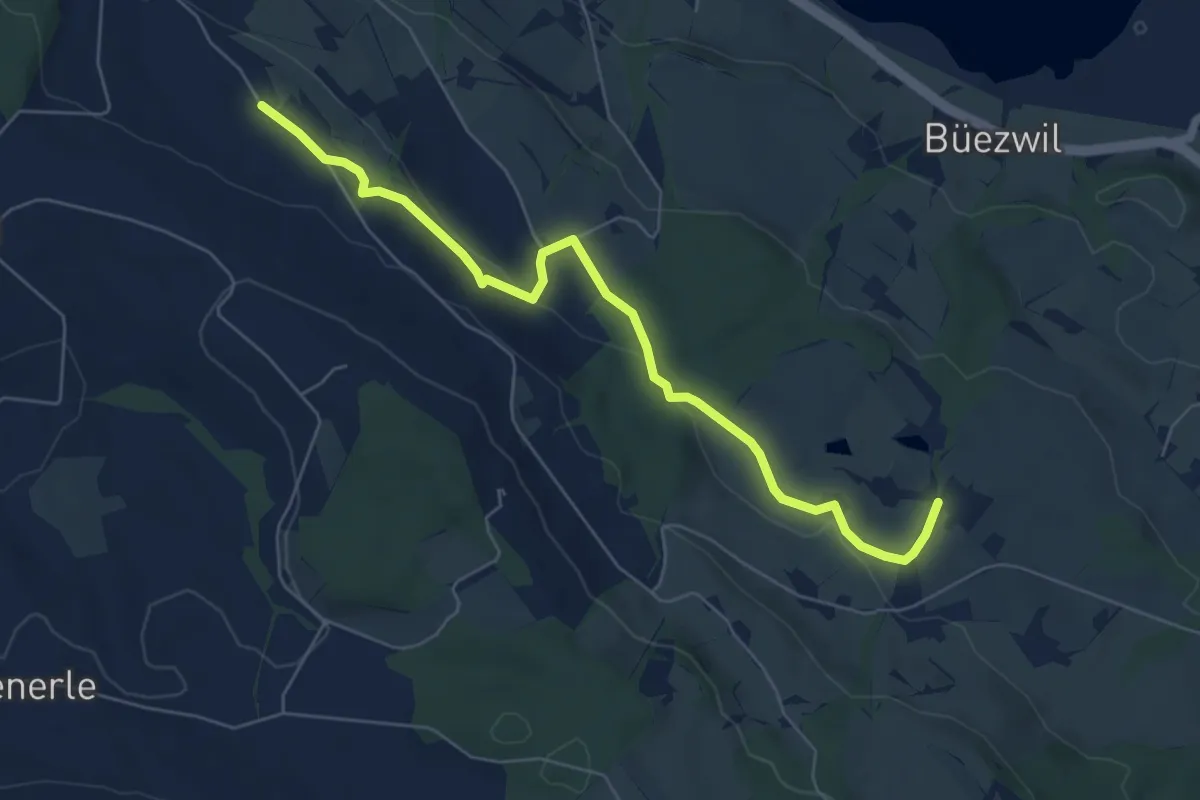
Easy · Trail
Huprächtigen – Wilistatt
6.5 km · ↑ 130 m · 1 h 49 min
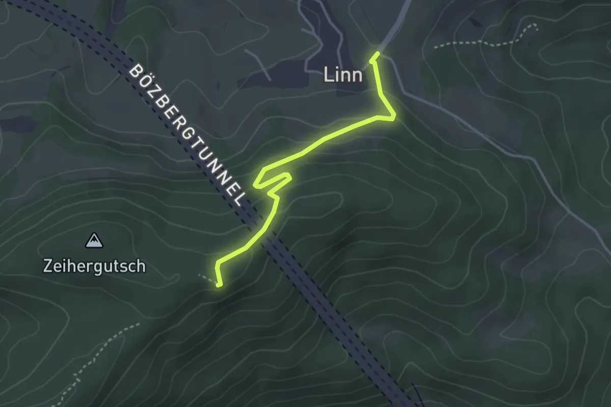
Easy · Summit
Linn – Linnerberg
3.2 km · ↑ 156 m · 1 h 6 min
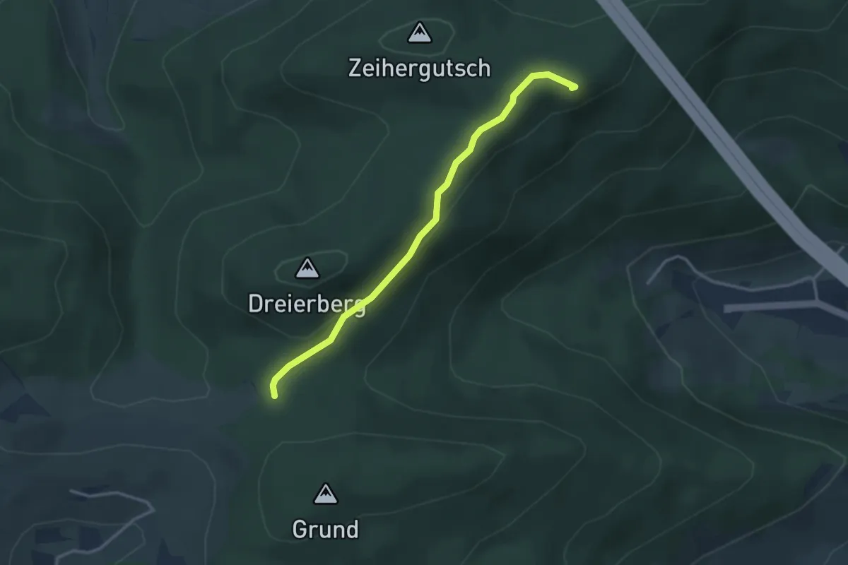
Easy · Summit
Linnerberg – Mösere
2.9 km · ↑ 80 m · 52 min
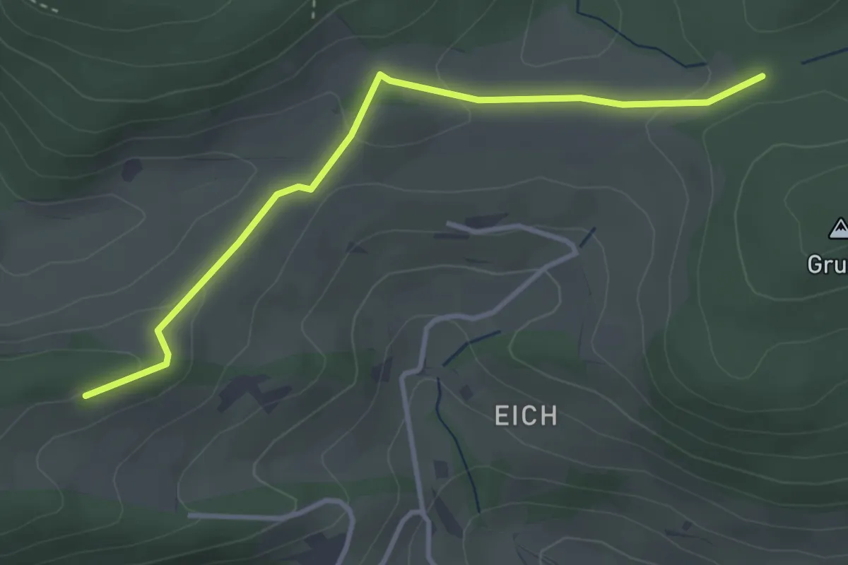
Easy · Trail
Möseren – Aelmhard
3.5 km · ↑ 95 m · 1 h 1 min
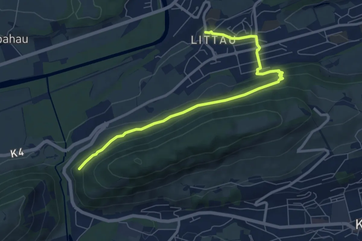
Easy · Trail
Littau Dorf – Ränggloch
7.2 km · ↑ 280 m · 2 h 19 min
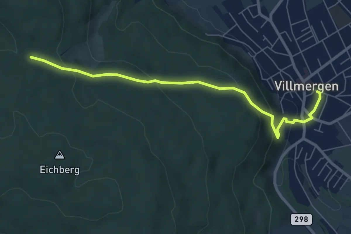
Easy · Trail
Grossmoos – Villmergen
5.7 km · ↑ 241 m · 1 h 52 min
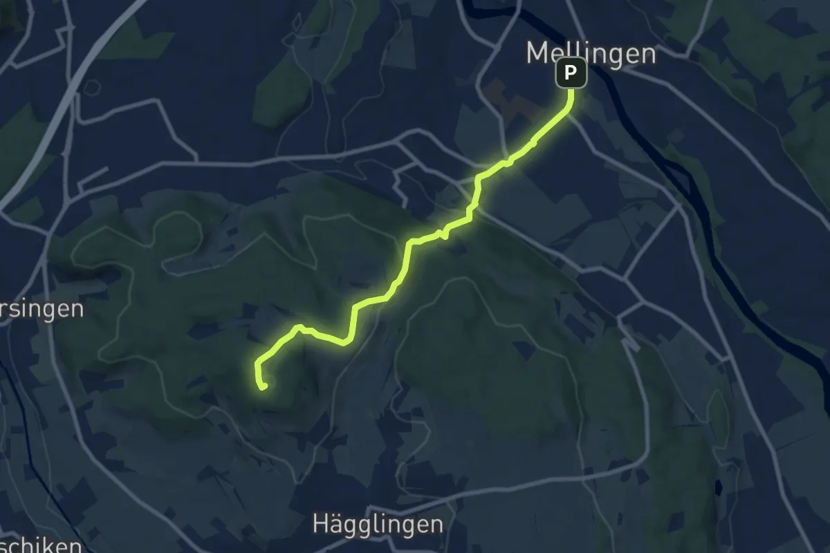
Medium · Summit
Mellingen – Meiengrüen
8.1 km · ↑ 250 m · 2 h 27 min
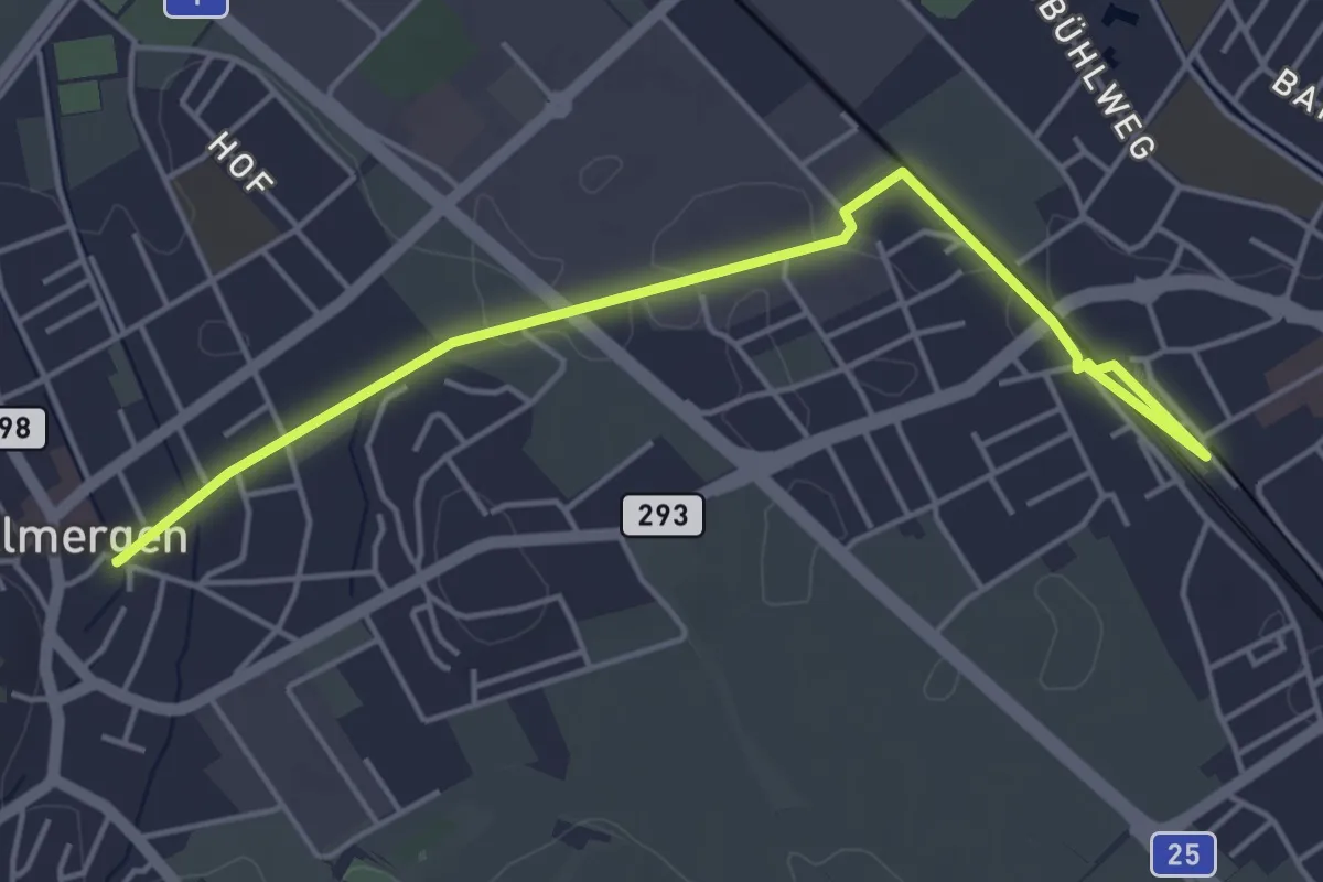
Easy · Trail
Wohlen – Villmergen
5.0 km · ↑ 13 m · 1 h 13 min
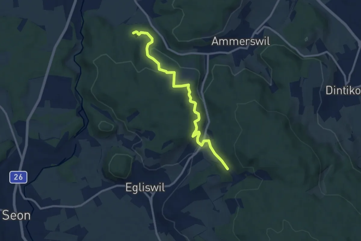
Easy · Trail
Firmetel – Fünfweier
7.4 km · ↑ 222 m · 2 h 14 min
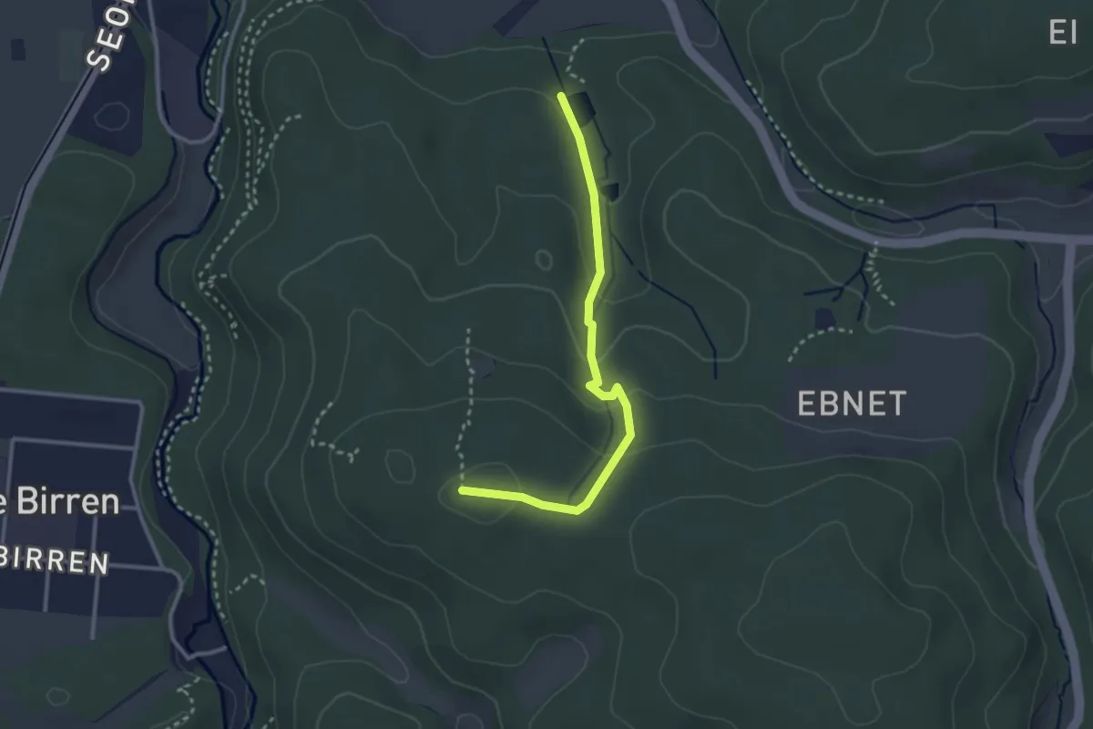
Easy · Trail
Fünfweier – Esterliturm
2.8 km · ↑ 110 m · 54 min
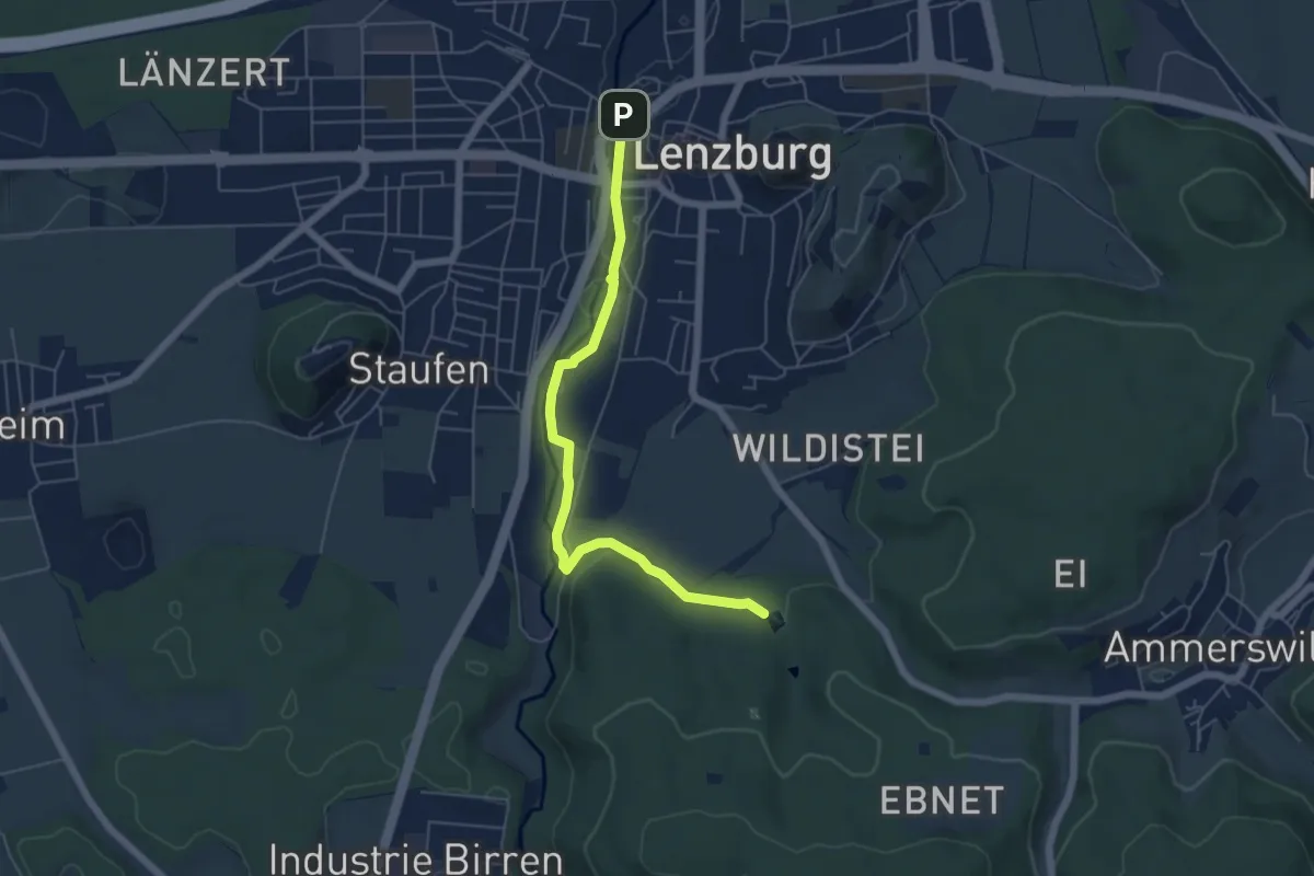
Easy · Trail
Lenzburg – Fünfweier
5.5 km · ↑ 55 m · 1 h 26 min
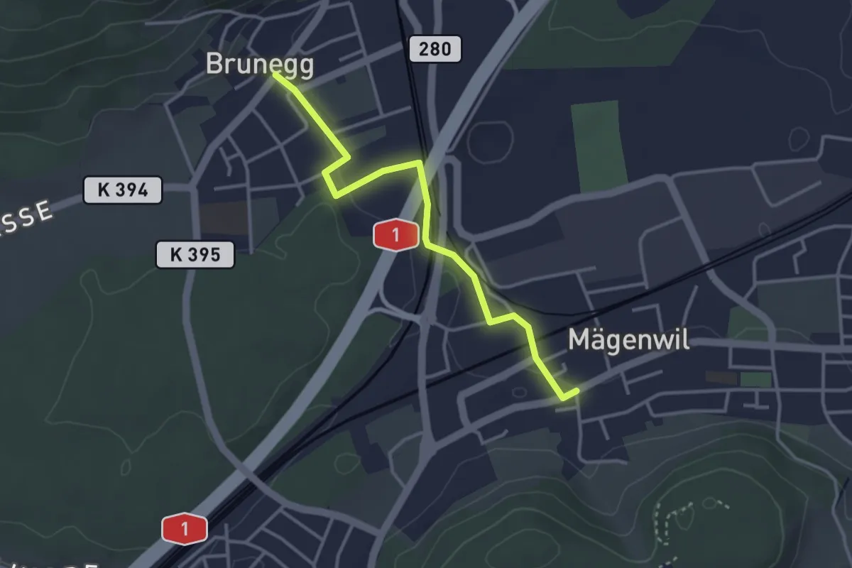
Easy · Trail
Brunegg – Mägenwil
3.3 km · ↑ 24 m · 50 min
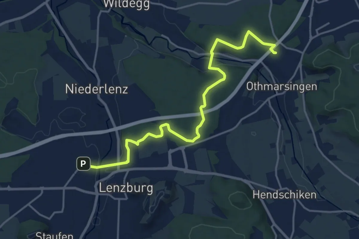
Medium · Trail
Lenzburg – Othmarsingen
12.5 km · ↑ 183 m · 3 h 21 min
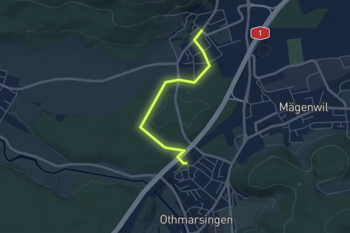
Easy · Trail
Othmarsingen – Brunegg
4.2 km · ↑ 39 m · 1 h 5 min
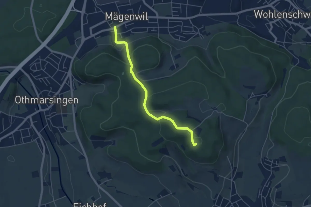
Easy · Summit
Mägenwil – Meiengrün
4.5 km · ↑ 176 m · 1 h 26 min
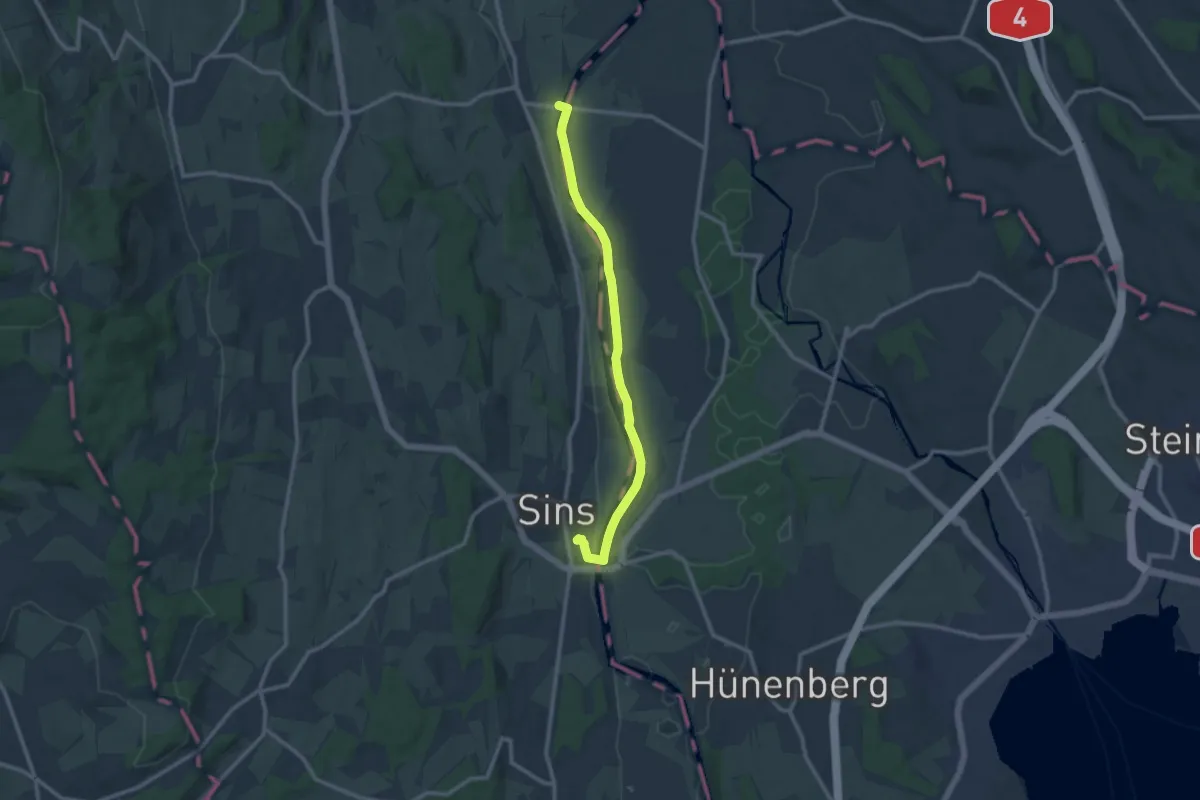
Medium · Trail
Brücke Mühlau – Sins
10.8 km · ↑ 26 m · 2 h 36 min
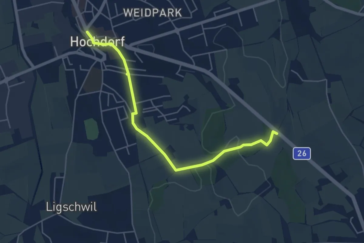
Easy · Trail
Hochdorf – Wirtlewald
4.6 km · ↑ 42 m · 1 h 10 min
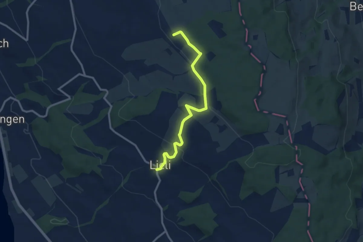
Easy · Trail
Lieli – Sulzerberg
6.8 km · ↑ 237 m · 2 h 8 min
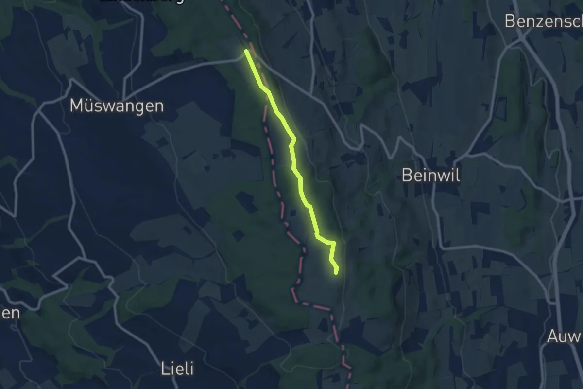
Easy · Trail
Schlatt – Horben
6.6 km · ↑ 95 m · 1 h 45 min