Trails in Switzerland
15,055 hiking trails, each with its route, climb, walking time and grade.
All trails, page 286 of 314
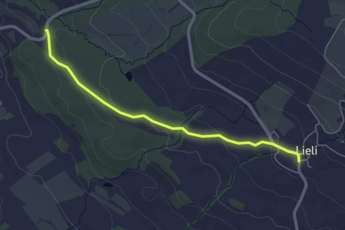
Easy · Trail
Schloss Heidegg – Lieli
4.3 km · ↑ 96 m · 1 h 13 min
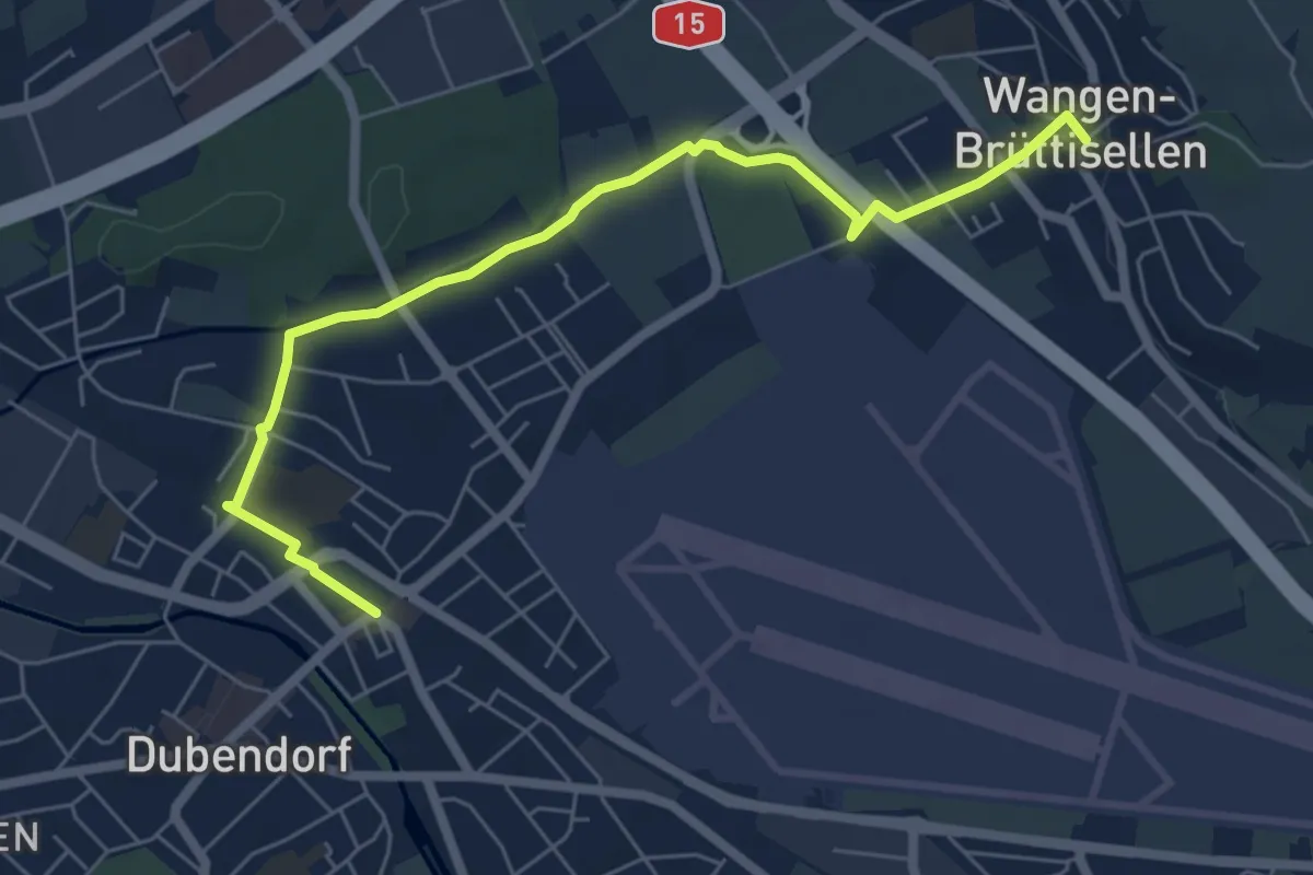
Easy · Trail
Wangen – Dübendorf
6.6 km · ↑ 16 m · 1 h 35 min
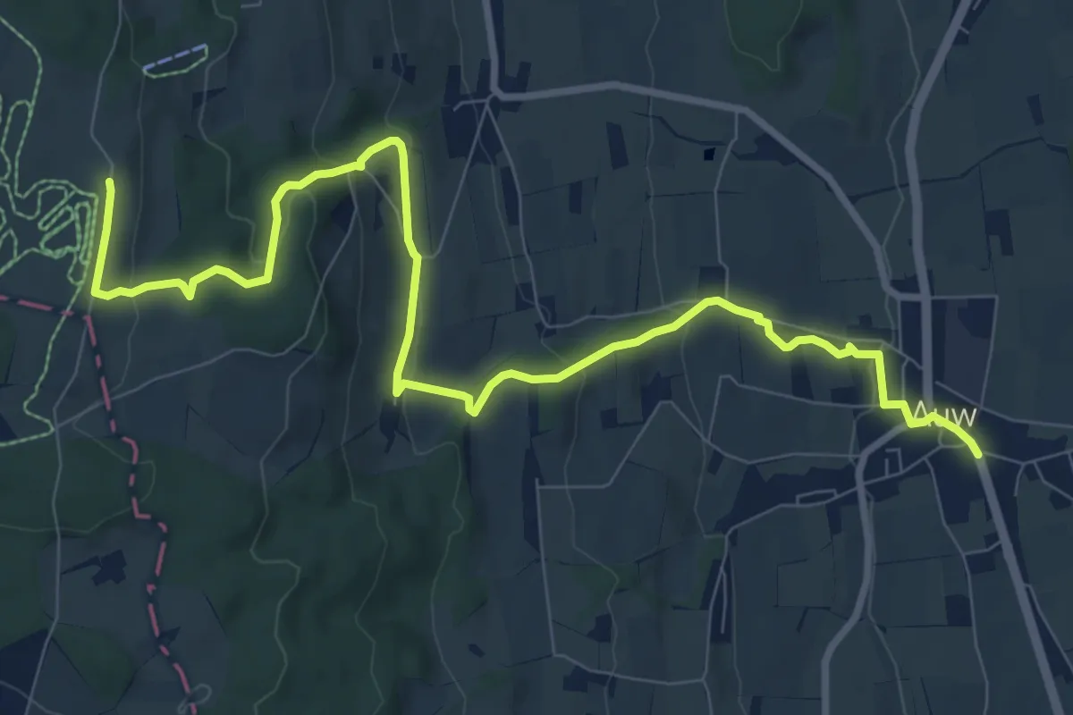
Medium · Trail
Auw – Horben
10.9 km · ↑ 386 m · 3 h 25 min
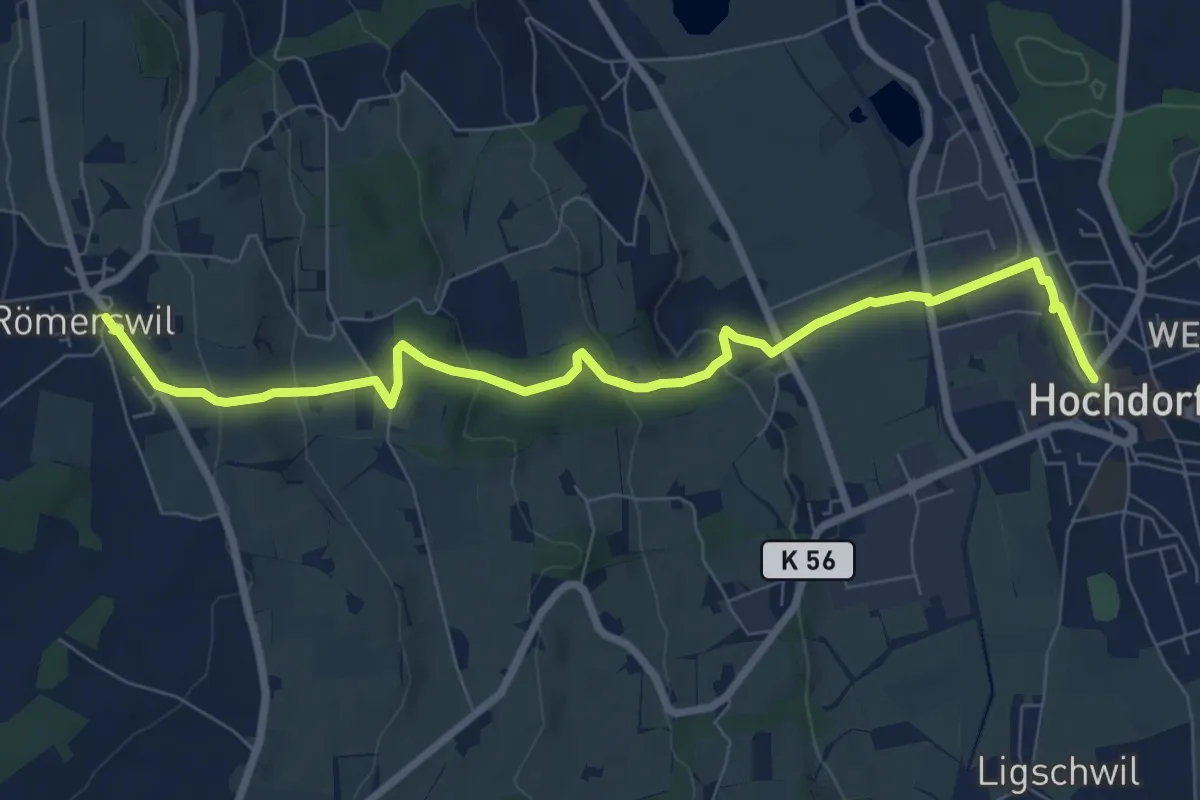
Medium · Trail
Hochdorf – Römerswil
8.7 km · ↑ 275 m · 2 h 38 min
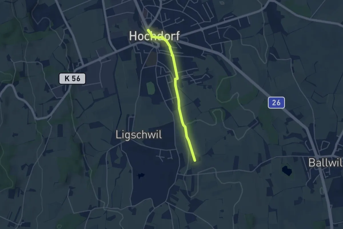
Easy · Trail
Hochdorf – Urswil
3.8 km · ↑ 44 m · 1 h
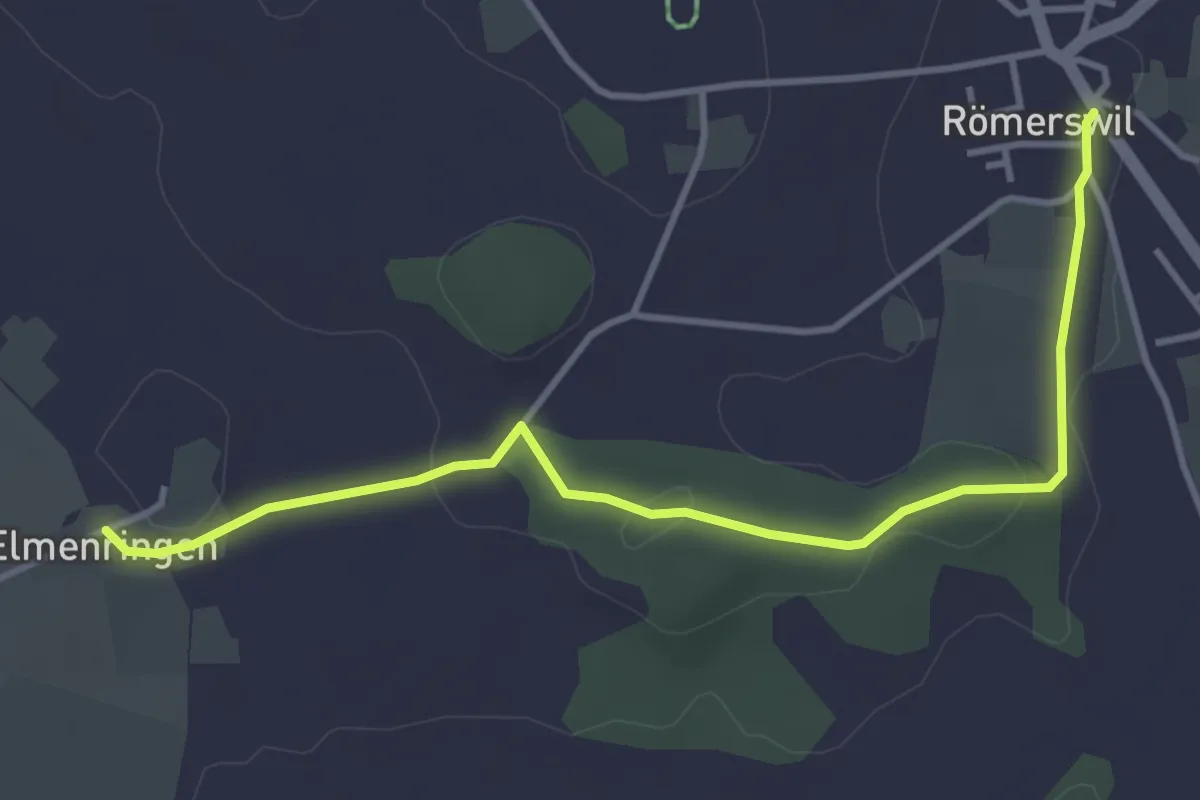
Easy · Trail
Römerswil – Älmeringen
4.2 km · ↑ 34 m · 1 h 3 min
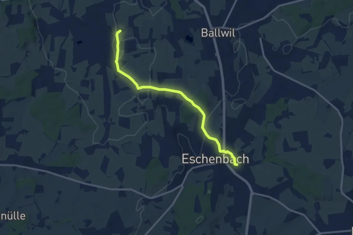
Easy · Trail
Urswil – Eschenbach
7.3 km · ↑ 120 m · 1 h 59 min
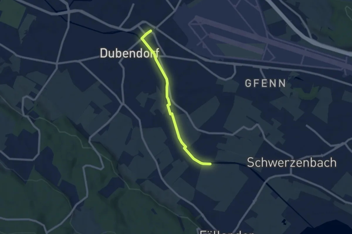
Easy · Trail
Dübendorf – Hermikon
5.3 km · ↑ 12 m · 1 h 16 min
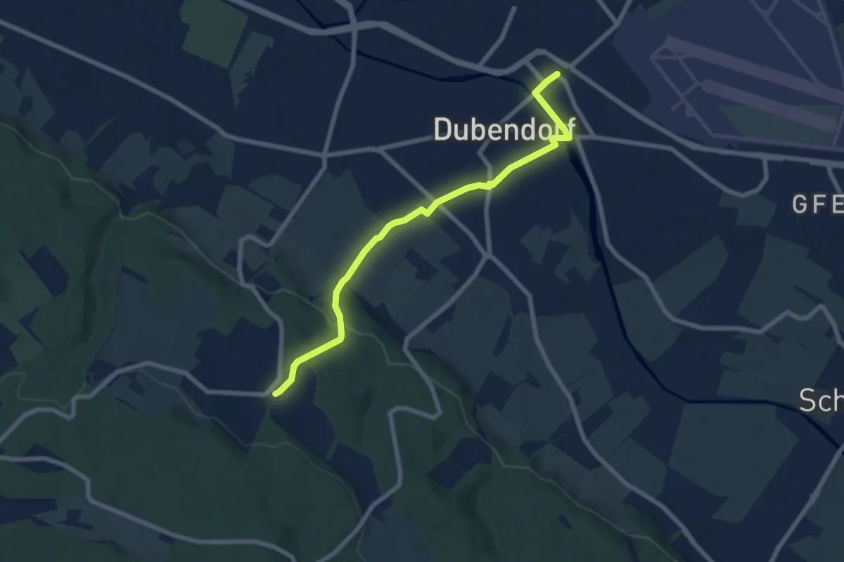
Easy · Trail
Gockhausen – Dübendorf
6.6 km · ↑ 127 m · 1 h 50 min
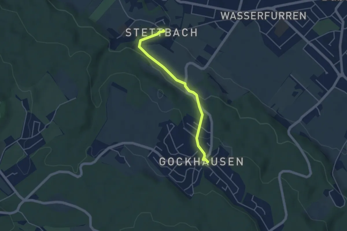
Easy · Trail
Gockhausen – Stettbach
3.7 km · ↑ 119 m · 1 h 8 min
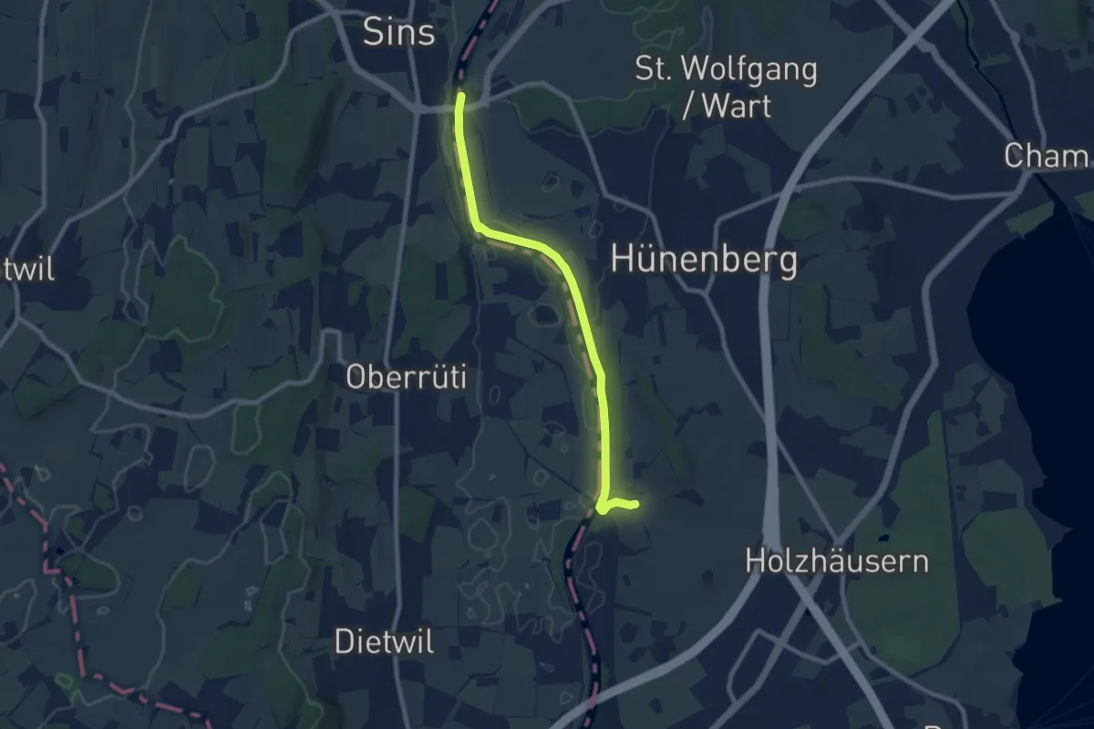
Medium · Trail
Sins – Meisterswil
8.1 km · ↑ 99 m · 2 h 8 min
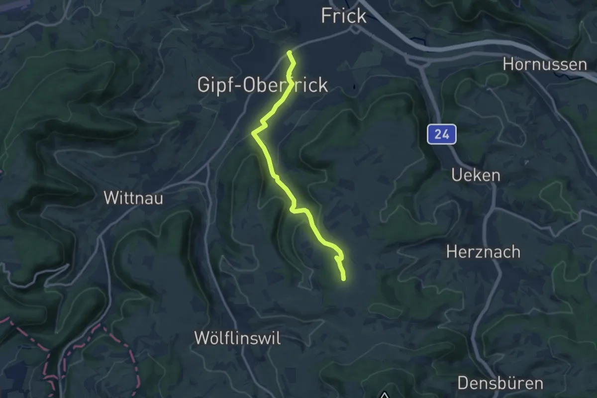
Medium · Trail
Gipf – Junkholz
9.7 km · ↑ 240 m · 2 h 48 min
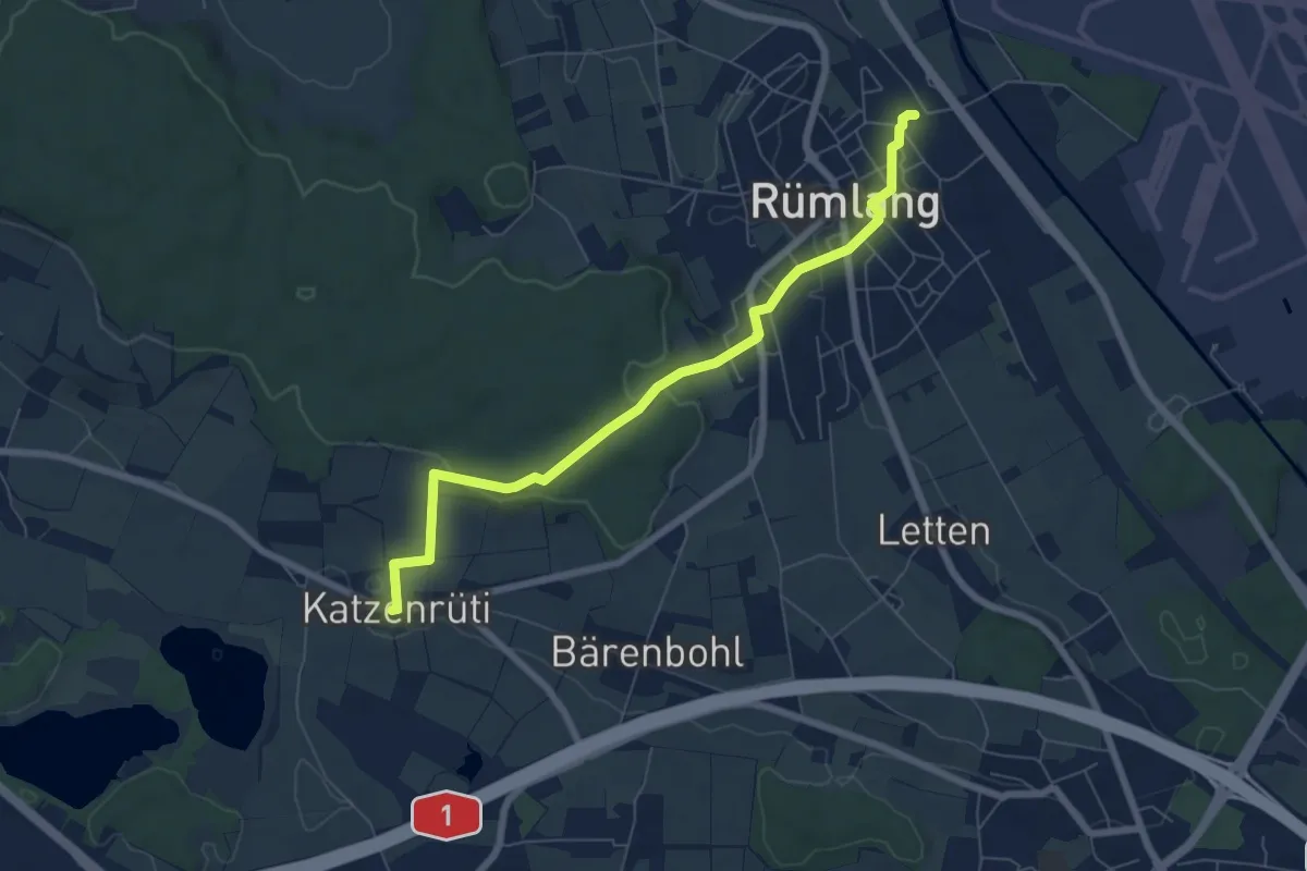
Easy · Trail
Chatzenrüti – Rümlang
6.8 km · ↑ 145 m · 1 h 55 min
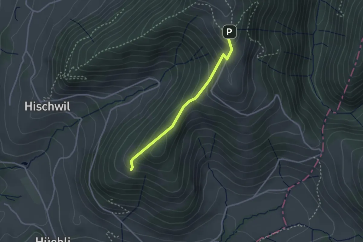
Easy · Trail
Josenberg – Scheidegg
2.4 km · ↑ 212 m · 1 h 2 min
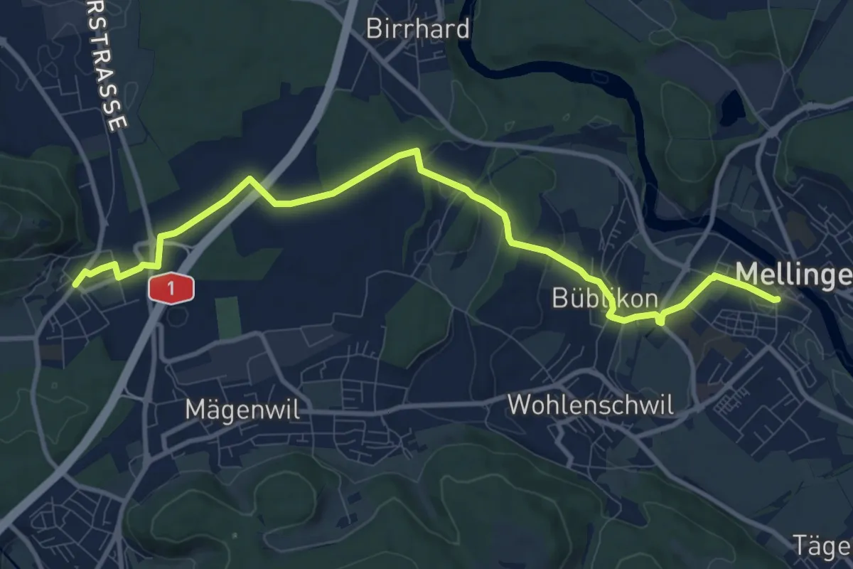
Medium · Trail
Brunegg – Mellingen
10.9 km · ↑ 150 m · 2 h 55 min
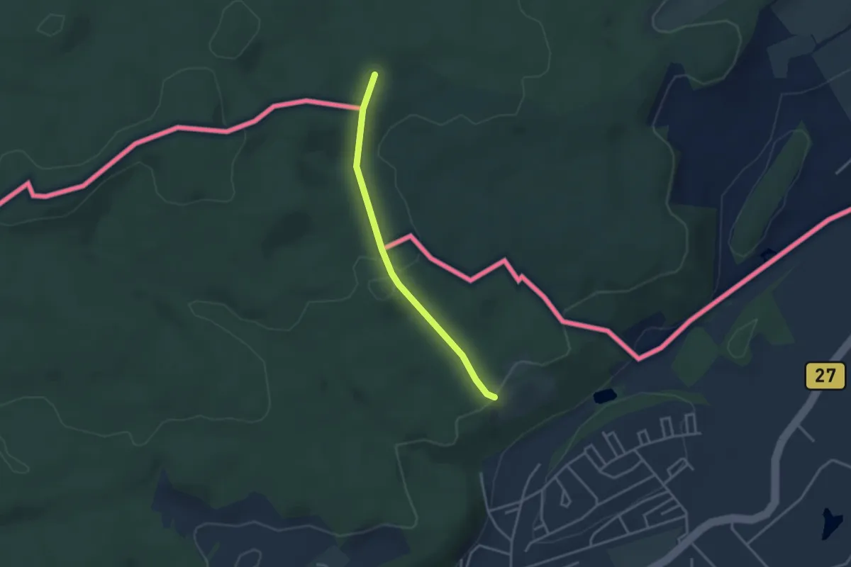
Easy · Trail
Jestetten Neunkircherstrasse – Bohnerüüti
2.8 km · ↑ 100 m · 53 min
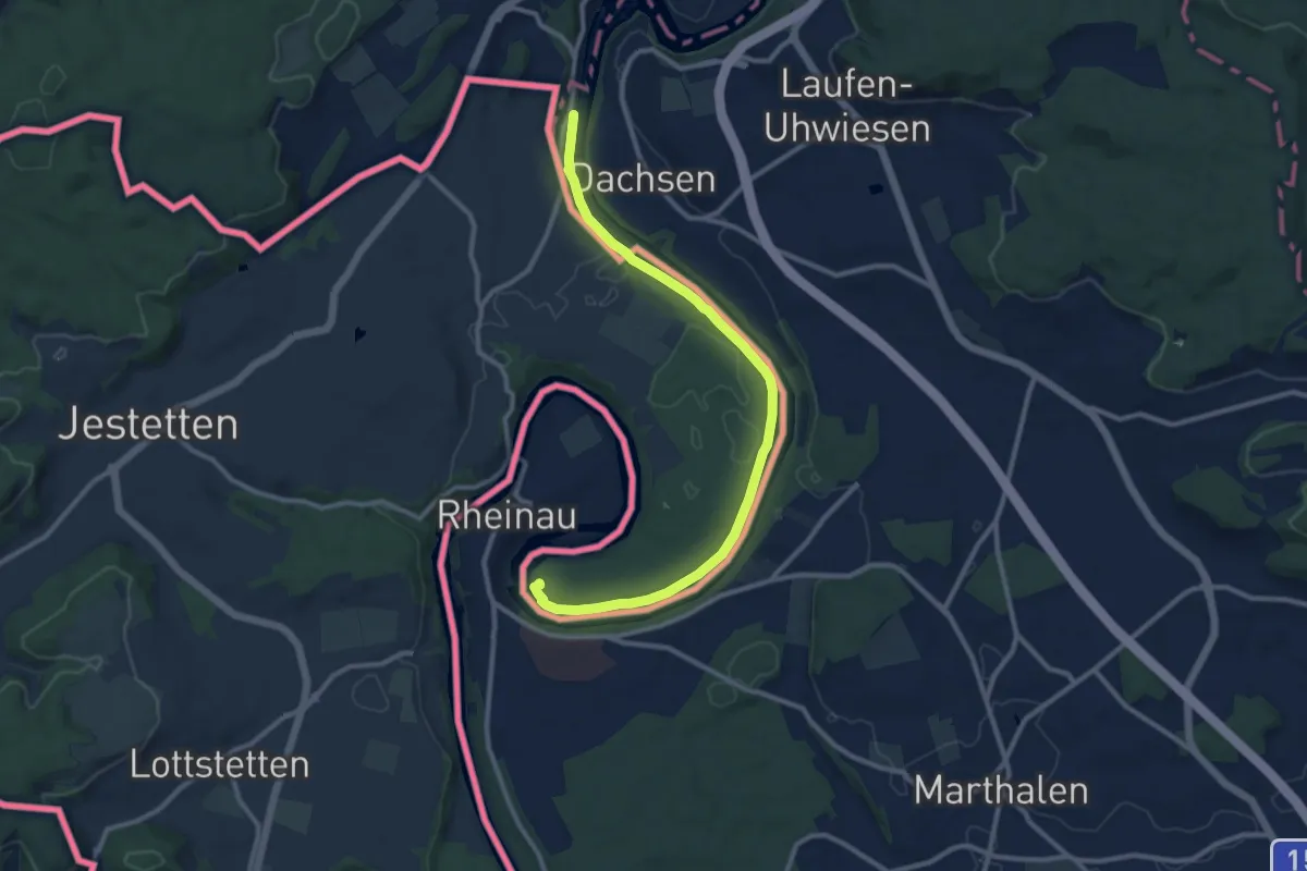
Medium · Trail
Nohlbrücke (west) – Wehrbrücke Rheinau
11.2 km · ↑ 61 m · 2 h 46 min
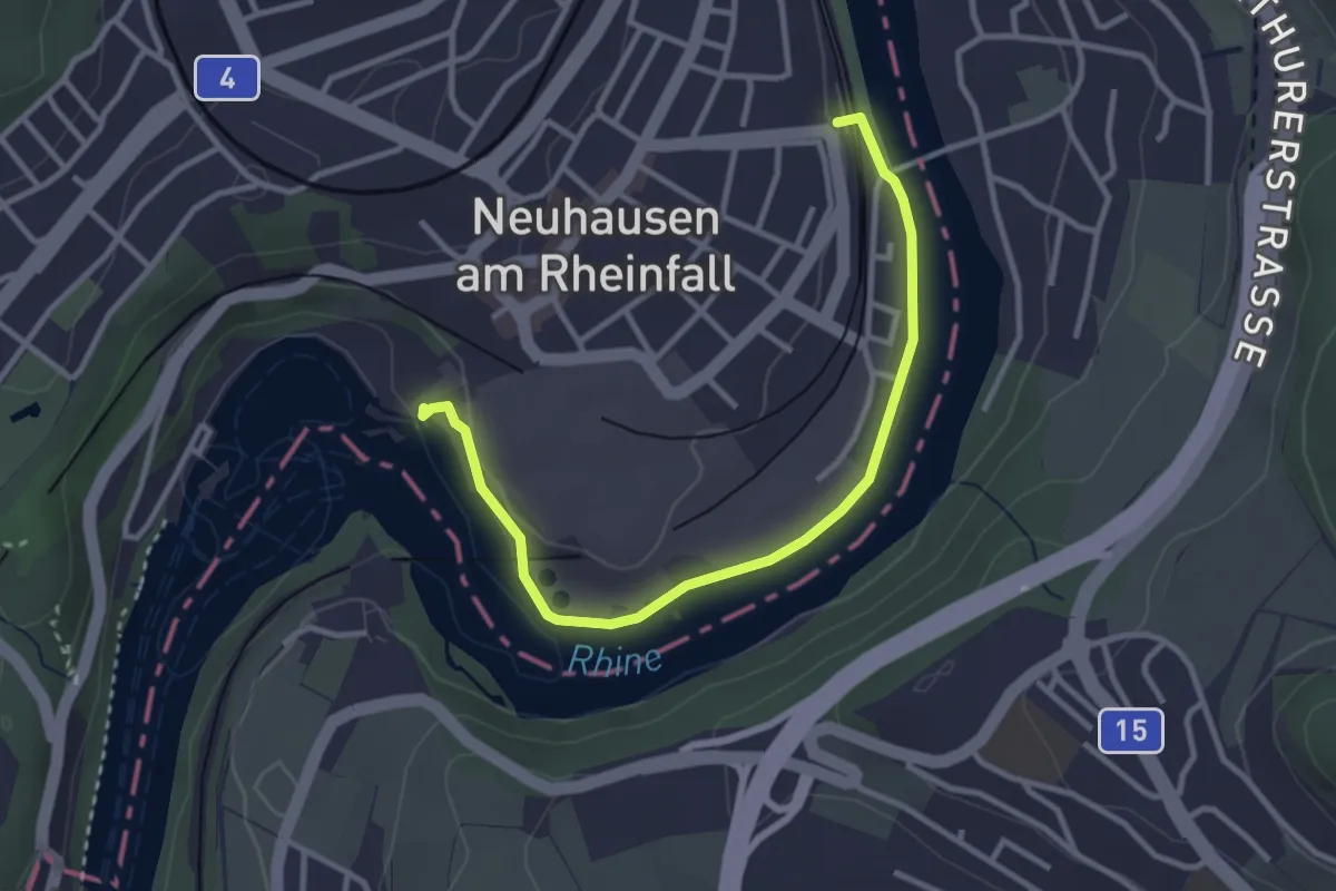
Easy · Trail
Rheinfall – Neuhausen SBB
3.3 km · ↑ 30 m · 51 min
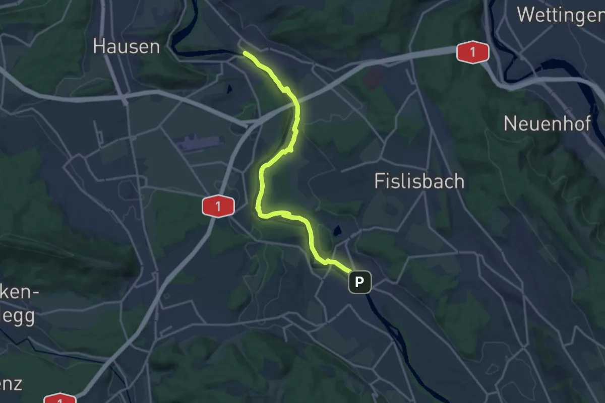
Medium · Trail
Brücke Birmenstorf Werd – Mellingen Brücke
14.2 km · ↑ 232 m · 3 h 52 min
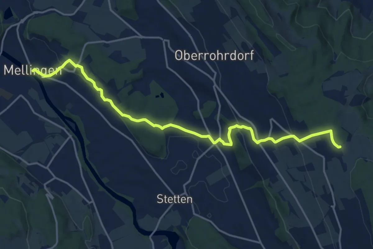
Medium · Trail
Mellingen Brücke – Remetschwil - östlich Sennhof
14.2 km · ↑ 429 m · 4 h 17 min
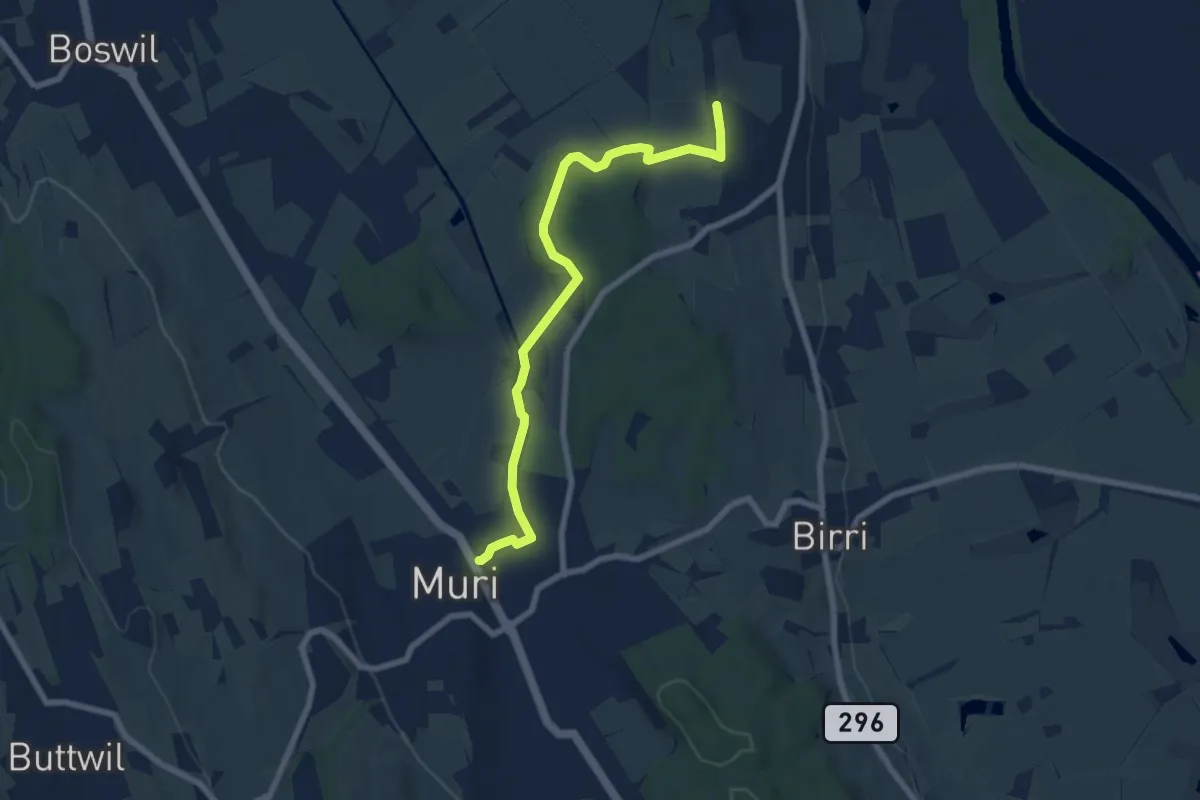
Easy · Trail
Muri – Chapf
7.5 km · ↑ 106 m · 1 h 59 min
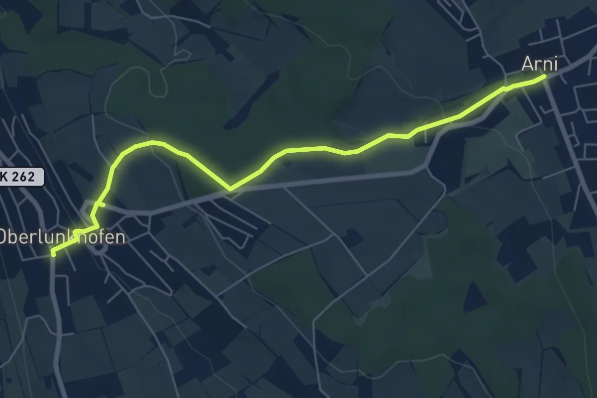
Easy · Trail
Oberlunkhofen – Arni
5.8 km · ↑ 132 m · 1 h 40 min
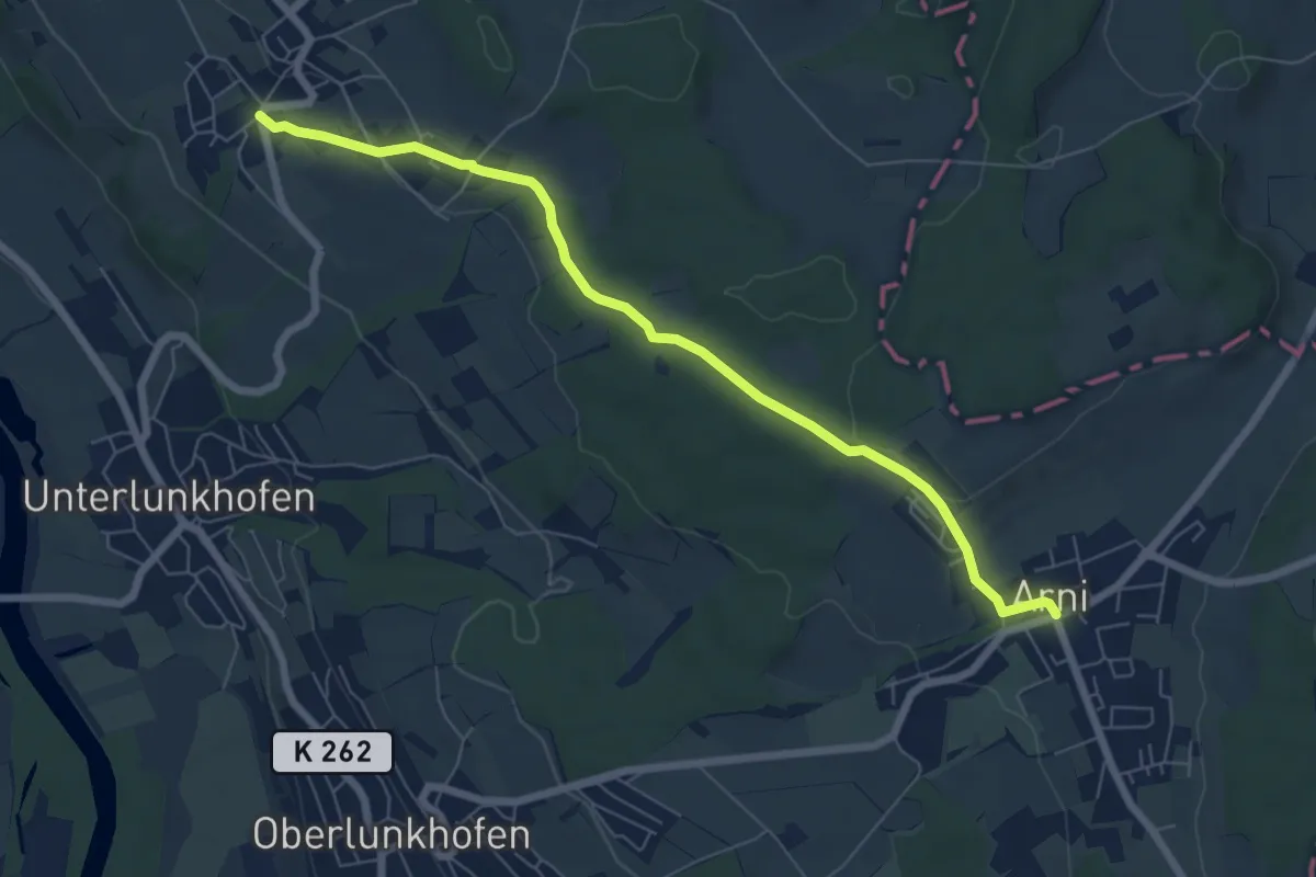
Easy · Trail
Oberwil Unterdorf – Arni
6.9 km · ↑ 122 m · 1 h 54 min
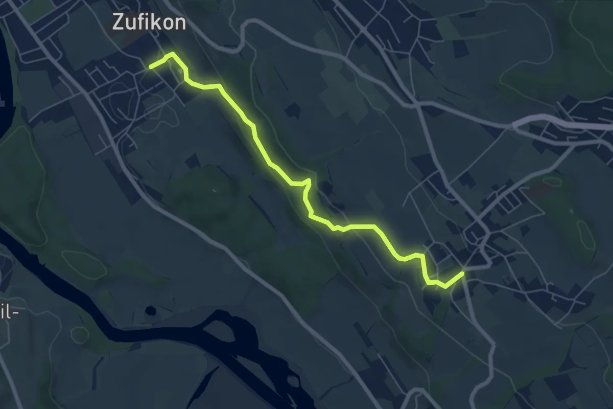
Easy · Trail
Oberwil Unterdorf – Zufikon
6.0 km · ↑ 195 m · 1 h 51 min
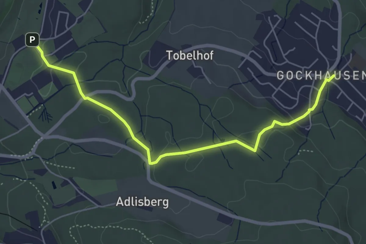
Easy · Trail
Gockhausen – Zoo
5.3 km · ↑ 117 m · 1 h 31 min
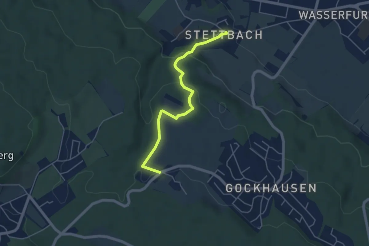
Easy · Trail
Tobelhof – Stettbach
4.0 km · ↑ 149 m · 1 h 16 min
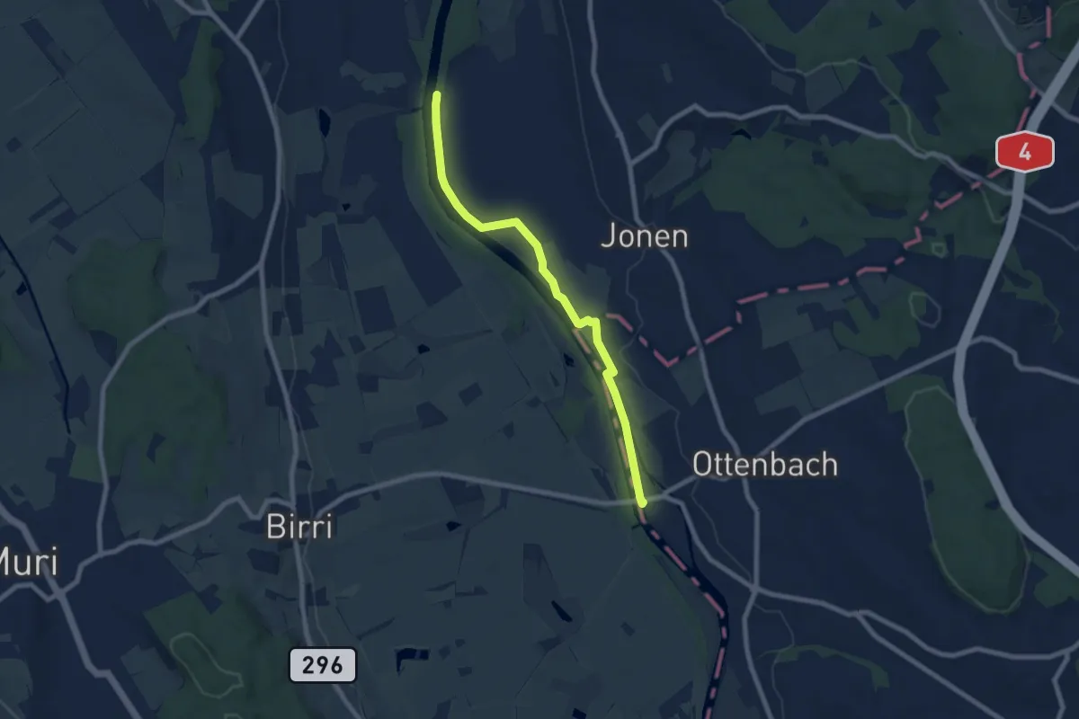
Easy · Trail
Brücke Werd (ost) – Brücke Ottenbach
7.3 km · ↑ 14 m · 1 h 45 min
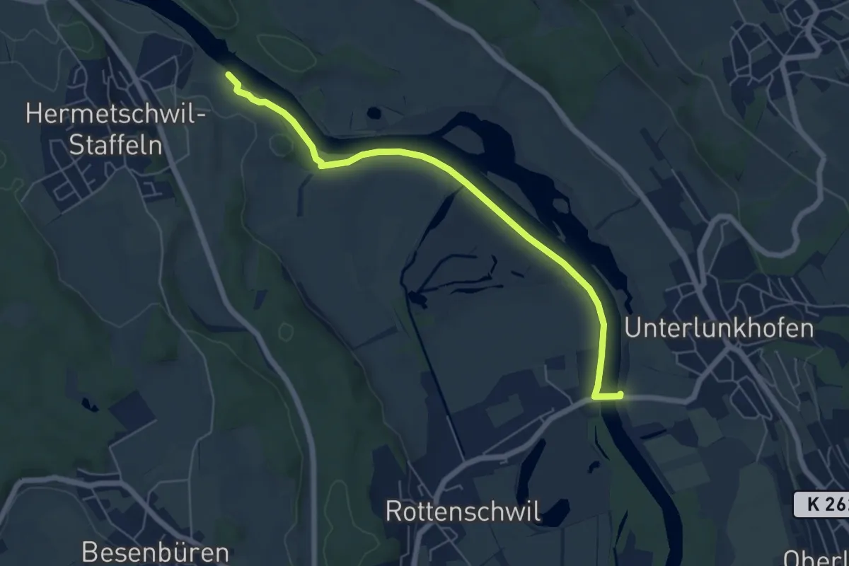
Easy · Trail
Dominilochsteg – Rottenschwil (Brücke)
5.9 km · ↑ 22 m · 1 h 26 min
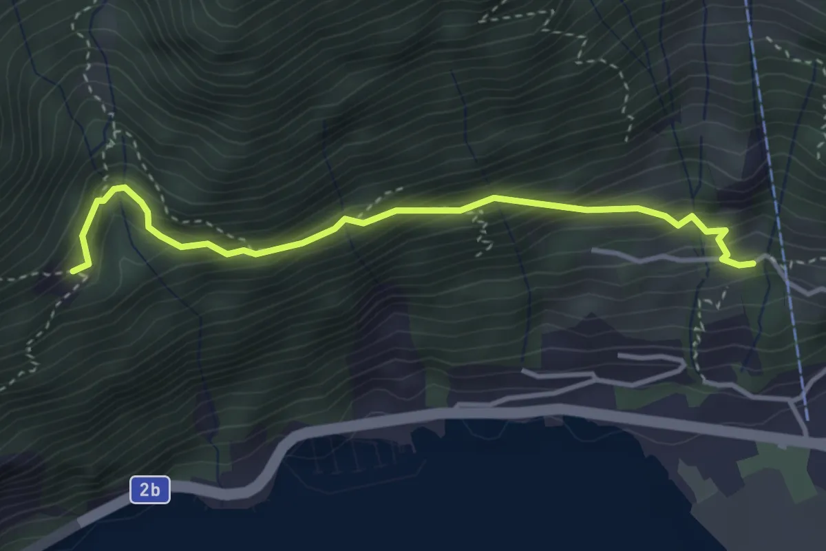
Medium · Trail
Bärfallen – Dörfli
3.4 km · ↑ 380 m · 1 h 38 min
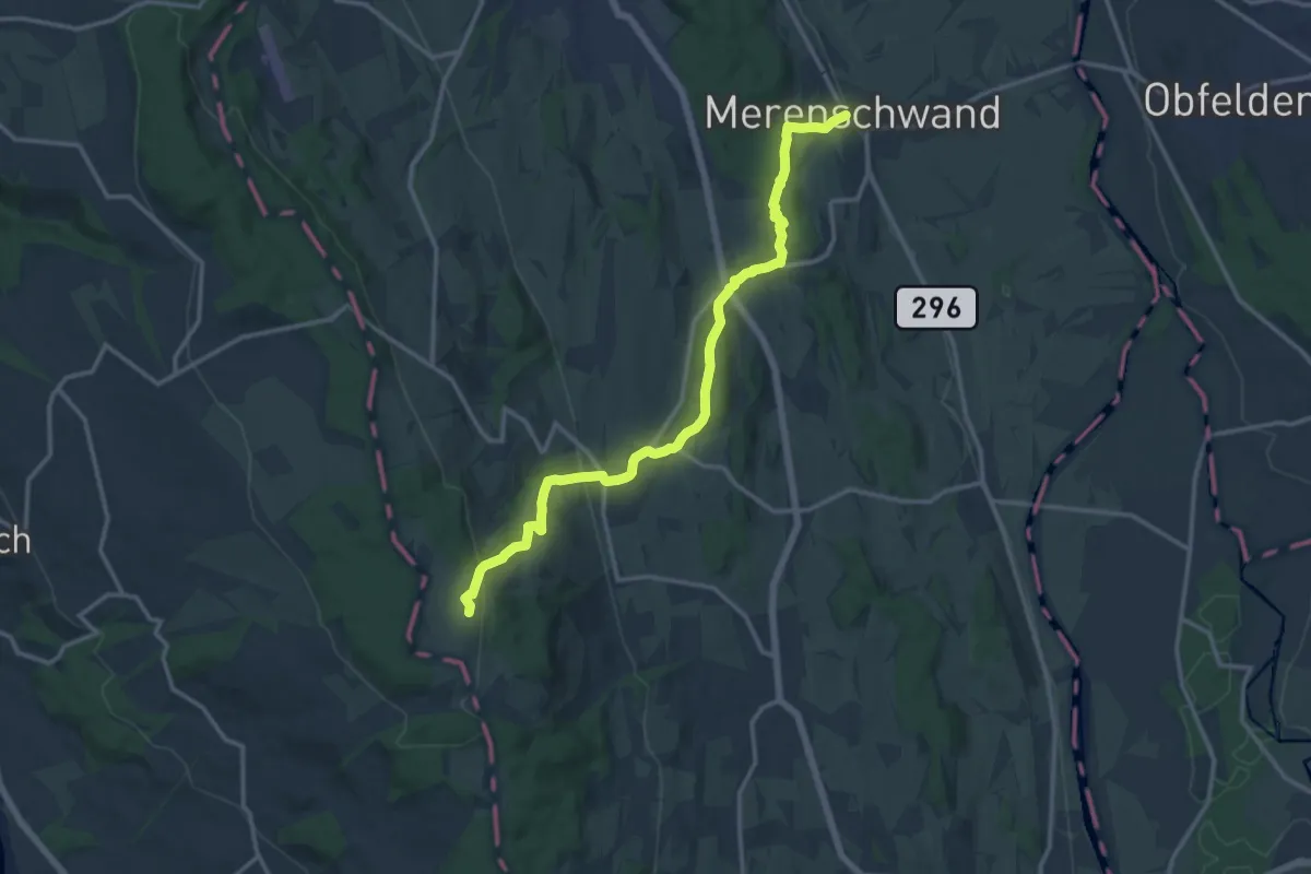
Medium · Trail
Merenschwand – Horben
14.7 km · ↑ 461 m · 4 h 29 min
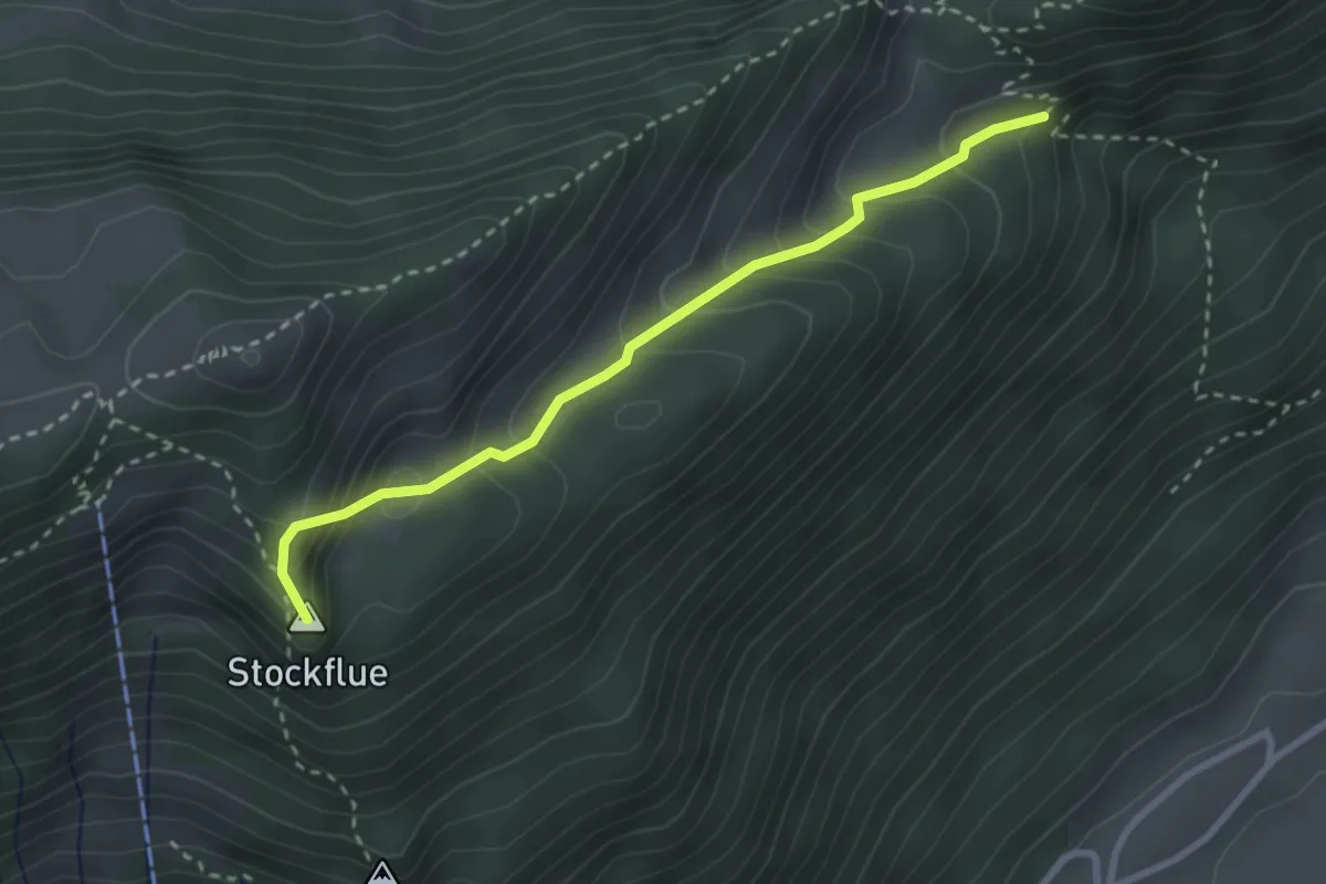
Easy · Summit
Nördlich Stockflue – Unter Brunniberg
2.8 km · ↑ 266 m · 1 h 14 min
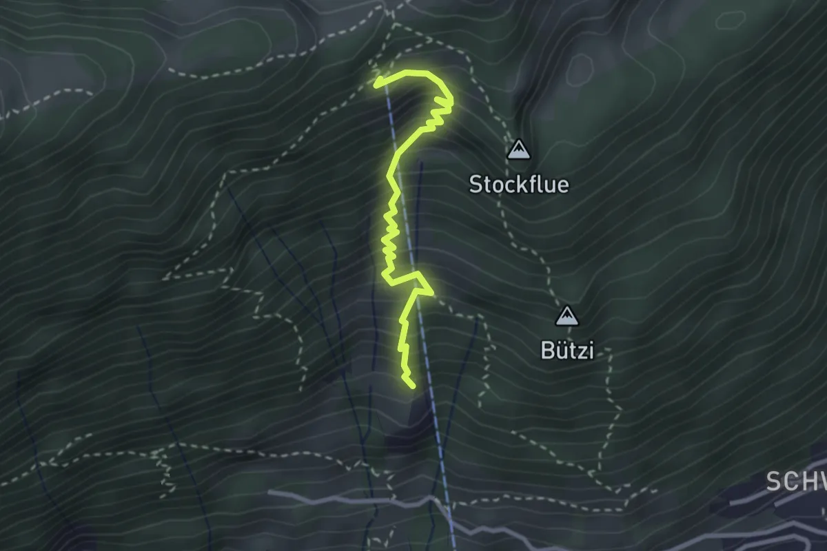
Medium · Trail
Stöck – Timpel (Obertimpel)
2.5 km · ↑ 422 m · 1 h 31 min
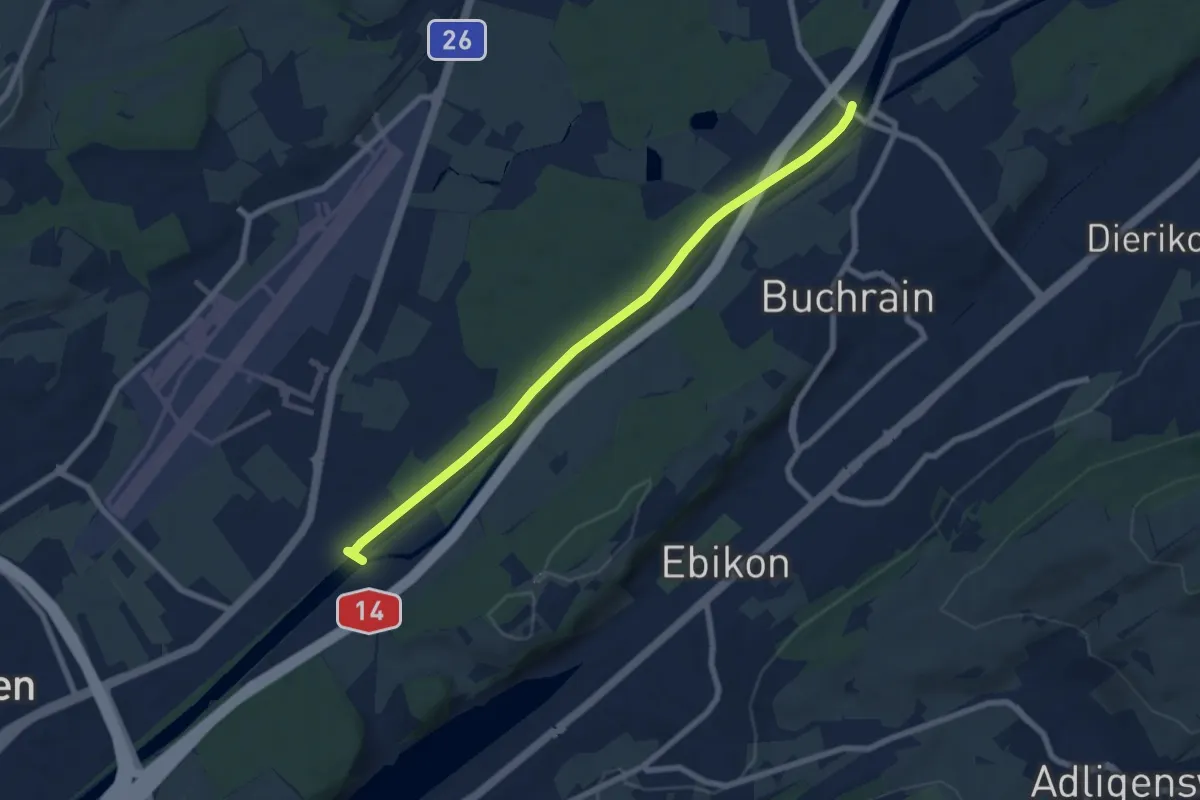
Easy · Trail
Perlenbrücke – Rathausenbrücke
7.5 km · ↑ 22 m · 1 h 50 min
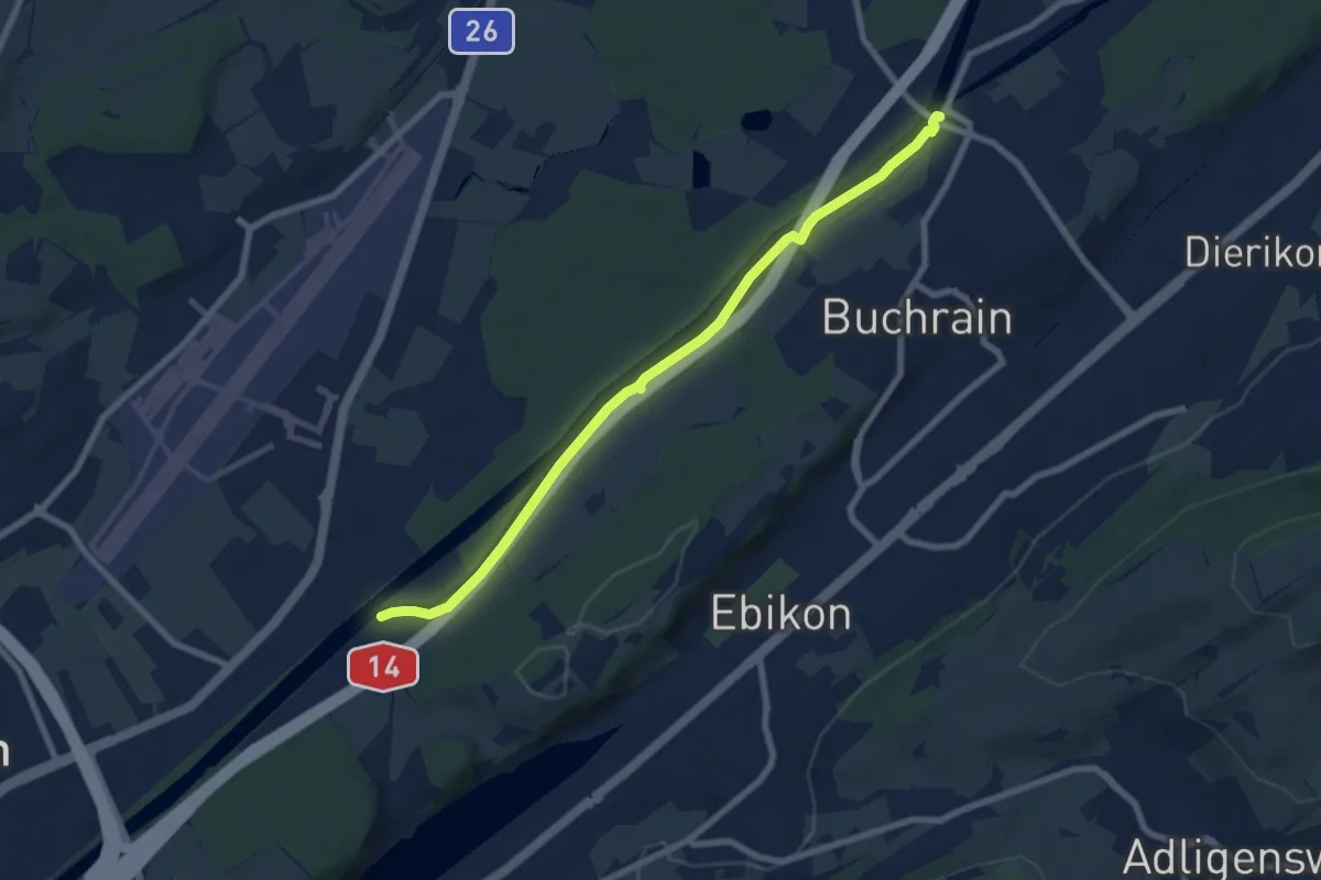
Easy · Trail
Rathausenbrücke – Perlenbrücke
7.7 km · ↑ 8 m · 1 h 50 min
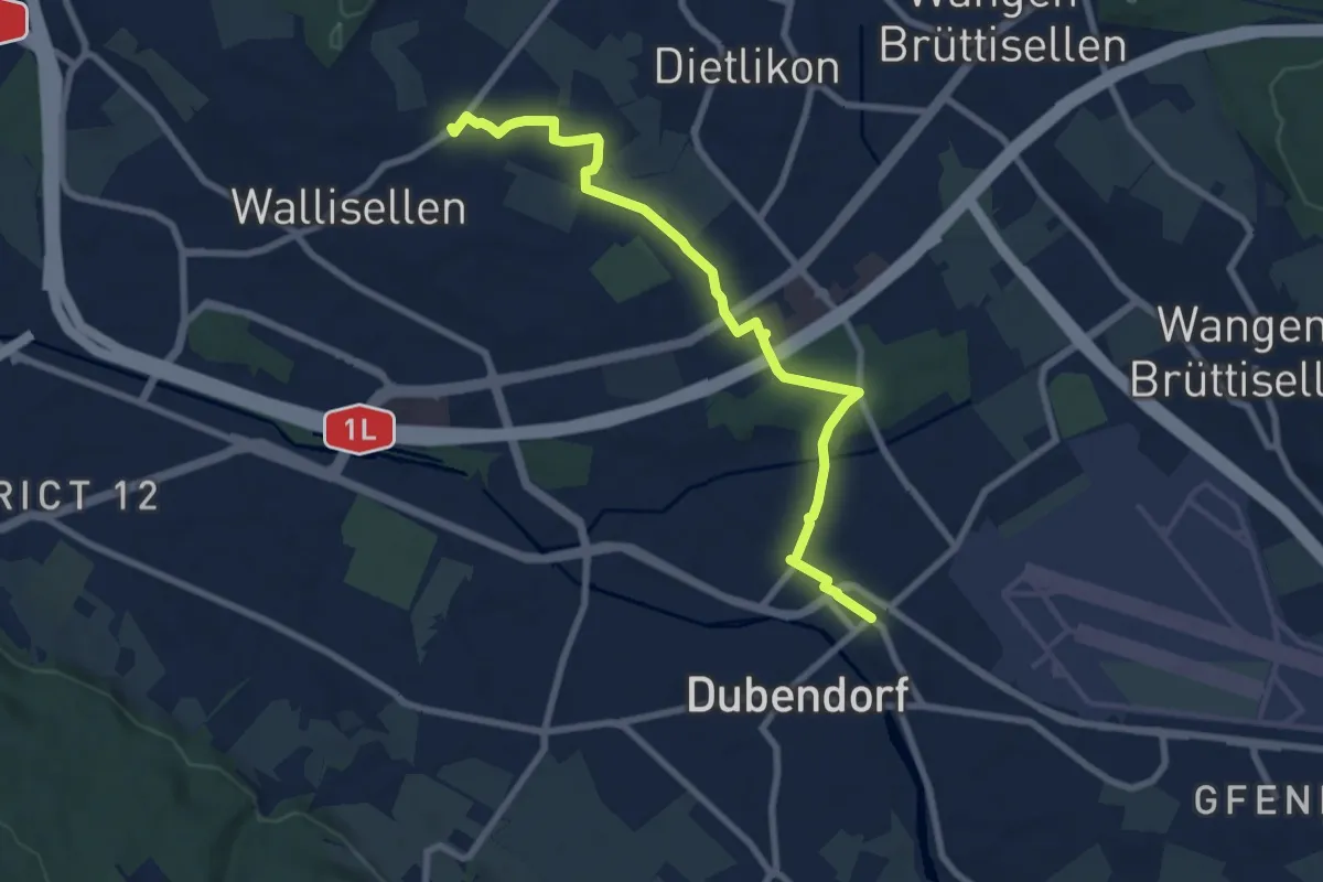
Medium · Trail
Rieden – Dübendorf
8.3 km · ↑ 62 m · 2 h 6 min
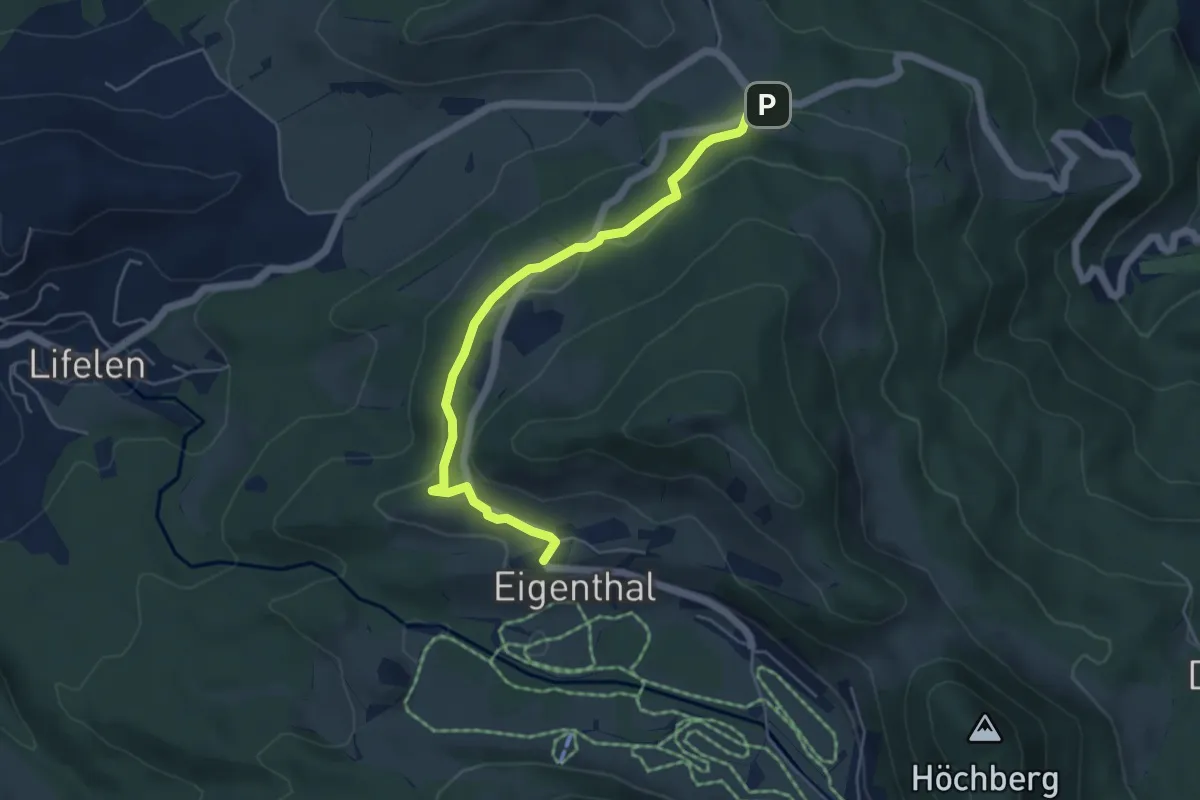
Easy · Trail
Eigenthal – Holderchäppeli
5.1 km · ↑ 149 m · 1 h 31 min
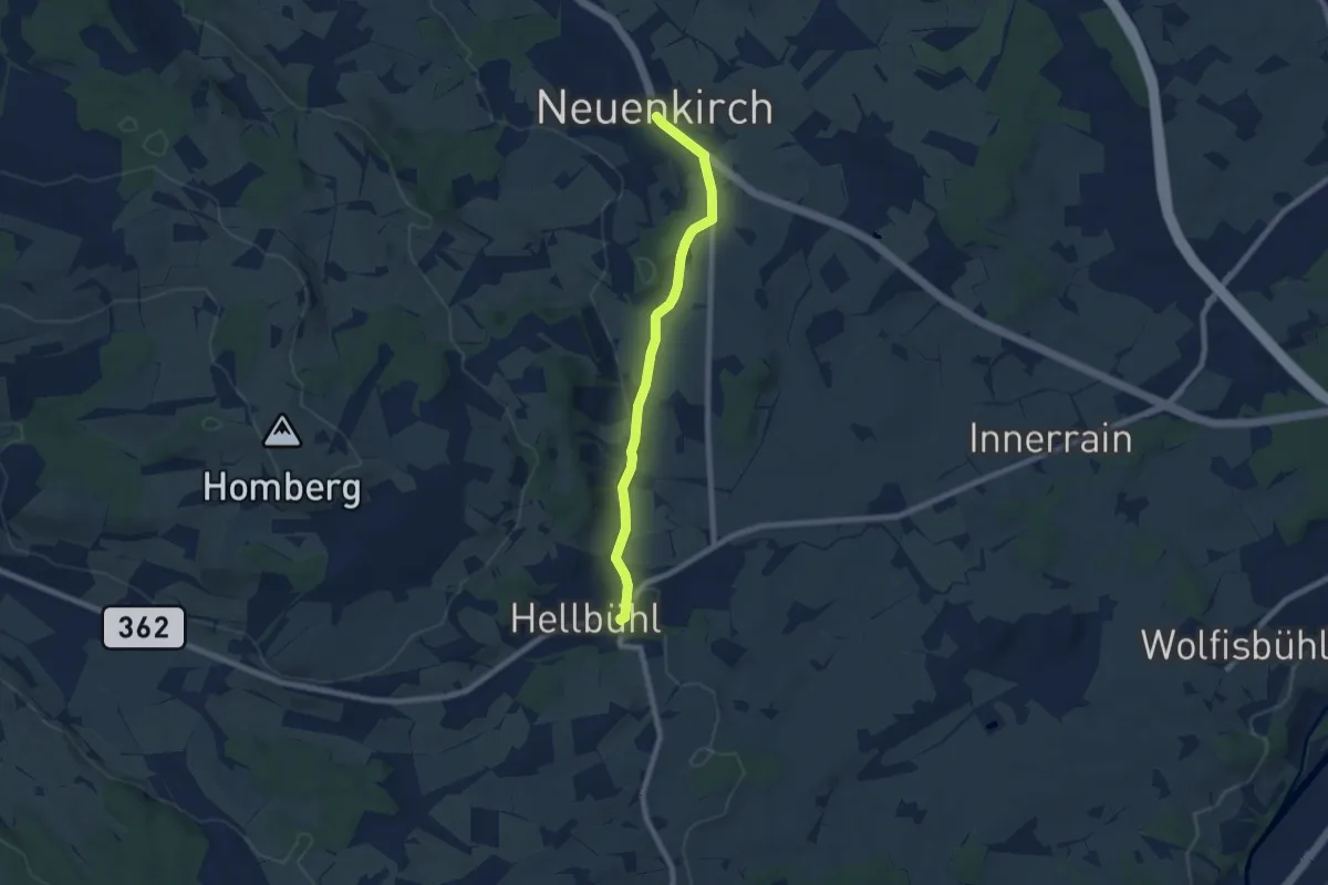
Easy · Trail
Neuenkirch – Hellbühl
7.2 km · ↑ 126 m · 1 h 59 min
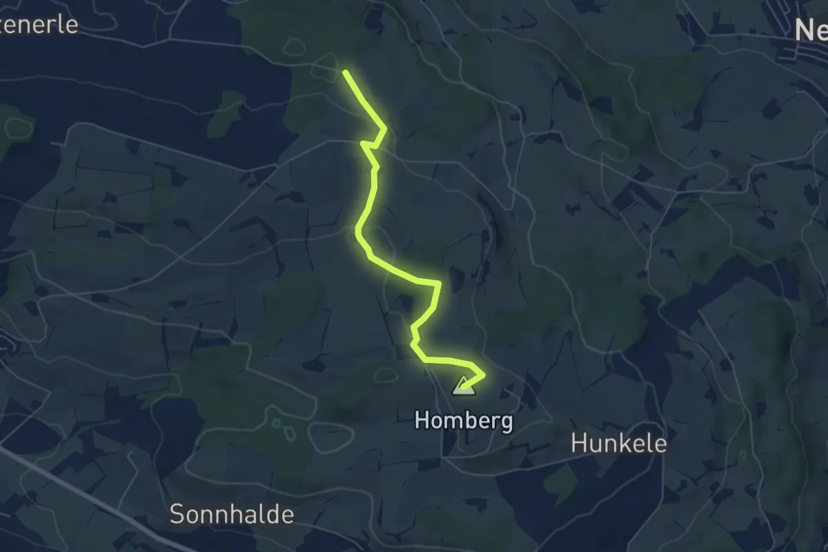
Easy · Summit
Hellbühl Kirche – Obersäliwald
5.5 km · ↑ 125 m · 1 h 35 min
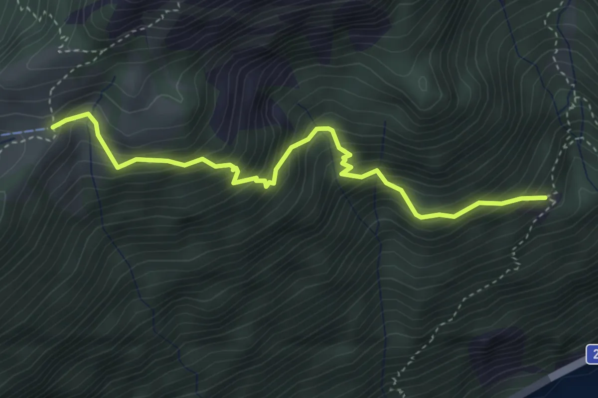
Medium · Trail
Zilistock – Bärfallen
3.9 km · ↑ 588 m · 2 h 11 min
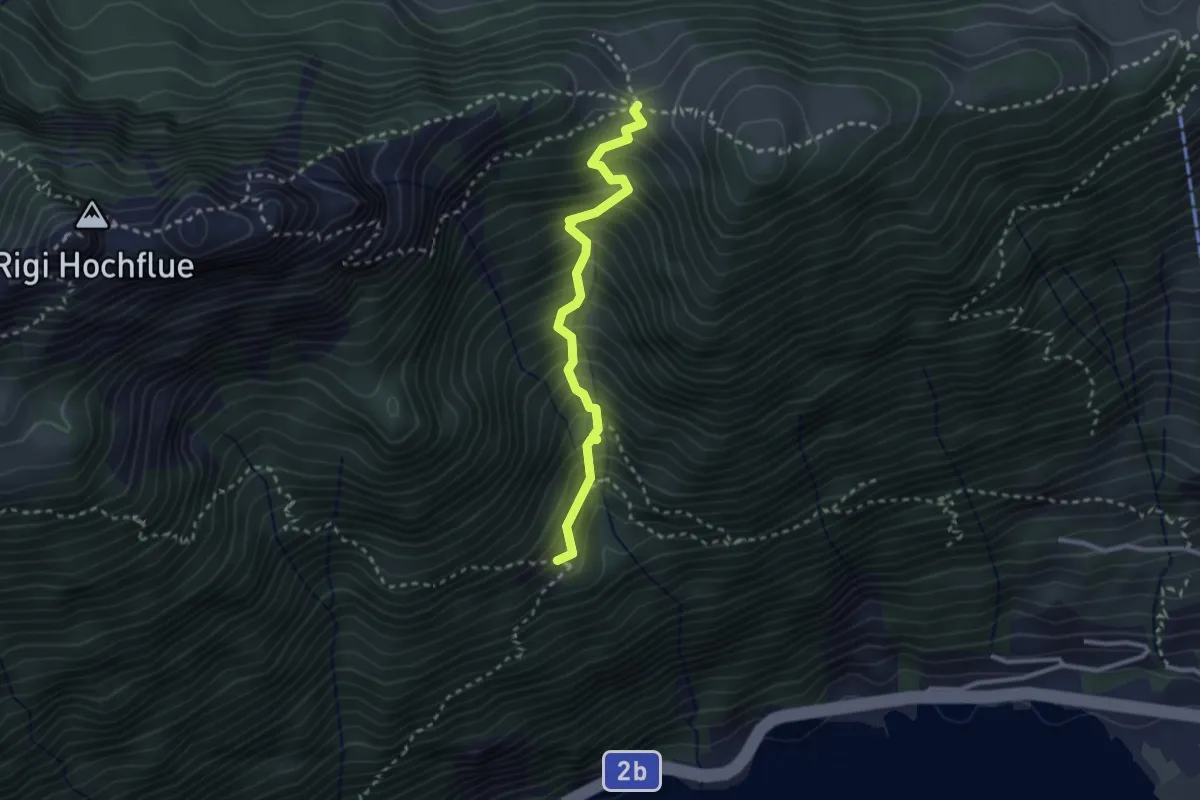
Demanding · Trail
Egg – Bärfallen
2.6 km · ↑ 454 m · 1 h 36 min
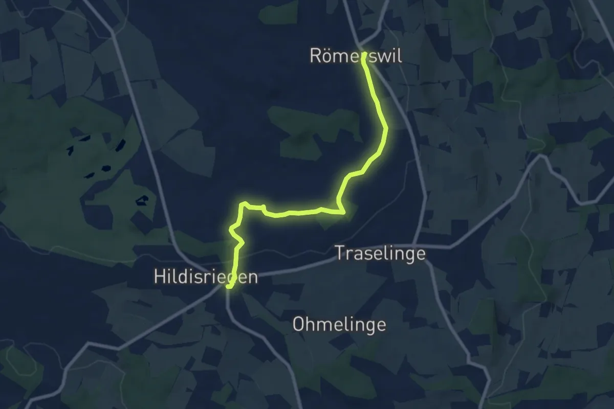
Easy · Trail
Hildisrieden – Römerswil
6.9 km · ↑ 44 m · 1 h 44 min
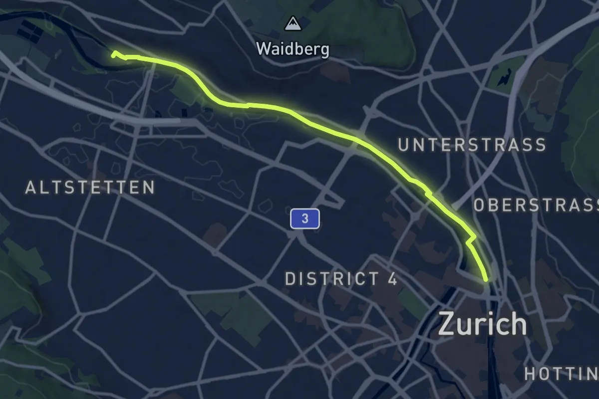
Medium · Trail
Zürich HB – Werdinsel
10.1 km · ↑ 48 m · 2 h 29 min
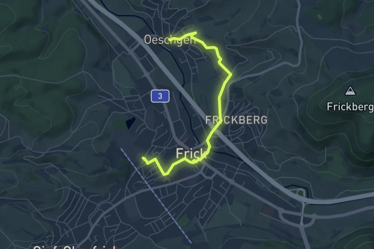
Easy · Trail
Frick – Oeschgen
6.2 km · ↑ 88 m · 1 h 39 min
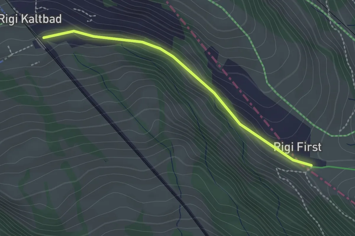
Easy · Trail
Rigi Kaltbad – Rigi First
2.2 km · ↑ 27 m · 35 min
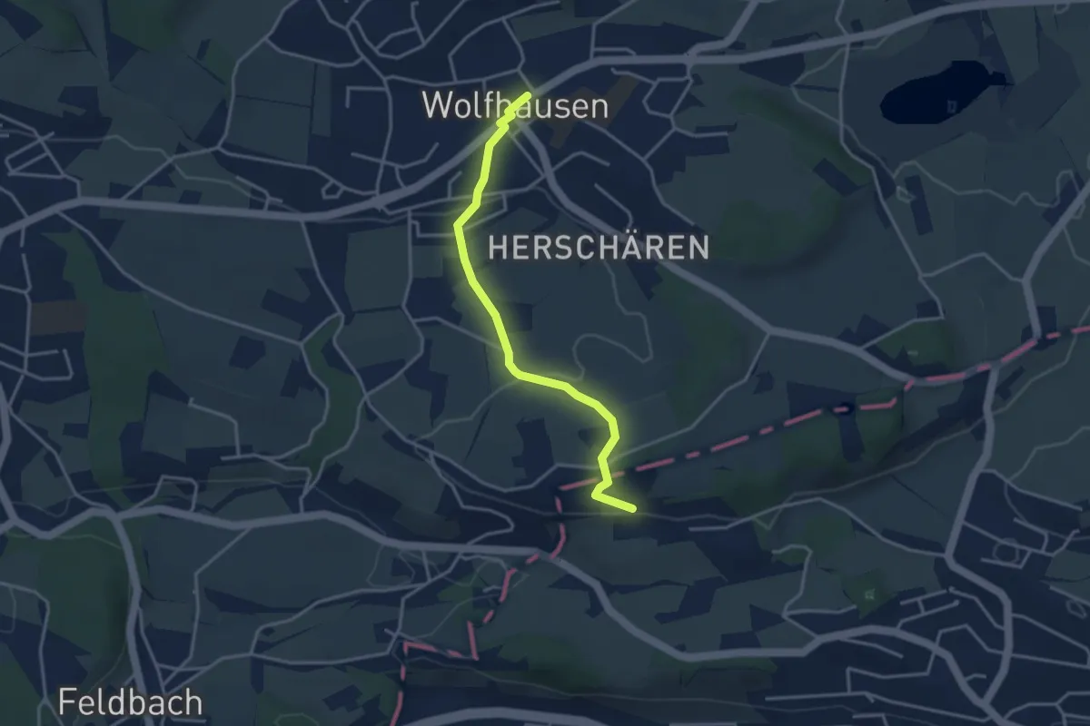
Easy · Trail
Wolfhausen – Schwösterrain
3.4 km · ↑ 56 m · 55 min
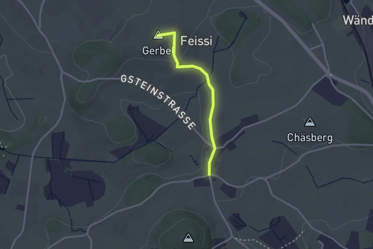
Easy · Summit
Sennschür – Herschmettlen
2.1 km · ↑ 29 m · 34 min
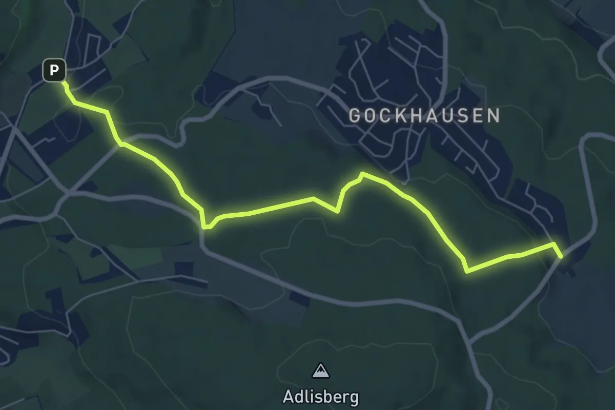
Easy · Trail
Zoo – Geeren
6.7 km · ↑ 122 m · 1 h 51 min
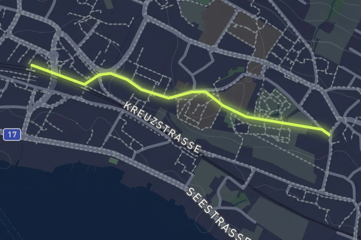
Easy · Trail
Dorf – Stäfa
2.1 km · ↑ 29 m · 33 min