Trails in Switzerland
15,055 hiking trails, each with its route, climb, walking time and grade.
All trails, page 288 of 314
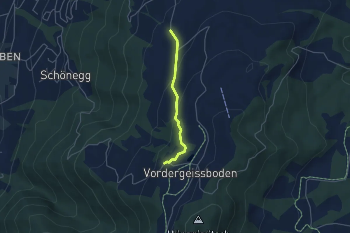
Easy · Trail
Sennhütte – Zugerberg
2.9 km · ↑ 121 m · 57 min
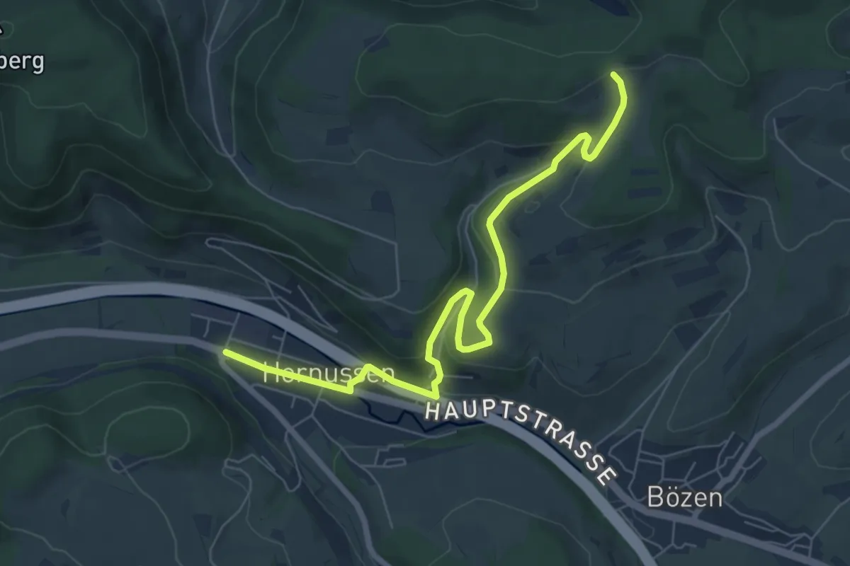
Easy · Trail
Wettacher – Hornussen
7.2 km · ↑ 261 m · 2 h 16 min
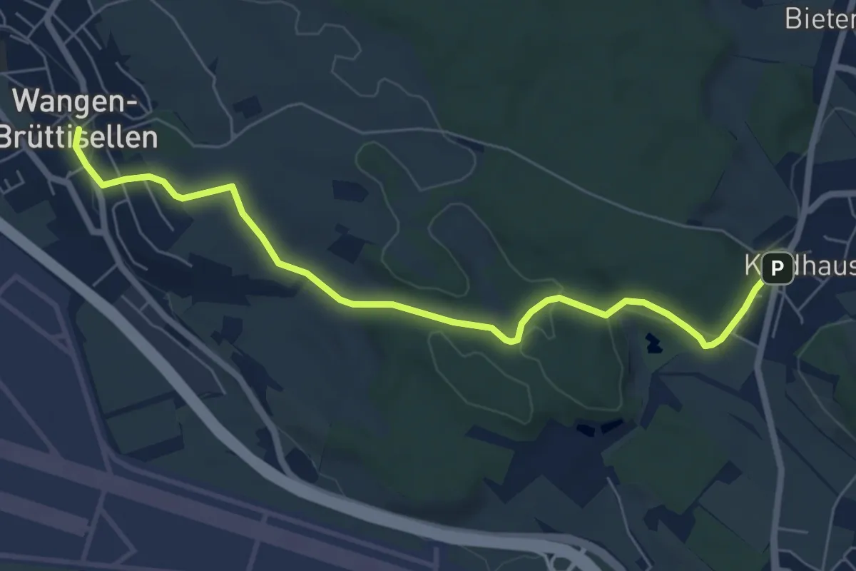
Easy · Trail
Kindhausen – Wangen
6.8 km · ↑ 155 m · 1 h 57 min
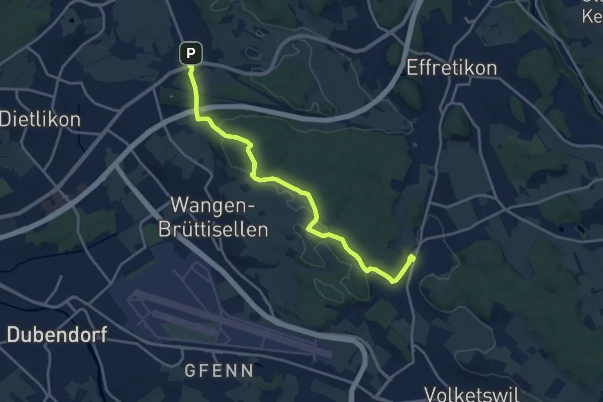
Medium · Trail
Kindhausen – Baltenswil
10.7 km · ↑ 215 m · 3 h
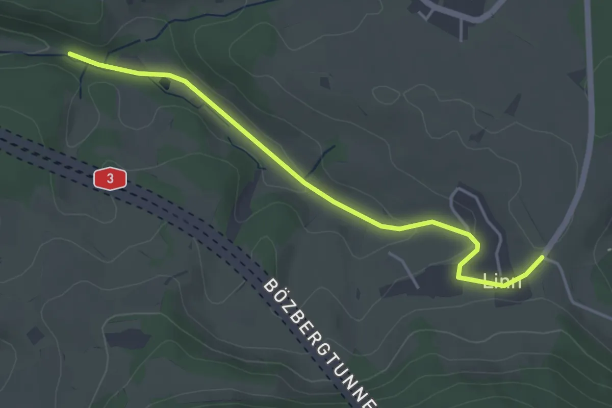
Easy · Trail
Linn – Sagenmüli
4.0 km · ↑ 73 m · 1 h 6 min
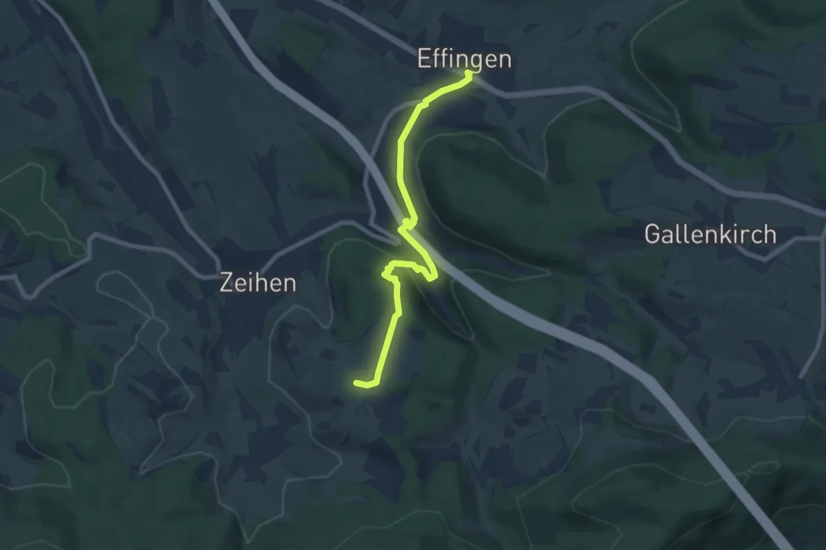
Easy · Trail
Eichwald – Effingen
6.4 km · ↑ 177 m · 1 h 53 min
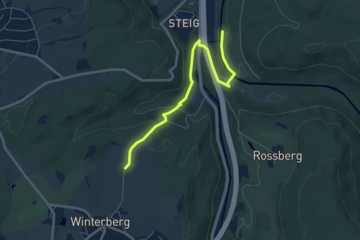
Easy · Trail
Bläsihof – Ritplatz
5.6 km · ↑ 165 m · 1 h 40 min
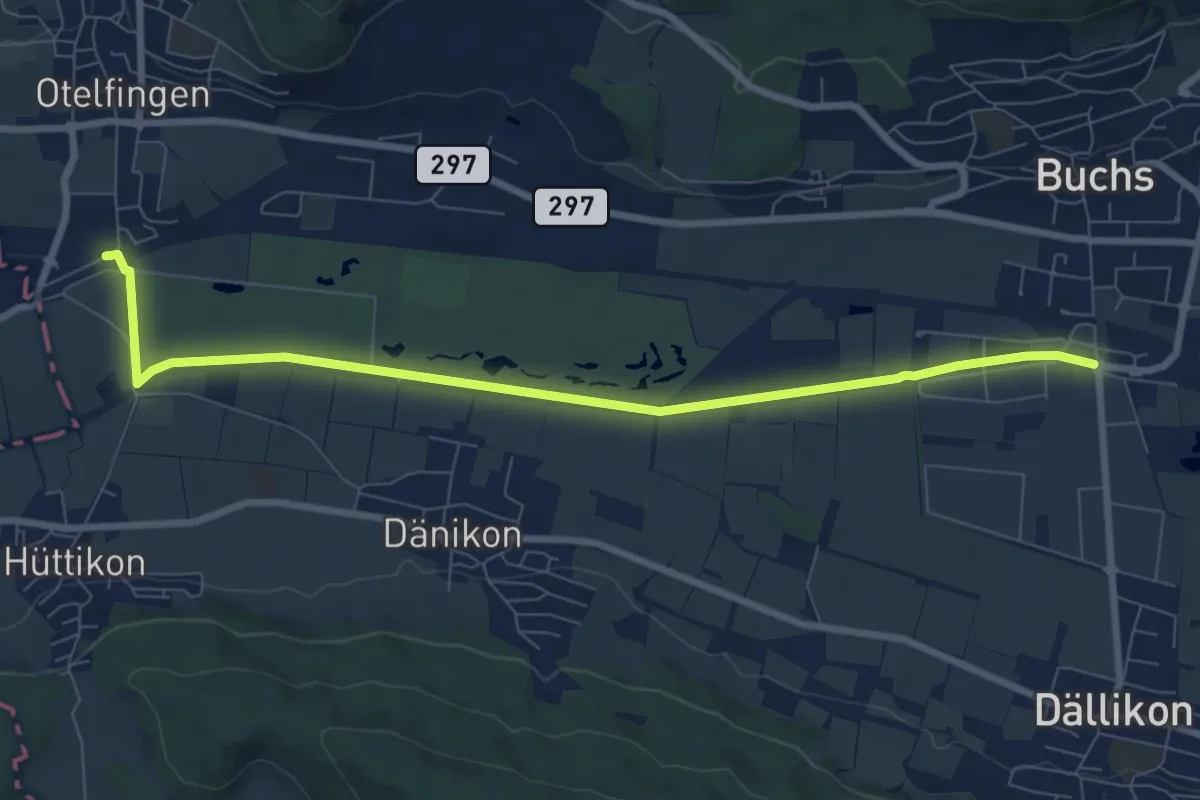
Medium · Trail
Otelfingen (Bahnhof) – Buchs-Dällikon
8.4 km · ↑ 13 m · 2 h 1 min
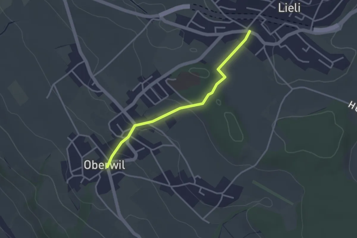
Easy · Trail
Oberwil Unterdorf – Lieli Dorf
2.7 km · ↑ 83 m · 49 min
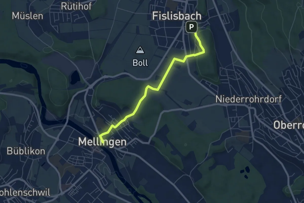
Easy · Trail
Mellingen Brücke – Fislisbach
5.9 km · ↑ 192 m · 1 h 48 min
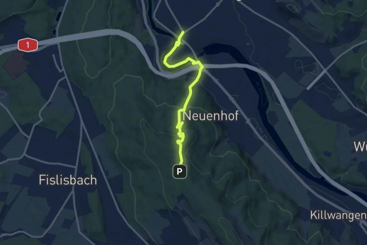
Medium · Trail
Wettingen – Rüsler
8.1 km · ↑ 305 m · 2 h 35 min
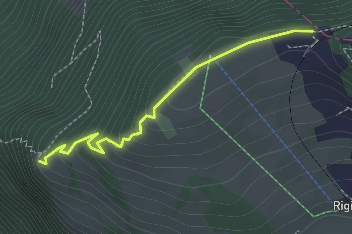
Easy · Trail
Rigi Staffelhöhe – Chänzeli
2.0 km · ↑ 123 m · 44 min
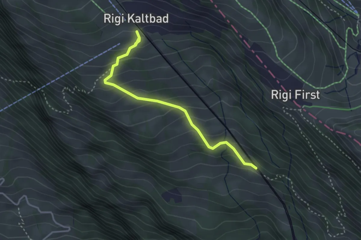
Easy · Trail
Romiti – Rigi Kaltbad
3.3 km · ↑ 259 m · 1 h 21 min
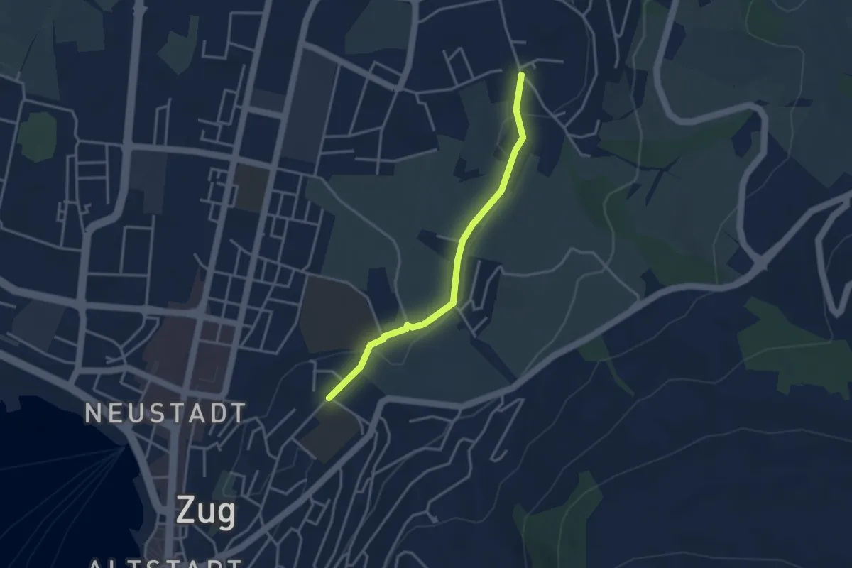
Easy · Trail
Inwil – Loreto
3.1 km · ↑ 33 m · 48 min
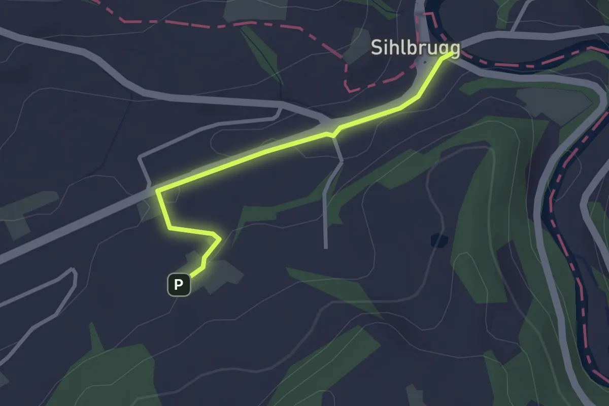
Easy · Trail
Sihlbrugg Dorf – Utigen
2.4 km · ↑ 23 m · 37 min
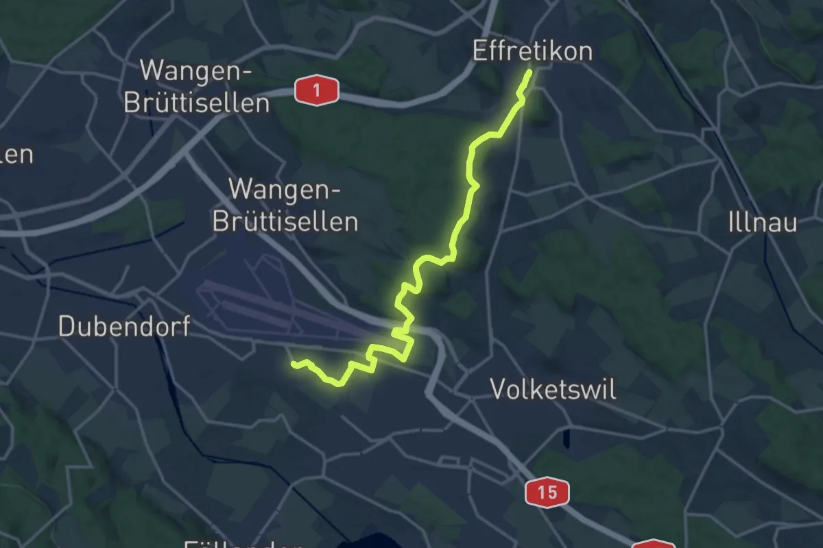
Medium · Trail
Gfenn – Effretikon
14.8 km · ↑ 217 m · 3 h 57 min
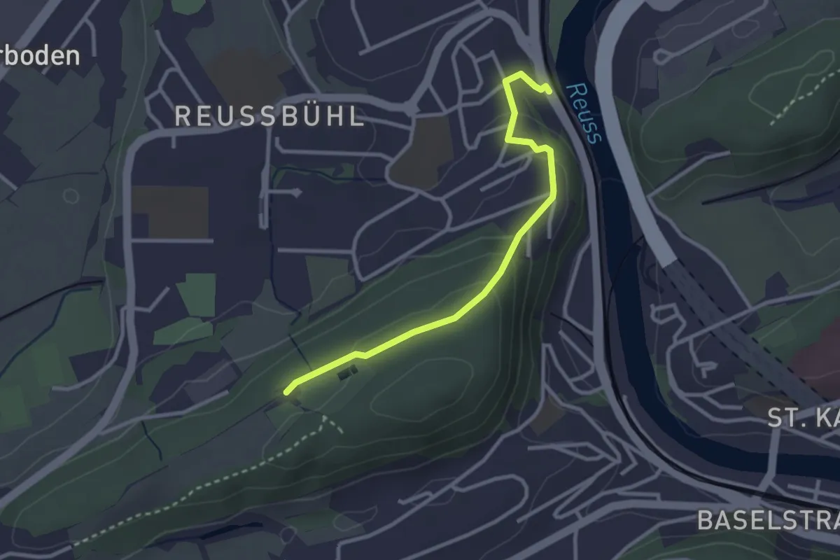
Easy · Trail
Zimmeregg – Reusbühl Alte Fähre
2.8 km · ↑ 119 m · 55 min
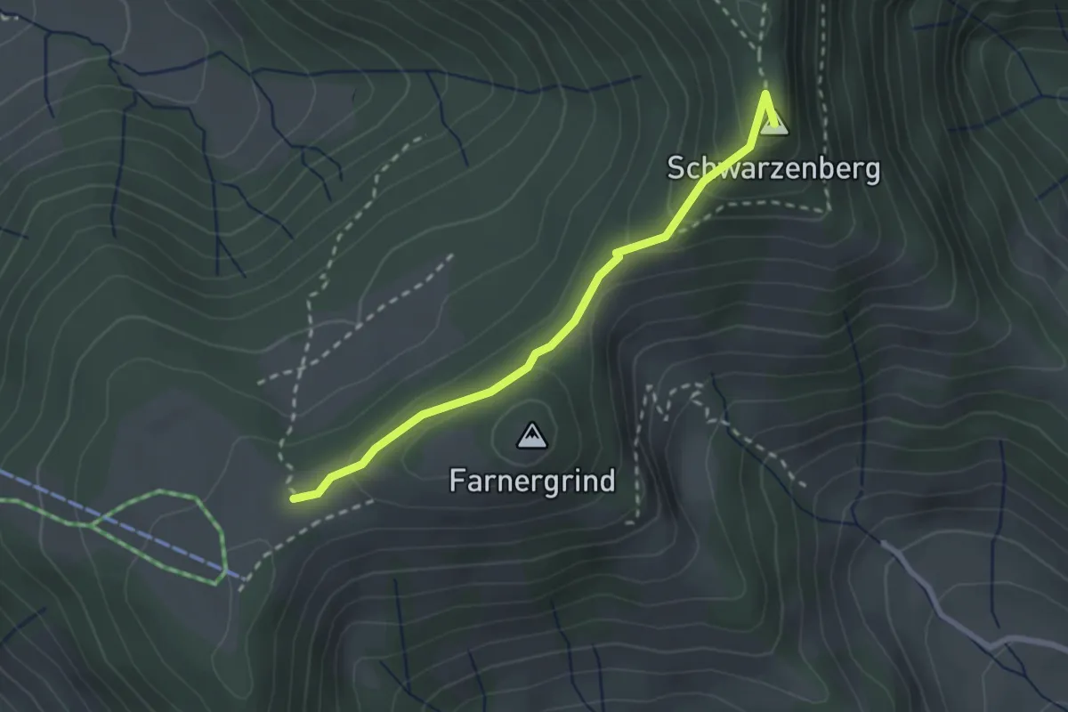
Medium · Summit
Farner – Botäli
2.4 km · ↑ 133 m · 51 min
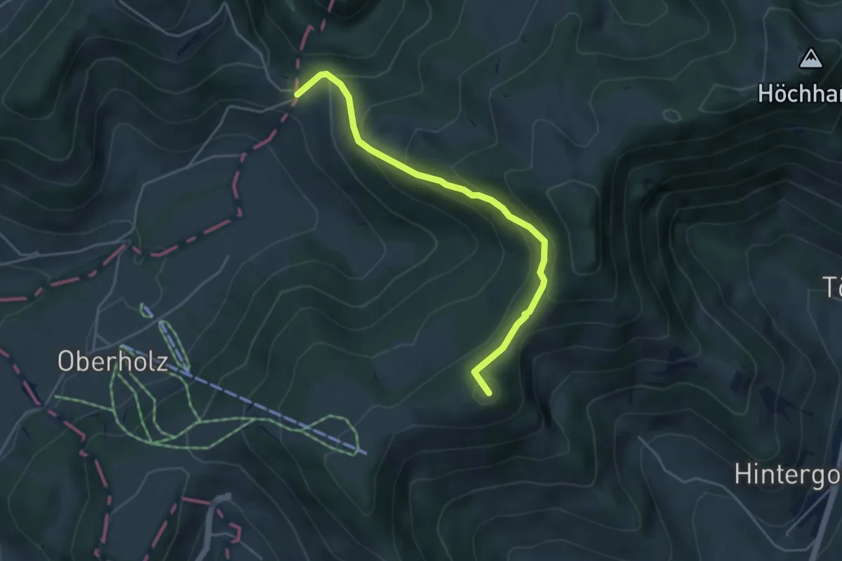
Easy · Summit
Farner – Wolfsgrueb
4.1 km · ↑ 285 m · 1 h 35 min
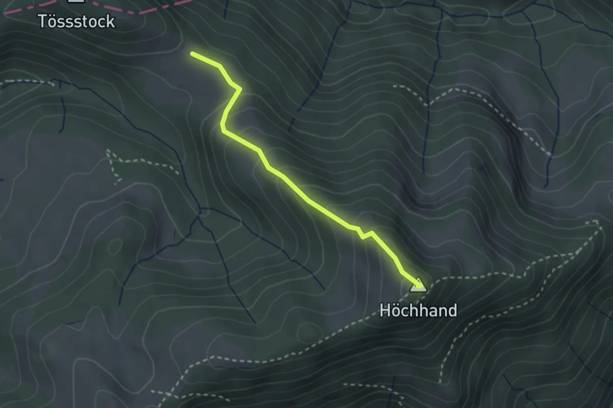
Medium · Summit
Schwämi – Höchhand
2.4 km · ↑ 189 m · 59 min
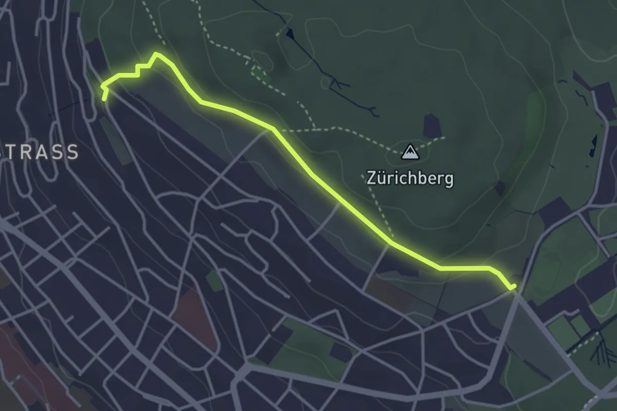
Easy · Trail
Rigiblick – Fluntern
3.5 km · ↑ 136 m · 1 h 7 min
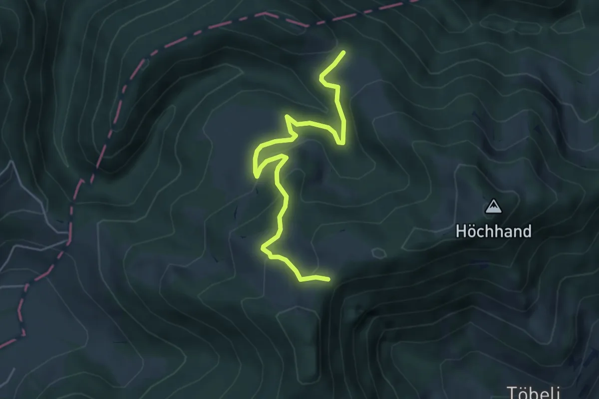
Easy · Trail
Schwämi – Botäli
4.8 km · ↑ 217 m · 1 h 37 min
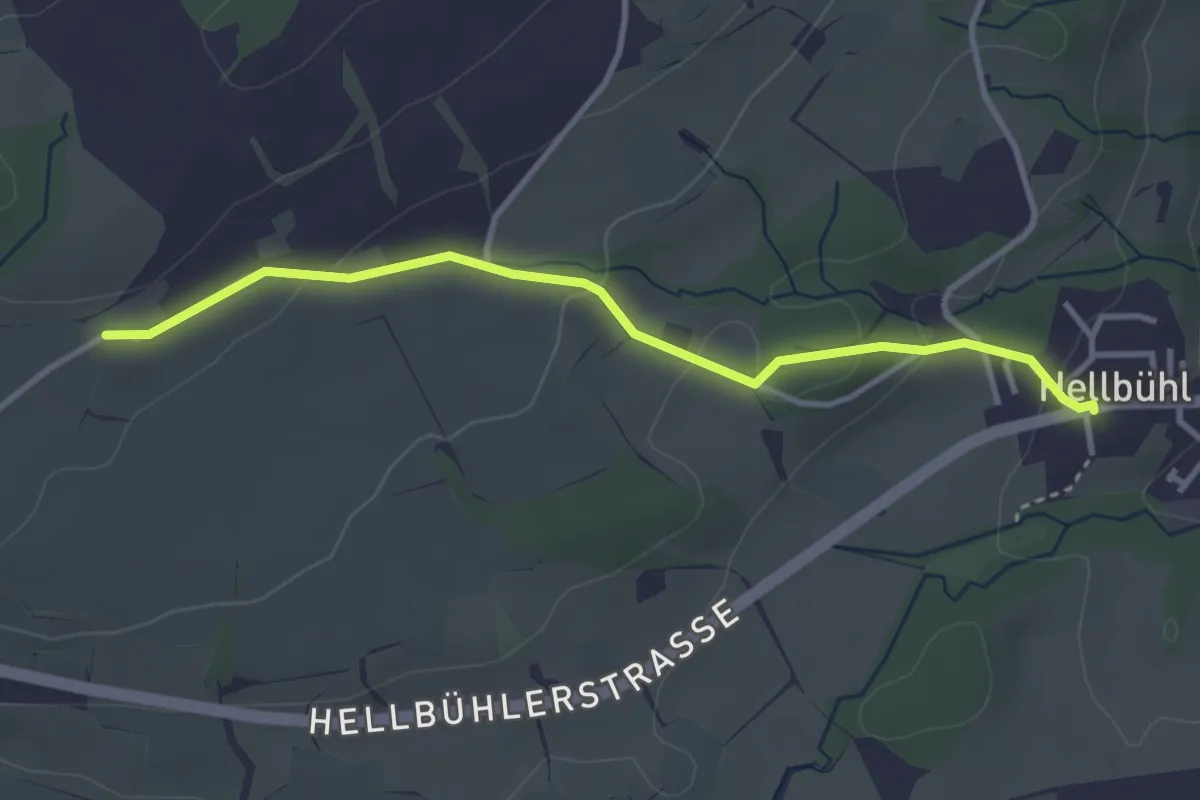
Easy · Trail
Hueb – Hellbühl Kirche
3.4 km · ↑ 97 m · 1 h 1 min
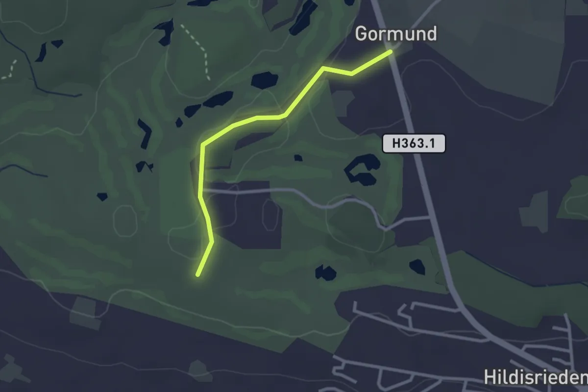
Easy · Trail
Schopfen – Gormund
2.3 km · ↑ 9 m · 34 min
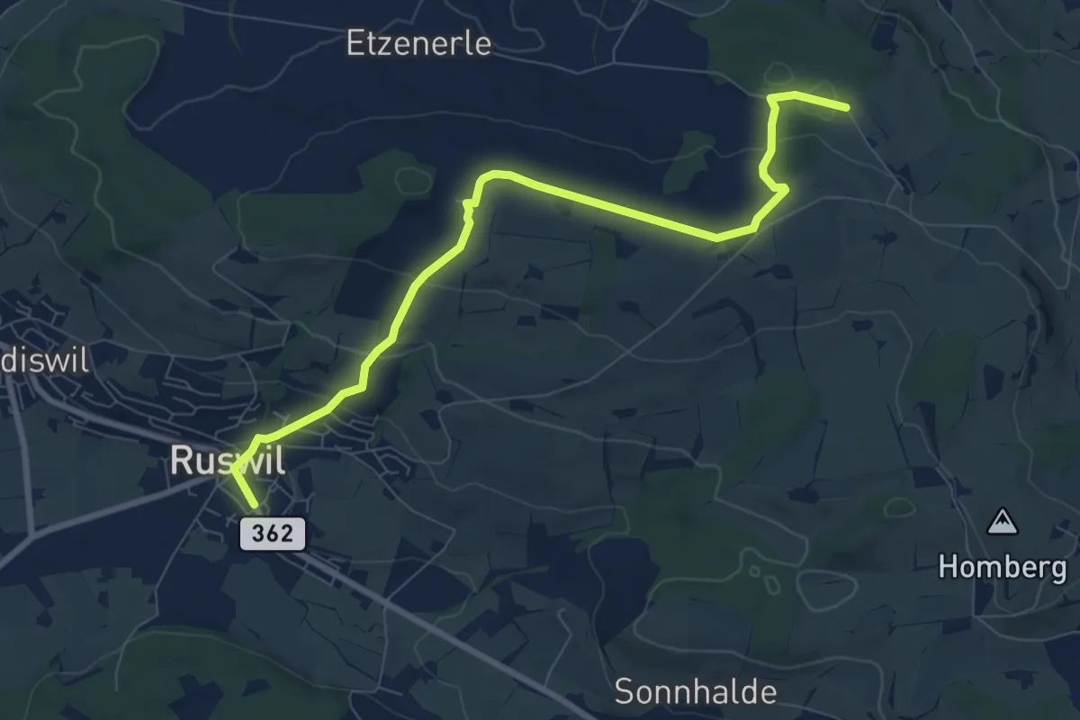
Medium · Trail
Ober Säliwald – Ruswil
8.6 km · ↑ 255 m · 2 h 36 min
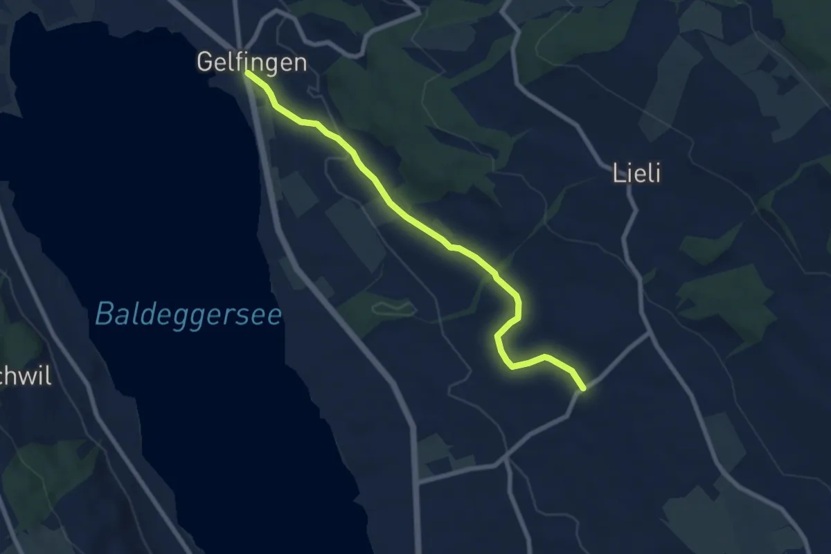
Easy · Trail
Gelfingen – Kleinwangen
6.9 km · ↑ 131 m · 1 h 54 min
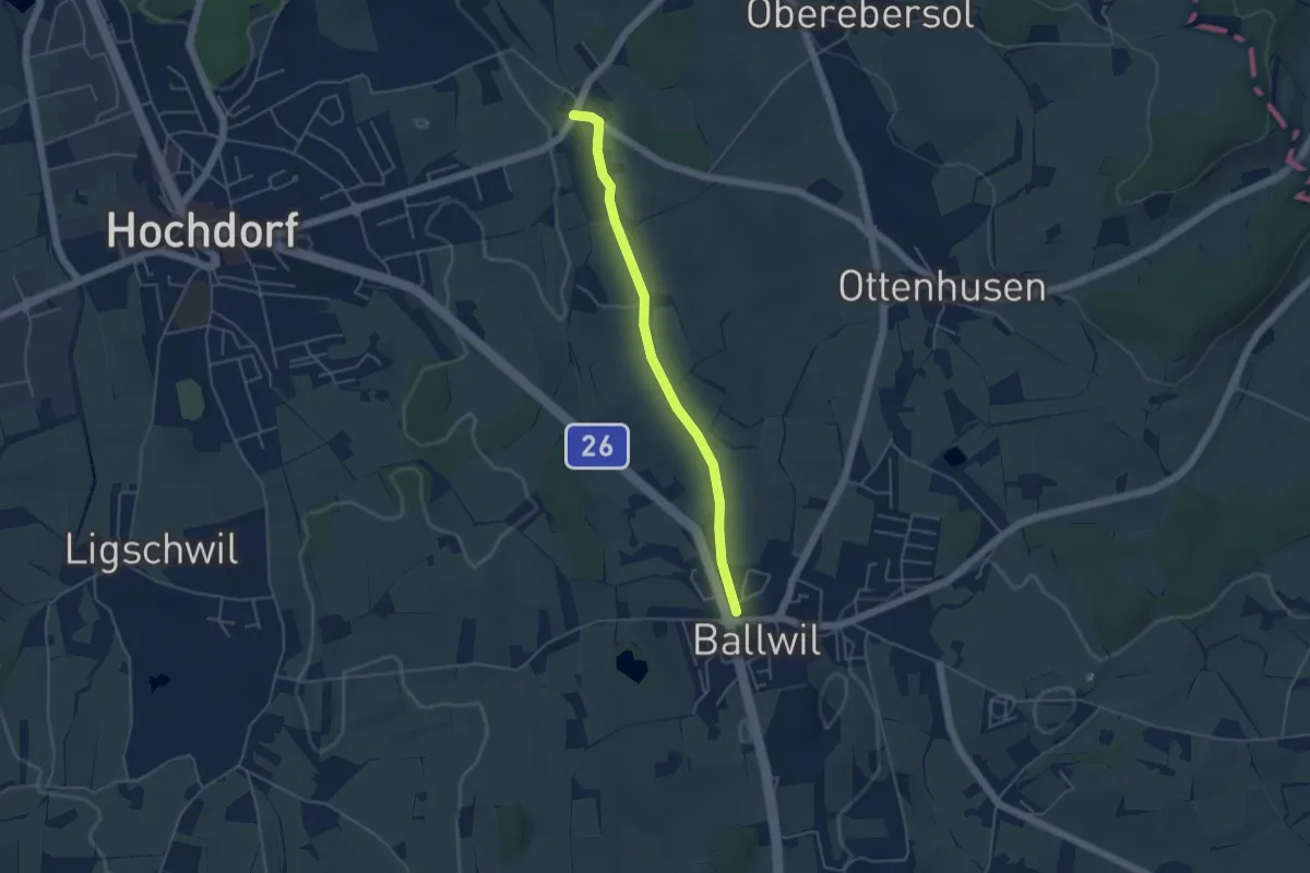
Easy · Trail
Ballwil – Unterebersol
4.3 km · ↑ 27 m · 1 h 4 min
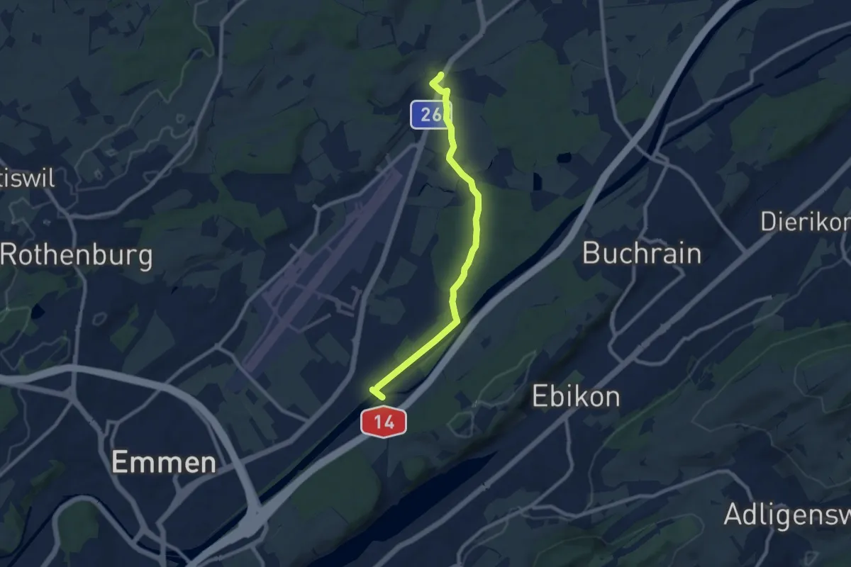
Medium · Trail
Waldibrugg – Rathausen
8.1 km · ↑ 31 m · 1 h 59 min
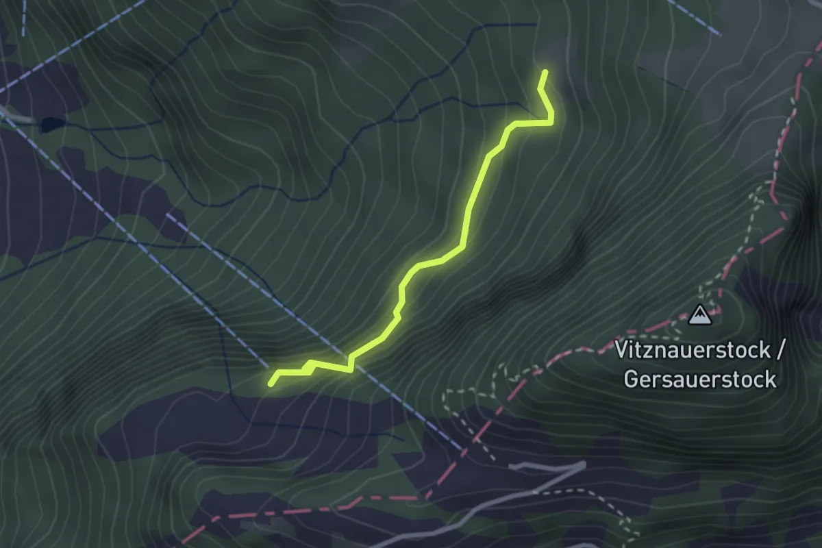
Demanding · Trail
Wissifluh – Bärgli
2.2 km · ↑ 207 m · 59 min
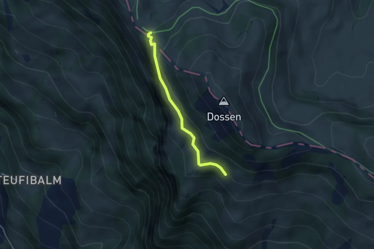
Easy · Trail
Oberstafel – Unterstetten
2.6 km · ↑ 152 m · 56 min
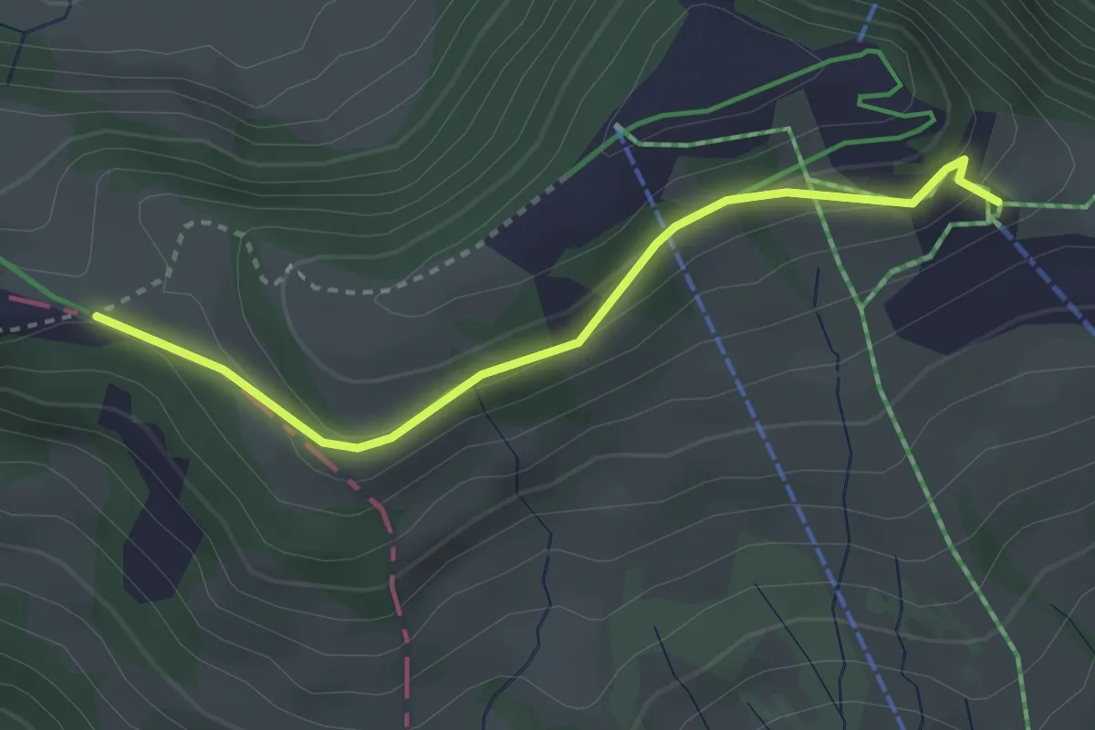
Easy · Trail
Burggeist – Hinder Dossen
3.0 km · ↑ 115 m · 57 min
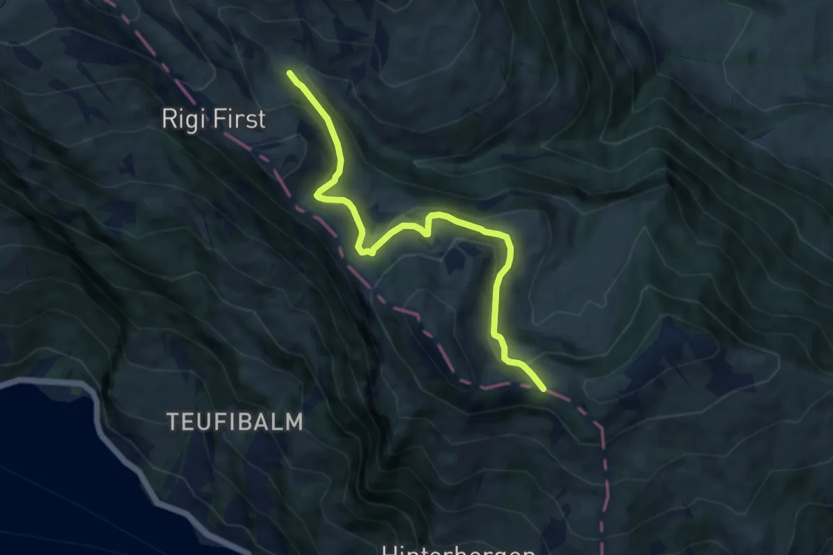
Medium · Trail
Hinder Dossen – Rigi Klösterli
8.1 km · ↑ 369 m · 2 h 43 min
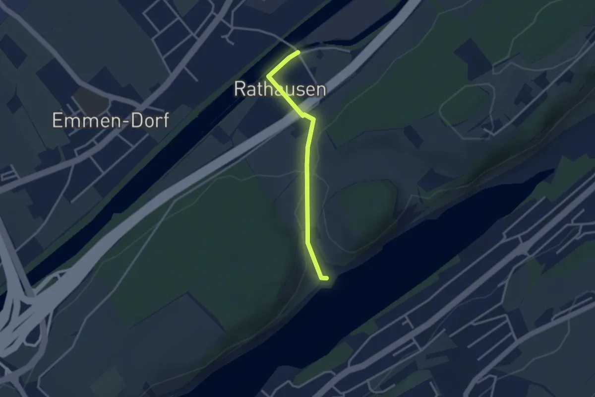
Easy · Trail
Rathausen Brücke – Seehof
2.5 km · ↑ 45 m · 41 min
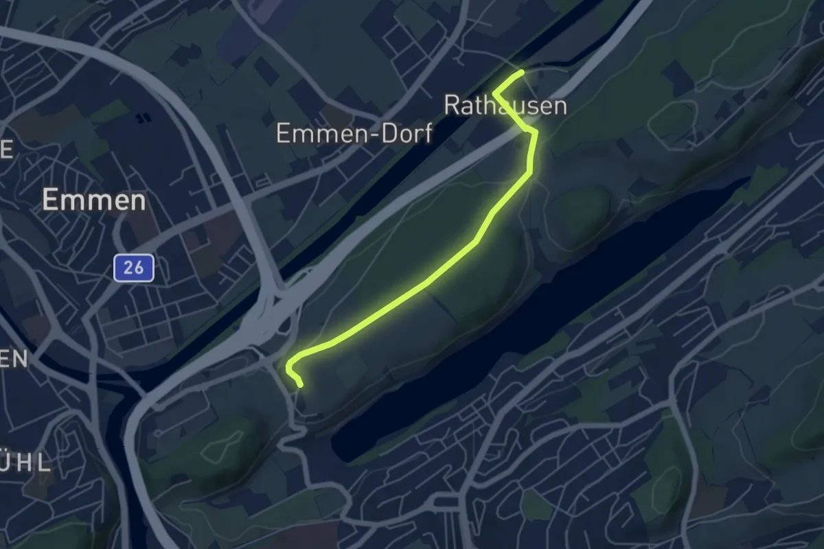
Easy · Trail
Rathausen Brücke – Sädel
4.8 km · ↑ 89 m · 1 h 20 min
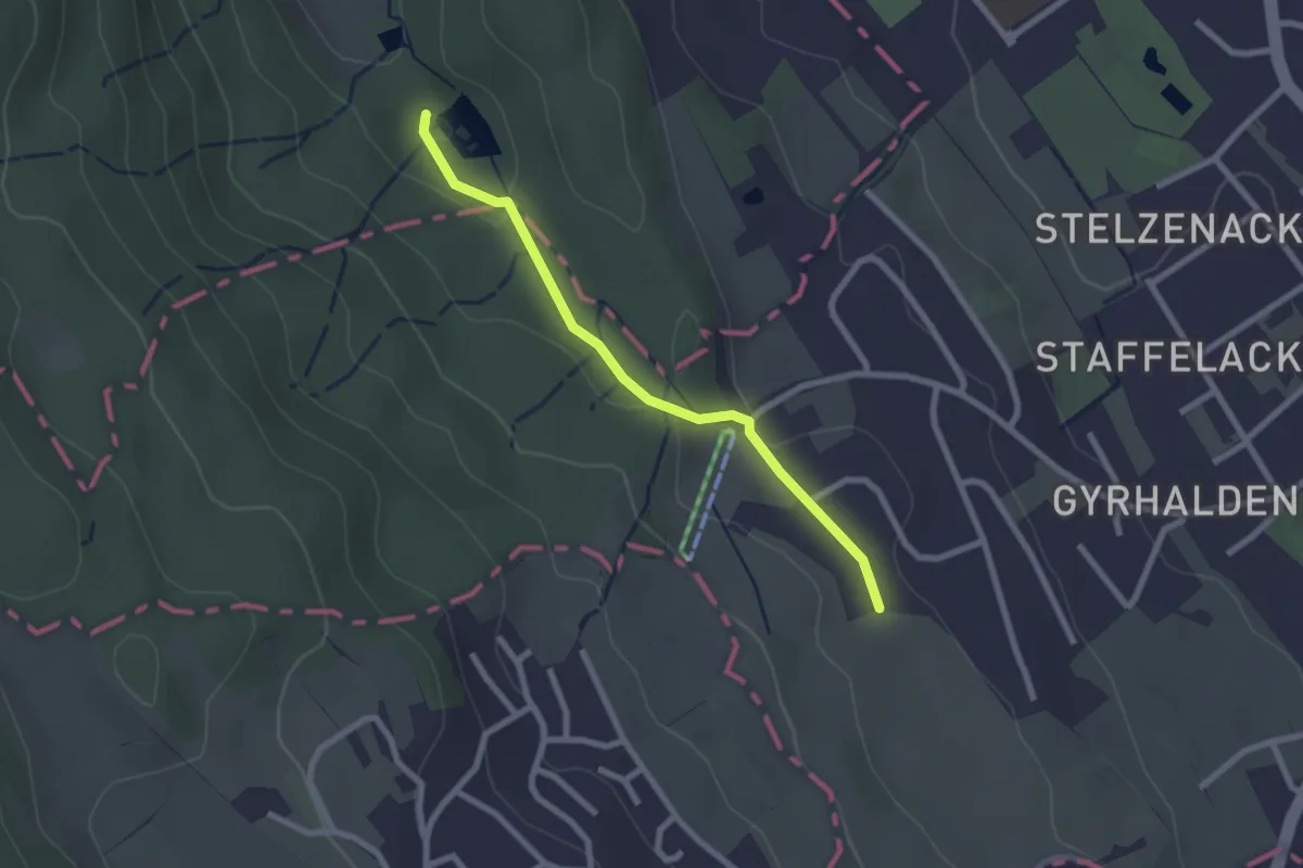
Easy · Trail
Franzosenweier – Rüteren
2.2 km · ↑ 56 m · 39 min
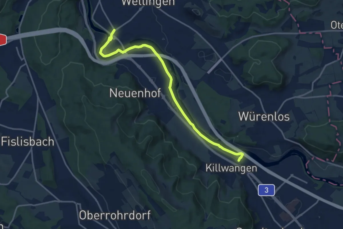
Medium · Trail
Killwangen – Wettingen
11.4 km · ↑ 64 m · 2 h 50 min
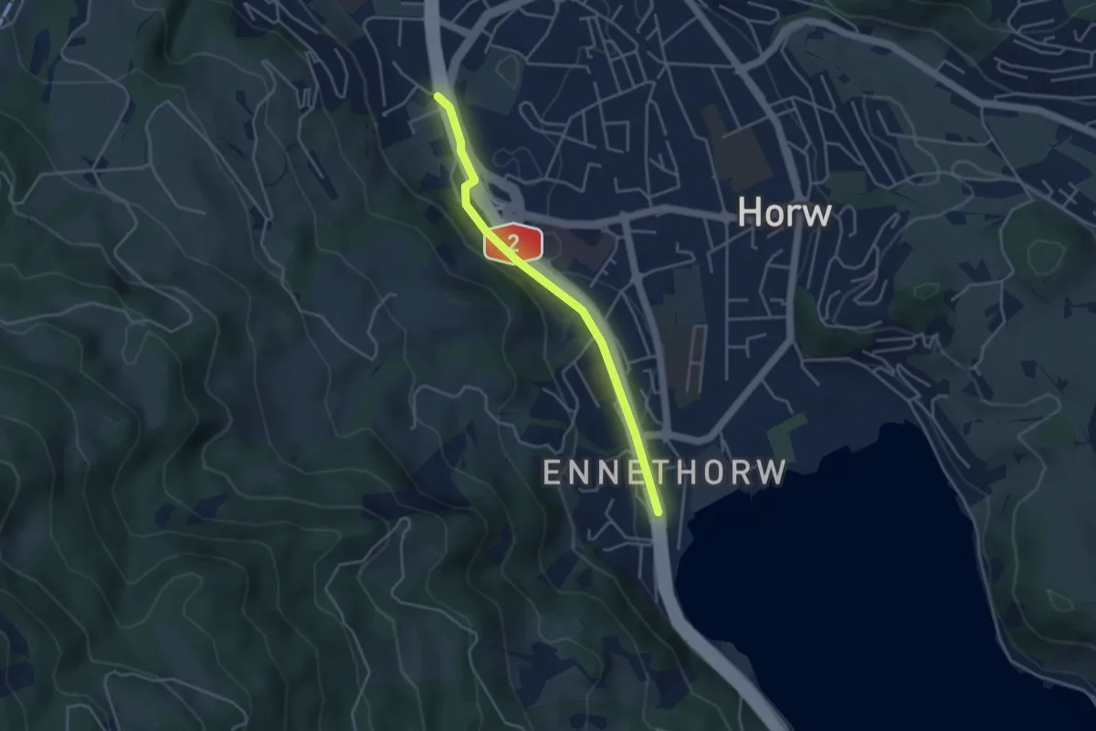
Easy · Trail
Schlund – Ennethorw
3.6 km · ↑ 31 m · 55 min
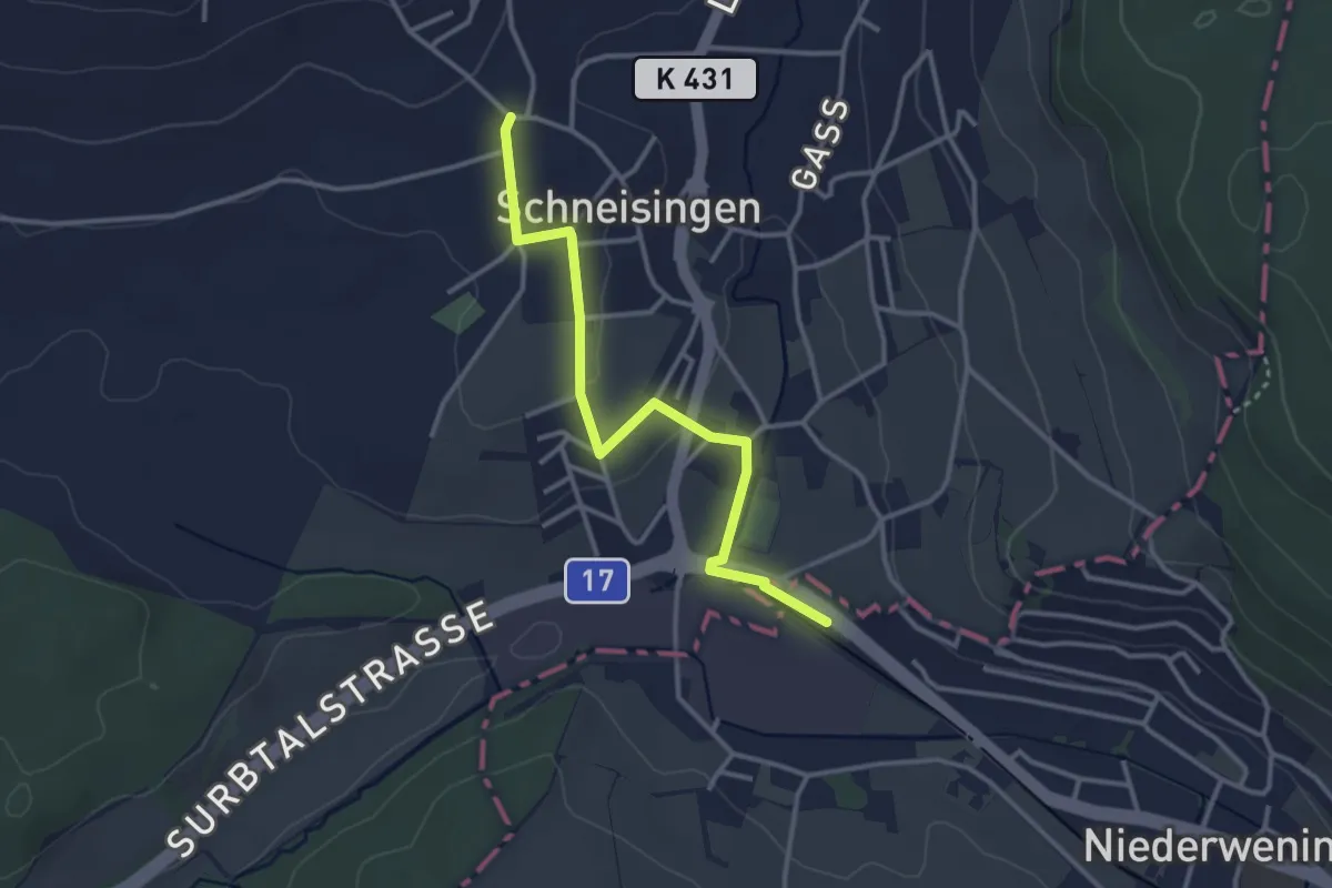
Easy · Trail
Schneisingen – Niederwenningen
3.2 km · ↑ 51 m · 52 min
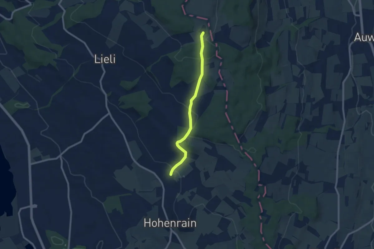
Easy · Trail
Güniken – Oberillau
6.1 km · ↑ 254 m · 2 h
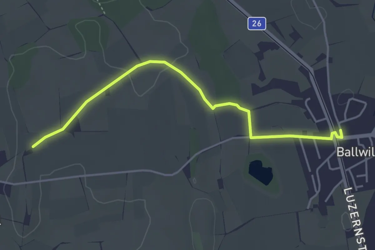
Easy · Trail
Urswil – Ballwil
4.1 km · ↑ 34 m · 1 h 2 min
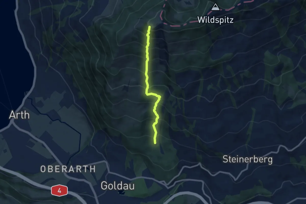
Demanding · Trail
Gnipen (West) – Schuttwald
5.7 km · ↑ 849 m · 3 h 11 min
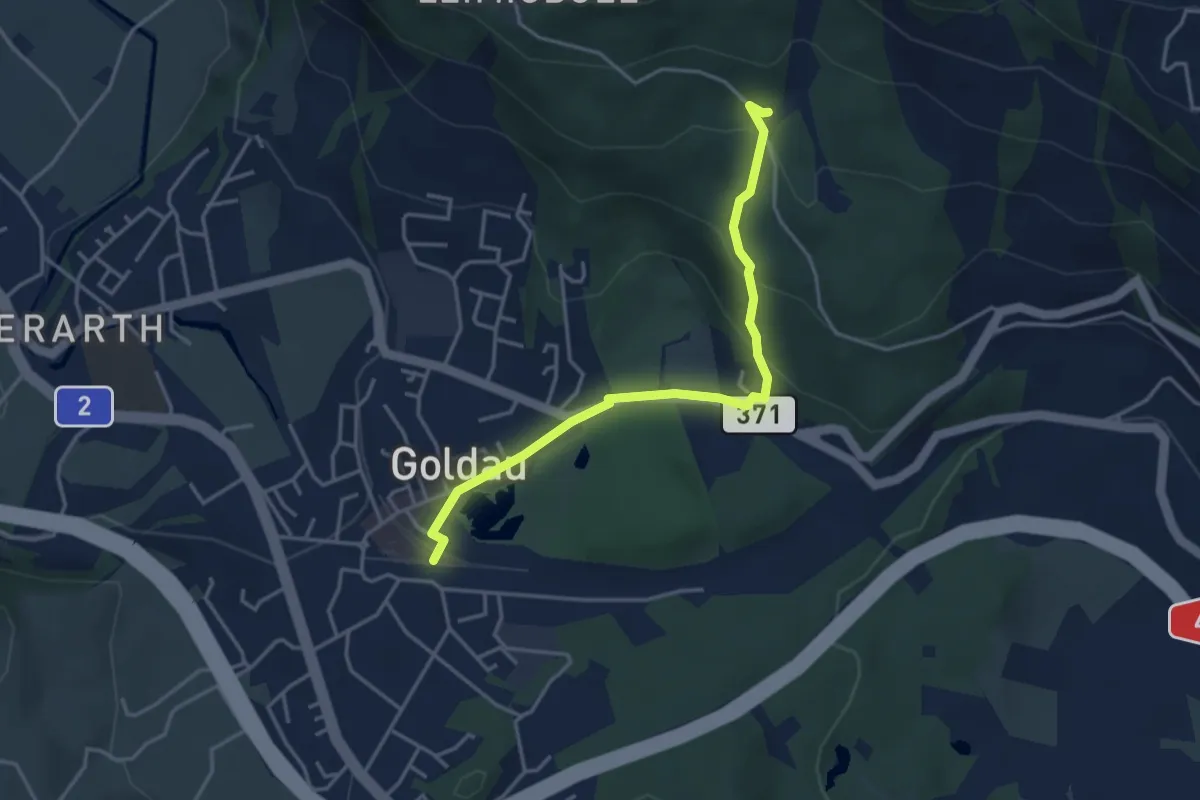
Medium · Trail
Schuttwald – Goldau
3.8 km · ↑ 158 m · 1 h 15 min
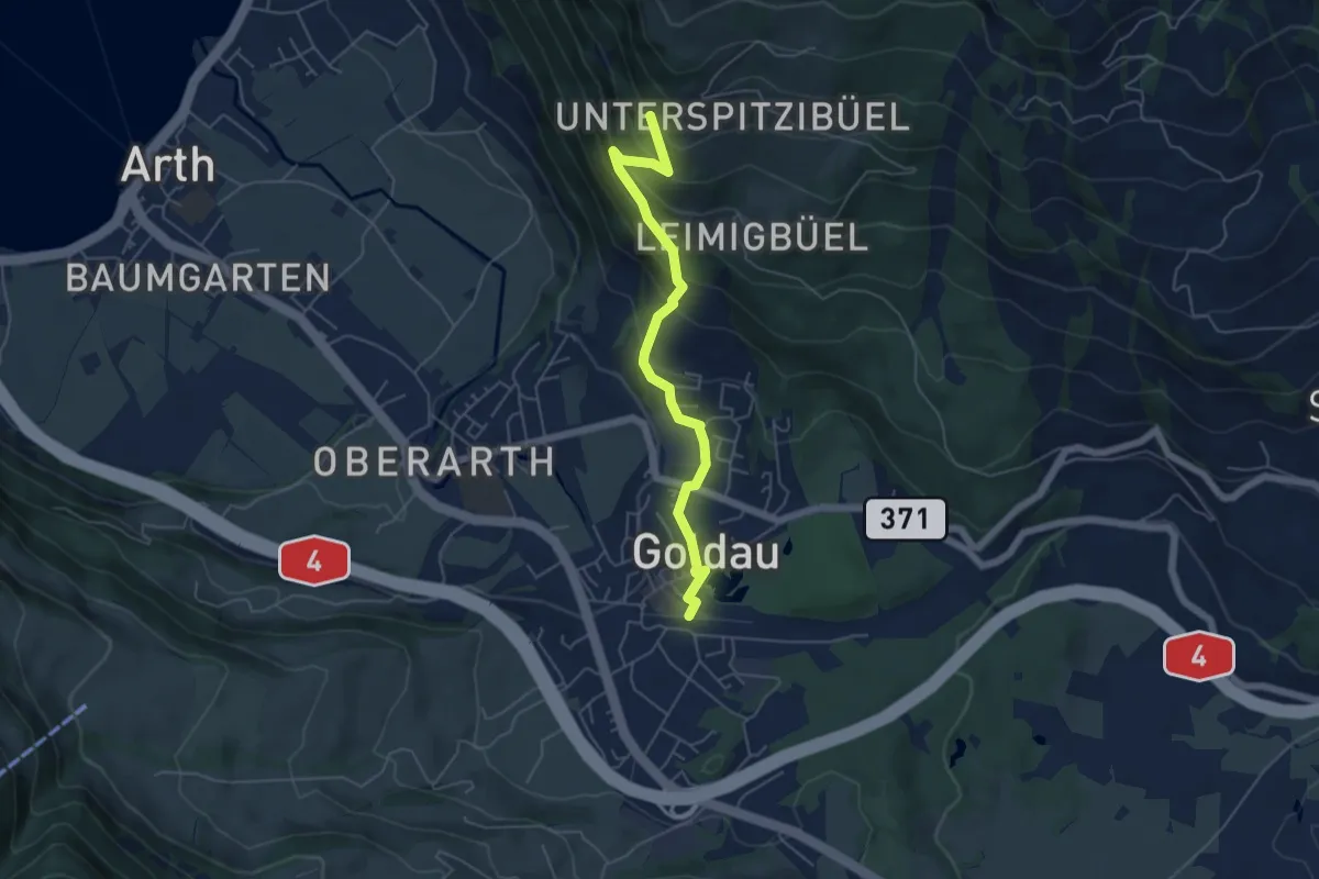
Medium · Trail
Goldau – Härzigwald
5.2 km · ↑ 360 m · 2 h 1 min
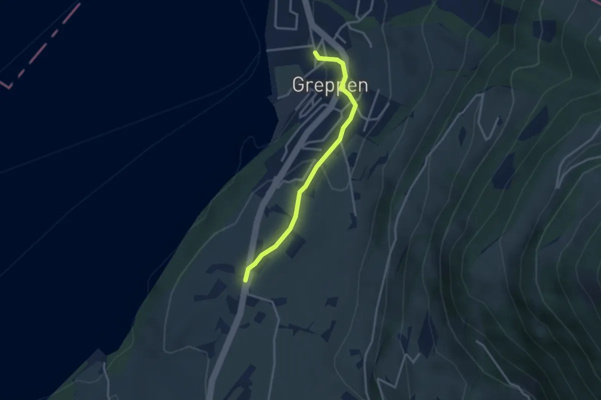
Easy · Trail
Langizil – Greppen
2.6 km · ↑ 62 m · 45 min
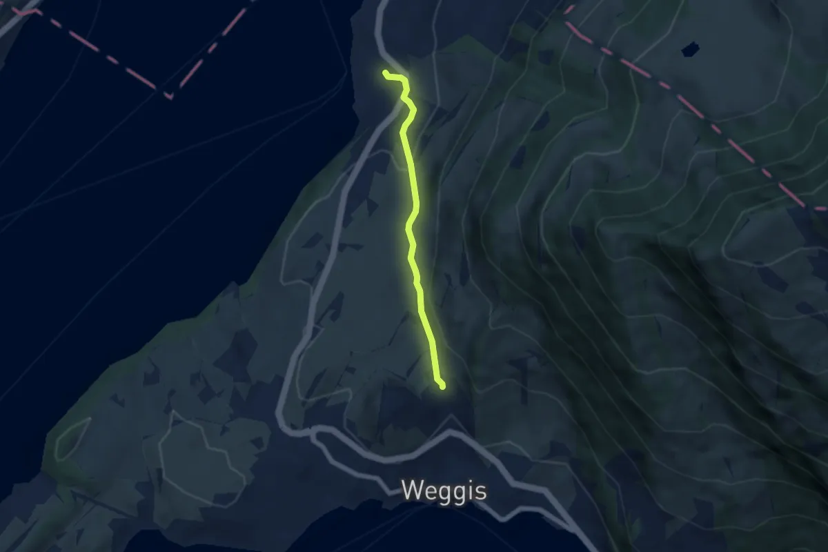
Easy · Trail
Greppen – Untereggi
4.4 km · ↑ 166 m · 1 h 24 min
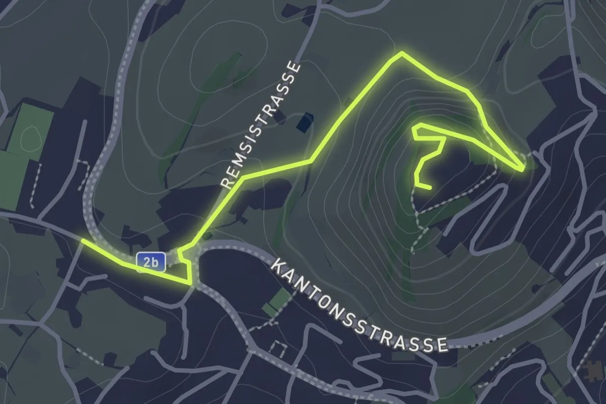
Easy · Trail
Zopf – Rigiblick
3.6 km · ↑ 160 m · 1 h 11 min
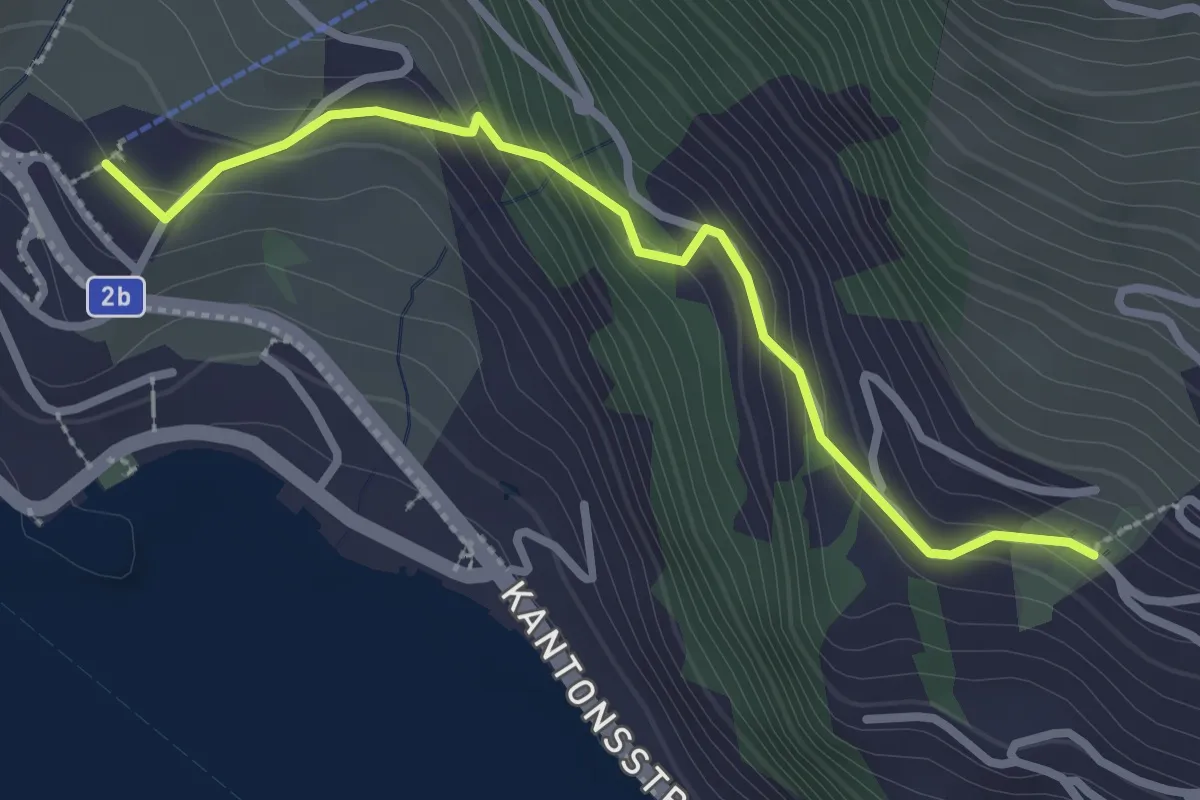
Easy · Trail
Weggis Luftseilbahn – Bodenberg
2.8 km · ↑ 203 m · 1 h 6 min
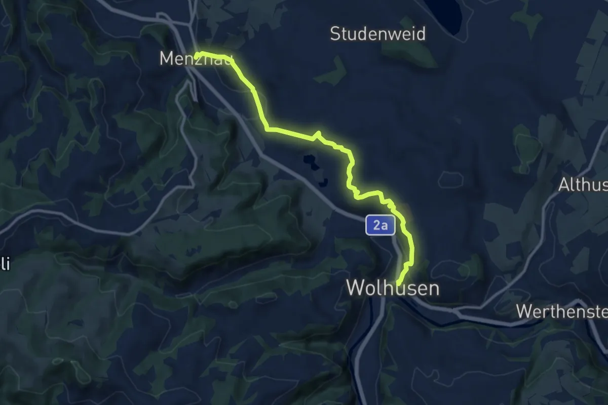
Medium · Trail
Wolhusen – Menznau
10.3 km · ↑ 283 m · 3 h 3 min