Trails in Switzerland
15,055 hiking trails, each with its route, climb, walking time and grade.
All trails, page 289 of 314
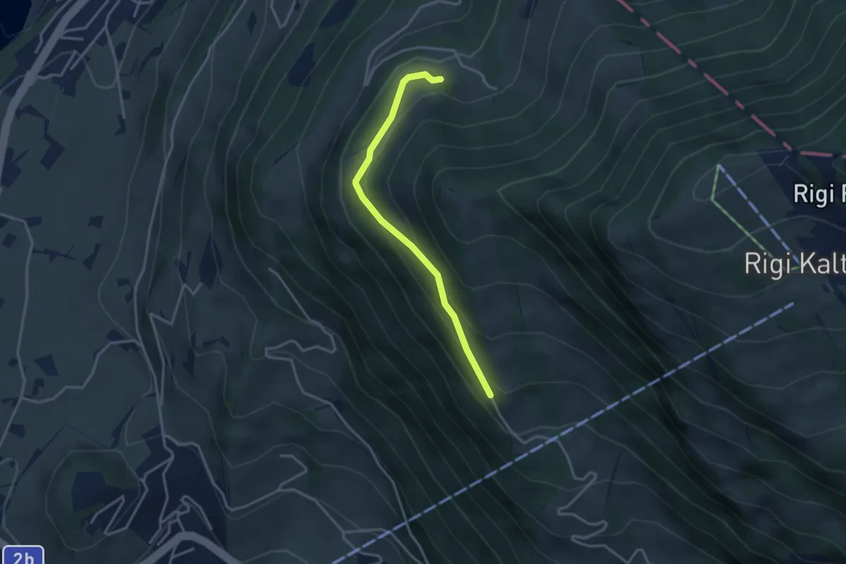
Easy · Trail
Bergli – Müseralp
3.1 km · ↑ 166 m · 1 h 5 min
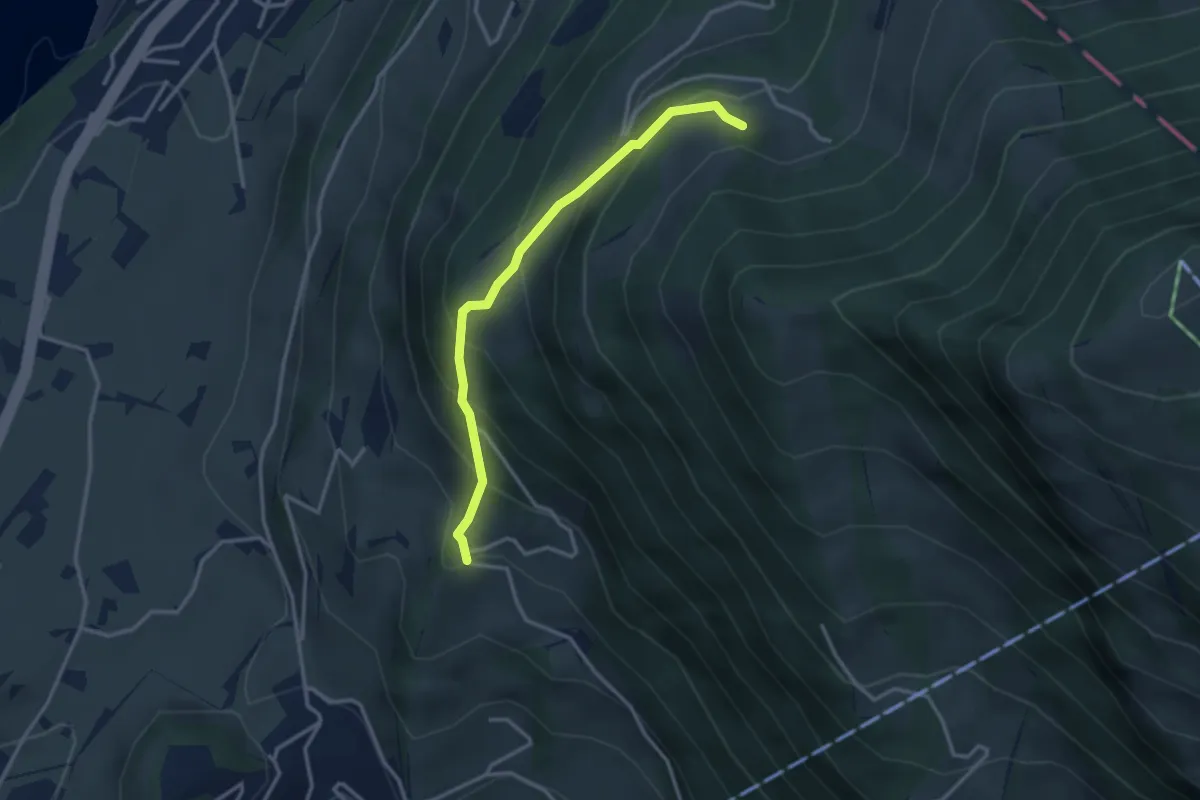
Medium · Trail
Tannenberg – Bergli
3.0 km · ↑ 328 m · 1 h 25 min
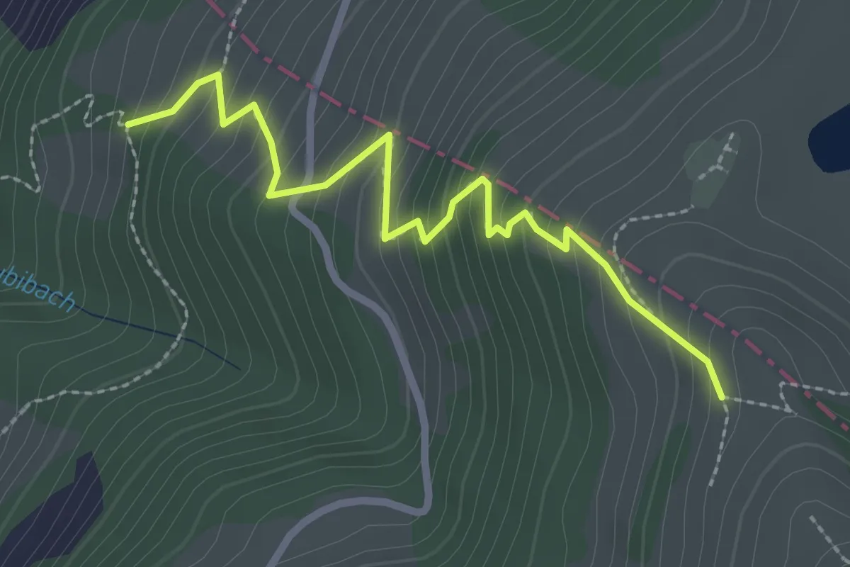
Medium · Trail
Räbalp – Rüti
2.6 km · ↑ 298 m · 1 h 16 min
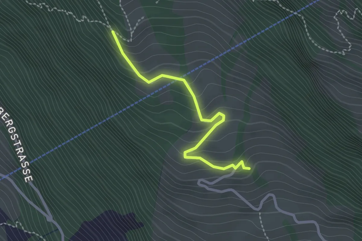
Easy · Trail
Müseralp – Ober Säntiberg
2.2 km · ↑ 131 m · 48 min
Easy · Trail
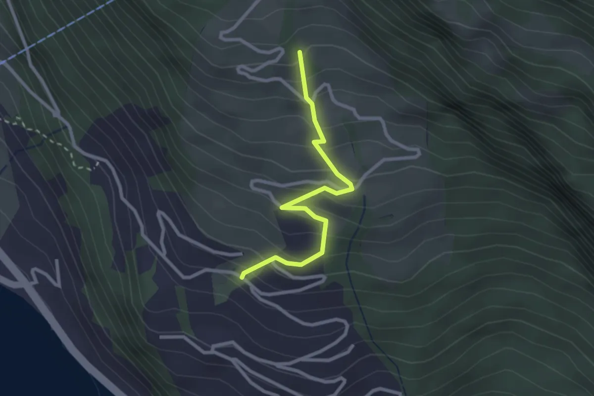
Ober Säntiberg – Bodenberg
2.4 km · ↑ 234 m · 1 h 4 min
Easy · Trail
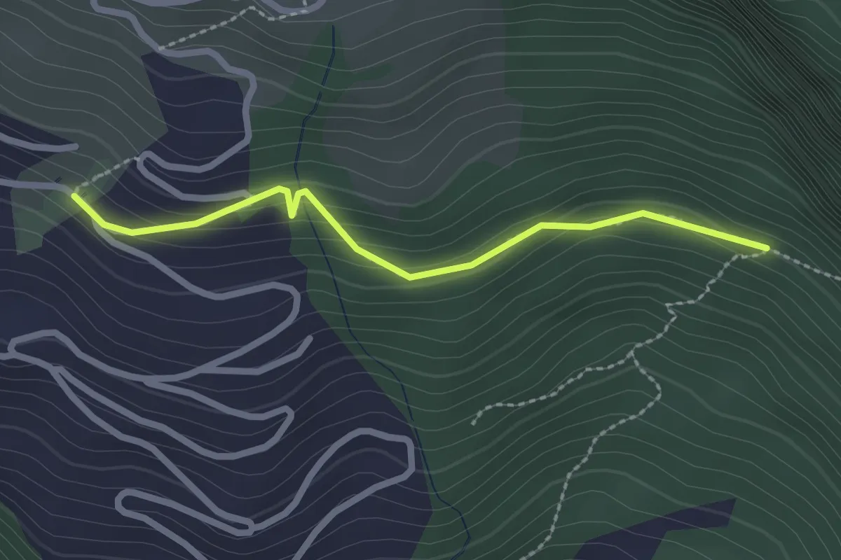
Bodenberg – Orefad
2.2 km · ↑ 155 m · 51 min
Medium · Trail
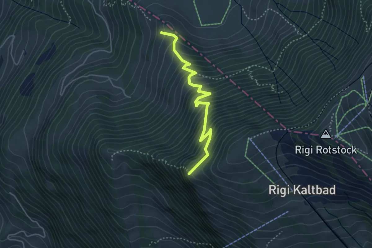
Chänzeli – Räbalp
3.6 km · ↑ 447 m · 1 h 49 min
Easy · Trail
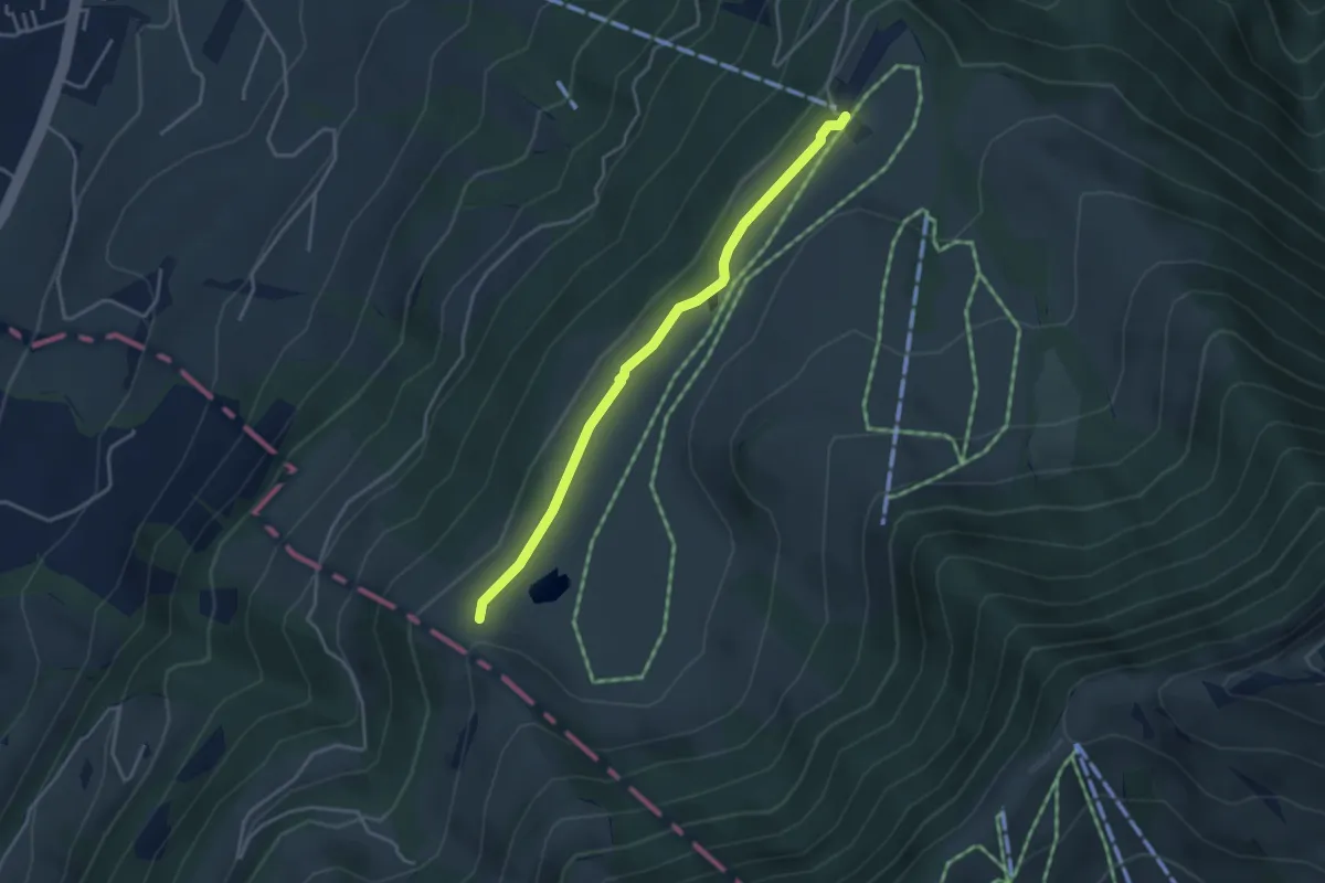
Schluchegg – Seebodenalp
3.6 km · ↑ 65 m · 59 min
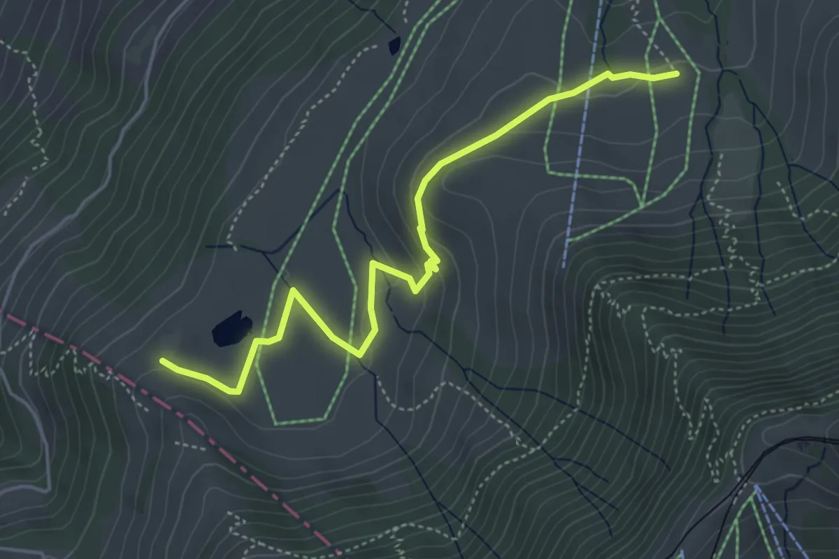
Easy · Trail
Altruodisegg – Holderen
4.9 km · ↑ 168 m · 1 h 32 min
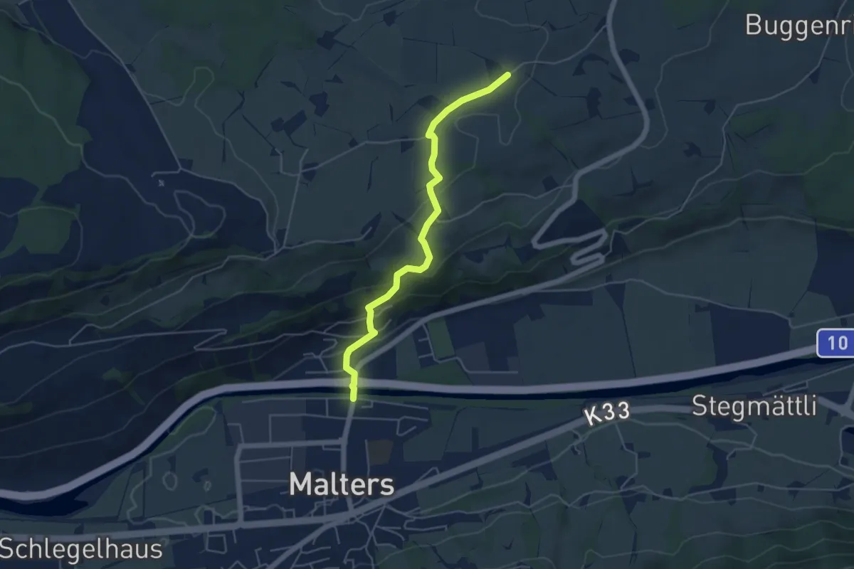
Easy · Trail
Malters – Zinggen
4.8 km · ↑ 173 m · 1 h 30 min
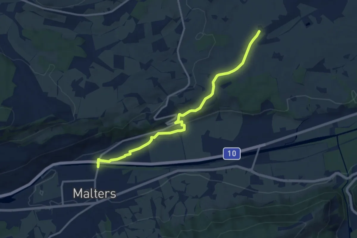
Medium · Trail
Moos – Malters
9.0 km · ↑ 130 m · 2 h 24 min
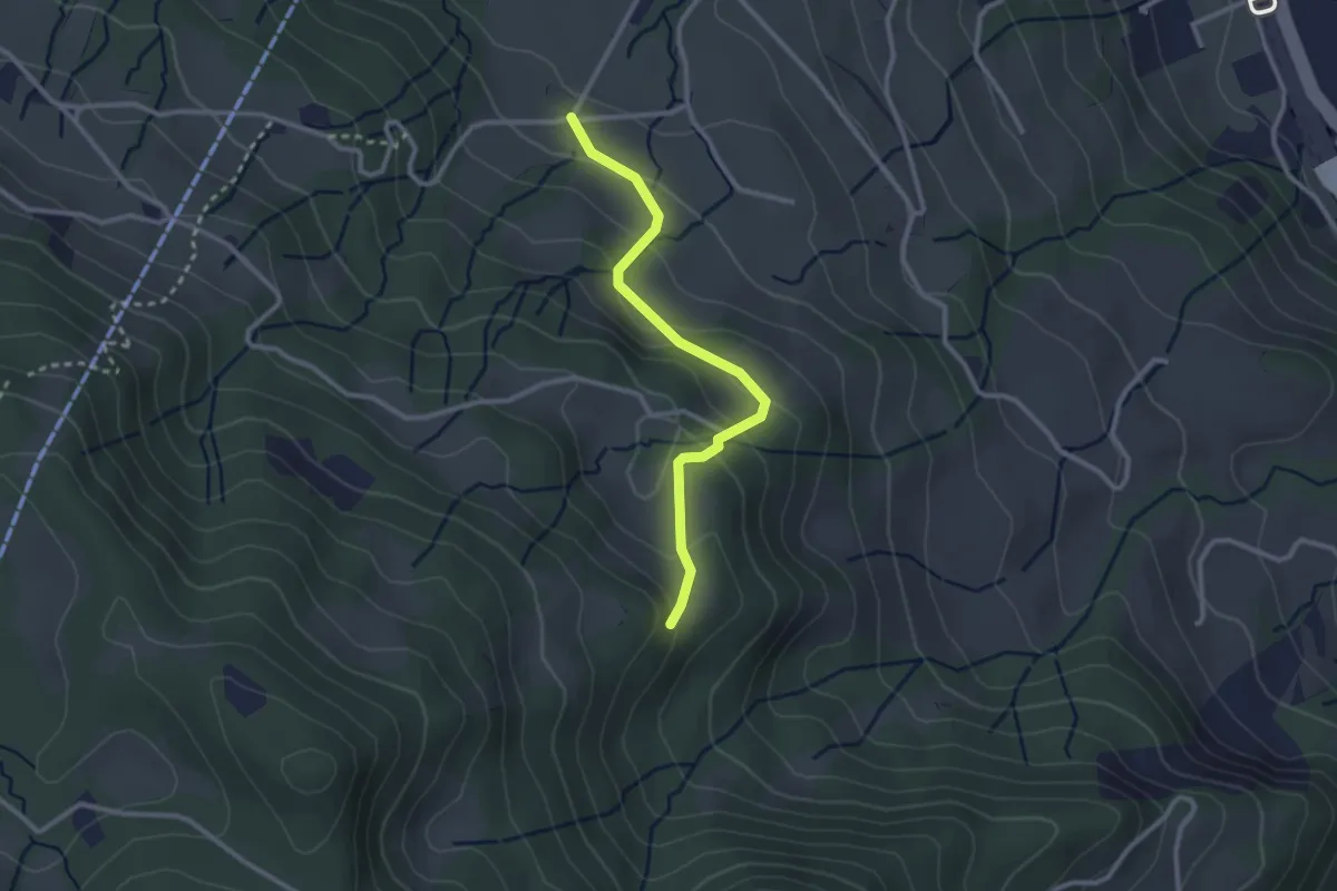
Easy · Trail
Buholz – Bruederhuse
2.6 km · ↑ 153 m · 56 min
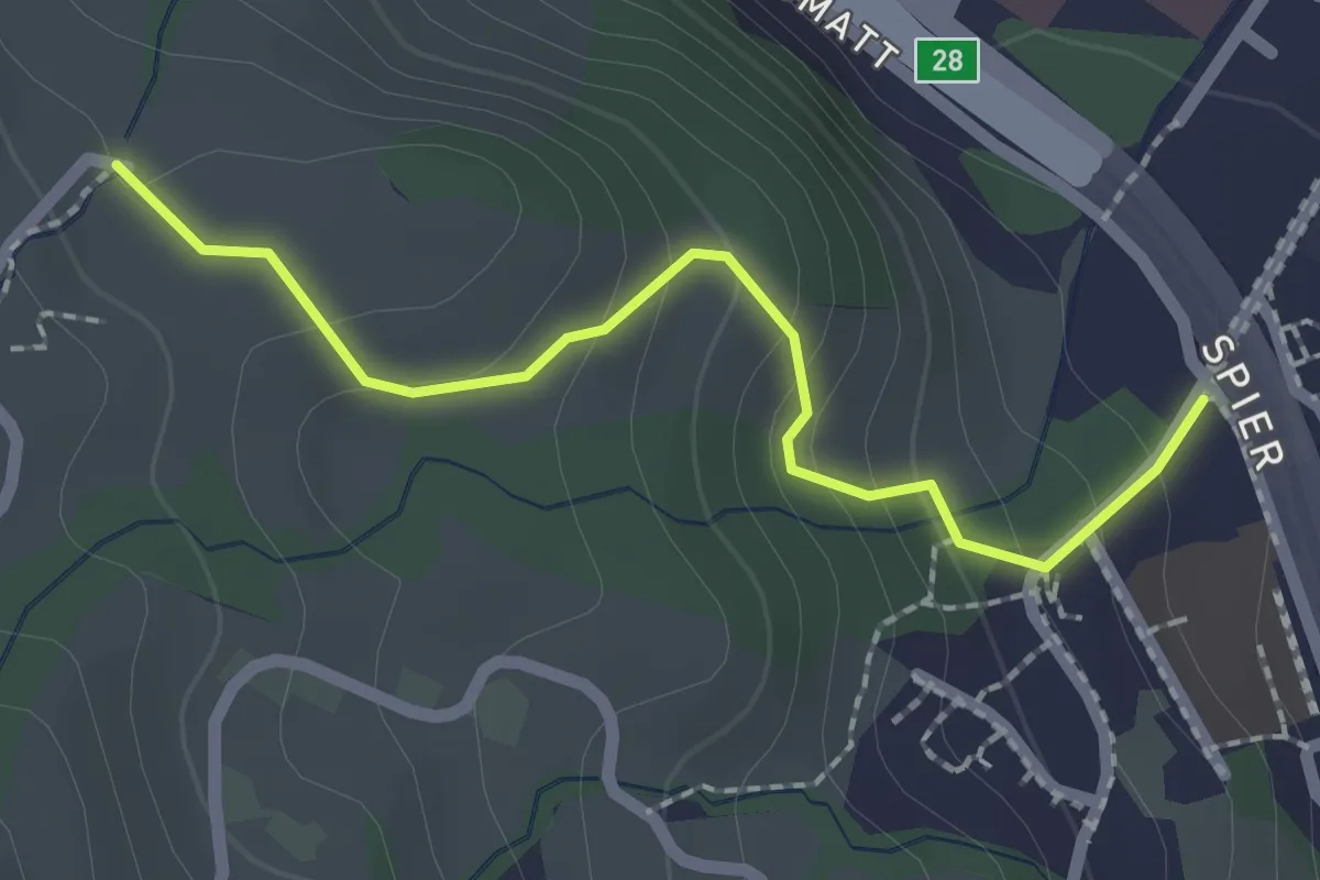
Easy · Trail
Spitz – Ober Strick
2.1 km · ↑ 134 m · 46 min
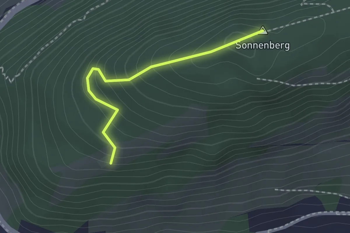
Easy · Summit
Chrüzhöchi – Hinter Gütsch
1.6 km · ↑ 129 m · 39 min
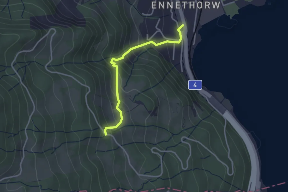
Easy · Trail
Ennethorw – Bruust
2.7 km · ↑ 233 m · 1 h 8 min
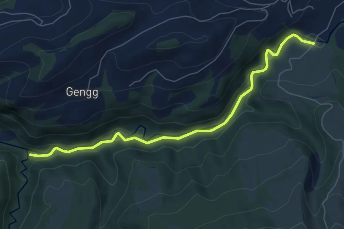
Easy · Trail
Haseleggstäg – Bömmerenbrücke
6.2 km · ↑ 158 m · 1 h 48 min
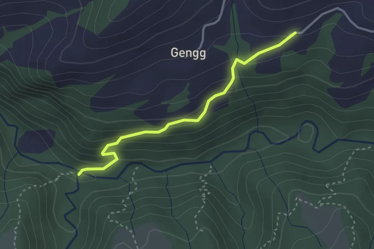
Easy · Trail
Schirge – Haseleggstäg
2.6 km · ↑ 195 m · 1 h 2 min
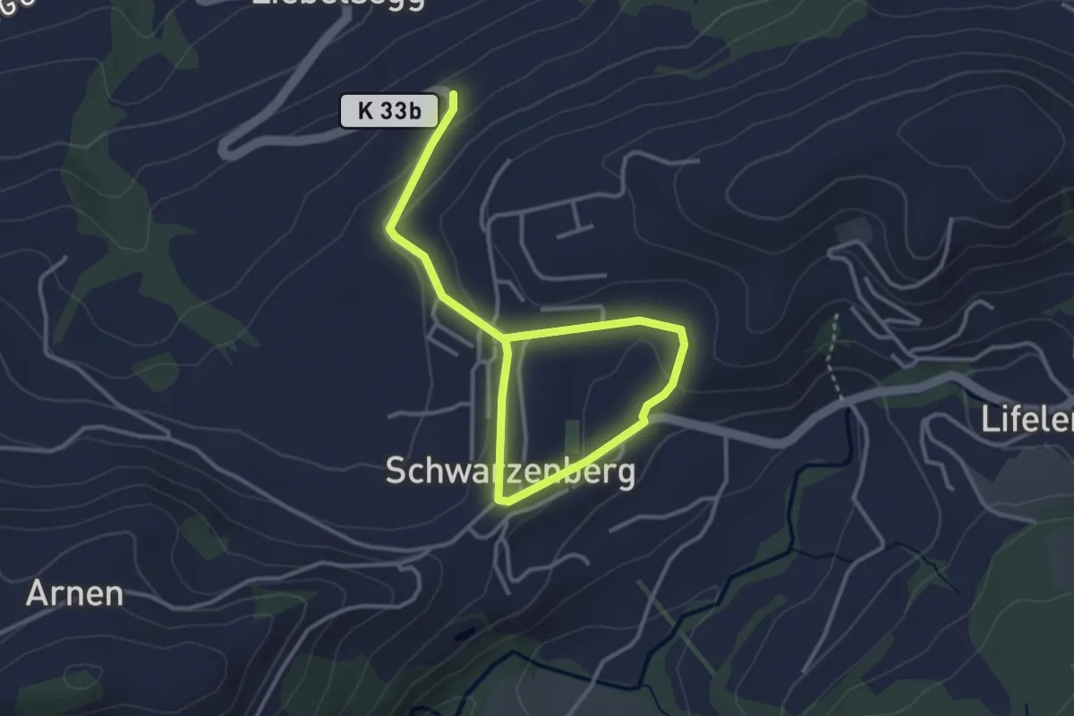
Easy · Trail
Schwarzenberg – Schwarzenberg
4.3 km · ↑ 96 m · 1 h 13 min
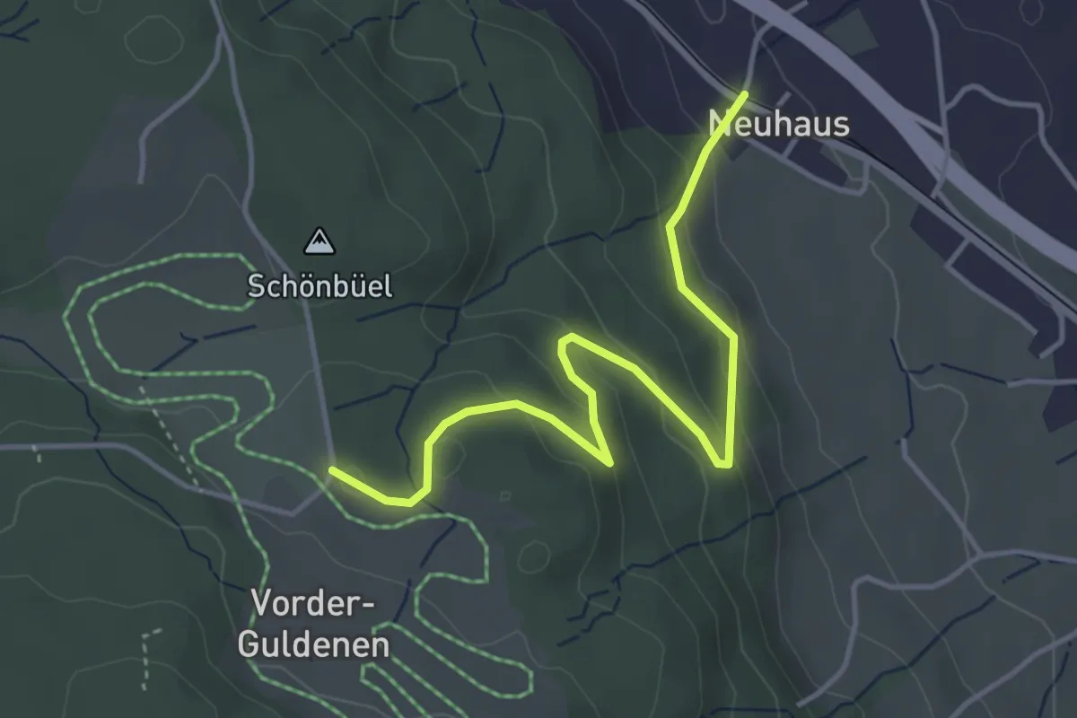
Easy · Trail
Neuhaus – Gerstenchrütz
4.2 km · ↑ 179 m · 1 h 22 min
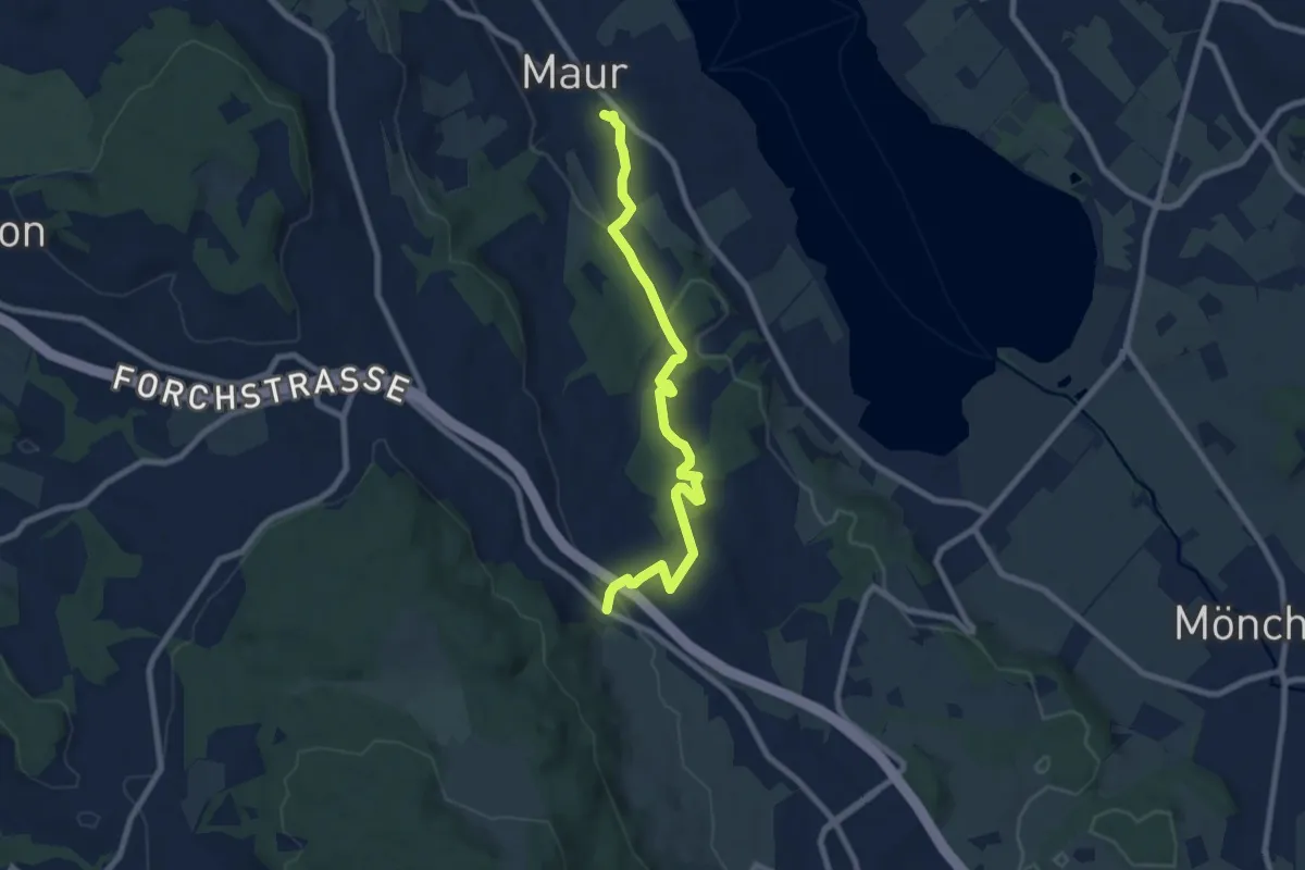
Medium · Trail
Maur – Neuhaus
8.2 km · ↑ 199 m · 2 h 22 min
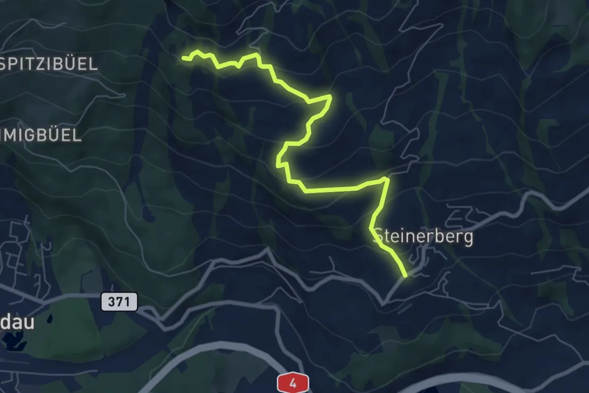
Medium · Trail
Gribsch – Steinerberg
6.8 km · ↑ 390 m · 2 h 27 min
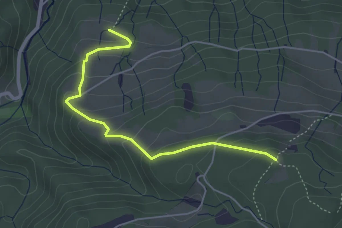
Easy · Trail
Hinter Schwändi – Gruohubel
4.1 km · ↑ 243 m · 1 h 30 min
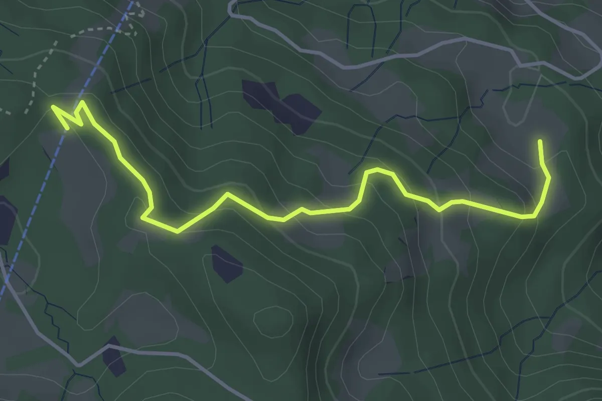
Easy · Trail
Krienseregg – Bruederhuse
4.0 km · ↑ 253 m · 1 h 29 min
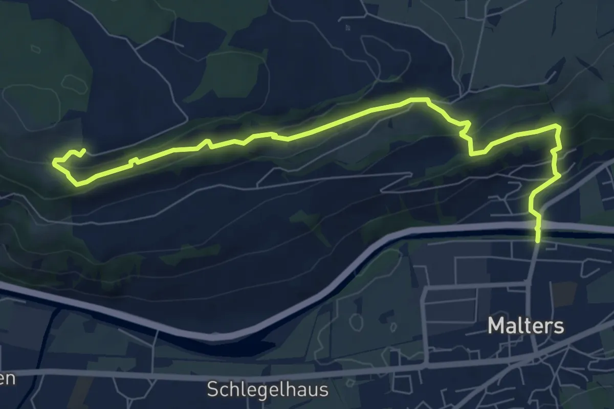
Medium · Trail
Malters – Tschäpperslehn
8.5 km · ↑ 383 m · 2 h 50 min
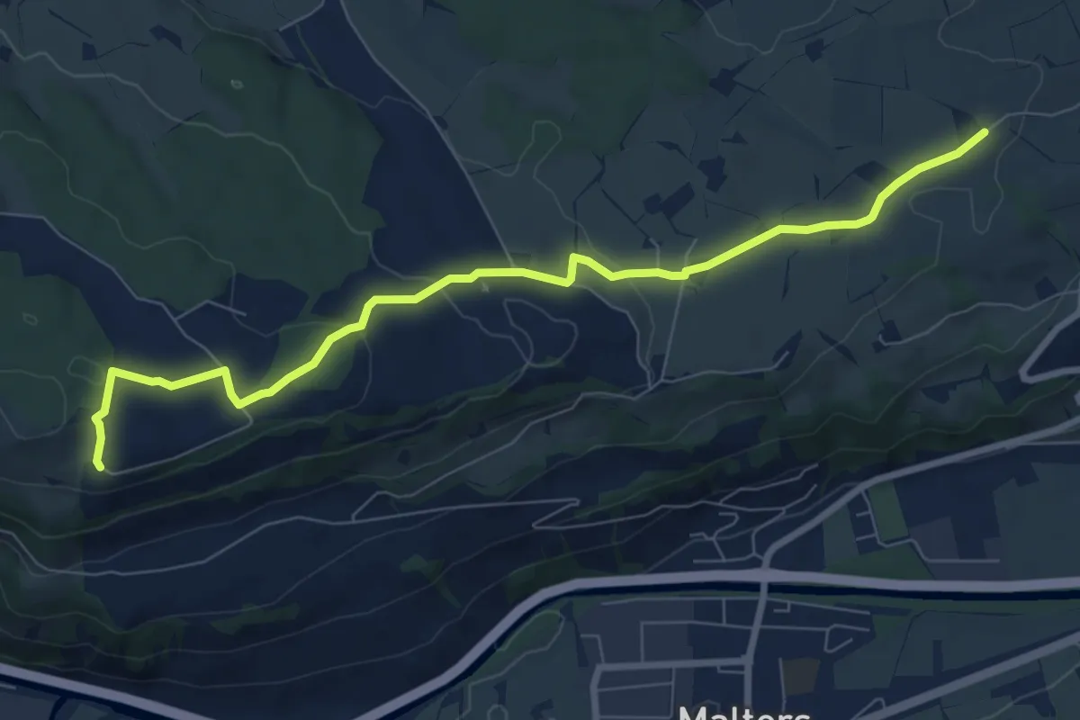
Medium · Trail
Zinggen – Tschäpperslehn
8.4 km · ↑ 225 m · 2 h 28 min
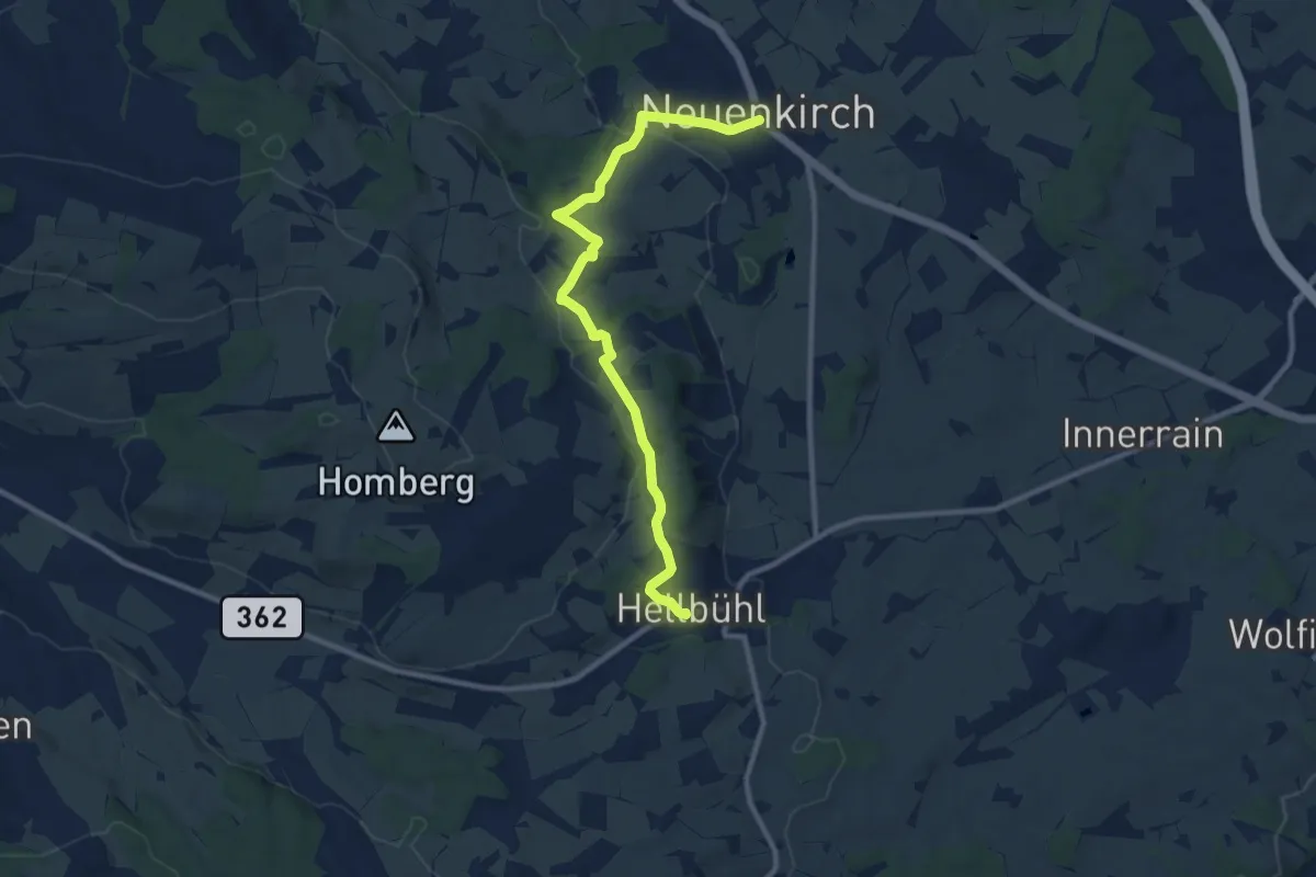
Medium · Trail
Neuenkirch – Hellbühl Kirche
10.4 km · ↑ 216 m · 2 h 55 min
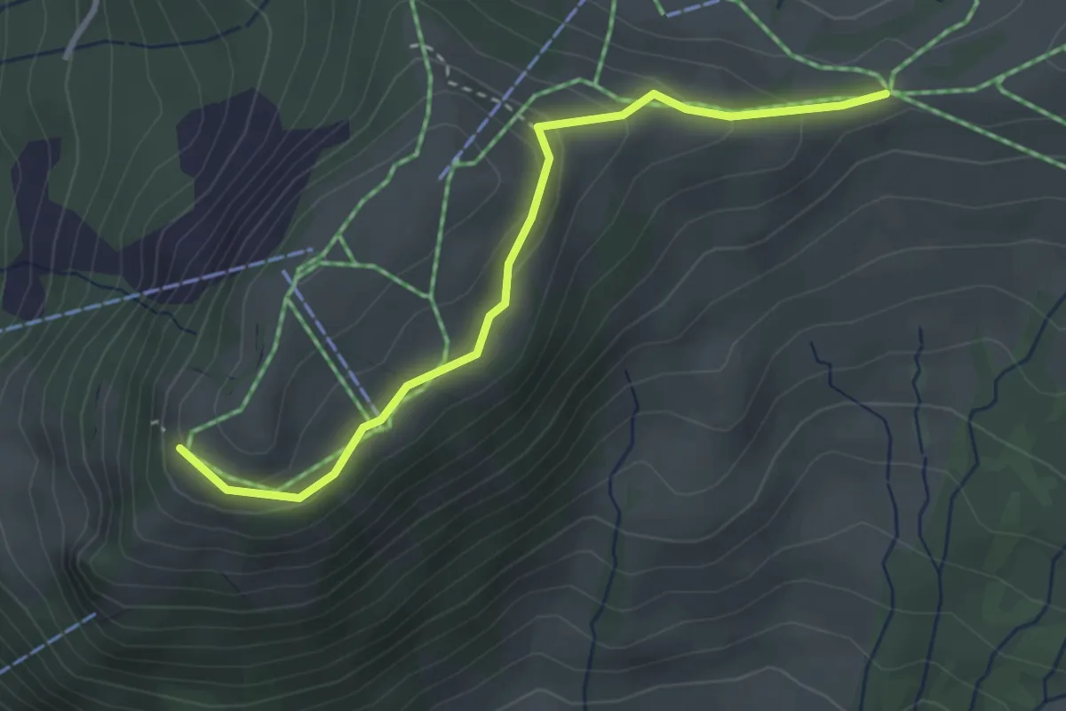
Easy · Trail
Rotenflue – Müsliegg
3.2 km · ↑ 138 m · 1 h 3 min
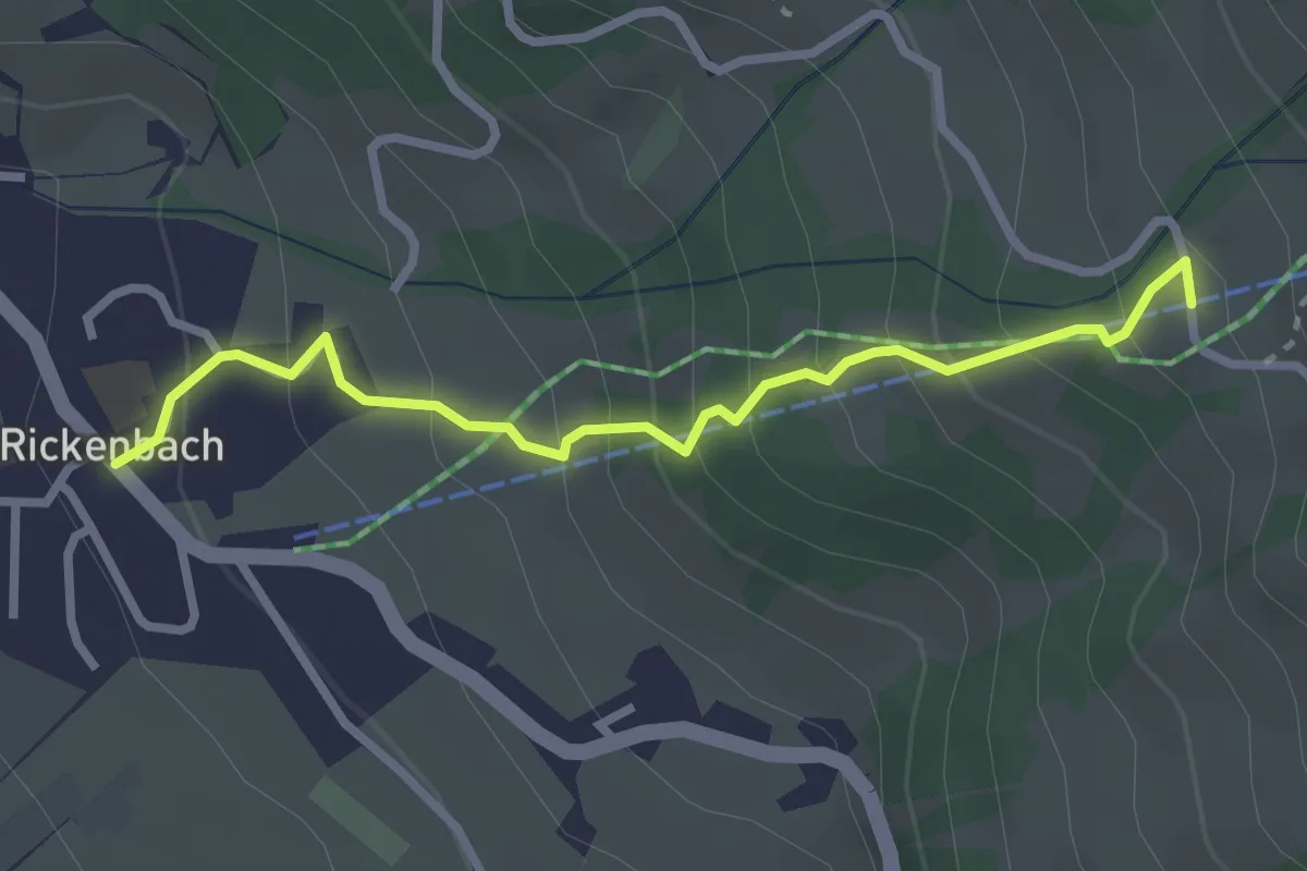
Easy · Trail
Rickenbach – Huserenberg
2.8 km · ↑ 272 m · 1 h 15 min
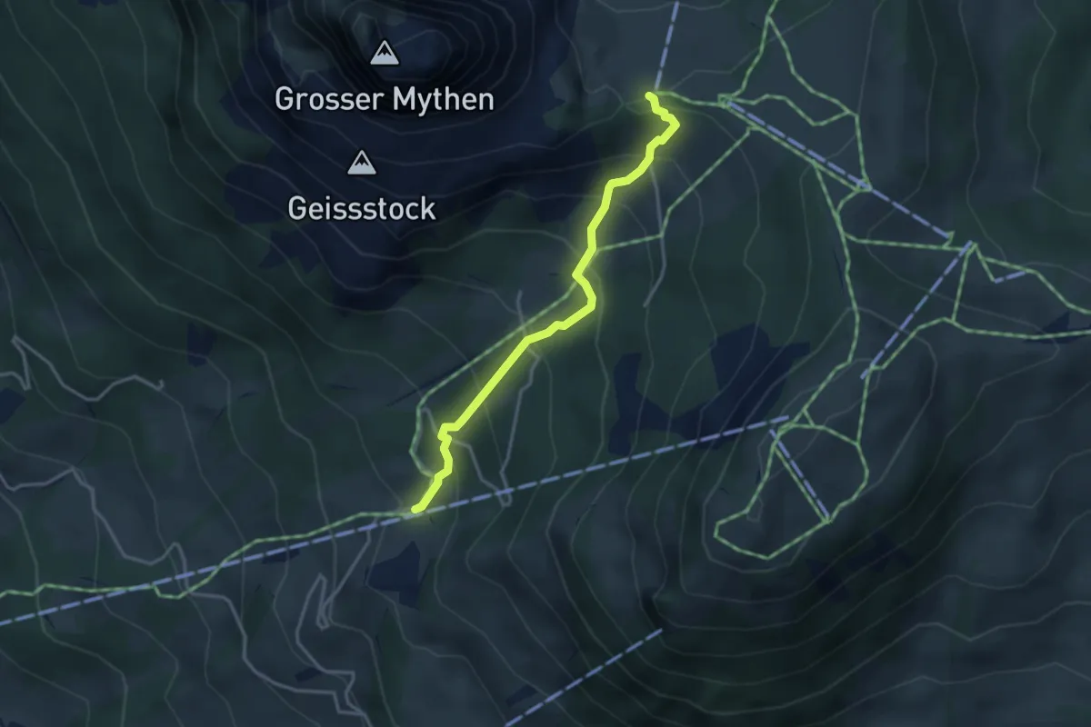
Medium · Trail
Rätigs – Holzegg
3.2 km · ↑ 325 m · 1 h 27 min
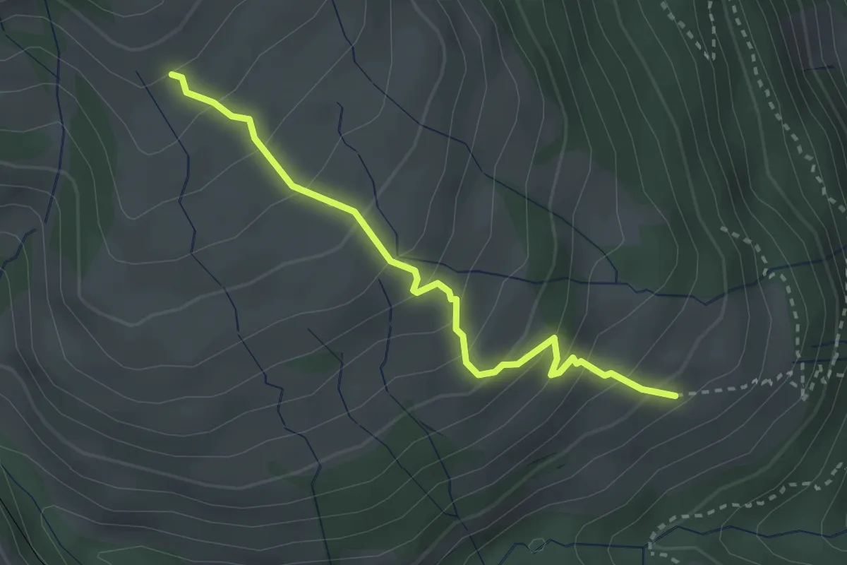
Medium · Trail
Schwändi – Resti
2.8 km · ↑ 289 m · 1 h 18 min
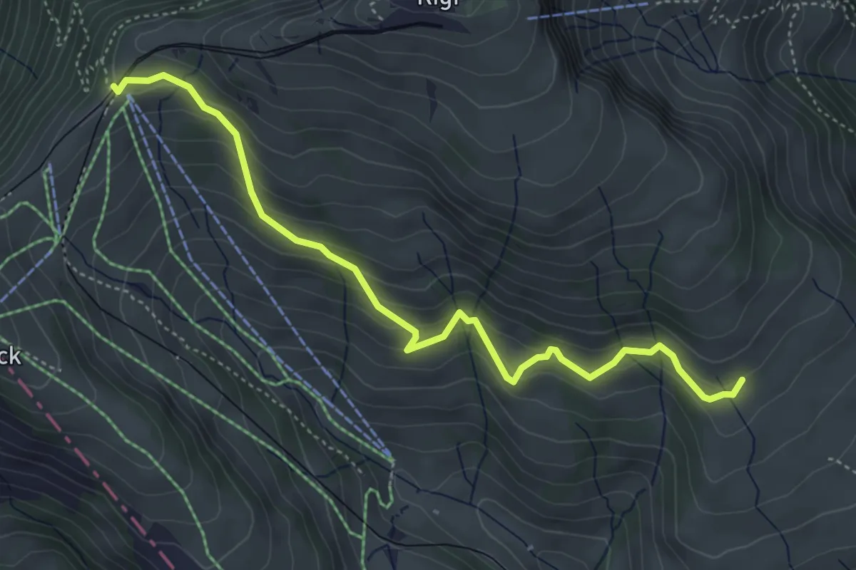
Medium · Trail
Schwändi – Rigi Staffel
4.8 km · ↑ 349 m · 1 h 54 min
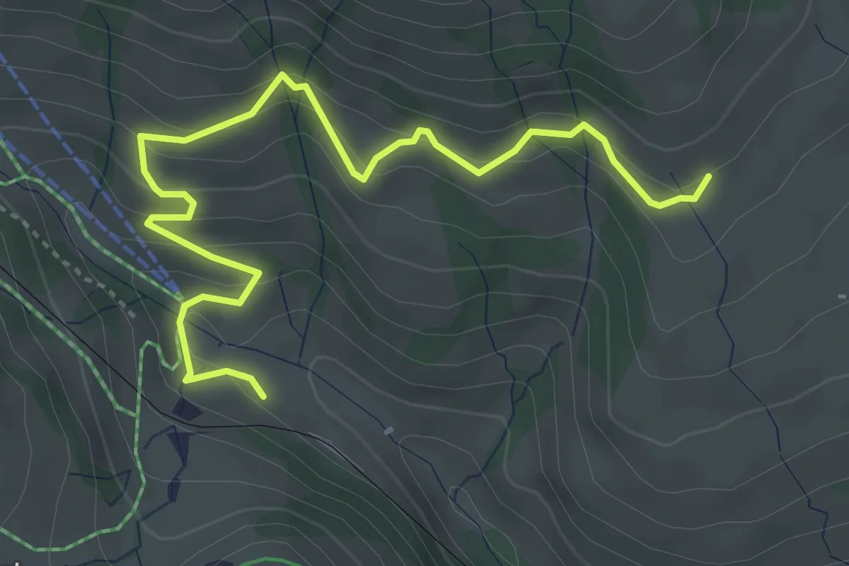
Medium · Trail
Schwändi – Rigi Klösterli
4.5 km · ↑ 328 m · 1 h 47 min
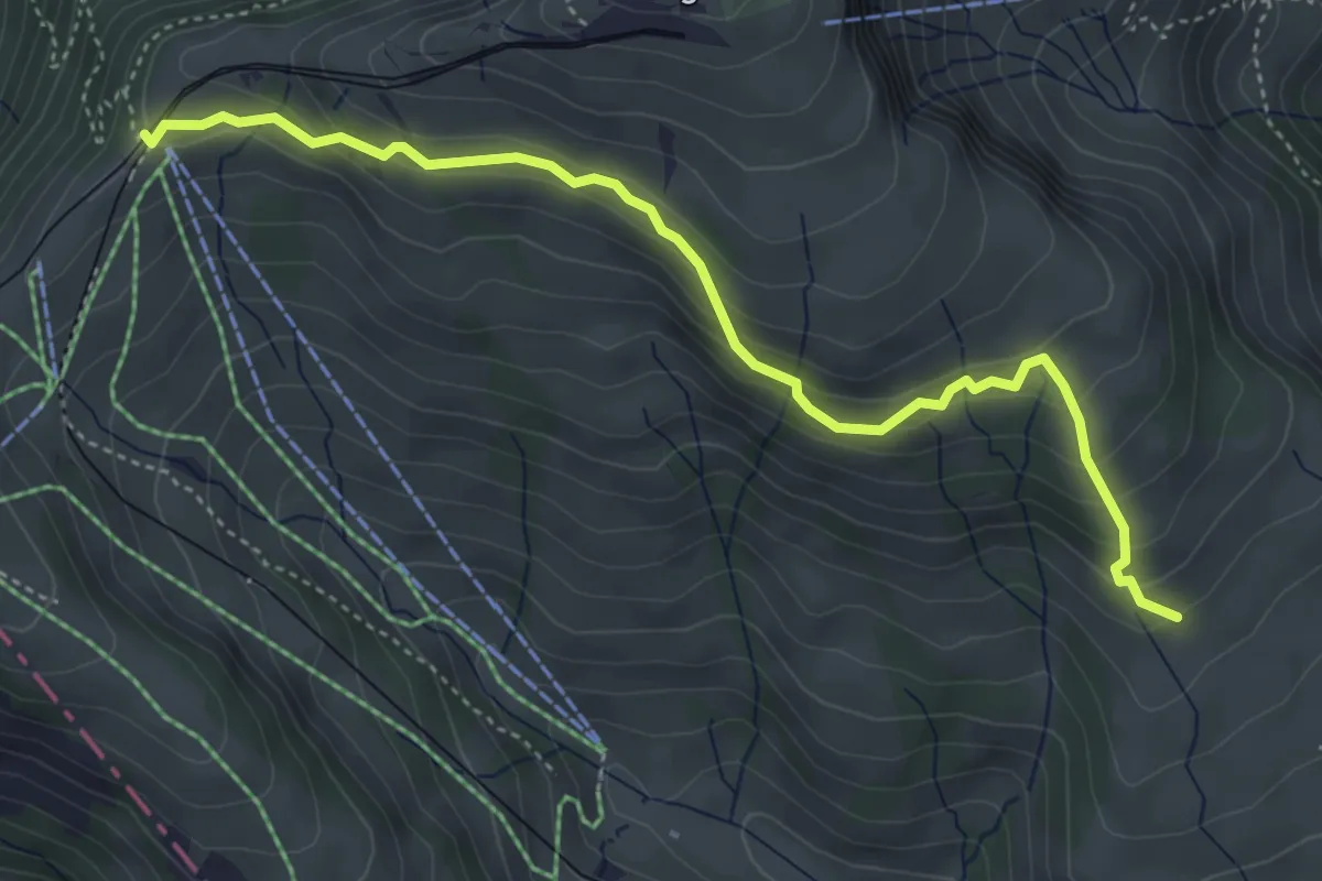
Medium · Trail
Schwändi – Rigi Staffel
4.6 km · ↑ 296 m · 1 h 43 min
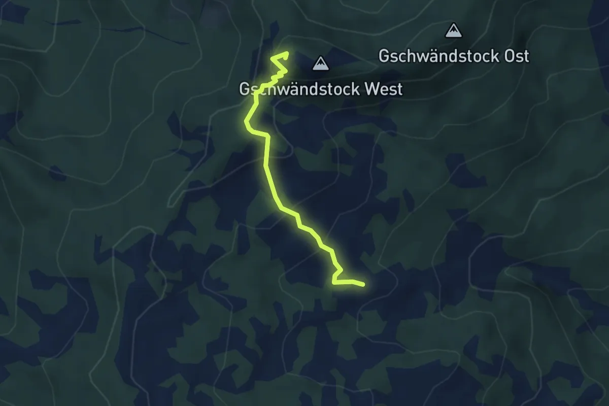
Medium · Summit
Butziflue – Surbrunnenhütte
3.4 km · ↑ 241 m · 1 h 20 min
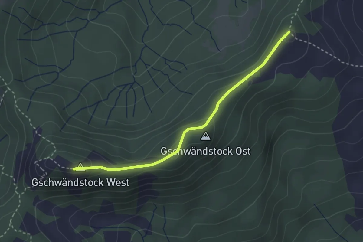
Medium · Summit
Butziflue – Regenegg
2.9 km · ↑ 144 m · 1 h
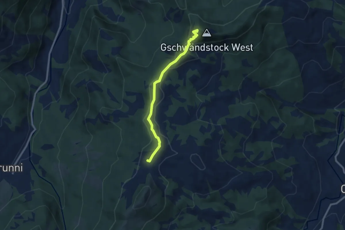
Medium · Summit
Butziflue – Furggelen
5.8 km · ↑ 202 m · 1 h 48 min
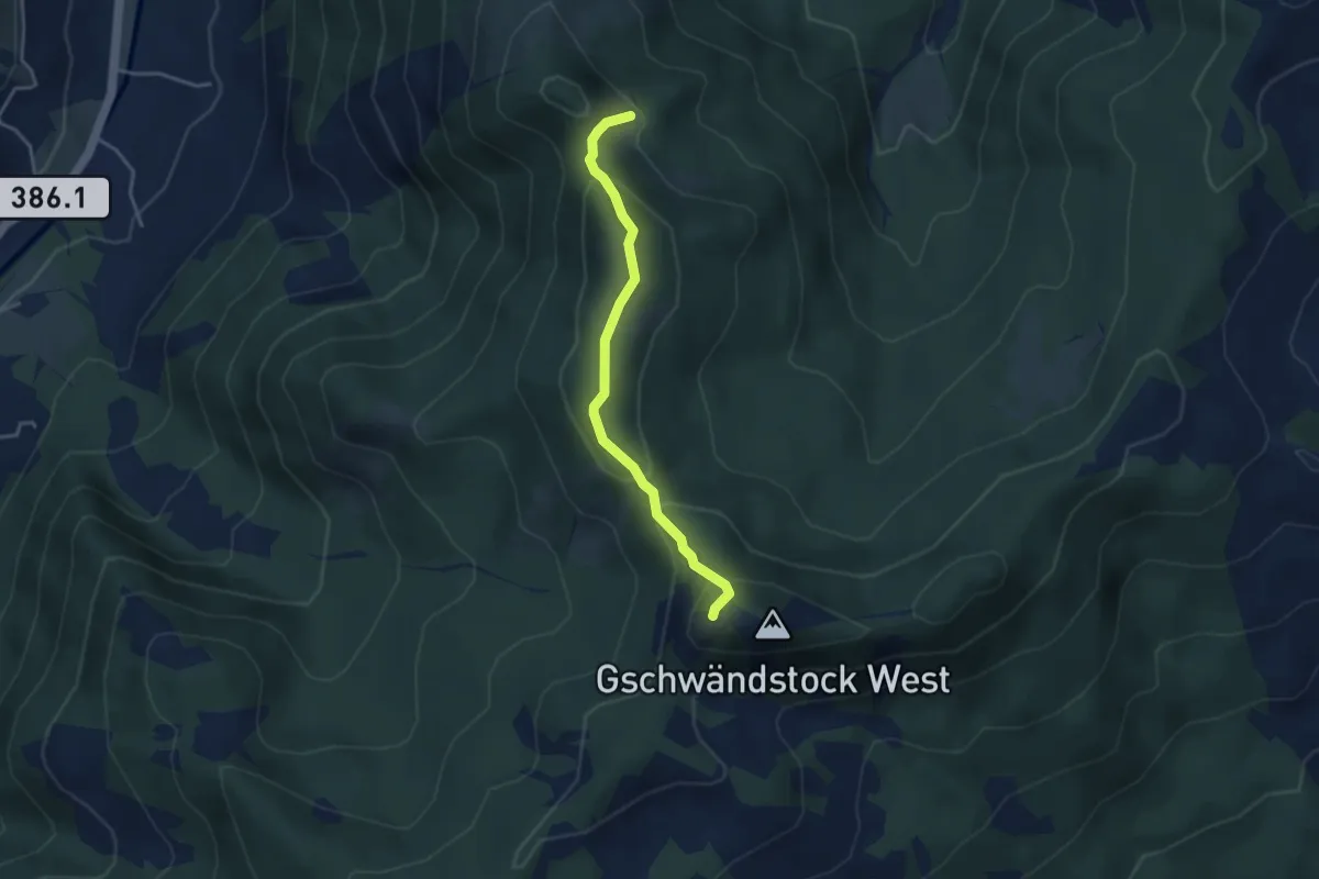
Medium · Summit
Stockhütte – Butziflue
3.5 km · ↑ 222 m · 1 h 18 min
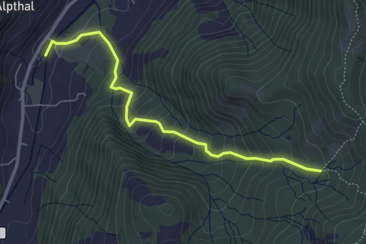
Medium · Trail
Butzi – Alpthal
5.0 km · ↑ 418 m · 2 h 5 min
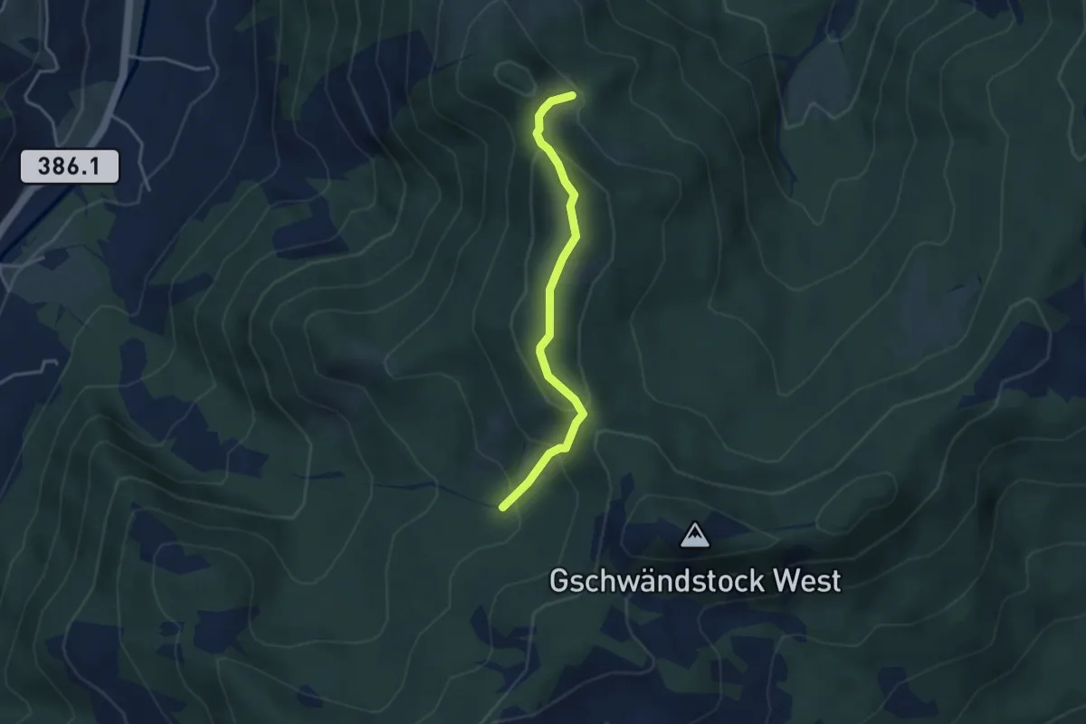
Easy · Trail
Stockhütte – Butzi
3.3 km · ↑ 207 m · 1 h 14 min
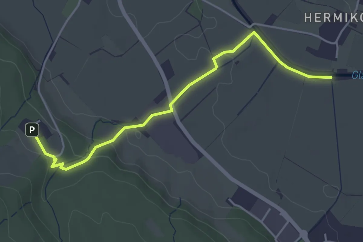
Easy · Trail
Waldmannsburg – Hermikon
4.1 km · ↑ 81 m · 1 h 9 min
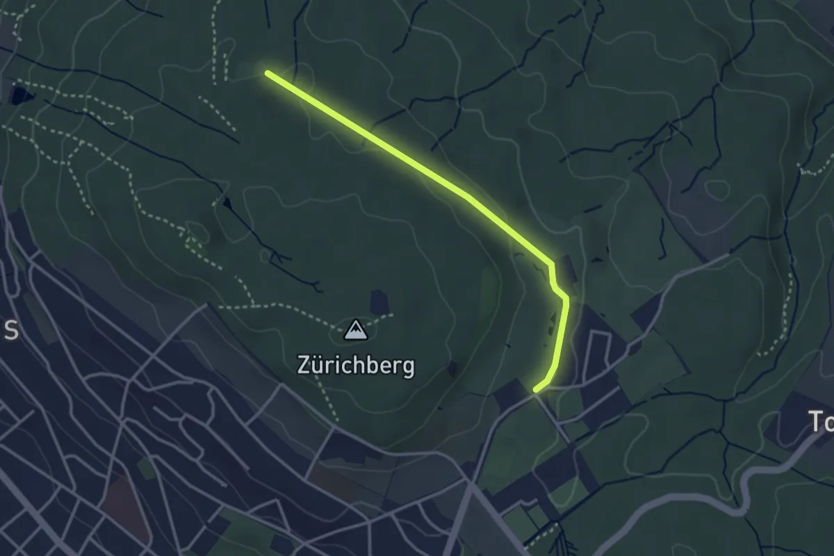
Easy · Trail
Waldhüsli – Zoo
2.9 km · ↑ 32 m · 46 min
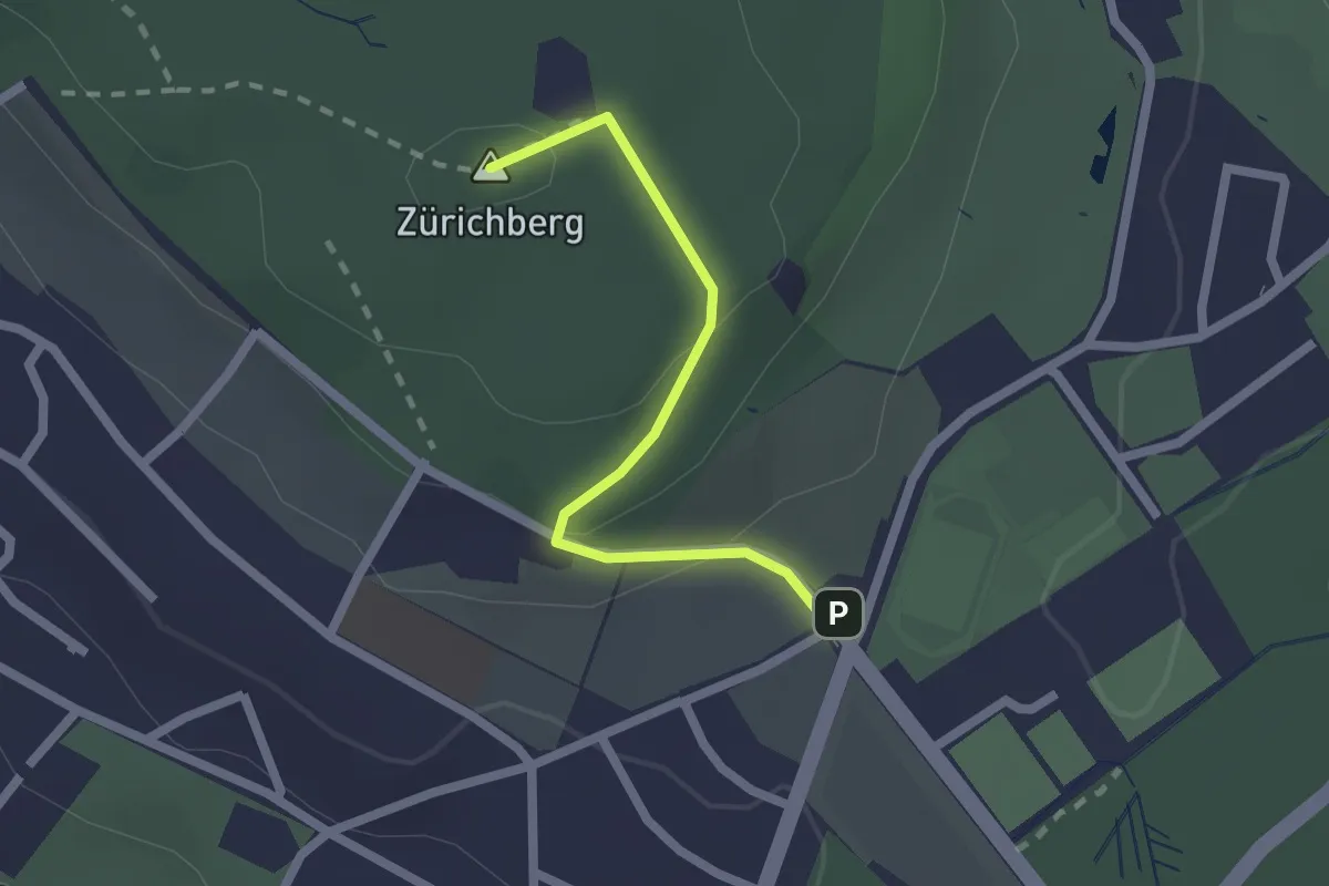
Easy · Summit
Zürichberg – Fluntern
1.9 km · ↑ 70 m · 35 min
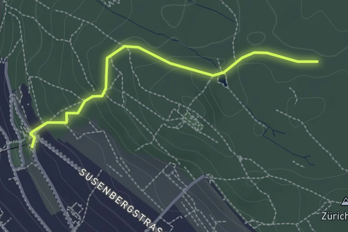
Easy · Trail
Rigiblick – Zürichberg
2.4 km · ↑ 76 m · 44 min
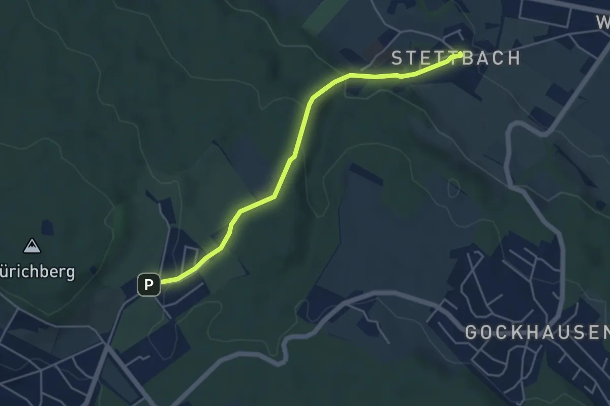
Easy · Trail
Stettbach – Zoo
4.1 km · ↑ 155 m · 1 h 18 min
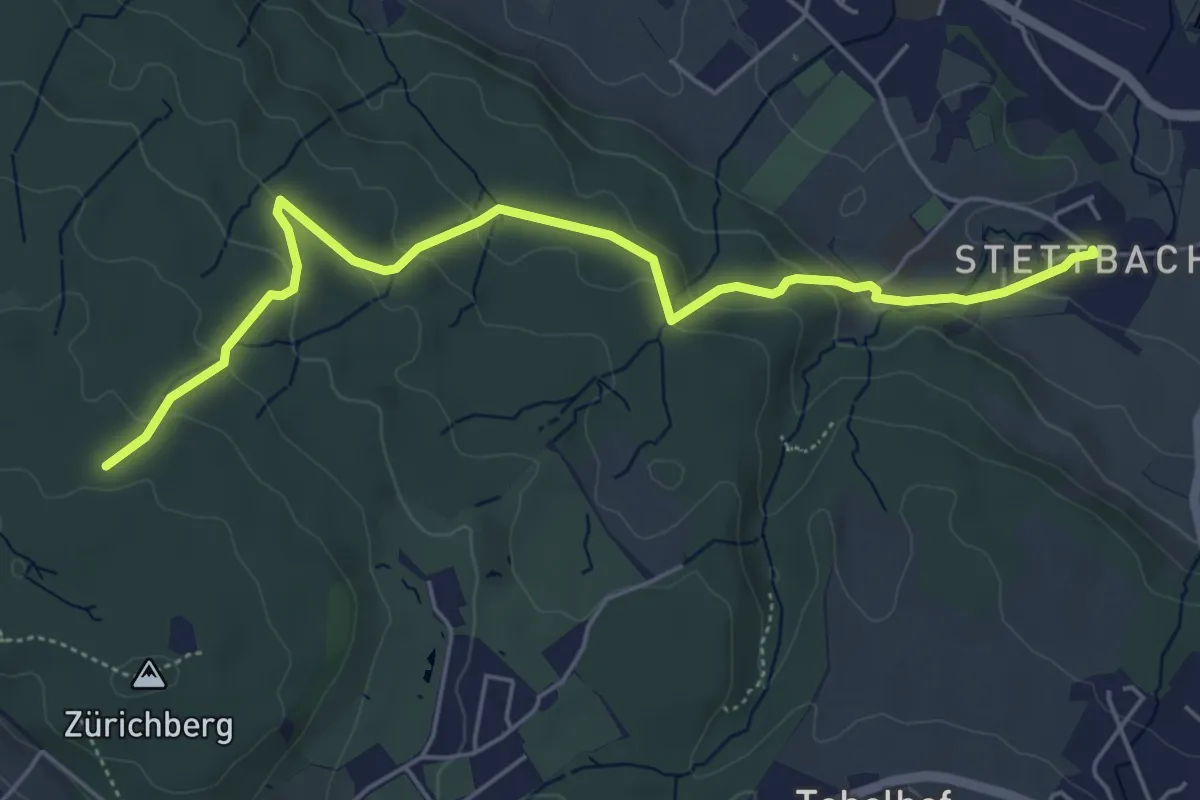
Easy · Trail
Stettbach – Zürichberg
5.6 km · ↑ 230 m · 1 h 50 min
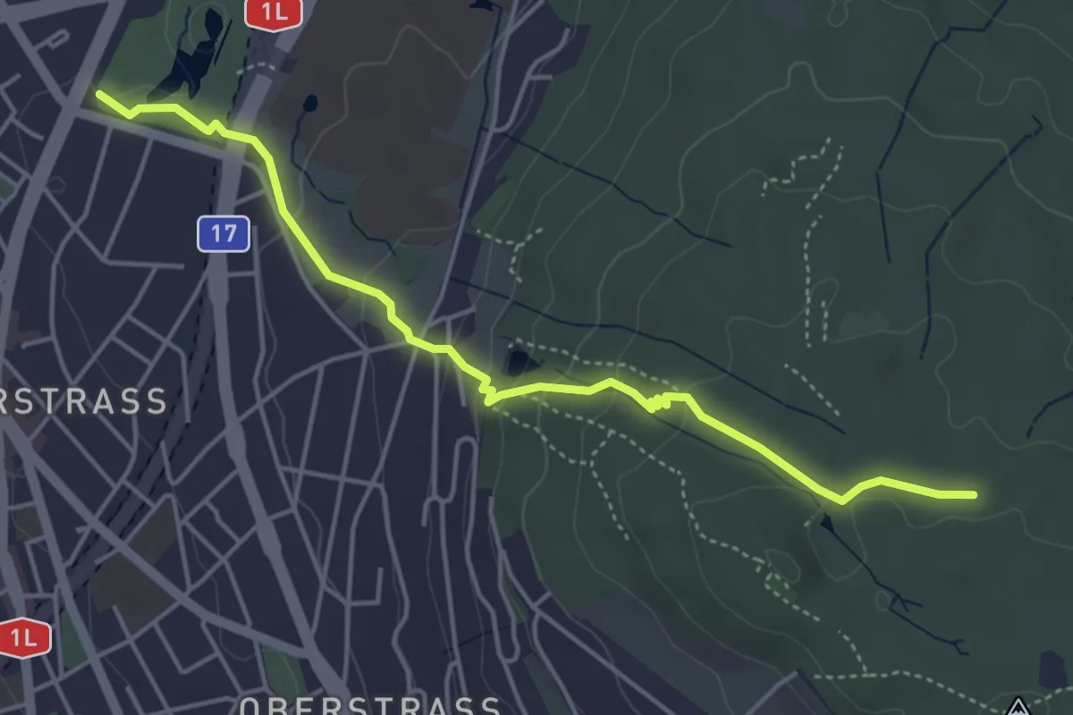
Easy · Trail
Milchbuck – Zürichberg
4.7 km · ↑ 173 m · 1 h 29 min
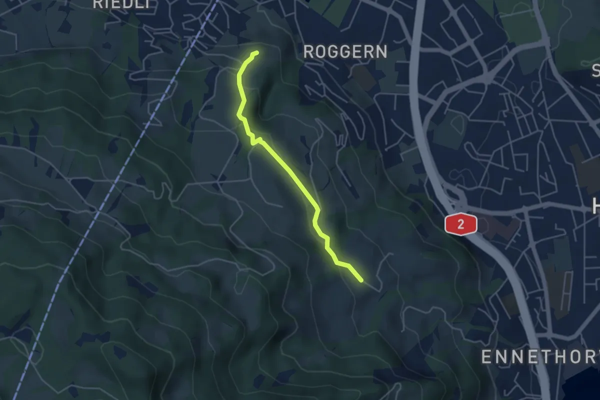
Easy · Trail
Kreuel – Schloss Schauensee
3.7 km · ↑ 154 m · 1 h 13 min
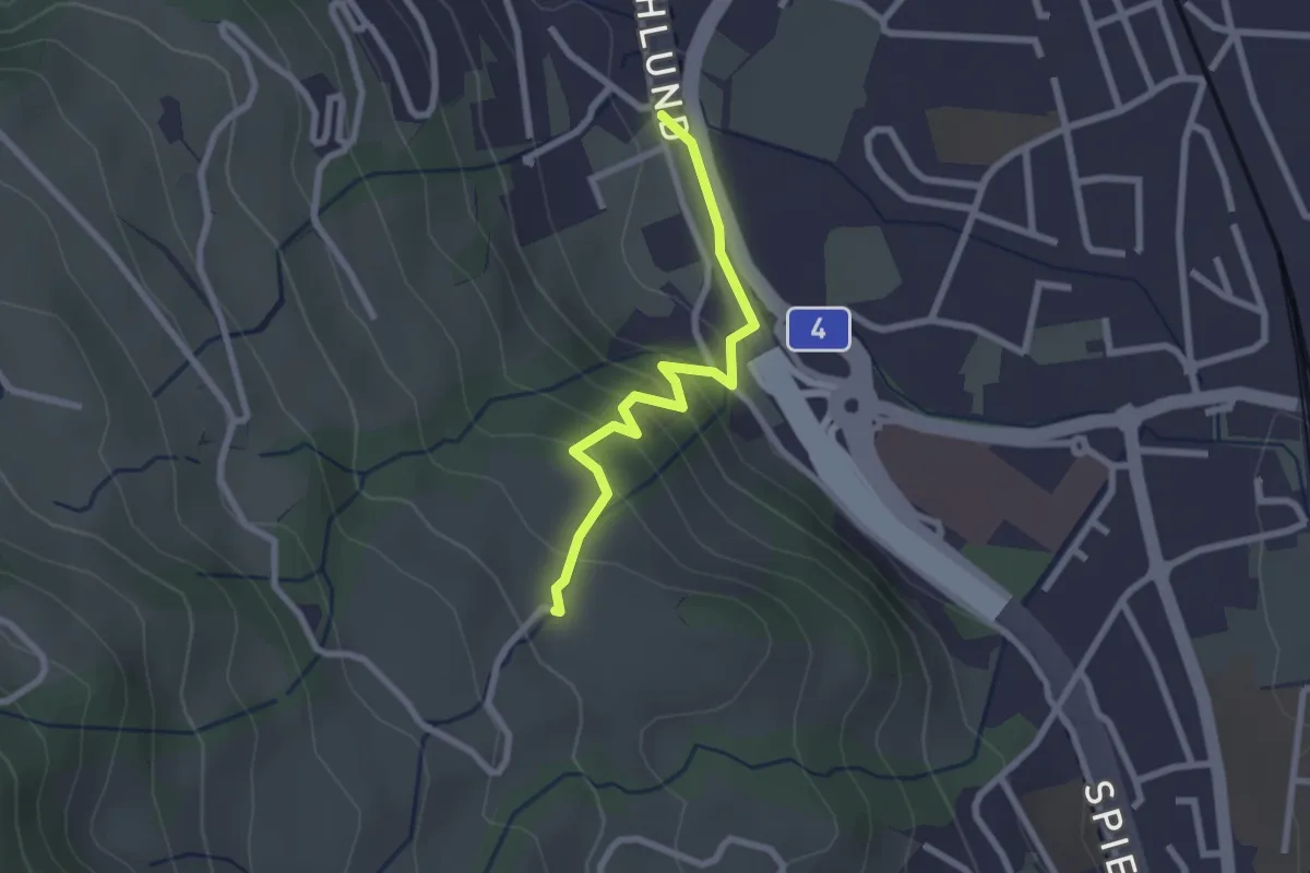
Easy · Trail
Schlund – Ober Strick
2.3 km · ↑ 138 m · 51 min