Trails in Switzerland
15,055 hiking trails, each with its route, climb, walking time and grade.
All trails, page 290 of 314
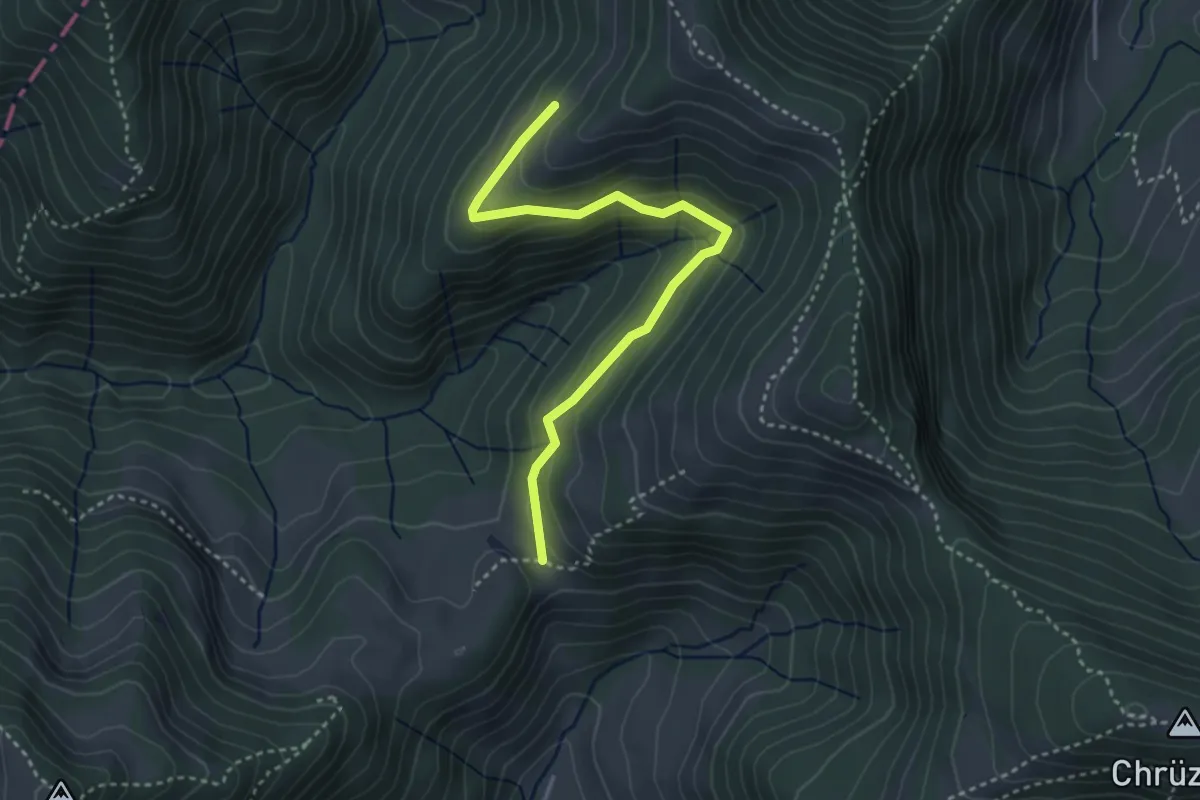
Easy · Trail
Chreuel – Hand
3.5 km · ↑ 197 m · 1 h 15 min
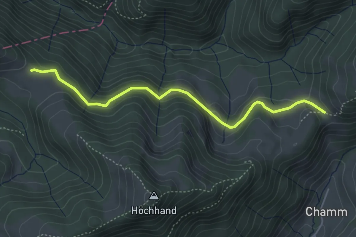
Easy · Trail
Hand – Schwämi
4.2 km · ↑ 167 m · 1 h 22 min
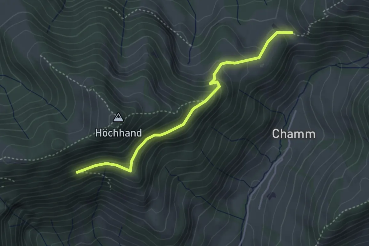
Medium · Trail
Hand – Wirtsberg
3.6 km · ↑ 253 m · 1 h 24 min
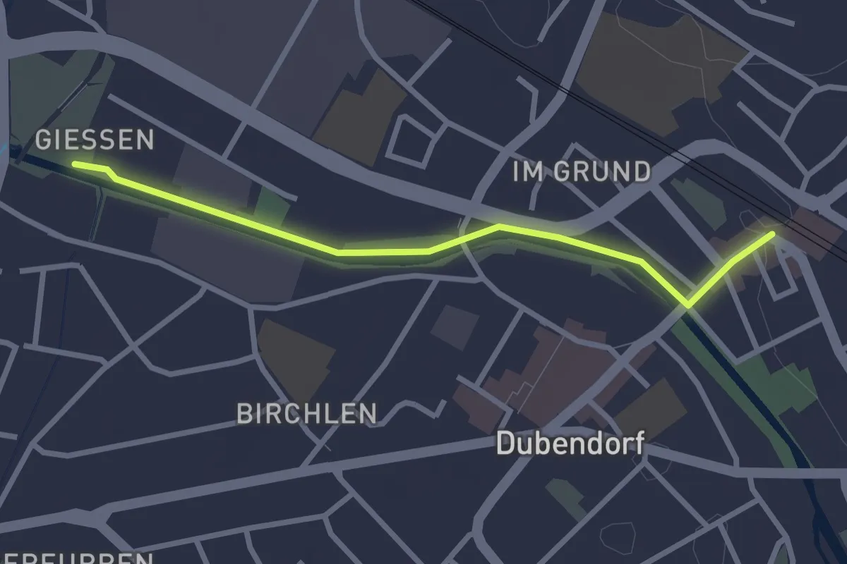
Easy · Trail
Dübendorf – Giessen
2.5 km · ↑ 8 m · 37 min
Easy · Trail
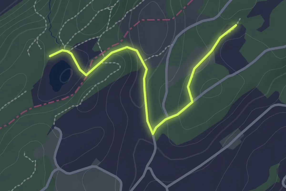
Wagemoos – Schlittenried
2.6 km · ↑ 39 m · 42 min
Easy · Trail
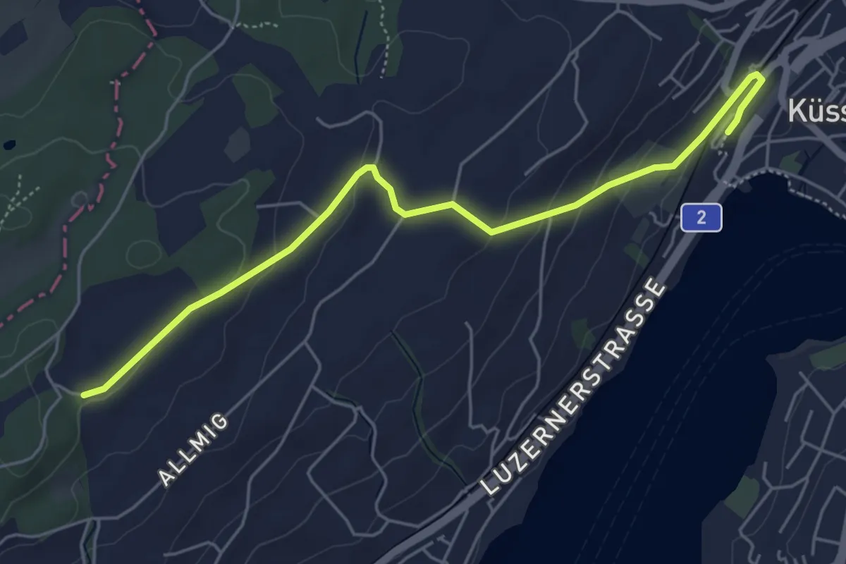
Forenmoos – Küssnacht
5.5 km · ↑ 152 m · 1 h 38 min
Easy · Summit
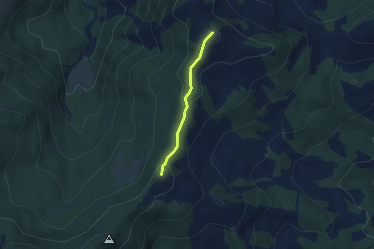
Regenegg – Spital
2.6 km · ↑ 100 m · 50 min
Medium · Summit
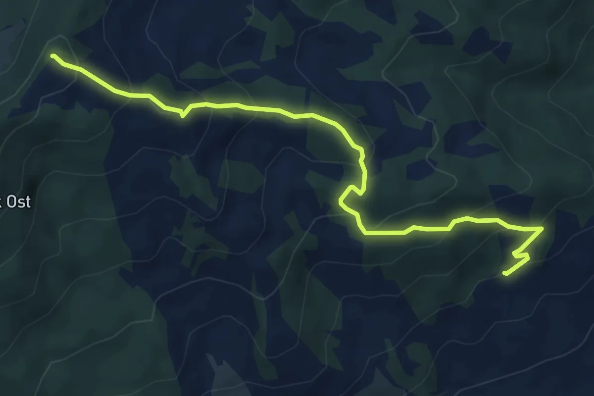
Regenegg – Höch Gütsch
6.4 km · ↑ 422 m · 2 h 26 min
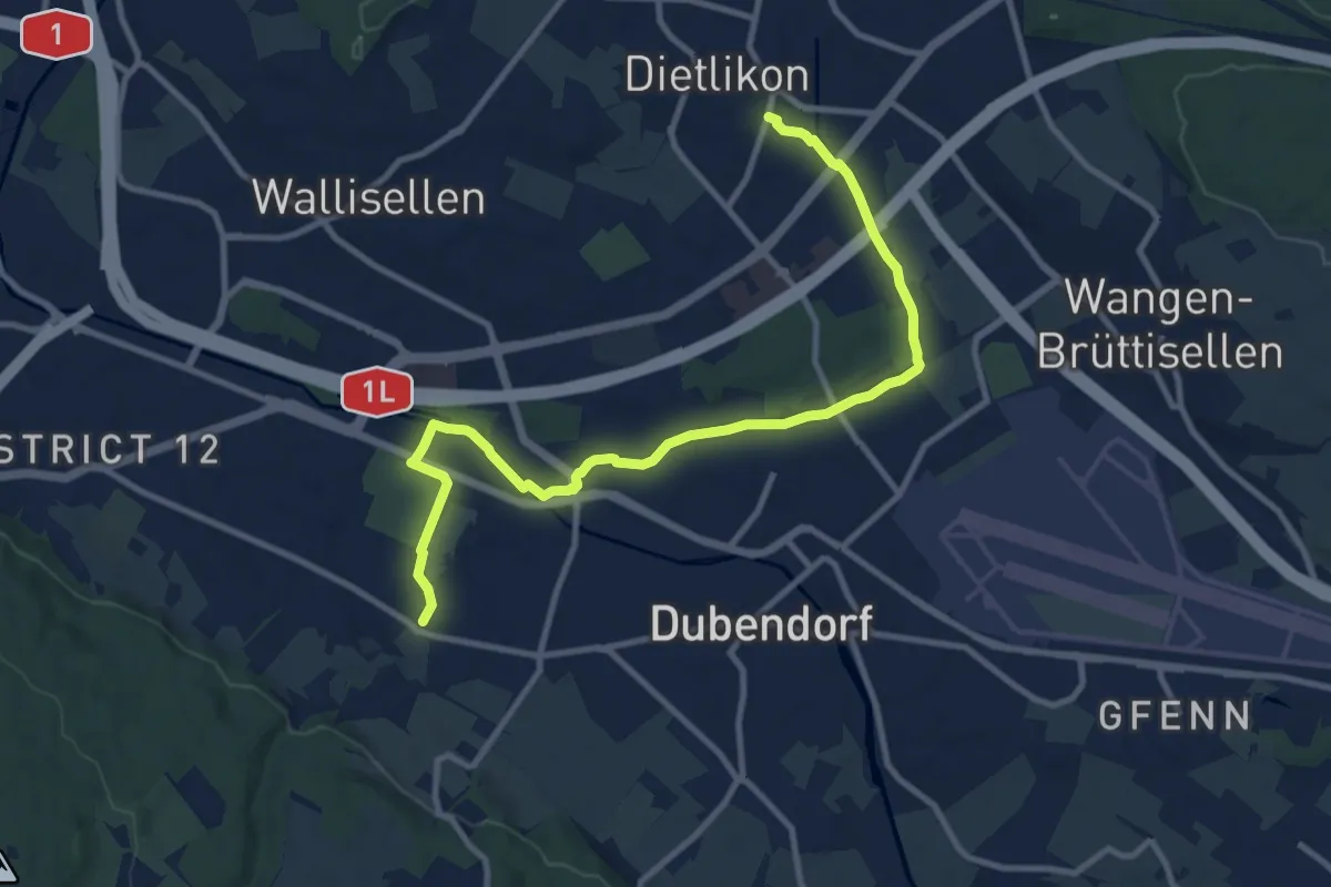
Medium · Trail
Stettbach Bahnhof – Dietlikon
11.5 km · ↑ 45 m · 2 h 49 min
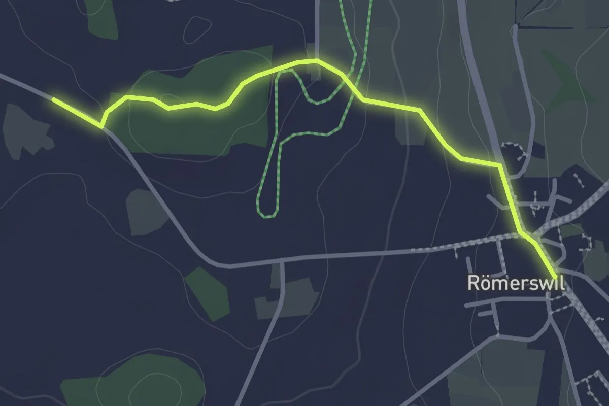
Easy · Trail
Römerswil – Bromen
2.7 km · ↑ 71 m · 48 min
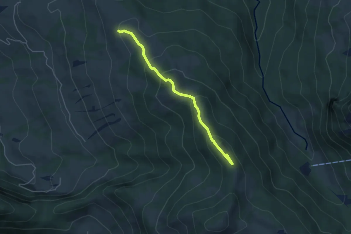
Medium · Summit
Rötstock – Schwarzenegghöchi
3.9 km · ↑ 225 m · 1 h 25 min
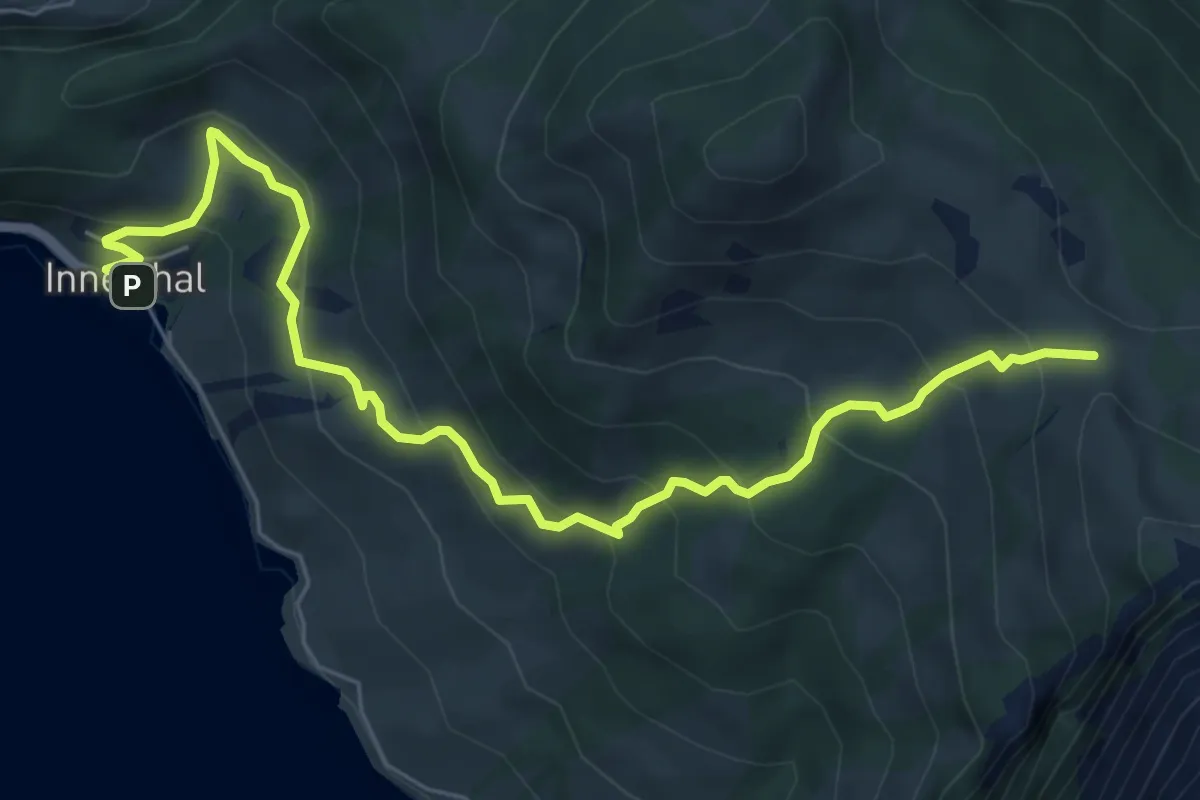
Medium · Trail
Innerthal – Schwarzenegghöchi
7.4 km · ↑ 522 m · 2 h 52 min
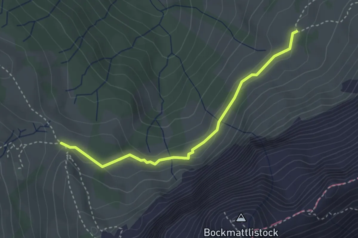
Medium · Trail
Trepsen – Schwarzenegghöchi
3.0 km · ↑ 82 m · 54 min
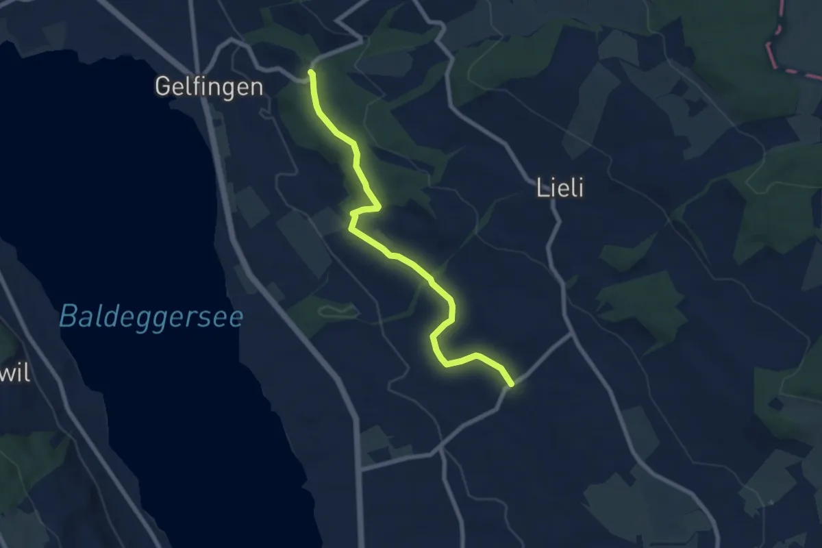
Easy · Trail
Schloss Heidegg – Kleinwangen
6.9 km · ↑ 162 m · 1 h 58 min
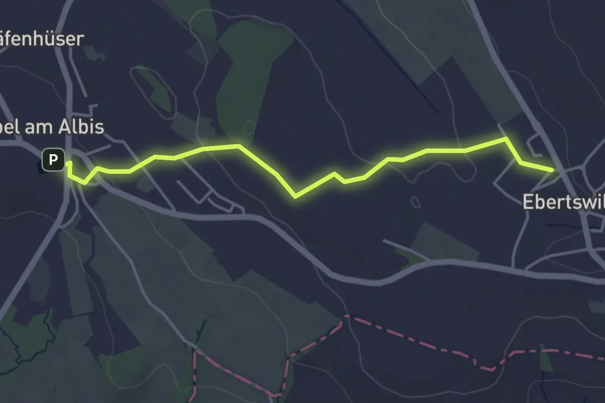
Easy · Trail
Ebertswil – Kappel a.A. (Bus)
3.9 km · ↑ 66 m · 1 h 4 min
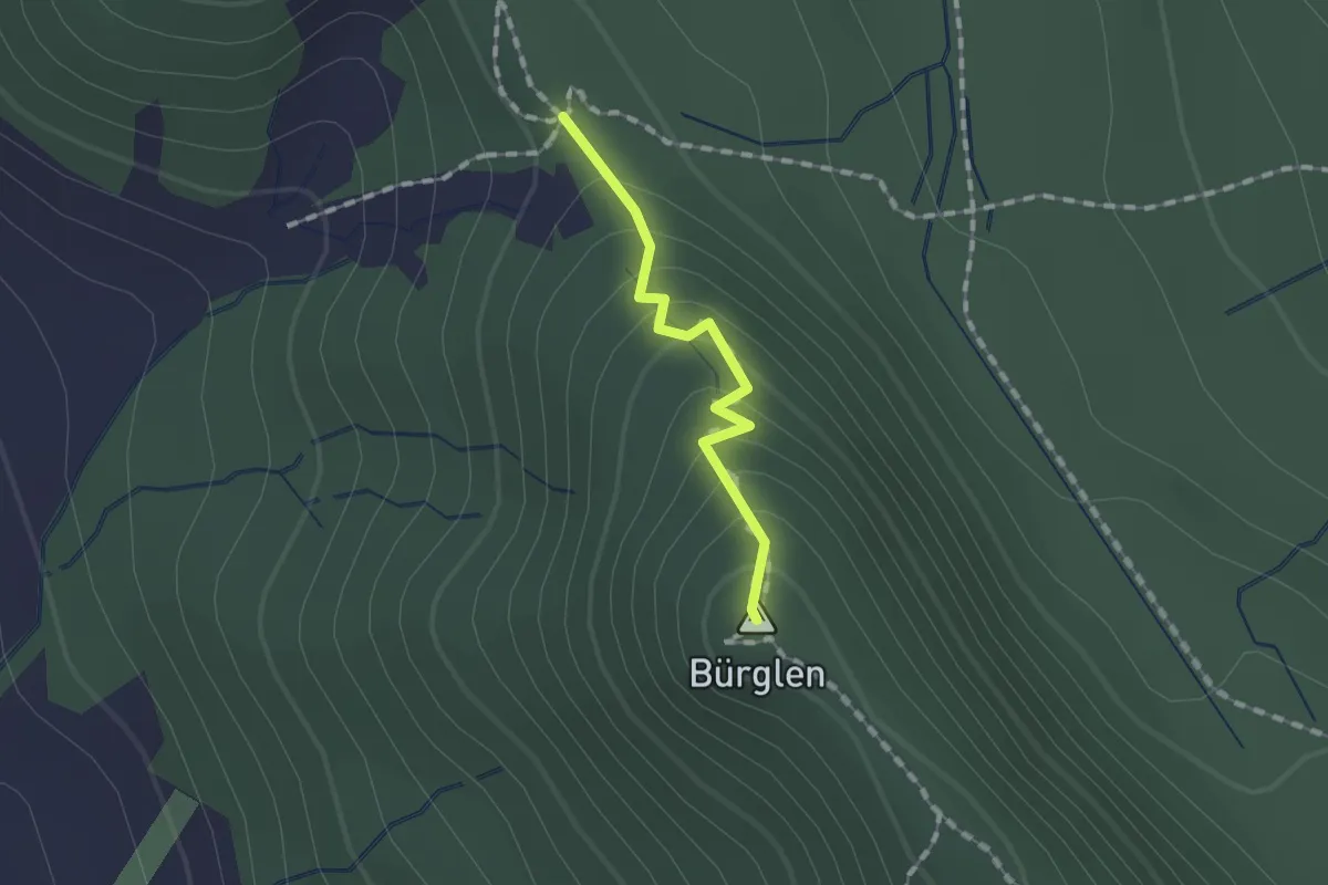
Easy · Summit
Albishorn – Schnabellücken
1.1 km · ↑ 93 m · 27 min
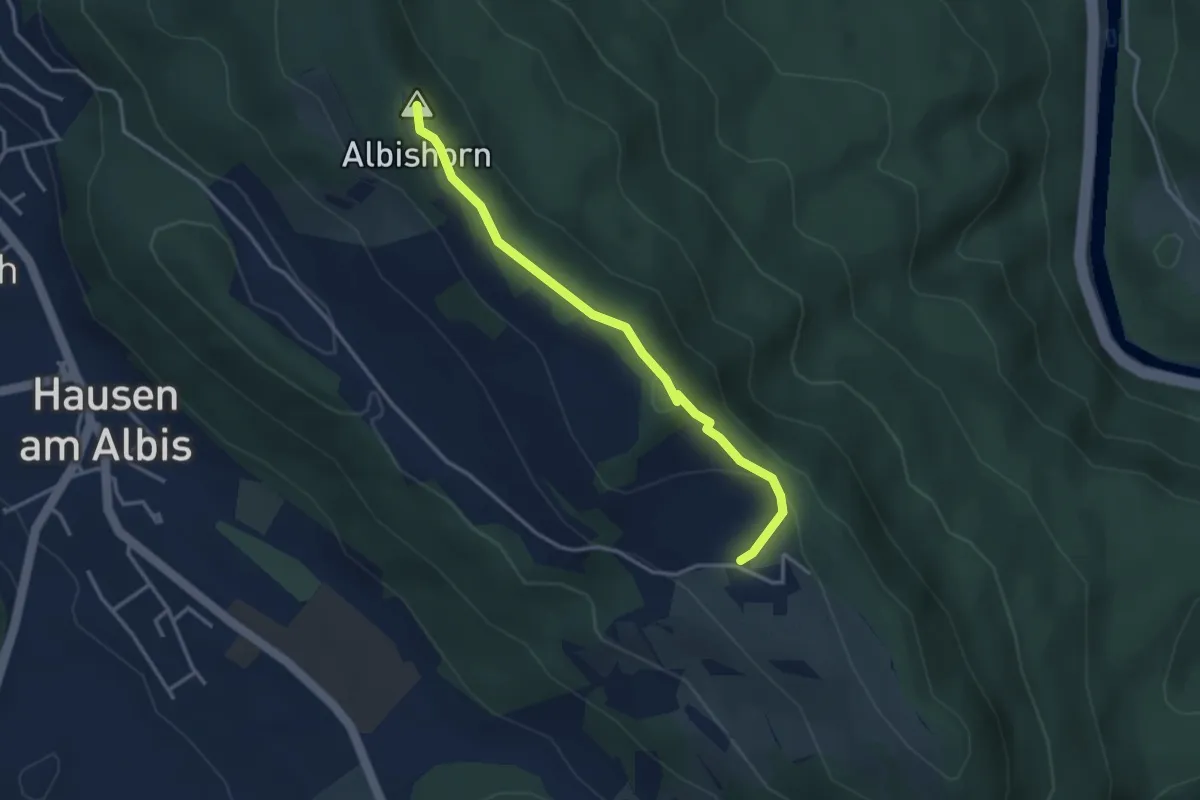
Easy · Summit
Ober Albis – Albishorn
3.3 km · ↑ 149 m · 1 h 6 min
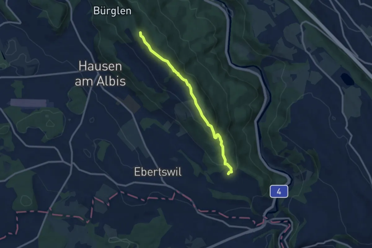
Easy · Summit
Albishorn – Schweikhof
7.4 km · ↑ 318 m · 2 h 26 min
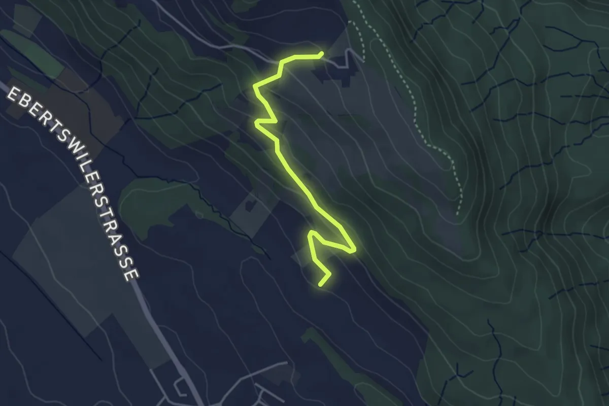
Easy · Trail
Husertal – Ober Albis
3.5 km · ↑ 154 m · 1 h 9 min
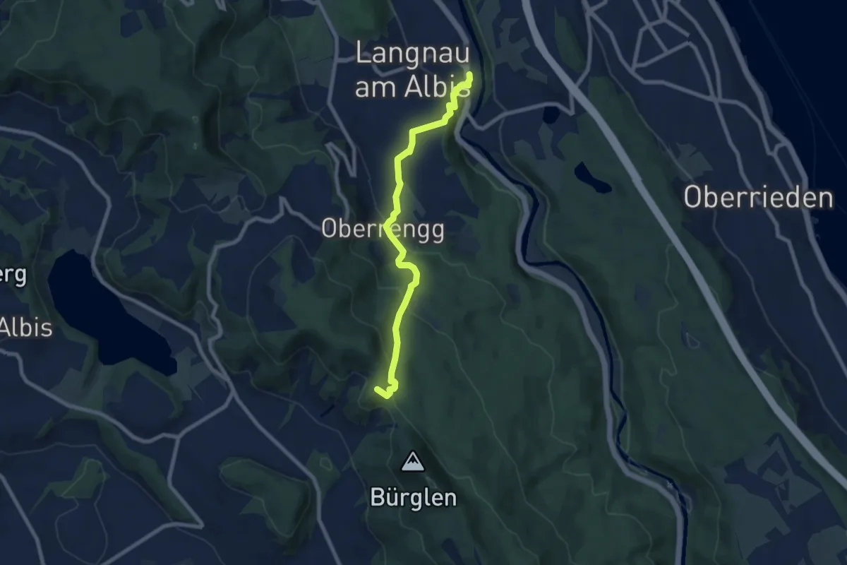
Medium · Summit
Schnabellücke – Langnau-Gattikon
7.2 km · ↑ 371 m · 2 h 31 min
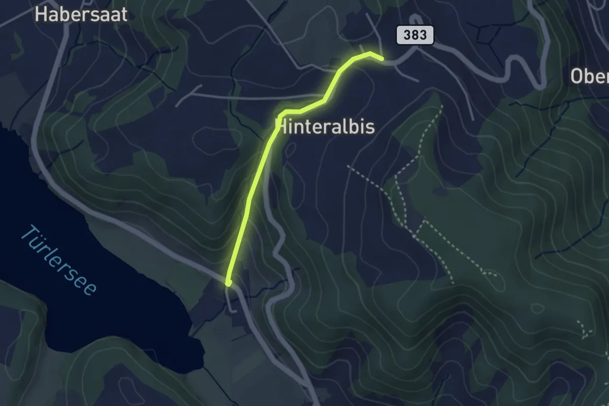
Easy · Trail
Albispass – Türlen
2.6 km · ↑ 131 m · 54 min
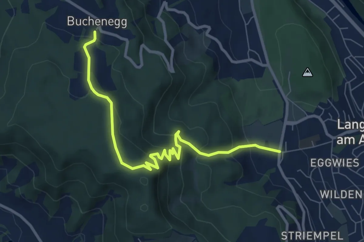
Medium · Trail
Näfenhüser – Unteralbis
7.3 km · ↑ 456 m · 2 h 42 min
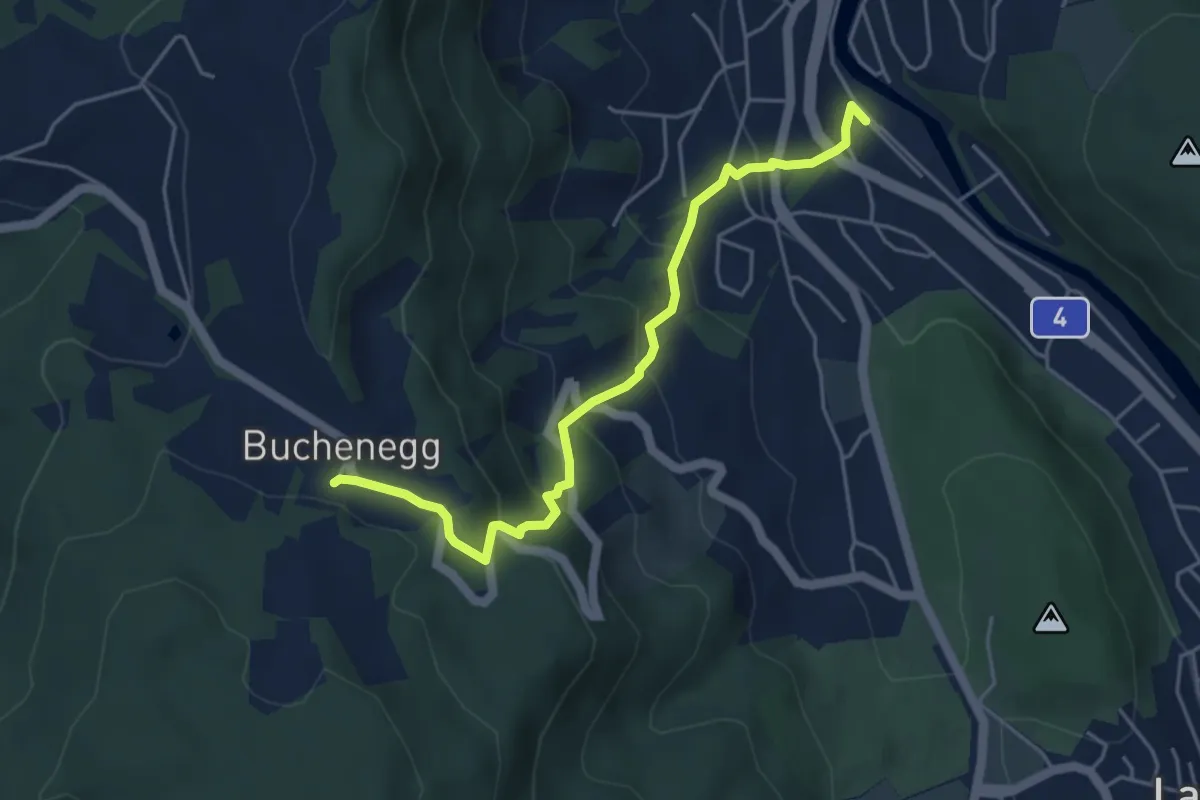
Medium · Trail
Näfenhüser – Sihlau
4.7 km · ↑ 332 m · 1 h 49 min
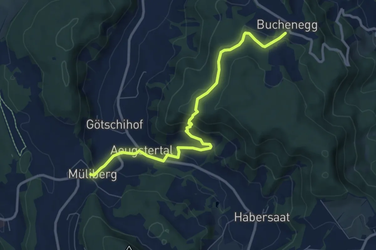
Medium · Trail
Näfenhüser – Müliberg
7.6 km · ↑ 359 m · 2 h 35 min
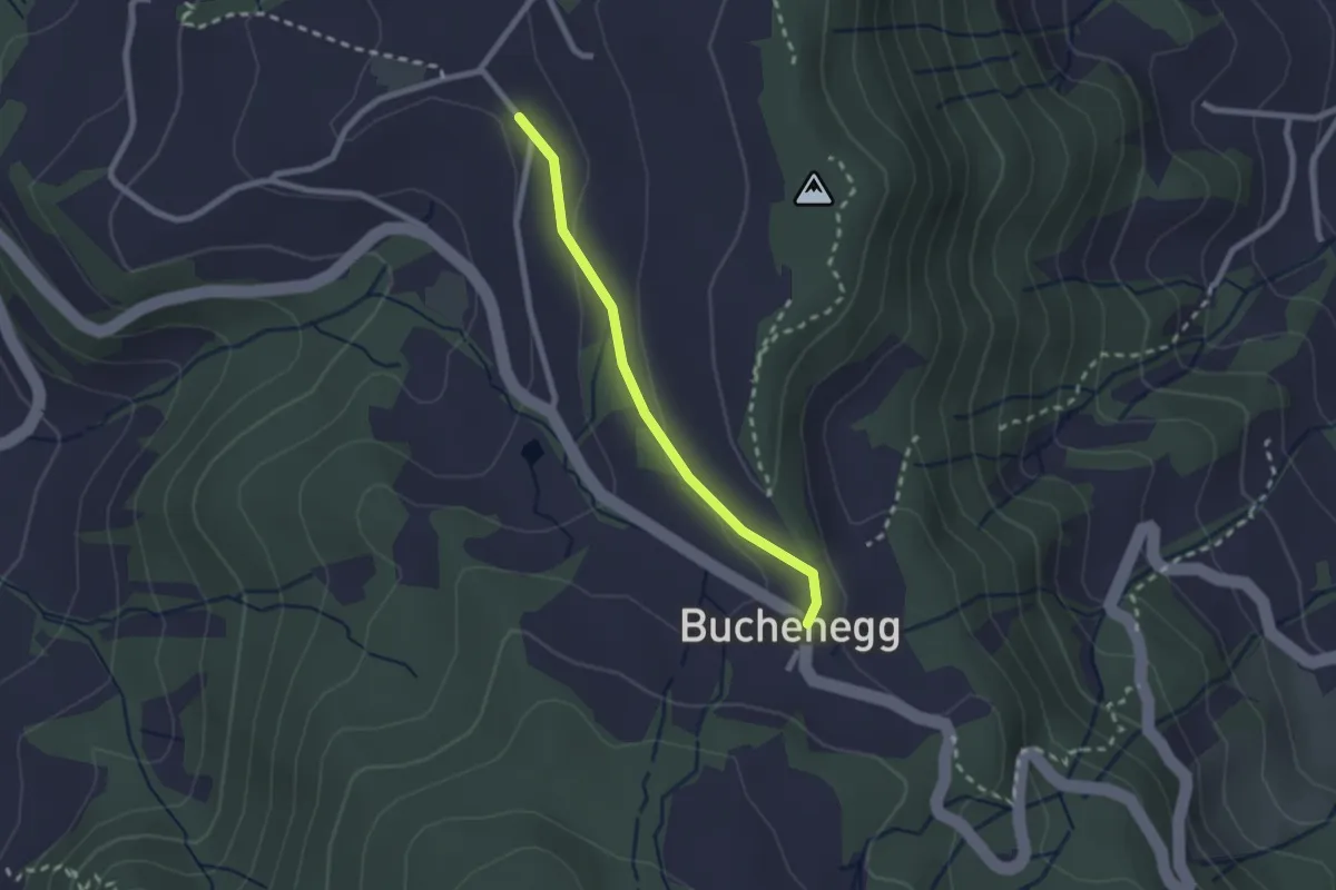
Easy · Trail
Buechenegg – Hinter Buechenegg
2.0 km · ↑ 37 m · 33 min
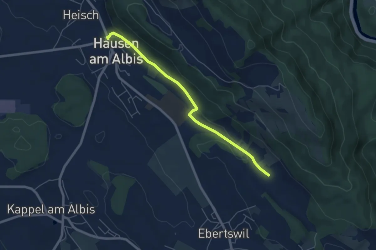
Easy · Trail
Husertal – Hausen a. A.
4.9 km · ↑ 88 m · 1 h 21 min
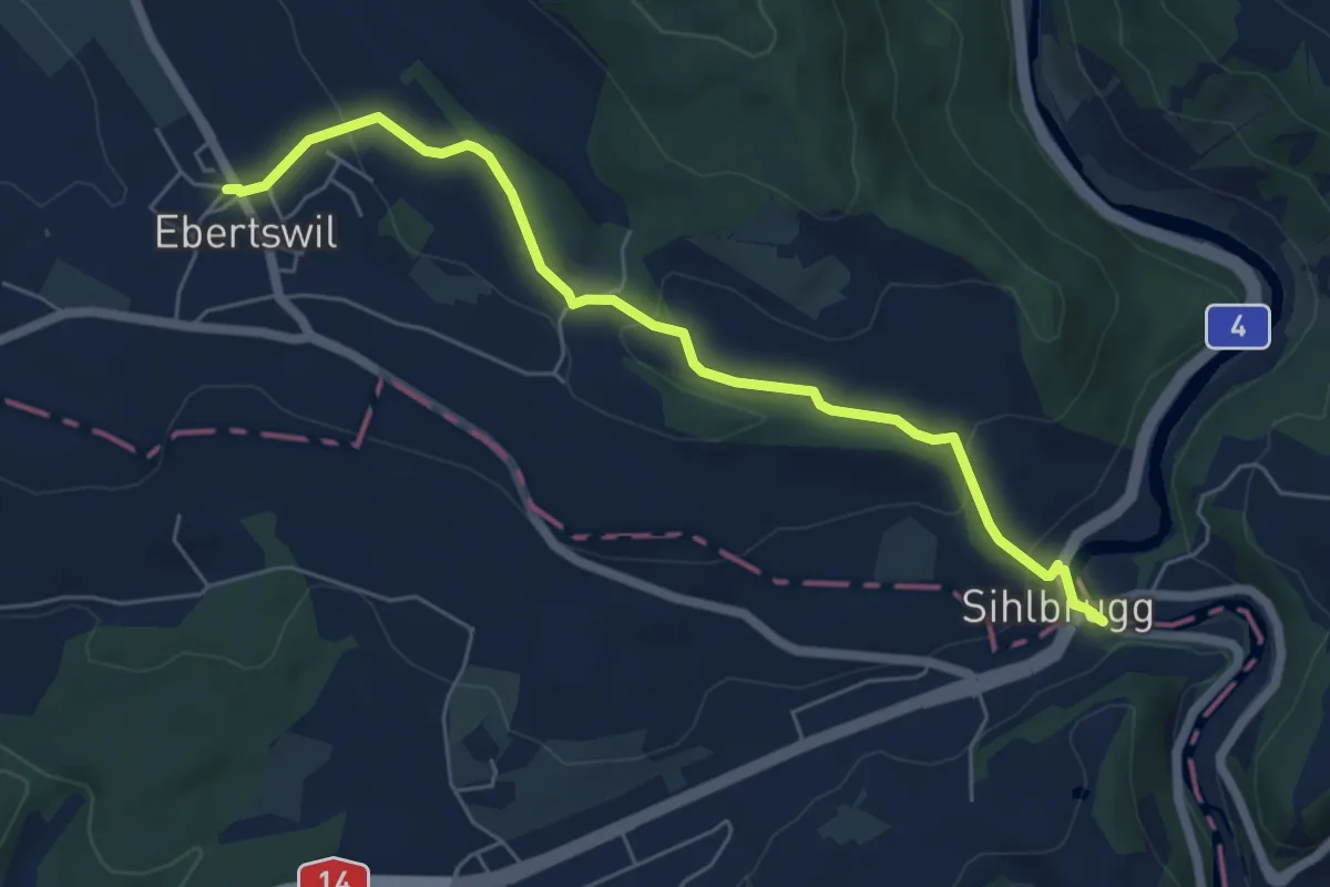
Easy · Trail
Ebertswil – Sihlbrugg Dorf
6.1 km · ↑ 202 m · 1 h 52 min
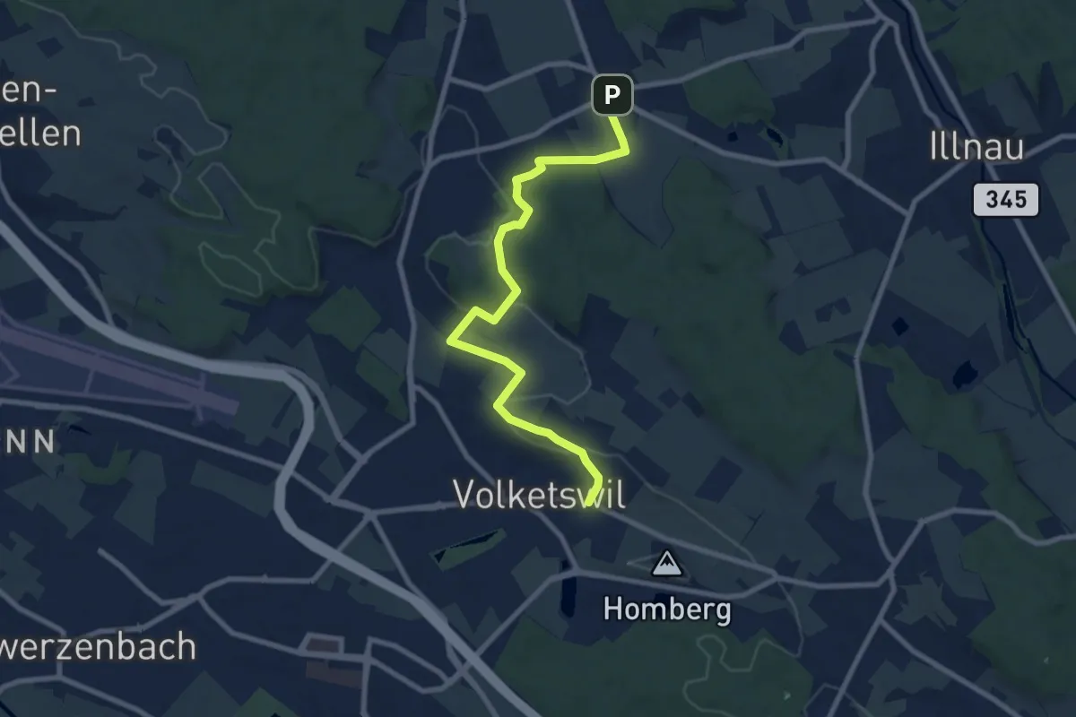
Medium · Trail
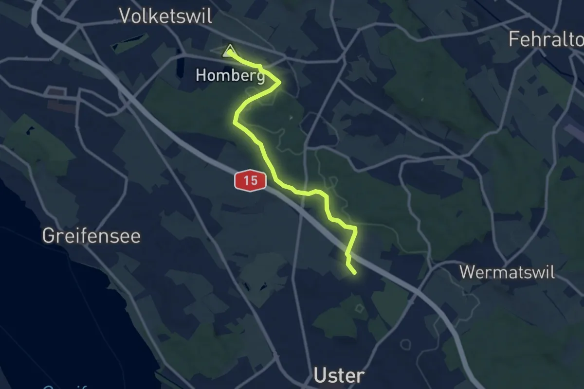
Volketswil – Bisikon
8.5 km · ↑ 135 m · 2 h 18 min
Medium · Summit
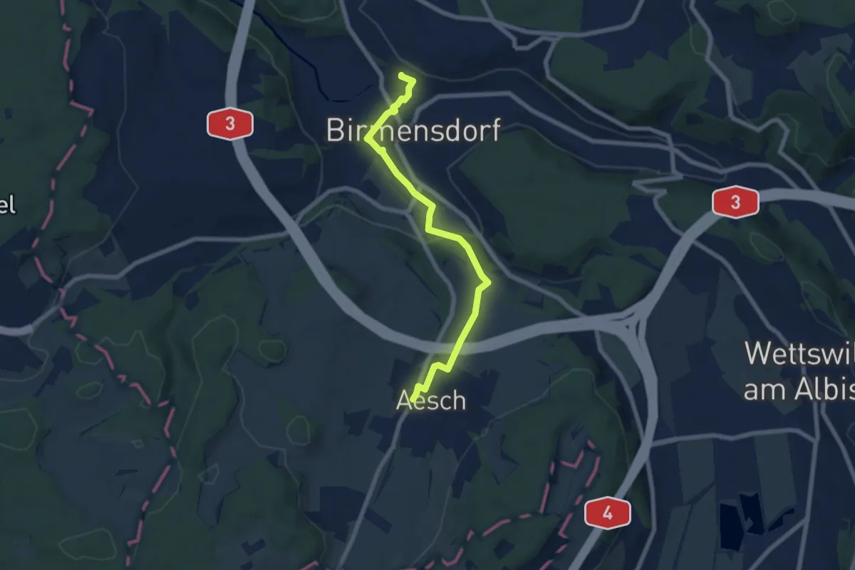
Volketswil – Winikon
8.4 km · ↑ 118 m · 2 h 15 min
Easy · Trail
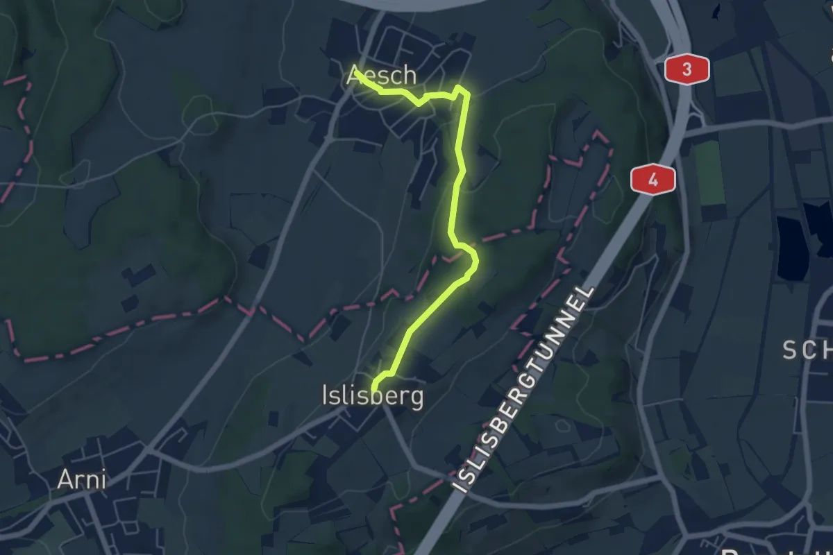
Birmensdorf – Aesch
6.3 km · ↑ 126 m · 1 h 46 min
Easy · Trail
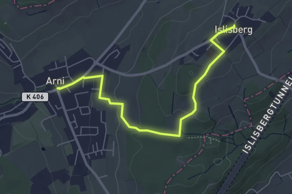
Islisberg – Aesch
4.9 km · ↑ 174 m · 1 h 32 min
Easy · Trail
Arni – Islisberg
5.3 km · ↑ 126 m · 1 h 31 min
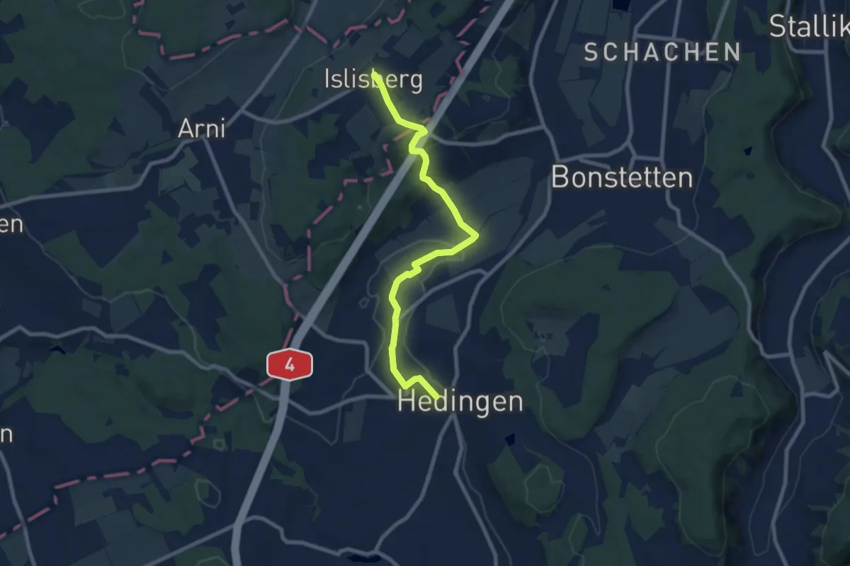
Medium · Trail
Hedingen – Islisberg
8.1 km · ↑ 198 m · 2 h 20 min
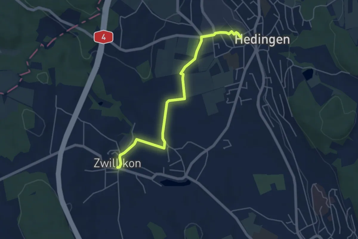
Easy · Trail
Zwillikon – Hedingen
4.6 km · ↑ 30 m · 1 h 9 min
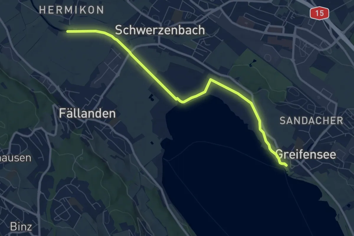
Medium · Trail
Hermikon – Greifensee
8.4 km · ↑ 13 m · 2 h
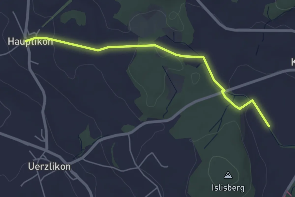
Easy · Trail
Chlostermatt – Hauptikon
4.4 km · ↑ 52 m · 1 h 9 min
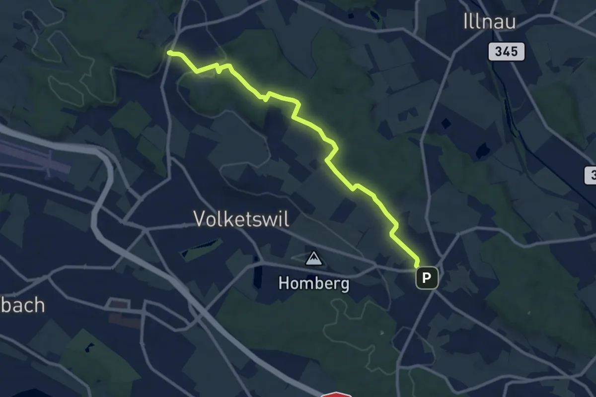
Medium · Trail
Gutenswil – Kindhausen
9.1 km · ↑ 185 m · 2 h 32 min
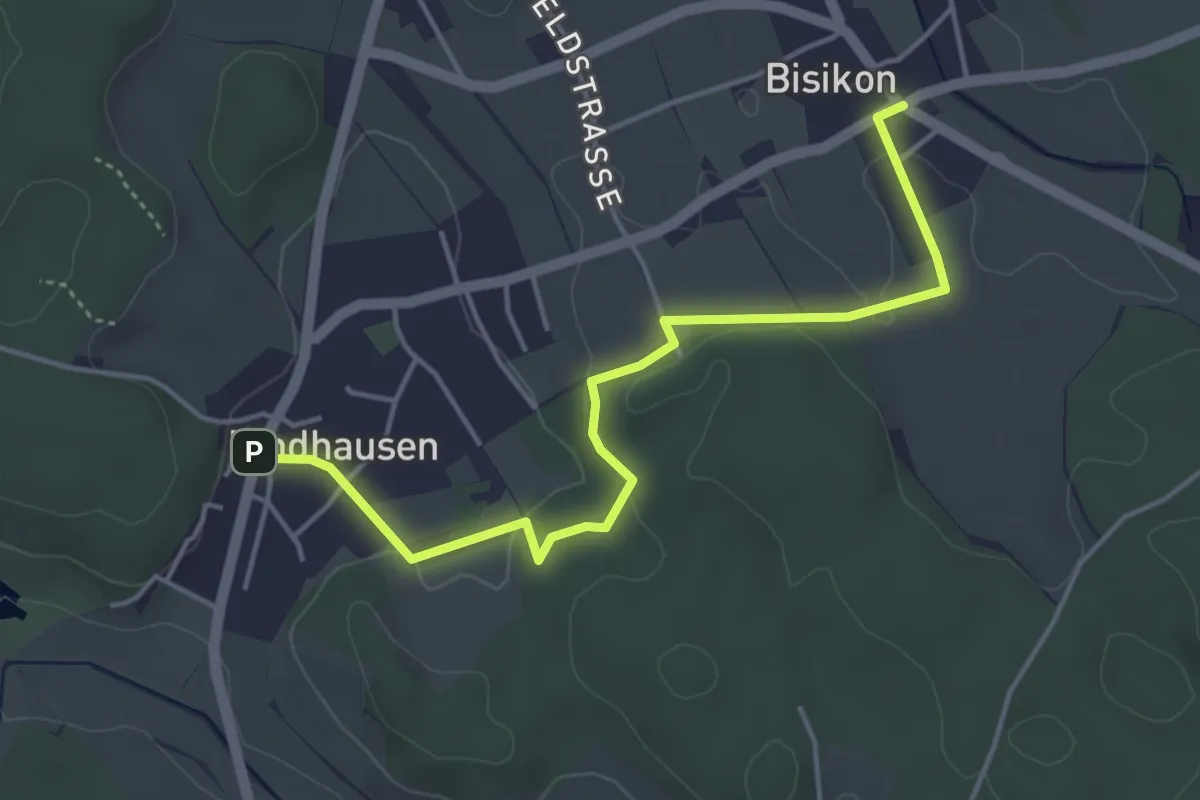
Easy · Trail
Kindhausen – Bisikon
4.6 km · ↑ 59 m · 1 h 13 min
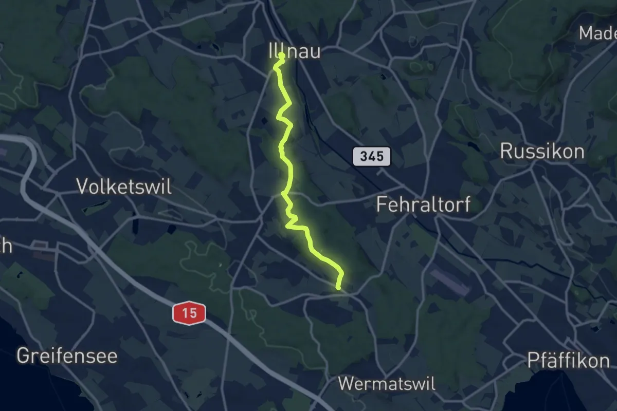
Medium · Trail
Freudwil – Illnau (ost)
9.7 km · ↑ 148 m · 2 h 36 min
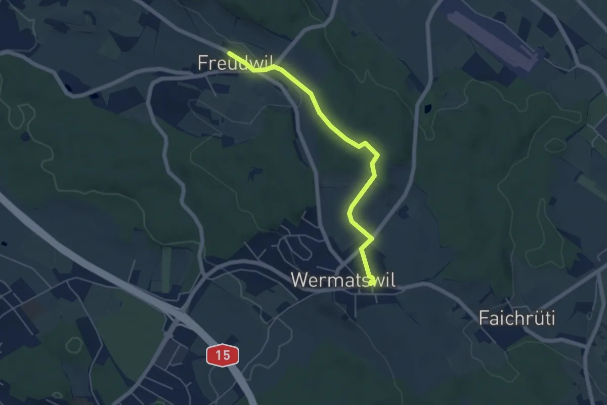
Easy · Trail
Freudwil – Wermatswil
4.6 km · ↑ 77 m · 1 h 16 min
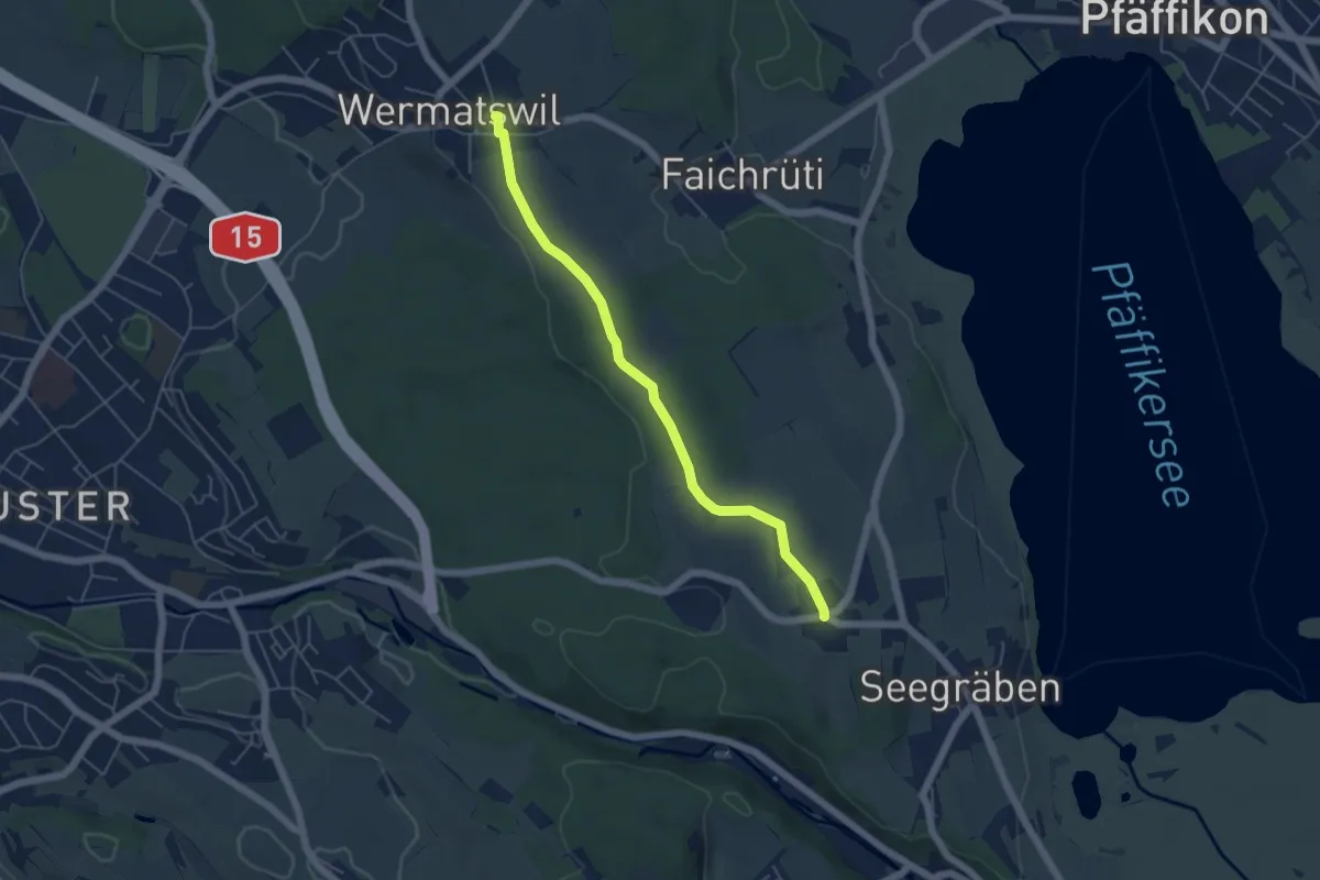
Easy · Trail
Wermatswil – Ottenhusen
5.0 km · ↑ 48 m · 1 h 17 min
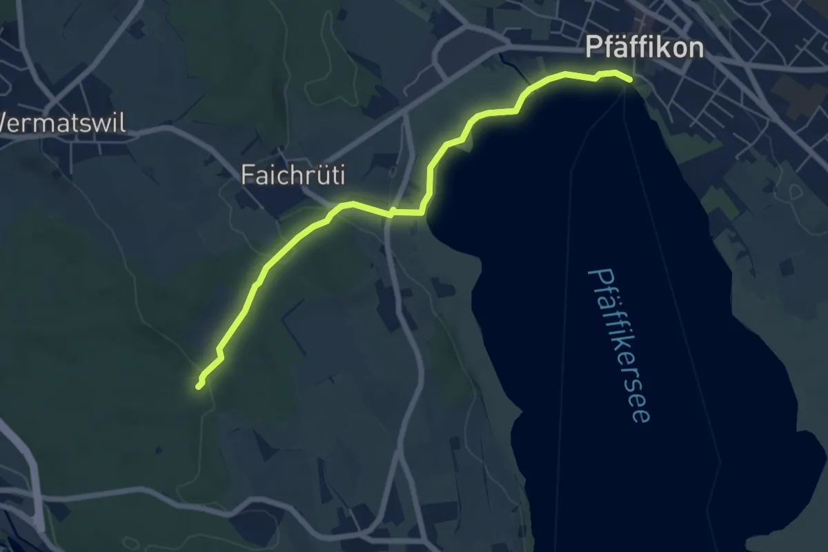
Easy · Trail
Römerbrünneli – Pfäffikersee
5.9 km · ↑ 53 m · 1 h 31 min
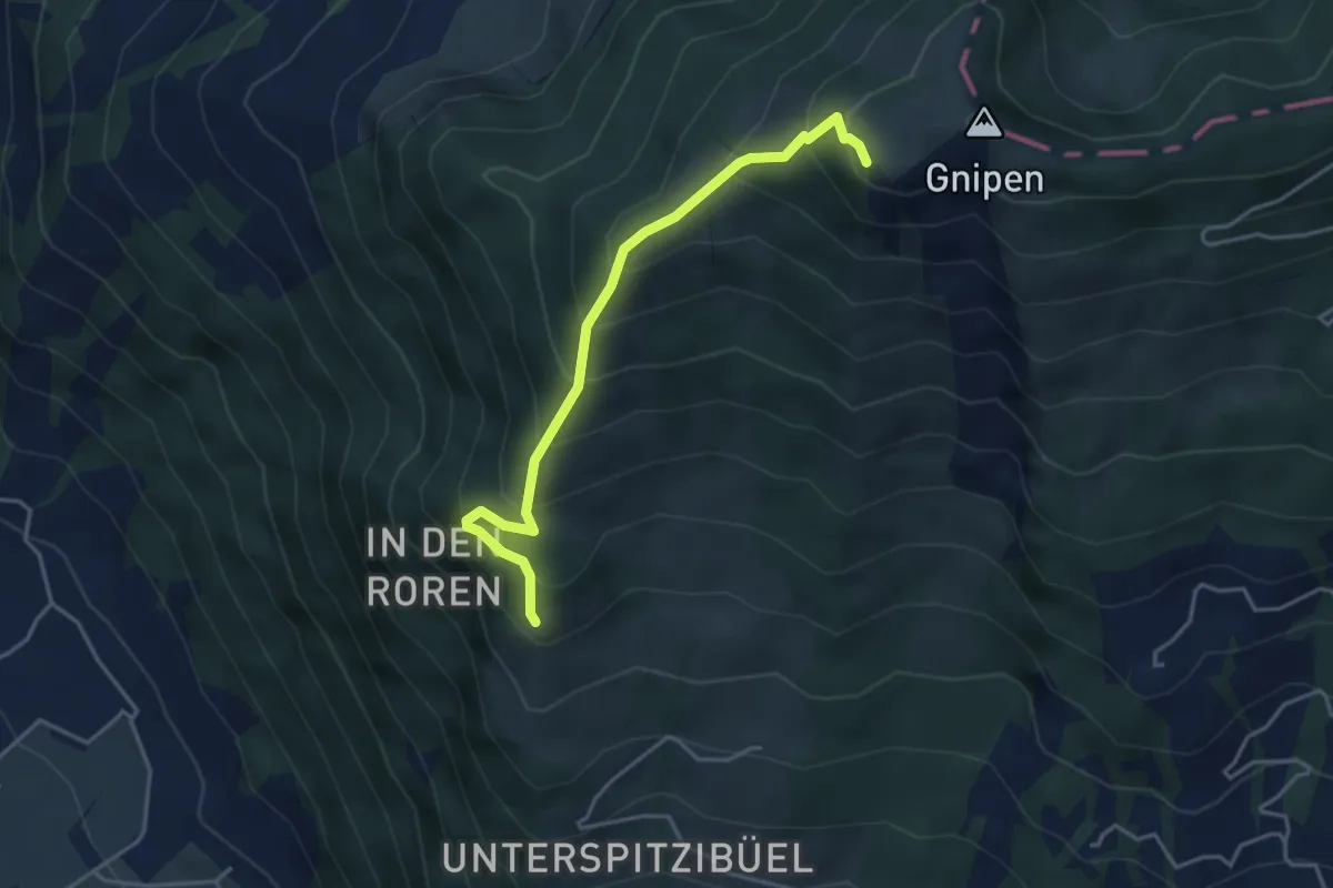
Medium · Trail
Spitzibüel – Gnipen (West)
3.9 km · ↑ 469 m · 1 h 57 min
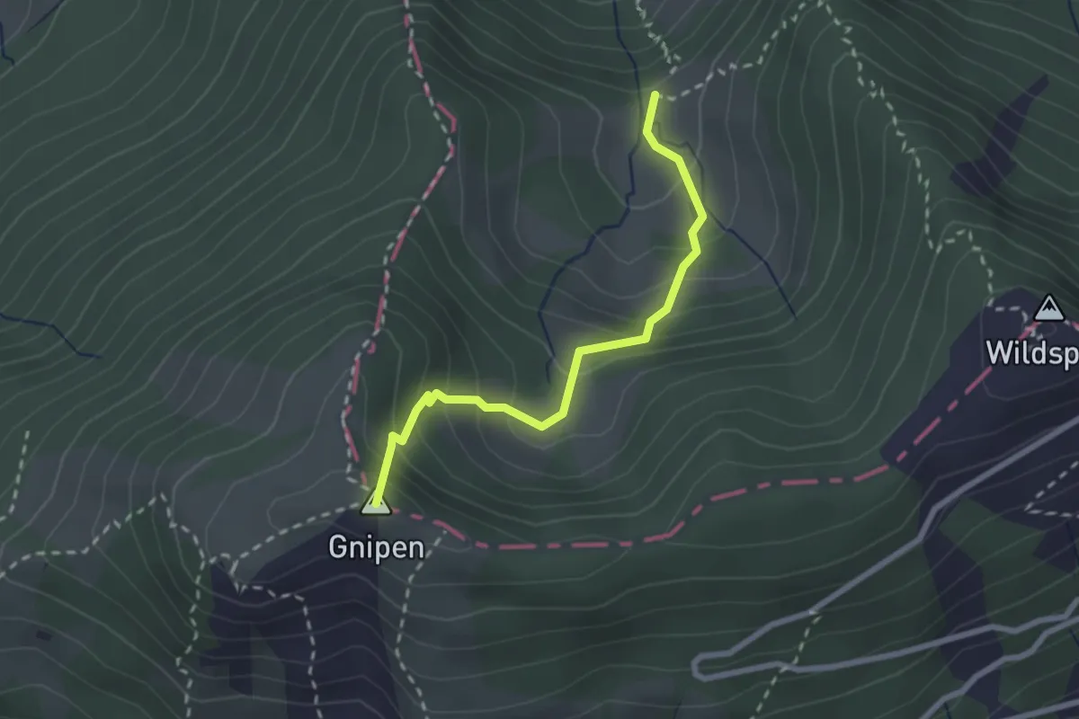
Medium · Summit
Ober Beichli – Ober Alpli
2.3 km · ↑ 255 m · 1 h 6 min
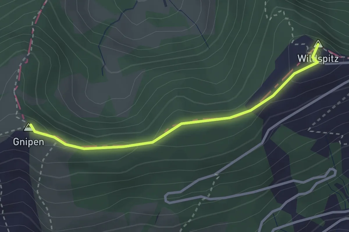
Easy · Summit
Gnipen – Wildspitz
2.6 km · ↑ 110 m · 50 min
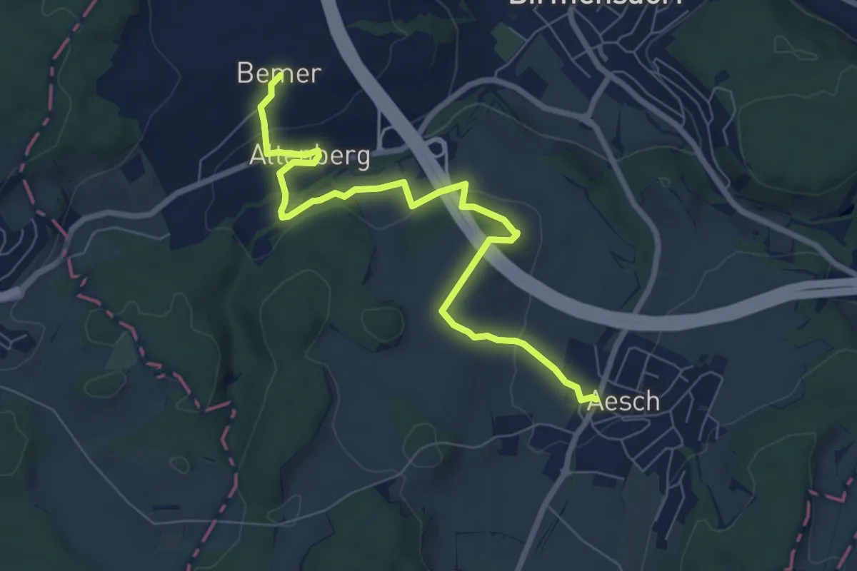
Easy · Trail
Aesch – Bemer
7.6 km · ↑ 204 m · 2 h 15 min
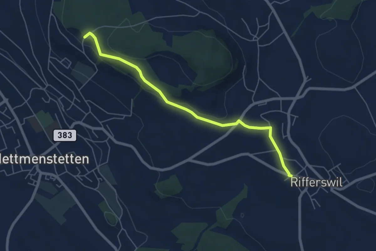
Easy · Trail
Ober-Rifferswil – Paradis
5.2 km · ↑ 120 m · 1 h 29 min
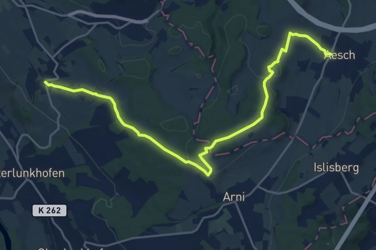
Medium · Trail
Aesch – Oberwil
13.0 km · ↑ 232 m · 3 h 34 min