Trails in Switzerland
15,055 hiking trails, each with its route, climb, walking time and grade.
All trails, page 291 of 314
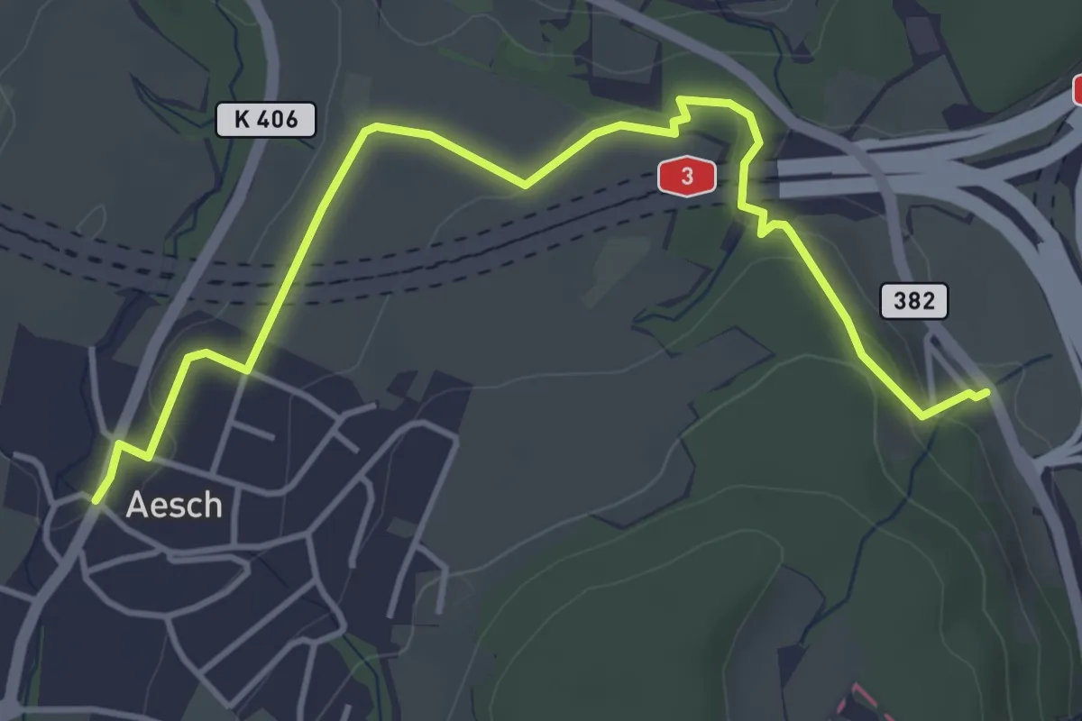
Easy · Trail
Aesch – Filderen
4.6 km · ↑ 116 m · 1 h 21 min
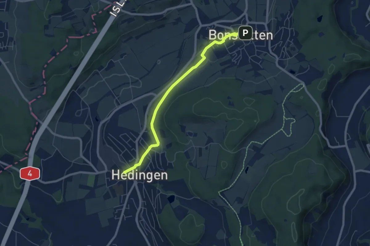
Easy · Trail
Hedingen Station – Bonstetten
5.8 km · ↑ 104 m · 1 h 35 min
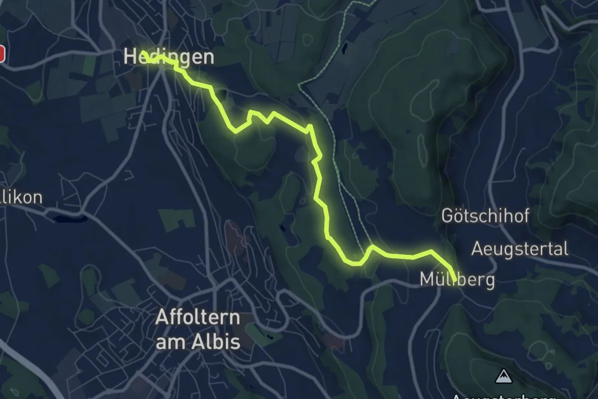
Medium · Trail
Hedingen Station – Müliberg
8.8 km · ↑ 231 m · 2 h 34 min
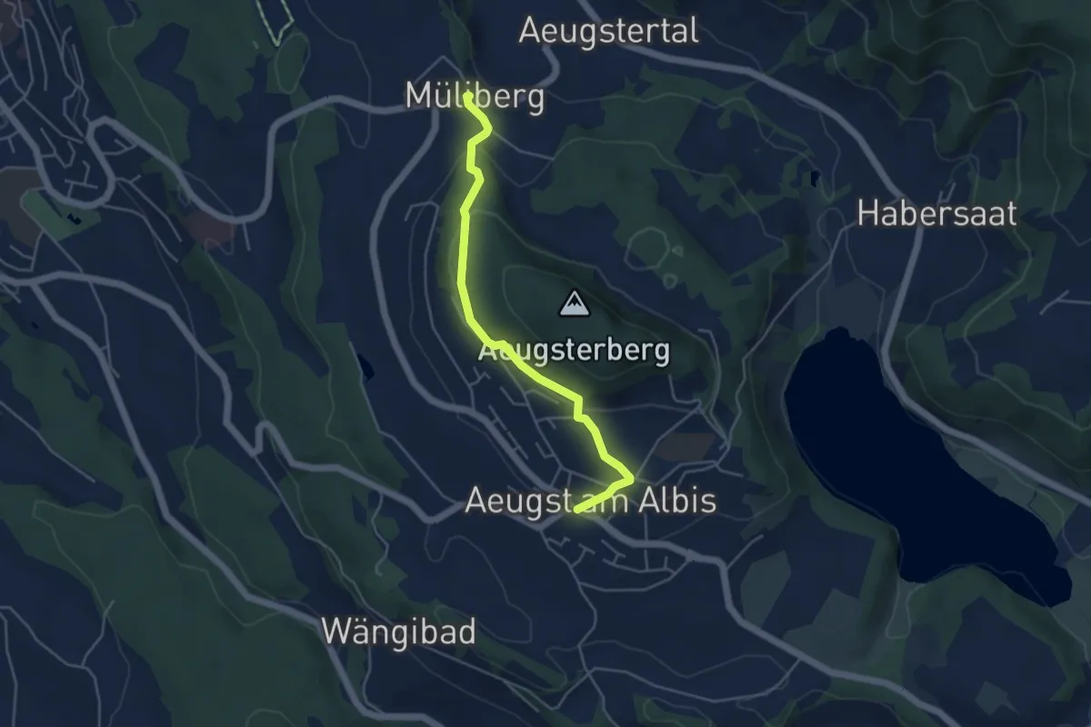
Easy · Trail
Aeugst a. A. – Müliberg
4.3 km · ↑ 154 m · 1 h 21 min
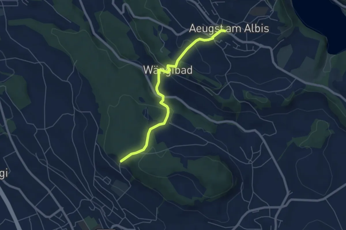
Easy · Trail
Aeugst a. A. – Paradis
5.3 km · ↑ 266 m · 1 h 49 min
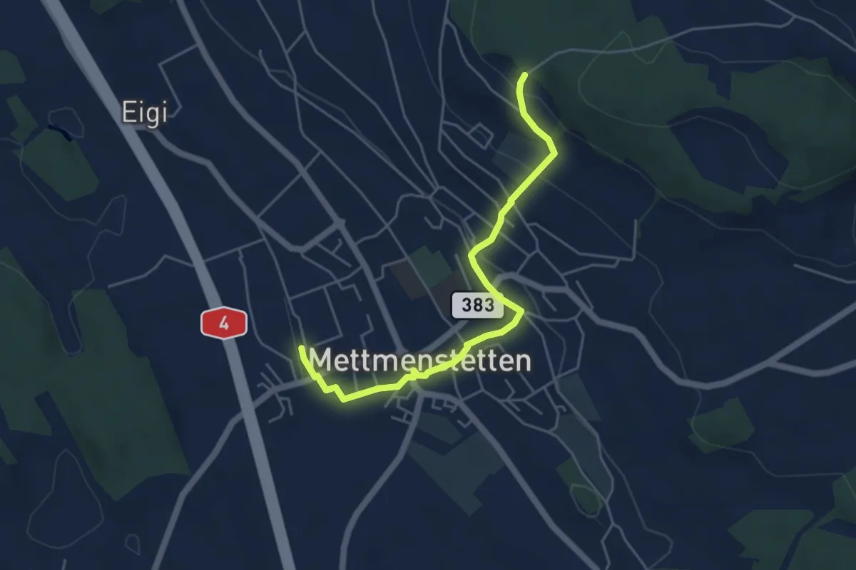
Easy · Trail
Mettmenstetten – Paradis
4.7 km · ↑ 152 m · 1 h 26 min
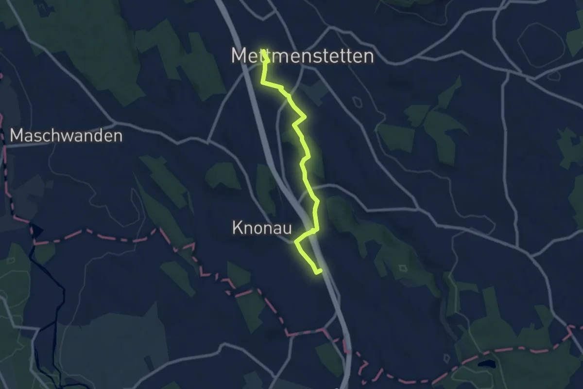
Easy · Trail
Knonau – Mettmenstetten
7.0 km · ↑ 81 m · 1 h 49 min
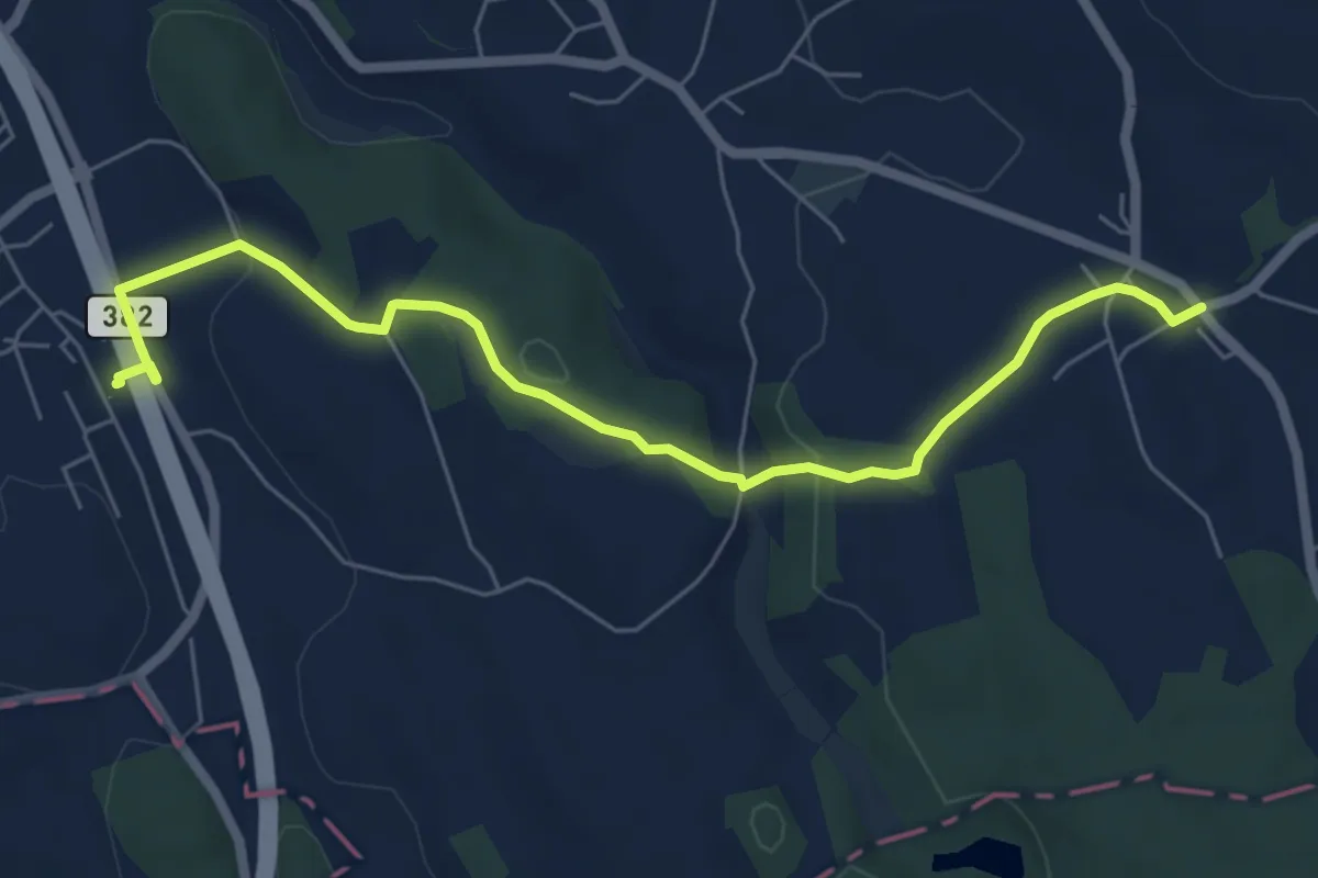
Easy · Trail
Knonau – Uerzlikon
6.7 km · ↑ 126 m · 1 h 52 min
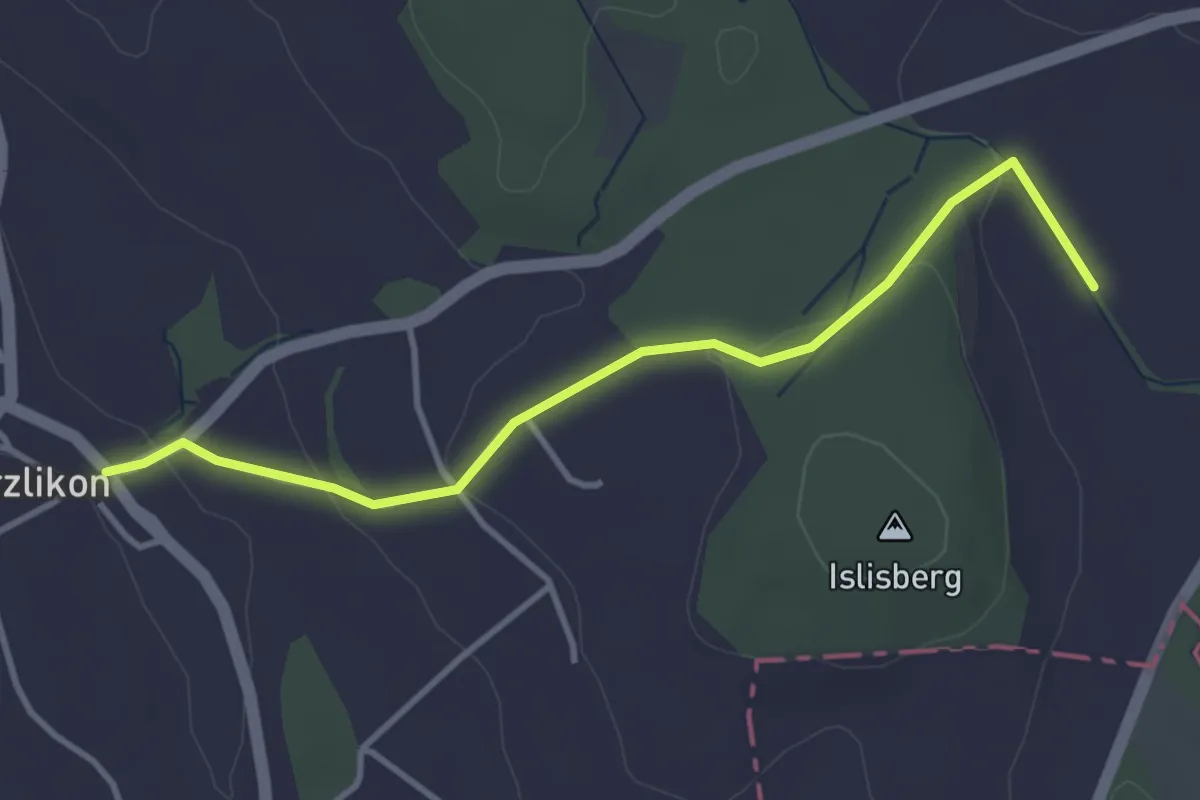
Easy · Trail
Uerzlikon – Chlostermatt
3.7 km · ↑ 93 m · 1 h 4 min
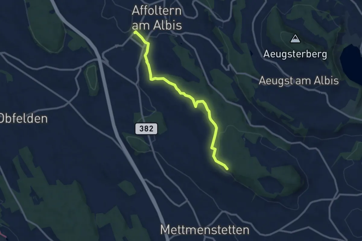
Easy · Trail
Affoltern a. A. – Paradis
7.5 km · ↑ 148 m · 2 h 6 min
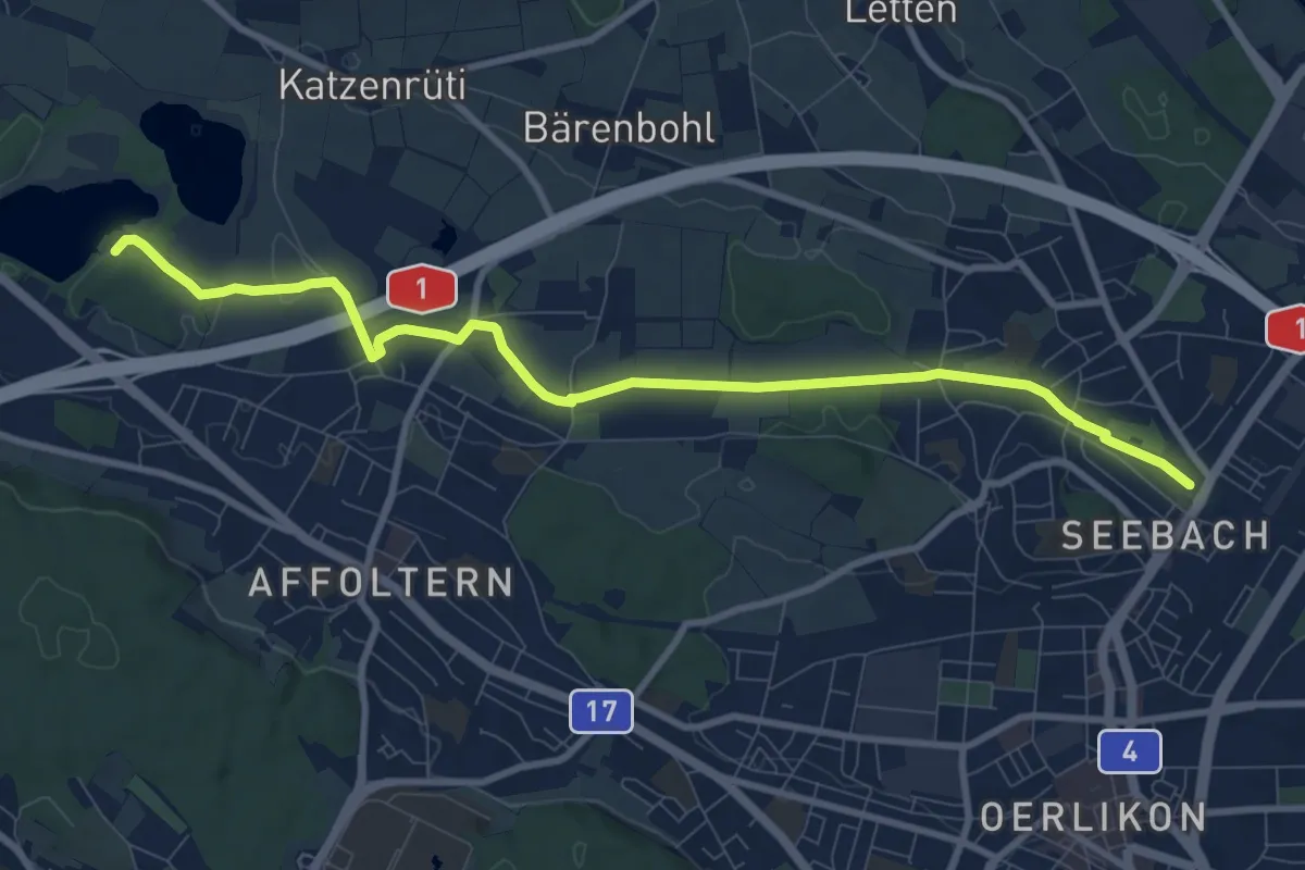
Medium · Trail
Seebach – Chatzensee Strandbad
9.9 km · ↑ 74 m · 2 h 30 min
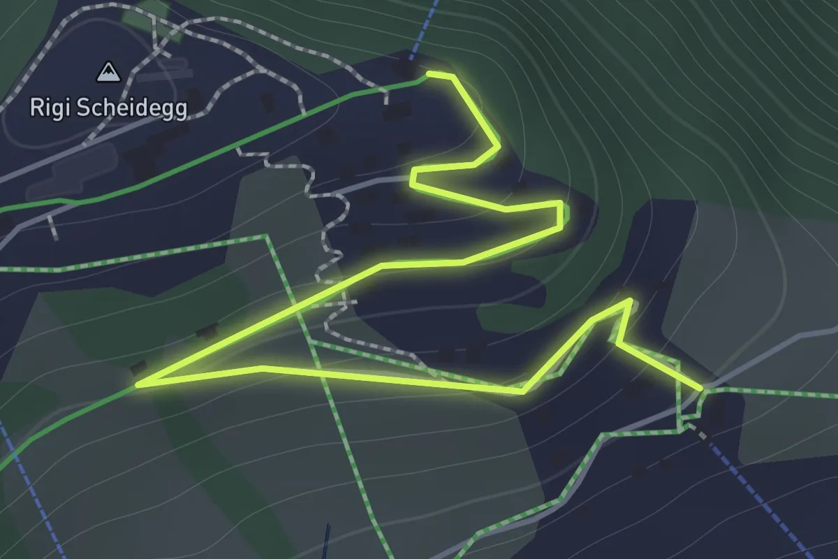
Easy · Trail
Rigi Scheidegg – Burggeist
2.0 km · ↑ 129 m · 45 min
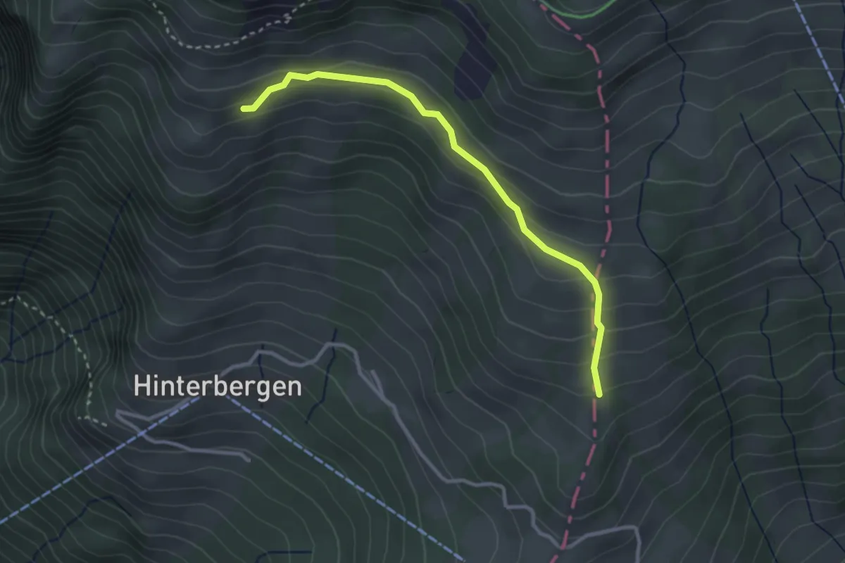
Easy · Trail
Gletti – Pfäng
3.0 km · ↑ 157 m · 1 h 2 min
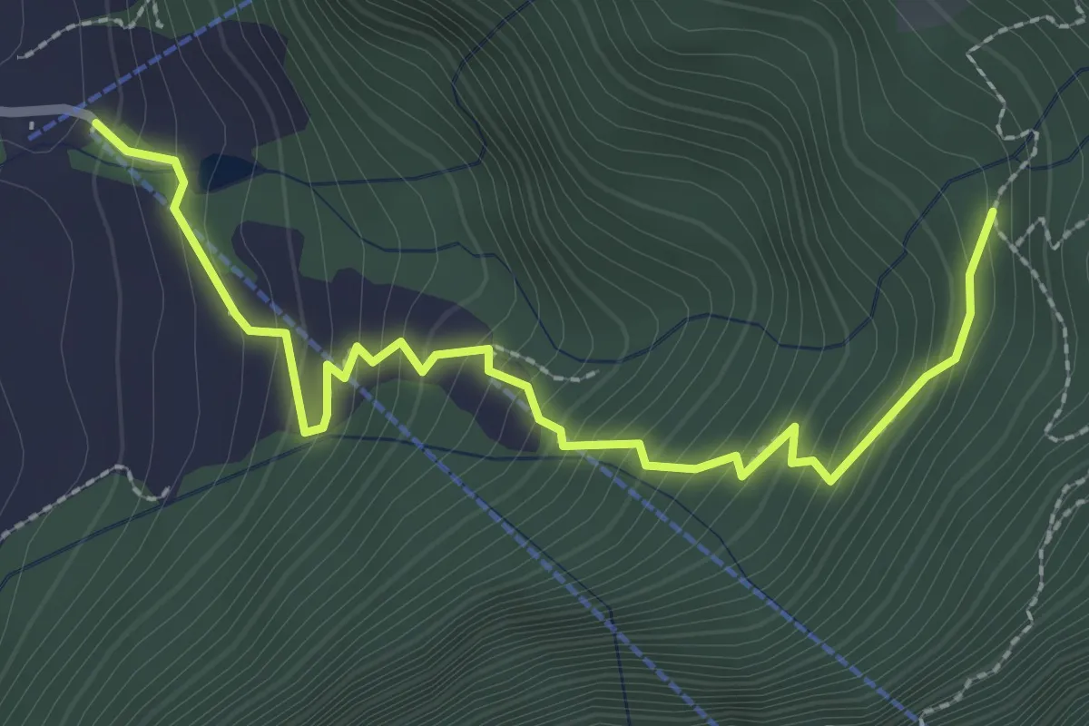
Medium · Trail
St. Antoni – Hinterbergen- / Wissilfuh Talstation
2.9 km · ↑ 327 m · 1 h 23 min
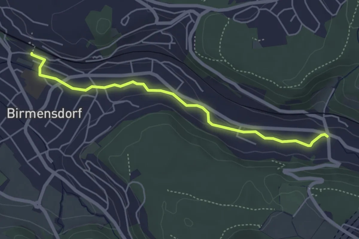
Easy · Trail
Birmensdorf – Landikon
4.4 km · ↑ 43 m · 1 h 8 min
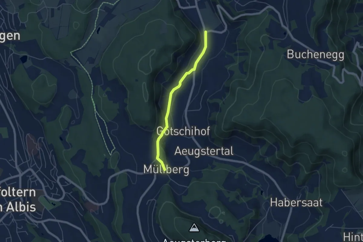
Easy · Trail
Müliberg – Tägerst
4.3 km · ↑ 105 m · 1 h 15 min
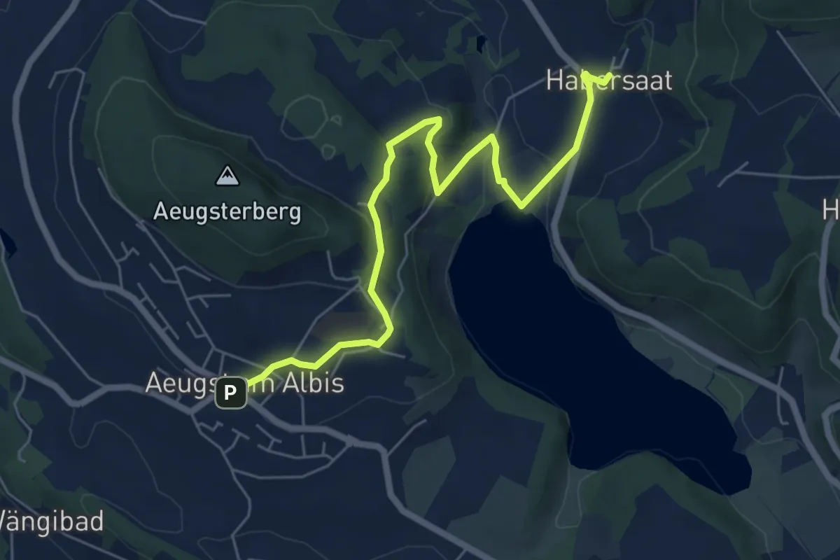
Easy · Trail
Habersaat – Aegst a.A.
6.3 km · ↑ 169 m · 1 h 52 min
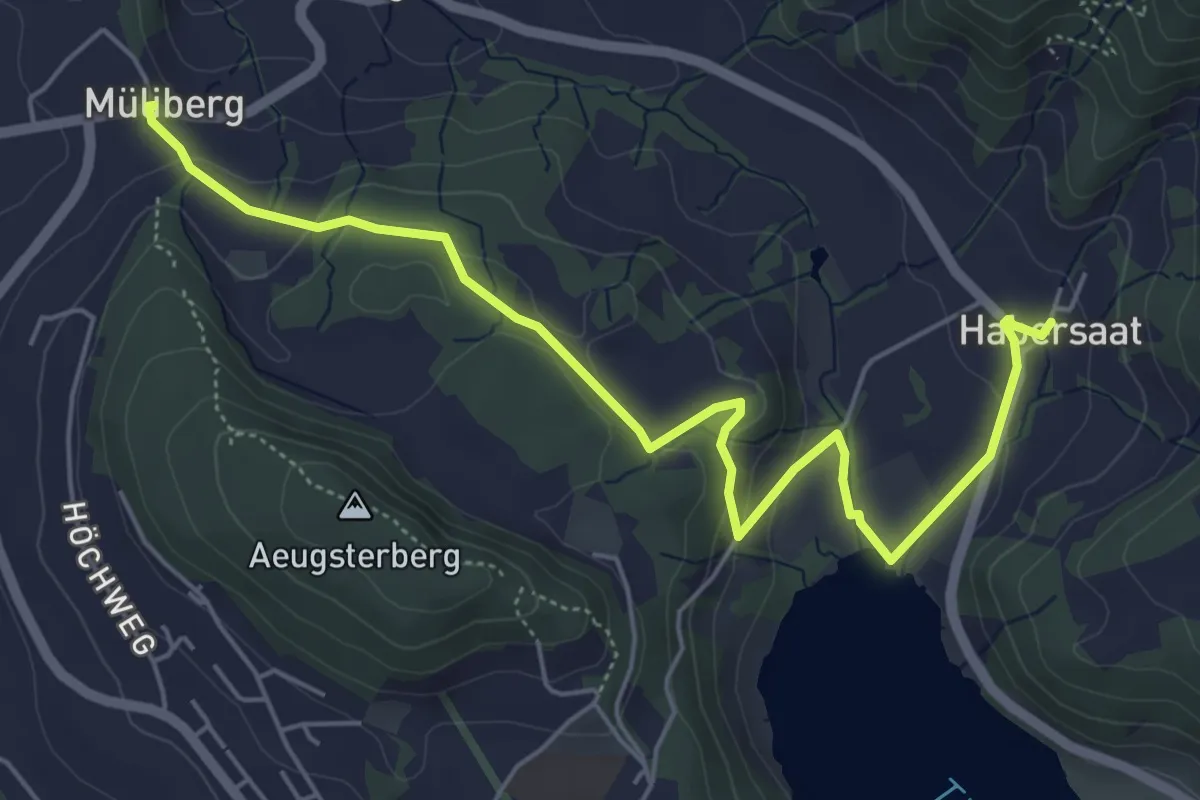
Easy · Trail
Habersaat – Müliberg
6.2 km · ↑ 199 m · 1 h 53 min
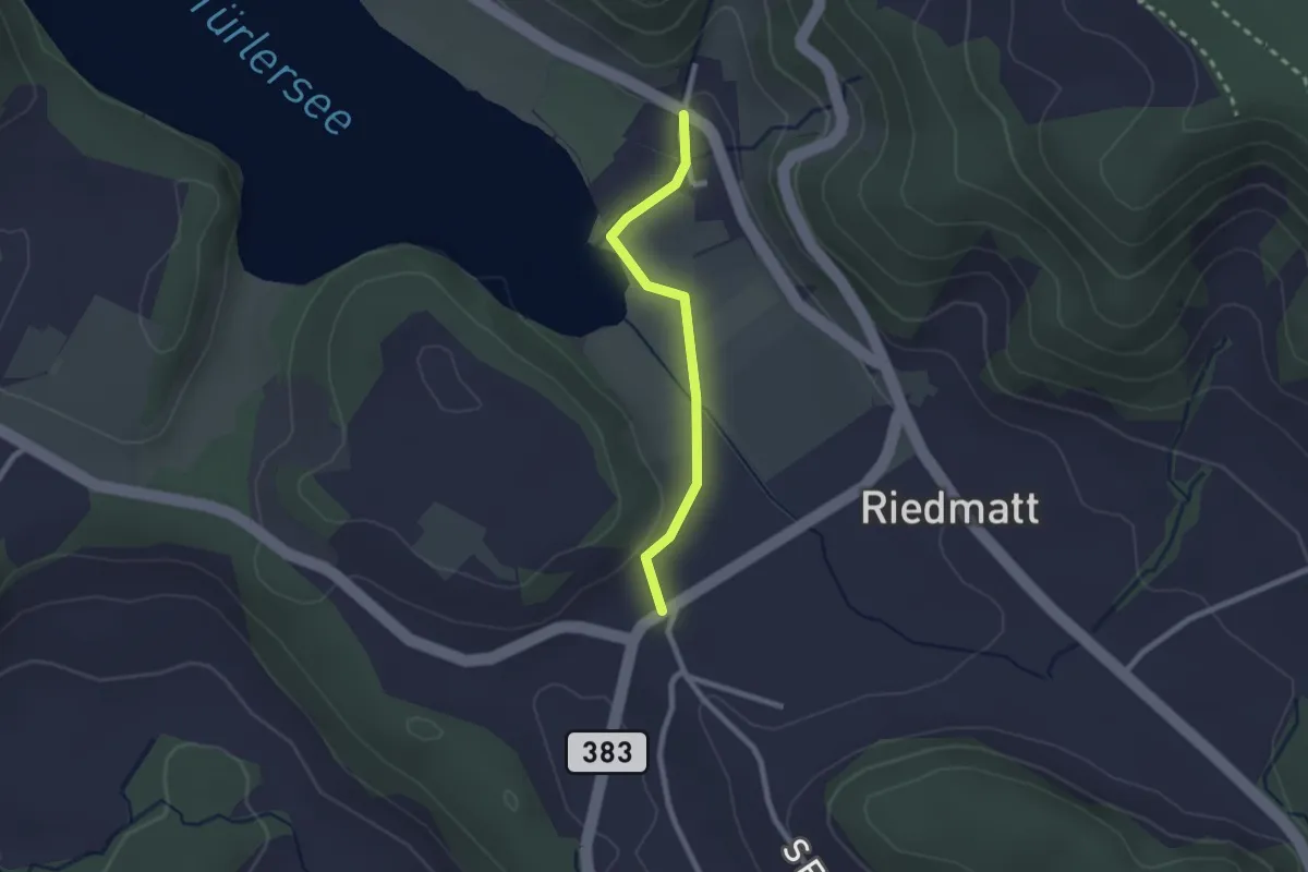
Easy · Trail
Vollenweid – Türlen
2.0 km · ↑ 27 m · 32 min
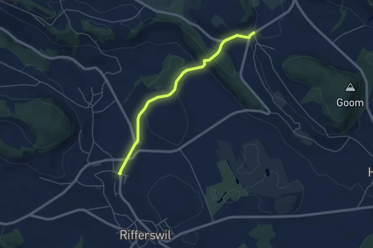
Easy · Trail
Unter Rifferswil – Vollenweid
4.5 km · ↑ 112 m · 1 h 18 min
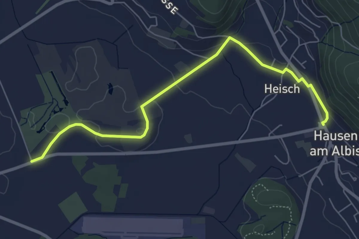
Easy · Trail
Seleger Moor – Hausen a. A.
5.9 km · ↑ 90 m · 1 h 35 min
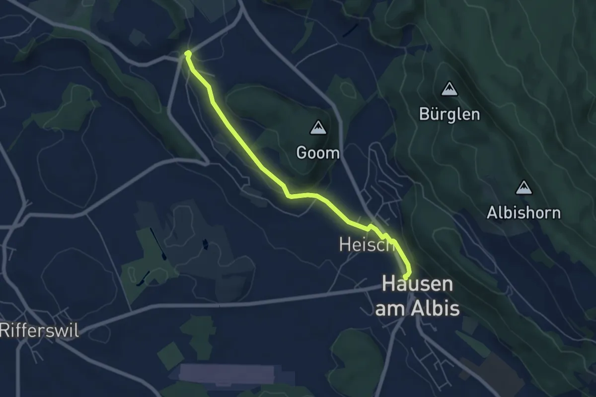
Easy · Trail
Vollenweid – Hausen a. A.
5.2 km · ↑ 127 m · 1 h 31 min
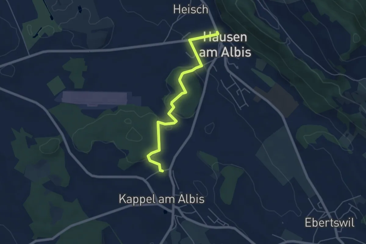
Easy · Trail
Hausen a. A. – Näfenhüser
4.9 km · ↑ 95 m · 1 h 22 min
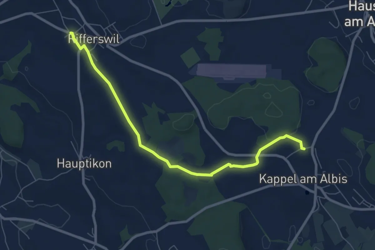
Easy · Trail
Näfenhüser – Ober-Rifferswil
6.9 km · ↑ 73 m · 1 h 47 min
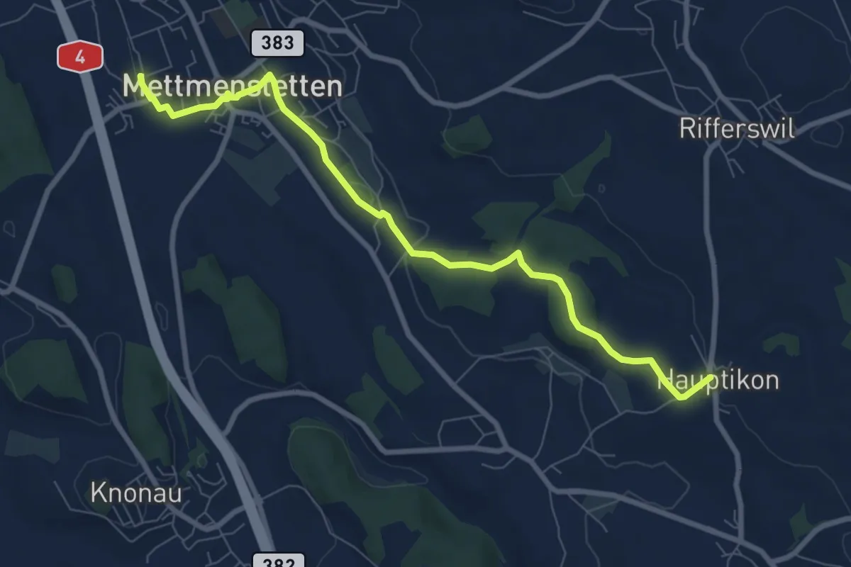
Medium · Trail
Mettmenstetten – Hauptikon
8.0 km · ↑ 117 m · 2 h 9 min
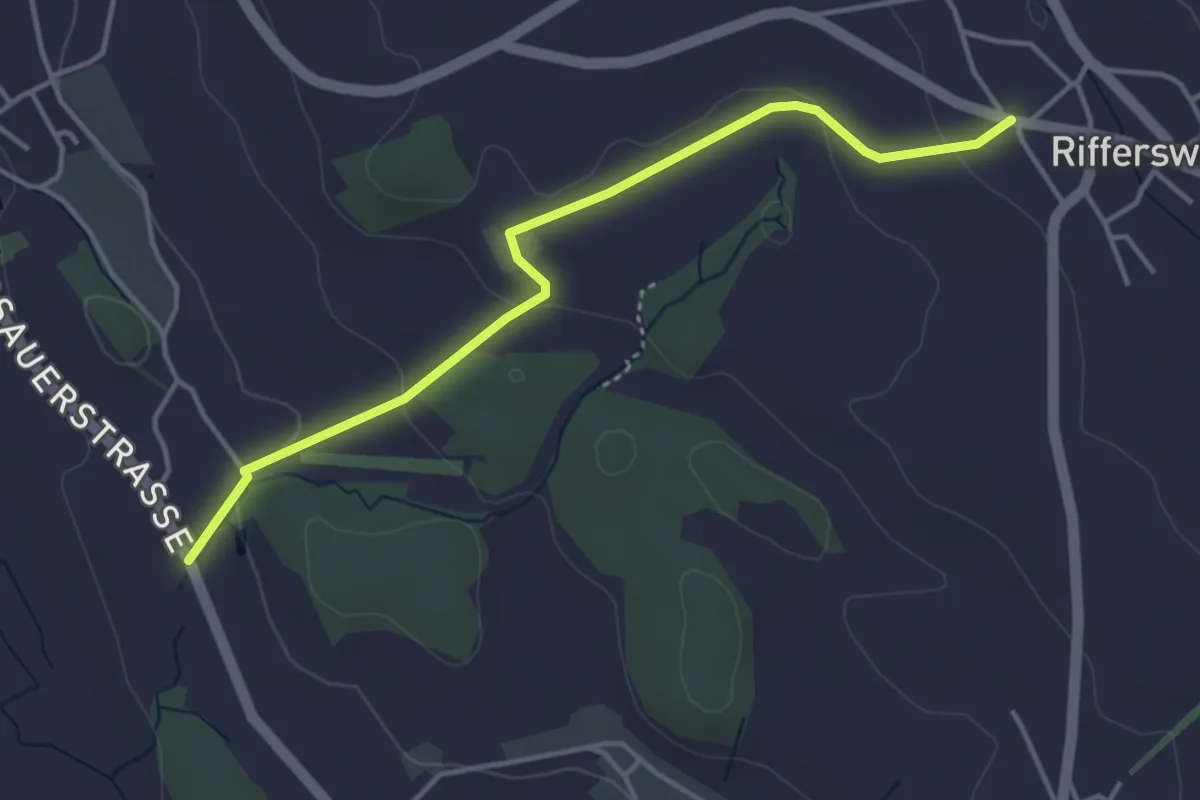
Easy · Trail
Ober-Rifferswil – Wissenbach
4.0 km · ↑ 91 m · 1 h 9 min
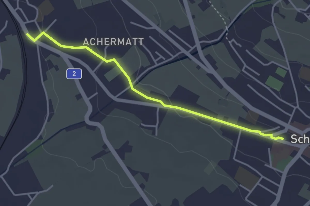
Easy · Trail
Seewen / Schwyz – Schwyz
5.0 km · ↑ 95 m · 1 h 23 min
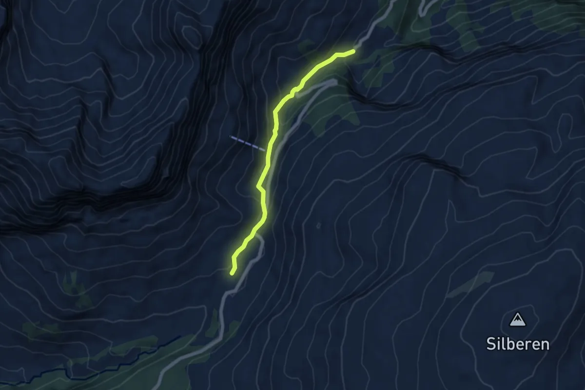
Easy · Trail
Schwelaui – Pragelpass
4.9 km · ↑ 224 m · 1 h 38 min
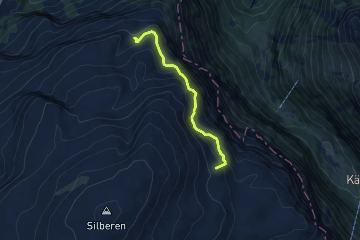
Medium · Summit
Silberenalp – Alpeli
5.0 km · ↑ 460 m · 2 h 10 min
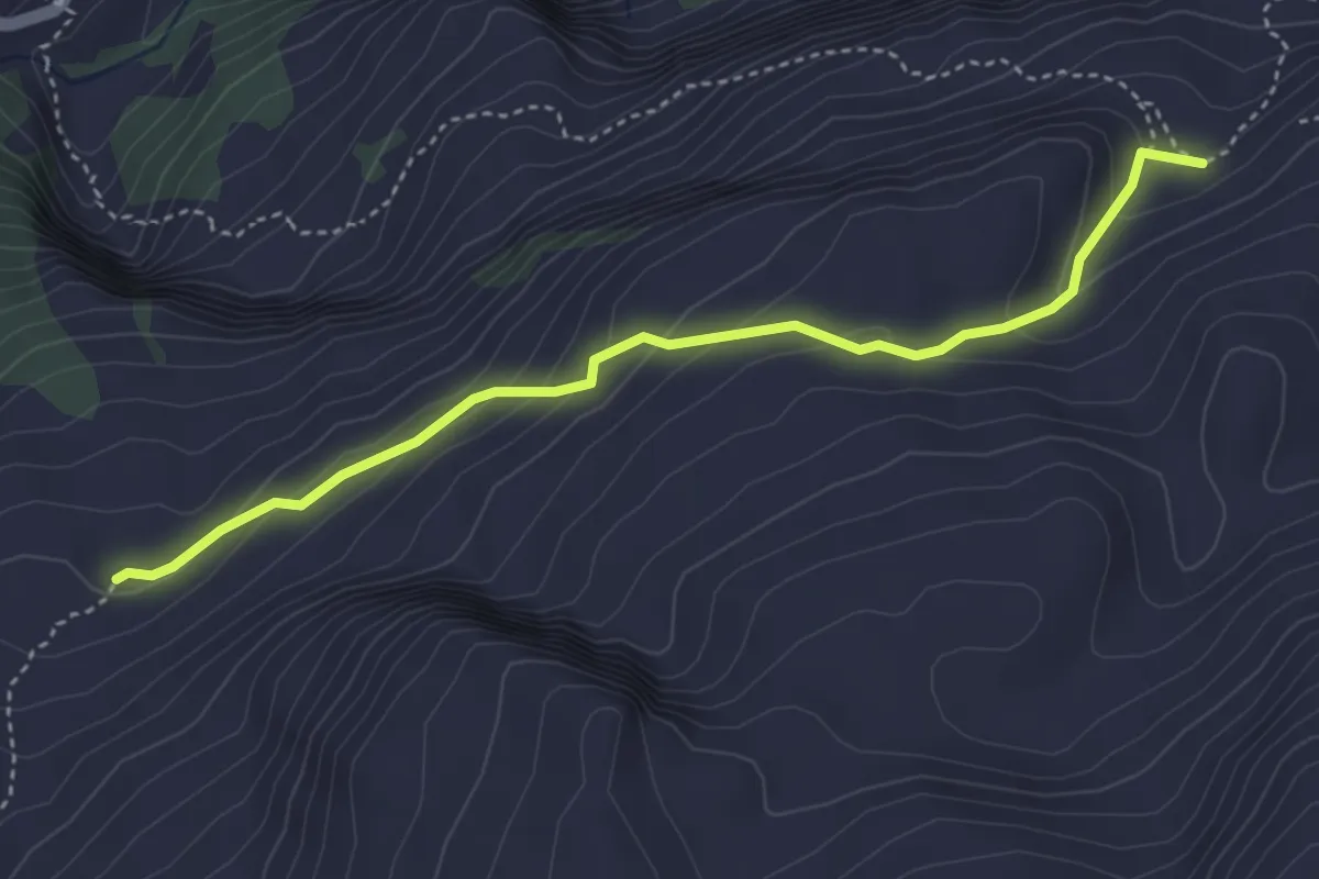
Easy · Trail
Biet – Alpeli
3.9 km · ↑ 206 m · 1 h 23 min
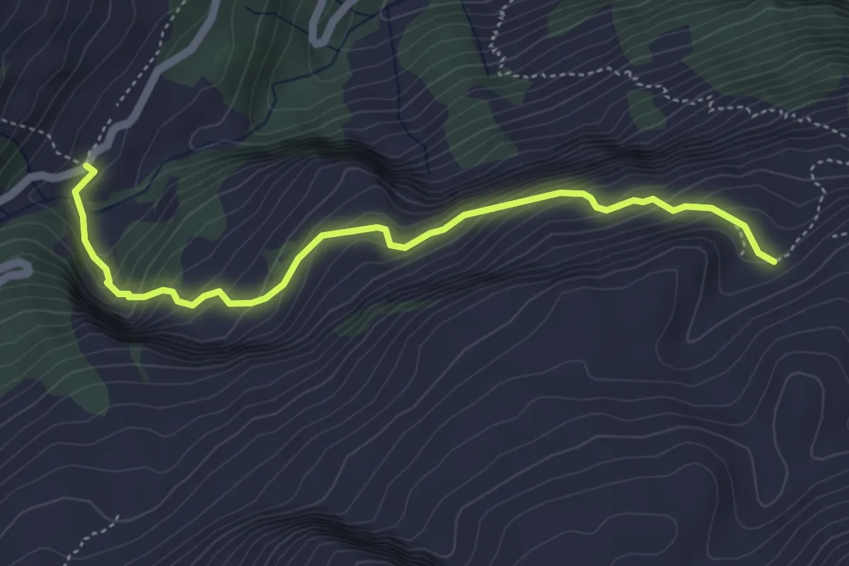
Medium · Trail
Schwelaui – Alpeli
4.7 km · ↑ 438 m · 2 h 4 min
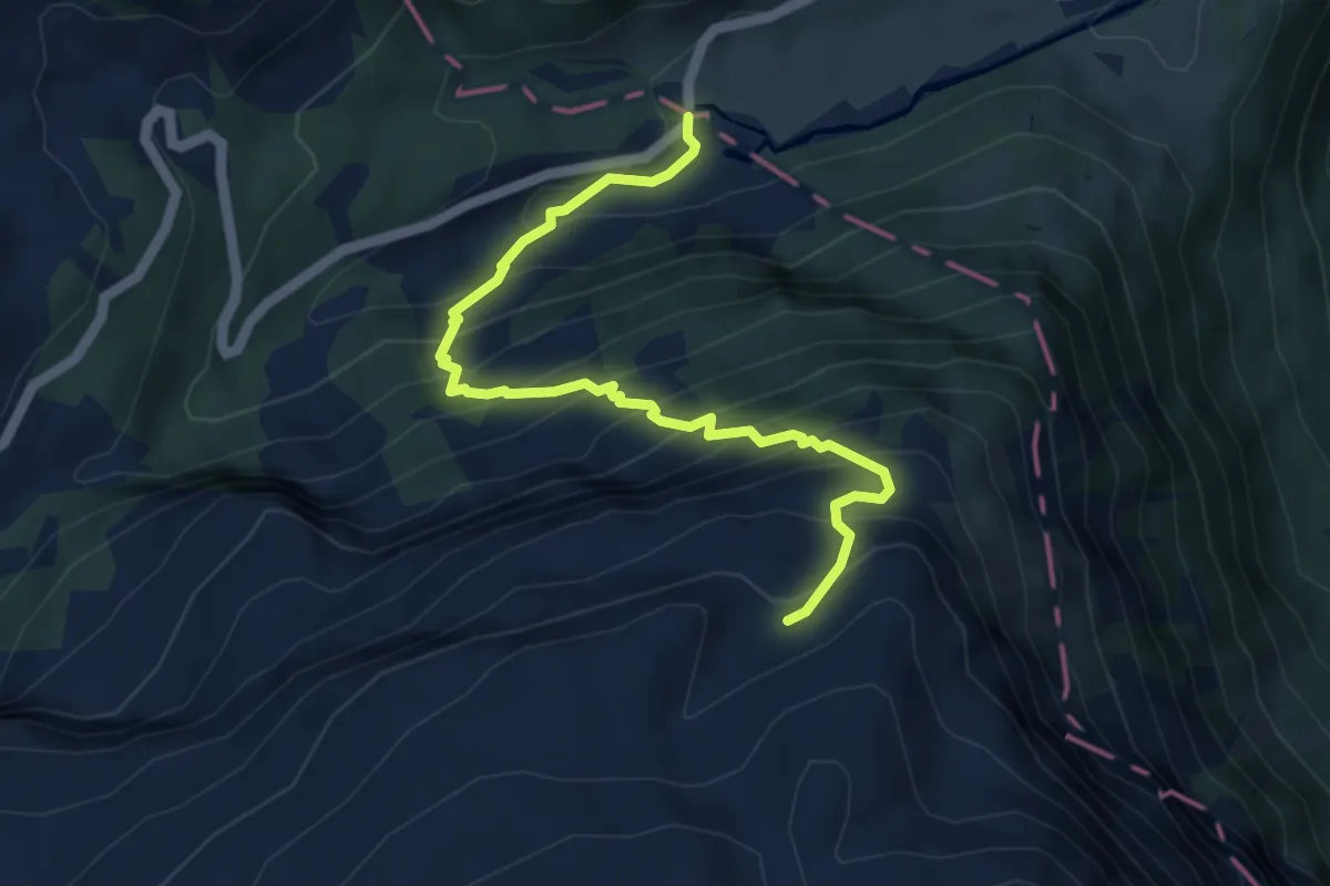
Demanding · Trail
Gampel – Alpeli
5.0 km · ↑ 620 m · 2 h 32 min
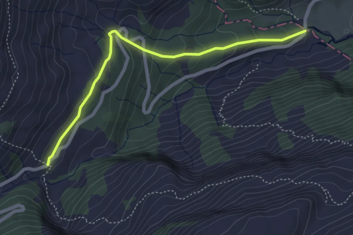
Easy · Trail
Gampel – Schwelaui
4.3 km · ↑ 225 m · 1 h 30 min
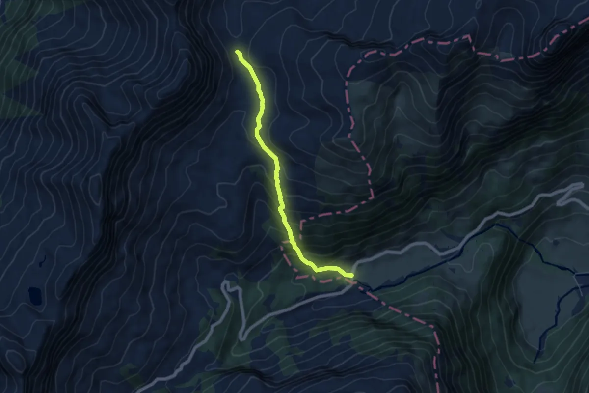
Medium · Trail
Hinter Richisau – Schwialppass
5.1 km · ↑ 441 m · 2 h 9 min
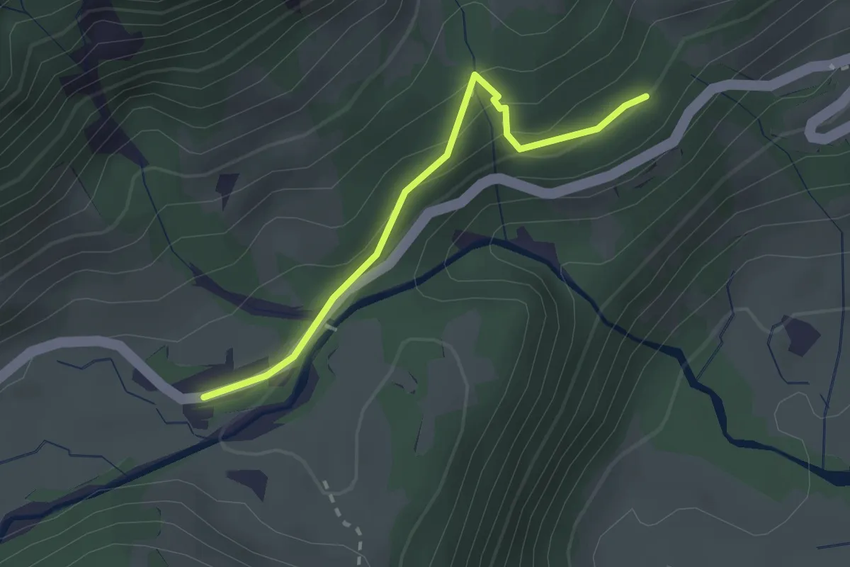
Medium · Trail
Moos – Richisau
2.2 km · ↑ 133 m · 49 min
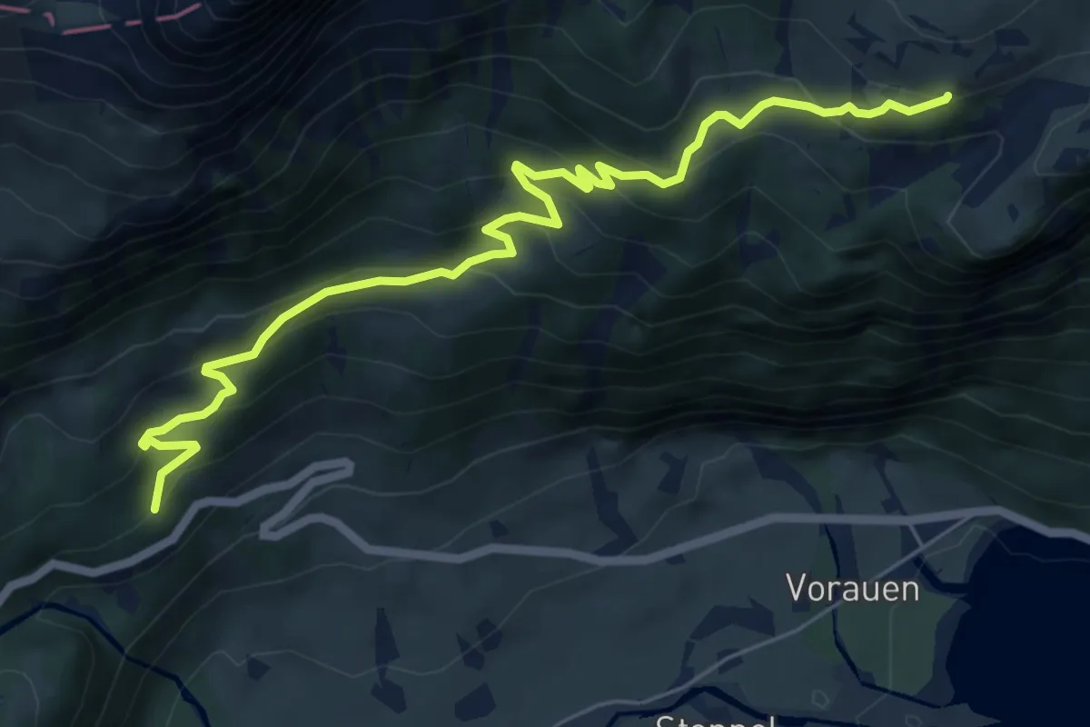
Medium · Trail
Moos – Türliboden
7.0 km · ↑ 486 m · 2 h 43 min
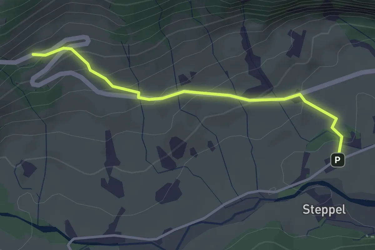
Easy · Trail
Plätz – Schwändeli
3.0 km · ↑ 181 m · 1 h 6 min
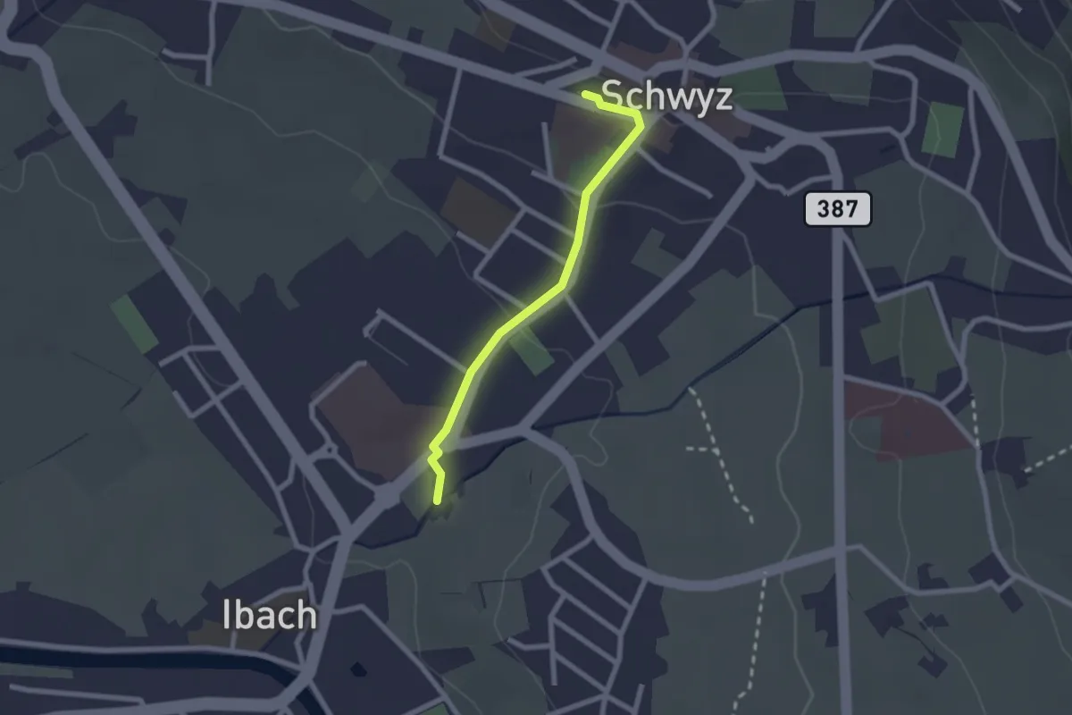
Easy · Trail
Schwyz – Ibach
2.0 km · ↑ 48 m · 35 min
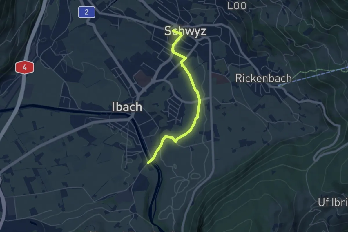
Easy · Trail
Hinter Ibach – Schwyz
4.9 km · ↑ 73 m · 1 h 19 min
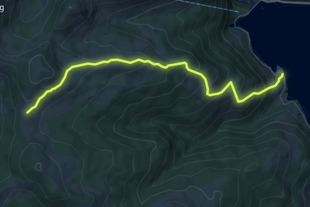
Medium · Trail
Salzläcki – Brandhaltli
7.8 km · ↑ 600 m · 3 h 8 min
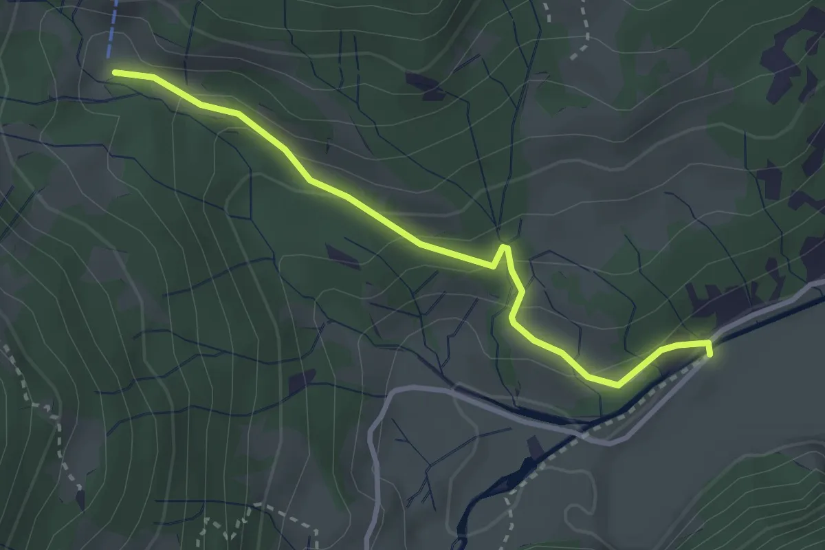
Easy · Trail
Stafelbrücke – Brunnmettlen
2.9 km · ↑ 182 m · 1 h 5 min
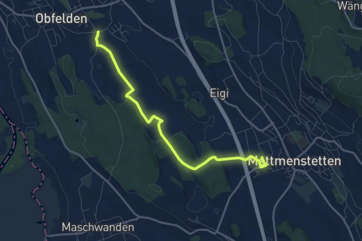
Medium · Trail
Wolsen – Mettmenstetten
8.3 km · ↑ 93 m · 2 h 10 min
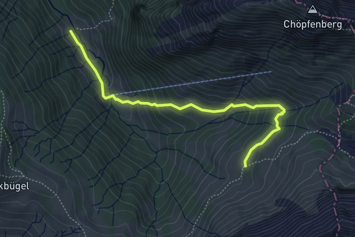
Medium · Trail
Trepsen – Ramseli
5.0 km · ↑ 346 m · 1 h 56 min
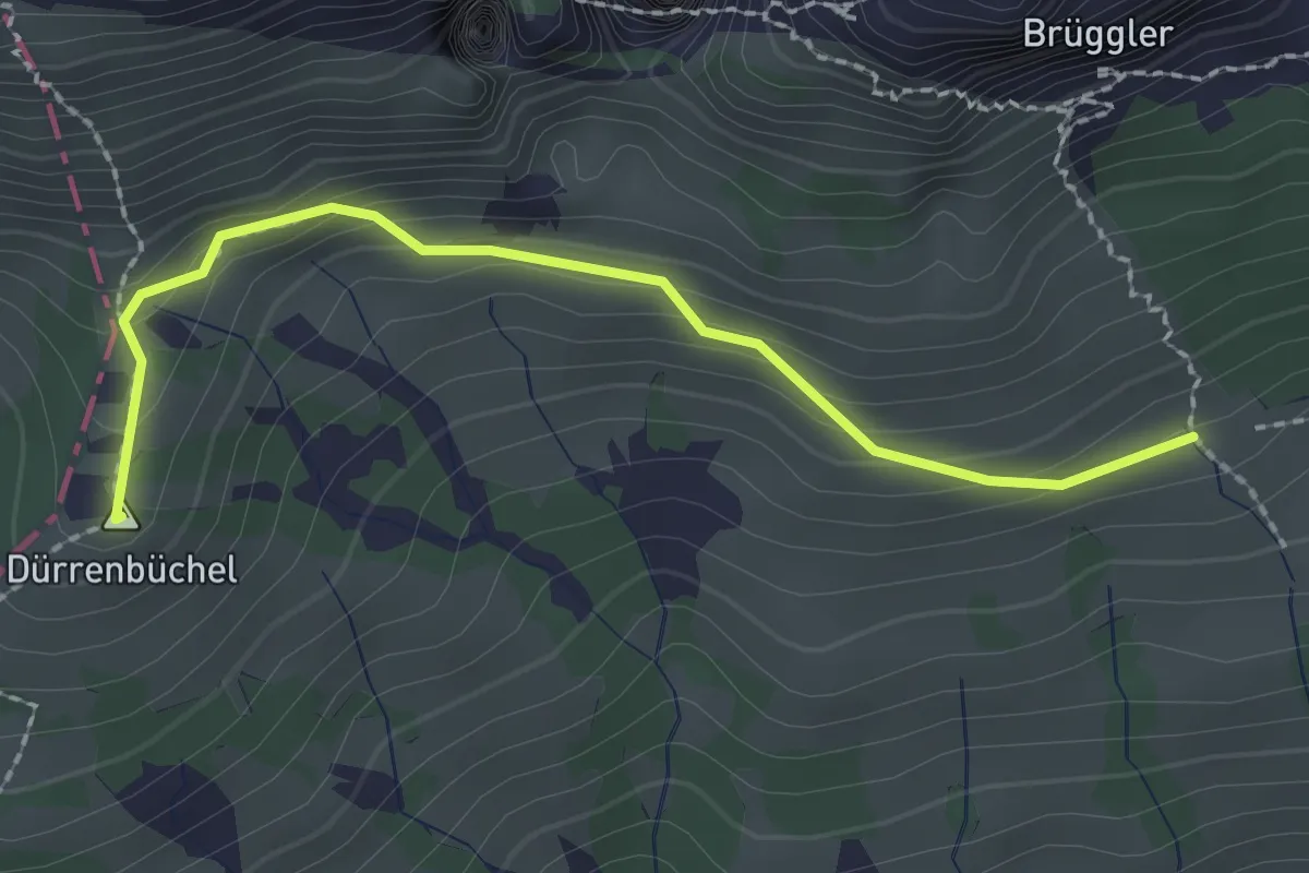
Medium · Summit
Stattboden – Scheidegg
2.2 km · ↑ 127 m · 48 min
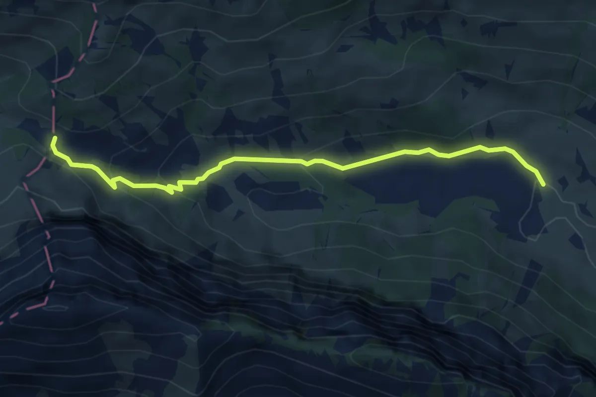
Easy · Trail
Schattenstafel – Scheidegg
5.1 km · ↑ 218 m · 1 h 41 min
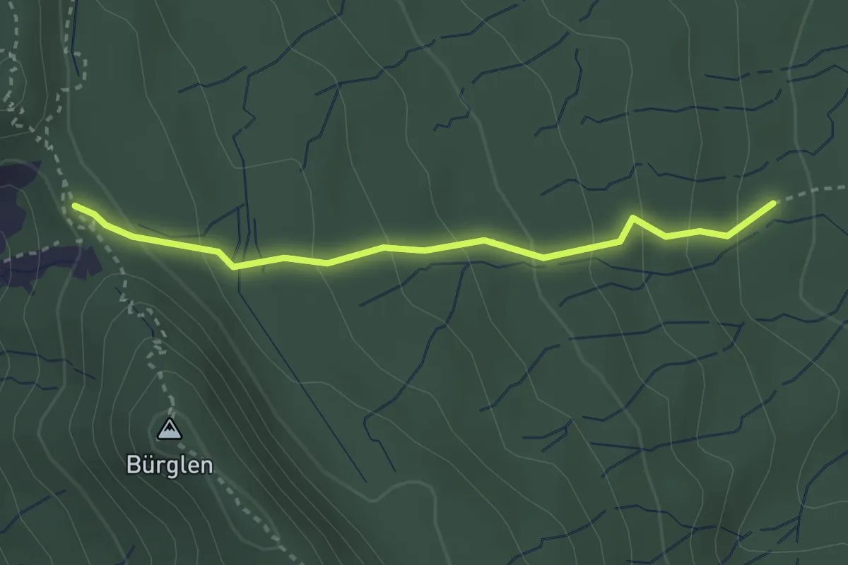
Easy · Summit
Schnabellücke – Tannboden
2.8 km · ↑ 191 m · 1 h 4 min
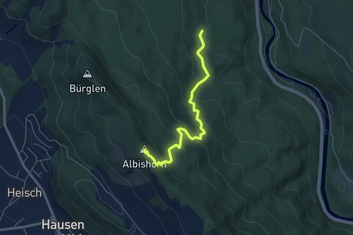
Medium · Summit
Tannboden – Albishorn
4.8 km · ↑ 324 m · 1 h 50 min
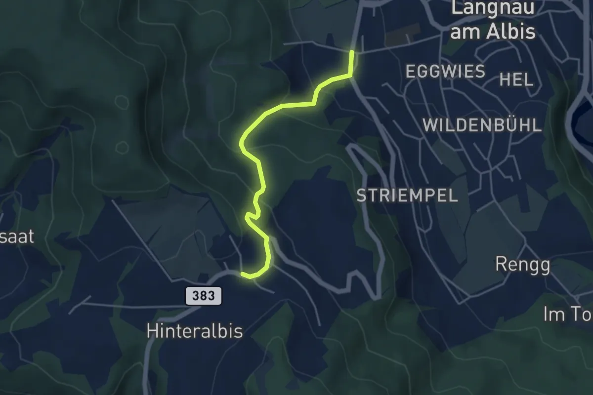
Easy · Trail
Albispass – Unteralbis
3.5 km · ↑ 245 m · 1 h 21 min