Trails in Switzerland
15,055 hiking trails, each with its route, climb, walking time and grade.
All trails, page 292 of 314
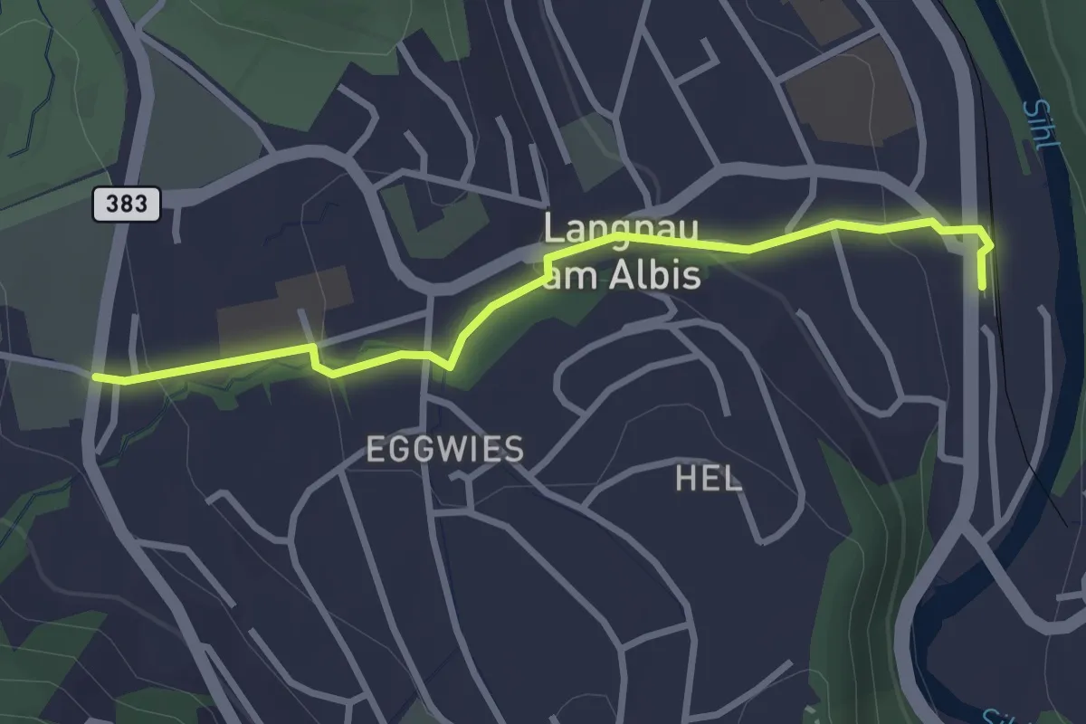
Easy · Trail
Unteralbis – Langnau-Gattikon
2.8 km · ↑ 96 m · 52 min
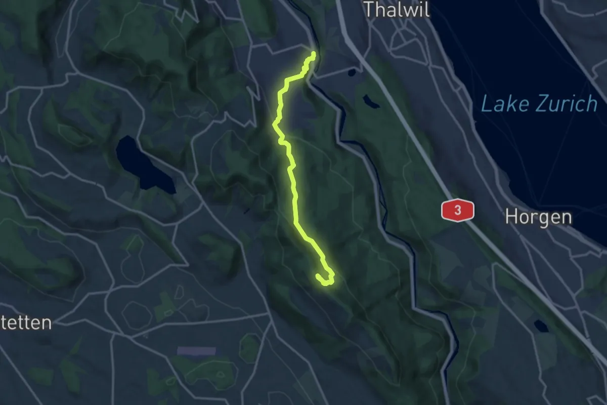
Medium · Summit
Albishorn – Langnau-Gattikon
11.1 km · ↑ 442 m · 3 h 35 min
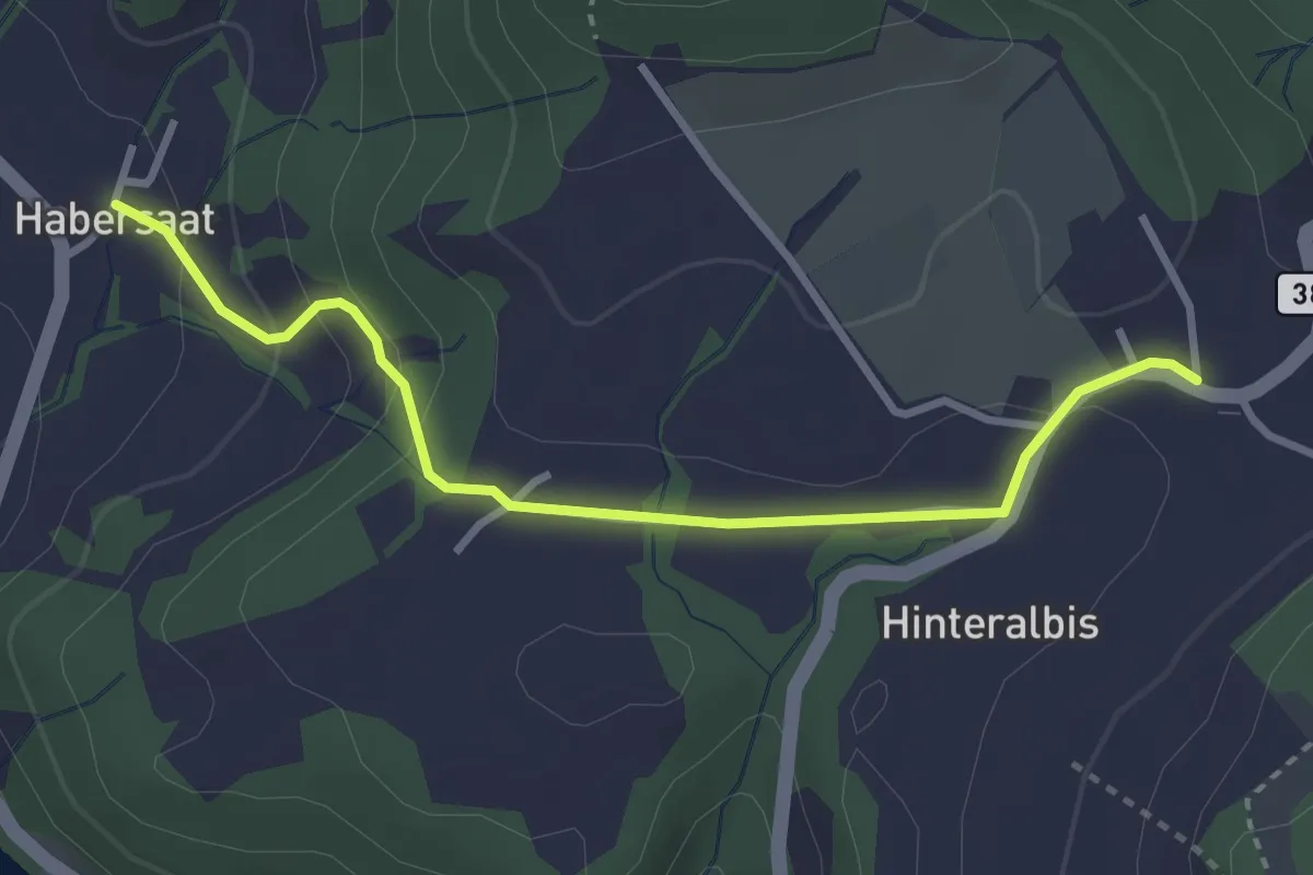
Easy · Trail
Albispass – Habersaat
3.2 km · ↑ 124 m · 1 h 1 min
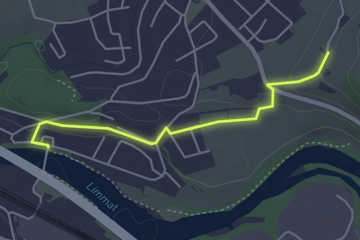
Easy · Trail
Würenlos Brücke – Gipf
3.2 km · ↑ 74 m · 55 min
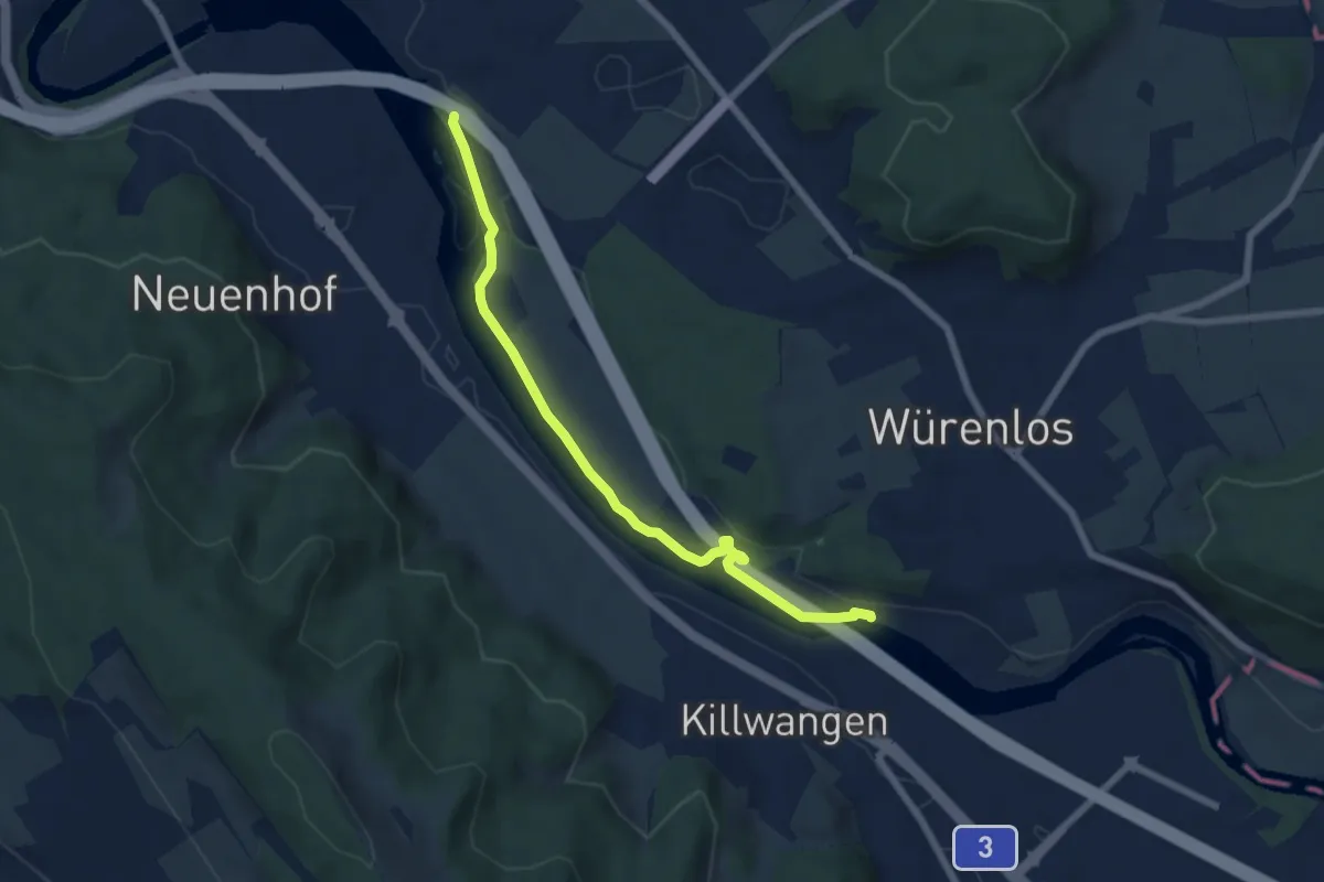
Easy · Trail
Tägerhard – Würenlos Brücke
6.5 km · ↑ 59 m · 1 h 40 min
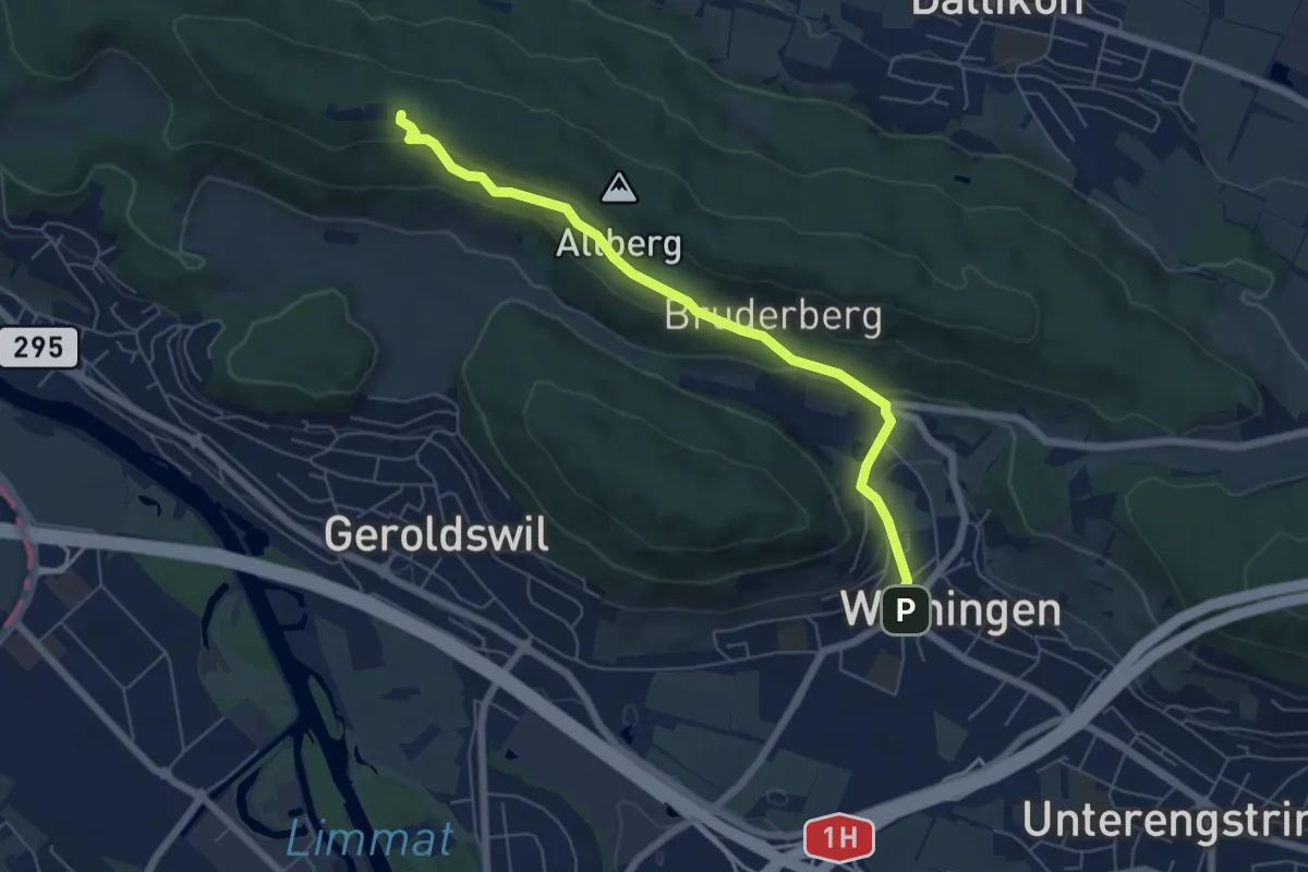
Easy · Cabin
Weiningen – Altberg
6.0 km · ↑ 255 m · 1 h 59 min
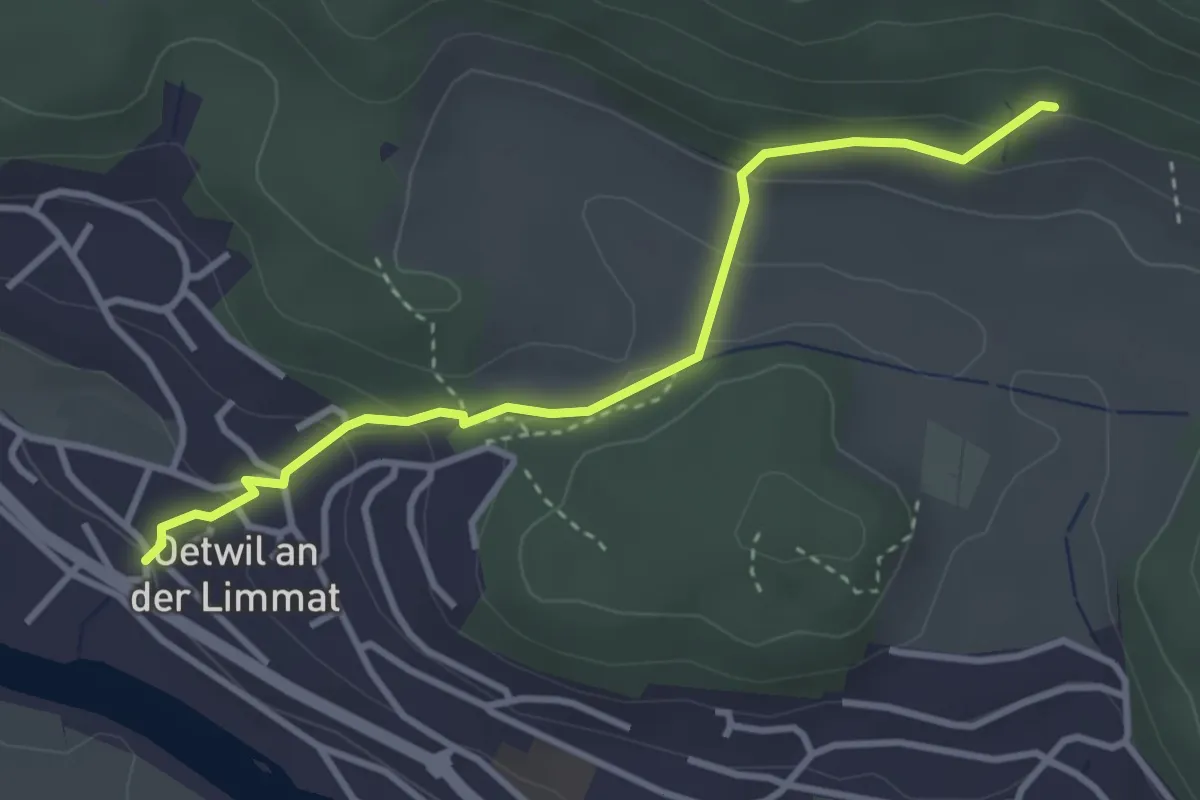
Easy · Trail
Wiesentäli – Oetwil a. d. L.
3.3 km · ↑ 140 m · 1 h 5 min
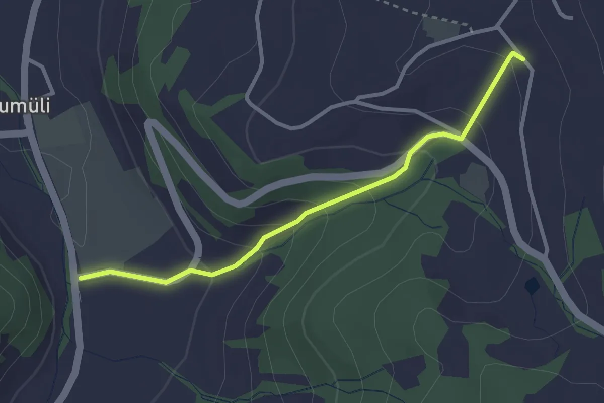
Easy · Trail
Hinter Buchenegg – Tägerst
2.6 km · ↑ 159 m · 58 min
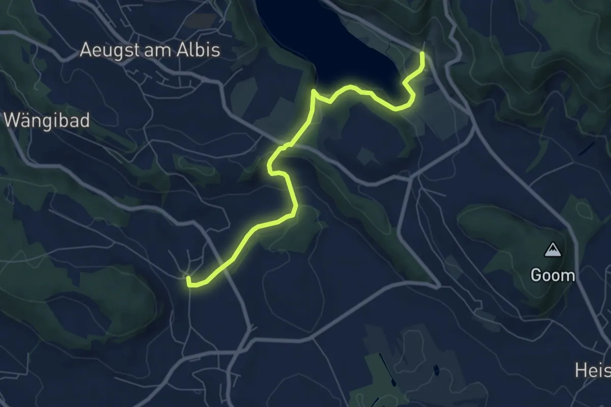
Easy · Trail
Herferswil – Türlen
6.8 km · ↑ 162 m · 1 h 57 min
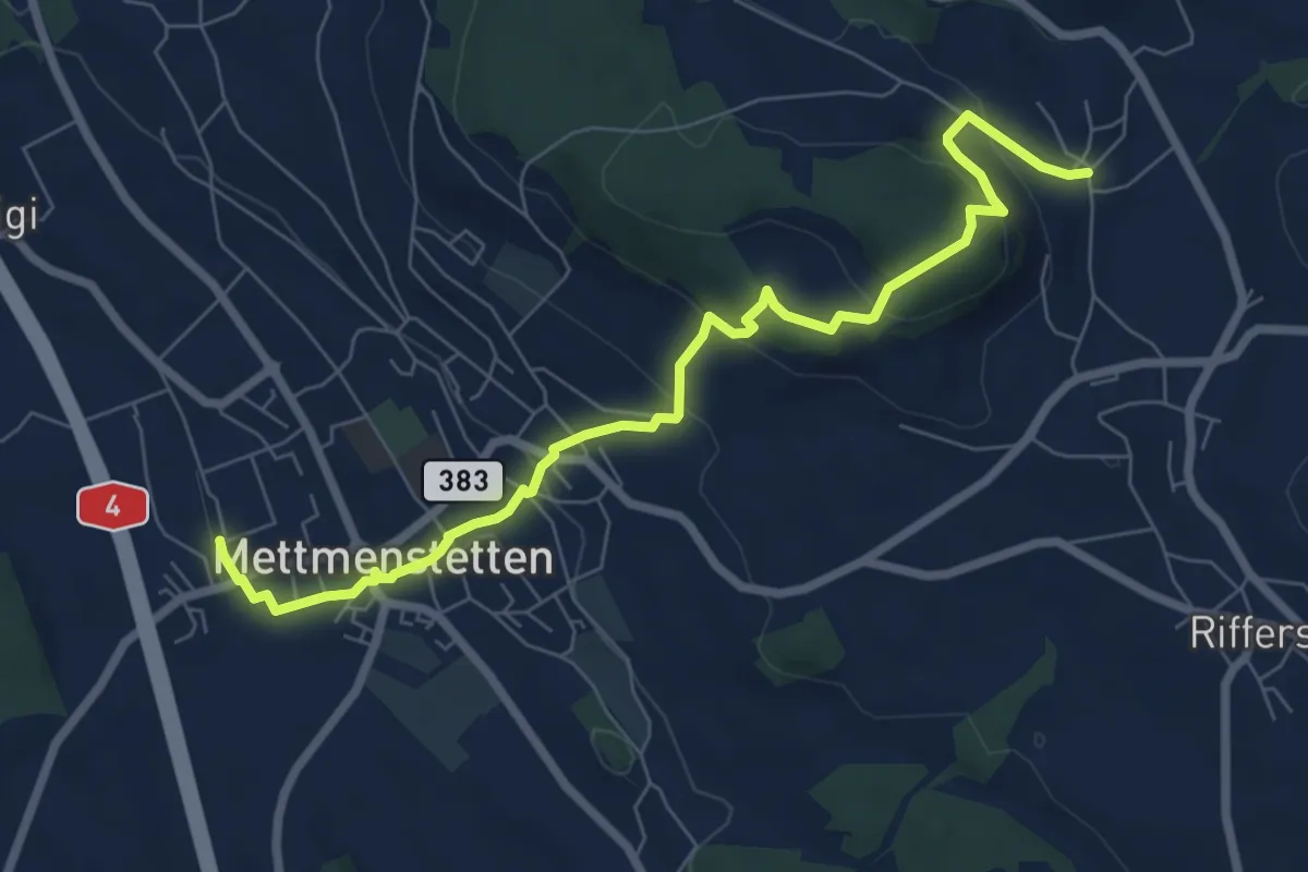
Medium · Trail
Herferswil – Mettmenstetten
7.9 km · ↑ 335 m · 2 h 35 min
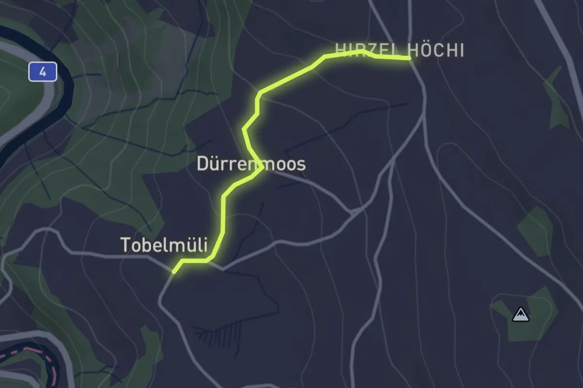
Easy · Trail
Tobelmüli – Höhi
2.4 km · ↑ 94 m · 47 min
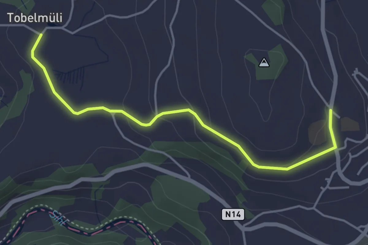
Easy · Trail
Tobelmüli – Hirzel
4.1 km · ↑ 108 m · 1 h 12 min
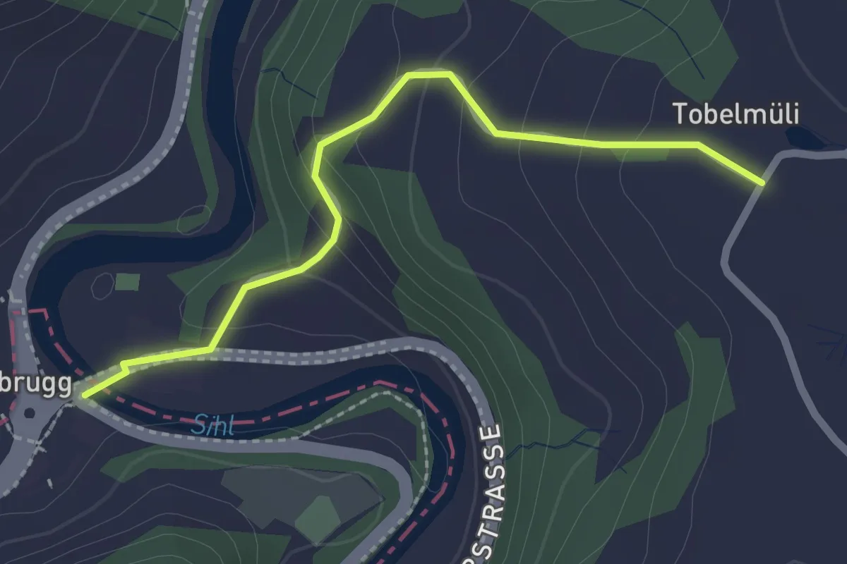
Easy · Trail
Sihlbrugg Dorf – Tobelmüli
2.2 km · ↑ 110 m · 45 min
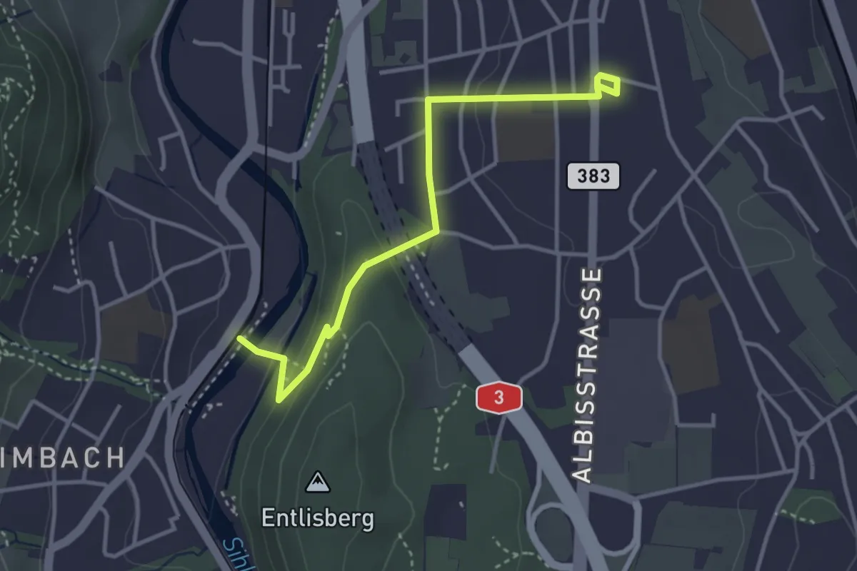
Easy · Trail
Leimbach – Wollishofen
3.5 km · ↑ 85 m · 1 h
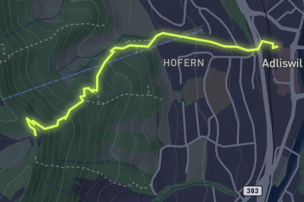
Medium · Trail
Adliswil (Bahnhof) – Felsenegg
3.5 km · ↑ 325 m · 1 h 31 min
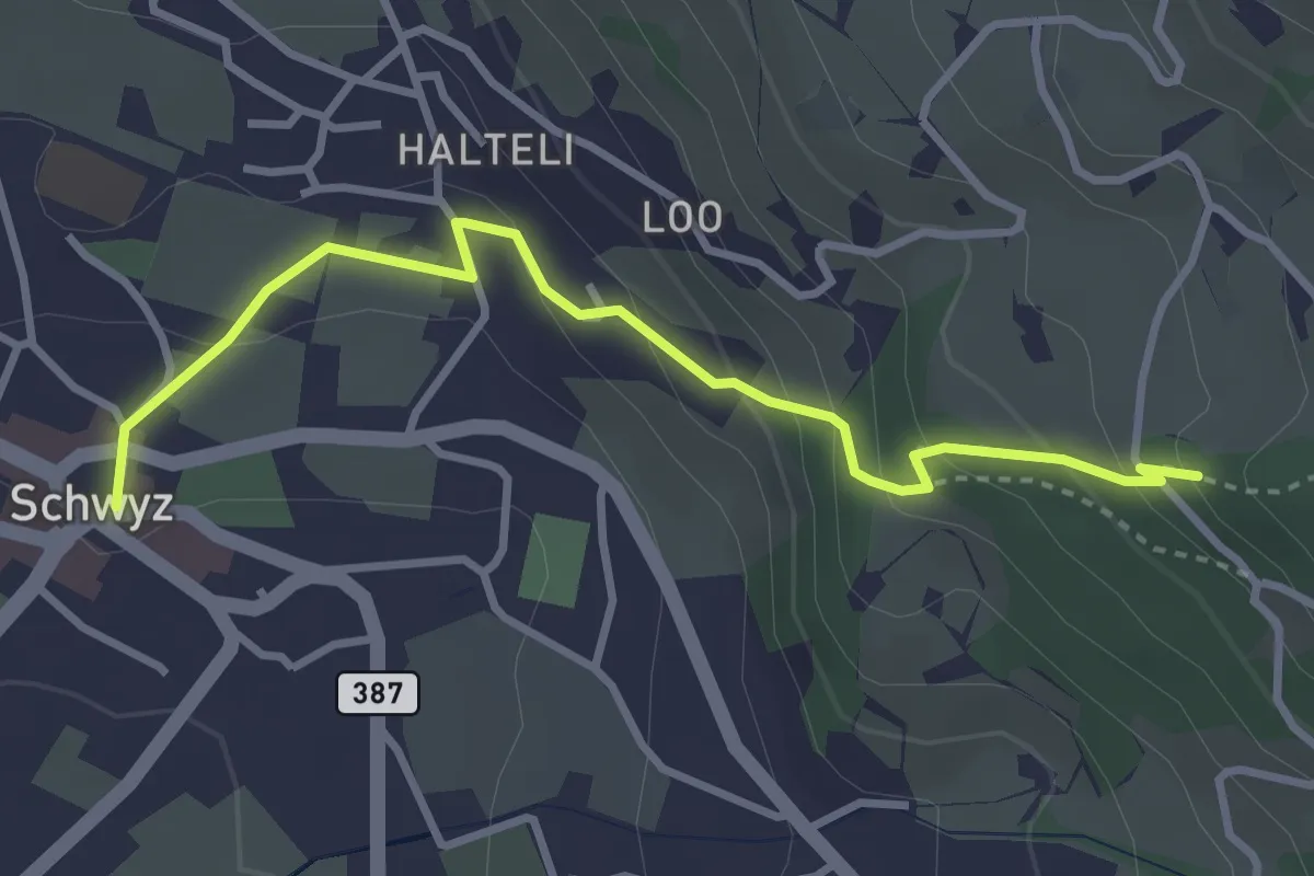
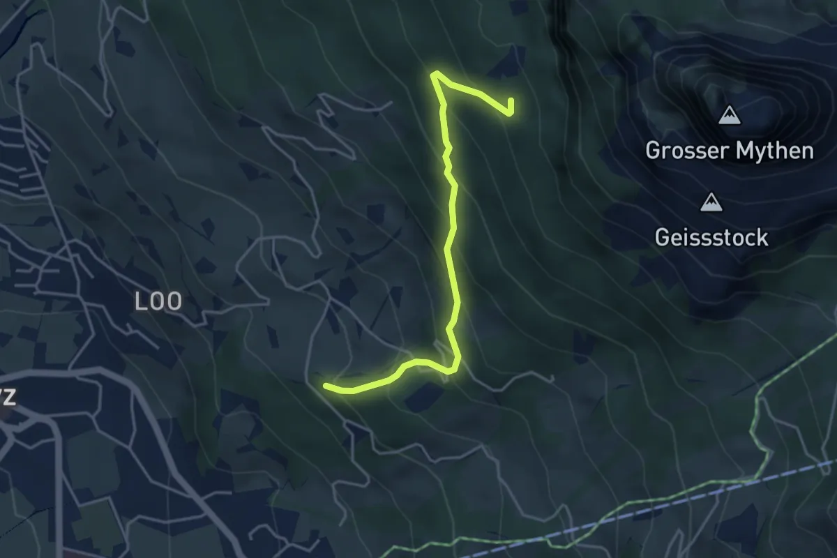
Medium · Trail
Schwyz Hauptplatz – Tschütschiwald
3.4 km · ↑ 211 m · 1 h 16 min
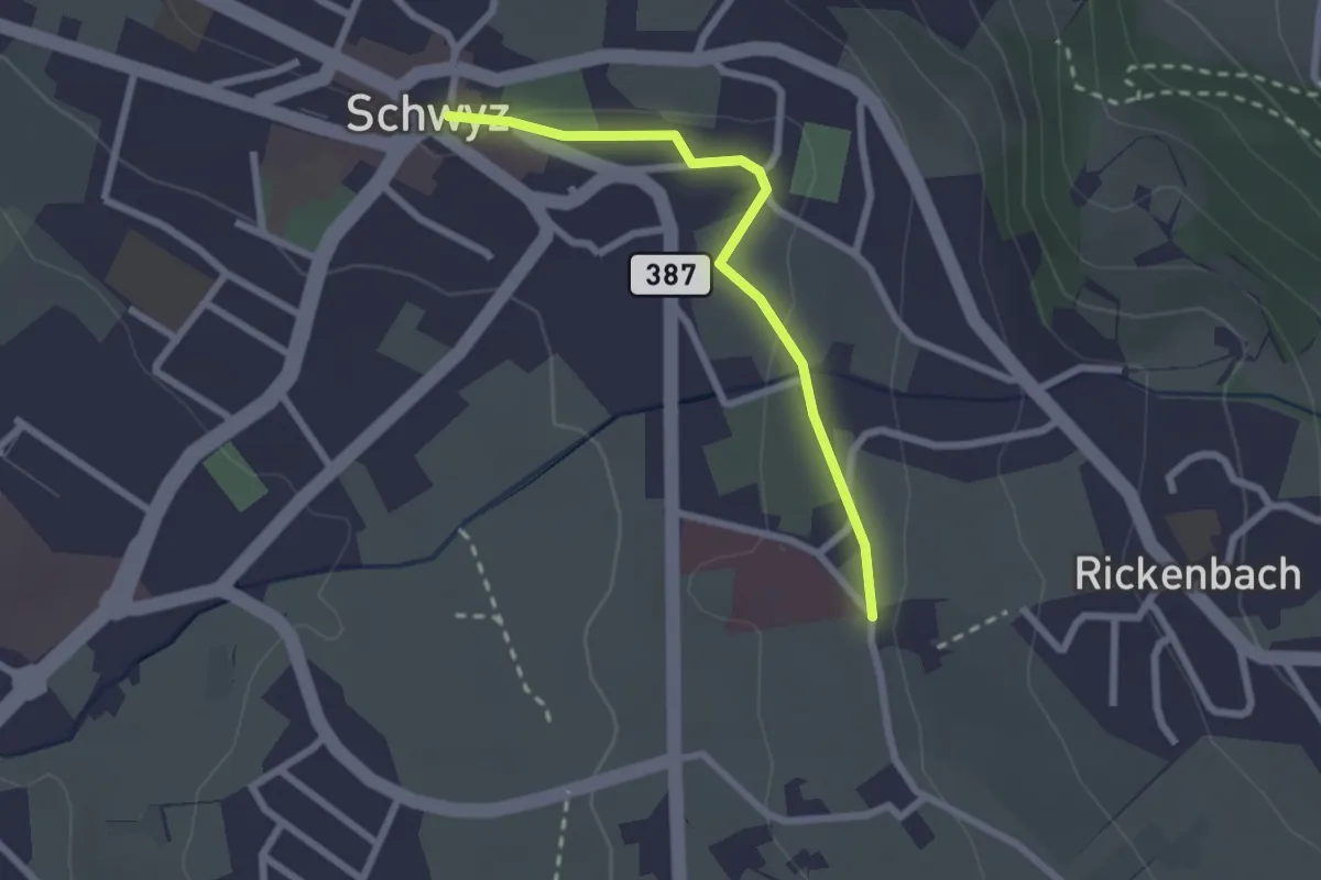
Medium · Trail
Tschütschiwald – Günterigs
3.8 km · ↑ 374 m · 1 h 42 min
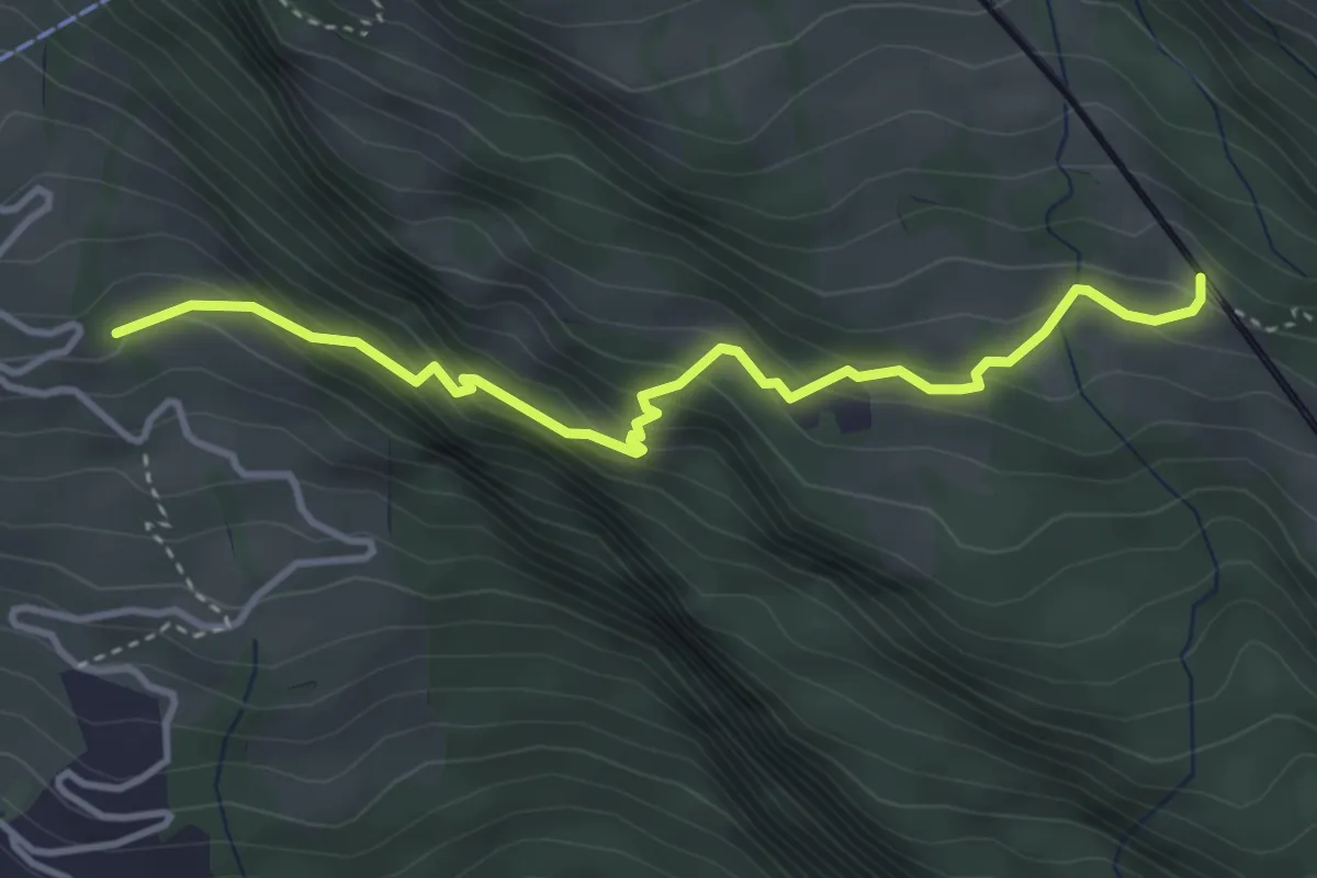
Easy · Trail
Schwyz Hauptplatz – Waldegg
2.2 km · ↑ 28 m · 35 min
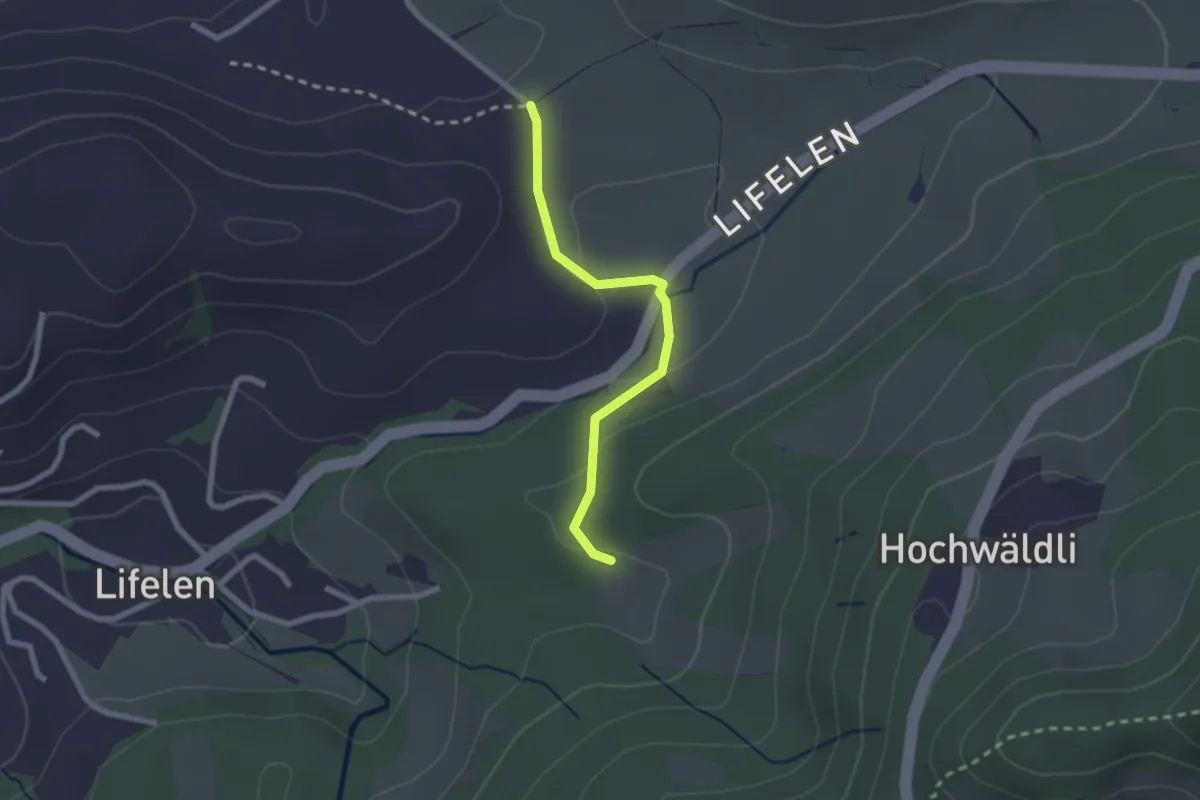
Medium · Trail
Ober Säntiberg – Romiti
3.8 km · ↑ 352 m · 1 h 39 min
Easy · Trail
Scharmis – Chräje
2.1 km · ↑ 44 m · 35 min
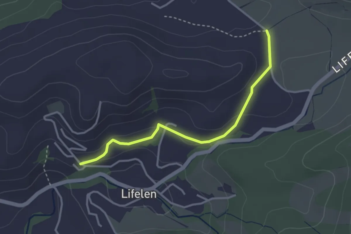
Easy · Trail
Lifelen – Scharmis
2.9 km · ↑ 91 m · 53 min
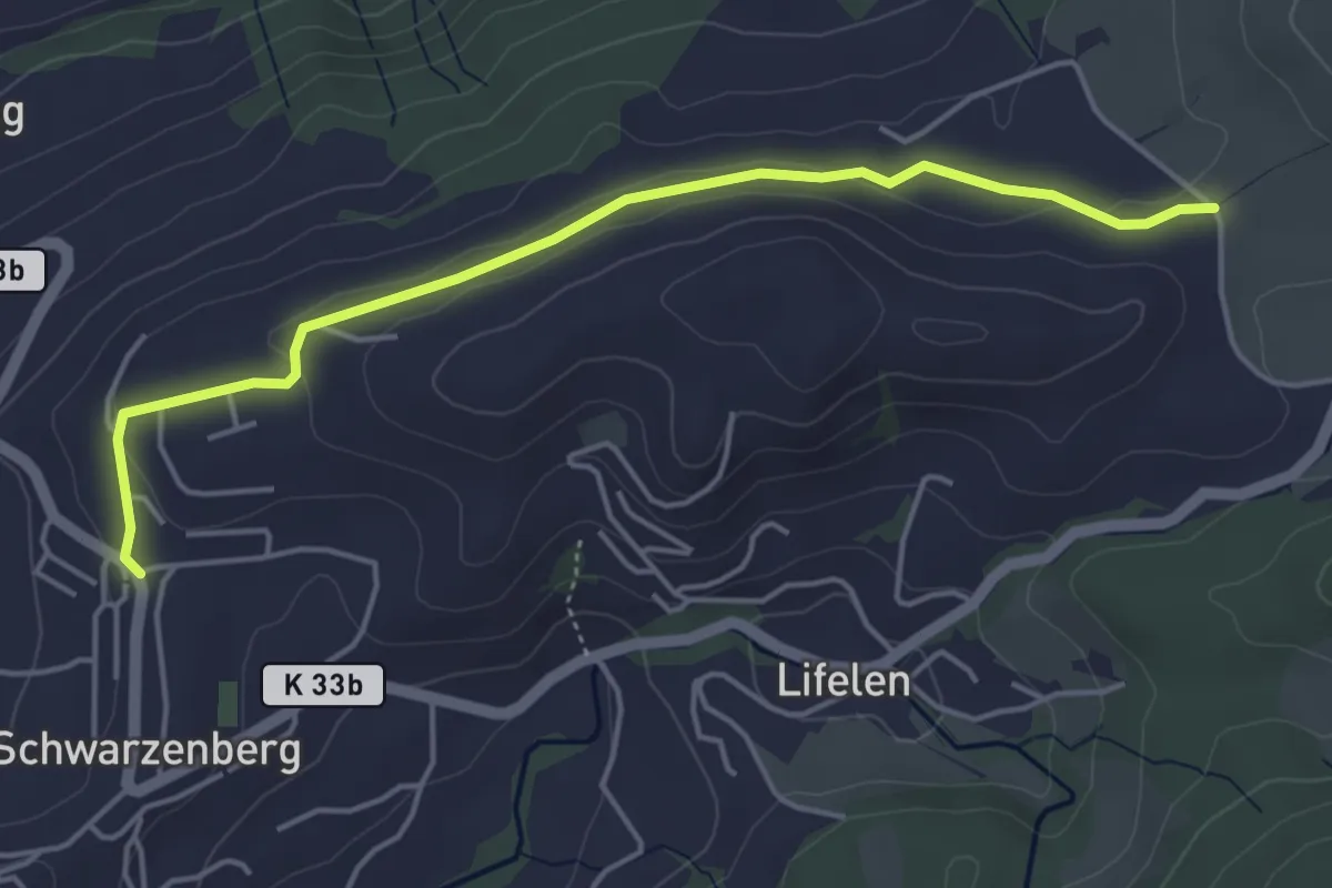
Easy · Trail
Schwarzenberg – Scharmis
4.7 km · ↑ 70 m · 1 h 16 min
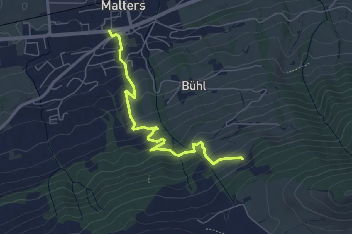
Easy · Trail
Malters – Obersiten
4.8 km · ↑ 294 m · 1 h 46 min
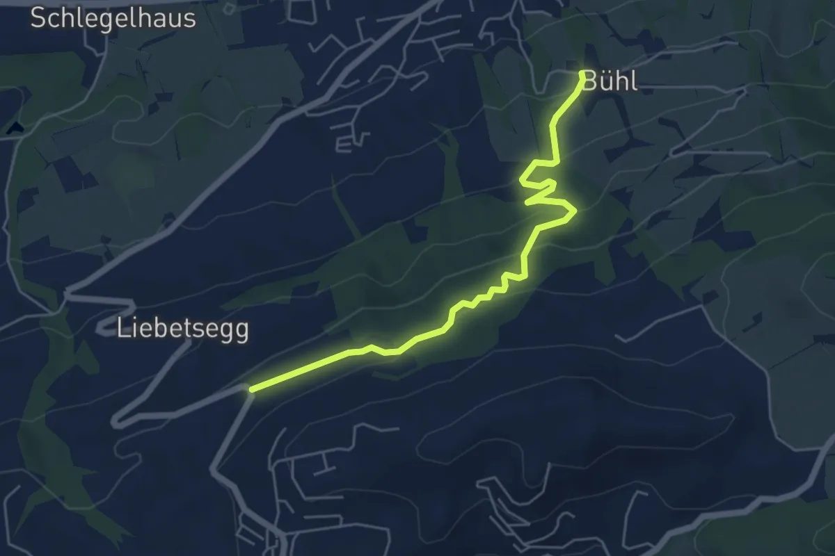
Easy · Trail
Boden – Büel
5.2 km · ↑ 282 m · 1 h 51 min
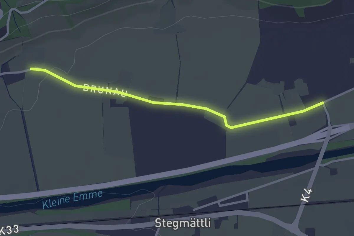
Easy · Trail
Witentor – Neuhushof
2.7 km · ↑ 13 m · 40 min
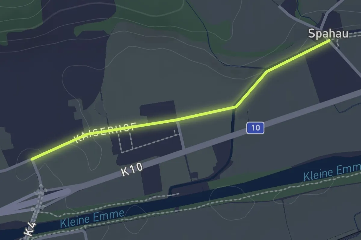
Easy · Trail
Neuhushof – Spahau
2.2 km · ↑ 10 m · 32 min
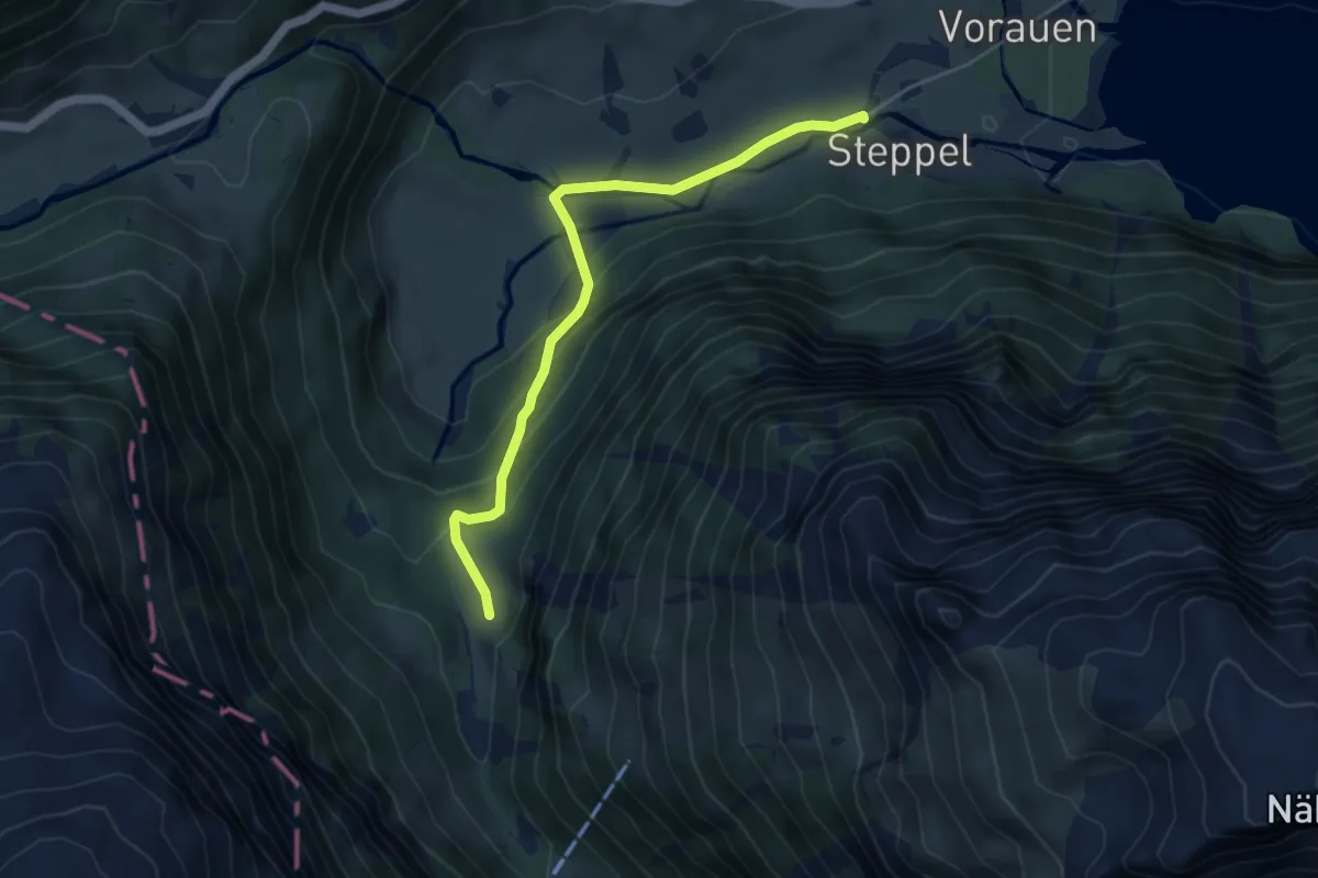
Easy · Trail
Steppelbrücke – Chlüstalden
4.8 km · ↑ 240 m · 1 h 39 min
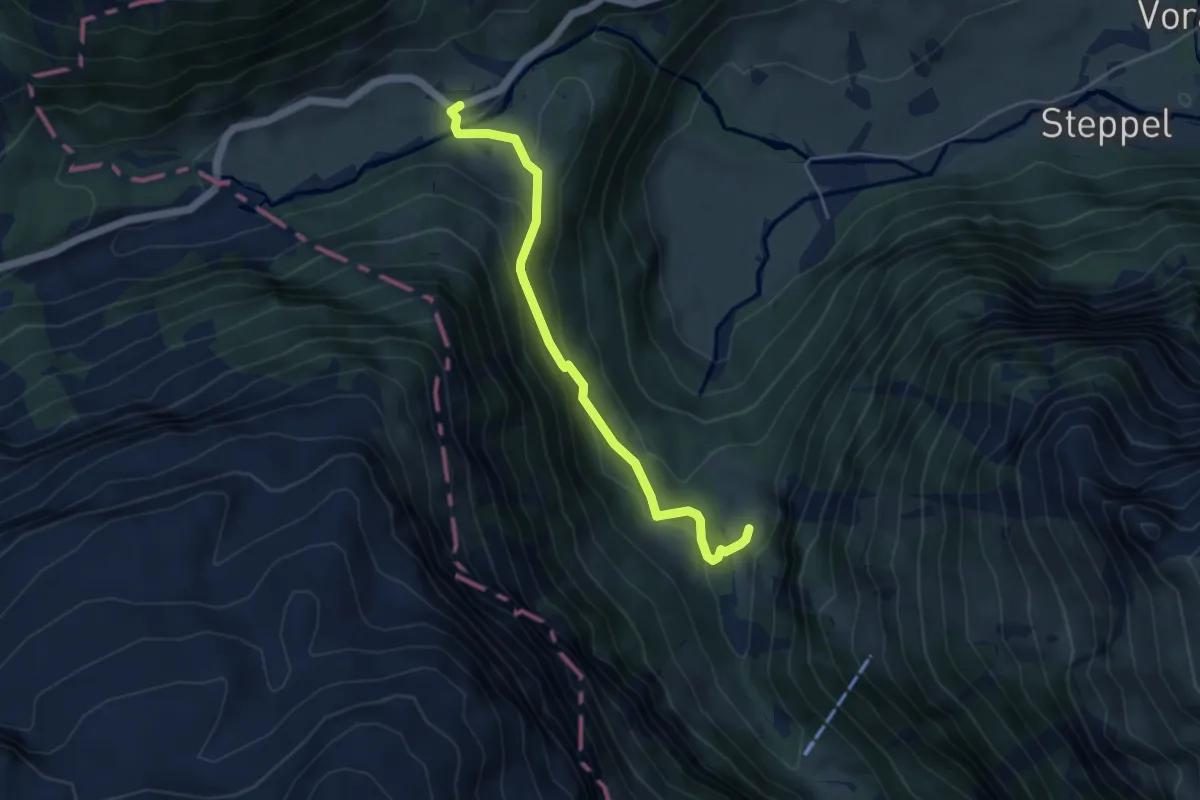
Medium · Trail
Richisau – Chlüstalden
4.4 km · ↑ 306 m · 1 h 43 min
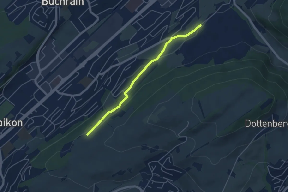
Easy · Trail
Spächte – Under Äbrüti
3.9 km · ↑ 92 m · 1 h 8 min
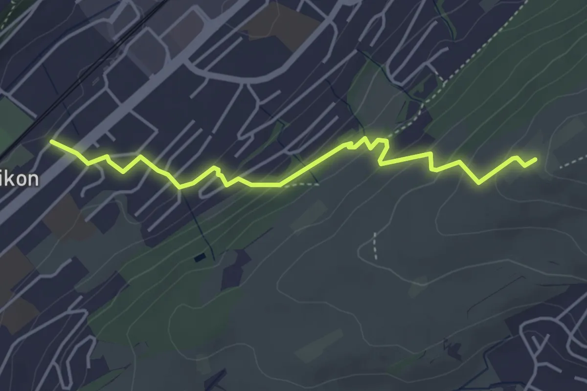
Easy · Trail
Ebikon – Ober Äbrüti
4.1 km · ↑ 228 m · 1 h 28 min
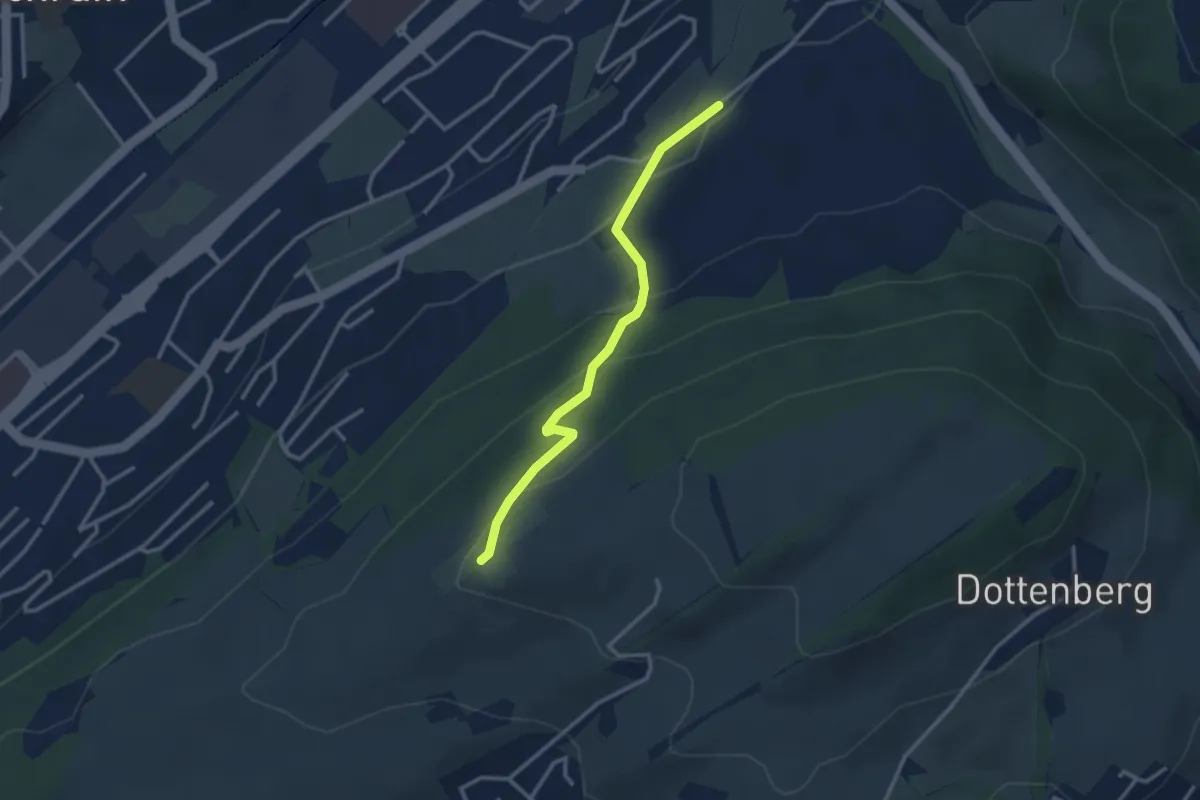
Easy · Trail
Ober Äbrüti – Spächten
2.9 km · ↑ 155 m · 1 h 1 min
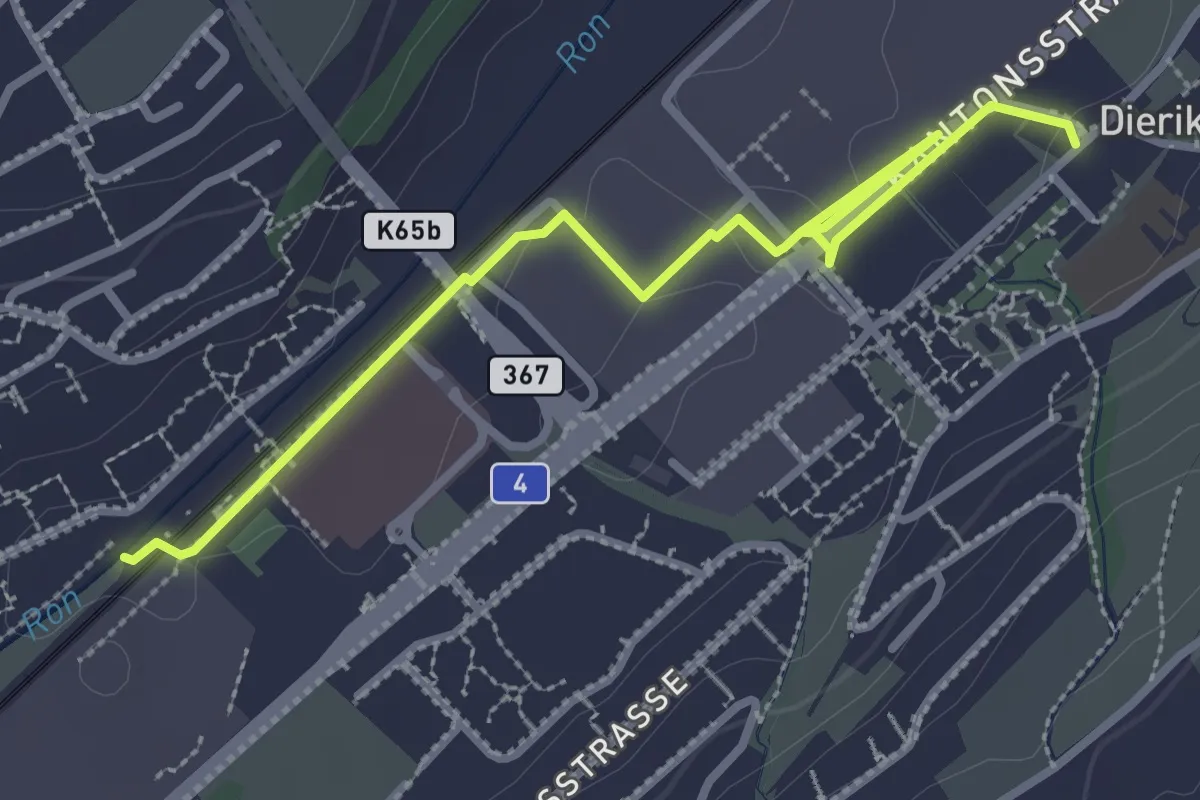
Easy · Trail
Buchrain Station – Dierikon
3.4 km · ↑ 0 m · 48 min
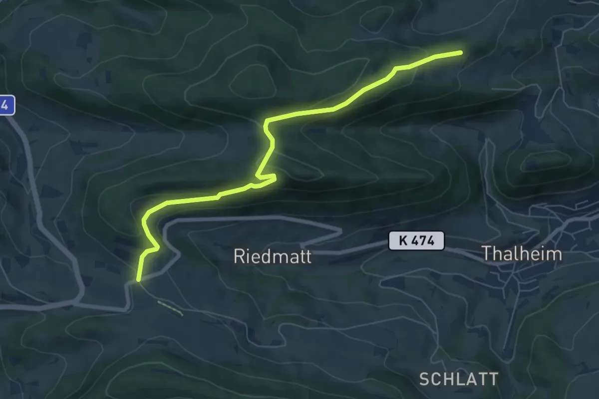
Easy · Trail
Aelmhard – Staffelegg Parkplatz
6.7 km · ↑ 223 m · 2 h 4 min
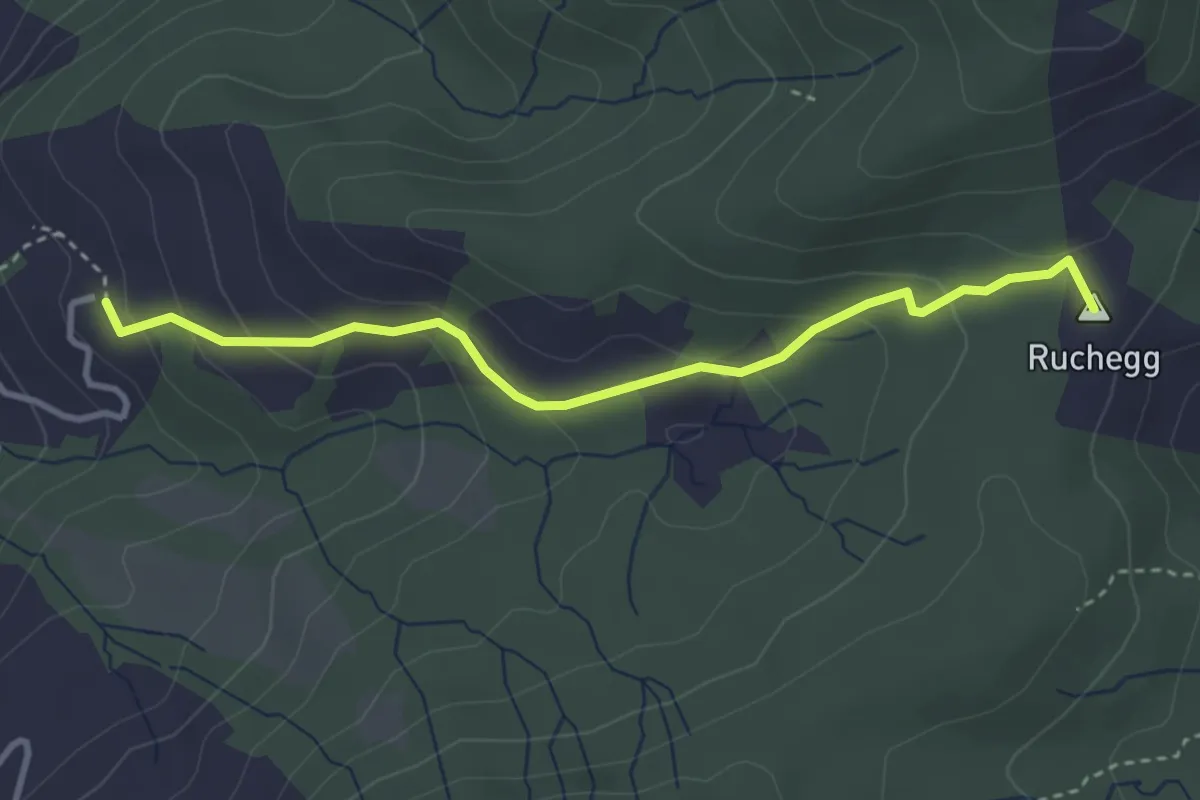
Medium · Summit
Biberstock – Ruchegg
3.4 km · ↑ 182 m · 1 h 12 min
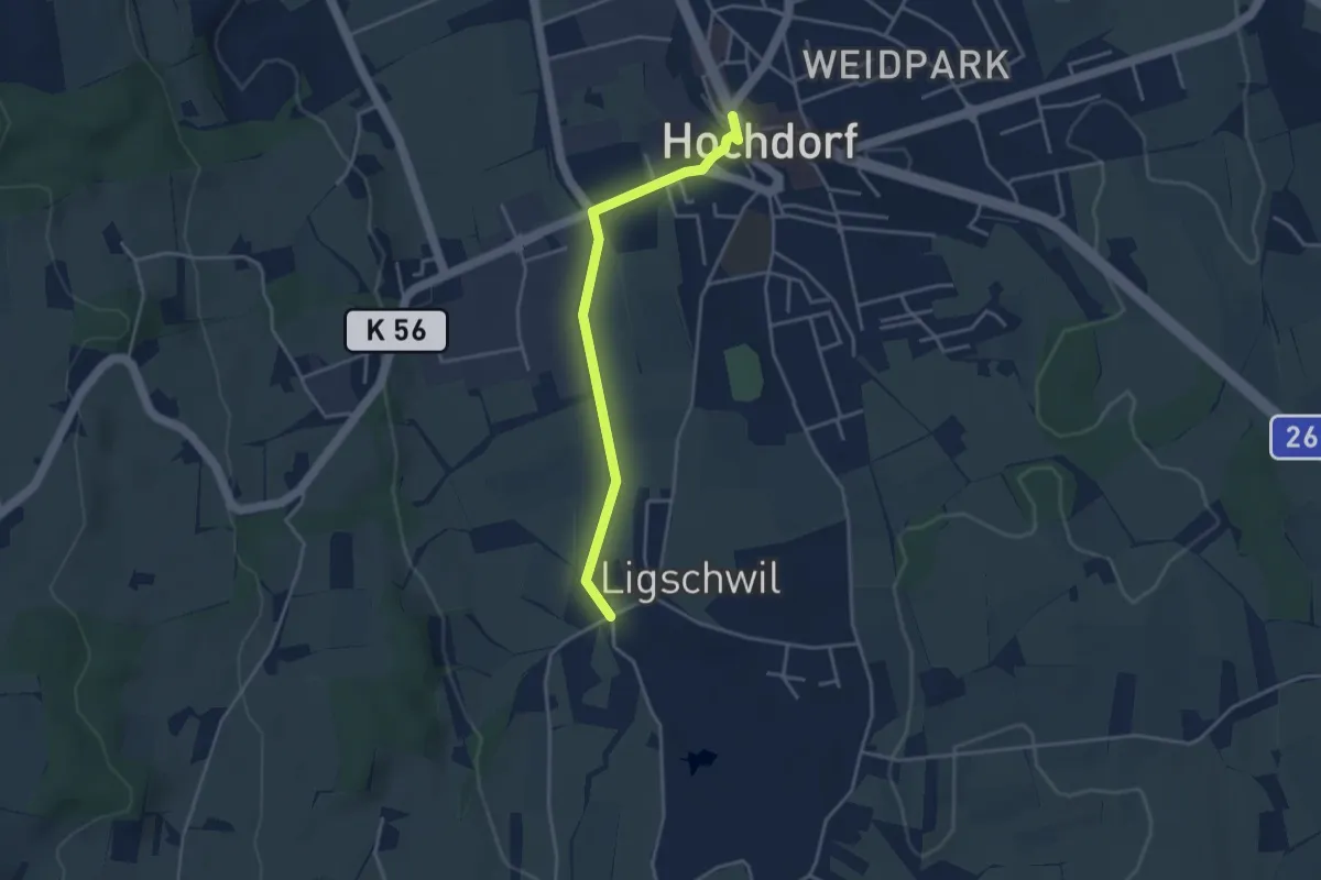
Easy · Trail
Hochdorf – Ligschwil
3.5 km · ↑ 23 m · 53 min
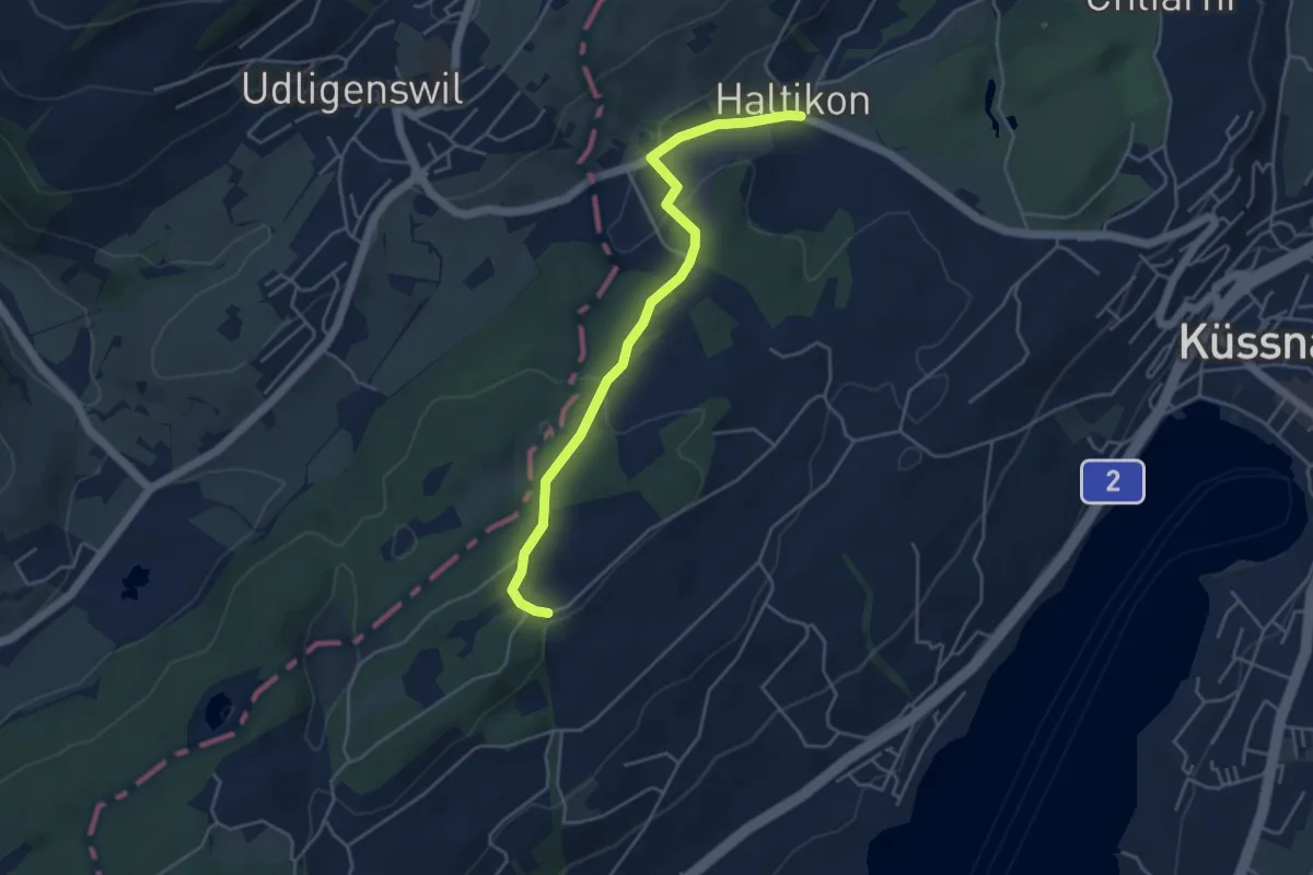
Easy · Trail
Forenmoos – Haltikon
4.5 km · ↑ 109 m · 1 h 18 min
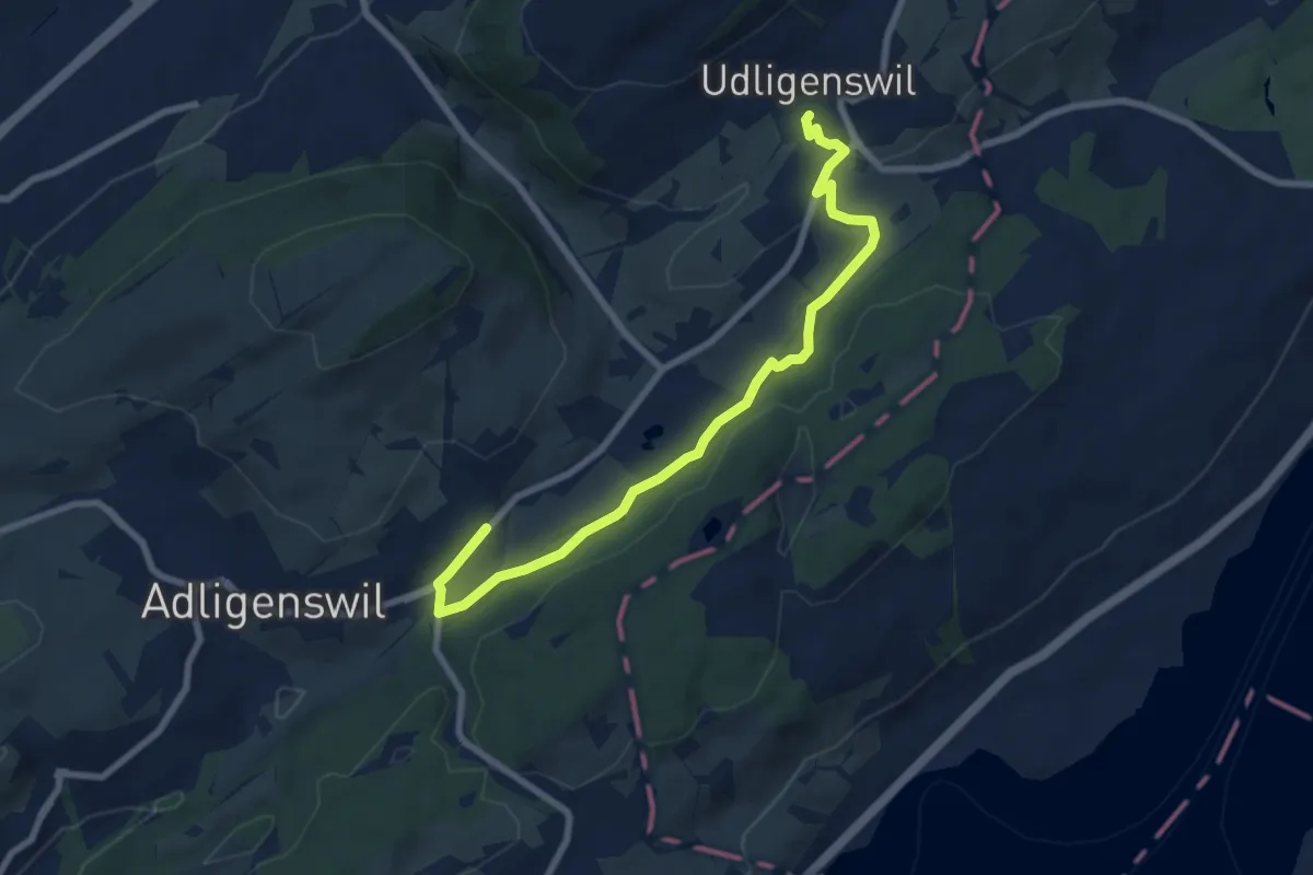
Medium · Trail
Udligenswil – Chli Äbnet
8.3 km · ↑ 125 m · 2 h 13 min
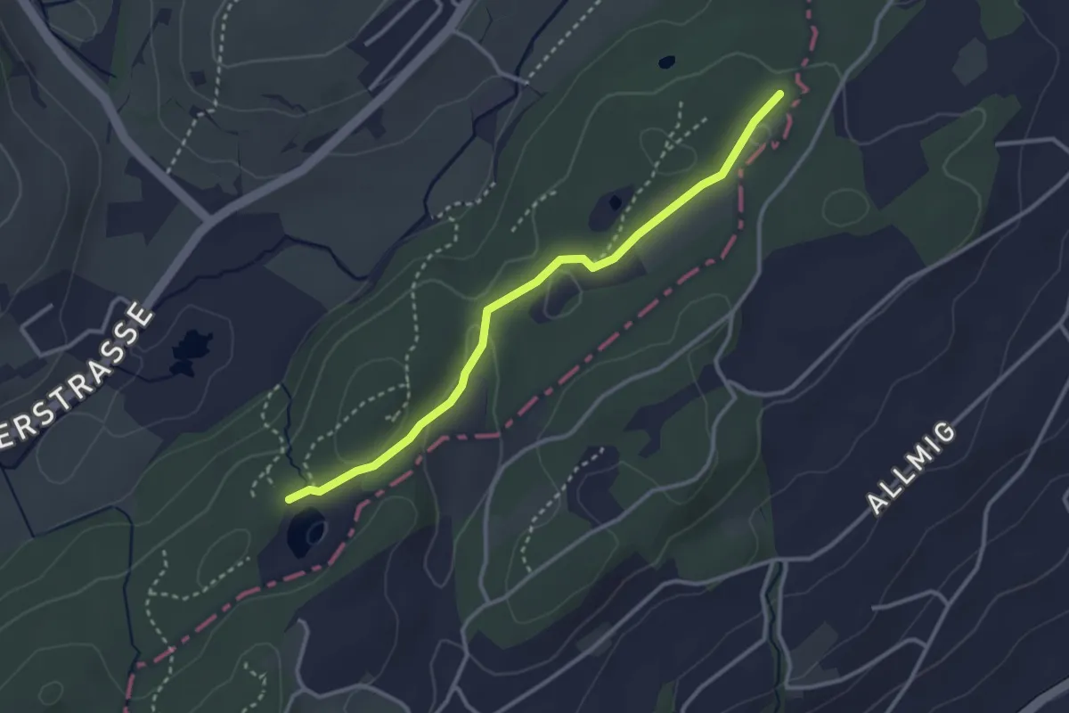
Easy · Trail
Teufried – Wagenmoos
3.1 km · ↑ 35 m · 48 min
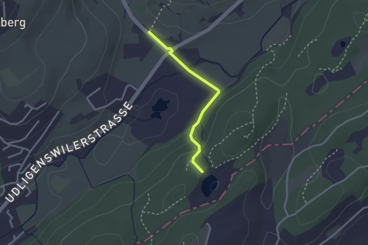
Easy · Trail
Wagenmoos – Stegmatt
2.1 km · ↑ 72 m · 38 min
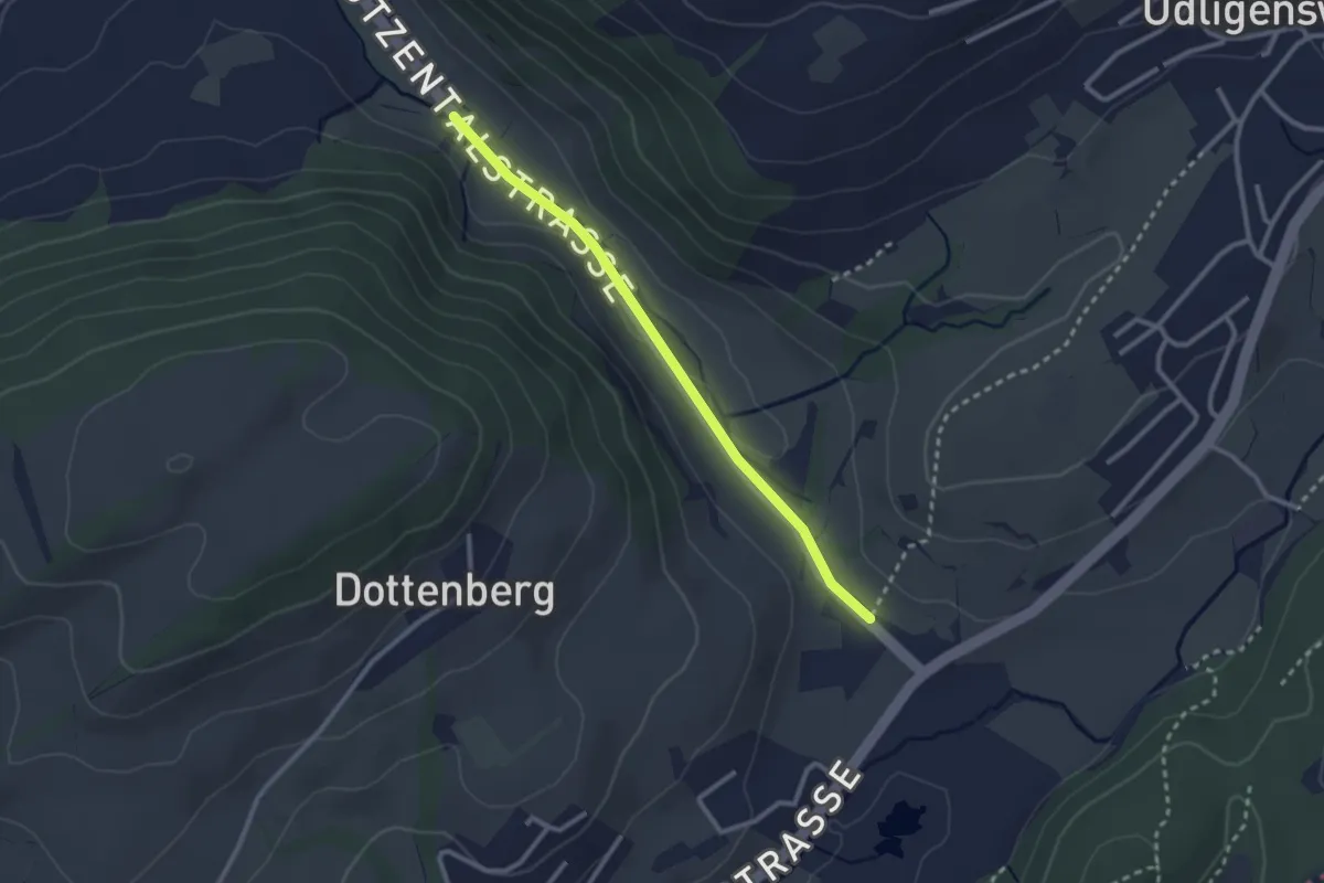
Easy · Trail
Stegmatt – Götzental
2.5 km · ↑ 22 m · 38 min
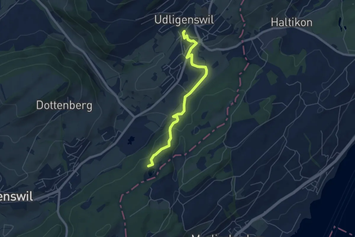
Easy · Trail
Udligenswil – Wagenmoos
5.3 km · ↑ 156 m · 1 h 36 min
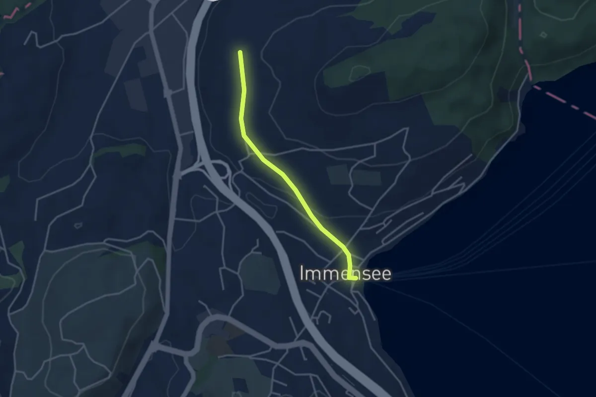
Easy · Trail
Hinter Chiemen – Immensee
3.0 km · ↑ 73 m · 52 min
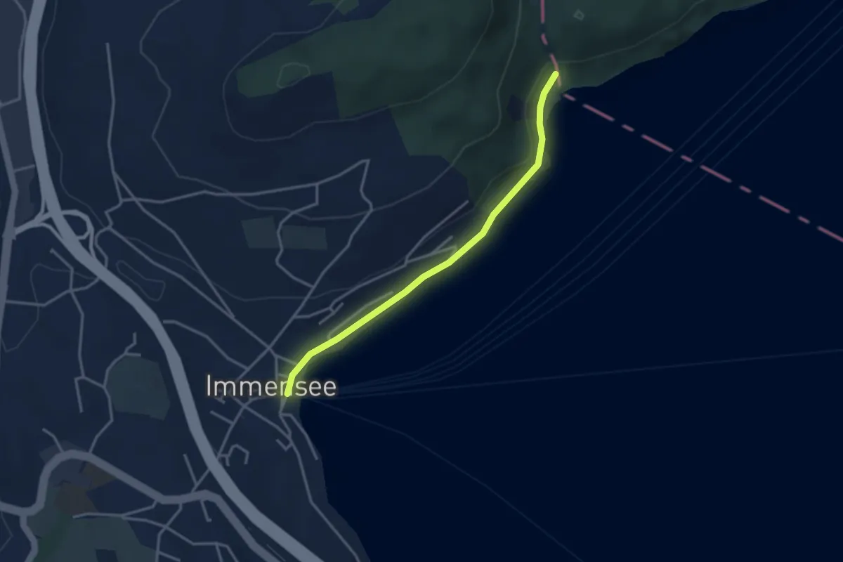
Easy · Trail
Baumgarten – Immensee
3.1 km · ↑ 42 m · 50 min
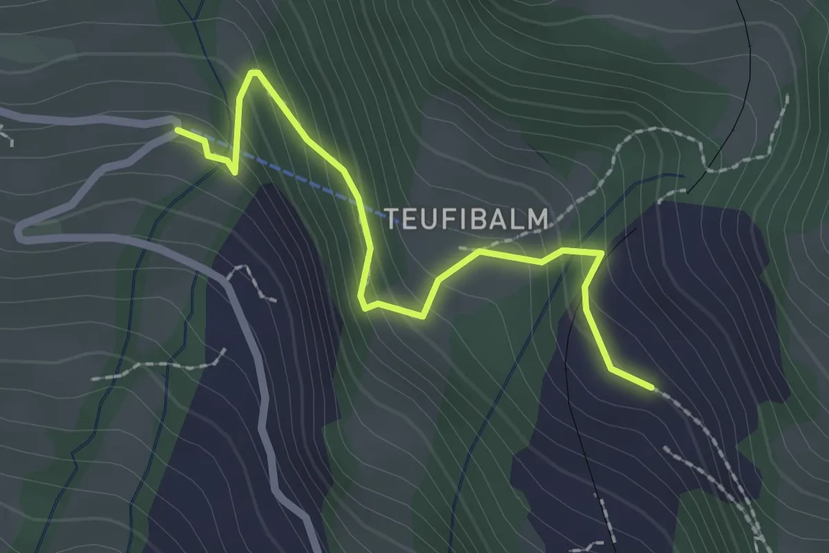
Easy · Trail
Langwilen – Schwanden
2.1 km · ↑ 216 m · 57 min
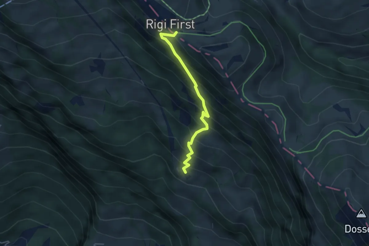
Medium · Trail
Freibergen – First
3.3 km · ↑ 419 m · 1 h 42 min
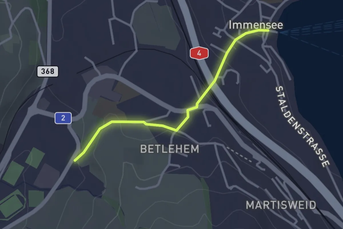
Easy · Trail
Hohle Gasse – Immensee
2.5 km · ↑ 67 m · 45 min
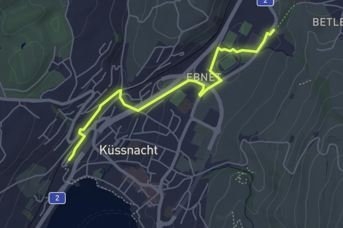
Easy · Trail
Küssnacht – Hohle Gasse
4.7 km · ↑ 57 m · 1 h 14 min
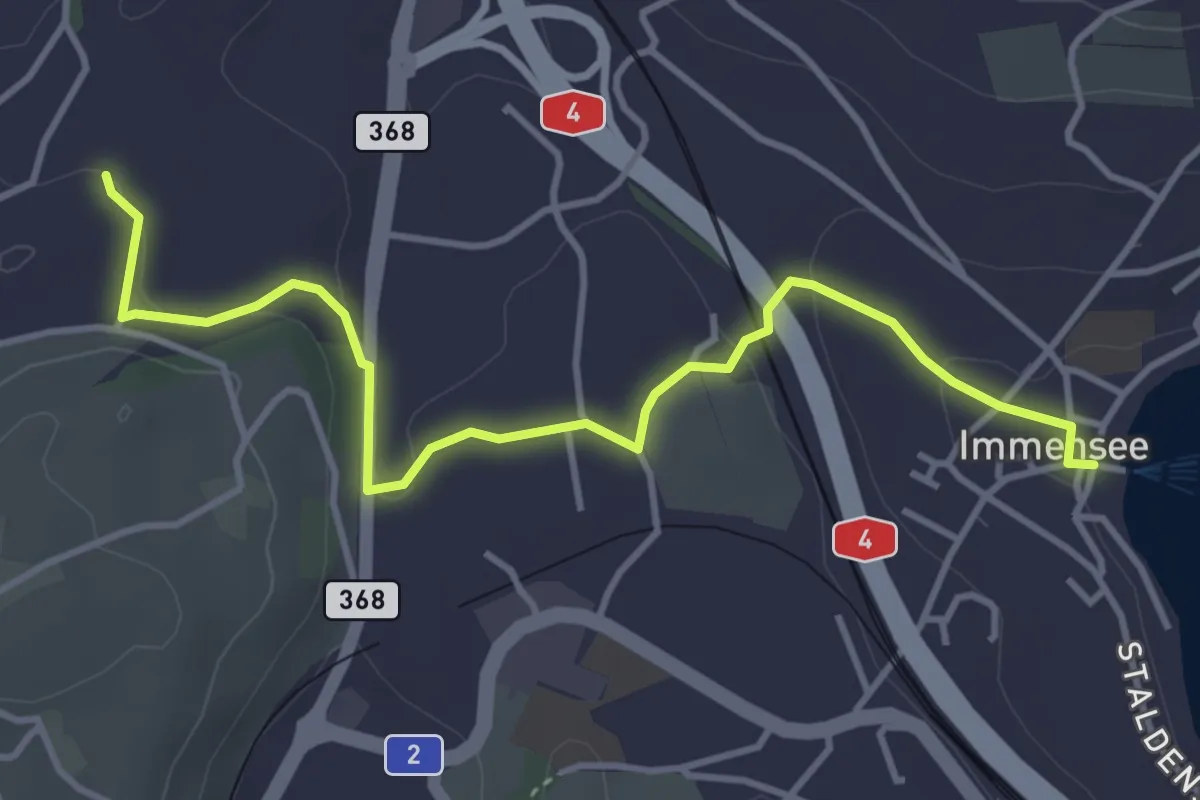
Easy · Trail
Immensee – St. Martin
4.3 km · ↑ 106 m · 1 h 15 min