Trails in Switzerland
15,055 hiking trails, each with its route, climb, walking time and grade.
All trails, page 293 of 314
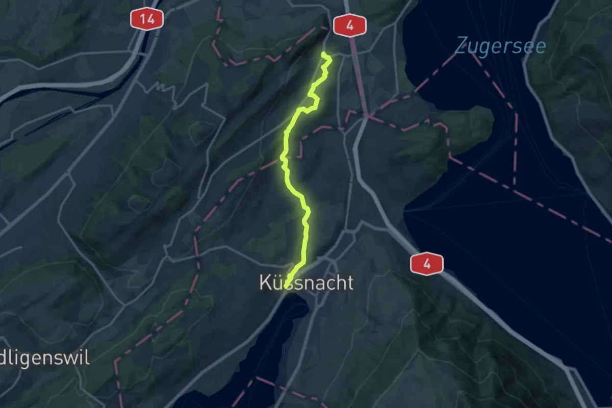
Medium · Trail
Meierskappel – Küssnacht
11.8 km · ↑ 183 m · 3 h 11 min
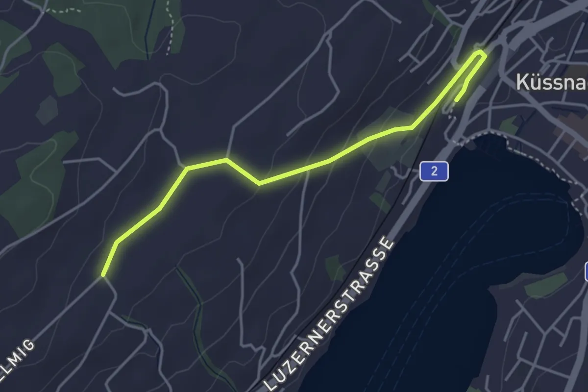
Easy · Trail
Allmig – Küssnacht
3.9 km · ↑ 105 m · 1 h 9 min
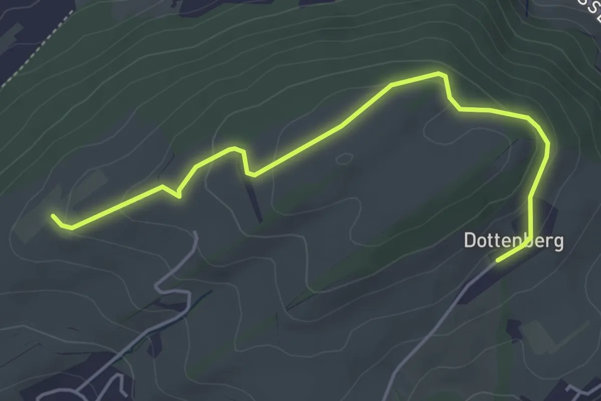
Easy · Trail
Ober Äbrüti – Dottenberg
4.5 km · ↑ 137 m · 1 h 21 min
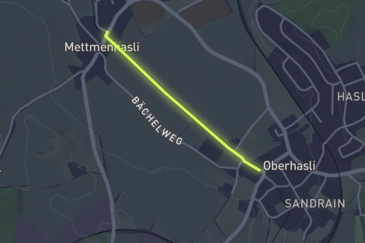
Easy · Trail
Mettmenhasli – Oberhasli
2.2 km · ↑ 5 m · 31 min
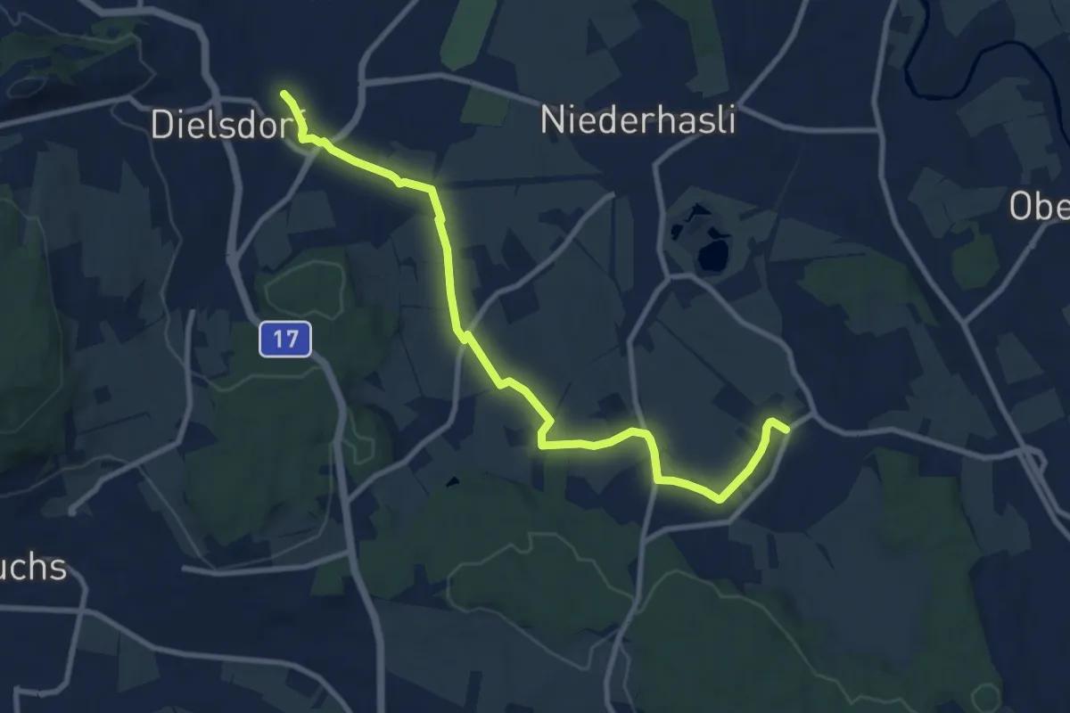
Medium · Trail
Dielsdorf – Oberhasli
9.8 km · ↑ 119 m · 2 h 35 min
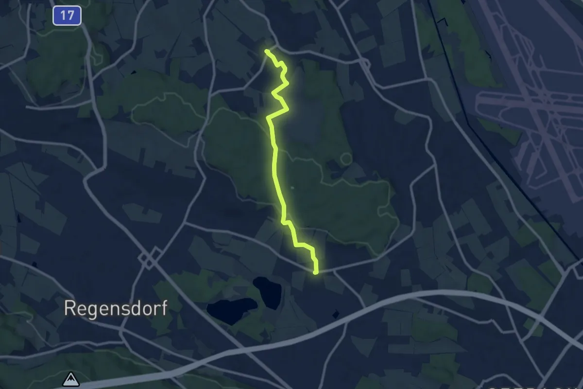
Medium · Trail
Chatzenrüti – Oberhasli
8.3 km · ↑ 161 m · 2 h 18 min
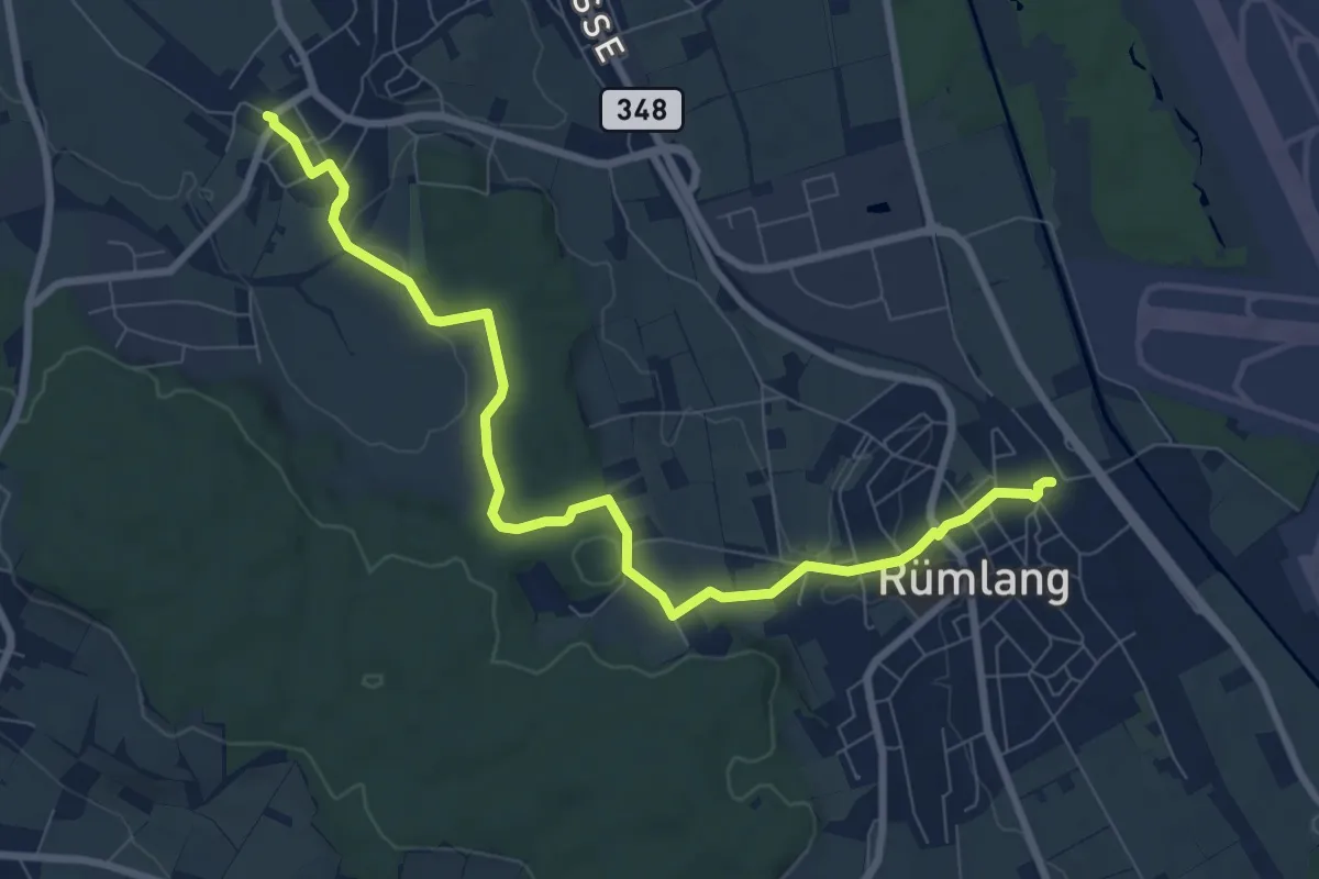
Medium · Trail
Oberhasli – Rümlang
9.0 km · ↑ 168 m · 2 h 29 min
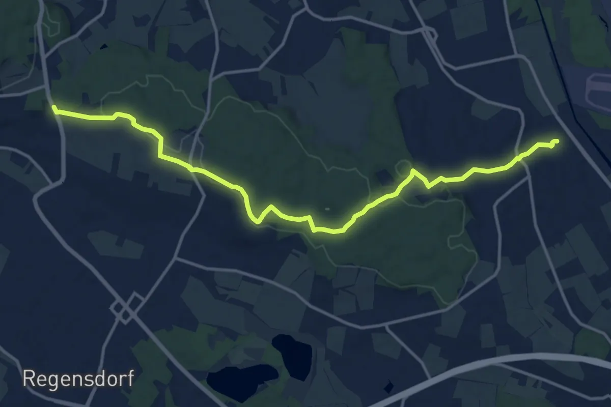
Medium · Trail
Rümlang – Bösbuck
13.2 km · ↑ 291 m · 3 h 45 min
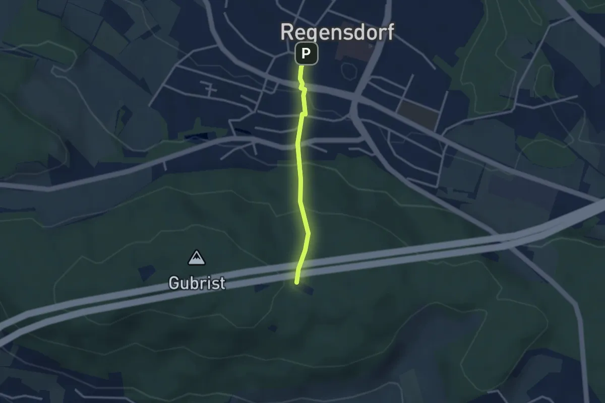
Easy · Trail
Regensdorf – Glaubeneich
2.2 km · ↑ 150 m · 51 min
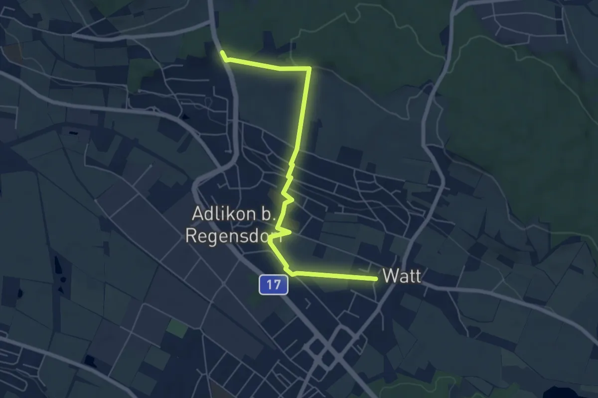
Easy · Trail
Watt – Bösbuck
6.0 km · ↑ 114 m · 1 h 41 min
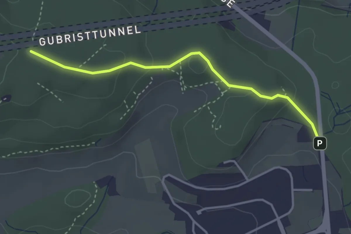
Easy · Trail
Grünwald – Glaubeneich
3.1 km · ↑ 58 m · 52 min
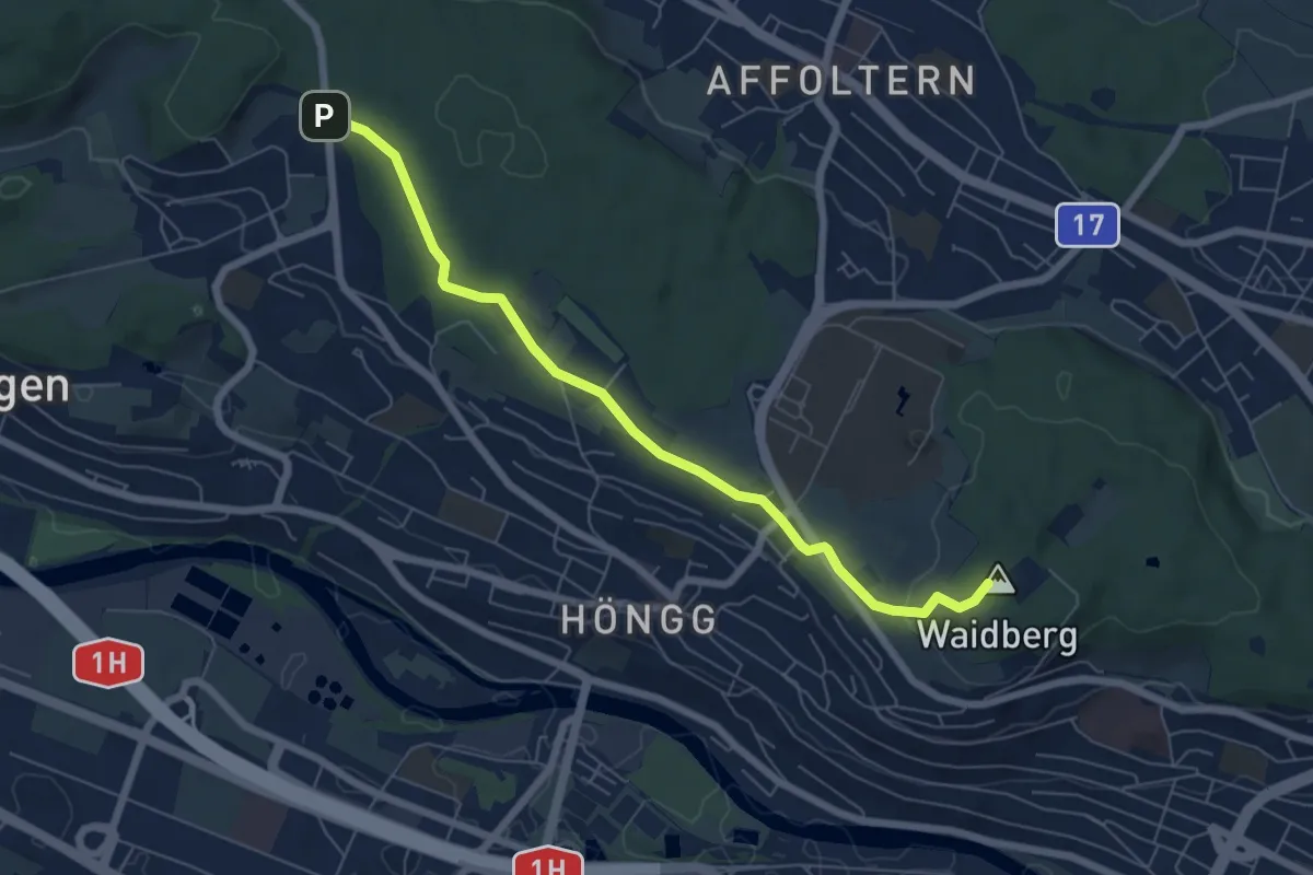
Easy · Summit
Waidberg – Grünwald
6.5 km · ↑ 89 m · 1 h 44 min
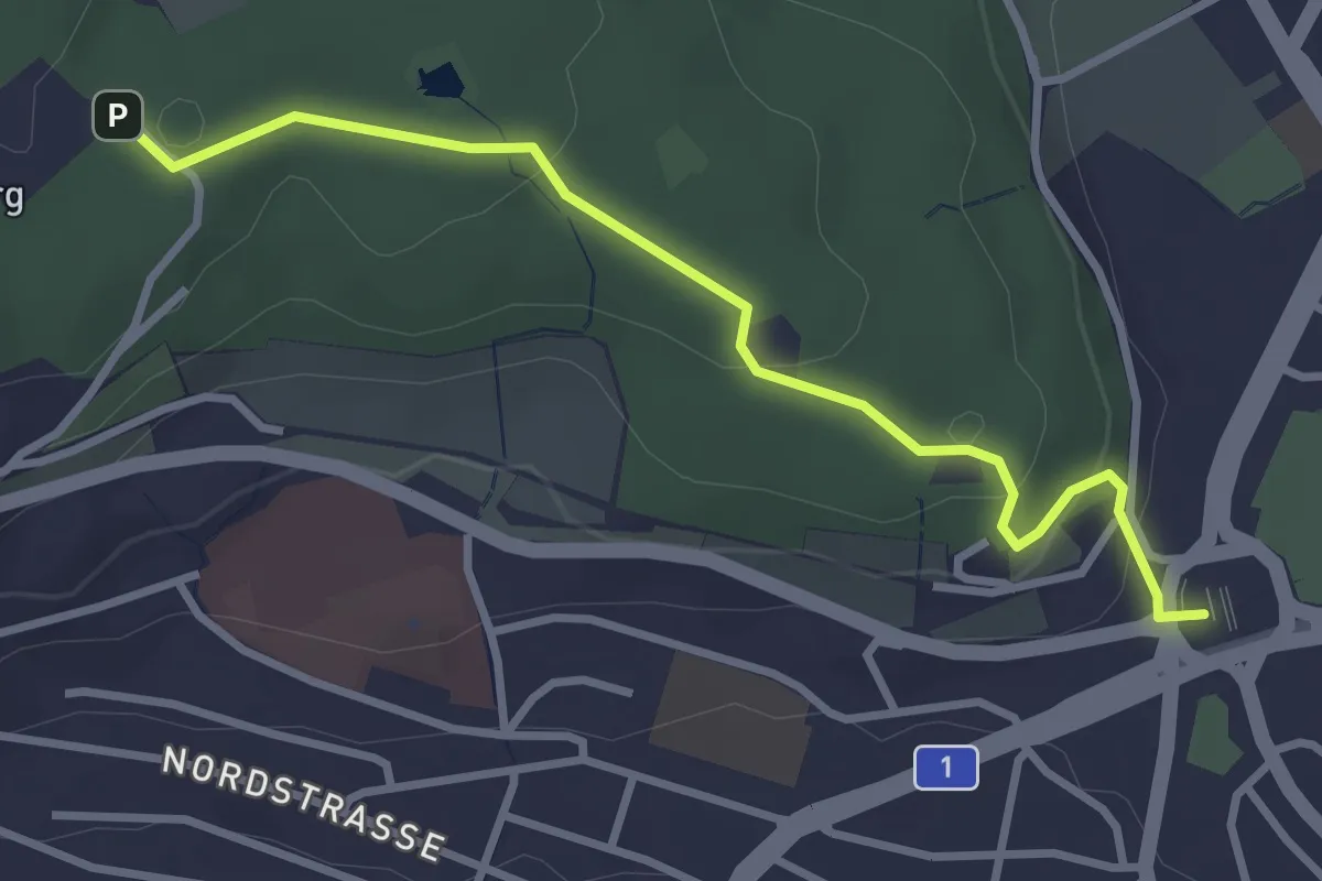
Easy · Trail
Bucheggplatz – Waidberg
3.3 km · ↑ 101 m · 59 min
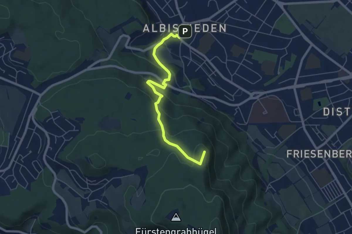
Easy · Summit
Albisrieden – Hohenstein
5.4 km · ↑ 271 m · 1 h 52 min
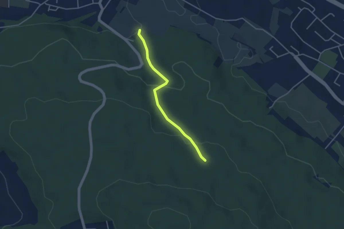
Easy · Trail
Stärpel – Frauenmatt
2.8 km · ↑ 113 m · 54 min
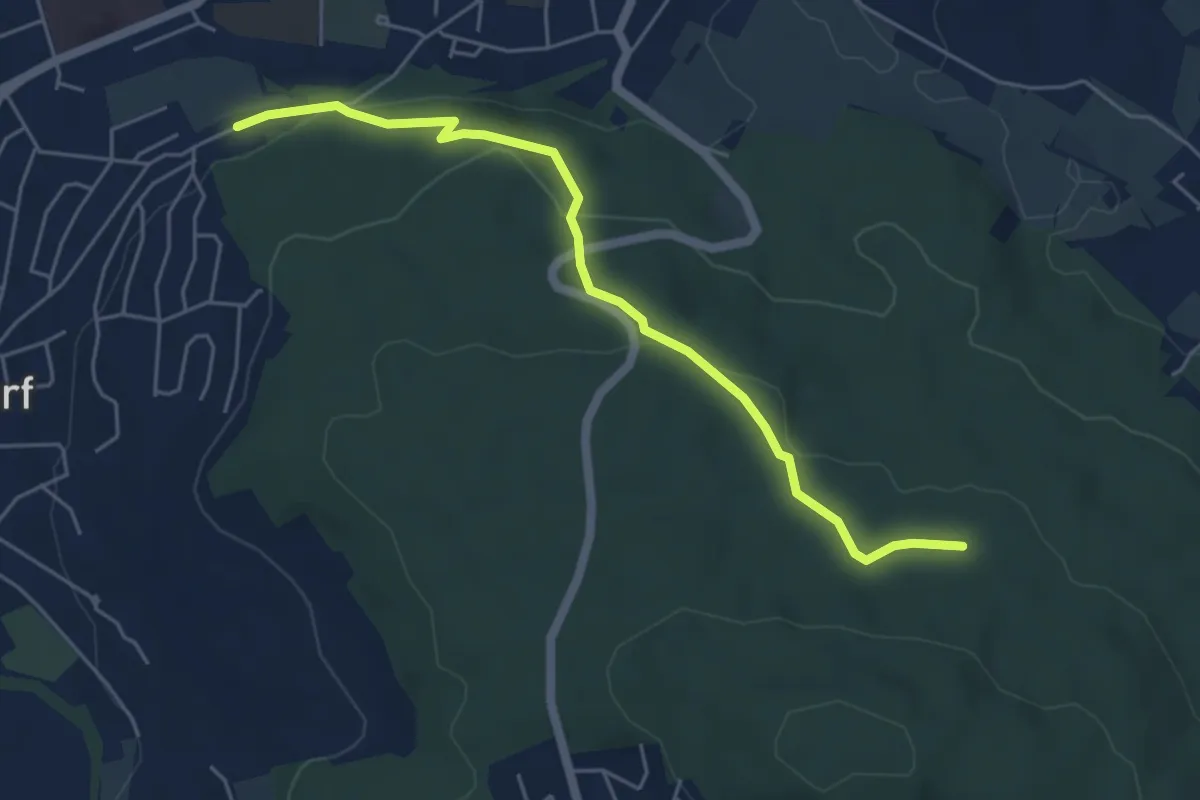
Easy · Trail
Urdorf (Bahnhof) – Frauenmatt
5.2 km · ↑ 125 m · 1 h 30 min
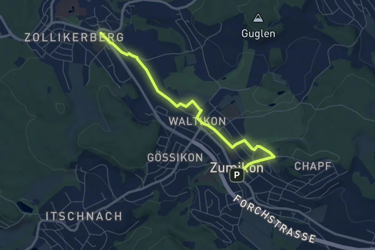
Easy · Trail
Zollikerberg – Zumikon
6.6 km · ↑ 162 m · 1 h 55 min
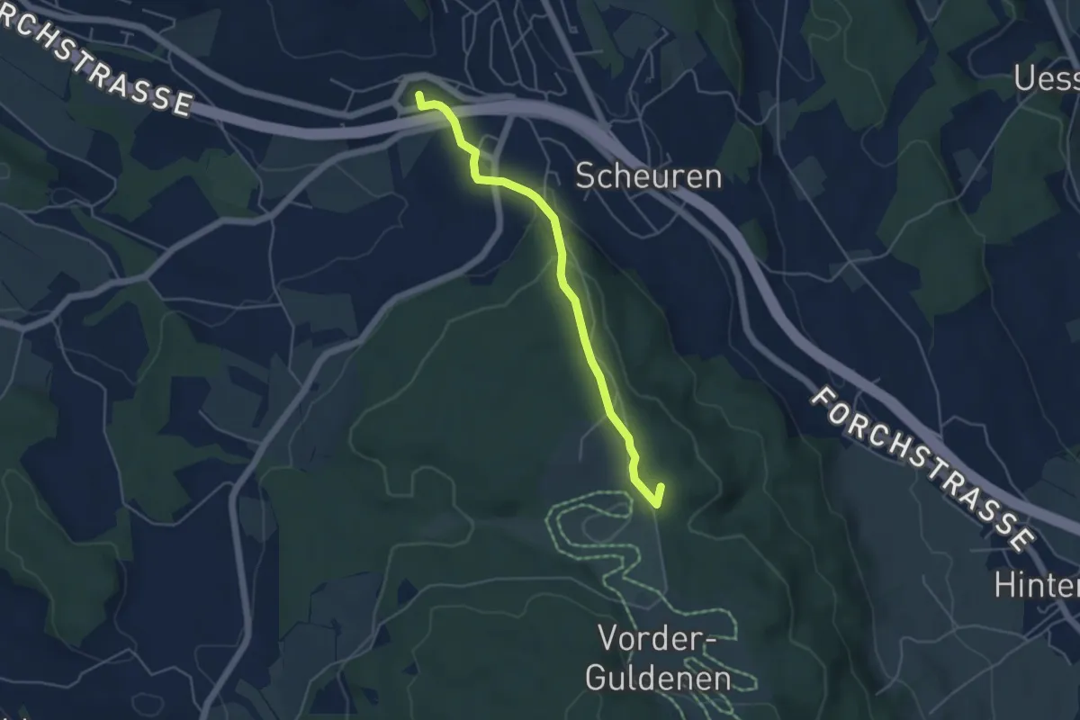
Easy · Summit
Forch – Gerstenchrütz
4.4 km · ↑ 158 m · 1 h 23 min
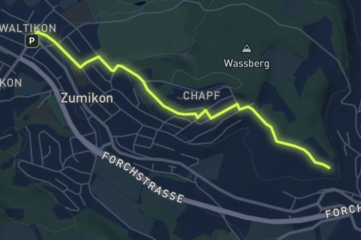
Easy · Trail
Waltikon – Wehrmännerdenkmal
5.9 km · ↑ 149 m · 1 h 43 min
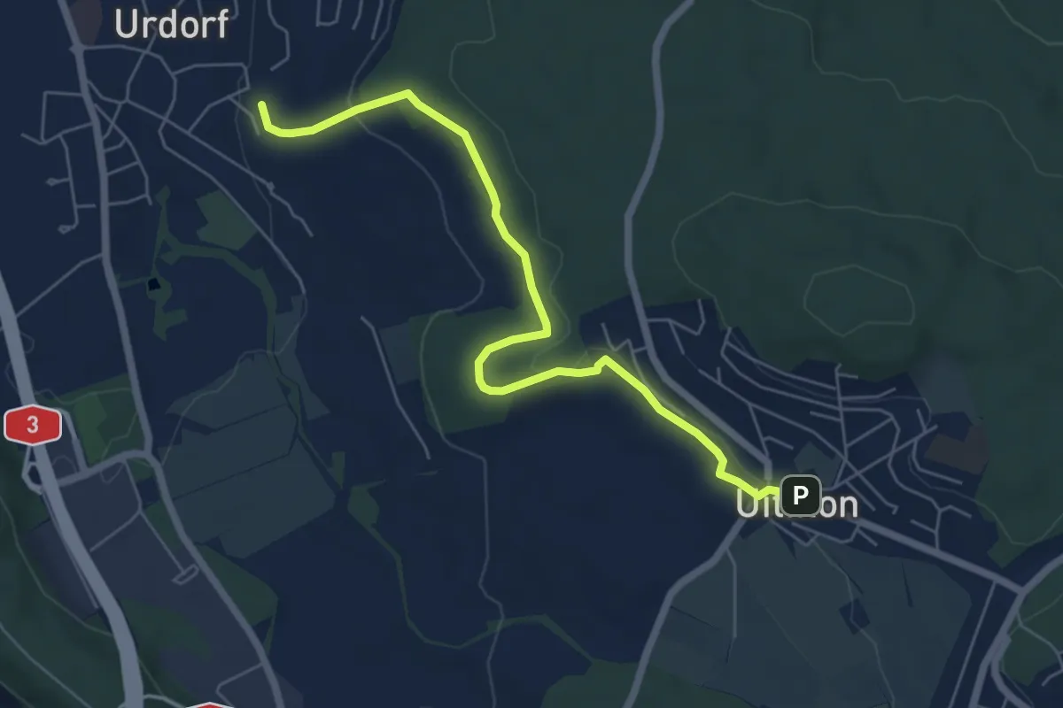
Easy · Trail
Weihermatt – Uitikon
6.3 km · ↑ 140 m · 1 h 47 min
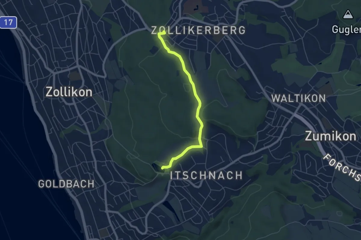
Easy · Trail
Waldburg – Rumensee
5.2 km · ↑ 163 m · 1 h 35 min
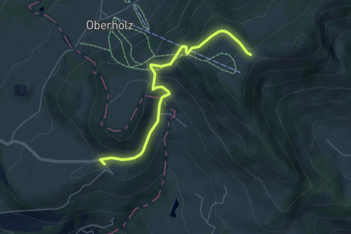
Easy · Cabin
Faltigberg – Farner
4.6 km · ↑ 234 m · 1 h 36 min
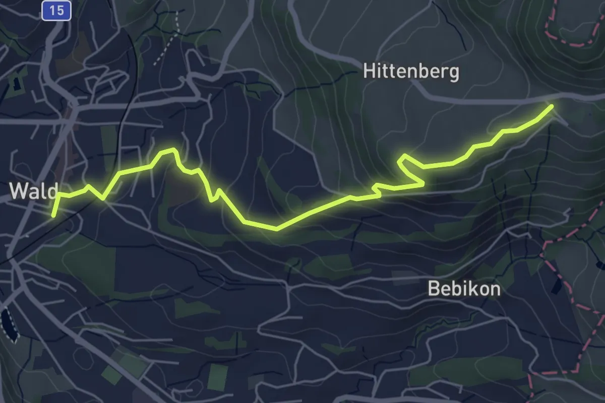
Easy · Trail
Wald – Faltigberg
5.8 km · ↑ 293 m · 2 h 1 min
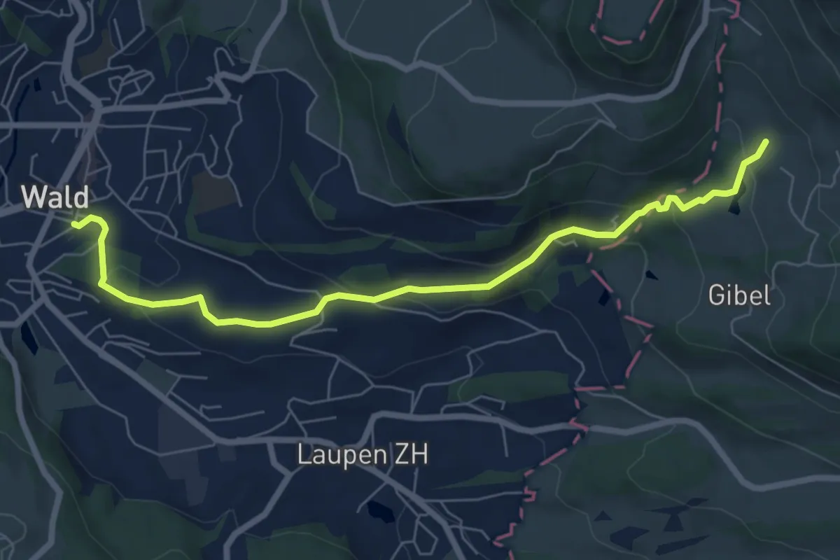
Easy · Trail
Wald – Bannholz
6.9 km · ↑ 261 m · 2 h 11 min
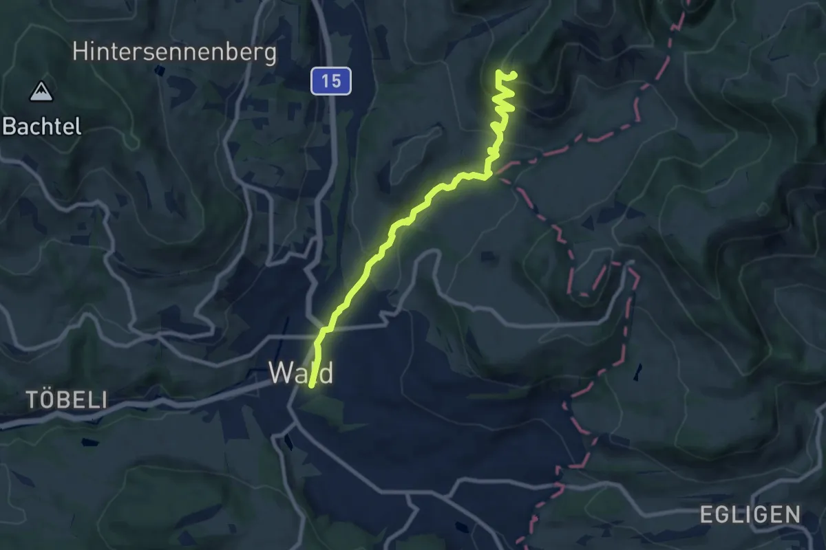
Medium · Trail
Wald – Josenberg
8.4 km · ↑ 451 m · 2 h 58 min
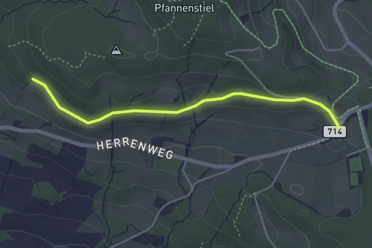
Easy · Trail
Eichhalden – Vorderpfannenstiel
3.4 km · ↑ 100 m · 1 h 1 min
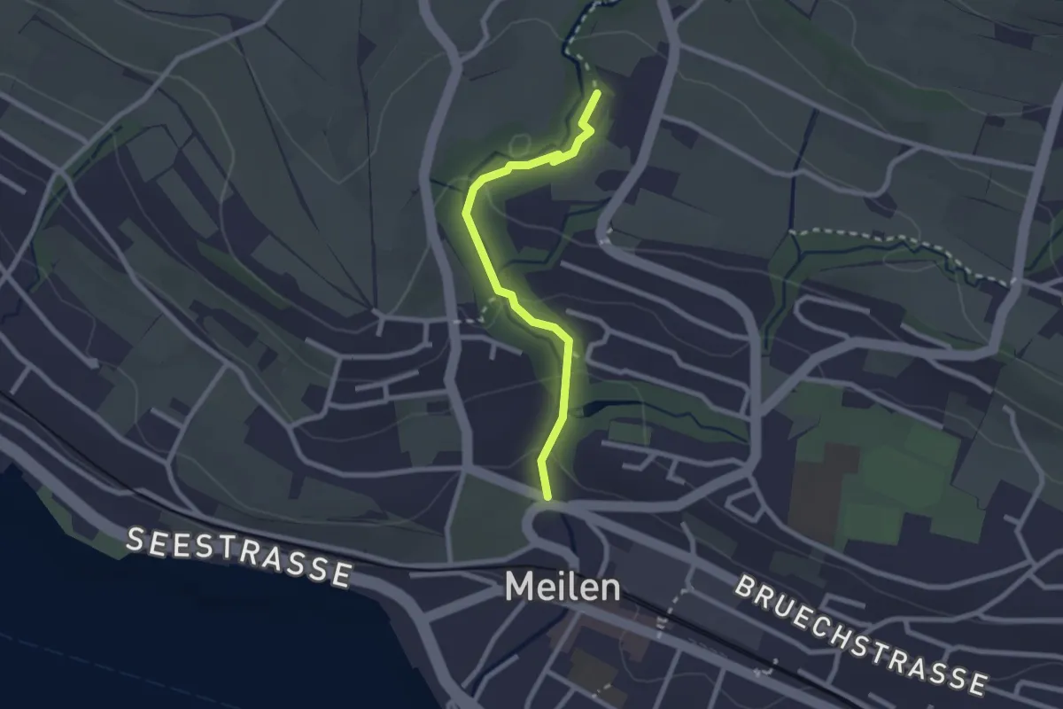
Easy · Trail
Rne. Friedberg – Meilen Dorfbach
2.2 km · ↑ 74 m · 41 min
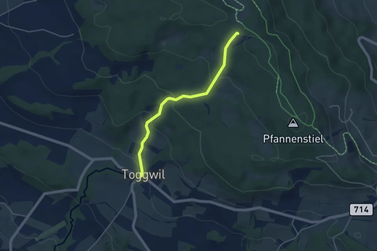
Easy · Trail
Toggwil – Guldener Höchi
3.5 km · ↑ 195 m · 1 h 15 min
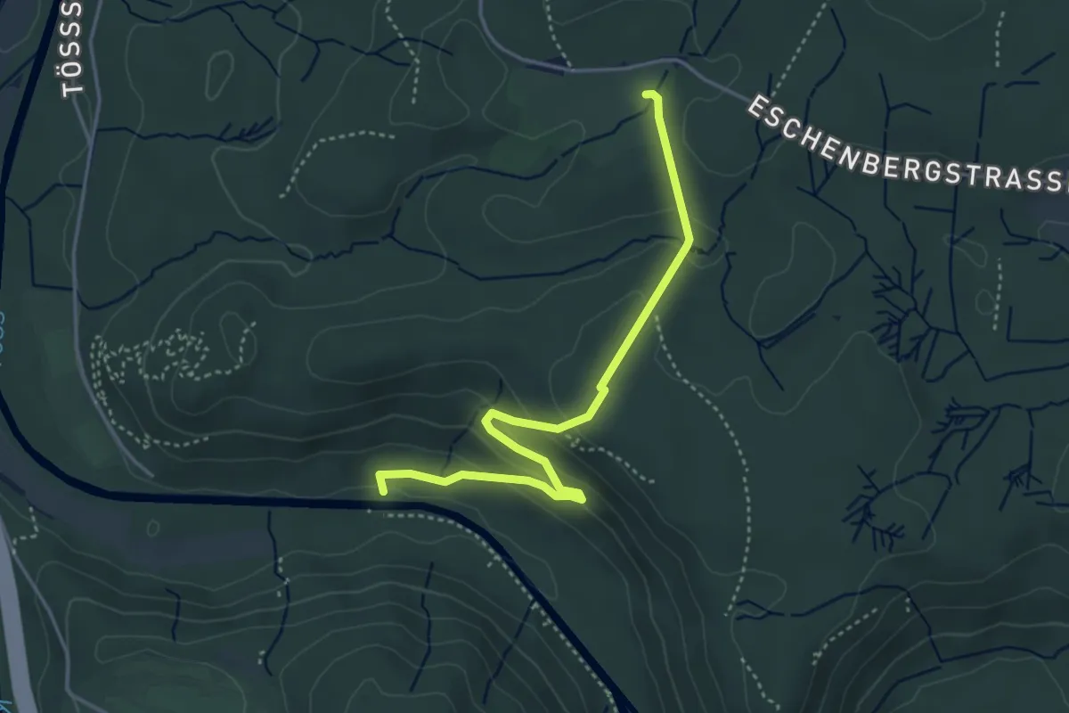
Easy · Trail
Wildpark Bruderhaus – Brunibrugg
4.0 km · ↑ 163 m · 1 h 19 min
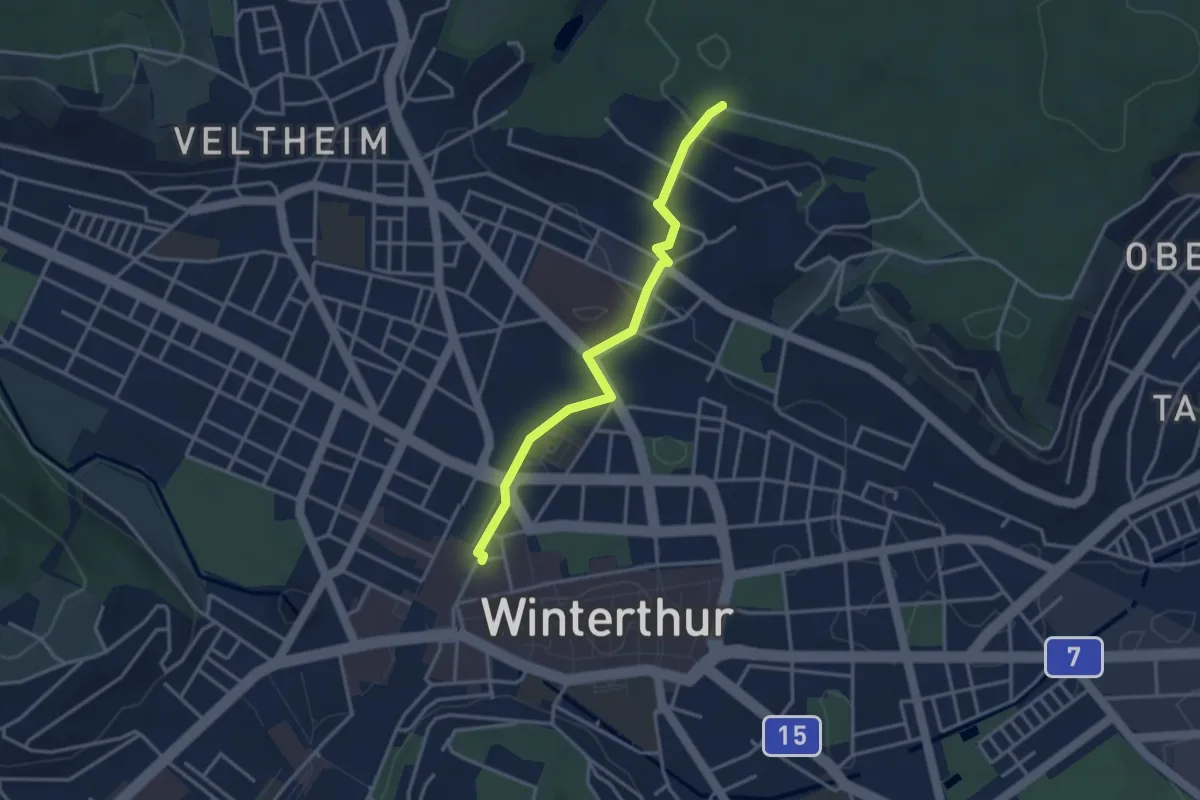
Easy · Trail
Winterthur – Römerholz
3.3 km · ↑ 72 m · 56 min
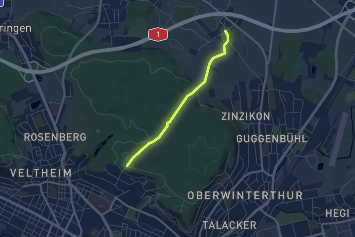
Easy · Trail
Römerholz – Reutlingen
4.9 km · ↑ 113 m · 1 h 24 min
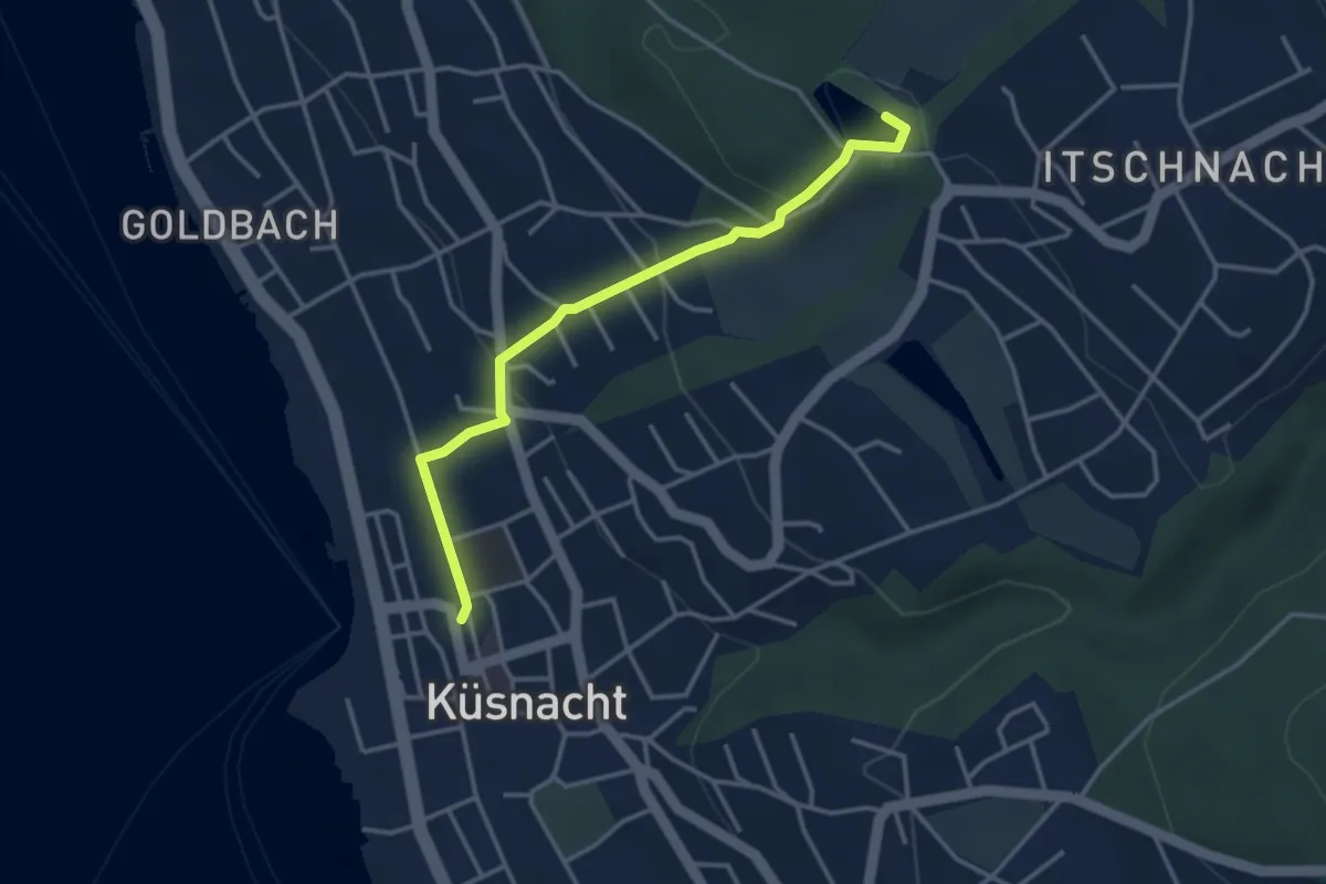
Easy · Trail
Küsnacht – Rumensee
3.4 km · ↑ 127 m · 1 h 5 min
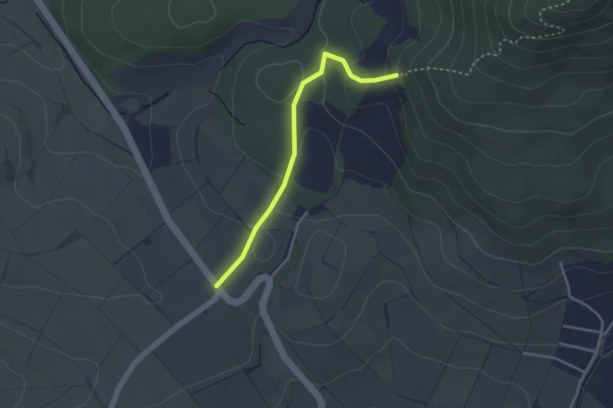
Easy · Trail
Siblingerhöhe – Hörnli
2.6 km · ↑ 96 m · 50 min
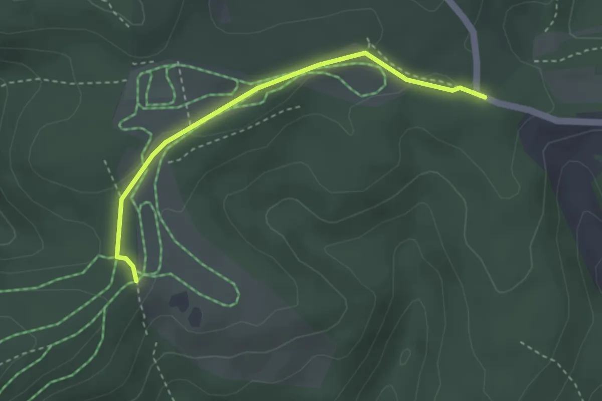
Easy · Trail
Mäserich – Mösli
2.9 km · ↑ 51 m · 47 min
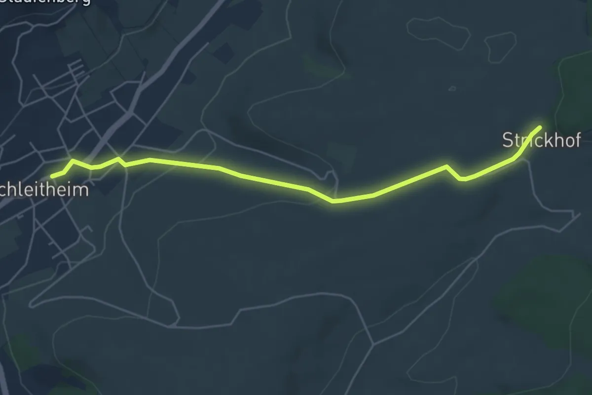
Easy · Trail
Strickhof – Schleitheim
5.0 km · ↑ 117 m · 1 h 26 min
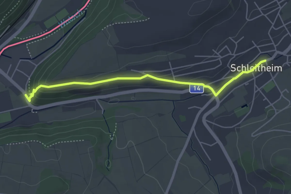
Easy · Trail
Schleitheim – Oberwiesen
4.5 km · ↑ 110 m · 1 h 18 min
Easy · Trail
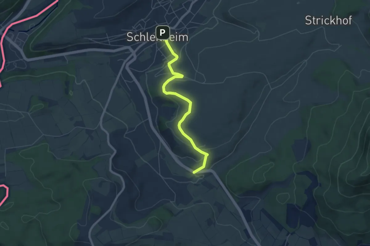
Schleitheim – Hohbrugg
5.8 km · ↑ 158 m · 1 h 43 min
Easy · Trail
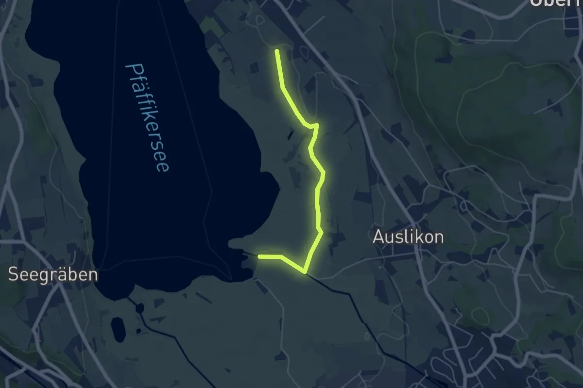
Römerkastell – Strandbad Auslikon
4.5 km · ↑ 4 m · 1 h 4 min
Easy · Trail
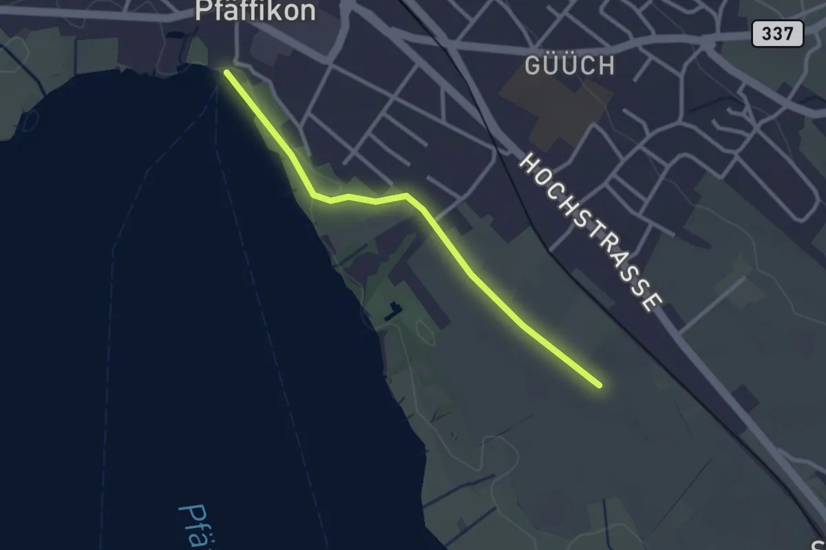
Pfäffikersee – Römerkastell
2.6 km · ↑ 9 m · 37 min
Easy · Trail
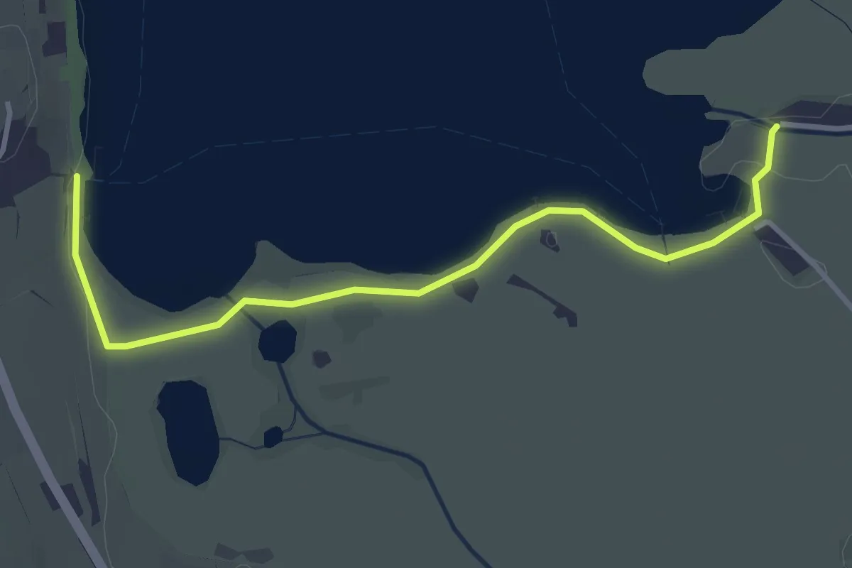
Strandbad Auslikon – Seegräben Landungssteg
3.6 km · ↑ 5 m · 51 min
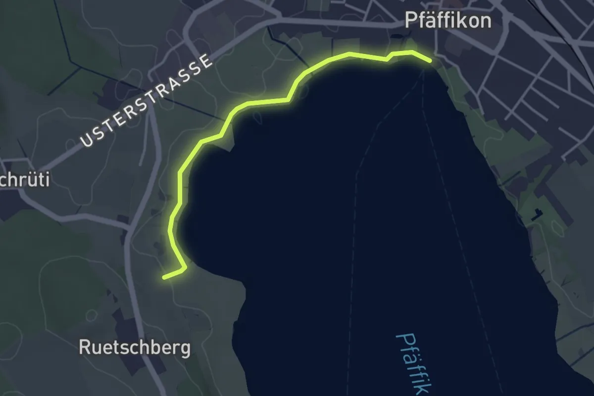
Easy · Trail
Talhof – Pfäffikersee
3.3 km · ↑ 5 m · 47 min
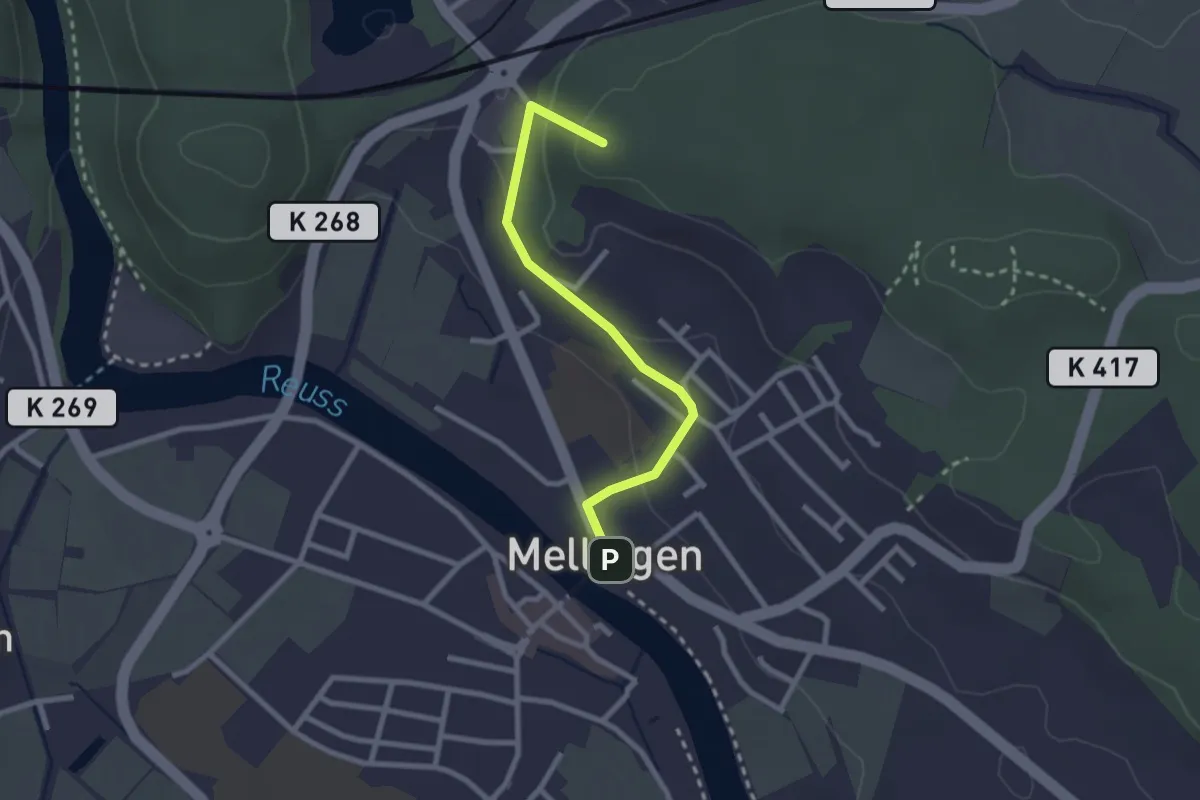
Easy · Summit
Mellingen Heitersberg Bahnhof – Mellingen Brücke
2.4 km · ↑ 78 m · 44 min
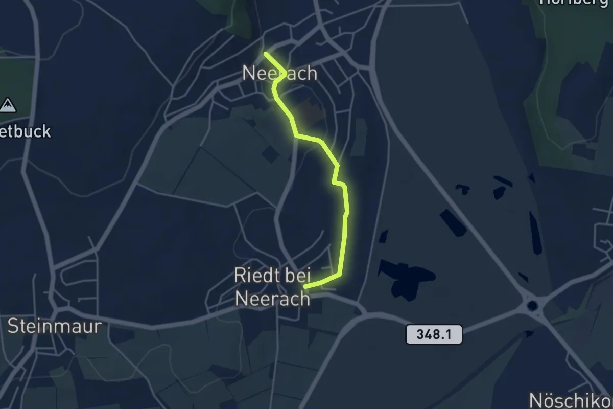
Easy · Trail
Riedt – Neerach
3.3 km · ↑ 37 m · 52 min
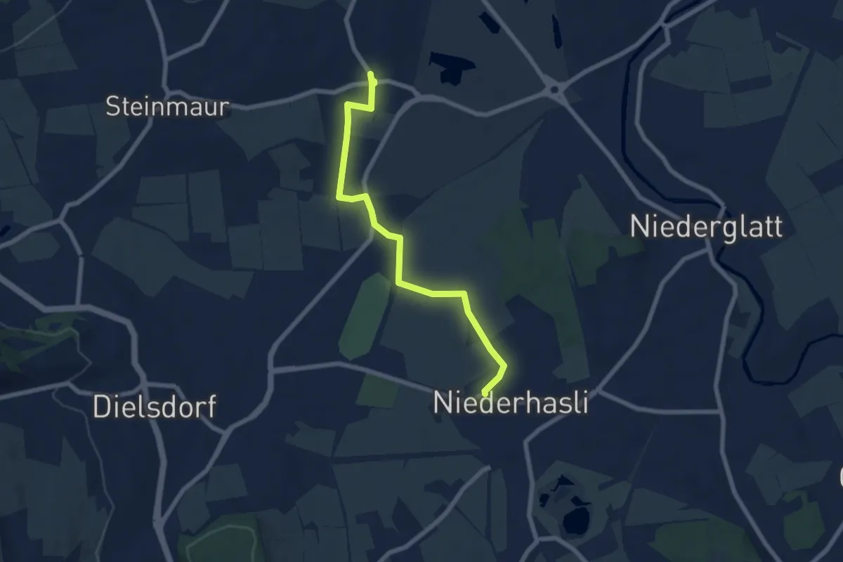
Easy · Trail
Niederhasli Kirche – Riedt
6.3 km · ↑ 46 m · 1 h 35 min
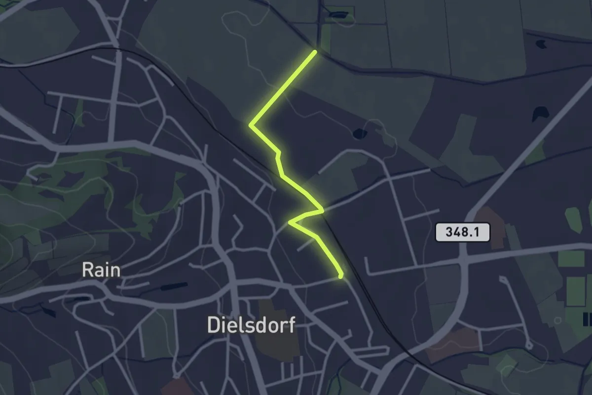
Easy · Trail
Storchensiedlung – Dielsdorf
2.4 km · ↑ 14 m · 35 min
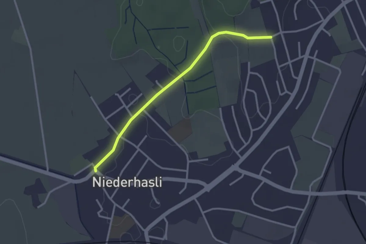
Easy · Trail
Niederhasli Kirche – Eschenberg
2.6 km · ↑ 30 m · 40 min
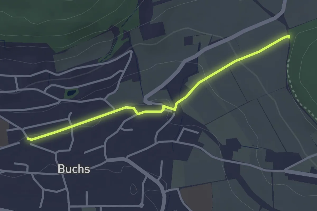
Easy · Trail
Hand – Buchs
2.8 km · ↑ 59 m · 47 min
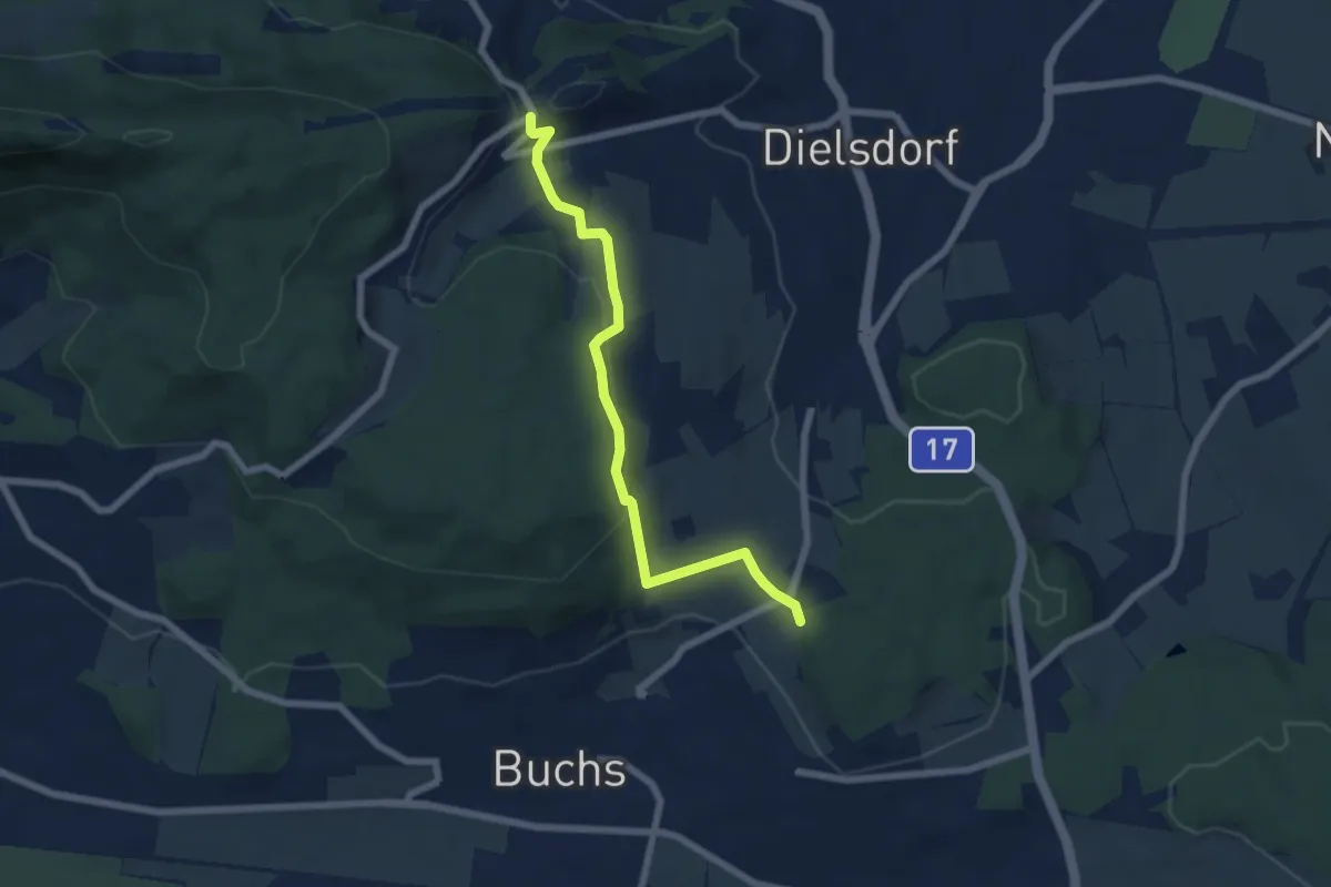
Easy · Trail
Hand – Regensberg
6.2 km · ↑ 201 m · 1 h 54 min