Trails in Switzerland
15,055 hiking trails, each with its route, climb, walking time and grade.
All trails, page 294 of 314
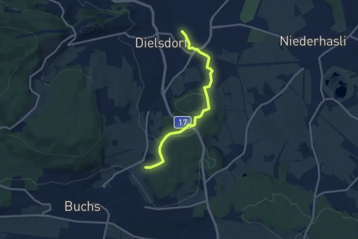
Easy · Trail
Dielsdorf – Hand
6.4 km · ↑ 133 m · 1 h 48 min
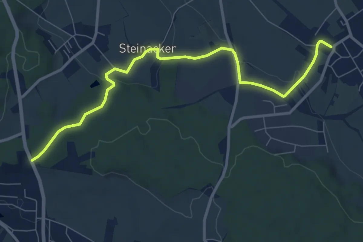
Easy · Trail
Bösbuck – Oberhasli
7.2 km · ↑ 148 m · 2 h 2 min
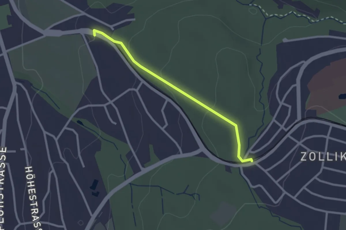
Easy · Trail
Rehalp – Waldburg
2.2 km · ↑ 64 m · 39 min
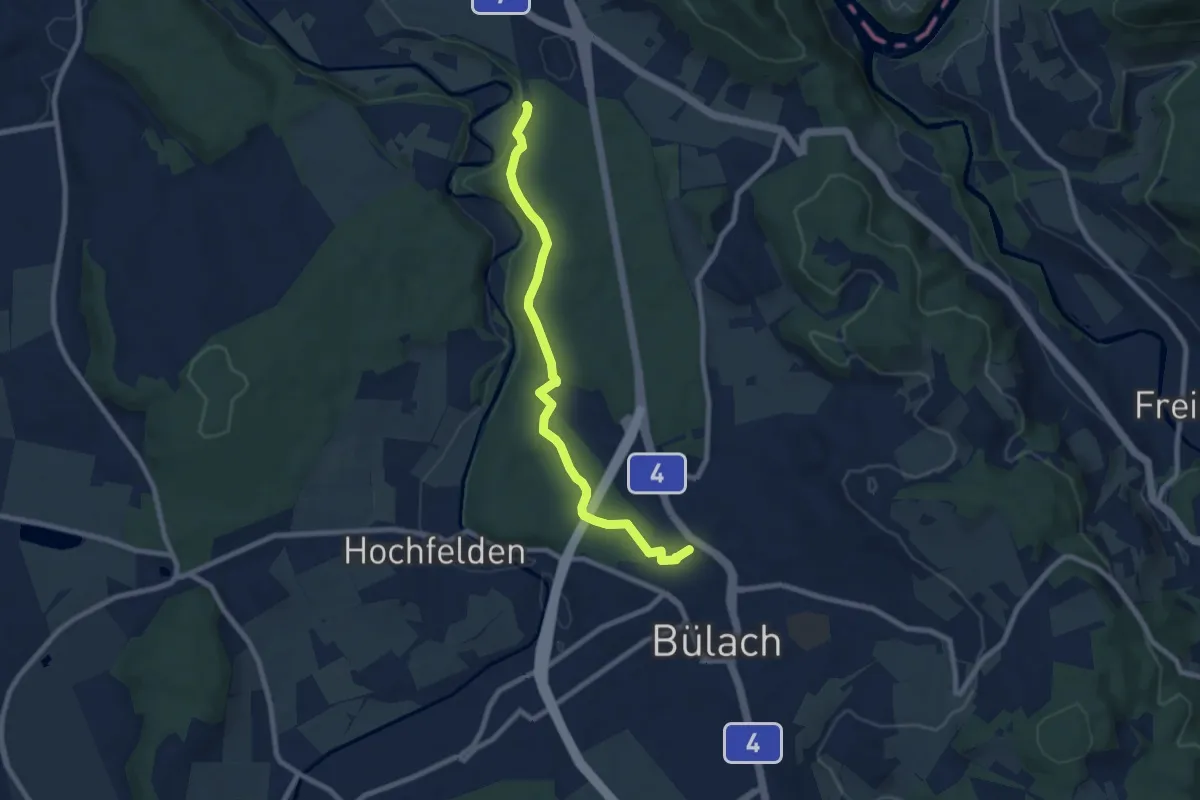
Easy · Trail
Bülach – Station Glattfelden
8.0 km · ↑ 151 m · 2 h 13 min
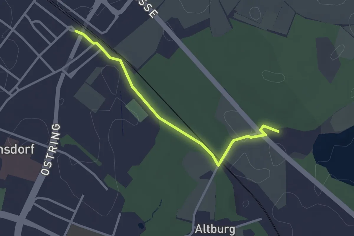
Easy · Trail
Regensdorf Bahnhof – Gut Katzensee
2.5 km · ↑ 17 m · 37 min
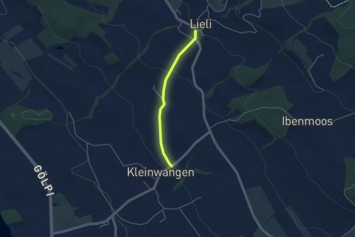
Easy · Trail
Kleinwangen – Lieli
2.9 km · ↑ 89 m · 52 min
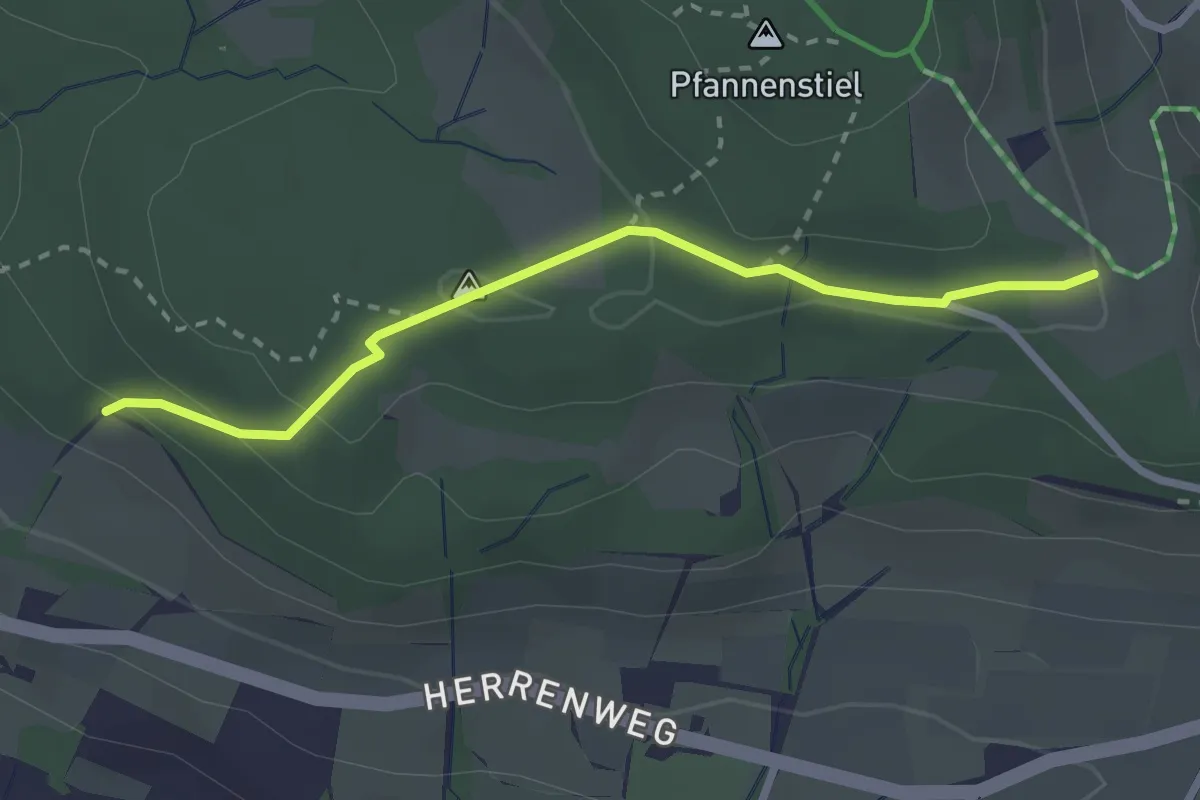
Easy · Trail
Eichhalden – Pfannenstiel Hochwacht
2.5 km · ↑ 87 m · 47 min
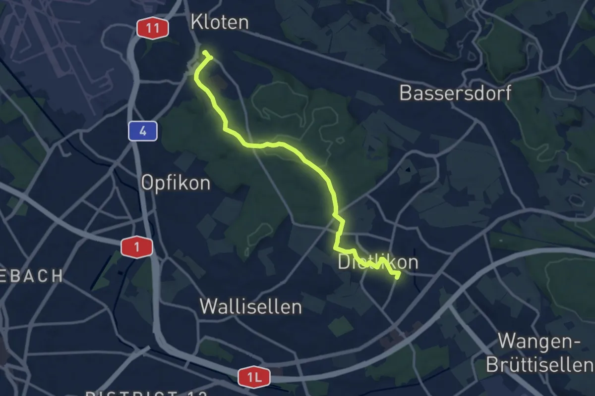
Medium · Trail
Dietlikon – Kloten
10.9 km · ↑ 127 m · 2 h 51 min
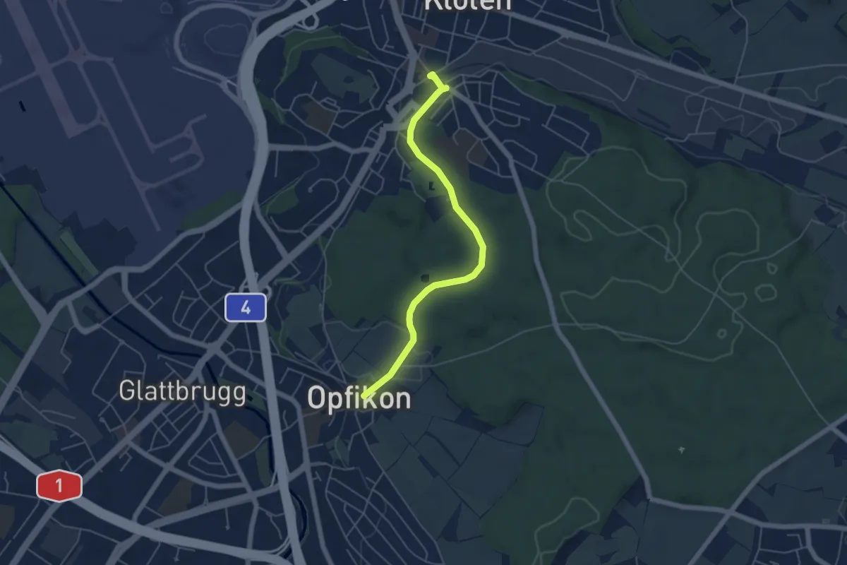
Easy · Trail
Kloten – Opfikon
4.9 km · ↑ 63 m · 1 h 18 min
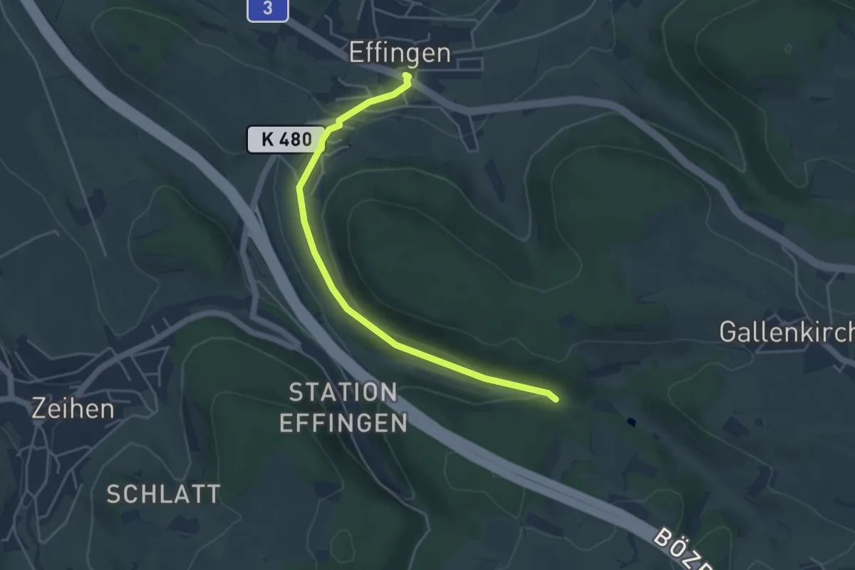
Easy · Trail
Effingen – Sagenmüli
4.4 km · ↑ 95 m · 1 h 15 min
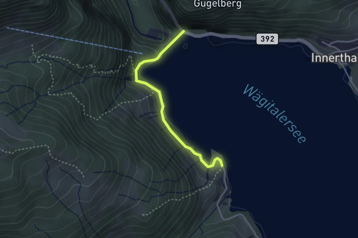
Easy · Trail
Staumauer – Brandhaltli
2.8 km · ↑ 97 m · 53 min
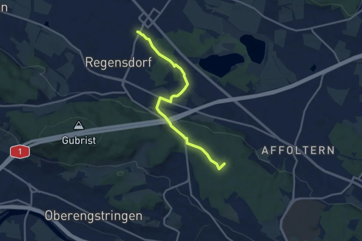
Easy · Summit
Regensdorf Bahnhof – Höngg
7.4 km · ↑ 126 m · 2 h 1 min
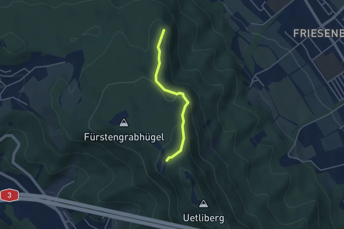
Easy · Summit
Hohenstein – Uetliberg
2.6 km · ↑ 136 m · 55 min
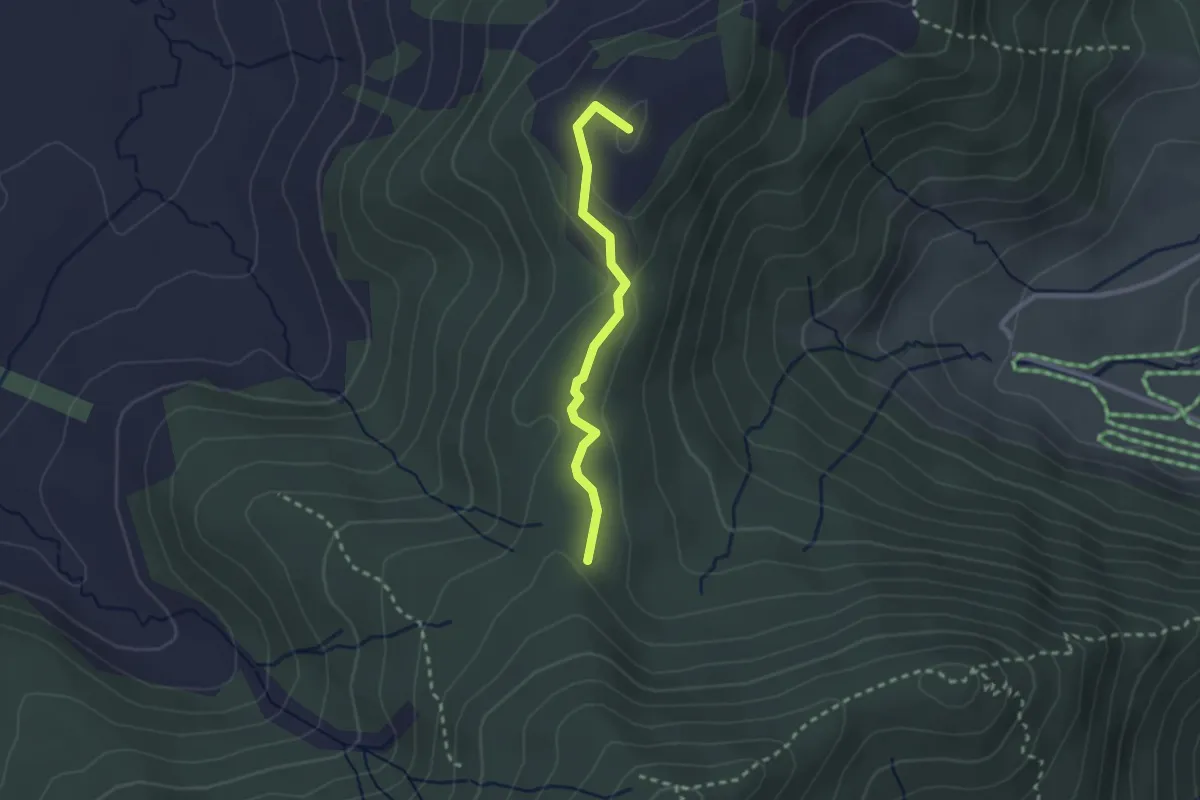
Easy · Summit
Hundwileren – Schwyzeren
2.2 km · ↑ 62 m · 39 min
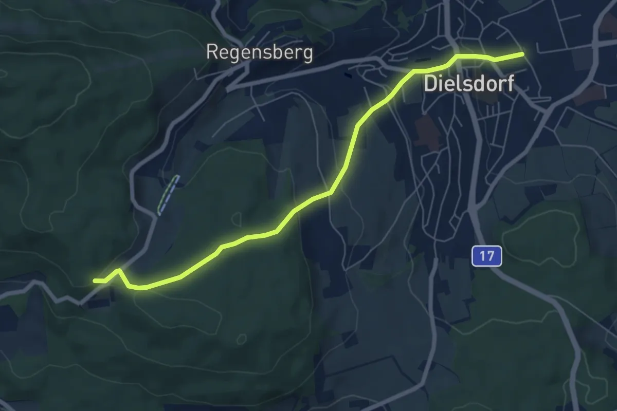
Easy · Trail
Dielsdorf – Mötschen
6.6 km · ↑ 263 m · 2 h 8 min
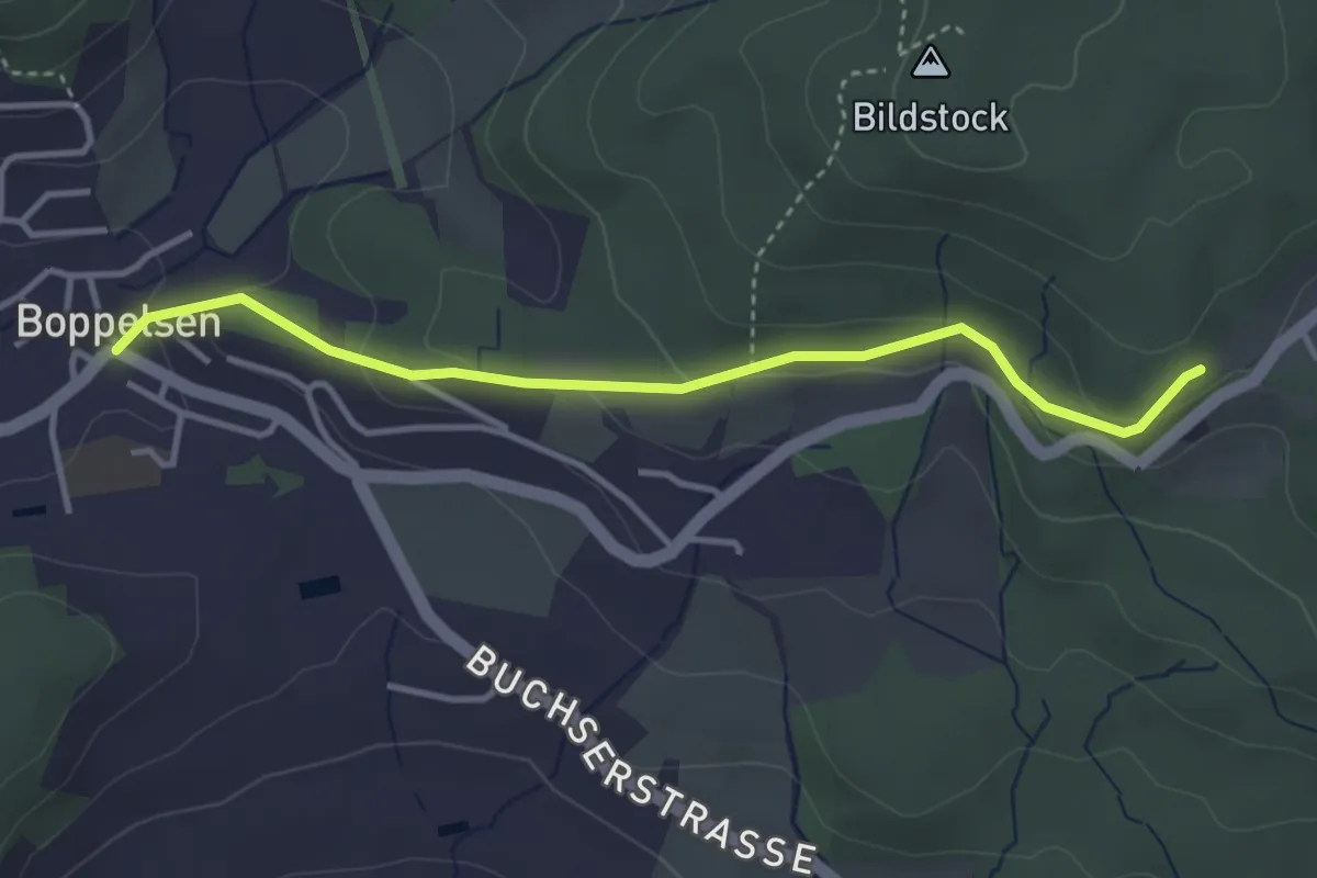
Easy · Trail
Mötschen – Boppelsen
3.5 km · ↑ 137 m · 1 h 8 min
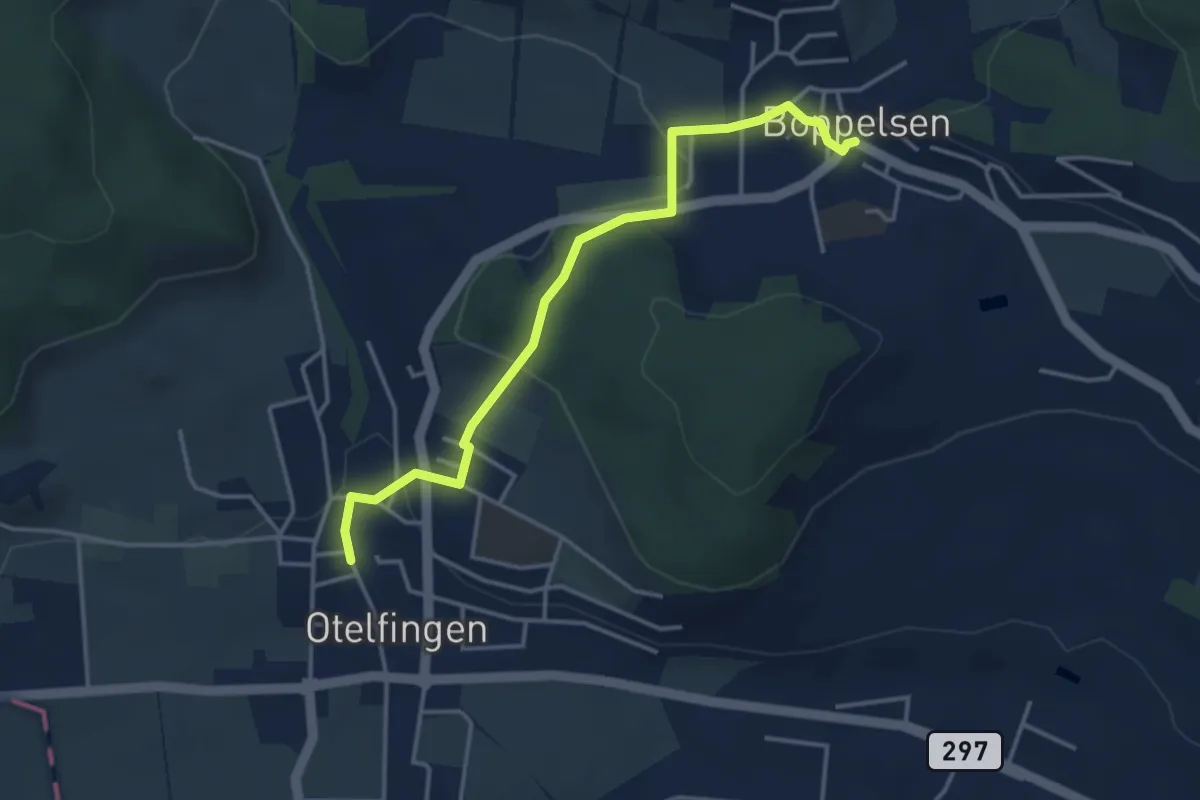
Easy · Trail
Boppelsen – Otelfingen
3.8 km · ↑ 100 m · 1 h 6 min
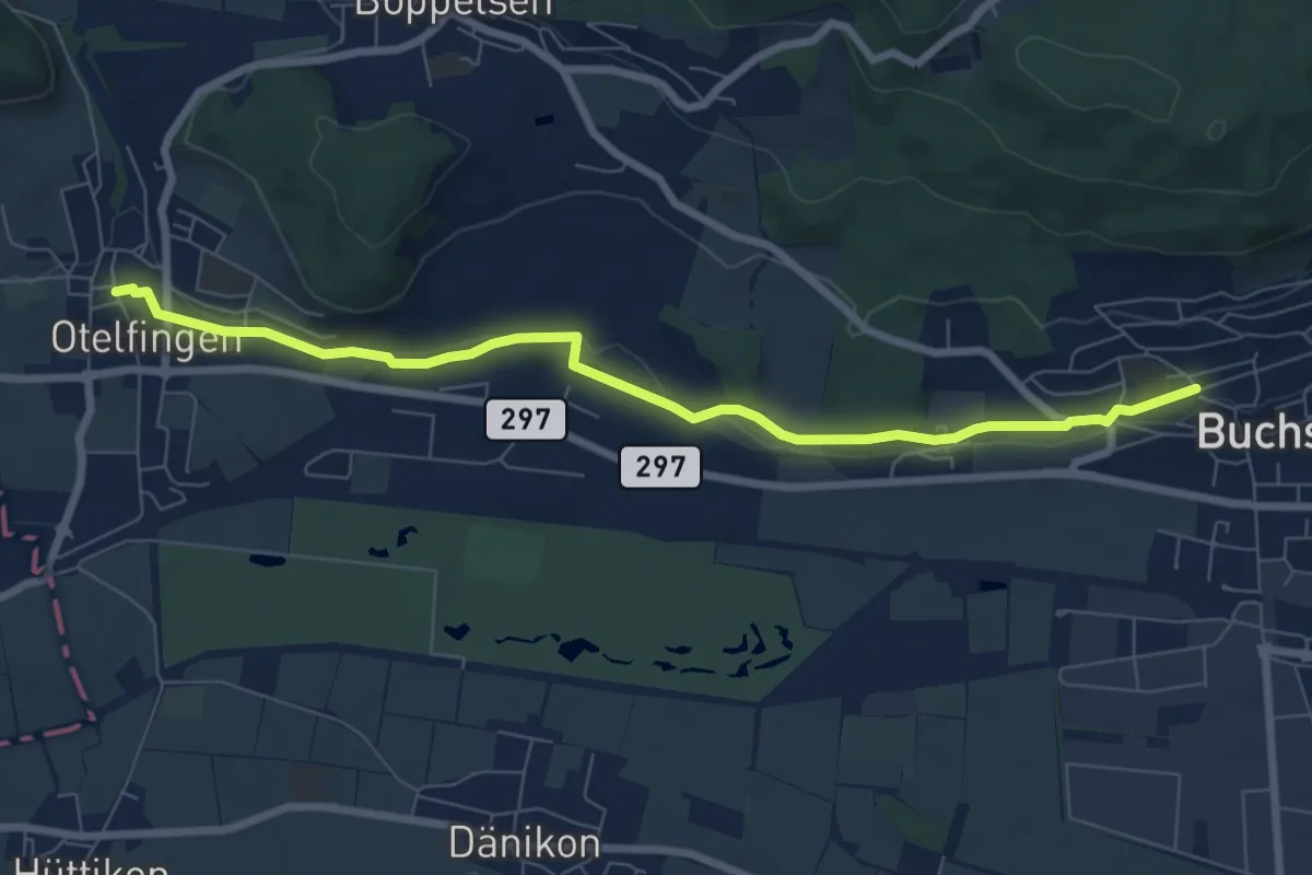
Easy · Trail
Otelfingen – Buchs
7.7 km · ↑ 87 m · 2 h 1 min
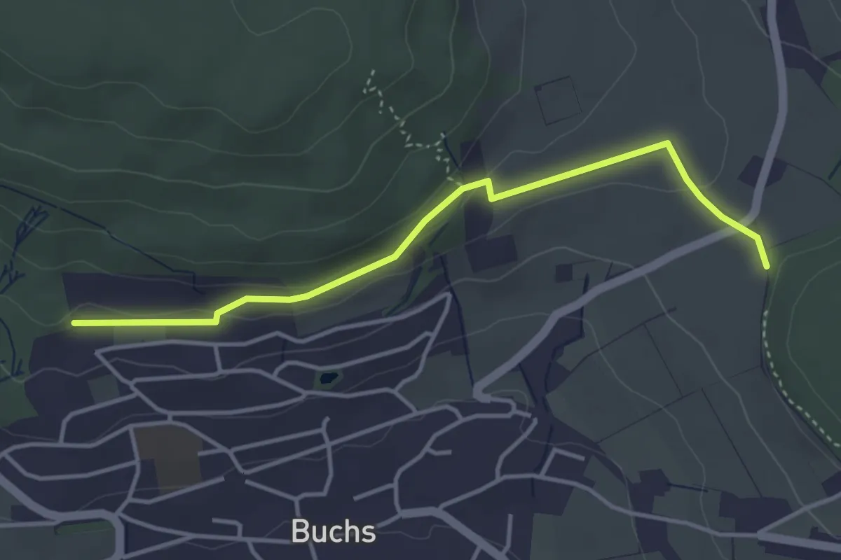
Easy · Trail
Hand – Pfaffenbühl
3.8 km · ↑ 104 m · 1 h 8 min
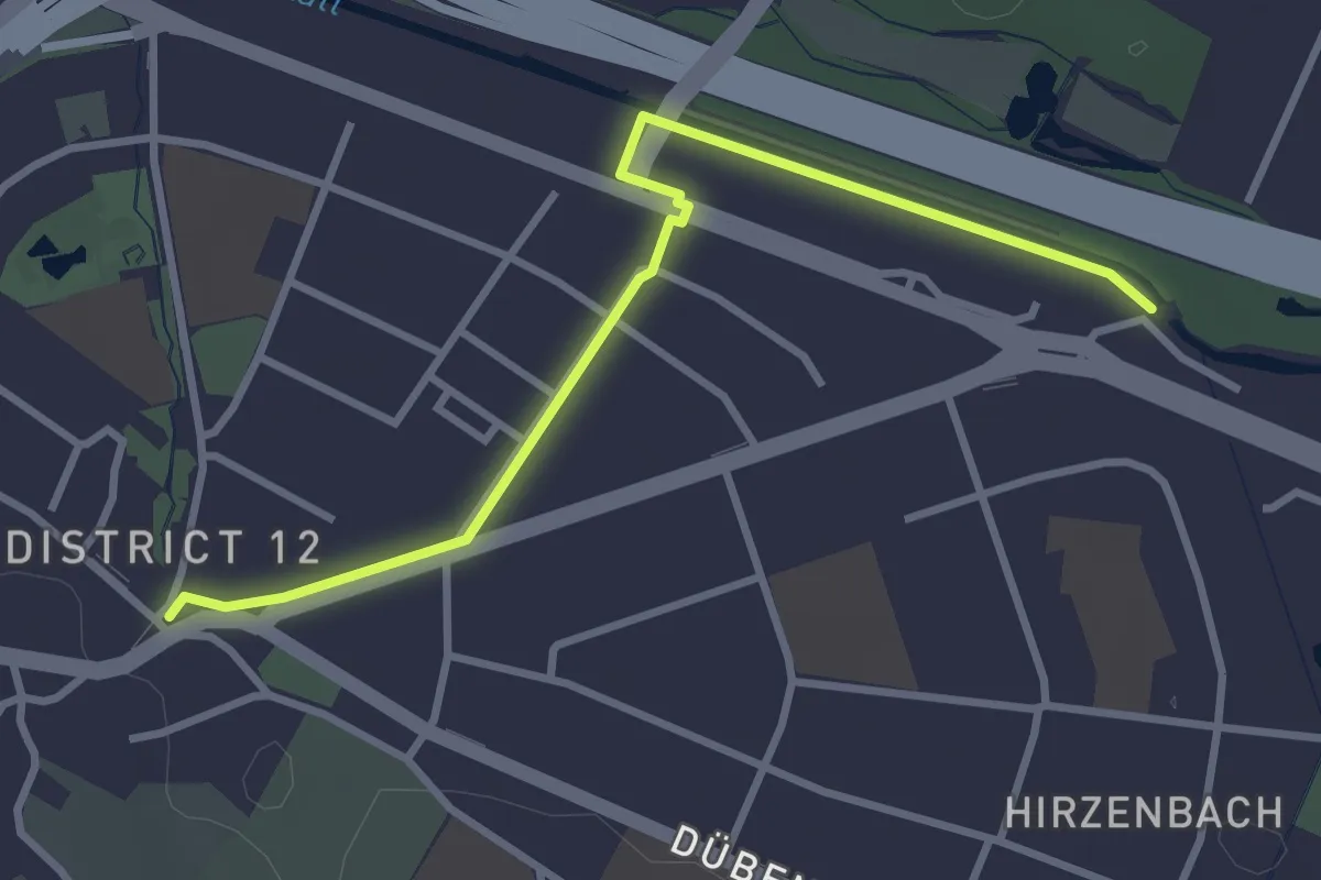
Easy · Trail
Schwamendingerplatz – Schwamendingen Brücke
3.3 km · ↑ 8 m · 48 min
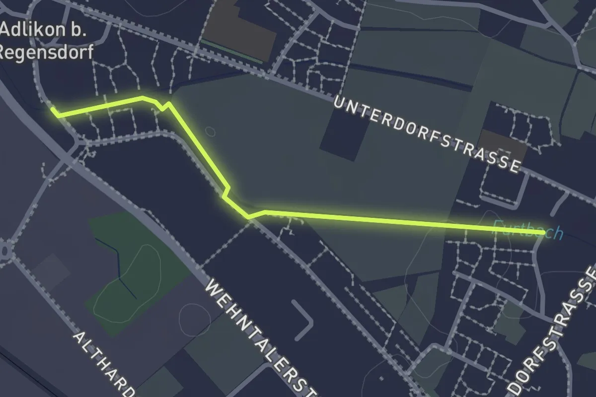
Easy · Trail
Adlikon – Watt
2.2 km · ↑ 4 m · 32 min
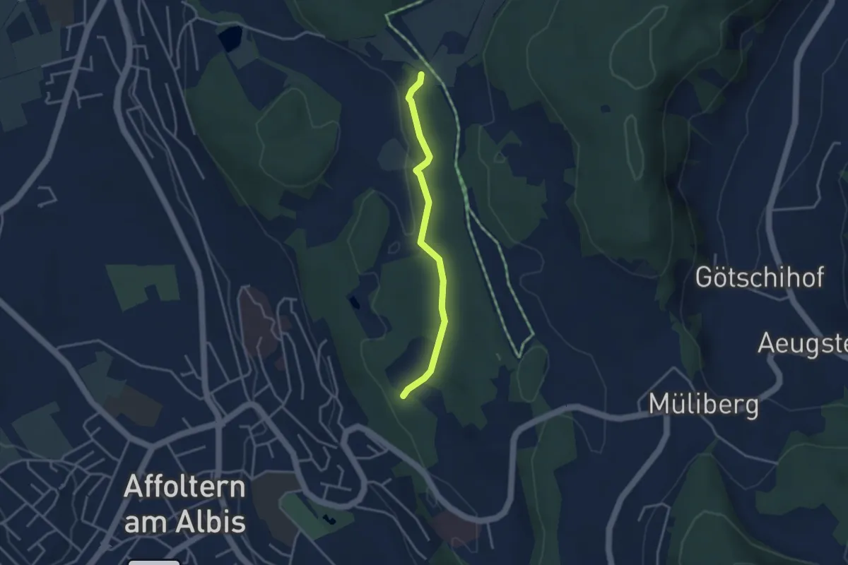
Easy · Trail
Weid – Hirslen
3.0 km · ↑ 62 m · 50 min
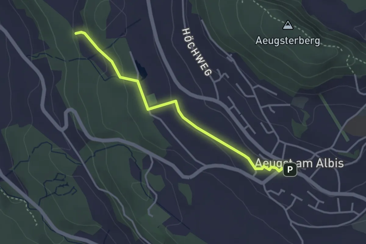
Easy · Trail
Aeugst am Albis – Sunnenbüel
3.2 km · ↑ 80 m · 55 min
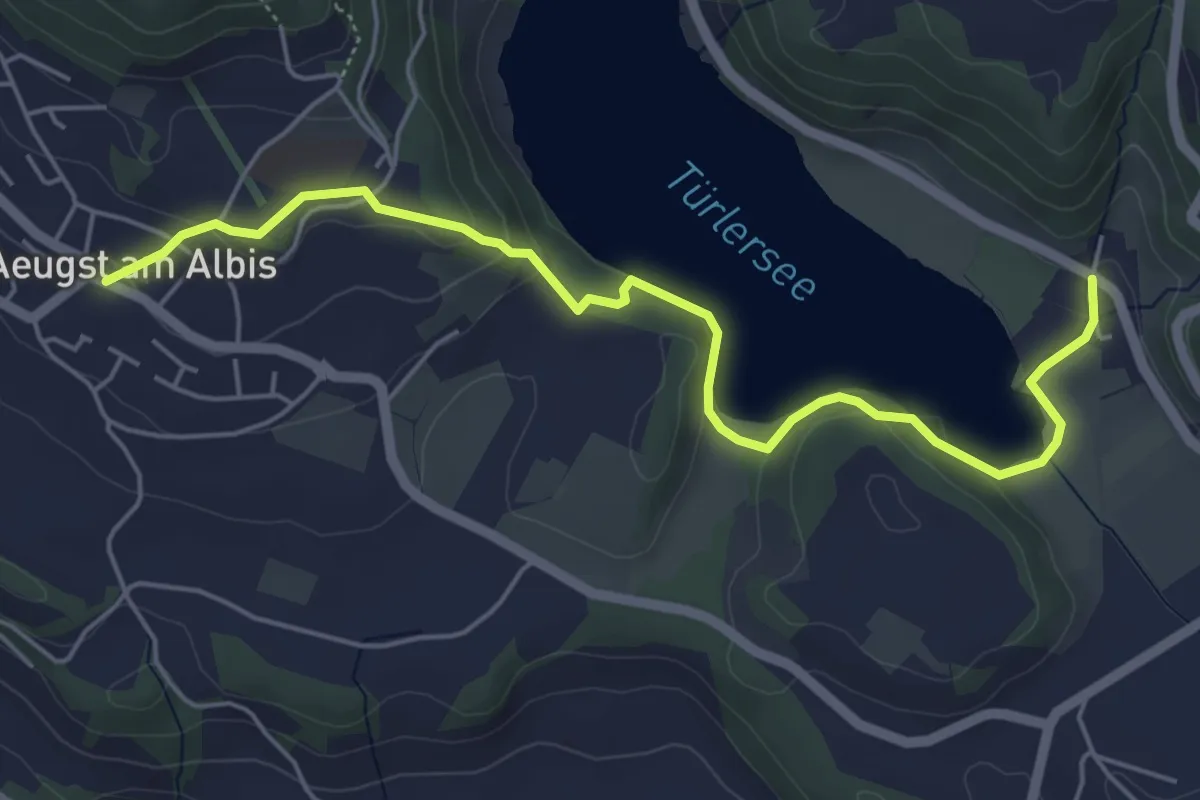
Easy · Trail
Aeugst a.A. – Türlen
5.8 km · ↑ 178 m · 1 h 45 min
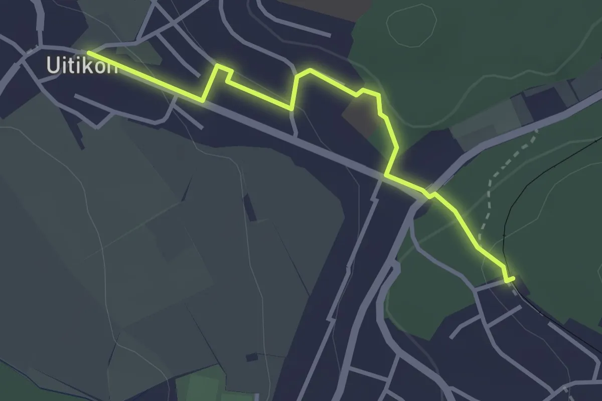
Easy · Trail
Uitikon Waldegg – Uitikon
2.8 km · ↑ 101 m · 53 min
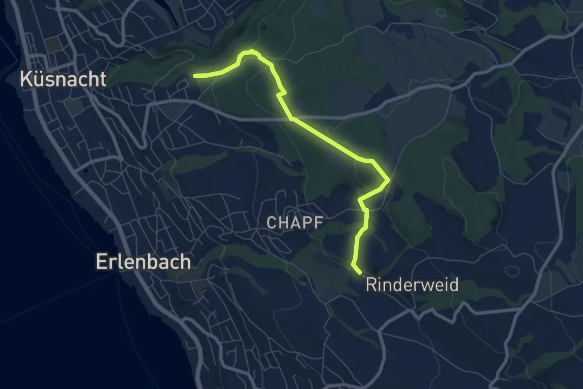
Easy · Trail
Küsnachter Tobel – Blüemlisalp
6.6 km · ↑ 227 m · 2 h 3 min
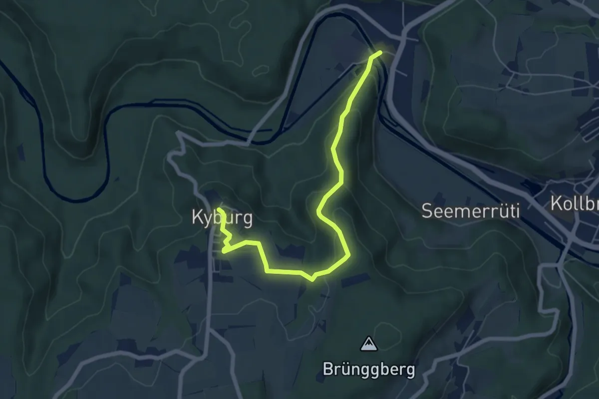
Easy · Trail
Sennhof – Kyburg
5.7 km · ↑ 225 m · 1 h 50 min
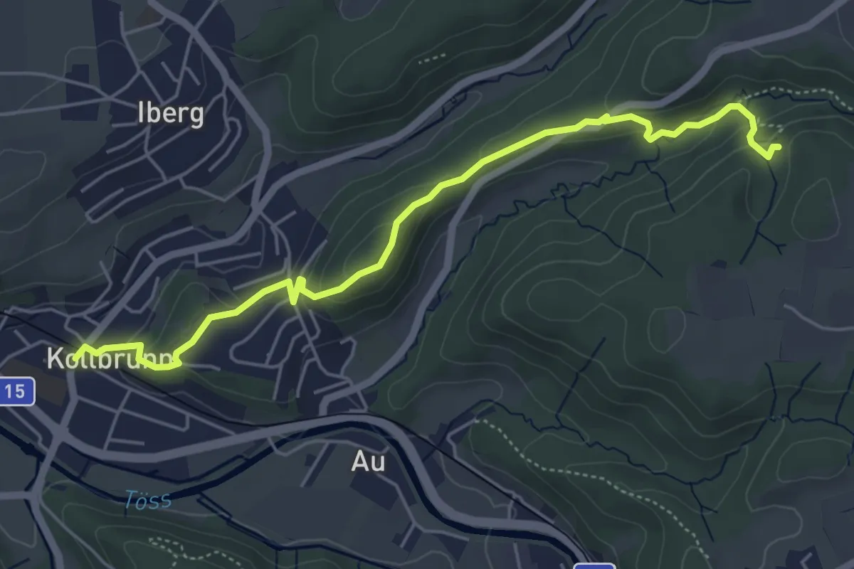
Easy · Trail
Kollbrunn Bhf. – Tüfels Chilen
5.6 km · ↑ 213 m · 1 h 46 min
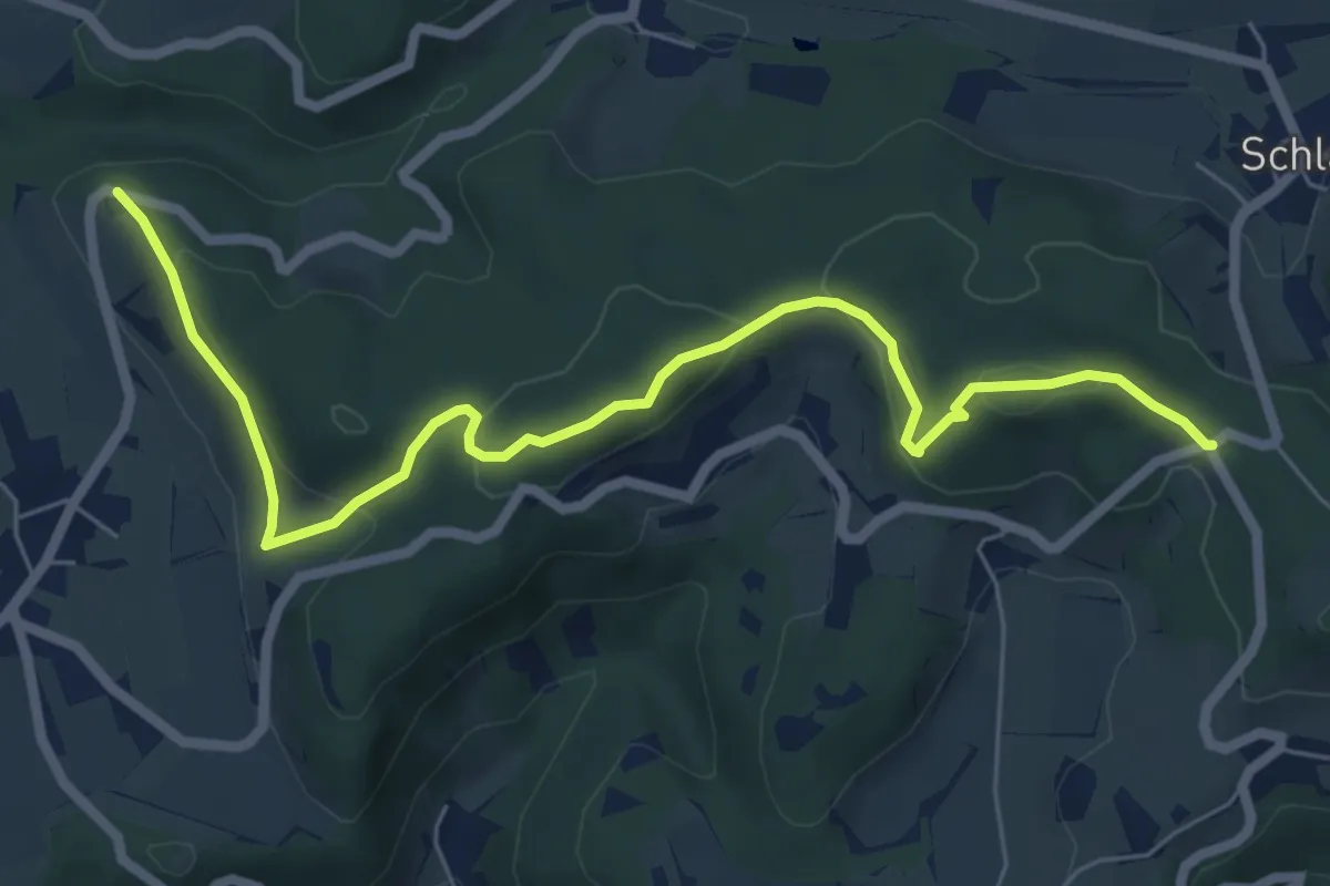
Easy · Trail
Wolfbrunnen – Hand
7.2 km · ↑ 296 m · 2 h 20 min
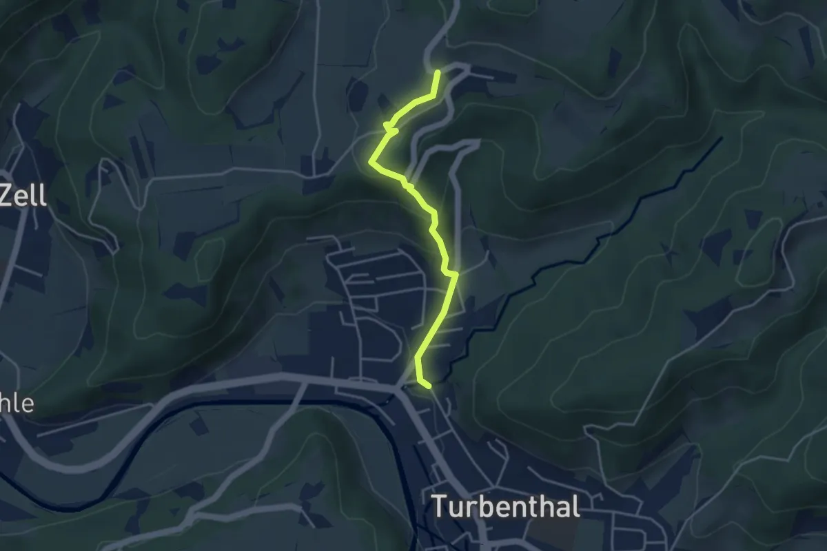
Easy · Trail
Girenbad – Hutzikon
3.4 km · ↑ 178 m · 1 h 11 min
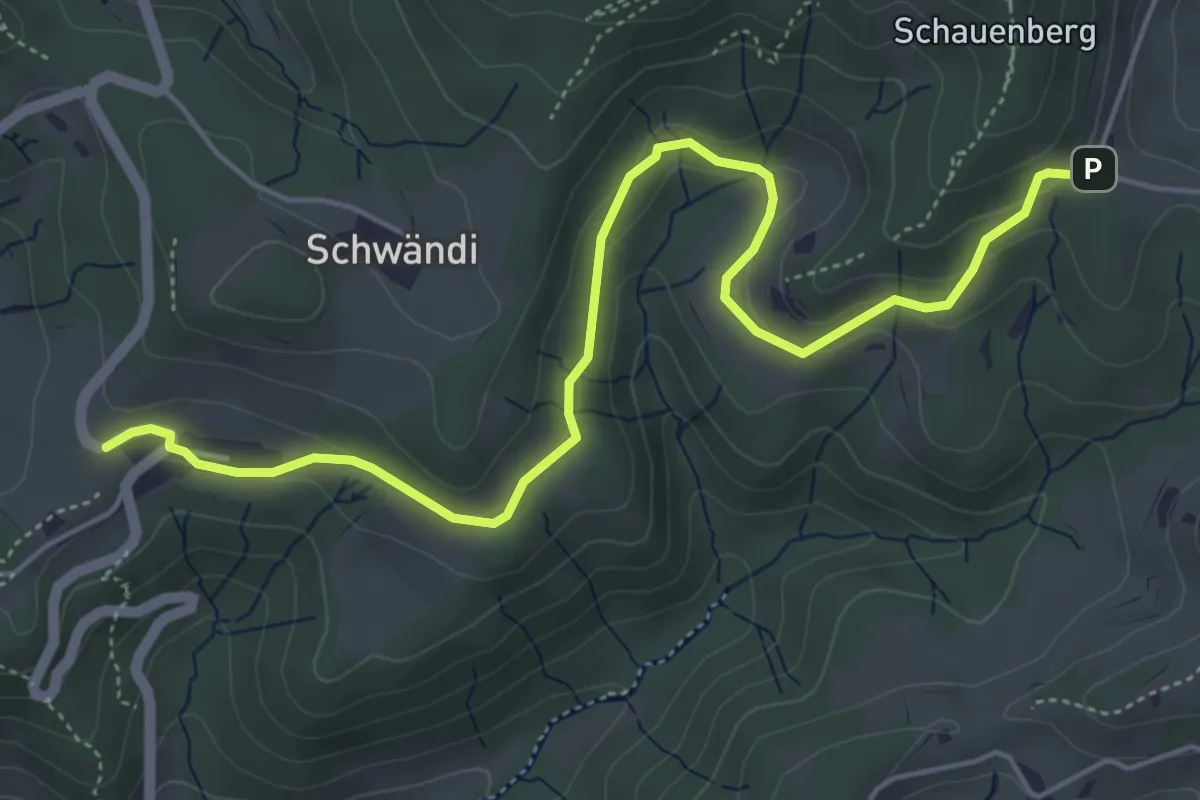
Easy · Trail
Girenbad – Tannenweid
5.9 km · ↑ 183 m · 1 h 47 min
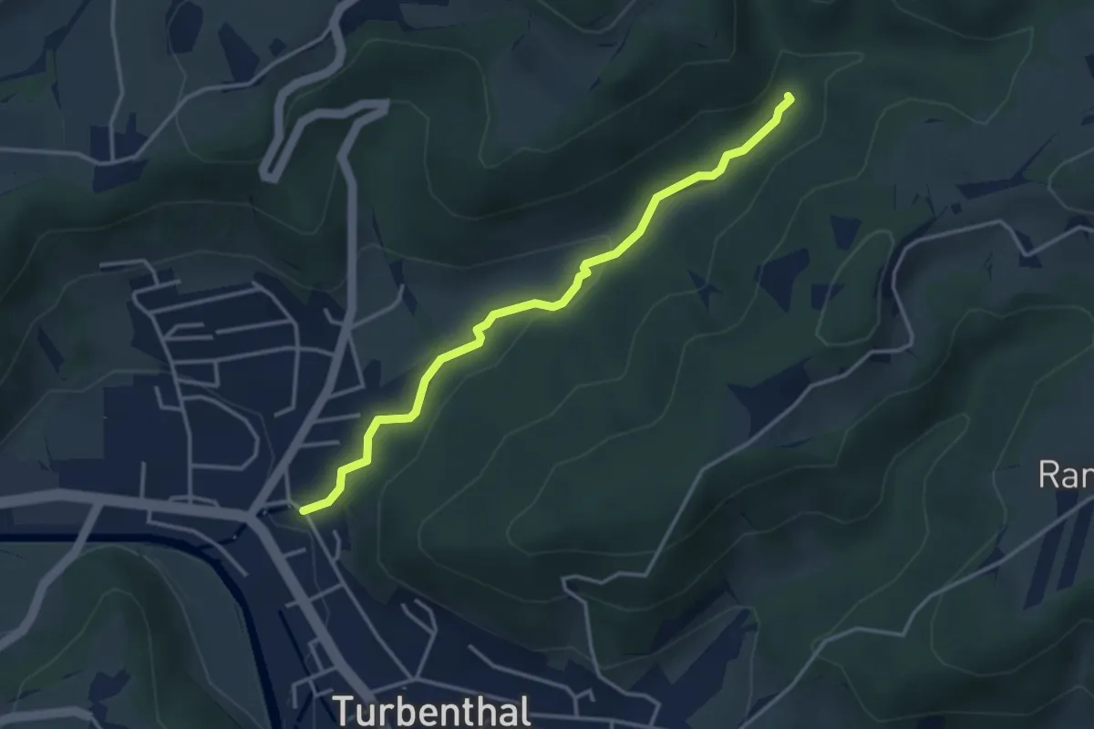
Easy · Trail
Hutzikon – Hutziker Tobel
3.4 km · ↑ 86 m · 1 h
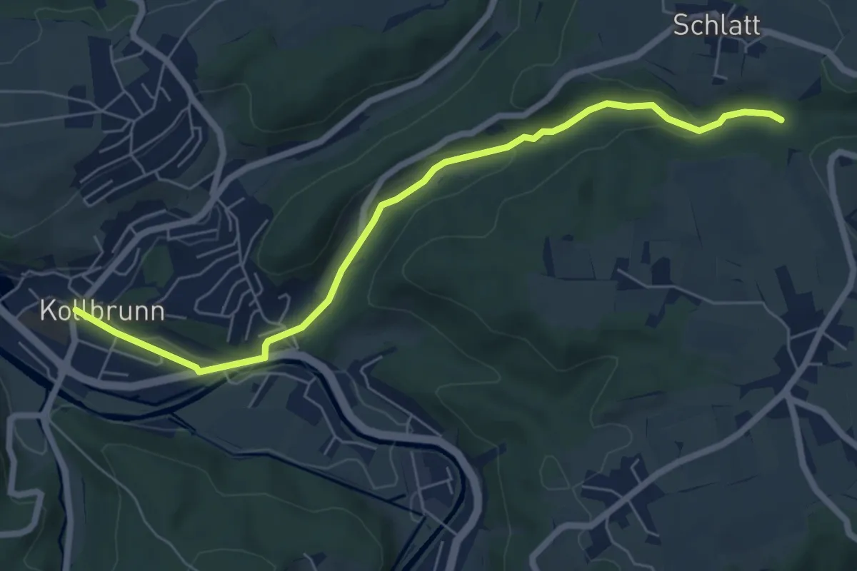
Easy · Trail
Kollbrunn Bhf. – Rörlitobel
6.4 km · ↑ 127 m · 1 h 47 min
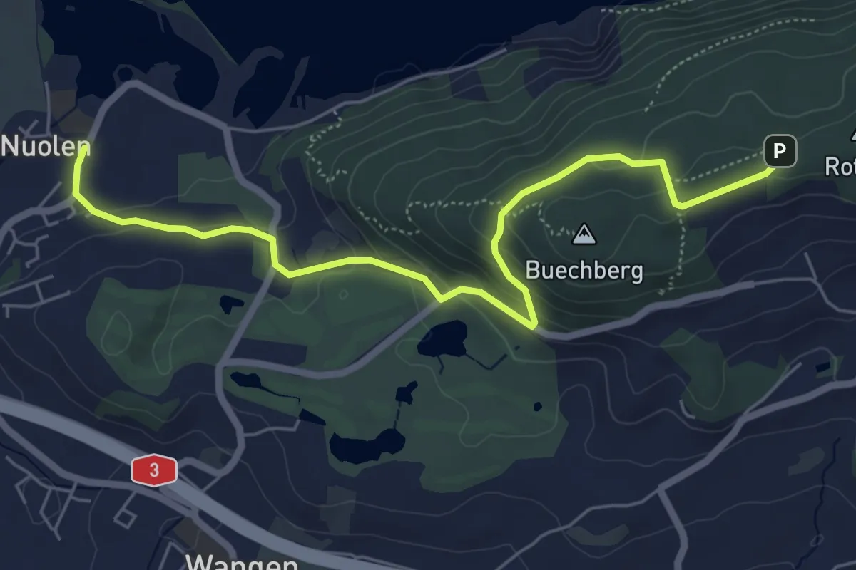
Easy · Trail
Nuolen – Buechberg (Rotegg)
6.3 km · ↑ 210 m · 1 h 56 min
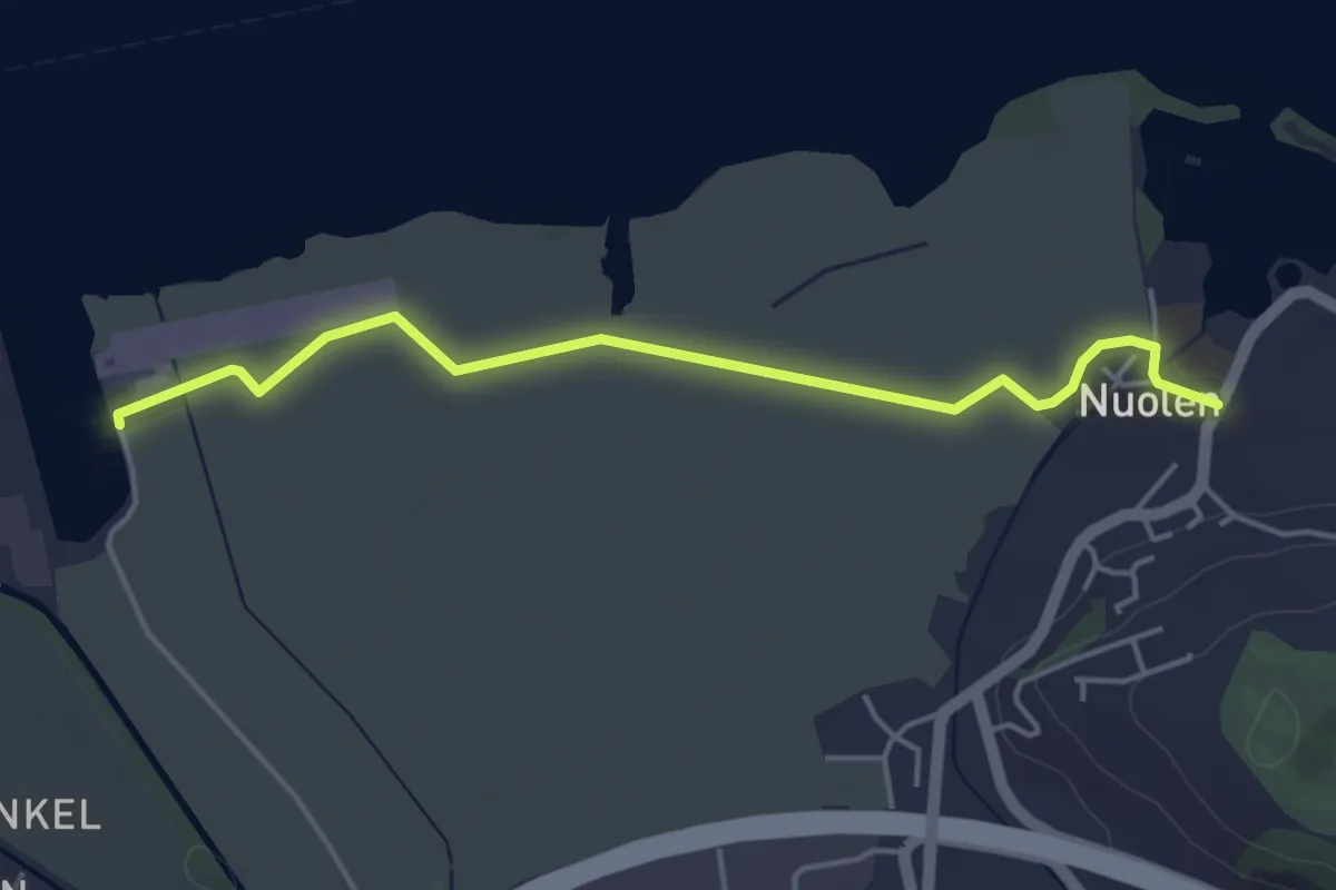
Easy · Trail
Flugplatz – Nuolen
4.4 km · ↑ 8 m · 1 h 3 min
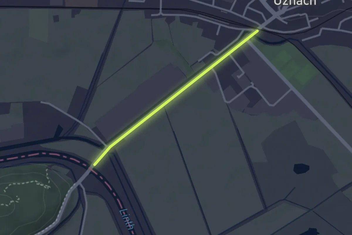
Easy · Trail
Grinau – Uznach
2.3 km · ↑ 4 m · 33 min
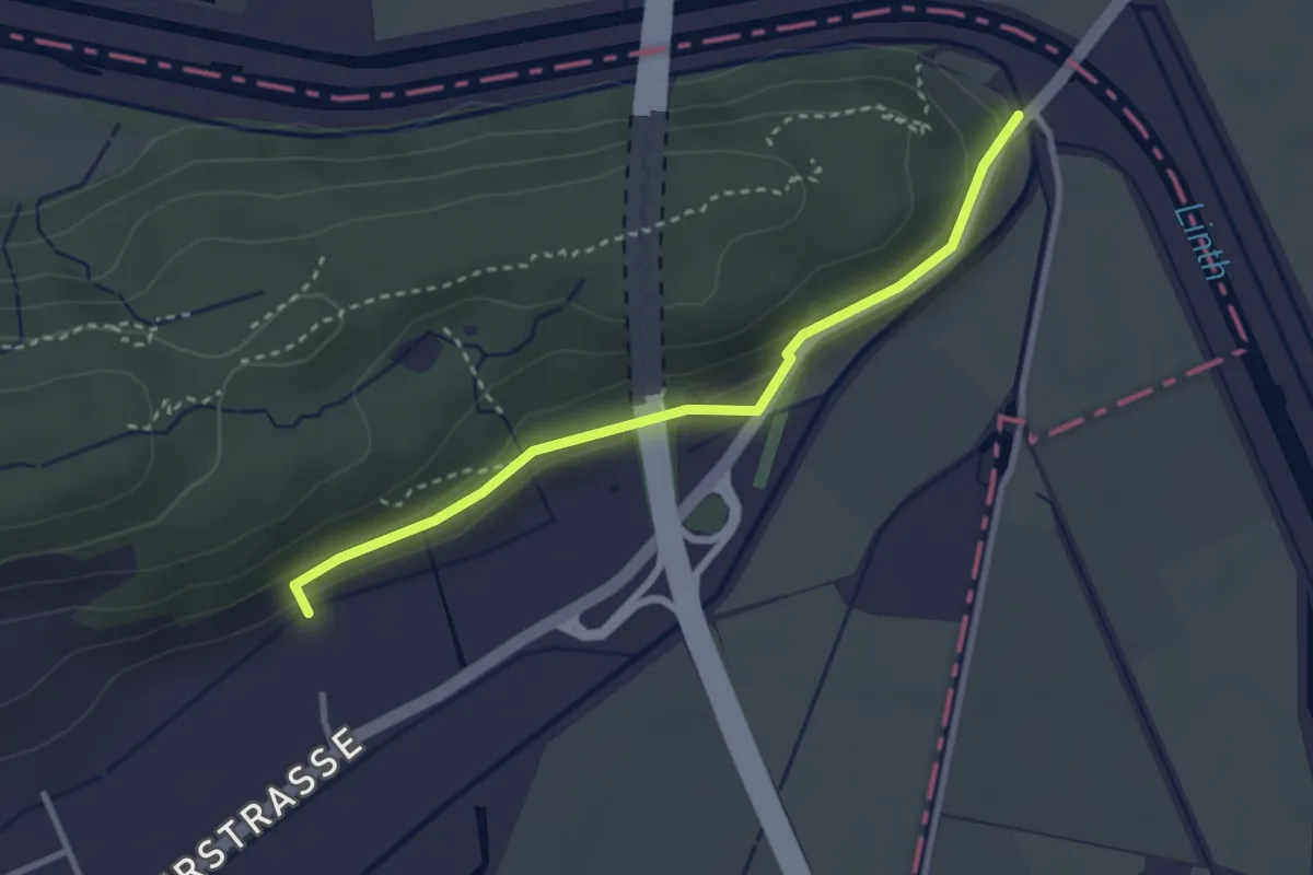
Easy · Trail
Grinau – Linthbord-Kapelle
3.0 km · ↑ 100 m · 55 min
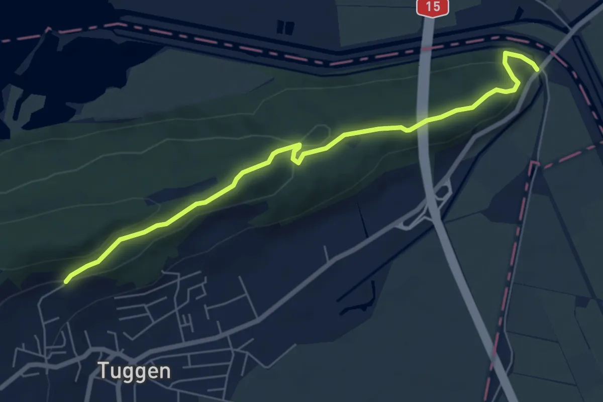
Easy · Trail
Blindenhof – Grinau
6.3 km · ↑ 189 m · 1 h 54 min
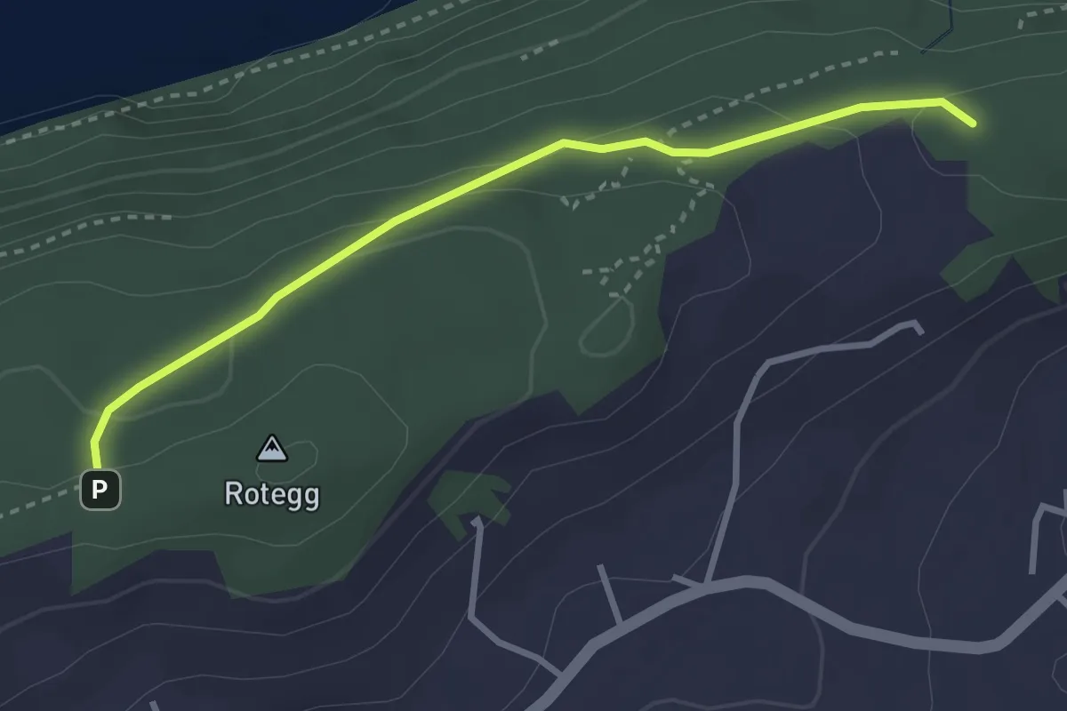
Easy · Trail
Buechberg (Rotegg) – Bittchälen (Höchegg)
3.0 km · ↑ 73 m · 52 min
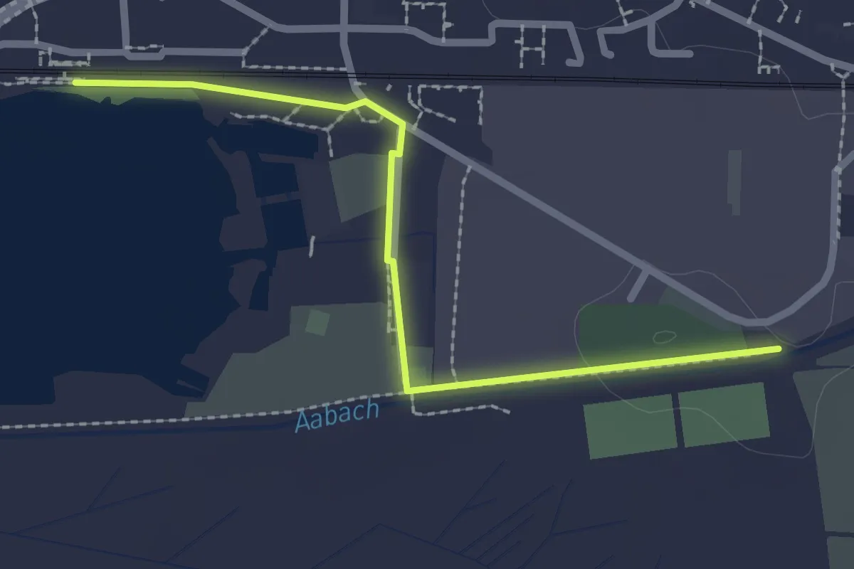
Easy · Trail
Aubachbrücke – Schmerikon
2.3 km · ↑ 9 m · 34 min
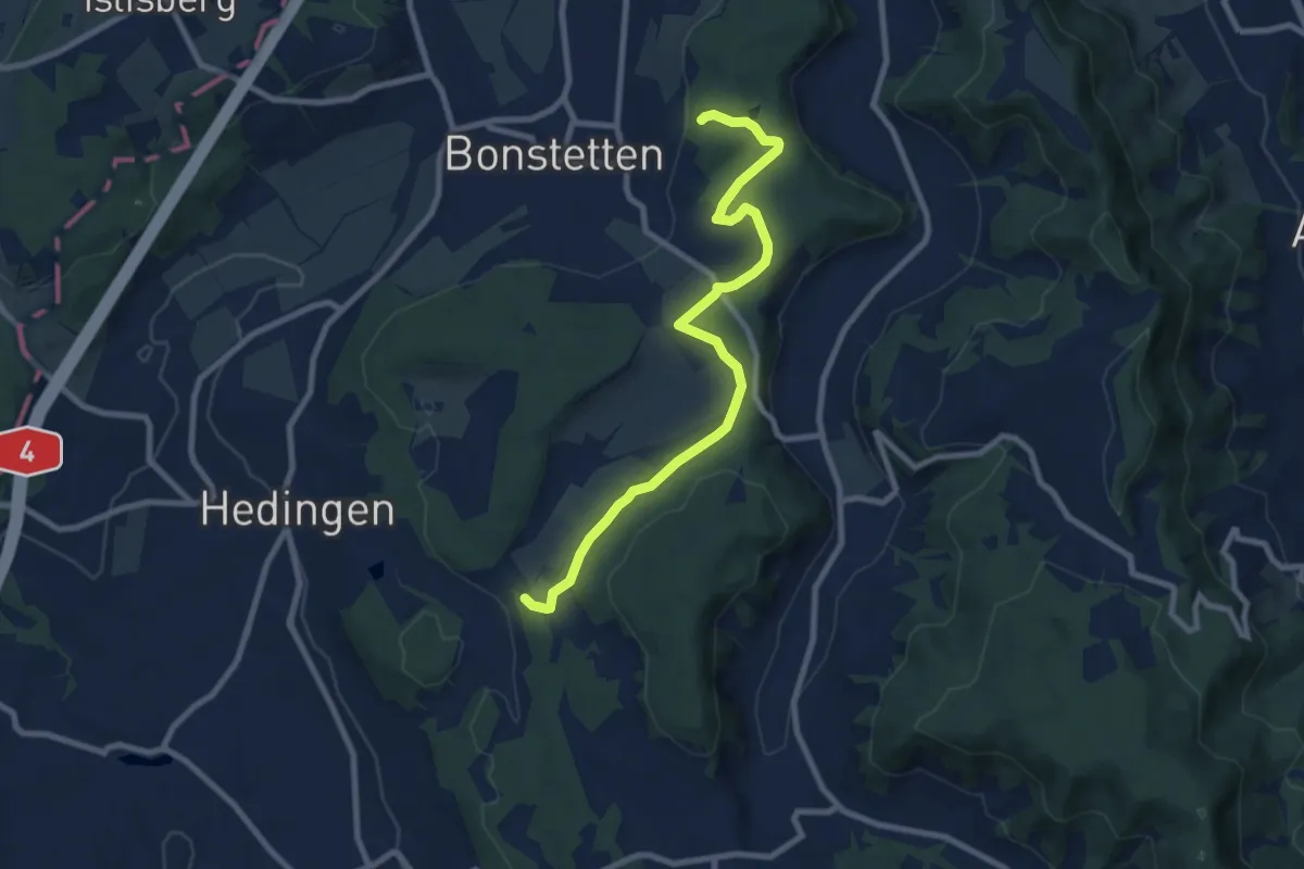
Medium · Trail
Buechholz – Hirslen
8.8 km · ↑ 174 m · 2 h 28 min
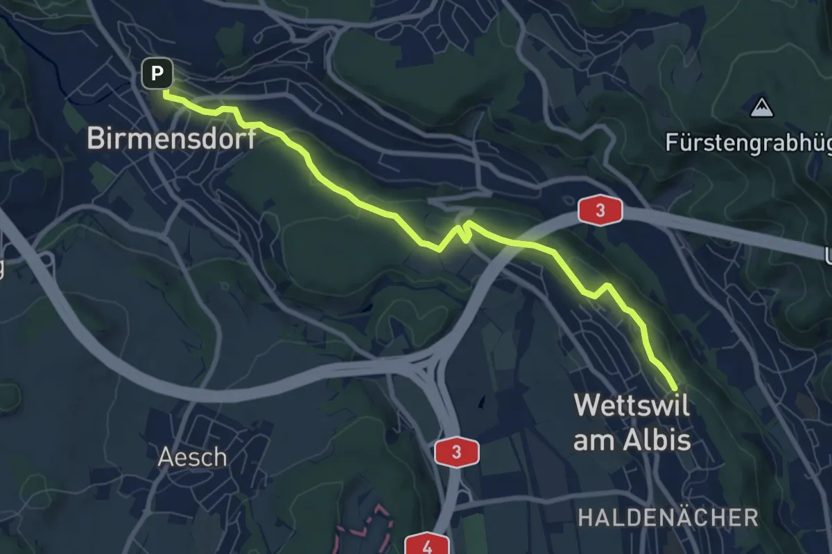
Medium · Trail
Birmensdorf – Näfenhügel
8.4 km · ↑ 162 m · 2 h 20 min
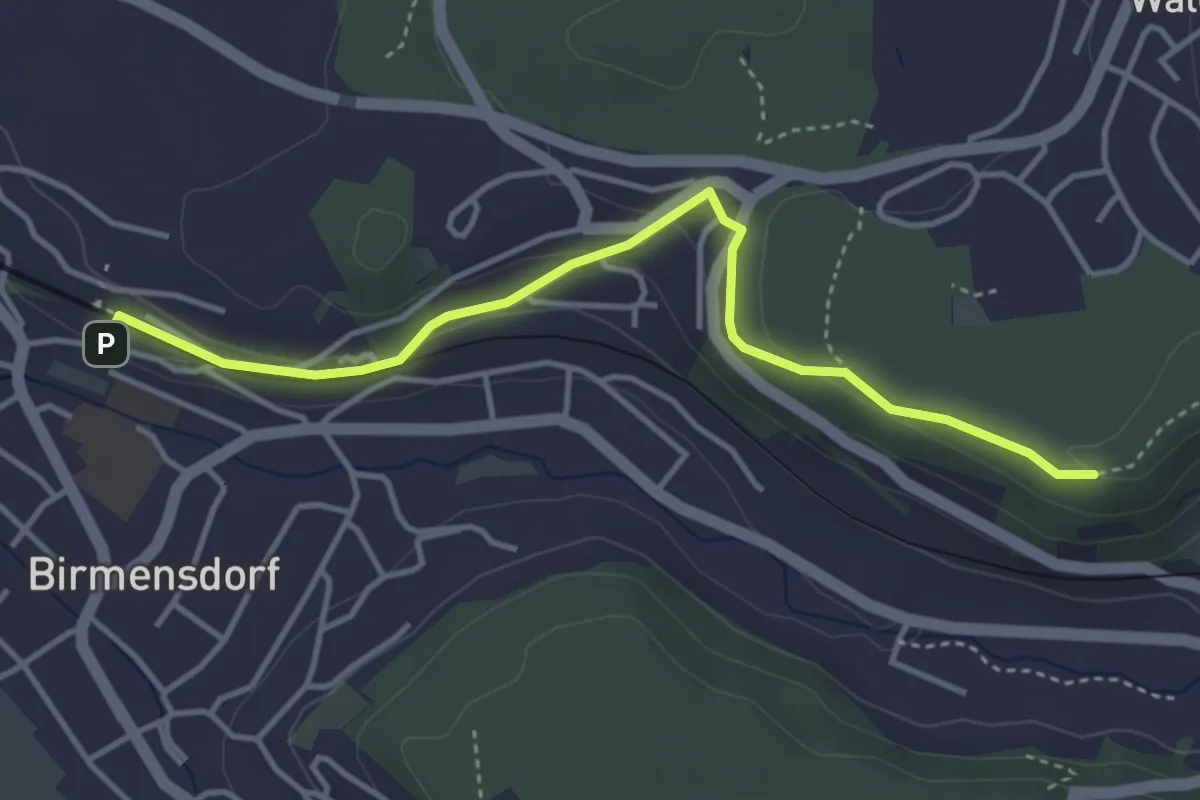
Easy · Trail
Birmensdorf – Maas
4.0 km · ↑ 99 m · 1 h 10 min
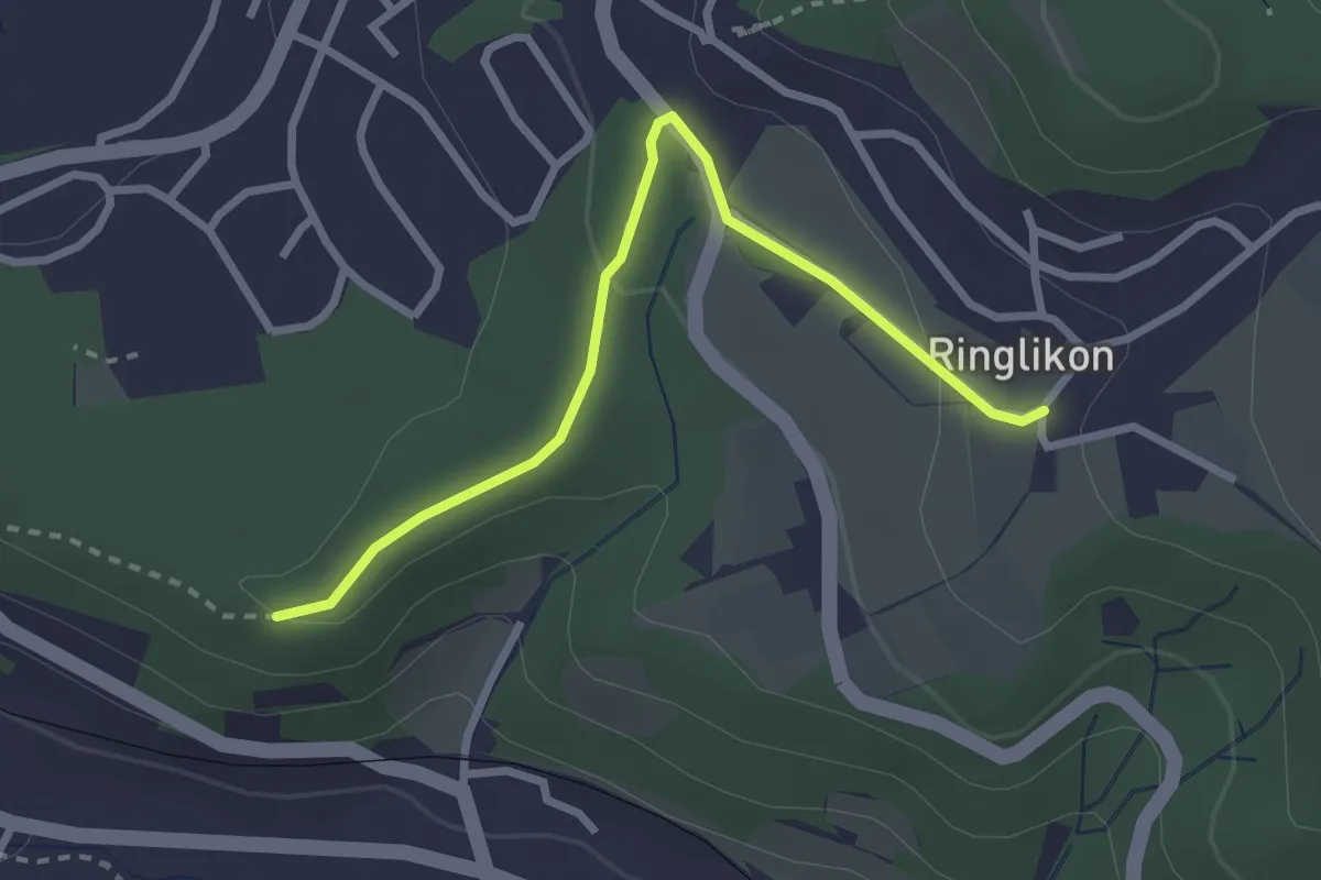
Easy · Trail
Maas – Ringlikon
2.7 km · ↑ 59 m · 46 min
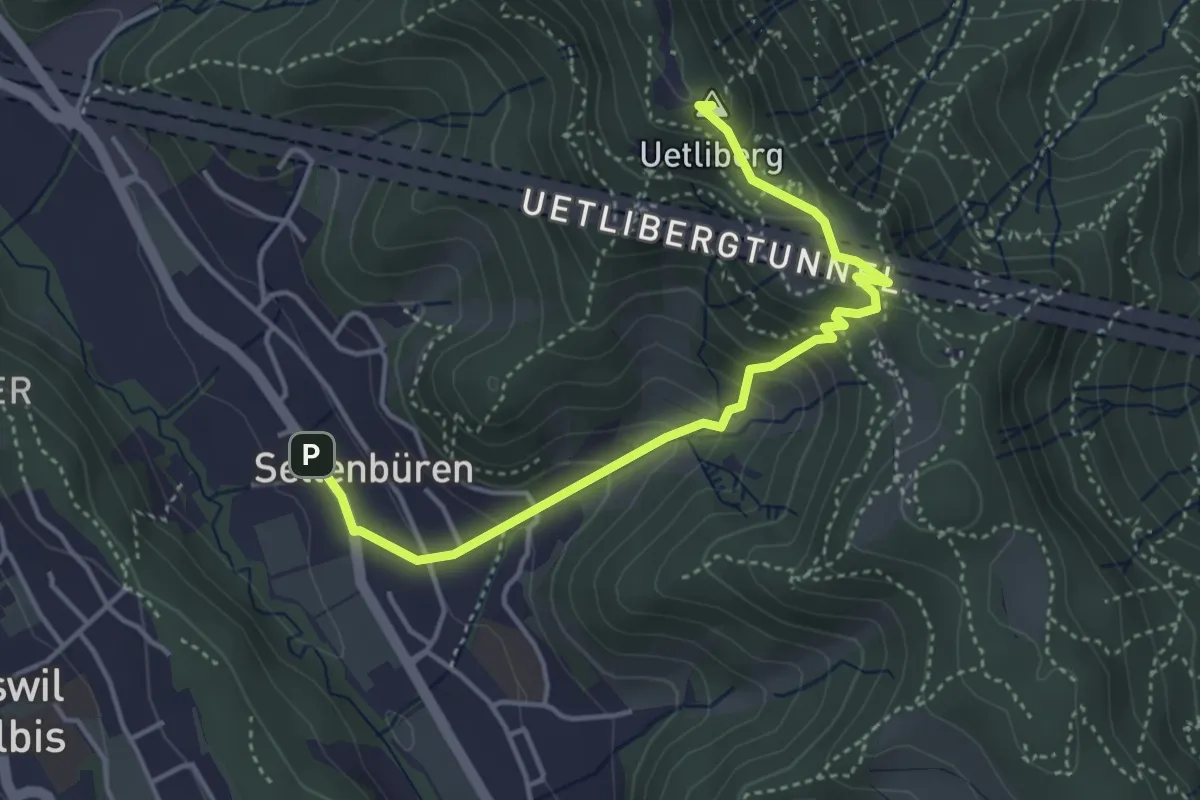
Easy · Summit
Sellenbüren – Uetliberg Uto Kulm
4.2 km · ↑ 317 m · 1 h 41 min
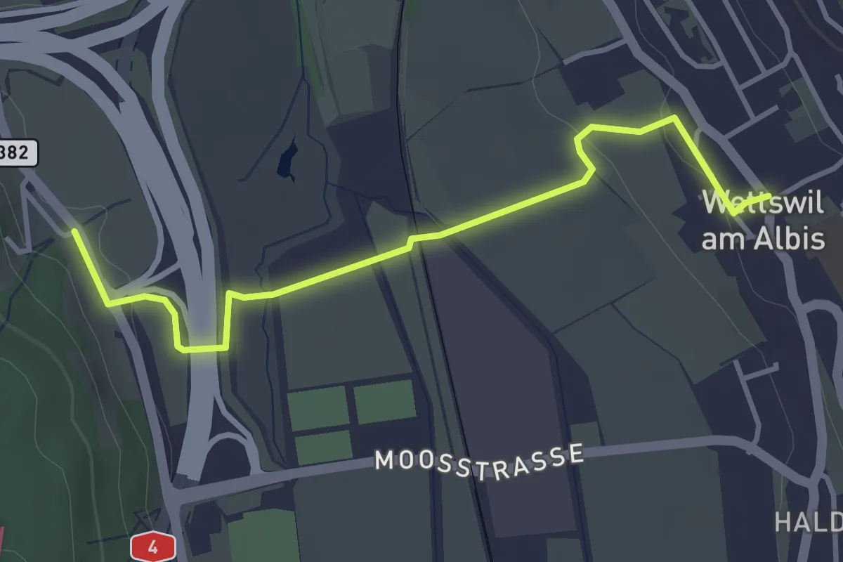
Easy · Trail
Filderen – Wettswil
3.6 km · ↑ 59 m · 58 min
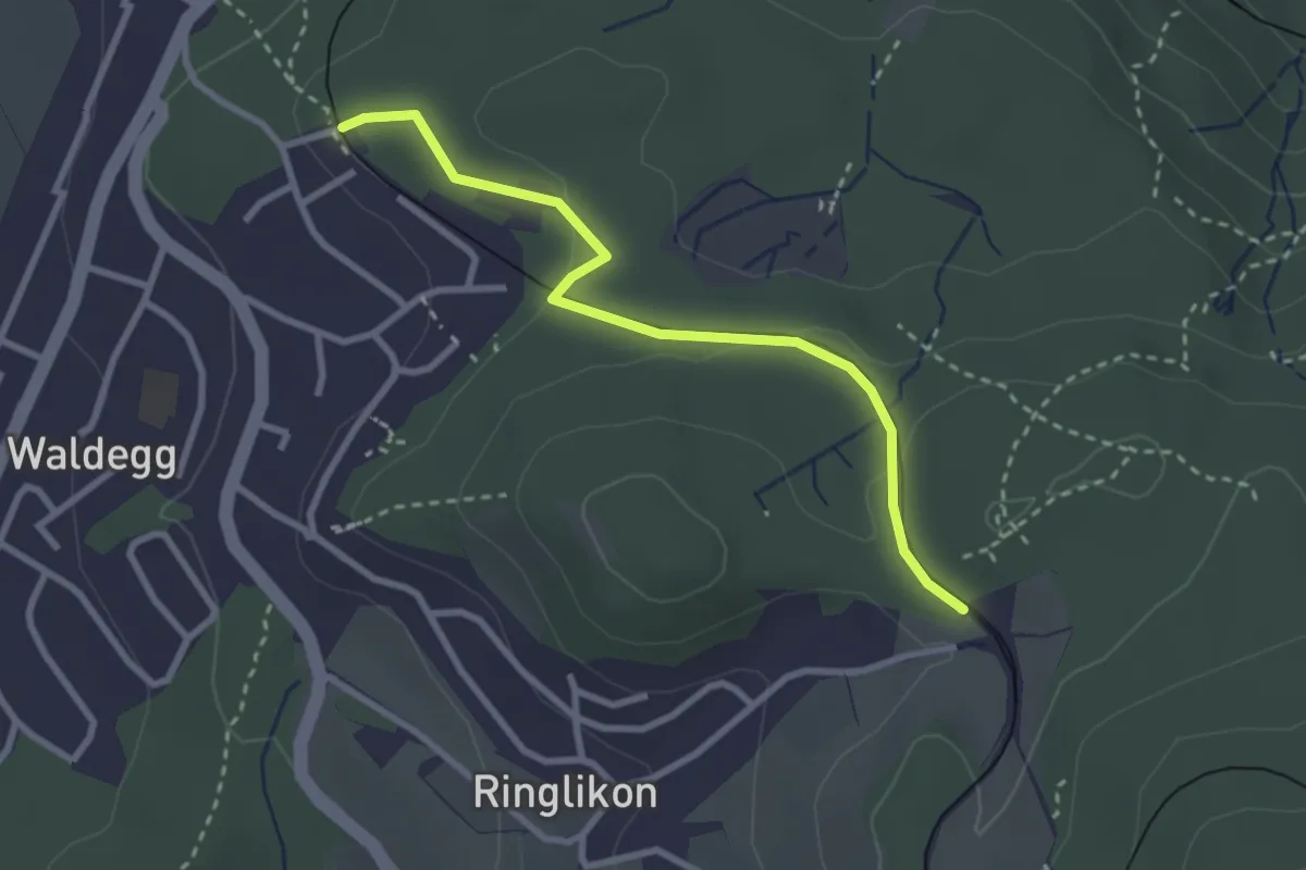
Easy · Trail
Uitikon Waldegg – Ringlikon (Station)
2.8 km · ↑ 67 m · 48 min
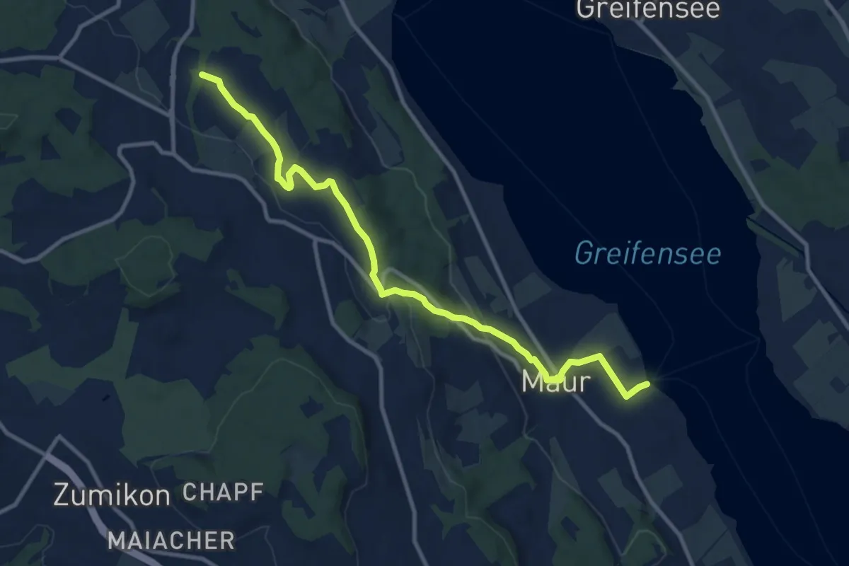
Medium · Trail
Benglen – Maur Schifflände
10.7 km · ↑ 228 m · 3 h 1 min