Trails in Switzerland
15,055 hiking trails, each with its route, climb, walking time and grade.
All trails, page 295 of 314
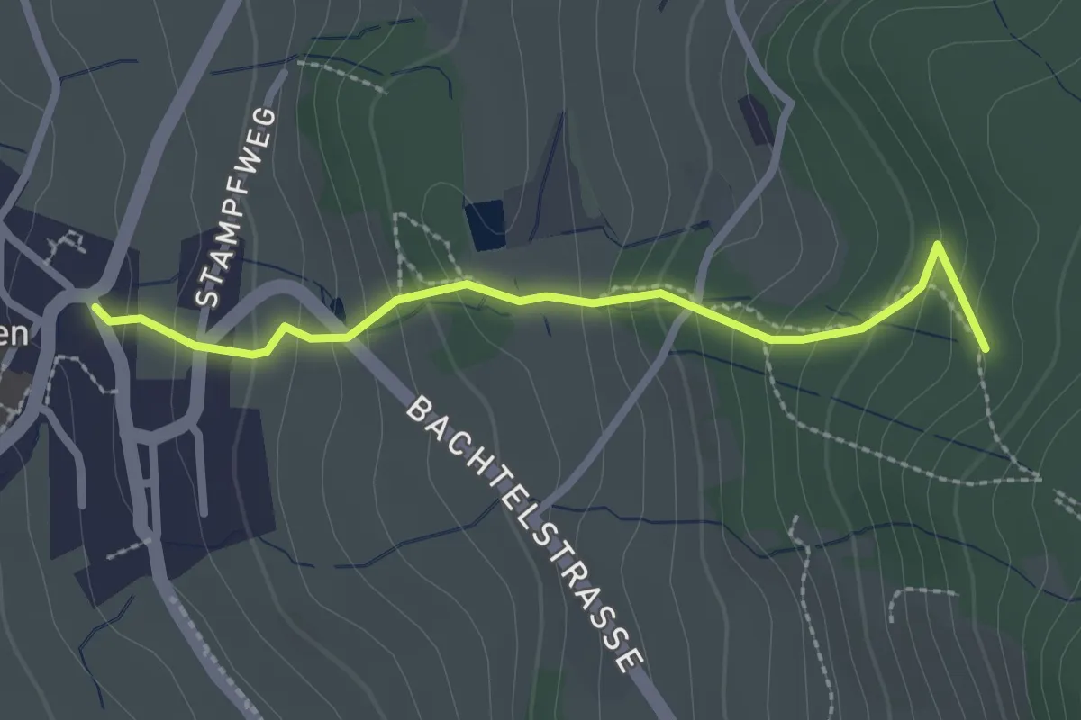
Easy · Trail
Horn – Wernetshausen
2.3 km · ↑ 206 m · 1 h
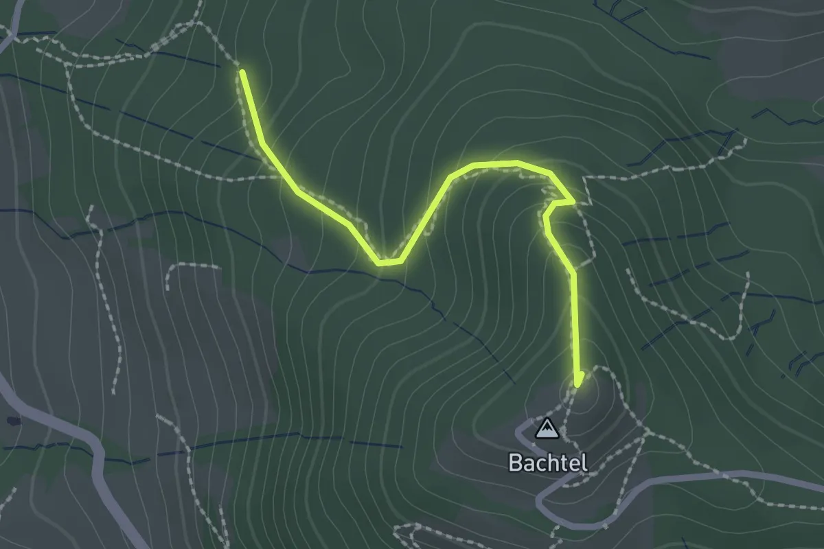
Easy · Summit
Horn – Bachtel
2.0 km · ↑ 168 m · 50 min
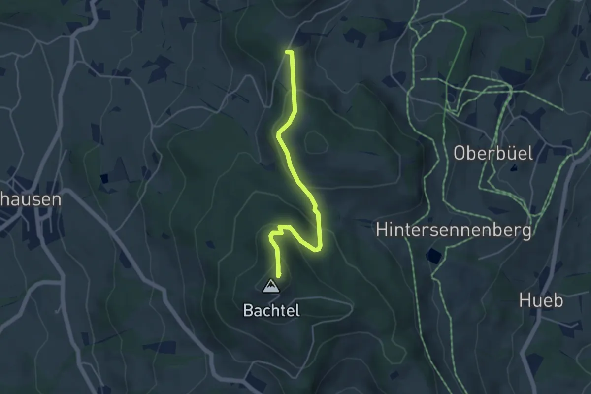
Easy · Summit
Schufelberger Egg – Bachtel
3.9 km · ↑ 190 m · 1 h 19 min
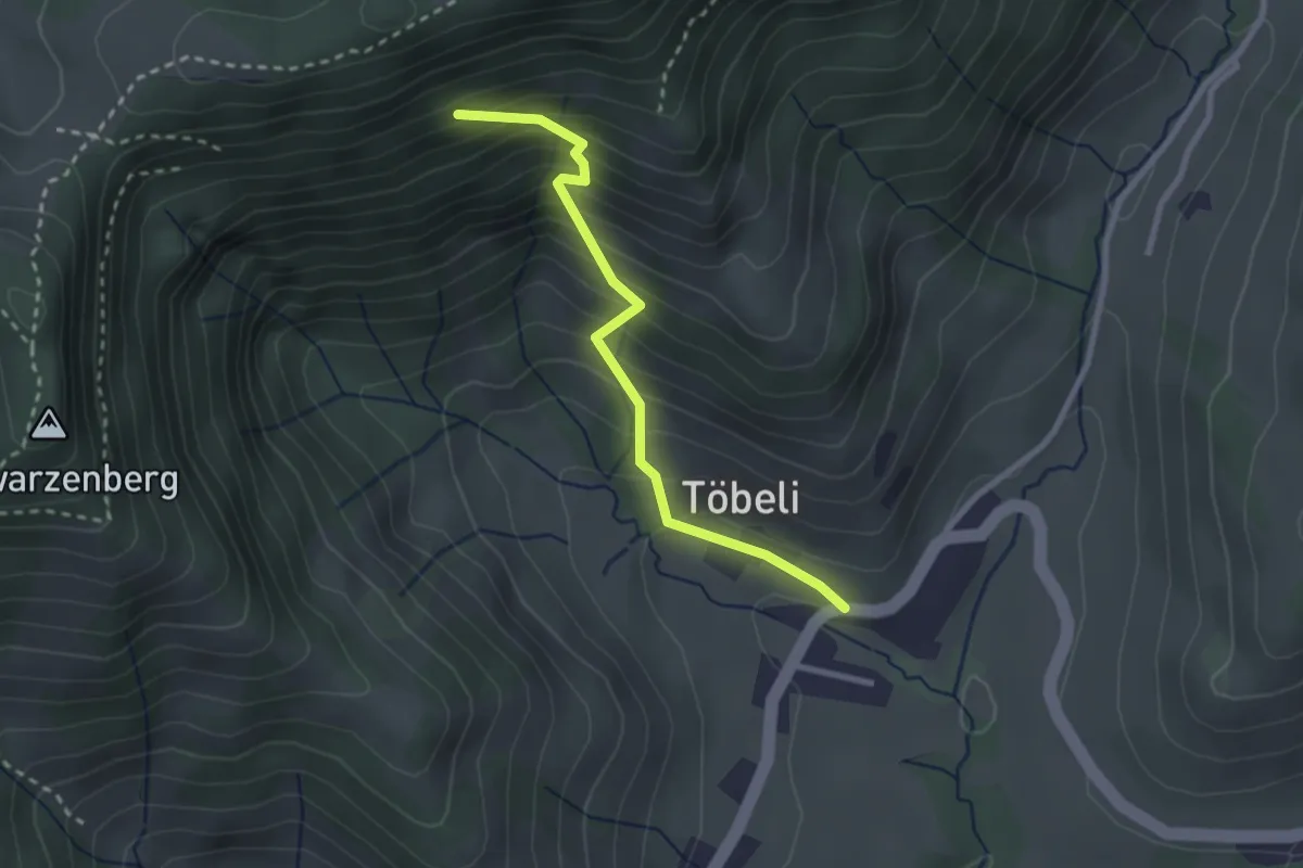
Medium · Trail
Wirtsberg – Hintergoldingen
2.5 km · ↑ 336 m · 1 h 19 min
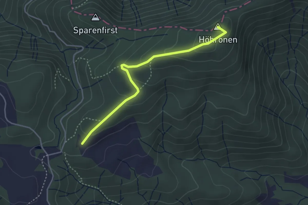
Easy · Summit
Höhboden – Langenegg
3.5 km · ↑ 125 m · 1 h 5 min
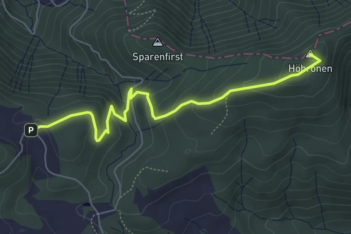
Easy · Summit
Höhboden – Gottschalkenberg
5.3 km · ↑ 249 m · 1 h 47 min
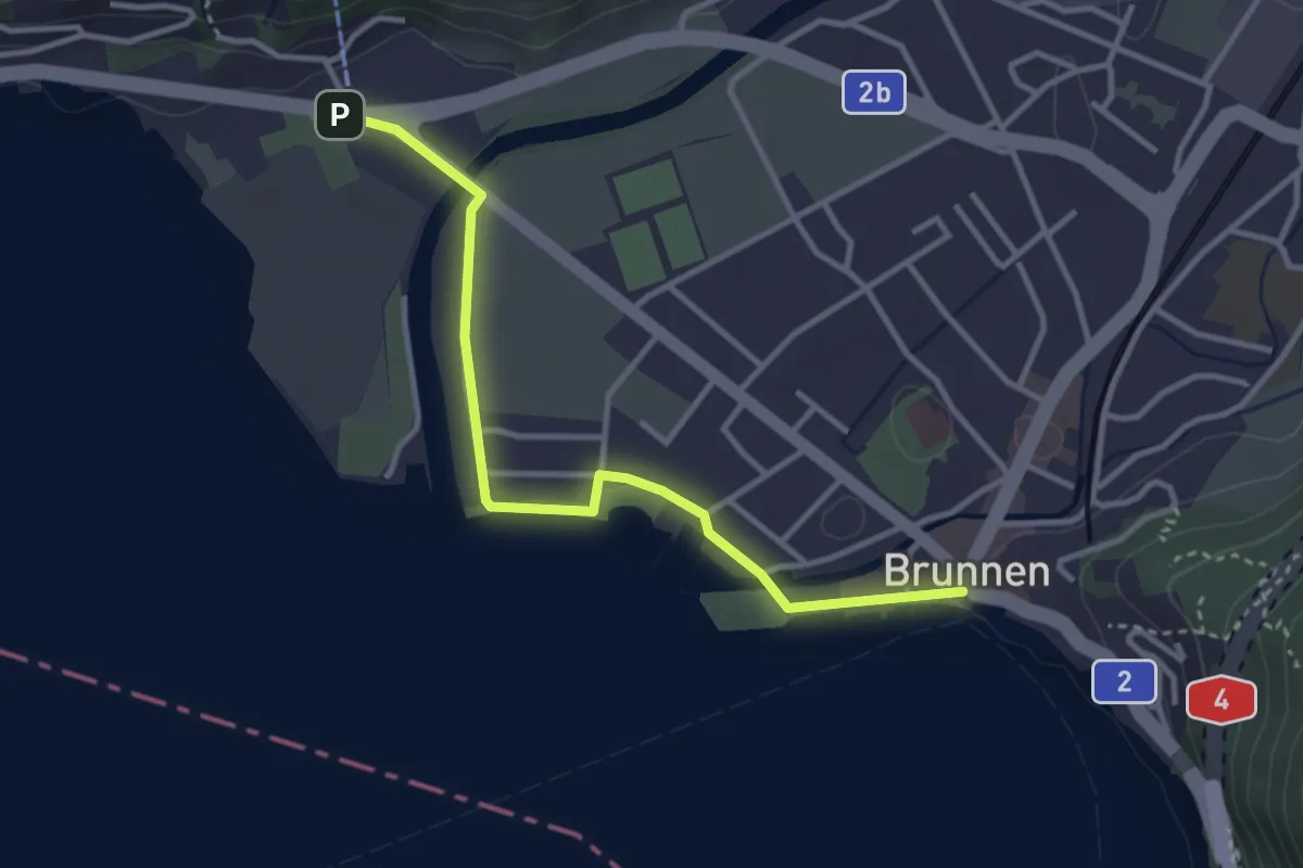
Easy · Trail
Brunnen Schifflände – LSB Urmiberg Brunnen
3.4 km · ↑ 4 m · 48 min
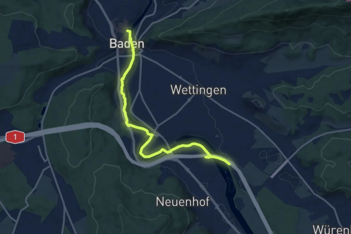
Medium · Trail
Tägerhard – Baden
10.2 km · ↑ 119 m · 2 h 40 min
Easy · Trail
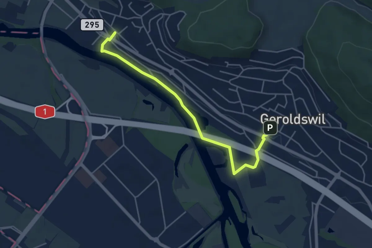
Geroldswil – Oetwil a. d. L.
4.2 km · ↑ 47 m · 1 h 5 min
Medium · Trail
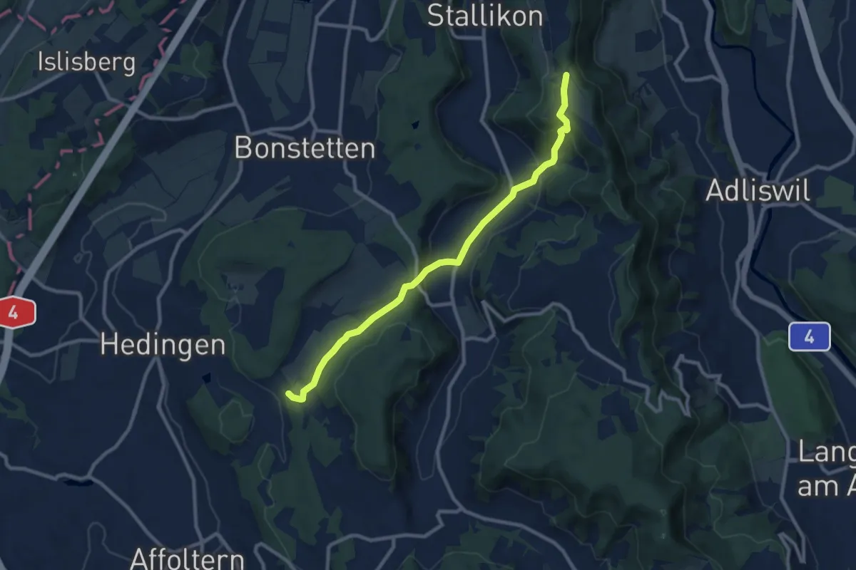
Hirslen – Balderen
9.2 km · ↑ 346 m · 2 h 56 min
Easy · Trail
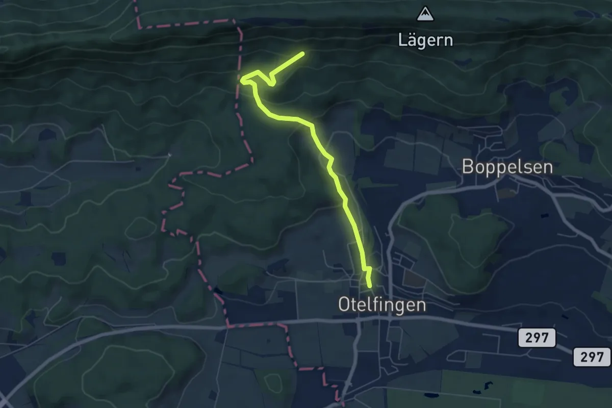
Otelfingen – Eggetsacher
5.8 km · ↑ 298 m · 2 h 1 min
Easy · Summit
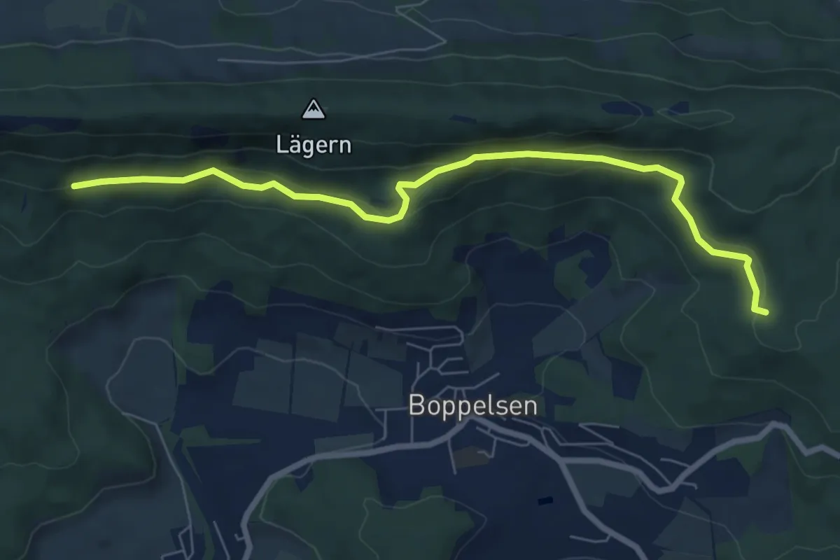
Eggetsacher – Bildstock
7.1 km · ↑ 233 m · 2 h 11 min
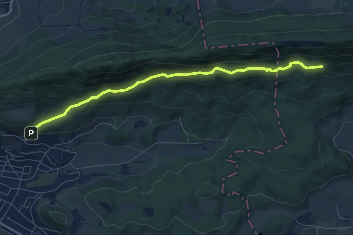
Easy · Trail
Mooshalden – Eggetsacher
7.3 km · ↑ 297 m · 2 h 21 min
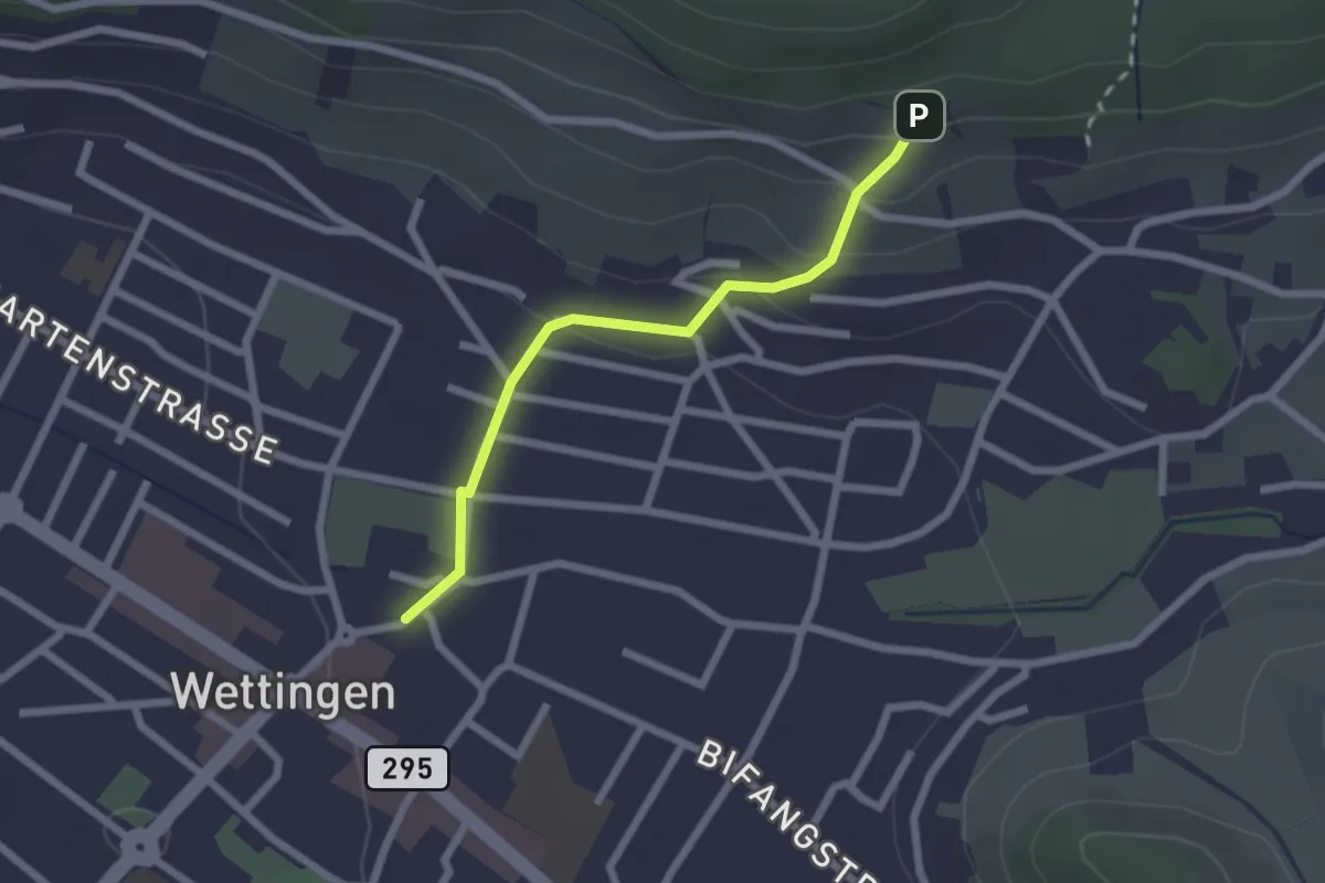
Easy · Trail
Wettingen Dorf – Mooshalden
2.0 km · ↑ 111 m · 43 min
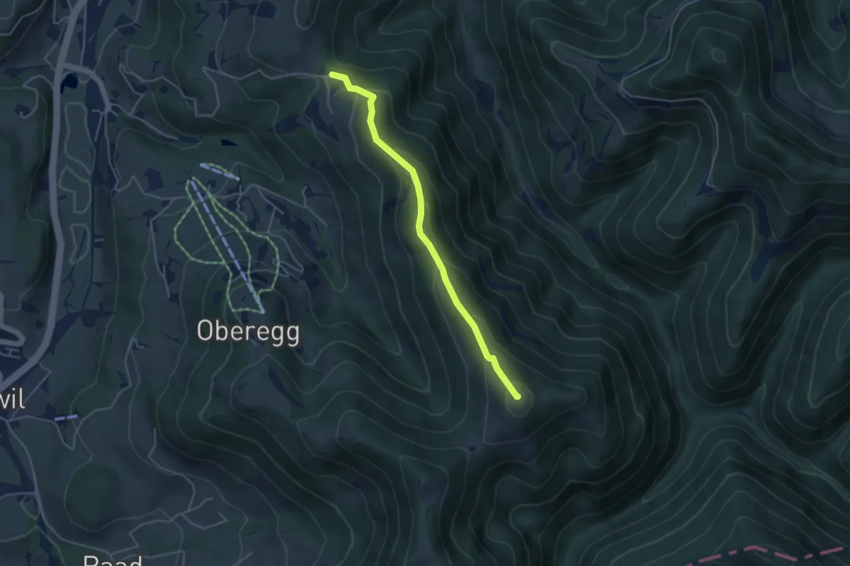
Easy · Summit
Hüttchopf – Tannen
4.0 km · ↑ 245 m · 1 h 28 min
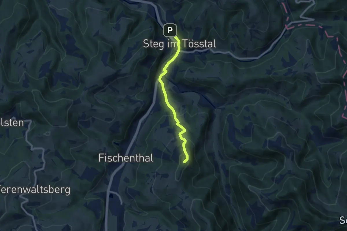
Medium · Summit
Tannen – Steg
5.7 km · ↑ 326 m · 2 h 3 min
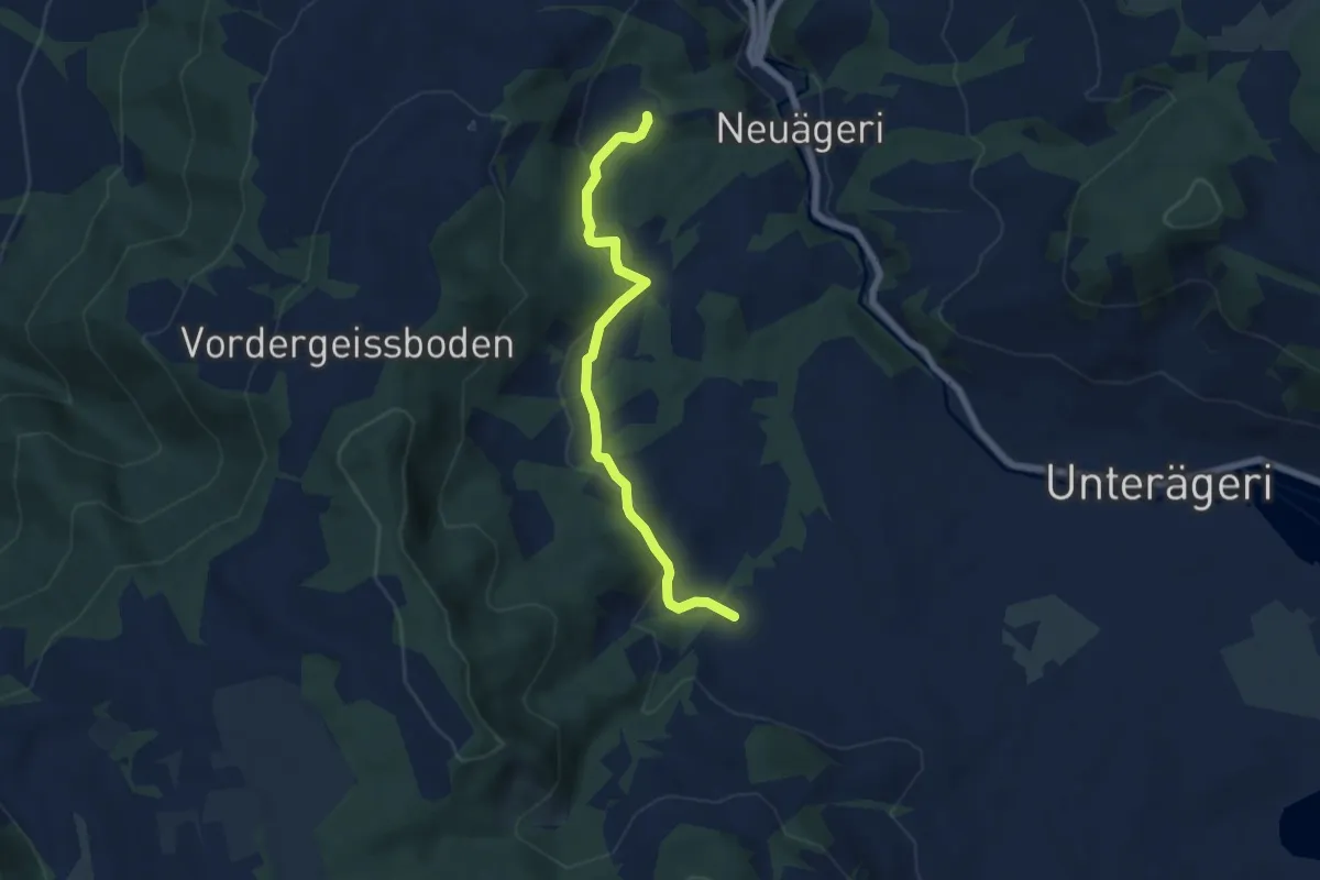
Easy · Trail
Unter Brunegg – Boden
6.2 km · ↑ 159 m · 1 h 49 min
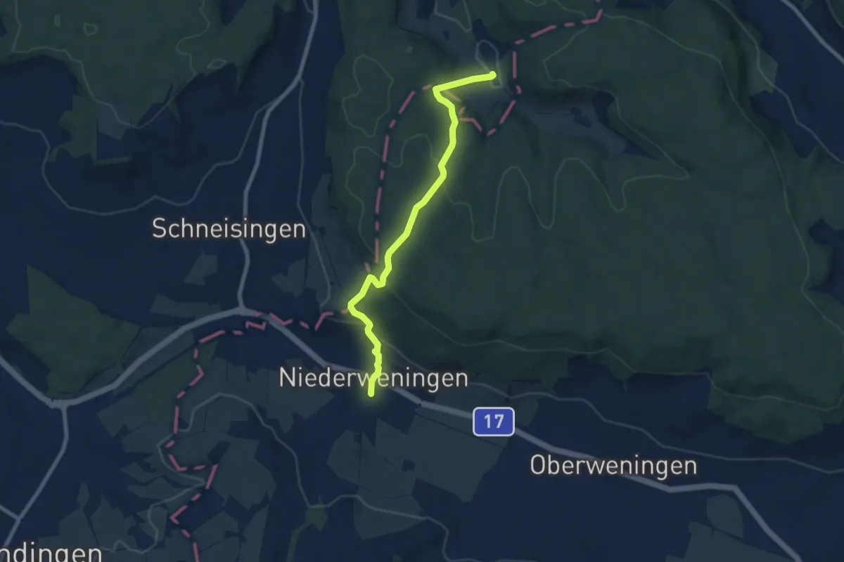
Easy · Trail
Niederweningen Haltestelle – Rütihof
7.2 km · ↑ 316 m · 2 h 23 min
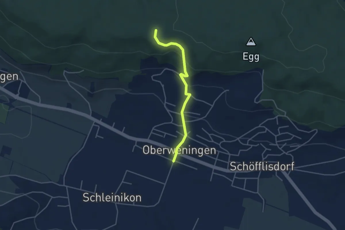
Easy · Trail
Oberweningen – Schliniker Platten
3.3 km · ↑ 179 m · 1 h 10 min
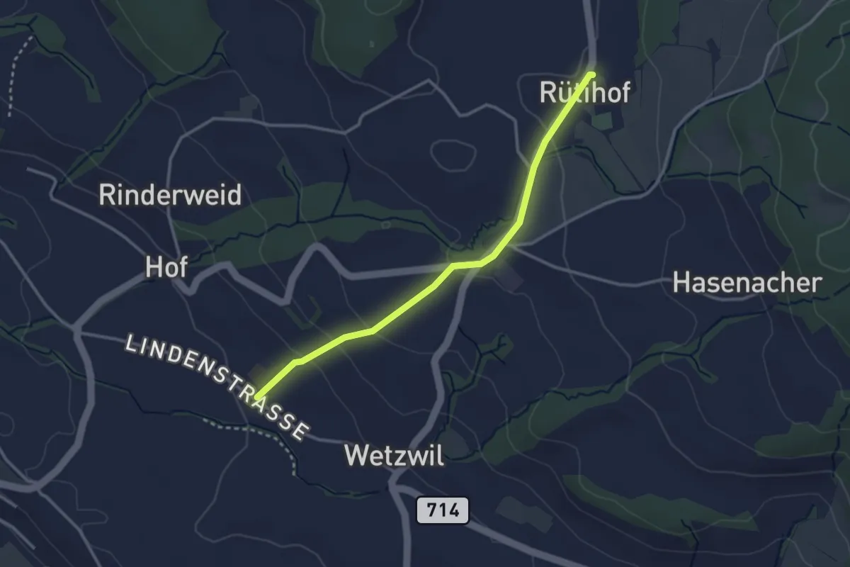
Easy · Trail
Wetzwil Kirche – Rütihof
2.9 km · ↑ 99 m · 55 min
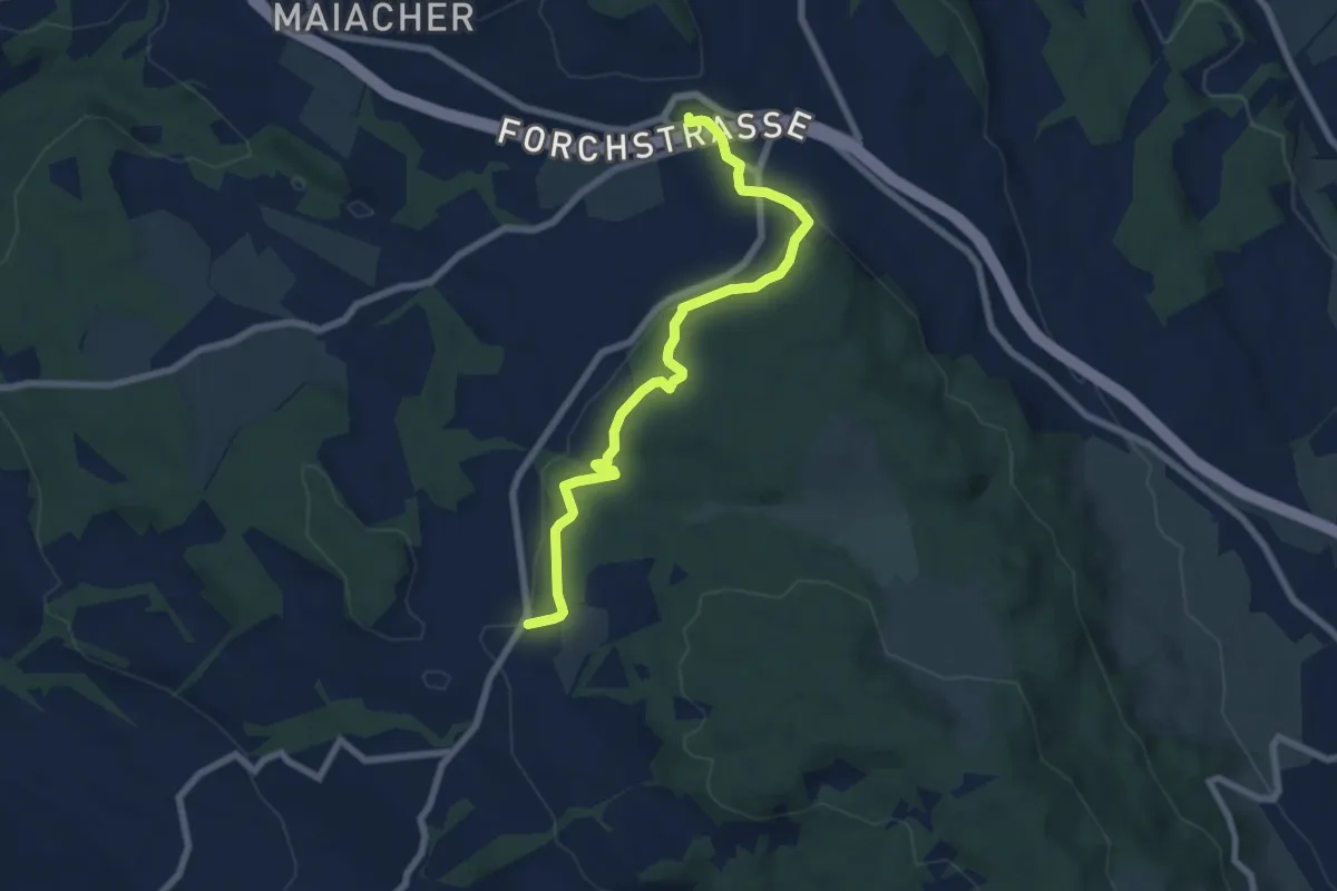
Easy · Trail
Rütihof – Forch
7.2 km · ↑ 229 m · 2 h 12 min
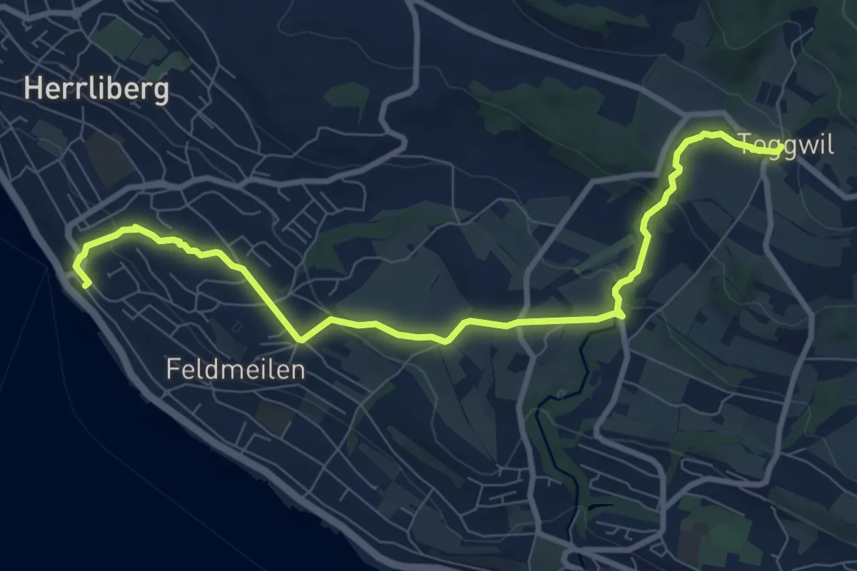
Medium · Trail
Herrliberg Feldmeilen – Toggwil
8.9 km · ↑ 231 m · 2 h 36 min
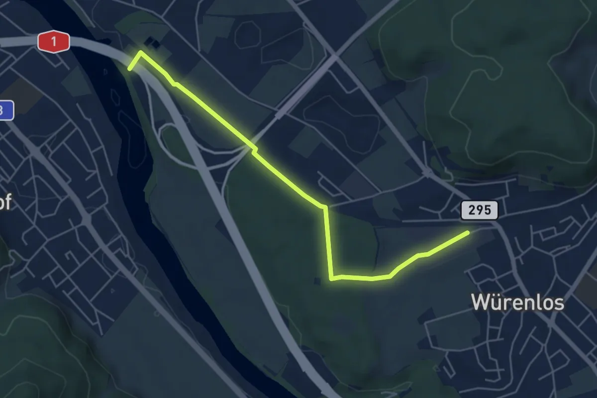
Easy · Trail
Tägerhard – Würenlos
5.2 km · ↑ 52 m · 1 h 20 min
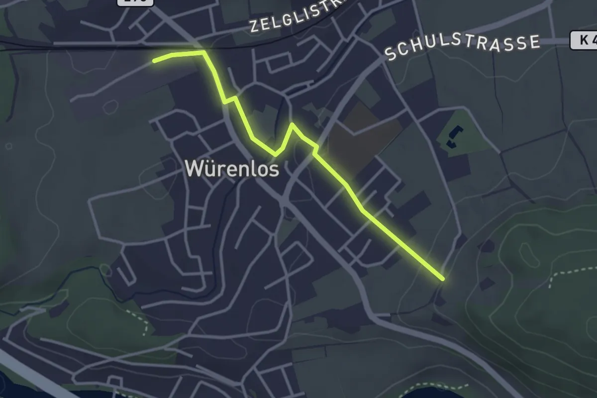
Easy · Trail
Würenlos – Gipf
3.1 km · ↑ 58 m · 51 min
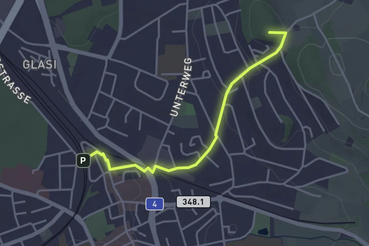
Easy · Summit
Bülach – Nussbaumen
3.2 km · ↑ 70 m · 54 min
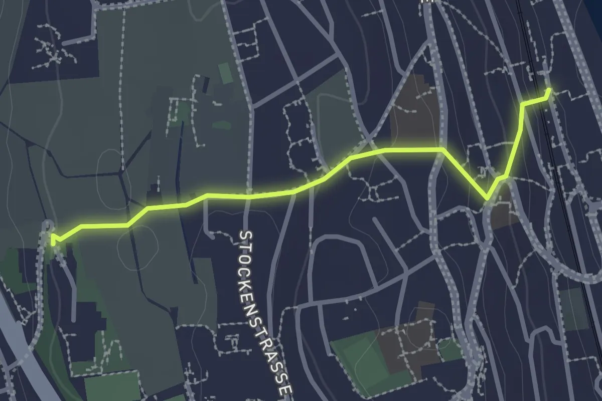
Easy · Trail
Kilchberg (Bahnhof) – Kilchberg Spital
2.5 km · ↑ 86 m · 46 min
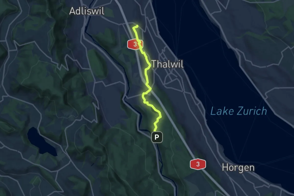
Medium · Trail
Nidelbad – Schlegeltobel
10.7 km · ↑ 156 m · 2 h 52 min
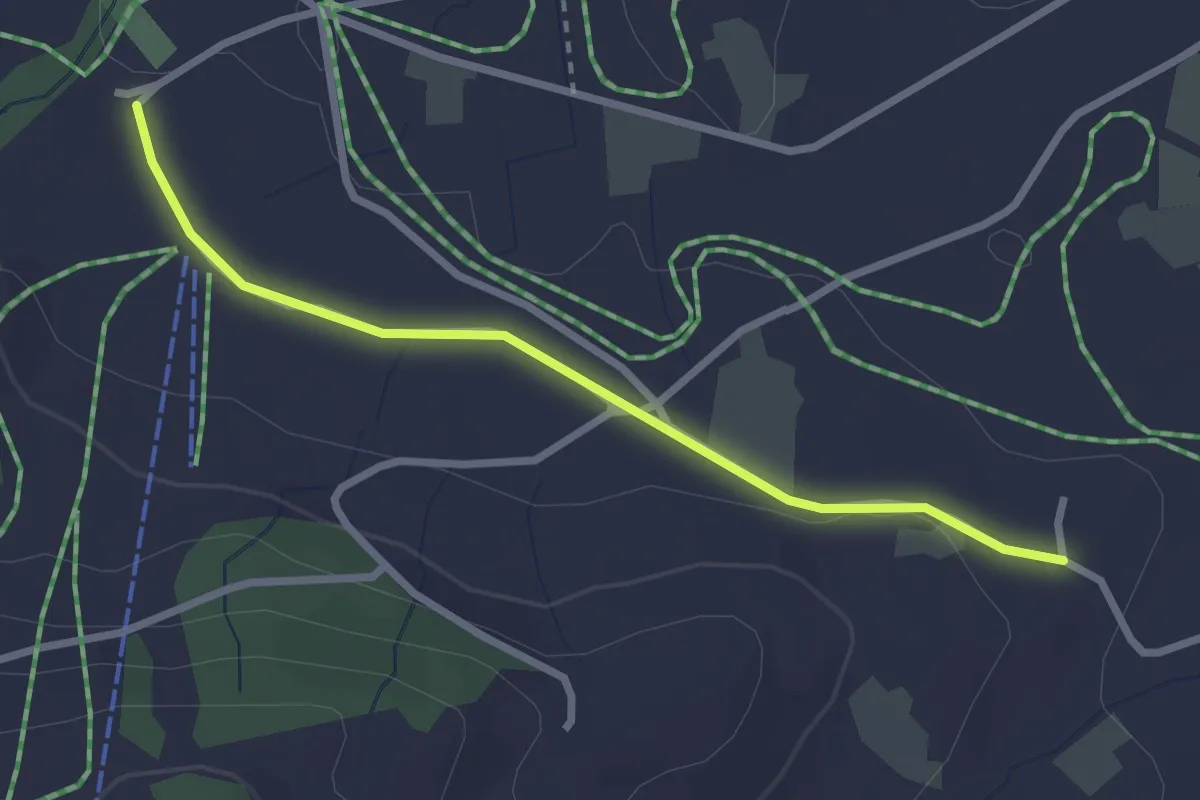
Easy · Trail
Boden – Wissenschwändi
2.6 km · ↑ 27 m · 40 min
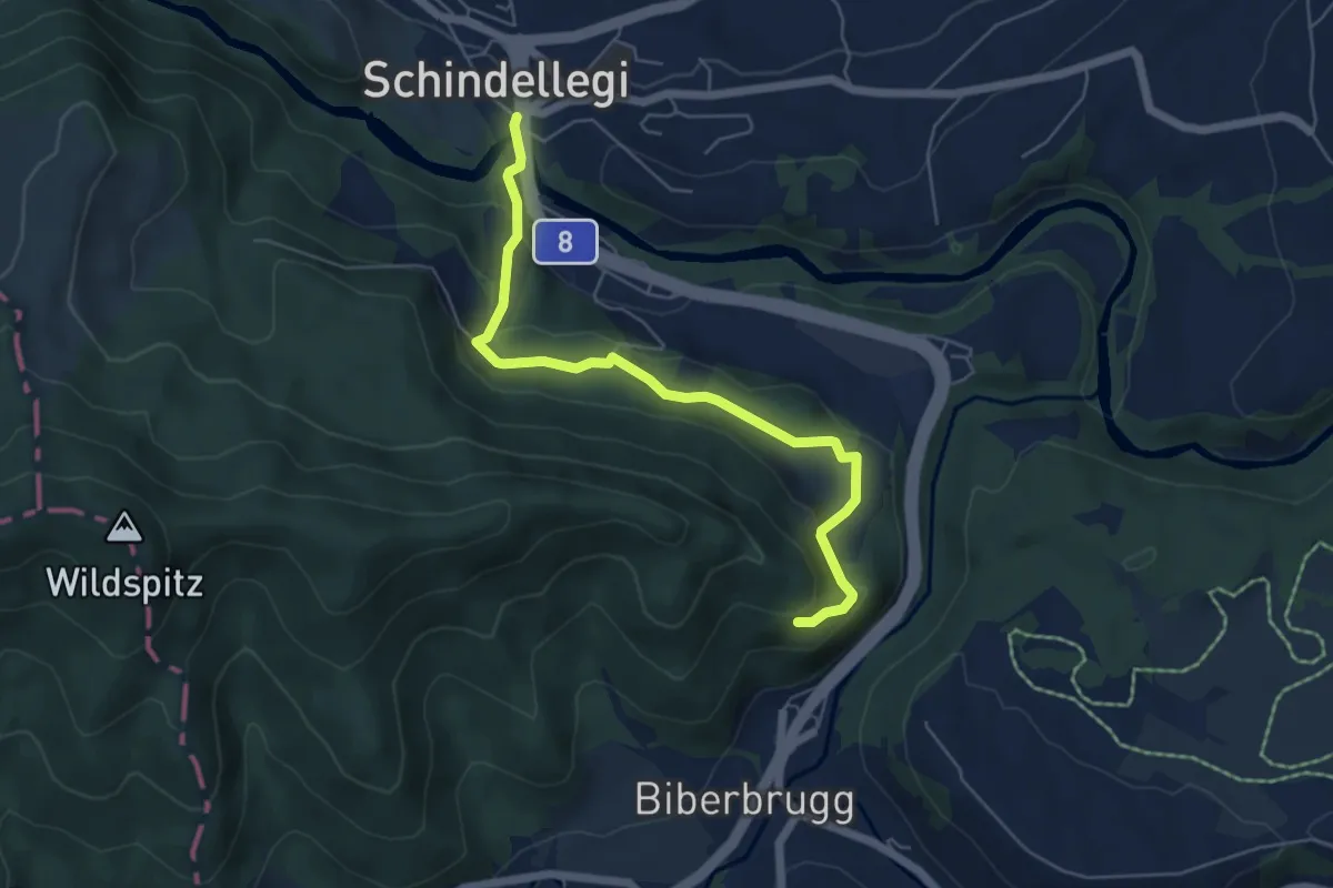
Easy · Trail
Schindellegi – Fuseli
5.7 km · ↑ 251 m · 1 h 53 min
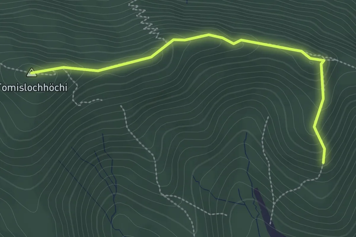
Easy · Summit
Chlimsen – Tomislochhöchi
3.0 km · ↑ 161 m · 1 h 3 min
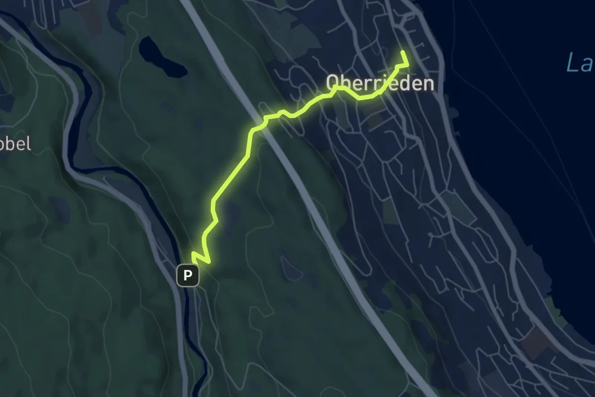
Easy · Trail
Oberrieden (Bahnhof) – Schlegeltobel
5.5 km · ↑ 248 m · 1 h 50 min
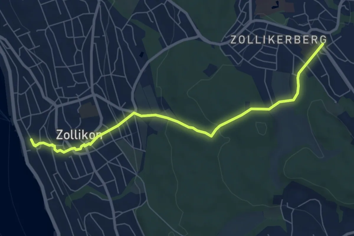
Easy · Trail
Zollikon – Zollikerberg
6.7 km · ↑ 245 m · 2 h 7 min
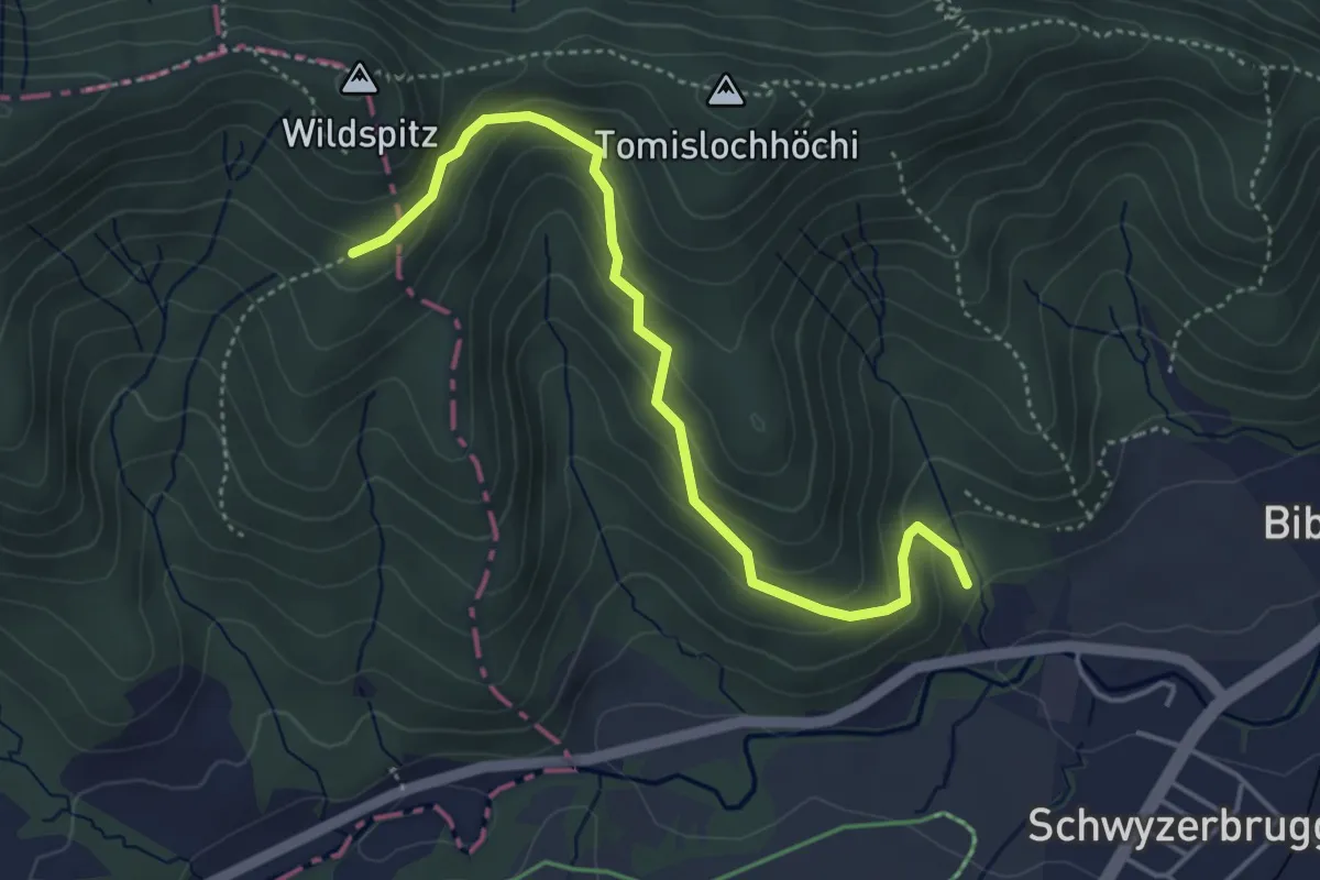
Easy · Trail
Tomisloch – Höhronenstrasse
4.4 km · ↑ 298 m · 1 h 41 min
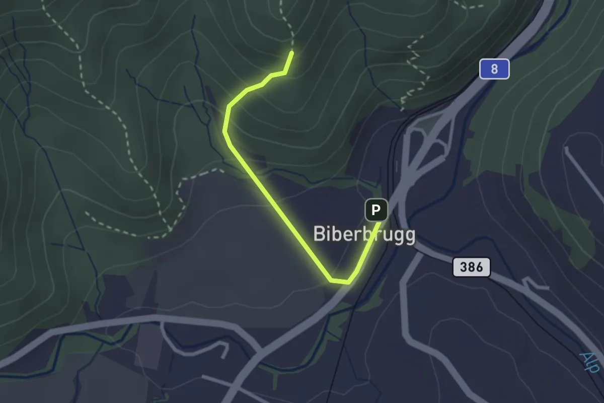
Easy · Trail
Biberbrugg – Chlimsen
2.2 km · ↑ 146 m · 51 min
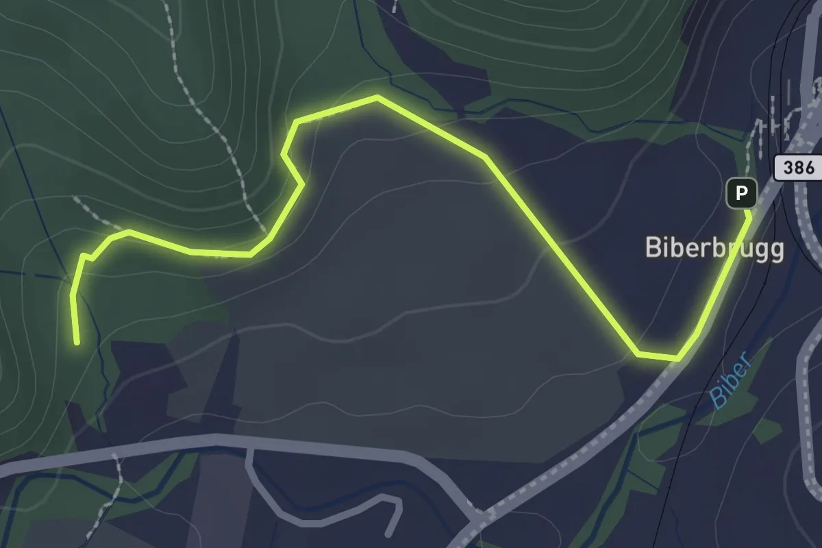
Easy · Trail
Biberbrugg – Tomisloch
2.7 km · ↑ 108 m · 53 min
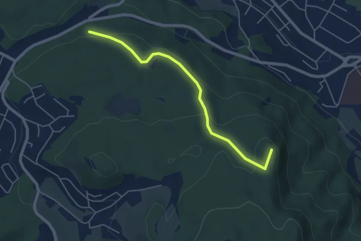
Easy · Summit
Feldenmooshau – Hohenstein
3.9 km · ↑ 125 m · 1 h 12 min
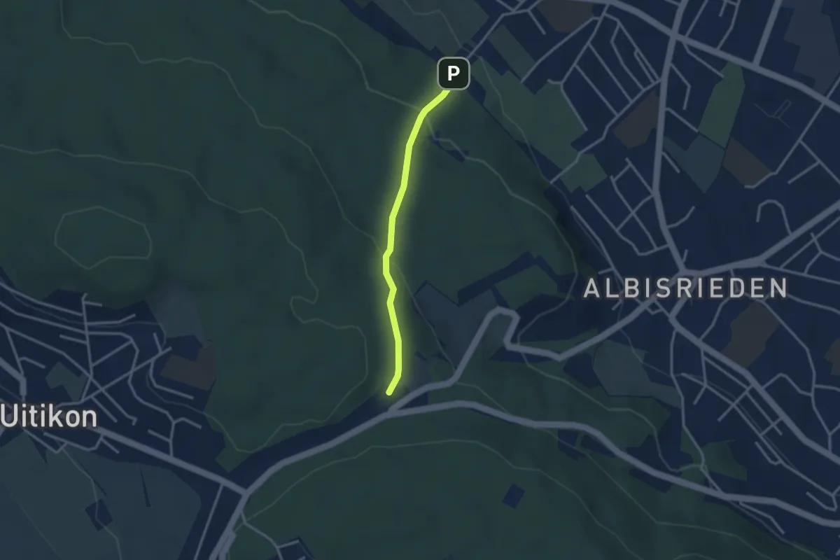
Easy · Trail
Altstetten – Feldermoos
2.6 km · ↑ 122 m · 53 min
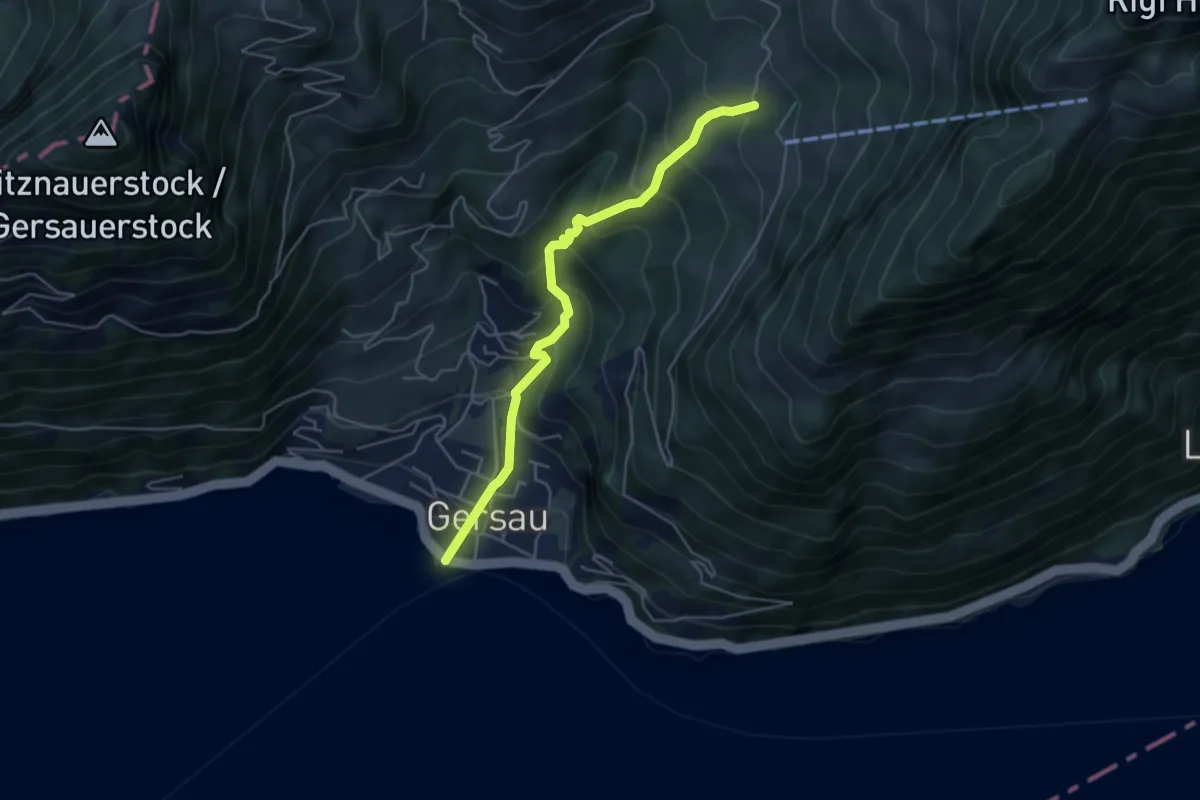
Medium · Trail
Gersau – Rotzingel
4.7 km · ↑ 451 m · 2 h 5 min
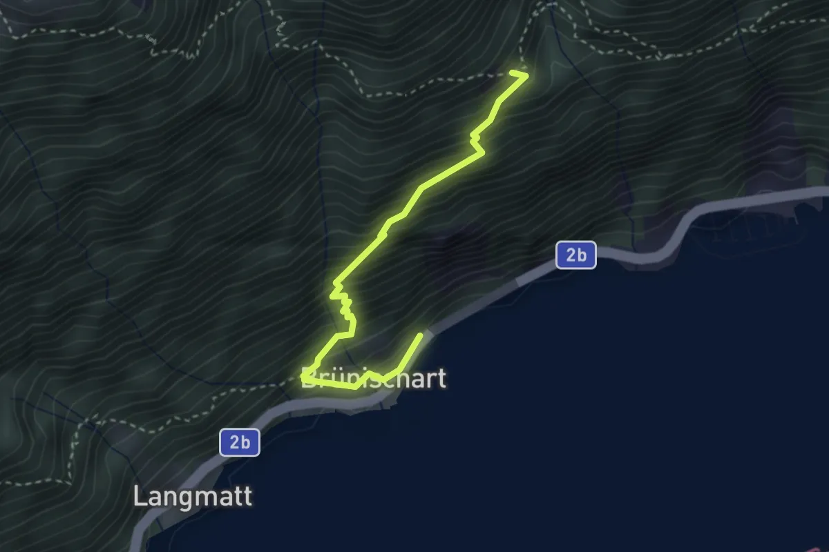
Medium · Trail
Brünischart – Bärfallen
3.1 km · ↑ 454 m · 1 h 43 min
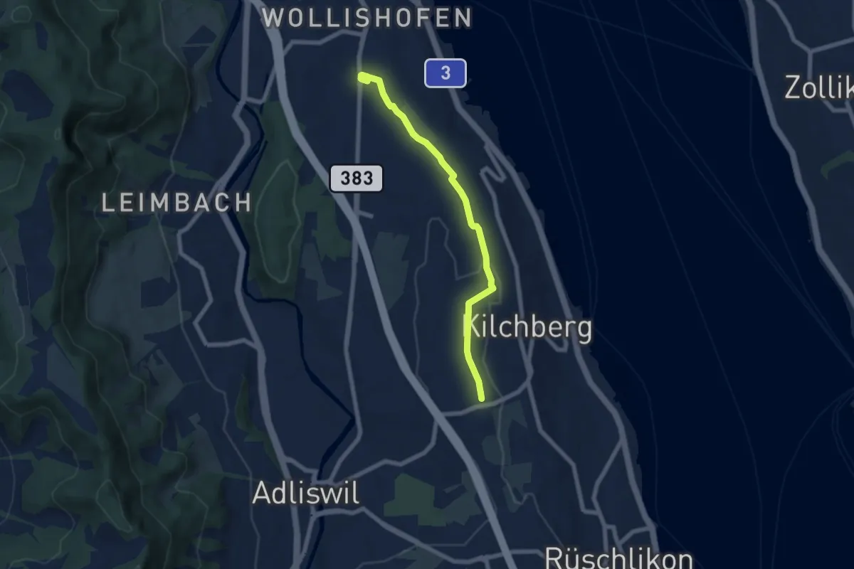
Easy · Trail
Wollishofen – Kilchberg Spital
6.0 km · ↑ 59 m · 1 h 33 min
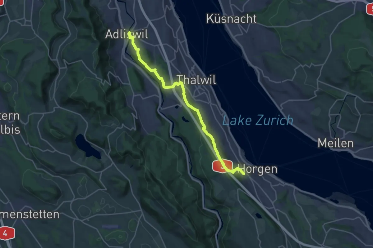
Demanding · Trail
Adliswil – Horgen Oberdorf
19.0 km · ↑ 623 m · 5 h 50 min
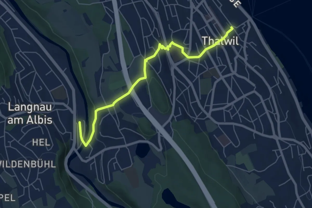
Easy · Trail
Thalwil – Langnau-Gattikon
5.7 km · ↑ 179 m · 1 h 44 min
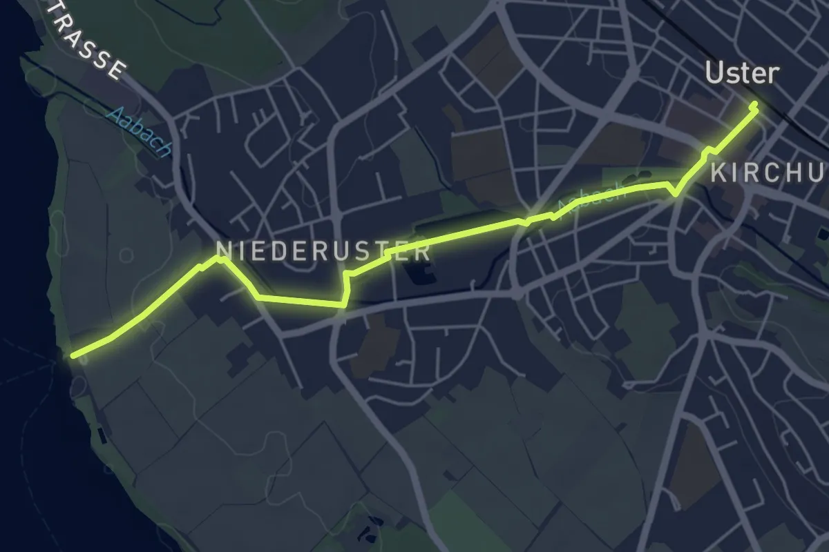
Easy · Trail
Uster – Niederuster
5.2 km · ↑ 30 m · 1 h 17 min
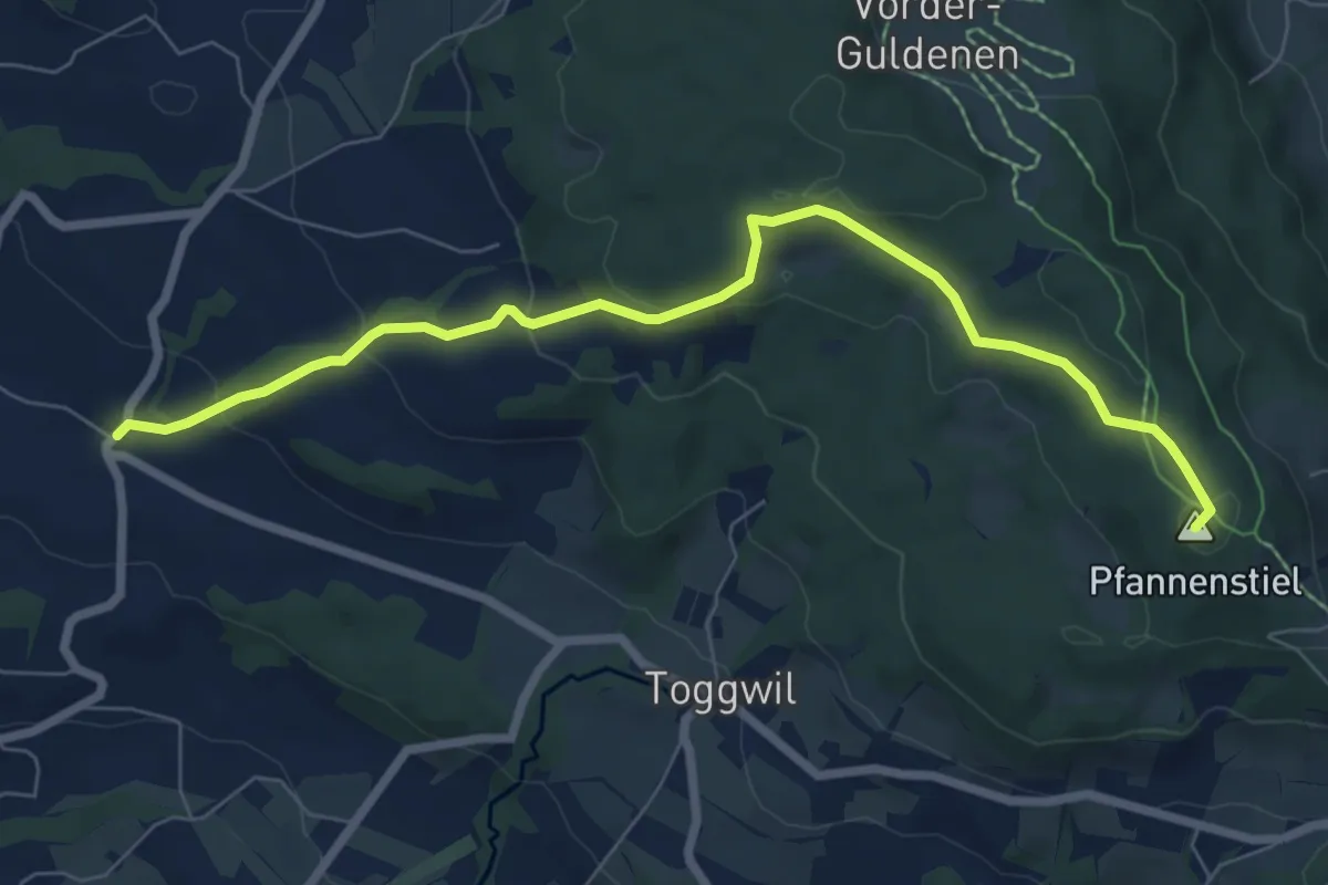
Easy · Summit
Wetzwil – Pfannenstiel Hochwacht
7.6 km · ↑ 294 m · 2 h 26 min
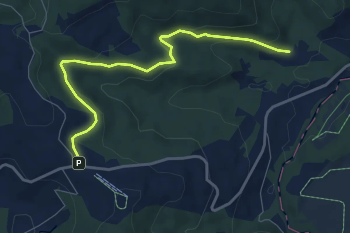
Easy · Trail
Breitried – Raten
6.3 km · ↑ 173 m · 1 h 52 min
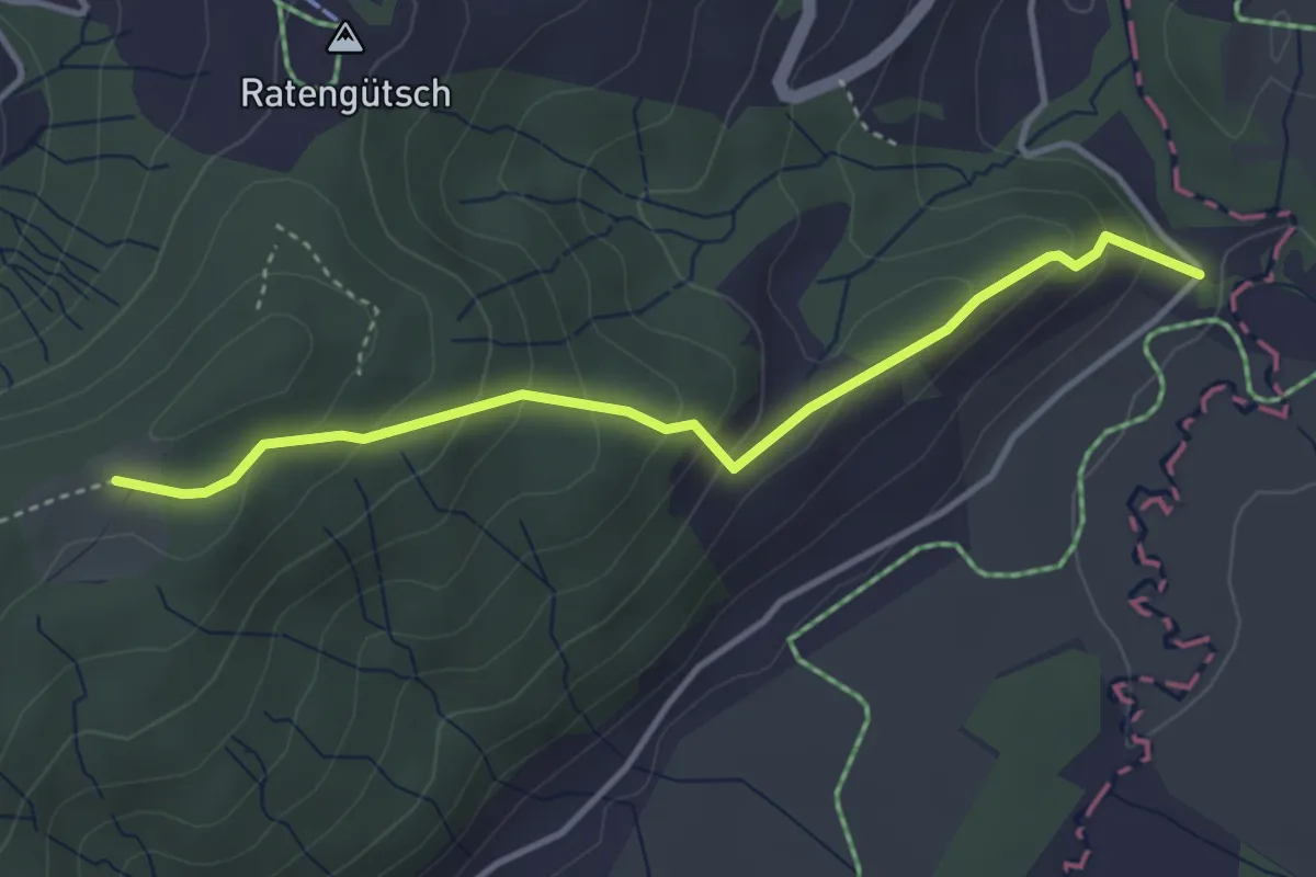
Easy · Trail
Bibersteg – St. Jost
3.7 km · ↑ 247 m · 1 h 24 min
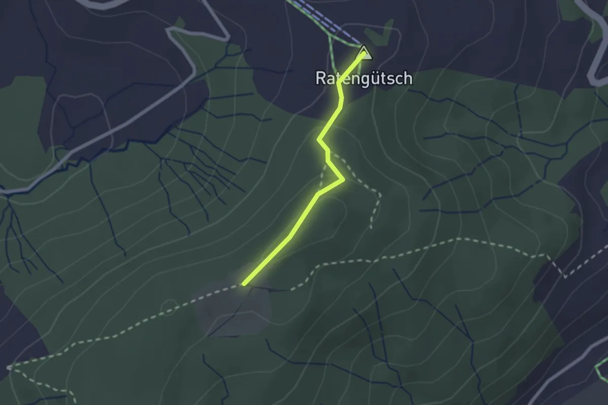
Easy · Summit
Raten – St. Jost
1.7 km · ↑ 56 m · 31 min
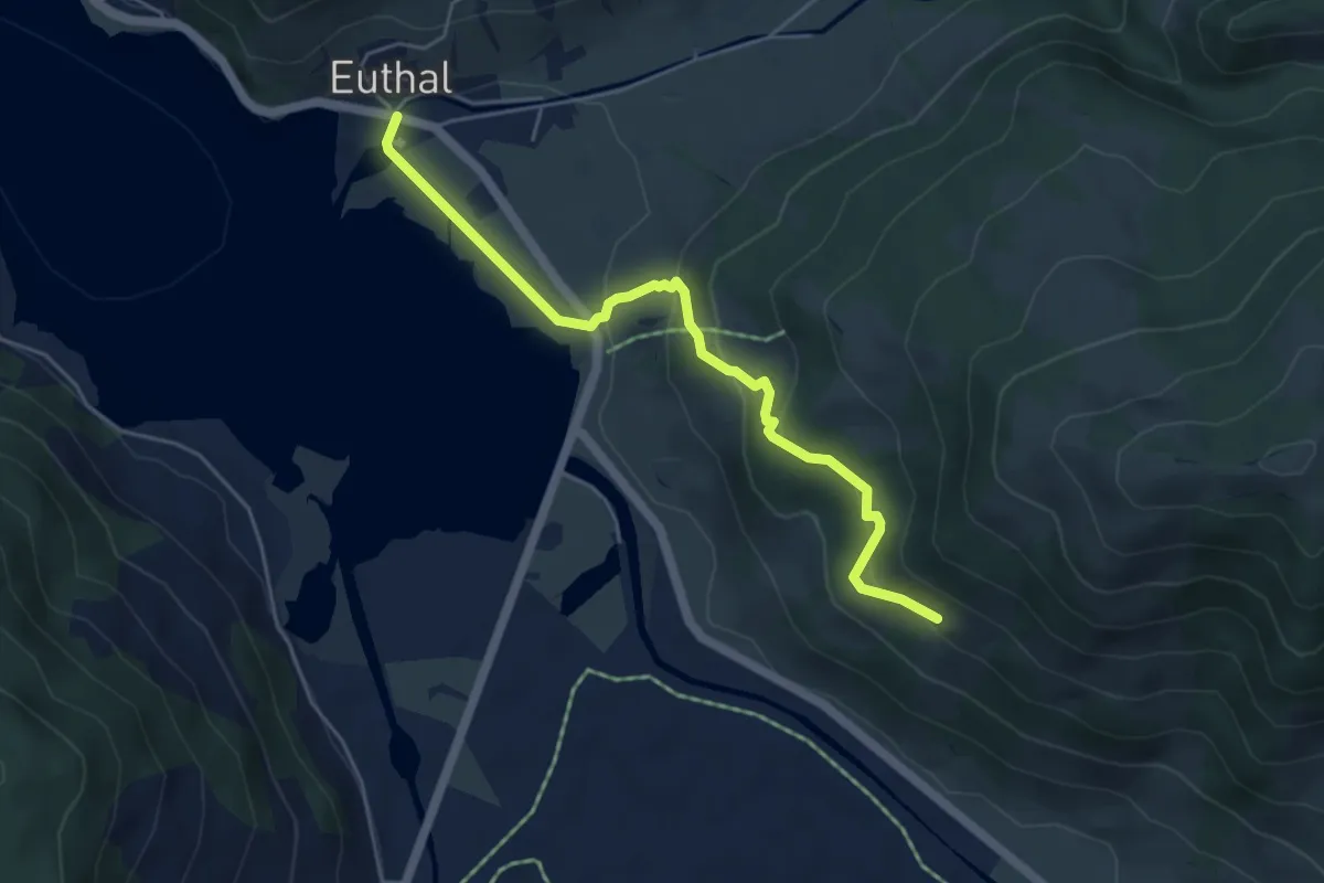
Easy · Trail
Euthal – Bergli
5.0 km · ↑ 277 m · 1 h 48 min