Trails in Switzerland
15,055 hiking trails, each with its route, climb, walking time and grade.
All trails, page 296 of 314
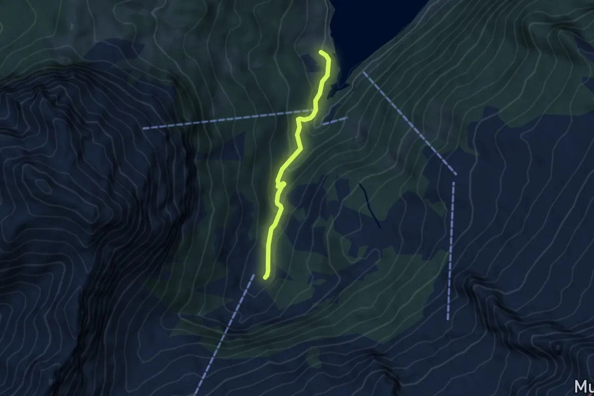
Easy · Trail
Au – Aberen
4.2 km · ↑ 202 m · 1 h 25 min
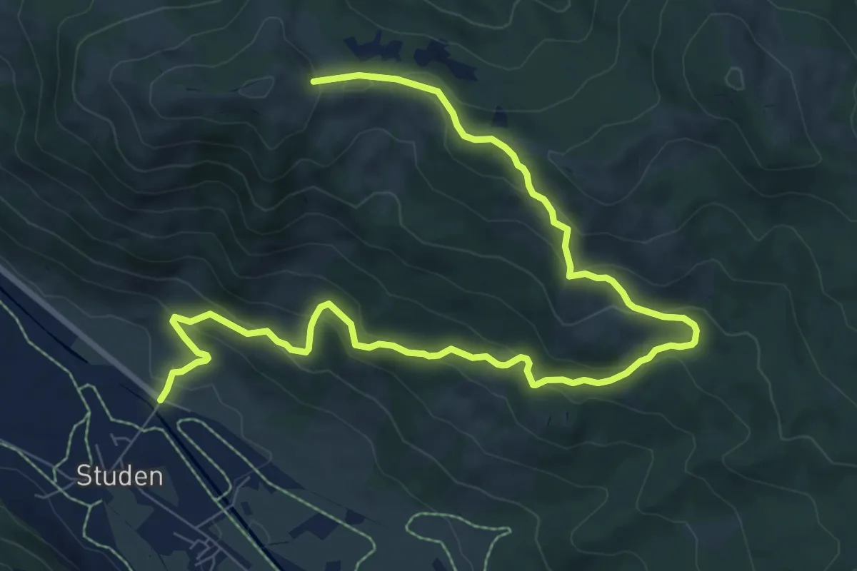
Medium · Trail
Haldeli – Wisstannen (Vorder Wisstannenweid)
11.2 km · ↑ 625 m · 3 h 59 min
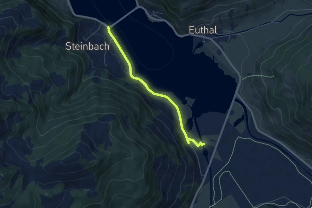
Easy · Trail
Minsterbrücke – Steinbach
5.1 km · ↑ 96 m · 1 h 25 min
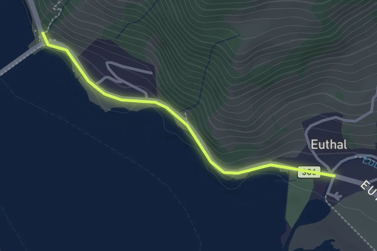
Easy · Trail
Ruestel – Euthal
2.4 km · ↑ 38 m · 38 min
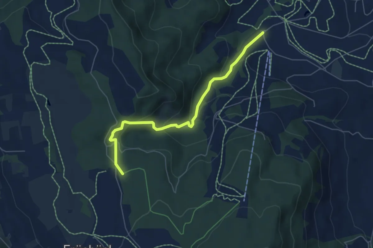
Easy · Trail
Fiselstuden – Boden
5.4 km · ↑ 220 m · 1 h 44 min
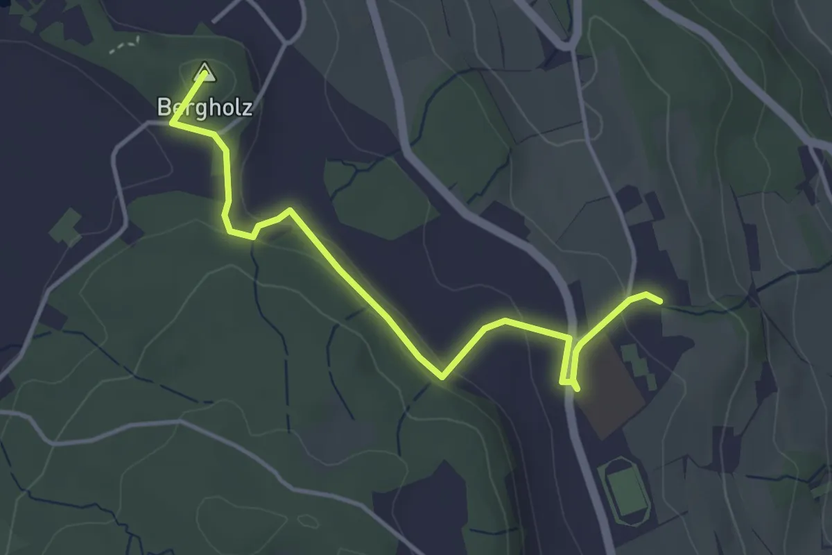
Easy · Summit
Süessblätz – Looren
4.0 km · ↑ 121 m · 1 h 12 min
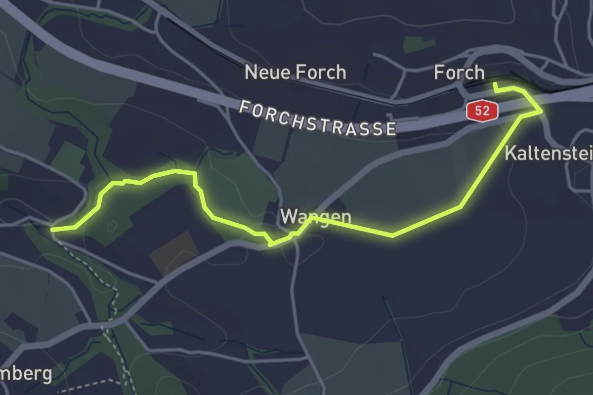
Easy · Trail
Tobelmüli – Forch
4.2 km · ↑ 73 m · 1 h 9 min
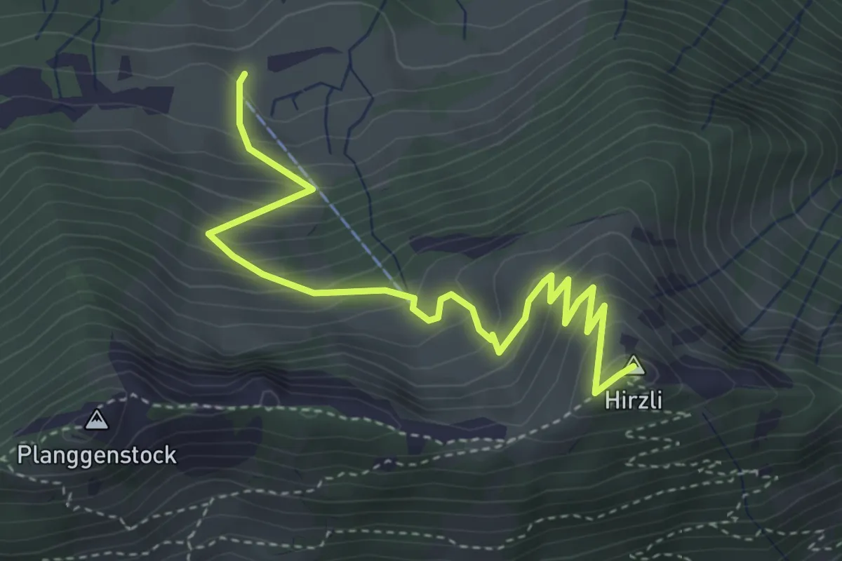
Medium · Summit
Unternideren – Hirzli
4.3 km · ↑ 412 m · 1 h 54 min
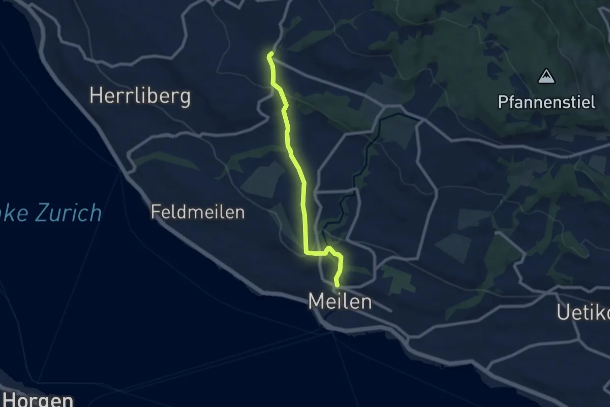
Easy · Trail
Wetzwil – Meilen Dorfbach
6.1 km · ↑ 199 m · 1 h 52 min
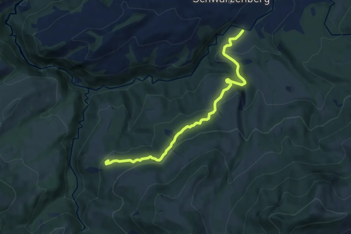
Medium · Trail
Bömmerenbrücke – Tristboden
8.7 km · ↑ 353 m · 2 h 49 min
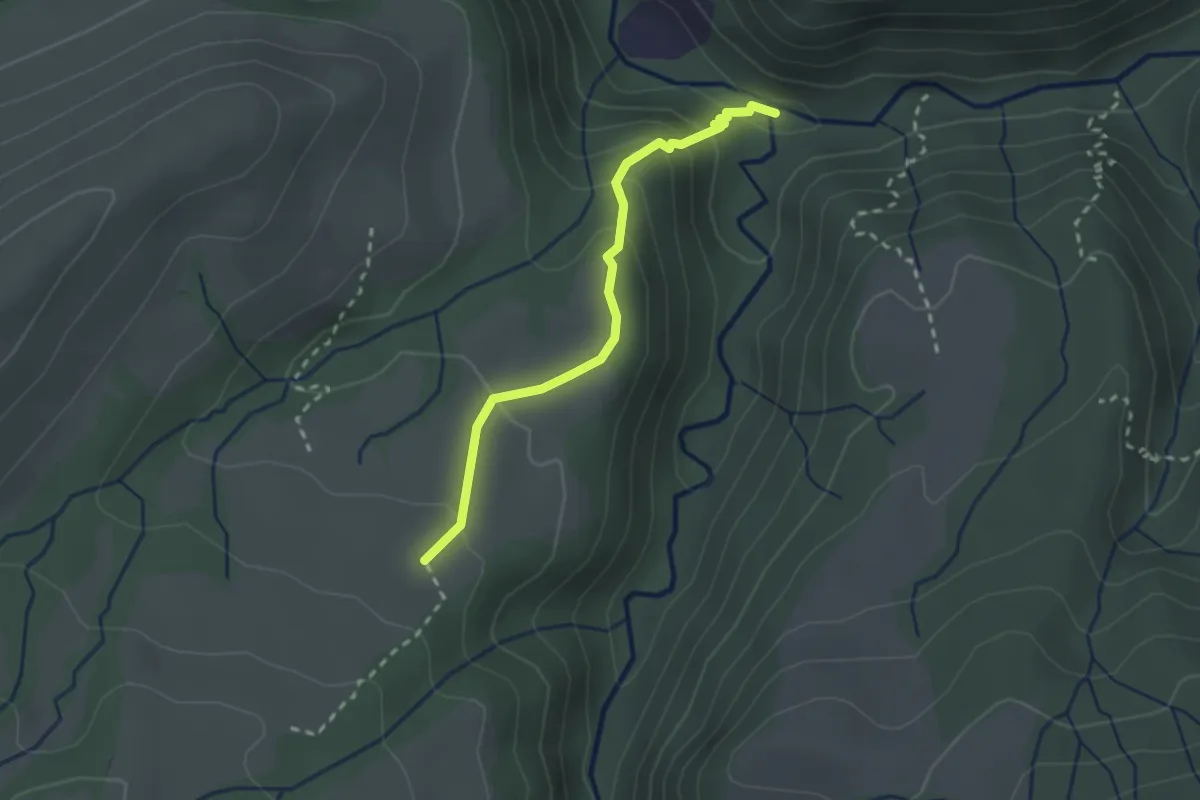
Medium · Trail
Haseleggstäg – Unt. Rotmoos
2.3 km · ↑ 141 m · 51 min
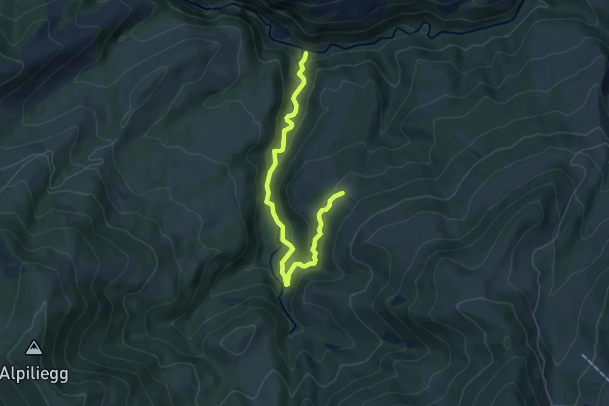
Medium · Trail
Tristboden – Haseleggstäg
6.4 km · ↑ 339 m · 2 h 14 min
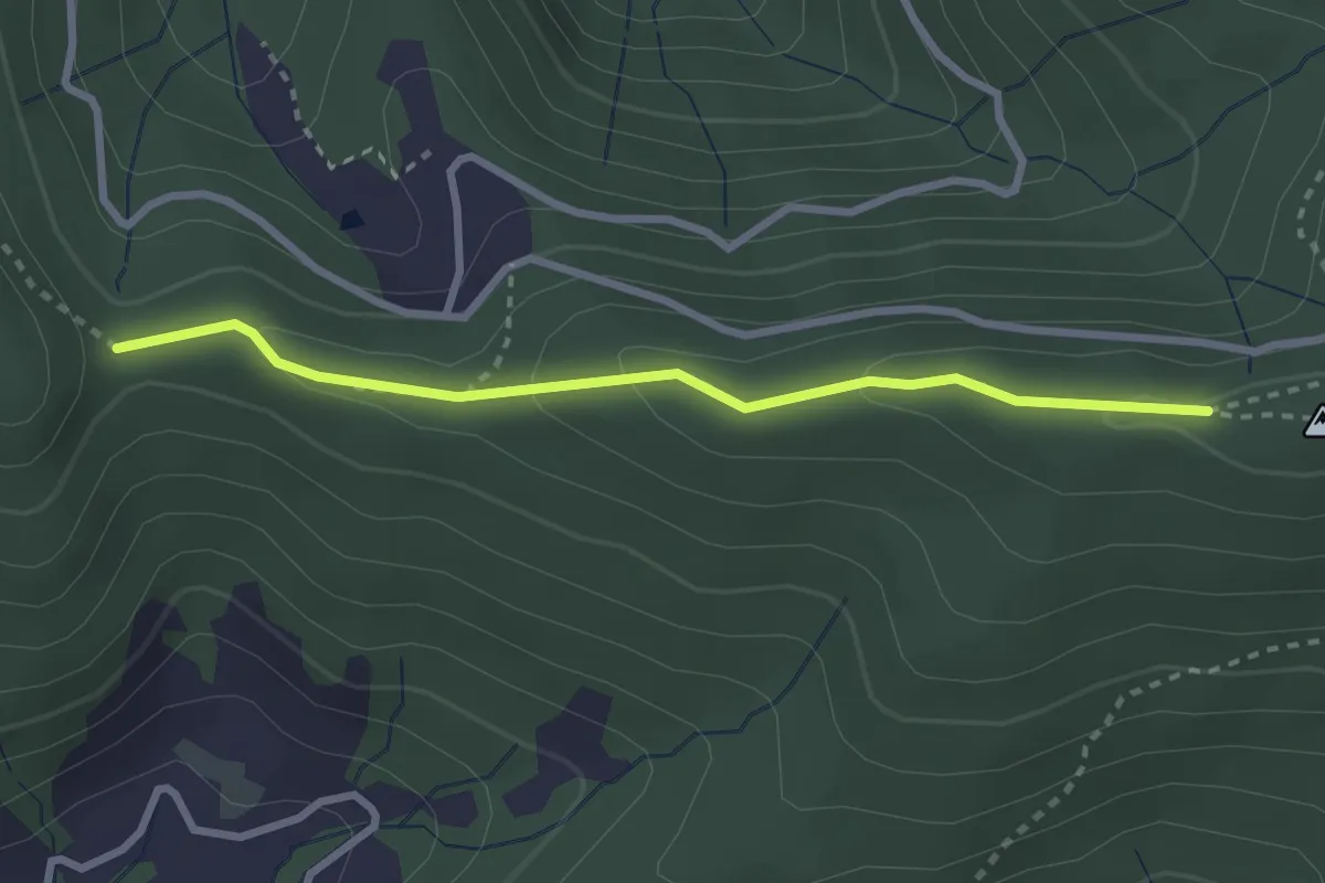
Medium · Trail
Muetegg – Mangelhöhe
2.7 km · ↑ 96 m · 50 min
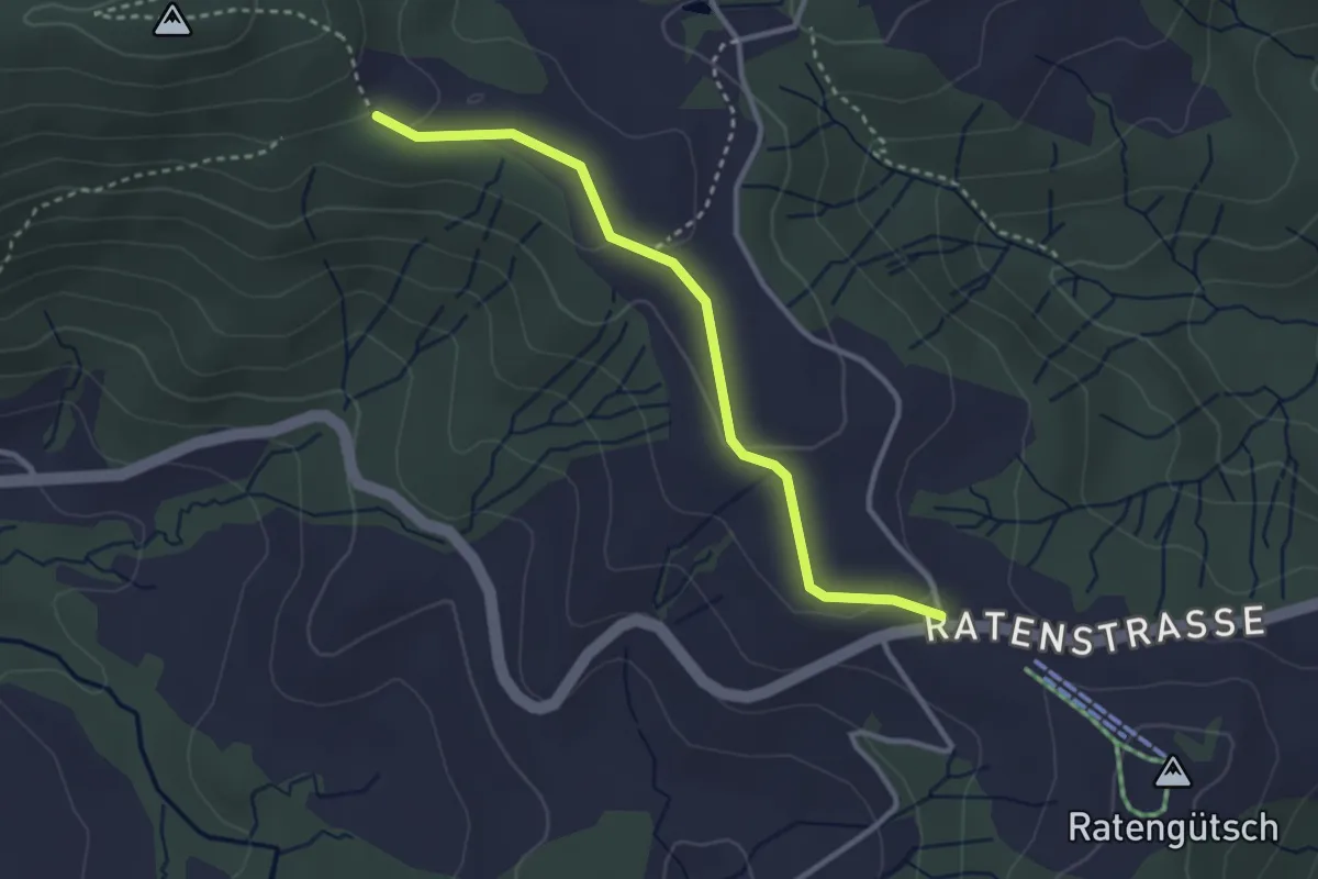
Easy · Trail
Raten – Abschwändi
3.0 km · ↑ 65 m · 52 min
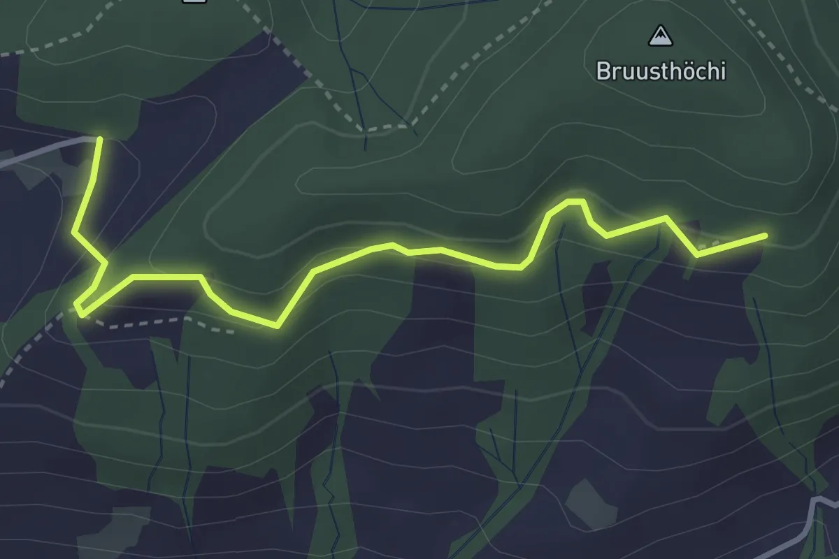
Medium · Trail
Bruustweid – Hintertann
3.4 km · ↑ 190 m · 1 h 13 min
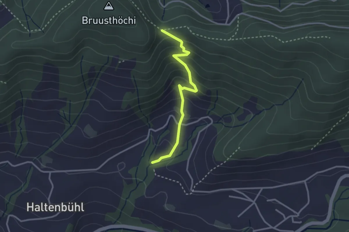
Easy · Trail
Mangelihöhe – Chefibach
2.6 km · ↑ 212 m · 1 h 4 min
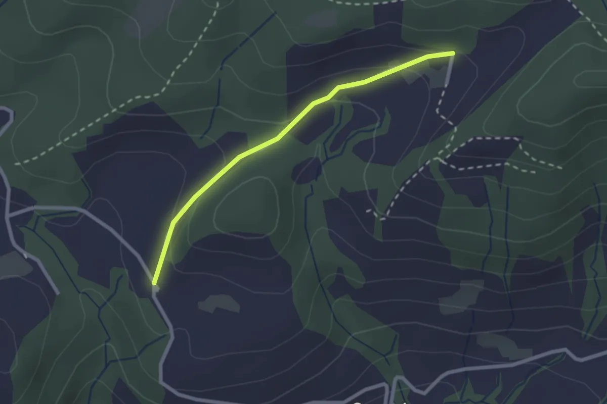
Easy · Trail
Hintertann – Hinterschneit
2.1 km · ↑ 98 m · 43 min
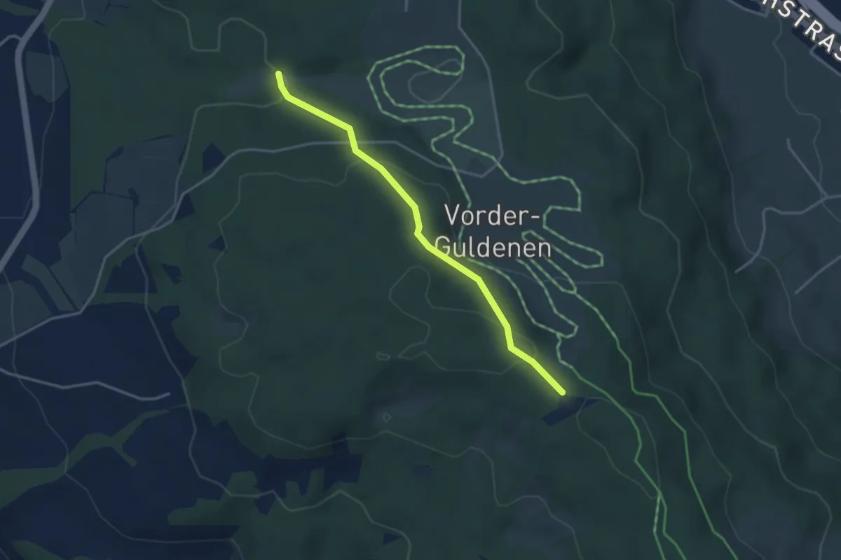
Easy · Trail
Chüelenmorgen – Guldener Höchi
3.3 km · ↑ 119 m · 1 h 2 min
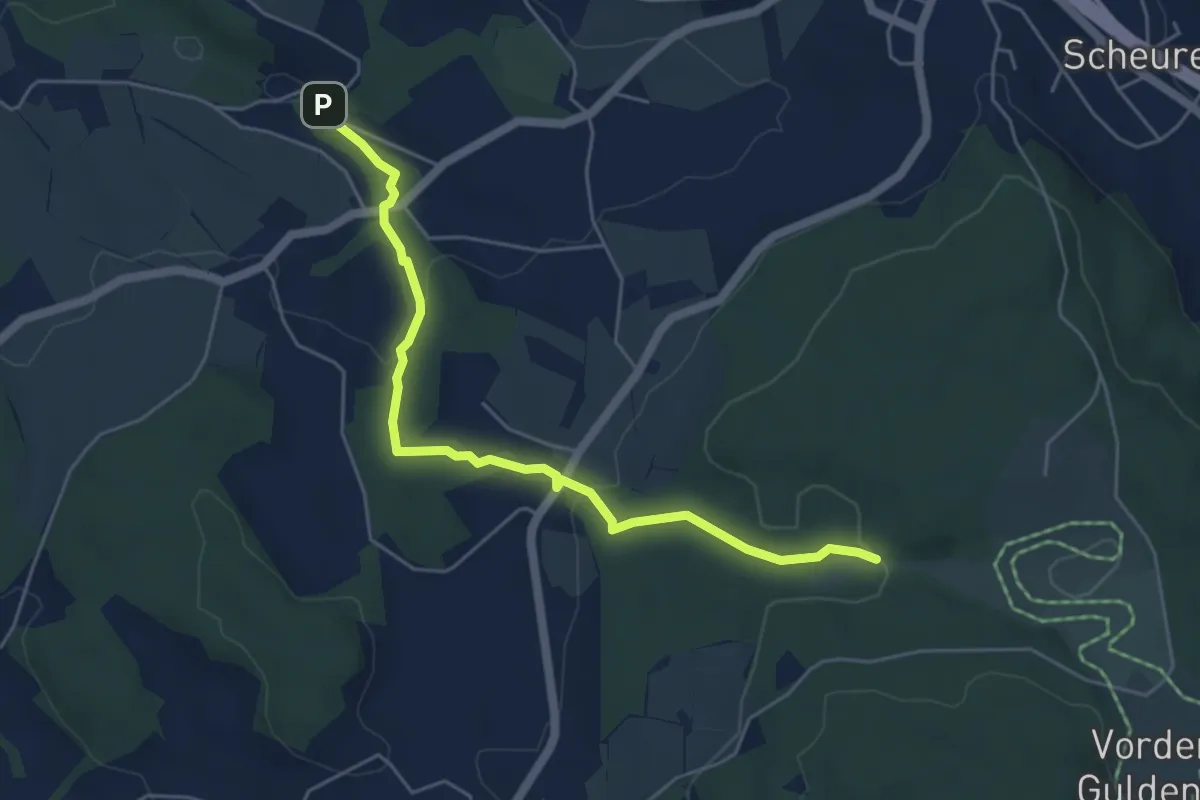
Easy · Trail
Tobelmüli – Chüelenmorgen
5.3 km · ↑ 157 m · 1 h 35 min
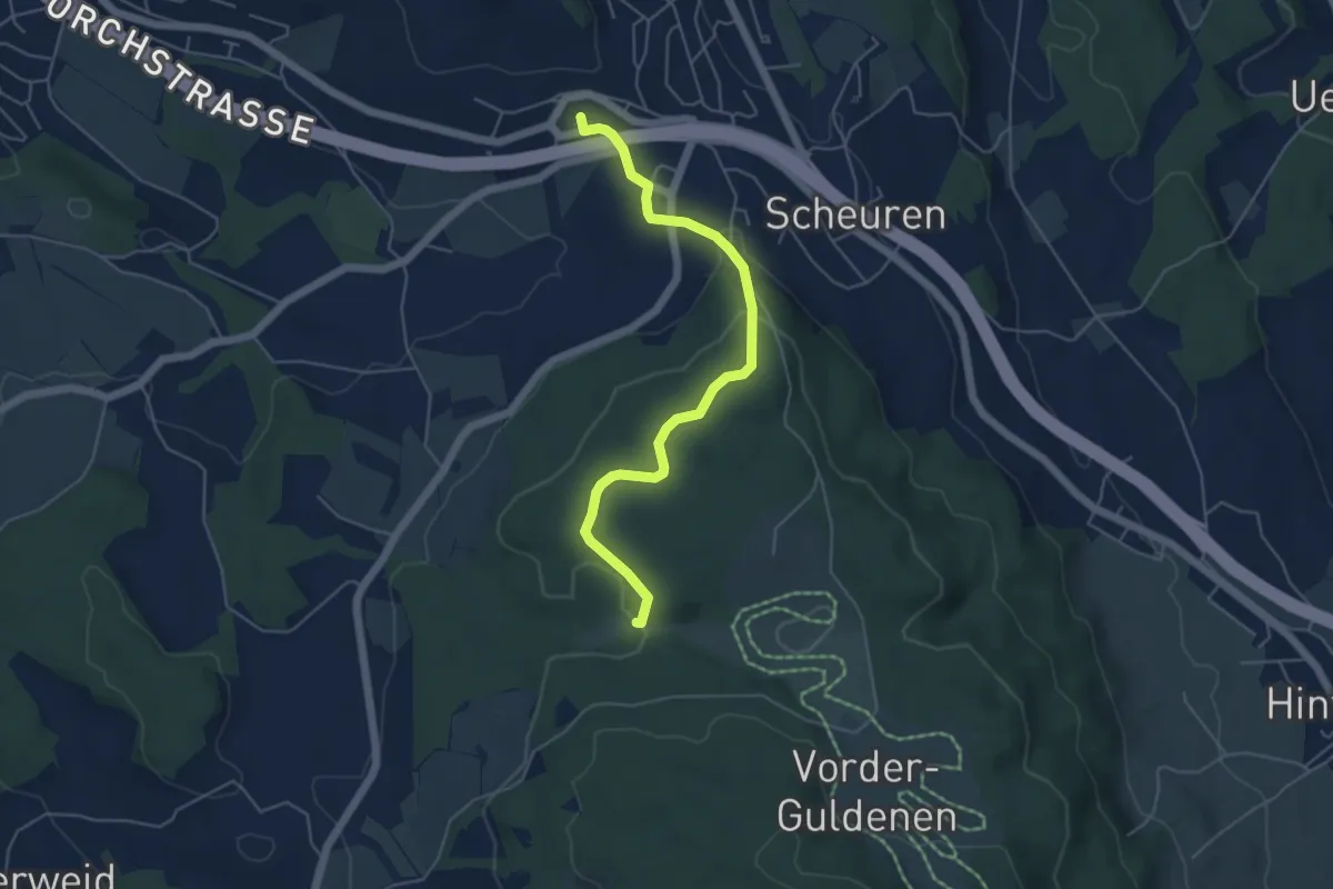
Easy · Trail
Forch – Chüelenmorgen
5.1 km · ↑ 155 m · 1 h 33 min
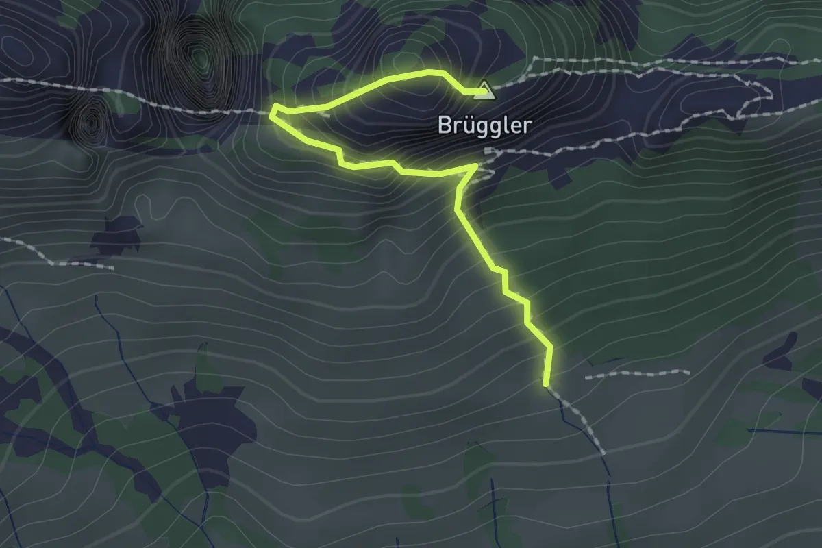
Expert · Summit
Stattboden – Brüggler
1.8 km · ↑ 395 m · 1 h 16 min
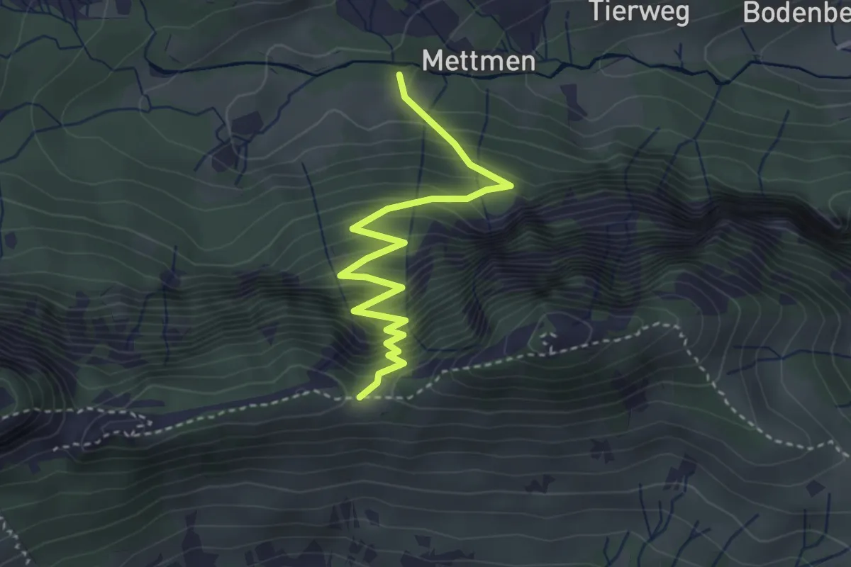
Medium · Trail
Mettmen – Wänigrat
3.5 km · ↑ 399 m · 1 h 41 min
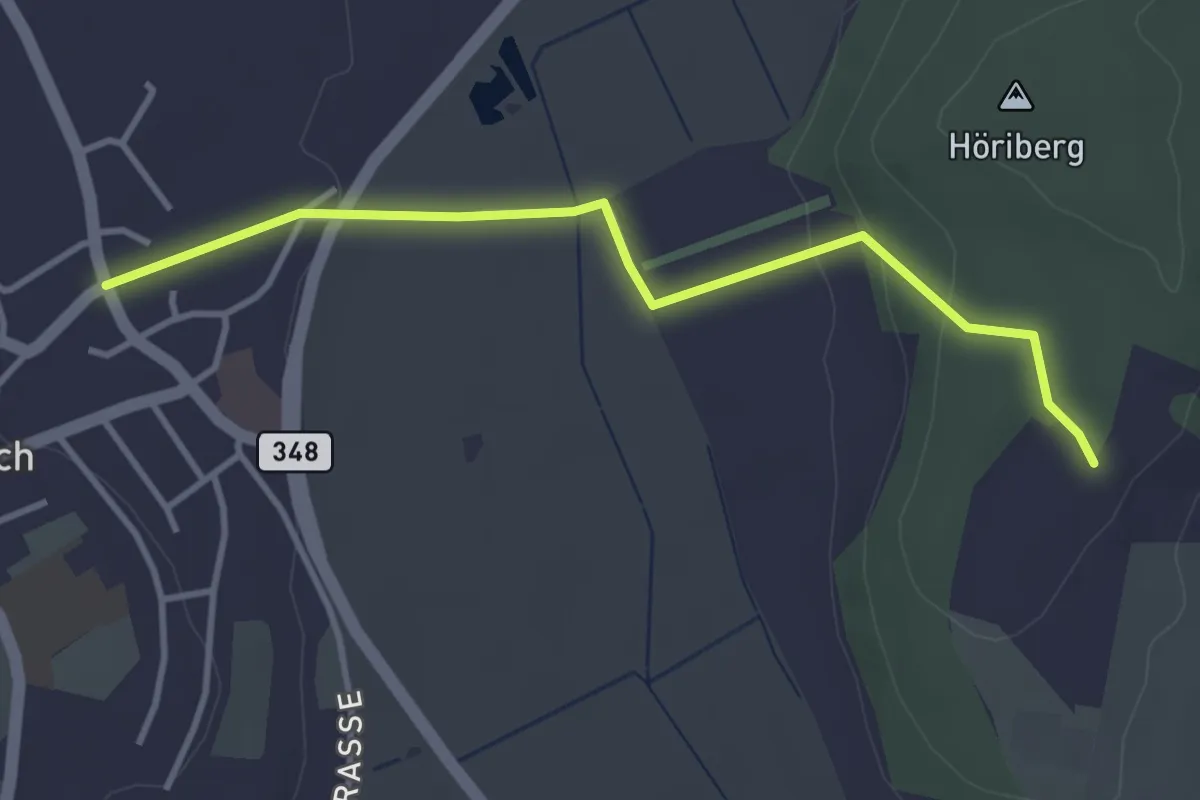
Easy · Trail
Höriberg – Neerach (Post)
3.6 km · ↑ 78 m · 1 h 1 min
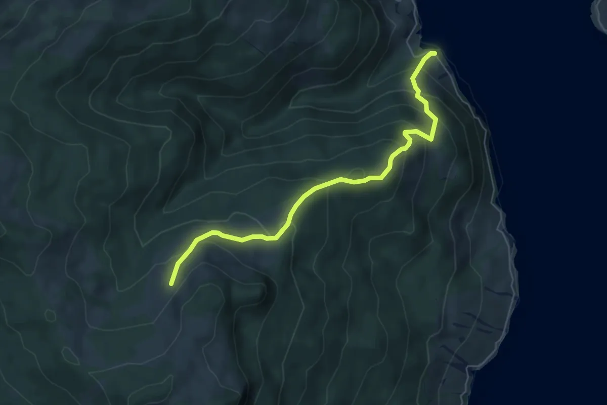
Medium · Trail
Stock – Tannstofel
5.7 km · ↑ 440 m · 2 h 18 min
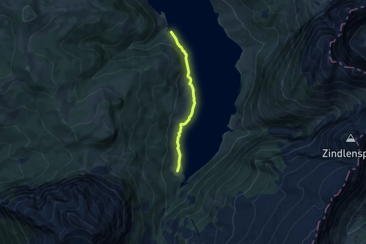
Easy · Trail
Au – Stock
6.5 km · ↑ 207 m · 1 h 59 min
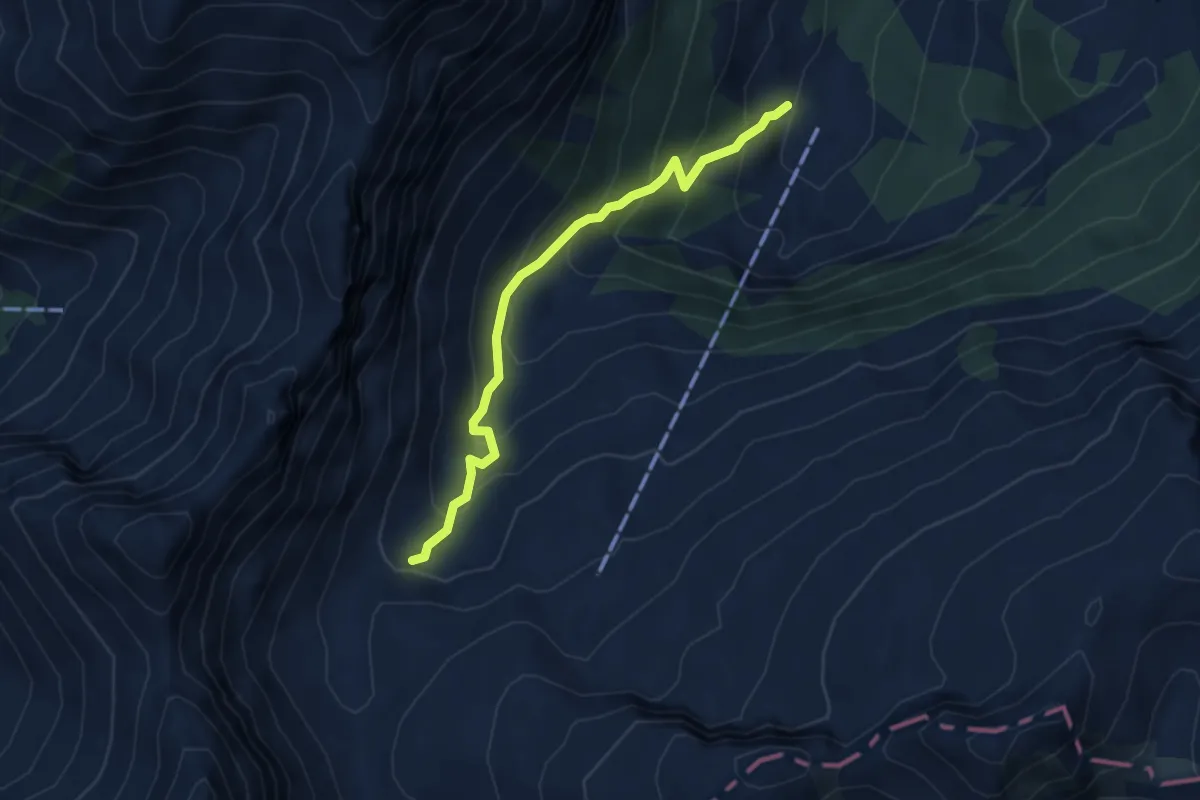
Medium · Trail
Aberen (West) – Otterenboden
4.2 km · ↑ 384 m · 1 h 49 min
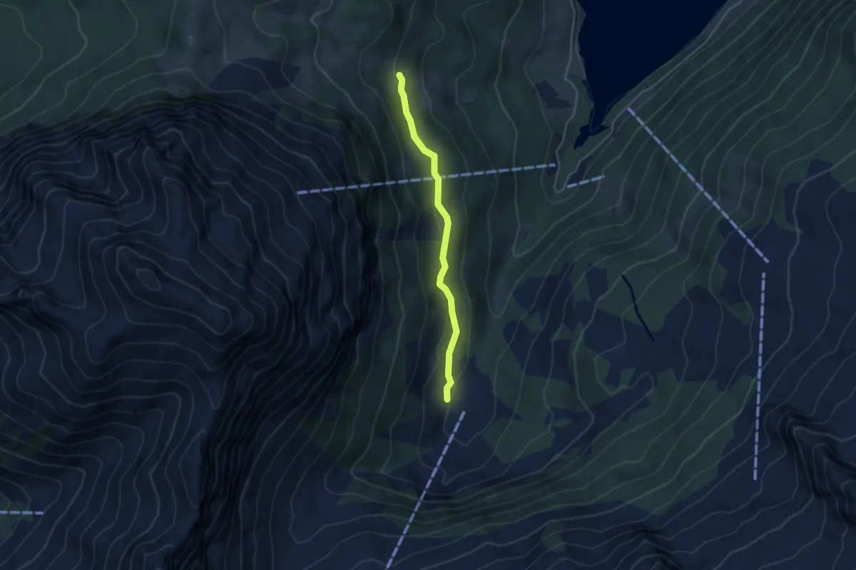
Medium · Trail
Aberen (West) – ?
3.6 km · ↑ 144 m · 1 h 10 min
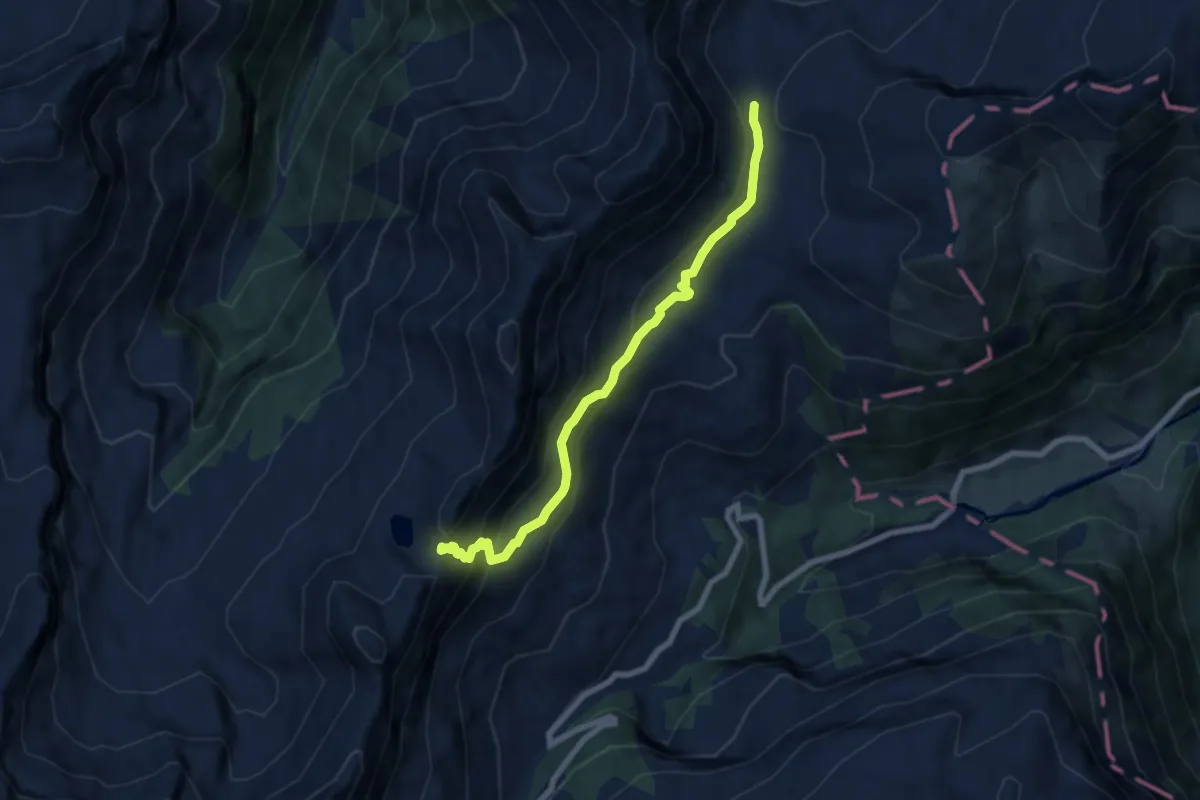
Demanding · Trail
Saaspass – Schwialppass
6.8 km · ↑ 472 m · 2 h 38 min
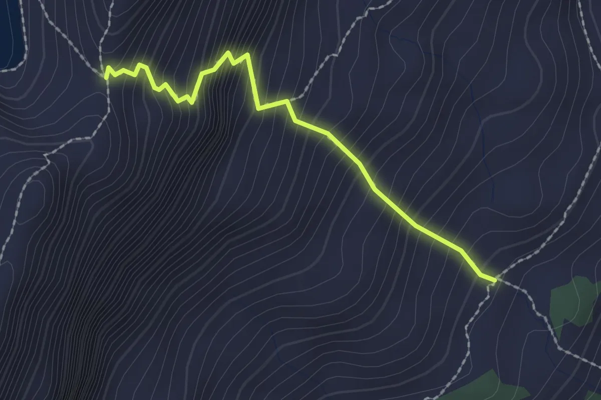
Demanding · Trail
Saas – Saaspass
2.0 km · ↑ 379 m · 1 h 17 min
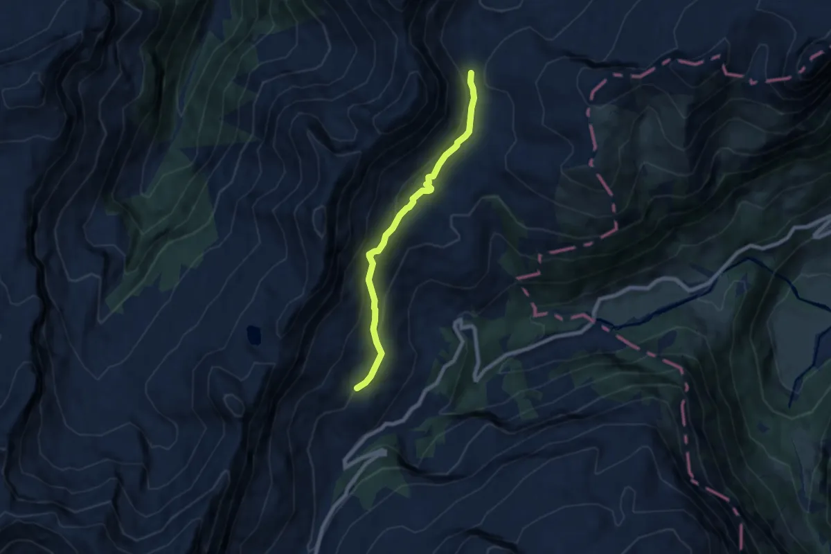
Medium · Trail
Saas – Schwialppass
6.3 km · ↑ 323 m · 2 h 11 min
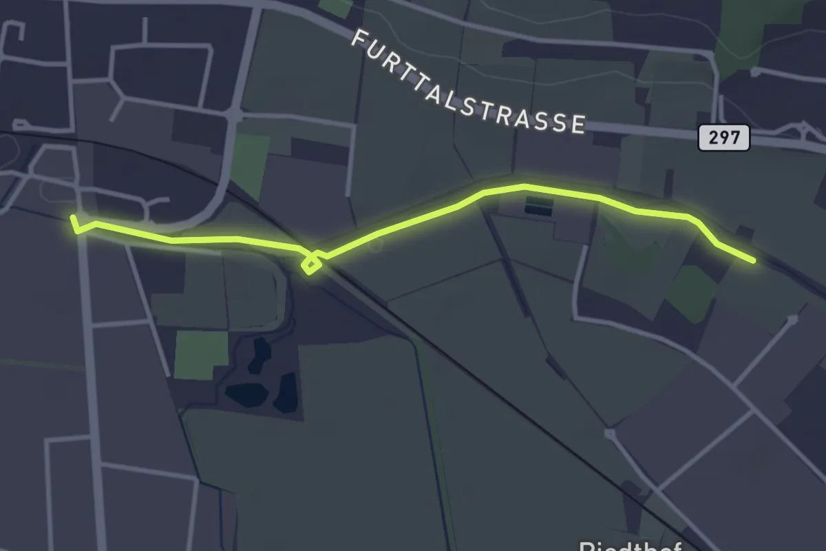
Easy · Trail
Allmend – Buchs-Dällikon
3.3 km · ↑ 4 m · 47 min
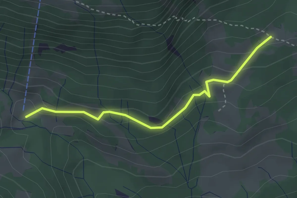
Easy · Trail
Brunnmettlen – Girsboden
2.8 km · ↑ 108 m · 53 min
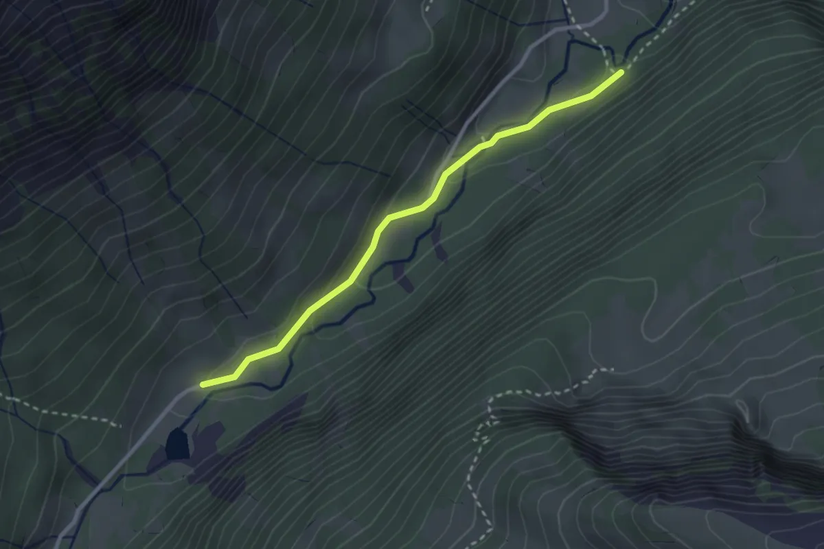
Easy · Trail
Enggi – Sulzboden
2.7 km · ↑ 93 m · 50 min
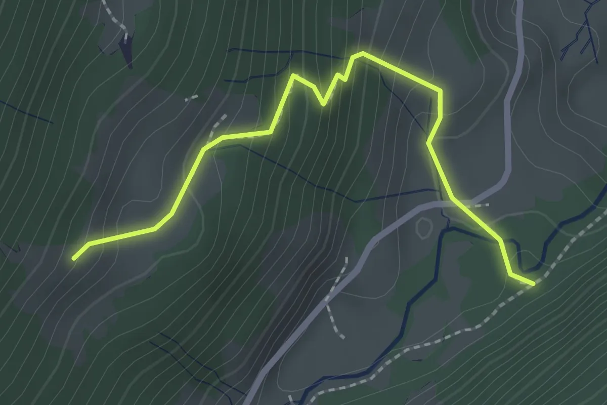
Medium · Trail
Enggi – Ällenboden
2.1 km · ↑ 210 m · 57 min
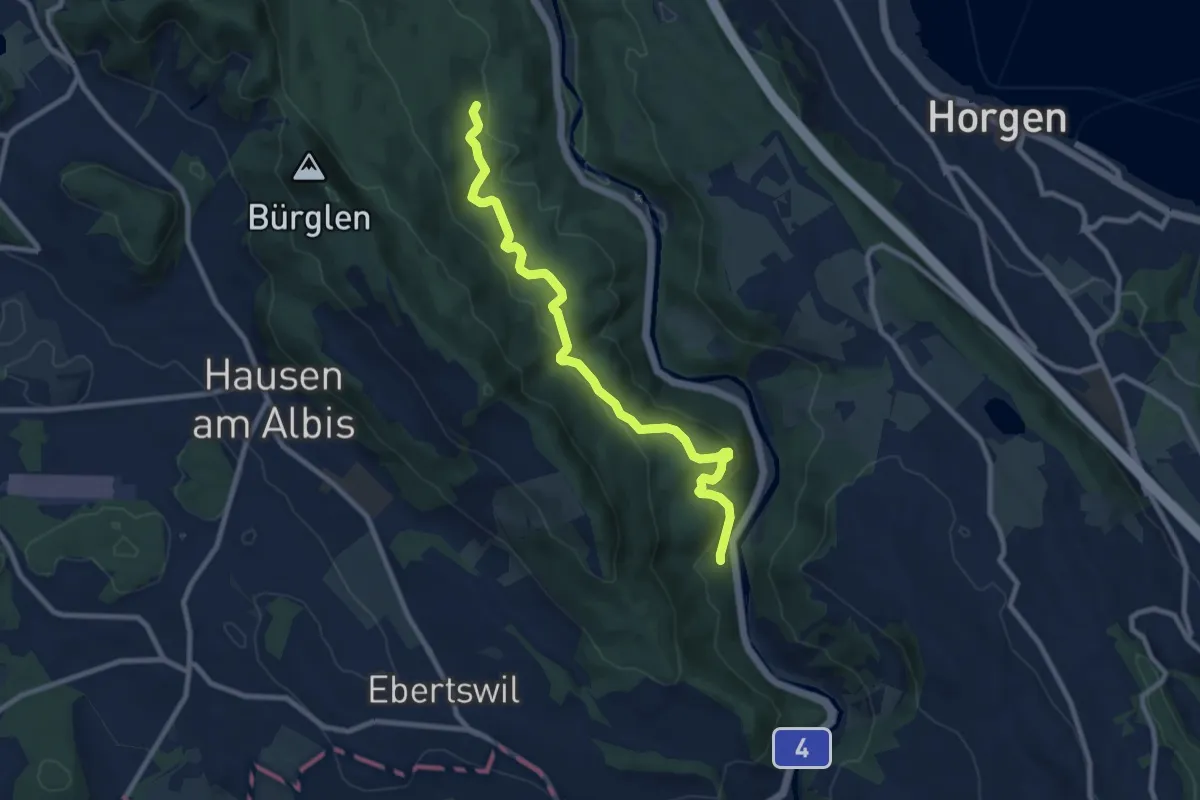
Medium · Trail
Eschentobel – Tannboden
9.4 km · ↑ 344 m · 2 h 58 min
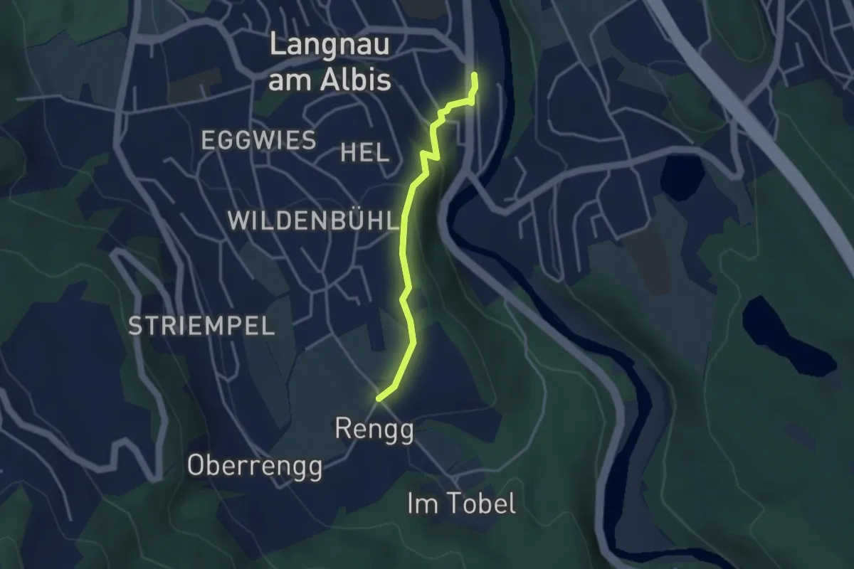
Easy · Trail
Rängg – Langnau Gattikon
2.6 km · ↑ 105 m · 51 min
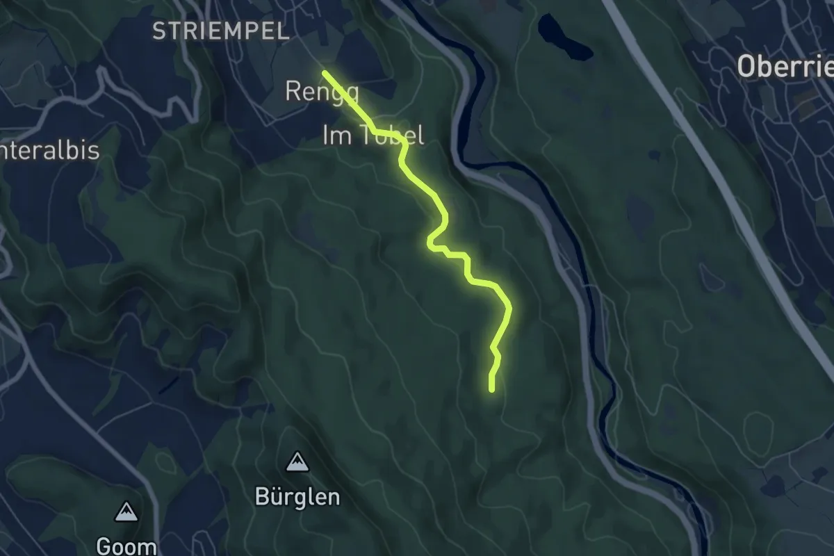
Easy · Trail
Tannboden – Rängg
5.0 km · ↑ 102 m · 1 h 25 min
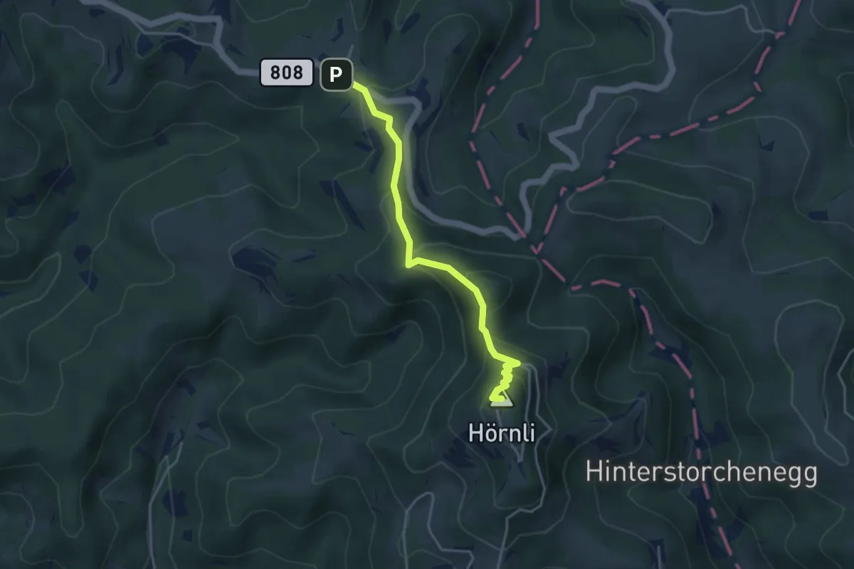
Easy · Summit
Hörnli – Gfell
3.6 km · ↑ 227 m · 1 h 21 min
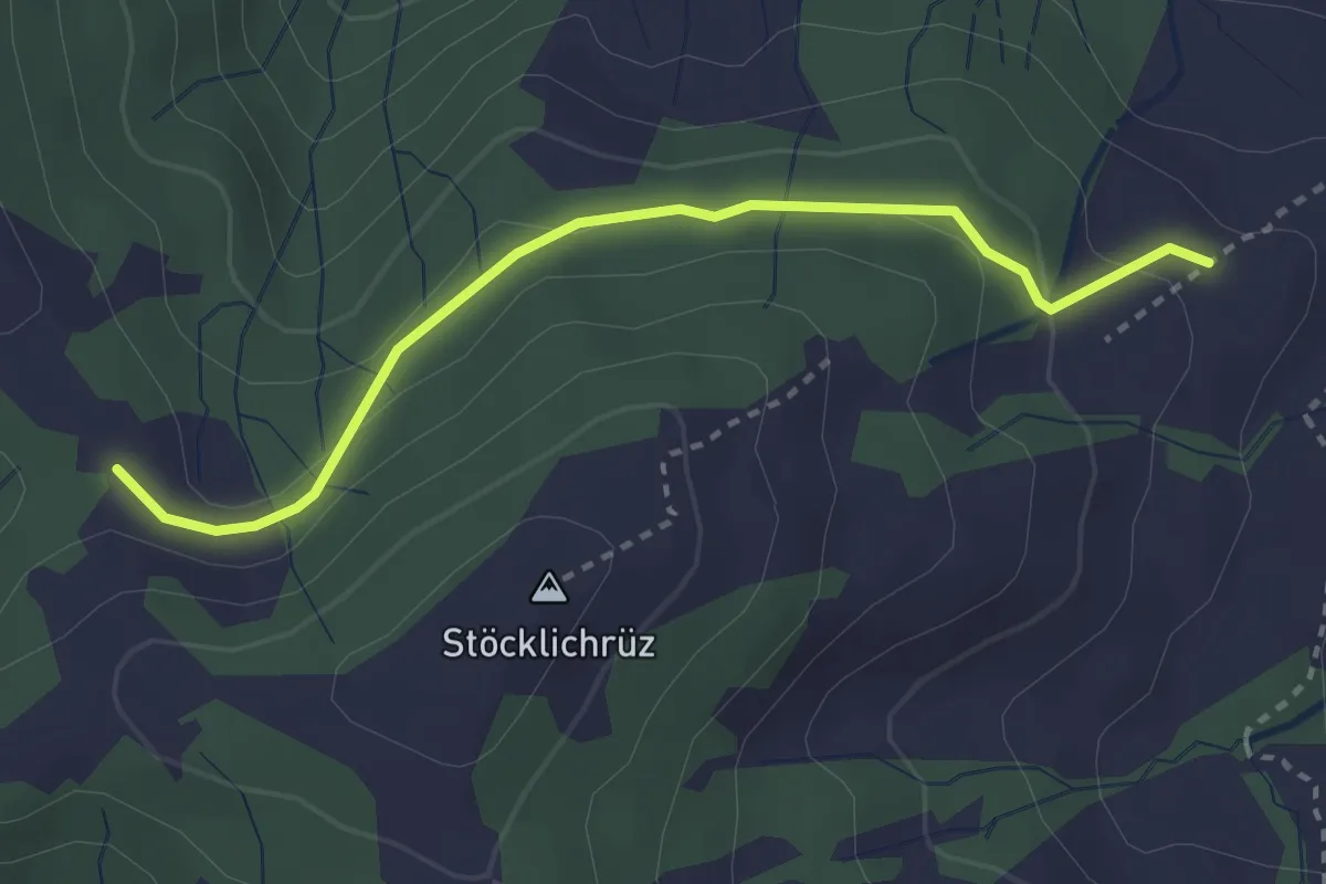
Easy · Trail
Diebishütten – Müligassegg
2.9 km · ↑ 79 m · 52 min
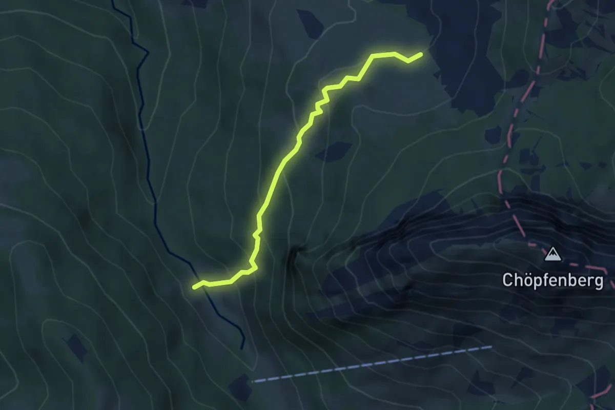
Medium · Trail
Ramseli – Feldrederten
3.8 km · ↑ 257 m · 1 h 28 min
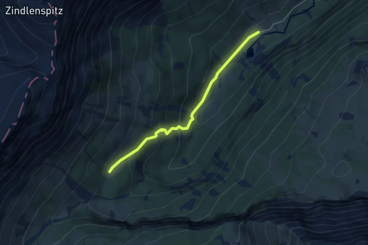
Easy · Trail
Sulzboden – Sulz
3.4 km · ↑ 243 m · 1 h 19 min
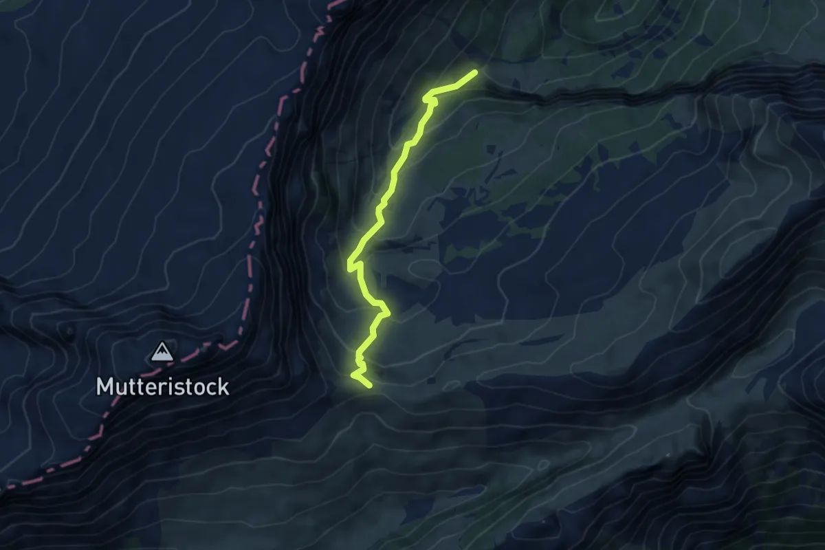
Medium · Trail
Punkt 1391 – Längeneggpass
4.8 km · ↑ 396 m · 1 h 59 min
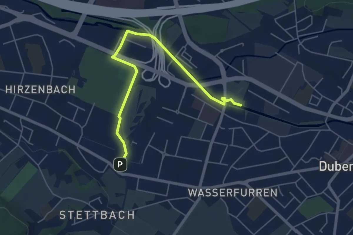
Easy · Trail
Giessen – Stettbach Bahnhof
4.8 km · ↑ 17 m · 1 h 10 min
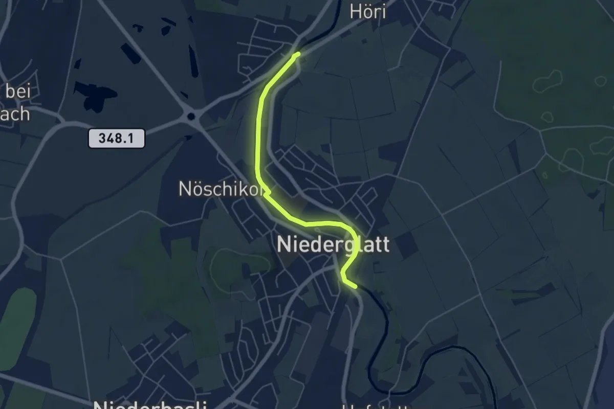
Easy · Trail
Oberhöri – Niederglatt
4.6 km · ↑ 9 m · 1 h 6 min
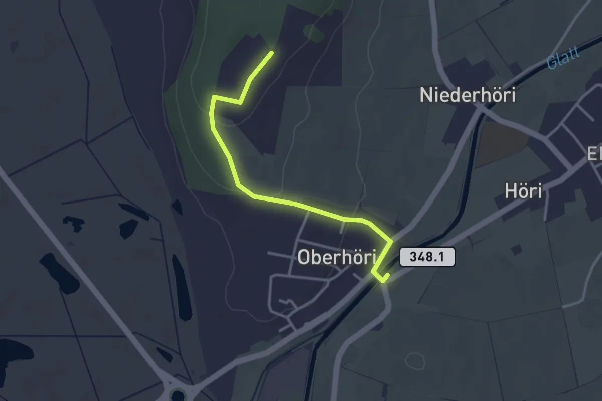
Easy · Trail
Höriberg – Oberhöri
2.9 km · ↑ 58 m · 49 min
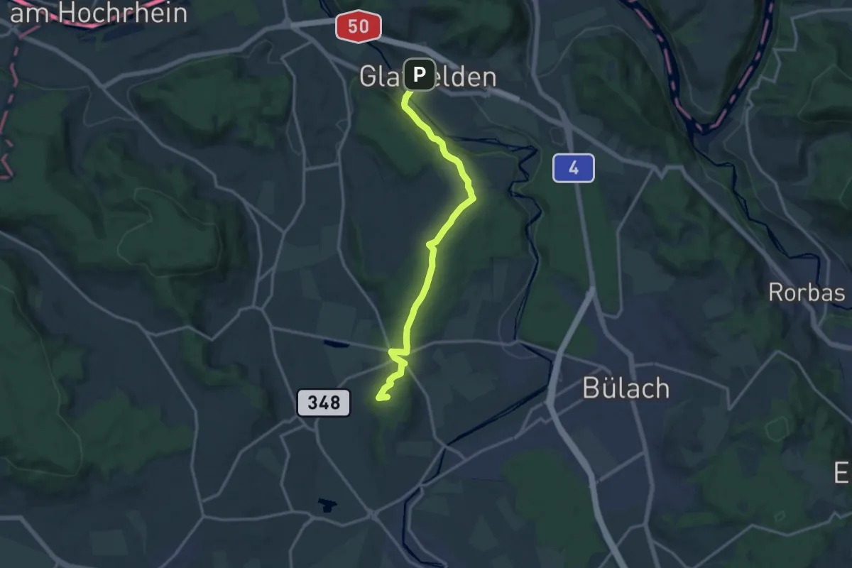
Medium · Summit
Höriberg – Glattfelden
13.1 km · ↑ 339 m · 3 h 49 min
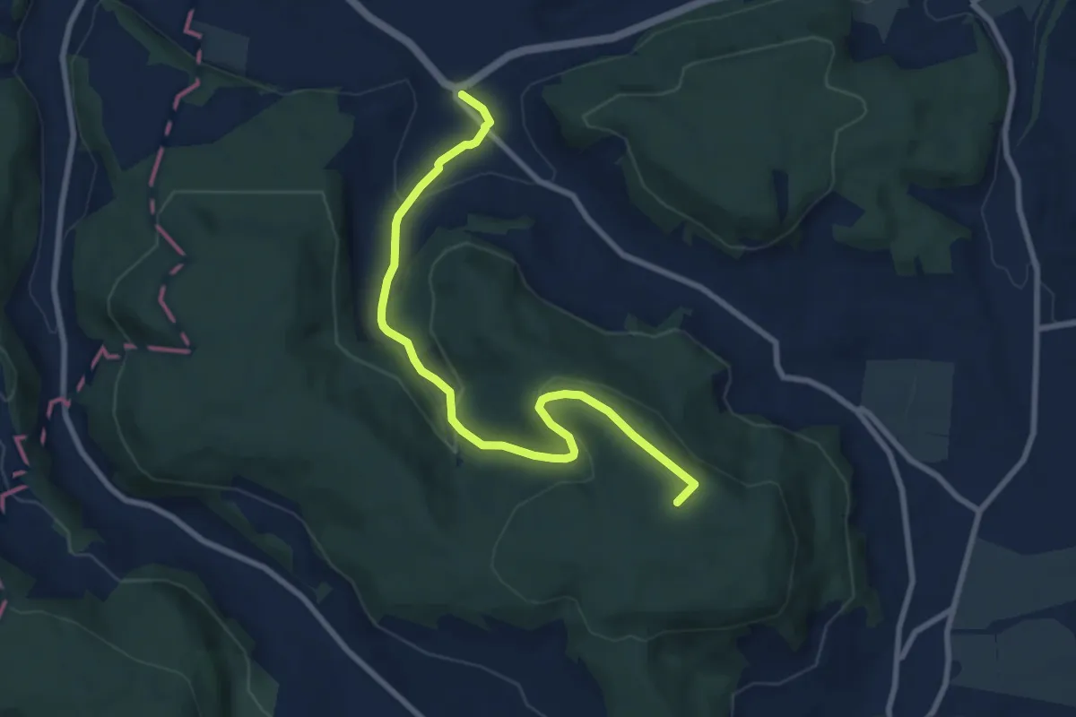
Medium · Summit
Stadlerberg – Weiach
8.6 km · ↑ 273 m · 2 h 38 min
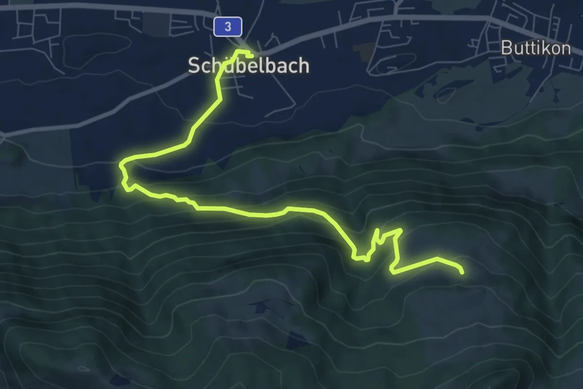
Medium · Trail
Schübelbach – Unter Willisberg
8.9 km · ↑ 574 m · 3 h 21 min