Trails in Switzerland
15,055 hiking trails, each with its route, climb, walking time and grade.
All trails, page 297 of 314
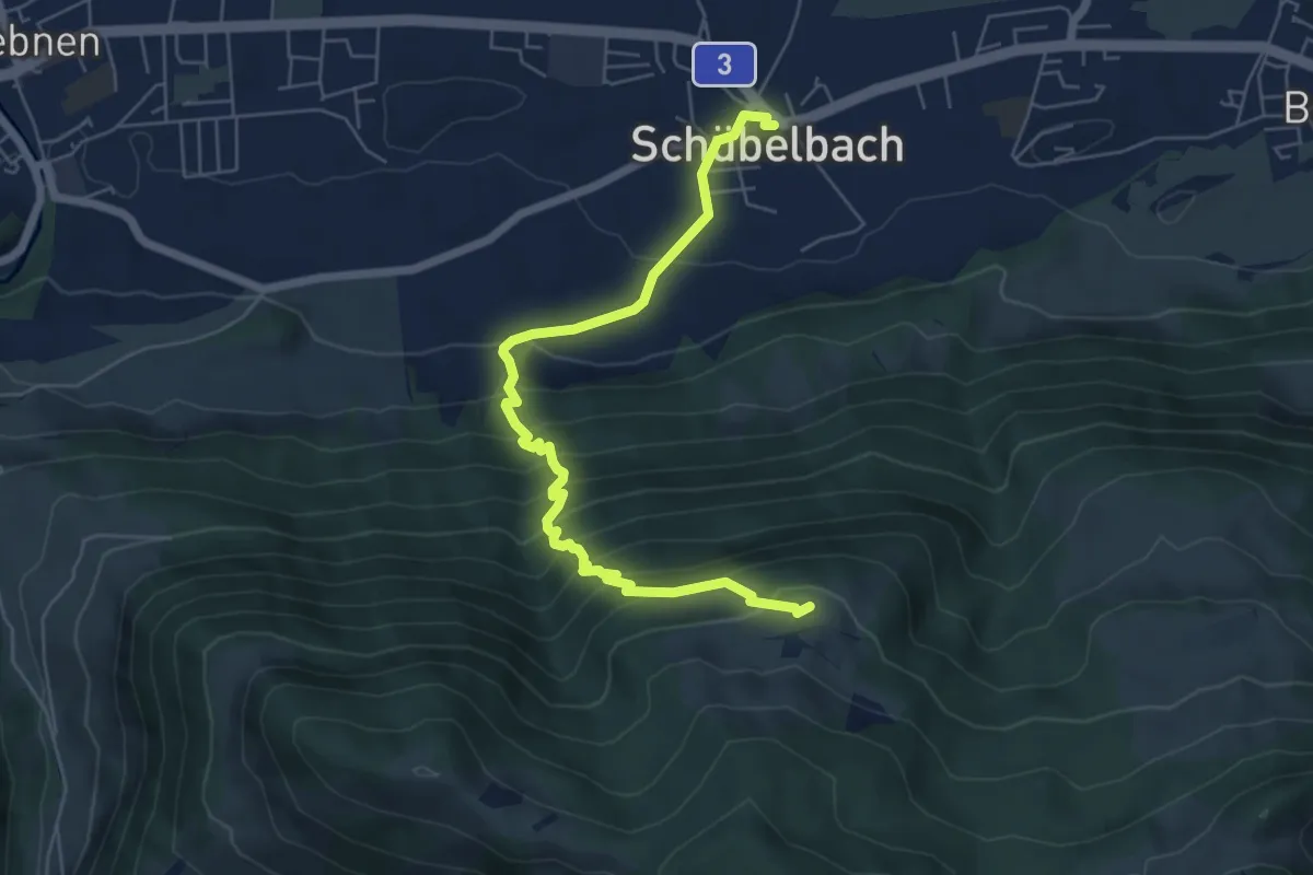
Medium · Trail
Schübelbach – Tostel
6.4 km · ↑ 600 m · 2 h 48 min
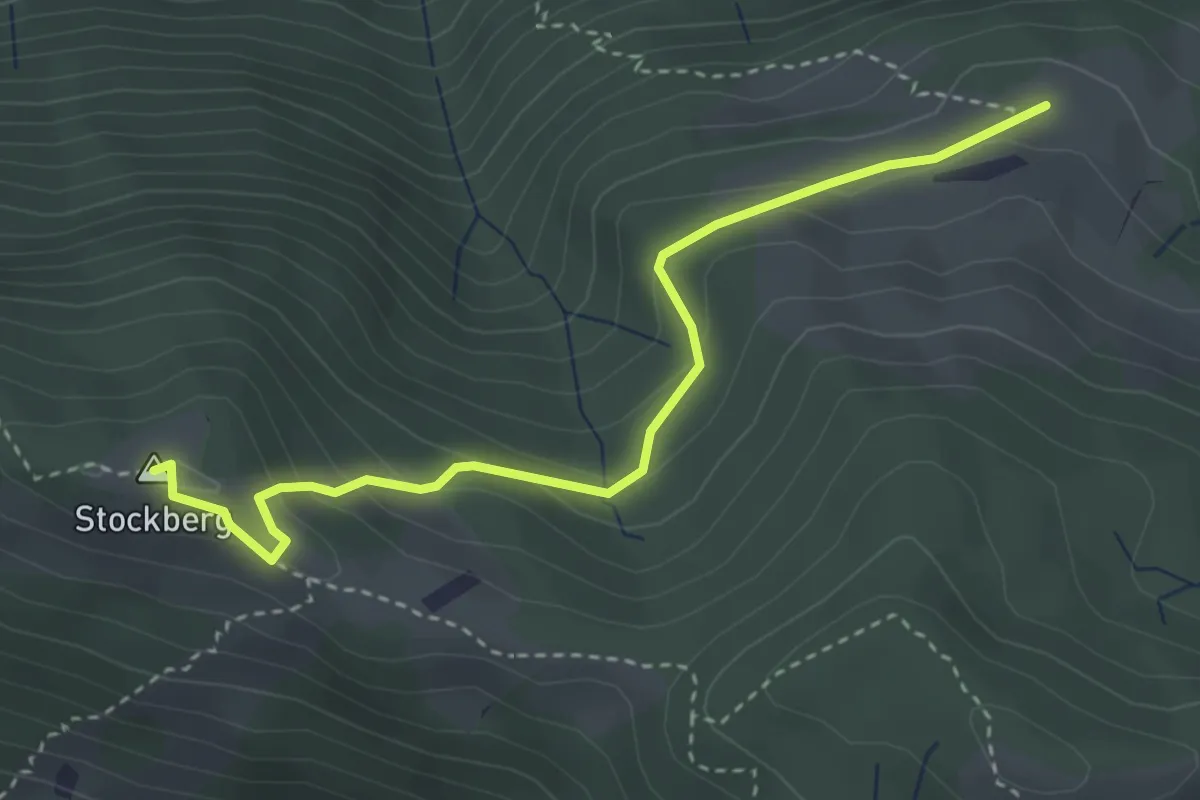
Medium · Summit
Tostel – Stockberg
3.6 km · ↑ 214 m · 1 h 19 min
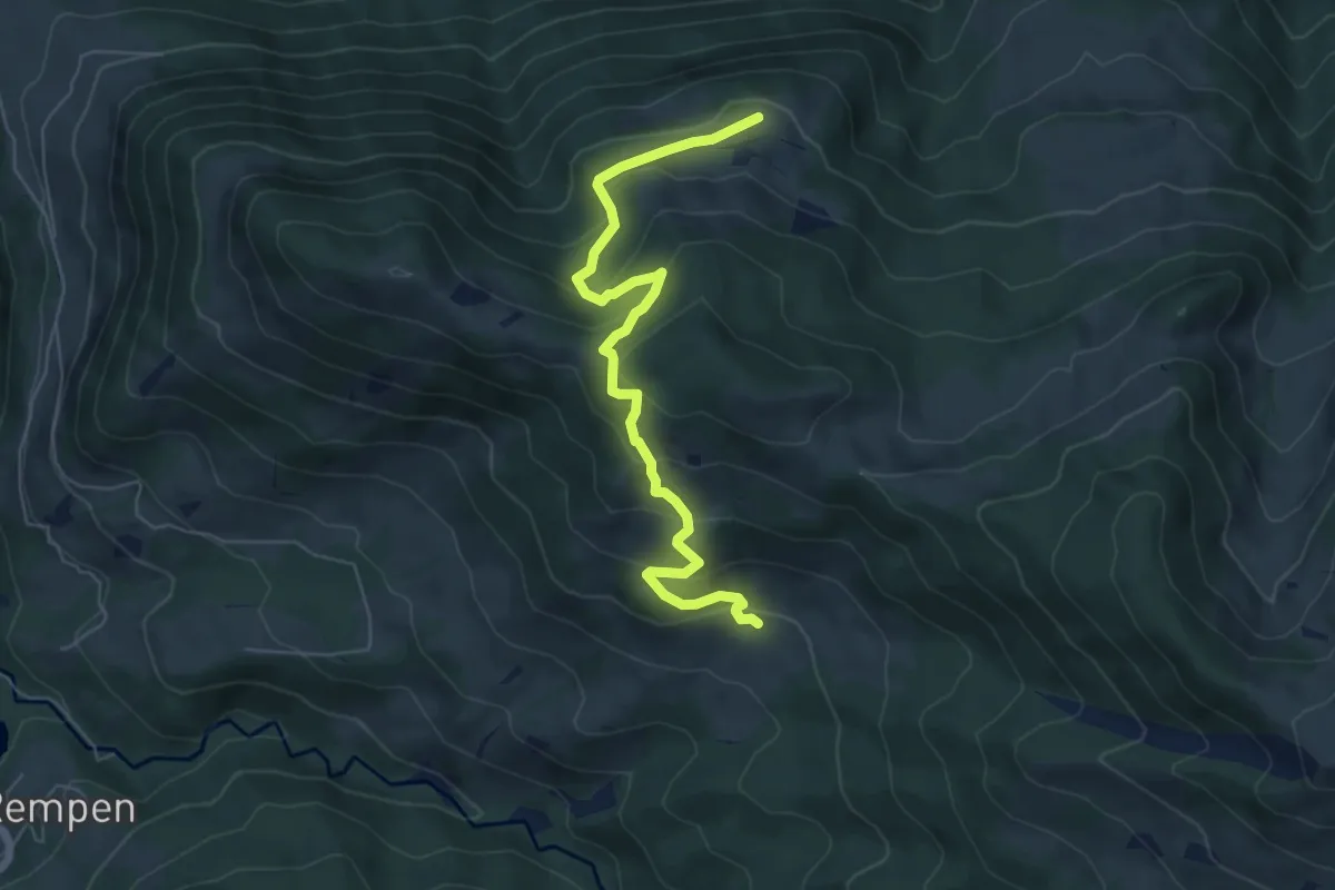
Medium · Trail
Tostel – Billmeschwändi
6.5 km · ↑ 407 m · 2 h 25 min
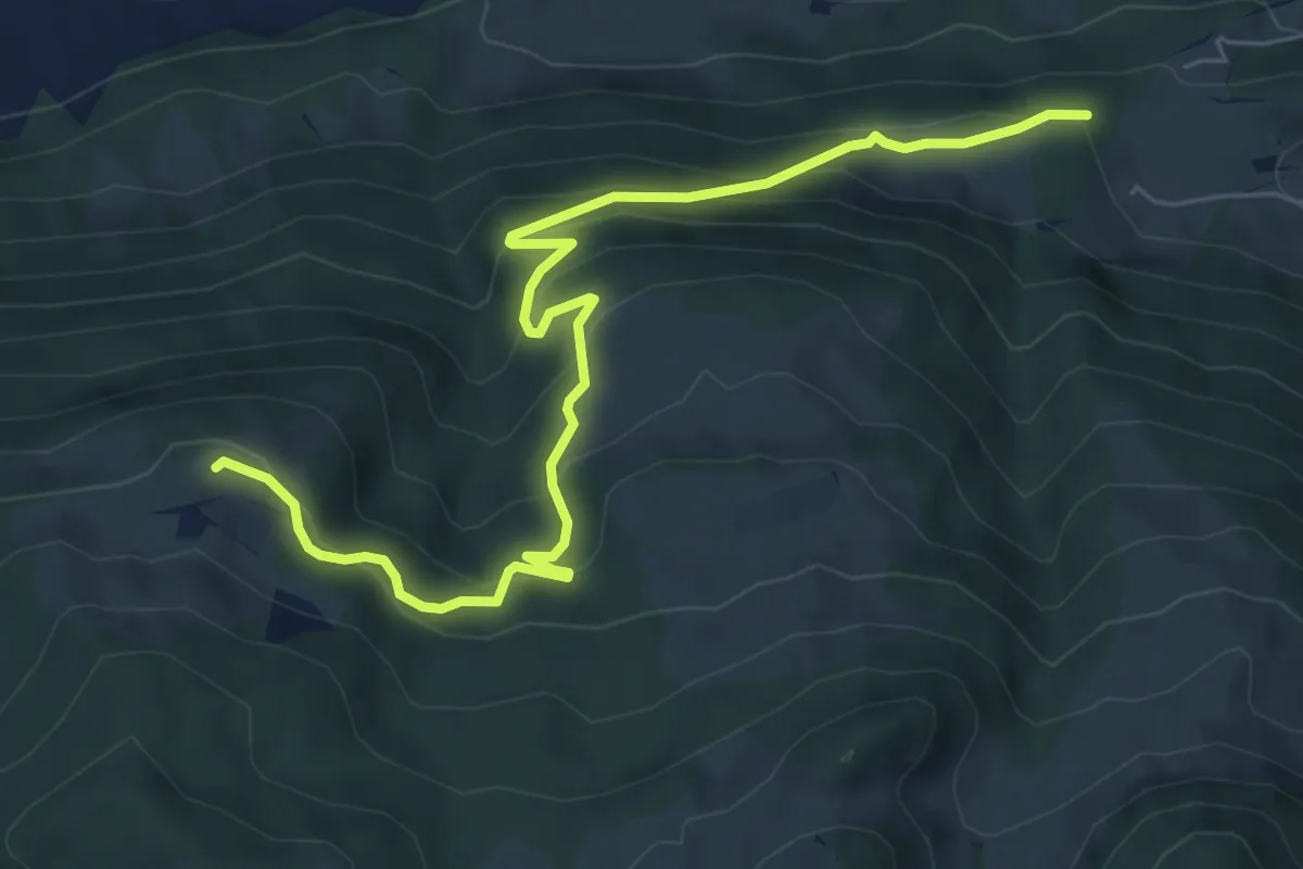
Medium · Trail
Tostel – östlich Bätthell
7.4 km · ↑ 489 m · 2 h 48 min
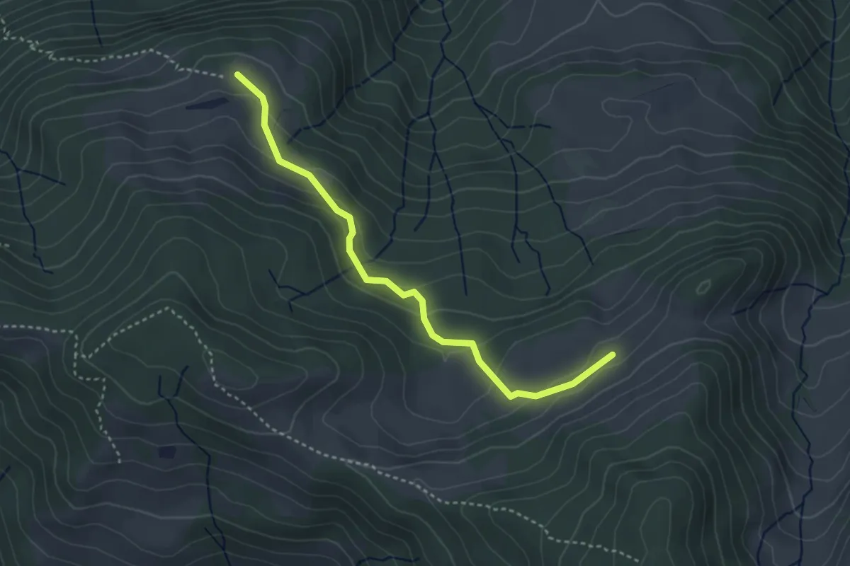
Easy · Trail
Tostel – Müllergschwänd
3.5 km · ↑ 174 m · 1 h 12 min
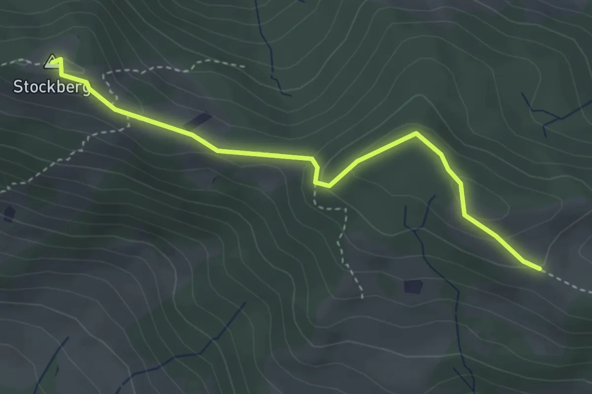
Medium · Summit
Stockberg – Ruebergschwänd
3.5 km · ↑ 161 m · 1 h 11 min
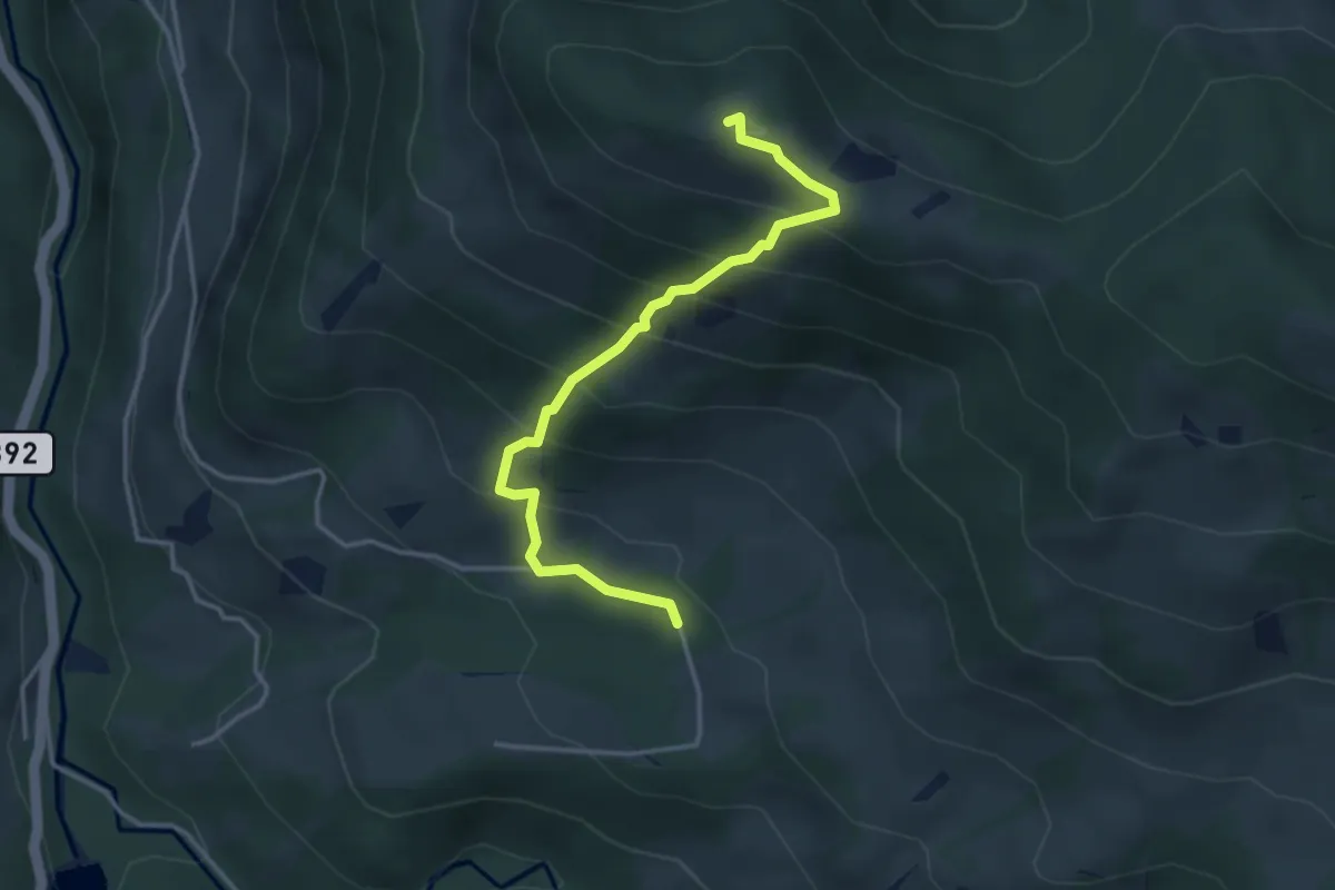
Medium · Summit
Stockberg – Schwändelen
3.7 km · ↑ 413 m · 1 h 46 min
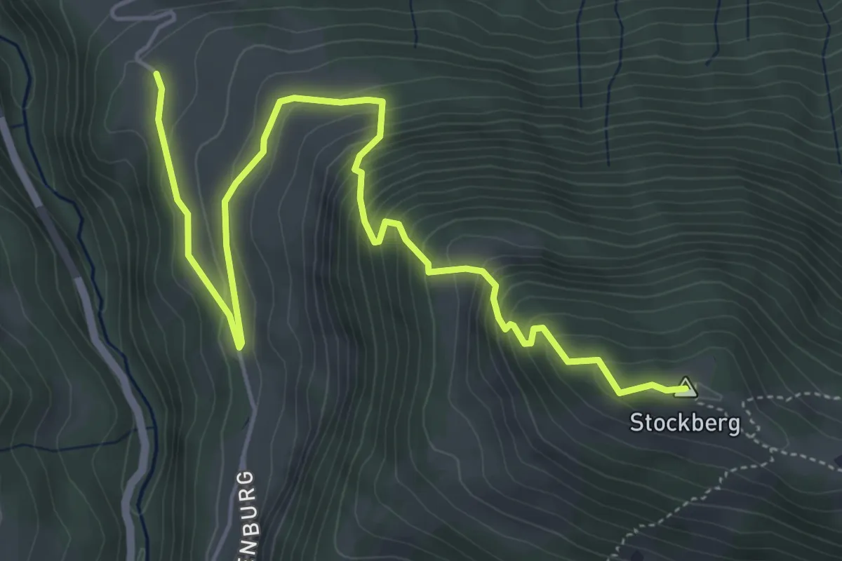
Medium · Summit
Stockberg – Eisenburg
6.3 km · ↑ 562 m · 2 h 42 min
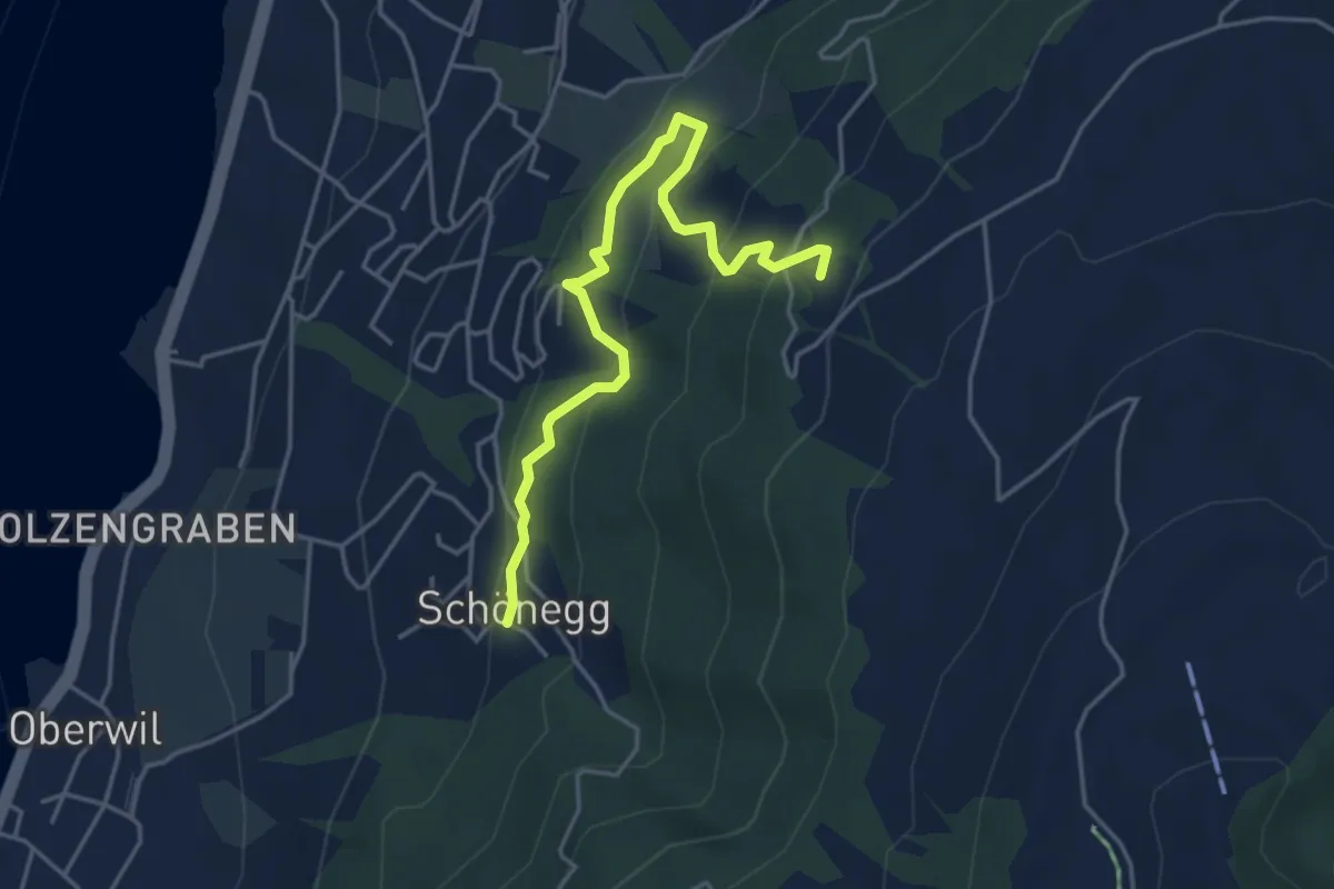
Easy · Trail
Schönegg – Blasenberg
4.5 km · ↑ 290 m · 1 h 41 min
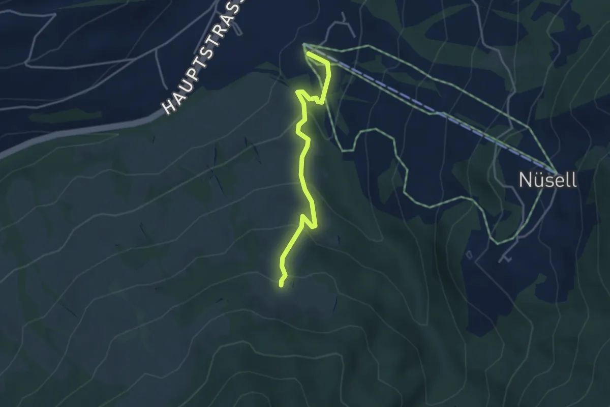
Easy · Trail
Biberegg – Mäderen
3.2 km · ↑ 194 m · 1 h 10 min
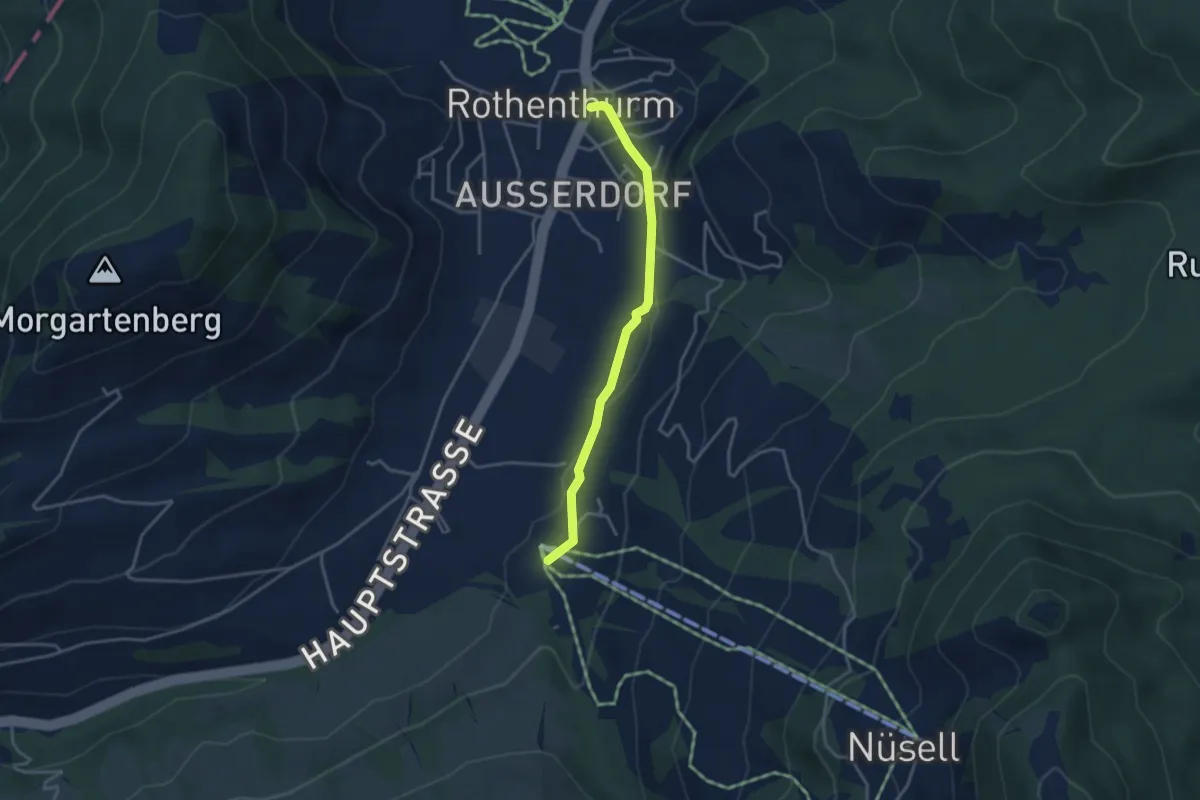
Easy · Trail
Biberegg – Rothenturm
3.3 km · ↑ 57 m · 54 min
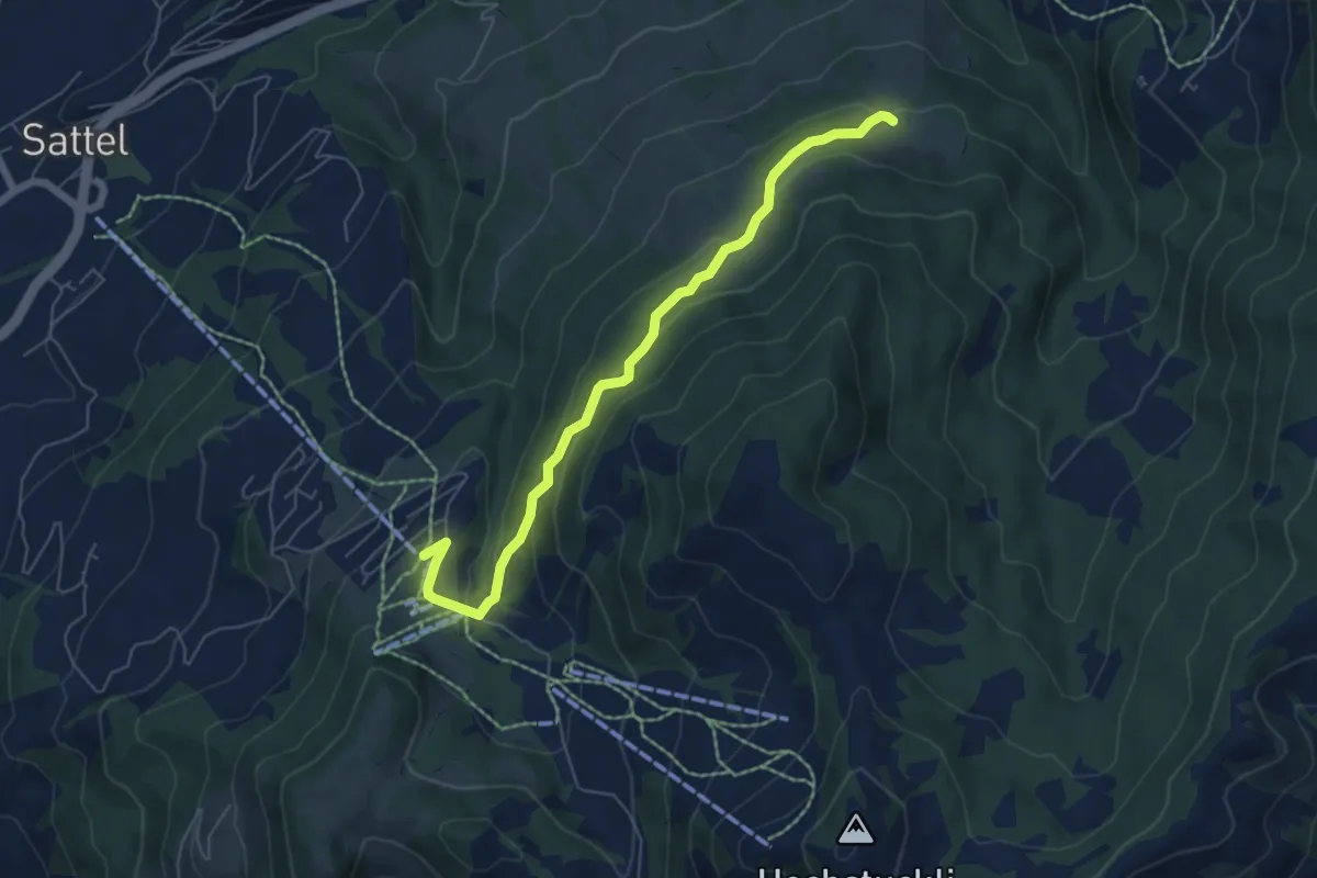
Easy · Trail
Mäderen – Mostelberg
6.1 km · ↑ 253 m · 2 h
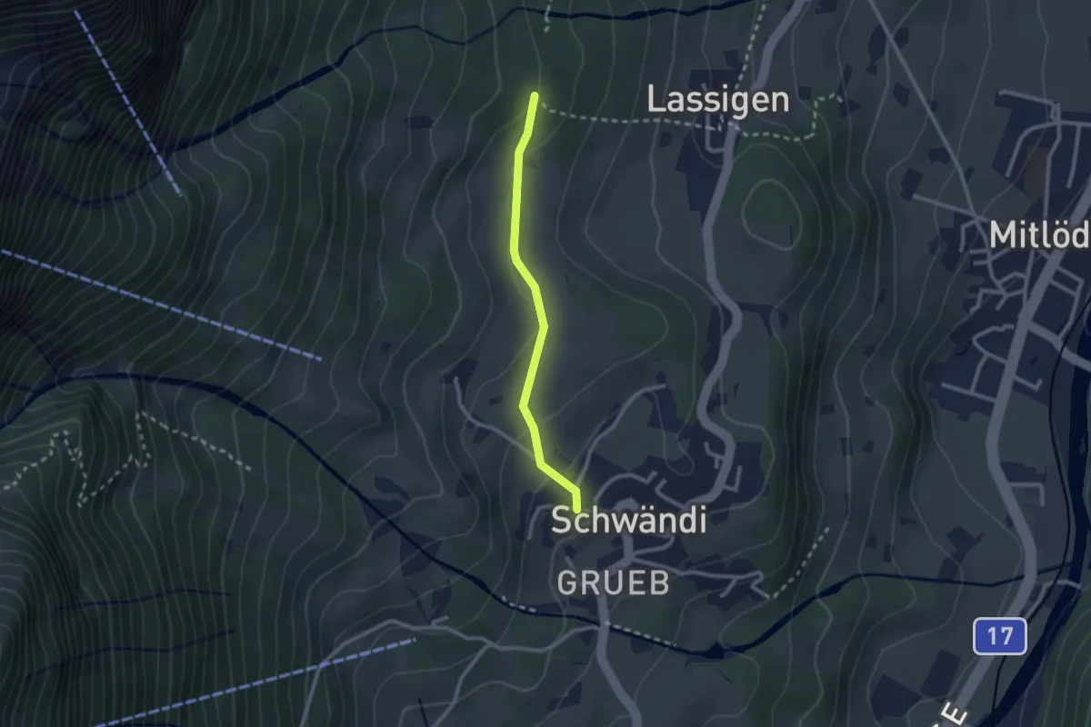
Easy · Trail
Schulhaus – Chrisegg
2.1 km · ↑ 86 m · 41 min
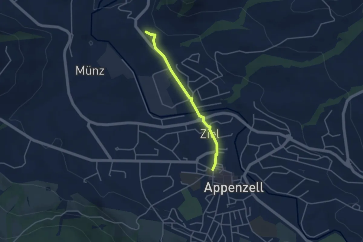
Easy · Trail
Landsgemeindeplatz – Steig
2.7 km · ↑ 41 m · 44 min
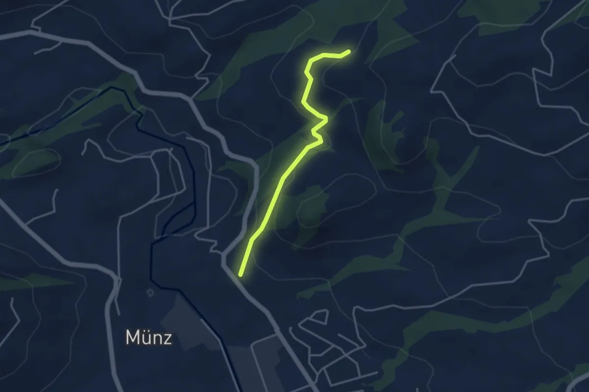
Easy · Trail
Steig – Schlepfen
3.0 km · ↑ 126 m · 59 min
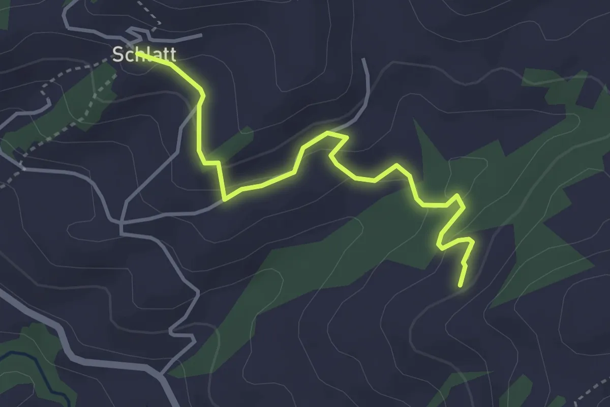
Easy · Trail
Schlepfen – Schlatt
3.6 km · ↑ 122 m · 1 h 6 min
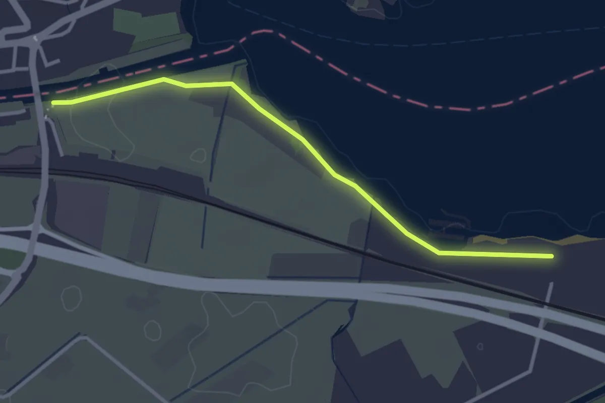
Easy · Trail
Weesen Güterbahnhof – Gäsi
3.1 km · ↑ 14 m · 45 min
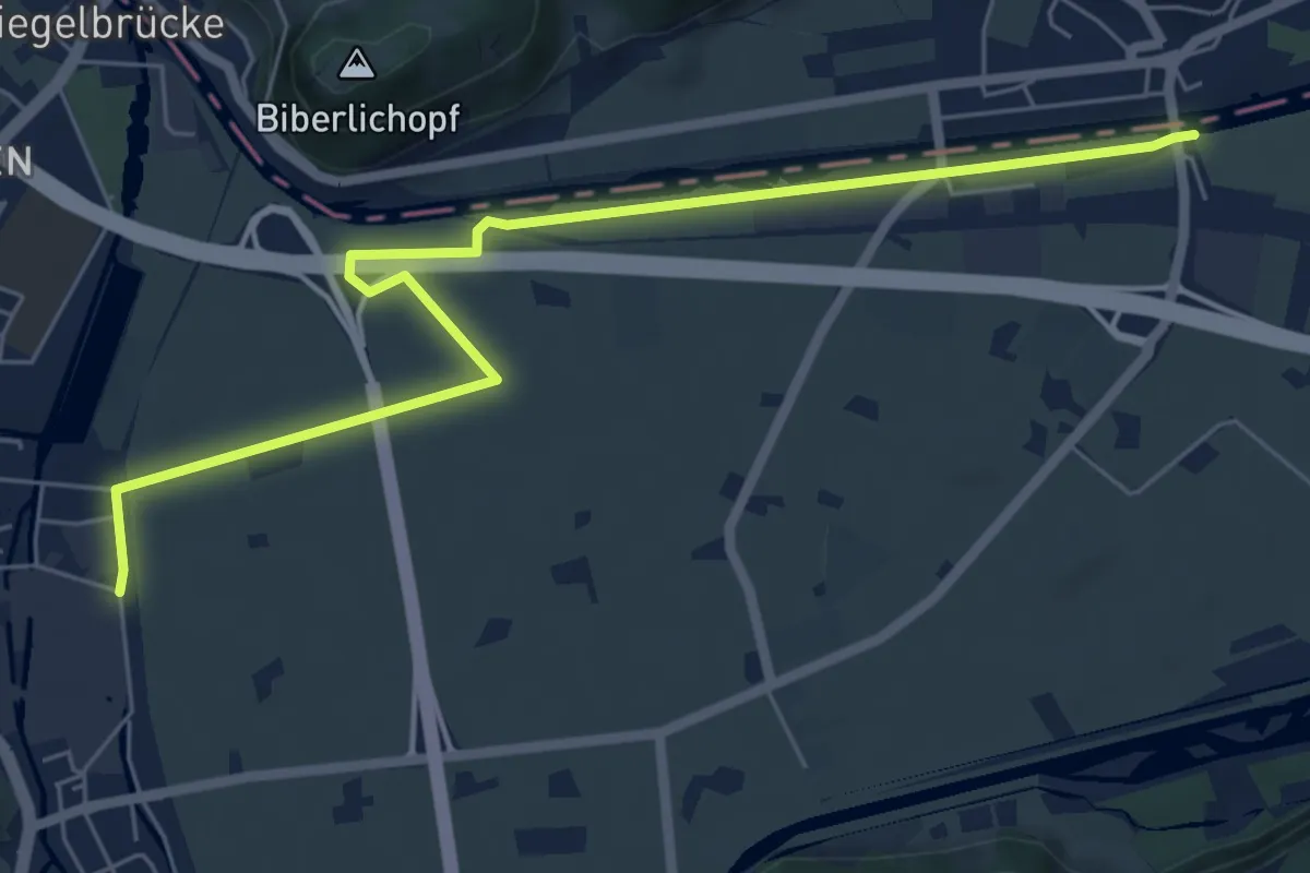
Easy · Trail
Niederurnen Bahnhof – Weesen Güterbahnhof
7.1 km · ↑ 14 m · 1 h 43 min
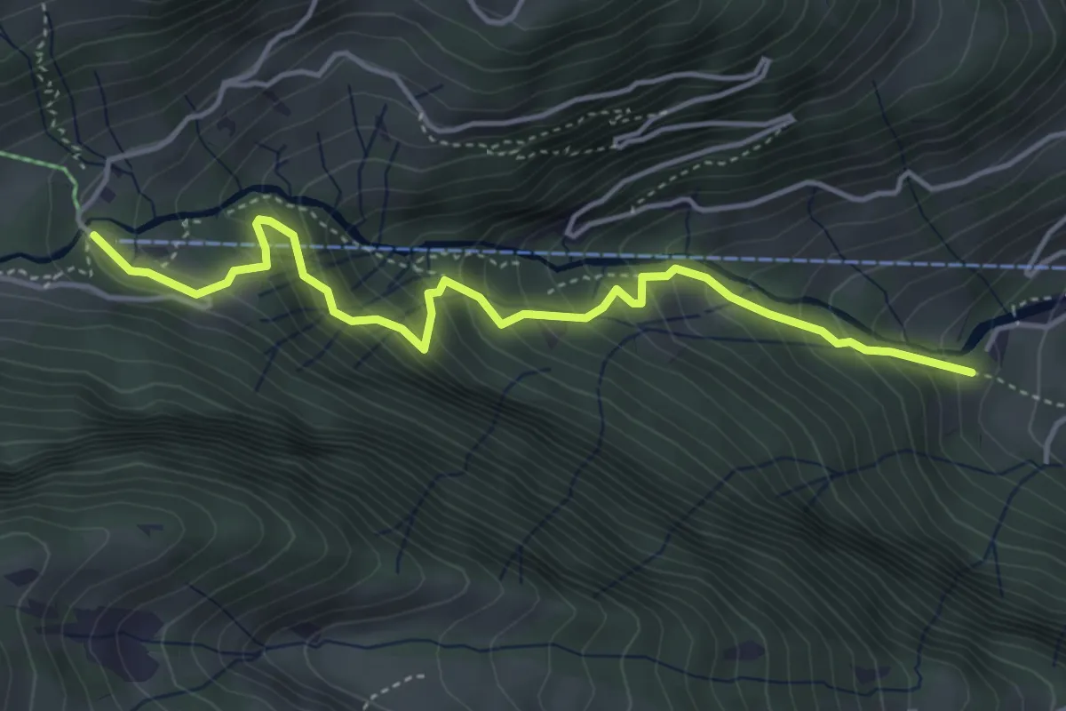
Medium · Trail
Eschen – Morgenholz
4.4 km · ↑ 516 m · 2 h 10 min
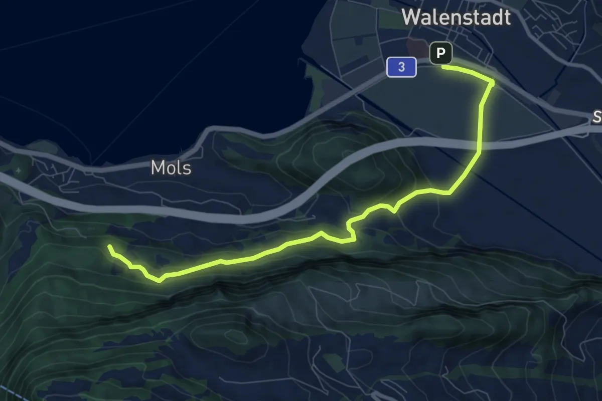
Medium · Trail
Walenstadt – Nejenberg
8.9 km · ↑ 387 m · 2 h 56 min
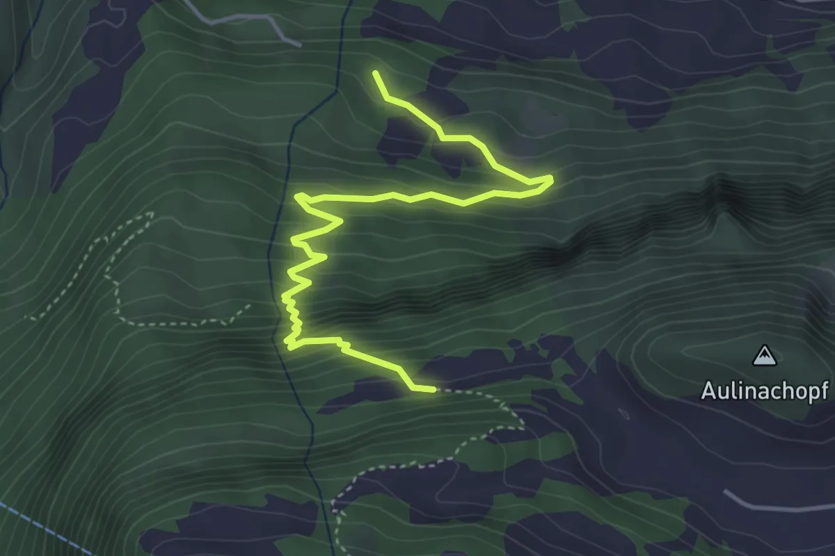
Medium · Trail
Nejenberg – Hessenberg
4.5 km · ↑ 447 m · 2 h 3 min
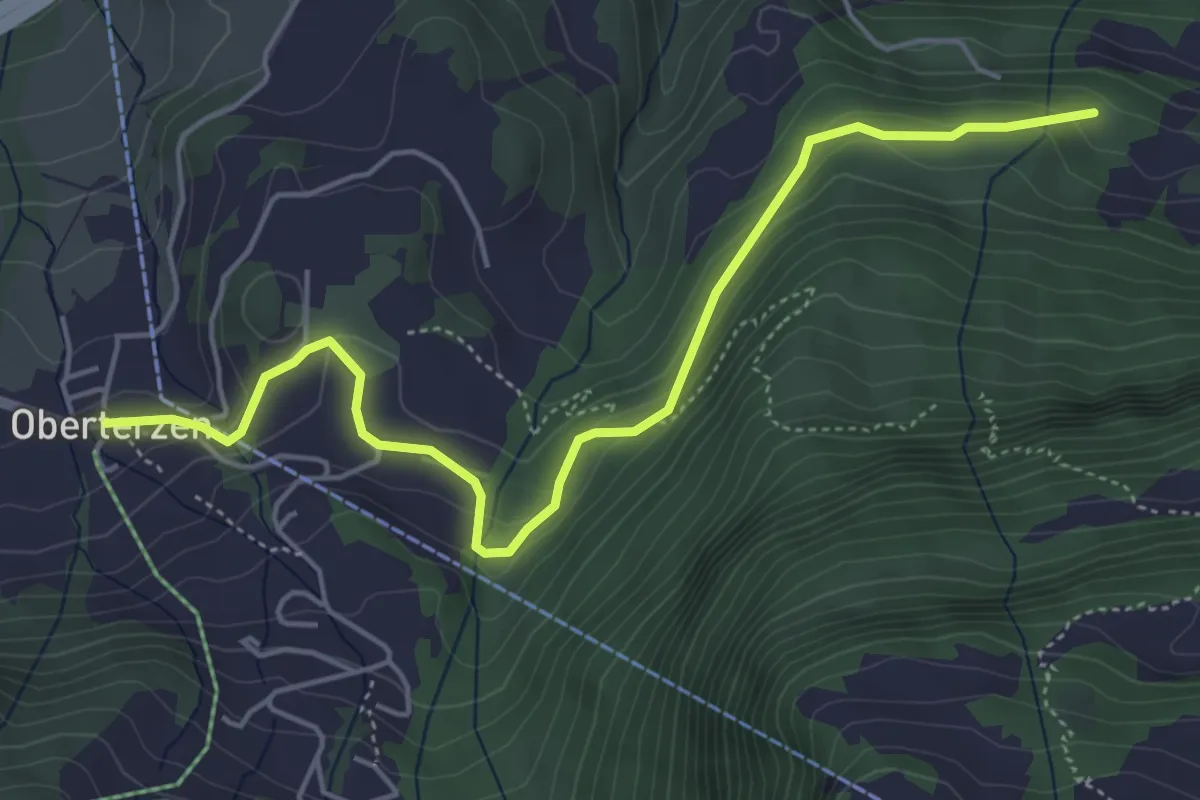
Easy · Trail
Oberterzen – Nejenberg
5.3 km · ↑ 238 m · 1 h 47 min
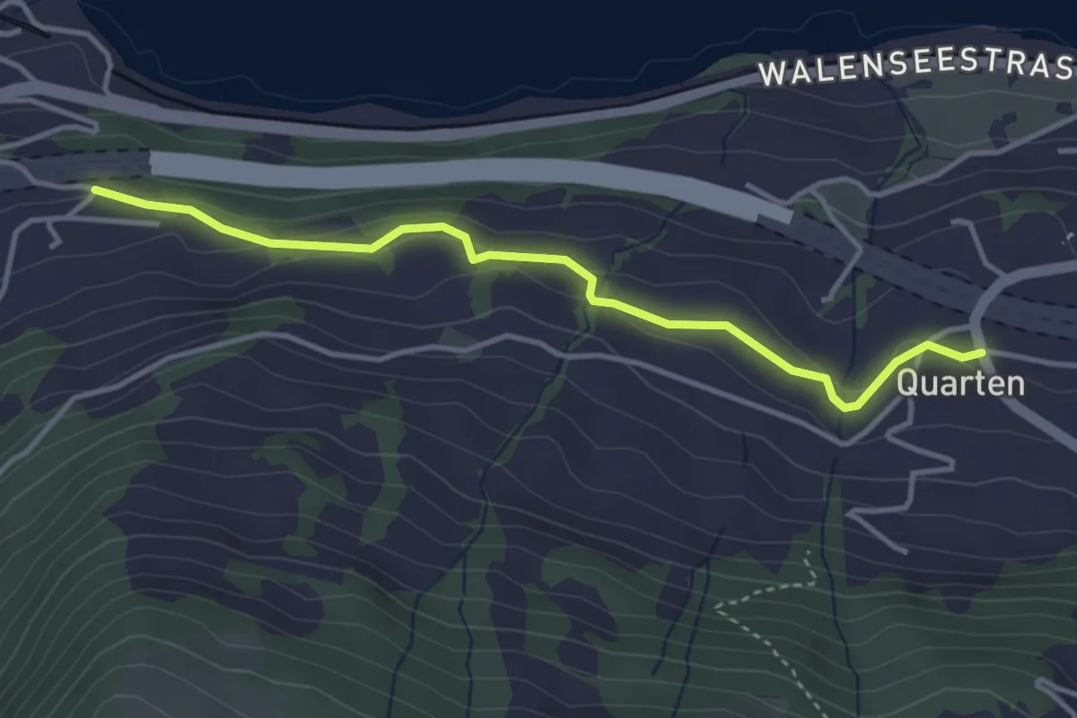
Easy · Trail
Rüti – Quarten
3.7 km · ↑ 119 m · 1 h 7 min
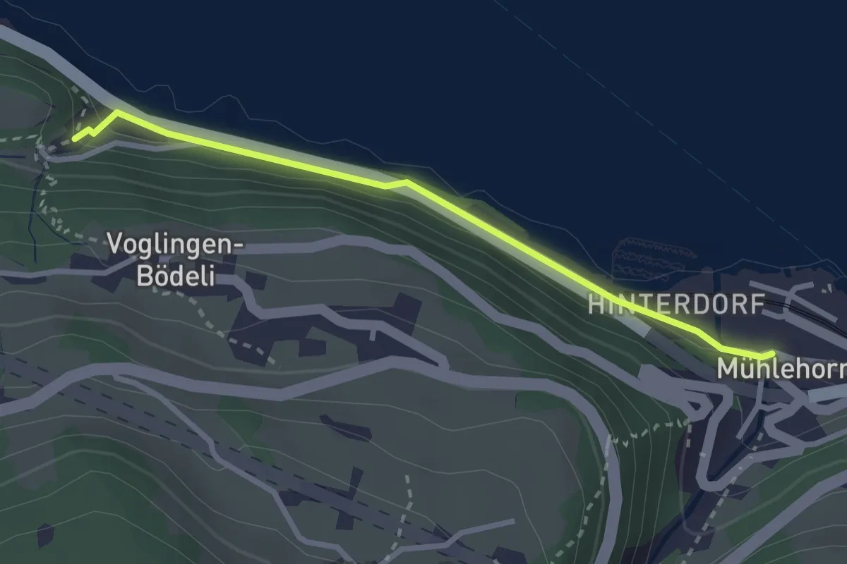
Easy · Trail
Mülital – Mühlehorn
2.6 km · ↑ 145 m · 55 min
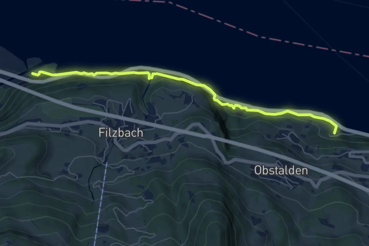
Medium · Trail
Linthmündung – Mülital
6.8 km · ↑ 676 m · 3 h 4 min
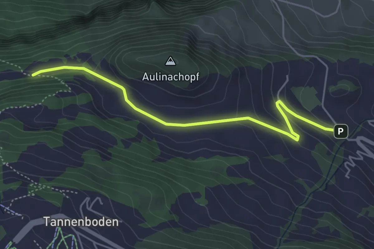
Easy · Trail
Bergheim Vadella – Hessenberg
4.6 km · ↑ 170 m · 1 h 27 min
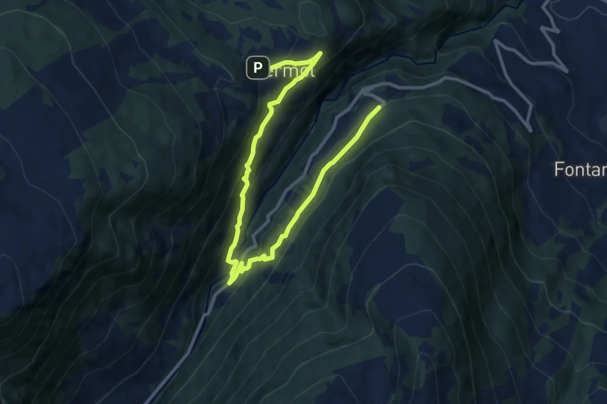
Medium · Trail
Vermol – Rütiwald
11.0 km · ↑ 638 m · 3 h 59 min
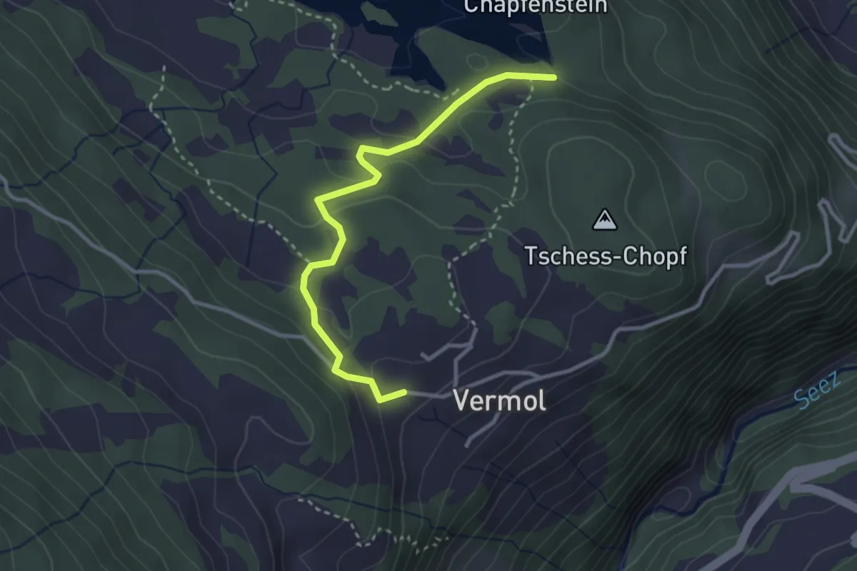
Easy · Trail
Chapfensee Staumauer – Vermol
3.0 km · ↑ 114 m · 57 min
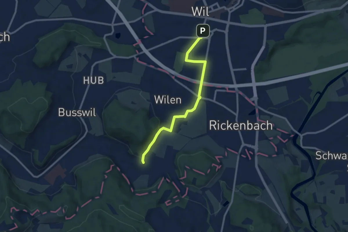
Easy · Trail
Wil – Wilen
6.7 km · ↑ 133 m · 1 h 52 min
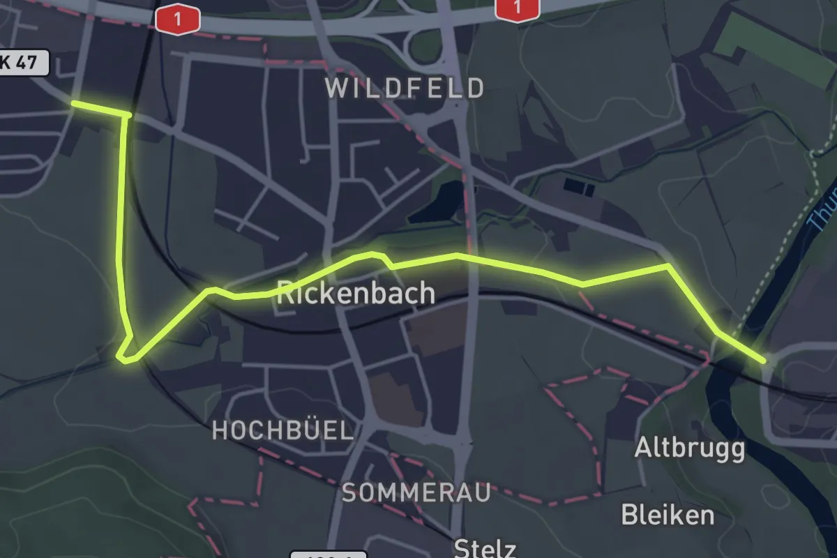
Easy · Trail
Wilen – Schwarzenbach
5.3 km · ↑ 77 m · 1 h 25 min
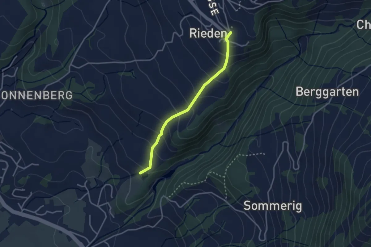
Easy · Trail
Rieden – Geroldsegg
2.5 km · ↑ 209 m · 1 h 3 min
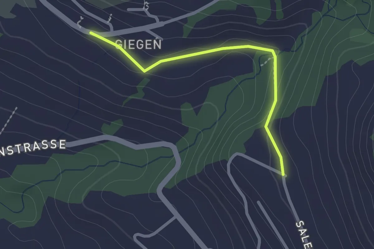
Easy · Trail
Gnippen – Giegen
2.0 km · ↑ 36 m · 33 min
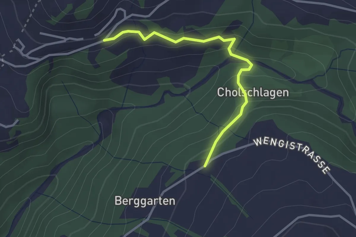
Easy · Trail
Zinggenberg – Bärgarten
2.7 km · ↑ 145 m · 57 min
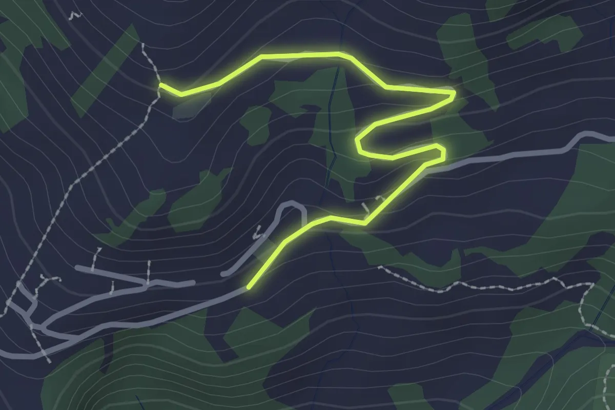
Easy · Trail
Zinggenberg – Bergli
2.5 km · ↑ 113 m · 51 min
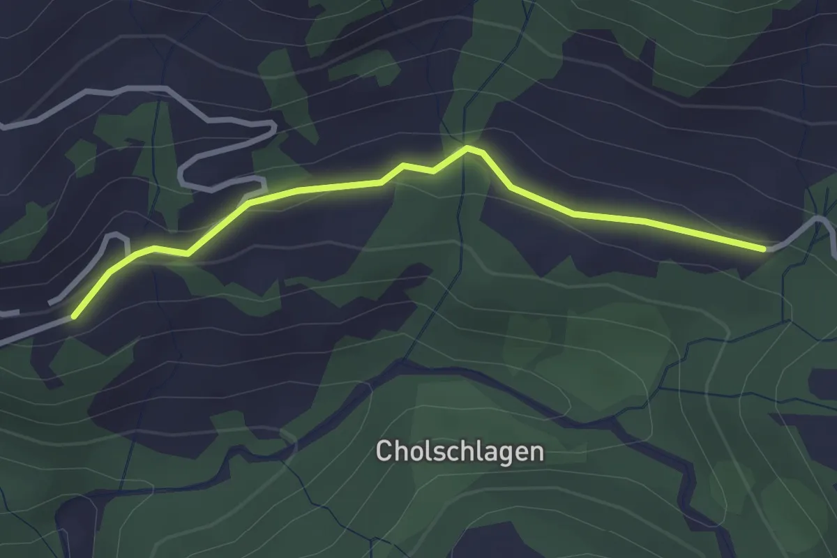
Easy · Trail
Zinggenberg – Büsserberg
2.6 km · ↑ 59 m · 44 min
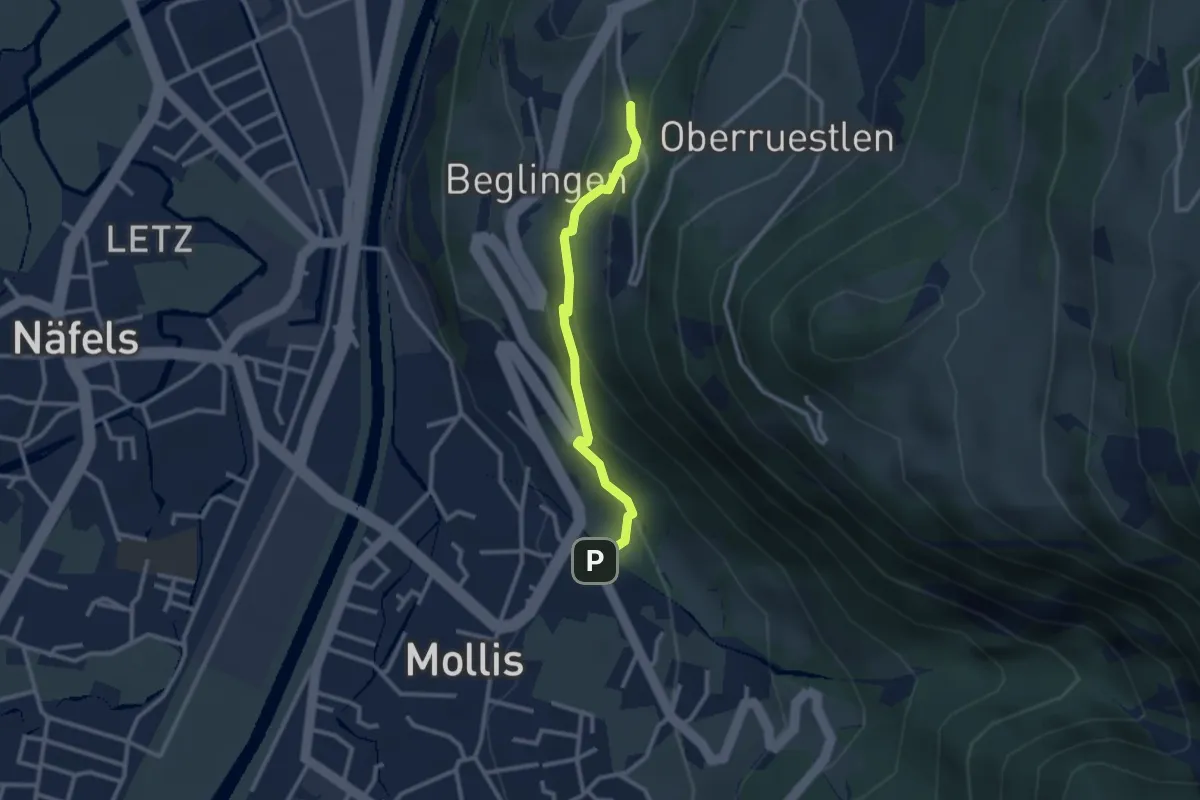
Easy · Trail
Rüfiweid – Geltschenrüti
2.5 km · ↑ 202 m · 1 h 1 min
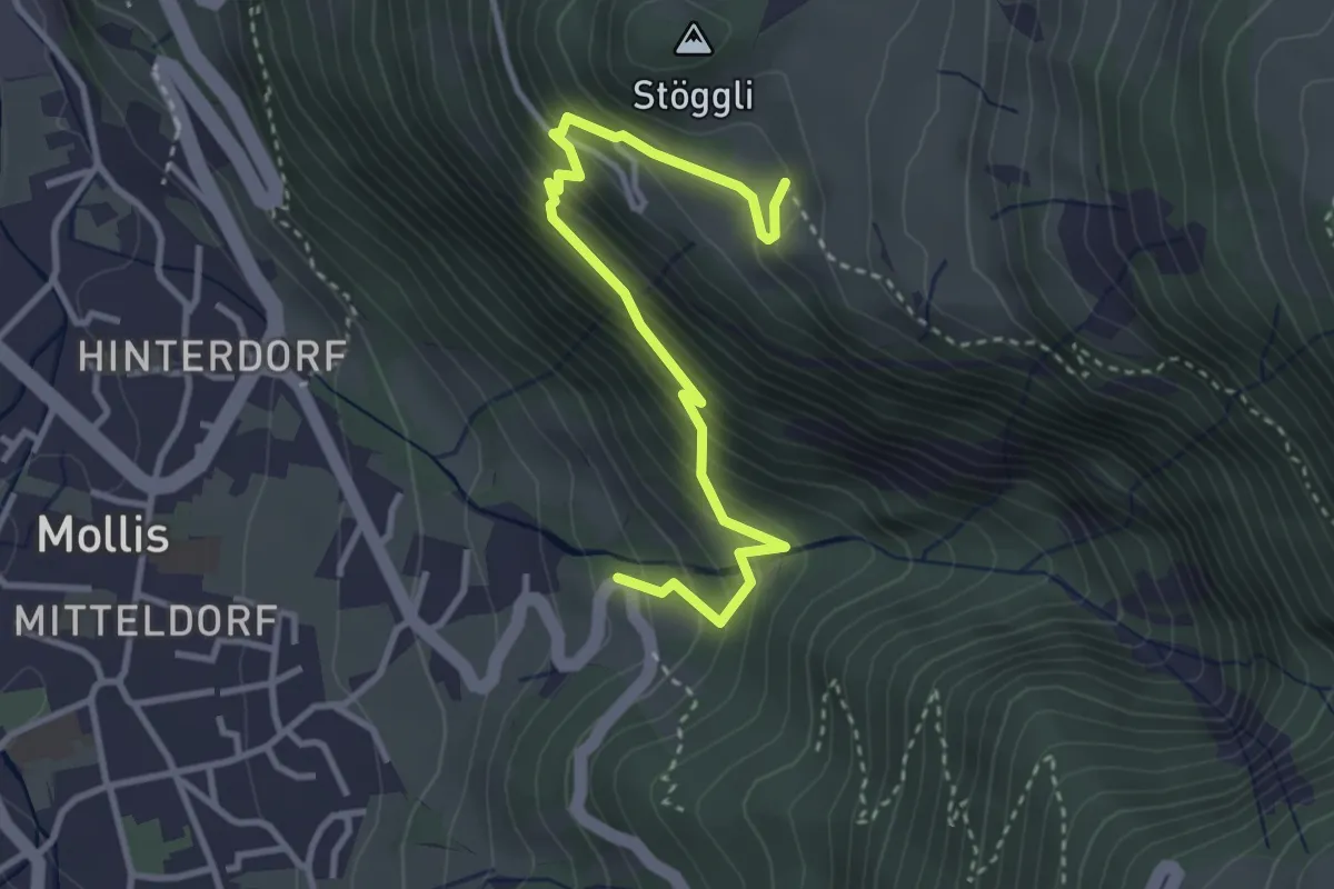
Medium · Trail
Facht – Obstock
3.5 km · ↑ 357 m · 1 h 36 min
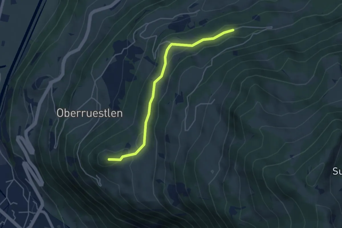
Medium · Summit
Obstock – Schwigufelwald
3.9 km · ↑ 147 m · 1 h 15 min
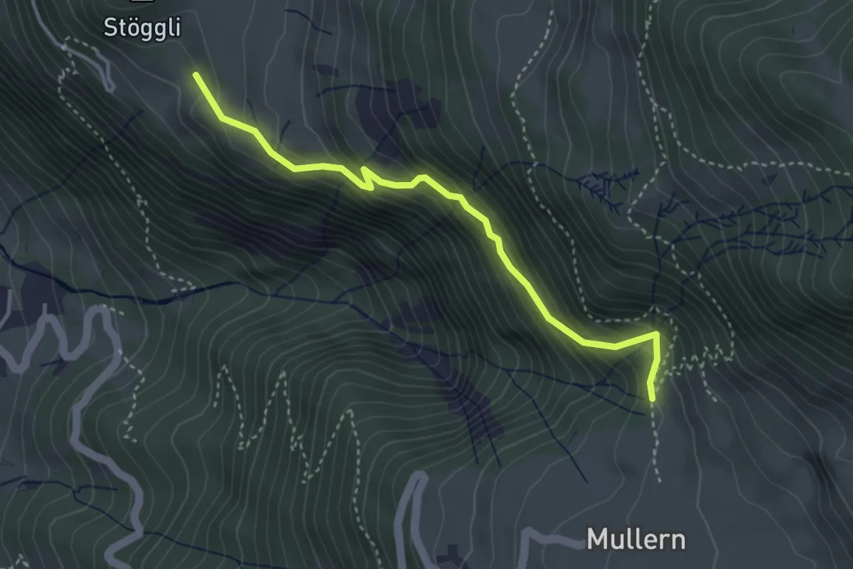
Medium · Trail
Obstock – Mättli
3.5 km · ↑ 350 m · 1 h 35 min
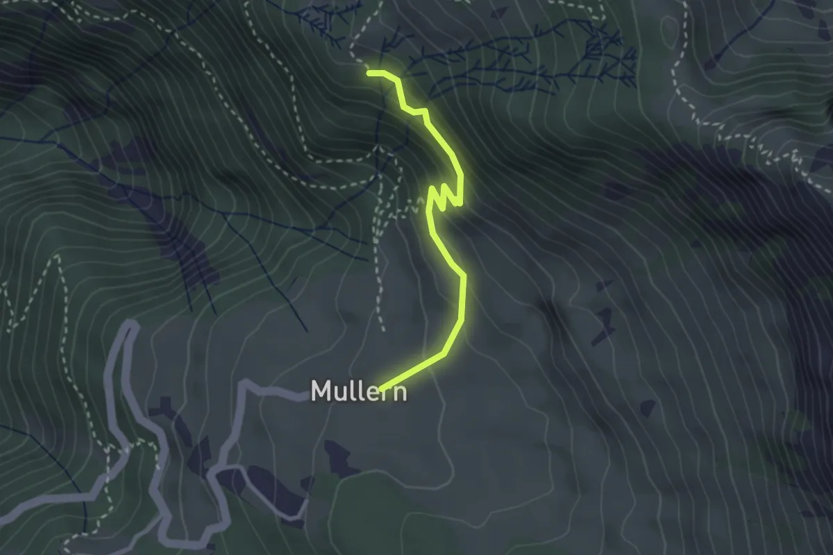
Easy · Trail
Mullerenberg – Rietegg
2.5 km · ↑ 201 m · 1 h 1 min
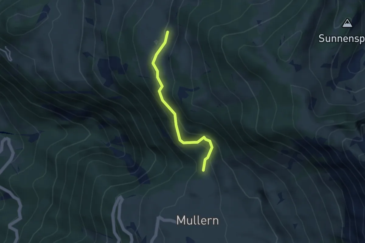
Medium · Trail
Mättli – Untere Nüenalp
2.7 km · ↑ 235 m · 1 h 8 min
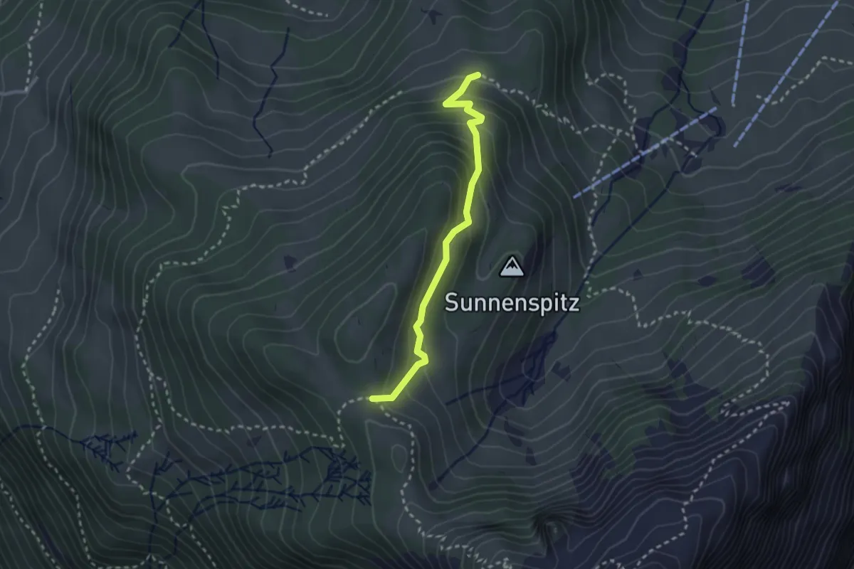
Medium · Trail
Mittlere Nüenalp – Oberst Nüen
2.5 km · ↑ 196 m · 1 h 1 min
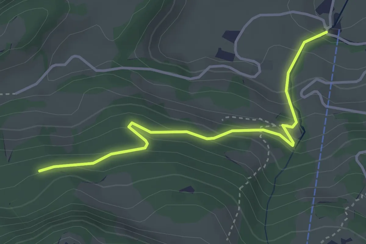
Easy · Trail
Sesselbahn Talstation – Bannwald
3.4 km · ↑ 225 m · 1 h 17 min
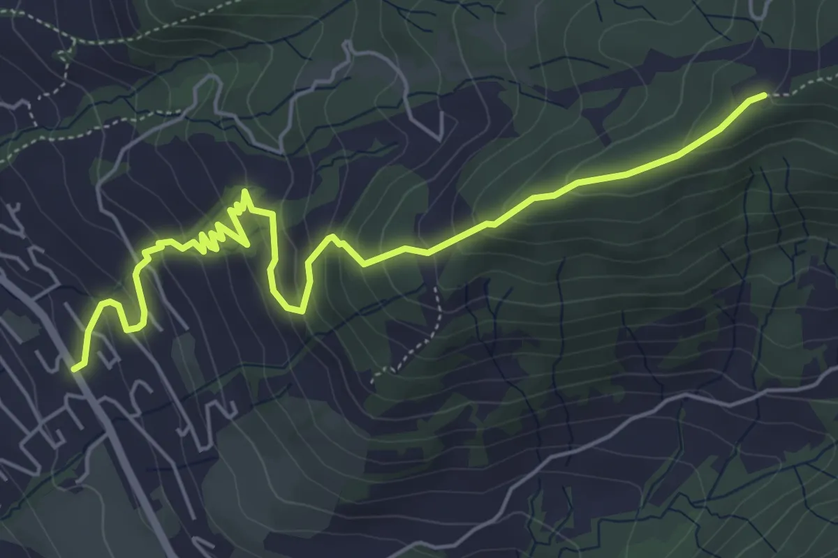
Medium · Trail
Ottenhofen – Axerberg
6.2 km · ↑ 447 m · 2 h 26 min
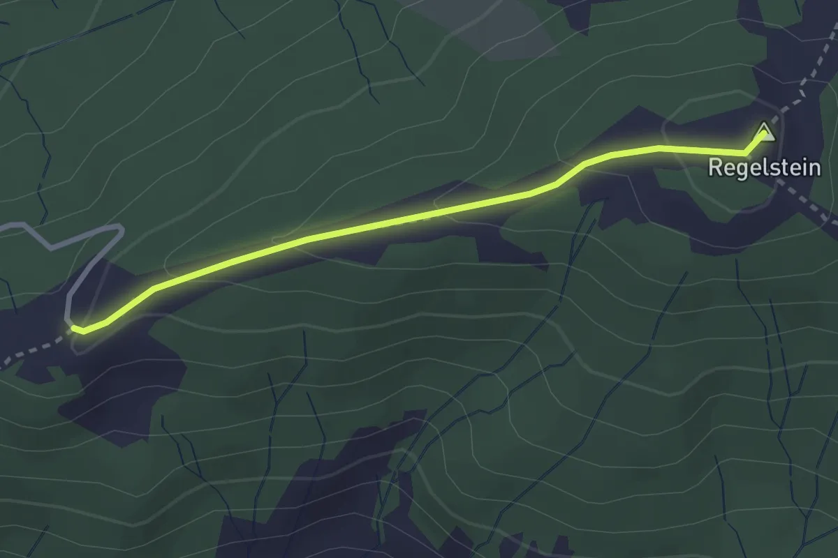
Easy · Summit
Egg – Regelstein
2.6 km · ↑ 108 m · 51 min
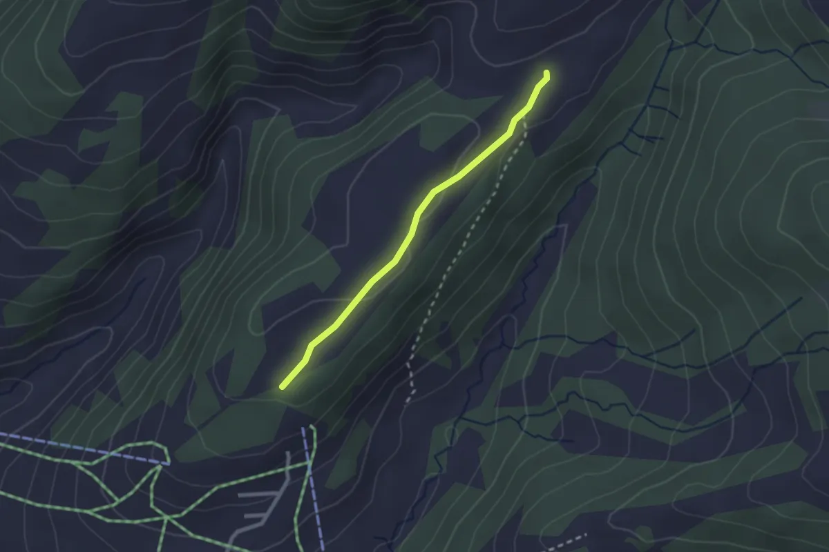
Easy · Trail
Heiggen – Altschen
2.1 km · ↑ 42 m · 36 min
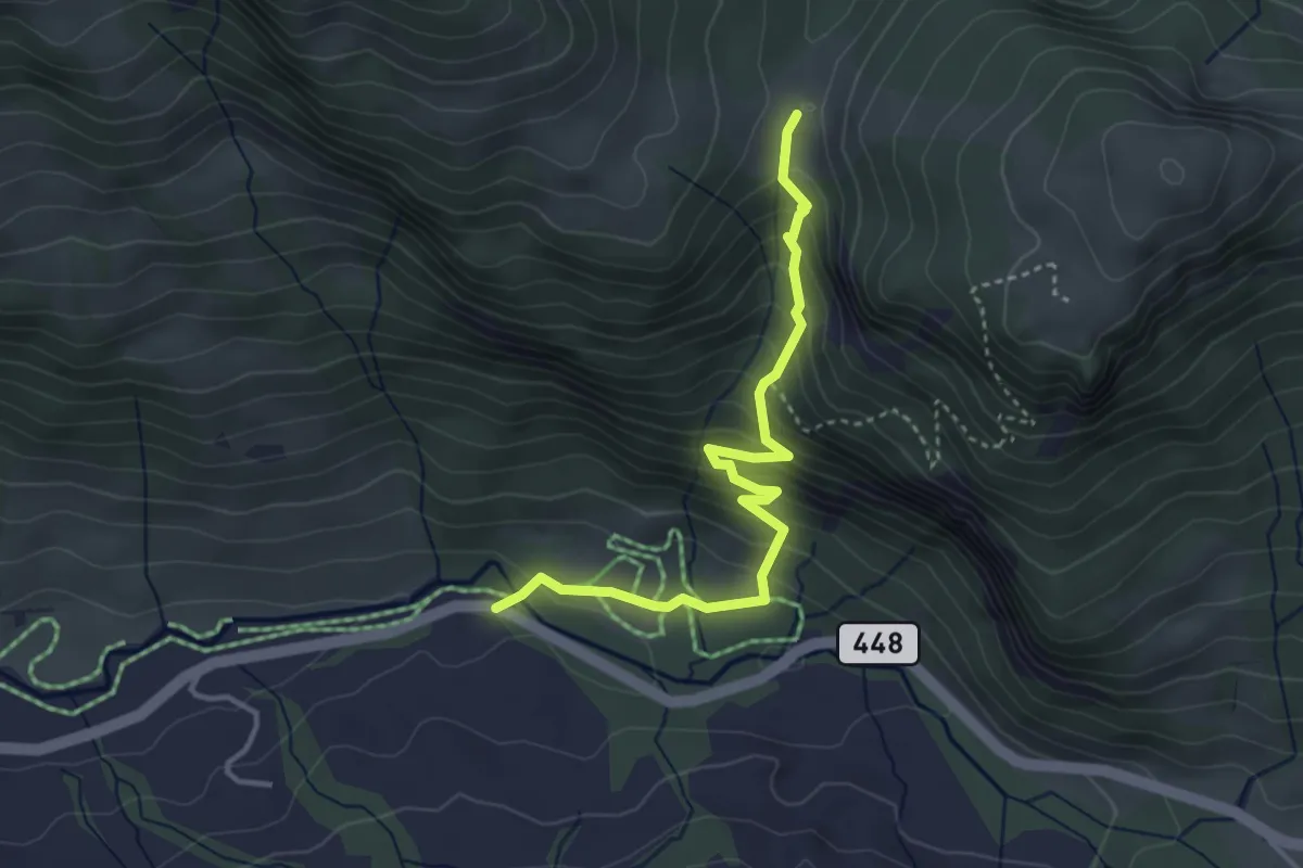
Demanding · Trail
Seeben Säge – Ellenbogen
3.7 km · ↑ 320 m · 1 h 34 min
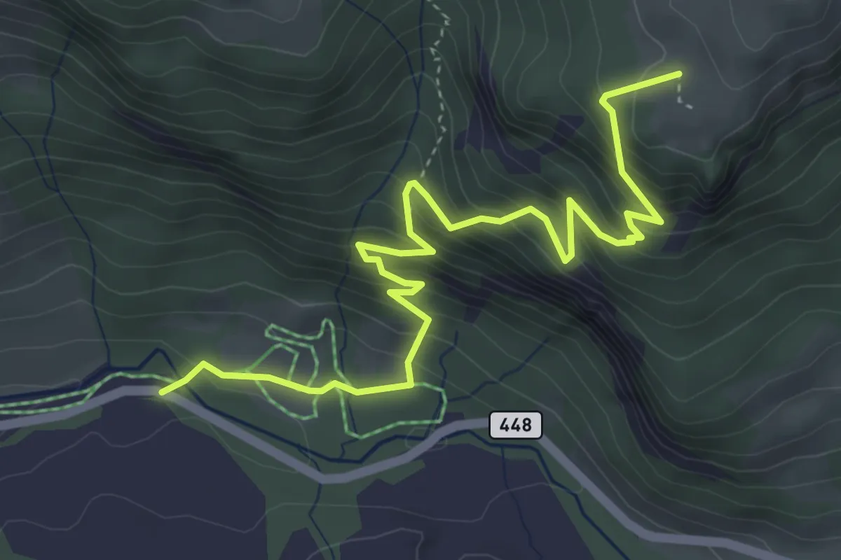
Medium · Trail
Seeben Säge – Pfingstboden
5.1 km · ↑ 475 m · 2 h 14 min