Trails in Switzerland
15,055 hiking trails, each with its route, climb, walking time and grade.
All trails, page 298 of 314
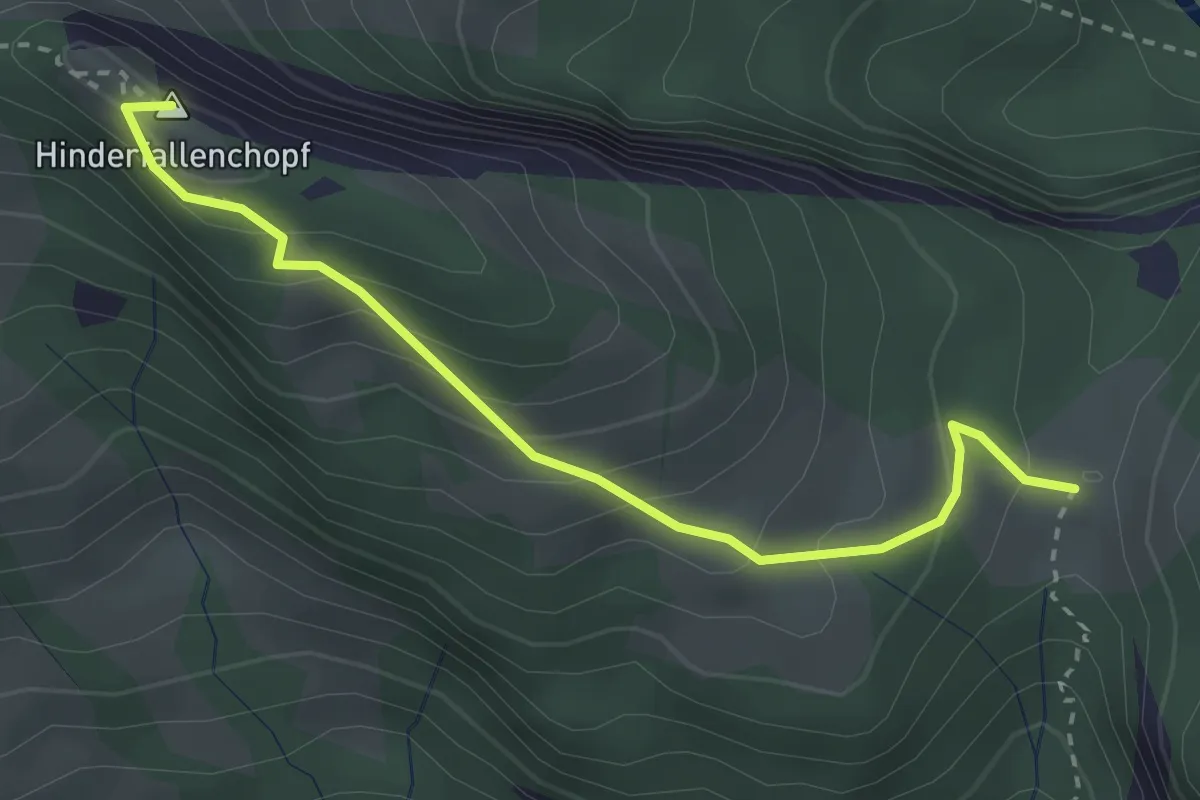
Easy · Summit
Ellenbogen – Hinterfallenchopf
3.0 km · ↑ 212 m · 1 h 9 min
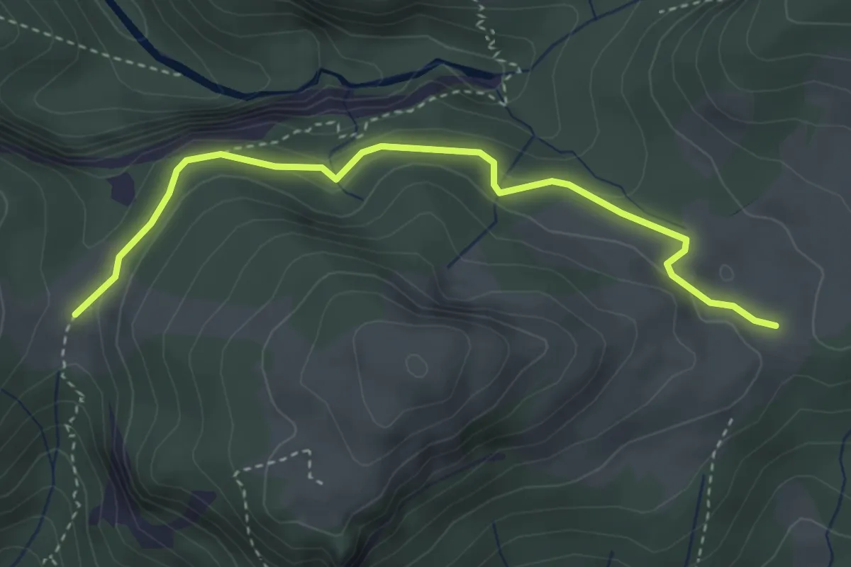
Easy · Trail
Ellenbogen – Horn
3.6 km · ↑ 168 m · 1 h 13 min
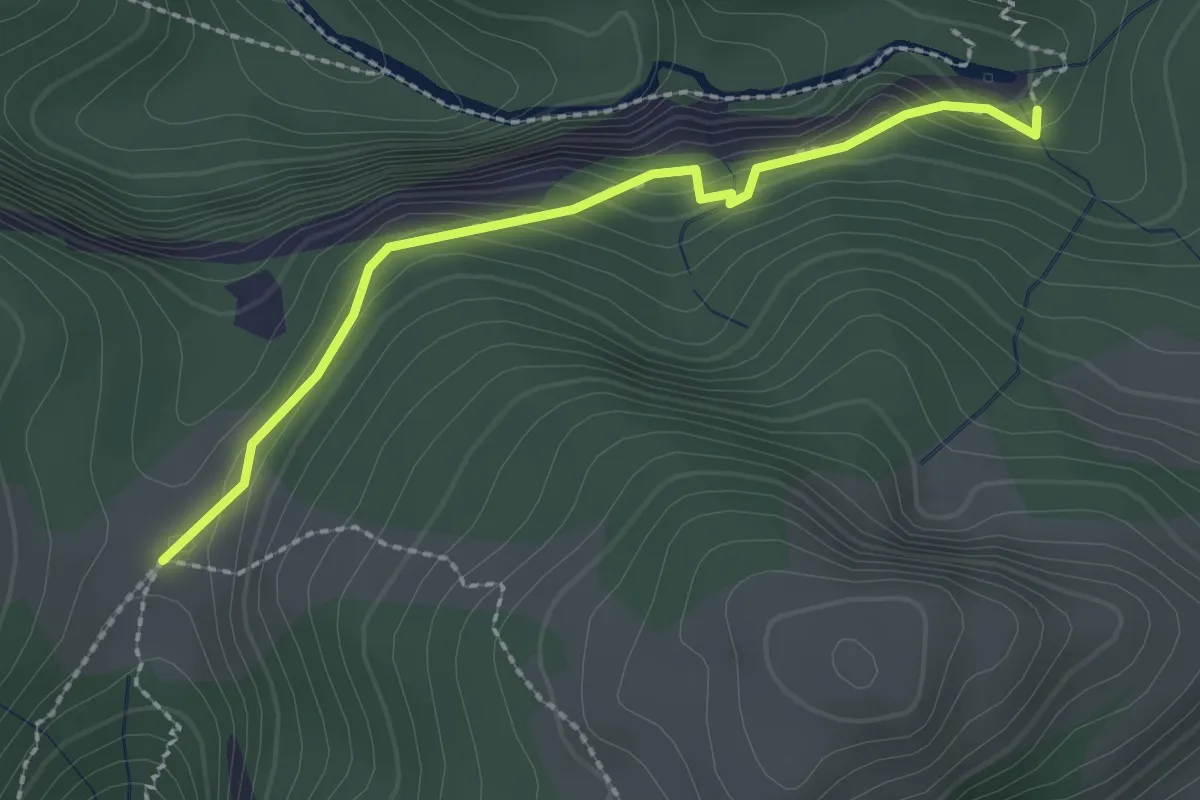
Medium · Trail
Ellenbogen – Ofenloch
2.3 km · ↑ 154 m · 52 min
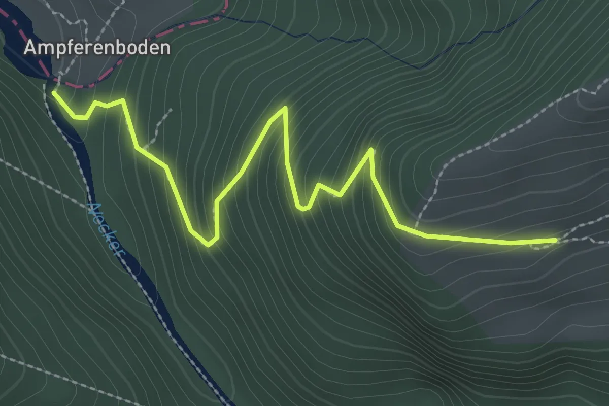
Medium · Trail
Neuwald – Ampferenboden
2.9 km · ↑ 272 m · 1 h 16 min
Medium · Trail
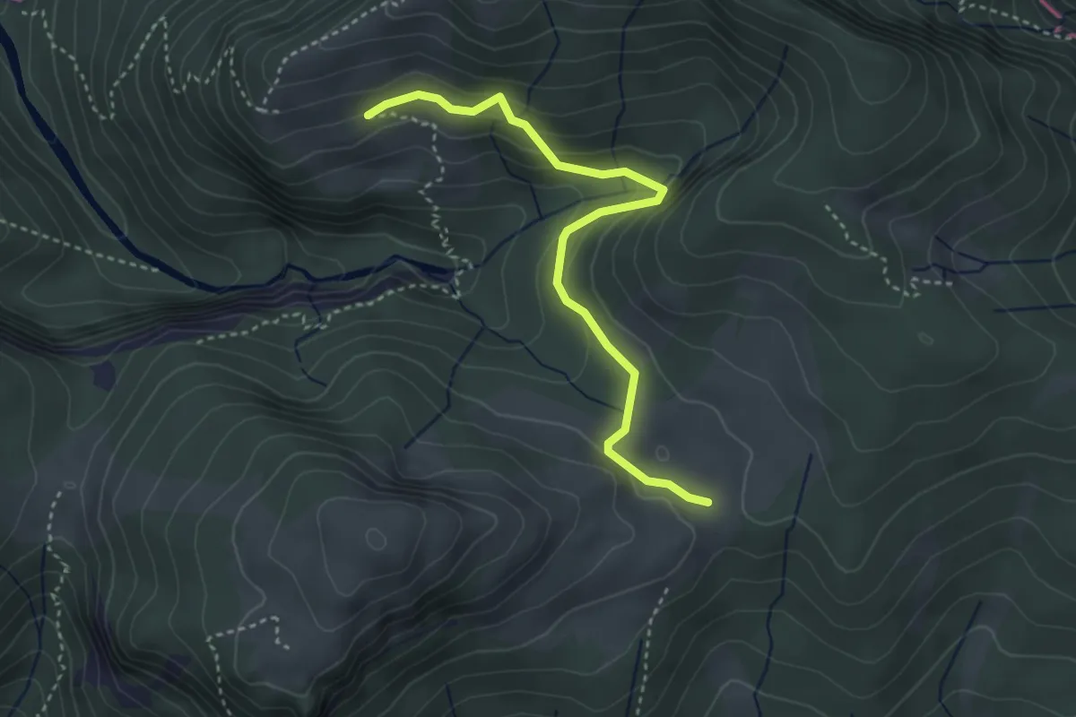
Neuwald – Horn
3.6 km · ↑ 202 m · 1 h 17 min
Medium · Trail
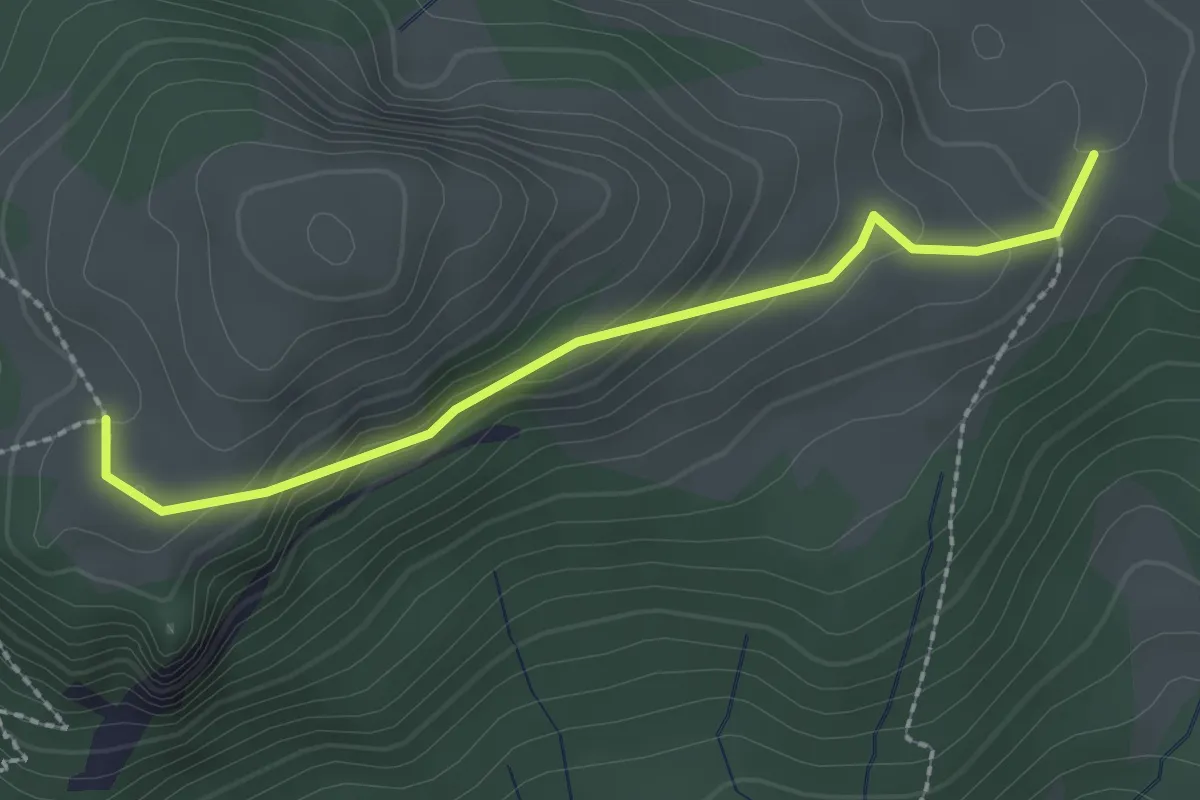
Horn – Pfingstboden
2.2 km · ↑ 143 m · 50 min
Easy · Trail
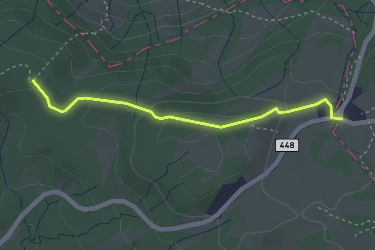
Chräzerenpass – Passhöhe Schwägalp
2.6 km · ↑ 85 m · 48 min
Medium · Trail
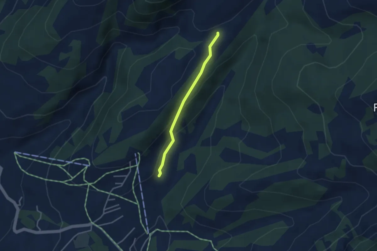
Bittertannen – Altschen
2.4 km · ↑ 106 m · 48 min
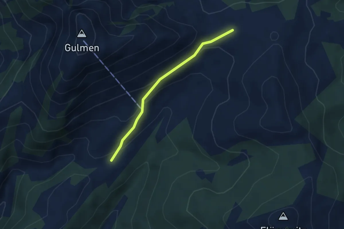
Easy · Trail
Altschen – Vorder Höhi
2.9 km · ↑ 132 m · 58 min
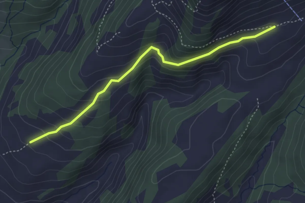
Easy · Trail
Schwisolen – Tschwerwald
3.9 km · ↑ 205 m · 1 h 22 min
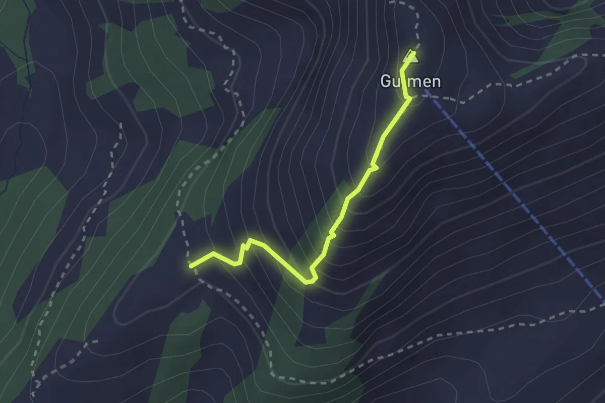
Medium · Summit
Hüttisboden – Gulmen
2.1 km · ↑ 266 m · 1 h 4 min
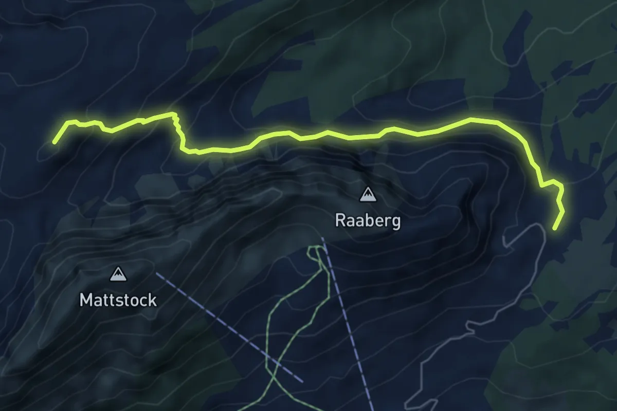
Medium · Summit
Hinteri Höhi – Oberchäseren
6.2 km · ↑ 485 m · 2 h 31 min
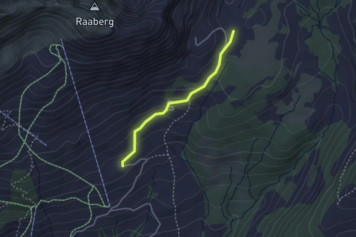
Easy · Trail
Hinter Höhi – Strichboden
2.4 km · ↑ 111 m · 49 min
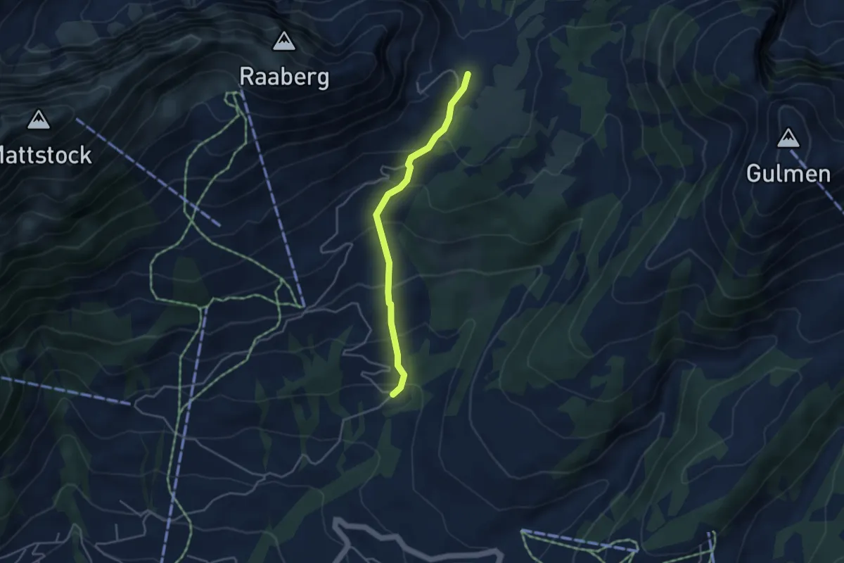
Easy · Trail
Hinter Höhi – Fallen
3.5 km · ↑ 288 m · 1 h 27 min
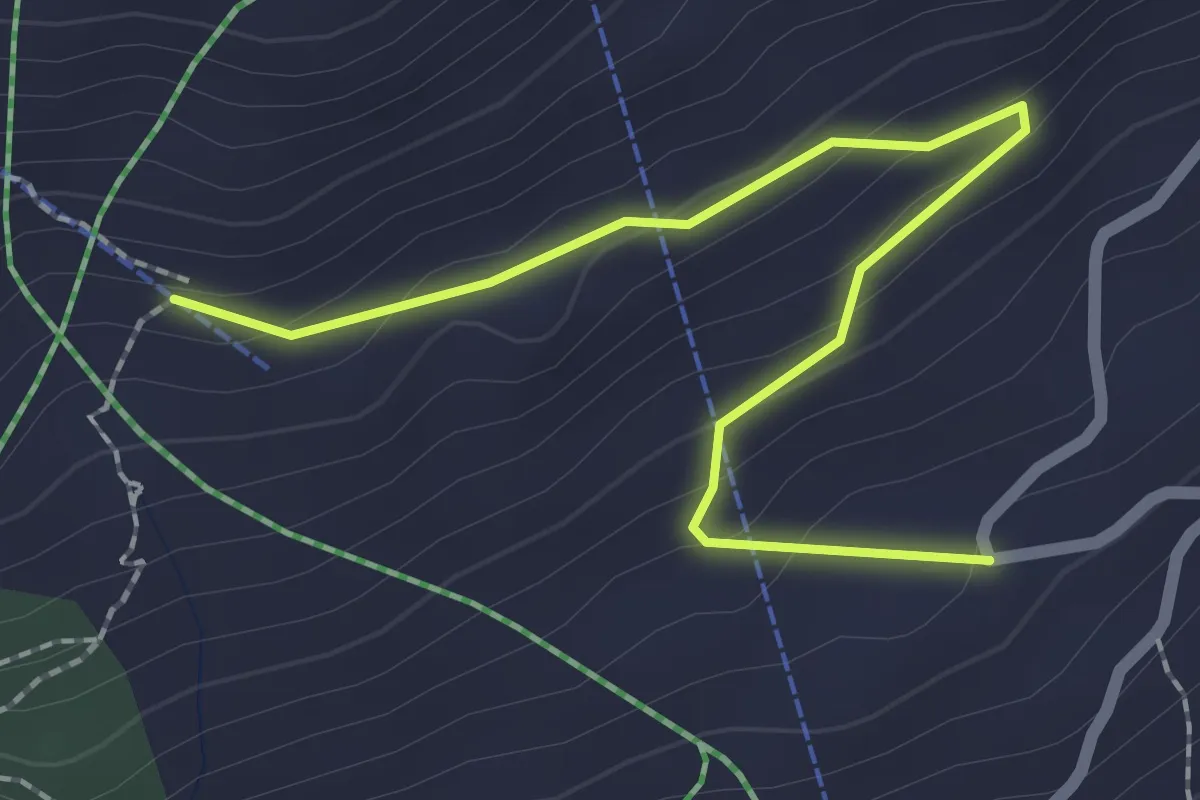
Demanding · Trail
Strichboden – Alp Walau
2.4 km · ↑ 116 m · 49 min
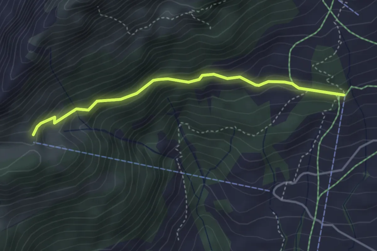
Medium · Trail
Niederschlag Station – Oberfurgglen
3.4 km · ↑ 256 m · 1 h 21 min
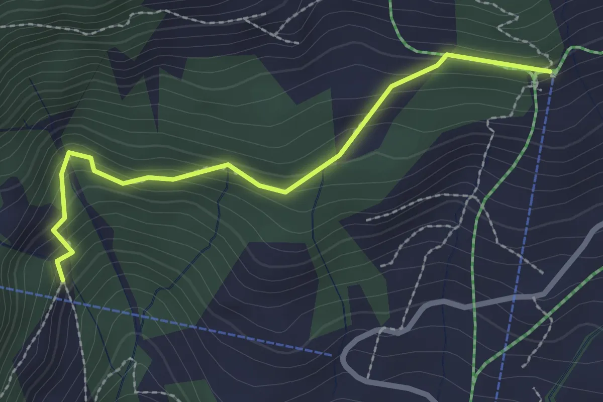
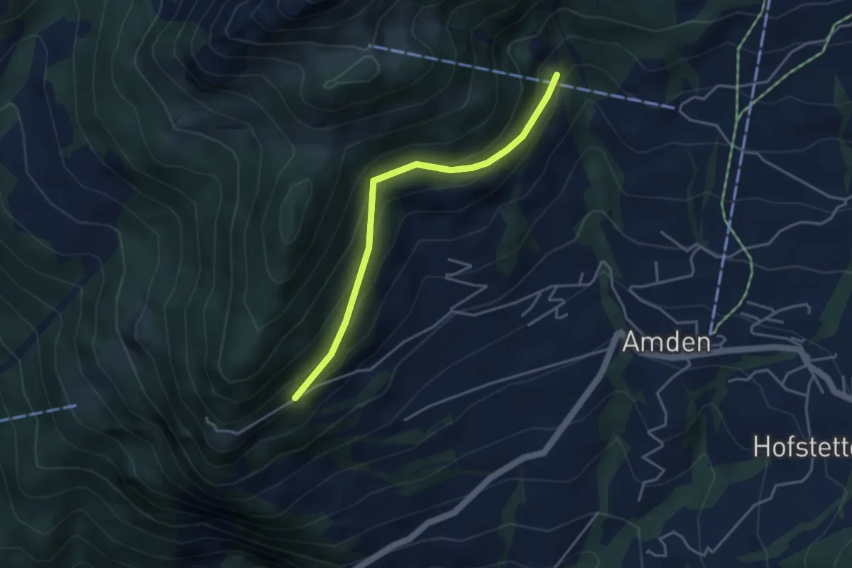
Medium · Trail
Niederschlag Station – Stolle
2.3 km · ↑ 185 m · 57 min
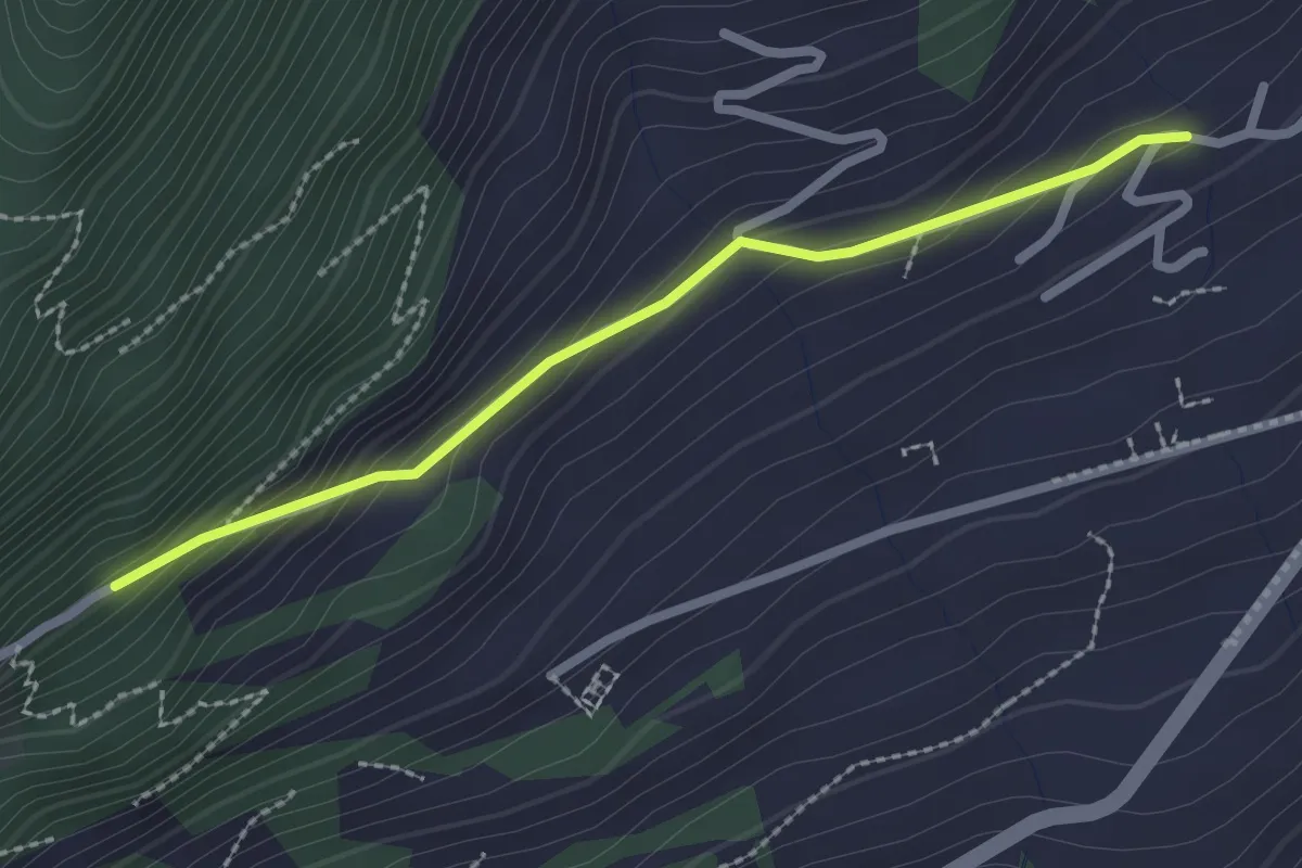
Easy · Trail
Stolle – Mittenwald
3.5 km · ↑ 254 m · 1 h 23 min
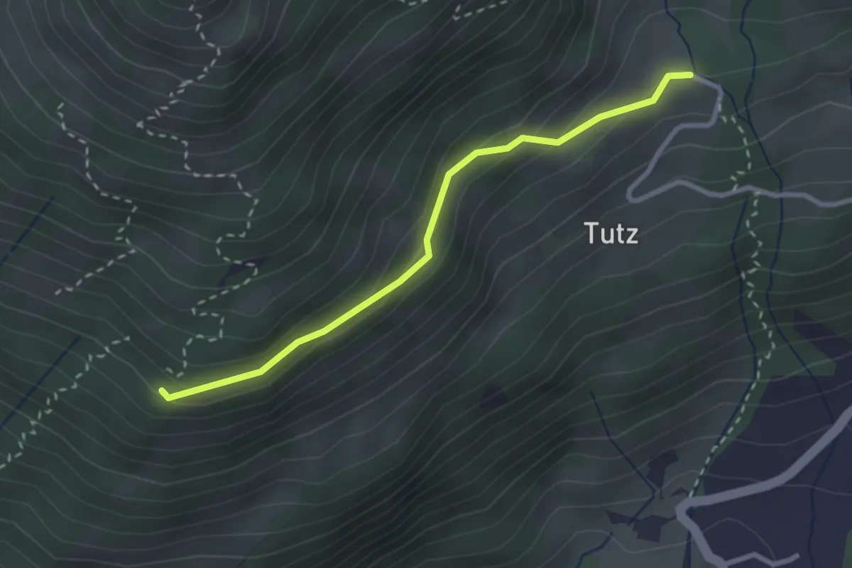
Easy · Trail
Roma – Mittenwald
2.3 km · ↑ 146 m · 51 min
Easy · Trail
Kapuzberg – Unteralpli
2.6 km · ↑ 113 m · 52 min
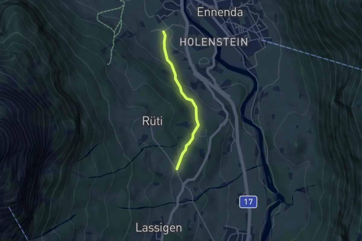
Easy · Trail
Schönau – Leimen
3.1 km · ↑ 137 m · 1 h 2 min
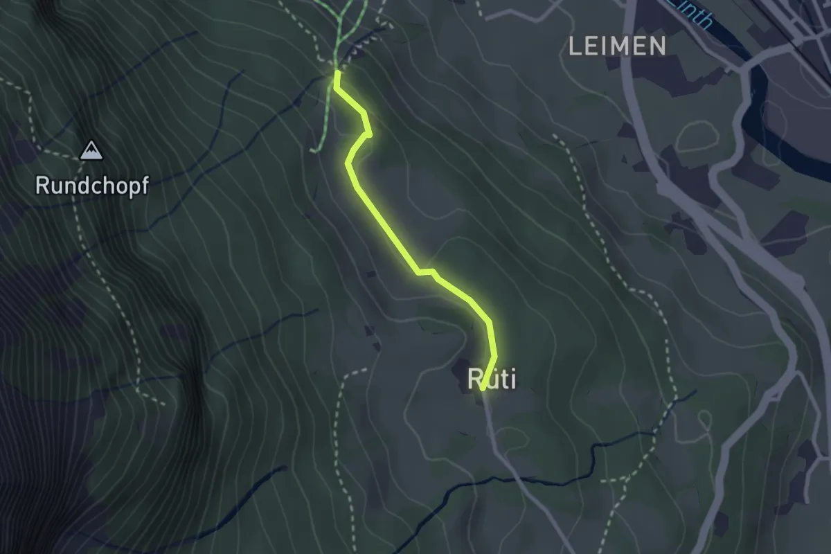
Easy · Trail
Hofrunse – Rüti
2.0 km · ↑ 52 m · 35 min
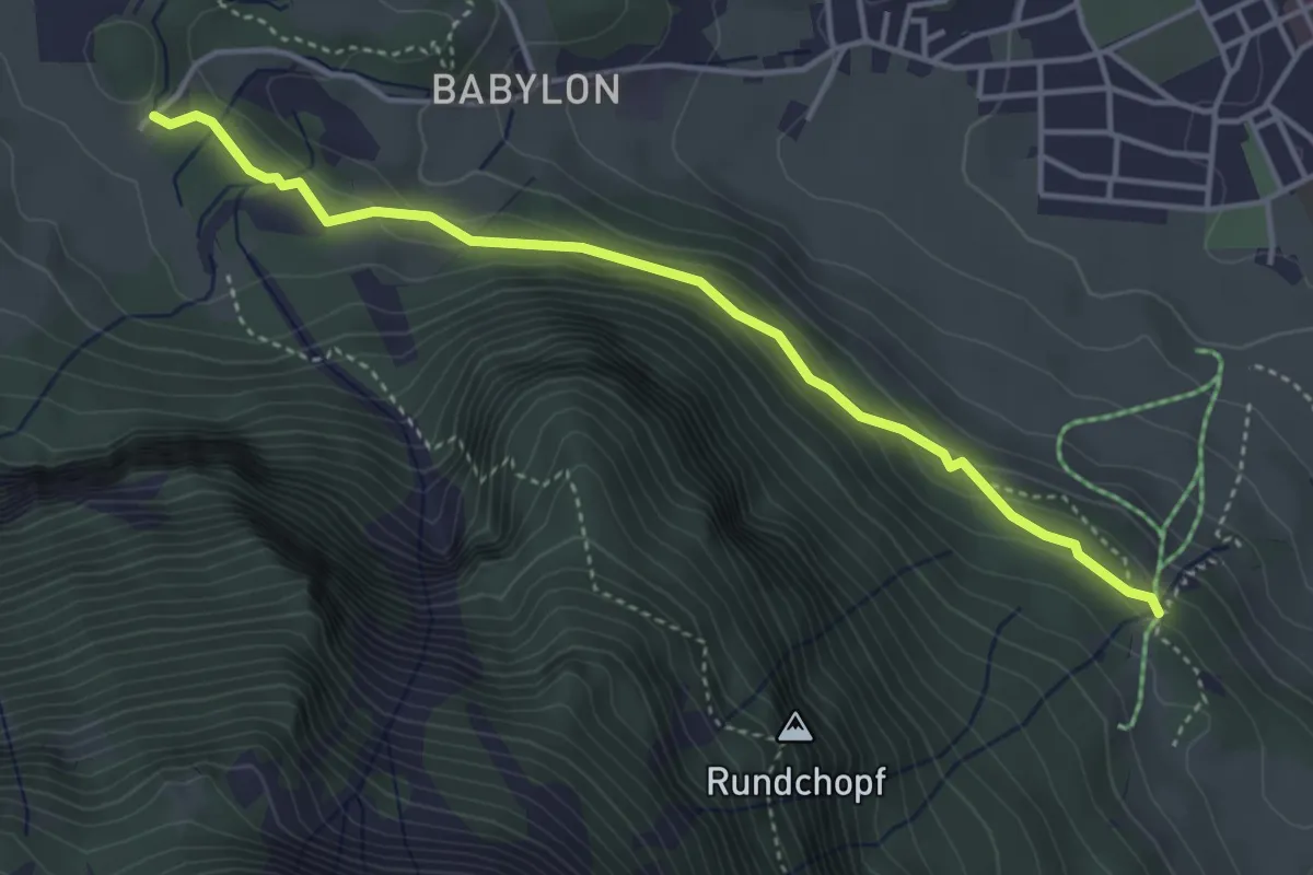
Easy · Trail
Unter Sack – Hofrunse
4.1 km · ↑ 167 m · 1 h 19 min
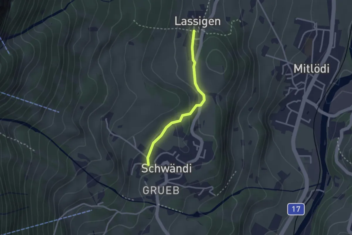
Easy · Trail
Schulhaus – Lassigen
2.2 km · ↑ 72 m · 41 min
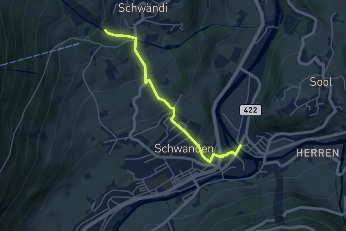
Easy · Trail
Kronenplatz – Guppenrus
3.7 km · ↑ 216 m · 1 h 21 min
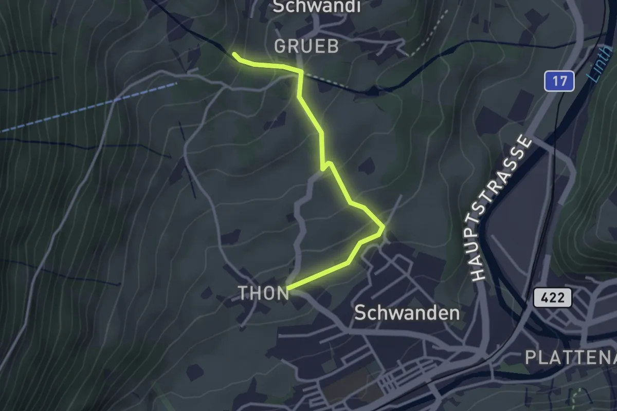
Easy · Trail
Thon – Guppenrus
2.8 km · ↑ 146 m · 58 min
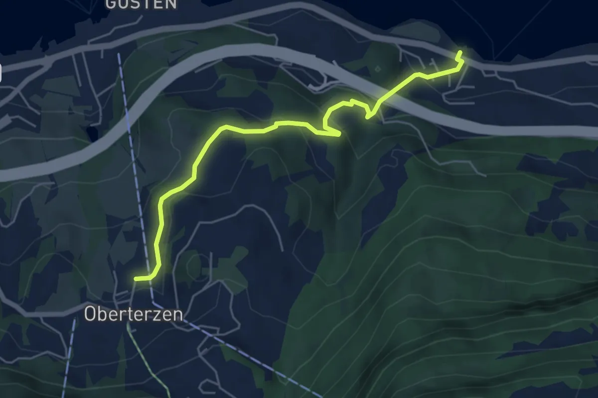
Easy · Trail
Boden – Mols
5.0 km · ↑ 263 m · 1 h 45 min
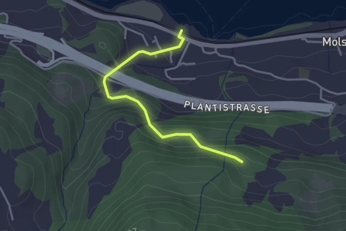
Easy · Trail
Nejenberg – Mols
2.8 km · ↑ 210 m · 1 h 7 min
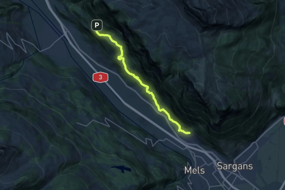
Medium · Trail
Forggels – Heiligkreuz N
14.0 km · ↑ 683 m · 4 h 47 min
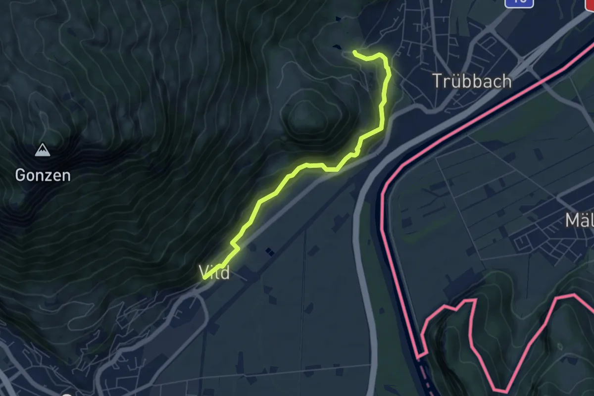
Medium · Trail
Chlefibünt – Vild
6.3 km · ↑ 374 m · 2 h 18 min
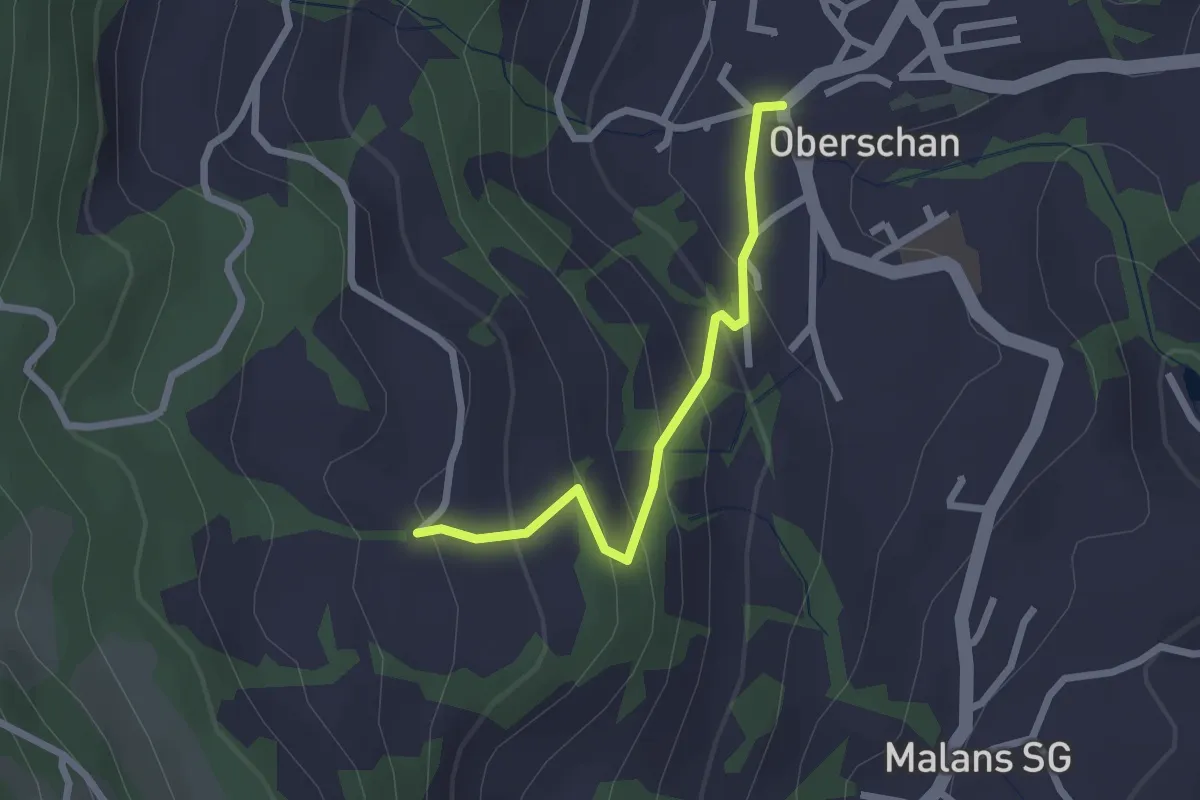
Easy · Trail
Aufstieg – Oberschan
2.1 km · ↑ 156 m · 50 min
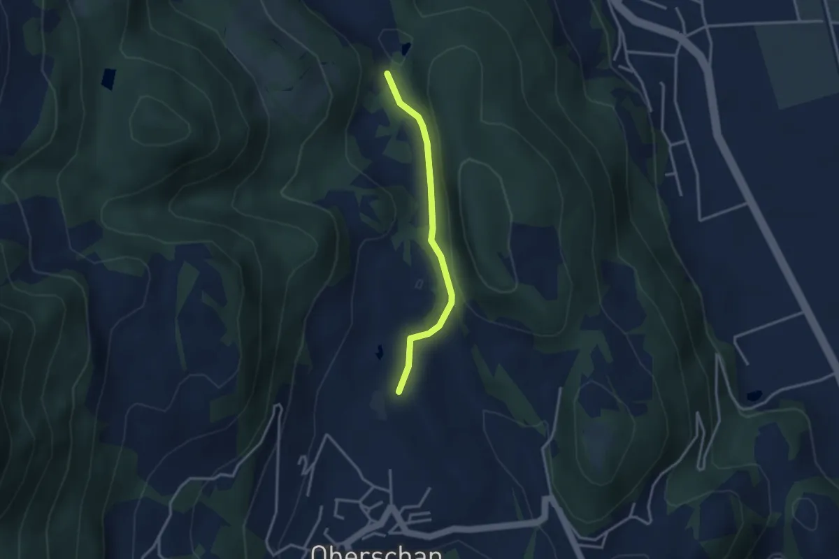
Easy · Trail
Schaner Riet – Valschnära
2.6 km · ↑ 82 m · 48 min
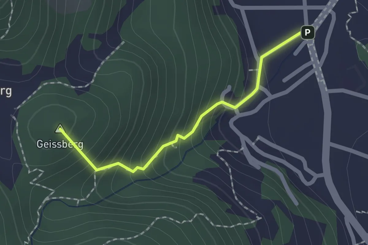
Medium · Summit
Valschnära – Sevelen Dorf
1.5 km · ↑ 178 m · 44 min
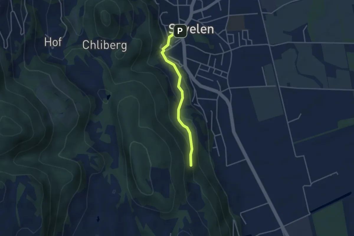
Easy · Trail
Sevelen Dorf – Selva
2.9 km · ↑ 140 m · 59 min
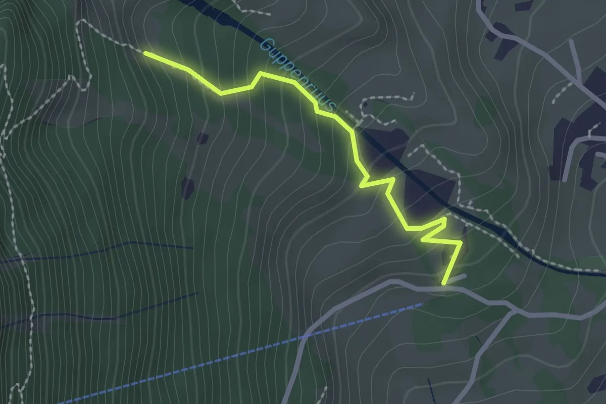
Medium · Trail
Enneteggen – Guppen Unterstafel
2.1 km · ↑ 185 m · 53 min
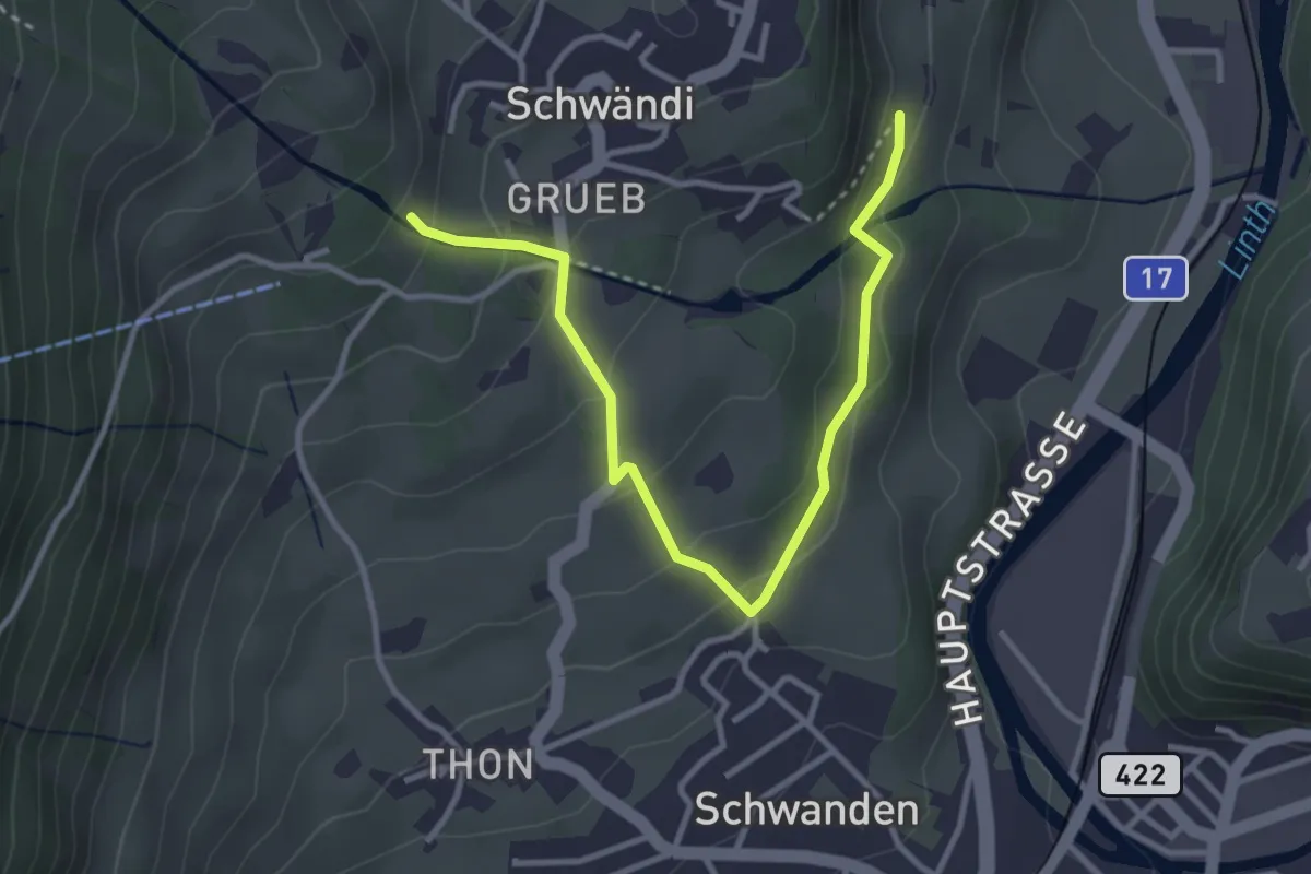
Easy · Trail
Guppenrus – Schlatt
3.7 km · ↑ 198 m · 1 h 18 min
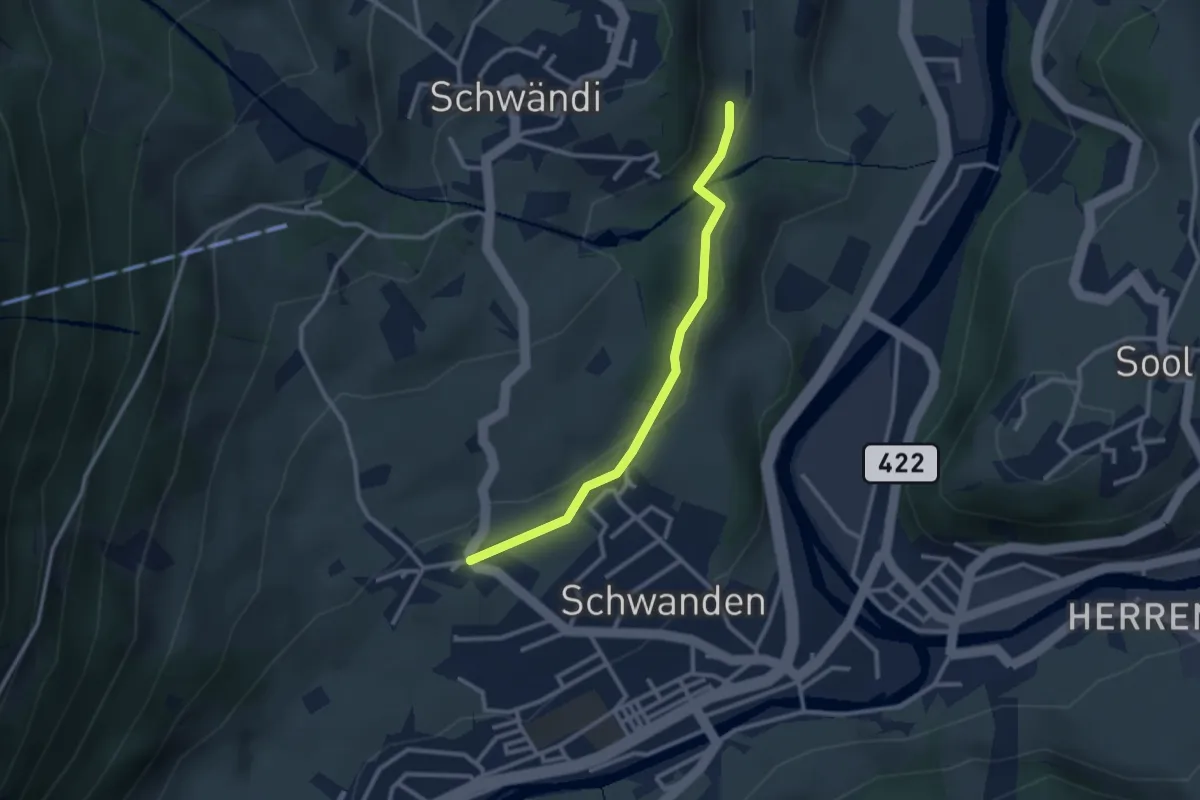
Easy · Trail
Thon – Schlatt
2.6 km · ↑ 70 m · 46 min
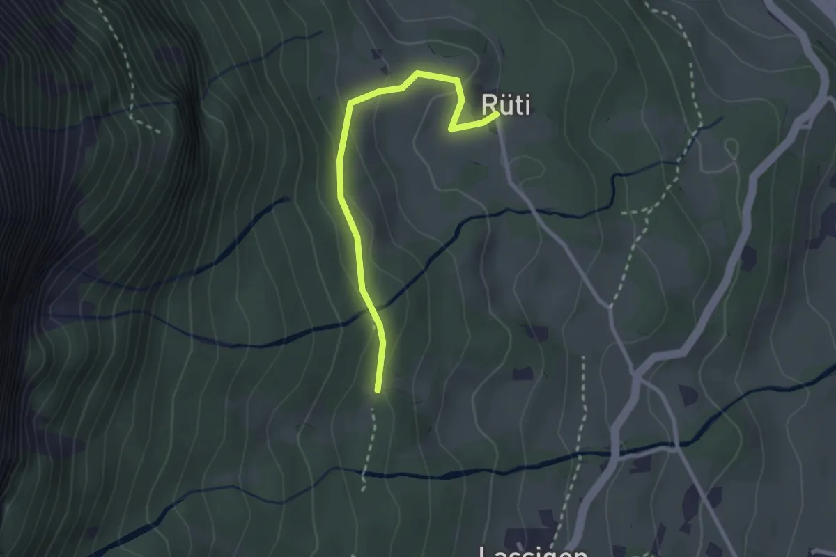
Easy · Trail
Rüti – Melchplatz
2.4 km · ↑ 106 m · 48 min
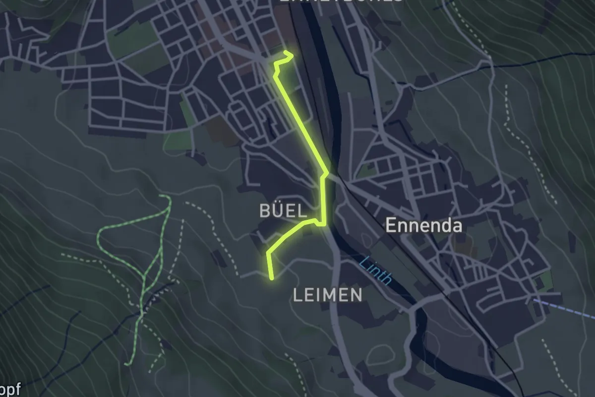
Easy · Trail
Glarus – Leimen
2.2 km · ↑ 34 m · 36 min
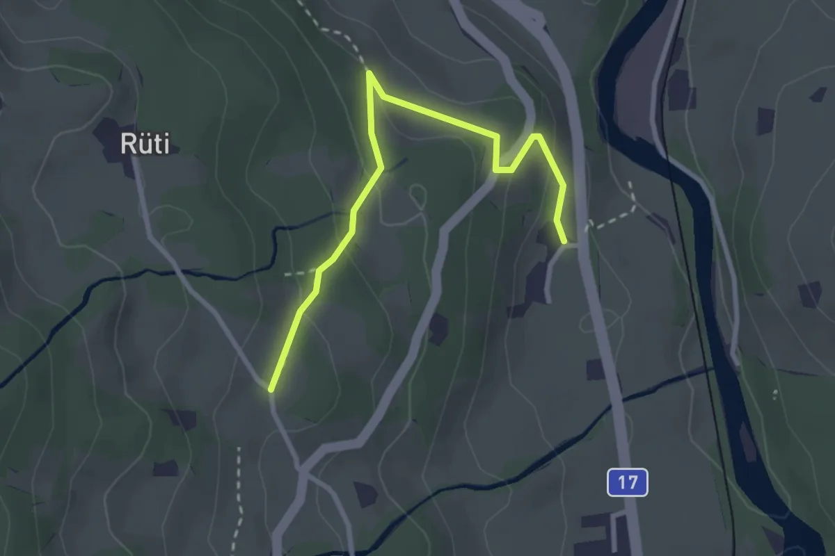
Easy · Trail
Schönau – Horgenberg
2.8 km · ↑ 117 m · 54 min
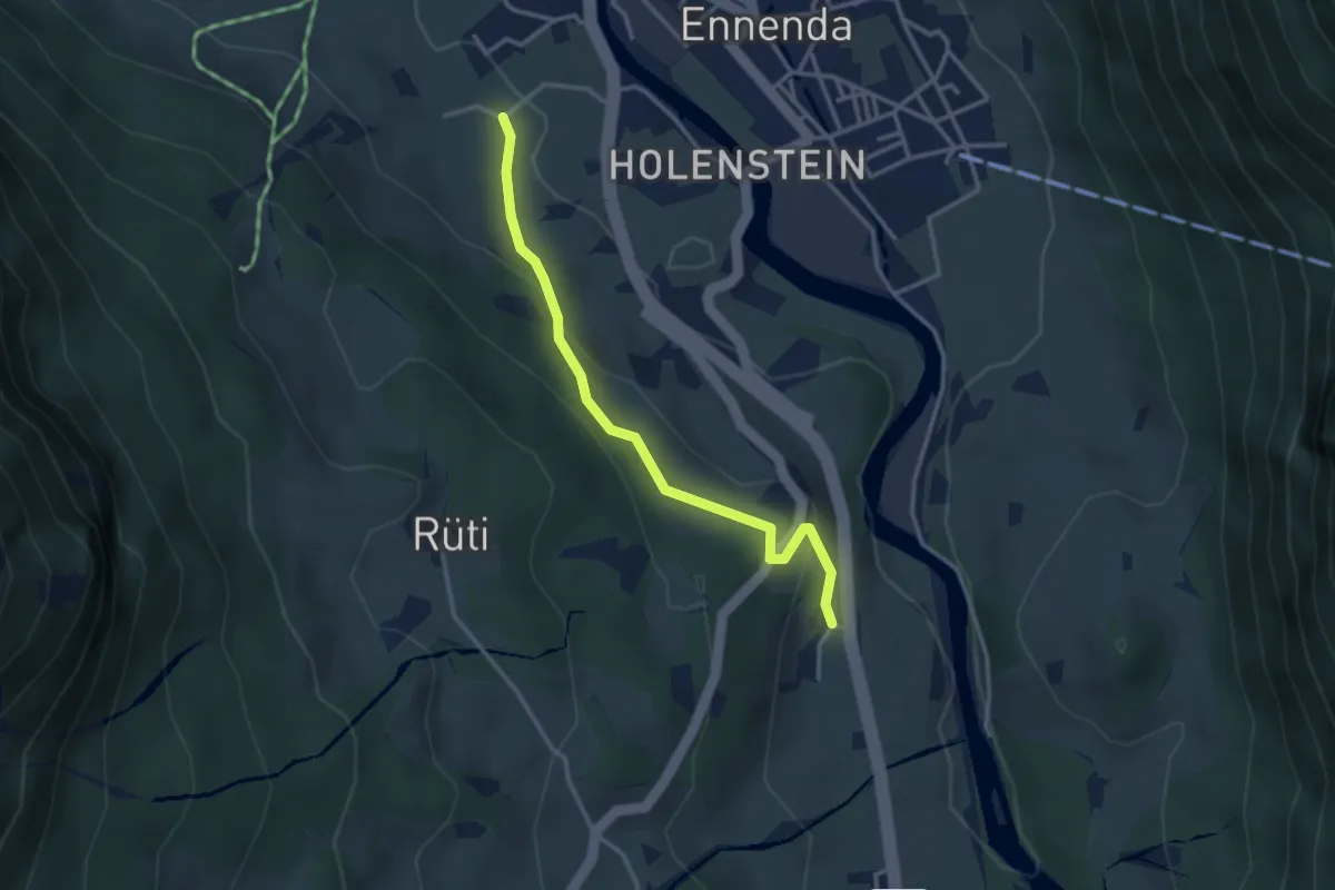
Easy · Trail
Horgenberg – Leimen
3.1 km · ↑ 125 m · 1 h 1 min
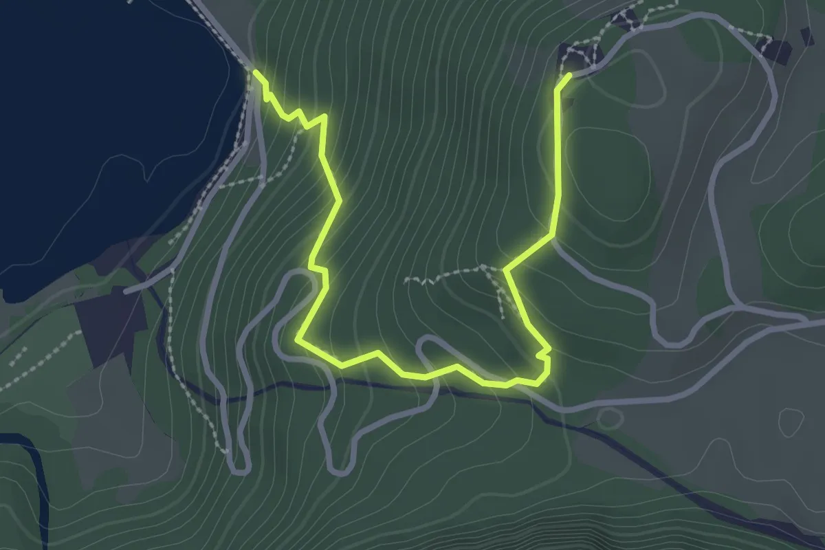
Easy · Trail
Weiden – Schwammhöchi
3.1 km · ↑ 253 m · 1 h 16 min
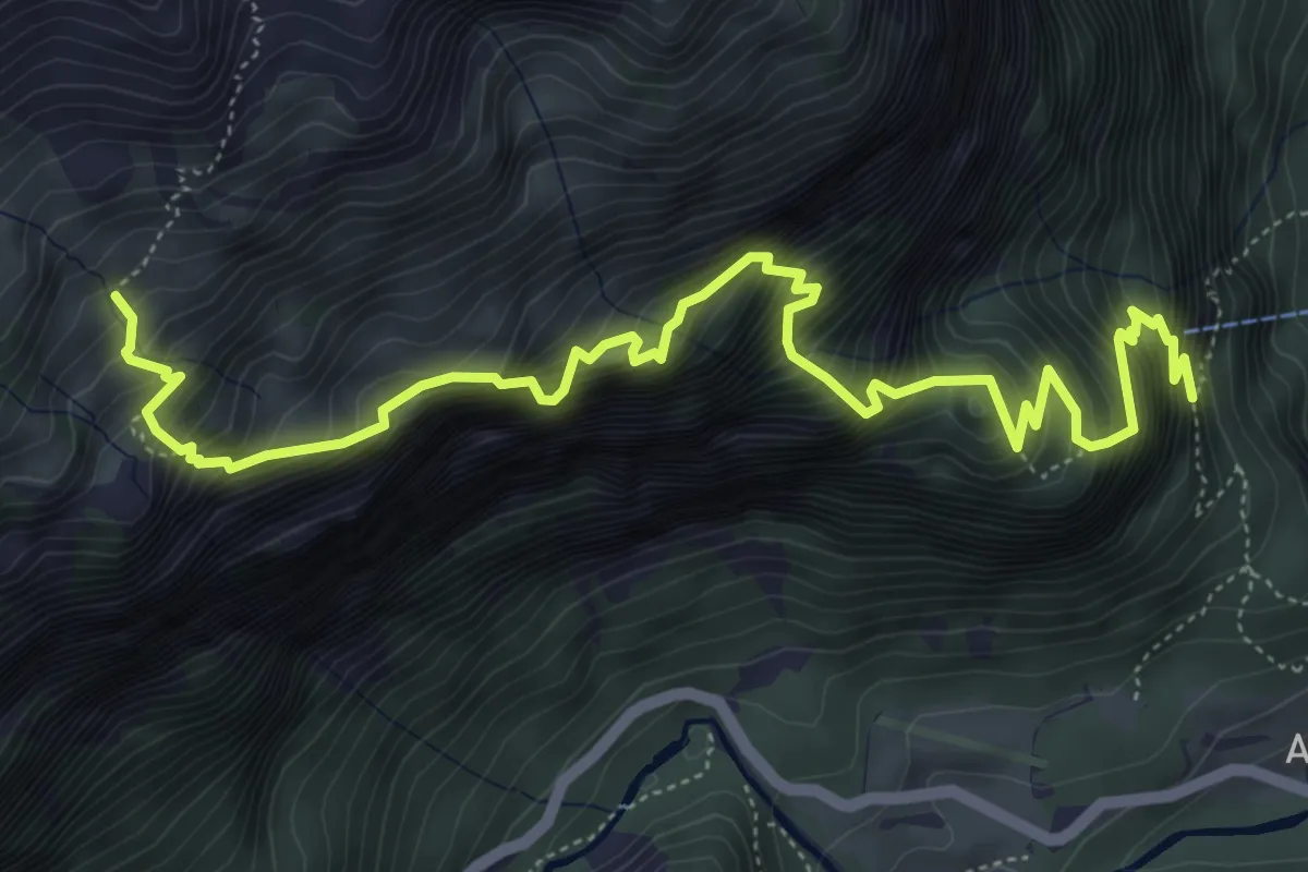
Demanding · Trail
Aueren Mittler Stafel – Punkt 741
7.0 km · ↑ 1705 m · 5 h 20 min
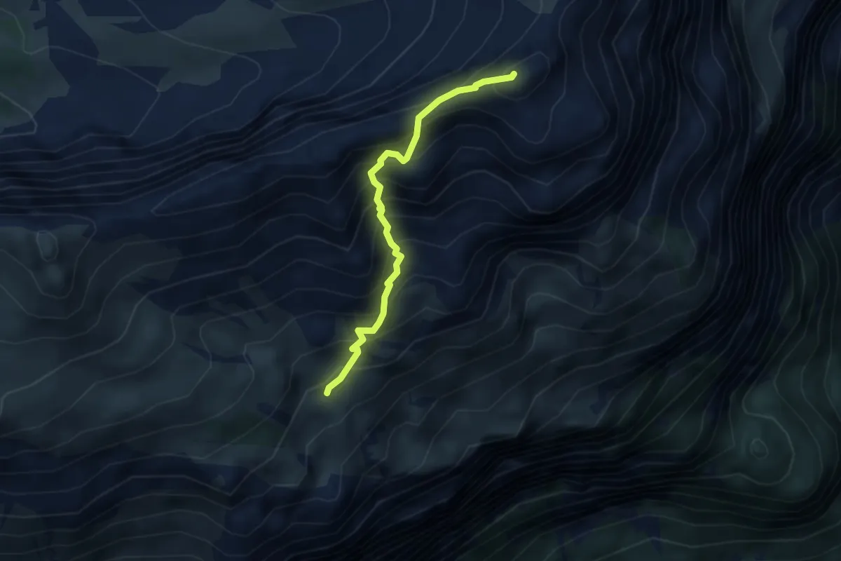
Expert · Summit
Aueren Mittler Stafel – Wiggis
3.2 km · ↑ 457 m · 1 h 45 min
Medium · Trail
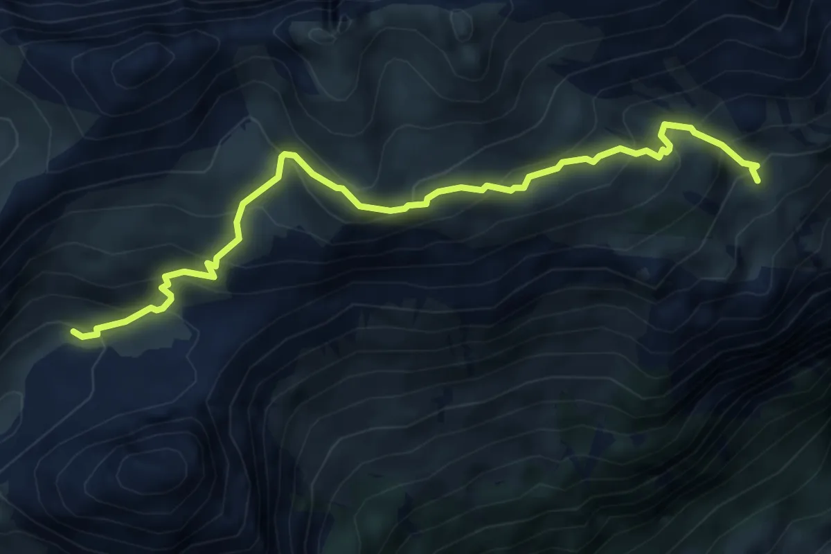
Aueren Mittler Stafel – Dejen
6.0 km · ↑ 616 m · 2 h 45 min
Expert · Summit
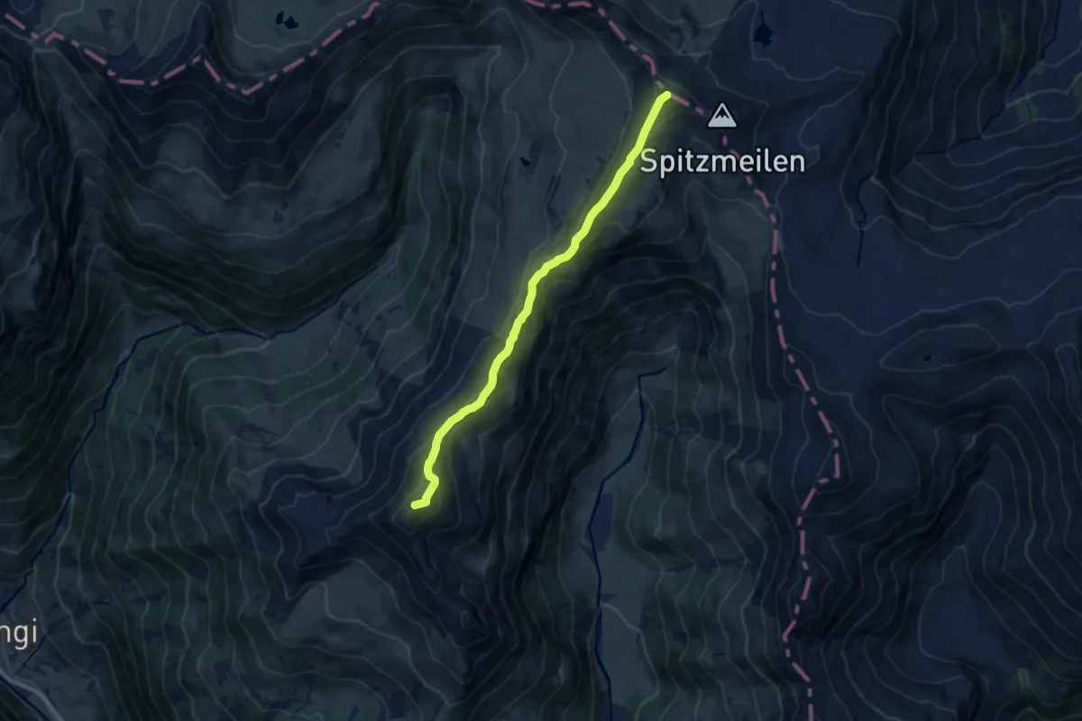
Gulderstock – Wissmeilen
9.1 km · ↑ 480 m · 3 h 12 min
Demanding · Cabin
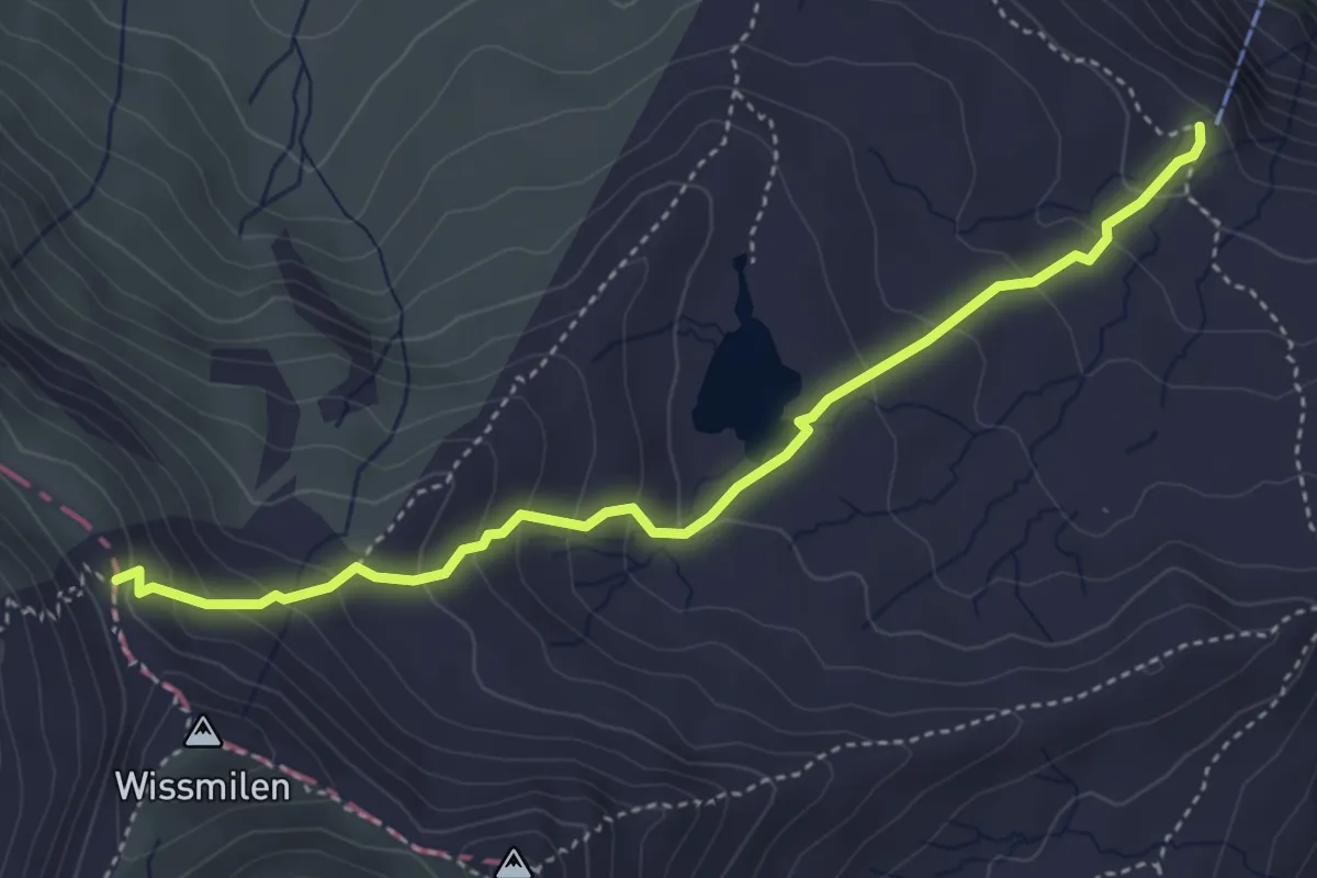
Spitzmeilen-Hütte – Wissmilenpass
4.2 km · ↑ 328 m · 1 h 42 min
Medium · Summit
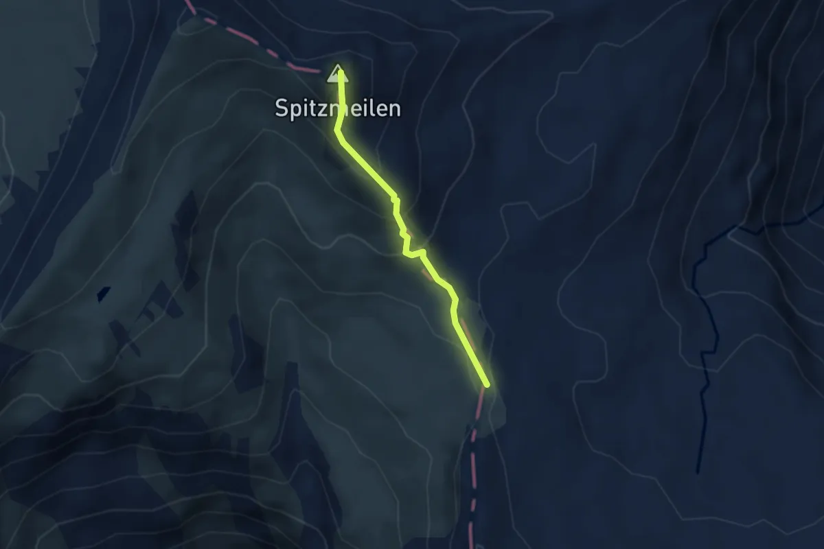
Schönbüelfurggel – Spitzmeilen
2.6 km · ↑ 228 m · 1 h 6 min