Trails in Switzerland
15,055 hiking trails, each with its route, climb, walking time and grade.
All trails, page 299 of 314
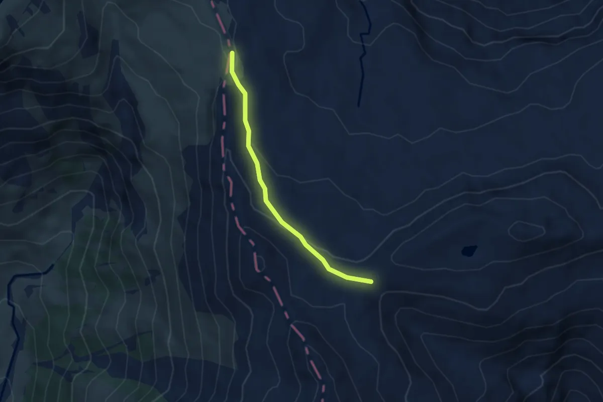
Medium · Trail
Schönbüelfurggel – Fansfurggla
3.3 km · ↑ 79 m · 57 min
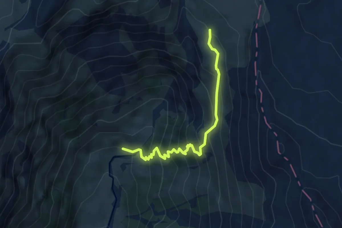
Medium · Trail
Stutzhütte – Stäfeli
4.5 km · ↑ 470 m · 2 h 5 min
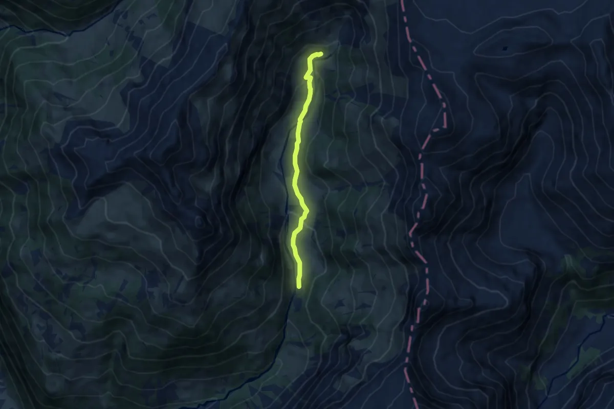
Easy · Trail
Vorder Winggelhütten – Stutzhütte
7.0 km · ↑ 247 m · 2 h 11 min
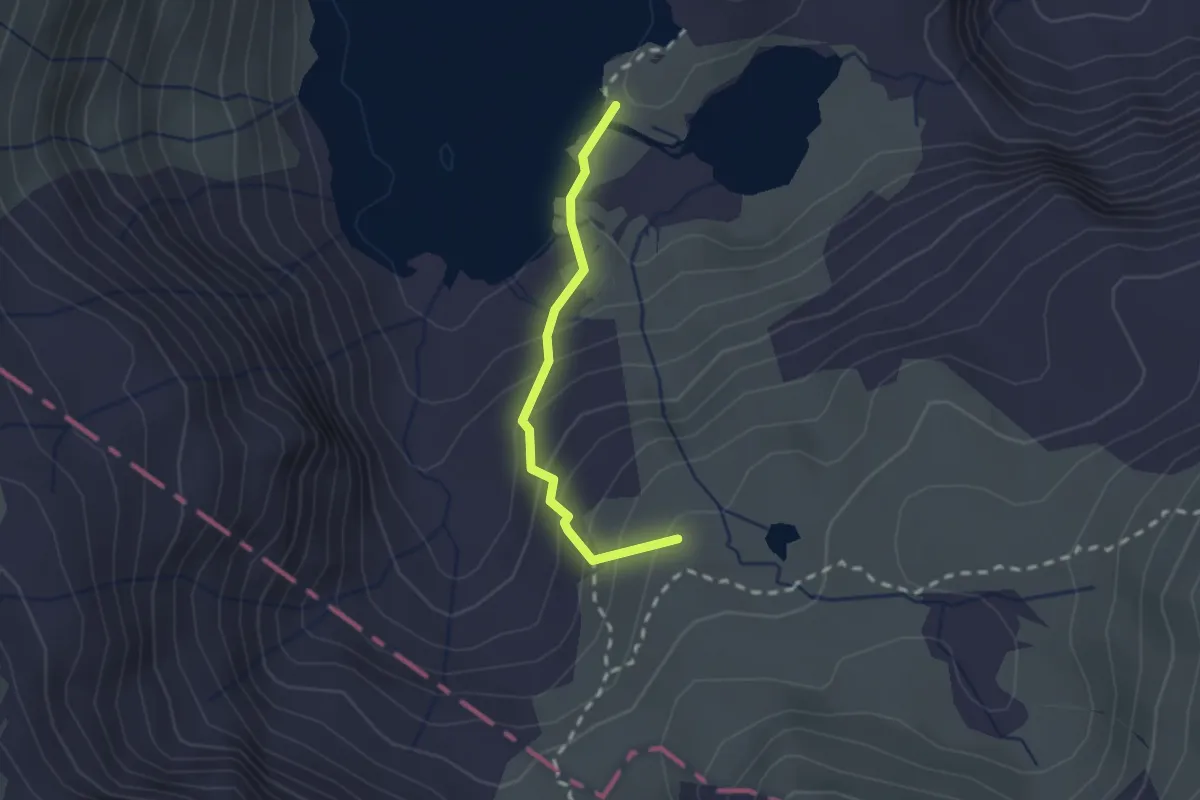
Easy · Summit
Murgsee – Widersteiner Furggel
1.8 km · ↑ 163 m · 46 min
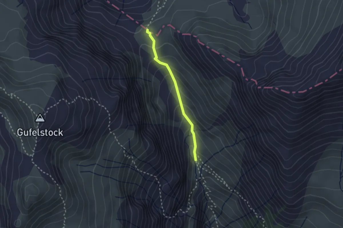
Medium · Trail
Widersteiner Hüttli – Widersteiner Furggel
2.0 km · ↑ 160 m · 49 min
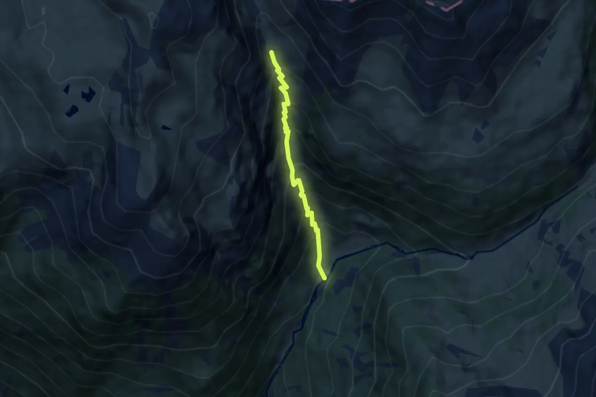
Medium · Trail
Üblital – Widersteiner Hüttli
5.1 km · ↑ 636 m · 2 h 35 min
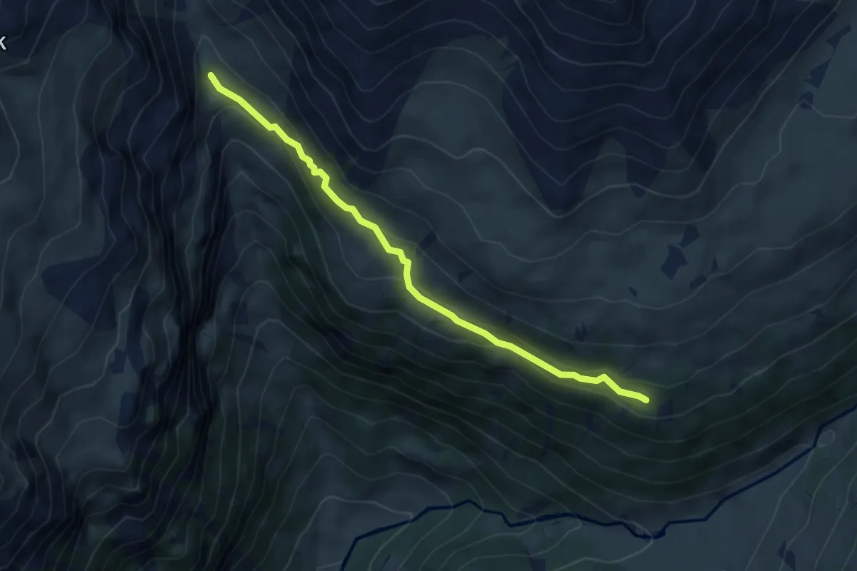
Medium · Cabin
Skihütte – Widersteiner Hüttli
4.6 km · ↑ 229 m · 1 h 35 min
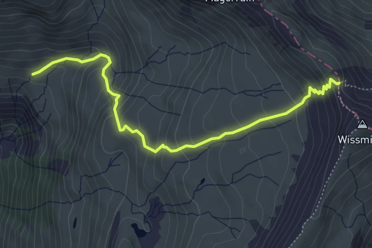
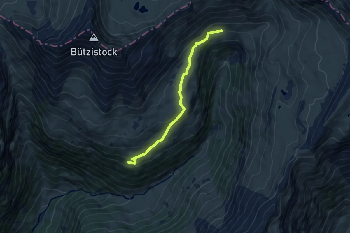
Medium · Cabin
Mülibach Oberstafel – Wissmilenpass
5.2 km · ↑ 435 m · 2 h 11 min
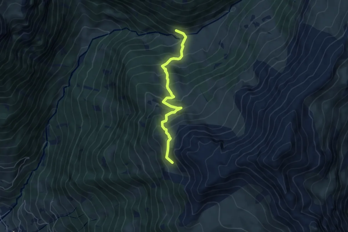
Easy · Cabin
Skihütte – Mülibach Oberstafel
5.7 km · ↑ 247 m · 1 h 52 min
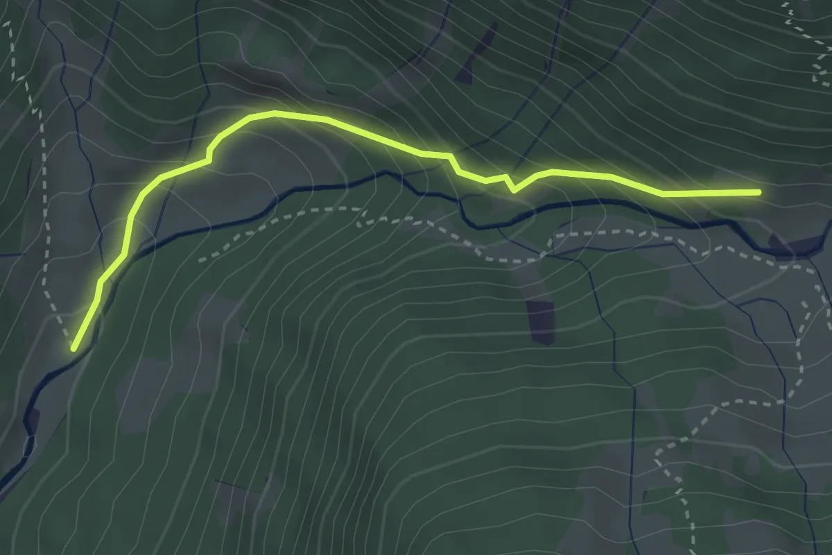
Medium · Trail
Gams – Heueggli
5.2 km · ↑ 460 m · 2 h 14 min
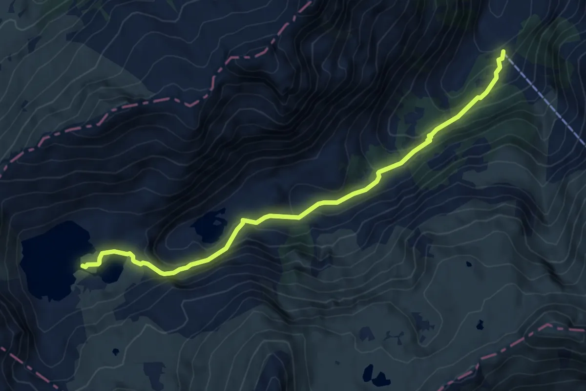
Easy · Trail
Üblital – Gams
3.0 km · ↑ 313 m · 1 h 23 min
Medium · Cabin
Mornen – Murgsee
8.0 km · ↑ 559 m · 3 h 6 min
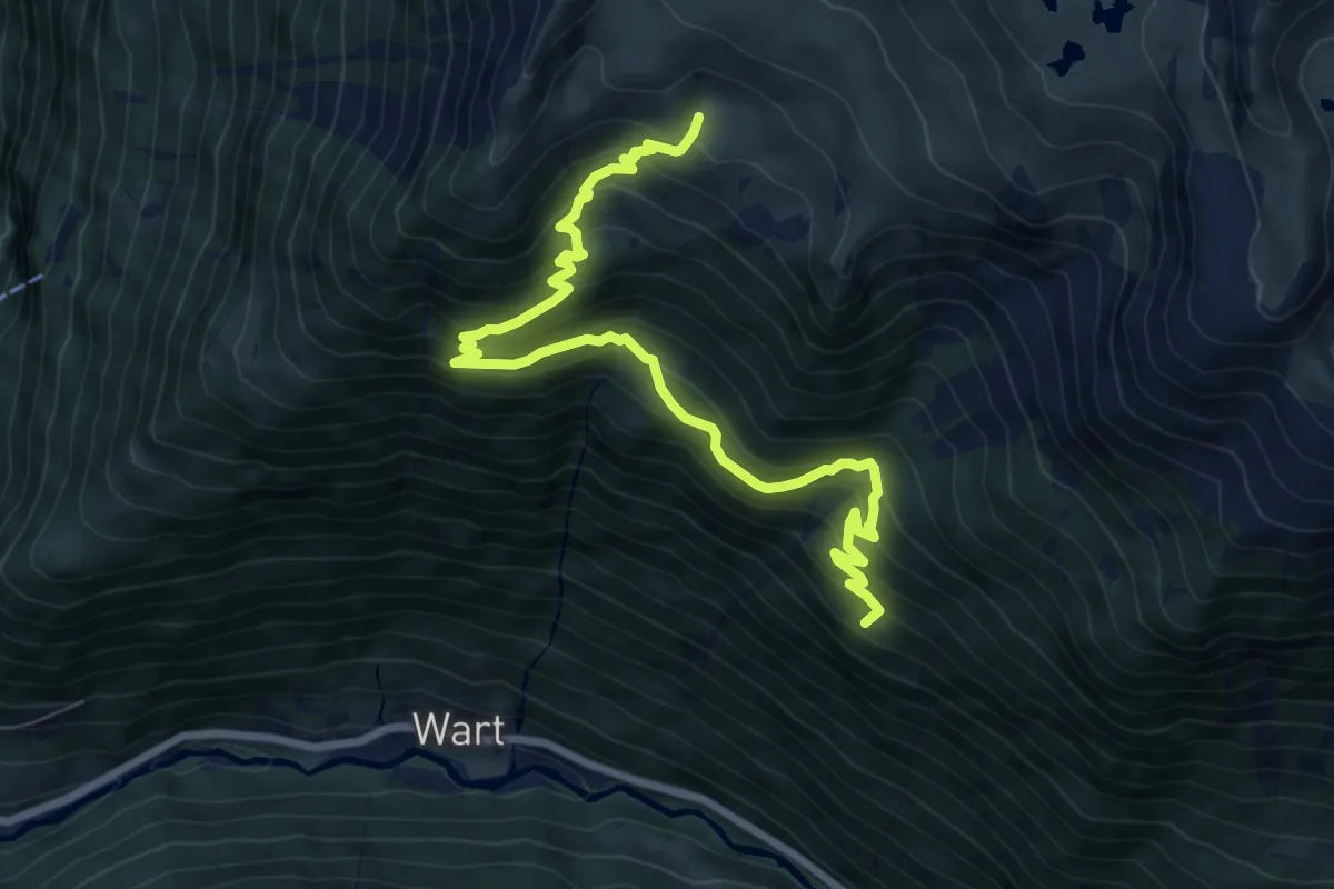
Medium · Cabin
Chli Gheist – Ober Fessis
8.5 km · ↑ 778 m · 3 h 42 min
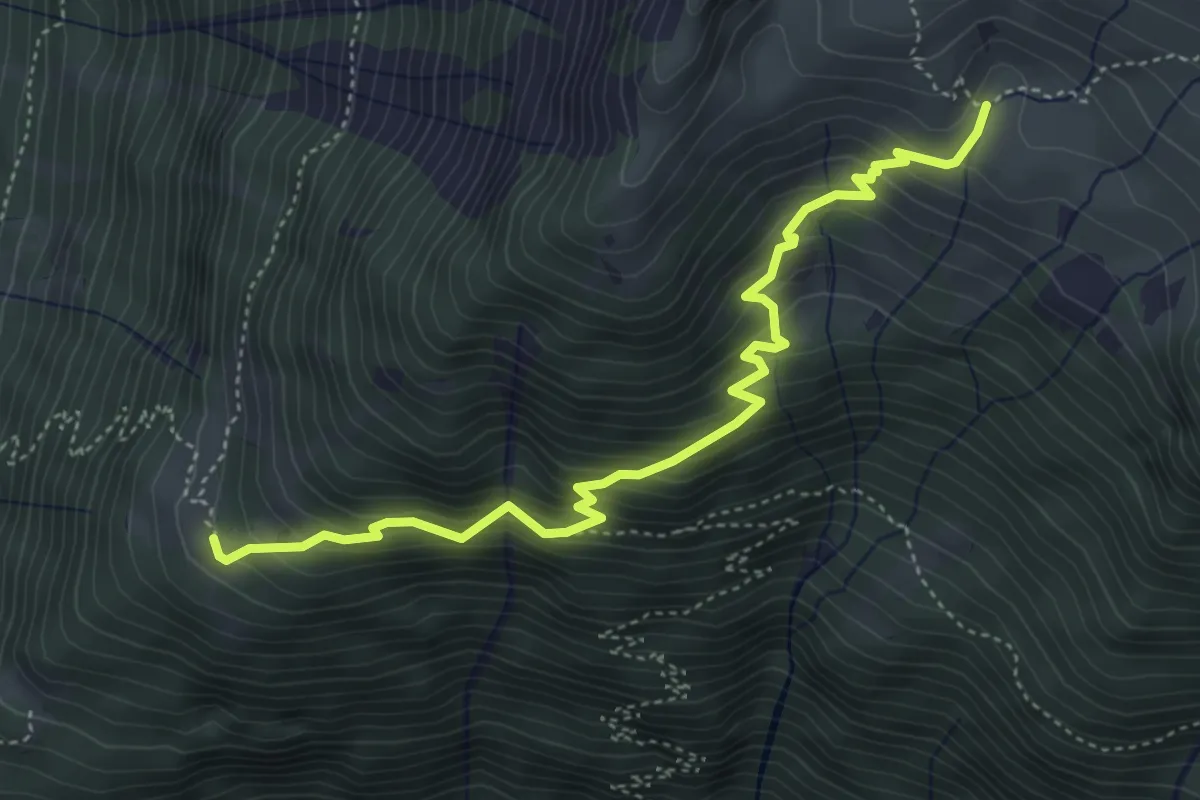
Medium · Cabin
Achseli – Ober Fessis
4.8 km · ↑ 538 m · 2 h 18 min
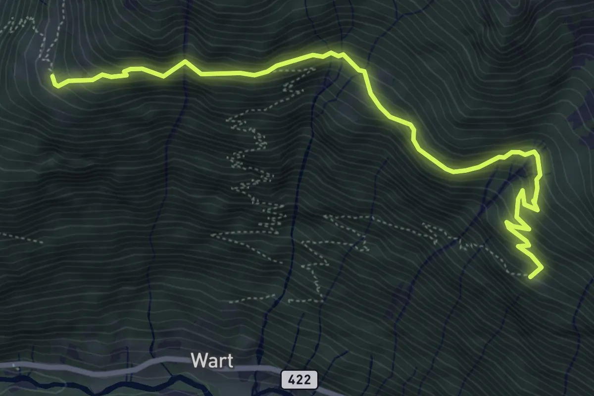
Medium · Trail
Chli Gheist – Achseli
6.6 km · ↑ 600 m · 2 h 52 min
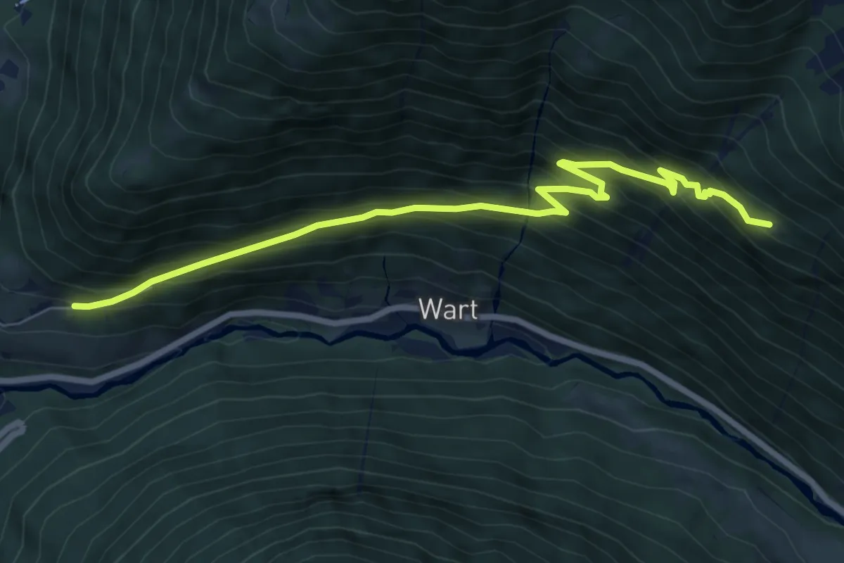
Medium · Trail
Eggli – Chli Gheist
7.6 km · ↑ 658 m · 3 h 14 min
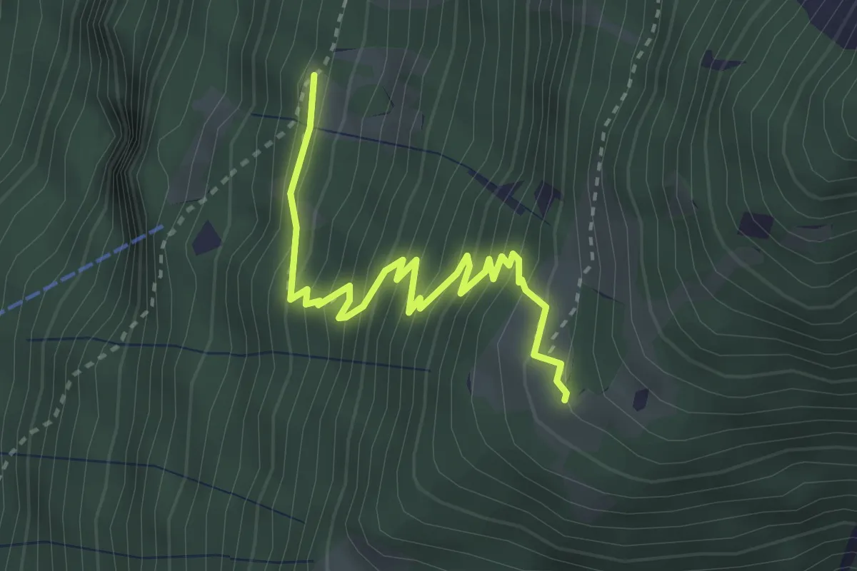
Medium · Trail
Holzbort – Achseli
3.2 km · ↑ 385 m · 1 h 36 min
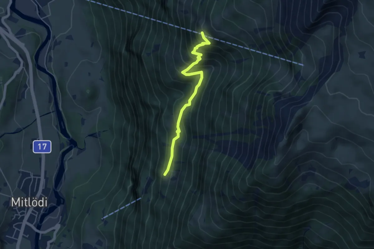
Medium · Trail
Bärenboden – Holzbort
4.4 km · ↑ 426 m · 1 h 58 min
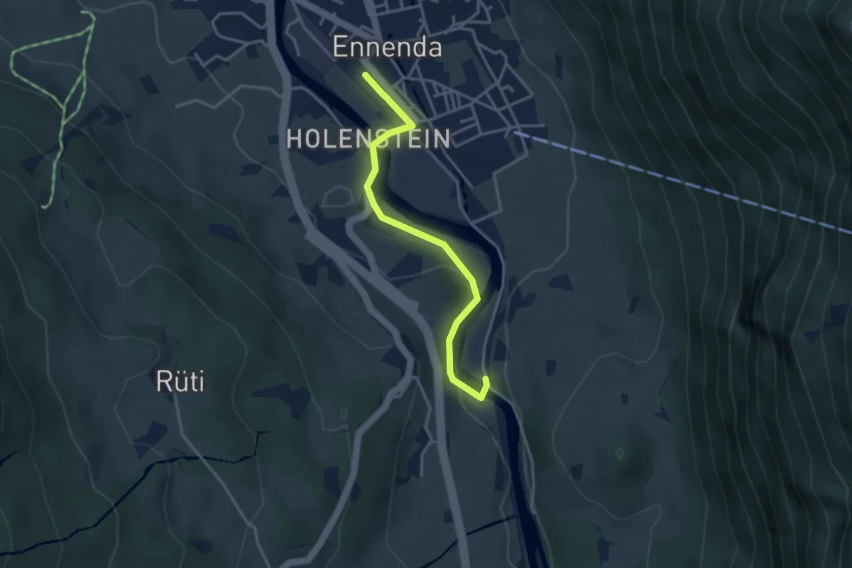
Easy · Trail
Ennenda Bahnhof – Mühlefuhr
3.1 km · ↑ 58 m · 51 min
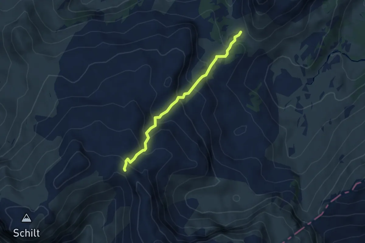
Medium · Trail
Mürtschenfurggel – Rotärd
3.9 km · ↑ 370 m · 1 h 43 min
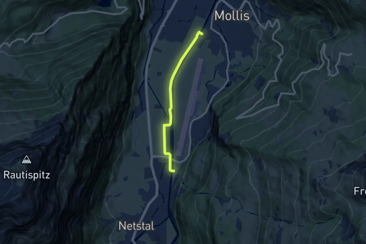
Easy · Trail
Spinnereisteg – Stauwehr
5.5 km · ↑ 21 m · 1 h 21 min
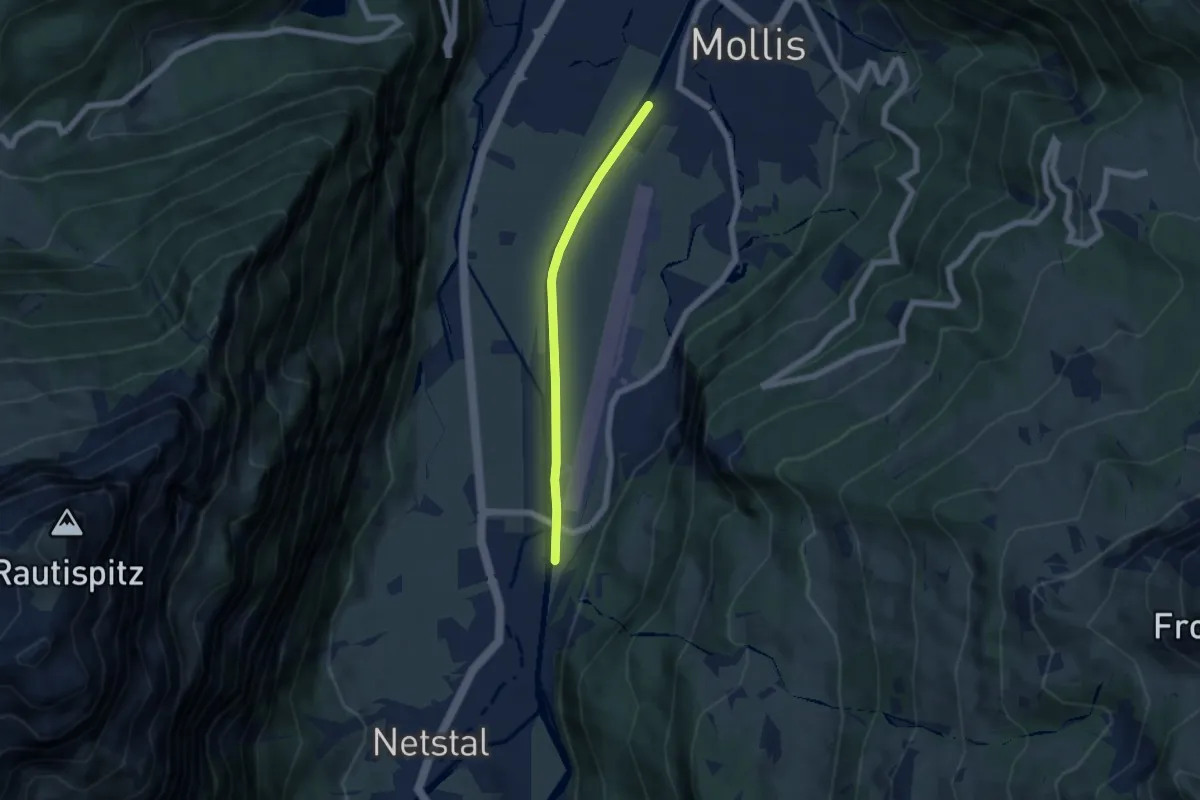
Easy · Trail
Spinnereisteg – Stauwehr
4.9 km · ↑ 12 m · 1 h 12 min
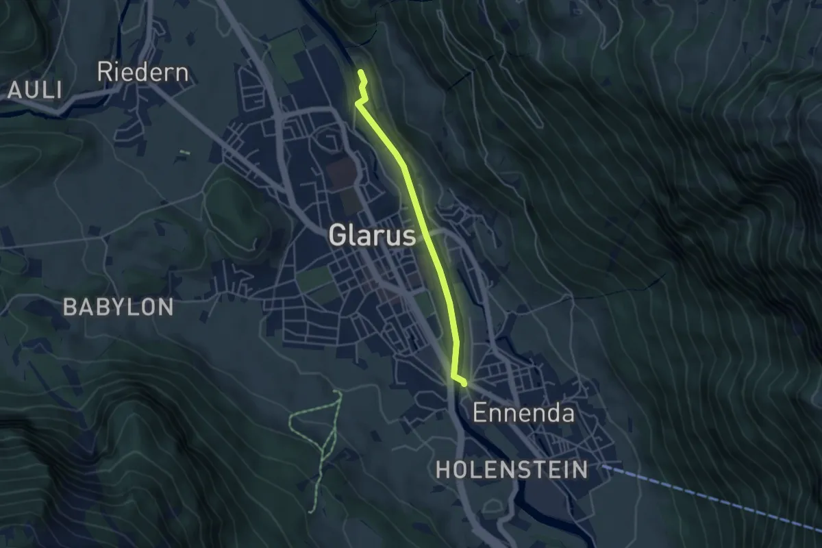
Easy · Trail
Alpenbrüggli – Linthbrücke
3.6 km · ↑ 21 m · 54 min
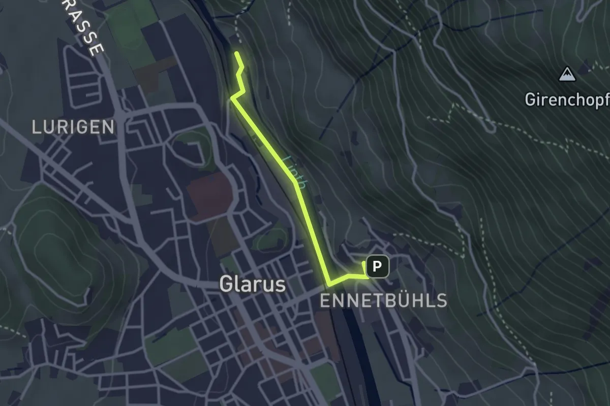
Easy · Trail
Alpenbrüggli – Ennetbühls
2.5 km · ↑ 48 m · 42 min
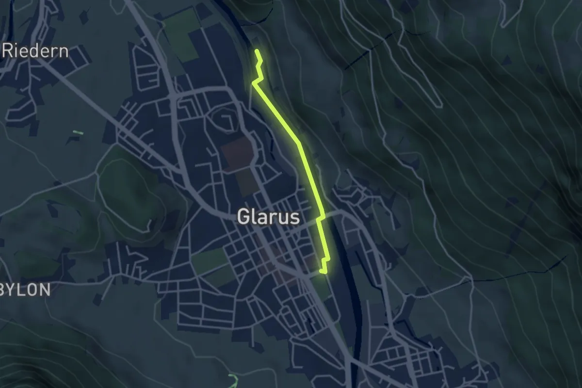
Easy · Trail
Alpenbrüggli – Glarus
2.7 km · ↑ 15 m · 40 min
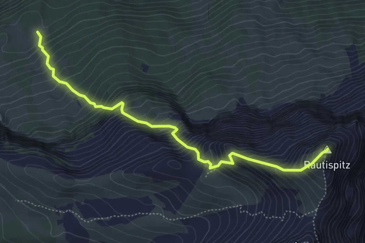
Demanding · Summit
Grapplialp – Rautispitz
5.5 km · ↑ 905 m · 3 h 16 min
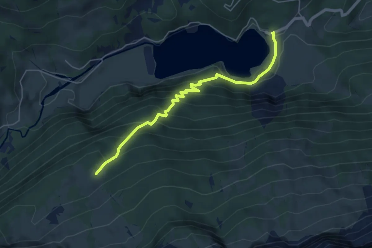
Medium · Trail
Obersee – Grapplialp
4.7 km · ↑ 393 m · 1 h 58 min
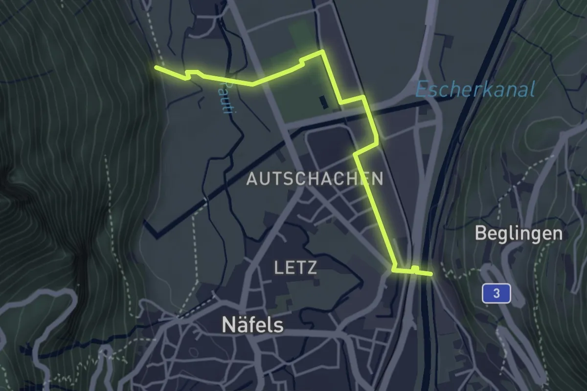
Easy · Trail
Linthbrücke – Sand
3.9 km · ↑ 25 m · 59 min
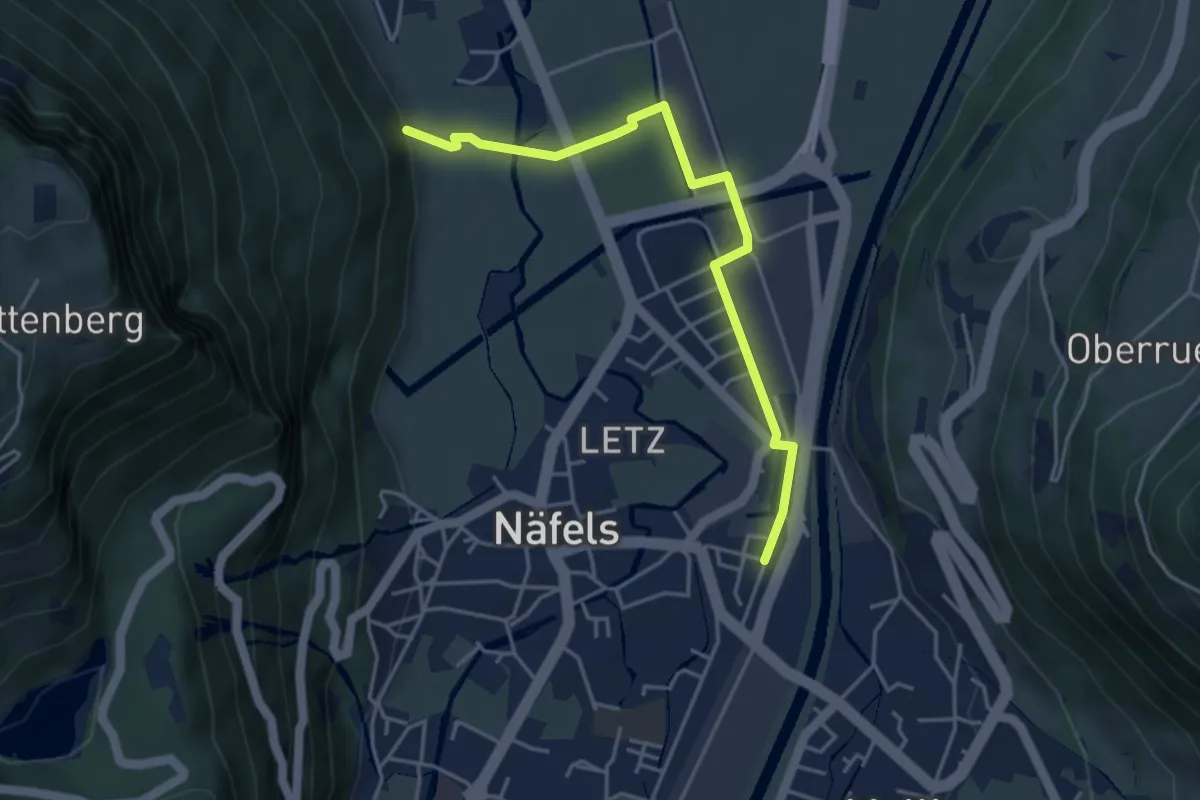
Easy · Trail
Näfels Bahnhof – Sand
4.2 km · ↑ 24 m · 1 h 3 min
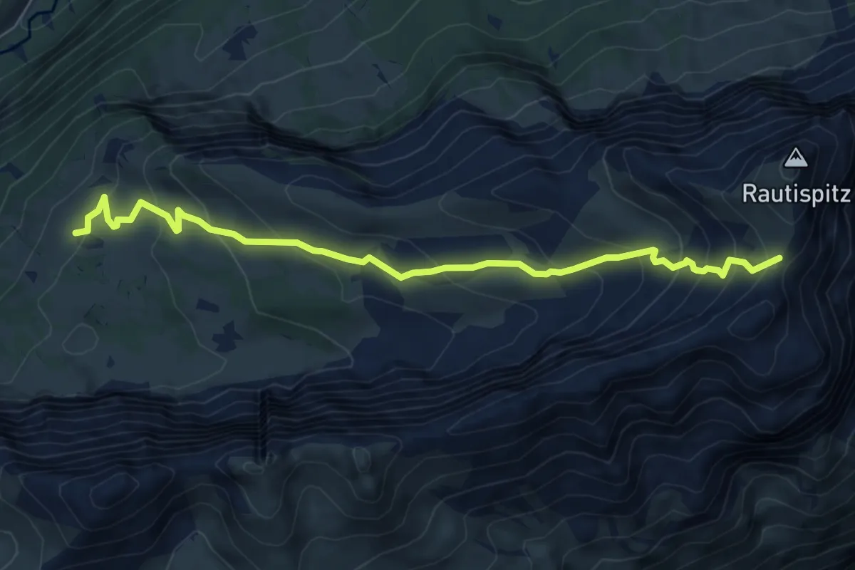
Medium · Cabin
Rautialp – Rautifurggel
7.0 km · ↑ 512 m · 2 h 46 min
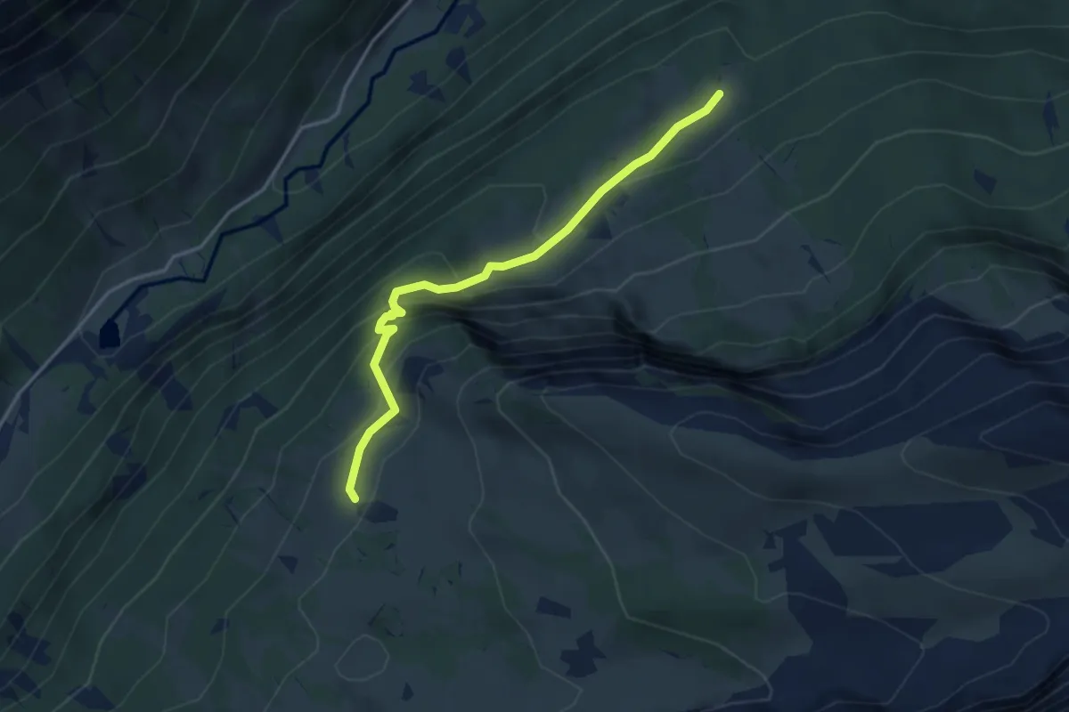
Medium · Cabin
Grapplialp – Rautialp
3.6 km · ↑ 330 m · 1 h 34 min
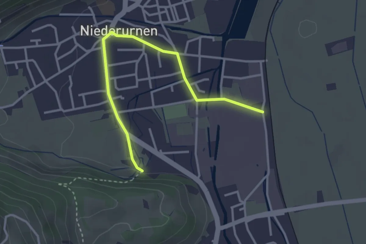
Easy · Trail
Niederurnen Bahnhof – Gerbi
3.1 km · ↑ 27 m · 47 min
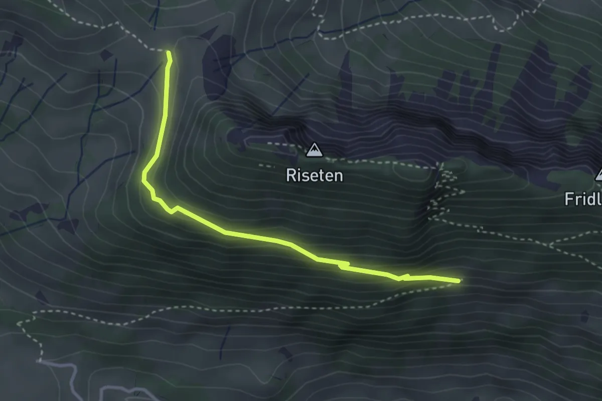
Medium · Trail
Sunnenplangge – Lochegg
3.2 km · ↑ 176 m · 1 h 8 min
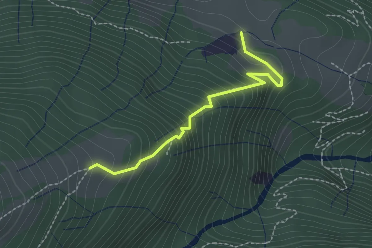
Medium · Trail
Hämmerliberg – Sonnenberg
2.0 km · ↑ 278 m · 1 h 4 min
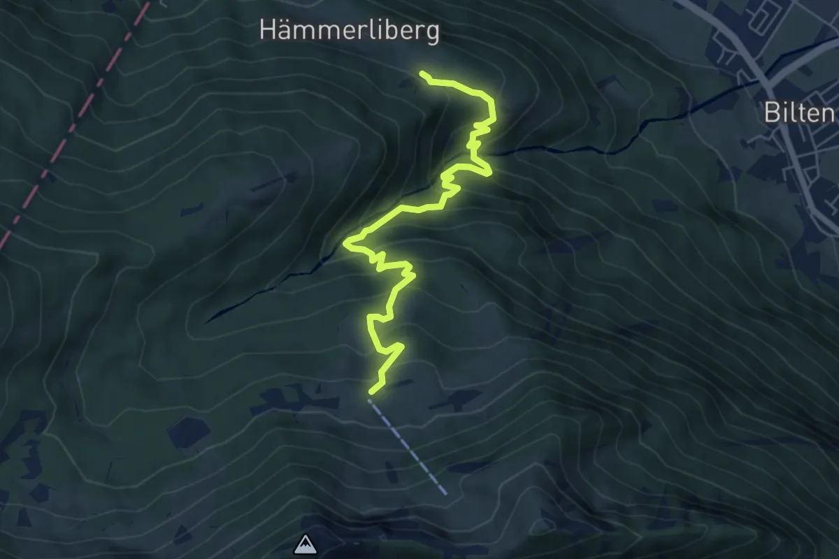
Medium · Trail
Hämmerliberg – Unternideren
6.3 km · ↑ 564 m · 2 h 42 min
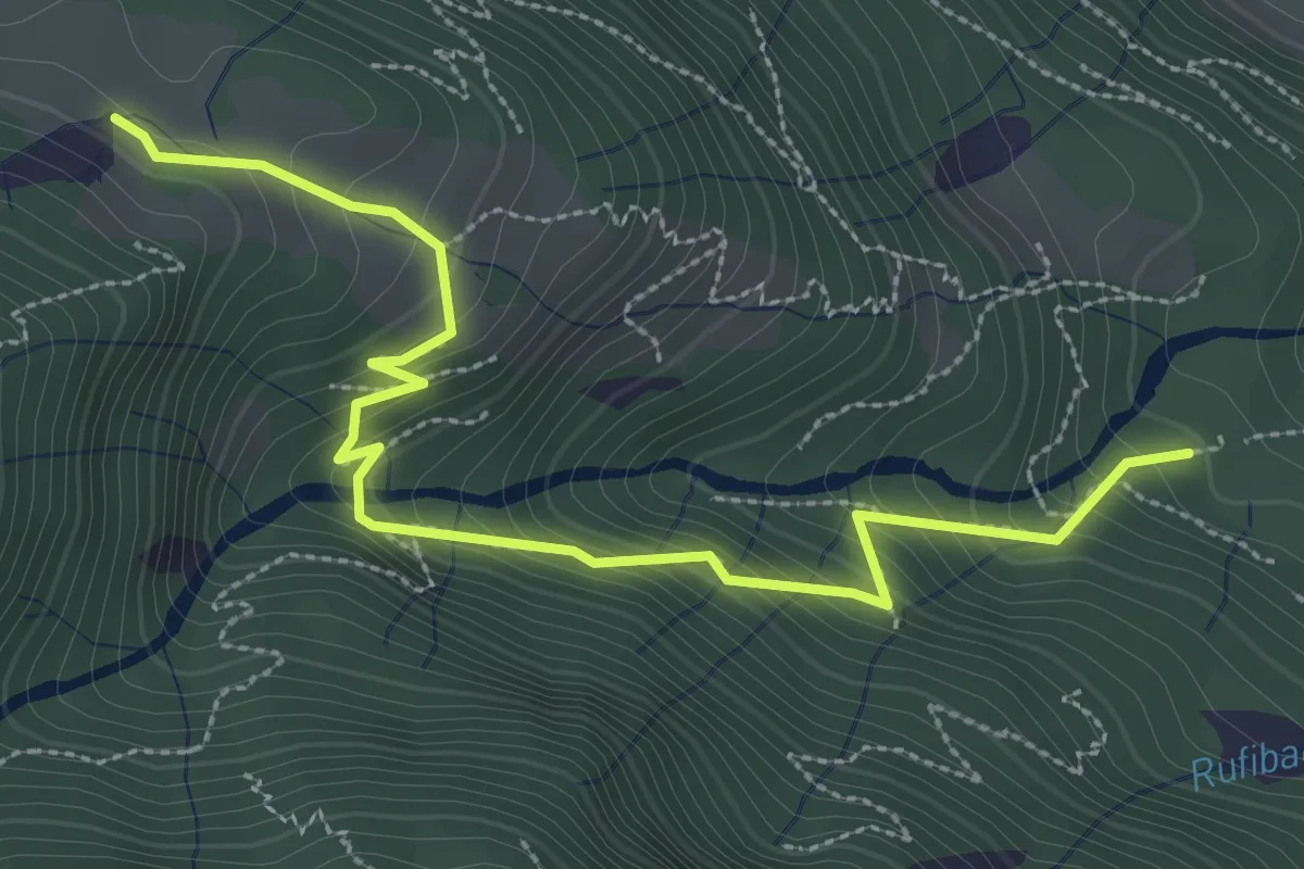
Medium · Trail
Elmenwald – Hämmerliberg
3.4 km · ↑ 312 m · 1 h 29 min
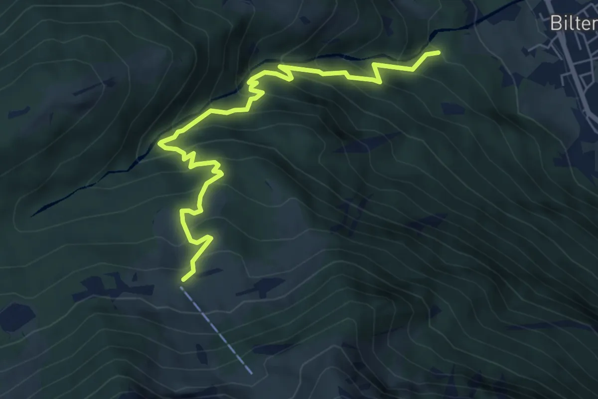
Medium · Trail
Elmenwald – Unternideren
6.5 km · ↑ 672 m · 3 h
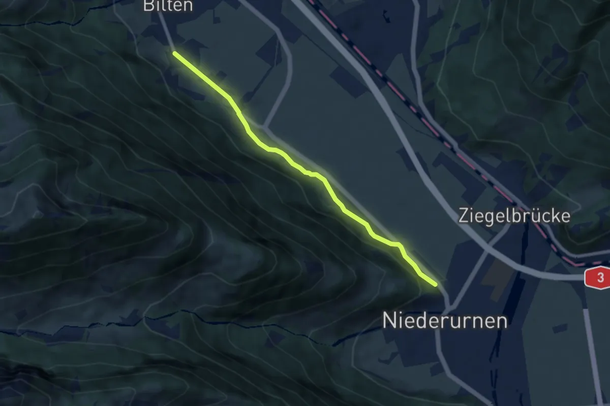
Easy · Trail
Ober Bilten – Alte Gasse
6.2 km · ↑ 101 m · 1 h 41 min
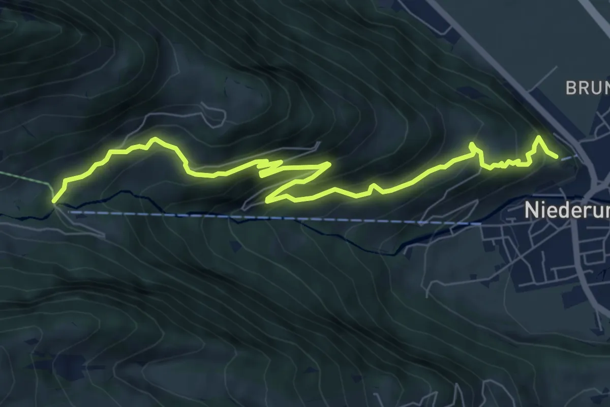
Medium · Trail
Schlössli – Morgenholz Ferienheim
8.2 km · ↑ 608 m · 3 h 15 min
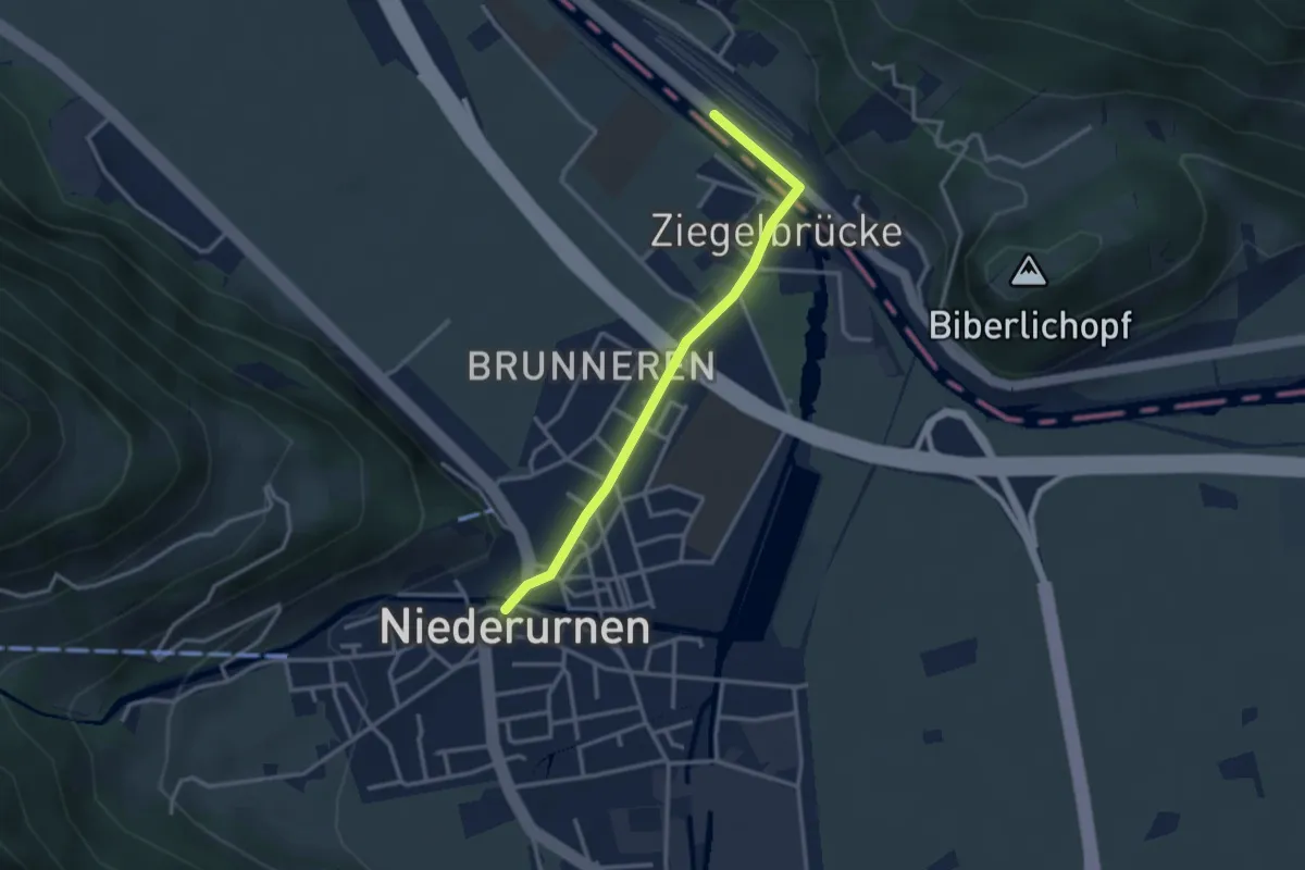
Easy · Trail
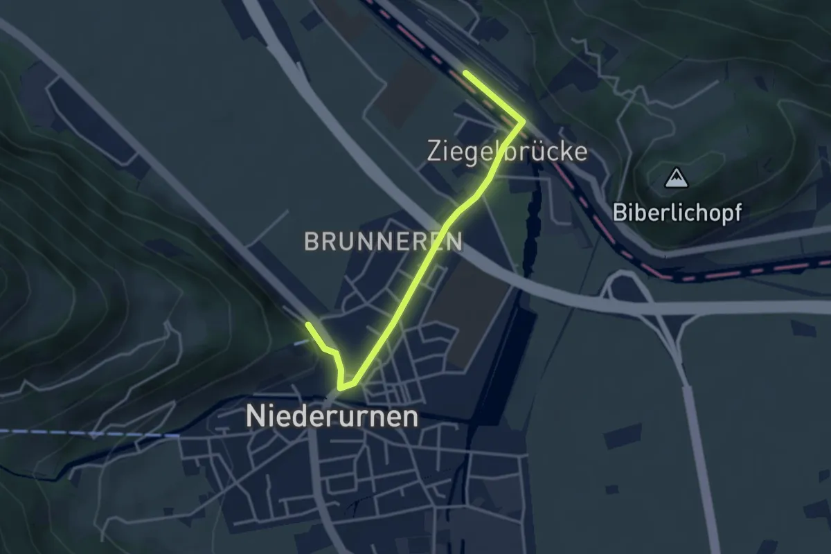
Ziegelbrücke – Niederurnen
2.9 km · ↑ 12 m · 43 min
Easy · Trail
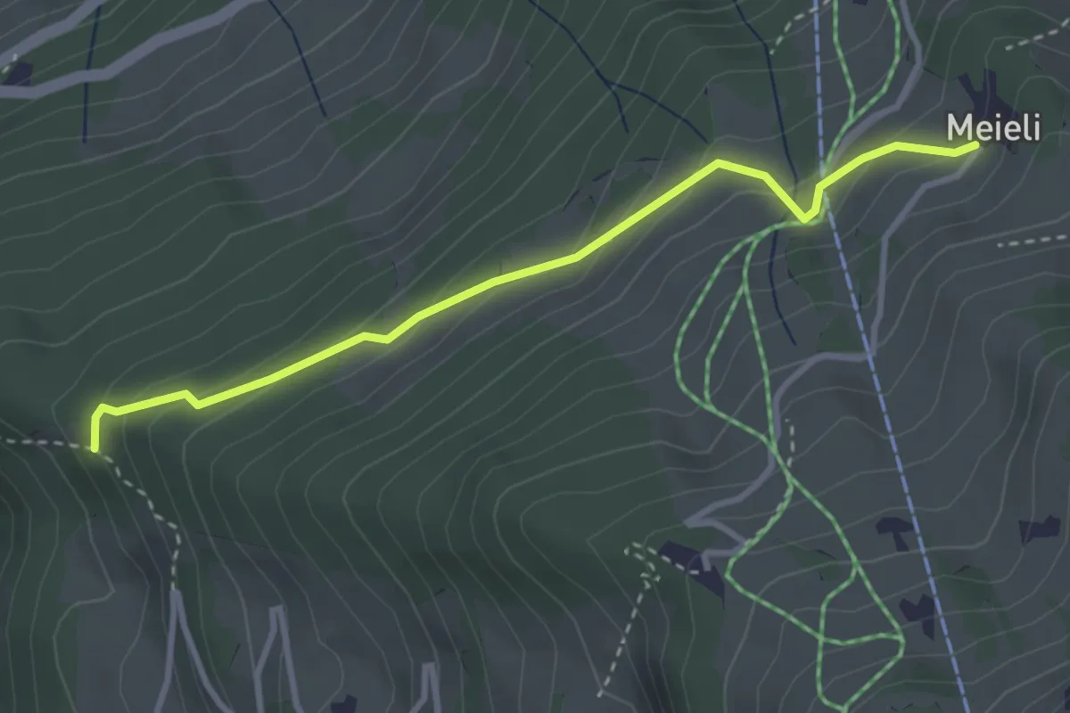
Ziegelbrücke – Bad
3.3 km · ↑ 20 m · 49 min
Easy · Trail
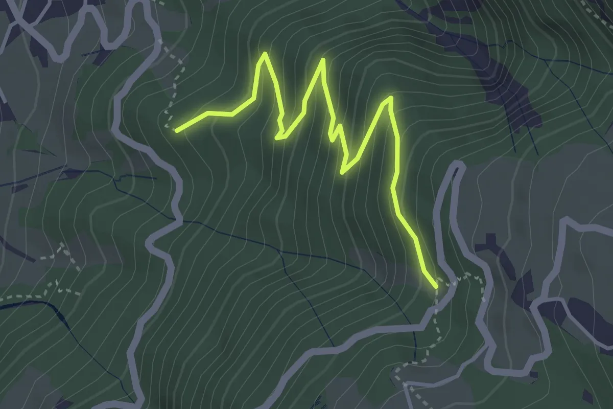
Unterer Hänniswald – Meieli
3.2 km · ↑ 218 m · 1 h 14 min
Medium · Trail
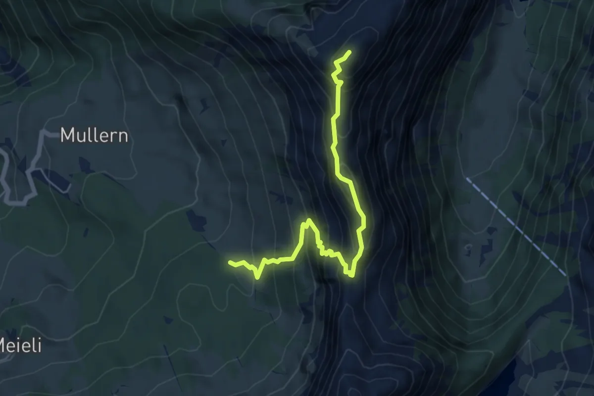
Fachtegg – Strigg
3.9 km · ↑ 348 m · 1 h 40 min
Expert · Summit
Hofalpli – Nüenchamm
5.2 km · ↑ 596 m · 2 h 31 min
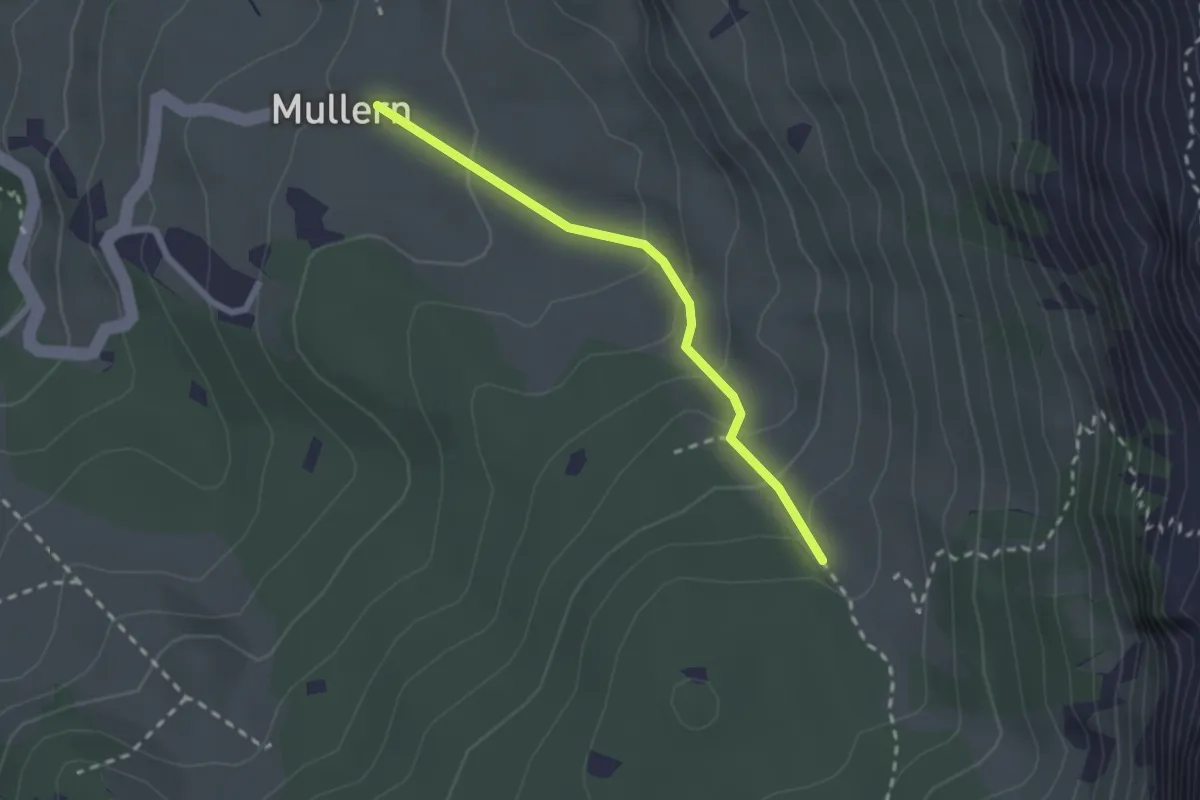
Easy · Trail
Mullerenberg – Hofalpli
2.1 km · ↑ 138 m · 48 min
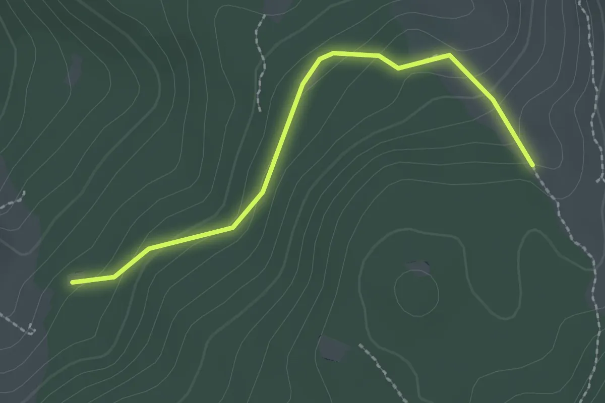
Easy · Trail
Chummenwald – Hofalpli
2.2 km · ↑ 104 m · 44 min
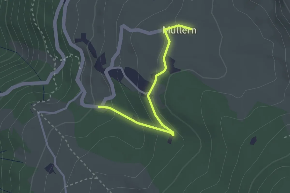
Easy · Trail
Mullern Chängelboden – Mullerenberg
2.3 km · ↑ 122 m · 48 min
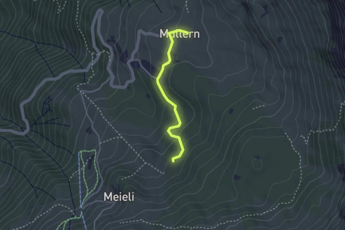
Easy · Trail
Mullerenberg – Chummenwald
2.5 km · ↑ 94 m · 48 min