Trails in Switzerland
15,055 hiking trails, each with its route, climb, walking time and grade.
All trails, page 300 of 314
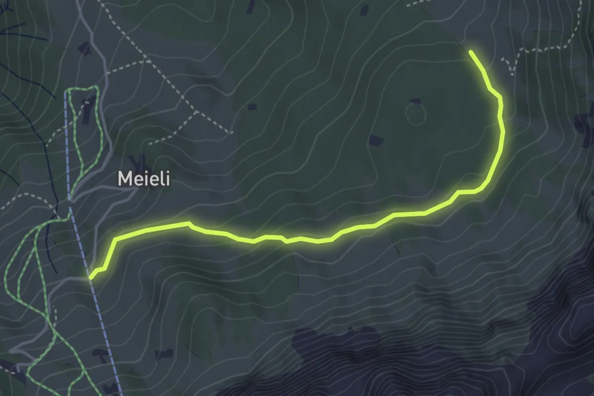
Medium · Trail
Untere Fronalp – Hofalpli
4.1 km · ↑ 178 m · 1 h 22 min
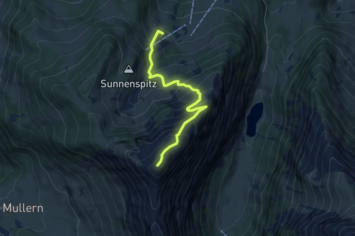
Medium · Summit
Habergschwänd Winkel – Nüenchamm
5.0 km · ↑ 594 m · 2 h 28 min
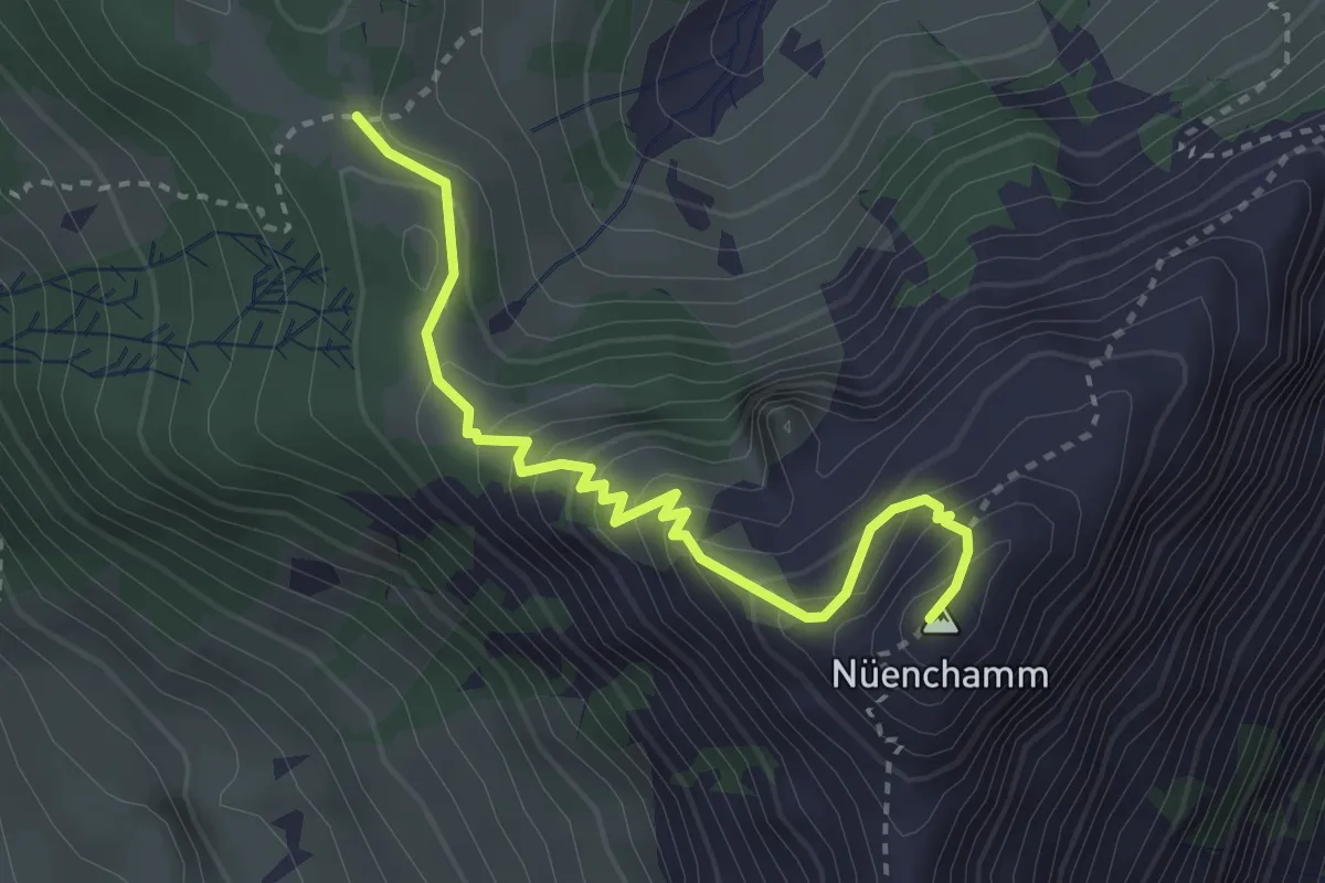
Medium · Summit
Oberst Nüen – Nüenchamm
3.2 km · ↑ 358 m · 1 h 32 min
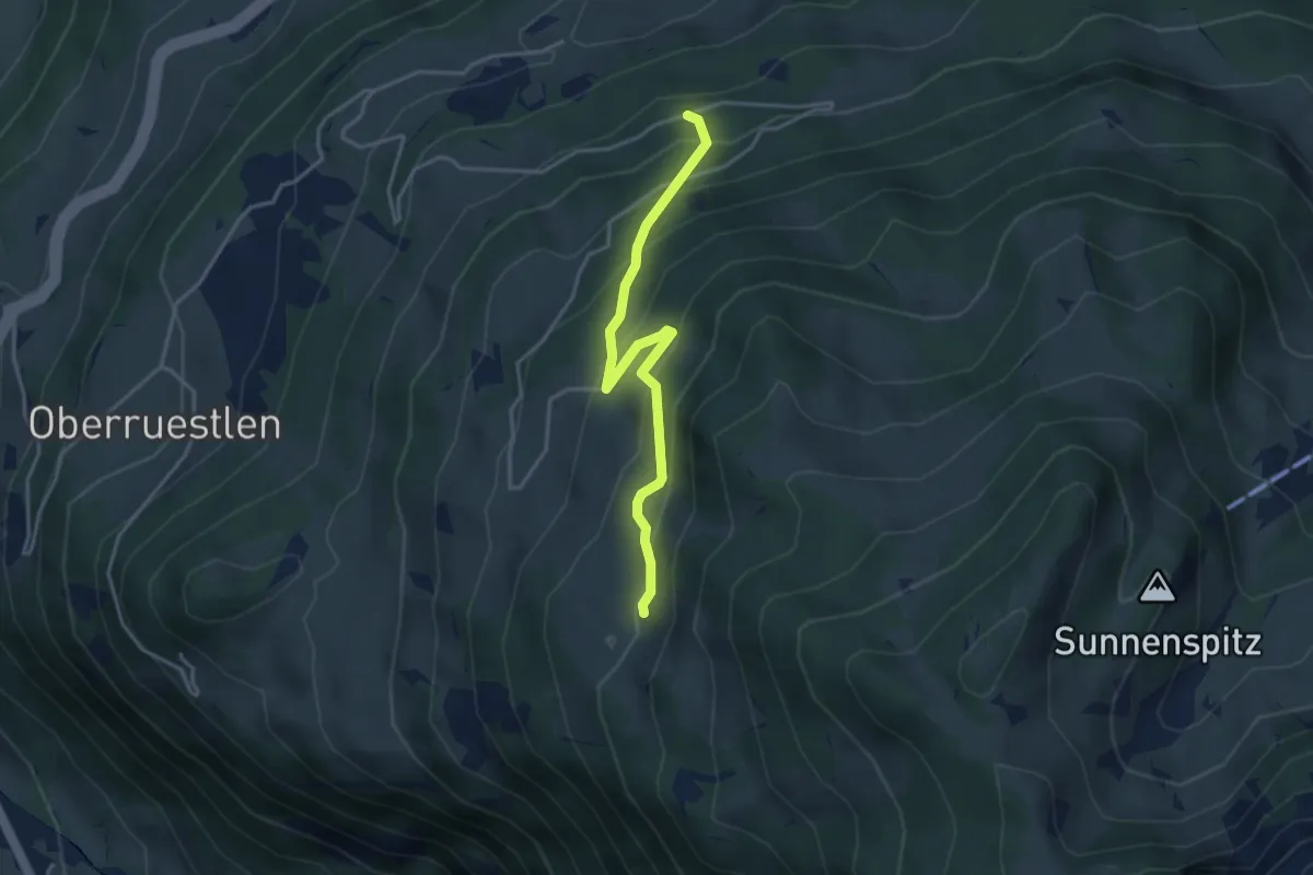
Easy · Trail
Schwigufelwald – Untere Nüenalp
3.6 km · ↑ 306 m · 1 h 30 min
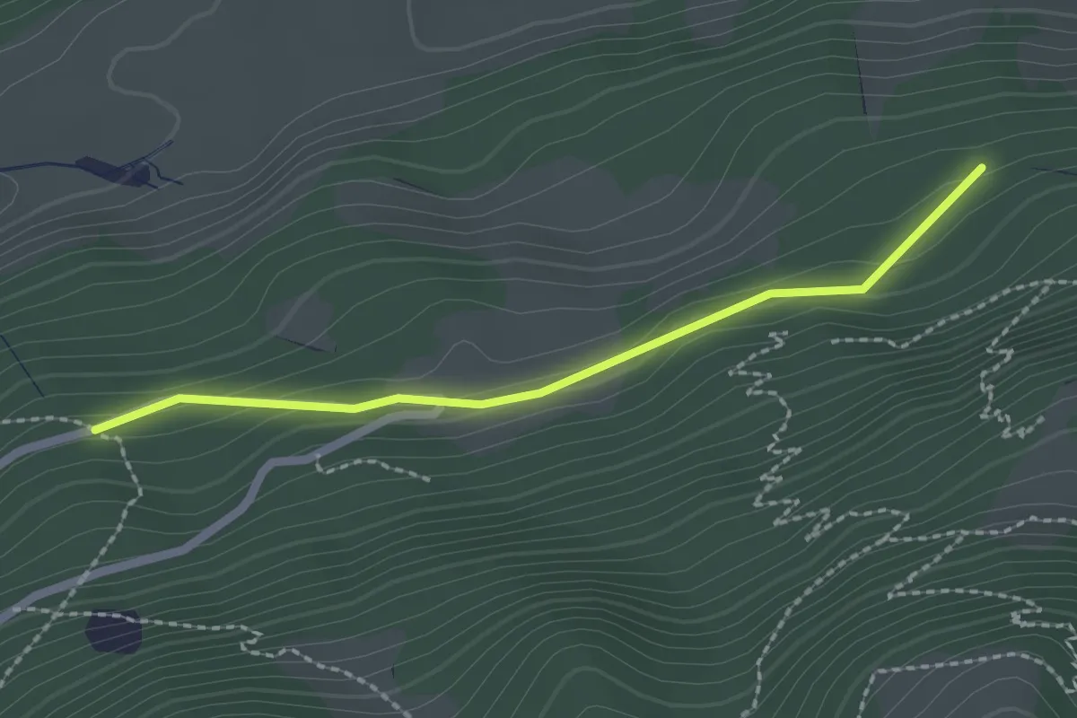
Easy · Trail
Schwigufelwald – Bannwald
2.0 km · ↑ 74 m · 38 min
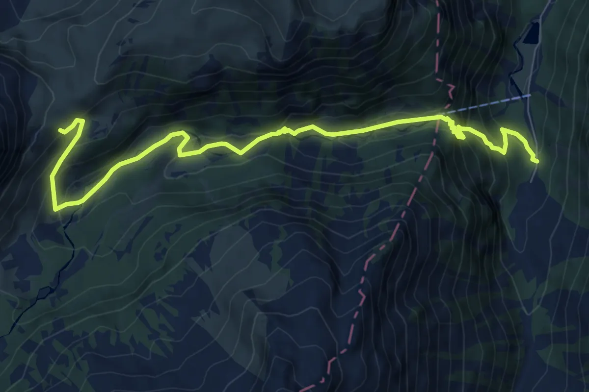
Medium · Trail
Merlen – Robmen
9.2 km · ↑ 716 m · 3 h 44 min
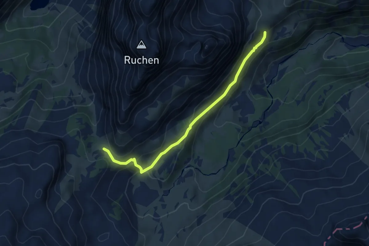
Medium · Trail
Robmen – Mürtschenfurggel
5.2 km · ↑ 275 m · 1 h 49 min
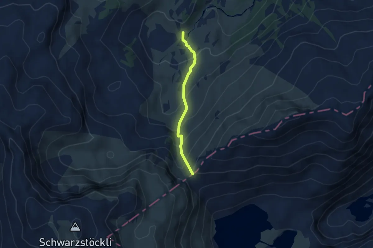
Medium · Trail
Ober Mürtschen – Murgseefurggl
2.9 km · ↑ 263 m · 1 h 16 min
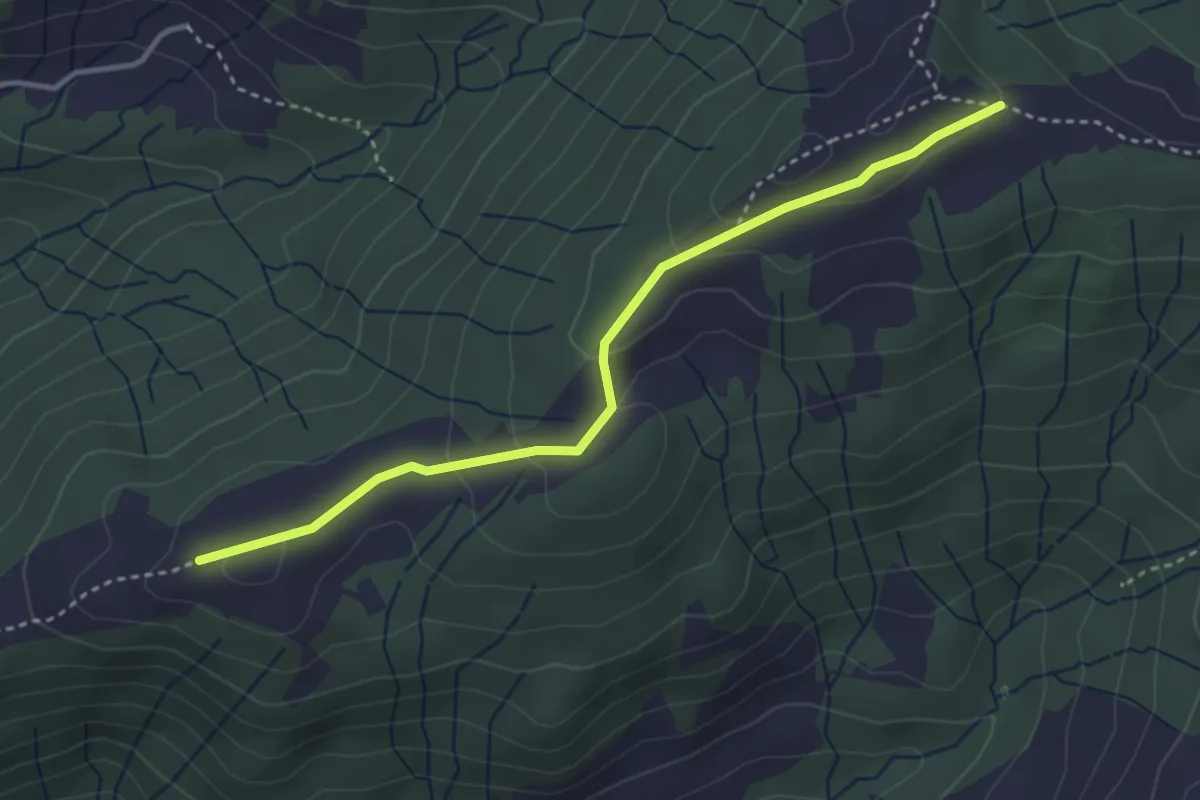
Easy · Trail
Wielsch – Breitenau
3.5 km · ↑ 145 m · 1 h 9 min
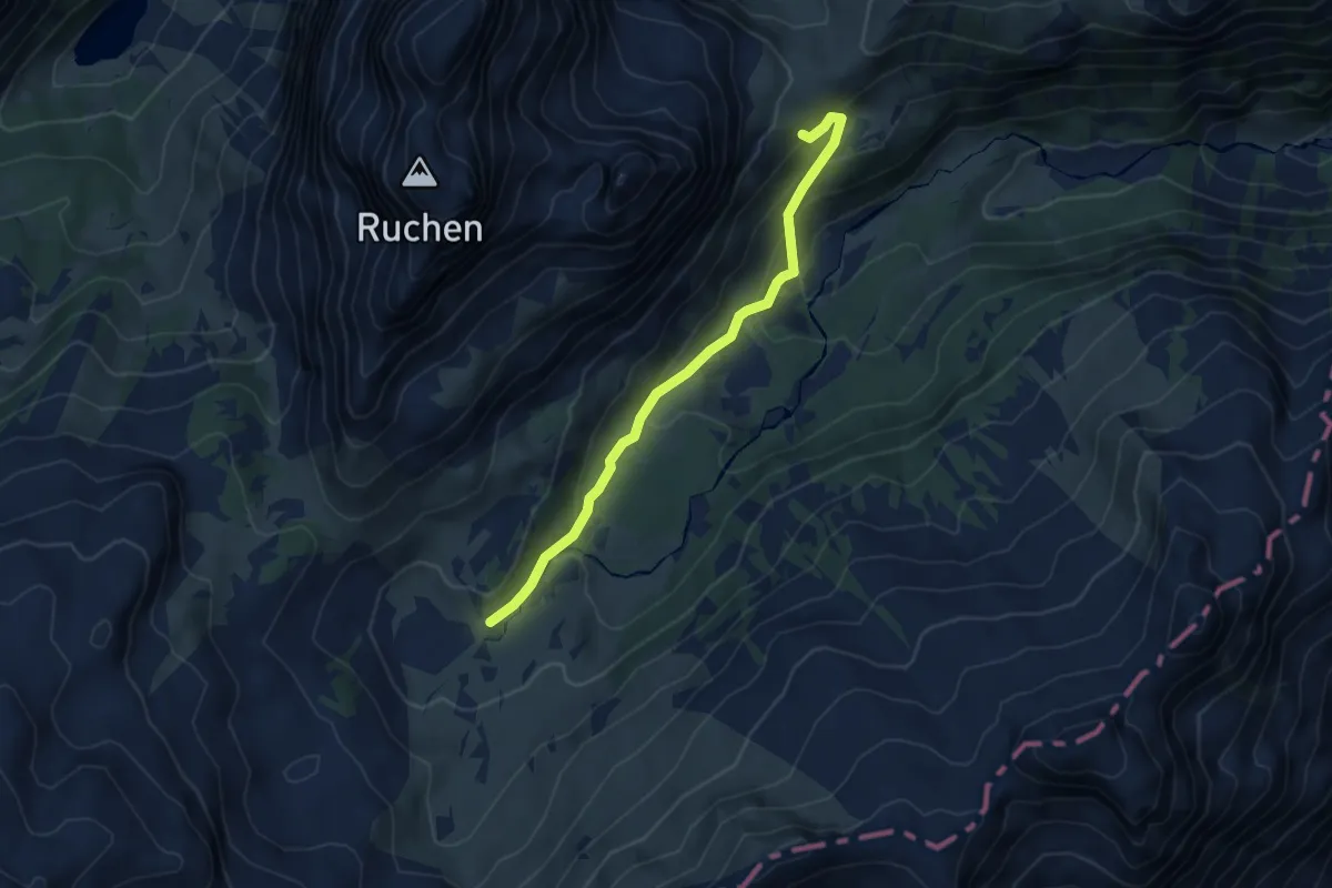
Medium · Trail
Robmen – Ober Mürtschen
4.8 km · ↑ 314 m · 1 h 48 min
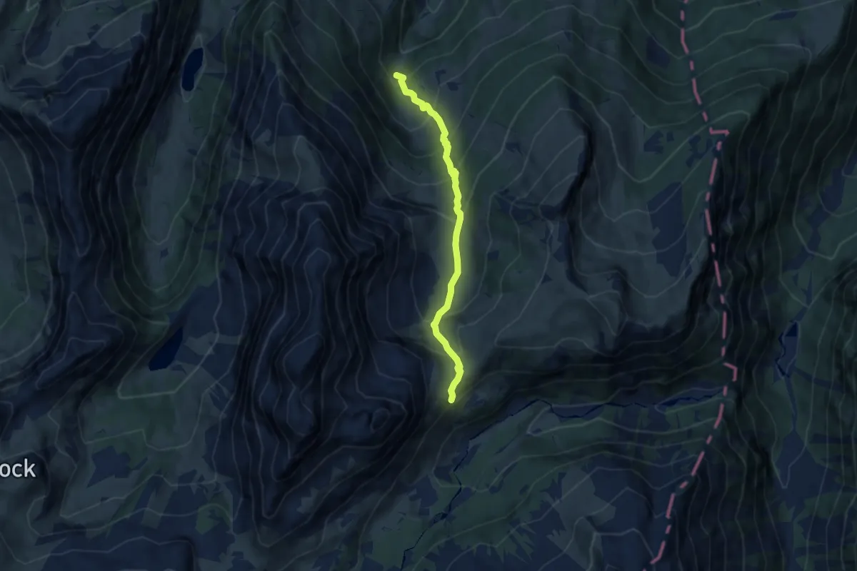
Medium · Trail
Ammeli – Robmen
6.4 km · ↑ 701 m · 3 h 2 min
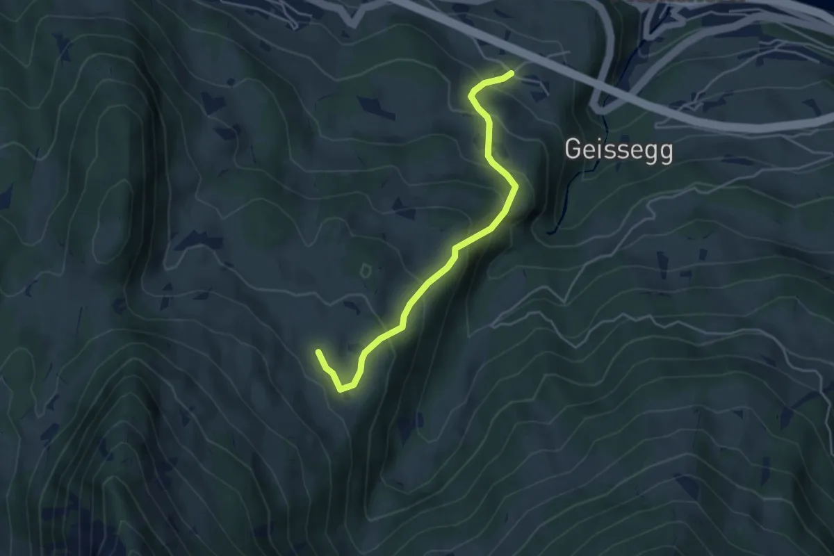
Medium · Trail
Walenguflen – Hüttenberge
4.1 km · ↑ 351 m · 1 h 43 min
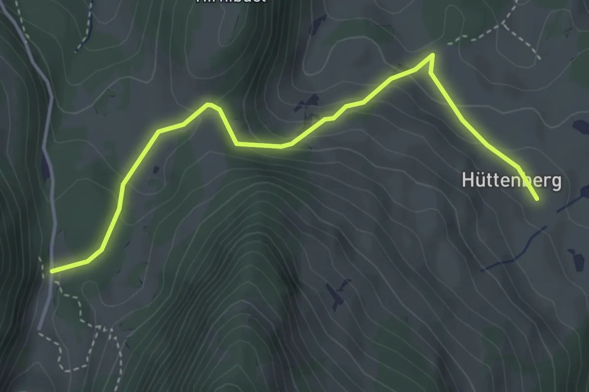
Easy · Cabin
Hüttenberge – Talalp
4.0 km · ↑ 244 m · 1 h 28 min
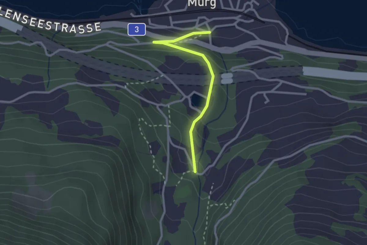
Easy · Trail
Murg – Tastenbrücke
2.2 km · ↑ 145 m · 50 min
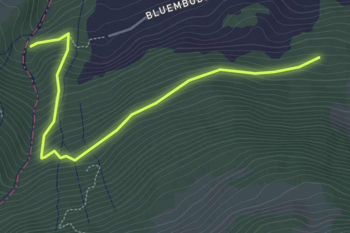
Easy · Trail
Erggeli – Guflen
3.6 km · ↑ 226 m · 1 h 20 min
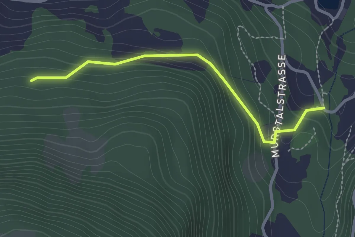
Easy · Trail
Tastenbrücke – Guflen
2.3 km · ↑ 132 m · 49 min
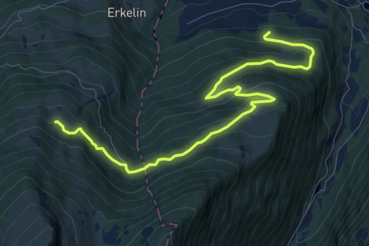
Medium · Trail
Guflen – Ober Gäsi
10.5 km · ↑ 656 m · 3 h 54 min
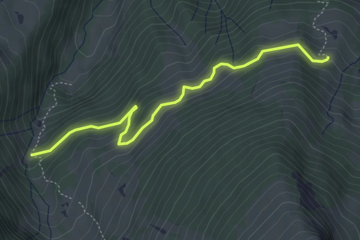
Medium · Trail
Ammeli – Ober Gäsi
4.6 km · ↑ 294 m · 1 h 43 min
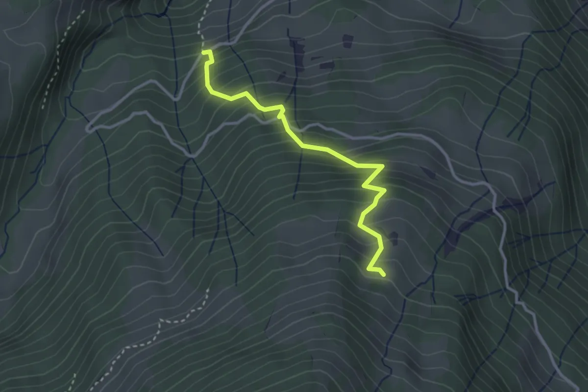
Medium · Trail
Katzenboden – Ober Gäsi
3.0 km · ↑ 398 m · 1 h 34 min
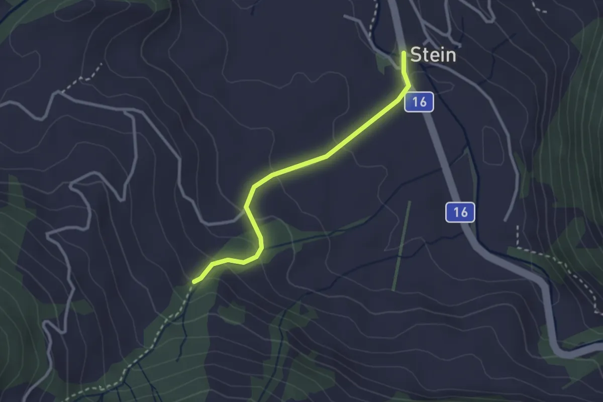
Medium · Trail
Stein – Eggli
2.5 km · ↑ 125 m · 51 min
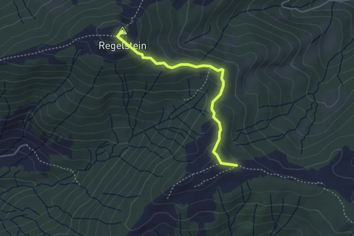
Easy · Summit
Breitenau – Regelstein
3.4 km · ↑ 175 m · 1 h 11 min
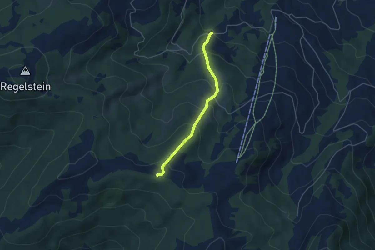
Easy · Trail
Oberbächen – Müslen
3.5 km · ↑ 259 m · 1 h 23 min
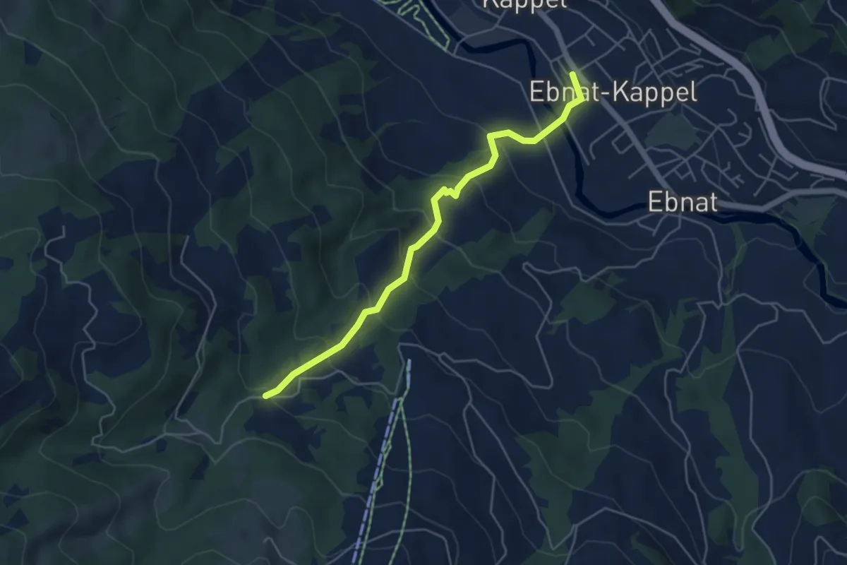
Medium · Trail
Müslen – Ebnat-Kappel
4.7 km · ↑ 323 m · 1 h 49 min
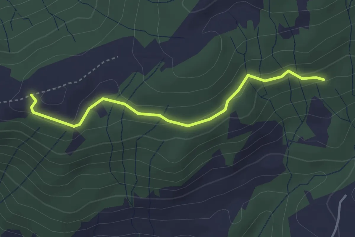
Easy · Trail
Wielsch – Zinggen
3.1 km · ↑ 90 m · 56 min
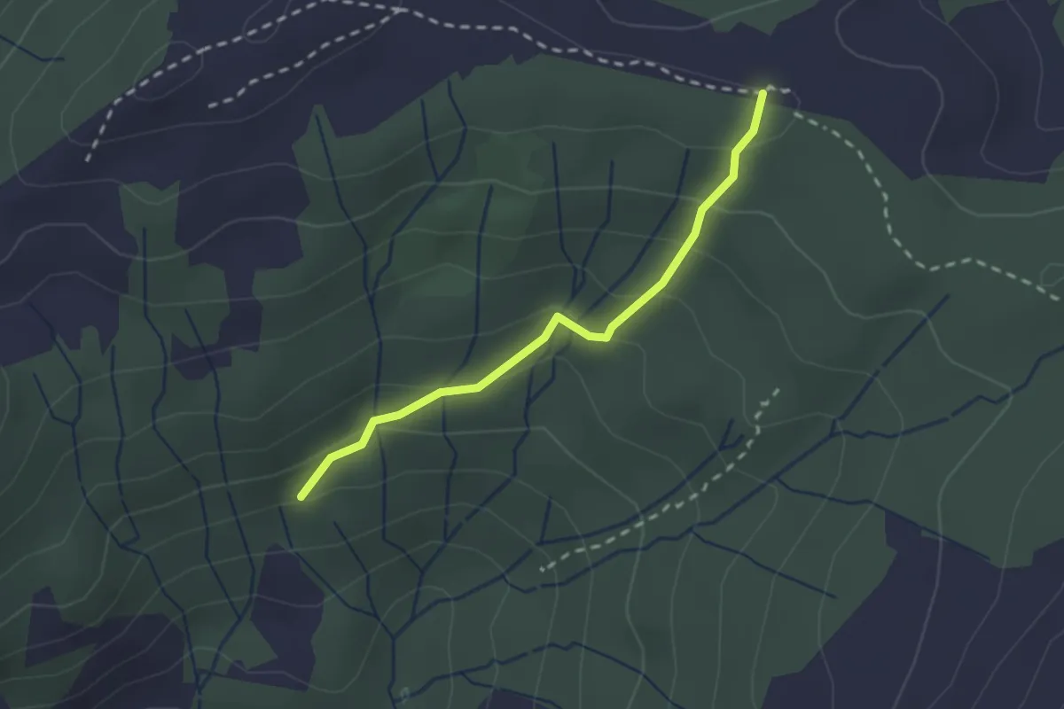
Easy · Trail
Oberbächen – Zinggen
2.1 km · ↑ 149 m · 49 min
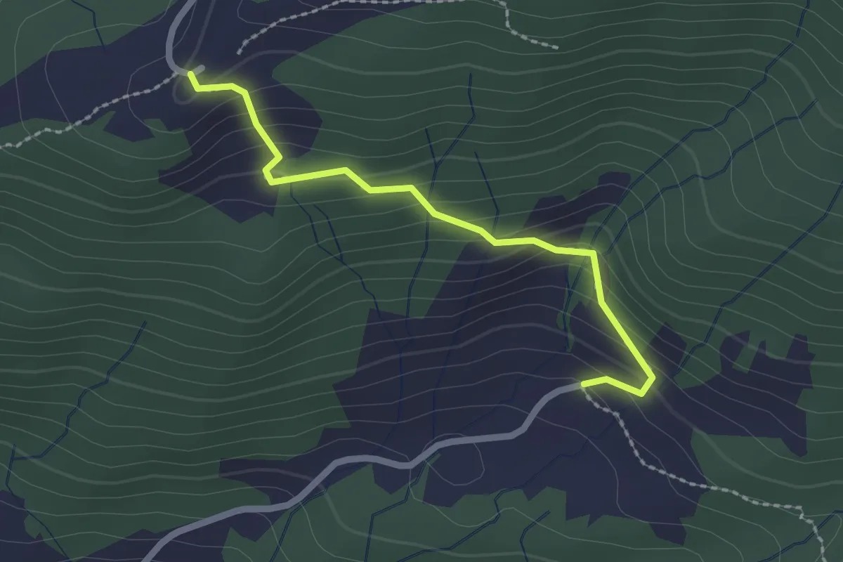
Easy · Trail
Egg – Chlosterberg
2.0 km · ↑ 162 m · 50 min
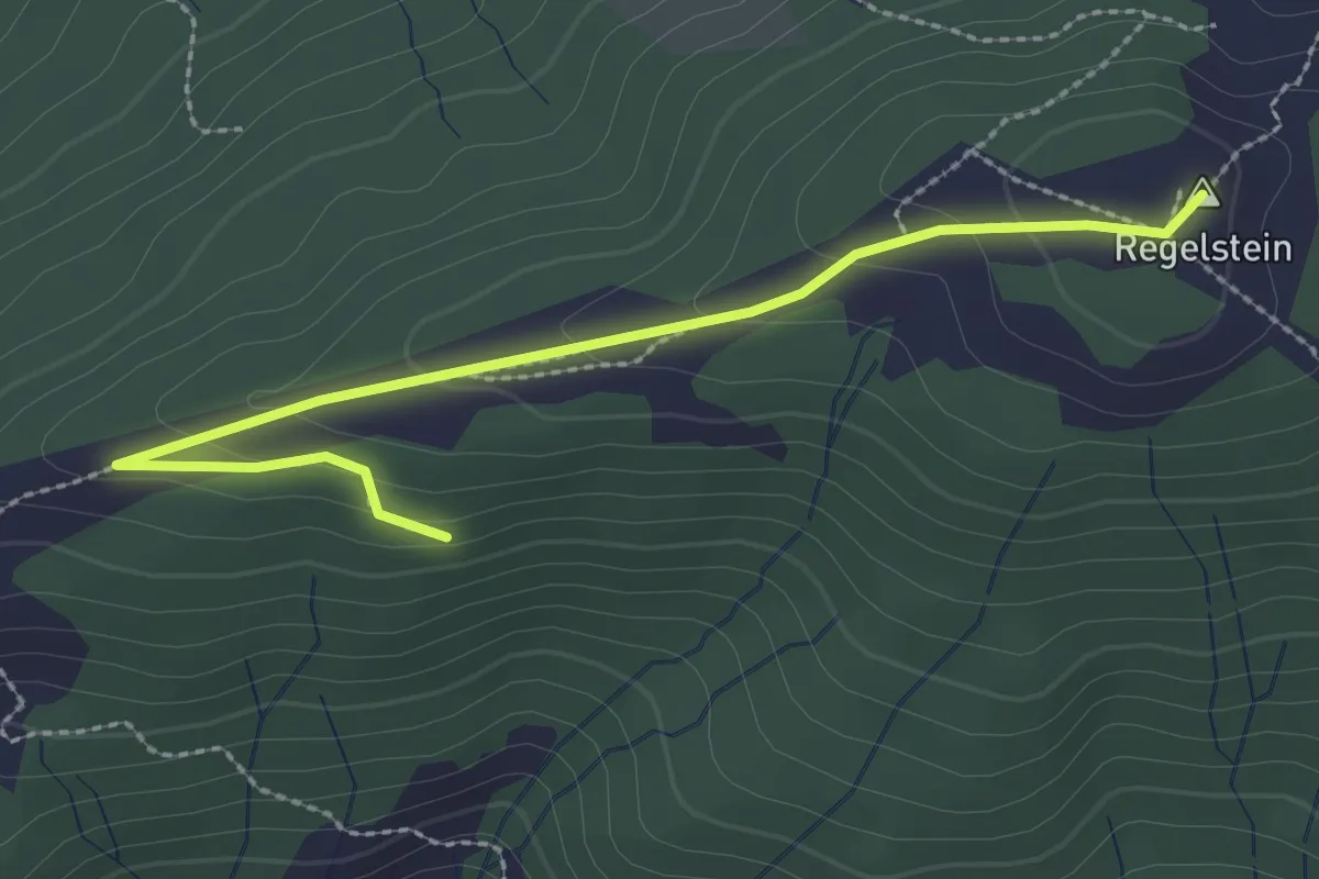
Easy · Summit
Regelstein – Chlosterberg
2.7 km · ↑ 106 m · 53 min
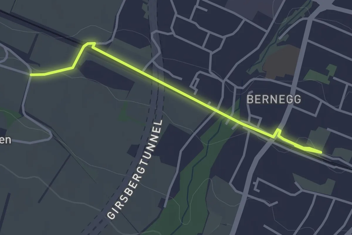
Easy · Trail
Kreuzlingen Bernrain – Pfaffenbüel
3.1 km · ↑ 23 m · 46 min
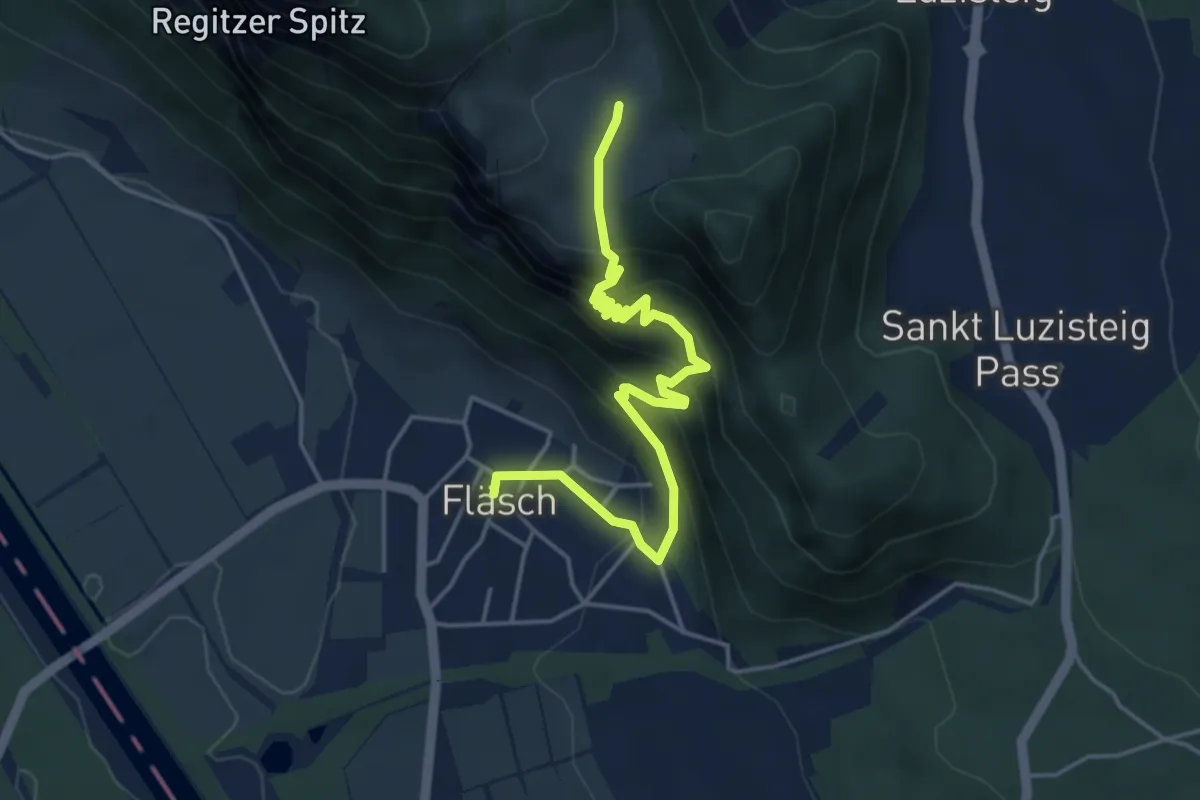
Medium · Trail
Fläsch – Vord. Ochsenberg
4.7 km · ↑ 629 m · 2 h 29 min
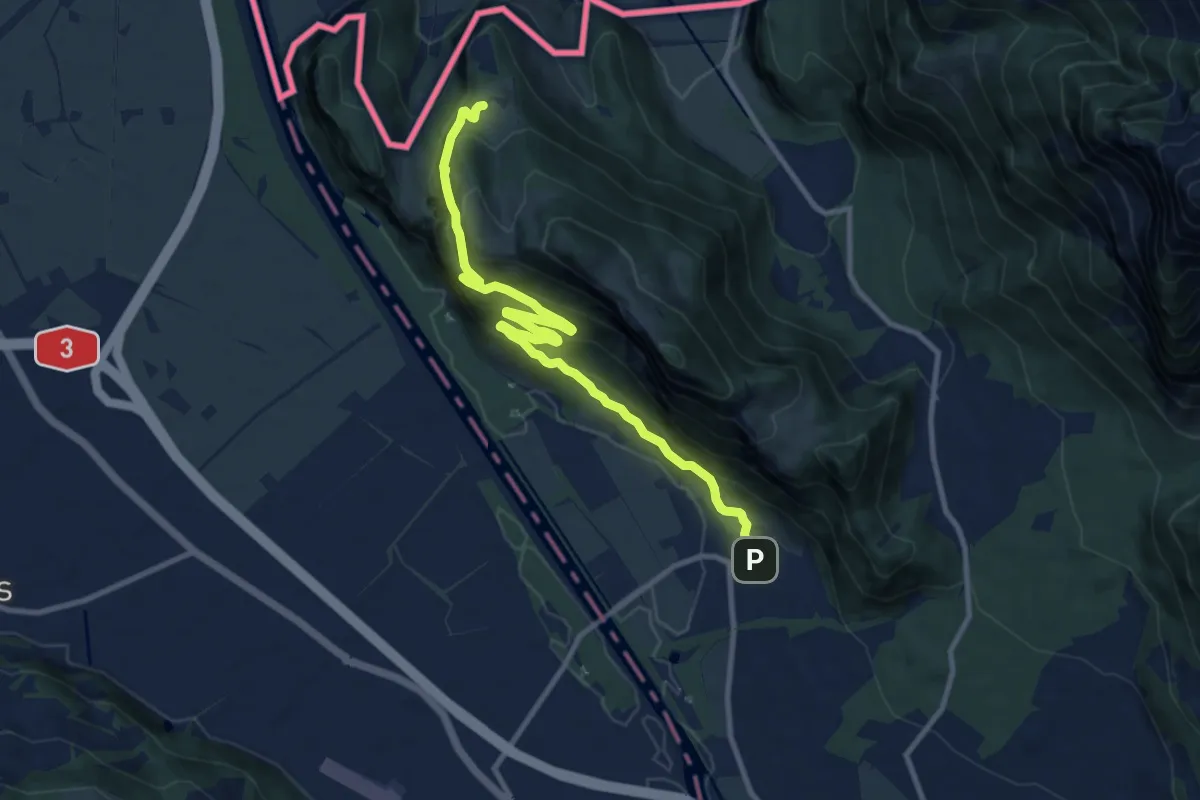
Medium · Trail
Mattheid – Fläsch
11.2 km · ↑ 791 m · 4 h 21 min
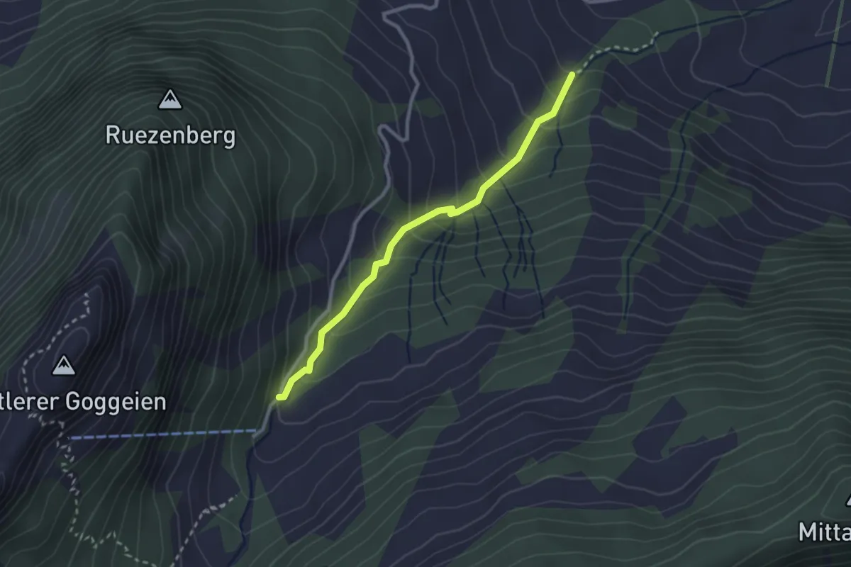
Medium · Trail
Eggli – Badhus
2.5 km · ↑ 239 m · 1 h 6 min
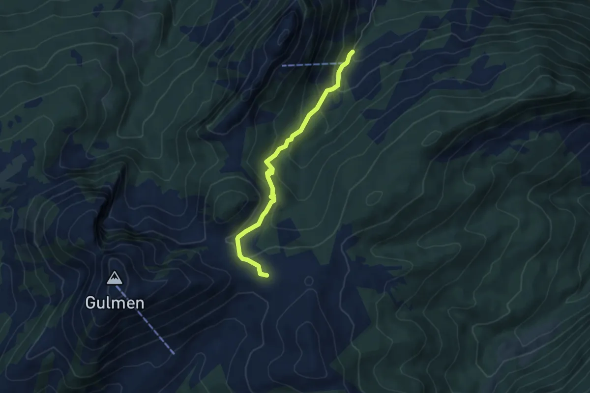
Medium · Trail
Badhus – Vorder Höhi
4.8 km · ↑ 327 m · 1 h 51 min
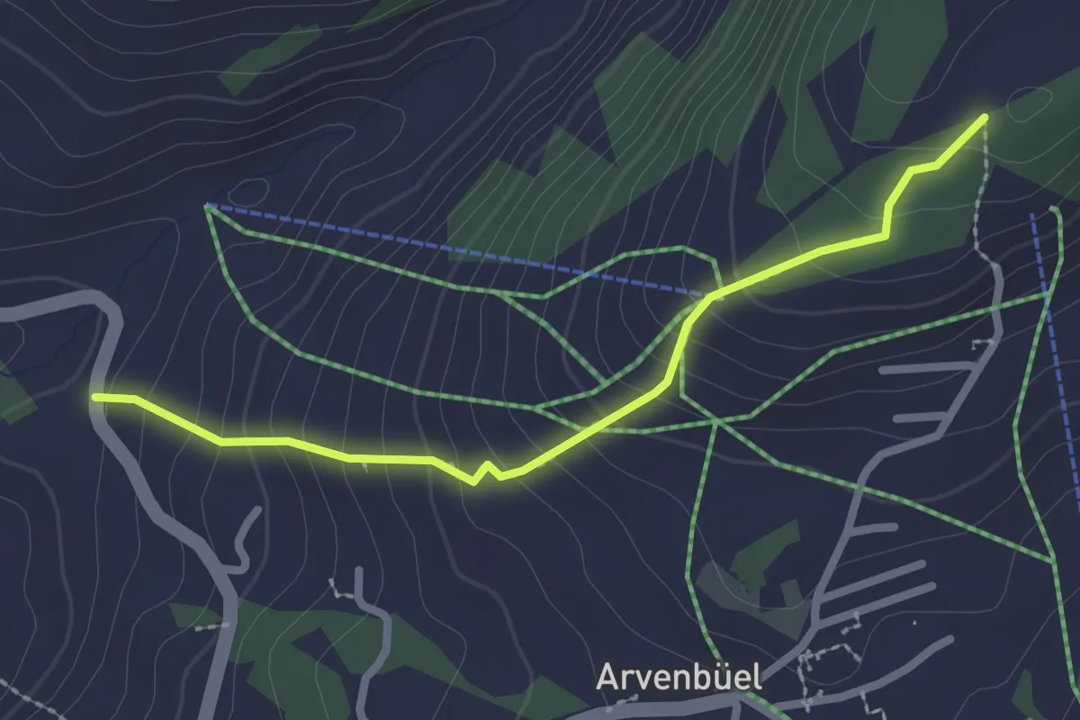
Easy · Trail
Heiggen – Stocksiten? / Amden?
2.3 km · ↑ 232 m · 1 h 3 min
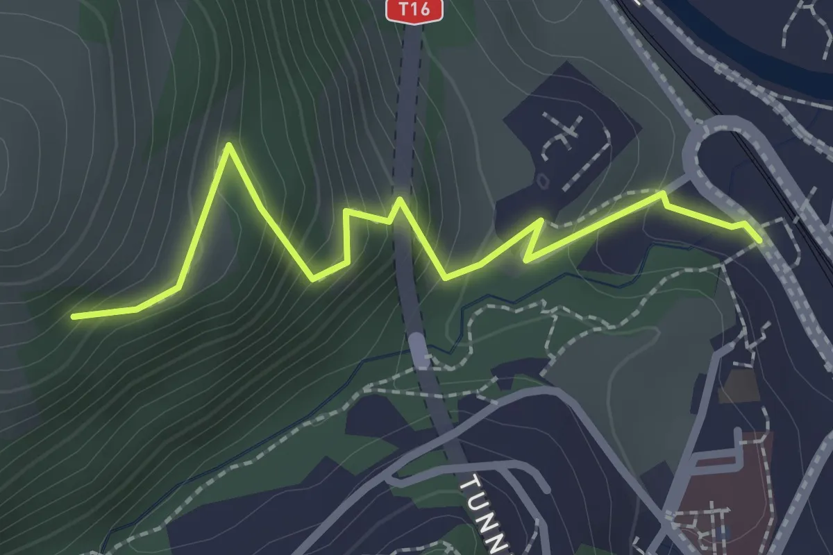
Easy · Trail
Enetbrugg – Chapf
2.3 km · ↑ 203 m · 59 min
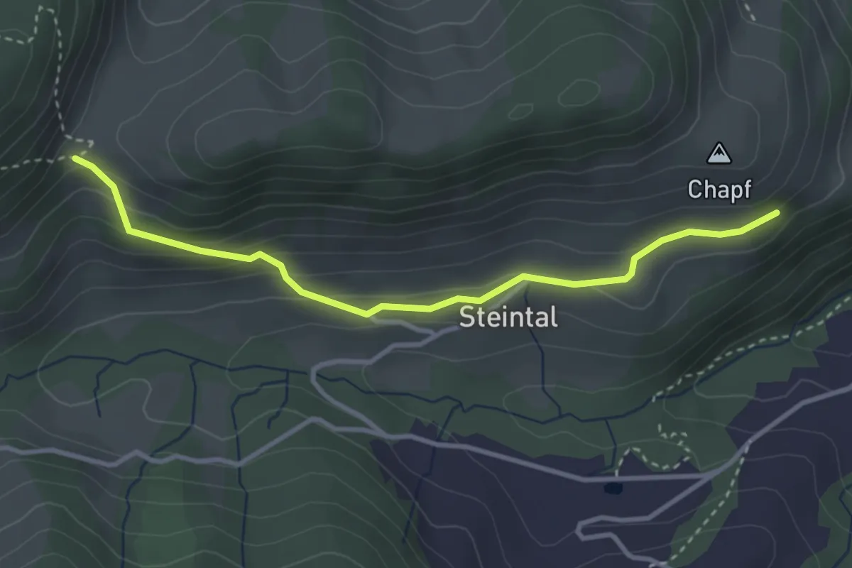
Easy · Trail
Chapf – Stämisegg
3.3 km · ↑ 184 m · 1 h 11 min
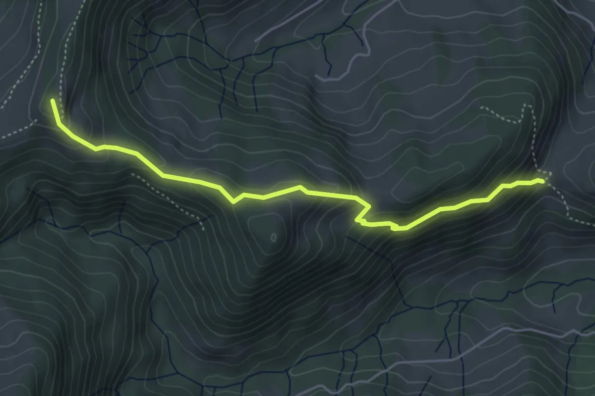
Medium · Summit
Stämisegg – Alplisattel
4.8 km · ↑ 381 m · 1 h 58 min
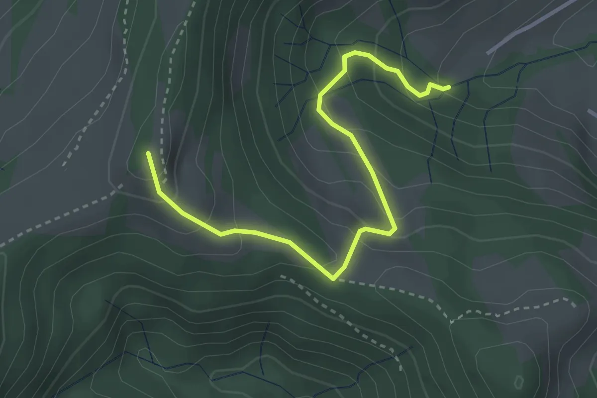
Easy · Summit
Alplisattel – Egg
3.2 km · ↑ 286 m · 1 h 23 min
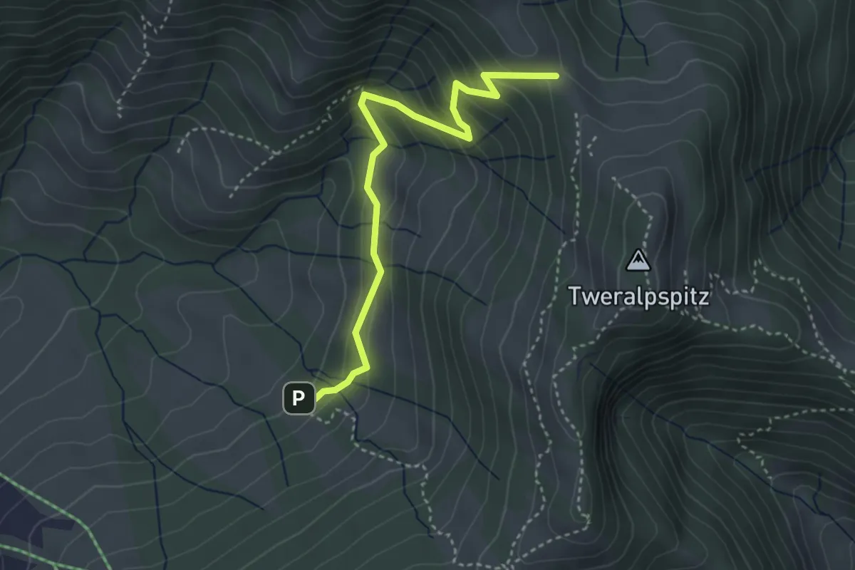
Easy · Trail
Obere Tweralp – Hinter Altschwand
3.6 km · ↑ 298 m · 1 h 30 min
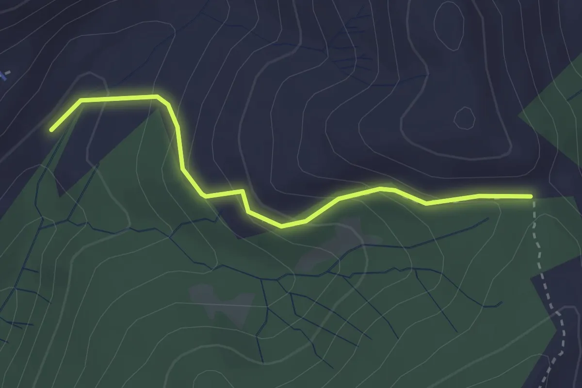
Easy · Trail
Zopf – Schiblerwiti
2.8 km · ↑ 173 m · 1 h 2 min
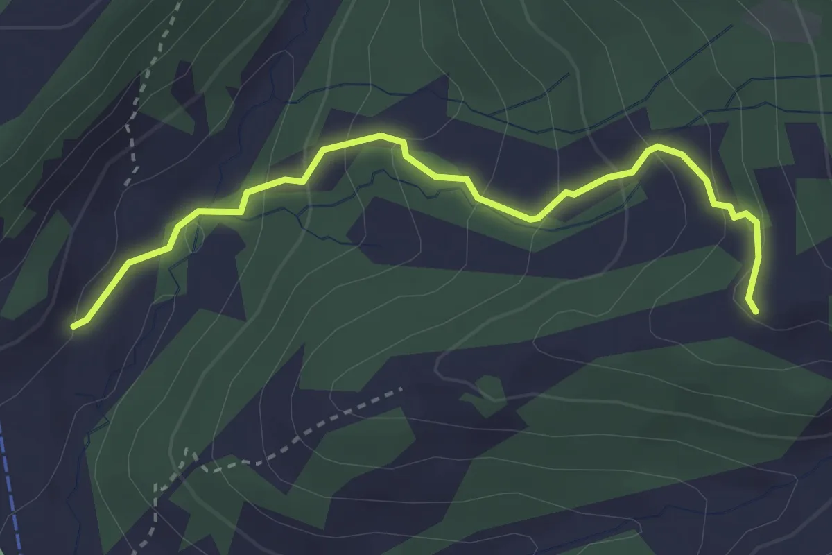
Easy · Trail
Egg – Brittertannen
3.2 km · ↑ 210 m · 1 h 12 min
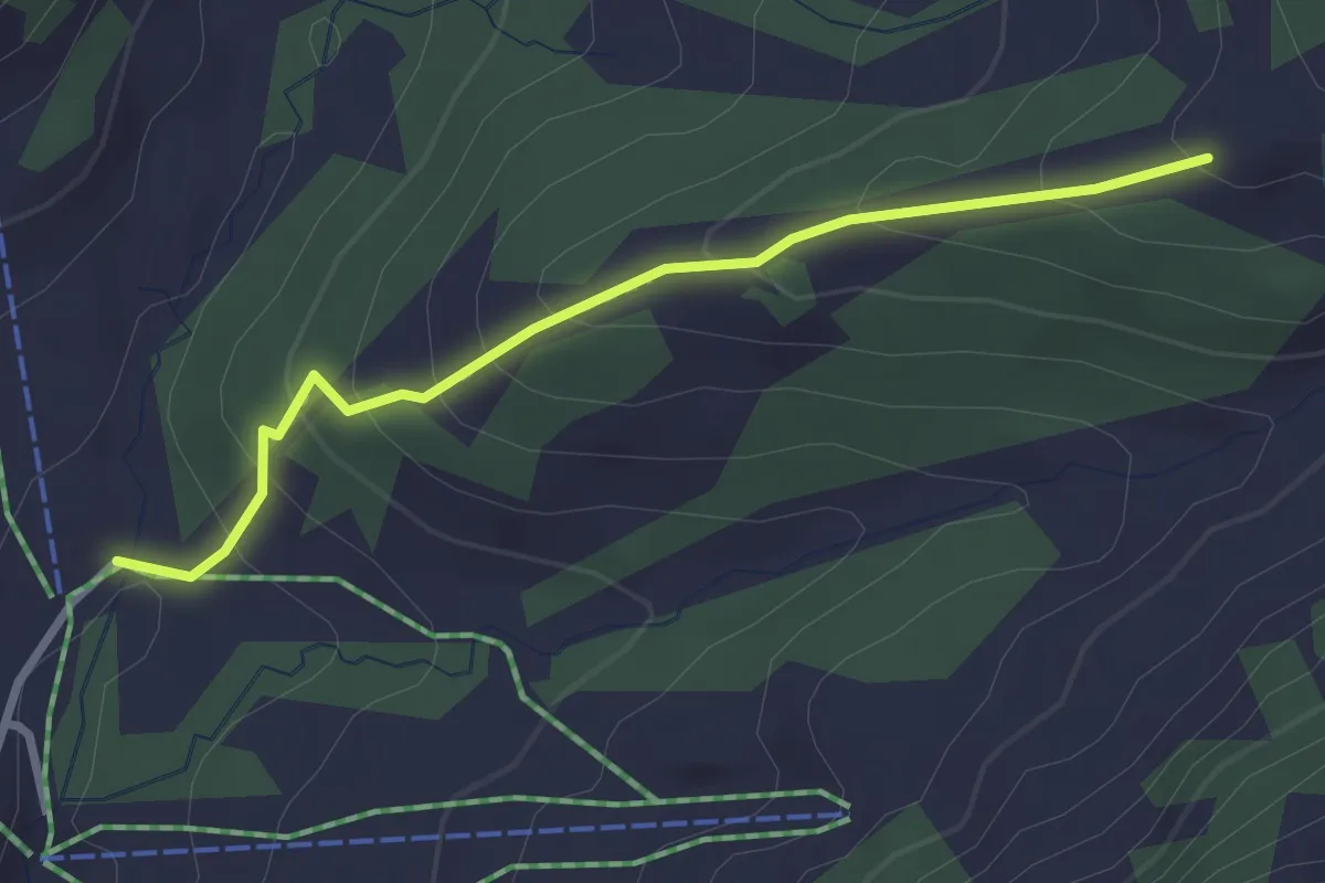
Medium · Trail
Egg – Beerenbach
2.7 km · ↑ 213 m · 1 h 6 min
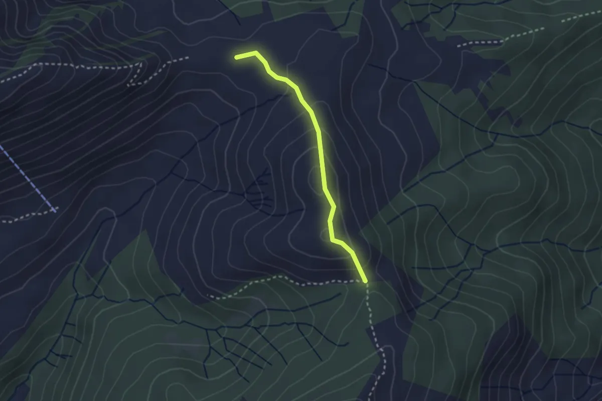
Easy · Trail
Schiblerwiti – Vorder Höhi
2.3 km · ↑ 127 m · 49 min
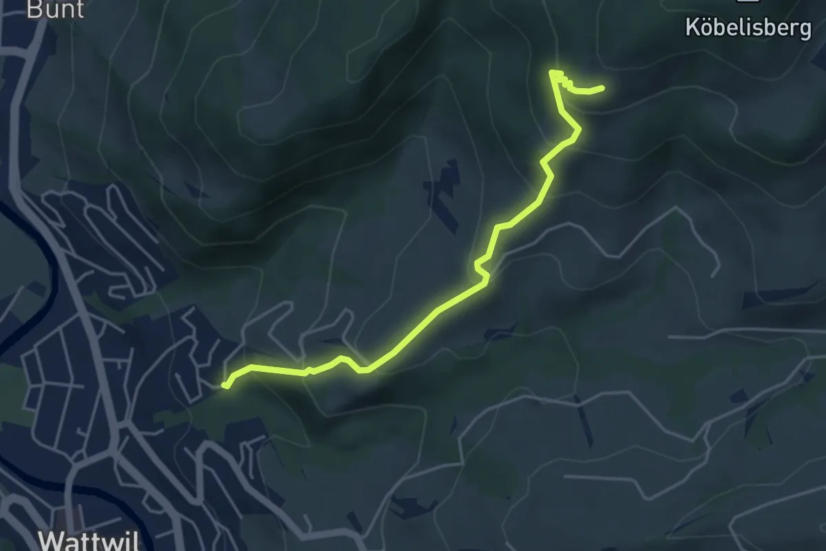
Medium · Trail
Grindlen – Köbelisberg
4.2 km · ↑ 344 m · 1 h 45 min
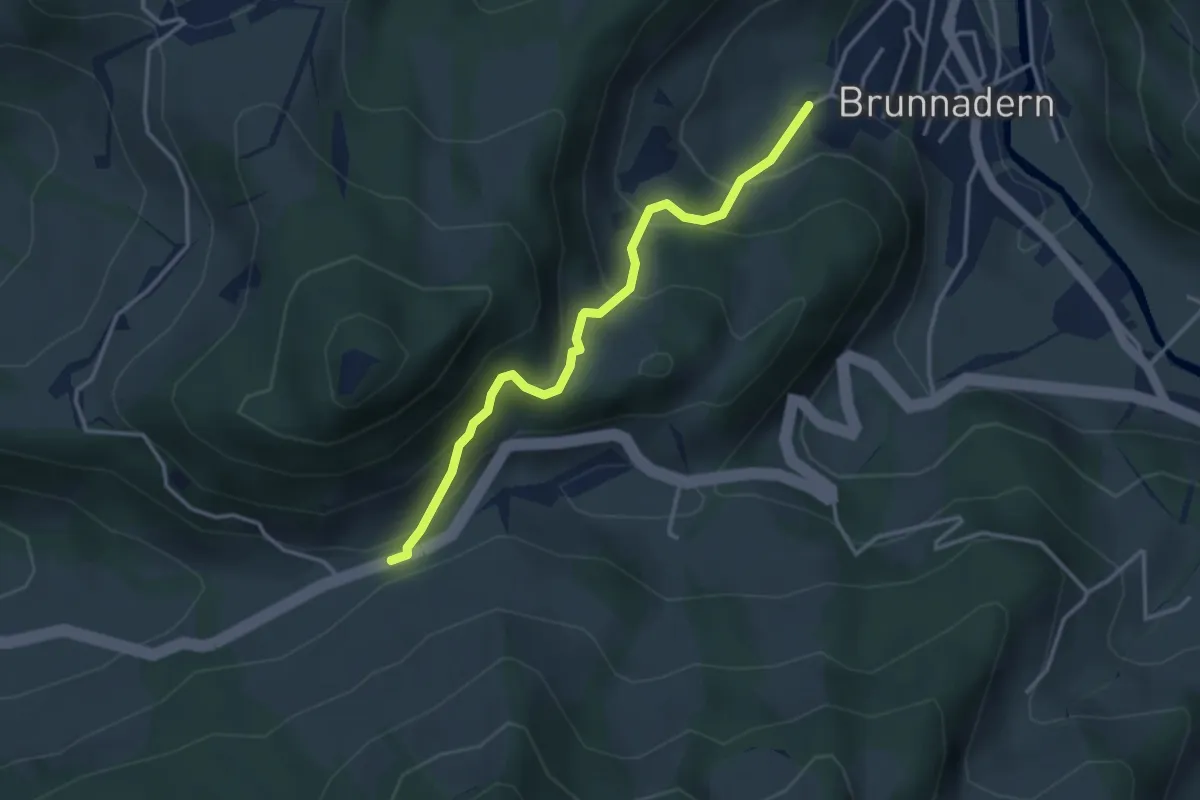
Easy · Trail
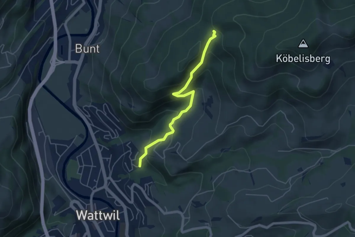
Wasserfluh – Unter Bitzi
3.3 km · ↑ 297 m · 1 h 26 min
Easy · Trail
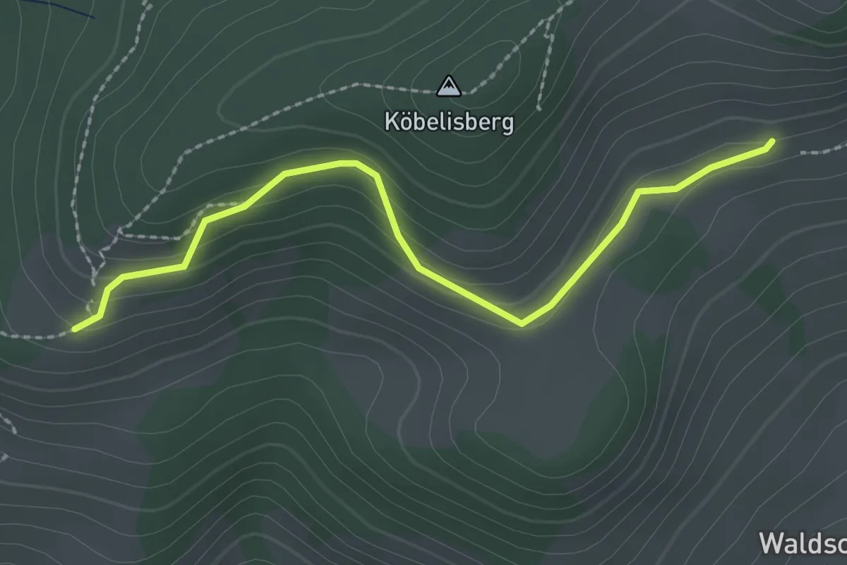
Grindlen – Hüttenwald
4.3 km · ↑ 275 m · 1 h 37 min
Easy · Trail
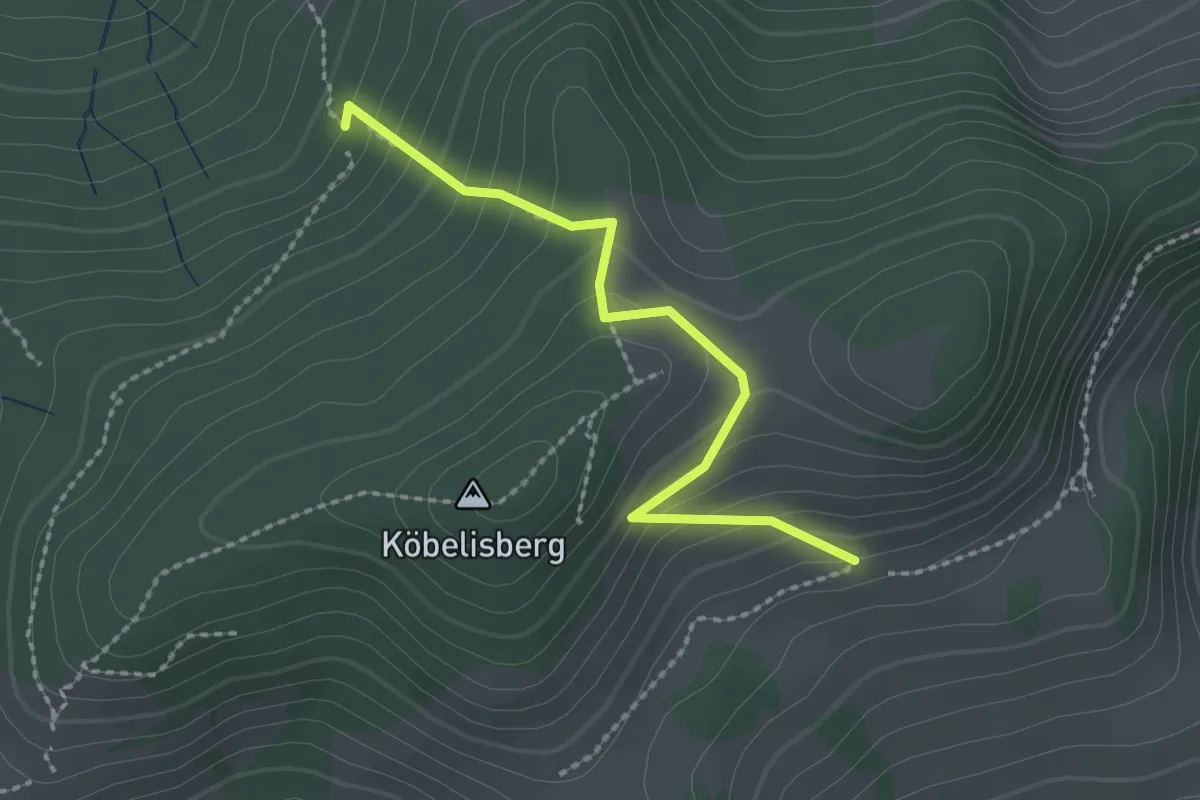
Köbelisberg – Waldschwilerberg
2.3 km · ↑ 116 m · 48 min
Easy · Trail
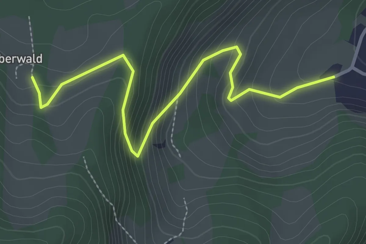
Bruggwiesenwald – Waldschwilerberg
2.1 km · ↑ 163 m · 52 min
Easy · Trail
Unter Bitzi – Oberwald
3.0 km · ↑ 223 m · 1 h 12 min