Trails in Switzerland
15,055 hiking trails, each with its route, climb, walking time and grade.
All trails, page 301 of 314
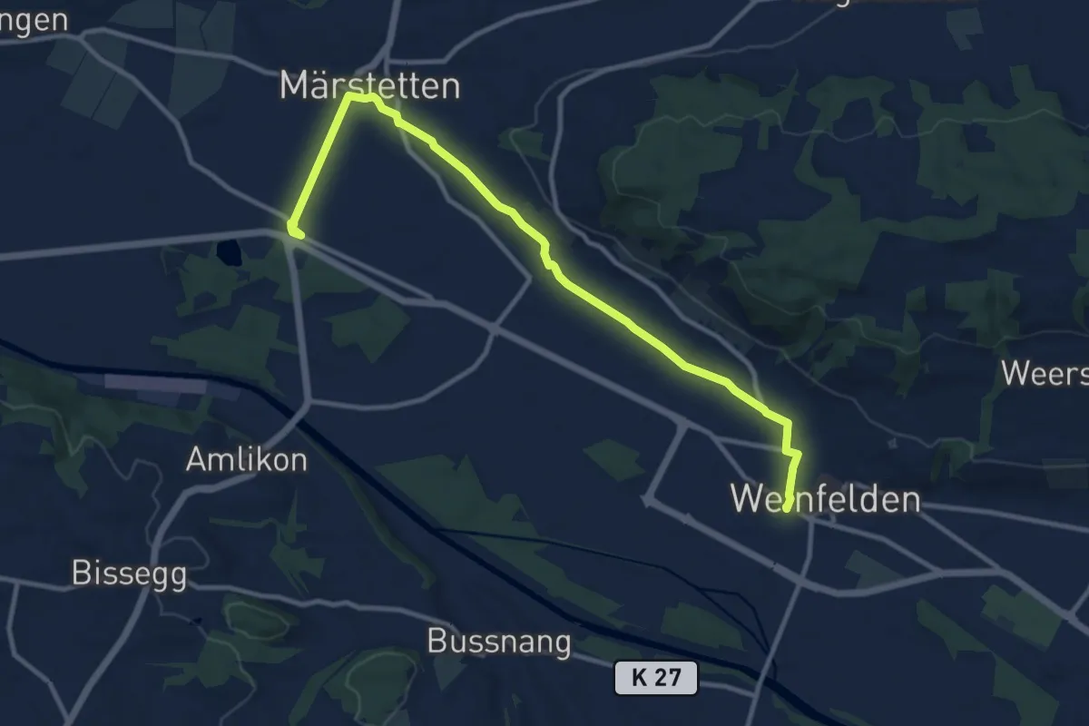
Medium · Trail
Weinfelden – Märstetten
11.8 km · ↑ 84 m · 2 h 57 min
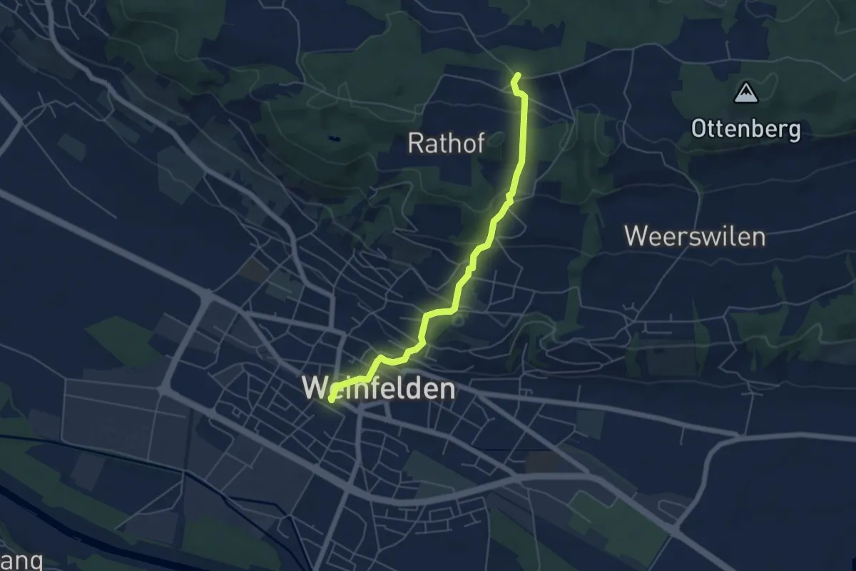
Easy · Trail
Weinfelden – Stelzenhof
5.1 km · ↑ 240 m · 1 h 44 min
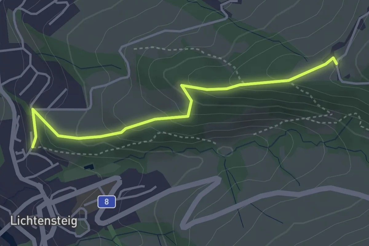
Easy · Trail
Hof – Graben
3.5 km · ↑ 227 m · 1 h 19 min
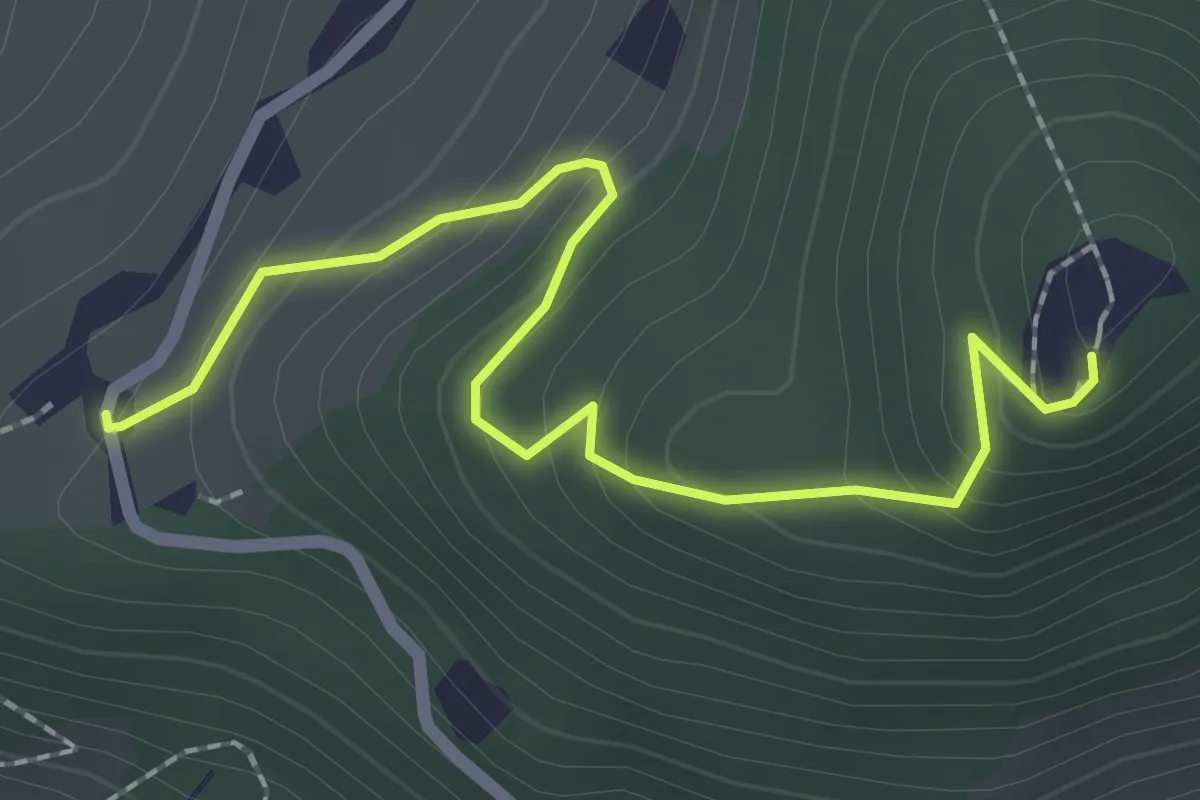
Easy · Trail
Graben – Ruine Neutoggenburg
2.4 km · ↑ 178 m · 57 min
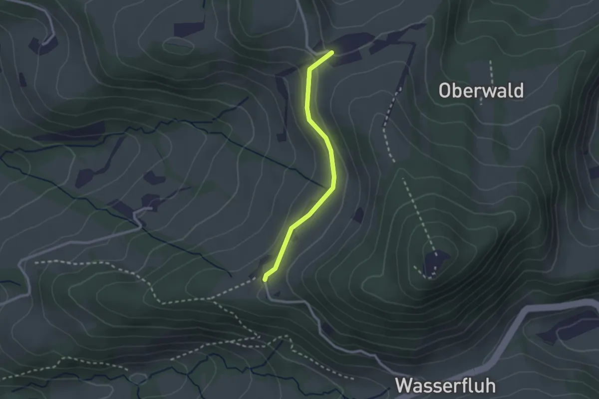
Easy · Trail
Graben – Schwanden West
2.1 km · ↑ 61 m · 37 min
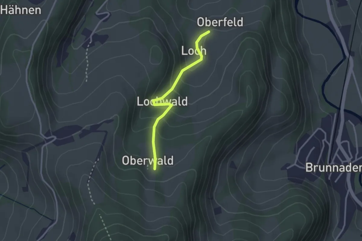
Easy · Trail
Oberwald – Loch
2.4 km · ↑ 145 m · 52 min
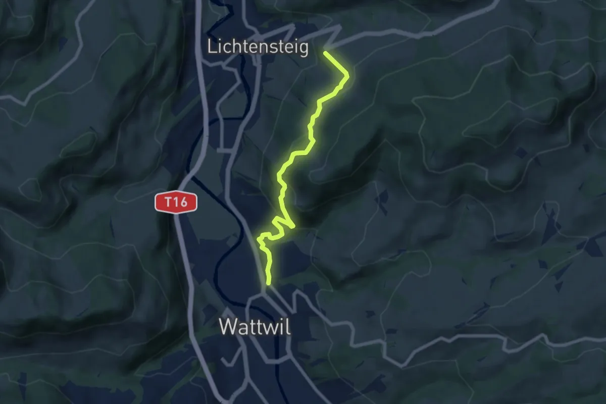
Medium · Trail
Büelstrasse – Burg
6.2 km · ↑ 356 m · 2 h 13 min
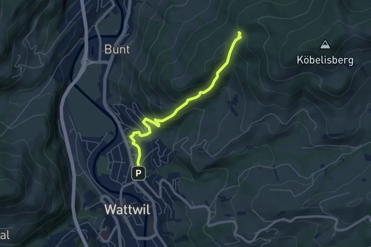
Medium · Trail
Büelstrasse – Hüttenwald
5.2 km · ↑ 337 m · 1 h 57 min
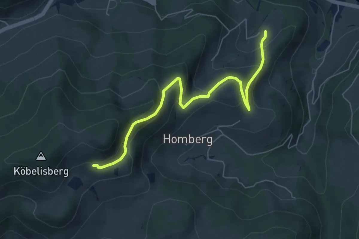
Medium · Trail
Waldschwilerberg – Hinteregg
5.5 km · ↑ 322 m · 2 h
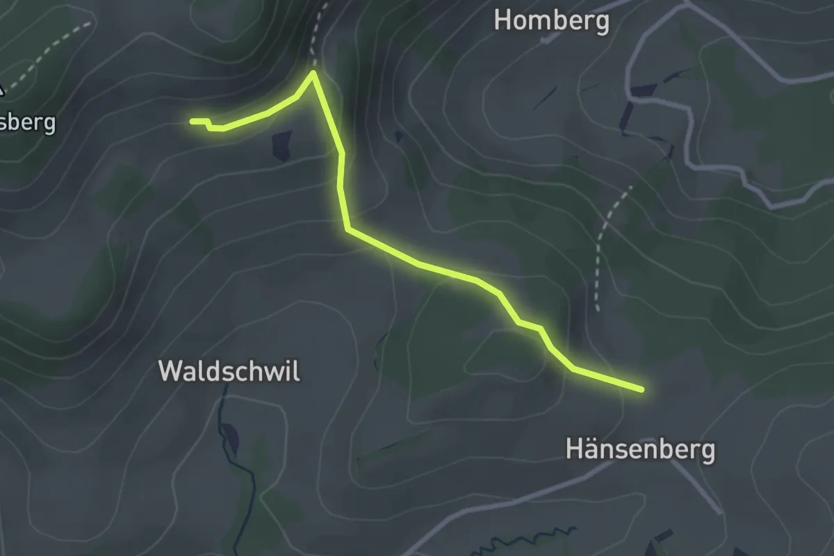
Easy · Trail
Waldschwilerberg – Hänsenberg
2.7 km · ↑ 158 m · 58 min
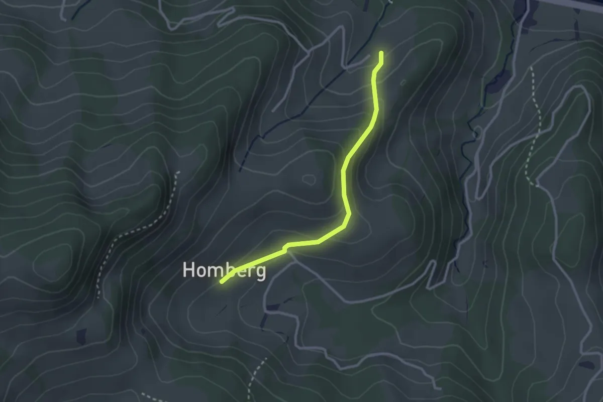
Easy · Trail
Hinteregg – Homberg
2.5 km · ↑ 141 m · 54 min
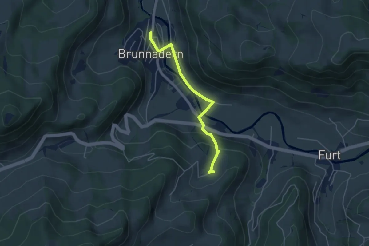
Easy · Trail
Hinteregg – Brunnadern Bhf. S
3.8 km · ↑ 146 m · 1 h 13 min
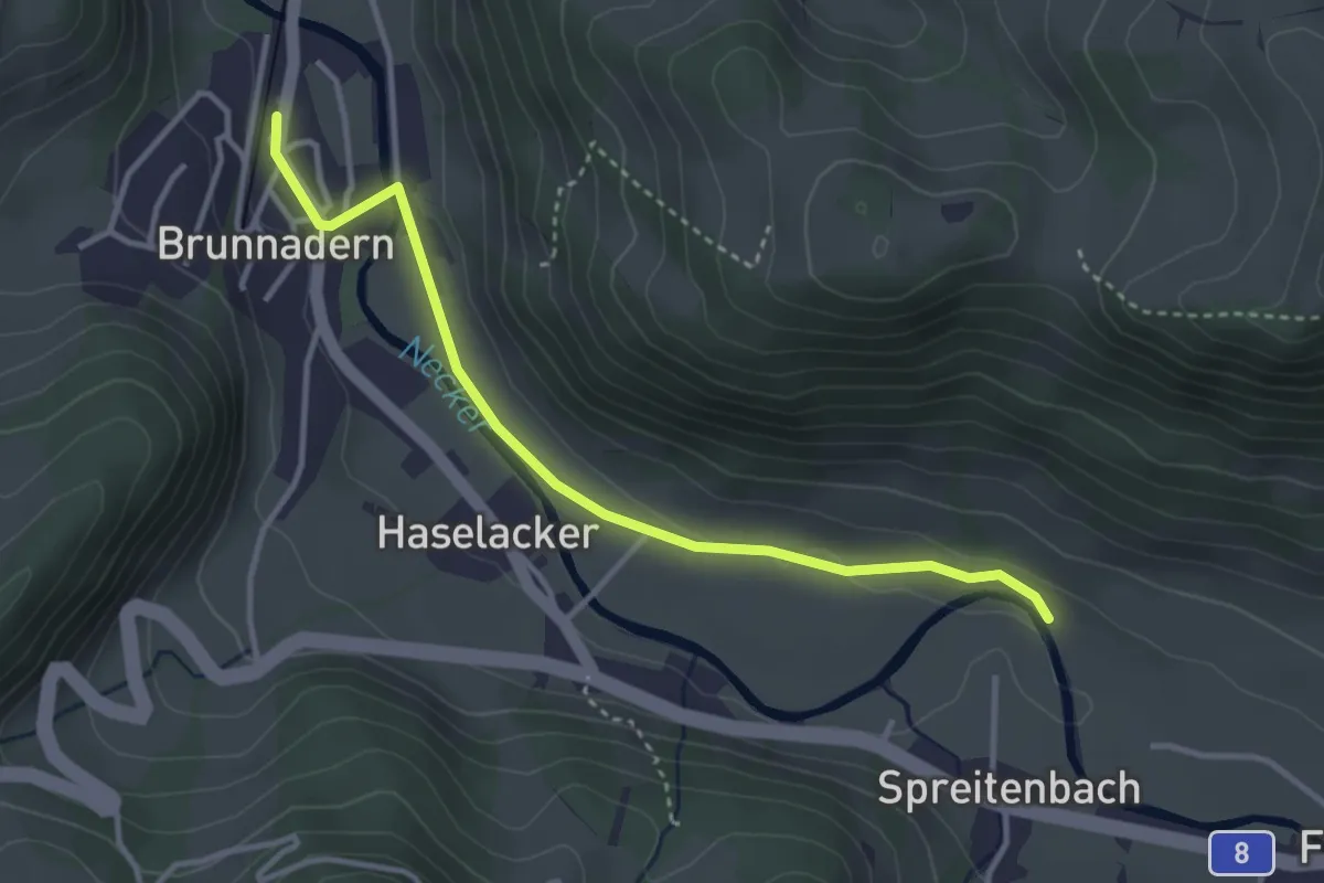
Easy · Trail
Brunnadern Bhf. S – Spreitenbach Nord
3.5 km · ↑ 34 m · 53 min
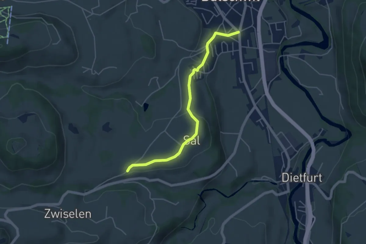
Easy · Trail
Bütschwil – Chromen
4.3 km · ↑ 126 m · 1 h 17 min
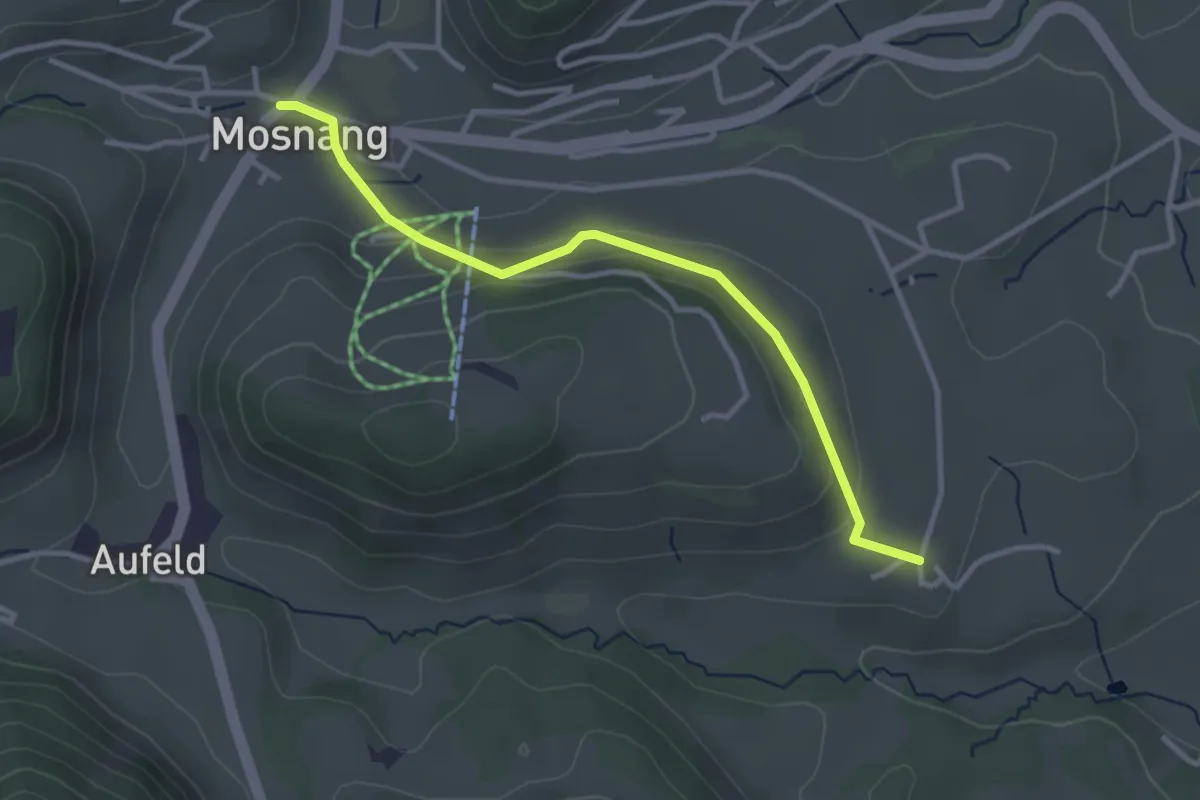
Easy · Trail
Dottingen – Mosnang
3.2 km · ↑ 103 m · 58 min
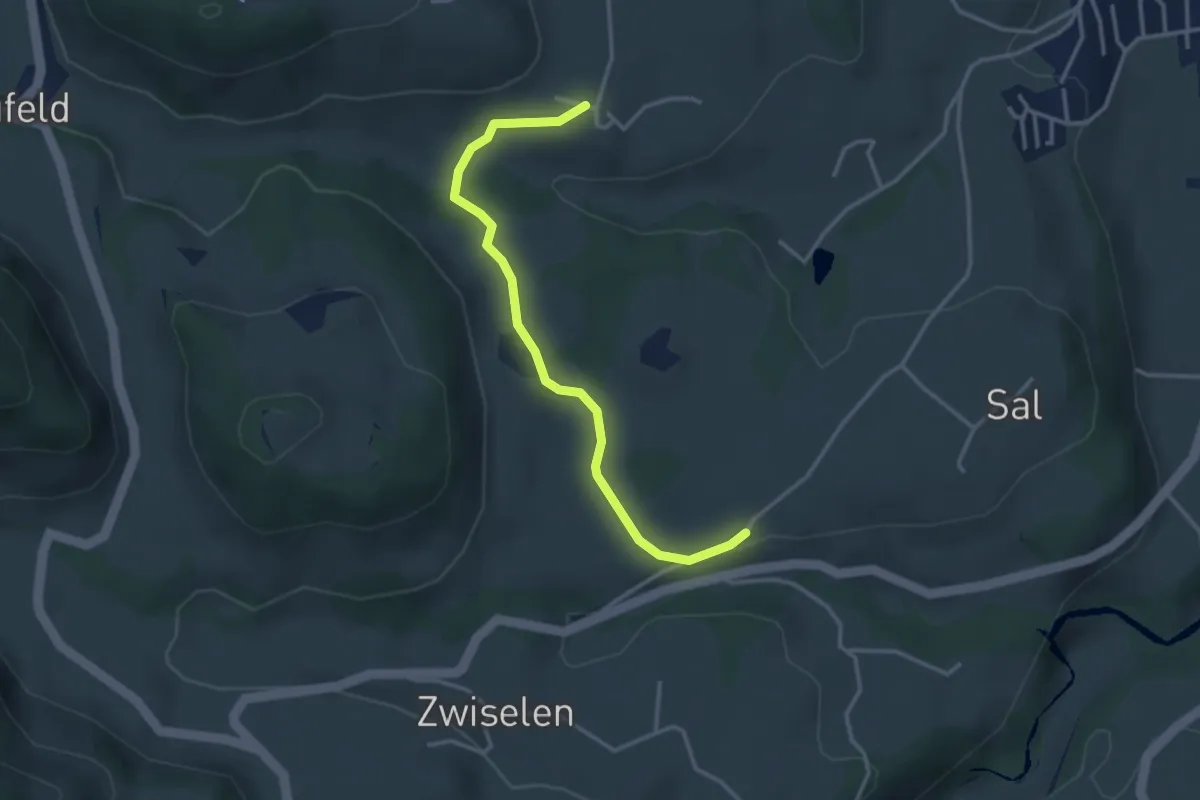
Easy · Trail
Chromen – Dottingen
3.3 km · ↑ 57 m · 55 min
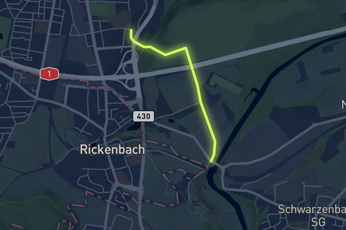
Easy · Trail
Schwarzenbacher Brücke – Wil
3.5 km · ↑ 54 m · 57 min
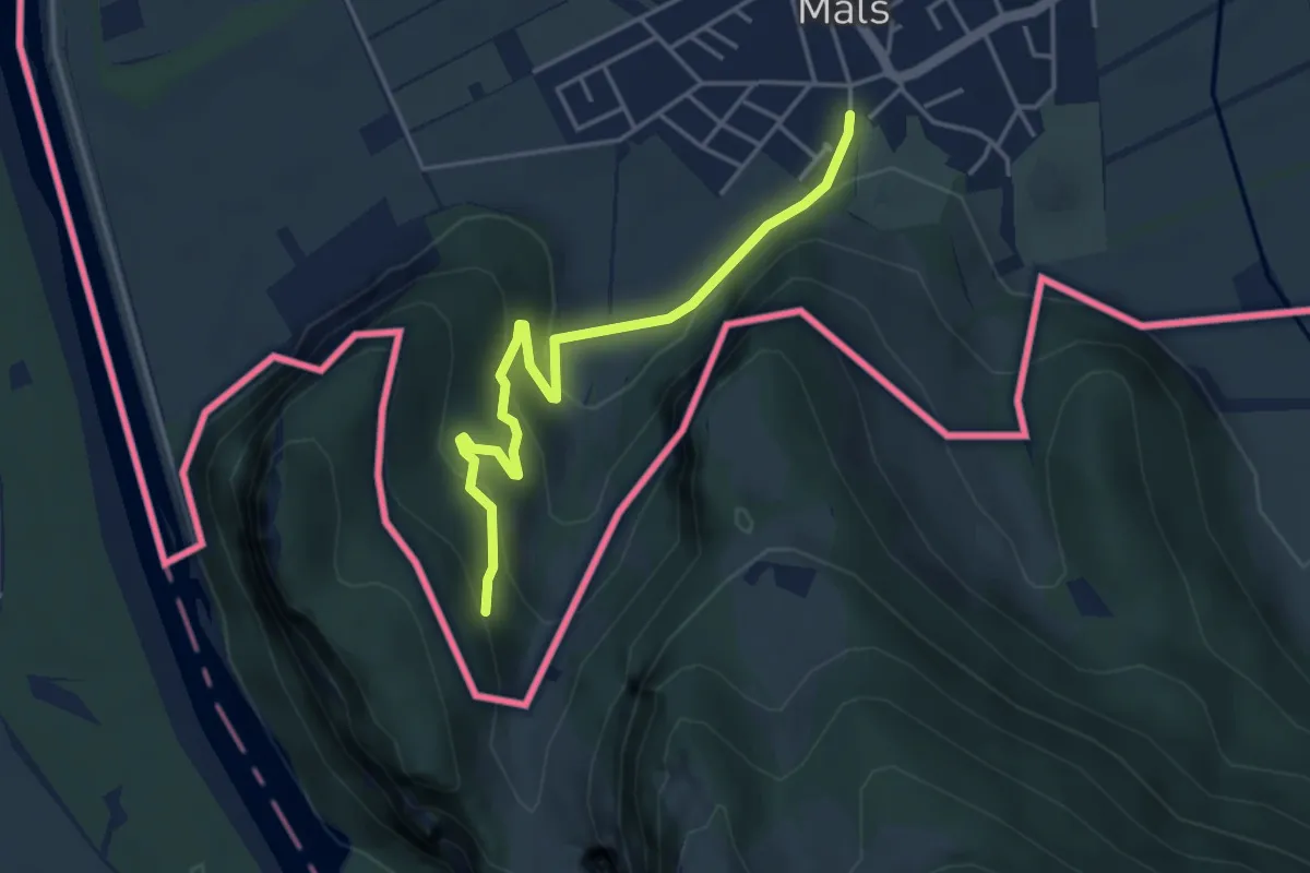
Easy · Trail
Mäls – Elltal
4.1 km · ↑ 206 m · 1 h 25 min
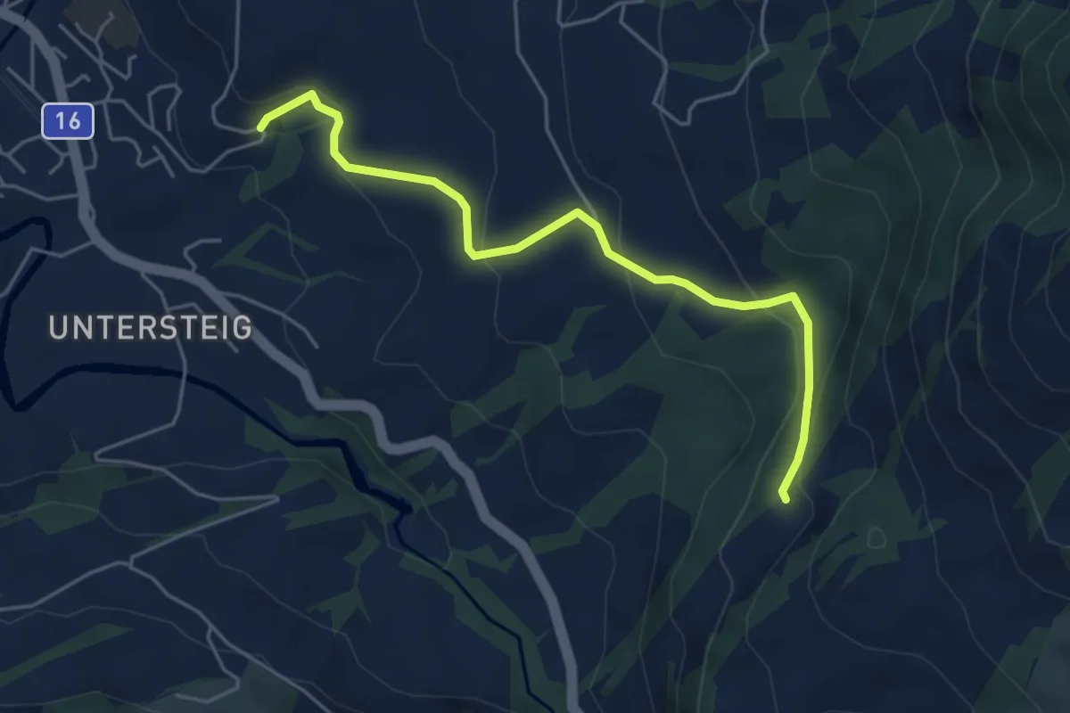
Easy · Trail
Badeweiher – Schloh
4.9 km · ↑ 238 m · 1 h 41 min
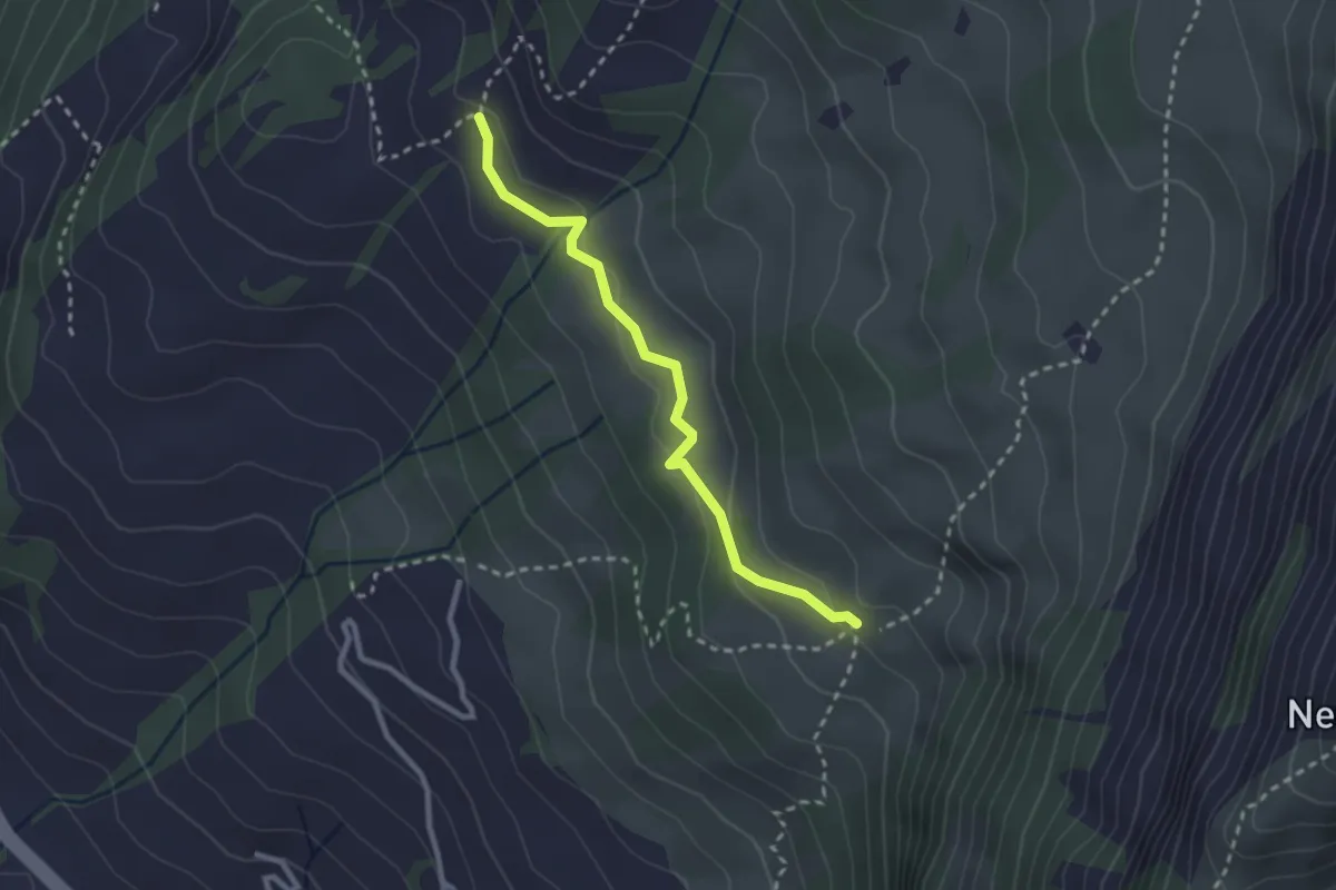
Easy · Trail
Oberstofel – Rueboden
2.5 km · ↑ 94 m · 47 min
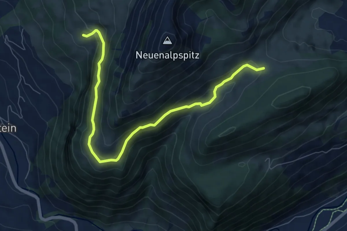
Medium · Trail
Rueboden – Oberstofel
8.0 km · ↑ 405 m · 2 h 45 min
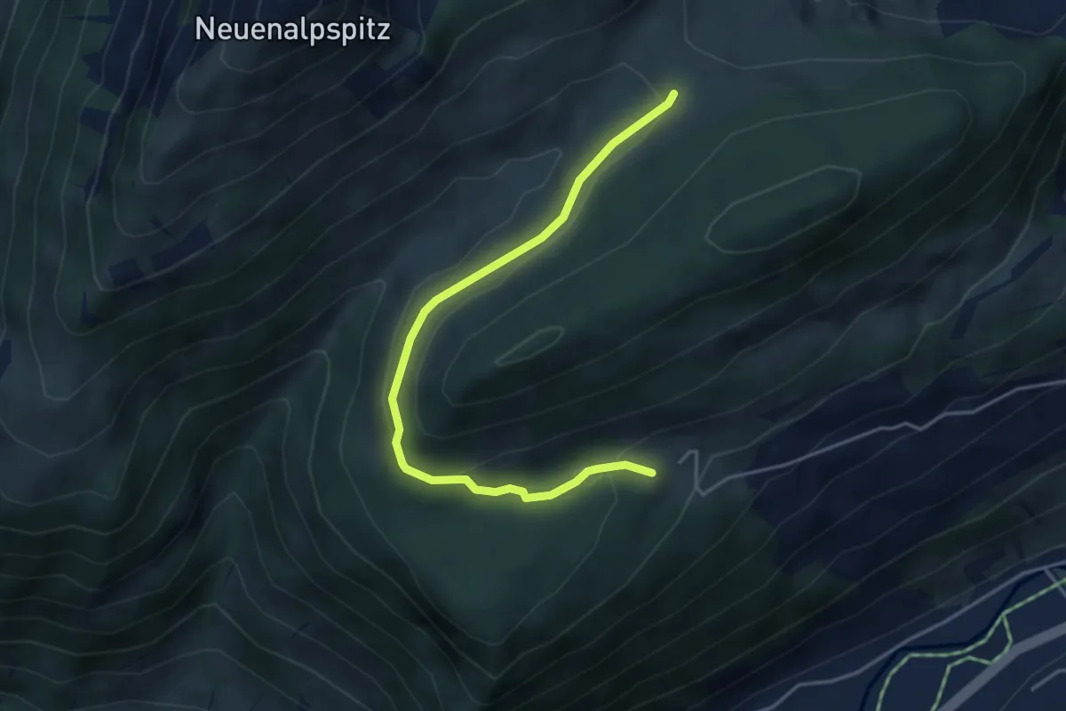
Easy · Trail
Unterschwendi – Oberstofel
4.2 km · ↑ 149 m · 1 h 19 min
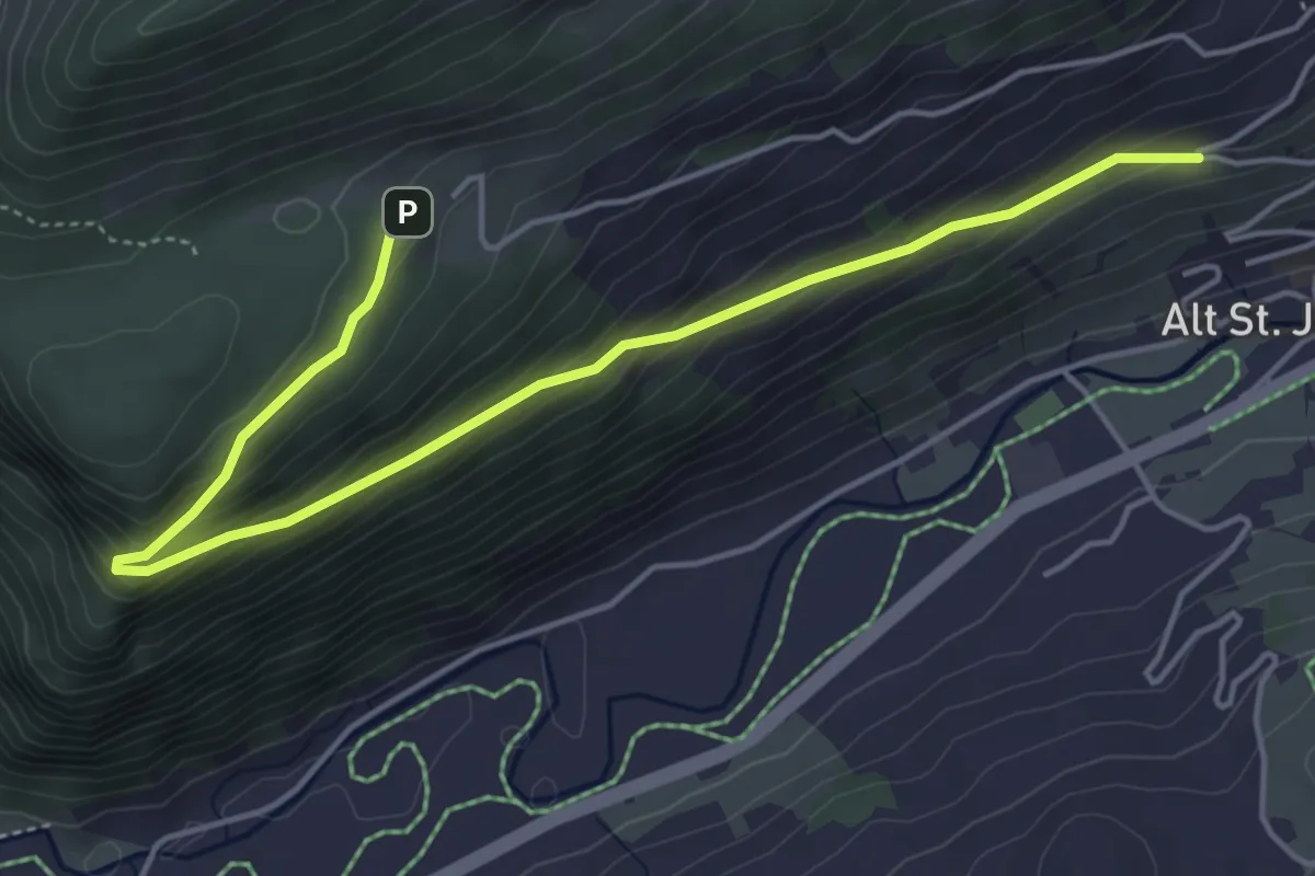
Medium · Trail
Unterschwendi – Hinterberg
5.4 km · ↑ 330 m · 2 h
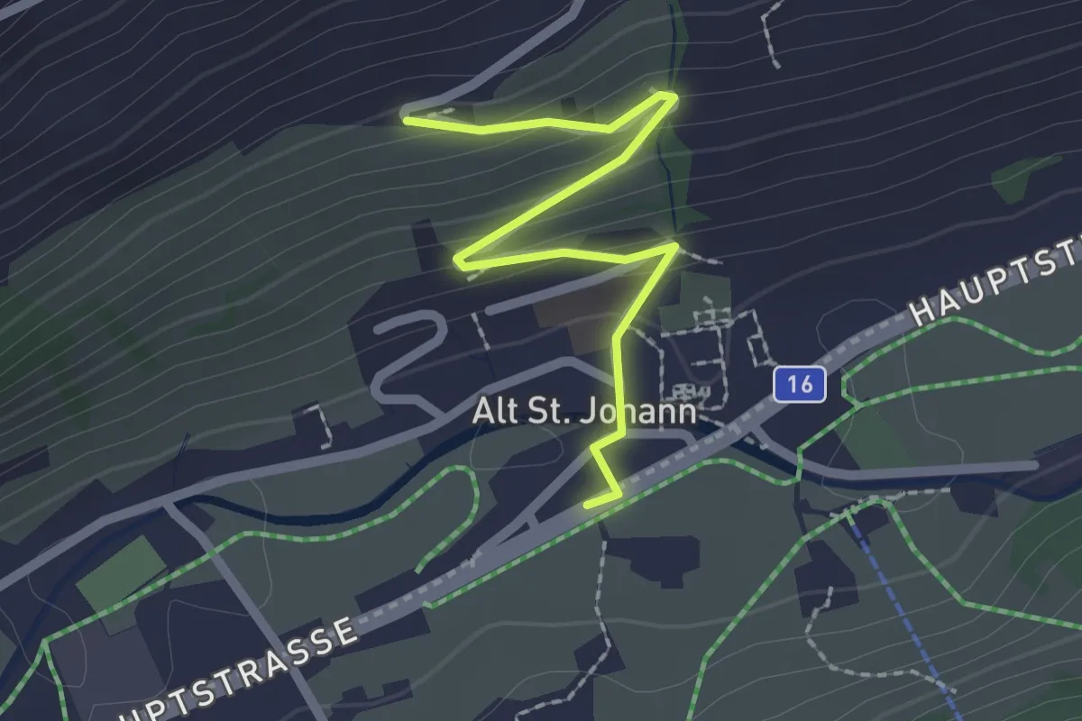
Easy · Trail
Hinterberg – Alt St. Johan
2.0 km · ↑ 113 m · 43 min
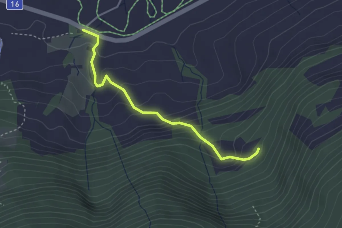
Easy · Trail
Starkenbach Eschen – Rossweid
2.9 km · ↑ 244 m · 1 h 13 min
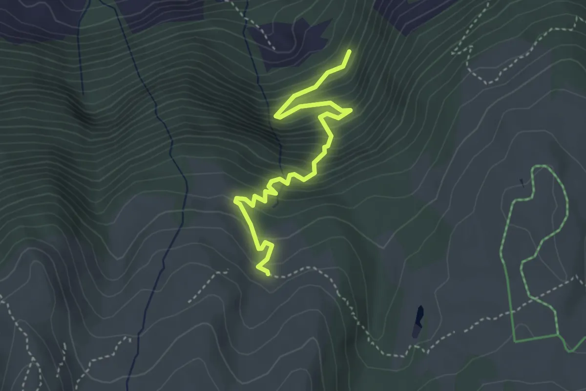
Medium · Trail
Schluchen – Steinhüttli
3.8 km · ↑ 437 m · 1 h 50 min
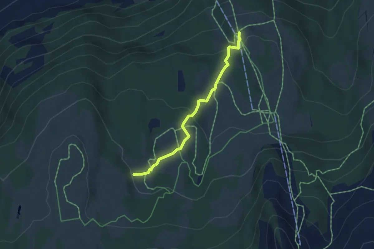
Medium · Trail
Loch – Selamatt
3.5 km · ↑ 126 m · 1 h 6 min
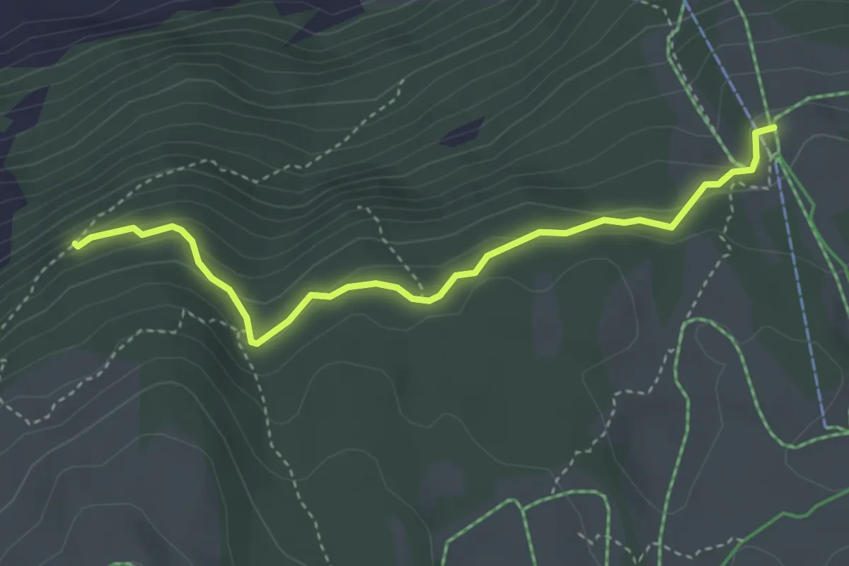
Easy · Trail
Selamatt – Tobelwald
3.7 km · ↑ 181 m · 1 h 17 min
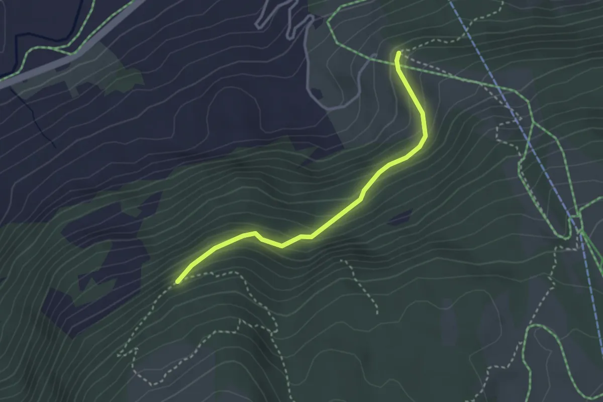
Easy · Trail
Tobelwald – Chueweid
2.9 km · ↑ 255 m · 1 h 15 min
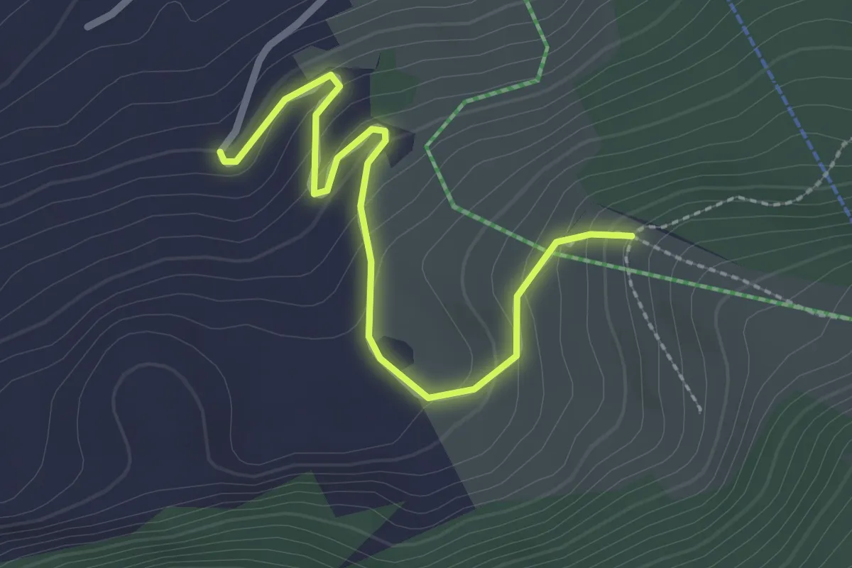
Easy · Trail
Chueweid – Töbeli
2.5 km · ↑ 159 m · 56 min
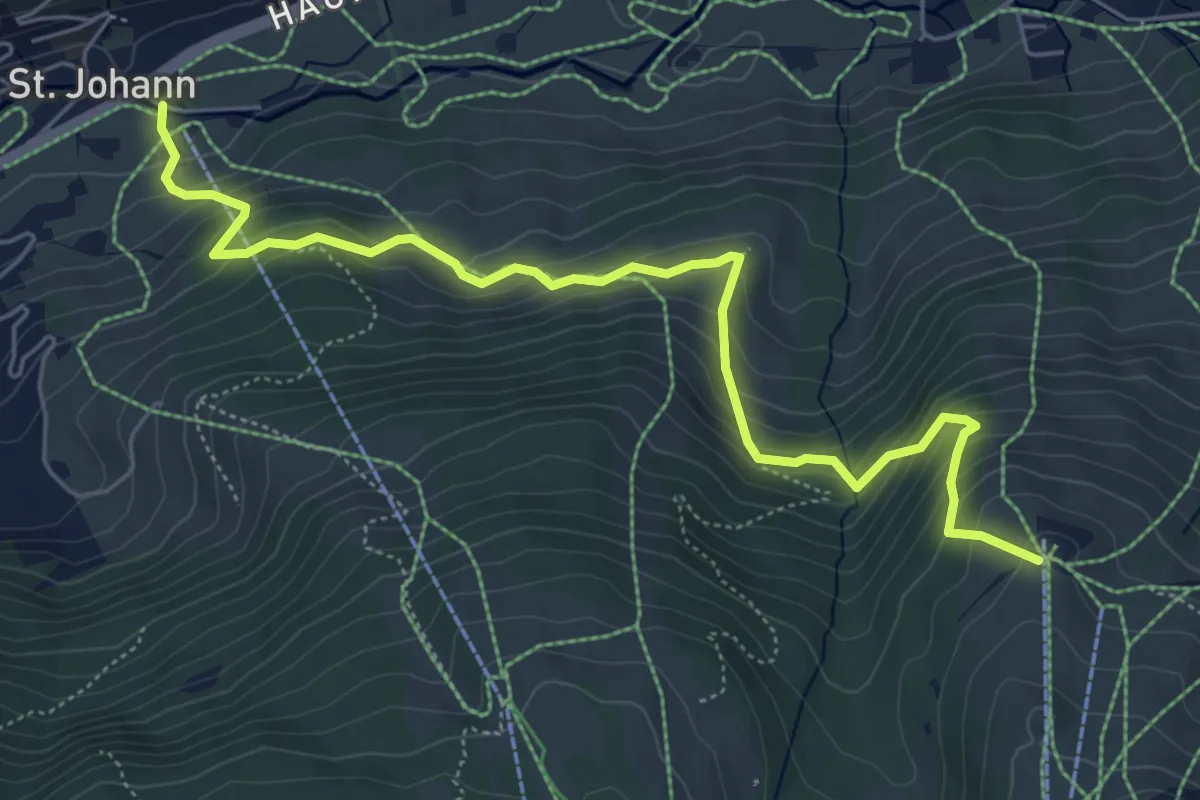
Medium · Trail
Iltios – Sessellift
6.4 km · ↑ 497 m · 2 h 35 min
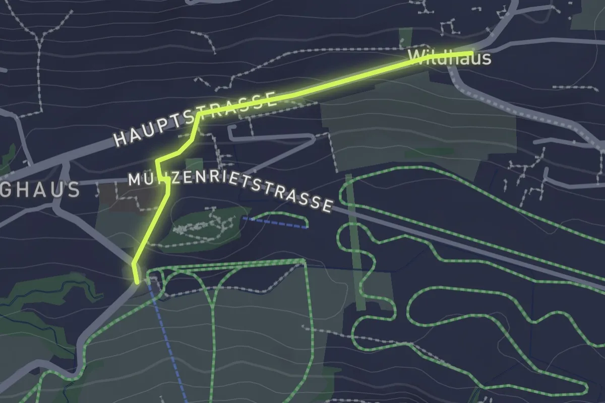
Easy · Trail
Wildhaus – Sesselbahn Talstation
2.1 km · ↑ 74 m · 39 min
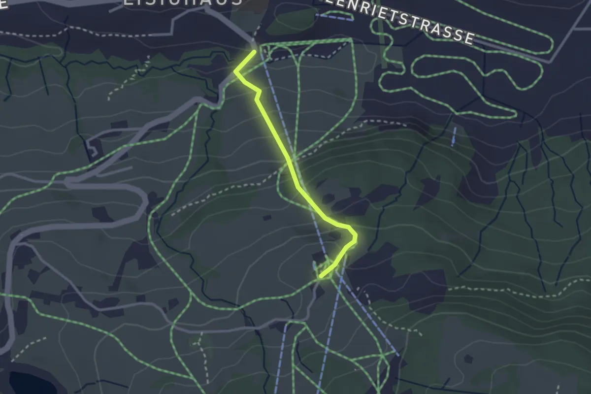
Medium · Trail
Sesselbahn Talstation – Oberdorf
2.2 km · ↑ 205 m · 57 min
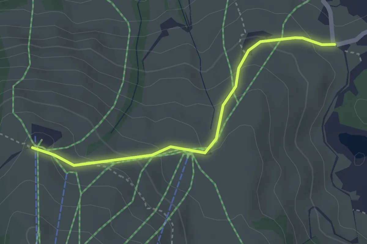
Easy · Trail
Schwendiseen – Iltios
3.1 km · ↑ 169 m · 1 h 5 min
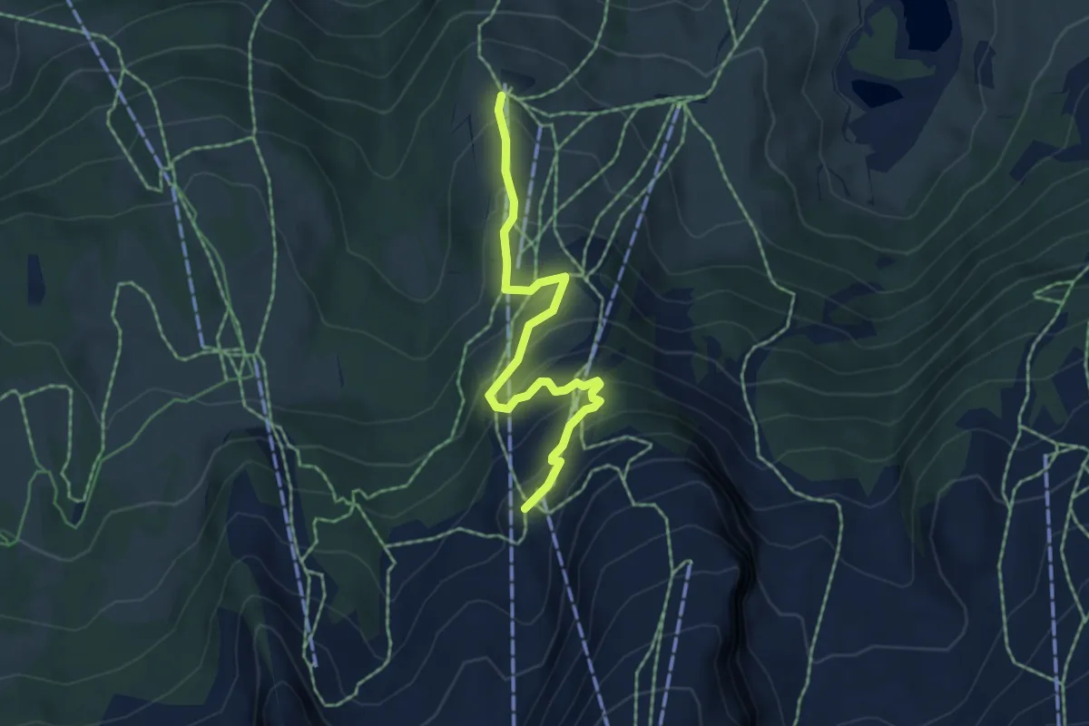
Medium · Trail
Iltios – Stöfeli
5.0 km · ↑ 345 m · 1 h 56 min
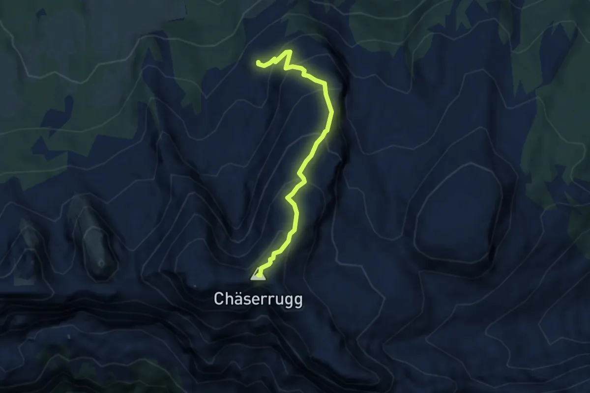
Medium · Summit
Stöfeli – Chäserrugg
6.1 km · ↑ 576 m · 2 h 41 min
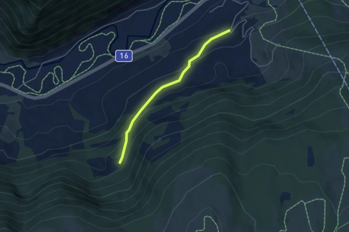
Easy · Trail
Töbeli – Rossweid
3.1 km · ↑ 185 m · 1 h 9 min
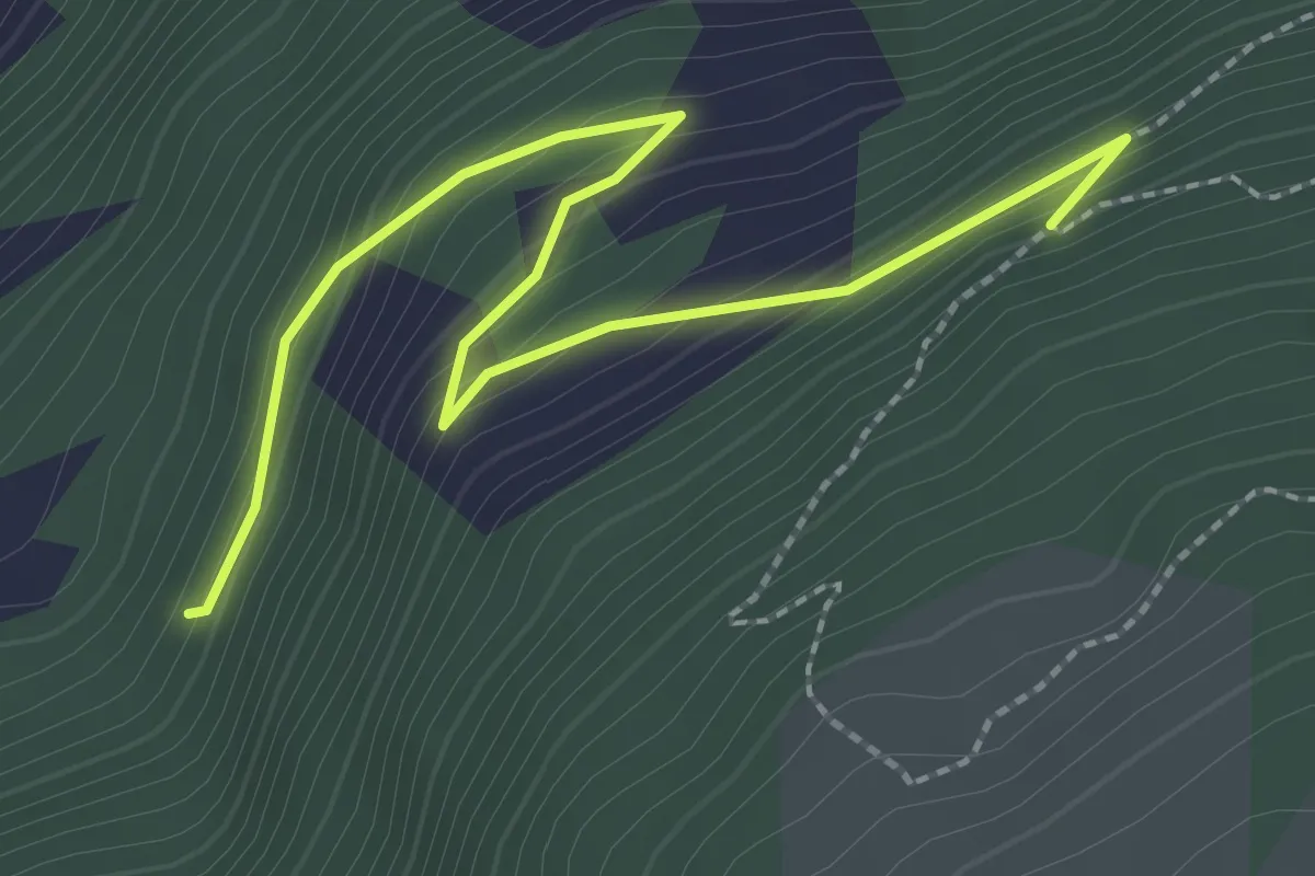
Easy · Trail
Schluchen – Tobelwald
2.8 km · ↑ 171 m · 1 h 2 min
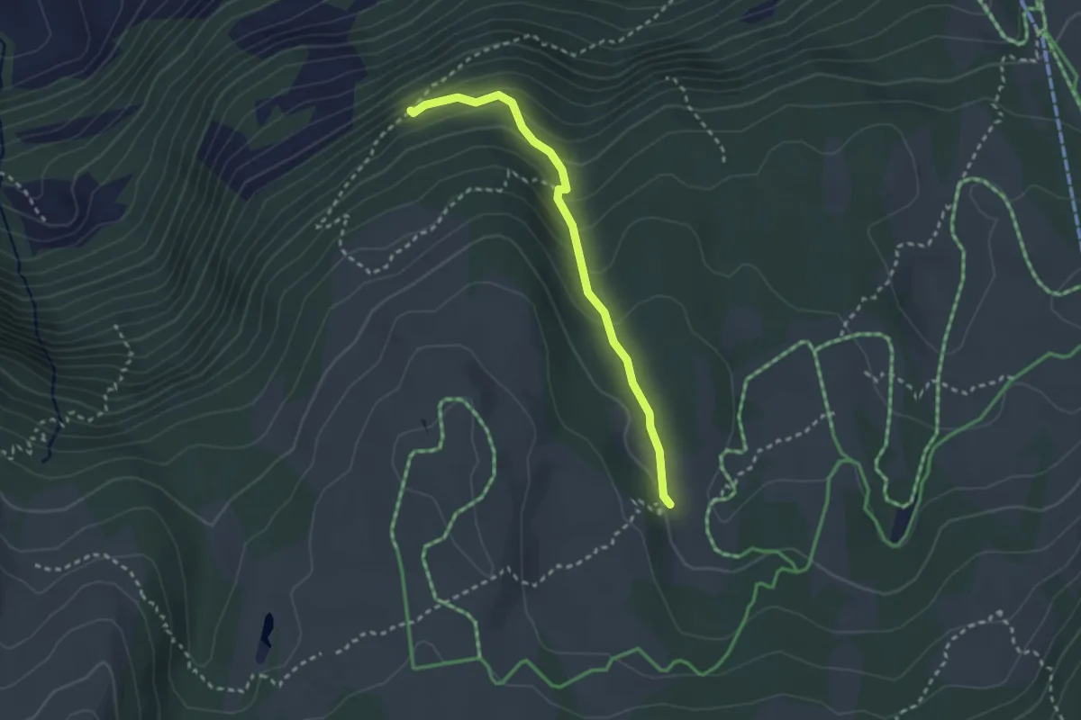
Medium · Trail
Loch – Tobelwald
2.6 km · ↑ 189 m · 1 h 2 min
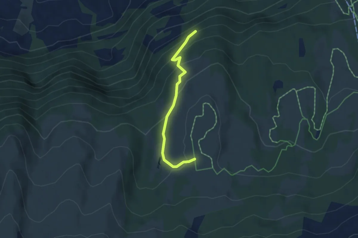
Medium · Trail
Thurtalerstofel – Tobelwald
3.6 km · ↑ 220 m · 1 h 20 min
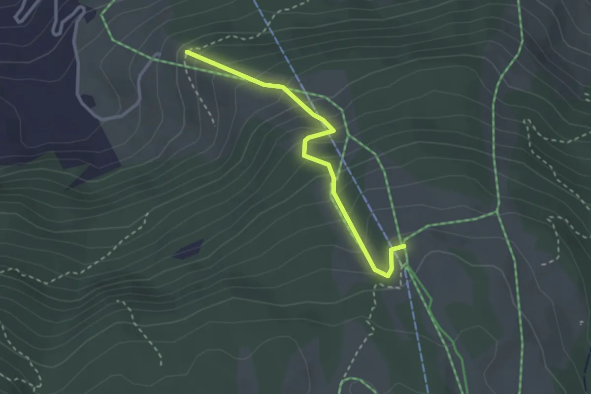
Easy · Trail
Chueweid – Selamatt
2.5 km · ↑ 306 m · 1 h 15 min
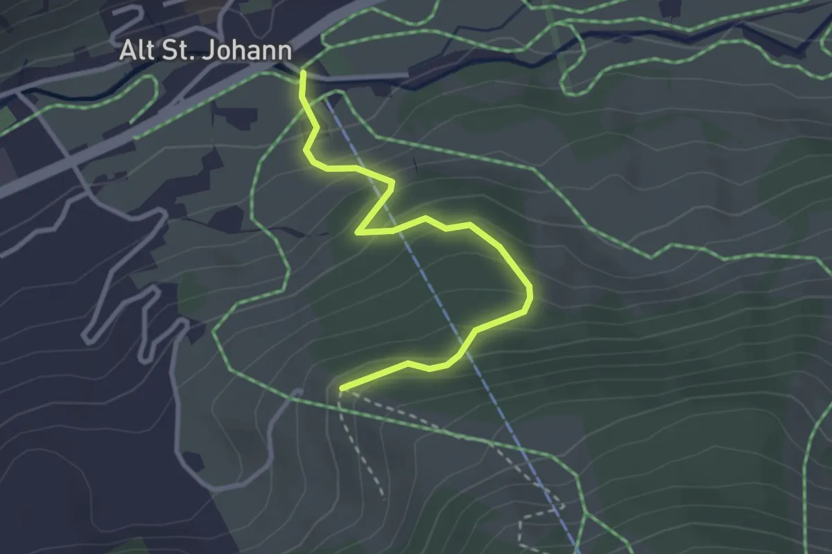
Easy · Trail
Chueweid – Sessellift
2.7 km · ↑ 249 m · 1 h 11 min
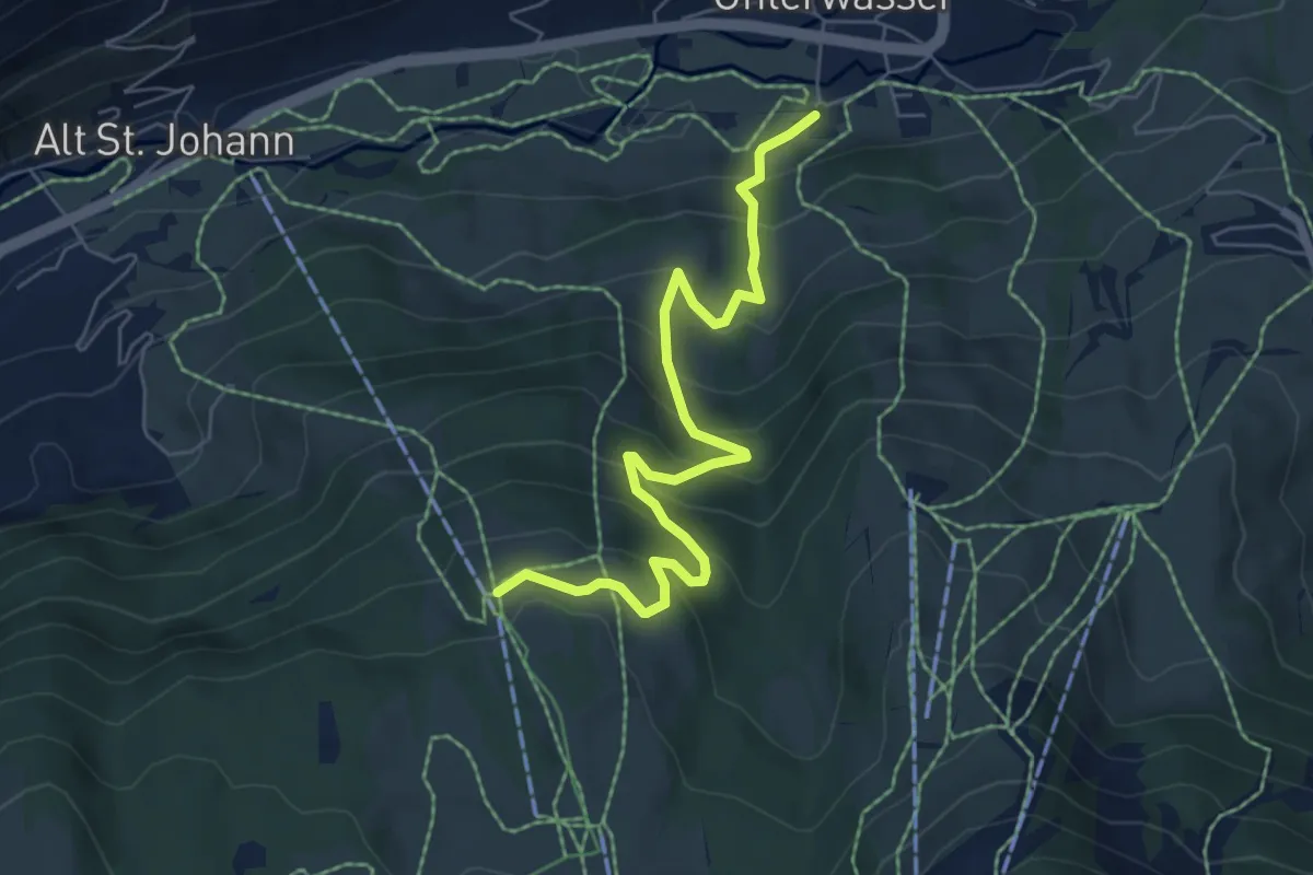
Expert · Trail
Selamatt – Unterwasser
6.6 km · ↑ 499 m · 2 h 38 min
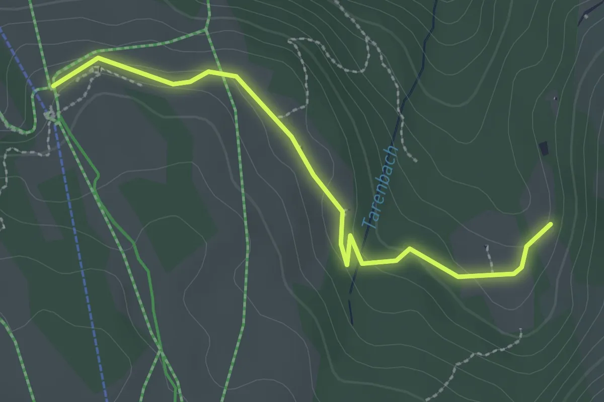
Easy · Trail
Selamatt – Gerstenboden
2.7 km · ↑ 75 m · 47 min
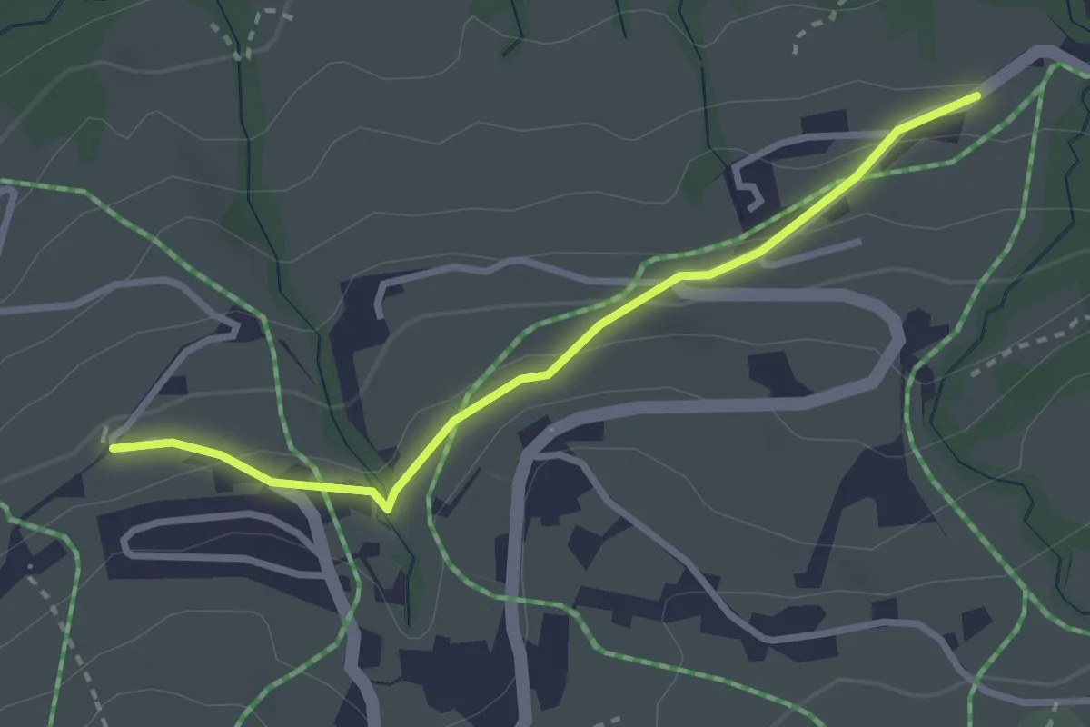
Easy · Trail
Brand – Hinterschwendi
2.7 km · ↑ 102 m · 52 min
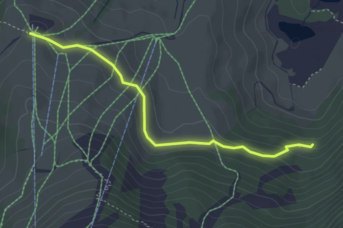
Easy · Trail
Iltios – Dunkelboden
3.6 km · ↑ 150 m · 1 h 10 min
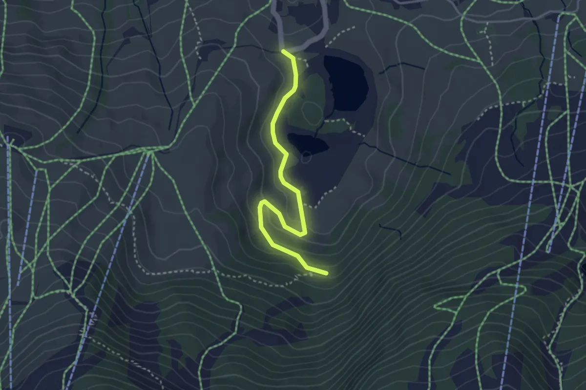
Easy · Trail
Schwendiseen – Dunkelboden
3.3 km · ↑ 106 m · 1 h
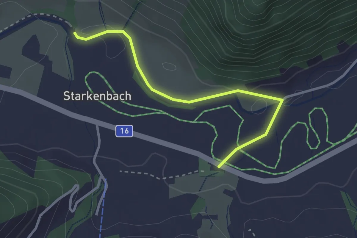
Easy · Trail
Starkenbach Eschen – Bach Thurbrücke
2.6 km · ↑ 18 m · 39 min