Trails in Switzerland
15,055 hiking trails, each with its route, climb, walking time and grade.
All trails, page 302 of 314
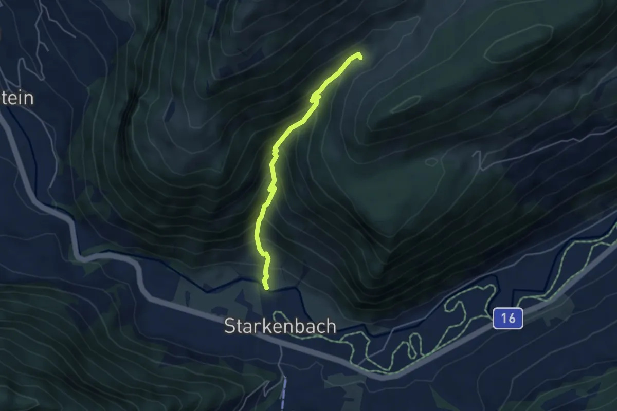
Medium · Trail
Bach Thurbrücke – Oberstofel
3.8 km · ↑ 454 m · 1 h 54 min
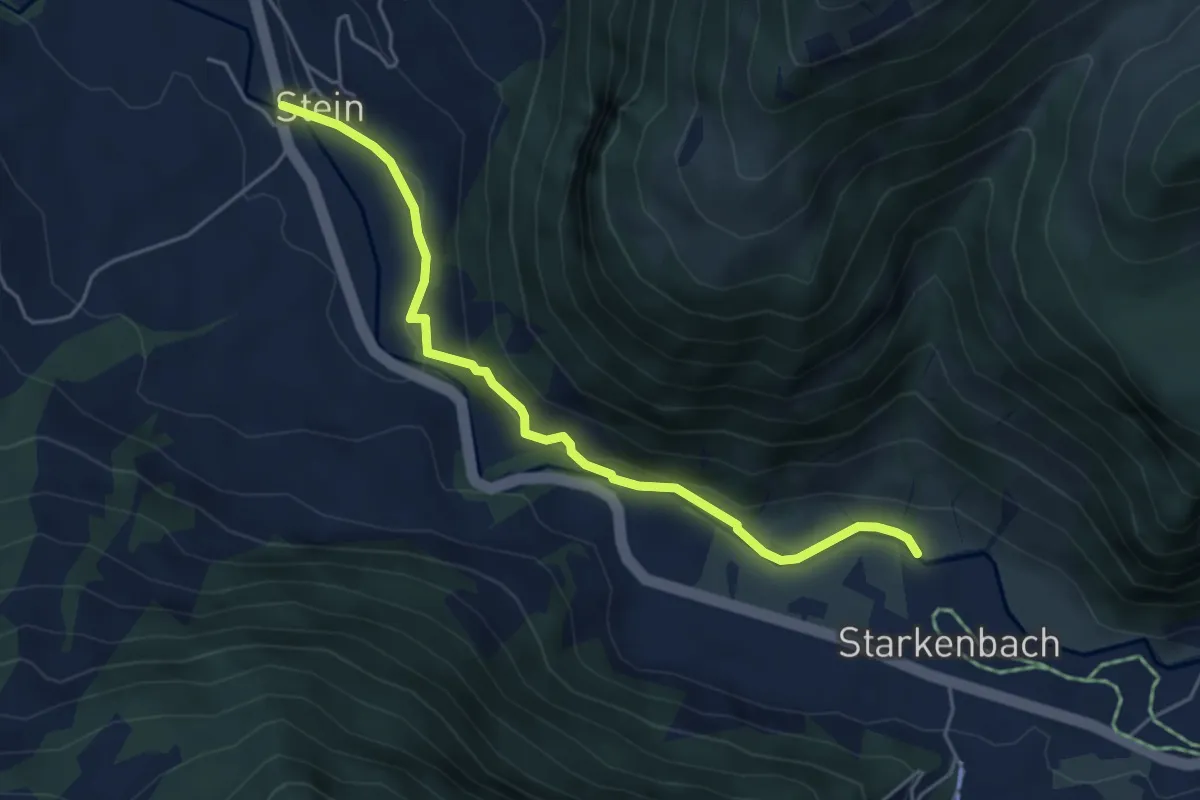
Easy · Trail
Bach Thurbrücke – Stein
4.9 km · ↑ 192 m · 1 h 35 min
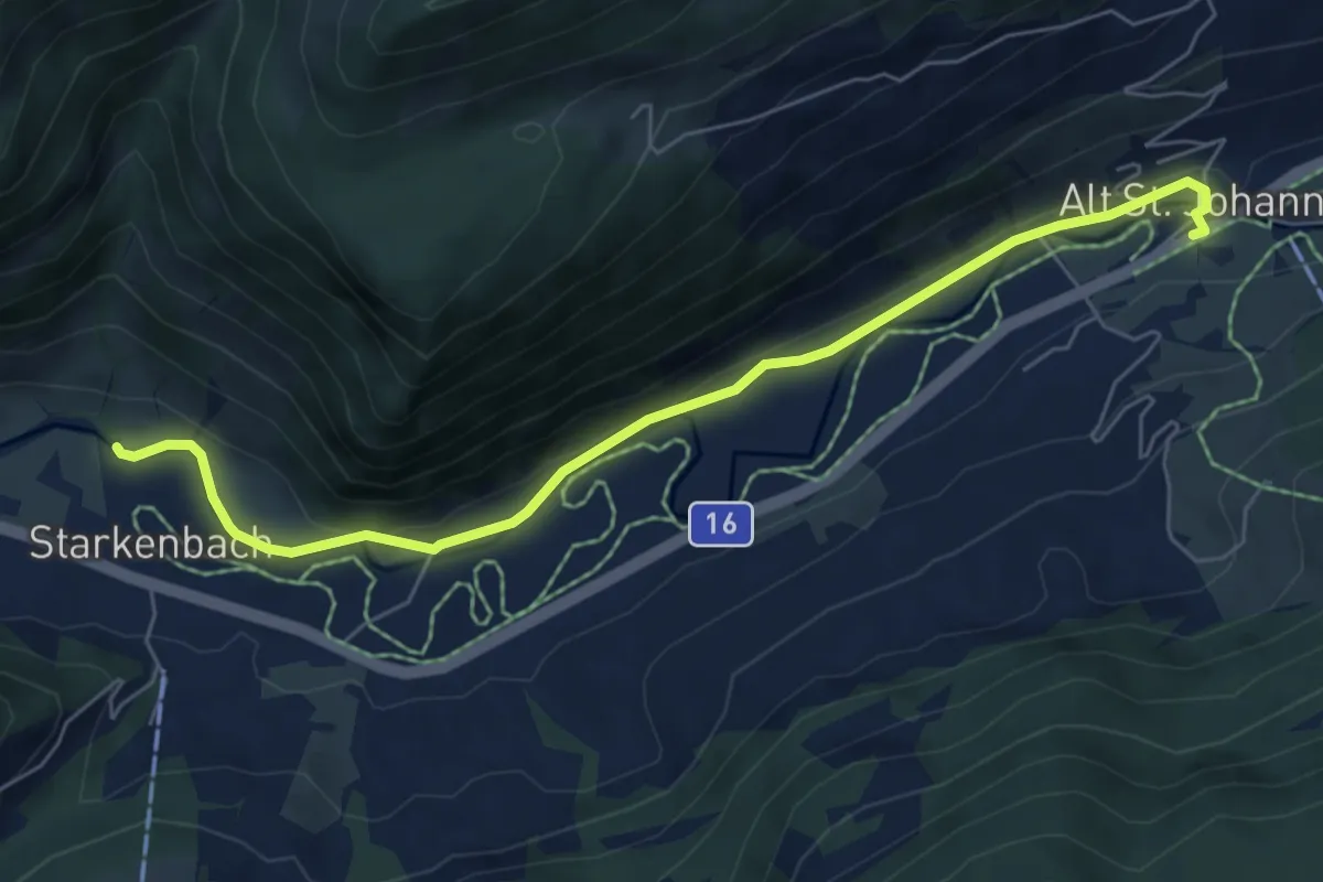
Easy · Trail
Bach Thurbrücke – Alt St. Johann
6.5 km · ↑ 52 m · 1 h 39 min
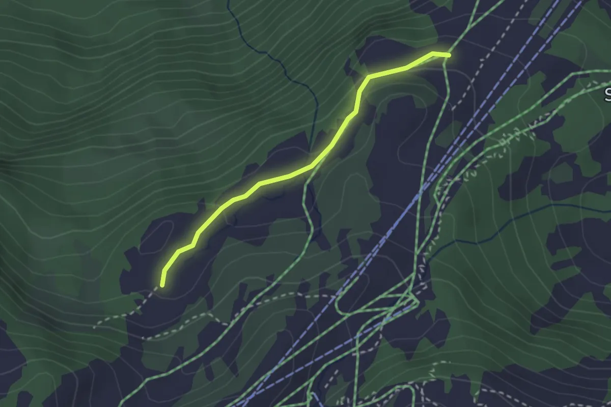
Easy · Trail
Rotberg – Winkelzan
2.3 km · ↑ 75 m · 42 min
Easy · Trail
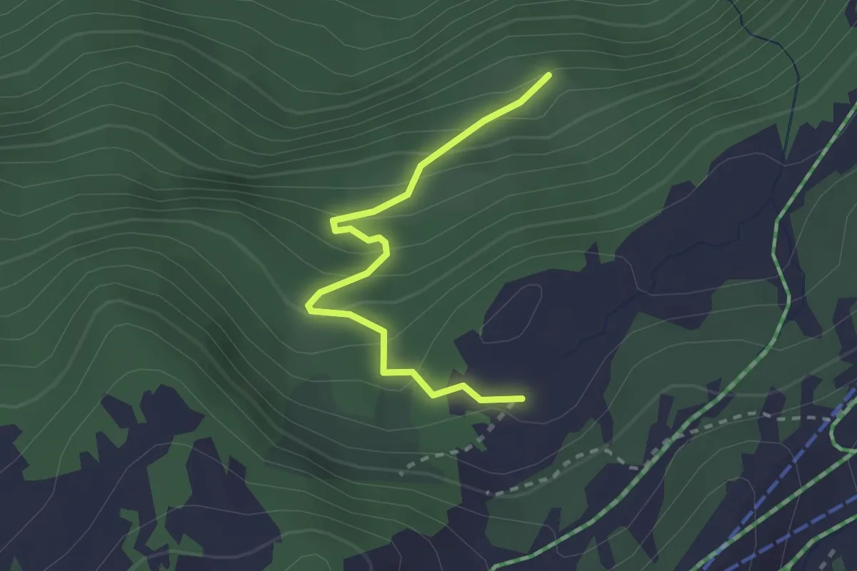
Winkelzan – Oberterzen
2.3 km · ↑ 212 m · 1 h 1 min
Easy · Summit
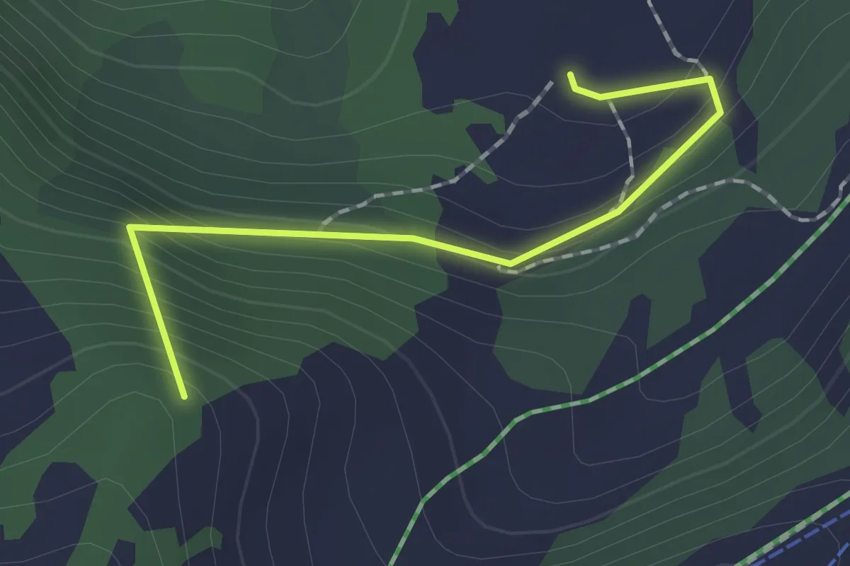
Winkelzan – Seebenalp
1.6 km · ↑ 141 m · 41 min
Medium · Summit
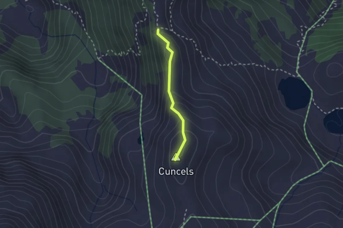
Chli Güslen – Chrüzen
1.6 km · ↑ 130 m · 40 min
Easy · Trail
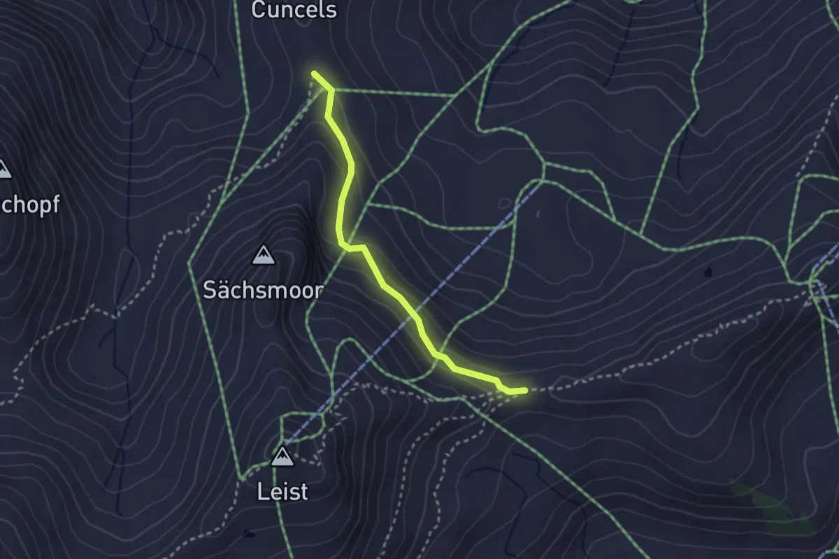
Chrüzen – Zigerfurgglen
2.5 km · ↑ 154 m · 55 min
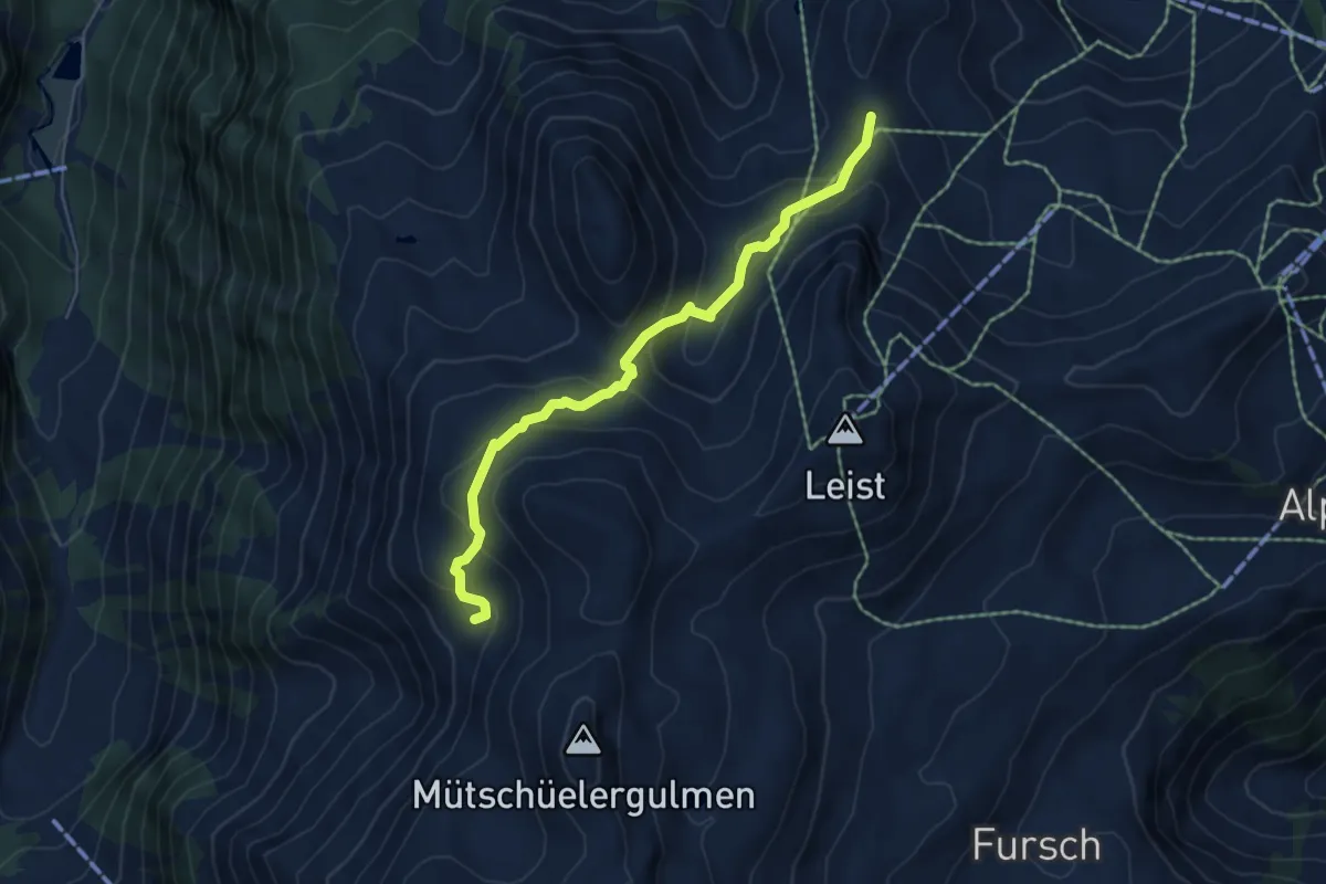
Medium · Trail
Chrüzen – ?
5.5 km · ↑ 331 m · 2 h 1 min
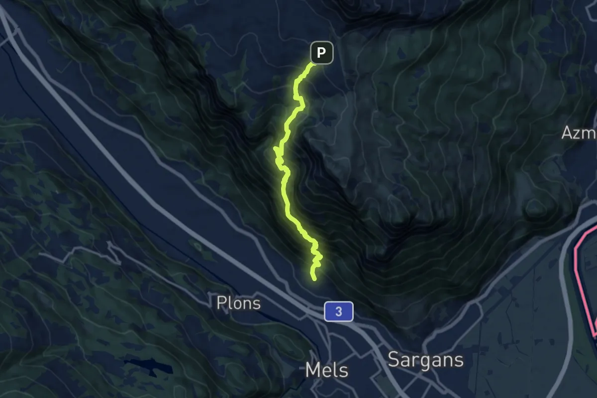
Demanding · Trail
Heiligkreuz N – Palfries Berghaus
11.1 km · ↑ 1324 m · 5 h 30 min
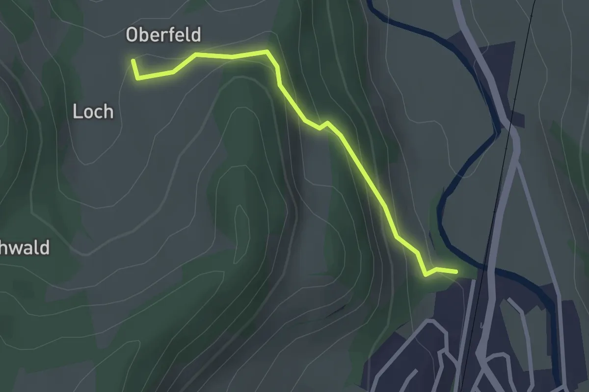
Easy · Trail
Schuepis – Loch
2.2 km · ↑ 134 m · 48 min
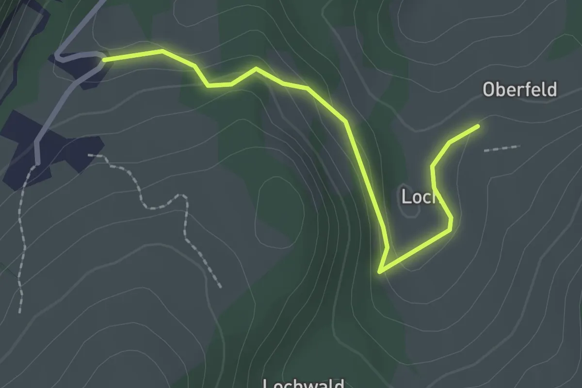
Easy · Trail
Loch – Nutzenhalden
2.1 km · ↑ 59 m · 38 min
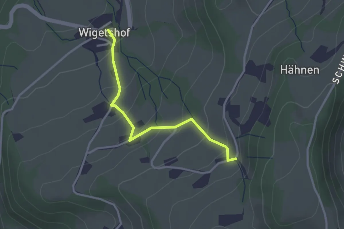
Easy · Trail
Oberwil – Wigetshof
2.4 km · ↑ 145 m · 53 min
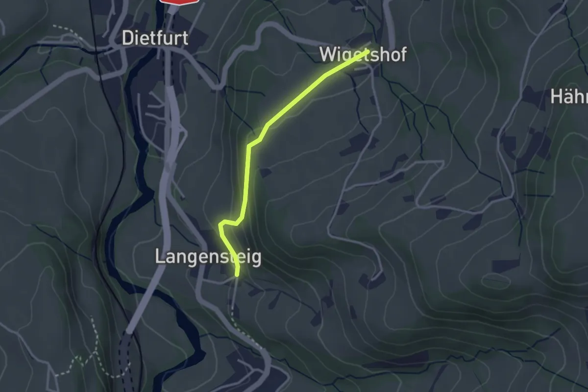
Easy · Trail
Wigetshof – Langensteig
2.5 km · ↑ 73 m · 45 min
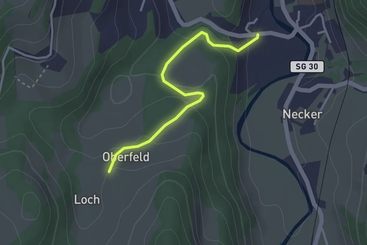
Easy · Trail
Oberfeld – ?
2.6 km · ↑ 123 m · 52 min
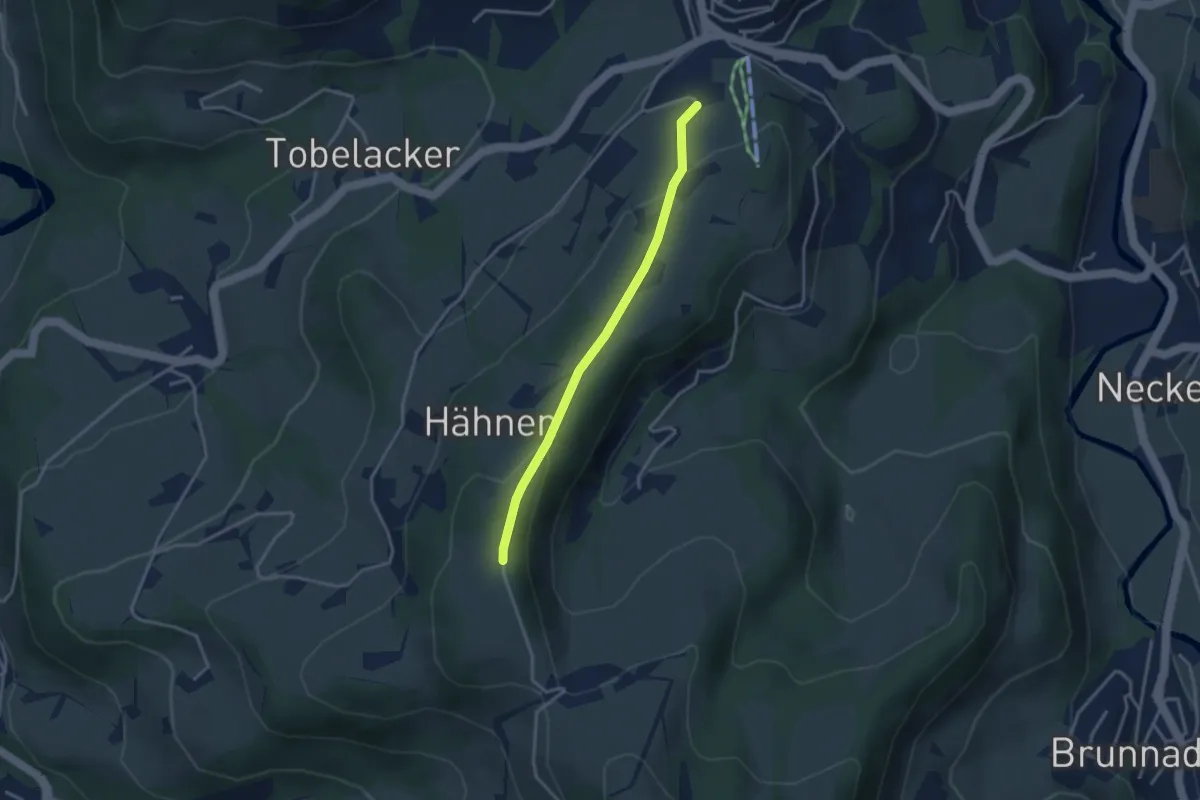
Easy · Trail
Hänen – ?
3.0 km · ↑ 98 m · 55 min
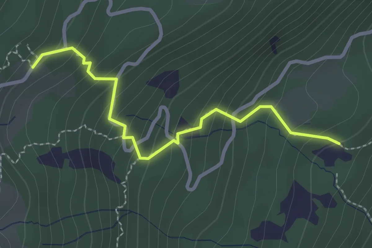
Medium · Trail
Letzi – Hinterelabria
2.3 km · ↑ 204 m · 59 min
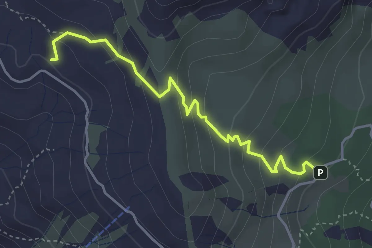
Medium · Trail
Hinterelabria – Vorderpalfries
3.5 km · ↑ 213 m · 1 h 17 min
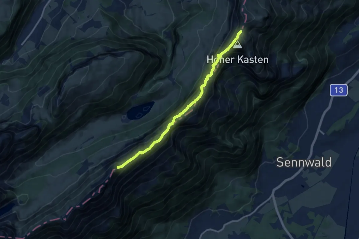
Medium · Summit
Staubern – Kastensattel
8.7 km · ↑ 698 m · 3 h 34 min
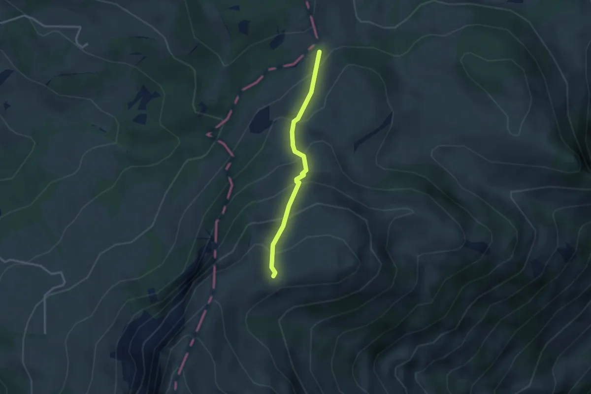
Medium · Trail
Zapfen – Ober Kamor Stofel
2.5 km · ↑ 270 m · 1 h 11 min
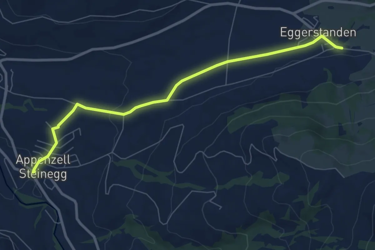
Easy · Trail
Eggerstanden – Steinegg
7.0 km · ↑ 108 m · 1 h 54 min
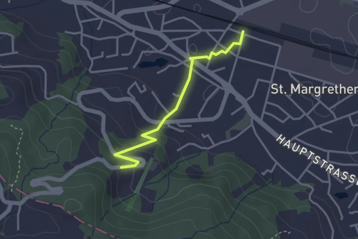
Easy · Trail
St. Margrethen – Schäflisberg
2.6 km · ↑ 115 m · 51 min
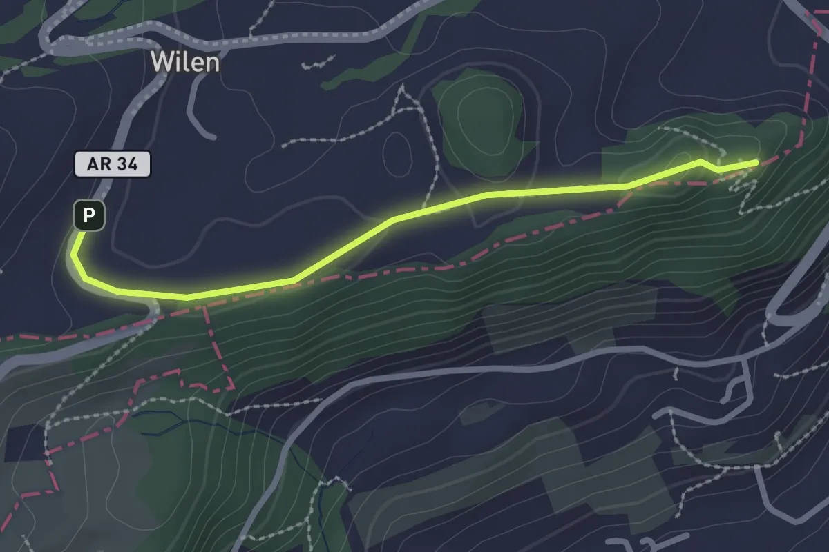
Easy · Summit
Meldegg – Wilen
2.3 km · ↑ 44 m · 39 min
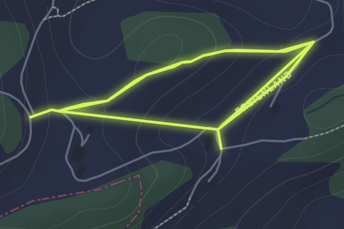
Easy · Trail
Freienland – Schurtanne
3.3 km · ↑ 146 m · 1 h 5 min
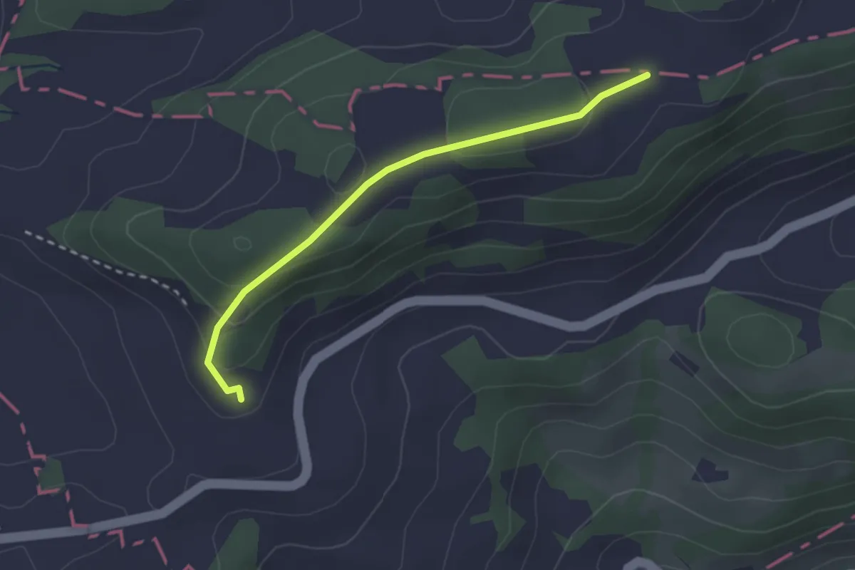
Easy · Trail
Gerschwendi – Blatten
2.4 km · ↑ 86 m · 45 min
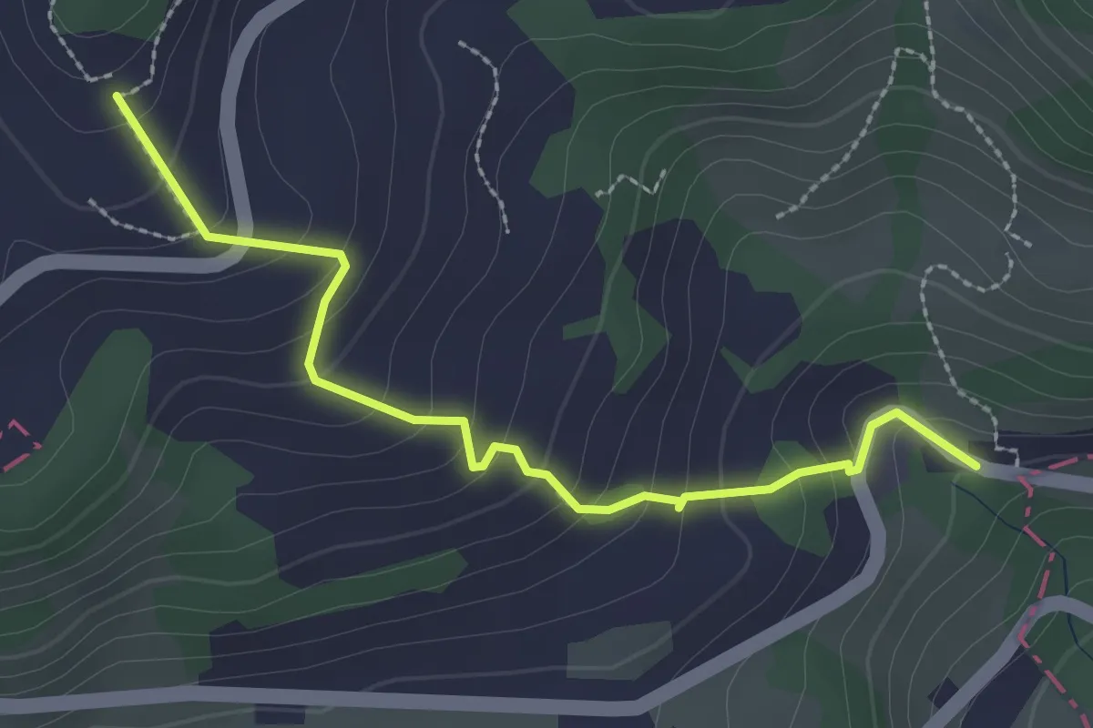
Easy · Trail
Blatten – Sulzbach
2.6 km · ↑ 208 m · 1 h 3 min
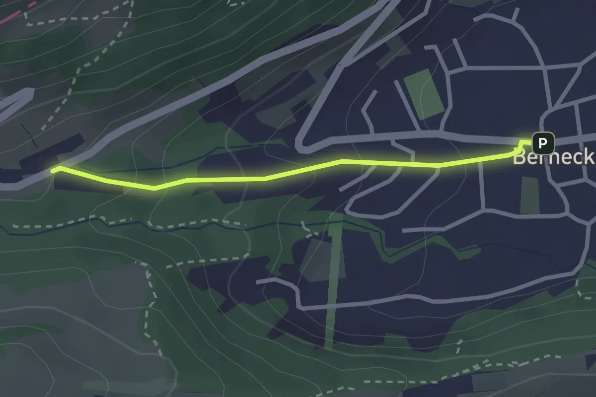
Easy · Trail
Taa – Berneck
2.2 km · ↑ 138 m · 49 min
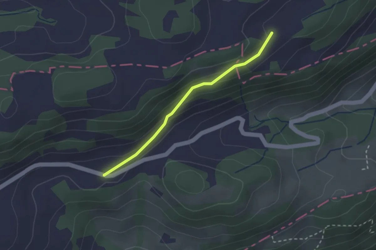
Easy · Trail
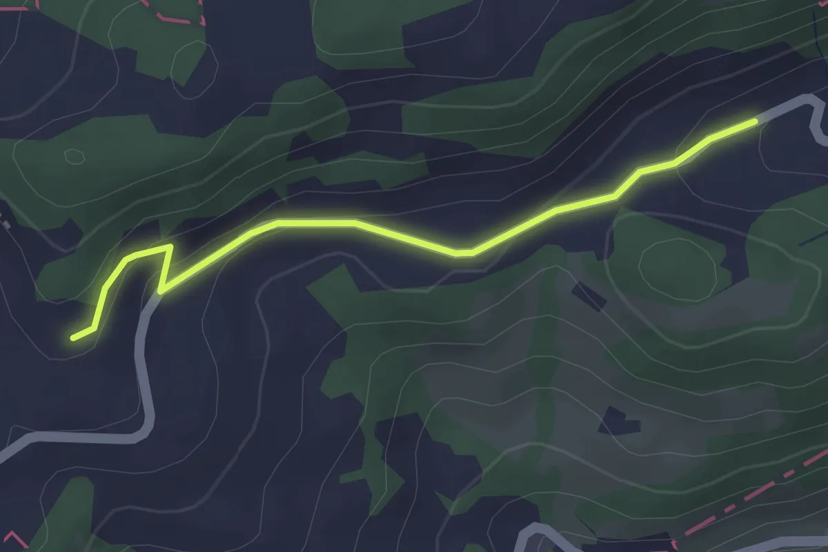
Freienland – Kellenberg
2.1 km · ↑ 69 m · 38 min
Easy · Trail
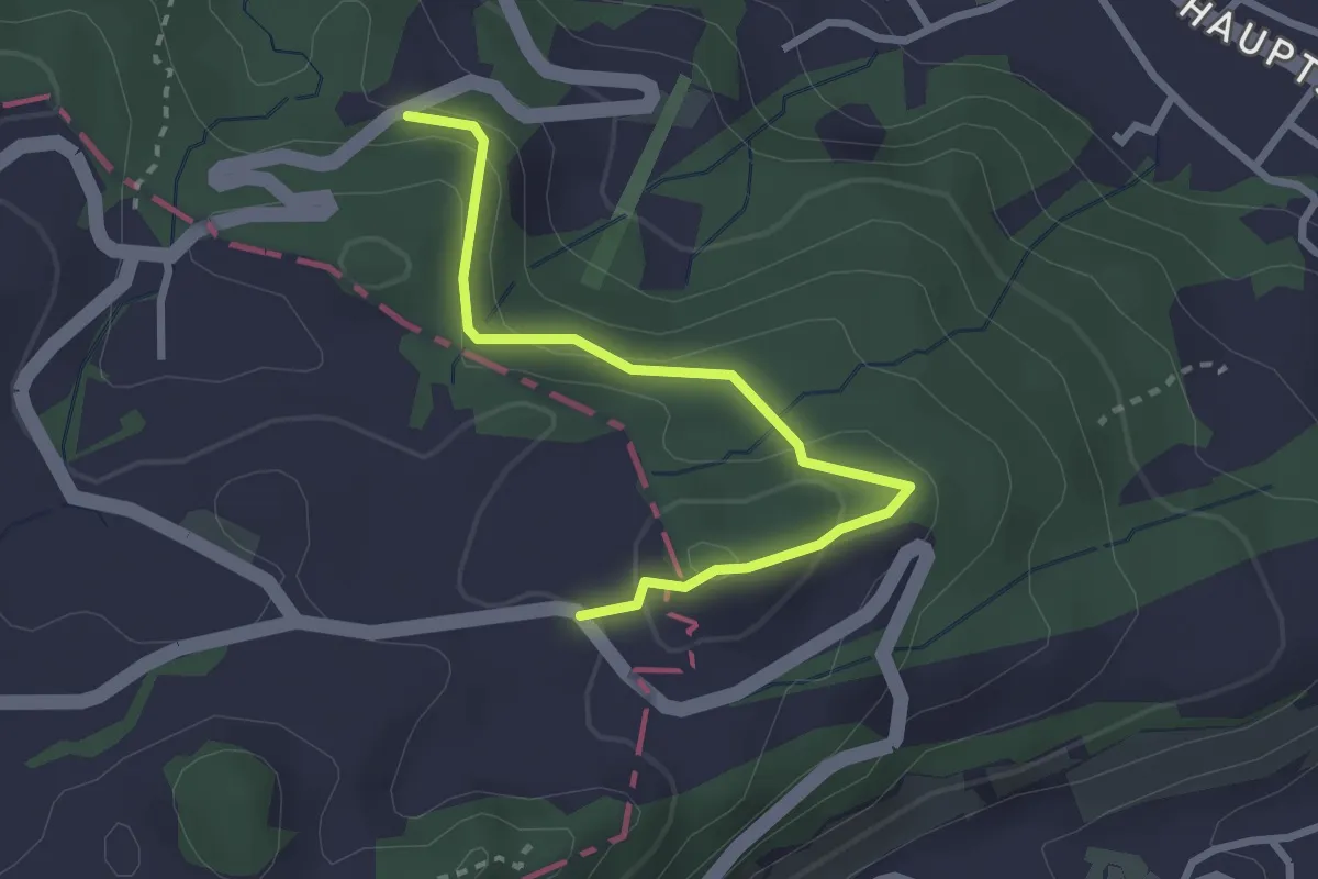
Blatten – Hüsli
2.9 km · ↑ 104 m · 54 min
Easy · Trail
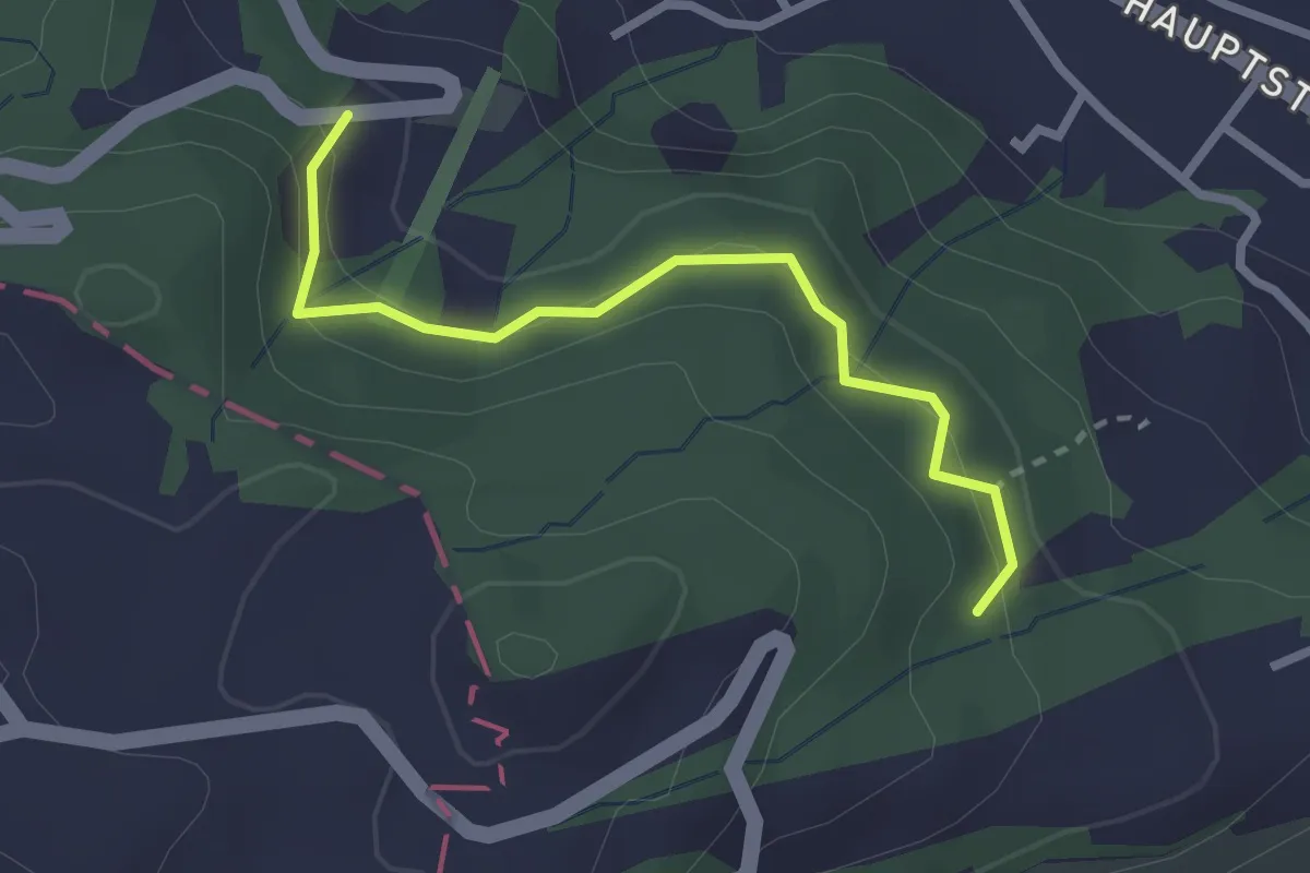
Leuchen – Gletscherhügel
2.8 km · ↑ 119 m · 55 min
Easy · Trail
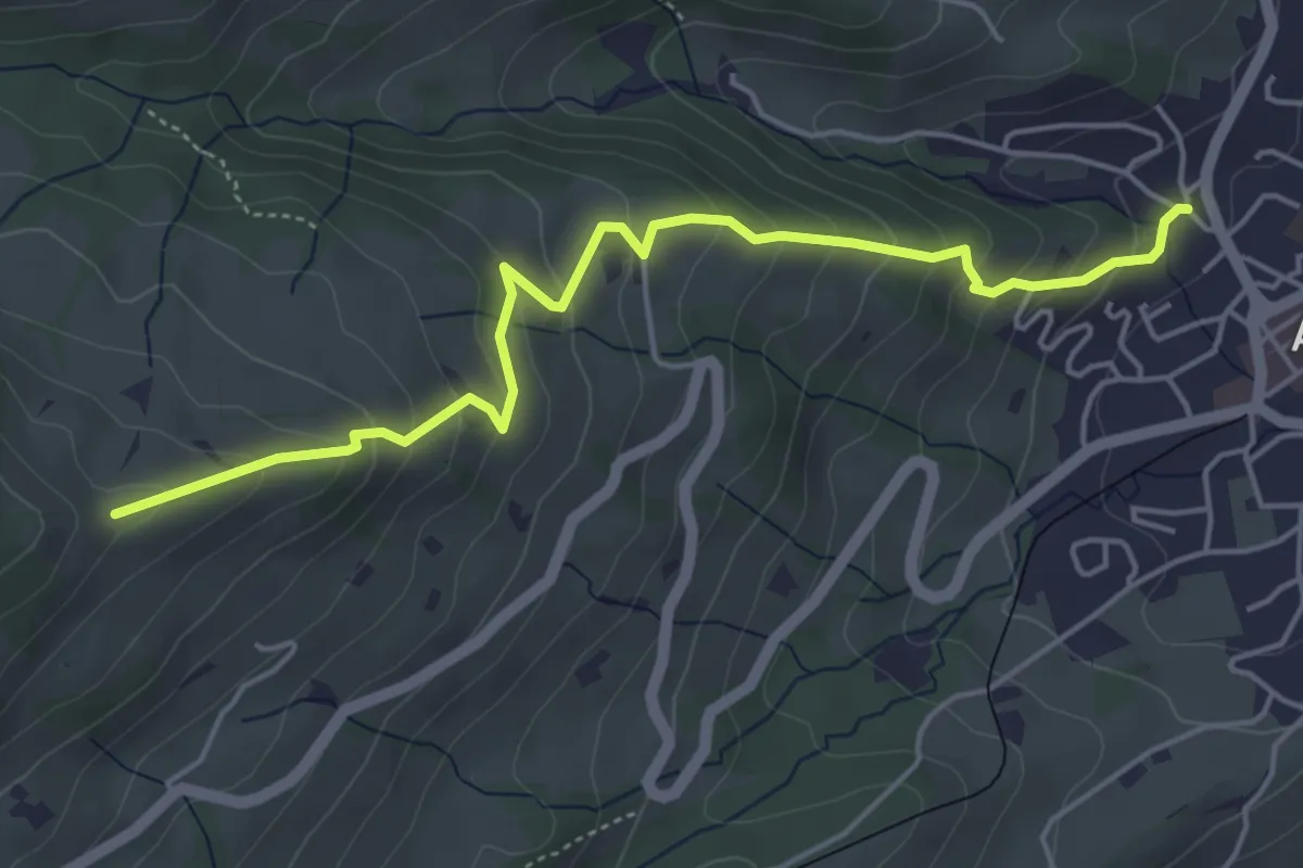
Schäflisberg – Heldsberg
2.5 km · ↑ 156 m · 55 min
Medium · Trail
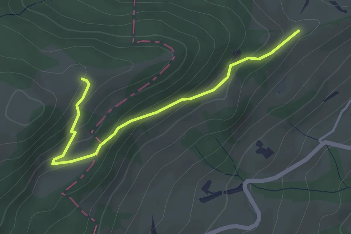
Obermülli – Gibel
5.1 km · ↑ 376 m · 2 h
Easy · Trail
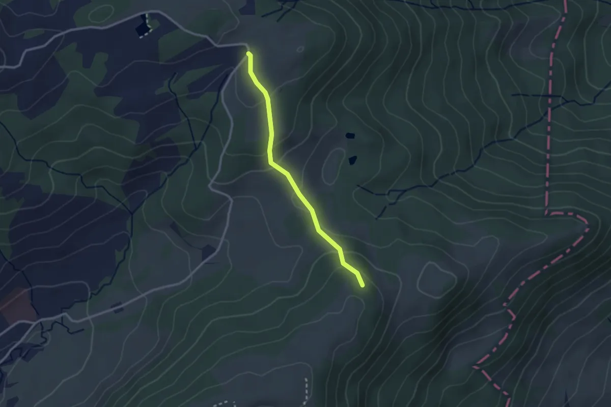
Gibel – Chlosmeren
3.4 km · ↑ 205 m · 1 h 14 min
Easy · Trail
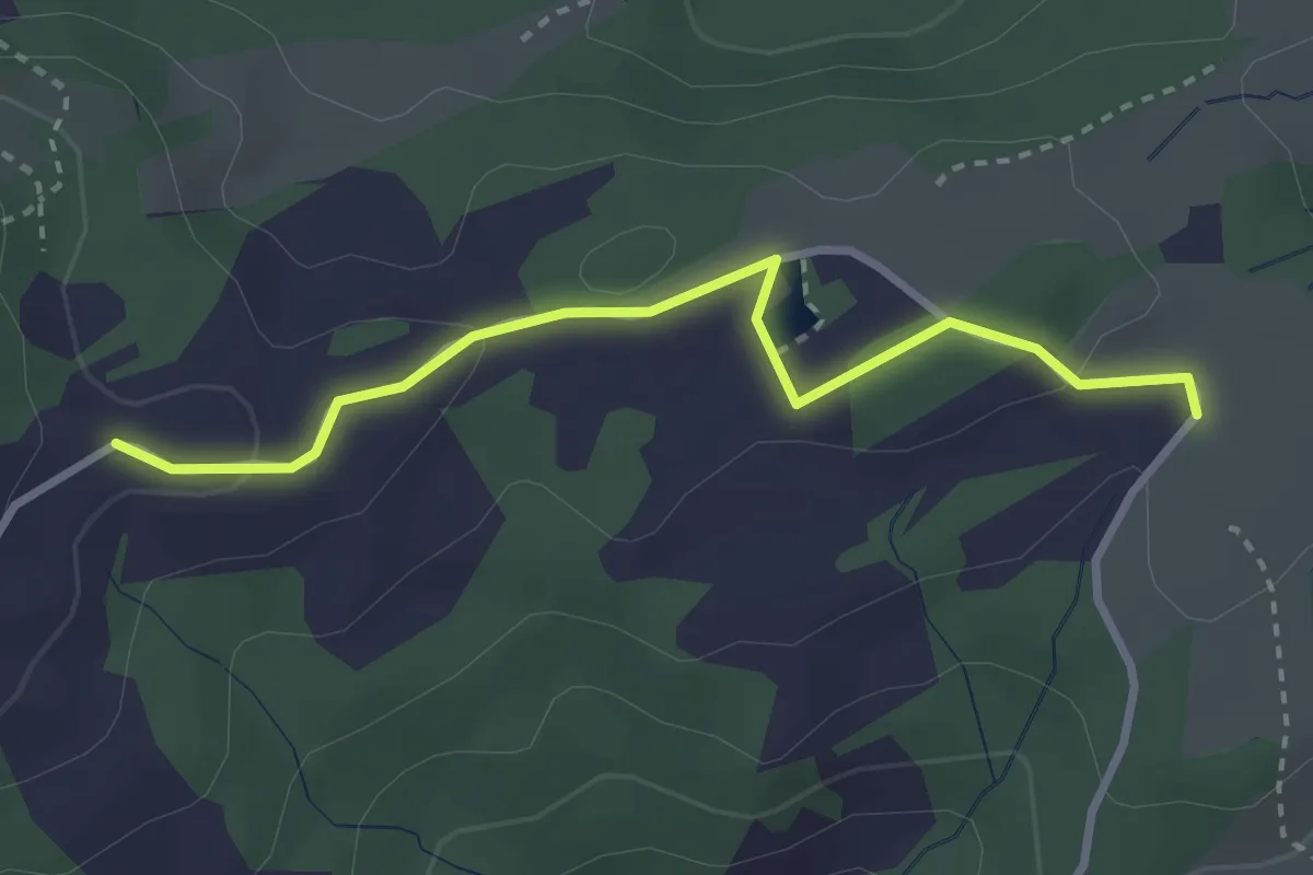
Usser Sommersberg – Schwäbrig
2.3 km · ↑ 104 m · 46 min
Easy · Trail
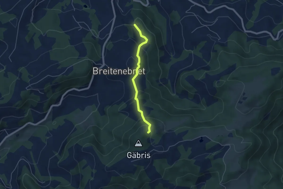
Schwäbrig – Unt. Gäbris
2.9 km · ↑ 60 m · 49 min
Easy · Trail
Dreispitzwald – Nistelbüel
3.9 km · ↑ 237 m · 1 h 26 min
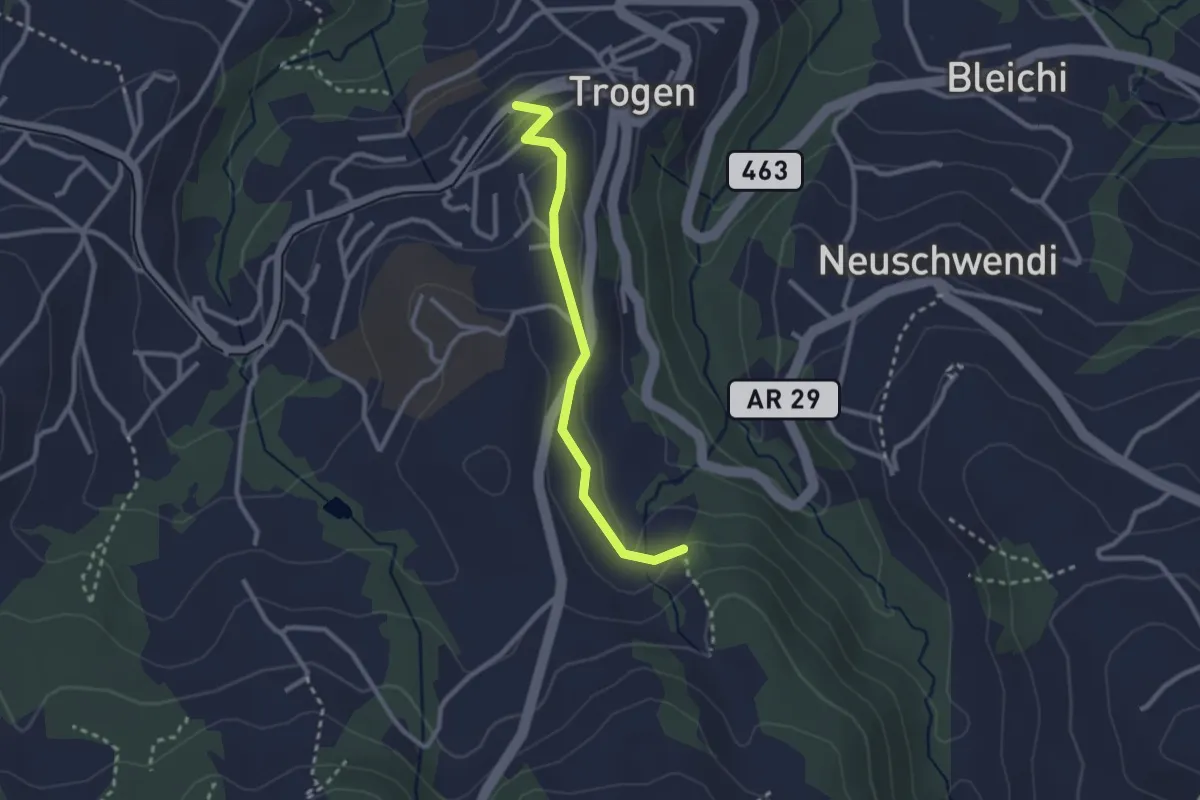
Easy · Trail
Schurtanne – Bahnhof
2.4 km · ↑ 72 m · 44 min
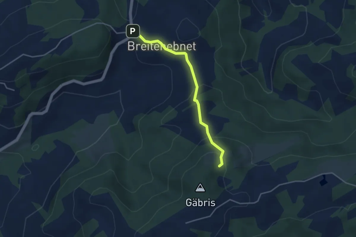
Easy · Trail
Dreispitzwald – Wissegg
3.0 km · ↑ 156 m · 1 h 2 min
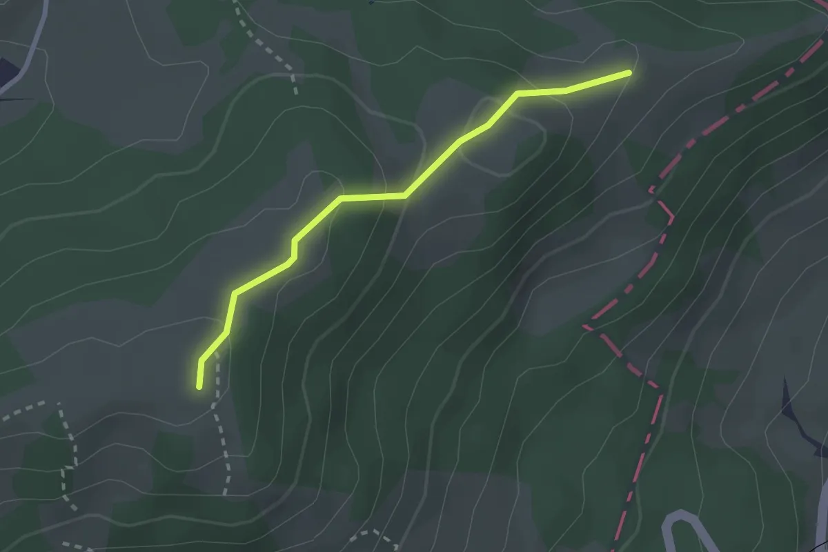
Easy · Summit
Chlosmeren – Sommersberg
2.2 km · ↑ 103 m · 45 min
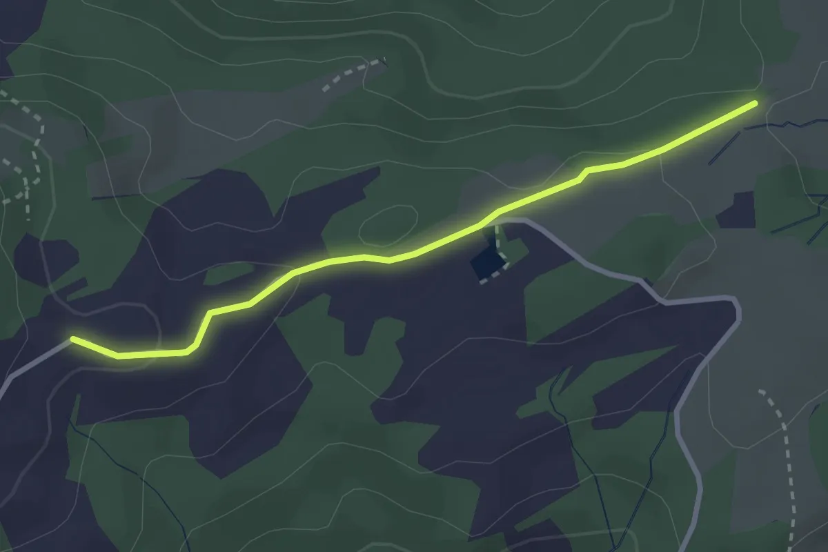
Easy · Trail
Unt. Gäbris – Ruesitz
2.7 km · ↑ 68 m · 46 min
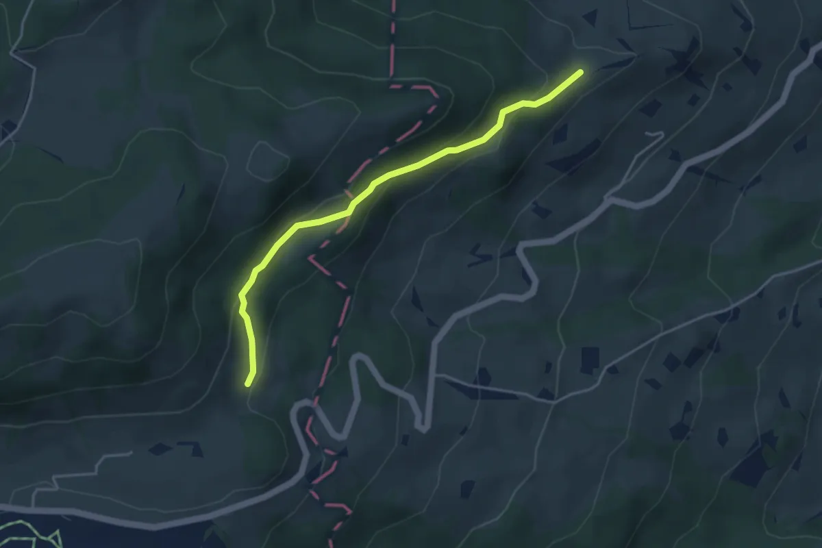
Easy · Trail
Gibel – Rietli
3.8 km · ↑ 178 m · 1 h 17 min
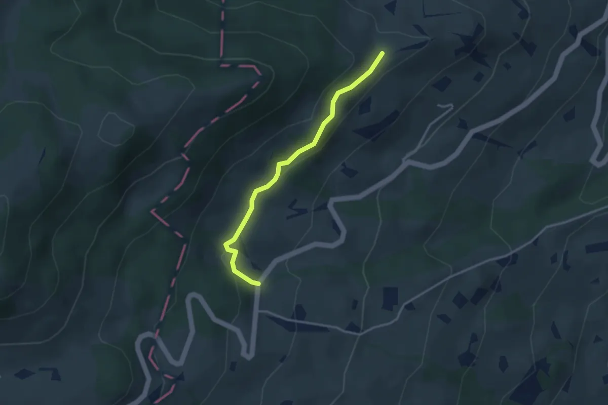
Easy · Trail
Gibel – Kreuzstrasse
2.8 km · ↑ 94 m · 52 min
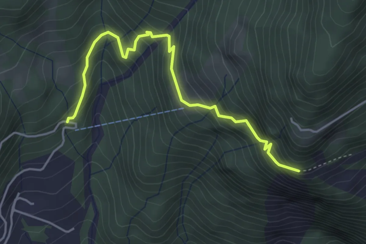
Medium · Trail
Gufler – Schafbett
4.1 km · ↑ 438 m · 1 h 55 min
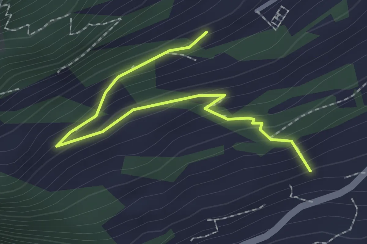
Easy · Trail
Äschen – Forten / Ebnet
2.1 km · ↑ 150 m · 50 min
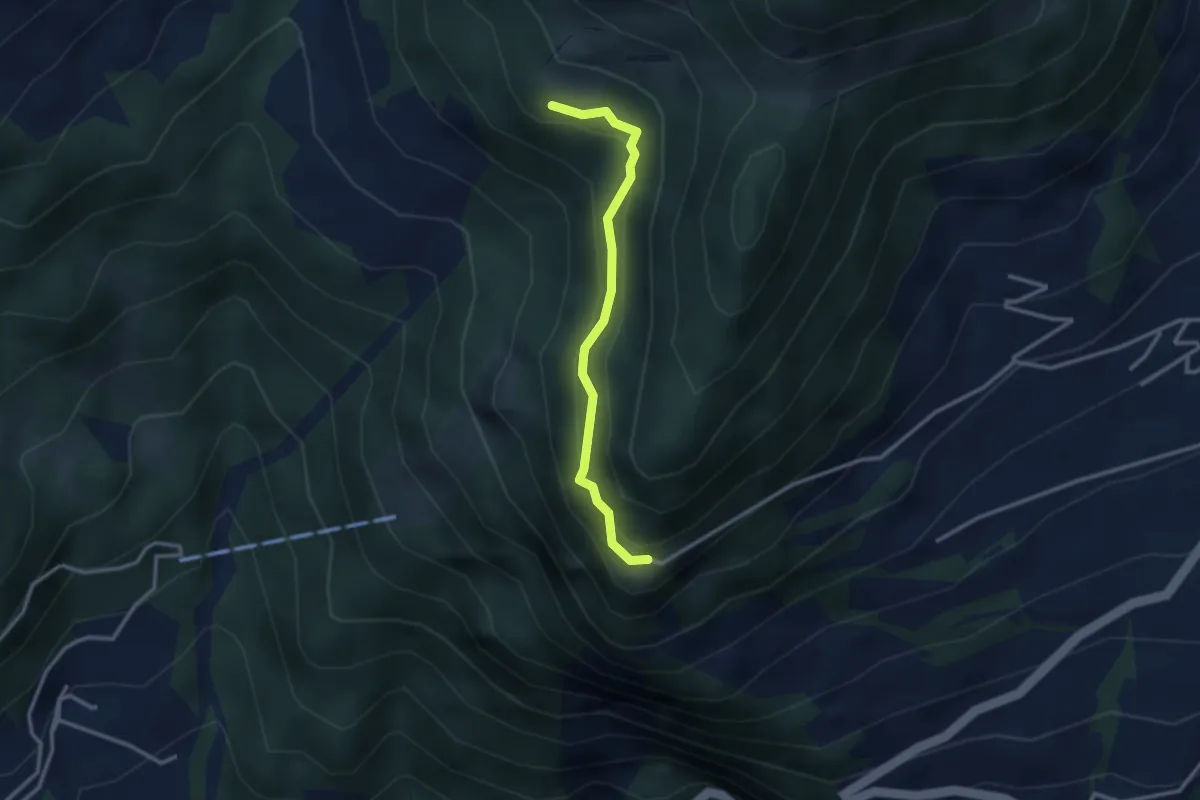
Easy · Trail
Durschlegi – Hasebode
2.7 km · ↑ 213 m · 1 h 5 min
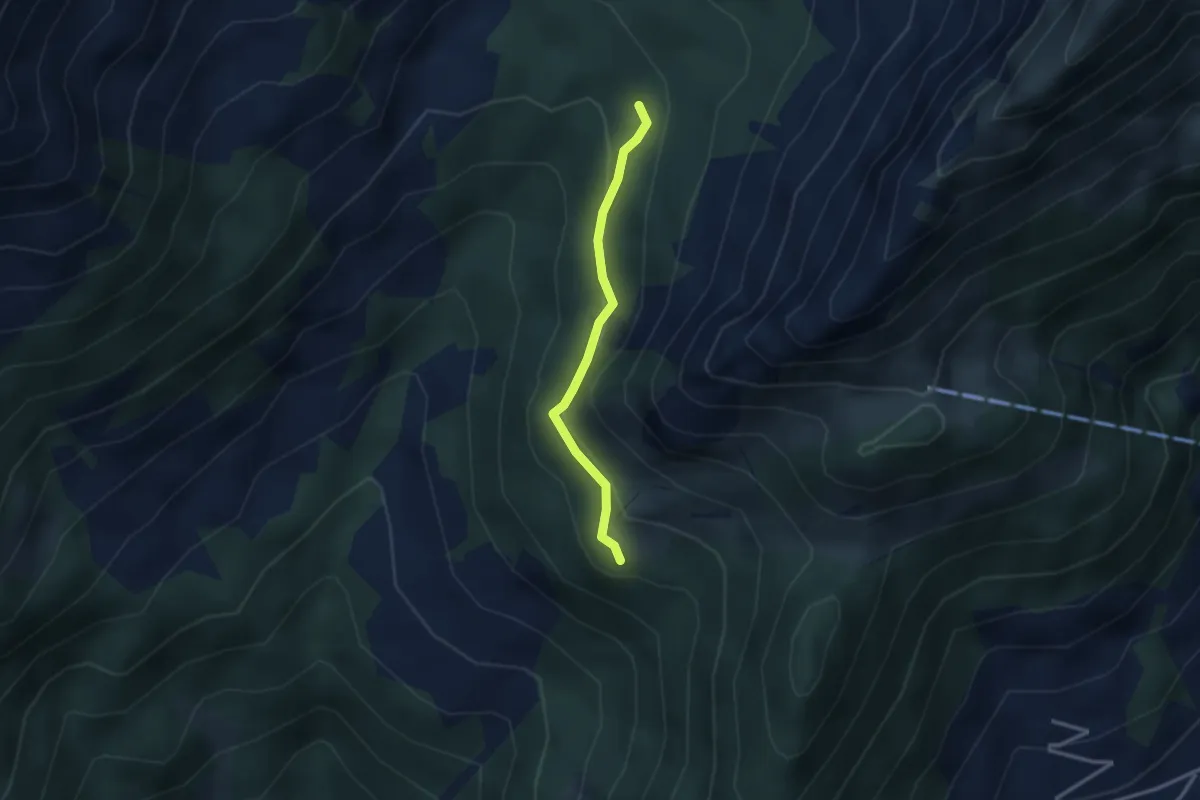
Easy · Trail
Hasebode – Blaggenboden
2.5 km · ↑ 145 m · 54 min
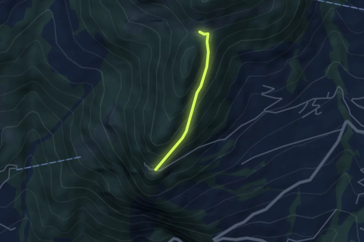
Easy · Trail
Durschlegi – Unterfurrglen
2.4 km · ↑ 243 m · 1 h 6 min
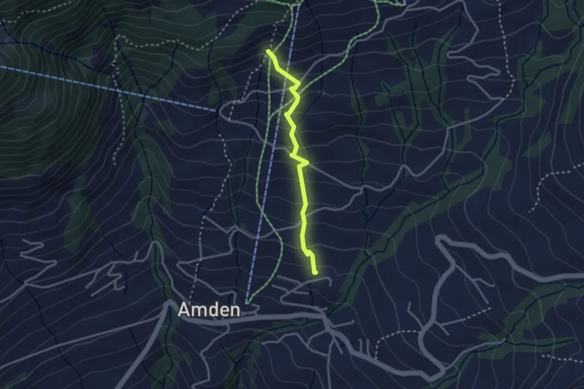
Medium · Trail
Niederschlag – Riet
2.5 km · ↑ 250 m · 1 h 7 min