Trails in Switzerland
15,055 hiking trails, each with its route, climb, walking time and grade.
All trails, page 303 of 314
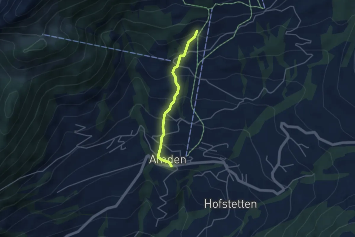
Medium · Trail
Niederschlag – Amden
2.8 km · ↑ 312 m · 1 h 21 min
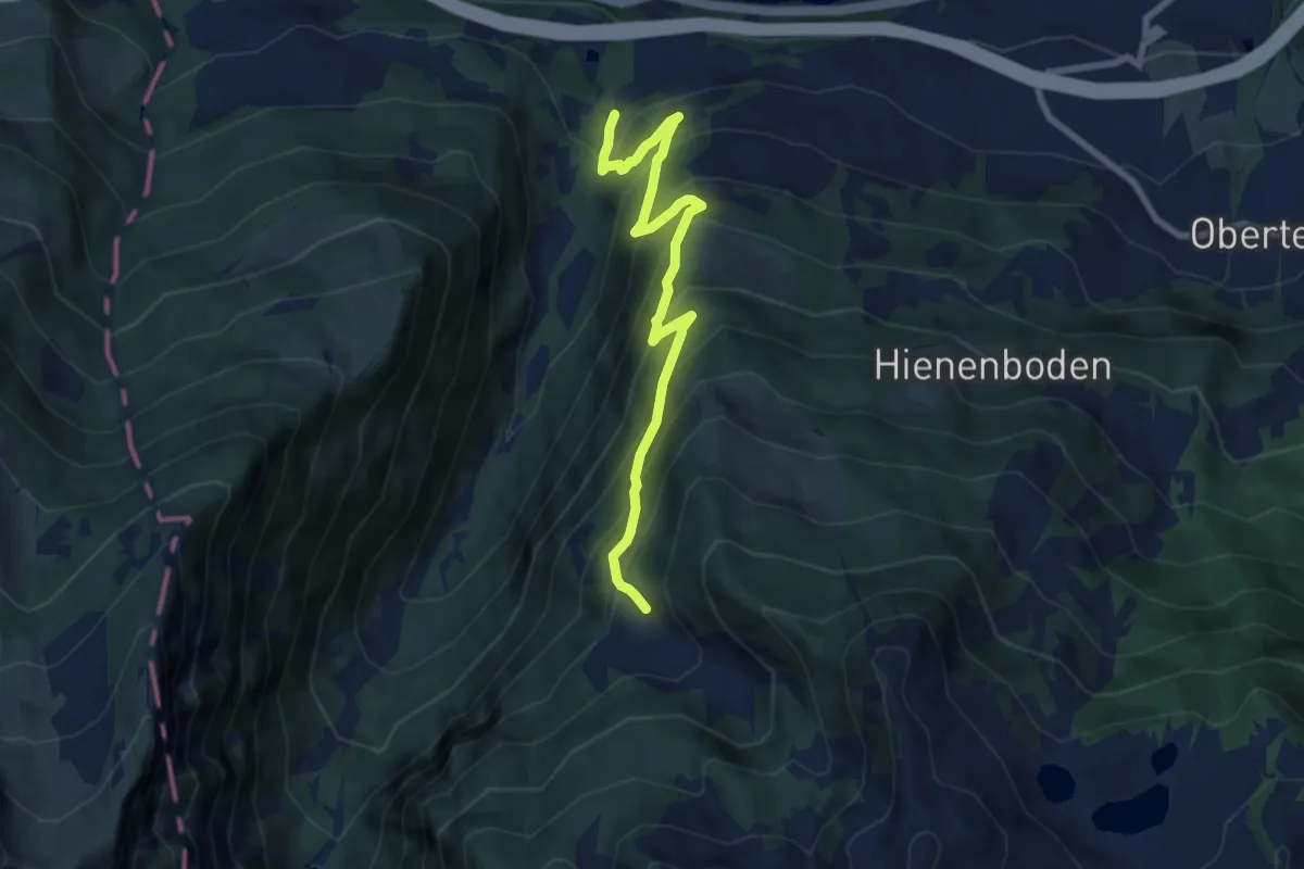
Demanding · Trail
Tasten – Tobelwald
8.0 km · ↑ 873 m · 3 h 46 min
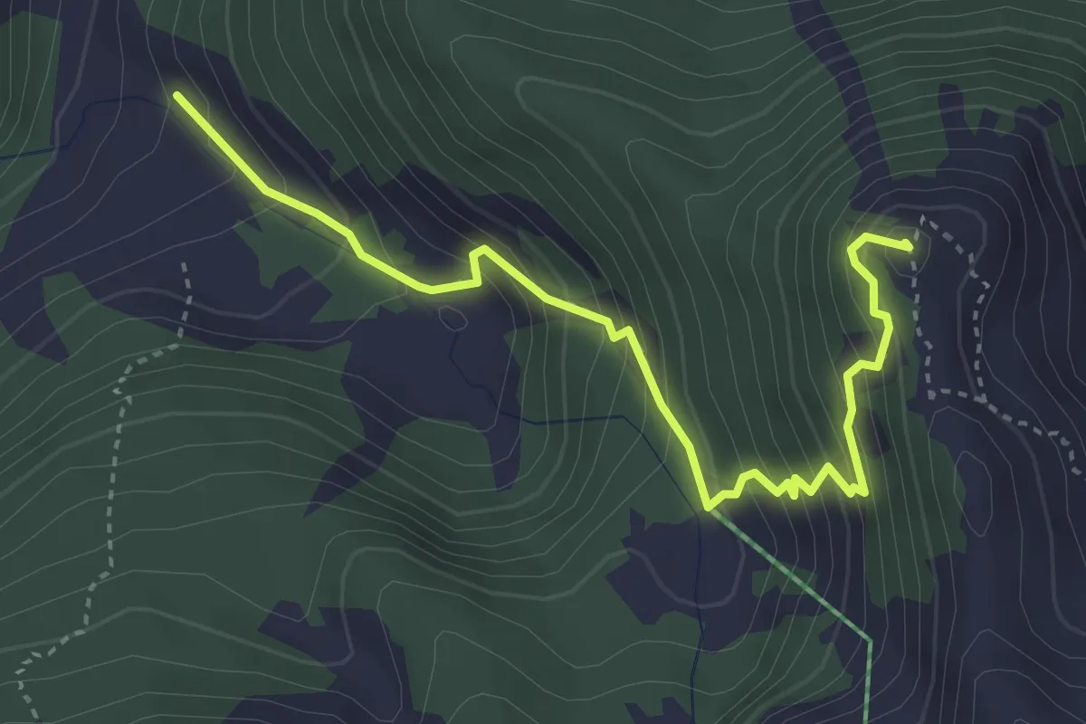
Demanding · Summit
Tobelwald – Gross Güslen
4.1 km · ↑ 488 m · 2 h 1 min
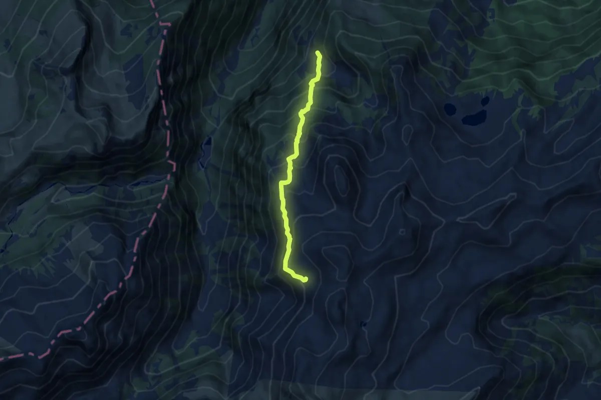
Medium · Trail
Tobelwald – Mütschel
7.6 km · ↑ 720 m · 3 h 21 min
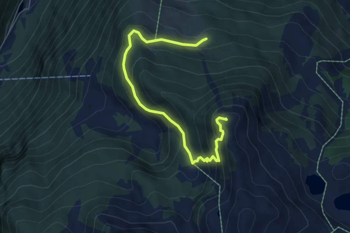
Demanding · Summit
Rüedisboden – Gross Güslen
6.0 km · ↑ 543 m · 2 h 36 min
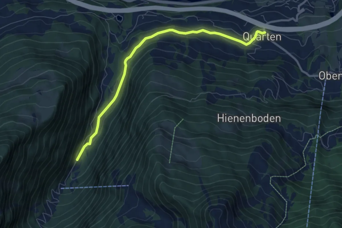
Easy · Trail
Quarten – Obere Plätz
7.6 km · ↑ 229 m · 2 h 18 min
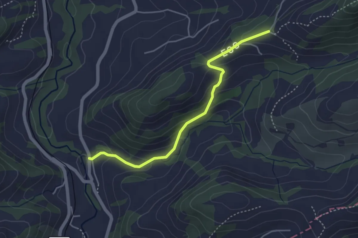
Easy · Trail
Befang – Ramsten
3.6 km · ↑ 185 m · 1 h 15 min
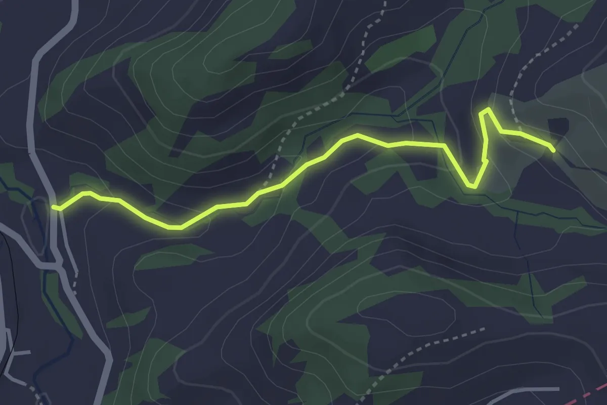
Easy · Trail
Befang – Tobel
3.4 km · ↑ 149 m · 1 h 7 min
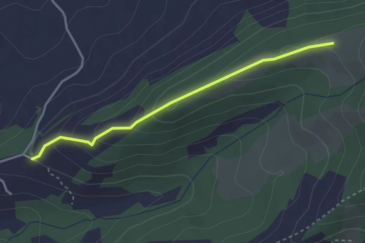
Easy · Trail
Ramsten – Müllershöhi
2.5 km · ↑ 149 m · 55 min
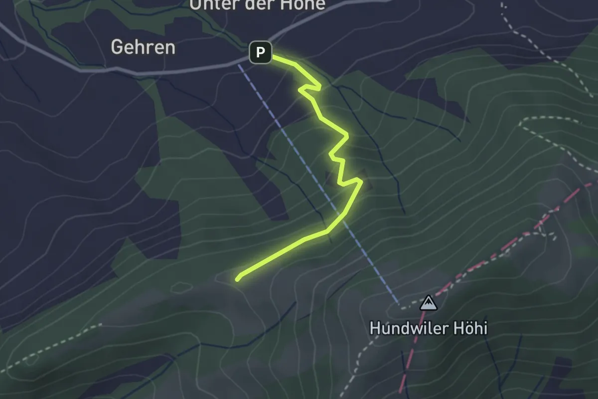
Easy · Trail
Müllershöhi – Buechberg
2.4 km · ↑ 194 m · 59 min
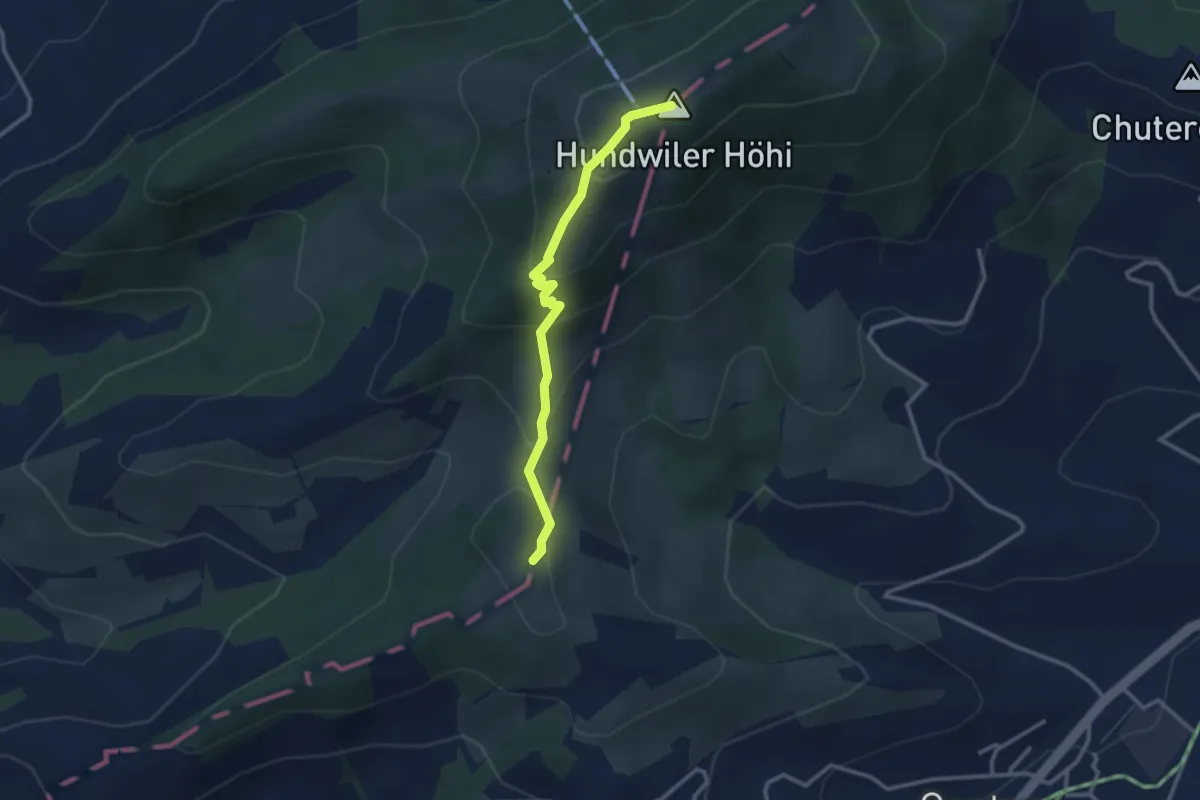
Easy · Summit
Hundwiler Höhi – Göbsi
2.7 km · ↑ 207 m · 1 h 5 min
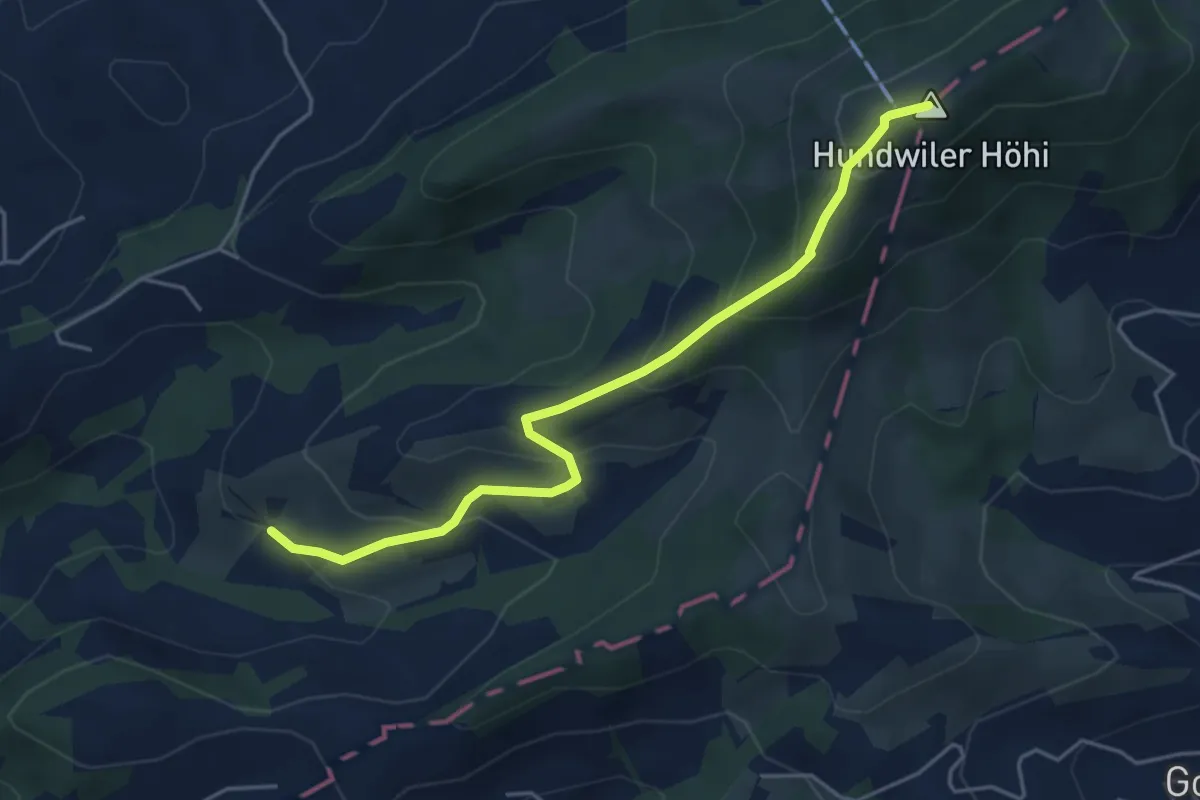
Medium · Summit
Hundwiler Höhi – Tobel
4.6 km · ↑ 327 m · 1 h 48 min
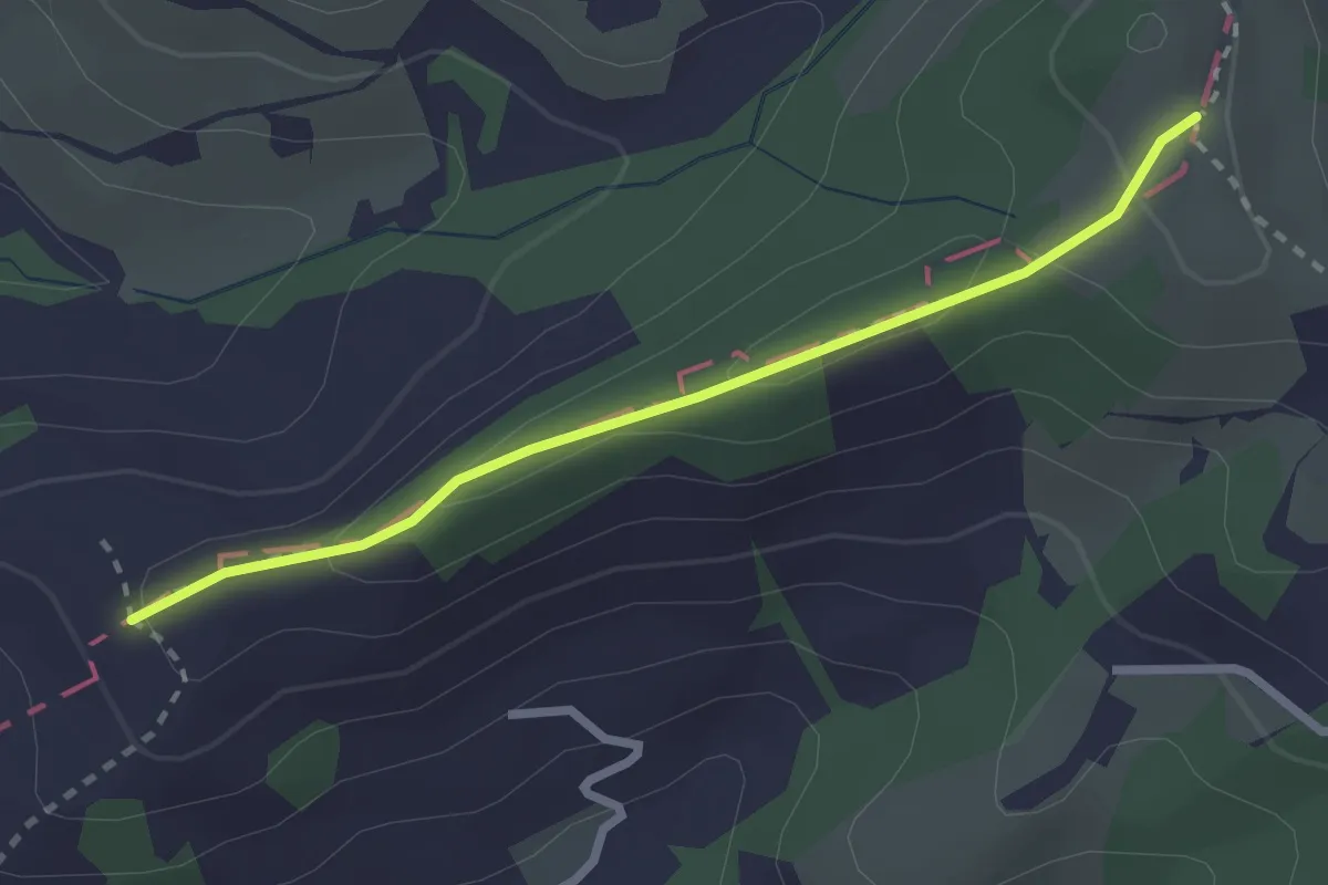
Easy · Trail
Göbsi – Stechlenegg
2.4 km · ↑ 91 m · 46 min
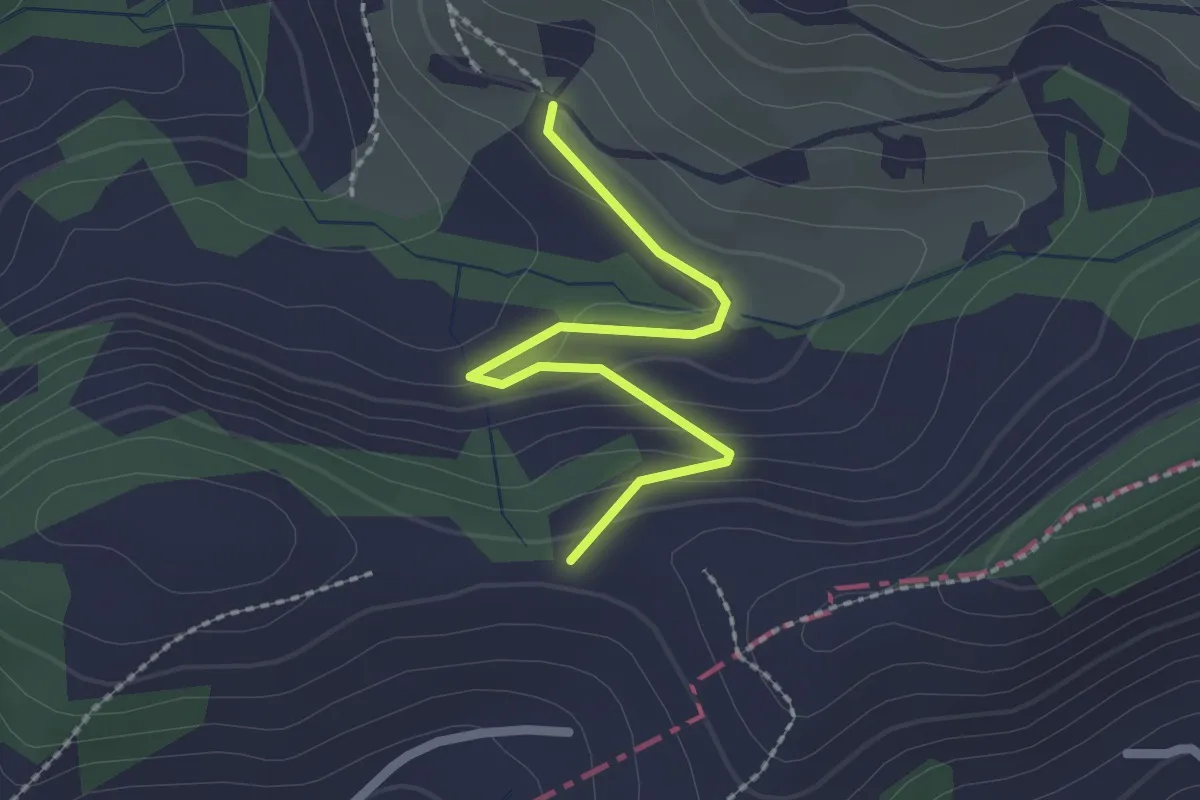
Easy · Trail
Knechtsegg – Tobel
2.1 km · ↑ 83 m · 40 min
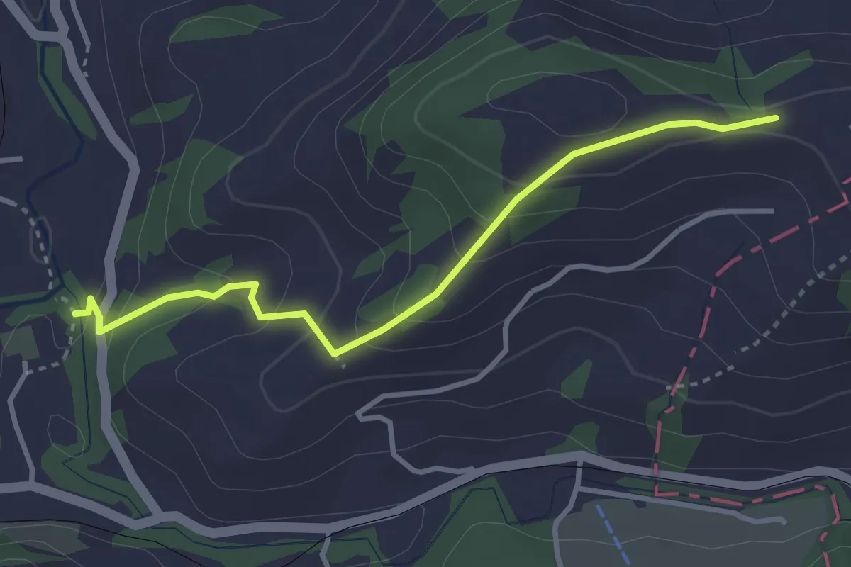
Easy · Trail
Knechtsegg – Furt
3.2 km · ↑ 215 m · 1 h 13 min
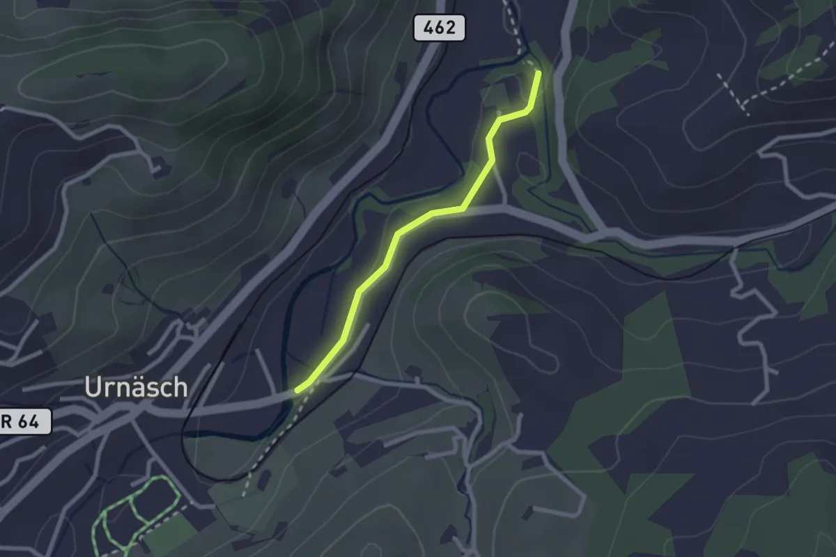
Easy · Trail
Furt – Widenbrücke
2.0 km · ↑ 19 m · 31 min
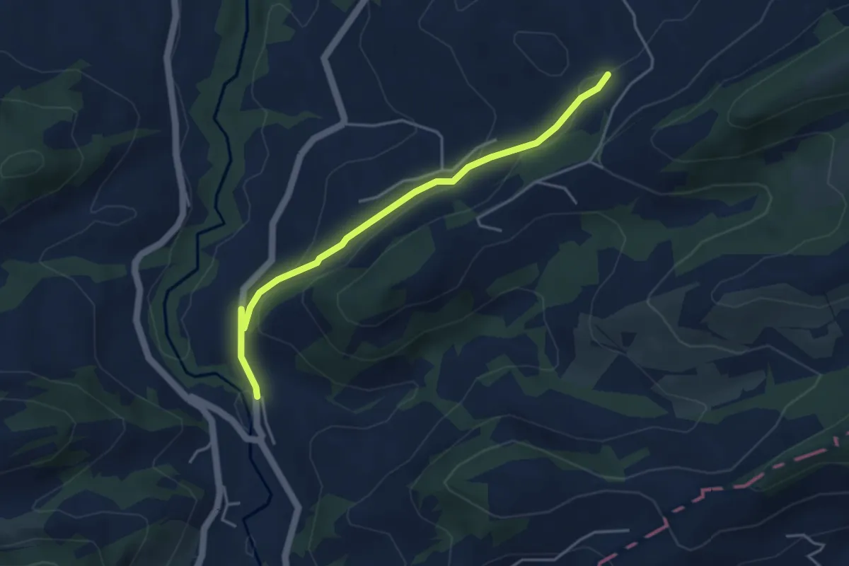
Easy · Trail
Befang – Stäg
4.0 km · ↑ 165 m · 1 h 18 min
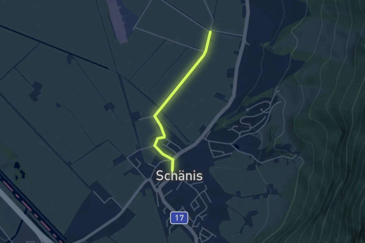
Easy · Trail
Warthausen – Schänis
3.0 km · ↑ 12 m · 44 min
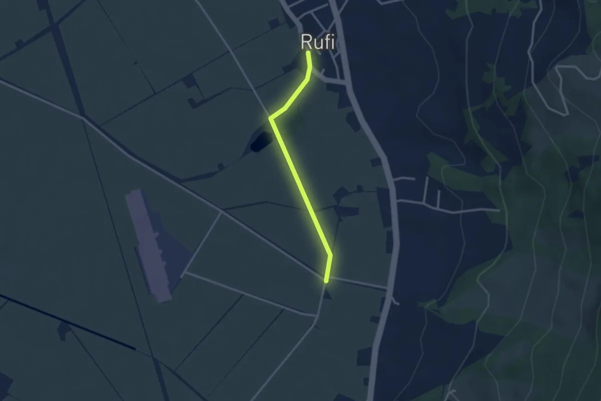
Easy · Trail
Rufi – Warthausen
2.4 km · ↑ 9 m · 34 min
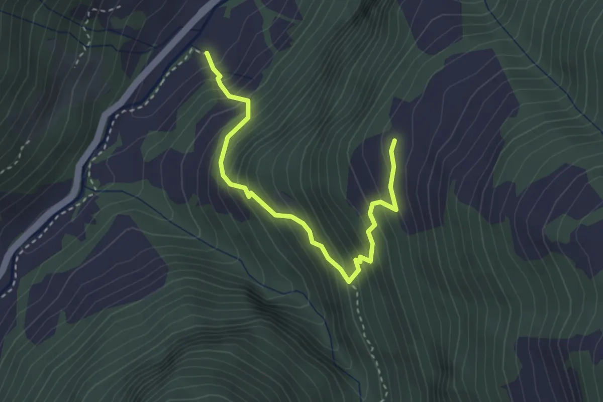
Medium · Trail
Überwasser – Unter Precht
3.2 km · ↑ 442 m · 1 h 43 min
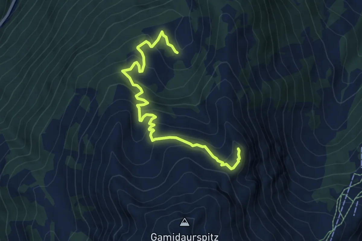
Medium · Summit
Alp Vermii – Garmil
7.3 km · ↑ 521 m · 2 h 51 min
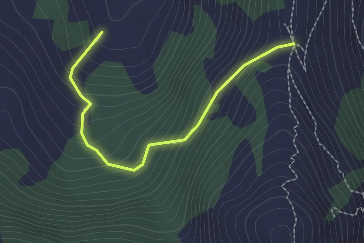
Medium · Trail
Alp Vermii – Fürggli
2.1 km · ↑ 186 m · 54 min
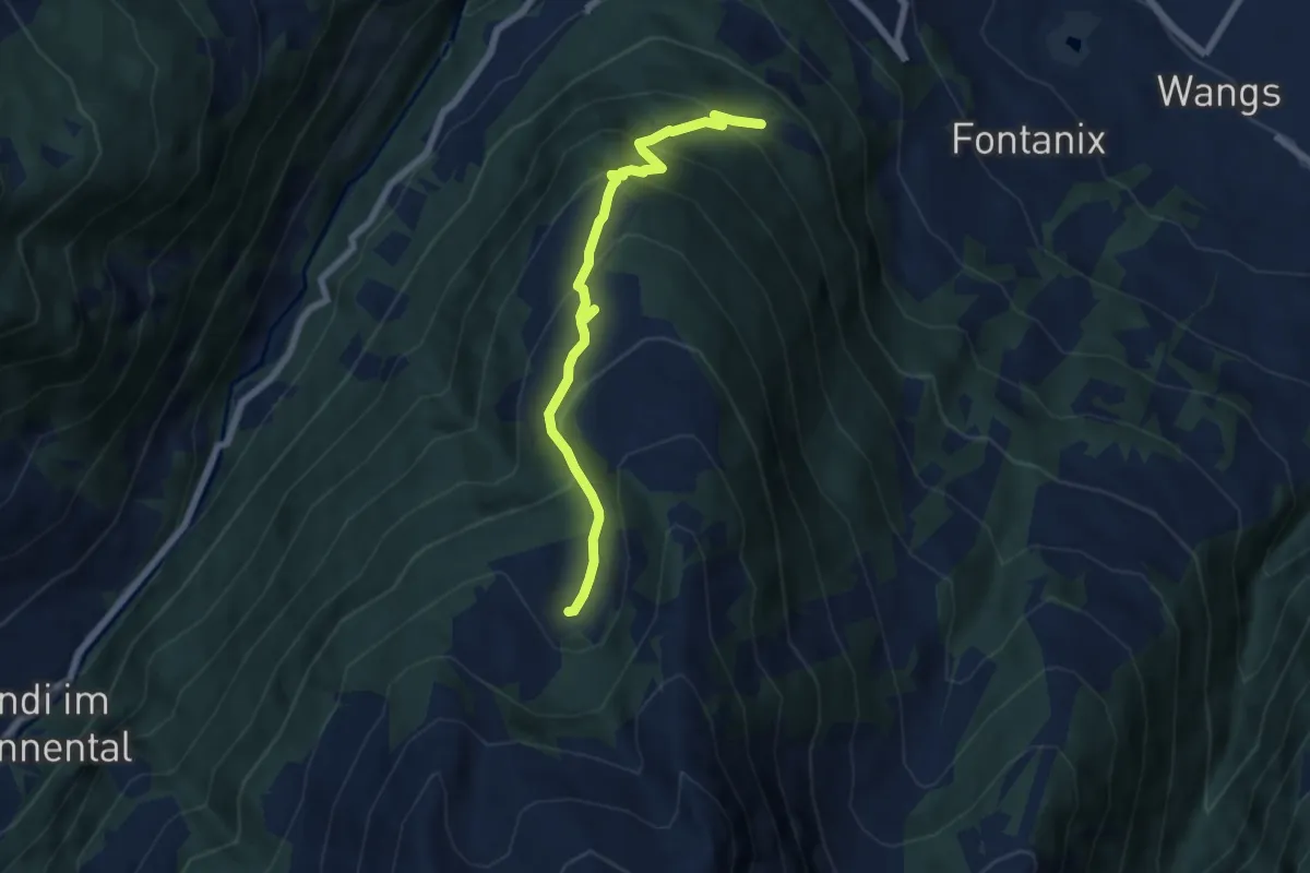
Medium · Trail
Chamm – Unter Vermii
6.6 km · ↑ 540 m · 2 h 43 min
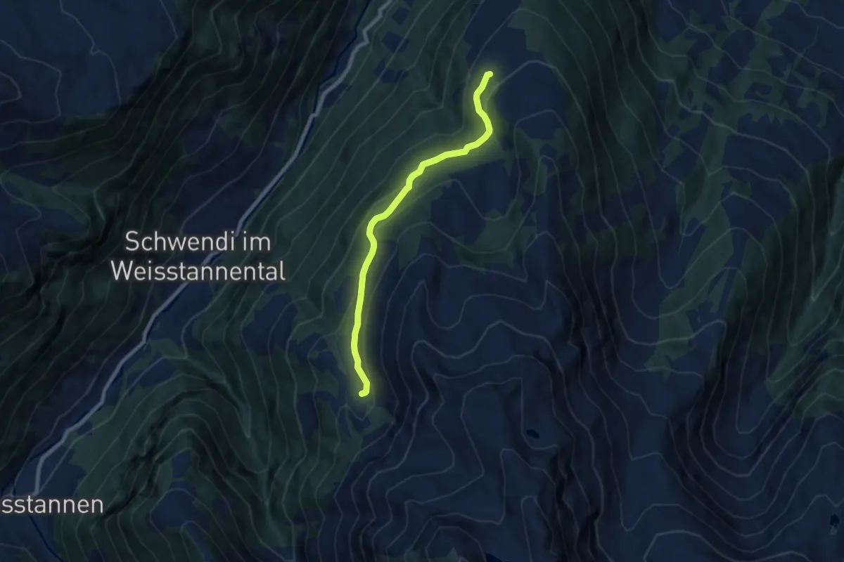
Easy · Trail
Hinter Wald – Unter Gamidaur
6.9 km · ↑ 289 m · 2 h 15 min
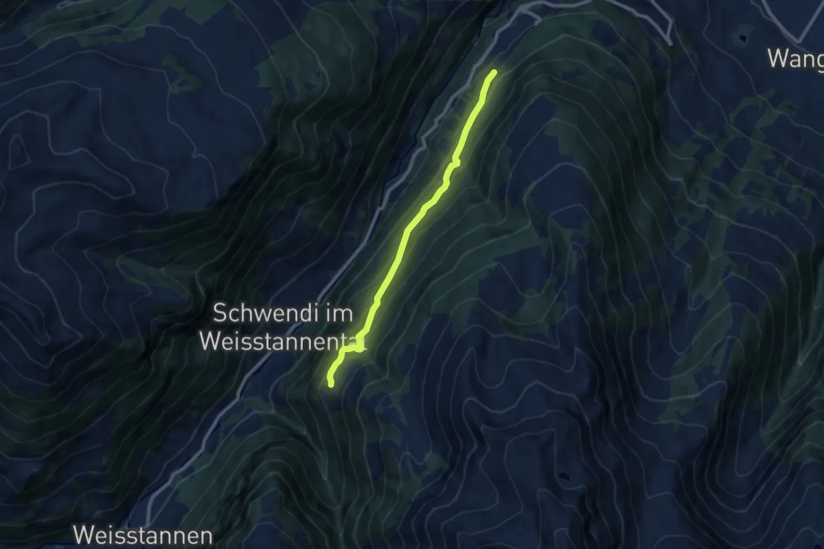
Medium · Trail
Langwiesen – Unter Precht
7.6 km · ↑ 509 m · 2 h 54 min
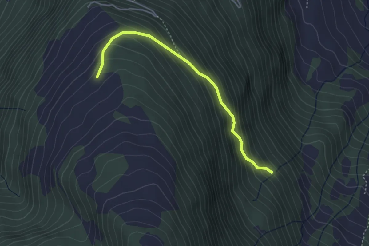
Easy · Trail
Chliberg – Ebenwald
3.4 km · ↑ 302 m · 1 h 28 min
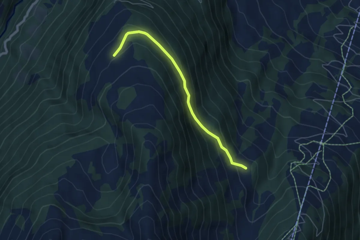
Easy · Trail
Gampidells – Ebenwald
4.7 km · ↑ 236 m · 1 h 38 min
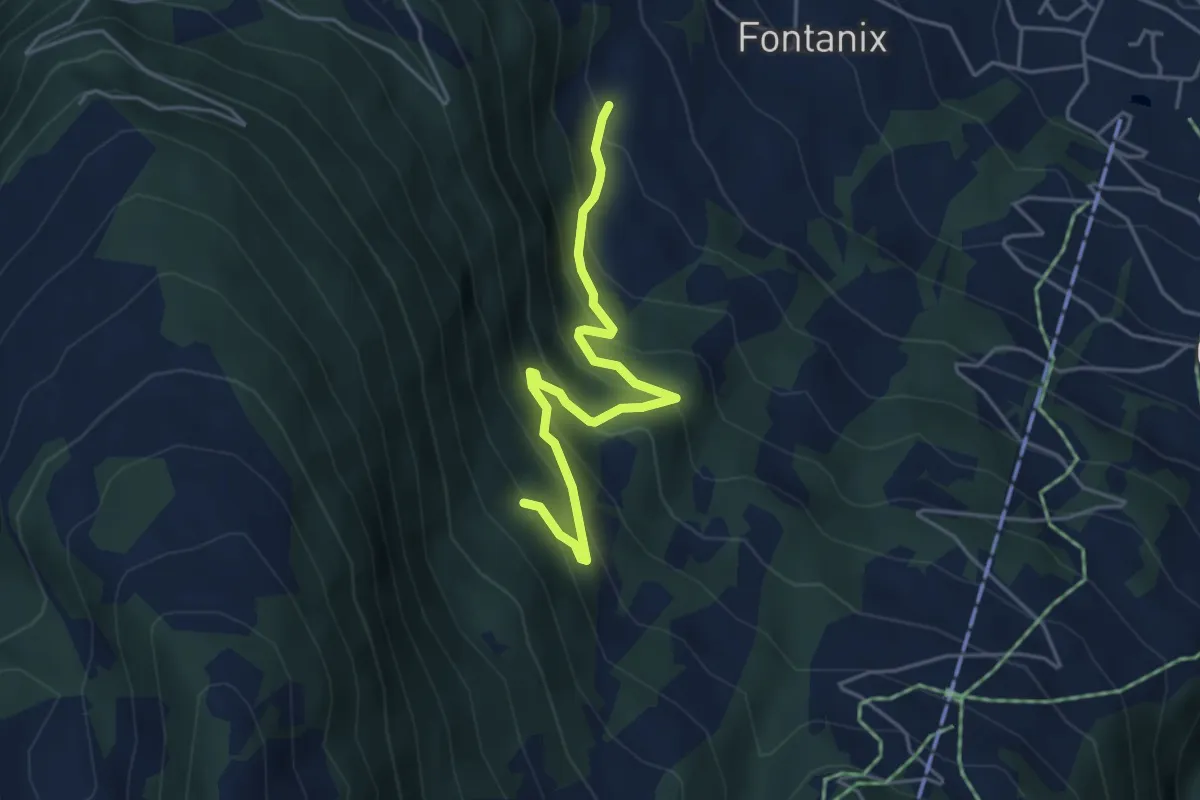
Medium · Trail
Fontanix – Chliberg
4.4 km · ↑ 398 m · 1 h 55 min
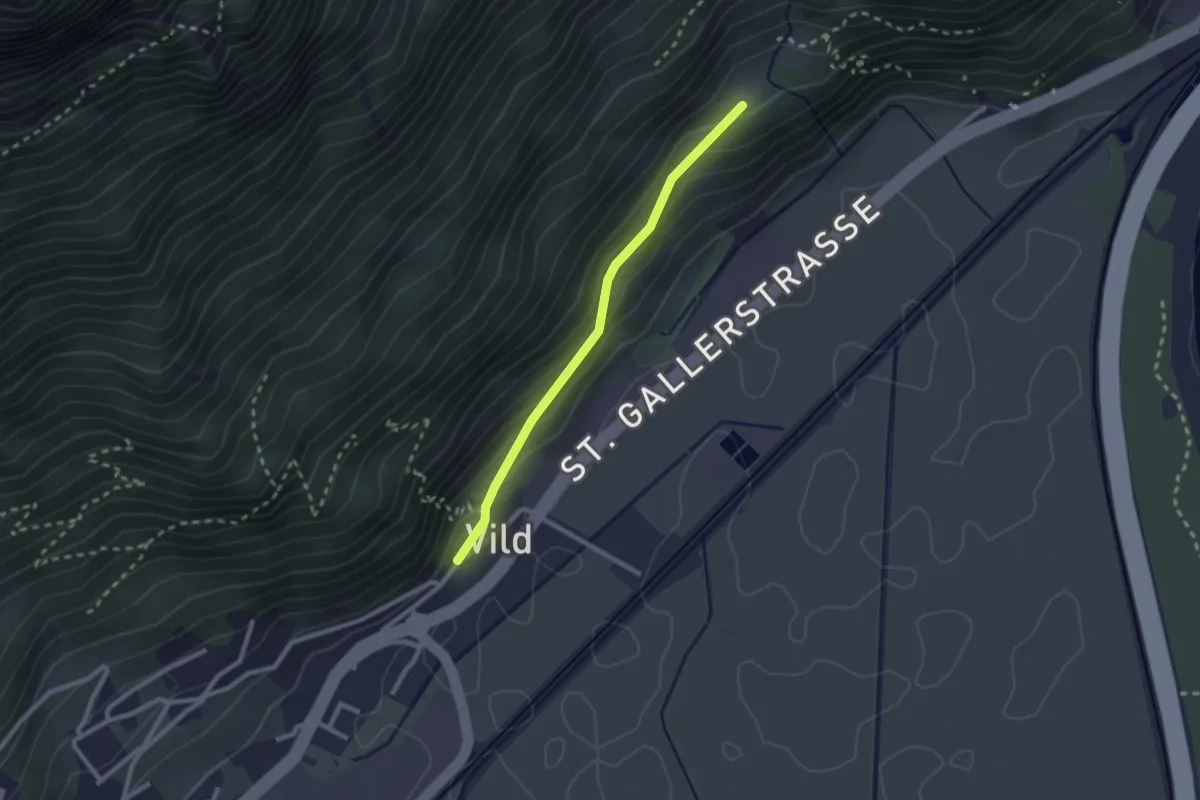
Easy · Trail
Vild – Atscha
2.1 km · ↑ 103 m · 44 min
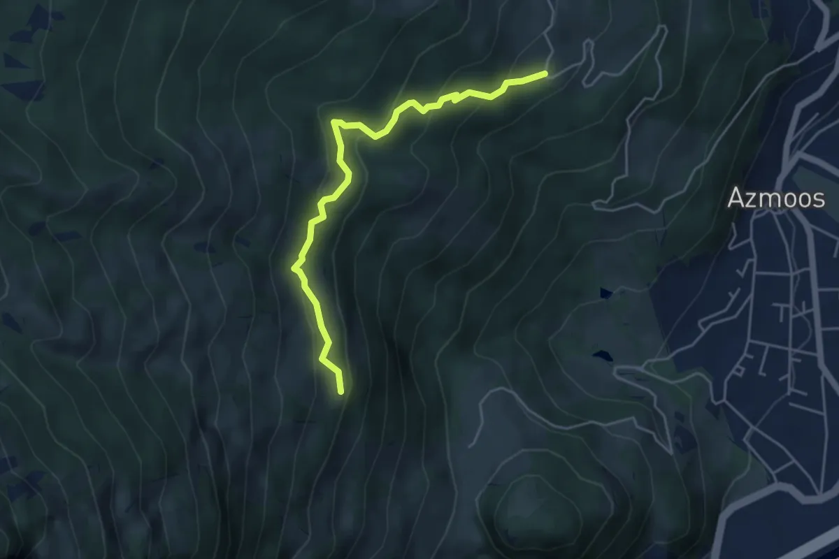
Easy · Trail
Rütli – Lavadarsch
4.4 km · ↑ 311 m · 1 h 43 min
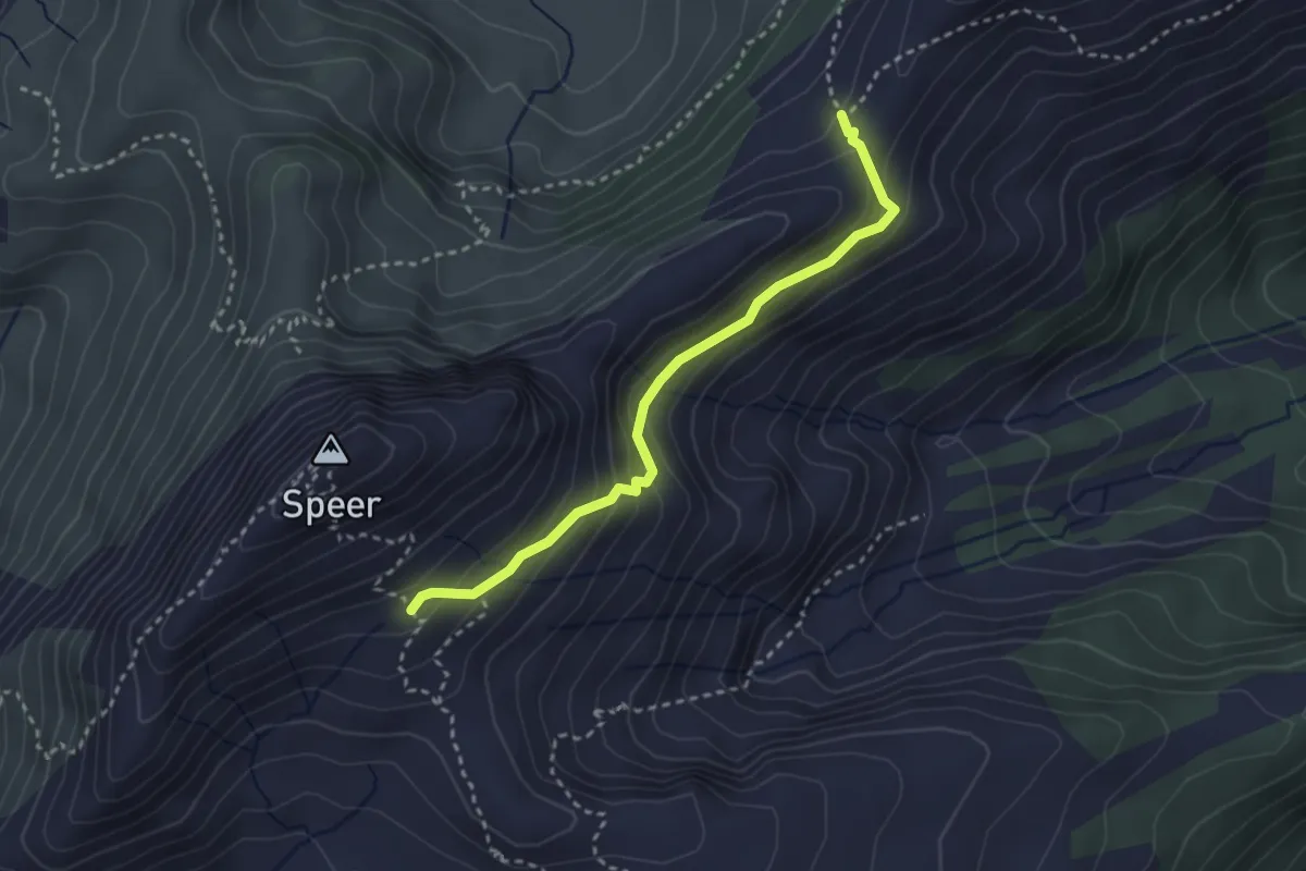
Demanding · Trail
Stelli – Schilt
2.9 km · ↑ 214 m · 1 h 9 min
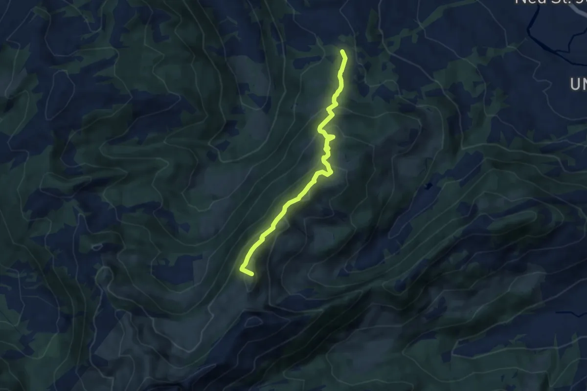
Medium · Summit
Bütz – Wolzenalp
8.0 km · ↑ 540 m · 3 h 3 min
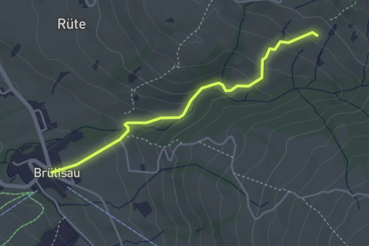
Medium · Trail
Brülisau – Hintere Waldschaft
3.4 km · ↑ 176 m · 1 h 11 min
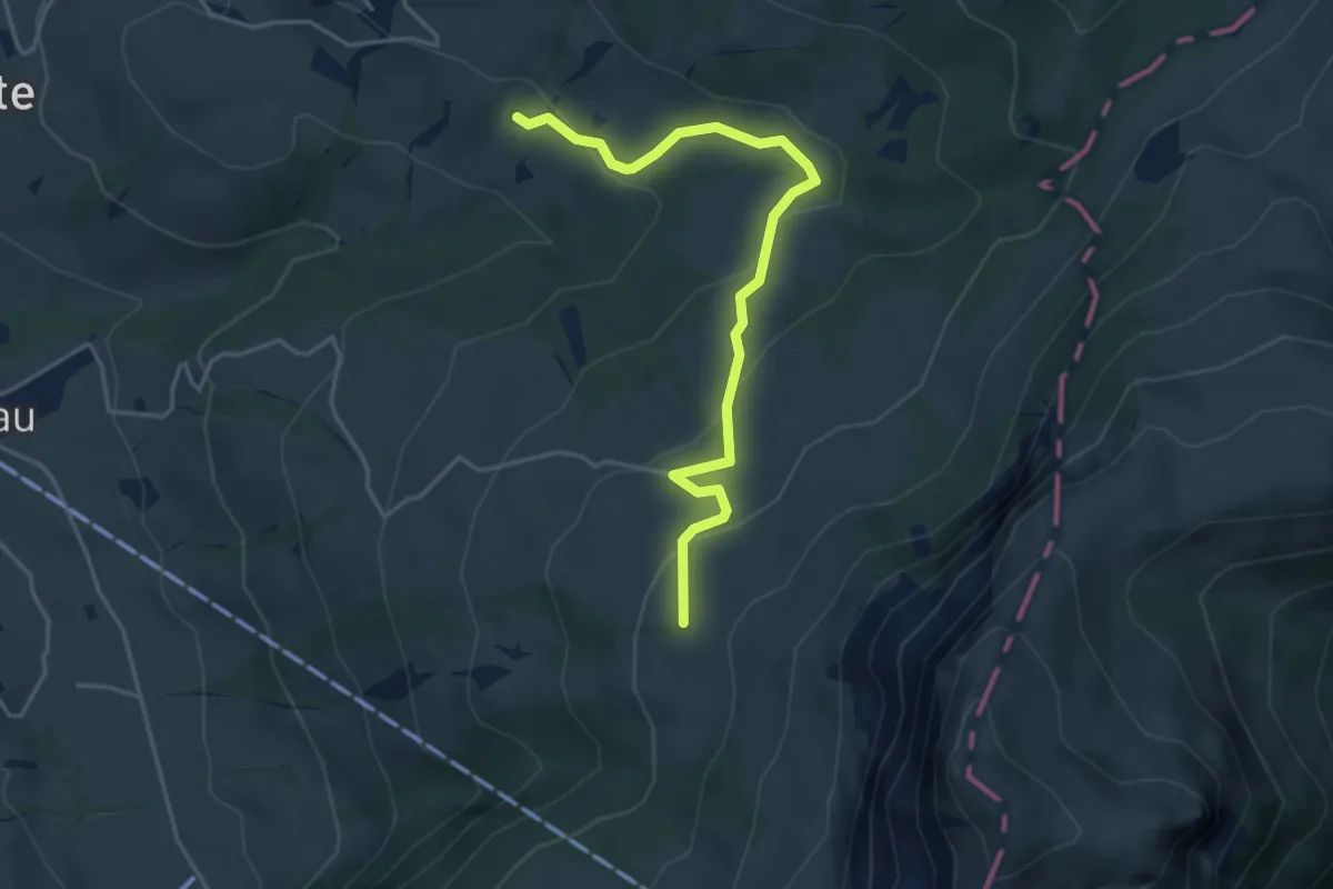
Easy · Trail
Hintere Waldschaft – Ruhsitz
4.3 km · ↑ 183 m · 1 h 25 min
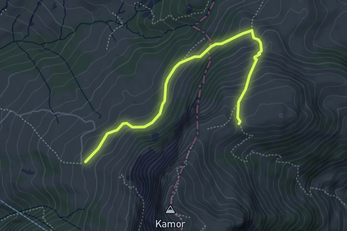
Medium · Trail
Ruhsitz – Ober Kamor Stofel
5.0 km · ↑ 385 m · 2 h 1 min
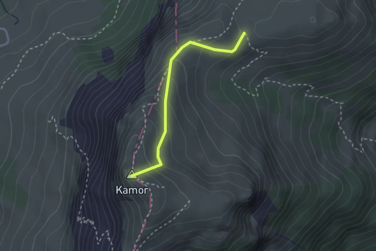
Easy · Summit
Kamor Küeschte – Ober Kamor Stofel
2.0 km · ↑ 171 m · 51 min
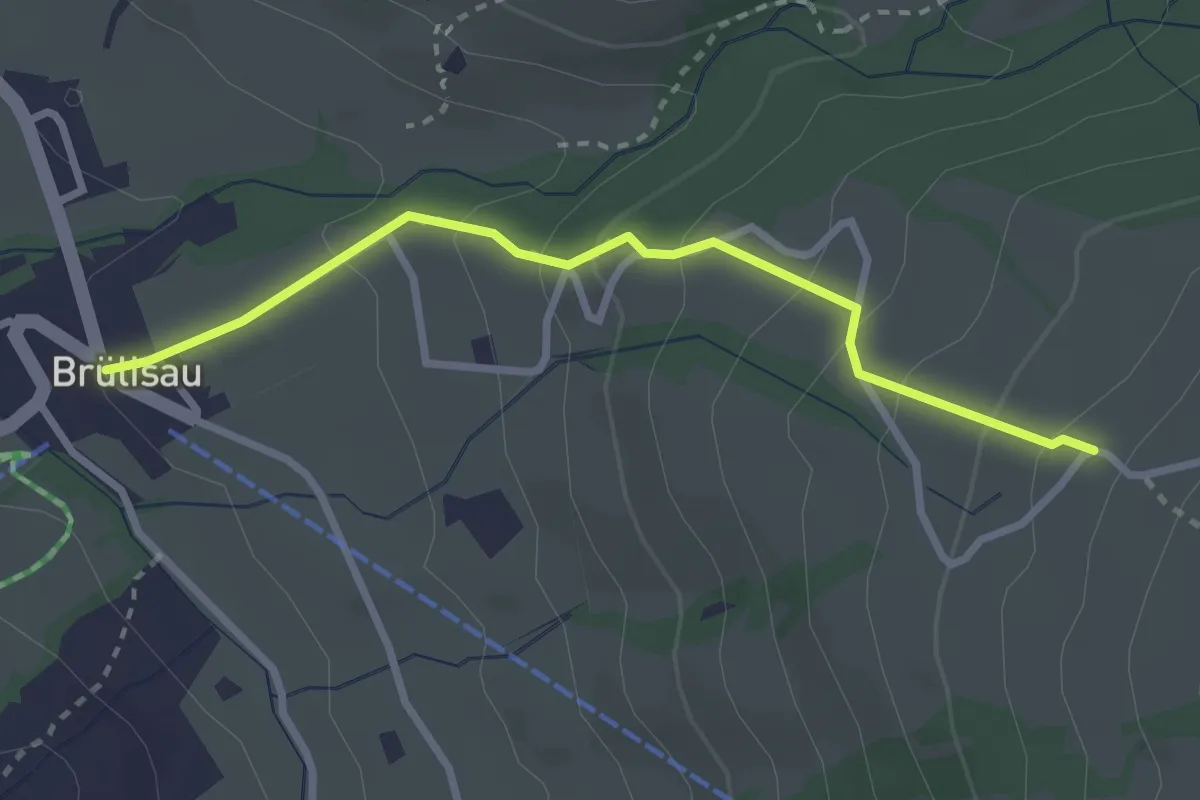
Easy · Trail
Brülisau – Rossberg
2.7 km · ↑ 207 m · 1 h 6 min
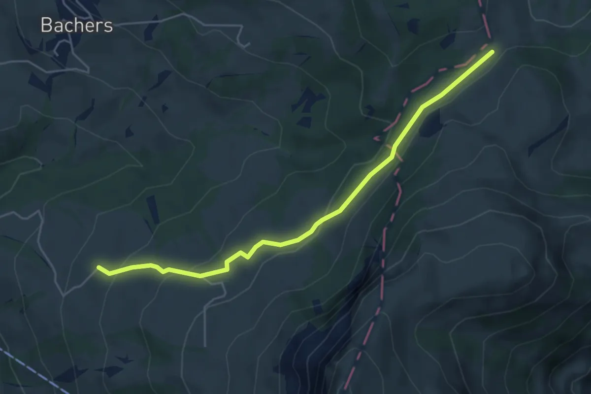
Easy · Trail
Rossberg – Zapfen
4.8 km · ↑ 186 m · 1 h 32 min
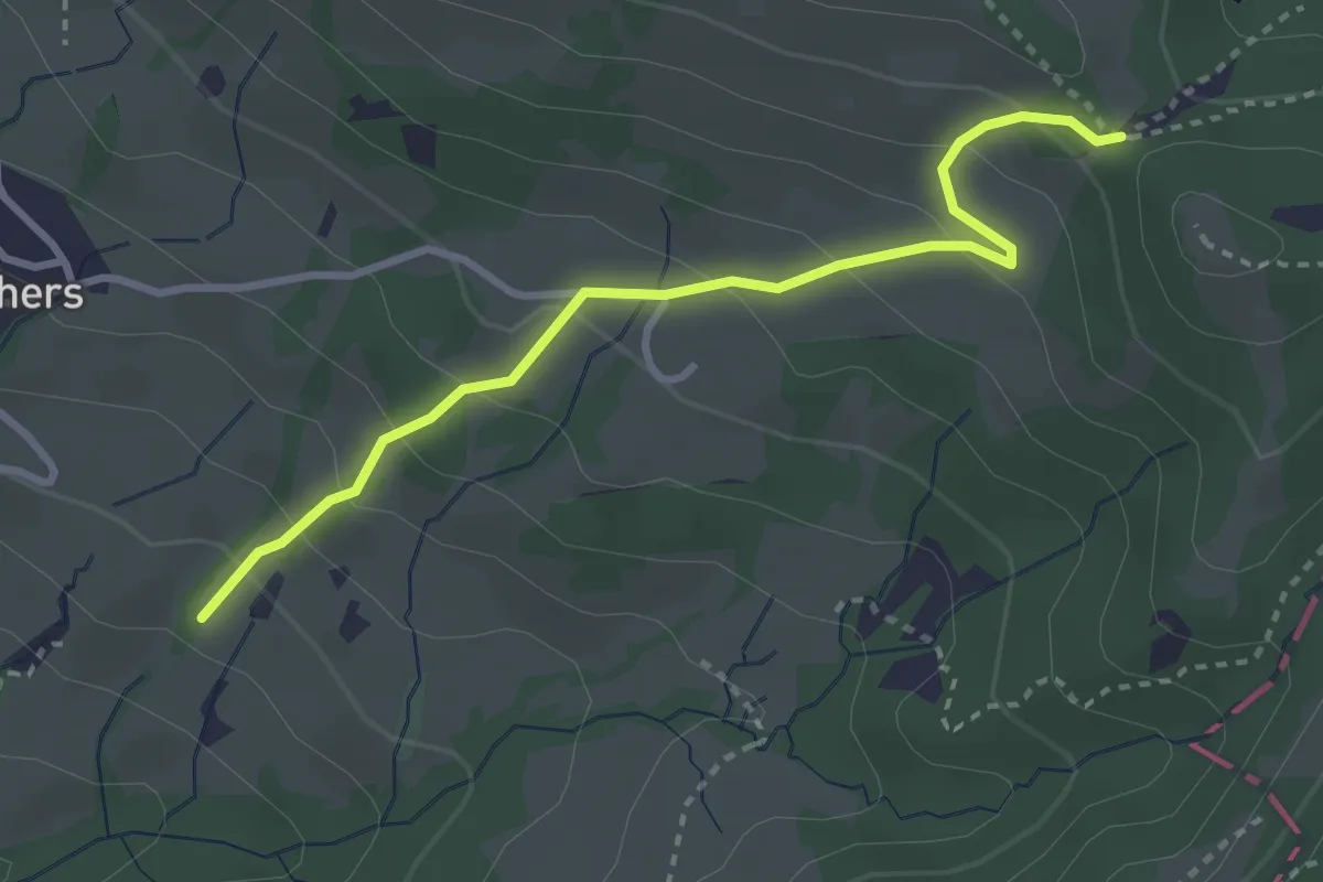
Easy · Trail
Hintere Waldschaft – Resspass
3.1 km · ↑ 214 m · 1 h 12 min
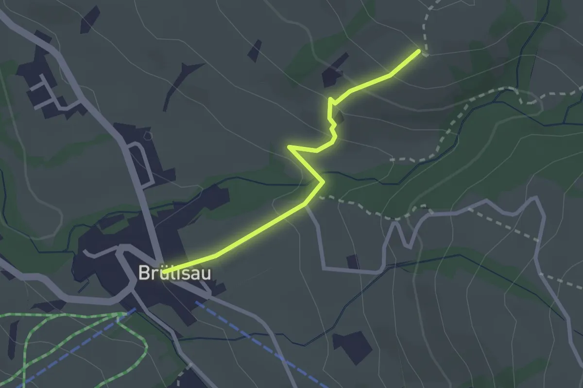
Easy · Trail
Brülisau – Bachers
2.1 km · ↑ 124 m · 45 min
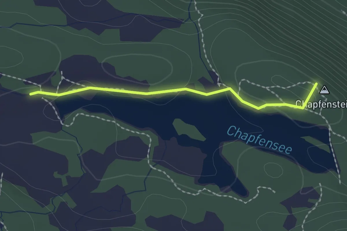
Easy · Summit
Chapfensee West – Chapfensee Staumauer
1.7 km · ↑ 40 m · 30 min
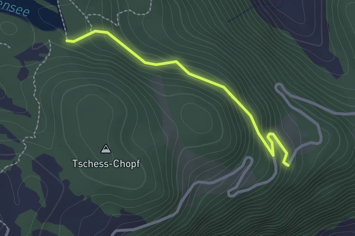
Easy · Trail
Chapfensee Staumauer – Guetli
2.1 km · ↑ 112 m · 44 min
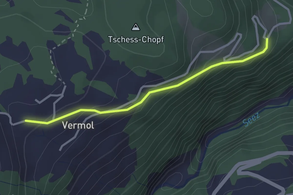
Easy · Trail
Vermol – Güetli
2.4 km · ↑ 172 m · 56 min
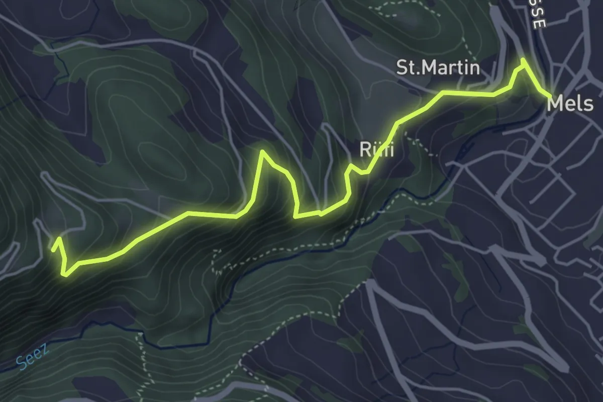
Medium · Trail
Güetli – Mels
5.1 km · ↑ 430 m · 2 h 9 min
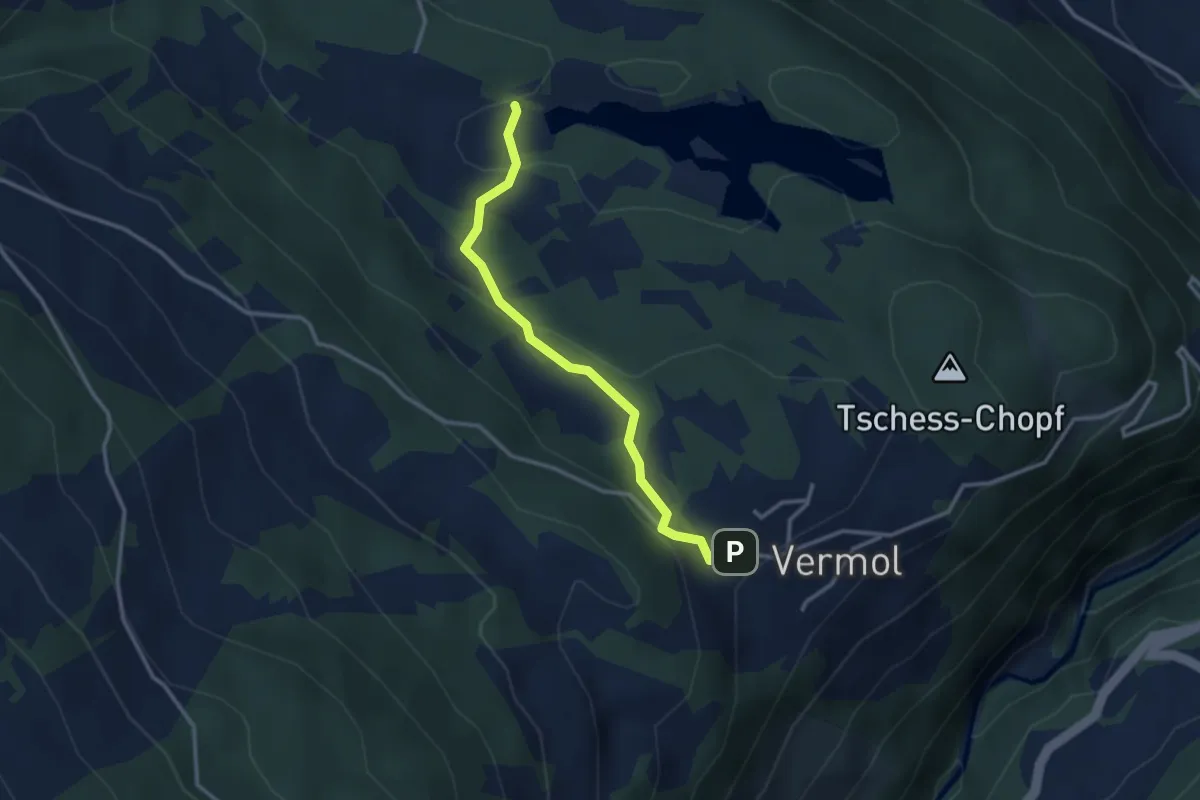
Easy · Trail
Chapfensee West – Vermol
2.9 km · ↑ 113 m · 55 min
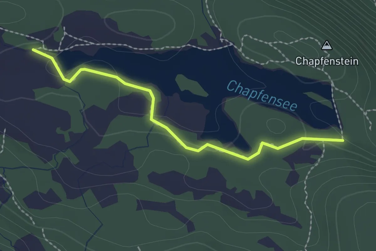
Easy · Trail
Chapfensee West – Chapfensee Staumauer
2.2 km · ↑ 37 m · 36 min
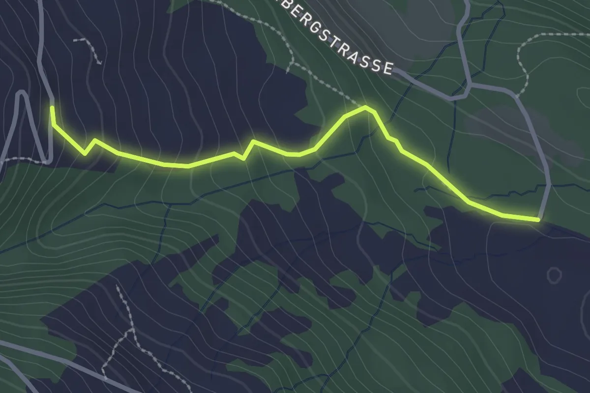
Easy · Trail
Parmort – Schwarzenberg
2.4 km · ↑ 166 m · 56 min
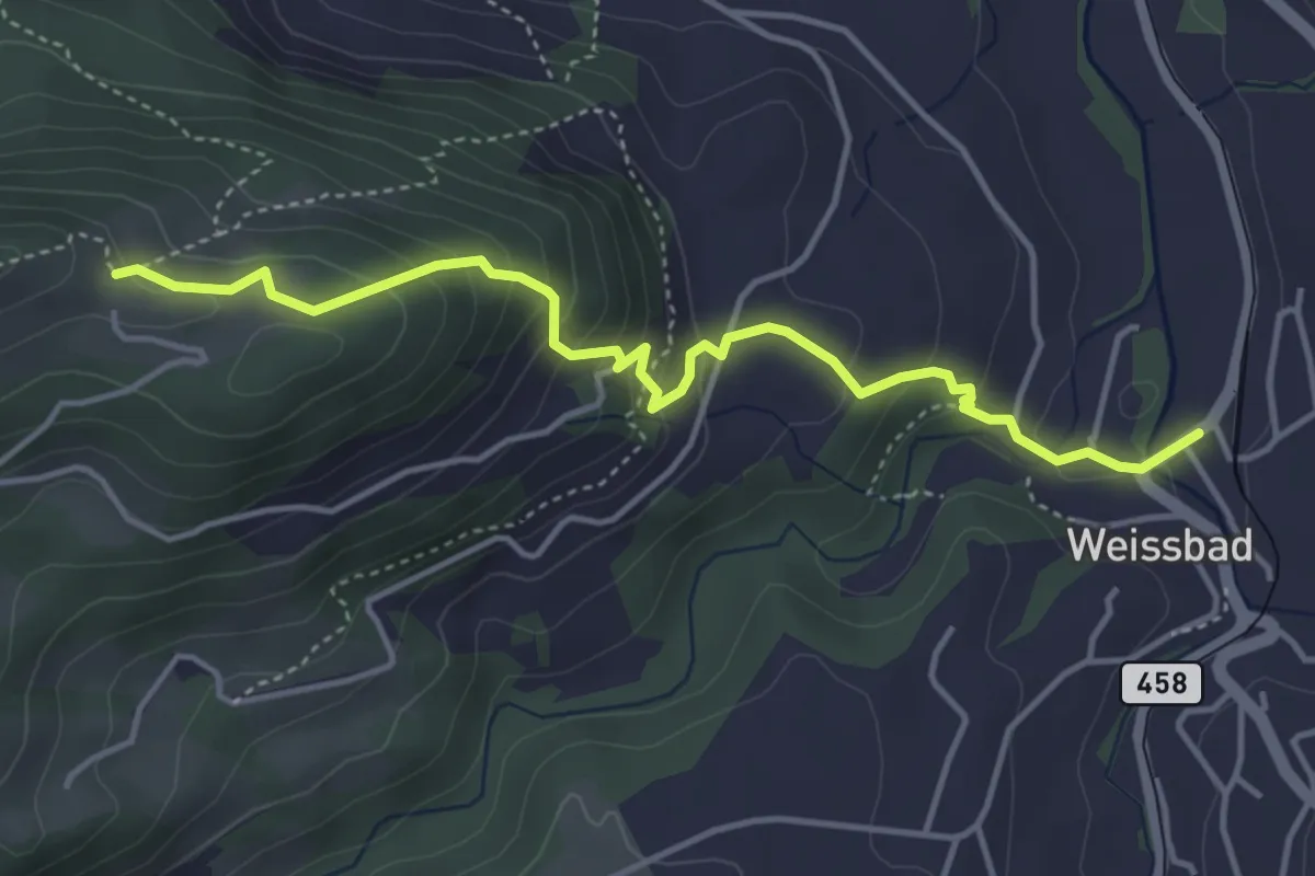
Easy · Trail
Weissbad – Chlispitz
4.4 km · ↑ 316 m · 1 h 43 min