Trails in Switzerland
15,055 hiking trails, each with its route, climb, walking time and grade.
All trails, page 304 of 314
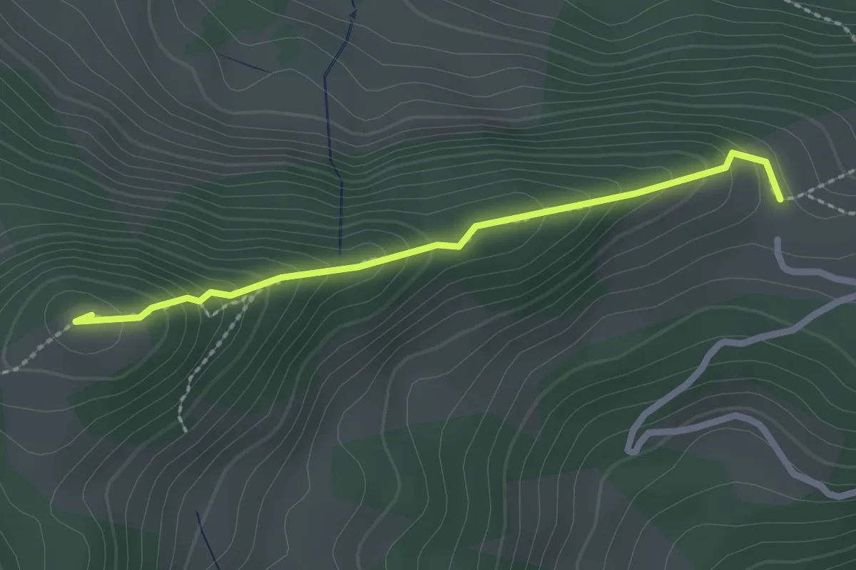
Medium · Summit
Chlispitz – Klosterspitz
2.2 km · ↑ 194 m · 56 min
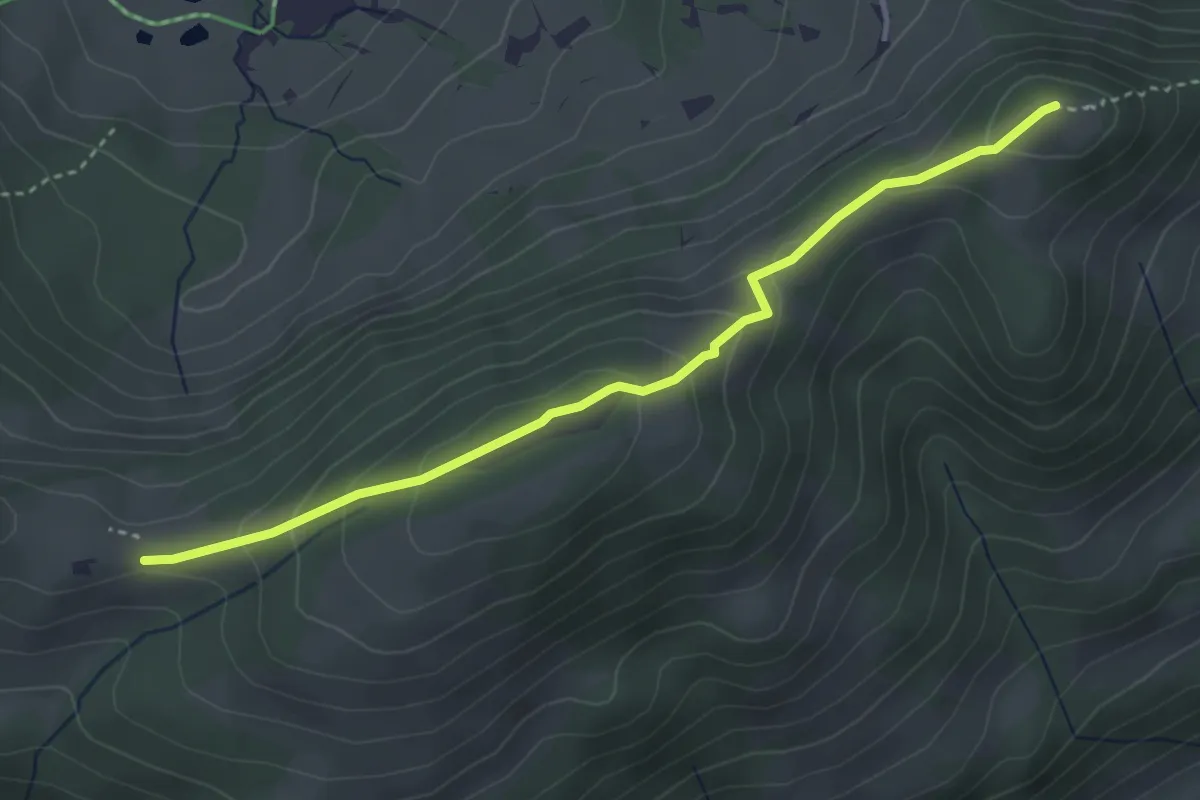
Easy · Summit
Klosterspitz – Wasserschaffen
3.7 km · ↑ 192 m · 1 h 17 min
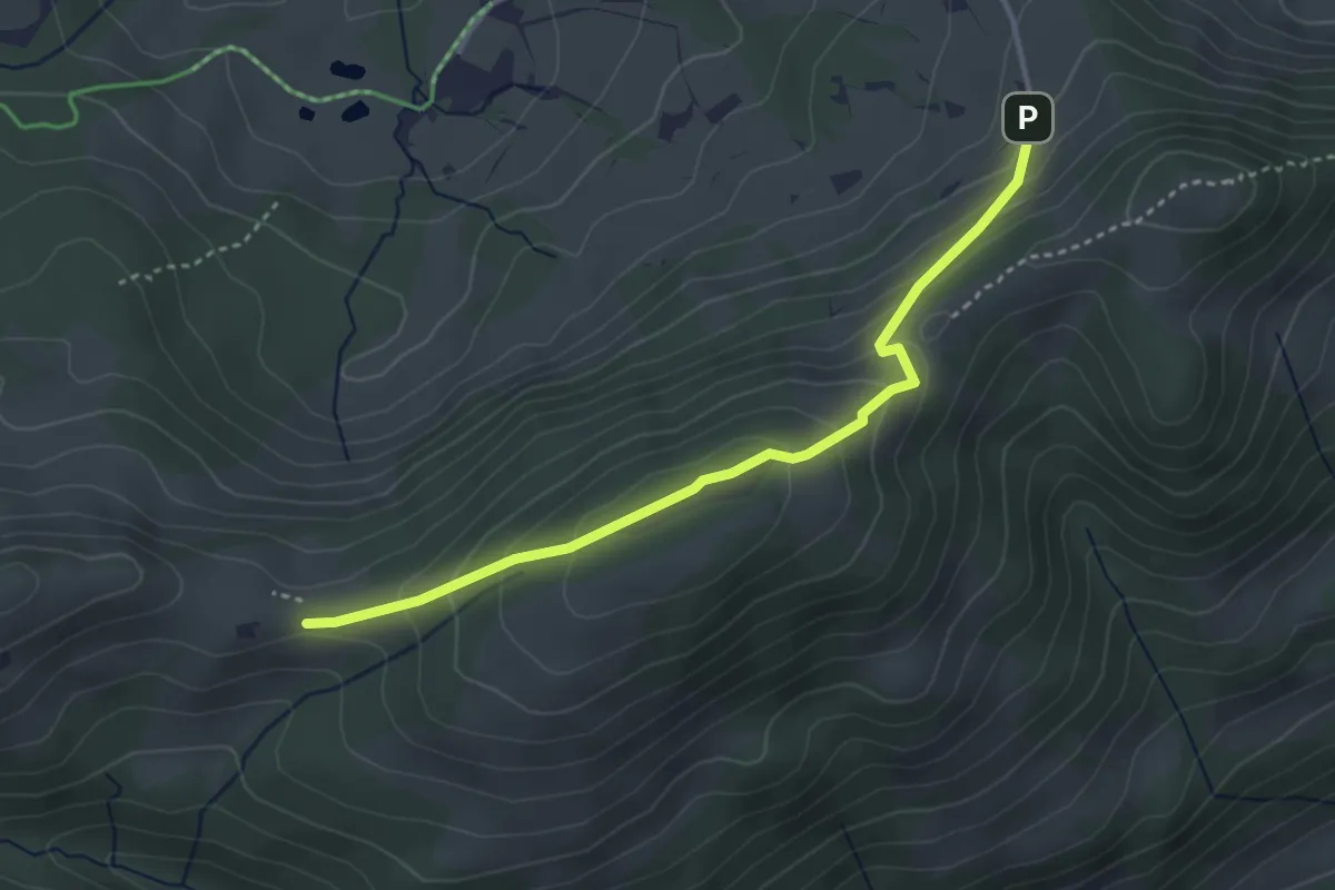
Easy · Trail
Sollegg – Sönderli
3.5 km · ↑ 236 m · 1 h 21 min
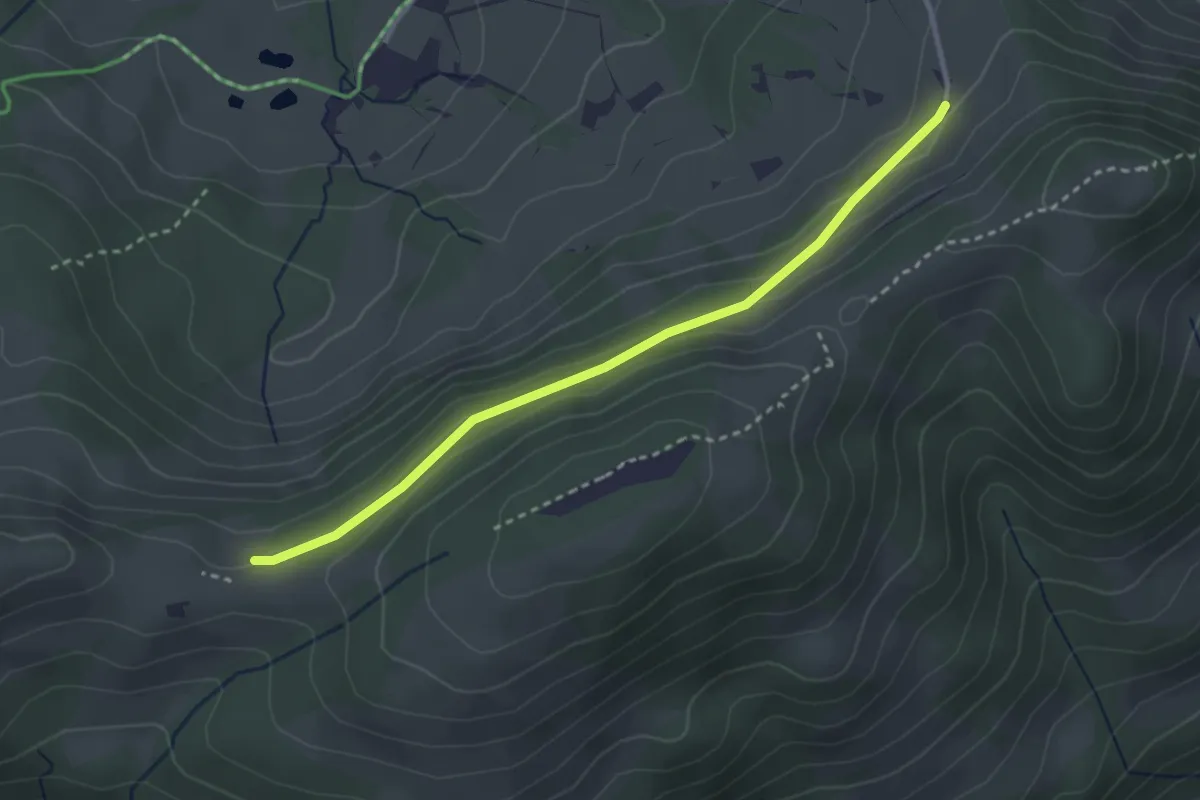
Easy · Trail
Sollegg – Wasserschaffen
3.0 km · ↑ 106 m · 56 min
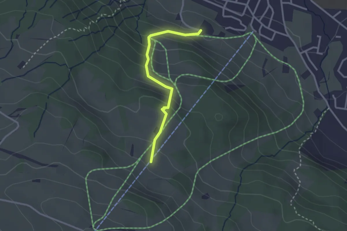
Easy · Trail
Weberen – Freudenberg
2.3 km · ↑ 197 m · 59 min
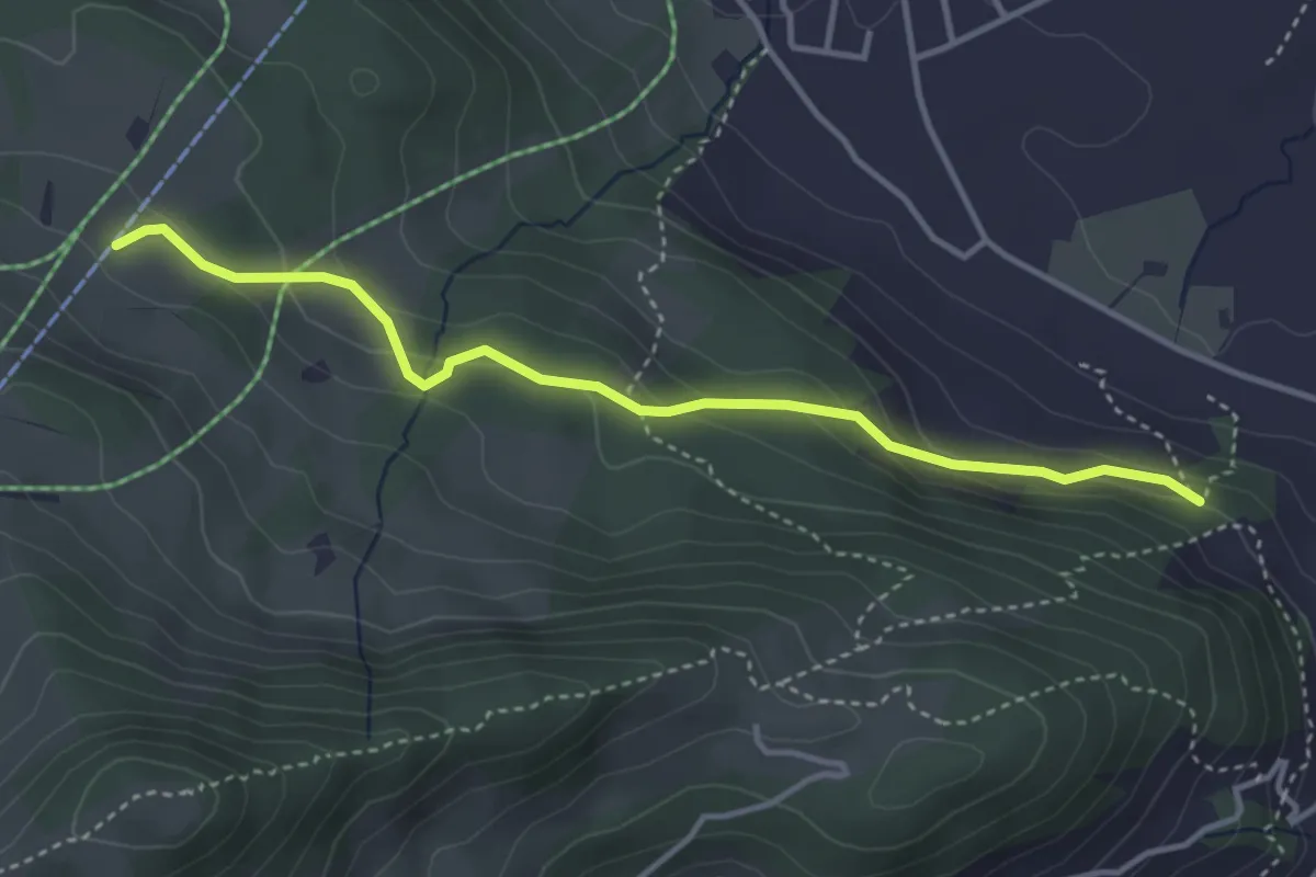
Easy · Trail
Weberen – Ochsenegg
3.7 km · ↑ 193 m · 1 h 18 min
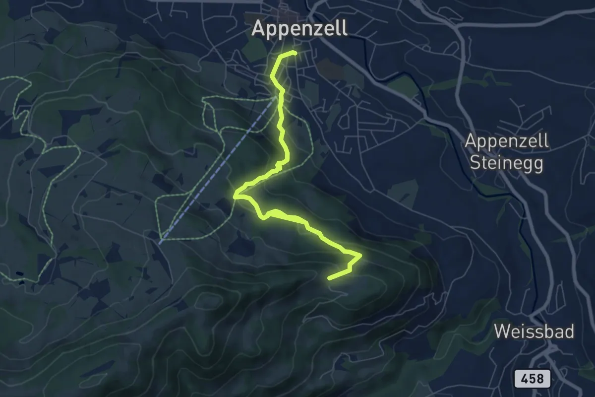
Medium · Trail
Appenzell – Chlispitz
7.4 km · ↑ 485 m · 2 h 47 min
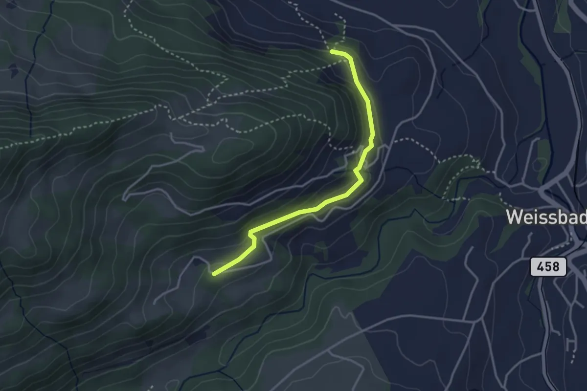
Medium · Trail
Ochsenegg – Ahorn
2.9 km · ↑ 167 m · 1 h 3 min
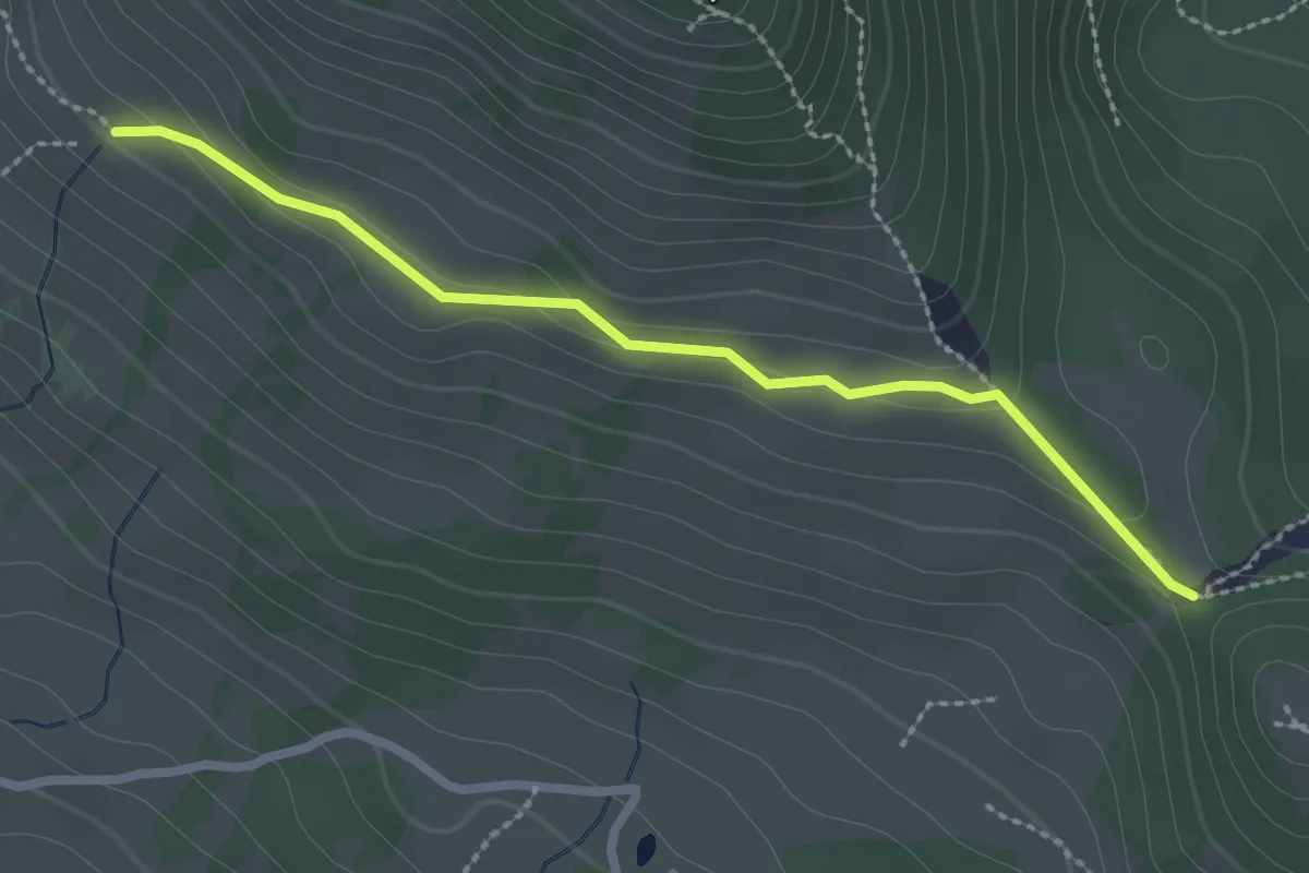
Medium · Trail
Resspass – Guggeier
2.5 km · ↑ 59 m · 42 min
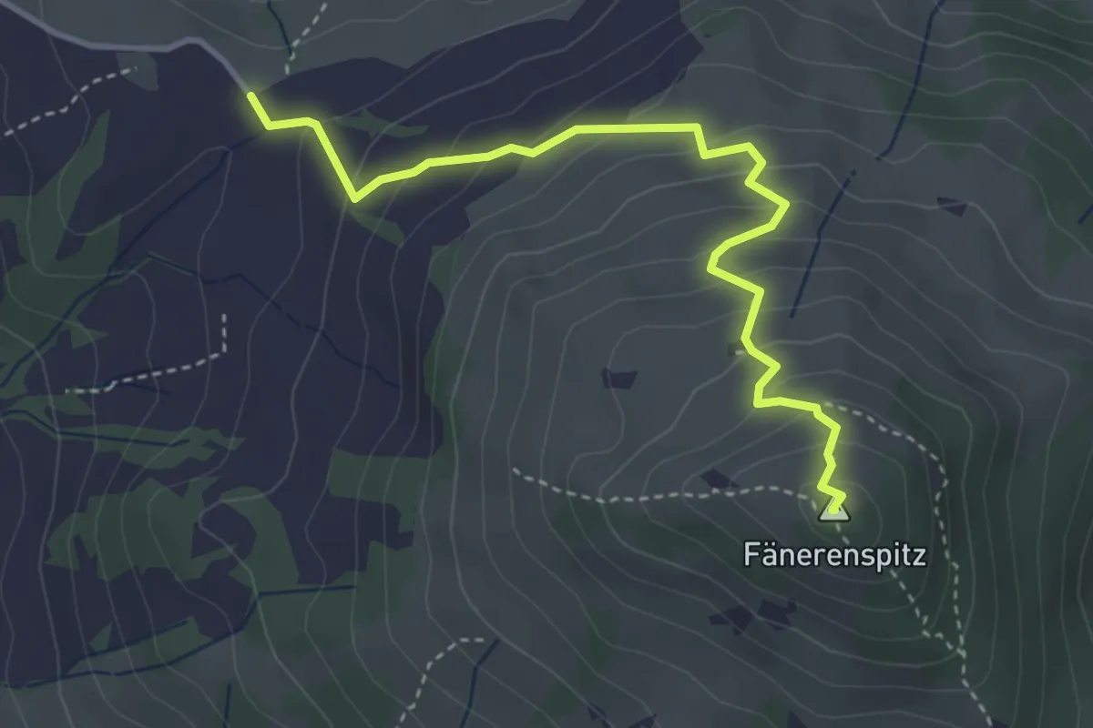
Medium · Summit
Fähnerenspitz – Eggli
3.9 km · ↑ 319 m · 1 h 36 min
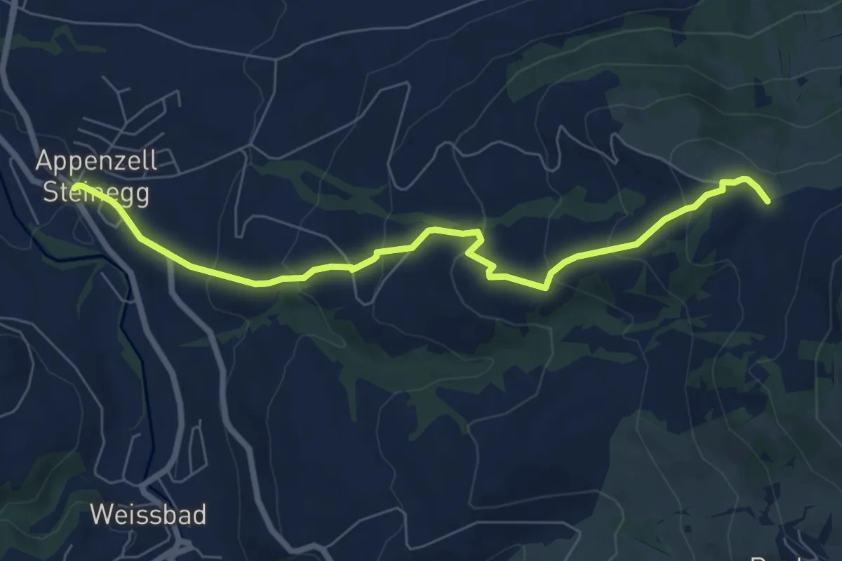
Medium · Trail
Eggli – Steinegg
7.1 km · ↑ 370 m · 2 h 29 min
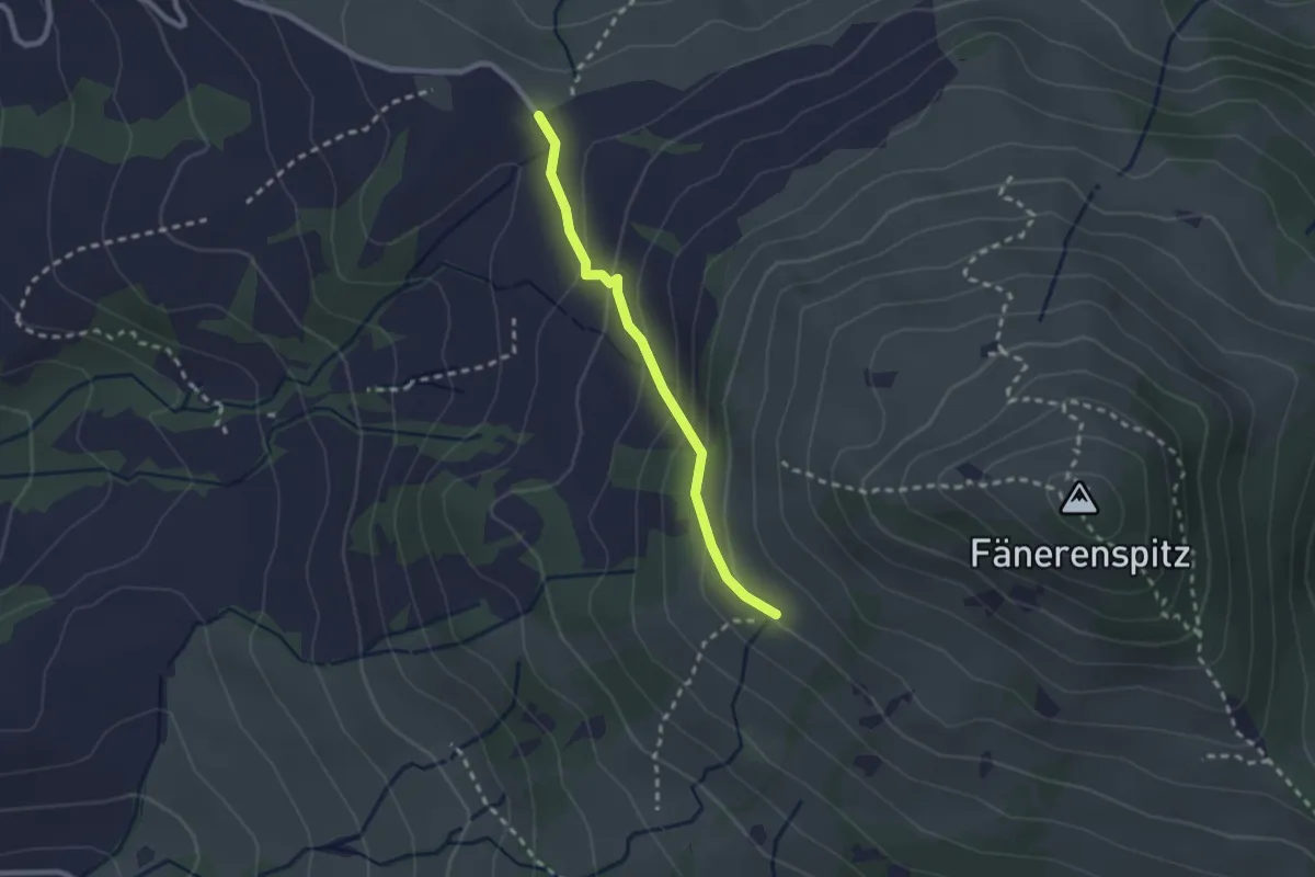
Easy · Trail
Eggli – Guggeier
2.1 km · ↑ 140 m · 48 min
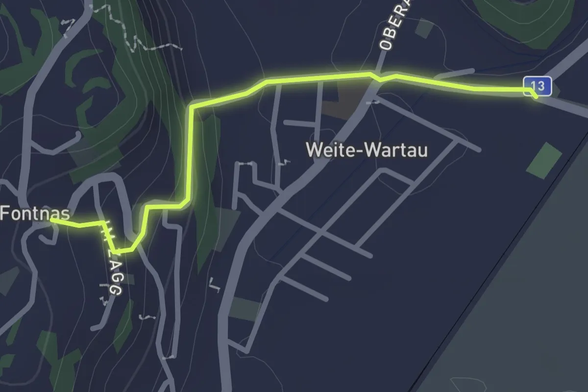
Easy · Trail
Fontnas – Weite
2.2 km · ↑ 81 m · 42 min
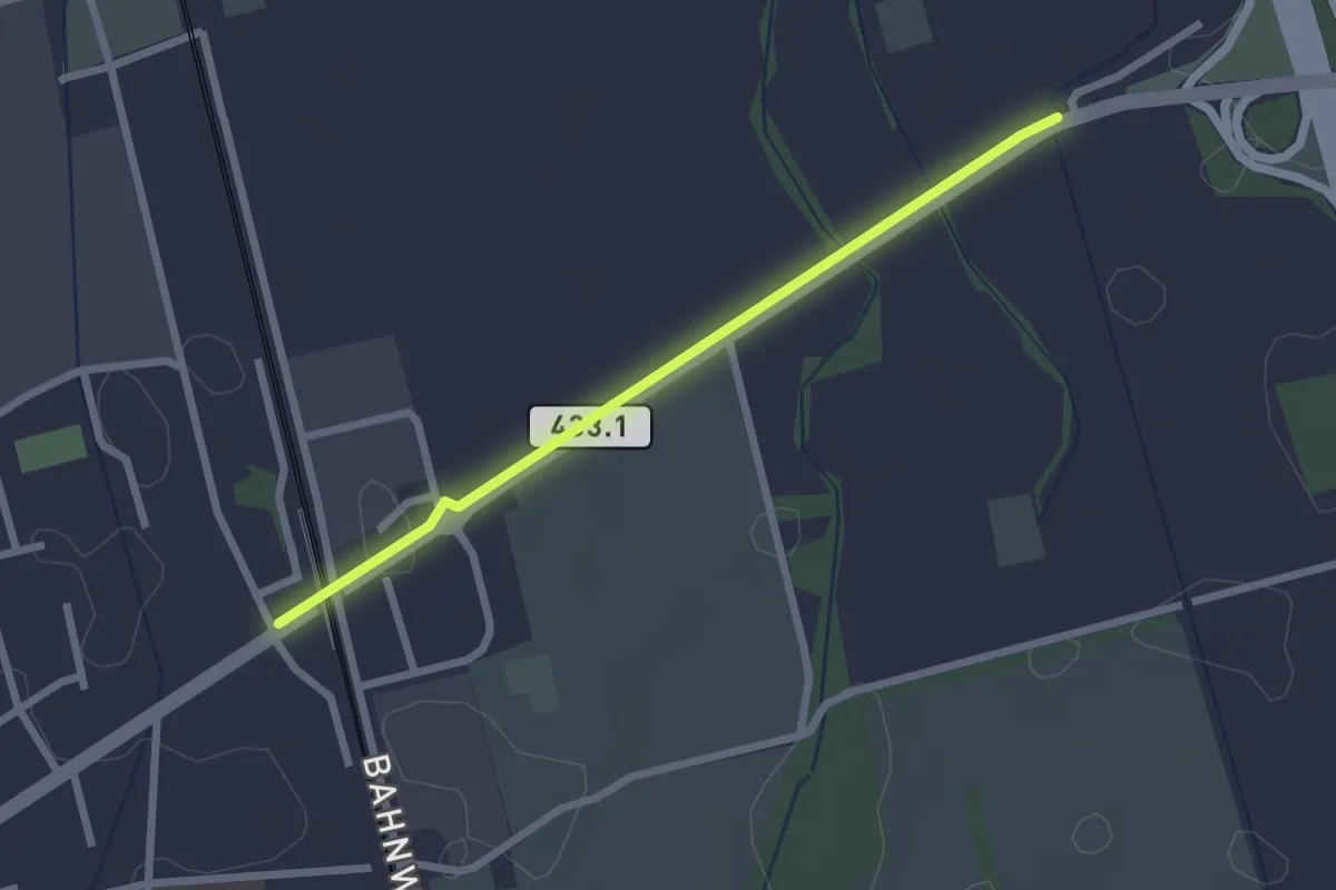
Easy · Trail
Sevelen Bahnhof – Werdenberger Binnenkanal
2.2 km · ↑ 0 m · 32 min
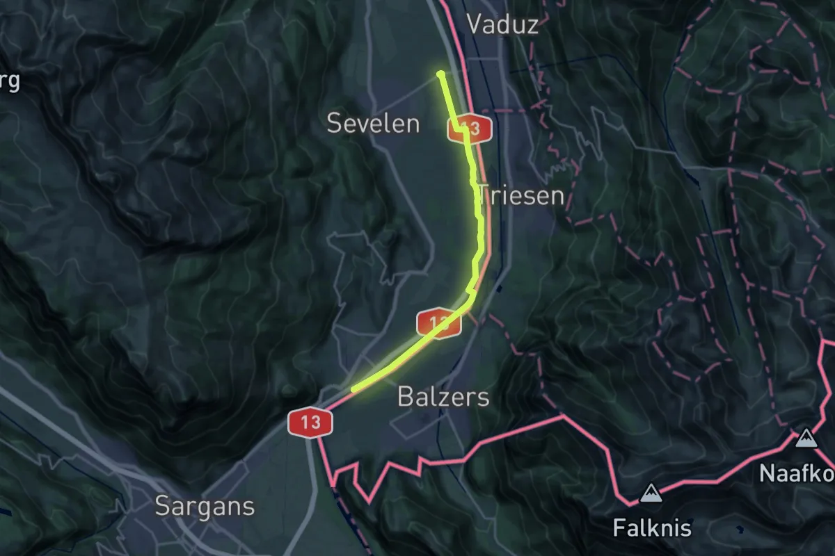
Medium · Trail
Werdenberger Binnenkanal – Trübbach Rheindamm
16.8 km · ↑ 56 m · 4 h 6 min
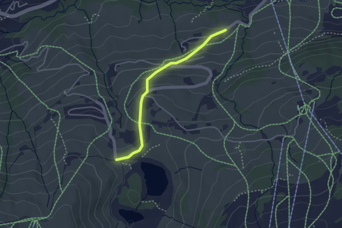
Easy · Trail
Brand – Schwendiseen
2.8 km · ↑ 125 m · 55 min
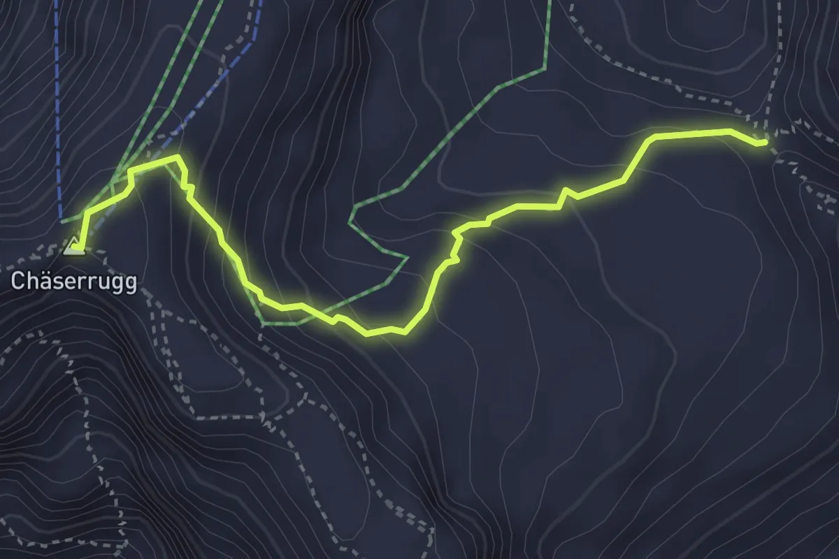
Demanding · Summit
Sattel – Chäserrugg
3.6 km · ↑ 310 m · 1 h 32 min
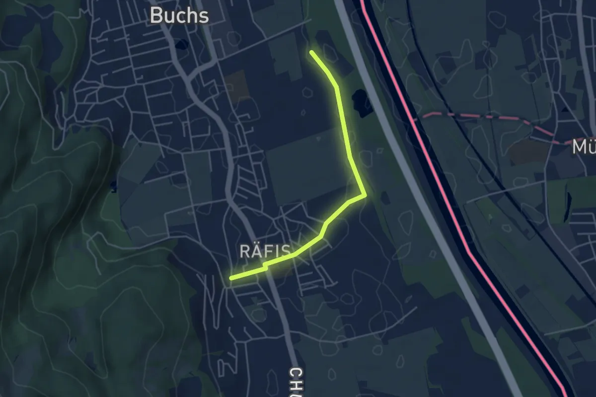
Easy · Trail
Räfis – Buchs
3.9 km · ↑ 4 m · 56 min
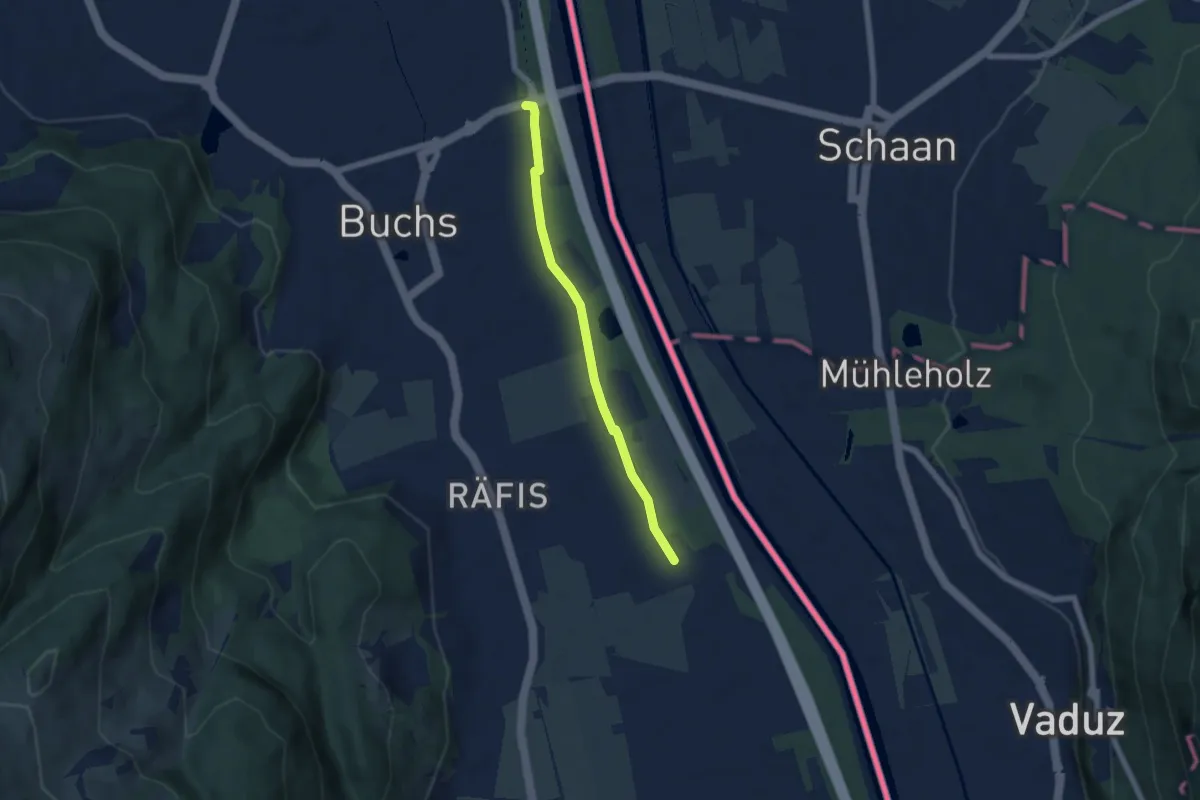
Easy · Trail
Werdenberger Binnenkanal – Buchs
5.2 km · ↑ 4 m · 1 h 15 min
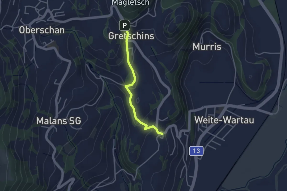
Easy · Trail
Fontnas – Gretschins
2.5 km · ↑ 84 m · 46 min
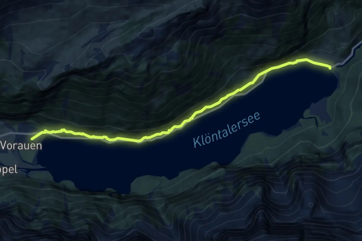
Demanding · Trail
Rhodannenberg – Vorauen
10.2 km · ↑ 824 m · 4 h 11 min
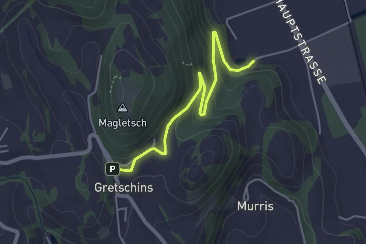
Easy · Trail
Plattis – Gretschins
3.6 km · ↑ 198 m · 1 h 17 min
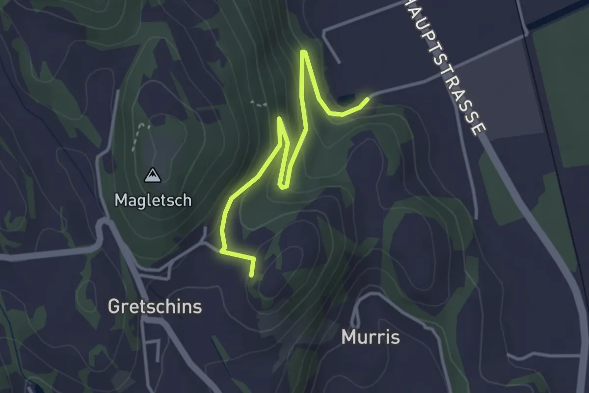
Easy · Trail
Plattis – Ruine Wartau
3.3 km · ↑ 197 m · 1 h 12 min
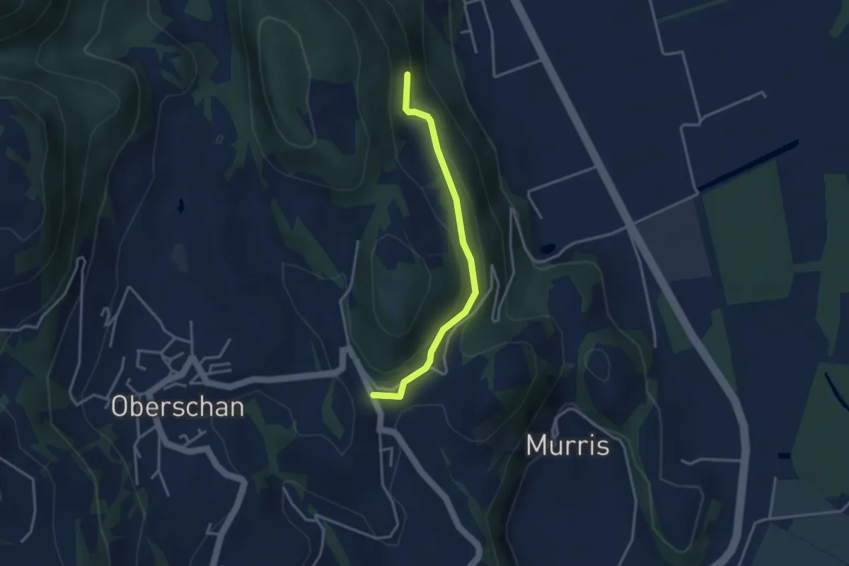
Easy · Trail
Selva – Gretschins
3.0 km · ↑ 116 m · 57 min
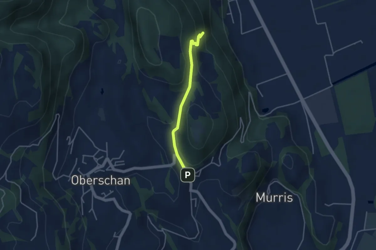
Easy · Trail
Gretschins – Selva
2.8 km · ↑ 120 m · 55 min
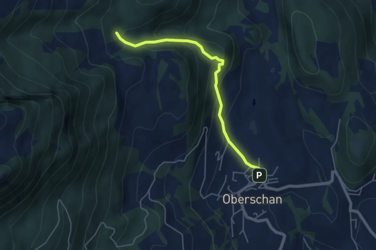
Easy · Trail
Oberschan Dorfbrunnen – Valpalos
3.9 km · ↑ 264 m · 1 h 30 min
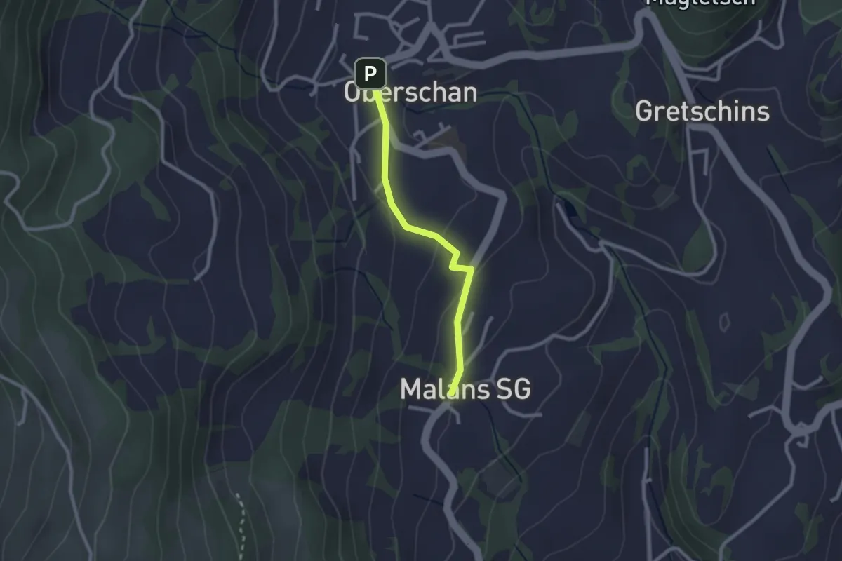
Easy · Trail
Malans – Oberschan
2.0 km · ↑ 61 m · 37 min
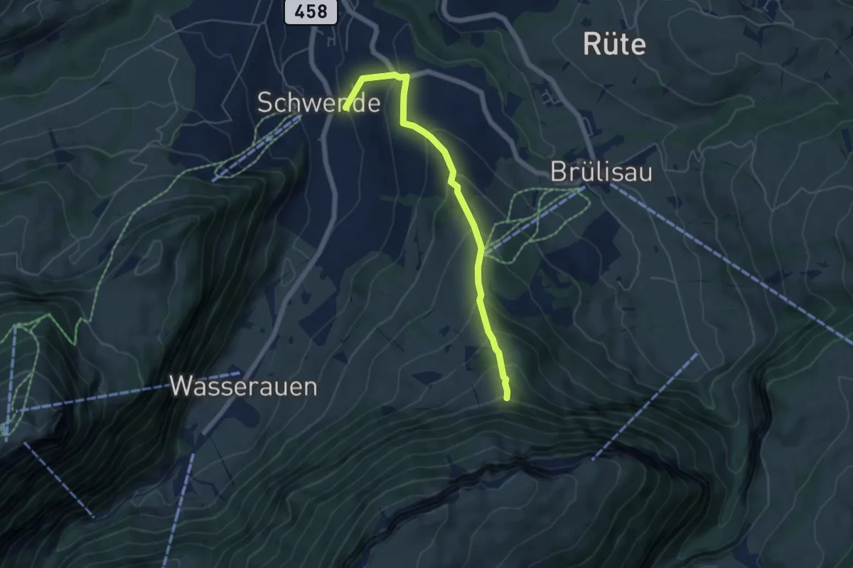
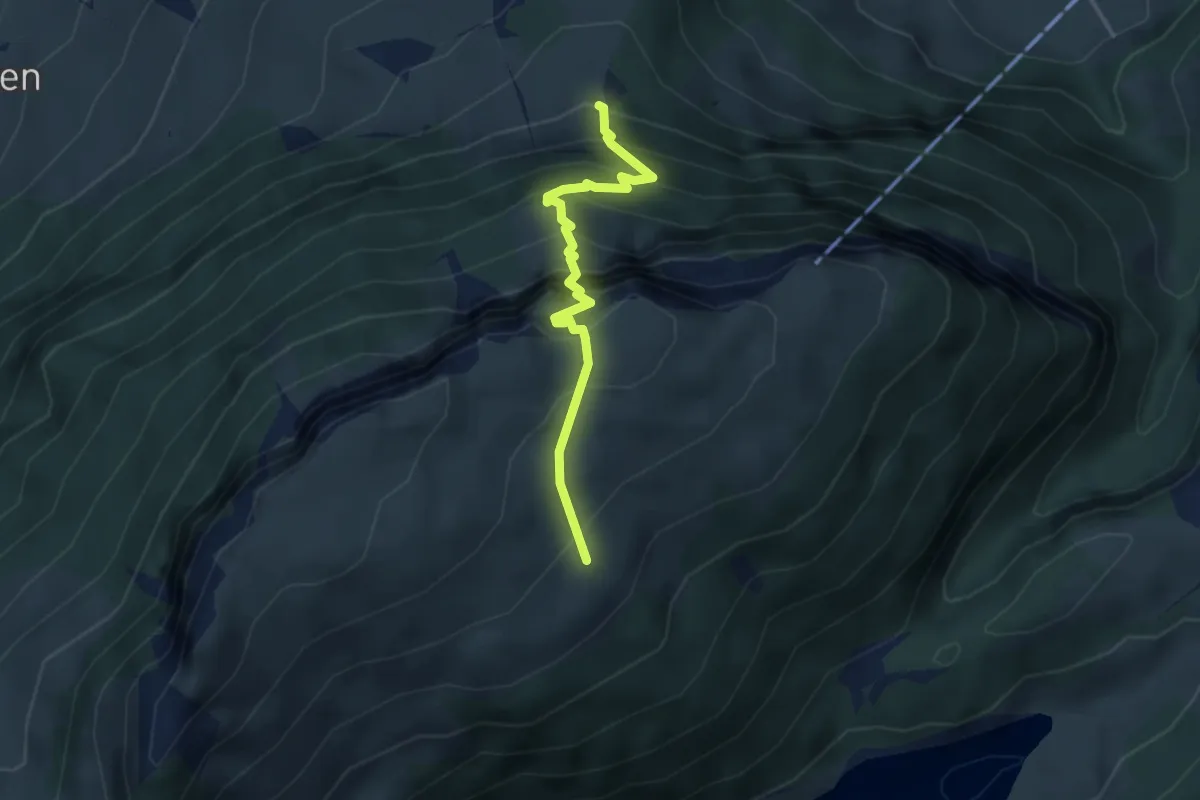
Medium · Trail
Schwende – Chehr
5.1 km · ↑ 389 m · 2 h 2 min
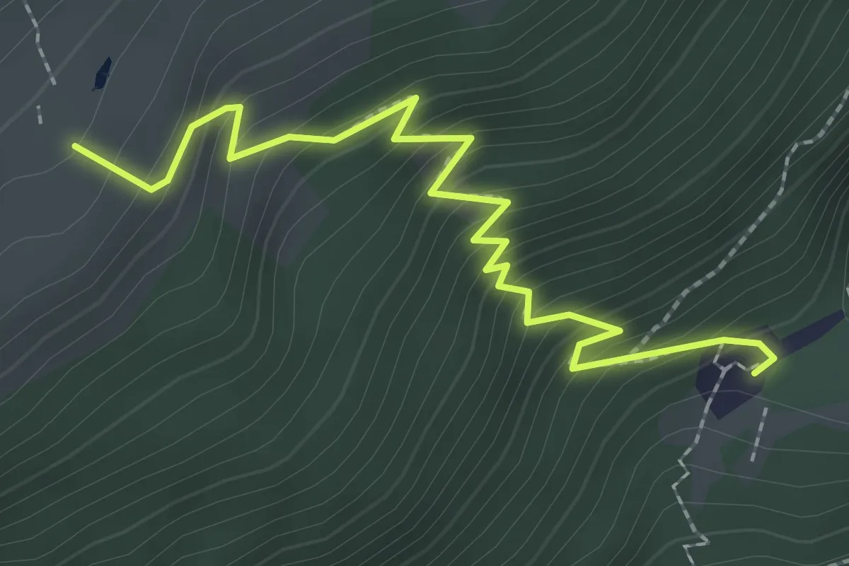
Demanding · Trail
Chehr – Alp Sigel
3.2 km · ↑ 458 m · 1 h 45 min
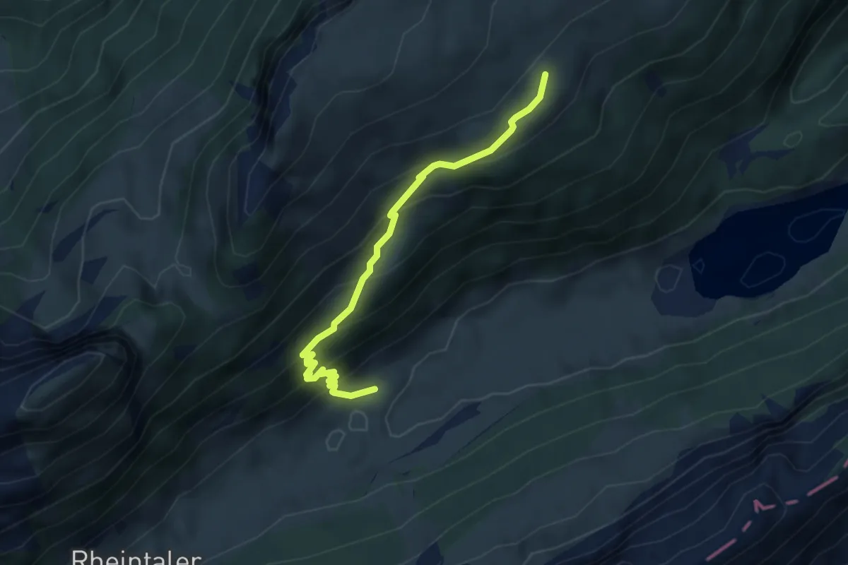
Medium · Cabin
Alp Sigel – Plattenbödeli
2.6 km · ↑ 287 m · 1 h 15 min
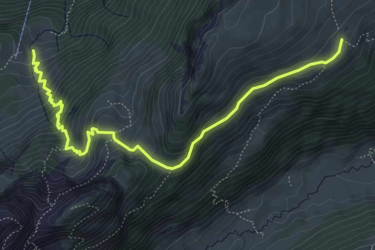
Medium · Trail
Alp Sigel – Streckwees
4.0 km · ↑ 335 m · 1 h 40 min
Medium · Trail
Alp Sigel – Klein-Hütten
6.7 km · ↑ 500 m · 2 h 40 min
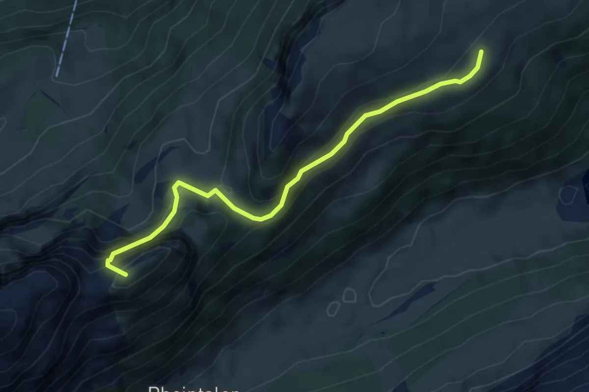
Medium · Summit
Alp Sigel – Bogarten
5.0 km · ↑ 452 m · 2 h 9 min
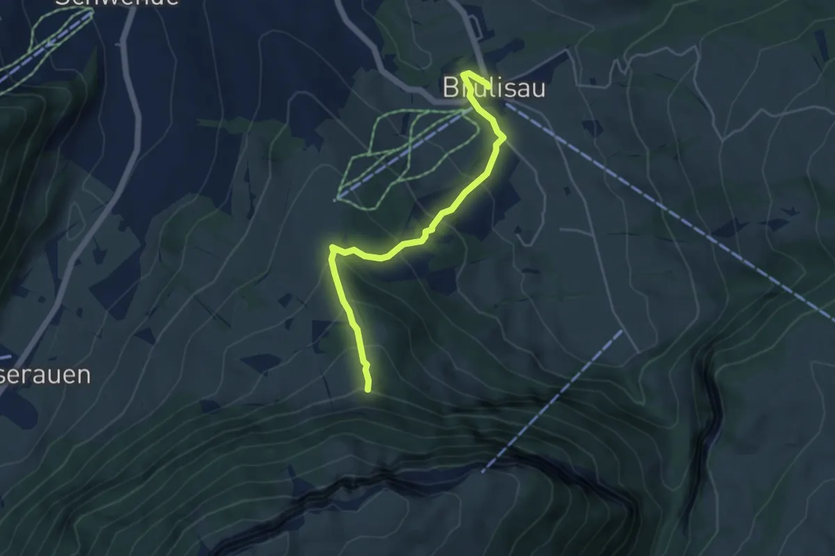
Medium · Trail
Chehr – Brülisau
4.3 km · ↑ 334 m · 1 h 44 min
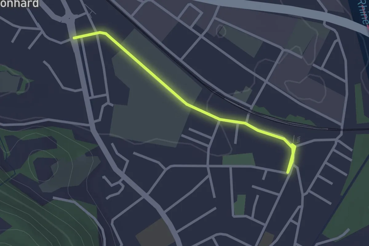
Easy · Trail
Bad Ragaz (Bf) – Vilters
2.4 km · ↑ 9 m · 35 min
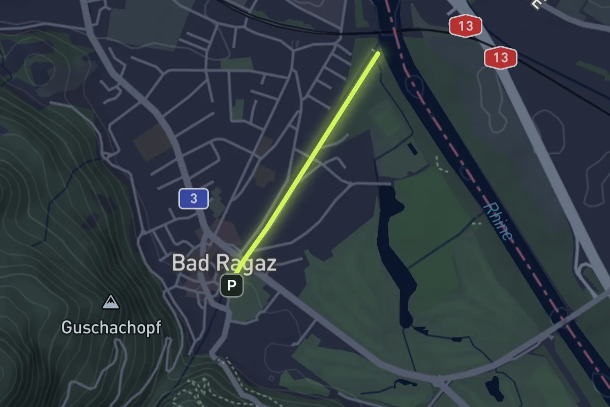
Easy · Trail
6.209 – 6.211
2.1 km · ↑ 14 m · 31 min
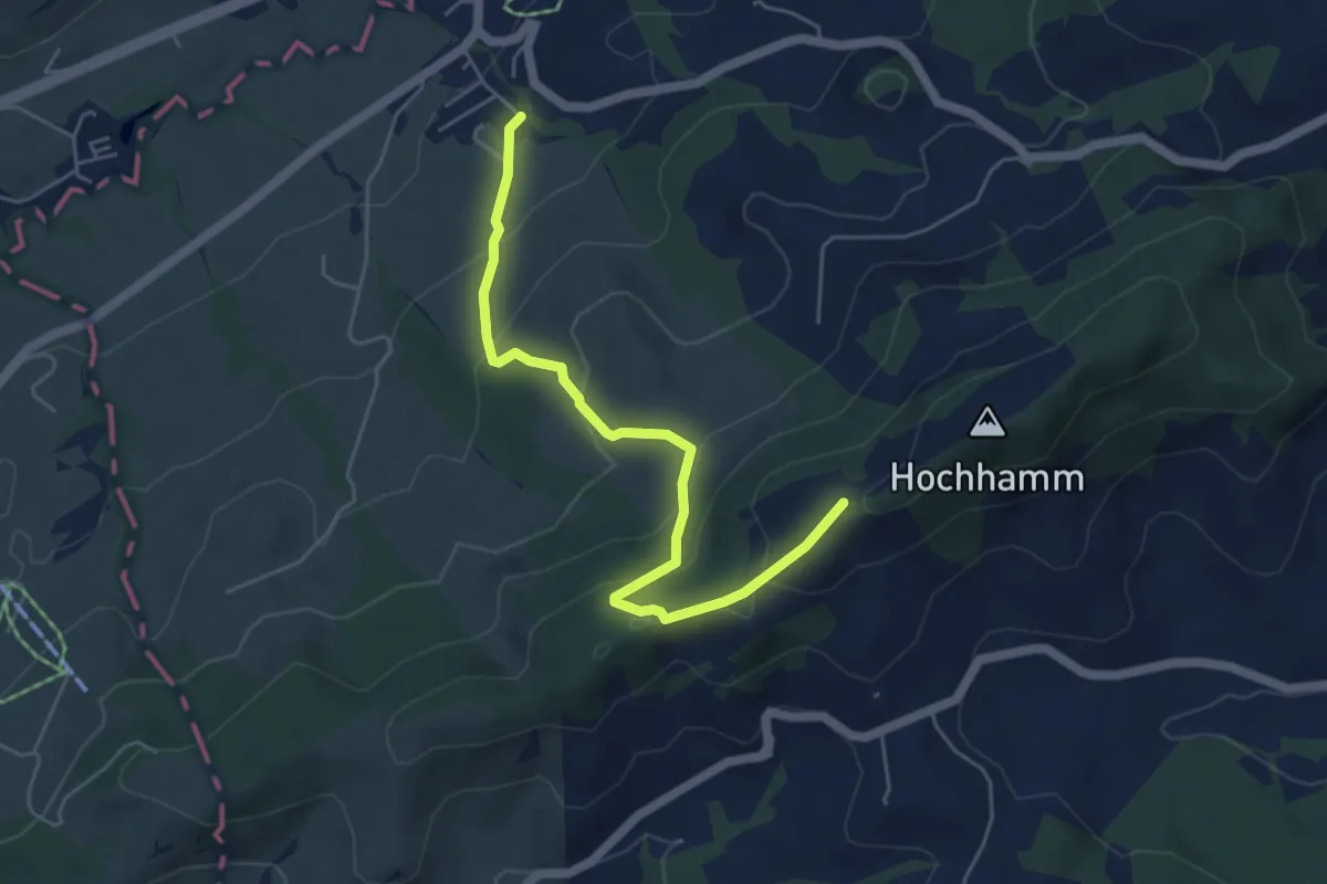
Medium · Trail
Schönengrund – Hochhamm
5.2 km · ↑ 327 m · 1 h 56 min
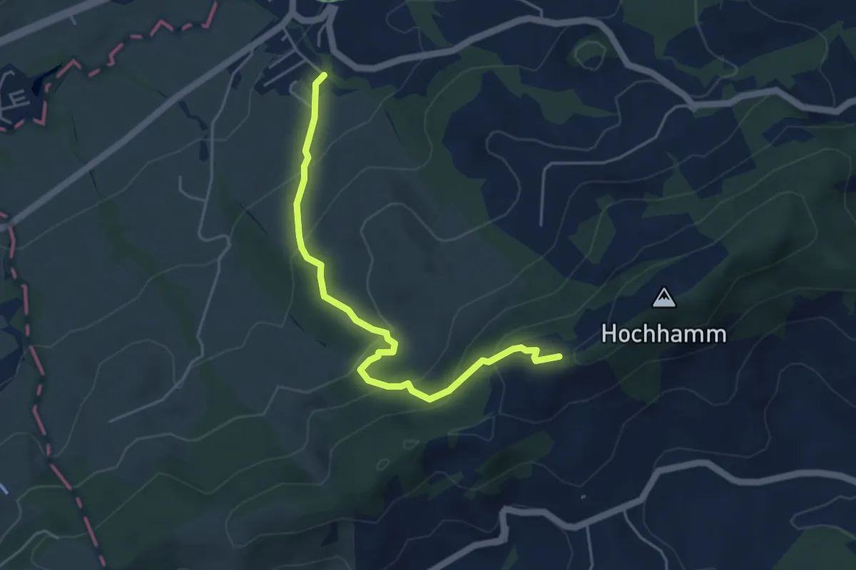
Medium · Trail
Schönengrund – Hochhamm
4.6 km · ↑ 326 m · 1 h 47 min
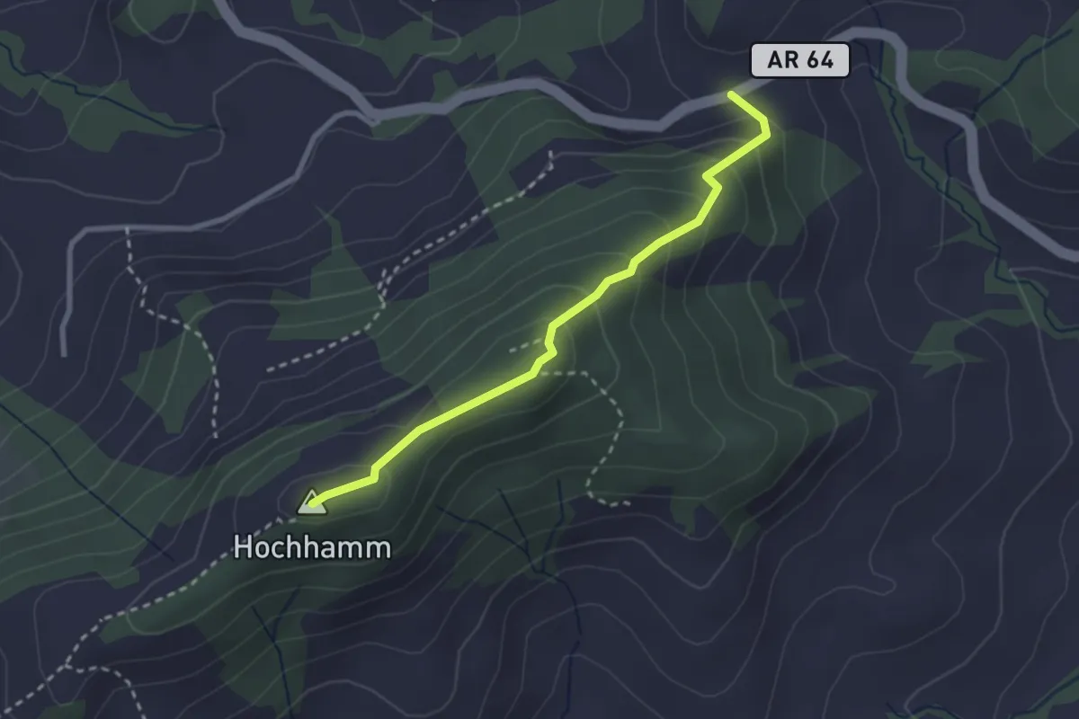
Easy · Summit
Hochhamm – Tüfenberg
2.5 km · ↑ 163 m · 57 min
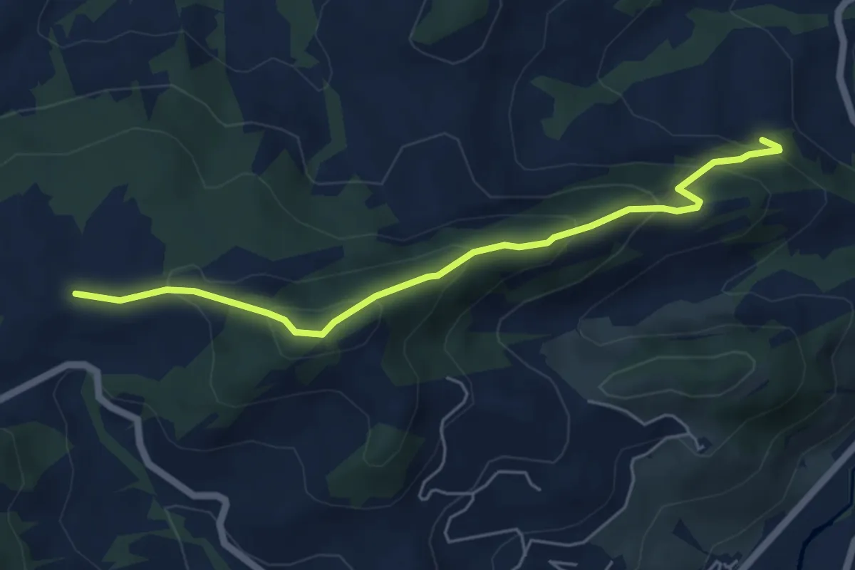
Medium · Trail
Tüfenberg – Zübel
5.1 km · ↑ 355 m · 1 h 59 min
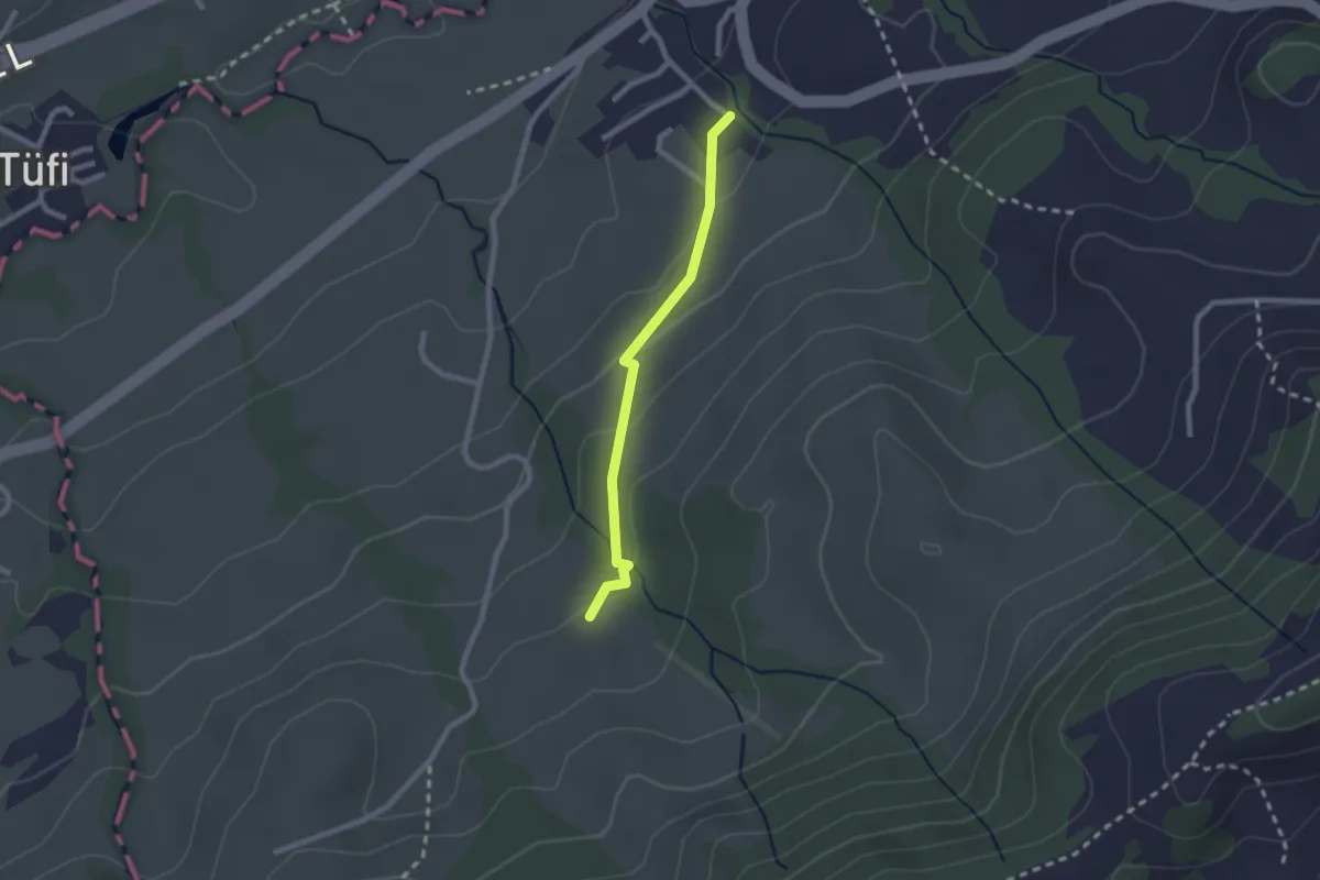
Easy · Trail
Schönengrund – Chäseren
2.0 km · ↑ 68 m · 37 min
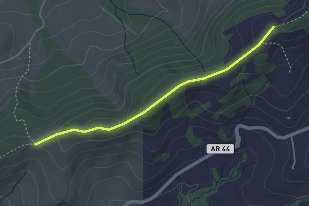
Easy · Trail
Hochhamm – Chäseren
3.1 km · ↑ 116 m · 59 min
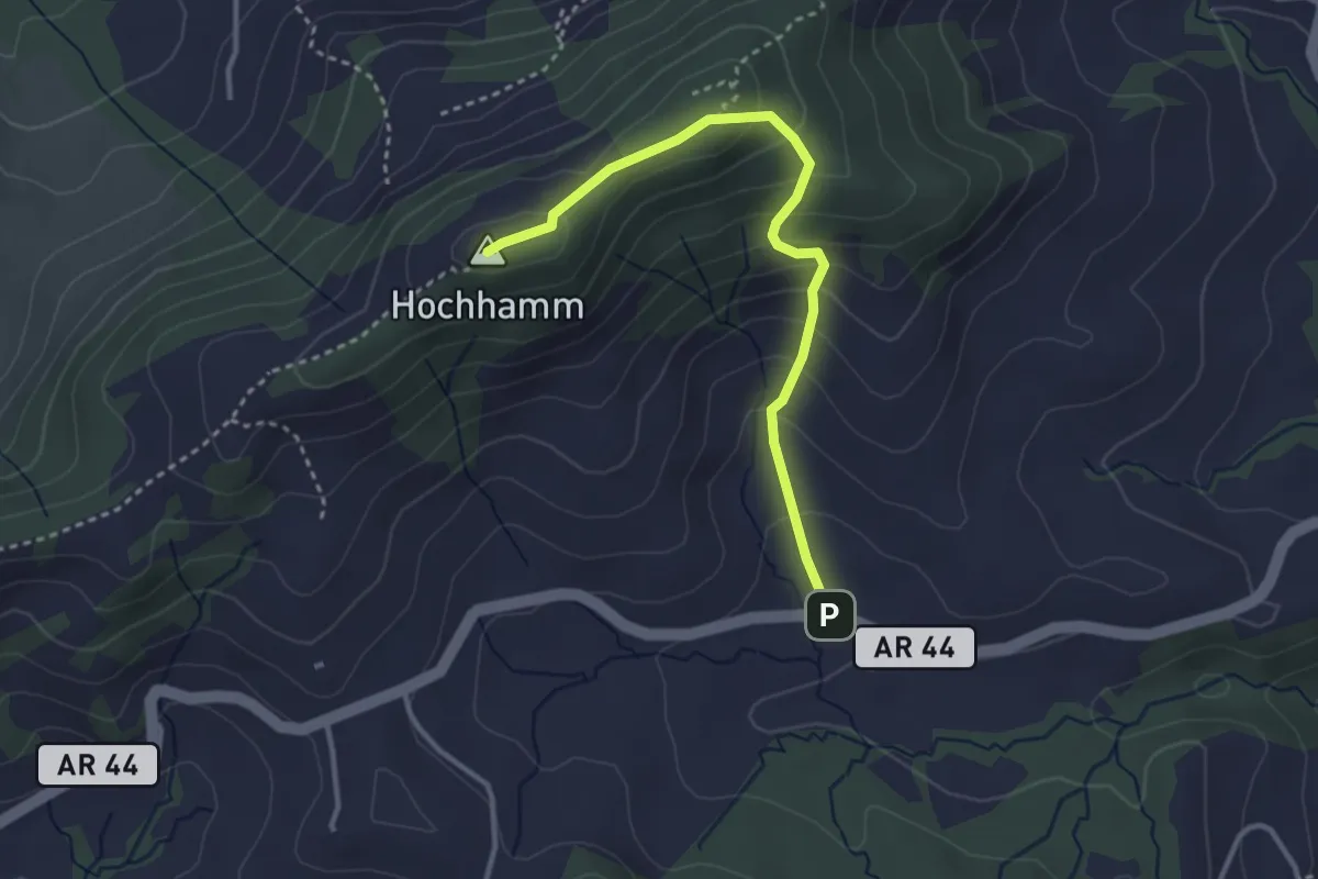
Easy · Summit
Hochhamm – Schönau
3.2 km · ↑ 238 m · 1 h 17 min
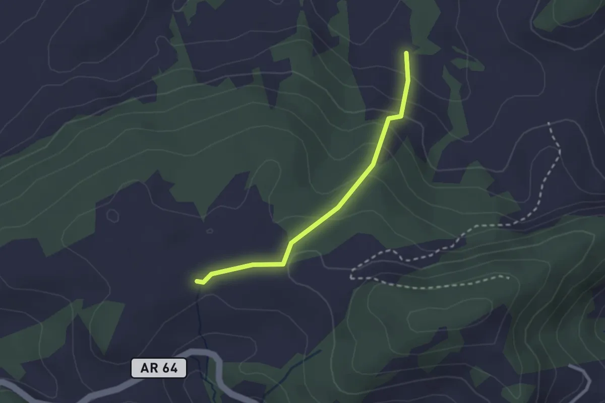
Easy · Trail
Tüfenberg – Lärchenberg
2.2 km · ↑ 150 m · 50 min
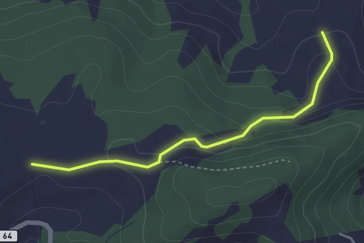
Easy · Trail
Tüfenberg – Wis
2.9 km · ↑ 126 m · 57 min
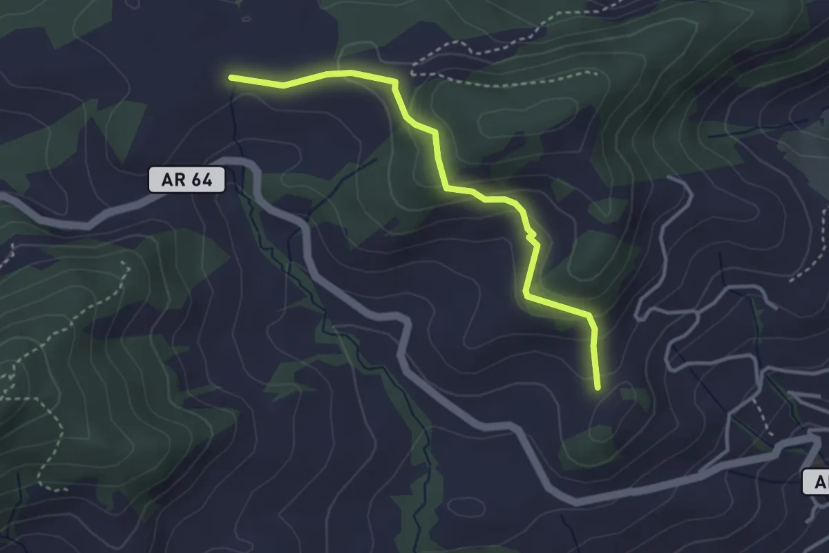
Easy · Trail
Tüfenberg – Obere Buchen
3.2 km · ↑ 165 m · 1 h 7 min
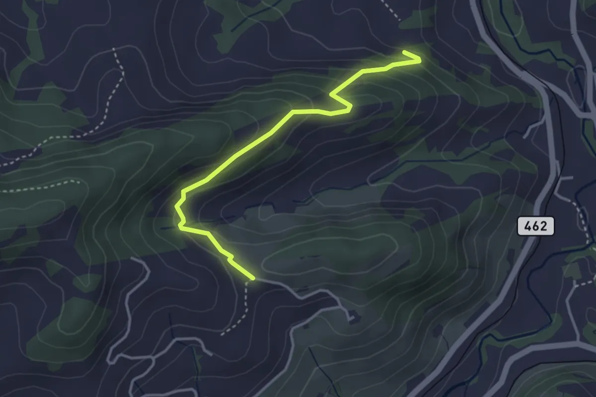
Easy · Trail
Zübel – Grueb
3.4 km · ↑ 227 m · 1 h 17 min
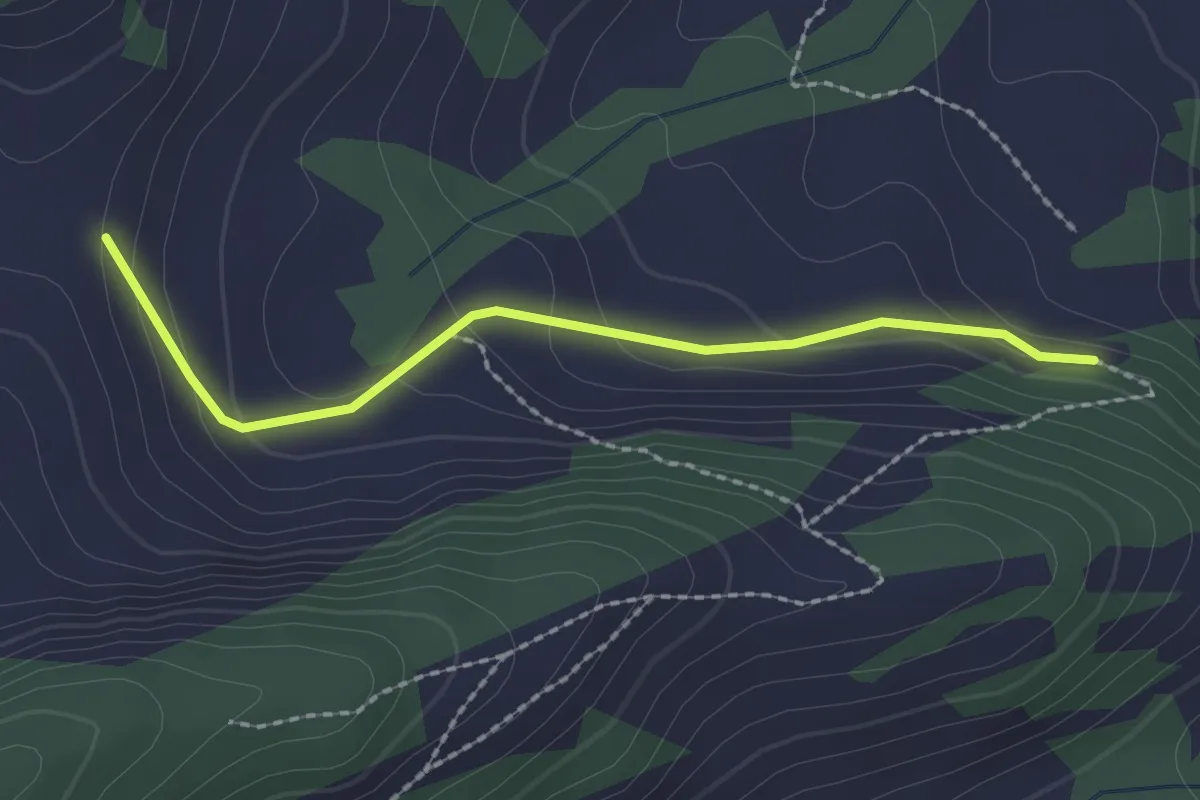
Easy · Trail
Zübel – Wis
2.0 km · ↑ 102 m · 42 min