Trails in Switzerland
15,055 hiking trails, each with its route, climb, walking time and grade.
All trails, page 305 of 314
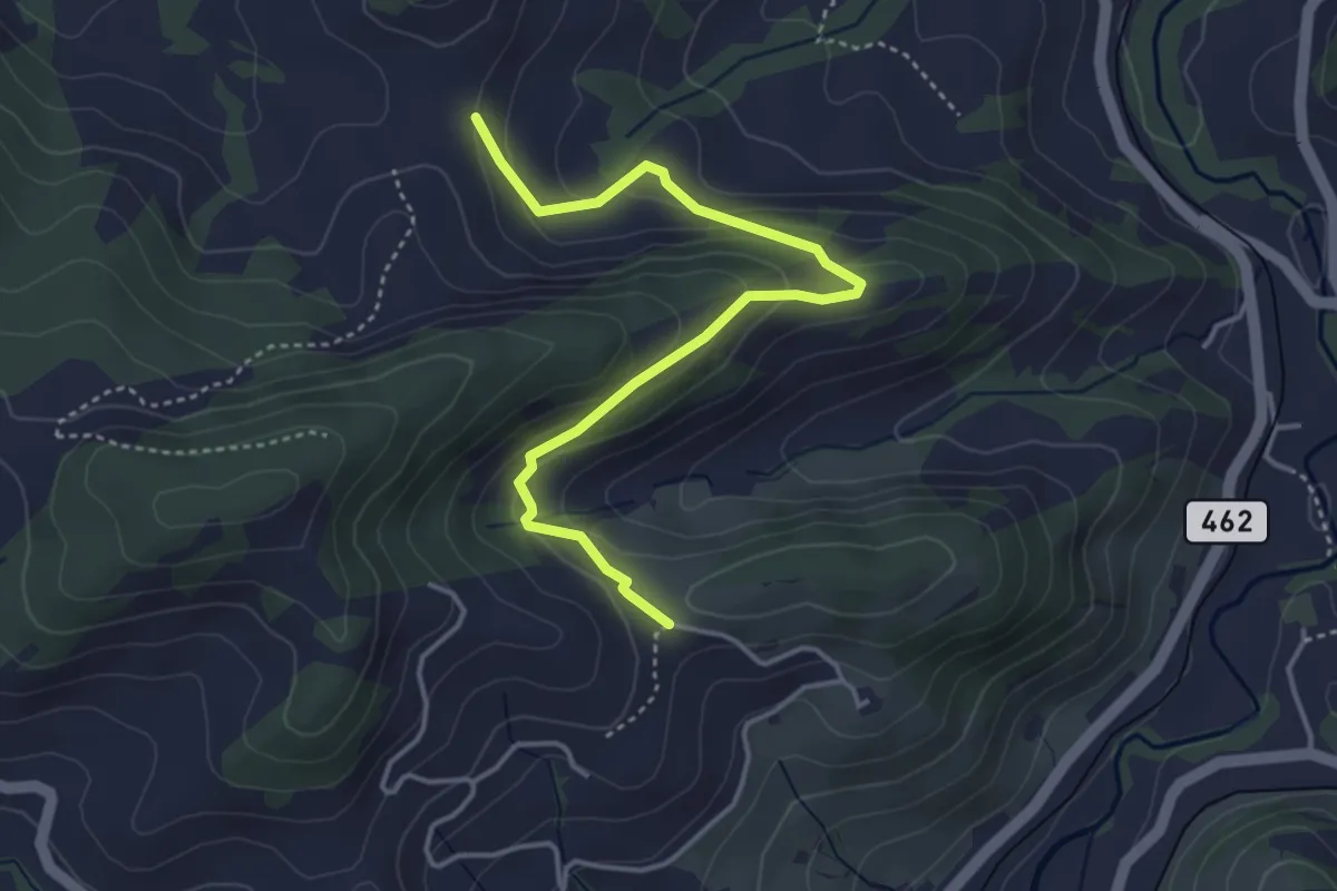
Medium · Trail
Grueb – Wis
4.1 km · ↑ 207 m · 1 h 26 min
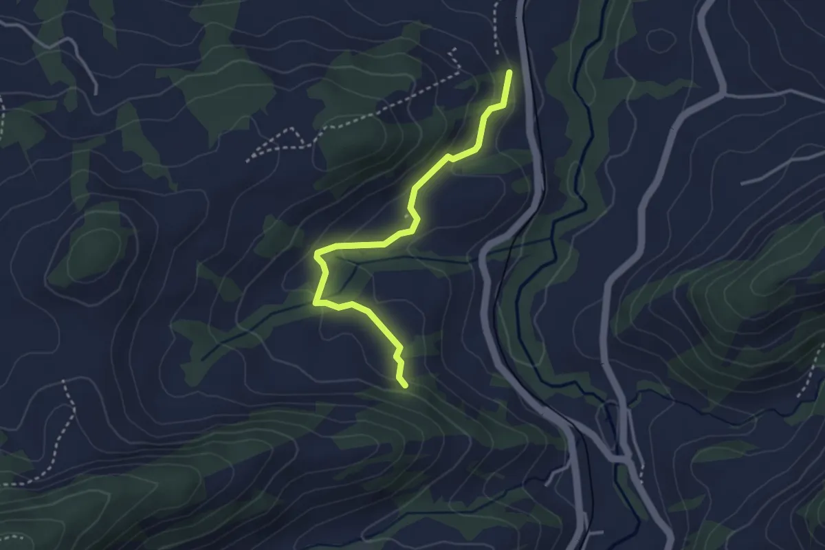
Easy · Trail
Zübel – Hundegg
3.1 km · ↑ 120 m · 1 h
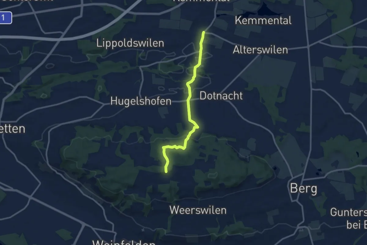
Medium · Trail
Stelzenhof – Ellighausen
8.9 km · ↑ 285 m · 2 h 42 min
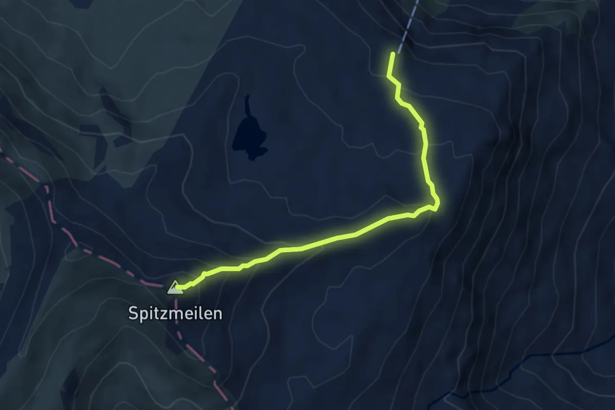
Demanding · Summit
Spitzmeilen-Hütte – Spitzmeilen
4.4 km · ↑ 361 m · 1 h 50 min
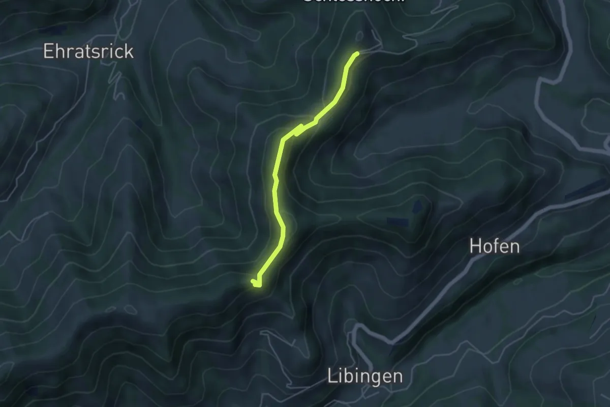
Easy · Trail
Oberstein – Vorder Rachlis
4.0 km · ↑ 205 m · 1 h 23 min
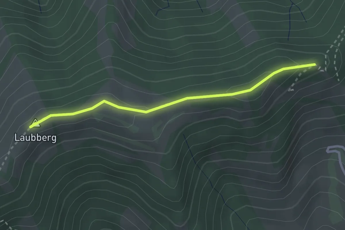
Easy · Summit
Oberstein – Laubberg Scheune
2.4 km · ↑ 52 m · 41 min
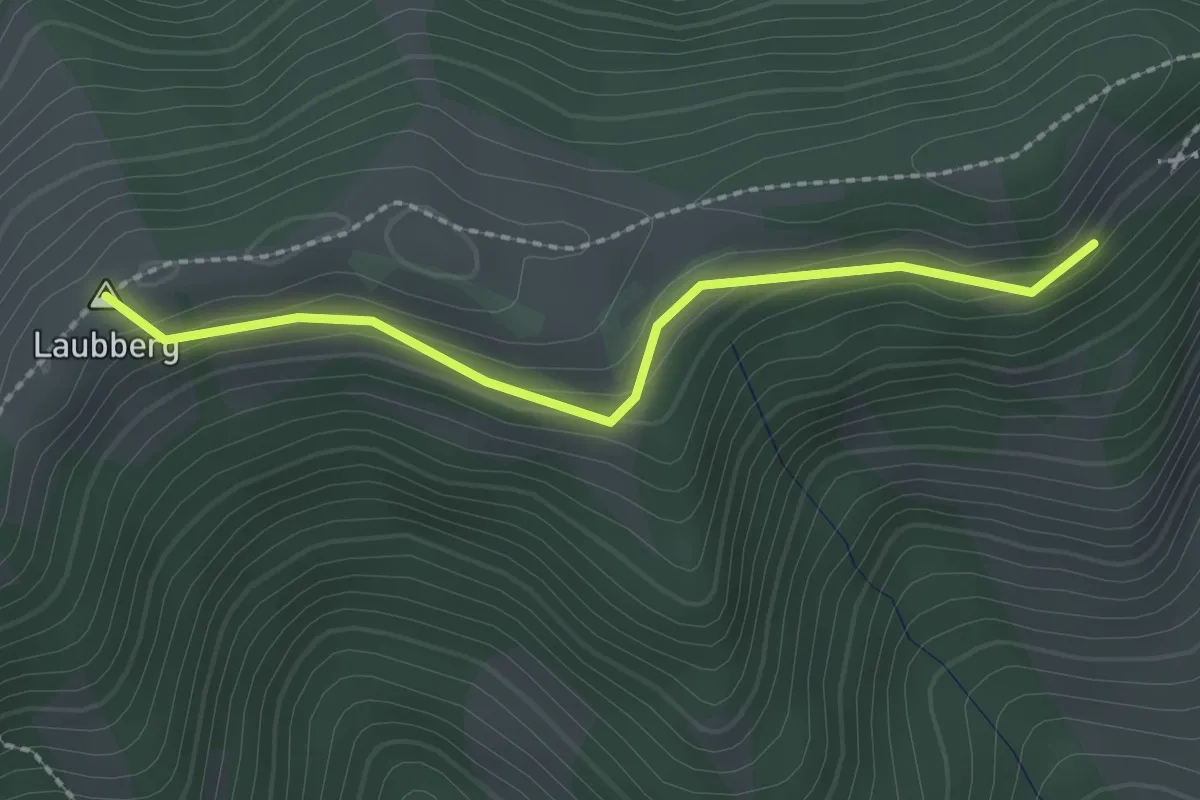
Easy · Summit
Steinweid Ost – Meiersalp
2.1 km · ↑ 114 m · 45 min
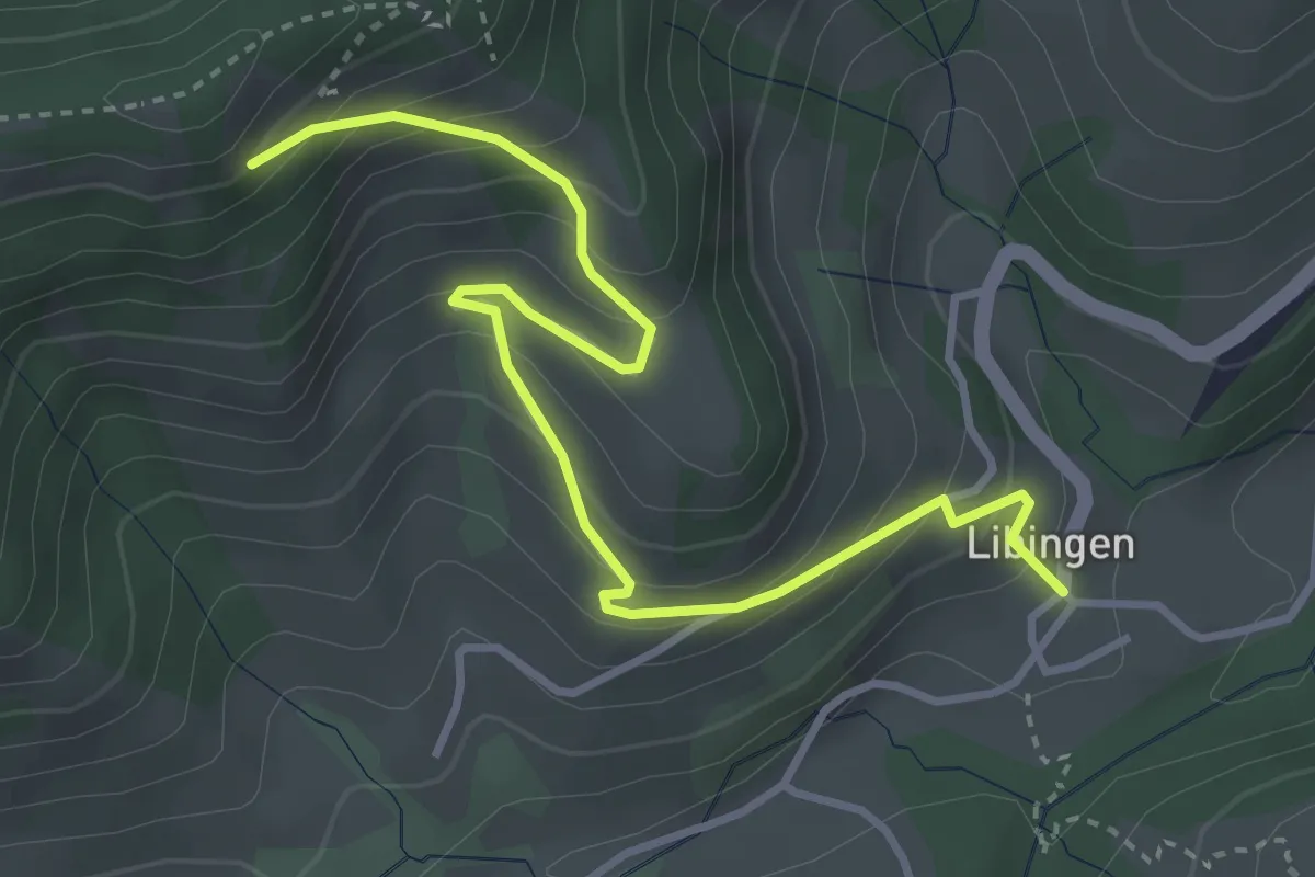
Medium · Trail
Libingen – Steinweid Ost
4.0 km · ↑ 349 m · 1 h 42 min
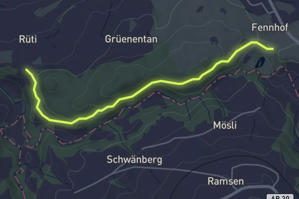
Easy · Trail
Marstal – Rüti
4.3 km · ↑ 164 m · 1 h 22 min
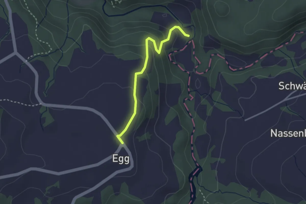
Easy · Trail
Tobelmüli – Egg
2.5 km · ↑ 140 m · 54 min
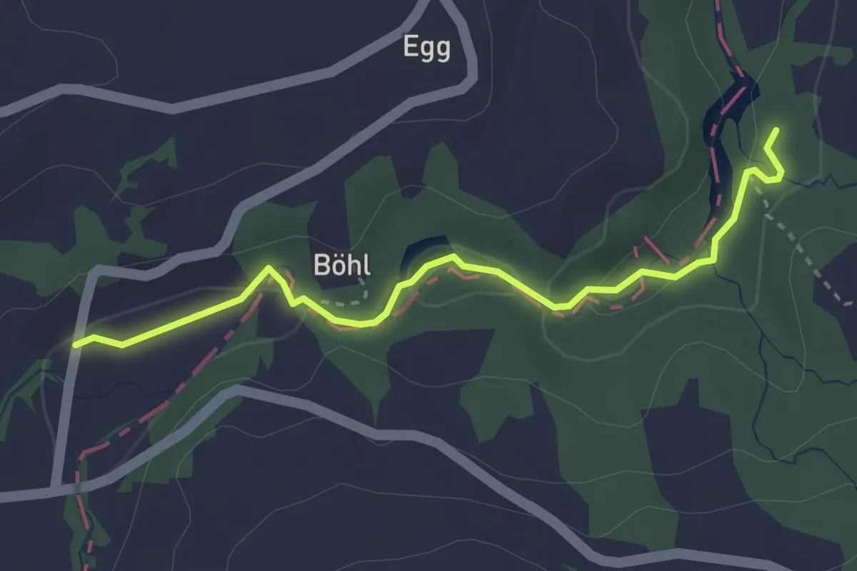
Easy · Trail
Wissenbachschlucht Nord – Talmühle
3.0 km · ↑ 68 m · 52 min
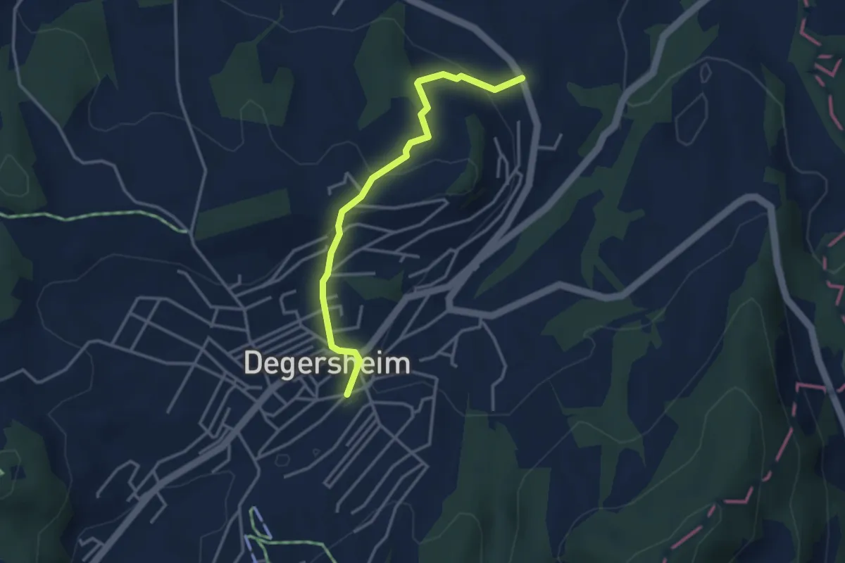
Easy · Trail
Hinterschwil – Degersheim
3.2 km · ↑ 114 m · 1 h
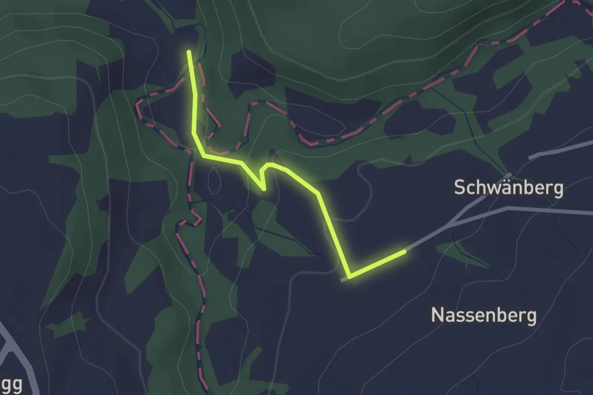
Easy · Trail
Tobelmüli – Schwänberg
2.0 km · ↑ 74 m · 38 min
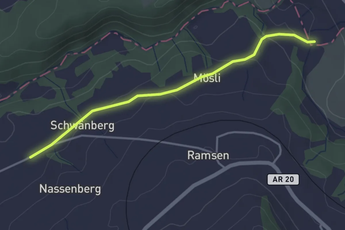
Easy · Trail
Schwänberg – Zellersmülli
3.2 km · ↑ 77 m · 55 min
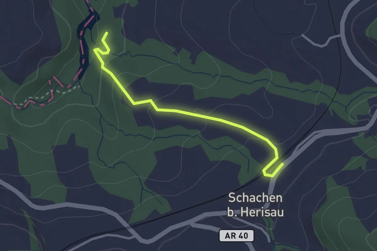
Easy · Trail
Wissenbachschlucht Nord – Schachen
2.5 km · ↑ 120 m · 51 min
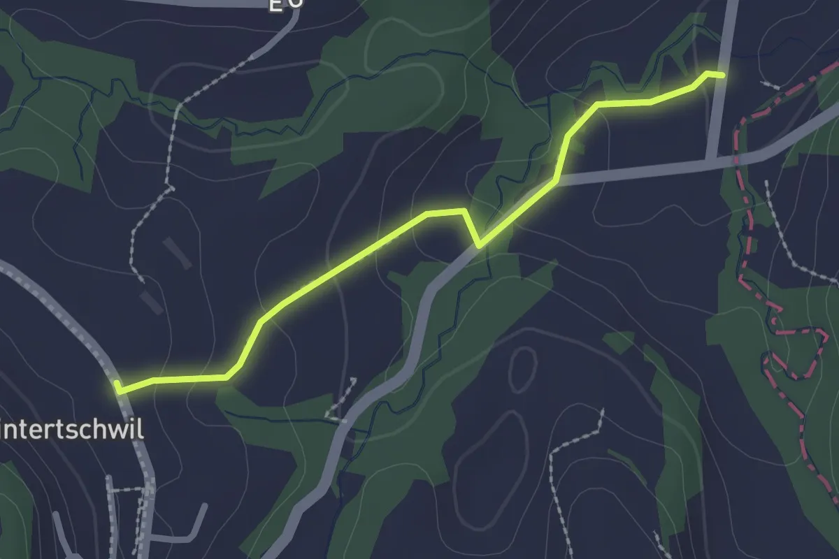
Easy · Trail
Tal – Hinterschwil
2.2 km · ↑ 85 m · 42 min
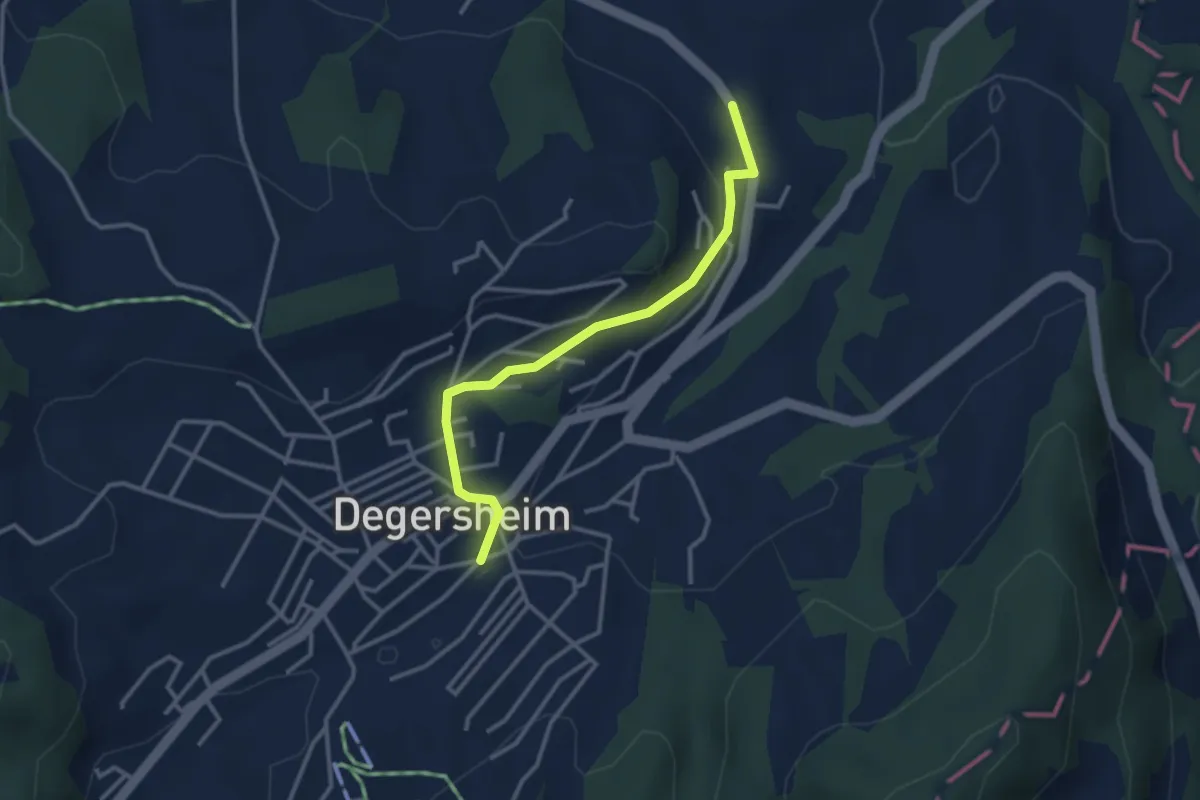
Easy · Trail
Hinterschwil – Degersheim
3.0 km · ↑ 62 m · 51 min
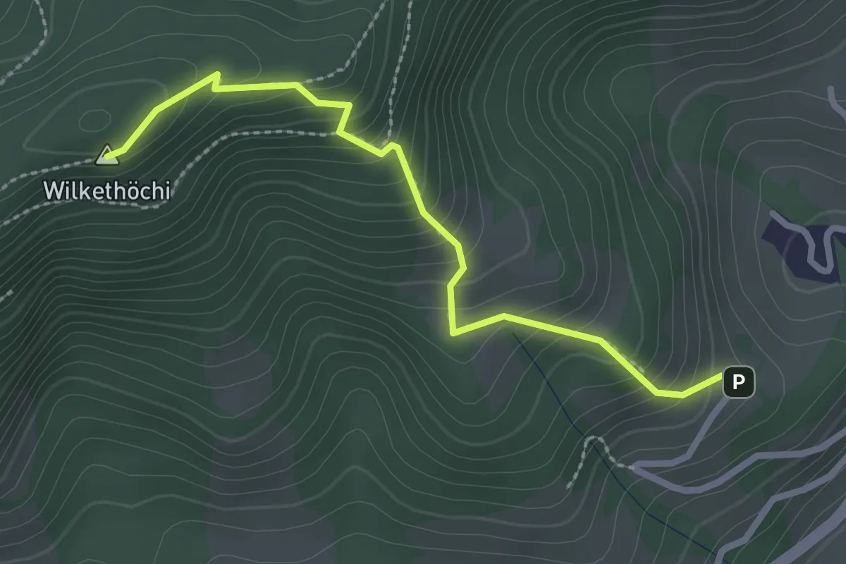
Medium · Summit
Wilkethöchi – Dicken
2.5 km · ↑ 248 m · 1 h 8 min
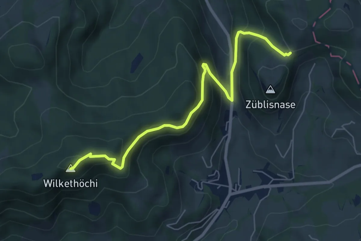
Medium · Summit
Wilkethöchi – Bergli
6.0 km · ↑ 474 m · 2 h 27 min
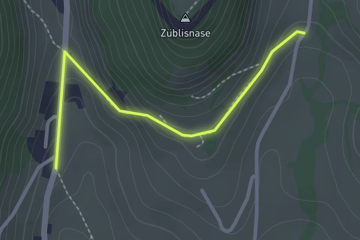
Easy · Trail
Höhenschwil – Dicken
2.1 km · ↑ 85 m · 40 min
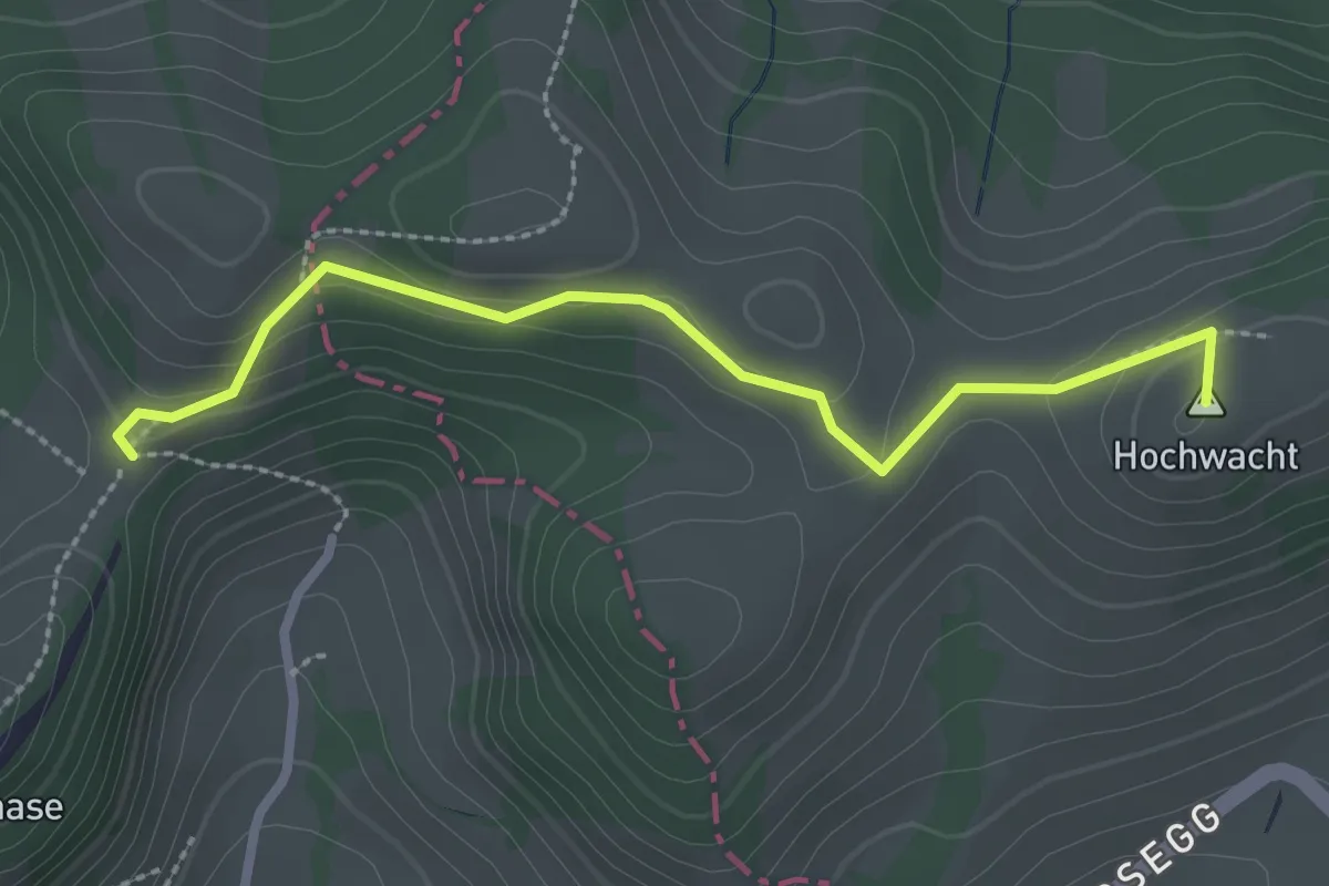
Easy · Summit
Bergli – Landscheidi
2.6 km · ↑ 93 m · 49 min
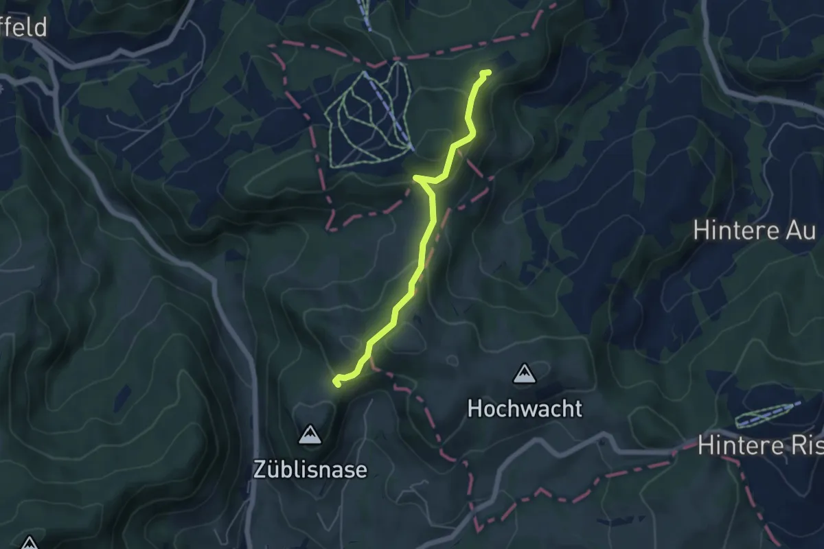
Easy · Trail
Bergli – Fuchsacker
4.4 km · ↑ 303 m · 1 h 42 min
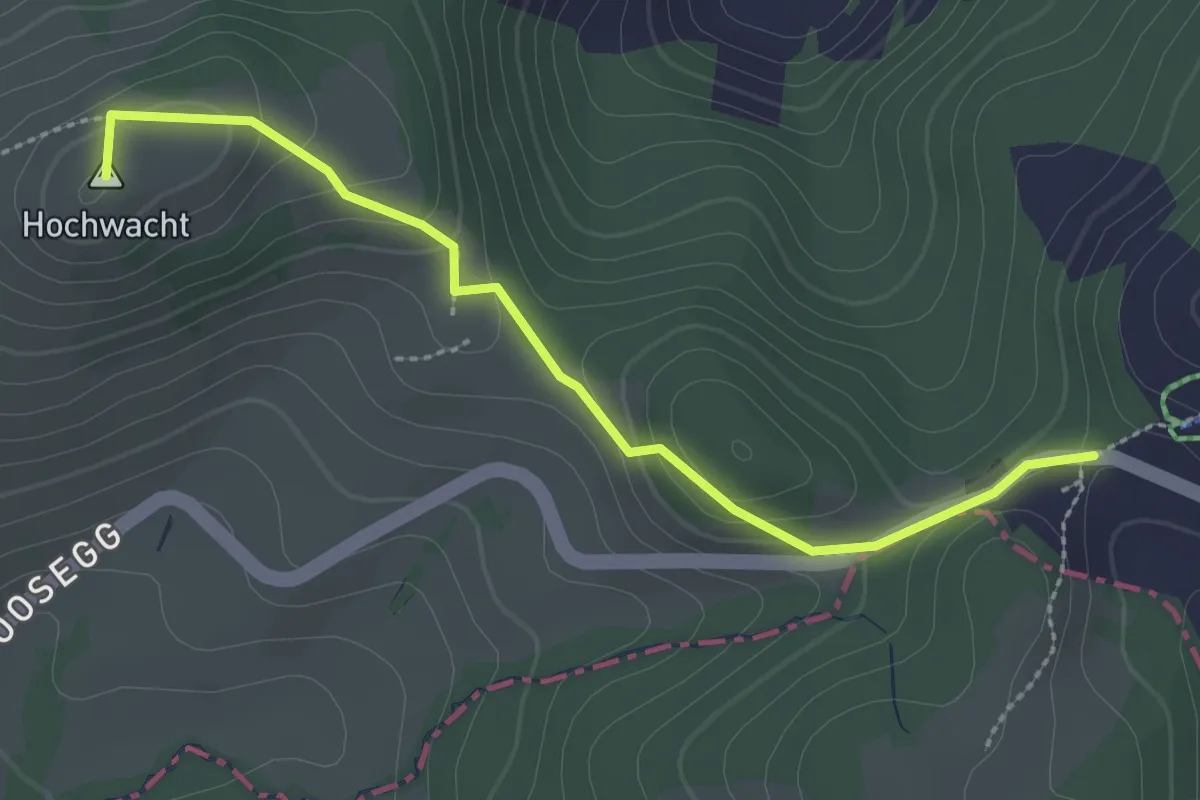
Easy · Summit
Fuchsacker – Landscheidi
2.7 km · ↑ 93 m · 50 min
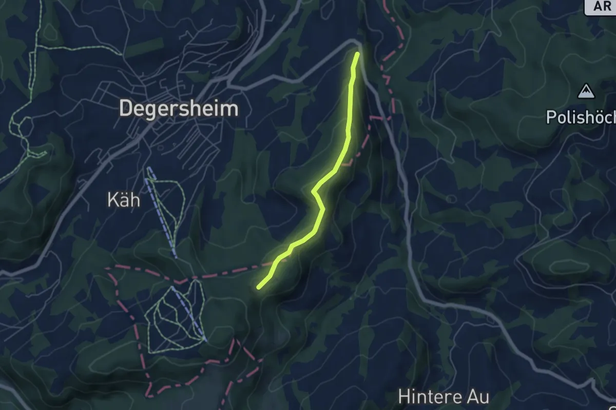
Easy · Trail
Fuchsacker – Talmühle
4.3 km · ↑ 213 m · 1 h 28 min
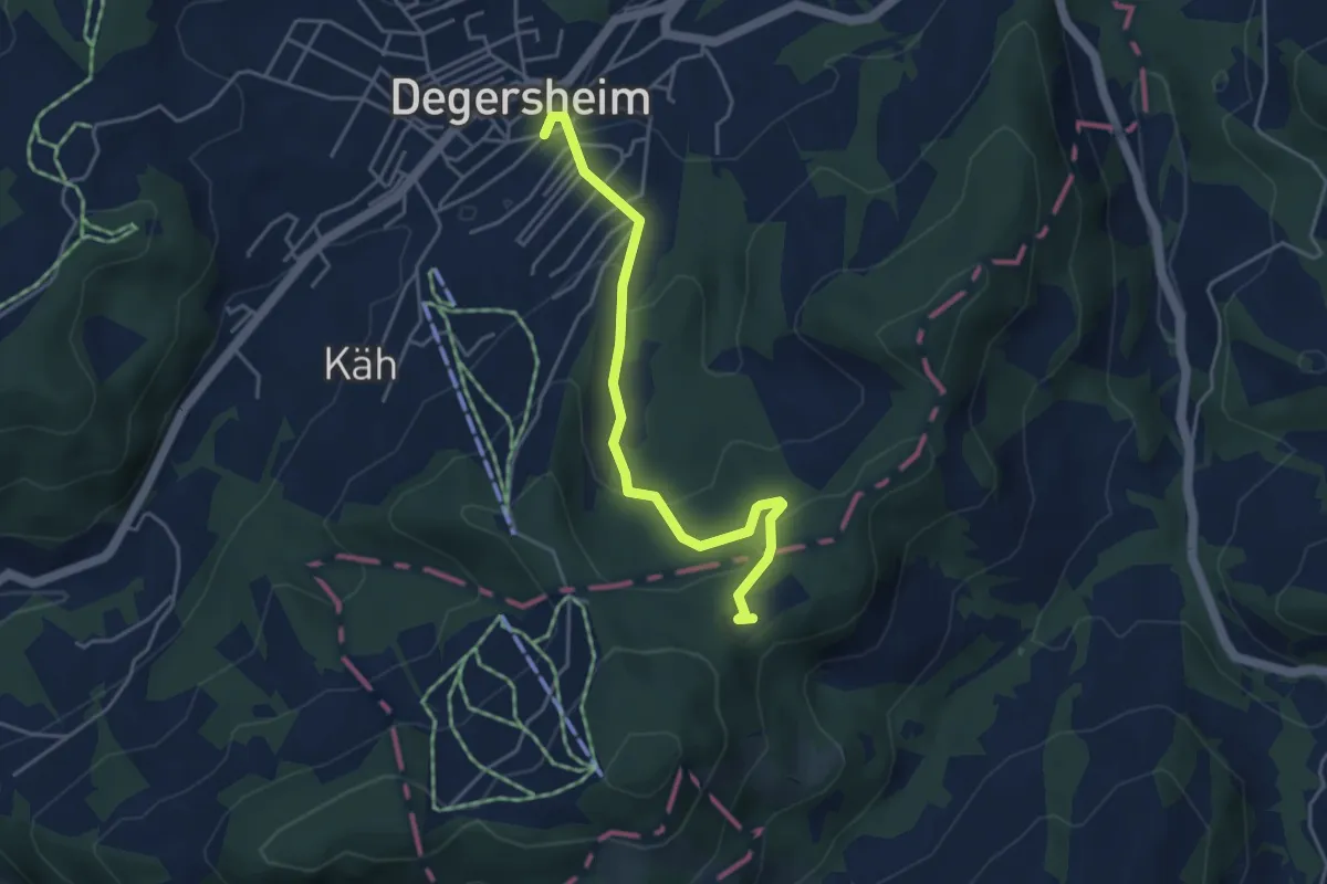
Easy · Trail
Fuchsacker – Degersheim
4.2 km · ↑ 174 m · 1 h 22 min
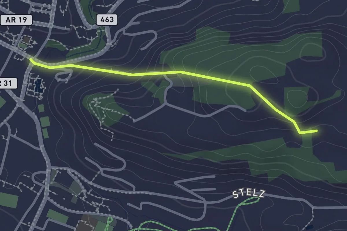
Easy · Trail
Rosental – Klaren
2.3 km · ↑ 129 m · 49 min
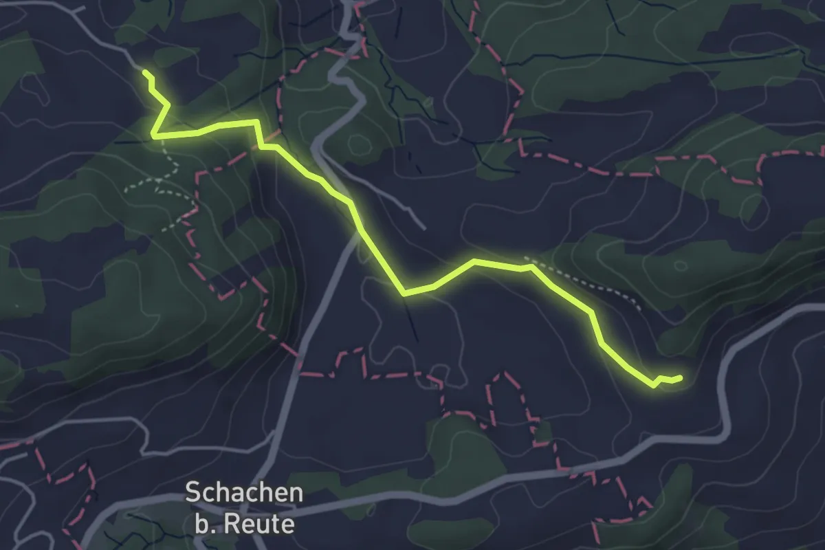
Easy · Trail
Strich – Blatten
4.2 km · ↑ 160 m · 1 h 20 min
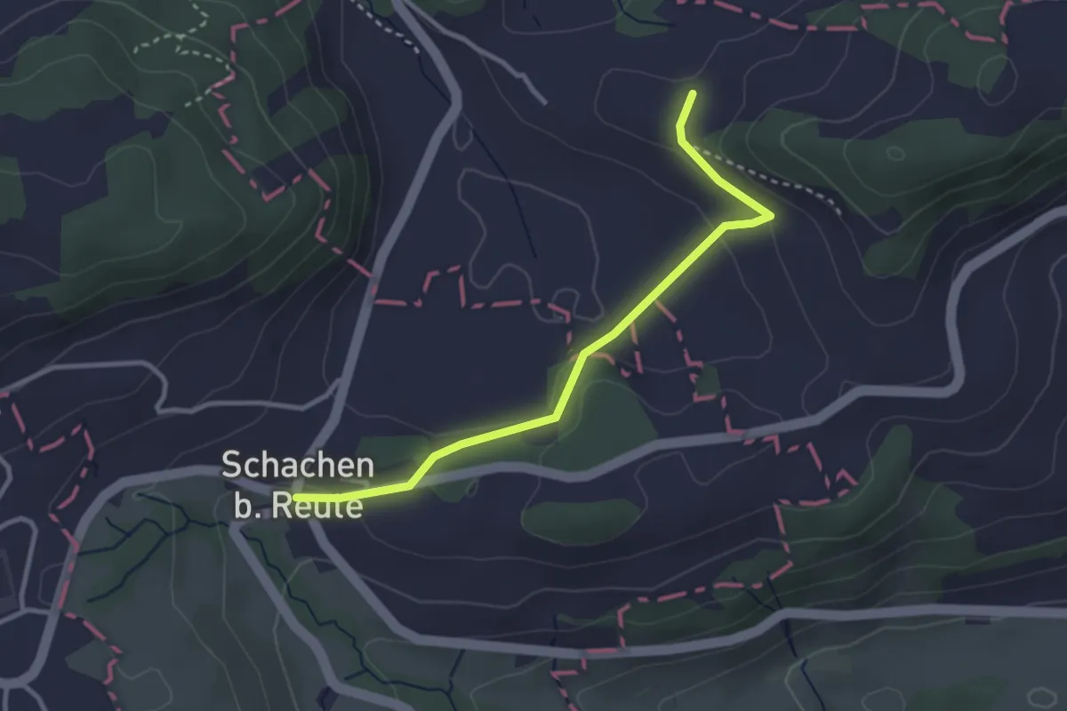
Easy · Trail
Schachen bei Reute – Sonder
3.0 km · ↑ 76 m · 53 min
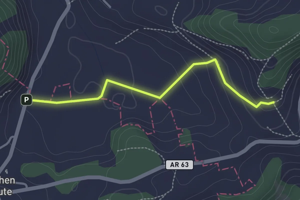
Easy · Trail
Blatten – Hirschberg
2.6 km · ↑ 92 m · 49 min
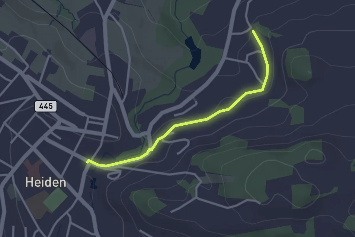
Easy · Trail
Rosenthal – Kaltenbrunnen
2.4 km · ↑ 51 m · 41 min
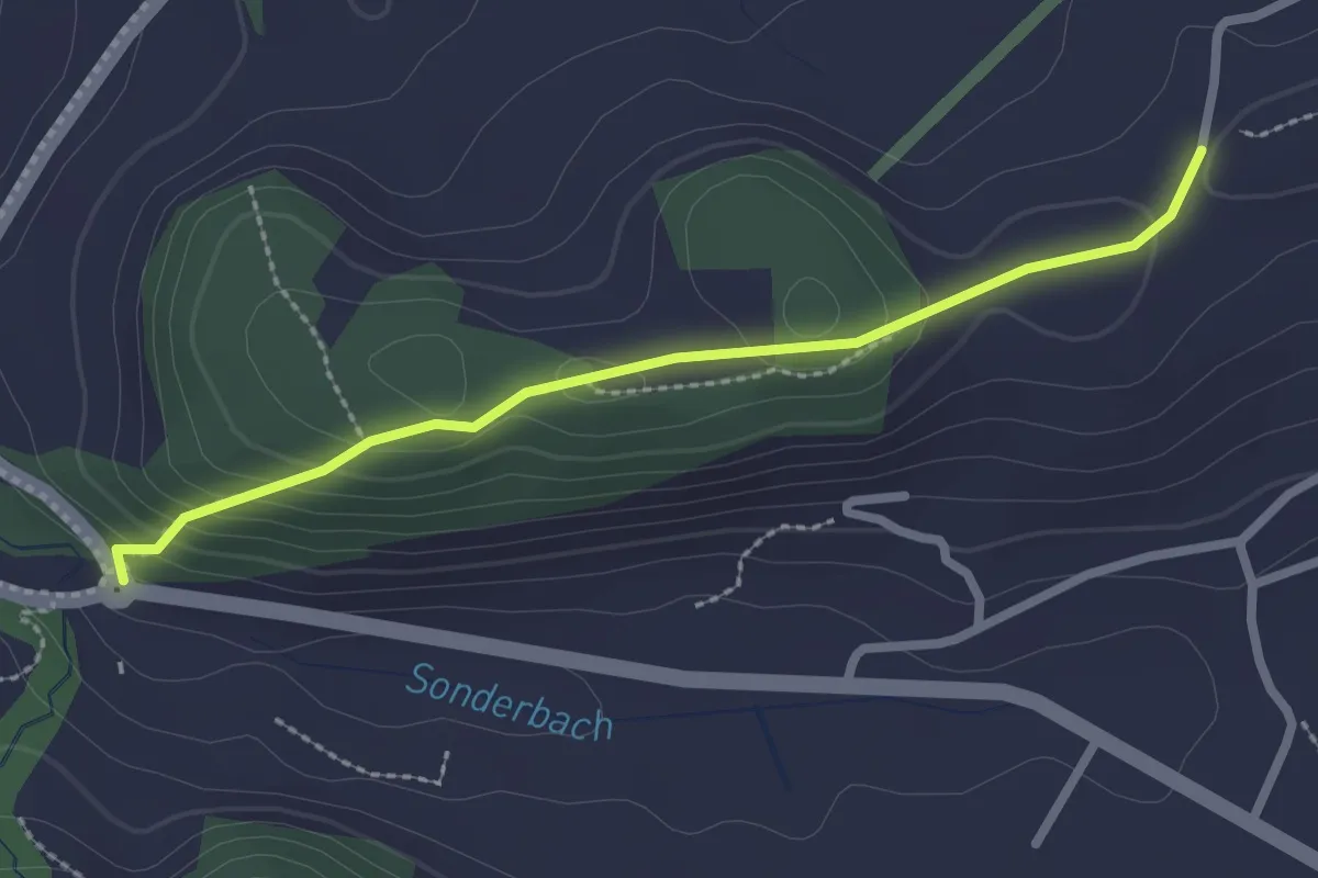
Easy · Trail
Schöni (Sonderau) – Berg
2.4 km · ↑ 113 m · 48 min
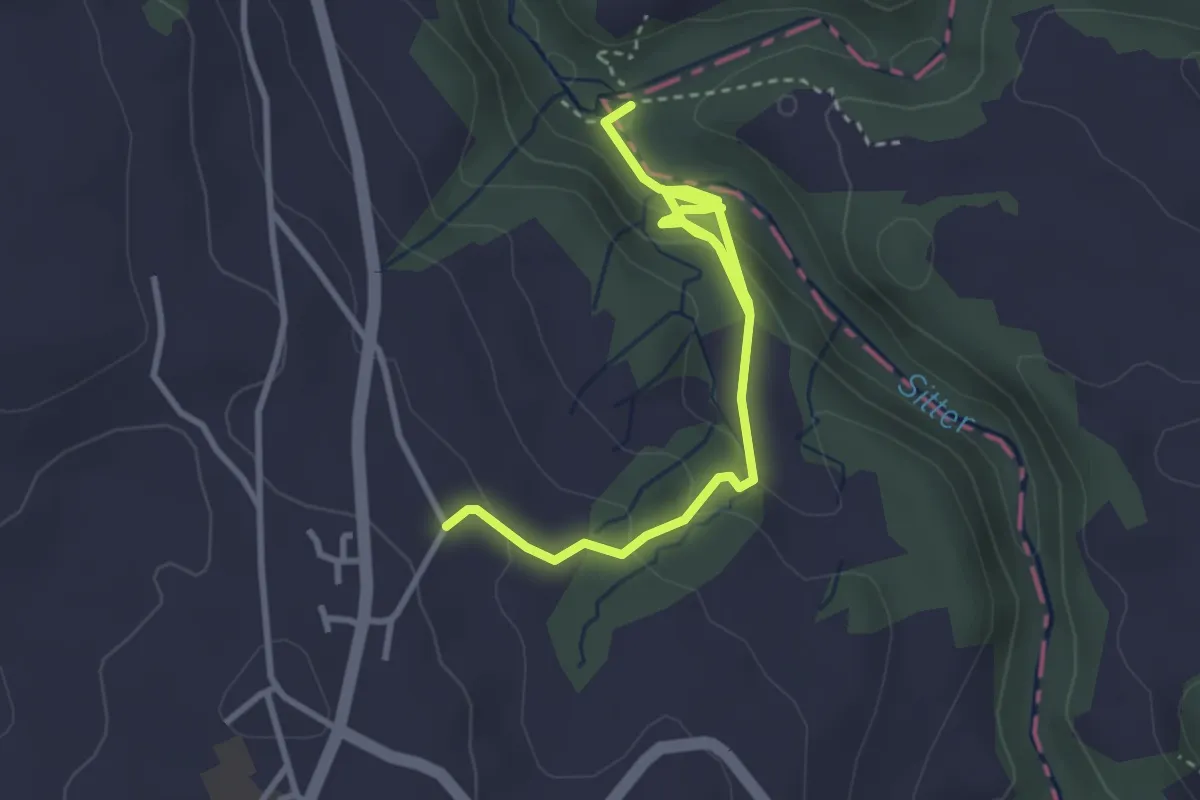
Medium · Trail
Büel – Badeplatz Strom
3.8 km · ↑ 173 m · 1 h 17 min
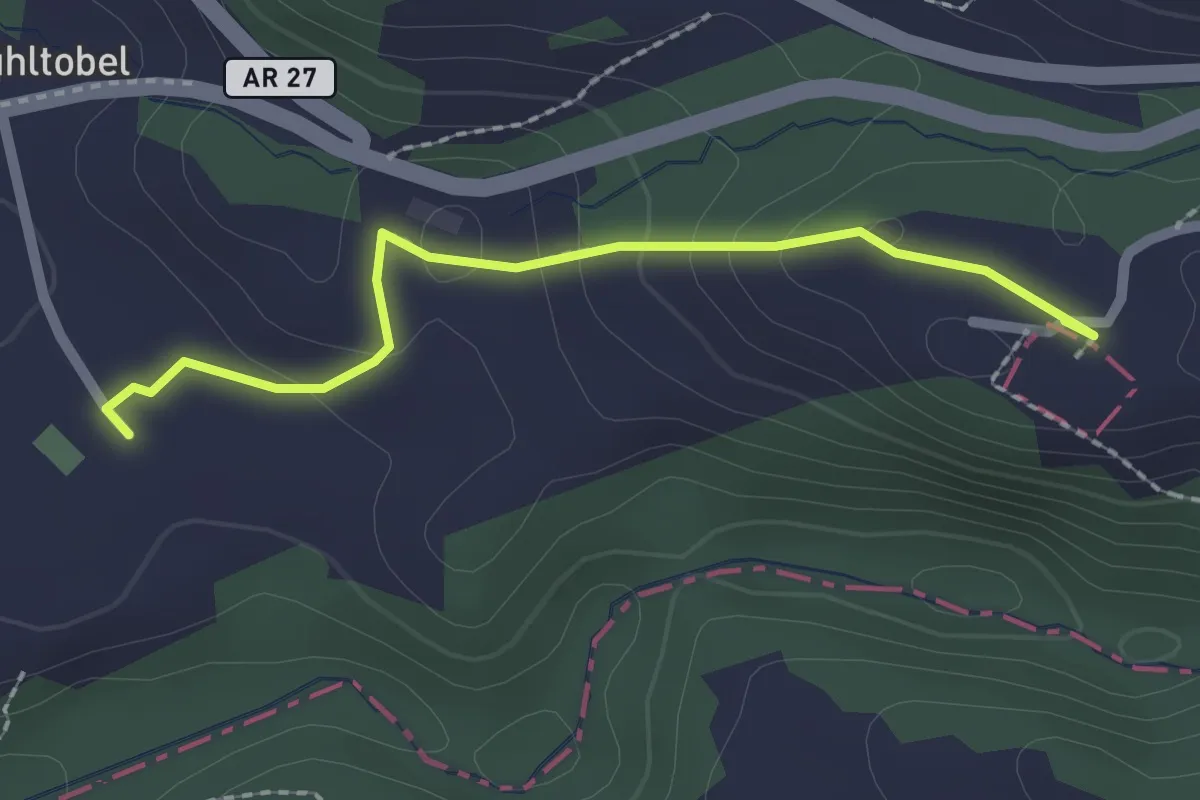
Easy · Trail
Gmünden – Kloster Wonnenstein
2.1 km · ↑ 74 m · 39 min
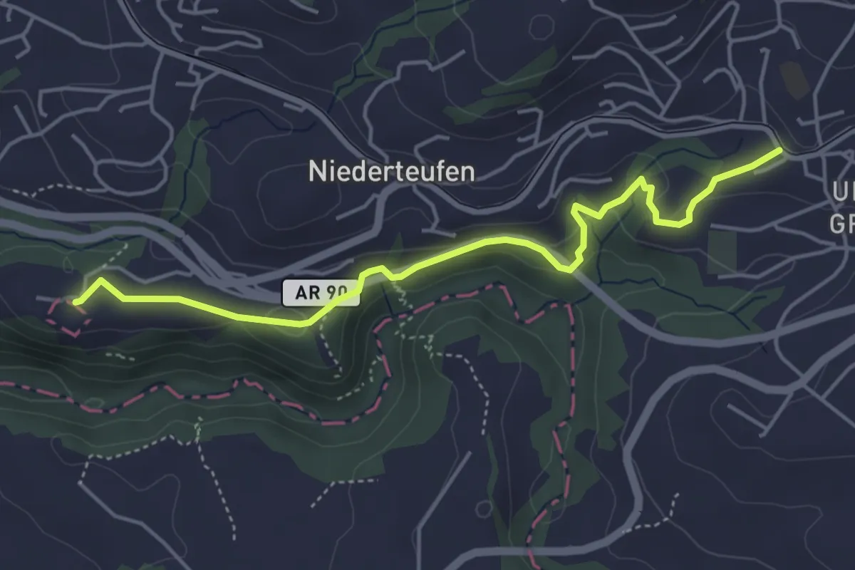
Easy · Trail
Dorfplatz – Kloster Wonnenstein
4.7 km · ↑ 134 m · 1 h 23 min
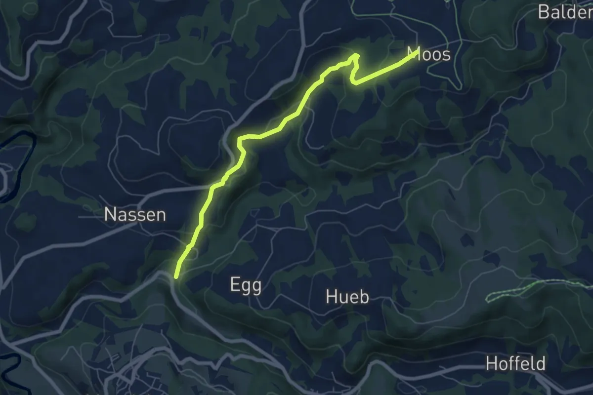
Easy · Trail
Böschenbach – Moos
6.2 km · ↑ 291 m · 2 h 5 min
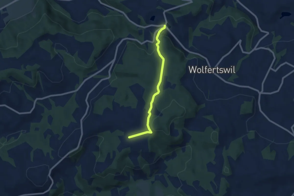
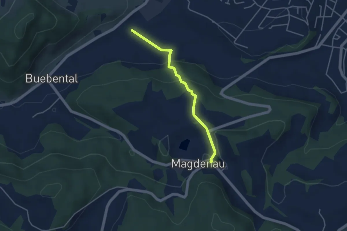
Easy · Trail
Moos – Magdenau
5.0 km · ↑ 161 m · 1 h 32 min
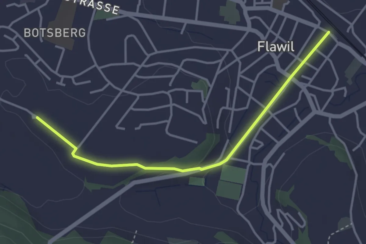
Easy · Trail
Magdenau – Eppenberg
2.9 km · ↑ 123 m · 57 min
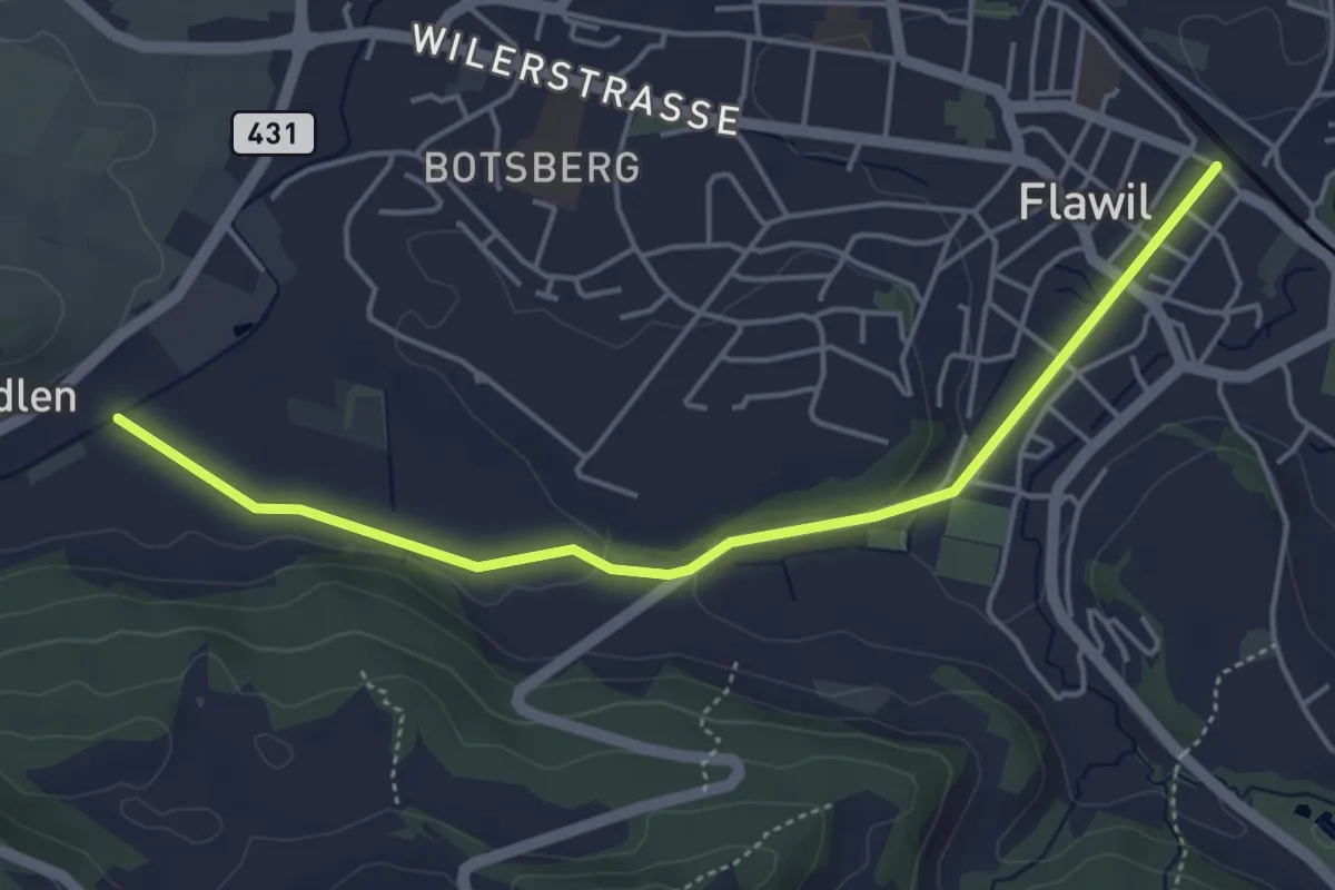
Easy · Trail
Ober Botsberg – Flawil
3.4 km · ↑ 57 m · 56 min
Easy · Trail
Flawil – Eppenberg
4.7 km · ↑ 54 m · 1 h 14 min
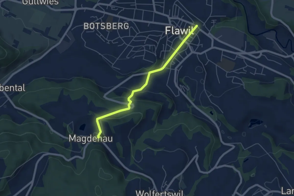
Easy · Trail
Magdenau – Flawil
4.6 km · ↑ 165 m · 1 h 27 min
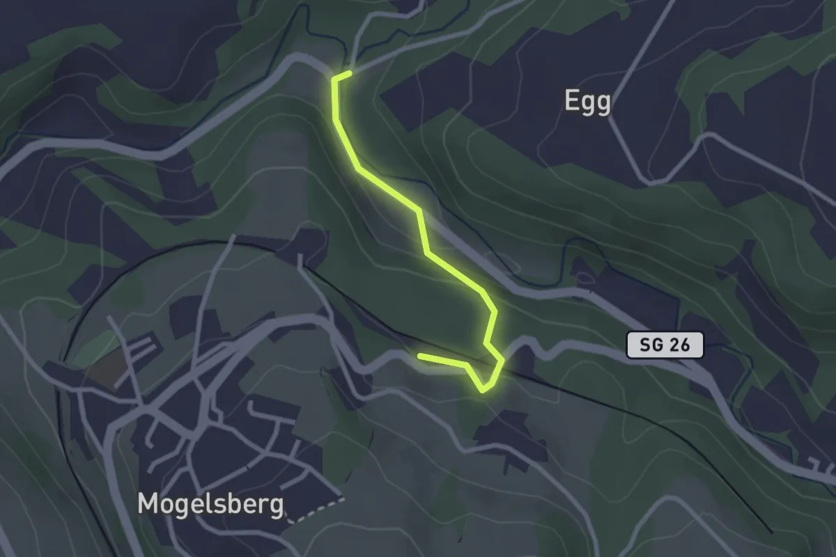
Easy · Trail
Mogelsberg Bhf – Böschenbach
2.1 km · ↑ 89 m · 41 min
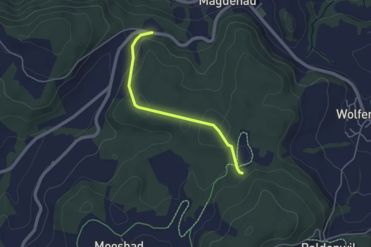
Easy · Trail
Unter Schauenberg – Baldenwil
3.0 km · ↑ 82 m · 53 min
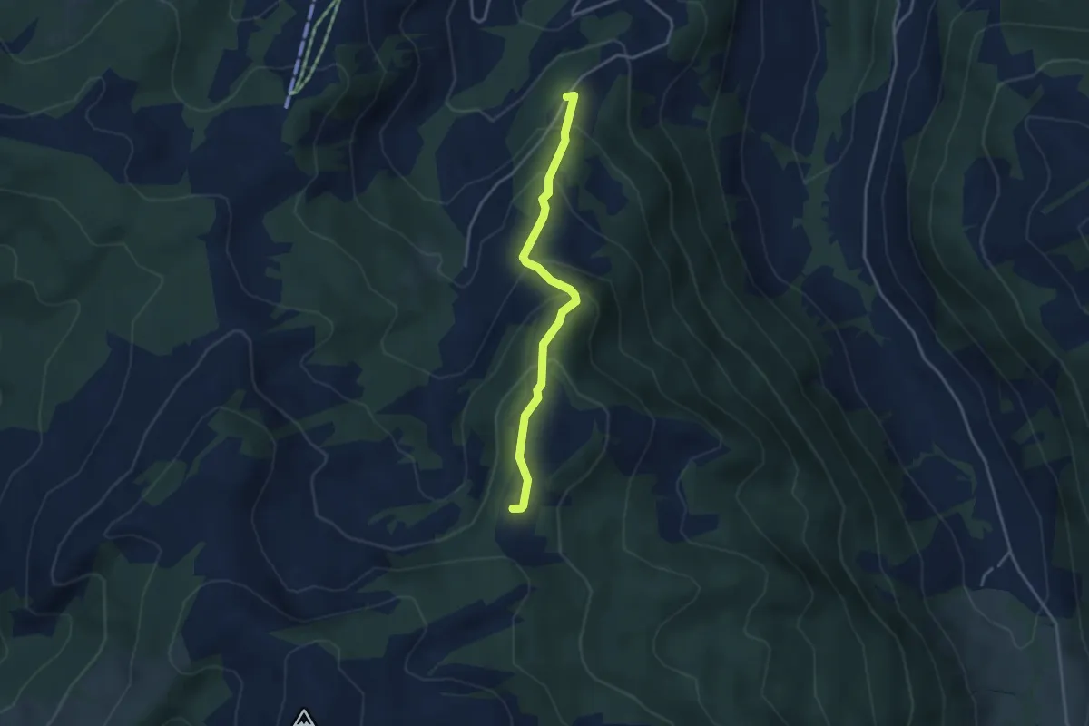
Medium · Trail
Ob. Abschlagen – Orlen
3.4 km · ↑ 249 m · 1 h 20 min
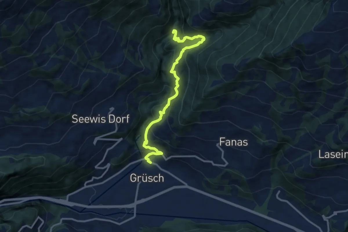
Medium · Trail
Grüsch – Cholplatz
9.0 km · ↑ 731 m · 3 h 43 min
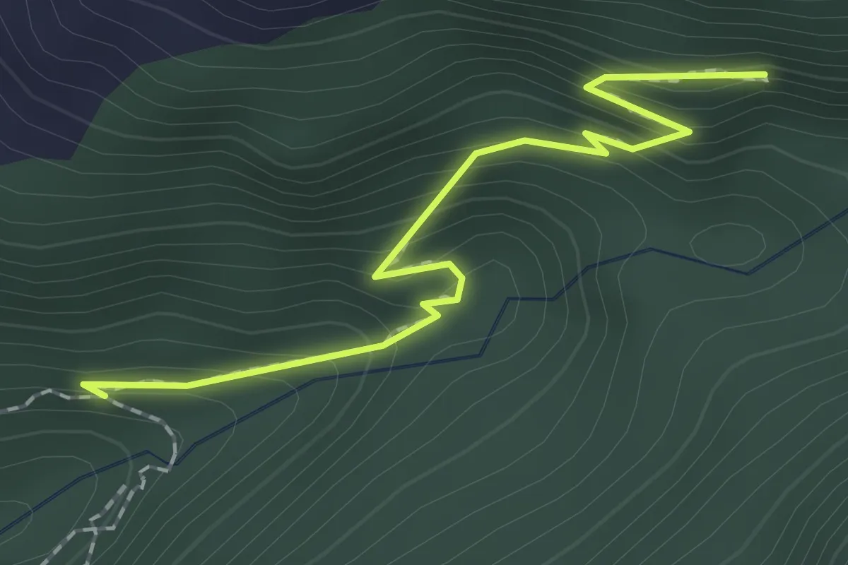
Medium · Trail
? – Munt
2.0 km · ↑ 193 m · 53 min
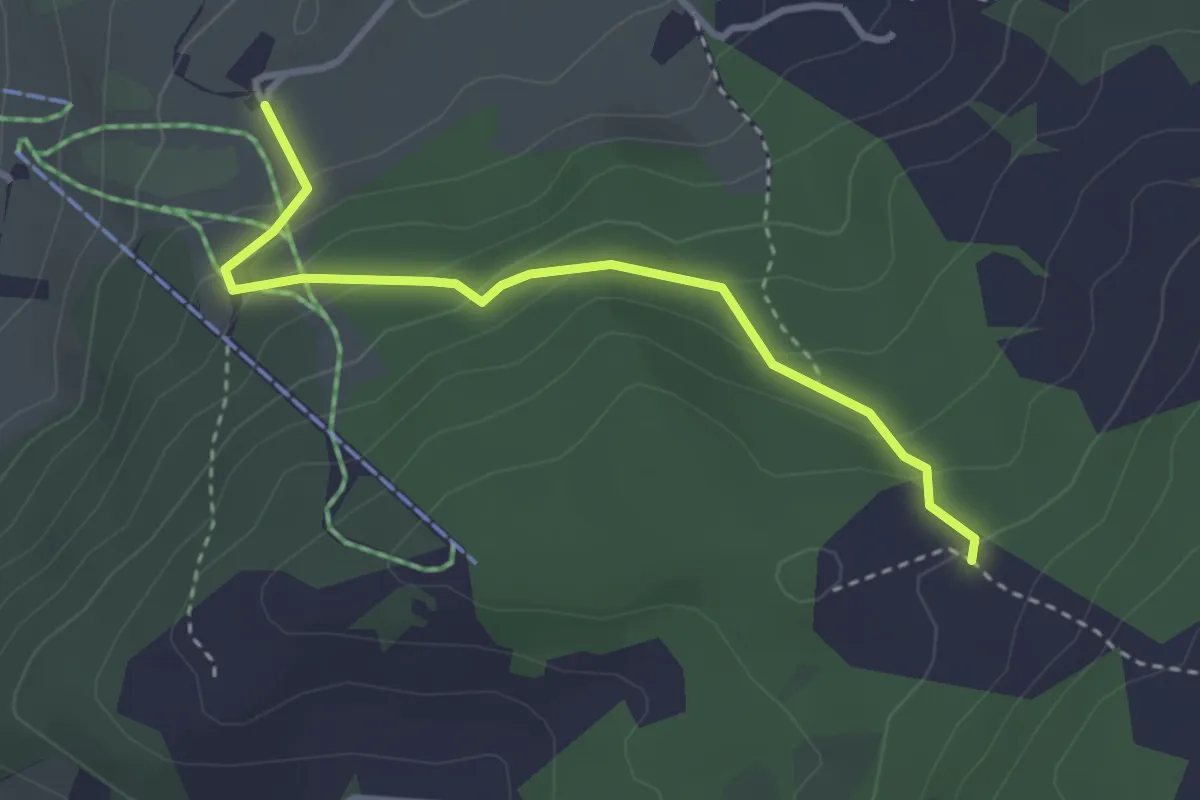
Easy · Trail
Altersheim Chräg – Ober Haumösli
3.1 km · ↑ 185 m · 1 h 8 min
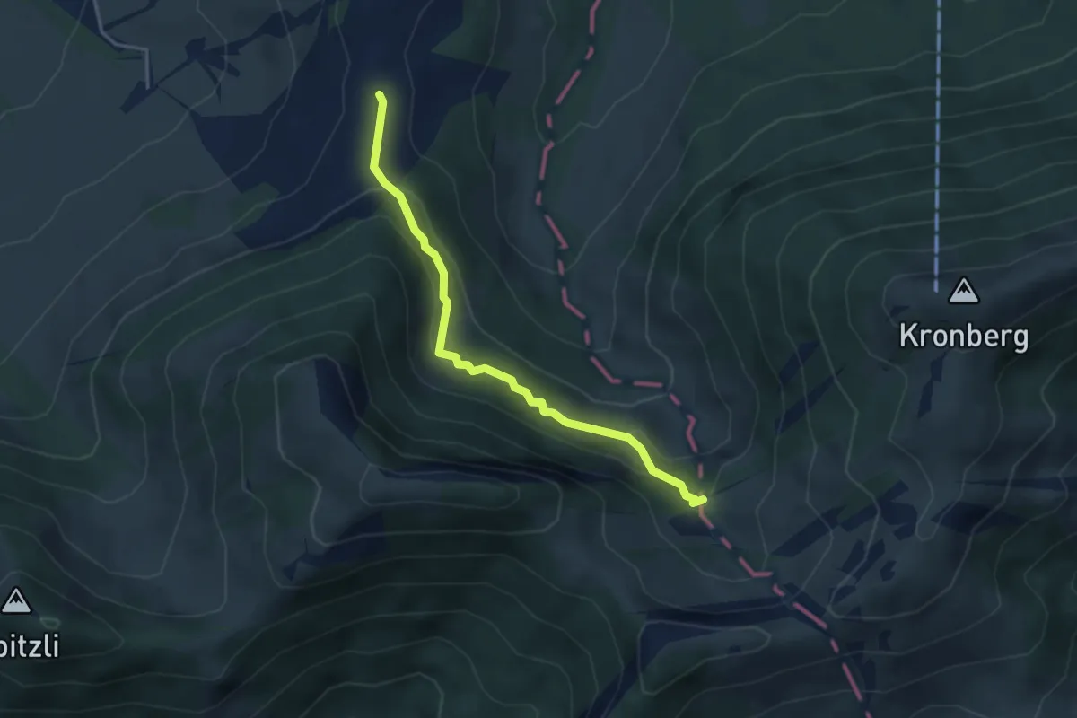
Medium · Trail
Langdürren – Grossbalmen
3.6 km · ↑ 224 m · 1 h 20 min
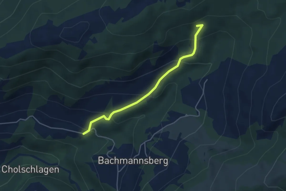
Easy · Trail
Büsserberg – Zinggen
3.4 km · ↑ 238 m · 1 h 20 min