Trails in Switzerland
15,055 hiking trails, each with its route, climb, walking time and grade.
All trails, page 306 of 314
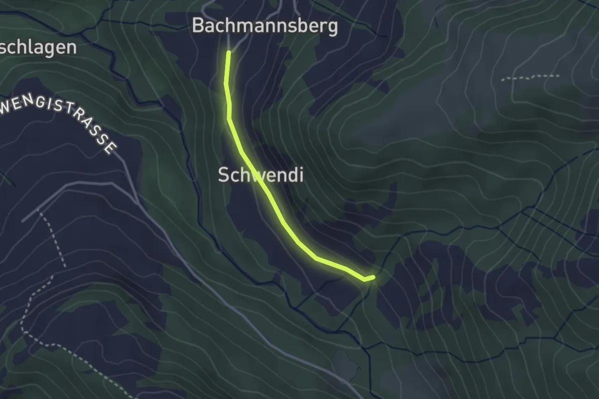
Easy · Trail
Bachmannsberg – Unt. Howald
2.3 km · ↑ 64 m · 41 min
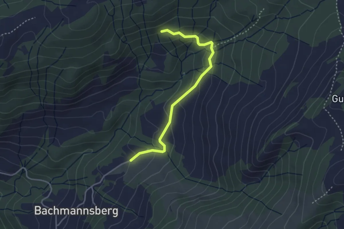
Easy · Trail
Müselen – Zinggen
3.2 km · ↑ 152 m · 1 h 5 min
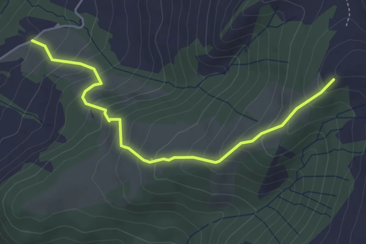
Medium · Trail
Müselen – Chüebodenegg
4.1 km · ↑ 414 m · 1 h 53 min
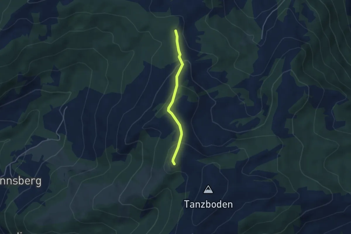
Easy · Trail
Chüebodenegg – Stotzweid
3.0 km · ↑ 163 m · 1 h 3 min
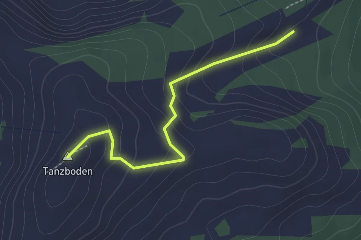
Easy · Summit
Tanzboden – Buechschlittli
2.2 km · ↑ 114 m · 45 min
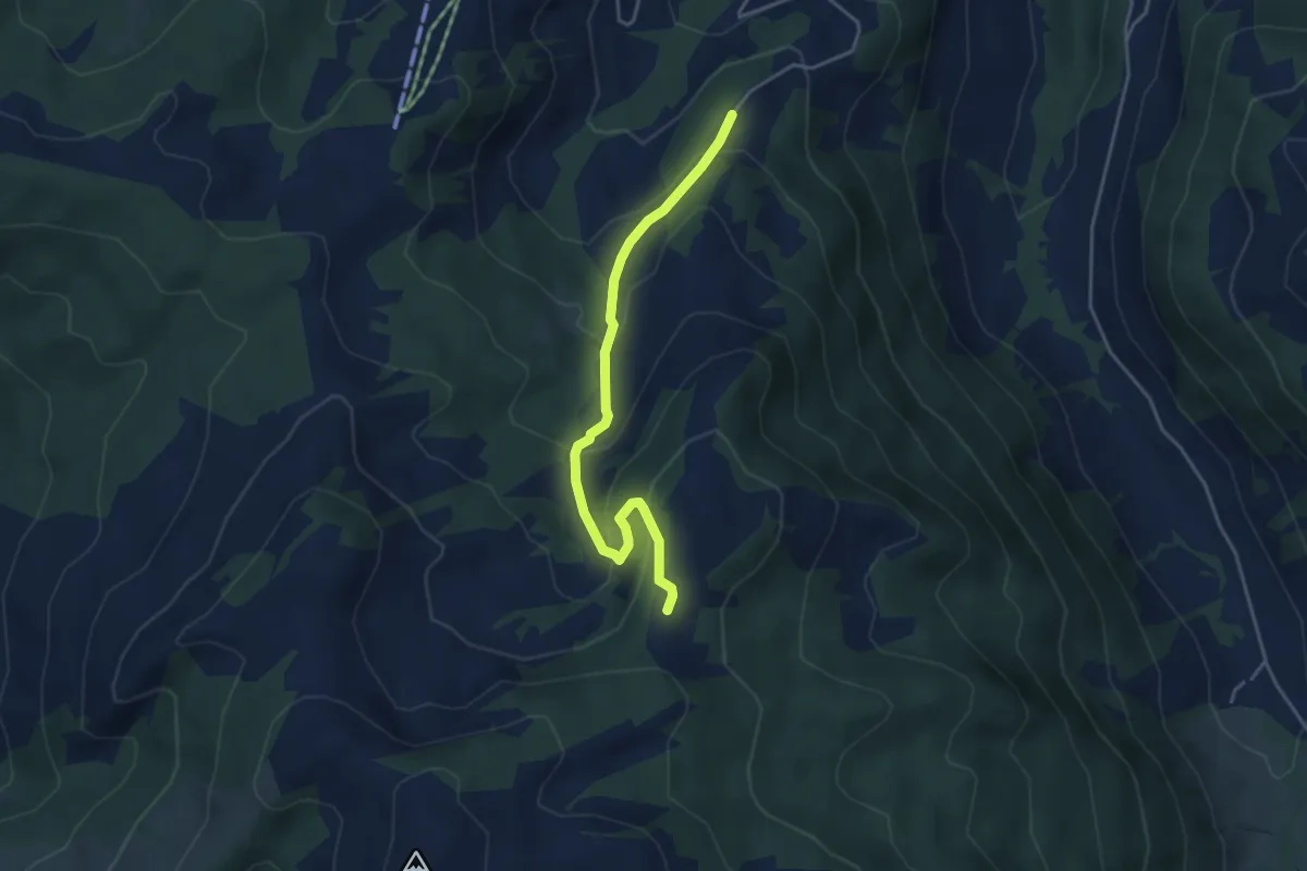
Easy · Trail
Ob. Abschlagen – Orlen
4.1 km · ↑ 244 m · 1 h 29 min
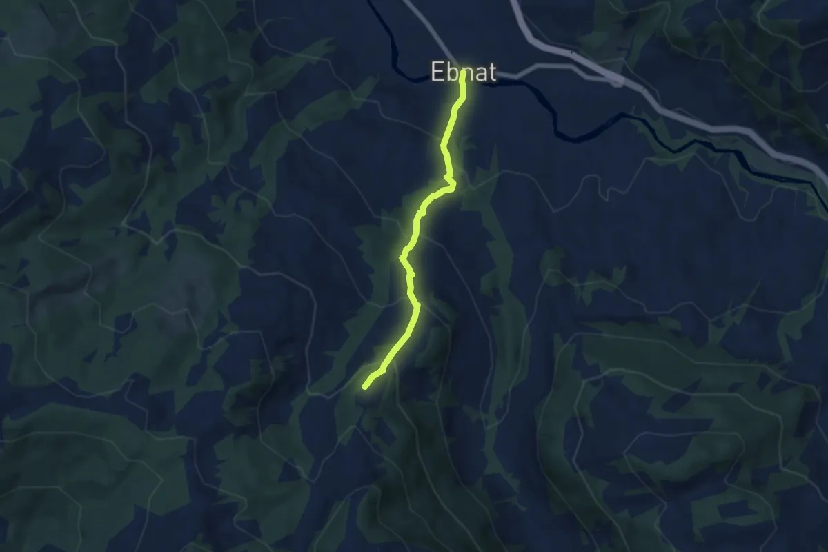
Medium · Trail
Orlen – Thurau
5.1 km · ↑ 398 m · 2 h 4 min
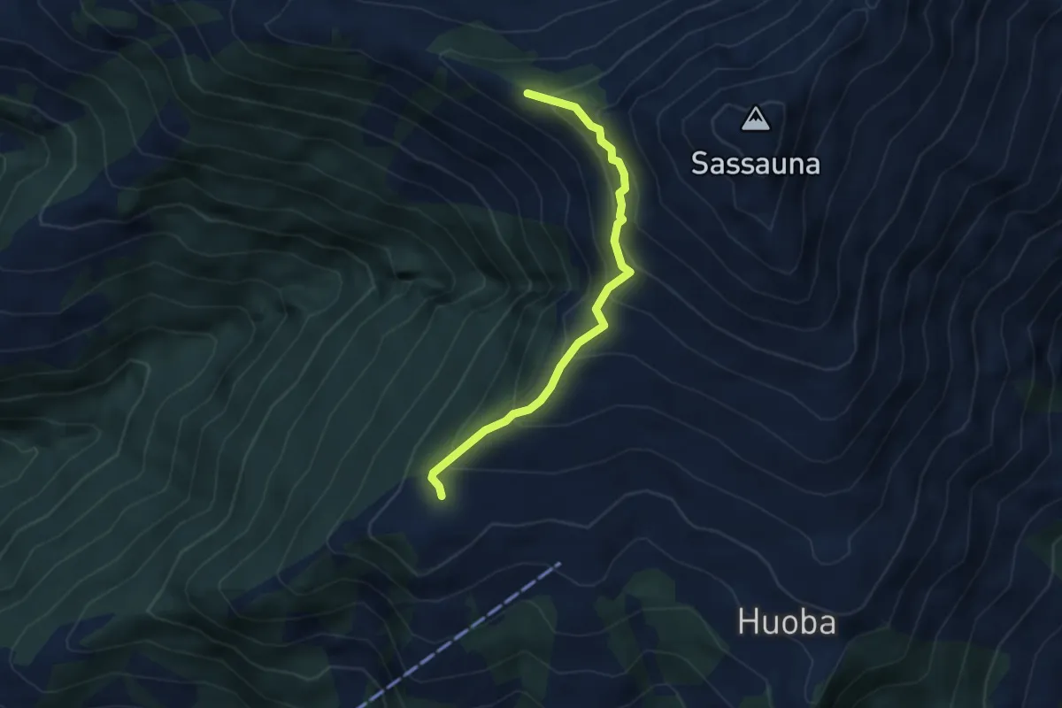
Easy · Trail
Gruoba – Luderer Egg
3.6 km · ↑ 318 m · 1 h 33 min
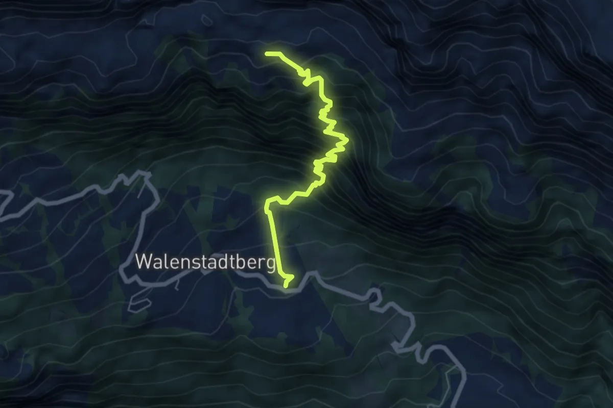
Demanding · Cabin
Walenstadteberg – Alp Tschingla
5.5 km · ↑ 891 m · 3 h 13 min
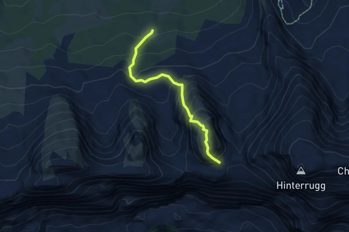
Demanding · Summit
Langlitten – Schibenstoll
3.9 km · ↑ 597 m · 2 h 13 min
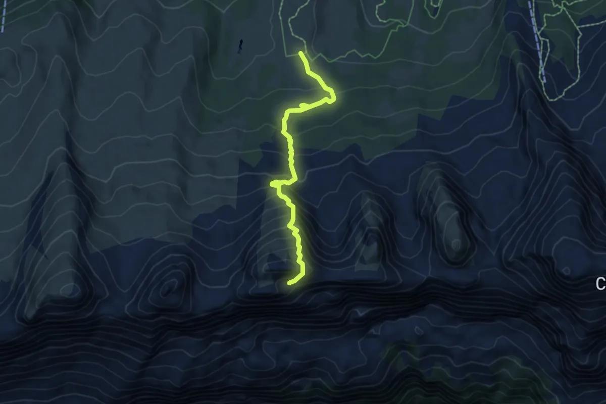
Demanding · Summit
Brisizimmer – Brisi
5.5 km · ↑ 588 m · 2 h 34 min
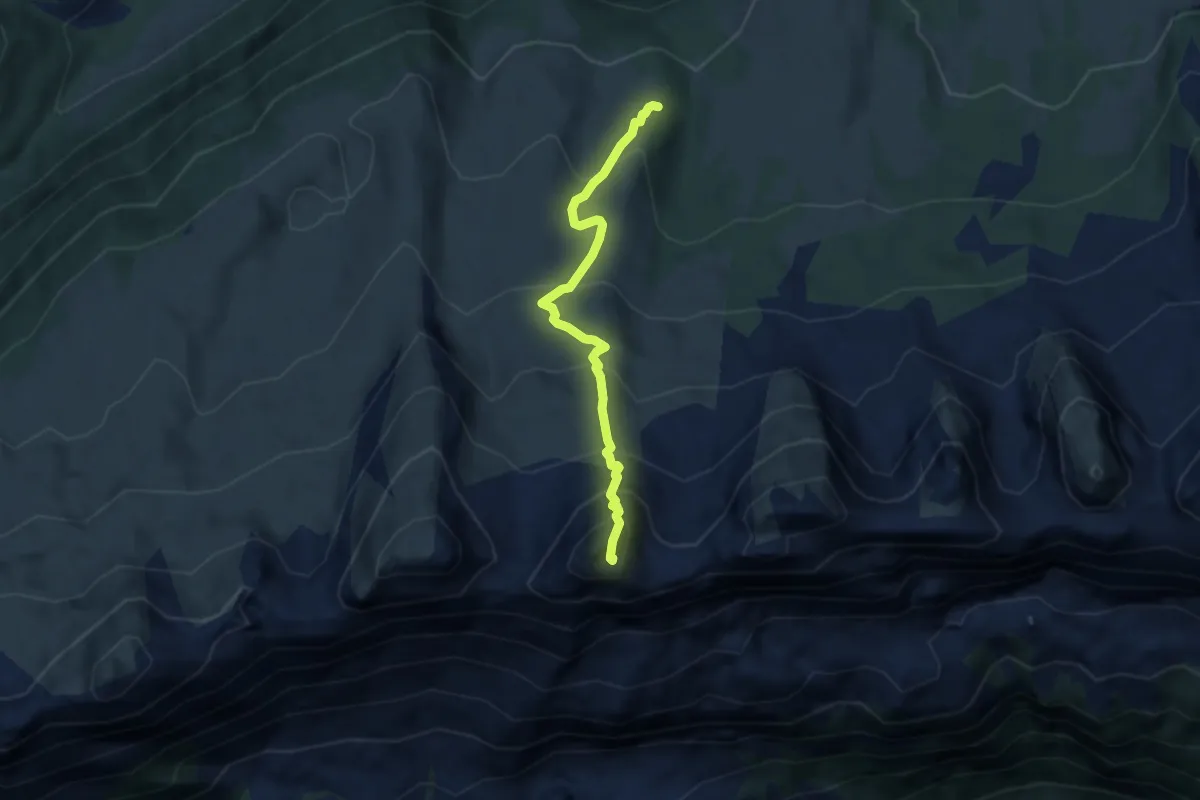
Demanding · Summit
Unterhag – Frümsel
5.6 km · ↑ 583 m · 2 h 35 min
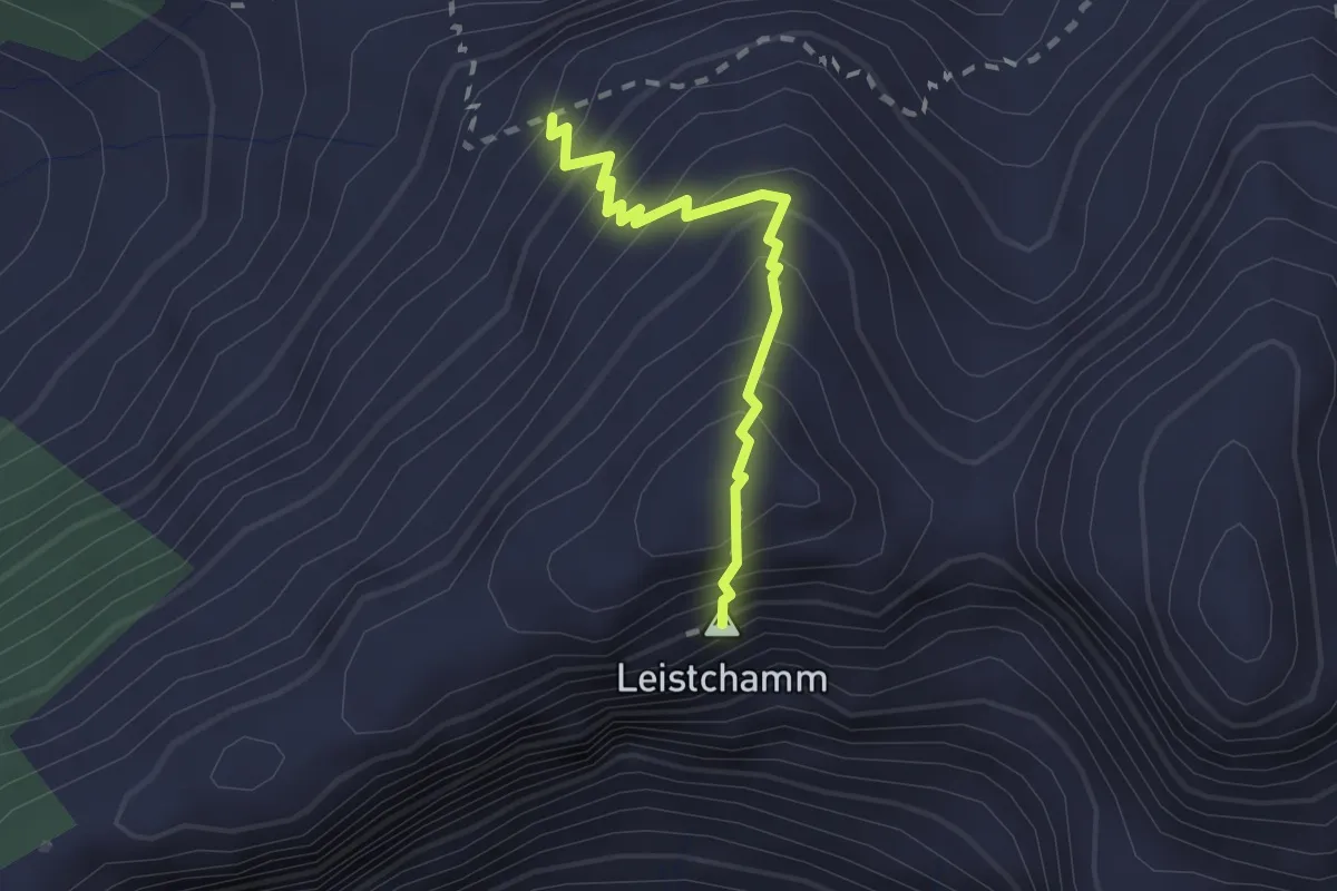
Demanding · Summit
Tritt – Leistchamm
1.8 km · ↑ 242 m · 57 min
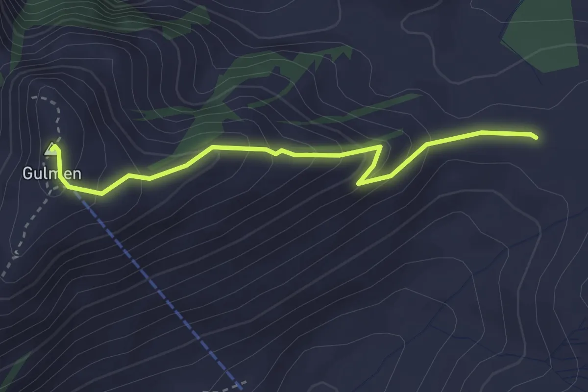
Easy · Summit
Vorder Höhi – Gulmen
3.0 km · ↑ 261 m · 1 h 17 min
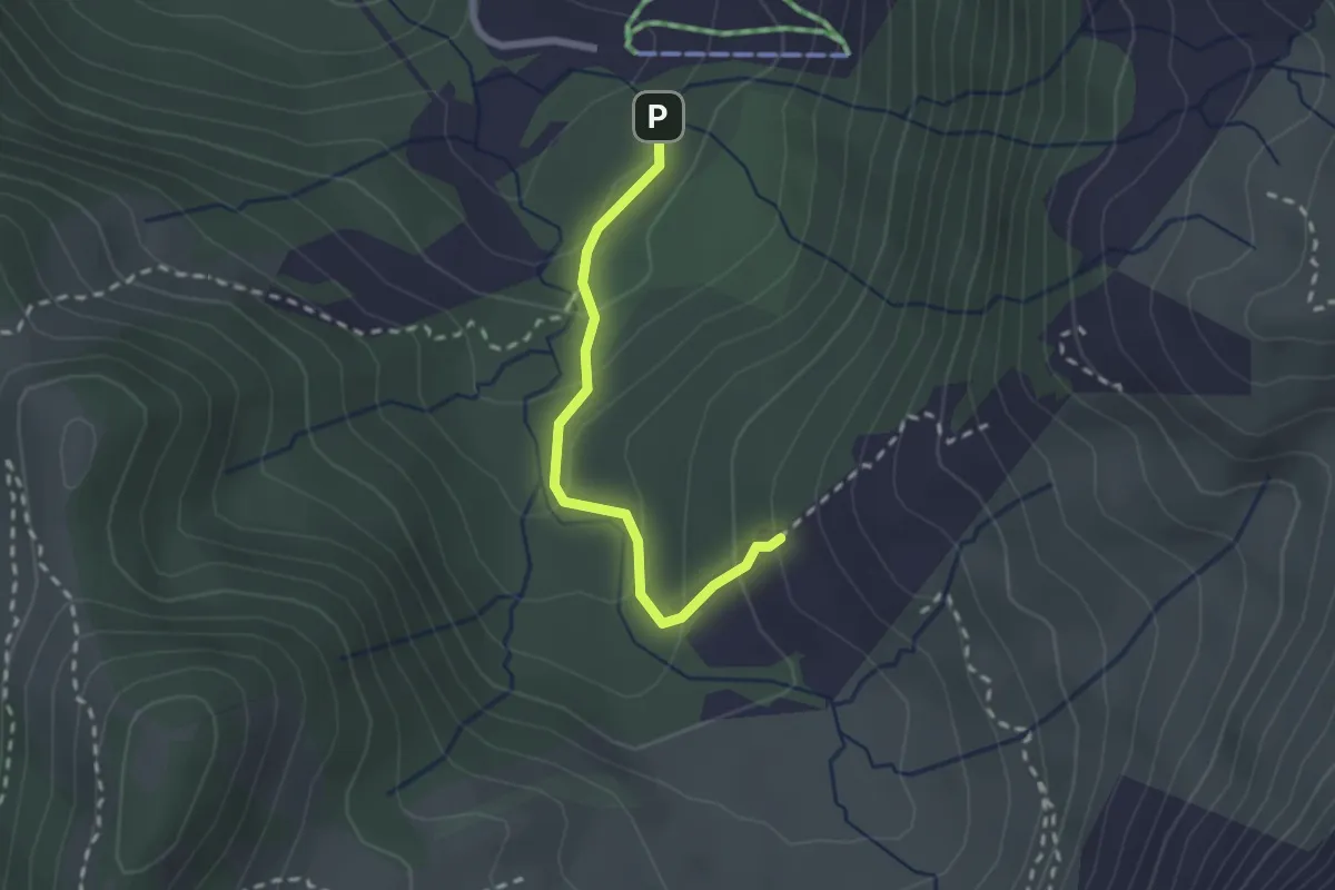
Easy · Trail
Parkplatz – Hinterwängi
2.1 km · ↑ 152 m · 49 min
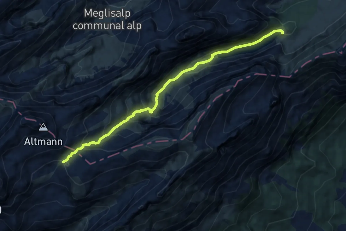
Medium · Cabin
Zwinglipasshütte – Bollenwees
9.7 km · ↑ 697 m · 3 h 47 min
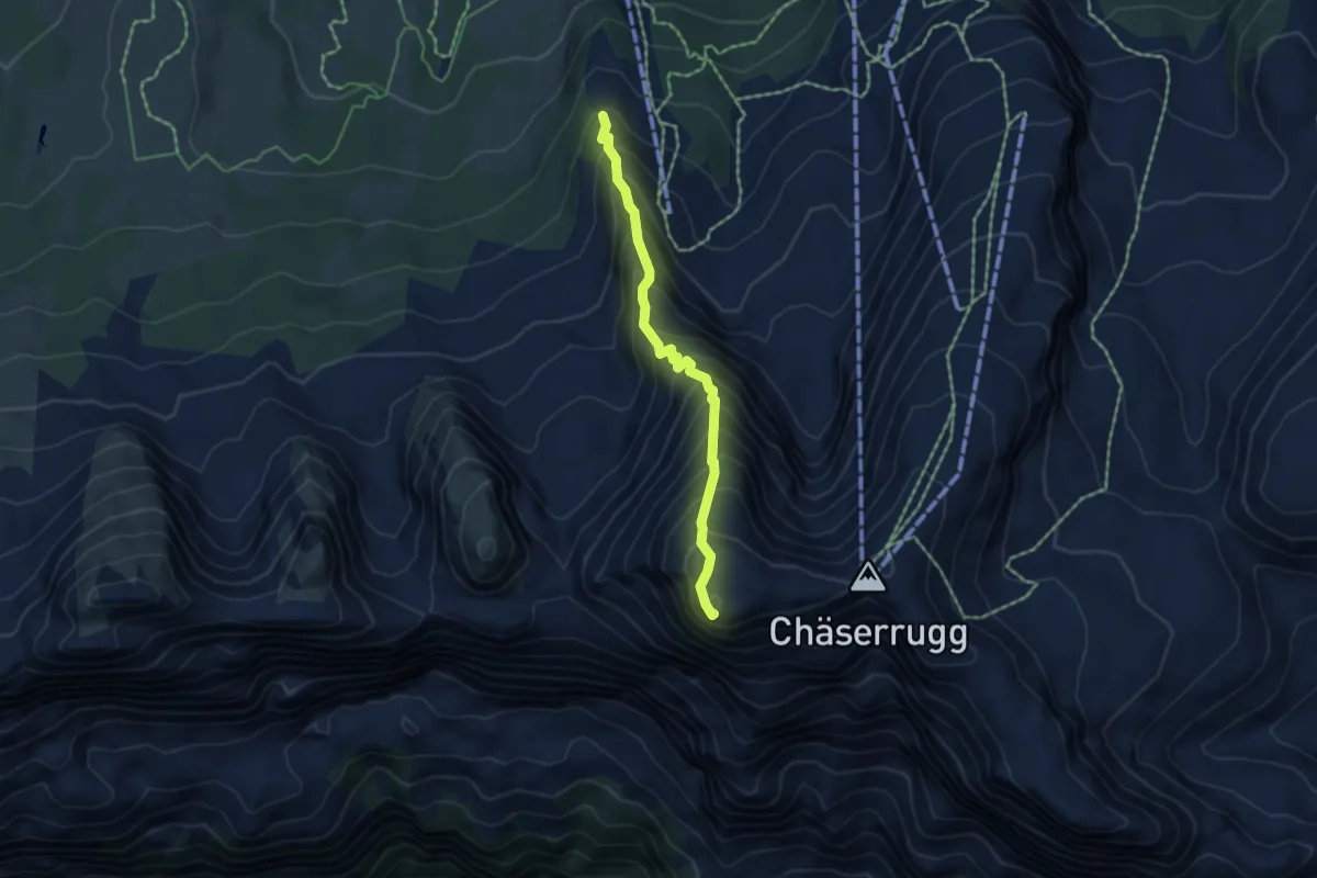
Demanding · Summit
Oberruestel – Hinterrug
4.4 km · ↑ 661 m · 2 h 28 min
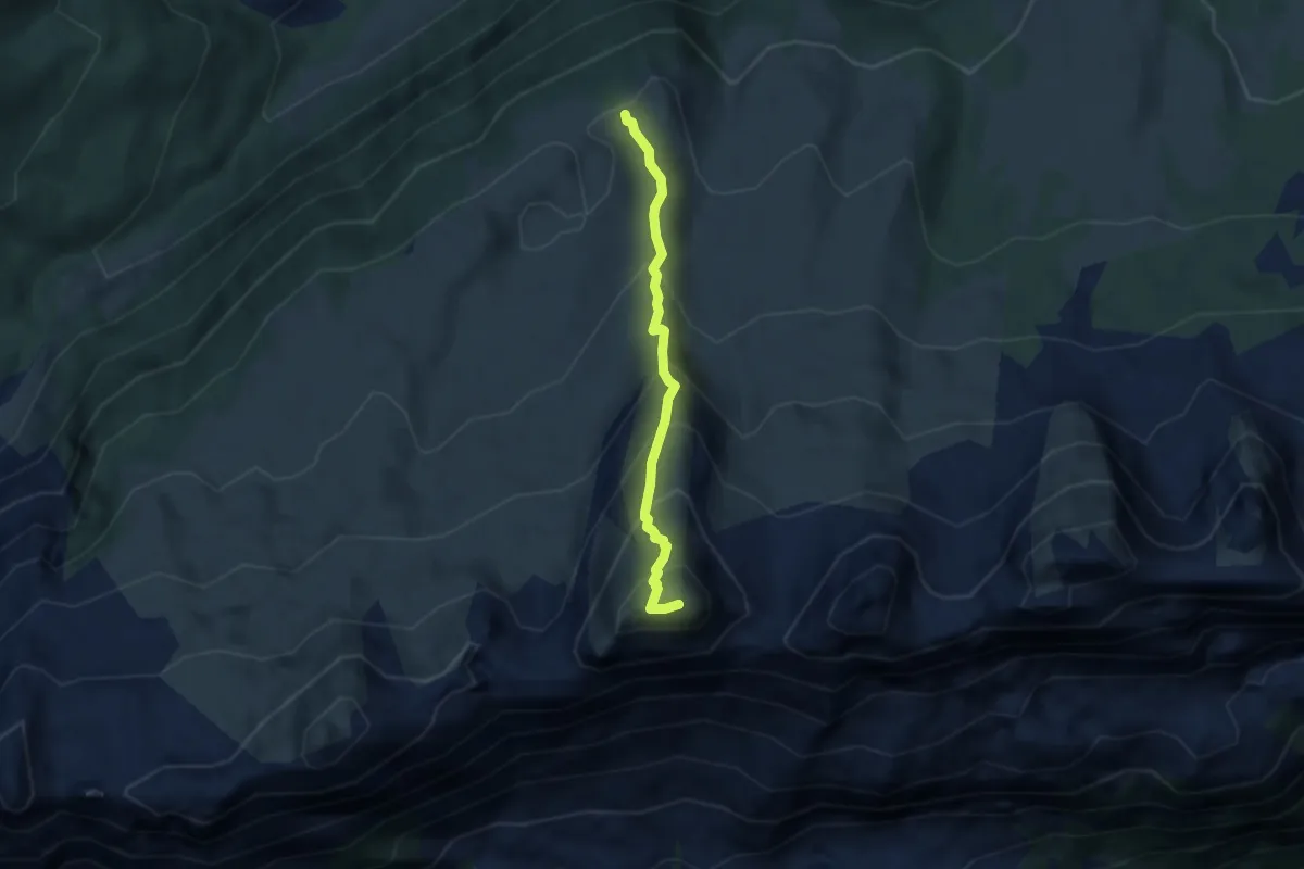
Medium · Summit
Strichboden – Selun
4.7 km · ↑ 532 m · 2 h 16 min
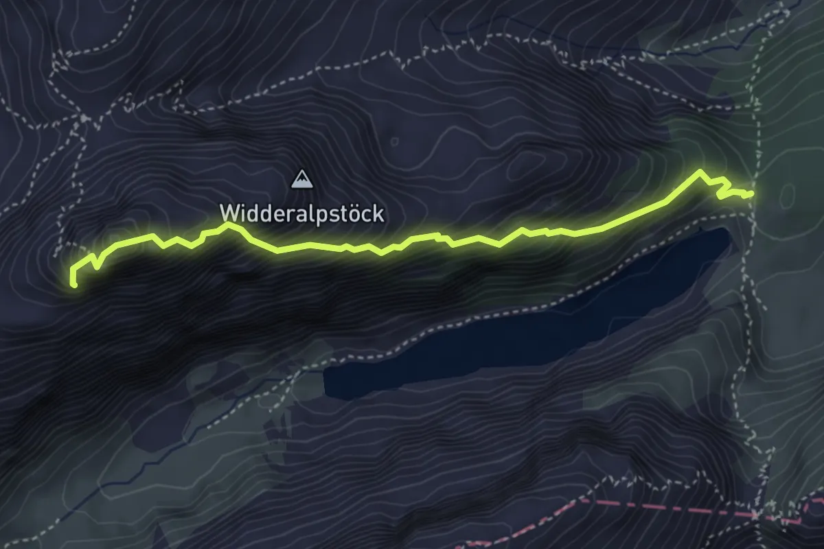
Expert · Summit
Bollenwees – Wideralpsattel
4.1 km · ↑ 696 m · 2 h 29 min
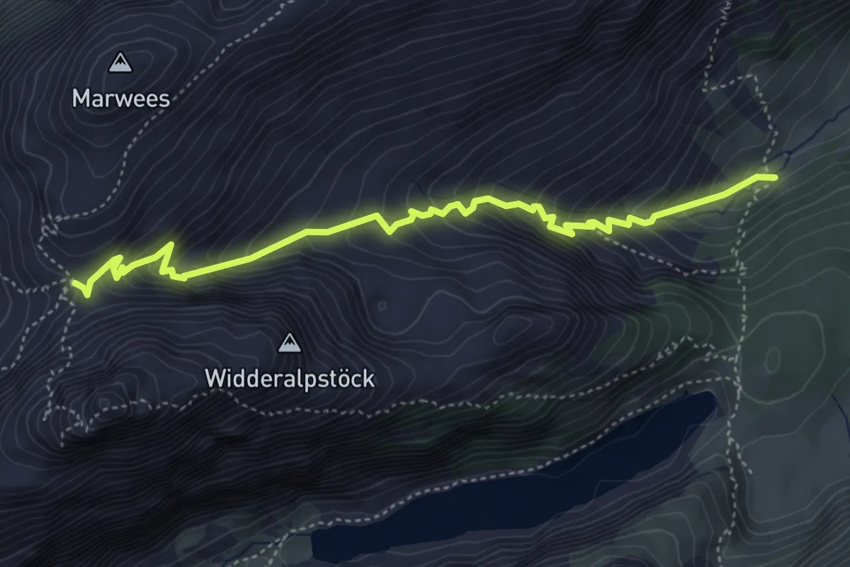
Medium · Trail
Rheintaler Sämtis – Widderalpsattel
4.9 km · ↑ 520 m · 2 h 16 min
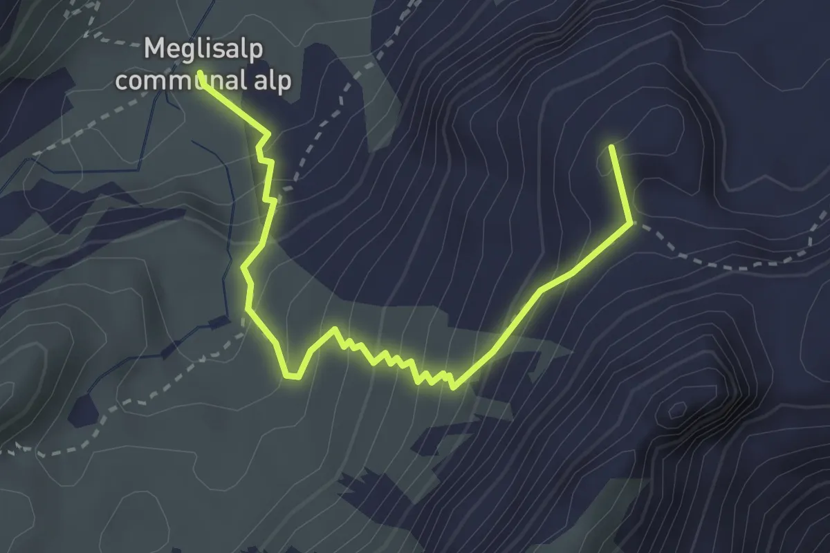
Medium · Summit
Widderalpsattel – Meglisalp
3.1 km · ↑ 328 m · 1 h 26 min
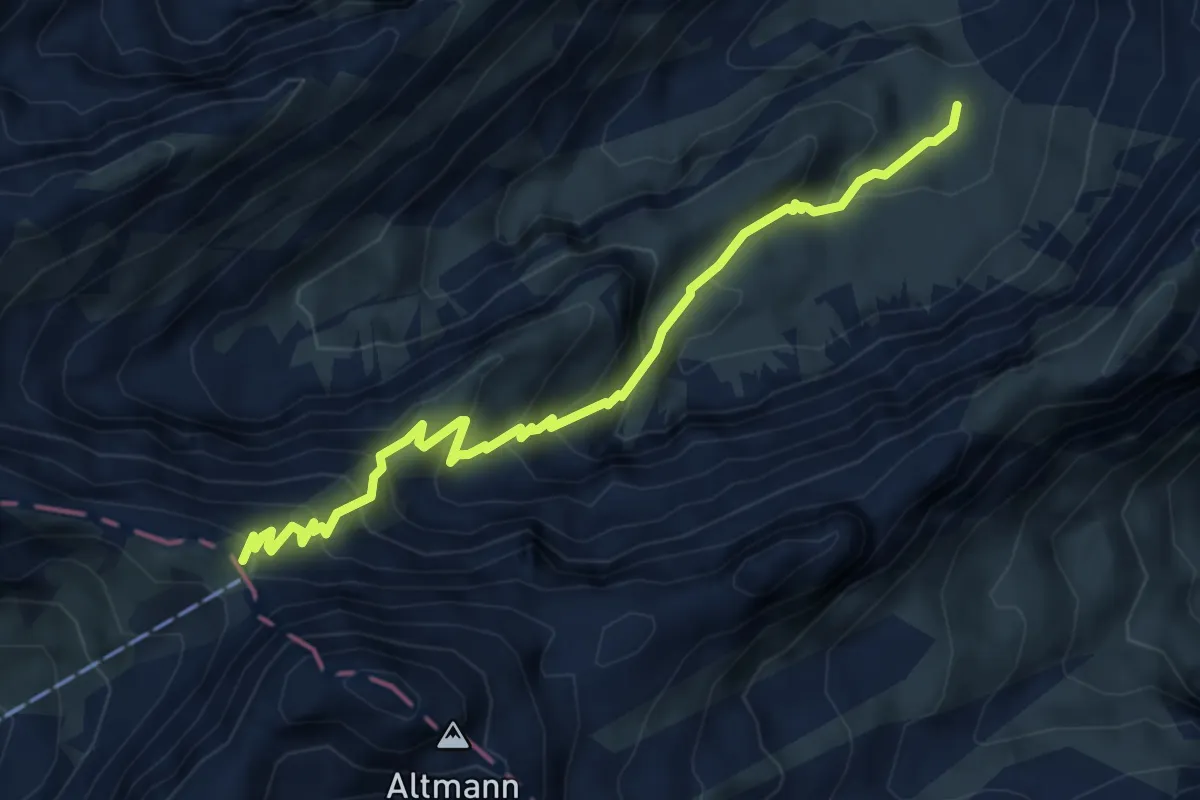
Medium · Cabin
Meglisalp – Rotsteinpass
5.4 km · ↑ 634 m · 2 h 38 min
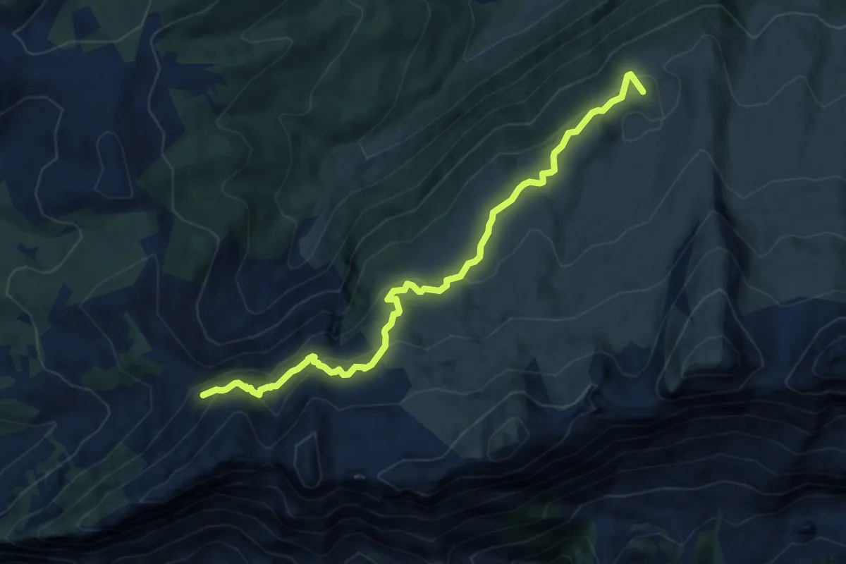
Medium · Summit
Tritt – Vordere Selunalp
9.2 km · ↑ 544 m · 3 h 21 min
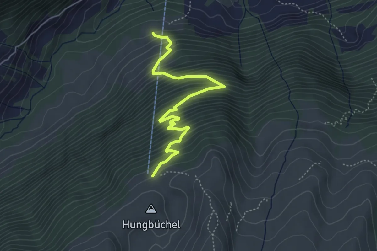
Medium · Trail
Vordere Selunalp – Hofstatt
4.8 km · ↑ 543 m · 2 h 18 min
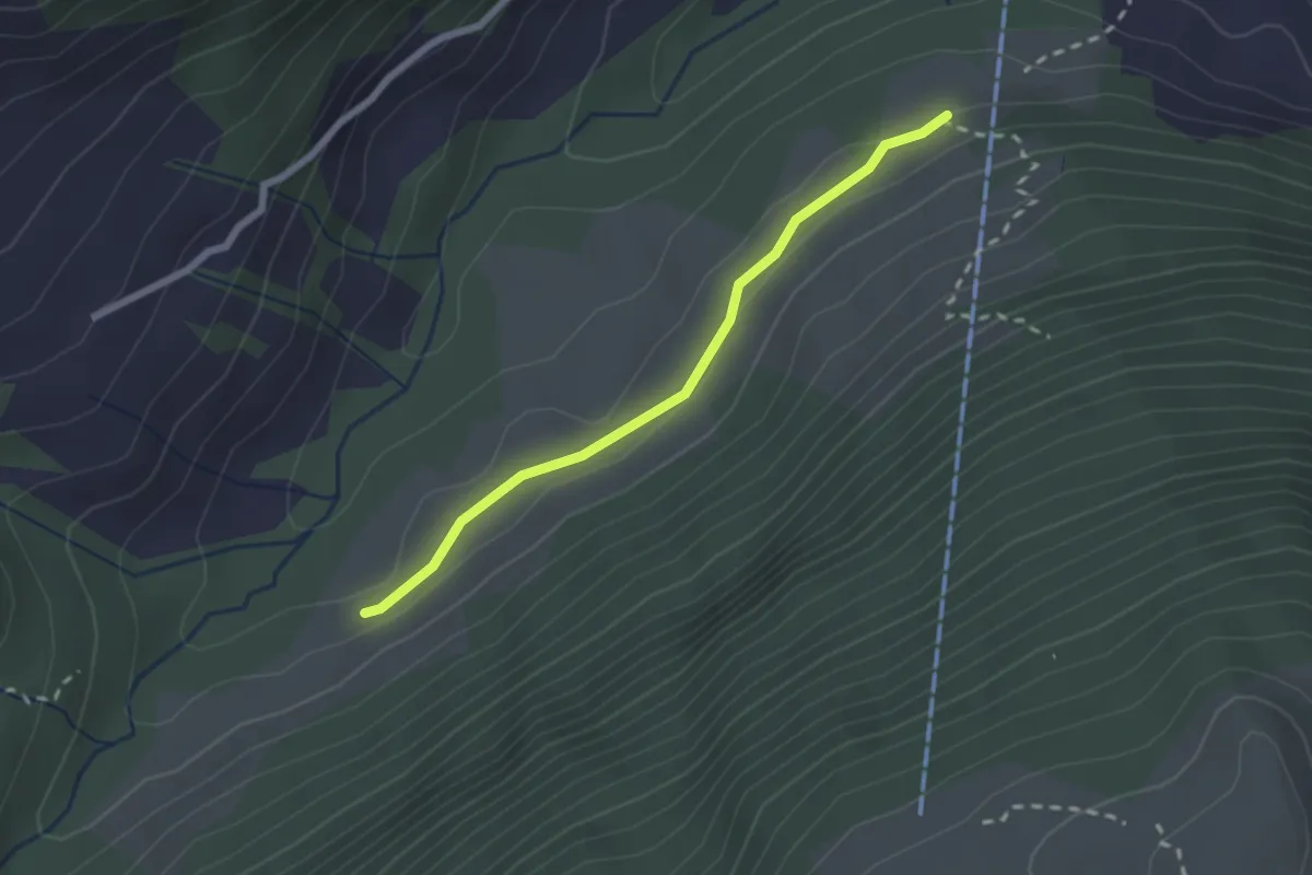
Easy · Trail
Hofstatt – Chaltgräben
2.1 km · ↑ 50 m · 36 min
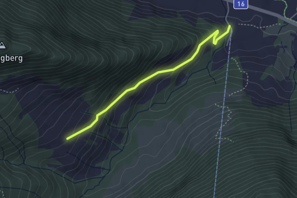
Easy · Trail
Säss – Chaltgräben
3.5 km · ↑ 288 m · 1 h 26 min
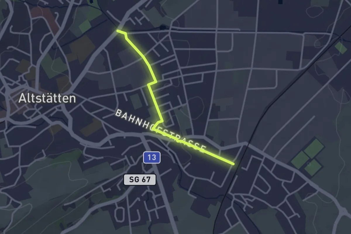
Easy · Trail
Altstätten Bhf SBB – Chesselbrugg
2.6 km · ↑ 17 m · 39 min
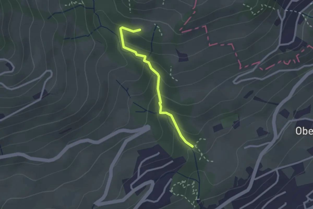
Medium · Trail
Mülitobel – Steigers Häuser
2.0 km · ↑ 133 m · 45 min
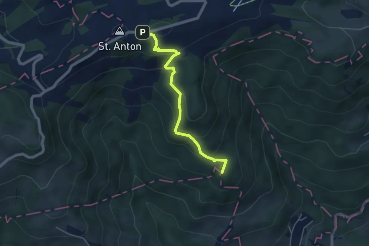
Medium · Summit
Steigers Häuser – St. Anton Kapelle
3.7 km · ↑ 238 m · 1 h 23 min
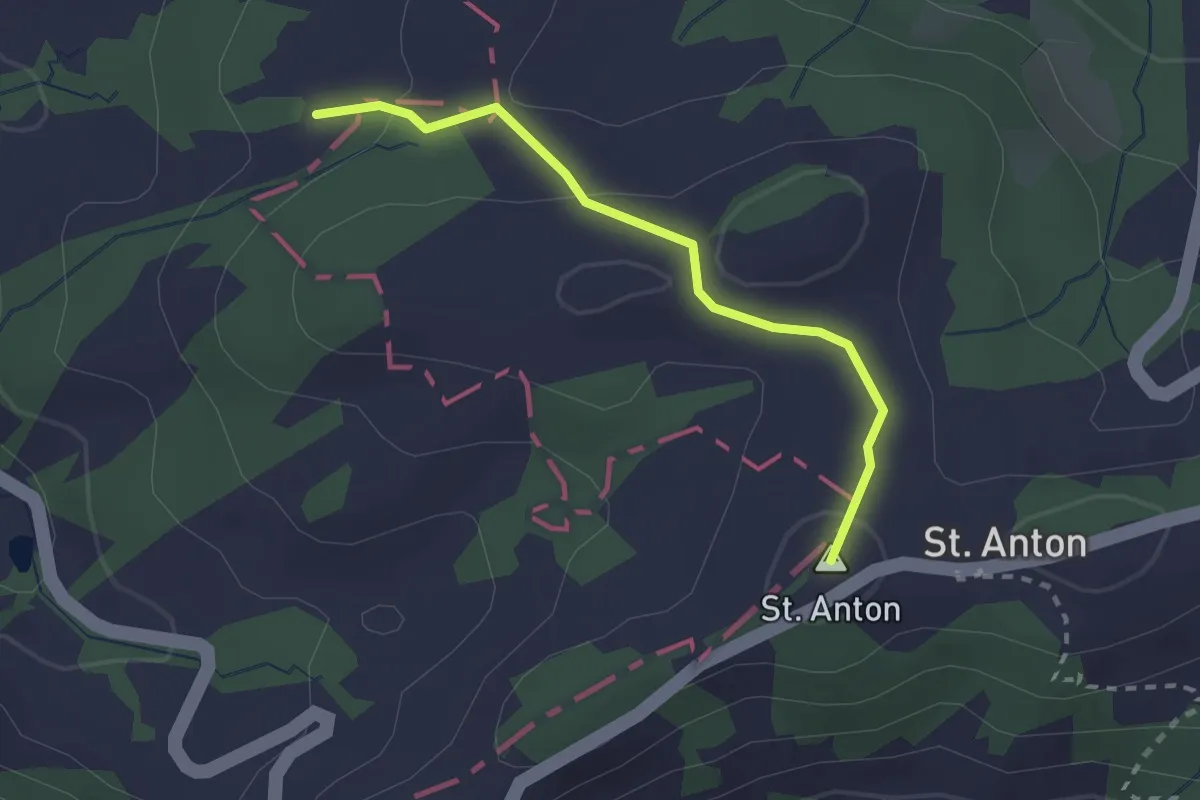
Easy · Summit
St. Anton Kapelle – Hofguet
2.2 km · ↑ 65 m · 39 min
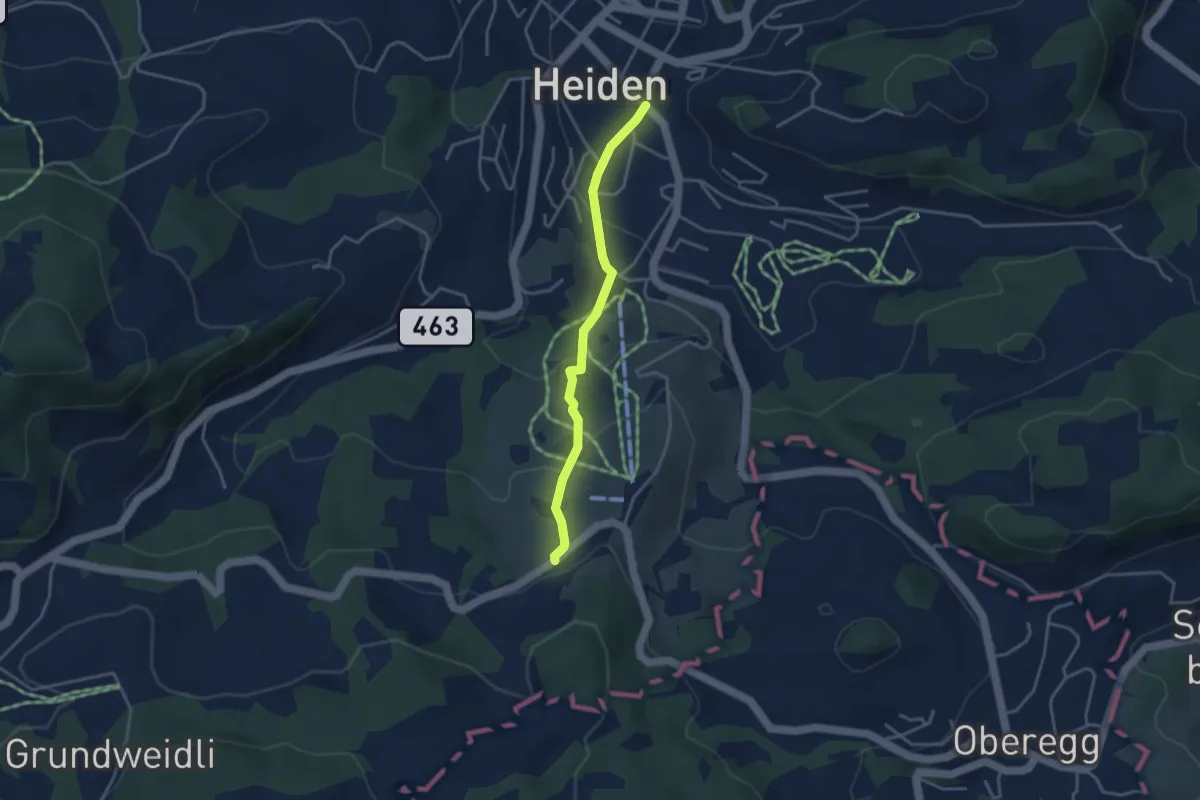
Easy · Trail
Gstalden – Kohlplatz
3.3 km · ↑ 160 m · 1 h 7 min
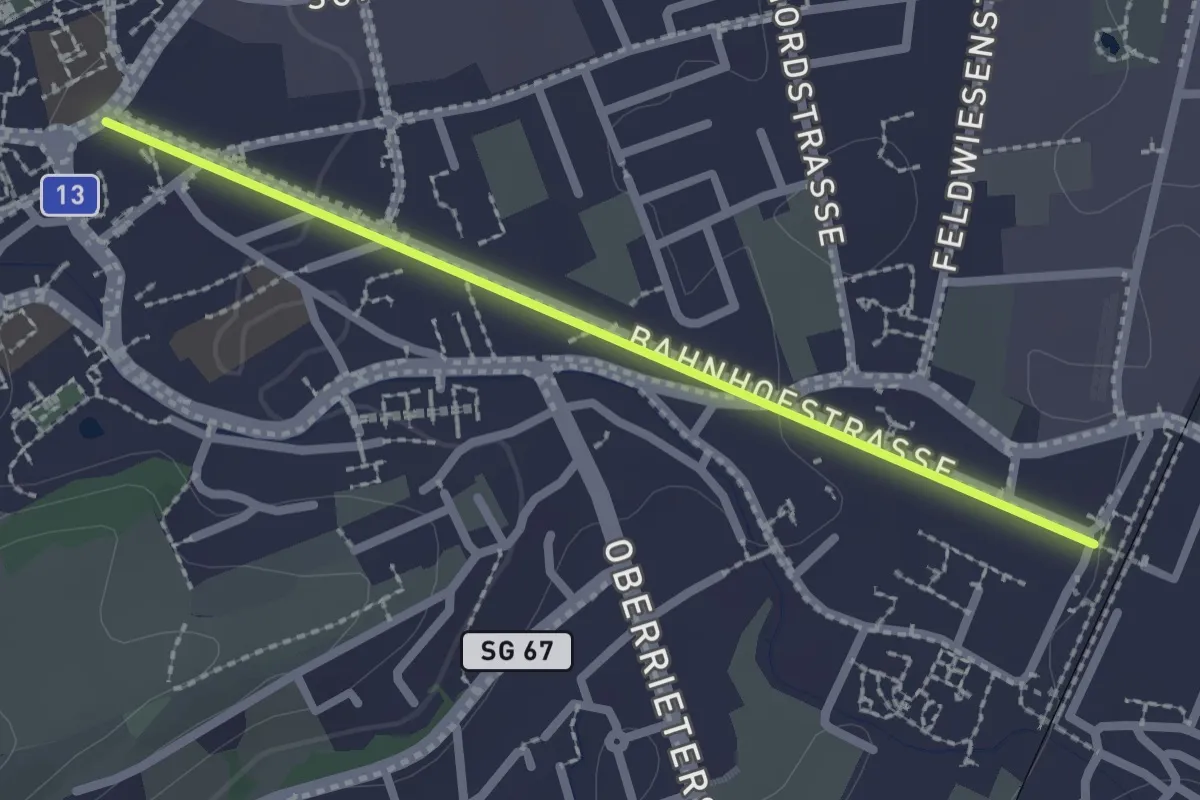
Easy · Trail
Altstätten Bhf SBB – Altstätten Stadt
2.2 km · ↑ 27 m · 34 min
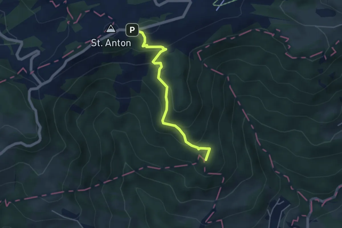
Medium · Summit
St. Anton Kapelle – Marbach
3.7 km · ↑ 238 m · 1 h 23 min
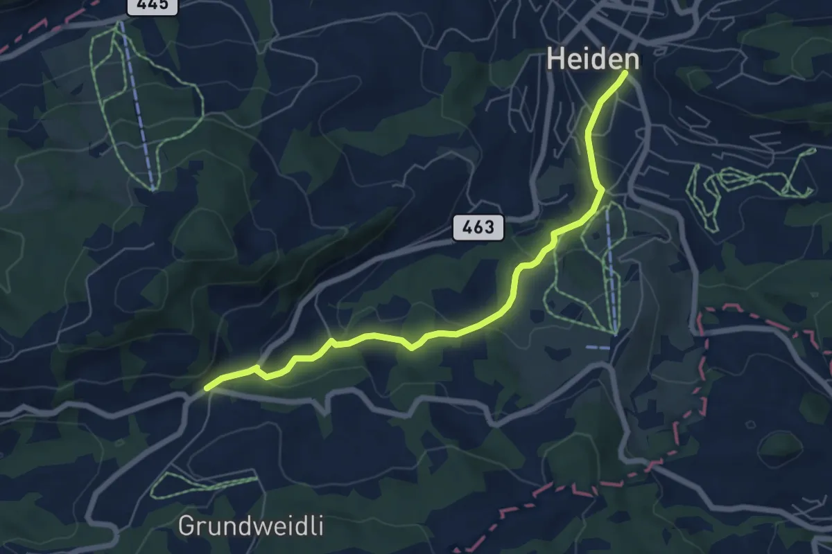
Easy · Trail
Kohlplatz – Kaien
6.0 km · ↑ 220 m · 1 h 53 min
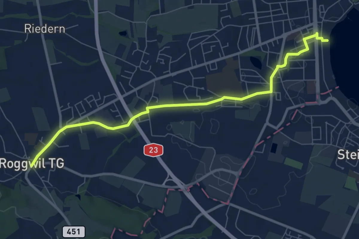
Easy · Trail
Arbon – Roggwil TG
7.5 km · ↑ 44 m · 1 h 53 min
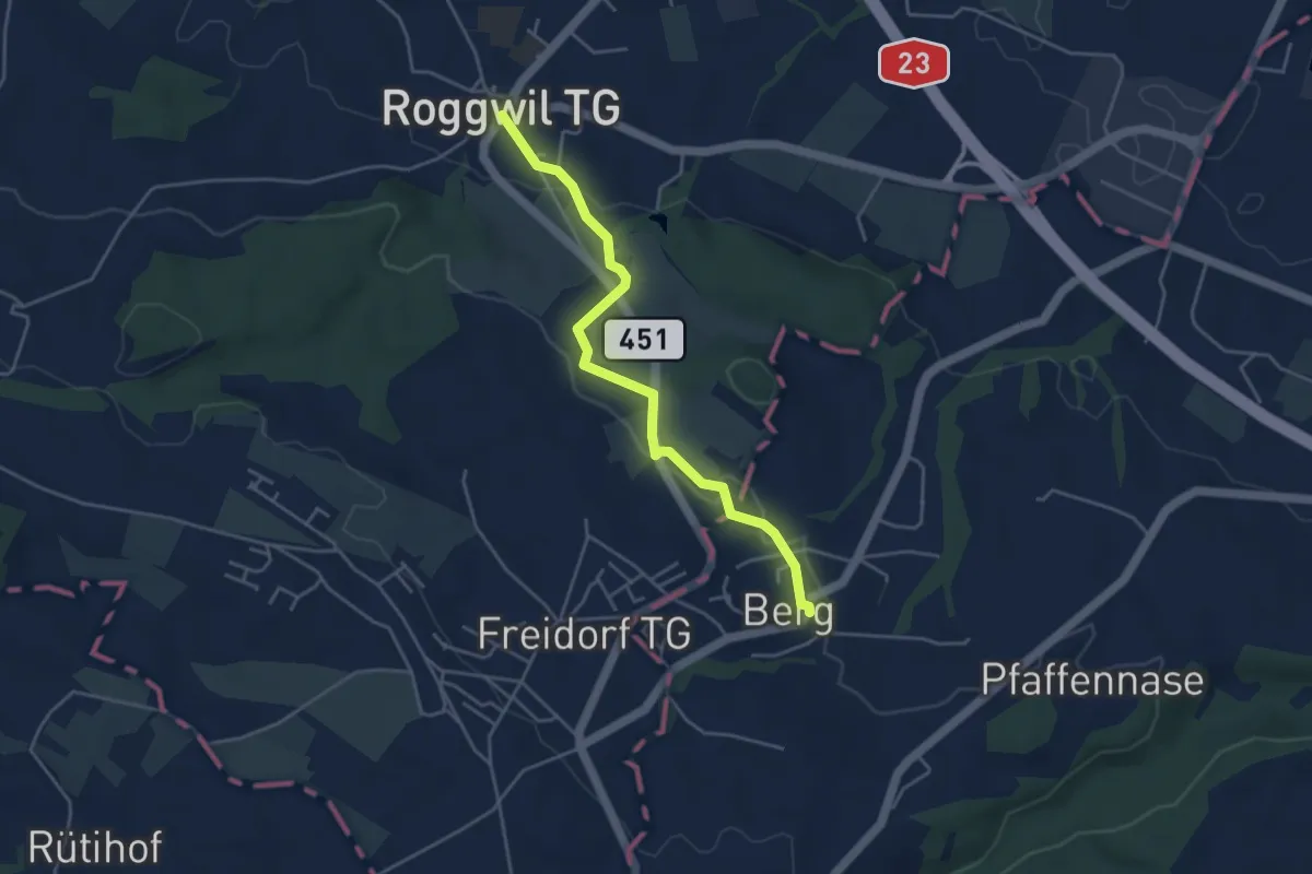
Easy · Trail
Roggwil TG – Berg SG
4.2 km · ↑ 64 m · 1 h 7 min
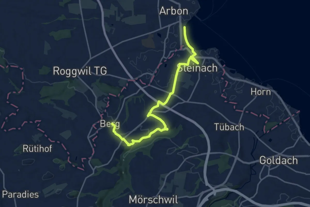
Medium · Trail
Berg SG – Arbon
13.8 km · ↑ 184 m · 3 h 39 min
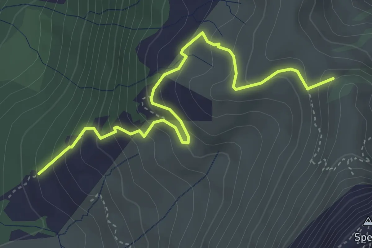
Medium · Summit
Hinterwängi – Speer
4.0 km · ↑ 351 m · 1 h 43 min
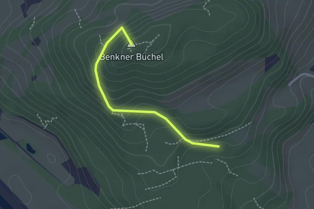
Easy · Summit
Schmitten – Nesslenboden
1.9 km · ↑ 99 m · 40 min
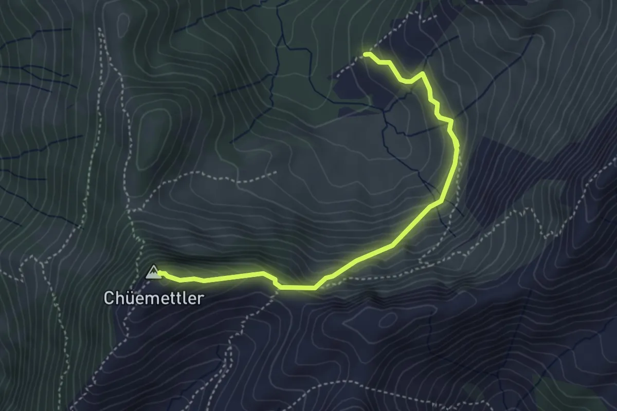
Demanding · Summit
Wängi Parkplatz – Chüemettler
4.3 km · ↑ 367 m · 1 h 49 min
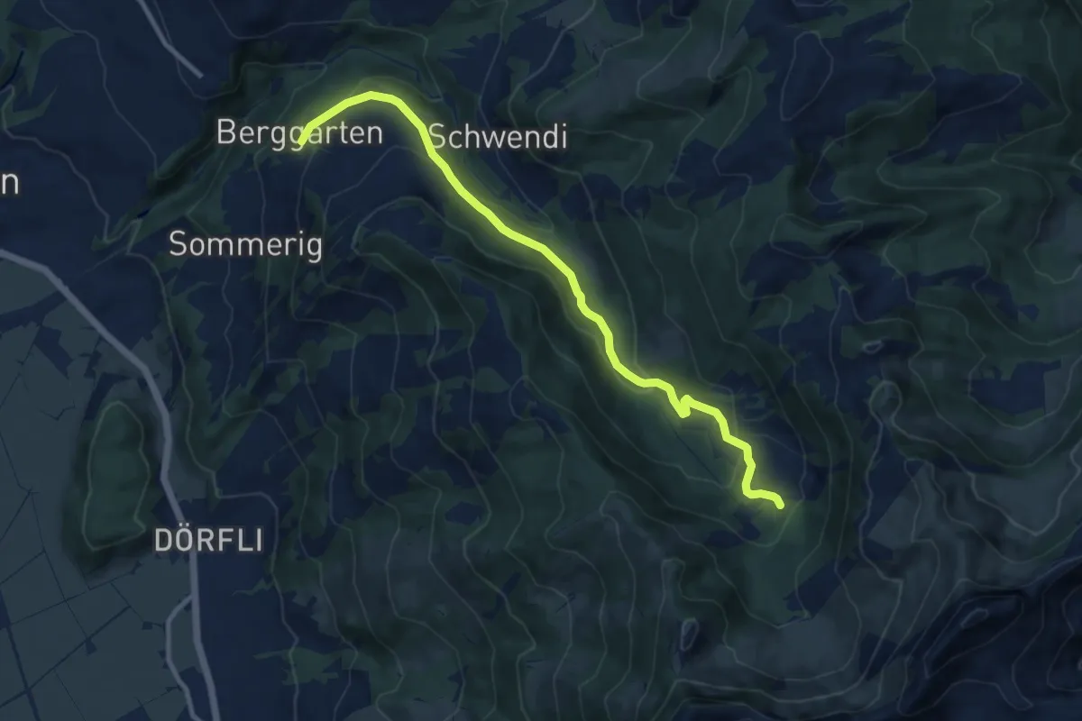
Medium · Trail
Berggarten – Mittelwängi
10.6 km · ↑ 419 m · 3 h 25 min
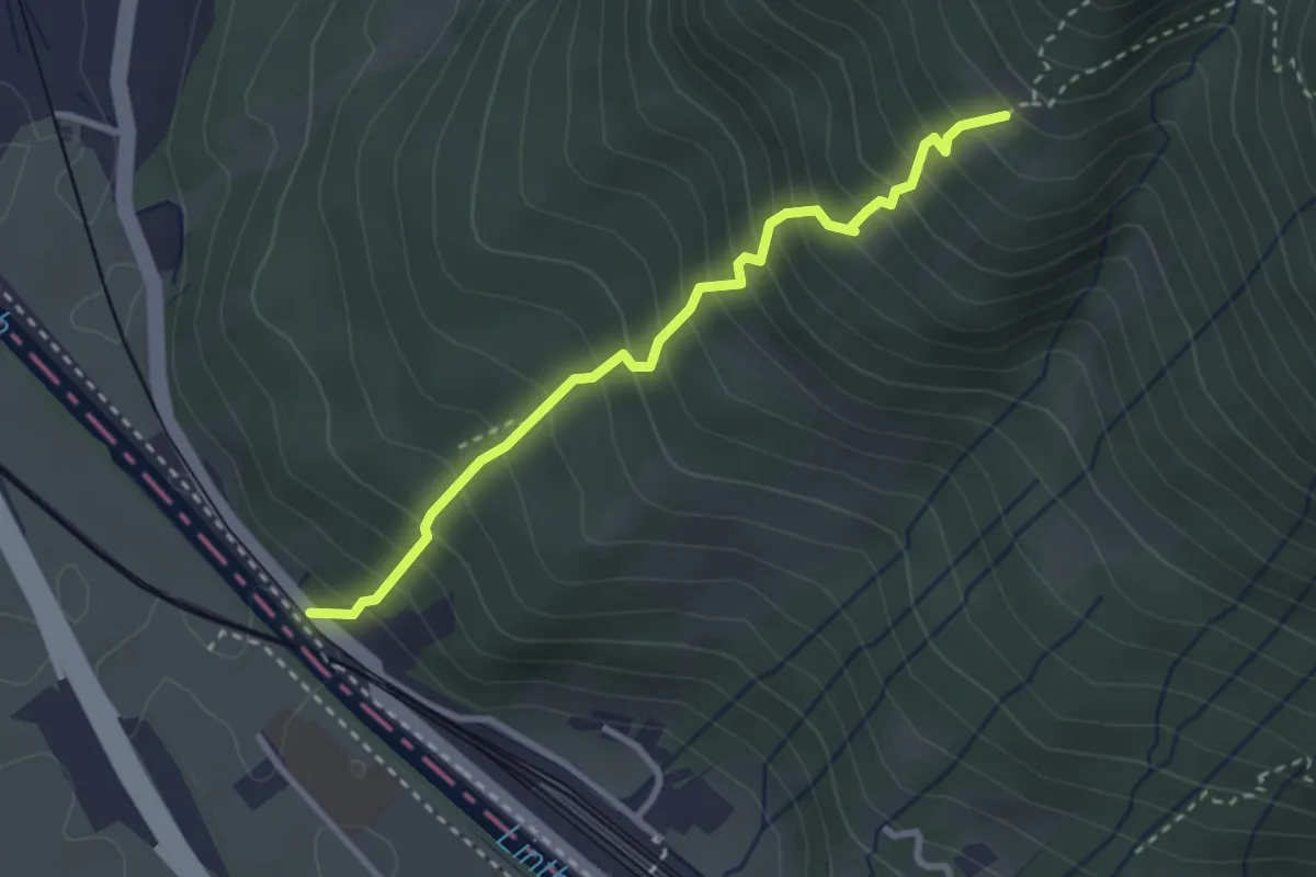
Medium · Trail
Obere Wildegg – Grüt
2.9 km · ↑ 445 m · 1 h 39 min
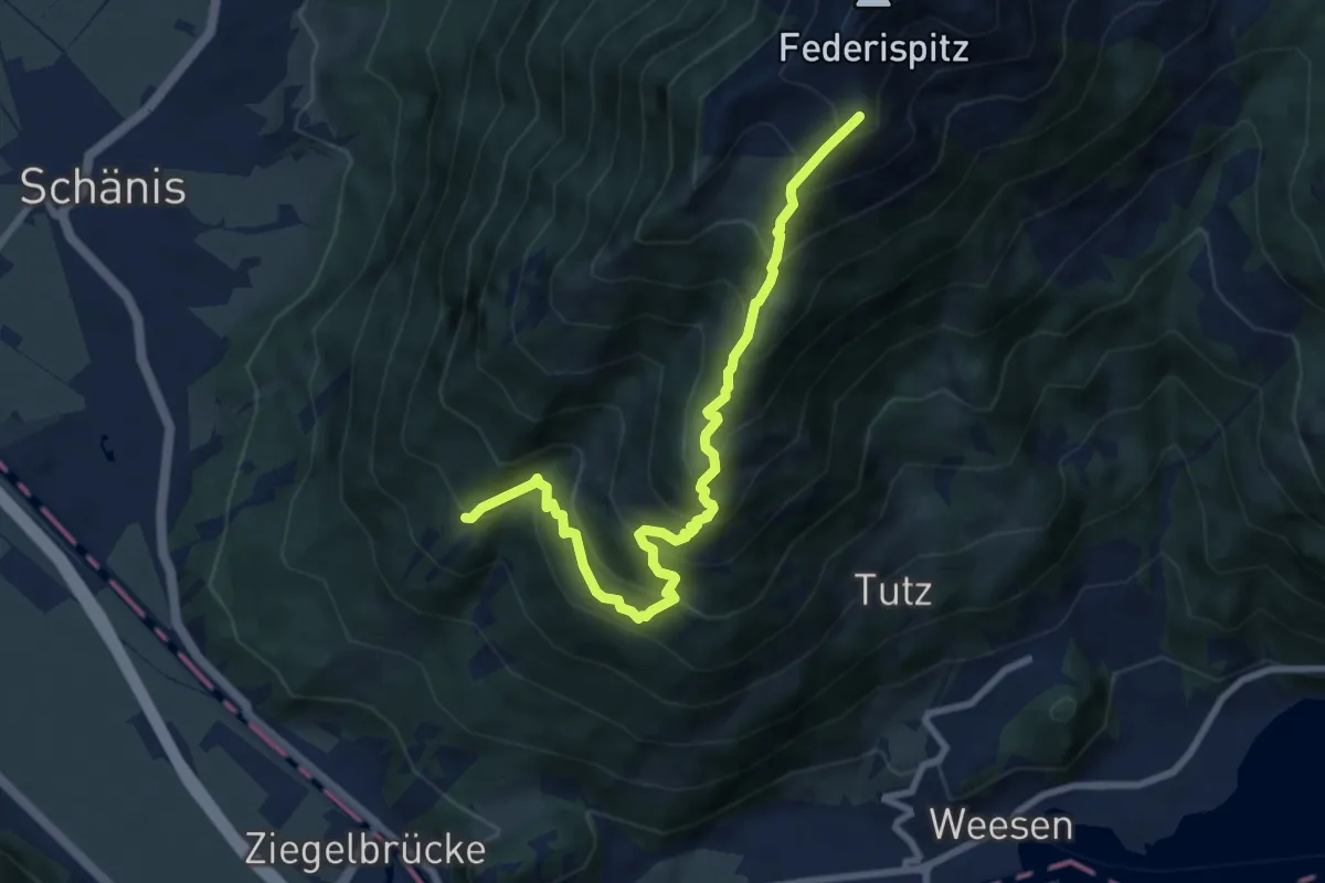
Demanding · Summit
Grüt – Federispitz
8.6 km · ↑ 954 m · 4 h 6 min
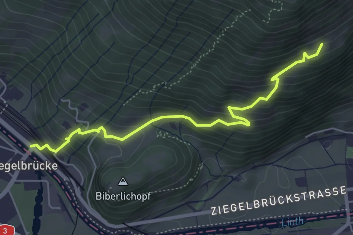
Medium · Trail
Rittersberg – Ziegelbrücke Bahnhof
5.0 km · ↑ 421 m · 2 h 6 min
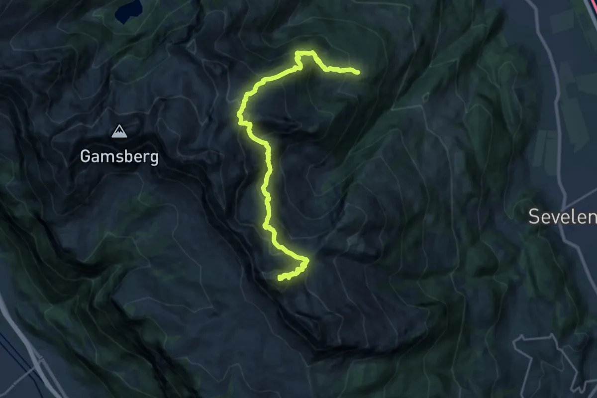
Demanding · Summit
Alvier – Malbuner Berghaus
17.7 km · ↑ 1587 m · 7 h 38 min
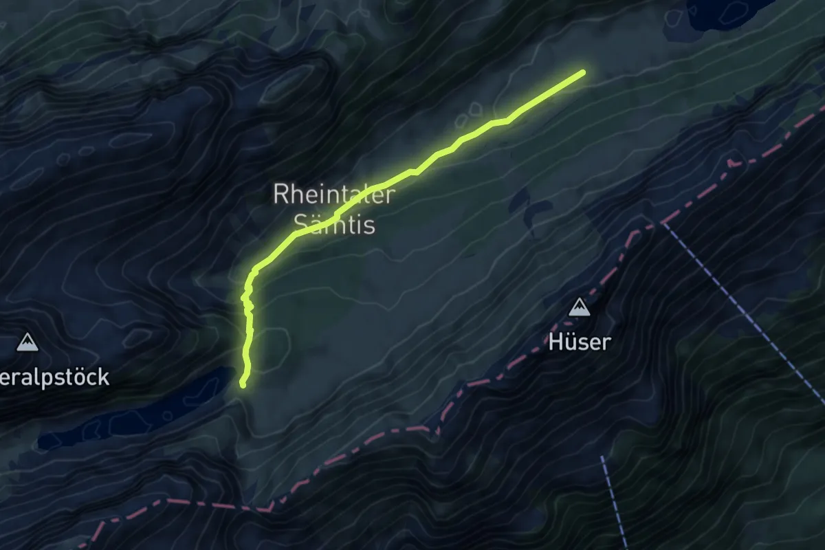
Medium · Cabin
Bollenwees – AppenzellerSämtis
5.5 km · ↑ 276 m · 1 h 54 min
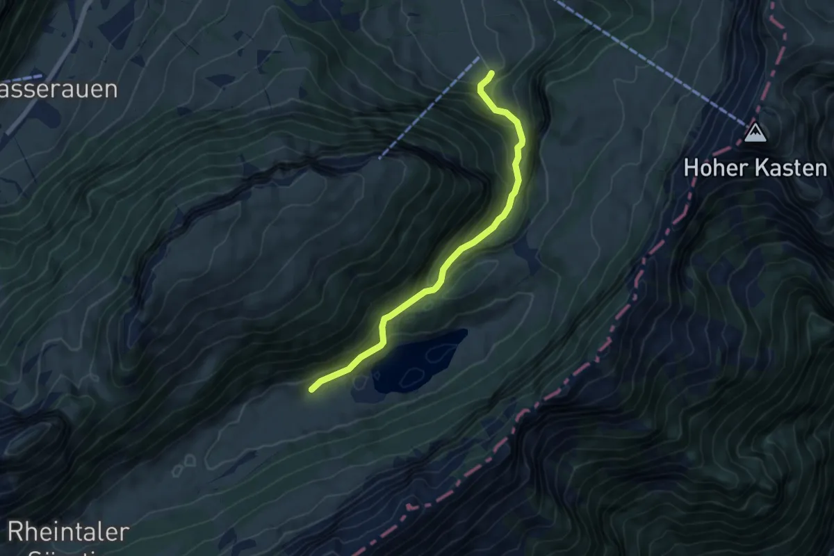
Medium · Trail
Pfannenstiel – Sämtisersee
5.4 km · ↑ 454 m · 2 h 15 min
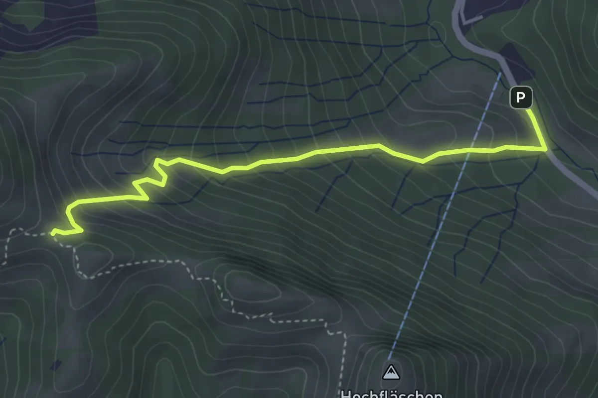
Medium · Trail
Rossfall Strassenbrücke – Ob. Chenner
4.1 km · ↑ 429 m · 1 h 54 min