Trails in Switzerland
15,055 hiking trails, each with its route, climb, walking time and grade.
All trails, page 307 of 314
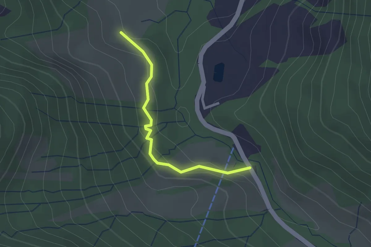
Easy · Trail
Rossfall Strassenbrücke – Grüenau
2.0 km · ↑ 78 m · 38 min
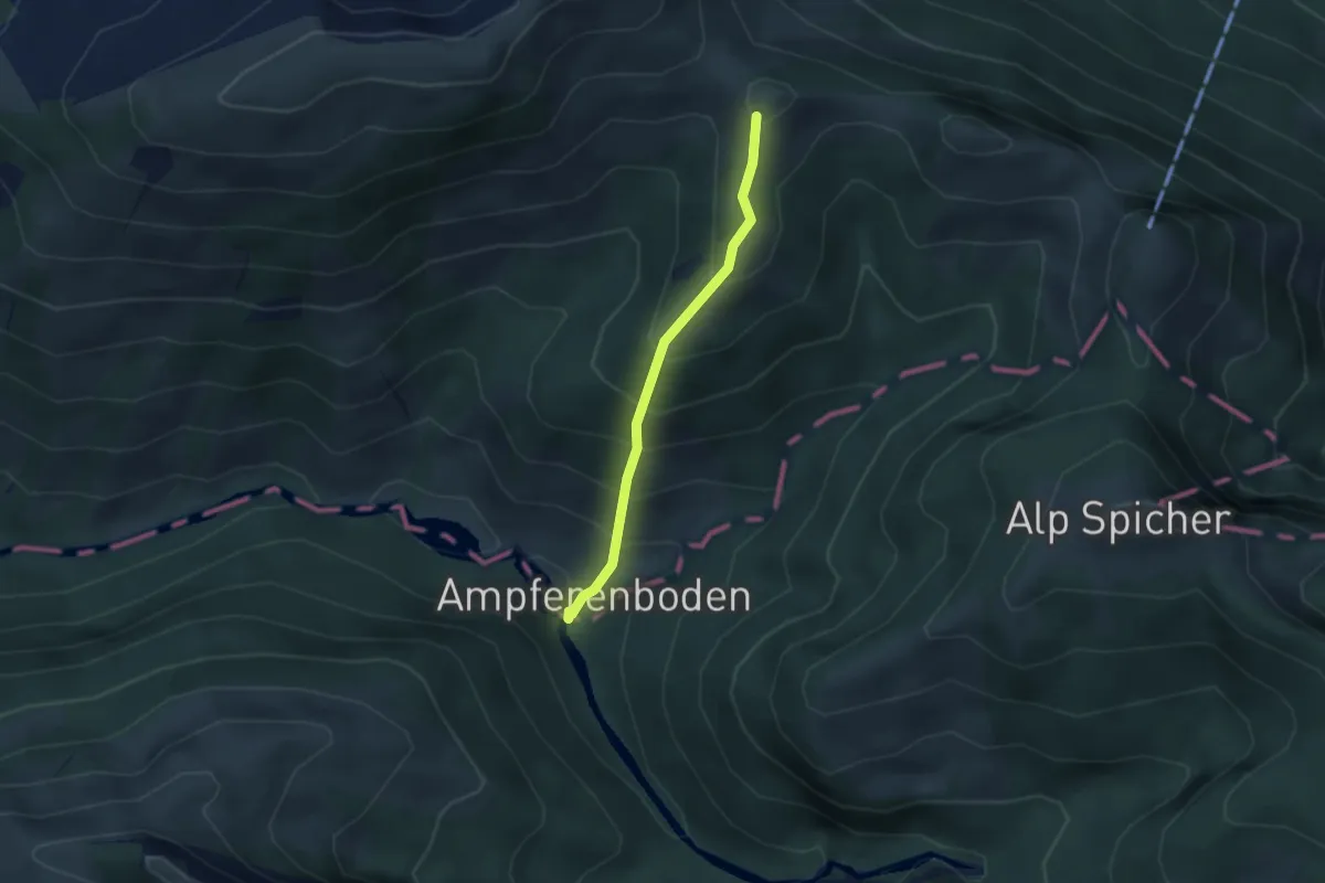
Medium · Trail
Ob. Hirzen – Ampferenboden
2.7 km · ↑ 331 m · 1 h 21 min
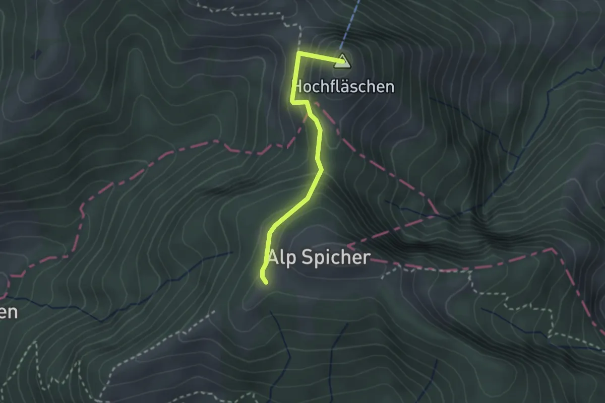
Medium · Summit
Ob. Hirzen – Spicher West
2.1 km · ↑ 198 m · 55 min
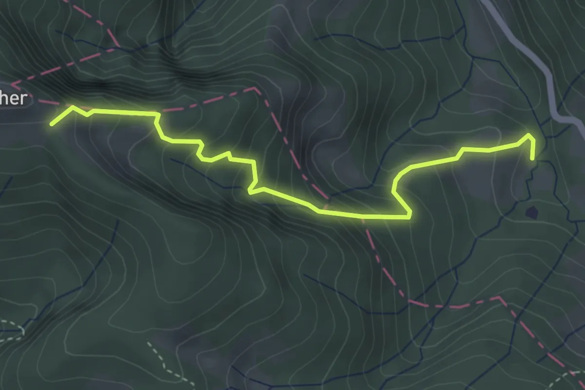
Medium · Trail
Spicher – Gross Chräzeren
3.7 km · ↑ 435 m · 1 h 49 min
Easy · Trail
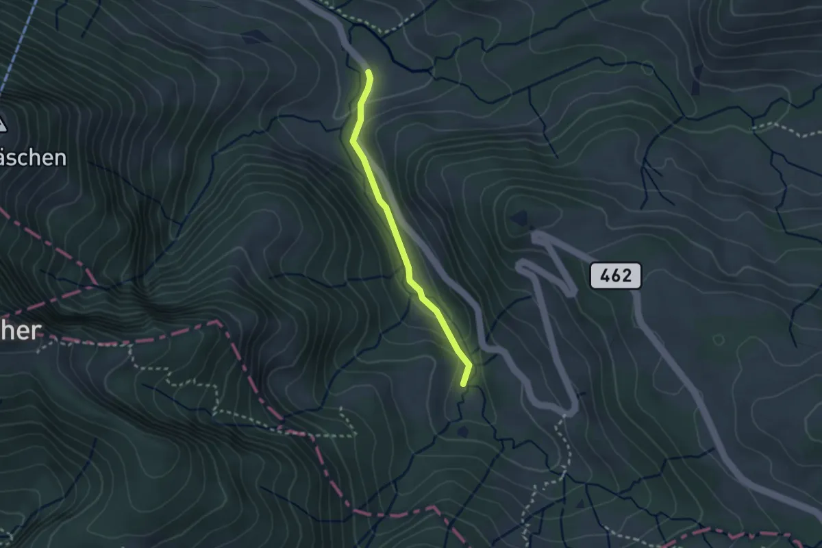
Gross Chräzeren – Steinfluh
2.2 km · ↑ 86 m · 42 min
Easy · Trail
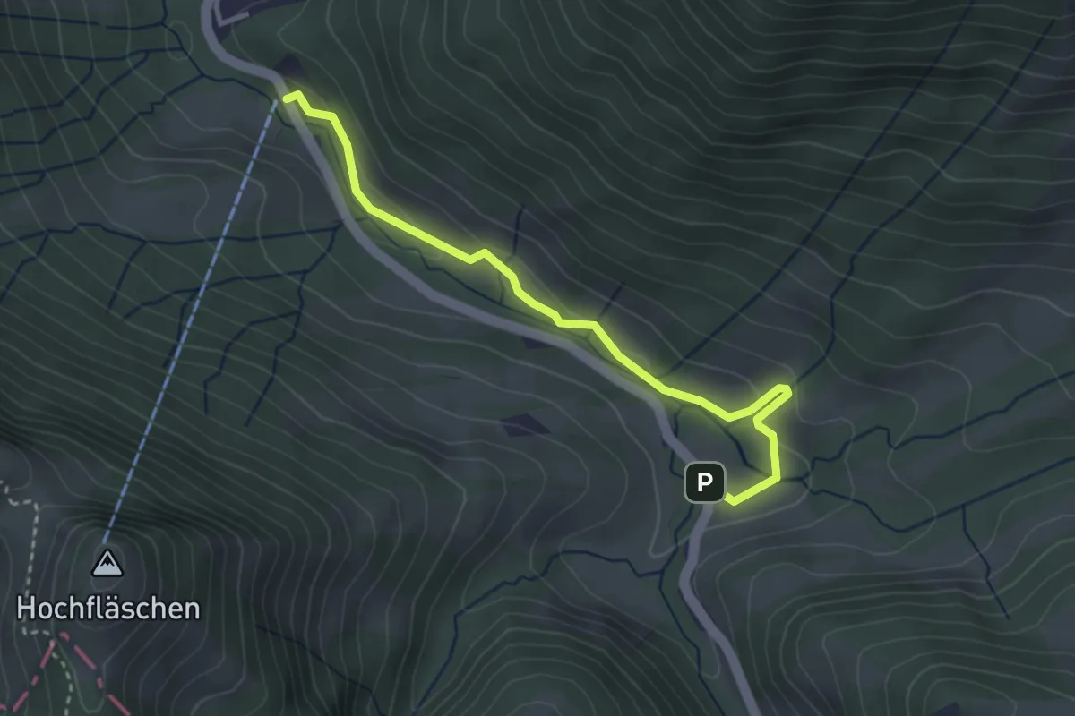
Steinflue – Rossfall
3.4 km · ↑ 102 m · 1 h 1 min
Easy · Trail
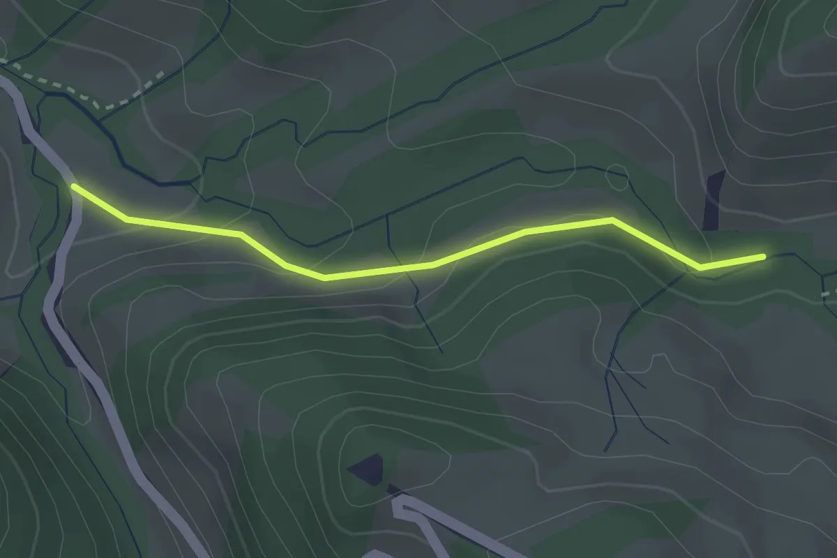
Steinflue – Aueli
2.4 km · ↑ 104 m · 47 min
Medium · Trail
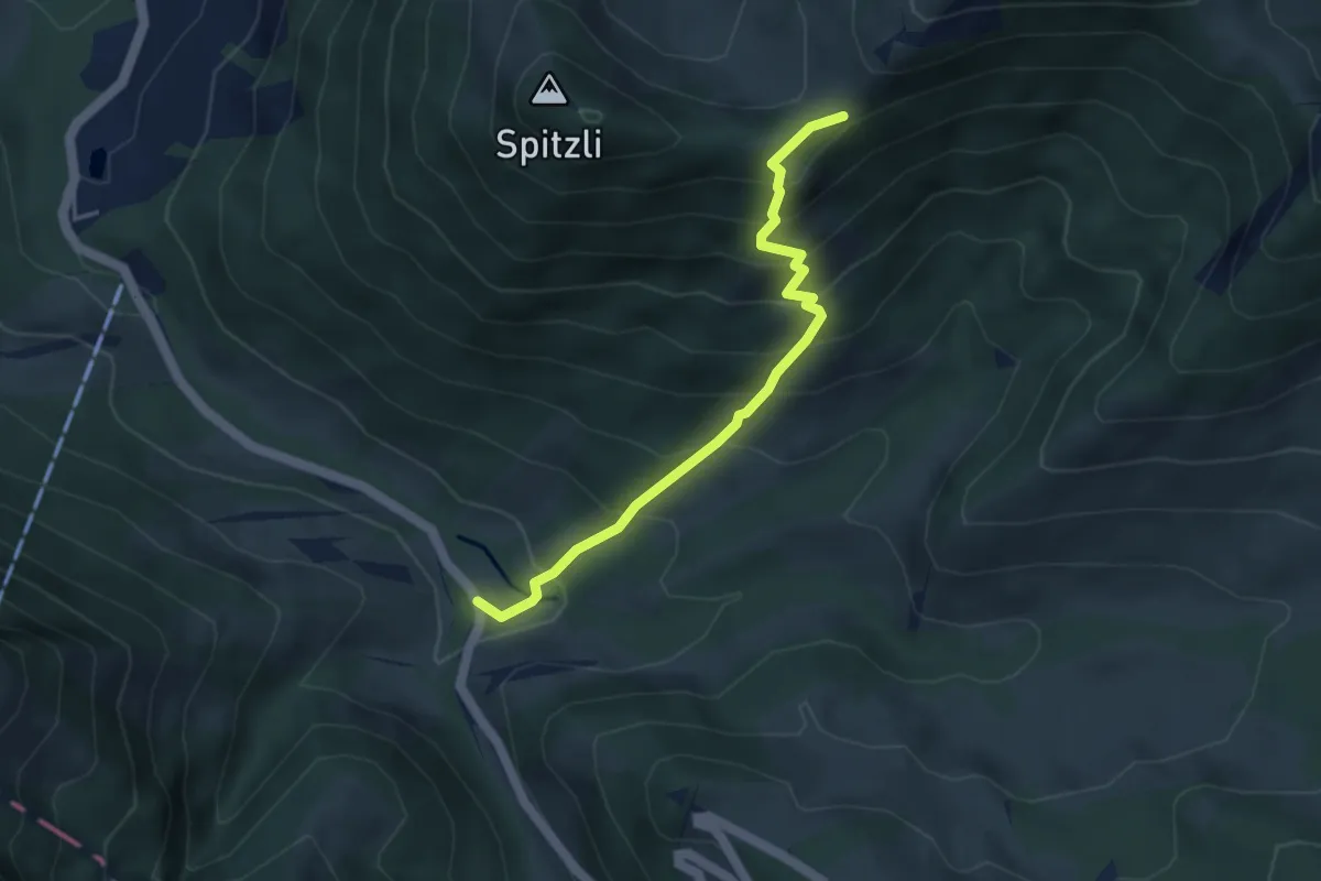
Steinflue – Gschwendsattel
3.9 km · ↑ 425 m · 1 h 50 min
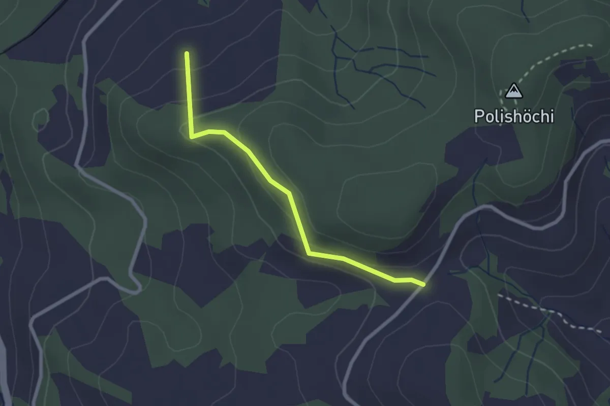
Easy · Trail
Dietenberg – Nünegg
2.1 km · ↑ 128 m · 47 min
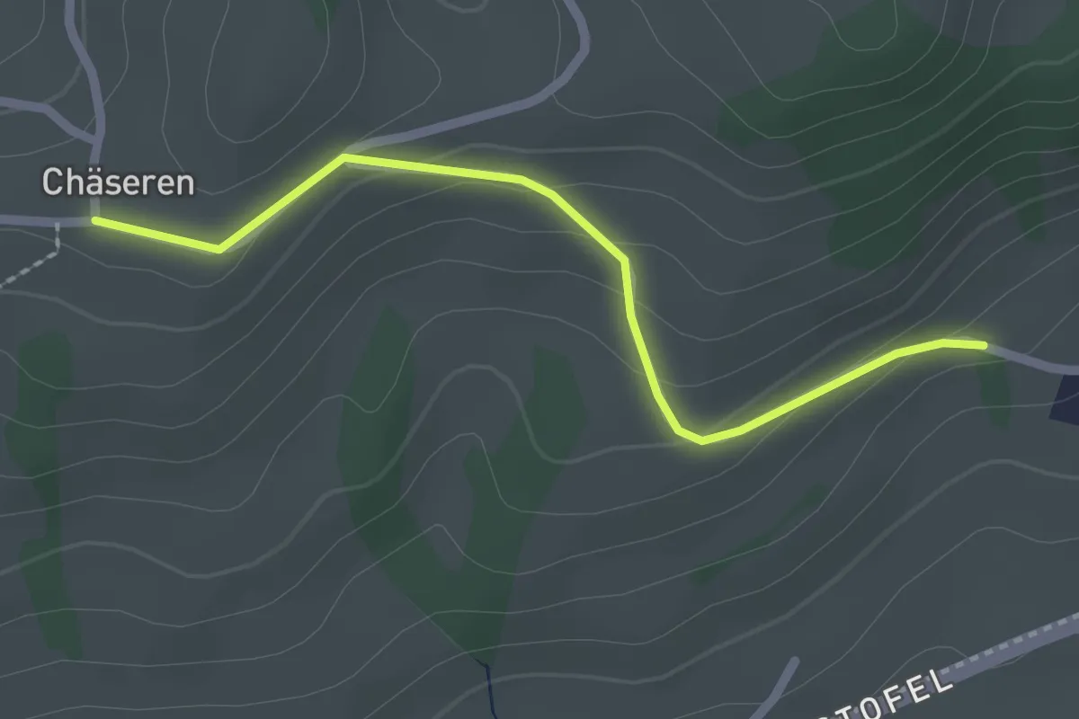
Easy · Trail
Chäseren – Wald - Schönengrund
2.1 km · ↑ 93 m · 42 min
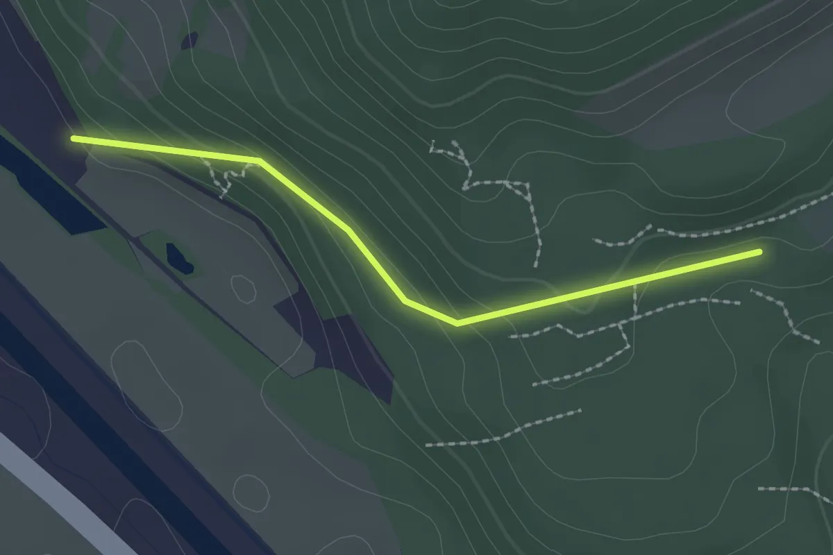
Easy · Trail
Mösli – Nesslenboden
2.0 km · ↑ 90 m · 40 min
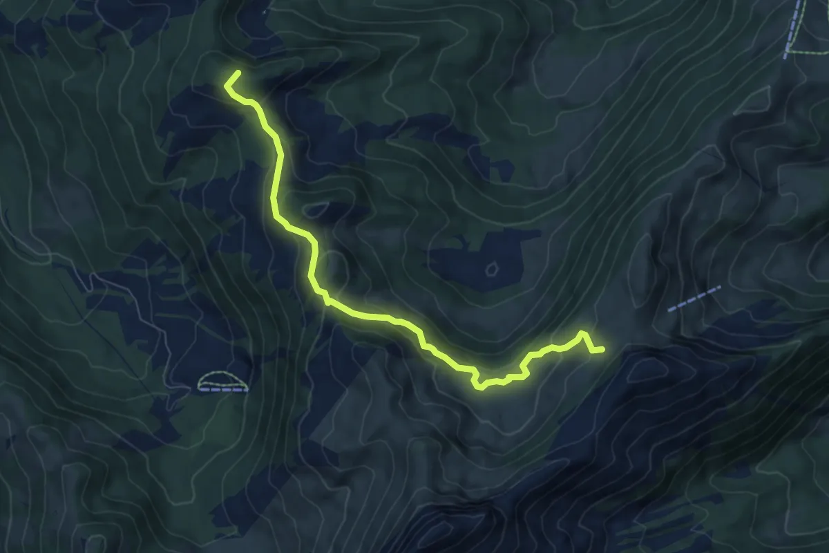
Medium · Summit
Bütz – Zanzboden
7.7 km · ↑ 388 m · 2 h 40 min
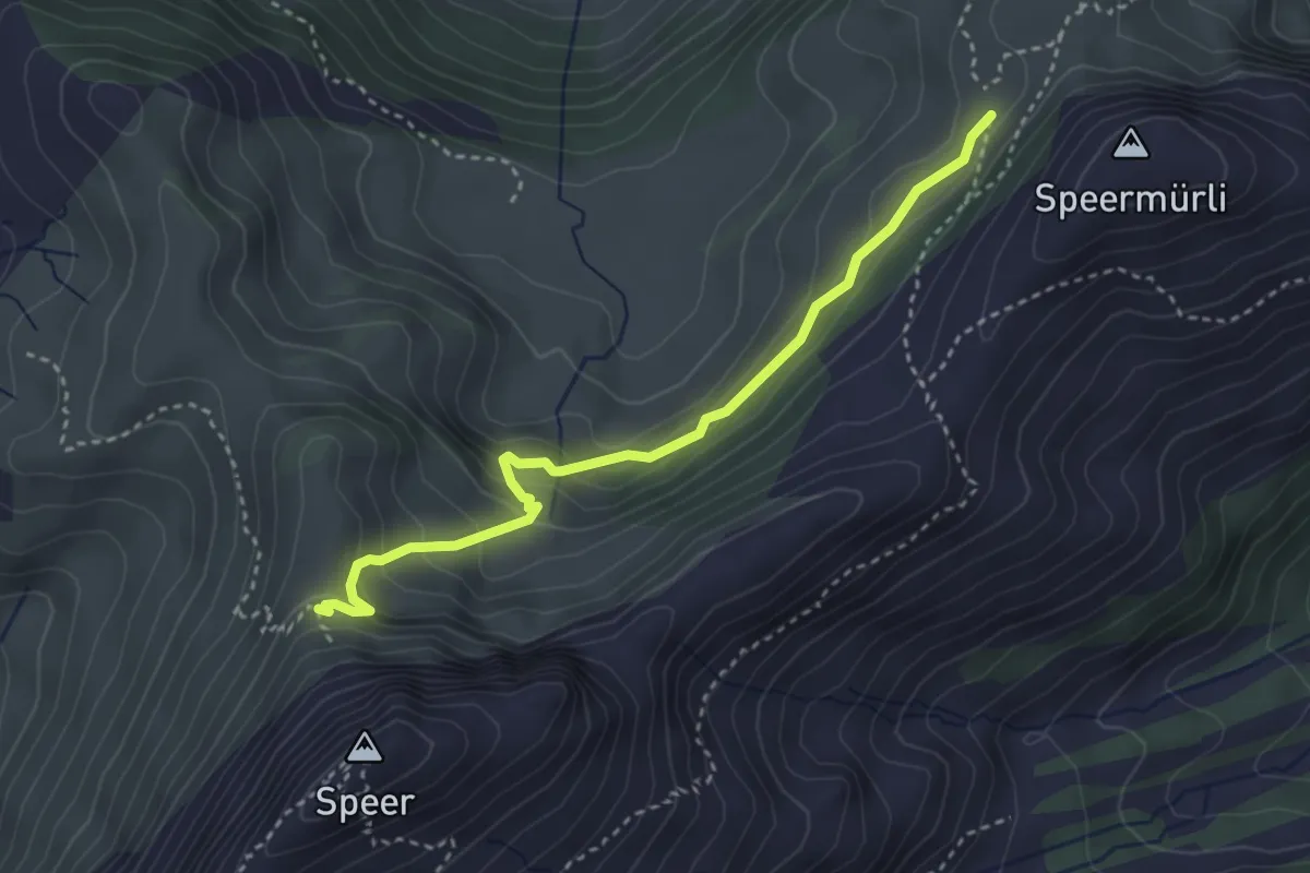
Demanding · Trail
Bütz – Speer Klettersteig
3.4 km · ↑ 210 m · 1 h 15 min
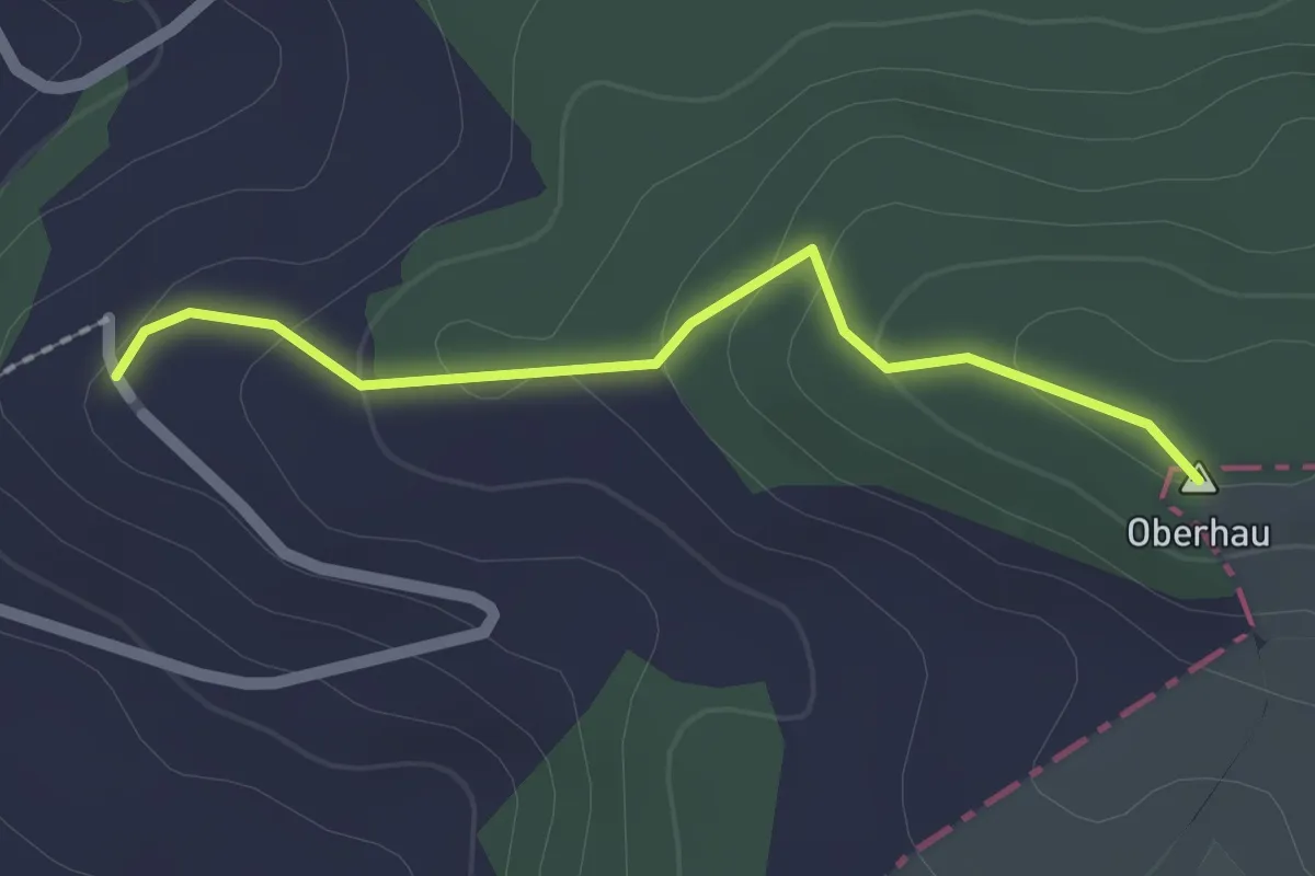
Easy · Summit
Schloss Bettwiesen – Beckingen
1.8 km · ↑ 80 m · 36 min
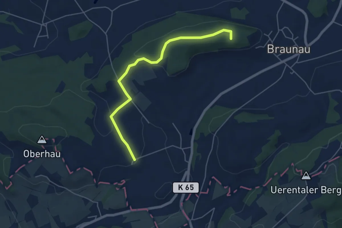
Easy · Summit
Beckingen – Brunnau
4.7 km · ↑ 112 m · 1 h 21 min
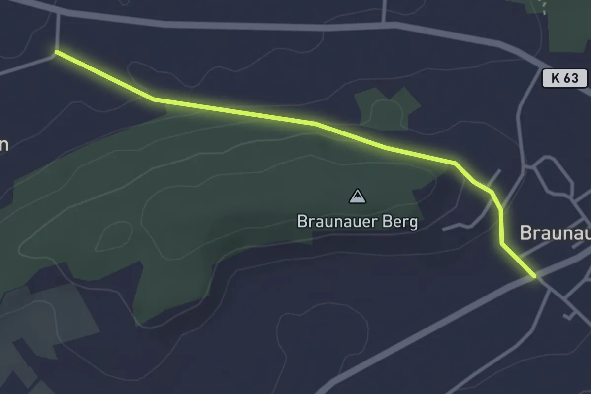
Easy · Trail
Brunnau – Oberhusen
3.1 km · ↑ 91 m · 56 min
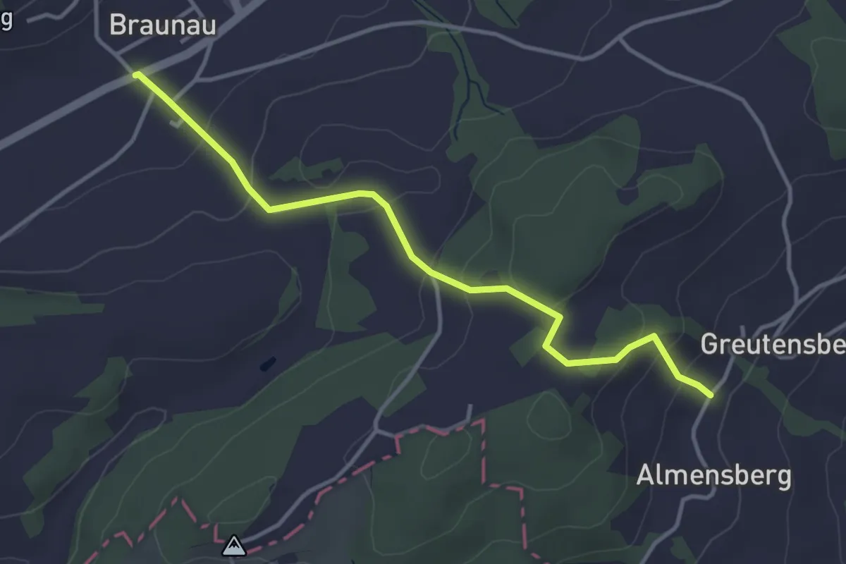
Easy · Trail
Brunnau – Greutensberg
3.7 km · ↑ 170 m · 1 h 14 min
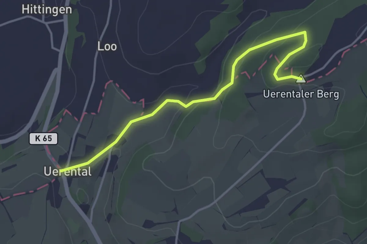
Easy · Summit
Uerental – Greutensberg
3.7 km · ↑ 117 m · 1 h 7 min
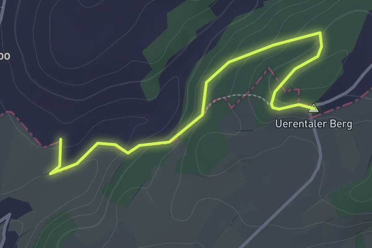
Easy · Summit
Hittingen – Greutensberg
3.0 km · ↑ 112 m · 57 min
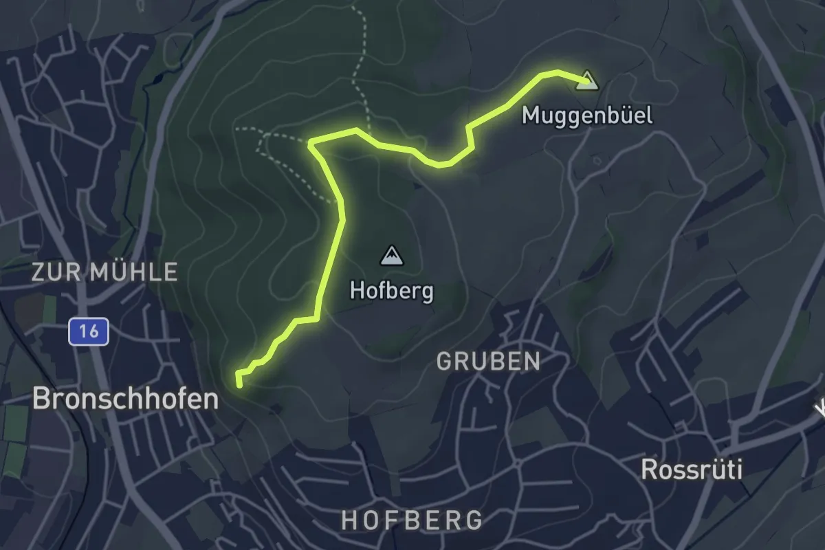
Easy · Summit
Muggenbüel – Burgstall
3.8 km · ↑ 118 m · 1 h 10 min
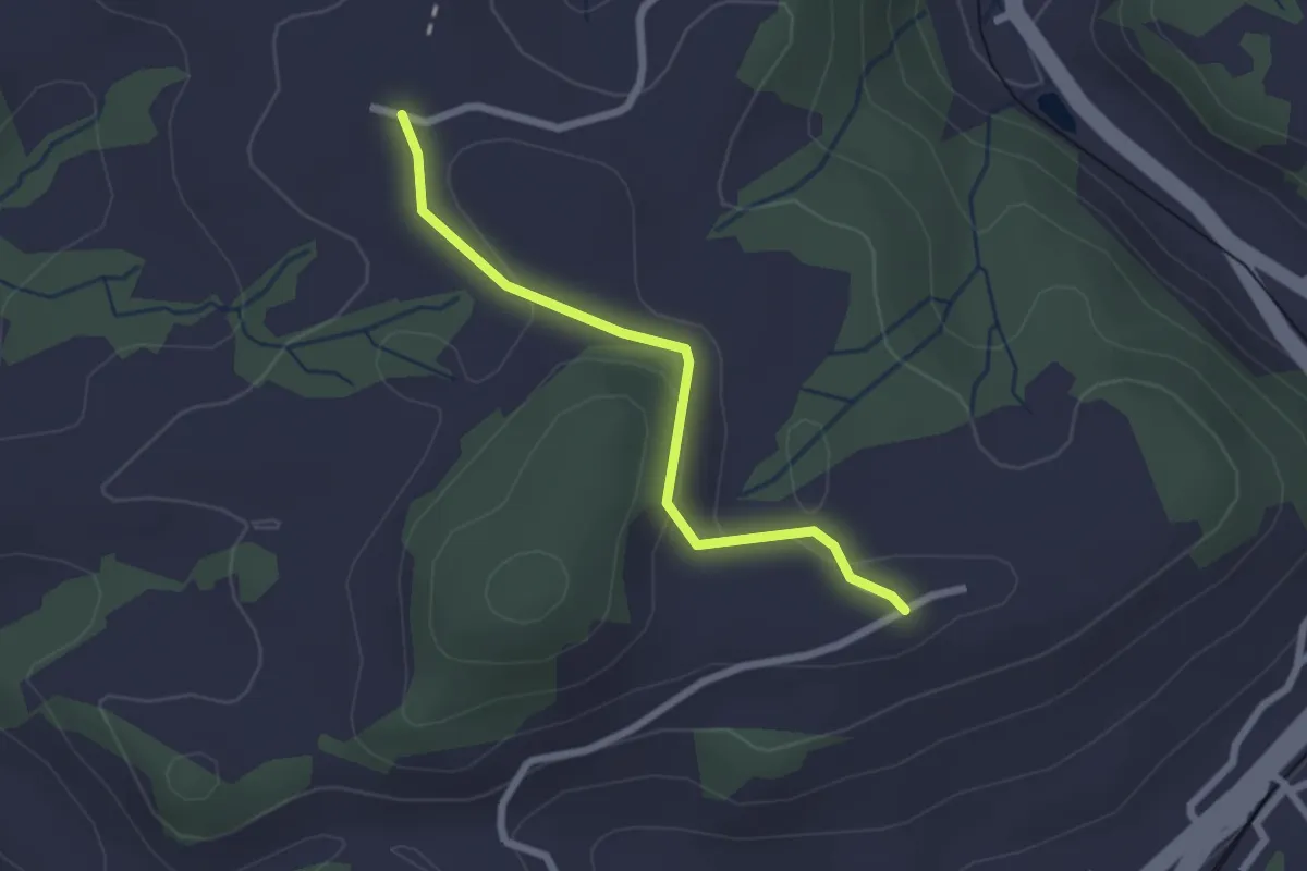
Easy · Trail
Geisshalde – Nieschberg
2.2 km · ↑ 30 m · 34 min
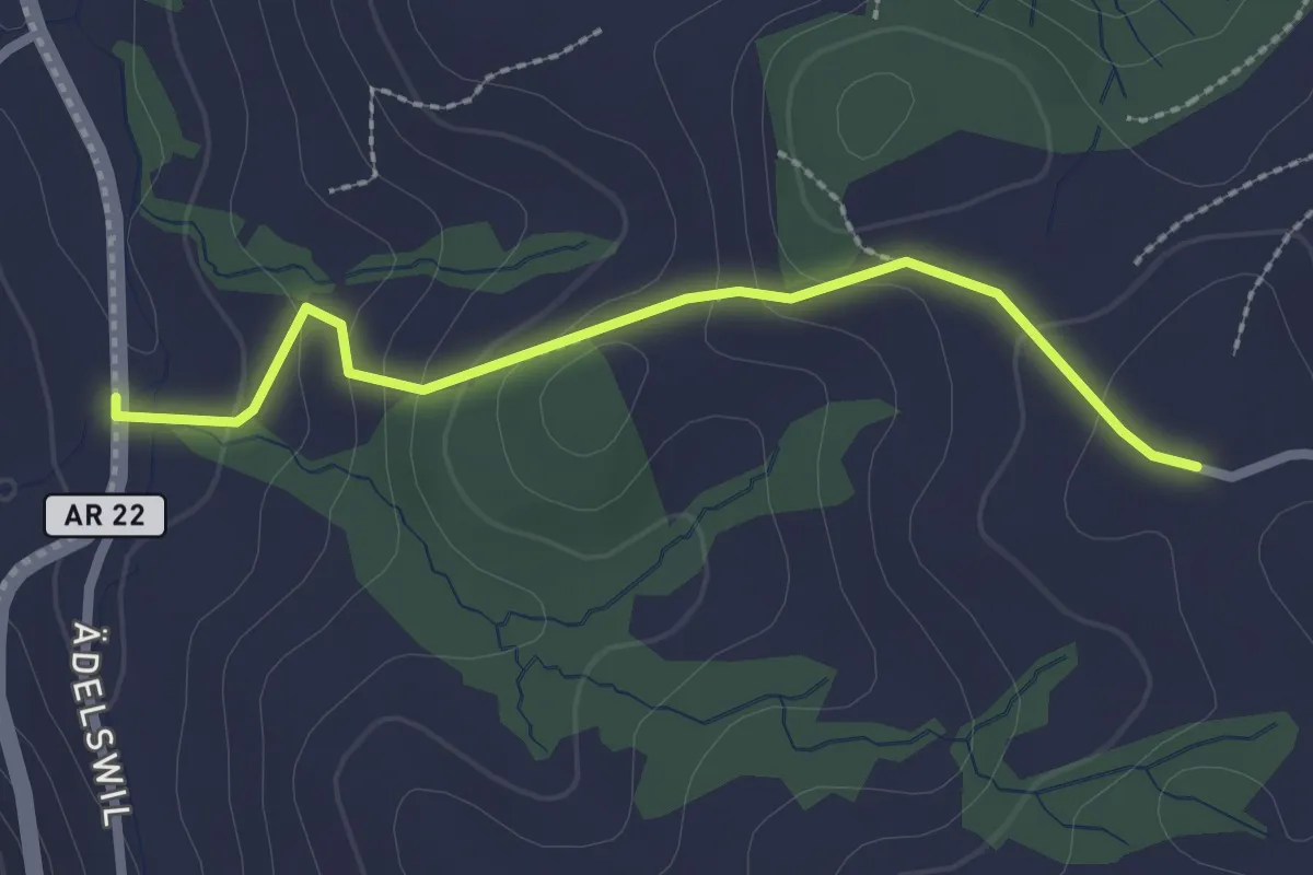
Easy · Trail
Nieschberg – Obere Mülli
2.4 km · ↑ 120 m · 49 min
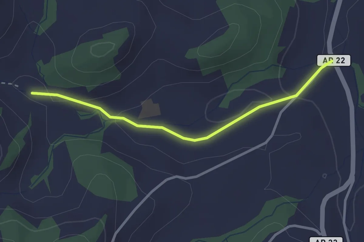
Easy · Trail
Glattmüli – Hinter Wiesen
2.4 km · ↑ 58 m · 41 min
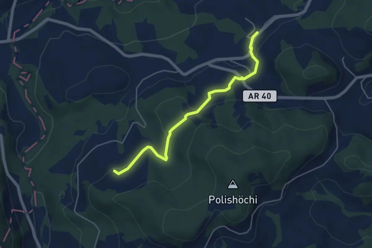
Easy · Trail
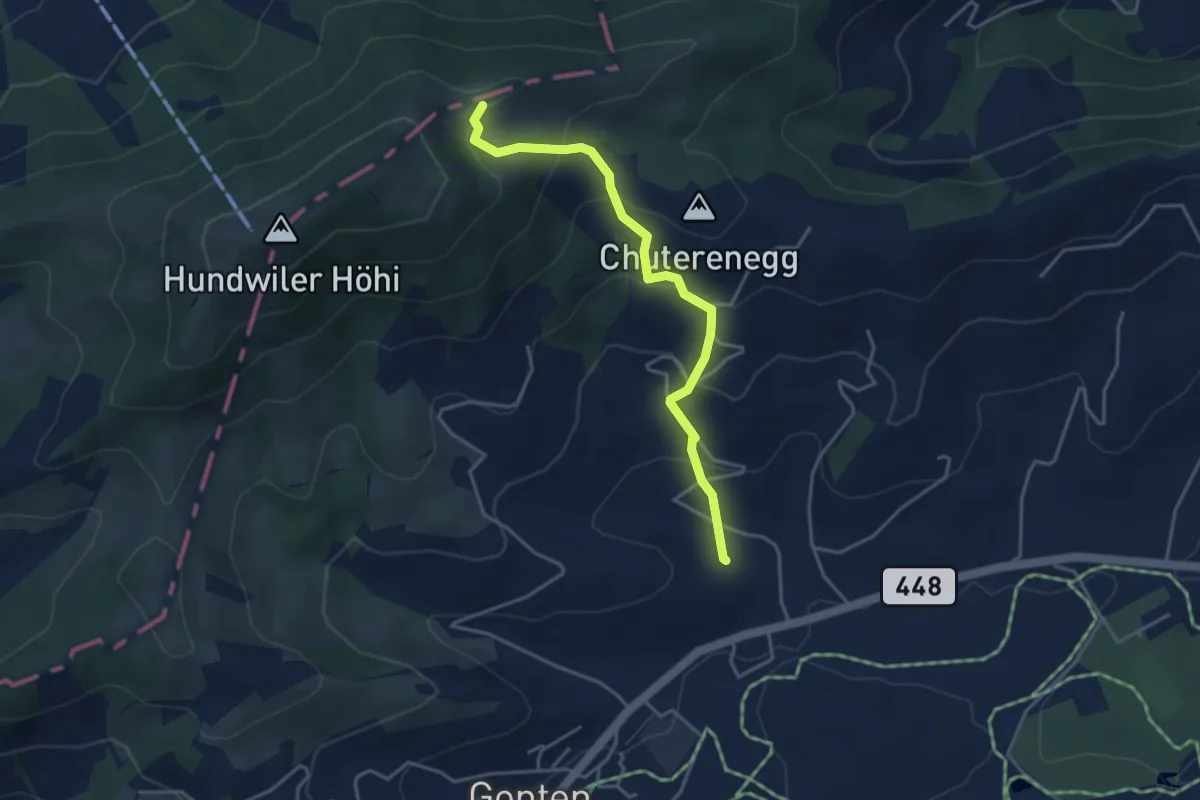
Nünegg – Schachen
3.9 km · ↑ 151 m · 1 h 15 min
Easy · Trail
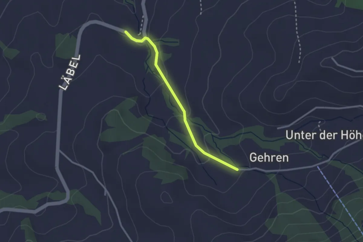
Loos – Ochsenhöhi
3.9 km · ↑ 293 m · 1 h 33 min
Easy · Trail
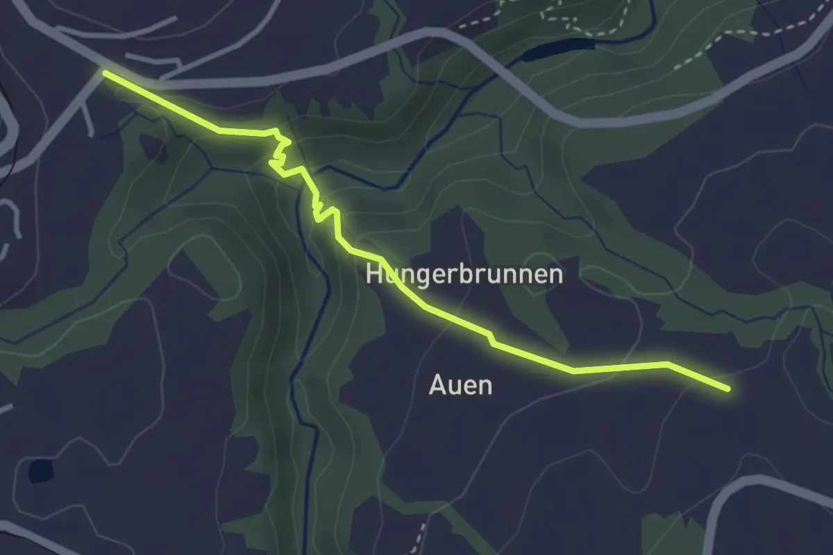
Vorderhus – Oertismüli
2.2 km · ↑ 73 m · 41 min
Medium · Trail
Zöpfen – Auerhof
3.2 km · ↑ 164 m · 1 h 7 min
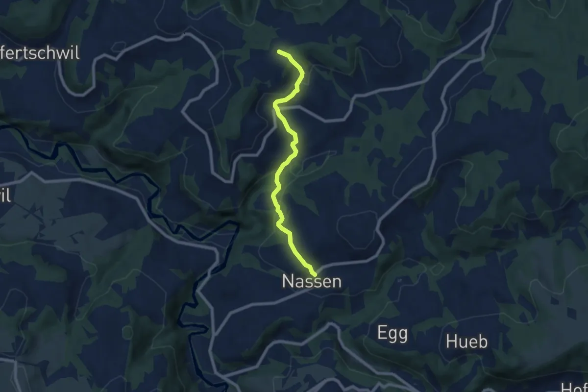
Easy · Trail
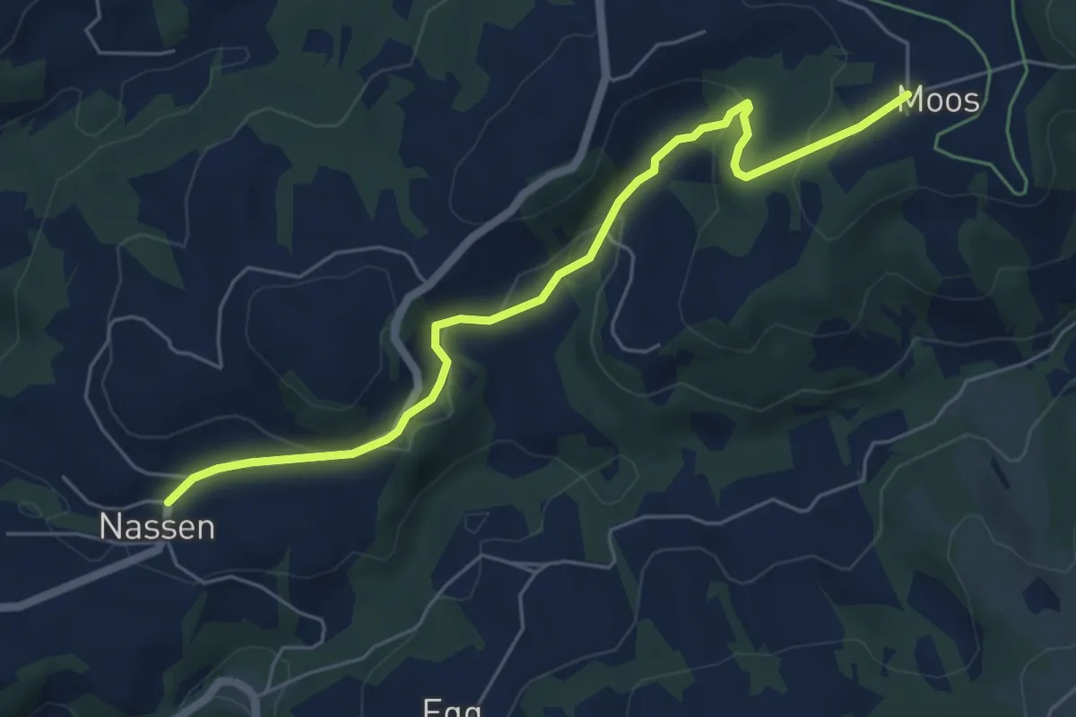
Nassen – Moos
5.8 km · ↑ 231 m · 1 h 53 min
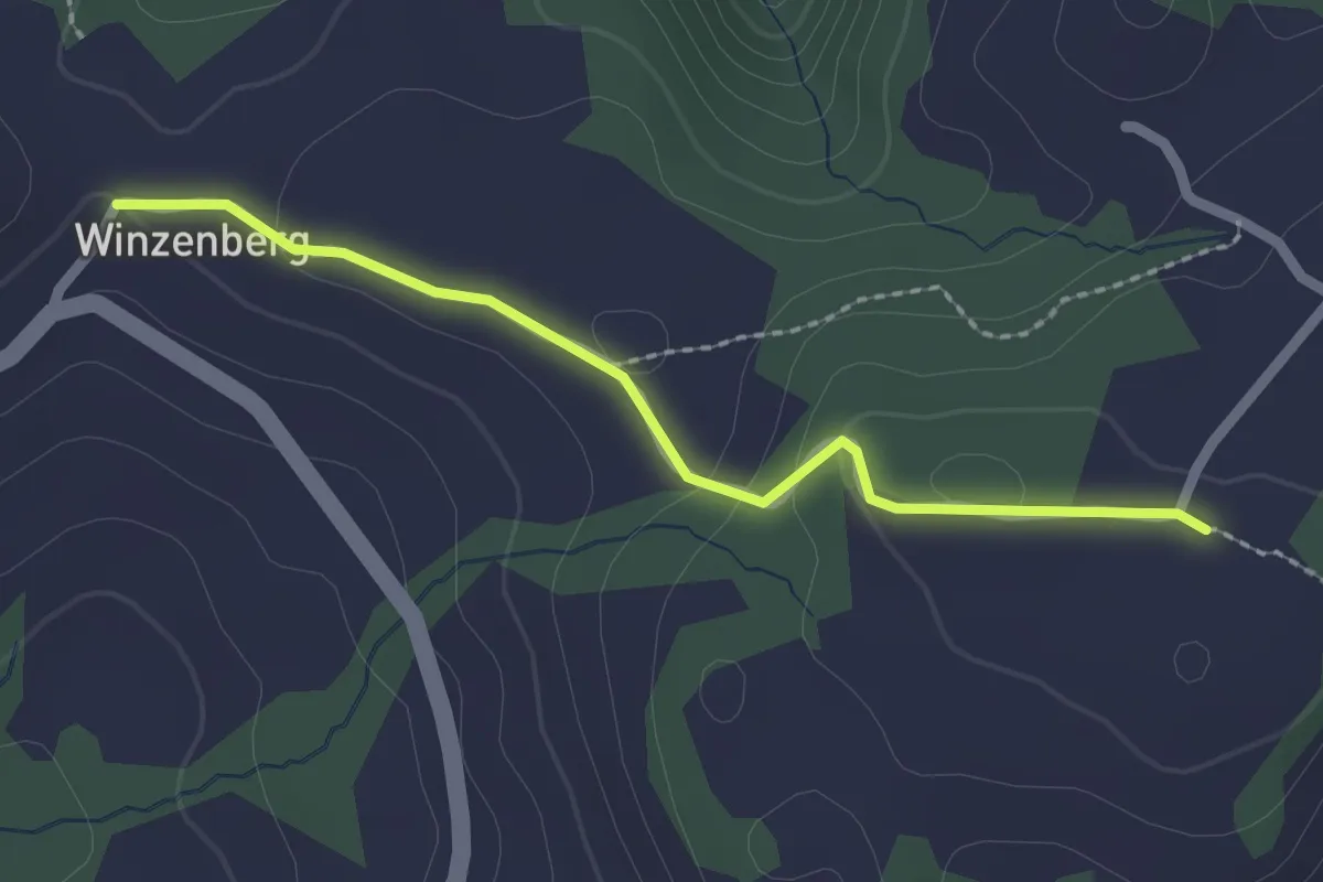
Easy · Trail
Nassen – Oberschauenberg
5.8 km · ↑ 253 m · 1 h 55 min
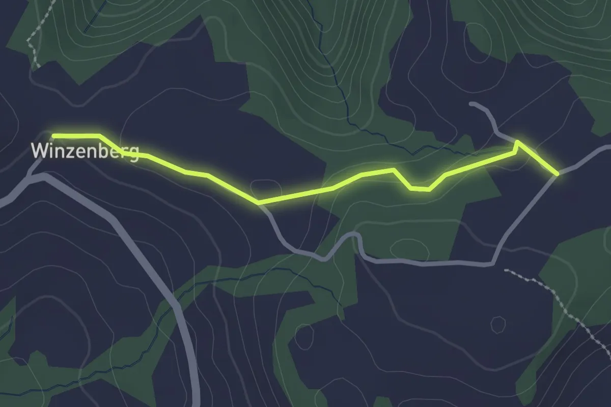
Easy · Trail
Oberschauenberg – Winzenberg
2.1 km · ↑ 52 m · 36 min
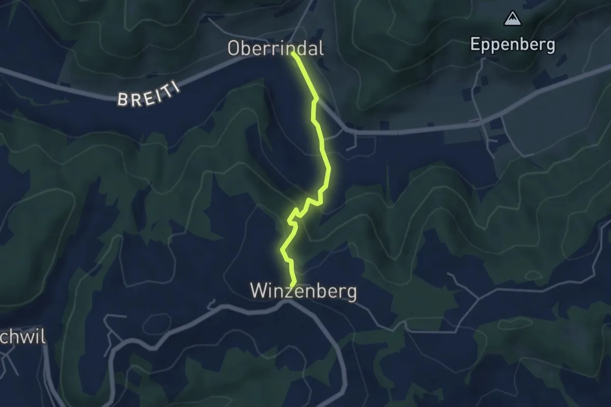
Easy · Trail
Unterschauenberg – Winzenberg
2.2 km · ↑ 42 m · 37 min
Easy · Trail
Winzenberg – Oberrindal
3.1 km · ↑ 186 m · 1 h 9 min
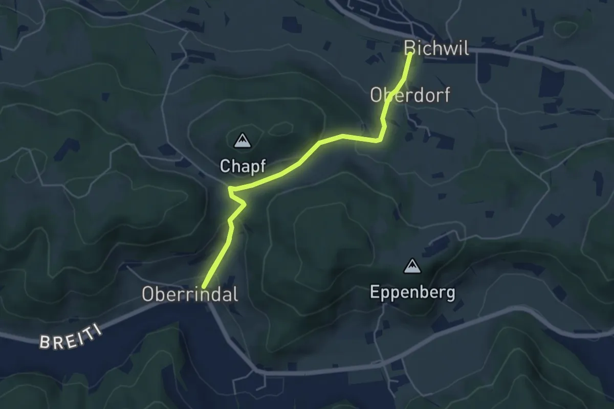
Easy · Trail
Oberrindal – Bichwil
4.9 km · ↑ 253 m · 1 h 43 min
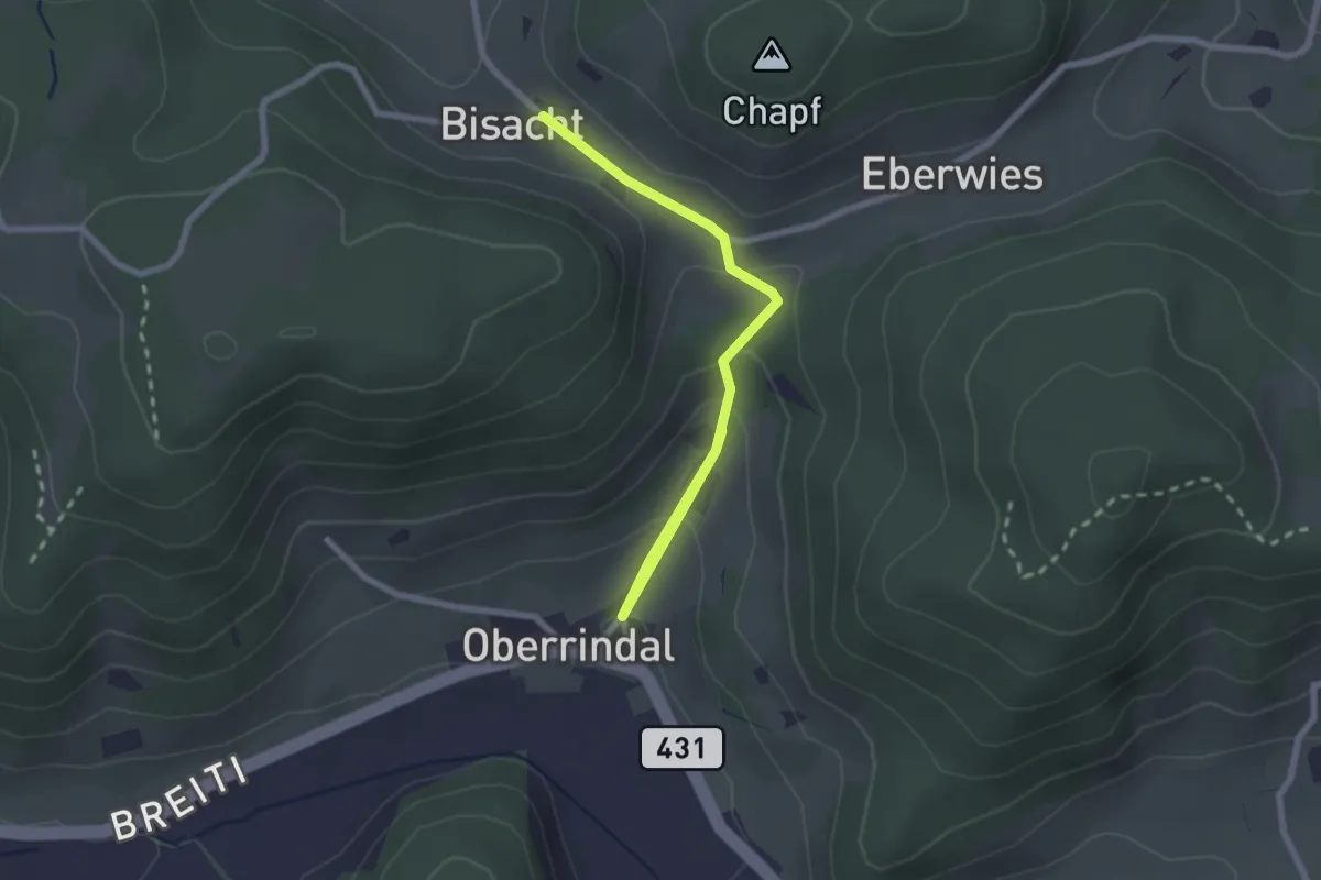
Easy · Trail
Oberrindal – Bisacht
2.6 km · ↑ 121 m · 53 min
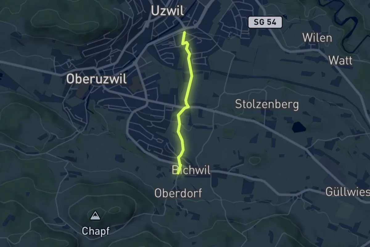
Easy · Trail
Bichwil – Uzwil Lindenplatz
3.7 km · ↑ 110 m · 1 h 6 min
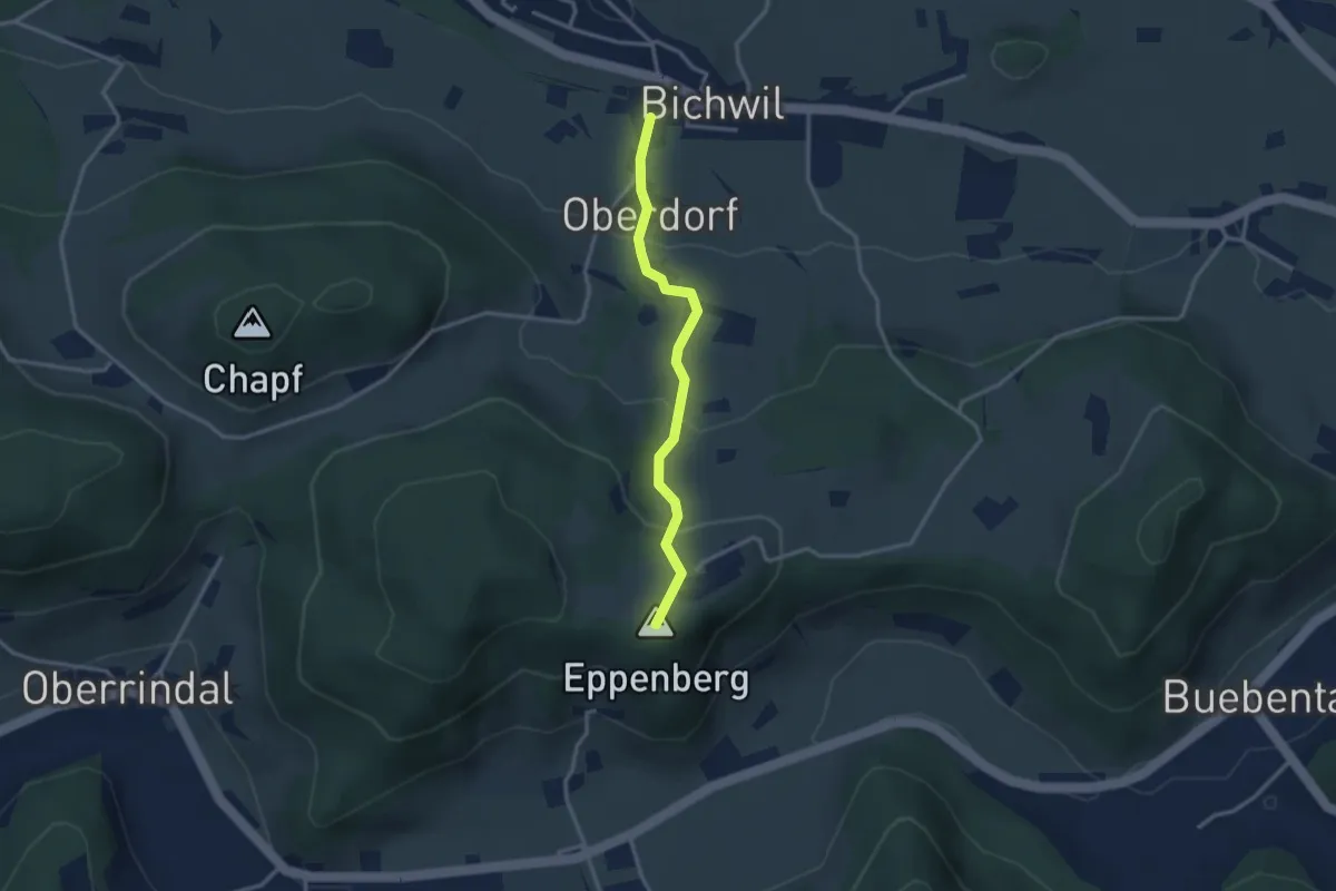
Easy · Summit
Bichwil – Eppenberg
2.8 km · ↑ 161 m · 1 h
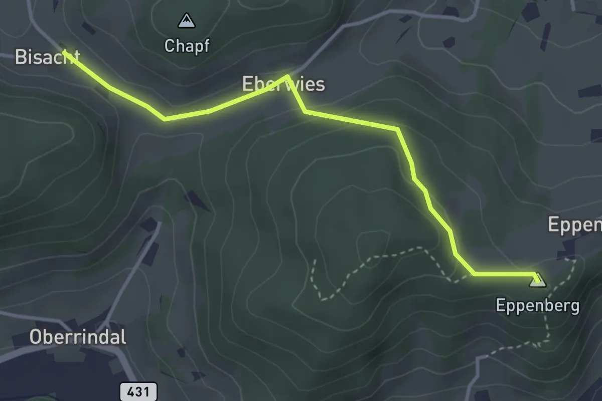
Easy · Summit
Bisacht – Eppenberg
3.4 km · ↑ 94 m · 1 h 1 min
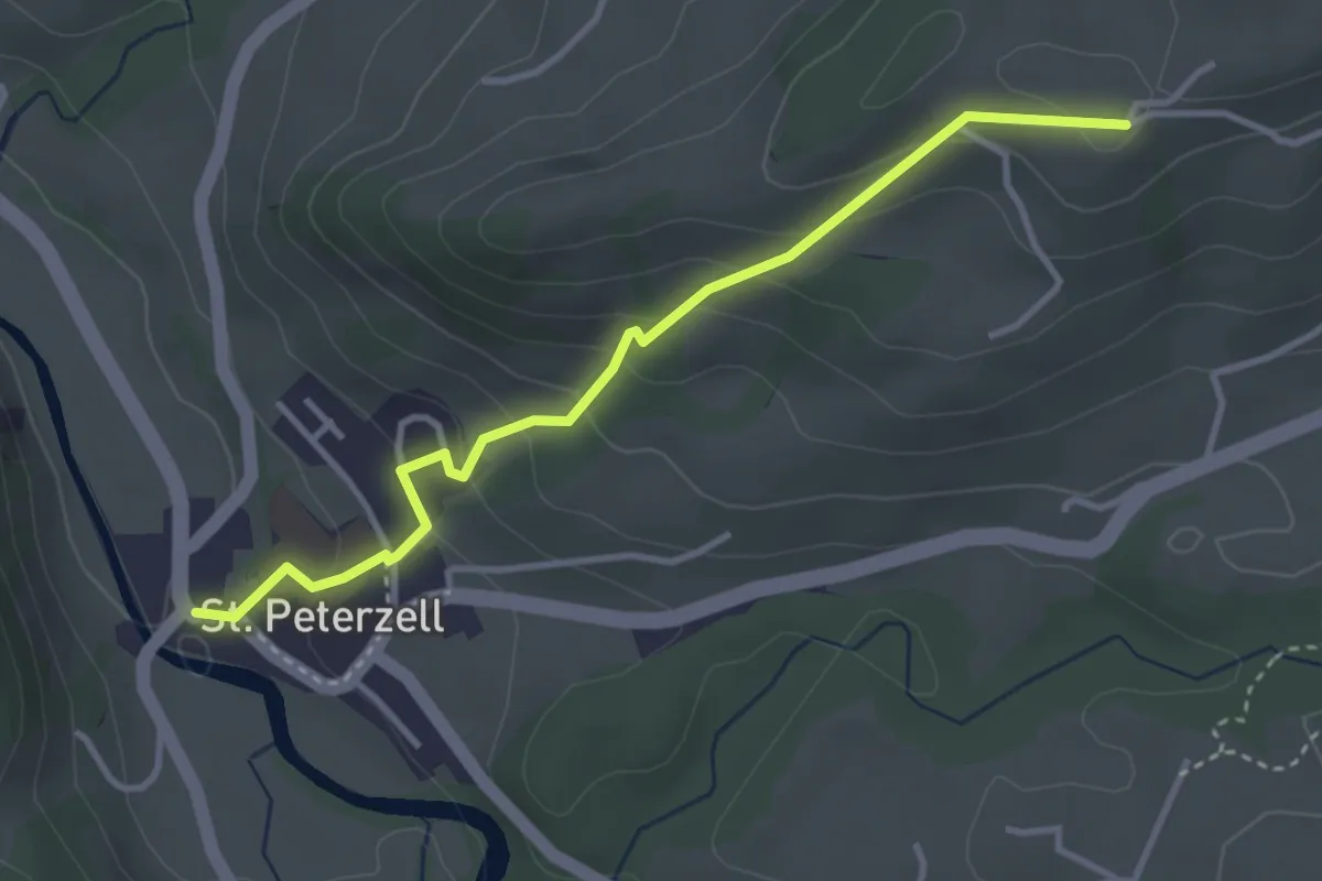
Easy · Trail
St. Peterzell – Ämisegg
3.5 km · ↑ 219 m · 1 h 18 min
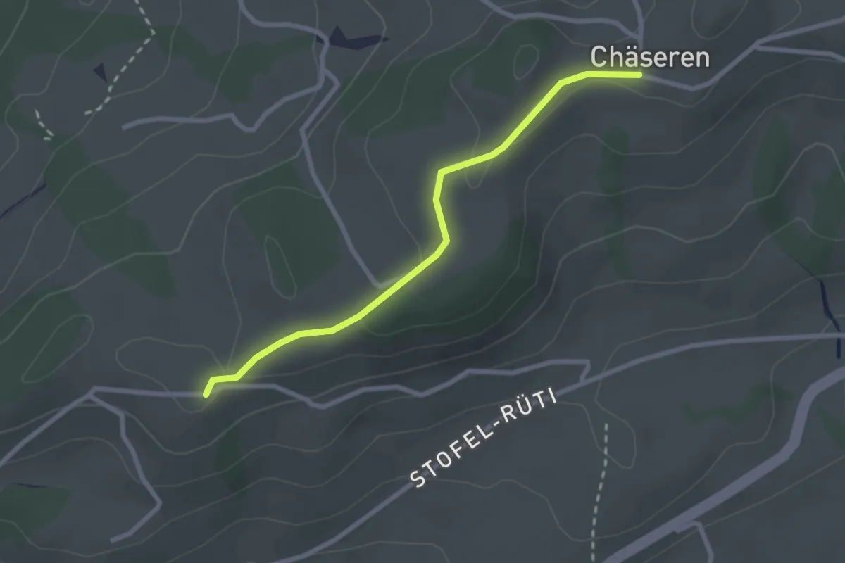
Easy · Trail
Ämisegg – Chäseren
2.5 km · ↑ 50 m · 41 min
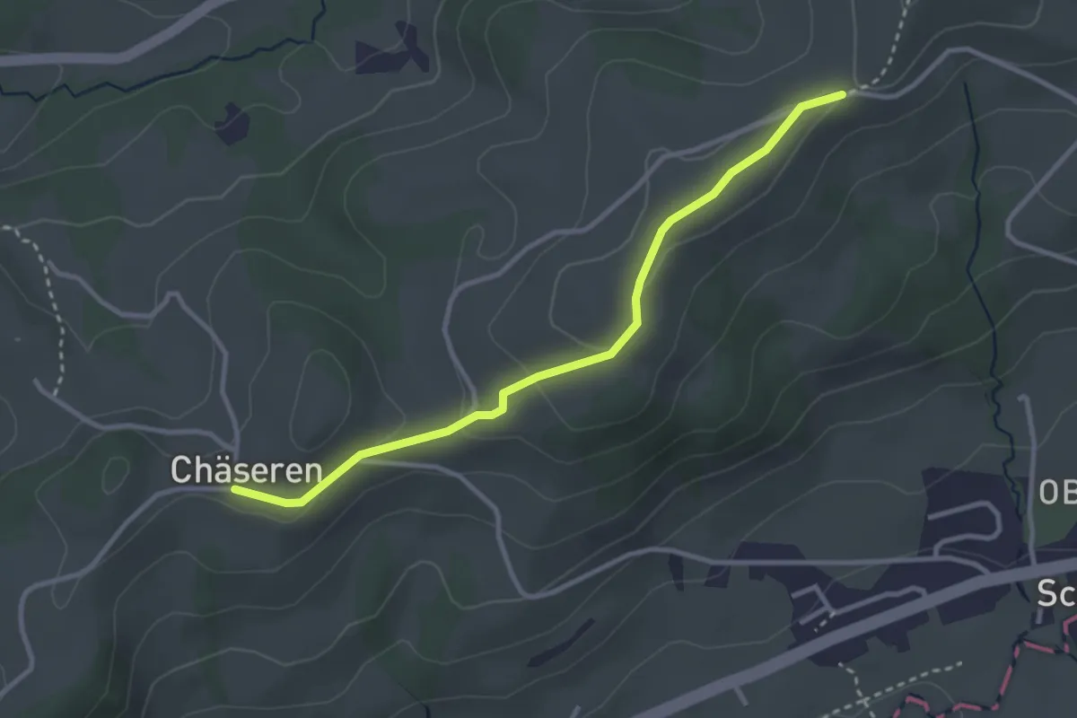
Easy · Trail
Chäseren – Arnig
3.1 km · ↑ 66 m · 52 min
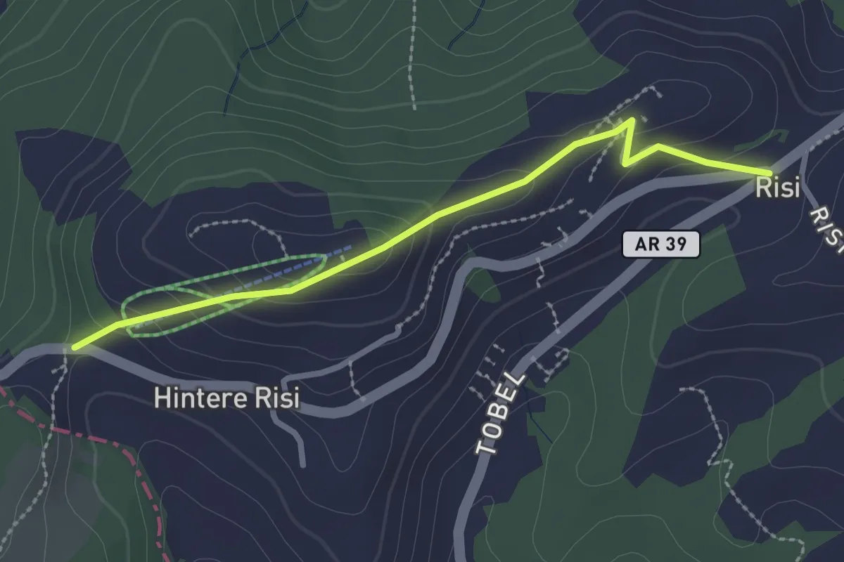
Easy · Trail
Landscheidi – Risi
2.5 km · ↑ 115 m · 50 min
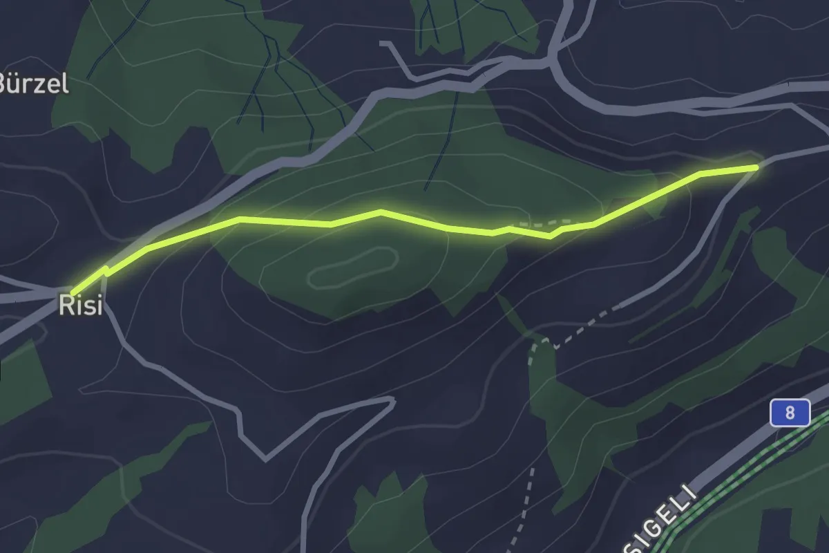
Easy · Trail
Risi – Högg
2.5 km · ↑ 154 m · 55 min
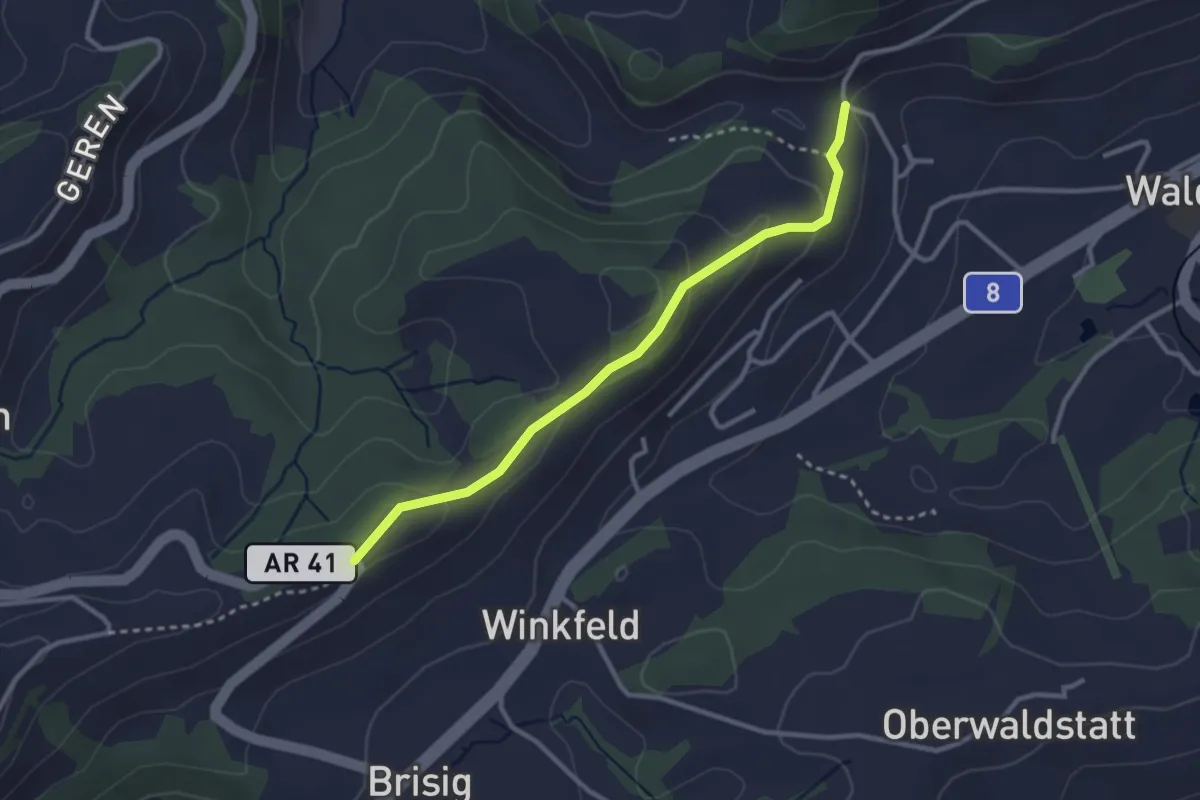
Easy · Trail
Säntisblick – Vollhofstatt
2.9 km · ↑ 113 m · 55 min
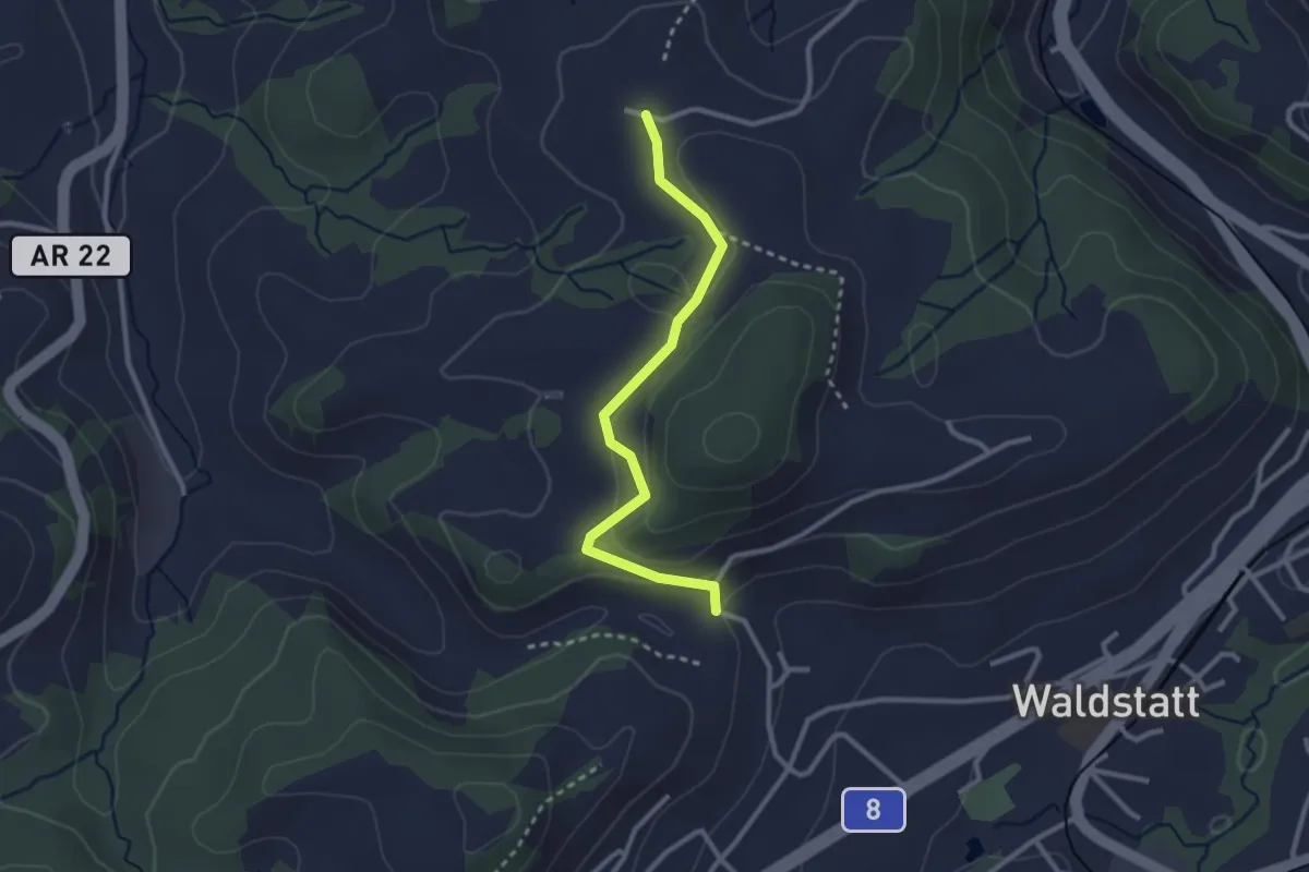
Easy · Trail
Vollhofstatt – Nieschberg
2.6 km · ↑ 92 m · 49 min
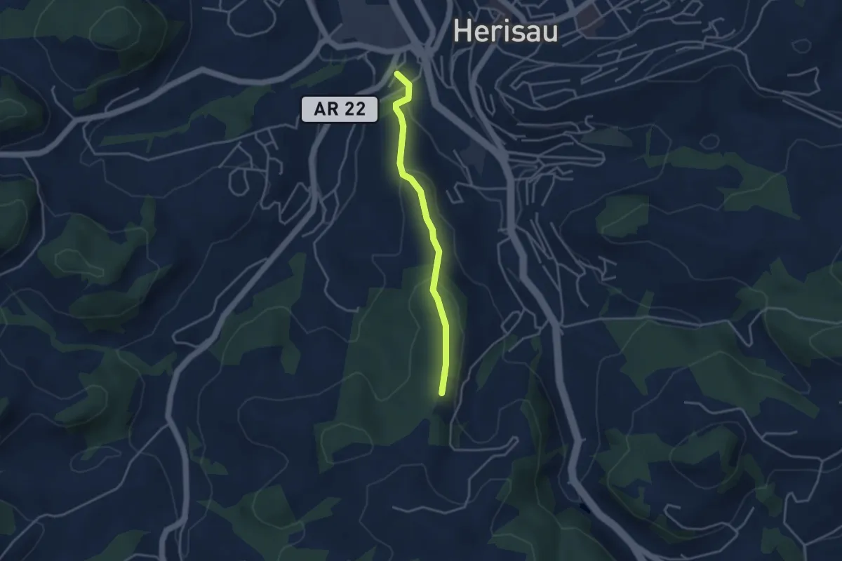
Easy · Trail
Kofholz – Mühlehof
3.1 km · ↑ 122 m · 1 h
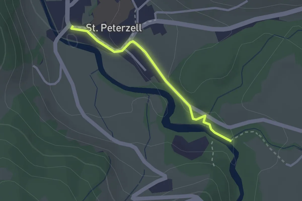
Easy · Trail
St. Peterzell – Neckerwis
2.0 km · ↑ 61 m · 36 min
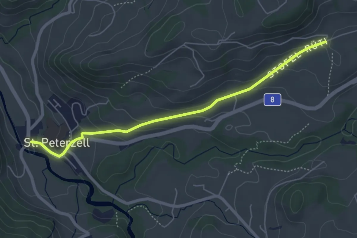
Easy · Trail
St. Peterzell – Stofel
4.7 km · ↑ 166 m · 1 h 29 min
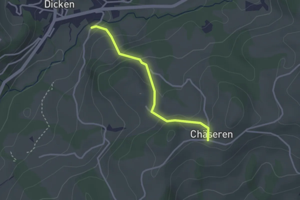
Easy · Trail
Chäseren – Dicken
2.4 km · ↑ 146 m · 53 min