Trails in Switzerland
15,055 hiking trails, each with its route, climb, walking time and grade.
All trails, page 308 of 314
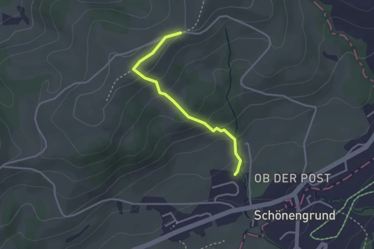
Easy · Trail
Arnig – Wald - Schönengrund
2.4 km · ↑ 157 m · 55 min
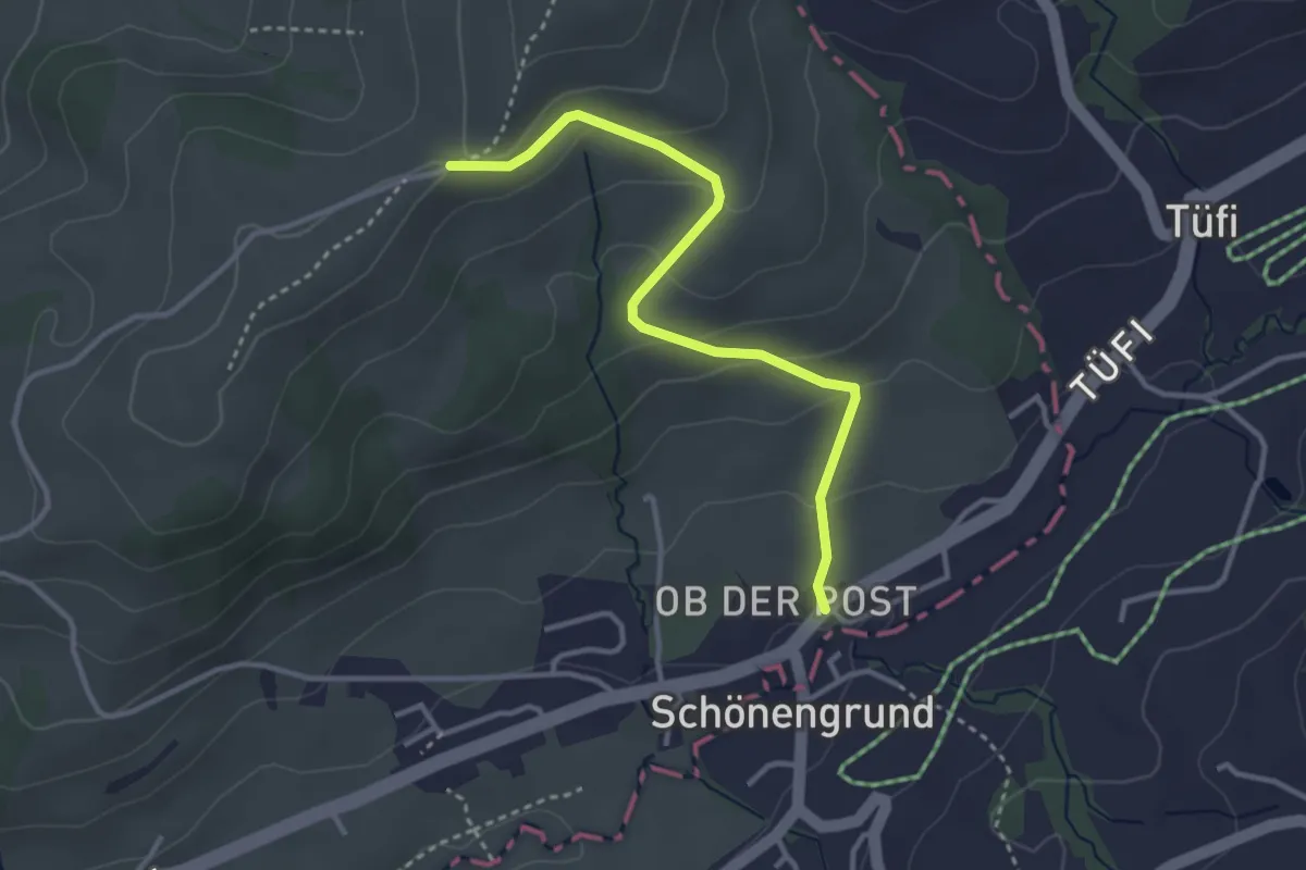
Easy · Trail
Arnig – Wald - Schönengrund
3.3 km · ↑ 155 m · 1 h 7 min
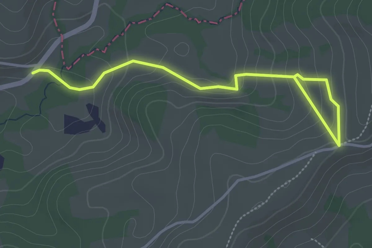
Easy · Trail
Arnig – Dicken
3.3 km · ↑ 154 m · 1 h 7 min
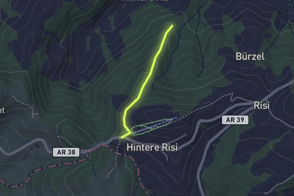
Easy · Trail
Landscheidi – Ghöregg
2.0 km · ↑ 126 m · 45 min
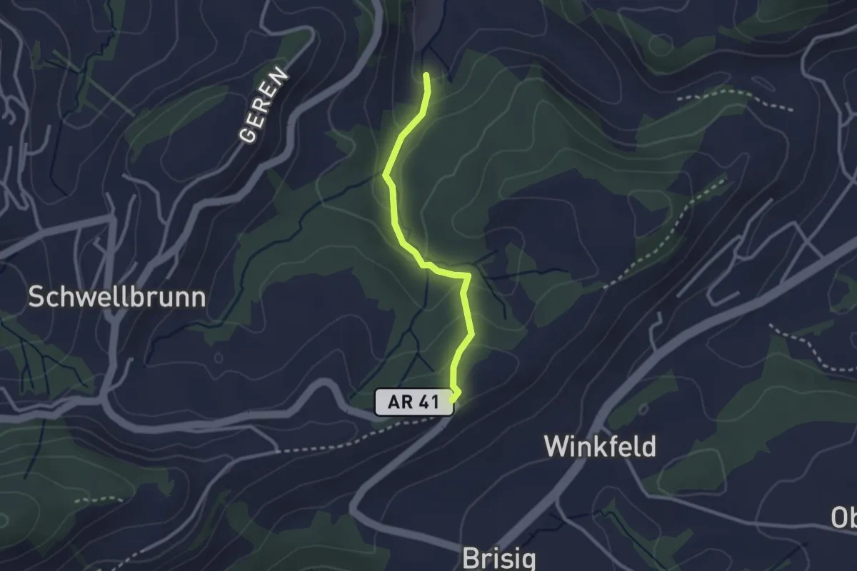
Easy · Trail
Säntisblick – Aedelswil
2.2 km · ↑ 128 m · 48 min
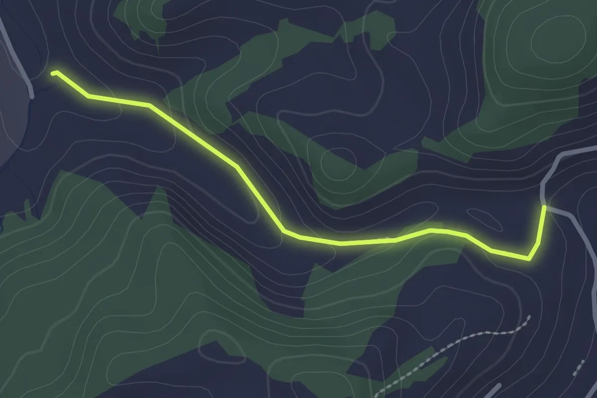
Easy · Trail
Vollhofstatt – Aedelswil
2.3 km · ↑ 67 m · 41 min
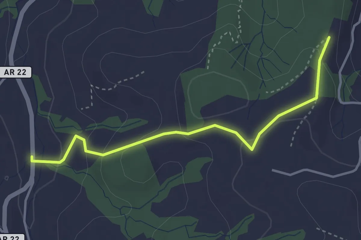
Easy · Trail
Obere Mülli – Kofholz
3.2 km · ↑ 152 m · 1 h 5 min
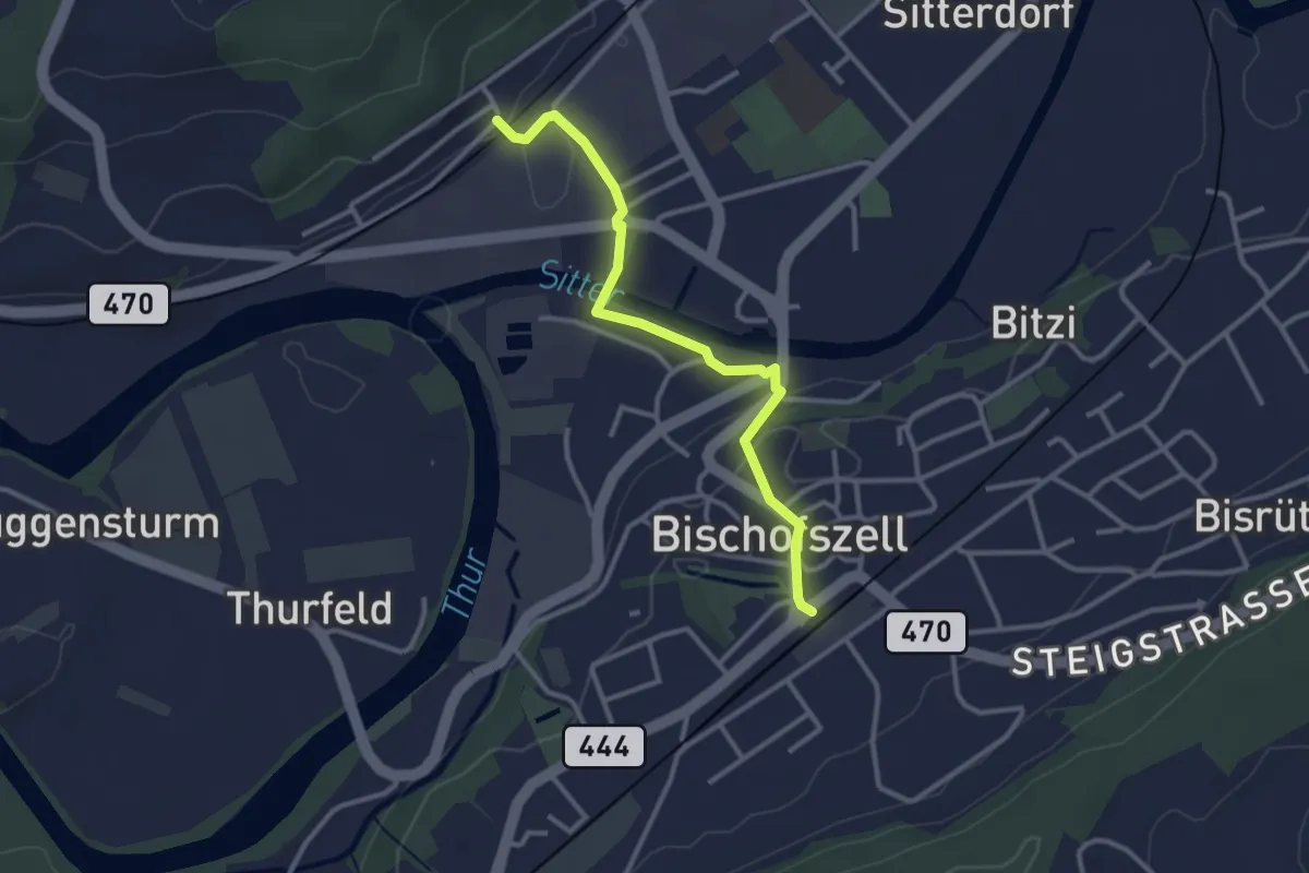
Easy · Trail
Bischofszell – Bischofszell Nord
3.0 km · ↑ 55 m · 49 min
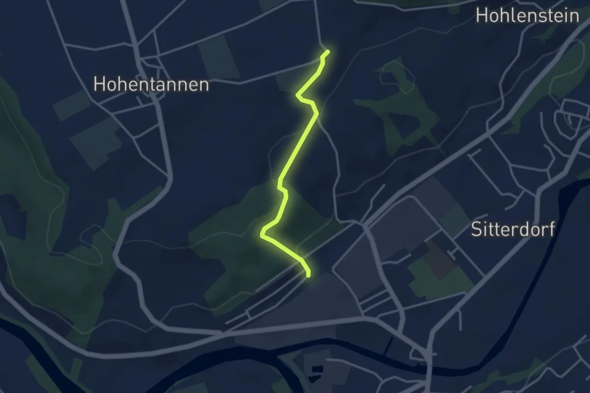
Easy · Trail
Bischofszell Nord – Hummelberg
2.6 km · ↑ 92 m · 48 min
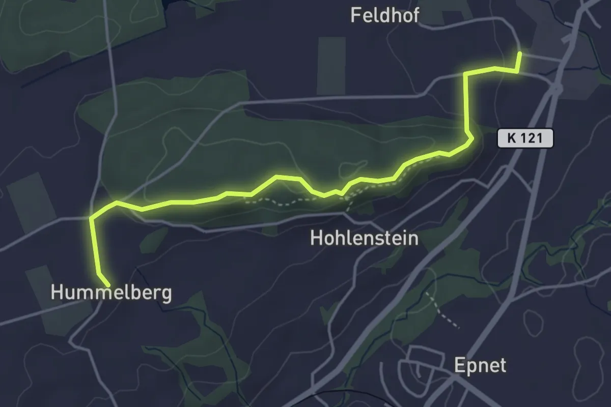
Easy · Trail
Hummelberg – Zihlschlacht
4.3 km · ↑ 118 m · 1 h 17 min
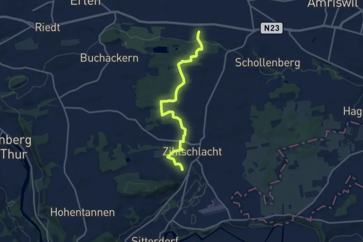
Medium · Trail
Zihlschlacht – Biessenhofen
9.7 km · ↑ 185 m · 2 h 41 min
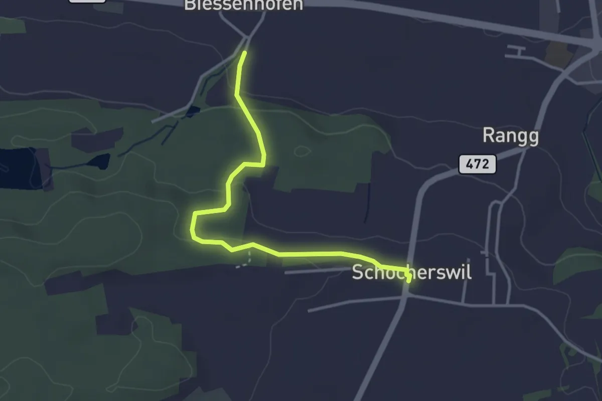
Easy · Trail
Schocherswil – Buckackern
3.3 km · ↑ 83 m · 57 min
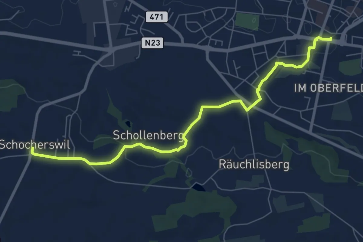
Easy · Trail
Schocherswil – Amriswil Marktplatz
6.8 km · ↑ 91 m · 1 h 48 min
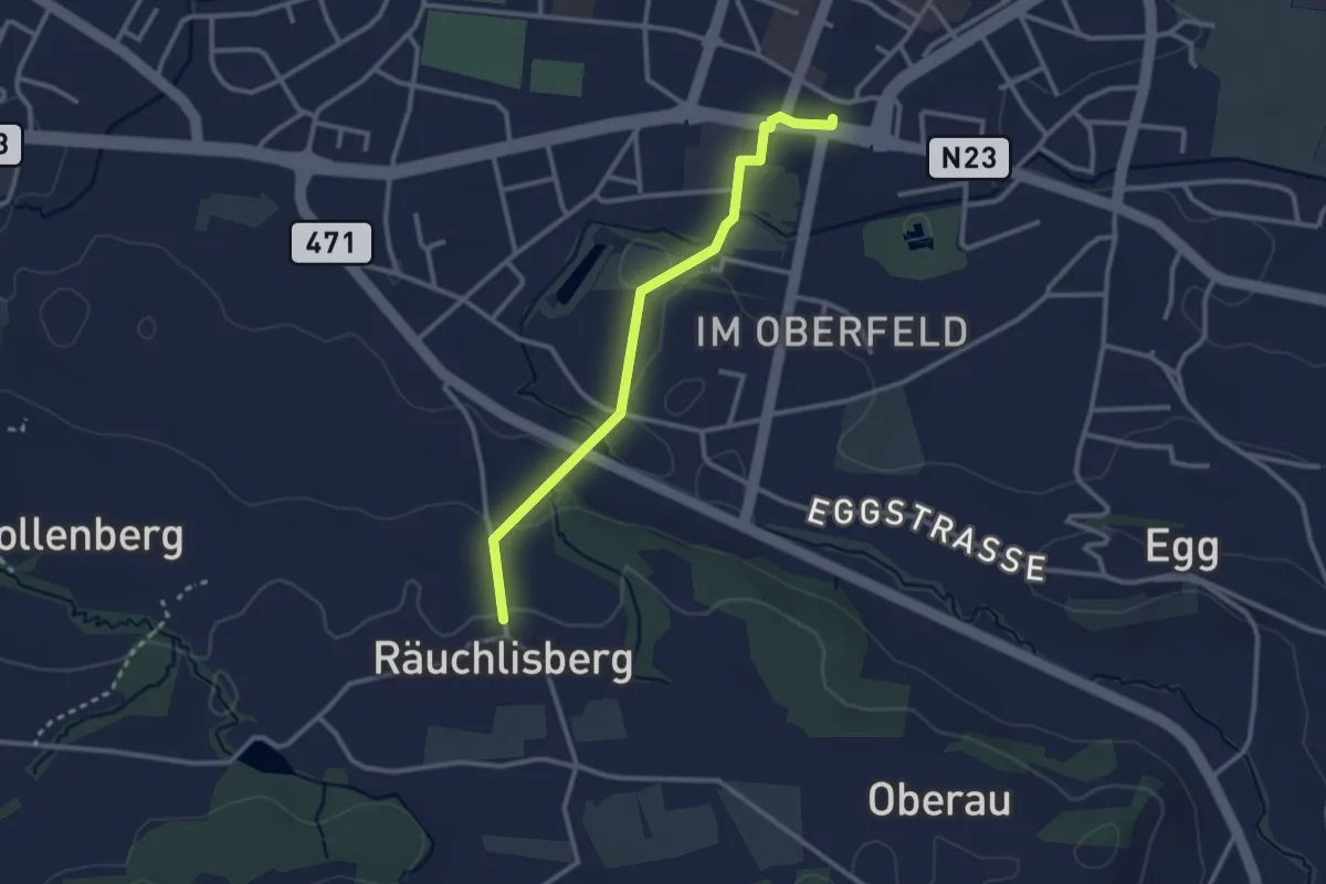
Easy · Trail
Räuchlisberg – Amriswil Marktplatz
2.7 km · ↑ 49 m · 45 min
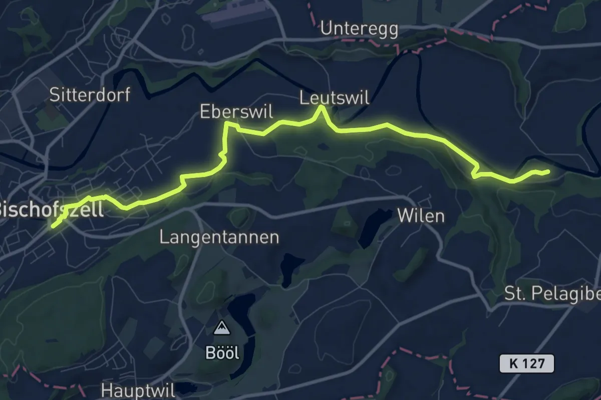
Medium · Trail
Gertau Sitterfähre – Bischofszell Bahnhof
10.9 km · ↑ 180 m · 2 h 58 min
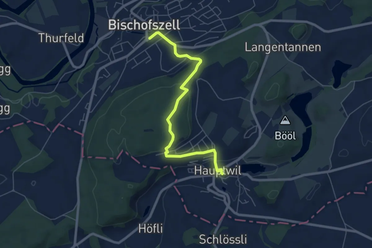
Easy · Trail
Hauptwil – Bischofzell Bahnhof
5.7 km · ↑ 186 m · 1 h 44 min
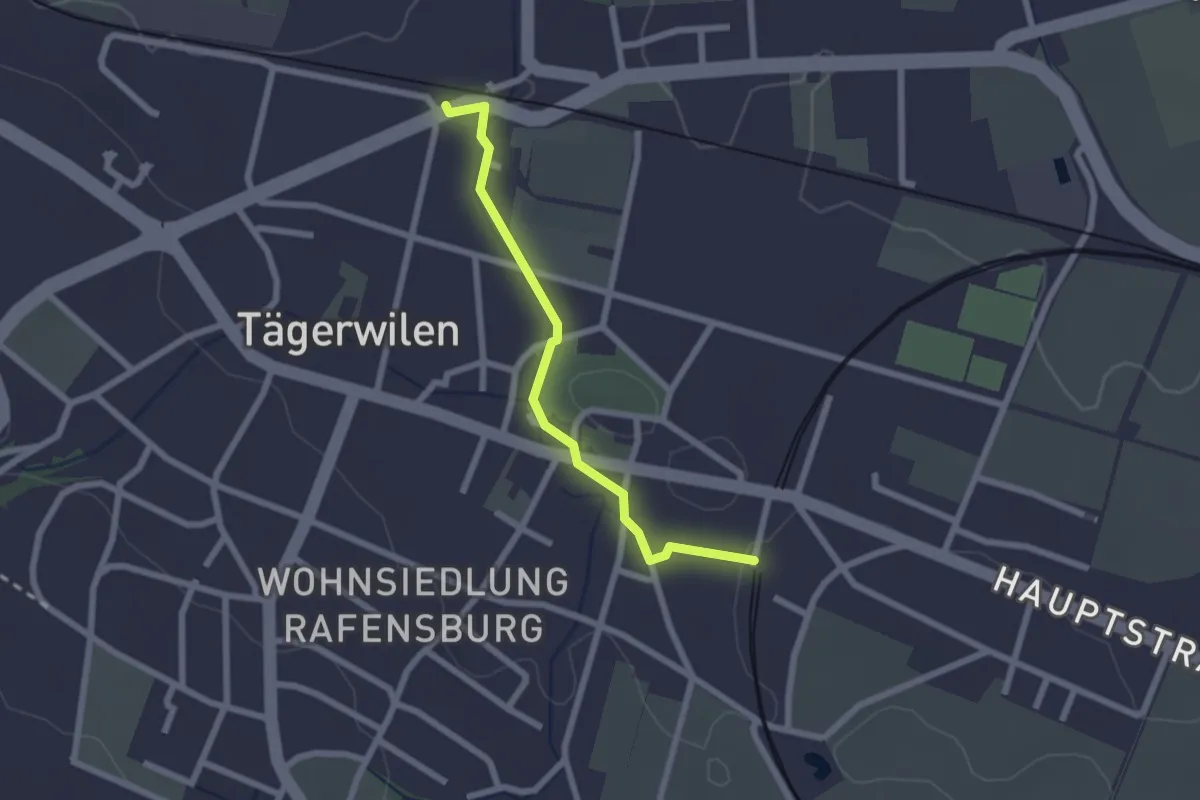
Easy · Trail
Tägerwilen-Gottlieben – Tägerwilen Dorf
2.1 km · ↑ 14 m · 31 min
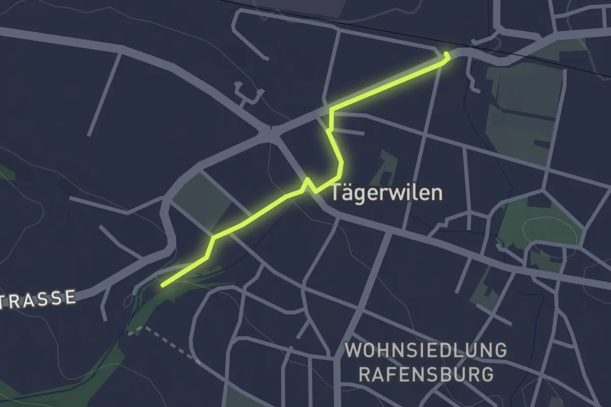
Easy · Trail
Tägerwilen-Gottlieben – Kreuzlingen
2.1 km · ↑ 38 m · 35 min
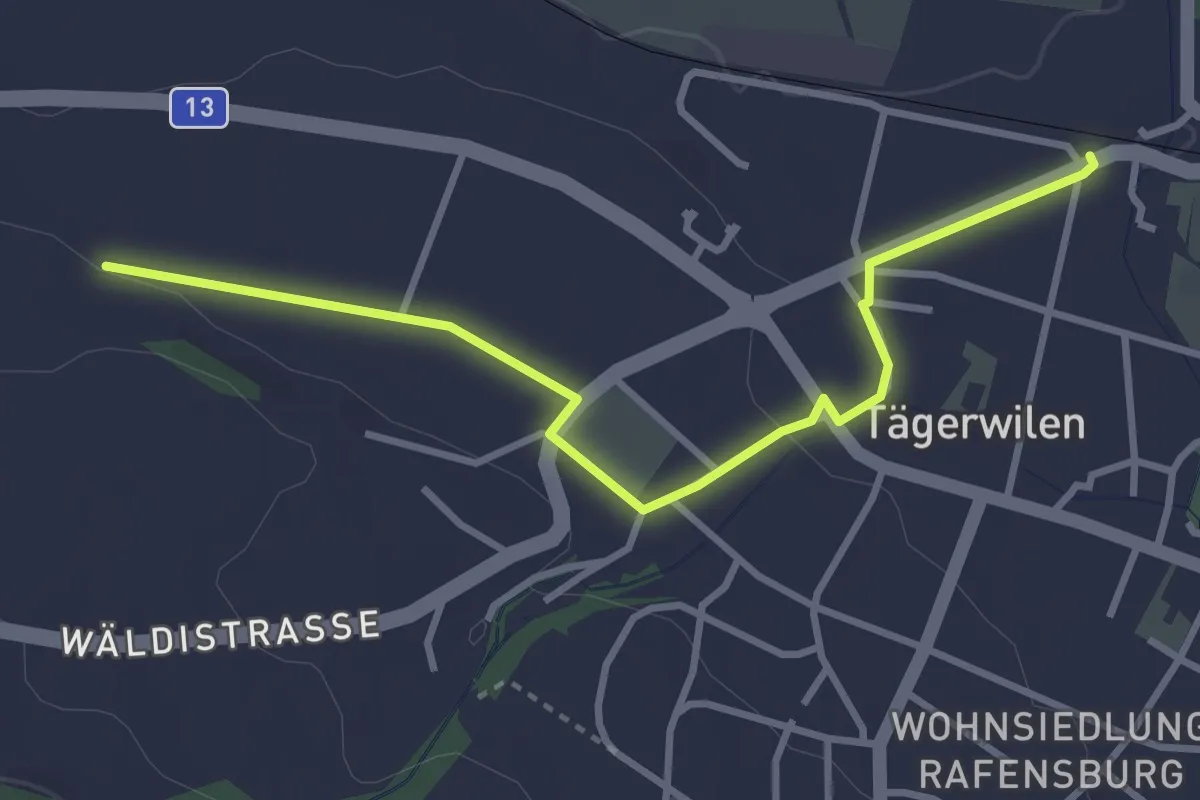
Easy · Trail
Tägerwilen-Gottlieben – Ermatingen
3.4 km · ↑ 39 m · 54 min
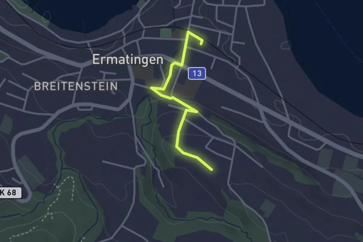
Easy · Trail
Ermatingen – Waldstette
2.7 km · ↑ 63 m · 46 min
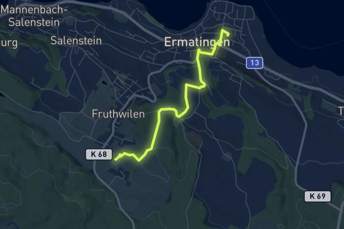
Easy · Trail
Hub – Ermatingen
6.7 km · ↑ 161 m · 1 h 55 min
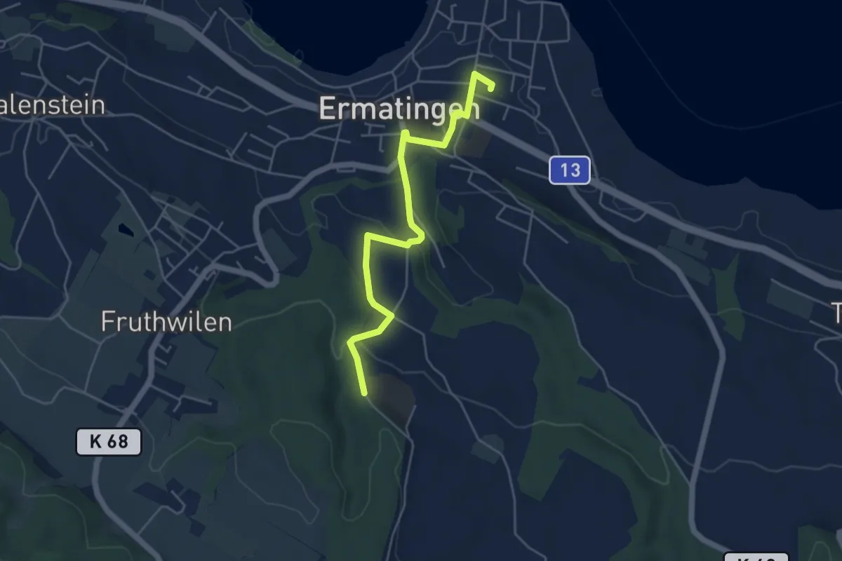
Easy · Trail
Ermatingen – Wolfsberg
4.5 km · ↑ 111 m · 1 h 19 min
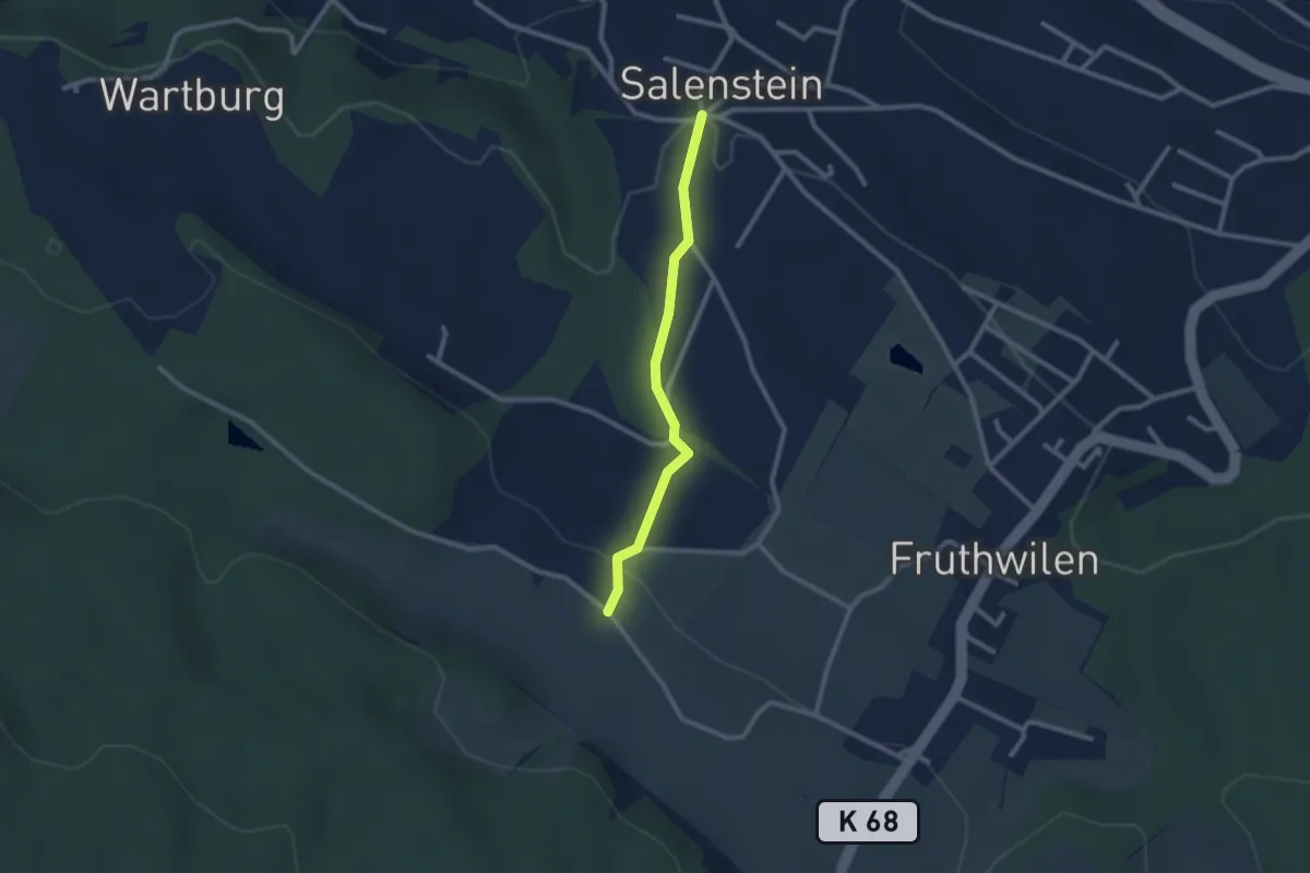
Easy · Trail
Adelmos – Salenstein
2.2 km · ↑ 58 m · 38 min
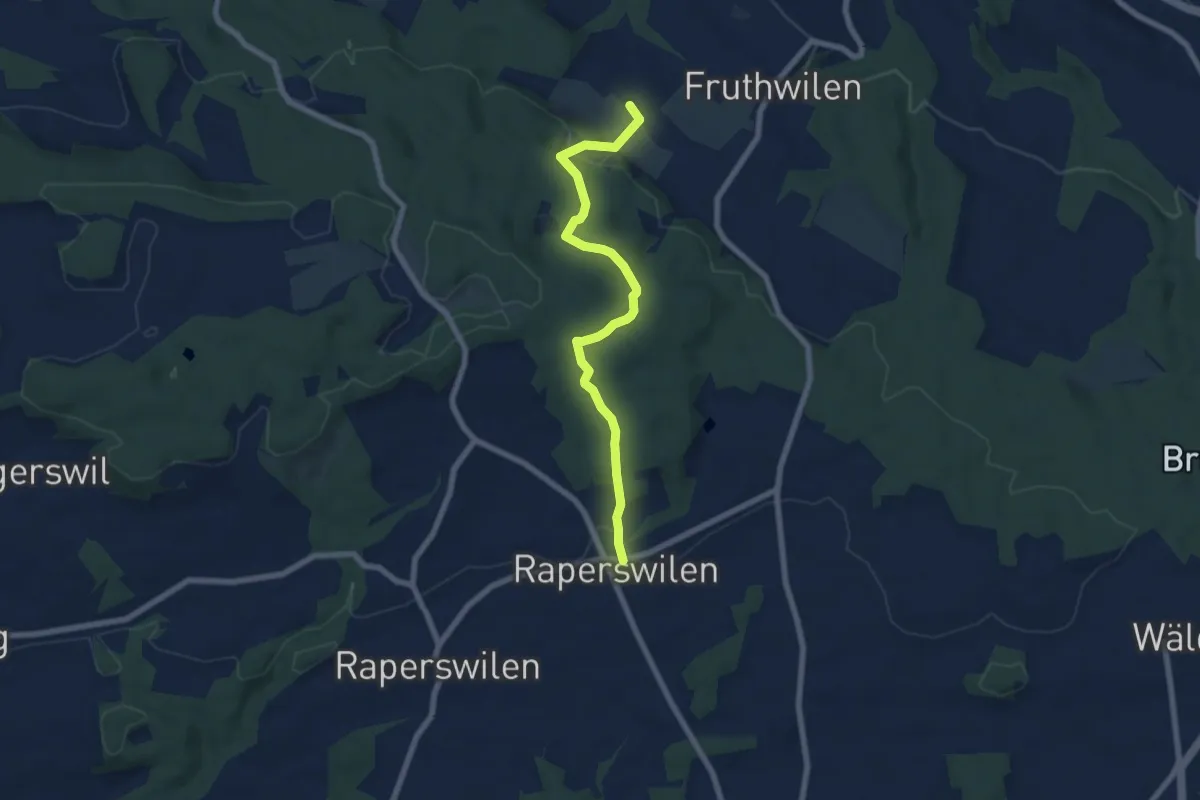
Easy · Trail
Adelmos – Fischbach
6.7 km · ↑ 239 m · 2 h 6 min
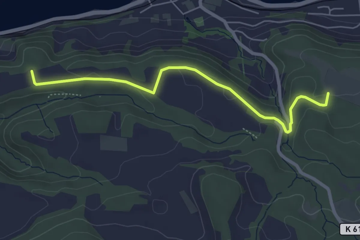
Easy · Trail
Burst – Langenärgete
5.0 km · ↑ 63 m · 1 h 18 min
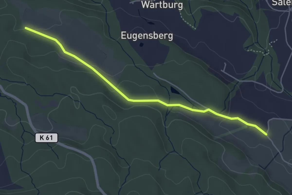
Easy · Trail
Burst – Adelmos
4.3 km · ↑ 78 m · 1 h 12 min
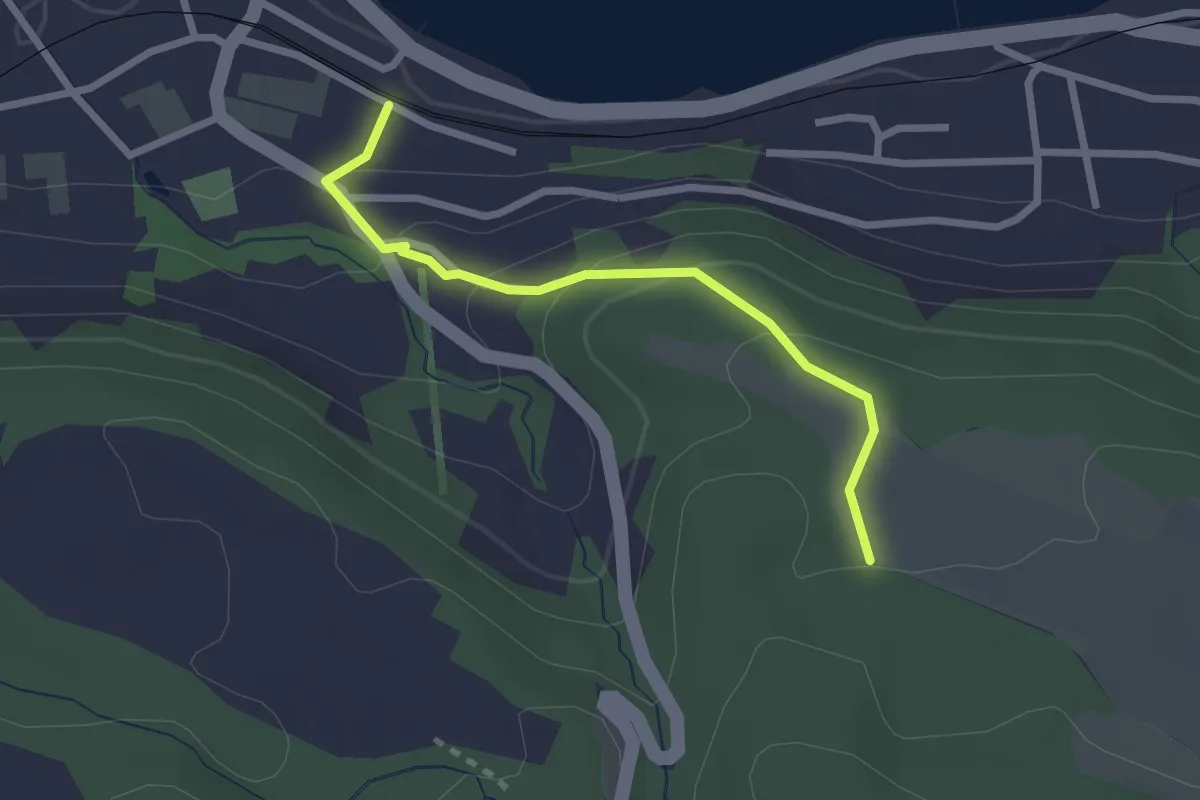
Easy · Trail
Berlingen – Burst
2.3 km · ↑ 136 m · 50 min
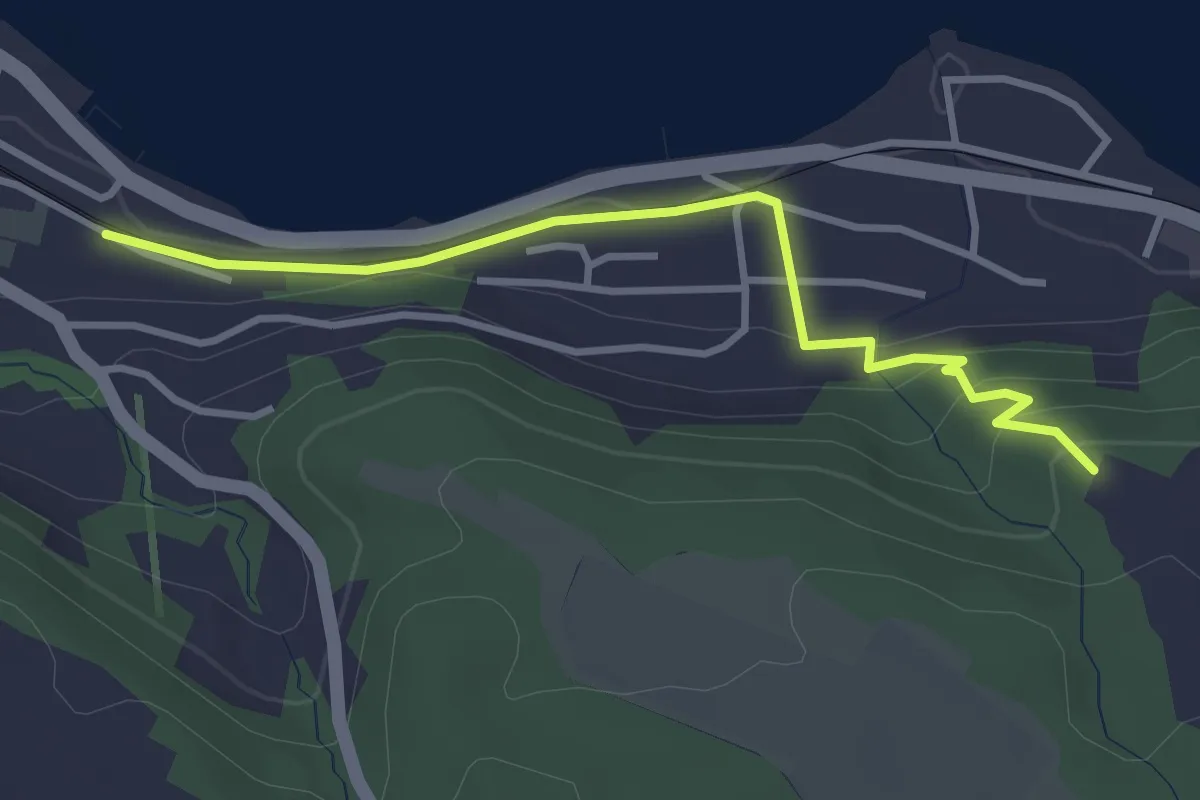
Easy · Trail
Berlingen – Sandegg
3.3 km · ↑ 102 m · 1 h
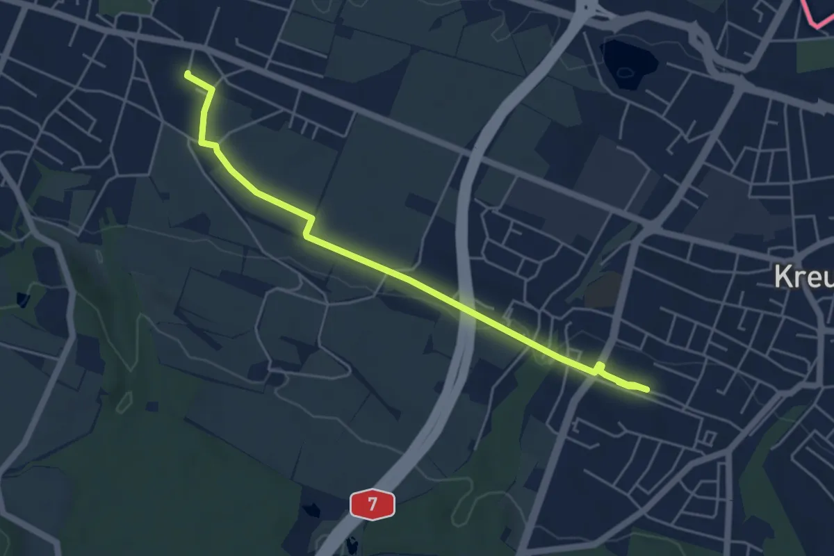
Easy · Trail
Kreuzlingen Bernrain – Tägerwilen Dorf
4.9 km · ↑ 37 m · 1 h 15 min
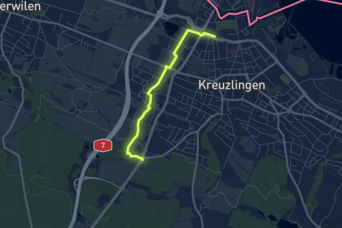
Easy · Trail
Kreuzlingen – Bernrain Kapelle
5.7 km · ↑ 120 m · 1 h 36 min
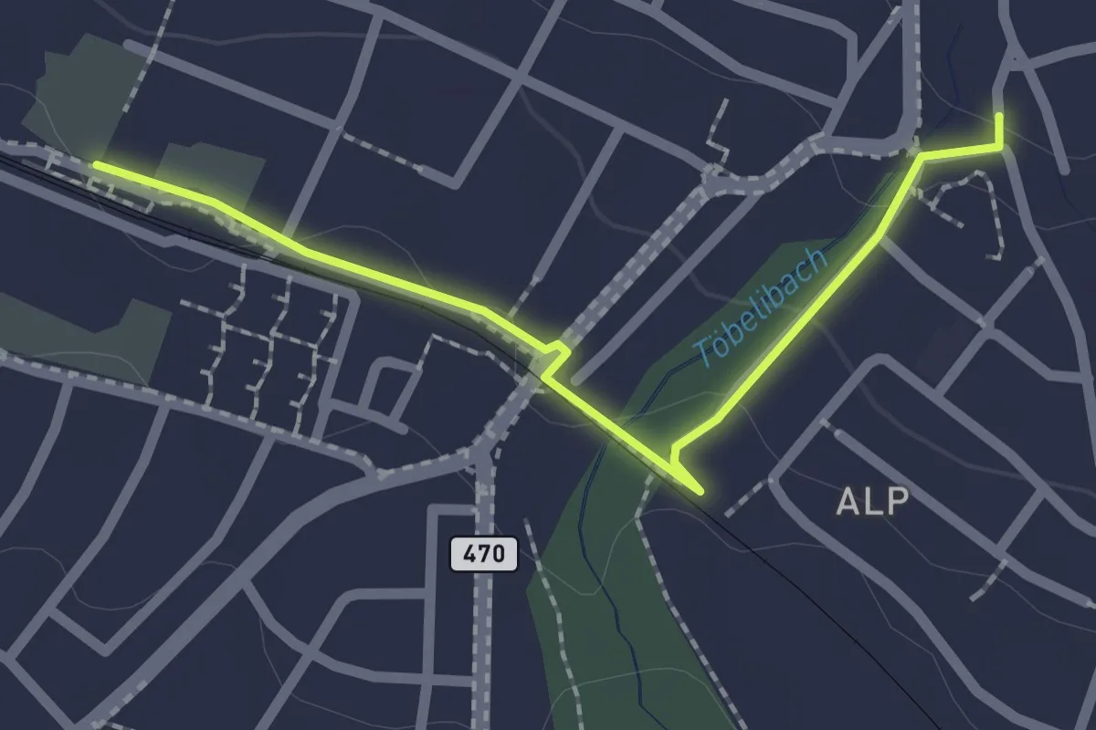
Easy · Trail
Kreuzlingen Bernrain – Kreuzlingen
2.1 km · ↑ 28 m · 33 min
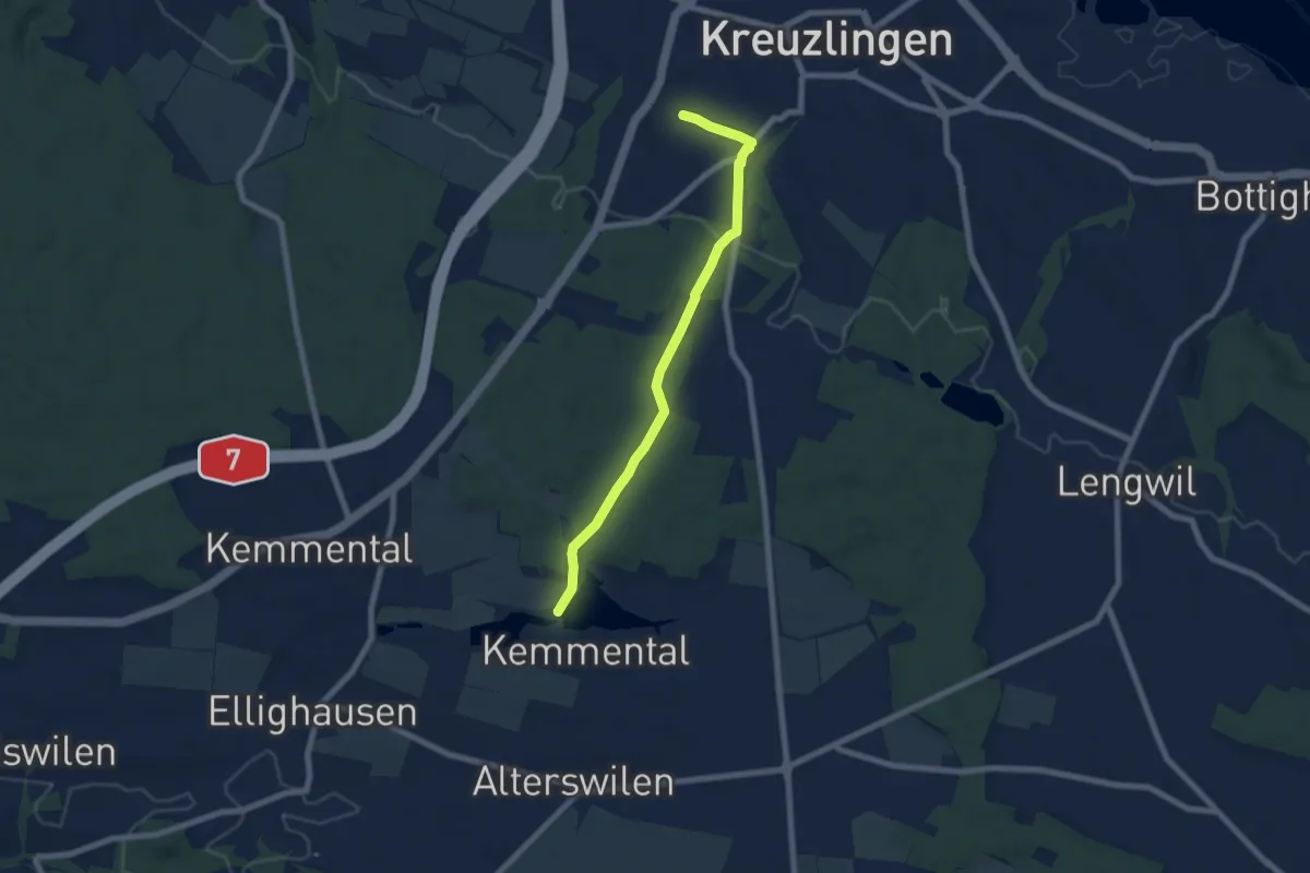
Easy · Trail
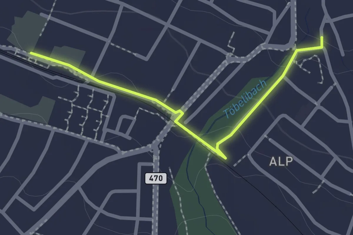
Bommer Weier – Kreuzlingen Bernrain
6.6 km · ↑ 137 m · 1 h 52 min
Easy · Trail
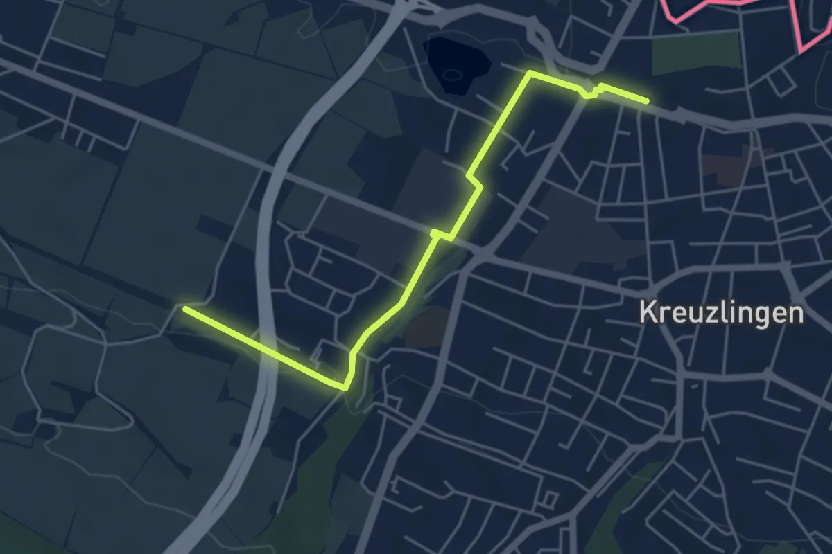
Kreuzlingen Bernrain – Kreuzlingen Hafen
2.1 km · ↑ 30 m · 33 min
Easy · Trail
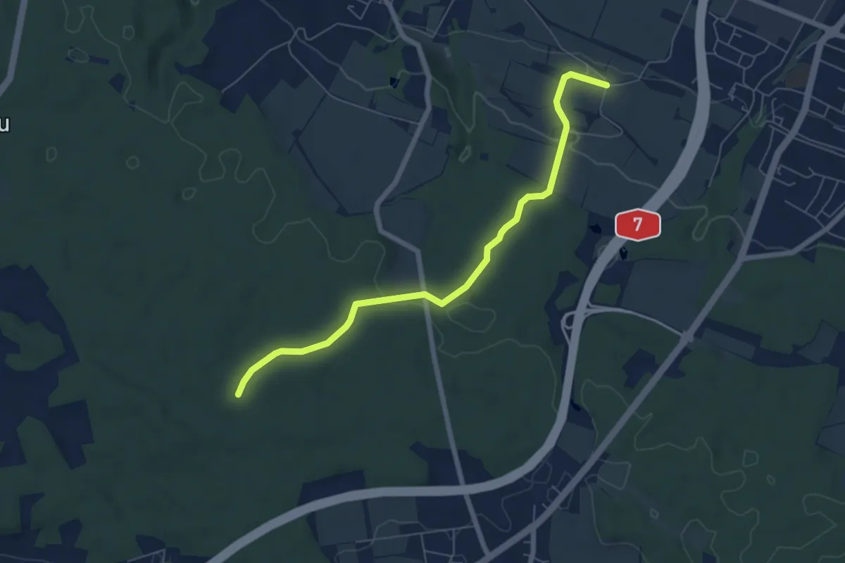
Kreuzlingen – Pfaffenbüel
4.6 km · ↑ 61 m · 1 h 13 min
Easy · Trail
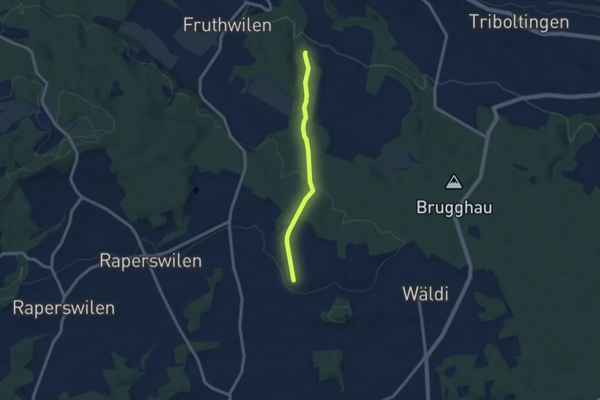
Pfaffenbüel – Oberstöcken
6.2 km · ↑ 113 m · 1 h 43 min
Easy · Trail
Gunterswilen – Wolfsberg
5.2 km · ↑ 124 m · 1 h 30 min
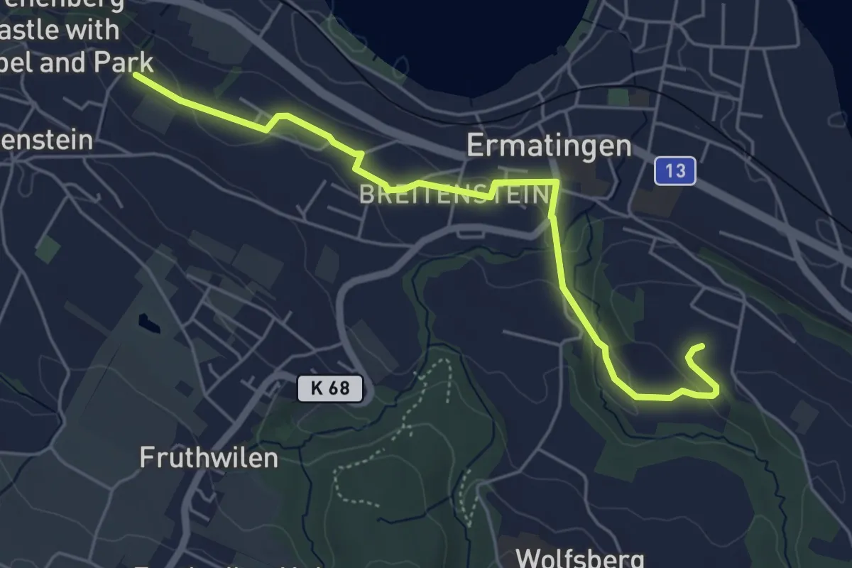
Easy · Trail
Arenenberg – Waldstette
5.2 km · ↑ 84 m · 1 h 25 min
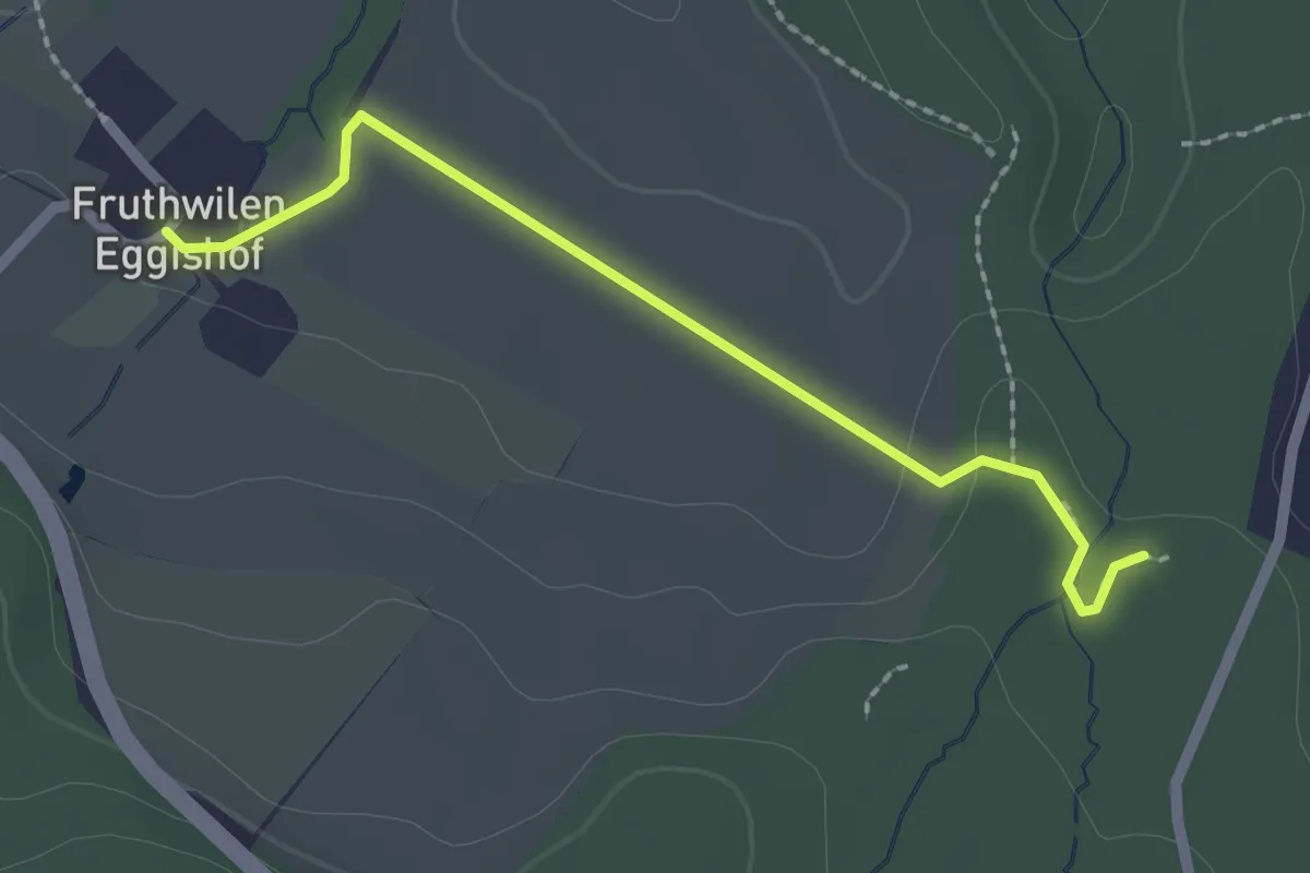
Easy · Trail
Eggishof – Wäldi Hohenrain Turm
2.1 km · ↑ 21 m · 32 min
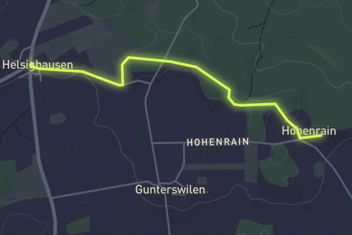
Easy · Trail
Wäldi Hohenrain Turm – Helsighausen
3.9 km · ↑ 41 m · 1 h 1 min
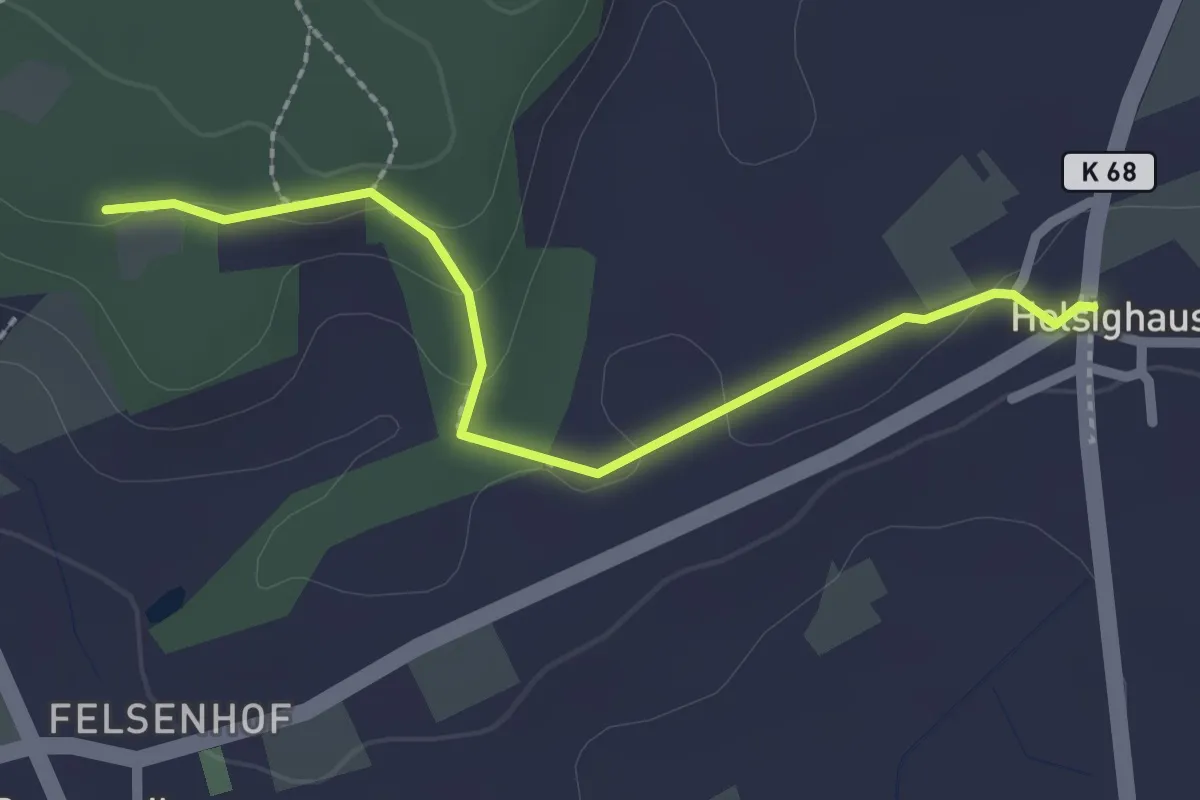
Easy · Trail
Helsighausen – Büren
2.2 km · ↑ 37 m · 36 min
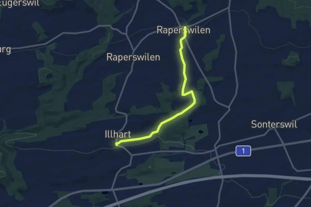
Easy · Trail
Illhart – Fischbach
7.1 km · ↑ 96 m · 1 h 53 min
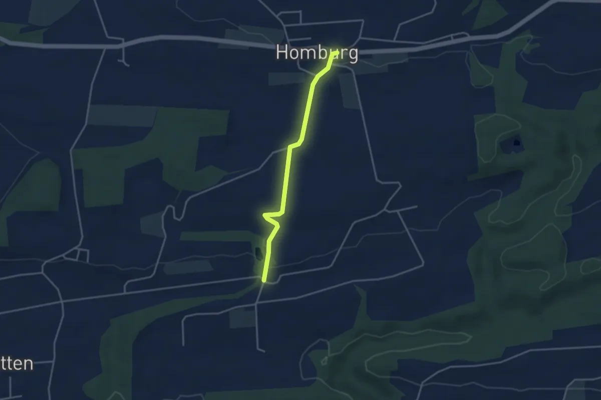
Easy · Trail
Schloss Klingenberg – Homburg
3.1 km · ↑ 62 m · 52 min
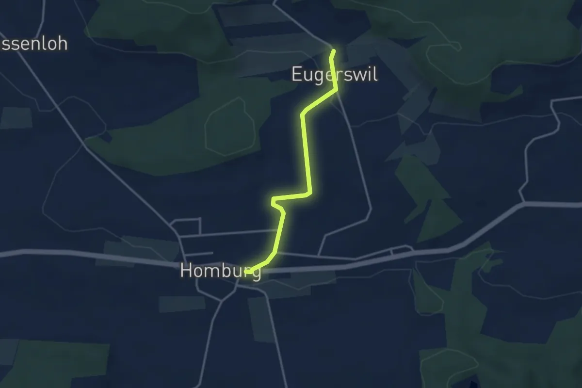
Easy · Trail
Homburg – Eugerswil
2.7 km · ↑ 50 m · 44 min
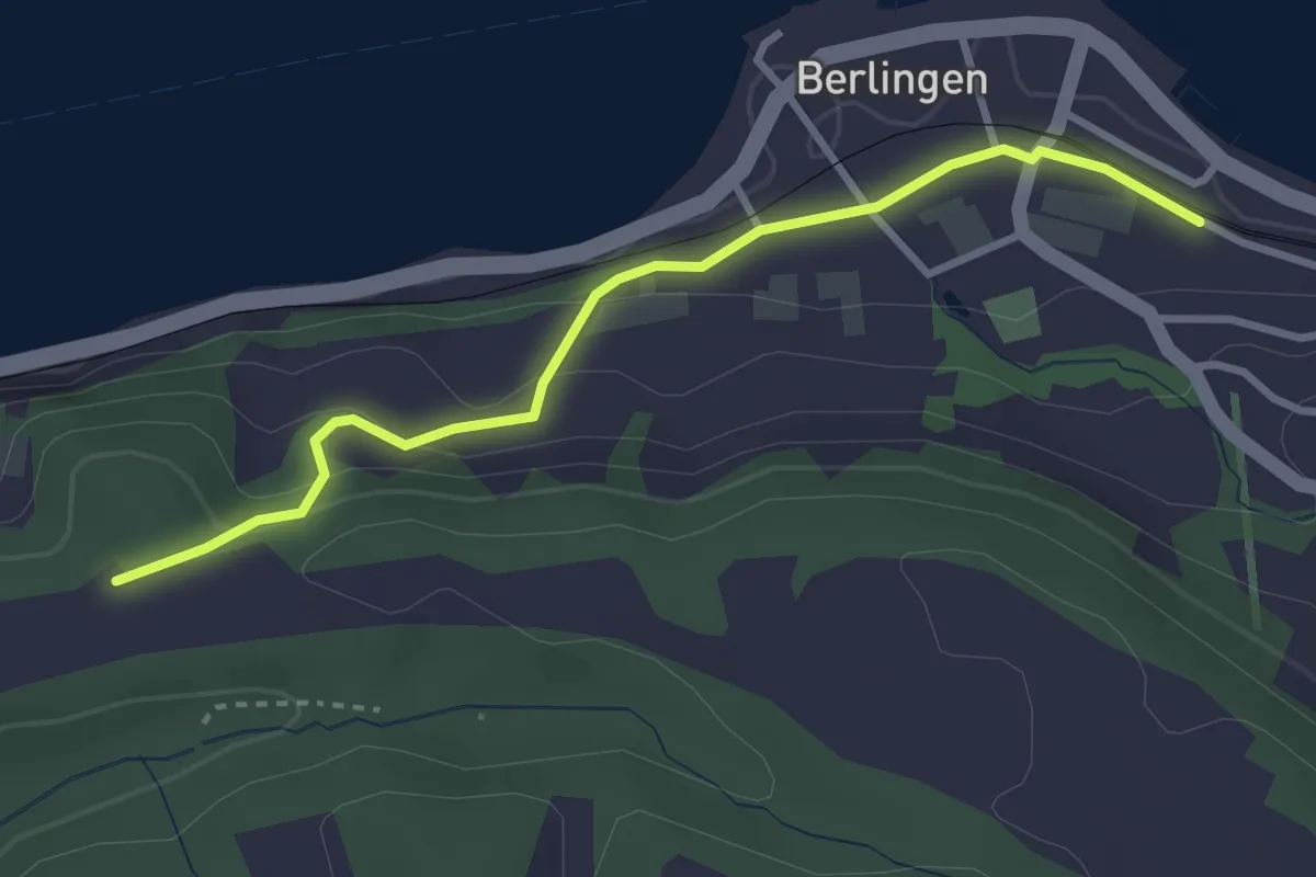
Easy · Trail
Langenärgete – Berlingen
3.1 km · ↑ 124 m · 1 h
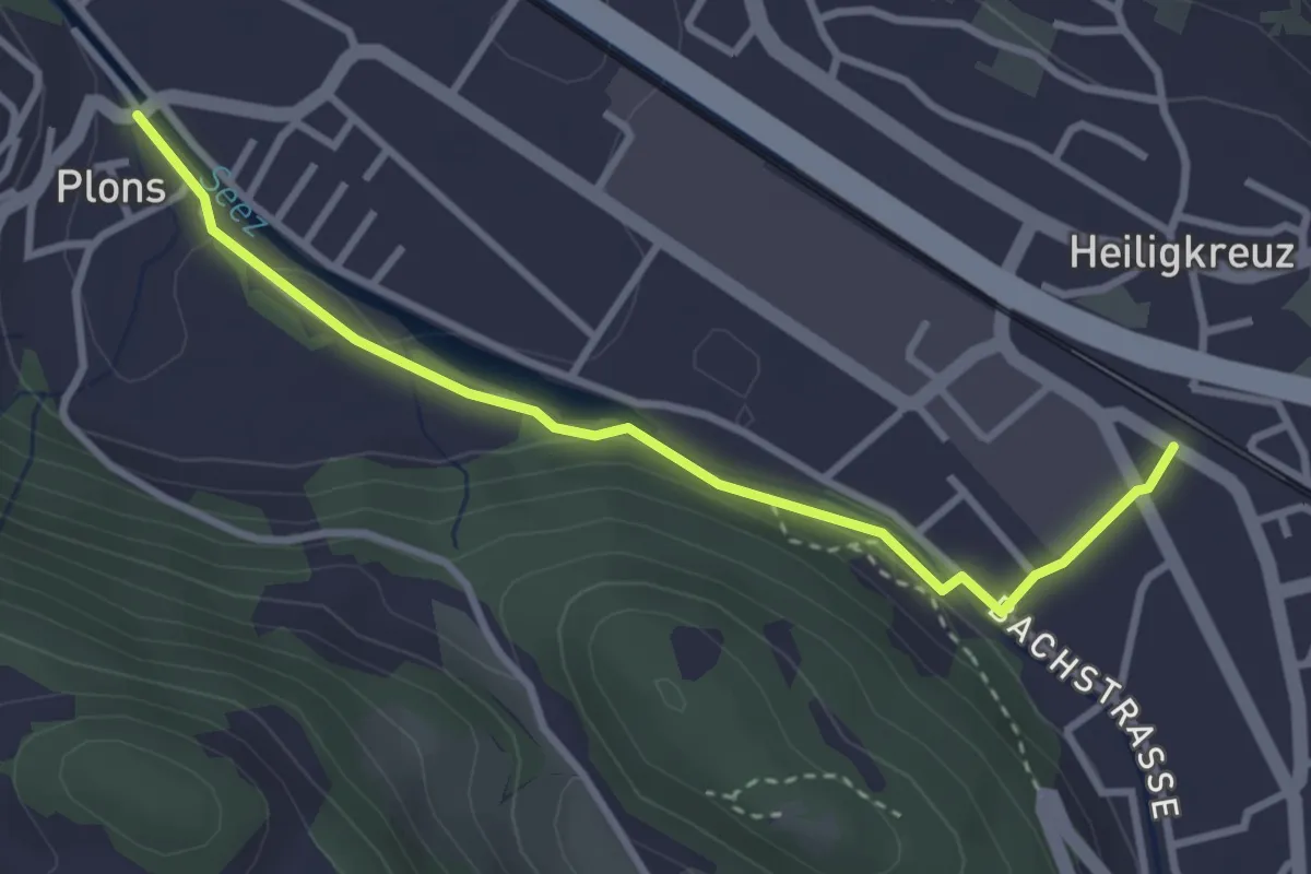
Easy · Trail
Mels Bahnhof – Plons
3.2 km · ↑ 53 m · 52 min
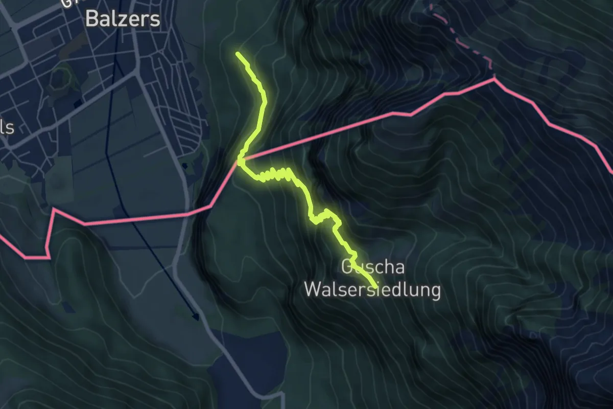
Medium · Trail
Oksaboda – Guscha
6.4 km · ↑ 614 m · 2 h 51 min
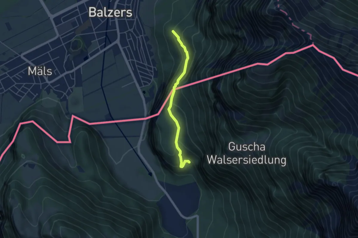
Easy · Trail
Oksaboda – And
4.1 km · ↑ 209 m · 1 h 25 min
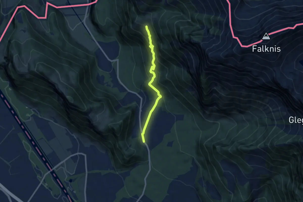
Medium · Trail
Guscha – St. Lutzisteig
6.3 km · ↑ 511 m · 2 h 36 min