Trails in Switzerland
15,055 hiking trails, each with its route, climb, walking time and grade.
All trails, page 309 of 314
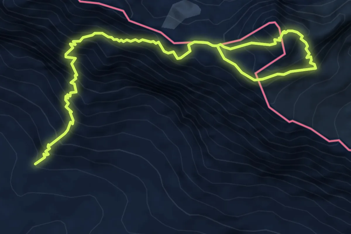
Expert · Summit
Schesaplanahütte – Schesaplana
4.8 km · ↑ 1147 m · 3 h 16 min
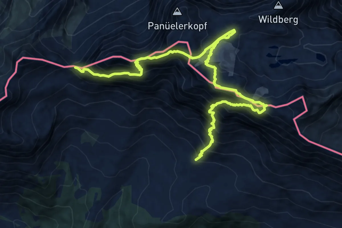
Expert · Summit
Schesaplanahütte – Mannheimerhütte
8.7 km · ↑ 1193 m · 4 h 36 min
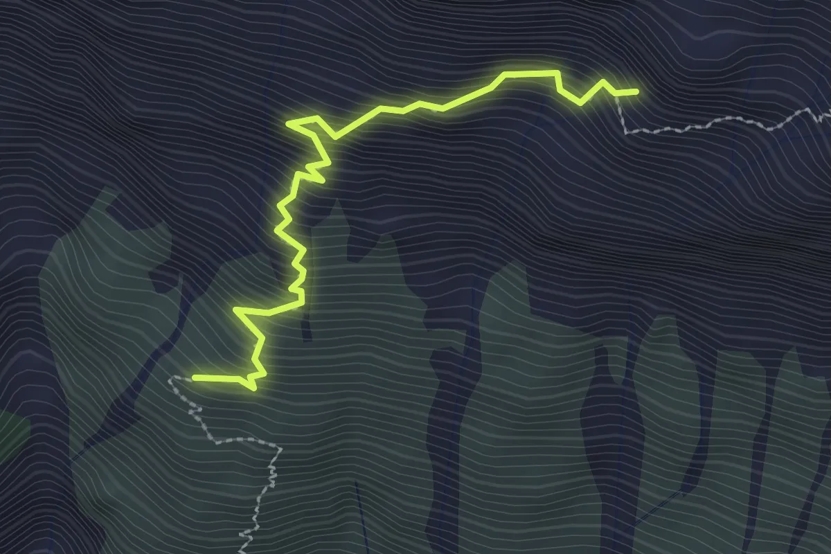
Expert · Summit
Enderlinhütte – Fläscher Fürrggli
2.6 km · ↑ 524 m · 1 h 45 min
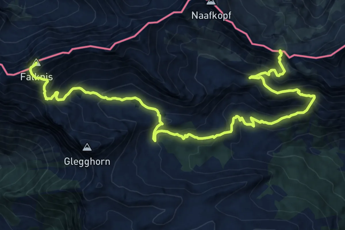
Demanding · Summit
Barthümeljoch – Falknisspitz
22.4 km · ↑ 1845 m · 9 h 18 min
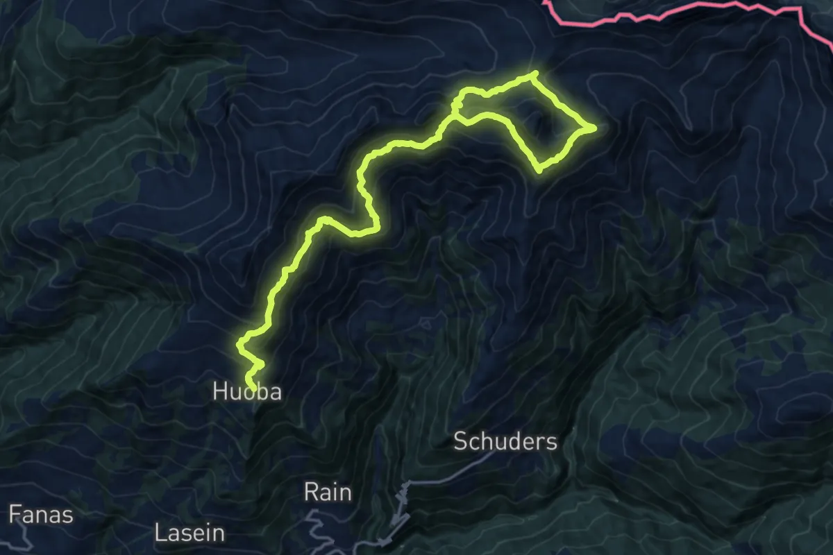
Demanding · Trail
Huoba – Golrosa
10.6 km · ↑ 966 m · 4 h 32 min
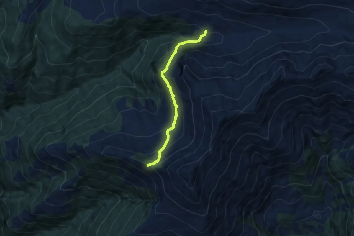
Medium · Trail
Luderer Egg – Vordersass
6.2 km · ↑ 530 m · 2 h 37 min
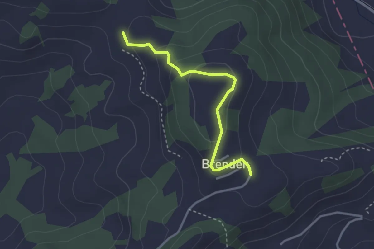
Easy · Trail
Brenden – Saul
2.6 km · ↑ 117 m · 53 min
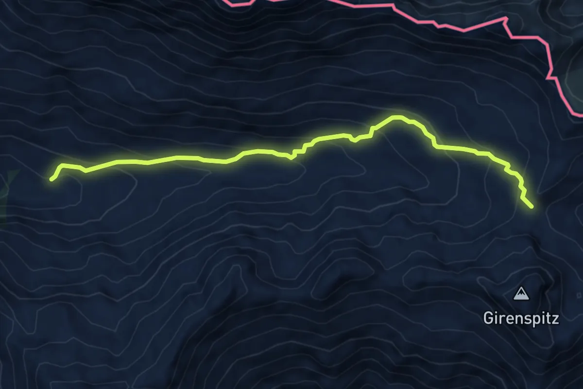
Medium · Trail
Vordersass – Golrosa
7.4 km · ↑ 415 m · 2 h 39 min
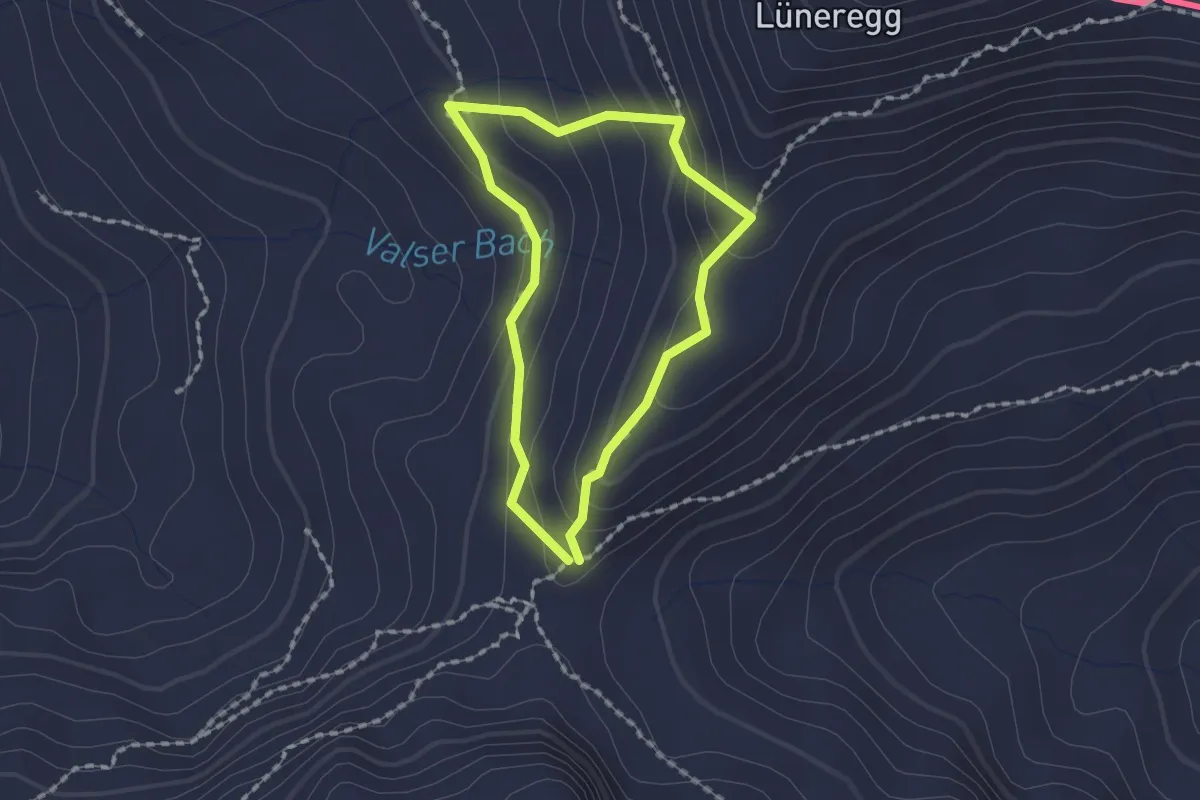
Medium · Trail
Golrosa – Furggli
1.4 km · ↑ 90 m · 32 min
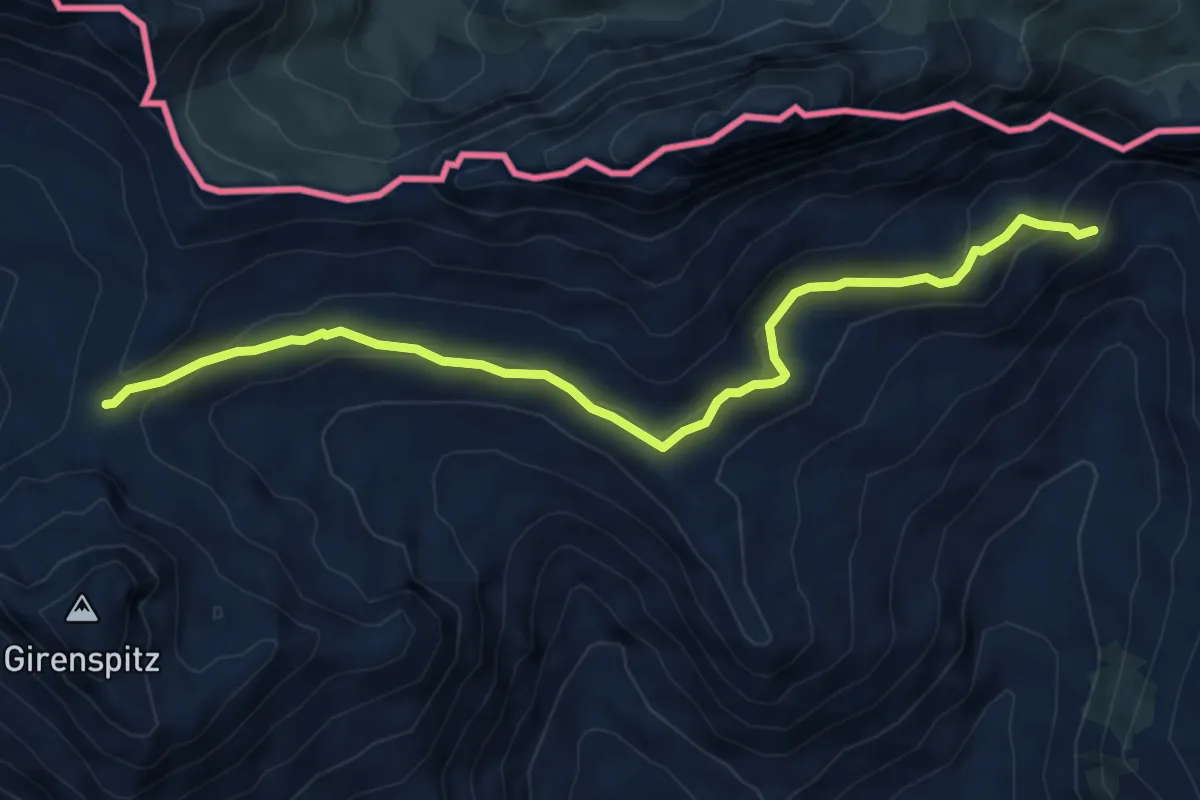
Medium · Trail
Golrosa – Pardutzboedeli
6.6 km · ↑ 285 m · 2 h 10 min
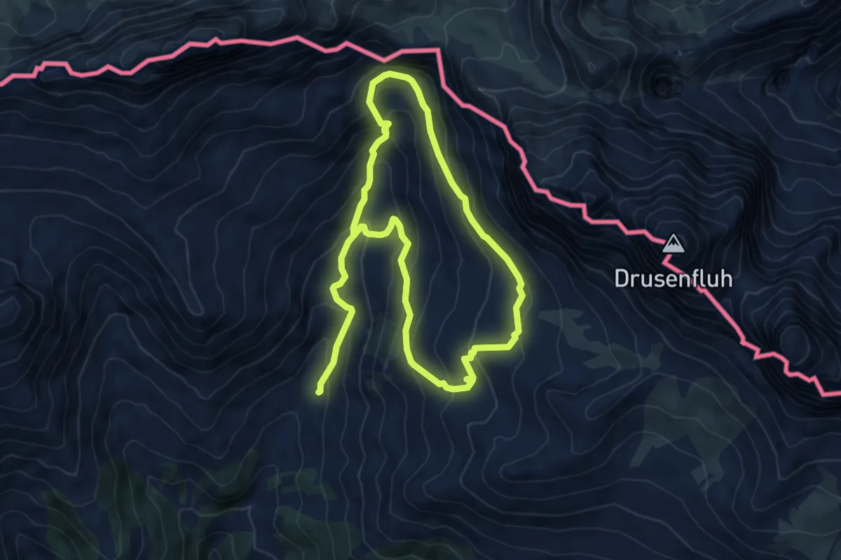
Medium · Trail
Gruescher Alpli – Pardutzboeden
5.9 km · ↑ 465 m · 2 h 25 min
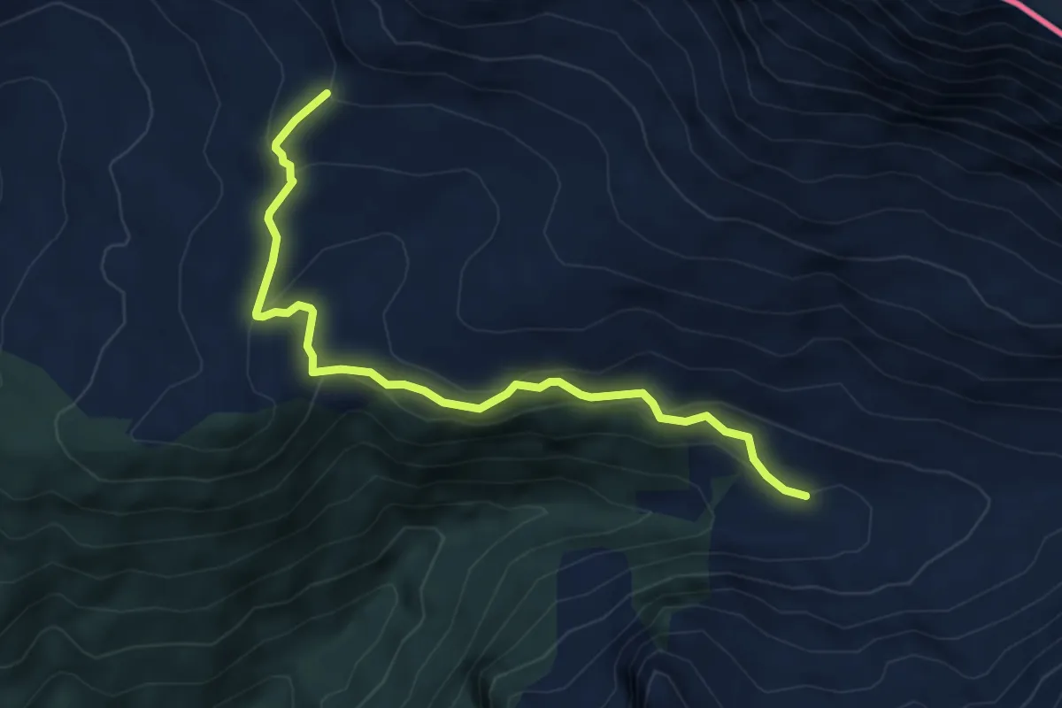
Easy · Cabin
Vordersass – Schesaplanahütte
5.8 km · ↑ 274 m · 1 h 58 min
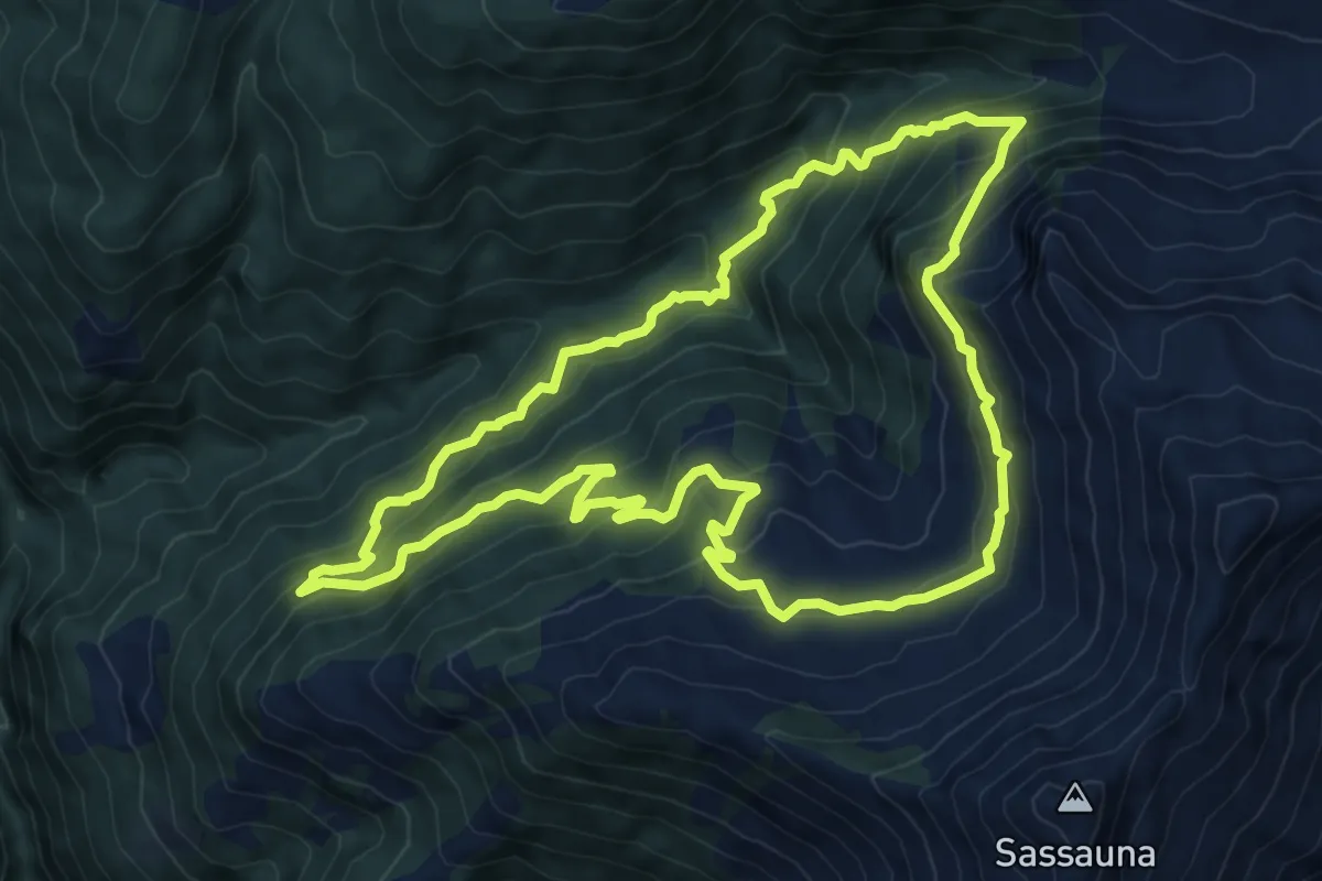
Medium · Trail
Schwendeli – Vordersass
8.8 km · ↑ 656 m · 3 h 37 min
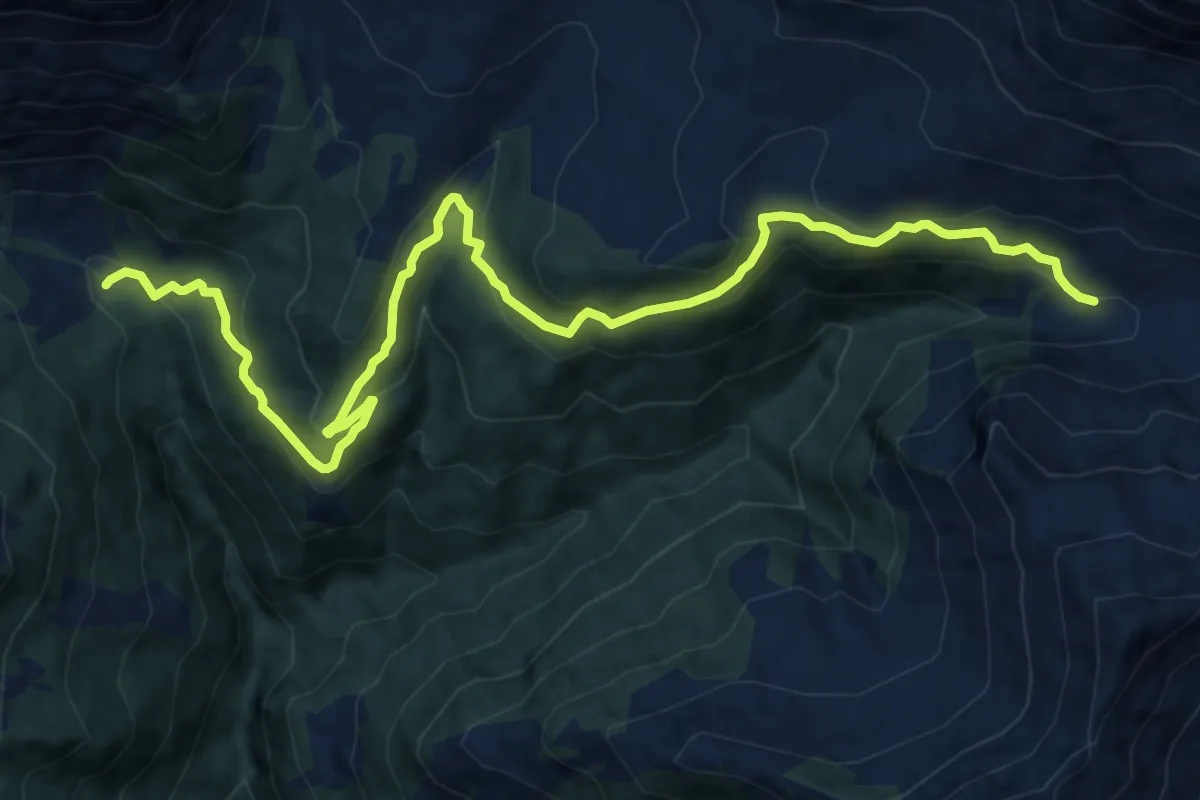
Medium · Trail
Alt Sass – Vordersass
14.7 km · ↑ 724 m · 5 h 3 min
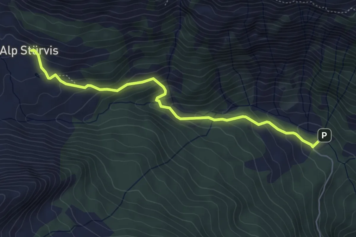
Medium · Trail
Alp Sass – Sturfis
5.2 km · ↑ 313 m · 1 h 54 min
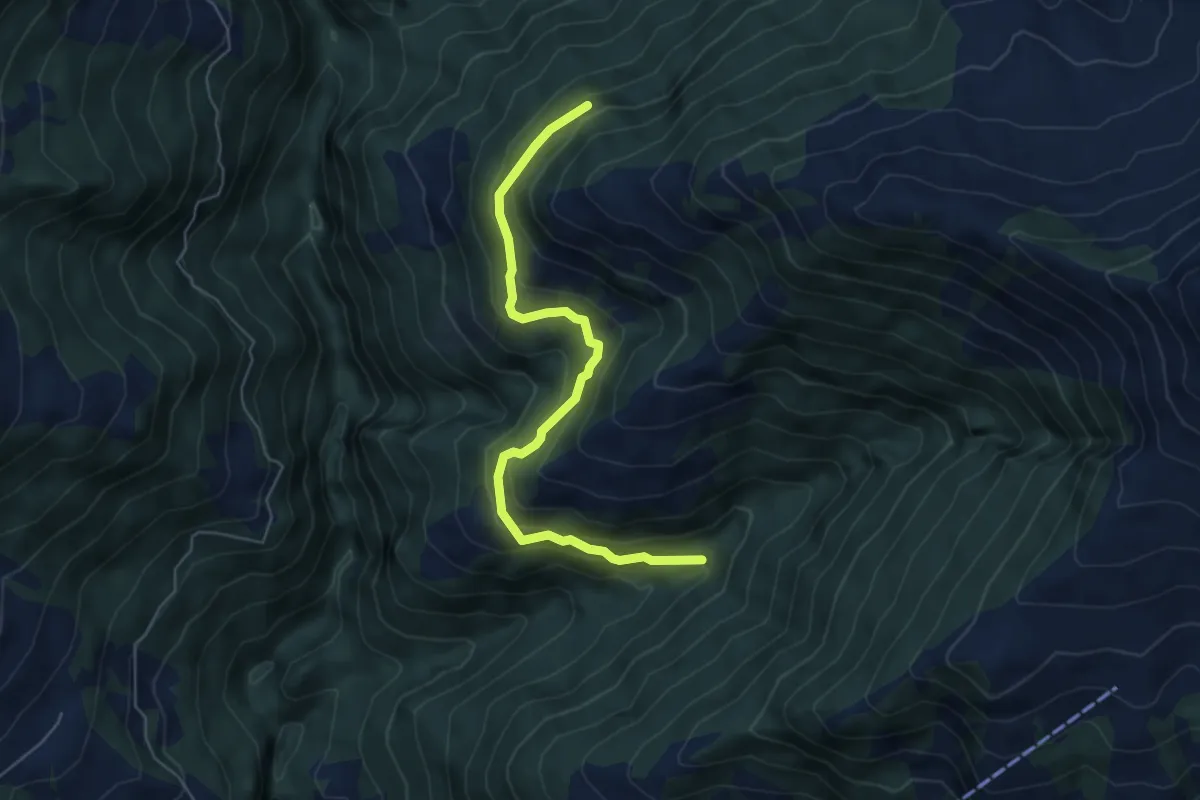
Medium · Trail
Tarschinjas – Schwendeli
5.6 km · ↑ 379 m · 2 h 9 min
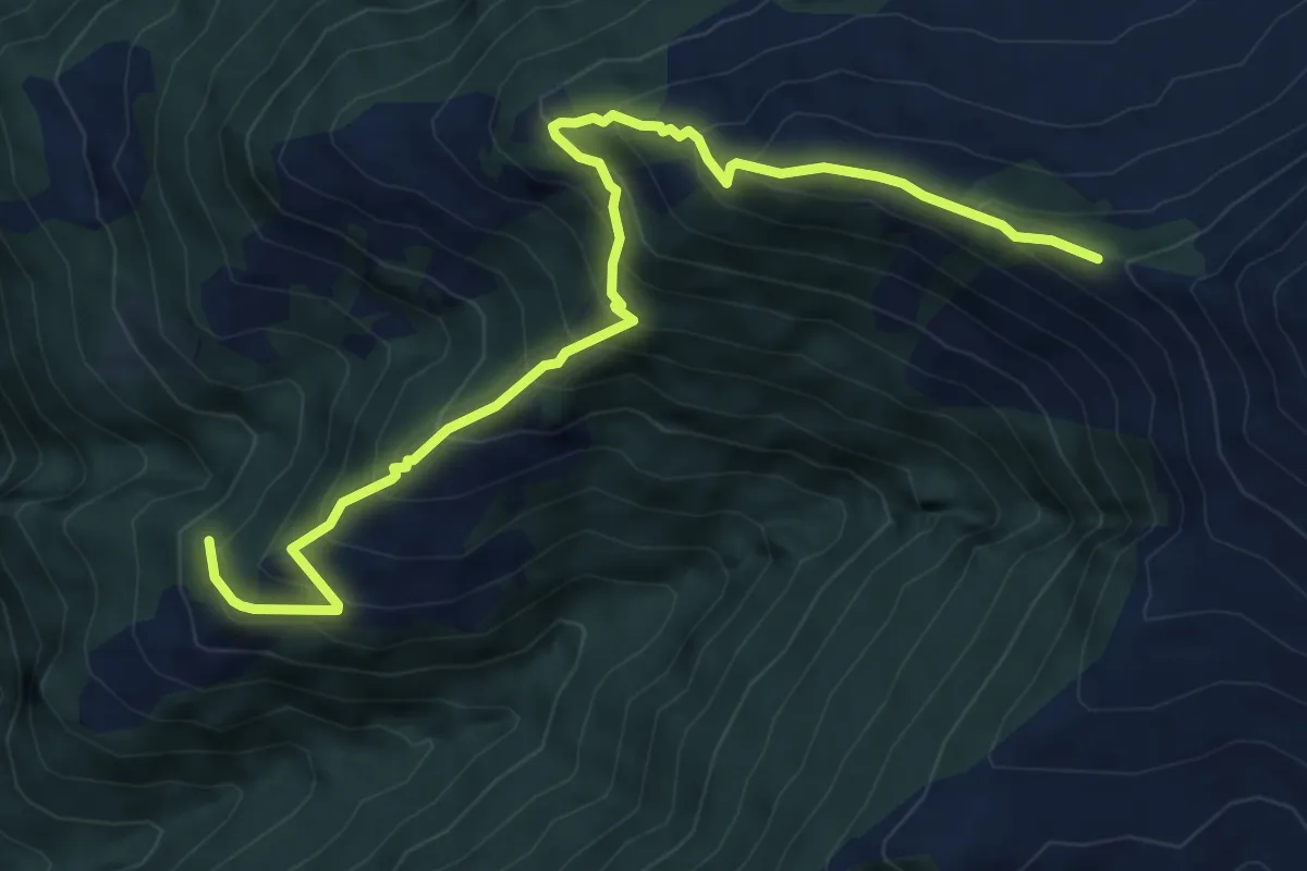
Medium · Trail
Barchanawald – Luderer Egg
7.2 km · ↑ 732 m · 3 h 16 min
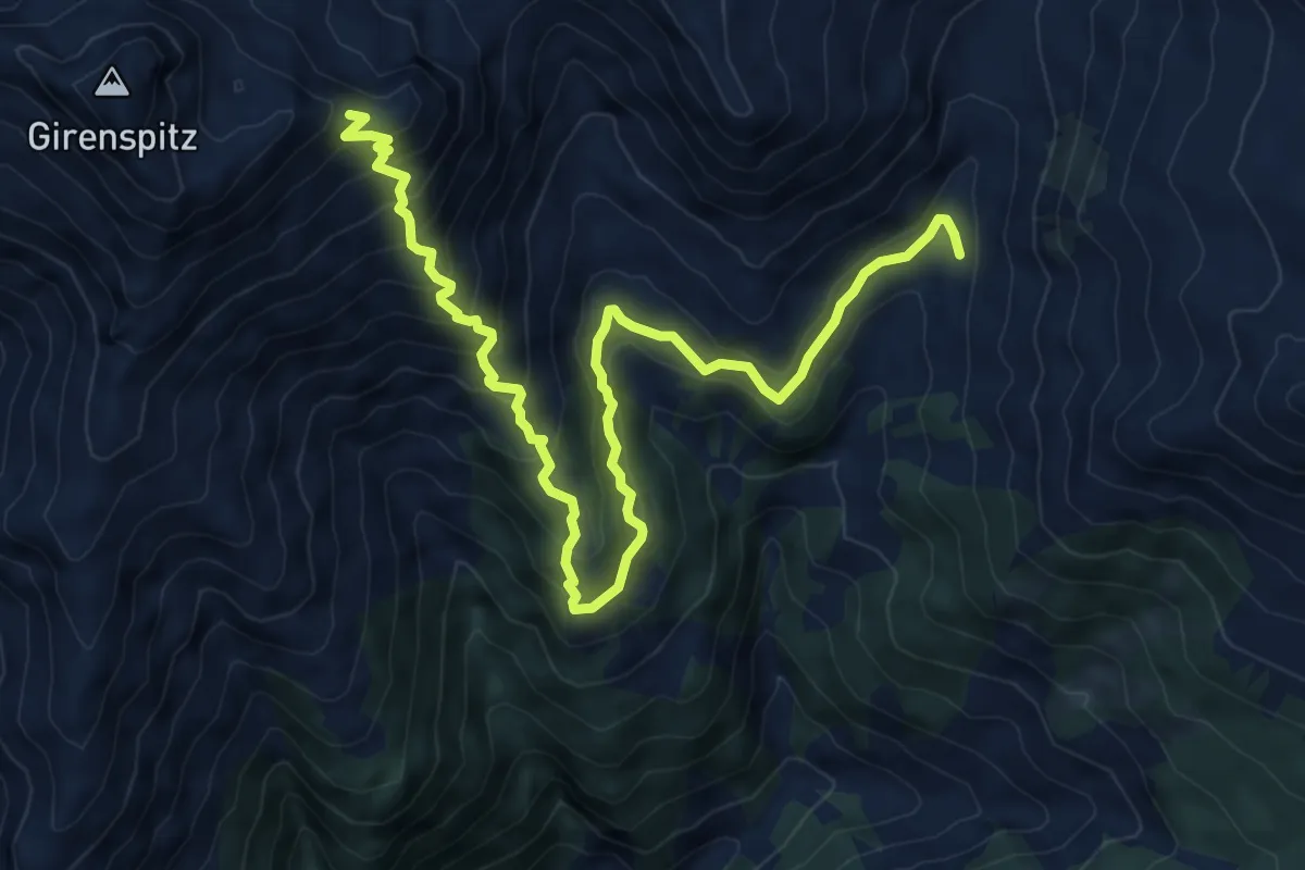
Medium · Trail
Gruscher Alpli – Girenfürrgli
9.7 km · ↑ 769 m · 3 h 58 min
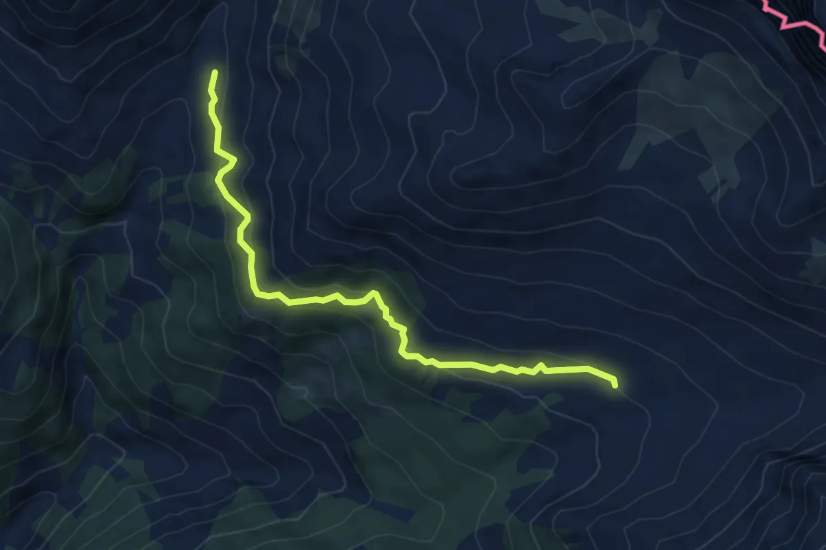
Medium · Trail
Guscher Alpli – Alp Drusa
5.8 km · ↑ 373 m · 2 h 10 min
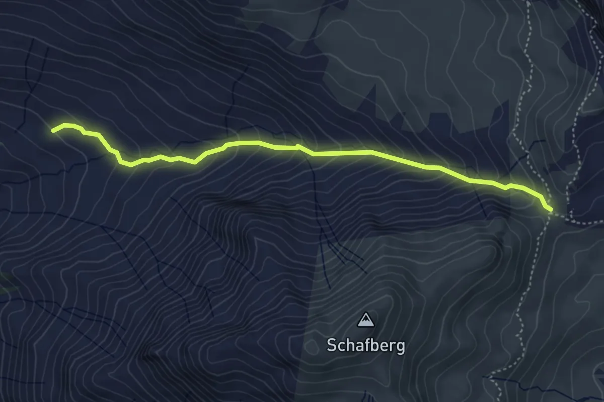
Medium · Cabin
Ald Drusa – Carschinahütte
4.6 km · ↑ 415 m · 1 h 59 min
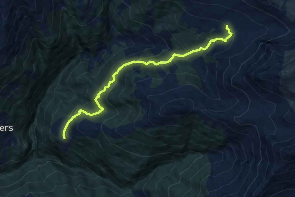
Medium · Trail
Alp Drusa – Salfsch
10.1 km · ↑ 728 m · 3 h 57 min
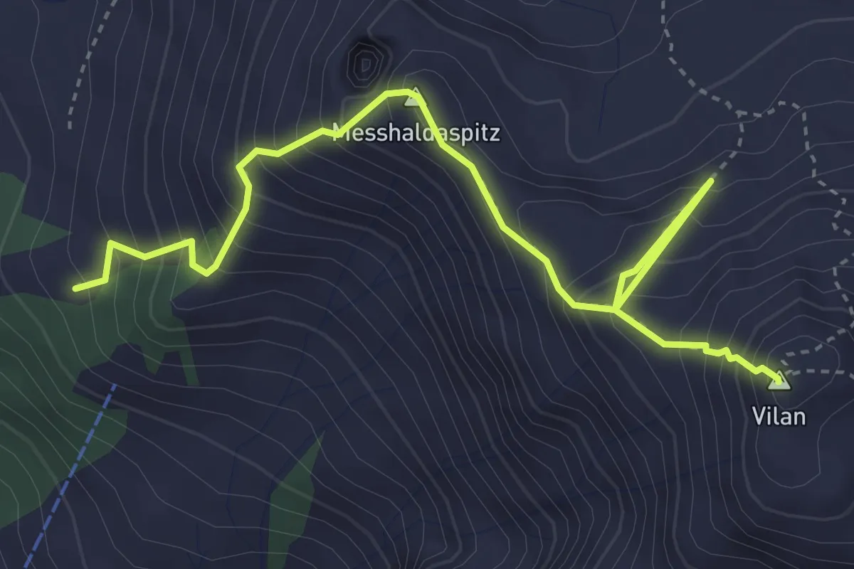
Demanding · Summit
Alpli – Vilan
4.6 km · ↑ 623 m · 2 h 26 min
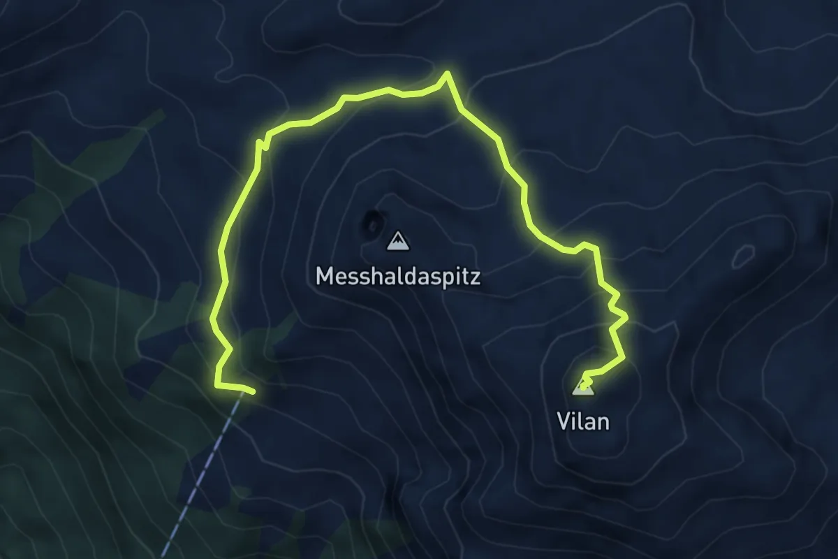
Medium · Summit
Alpli – Vilan
6.4 km · ↑ 606 m · 2 h 49 min
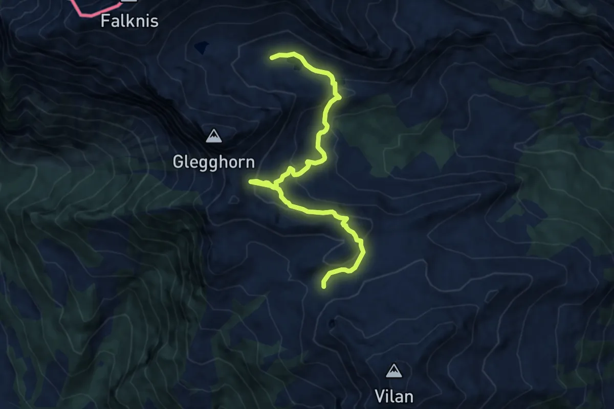
Medium · Trail
Ortasee – Talegg
10.9 km · ↑ 619 m · 3 h 55 min
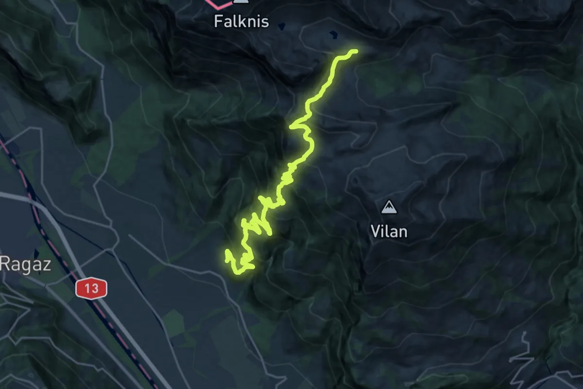
Demanding · Trail
Talegg – Alpli
11.2 km · ↑ 1543 m · 5 h 31 min
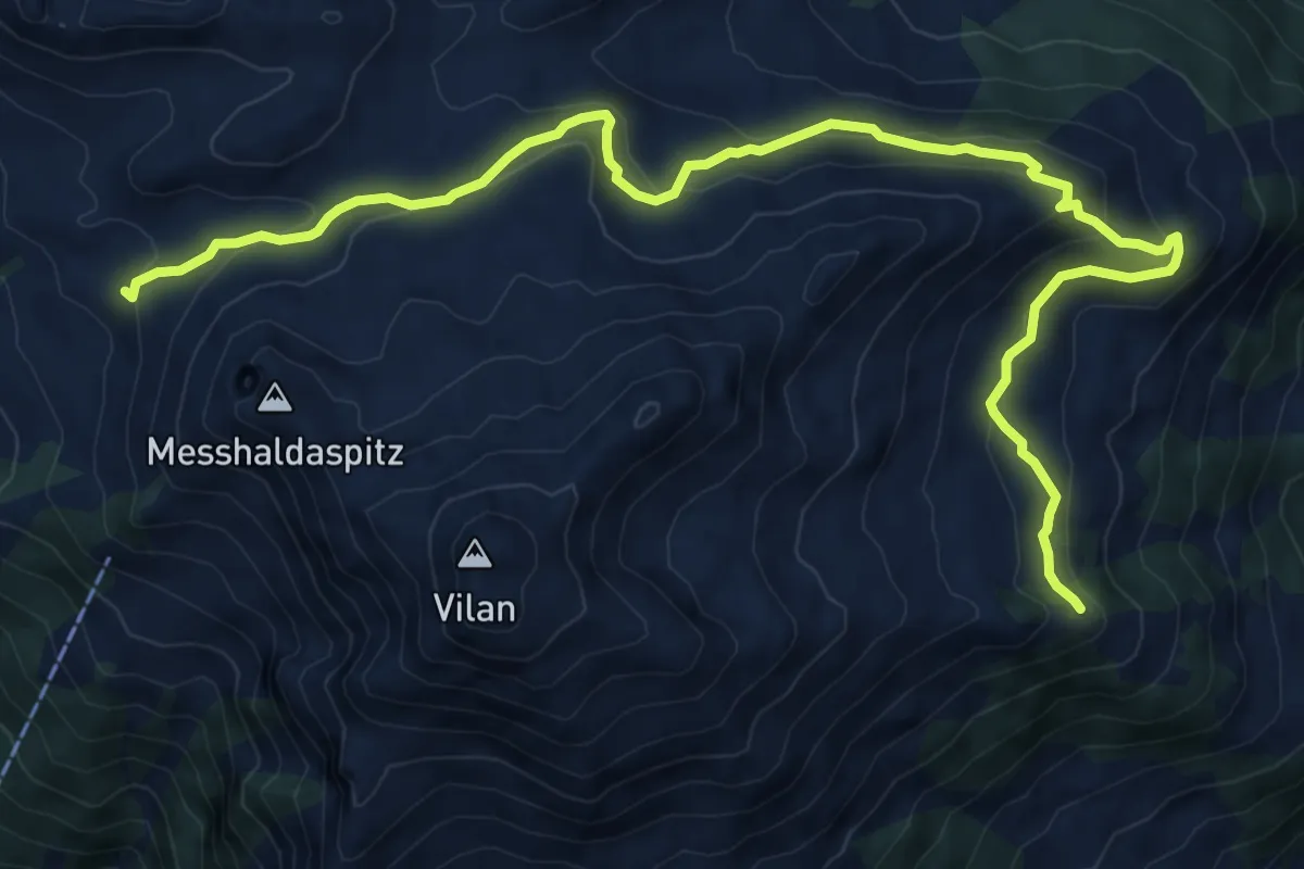
Medium · Trail
Ortasee – Sadreinegg
11.3 km · ↑ 527 m · 3 h 48 min
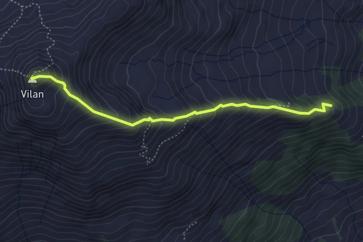
Medium · Summit
Vilan – Sadreinegg
4.2 km · ↑ 520 m · 2 h 7 min
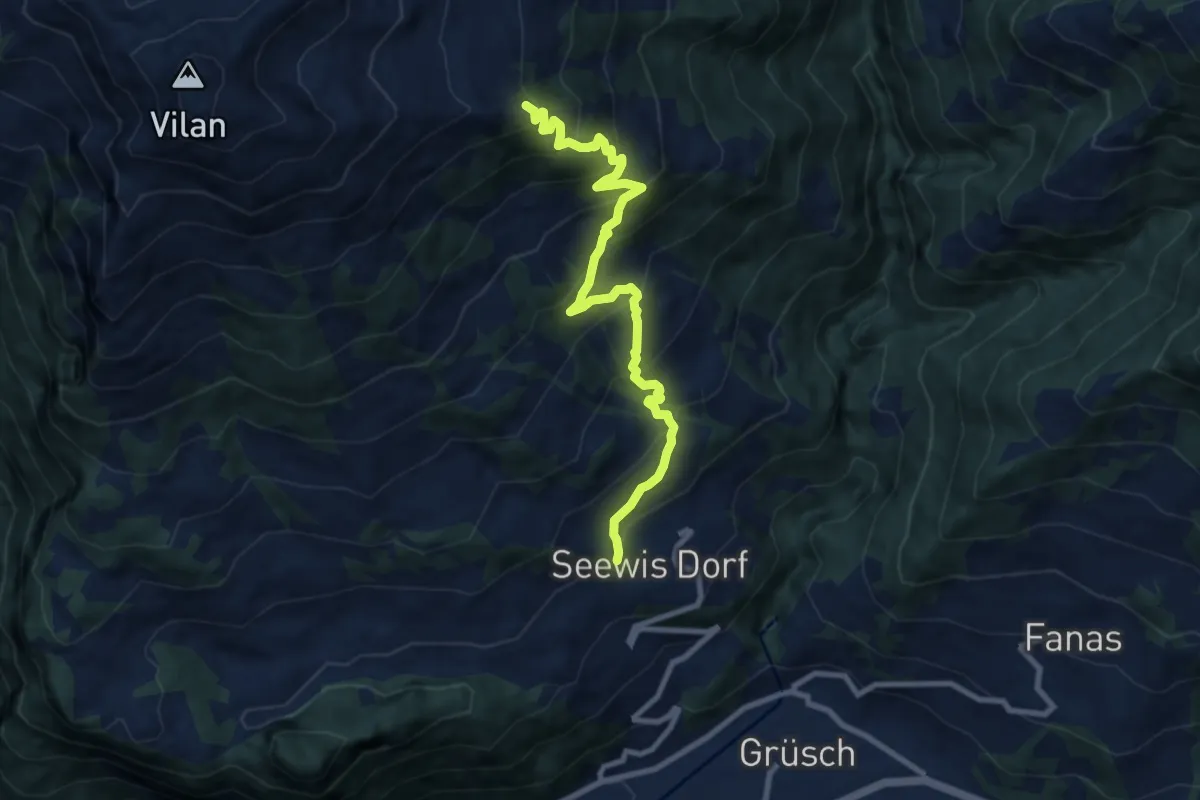
Demanding · Trail
Seewis Dorf – Sadreinegg
9.4 km · ↑ 845 m · 4 h 3 min
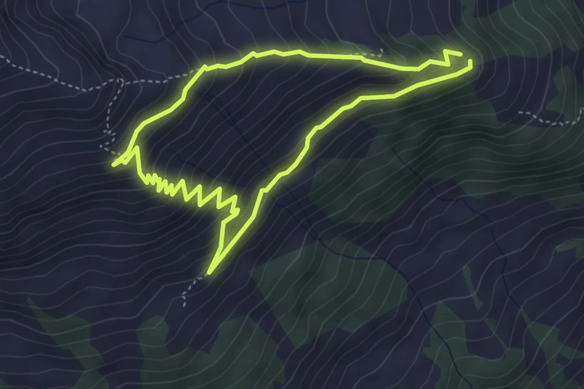
Medium · Trail
Sidreinegg – Frumaschanpfad
3.9 km · ↑ 311 m · 1 h 38 min
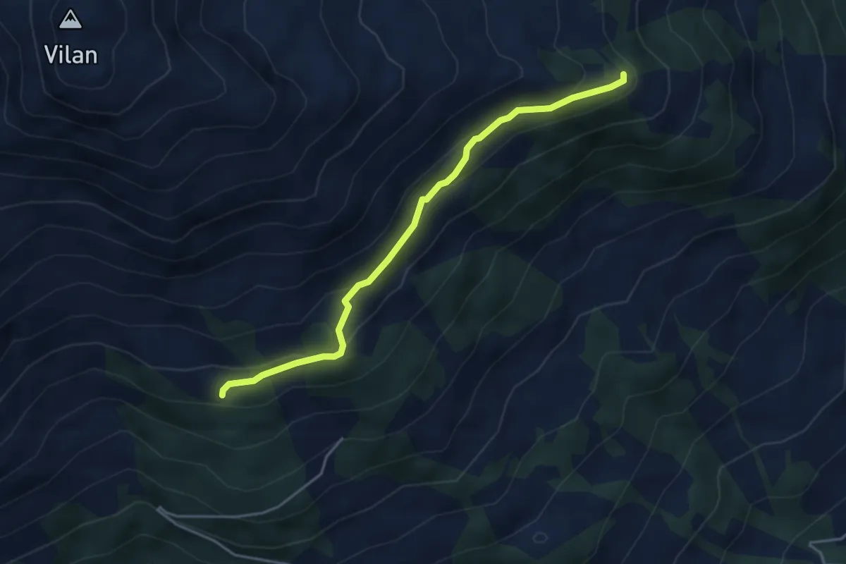
Medium · Trail
Sadreinegg – Gilieila
3.9 km · ↑ 177 m · 1 h 18 min
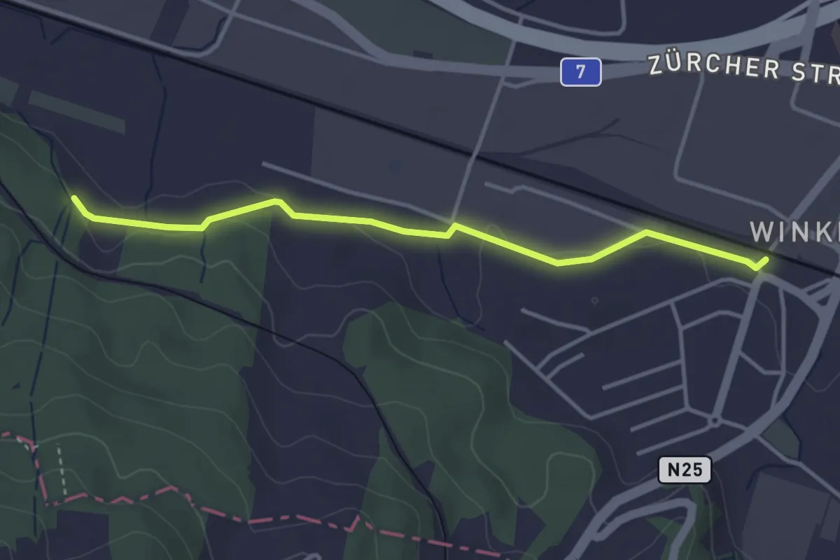
Easy · Trail
Waldegg – Winkeln
3.5 km · ↑ 33 m · 55 min
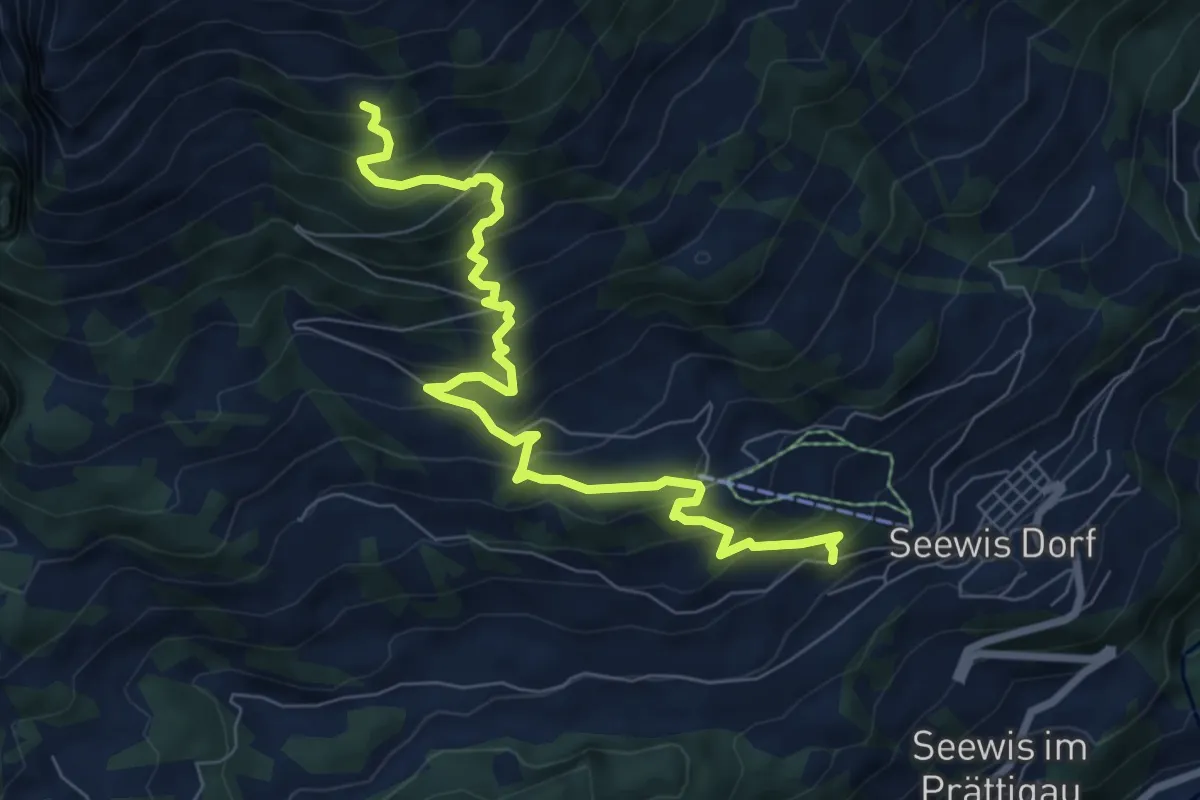
Medium · Trail
Seewis Dorf – Gileila
8.3 km · ↑ 703 m · 3 h 29 min
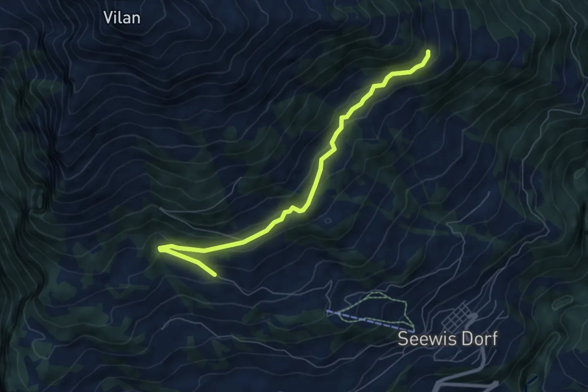
Easy · Trail
Matan – Guora
6.9 km · ↑ 307 m · 2 h 18 min
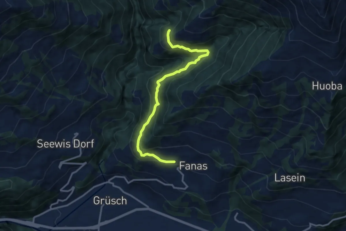
Medium · Trail
Fanas – Barchanwald
8.6 km · ↑ 499 m · 3 h 7 min
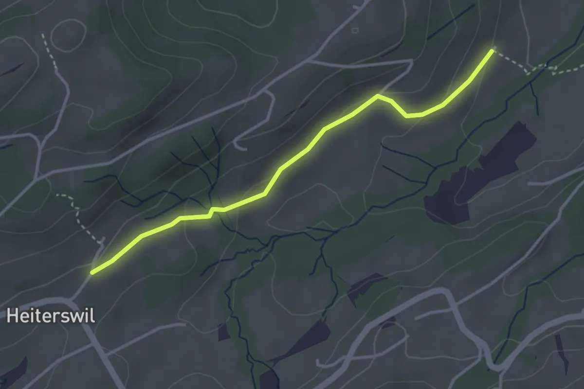
Easy · Trail
Niederwil – Heiterswil
3.3 km · ↑ 92 m · 58 min
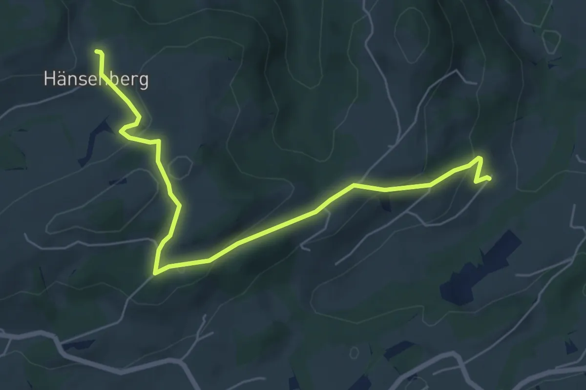
Easy · Trail
Hänsenberg – Niederwil
6.1 km · ↑ 247 m · 1 h 59 min
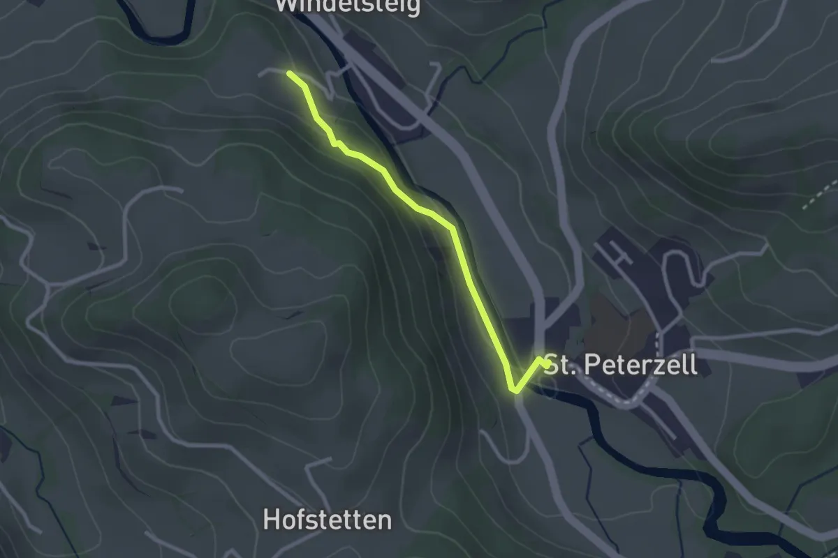
Easy · Trail
St. Peterzell – Farnboden
2.3 km · ↑ 64 m · 41 min
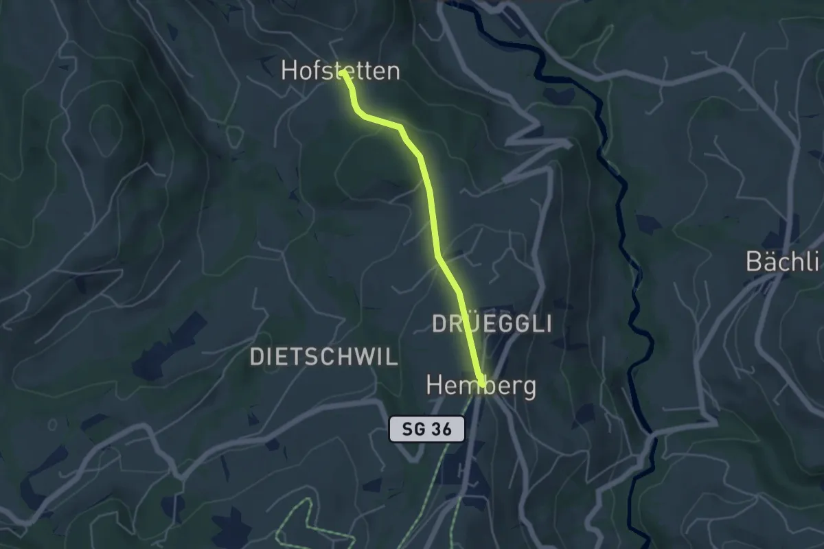
Easy · Trail
Hofstetten – Hemberg
3.6 km · ↑ 134 m · 1 h 8 min
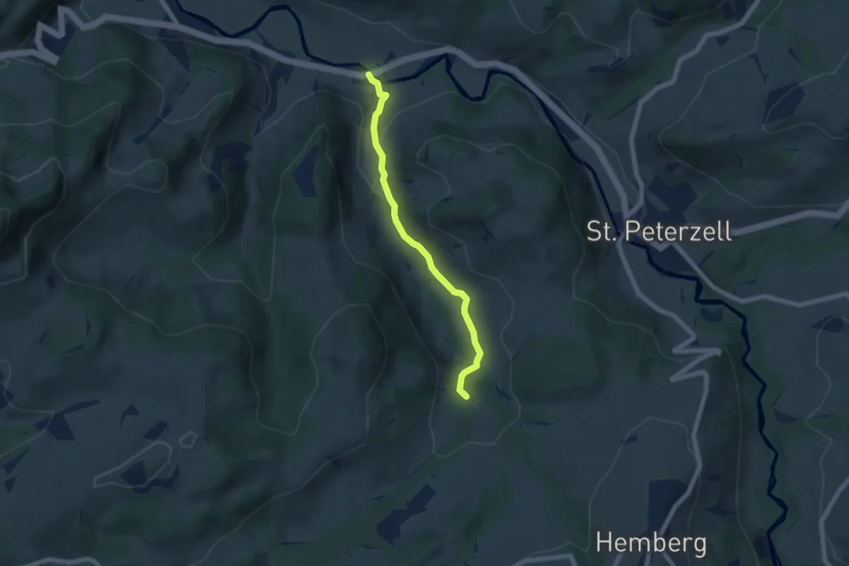
Easy · Trail
Rohrbachtobel – Furt
4.8 km · ↑ 128 m · 1 h 24 min
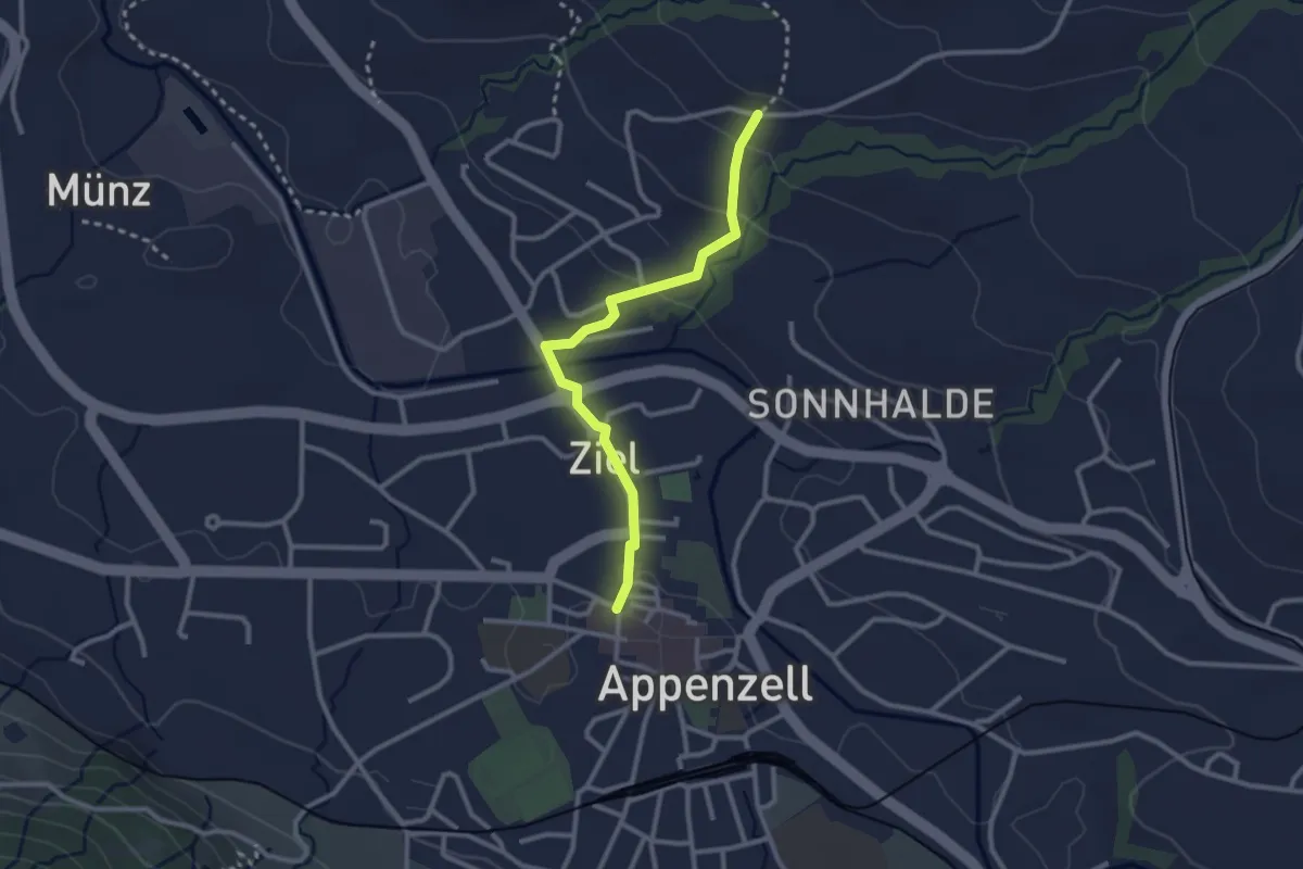
Easy · Trail
Landsgemeindeplatz – Unter Lehn
2.6 km · ↑ 80 m · 47 min
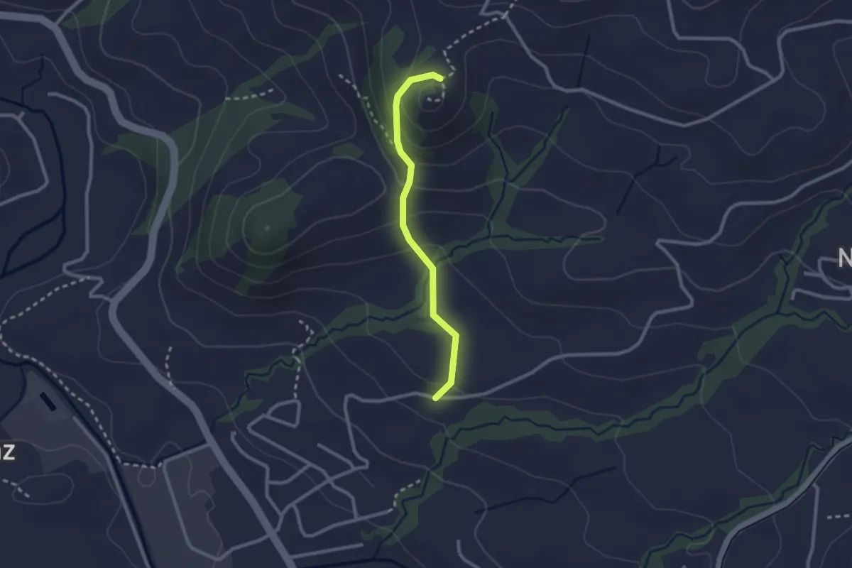
Easy · Trail
Unter Lehn – Ruine Clanx
2.1 km · ↑ 130 m · 47 min
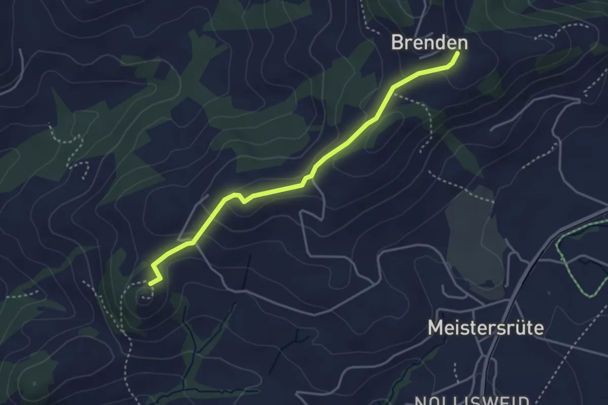
Easy · Trail
Ruine Clanx – Brenden
3.5 km · ↑ 115 m · 1 h 5 min
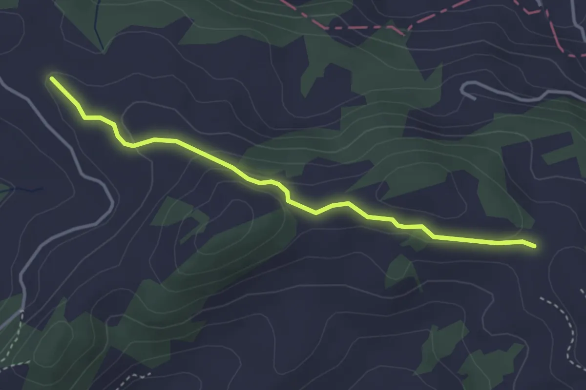
Easy · Trail
Saul – Steigershus
3.3 km · ↑ 106 m · 1 h 1 min
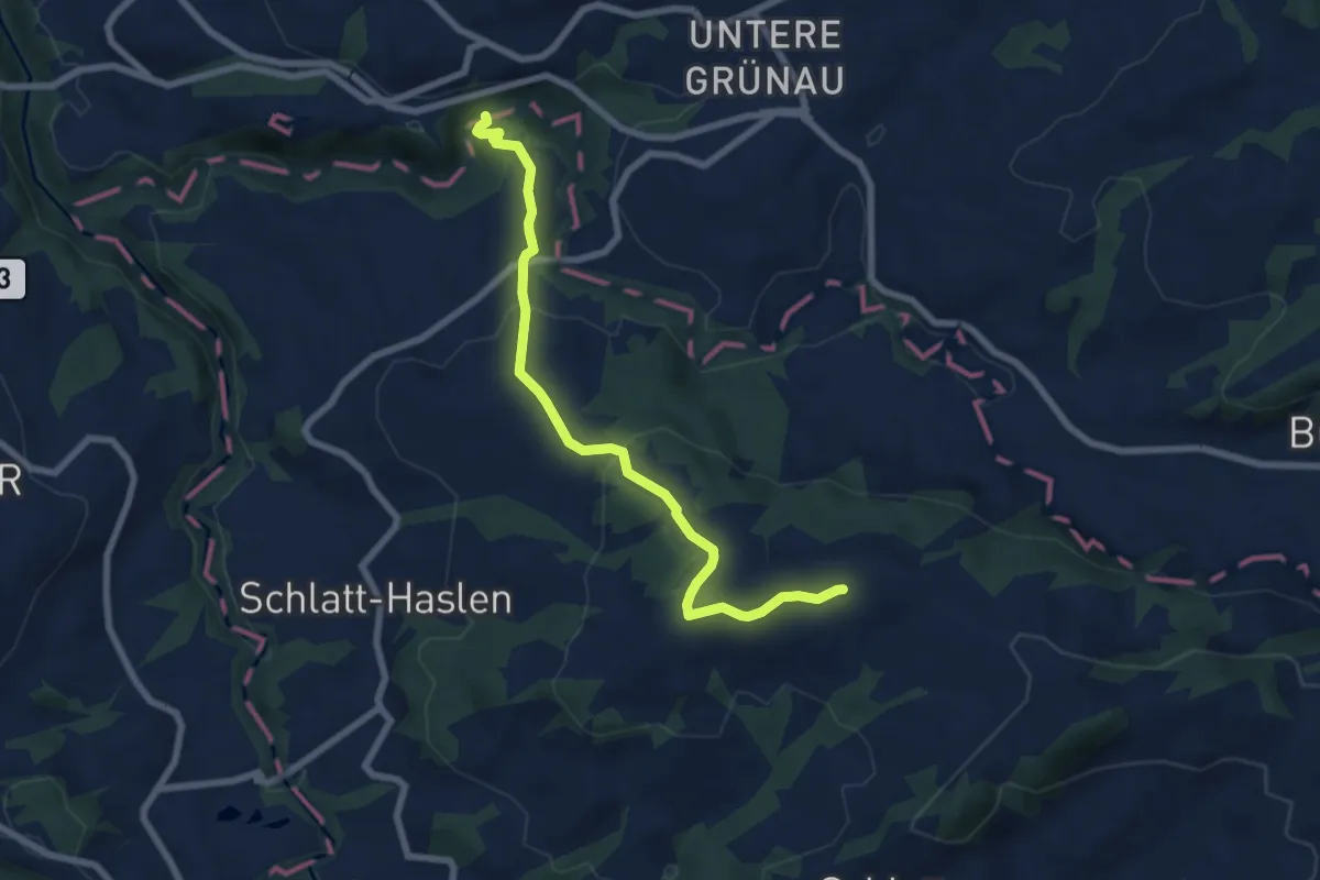
Medium · Trail
Leimensteig – Höchfall
7.2 km · ↑ 253 m · 2 h 16 min
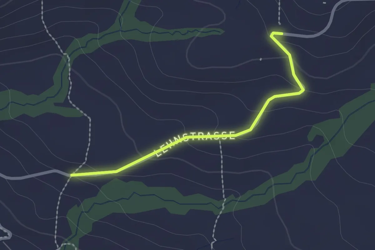
Easy · Trail
Unter Lehn – Studen
2.1 km · ↑ 75 m · 39 min
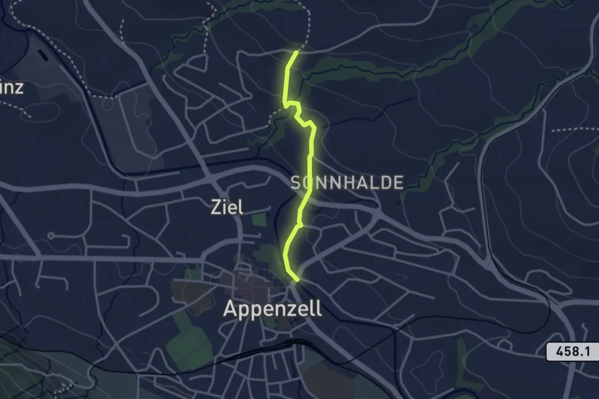
Easy · Trail
Unter Lehn – Brauereiplatz
2.3 km · ↑ 63 m · 41 min
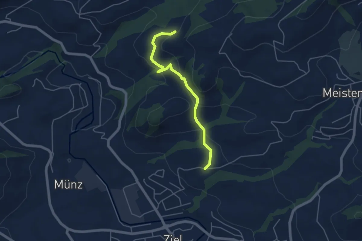
Easy · Trail
Unter Lehn – Schlepfen
3.8 km · ↑ 202 m · 1 h 21 min
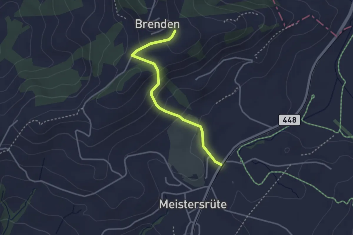
Easy · Trail
Brenden – Sammelplatz
2.8 km · ↑ 138 m · 58 min