Trails in Switzerland
15,055 hiking trails, each with its route, climb, walking time and grade.
All trails, page 310 of 314
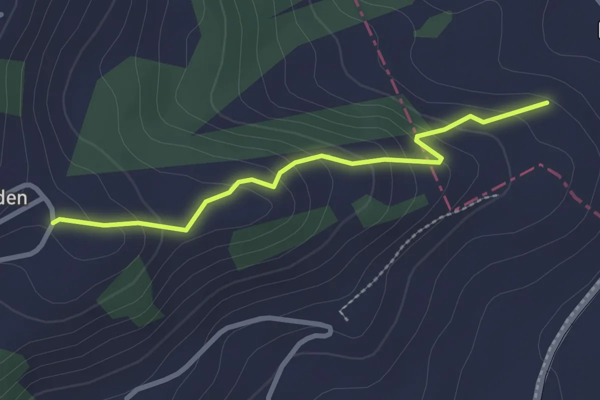
Easy · Trail
Brenden – Stäggelen
2.2 km · ↑ 144 m · 50 min
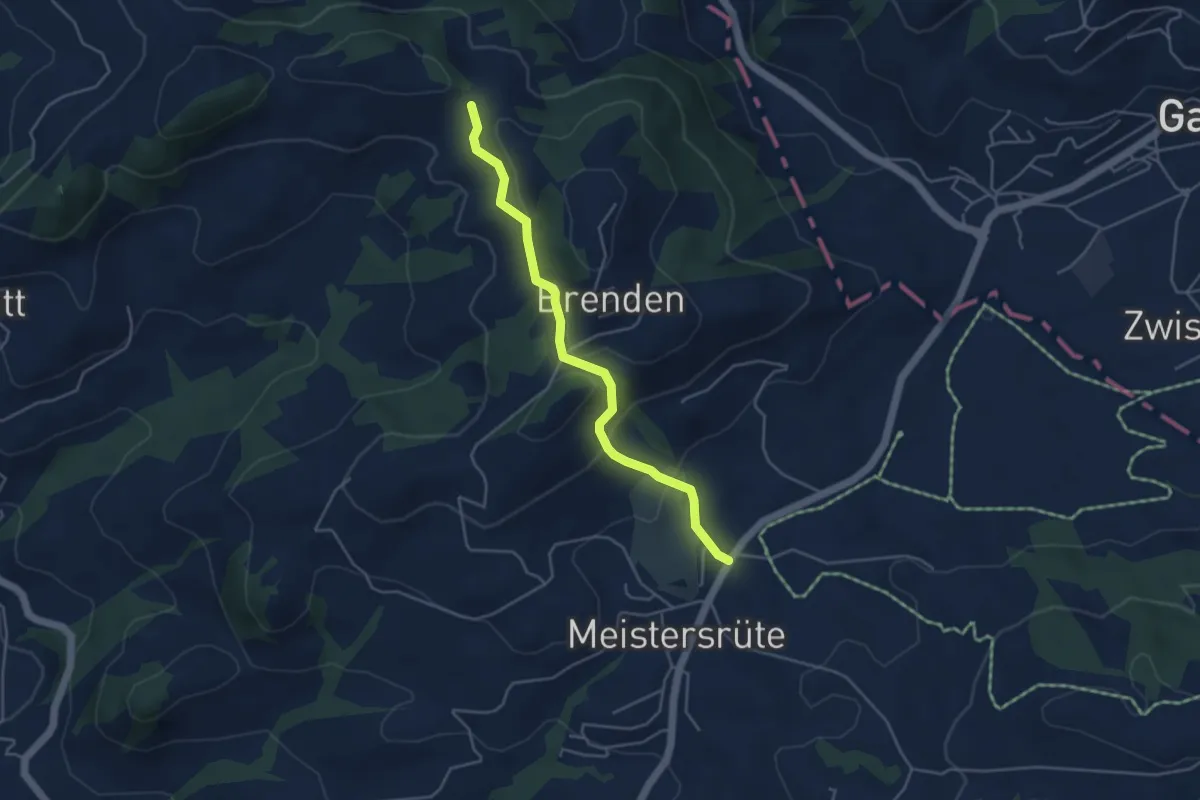
Easy · Trail
Saul – Sammelplatz
4.2 km · ↑ 151 m · 1 h 20 min
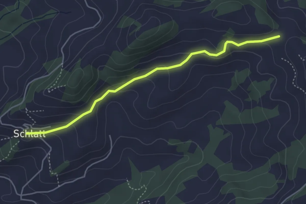
Easy · Trail
Saul – Schlatt
4.1 km · ↑ 155 m · 1 h 19 min
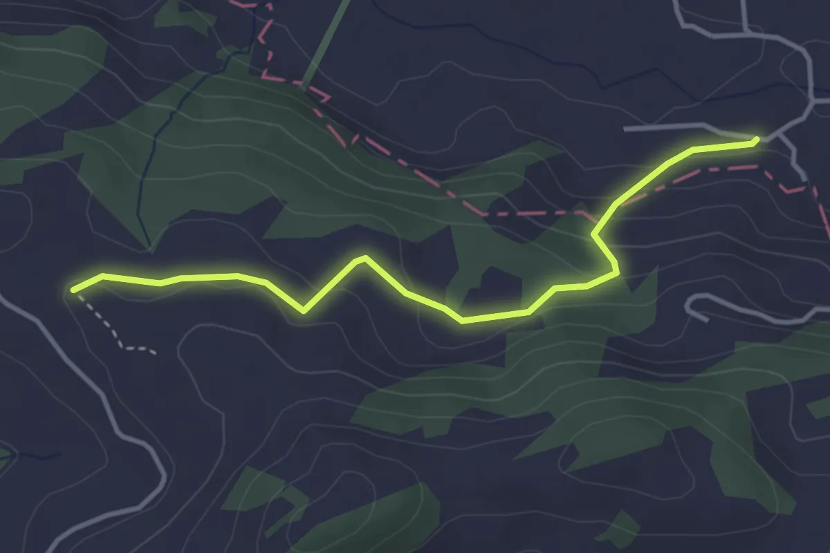
Easy · Trail
Steigershus – Bühler
3.4 km · ↑ 151 m · 1 h 8 min
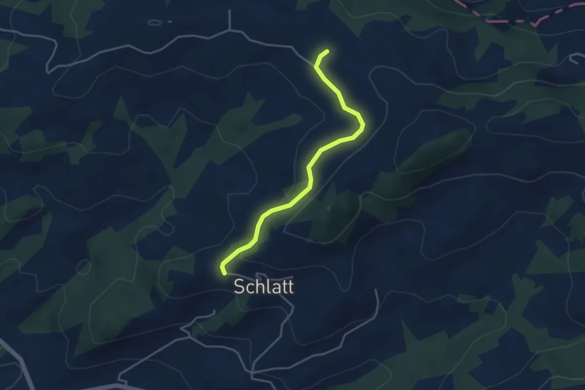
Easy · Trail
Steigershus – Schlatt
3.3 km · ↑ 96 m · 59 min
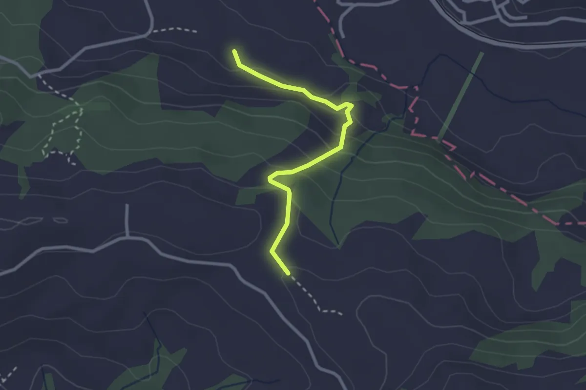
Easy · Trail
Steigershus – Göbsi
2.3 km · ↑ 164 m · 55 min
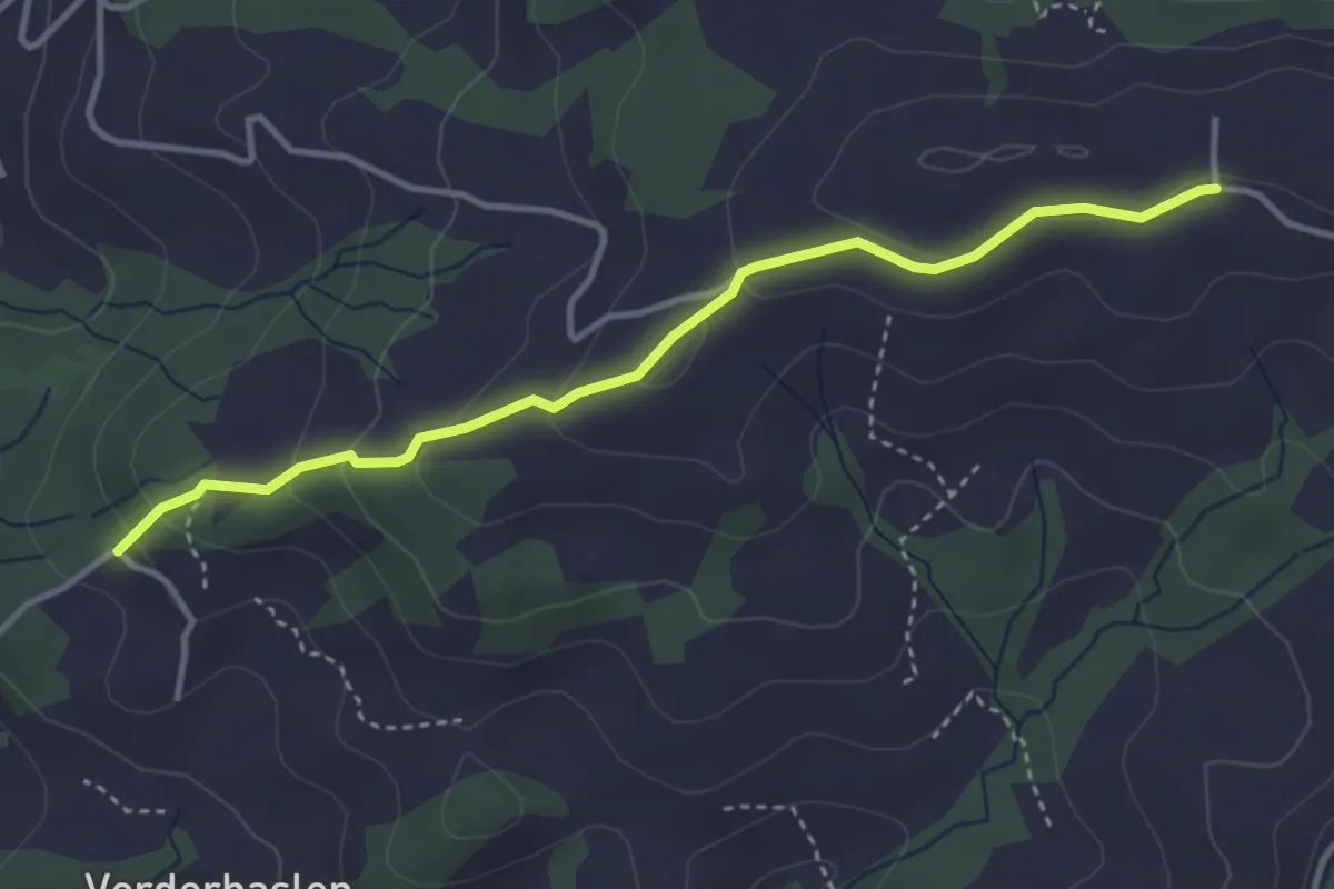
Easy · Trail
Leimensteig – Haslen
3.6 km · ↑ 159 m · 1 h 11 min
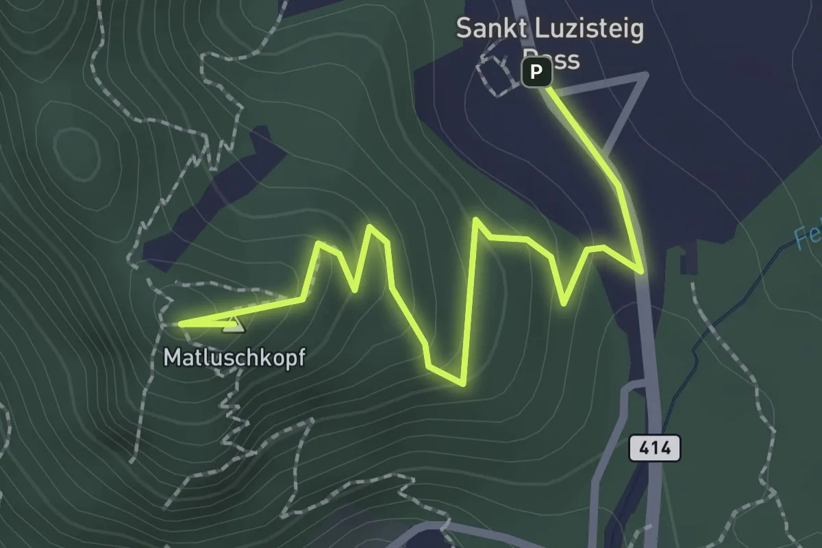
Easy · Summit
St. Luzisteig – Matlusch
2.6 km · ↑ 125 m · 53 min
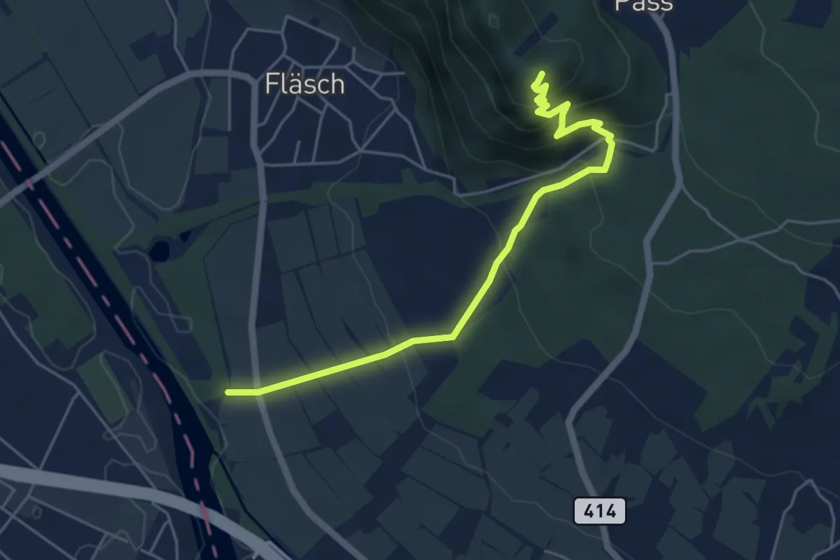
Medium · Summit
Müli – Matlusch
4.9 km · ↑ 327 m · 1 h 52 min
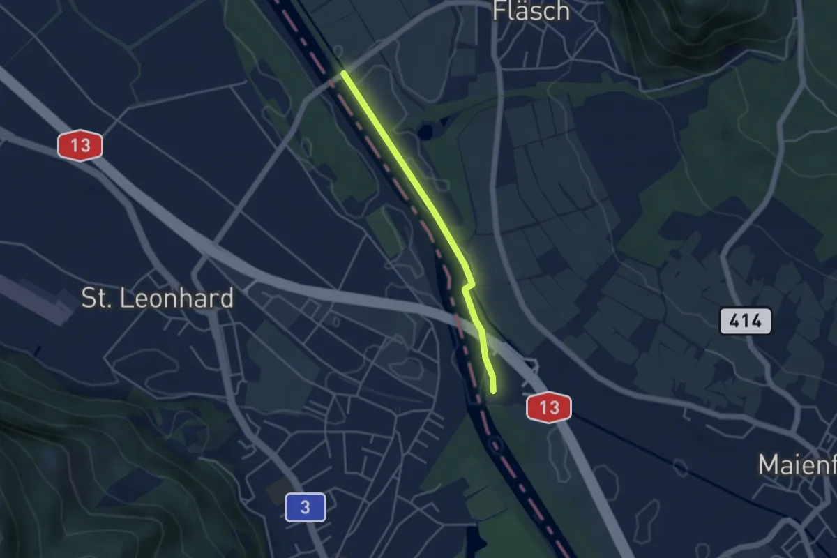
Easy · Trail
Fläscher Brücke – Heidiland
3.4 km · ↑ 4 m · 48 min
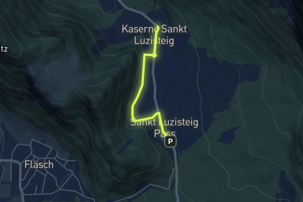
Easy · Trail
St. Luzisteig – Festung Luziensteig
3.2 km · ↑ 52 m · 52 min
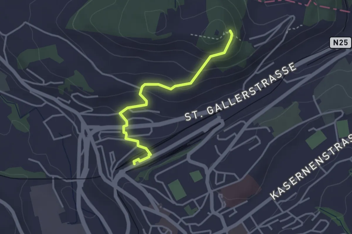
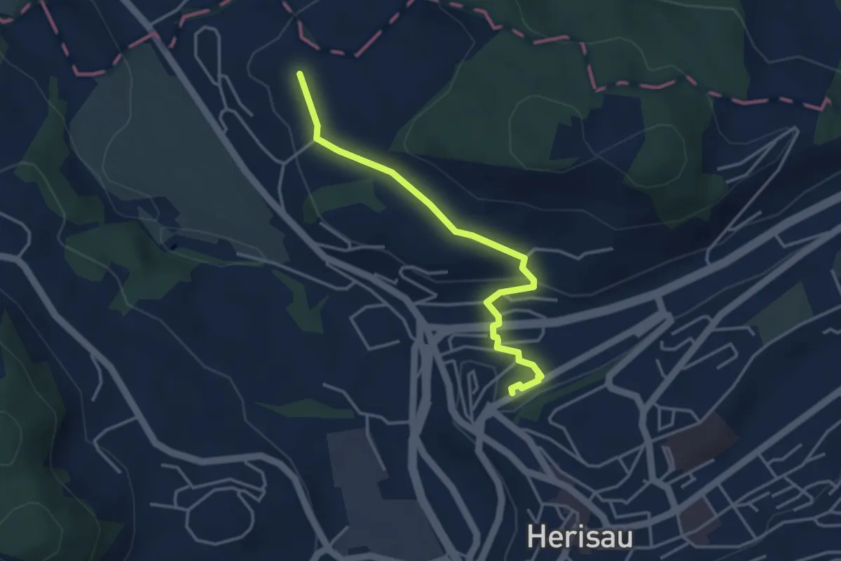
Easy · Trail
Herisau Bahnhof BT – Burgruine Rosenberg
3.0 km · ↑ 133 m · 59 min
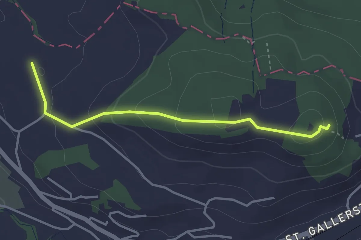
Easy · Trail
Herisau Bahnhof BT – Schochenberg
3.5 km · ↑ 87 m · 1 h 1 min
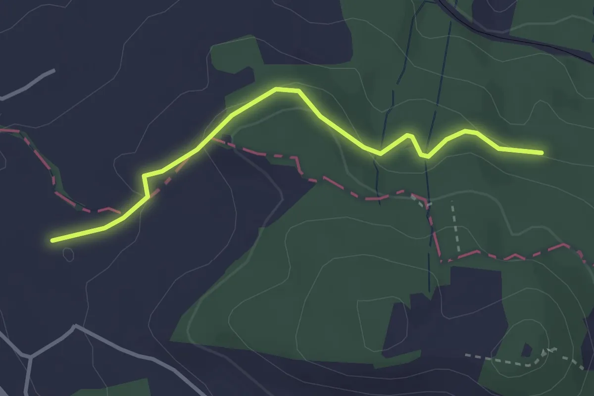
Easy · Trail
Burgruine Rosenberg – Schochenberg
2.9 km · ↑ 120 m · 57 min
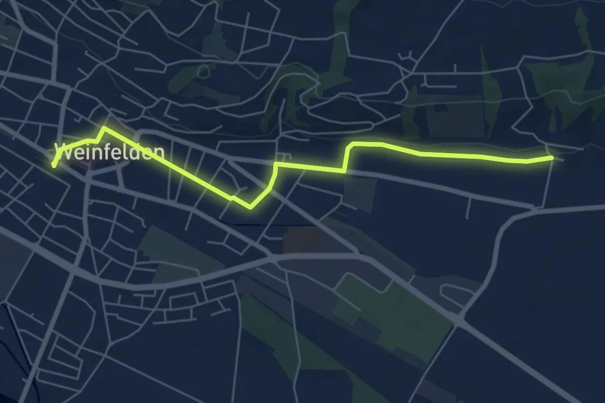
Easy · Trail
Schochenberg – Roserwald
2.9 km · ↑ 83 m · 52 min
Easy · Trail
Weinfelden – Unterhard
5.7 km · ↑ 34 m · 1 h 25 min
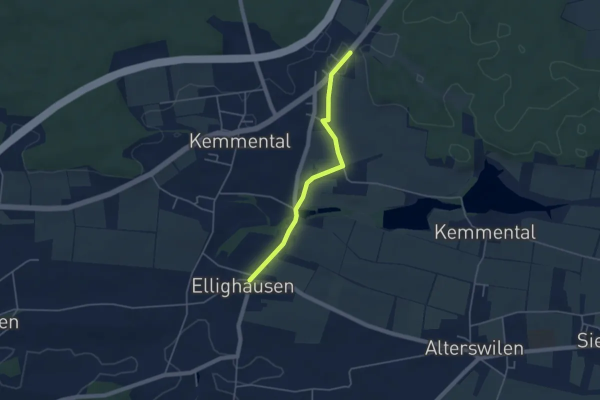
Easy · Trail
Ellighausen – Schwaderloh
3.5 km · ↑ 42 m · 55 min
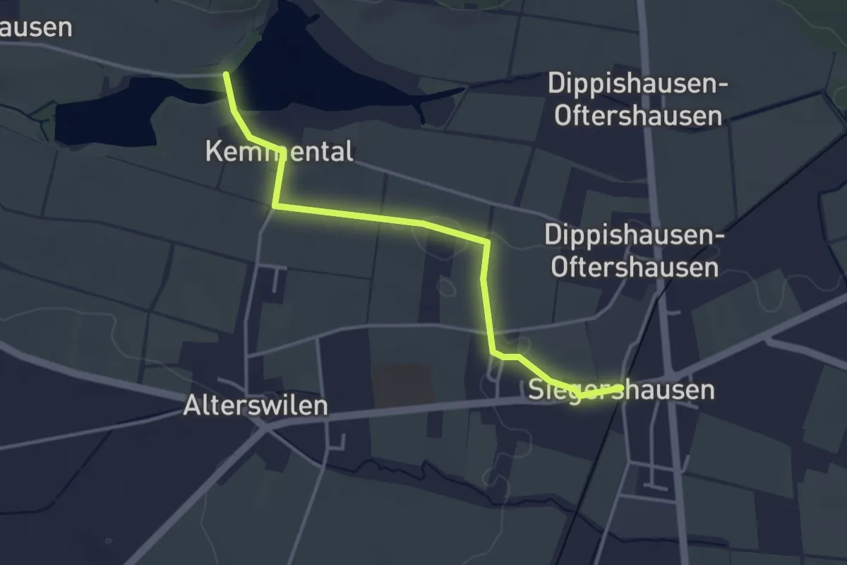
Easy · Trail
Bommer Weier – Siegershausen
3.5 km · ↑ 15 m · 52 min
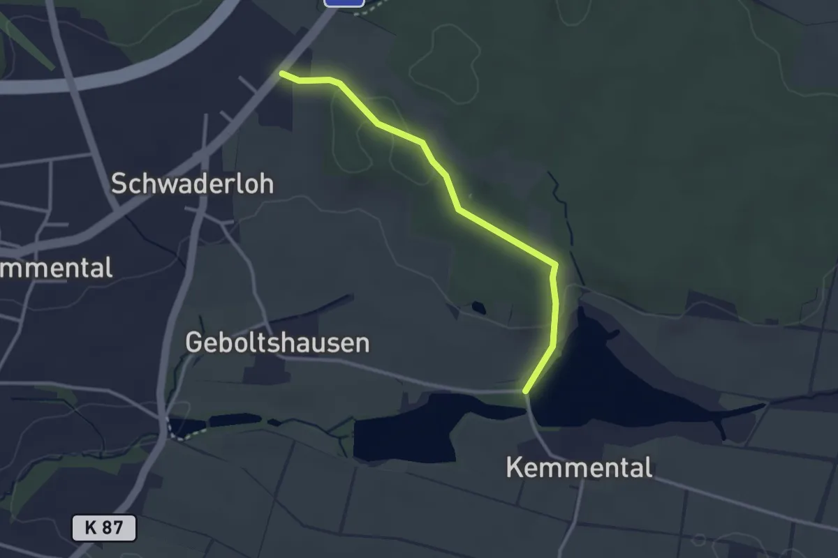
Easy · Trail
Bommer Weier – Schwaderloh
2.7 km · ↑ 29 m · 42 min
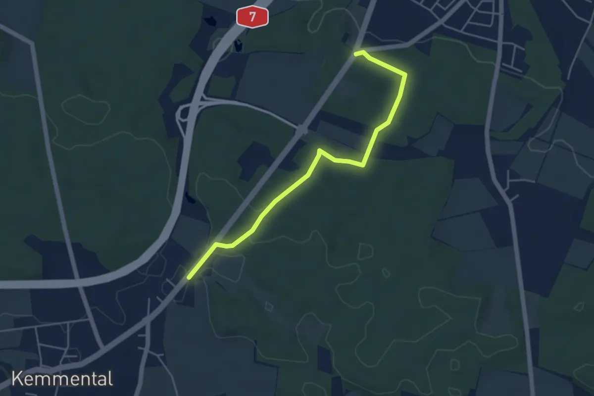
Easy · Trail
Schwaderloh – Bernrain Kapelle
4.2 km · ↑ 56 m · 1 h 7 min
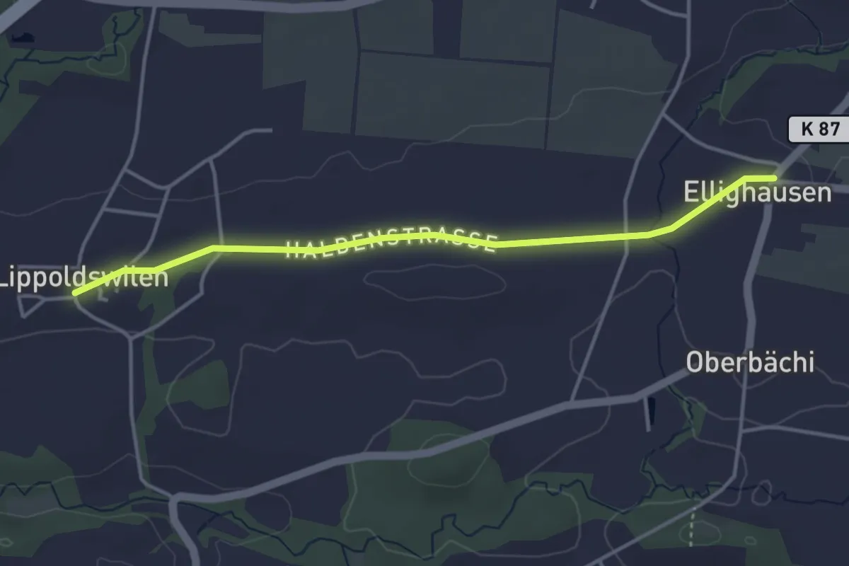
Easy · Trail
Ellighausen – Lippoldswilen
3.8 km · ↑ 23 m · 56 min
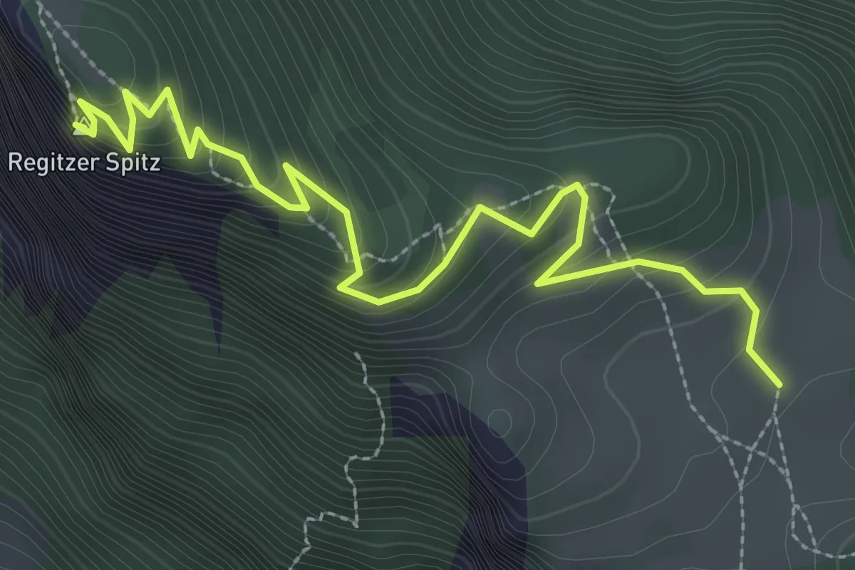
Medium · Summit
Vorder Ochsenberg – Regitzer Spitz
3.4 km · ↑ 399 m · 1 h 40 min
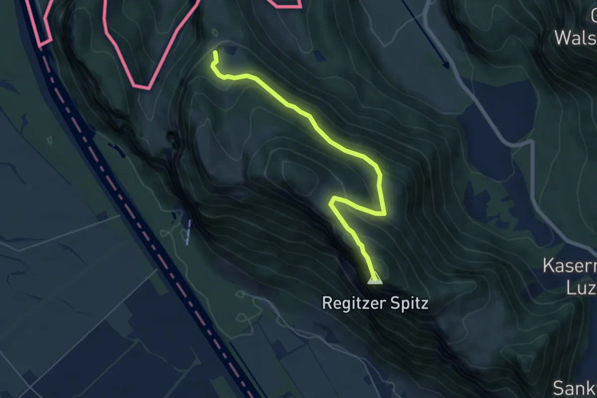
Medium · Summit
Regitzer Spitz – Mattheid
5.7 km · ↑ 390 m · 2 h 12 min
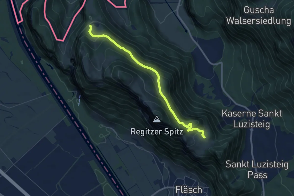
Medium · Trail
Vorder Ochsenberg – Mattheid
6.3 km · ↑ 353 m · 2 h 16 min
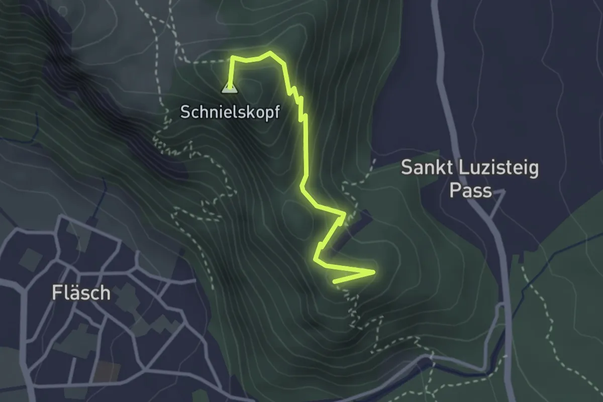
Easy · Summit
Vorder Ochsenberg – Matlusch
2.7 km · ↑ 225 m · 1 h 8 min
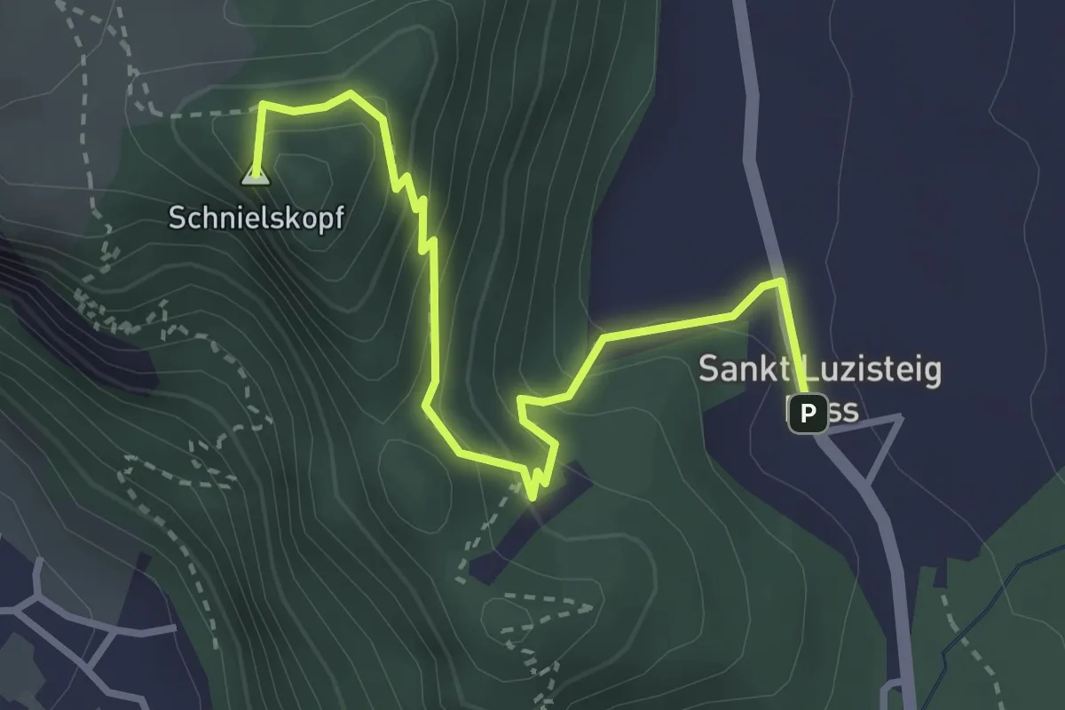
Easy · Summit
Vord. Ochsenberg – St. Lutzisteig
3.3 km · ↑ 260 m · 1 h 20 min
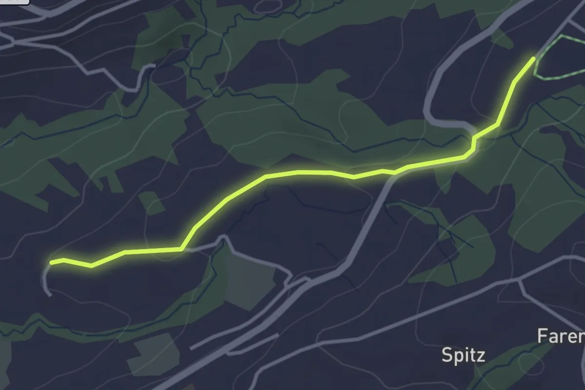
Easy · Trail
Birli – Nasen
3.1 km · ↑ 69 m · 53 min
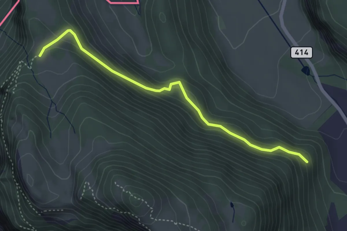
Easy · Trail
Mattheid – Mörderburg
4.1 km · ↑ 206 m · 1 h 24 min
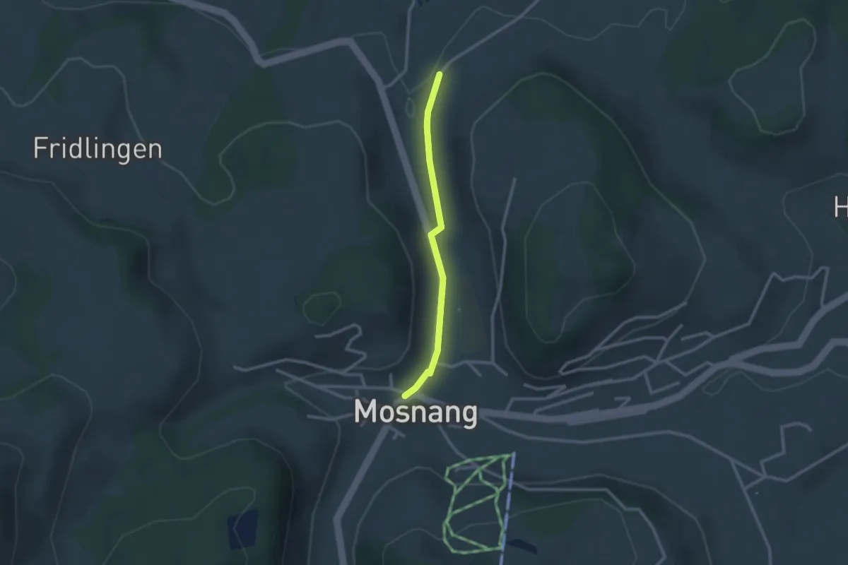
Easy · Trail
Mosnang – Winklen Süd
2.2 km · ↑ 41 m · 36 min
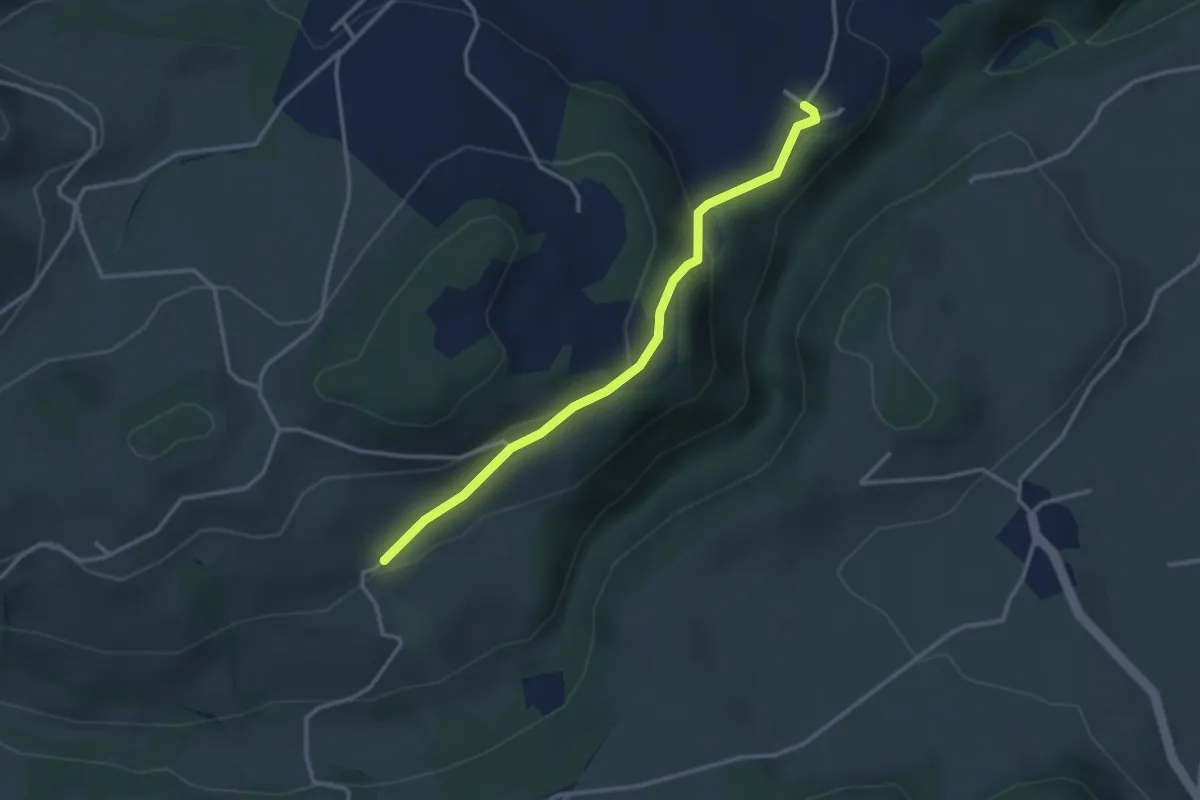
Easy · Trail
Krimberg – Bäbikon
3.1 km · ↑ 143 m · 1 h 2 min
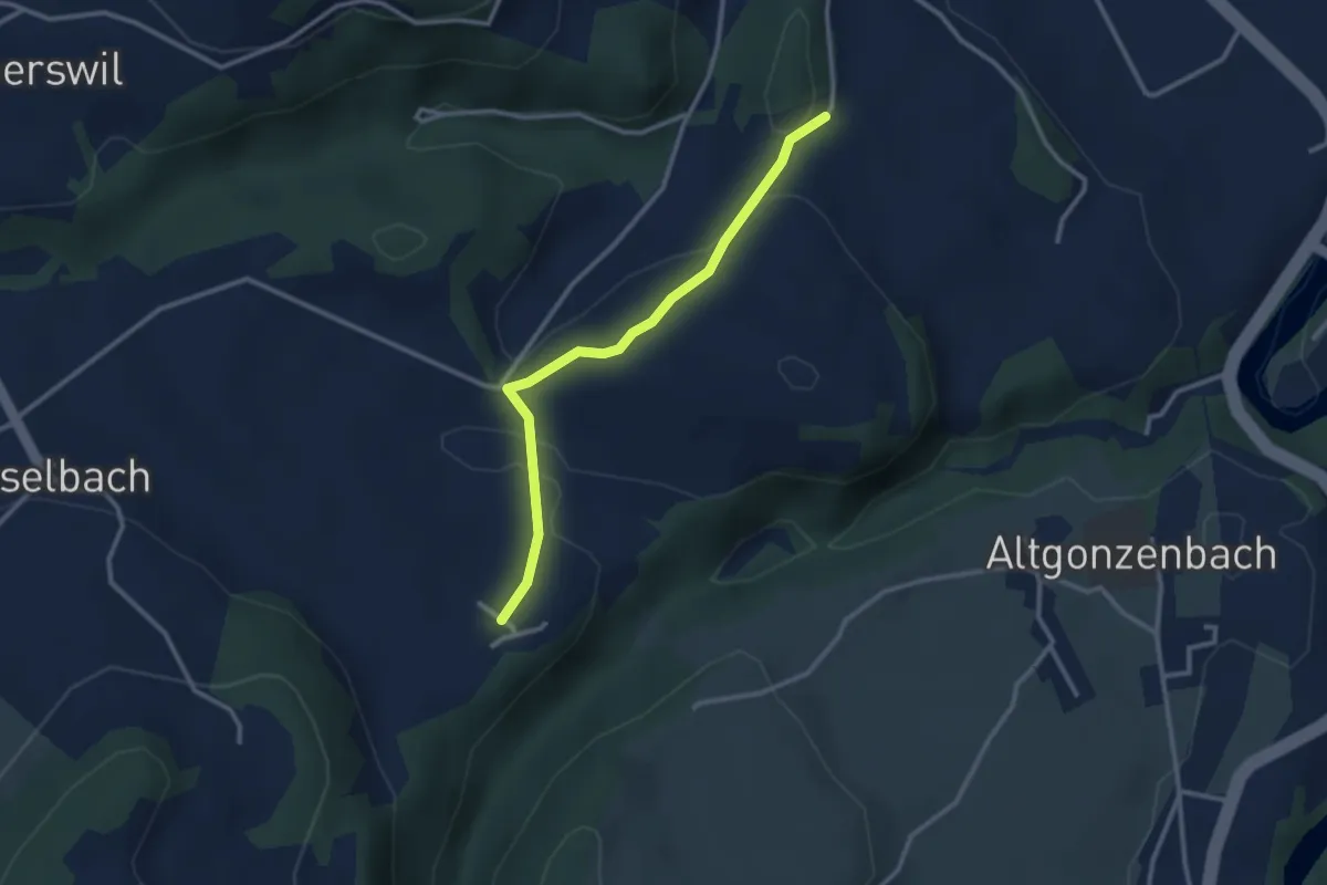
Easy · Trail
Bäbikon – Gumpersloh
2.7 km · ↑ 65 m · 47 min
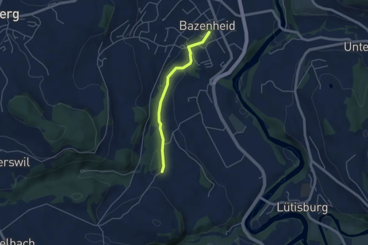
Easy · Trail
Gumpersloh – Bazenheid
3.3 km · ↑ 59 m · 55 min
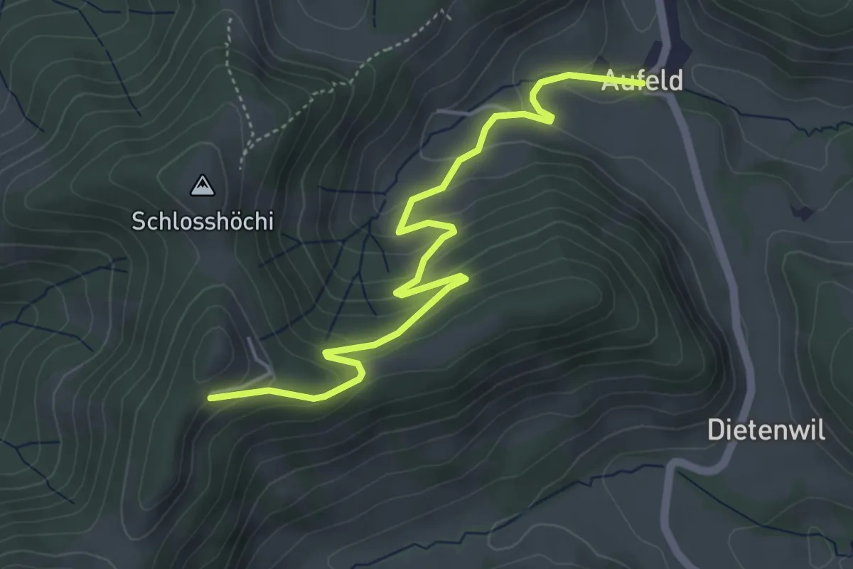
Easy · Trail
Vorder Rachlis – Aufeld
4.9 km · ↑ 268 m · 1 h 45 min
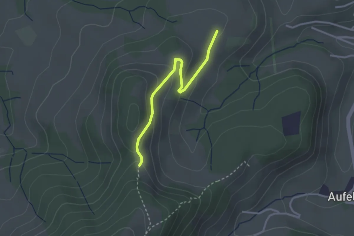
Easy · Trail
Schönengrund – Haaggen
2.4 km · ↑ 94 m · 46 min
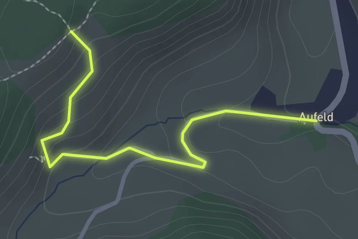
Easy · Trail
Bodenwald – Aufeld
2.2 km · ↑ 104 m · 44 min
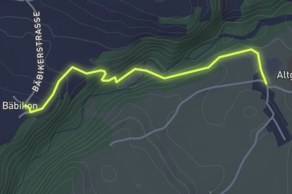
Easy · Trail
Bäbikon – Lütisburg Station
2.8 km · ↑ 89 m · 51 min
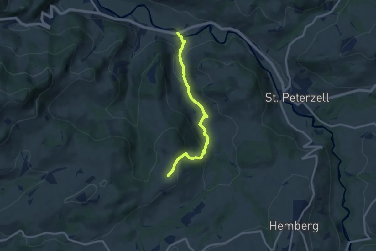
Easy · Trail
Ober Reitenberg – Furt
5.9 km · ↑ 275 m · 1 h 59 min
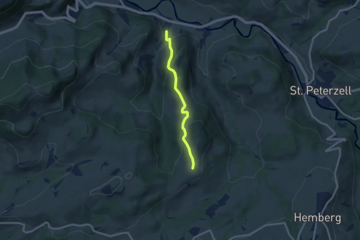
Easy · Trail
Spreitenbach Süd – Ober Reitenberg
4.8 km · ↑ 239 m · 1 h 39 min
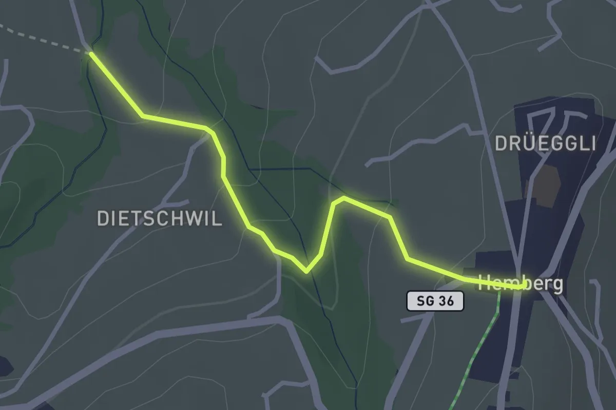
Easy · Trail
Rohr – Hemberg
2.7 km · ↑ 139 m · 56 min
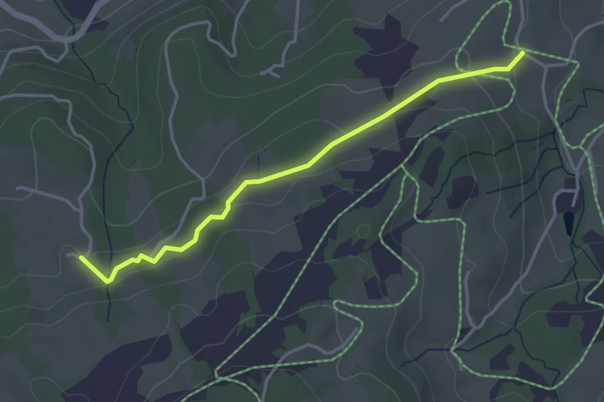
Easy · Trail
Fürschwand – Matt
3.4 km · ↑ 114 m · 1 h 3 min
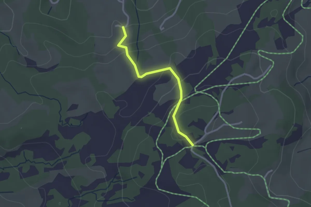
Easy · Trail
Salomonstempel – Fürschwand
2.1 km · ↑ 120 m · 46 min
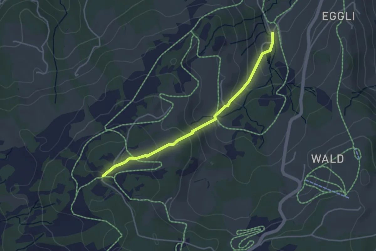
Easy · Trail
Salomonstempel – Bad
3.2 km · ↑ 180 m · 1 h 9 min
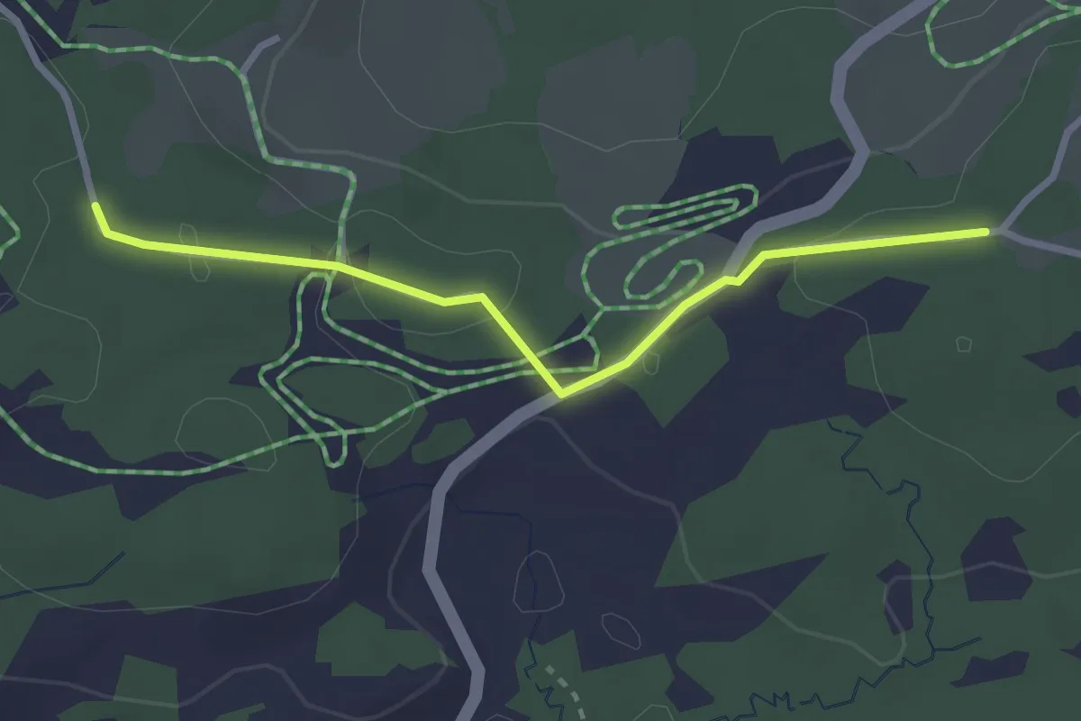
Easy · Trail
Scherb – Forrersschopf
2.6 km · ↑ 50 m · 44 min
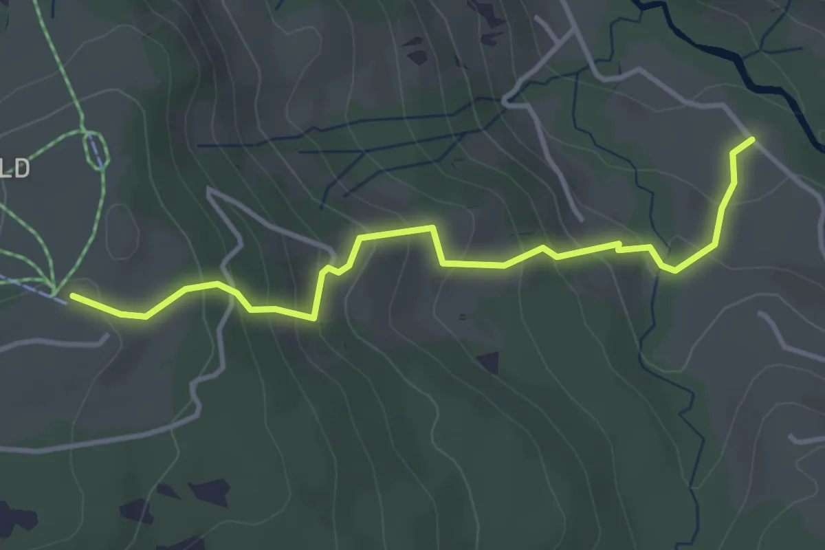
Easy · Trail
Mistelegg – Rigelschwendi
3.5 km · ↑ 277 m · 1 h 26 min
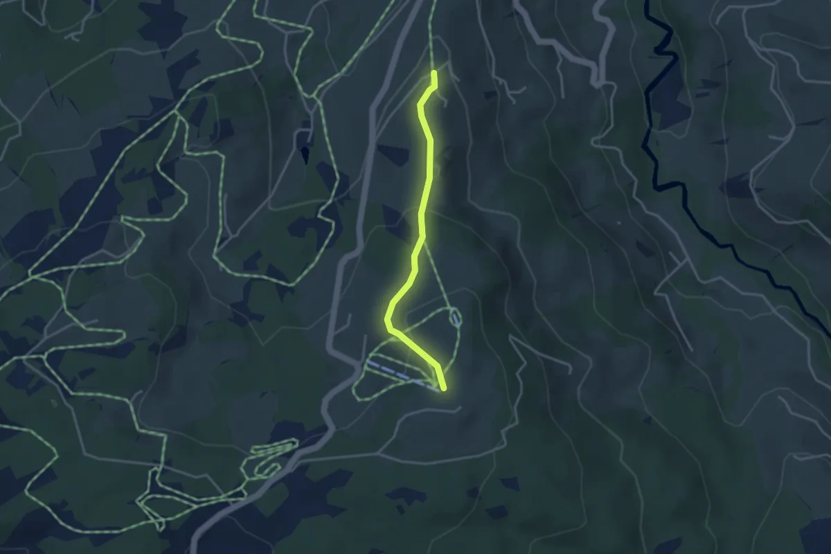
Easy · Trail
Eggli – Rigelschwendi
2.8 km · ↑ 112 m · 55 min
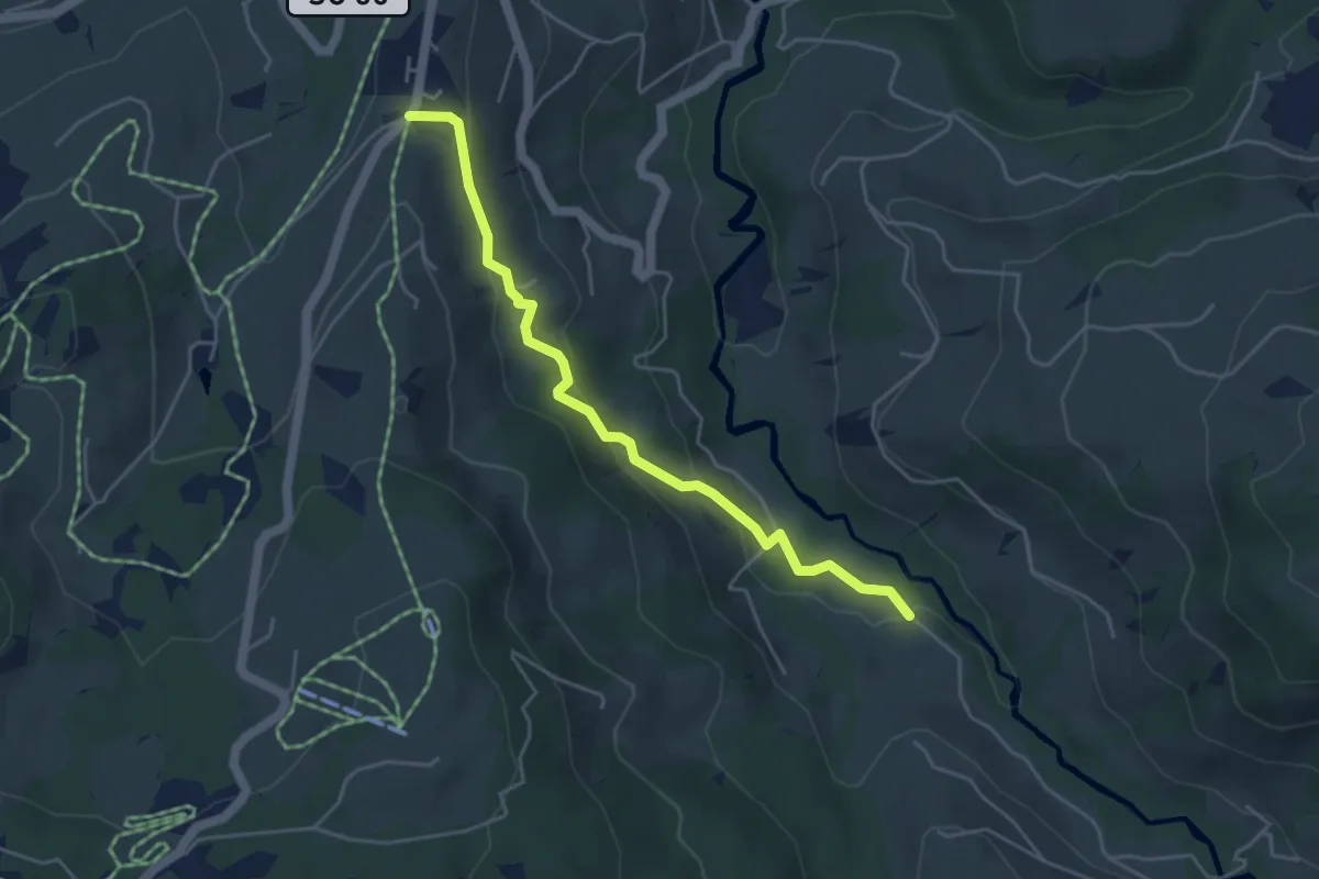
Easy · Trail
Gäwis – Mistelegg
4.5 km · ↑ 196 m · 1 h 29 min
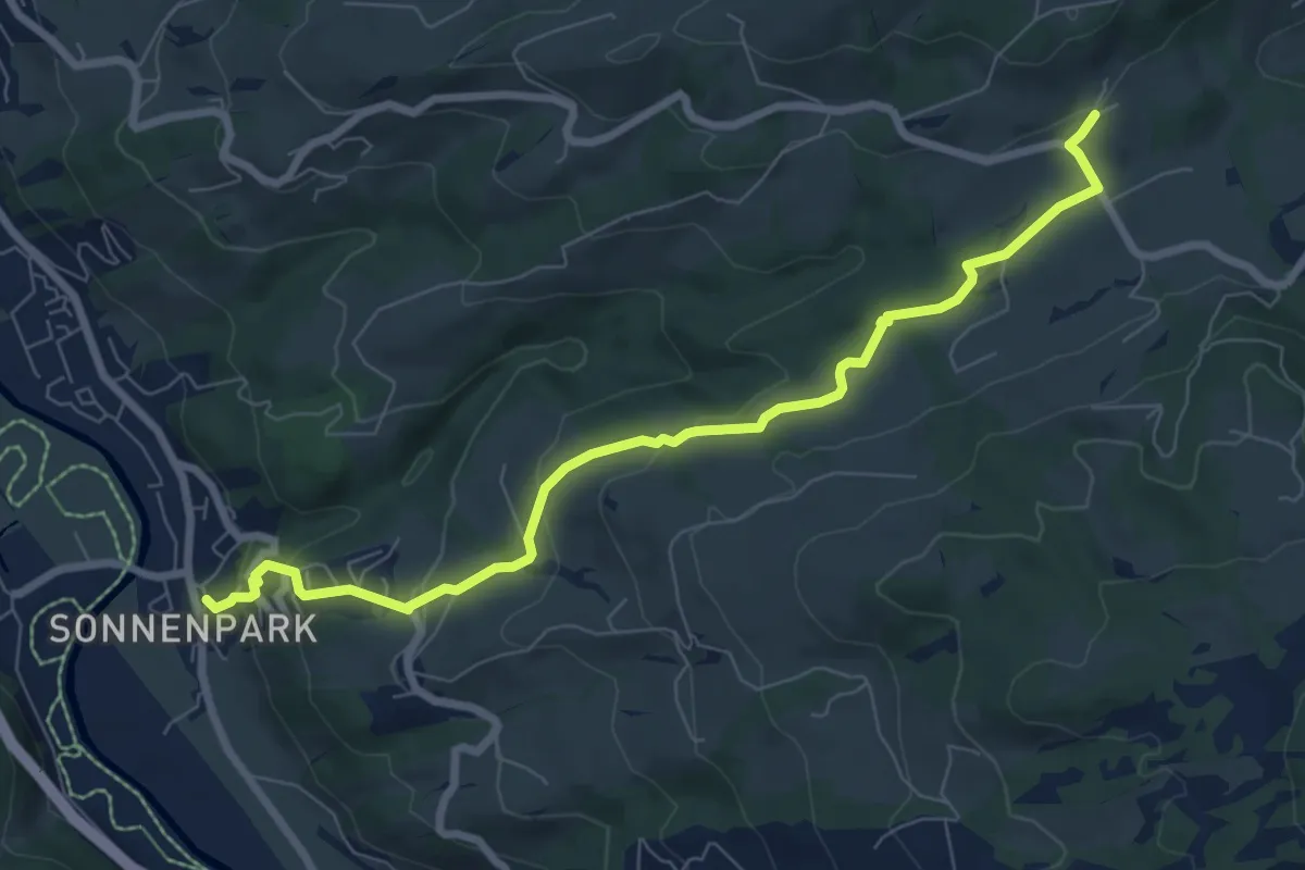
Easy · Trail
Heiterswil – Ulisbach
8.0 km · ↑ 288 m · 2 h 31 min
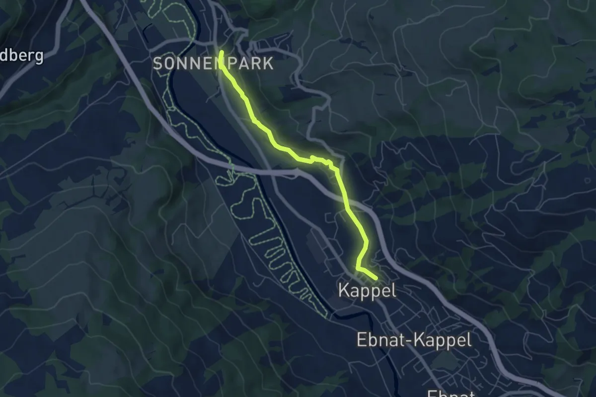
Easy · Trail
Kappel Kirche – Ulisbach
5.4 km · ↑ 88 m · 1 h 28 min