Trails in Switzerland
15,055 hiking trails, each with its route, climb, walking time and grade.
All trails, page 311 of 314
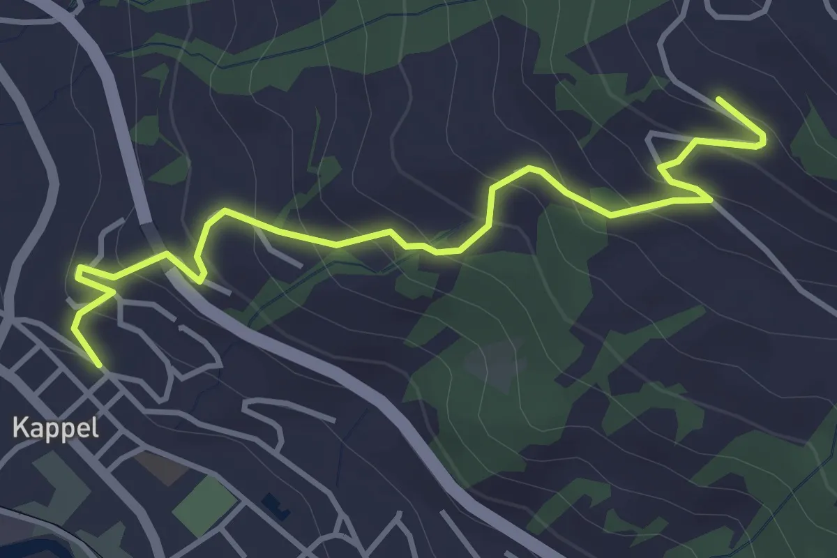
Easy · Trail
Hüsliberg – Kappel Kirche
3.9 km · ↑ 286 m · 1 h 32 min
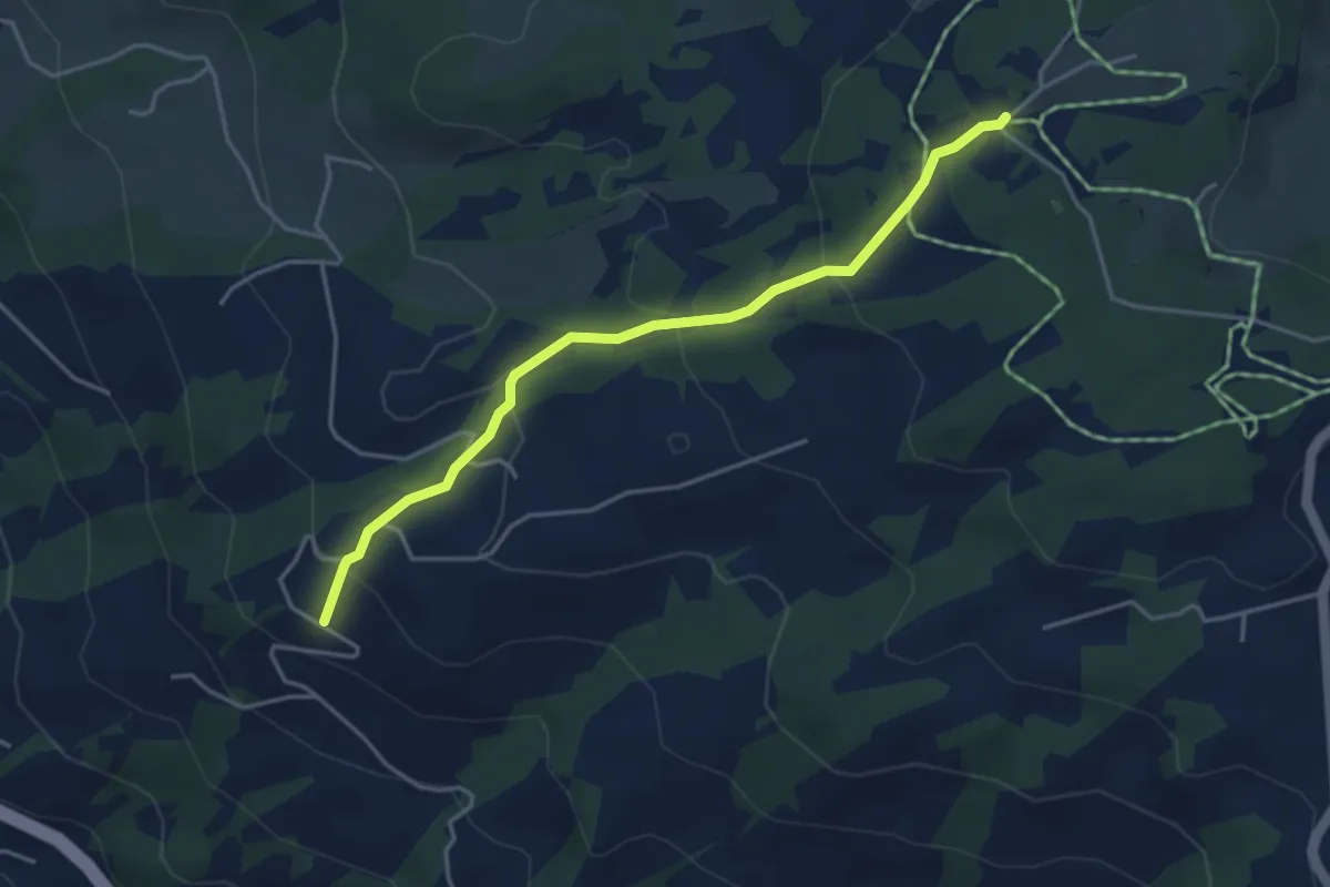
Easy · Trail
Salomonstempel – Hüsliberg
4.0 km · ↑ 217 m · 1 h 25 min
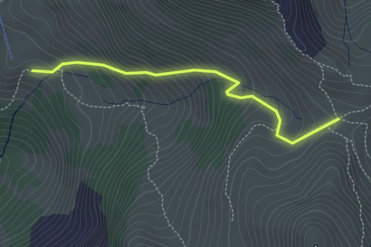
Easy · Trail
Mittlere Fronalp – Fronalppass
2.5 km · ↑ 295 m · 1 h 14 min
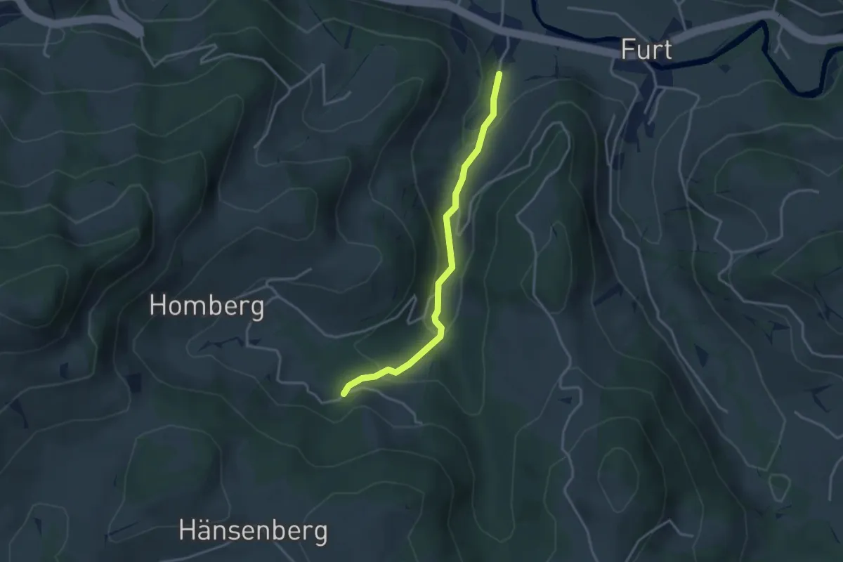
Easy · Trail
Spreitenbach Süd – Gössel
3.1 km · ↑ 126 m · 1 h 1 min
Easy · Trail
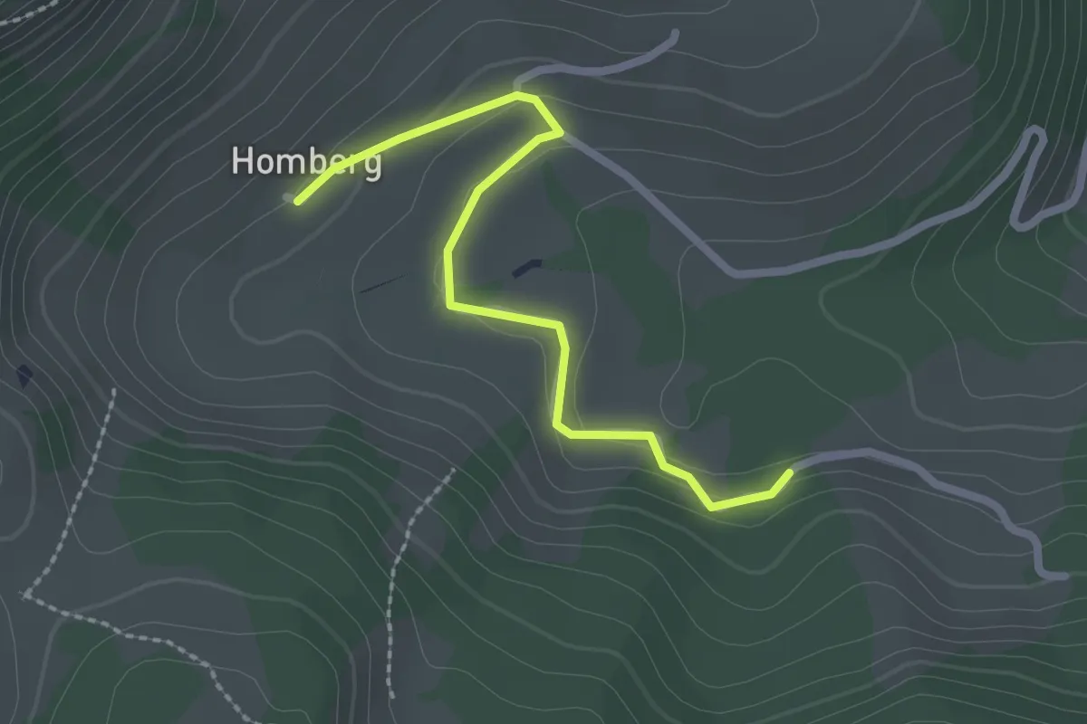
Gössel – Homberg
2.3 km · ↑ 53 m · 39 min
Easy · Trail
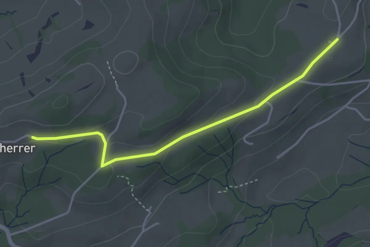
Ober Reitenberg – Scherrer
3.5 km · ↑ 89 m · 1 h 1 min
Easy · Trail
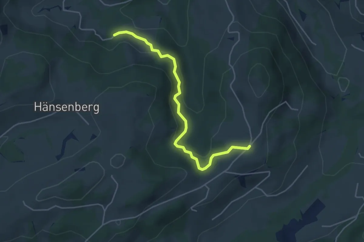
Ober Reitenberg – Gössel
4.0 km · ↑ 173 m · 1 h 19 min
Easy · Trail
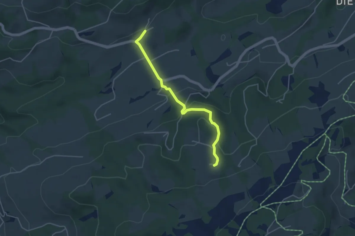
Fürschwand – Heiterswil
3.6 km · ↑ 158 m · 1 h 11 min
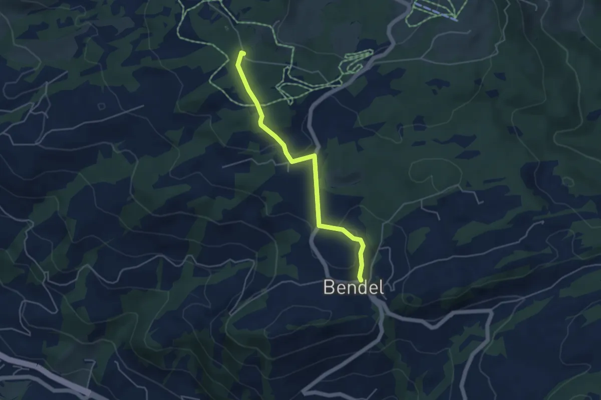
Easy · Trail
Forrersschopf – Bendel
4.1 km · ↑ 110 m · 1 h 13 min
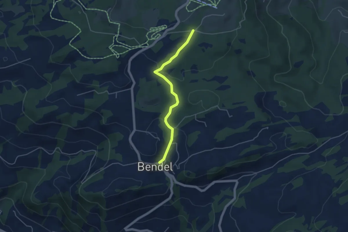
Easy · Trail
Scherb – Bendel
3.8 km · ↑ 118 m · 1 h 9 min
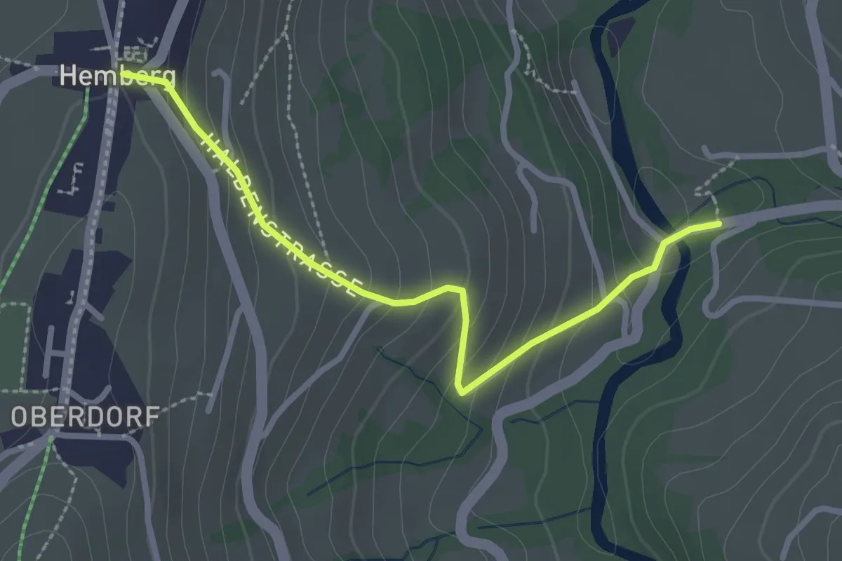
Easy · Trail
Schwanzbrugg – Hemberg
2.6 km · ↑ 179 m · 1 h
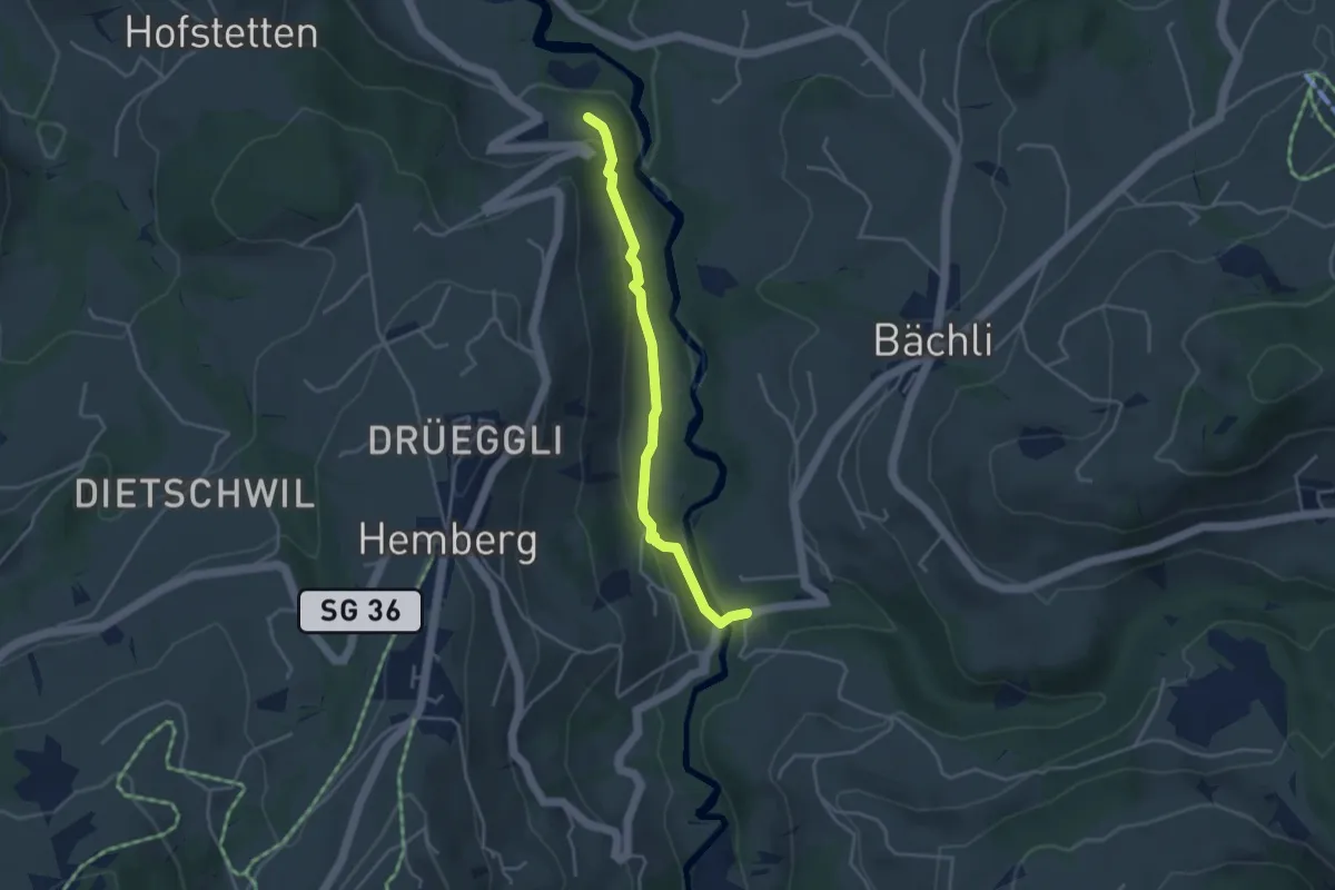
Easy · Trail
Brunau – Schwanzbrugg
3.6 km · ↑ 121 m · 1 h 7 min
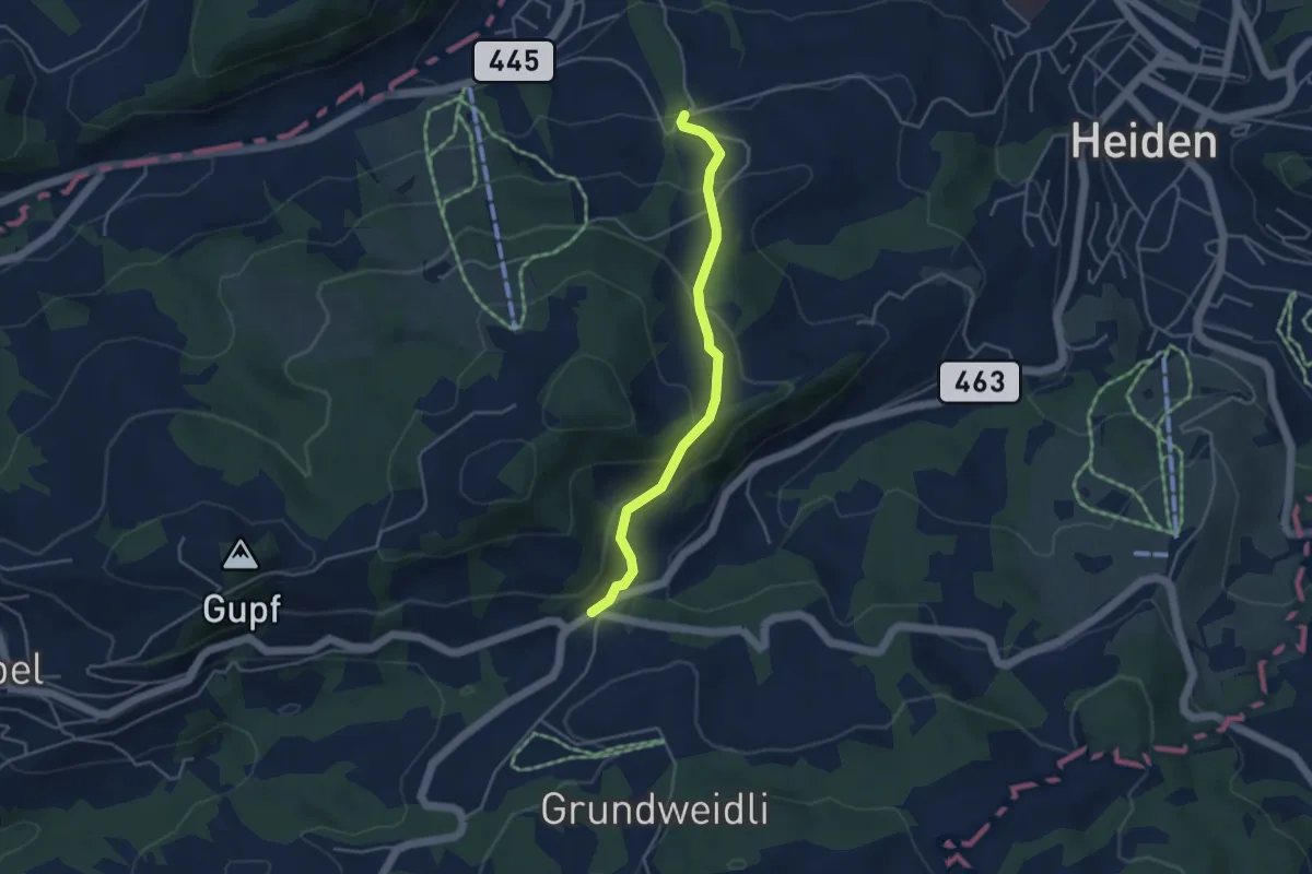
Easy · Trail
Kaien – Dicken
3.8 km · ↑ 227 m · 1 h 24 min
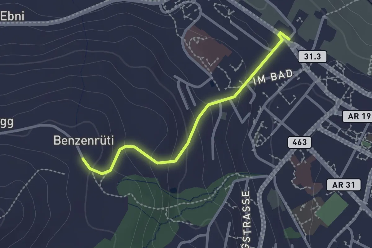
Easy · Trail
Bänzenrüti – Lindenplatz
2.1 km · ↑ 90 m · 41 min
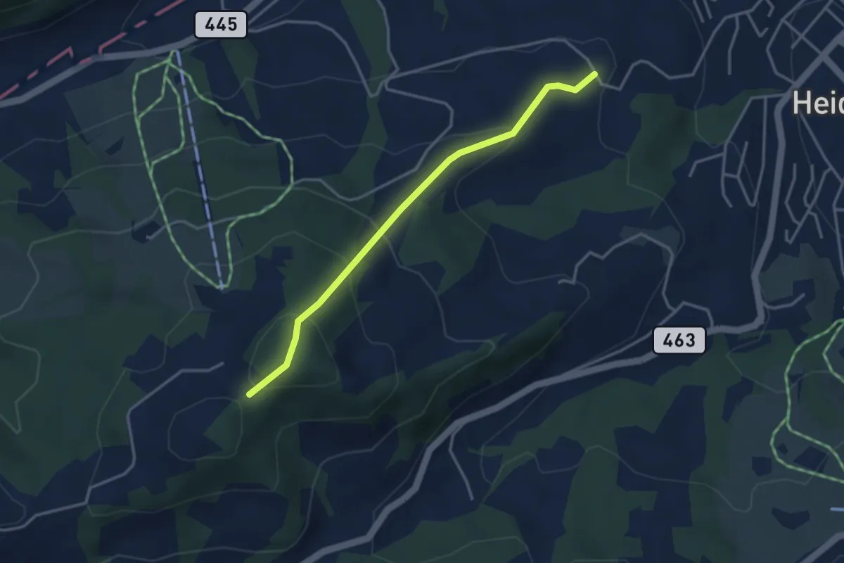
Medium · Trail
Kaien – Bänzenrüti
3.3 km · ↑ 216 m · 1 h 14 min
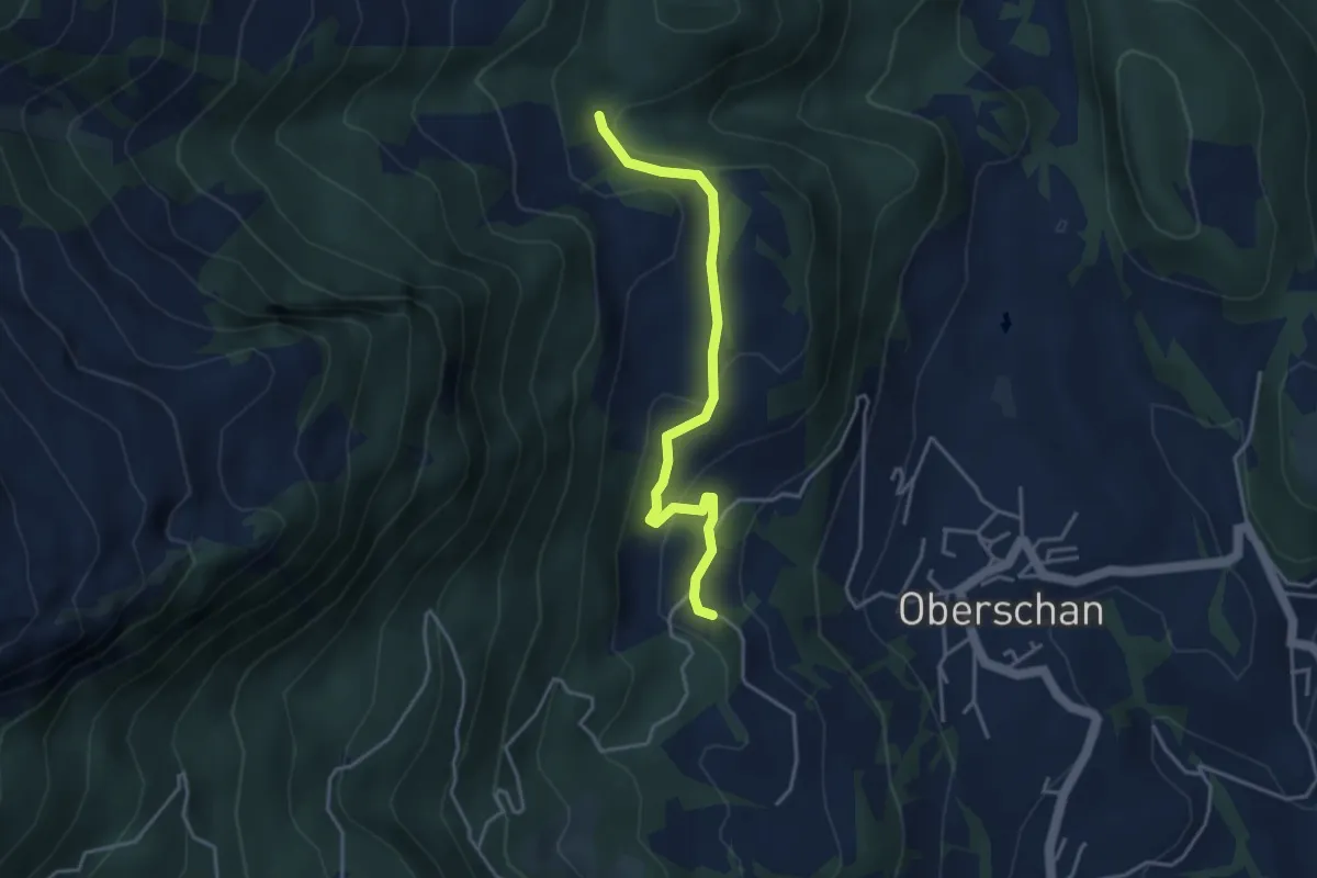
Easy · Trail
Valpalos – Reggella
3.7 km · ↑ 149 m · 1 h 12 min
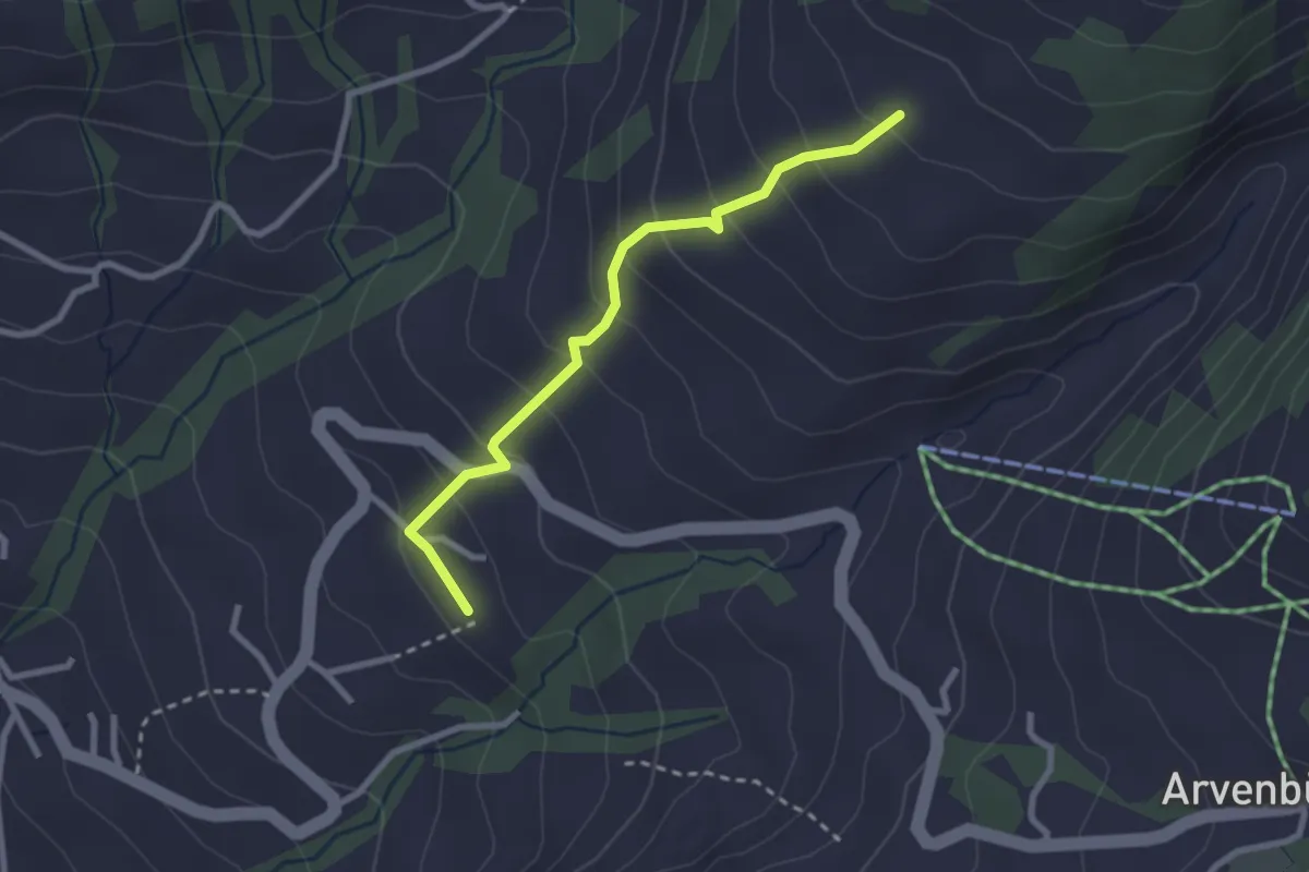
Easy · Trail
Amden Vorderdorf – Tscherwald
2.5 km · ↑ 219 m · 1 h 4 min
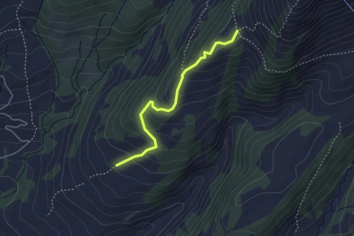
Easy · Trail
Tscherwald – Hüttlisboden
3.2 km · ↑ 221 m · 1 h 14 min
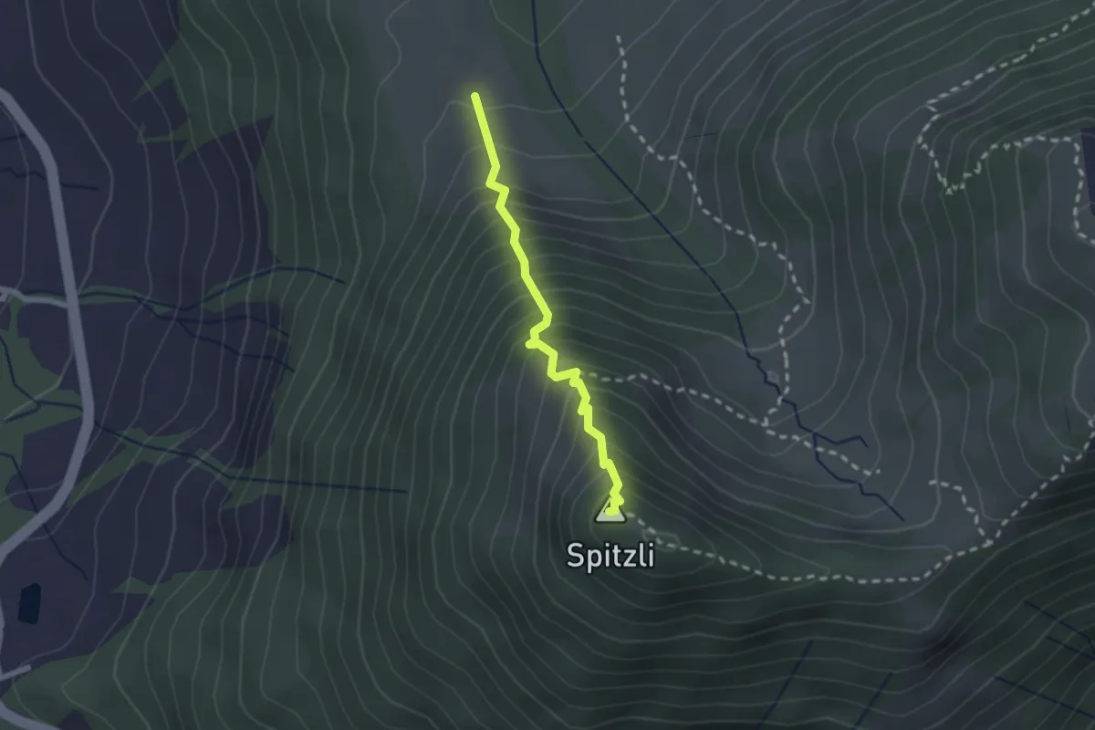
Demanding · Summit
Guggeien – Gschwendsattel
2.0 km · ↑ 338 m · 1 h 12 min
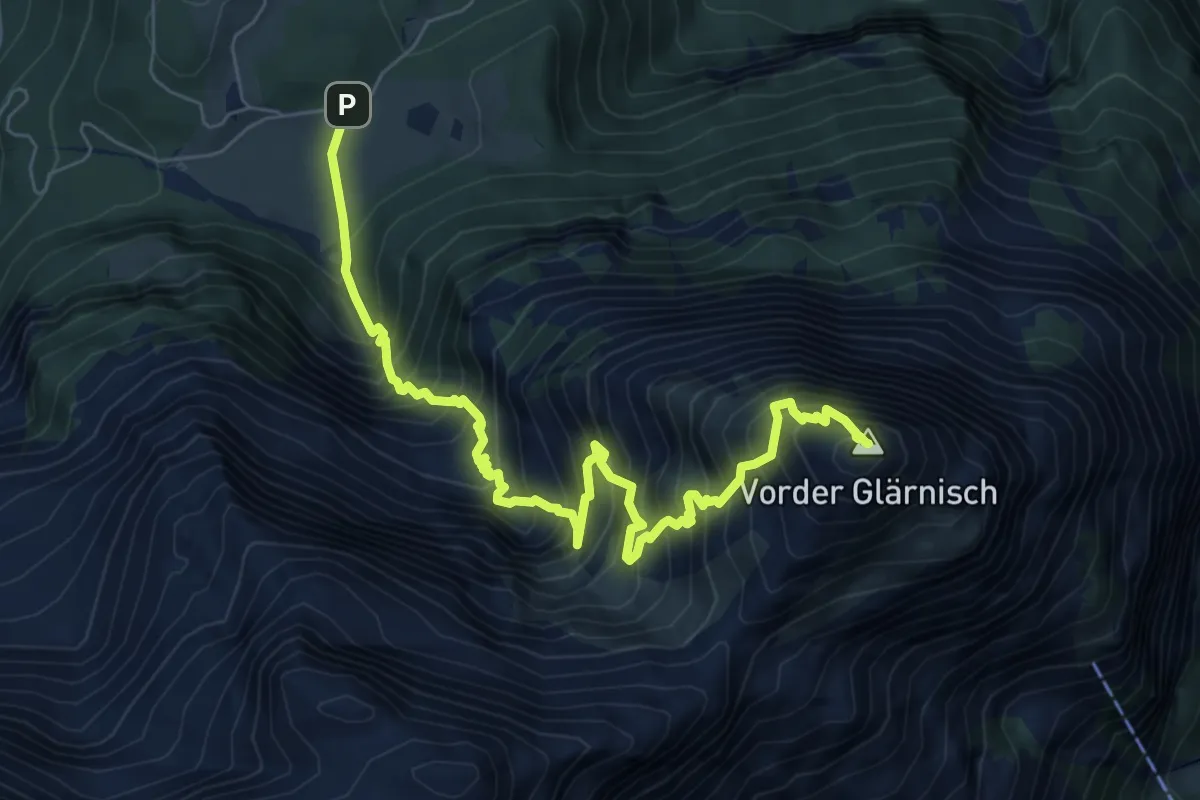
Expert · Summit
Hinter Saggberg – Vorder Glärnisch
8.2 km · ↑ 1417 m · 5 h
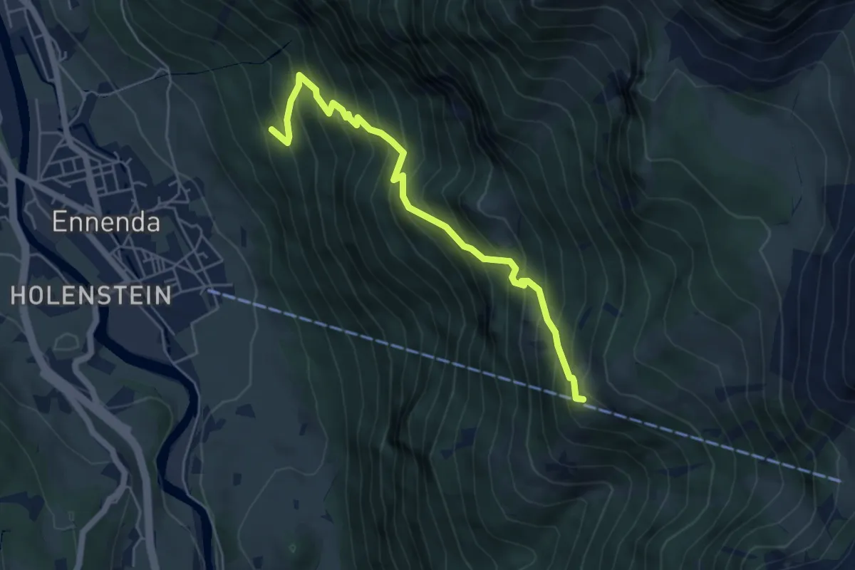
Medium · Trail
Geitzen – Bärenboden
5.2 km · ↑ 781 m · 2 h 55 min
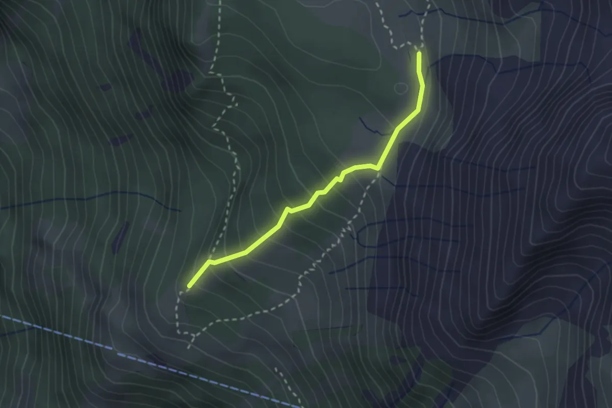
Medium · Trail
Altstafel – Alp Begligen
2.3 km · ↑ 223 m · 1 h 1 min
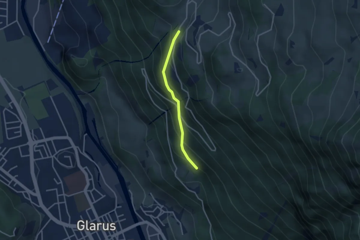
Medium · Trail
Vogelbödeli – Etmen
2.3 km · ↑ 239 m · 1 h 3 min
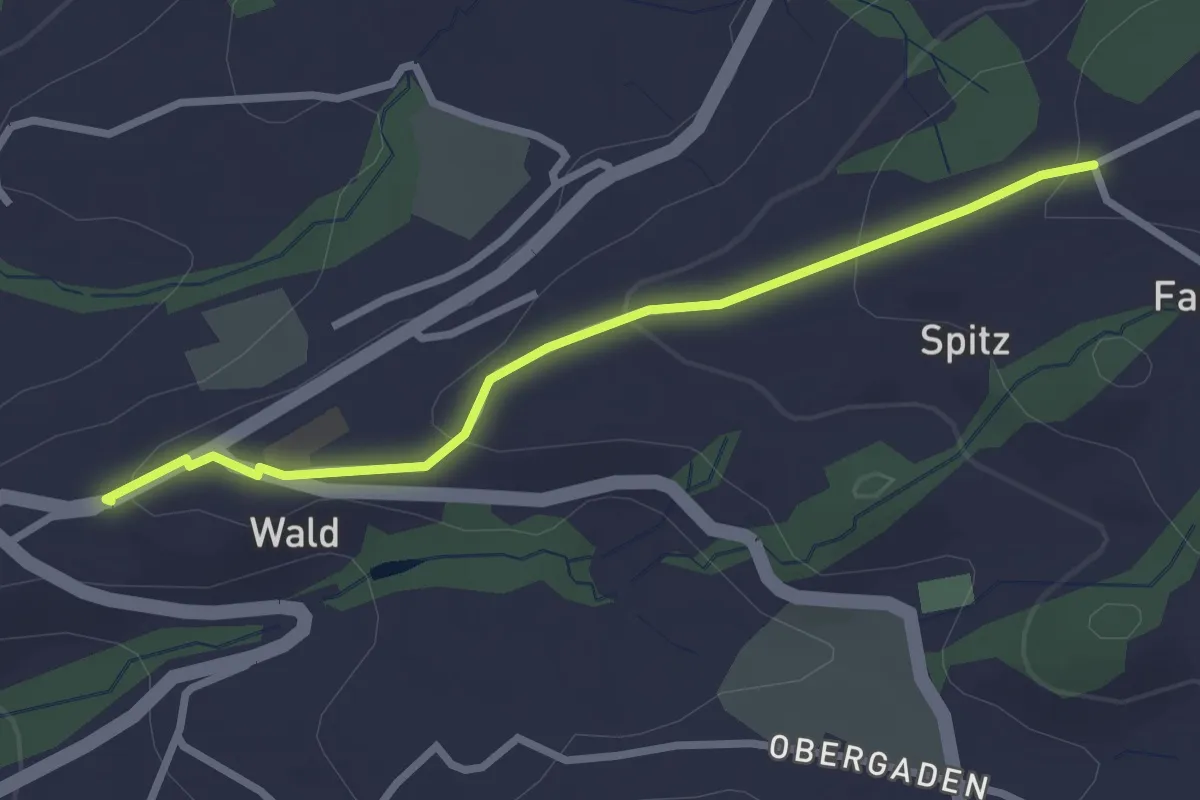
Easy · Trail
Wald – Bühl
2.6 km · ↑ 90 m · 49 min
Easy · Trail
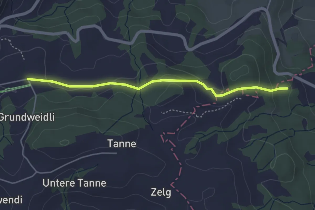
Langenegg – Ebenau
3.8 km · ↑ 81 m · 1 h 4 min
Easy · Summit
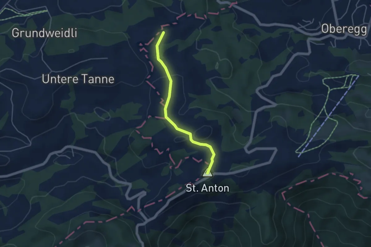
Rütegg – St. Anton Kapelle
3.5 km · ↑ 81 m · 1 h
Easy · Summit
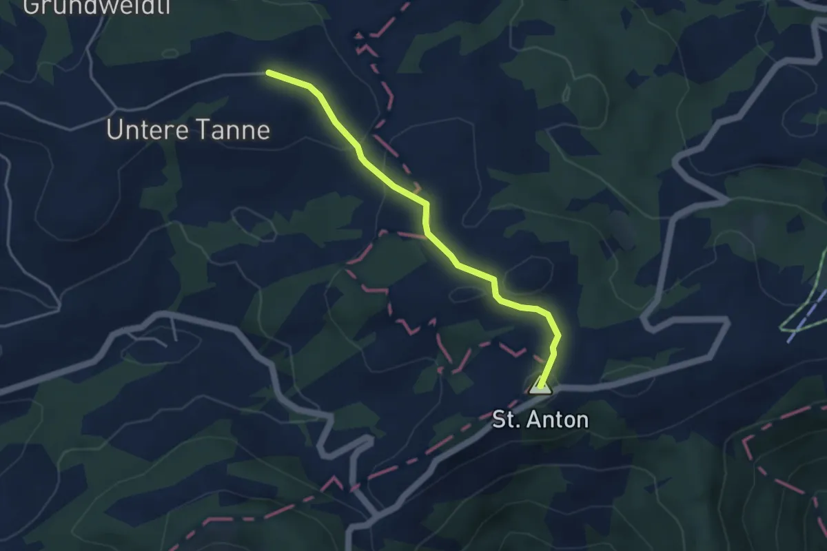
Tanne – St. Anton Kapelle
3.5 km · ↑ 105 m · 1 h 3 min
Medium · Cabin
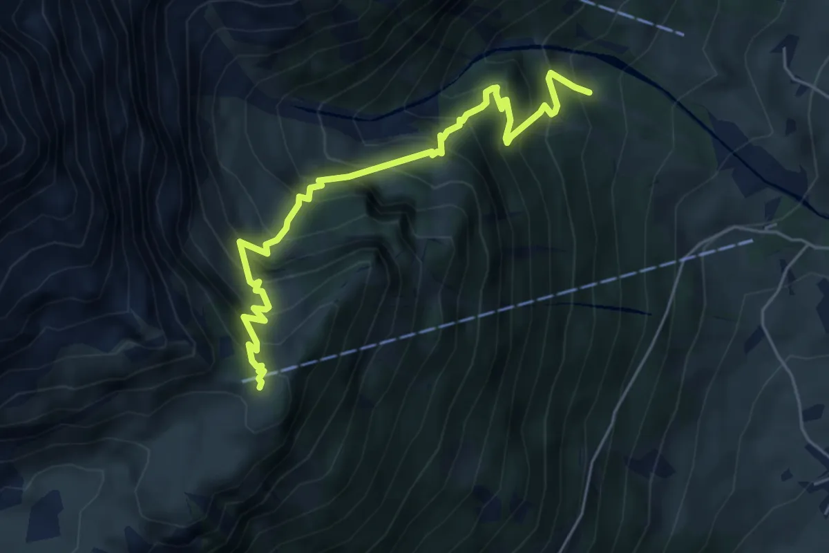
Guppen Unterstafel – Guppen Oberstafel
5.4 km · ↑ 763 m · 2 h 56 min
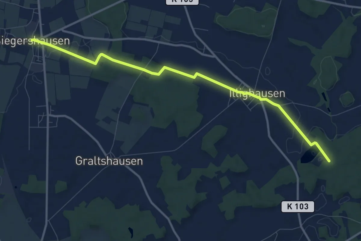
Medium · Trail
Siegershausen – Langrickenbach
9.6 km · ↑ 79 m · 2 h 26 min
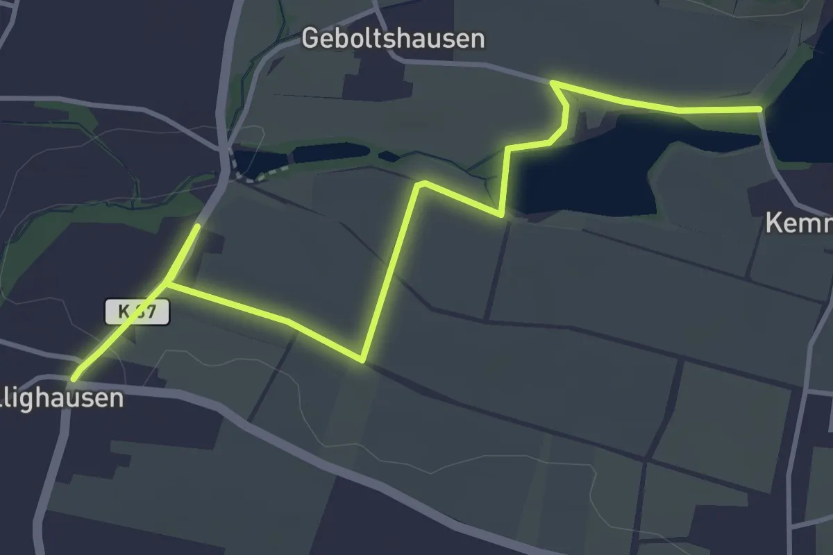
Easy · Trail
Ellighausen – Bommer Weier
4.3 km · ↑ 14 m · 1 h 3 min
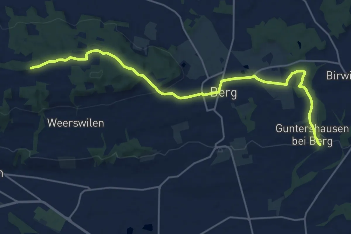
Medium · Trail
Ottenberg – Guntershausen
14.1 km · ↑ 300 m · 3 h 59 min
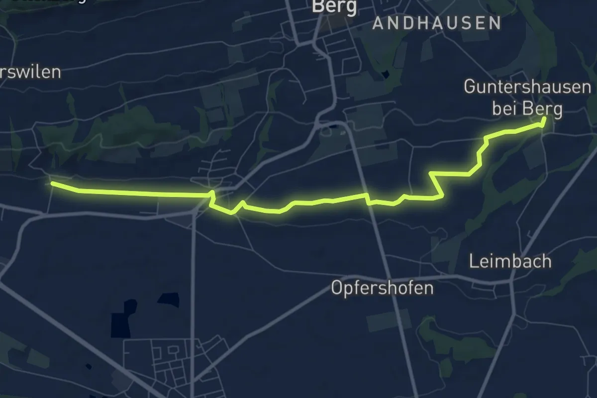
Medium · Trail
Unterhard – Guntershausen
9.6 km · ↑ 77 m · 2 h 26 min
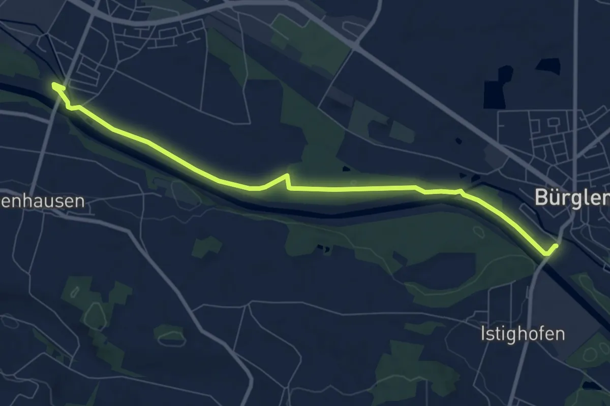
Medium · Trail
Weinfelden – Buerglen
8.4 km · ↑ 44 m · 2 h 4 min
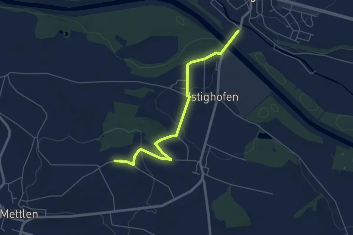
Easy · Trail
Wertbühl – Buerglen
4.8 km · ↑ 158 m · 1 h 29 min
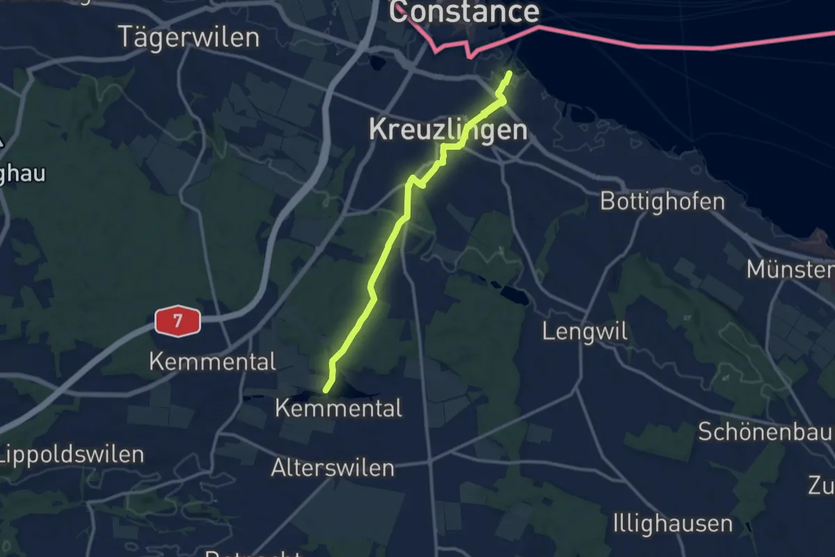
Medium · Trail
Bommer Weier – Kreuzlingen Hafen
11.4 km · ↑ 211 m · 3 h 8 min
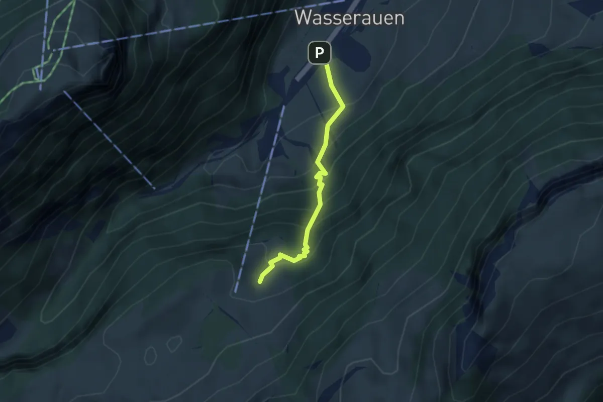
Medium · Trail
Wasserauen – Klein-Hütten
2.7 km · ↑ 320 m · 1 h 20 min
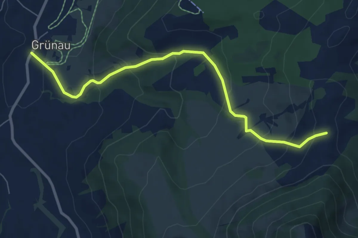
Medium · Trail
Grüenau – Langdürren
6.6 km · ↑ 370 m · 2 h 21 min
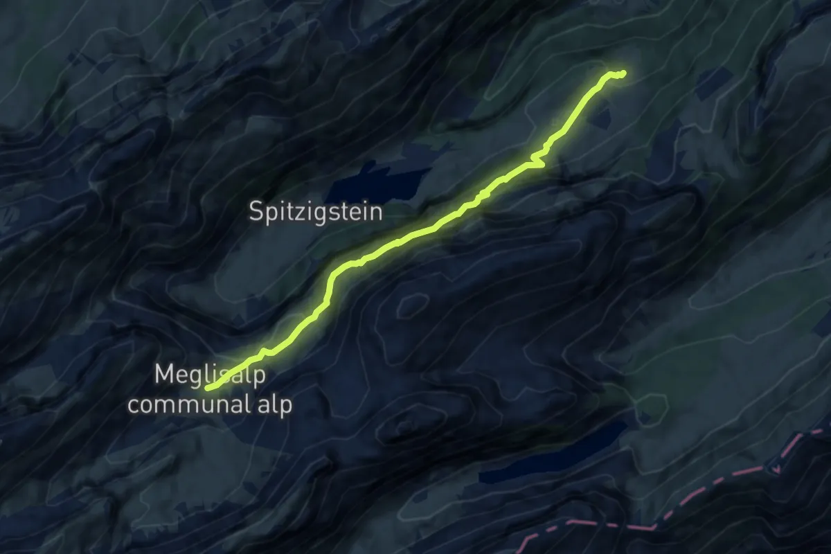
Medium · Cabin
Klein-Hütten – Meglisalp
8.0 km · ↑ 705 m · 3 h 25 min
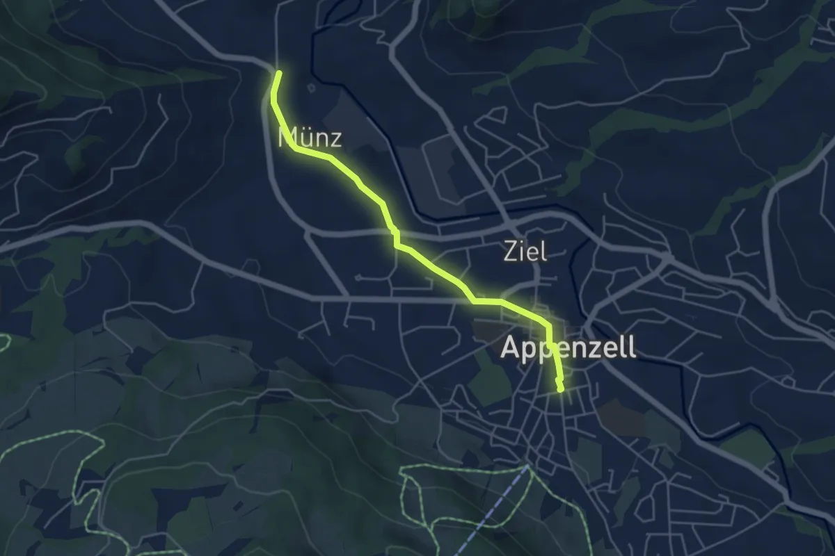
Easy · Trail
Appenzell – Flucht
4.4 km · ↑ 44 m · 1 h 7 min
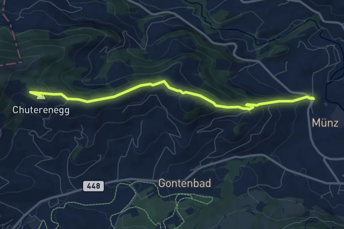
Medium · Summit
Flucht – Ochsenhöhi
7.8 km · ↑ 387 m · 2 h 41 min
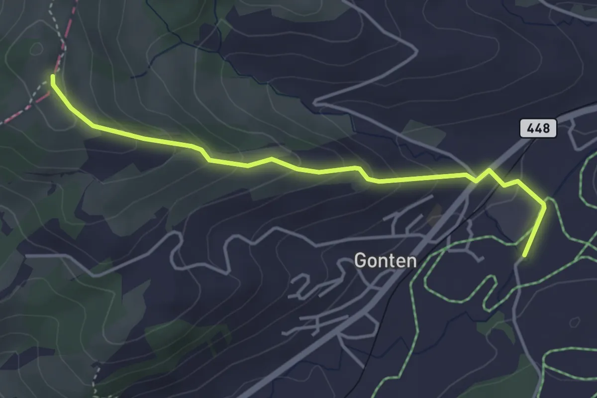
Easy · Trail
Gonten – Göbsi
3.8 km · ↑ 213 m · 1 h 22 min
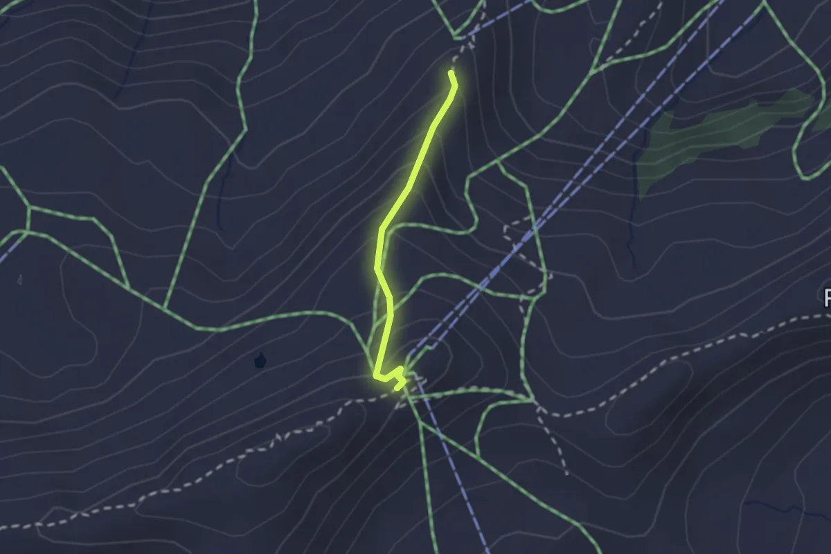
Medium · Summit
Seebenalp – Maschgenkamm
1.5 km · ↑ 162 m · 43 min
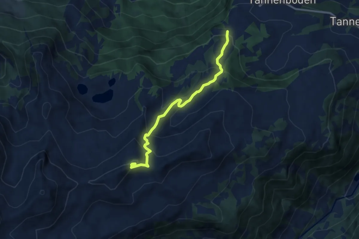
Medium · Trail
Rotberg – Maschgenkamm
7.5 km · ↑ 532 m · 2 h 56 min
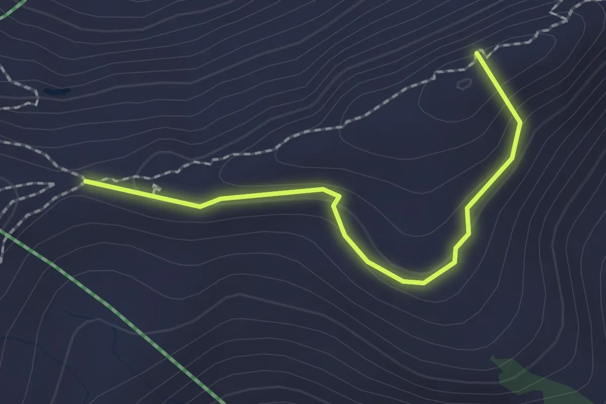
Easy · Summit
Maschgenkamm – Ziggerfurgen
1.9 km · ↑ 101 m · 40 min
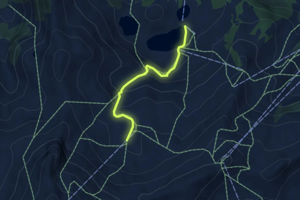
Medium · Trail
Seebenalp – Grueb
3.3 km · ↑ 231 m · 1 h 17 min
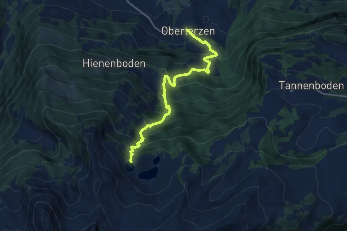
Demanding · Trail
Oberterzen – Heusee
9.4 km · ↑ 982 m · 4 h 21 min
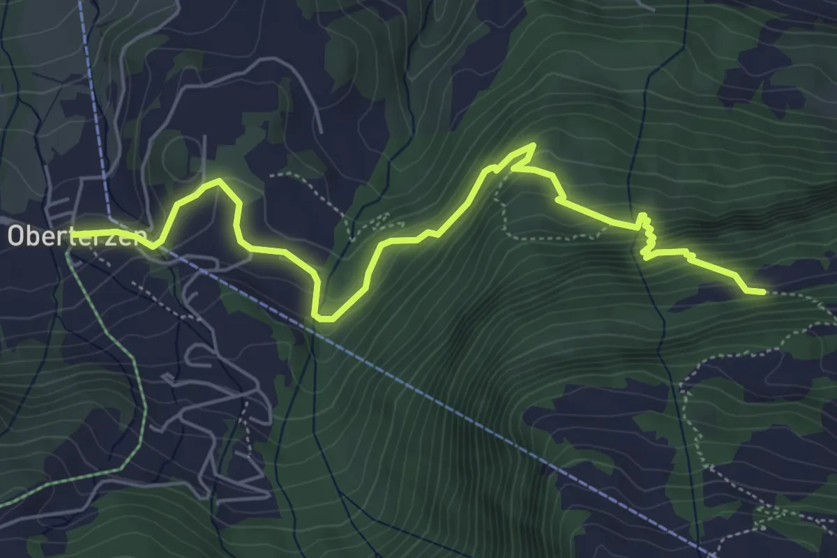
Medium · Trail
Oberterzen – Hessenberg
6.2 km · ↑ 484 m · 2 h 31 min
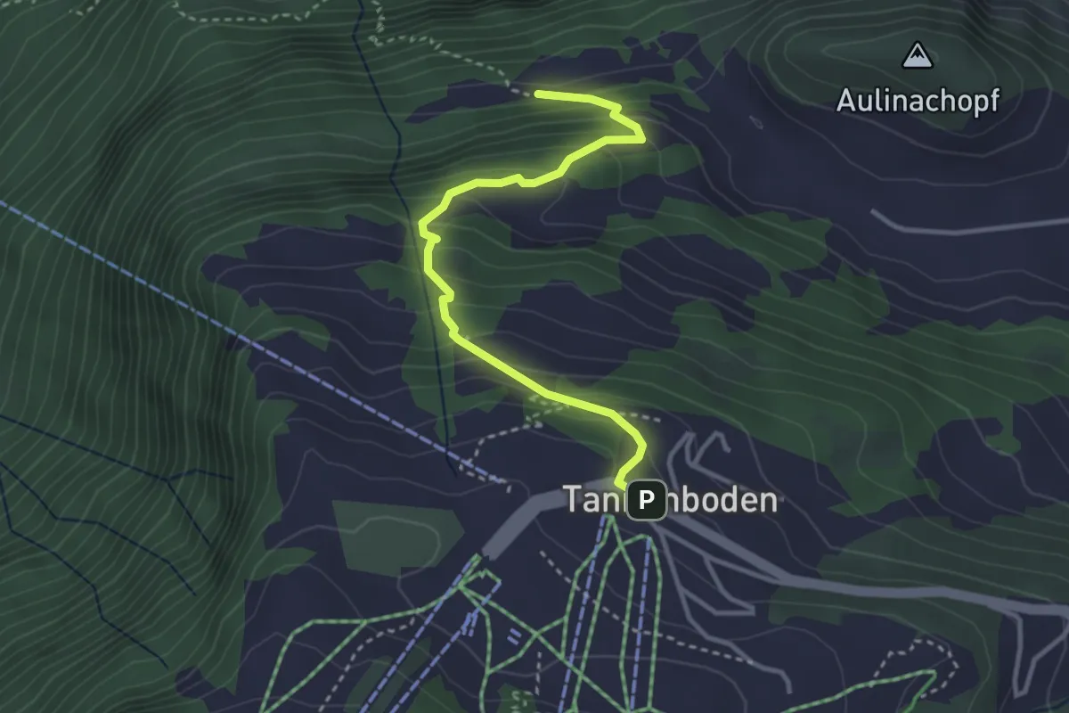
Medium · Trail
Hessenberg – Tannenboden
3.4 km · ↑ 333 m · 1 h 31 min