Trails in Switzerland
15,055 hiking trails, each with its route, climb, walking time and grade.
All trails, page 312 of 314
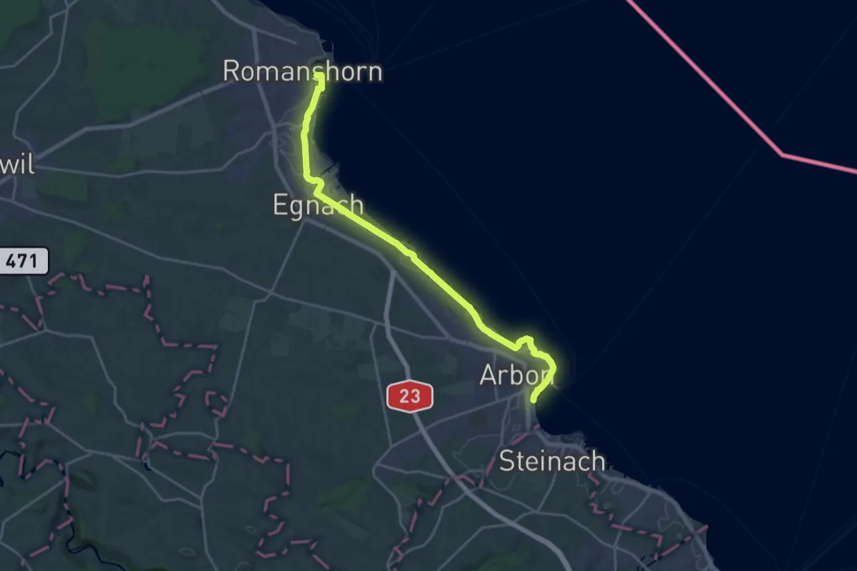
Demanding · Trail
Romanshorn – Arbon
18.4 km · ↑ 39 m · 4 h 26 min
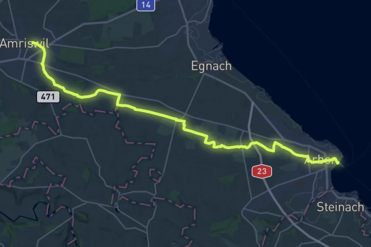
Demanding · Trail
Amriswil – Arbon
27.9 km · ↑ 182 m · 7 h
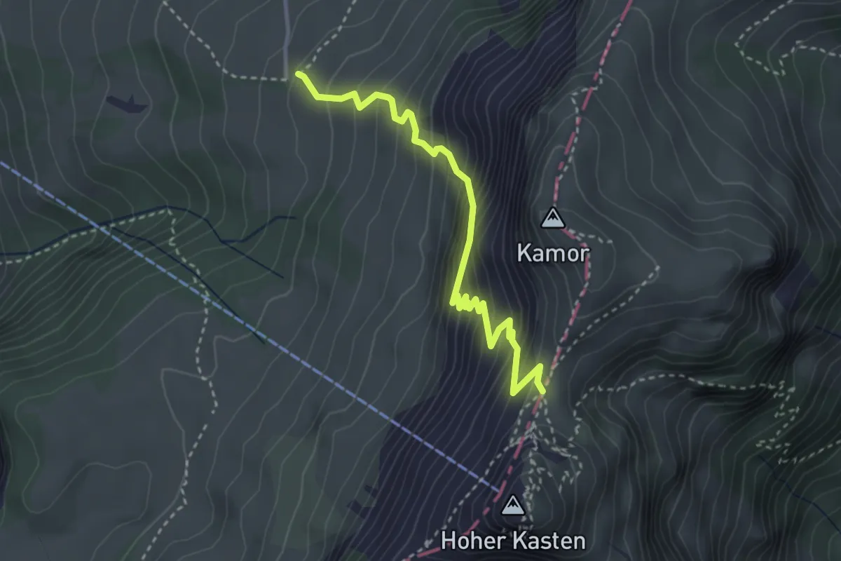
Medium · Trail
Ruhsitz – Kastensattel
3.4 km · ↑ 455 m · 1 h 48 min
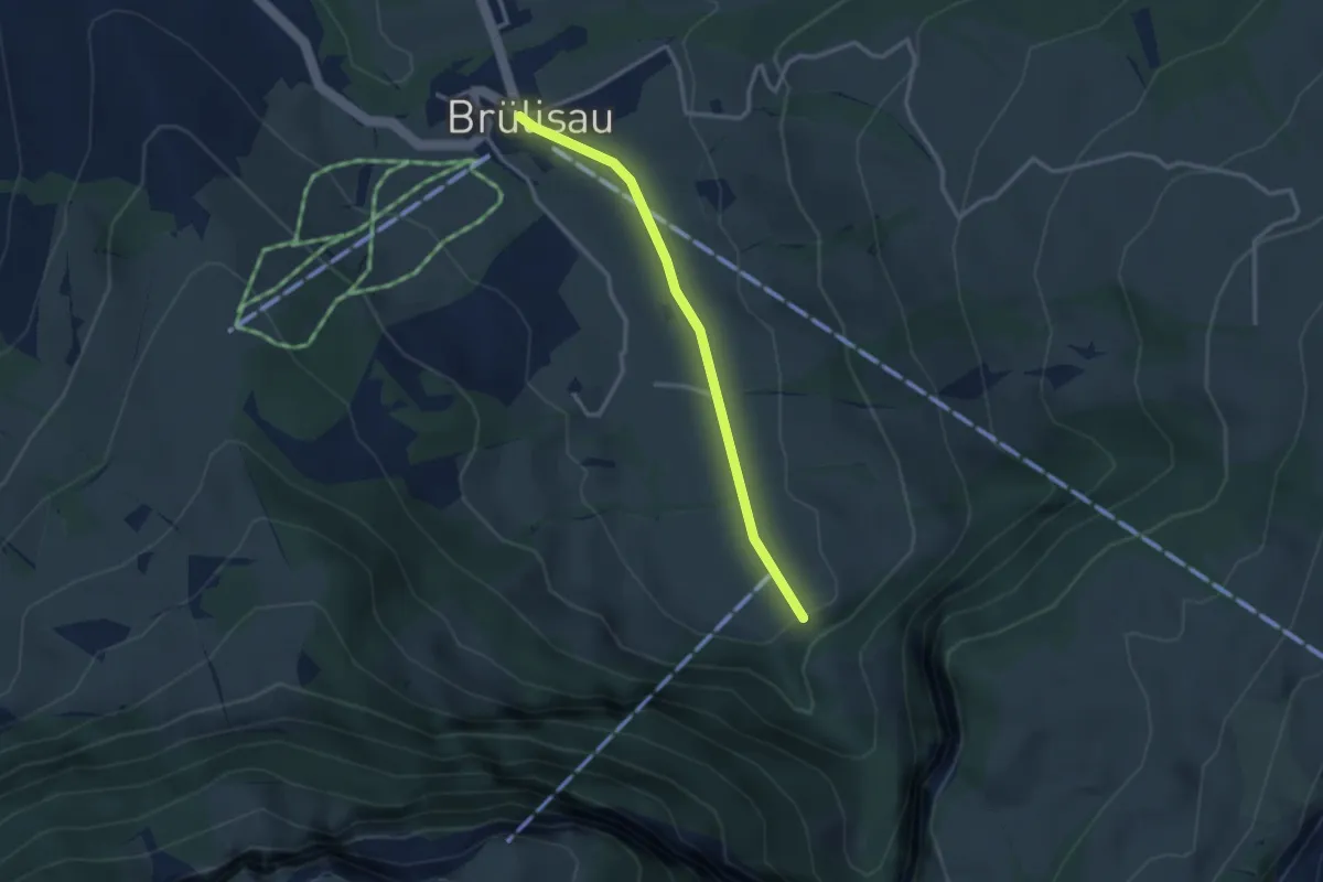
Easy · Trail
Brülisau – Pfannenstil
2.8 km · ↑ 48 m · 45 min
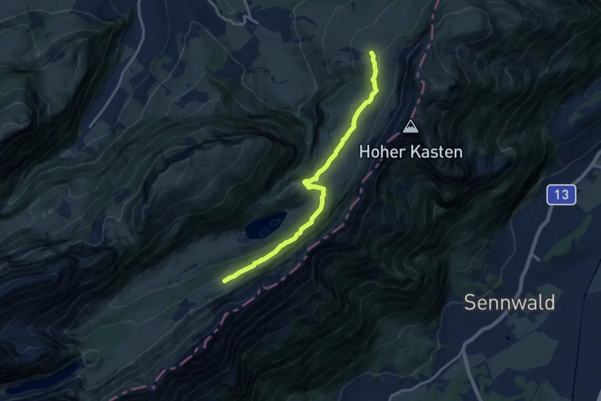
Medium · Trail
Ruhsitz – Rainhütte
9.4 km · ↑ 355 m · 2 h 59 min
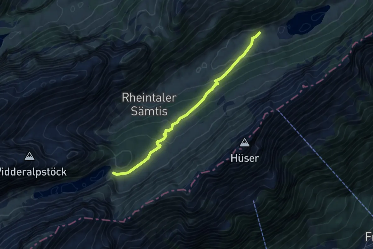
Easy · Trail
Sämtisersee – Bollenwees
6.0 km · ↑ 272 m · 2 h
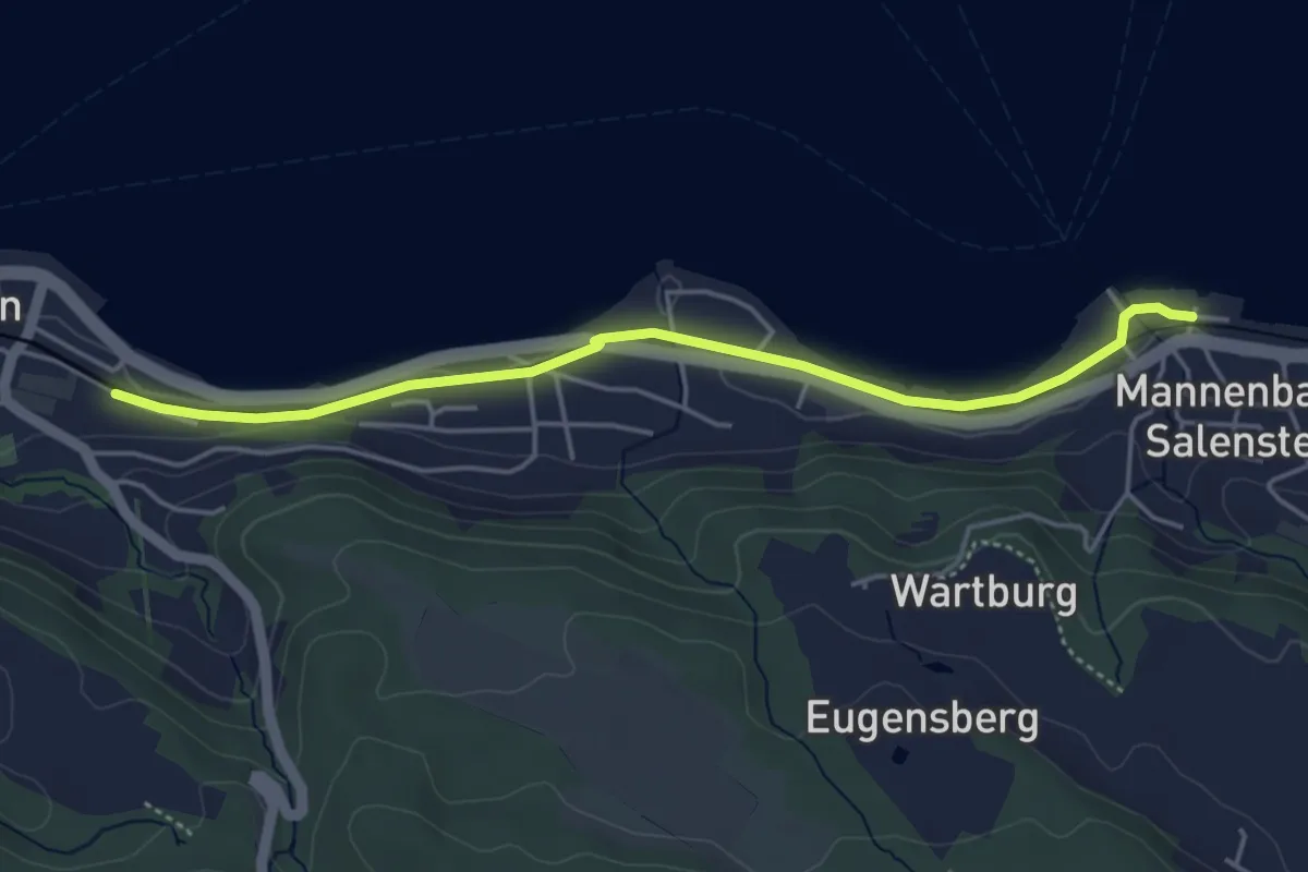
Easy · Trail
Mannenbach – Berlingen
4.5 km · ↑ 25 m · 1 h 7 min
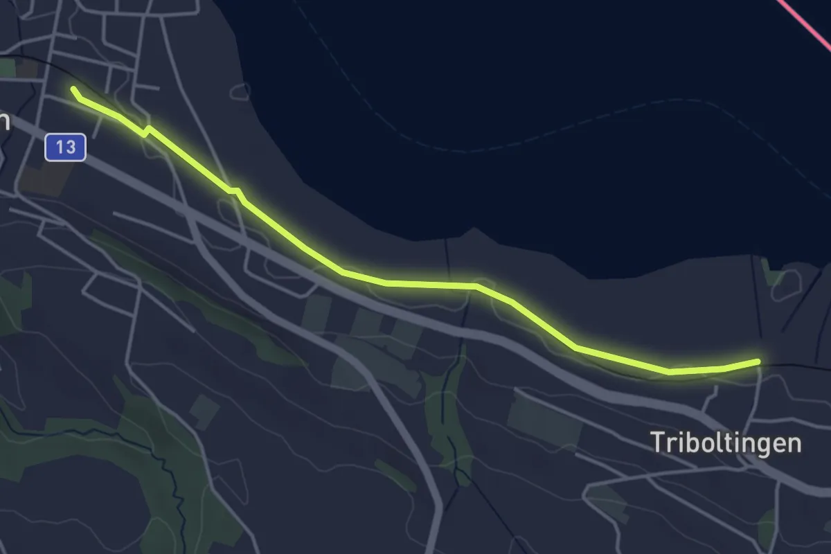
Easy · Trail
Ermatingen – Triboltingen
4.3 km · ↑ 4 m · 1 h 1 min
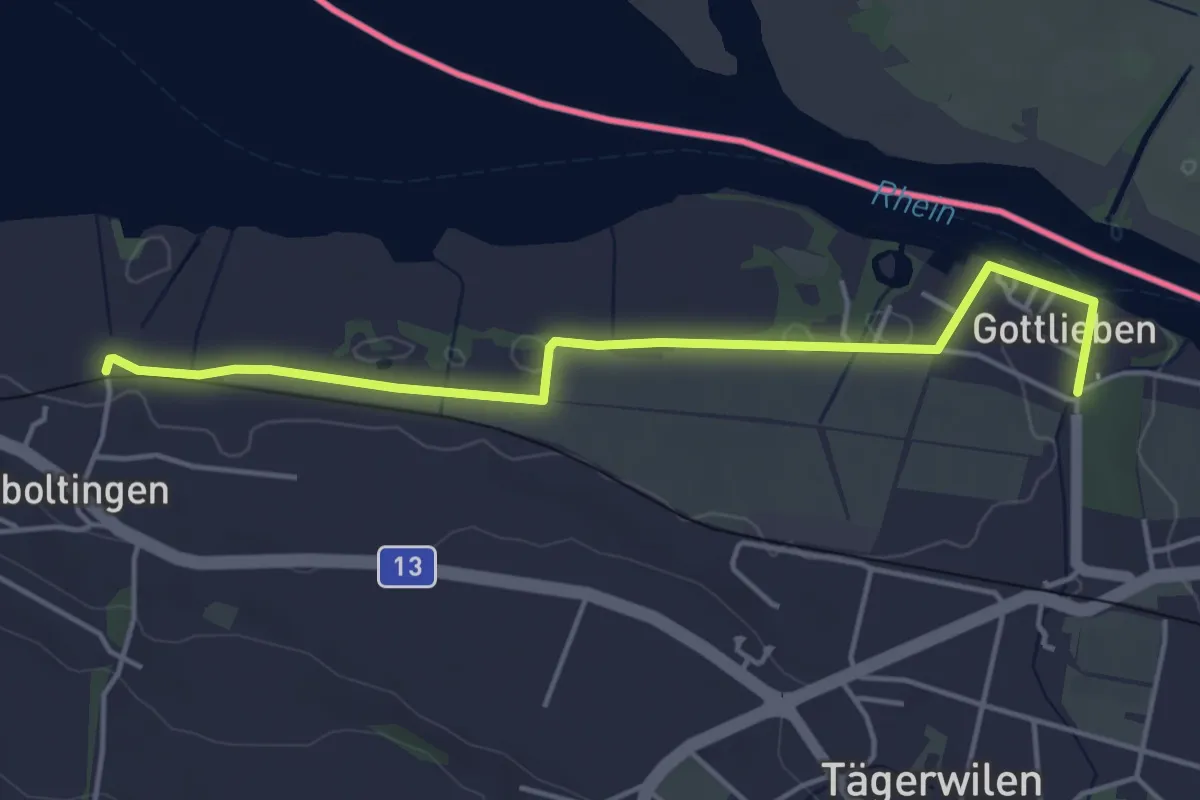
Easy · Trail
Triboltingen – Gottlieben
4.5 km · ↑ 11 m · 1 h 5 min
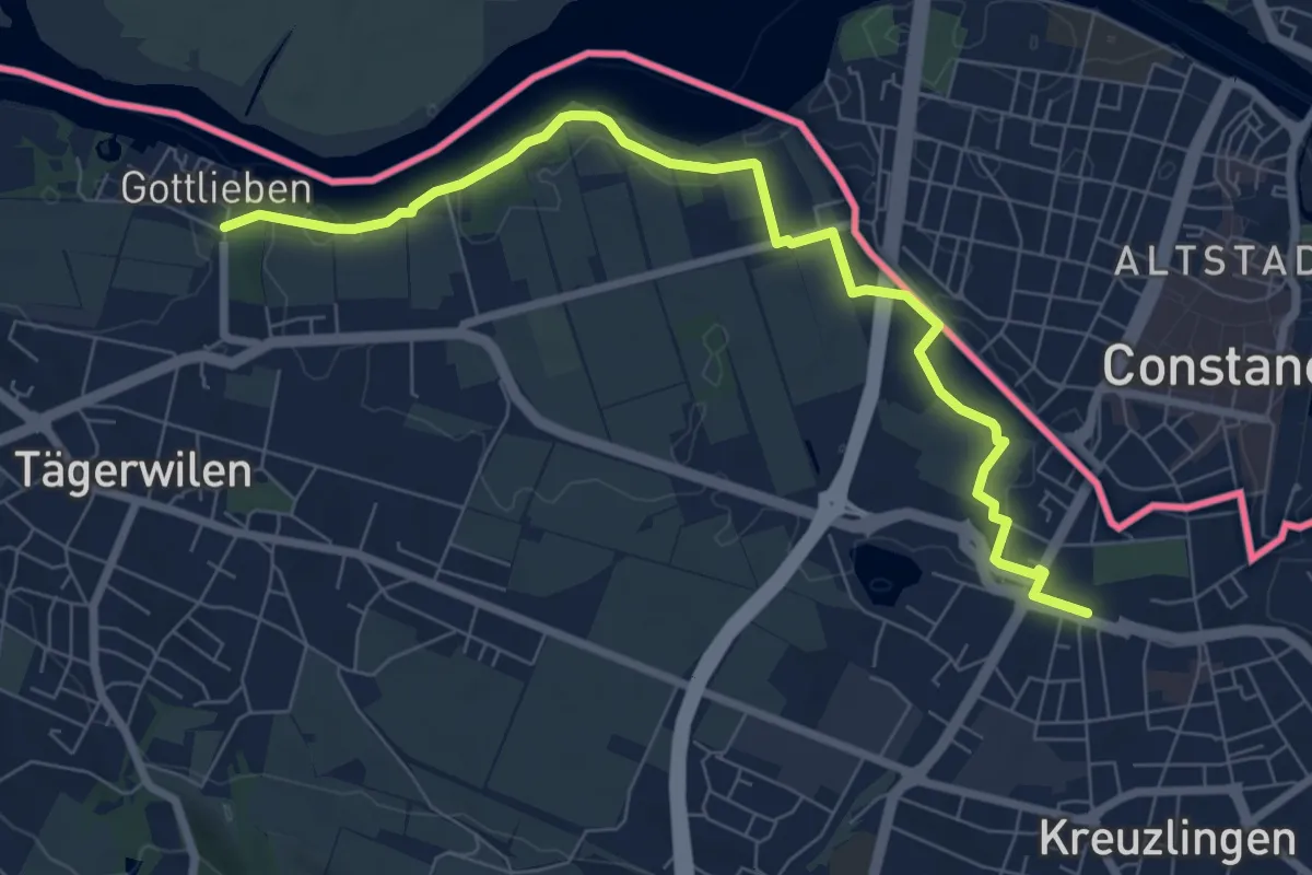
Medium · Trail
Kreuzlingen – Gottlieben
8.1 km · ↑ 33 m · 1 h 59 min
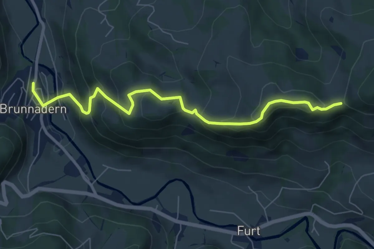
Medium · Trail
Brunnadern Bhf. S – Gerensattel
6.6 km · ↑ 433 m · 2 h 30 min
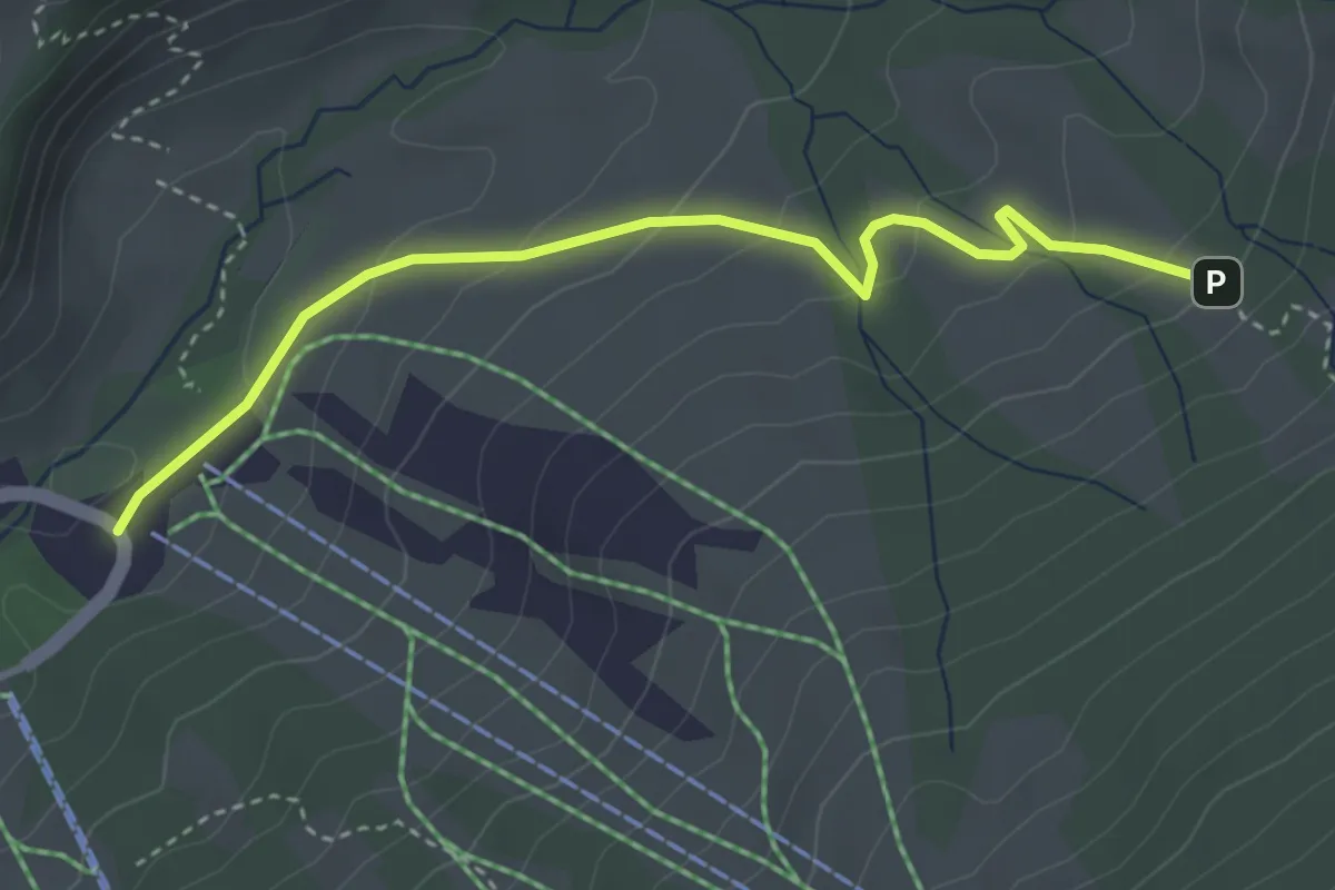
Easy · Cabin
Schutt – Hinter Altschwand
3.6 km · ↑ 187 m · 1 h 16 min
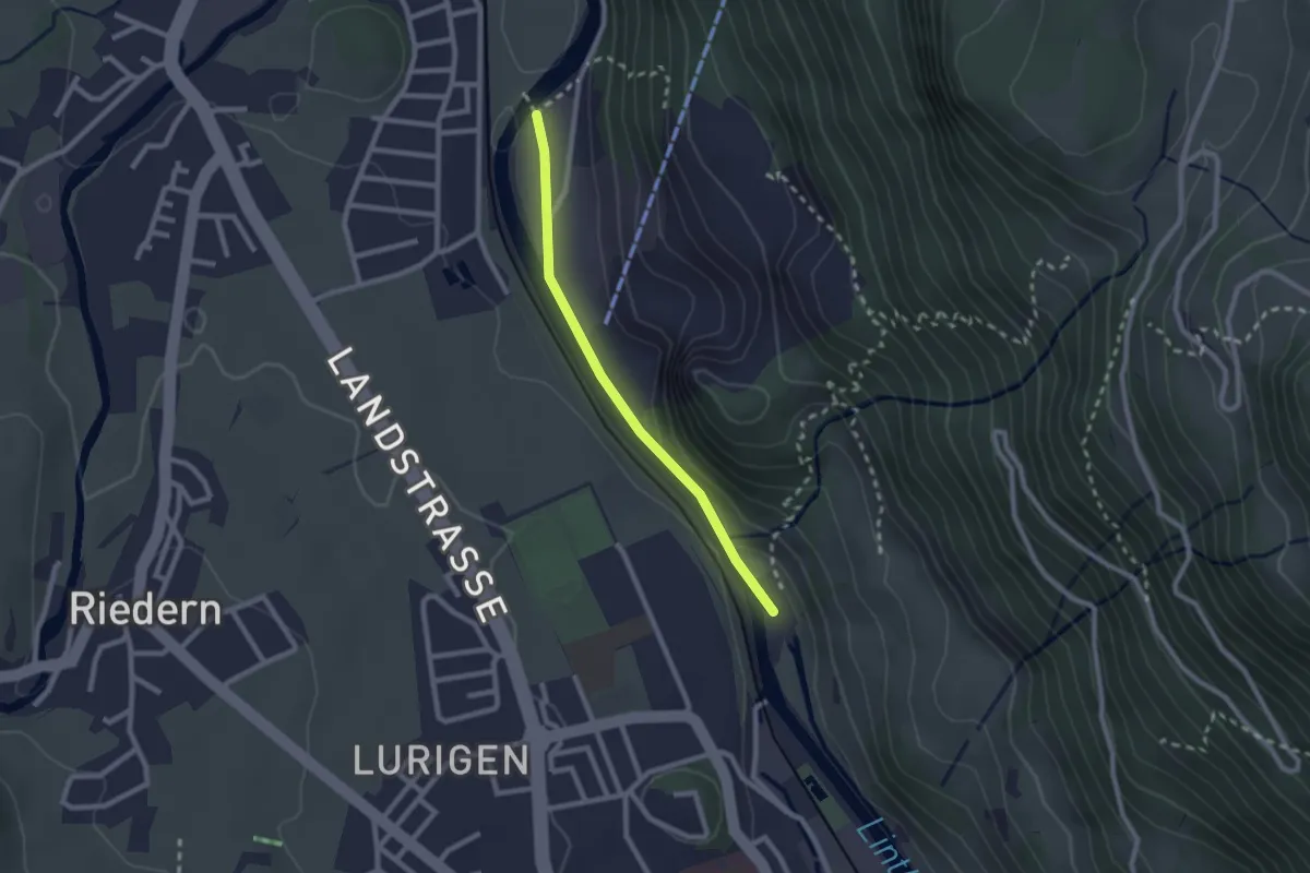
Easy · Trail
Kalkfabrik – Alpenbrüggli
2.1 km · ↑ 29 m · 33 min
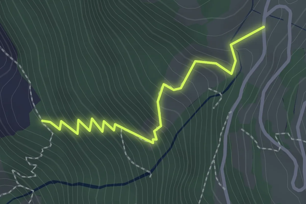
Demanding · Trail
Sattelboden – Ennetberg Otschlag
2.1 km · ↑ 256 m · 1 h 3 min
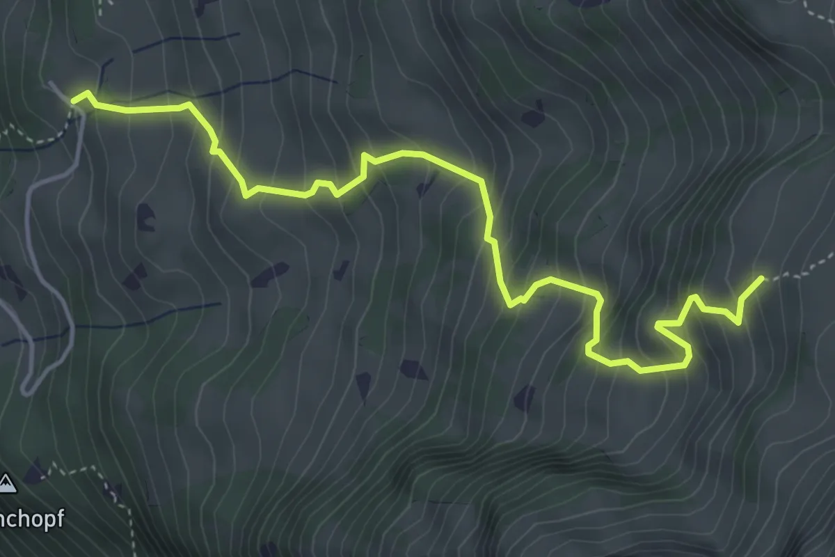
Medium · Trail
Emmetschingel – Heuboden Ober Stafel
5.1 km · ↑ 672 m · 2 h 39 min
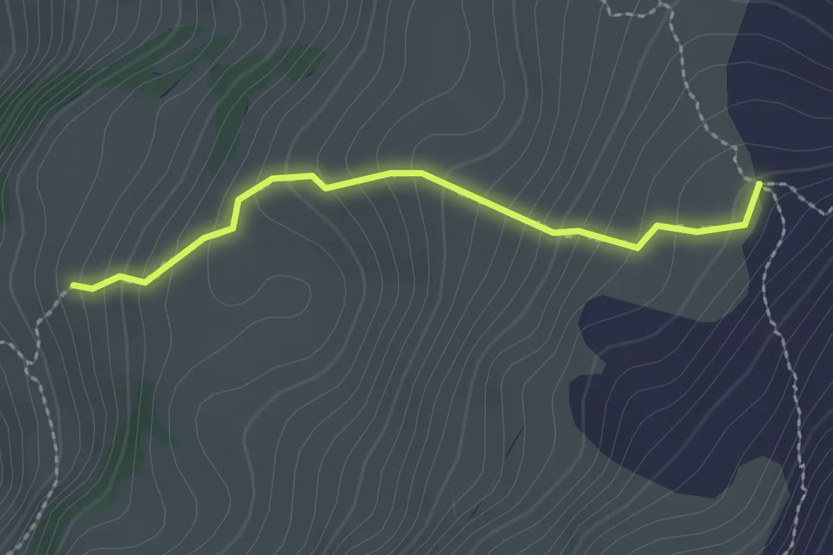
Easy · Trail
Heuboden Ober Stafel – Charen
2.0 km · ↑ 246 m · 1 h
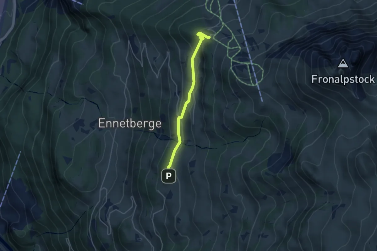
Medium · Trail
Grossberg – Naturfreundehaus
3.5 km · ↑ 181 m · 1 h 13 min
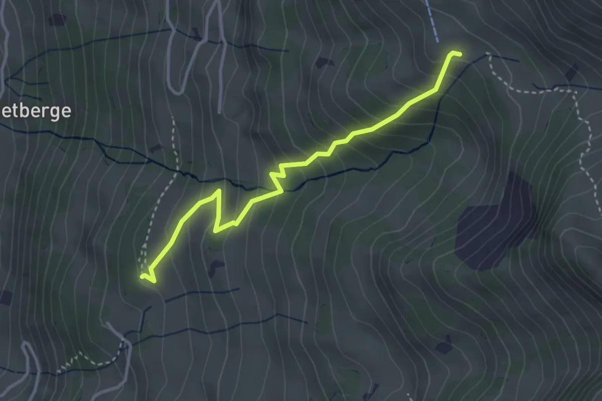
Medium · Trail
Grossberg – Mittlere Fronalp
3.3 km · ↑ 357 m · 1 h 34 min
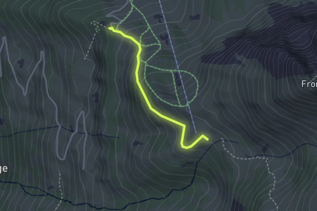
Easy · Trail
Naturfreundehaus – Mittlere Fronalp
2.4 km · ↑ 243 m · 1 h 5 min
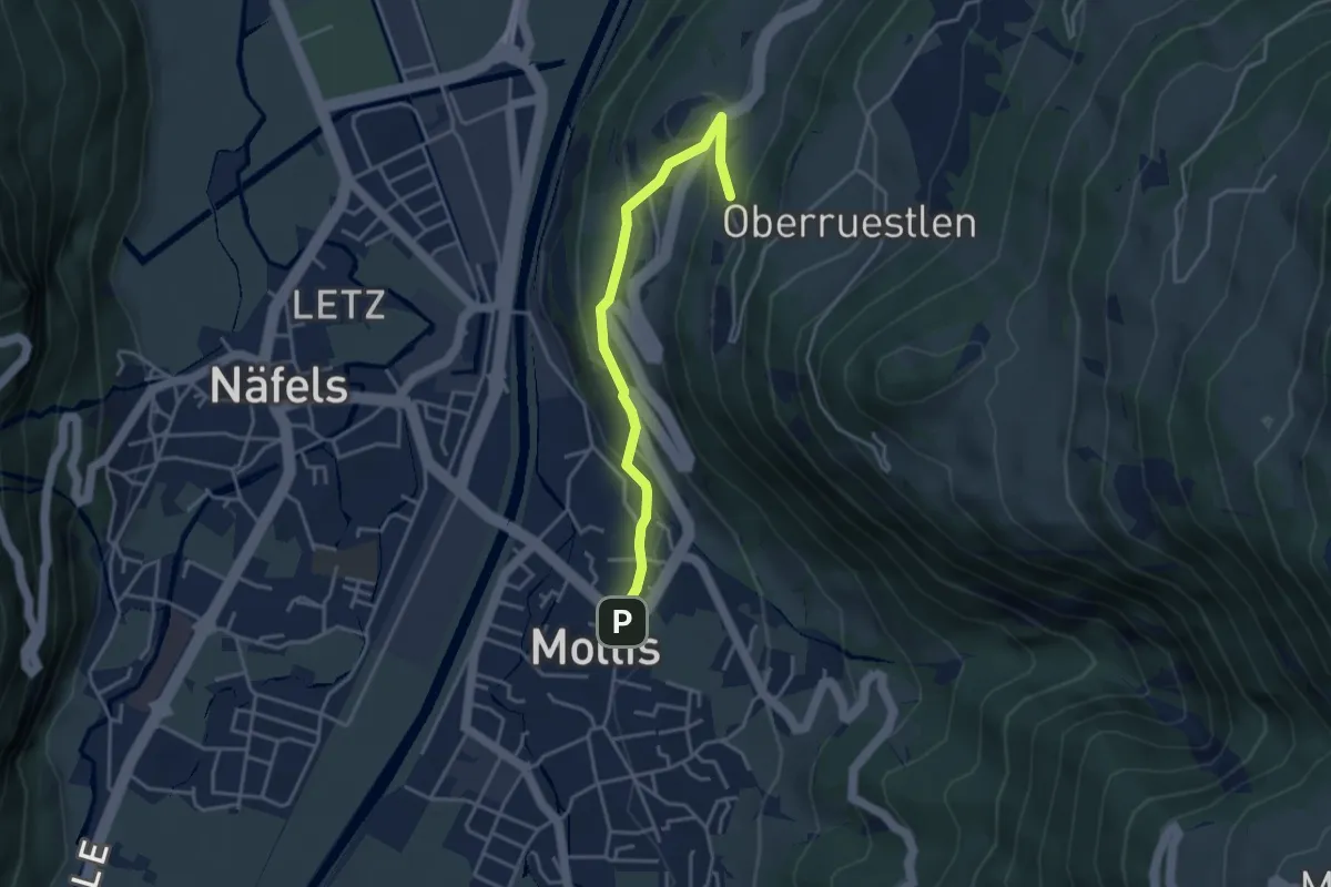
Easy · Trail
Mollis – Geltschenrüti
3.6 km · ↑ 173 m · 1 h 13 min
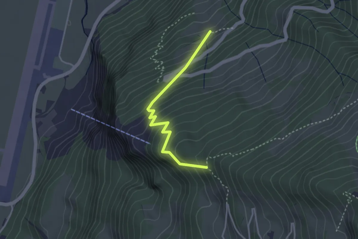
Easy · Trail
Ruesteli – Unterer Hänniswald
2.9 km · ↑ 310 m · 1 h 21 min
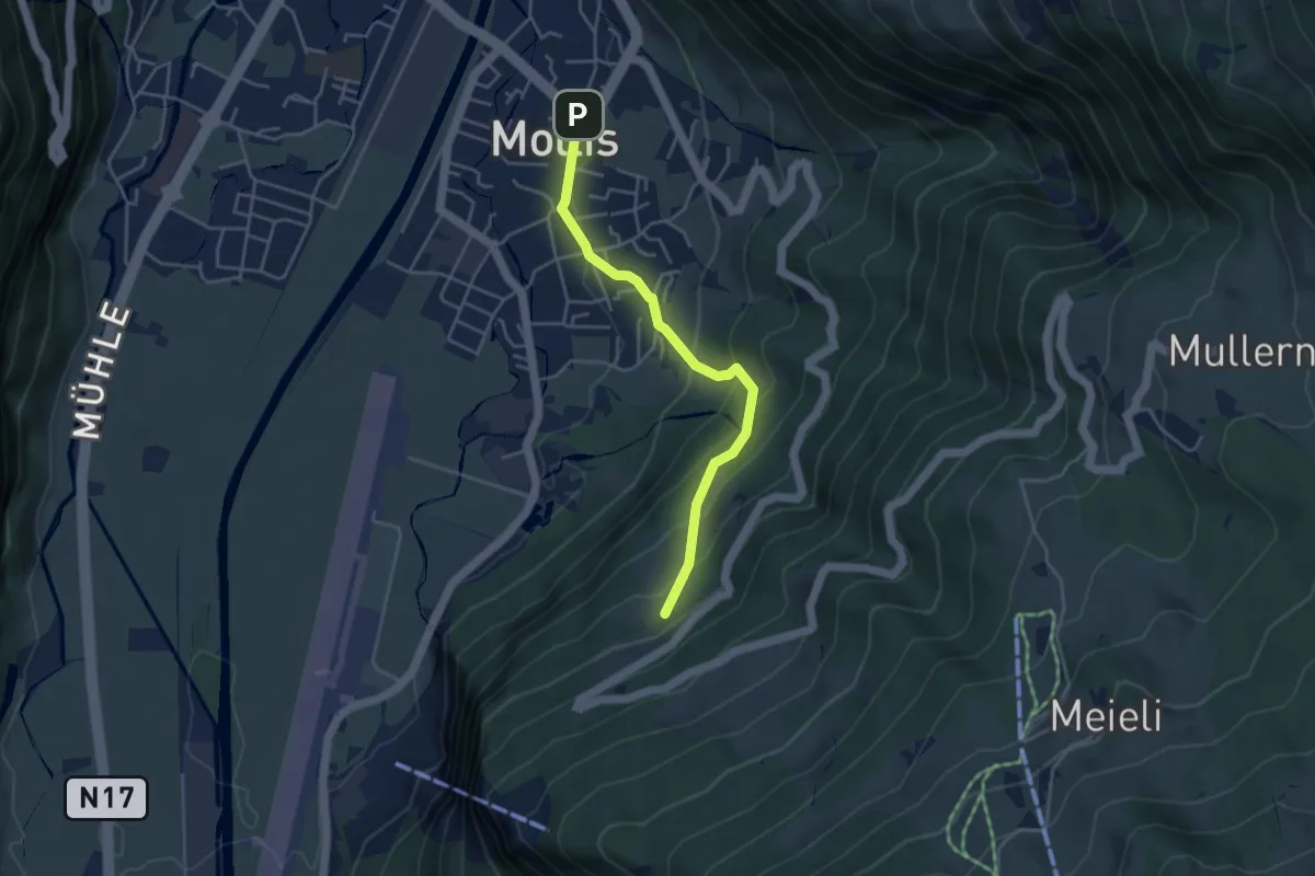
Easy · Trail
Mollis – Ruesteli
3.9 km · ↑ 284 m · 1 h 33 min
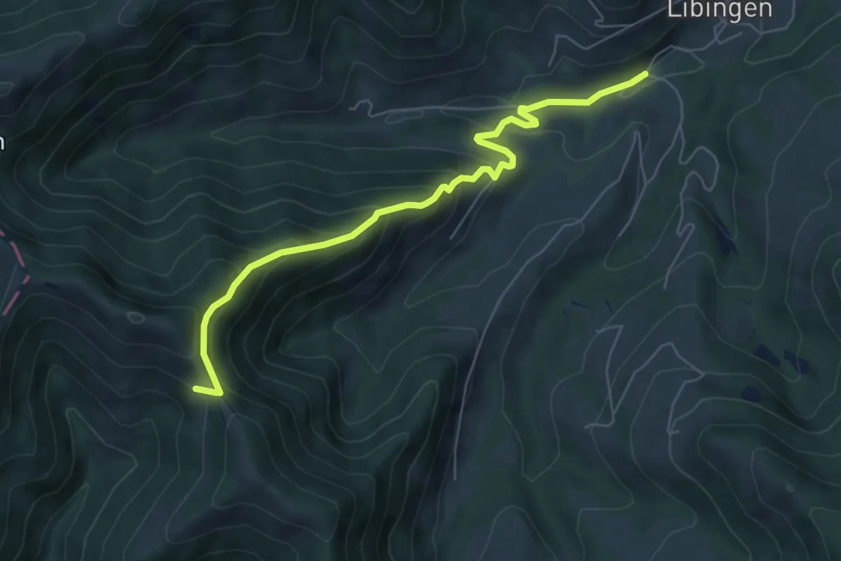
Medium · Trail
Schindelberg – Jonenholz
6.2 km · ↑ 444 m · 2 h 26 min
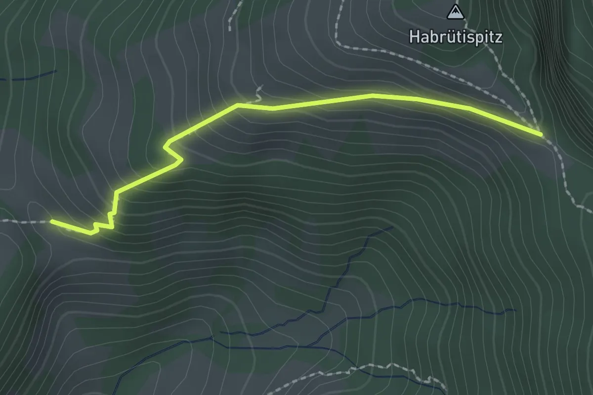
Easy · Trail
Habrüti Sattel – Hand
1.9 km · ↑ 177 m · 51 min
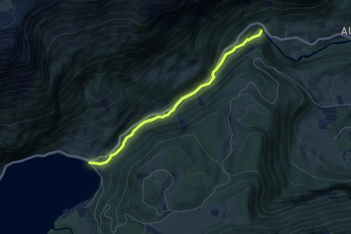
Easy · Trail
Löntschtobel Brücke – Rhodannenberg
5.2 km · ↑ 208 m · 1 h 41 min
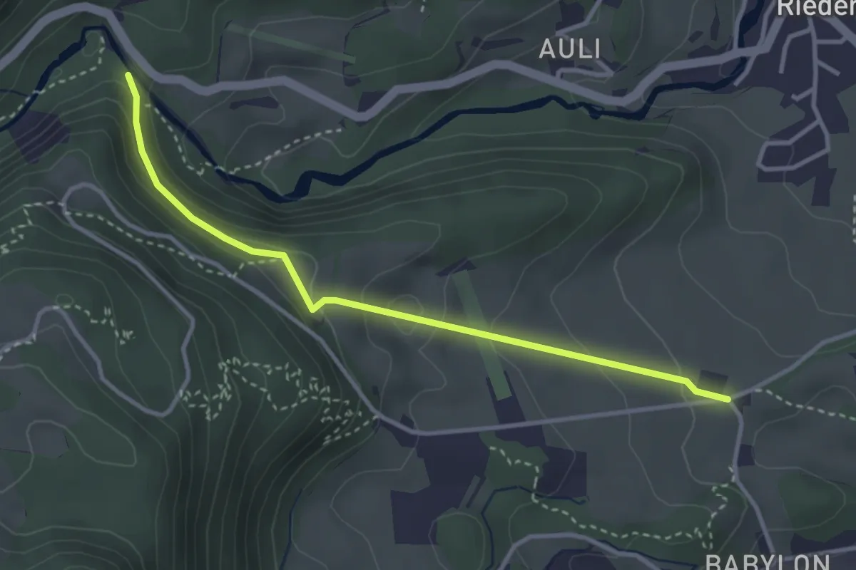
Easy · Trail
Bitzigen – Löntschtobel
3.3 km · ↑ 159 m · 1 h 8 min
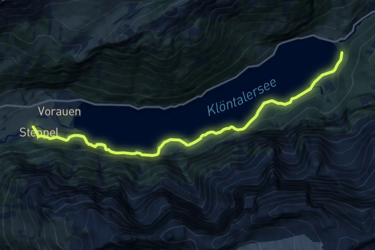
Medium · Trail
Weiden – Steppelbrücke
12.9 km · ↑ 788 m · 4 h 46 min
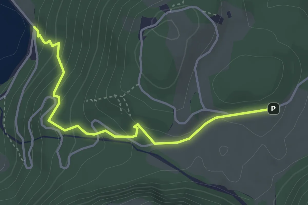
Easy · Trail
Weiden – Hinter Saggberg
3.4 km · ↑ 241 m · 1 h 20 min
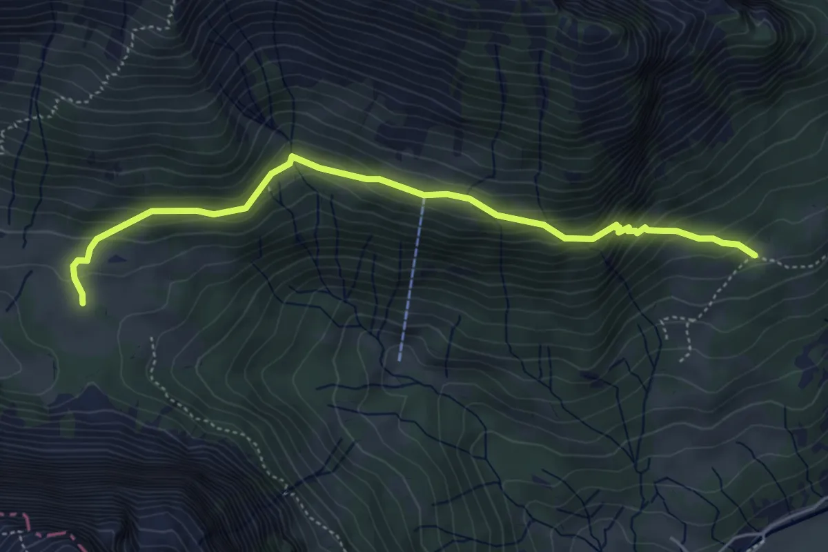
Medium · Trail
Girsboden – Vorderahornen
5.0 km · ↑ 384 m · 2 h 1 min
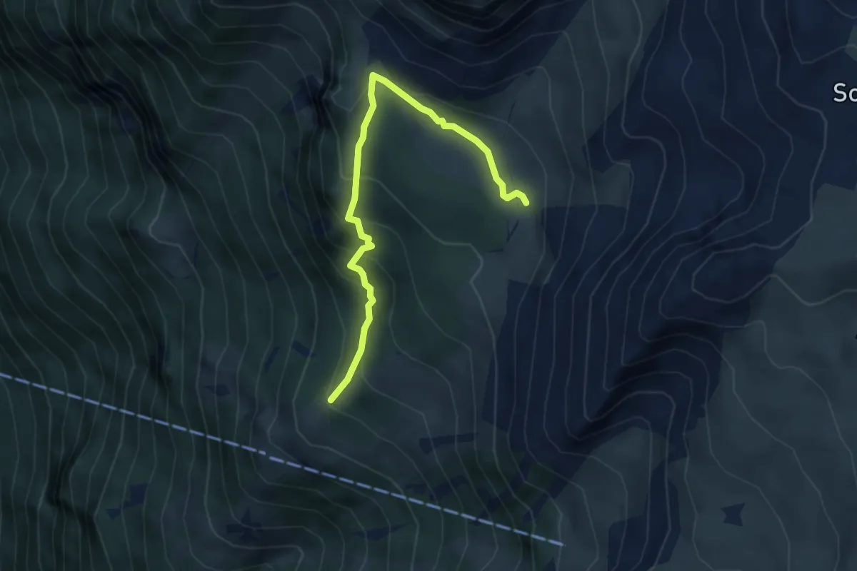
Medium · Trail
Altstafel – Alp Begligen
4.3 km · ↑ 268 m · 1 h 35 min
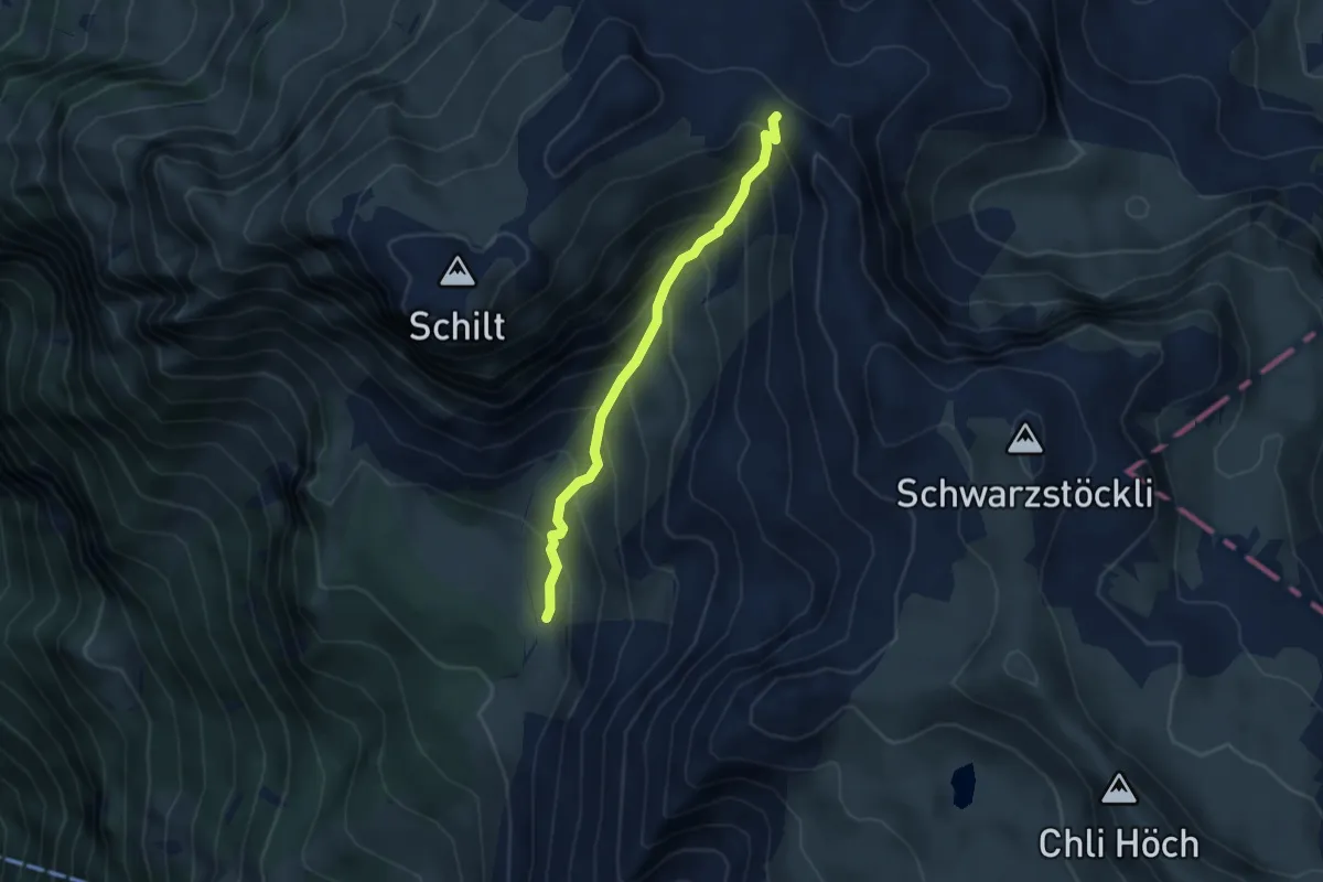
Medium · Trail
Alp Begligen – Rotärd
3.5 km · ↑ 437 m · 1 h 47 min
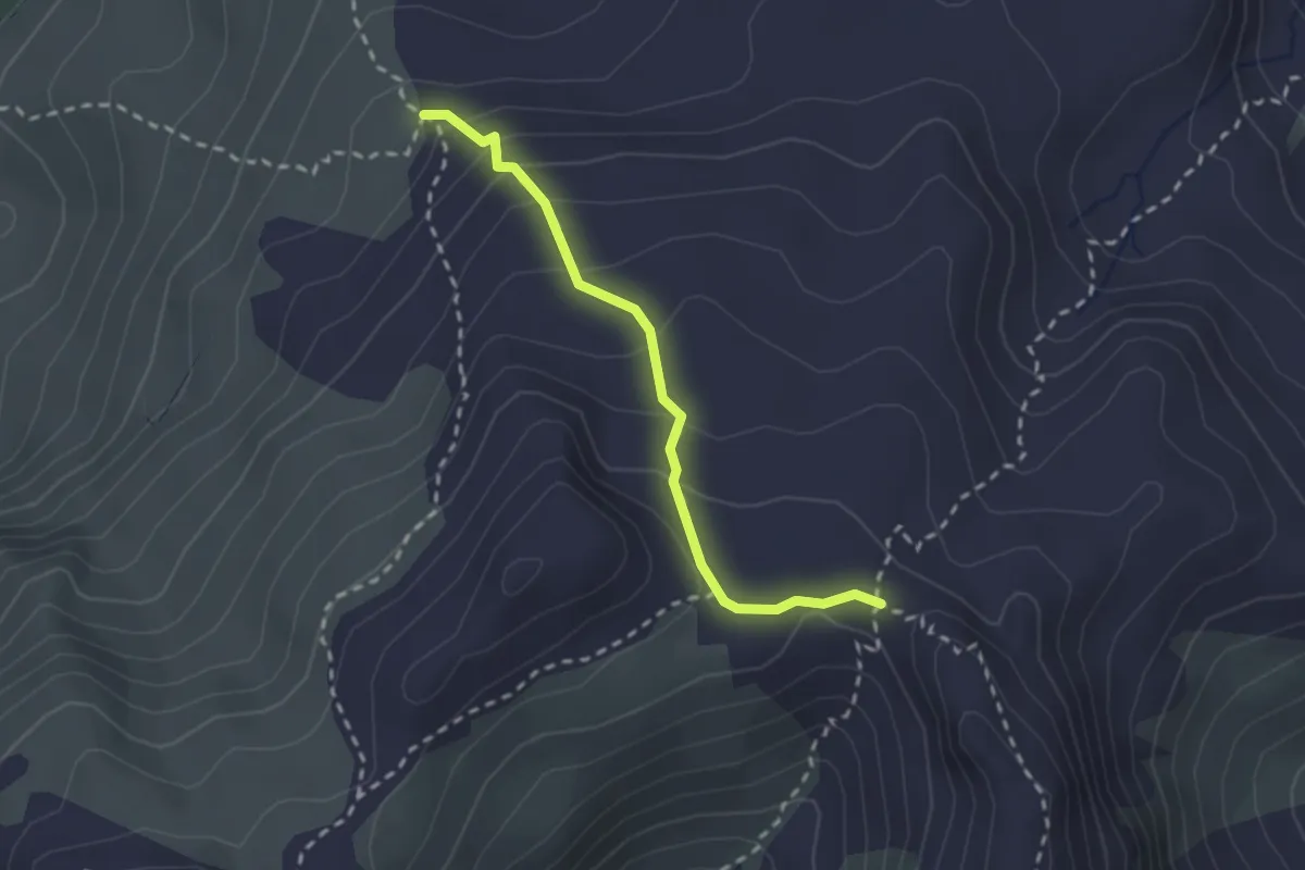
Medium · Trail
Charen – Rotärd
2.2 km · ↑ 177 m · 54 min
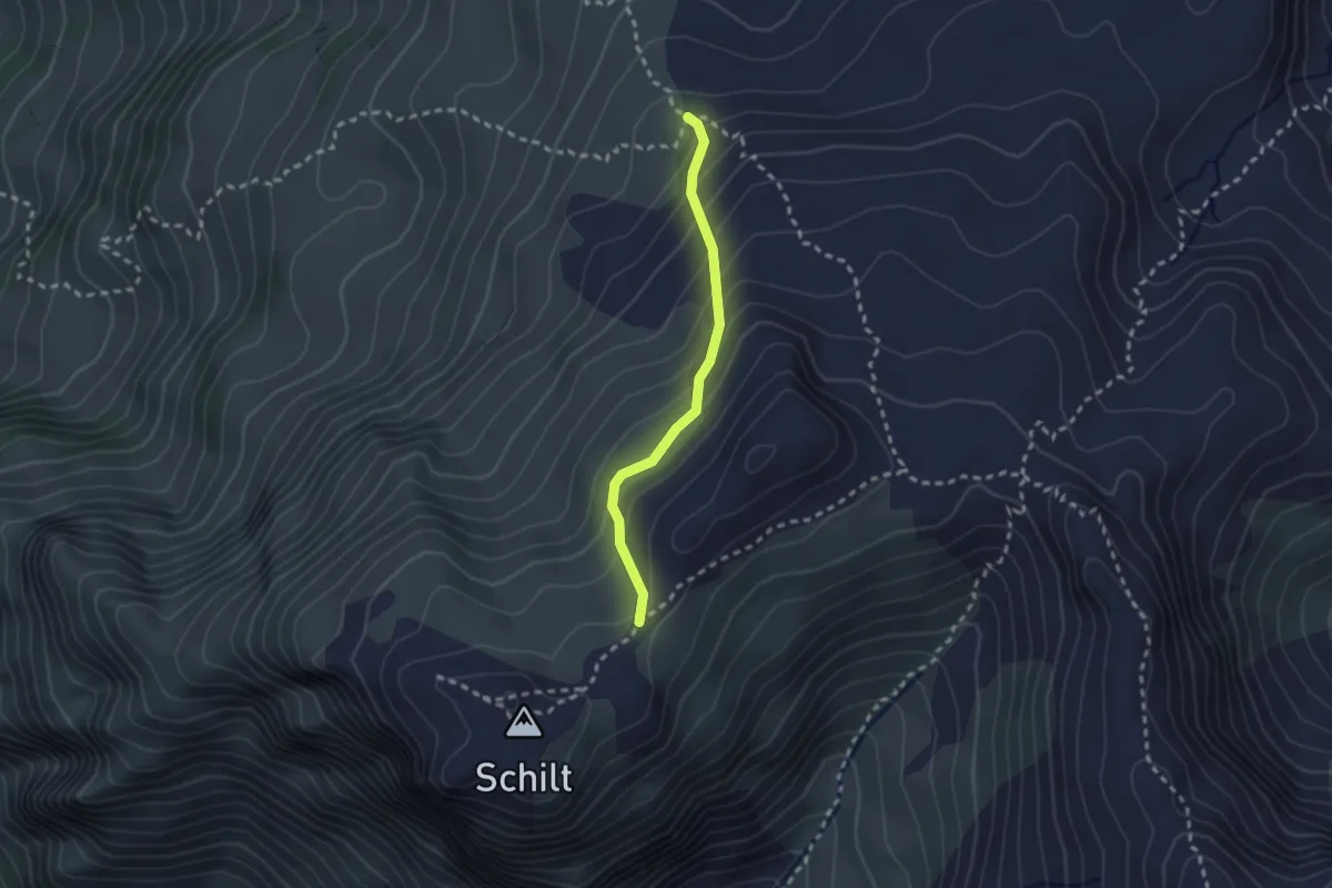
Medium · Trail
Charen – Siwellen
2.1 km · ↑ 229 m · 1 h
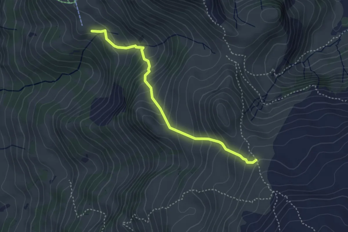
Medium · Trail
Mittlere Fronalp – Breitfeld
3.7 km · ↑ 402 m · 1 h 44 min
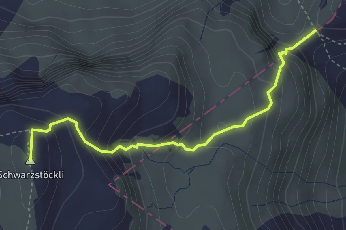
Medium · Summit
Murgseefurggl – Schneeloch
3.3 km · ↑ 354 m · 1 h 32 min
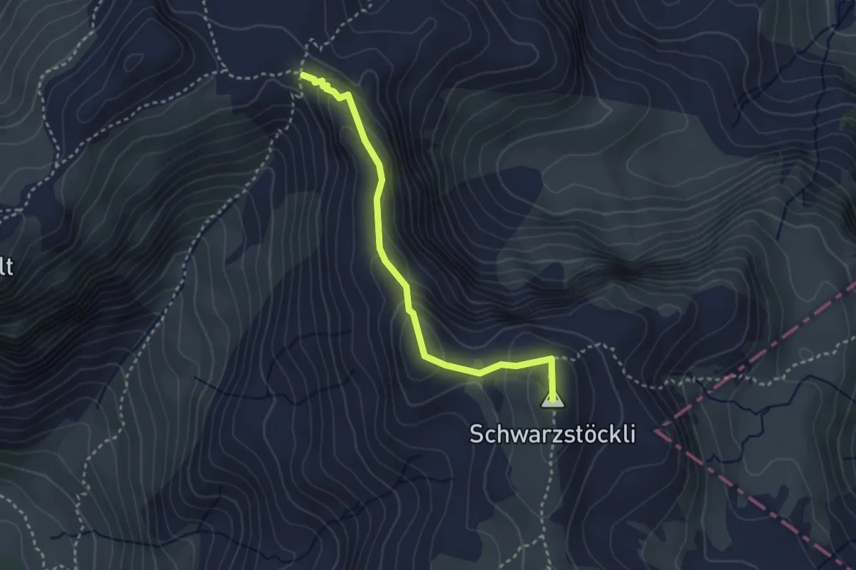
Medium · Summit
Rotärd – Schneeloch
3.0 km · ↑ 136 m · 1 h
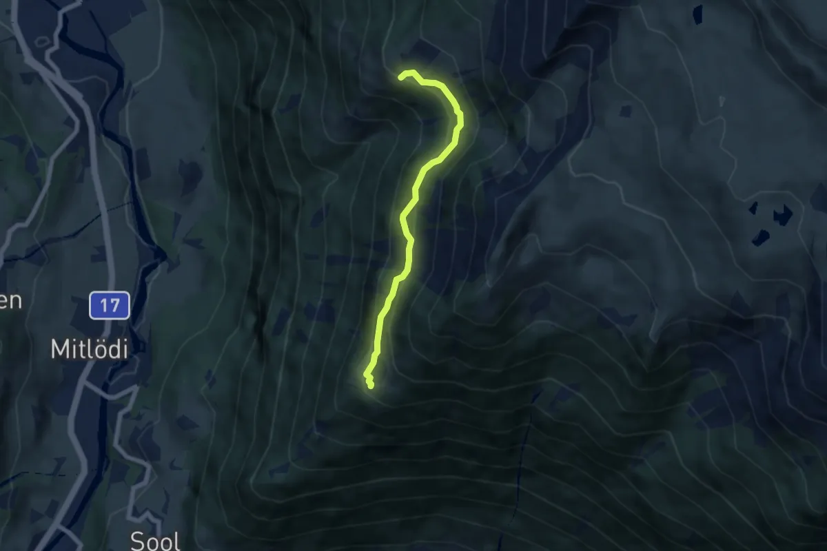
Medium · Trail
Äugstenhütte – Achseli
5.1 km · ↑ 359 m · 1 h 59 min
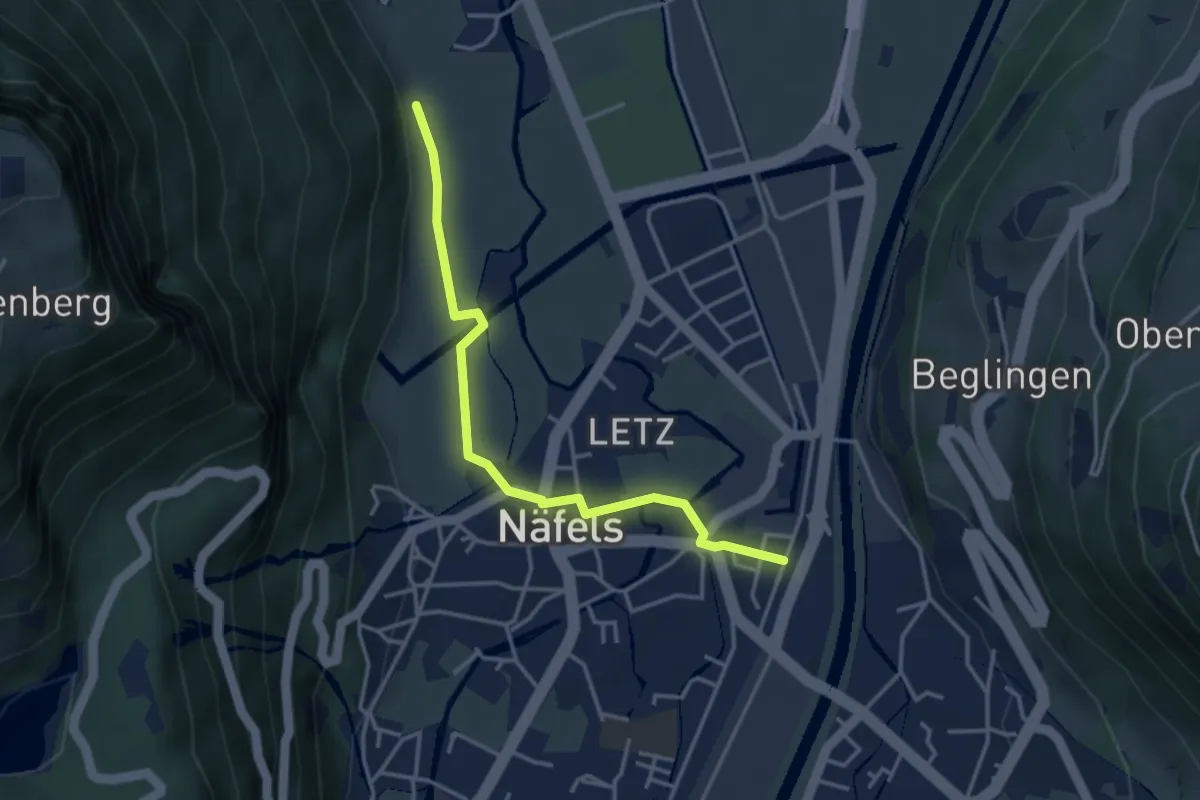
Easy · Trail
Näfels Bahnhof – Sand
3.6 km · ↑ 14 m · 53 min
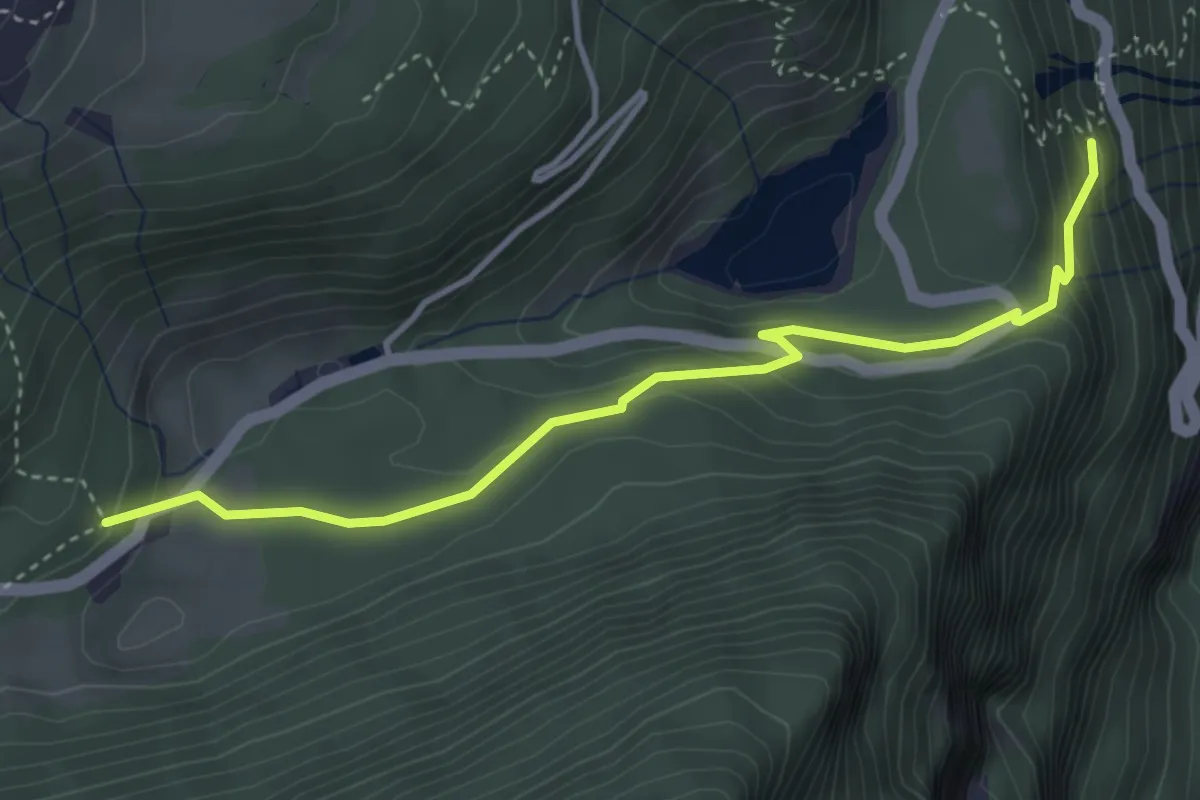
Easy · Trail
Unter Brand – Äschen
3.9 km · ↑ 218 m · 1 h 24 min
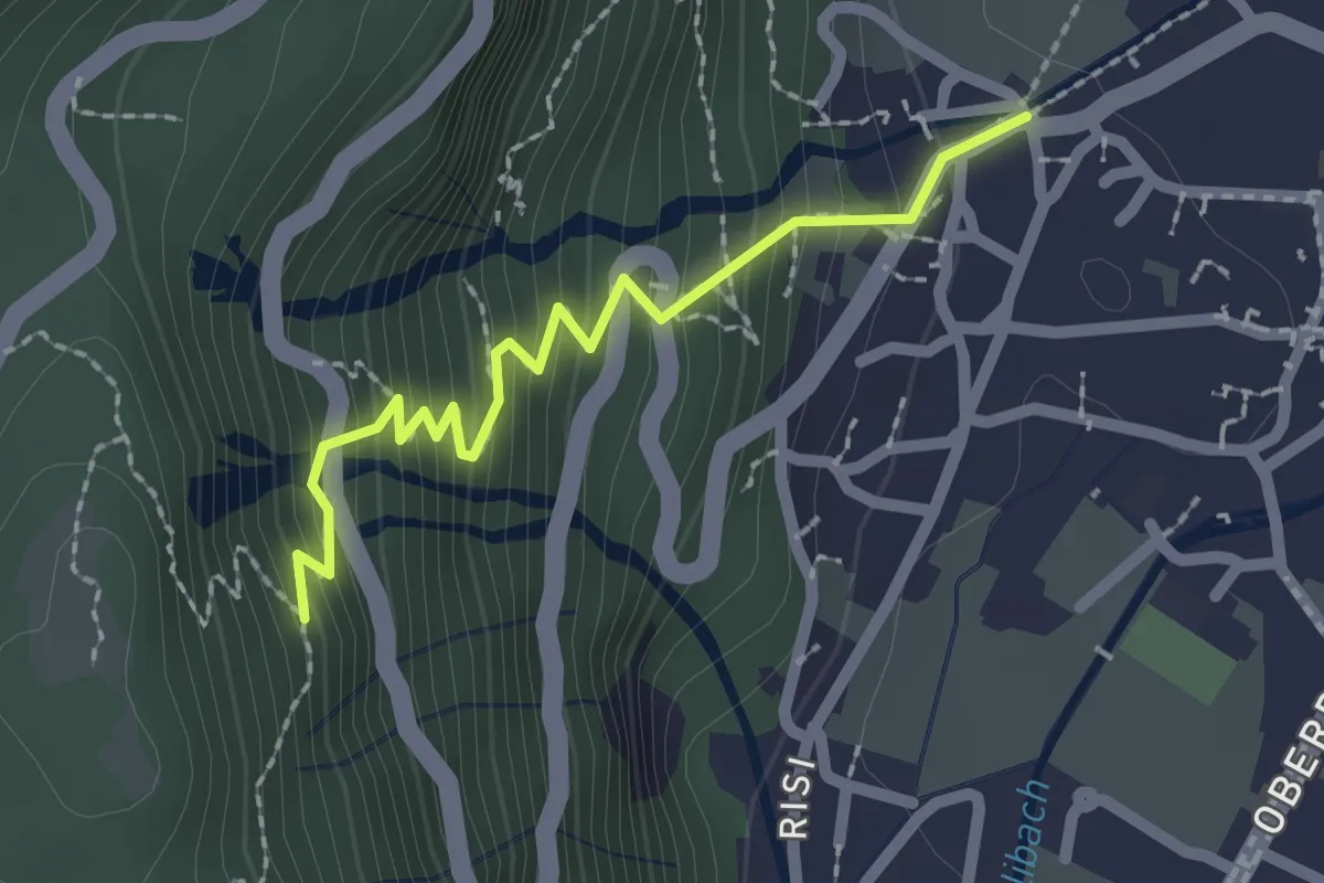
Easy · Trail
Rautibrugg – Unter Brand
2.0 km · ↑ 267 m · 1 h 3 min
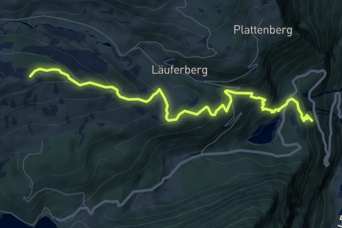
Medium · Trail
Unter Brand – Boggenmoos
8.2 km · ↑ 624 m · 3 h 18 min
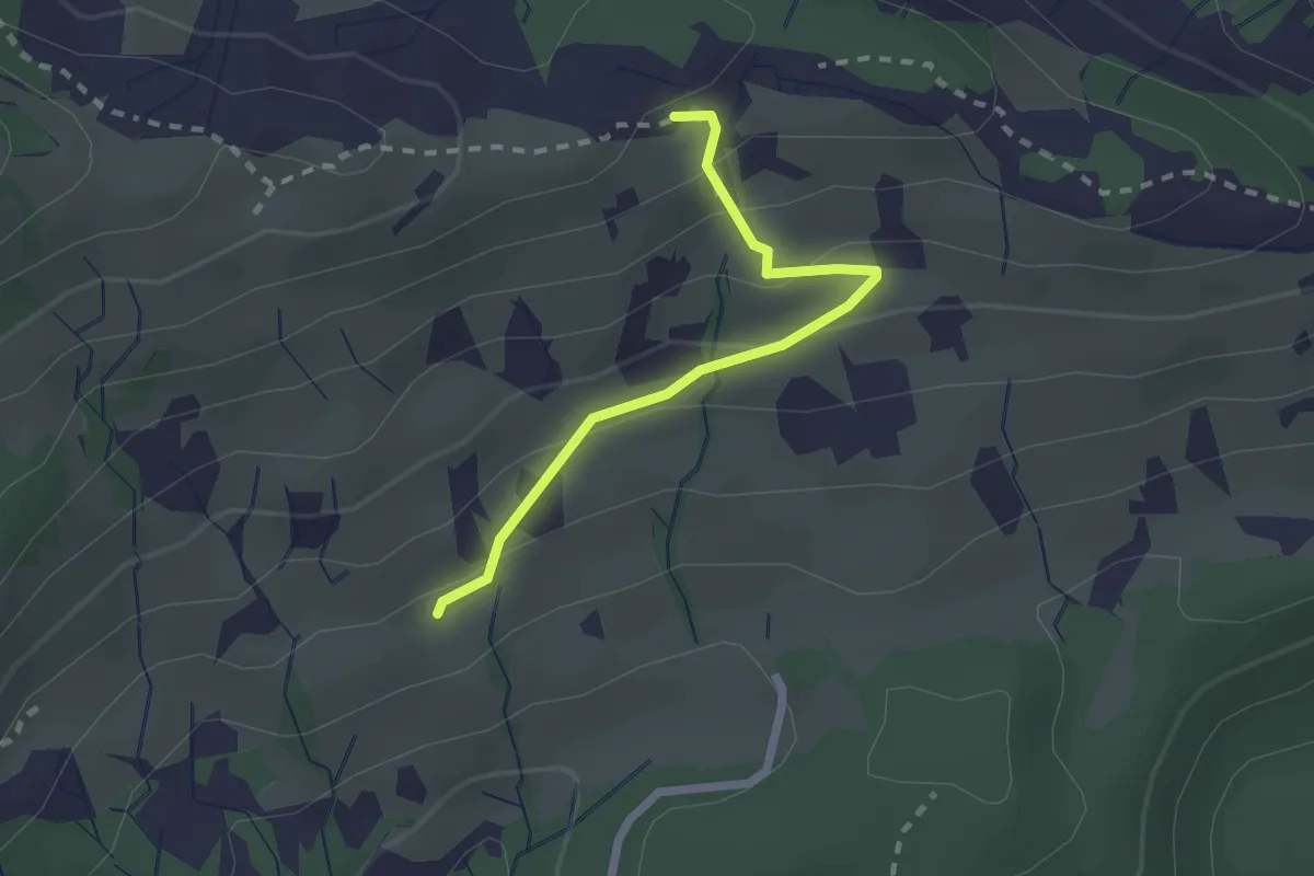
Medium · Trail
Näfels Berg – Boggenmoos
2.0 km · ↑ 122 m · 45 min
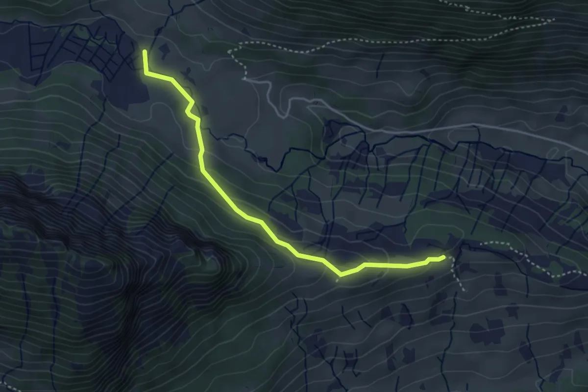
Medium · Trail
Schattenstafel – Boggenmoos
3.8 km · ↑ 129 m · 1 h 11 min
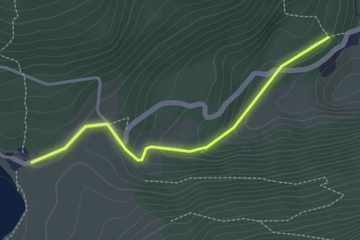
Easy · Trail
Äschen – Obersee
2.3 km · ↑ 120 m · 49 min
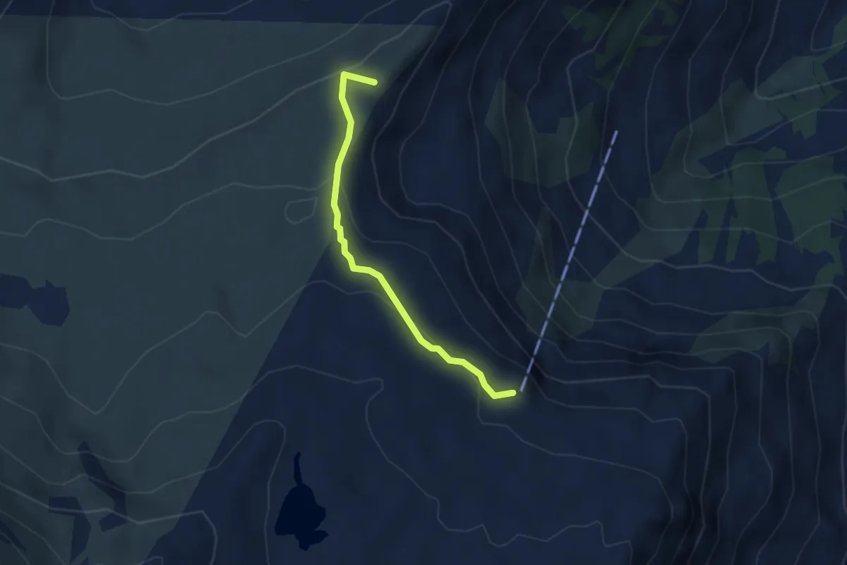
Medium · Summit
Fursch – Spitzmeilen-Hütte
3.0 km · ↑ 161 m · 1 h 4 min
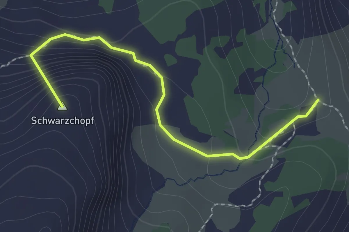
Medium · Summit
Mürtschenfurggel – Fronalppass
2.0 km · ↑ 124 m · 44 min
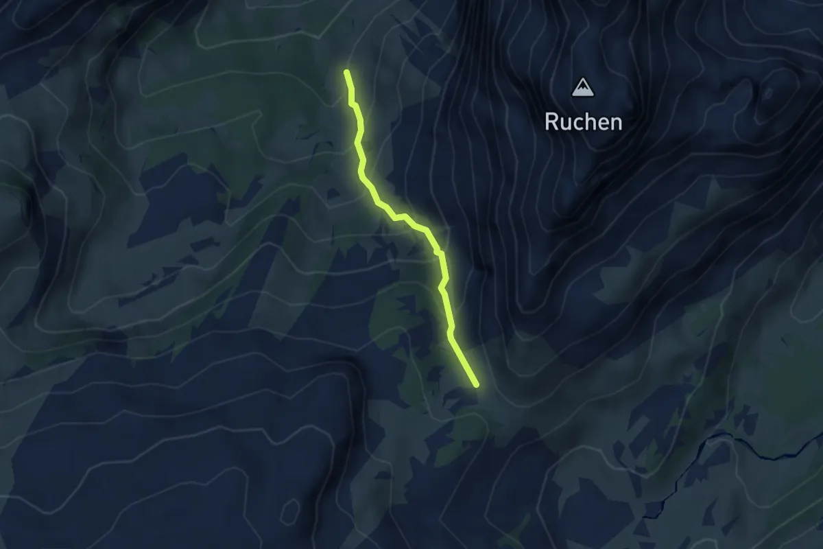
Medium · Trail
Hummel – Mürtschenfurggel
2.7 km · ↑ 282 m · 1 h 15 min
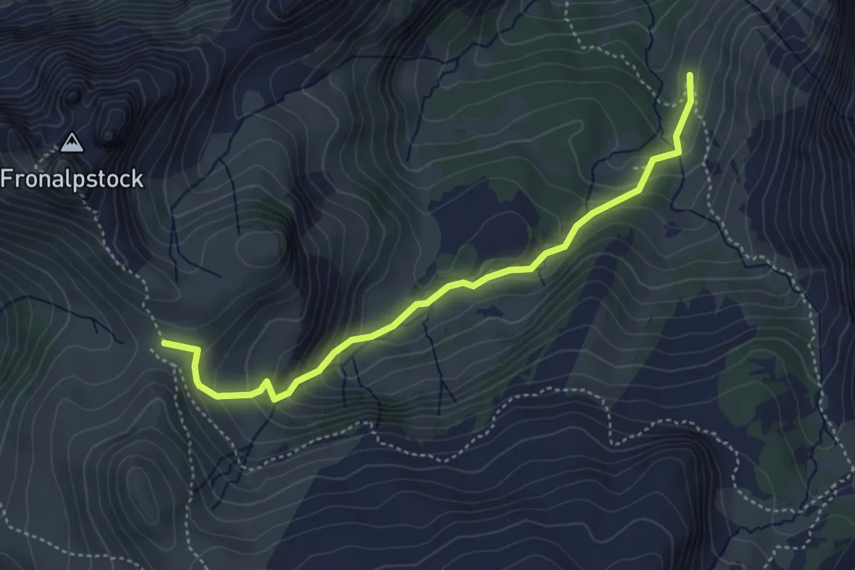
Medium · Trail
Hummel – Fronalppass
4.4 km · ↑ 309 m · 1 h 42 min