Trails in Switzerland
15,055 hiking trails, each with its route, climb, walking time and grade.
All trails, page 313 of 314
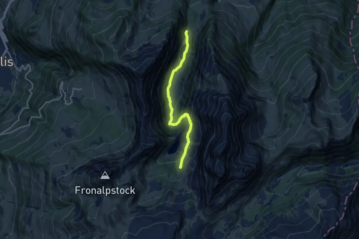
Medium · Trail
Talhütten – Hummel
8.8 km · ↑ 572 m · 3 h 20 min
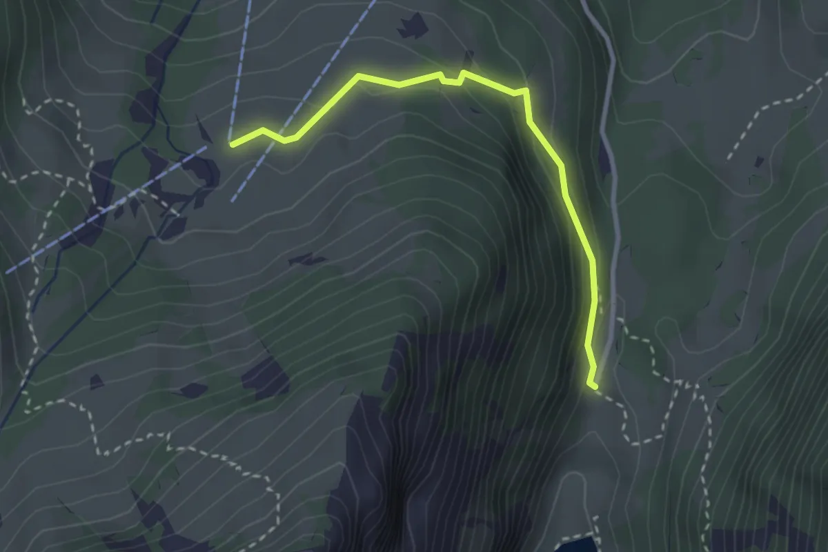
Easy · Trail
Habergschwänd – Talhütten
2.7 km · ↑ 147 m · 57 min
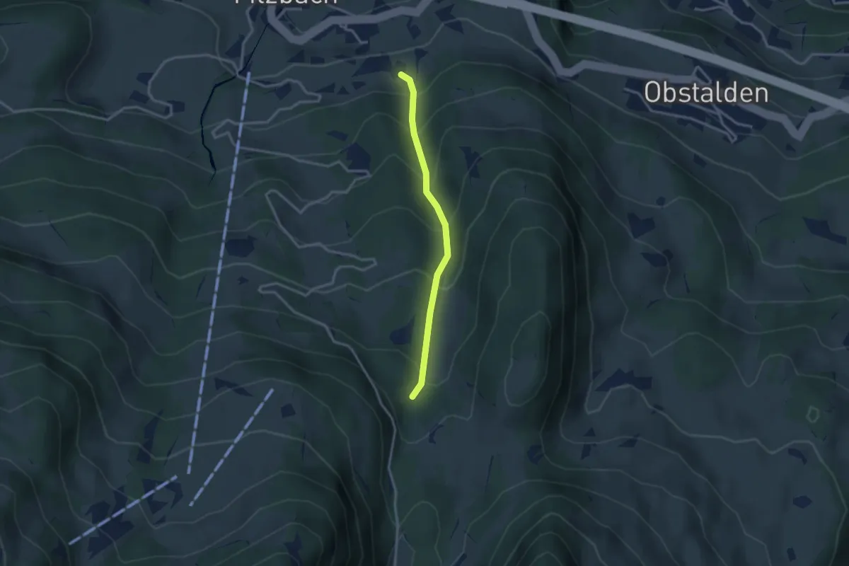
Easy · Trail
Tänggeli – Chammerboden
2.6 km · ↑ 297 m · 1 h 15 min
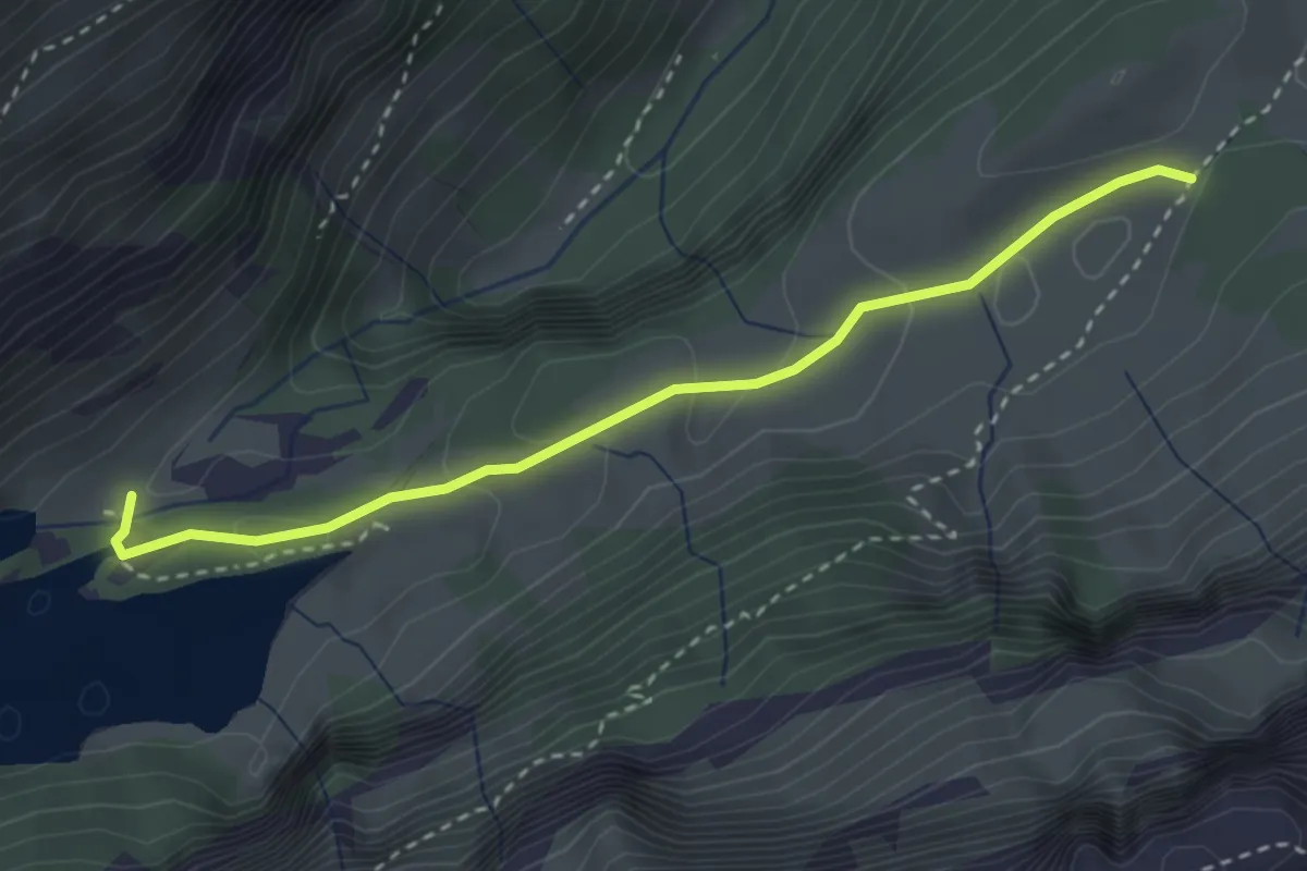
Medium · Trail
Klein-Hütten – Seealpsee
3.1 km · ↑ 87 m · 55 min
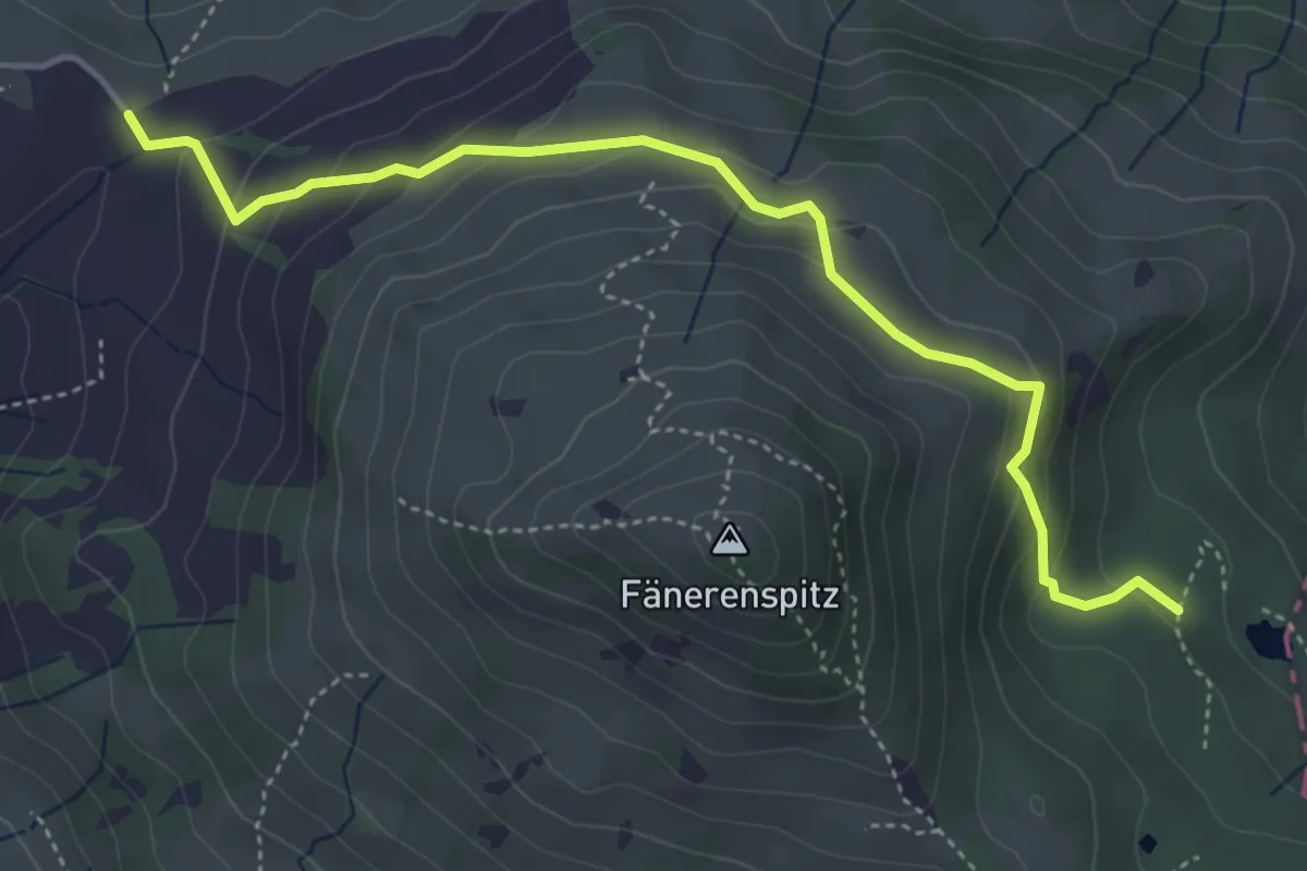
Easy · Trail
Eggli – Forstseeli
4.7 km · ↑ 263 m · 1 h 41 min
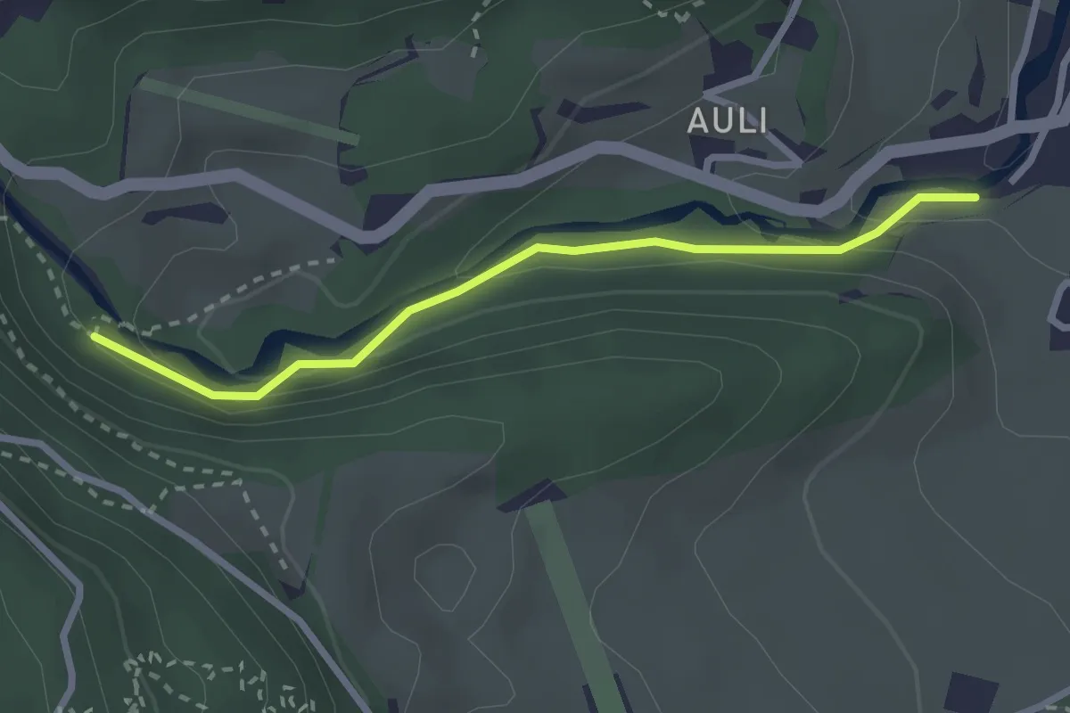
Easy · Trail
Sitli – Kohlgrübli
2.5 km · ↑ 109 m · 49 min
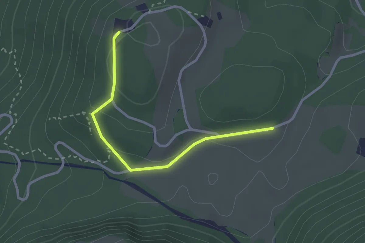
Easy · Trail
Hinter Saggberg – Schwammhöchi
2.3 km · ↑ 68 m · 41 min
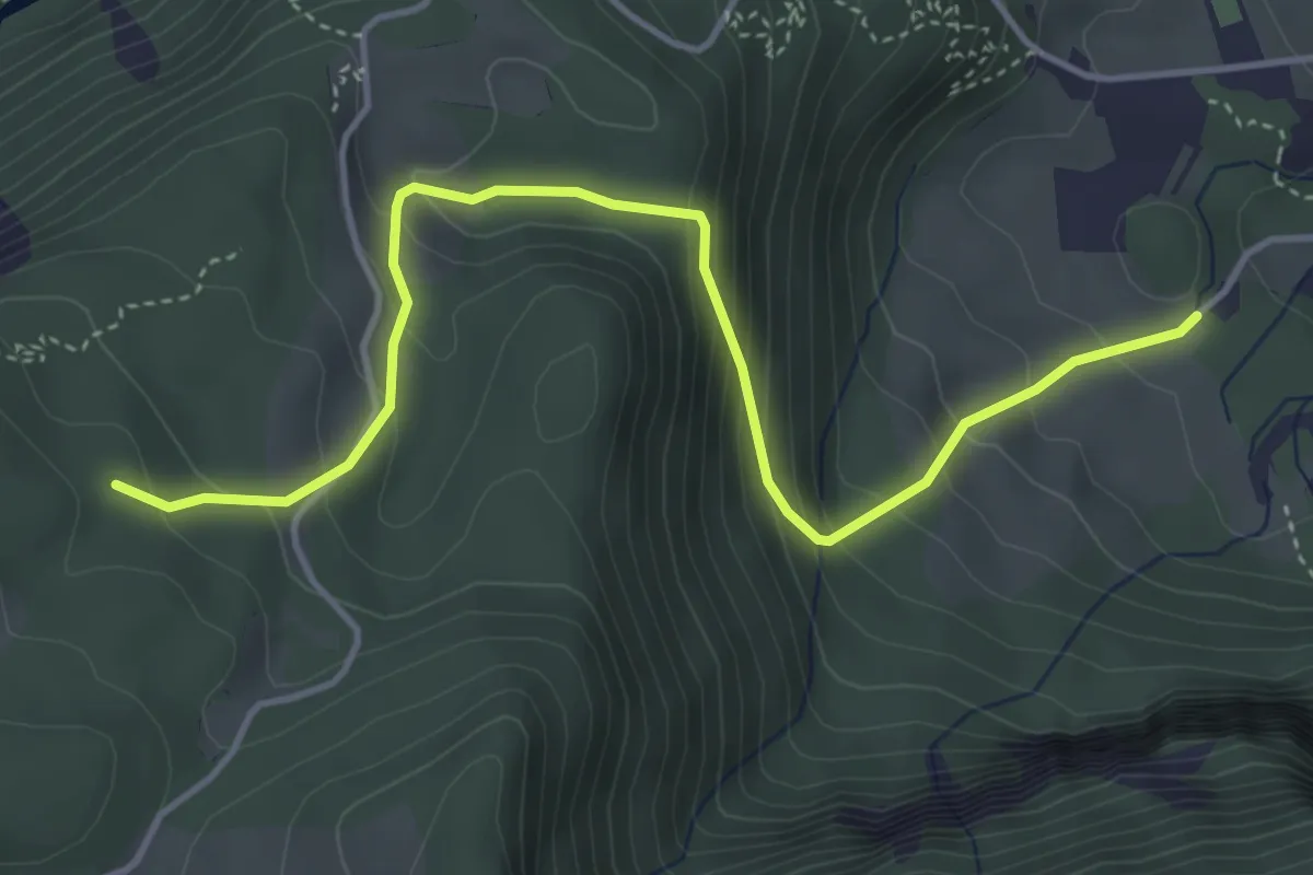
Medium · Trail
Unter Sack – Stelliwaldhütte
4.7 km · ↑ 375 m · 1 h 55 min
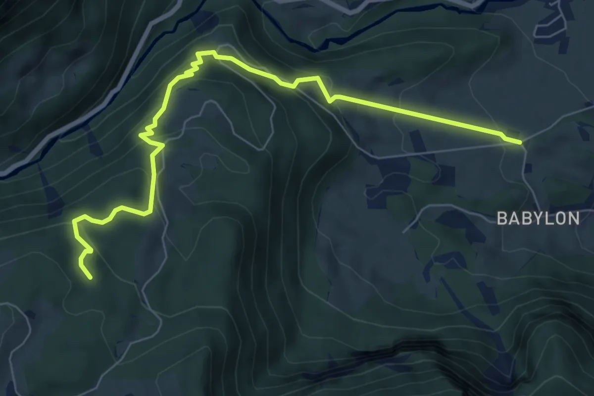
Medium · Trail
Bitzigen – Stelliwaldhütte
7.2 km · ↑ 477 m · 2 h 44 min
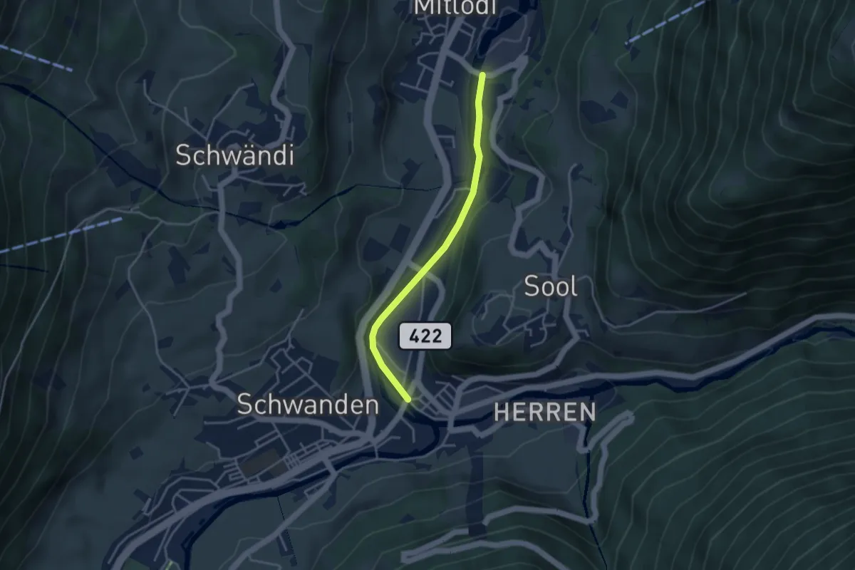
Easy · Trail
Chalberweidli – Kronenplatz
3.3 km · ↑ 92 m · 58 min
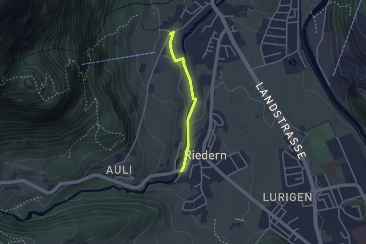
Easy · Trail
Rüfi – Töbeli
2.1 km · ↑ 46 m · 36 min
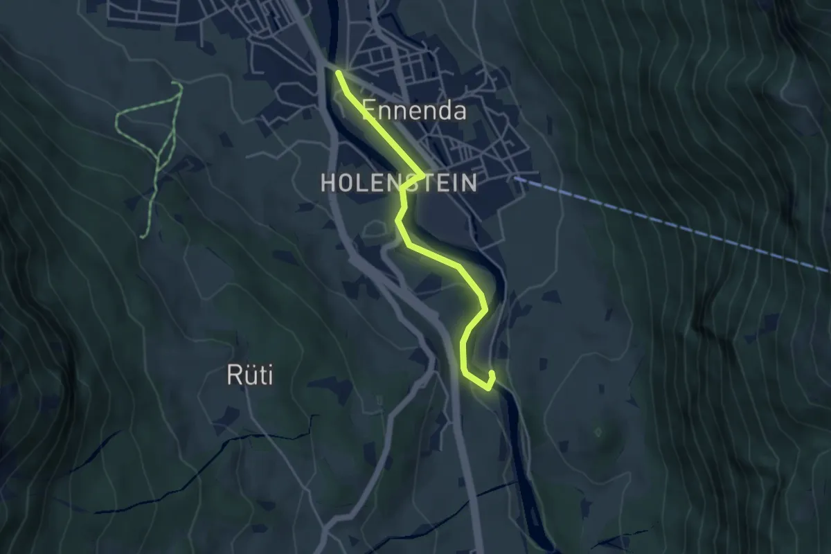
Easy · Trail
Linthbrücke – Mühlefuhr
3.6 km · ↑ 61 m · 59 min
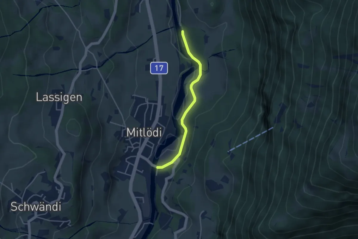
Easy · Trail
Auliwald – Chalberweidli
3.0 km · ↑ 65 m · 51 min
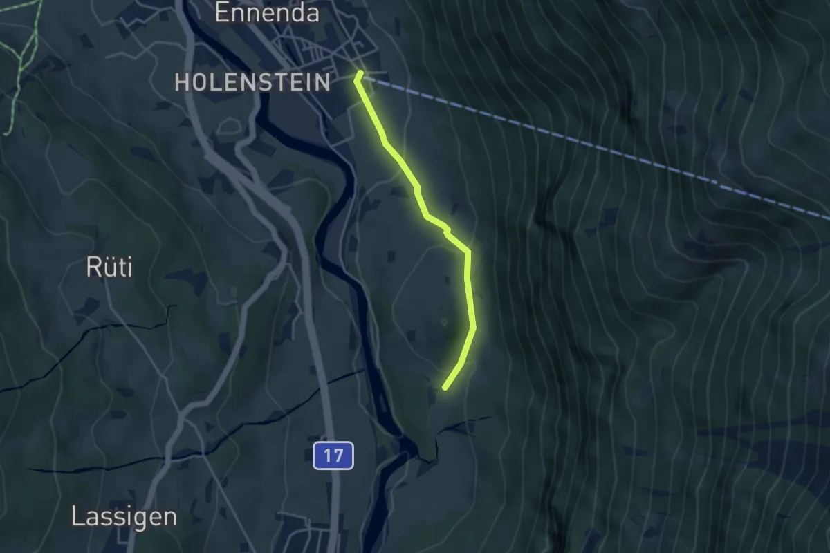
Easy · Trail
Seilbahn – Uschenriet
3.1 km · ↑ 115 m · 59 min
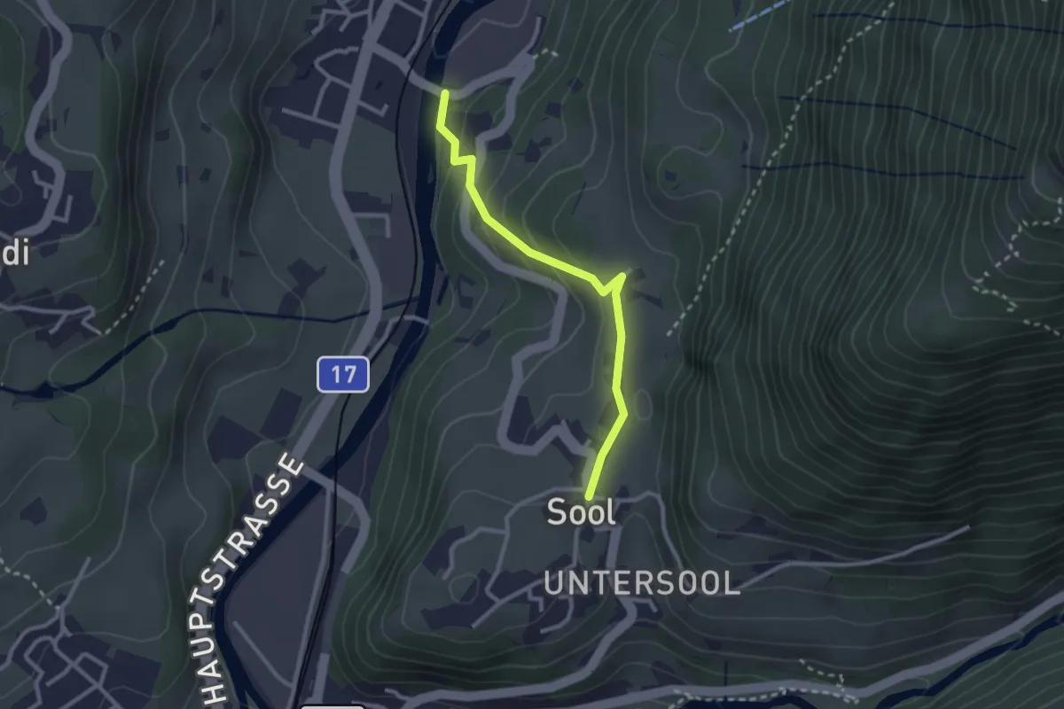
Easy · Trail
Chalberweidli – Ober-Sool
2.5 km · ↑ 128 m · 51 min
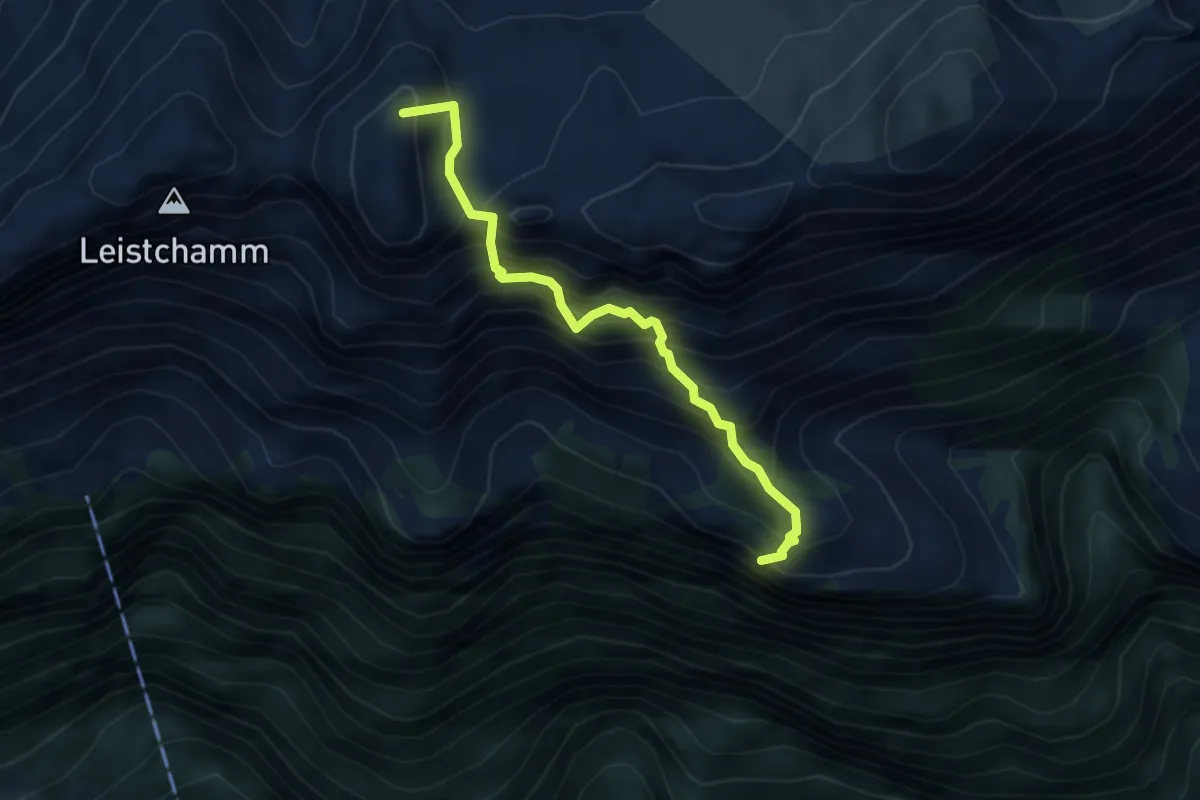
Expert · Summit
Säls – P1830
3.7 km · ↑ 750 m · 2 h 30 min
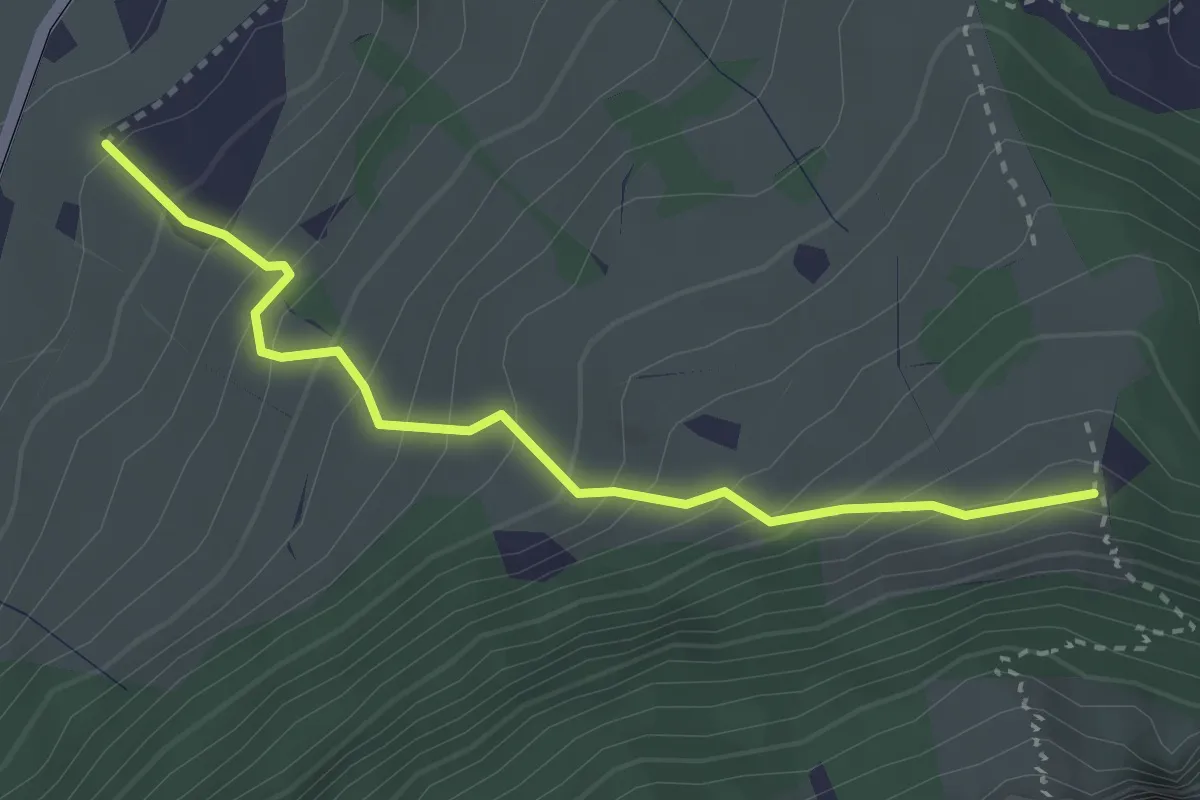
Medium · Trail
Acker – Chehr
3.0 km · ↑ 381 m · 1 h 33 min
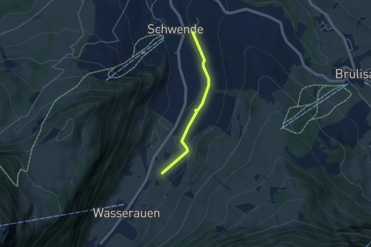
Easy · Trail
Schwende – Acker
2.9 km · ↑ 24 m · 45 min
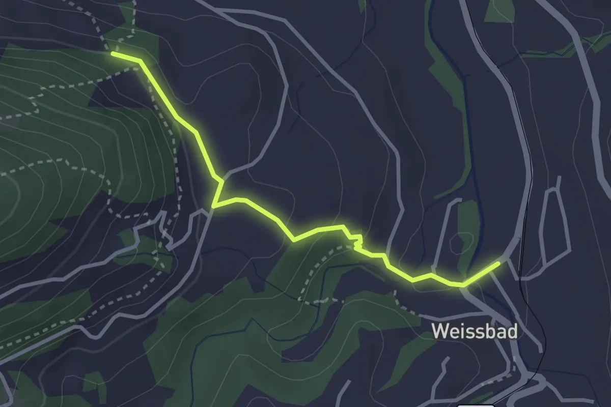
Easy · Trail
Ochsenegg – Weissbad
2.8 km · ↑ 95 m · 52 min
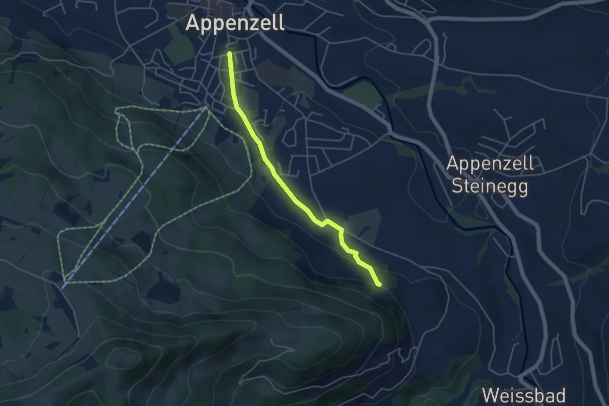
Easy · Trail
Appenzell – Ochsenegg
3.8 km · ↑ 111 m · 1 h 8 min
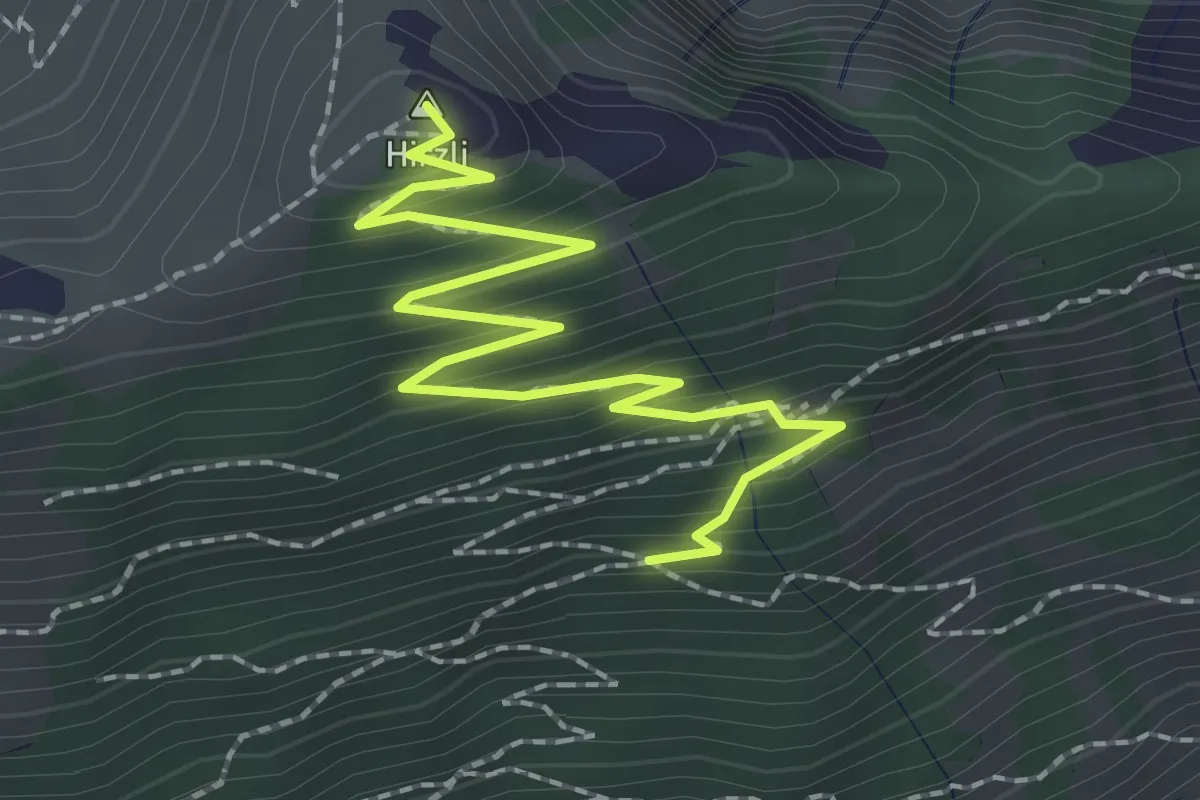
Medium · Summit
Ahorn – Hirzli
2.6 km · ↑ 253 m · 1 h 10 min
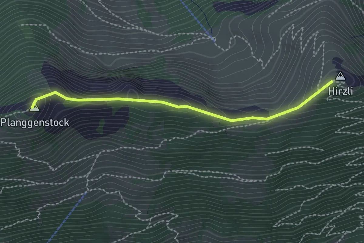
Demanding · Summit
Hirzli – Planggenstock
2.2 km · ↑ 160 m · 52 min
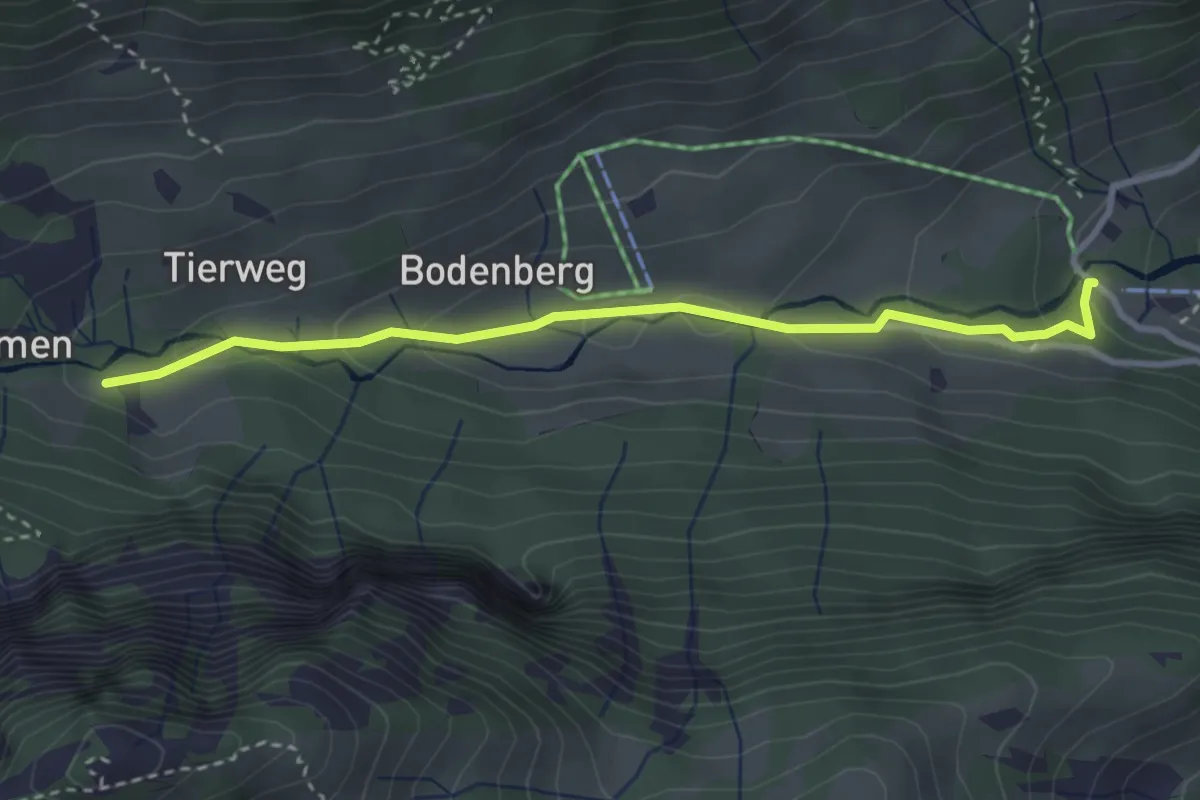
Easy · Trail
Morgenholz – Chaibenloch
3.2 km · ↑ 128 m · 1 h 1 min
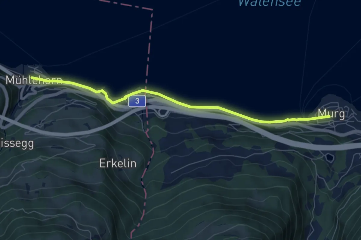
Easy · Trail
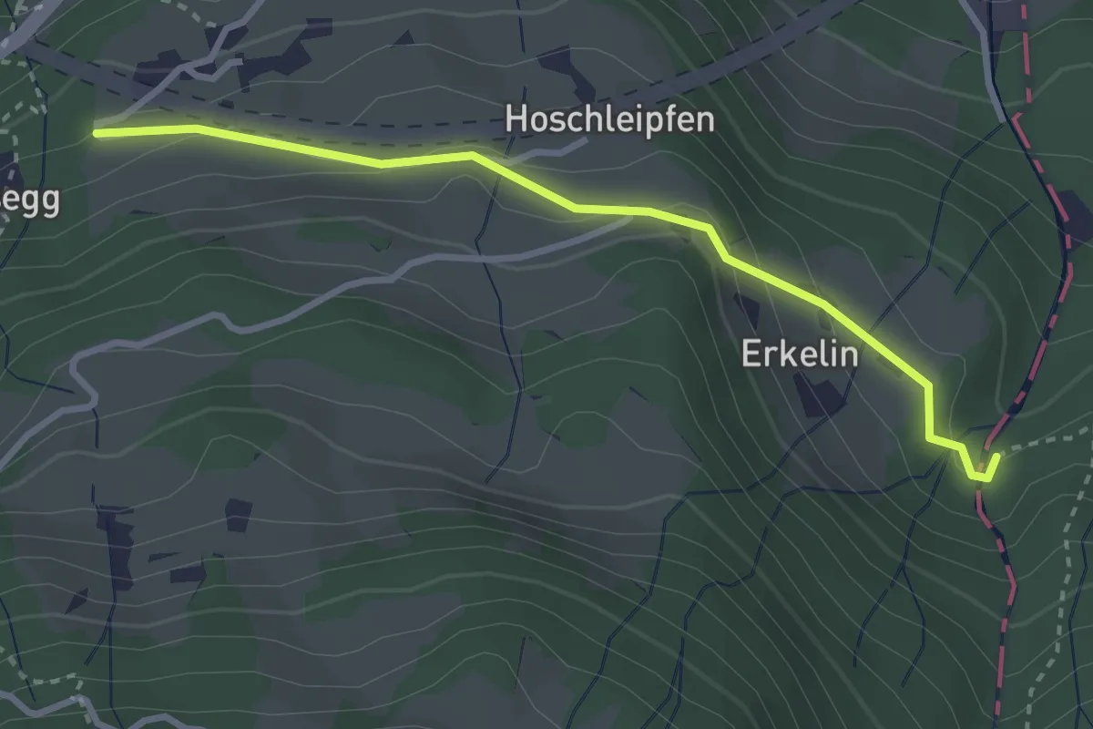
Mühlehorn – Murg Bahnhof
6.7 km · ↑ 109 m · 1 h 49 min
Easy · Trail
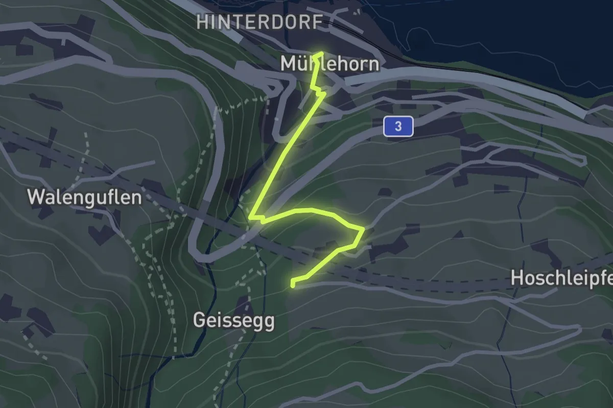
Vortobel – Erggeli
3.0 km · ↑ 138 m · 1 h
Easy · Trail
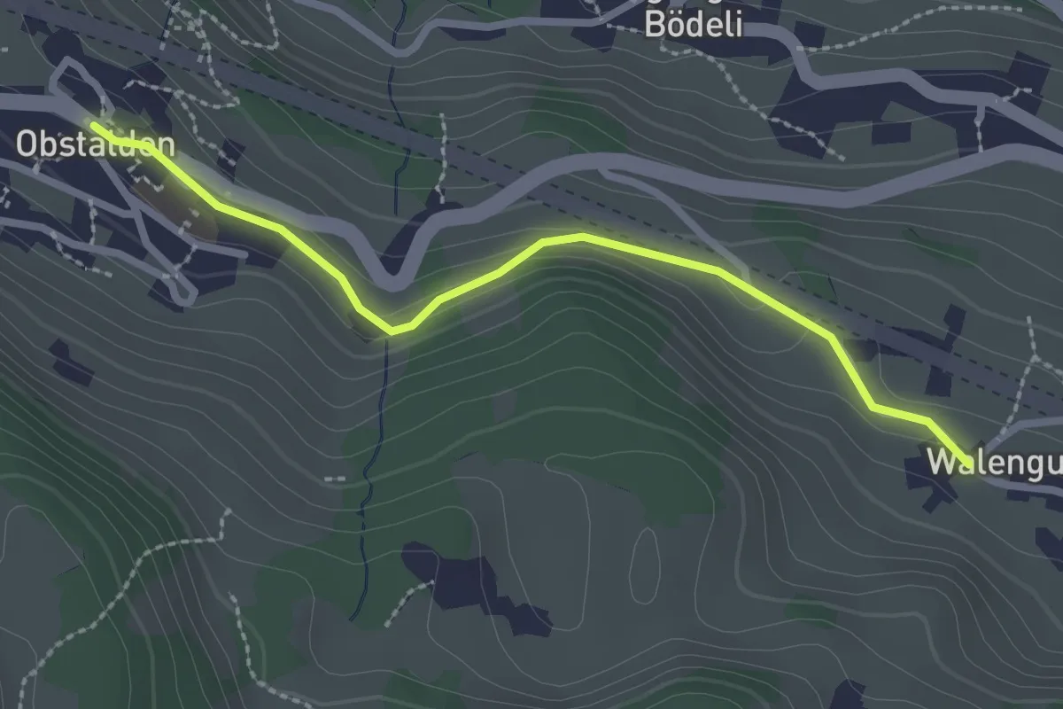
Mühlehorn – Vortobel
2.2 km · ↑ 189 m · 56 min
Easy · Trail
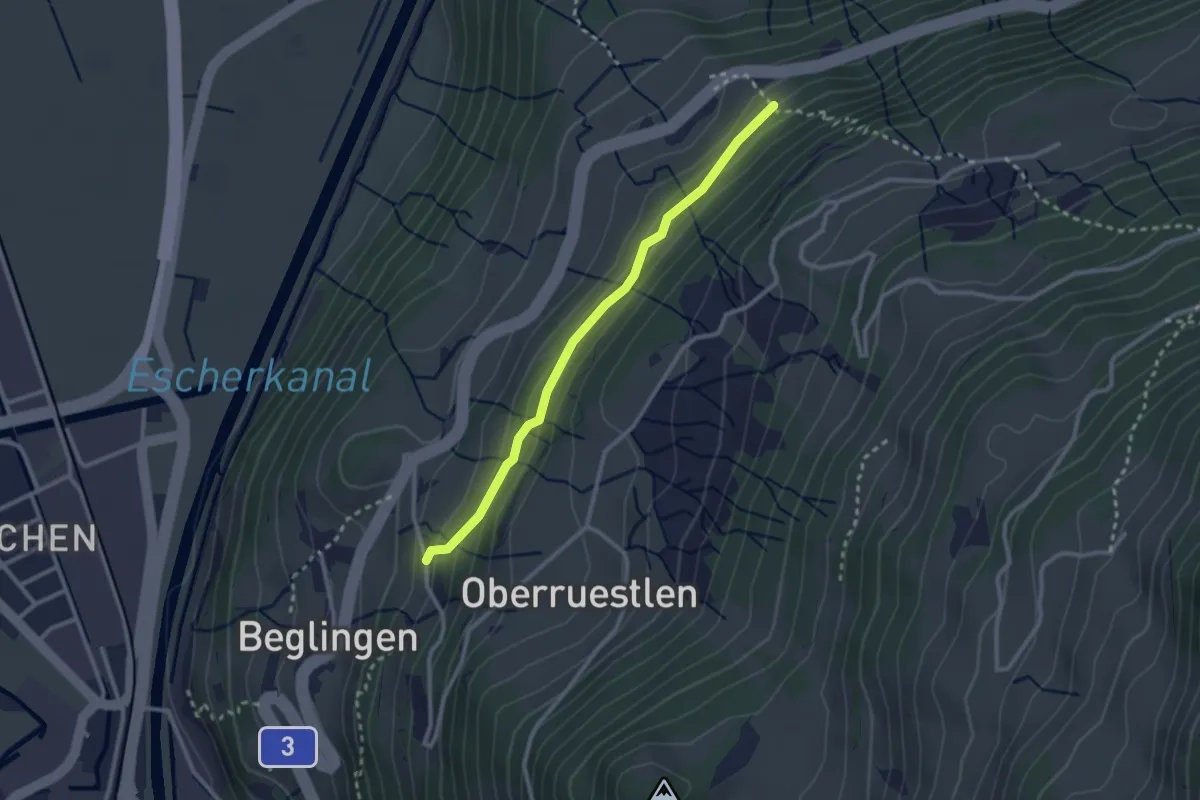
Obstalden – Walenguflen
2.5 km · ↑ 73 m · 44 min
Easy · Trail
Geltschenrüti – Vor dem Wald
2.5 km · ↑ 126 m · 52 min
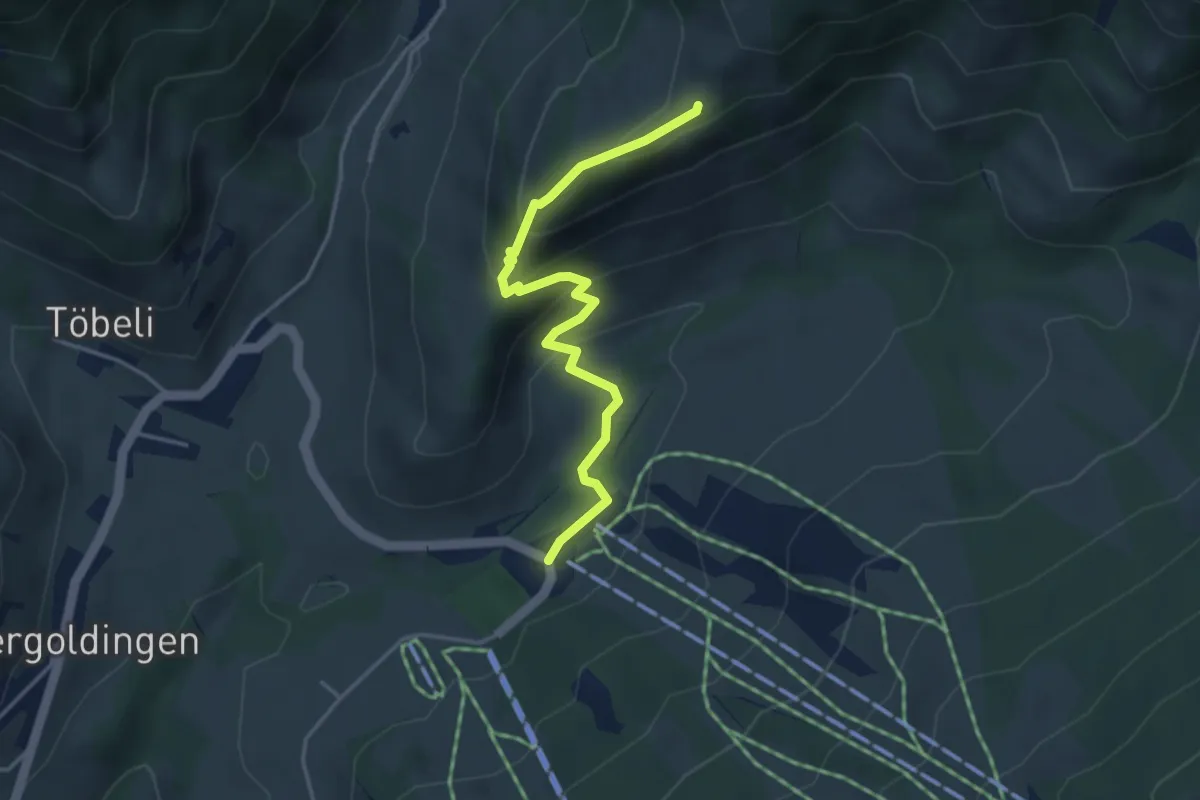
Easy · Cabin
Schutt – Oberchamm
3.9 km · ↑ 245 m · 1 h 27 min
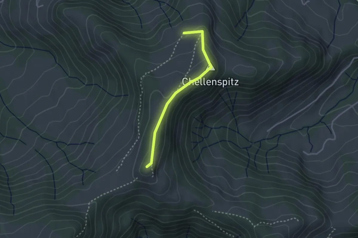
Easy · Summit
Ober Alpli – Alplisattel
2.5 km · ↑ 160 m · 56 min
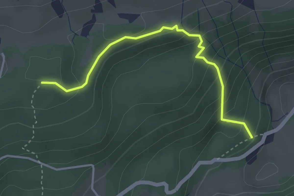
Easy · Trail
Äschen – Niderseewald
3.0 km · ↑ 245 m · 1 h 14 min
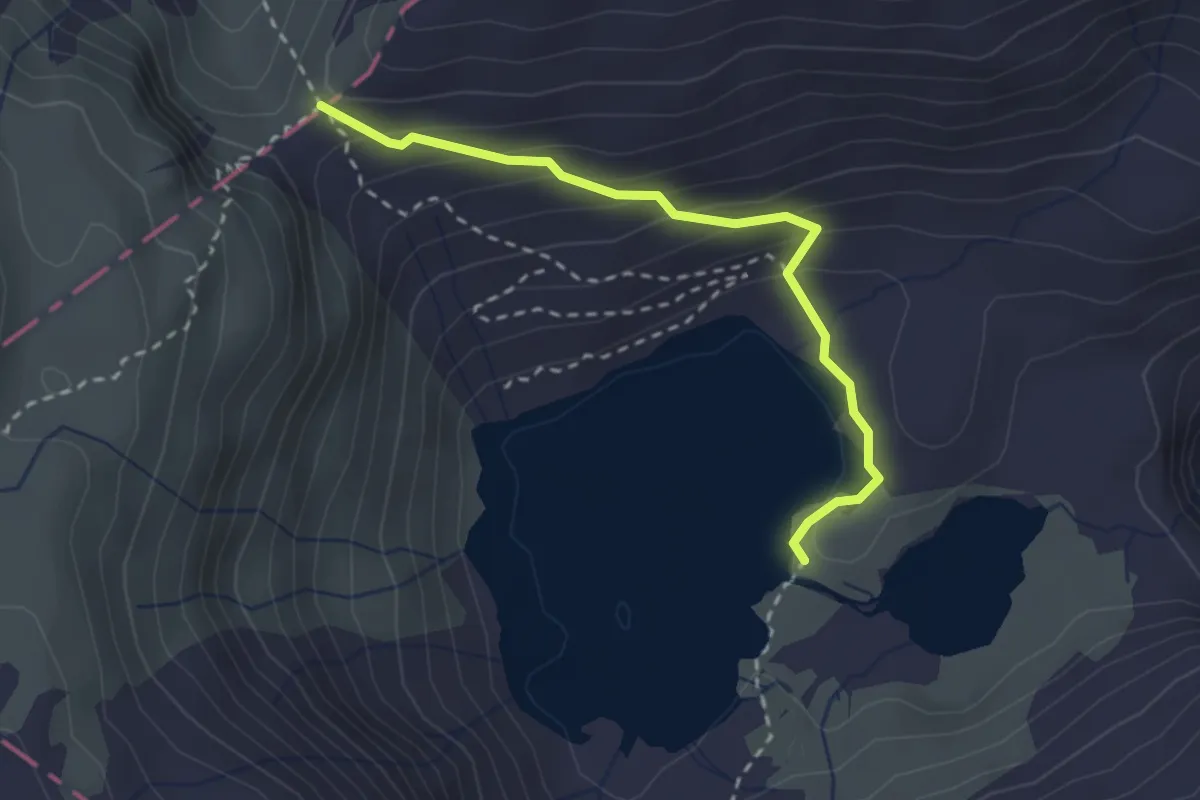
Medium · Cabin
Murgsee – Murgseefurggl
2.6 km · ↑ 170 m · 58 min
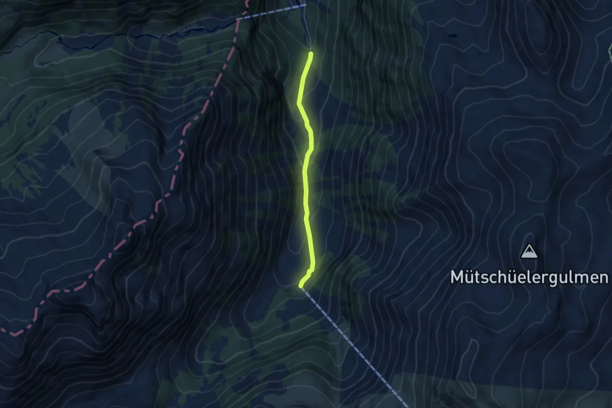
Easy · Trail
Merlen – Mornen
3.9 km · ↑ 209 m · 1 h 22 min
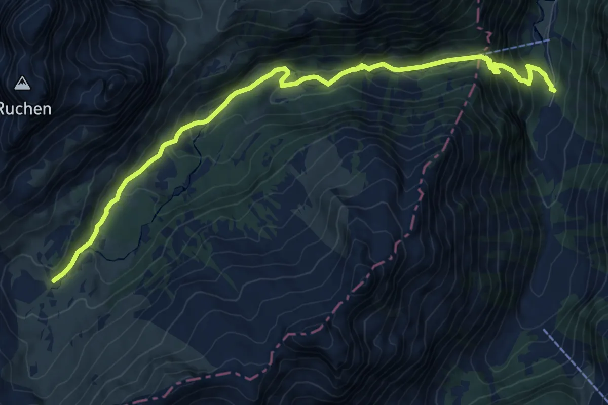
Medium · Trail
Merlen – Ober Mürtschen
11.0 km · ↑ 741 m · 4 h 12 min
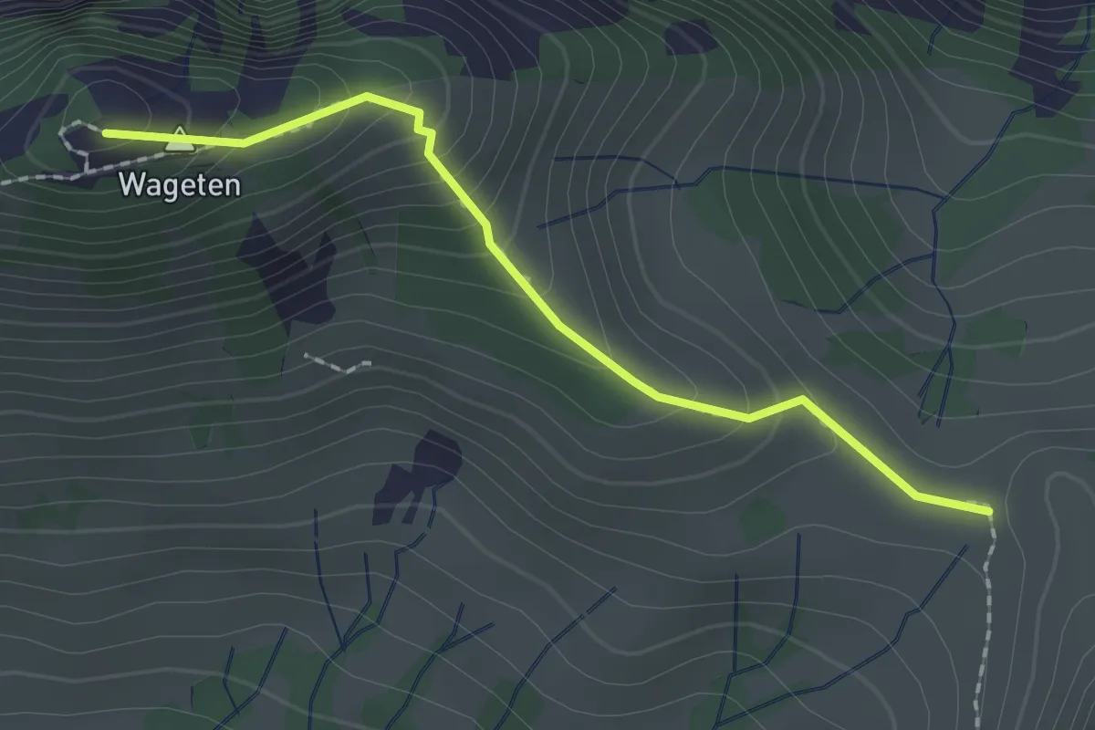
Medium · Summit
Lochegg – Wänigrat
1.9 km · ↑ 180 m · 50 min
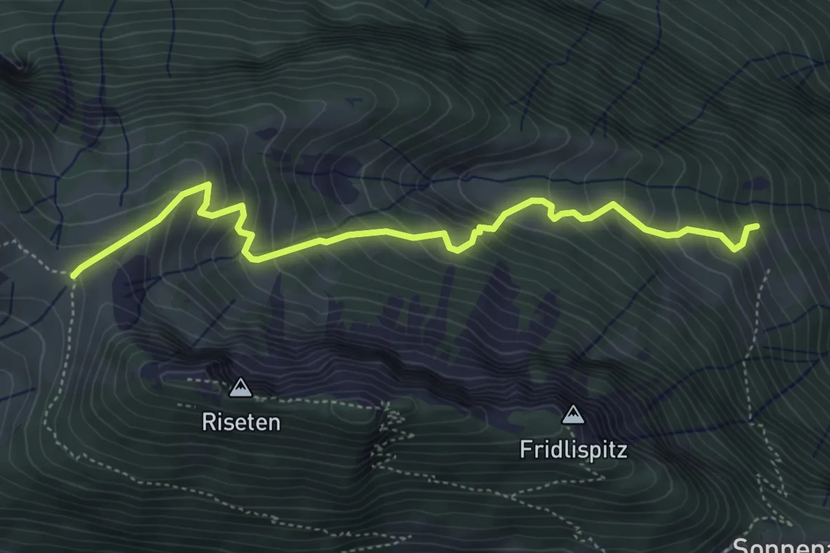
Medium · Trail
Trogacher – Lochegg
5.0 km · ↑ 527 m · 2 h 20 min
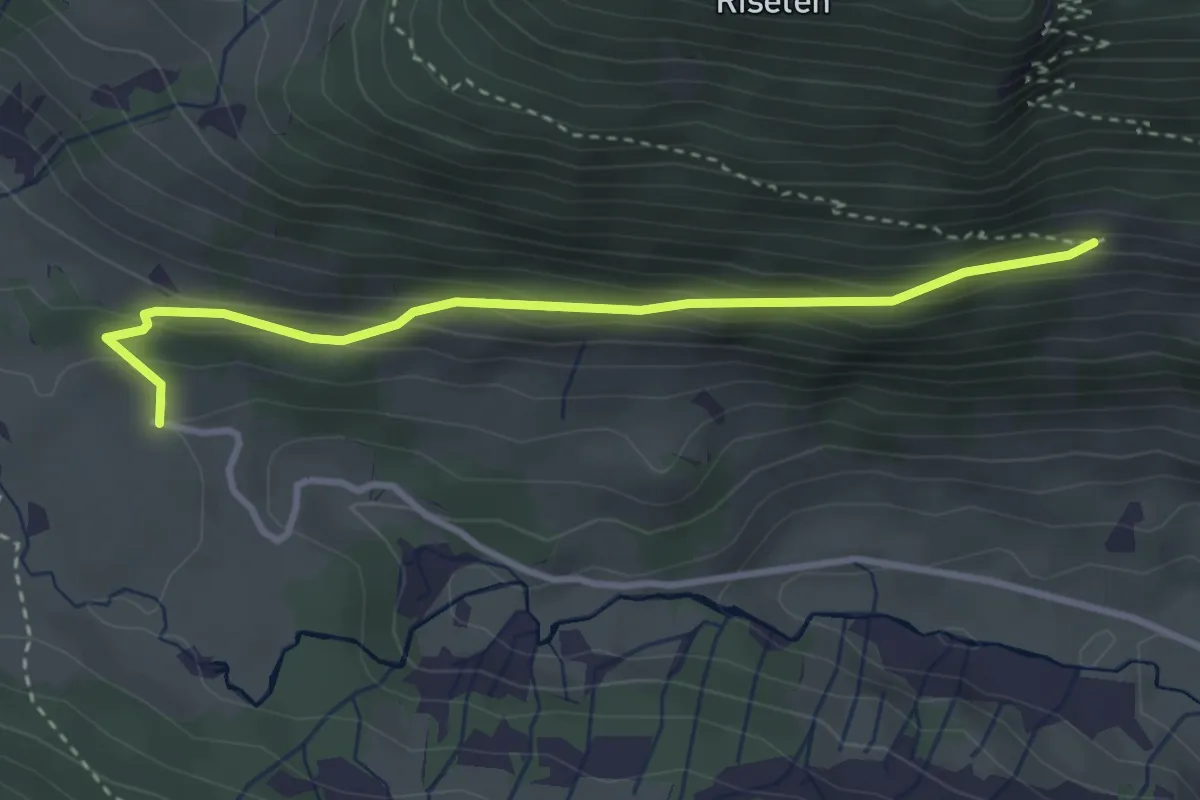
Medium · Trail
Matt Schwändital – Sunnenplangge
3.3 km · ↑ 189 m · 1 h 11 min
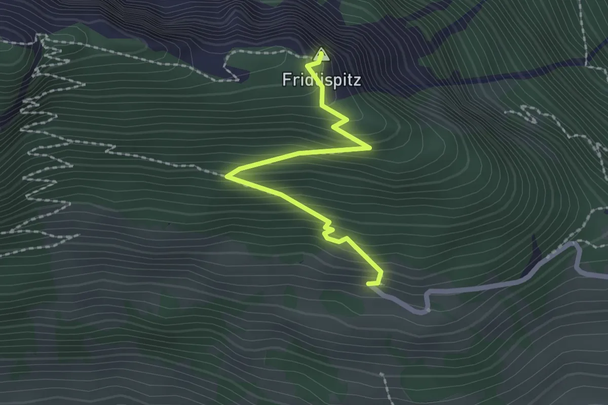
Medium · Summit
Im Tilimaa – Fridlispitz
2.0 km · ↑ 230 m · 58 min
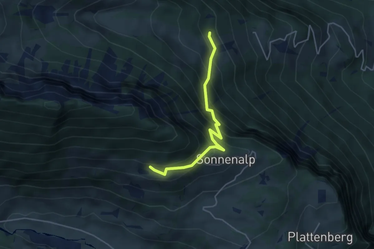
Medium · Trail
Trogacher – Im Tilimaa
3.5 km · ↑ 491 m · 1 h 53 min
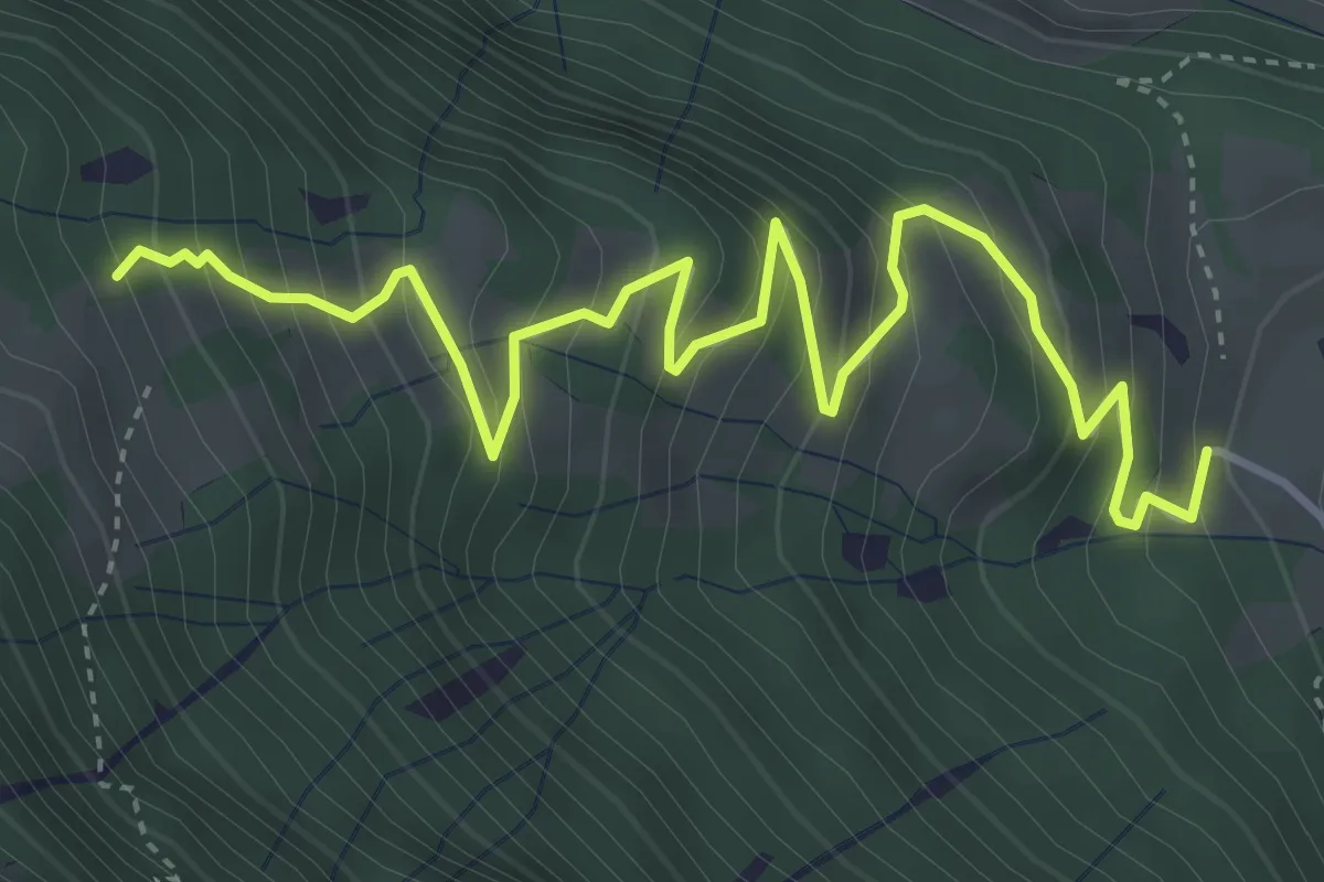
Medium · Trail
Schlachhalde – Trogacher
5.0 km · ↑ 511 m · 2 h 17 min
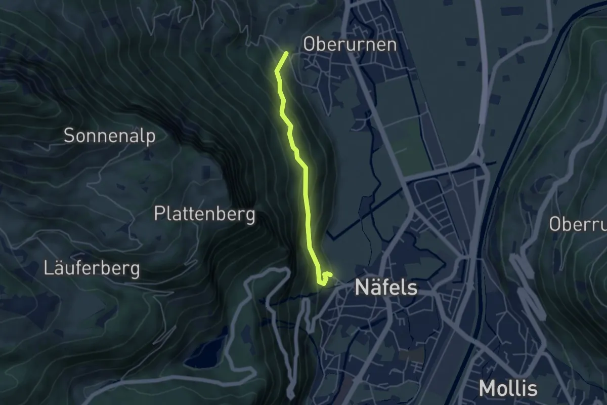
Easy · Trail
Mettlen – Niederberg
3.7 km · ↑ 314 m · 1 h 33 min
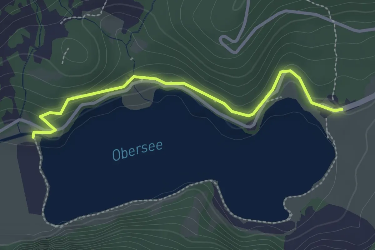
Easy · Trail
Obersee – Prüglen
2.6 km · ↑ 135 m · 54 min
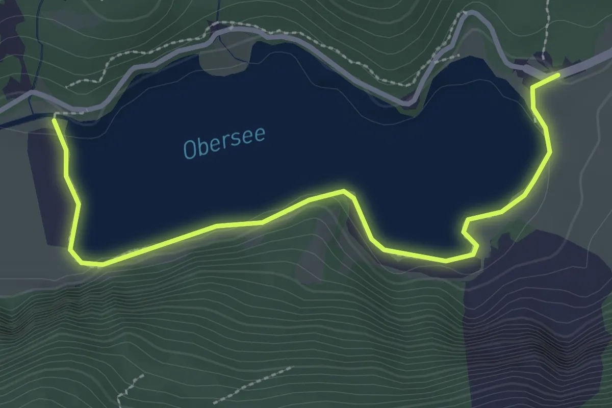
Easy · Trail
Obersee – Prüglen (Seeweg)
3.2 km · ↑ 84 m · 56 min
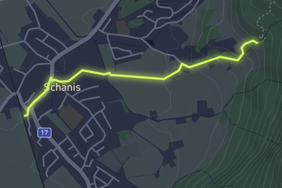
Easy · Trail
Schänis Bhf – Ledi
3.2 km · ↑ 116 m · 1 h
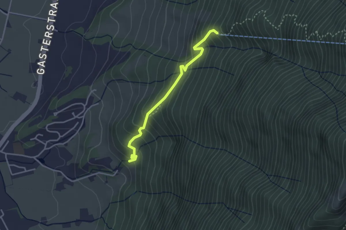
Medium · Trail
Ledi – Grüttwald
2.8 km · ↑ 293 m · 1 h 18 min
Easy · Trail
aaa – L'Etherolla
3.1 km · ↑ 78 m · 54 min
Easy · Trail
Léteygeon – Les Founous
3.8 km · ↑ 91 m · 1 h 6 min
Medium · Trail
Les Founous – Ancien Bisse de l'Erneya
7.6 km · ↑ 391 m · 2 h 38 min