Trails in Switzerland
15,029 hiking trails, each with its route, climb, walking time and grade.
All trails, page 37 of 314
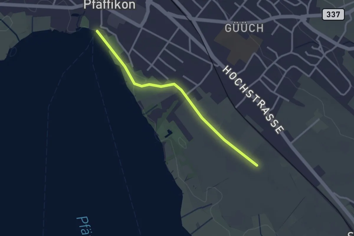
Easy · Pilgrim path
Fryheitsweg
1.3 km · ↑ 0 m · 19 min
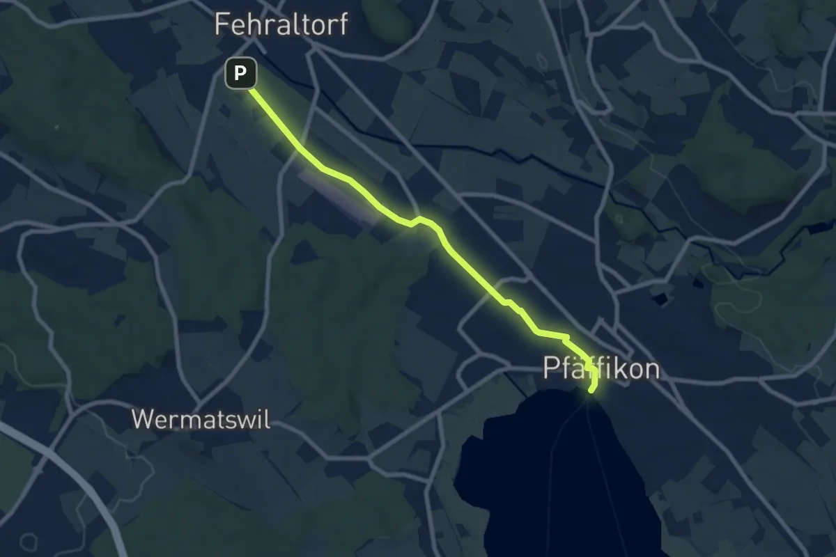
Easy · Pilgrim path
Fryheitsweg
3.6 km · ↑ 17 m · 56 min
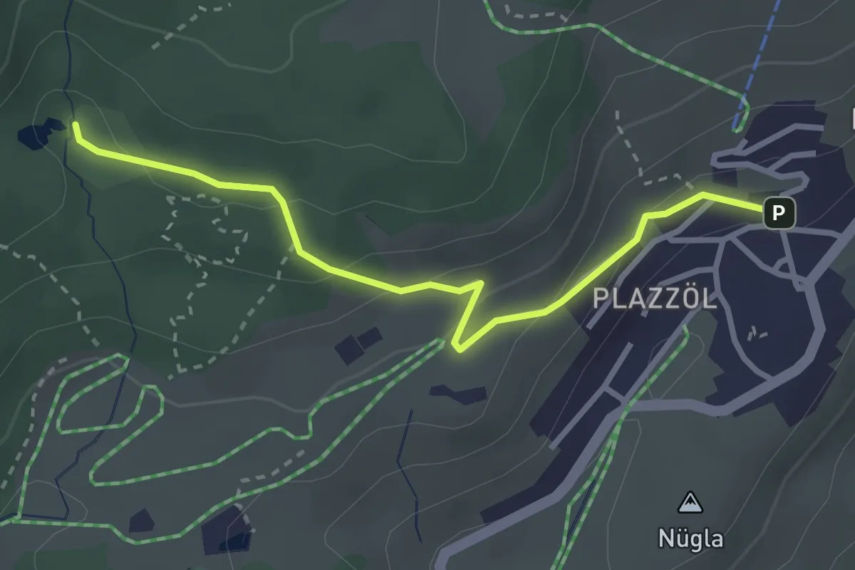
Easy · Trail
Ftan - Lais da Pasch
2.9 km · ↑ 124 m · 58 min
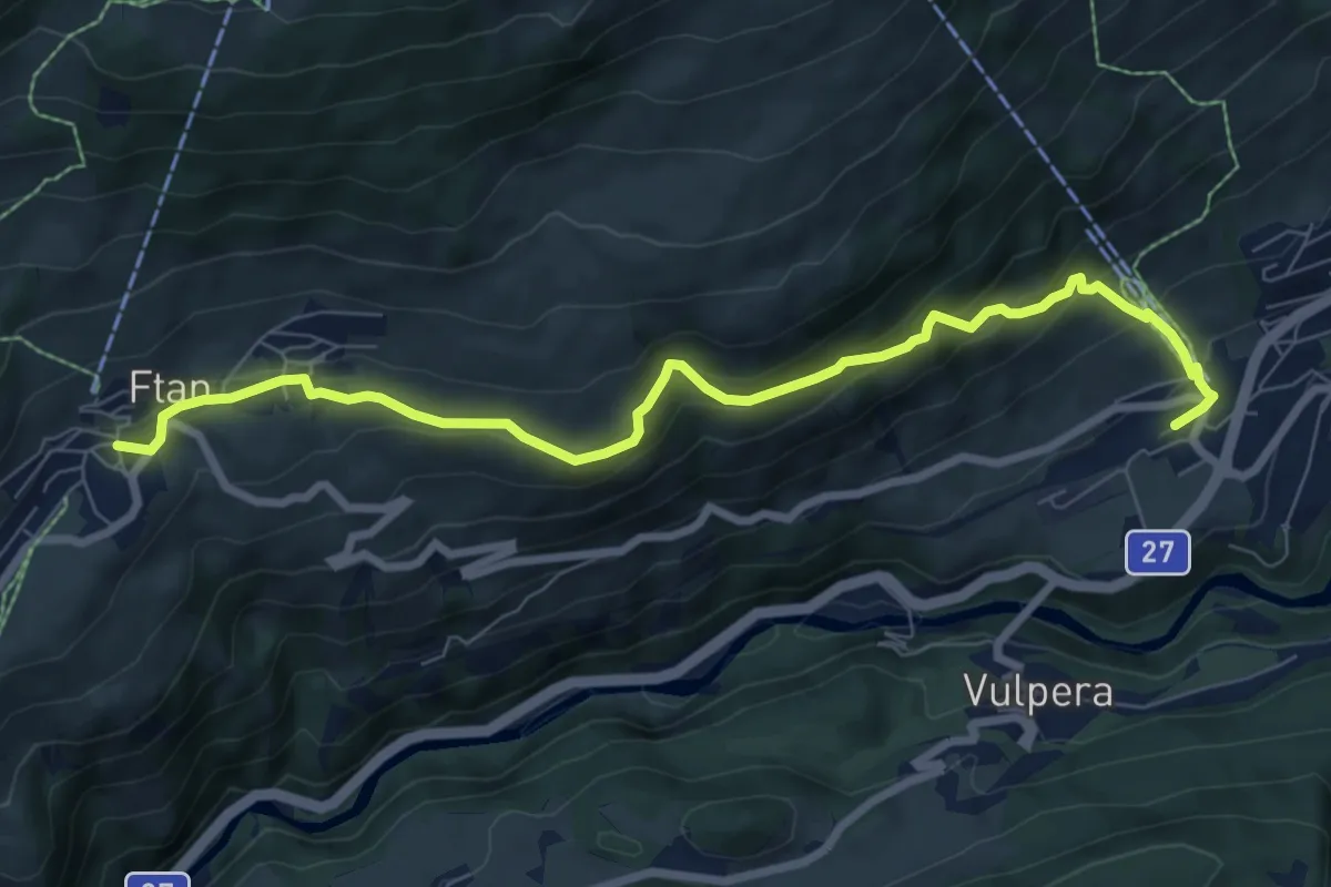
Medium · Trail
Ftan - Scuol
8.3 km · ↑ 473 m · 2 h 59 min
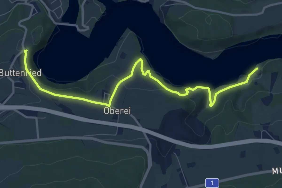
Medium · Trail
Fuchsenried - Jaggisbachau
8.3 km · ↑ 253 m · 2 h 30 min
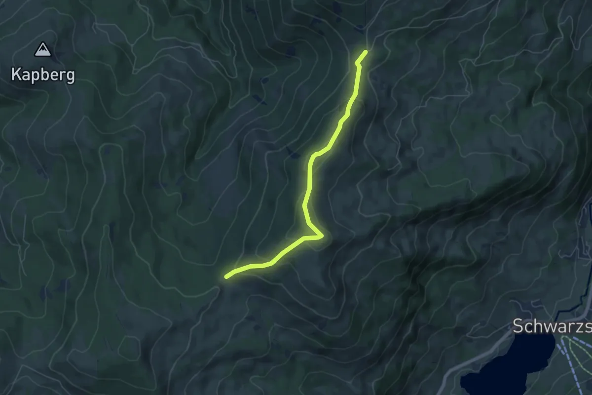
Medium · Trail
Fuchses Schwyberg - Hapferen Schwyberg
5.5 km · ↑ 260 m · 1 h 52 min
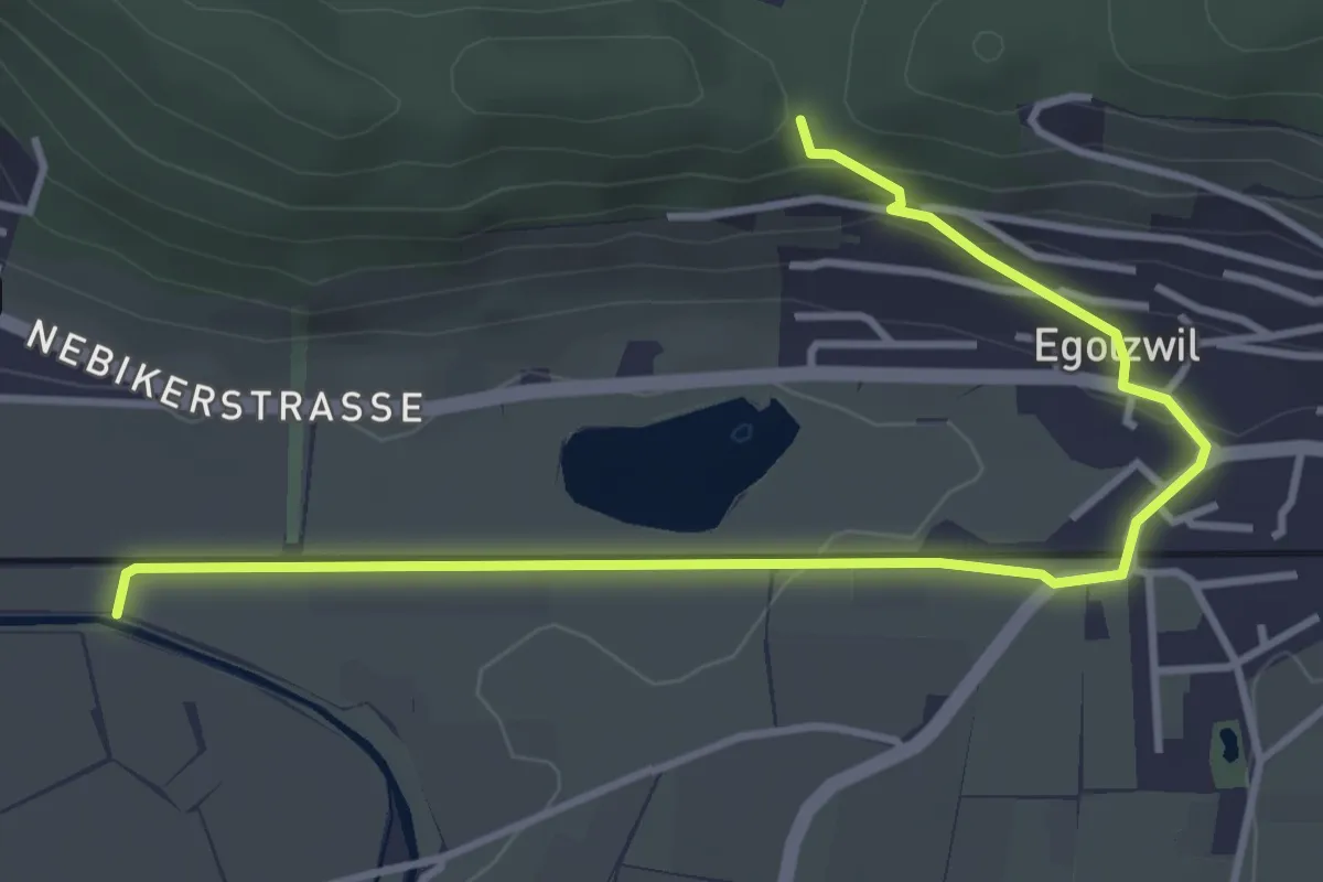
Easy · Trail
Fuchsetanz - Egolzwil - Wigger
4.4 km · ↑ 124 m · 1 h 18 min
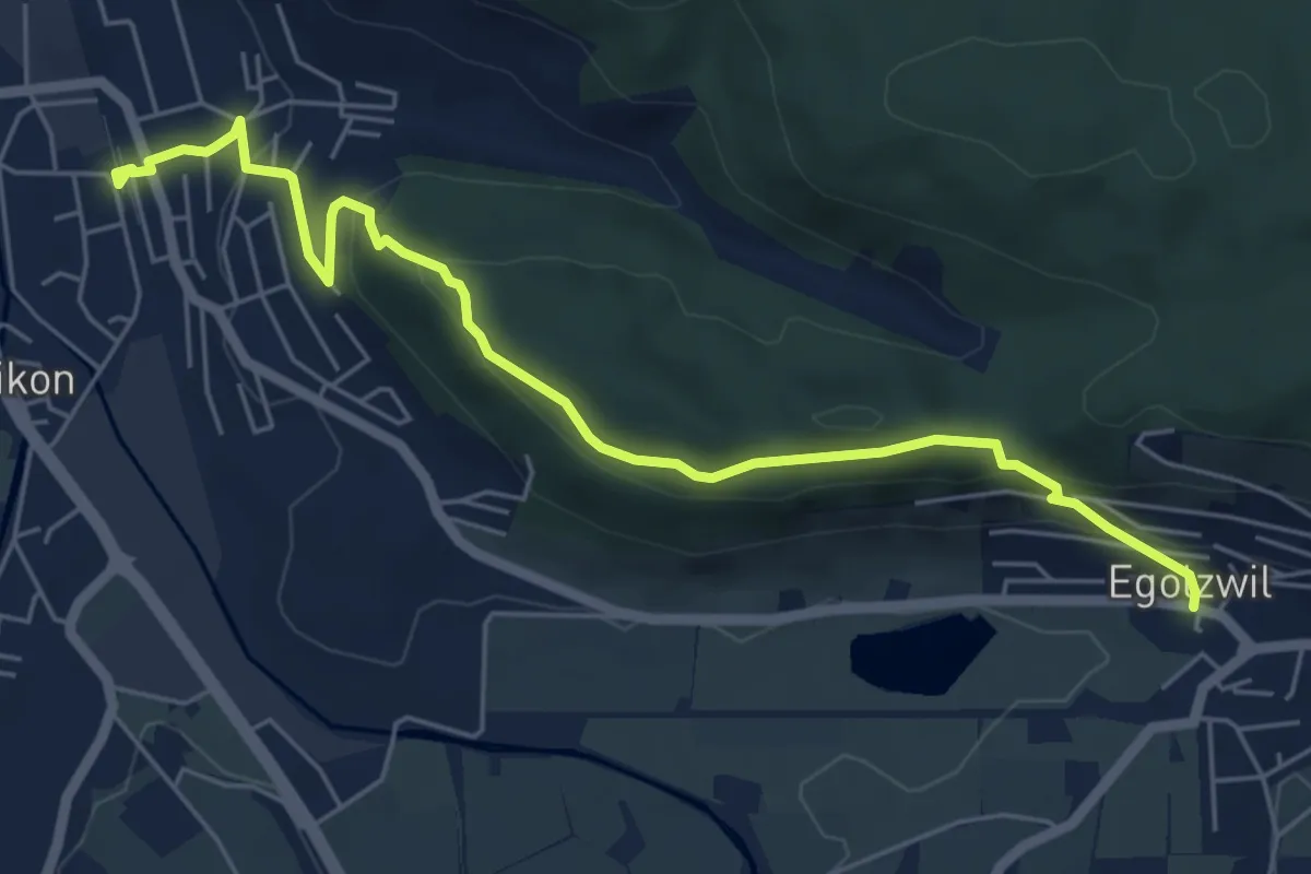
Easy · Trail
Fuchsetanz - Nebikon
6.3 km · ↑ 298 m · 2 h 8 min
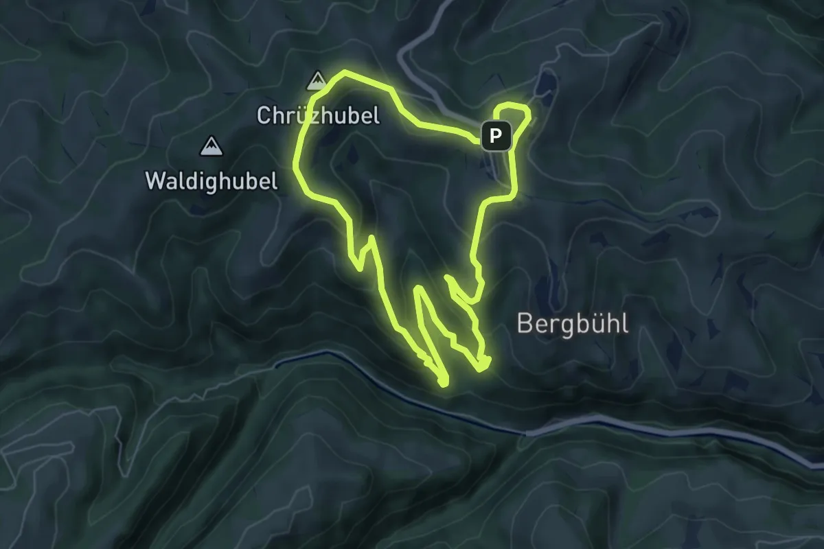
Easy · Summit
Fuchslochweg
6.0 km · ↑ 315 m · 2 h 11 min
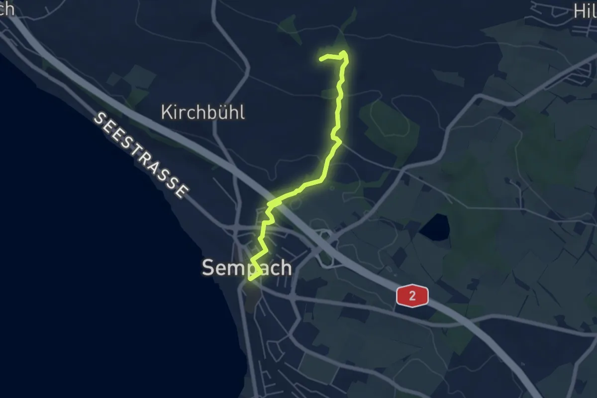
Easy · Trail
Fuchspfad
4.8 km · ↑ 131 m · 1 h 26 min
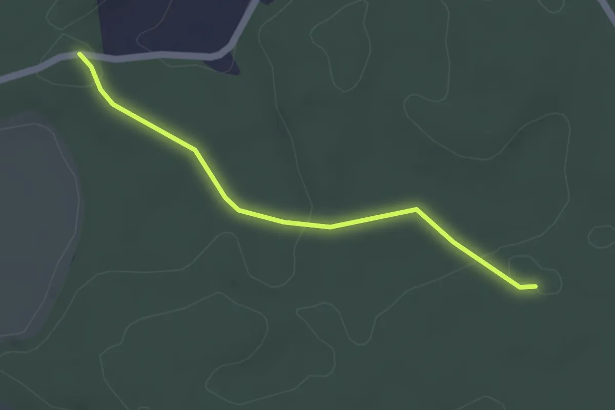
Easy · Trail
Fuessacher - Bruucheren
3.0 km · ↑ 40 m · 48 min
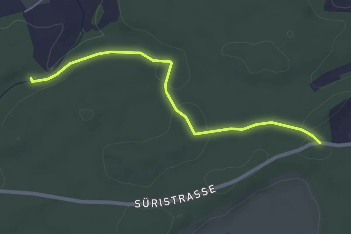
Easy · Trail
Fuessacher - Hollerengraben
3.9 km · ↑ 60 m · 1 h 3 min
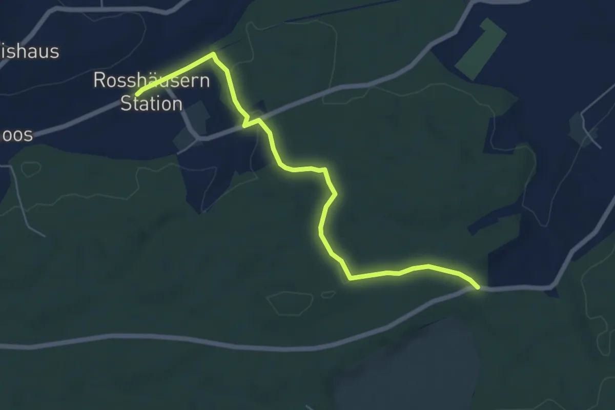
Easy · Trail
Fuessacher - Rosshäusern/Station
5.6 km · ↑ 125 m · 1 h 36 min
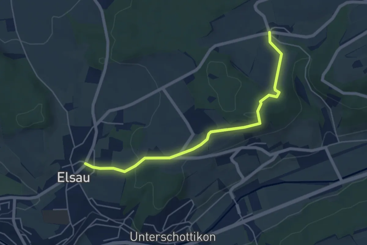
Easy · Trail
Fulau – Elsau
4.7 km · ↑ 120 m · 1 h 22 min
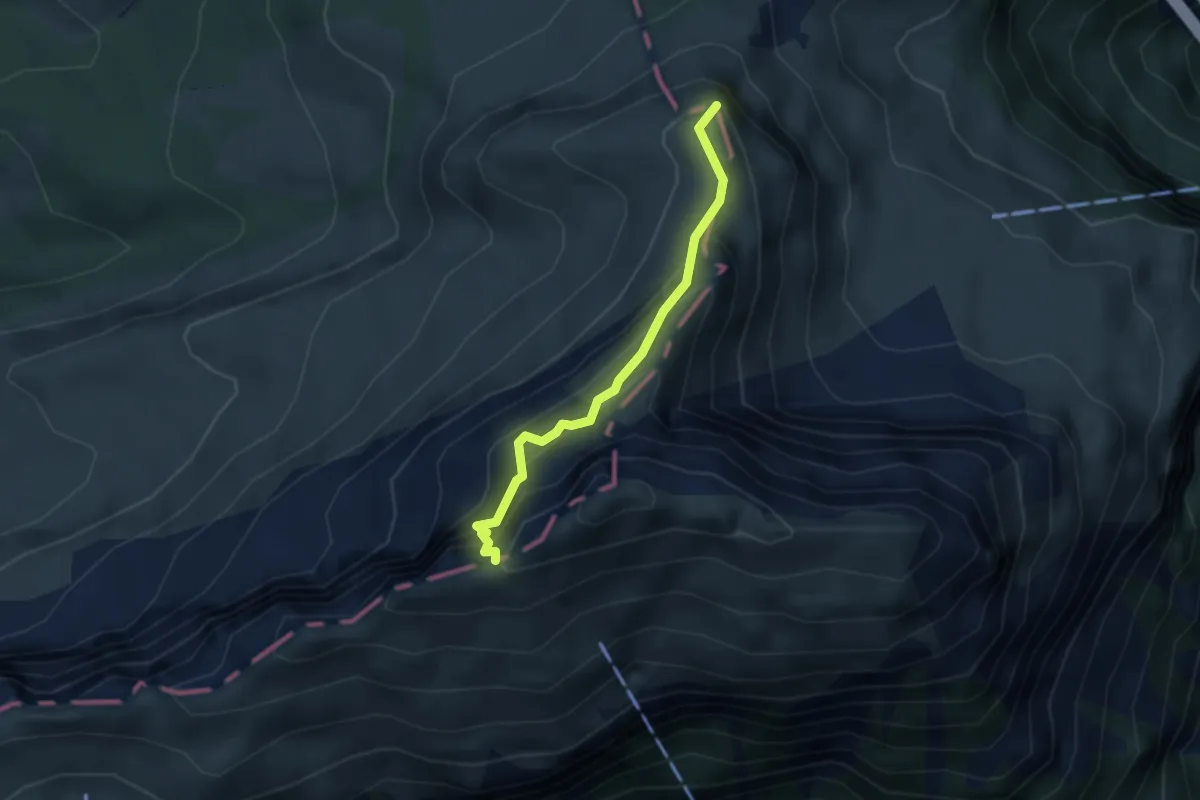
Expert · Summit
Fulberg - Schwiren
2.9 km · ↑ 389 m · 1 h 32 min
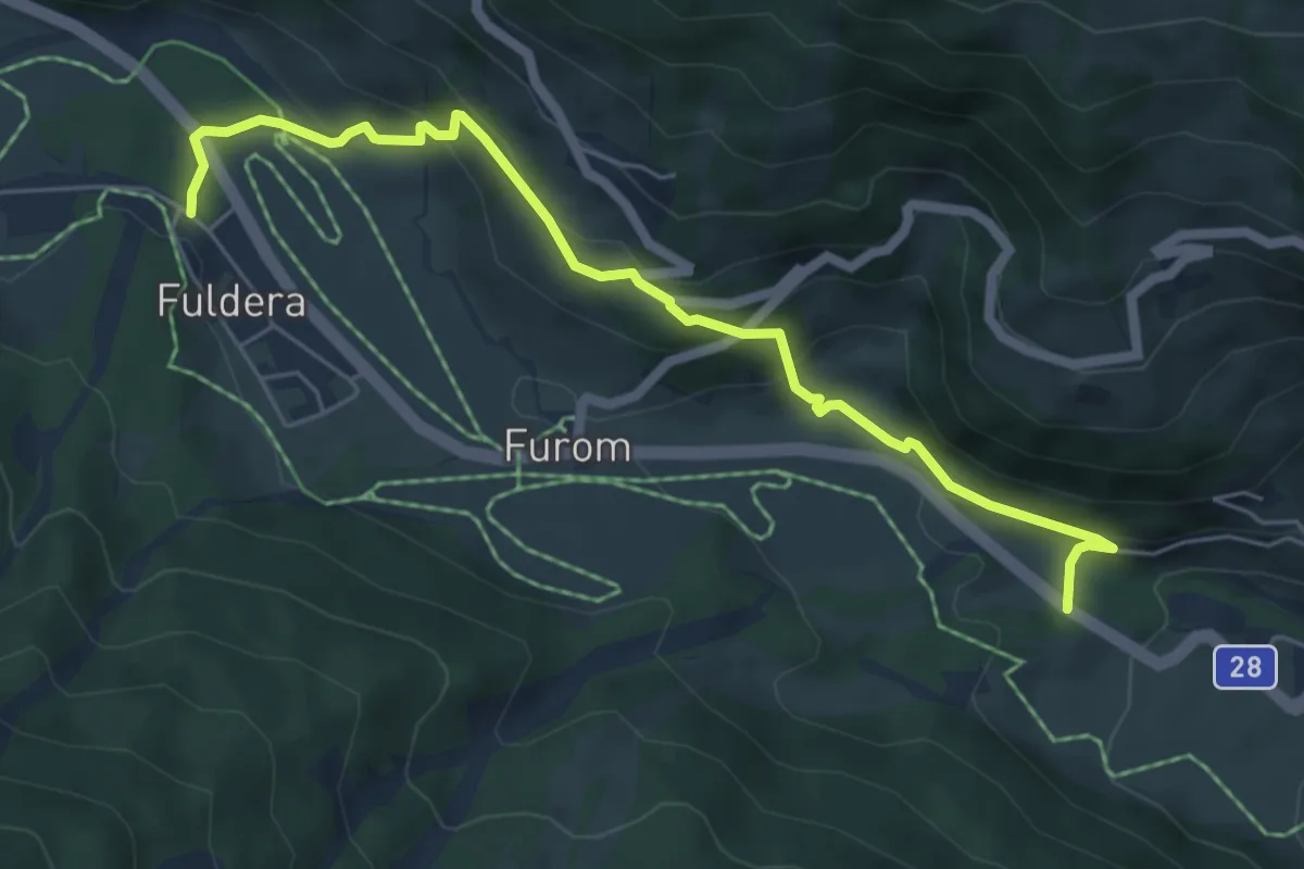
Easy · Trail
Fuldera - Runca
6.0 km · ↑ 318 m · 2 h 7 min
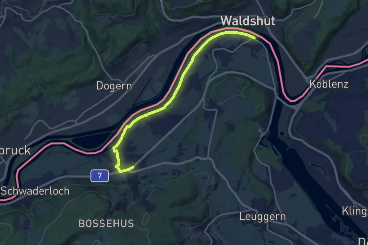
Medium · Trail
Full Fähre - Leibstadt Postauto
11.8 km · ↑ 52 m · 2 h 54 min
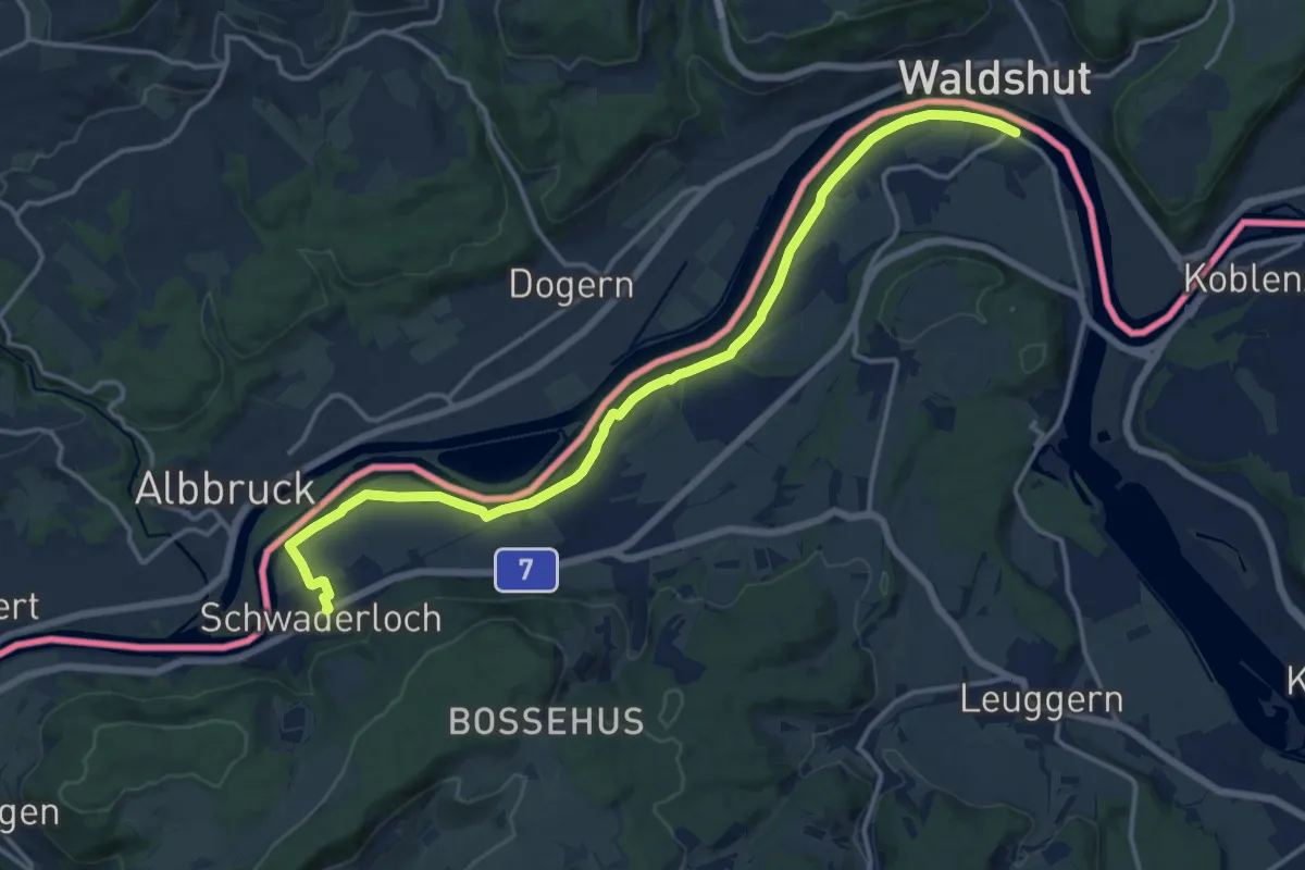
Medium · Trail
Full Fähre - Schwaderloch Postauto
15.9 km · ↑ 51 m · 3 h 52 min
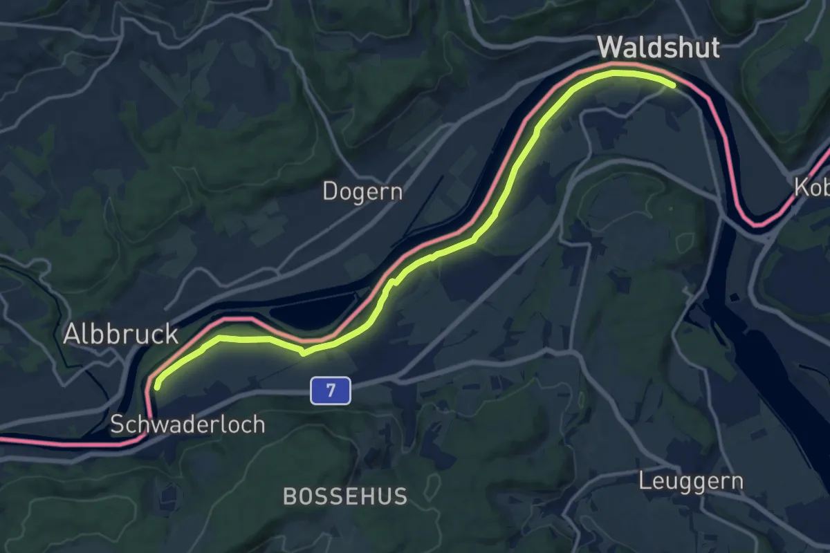
Medium · Trail
Full Fähre - Schwaderloch Zollhaus
14.8 km · ↑ 46 m · 3 h 36 min
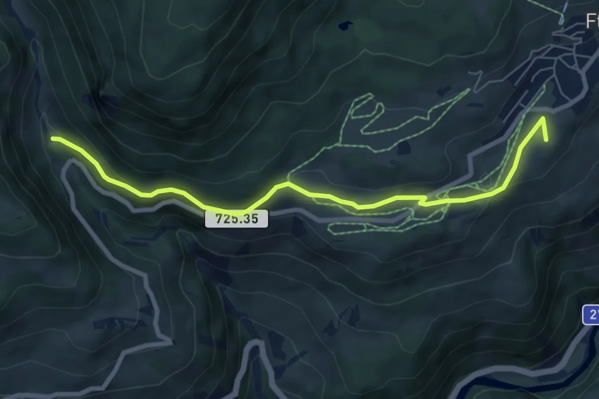
Easy · Summit
Funtana fraida
6.2 km · ↑ 136 m · 1 h 46 min
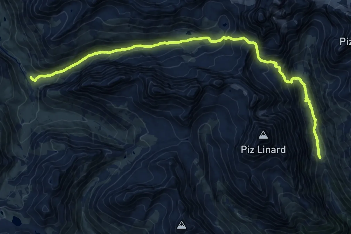
Expert · Cabin
Fuorcla Zadrell
12.0 km · ↑ 833 m · 4 h 49 min
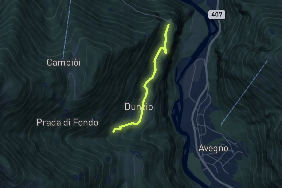
Medium · Trail
Furcola di Dunzio-Djula
3.9 km · ↑ 230 m · 1 h 25 min
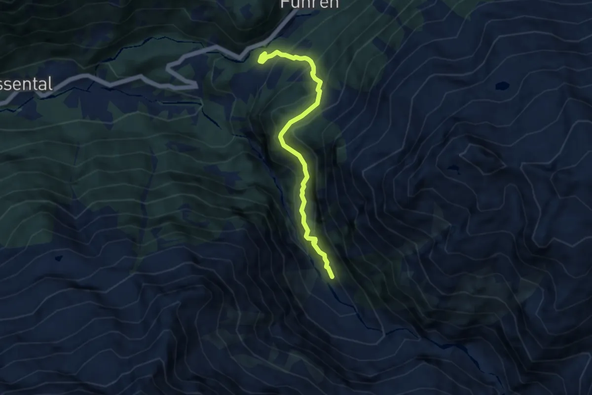
Medium · Trail
Furen - Underi Trift
6.6 km · ↑ 611 m · 2 h 53 min
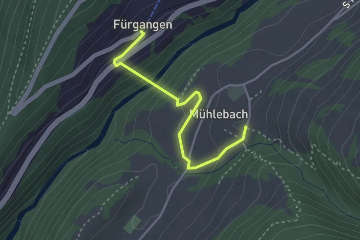
Easy · Trail
Fürgangen-Mühlebach
2.6 km · ↑ 127 m · 53 min
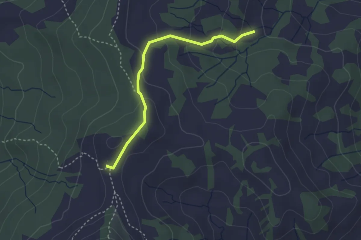
Medium · Trail
Furggelen - Surnnentobel
2.8 km · ↑ 133 m · 57 min
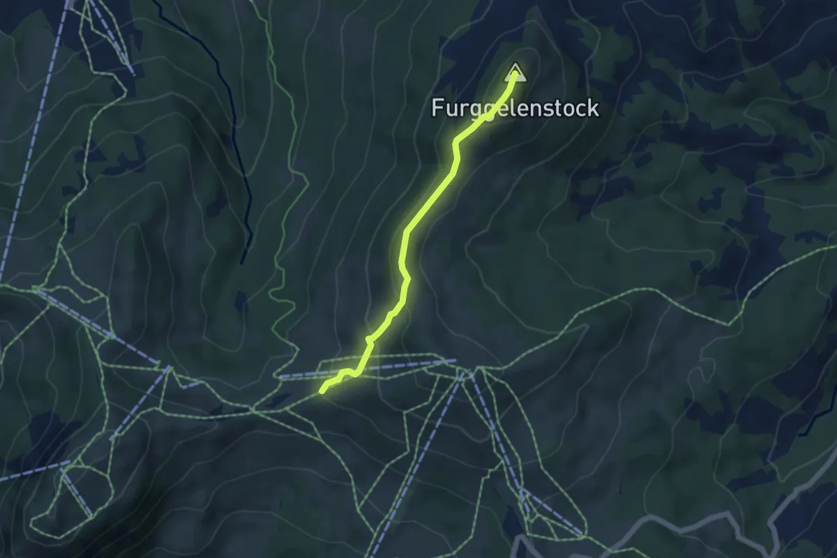
Medium · Summit
Furggelen - Zwäcken
4.1 km · ↑ 231 m · 1 h 29 min
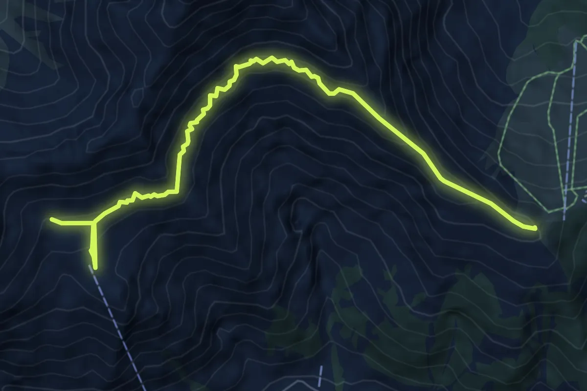
Demanding · Summit
Furggi - Schwandfeldspitze
8.6 km · ↑ 723 m · 3 h 36 min
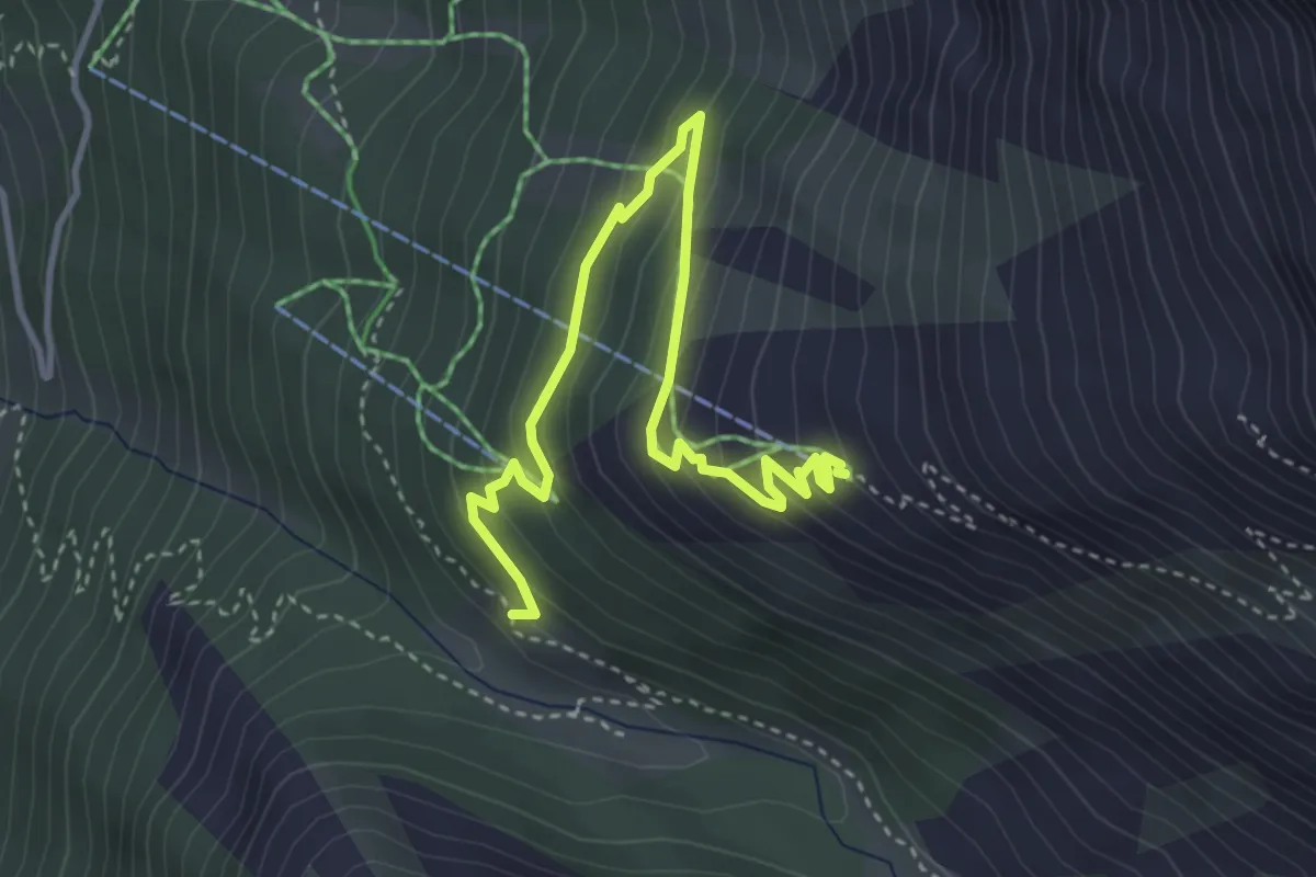
Medium · Trail
Furggu - Heitbodme
4.4 km · ↑ 308 m · 1 h 42 min
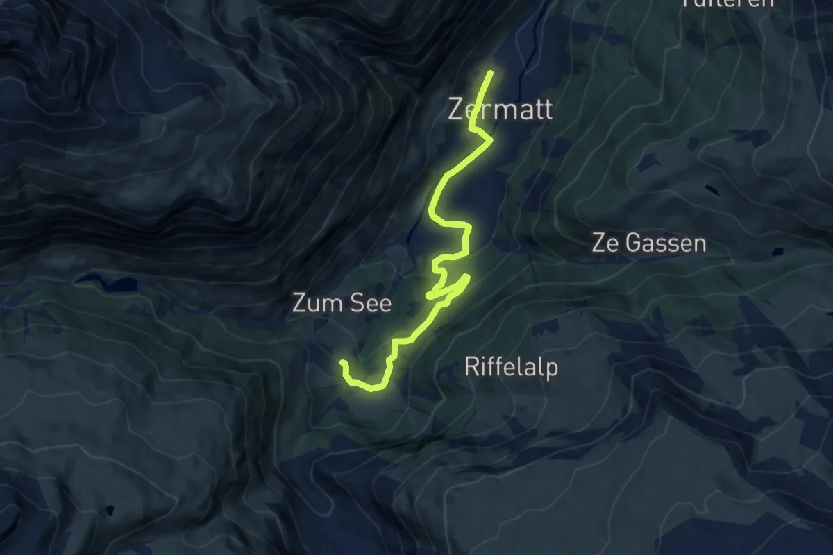
Medium · Trail
Furi-Weg
9.8 km · ↑ 344 m · 3 h 4 min
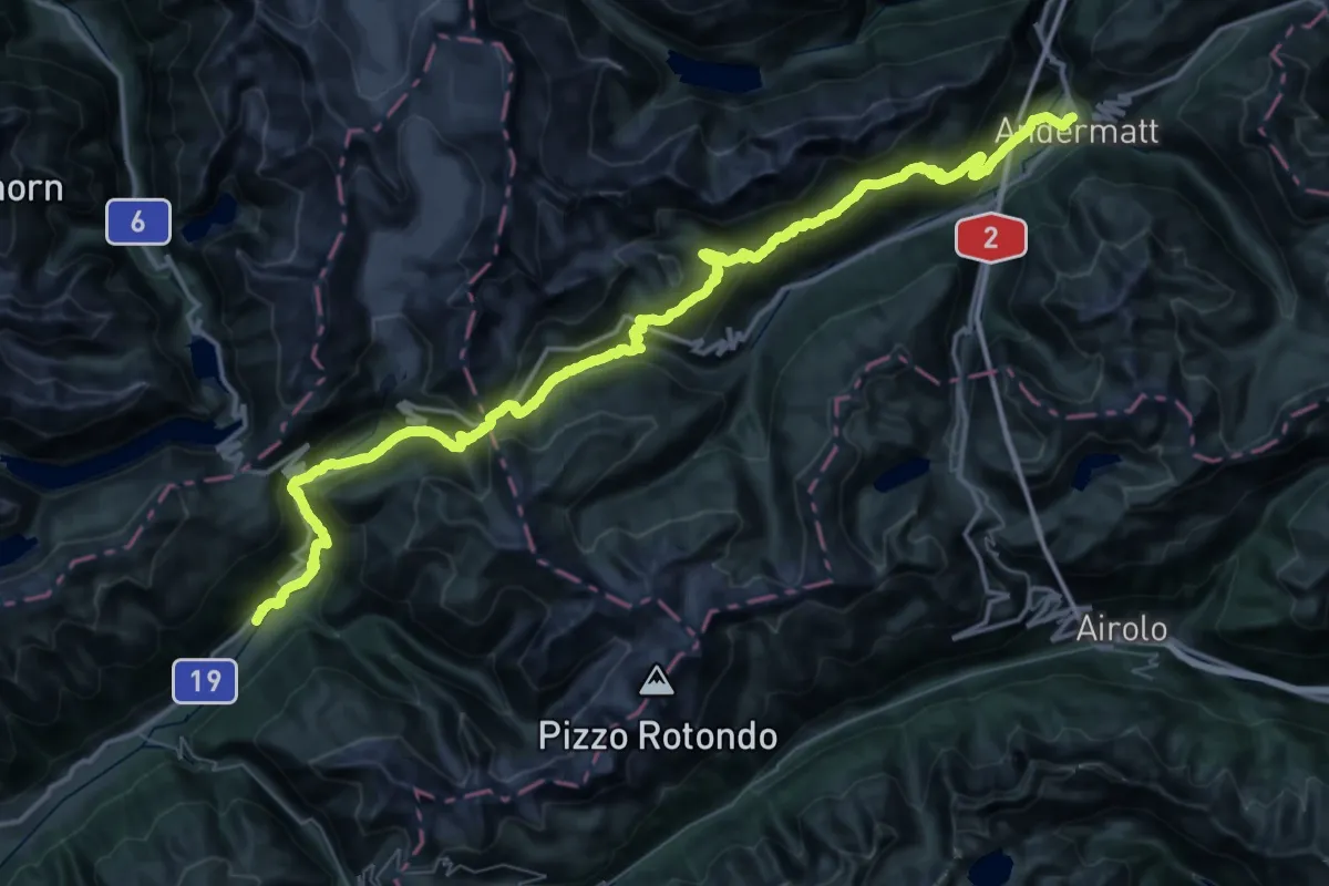
Demanding · Trail
Furka-Höhenweg
33.3 km · ↑ 1947 m · 12 h 31 min
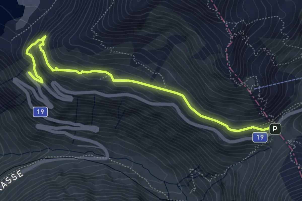
Demanding · Trail
Furkapass - Belvédère
6.2 km · ↑ 416 m · 2 h 22 min
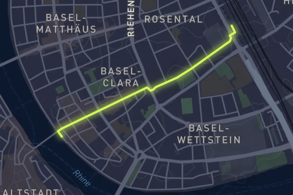
Easy · Trail
Fussweg Rheinliebe
3.1 km · ↑ 14 m · 46 min
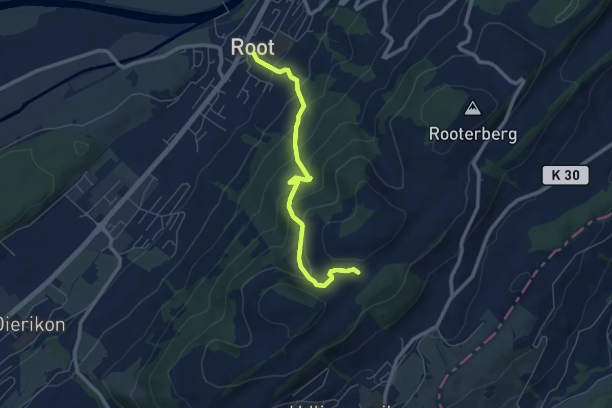
Medium · Trail
Fusterli - Root
5.4 km · ↑ 410 m · 2 h 10 min
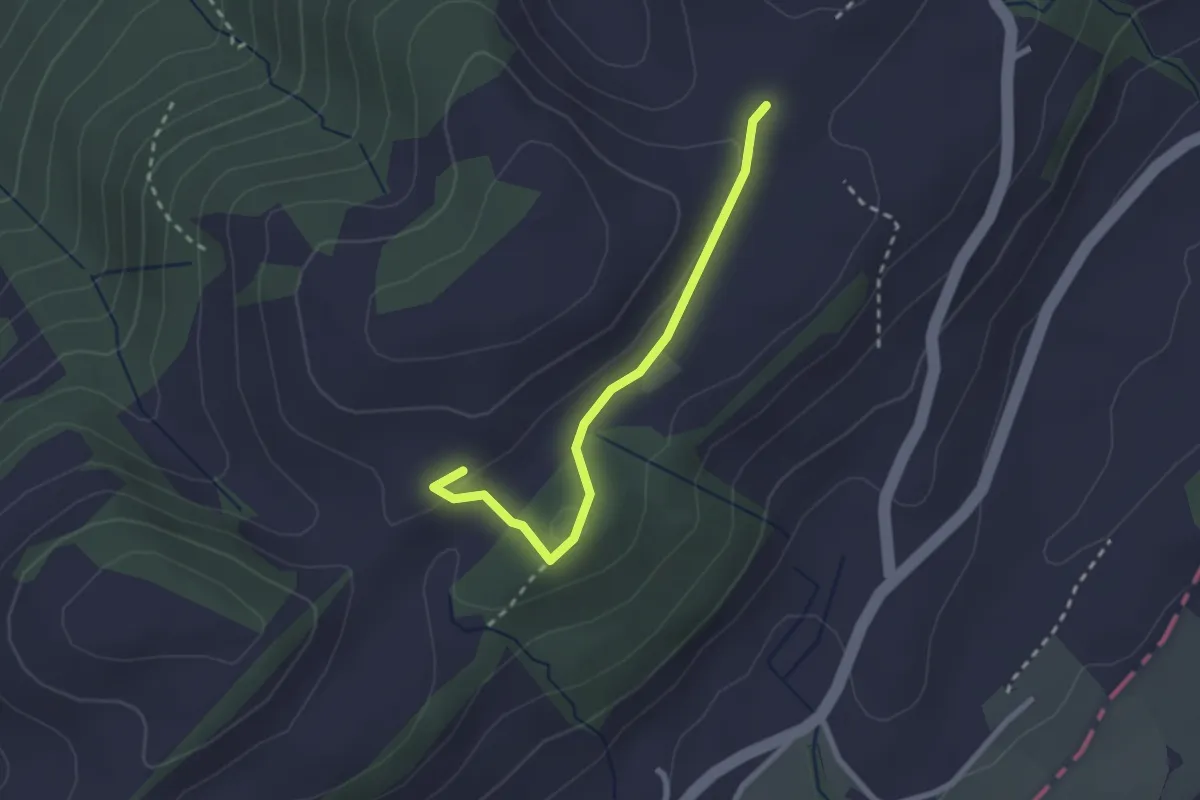
Easy · Trail
Fusterli - Schiffmanshof
2.3 km · ↑ 51 m · 39 min
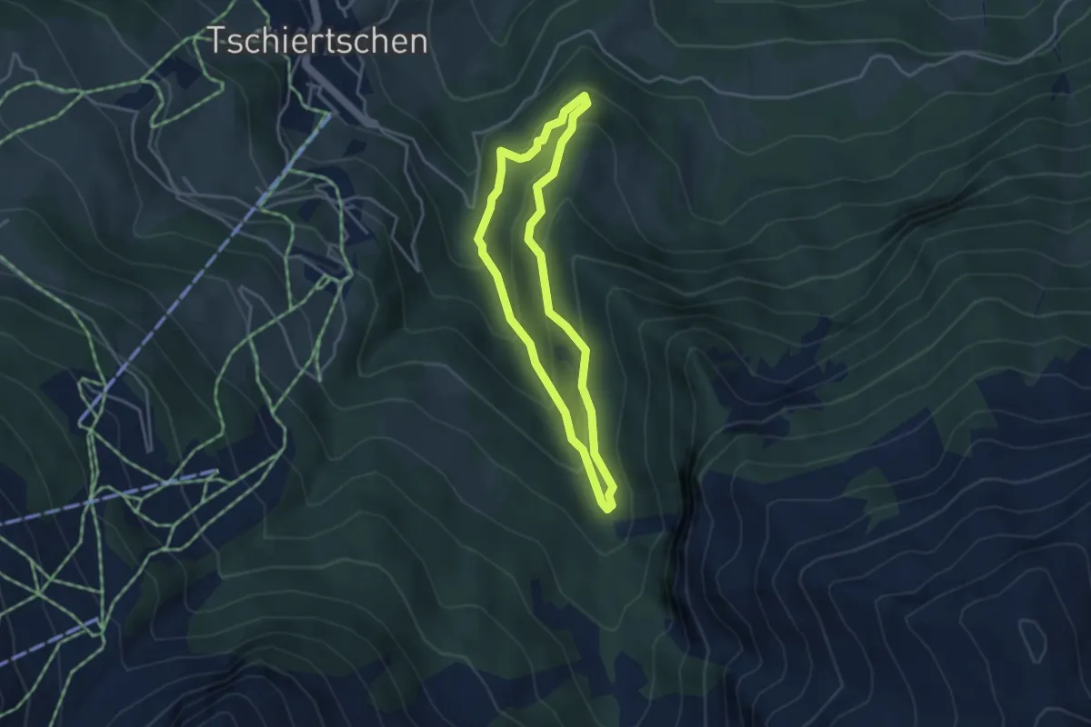
Easy · Trail
Füxliweg
3.2 km · ↑ 227 m · 1 h 17 min
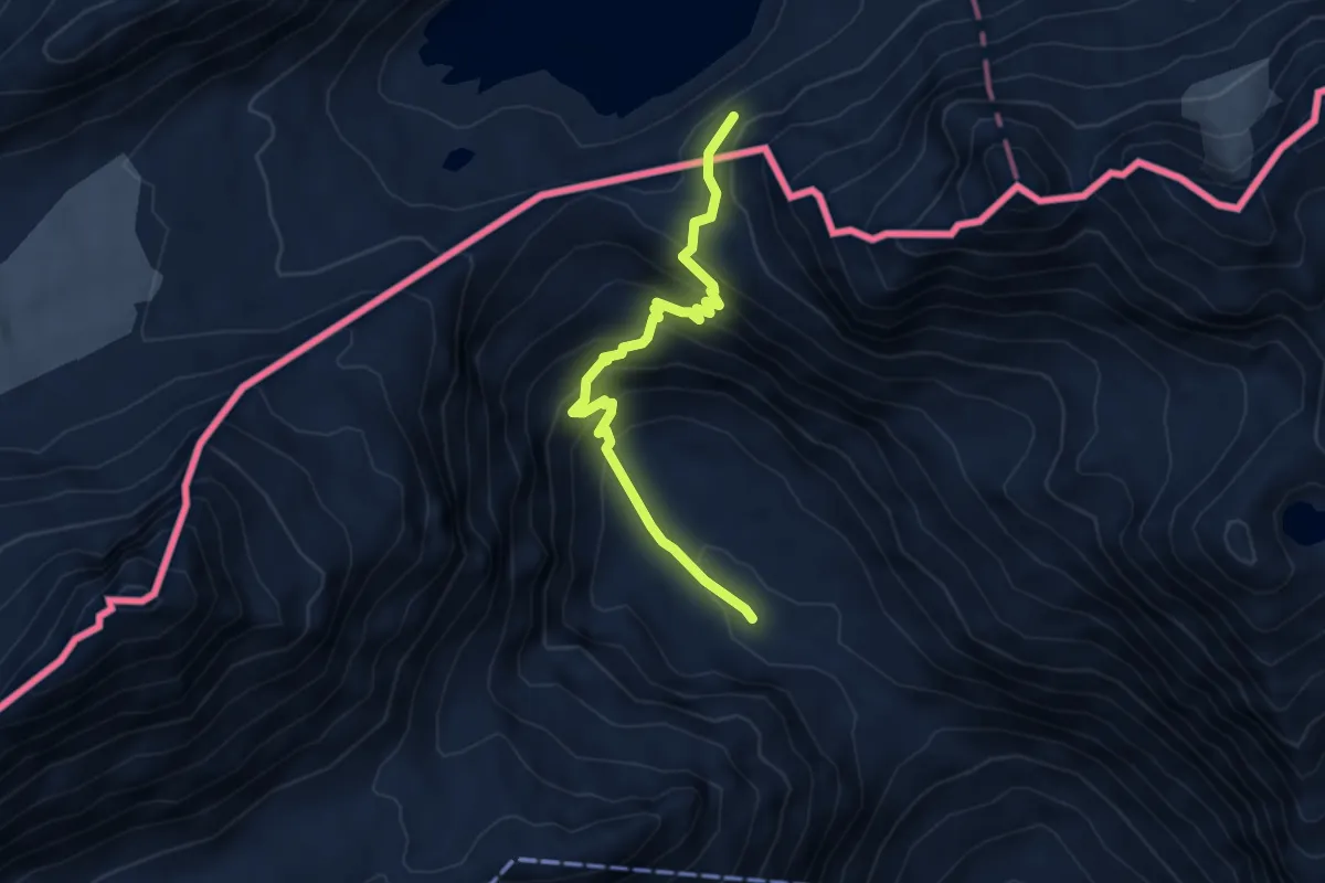
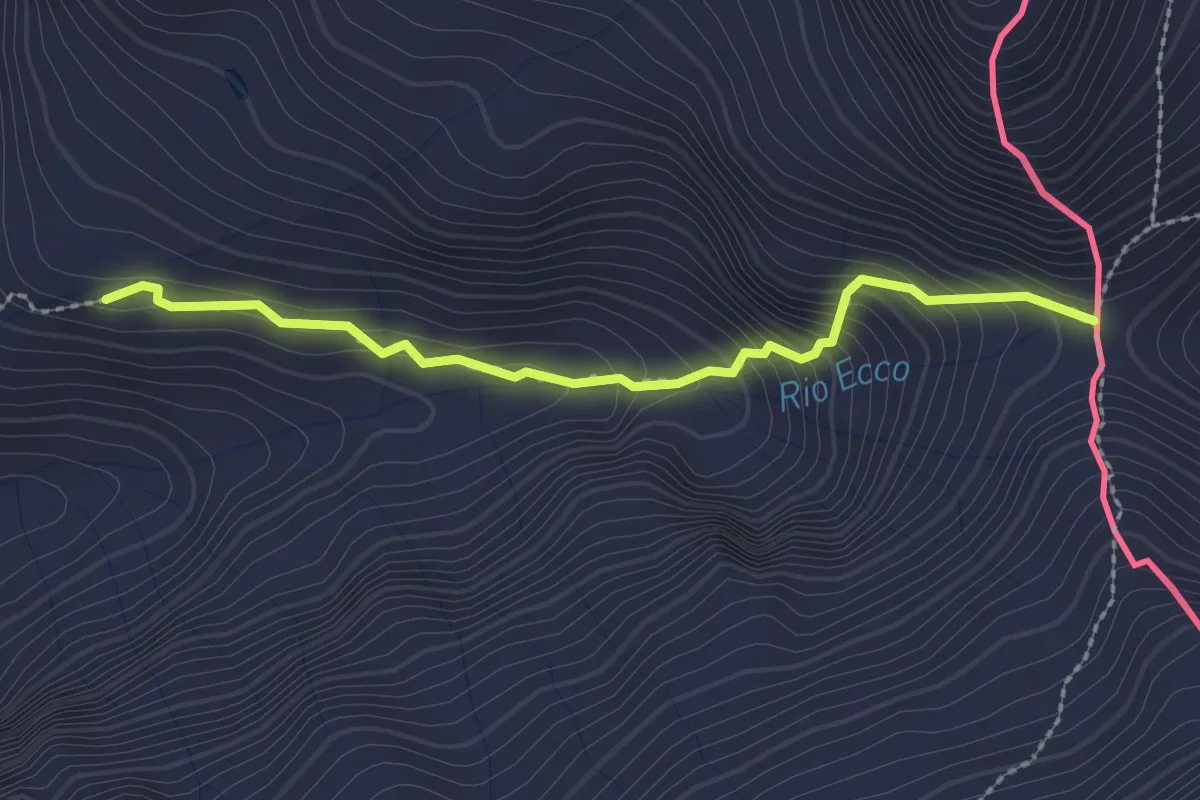
Expert · Trail
G00 - Via del Gries da Riale a Passo del Gries (quarta sezione)
4.8 km · ↑ 394 m · 1 h 59 min
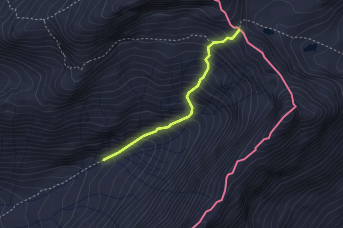
Easy · Trail
G16 - Valdo - Bta di Cazoli
2.3 km · ↑ 239 m · 1 h 4 min
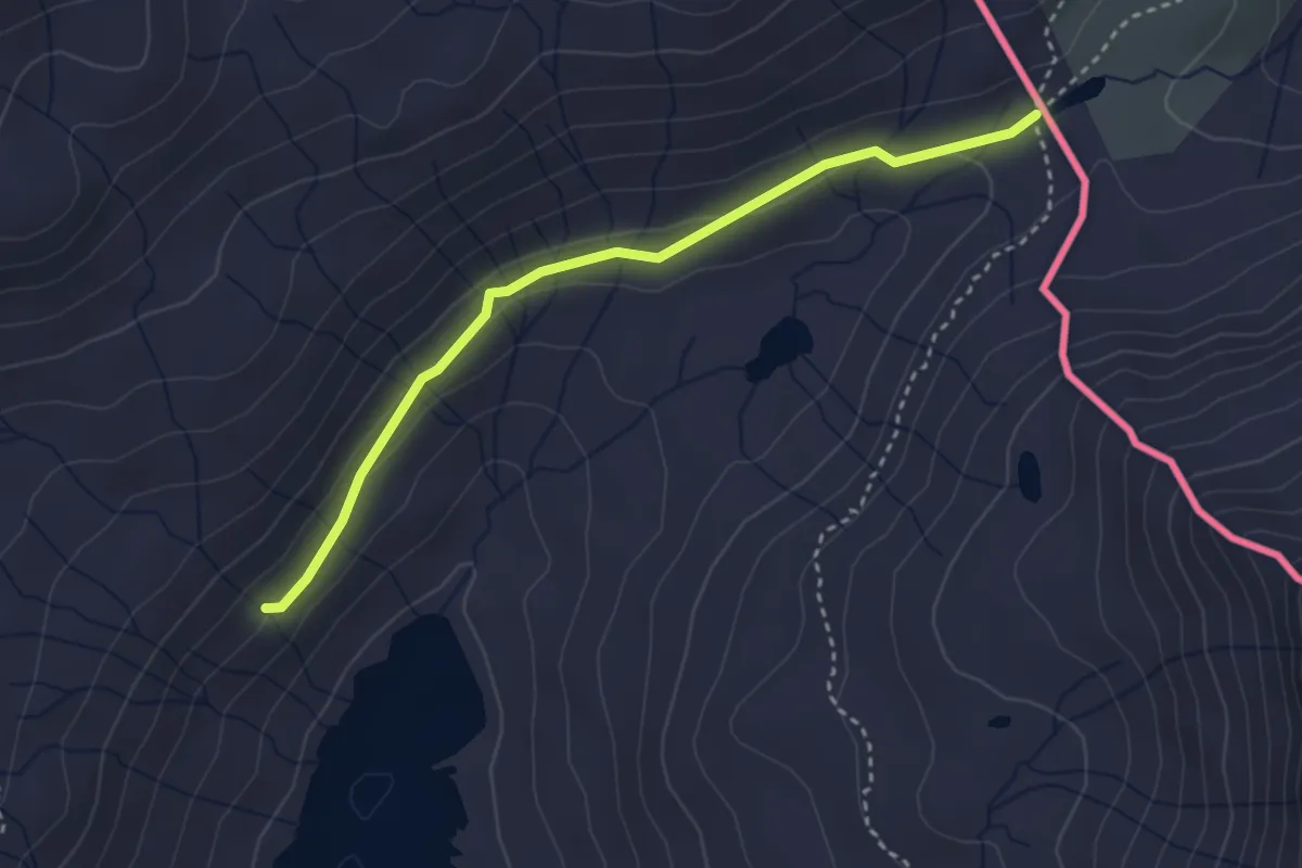
Demanding · Trail
G18 - Canza - Bta di Tamia
2.4 km · ↑ 464 m · 1 h 34 min
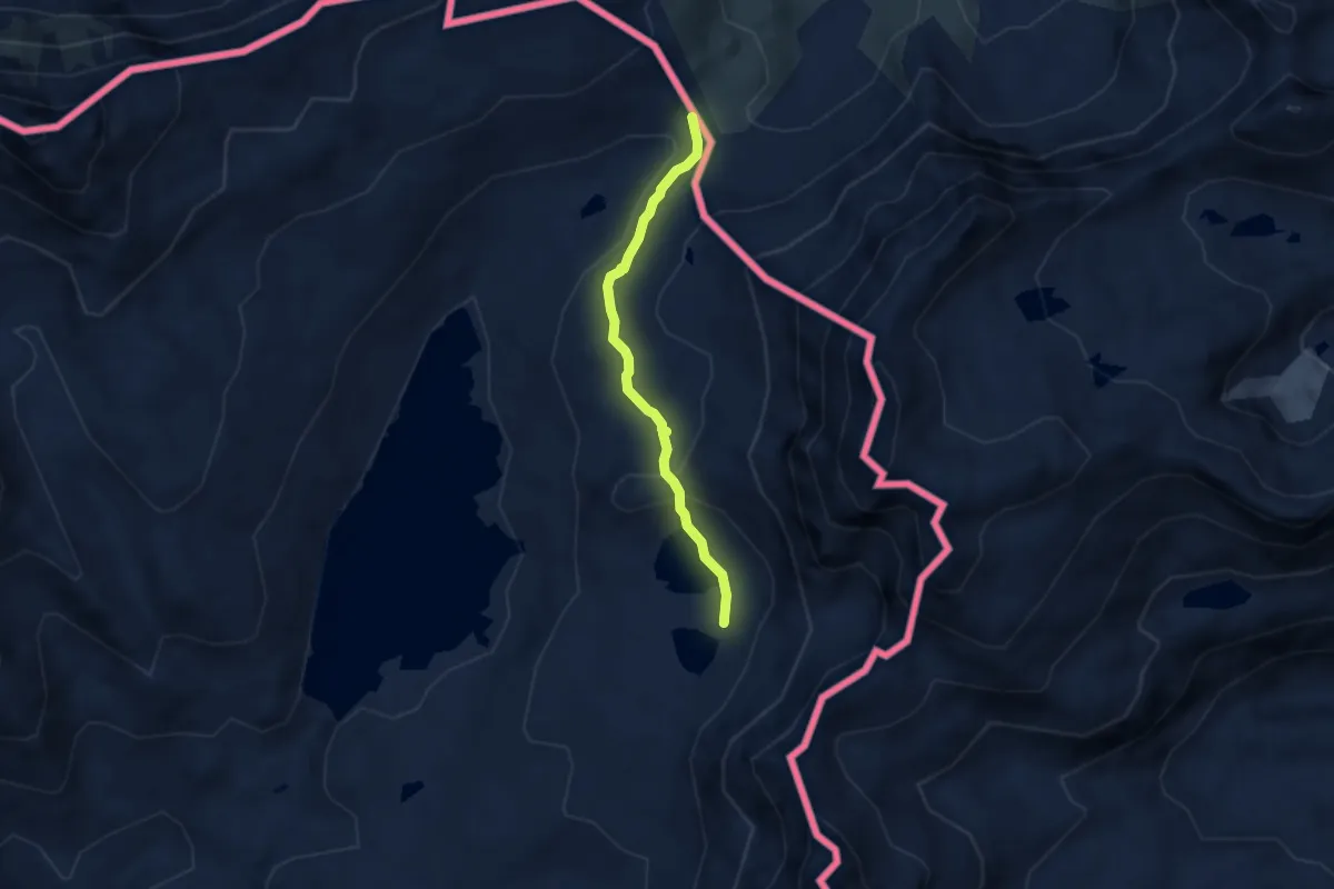
Easy · Cabin
G20 - Riale - Passo di San Giacomo
3.2 km · ↑ 82 m · 56 min
Medium · Cabin
G24a - Laghi del Boden - Passo di San Giacomo
5.0 km · ↑ 198 m · 1 h 36 min
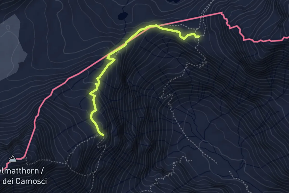
Medium · Trail
G43 - Sentiero Castiglioni
3.9 km · ↑ 266 m · 1 h 30 min
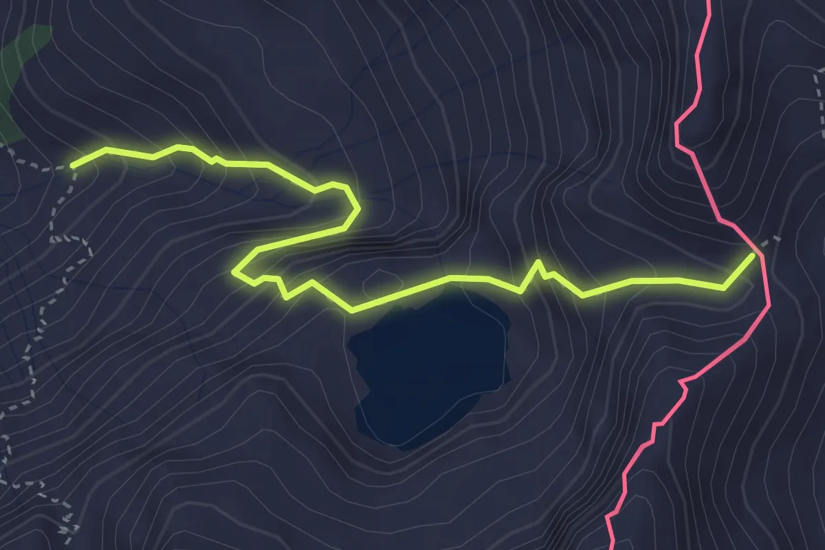
Expert · Trail
G98a - Bivio G98 - Hendar Furggu
3.8 km · ↑ 473 m · 1 h 55 min
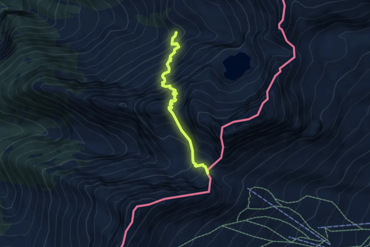
Medium · Trail
G98 - Fondovalle - Guriner Furggu
4.4 km · ↑ 561 m · 2 h 15 min
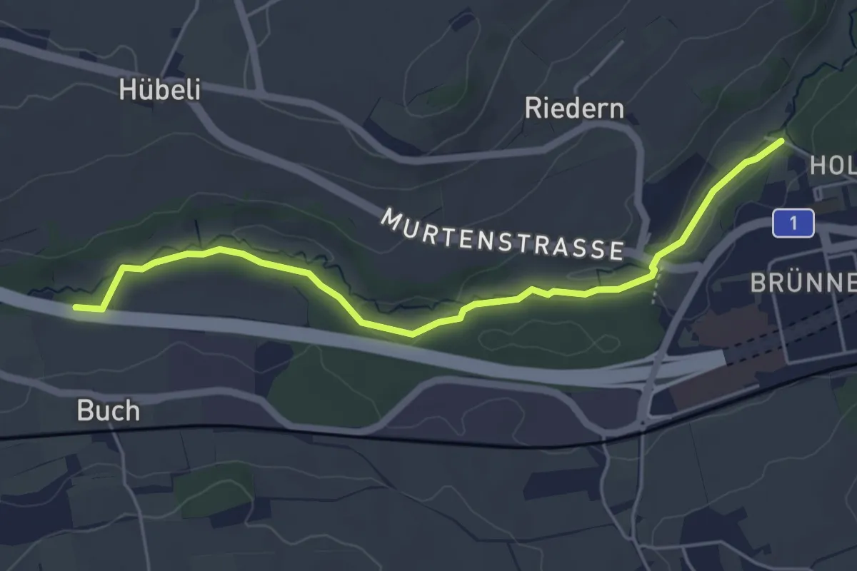
Easy · Trail
Gäbelbachbrücke - Autobahnviadukt
4.9 km · ↑ 37 m · 1 h 15 min
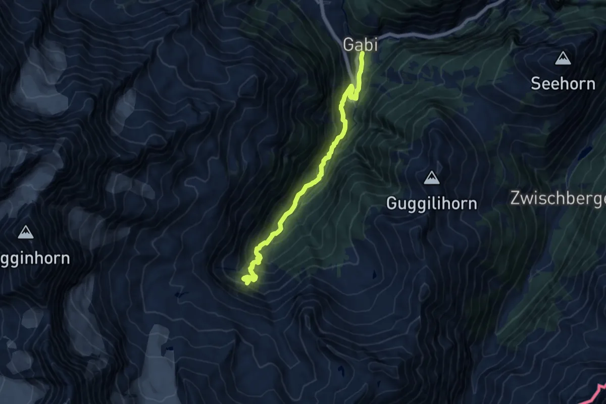
Demanding · Trail
Gabi - Bidumji
11.1 km · ↑ 884 m · 4 h 33 min
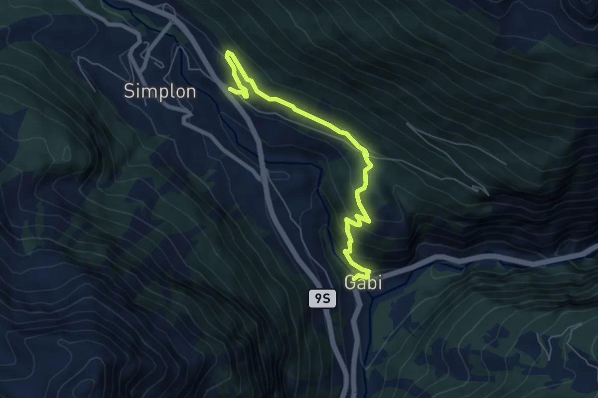
Medium · Trail
Gabi - Simplon Dorf
6.0 km · ↑ 393 m · 2 h 16 min
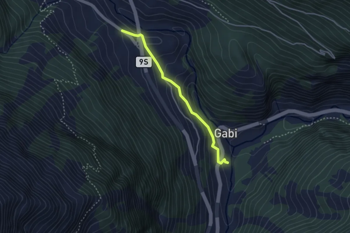
Easy · Trail
Gabi - Simplon Dorf
2.8 km · ↑ 174 m · 1 h 3 min
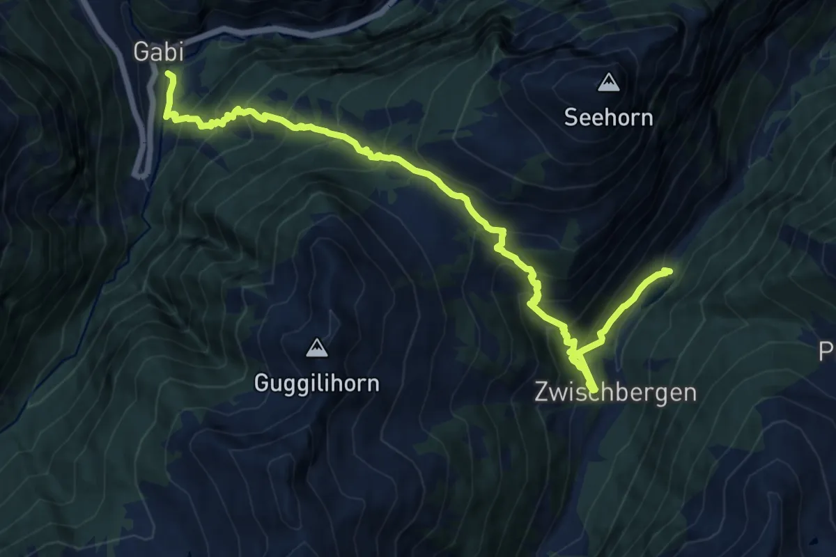
Demanding · Trail
Gabi - Zwichenbergen
13.4 km · ↑ 1371 m · 6 h 8 min