Trails in Switzerland
15,029 hiking trails, each with its route, climb, walking time and grade.
All trails, page 38 of 314
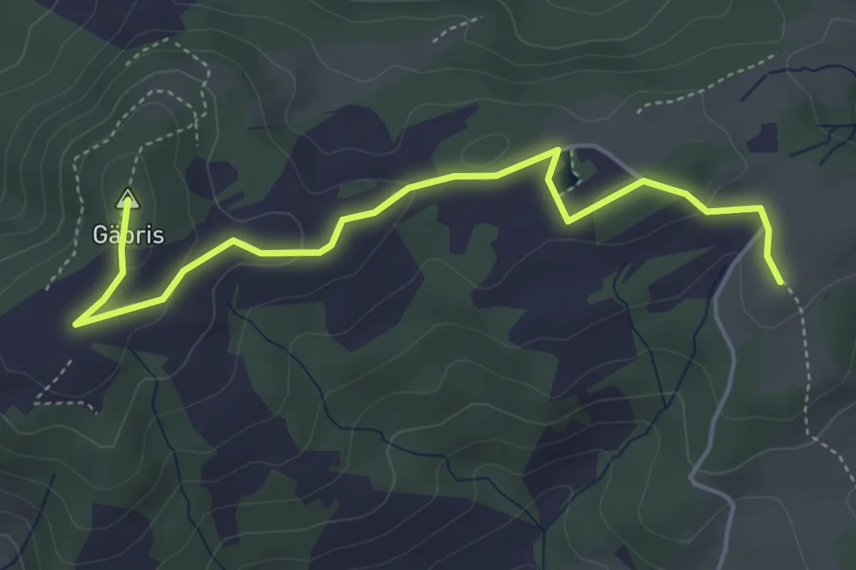
Easy · Summit
Gäbristour
4.6 km · ↑ 106 m · 1 h 20 min
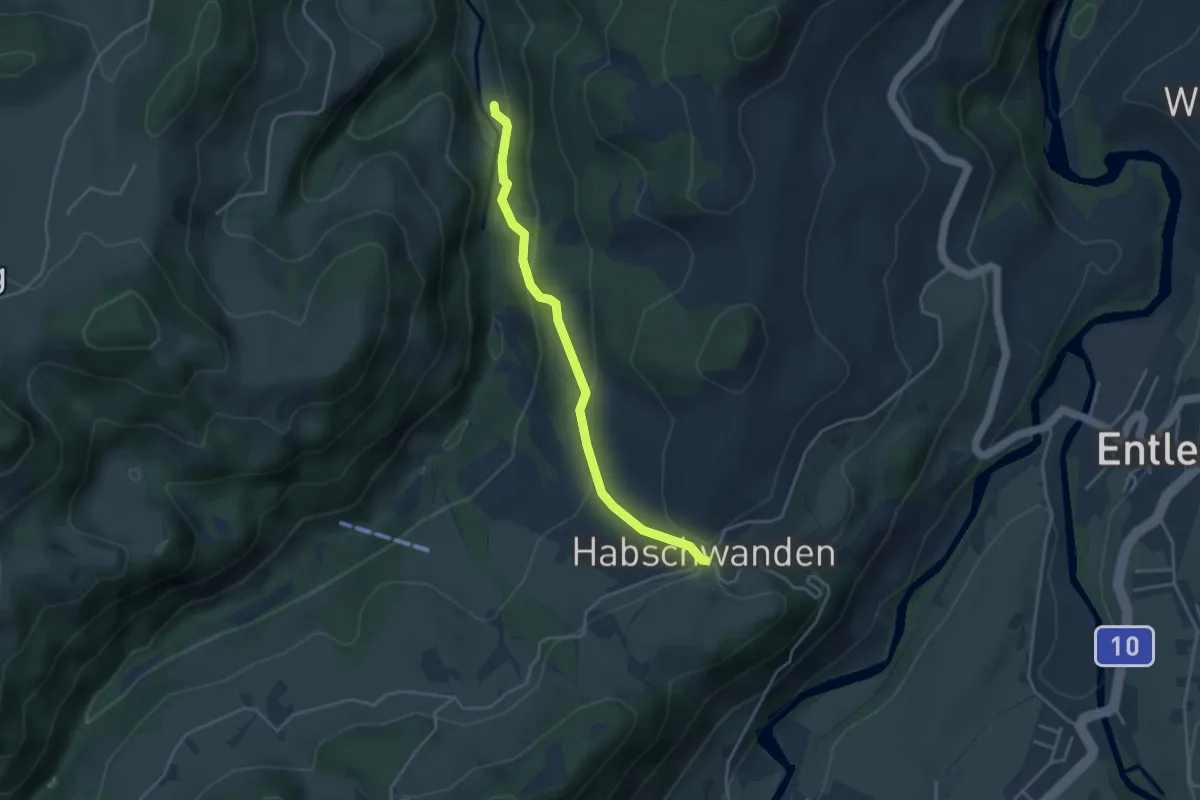
Easy · Trail
Gadenstatt - Habschwanden
3.6 km · ↑ 148 m · 1 h 10 min
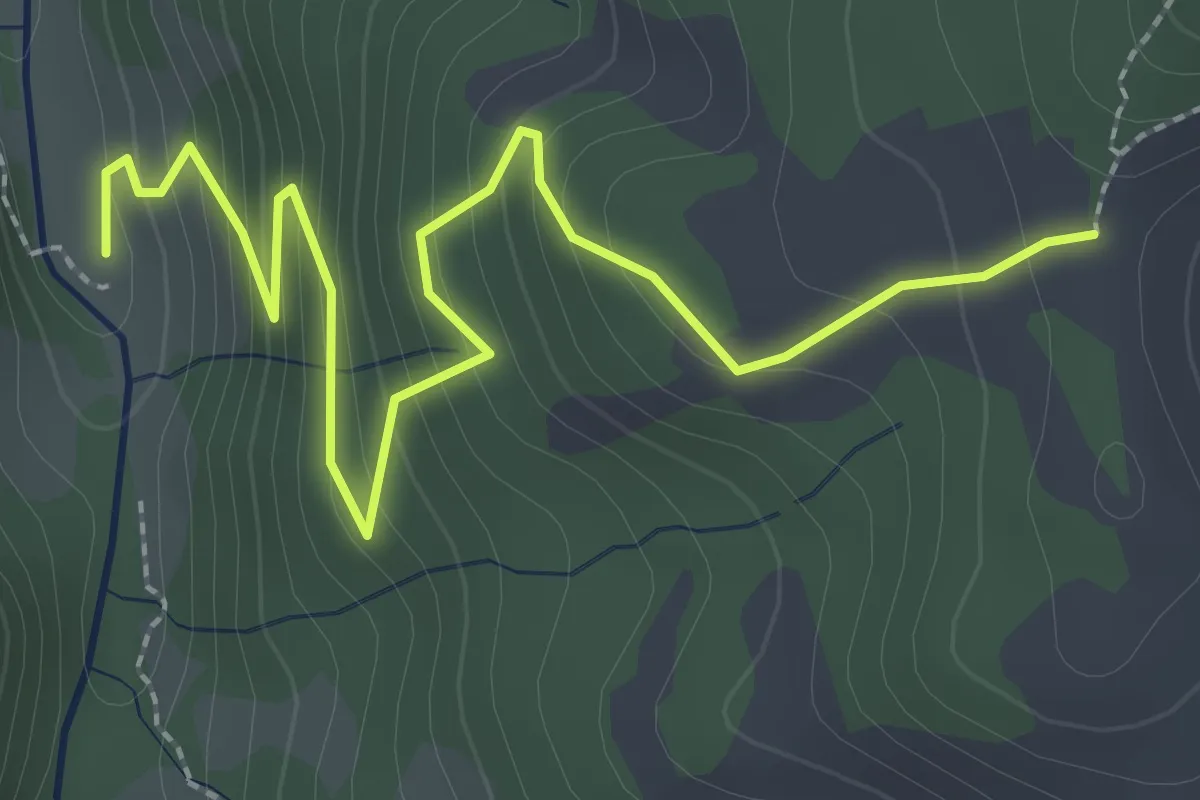
Easy · Trail
Gadenstatt - Oberhüseren
3.1 km · ↑ 252 m · 1 h 17 min
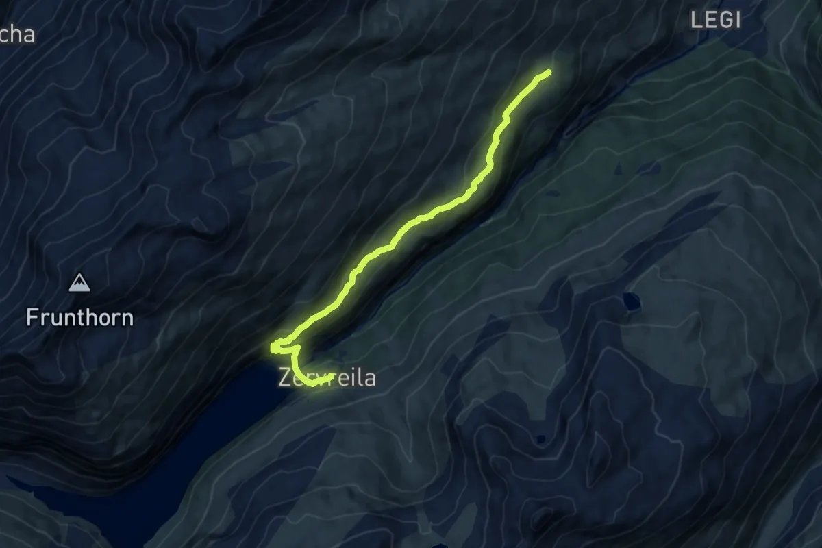
Medium · Trail
Gadstatt-Zervreila
10.7 km · ↑ 558 m · 3 h 44 min
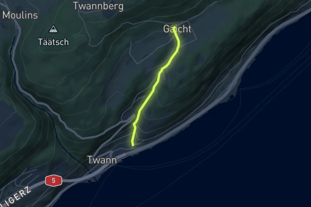
Easy · Trail
Gaicht - Twann
3.4 km · ↑ 255 m · 1 h 21 min
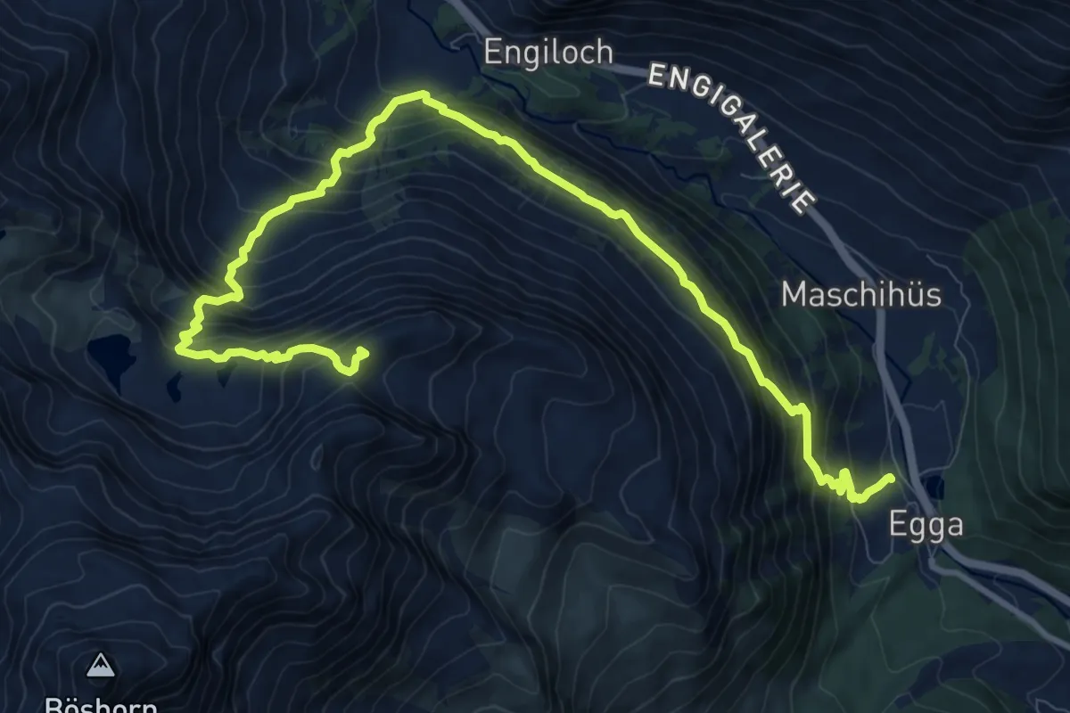
Expert · Summit
Galehorn - Simplon Dorf
13.2 km · ↑ 1270 m · 5 h 52 min
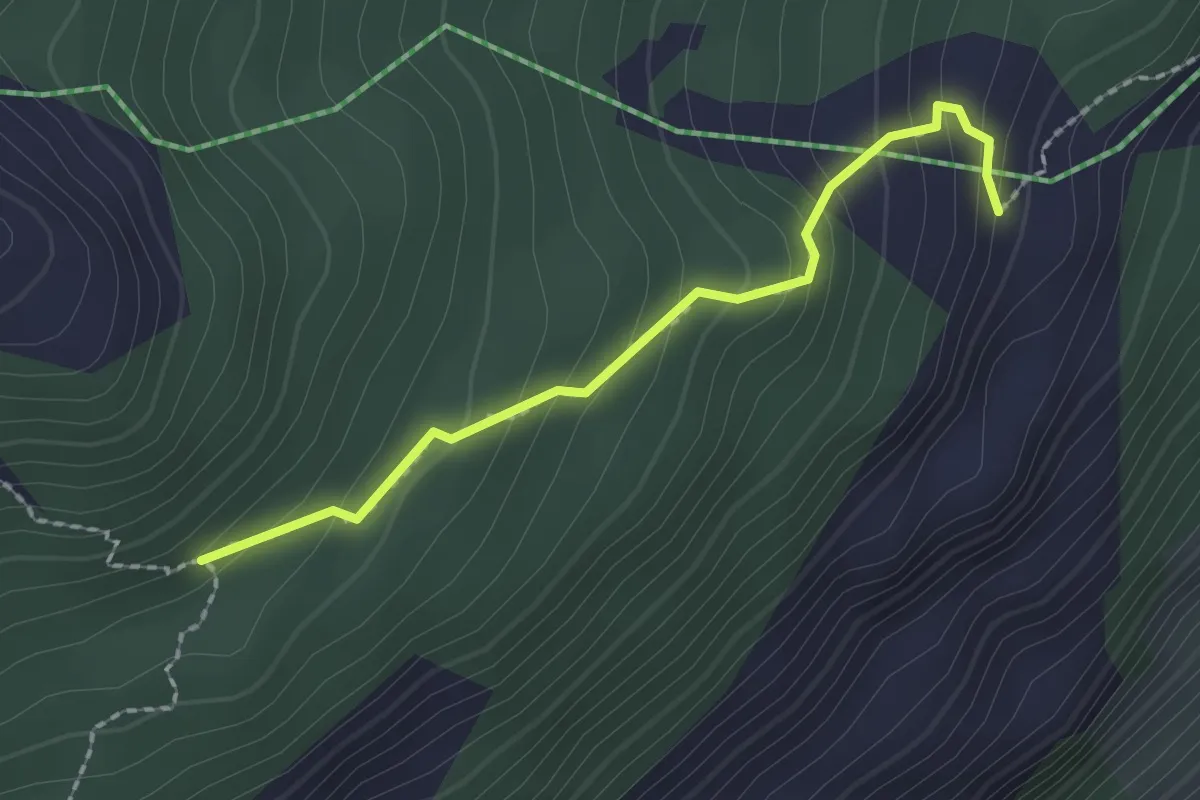
Easy · Trail
Galfer - Schwanz
2.0 km · ↑ 163 m · 49 min
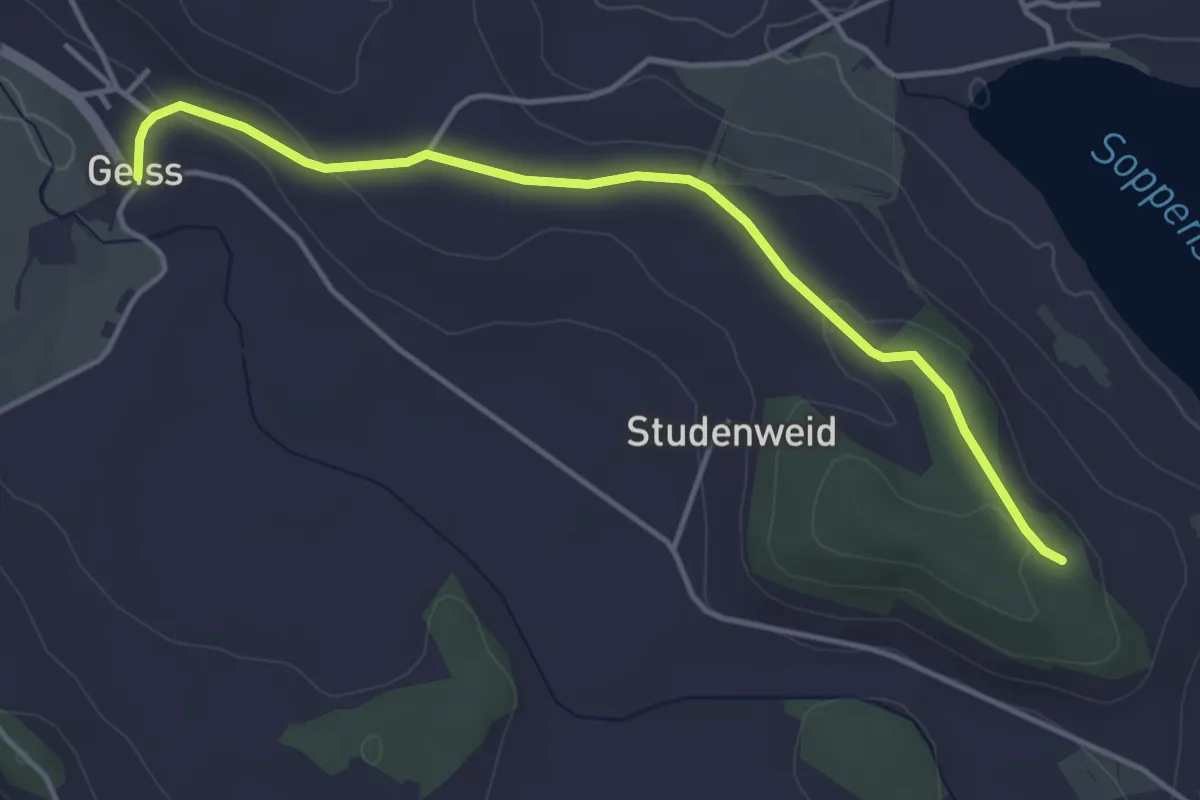
Easy · Trail
Galgenbergwald - Geiss
4.2 km · ↑ 58 m · 1 h 8 min
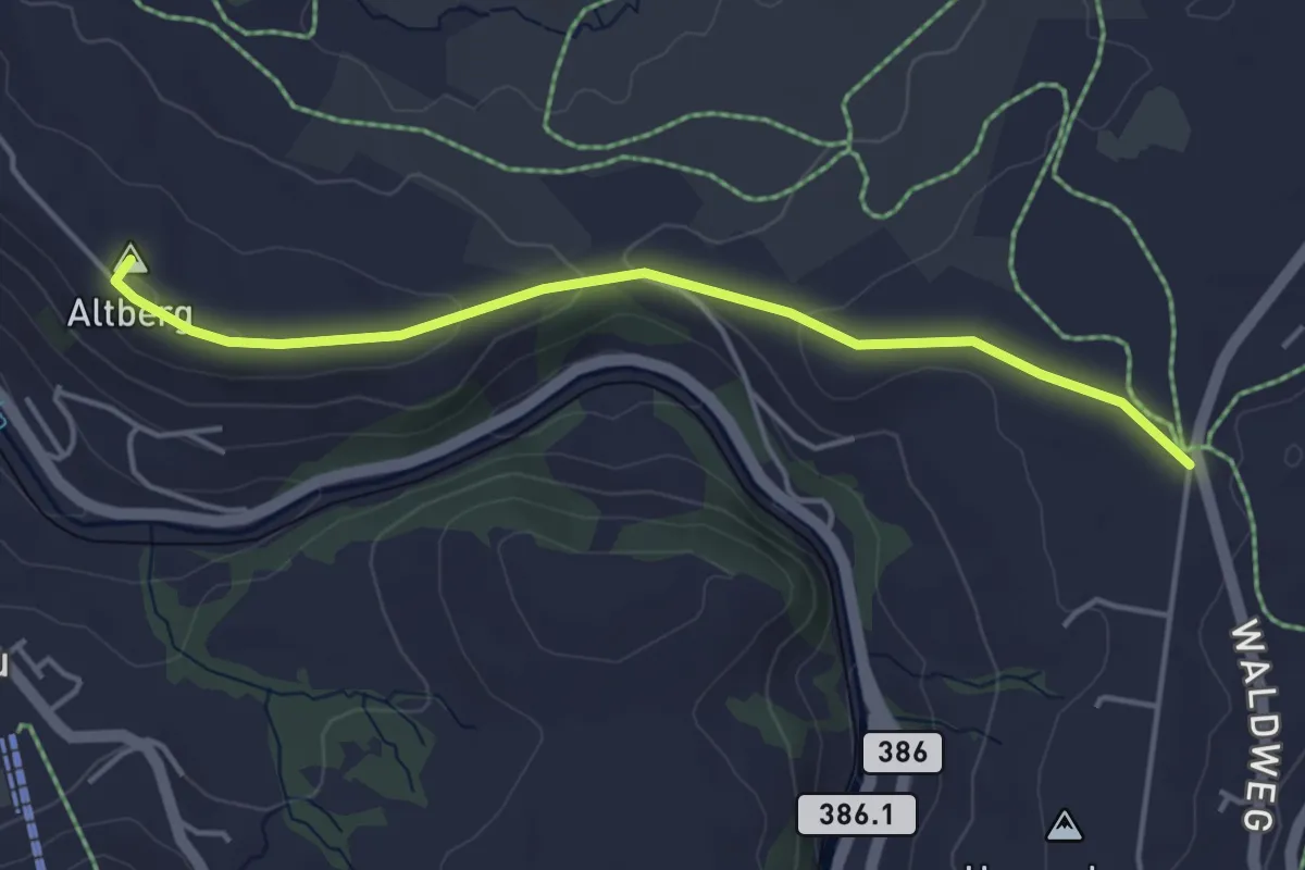
Easy · Summit
Galgenchappeli - Altberg
4.2 km · ↑ 70 m · 1 h 8 min
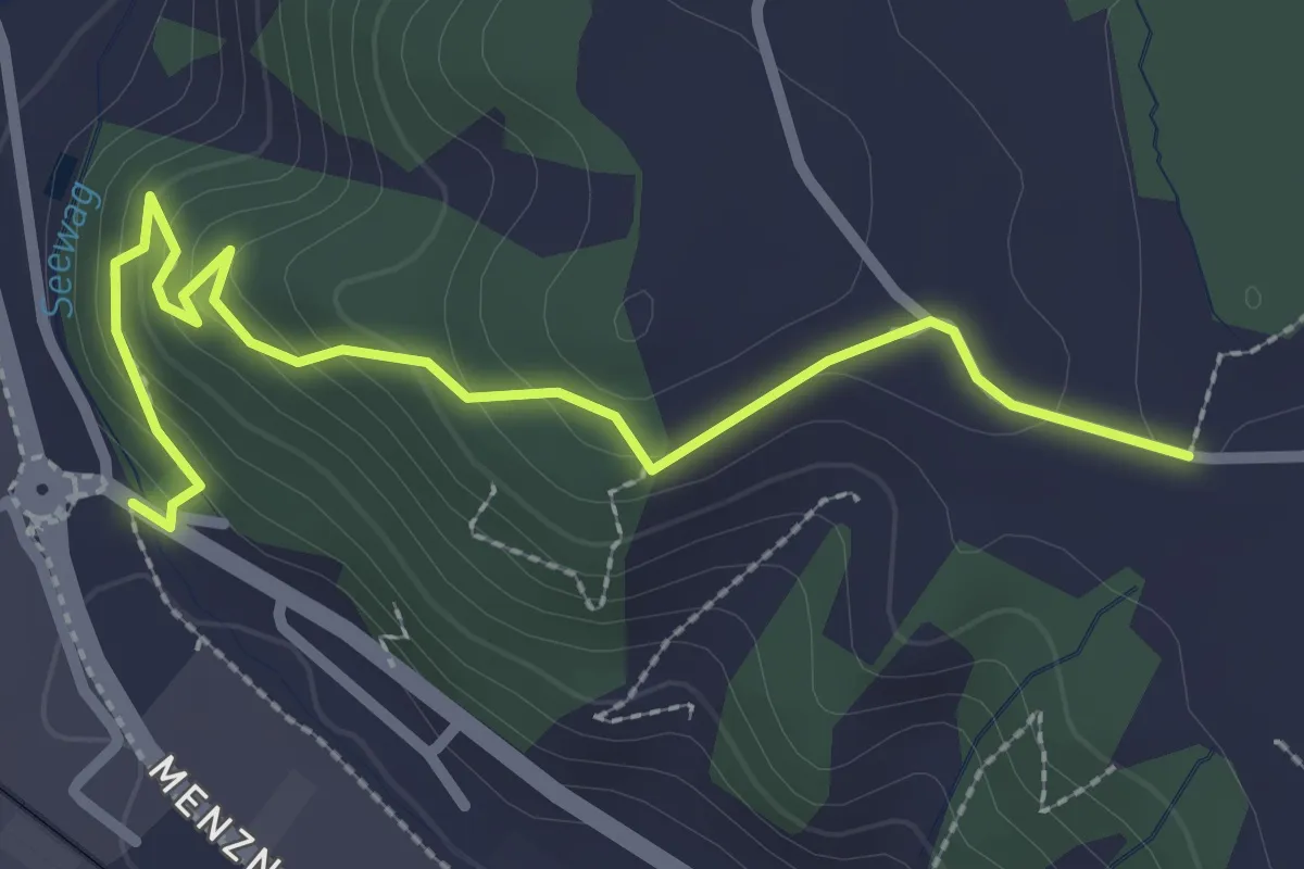
Easy · Trail
Galgenchäppeli - Ankenloch
2.9 km · ↑ 141 m · 1 h
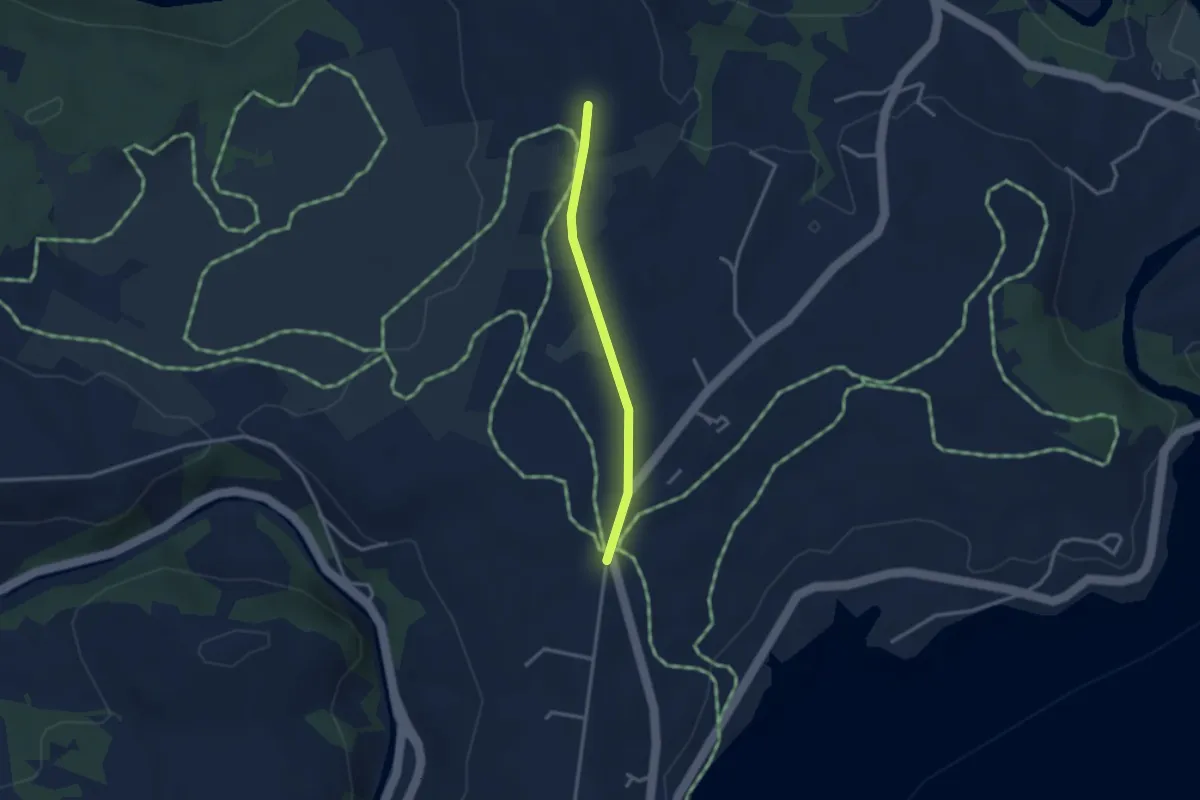
Easy · Trail
Galgenchappeli - Hinterhorben
2.5 km · ↑ 14 m · 38 min
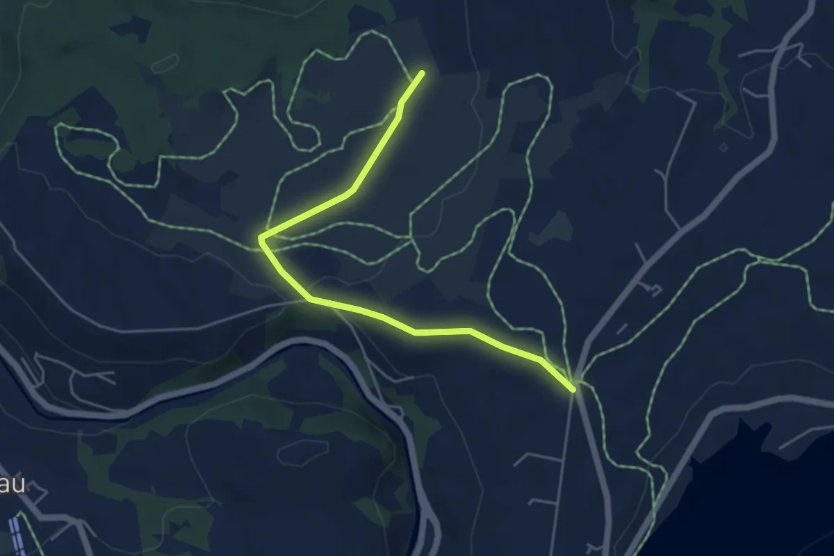
Easy · Trail
Galgenchappeli - Schwantenau
4.5 km · ↑ 50 m · 1 h 11 min
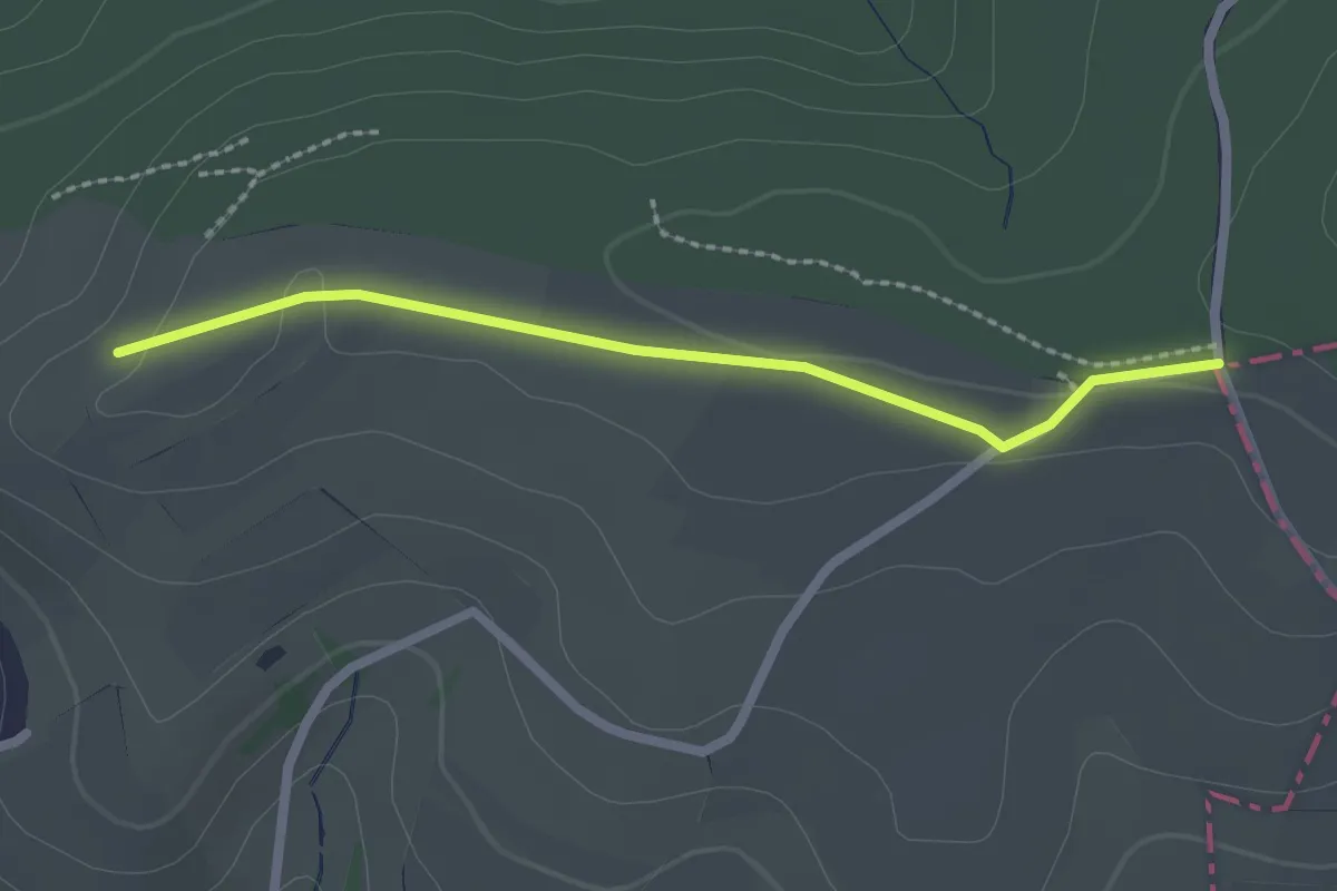
Easy · Trail
Galgen - Chlei Sunnenberg
2.1 km · ↑ 19 m · 32 min
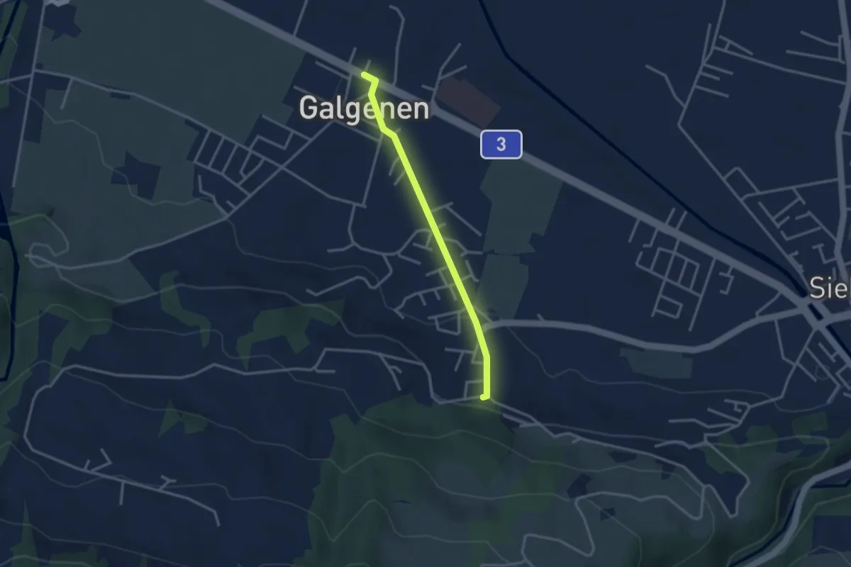
Easy · Trail
Galgenen - Mosen
2.7 km · ↑ 65 m · 46 min
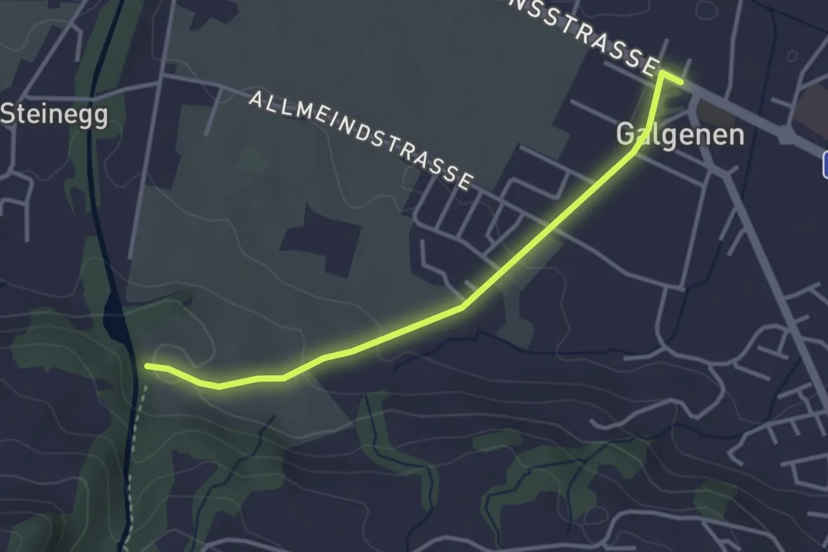
Easy · Trail
Galgenen - Schleipfenmüli
3.2 km · ↑ 86 m · 56 min
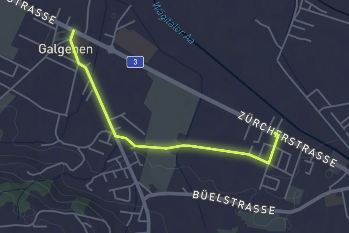
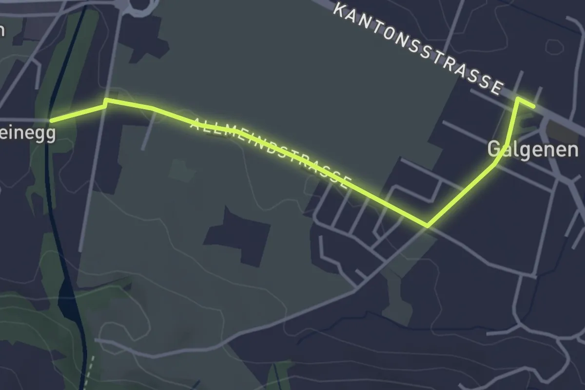
Easy · Trail
Galgenen - Stegweg
3.4 km · ↑ 13 m · 50 min
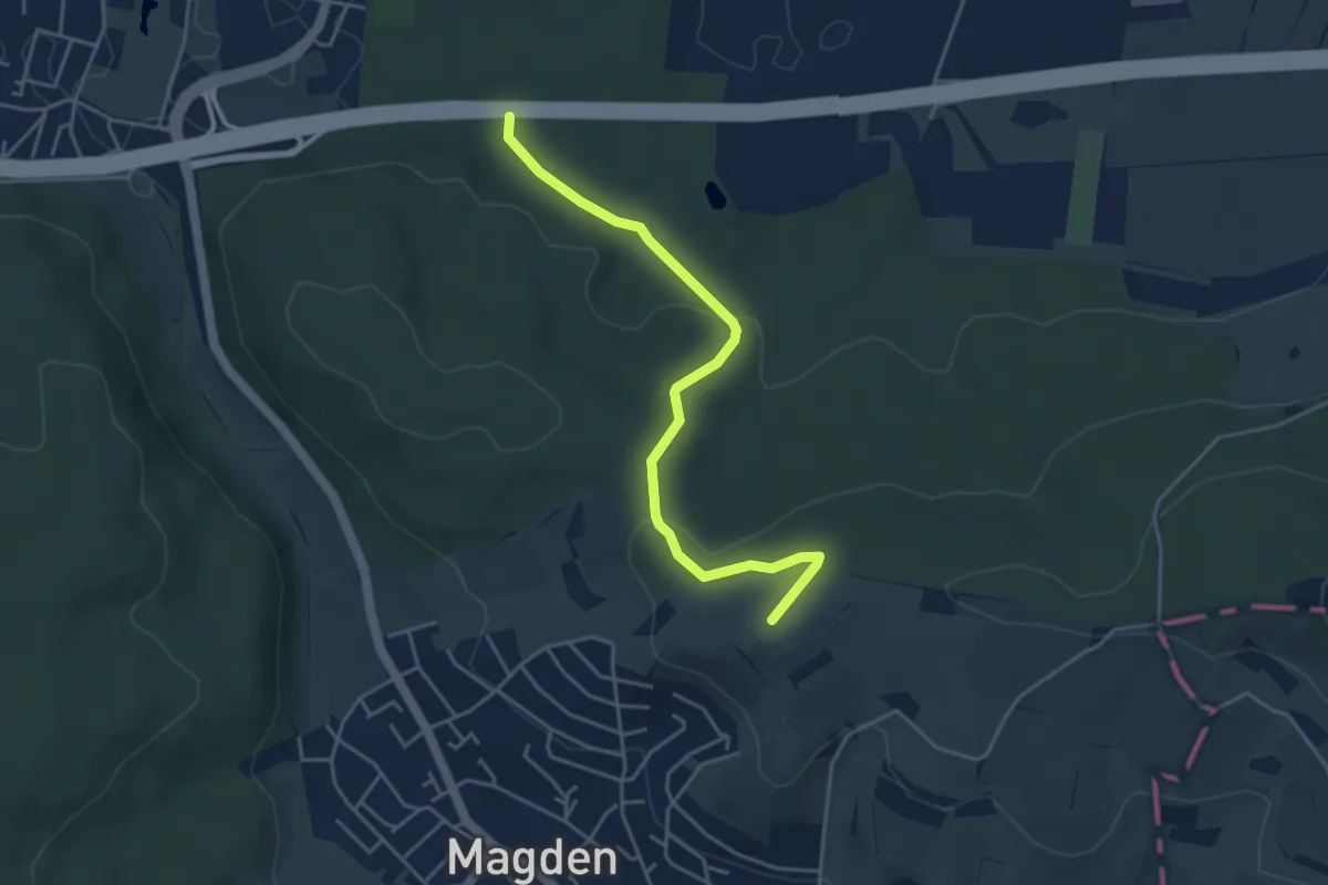
Easy · Trail
Galgenen - Steinegg
3.4 km · ↑ 31 m · 52 min
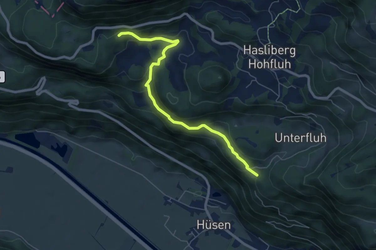
Easy · Trail
Galgen - fixme
4.3 km · ↑ 126 m · 1 h 18 min
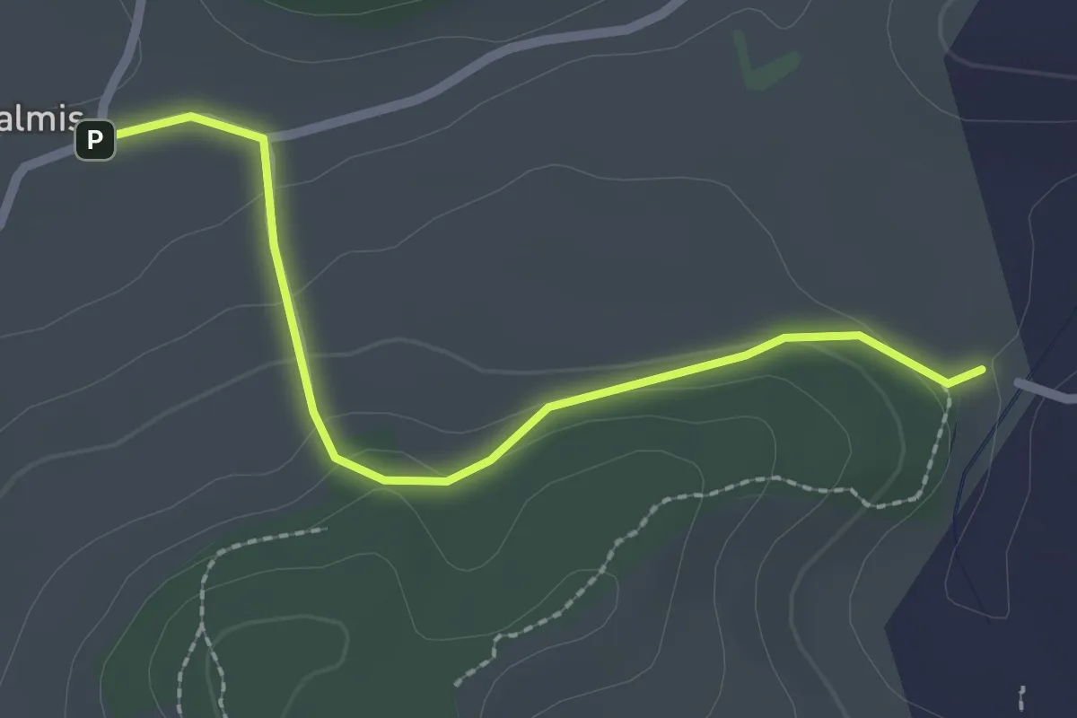
Easy · Trail
Gällistein - Schwand
5.8 km · ↑ 298 m · 2 h 1 min
Easy · Trail
Galmis - Bethlehem
2.3 km · ↑ 91 m · 44 min
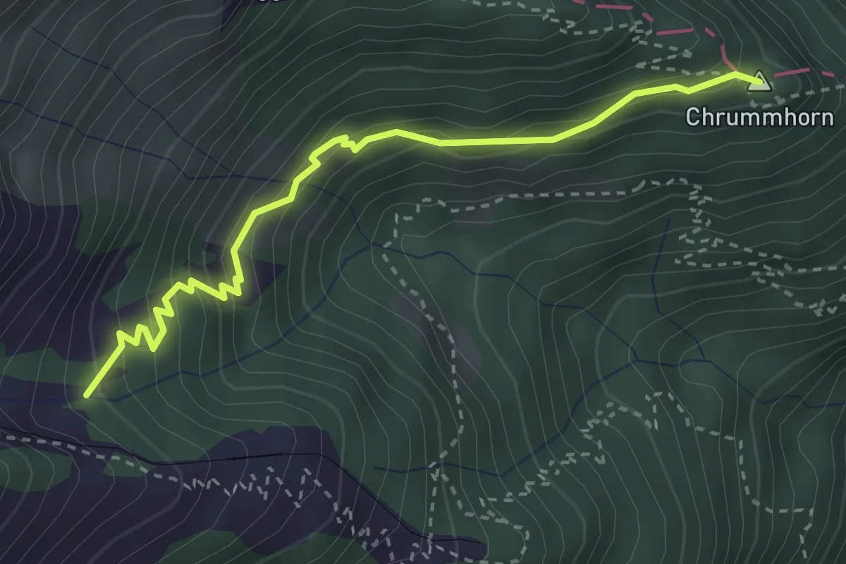
Demanding · Summit
Galtigen - Chrummhorn
3.2 km · ↑ 294 m · 1 h 24 min
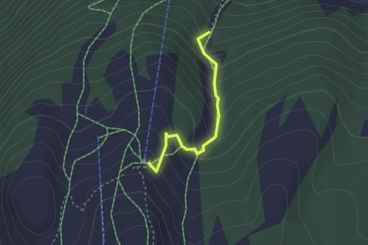
Medium · Trail
Gamsalp - fixme
2.1 km · ↑ 203 m · 56 min
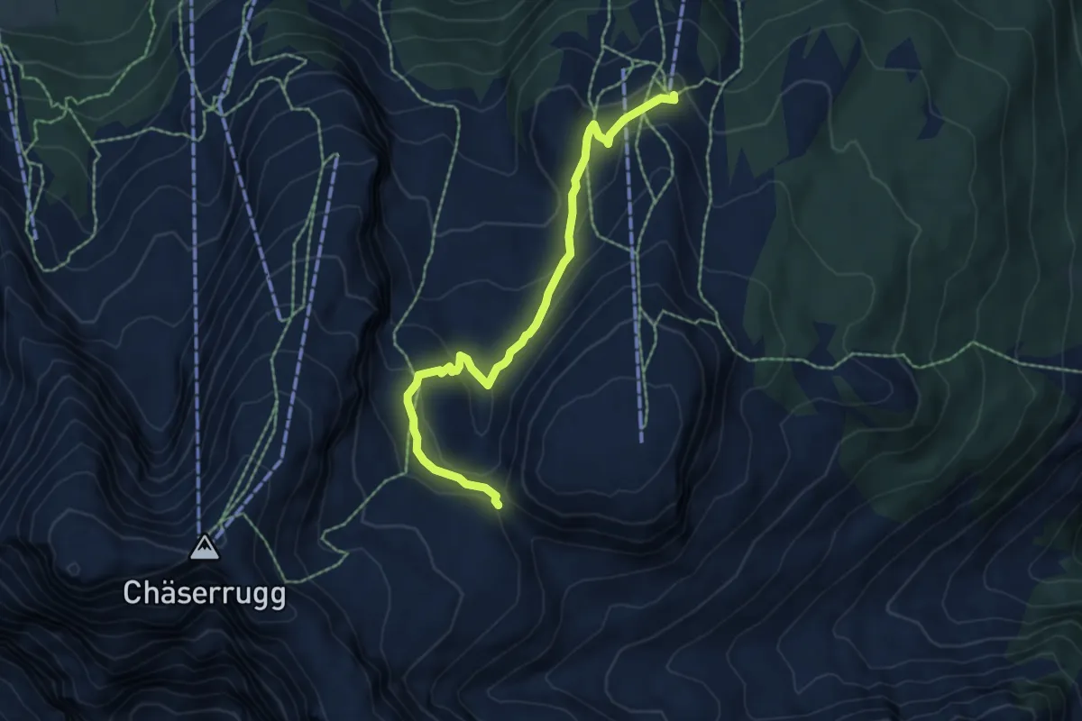
Medium · Trail
Gamsalp - fixme
6.1 km · ↑ 286 m · 2 h 3 min
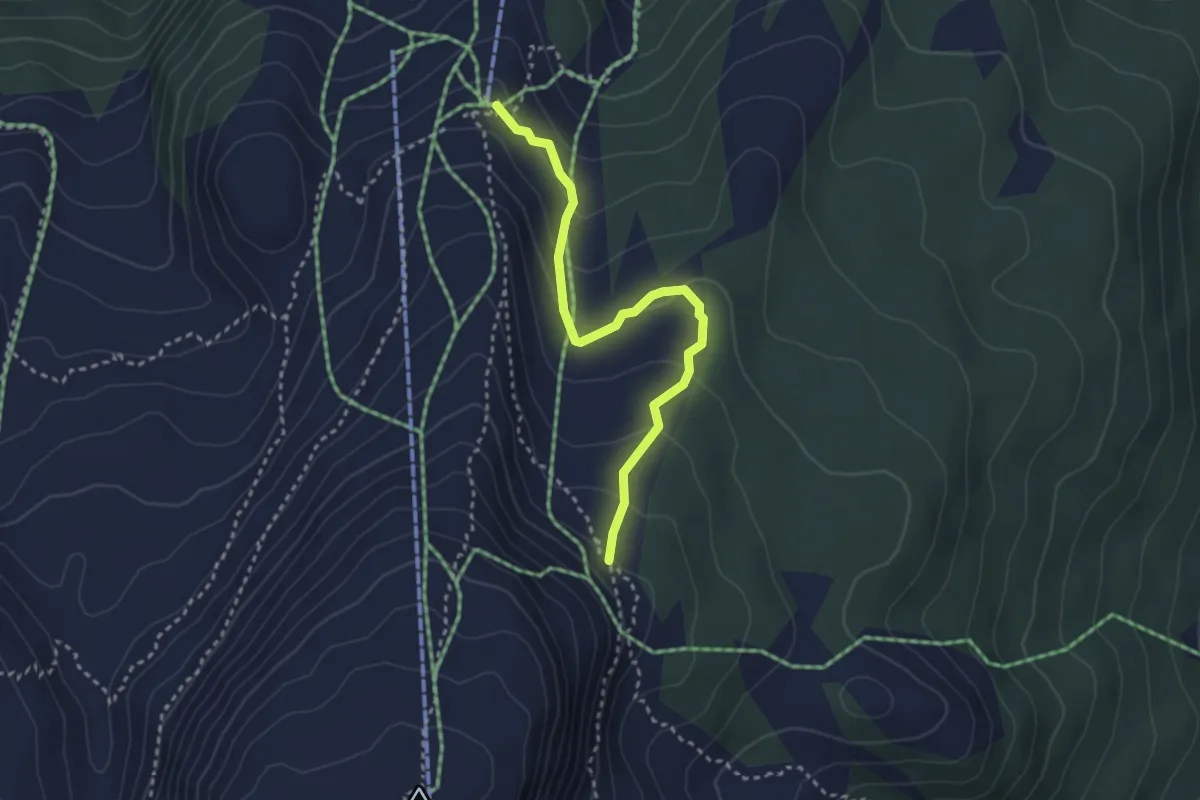
Medium · Trail
Gamsalp - Inggadells
3.0 km · ↑ 161 m · 1 h 4 min
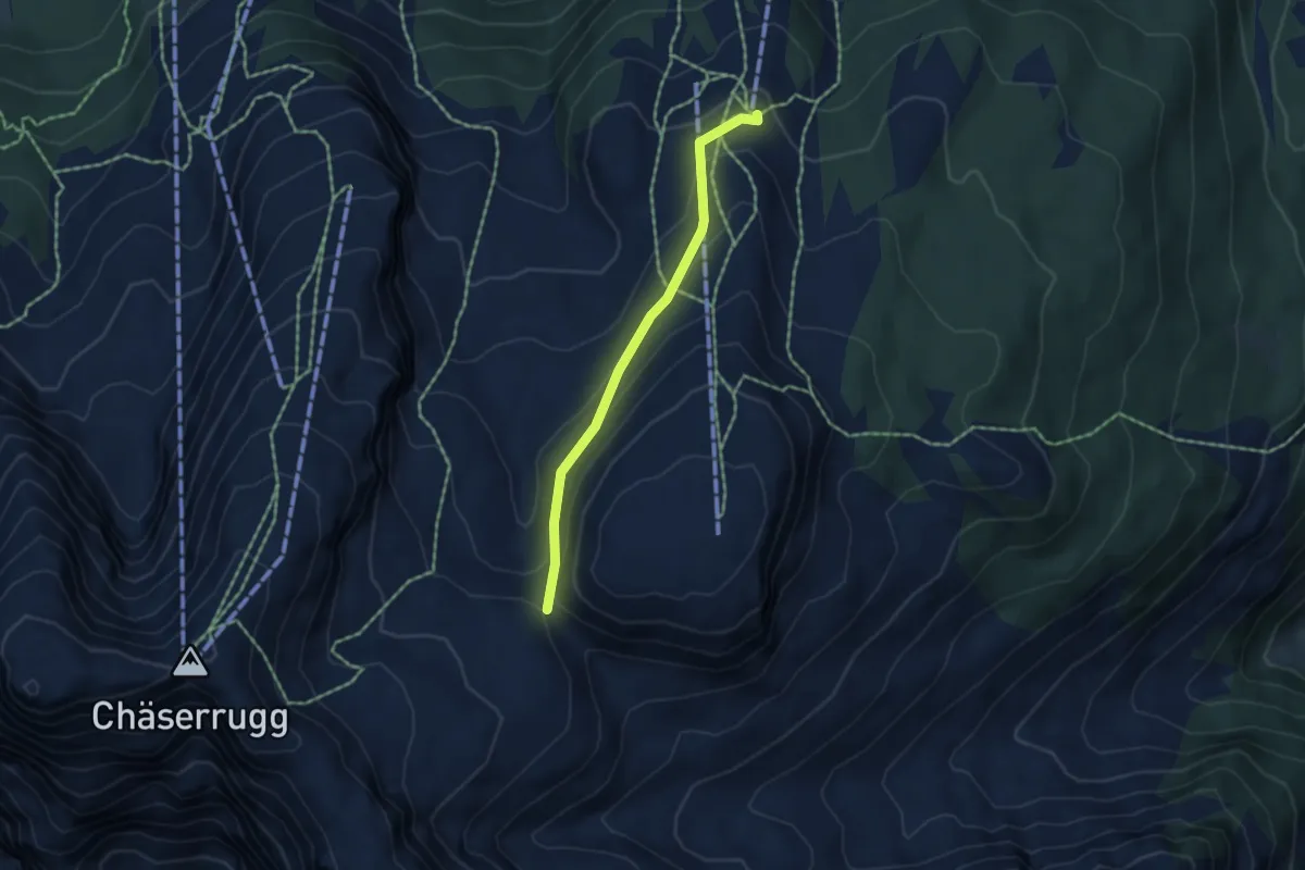
Medium · Trail
Gamsalp - Sattel
4.2 km · ↑ 223 m · 1 h 28 min
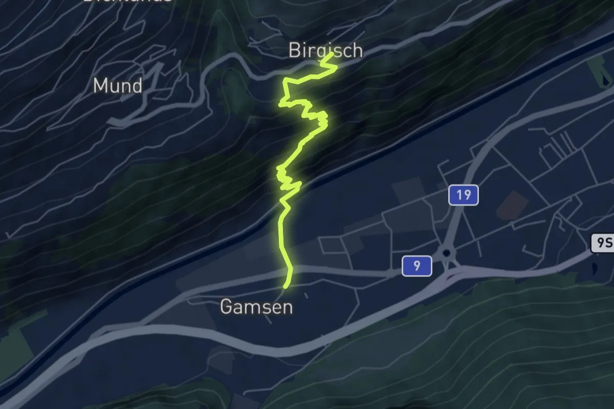
Medium · Trail
Gamsen - Birgisch
5.5 km · ↑ 437 m · 2 h 15 min
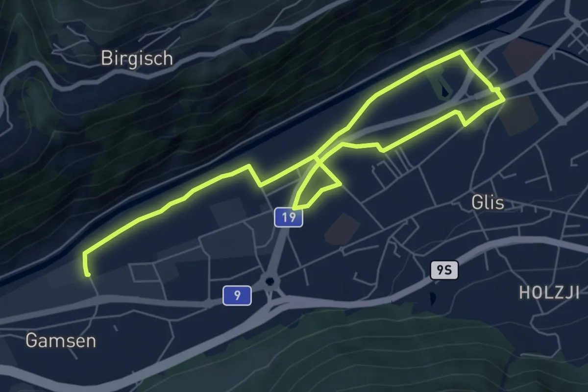
Medium · Trail
Gamsen - Brig
9.2 km · ↑ 13 m · 2 h 12 min
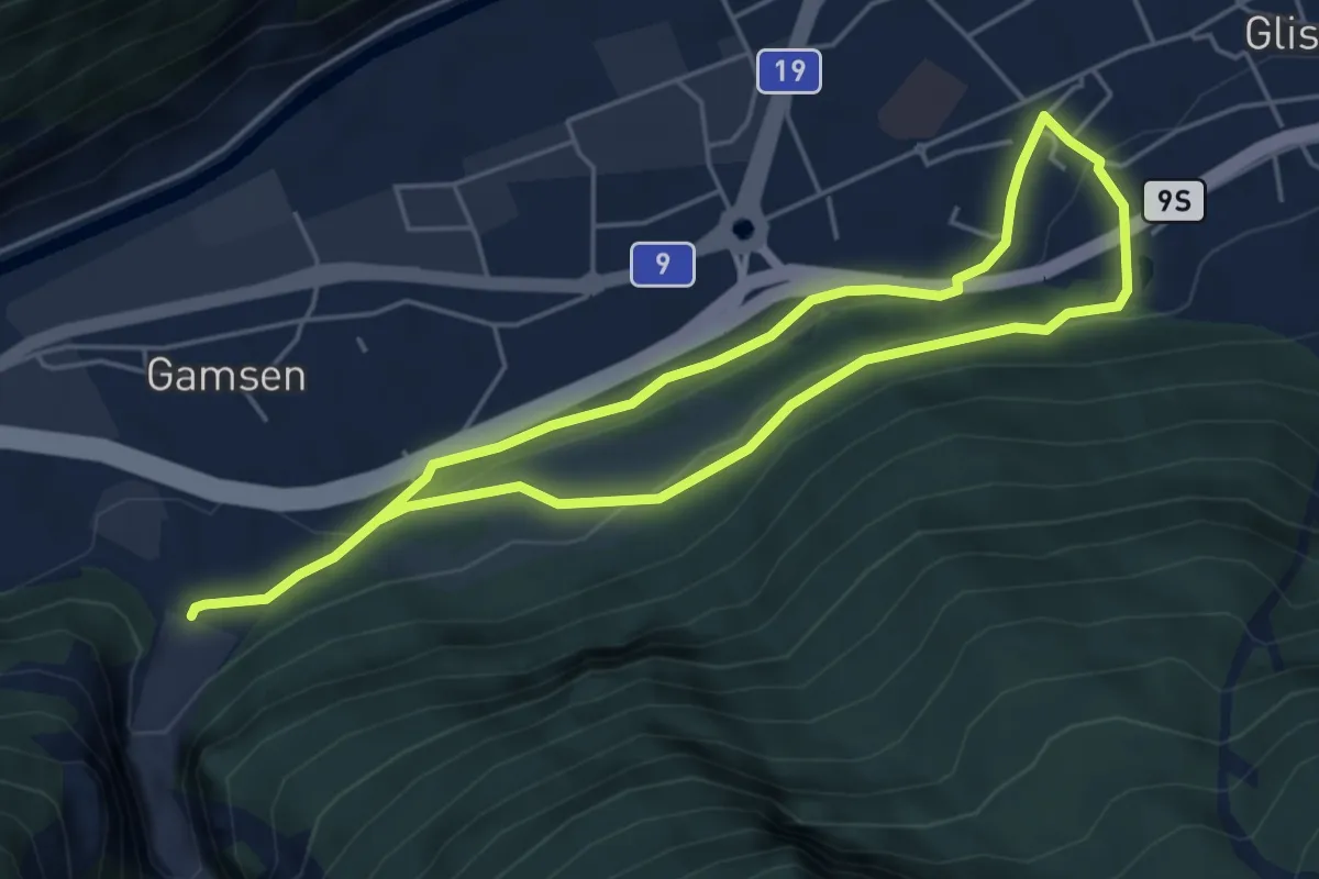
Medium · Trail
Gamsen - Glis
8.6 km · ↑ 260 m · 2 h 36 min
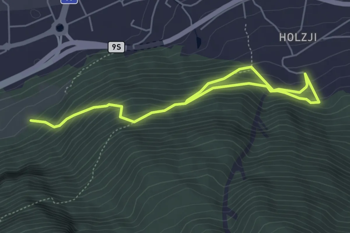
Medium · Trail
Gamsen - Holzji
6.1 km · ↑ 560 m · 2 h 39 min
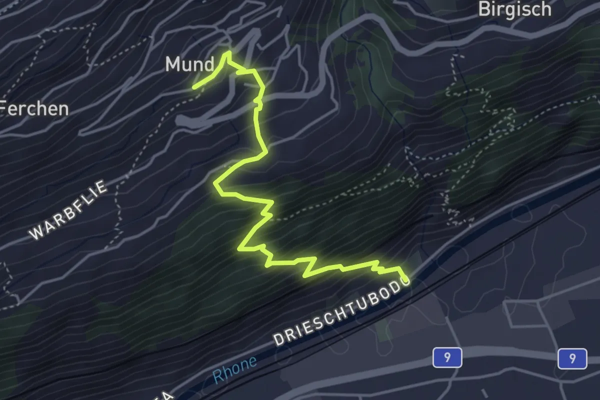
Medium · Trail
Gamsen - Mund
4.5 km · ↑ 525 m · 2 h 13 min
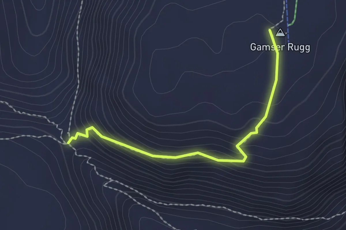
Medium · Trail
Gamserrugg - Sattel
2.0 km · ↑ 127 m · 44 min
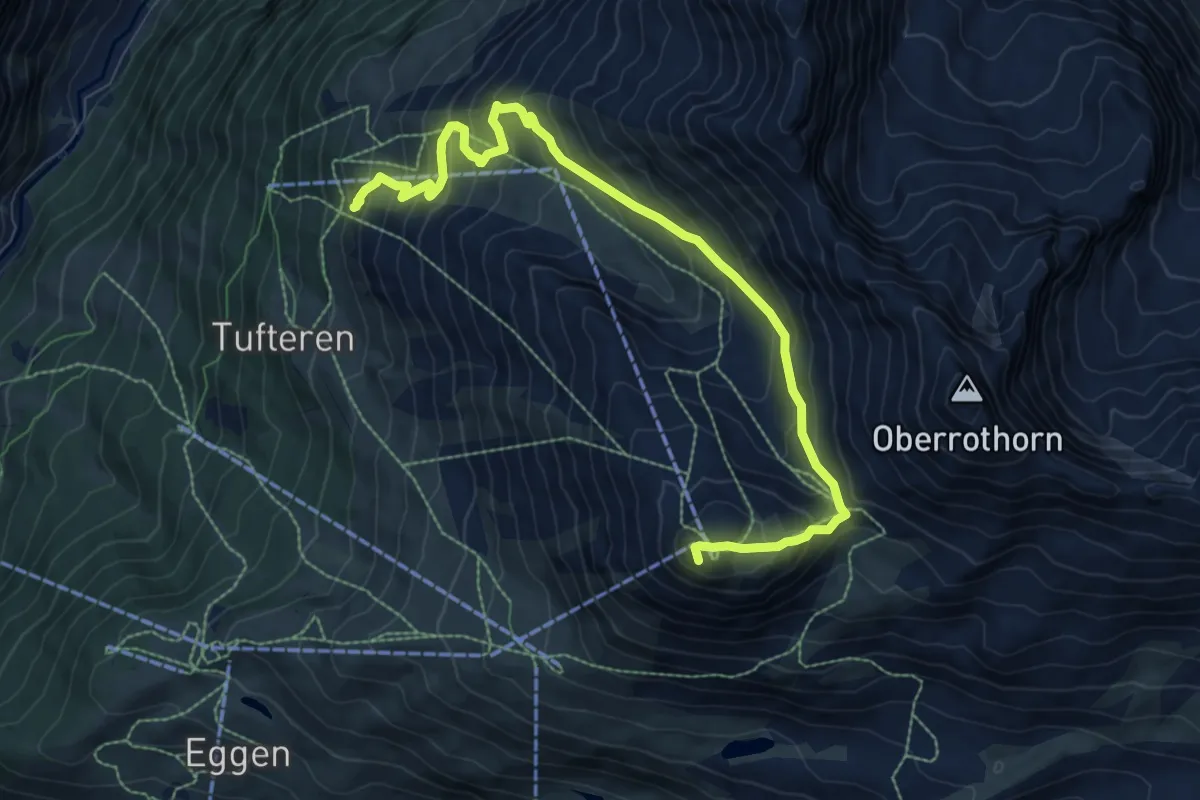
Demanding · Summit
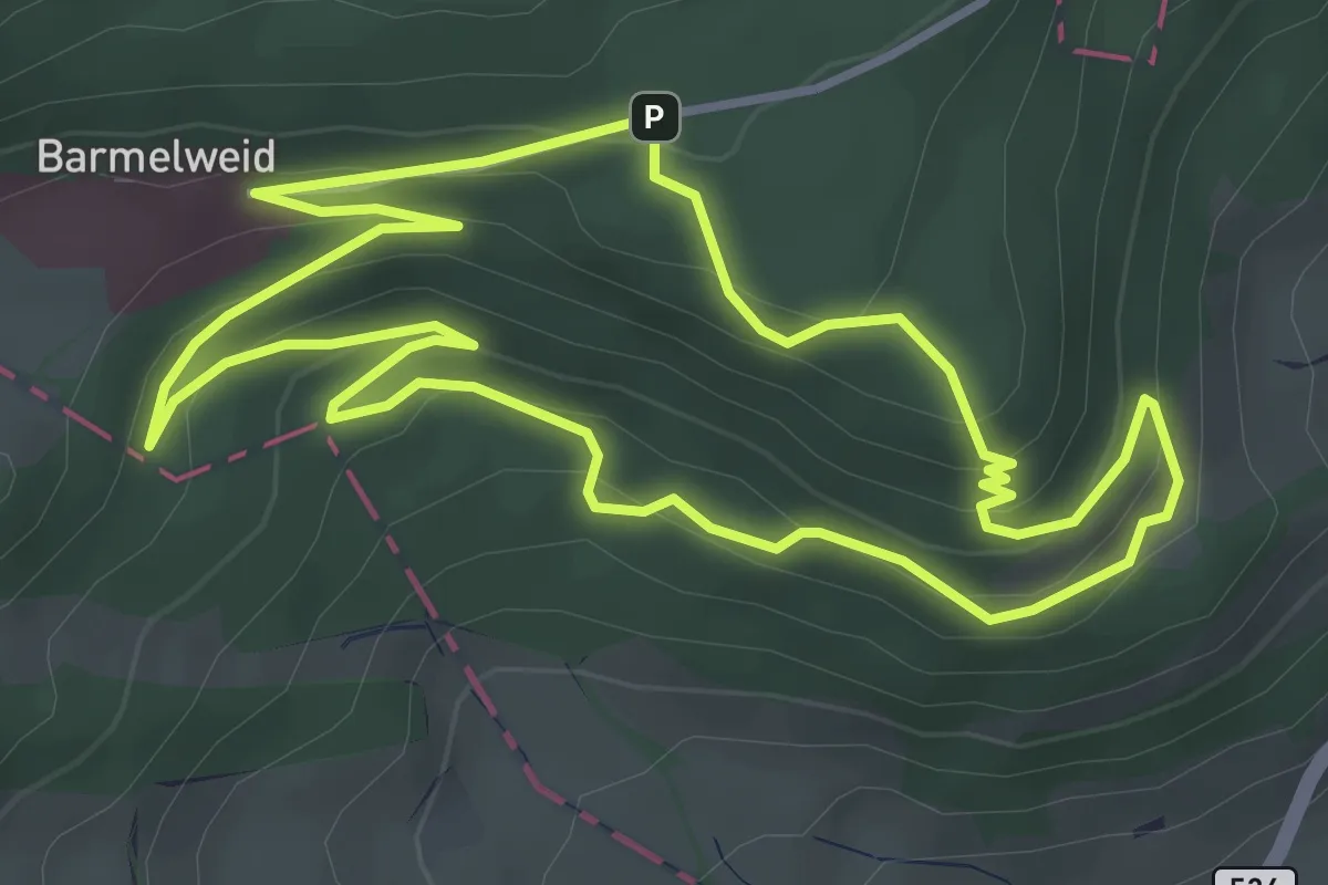
Gamsweg
9.7 km · ↑ 778 m · 3 h 59 min
Easy · Summit
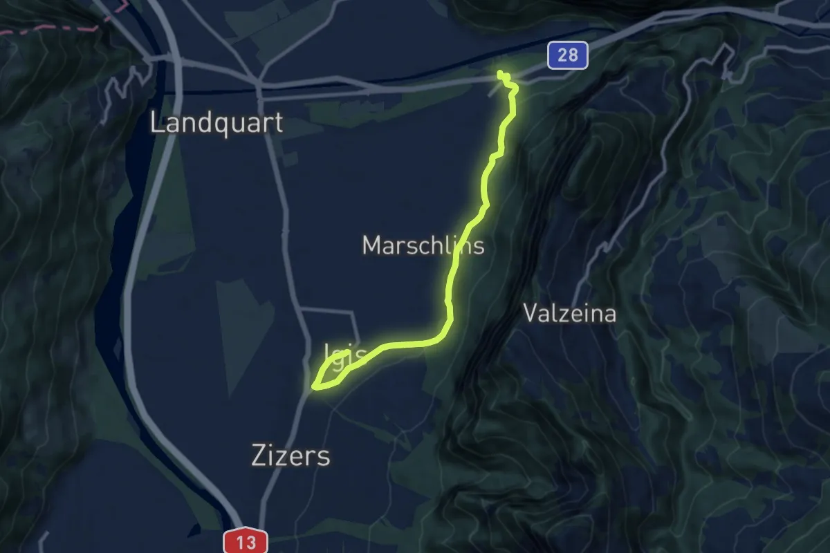
Gämsweg
3.8 km · ↑ 174 m · 1 h 19 min
Medium · Trail
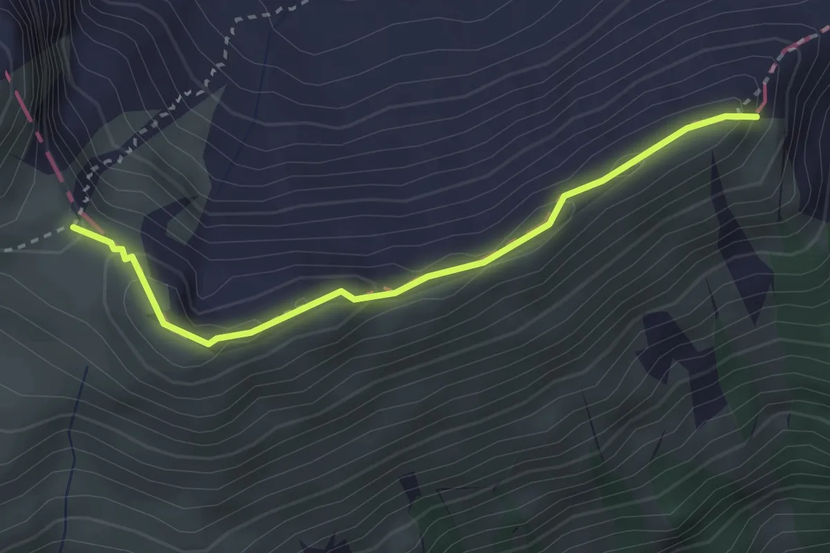
Ganda - Igis
9.7 km · ↑ 209 m · 2 h 45 min
Expert · Summit
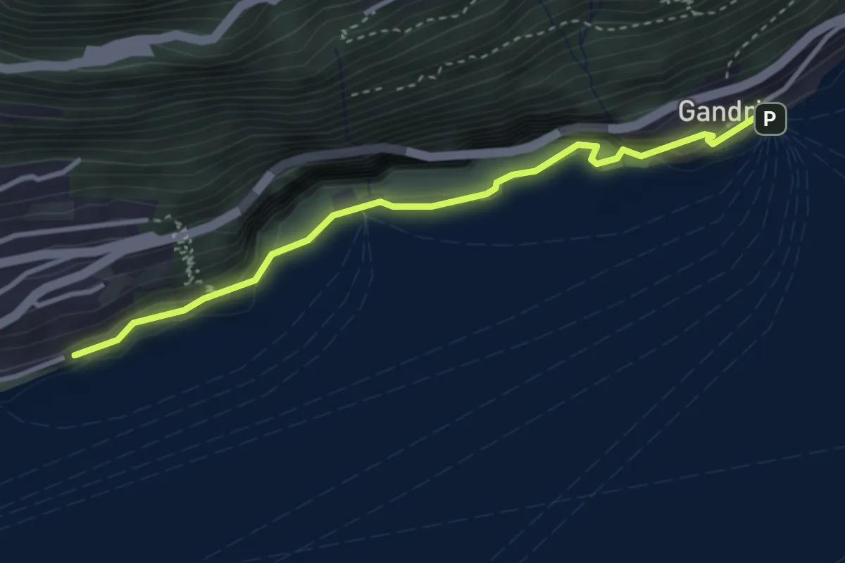
Gandispitz - Vorderjochli
2.8 km · ↑ 151 m · 1 h
Medium · Trail
Gandria - Castagnola
3.3 km · ↑ 440 m · 1 h 44 min
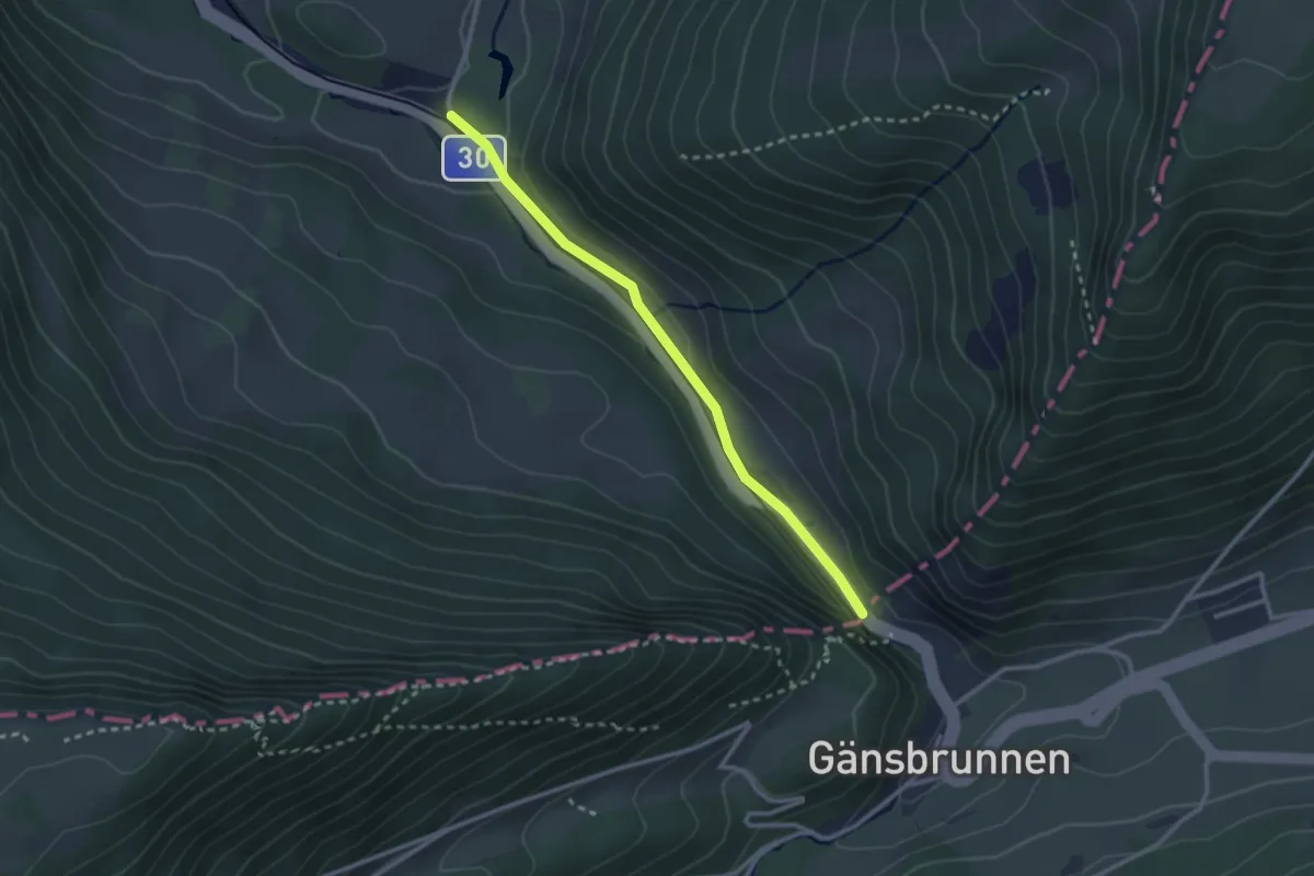
Easy · Trail
Gänsbrunnen - Siky-Ranch
2.6 km · ↑ 63 m · 45 min
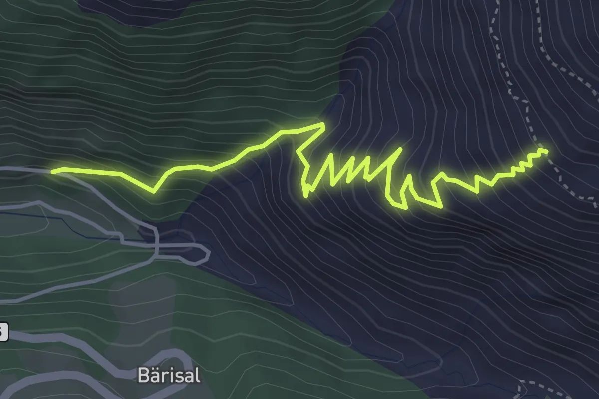
Medium · Trail
Ganterbrigga - Rigi
4.9 km · ↑ 627 m · 2 h 31 min
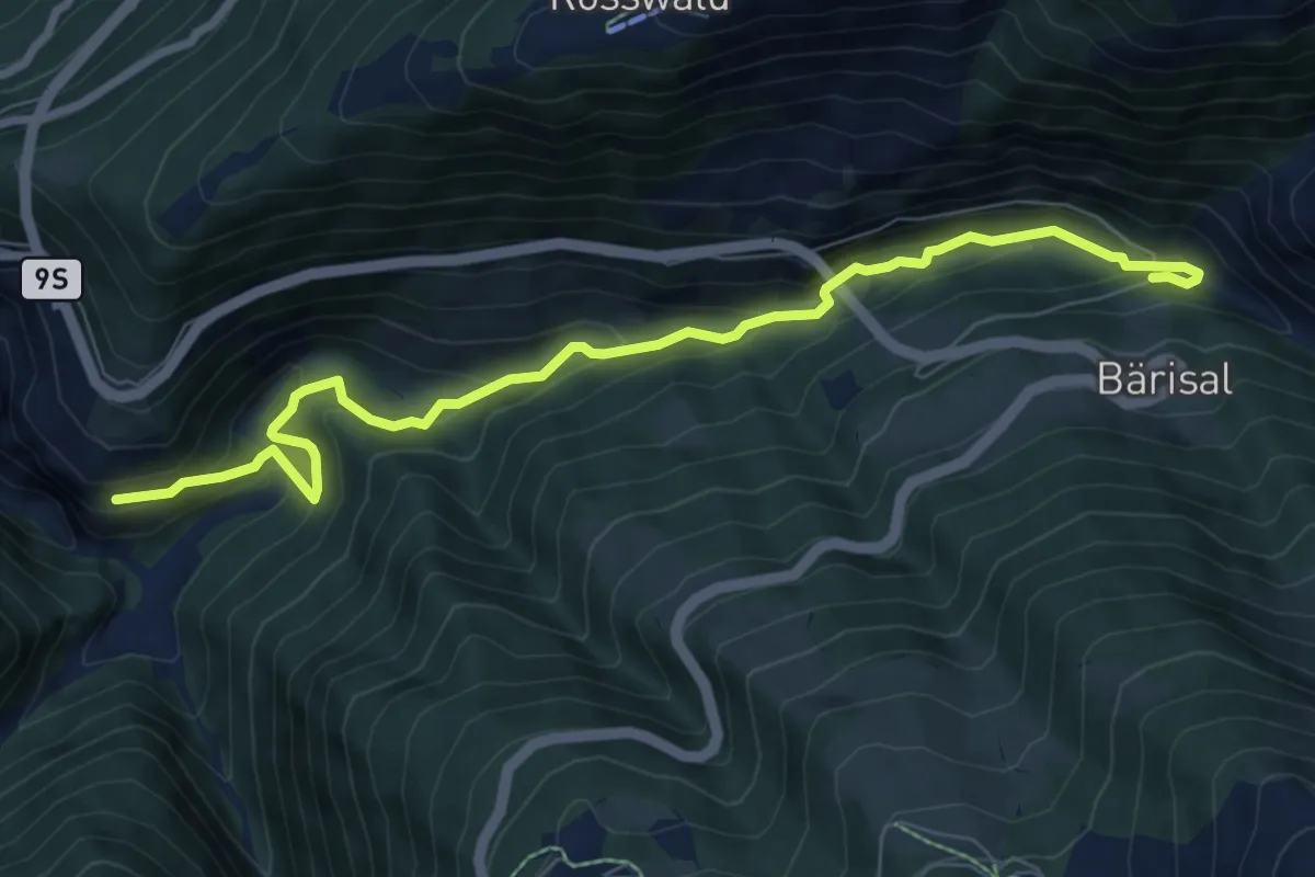
Medium · Trail
Ganterbrigga - Schallberg
8.6 km · ↑ 471 m · 3 h 3 min
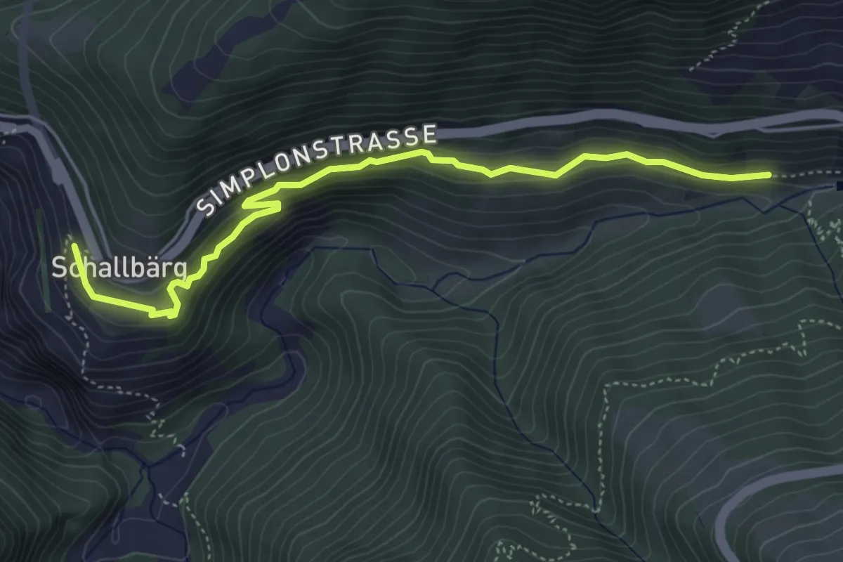
Medium · Trail
Ganterbrücke - Schallberg
5.1 km · ↑ 282 m · 1 h 49 min
Demanding · Trail
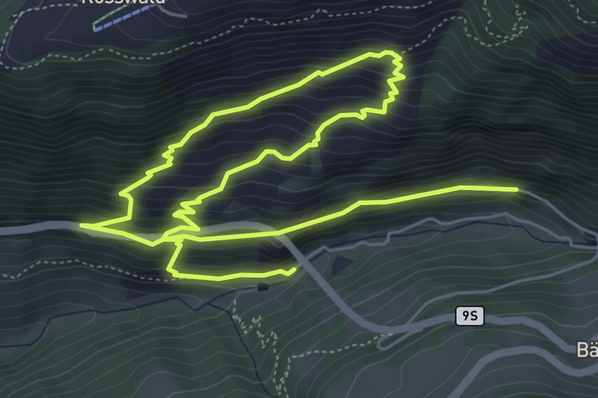
Ganterbrücke - Undri Schmidmatte
9.7 km · ↑ 934 m · 4 h 19 min
Easy · Trail
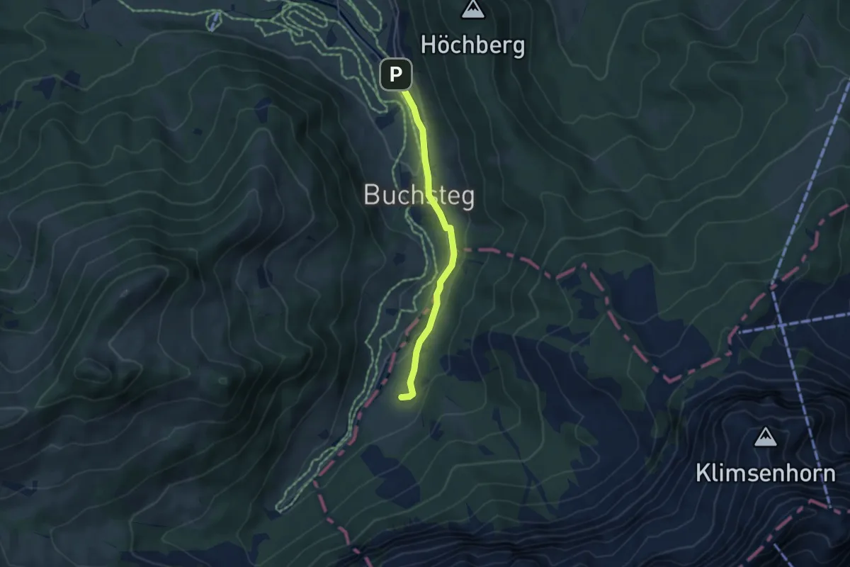
Gantersei - Unterlauelen
3.9 km · ↑ 83 m · 1 h 7 min
Medium · Summit
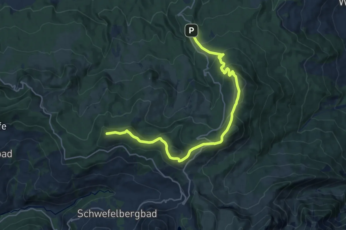
Gantrisch Panoramaweg
17.6 km · ↑ 784 m · 5 h 51 min
Easy · Trail
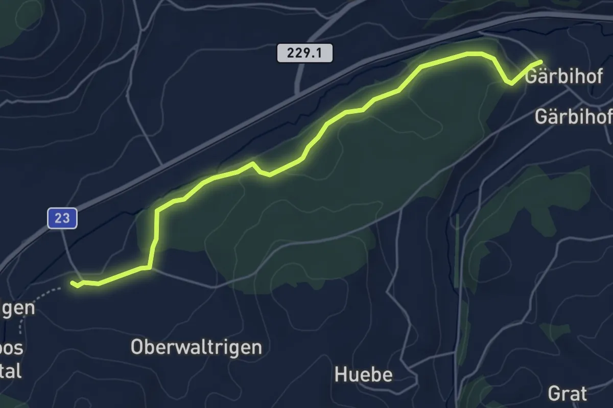
Gärbihof - Unter Waltringen
5.1 km · ↑ 66 m · 1 h 21 min
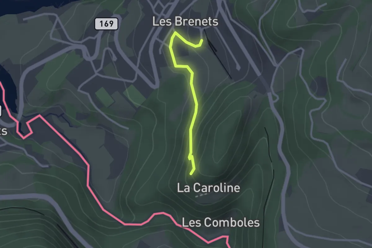
Easy · Trail
Gare des Brenets - La Caroline
2.0 km · ↑ 98 m · 41 min
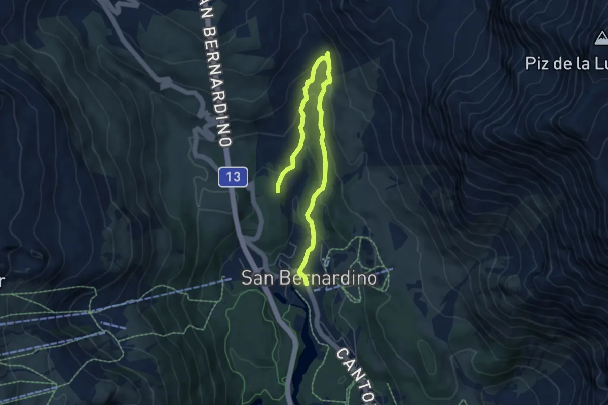
Medium · Trail
Gareida - Bosch di Pescion - San Bernardino
6.6 km · ↑ 327 m · 2 h 16 min
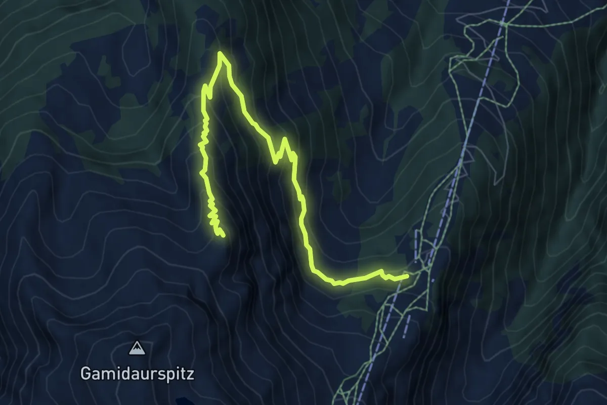
Medium · Summit
Garmil-Höhenwanderung
8.5 km · ↑ 613 m · 3 h 20 min
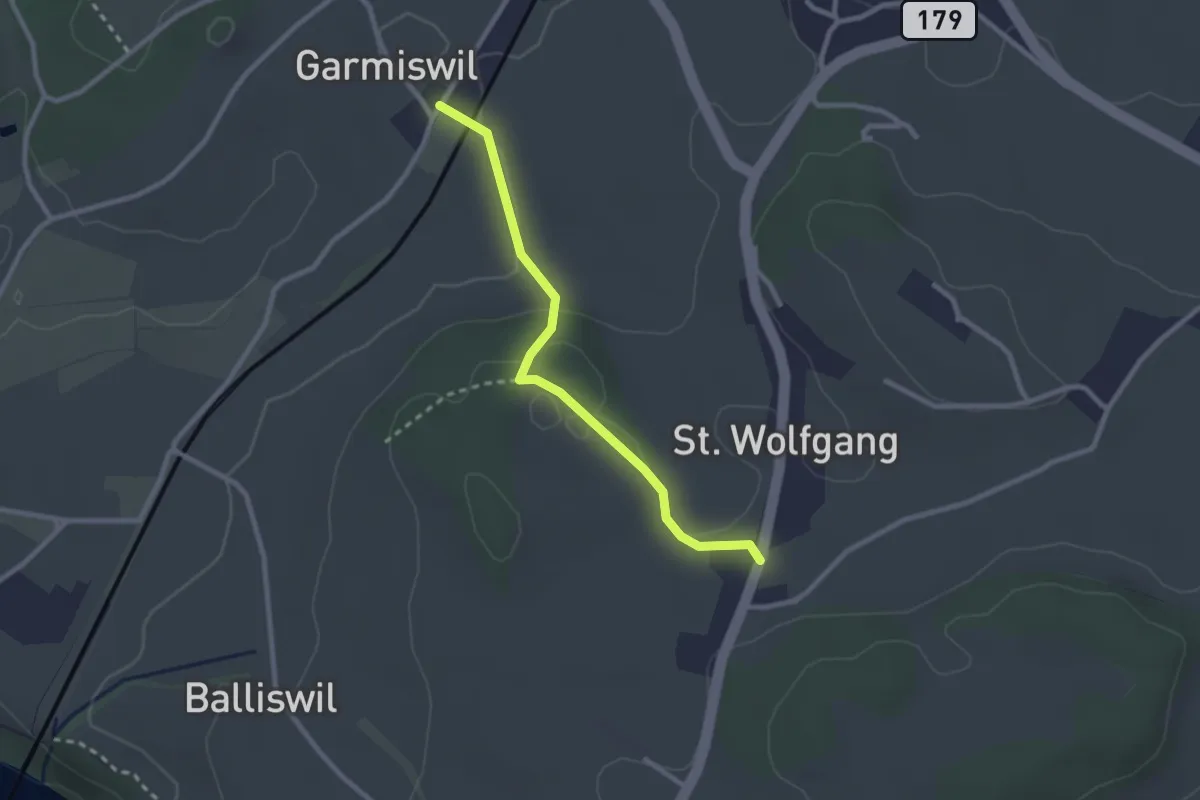
Easy · Trail
Garmiswil - St. Wolfgang
2.5 km · ↑ 67 m · 44 min