Trails in Switzerland
15,029 hiking trails, each with its route, climb, walking time and grade.
All trails, page 39 of 314
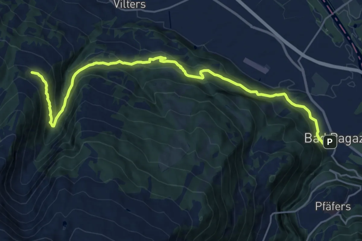
Demanding · Trail
Garschlu - Bad Ragaz
17.3 km · ↑ 1015 m · 6 h 17 min
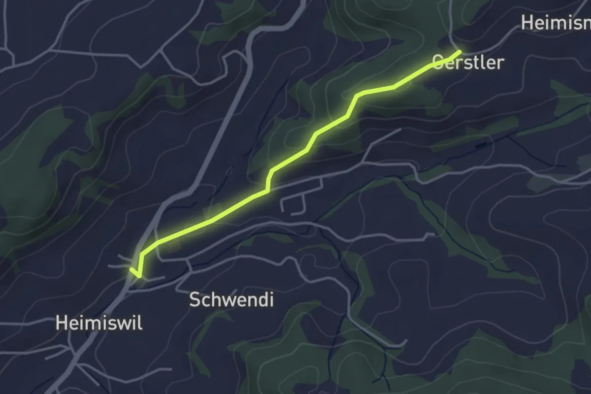
Easy · Trail
Gärstler - Heimiswil
3.3 km · ↑ 129 m · 1 h 4 min
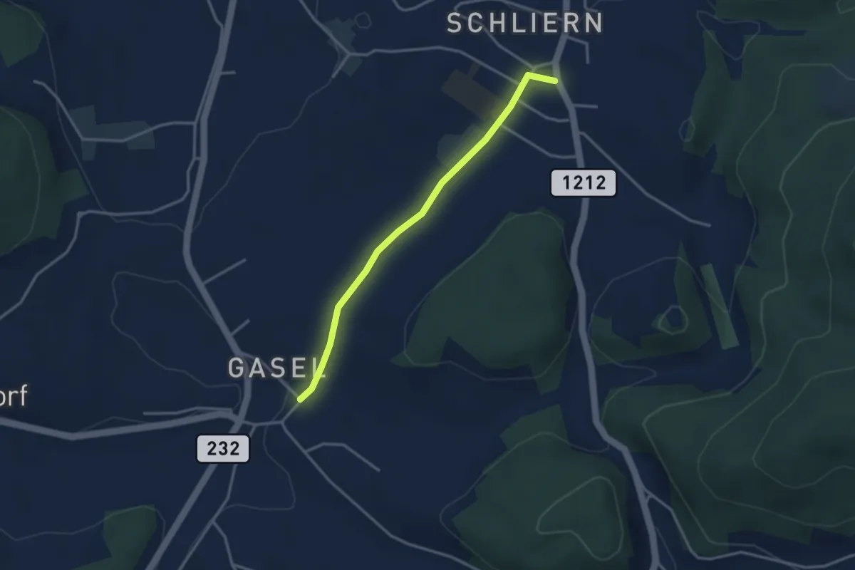
Easy · Trail
Gasel - Schliern
3.0 km · ↑ 41 m · 48 min
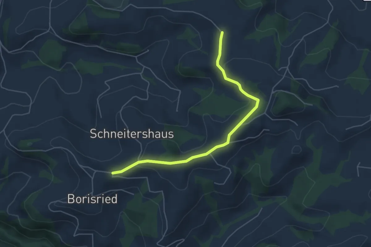
Easy · Trail
Gassershus - Borisried/Schulhaus
5.0 km · ↑ 129 m · 1 h 27 min
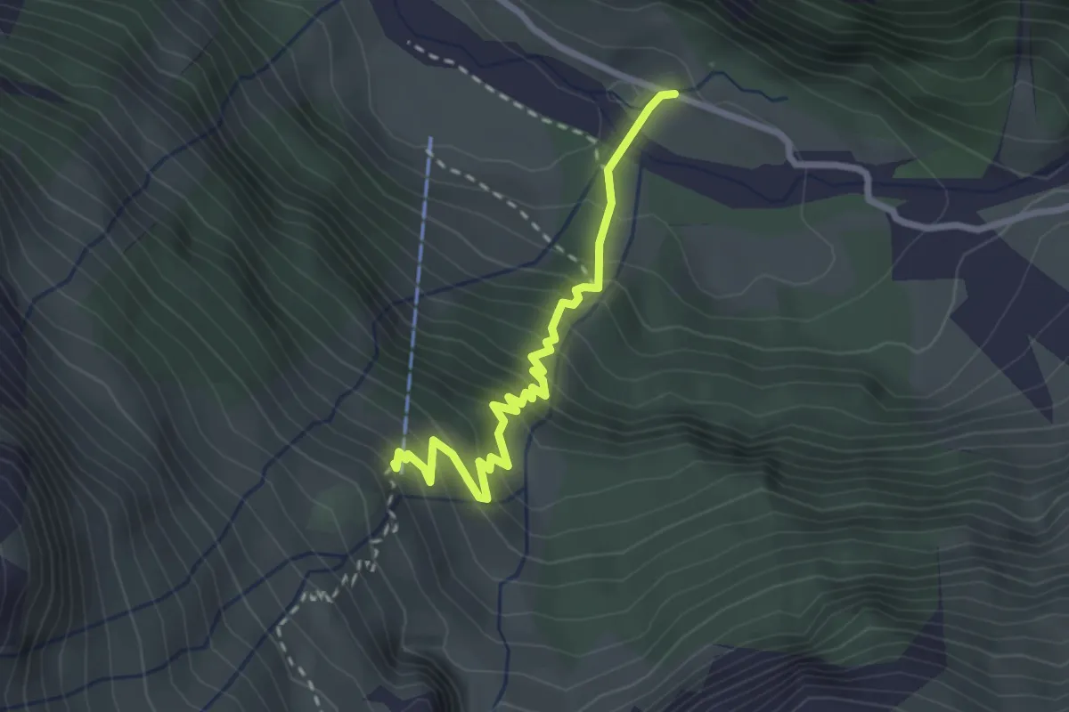
Medium · Cabin
Gastere/Selde - Gfelalp
2.6 km · ↑ 300 m · 1 h 16 min
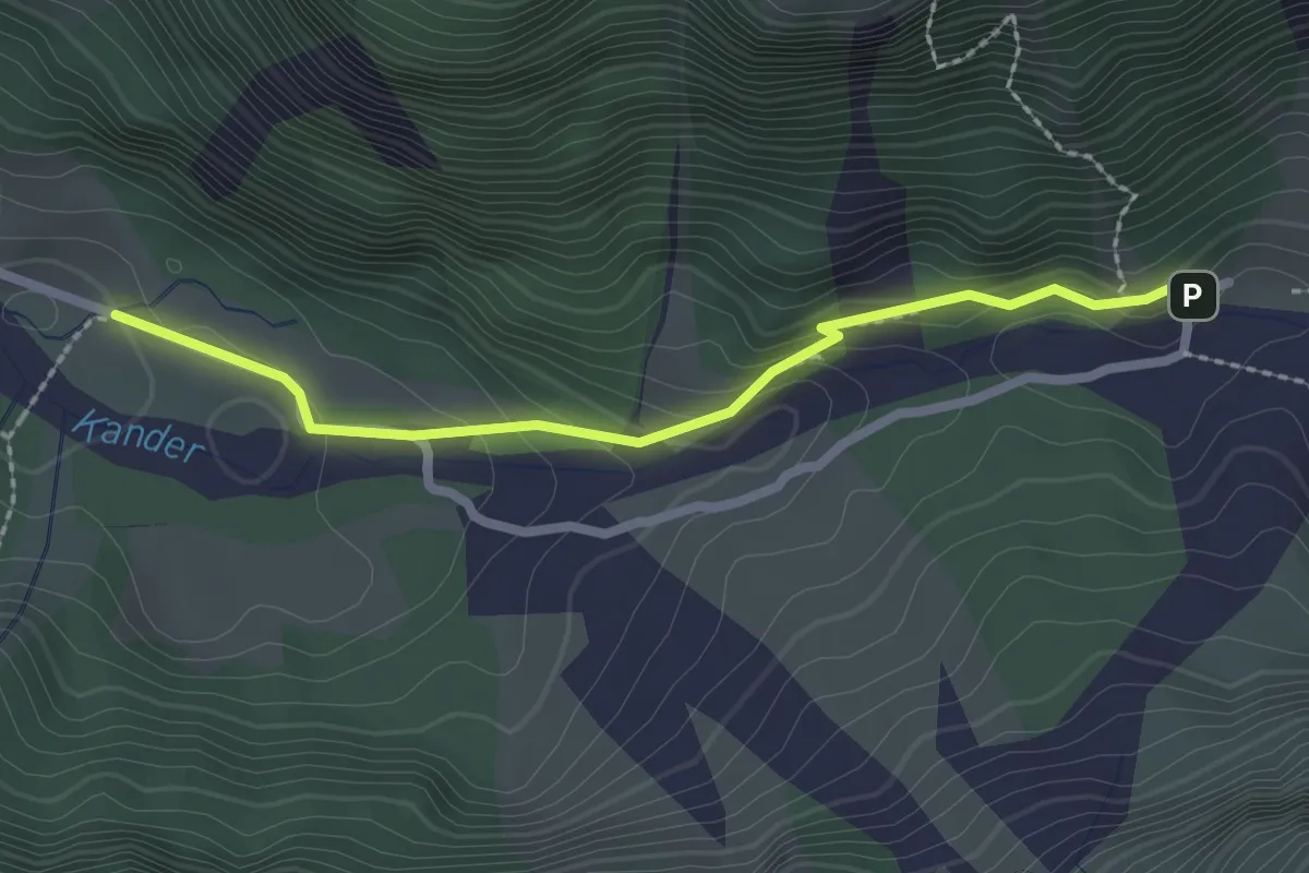
Easy · Trail
Gastere/Selde - Heimritz
2.3 km · ↑ 107 m · 46 min
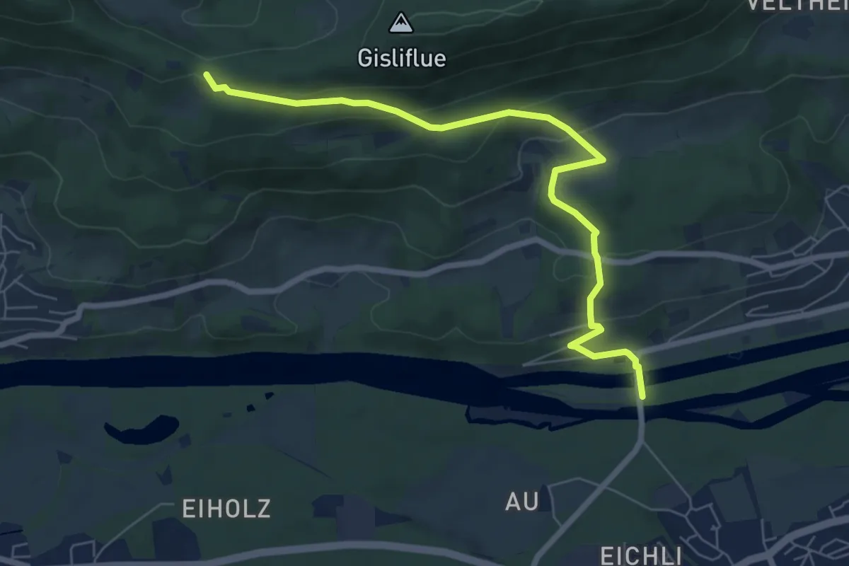
Easy · Trail
Gatter - Brücke Rupperswil
6.9 km · ↑ 294 m · 2 h 16 min
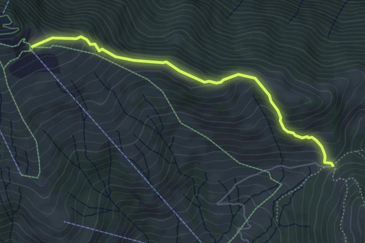
Medium · Trail
Gätterlipass - Burggeist
5.0 km · ↑ 374 m · 1 h 59 min
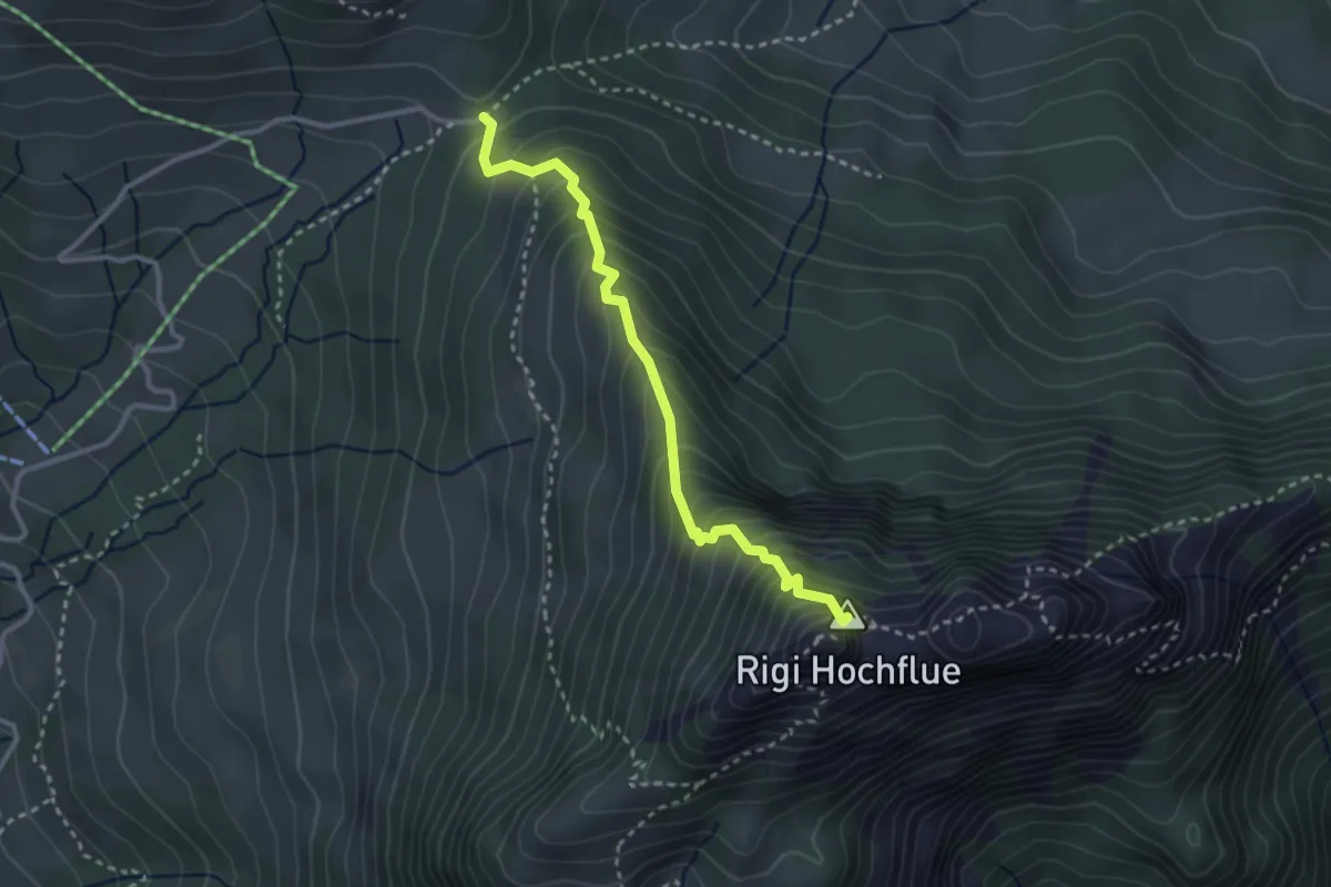
Expert · Summit
Gätterlipass-Rigi Hochflue
2.9 km · ↑ 439 m · 1 h 38 min
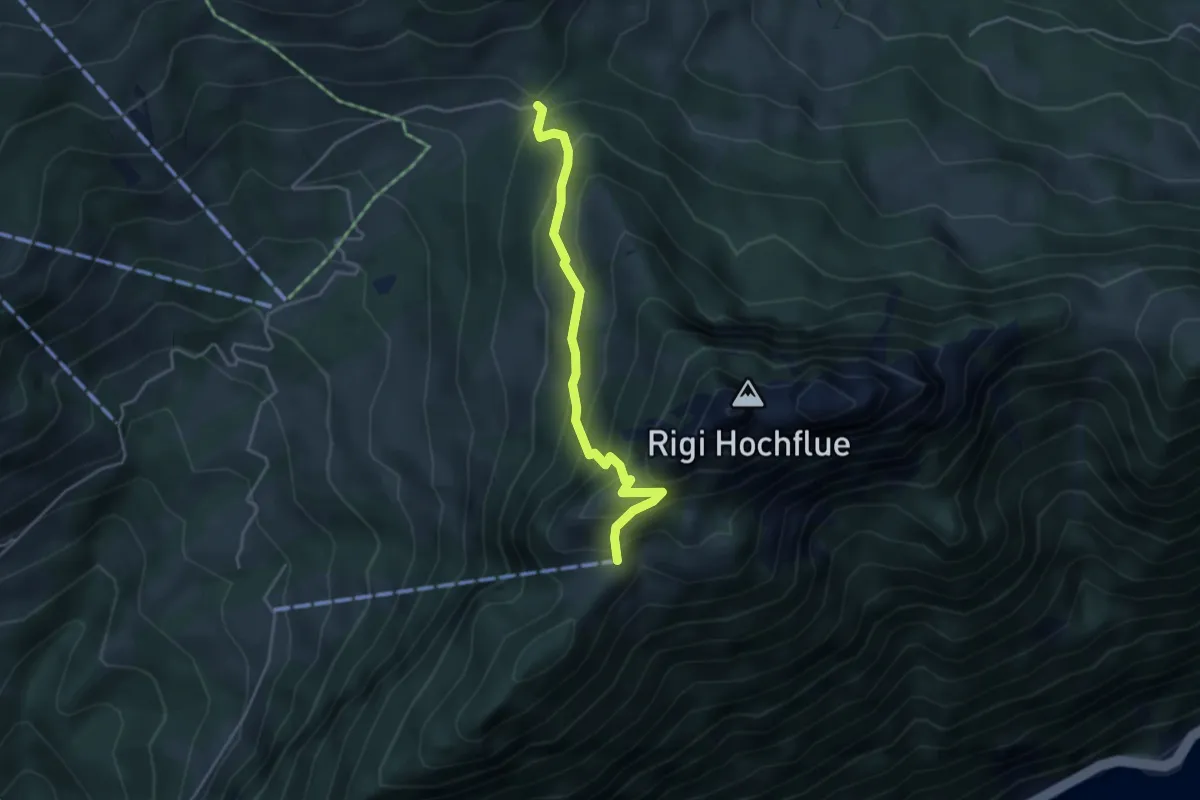
Demanding · Trail
Gätterlipass - Zilistock
3.8 km · ↑ 381 m · 1 h 44 min
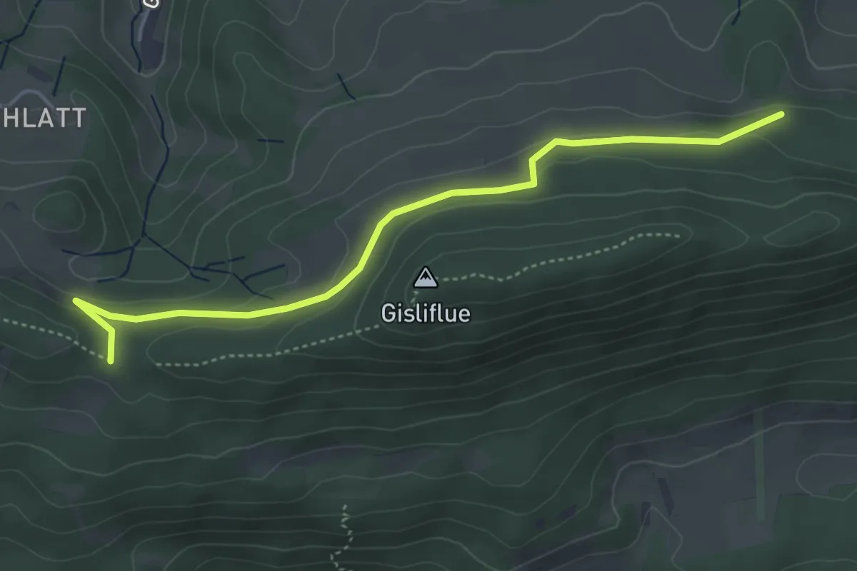
Easy · Trail
Gatter - Naturfreundehaus Gisliflue
4.6 km · ↑ 102 m · 1 h 18 min
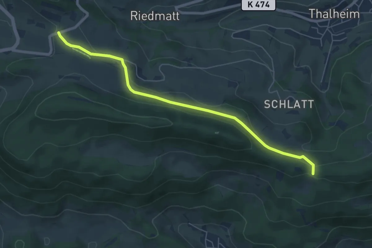
Easy · Trail
Gatter - Staffelegg
5.8 km · ↑ 135 m · 1 h 40 min
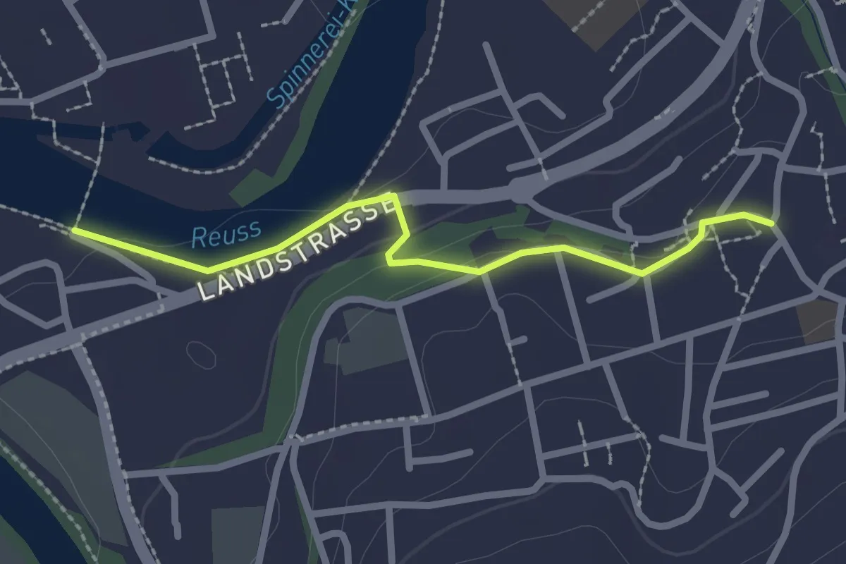
Easy · Trail
Gebenstorf - Gebenstorf Steg
2.2 km · ↑ 40 m · 36 min
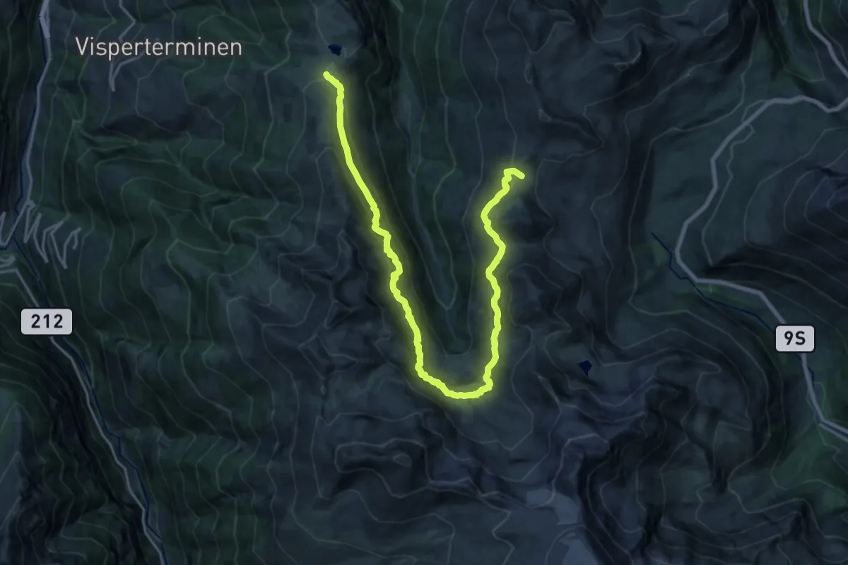
Demanding · Trail
Gebidempass-Bistinenpass
11.5 km · ↑ 532 m · 4 h 8 min
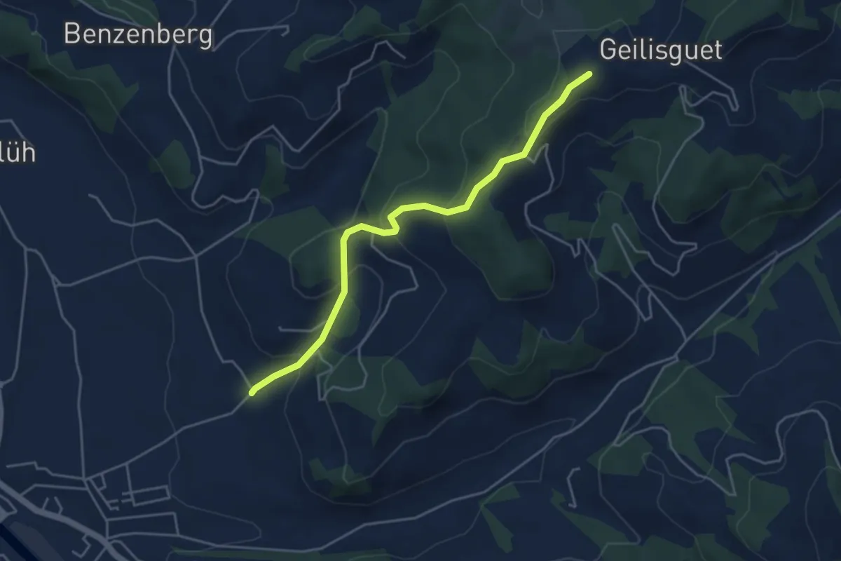
Easy · Trail
Geilisguetegg - Ried
4.3 km · ↑ 243 m · 1 h 32 min
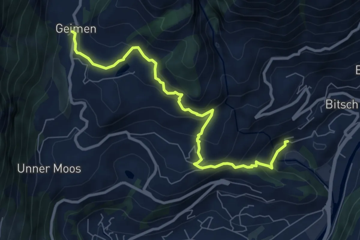
Medium · Trail
Geimen - Bitsch
7.1 km · ↑ 507 m · 2 h 46 min
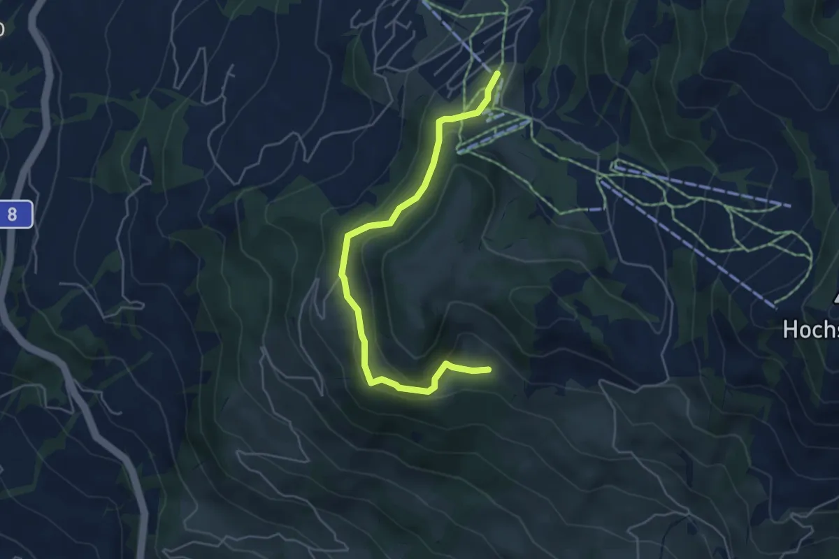
Easy · Trail
Geissä Wäg
4.9 km · ↑ 219 m · 1 h 37 min
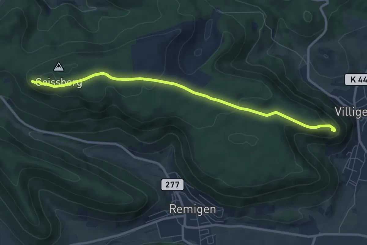
Easy · Trail
Geissberg Chameren - Besserstein
7.2 km · ↑ 218 m · 2 h 11 min
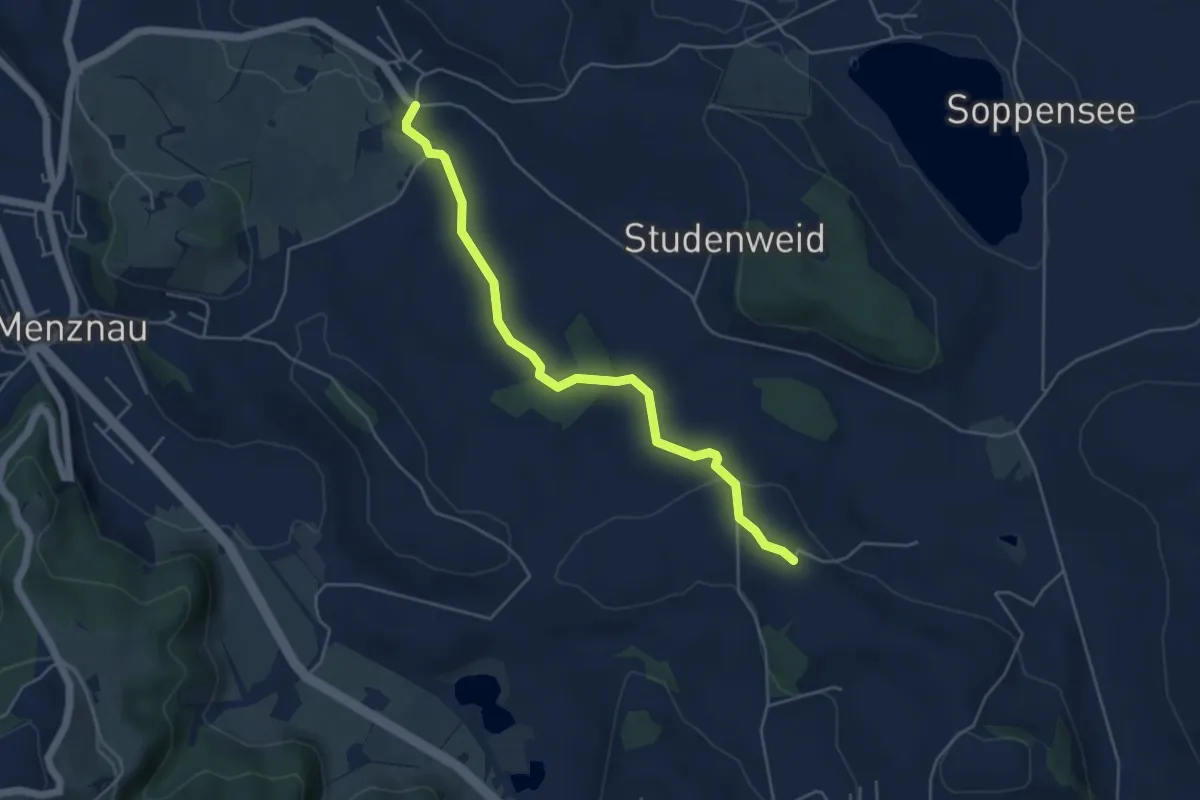
Easy · Trail
Geiss - Bueche
4.9 km · ↑ 83 m · 1 h 20 min
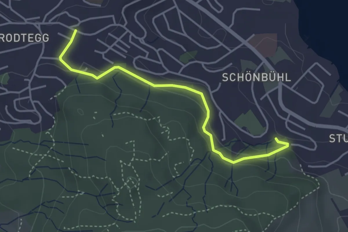
Easy · Trail
Geissenstein - Matthof
3.7 km · ↑ 124 m · 1 h 9 min
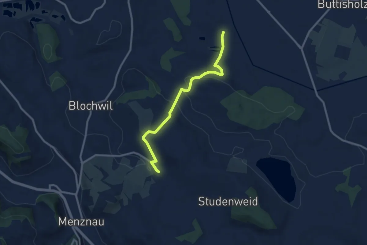
Easy · Trail
Geiss - Hetzligen
6.5 km · ↑ 159 m · 1 h 52 min
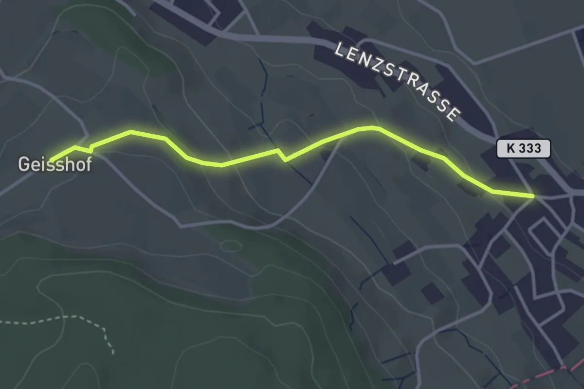
Easy · Trail
Geisshof - Herrenweg
3.1 km · ↑ 109 m · 58 min
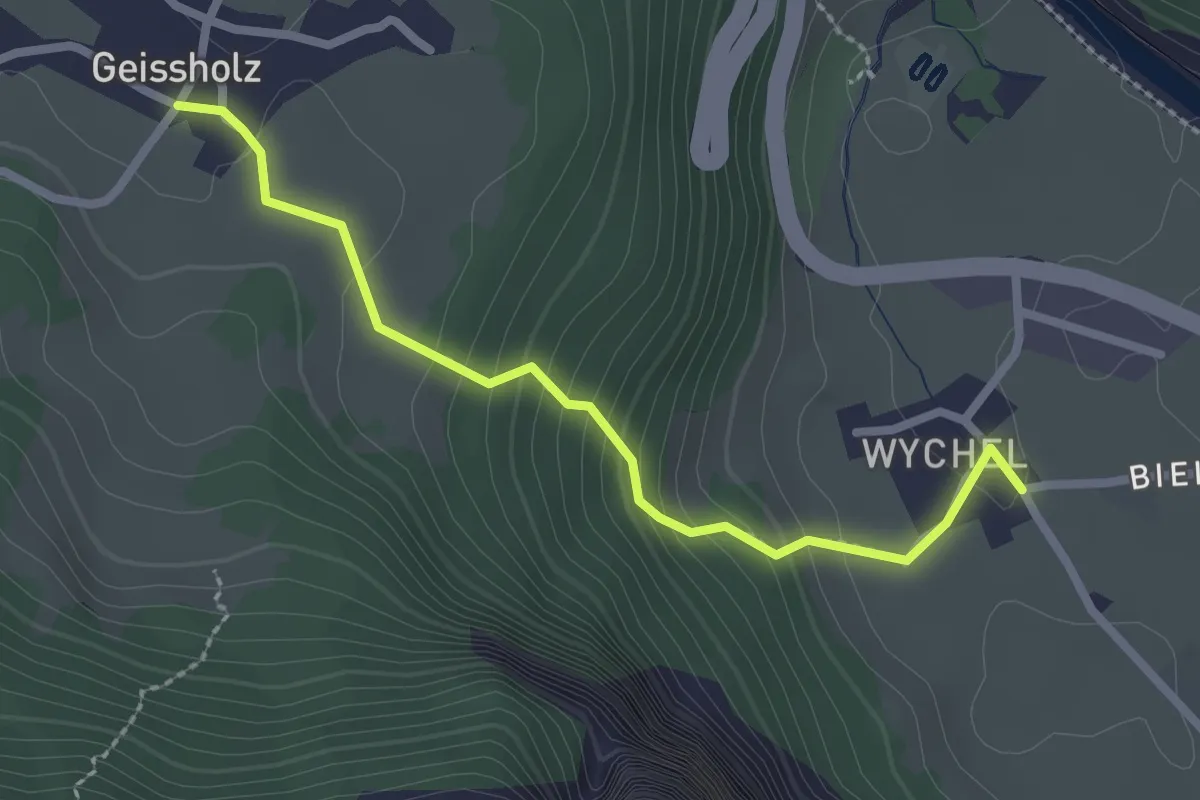
Easy · Trail
Geissholz - Wychel
2.4 km · ↑ 182 m · 58 min
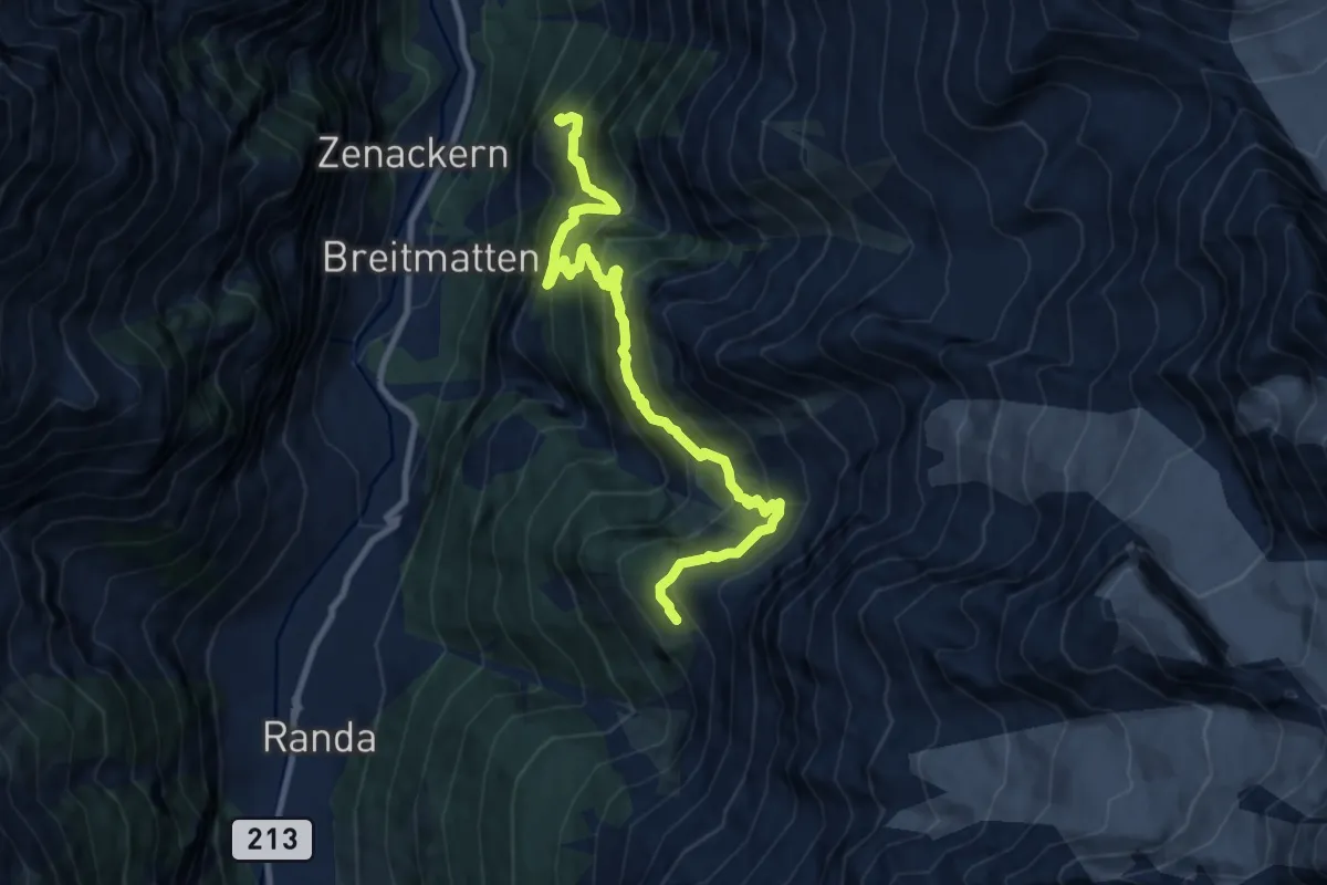
Demanding · Cabin
Geisstrift - Europahütte
10.2 km · ↑ 1254 m · 5 h 7 min
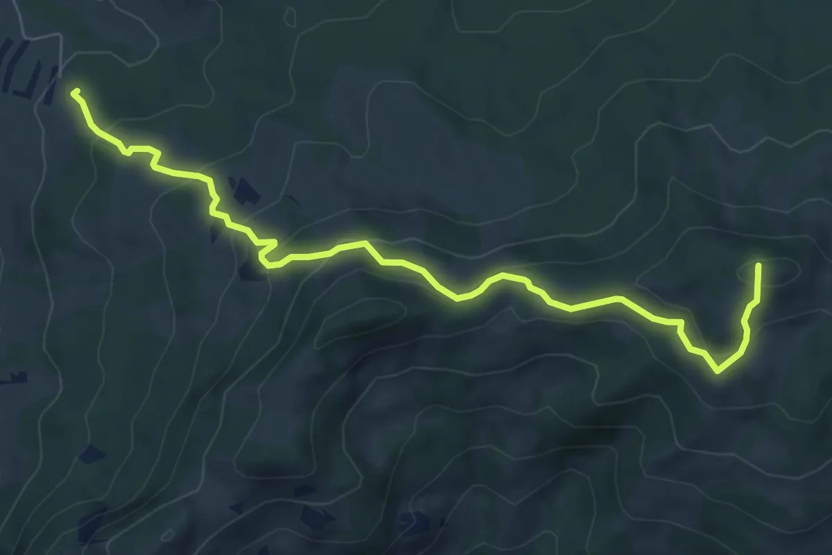
Medium · Summit
Geissweidli - Egg
7.6 km · ↑ 463 m · 2 h 48 min
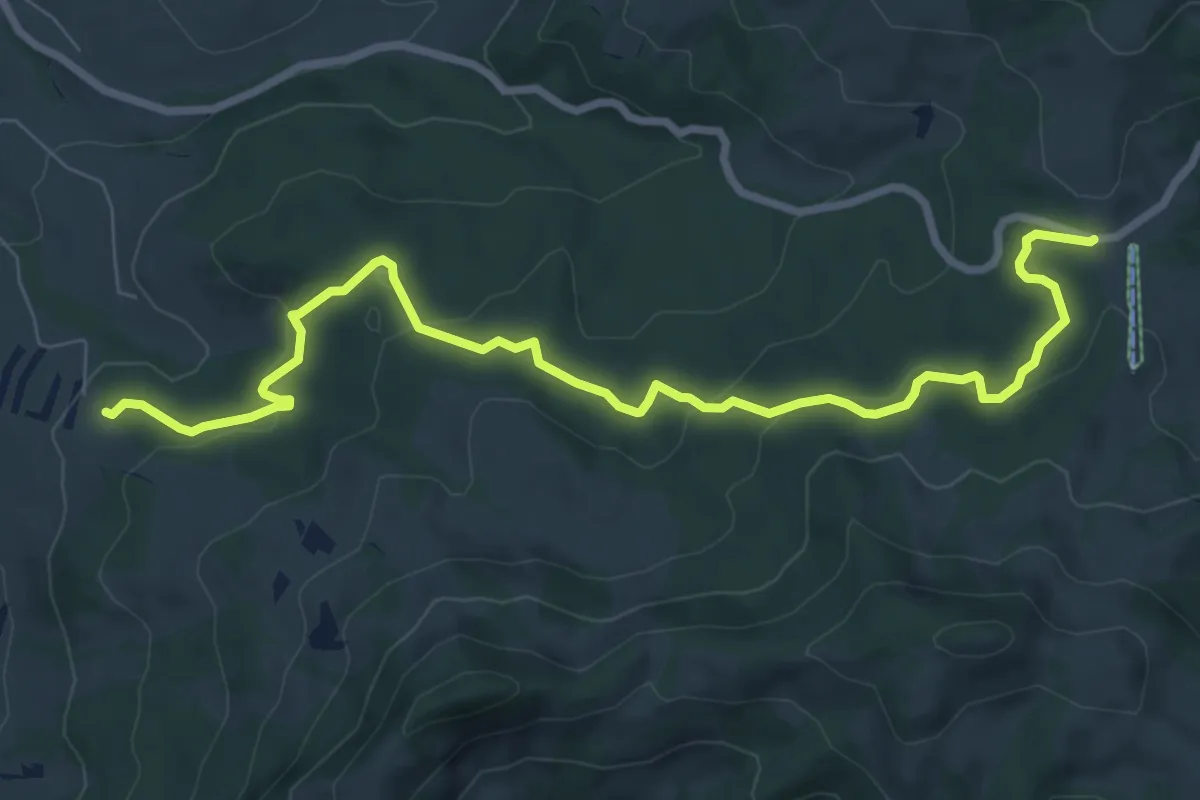
Medium · Trail
Geissweidli - Sattelegg
9.2 km · ↑ 302 m · 2 h 49 min
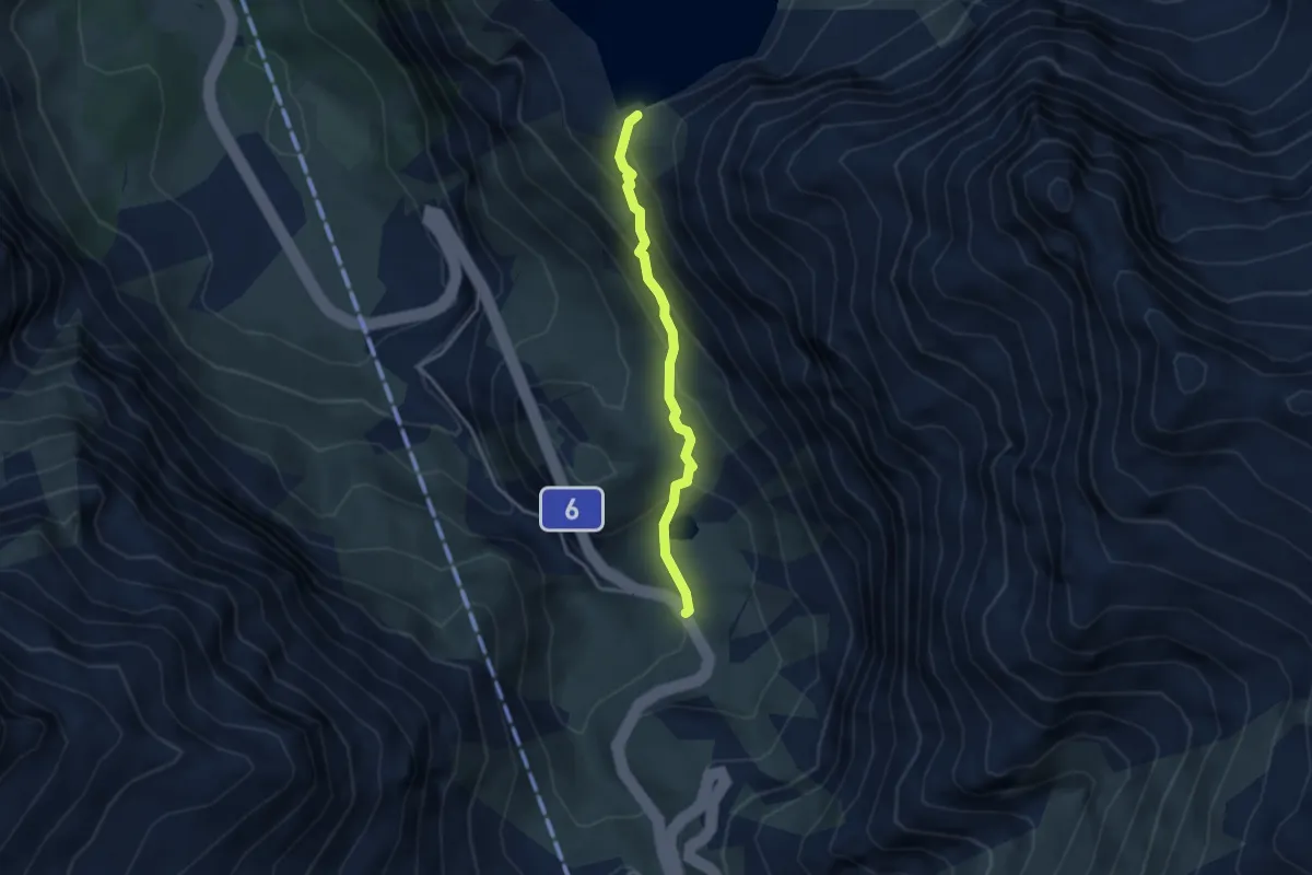
Demanding · Trail
Gelmersee - Chüenzlentennlen
3.0 km · ↑ 240 m · 1 h 14 min
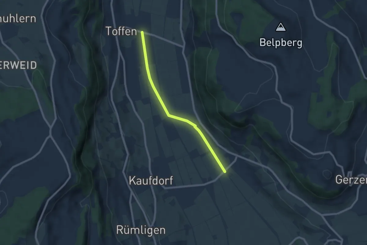
Easy · Trail
Gelterfingen - Toffen/Station
5.6 km · ↑ 4 m · 1 h 19 min
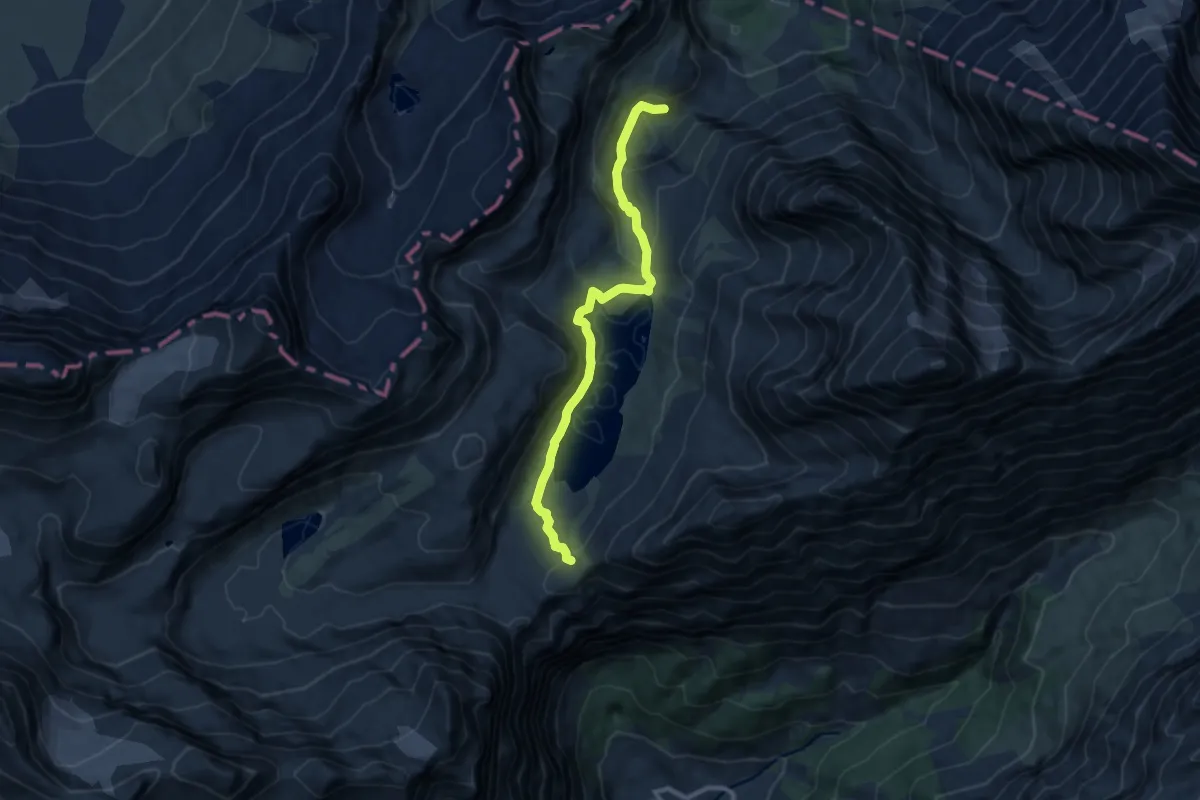
Medium · Trail
Gemmipass Schwarenbach
9.8 km · ↑ 455 m · 3 h 18 min
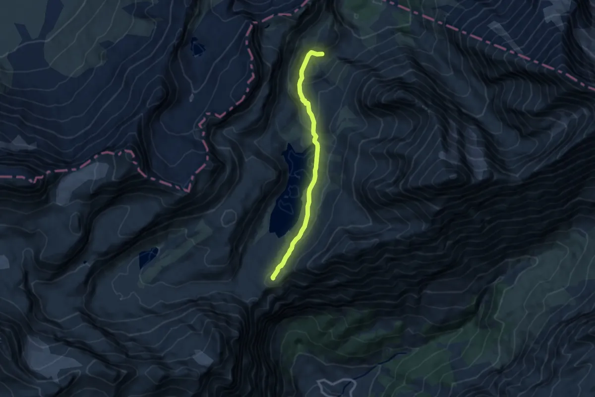
Medium · Trail
Gemmipass Schwarenbach
8.7 km · ↑ 314 m · 2 h 44 min
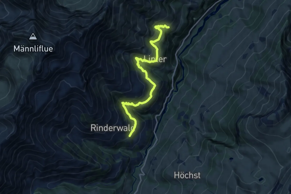
Demanding · Trail
Gempelen - Rinderwald
12.1 km · ↑ 871 m · 4 h 44 min
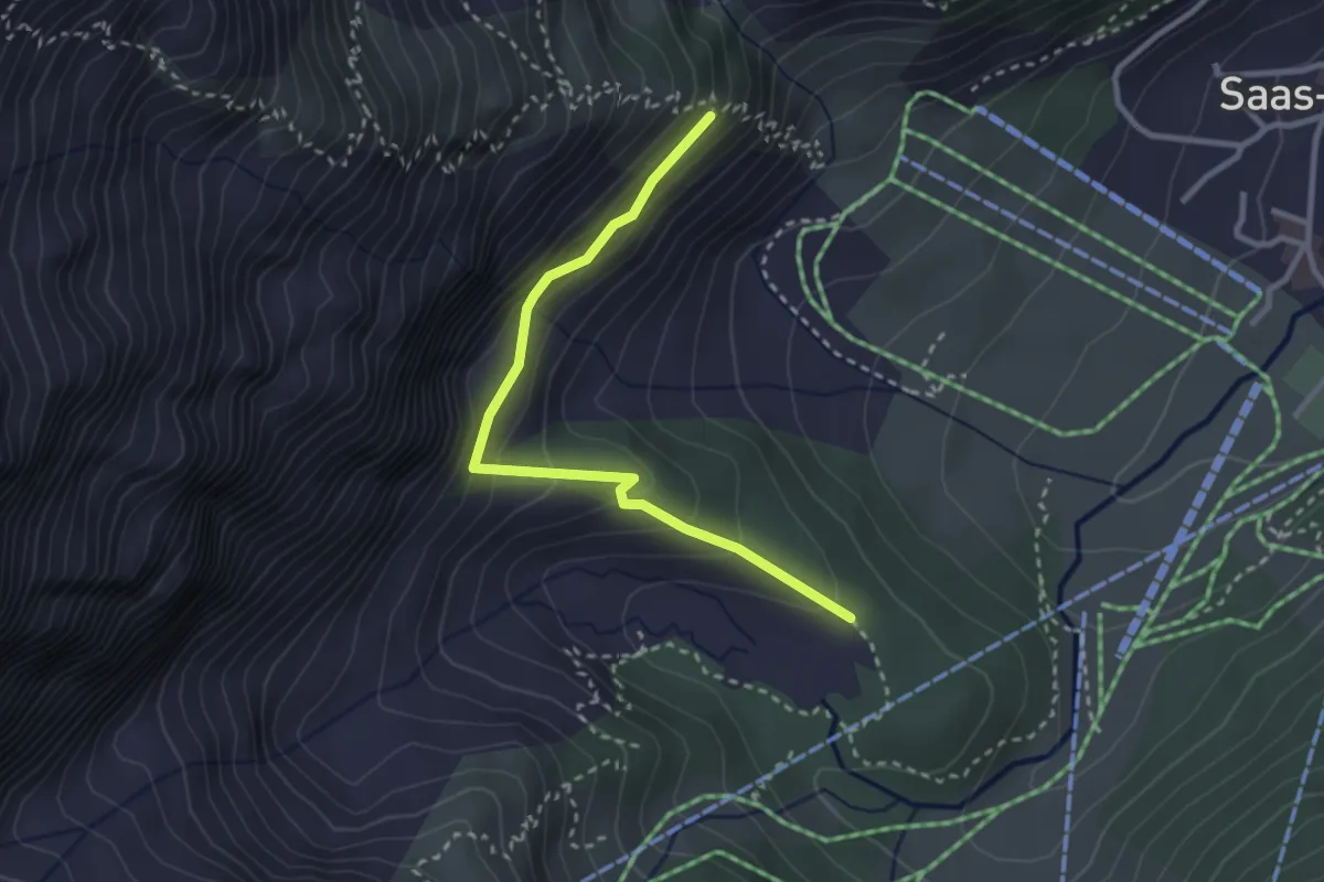
Demanding · Trail
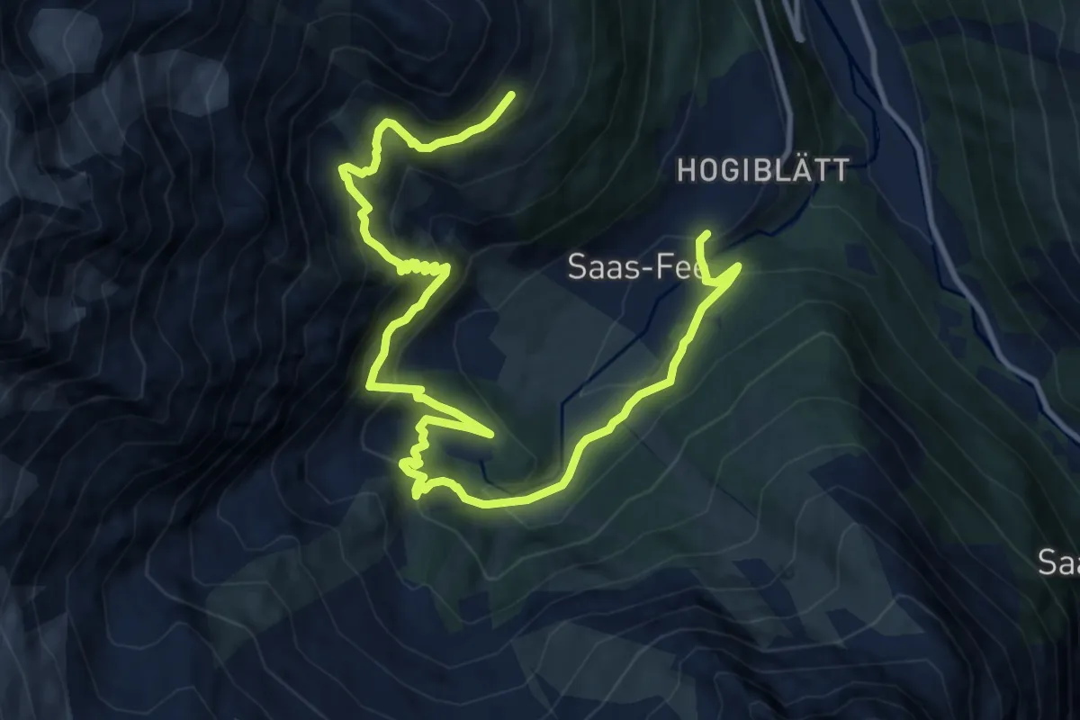
Gemsweg
2.9 km · ↑ 236 m · 1 h 12 min
Demanding · Trail
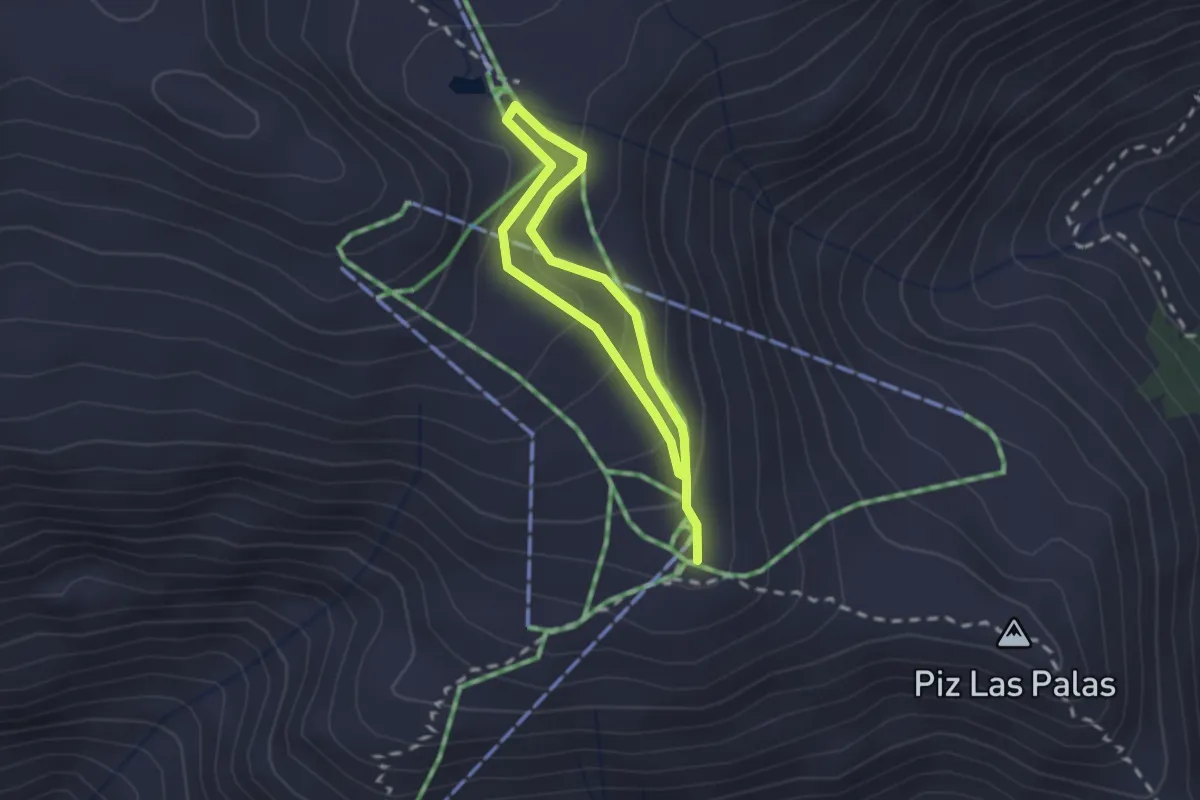
Gemsweg Saas-Fee
15.2 km · ↑ 1112 m · 6 h
Easy · Trail
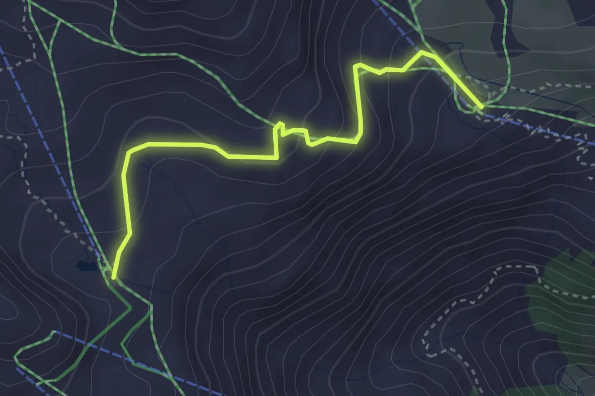
Gendusas Dadens - Cuolm da Vi
1.5 km · ↑ 102 m · 36 min
Easy · Trail
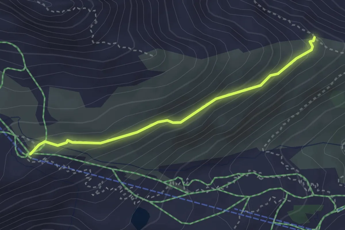
Gendusas - Gendusas Dadens
3.2 km · ↑ 193 m · 1 h 11 min
Medium · Trail
Gendusas - Lag da Tgauns
2.8 km · ↑ 189 m · 1 h 5 min
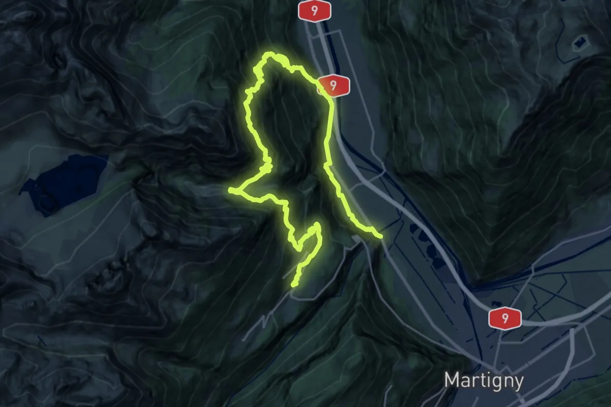
Demanding · Trail
Géoglyphe de Grande Tête
16.6 km · ↑ 1133 m · 6 h 50 min
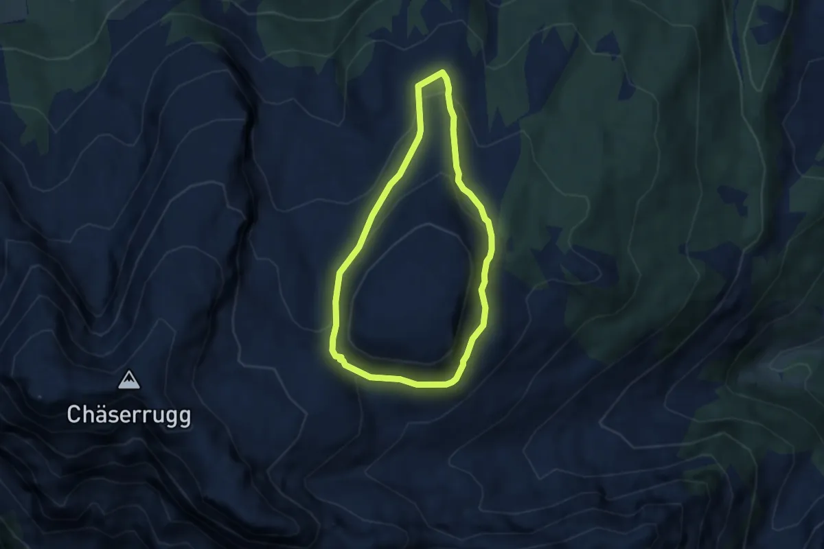
Medium · Trail
Geologischer Rundweg Gamserrugg
5.0 km · ↑ 271 m · 1 h 50 min
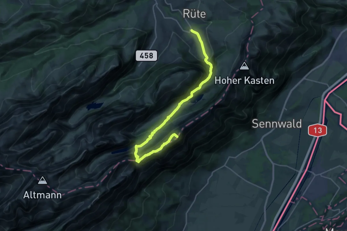
Demanding · Summit
Geologischer Wanderweg Alpstein
21.0 km · ↑ 1453 m · 8 h 6 min
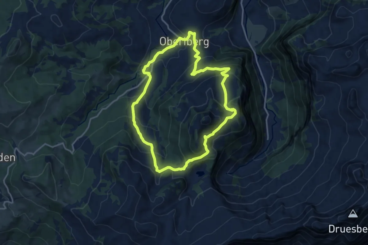
Medium · Summit
Geologischer Wanderweg Roggenstock
10.5 km · ↑ 579 m · 3 h 53 min
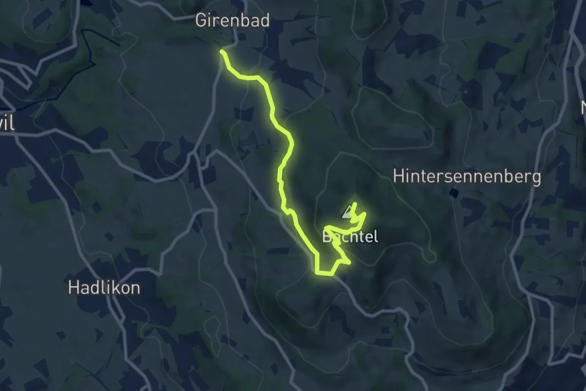
Medium · Summit
Geopfad am Bachtel
8.2 km · ↑ 394 m · 2 h 47 min
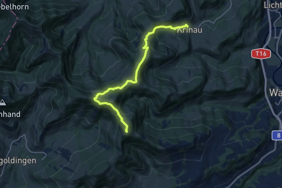
Medium · Summit
Geoweg Atzmännig Chrüzegg Wattwil
12.2 km · ↑ 748 m · 4 h 29 min
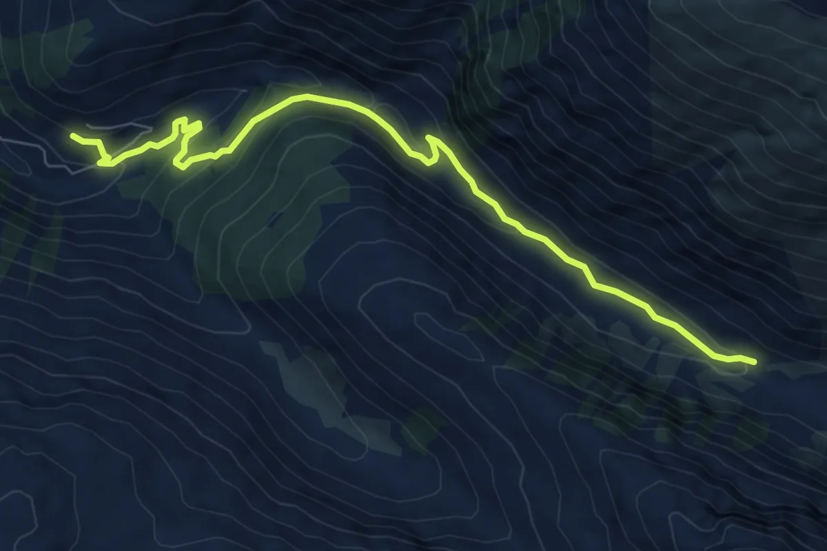
Medium · Trail
Gerewasserweg
8.2 km · ↑ 353 m · 2 h 43 min
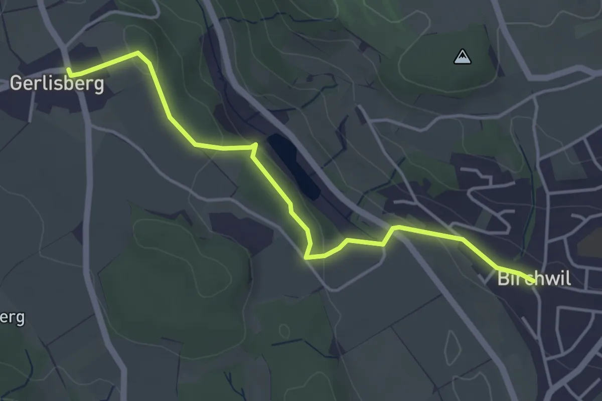
Easy · Trail
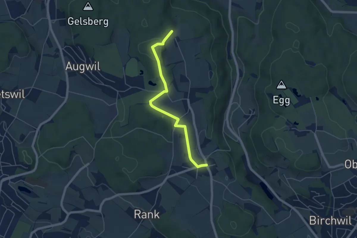
Gerlisberg - Birchwil
4.1 km · ↑ 86 m · 1 h 9 min
Easy · Trail
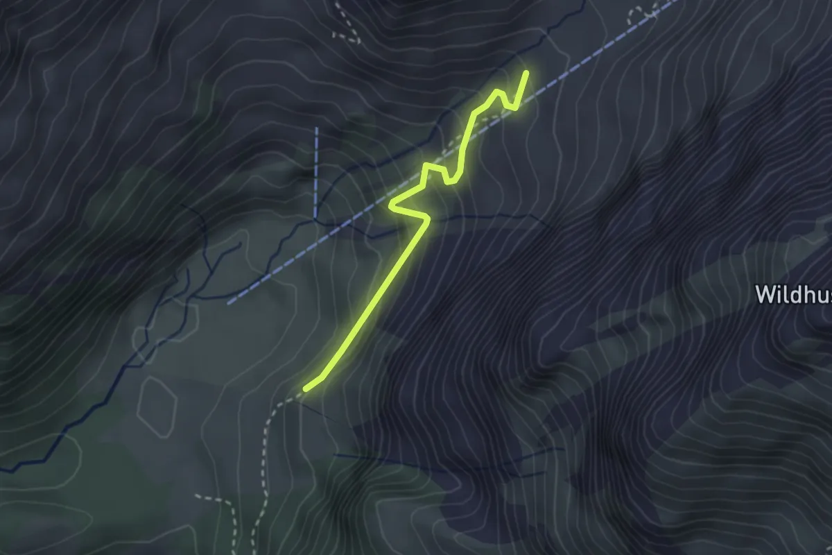
Gerlisberg - Hinterbänikon
4.7 km · ↑ 90 m · 1 h 19 min
Easy · Trail
Gersellen-Langenbüel
2.4 km · ↑ 237 m · 1 h 5 min
Easy · Trail
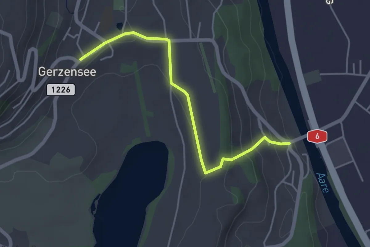
Gerzensee - Thalgutbrücke
3.9 km · ↑ 130 m · 1 h 12 min
Easy · Trail
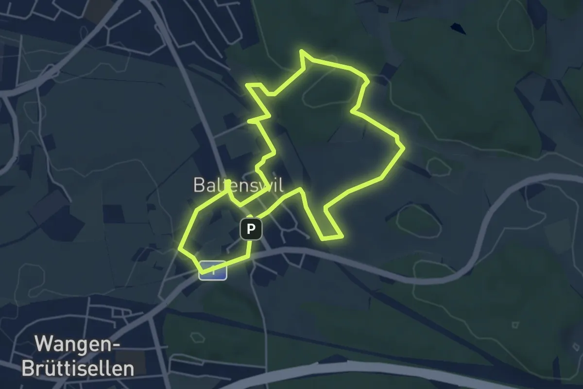
geschichtspfad baltenswil
4.6 km · ↑ 56 m · 1 h 16 min