Trails in Switzerland
15,029 hiking trails, each with its route, climb, walking time and grade.
All trails, page 40 of 314
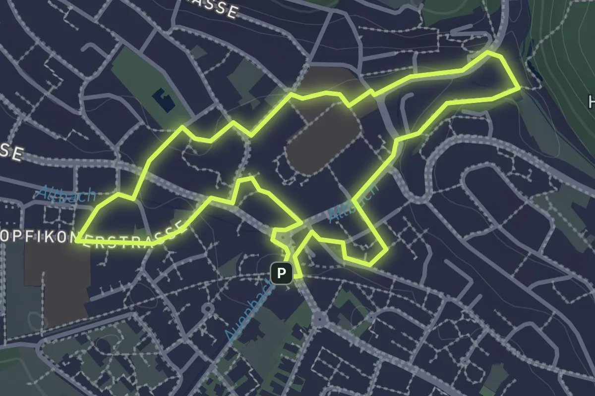
Easy · Trail
geschichtspfad bassersdorf
3.0 km · ↑ 35 m · 49 min
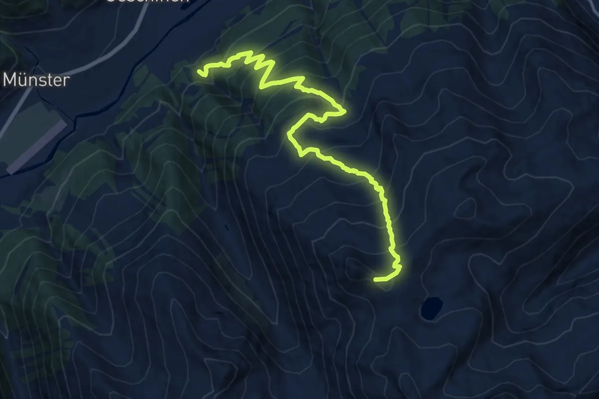
Expert · Trail
Geschinen - Brudelhorn
13.7 km · ↑ 1305 m · 6 h 4 min
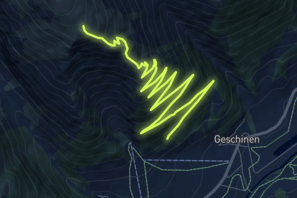
Demanding · Trail
Geschinen - Galehitte
13.2 km · ↑ 1106 m · 5 h 30 min
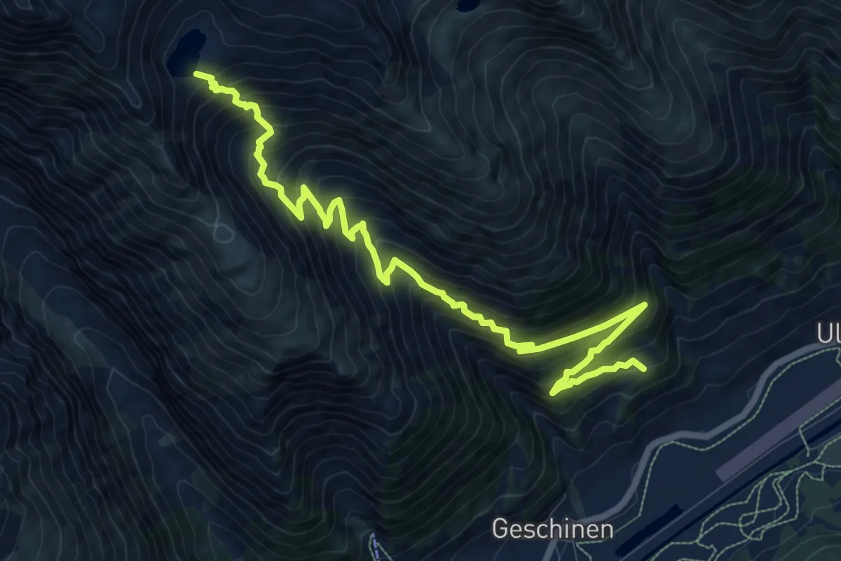
Demanding · Trail
Geschinen - Trützisee
13.0 km · ↑ 1197 m · 5 h 39 min
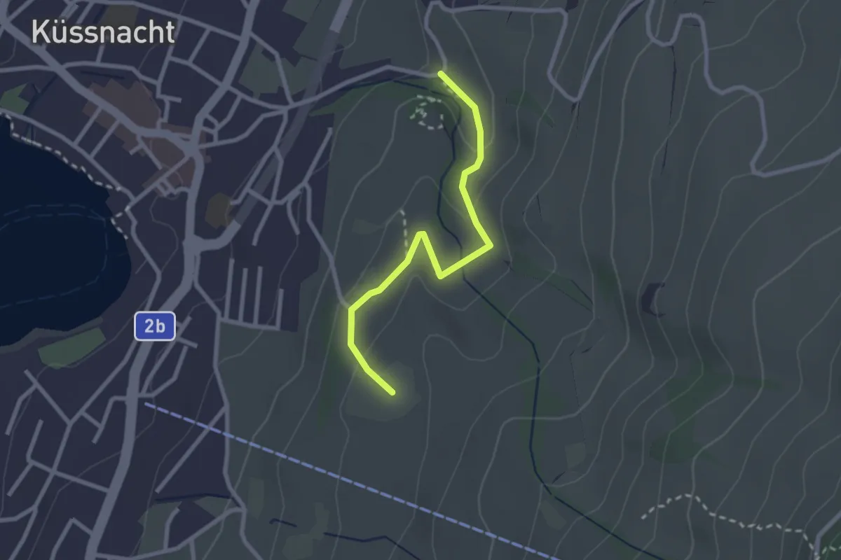
Easy · Trail
Gesslerber-Alpenhof
2.4 km · ↑ 89 m · 45 min
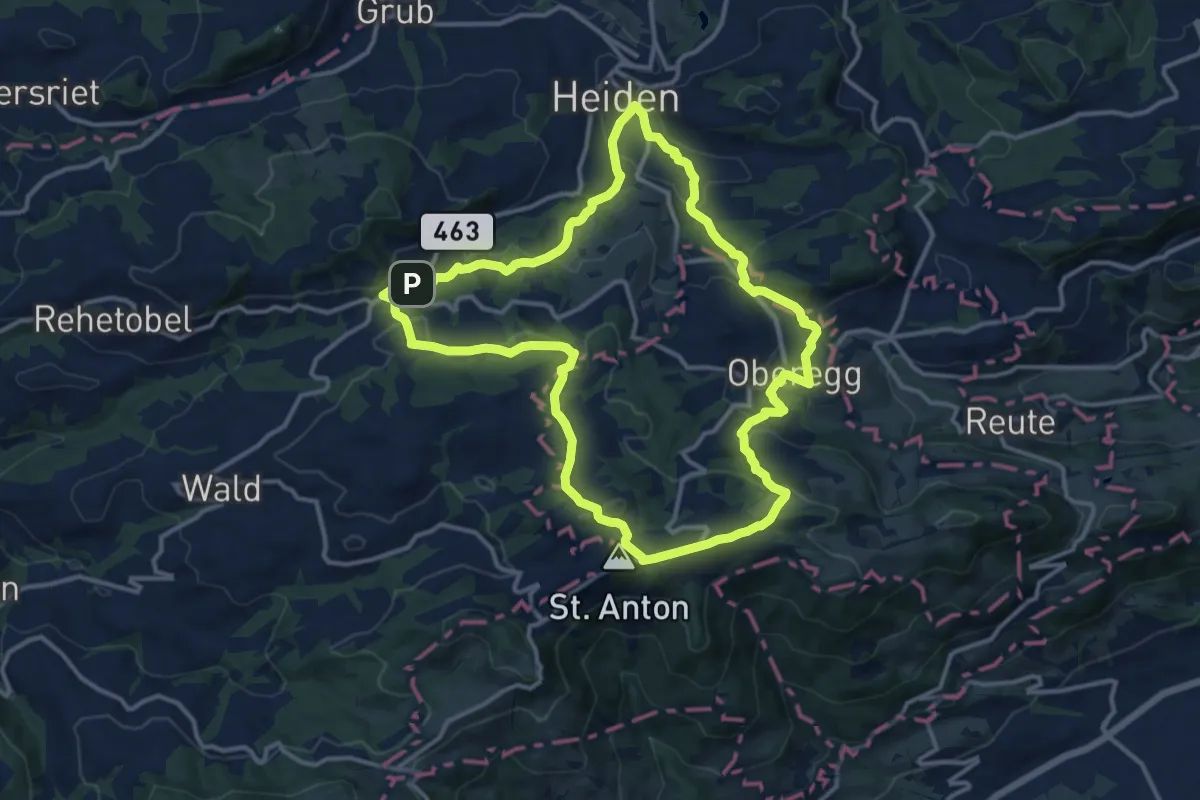
Medium · Summit
Gesundheitsweg
12.8 km · ↑ 390 m · 4 h 2 min
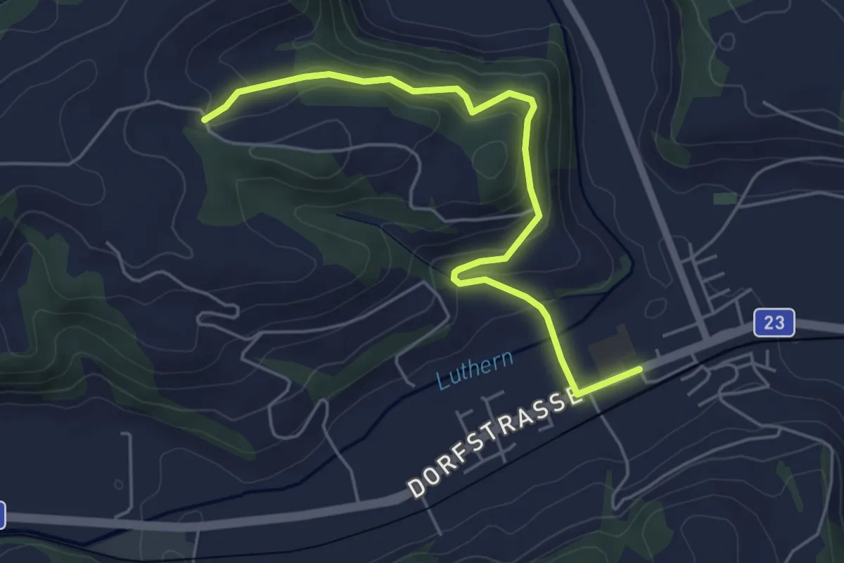
Easy · Trail
Gettnau - Guggi - Hällerhof
5.1 km · ↑ 228 m · 1 h 42 min
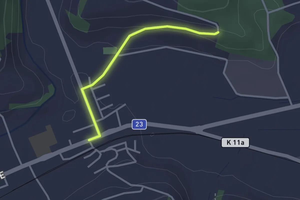
Easy · Trail
Gettnau - Punkt 568
2.3 km · ↑ 41 m · 38 min
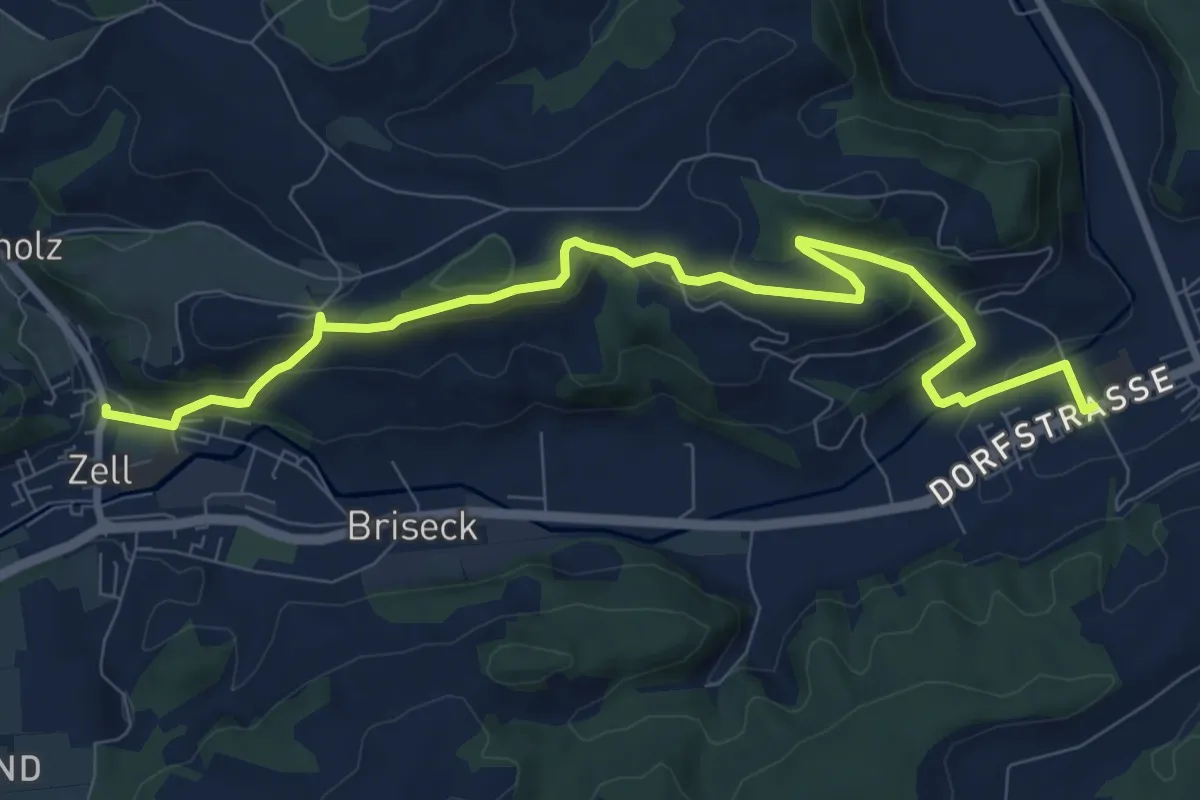
Medium · Trail
Gettnau - Zell
10.1 km · ↑ 374 m · 3 h 12 min
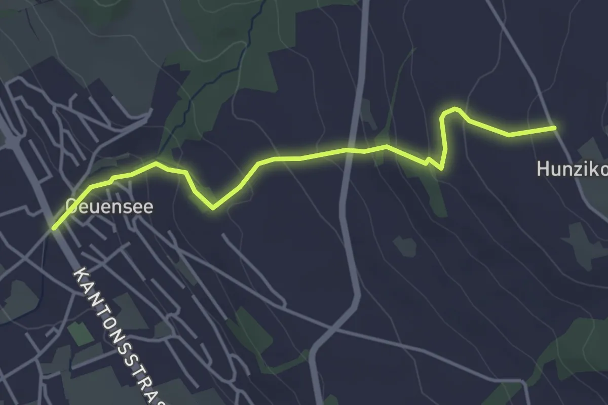
Easy · Trail
Geuensee- Hunzikon
3.8 km · ↑ 215 m · 1 h 21 min
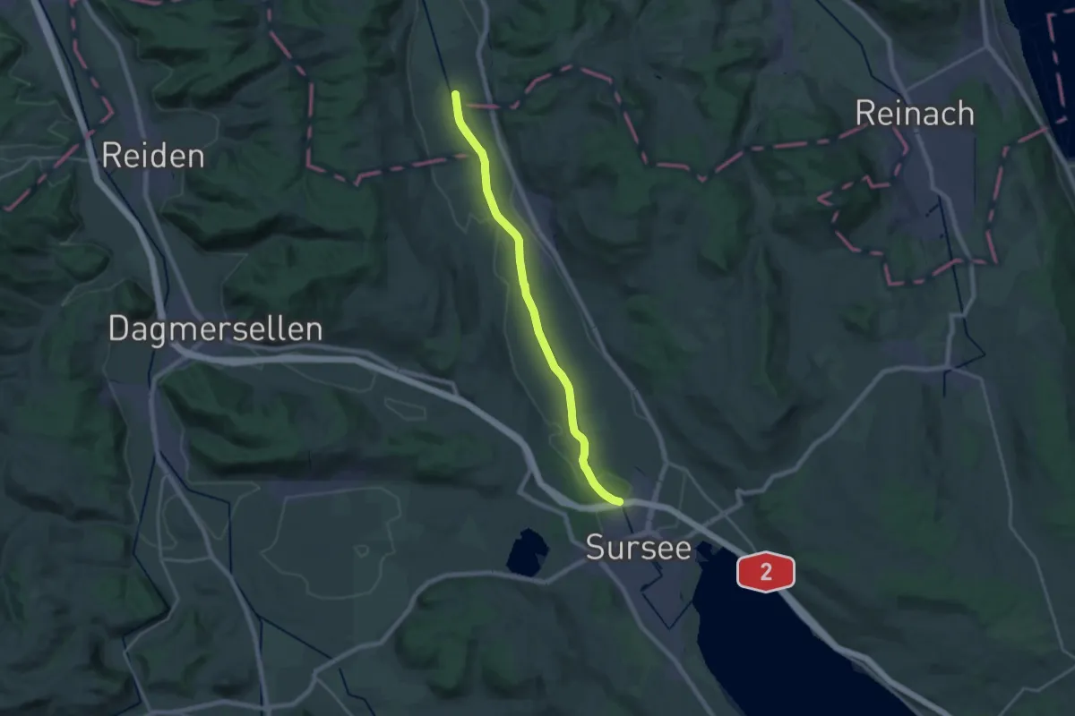
Demanding · Trail
Geuensee- Suhrenuferweg
19.1 km · ↑ 48 m · 4 h 37 min
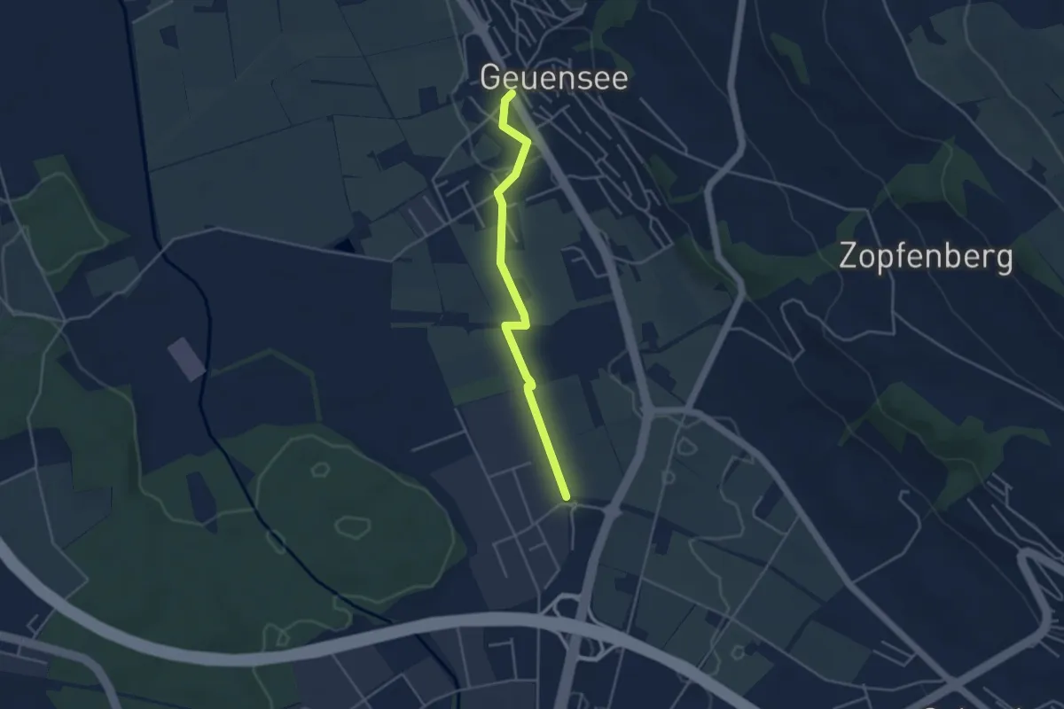
Easy · Trail
Geuensee - Sursee
3.7 km · ↑ 22 m · 55 min
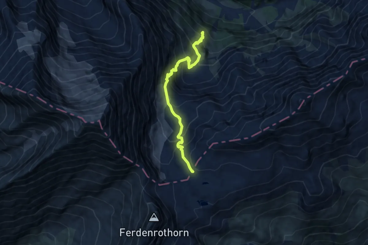
Demanding · Cabin
Gfelalp - Lötschenpass
8.5 km · ↑ 901 m · 3 h 58 min
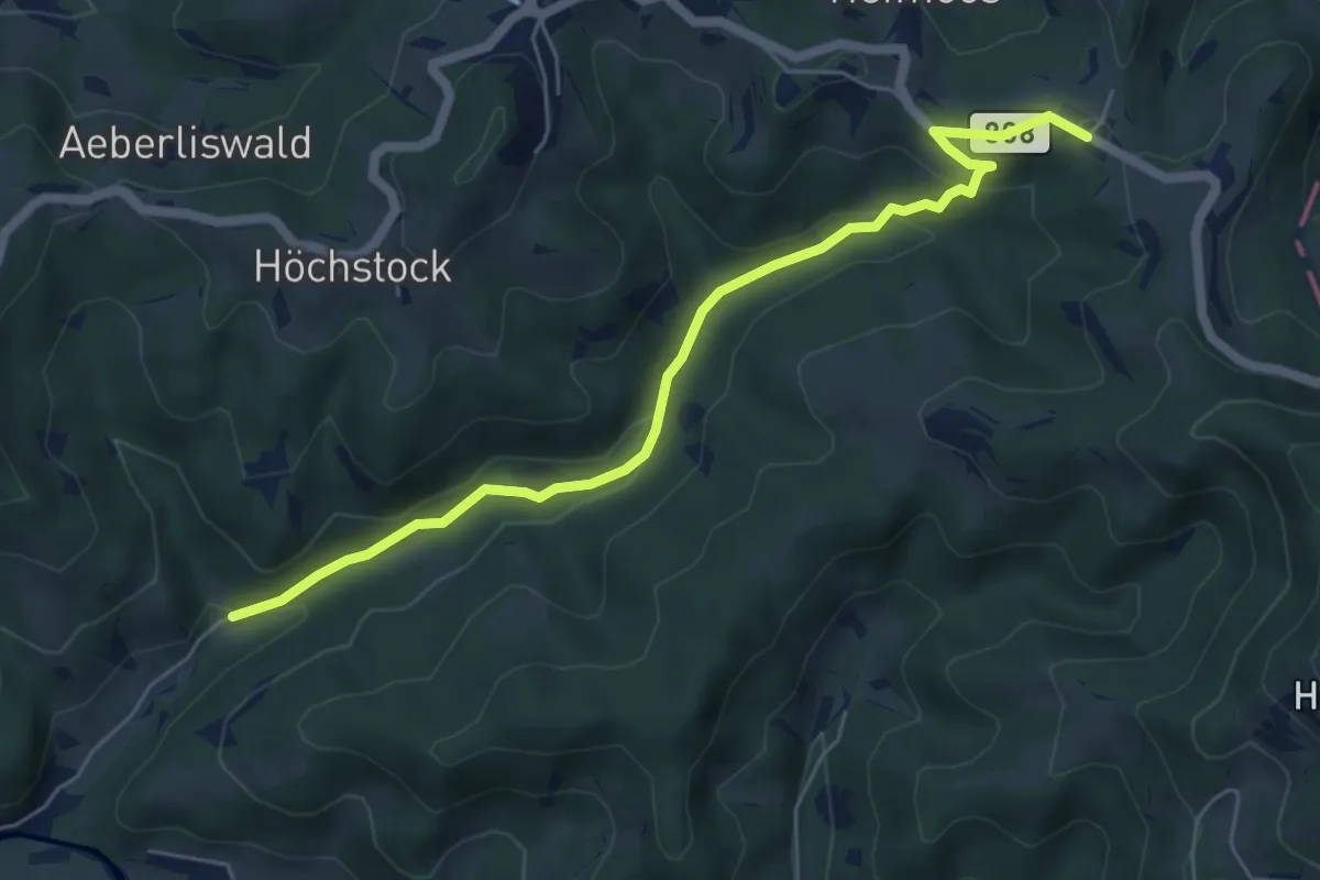
Easy · Trail
Gfell - Akau
5.9 km · ↑ 199 m · 1 h 49 min
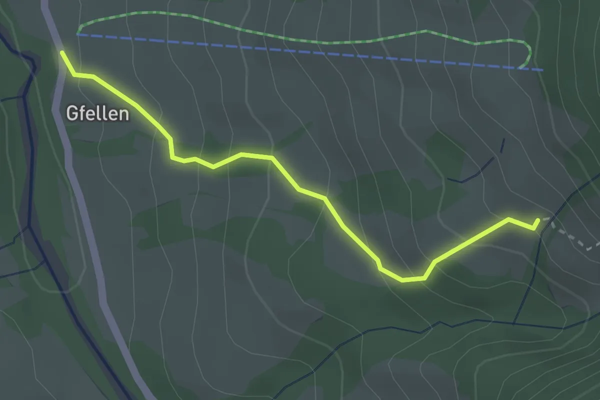
Medium · Trail
Gfellen - Mittlist Hütten
2.7 km · ↑ 219 m · 1 h 7 min
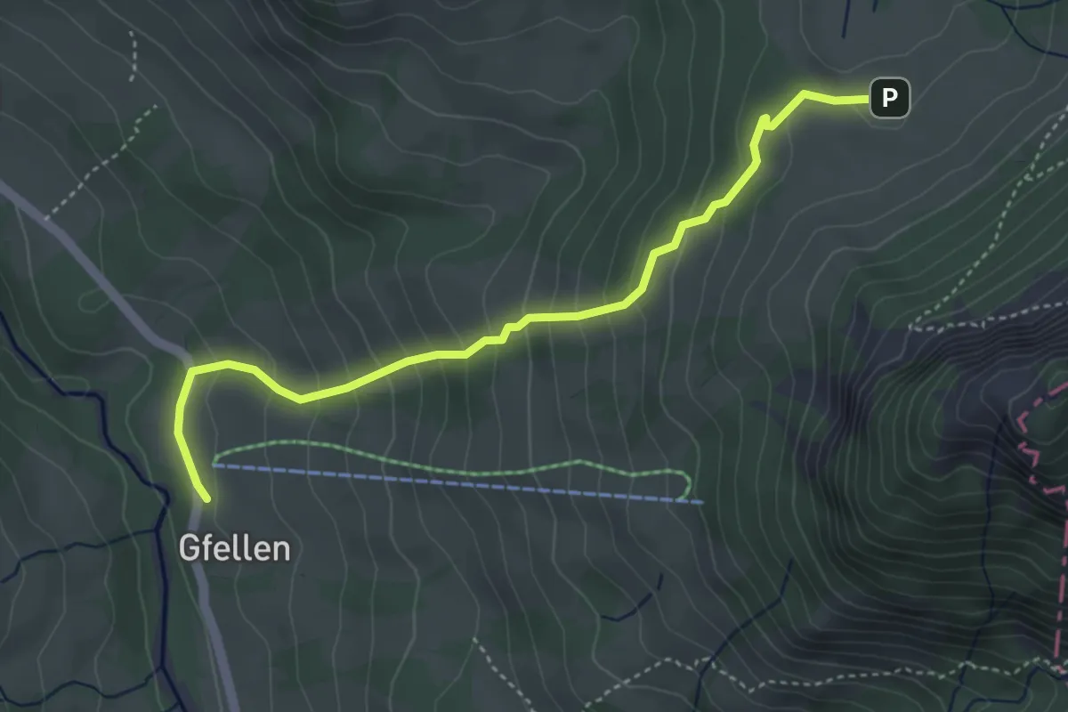
Medium · Trail
Gfellen - Risete
4.3 km · ↑ 327 m · 1 h 43 min
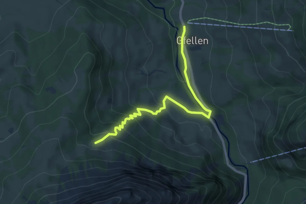
Easy · Trail
Gfellen - Unter Stettili
5.5 km · ↑ 313 m · 1 h 58 min
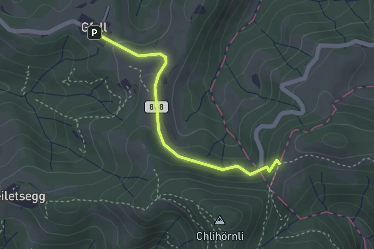
Easy · Trail
Gfell - Silberbüel
2.7 km · ↑ 96 m · 50 min
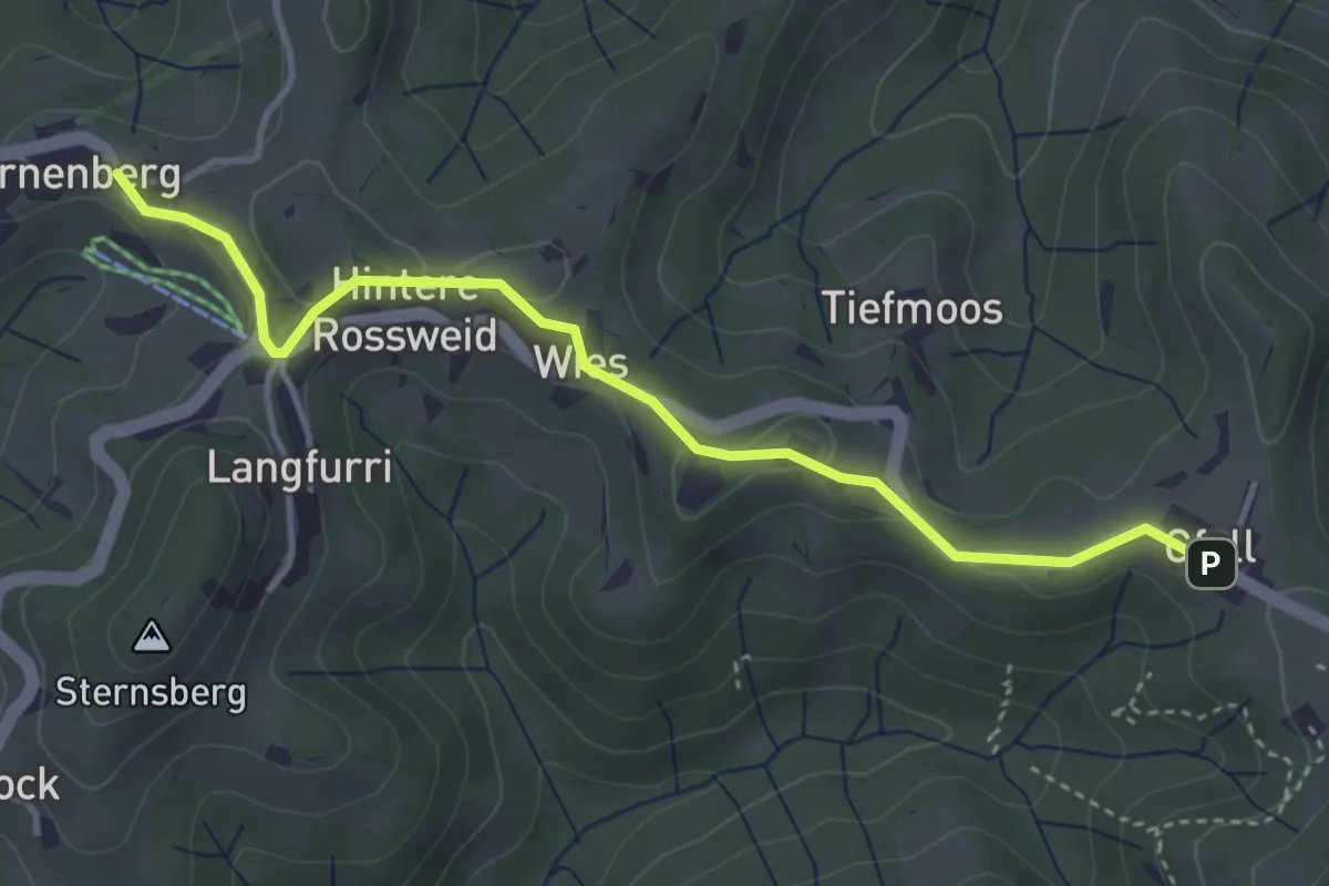
Easy · Trail
Gfell - Sternenberg
3.9 km · ↑ 102 m · 1 h 8 min
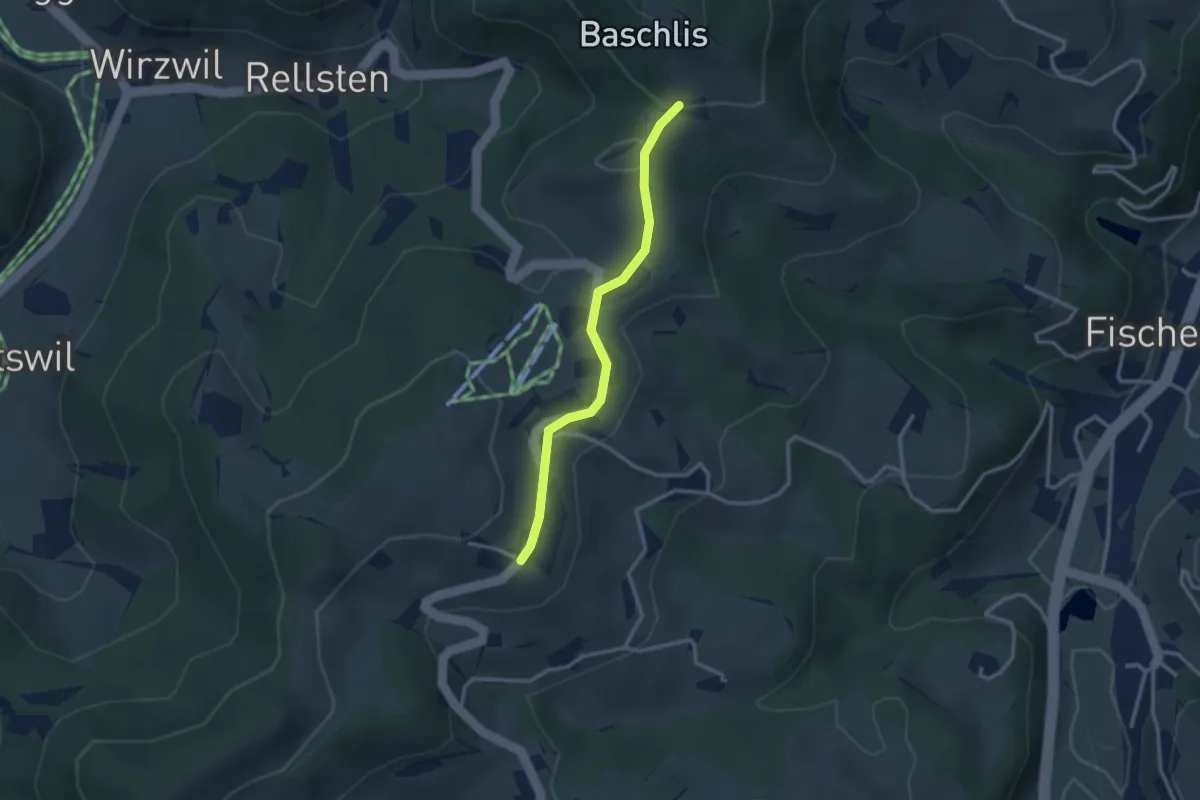
Easy · Trail
Ghöchweid - Fehrenwaltsberg
2.6 km · ↑ 62 m · 45 min
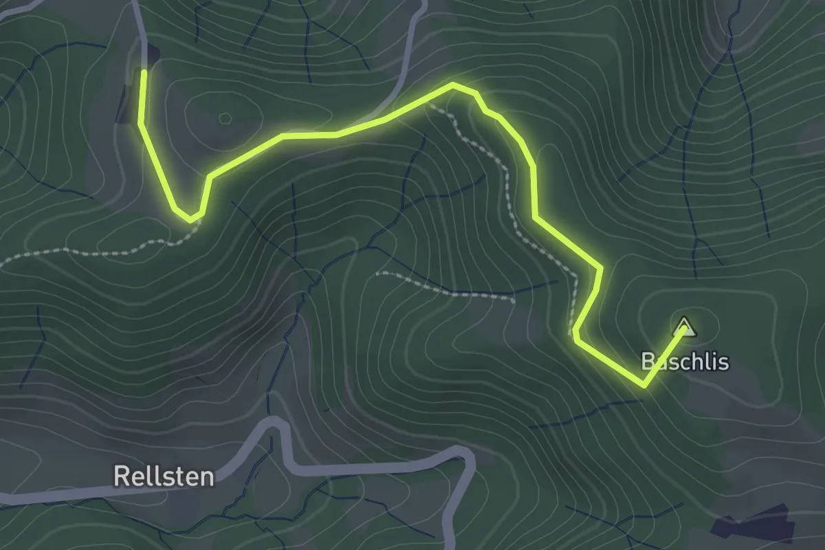
Easy · Summit
Ghöchweid - Sunnenhof
2.9 km · ↑ 139 m · 1 h
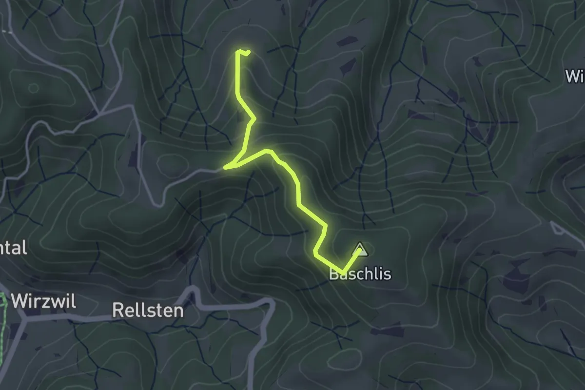
Easy · Summit
Ghöchweid - Unterlaupetswil - fixme
2.9 km · ↑ 185 m · 1 h 5 min
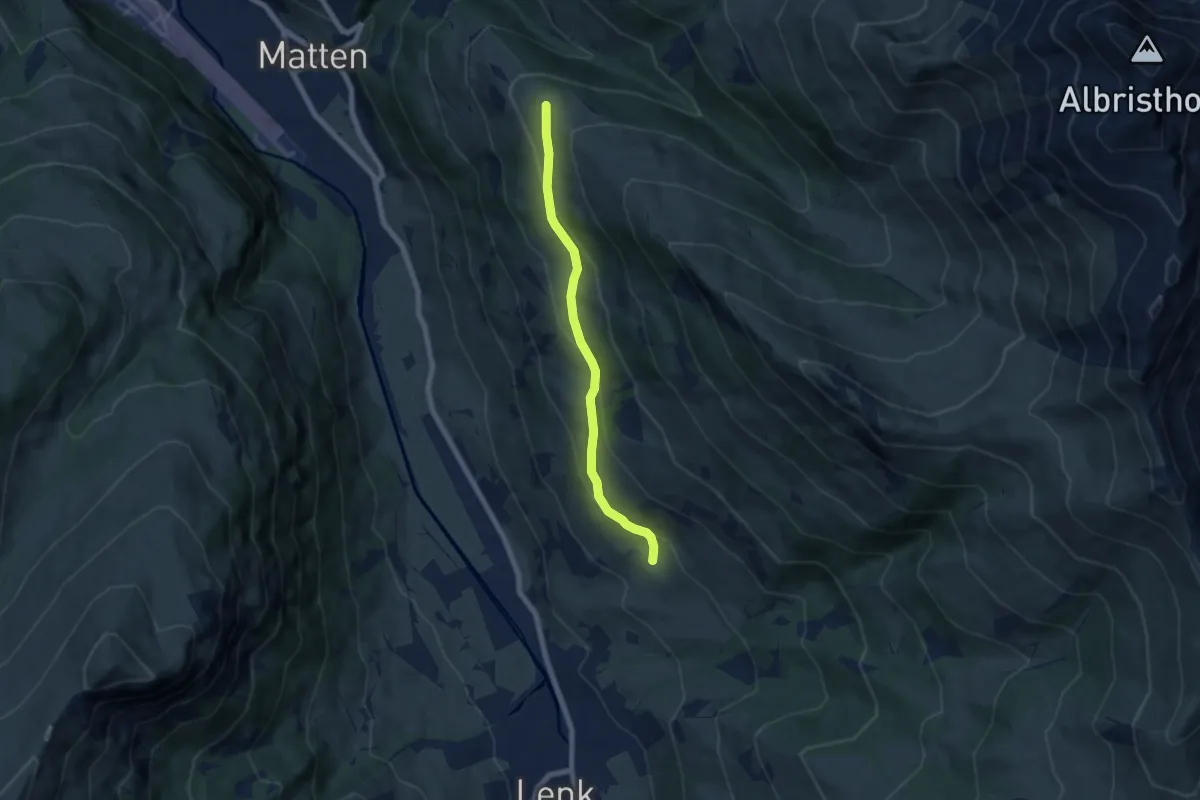
Easy · Trail
Gibel - Gütsch
6.2 km · ↑ 288 m · 2 h 5 min
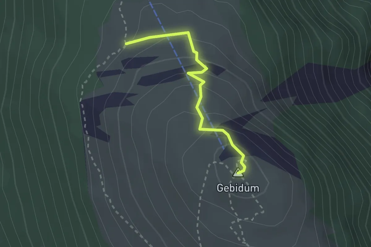
Medium · Summit
Gibidumpass - Gibidumsee
2.0 km · ↑ 138 m · 46 min
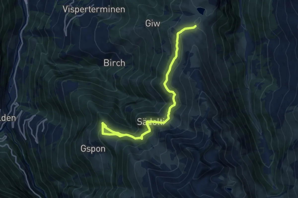
Medium · Trail
Gibidumpass - Gspon
13.3 km · ↑ 621 m · 4 h 29 min
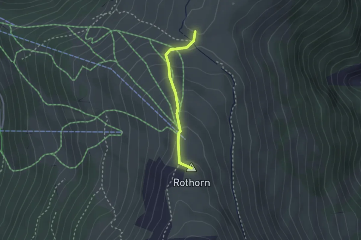
Demanding · Summit
Gibidumpass - Rothorn
1.9 km · ↑ 117 m · 42 min
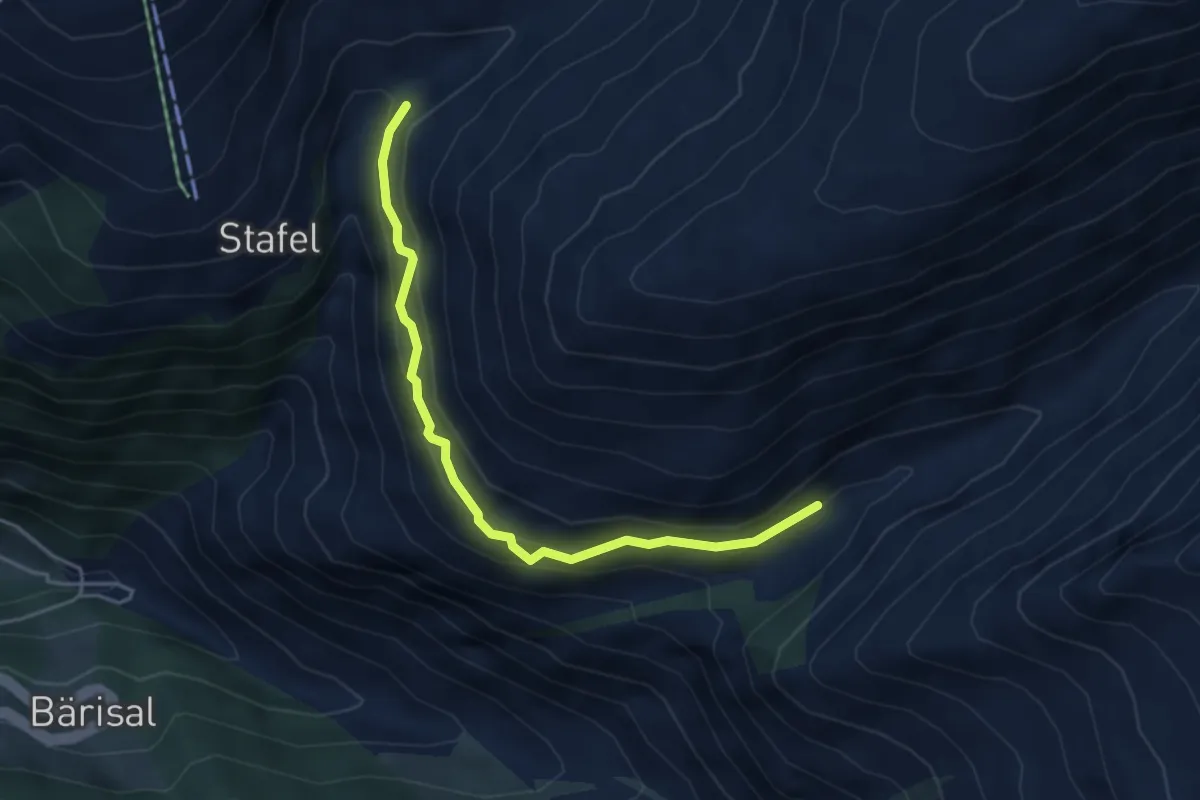
Medium · Trail
Gibjeriweg
4.3 km · ↑ 313 m · 1 h 42 min
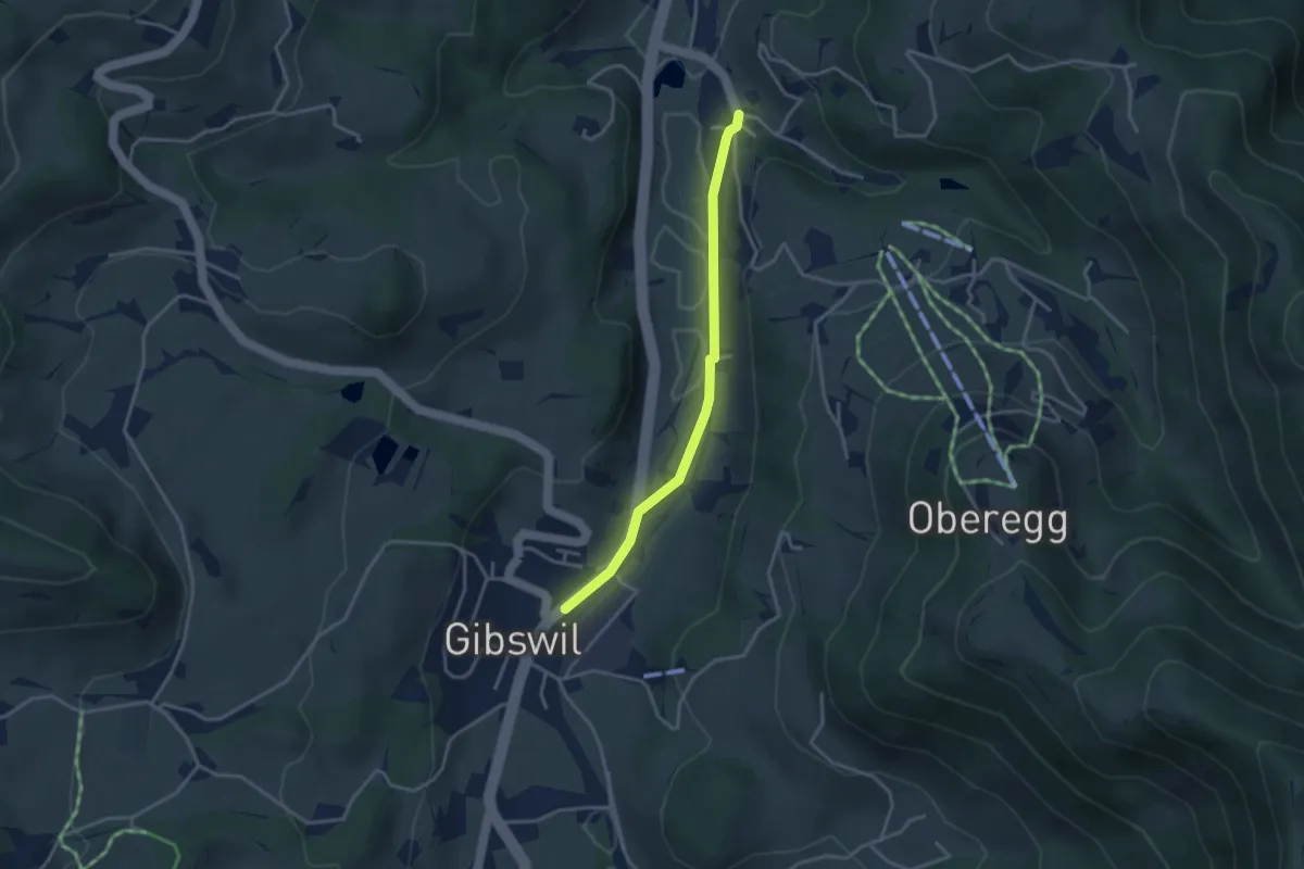
Easy · Trail
Gibswil - Fistel
3.1 km · ↑ 23 m · 47 min
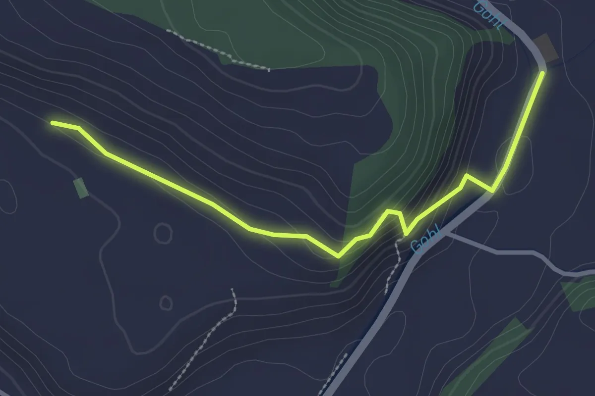
Easy · Trail
Giebel - Chammershus
2.8 km · ↑ 87 m · 50 min
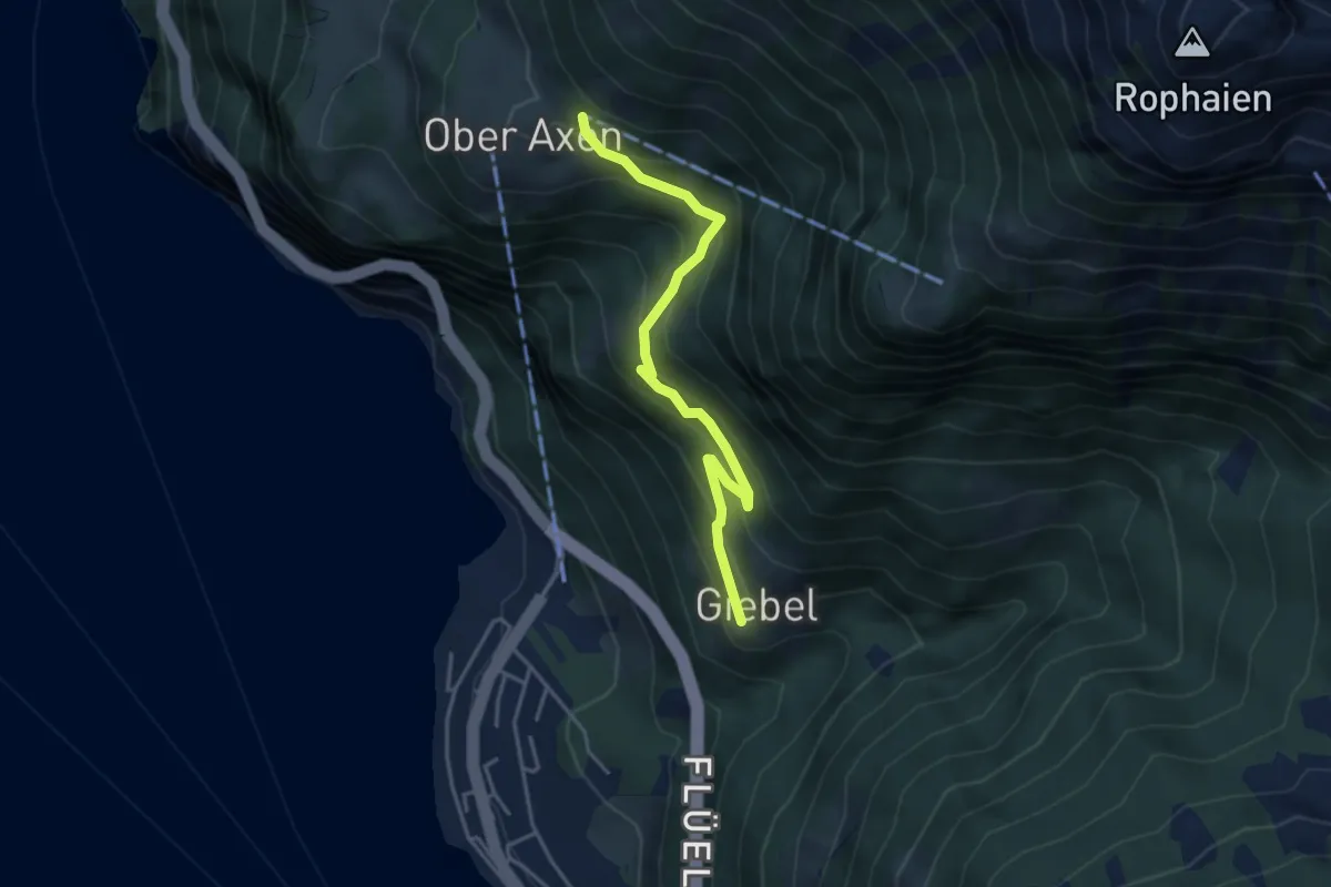
Medium · Trail
Giebel-Oberaxen
4.0 km · ↑ 349 m · 1 h 42 min
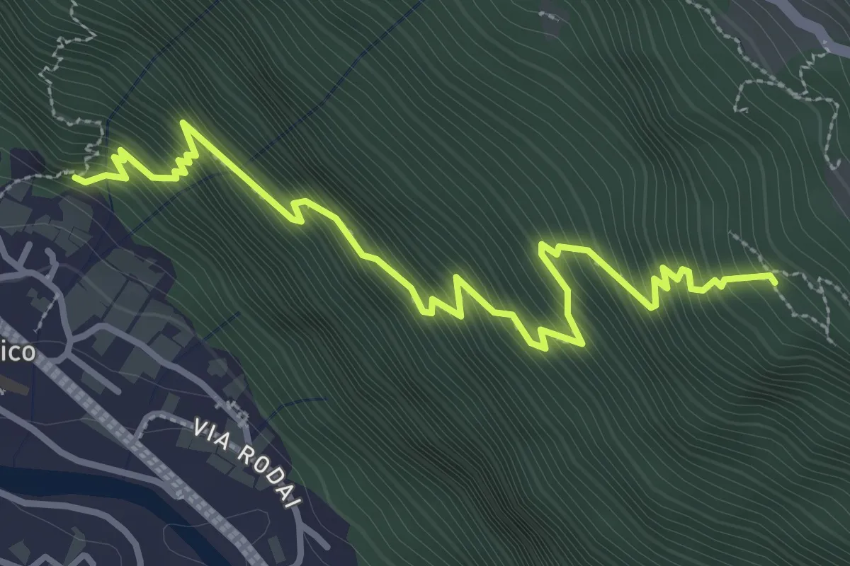
Medium · Trail
Giornico Ost
3.9 km · ↑ 539 m · 2 h 5 min
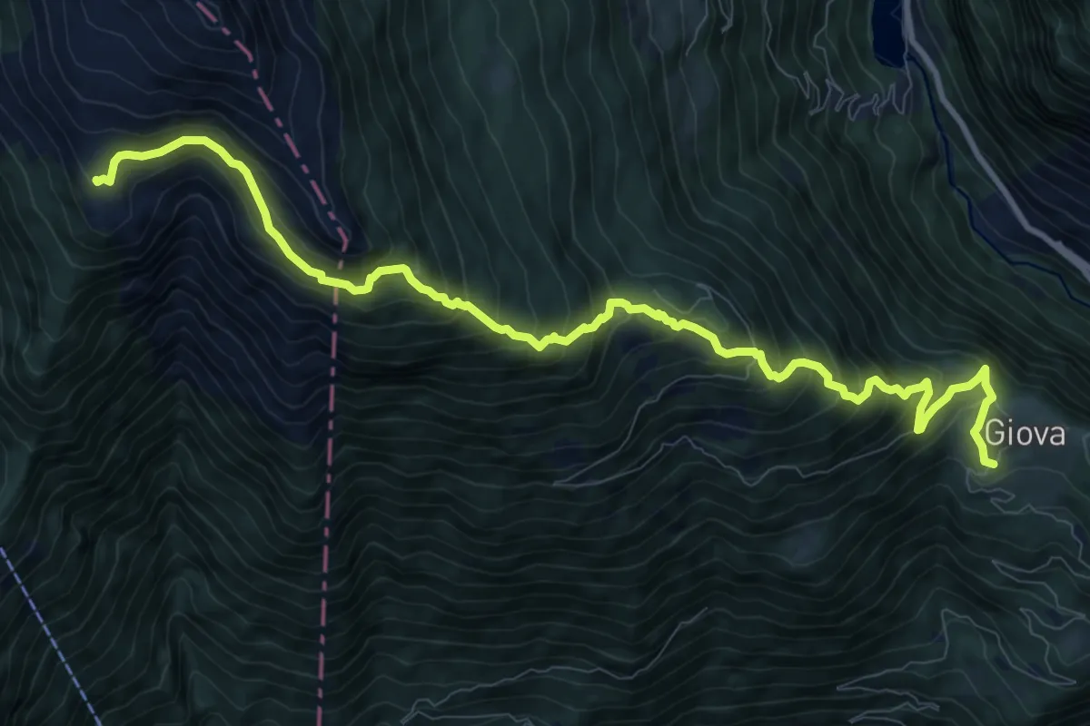
Demanding · Cabin
Giova Capanna Brogoldone
12.0 km · ↑ 1130 m · 5 h 17 min
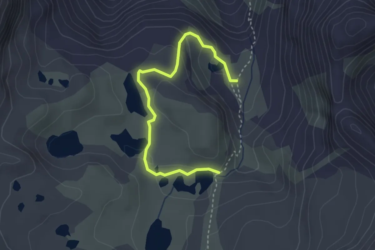
Medium · Trail
Gir dals Lais
3.3 km · ↑ 118 m · 1 h 1 min
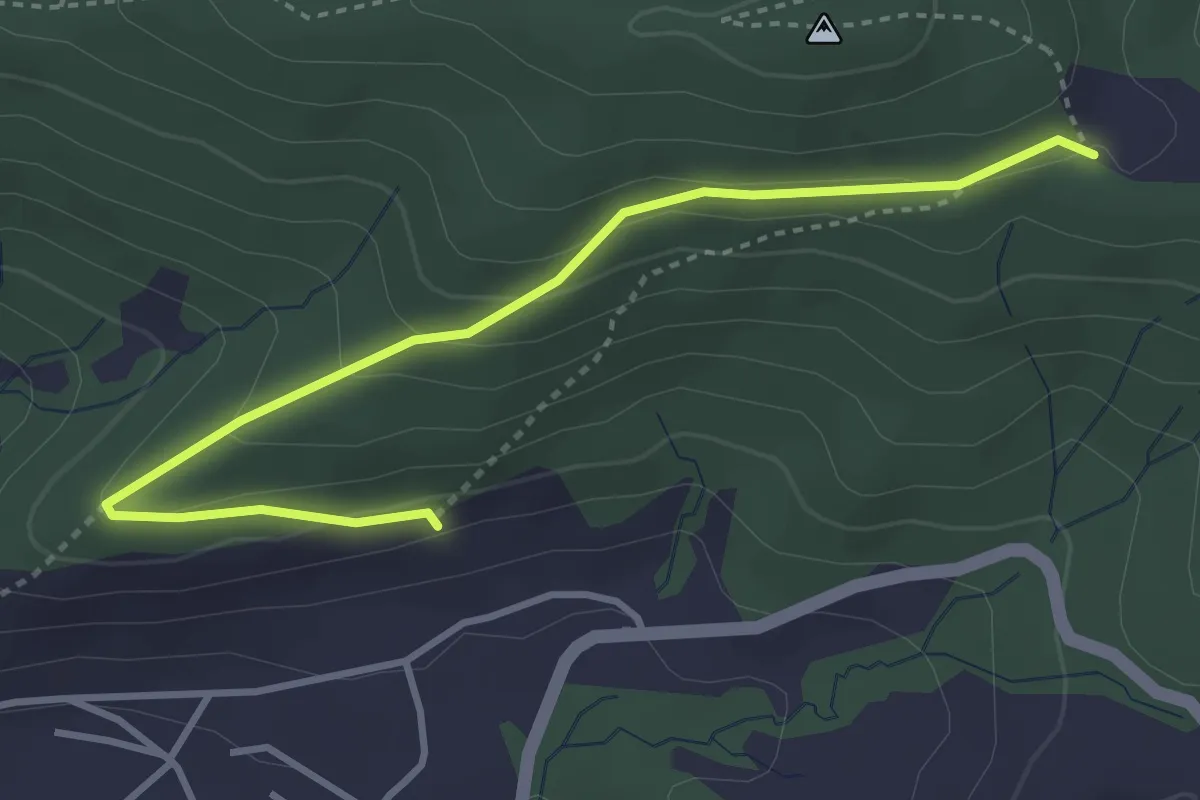
Easy · Trail
Gireggwald - Abschwändi
3.8 km · ↑ 159 m · 1 h 15 min
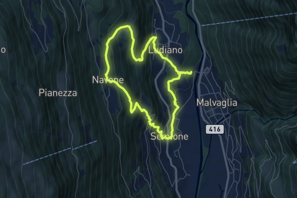
Medium · Trail
Giro del Castello di Serravalle
5.7 km · ↑ 433 m · 2 h 22 min
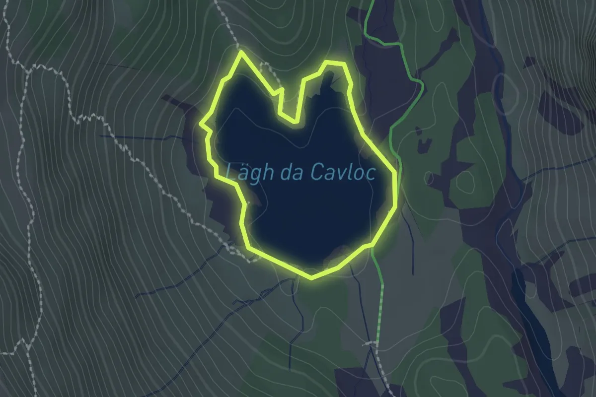
Medium · Trail
Giro del Lago
1.7 km · ↑ 29 m · 29 min
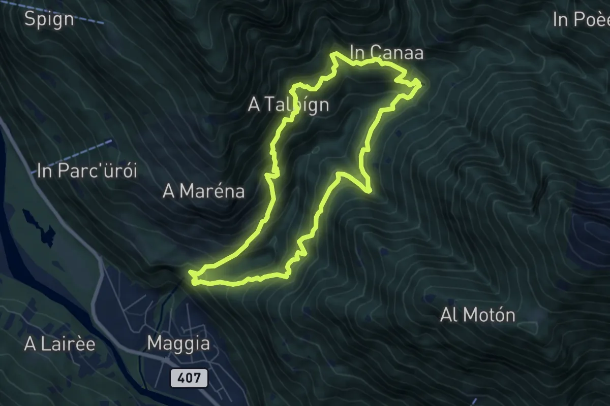
Demanding · Trail
Giro della Valle del Salto
6.7 km · ↑ 818 m · 3 h 27 min
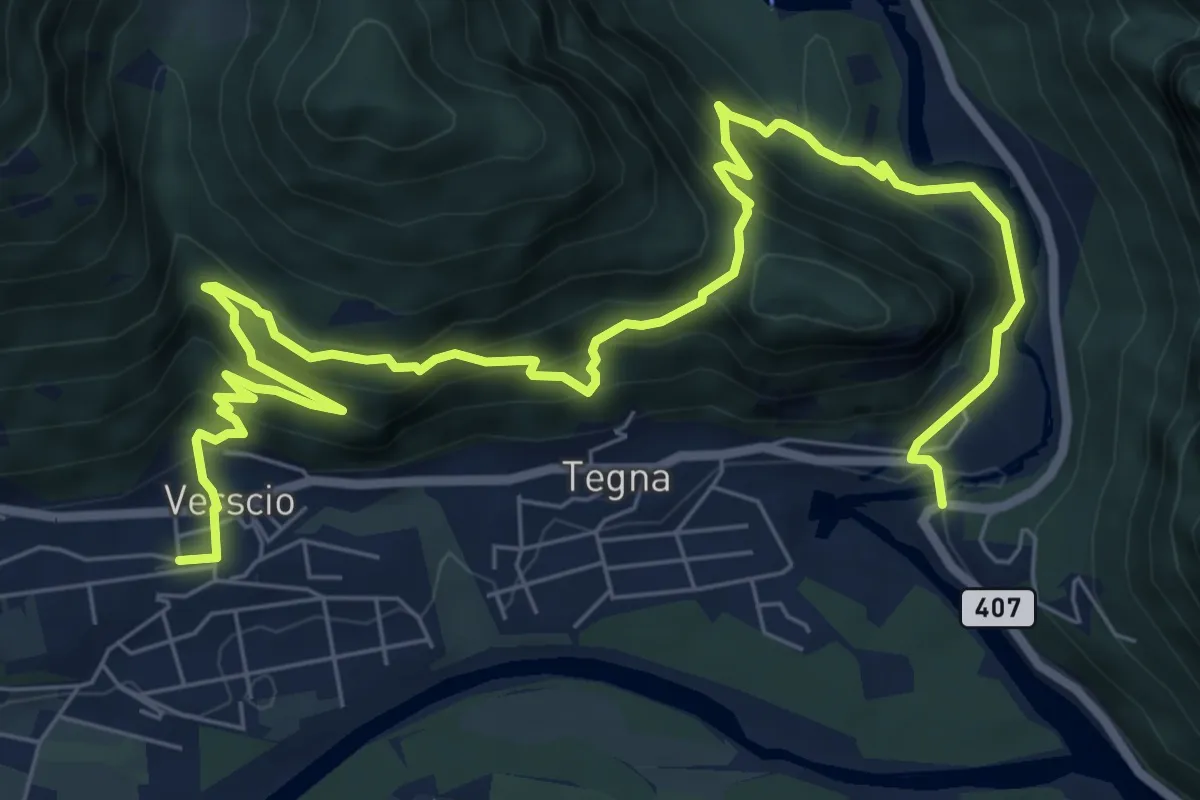
Demanding · Trail
Giro delle Rovine del Castelliere
10.8 km · ↑ 828 m · 4 h 21 min
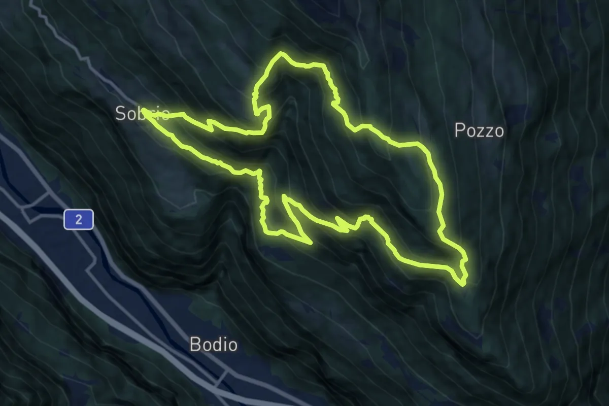
Demanding · Trail
Giro delle Tre Valli
11.7 km · ↑ 1088 m · 5 h 17 min
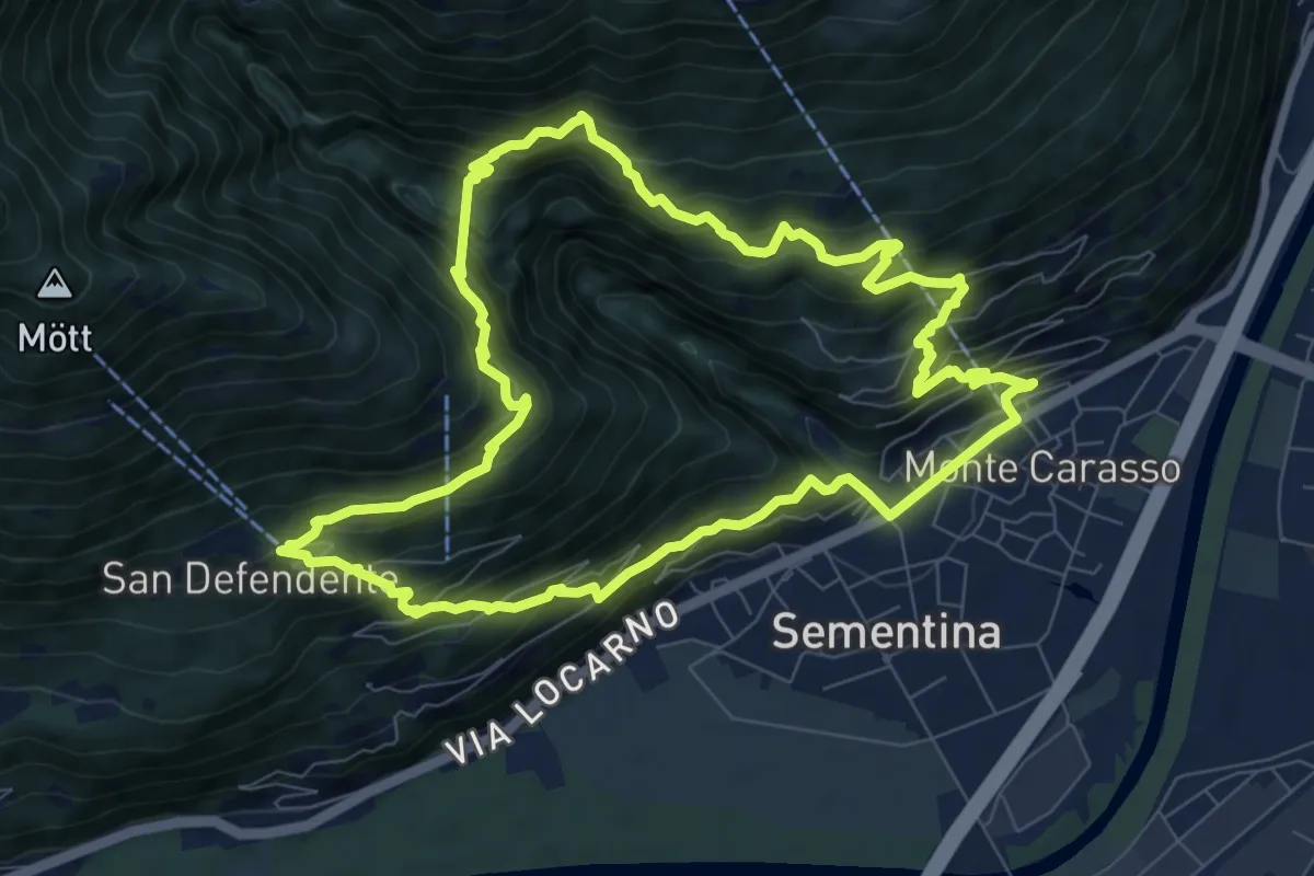
Medium · Trail
Giro del ponte tibetano
8.8 km · ↑ 781 m · 3 h 54 min
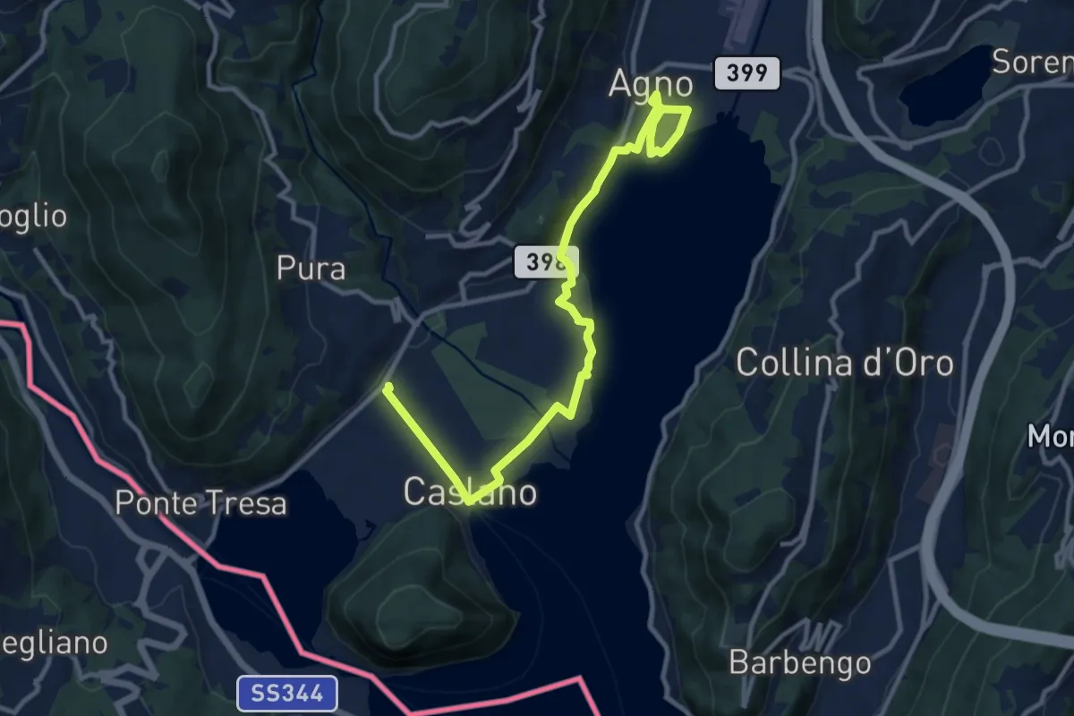
Easy · Trail
Giro lungolago Agno–Caslano
6.2 km · ↑ 23 m · 1 h 36 min
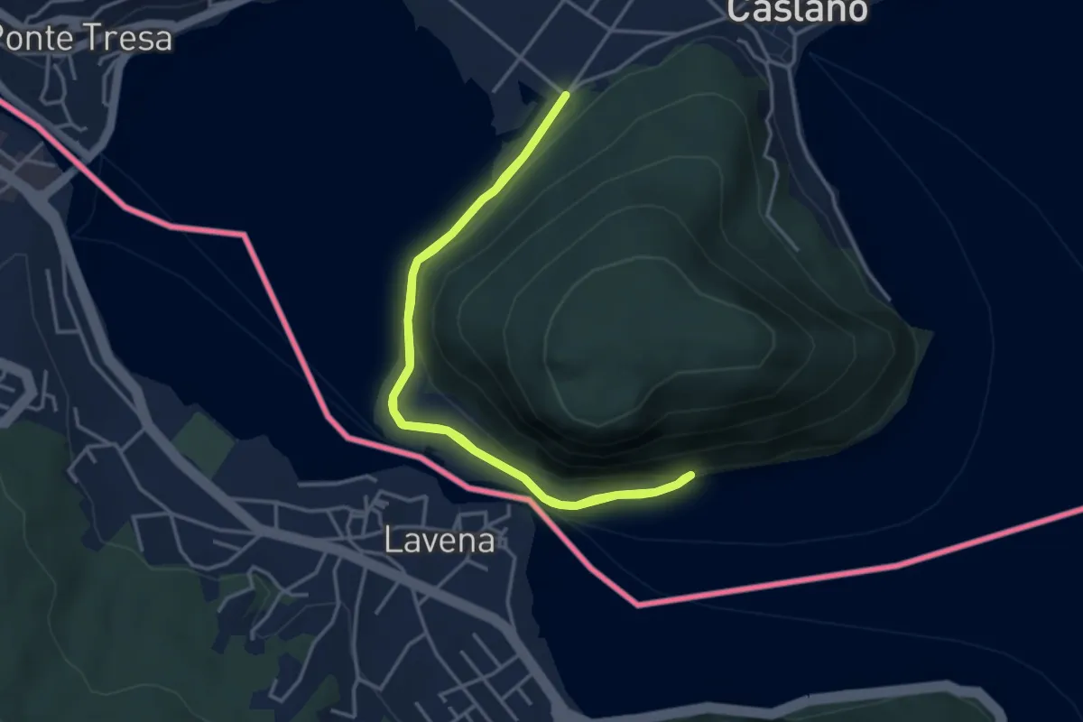
Easy · Trail
Giro lungolago atorno al monte Caslano
3.8 km · ↑ 58 m · 1 h 4 min
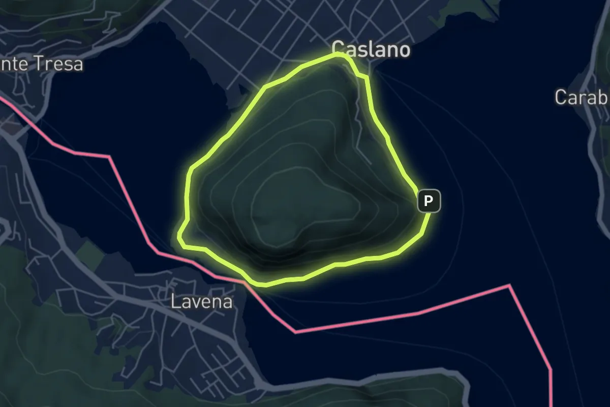
Easy · Trail
Giro/Tour Monte Caslano
4.2 km · ↑ 89 m · 1 h 15 min
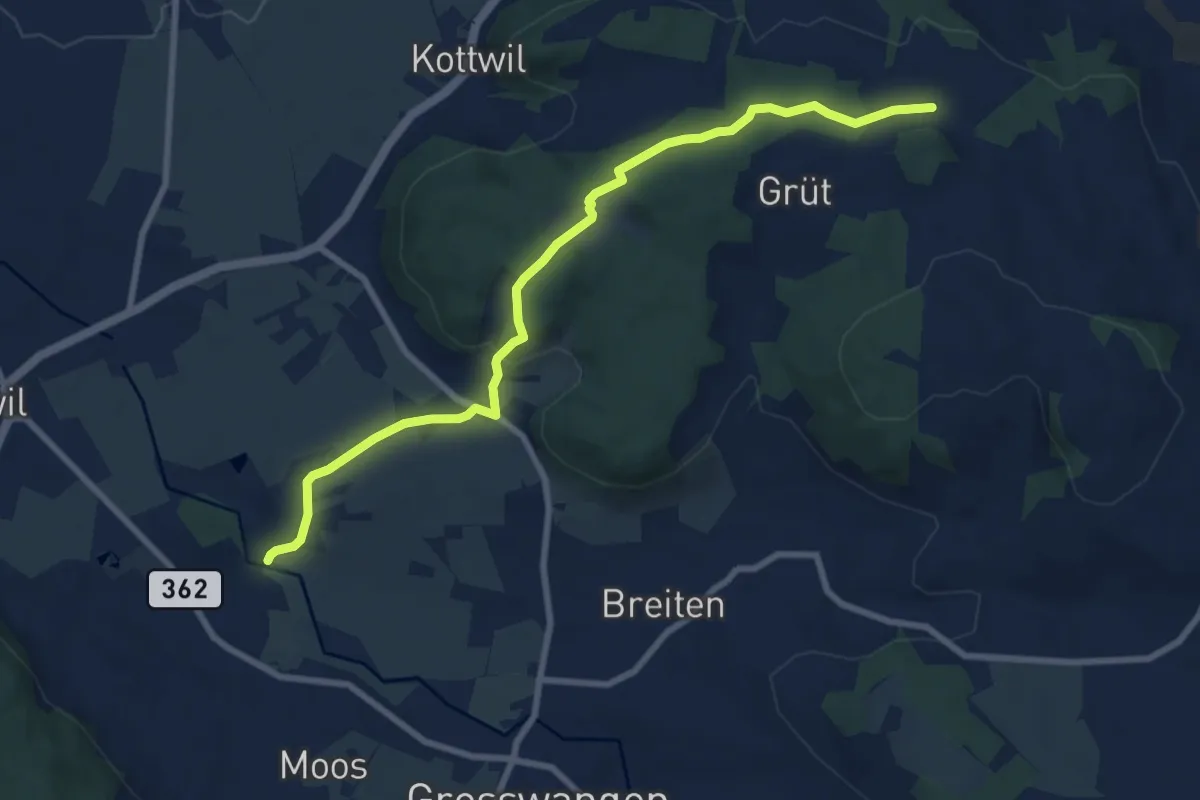
Medium · Trail
Gishubel - Berghof
8.7 km · ↑ 208 m · 2 h 31 min
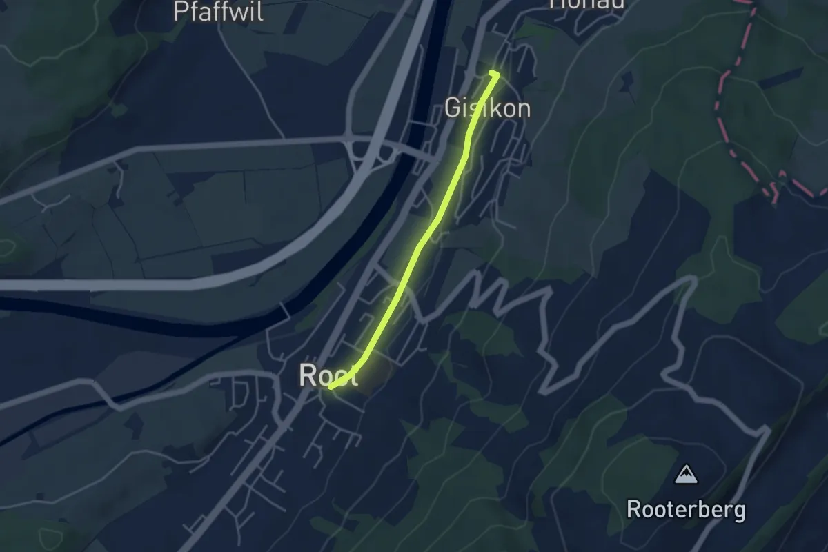
Easy · Trail
Gisikon - Root
3.3 km · ↑ 28 m · 51 min
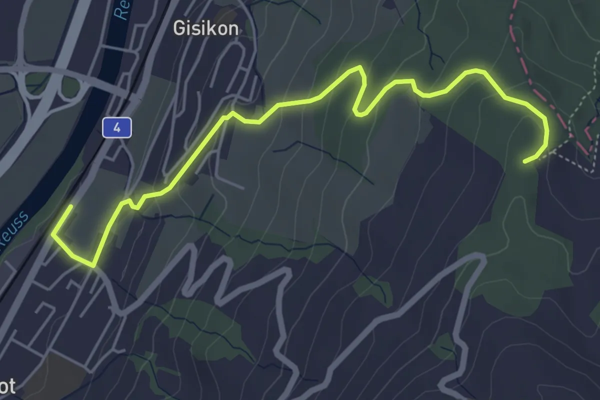
Easy · Trail
Gisikon Root - Mittler Sonderi
5.5 km · ↑ 258 m · 1 h 51 min
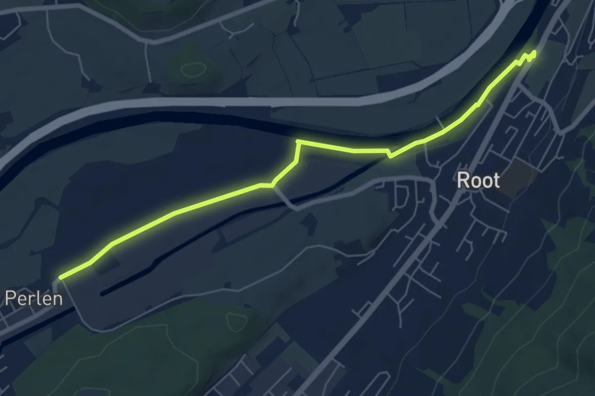
Easy · Trail
Gisikon Root - Perlen
6.1 km · ↑ 12 m · 1 h 28 min
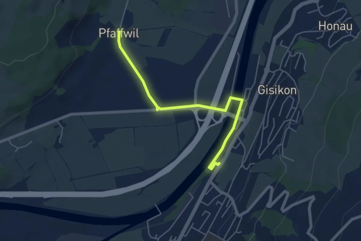
Easy · Trail
Gisikon-Root - Pfaffwil
4.3 km · ↑ 10 m · 1 h 2 min