Trails in Switzerland
15,029 hiking trails, each with its route, climb, walking time and grade.
All trails, page 41 of 314
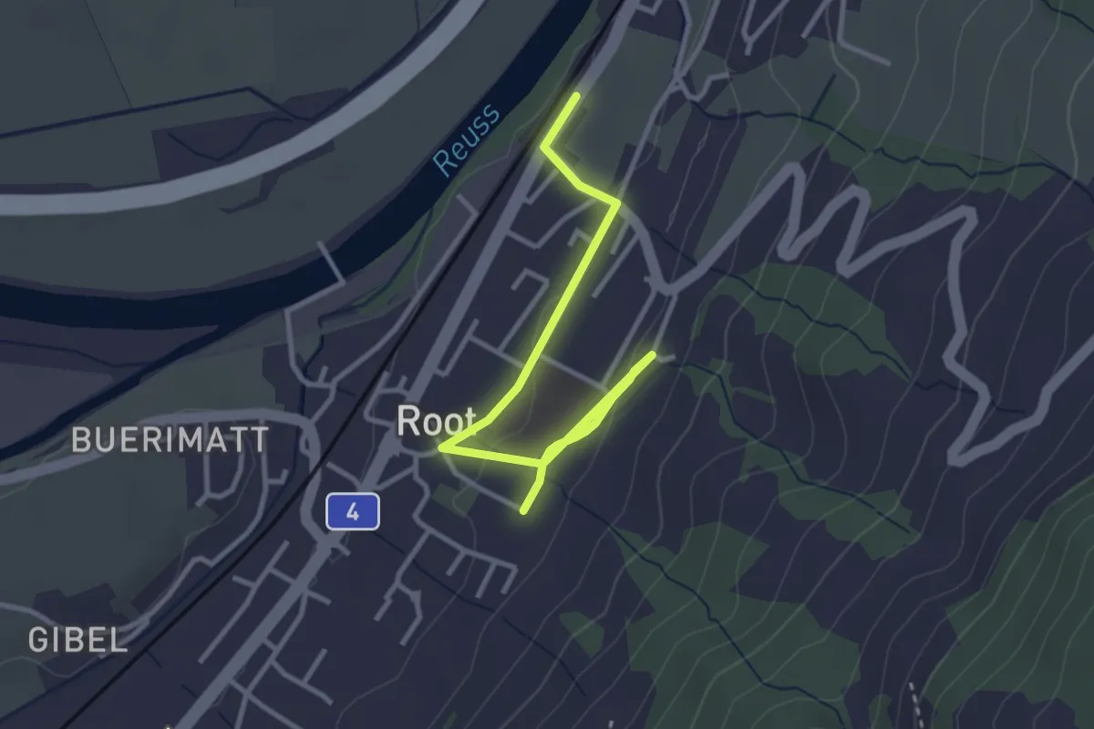
Easy · Trail
Gisikon Root Station - Root
3.5 km · ↑ 73 m · 59 min
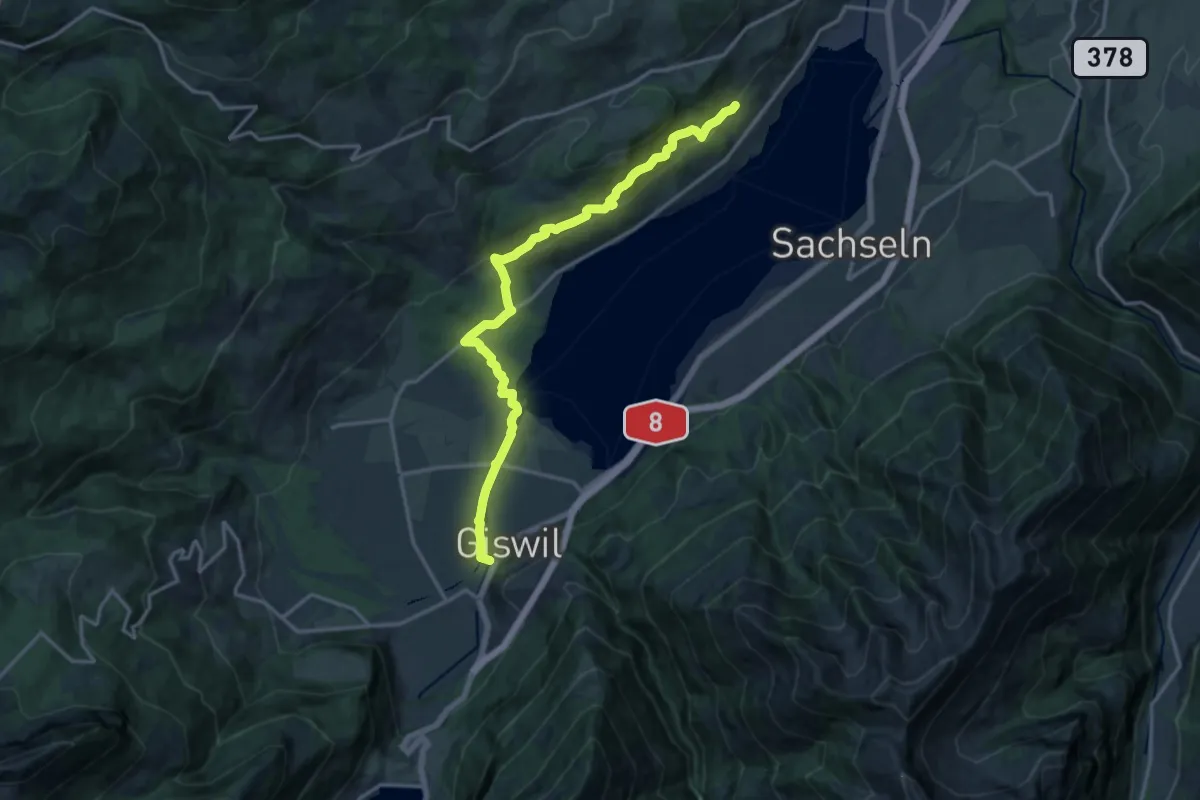
Medium · Trail
Giswil - Giglen/Wilen
16.4 km · ↑ 680 m · 5 h 21 min
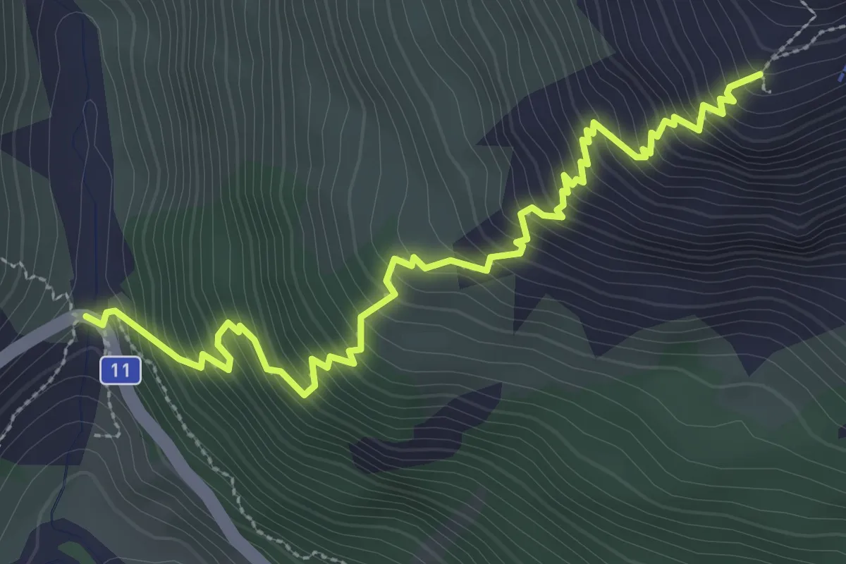
Medium · Cabin
Gitzichrummenflue - Sewenhütte SAC
3.7 km · ↑ 511 m · 1 h 59 min
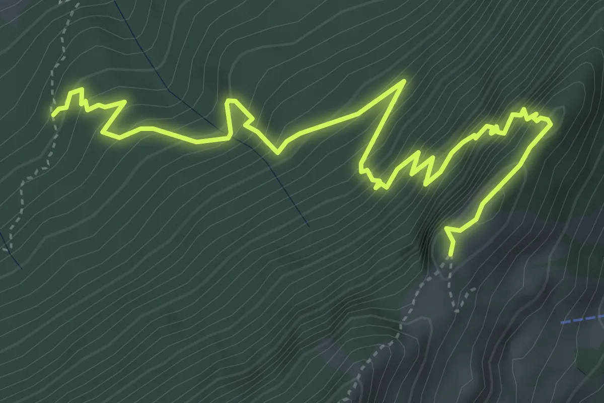
Expert · Trail
Gitzitritt
6.3 km · ↑ 719 m · 3 h 2 min
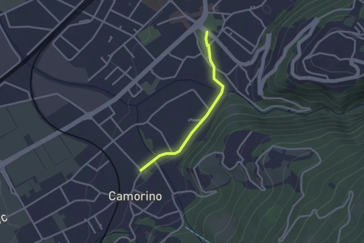
Easy · Trail
Giubiasco Piazza Grande-Camorino
2.0 km · ↑ 13 m · 31 min
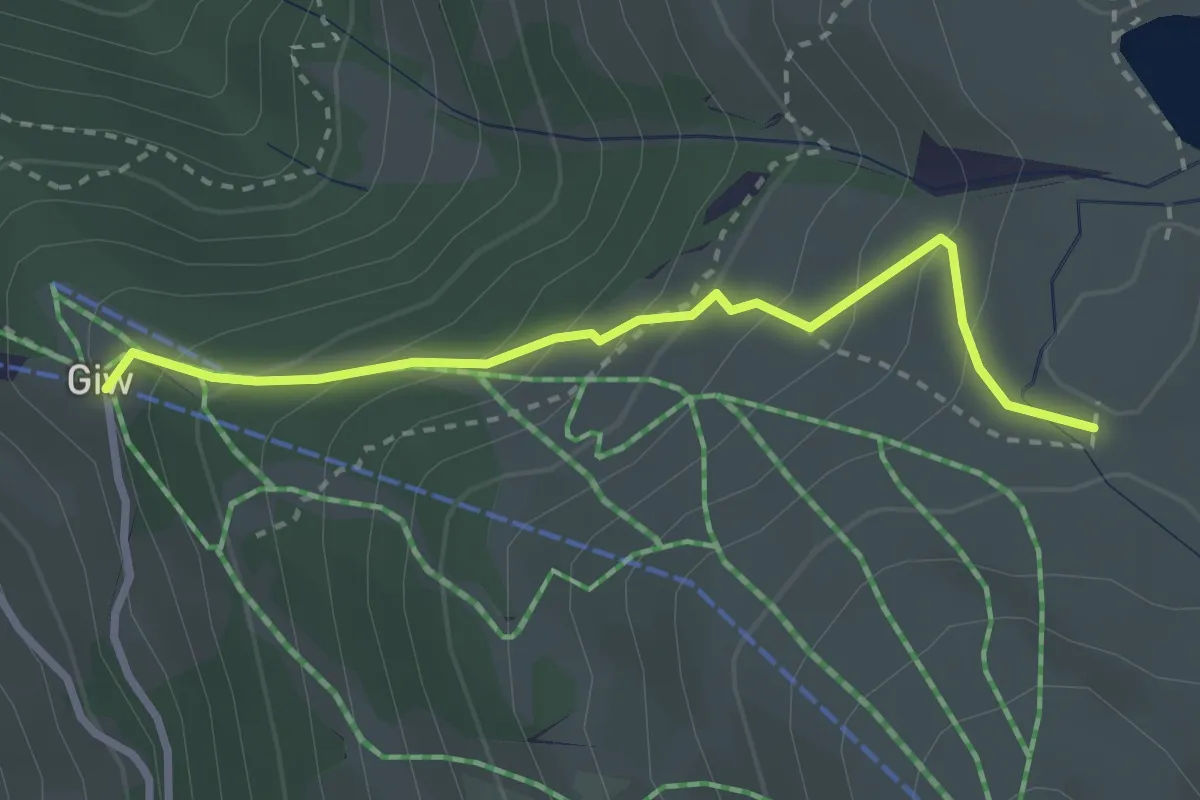
Medium · Trail
Giw-Gibidumpass
2.8 km · ↑ 236 m · 1 h 10 min
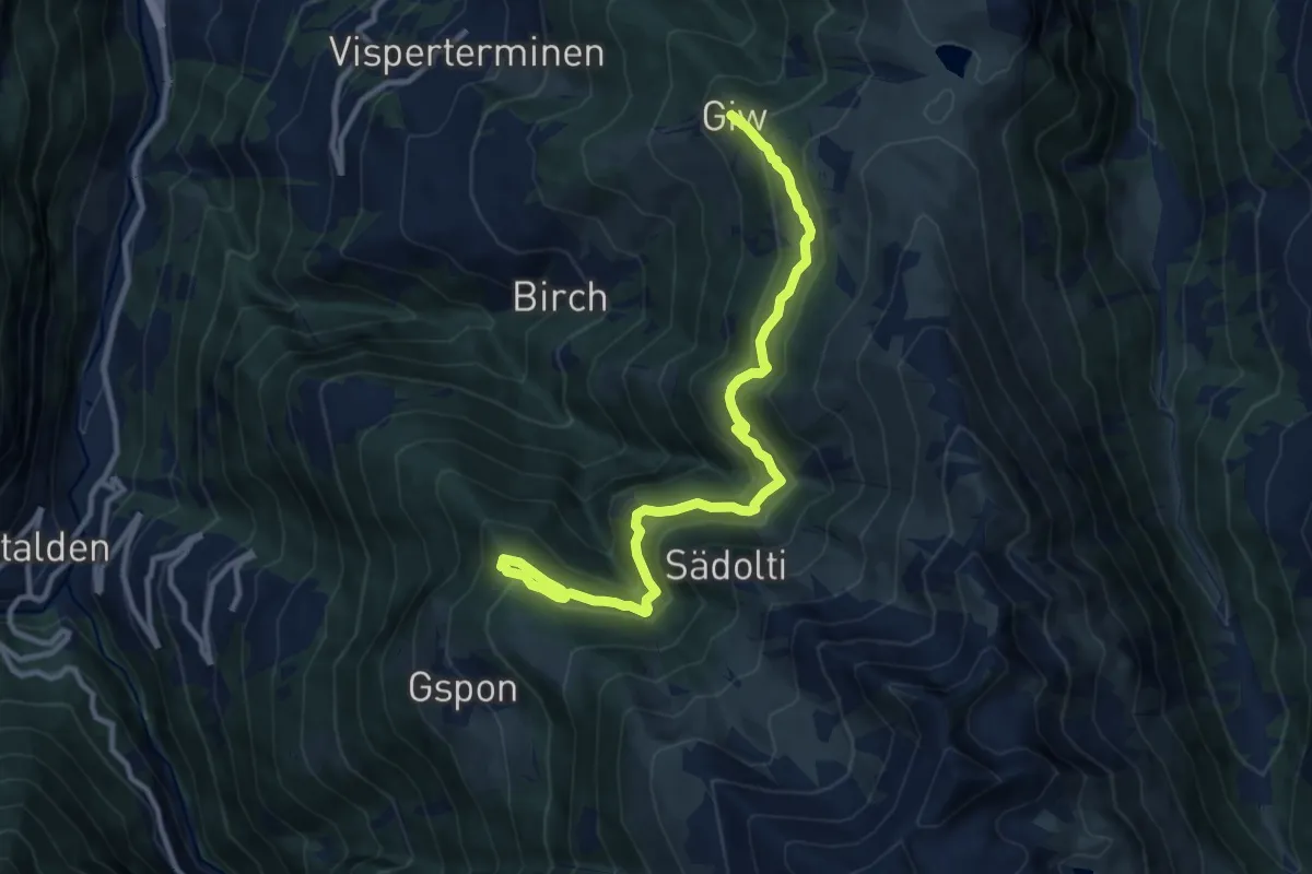
Medium · Trail
Giw - Gspon
11.7 km · ↑ 775 m · 4 h 27 min
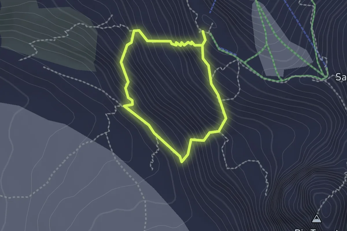
Expert · Cabin
Glacier Experience Trail
1.5 km · ↑ 196 m · 49 min
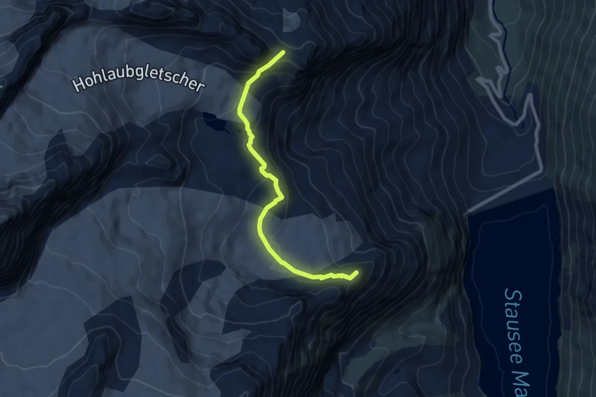
Expert · Summit
Glacier Trail Mattmark
5.8 km · ↑ 278 m · 1 h 59 min
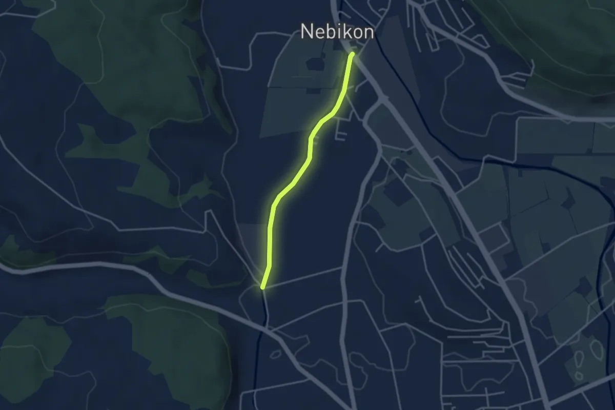
Easy · Trail
Gläng - Nebikon (Wellbergstr.)
2.9 km · ↑ 8 m · 42 min
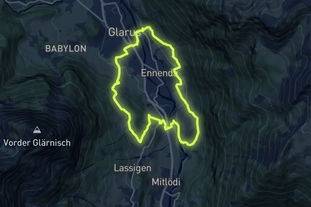
Medium · Trail
Glarus-Rundweg
9.8 km · ↑ 374 m · 3 h 16 min
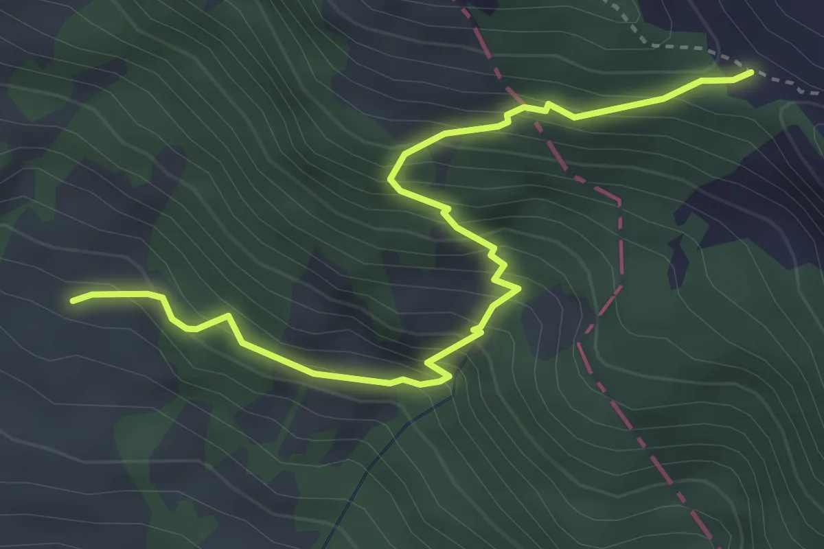
Medium · Trail
Glasereipfad
4.1 km · ↑ 438 m · 1 h 55 min
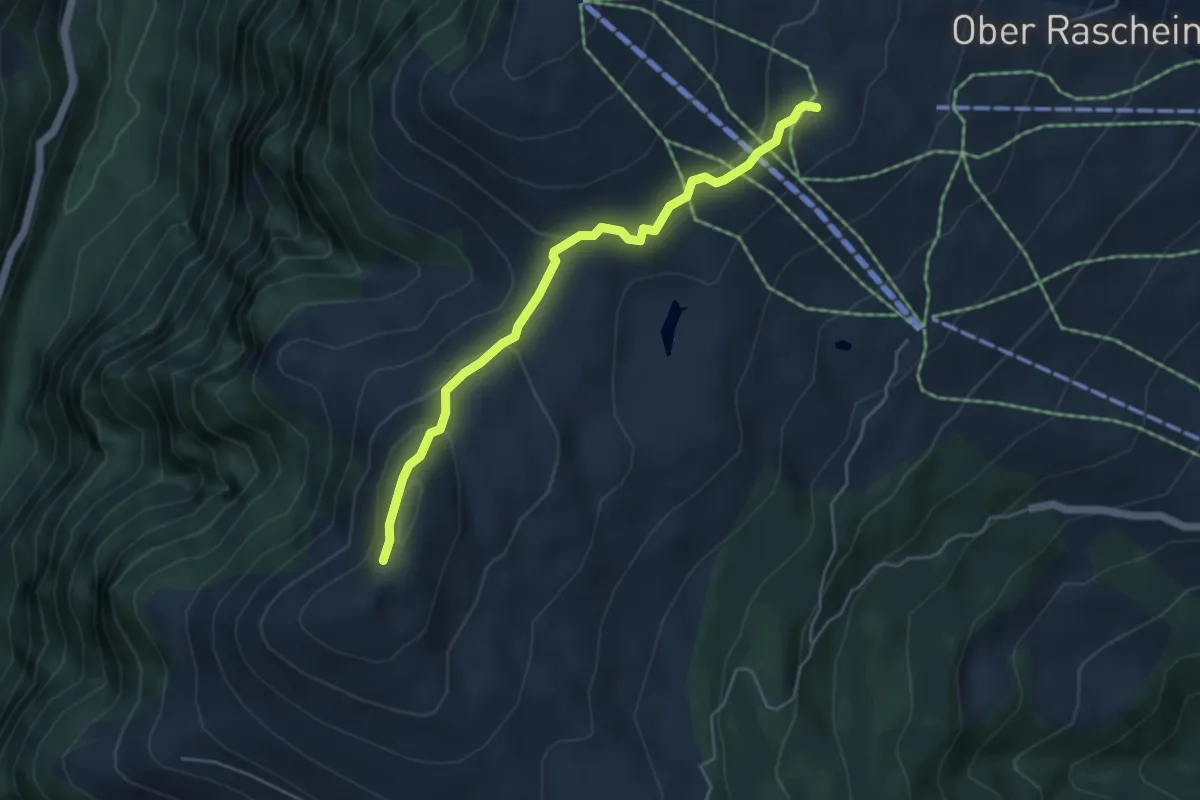
Medium · Trail
Glaser Grat-Lüschalp
4.6 km · ↑ 204 m · 1 h 32 min
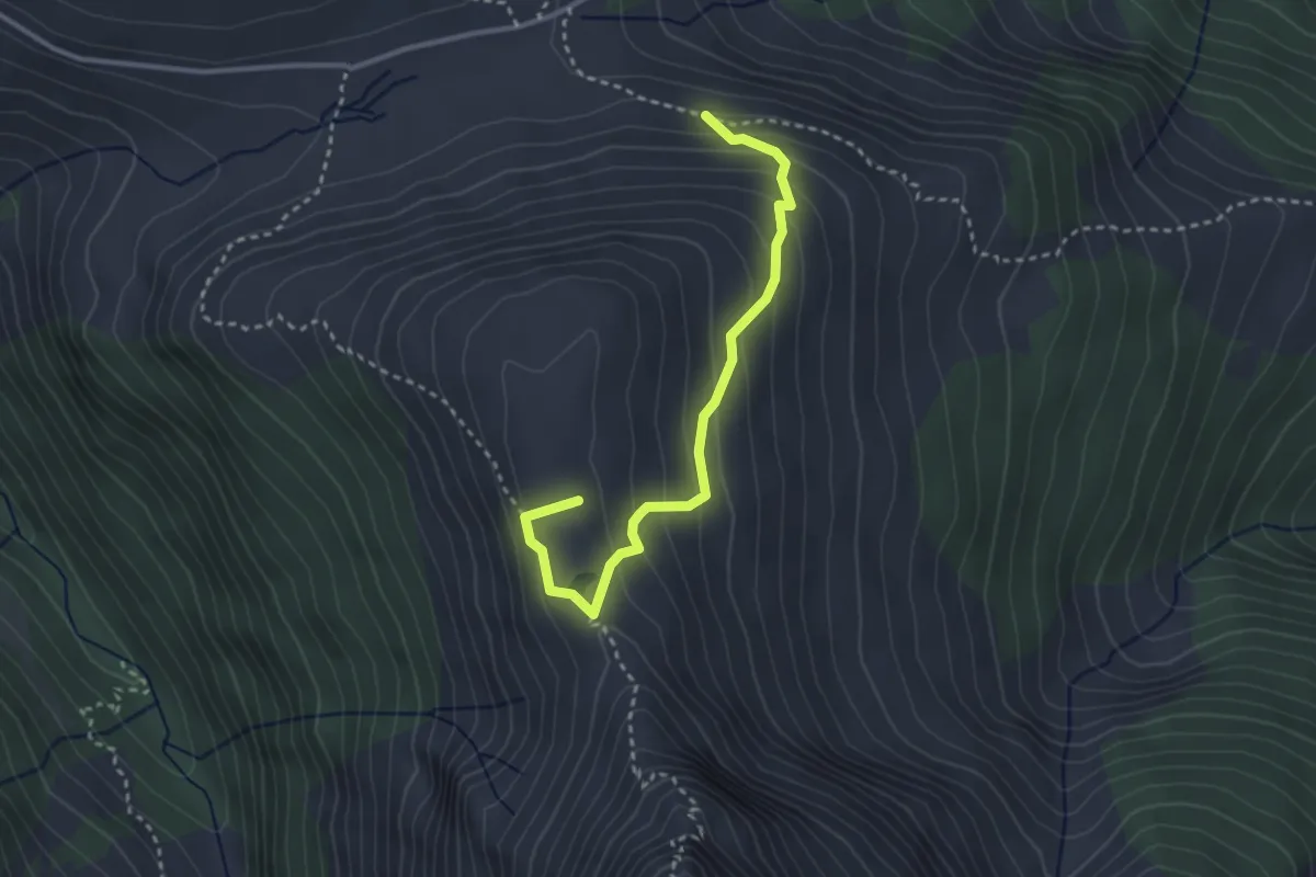
Medium · Summit
Glaspass-Hoch Büel-Glaspass
3.1 km · ↑ 274 m · 1 h 20 min
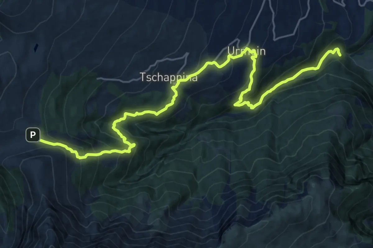
Demanding · Trail
Glaspass-Thusis
21.5 km · ↑ 1347 m · 7 h 59 min
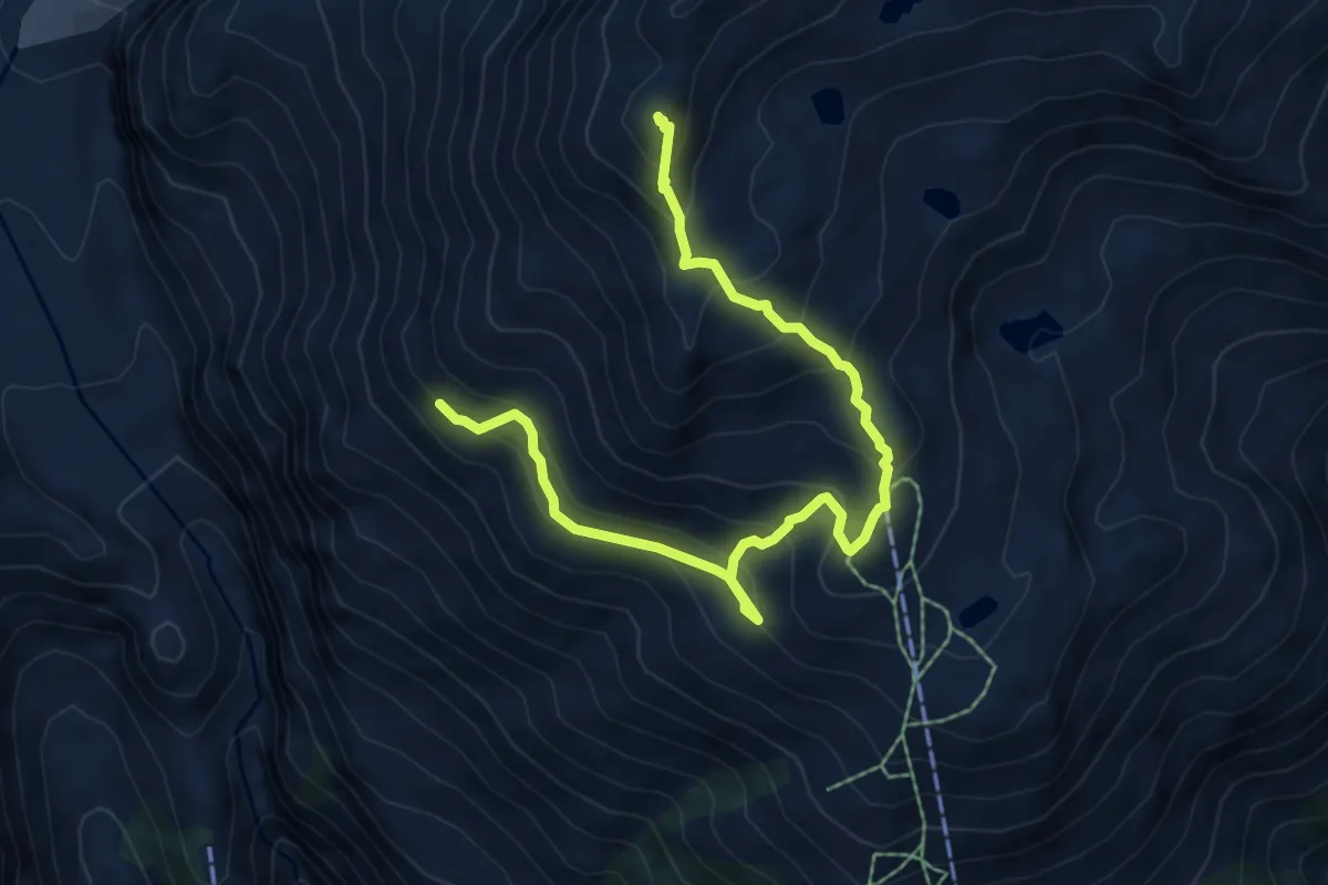
Expert · Summit
Gletscherblick - Risihorn
7.5 km · ↑ 569 m · 3 h
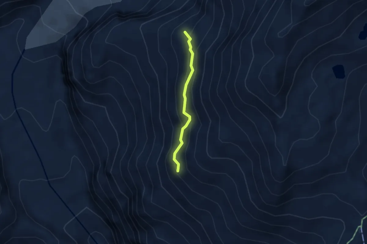
Expert · Trail
Gletscherblick - Schärflüe
2.3 km · ↑ 204 m · 59 min
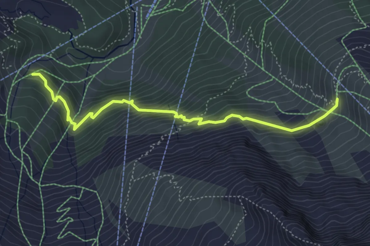
Medium · Trail
Gletschergrotte - Berghaus Plattjen
5.1 km · ↑ 490 m · 2 h 16 min
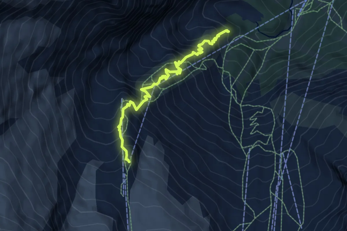
Demanding · Trail
Gletschergrotte - Längfluh
7.0 km · ↑ 891 m · 3 h 35 min
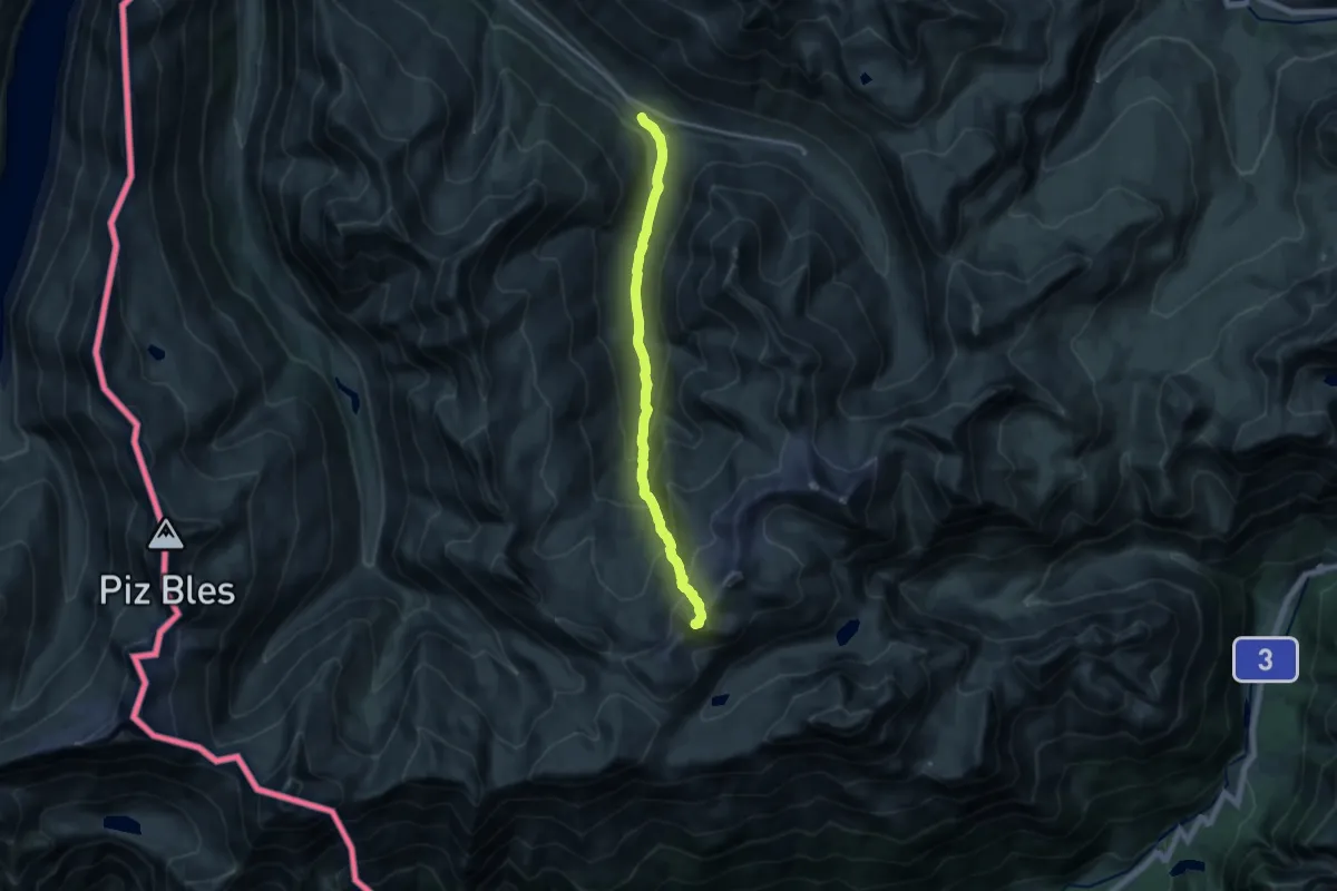
Expert · Summit
Gletscherhorn - 3107 m
15.0 km · ↑ 1158 m · 6 h 3 min
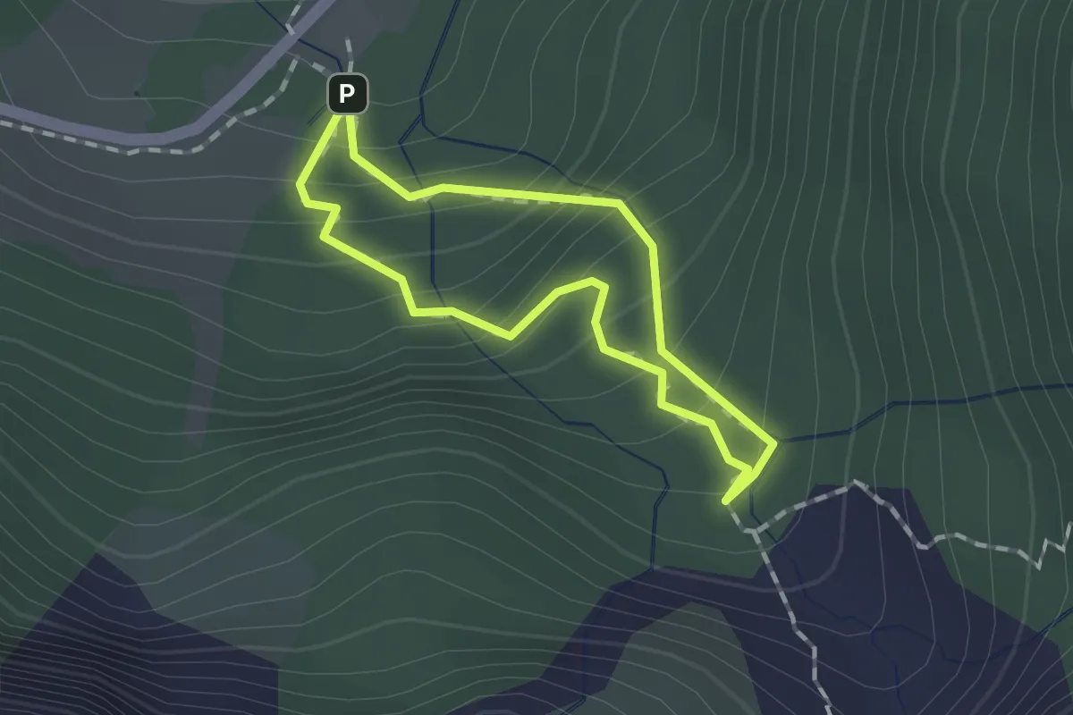
Easy · Trail
Gletscherschlucht Rosenlaui Rundgang
1.1 km · ↑ 132 m · 33 min
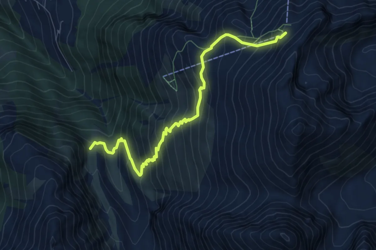
Expert · Trail
Gletschertor - Seetalhorn
8.7 km · ↑ 863 m · 3 h 56 min
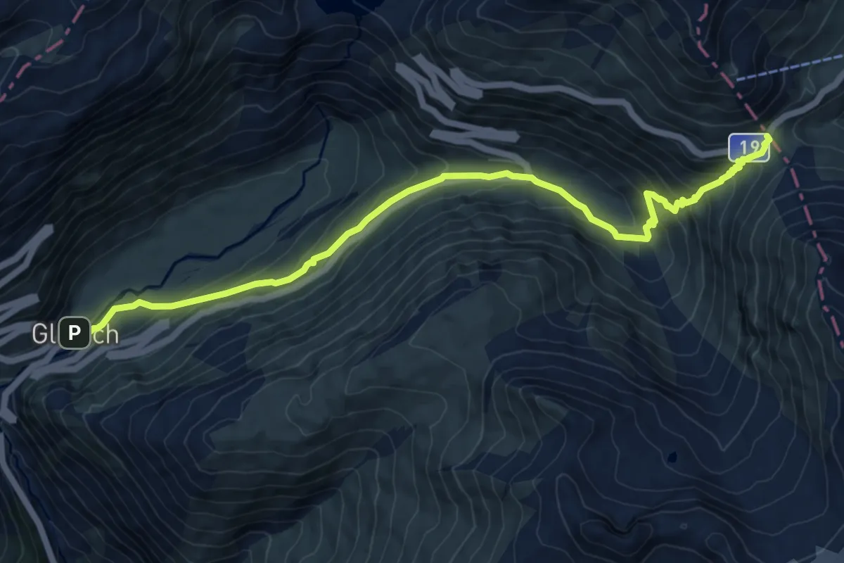
Medium · Trail
Gletsch - Furkapass
10.7 km · ↑ 692 m · 4 h 1 min
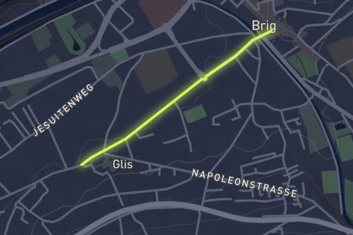
Easy · Trail
Glis - Brig
2.2 km · ↑ 14 m · 33 min
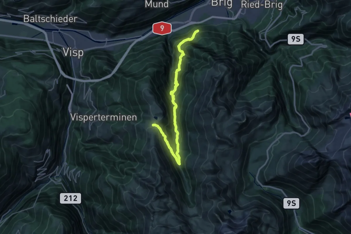
Demanding · Trail
Glis - Gibidumpass
12.5 km · ↑ 1541 m · 5 h 50 min
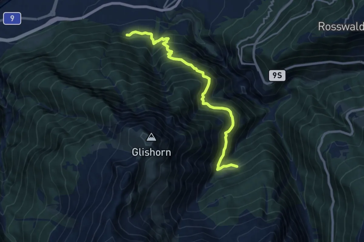
Demanding · Trail
Glis - Unners Nesseltal
11.5 km · ↑ 1051 m · 4 h 59 min
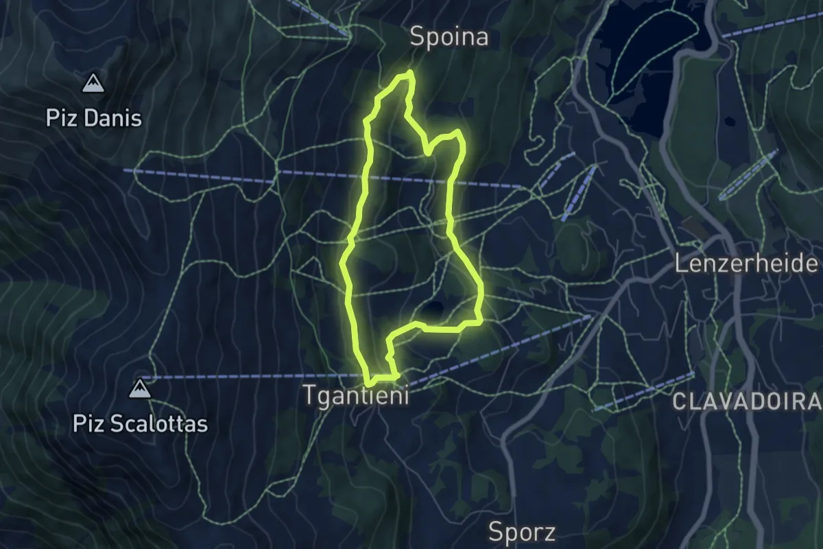
Easy · Trail
Globi Wanderweg
5.1 km · ↑ 197 m · 1 h 42 min
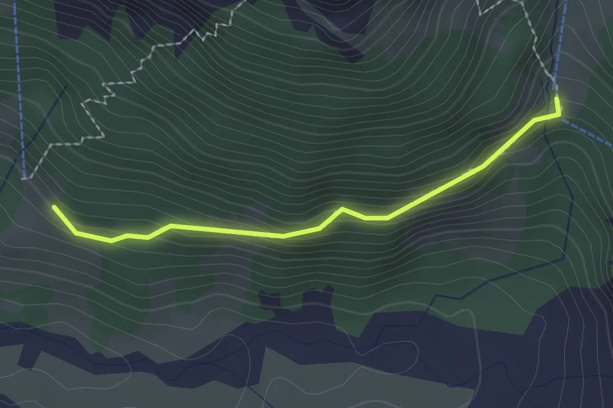
Easy · Trail
Glütschnessli - Gruenerli
2.0 km · ↑ 113 m · 43 min
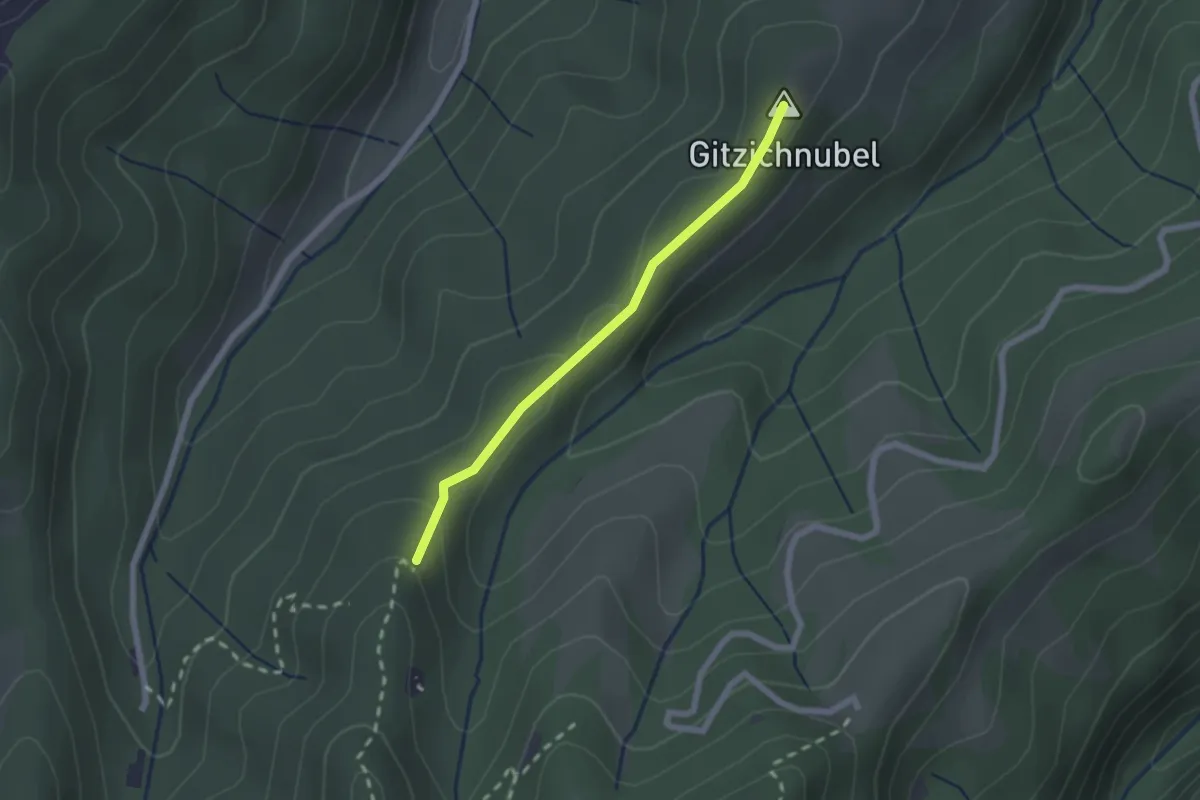
Easy · Summit
Gmeinalp - Chrotthütten
1.9 km · ↑ 63 m · 34 min
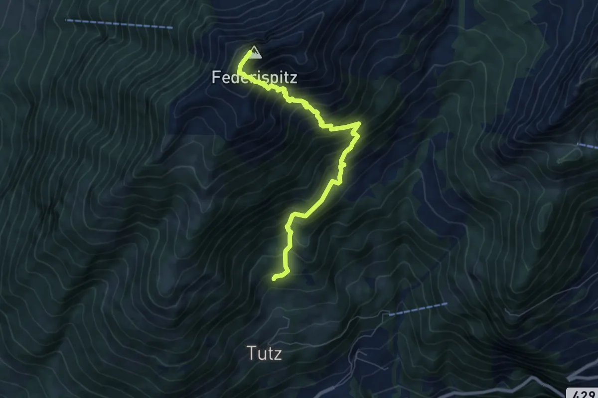
Demanding · Summit
Gmeindsberg - Oberfidscheren? - fixme
7.1 km · ↑ 933 m · 3 h 42 min
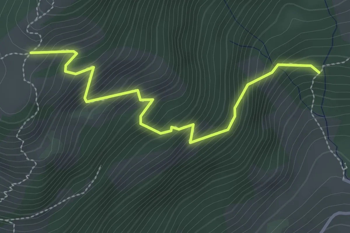
Medium · Trail
Gmeindsberg - Unternätenalp? - fixme
2.9 km · ↑ 373 m · 1 h 30 min
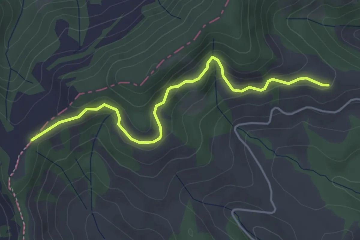
Easy · Trail
Gmeinwerch - Chrüzboden
4.2 km · ↑ 196 m · 1 h 25 min
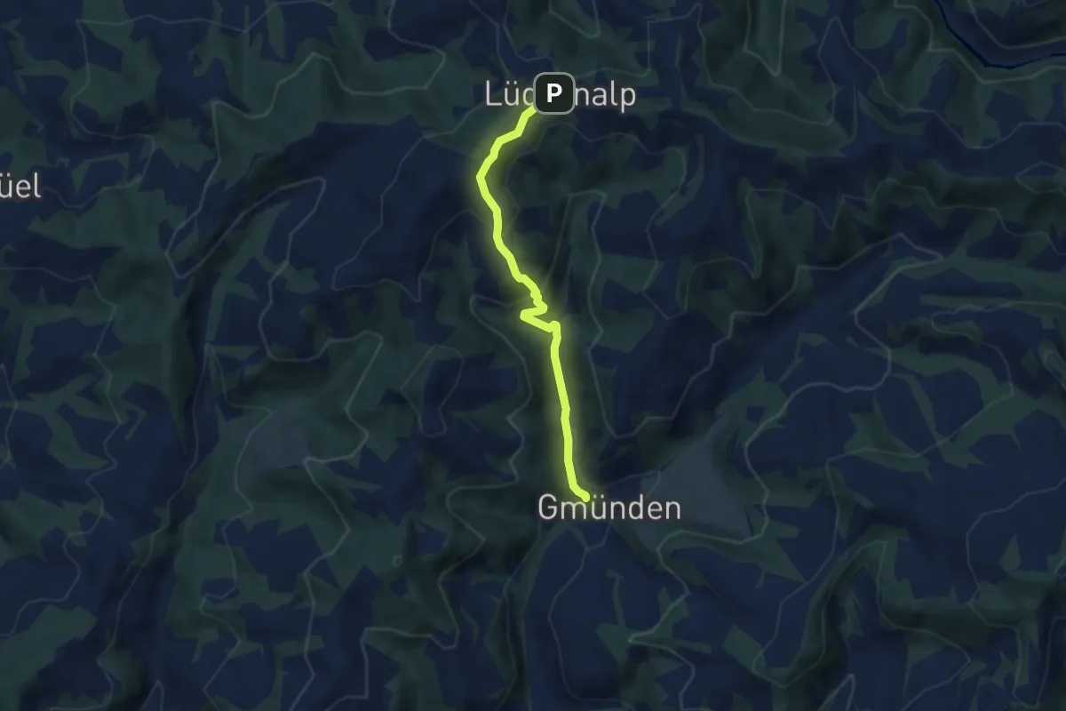
Medium · Trail
Gmünden - Lüderenalp
5.6 km · ↑ 324 m · 2 h 1 min
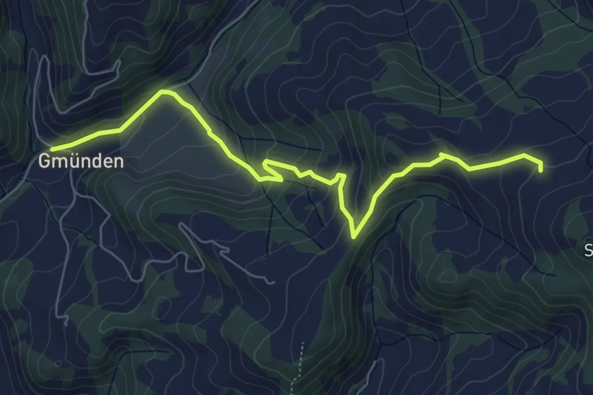
Medium · Trail
Gmünden - Schynenalp
6.3 km · ↑ 400 m · 2 h 21 min
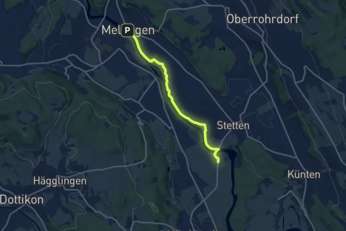
Medium · Trail
Gnadenthal - Mellingen Brücke
8.8 km · ↑ 75 m · 2 h 14 min
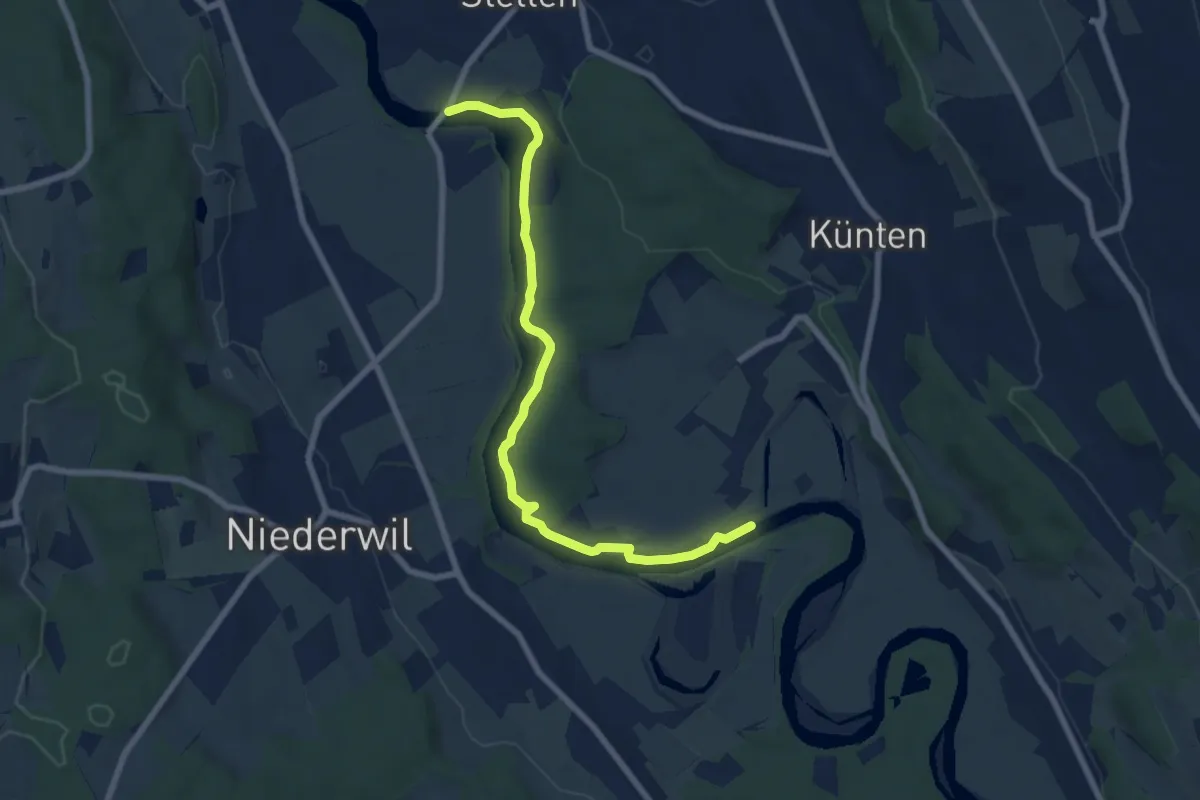
Easy · Trail
Gnadenthal - Sulz Fähre
7.6 km · ↑ 74 m · 1 h 57 min
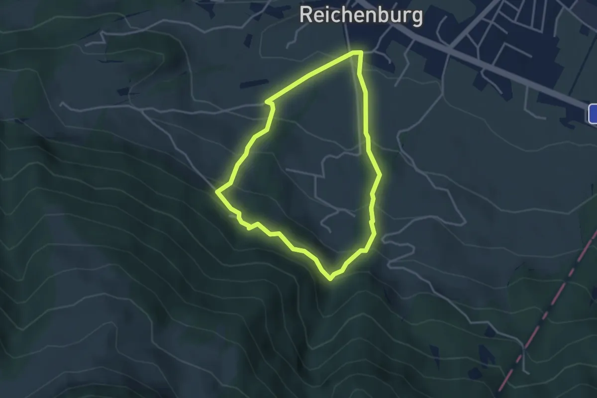
Easy · Trail
Gnossami Rundweg
2.9 km · ↑ 252 m · 1 h 17 min
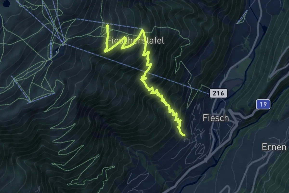
Demanding · Trail
Gogwärgiweg
8.9 km · ↑ 933 m · 4 h 8 min
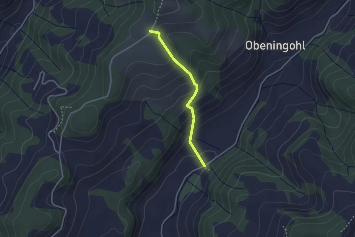
Easy · Trail
Gohl/Mettlen - Chammere
2.2 km · ↑ 182 m · 55 min
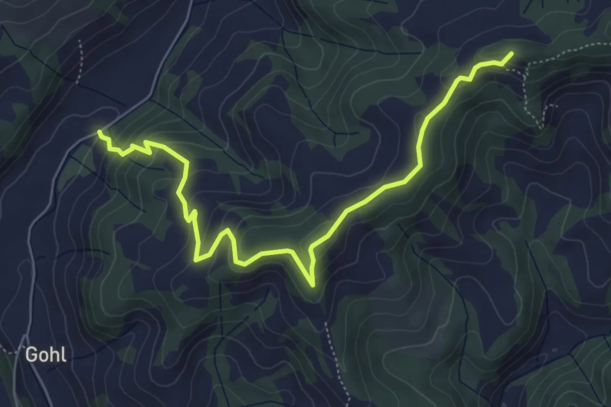
Medium · Summit
Gohl/Mettlen - Guggernülli
6.2 km · ↑ 351 m · 2 h 13 min
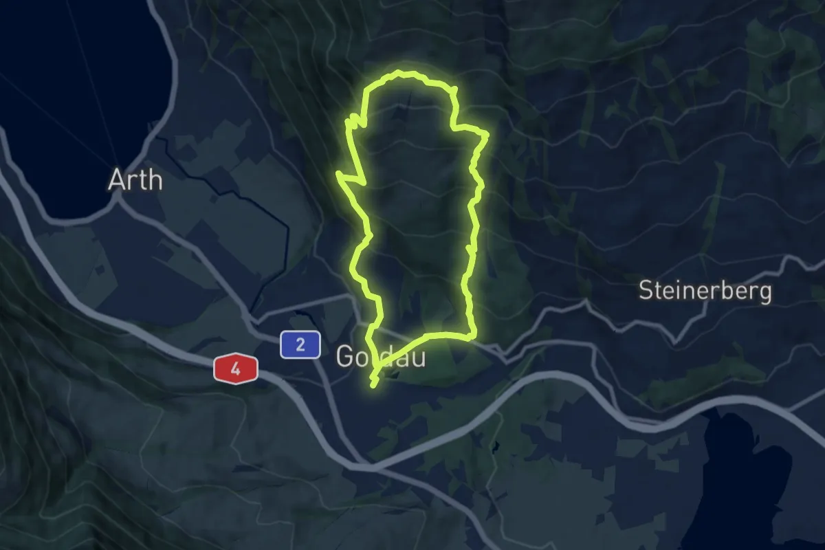
Demanding · Trail
Goldauer Bergsturzspur
15.5 km · ↑ 1156 m · 6 h 10 min
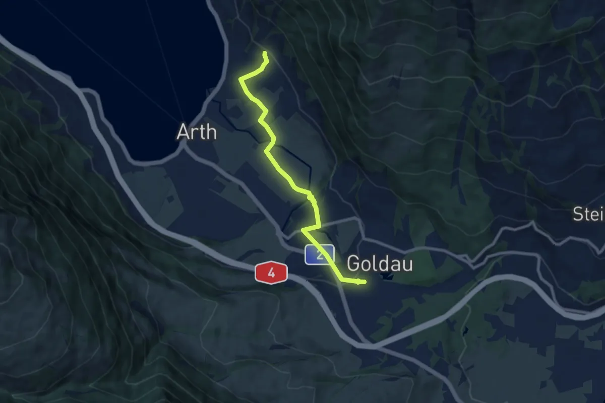
Easy · Trail
Goldau - Sunnenberg
7.6 km · ↑ 159 m · 2 h 9 min
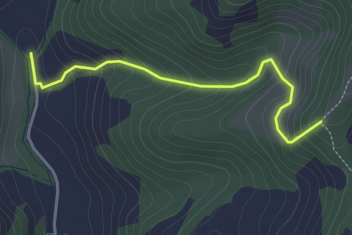
Easy · Trail
Goldbachbrügg - Buechboden
2.5 km · ↑ 193 m · 1 h
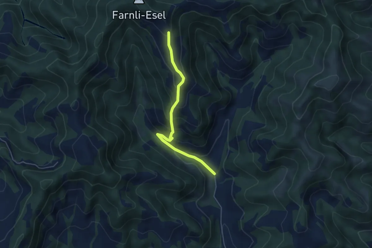
Easy · Trail
Goldbachbrügg - Mittleri Lushütte
4.3 km · ↑ 313 m · 1 h 42 min
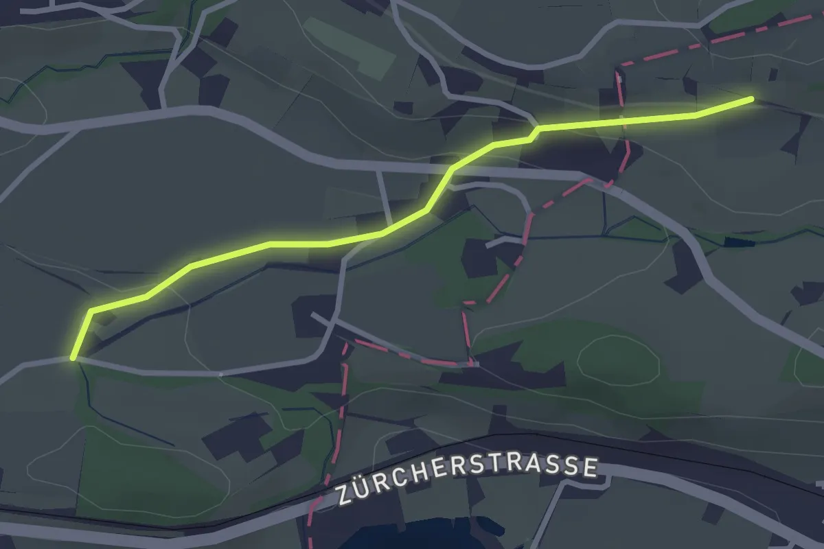
Easy · Trail
Goldenberg - Schwösterrain
2.6 km · ↑ 68 m · 46 min
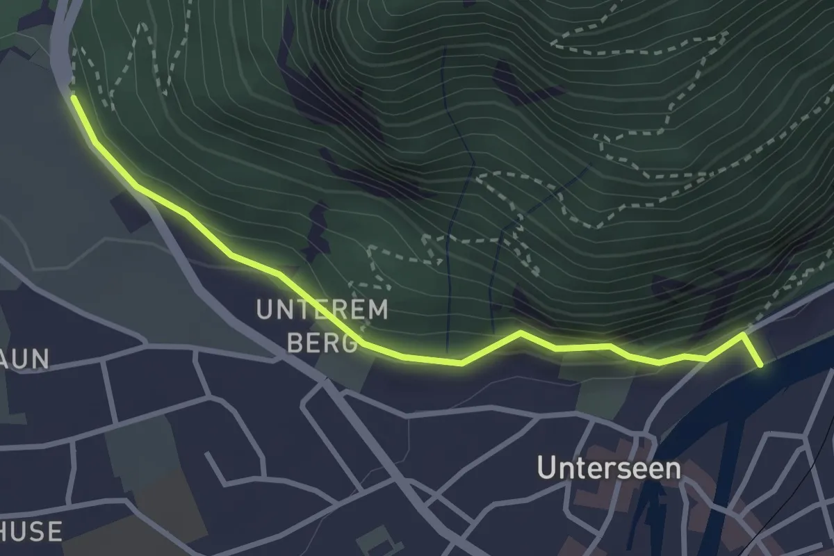
Easy · Trail
Golden Promenade - St. Niklausen
2.9 km · ↑ 97 m · 54 min
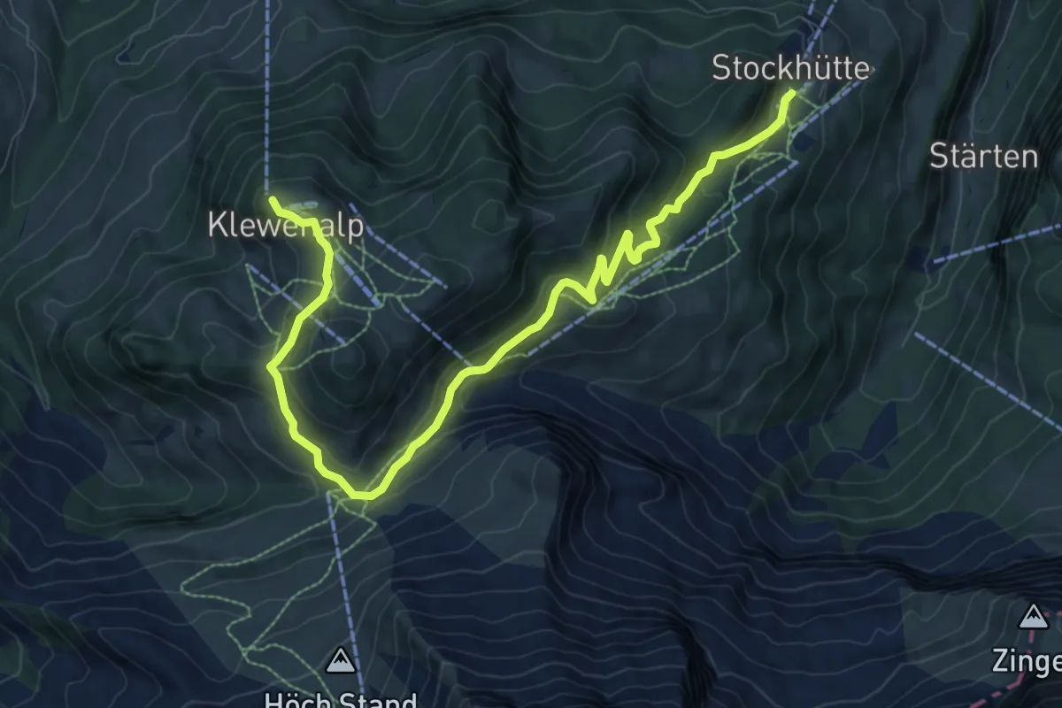
Medium · Trail
Goldi-Gwundernasenweg
10.7 km · ↑ 489 m · 3 h 34 min
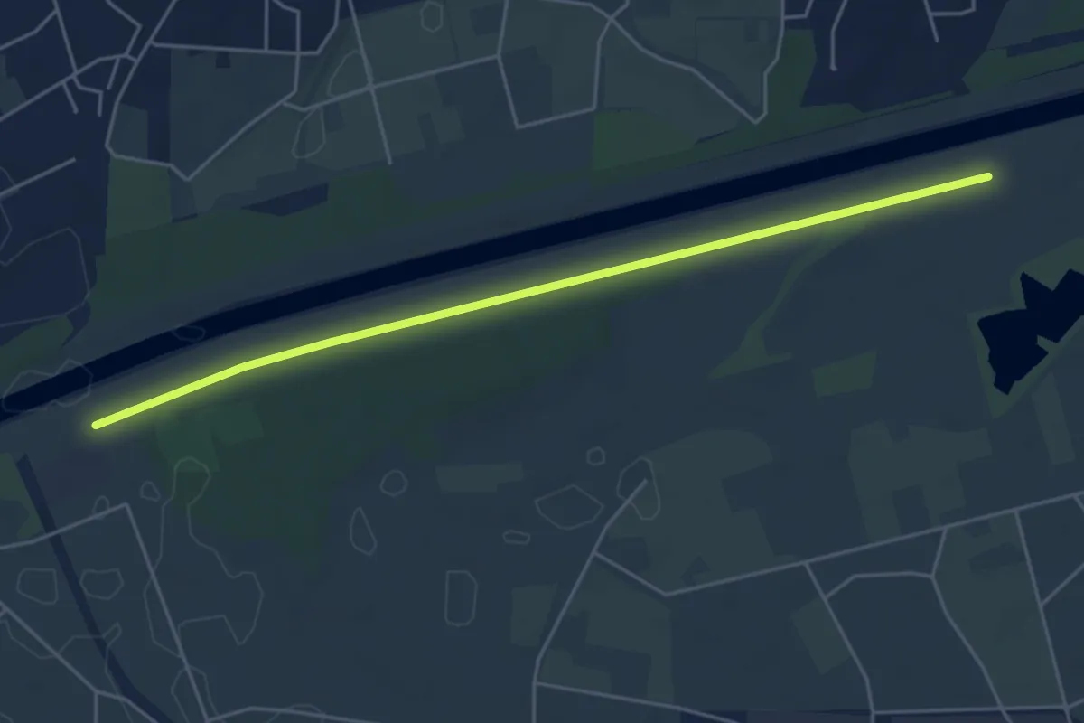
Easy · Trail
Golene - Alta Monda
5.1 km · ↑ 4 m · 1 h 12 min