Trails in Switzerland
15,029 hiking trails, each with its route, climb, walking time and grade.
All trails, page 42 of 314
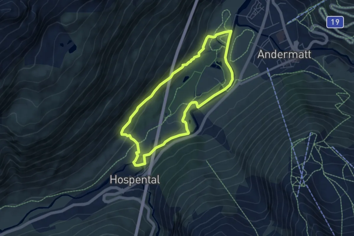
Medium · Trail
Golfrundweg
5.6 km · ↑ 119 m · 1 h 39 min
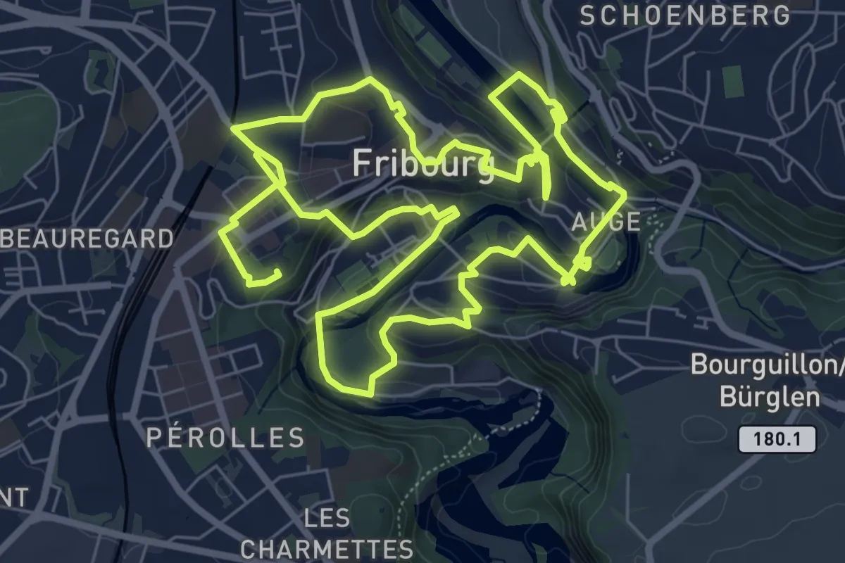
Medium · Trail
Golf Urbain Fribourg
13.8 km · ↑ 472 m · 4 h 17 min
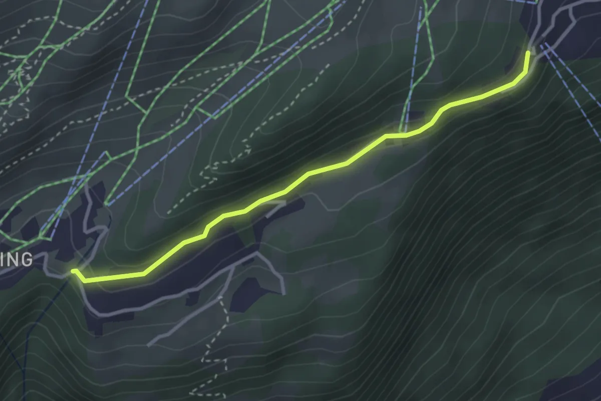
Easy · Trail
Golmenegg - Bettmeralp
3.1 km · ↑ 93 m · 56 min
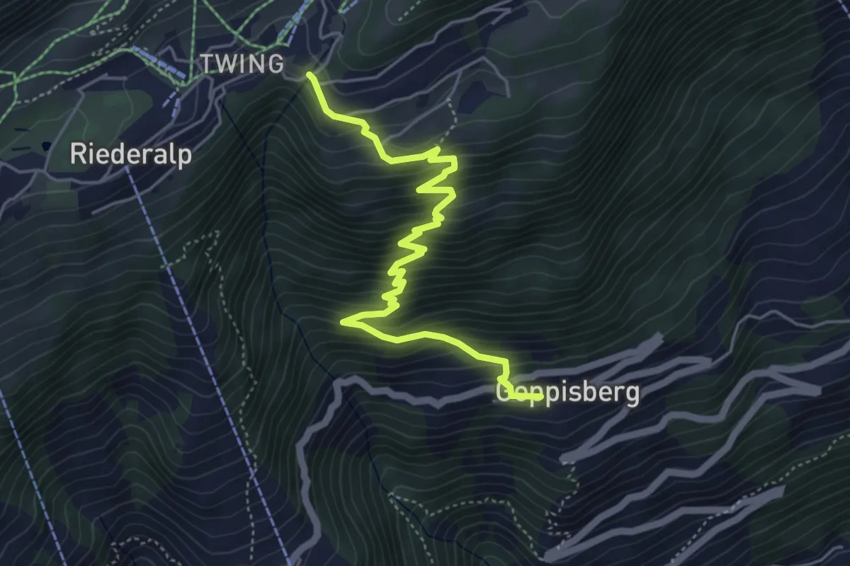
Medium · Trail
Golmenegg- Goppisberg
5.2 km · ↑ 527 m · 2 h 22 min
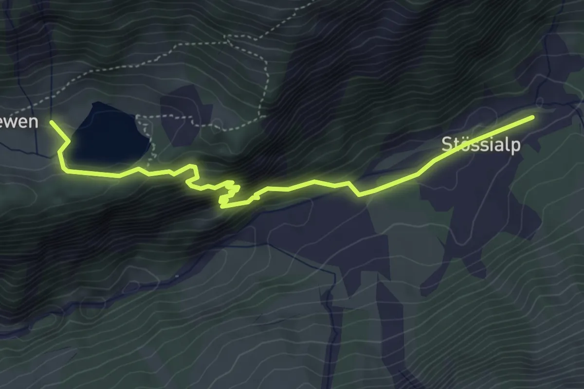
Medium · Trail
Golzerensee - Balmenschachen
5.0 km · ↑ 337 m · 1 h 54 min
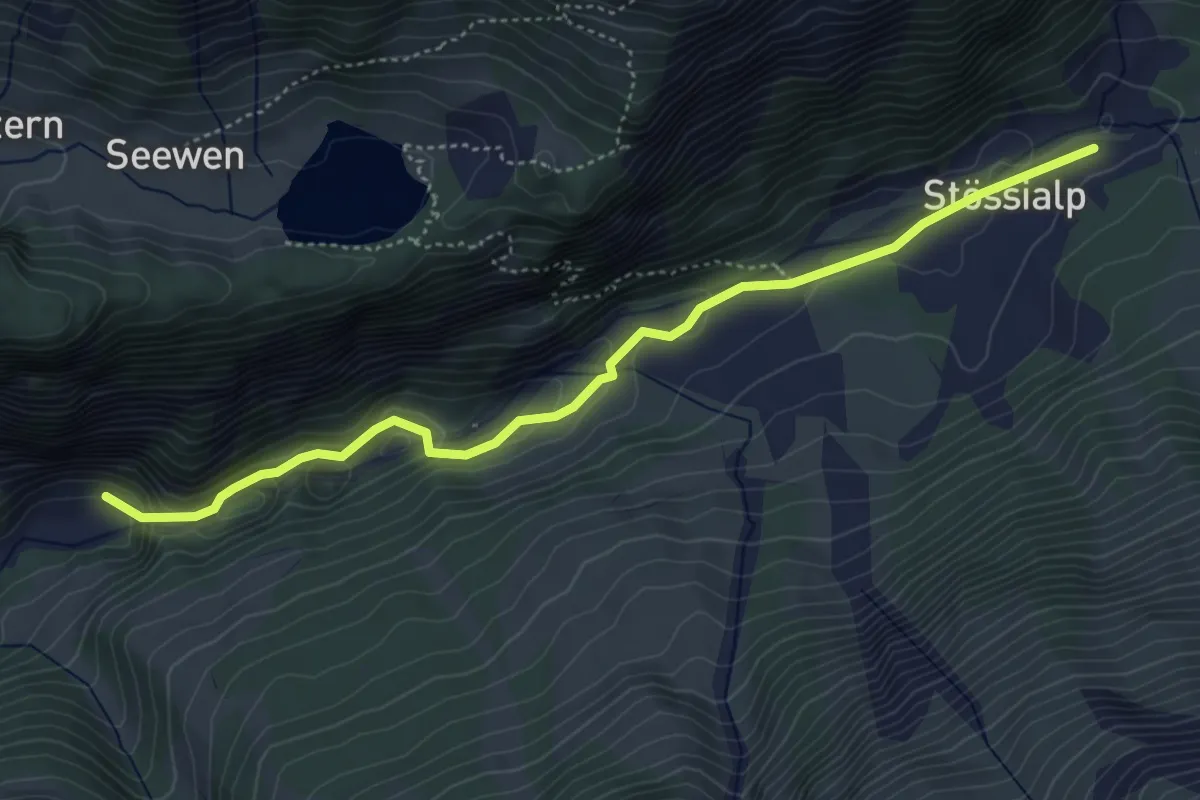
Easy · Trail
Golzern Talstation - Balmenschachen
4.9 km · ↑ 179 m · 1 h 33 min
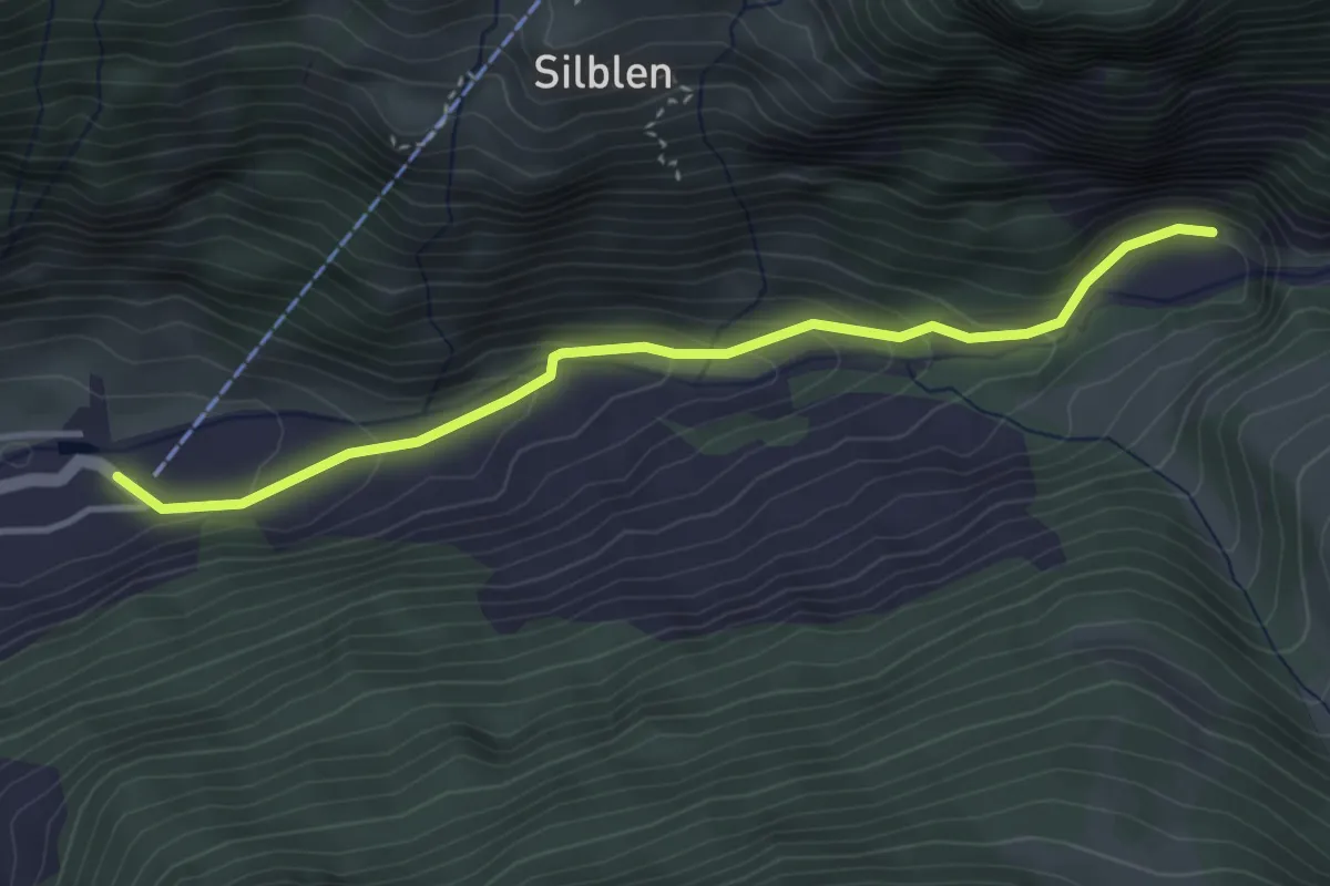
Easy · Trail
Golzern Talstation - Lägni
3.7 km · ↑ 210 m · 1 h 20 min
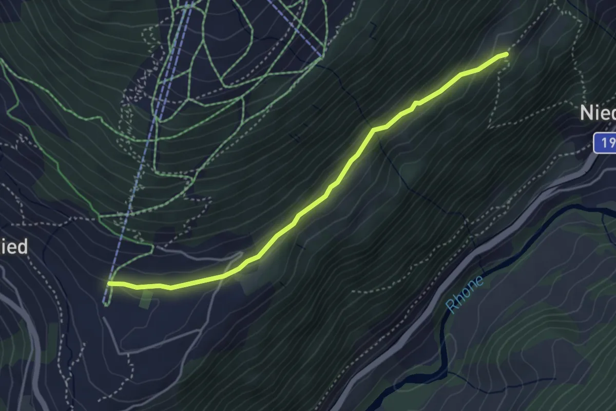
Medium · Trail
Gommer Höhenweg
4.0 km · ↑ 118 m · 1 h 11 min
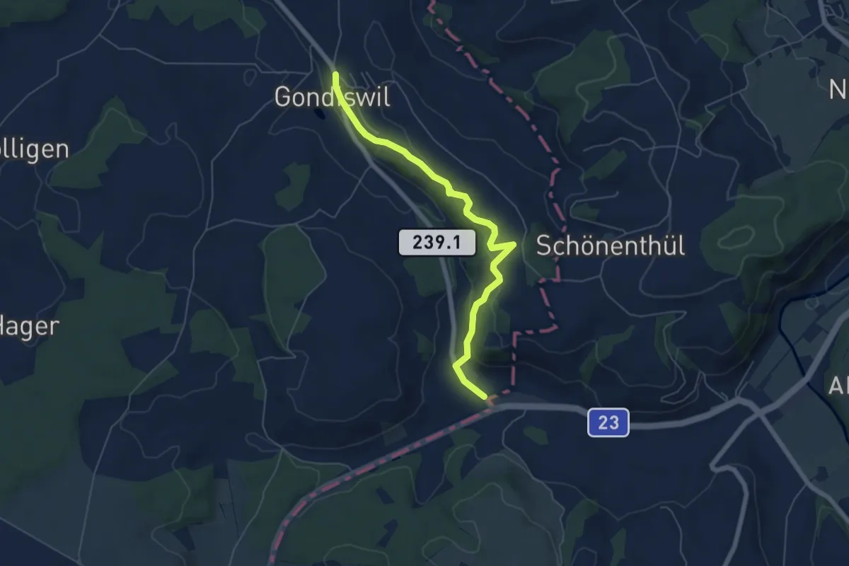
Easy · Trail
Gondiswil - Gondiswil Station
5.8 km · ↑ 218 m · 1 h 51 min
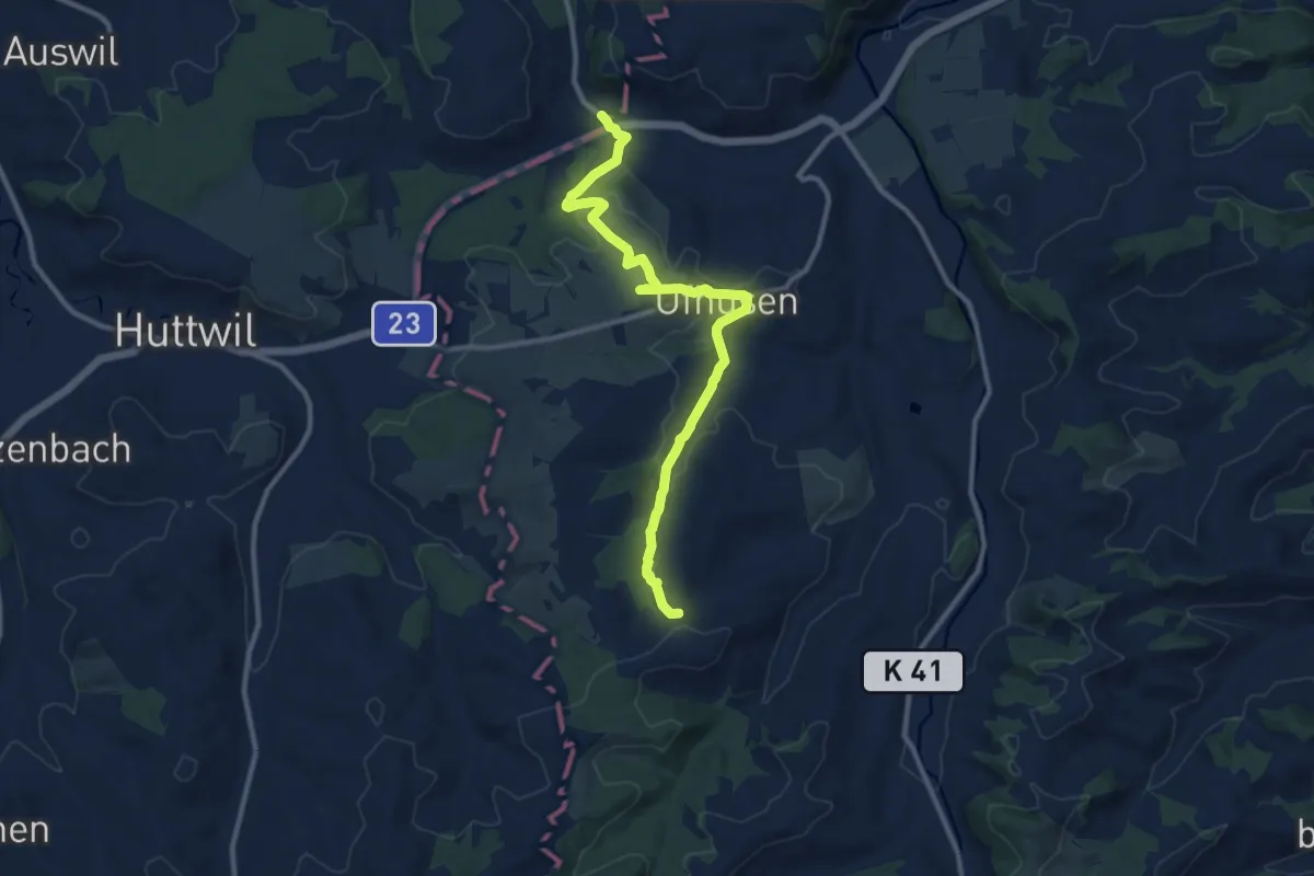
Medium · Trail
Gondiswil - Ob. Hiferdingen
11.3 km · ↑ 305 m · 3 h 19 min
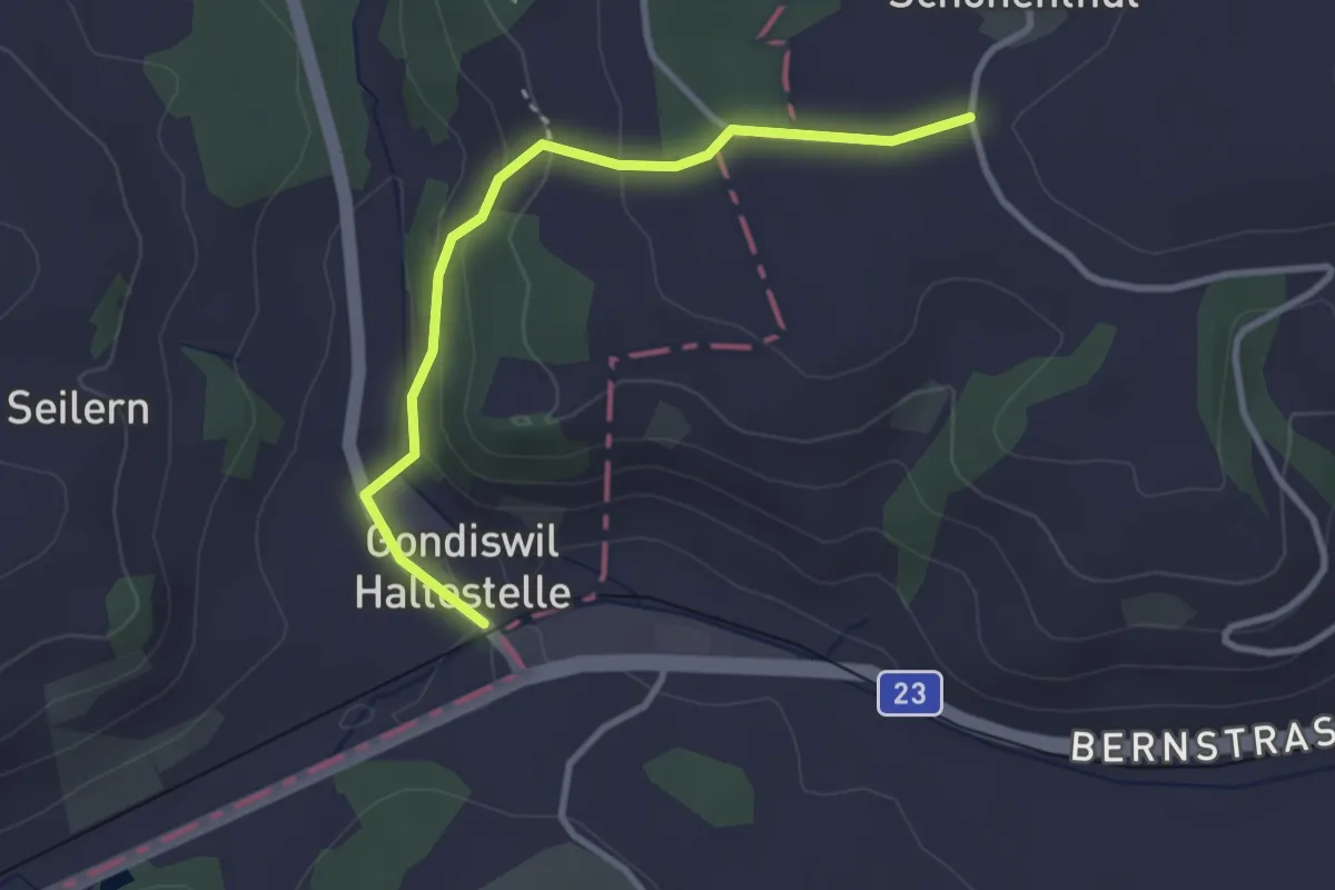
Easy · Trail
Gondiswil Station - Schönetüel
3.0 km · ↑ 114 m · 58 min
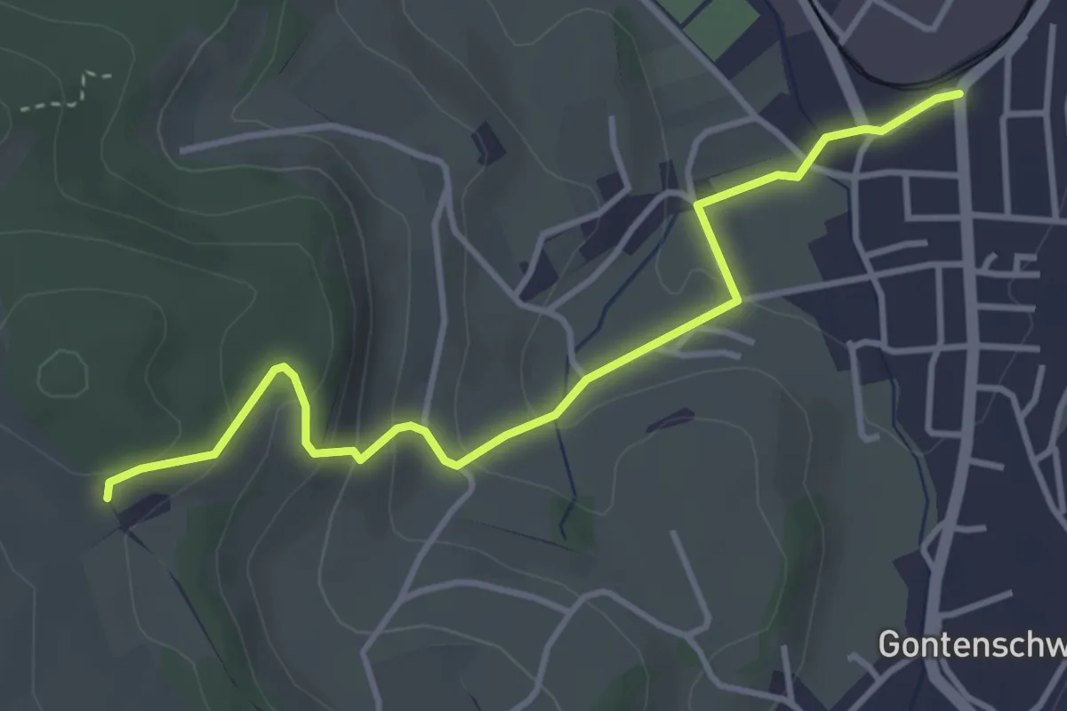
Easy · Trail
Gontenschwil - Steinig
3.9 km · ↑ 165 m · 1 h 16 min
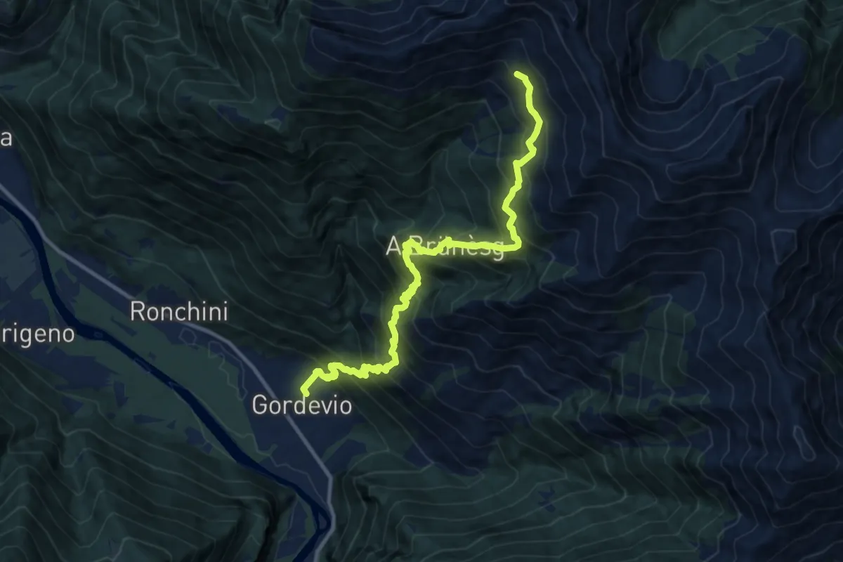
Expert · Cabin
Gordevio - Capanna Alpe di Ními
12.1 km · ↑ 1551 m · 6 h 13 min
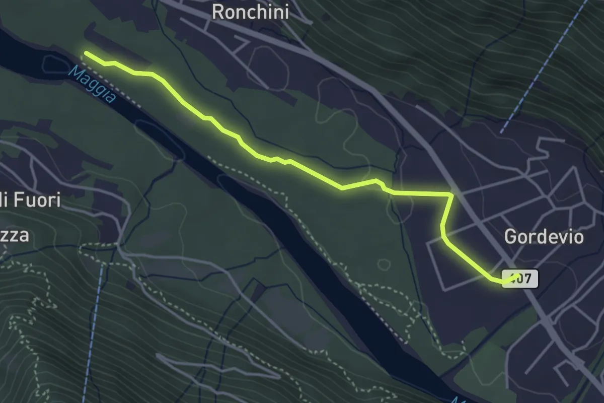
Easy · Trail
Gordevio - Moghegno
4.0 km · ↑ 26 m · 59 min
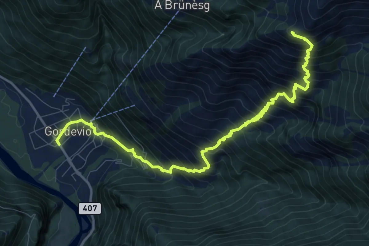
Demanding · Summit
Gordevio - Ör
11.3 km · ↑ 1380 m · 5 h 39 min
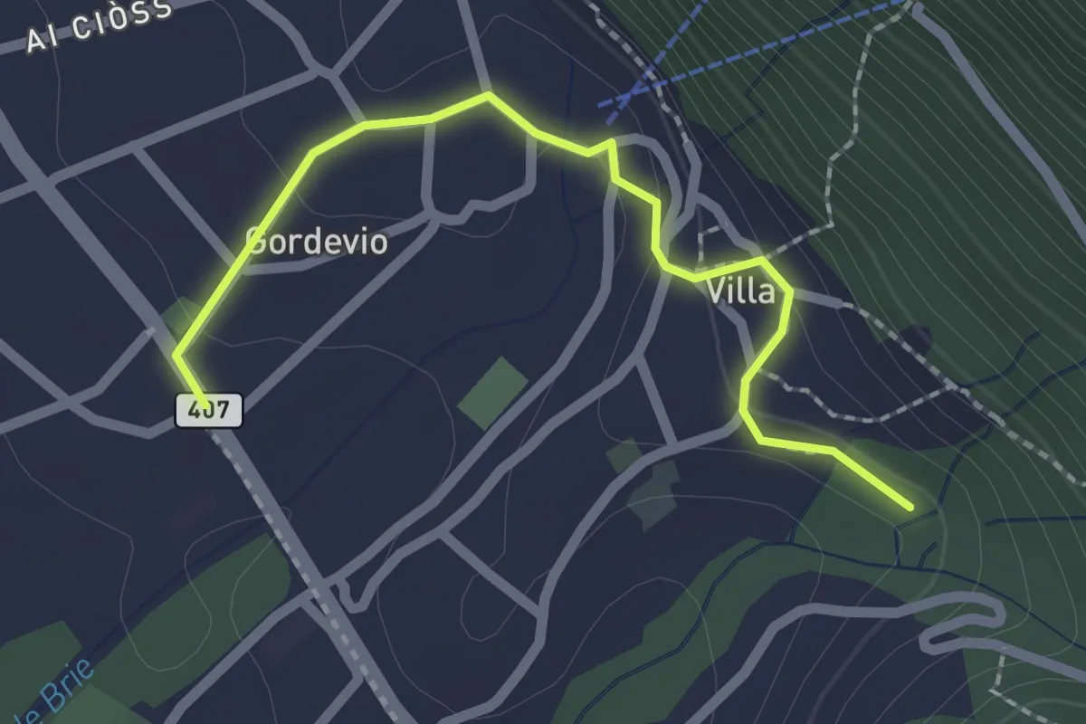
Easy · Trail
Gordevio - Pii
2.1 km · ↑ 59 m · 38 min
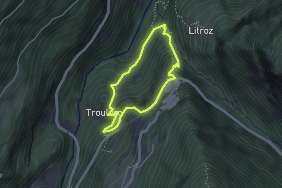
Medium · Trail
Gorges Mystérieuses de Tête-Noire
2.5 km · ↑ 268 m · 1 h 12 min
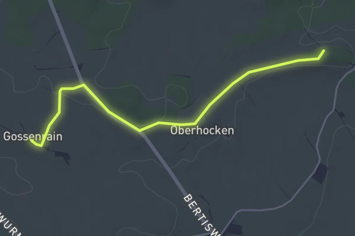
Easy · Trail
Gossenrain - Süesstannen - Hocken
4.2 km · ↑ 31 m · 1 h 3 min
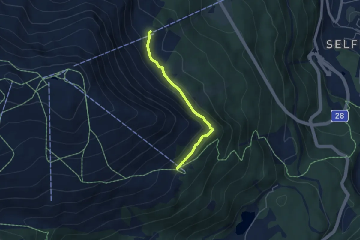
Medium · Trail
Gotschnaboden - Schwarzseealp
3.5 km · ↑ 177 m · 1 h 12 min
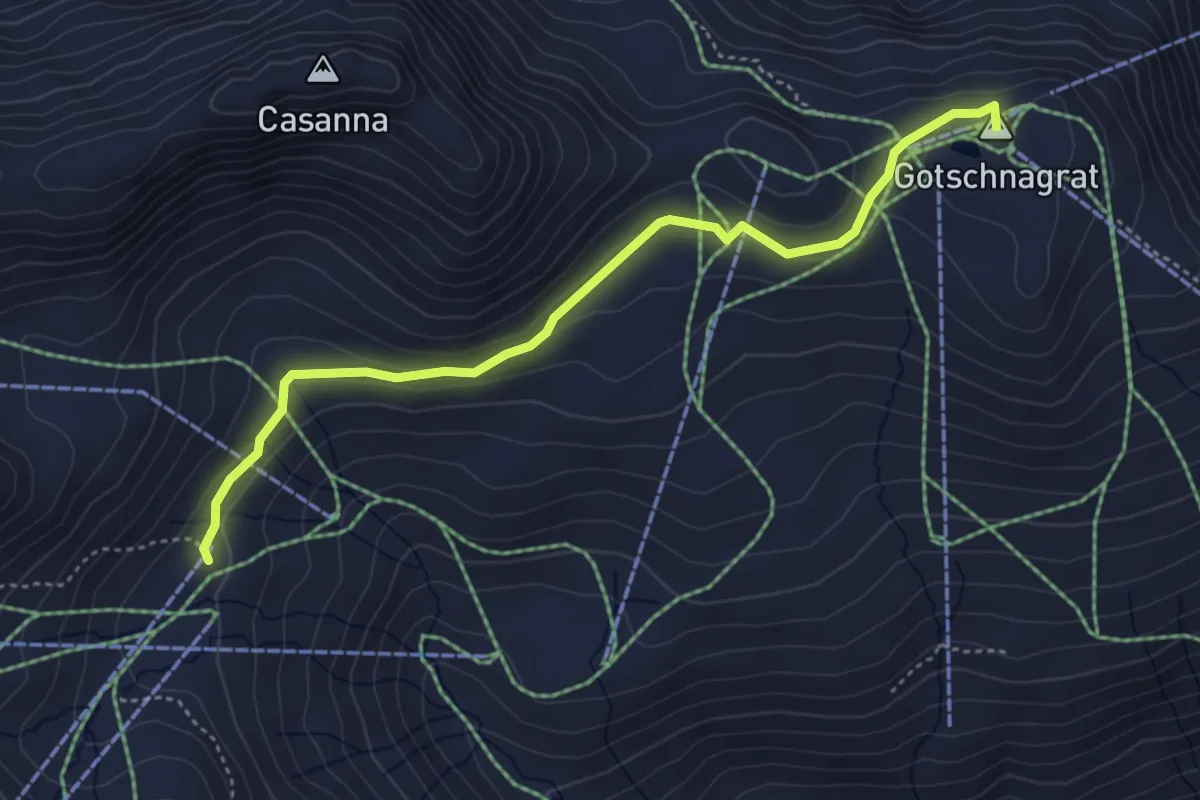
Easy · Summit
Gotschnagrat - Parsennhütte
4.5 km · ↑ 93 m · 1 h 16 min
Medium · Summit
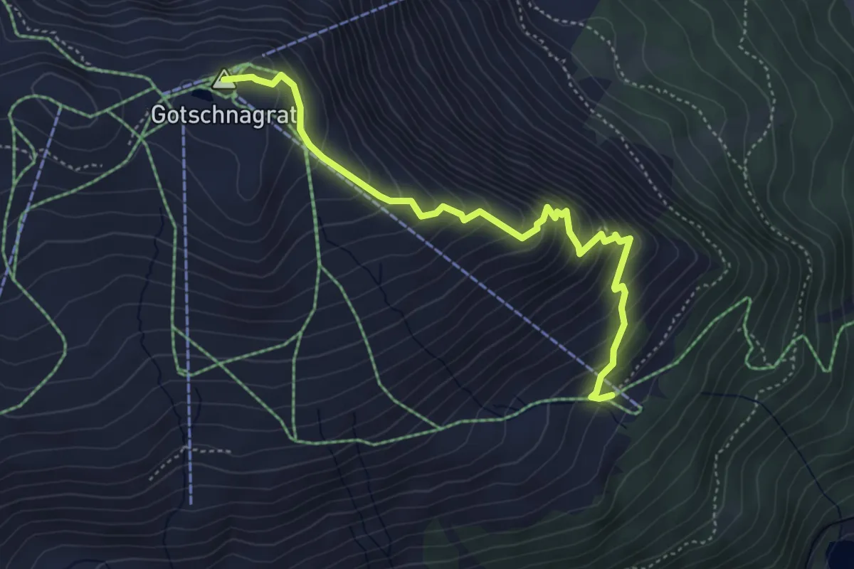
Gotschnagrat - Schwarzseealp
4.6 km · ↑ 454 m · 2 h 5 min
Demanding · Trail
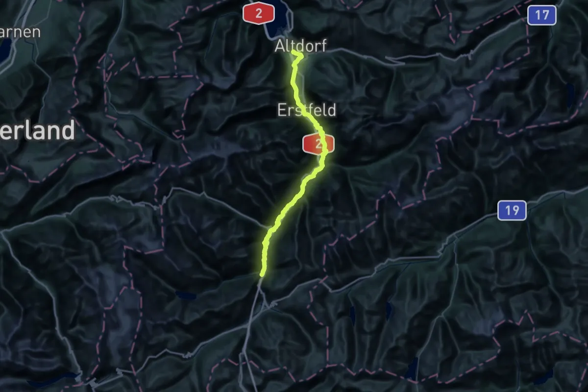
Gottardo Wanderweg
33.1 km · ↑ 872 m · 10 h 30 min
Demanding · Summit
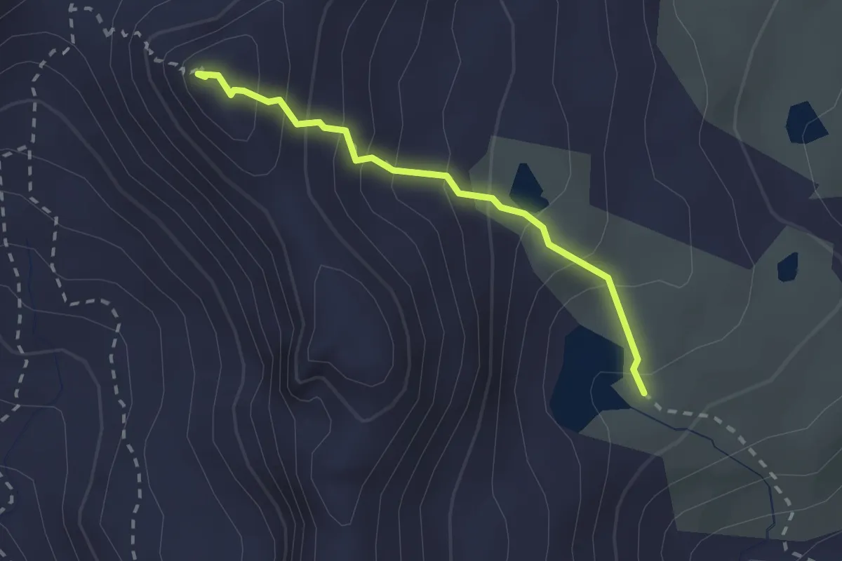
Gouille du Dragon > Col du Névé de la Rousse
2.0 km · ↑ 229 m · 59 min
Easy · Trail
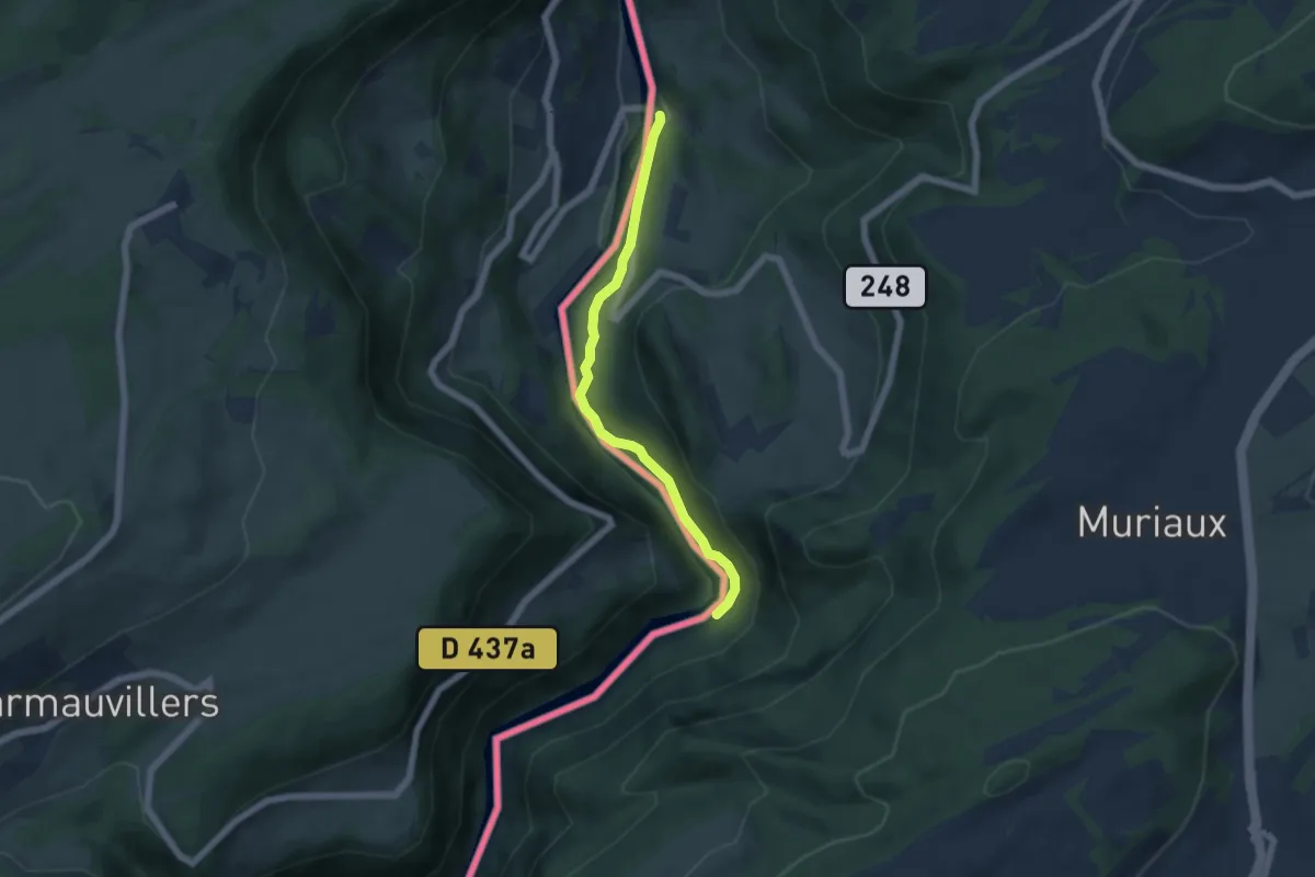
Goumois - fixme
5.0 km · ↑ 75 m · 1 h 21 min
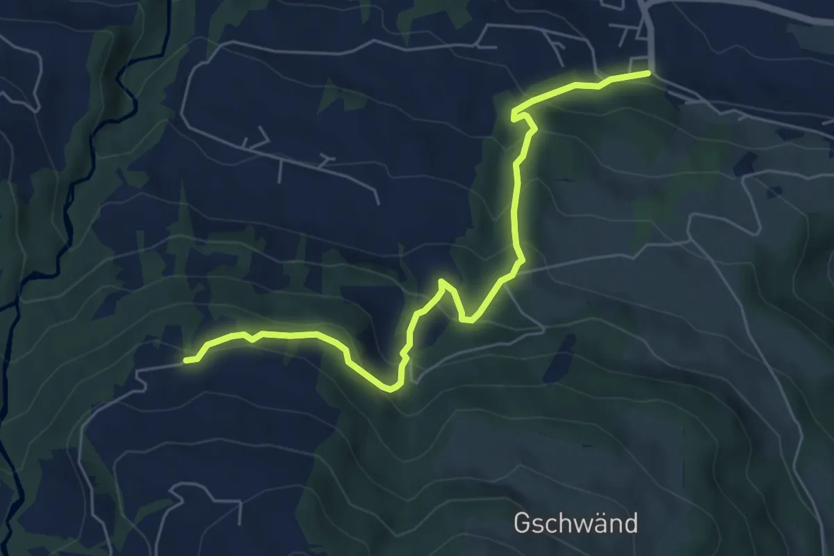
Medium · Trail
Grabenegg - Mosen
6.0 km · ↑ 449 m · 2 h 24 min
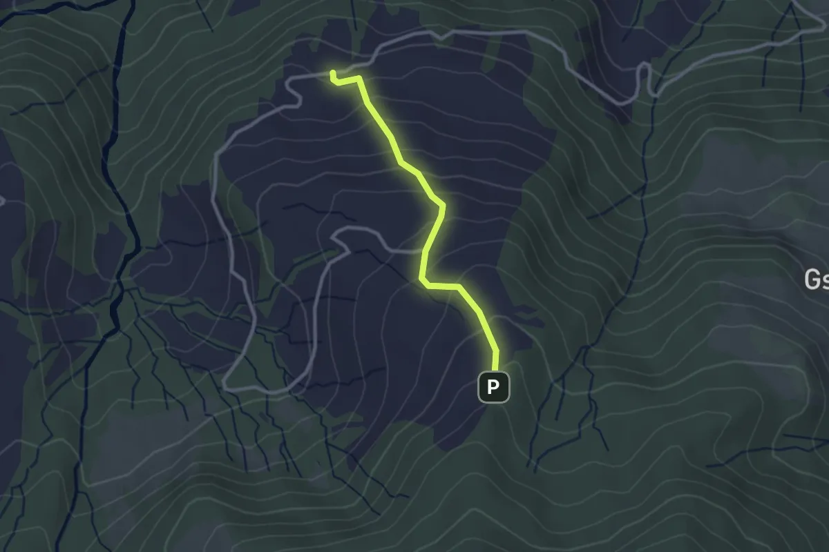
Easy · Trail
Grabenegg - Ruchweid
2.3 km · ↑ 213 m · 1 h 1 min
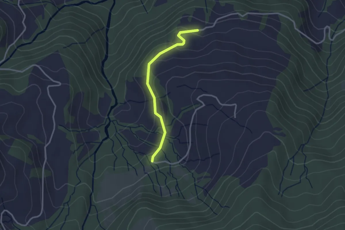
Easy · Trail
Grabenegg - Wiselegg
2.4 km · ↑ 68 m · 43 min
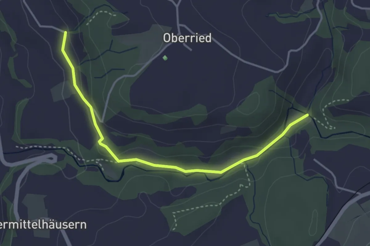
Easy · Trail
Grabenmüli - Grafenried
3.7 km · ↑ 75 m · 1 h 2 min
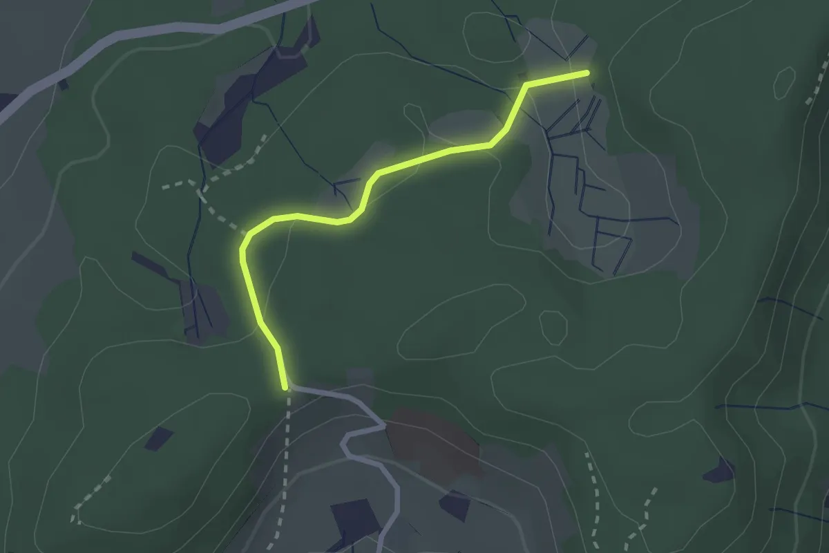
Easy · Trail
Grabenriet - Pulten
2.1 km · ↑ 45 m · 35 min
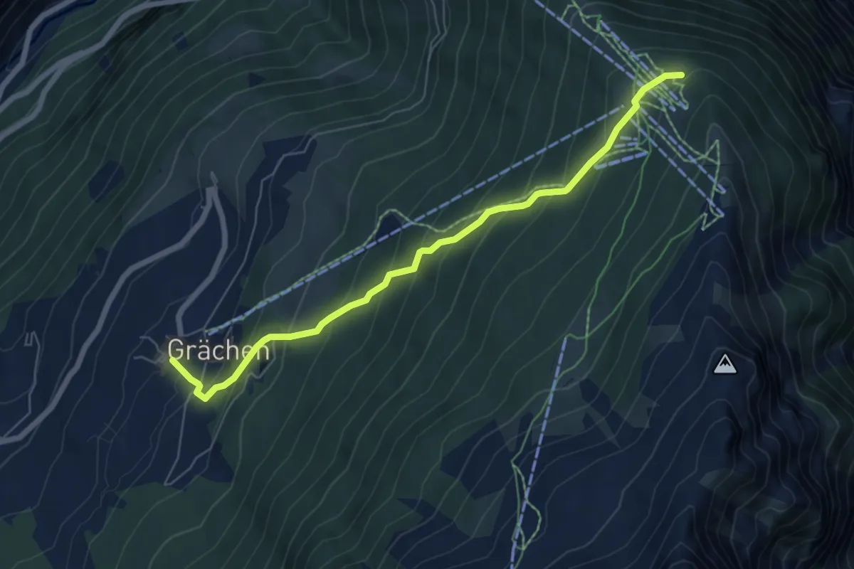
Medium · Trail
Grächen-Hannigalp
6.4 km · ↑ 516 m · 2 h 38 min
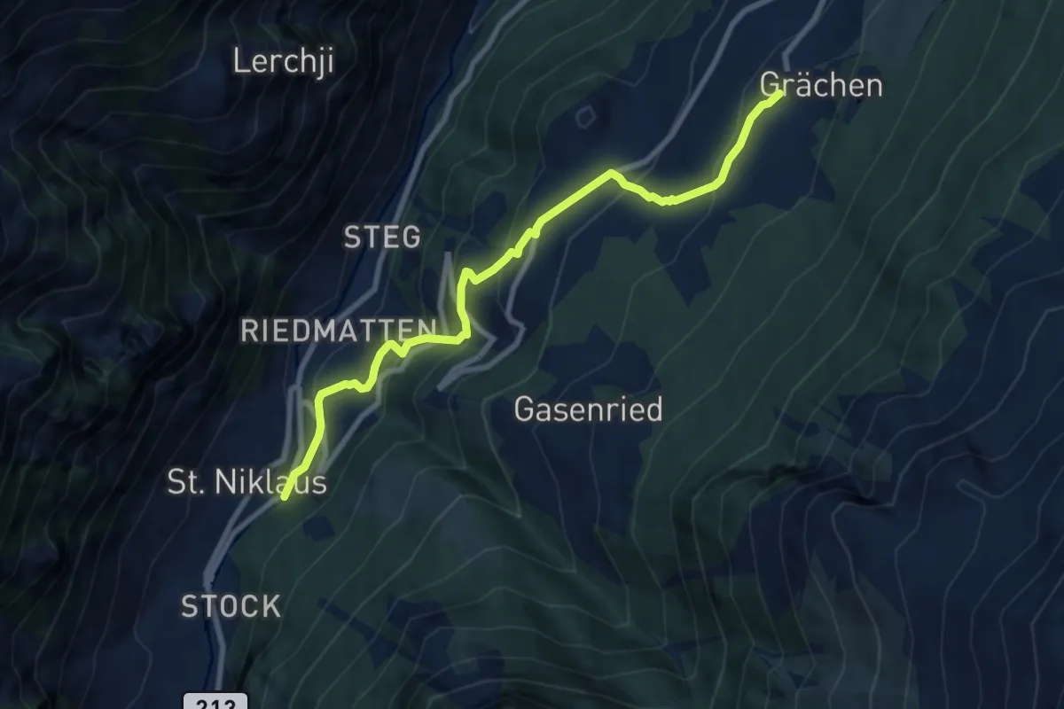
Medium · Trail
Grächen-St. Niklaus
8.5 km · ↑ 546 m · 3 h 12 min
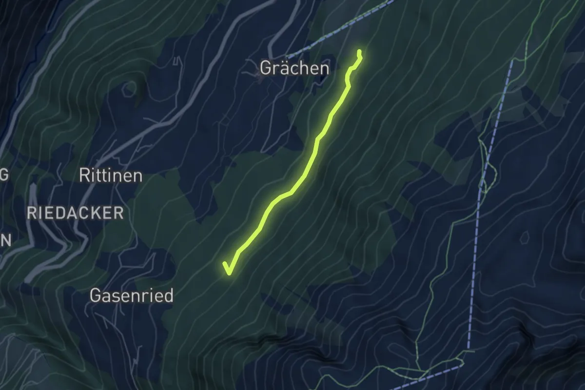
Easy · Trail
Grächerwald - Gasenried
4.2 km · ↑ 172 m · 1 h 22 min
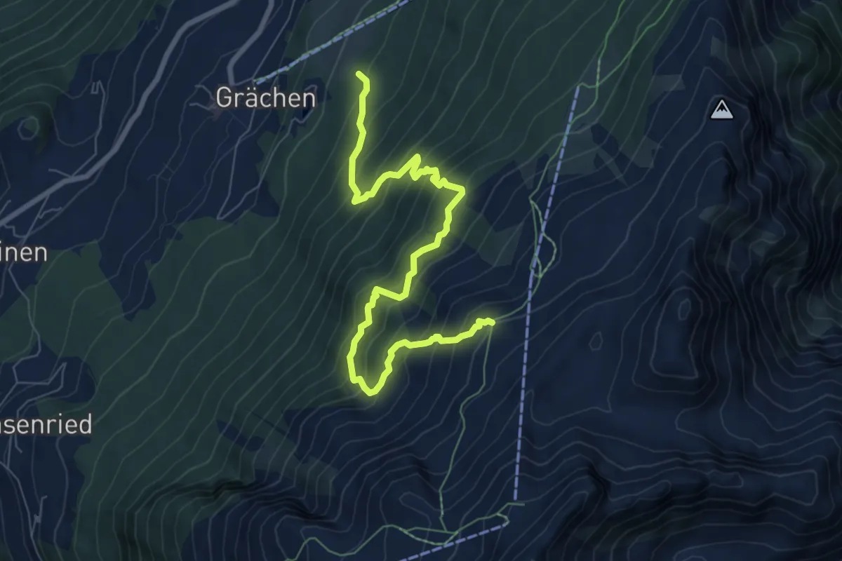
Expert · Trail
Grächerwald - Heidnische Tossu
8.3 km · ↑ 971 m · 4 h 4 min
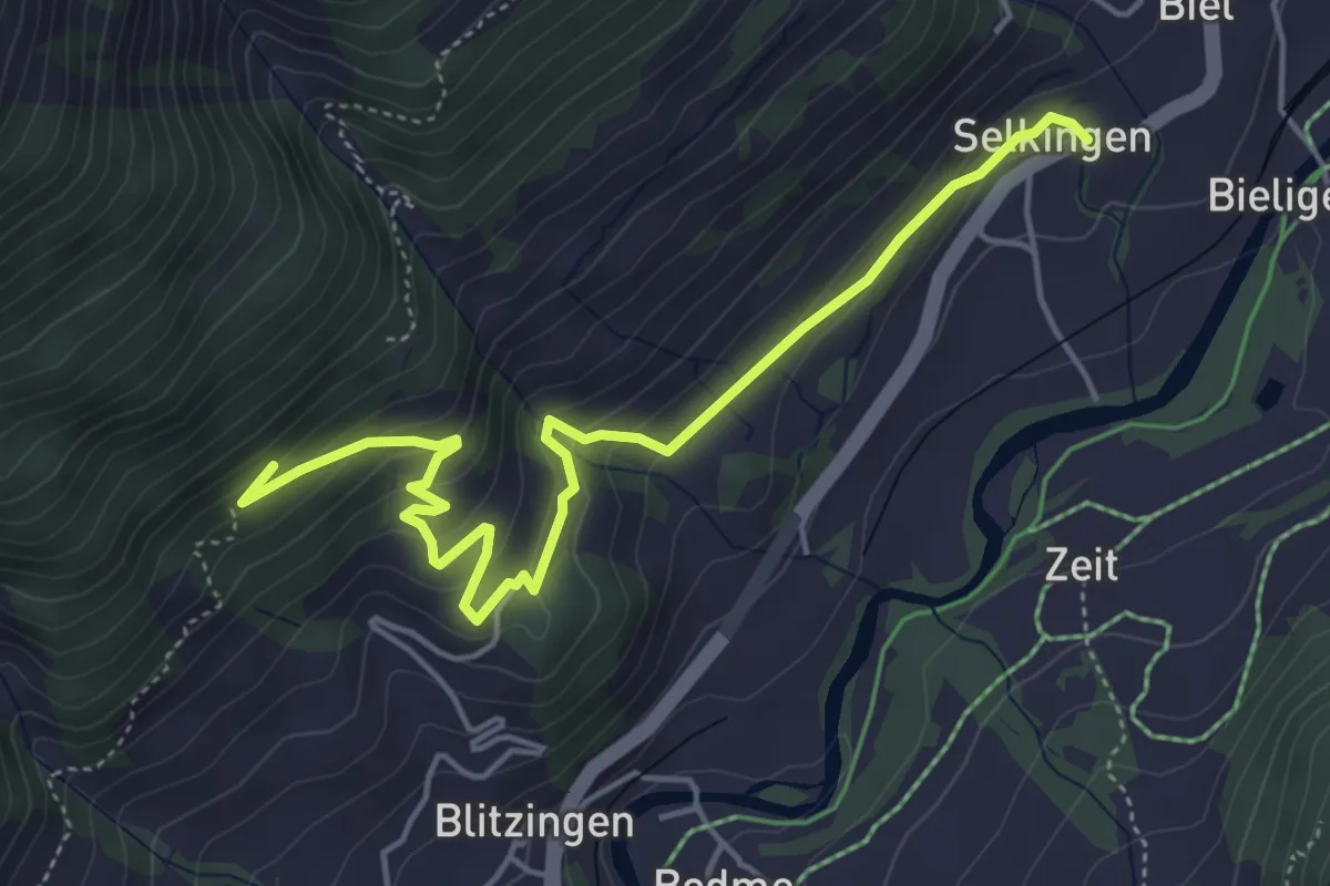
Easy · Trail
Grafschaft - Gommer Höhenweg
5.4 km · ↑ 308 m · 1 h 56 min
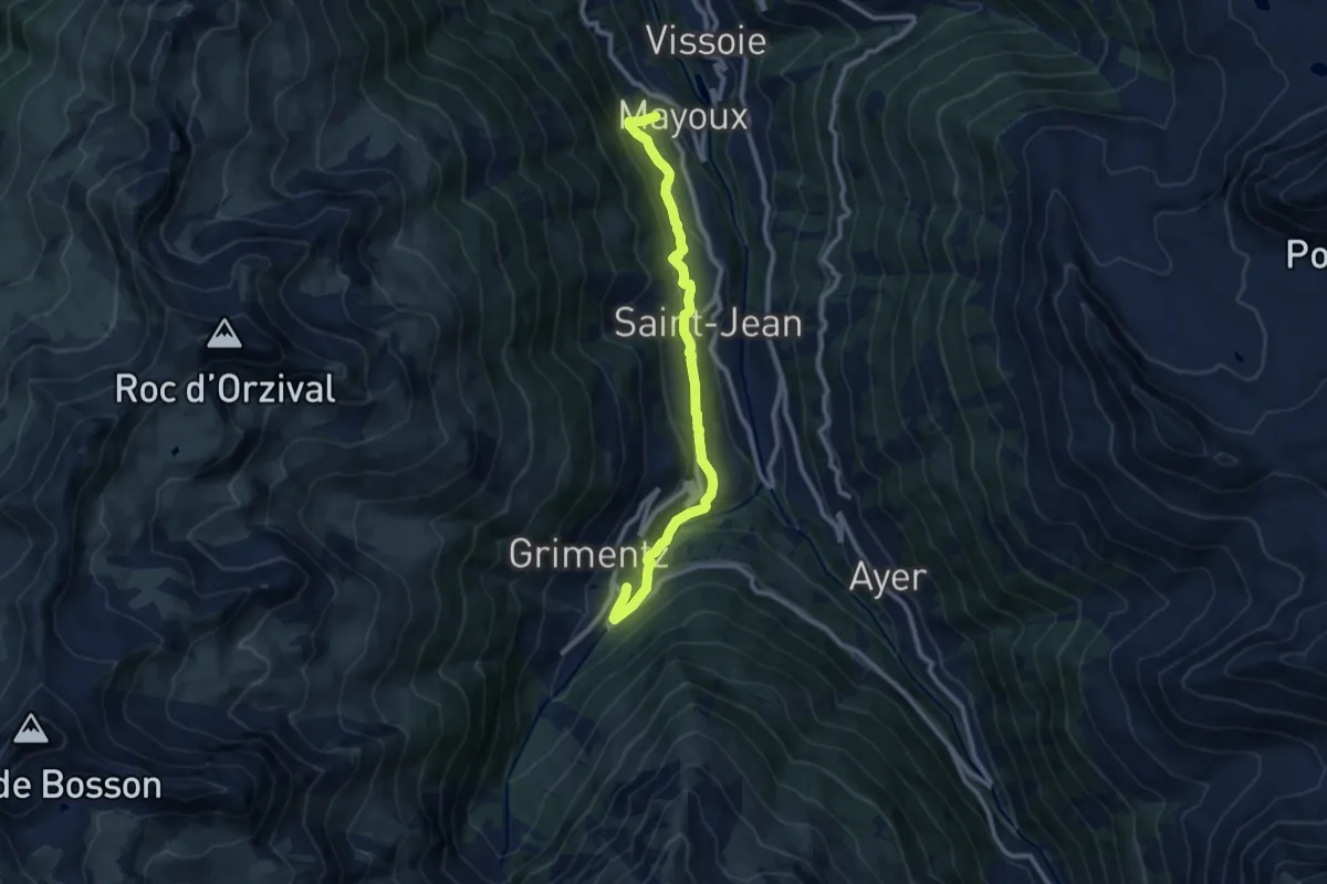
Expert · Trail
Grand Bisse de St-Jean
9.9 km · ↑ 496 m · 3 h 25 min
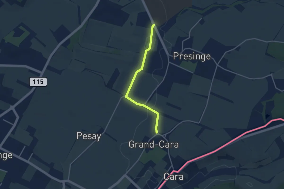
Easy · Trail
Grand Cara - Presinge
2.6 km · ↑ 17 m · 39 min
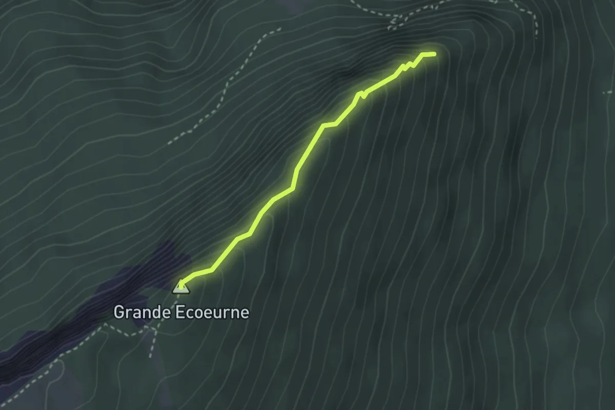
Easy · Summit
Grande Ecoeurne - Le Belvédère
2.4 km · ↑ 268 m · 1 h 9 min
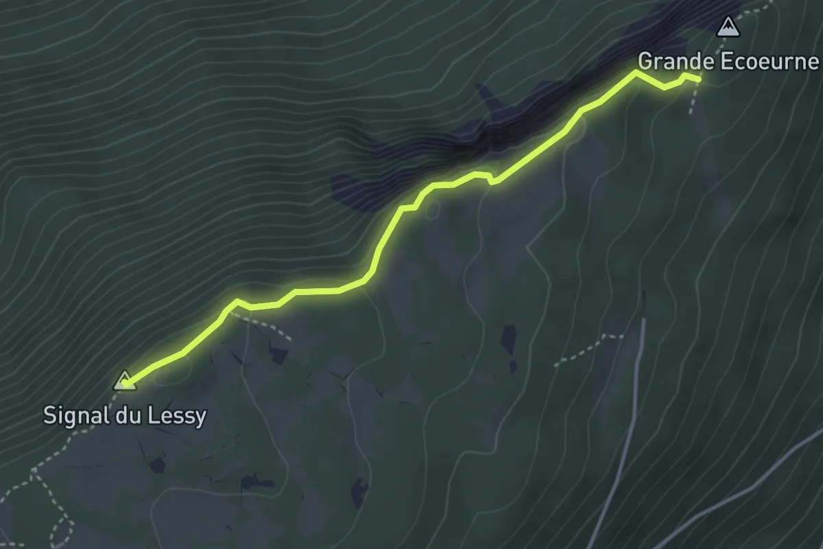
Medium · Summit
Grande Ecoeurne-Signal du Lessy
3.7 km · ↑ 337 m · 1 h 37 min
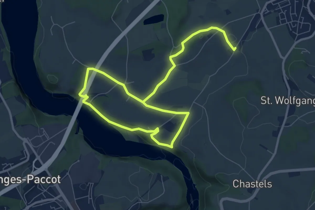
Medium · Trail
Grandfey - Garmiswil und Magdalena Einsiedelei
11.3 km · ↑ 211 m · 3 h 8 min
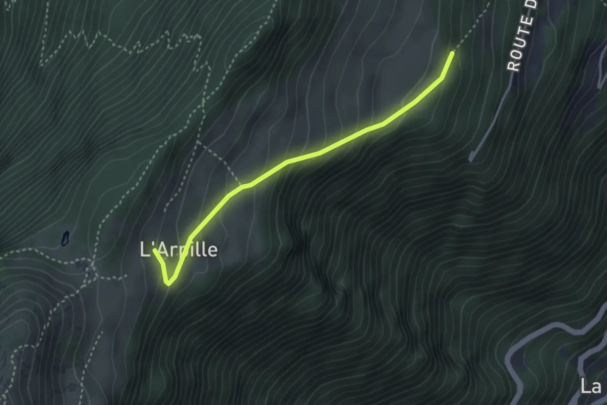
Easy · Trail
Grands Communaux > L'Arpille - Alpage
3.3 km · ↑ 250 m · 1 h 19 min
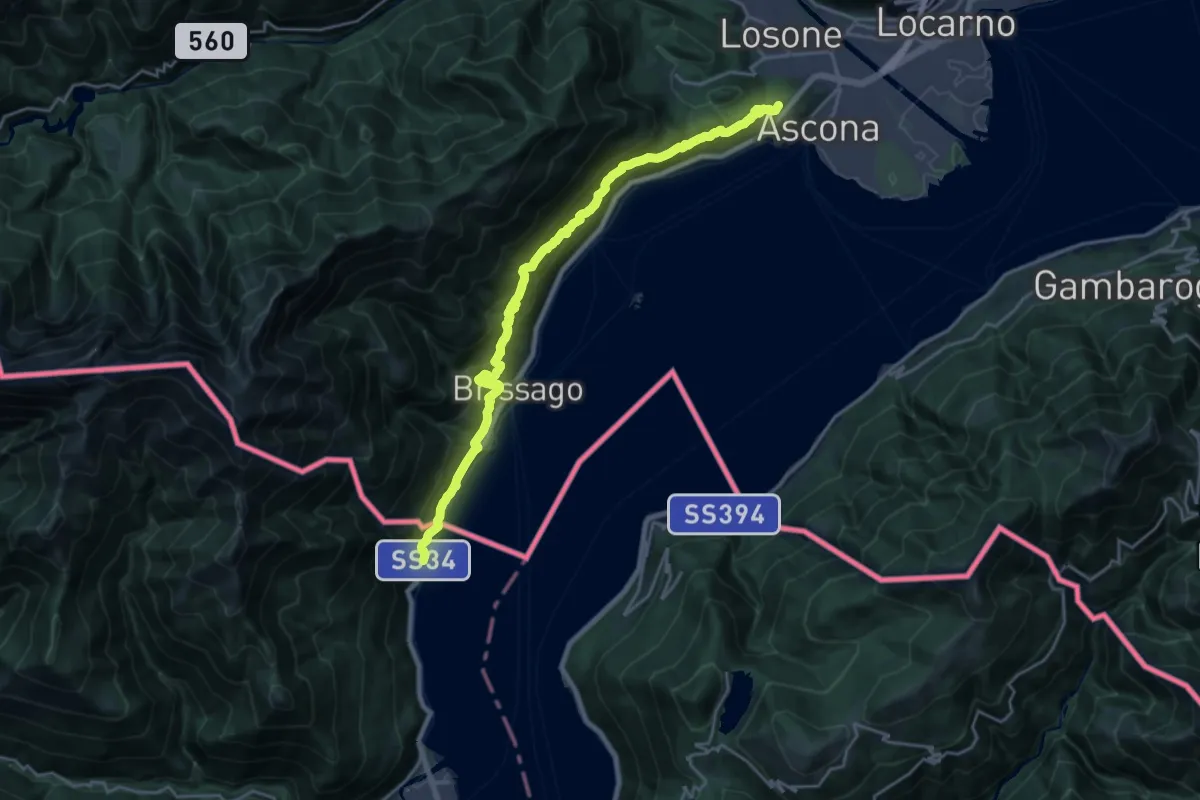
Demanding · Summit
Grand Tour del Lago Maggiore ® - Tappa 10 - Ascona (CH) - Cannobio
22.2 km · ↑ 1317 m · 8 h 6 min
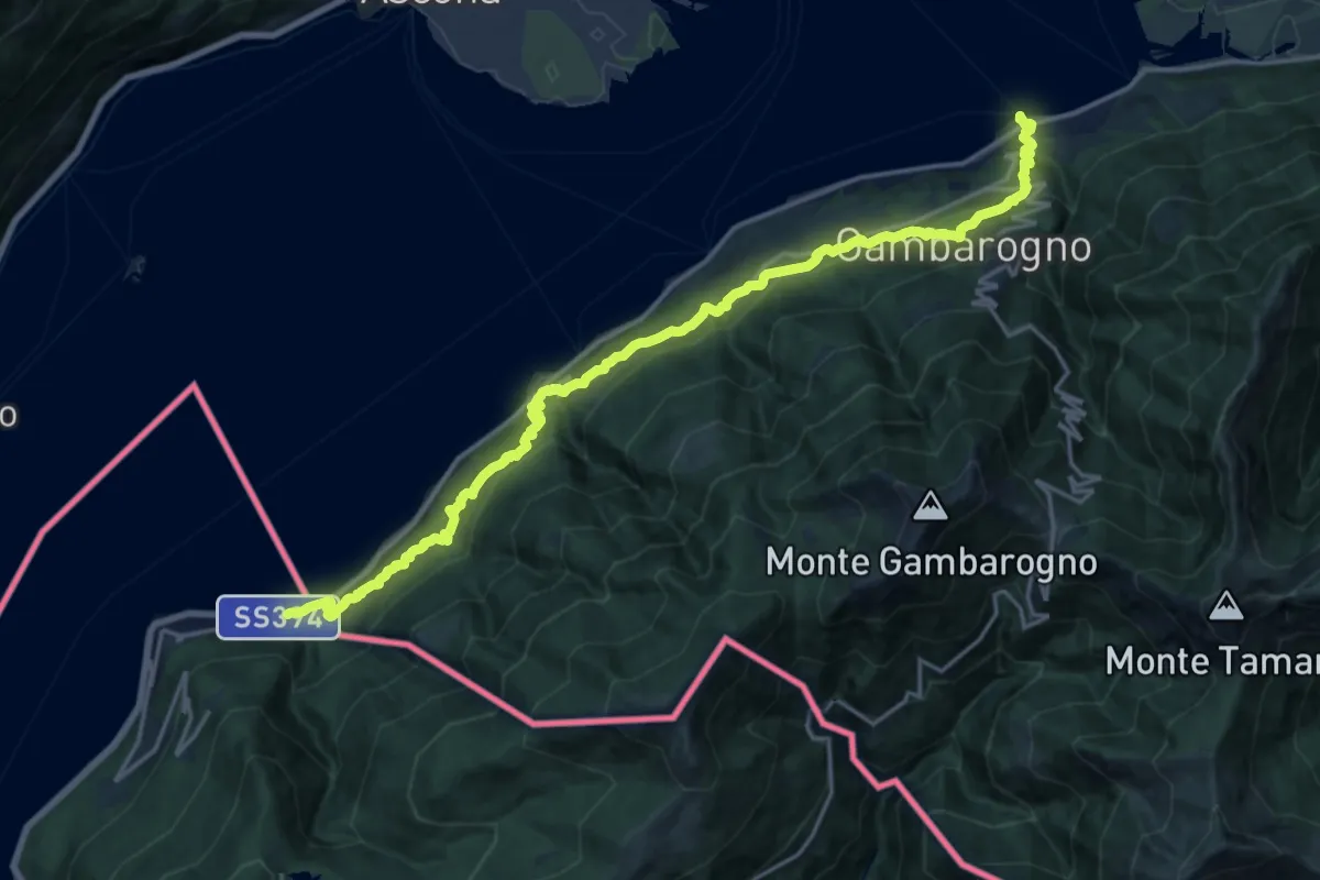
Medium · Trail
Grand Tour del Lago Maggiore ® - Tappa 8 - Maccagno - Pino - Zenna - Vira Gambarogno (CH)
11.0 km · ↑ 672 m · 4 h 12 min
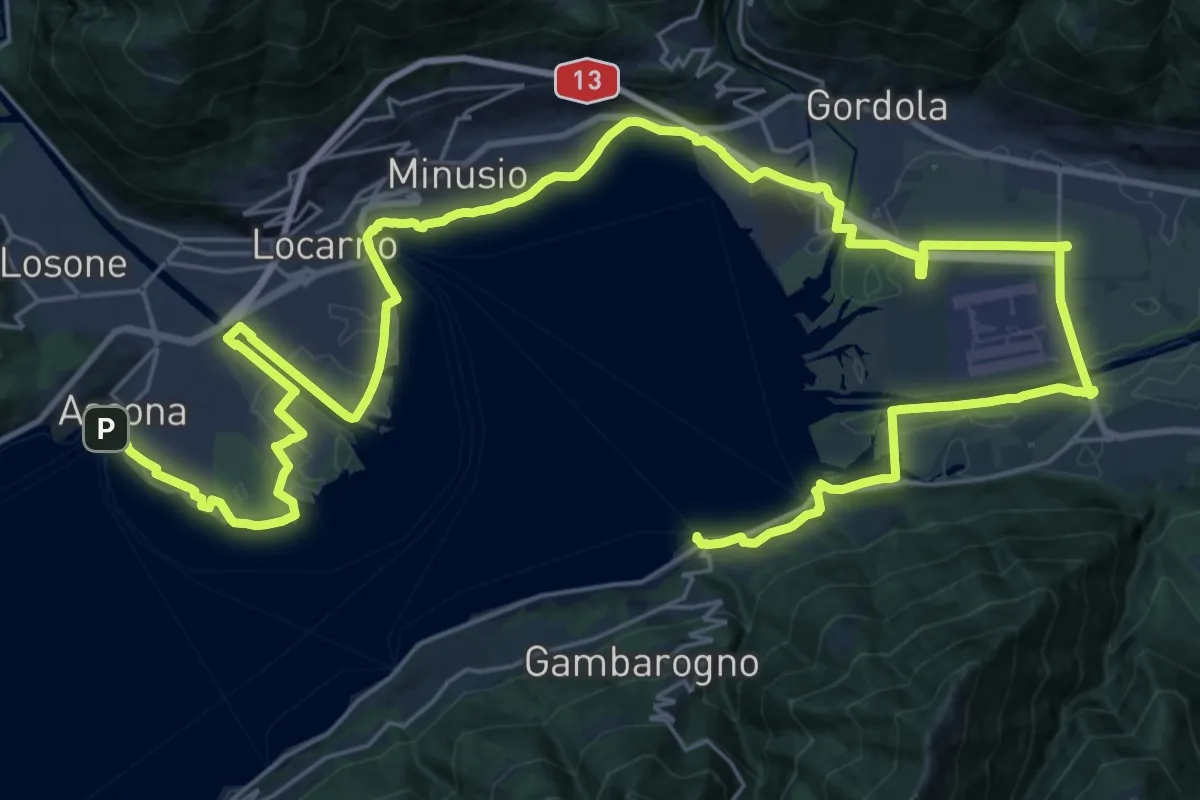
Demanding · Trail
Grand Tour del Lago Maggiore ® - Tappa 9 - Vira Gambarogno (CH) - Ascona (CH)
23.3 km · ↑ 99 m · 6 h 3 min
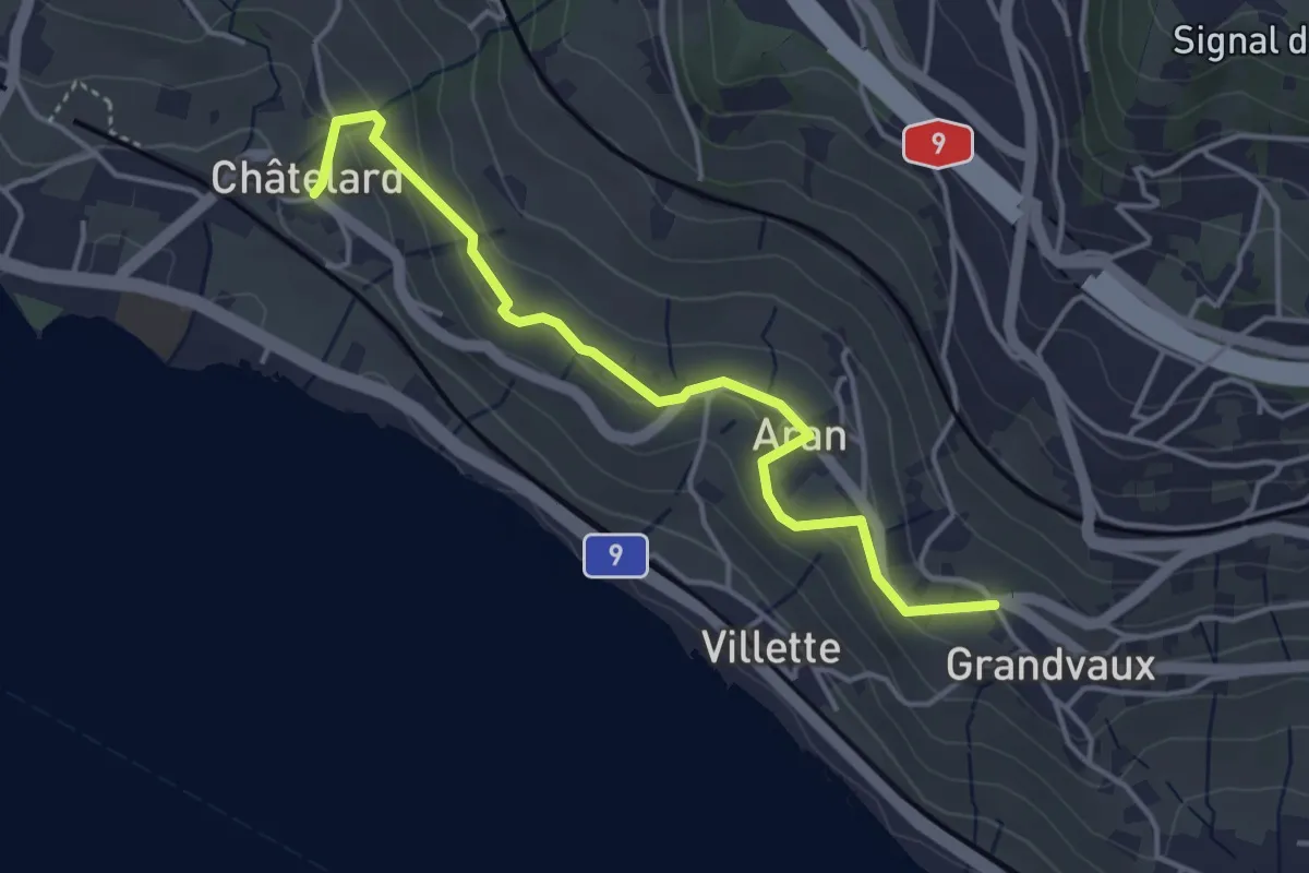
Easy · Trail
Grandvaux - Châtelard
4.1 km · ↑ 152 m · 1 h 18 min
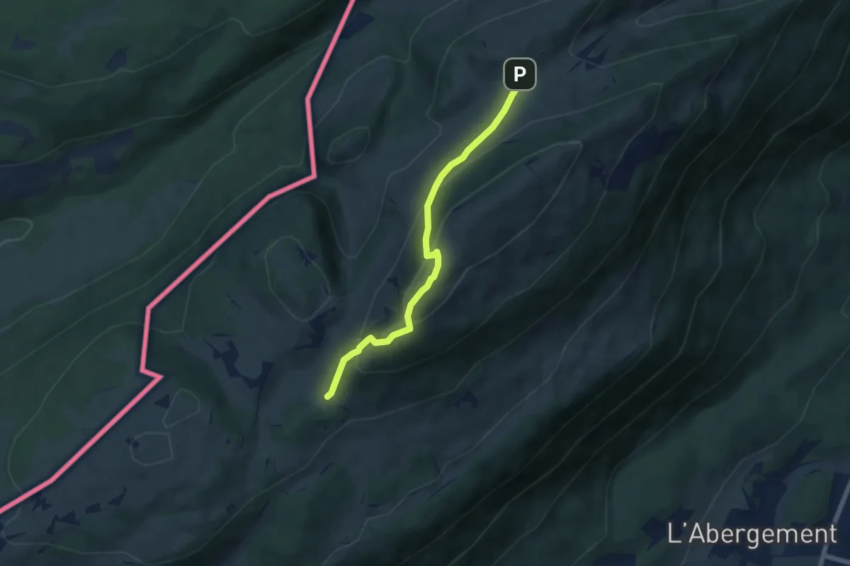
Medium · Trail
Grange Neuve-La Poyette
5.6 km · ↑ 397 m · 2 h 10 min
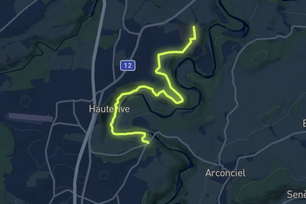
Medium · Trail
Grangeneuve - La Tuffière
10.4 km · ↑ 233 m · 2 h 57 min
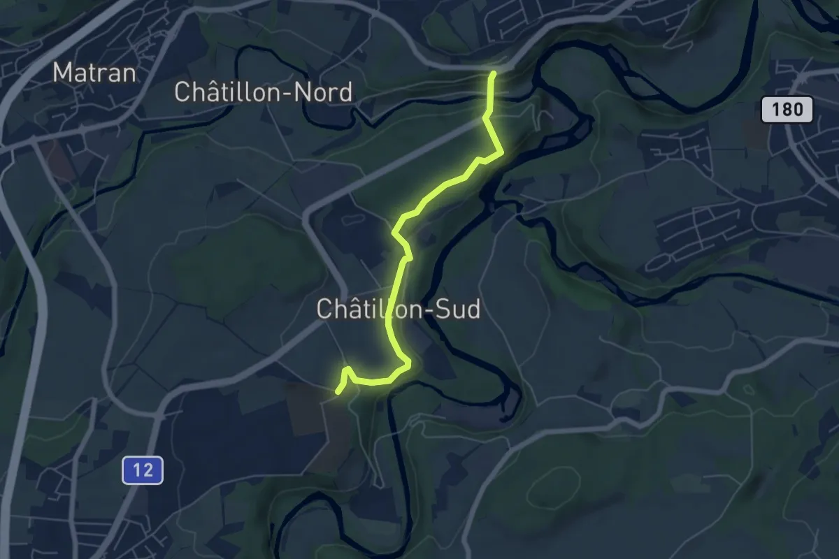
Easy · Trail
Grangeneuve - Villars-sur-Glâne Pont de la Glâne
5.3 km · ↑ 145 m · 1 h 34 min
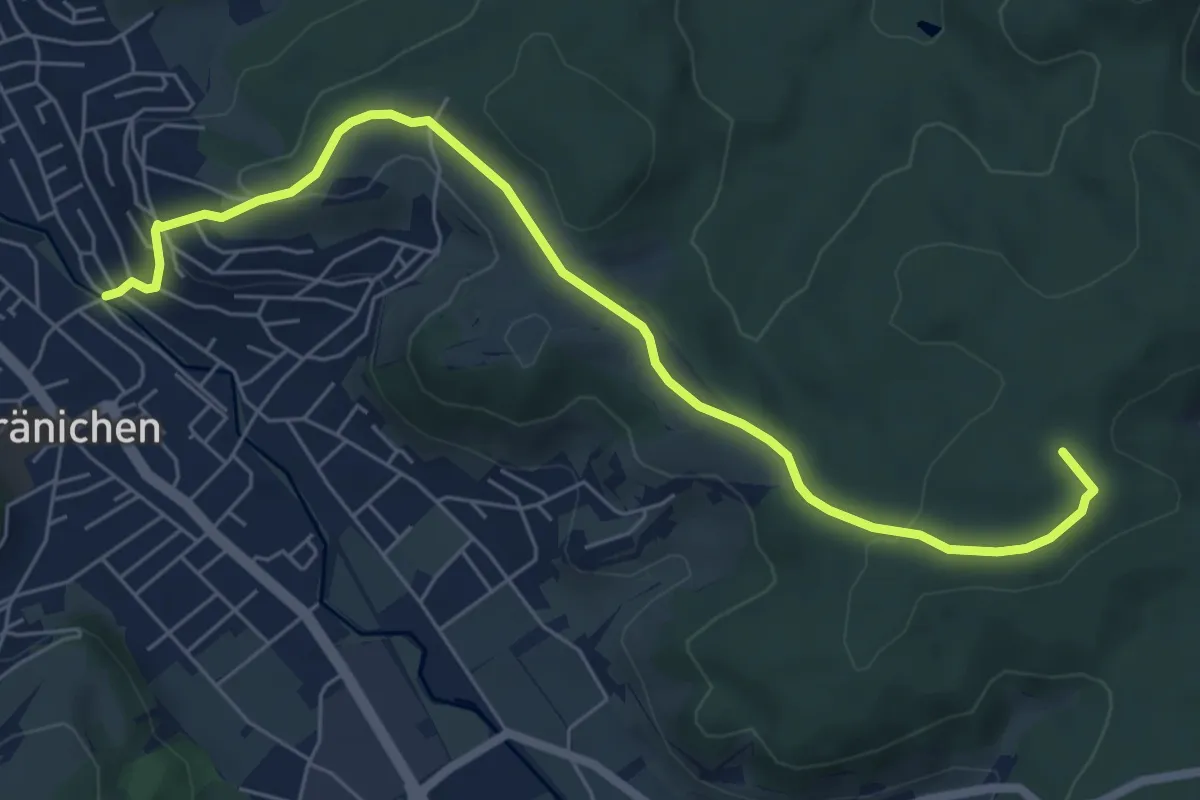
Easy · Summit
Gränichen - Breitenberg
6.9 km · ↑ 183 m · 2 h 2 min