Trails in Switzerland
15,029 hiking trails, each with its route, climb, walking time and grade.
All trails, page 43 of 314
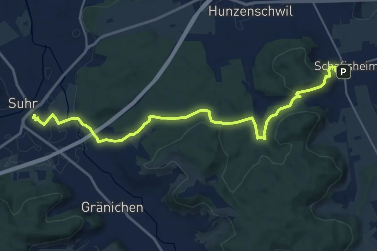
Medium · Trail
Gränichen - Schafisheim
13.1 km · ↑ 335 m · 3 h 48 min
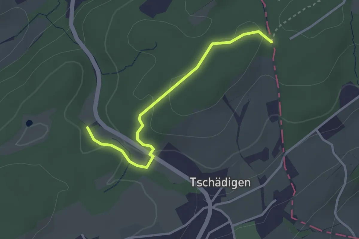
Easy · Trail
Gränzetürli - Längeried
2.7 km · ↑ 71 m · 47 min
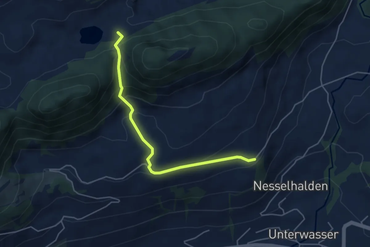
Medium · Trail
Gräppelensee-Chrinn-Halden
4.1 km · ↑ 292 m · 1 h 36 min
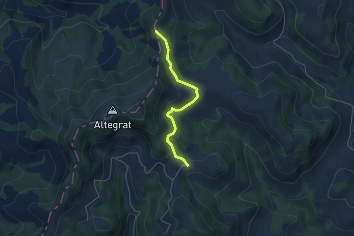
Easy · Summit
Grätliegg - Wittenschwändi
3.8 km · ↑ 173 m · 1 h 16 min
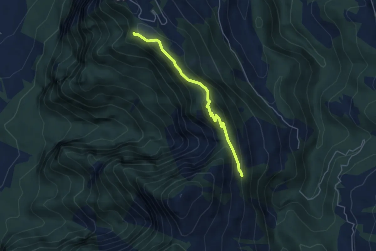
Expert · Trail
Gratweg
3.8 km · ↑ 236 m · 1 h 24 min
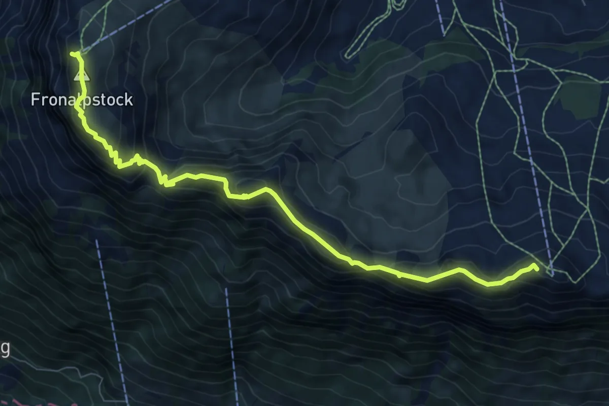
Medium · Summit
Gratweg Stoos
8.6 km · ↑ 654 m · 3 h 27 min
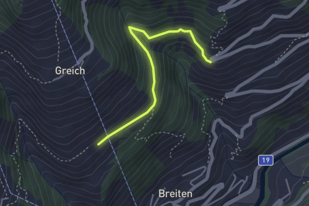
Easy · Trail
Greich - Filet
3.0 km · ↑ 260 m · 1 h 17 min
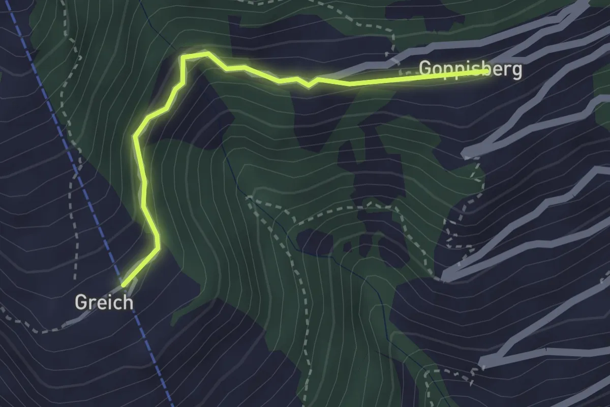
Easy · Trail
Greich - Goppisberg
2.8 km · ↑ 169 m · 1 h 2 min
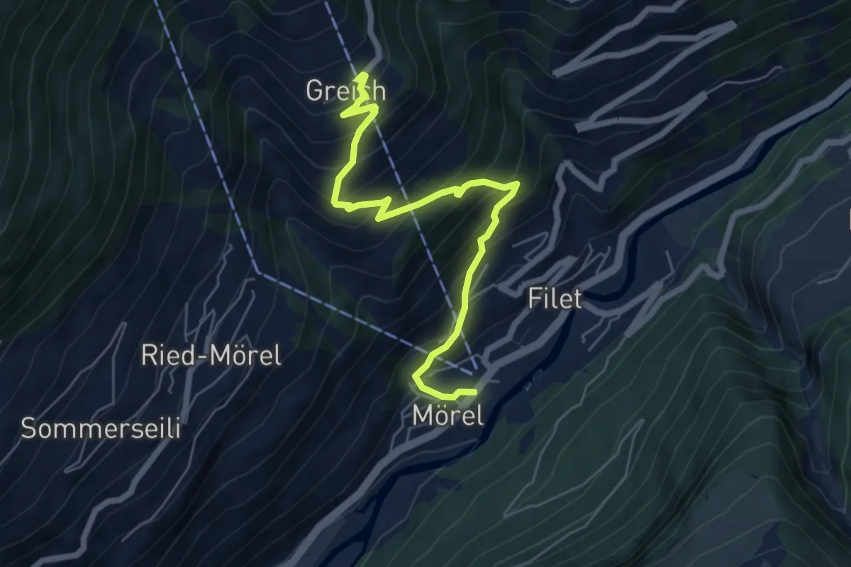
Medium · Trail
Greich - Mörel
5.9 km · ↑ 593 m · 2 h 41 min
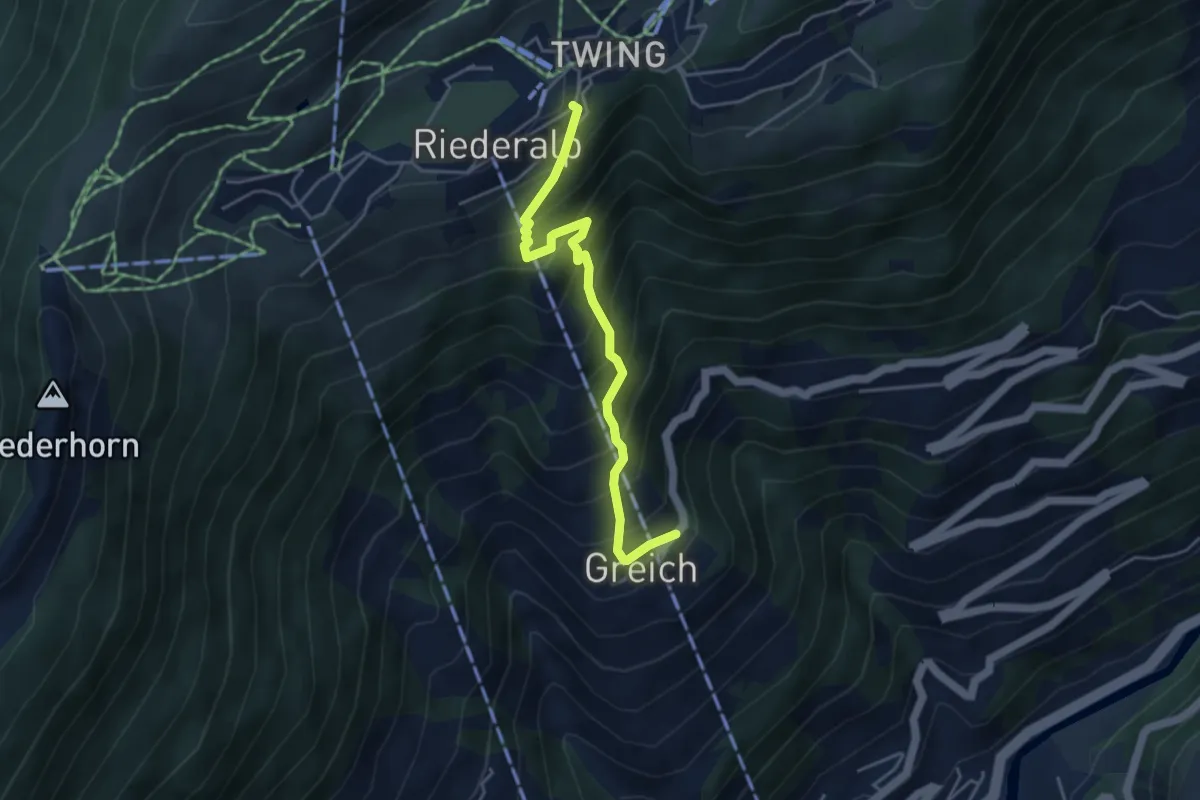
Medium · Trail
Greich - Riederalp
4.2 km · ↑ 562 m · 2 h 13 min
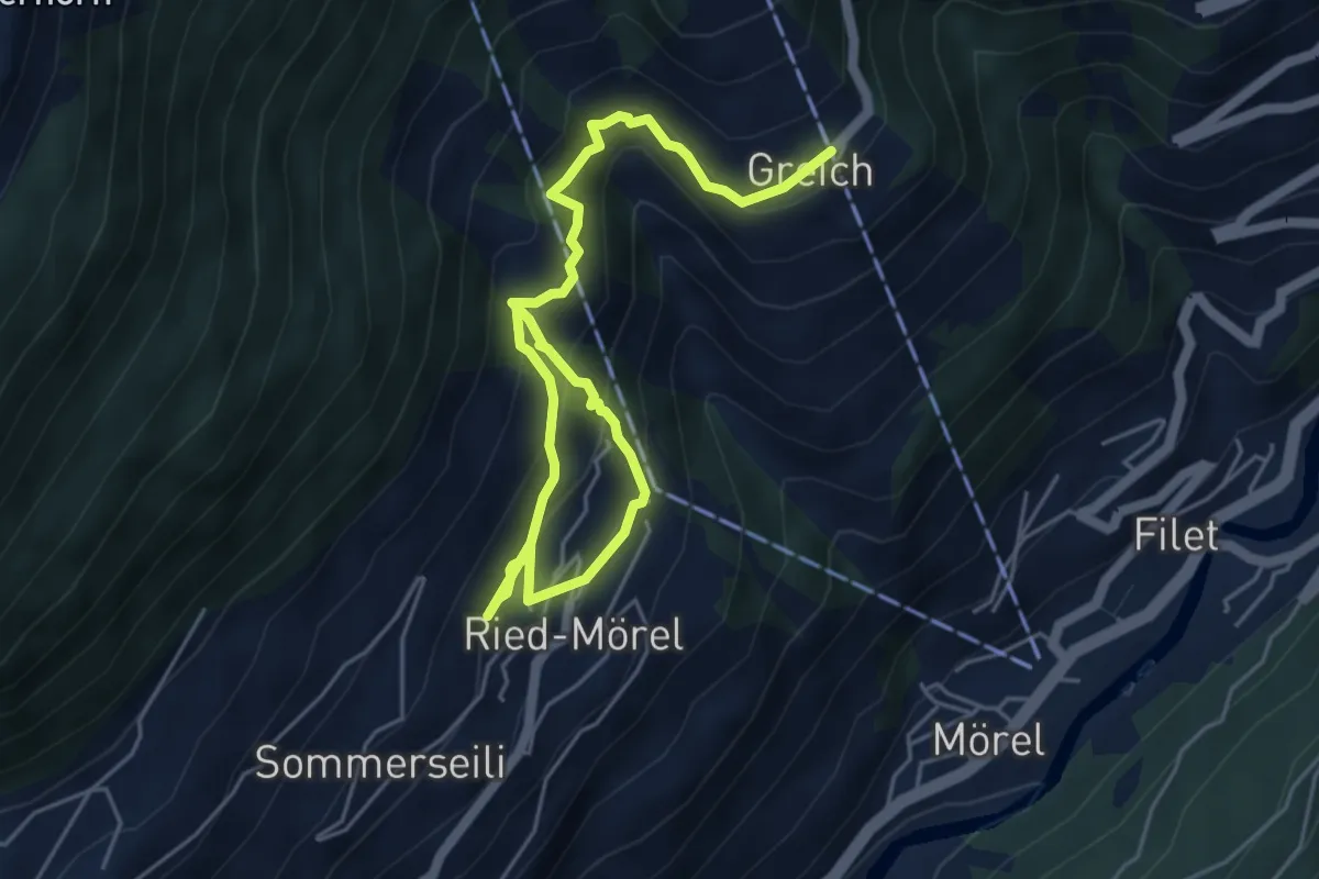
Medium · Trail
Greich - Ried-Mörel
6.7 km · ↑ 564 m · 2 h 48 min
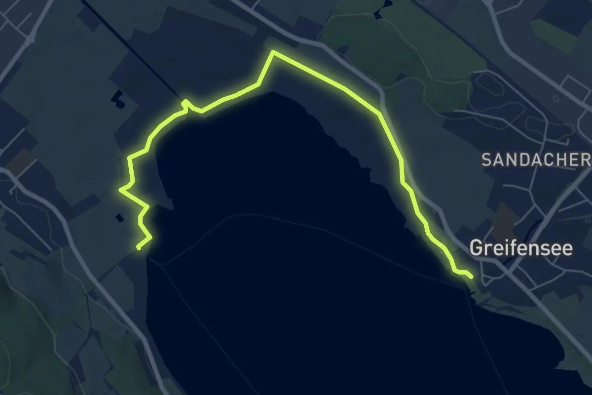
Easy · Trail
Greifensee - Fällanden Rohr
6.8 km · ↑ 18 m · 1 h 39 min
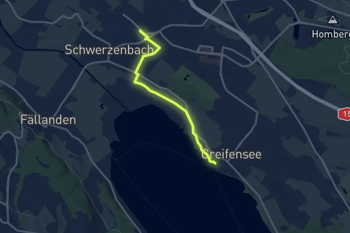
Easy · Trail
Greifensee - Schwerzenbach
6.6 km · ↑ 30 m · 1 h 38 min
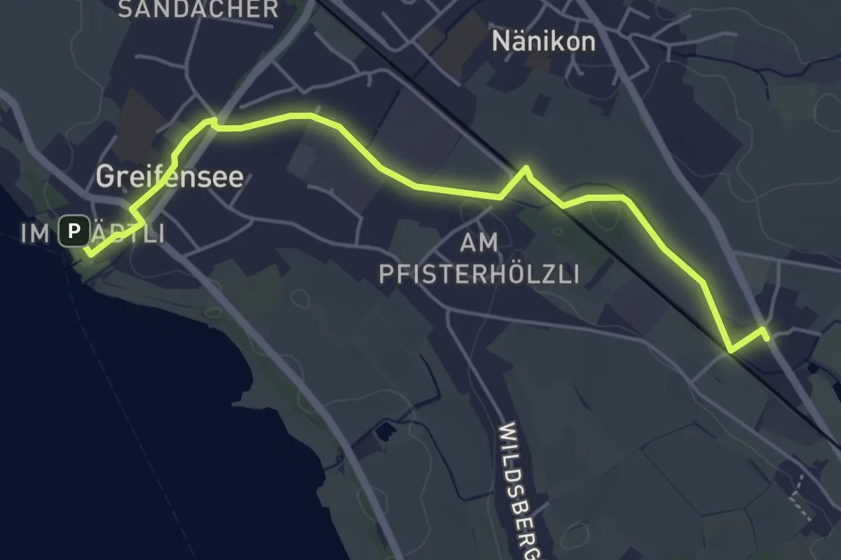
Easy · Trail
Greifensee - Werrikon
5.2 km · ↑ 13 m · 1 h 16 min
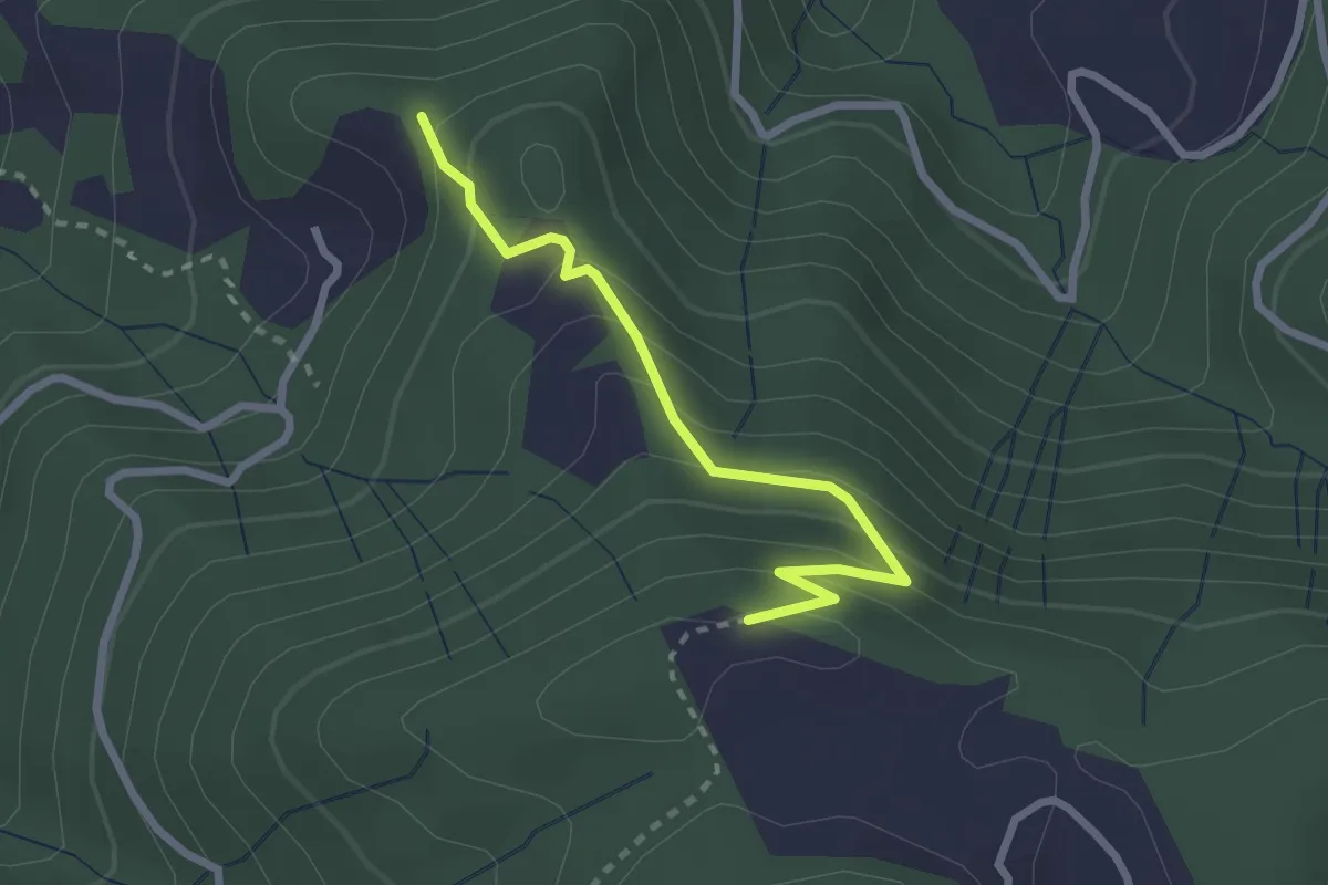
Easy · Trail
Greit Höhe - Bellevue
2.4 km · ↑ 180 m · 58 min
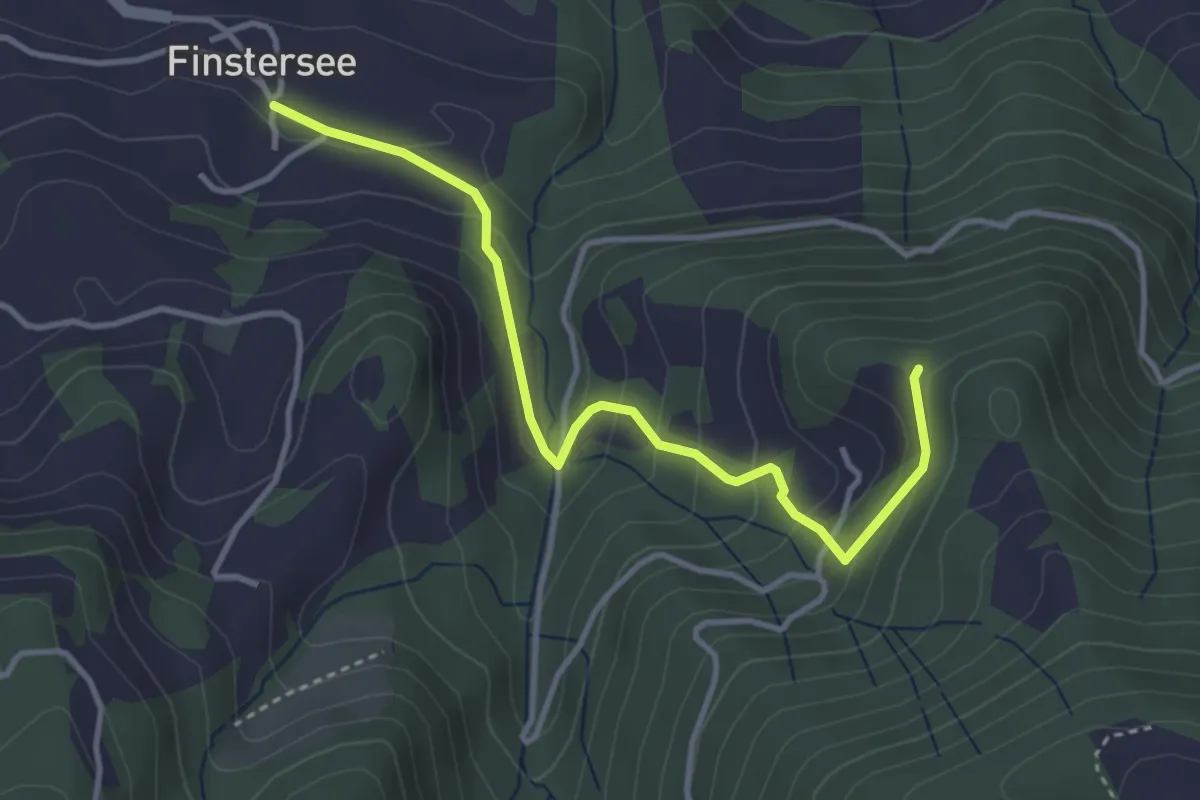
Easy · Trail
Greit Höhe - Finstersee
3.7 km · ↑ 217 m · 1 h 20 min
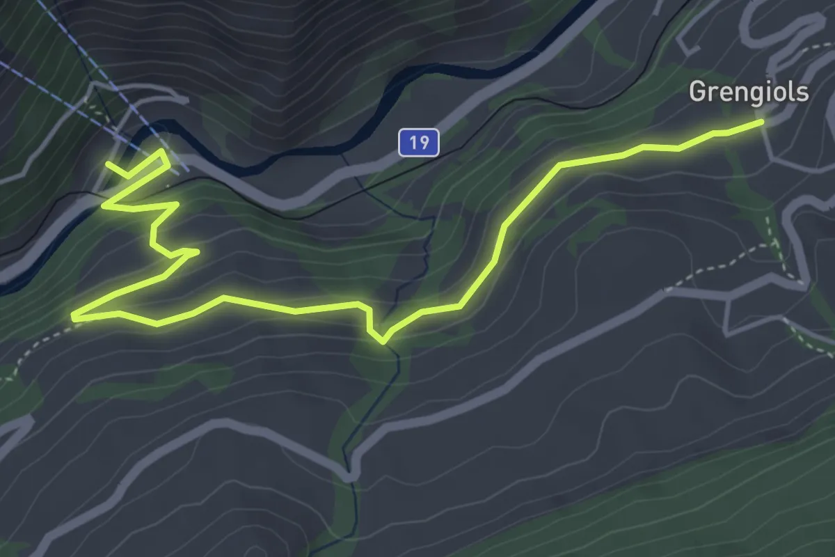
Medium · Trail
Grengiols - Bettmeralp Talstation
5.5 km · ↑ 282 m · 1 h 54 min
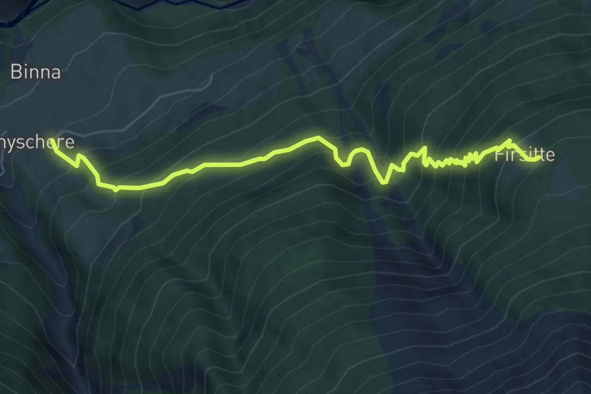
Demanding · Trail
Grengiols - Firsitte
6.7 km · ↑ 858 m · 3 h 27 min
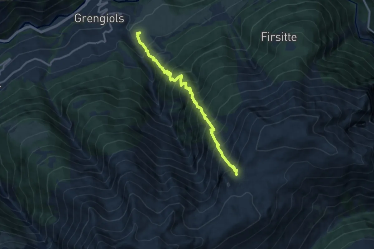
Demanding · Trail
Grengiols - Furggerchäller
8.0 km · ↑ 1427 m · 4 h 59 min
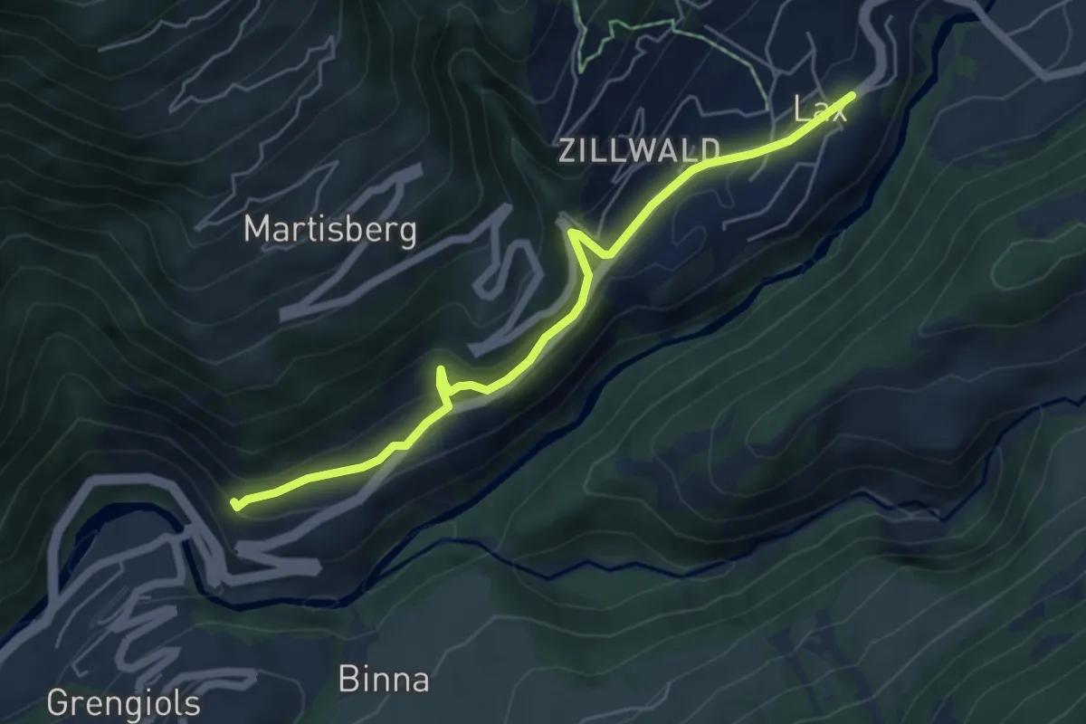
Medium · Trail
Grengiols - Lax
5.4 km · ↑ 256 m · 1 h 49 min
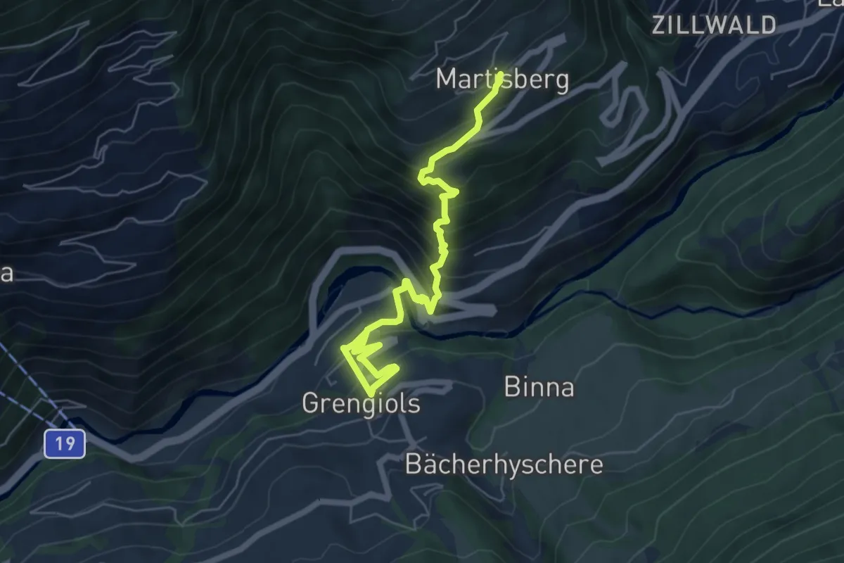
Medium · Trail
Grengiols - Martisberg
6.3 km · ↑ 623 m · 2 h 51 min
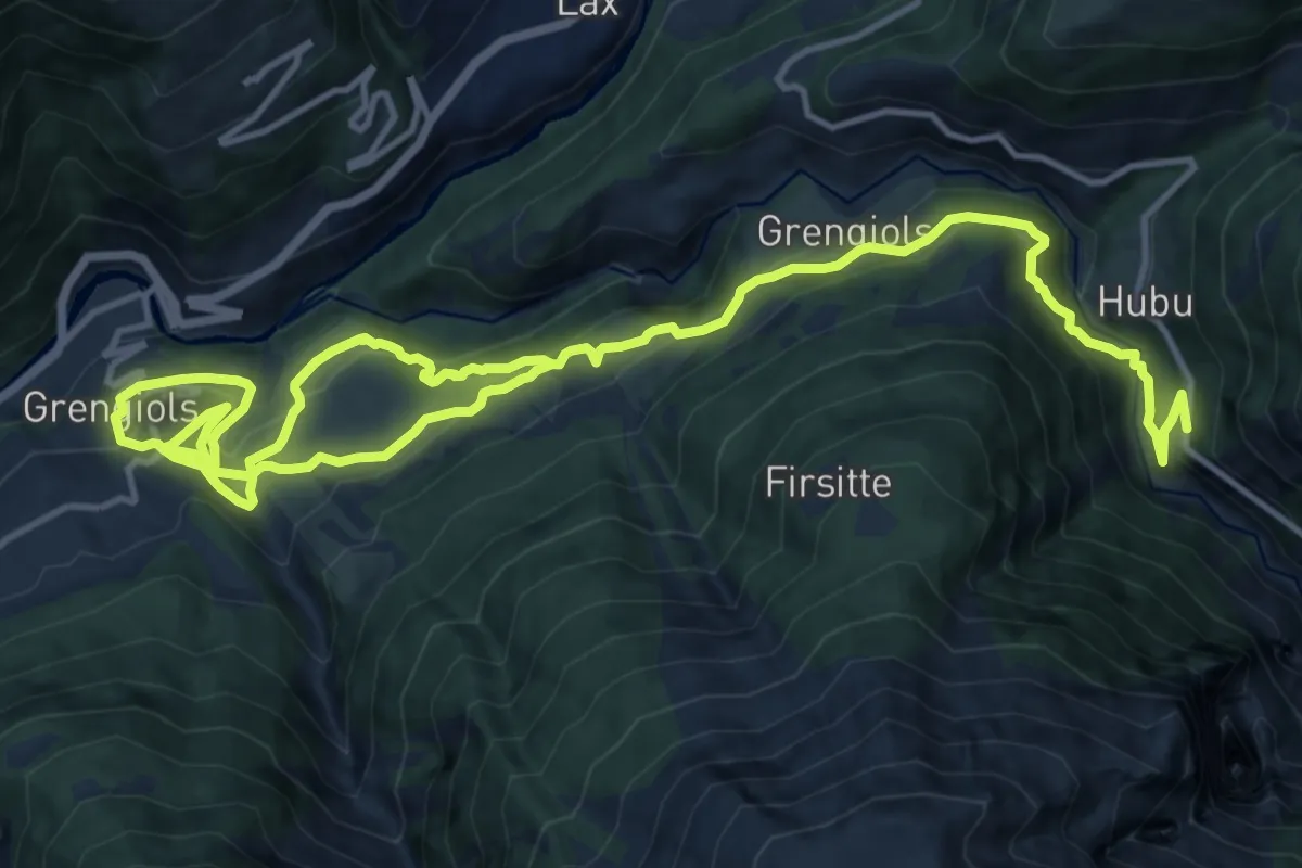
Demanding · Trail
Grengiols - Steinmatta
21.7 km · ↑ 1140 m · 7 h 35 min
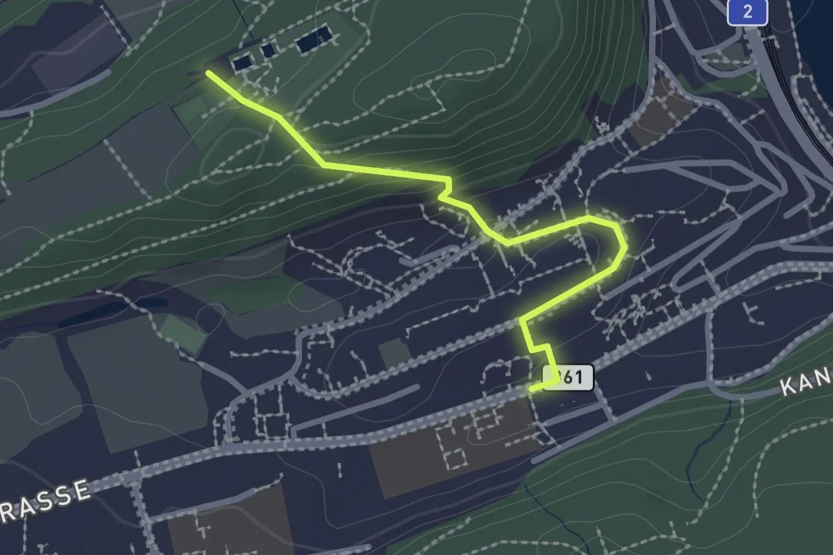
Easy · Trail
Grenzhof - Reussbühl
2.2 km · ↑ 87 m · 43 min
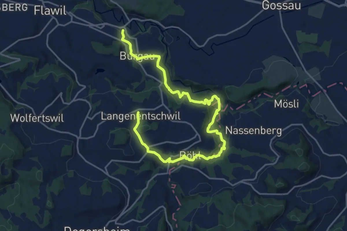
Medium · Trail
Grenzweg
8.2 km · ↑ 404 m · 2 h 51 min
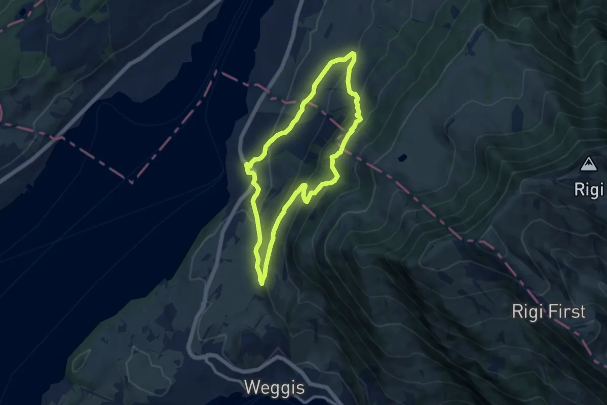
Medium · Trail
Greppen Rundwanderung
7.6 km · ↑ 395 m · 2 h 45 min
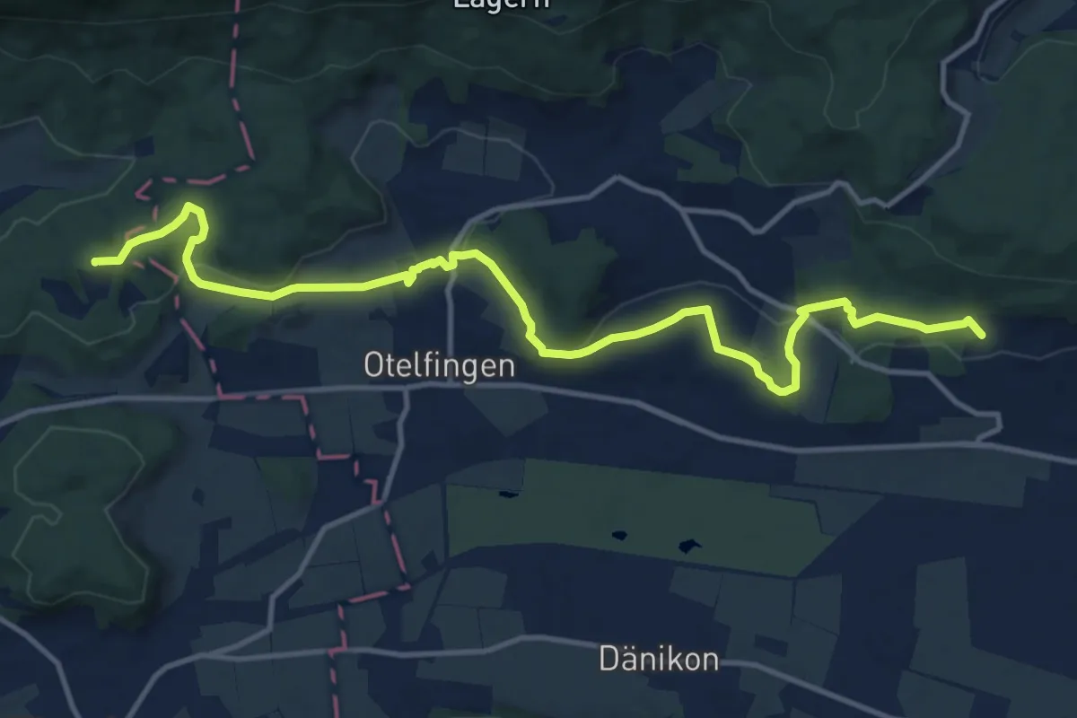
Medium · Summit
Greppe - Pfaffenbühl
14.3 km · ↑ 358 m · 4 h 9 min
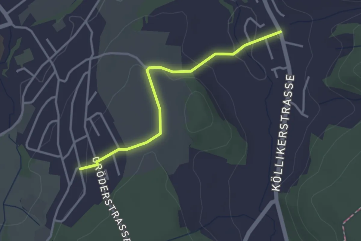
Easy · Trail
Gretzenbach - Eich
2.7 km · ↑ 77 m · 49 min
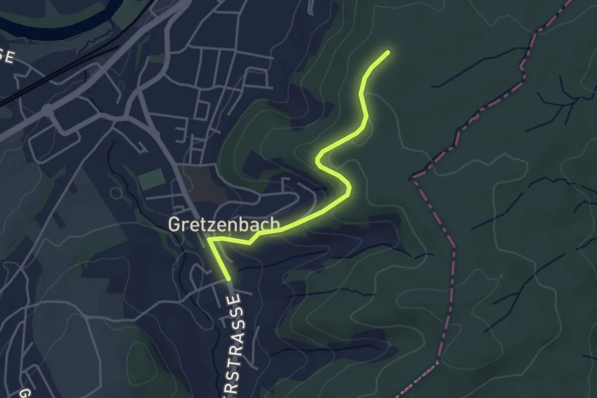
Easy · Trail
Gretzenbach Weid - Tägermoos
3.3 km · ↑ 102 m · 1 h
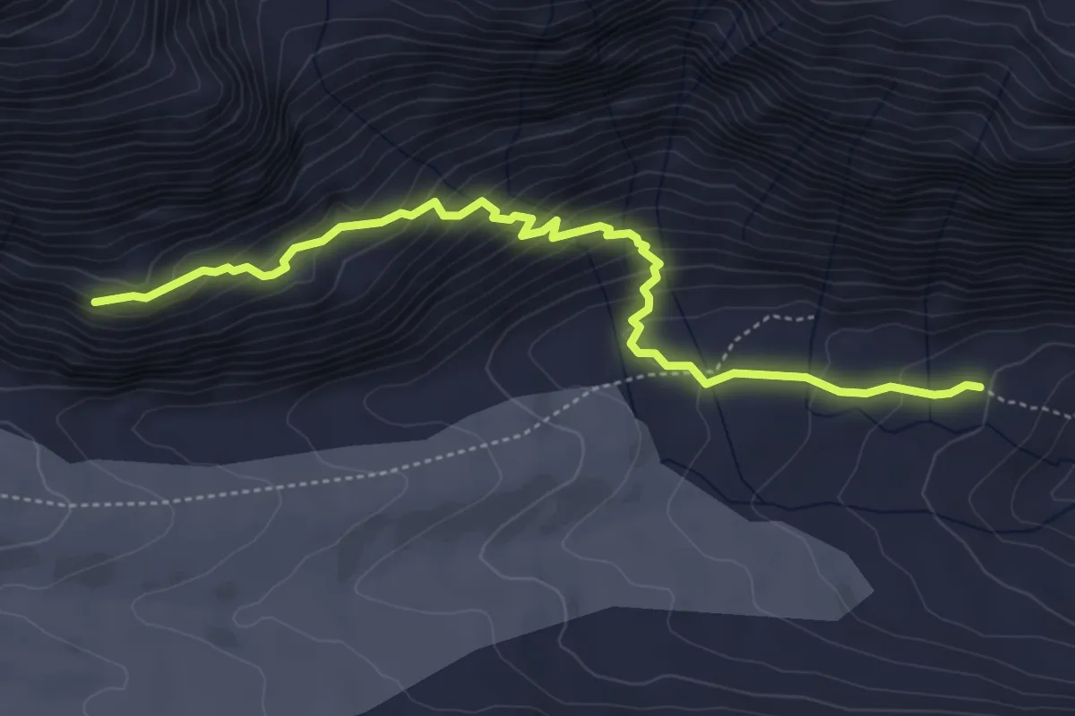
Medium · Cabin
Grimsel/Hospiz - Lauteraarhütte
5.2 km · ↑ 419 m · 2 h 8 min
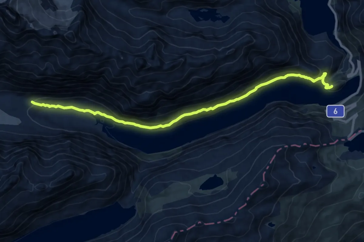
Demanding · Trail
Grimsel/Hospiz - Lauteraarhütte
15.1 km · ↑ 822 m · 5 h 21 min
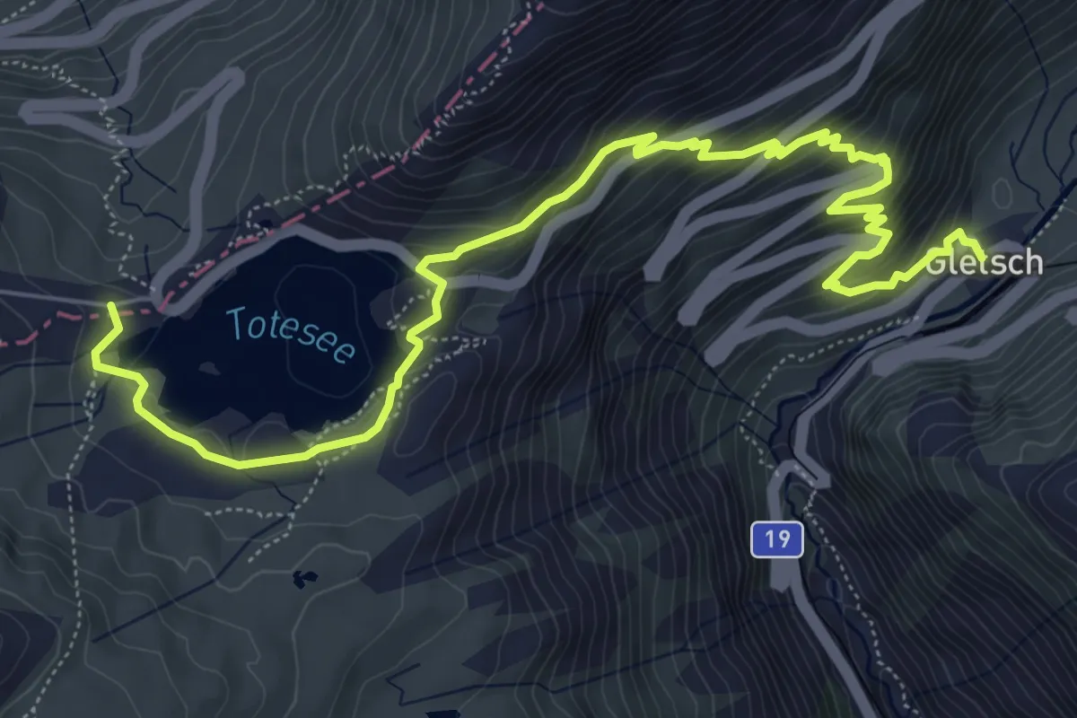
Medium · Trail
Grimselpass - Gletsch
8.3 km · ↑ 531 m · 3 h 7 min
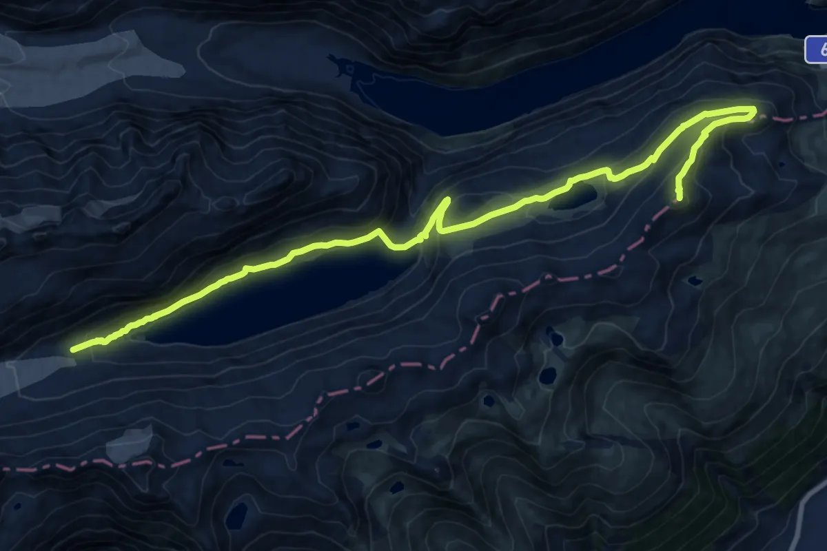
Expert · Summit
Grimselpass - Oberaar
20.9 km · ↑ 1096 m · 7 h 18 min
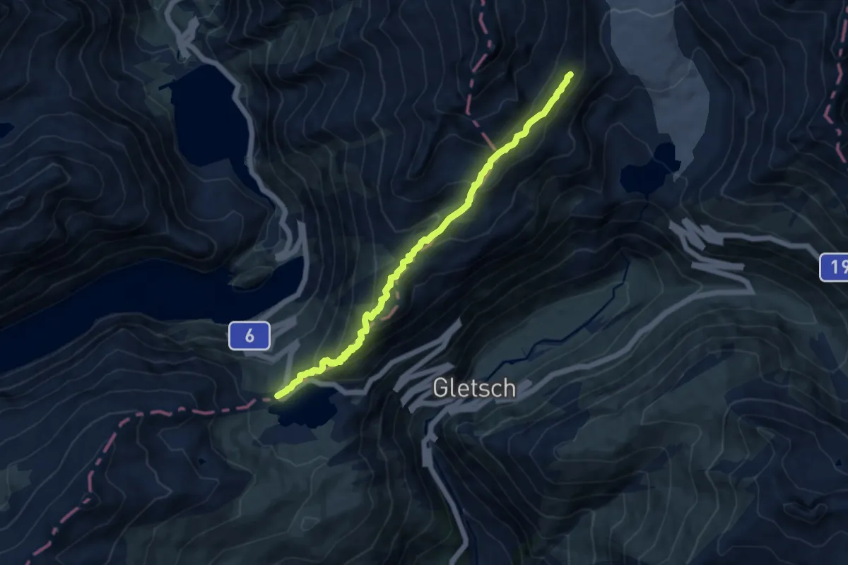
Medium · Trail
Grimselpass - Rhonegletscher
9.9 km · ↑ 571 m · 3 h 34 min
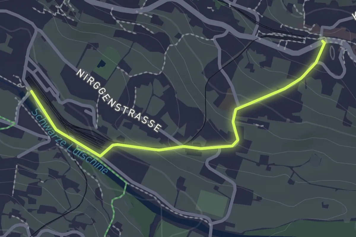
Easy · Trail
Grindelwald/Station
2.3 km · ↑ 100 m · 46 min
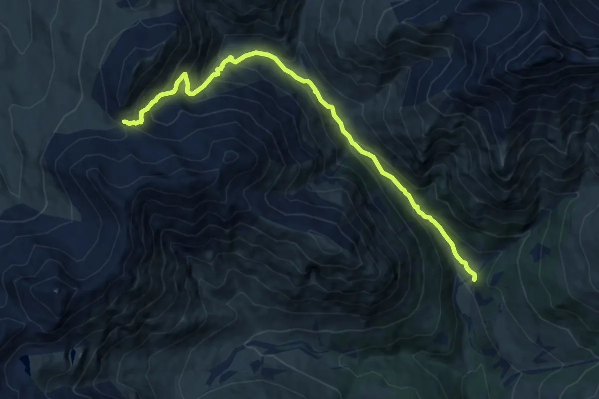
Demanding · Trail
Griosch - Fimberpass
12.5 km · ↑ 821 m · 4 h 44 min
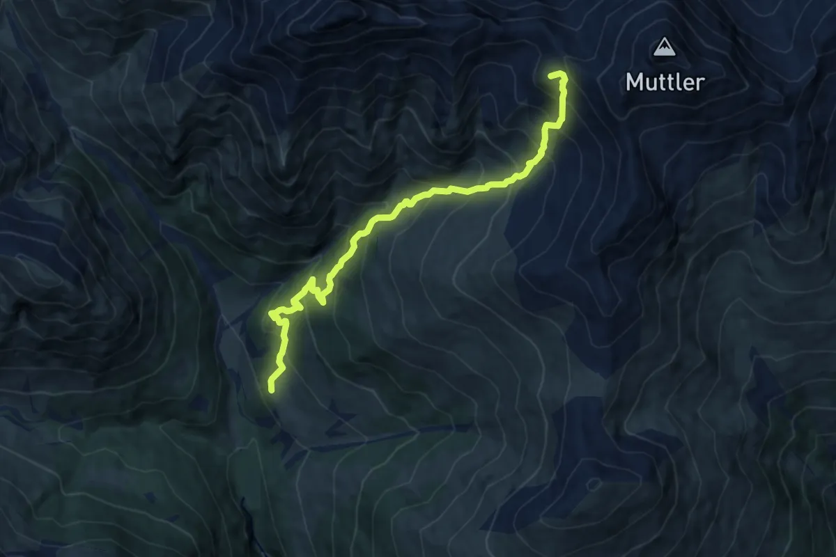
Demanding · Summit
Griosch - Furcla Maisas
10.5 km · ↑ 1105 m · 4 h 53 min
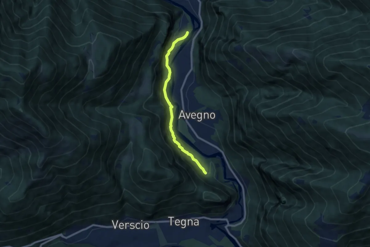
Medium · Trail
Grogg -
6.0 km · ↑ 378 m · 2 h 14 min
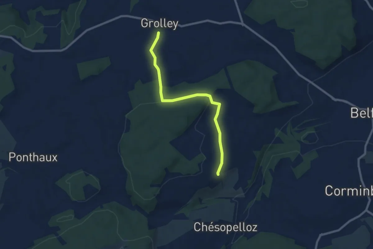
Easy · Trail
Grolley - Autafond
5.9 km · ↑ 162 m · 1 h 45 min
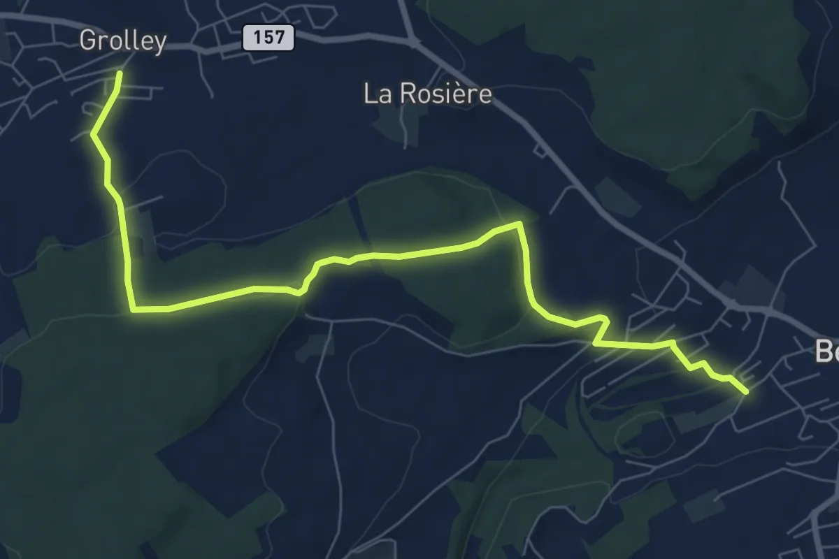
Medium · Trail
Grolley - Belfaux rte de Chésopelloz
8.4 km · ↑ 258 m · 2 h 33 min
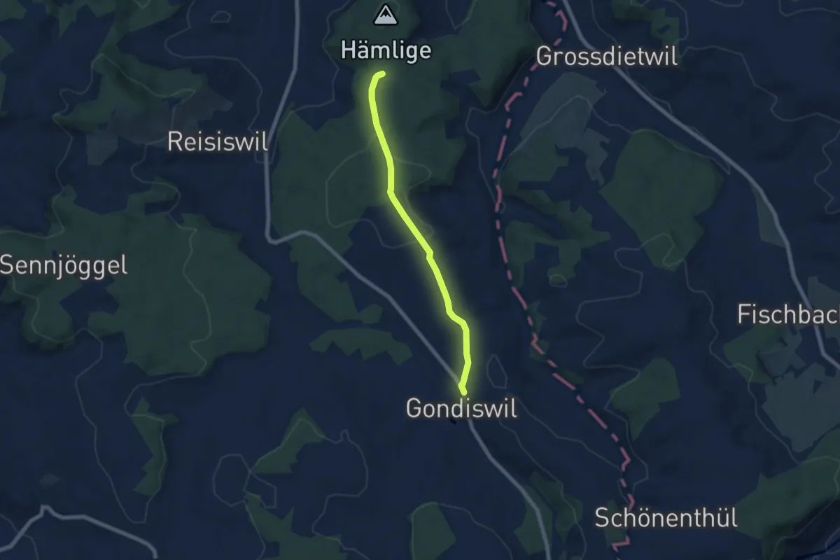
Easy · Trail
Grondiswil - Babeliplatz
5.8 km · ↑ 122 m · 1 h 38 min
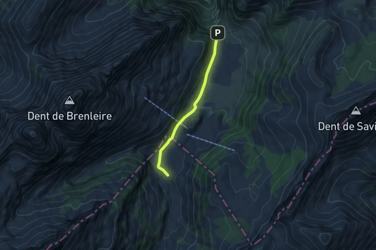
Easy · Trail
Gros-Mont-Flendruz
4.5 km · ↑ 101 m · 1 h 17 min
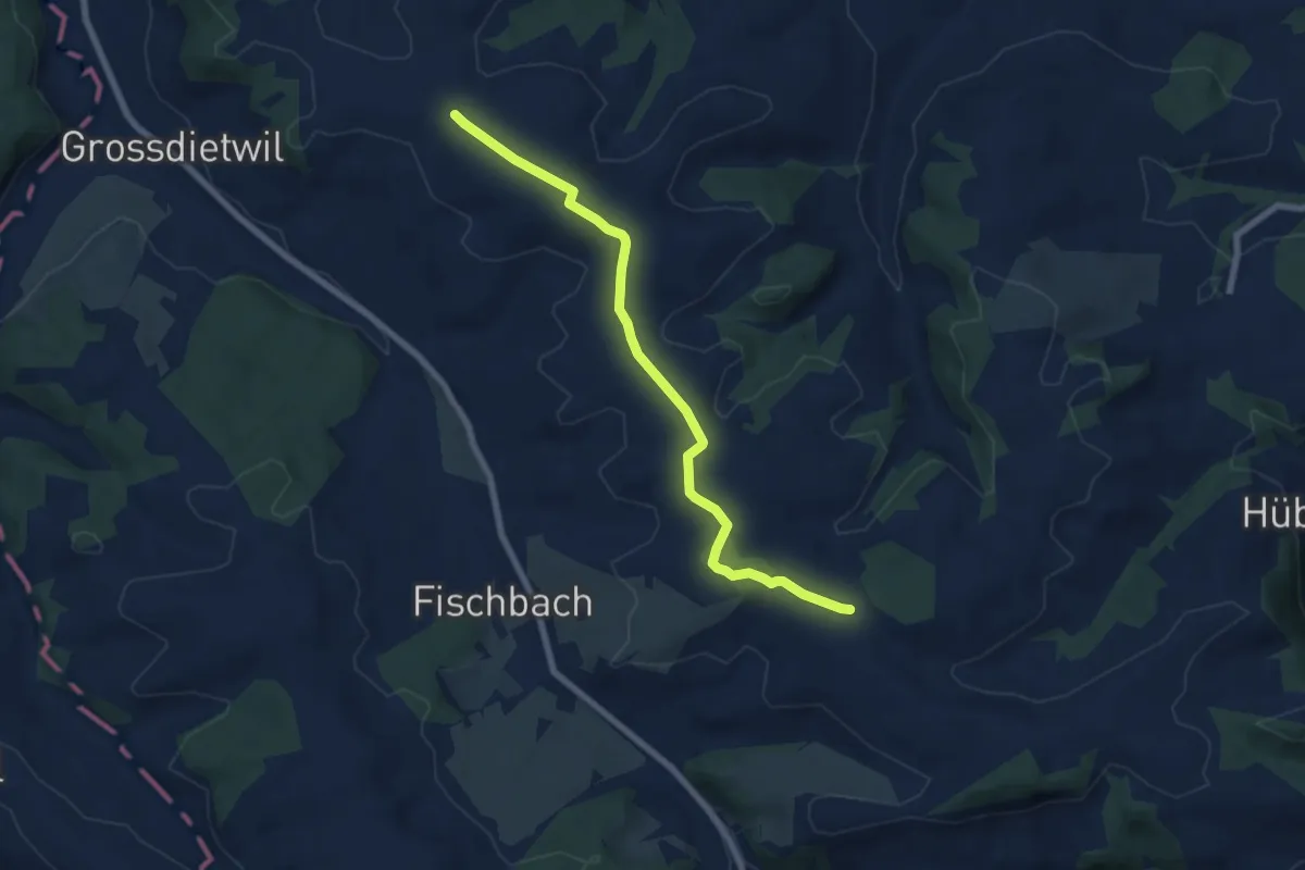
Easy · Trail
Grossdietwiler Allmend - Bodeberg
7.0 km · ↑ 92 m · 1 h 52 min
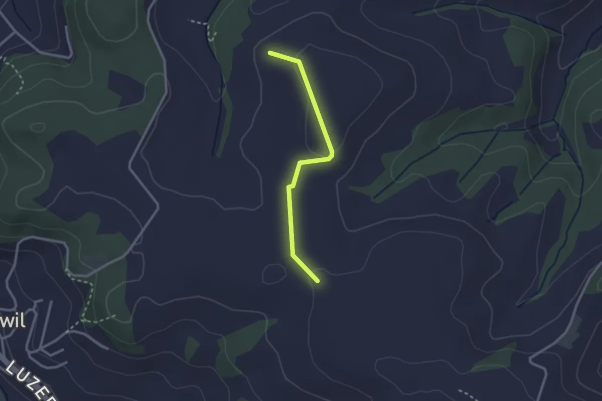
Easy · Trail
Grossdietwiler Allmend - Hasenacher
2.3 km · ↑ 40 m · 37 min
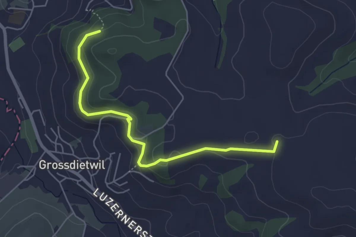
Easy · Trail
Grossdietwiler Allmend - Kaseren
4.6 km · ↑ 179 m · 1 h 29 min
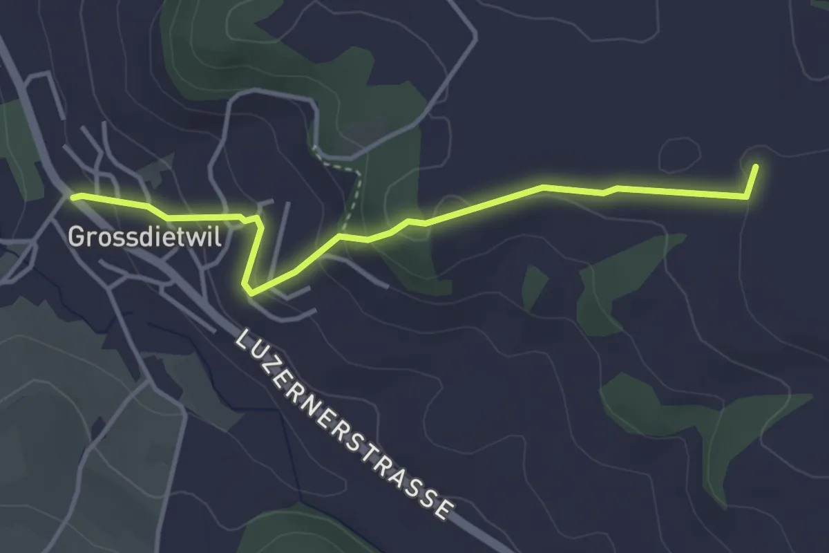
Easy · Trail
Grossdietwil - Grossdietwiler Allmend
3.6 km · ↑ 155 m · 1 h 11 min
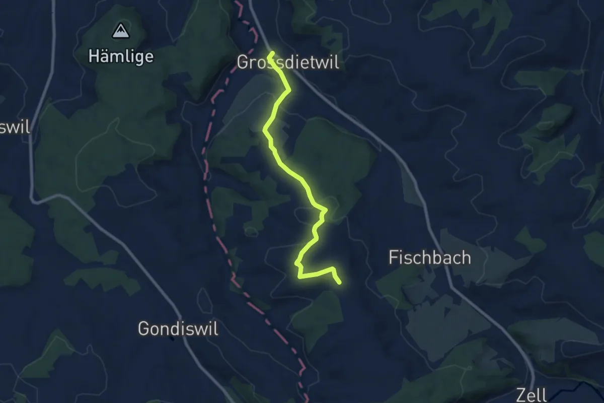
Easy · Trail
Grossdietwil - Schwandmatt
7.1 km · ↑ 197 m · 2 h 7 min
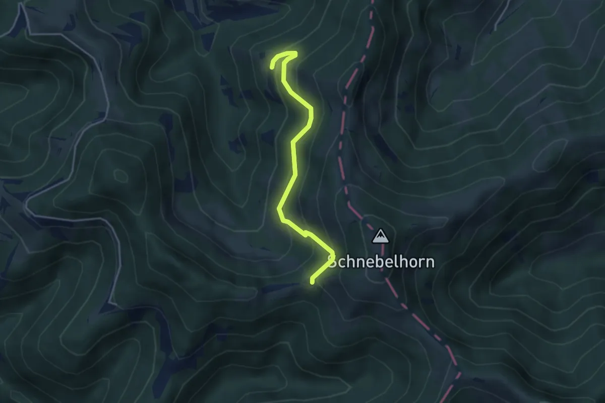
Medium · Trail
Grossegg-Tierhag
3.4 km · ↑ 348 m · 1 h 33 min
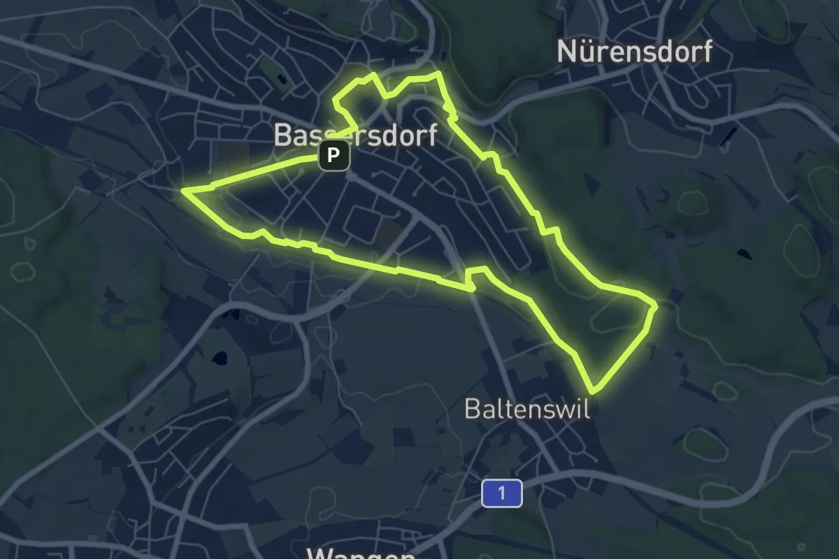
Easy · Trail
grosser dorfrundgang
6.7 km · ↑ 78 m · 1 h 51 min