Trails in Switzerland
15,029 hiking trails, each with its route, climb, walking time and grade.
All trails, page 44 of 314
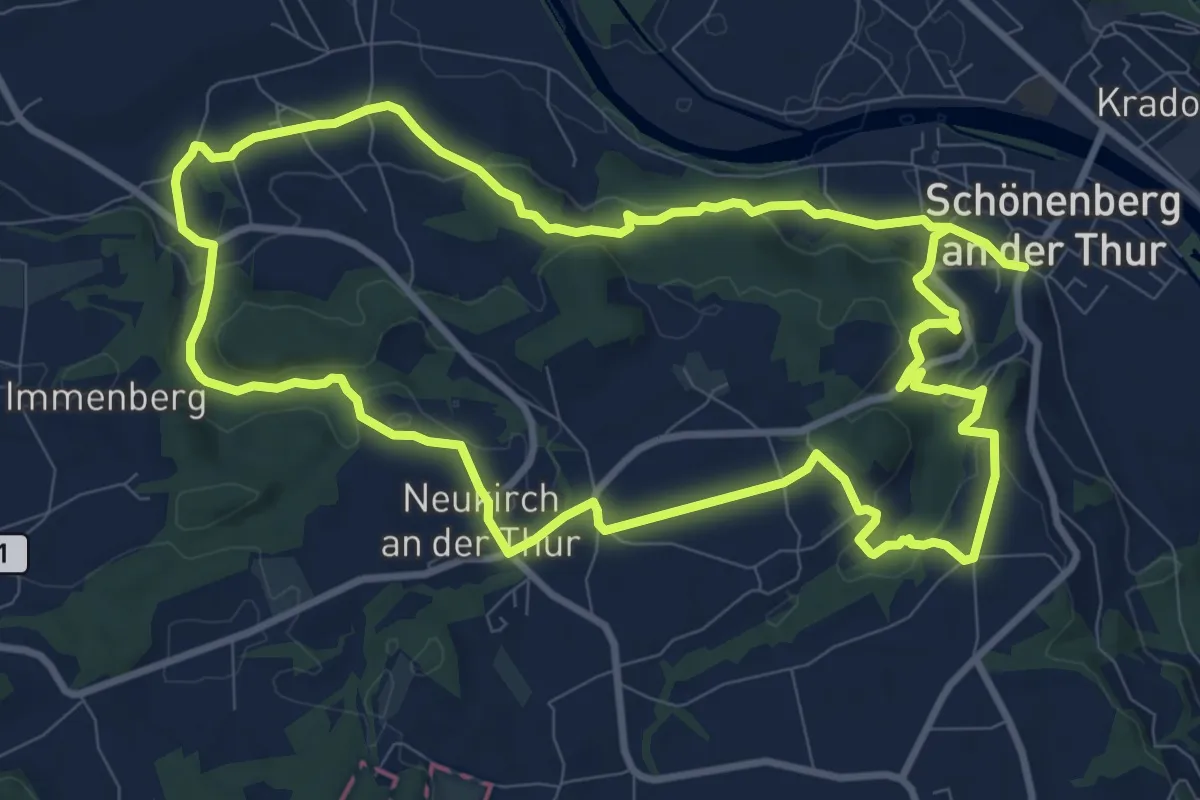
Demanding · Trail
grosser Ruinenweg
20.1 km · ↑ 458 m · 5 h 45 min
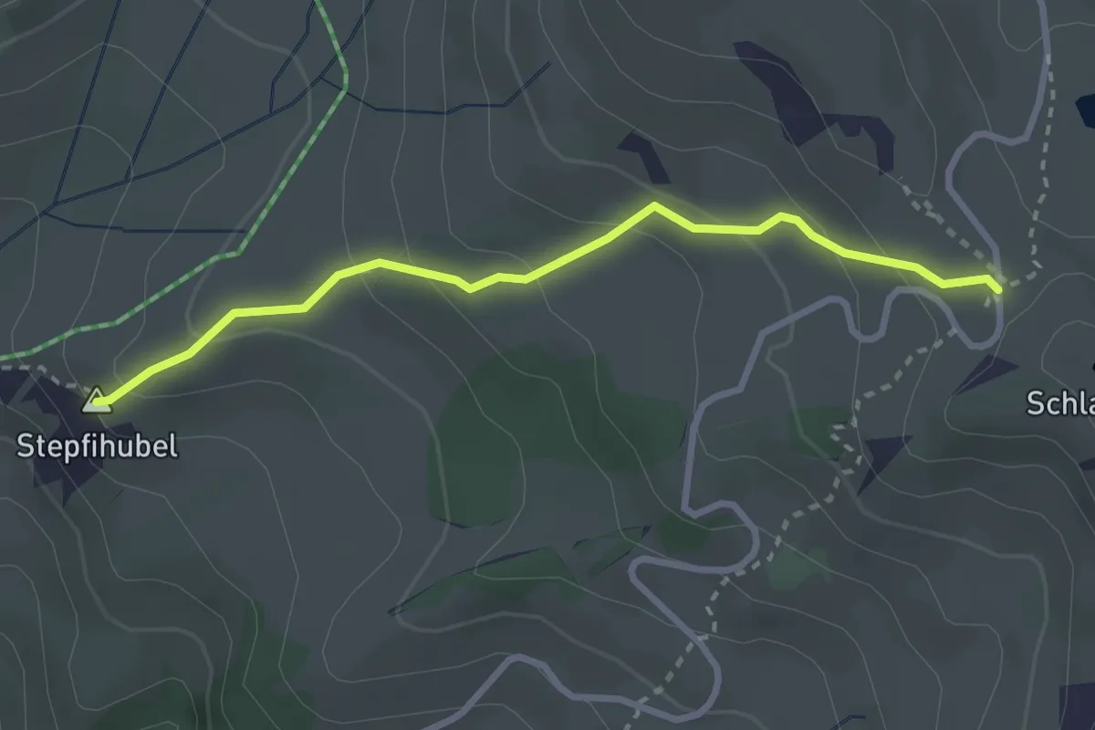
Medium · Summit
Grosse Scheidegg - Mühlebach
2.8 km · ↑ 198 m · 1 h 5 min
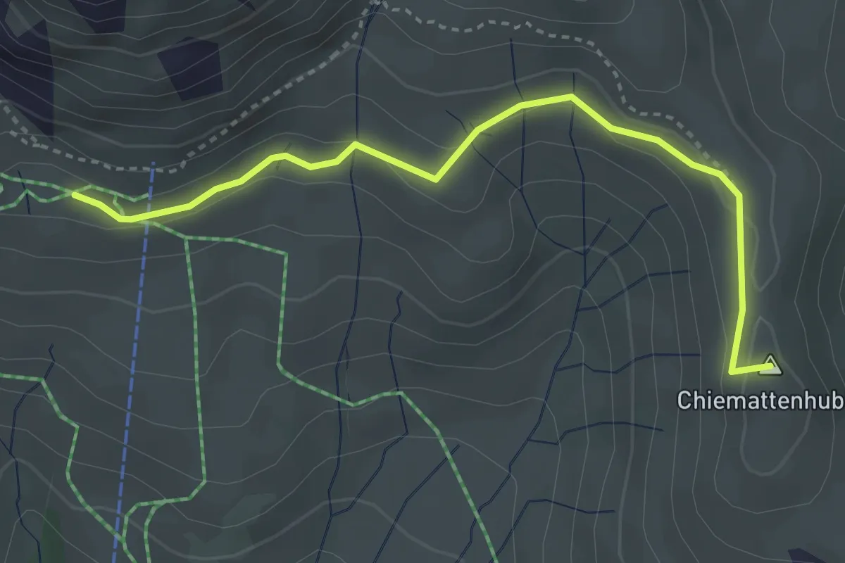
Easy · Summit
Grosse Scheidegg - Schreckfeld
3.7 km · ↑ 91 m · 1 h 4 min
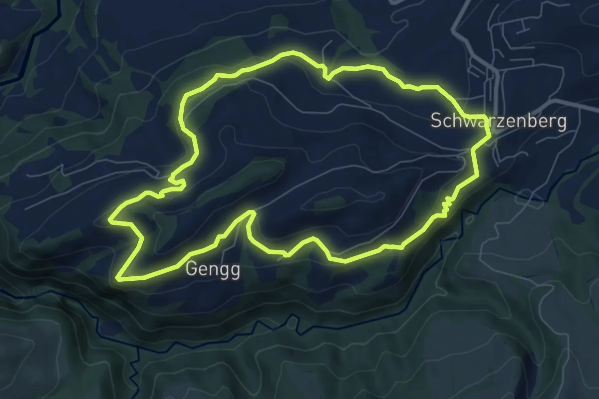
Easy · Trail
Grosse Welt
7.4 km · ↑ 307 m · 2 h 31 min
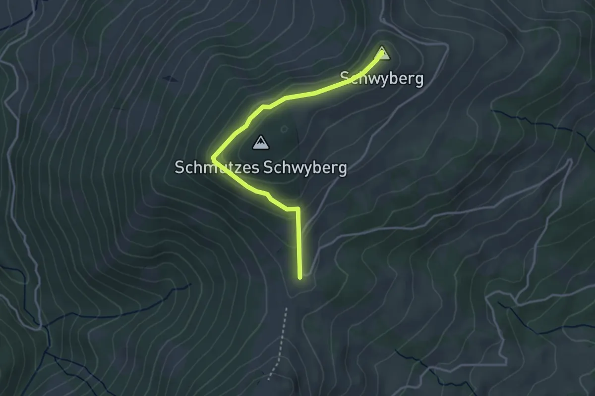
Easy · Summit
Gross Schwyberg - Hapfere Schwyberg
3.3 km · ↑ 133 m · 1 h 4 min
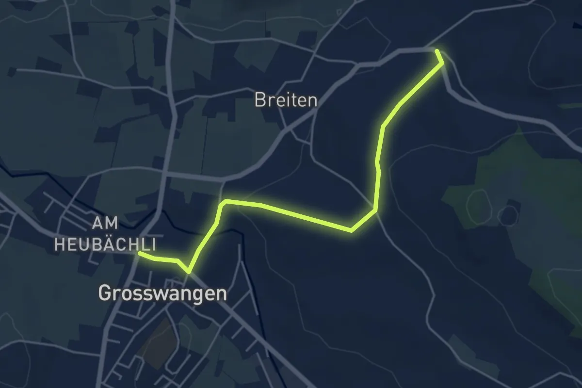
Easy · Trail
Grosswangen - Oberdorf
4.4 km · ↑ 93 m · 1 h 14 min
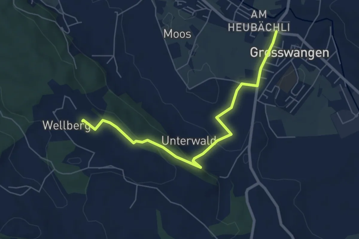
Easy · Trail
Grosswangen - Wellberg
5.8 km · ↑ 150 m · 1 h 42 min
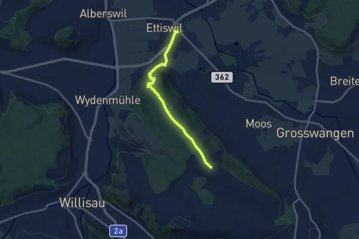
Easy · Trail
Grosswangen - Wellberg
6.5 km · ↑ 194 m · 1 h 58 min
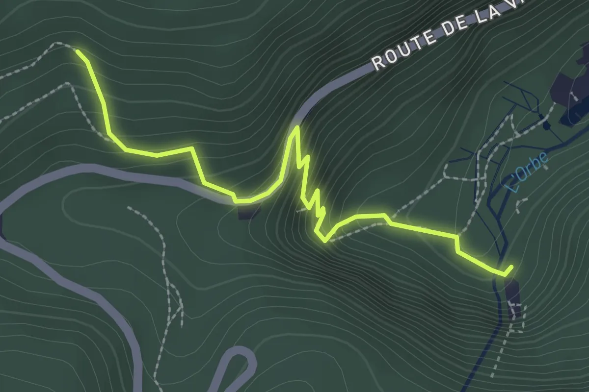
Easy · Trail
Grottes de l'Orbe - fixme
2.7 km · ↑ 275 m · 1 h 14 min
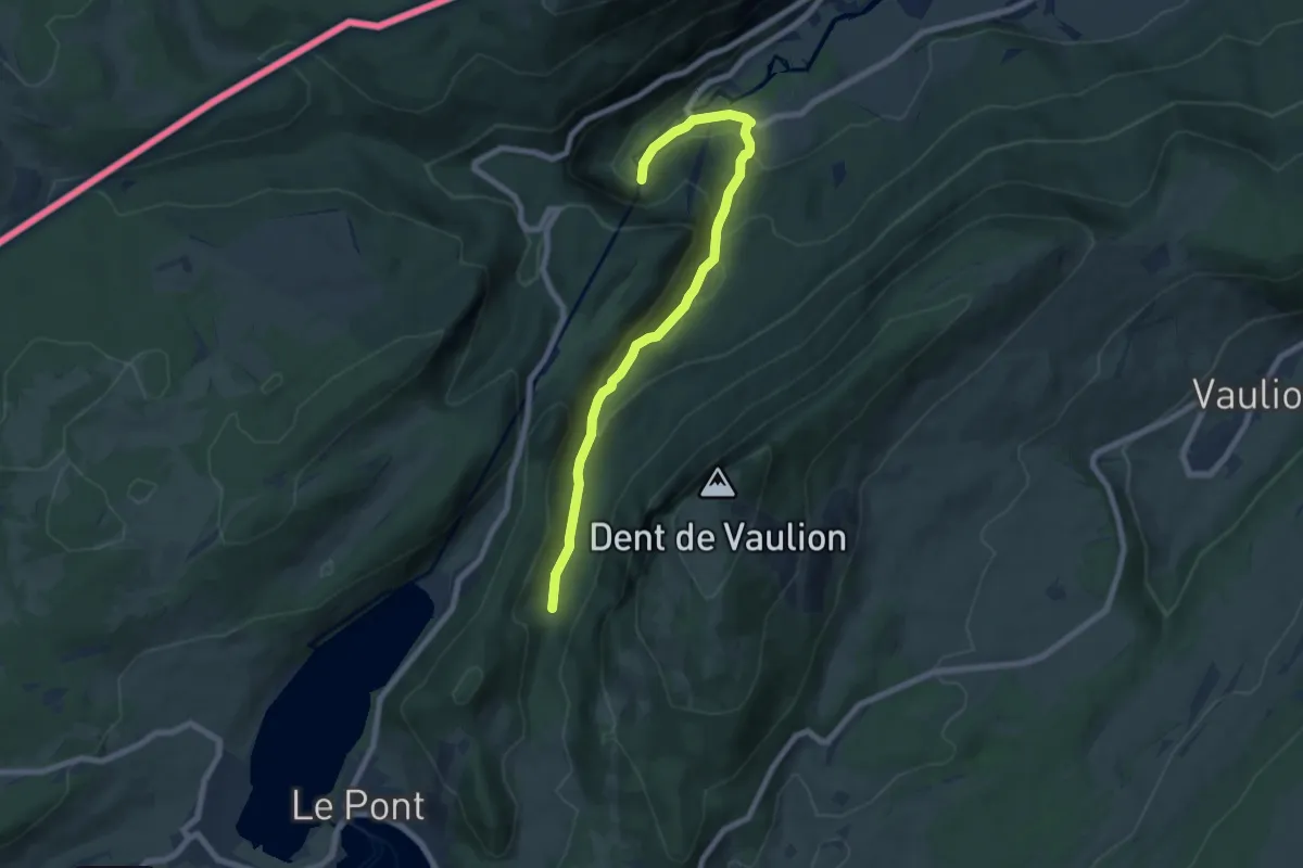
Medium · Trail
Grottes de l'Orbe-Les Epoisats
7.5 km · ↑ 447 m · 2 h 45 min
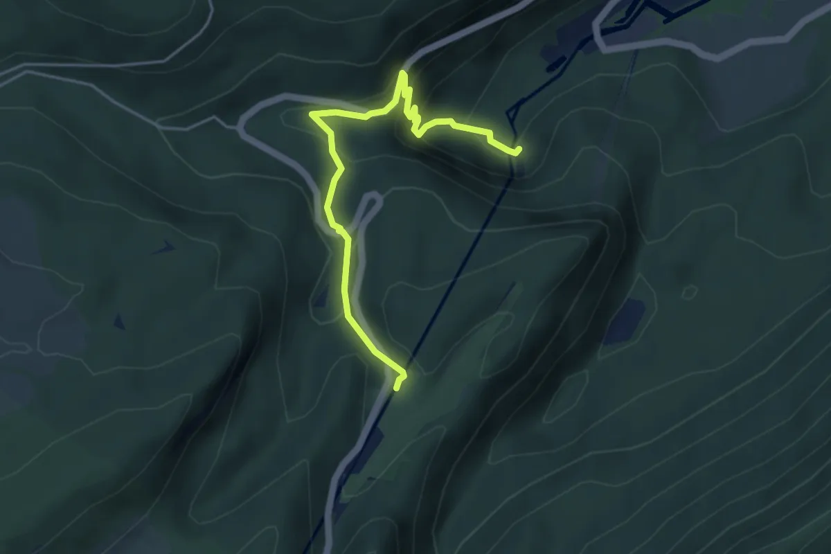
Easy · Trail
Grottes de l'Orbe - Mont d'Orzeires
4.3 km · ↑ 287 m · 1 h 39 min
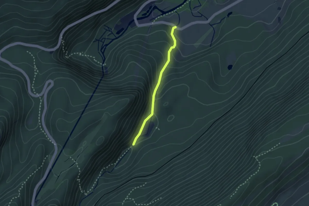
Easy · Trail
Grottes de l'Orbe-vers Saigne Gerret Dessus
2.2 km · ↑ 217 m · 1 h
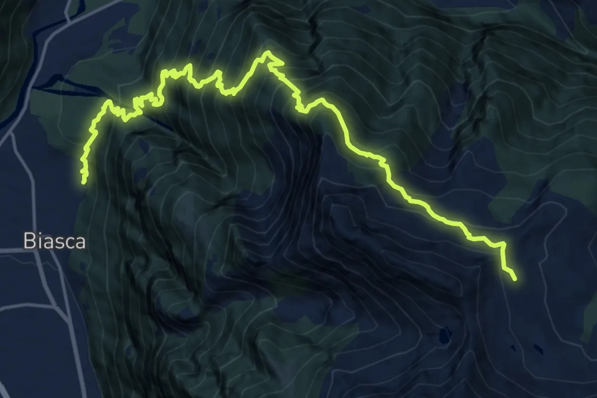
Demanding · Cabin
Grotti di Biasca - Capanna Cava
9.1 km · ↑ 1830 m · 5 h 23 min
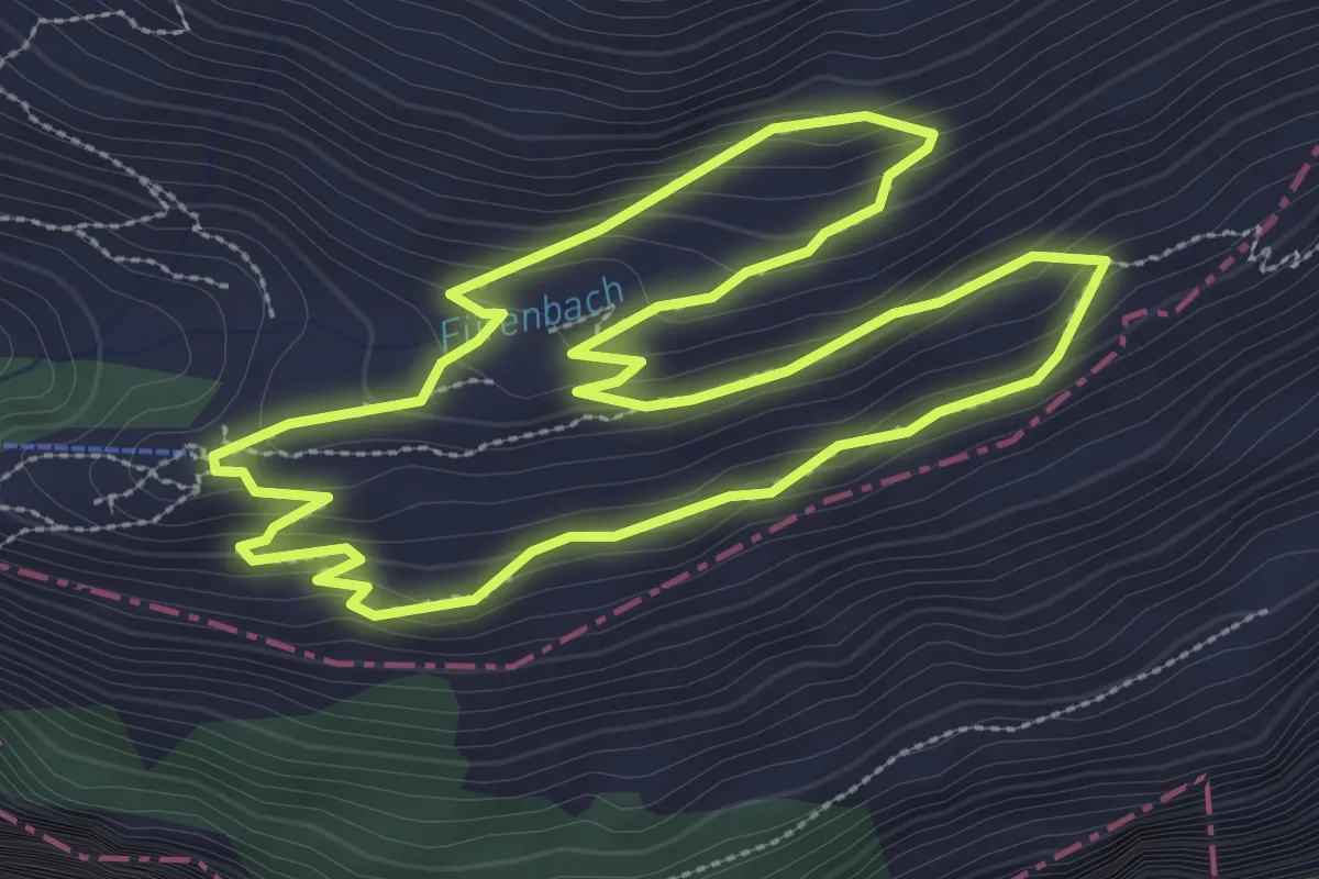
Medium · Trail
Grotzliweg
3.3 km · ↑ 169 m · 1 h 12 min
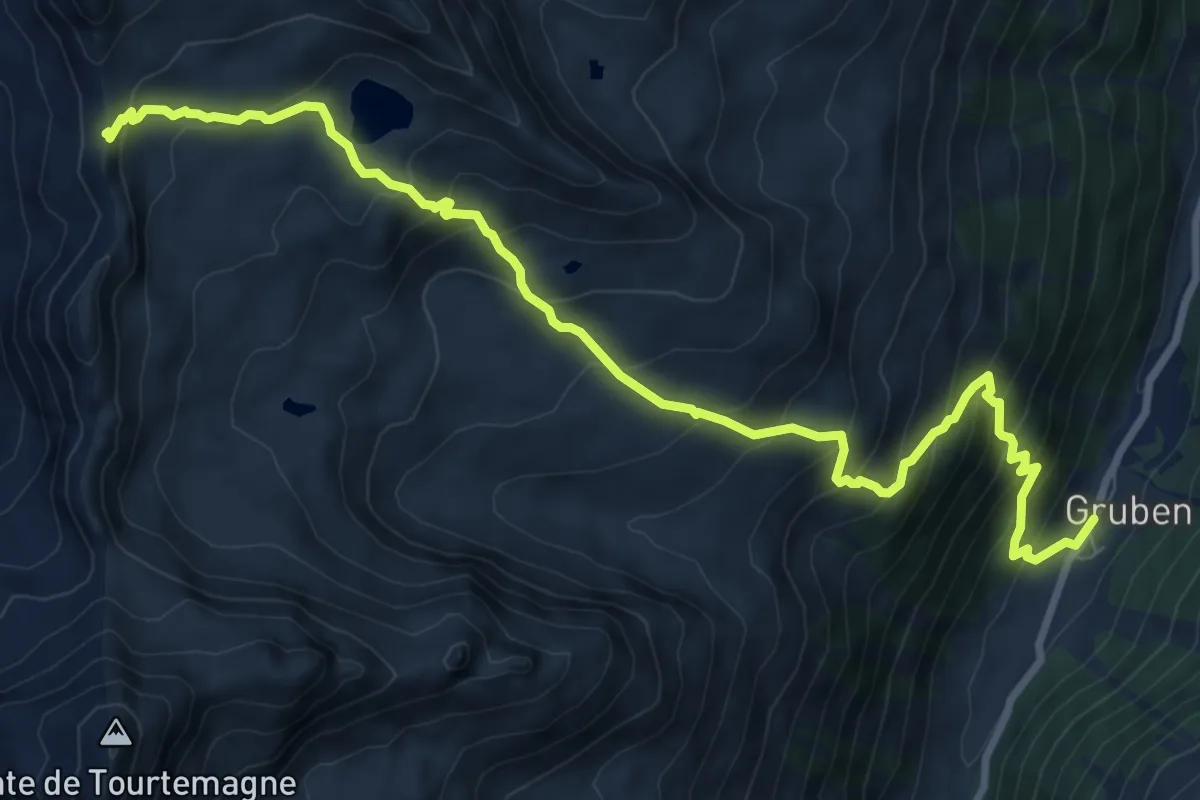
Demanding · Trail
Gruben-Meidpass
10.9 km · ↑ 943 m · 4 h 36 min
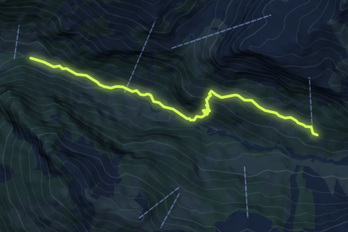
Medium · Trail
Gruenerli - Spiggergrund
7.5 km · ↑ 517 m · 2 h 54 min
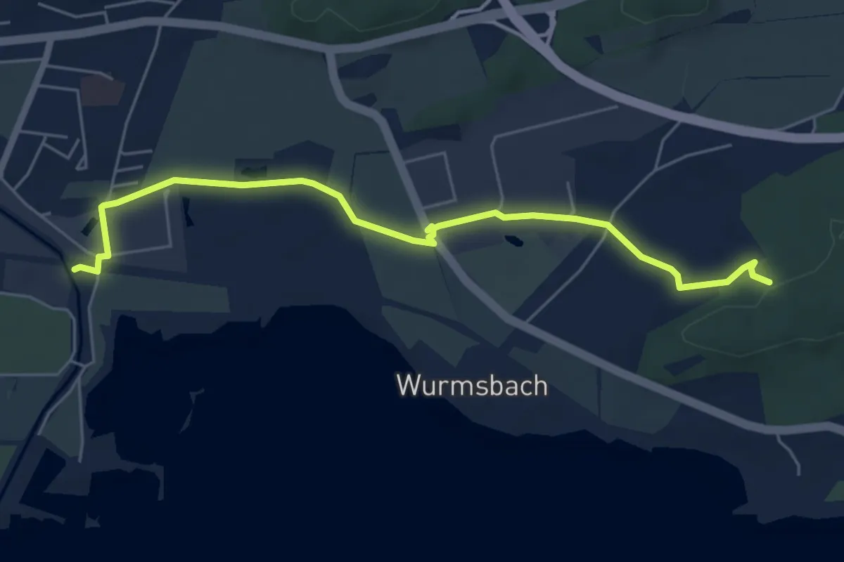
Easy · Trail
Grüenfeld - Underi Rüti
5.8 km · ↑ 43 m · 1 h 27 min
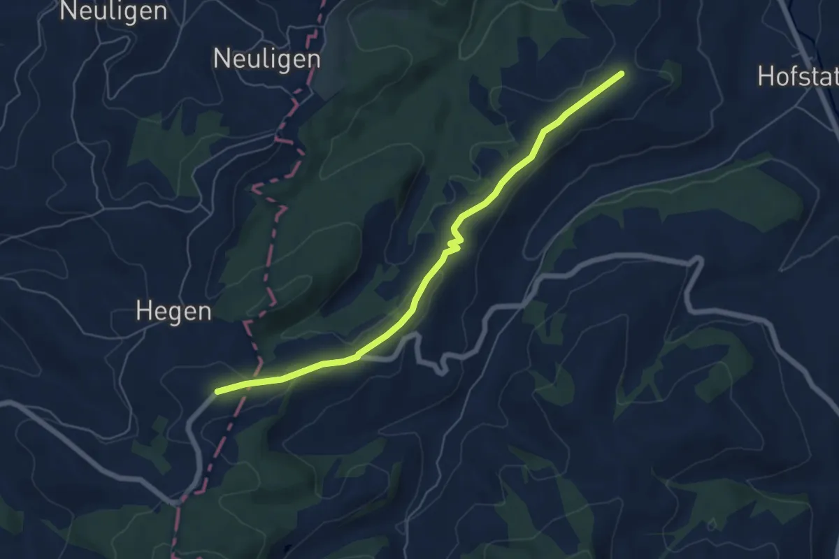
Easy · Trail
Gruenholz - Ällbachegg
5.8 km · ↑ 120 m · 1 h 38 min
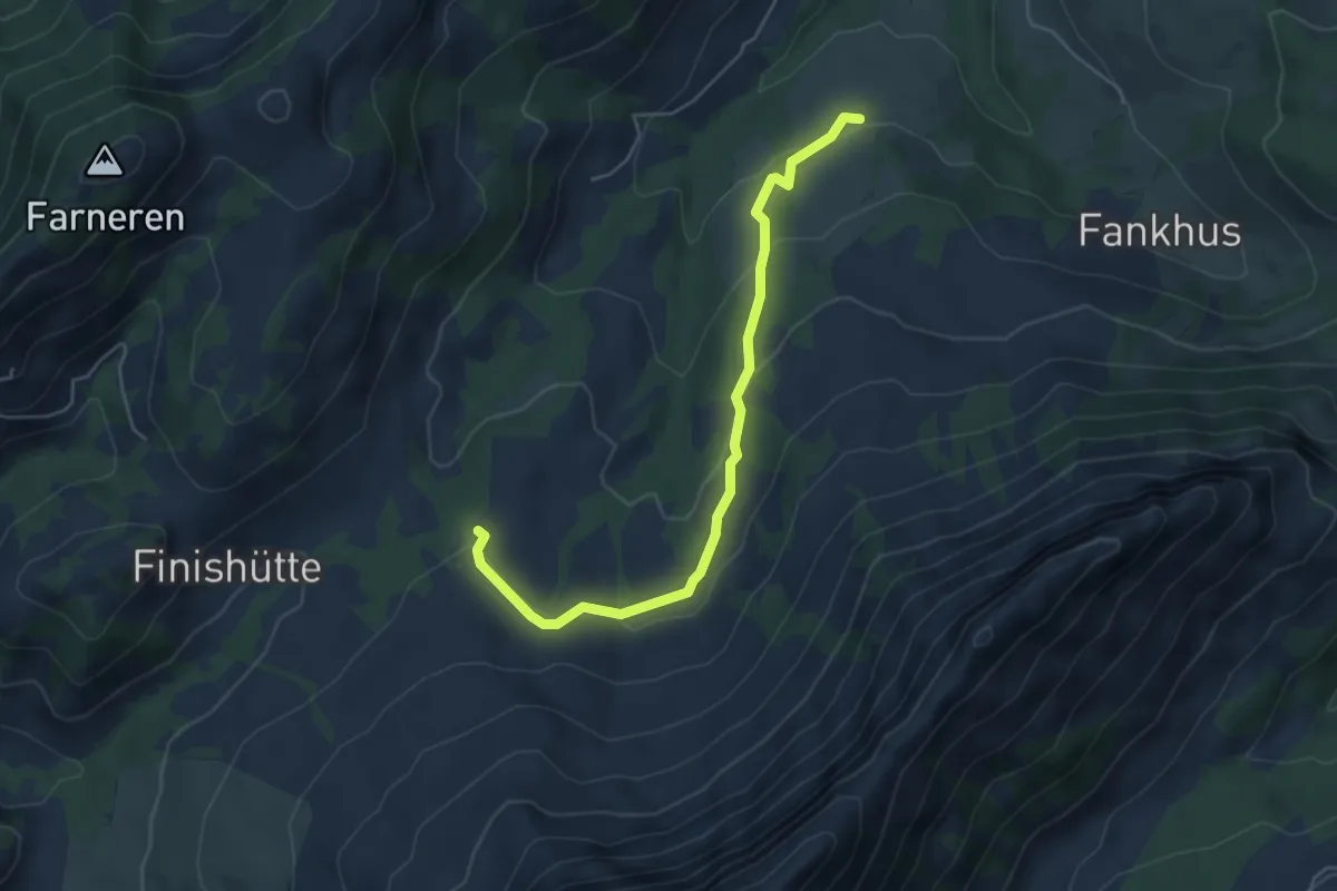
Easy · Trail
Gruenholz - Vorder Angst
5.1 km · ↑ 192 m · 1 h 38 min
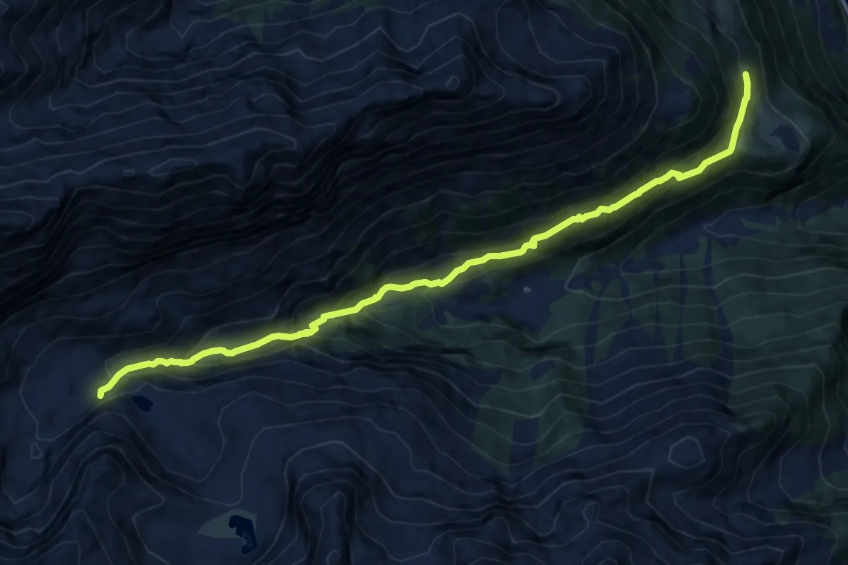
Demanding · Trail
Grundbach Wilerli
12.6 km · ↑ 970 m · 5 h 4 min
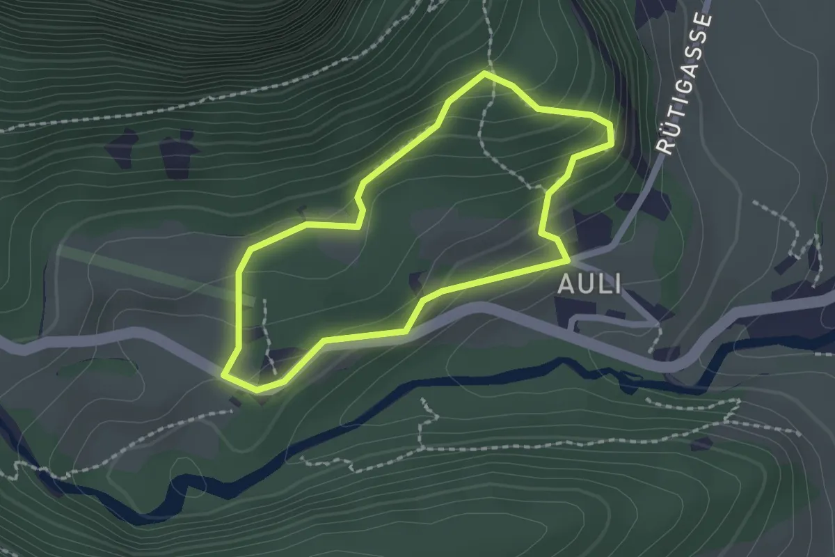
Medium · Trail
Grundkopf Rundwanderweg
1.7 km · ↑ 137 m · 43 min
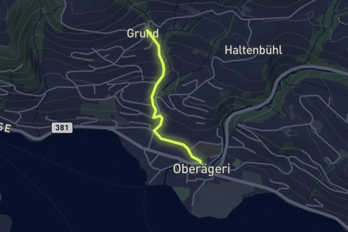
Easy · Trail
Grund - Oberägeri
2.6 km · ↑ 117 m · 52 min
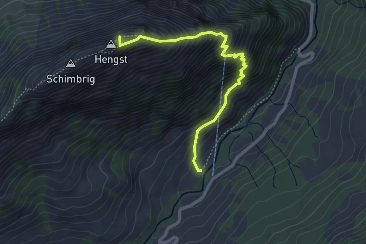
Demanding · Summit
Grund - Schimbrig
4.5 km · ↑ 654 m · 2 h 28 min
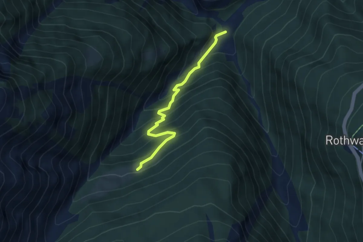
Medium · Trail
Grund - Unners Nesseltal
3.9 km · ↑ 401 m · 1 h 47 min
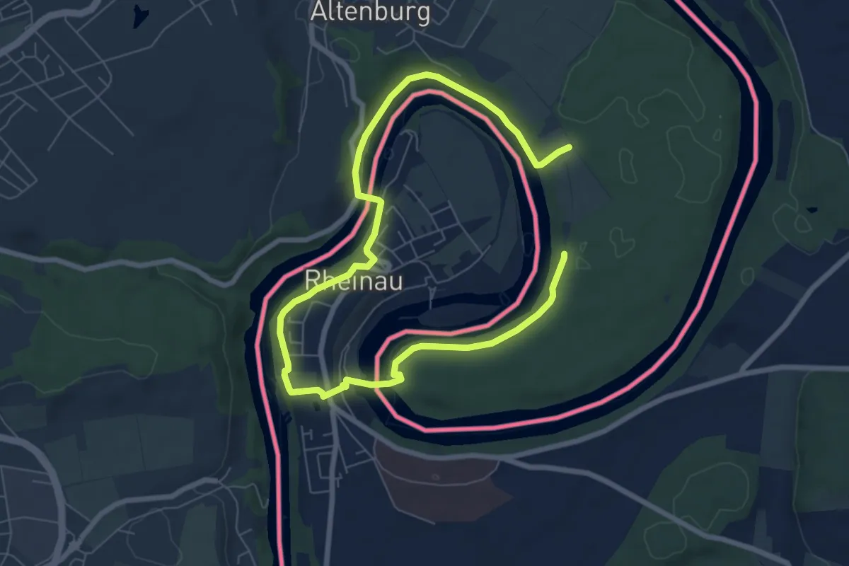
Easy · Trail
Grüne Grenze
5.0 km · ↑ 114 m · 1 h 30 min
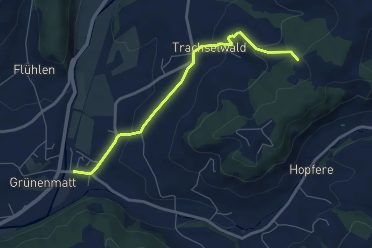
Easy · Trail
Grünenmatt - Jörberg
5.1 km · ↑ 164 m · 1 h 34 min
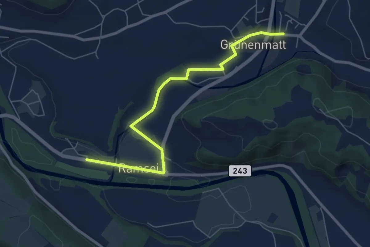
Easy · Trail
Grünenmatt - Ramsei
6.0 km · ↑ 74 m · 1 h 35 min
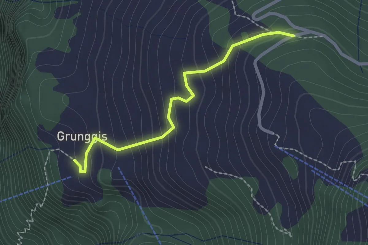
Easy · Trail
Grunggis - Wasenegg
2.0 km · ↑ 157 m · 48 min
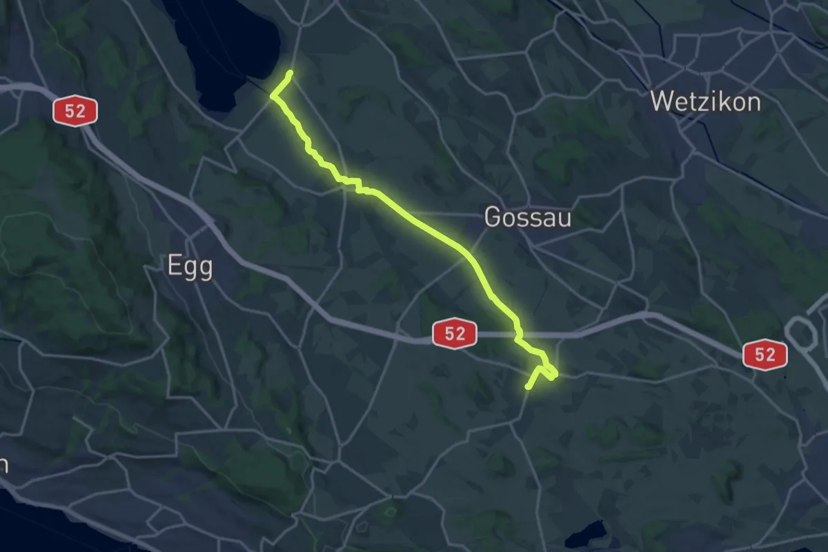
Medium · Trail
Grüningen-Greifensee-Weg
16.3 km · ↑ 76 m · 4 h 1 min
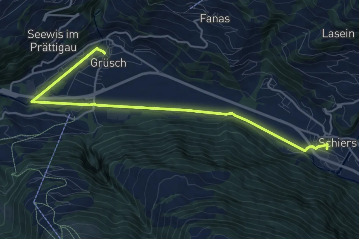
Medium · Trail
Grüsch - Schiers
11.6 km · ↑ 99 m · 2 h 57 min
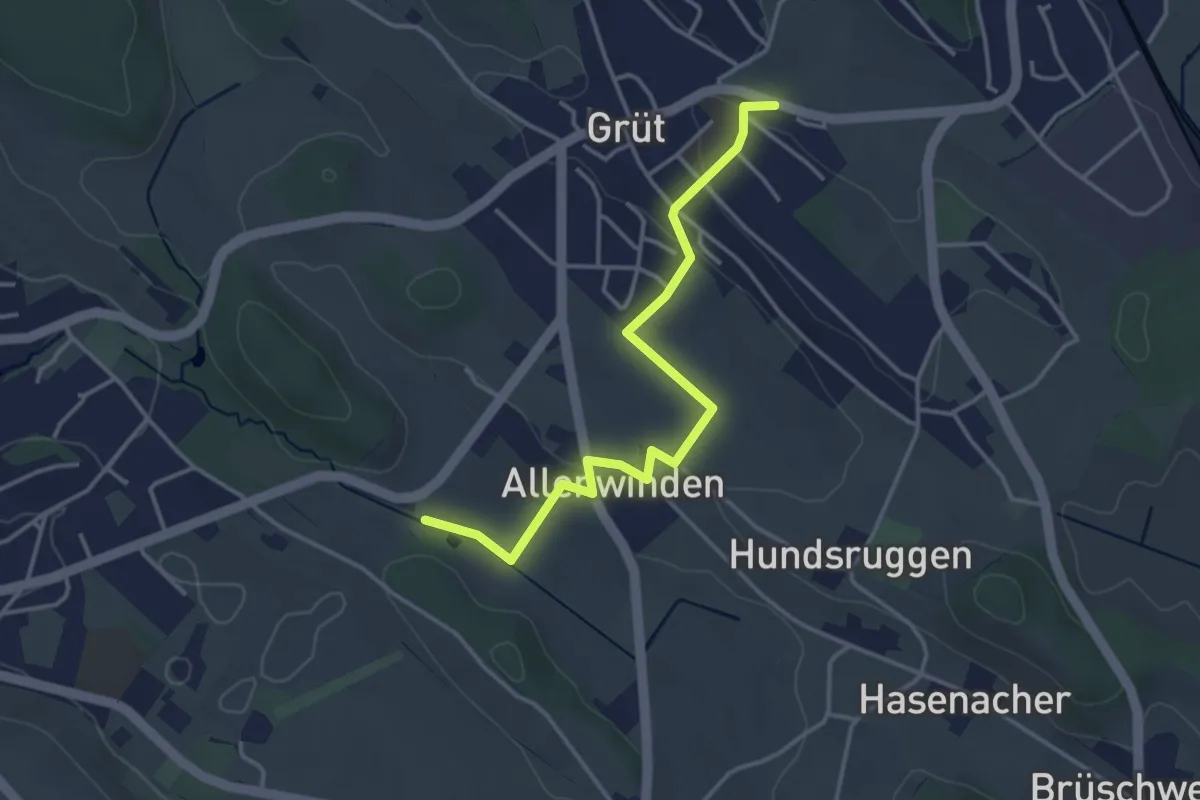
Easy · Trail
Grüt - Berghof
3.7 km · ↑ 60 m · 1 h 1 min
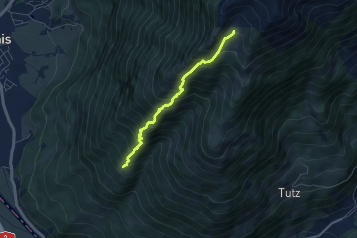
Medium · Trail
Grüt - Obernäten
4.8 km · ↑ 680 m · 2 h 36 min
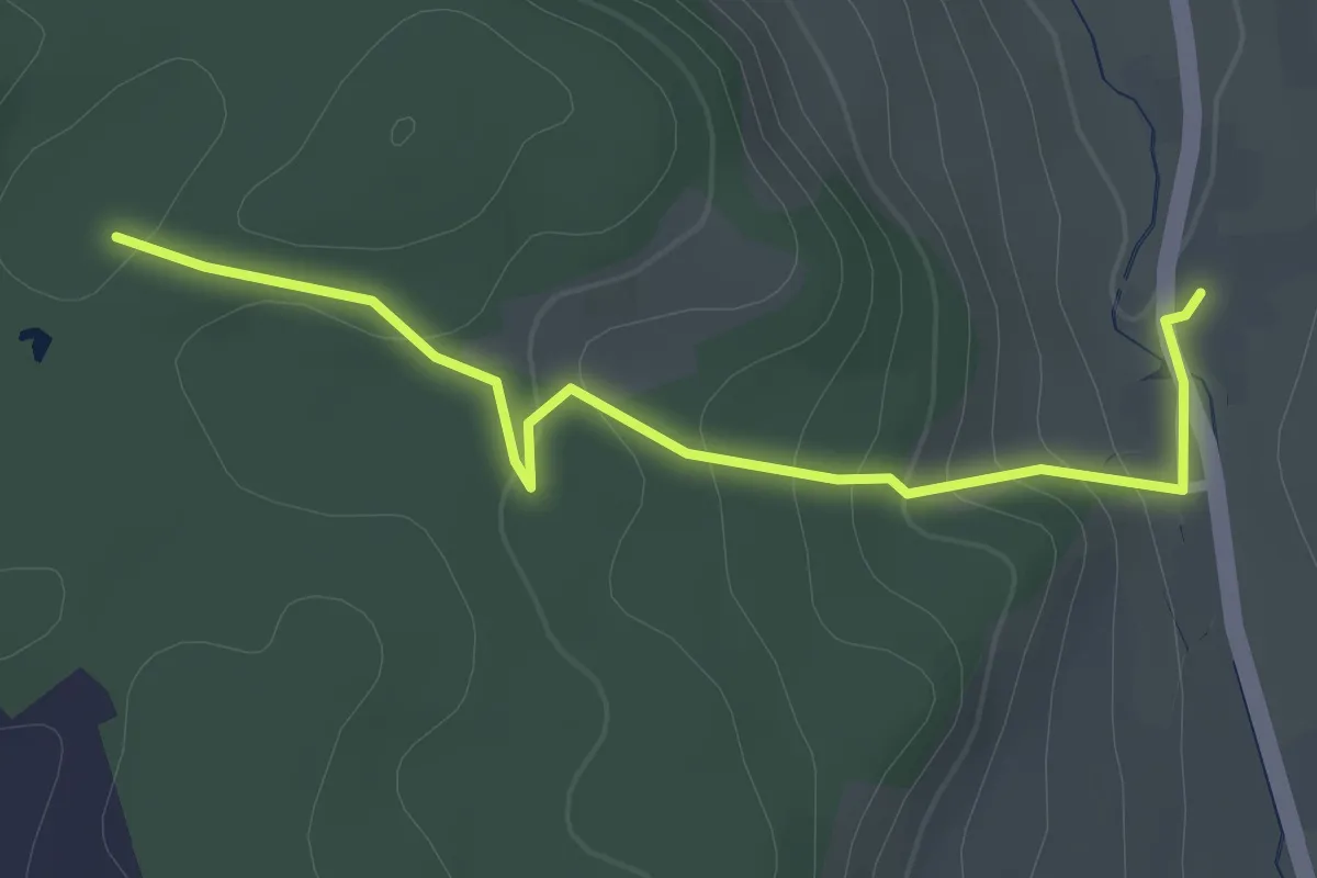
Easy · Trail
Grütwald - Mullwil
2.6 km · ↑ 103 m · 50 min
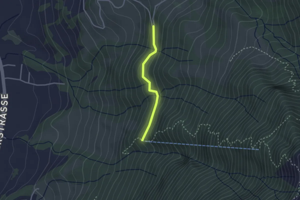
Medium · Trail
Grütwald - Obermatt - Fixme
2.1 km · ↑ 114 m · 44 min
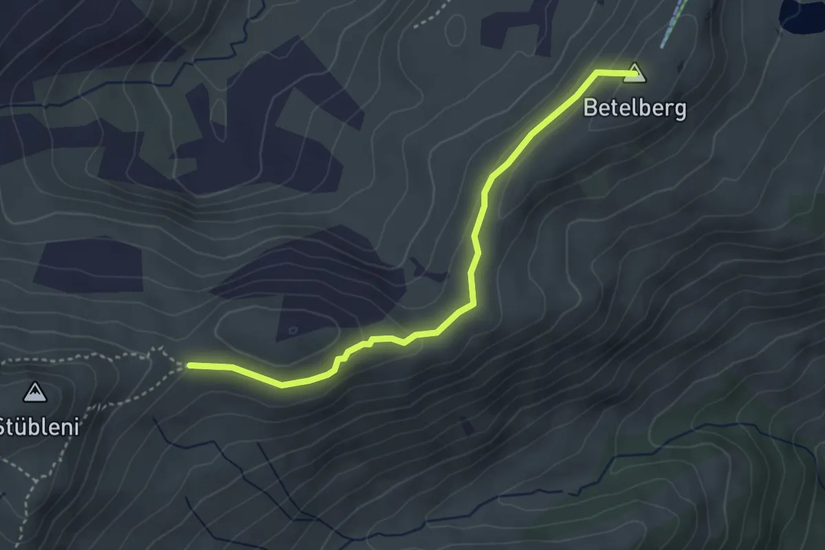
Medium · Summit
Gryden - Leiterli
3.6 km · ↑ 141 m · 1 h 10 min
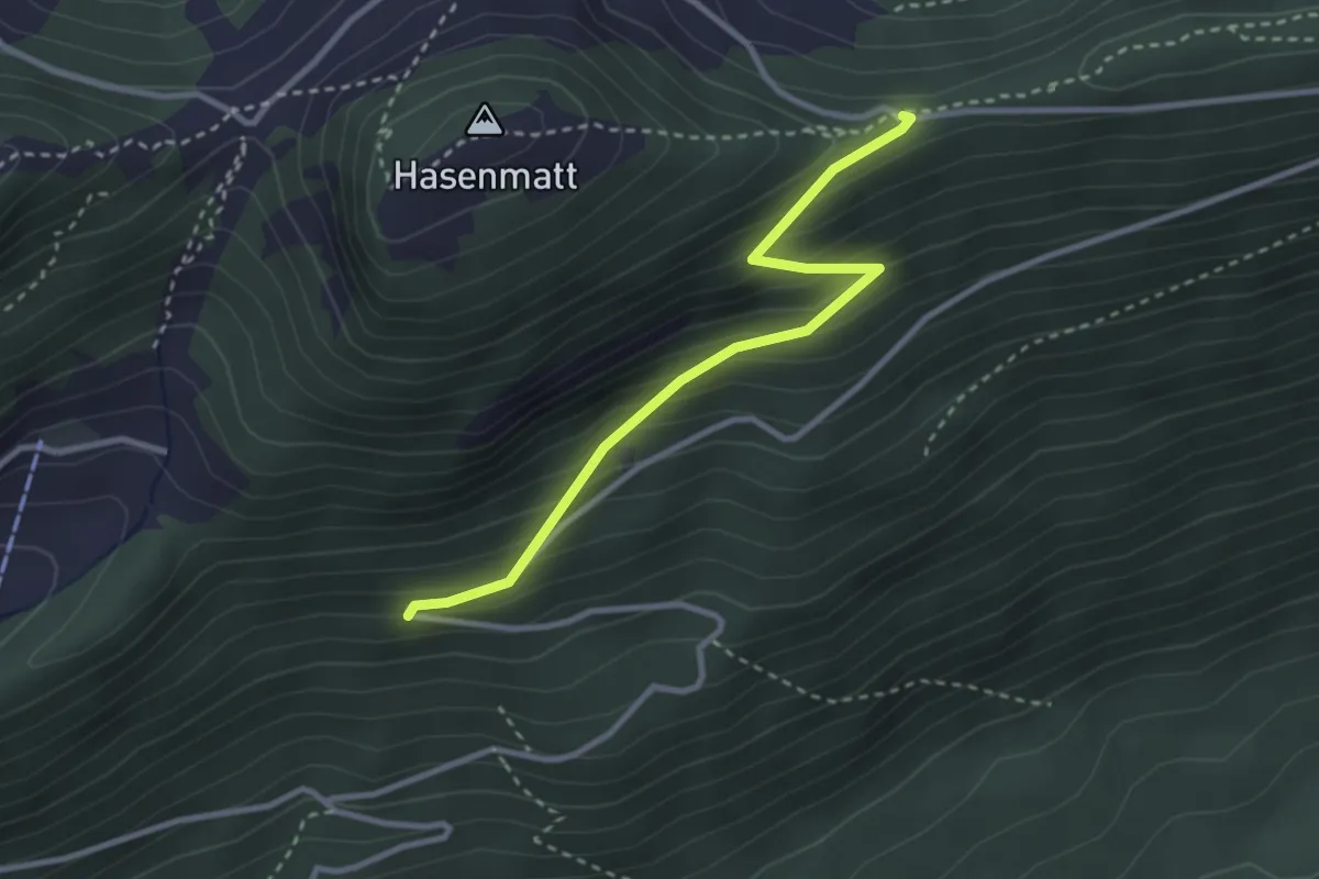
Easy · Trail
Gsäss - Egg
2.9 km · ↑ 278 m · 1 h 17 min
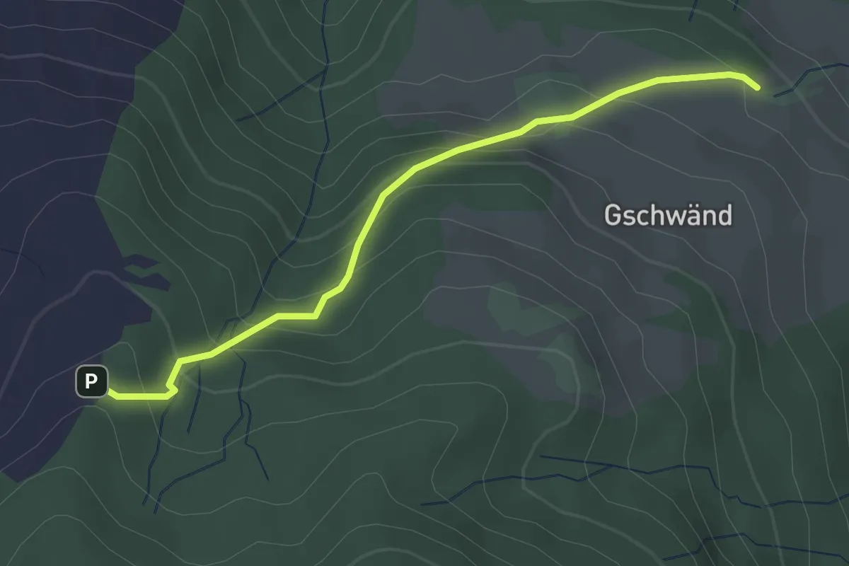
Easy · Trail
Gschwänd - Ruchweid
2.9 km · ↑ 220 m · 1 h 10 min
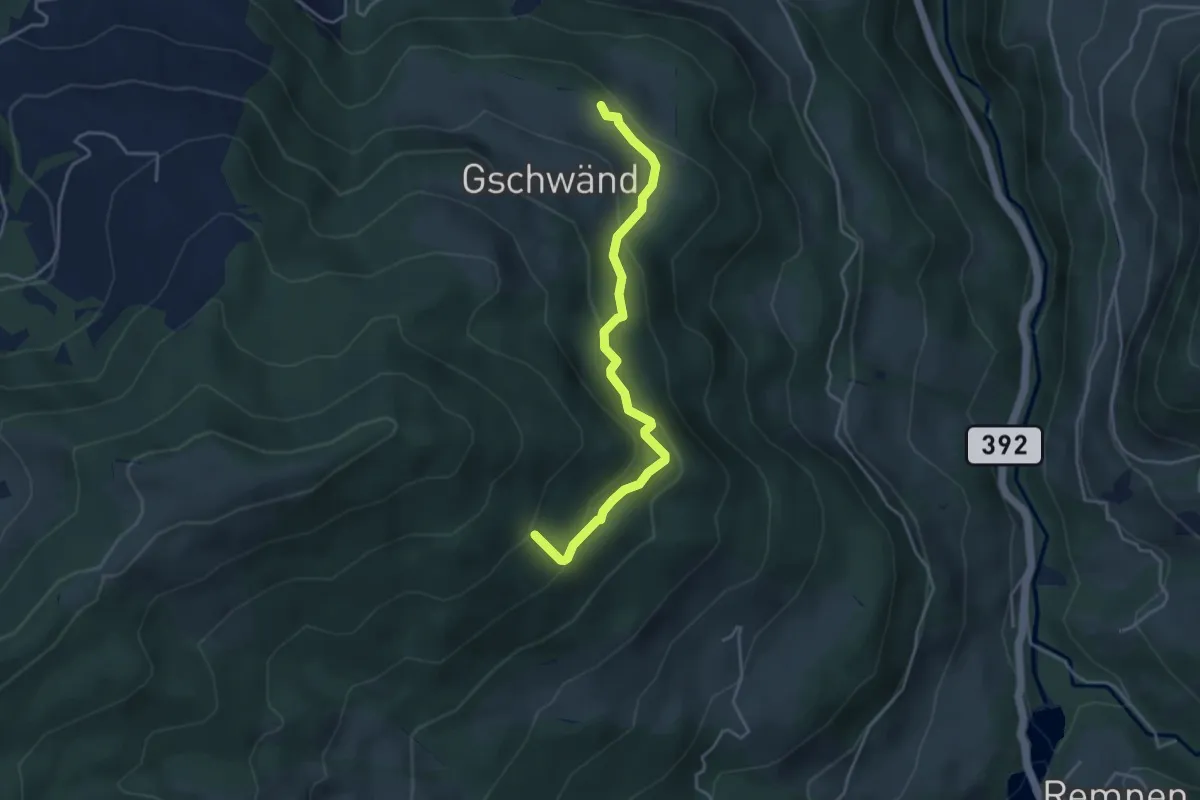
Easy · Trail
Gschwänd - Steinwänd
3.9 km · ↑ 249 m · 1 h 28 min
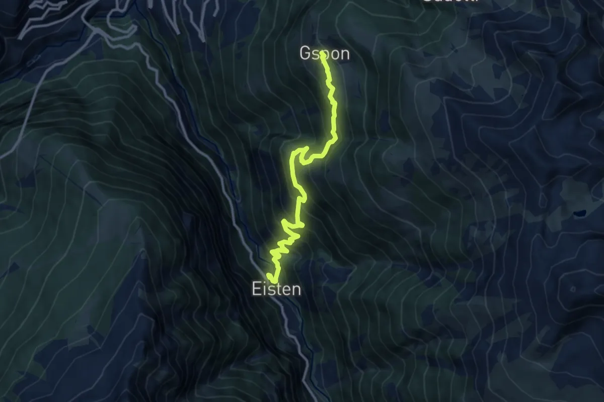
Demanding · Trail
Gspon - Eisten
10.5 km · ↑ 1025 m · 4 h 42 min
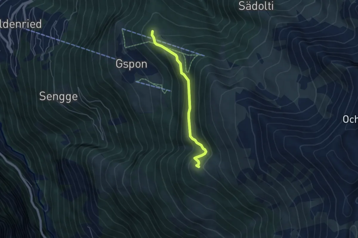
Easy · Trail
Gspon - Häüschbiele
4.3 km · ↑ 289 m · 1 h 38 min
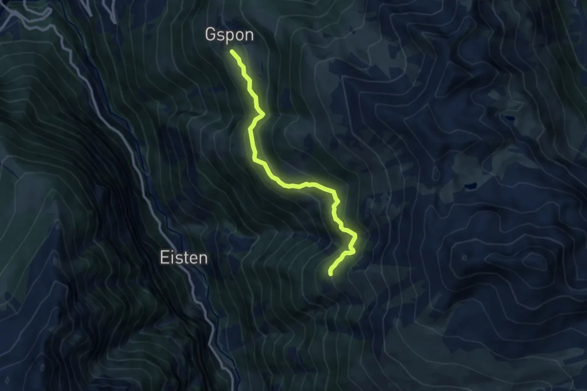
Medium · Trail
Gspon - Obere Schwarze Wald
8.6 km · ↑ 659 m · 3 h 28 min
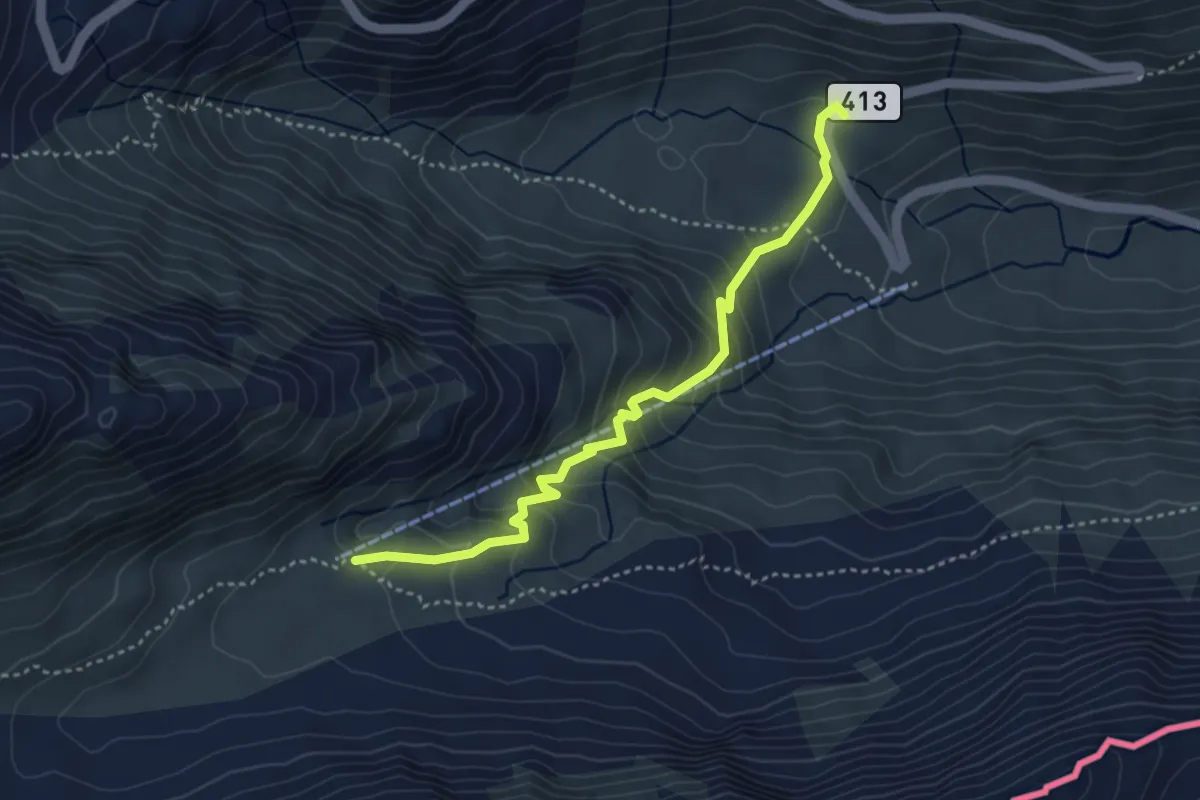
Easy · Cabin
GTA 01
3.9 km · ↑ 313 m · 1 h 36 min
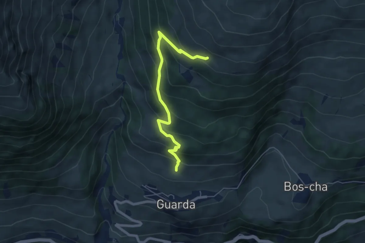
Medium · Trail
Guarda - Lajet - Clüs - Alp Sura
4.9 km · ↑ 394 m · 2 h 1 min
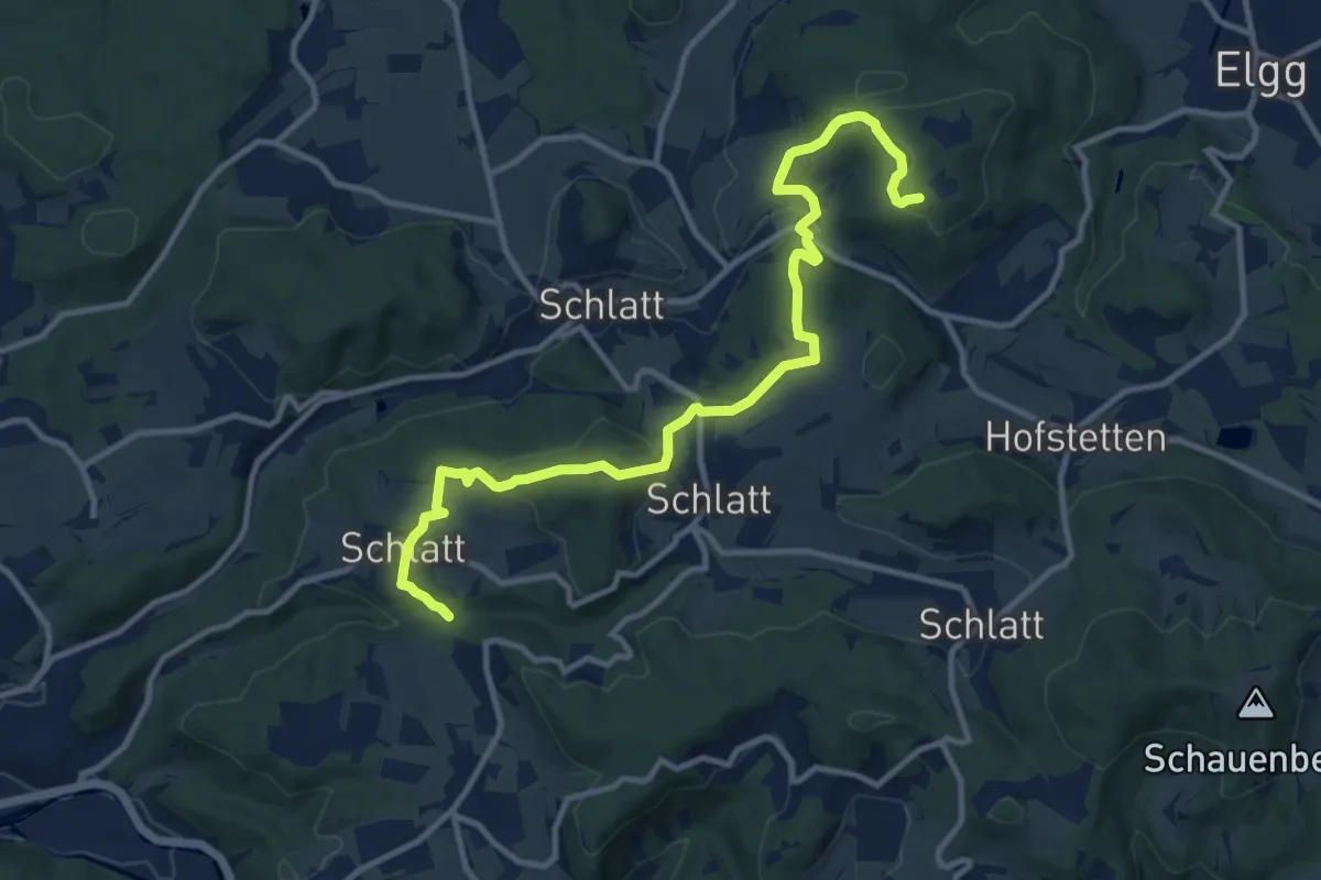
Medium · Trail
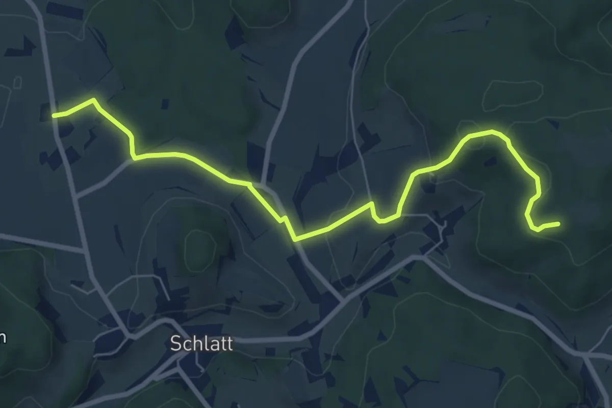
Guegenhard – Rörlitobel
12.4 km · ↑ 456 m · 3 h 54 min
Easy · Trail
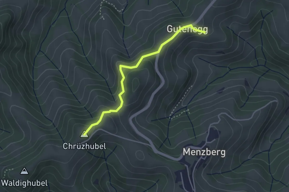
Guegenhard – Tolhusen
6.9 km · ↑ 180 m · 2 h
Easy · Summit
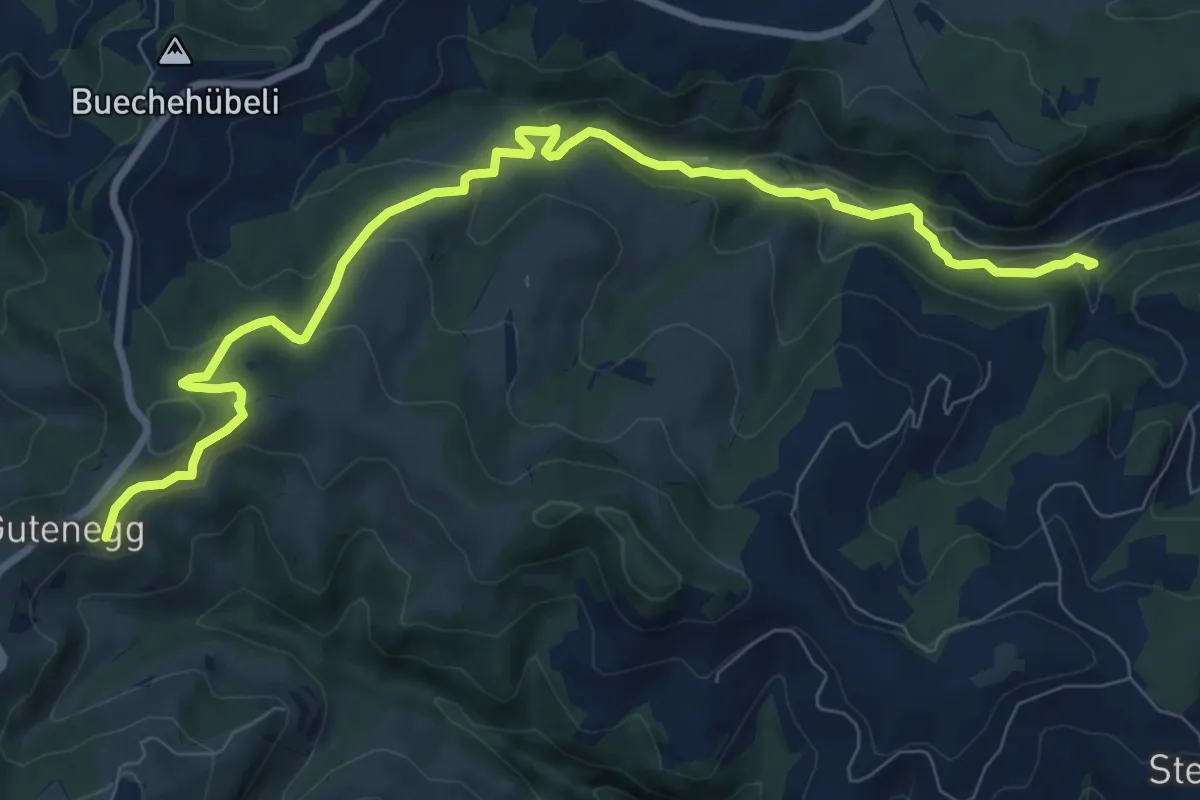
Guetenegg - Oberlehn
3.3 km · ↑ 167 m · 1 h 8 min
Medium · Trail
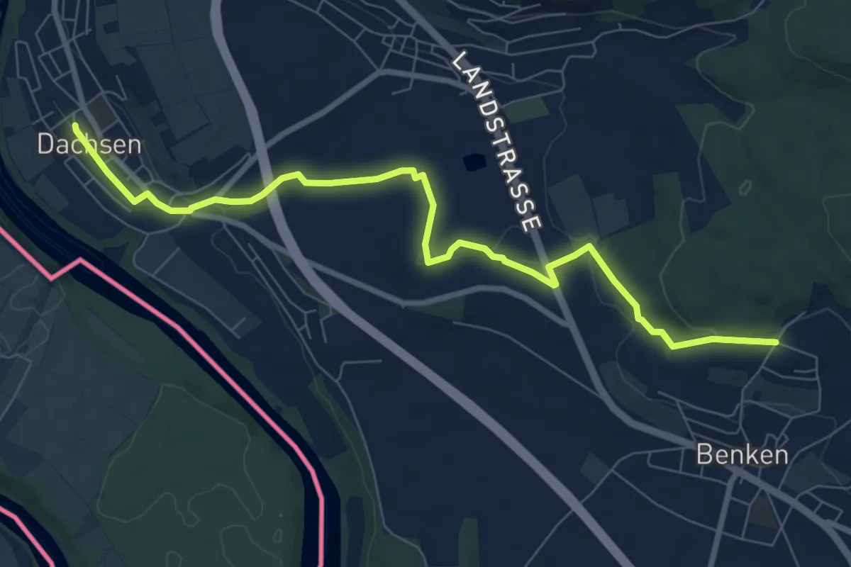
Guetenegg - Talhof
9.9 km · ↑ 354 m · 3 h 6 min
Medium · Trail
Guggeeren - Dachsen
8.5 km · ↑ 125 m · 2 h 17 min