Trails in Switzerland
15,029 hiking trails, each with its route, climb, walking time and grade.
All trails, page 45 of 314
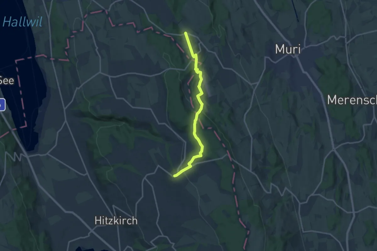
Medium · Trail
Guggibad - Müswangen
12.0 km · ↑ 305 m · 3 h 29 min
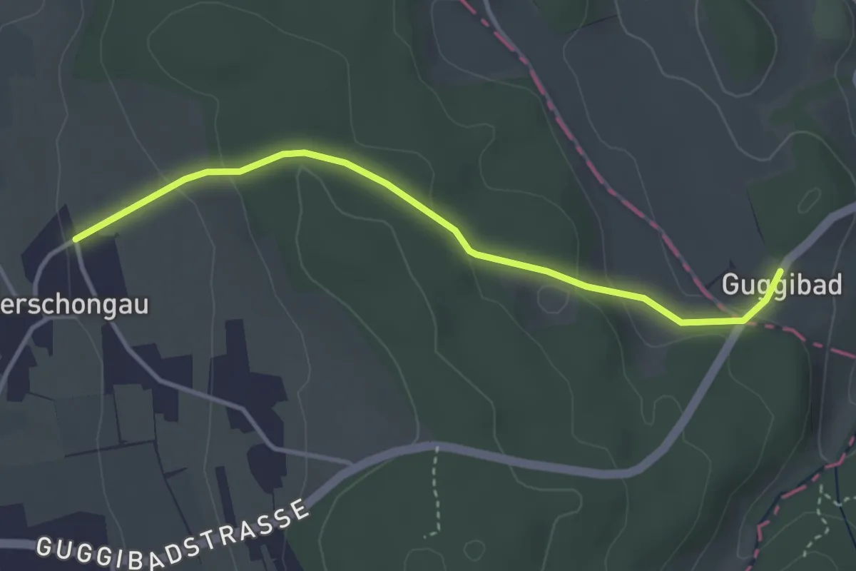
Easy · Trail
Guggibad - Oberschongau
3.5 km · ↑ 129 m · 1 h 6 min
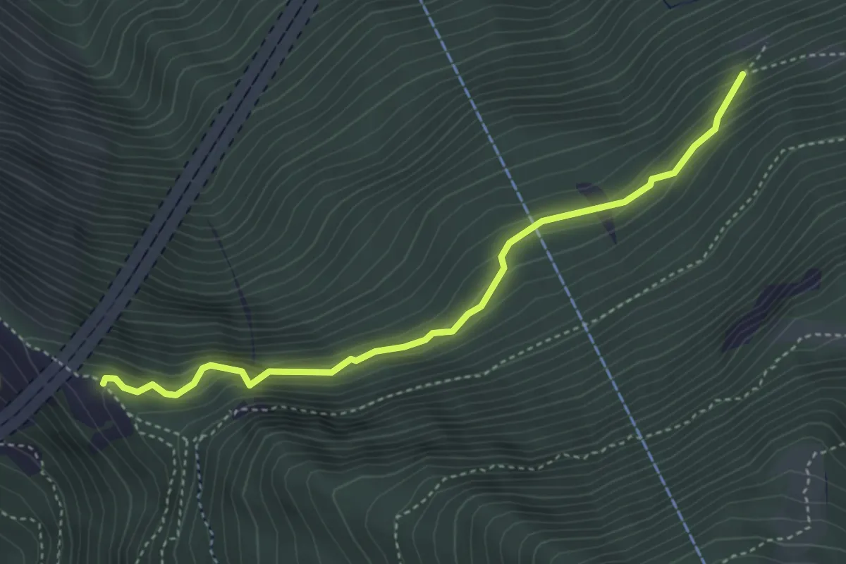
Expert · Trail
Gugla - Perrigalpji
4.1 km · ↑ 352 m · 1 h 43 min
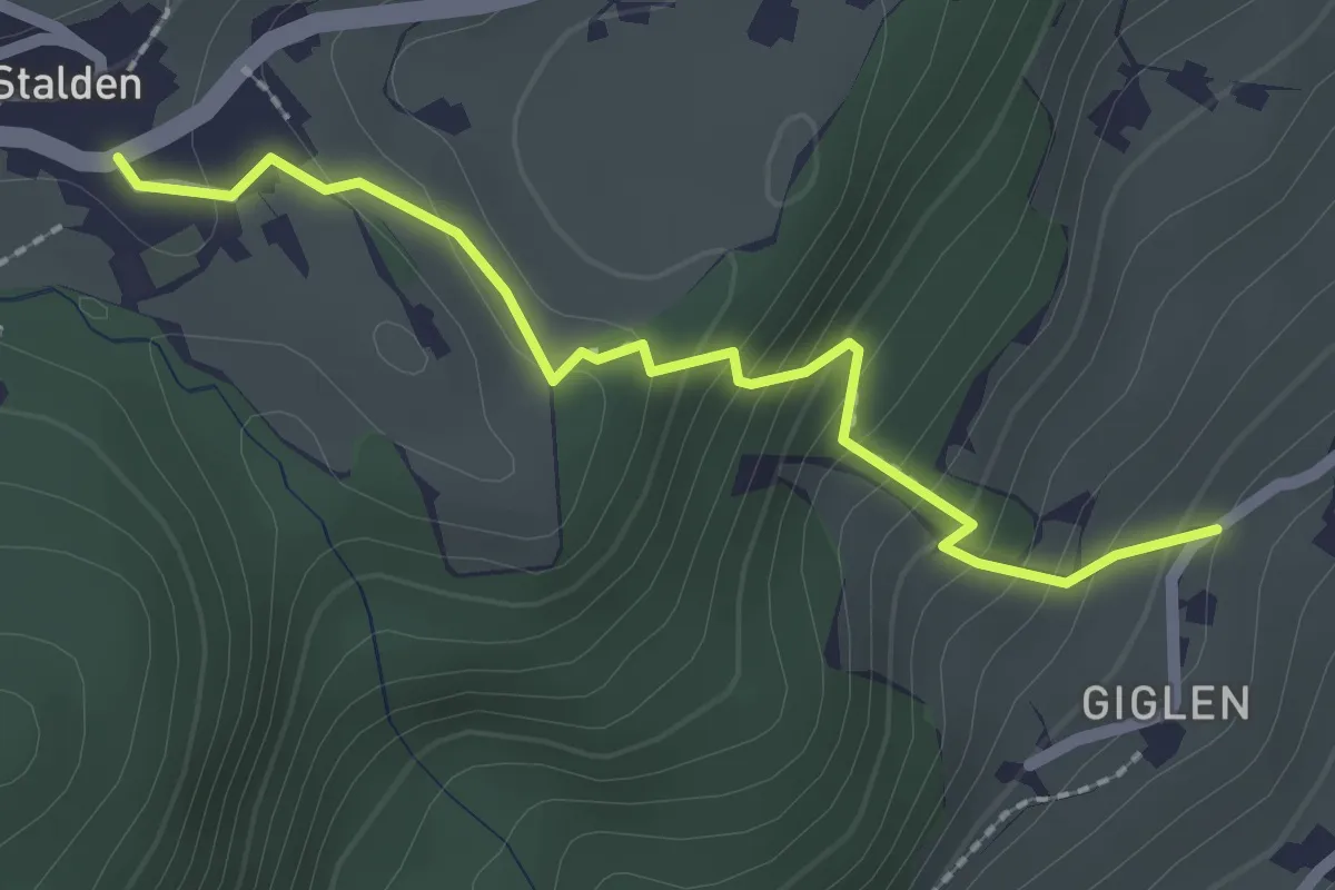
Easy · Trail
Güglen - Stalden
2.2 km · ↑ 191 m · 56 min
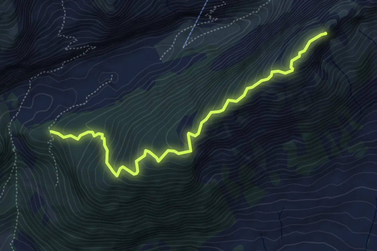
Demanding · Summit
Gulmehütte
5.9 km · ↑ 543 m · 2 h 34 min
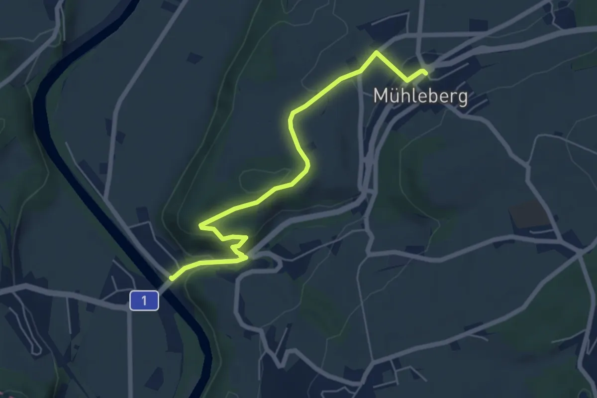
Easy · Trail
Gümmenen - Mühleberg
5.6 km · ↑ 176 m · 1 h 43 min
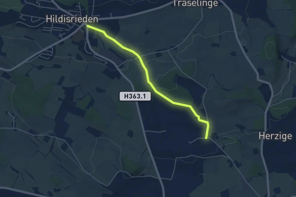
Easy · Trail
Gundelingen - Hildisrieden
4.5 km · ↑ 76 m · 1 h 14 min
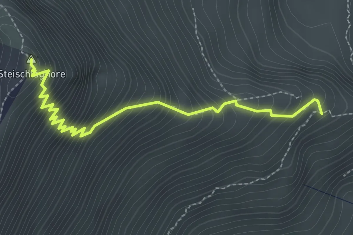
Demanding · Summit
Gunggstand - Steinschlaghore
2.7 km · ↑ 384 m · 1 h 28 min
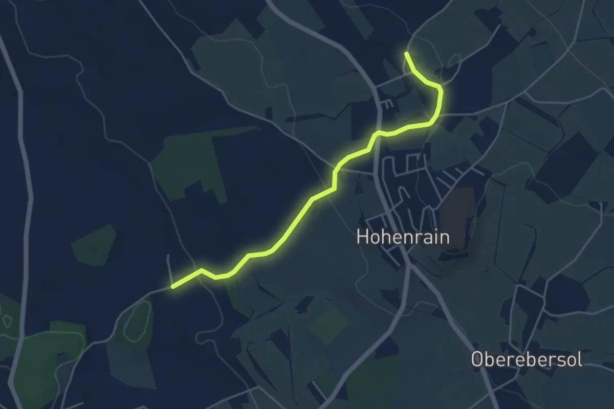
Easy · Trail
Güniken - Feldheim
4.3 km · ↑ 101 m · 1 h 14 min
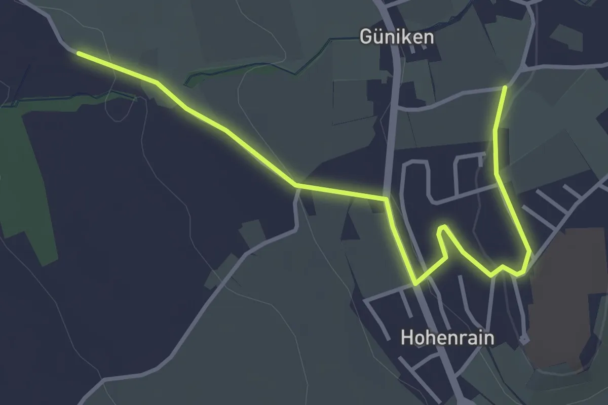
Easy · Trail
Güniken - Hohenrain
3.7 km · ↑ 81 m · 1 h 3 min
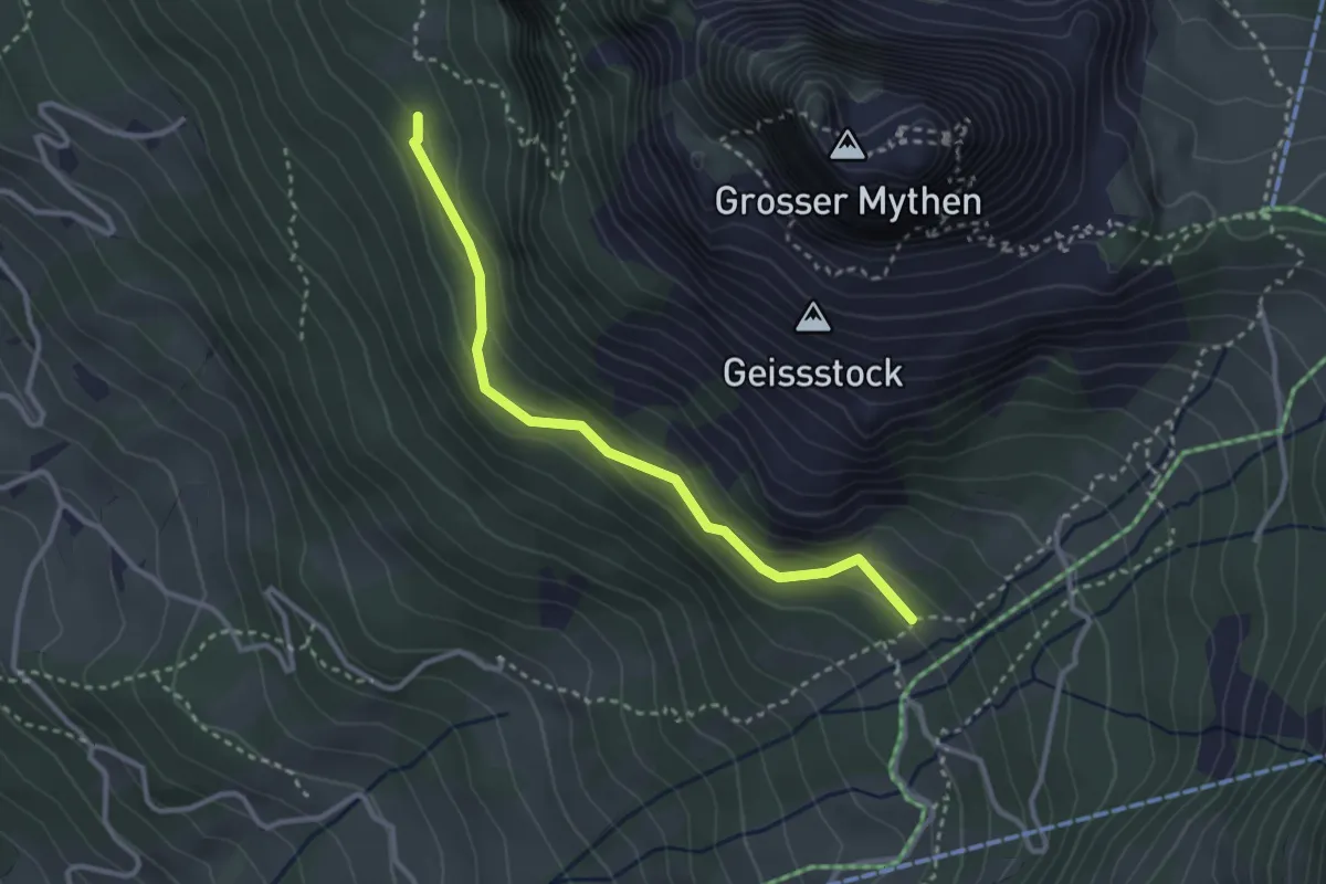
Medium · Trail
Günterigs - Hasli
2.9 km · ↑ 138 m · 59 min
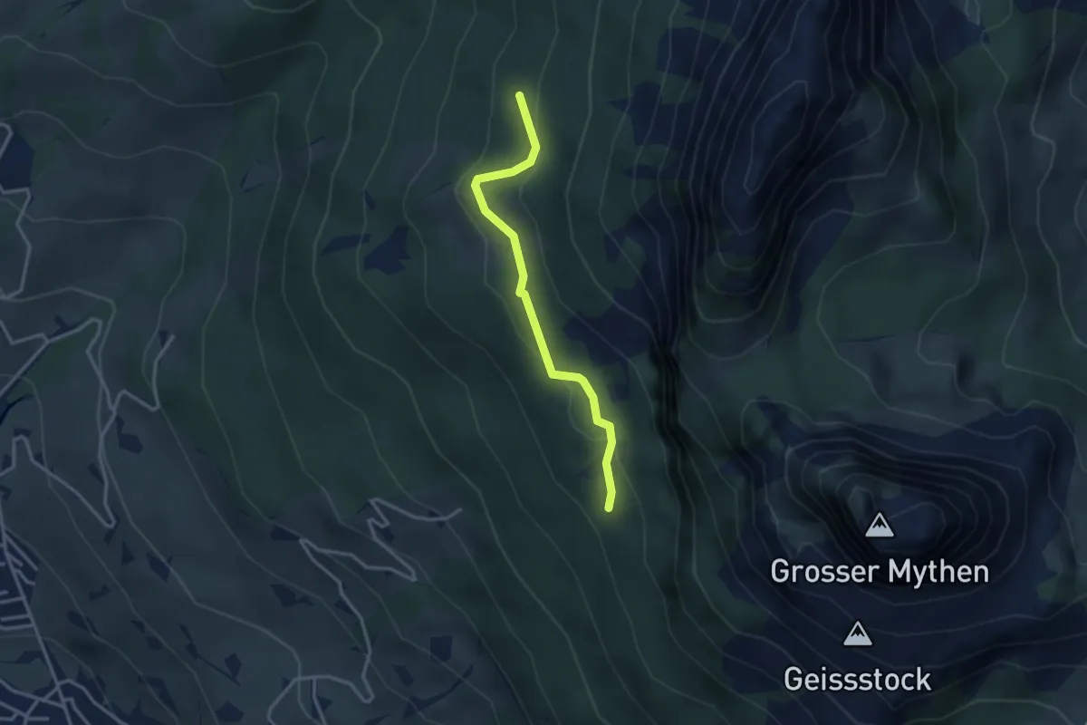
Medium · Trail
Günterigs - Stockwald? / Haggenegg? - fixme
2.9 km · ↑ 144 m · 1 h
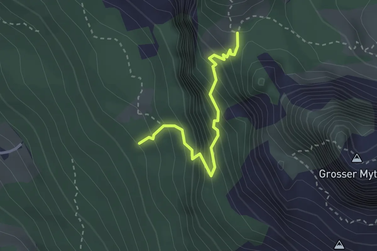
Medium · Trail
Günterigs - Zwüschet Mythen
2.2 km · ↑ 346 m · 1 h 16 min
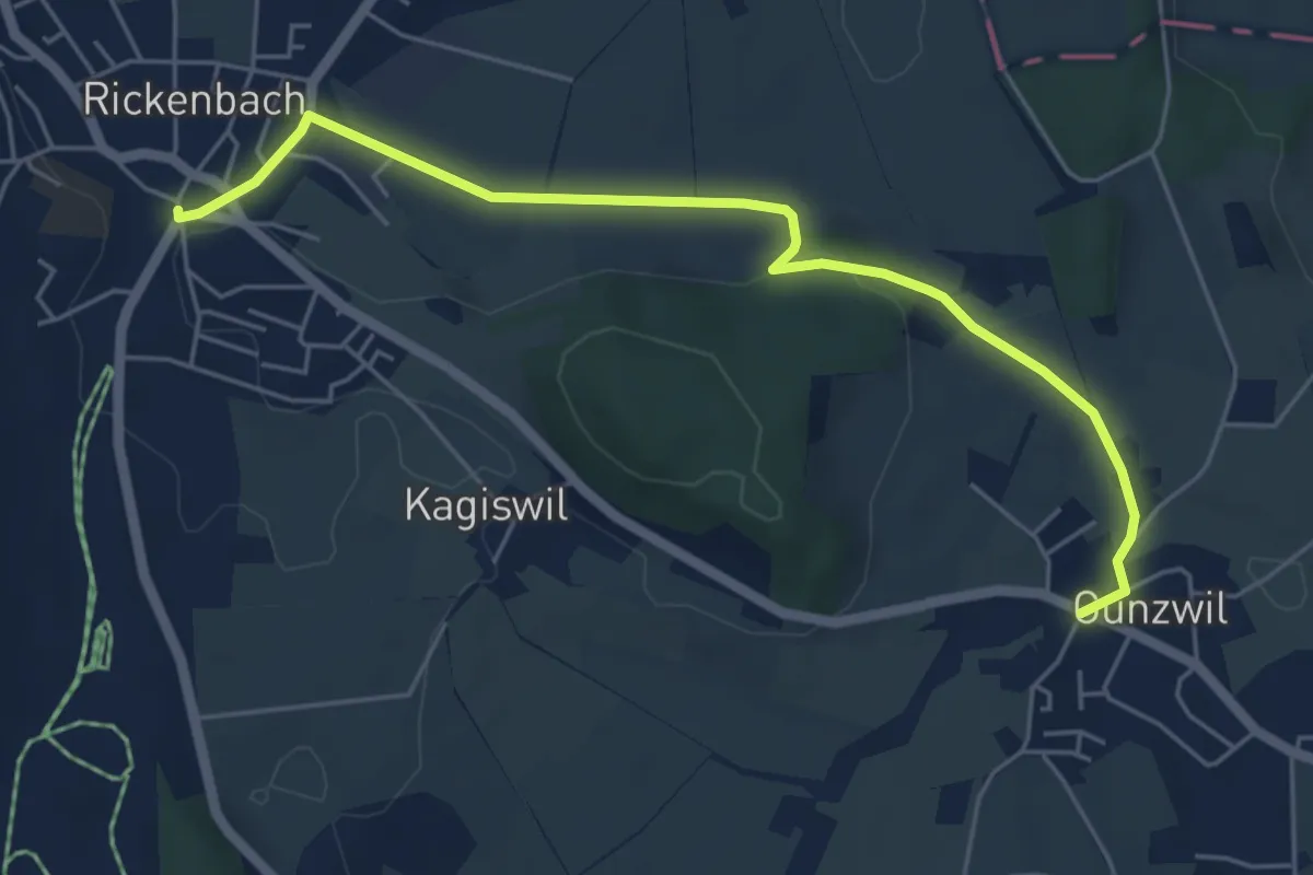
Easy · Trail
Gunzwil - Rickenbach
5.7 km · ↑ 84 m · 1 h 31 min
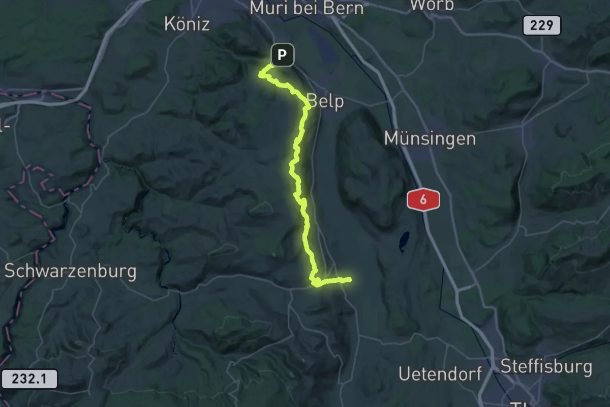
Demanding · Trail
Gürbetaler Höhenweg
18.2 km · ↑ 707 m · 6 h 6 min
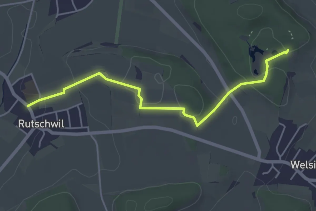
Easy · Trail
Gurisee Rutschwil
4.0 km · ↑ 74 m · 1 h 7 min
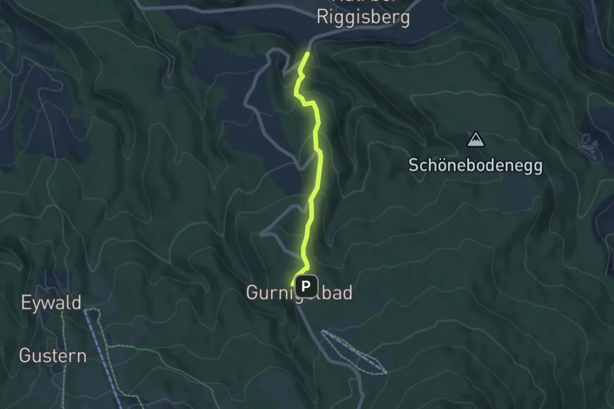
Easy · Trail
Gurnigelbad - Dürrbach
4.6 km · ↑ 307 m · 1 h 45 min
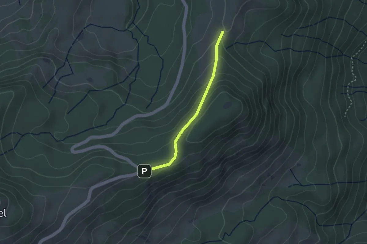
Easy · Trail
Gurnigel Berghaus - Gurnigelberg
2.3 km · ↑ 112 m · 48 min
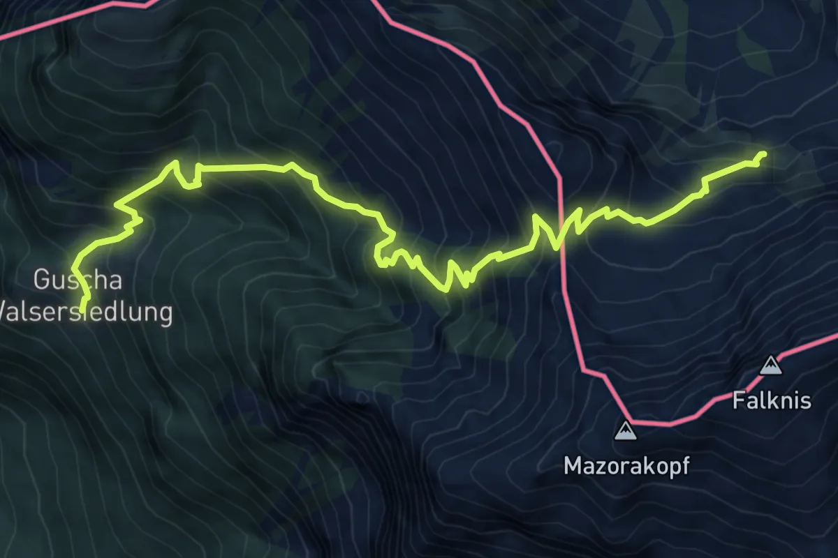
Demanding · Trail
Guscha (CH) - Lawena
9.3 km · ↑ 1203 m · 4 h 48 min
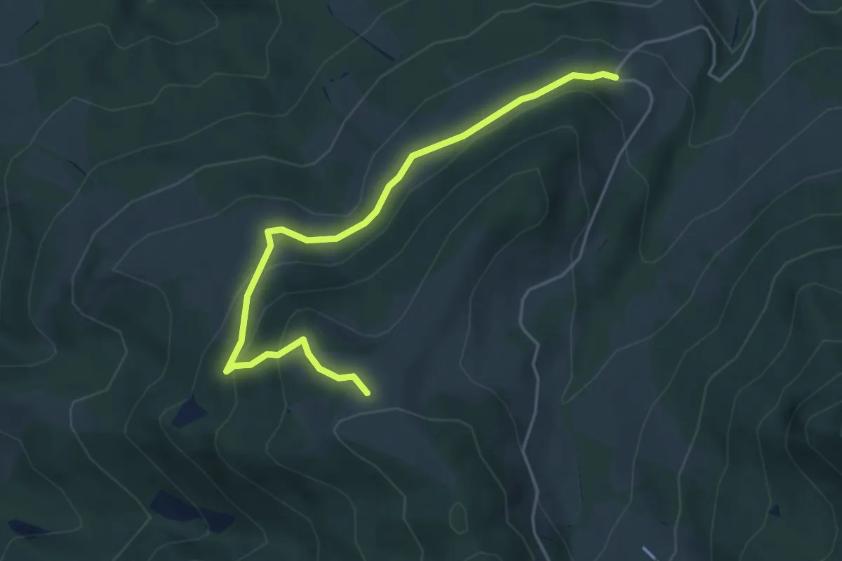
Medium · Trail
Gustihütten - Chridegg
4.6 km · ↑ 216 m · 1 h 34 min
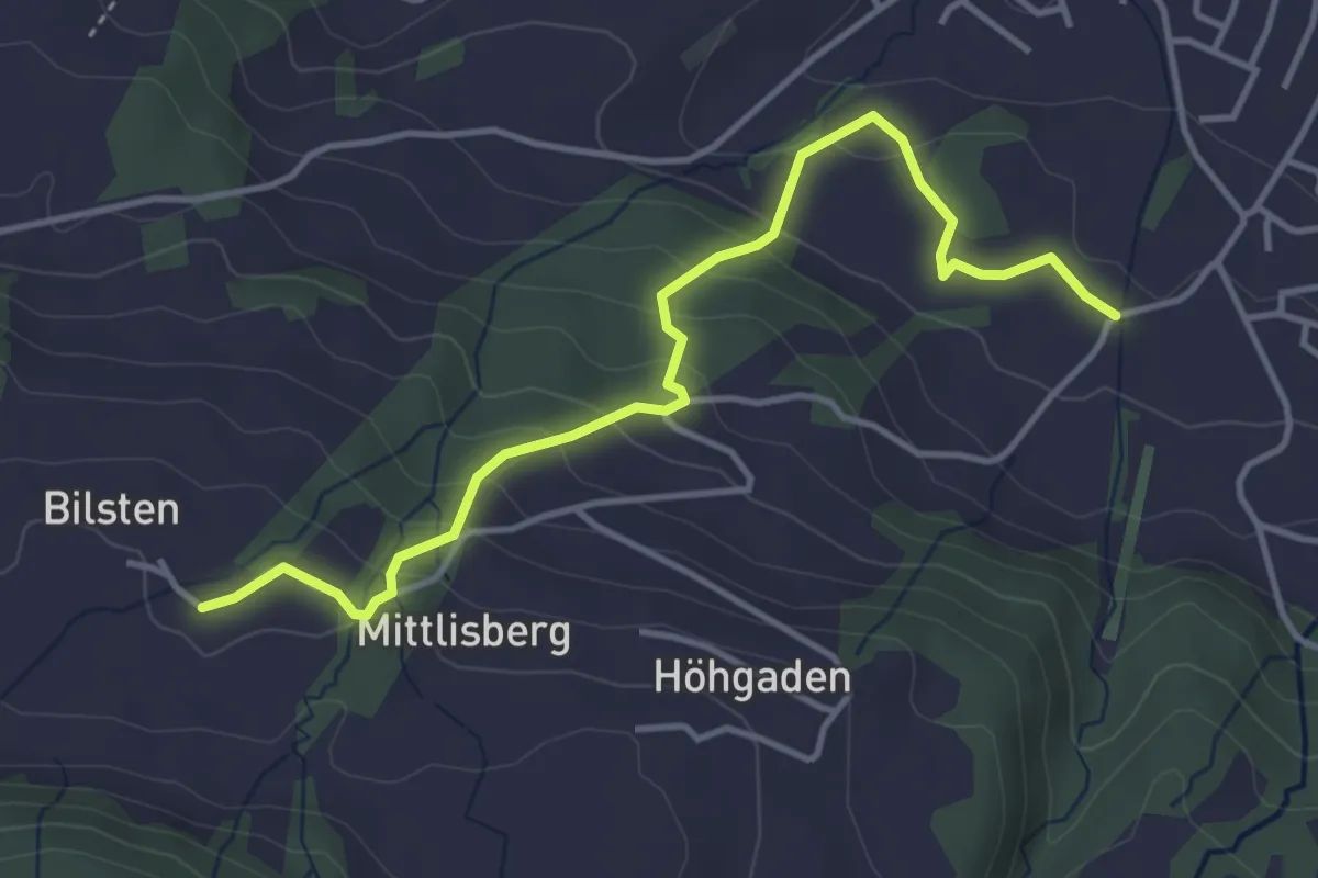
Easy · Trail
Gutenbrunnen - Bilsten
4.3 km · ↑ 266 m · 1 h 35 min
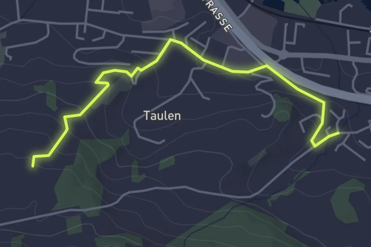
Easy · Trail
Gutenbrunnen - Flügenberg
4.3 km · ↑ 196 m · 1 h 26 min
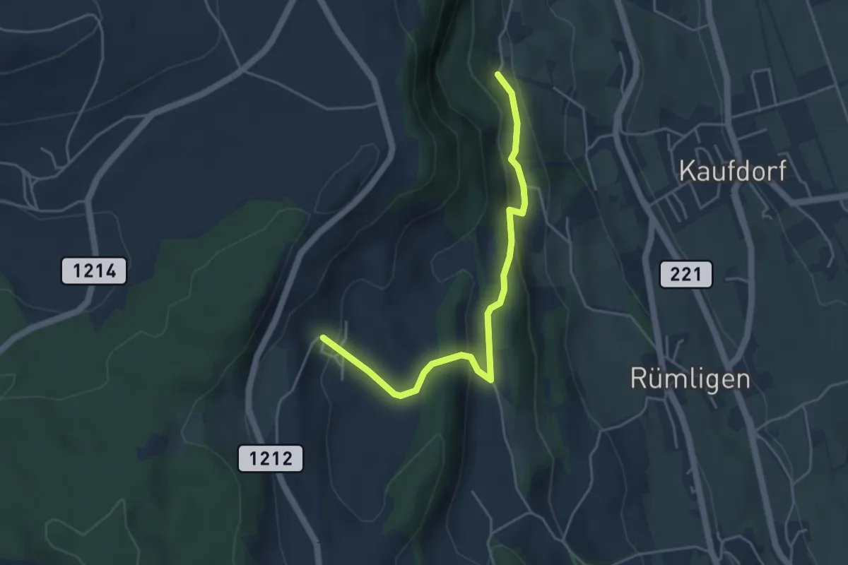
Easy · Trail
Gutenbrünnen - Hermiswil
4.3 km · ↑ 207 m · 1 h 28 min
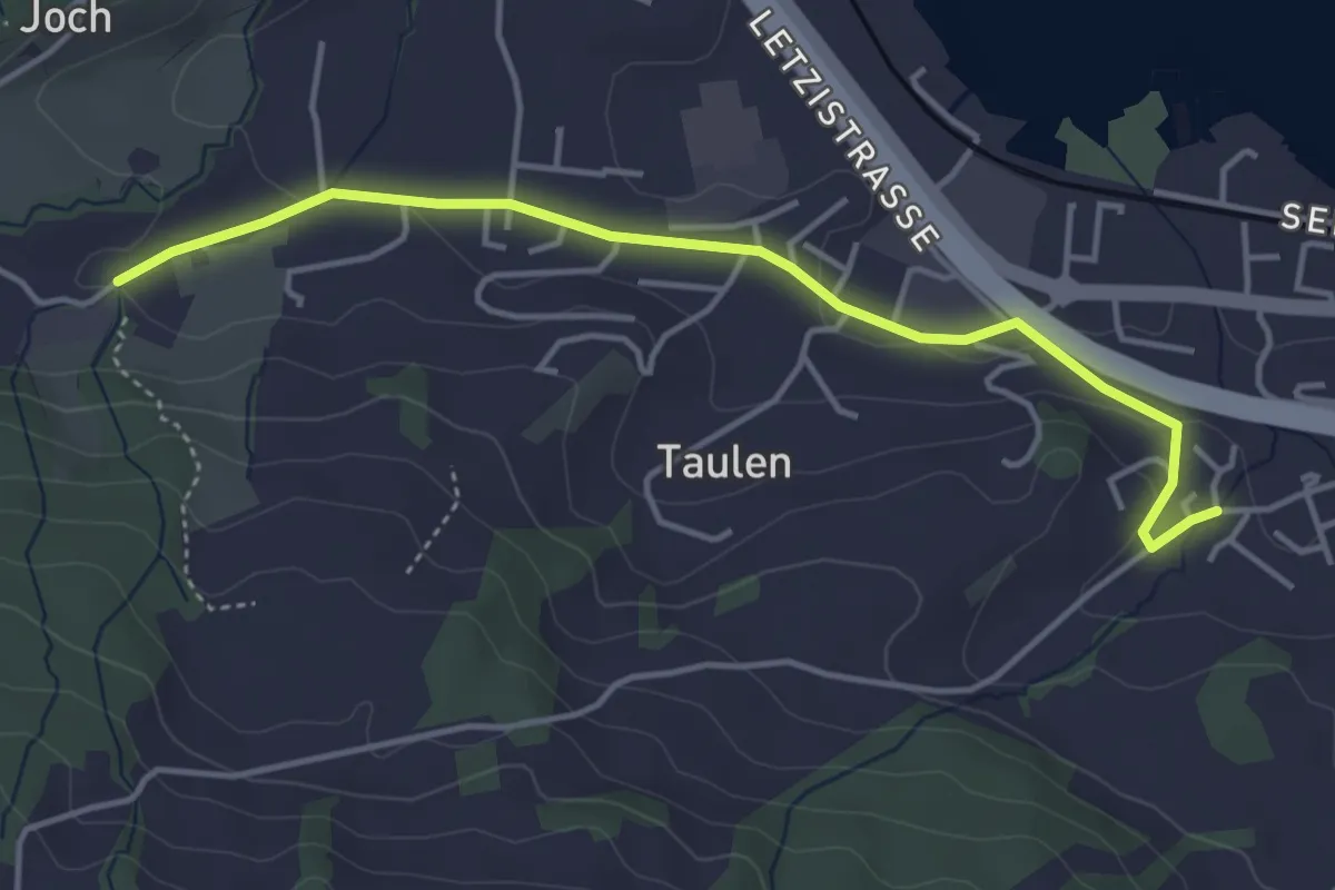
Easy · Trail
Gutenbrunnen - Tal
4.3 km · ↑ 94 m · 1 h 12 min
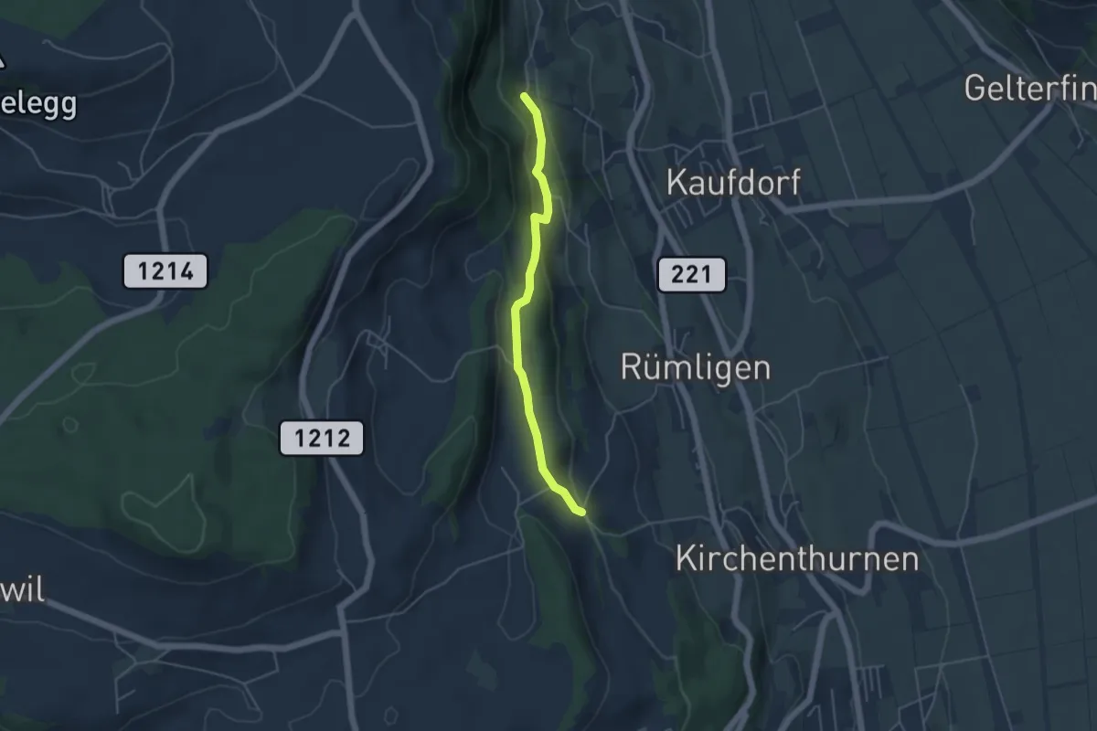
Easy · Trail
Gutenbrünnen - Uf der Mur
4.0 km · ↑ 157 m · 1 h 18 min
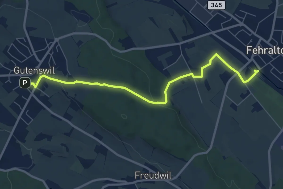
Easy · Trail
Gutenswil - Fehraltorf
6.6 km · ↑ 148 m · 1 h 53 min
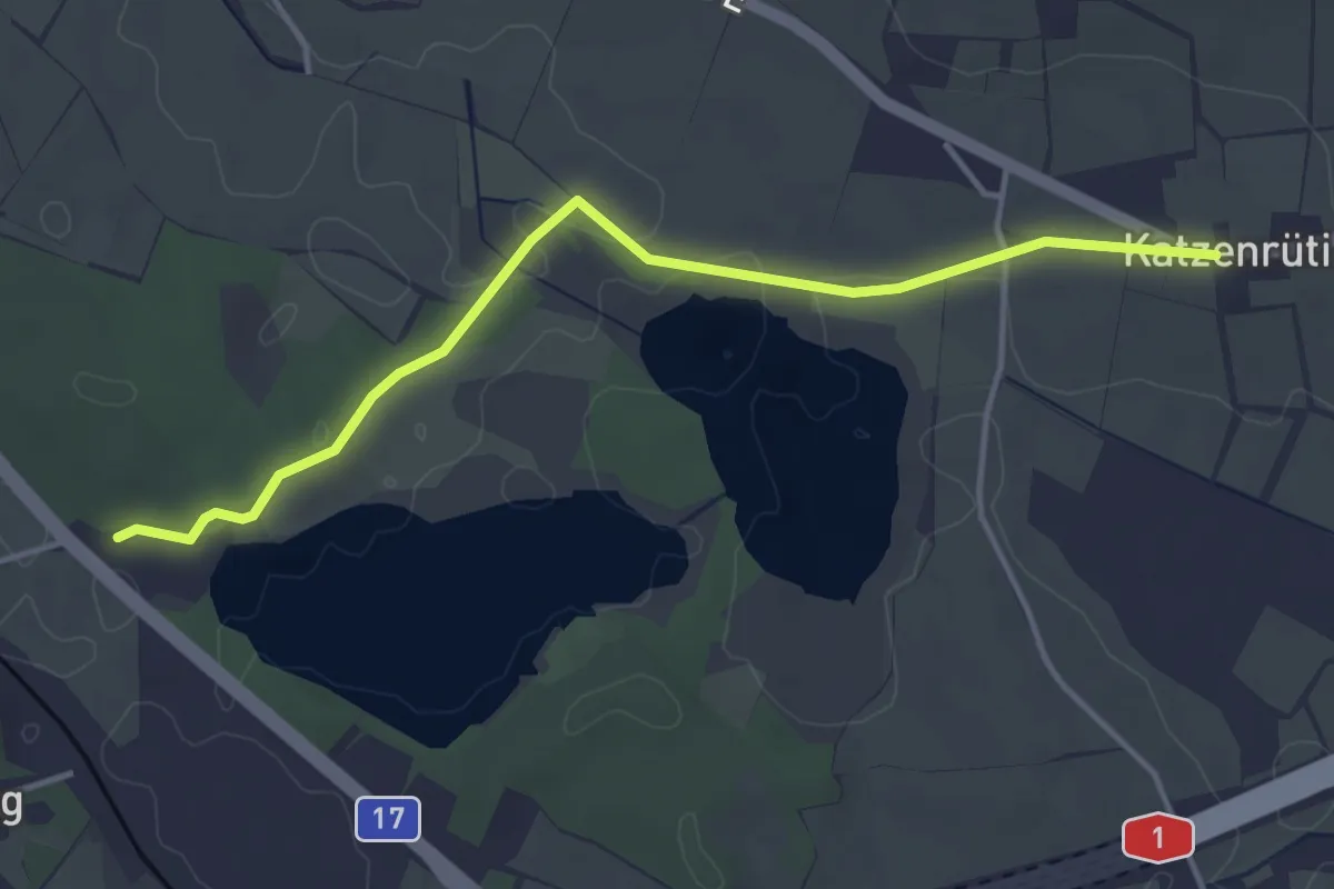
Easy · Trail
Gut Katzensee - Chatzenrüti
4.0 km · ↑ 36 m · 1 h 2 min
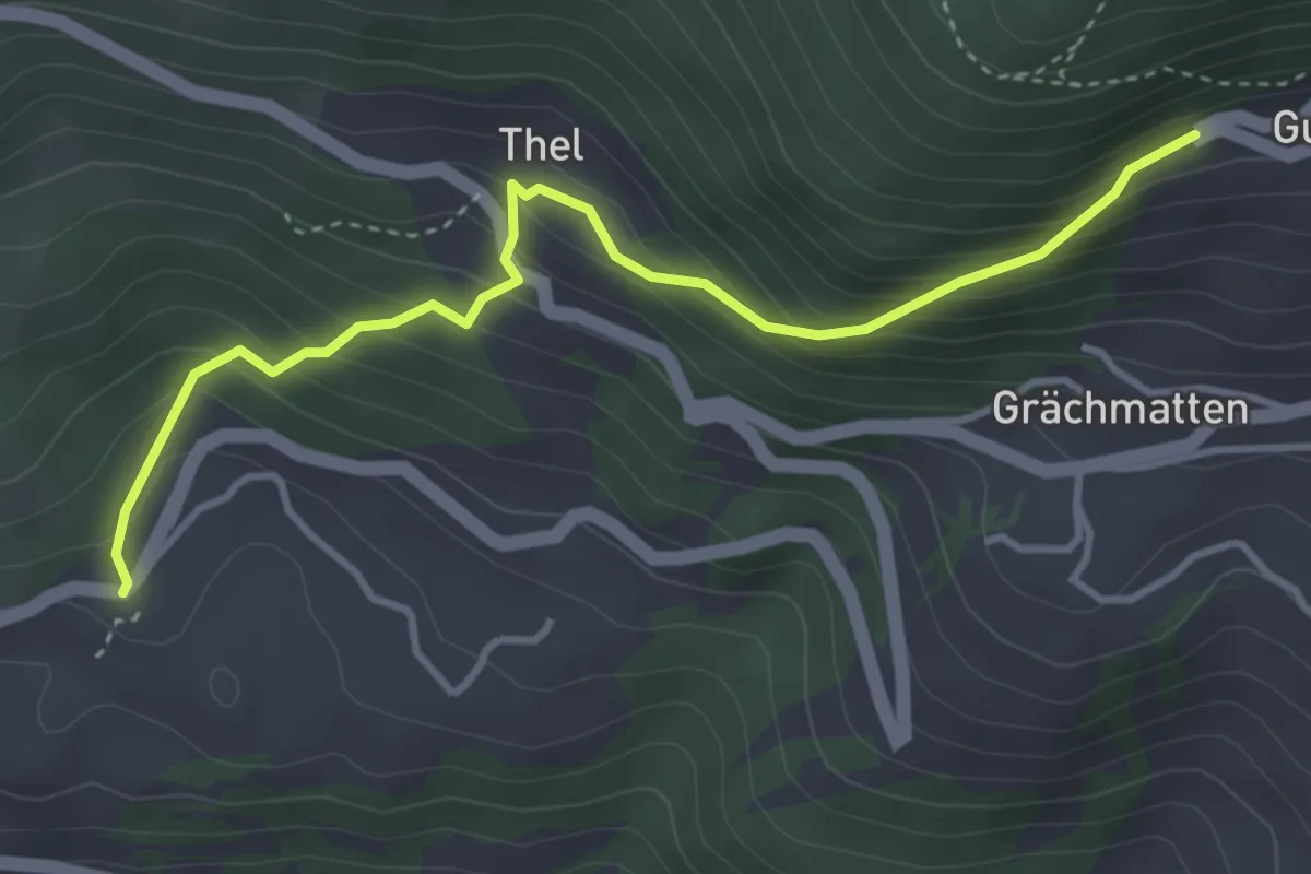
Medium · Trail
Guttet Brentjong
3.9 km · ↑ 389 m · 1 h 46 min
Medium · Trail
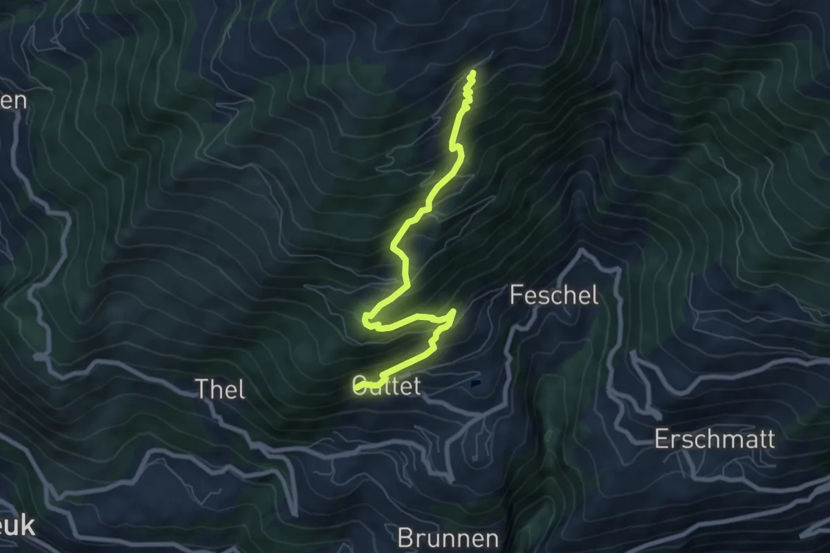
Guttet Uberu
7.2 km · ↑ 726 m · 3 h 16 min
Easy · Trail
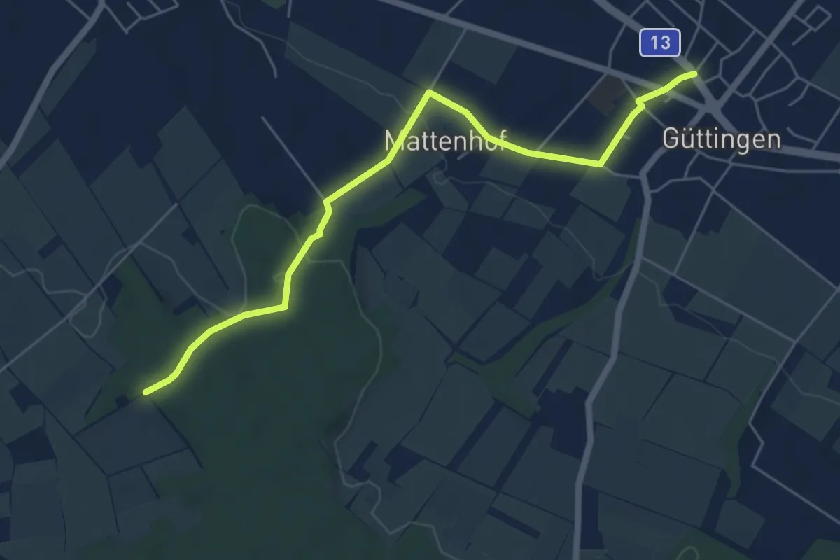
Güttingen - Eggethof
5.7 km · ↑ 108 m · 1 h 34 min
Easy · Trail
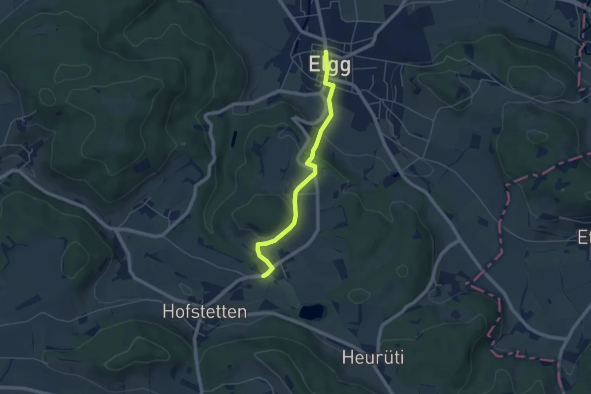
Guwilmühle – Elgg
4.4 km · ↑ 165 m · 1 h 24 min
Medium · Summit
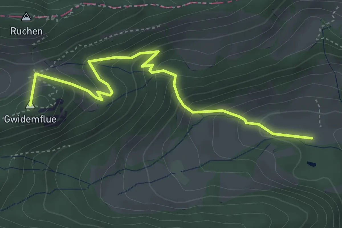
Gwidemhöchi - Fasiswald
4.3 km · ↑ 364 m · 1 h 48 min
Easy · Summit
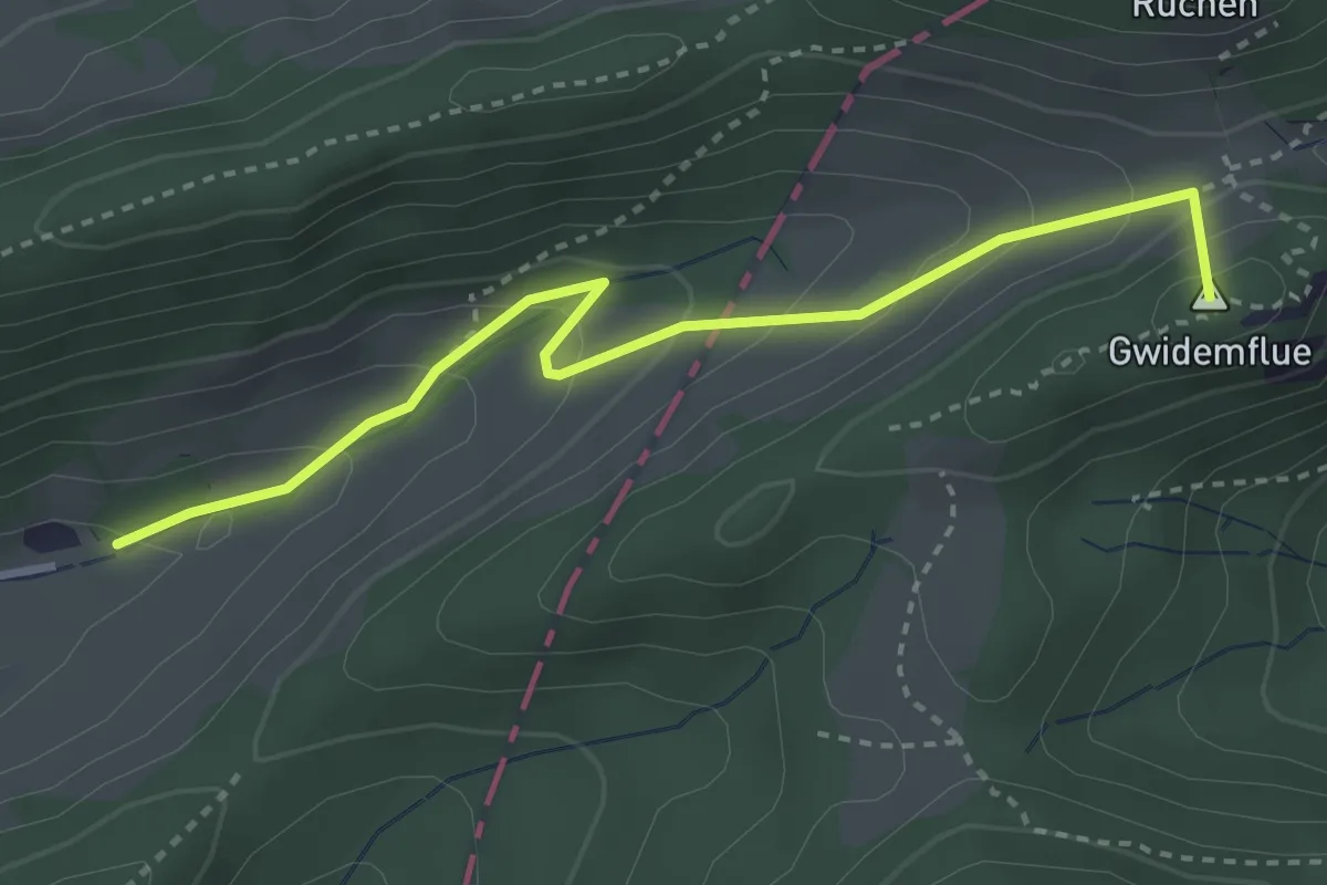
Gwidmenhöchi - Dürstel
3.3 km · ↑ 243 m · 1 h 19 min
Easy · Trail
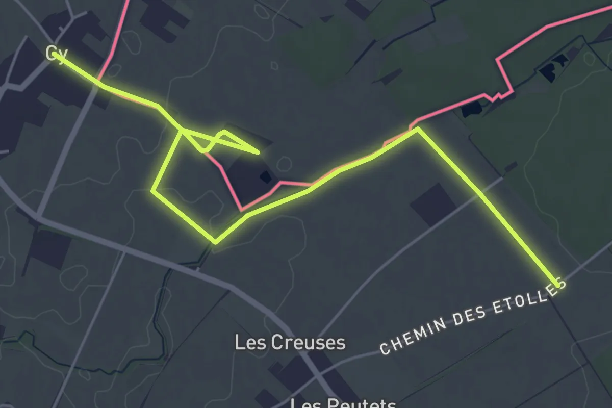
Gy - Les Longerayes
6.5 km · ↑ 17 m · 1 h 34 min
Medium · Trail
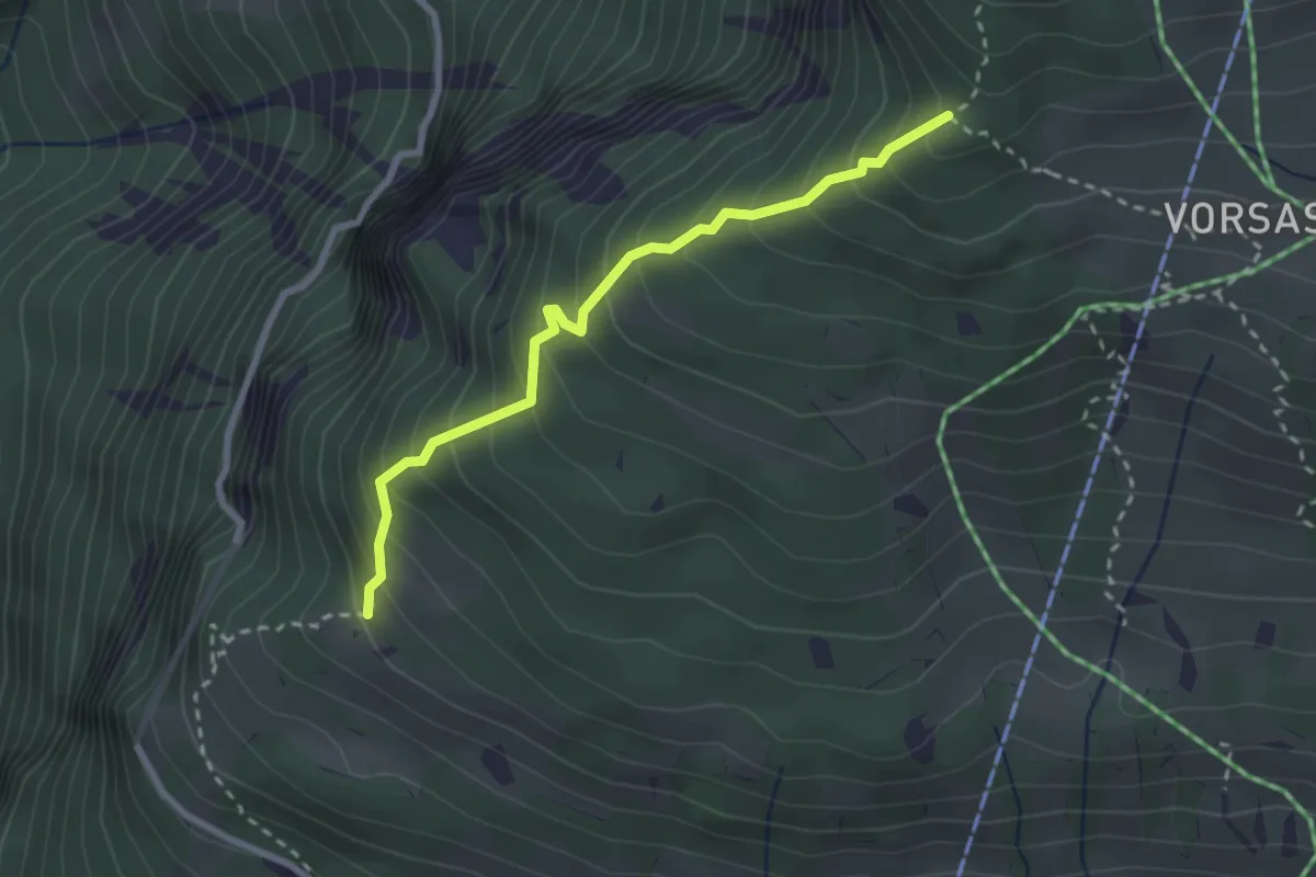
Habernlegi - Vorsass Türli
2.6 km · ↑ 332 m · 1 h 19 min
Easy · Summit
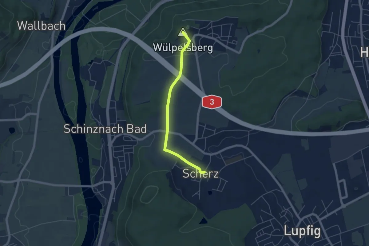
Habsburg - Scherz
4.4 km · ↑ 103 m · 1 h 16 min
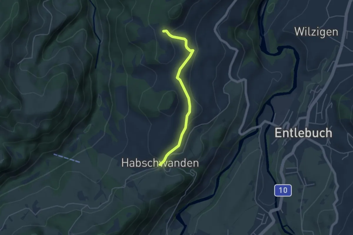
Easy · Trail
Habschwanden - Oberhüseren
3.8 km · ↑ 101 m · 1 h 7 min
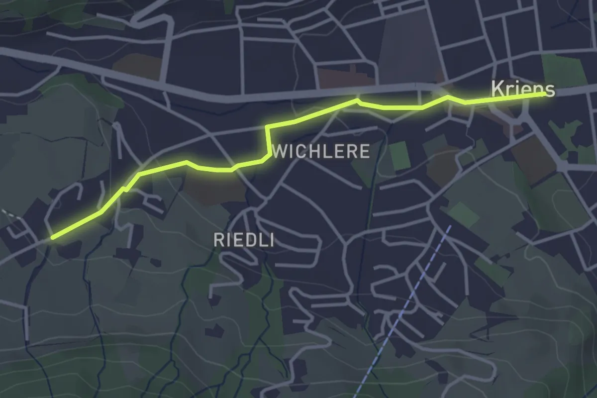
Easy · Trail
Hackenrain - Kriens Hofmatt
3.4 km · ↑ 69 m · 57 min
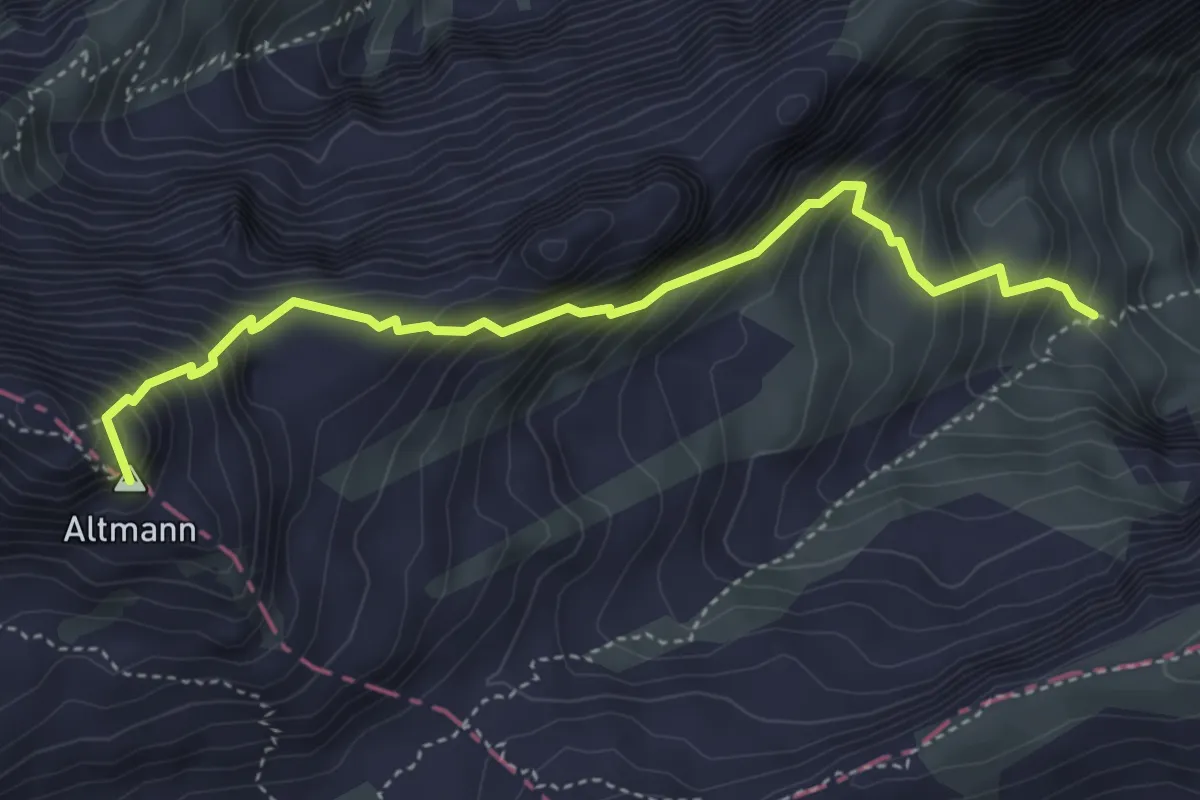
Demanding · Summit
Hädern - Altmannsattel
4.3 km · ↑ 618 m · 2 h 22 min
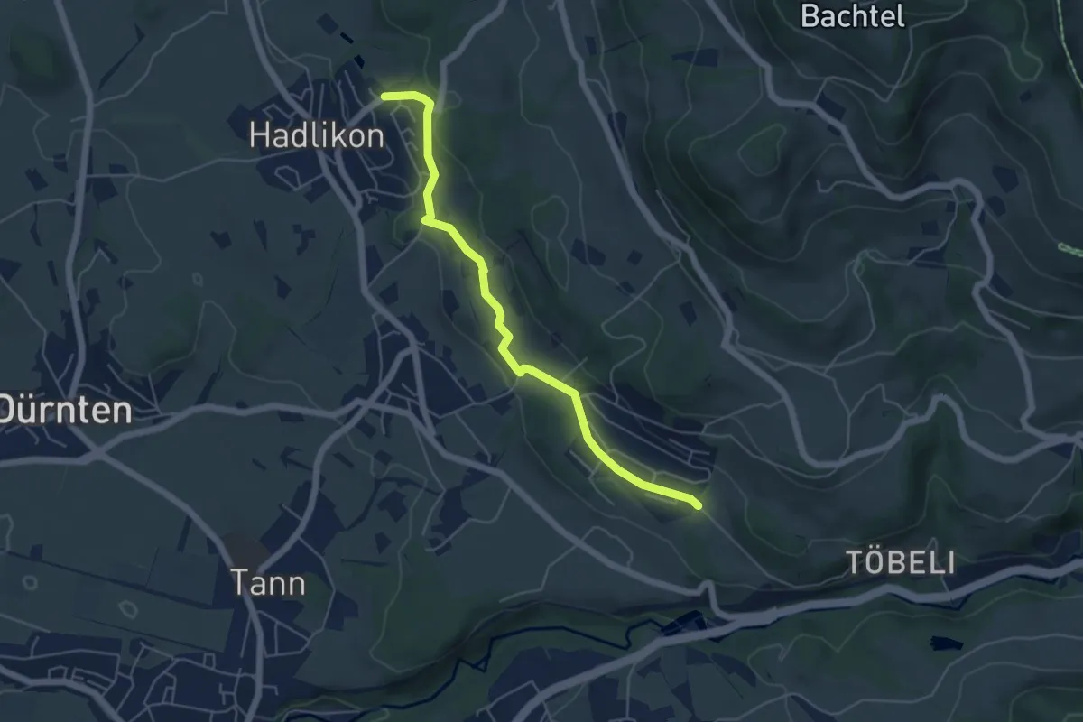
Easy · Trail
Hadlikon - Breitenmatt
5.1 km · ↑ 114 m · 1 h 27 min
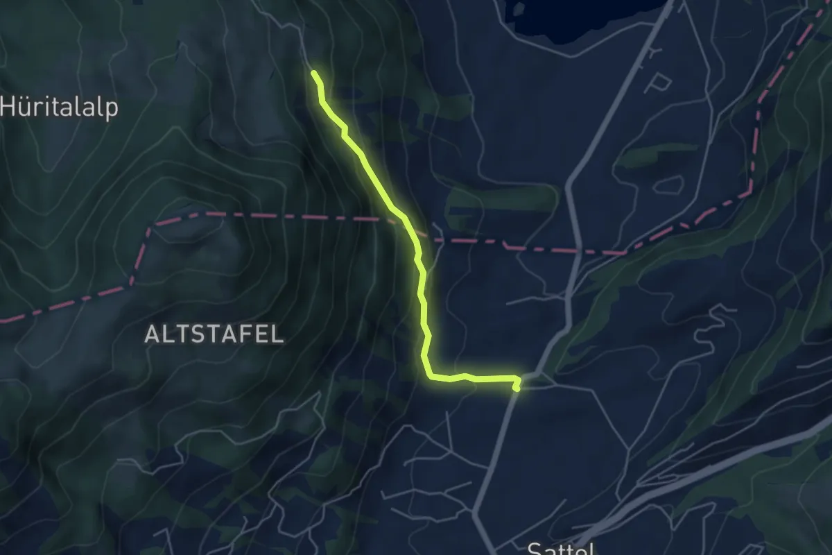
Easy · Trail
Hageggli - Schornerain
4.0 km · ↑ 295 m · 1 h 36 min
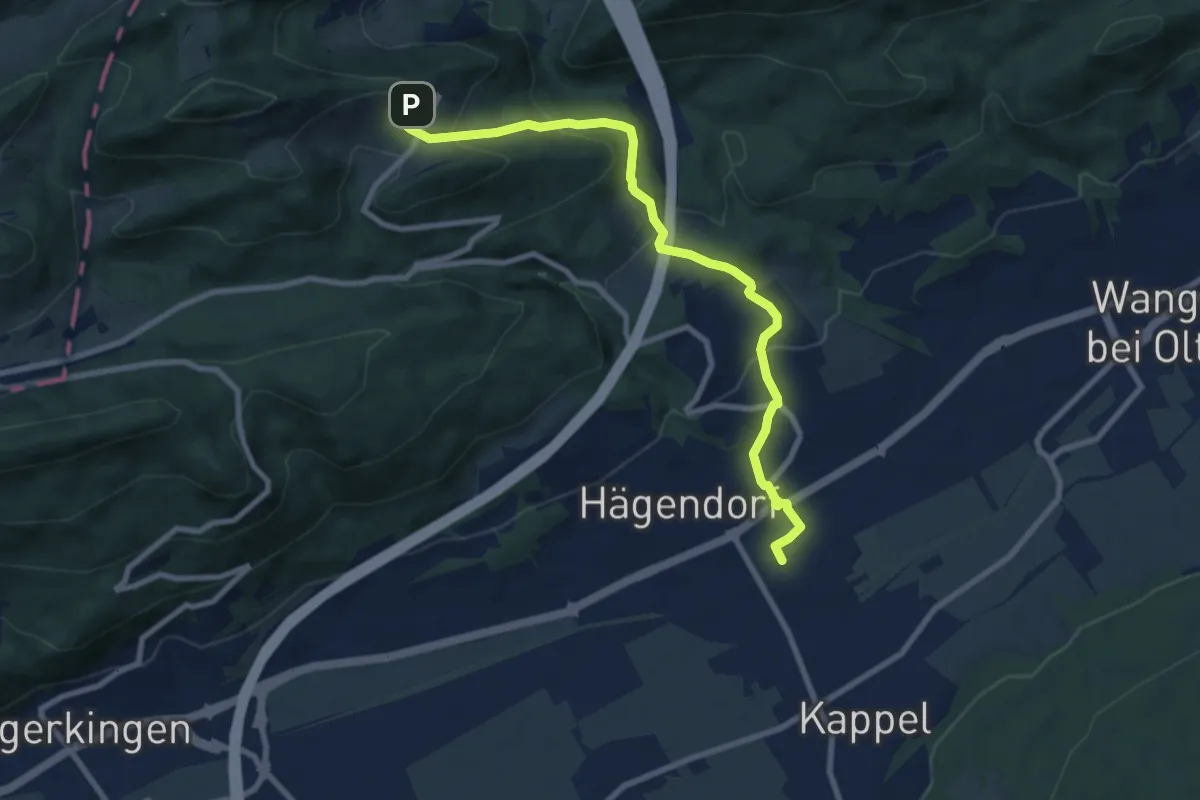
Medium · Trail
Hägendorf - Allerheiligenberg
9.0 km · ↑ 453 m · 3 h 6 min
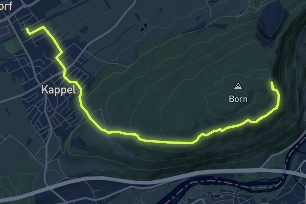
Medium · Trail
Hägendorf - Born
10.2 km · ↑ 384 m · 3 h 14 min
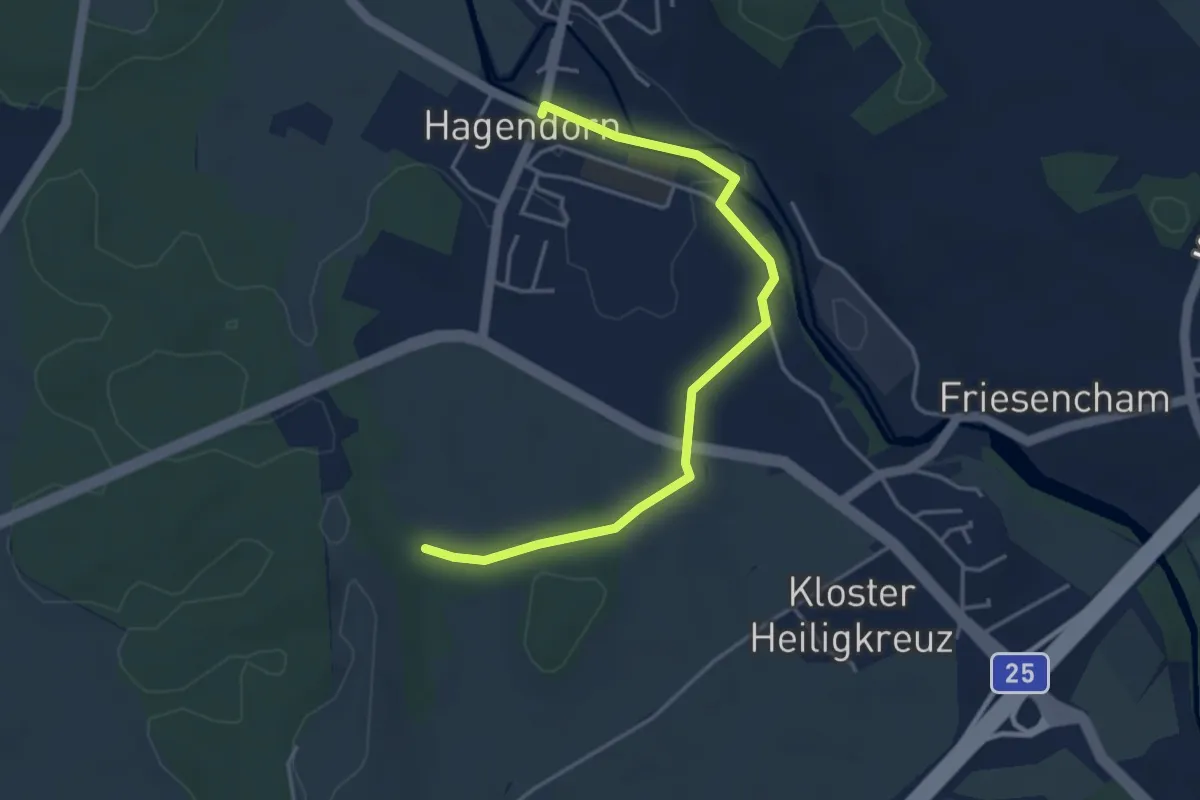
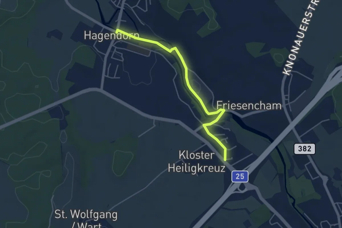
Easy · Trail
Hagendorn - Lindenchamerwald
4.2 km · ↑ 45 m · 1 h 5 min
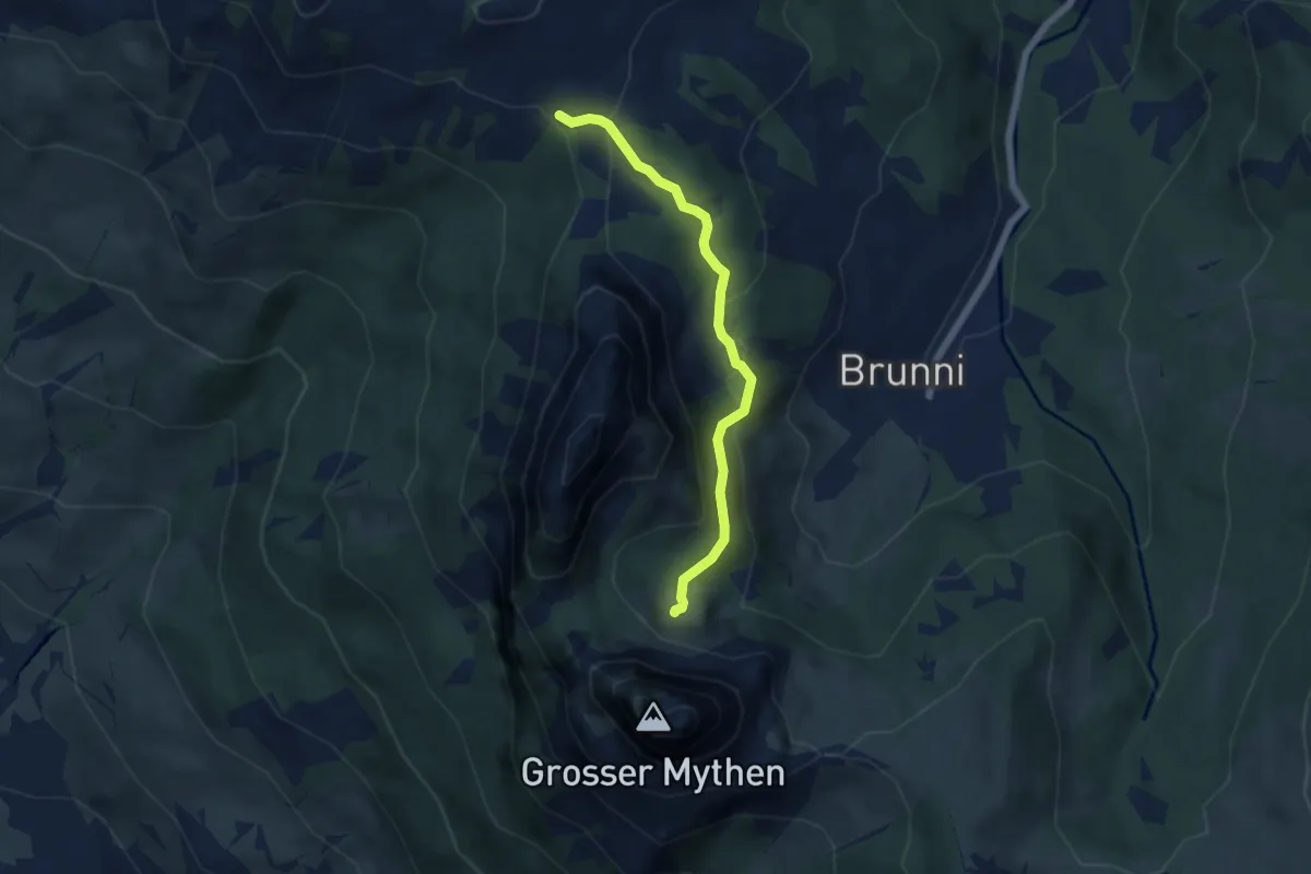
Easy · Trail
Hagendorn - Röhrliberg
4.3 km · ↑ 47 m · 1 h 7 min
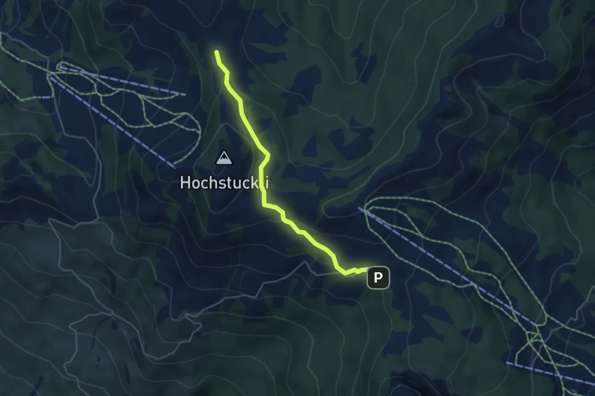
Medium · Trail
Haggenegg - Alp Zwüschet Mythen
5.2 km · ↑ 214 m · 1 h 42 min
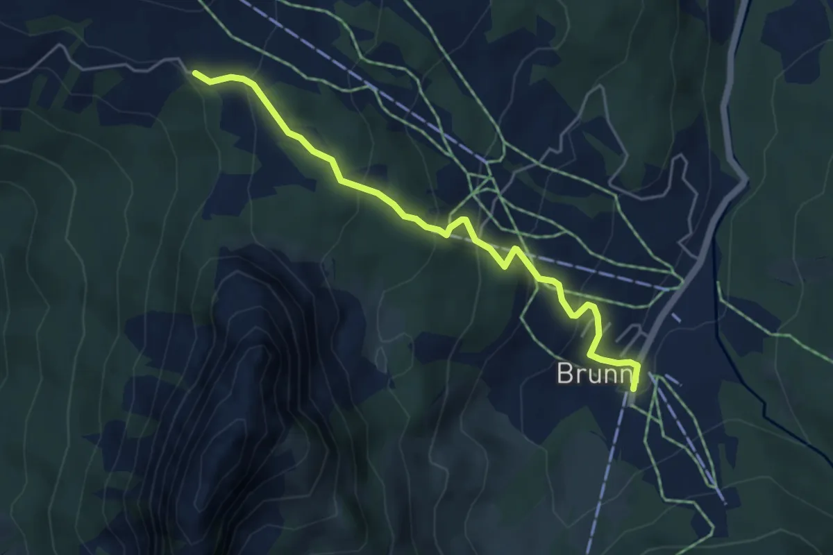
Medium · Trail
Haggenegg - Bannegg
4.1 km · ↑ 147 m · 1 h 17 min
Medium · Trail
Haggenegg - Brunni
4.6 km · ↑ 311 m · 1 h 46 min