Trails in Switzerland
15,029 hiking trails, each with its route, climb, walking time and grade.
All trails, page 46 of 314
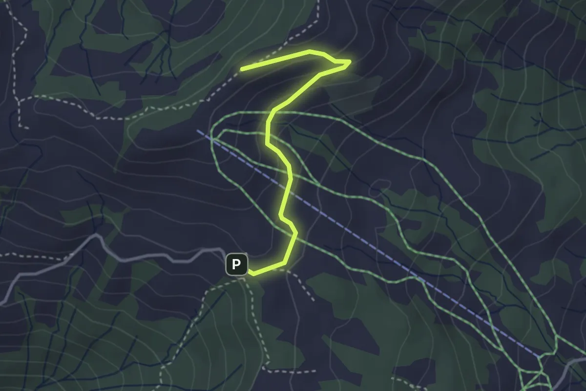
Easy · Trail
Haggenegg - Brüschrainhöchi
2.8 km · ↑ 112 m · 55 min
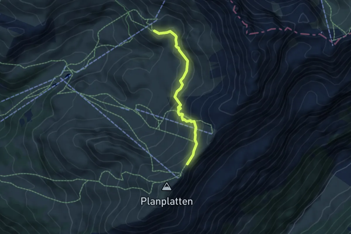
Medium · Trail
Häggen-Planplatten Sattel
4.8 km · ↑ 249 m · 1 h 40 min
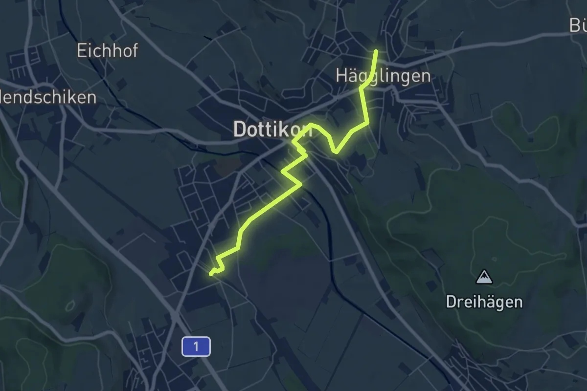
Easy · Trail
Hägglingen - Dottikon-Dintikon
6.6 km · ↑ 83 m · 1 h 44 min
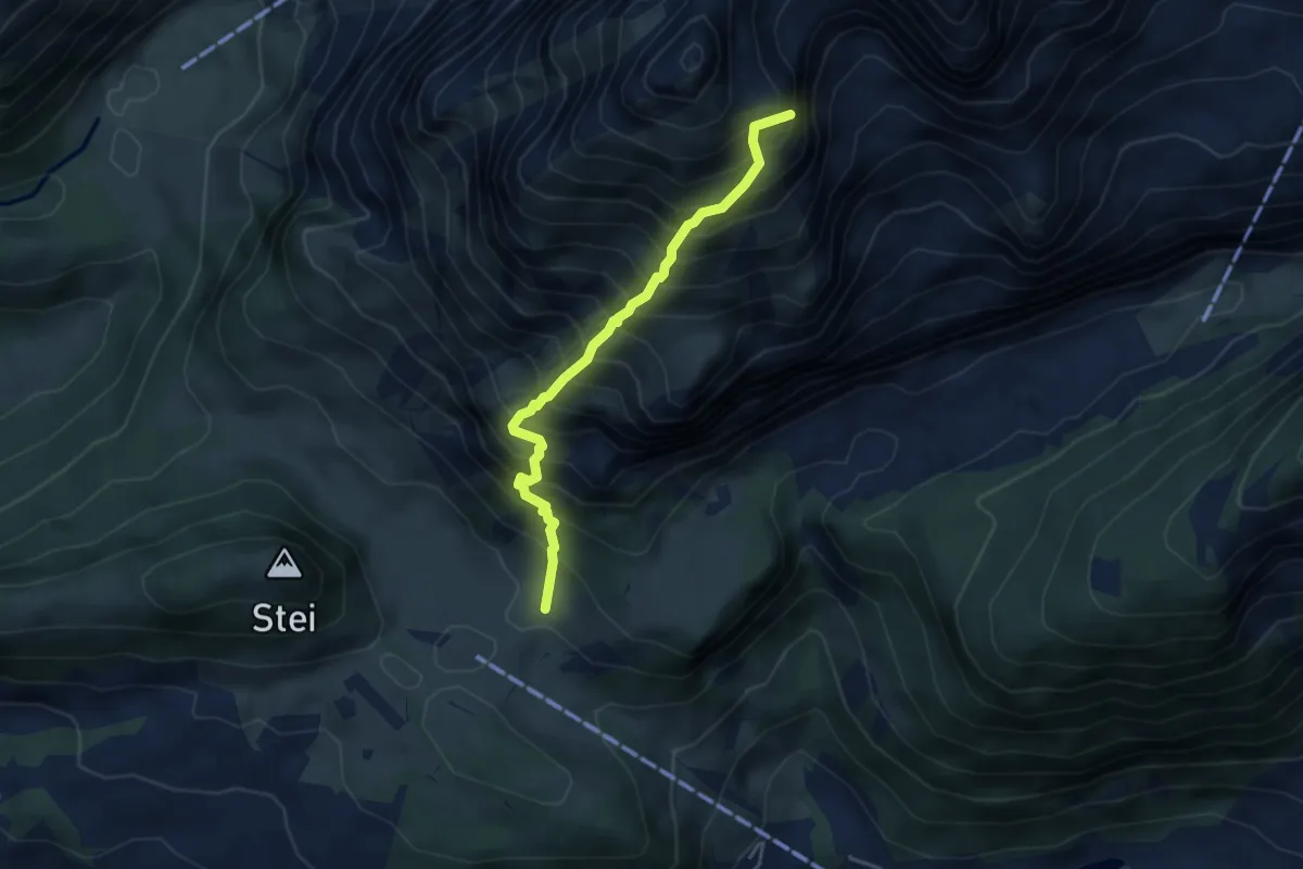
Demanding · Summit
Haghütten-Schafbergsattel
4.1 km · ↑ 877 m · 2 h 53 min
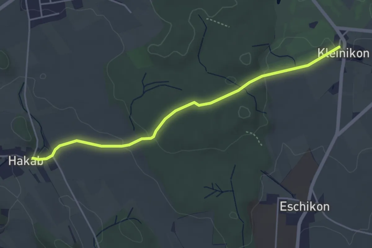
Easy · Trail
Hakab - Kleinikon
4.2 km · ↑ 64 m · 1 h 8 min
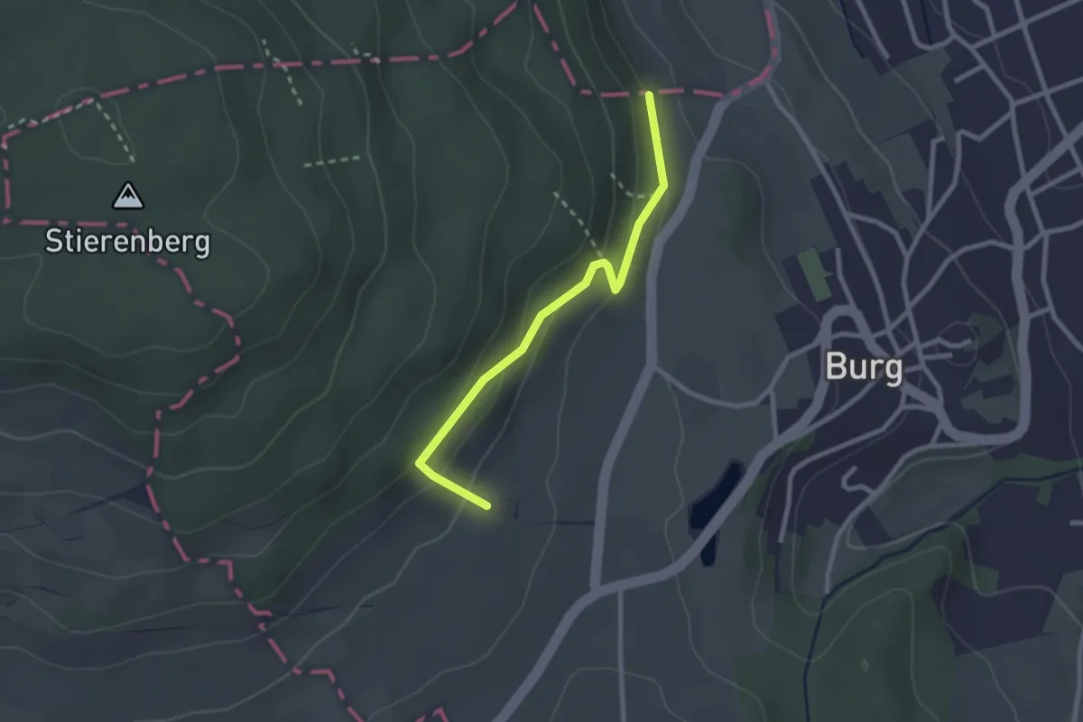
Easy · Trail
Halde - Eichwäldli
2.4 km · ↑ 115 m · 49 min
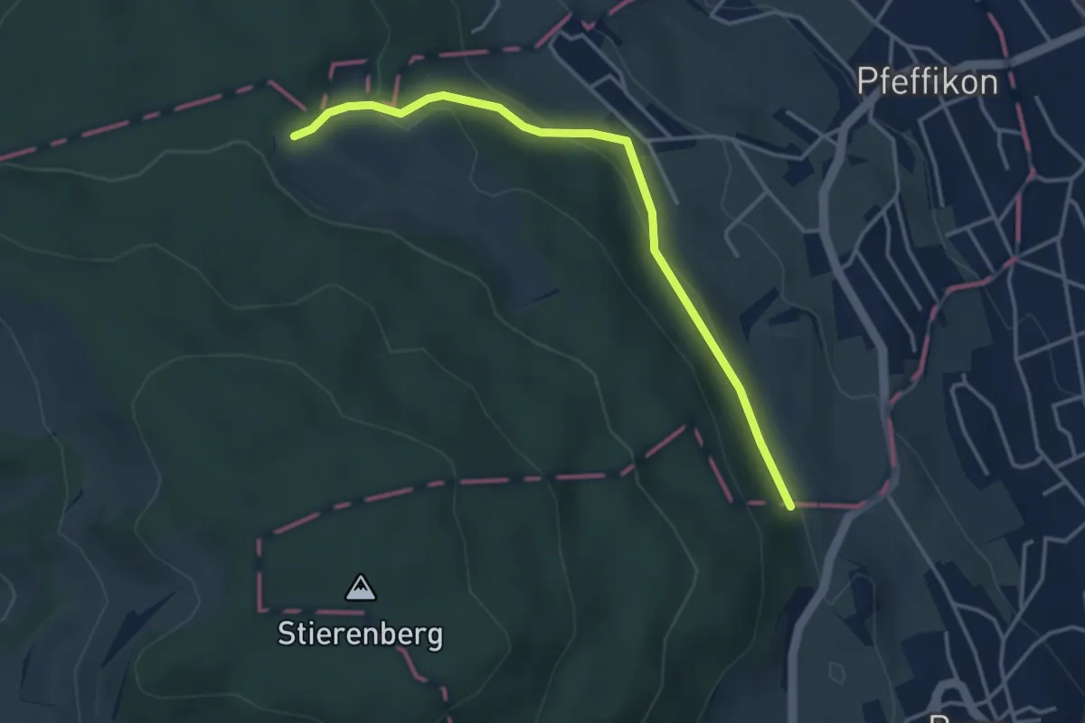
Easy · Trail
Halde - Knabenrütihütte
3.7 km · ↑ 159 m · 1 h 13 min
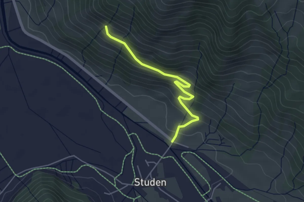
Easy · Trail
Haldeli - Bergli
3.6 km · ↑ 208 m · 1 h 18 min
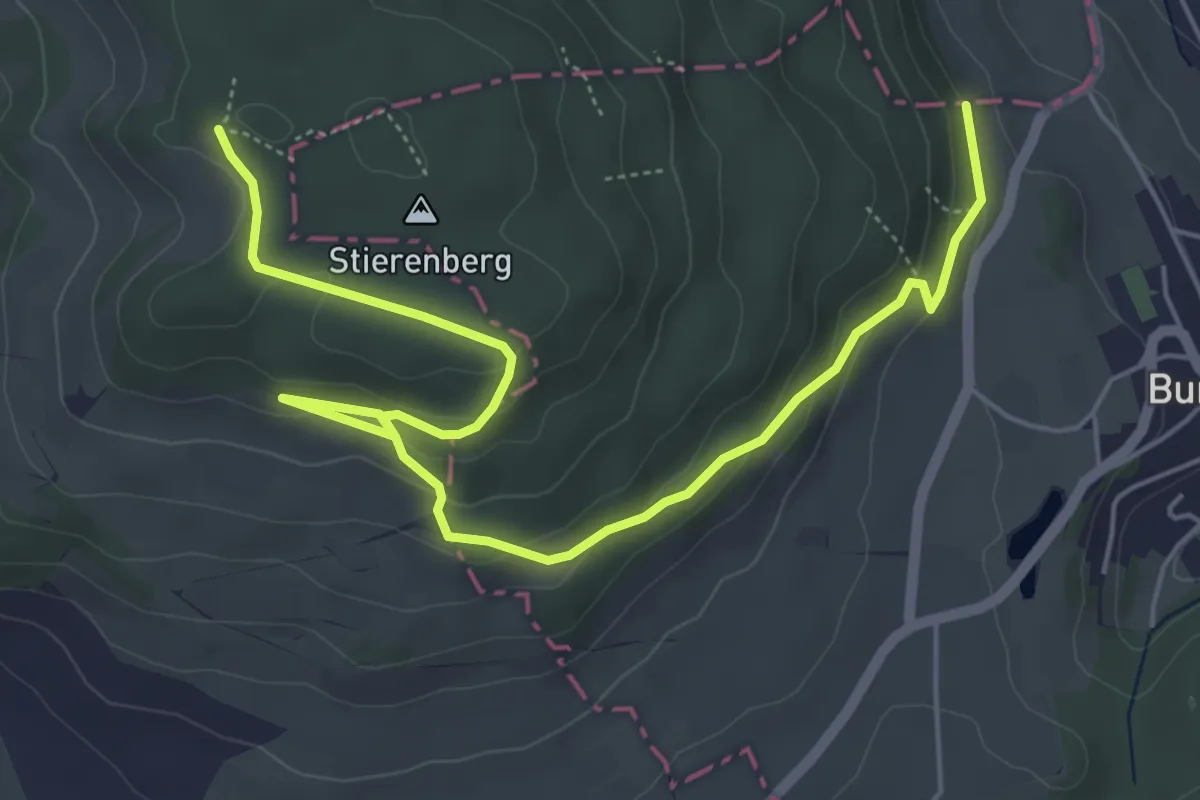
Easy · Trail
Halde - Stierenberg Höchweid
6.9 km · ↑ 236 m · 2 h 9 min
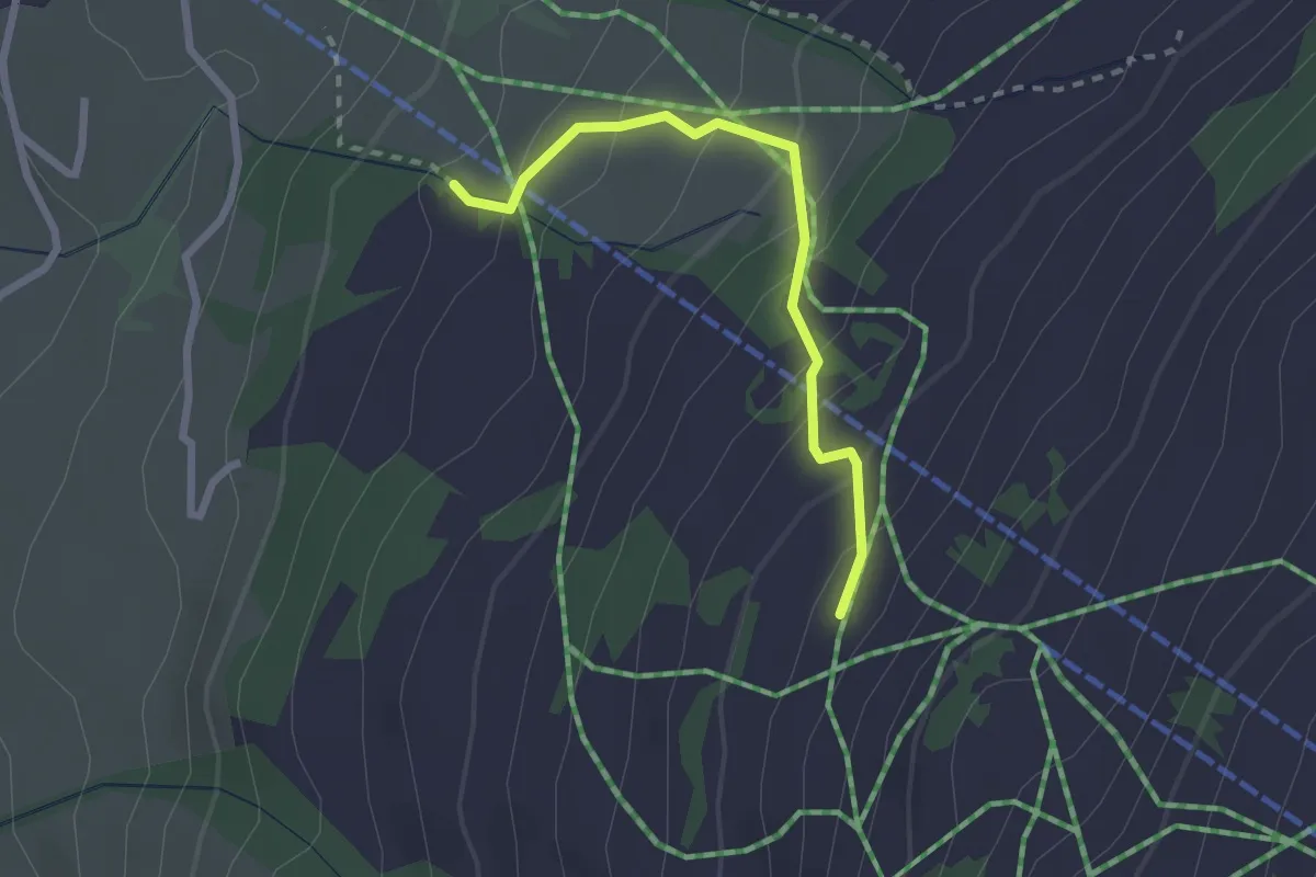
Easy · Trail
Haldisbärgli - Kübeli
2.3 km · ↑ 206 m · 59 min
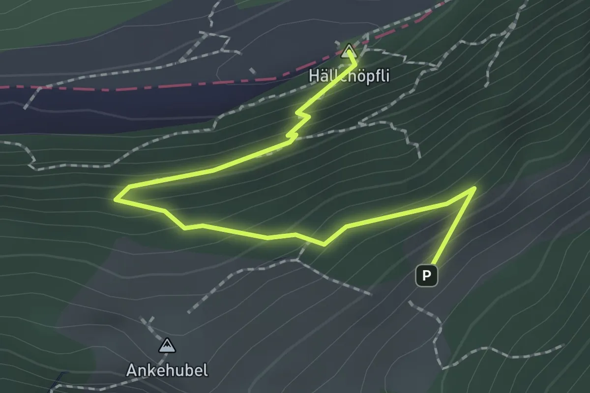
Medium · Summit
Hällchöpfli - Buechmatt
2.2 km · ↑ 171 m · 54 min
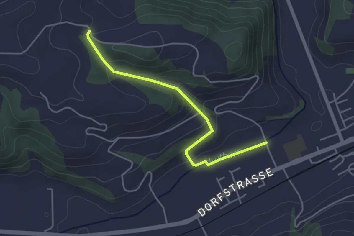
Easy · Trail
Hällerhof - Löö - Gettnau
3.6 km · ↑ 134 m · 1 h 8 min
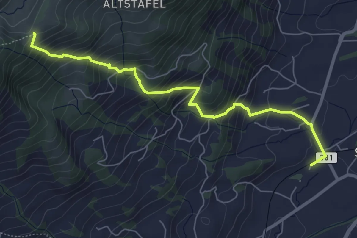
Medium · Trail
Halsegg - Sattel
5.8 km · ↑ 549 m · 2 h 33 min
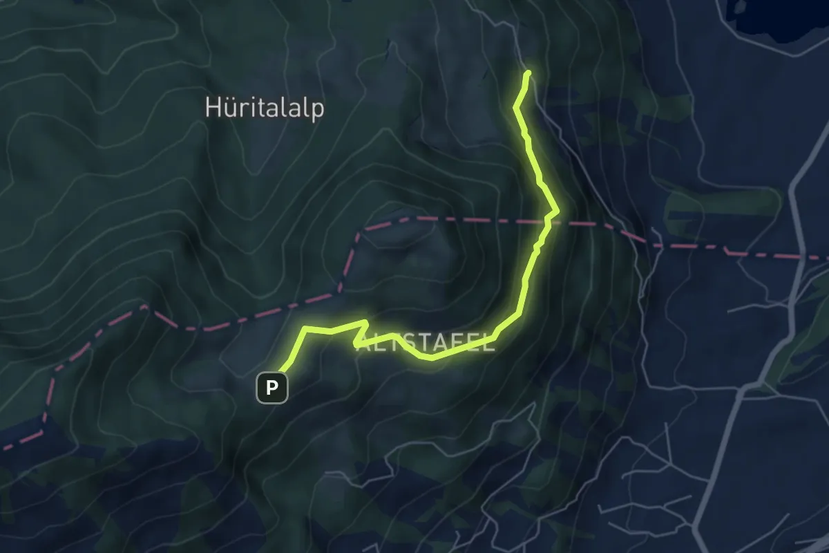
Medium · Trail
Halsegg - Schornerain
5.3 km · ↑ 336 m · 1 h 59 min
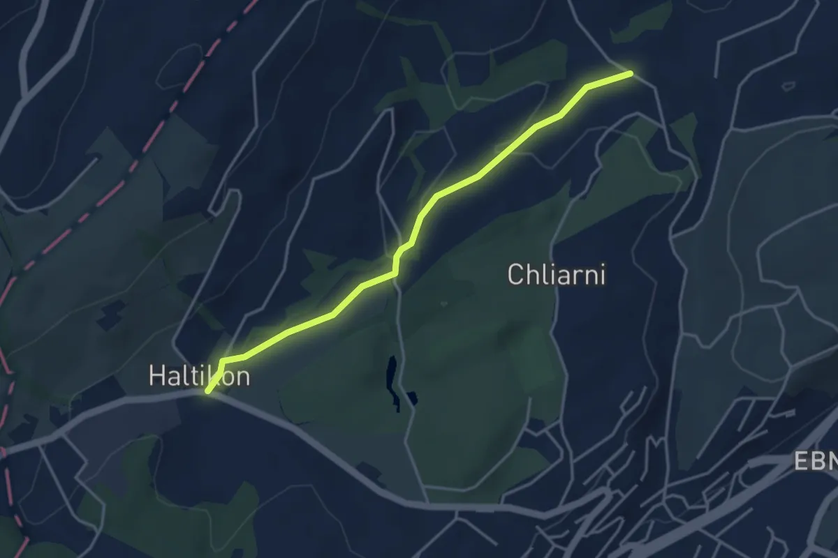
Easy · Trail
Haltikon - Tal
3.6 km · ↑ 53 m · 58 min
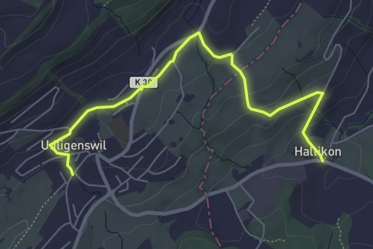
Easy · Trail
Haltikon - Udligenswil
5.7 km · ↑ 167 m · 1 h 43 min
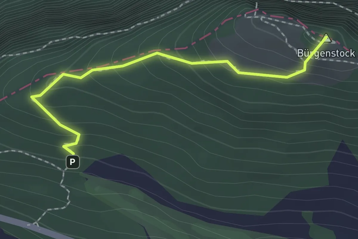
Medium · Summit
Hametschwand - Hauwald
1.9 km · ↑ 182 m · 50 min
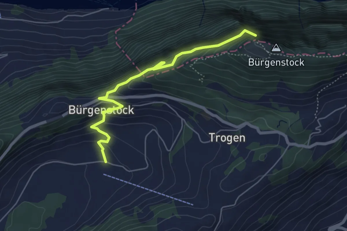
Medium · Trail
Hametschwand Lift - Boden
5.0 km · ↑ 587 m · 2 h 27 min
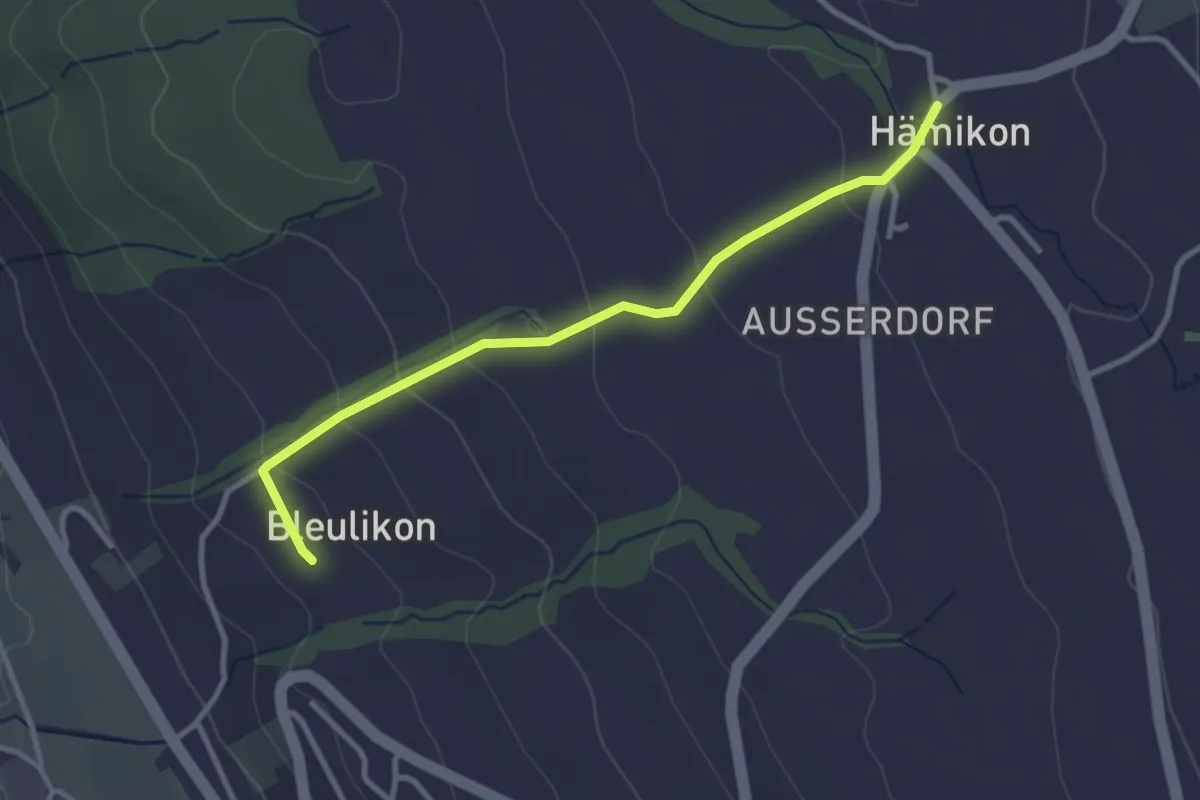
Easy · Trail
Hämikon - Bleulike
3.0 km · ↑ 135 m · 1 h 1 min
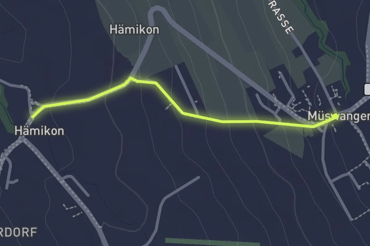
Easy · Trail
Hämikon - Müswangen
2.1 km · ↑ 96 m · 42 min
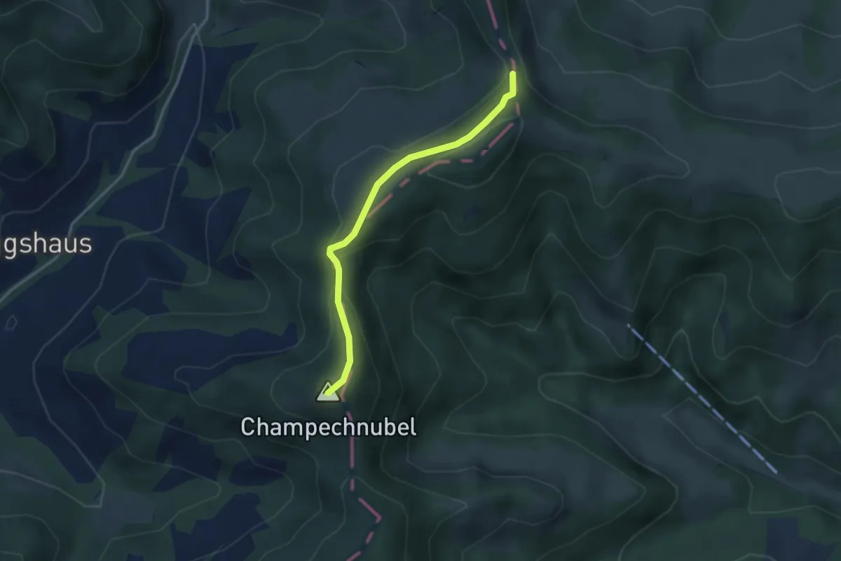
Easy · Summit
Hängelenflue - Champechnubel
3.0 km · ↑ 154 m · 1 h 2 min
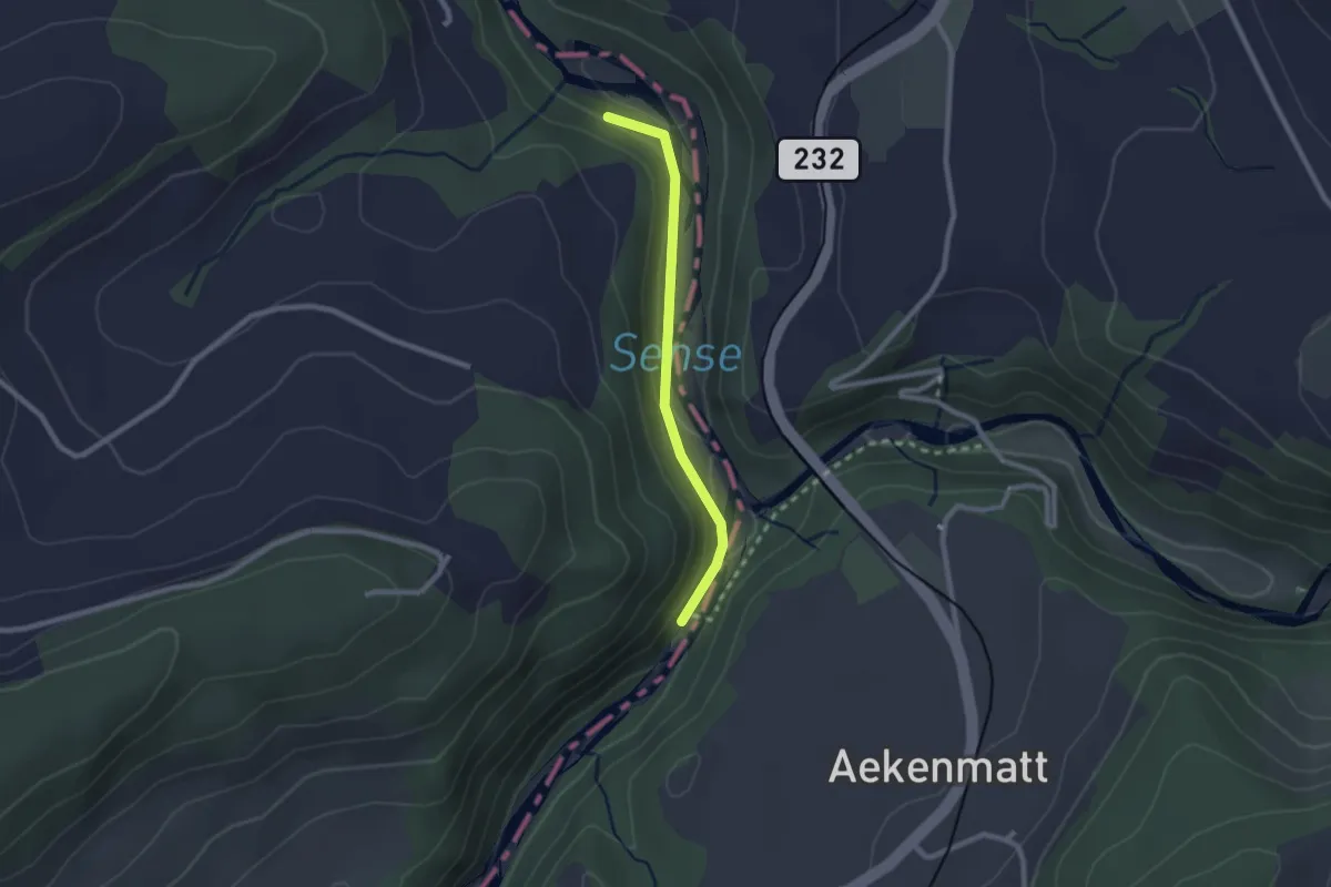
Easy · Trail
Hangried - Hängebrüggli
2.1 km · ↑ 62 m · 37 min
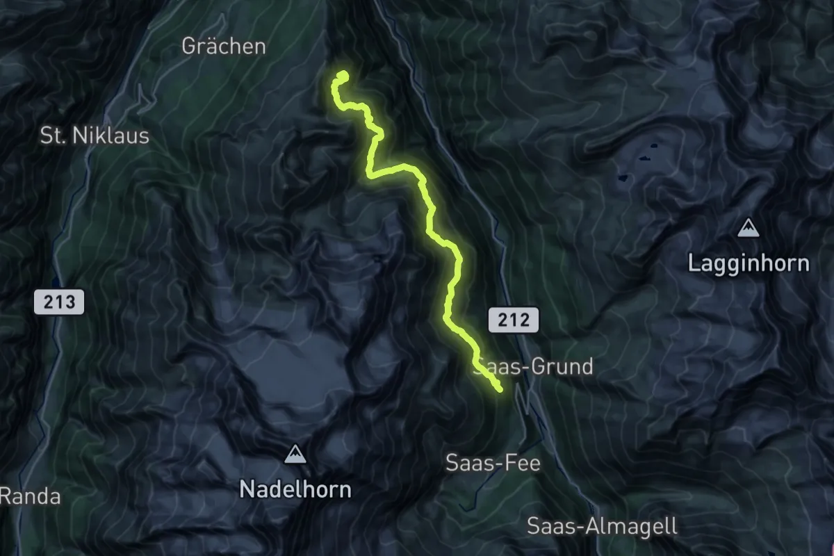
Demanding · Summit
Hannigalp-Saas-Fee
23.2 km · ↑ 2204 m · 10 h 16 min
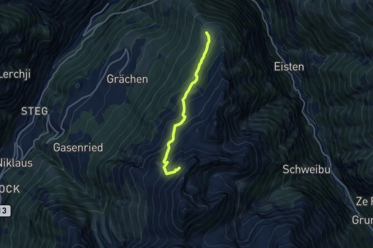
Medium · Trail
Hannigalp - Seetalhorn
9.0 km · ↑ 740 m · 3 h 44 min
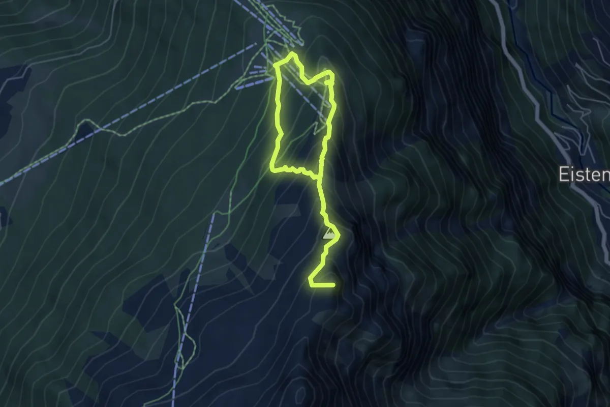
Demanding · Summit
Hannigalp - Wannehorn
6.7 km · ↑ 745 m · 3 h 12 min
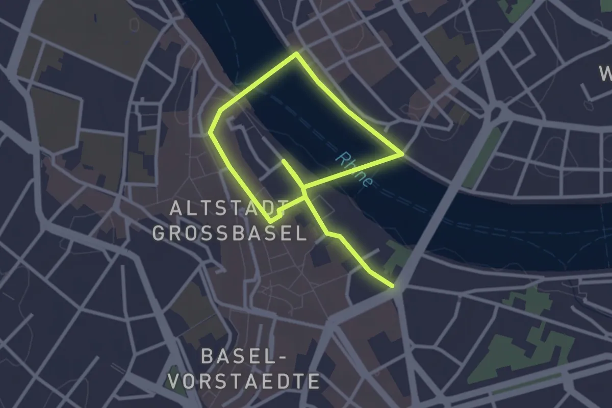
Easy · Trail
Hans_Holbein Rundgang
4.1 km · ↑ 69 m · 1 h 8 min
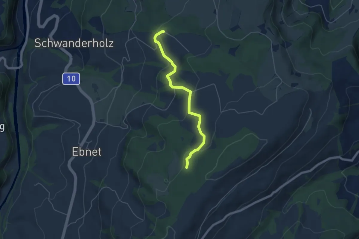
Easy · Trail
Häntschen - Brameggwald
4.5 km · ↑ 144 m · 1 h 22 min
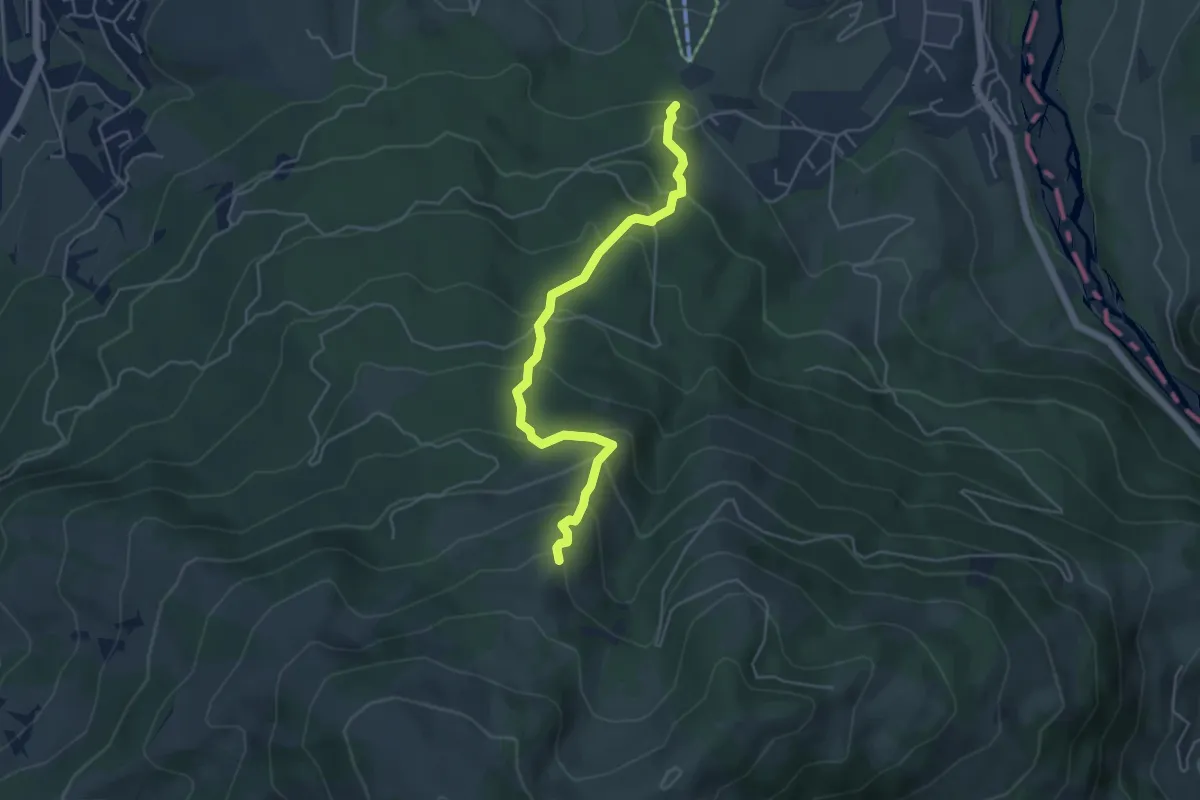
Medium · Trail
Hapfere - Lehmas Bärgli
4.8 km · ↑ 402 m · 2 h
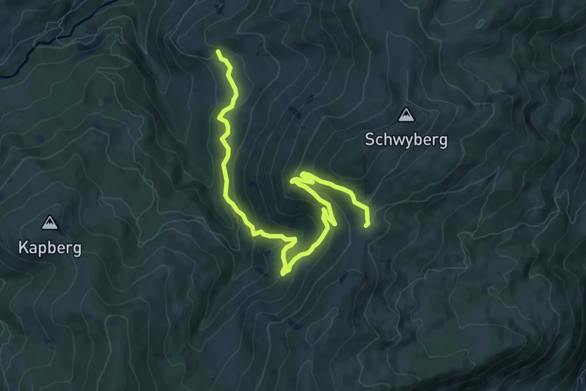
Medium · Trail
Hapferen Schwyberg - Falli-Hölli
10.8 km · ↑ 556 m · 3 h 45 min
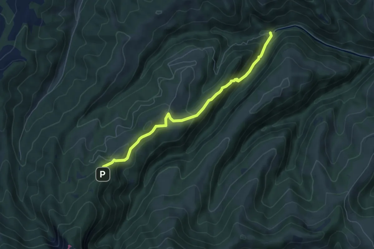
Medium · Trail
Hapfigchnubel - Paradisli
6.1 km · ↑ 419 m · 2 h 20 min
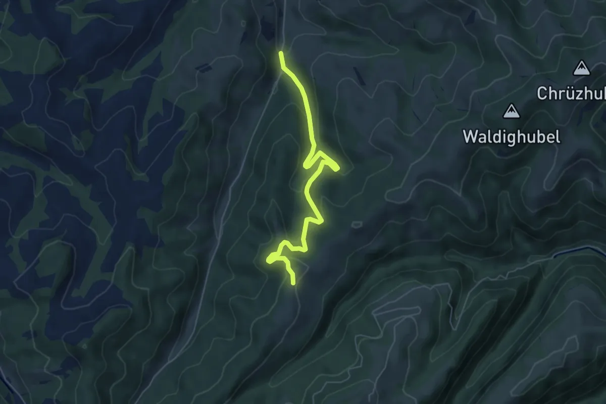
Medium · Trail
Hapfig - Paradisli
5.5 km · ↑ 347 m · 2 h 3 min
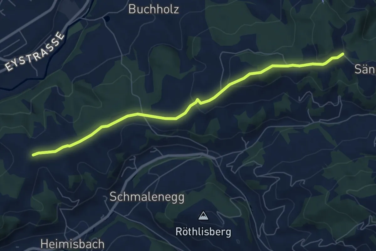
Easy · Trail
Haretegg - Sänggli
6.8 km · ↑ 221 m · 2 h 5 min
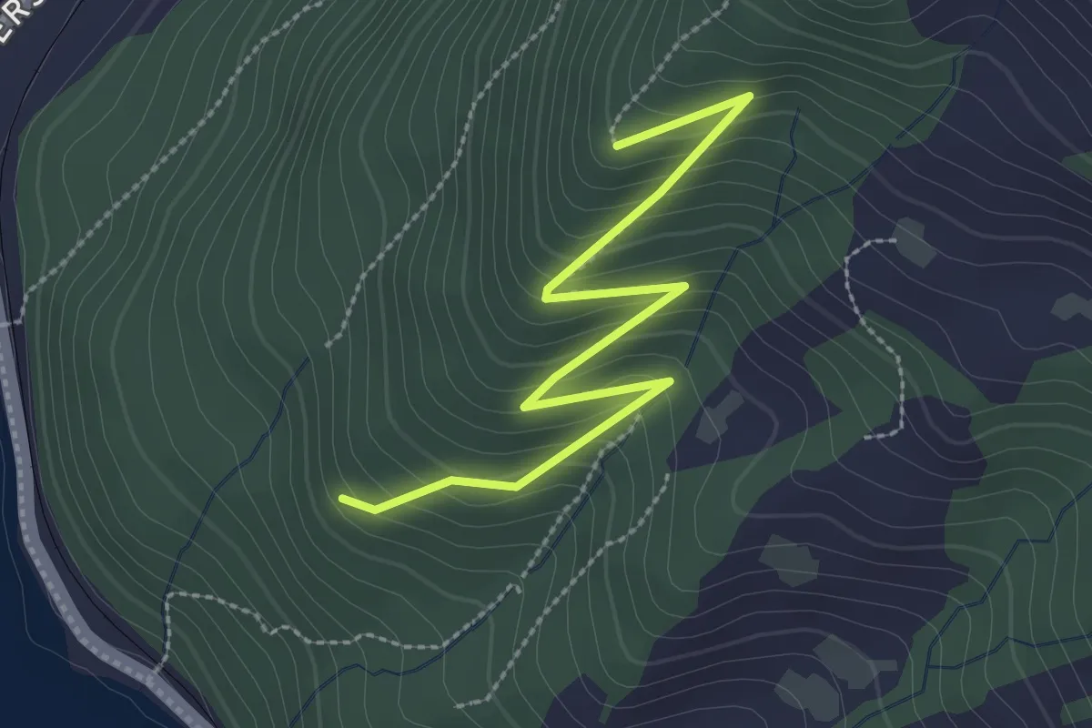
Easy · Trail
Hasel - Eielenwald Hütte
3.0 km · ↑ 267 m · 1 h 17 min
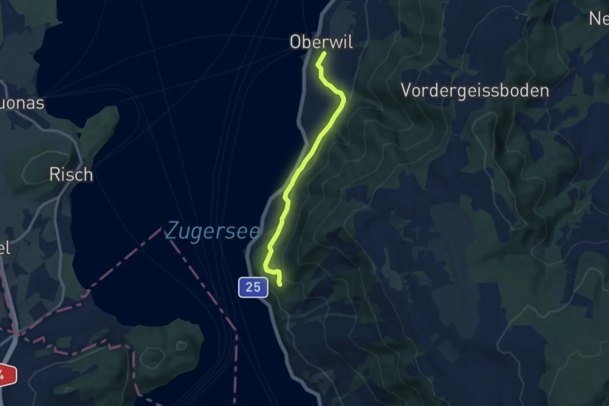
Easy · Trail
Hasel - Oberwil - Fixme
7.6 km · ↑ 294 m · 2 h 25 min
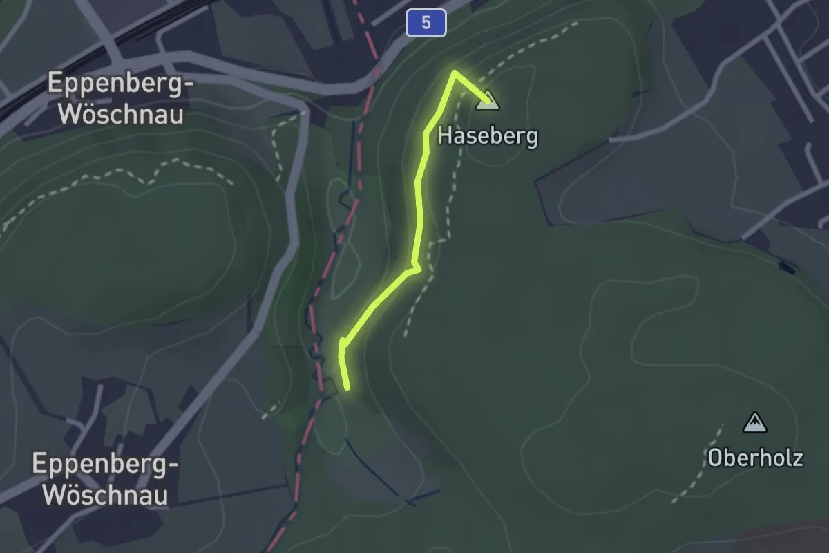
Easy · Summit
Hasenberg-
1.6 km · ↑ 103 m · 37 min
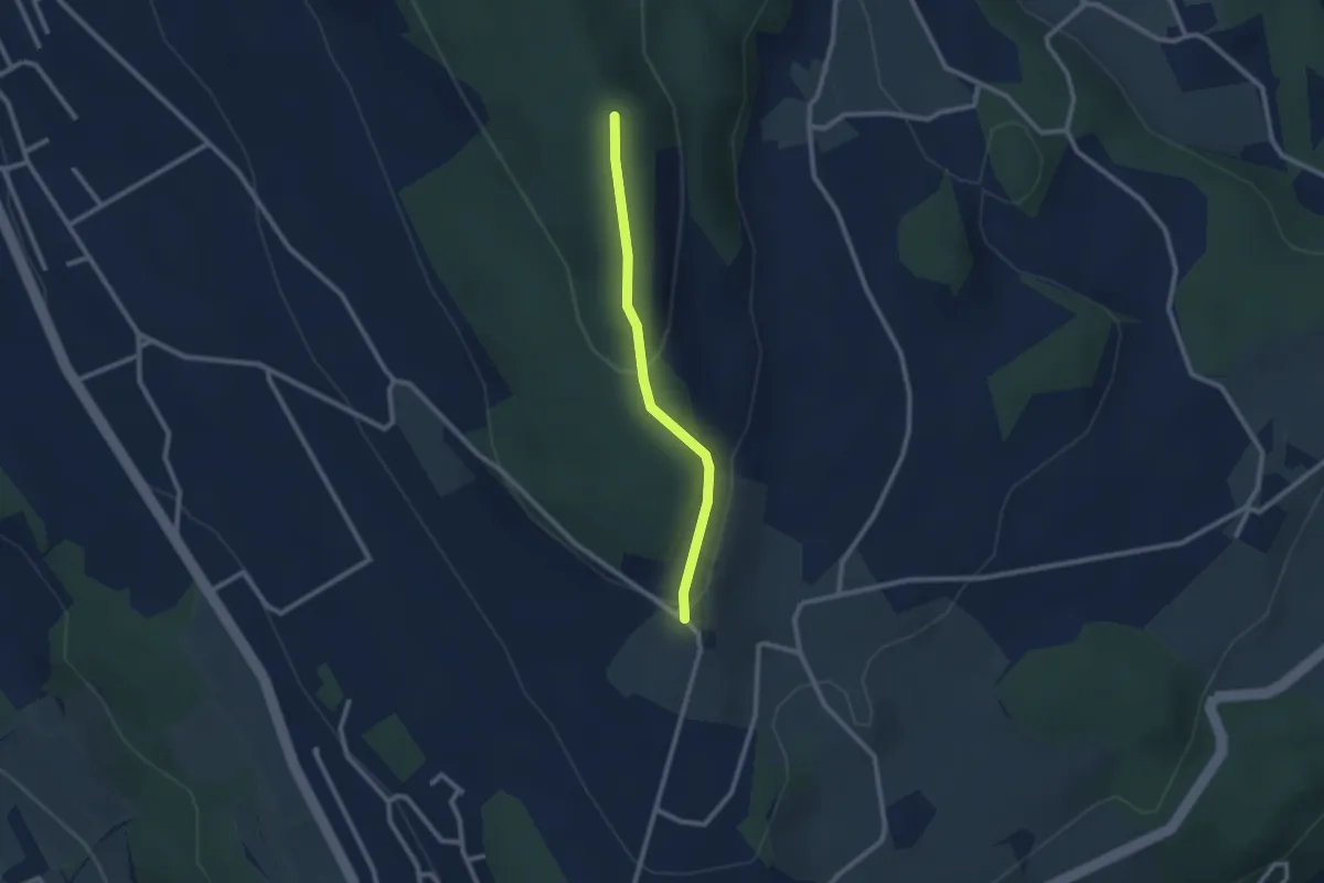
Easy · Trail
Hasenberg - Heitersberghöhe
2.1 km · ↑ 83 m · 41 min
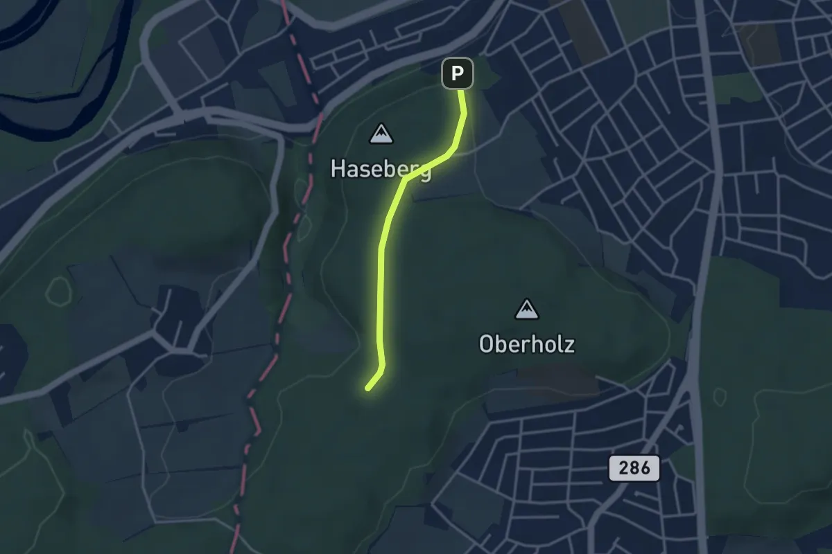
Easy · Trail
Hasenberg-Ischlag
2.6 km · ↑ 71 m · 46 min
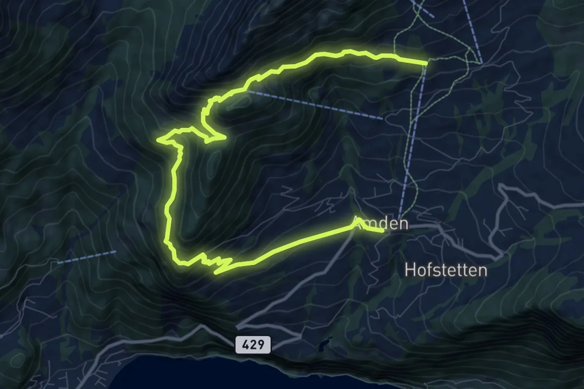
Demanding · Trail
Hasenbodenweg
13.8 km · ↑ 1056 m · 5 h 32 min
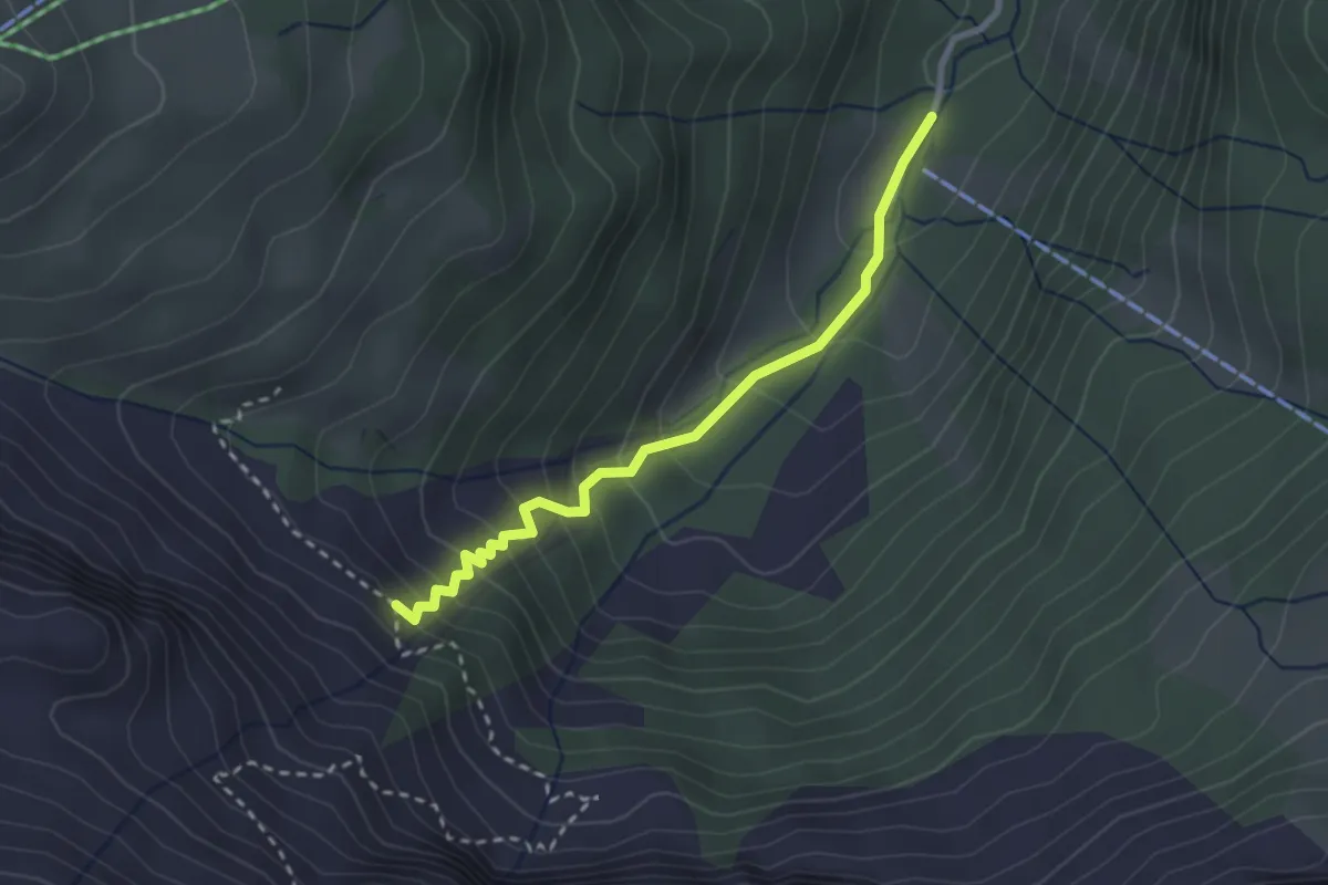
Medium · Trail
Haseneggli - Choltal
2.6 km · ↑ 242 m · 1 h 9 min
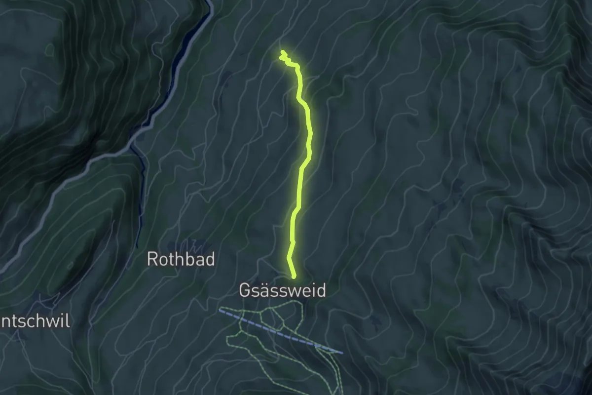
Easy · Trail
Hasenloch - Widacher
4.2 km · ↑ 287 m · 1 h 37 min
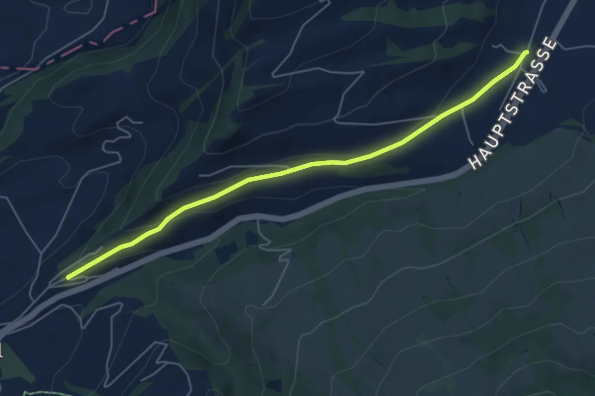
Easy · Trail
Hasenmatt - Lustnau? / Sattel? - fixme
5.1 km · ↑ 142 m · 1 h 31 min
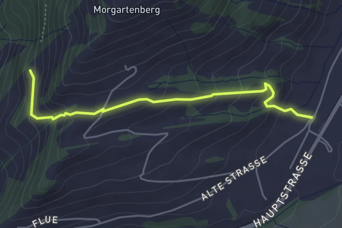
Easy · Trail
Hasenmatt - Rapperen
4.1 km · ↑ 239 m · 1 h 29 min
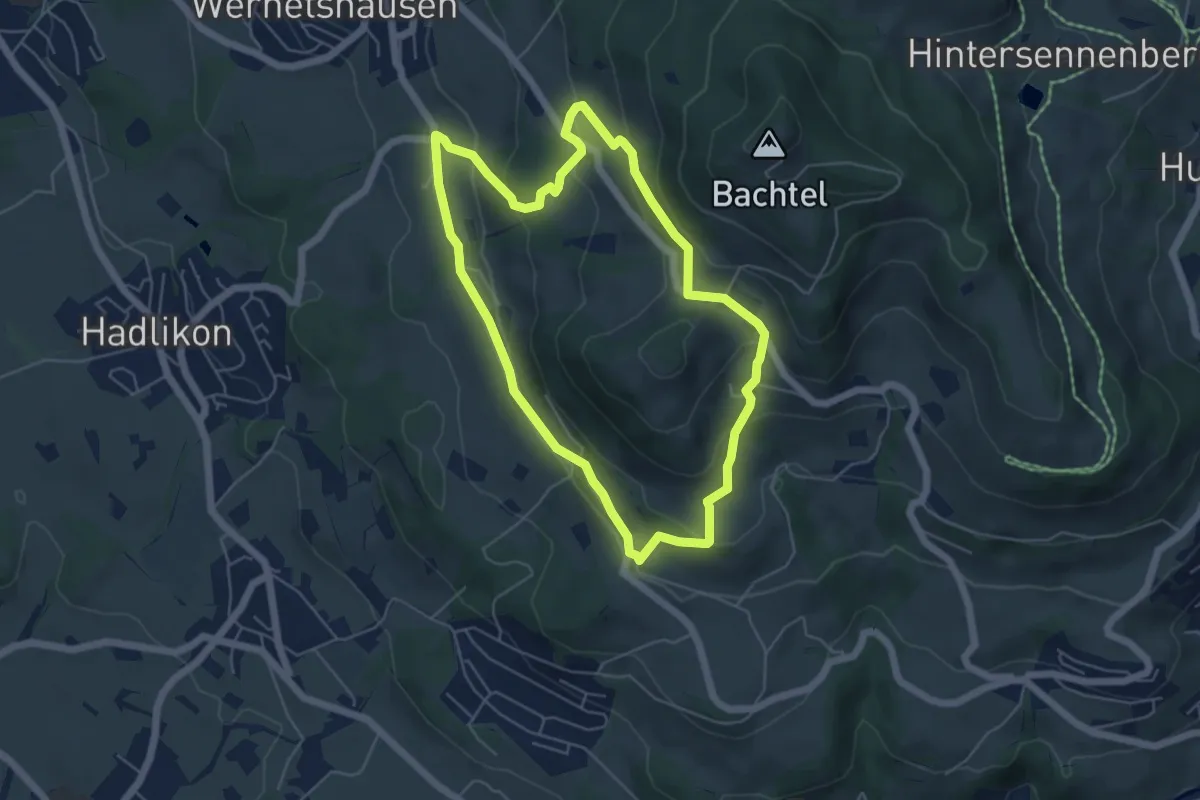
Easy · Summit
Hasenstrick
5.1 km · ↑ 249 m · 1 h 49 min
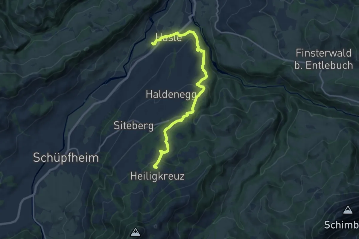
Medium · Trail
Hasle - Heiligkreuz
12.3 km · ↑ 470 m · 3 h 55 min
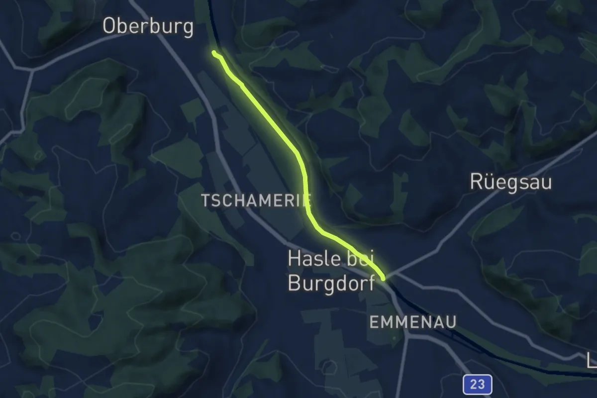
Easy · Trail
Hasle - Rüegsau
5.8 km · ↑ 13 m · 1 h 24 min
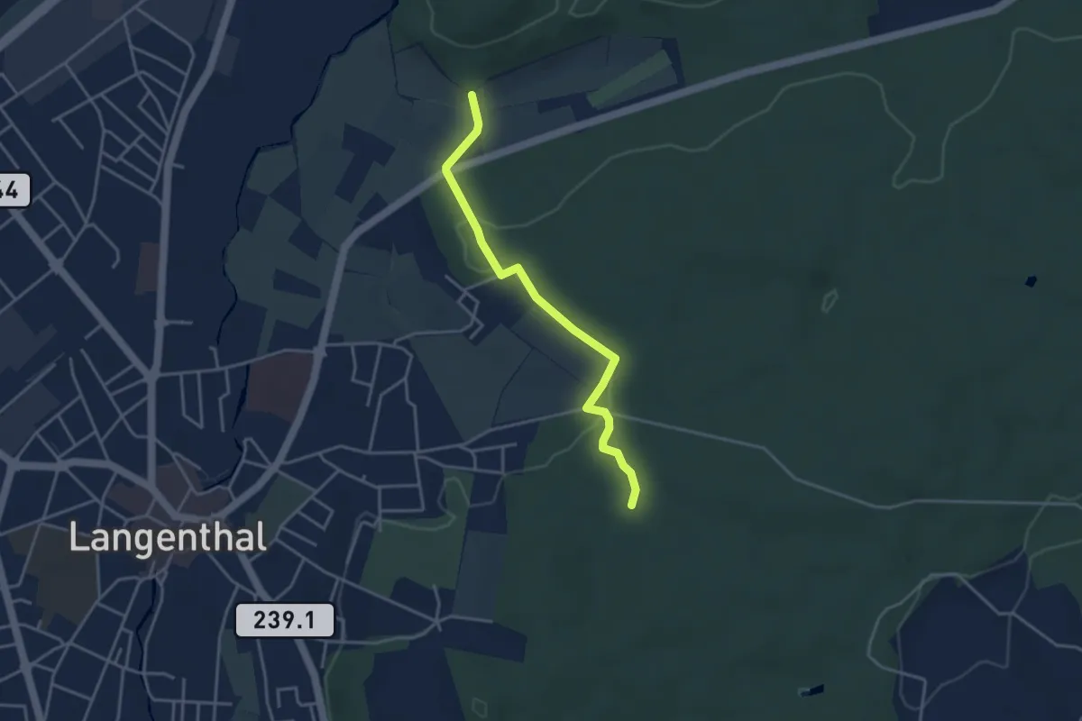
Easy · Trail
Haslibrunnen - Im Weier
3.5 km · ↑ 84 m · 1 h 1 min
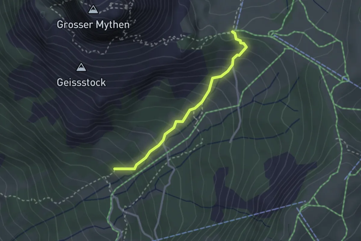
Easy · Trail
Hasli - Holzegg
2.3 km · ↑ 270 m · 1 h 8 min
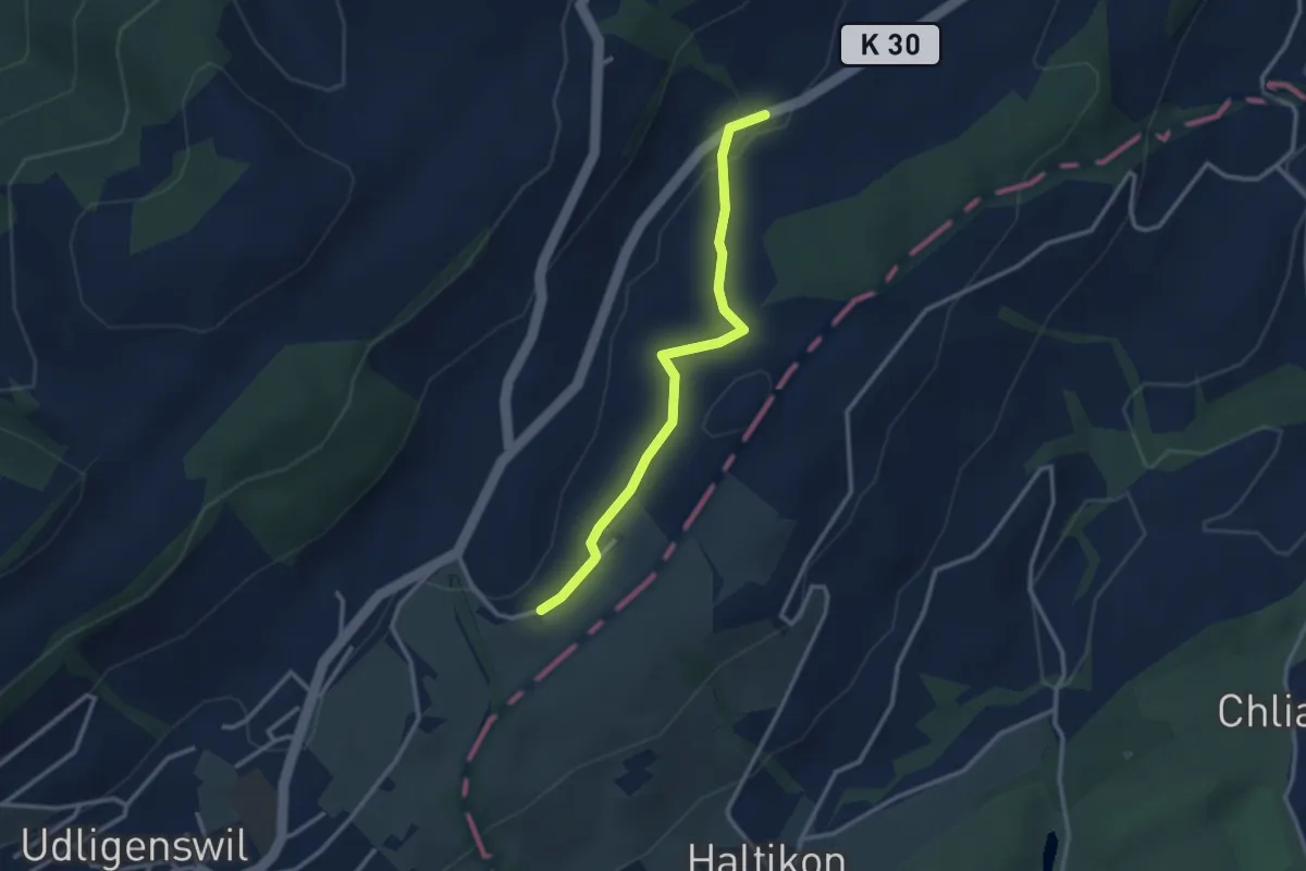
Easy · Trail
Hasli - Robmatt
2.8 km · ↑ 20 m · 43 min