Trails in Switzerland
15,029 hiking trails, each with its route, climb, walking time and grade.
All trails, page 48 of 314
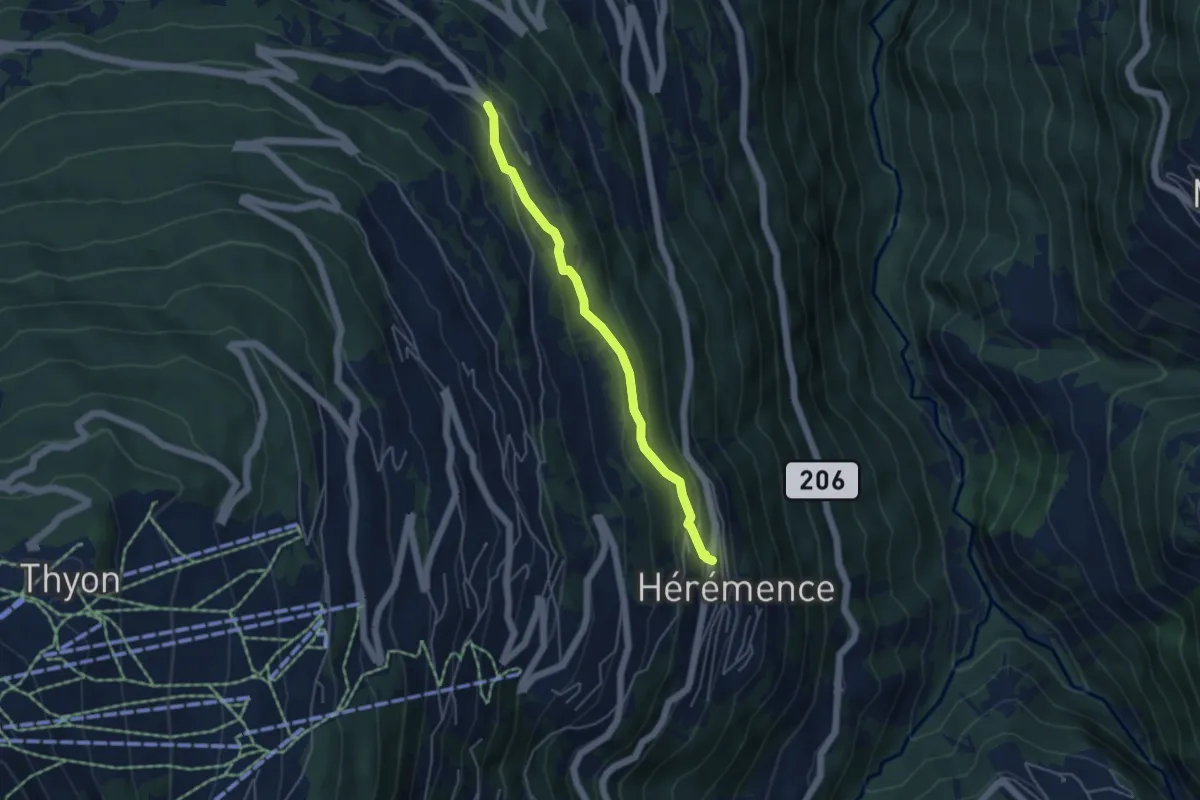
Easy · Trail
Hérémence - Bon Acceuil
4.2 km · ↑ 214 m · 1 h 28 min
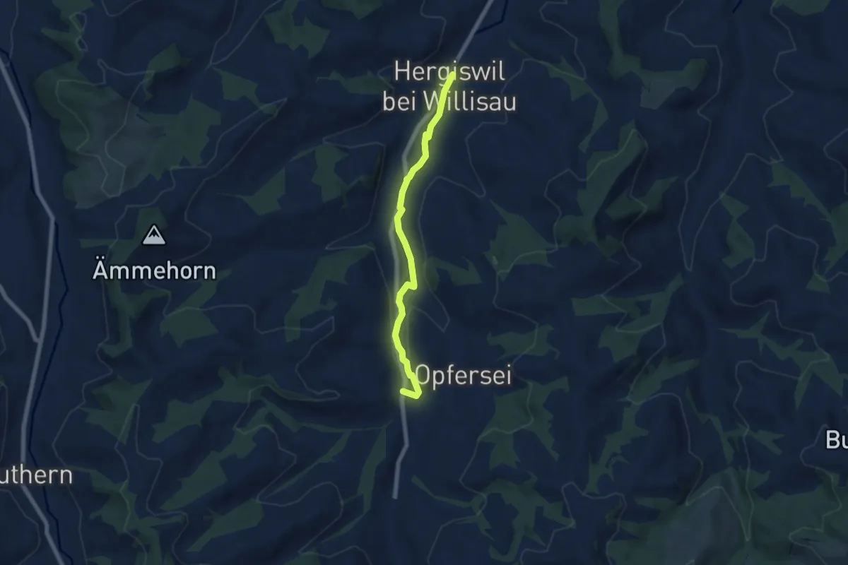
Easy · Trail
Hergiswil - Hübeli
5.6 km · ↑ 70 m · 1 h 28 min
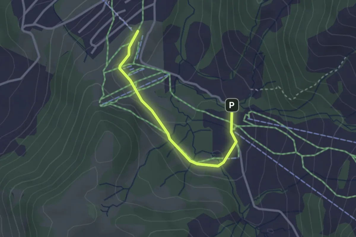
Easy · Trail
Herrenboden - Mostelberg
2.5 km · ↑ 31 m · 39 min
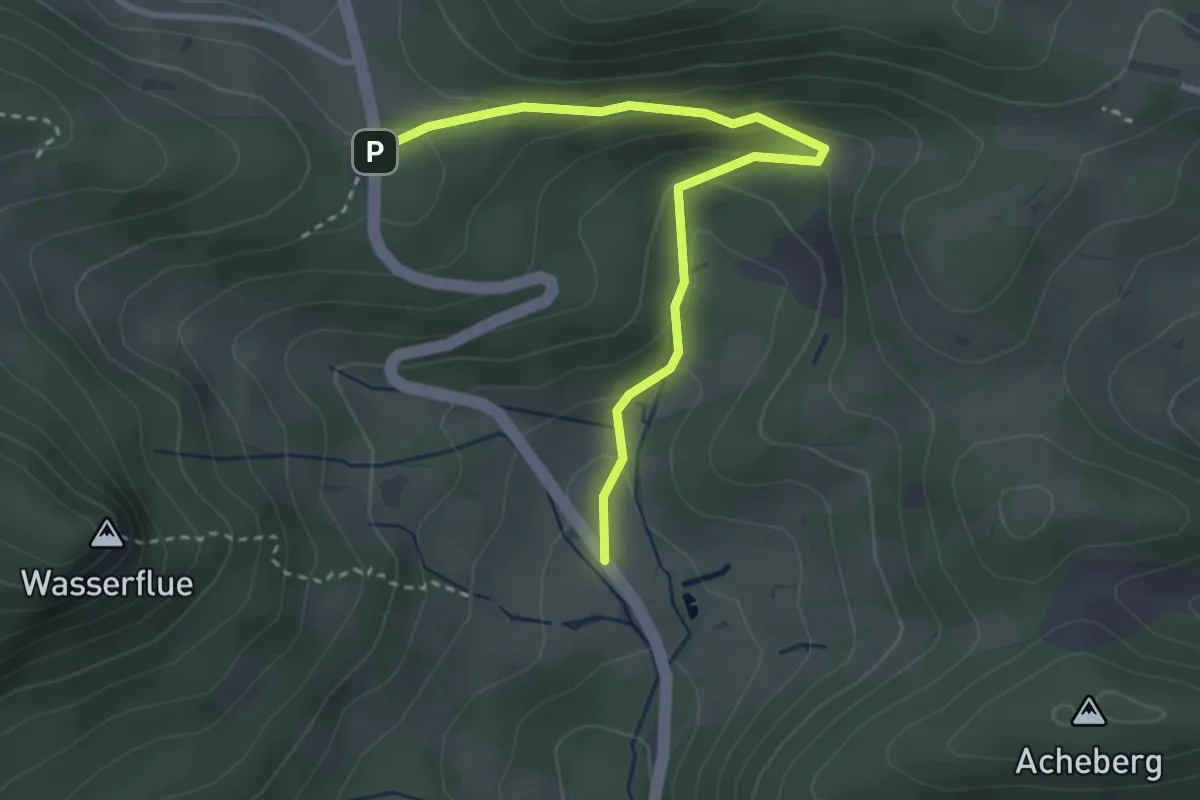
Easy · Trail
Herrenmatt - Bänkerjoch
3.3 km · ↑ 166 m · 1 h 8 min
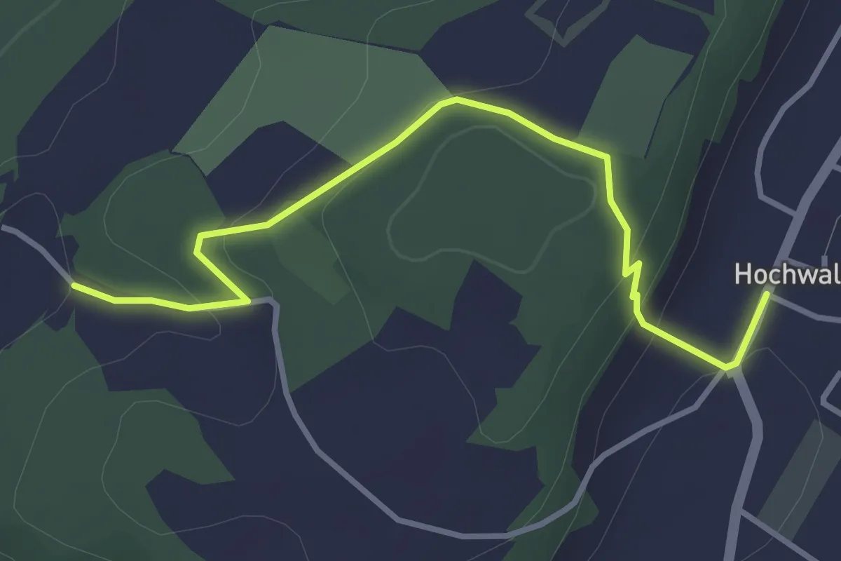
Easy · Trail
Herrenmatt - Hochwald Post
3.5 km · ↑ 140 m · 1 h 7 min
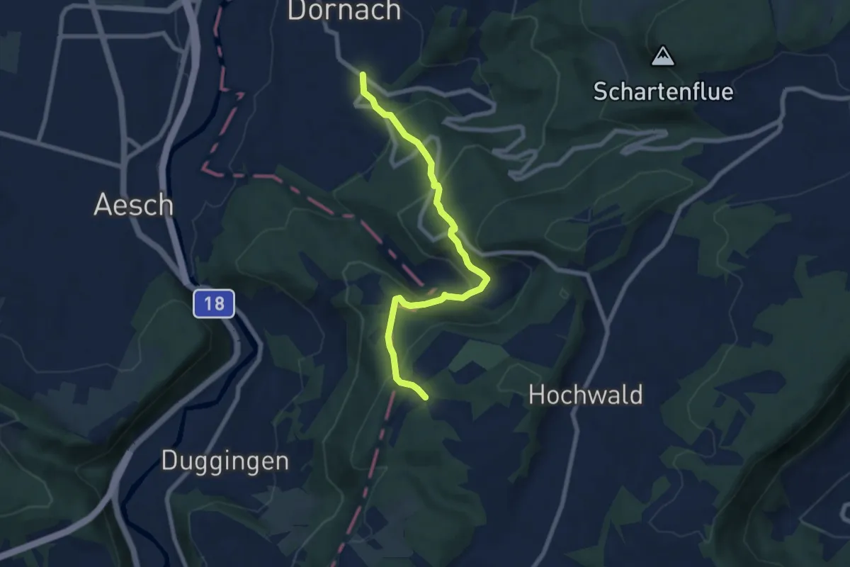
Medium · Trail
Herrenmatt - Musikschule
6.8 km · ↑ 423 m · 2 h 32 min
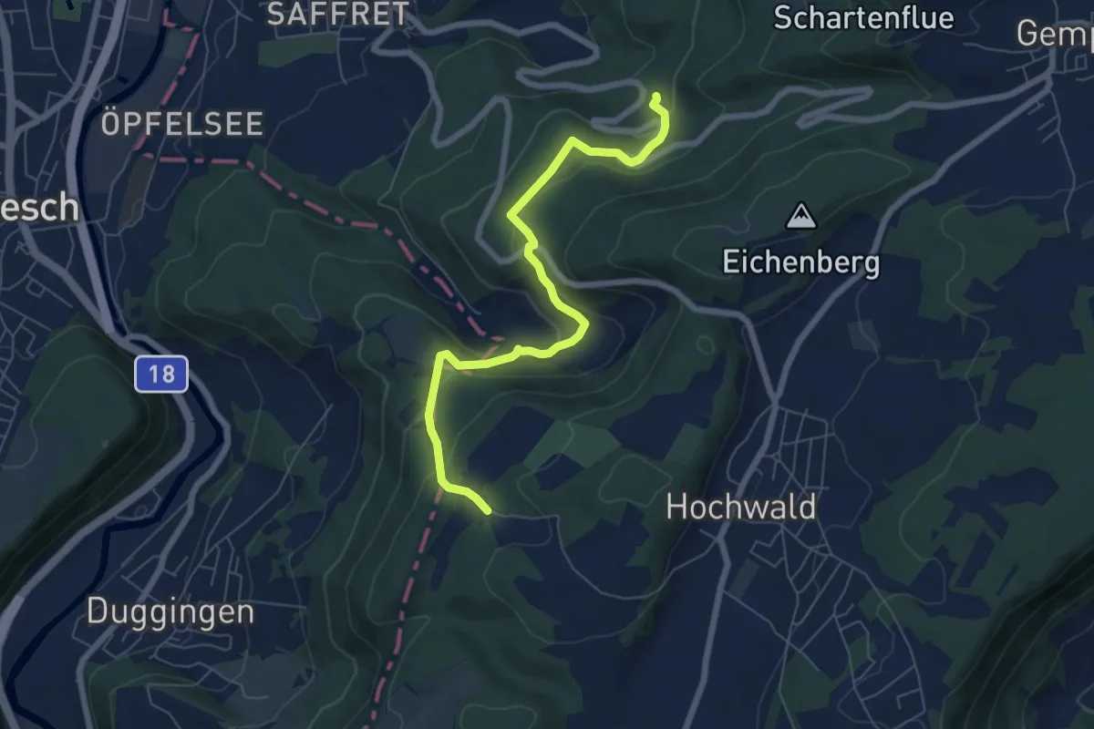
Easy · Trail
Herrenmatt - Woll
6.7 km · ↑ 308 m · 2 h 14 min
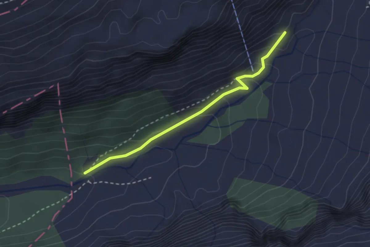
Medium · Trail
Herrenrütiboden - Alpenrösli
2.4 km · ↑ 141 m · 53 min
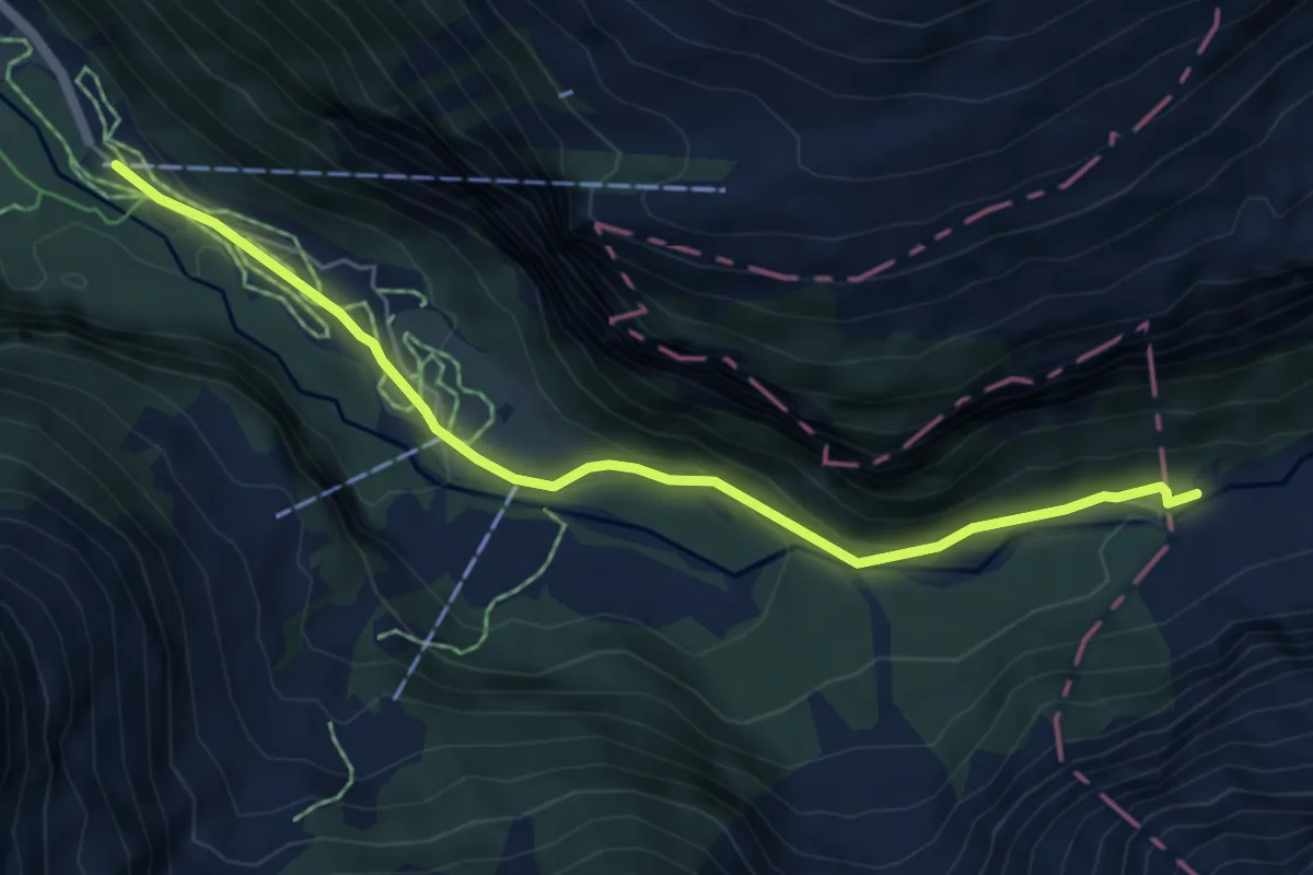
Easy · Trail
Herrenrütiboden - Alpenrösli
5.8 km · ↑ 180 m · 1 h 46 min
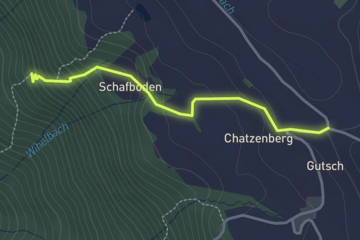
Easy · Trail
Herrenwald - Chatzenboden
2.3 km · ↑ 170 m · 55 min
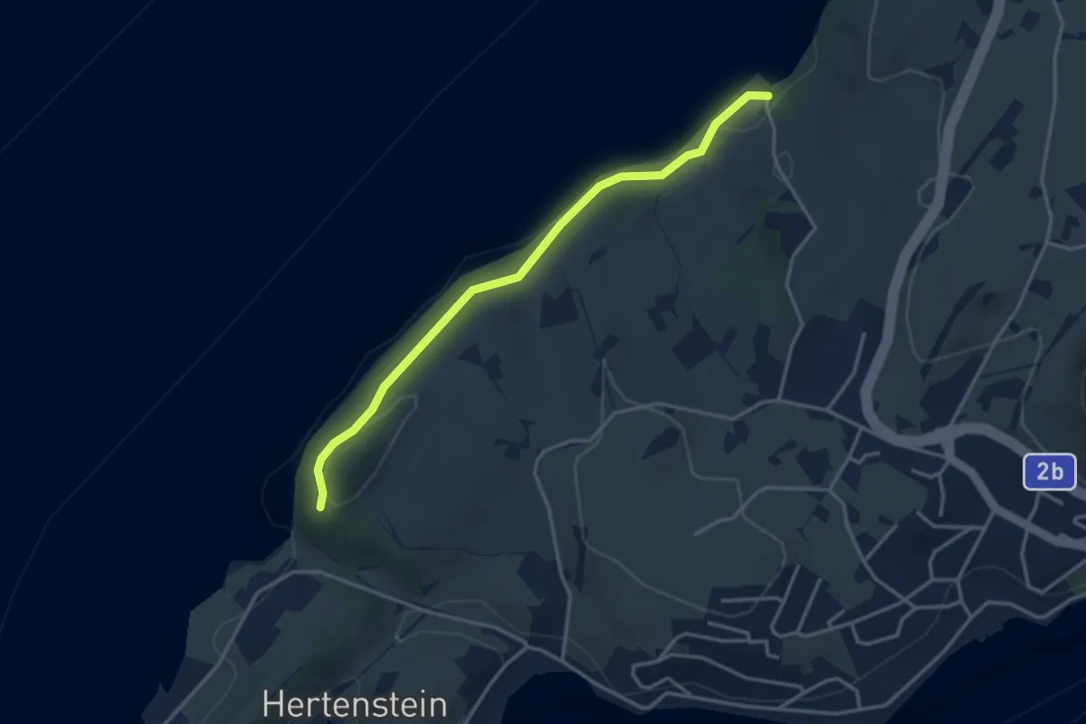
Easy · Trail
Herrenwald - Rörli
3.4 km · ↑ 161 m · 1 h 10 min
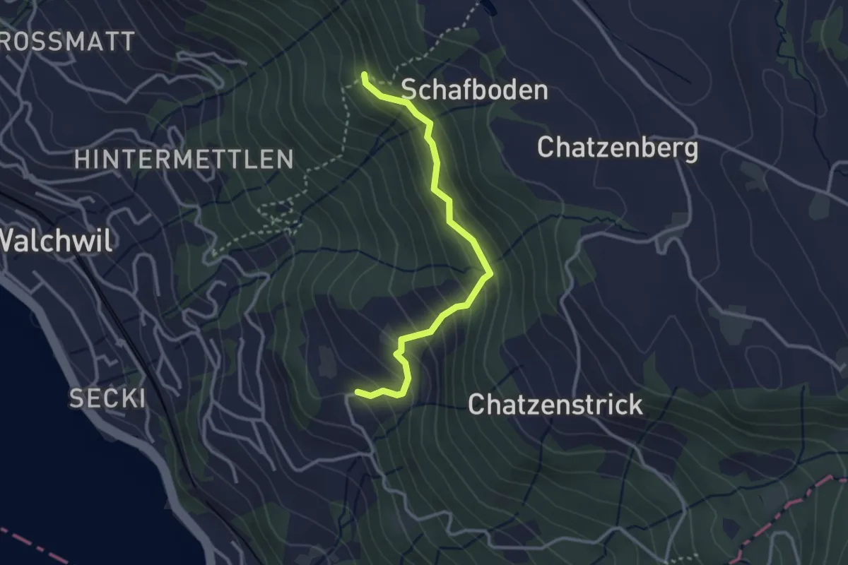
Easy · Trail
Herrenwald - Utenberg
2.8 km · ↑ 269 m · 1 h 15 min
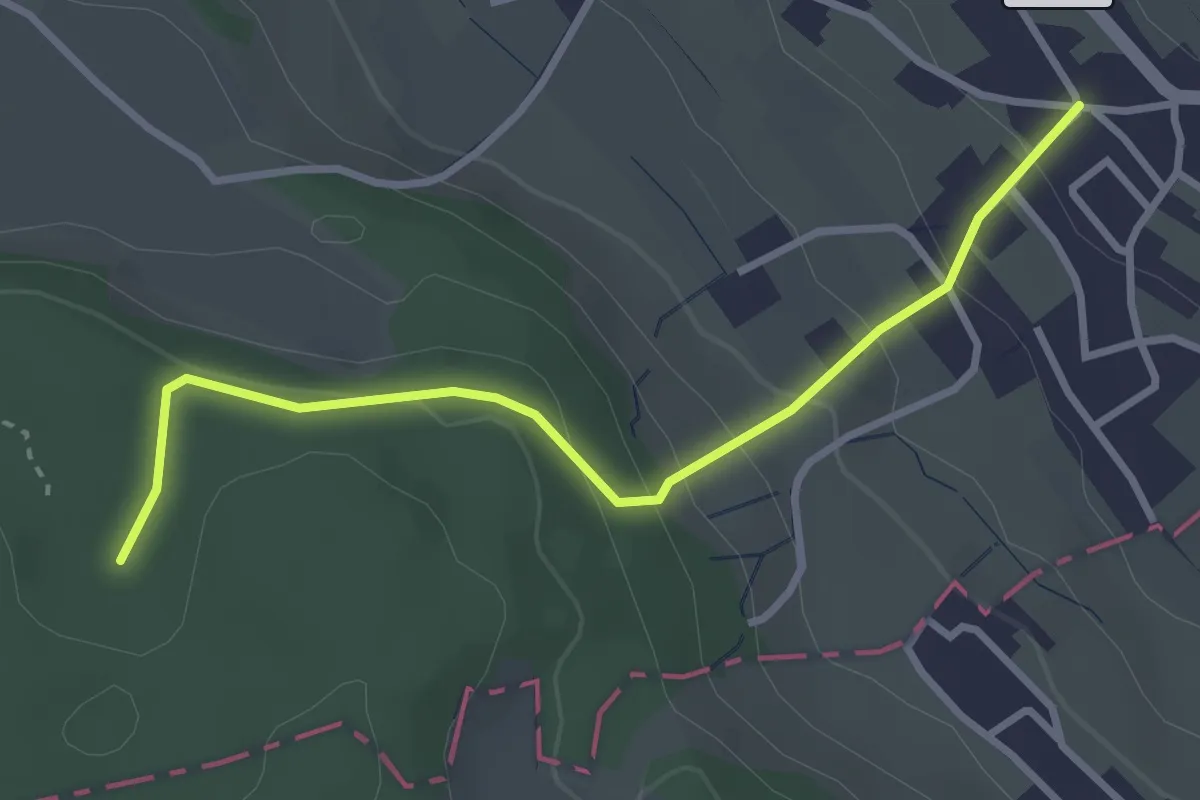
Easy · Trail
Herrenweg - Reinacher Waldhaus
3.1 km · ↑ 175 m · 1 h 7 min
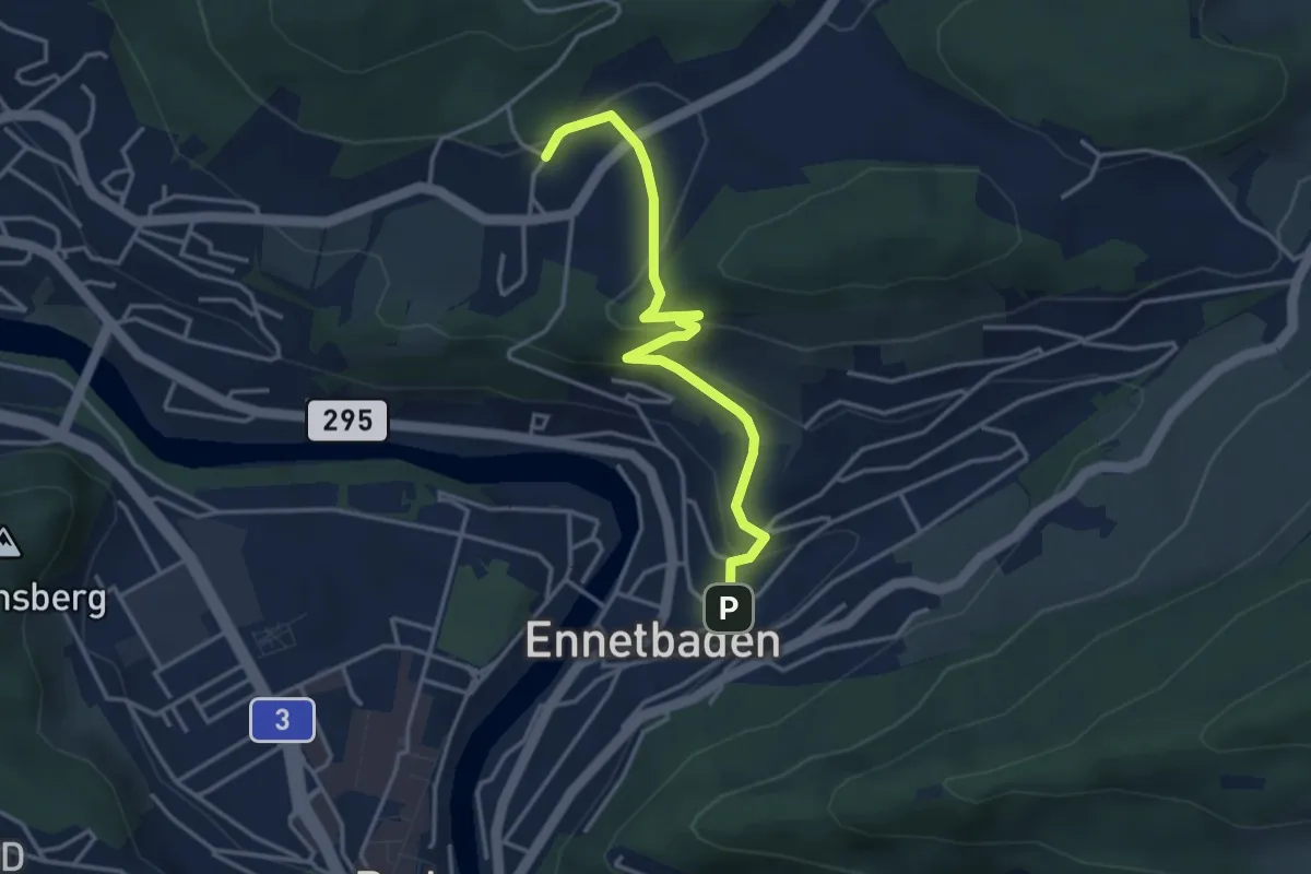
Easy · Trail
Hertenstein - Ennetbaden
3.8 km · ↑ 194 m · 1 h 19 min
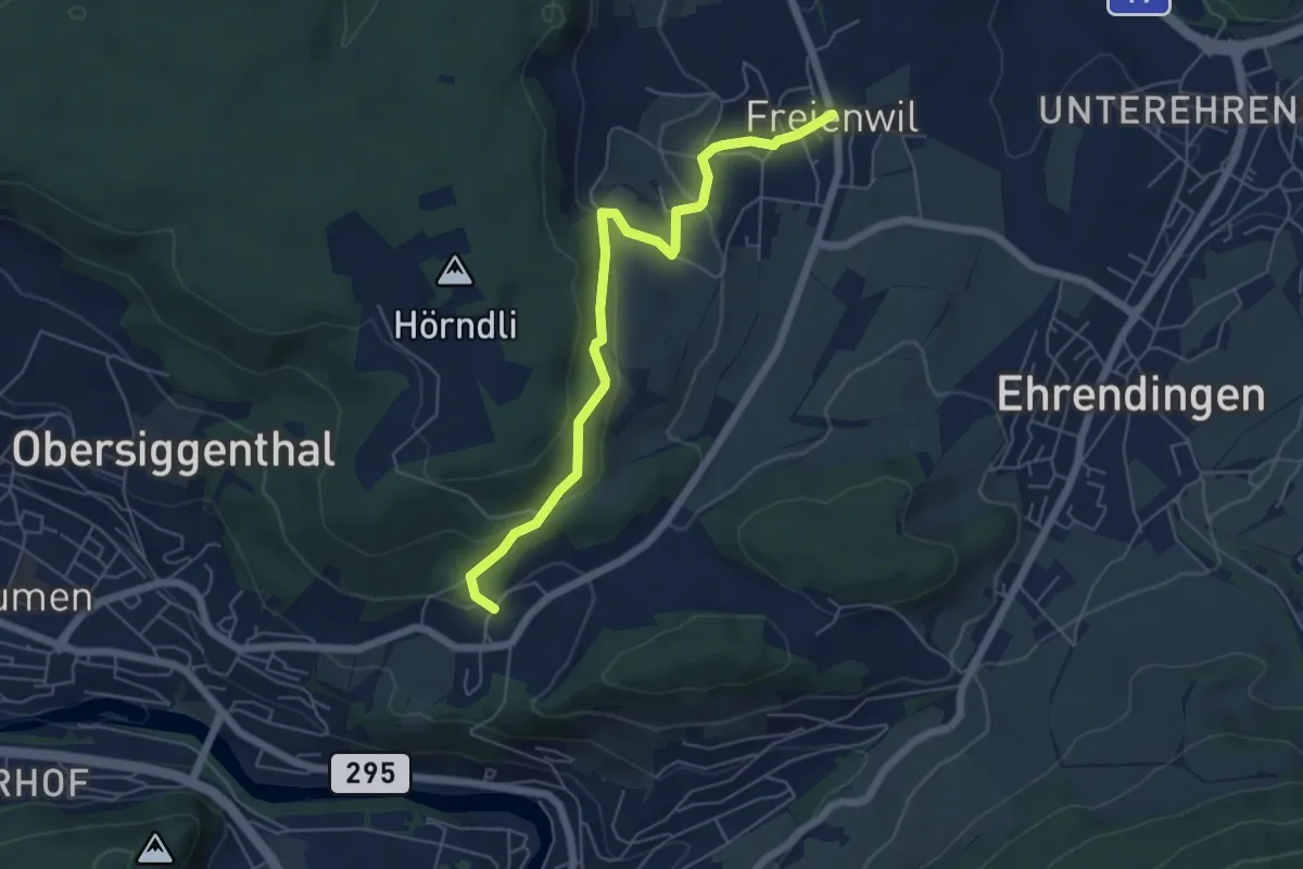
Easy · Trail
Hertenstein - Freienwil
5.7 km · ↑ 261 m · 1 h 55 min
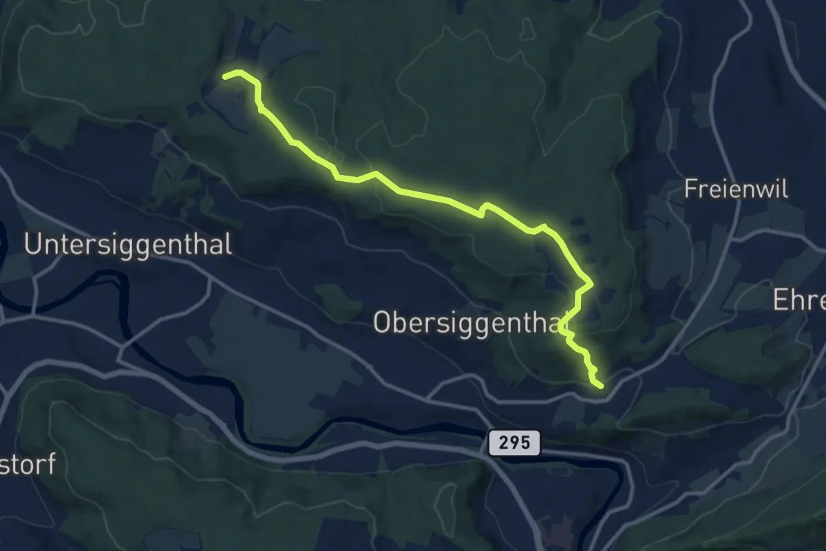
Medium · Trail
Hertenstein - Steinenbüel
10.8 km · ↑ 256 m · 3 h 6 min
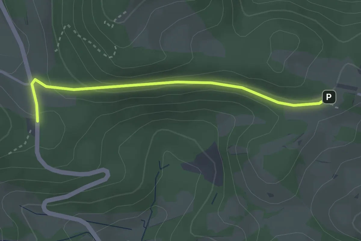
Easy · Trail
Herzberg-Bänkerjoch
2.7 km · ↑ 93 m · 51 min
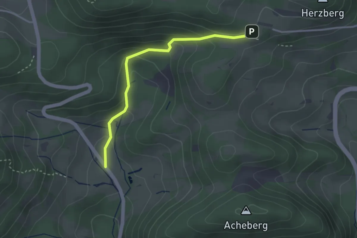
Easy · Trail
Herzberg-Herrenmatt
2.8 km · ↑ 165 m · 1 h 1 min
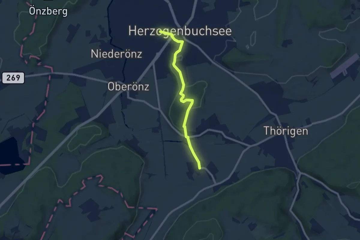
Easy · Trail
Herzogenbuchsee - Bollodingen
5.9 km · ↑ 109 m · 1 h 38 min
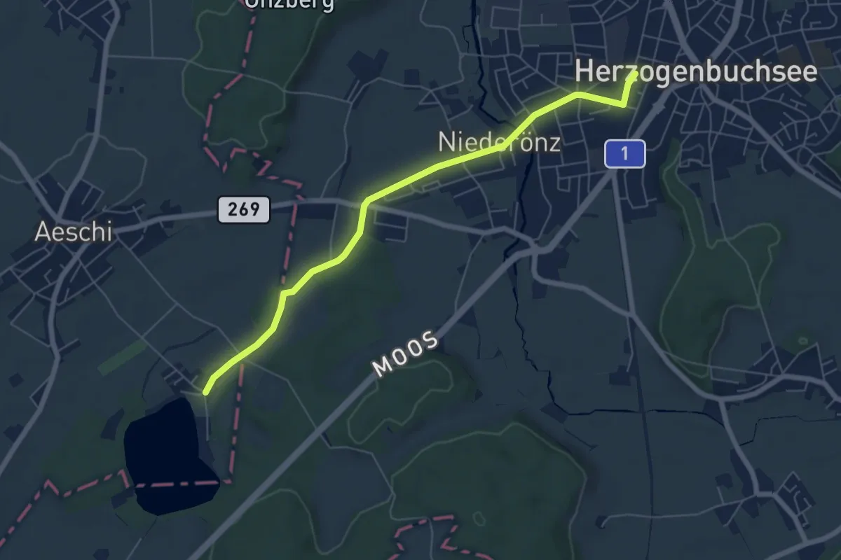
Easy · Trail
Herzogenbuchsee - Burgäschi
6.2 km · ↑ 29 m · 1 h 32 min
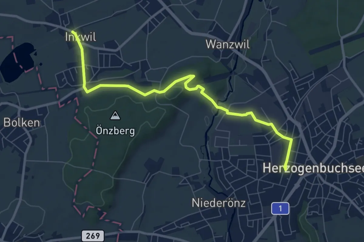
Medium · Trail
Herzogenbuchsee - Inkwil
8.0 km · ↑ 71 m · 2 h 3 min
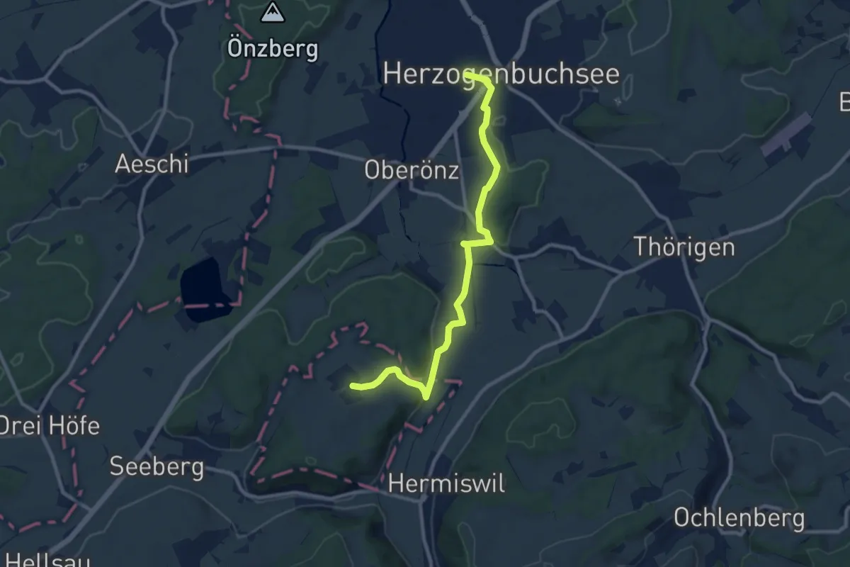
Medium · Trail
Herzogenbuchsee - Steinhof
9.5 km · ↑ 189 m · 2 h 40 min
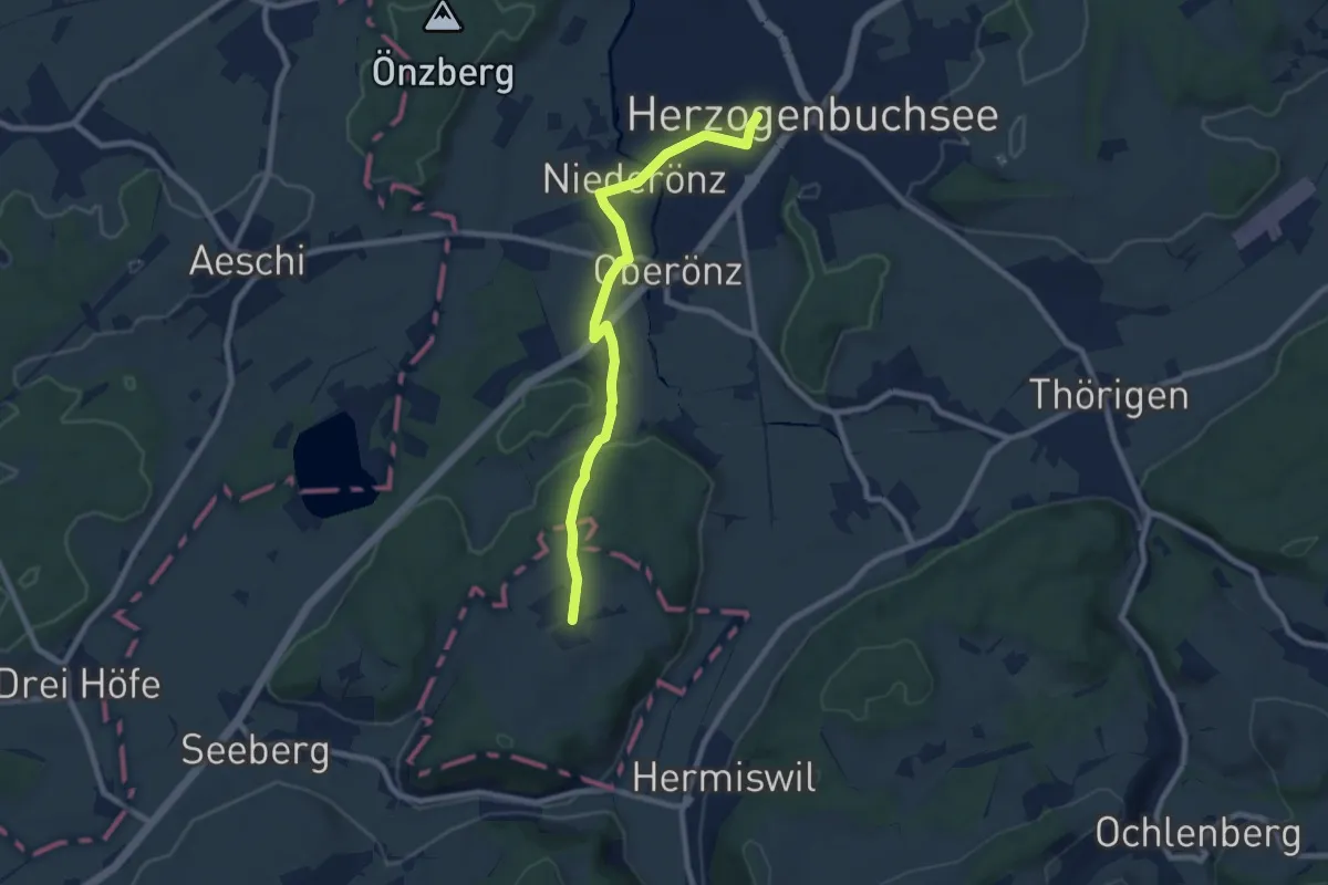
Medium · Trail
Herzogenbuchsee - Steinhof
8.1 km · ↑ 114 m · 2 h 9 min
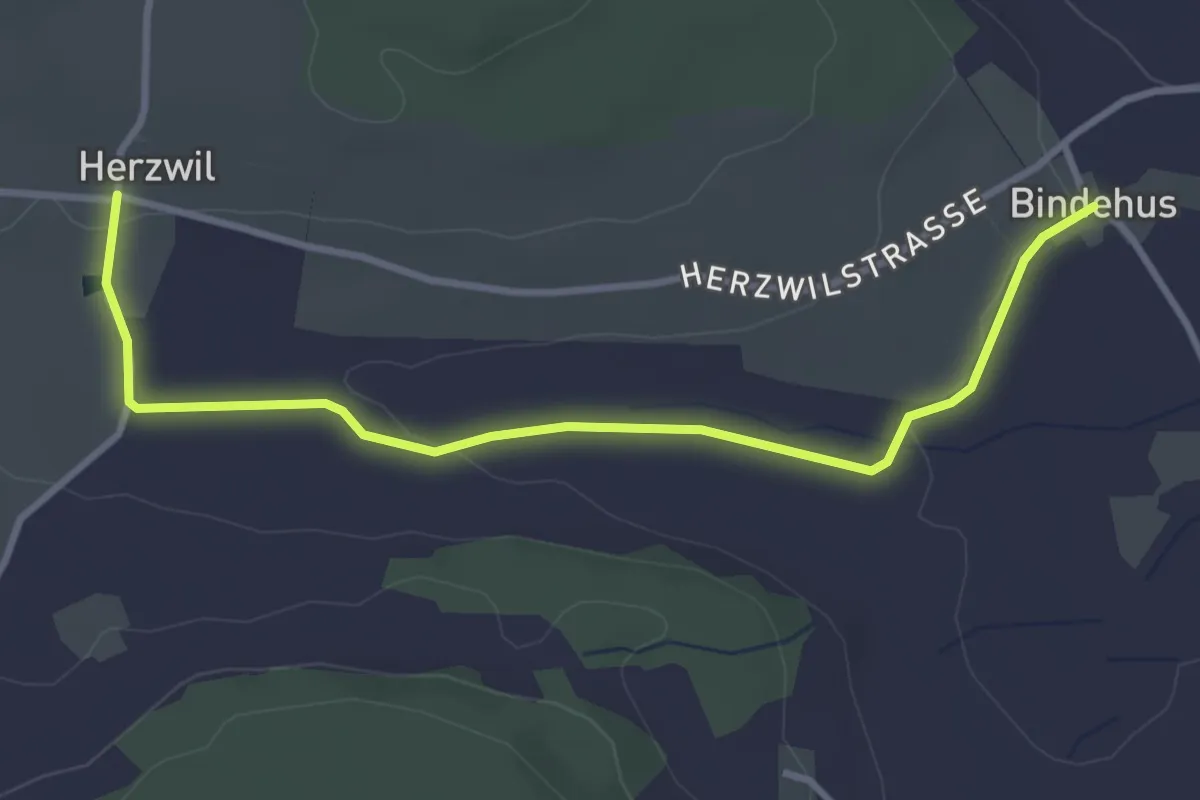
Easy · Trail
Herzwil - Bindenhaus
3.6 km · ↑ 41 m · 57 min
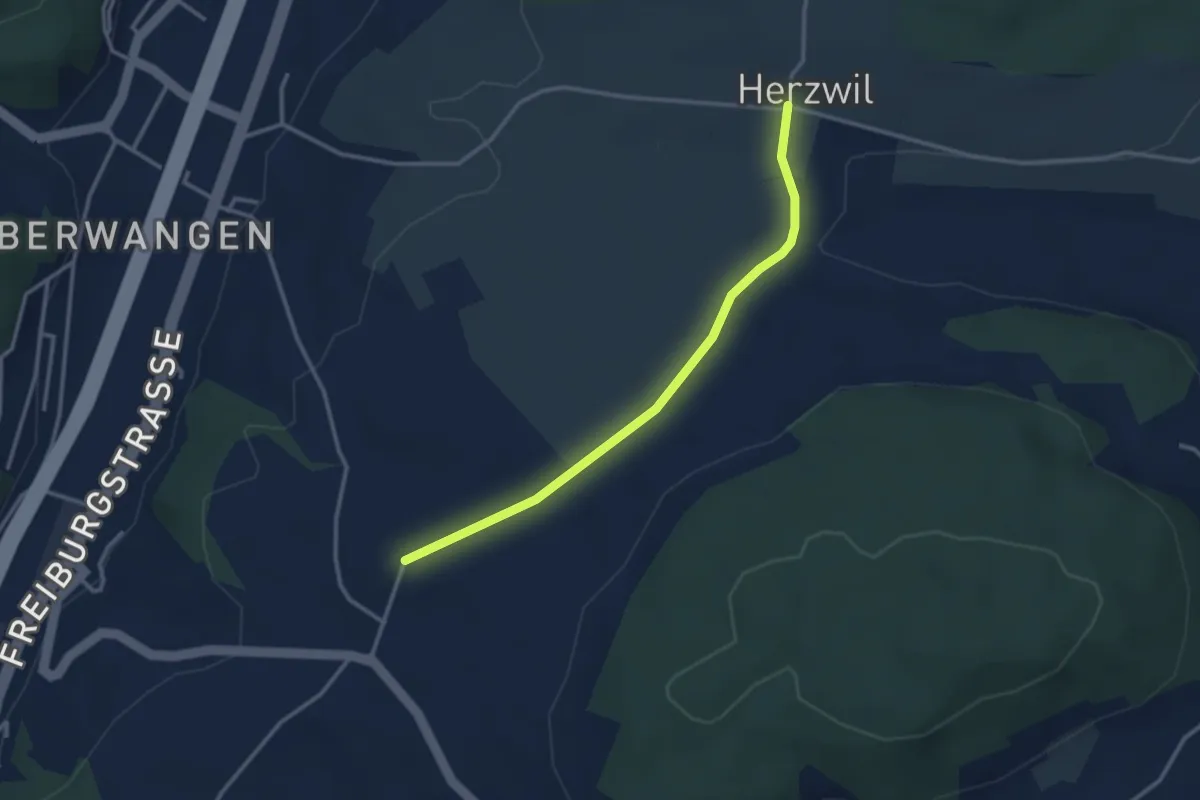
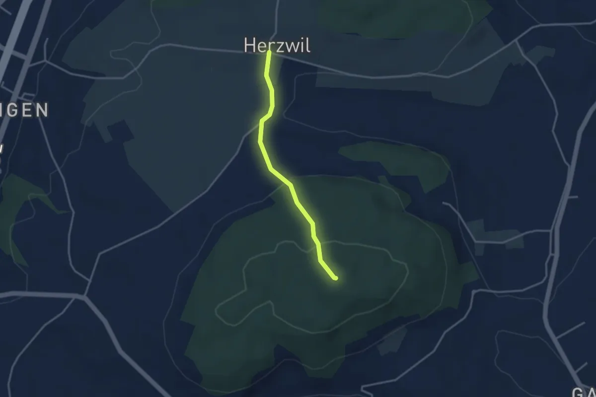
Easy · Trail
Herzwil - Liebewil/Resevoir
3.0 km · ↑ 31 m · 47 min
Easy · Summit
Herzwil - Mängistorfberg
2.7 km · ↑ 113 m · 52 min
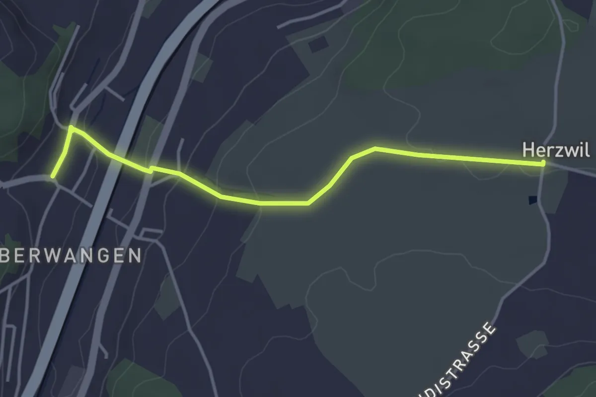
Easy · Trail
Herzwil - Oberwangen
3.7 km · ↑ 93 m · 1 h 4 min
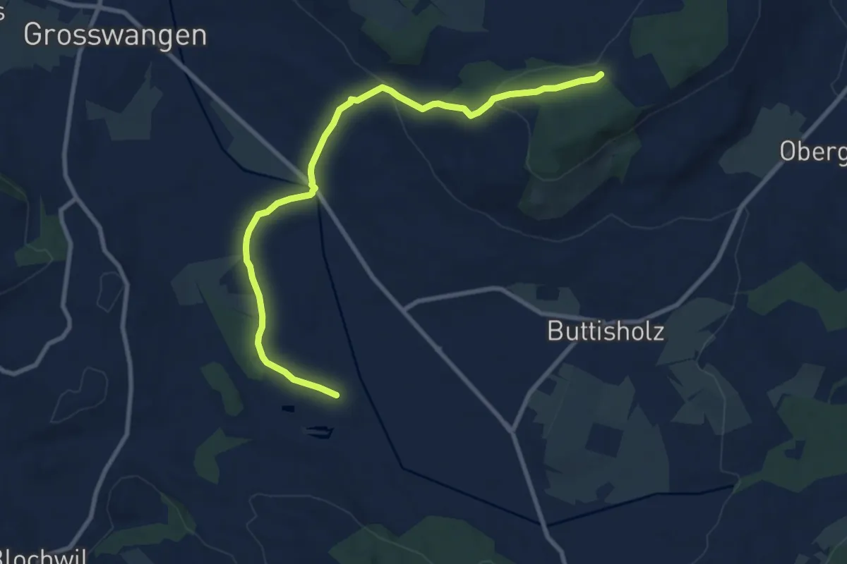
Medium · Trail
Hetzlinge - Bluemeberg
9.3 km · ↑ 218 m · 2 h 40 min
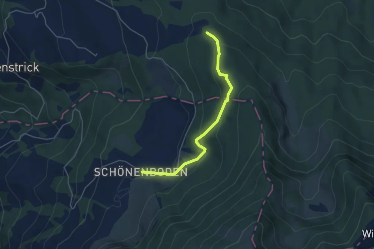
Easy · Trail
Heumoosegg - Rufiberg
3.8 km · ↑ 217 m · 1 h 22 min
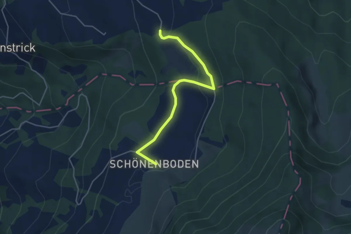
Easy · Trail
Heumoos - Rufiberg
3.7 km · ↑ 85 m · 1 h 3 min
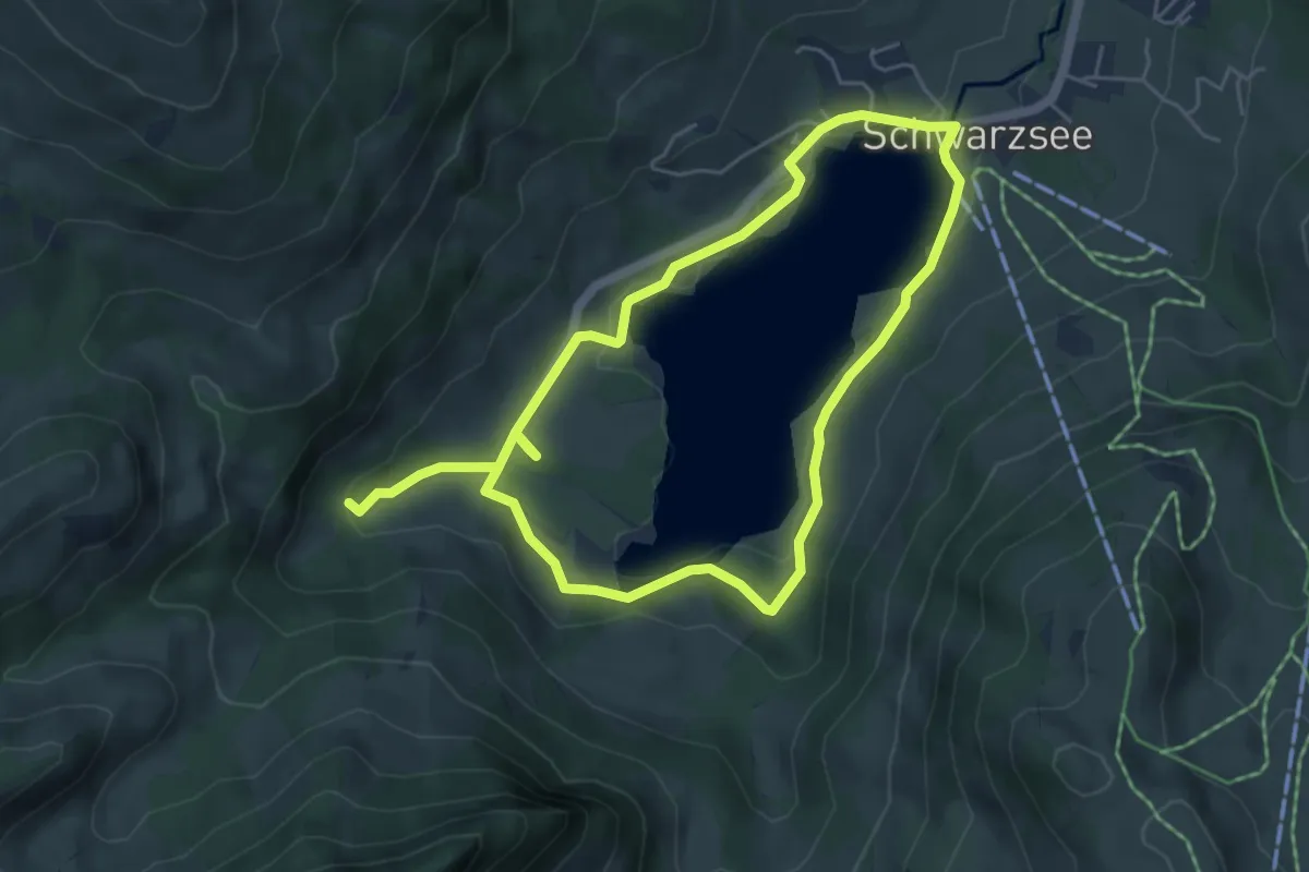
Easy · Trail
Hexenweg
4.7 km · ↑ 77 m · 1 h 22 min
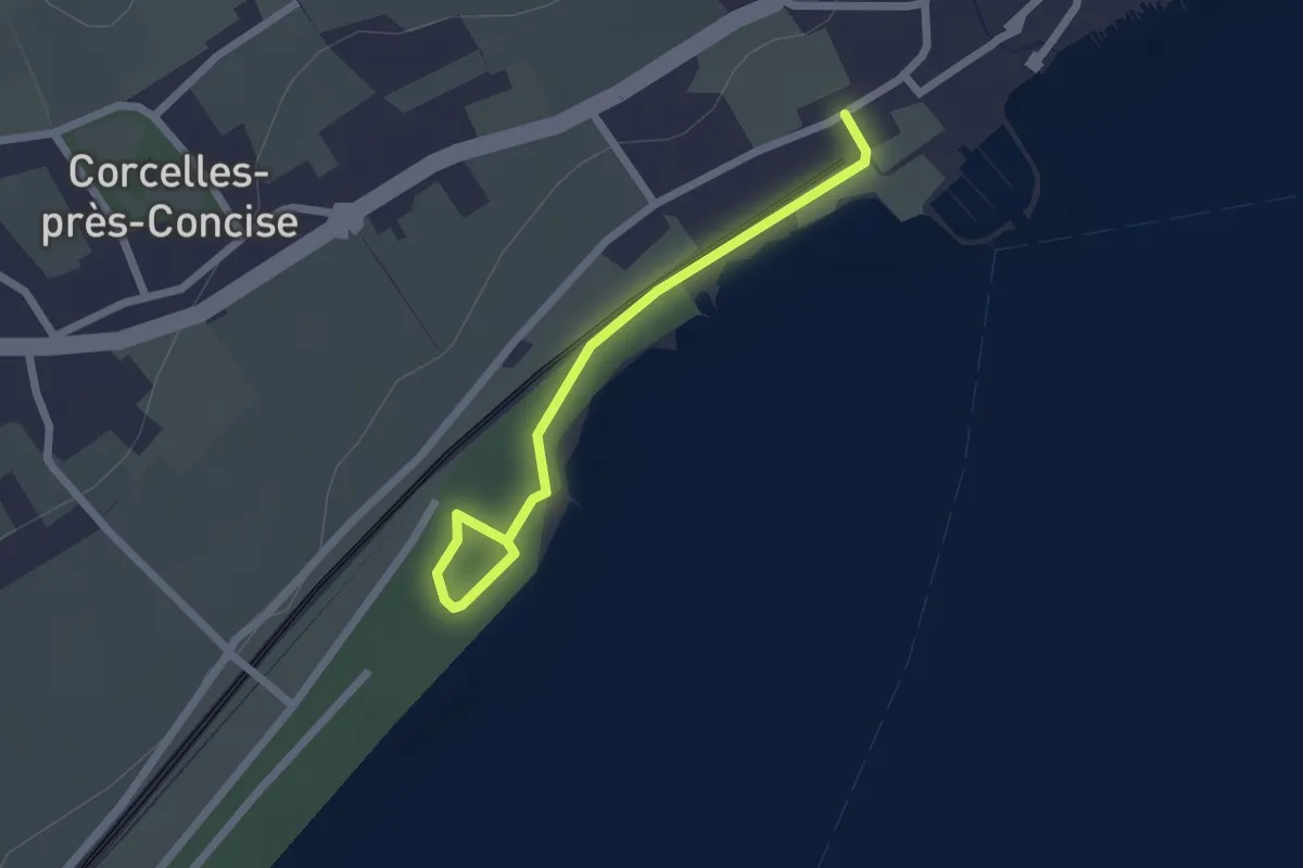
Easy · Trail
Hiking trail in need of a better name
2.1 km · ↑ 0 m · 29 min
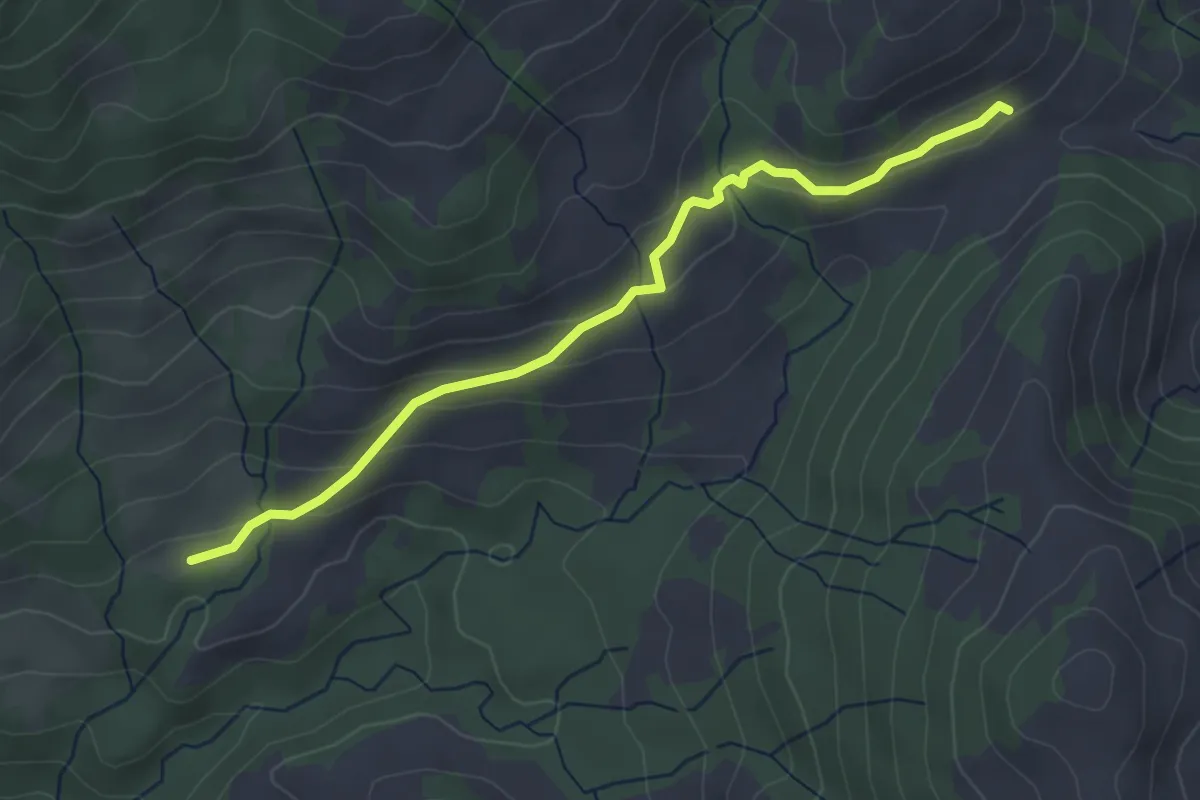
Easy · Trail
Hilferenhüttli - Hilferenpass
3.9 km · ↑ 150 m · 1 h 15 min
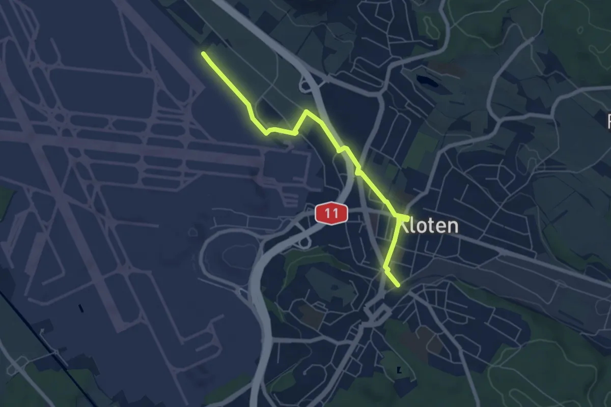
Easy · Trail
Himmelbach - Kloten
5.9 km · ↑ 18 m · 1 h 26 min
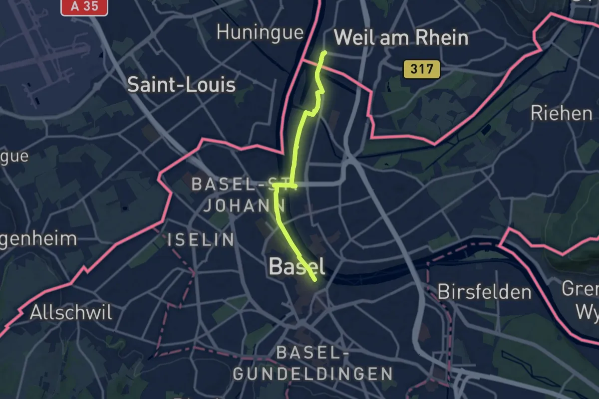
Medium · Trail
Himmelreich-Jakobusweg
9.9 km · ↑ 50 m · 2 h 26 min
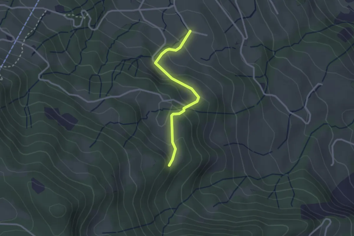
Easy · Trail
Himmelrich - Bruderhuse
2.3 km · ↑ 155 m · 53 min
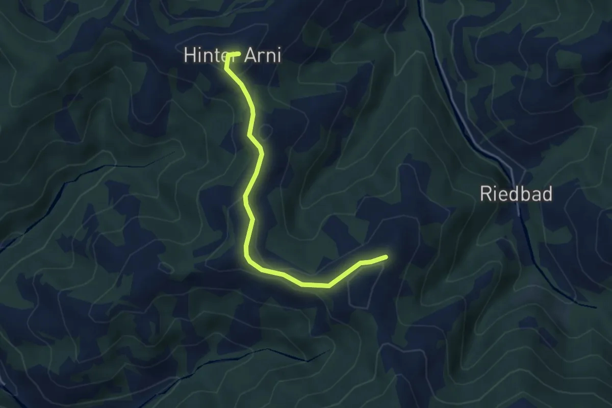
Easy · Summit
Hinderarni - Farnli
3.9 km · ↑ 156 m · 1 h 15 min
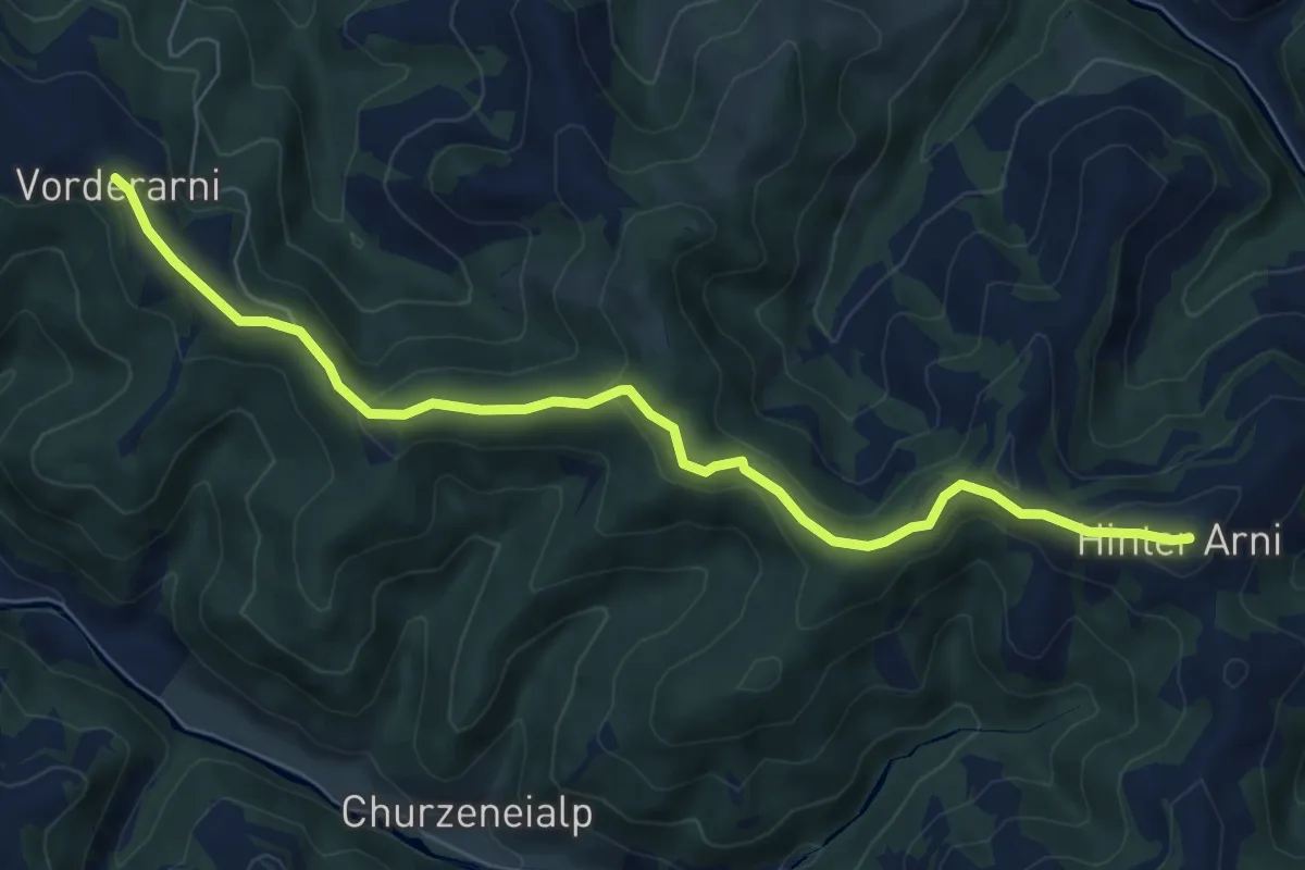
Easy · Summit
Hinderarni - Vorder Arni
7.6 km · ↑ 221 m · 2 h 17 min
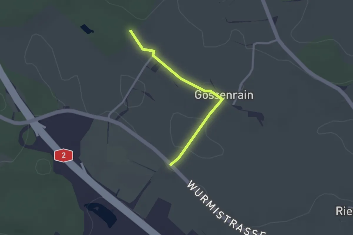
Easy · Trail
Hinderfeld - Gossenrain - Buehuse
2.1 km · ↑ 15 m · 31 min
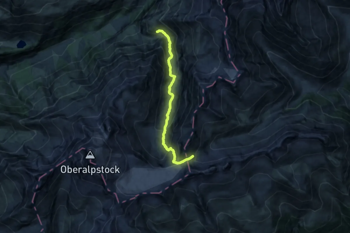
Demanding · Cabin
Hinterbalm-Cavardirashütte
12.4 km · ↑ 898 m · 4 h 52 min
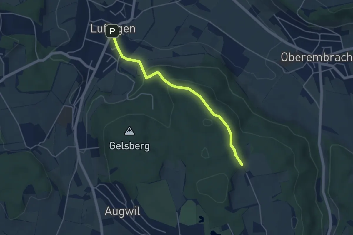
Easy · Trail
Hinterbänikon - Lufingen
3.8 km · ↑ 138 m · 1 h 11 min
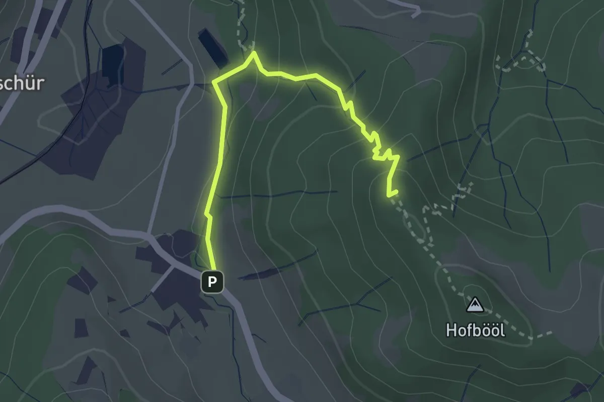
Easy · Summit
Hinterburg - Hohenegg
2.7 km · ↑ 174 m · 1 h 1 min
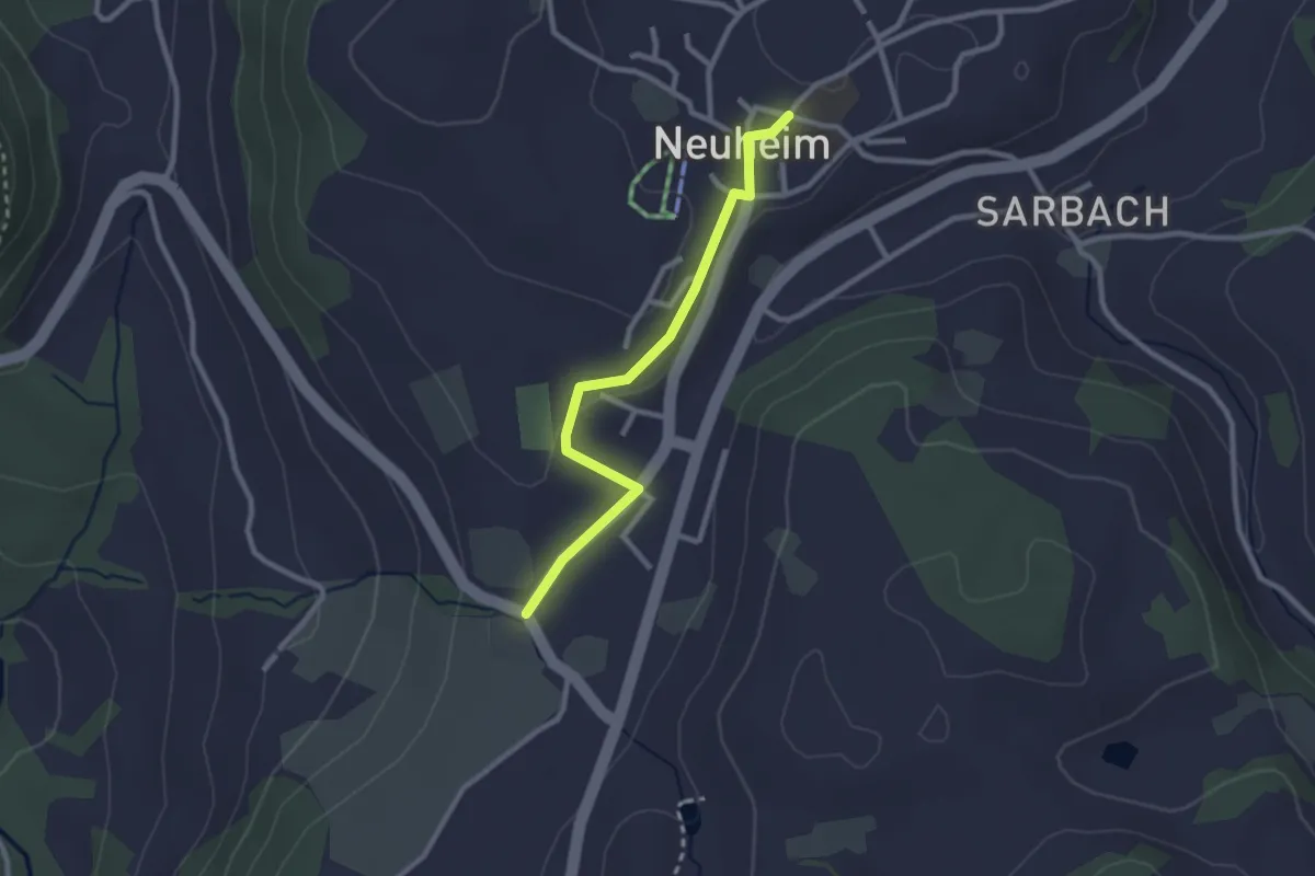
Easy · Trail
Hinterburg - Neuheim
2.4 km · ↑ 37 m · 39 min
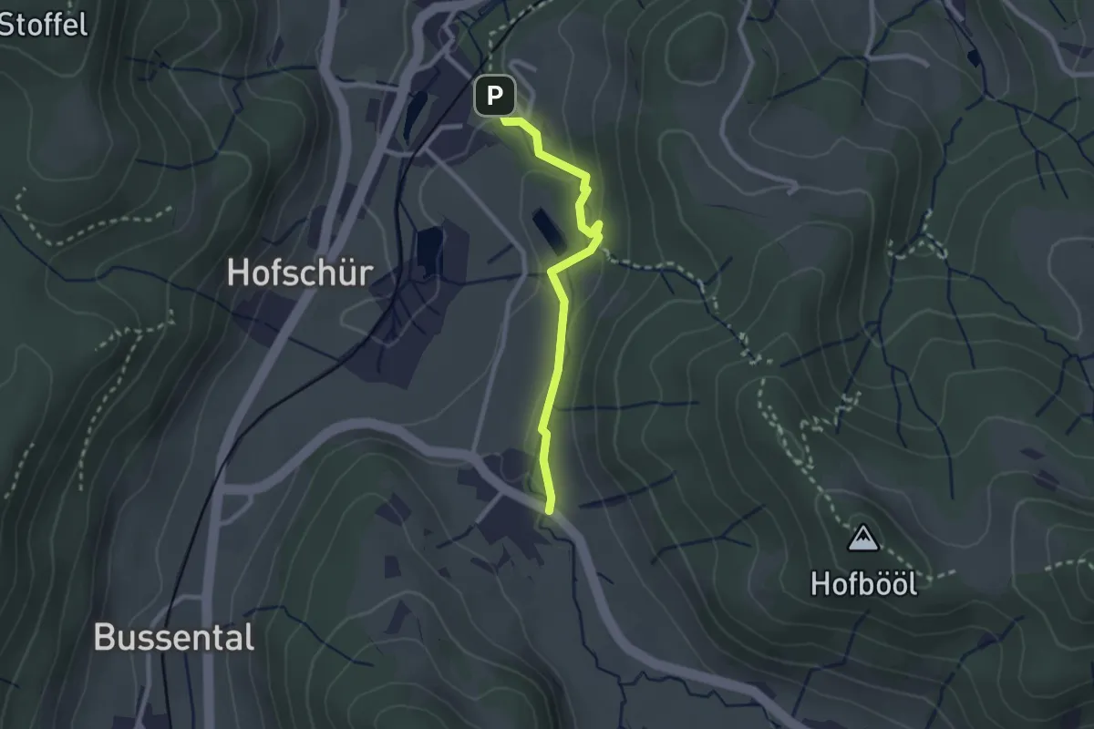
Easy · Trail
Hinterburg - Neuthal
2.2 km · ↑ 69 m · 41 min
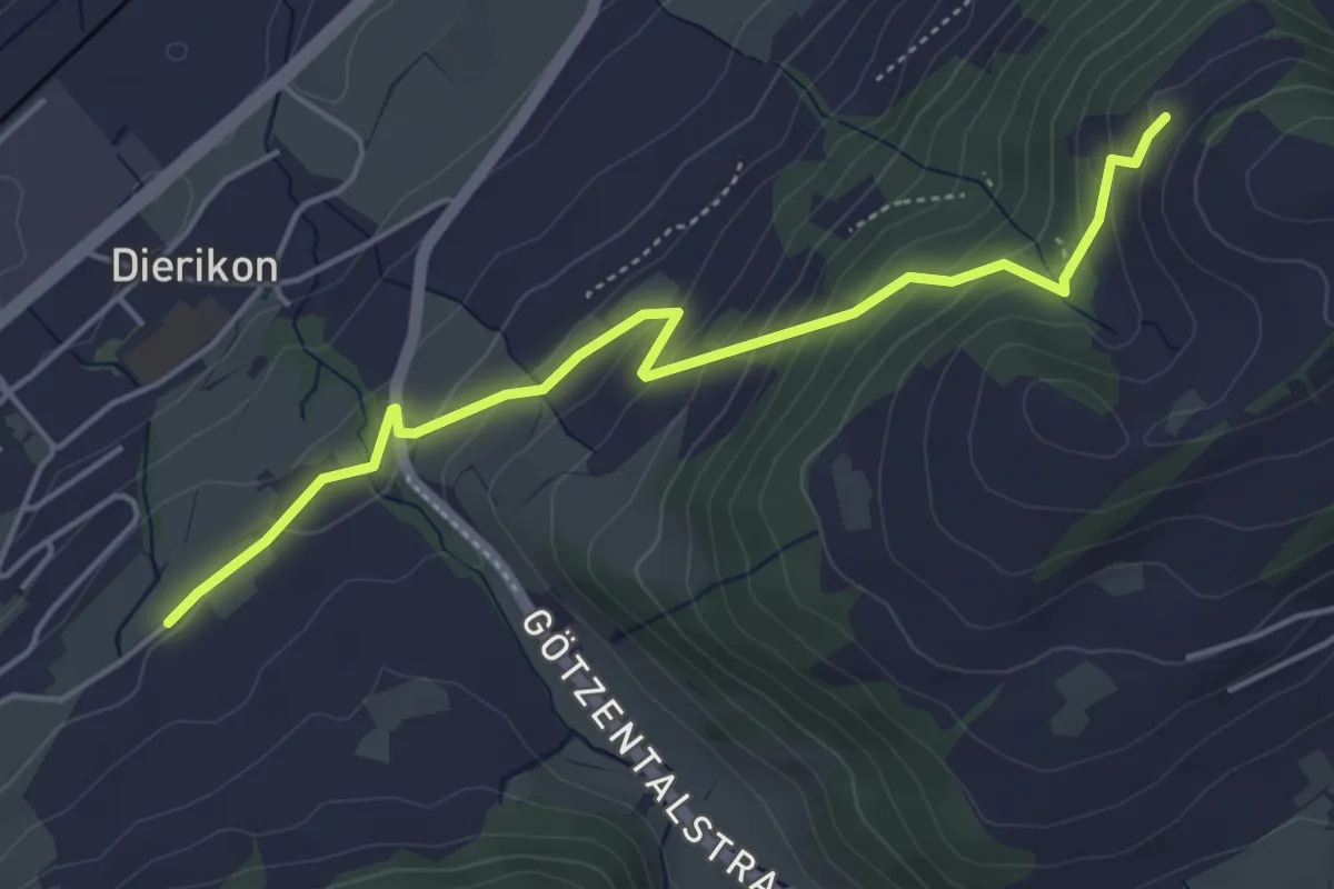
Easy · Trail
Hinter Charen - Spächten
4.8 km · ↑ 297 m · 1 h 46 min
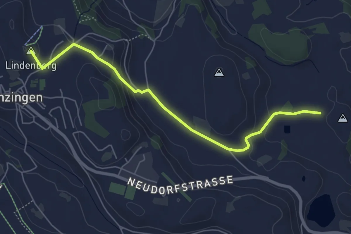
Easy · Summit
Hintercher - Menzingen
5.2 km · ↑ 158 m · 1 h 35 min
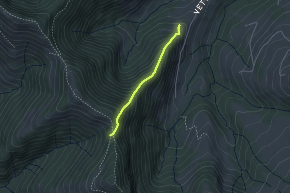
Medium · Trail
Hinter Chreuel-Libingen
2.3 km · ↑ 328 m · 1 h 15 min
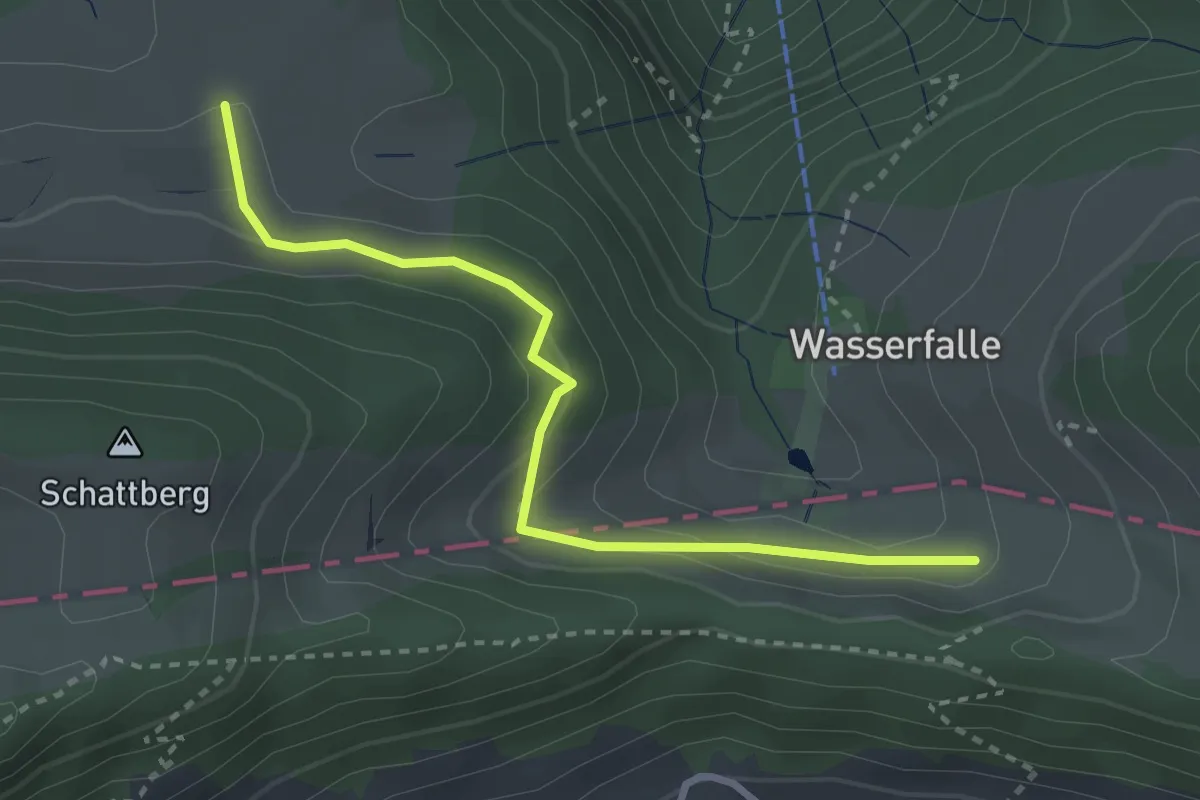
Easy · Trail
Hintere Wasserfallen - fixme
3.0 km · ↑ 154 m · 1 h 2 min