Trails in Switzerland
15,029 hiking trails, each with its route, climb, walking time and grade.
All trails, page 49 of 314
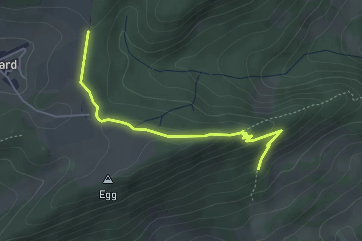
Medium · Trail
Hinterfeld - Brunnenberg
3.6 km · ↑ 109 m · 1 h 6 min
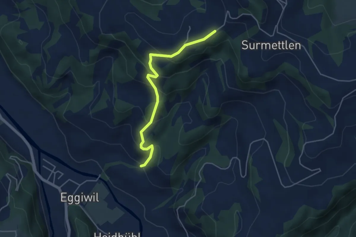
Easy · Trail
Hinter Grisgrat - Aebnit
3.8 km · ↑ 276 m · 1 h 30 min
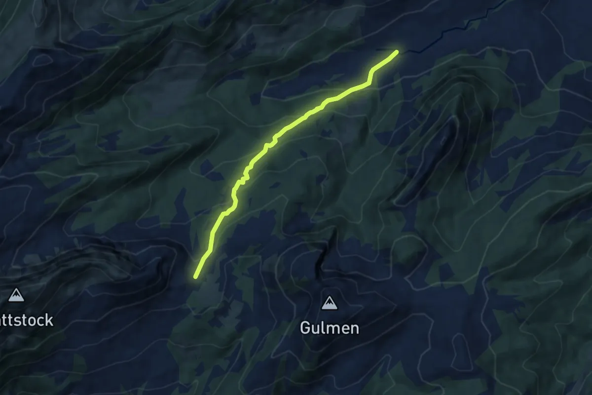
Medium · Trail
Hinter Höhi - Au
7.7 km · ↑ 470 m · 2 h 50 min
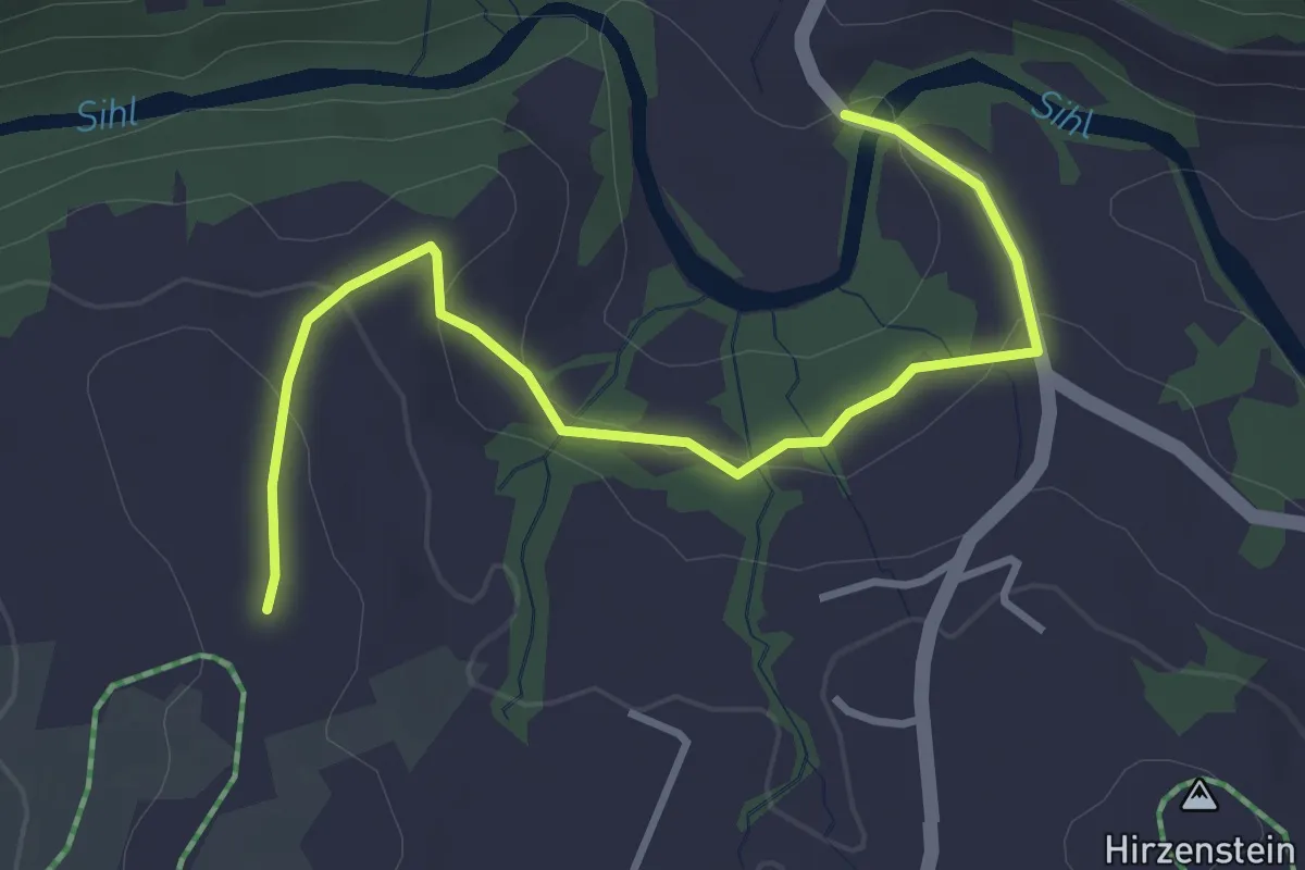
Easy · Trail
Hinterhorben - Tüfelsbrugg
3.7 km · ↑ 94 m · 1 h 5 min
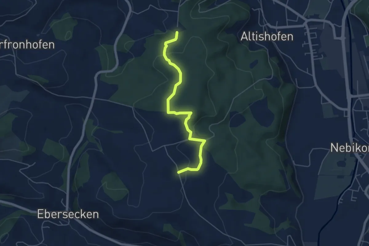
Easy · Trail
Hinter Huebäbni - Uf em Äasch
4.9 km · ↑ 143 m · 1 h 28 min
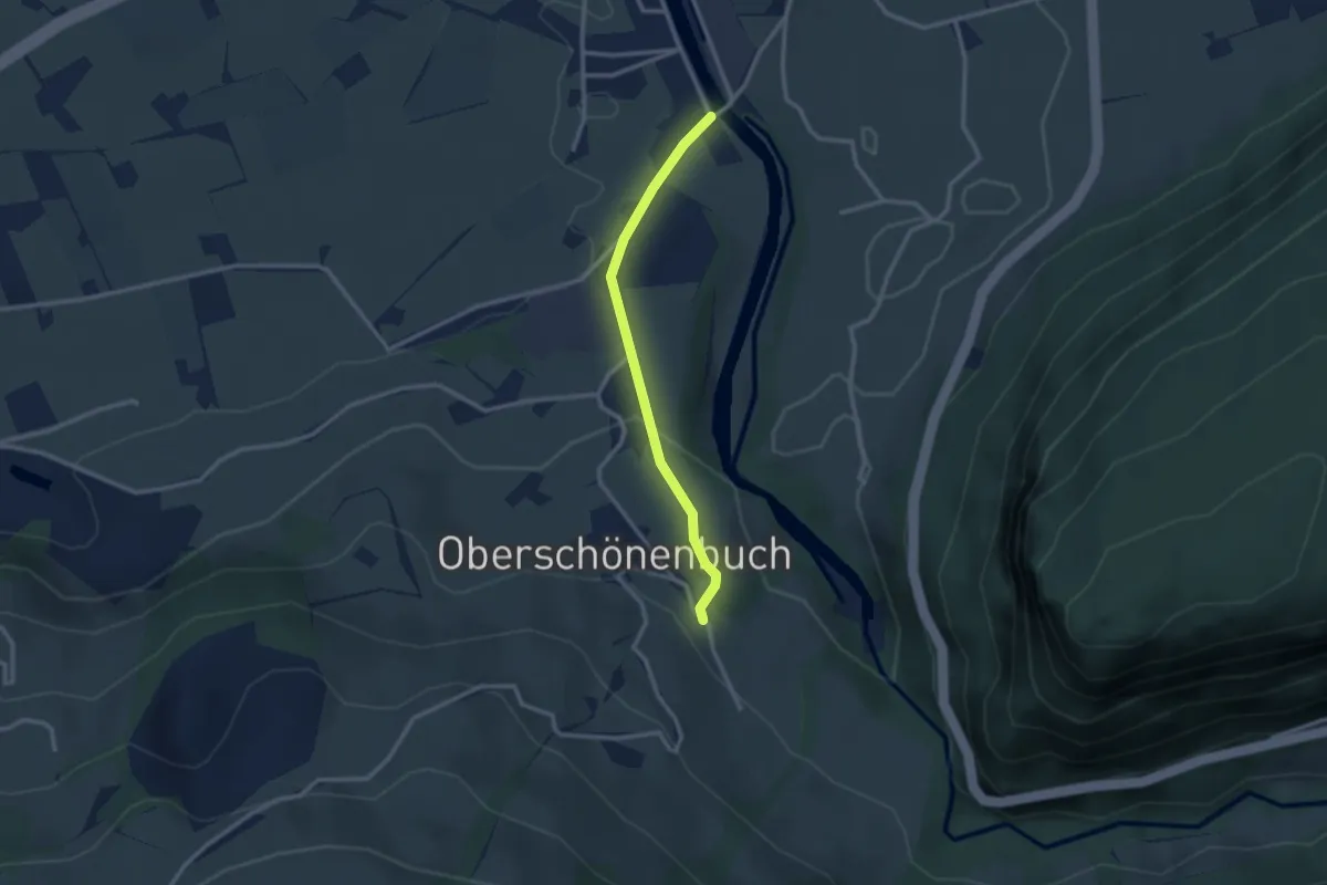
Easy · Trail
Hinter Ibach - Ober-Schönenbuch
2.5 km · ↑ 86 m · 46 min
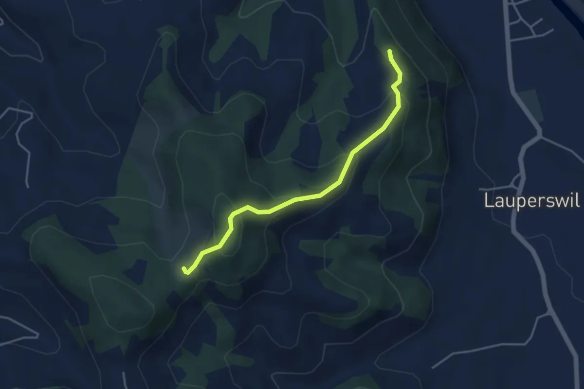
Easy · Trail
Hinter Längholz - Ruine Wartenstein
3.4 km · ↑ 205 m · 1 h 15 min
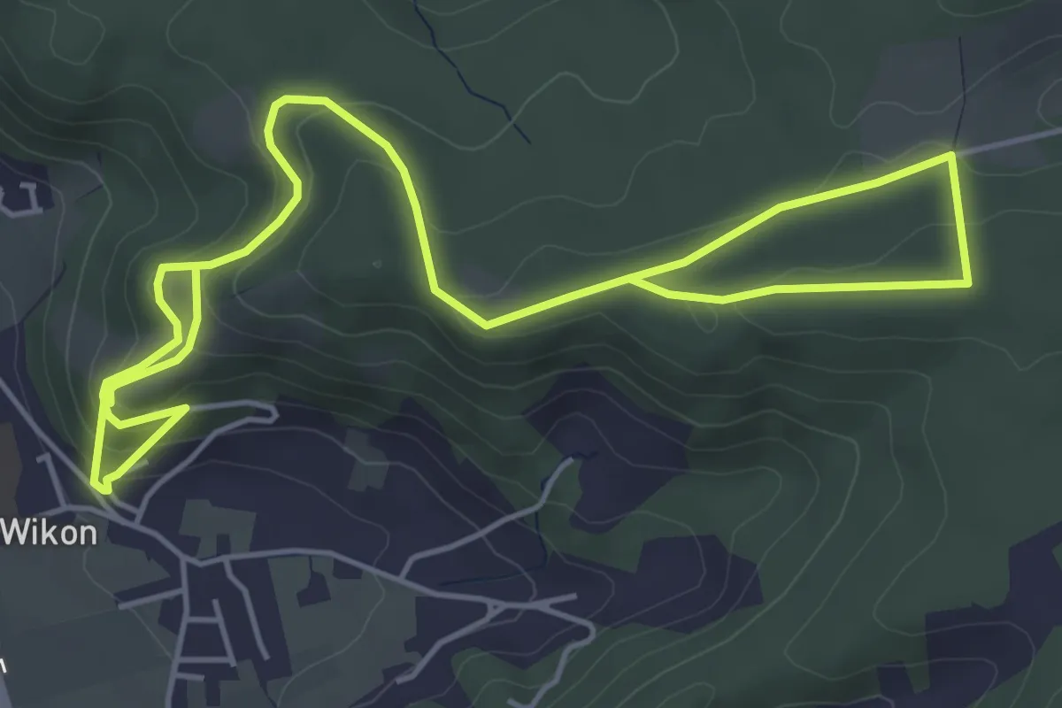
Medium · Trail
Hintermoos - Wikon
7.9 km · ↑ 376 m · 2 h 41 min
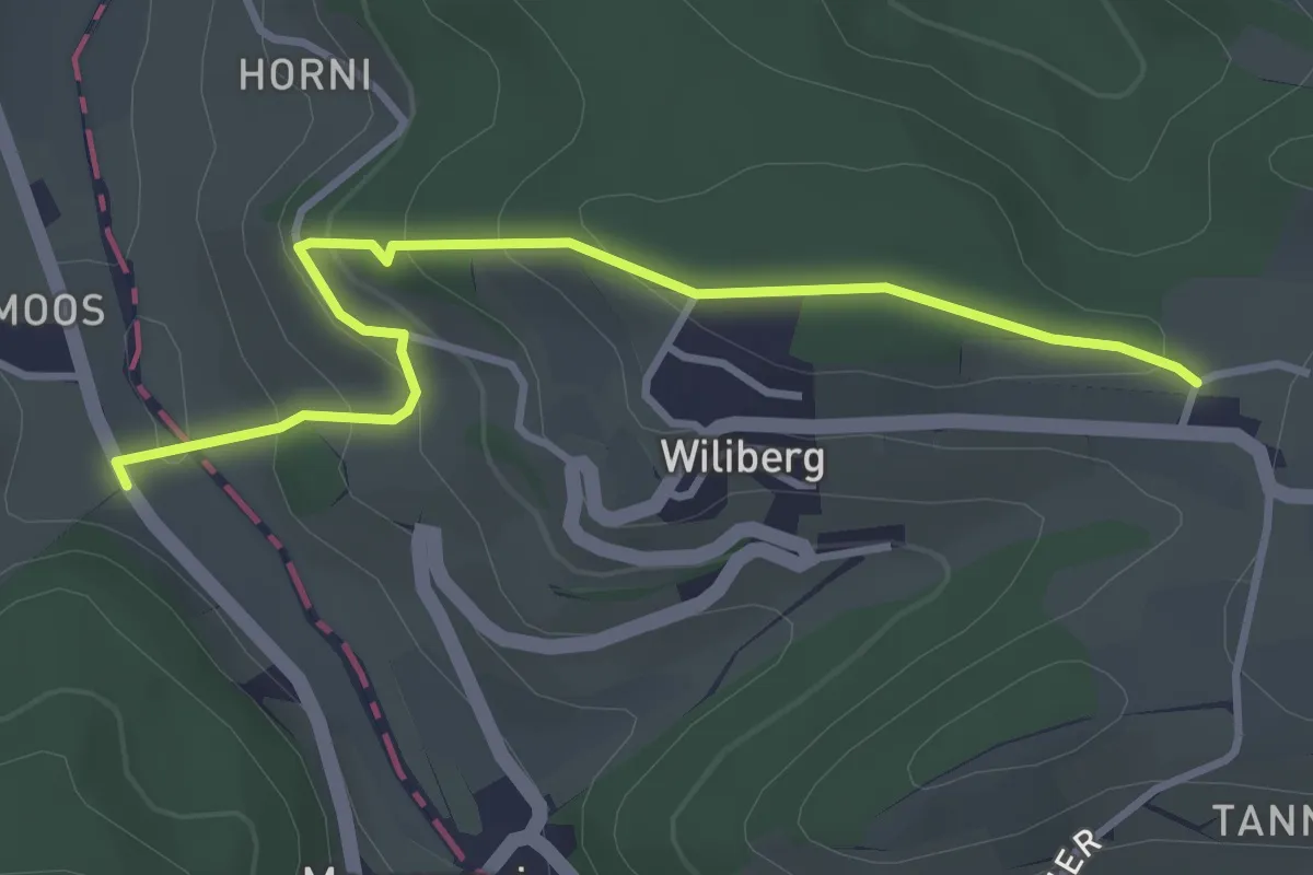
Easy · Trail
Hintermoos - Wiliberg
3.5 km · ↑ 223 m · 1 h 19 min
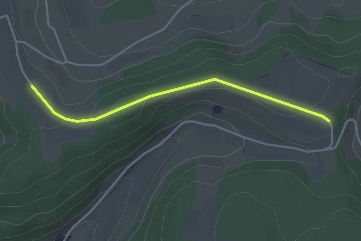
Easy · Trail
Hinter Nack - Bänkelloch
2.7 km · ↑ 59 m · 46 min
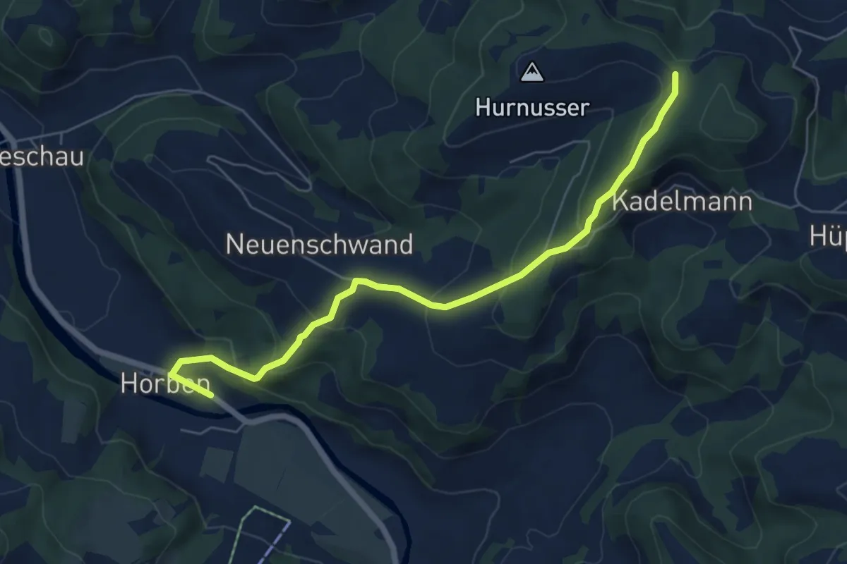
Medium · Trail
Hinter Scheidegg - Horben
6.2 km · ↑ 362 m · 2 h 16 min
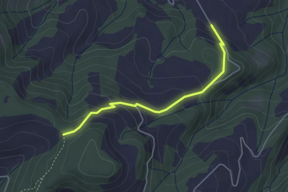
Easy · Trail
Hinter Scheidegg - Mittler Stärberg
3.4 km · ↑ 195 m · 1 h 13 min
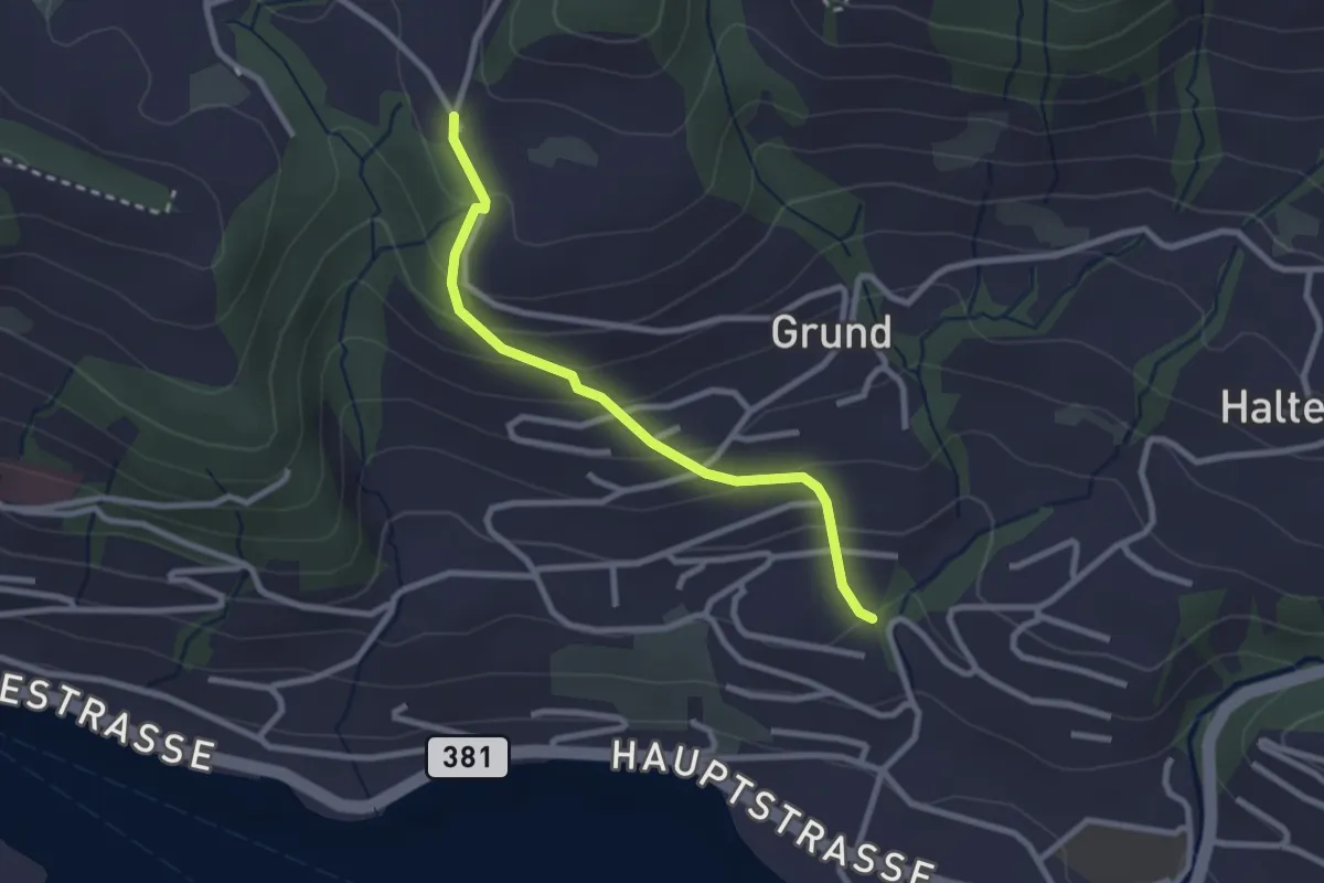
Easy · Trail
Hinterschneit - Gruben
2.5 km · ↑ 154 m · 55 min
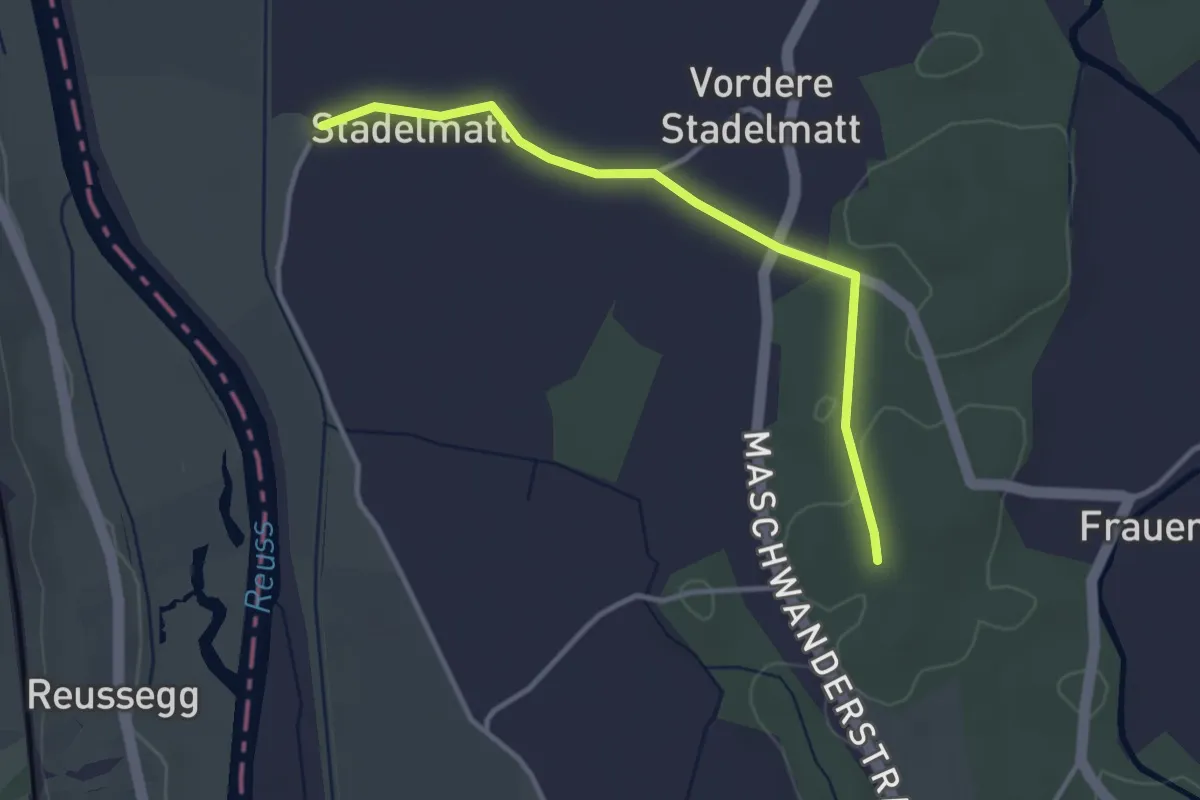
Easy · Trail
Hinter Stadelmatt - Schachenwald
3.3 km · ↑ 12 m · 48 min
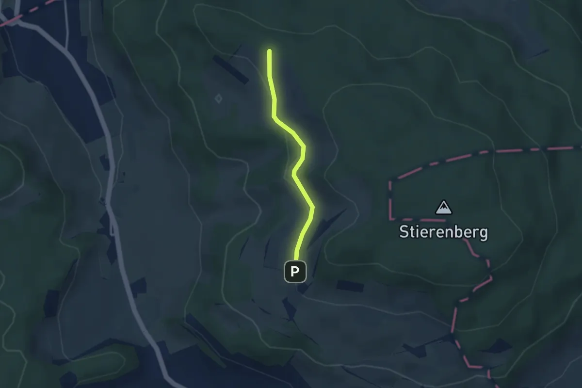
Easy · Trail
Hinter Sterenberg - Chanzel
2.2 km · ↑ 26 m · 35 min
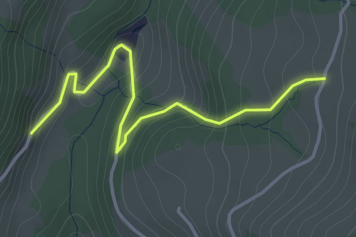
Easy · Trail
Hintertal - Freudental
2.8 km · ↑ 184 m · 1 h 3 min
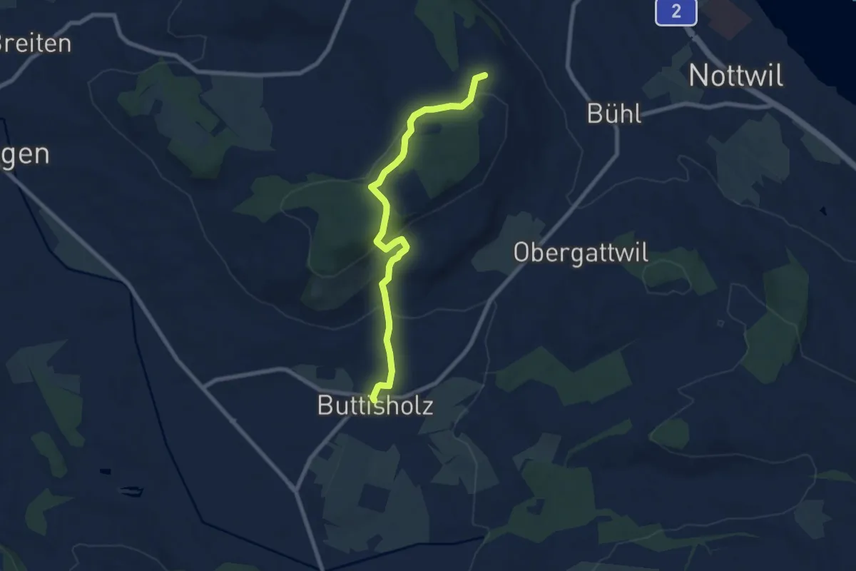
Easy · Trail
Hinter Tannenfels - Buttisholz
7.4 km · ↑ 245 m · 2 h 17 min
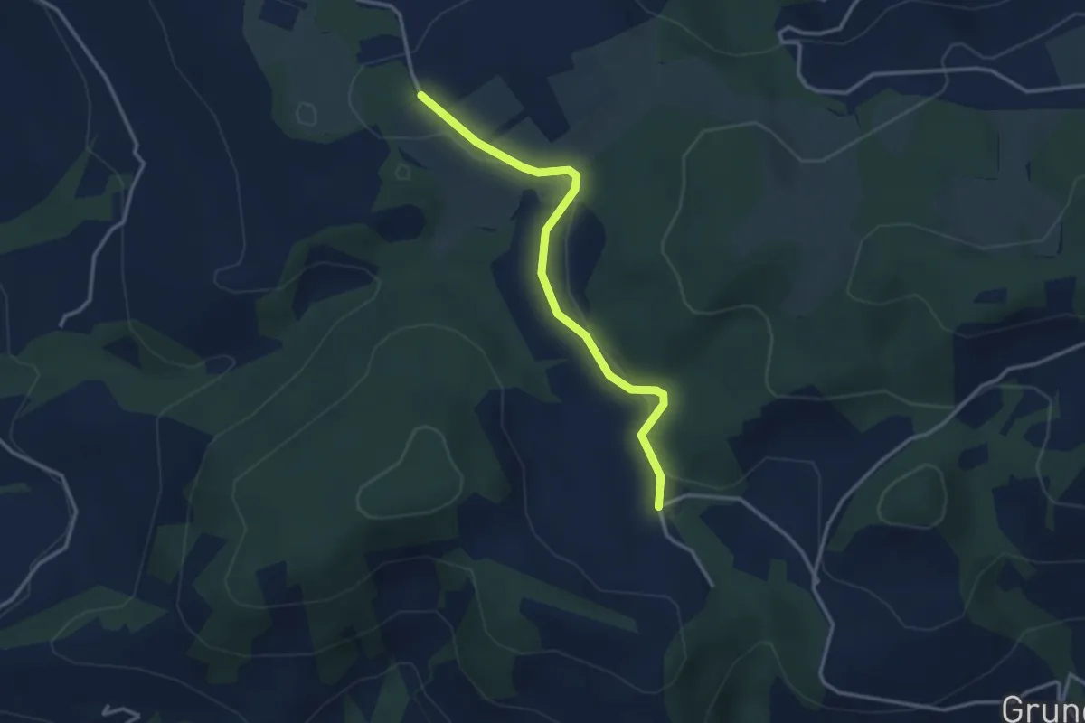
Easy · Trail
Hinterwiden - Brämen-Höchi
3.0 km · ↑ 21 m · 45 min
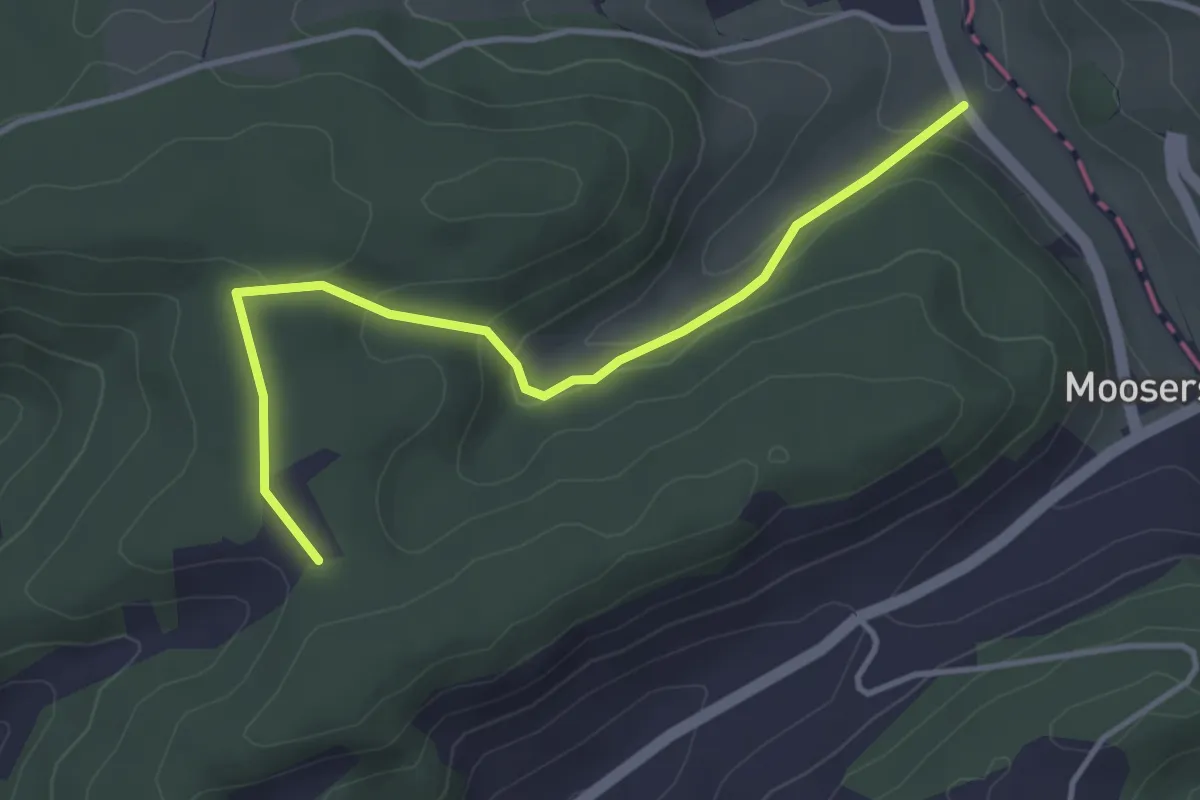
Easy · Trail
Hinterwil - Giger
3.8 km · ↑ 143 m · 1 h 13 min
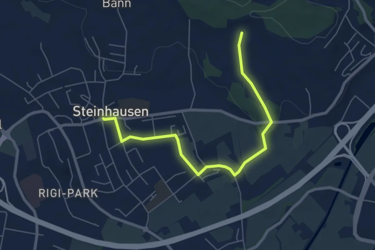
Easy · Trail
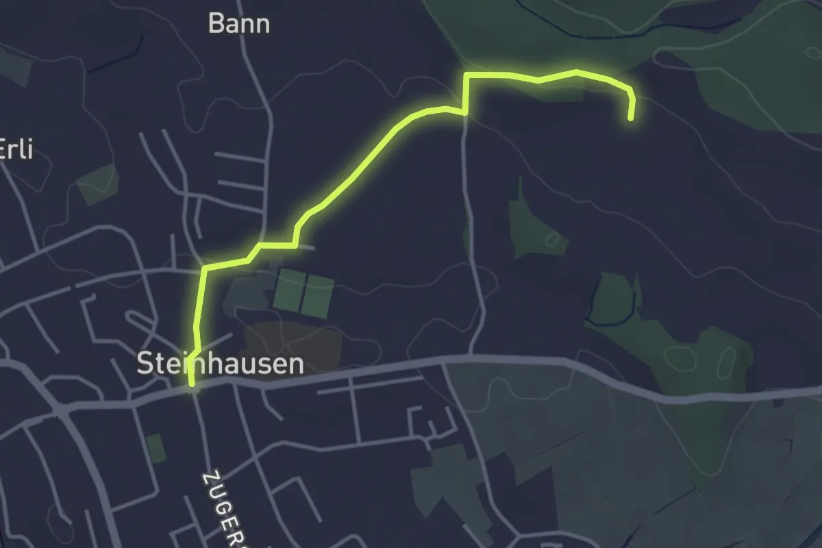
Hinter Zimbel - Steinhausen
5.6 km · ↑ 55 m · 1 h 26 min
Easy · Trail
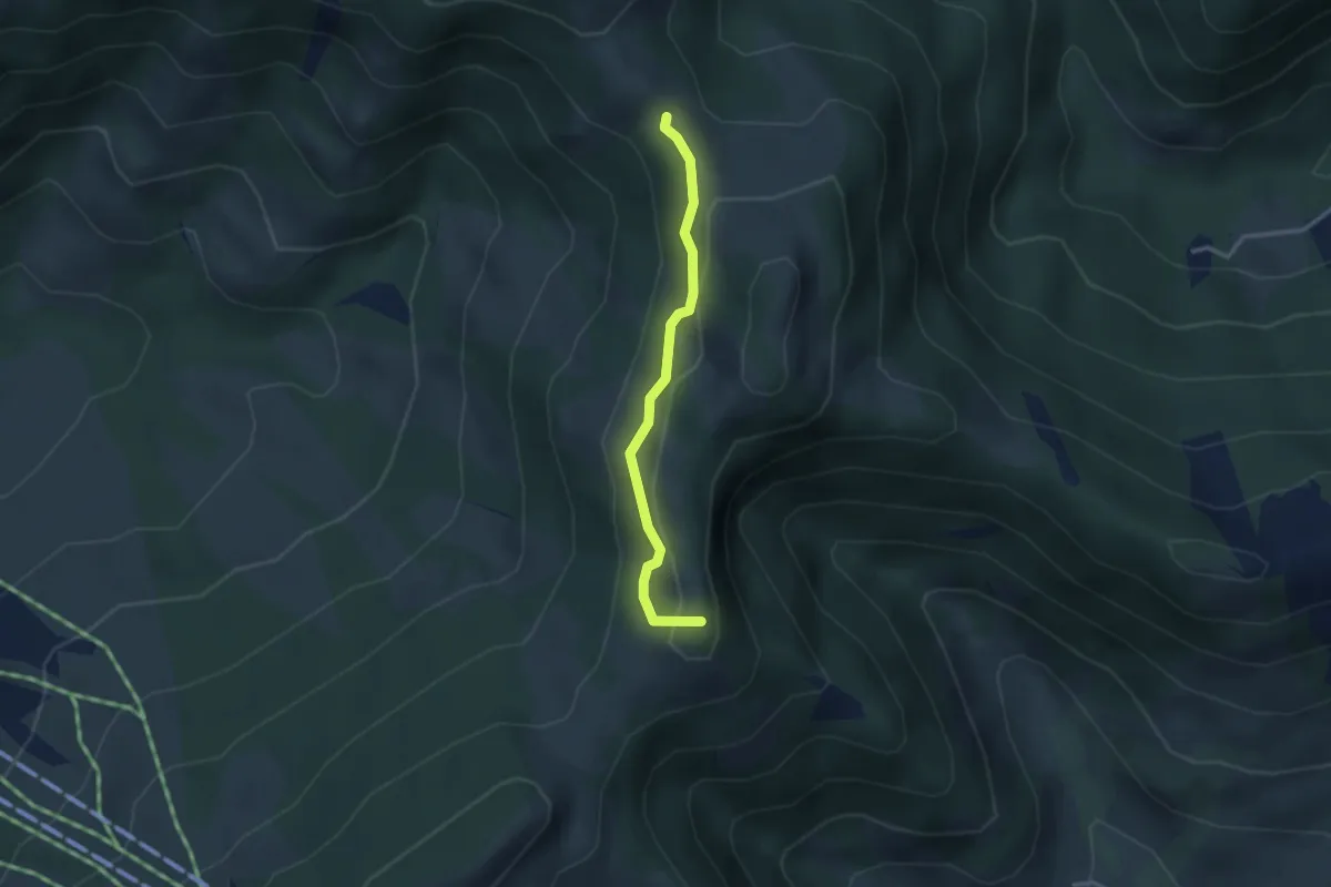
Hinter Zimbel - Steinhausen
3.5 km · ↑ 56 m · 57 min
Medium · Summit
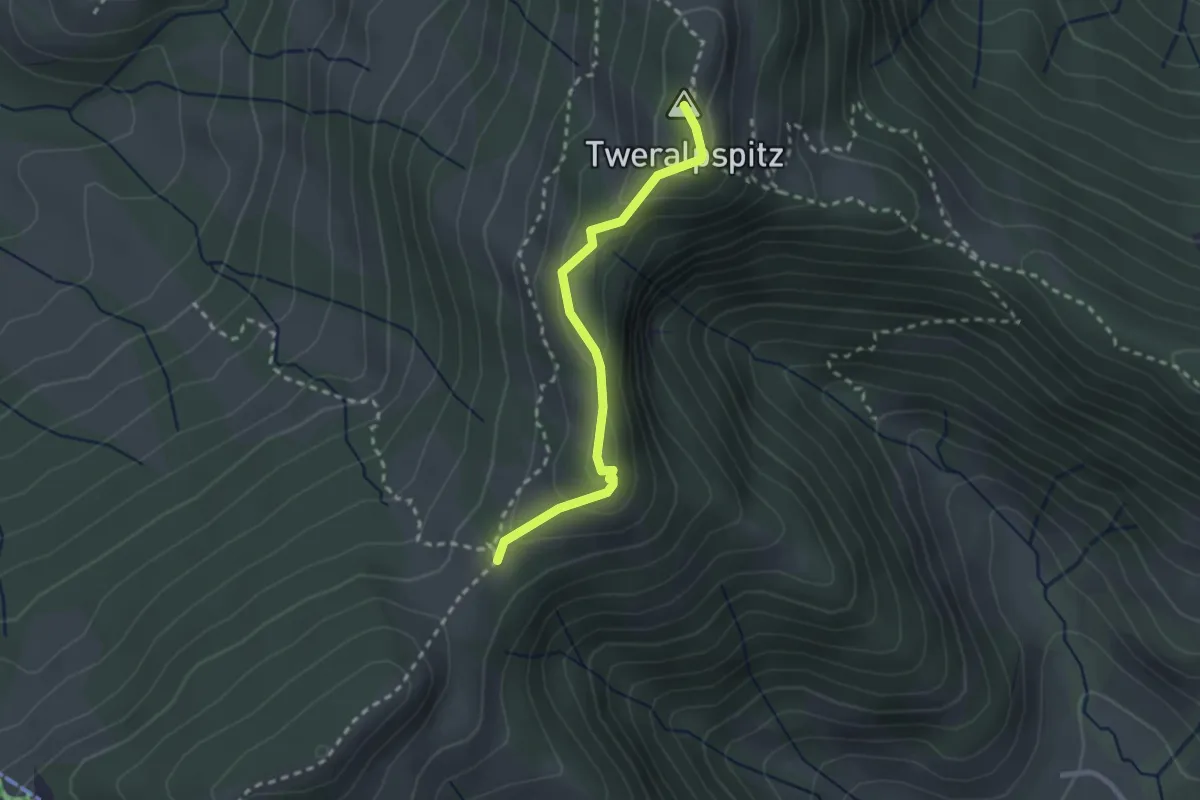
Hint. Rotstein-Obere Tweralp alternativ während Schiesszeiten Schiessplatz Cholloch
2.7 km · ↑ 115 m · 53 min
Easy · Summit
Hint. Rotstein-Obere Tweralp alternativ während Schiesszeiten Schiessplatz Cholloch
2.3 km · ↑ 110 m · 47 min
Easy · Trail
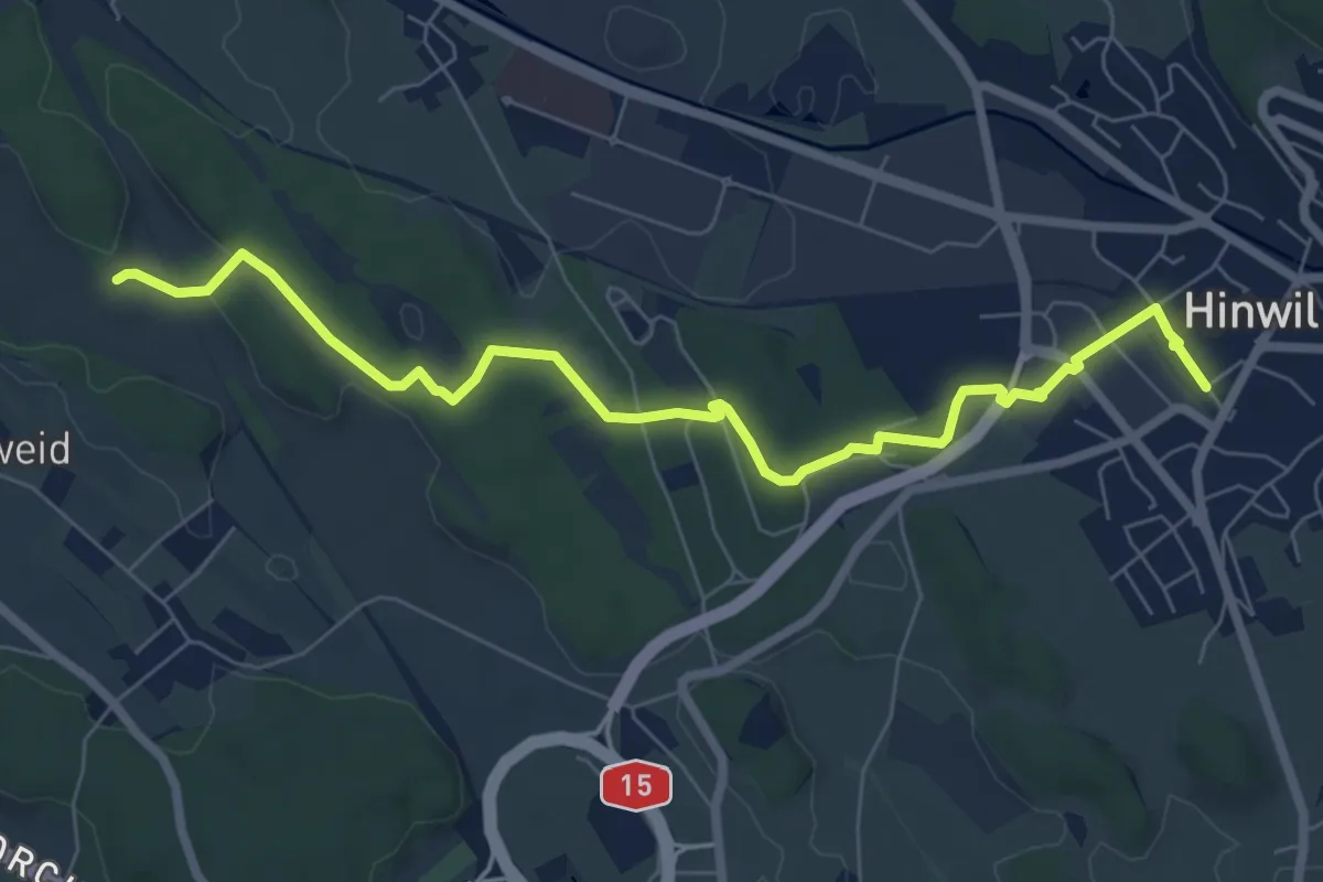
Hinwil - Ambitzgiried
7.9 km · ↑ 66 m · 2 h
Easy · Trail
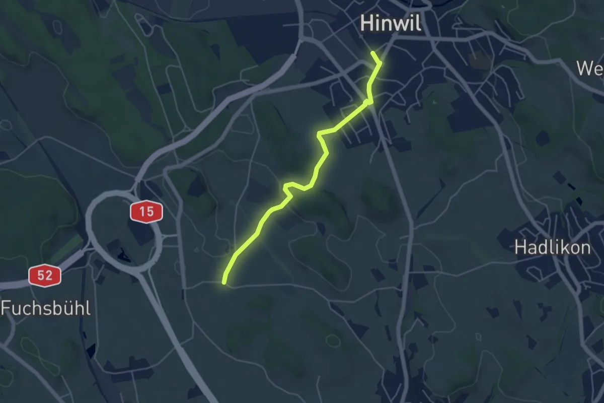
Hinwil - Oberhof
4.4 km · ↑ 32 m · 1 h 6 min
Medium · Trail
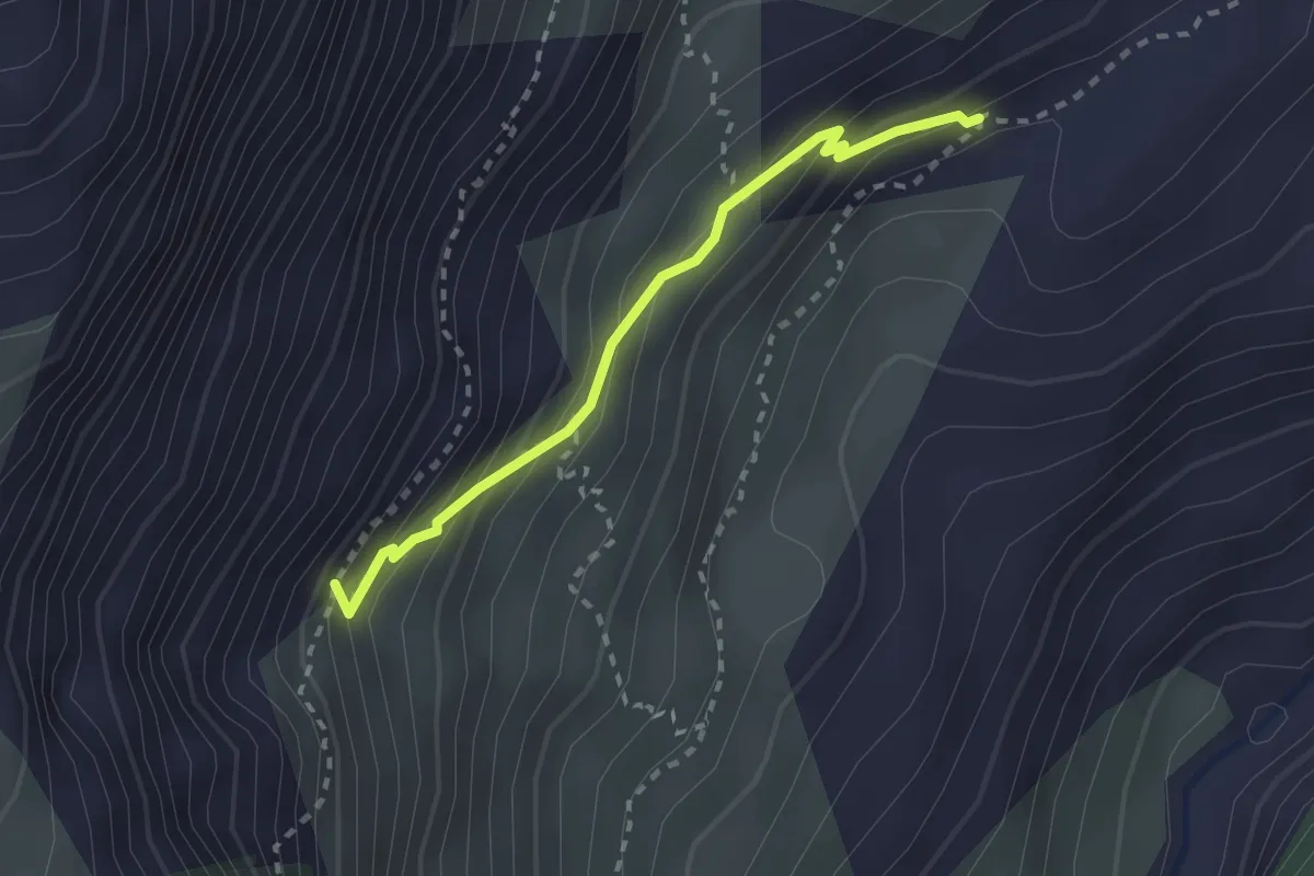
Hirmi - Oberaletsch
2.3 km · ↑ 227 m · 1 h 3 min
Easy · Trail
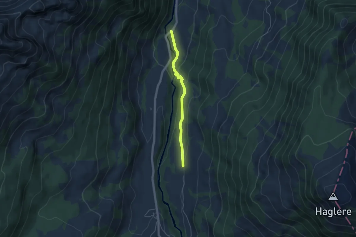
Hirseggbrügg - Sörenbärgli
3.8 km · ↑ 149 m · 1 h 13 min
Easy · Summit
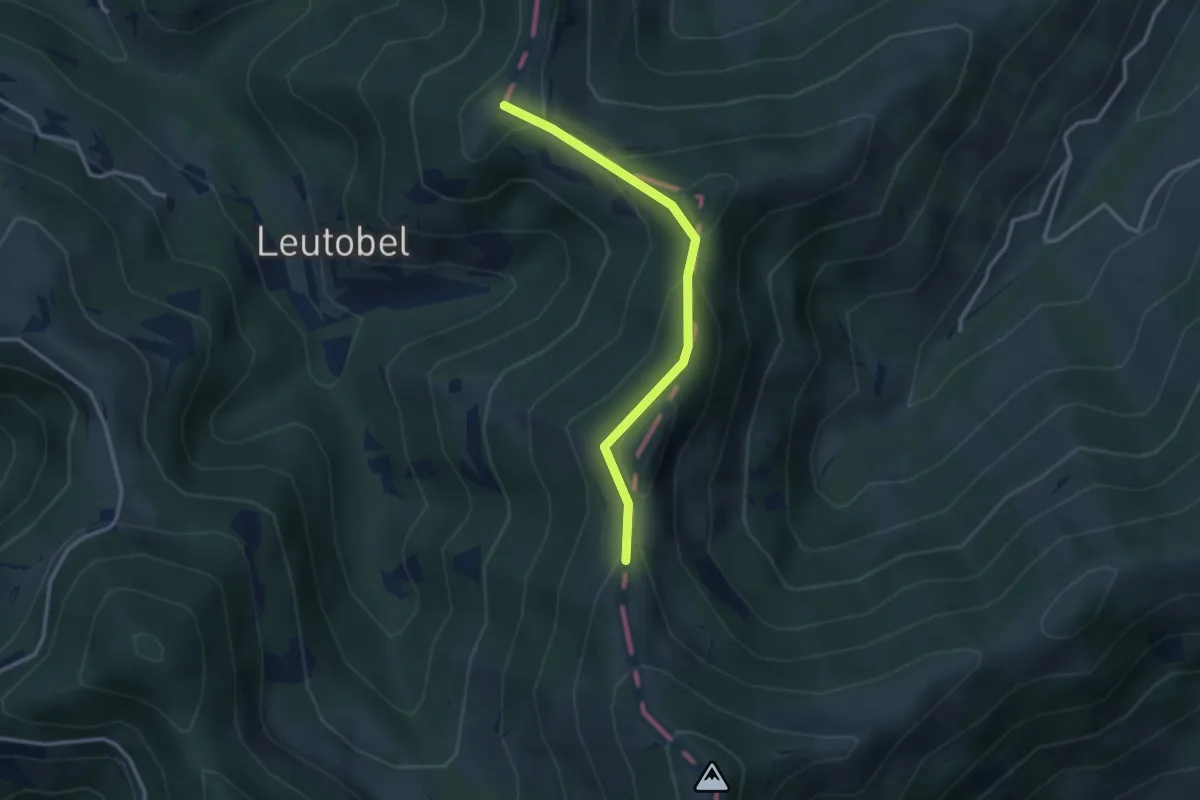
Hirzegg-Schwamm
2.8 km · ↑ 171 m · 1 h 2 min
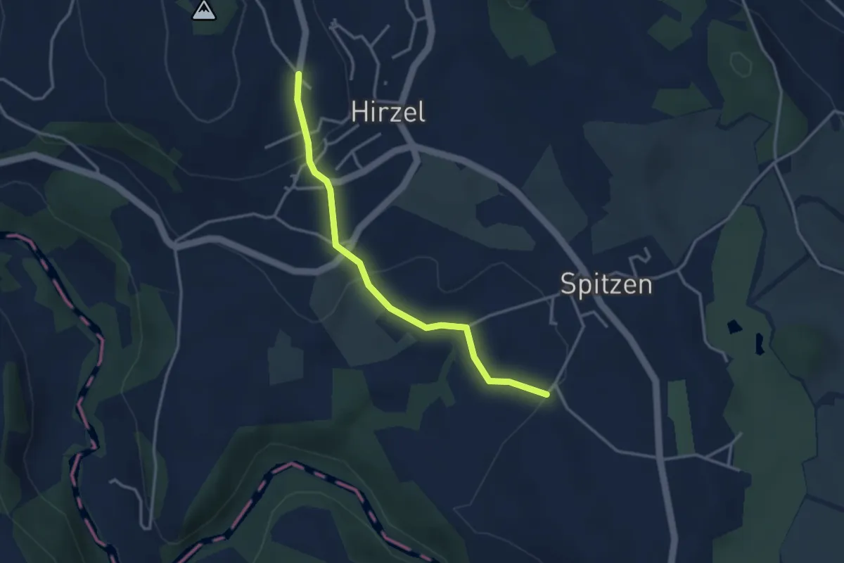
Easy · Trail
Hirzel - Bächenmoos
3.1 km · ↑ 86 m · 55 min
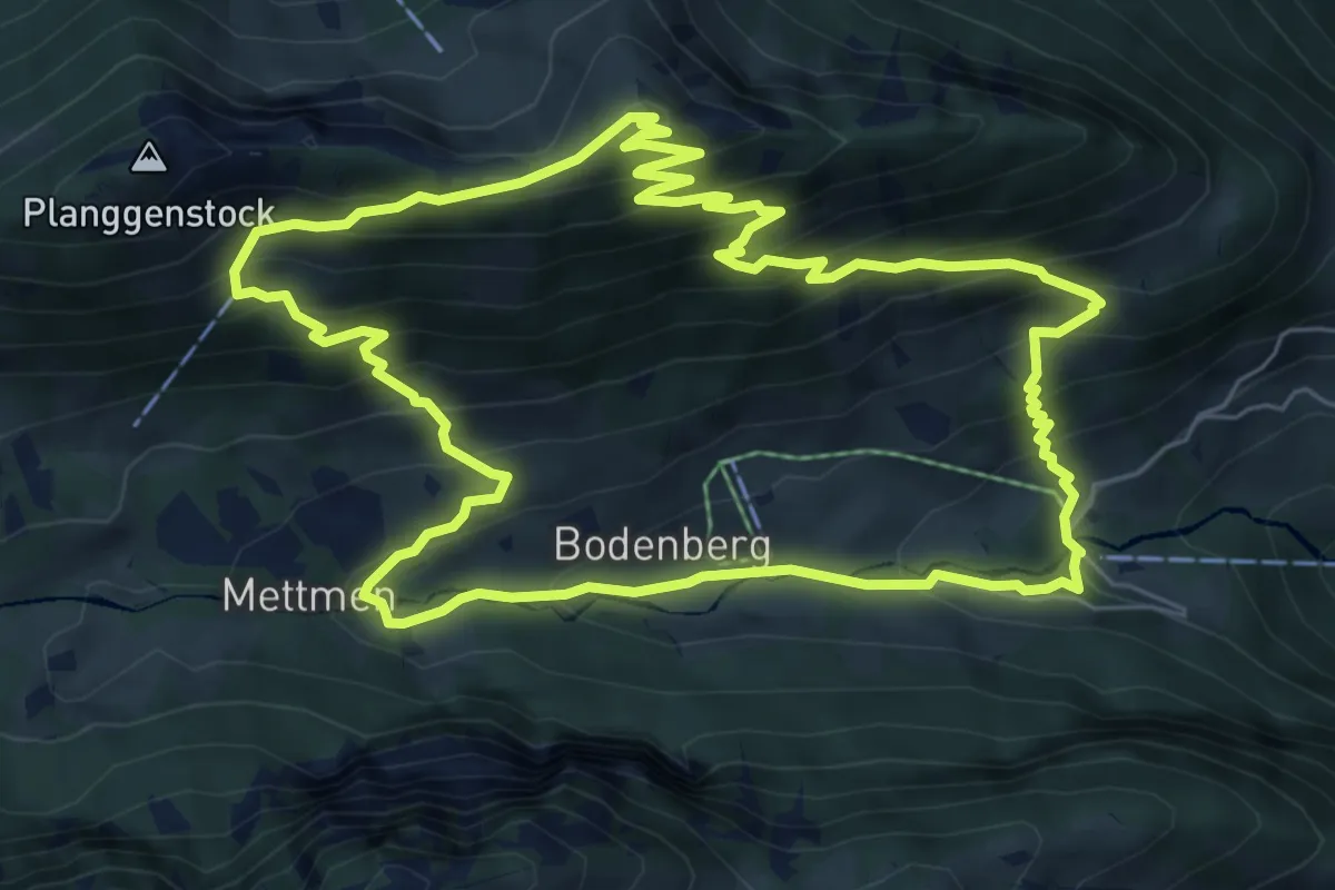
Medium · Summit
Hirzli-Rundweg
7.1 km · ↑ 636 m · 3 h 8 min
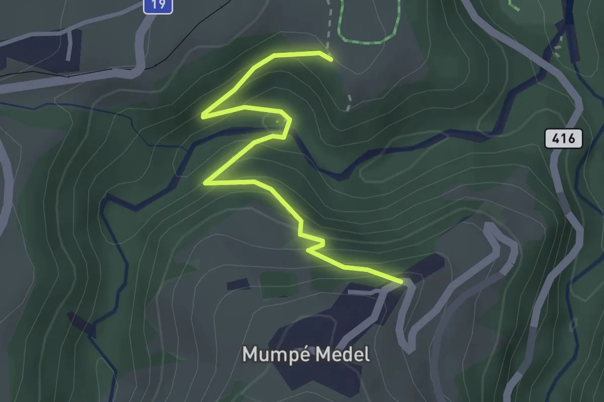
Easy · Trail
Historischer Saumweg Lukmanierpass
2.8 km · ↑ 200 m · 1 h 6 min
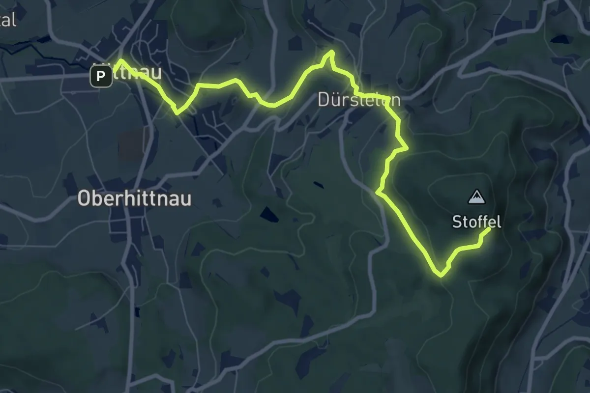
Medium · Trail
Hittnau - Lättenweid
9.2 km · ↑ 298 m · 2 h 49 min
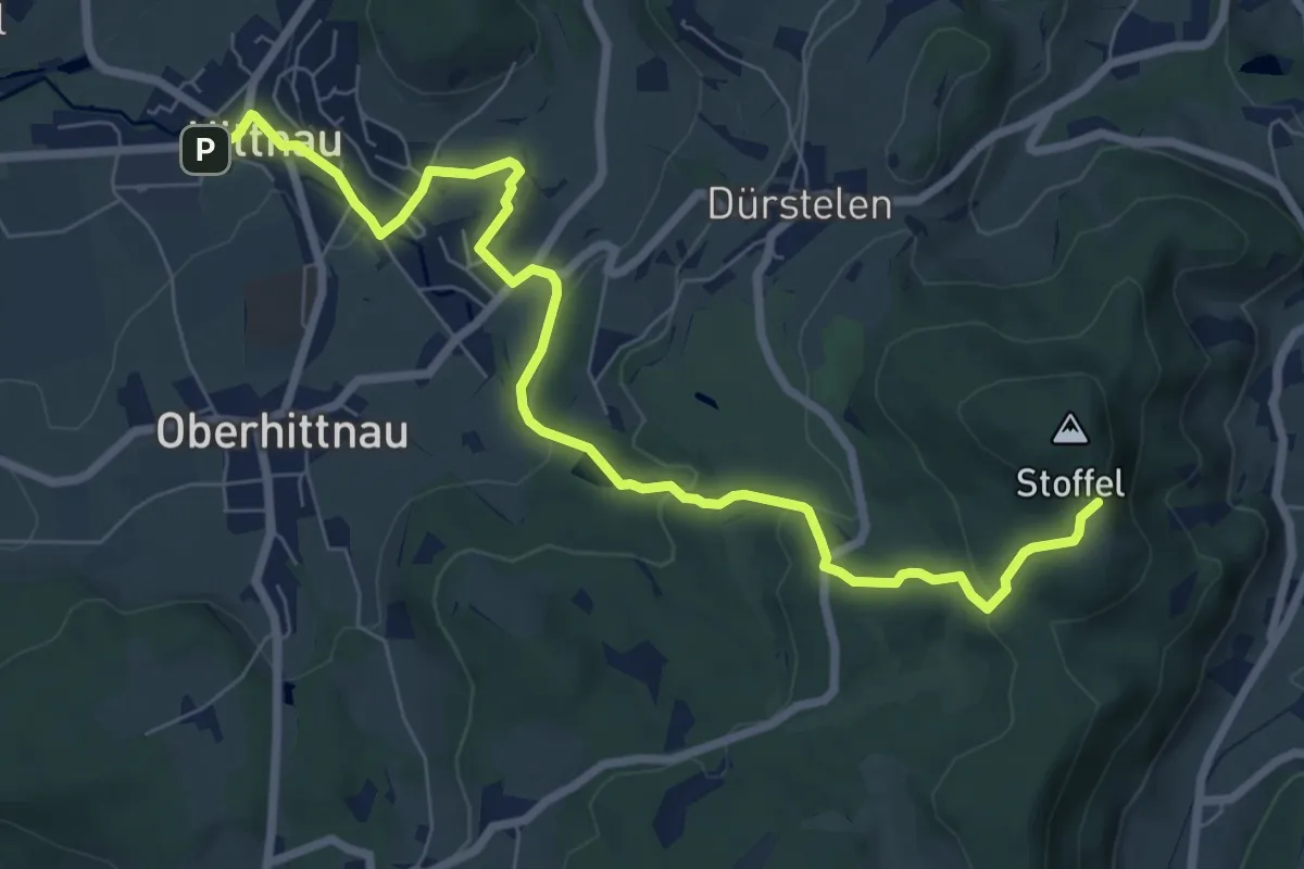
Medium · Trail
Hittnau - Lupmenweiher - Lättenweid
8.6 km · ↑ 288 m · 2 h 39 min
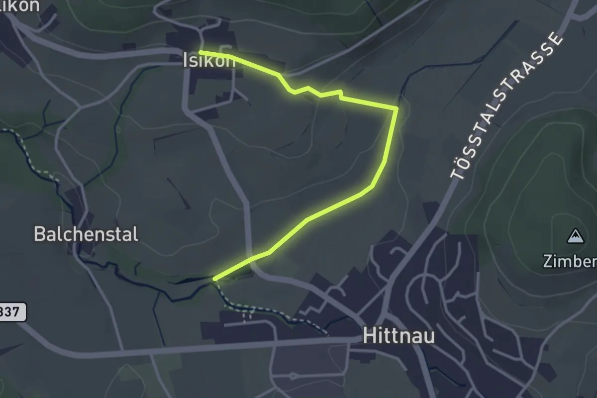
Easy · Trail
Hittnau Seewadel - Isikon
3.2 km · ↑ 55 m · 53 min
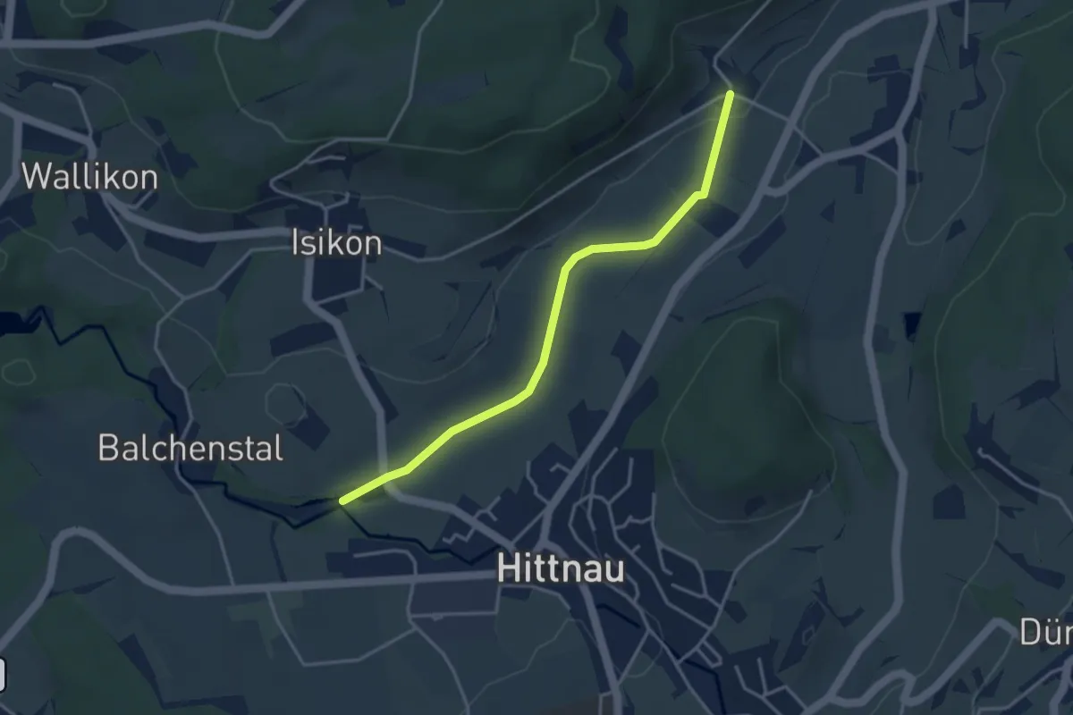
Easy · Trail
Hittnau Seewadel – Schönau
3.5 km · ↑ 23 m · 53 min
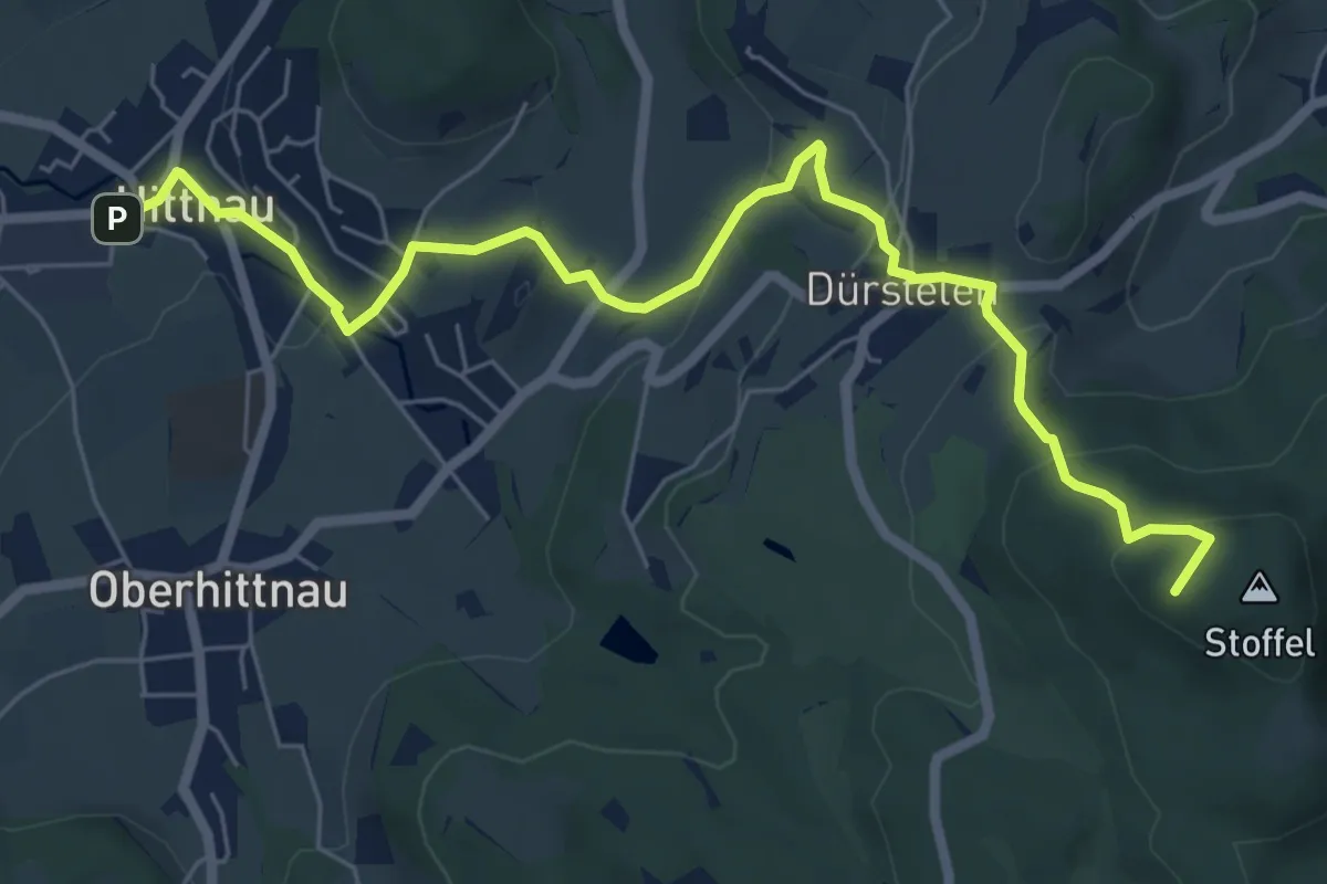
Easy · Summit
Hittnau - Stoffel
7.3 km · ↑ 295 m · 2 h 22 min
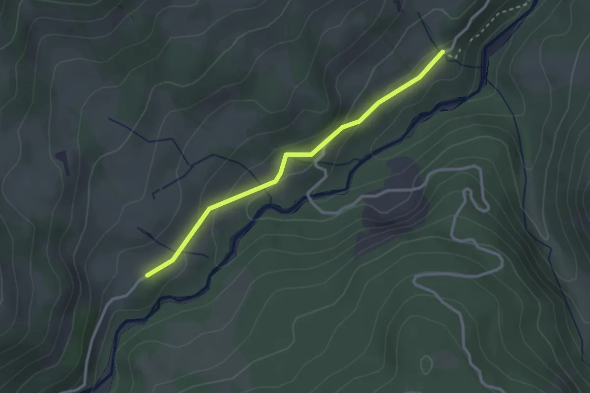
Easy · Trail
Hitusvorsass - fixme
2.6 km · ↑ 88 m · 48 min
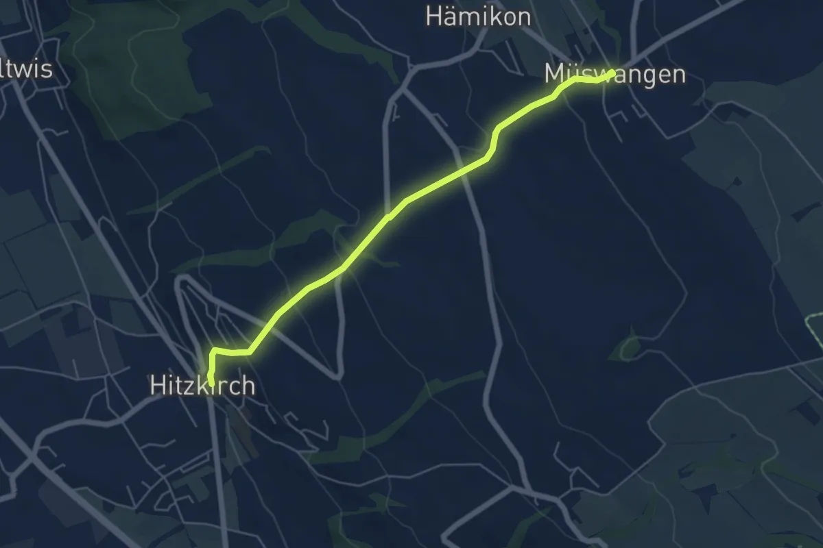
Easy · Trail
Hitzkirch - Müswangen
5.2 km · ↑ 271 m · 1 h 49 min
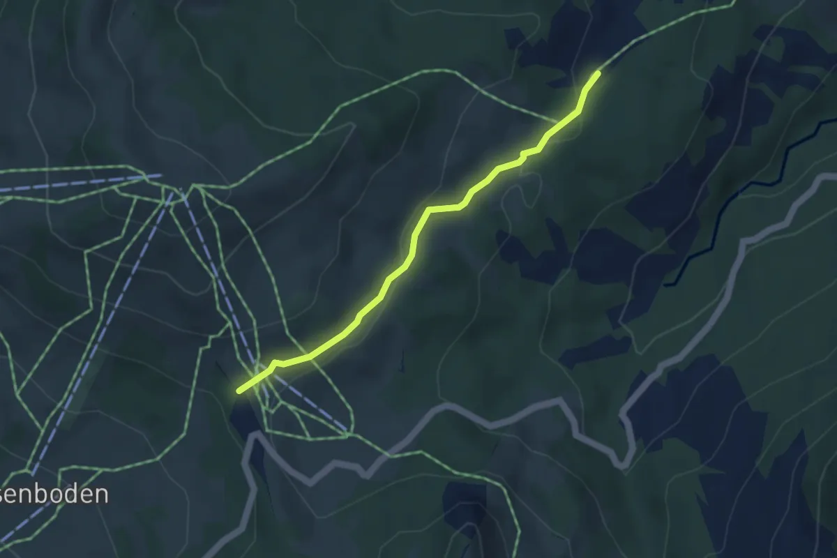
Easy · Trail
Hobacher - Ibergeregg
3.5 km · ↑ 83 m · 1 h 1 min
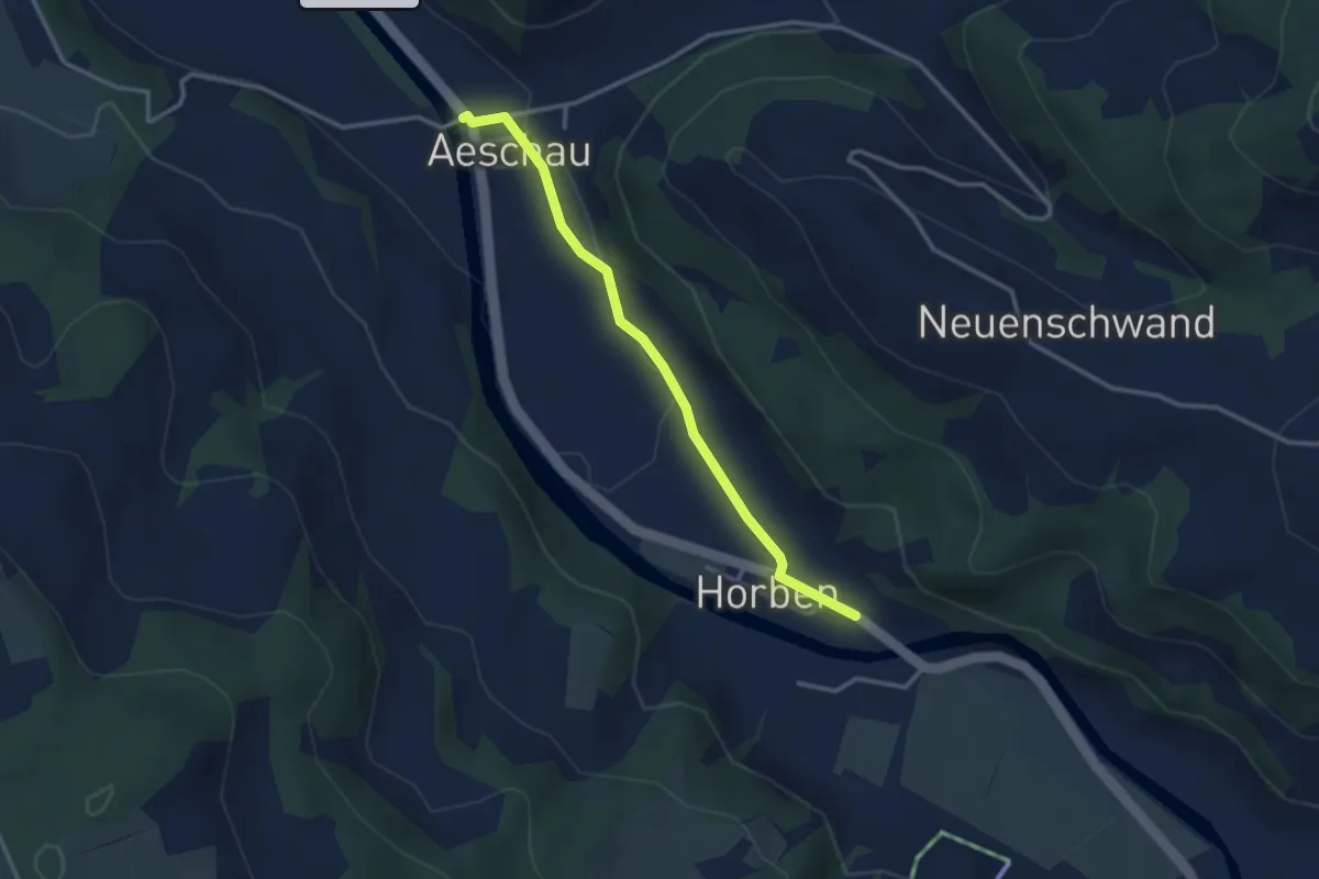
Easy · Trail
Hoben - Aeschau
3.0 km · ↑ 12 m · 44 min
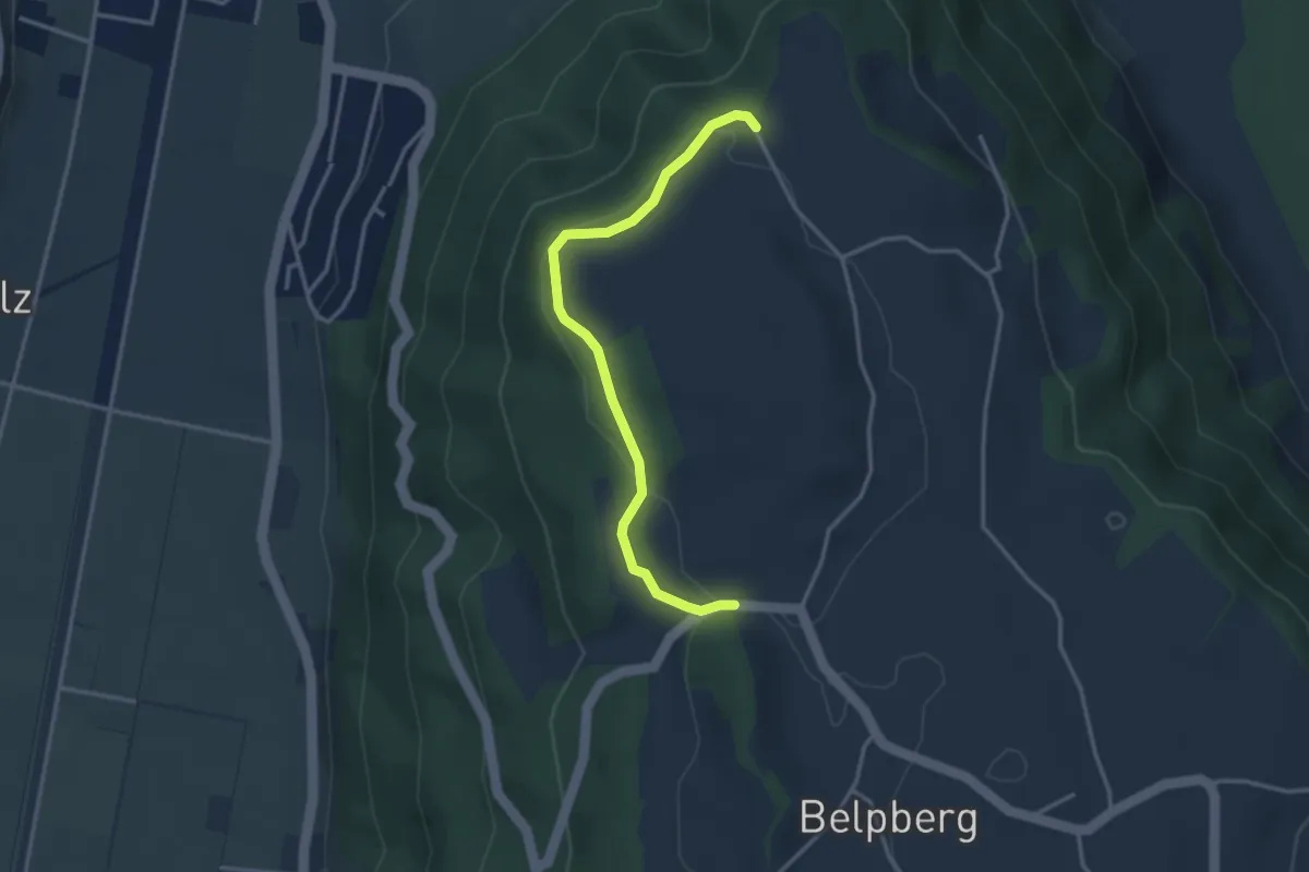
Easy · Trail
Hoburg - Weid
3.3 km · ↑ 114 m · 1 h 2 min
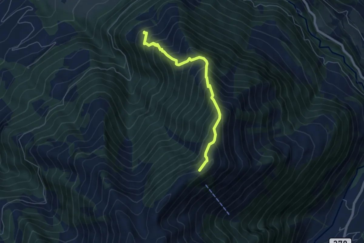
Demanding · Summit
Höch Dossen - Unter Büelen
5.1 km · ↑ 717 m · 2 h 45 min
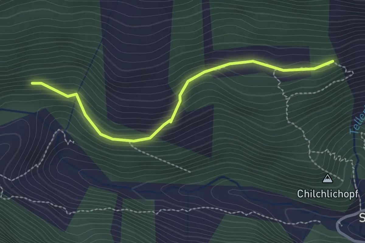
Demanding · Trail
Hochegg - dickste Fichte
2.5 km · ↑ 164 m · 57 min
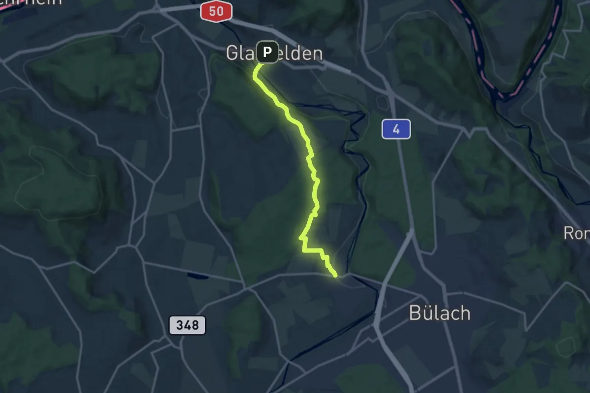
Medium · Trail
Hochfelden - Glattfelden
10.9 km · ↑ 218 m · 3 h 2 min
Medium · Trail
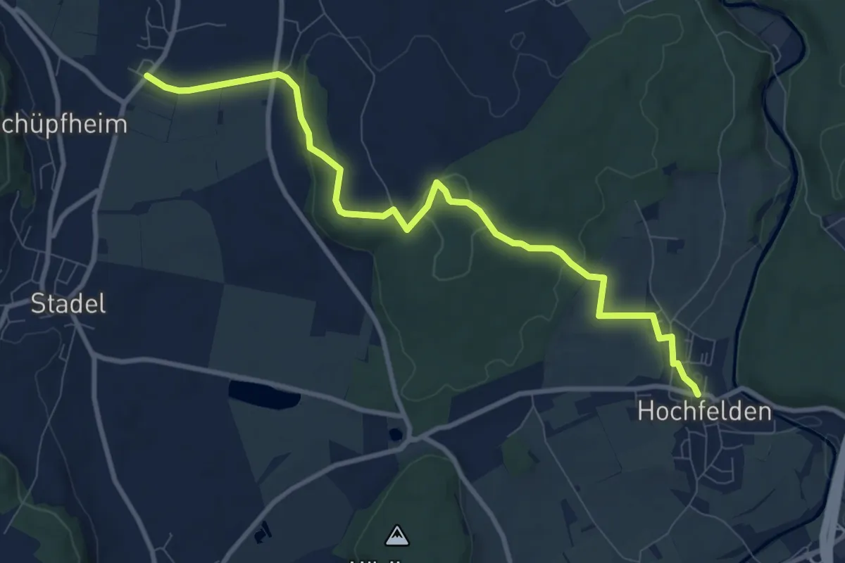
Hochfelden - Windlach
9.6 km · ↑ 228 m · 2 h 46 min
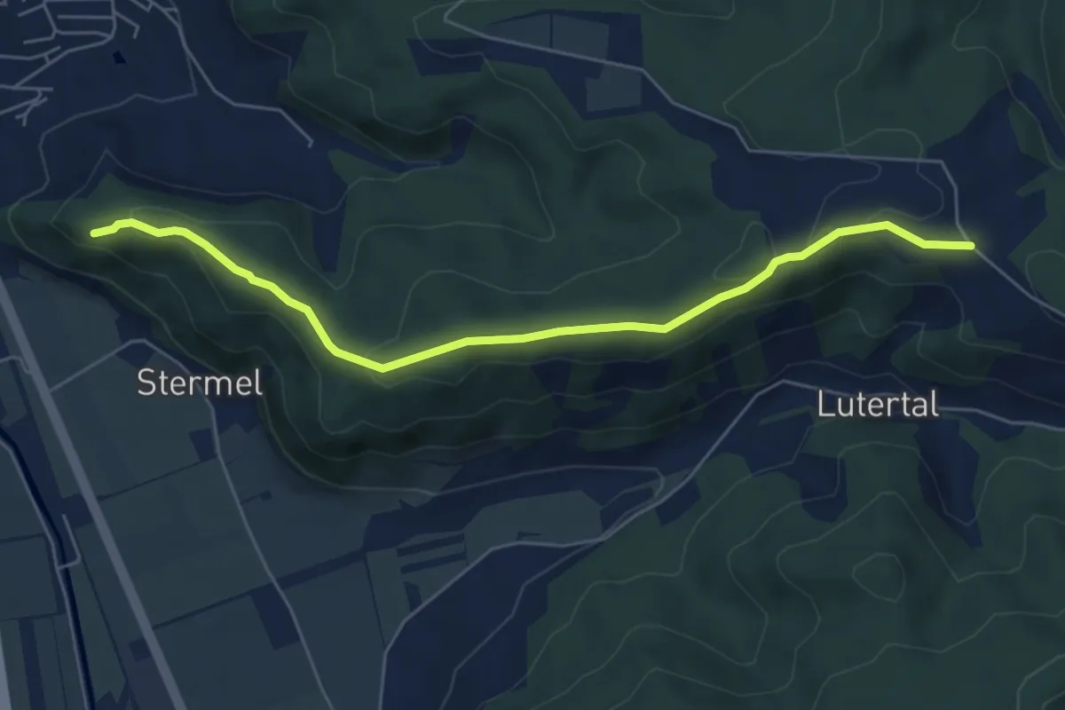
Easy · Trail
Höchflue - Reider Lätten
5.9 km · ↑ 156 m · 1 h 44 min
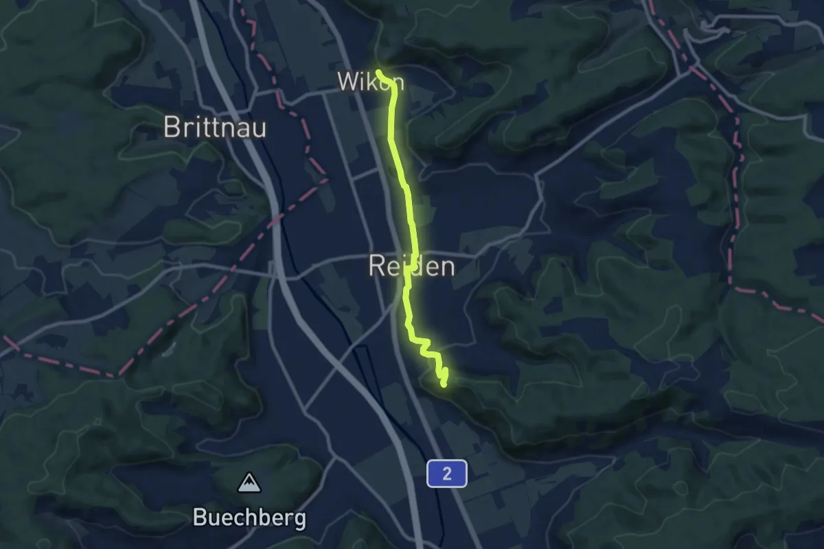
Easy · Trail
Höchflue - Wikon (460)
7.6 km · ↑ 151 m · 2 h 8 min
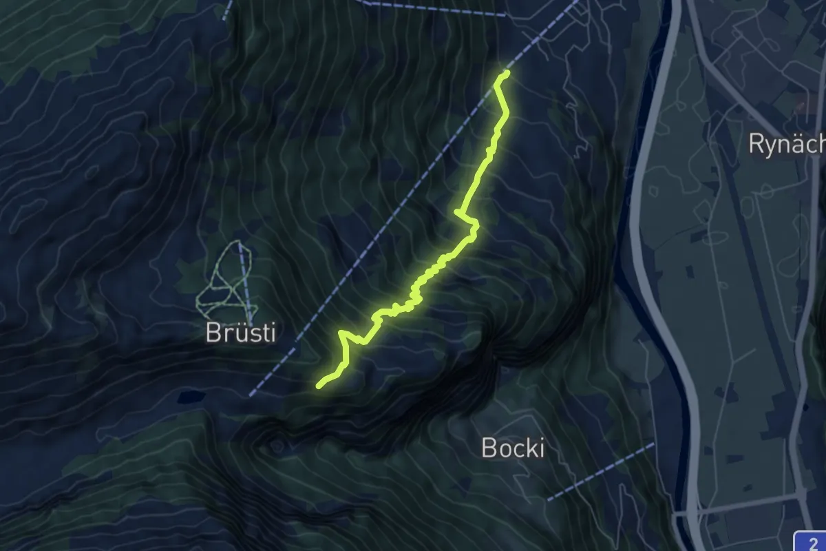
Demanding · Trail
Höchiberg - FIXME
6.2 km · ↑ 861 m · 3 h 19 min