Trails in Switzerland
15,029 hiking trails, each with its route, climb, walking time and grade.
All trails, page 50 of 314
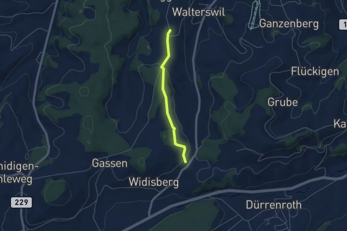
Easy · Trail
Höchi - Widisberg
3.8 km · ↑ 104 m · 1 h 7 min
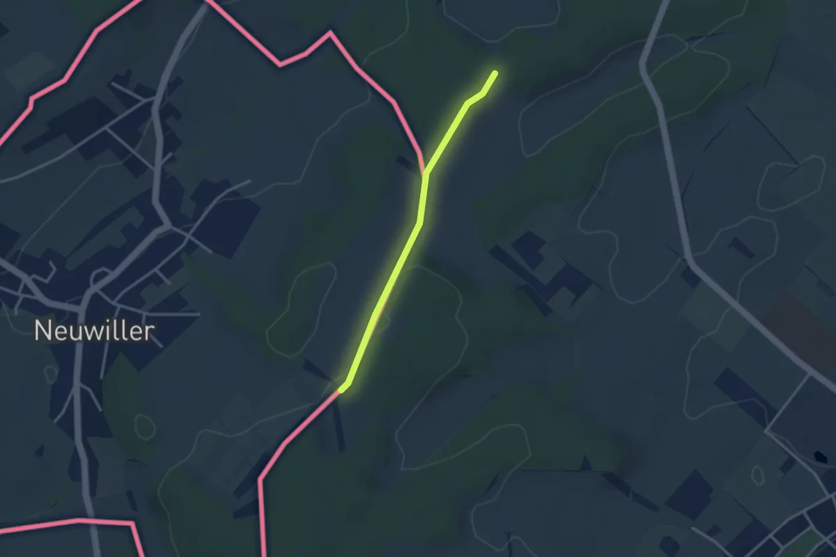
Easy · Pilgrim path
Hochrhein Jakobsweg (2)
1.3 km · ↑ 44 m · 24 min
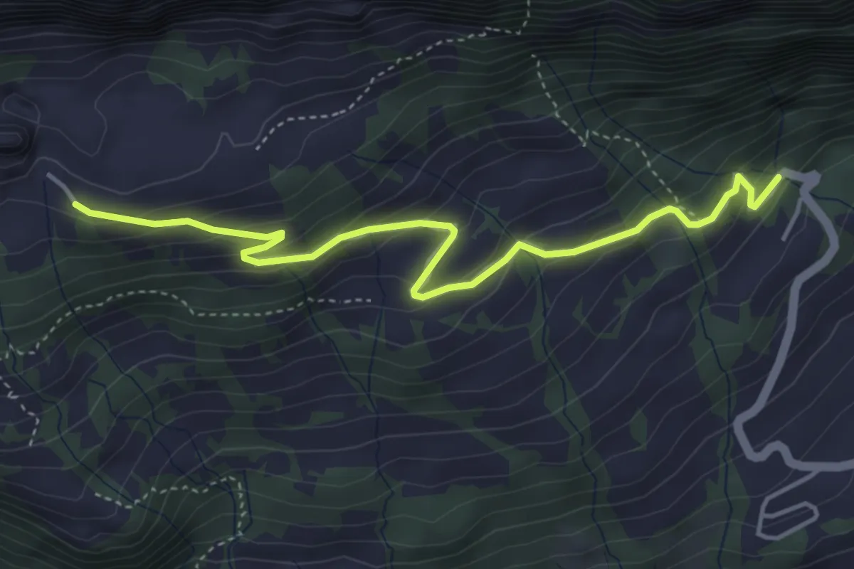
Easy · Trail
Hochrugg - Bergwald
4.5 km · ↑ 270 m · 1 h 39 min
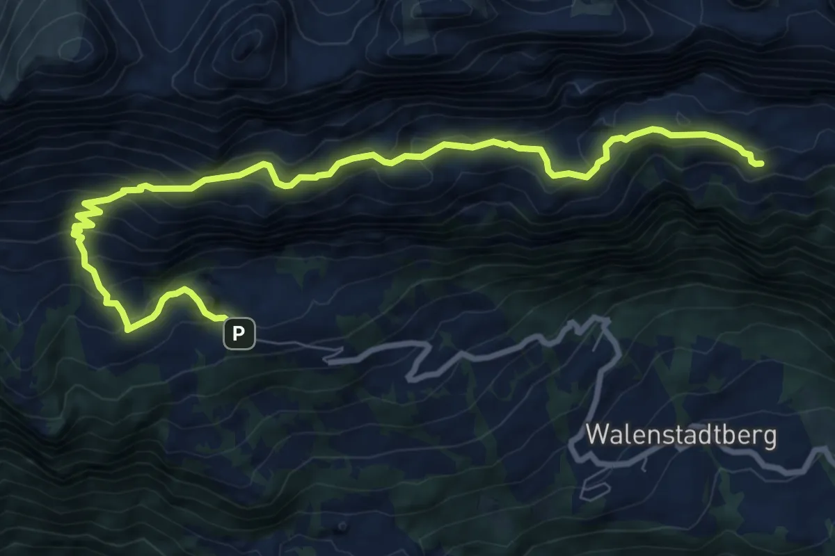
Medium · Cabin
Hochrugg - Tschingla
10.0 km · ↑ 774 m · 4 h 2 min
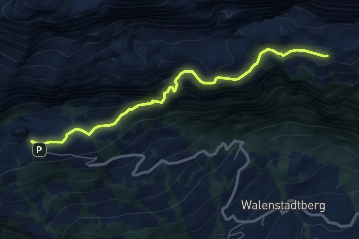
Expert · Cabin
Hochrugg - Tschingla
6.1 km · ↑ 557 m · 2 h 38 min
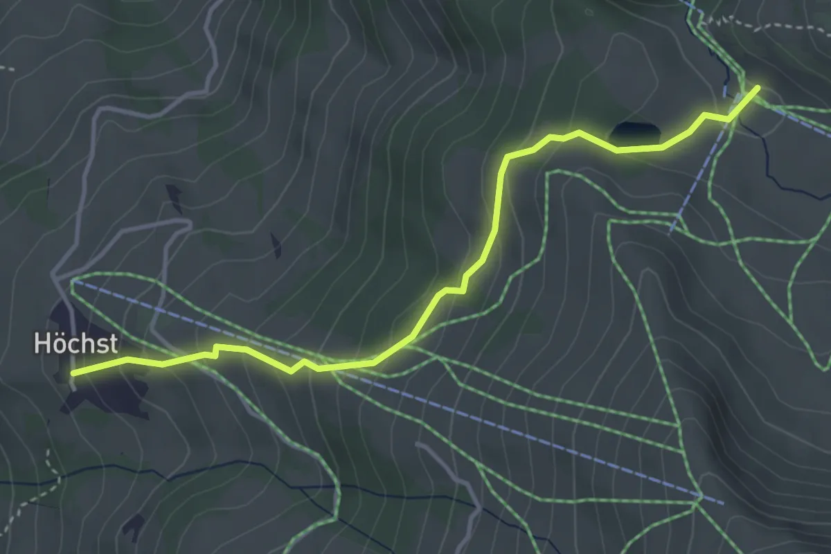
Easy · Trail
Höchst - Elsigenalp
4.0 km · ↑ 268 m · 1 h 31 min
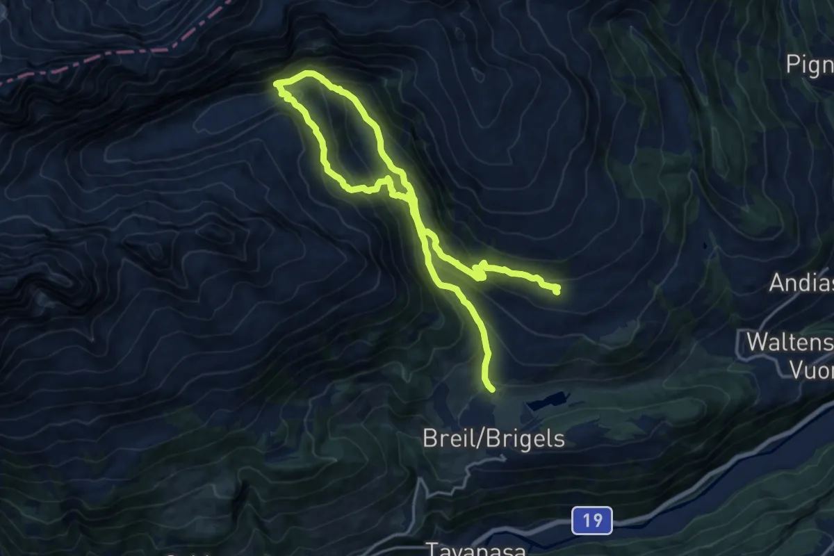
Demanding · Trail
Hochtal Val Frisal
11.5 km · ↑ 578 m · 4 h 18 min
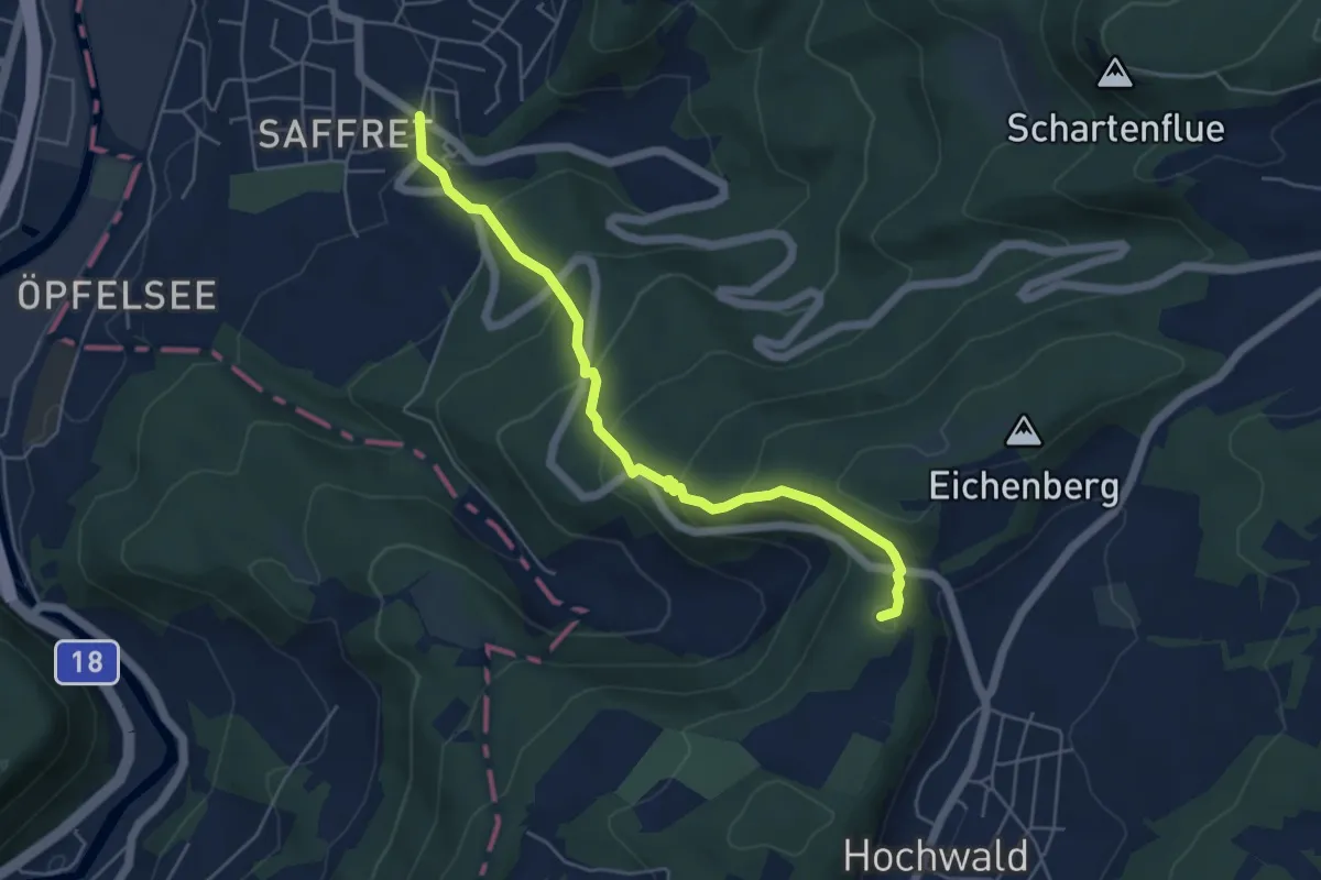
Medium · Summit
Hochwald Post - Musikschule
5.2 km · ↑ 366 m · 2 h 1 min
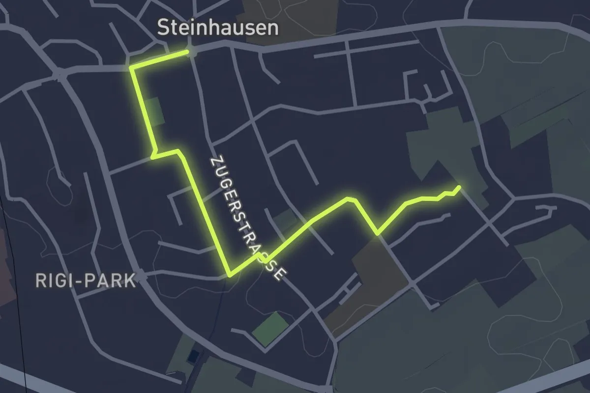
Easy · Trail
Höfen - Post Rathaus
3.1 km · ↑ 8 m · 46 min
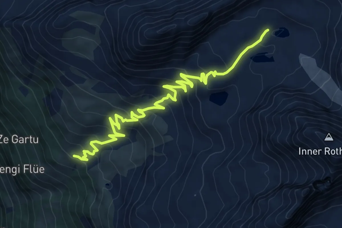
Medium · Trail
Hoferälpi - Grüebusee
11.9 km · ↑ 670 m · 4 h 16 min
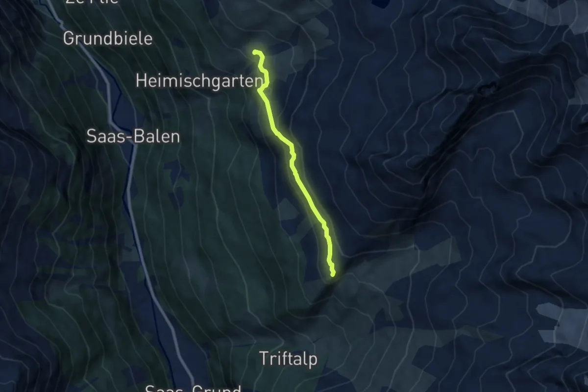
Medium · Trail
Hoferälpi - Kreuzboden
5.9 km · ↑ 338 m · 2 h 8 min
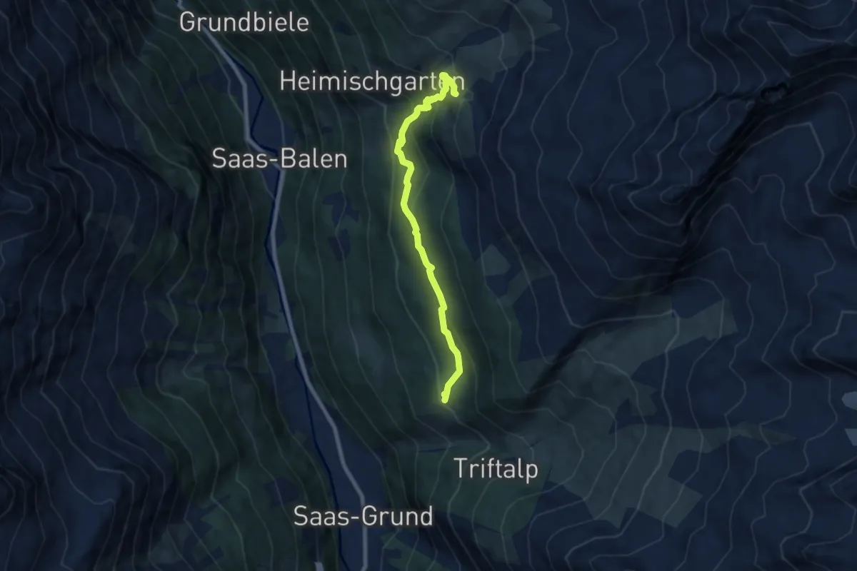
Medium · Trail
Hoferälpi - Tewald
7.0 km · ↑ 516 m · 2 h 47 min
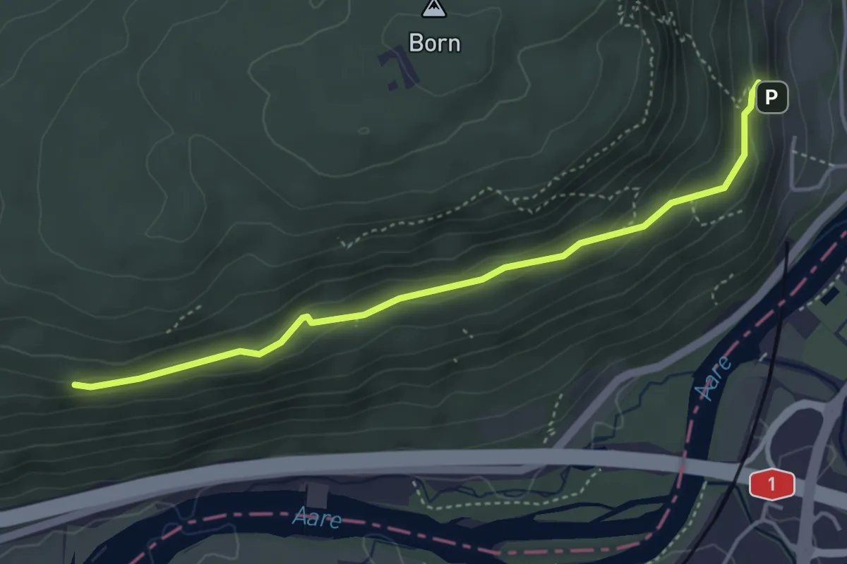
Medium · Trail
Höfli - Ober Rainban
4.2 km · ↑ 165 m · 1 h 21 min
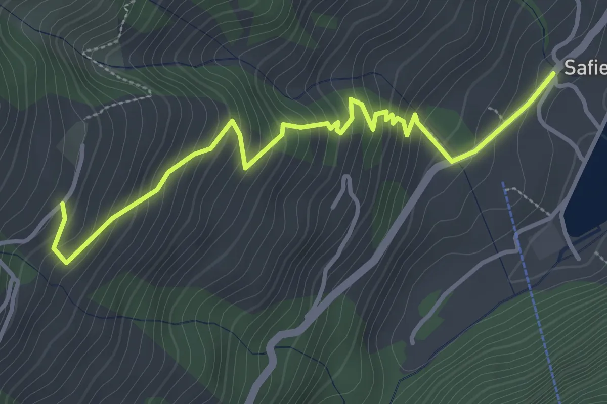
Medium · Trail
Hof-Safien Platz
3.7 km · ↑ 342 m · 1 h 36 min
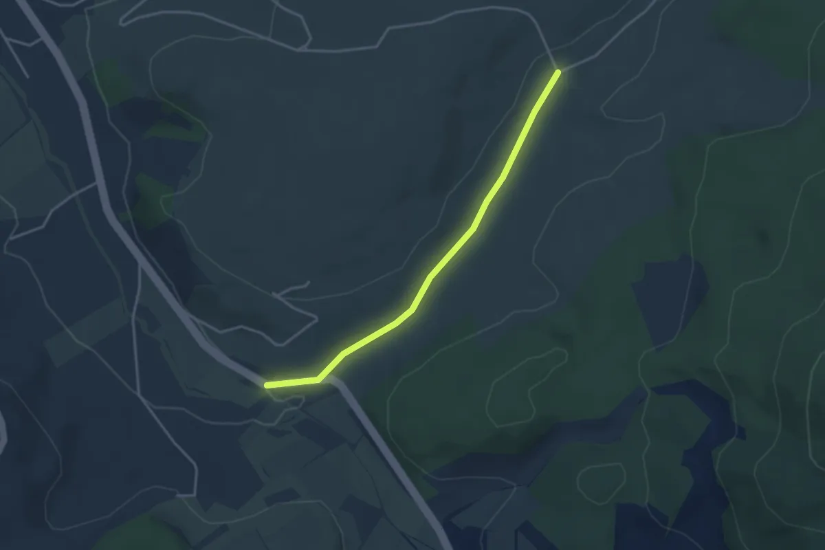
Easy · Trail
Hohbrugg - fixme
3.3 km · ↑ 35 m · 51 min
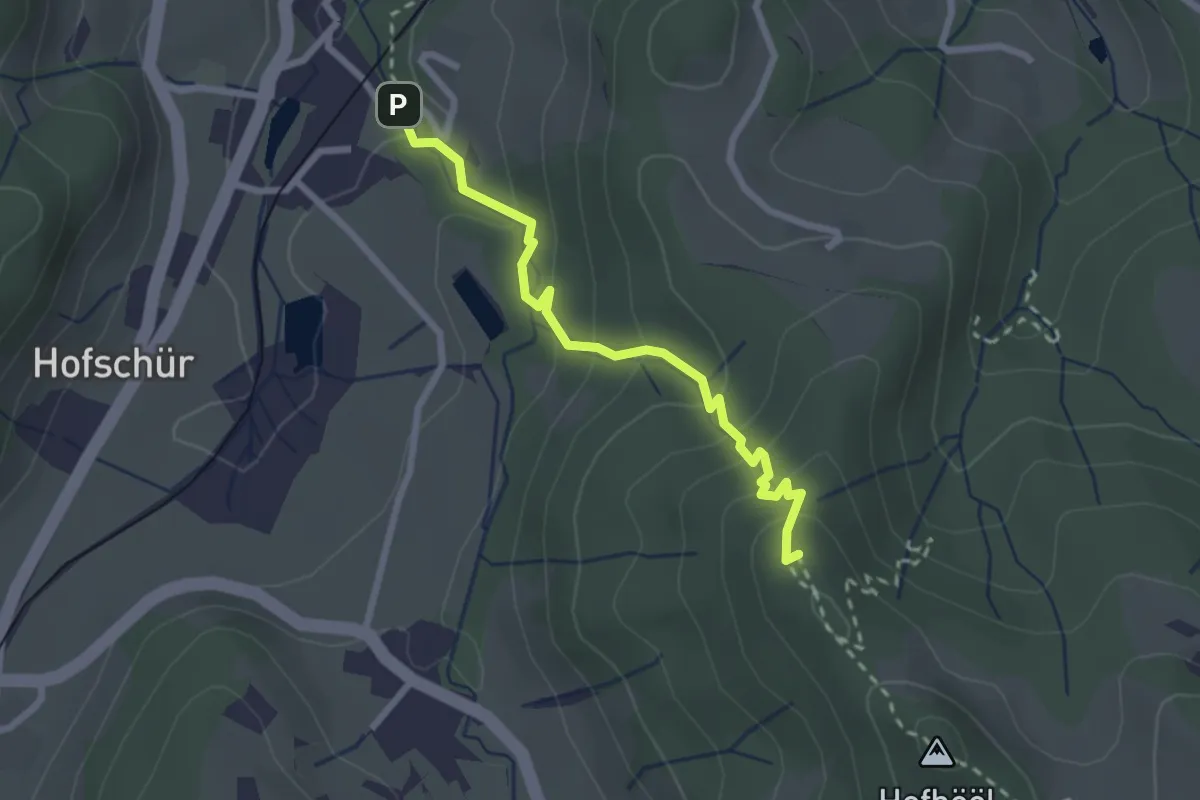
Easy · Summit
Hohenegg - Neuthal
2.4 km · ↑ 187 m · 59 min
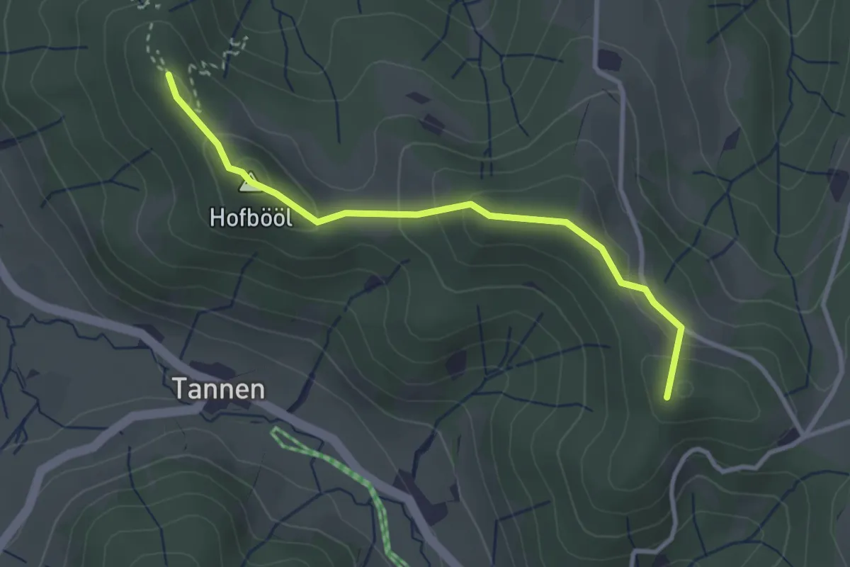
Easy · Summit
Hohenegg - Sunnenhof
2.9 km · ↑ 153 m · 1 h 2 min
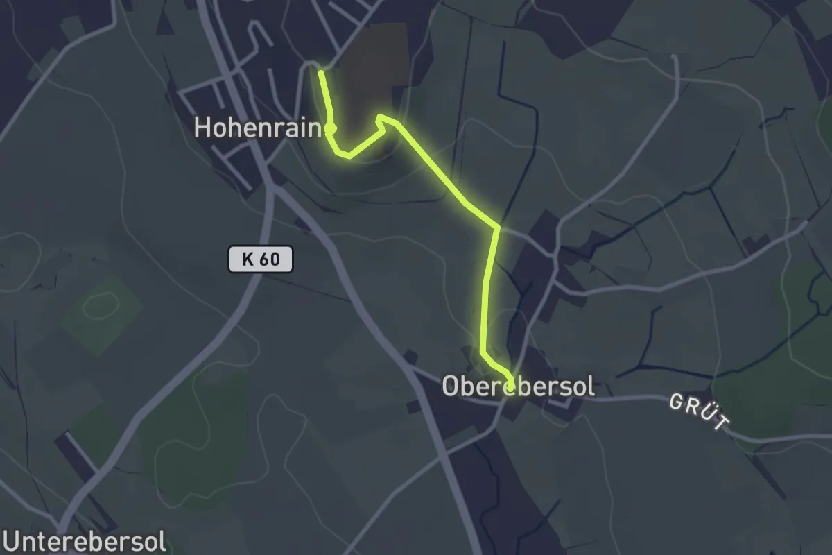
Easy · Trail
Hohenrain - Oberebersol
2.5 km · ↑ 49 m · 41 min
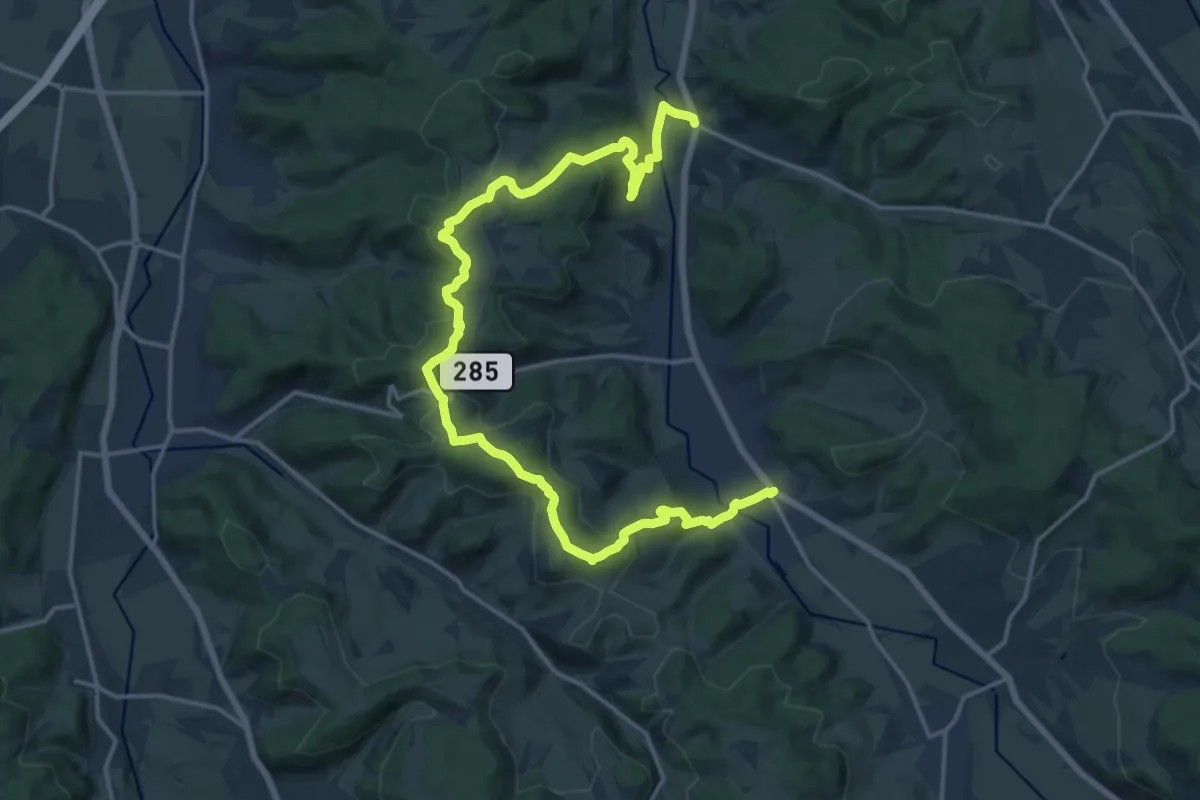
Demanding · Trail
Höhenweg aargauSüd
21.3 km · ↑ 713 m · 6 h 35 min
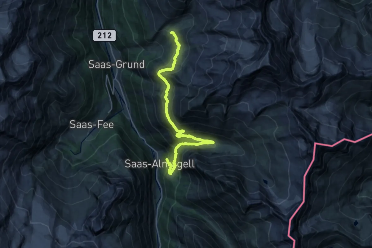
Expert · Cabin
Höhenweg Almagelleralp
20.8 km · ↑ 1386 m · 7 h 55 min
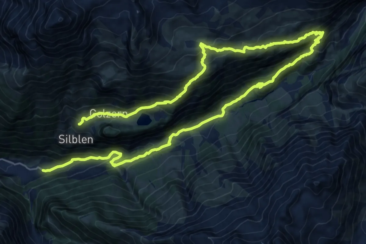
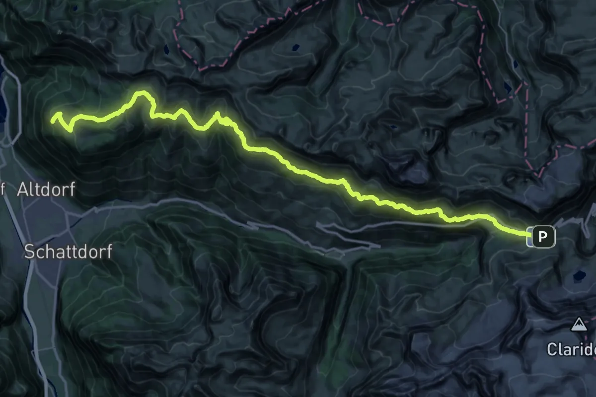
Expert · Trail
Höhenweg Maderanertal
15.7 km · ↑ 1425 m · 6 h 43 min
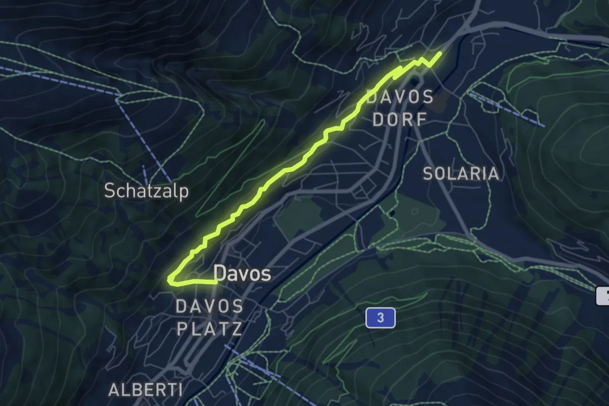
Demanding · Trail
Höhenweg Schächental
21.6 km · ↑ 726 m · 7 h 13 min
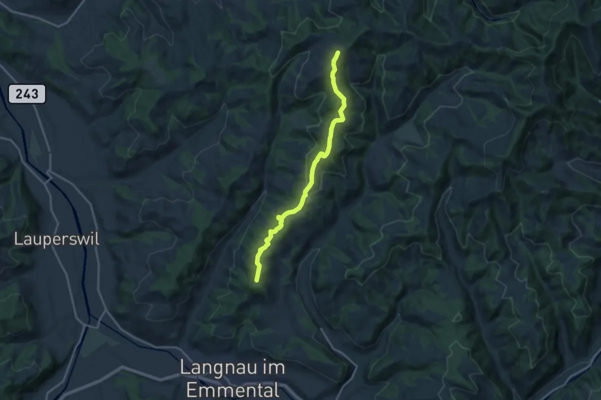
Easy · Trail
Hohe Promenade
6.5 km · ↑ 241 m · 2 h 3 min
Medium · Trail
Hohgratwald - Ober Rafrüti
11.7 km · ↑ 523 m · 3 h 54 min
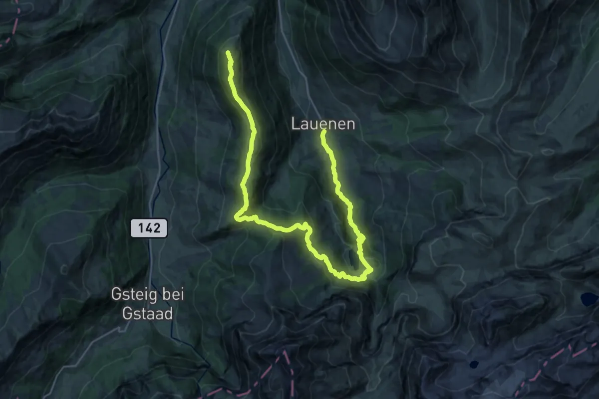
Medium · Trail
Höhi-Wispile-Lauenensee-Weg
13.7 km · ↑ 219 m · 4 h 13 min
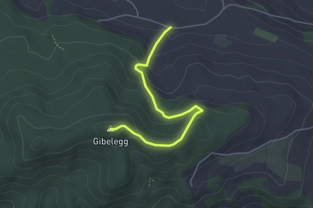
Easy · Summit
Hohlenweg - Gibelegg
3.8 km · ↑ 194 m · 1 h 20 min
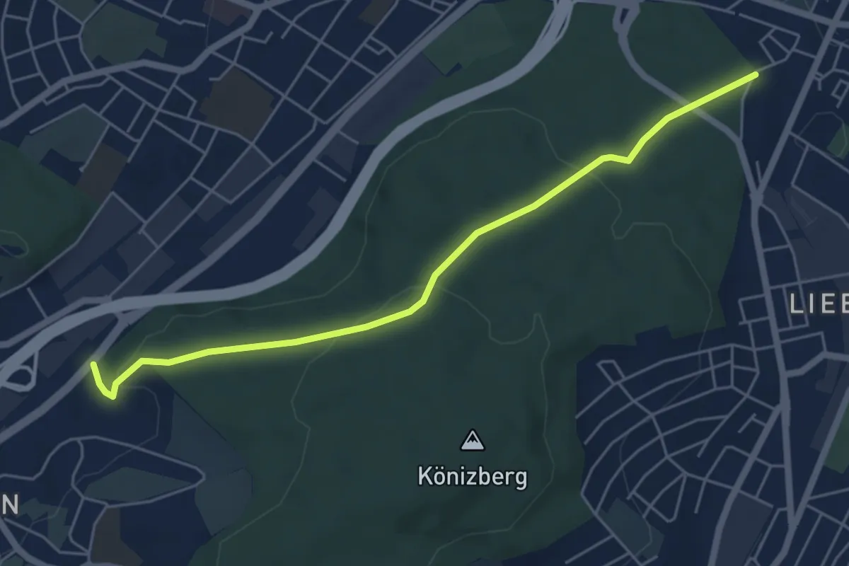
Easy · Trail
Hohliebe - Fischermätteli
5.5 km · ↑ 169 m · 1 h 39 min
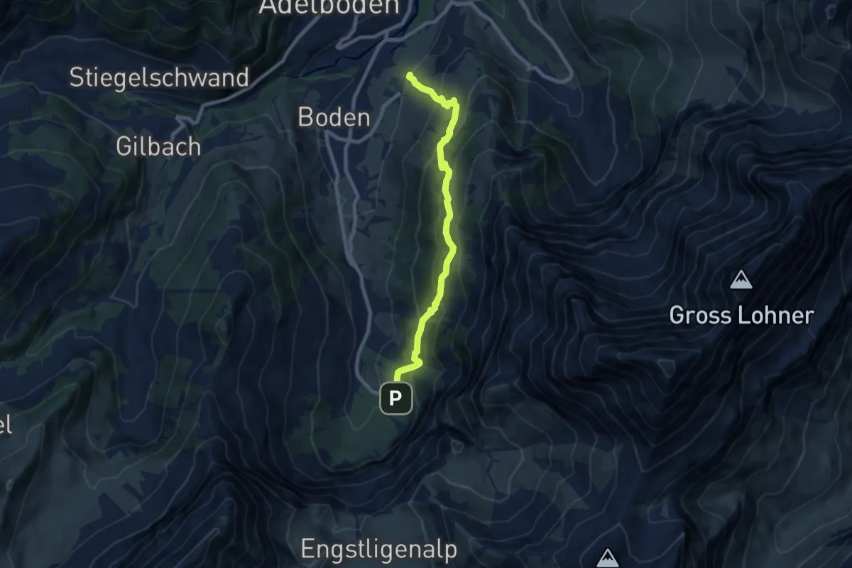
Medium · Trail
Hohliebe - Unter dem Birg
7.9 km · ↑ 664 m · 3 h 18 min
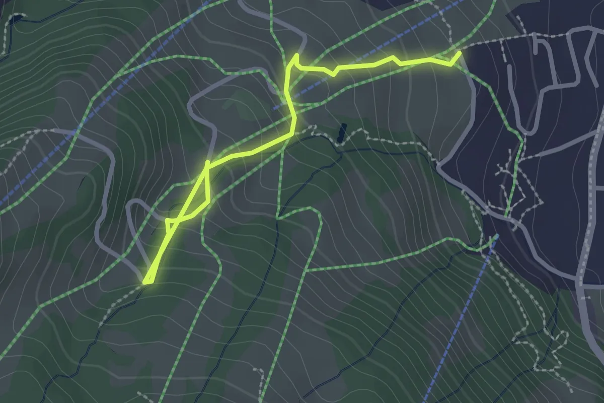
Easy · Trail
Hohliebi - Obere Wyssestei
2.7 km · ↑ 233 m · 1 h 8 min
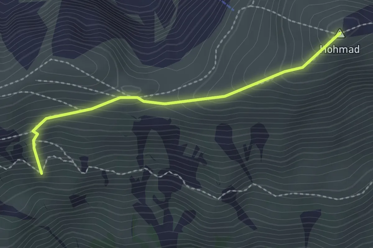
Medium · Summit
Hohmad - Schiterwang
2.0 km · ↑ 211 m · 56 min
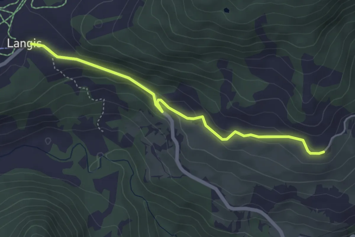
Easy · Trail
Hohnegg - Langis
4.2 km · ↑ 130 m · 1 h 16 min
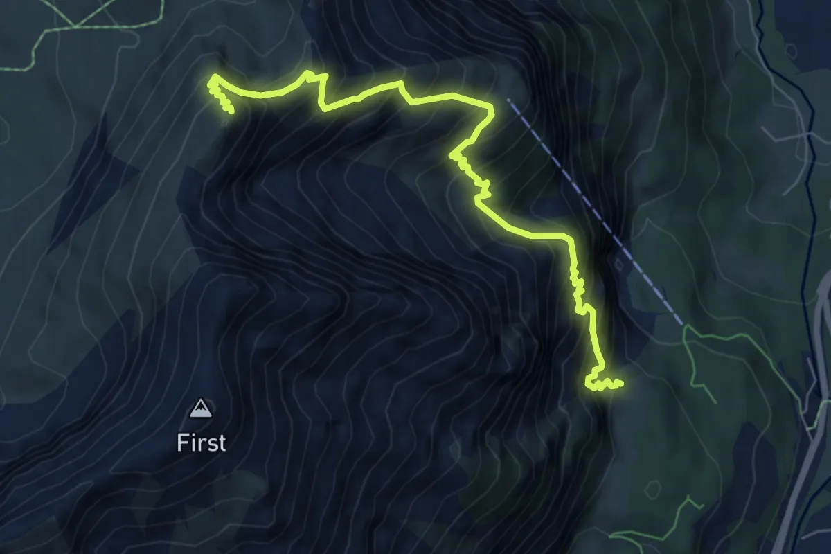
Demanding · Summit
Höh - Stand
7.3 km · ↑ 1109 m · 4 h 8 min
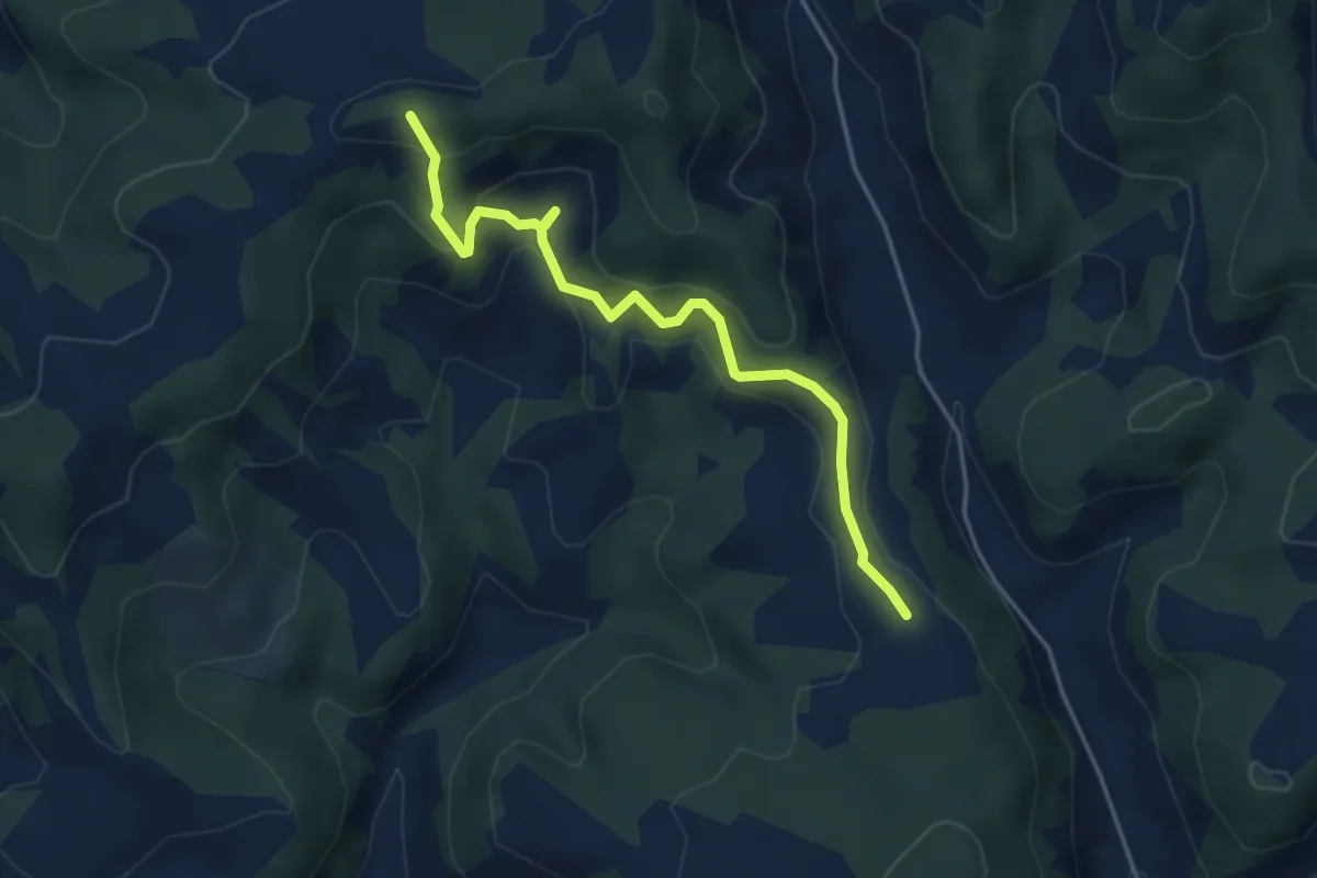
Easy · Summit
Hohstullen - Guggernülli
4.3 km · ↑ 278 m · 1 h 36 min
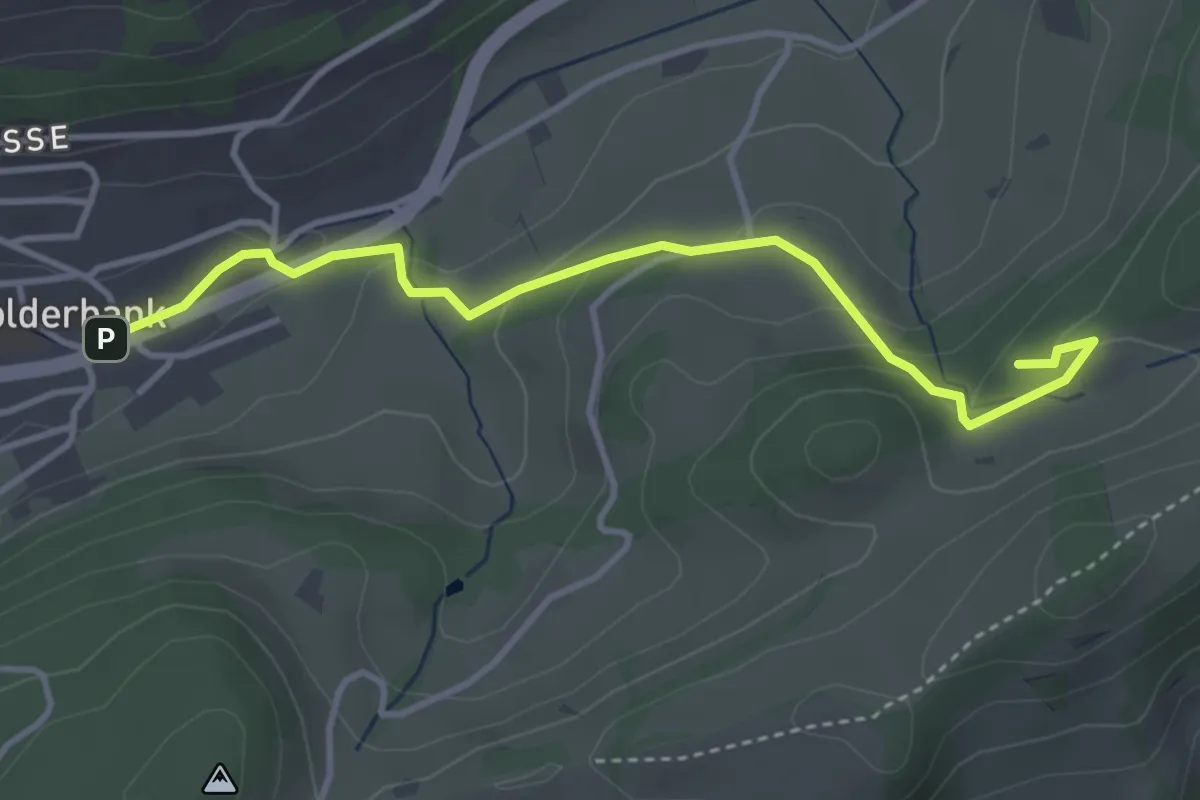
Easy · Trail
Holderbank - Ruine Alt Bechburg
3.8 km · ↑ 149 m · 1 h 14 min
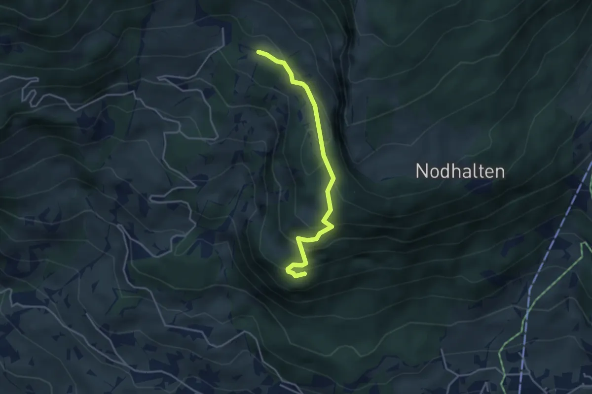
Easy · Trail
Holewang - fixme
3.4 km · ↑ 215 m · 1 h 16 min
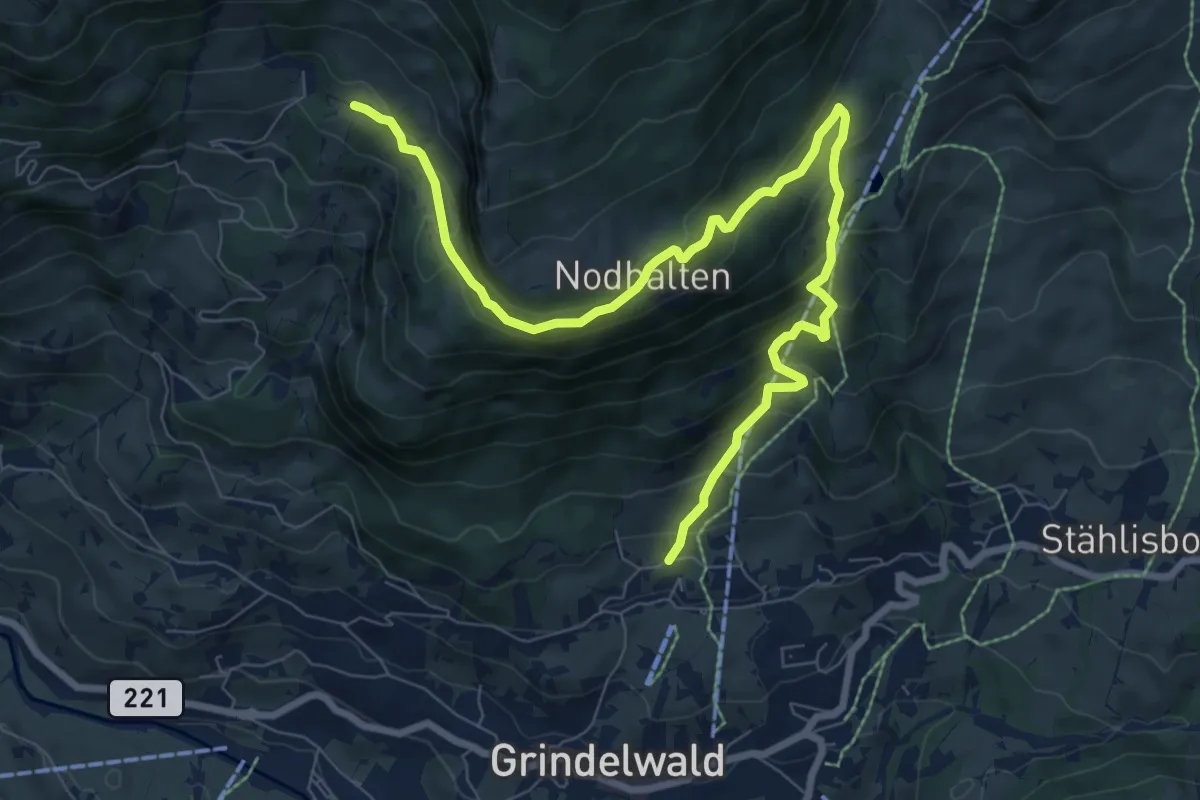
Medium · Trail
Holewang - fixme
9.9 km · ↑ 599 m · 3 h 38 min
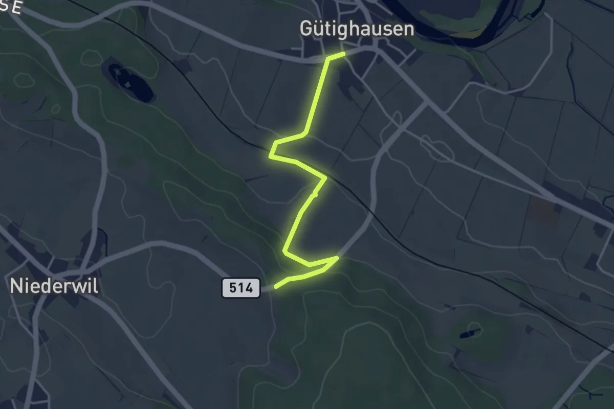
Easy · Trail
Holgass – Gütighausen
3.4 km · ↑ 87 m · 59 min
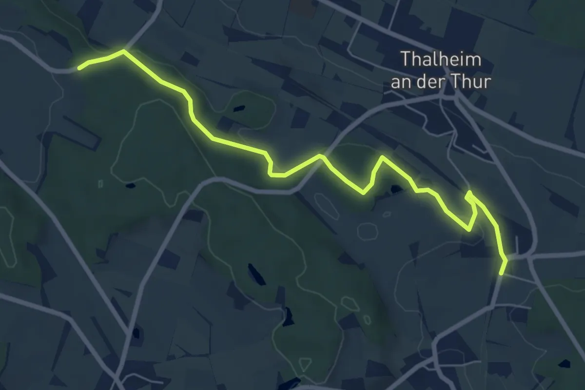
Easy · Trail
Holgass – Thalheim-Altikon Bhf.
6.5 km · ↑ 145 m · 1 h 51 min
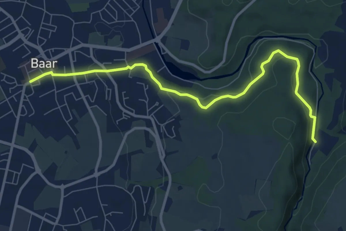
Easy · Trail
Höllbrücke - Dorfstrasse
7.6 km · ↑ 194 m · 2 h 13 min
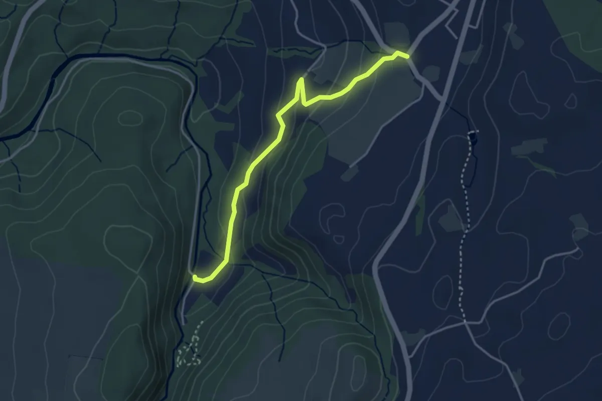
Easy · Trail
Höllbrücke - Hinterburg
3.4 km · ↑ 150 m · 1 h 8 min
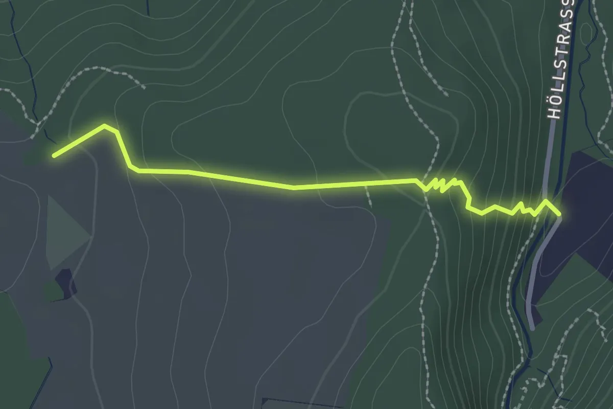
Easy · Trail
Höllbrücke - Ober Allmend
2.3 km · ↑ 128 m · 49 min
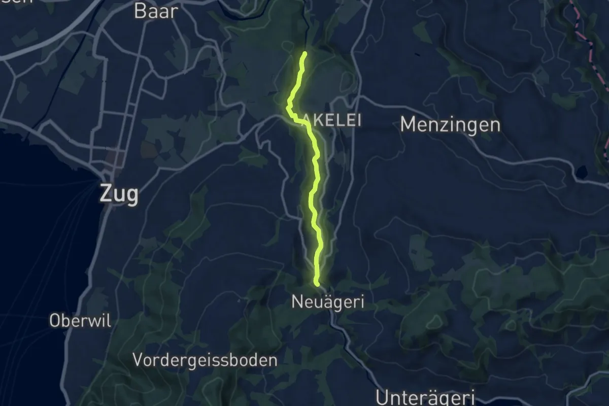
Medium · Trail
Höllbrücke - Schmittli
8.7 km · ↑ 242 m · 2 h 34 min
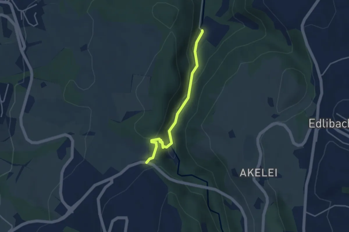
Easy · Trail
Höllbrücke - Talbrücke
2.9 km · ↑ 116 m · 56 min
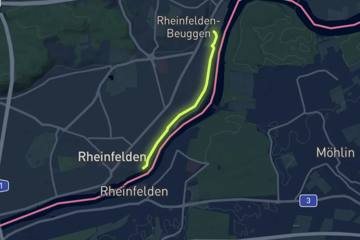
Easy · Trail
Höllhaken - Schloss Beuggen
6.2 km · ↑ 14 m · 1 h 30 min
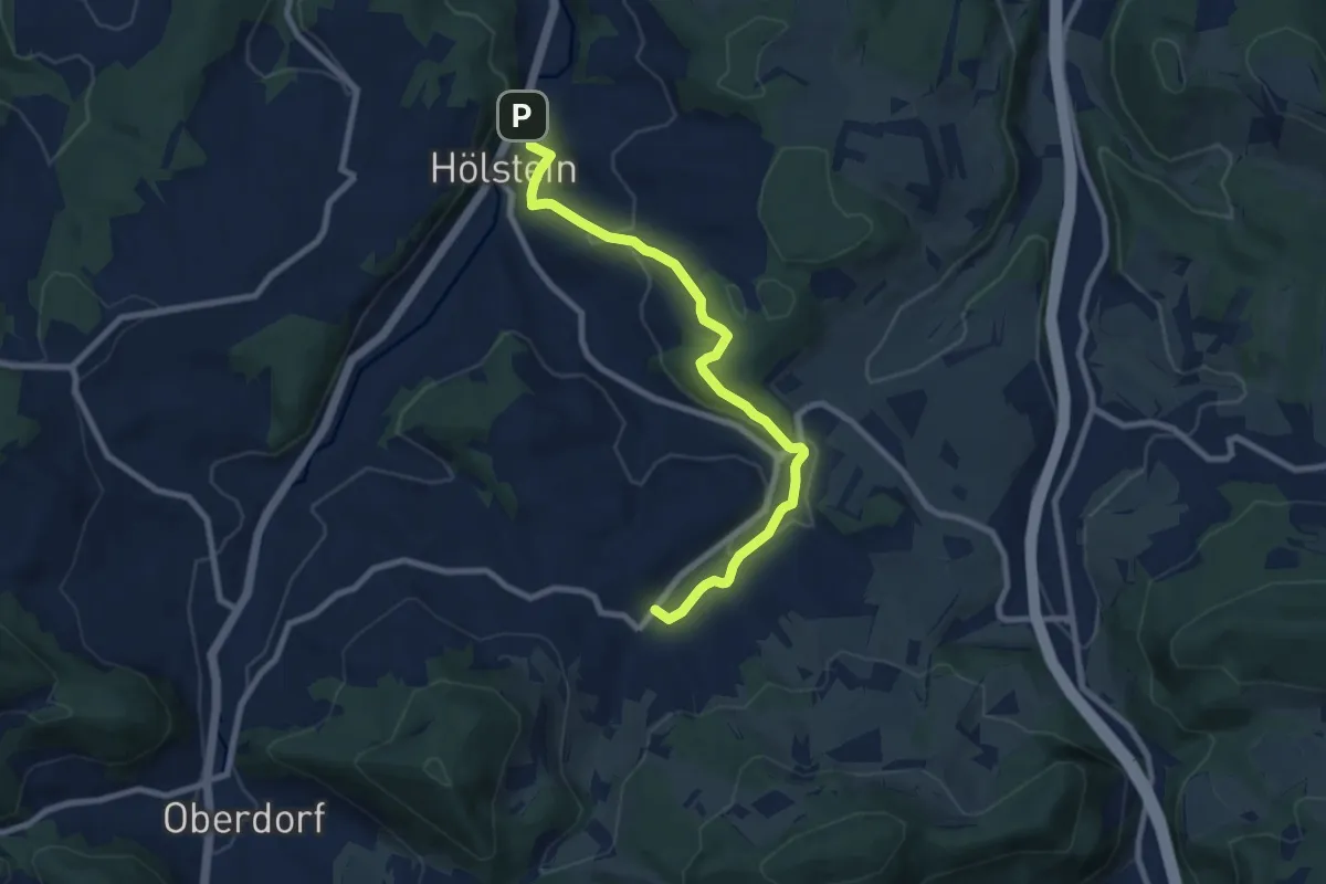
Medium · Trail
Hölstein-Bennwil
8.5 km · ↑ 310 m · 2 h 41 min
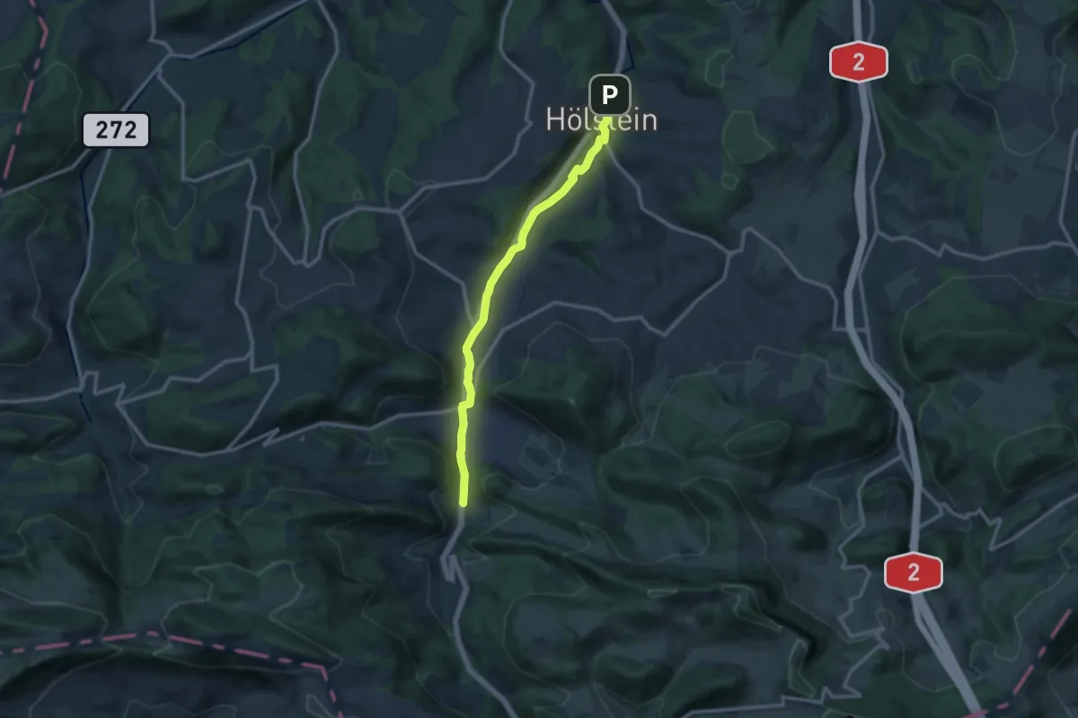
Medium · Trail
Hölstein-Langenbruck
11.0 km · ↑ 193 m · 3 h 1 min
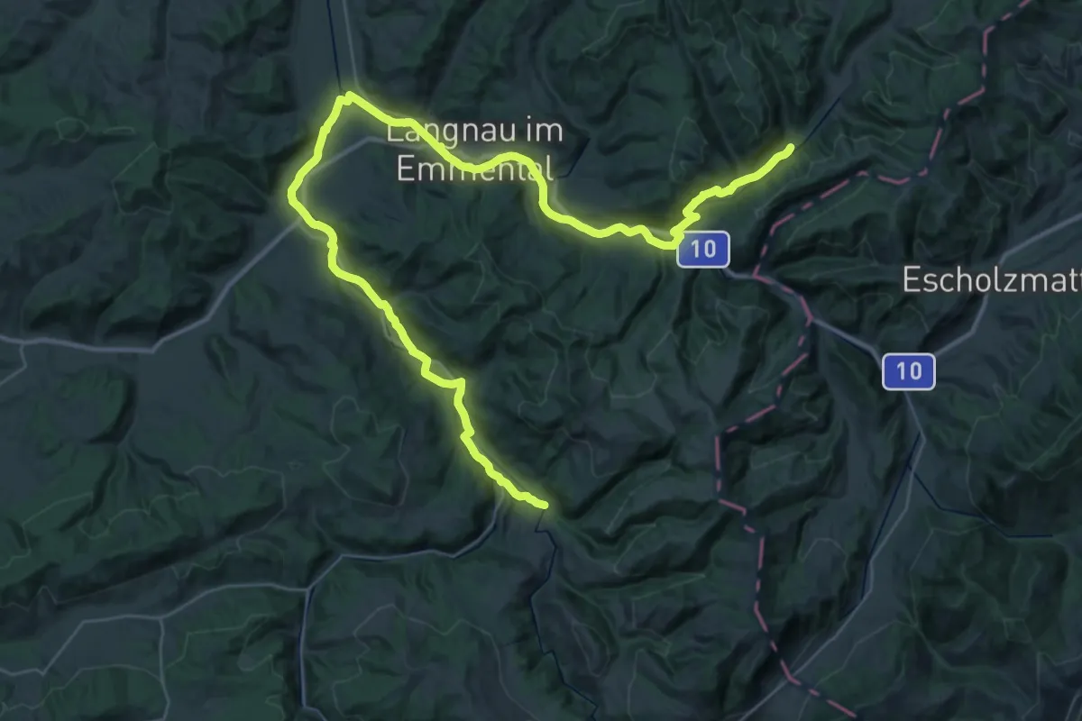
Demanding · Trail
Holzbrückenweg
25.6 km · ↑ 325 m · 7 h 7 min
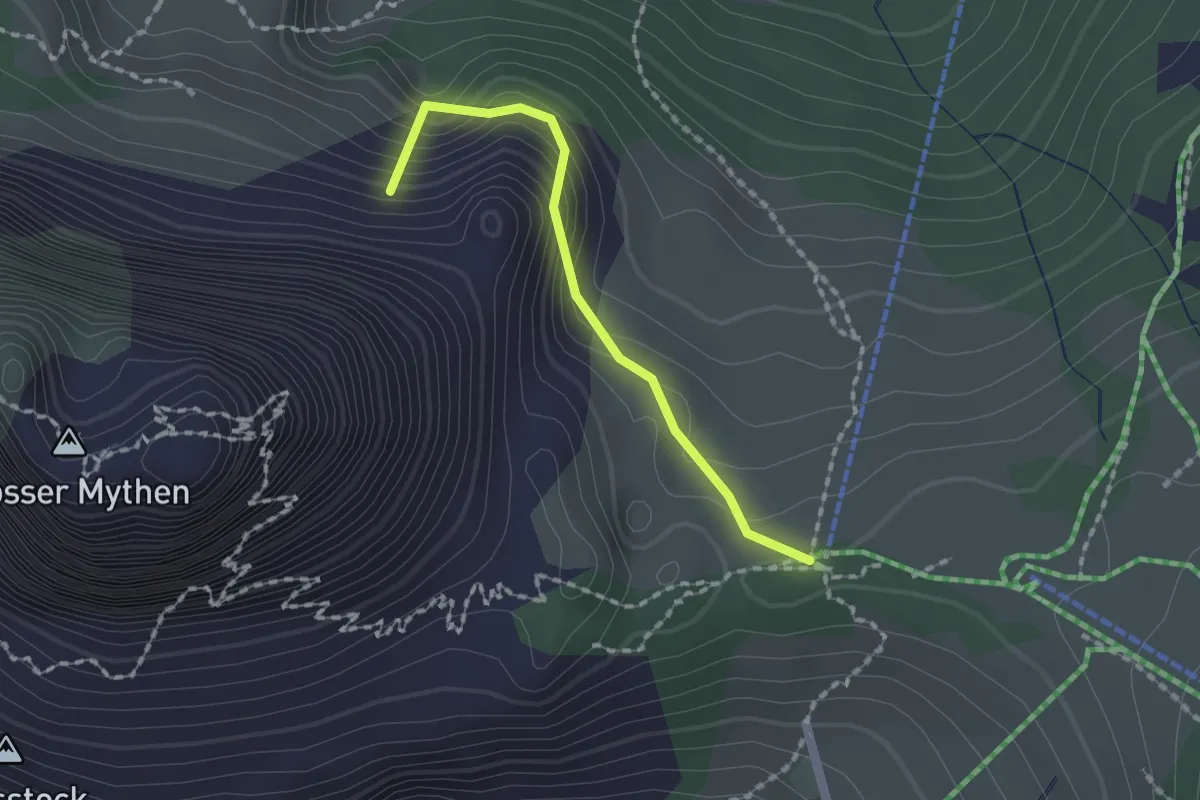
Medium · Summit
Holzegg - Alp Zwüschet Mythen
1.5 km · ↑ 203 m · 48 min