Trails in Switzerland
15,029 hiking trails, each with its route, climb, walking time and grade.
All trails, page 51 of 314
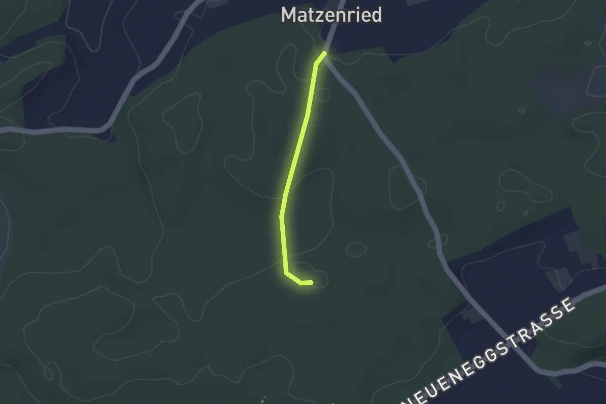
Easy · Trail
Holzeggen - Bruucheren
2.1 km · ↑ 39 m · 35 min
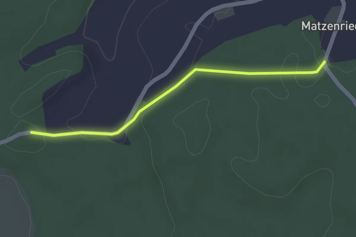
Easy · Trail
Holzeggen - Fuessacher
2.8 km · ↑ 63 m · 48 min
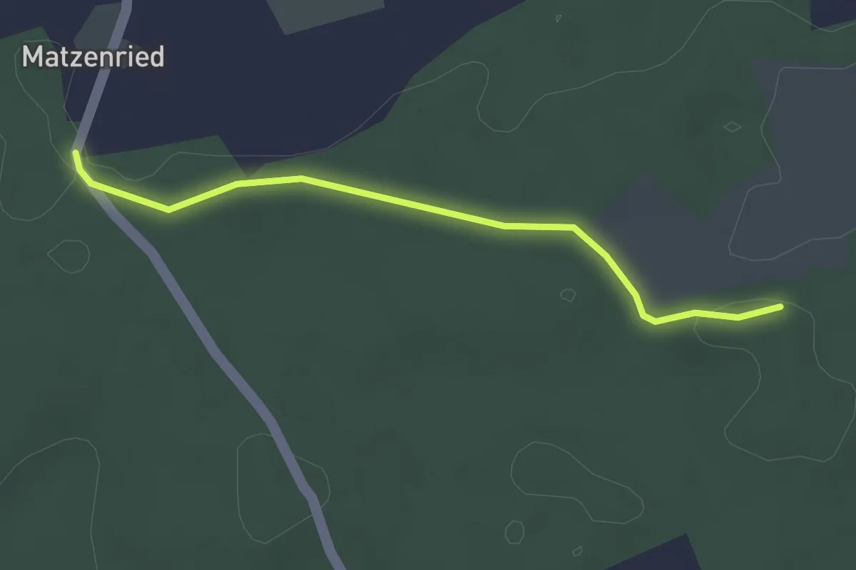
Easy · Trail
Holzeggen - Ried
2.6 km · ↑ 19 m · 39 min
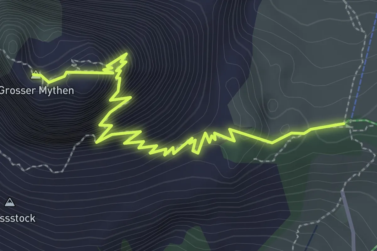
Demanding · Summit
Holzegg - Grosser Mythen
3.4 km · ↑ 598 m · 2 h 6 min
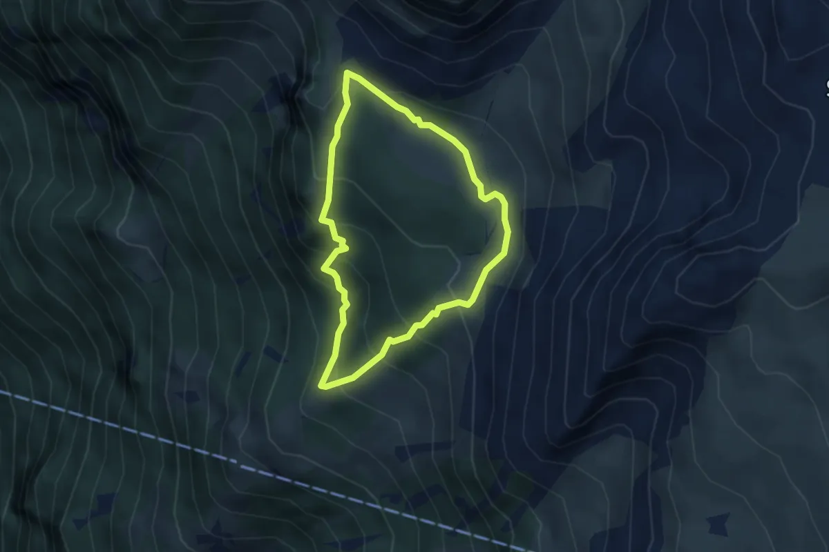
Medium · Trail
Holzflue-Rundweg
3.1 km · ↑ 225 m · 1 h 15 min
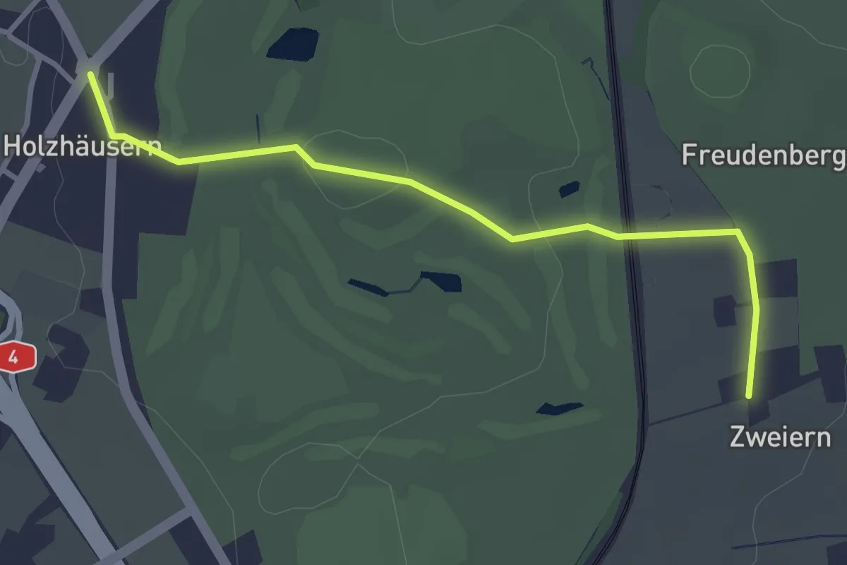
Easy · Trail
Holzhäusern - Zwijeren
3.1 km · ↑ 45 m · 49 min
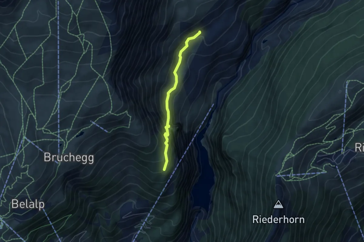
Demanding · Trail
Holzji - Oberaletsch
4.4 km · ↑ 411 m · 1 h 56 min
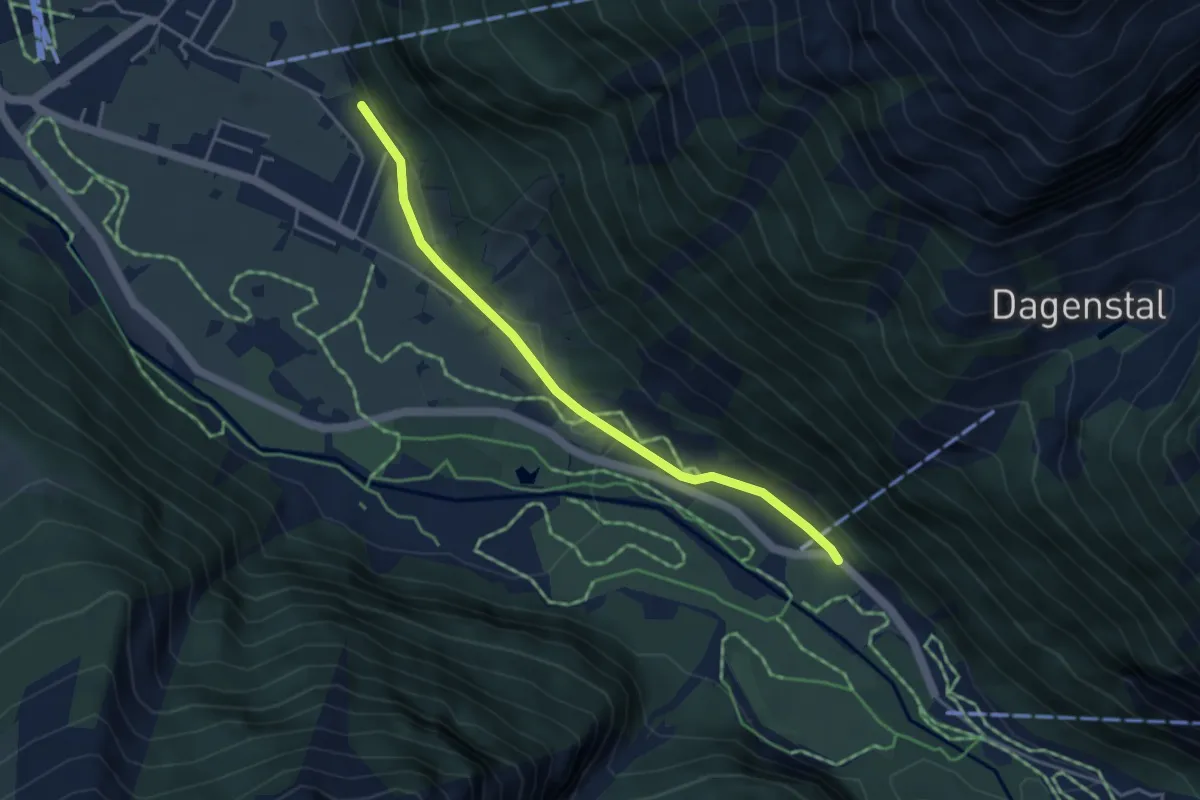
Easy · Trail
Holzkapelle - Wasserfall
4.0 km · ↑ 39 m · 1 h 2 min
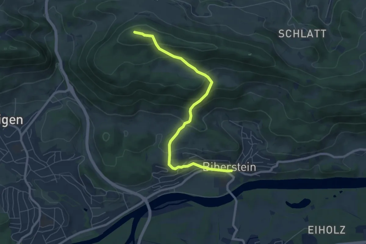
Medium · Summit
Hombergegg - Biberstein
6.6 km · ↑ 392 m · 2 h 25 min
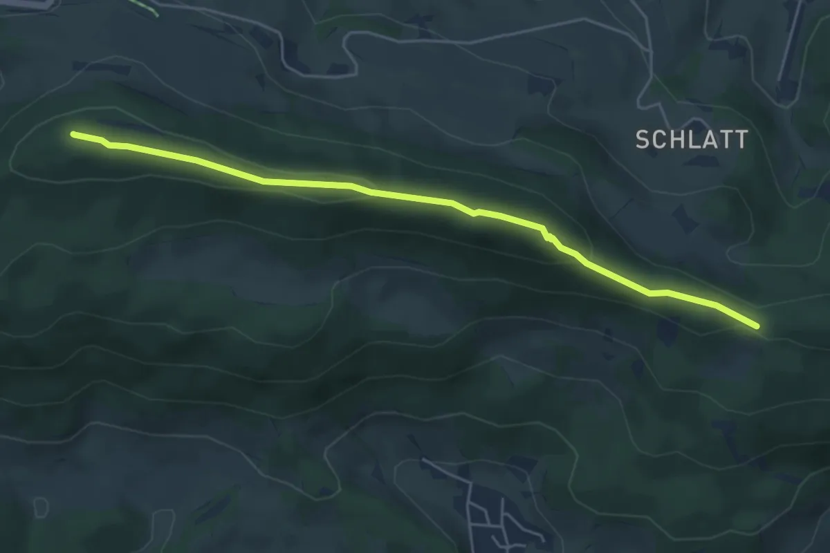
Easy · Summit
Hombergegg - Gatter
5.0 km · ↑ 122 m · 1 h 27 min
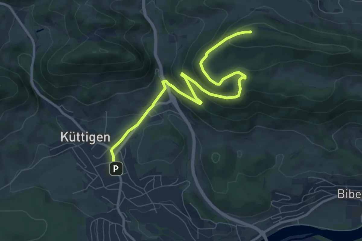
Medium · Summit
Hombergegg - Küttigen
8.4 km · ↑ 381 m · 2 h 49 min
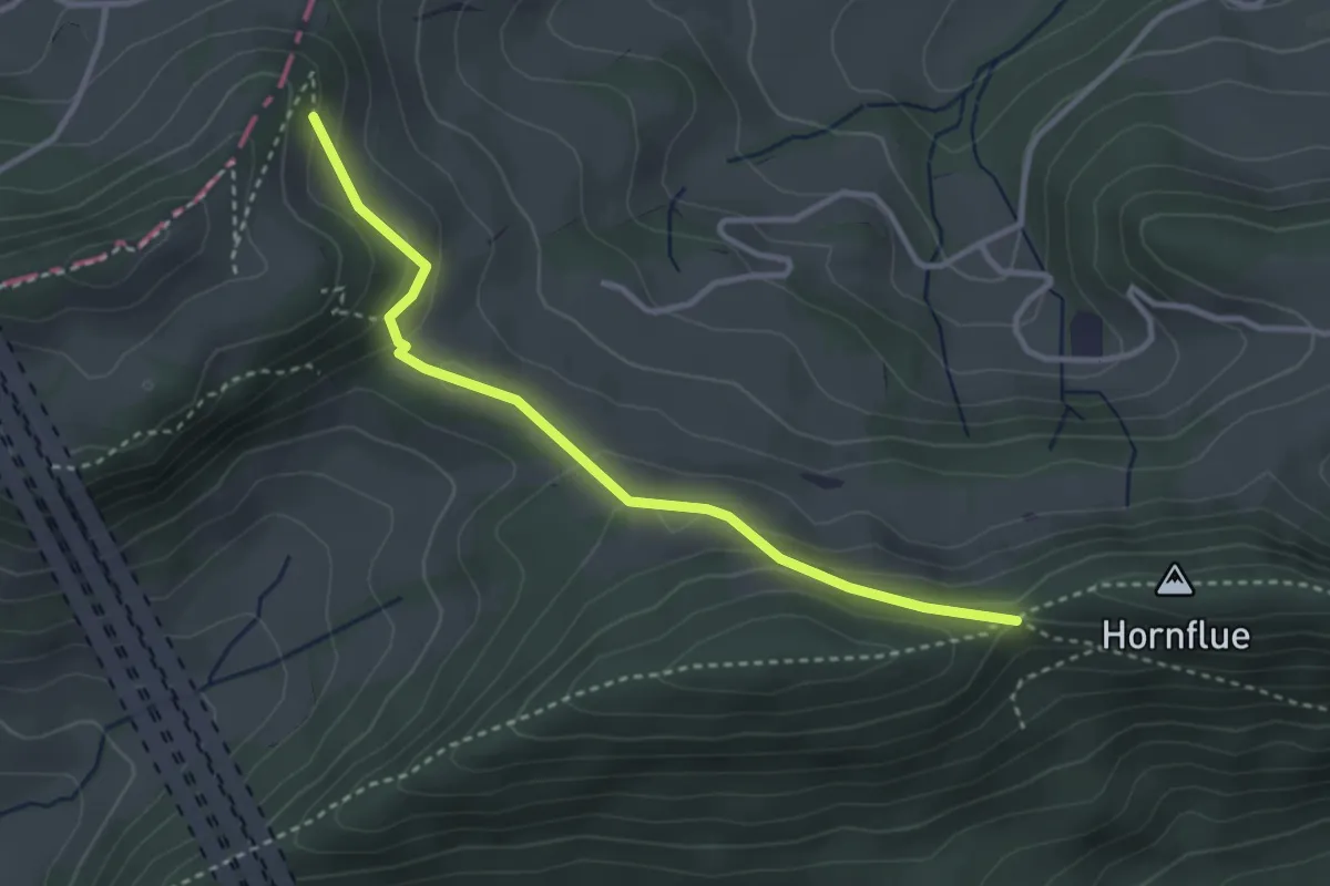
Easy · Cabin
Homberglücke - General Wille Haus
3.2 km · ↑ 120 m · 1 h 1 min
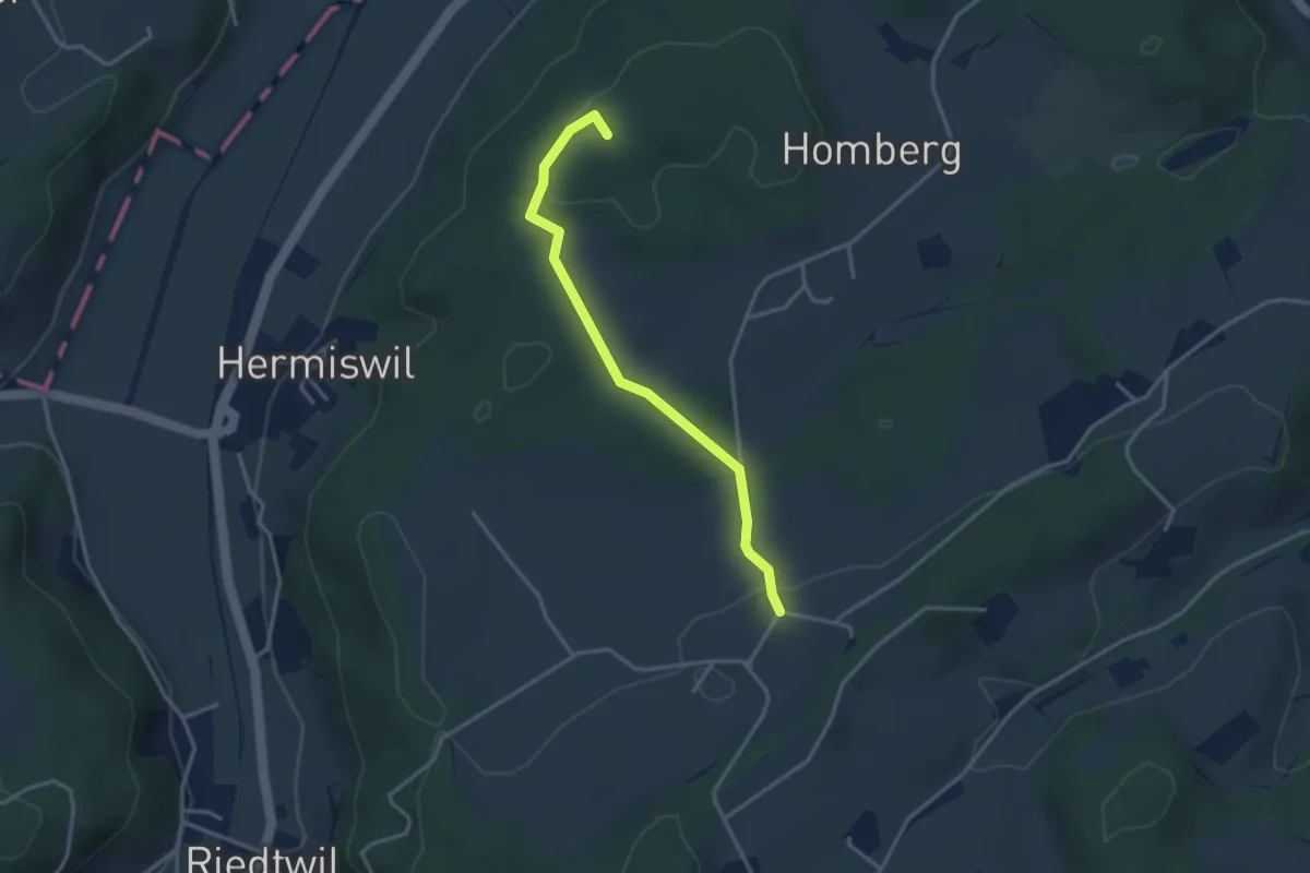
Easy · Summit
Homberg - Spych
3.2 km · ↑ 52 m · 52 min
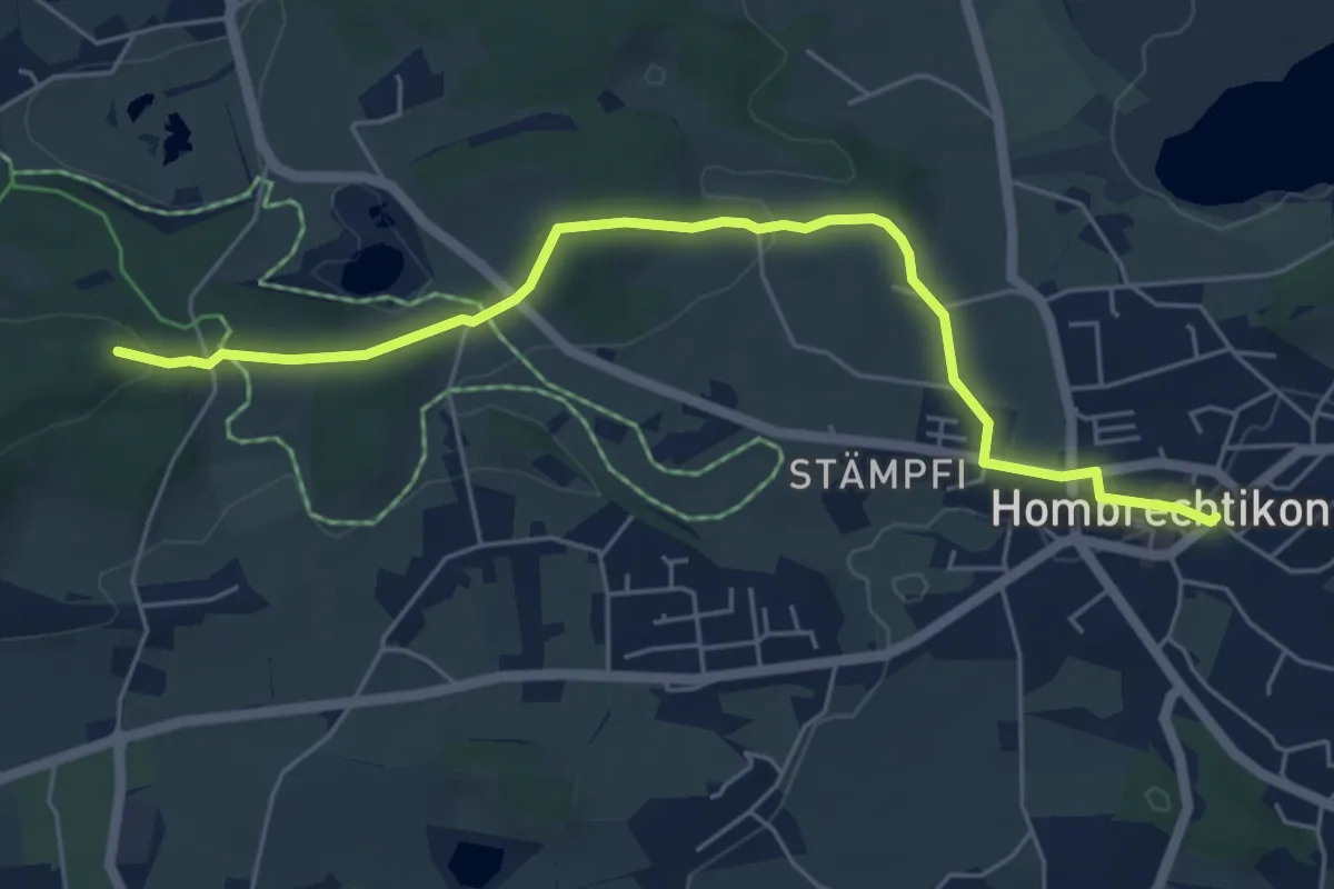
Easy · Trail
Hombrechtikon Post - Buechstutz
5.8 km · ↑ 131 m · 1 h 39 min
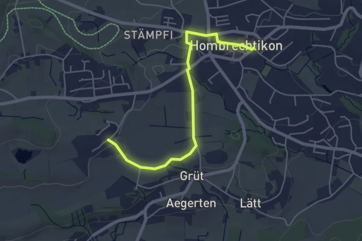
Easy · Trail
Hombrechtikon Post - Widmen
4.1 km · ↑ 46 m · 1 h 4 min
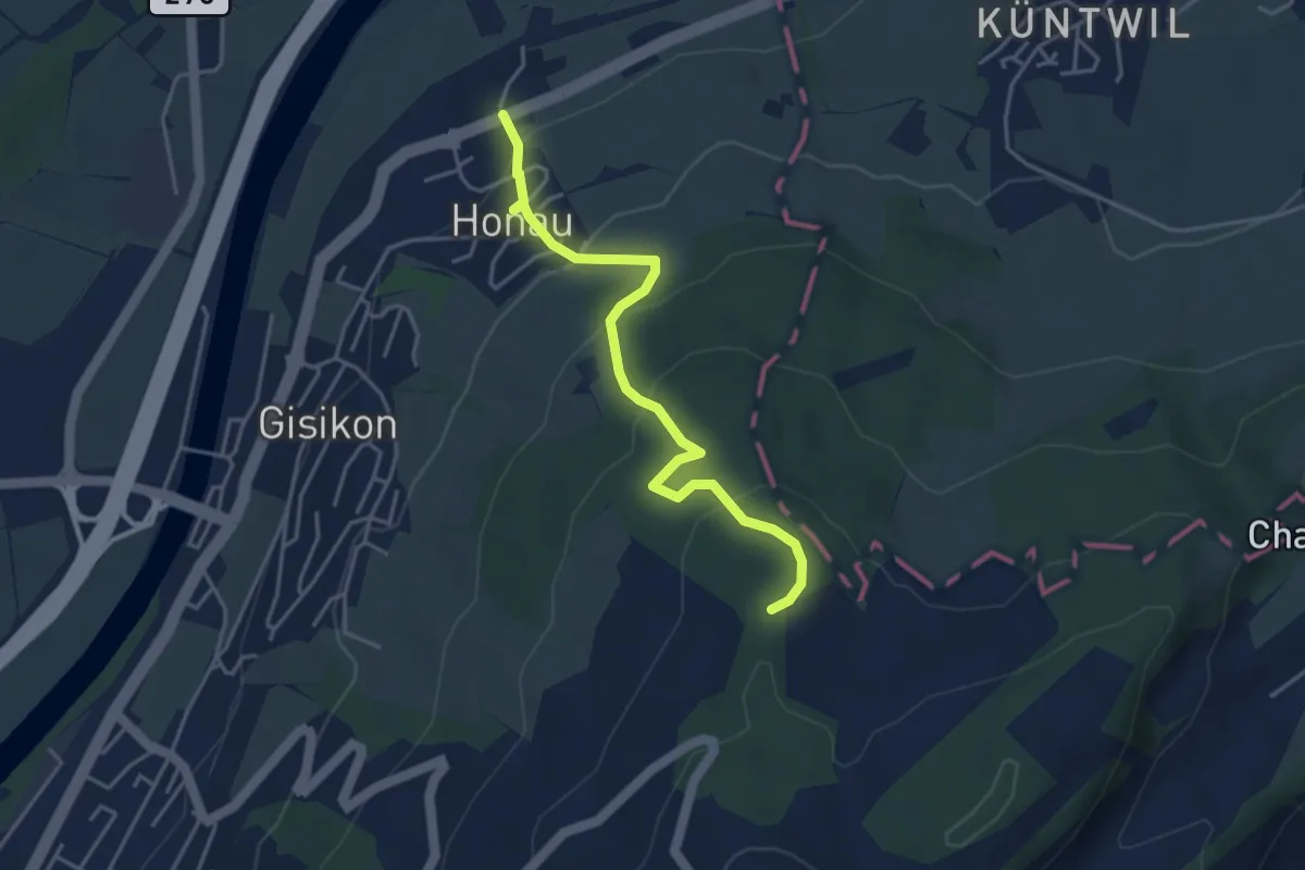
Easy · Trail
Honau - Mittler Sonderi
4.1 km · ↑ 241 m · 1 h 29 min
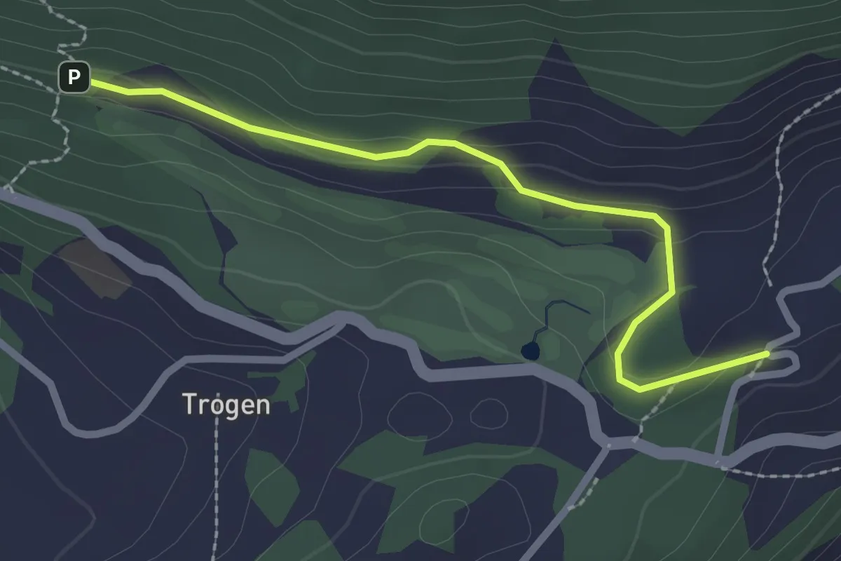
Easy · Trail
Honegg - Hauwald
2.3 km · ↑ 82 m · 44 min
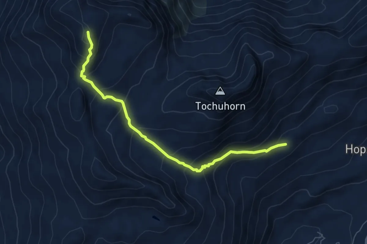
Medium · Trail
Hopsche - Spitzhorli
6.5 km · ↑ 523 m · 2 h 41 min
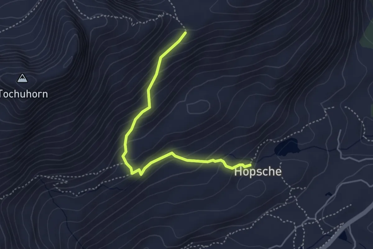
Medium · Trail
Hopsche - Staldhorn
4.0 km · ↑ 306 m · 1 h 36 min
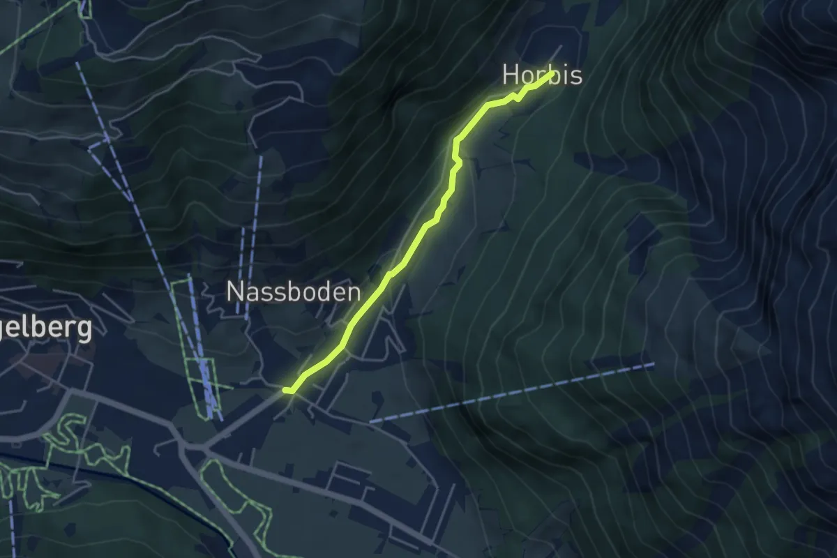
Easy · Trail
Horbis - Festi
3.7 km · ↑ 126 m · 1 h 9 min
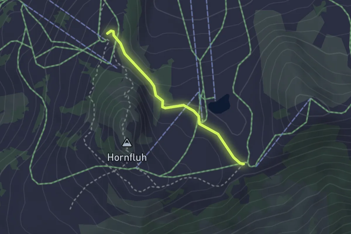
Medium · Trail
Hornberg - Horneggli
2.2 km · ↑ 56 m · 38 min
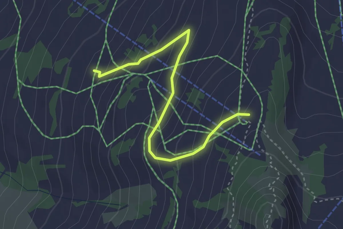
Easy · Trail
Horneggli - Haldisbärgli
3.2 km · ↑ 236 m · 1 h 16 min
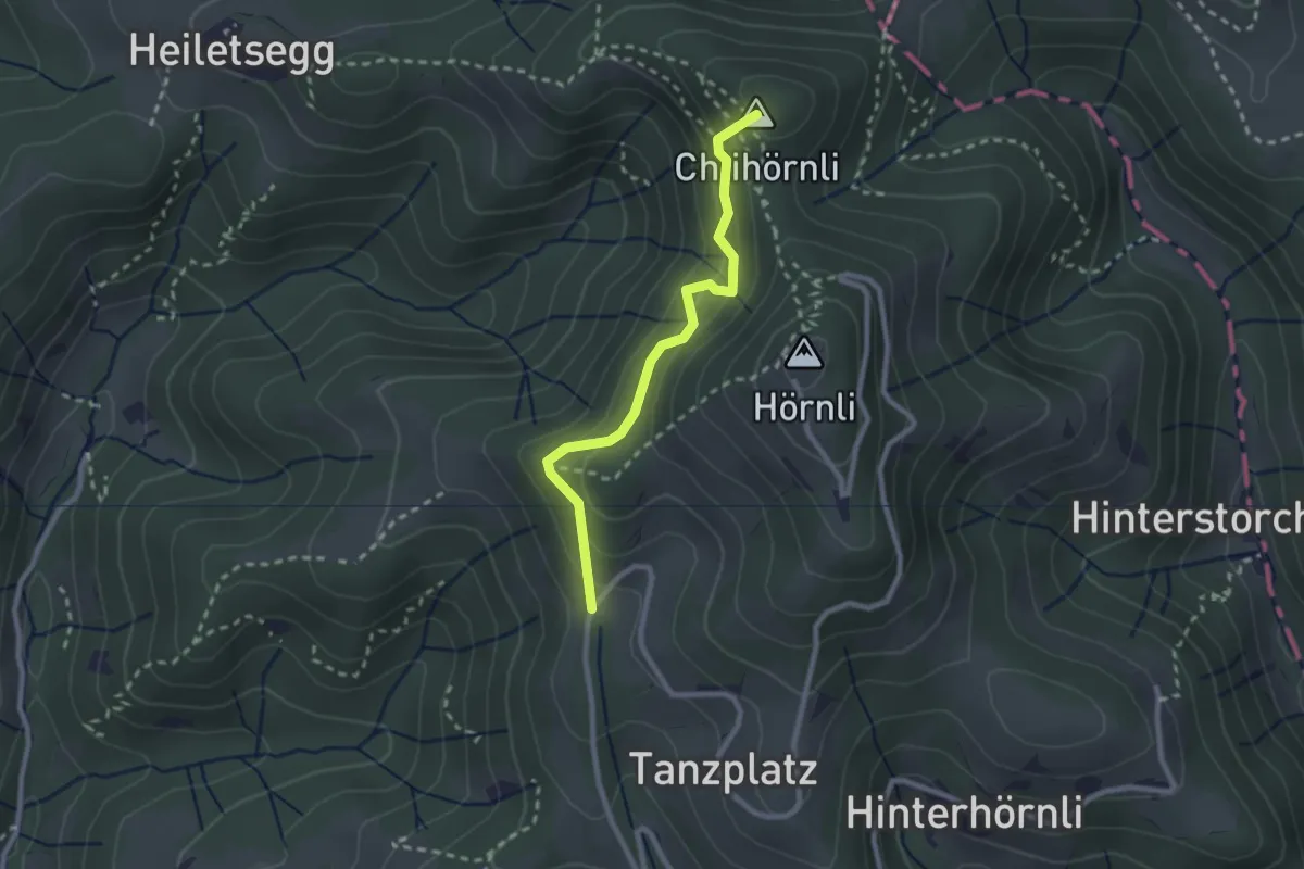
Medium · Summit
Hörnligübel
2.3 km · ↑ 268 m · 1 h 7 min
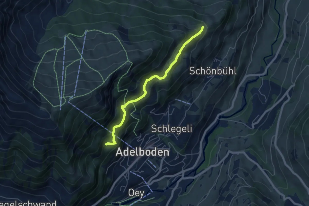
Easy · Trail
Hörnli - Uelisgraben
4.8 km · ↑ 314 m · 1 h 49 min
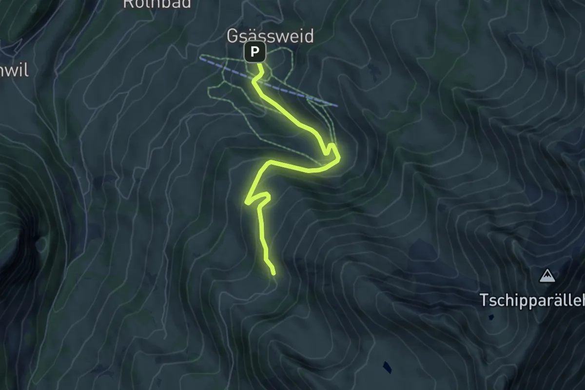
Medium · Trail
Horn - Springebode
6.0 km · ↑ 326 m · 2 h 7 min
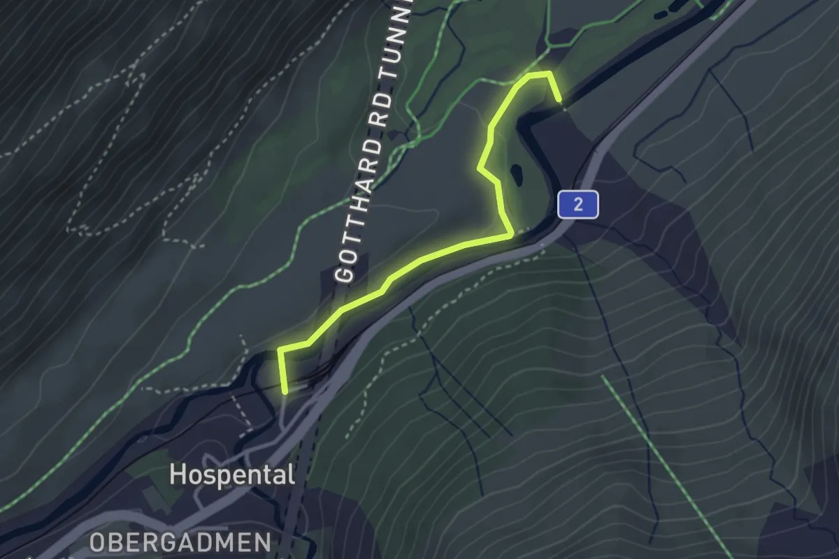
Easy · Trail
Hospental - Rüssenbiel
2.8 km · ↑ 18 m · 42 min
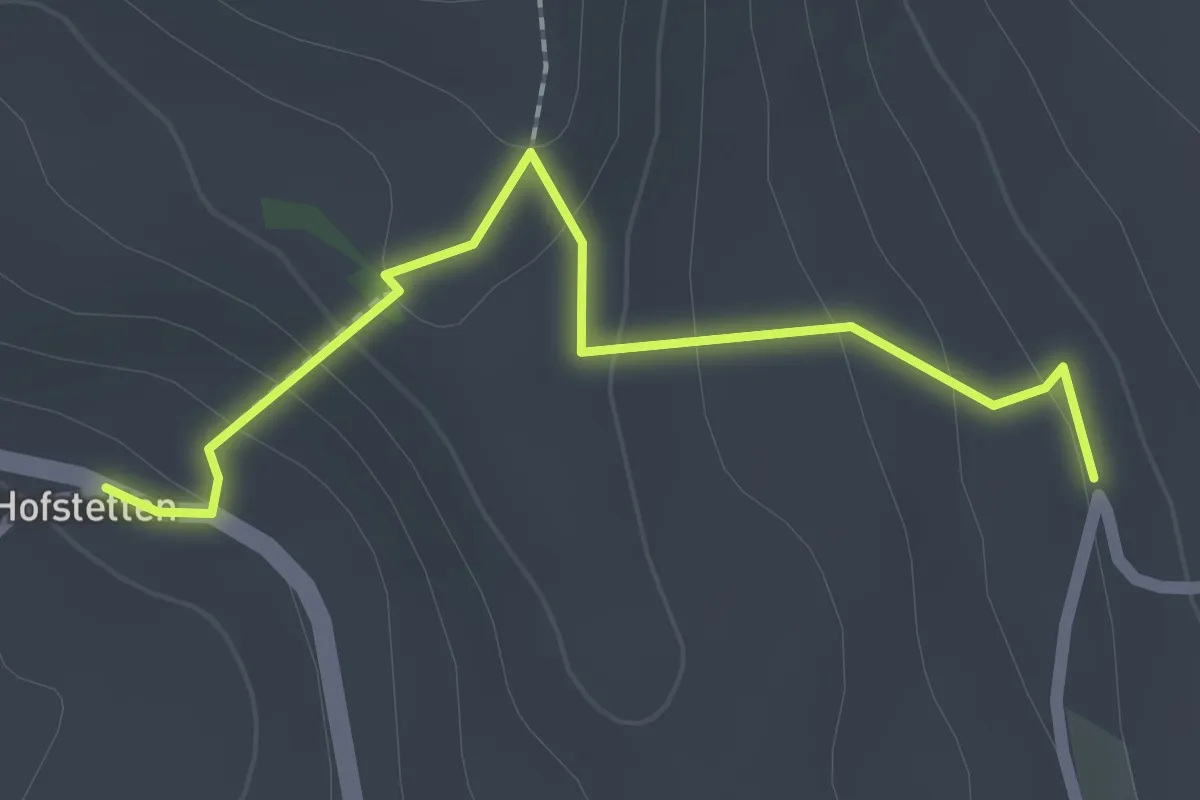
Easy · Trail
Hostete - Simmlere
2.1 km · ↑ 121 m · 45 min
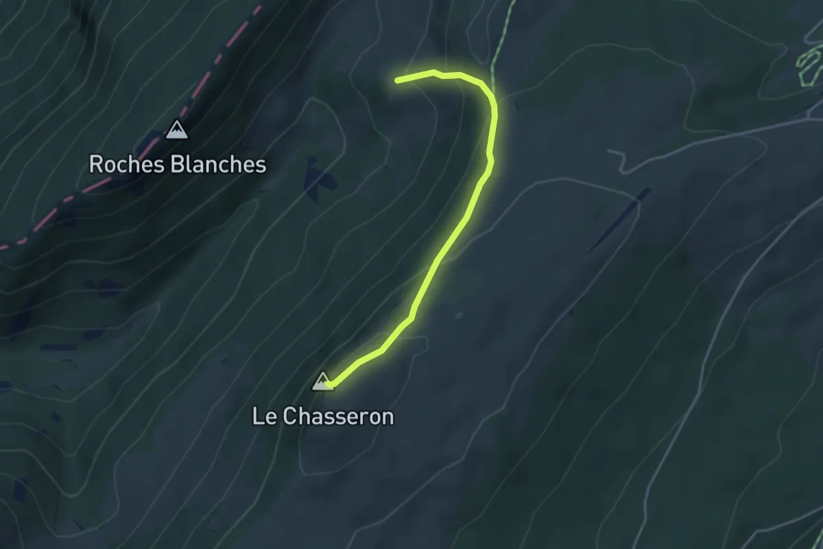
Medium · Summit
Hôtel du Chasseron - fixme
3.4 km · ↑ 224 m · 1 h 17 min
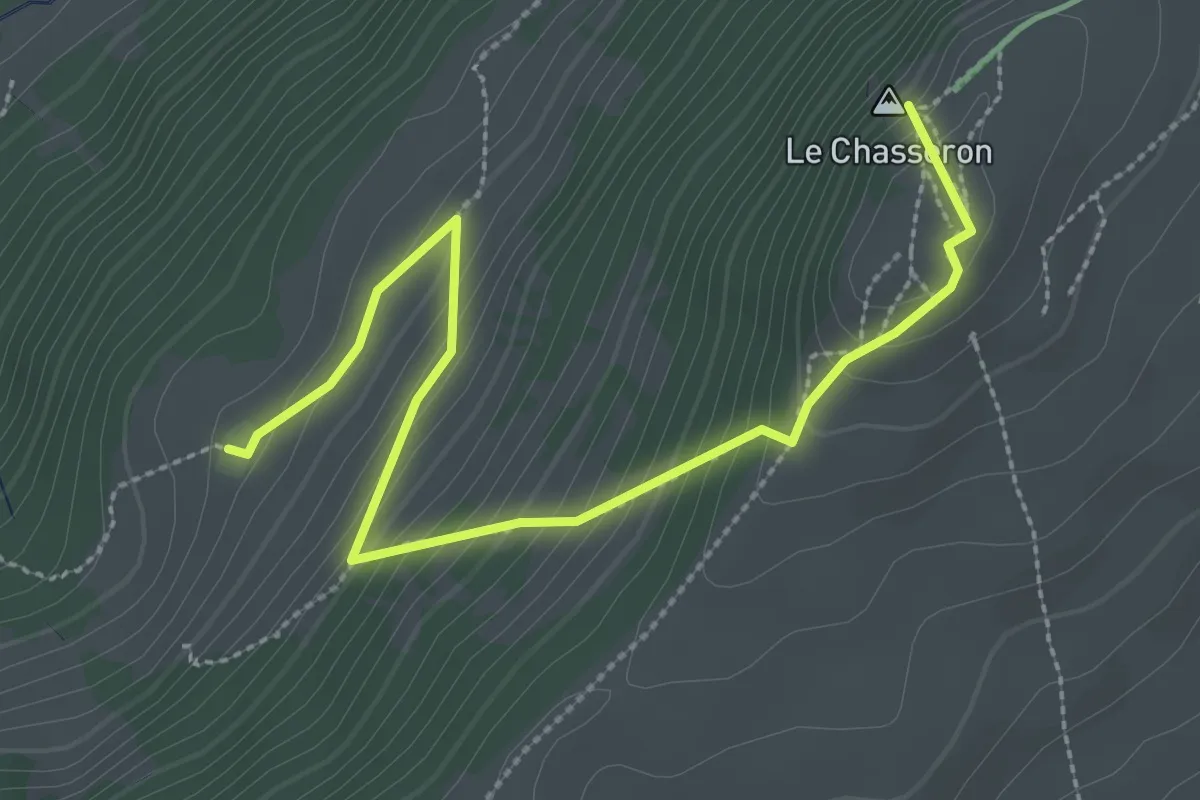
Medium · Summit
Hôtel du Chasseron - La Merlaz
3.3 km · ↑ 252 m · 1 h 20 min
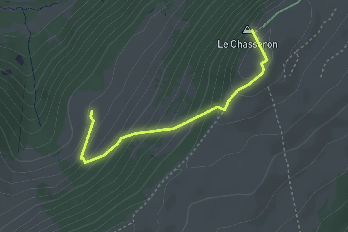
Medium · Summit
Hôtel du Chasseron - La Merlaz
2.8 km · ↑ 263 m · 1 h 13 min
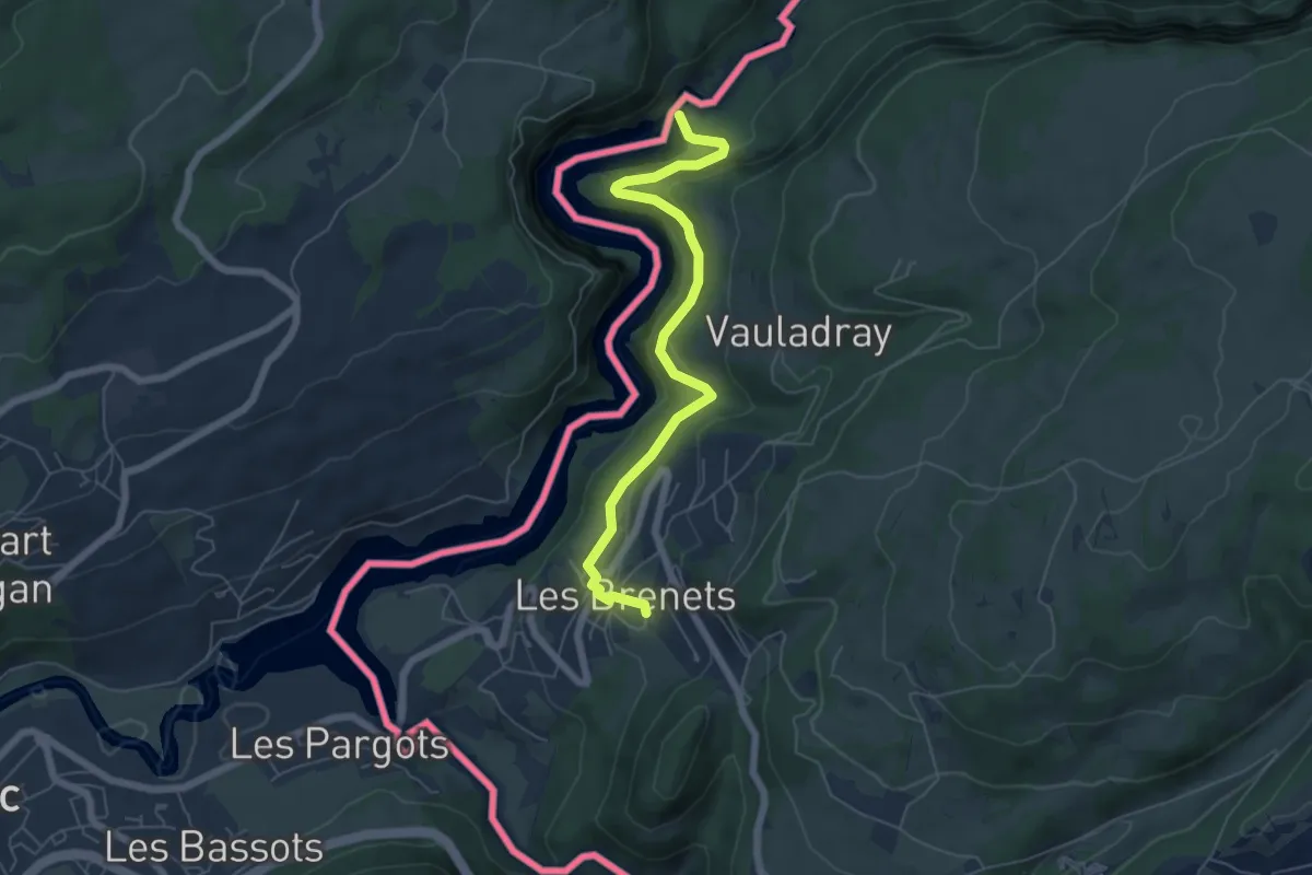
Medium · Trail
Hôtel du Saut du Doubs - Gare des Brenets
5.9 km · ↑ 385 m · 2 h 14 min
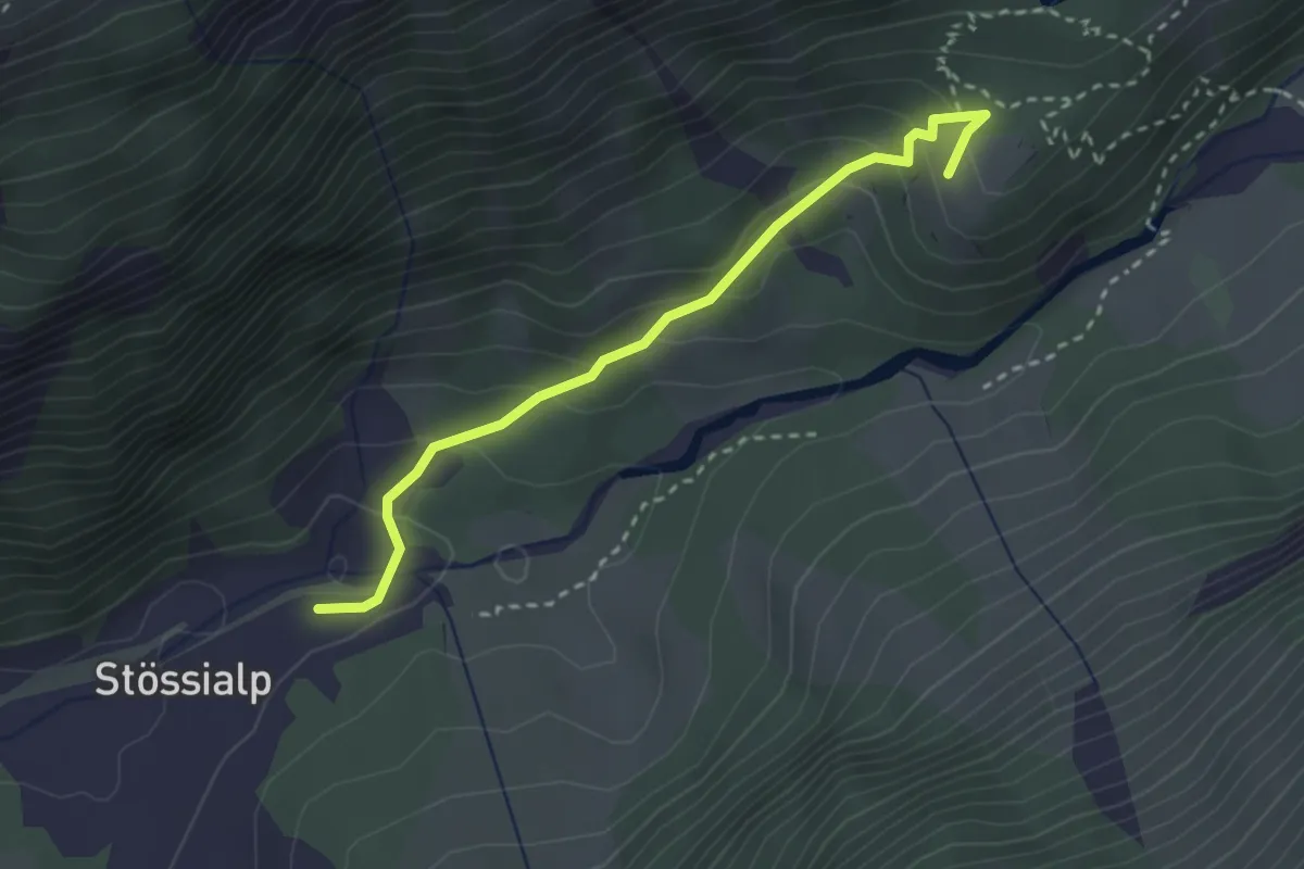
Easy · Trail
Hotel Maderanertal - Balmenschachen
2.8 km · ↑ 193 m · 1 h 5 min
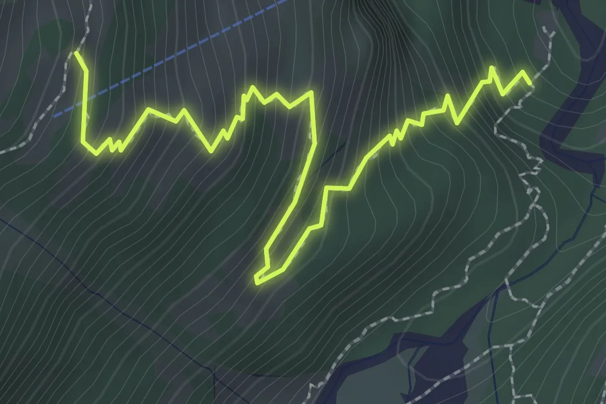
Medium · Cabin
Hotel Tschingelhorn - Bergwerk
3.1 km · ↑ 401 m · 1 h 36 min
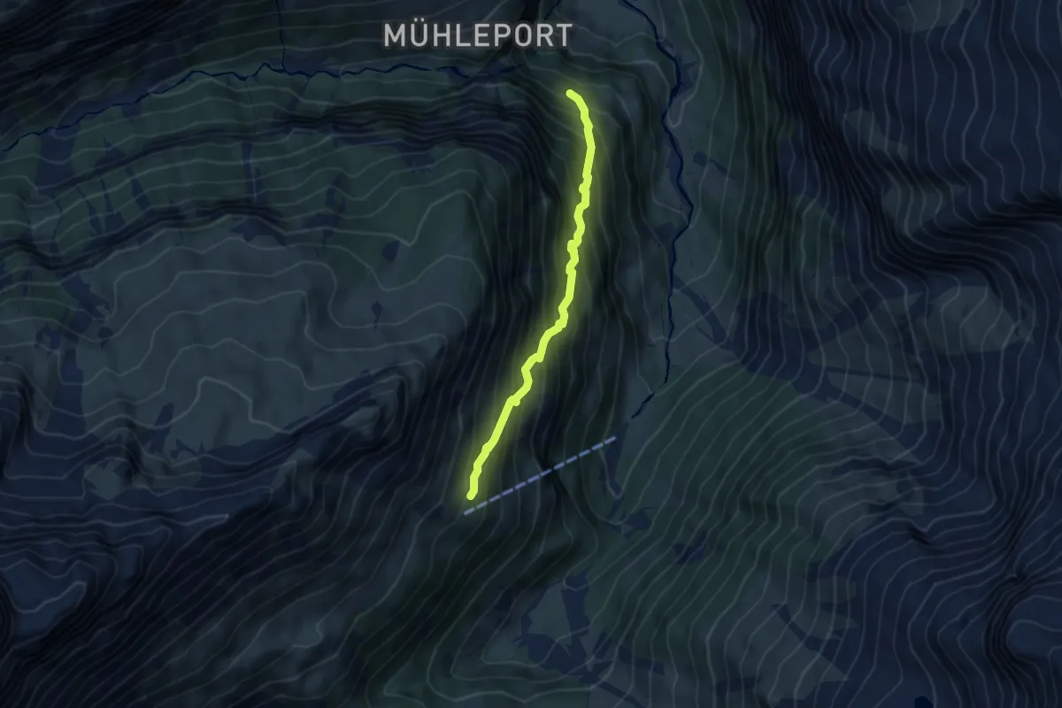
Demanding · Cabin
Hotel Tschingelhorn - fixme
4.4 km · ↑ 660 m · 2 h 28 min
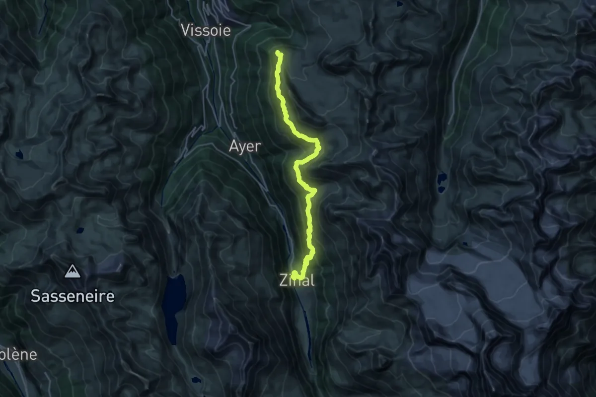
Medium · Trail
Hôtel Weisshorn-Zinal
11.3 km · ↑ 346 m · 3 h 54 min
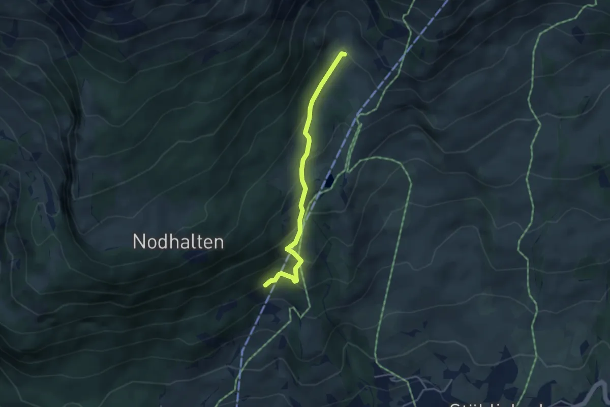
Easy · Trail
Hubel - fixme
3.4 km · ↑ 243 m · 1 h 19 min
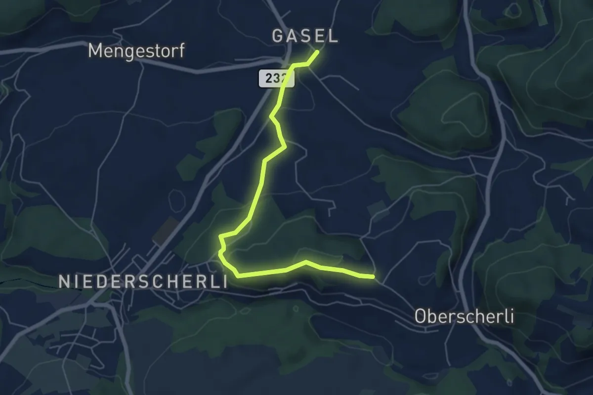
Easy · Trail
Hübeli - Gasel
5.6 km · ↑ 184 m · 1 h 44 min
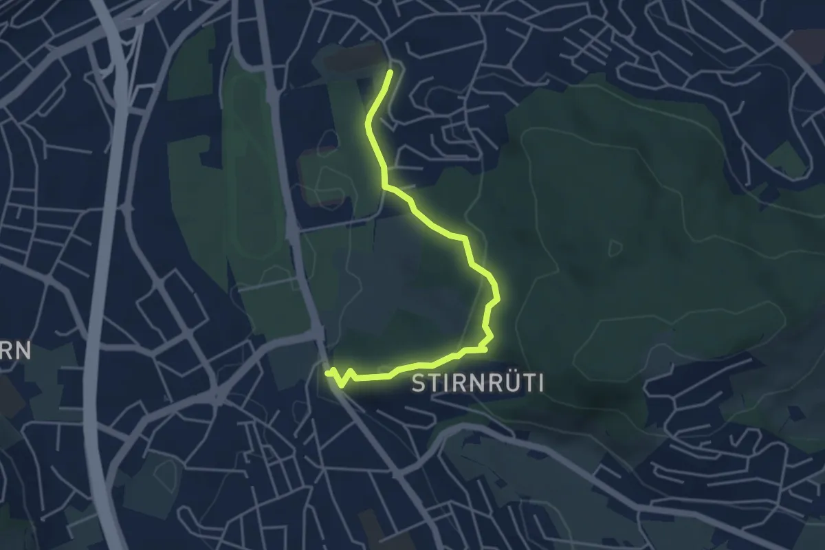
Easy · Trail
Hubelmatt - Waldegg
4.0 km · ↑ 152 m · 1 h 16 min
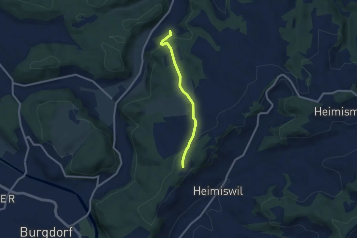
Easy · Trail
Hueb - Matten
4.7 km · ↑ 158 m · 1 h 27 min
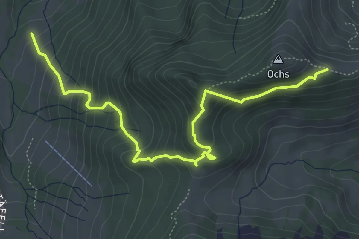
Medium · Trail
Hüenerhubel - Lochberg
6.0 km · ↑ 502 m · 2 h 30 min
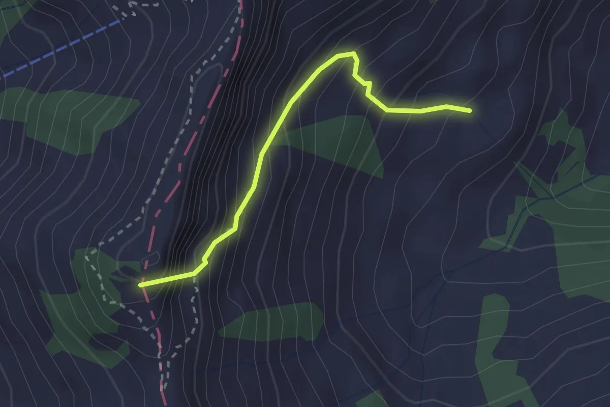
Medium · Summit
Hüethütte - Storeggpass
2.2 km · ↑ 348 m · 1 h 17 min
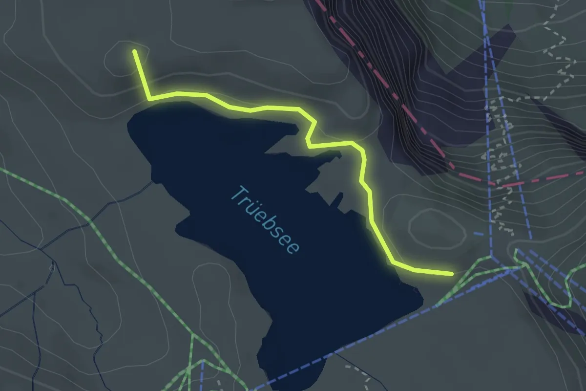
Easy · Summit
Hüethütte - Trübsee Station
2.5 km · ↑ 96 m · 49 min
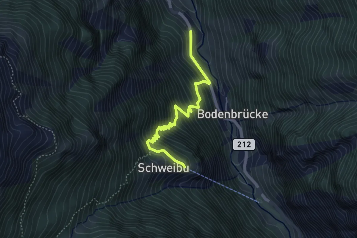
Medium · Trail
Hüettega - Schweibu
4.1 km · ↑ 509 m · 2 h 4 min
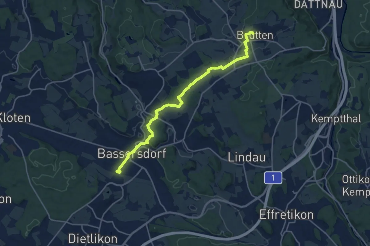
Easy · Pilgrim path
Hugenotten und Waldenserweg
6.9 km · ↑ 215 m · 2 h 6 min
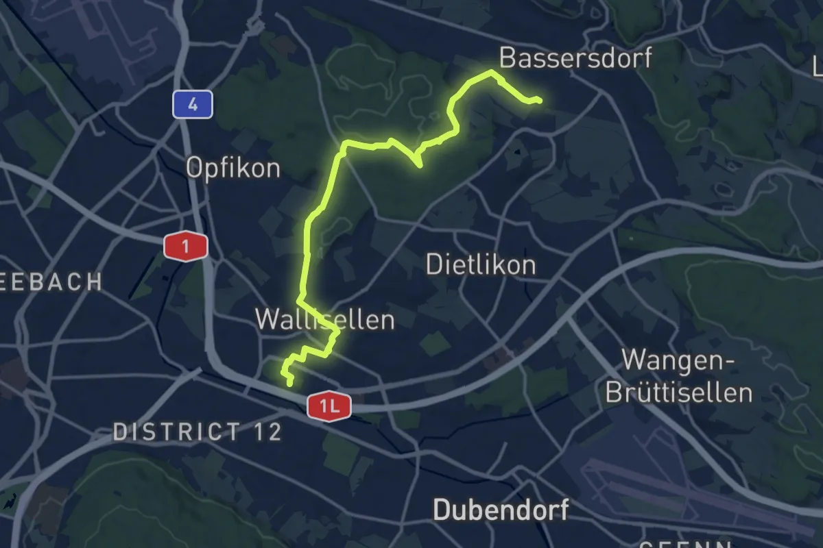
Easy · Pilgrim path
Hugenotten und Waldenserweg
7.2 km · ↑ 94 m · 2 h
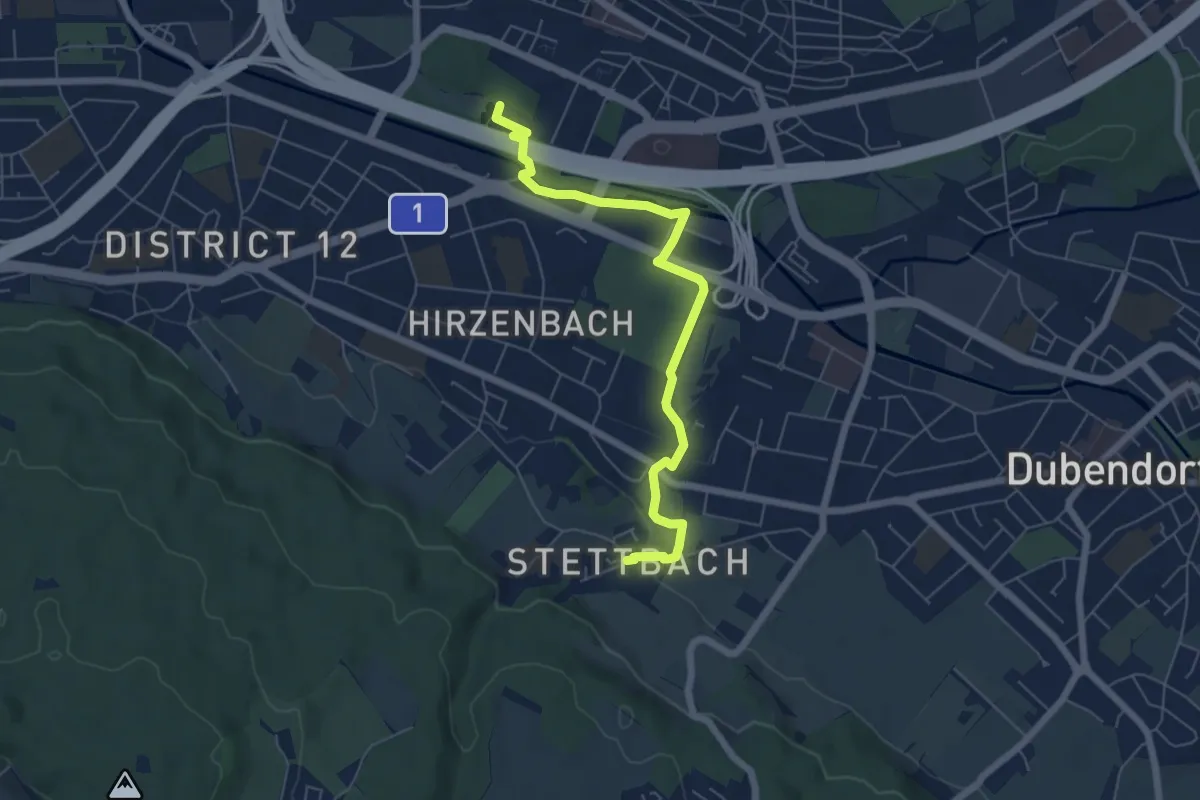
Easy · Pilgrim path
Hugenotten- und Waldenserweg
3.1 km · ↑ 38 m · 51 min
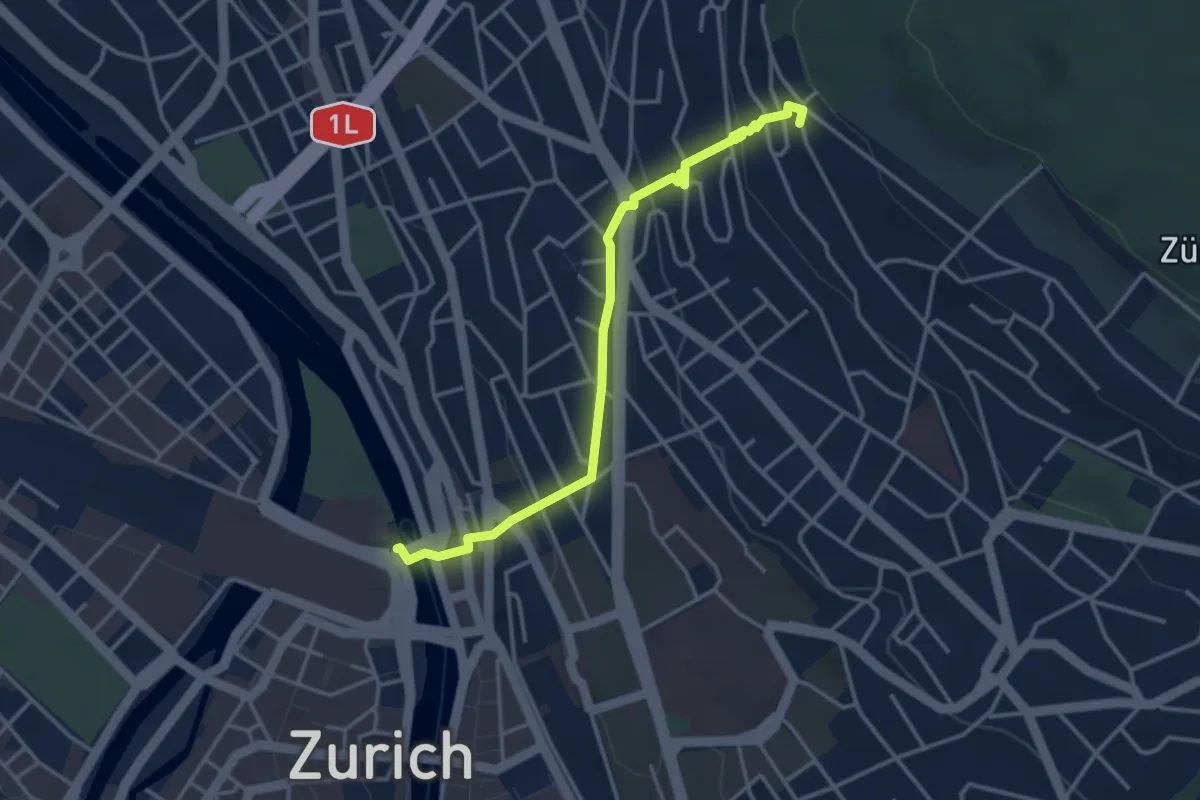
Easy · Pilgrim path
Hugenotten- und Waldenserweg
1.8 km · ↑ 189 m · 46 min
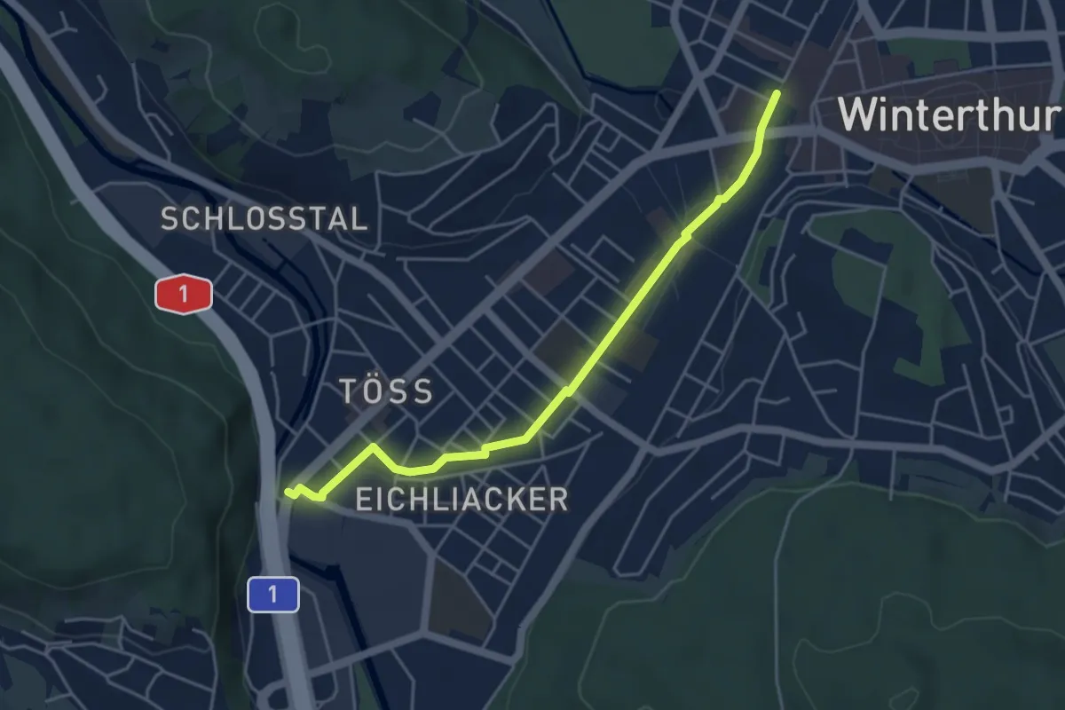
Easy · Pilgrim path
Hugenotten- und Waldenserweg
2.2 km · ↑ 0 m · 33 min