Trails in Switzerland
15,029 hiking trails, each with its route, climb, walking time and grade.
All trails, page 55 of 314
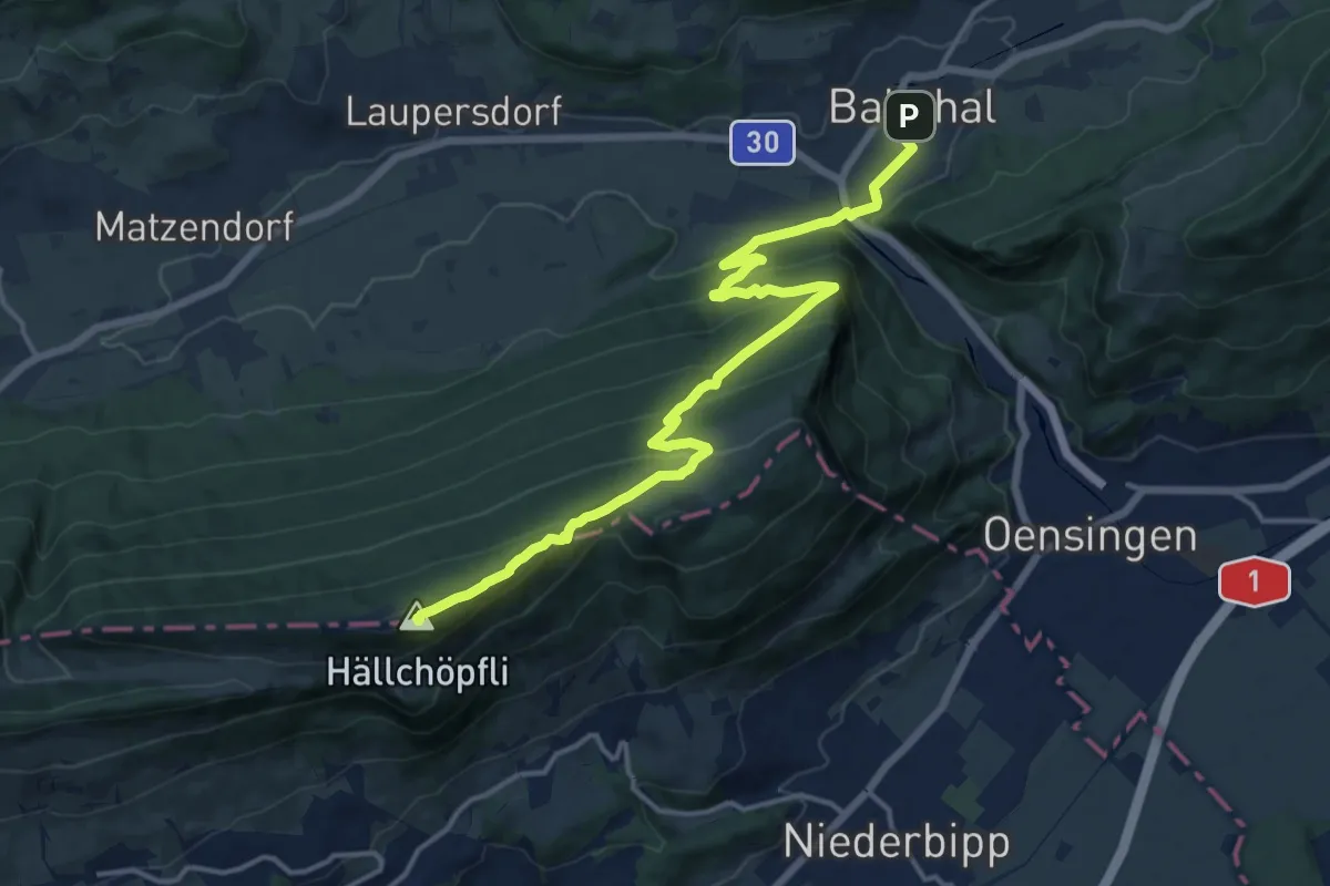
Medium · Summit
Jura-Höhenweg
16.5 km · ↑ 774 m · 5 h 34 min
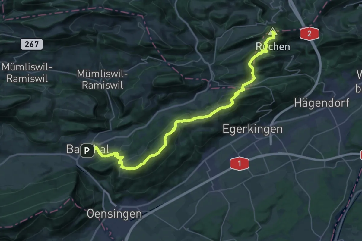
Demanding · Summit
Jura-Höhenweg
30.0 km · ↑ 1478 m · 10 h 18 min
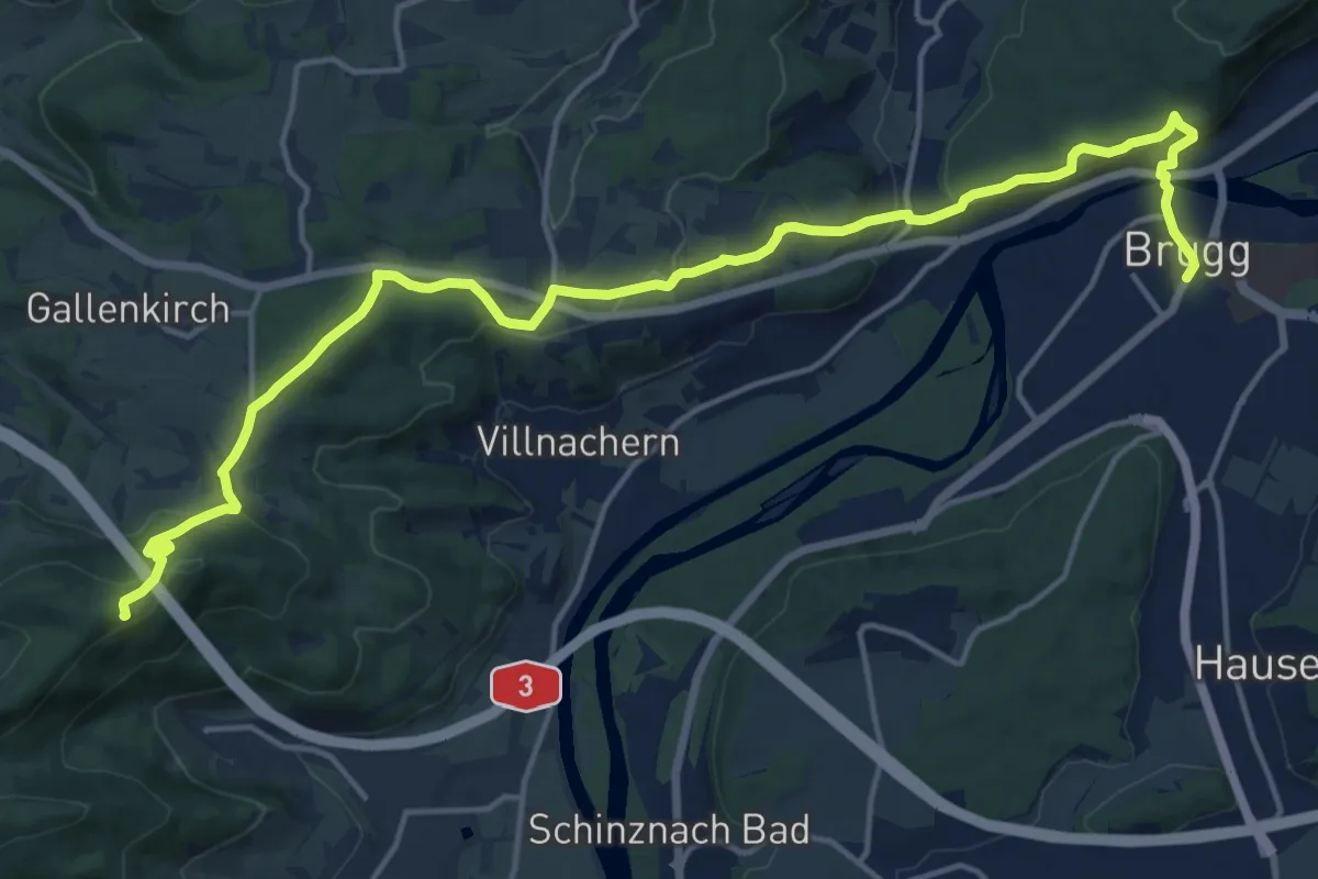
Demanding · Summit
Jura-Höhenweg
19.5 km · ↑ 498 m · 5 h 42 min
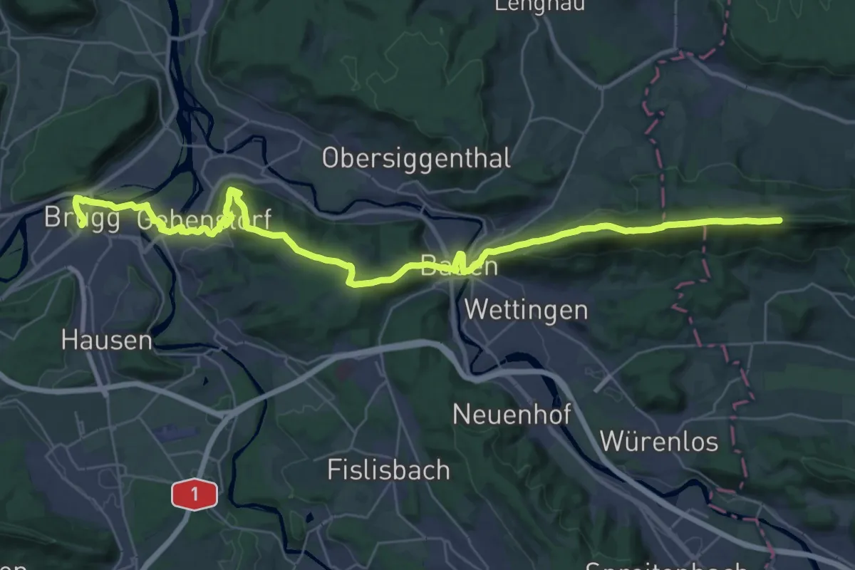
Demanding · Summit
Jura-Höhenweg
38.0 km · ↑ 1113 m · 11 h 23 min
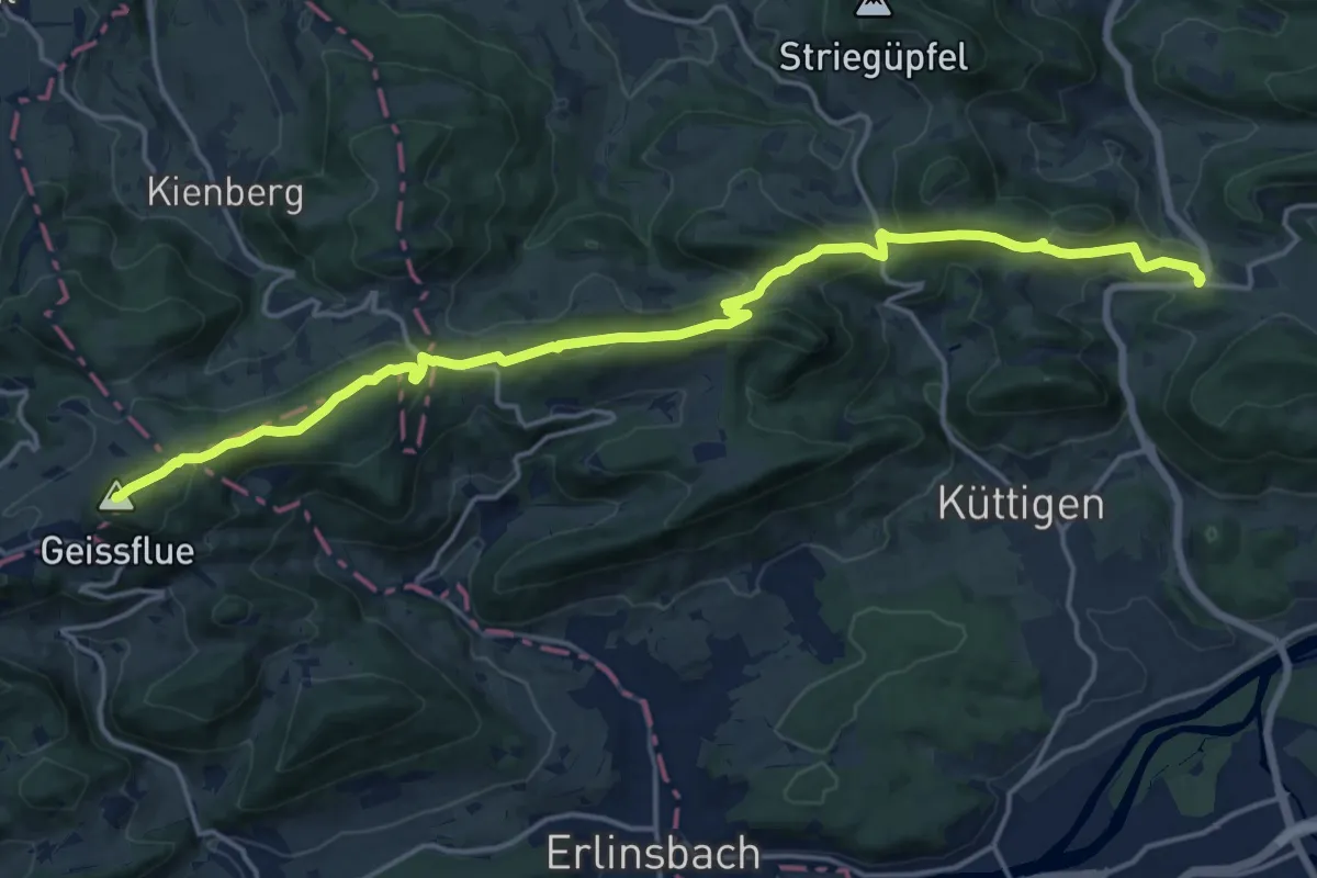
Demanding · Summit
Jura-Höhenweg
19.0 km · ↑ 683 m · 5 h 58 min
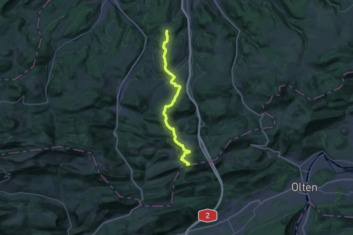
Demanding · Summit
Jurahöhenweg Liestal-Belchenflue
22.9 km · ↑ 1106 m · 7 h 49 min
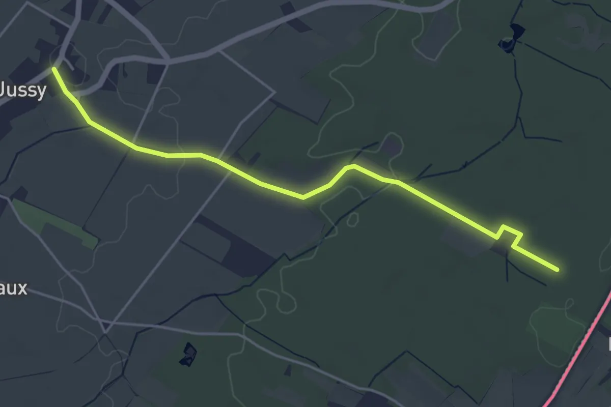
Easy · Trail
Jussy le Château - Les Grands Bois
4.7 km · ↑ 37 m · 1 h 11 min
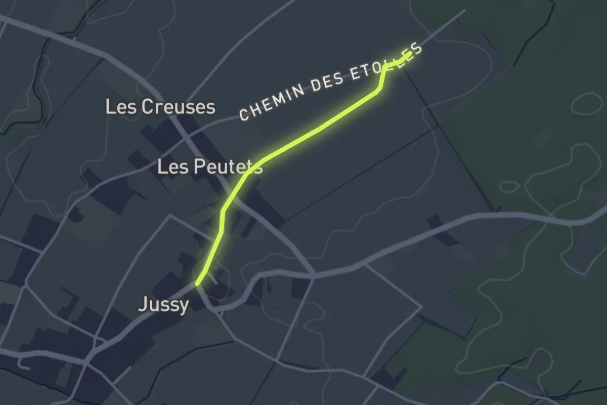
Easy · Trail
Jussy le Château - Les Longerayes
2.5 km · ↑ 4 m · 36 min
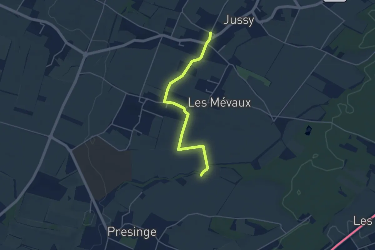
Easy · Trail
Jussy l'Eglise - Les Blessonniers
3.9 km · ↑ 21 m · 58 min
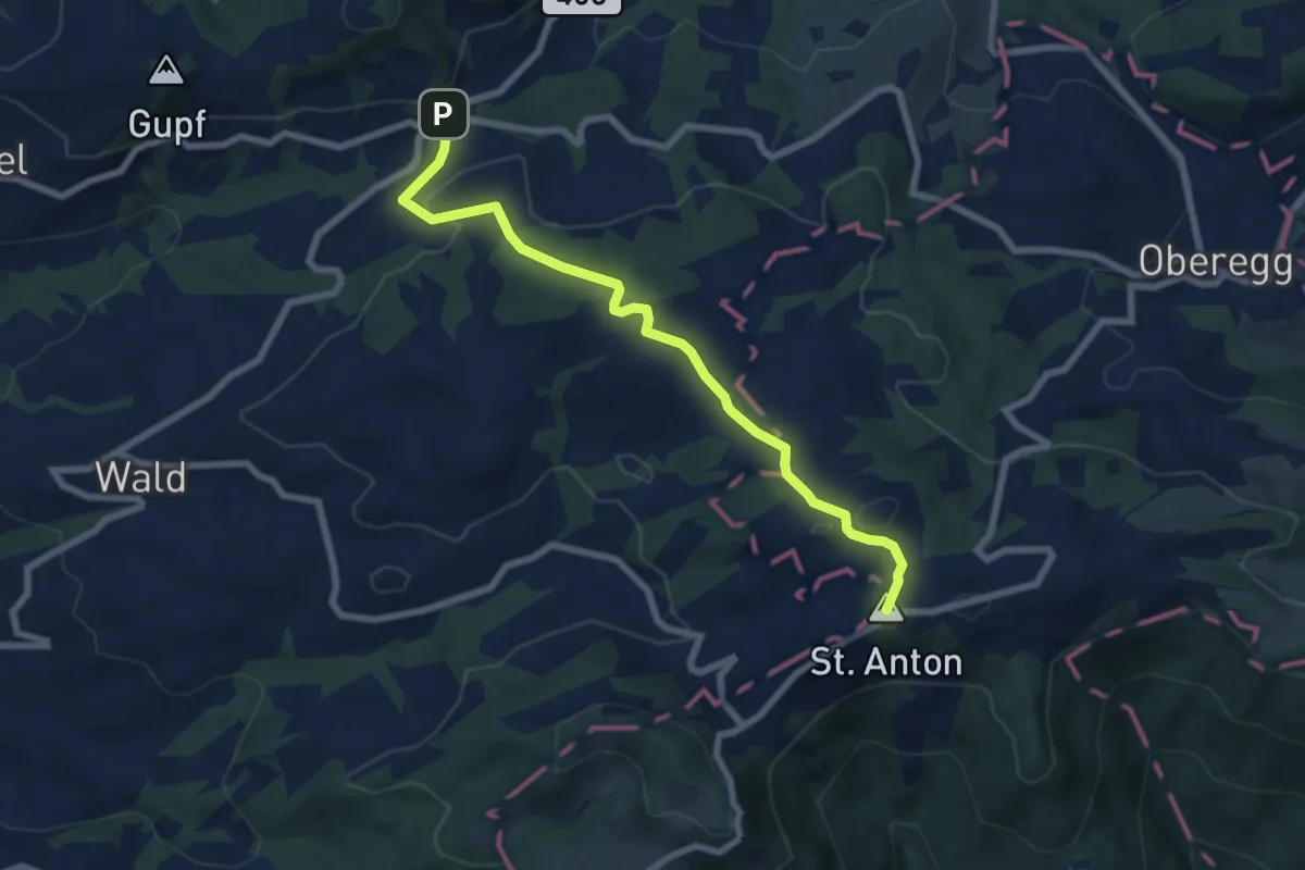
Easy · Summit
Kaien-St.-Anton-Weg
7.1 km · ↑ 224 m · 2 h 10 min
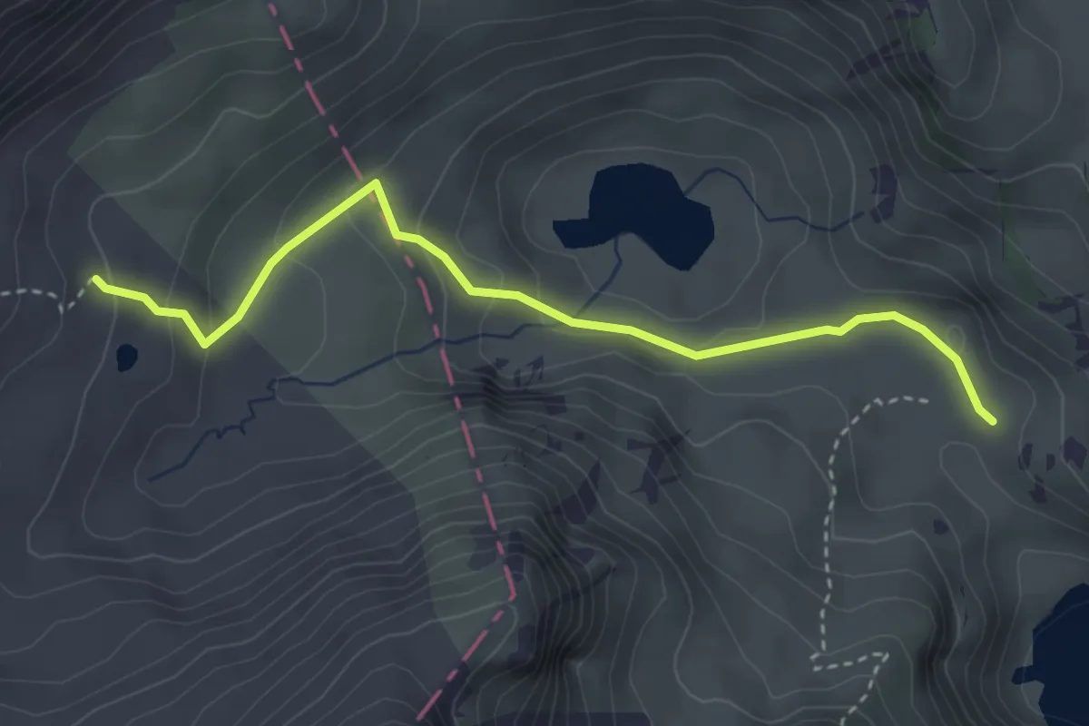
Easy · Trail
Kaisereggalp - Vordere Walop
3.5 km · ↑ 185 m · 1 h 14 min
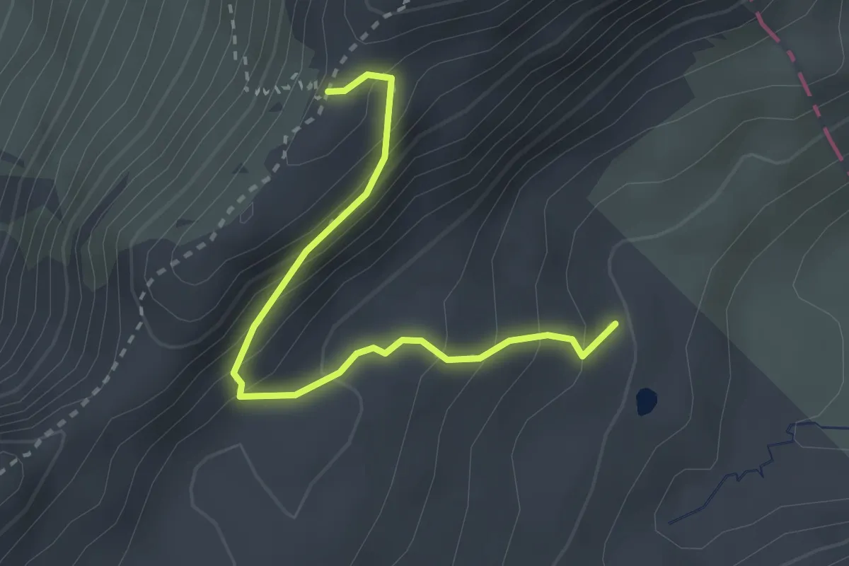
Medium · Trail
Kaisereggpass - Kaisereggalp
2.7 km · ↑ 249 m · 1 h 11 min
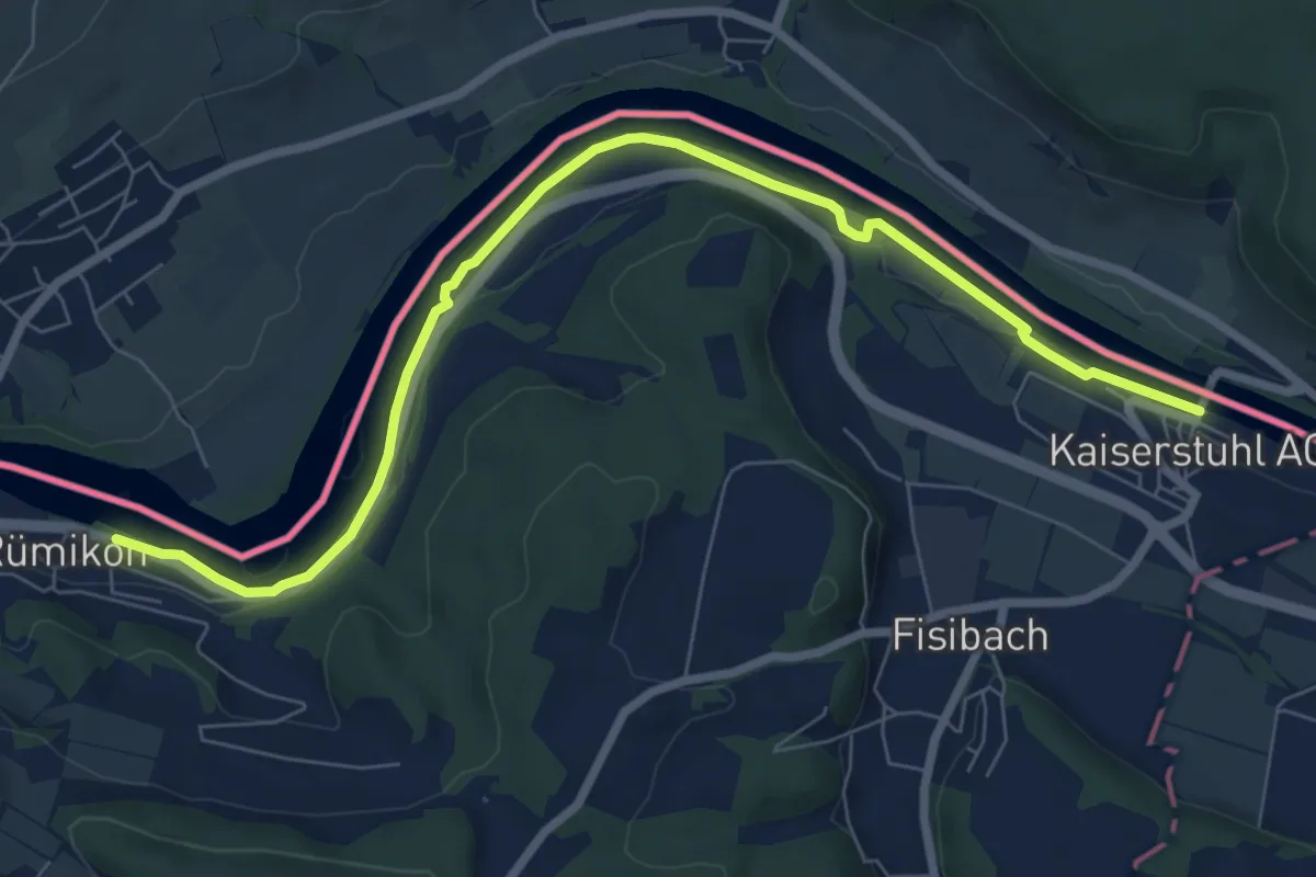
Medium · Trail
Kaiserstuhl - Rümikon Rheinufer
8.4 km · ↑ 43 m · 2 h 4 min
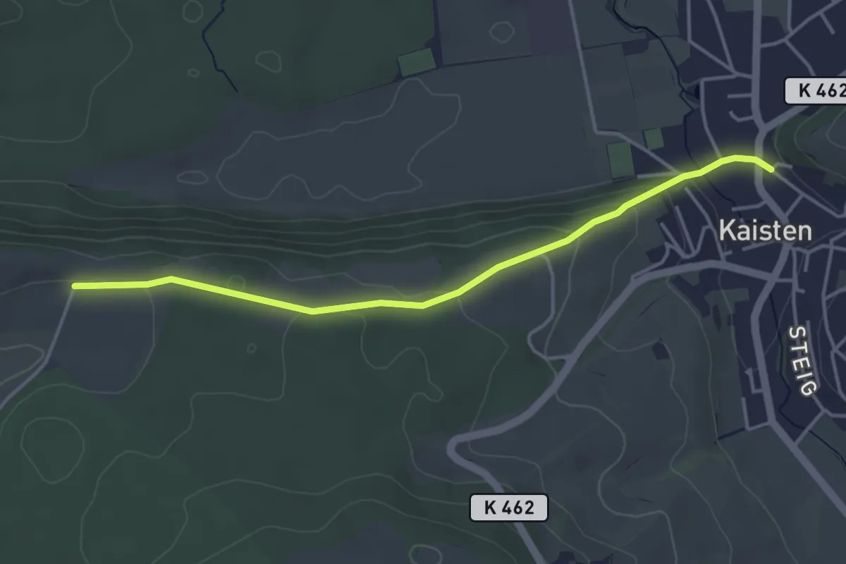
Easy · Trail
Kaisten - Warthöf
4.0 km · ↑ 108 m · 1 h 11 min
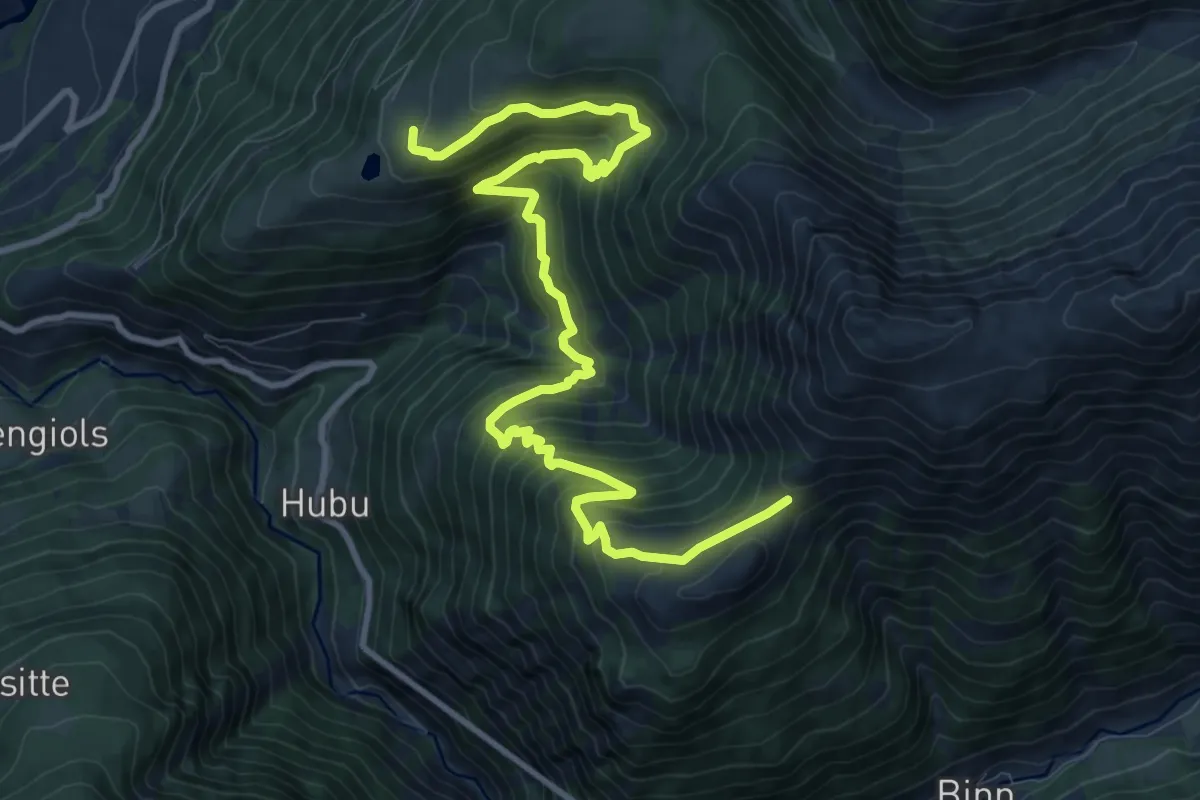
Demanding · Trail
Kalkofen- Eggerhorn
13.1 km · ↑ 1074 m · 5 h 25 min
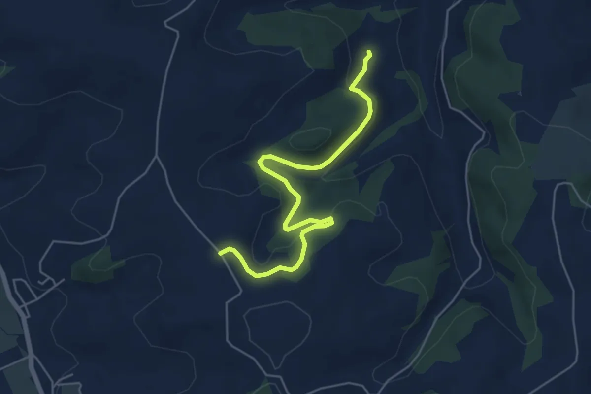
Easy · Trail
Kället - Unter Schlämpen
4.8 km · ↑ 123 m · 1 h 24 min
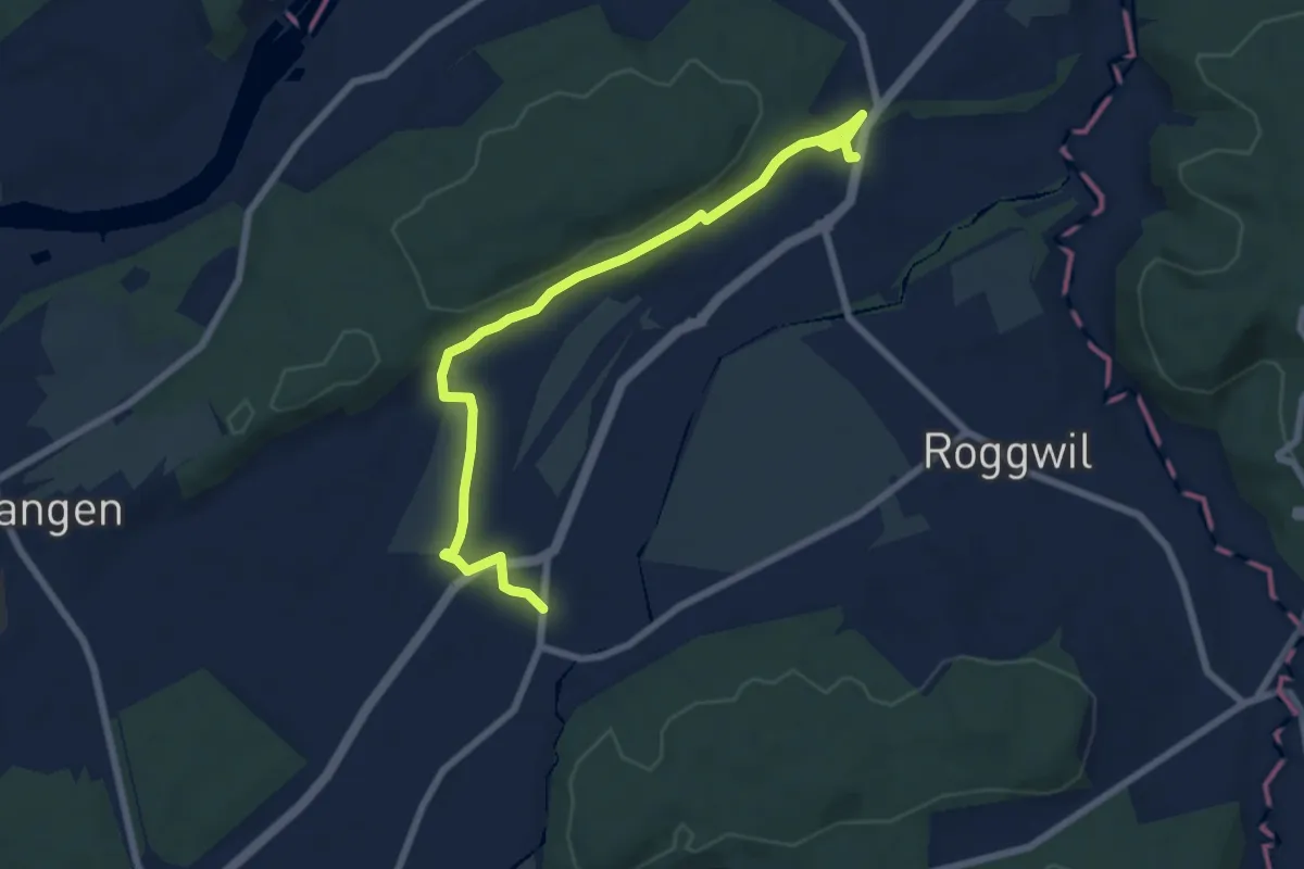
Easy · Trail
Kaltenherberg - Wynau
7.8 km · ↑ 135 m · 2 h 9 min
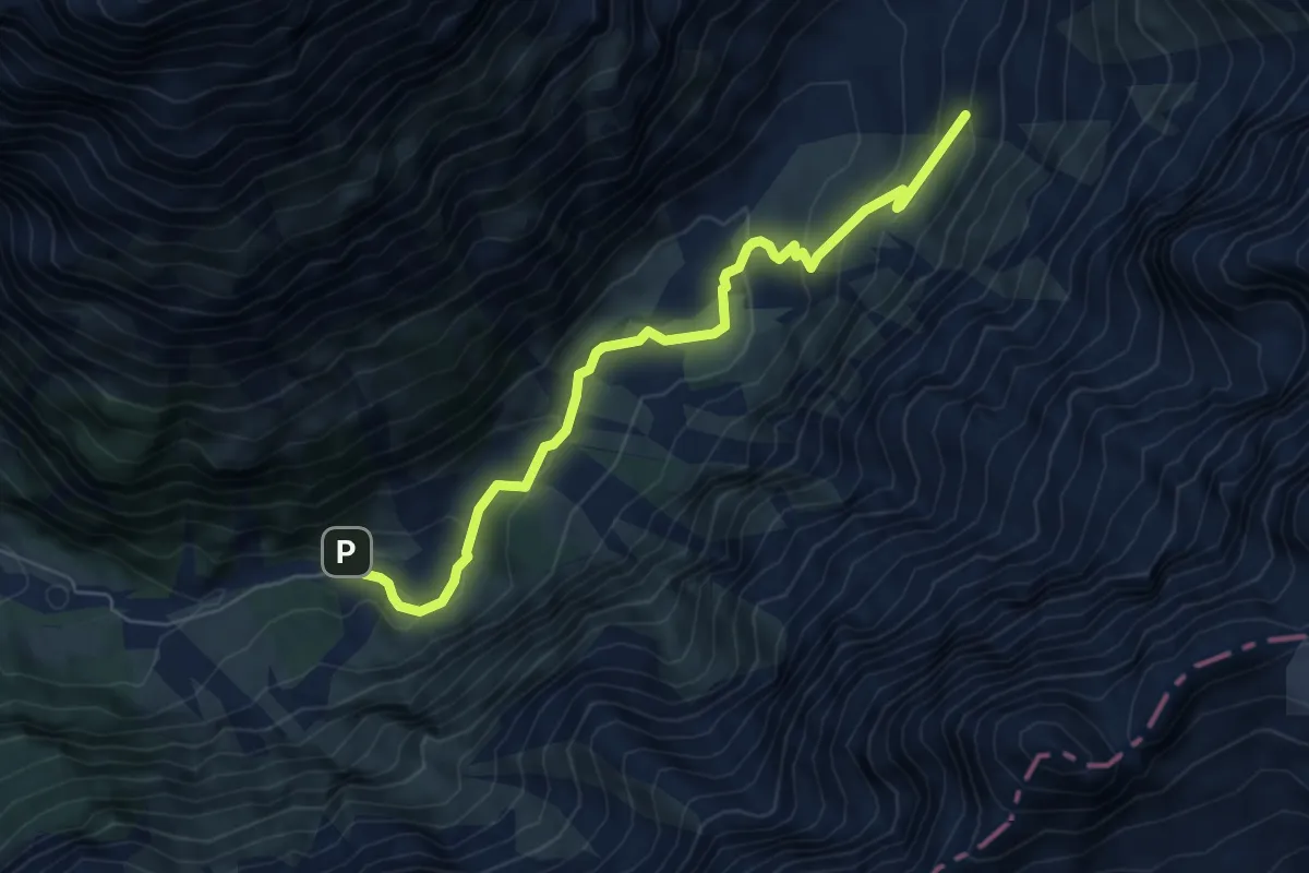
Medium · Trail
Kanderfirn - Heimritz
6.4 km · ↑ 324 m · 2 h 13 min
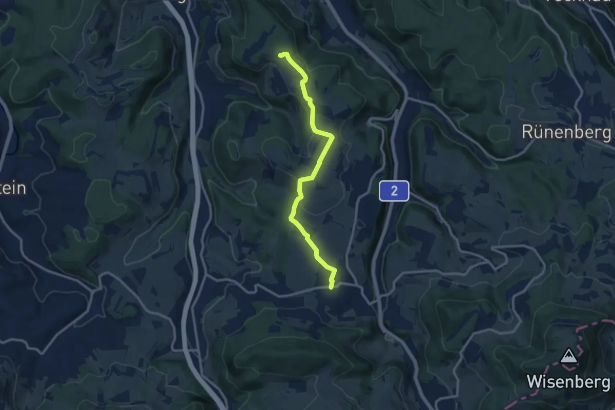
Medium · Trail
Känerkinden - Gisiberg
8.9 km · ↑ 117 m · 2 h 22 min
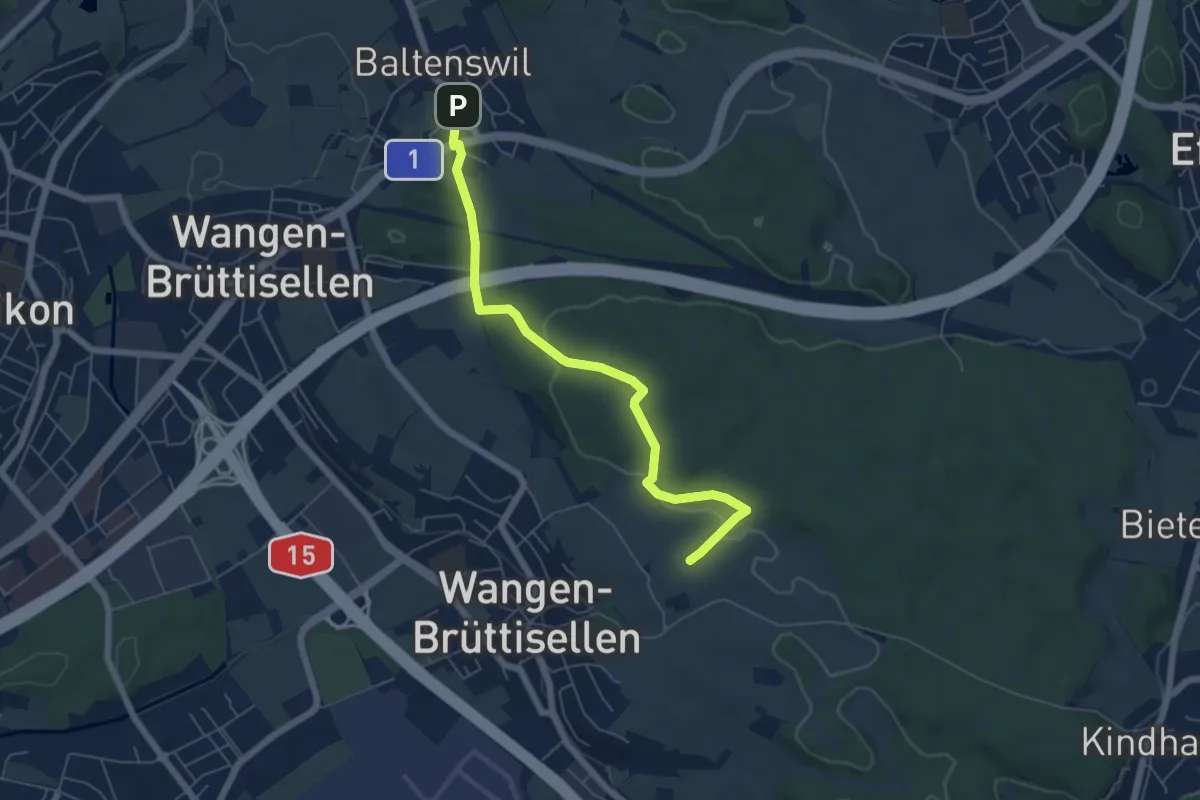
Easy · Trail
Kantonsmittelpunkt - Baltenswil
5.9 km · ↑ 122 m · 1 h 39 min
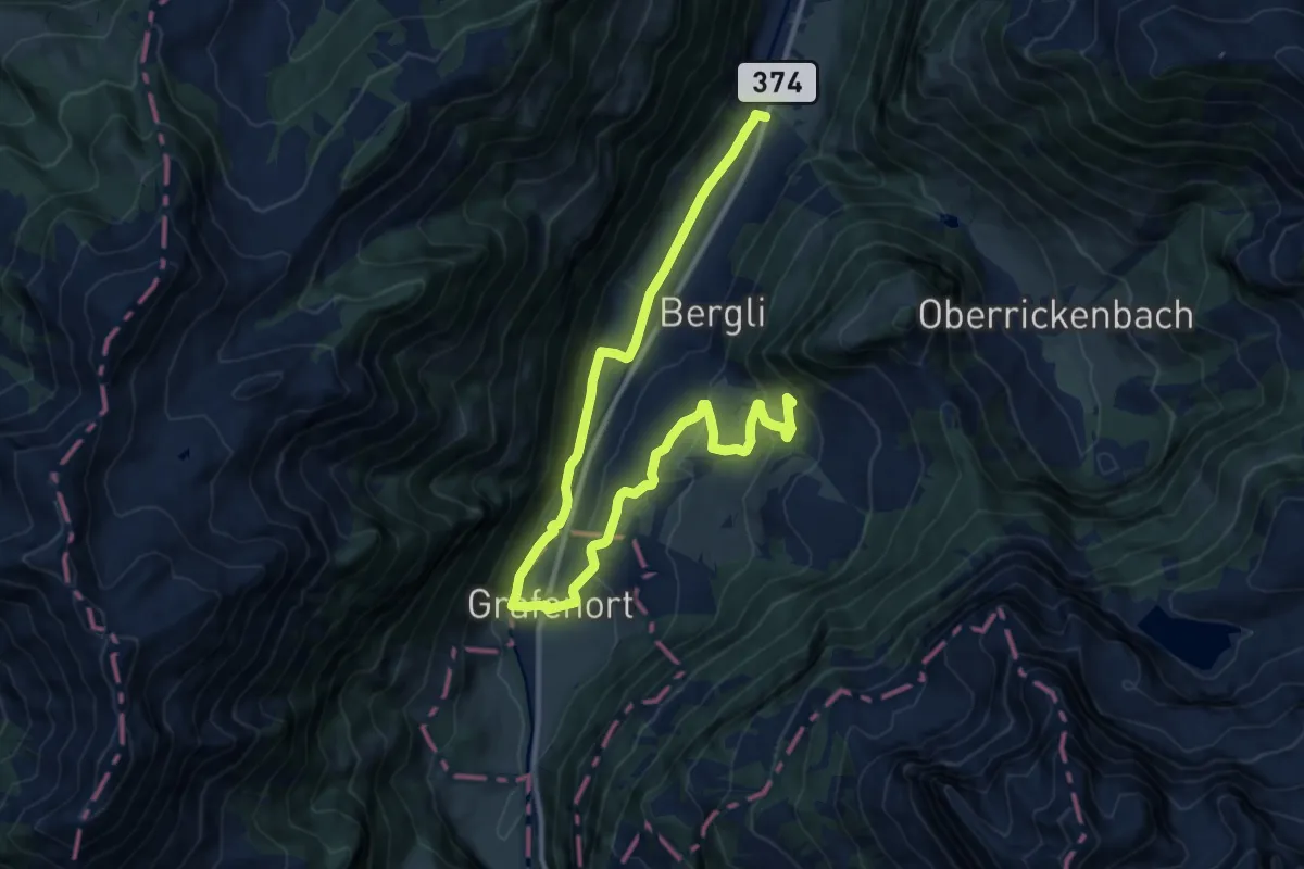
Medium · Trail
Kapellenweg
7.9 km · ↑ 394 m · 2 h 39 min
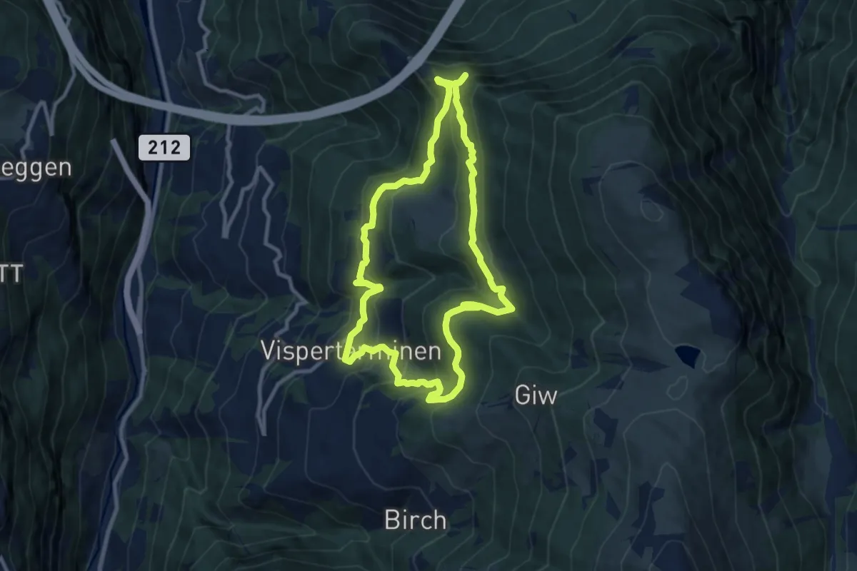
Medium · Trail
Kapellenweg - Suone Bodmeri
9.1 km · ↑ 613 m · 3 h 36 min
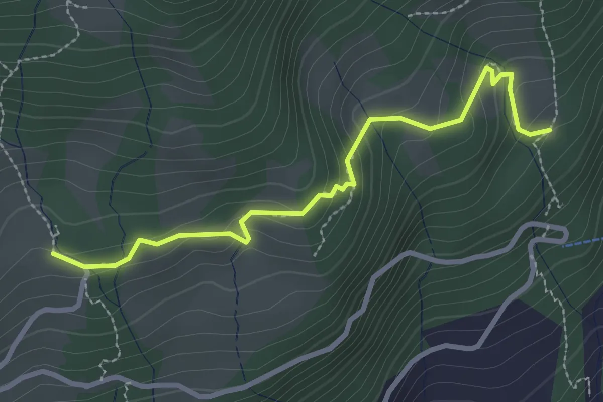
Easy · Trail
Kapuzberg - Schluchen
2.6 km · ↑ 153 m · 56 min
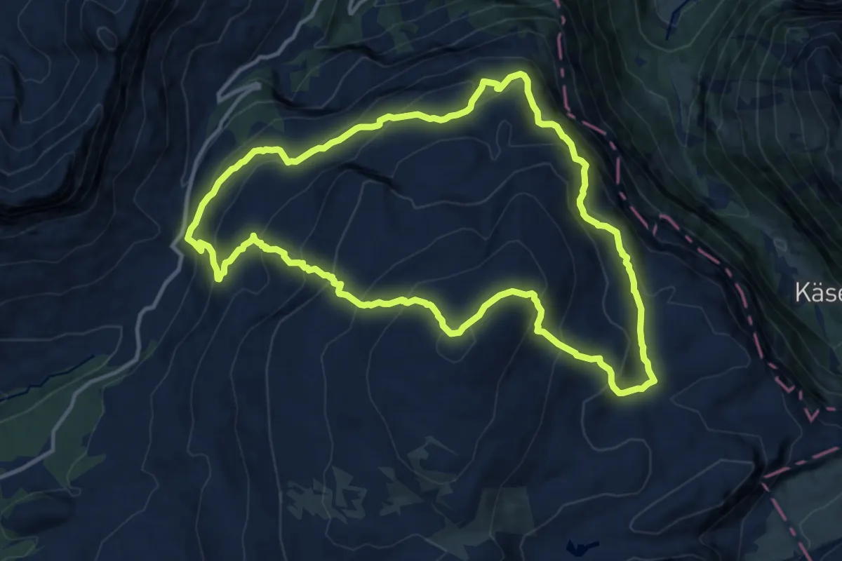
Demanding · Summit
Karstspur Silberen
12.1 km · ↑ 968 m · 5 h 8 min
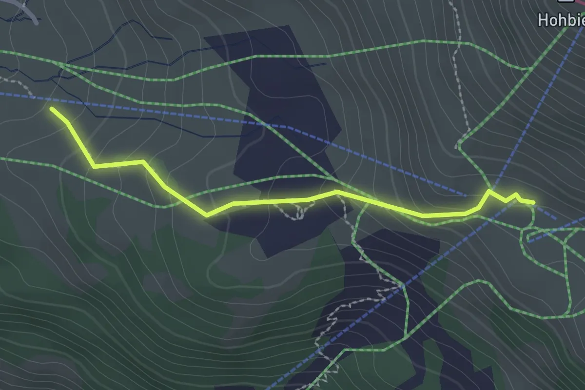
Medium · Trail
Käserstatt - Balisalp Vordere Stafel
2.3 km · ↑ 156 m · 53 min
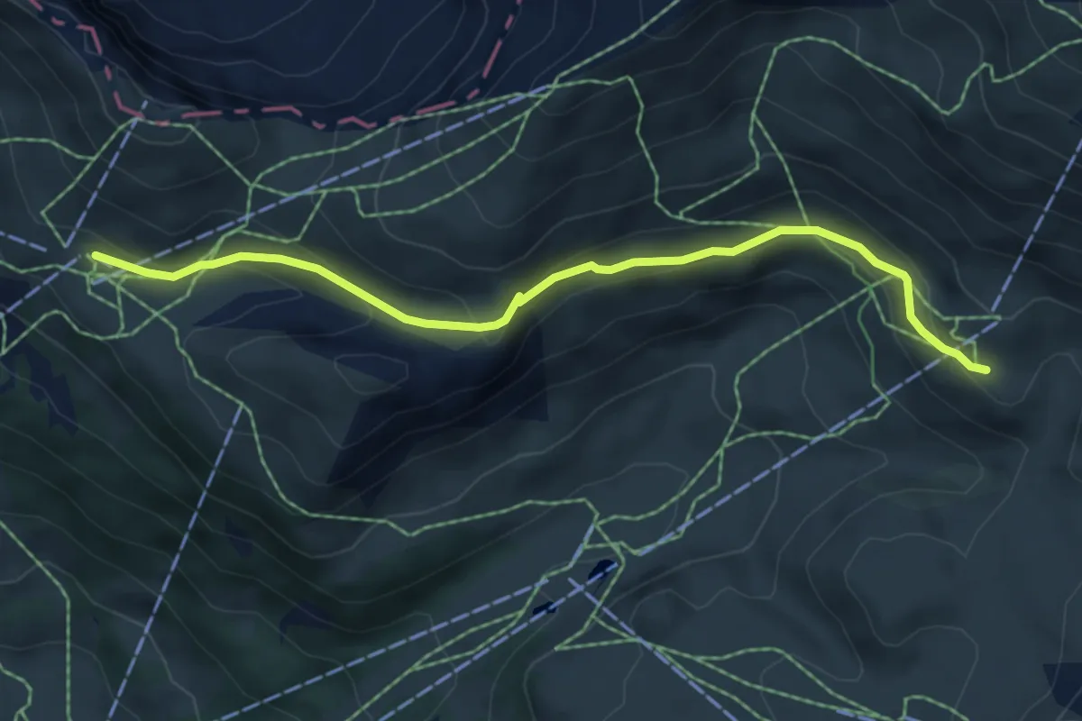
Easy · Trail
Käserstatt - Häggen
5.9 km · ↑ 233 m · 1 h 54 min
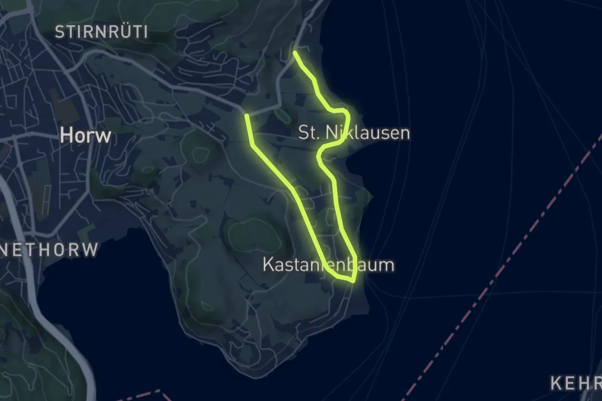
Easy · Trail
Kastanienbaum - Dorni
8.0 km · ↑ 111 m · 2 h 7 min
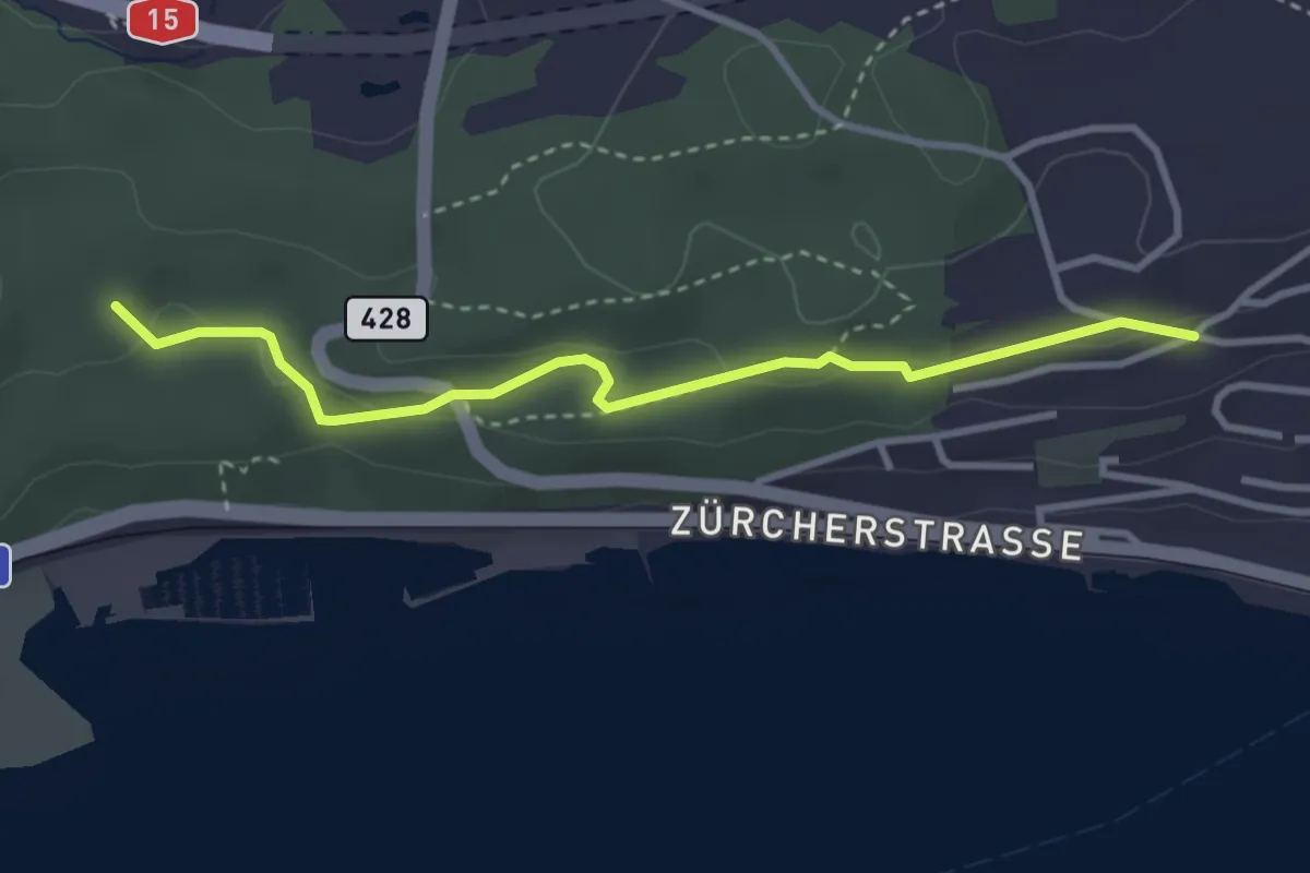
Easy · Trail
Katzenried - Chürzi
3.3 km · ↑ 84 m · 57 min
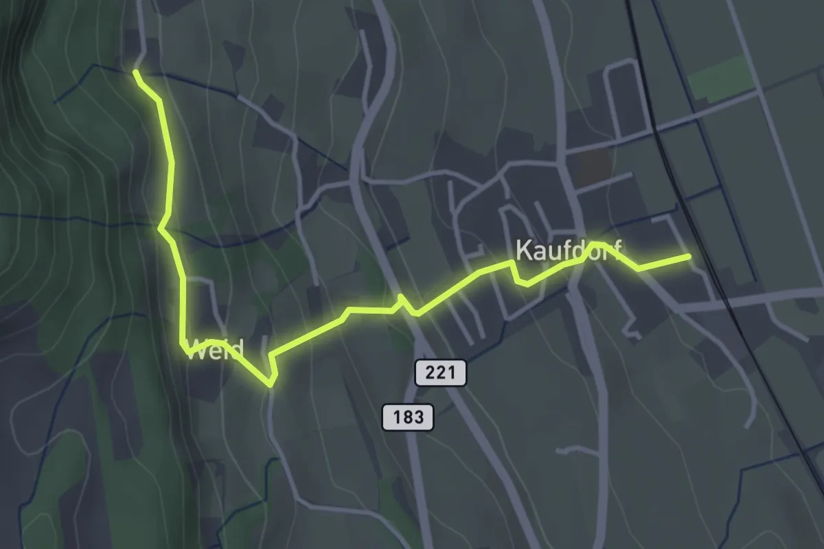
Easy · Trail
Kaufdorf - Gutenbrünnen
3.9 km · ↑ 237 m · 1 h 26 min
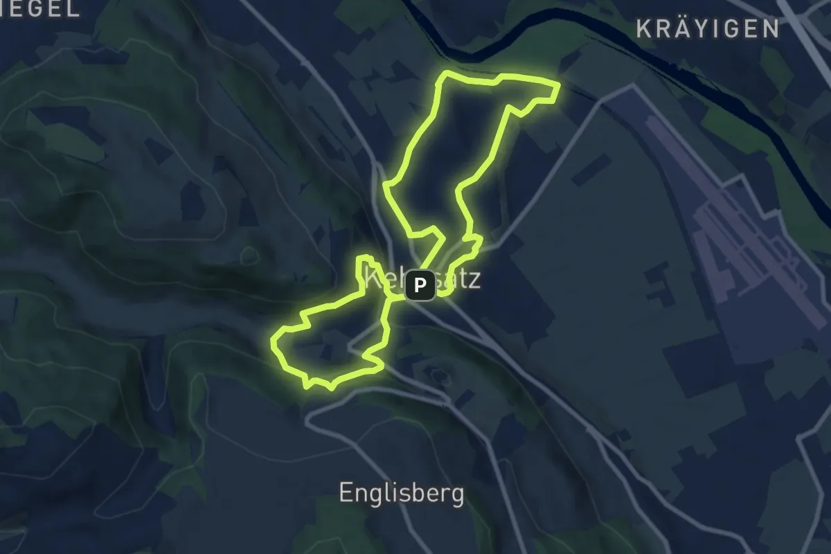
Medium · Trail
Kehrsatzer Rundweg
8.3 km · ↑ 288 m · 2 h 42 min
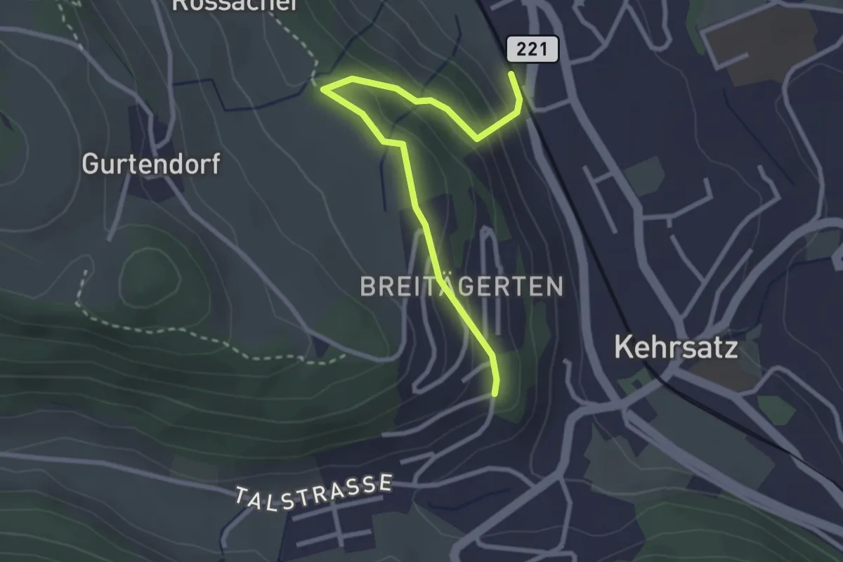
Easy · Trail
Kehrsatz Nord - Breitägerte
2.7 km · ↑ 167 m · 1 h 1 min
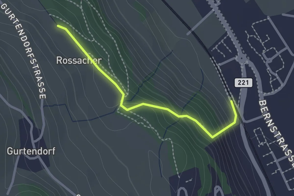
Easy · Trail
Kehrsatz Nord - Rossacker
2.0 km · ↑ 123 m · 45 min
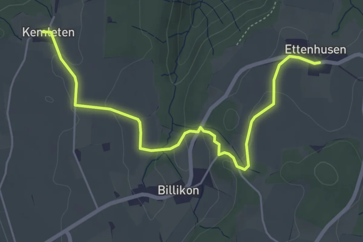
Easy · Trail
Kemleten - Ettenhusen
5.0 km · ↑ 89 m · 1 h 22 min
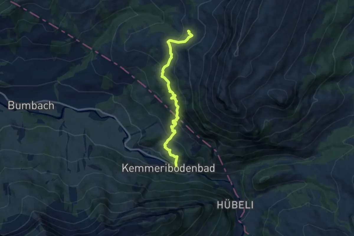
Medium · Trail
Kemmeriboden-Bad - Imbrig
7.9 km · ↑ 532 m · 3 h 1 min
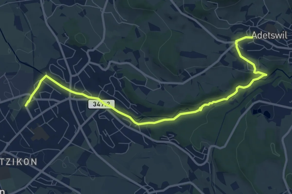
Medium · Trail
Kempten - Adetswil
8.7 km · ↑ 194 m · 2 h 28 min
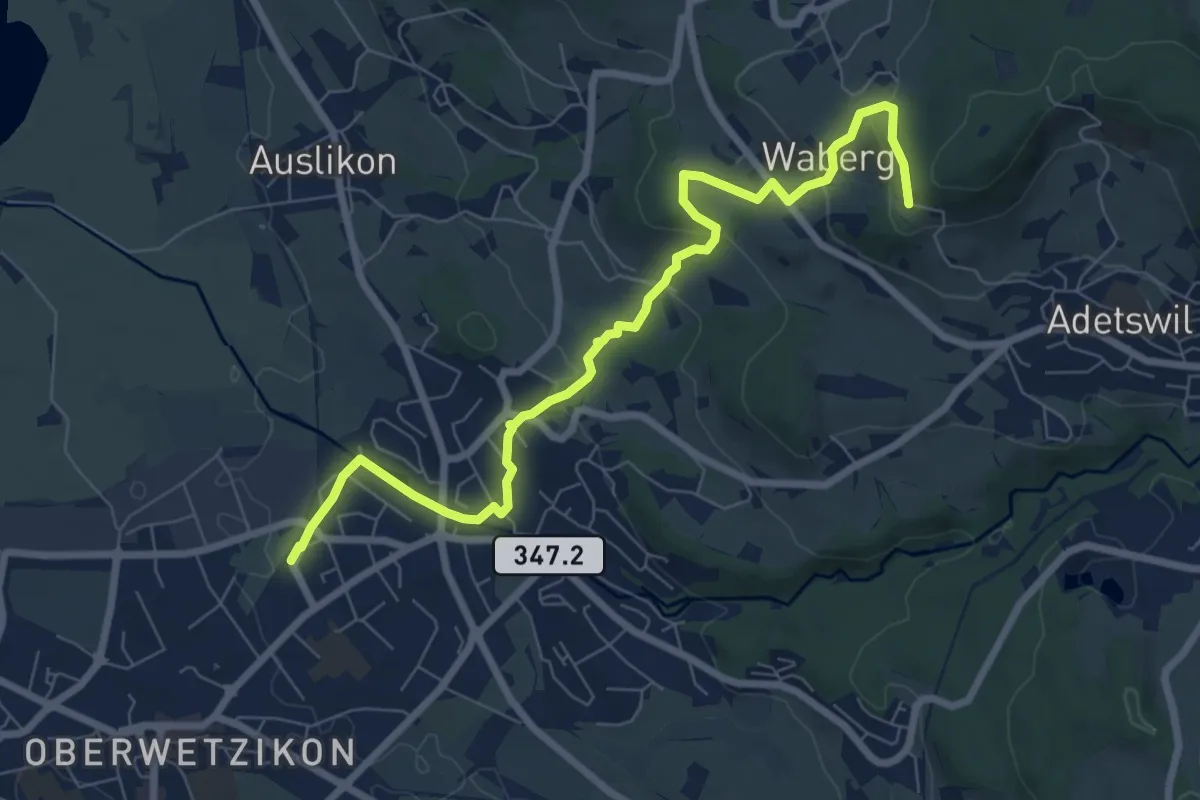
Medium · Trail
Kempten - Rosinli
8.2 km · ↑ 273 m · 2 h 32 min
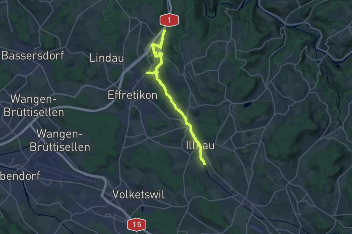
Medium · Trail
Kemptweg
17.5 km · ↑ 190 m · 4 h 33 min
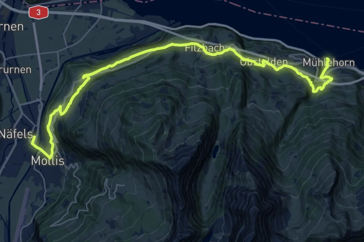
Medium · Trail
Kerenzerberg Römerweg
13.1 km · ↑ 579 m · 4 h 32 min
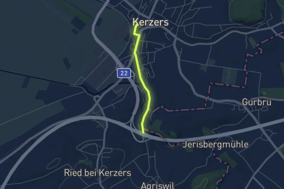
Easy · Trail
Kerzers - Stämpflerei/Mühle
3.4 km · ↑ 14 m · 51 min
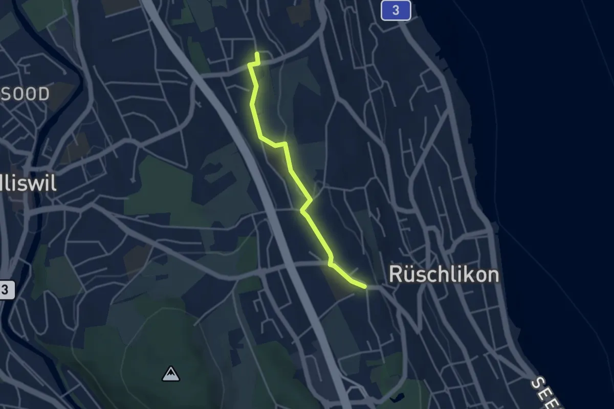
Easy · Trail
Kilchberg Kirche - Nidelbad
3.2 km · ↑ 13 m · 46 min
Easy · Trail
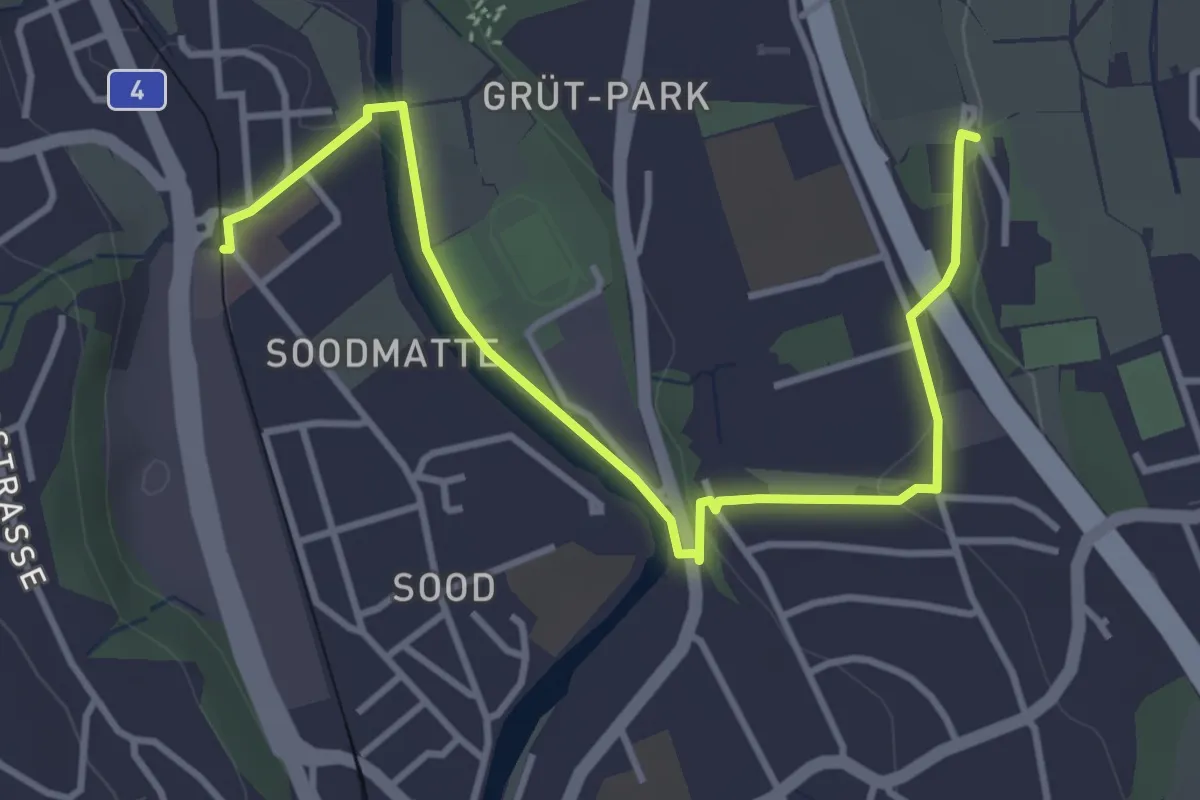
Kilchberg Spital - Sood Oberleimbach
4.2 km · ↑ 56 m · 1 h 7 min
Medium · Trail
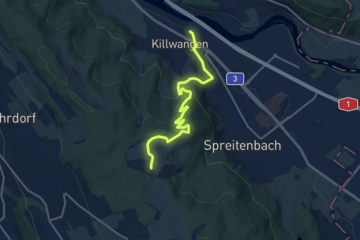
Killwangen - Heitersberg
8.4 km · ↑ 314 m · 2 h 40 min
Medium · Trail
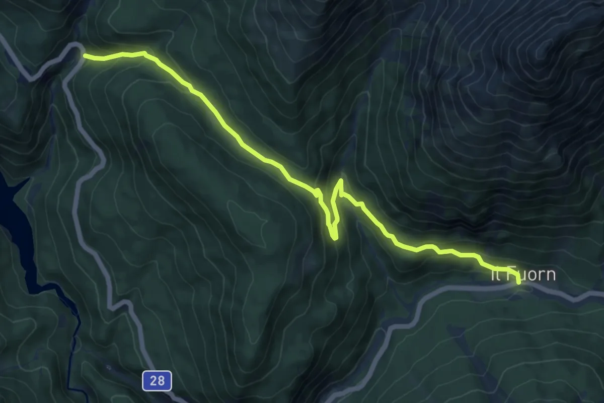
Kinderpfad Champlönch
9.9 km · ↑ 487 m · 3 h 23 min
Easy · Trail
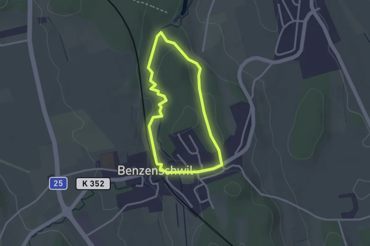
Kinderweg
2.1 km · ↑ 38 m · 37 min
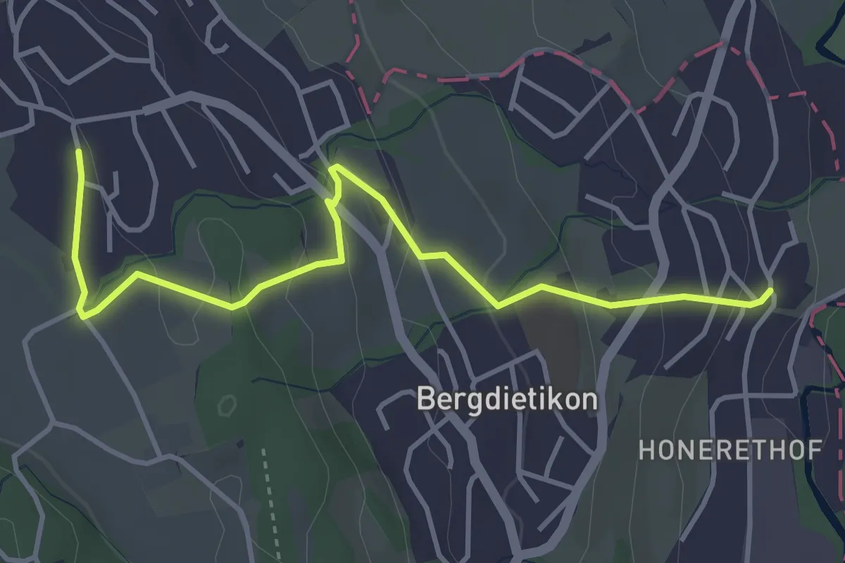
Easy · Trail
Kindhausen - Baltenschwil
4.0 km · ↑ 153 m · 1 h 17 min
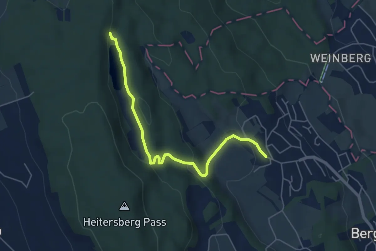
Easy · Trail
Kindhausen - Egelsee
4.6 km · ↑ 132 m · 1 h 22 min
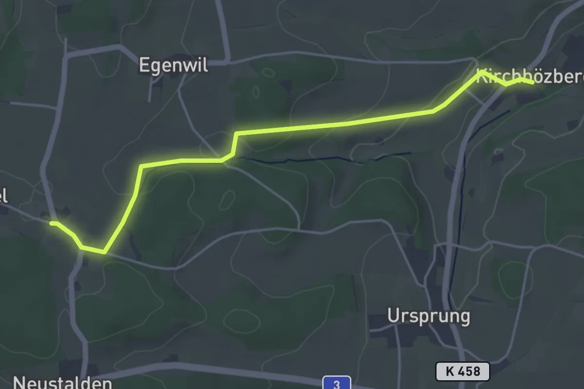
Easy · Trail
Kirchbözberg - Alt Stalden
4.5 km · ↑ 121 m · 1 h 20 min
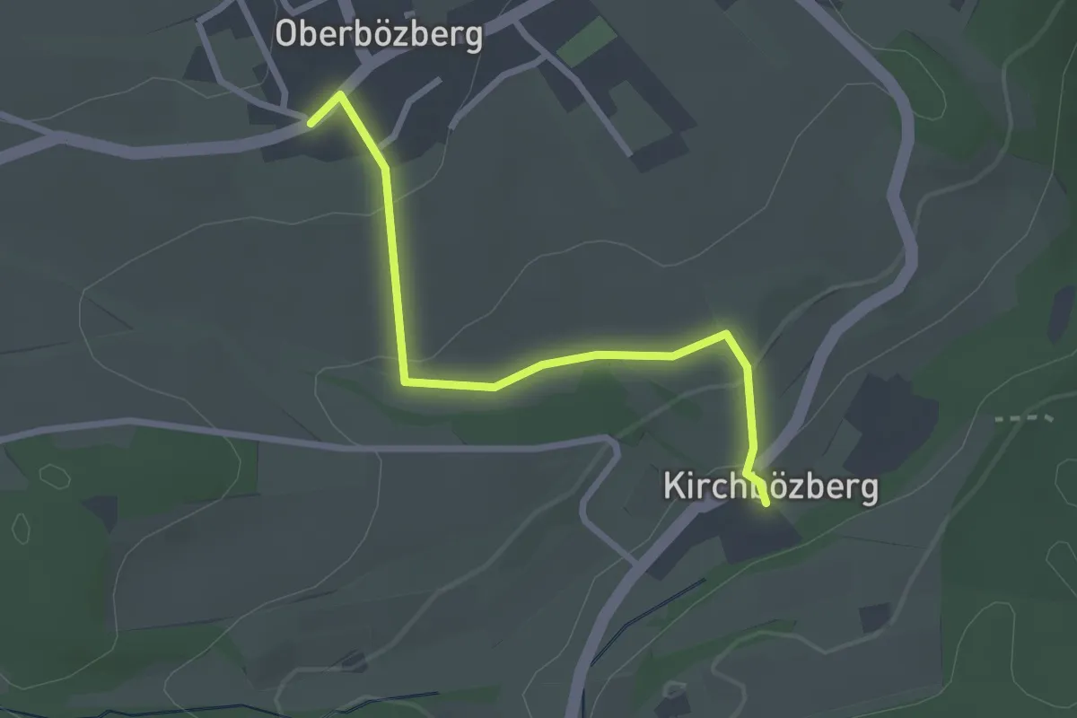
Easy · Trail
Kirchbözberg - Oberbözberg Postauto
2.5 km · ↑ 73 m · 44 min