Trails in Switzerland
15,029 hiking trails, each with its route, climb, walking time and grade.
All trails, page 56 of 314
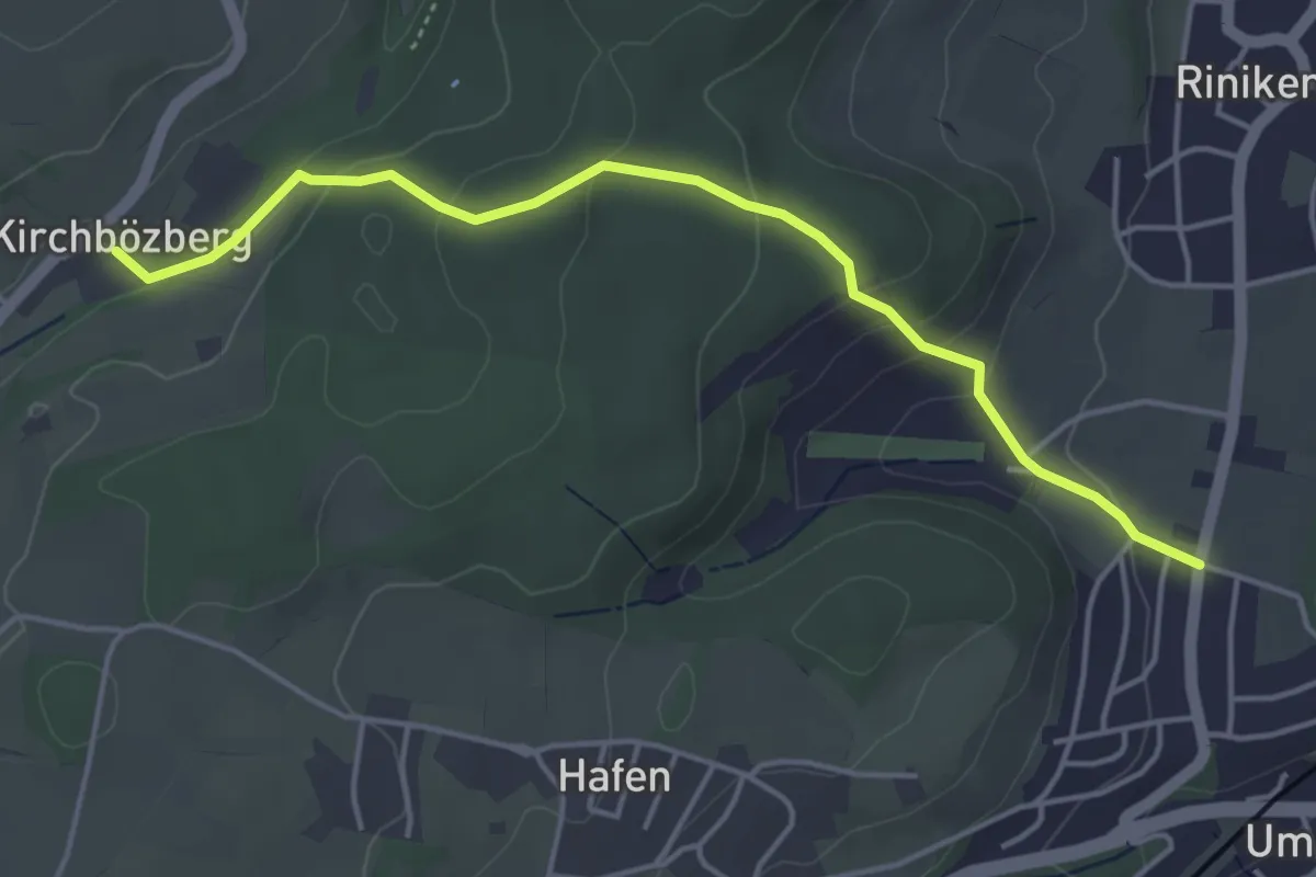
Easy · Trail
Kirchbözberg - Riniken
4.5 km · ↑ 173 m · 1 h 26 min
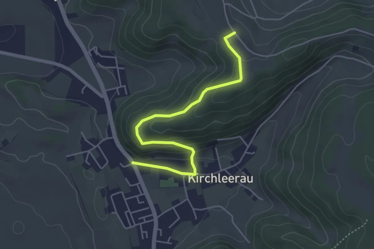
Easy · Trail
Kirchleerau - Hinter Nack
4.3 km · ↑ 165 m · 1 h 22 min
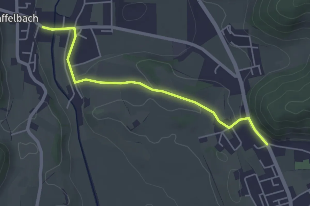
Easy · Trail
Kirchleerau - Staffelbach
3.9 km · ↑ 48 m · 1 h 1 min
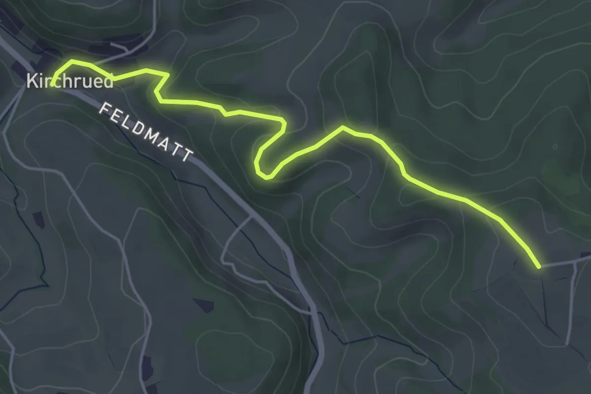
Easy · Trail
Kirchrued - Waltersholz
4.8 km · ↑ 177 m · 1 h 32 min
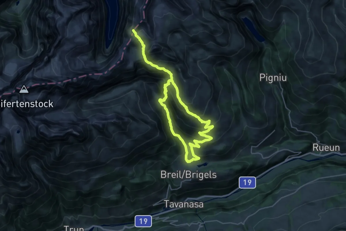
Demanding · Trail
Kistenpass
17.6 km · ↑ 941 m · 6 h 40 min
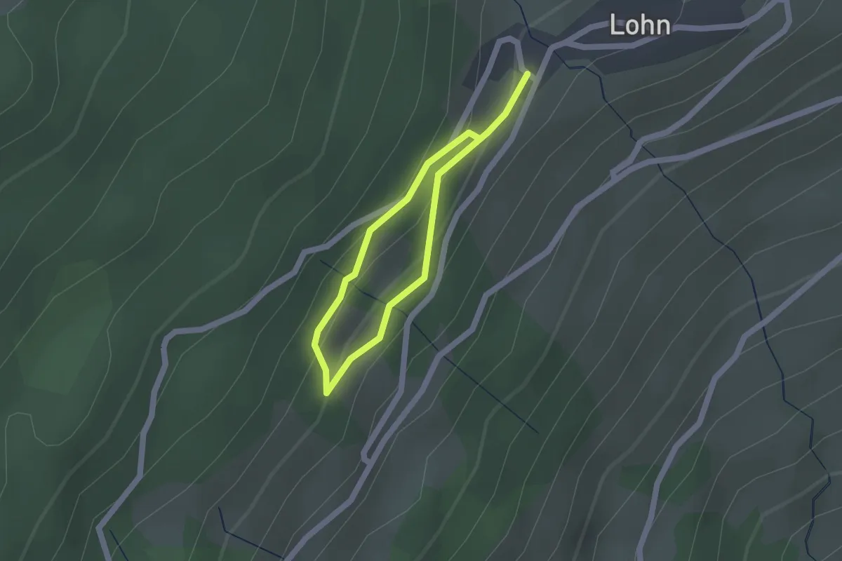
Easy · Trail
Klangwald Lohn (Tùn Resùn)
1.2 km · ↑ 53 m · 25 min
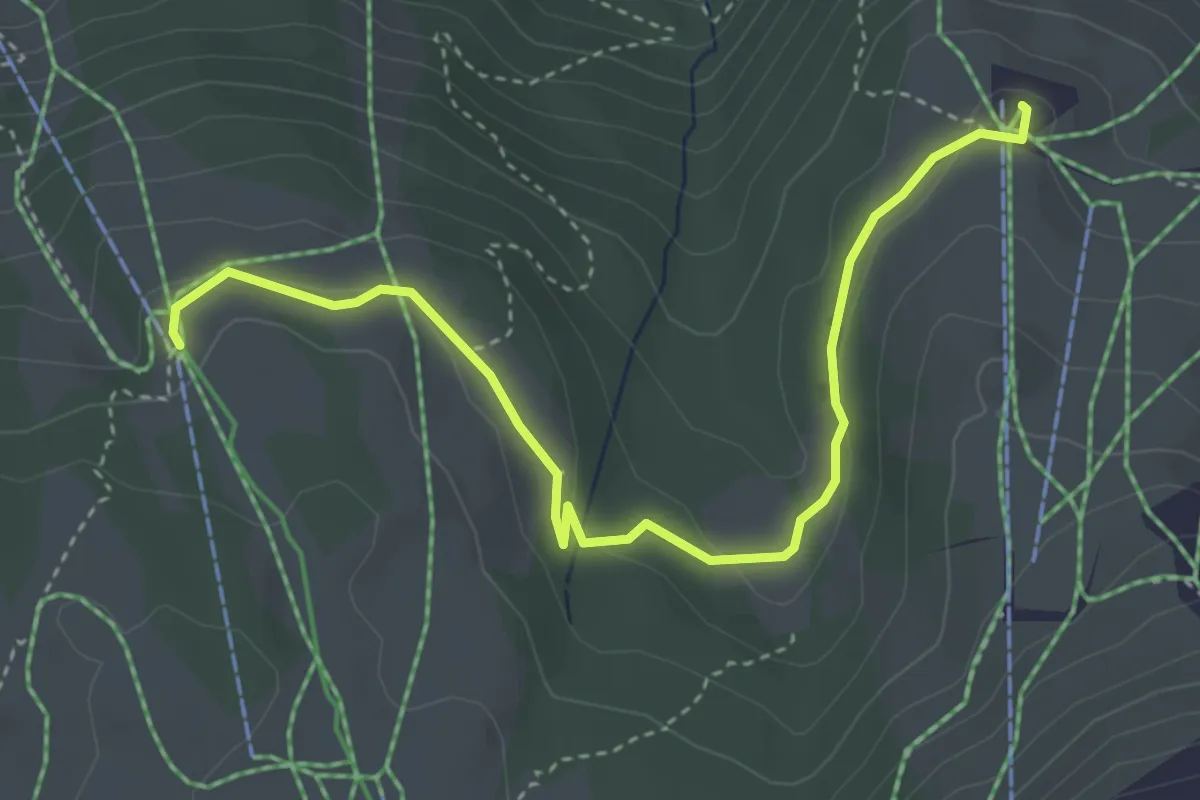
Easy · Trail
Klangweg
4.2 km · ↑ 127 m · 1 h 16 min
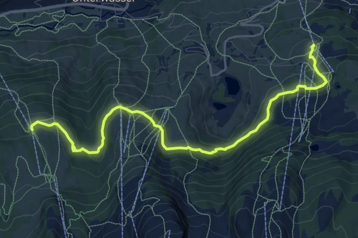
Medium · Trail
Klangweg Toggenburg
12.3 km · ↑ 425 m · 3 h 50 min
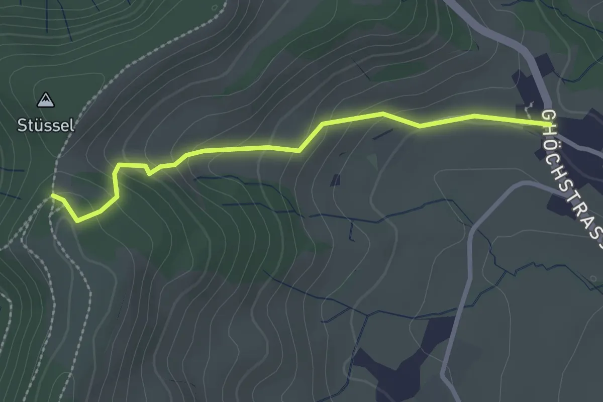
Easy · Trail
Kleinbäretswil - Frauebrünneli
2.3 km · ↑ 143 m · 51 min
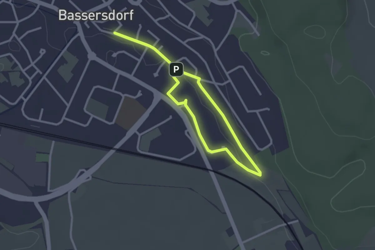
Easy · Trail
kleiner dorfrundgang
2.2 km · ↑ 8 m · 35 min
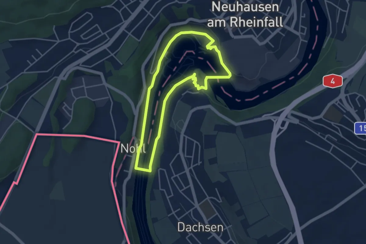
Easy · Trail
Kleiner Rheinfall Rundweg
3.4 km · ↑ 50 m · 57 min
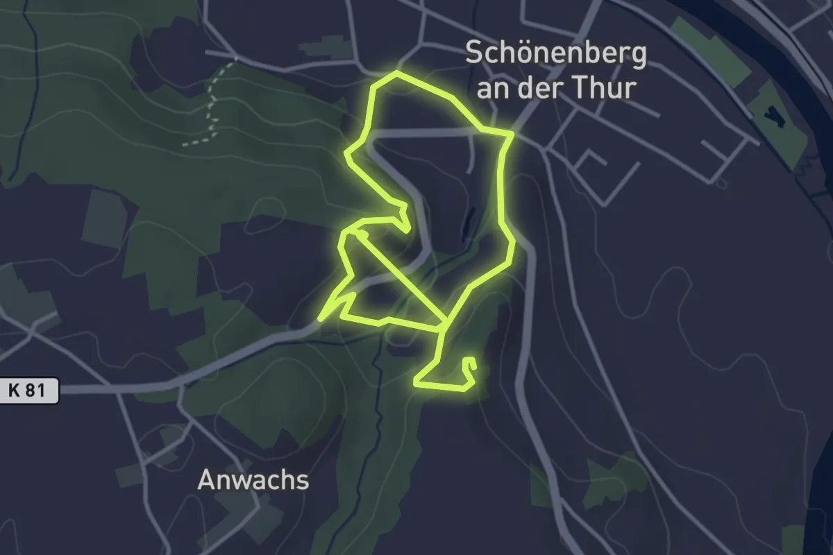
Easy · Trail
kleiner Ruinenweg
5.7 km · ↑ 262 m · 1 h 55 min
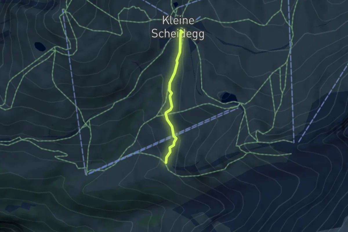
Easy · Trail
Kleine Scheidegg-Haaregg
2.7 km · ↑ 104 m · 52 min
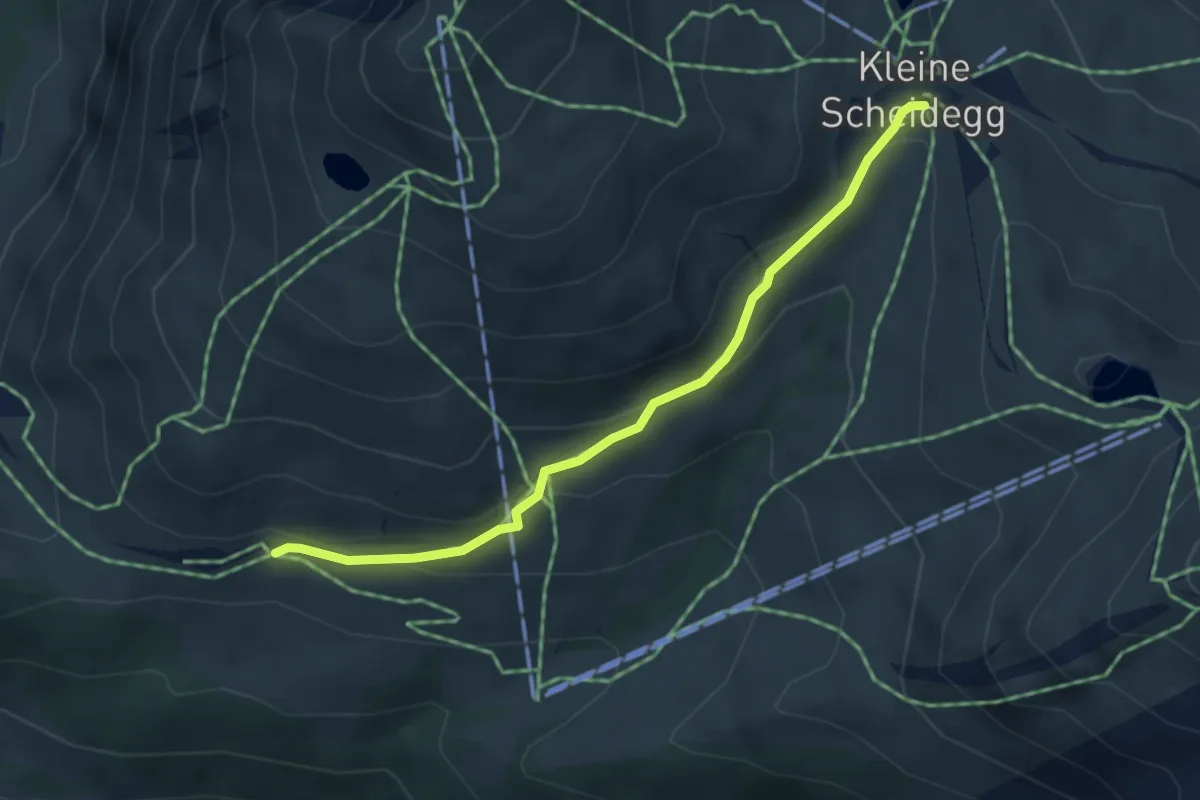
Easy · Trail
Kleine Scheidegg - Wengernalp
3.9 km · ↑ 163 m · 1 h 17 min
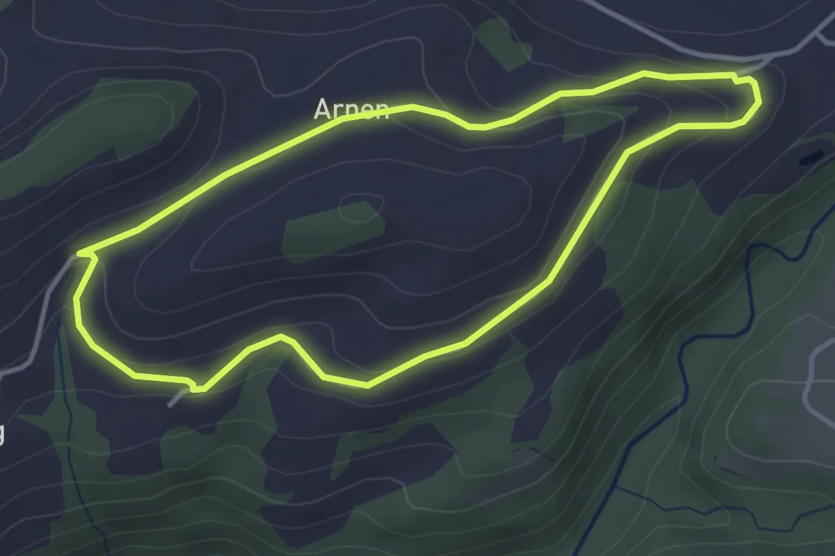
Easy · Trail
Kleine Welt
3.3 km · ↑ 116 m · 1 h 5 min
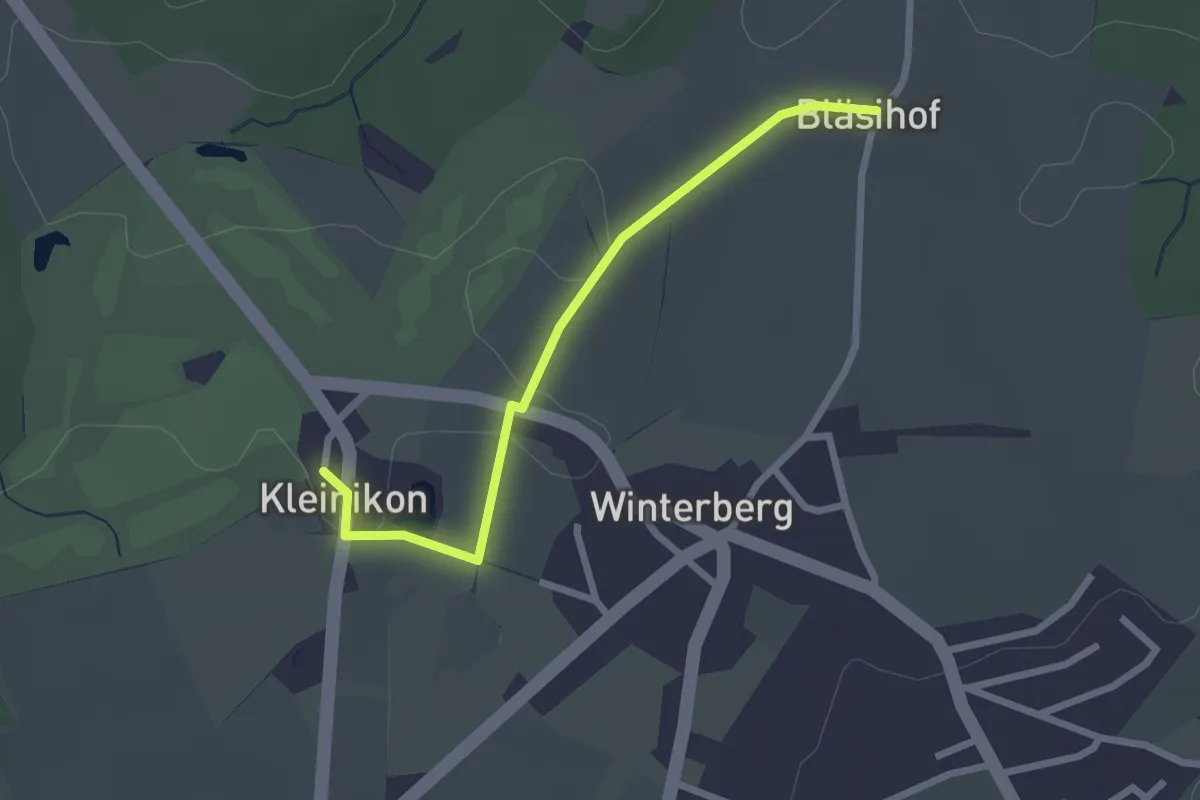
Easy · Trail
Kleinikon - Bläsihof
2.3 km · ↑ 21 m · 35 min
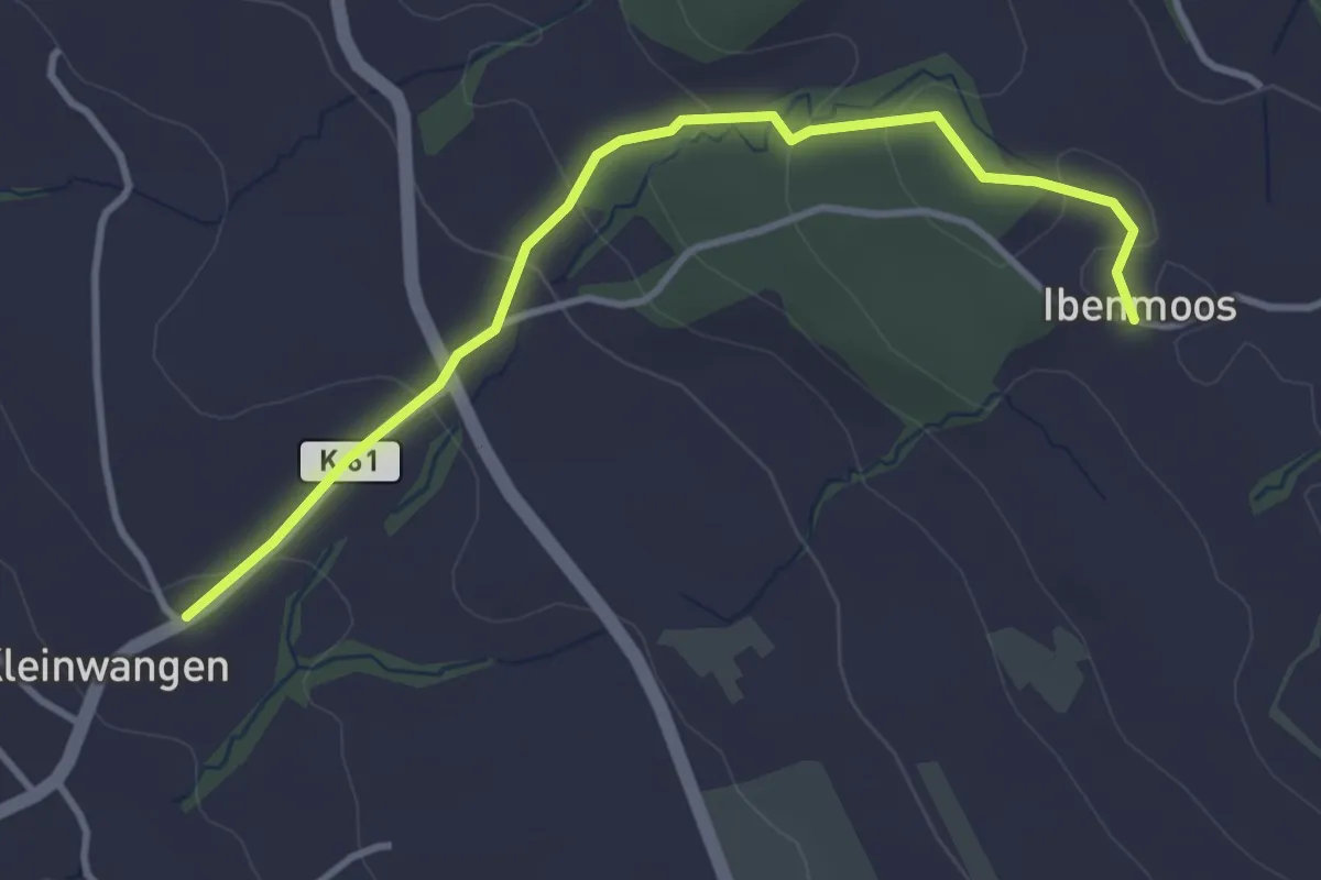
Easy · Trail
Kleinwangen - Ibenmoos
3.6 km · ↑ 137 m · 1 h 9 min
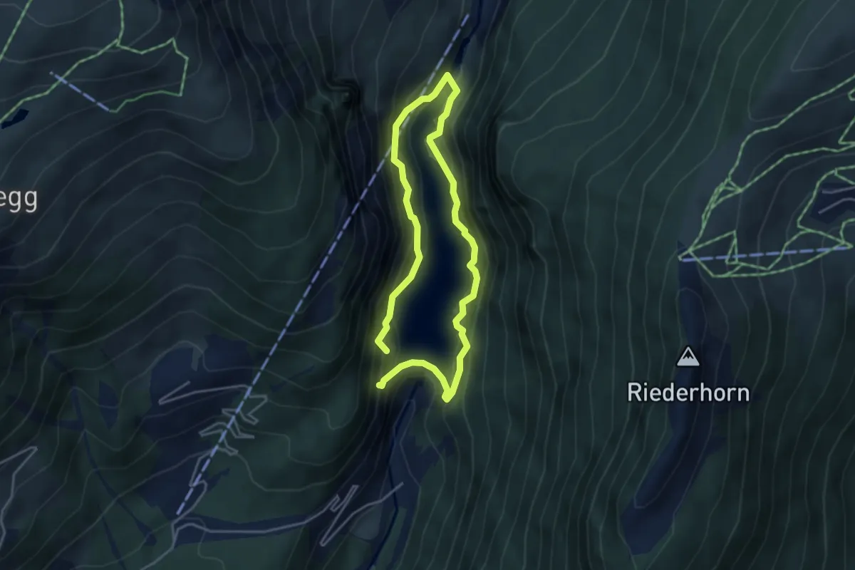
Medium · Trail
Klettersteig Aletsch
3.1 km · ↑ 307 m · 1 h 27 min
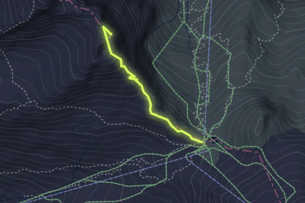
Expert · Summit
Klettersteig Jochpass-Graustock
2.4 km · ↑ 303 m · 1 h 13 min
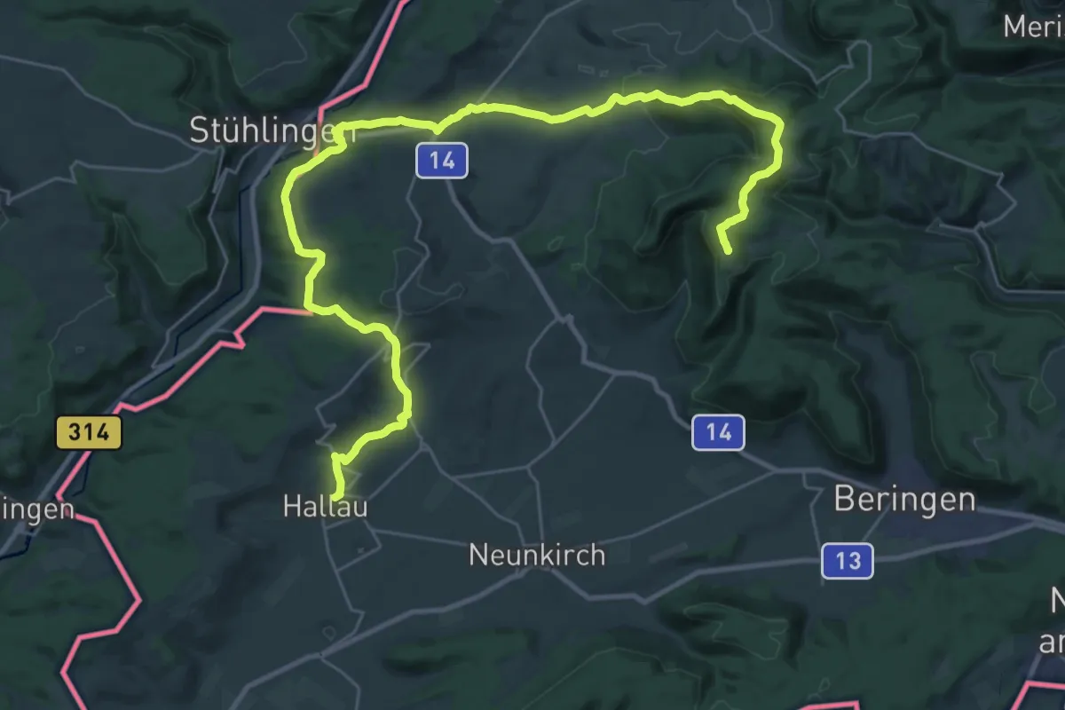
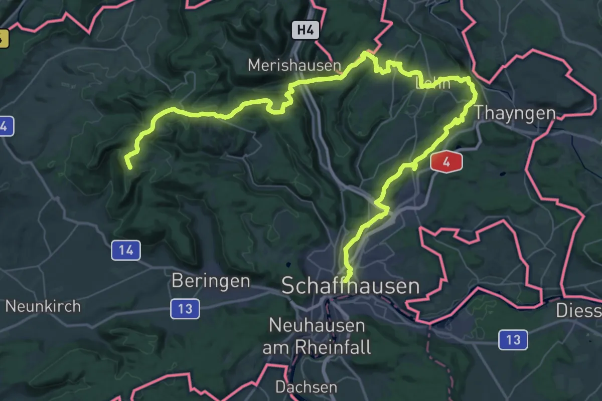
Demanding · Summit
Klettgau-Rhein-Weg - Etappe 1
36.6 km · ↑ 1175 m · 11 h 11 min
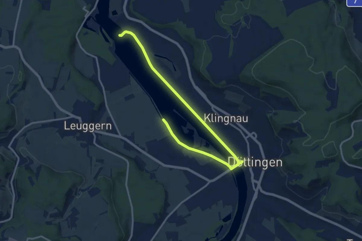
Demanding · Summit
Klettgau-Rhein-Weg - Etappe 2
53.4 km · ↑ 1423 m · 15 h 41 min
Easy · Trail
Klingnauer Uferweg
5.1 km · ↑ 13 m · 1 h 18 min
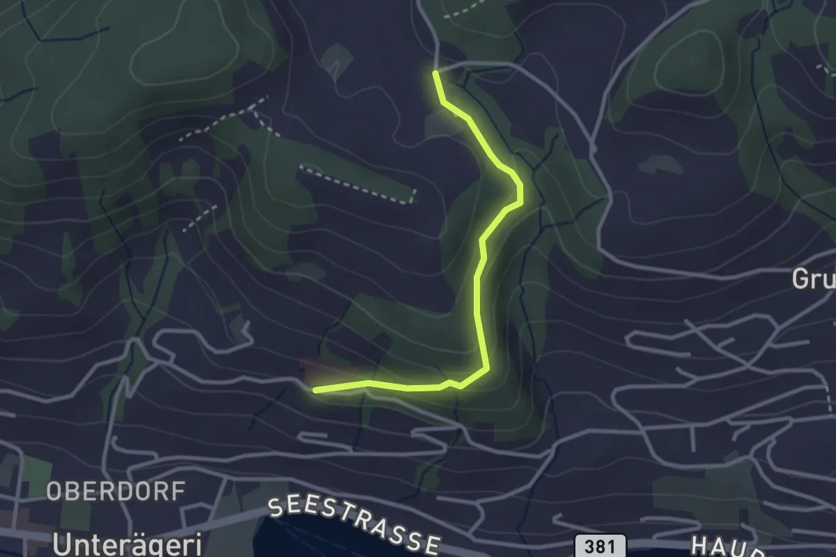
Easy · Trail
Klinik Adelheid - Hinterwiden
2.6 km · ↑ 120 m · 53 min
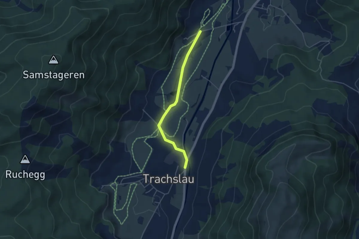
Easy · Trail
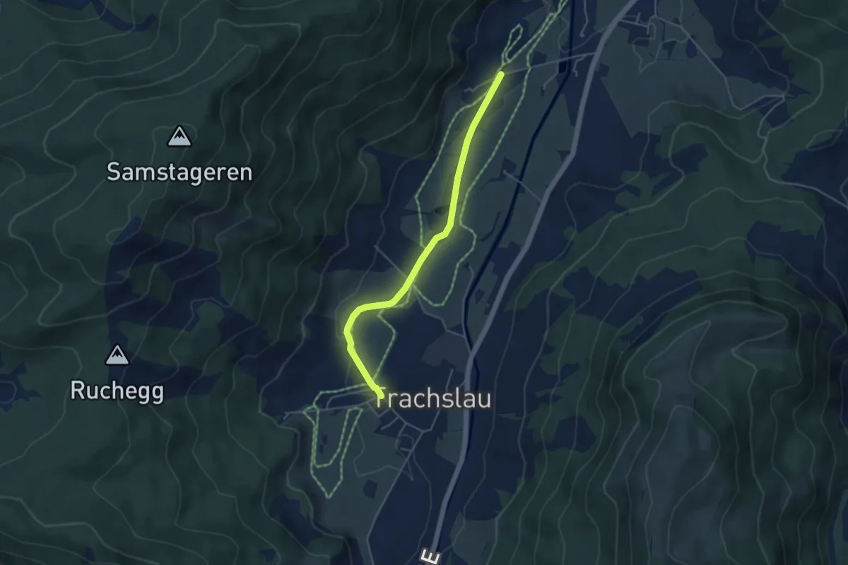
Kloster Au - Trachslau
3.7 km · ↑ 37 m · 58 min
Easy · Trail
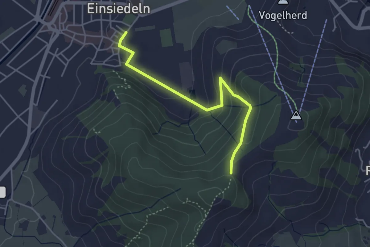
Kloster Au - Trachslau Dorf
4.2 km · ↑ 35 m · 1 h 4 min
Easy · Trail
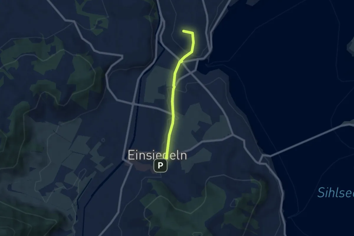
Kloster Einsiedeln - Friherrenberg
3.7 km · ↑ 179 m · 1 h 16 min
Easy · Summit
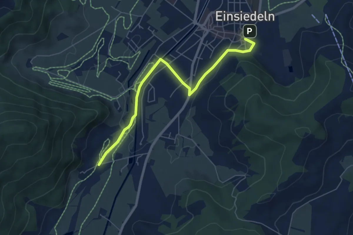
Kloster Einsiedeln - Galgenchappeli
4.6 km · ↑ 72 m · 1 h 14 min
Easy · Trail
Kloster Einsiedeln - Kloster Au
5.8 km · ↑ 63 m · 1 h 30 min
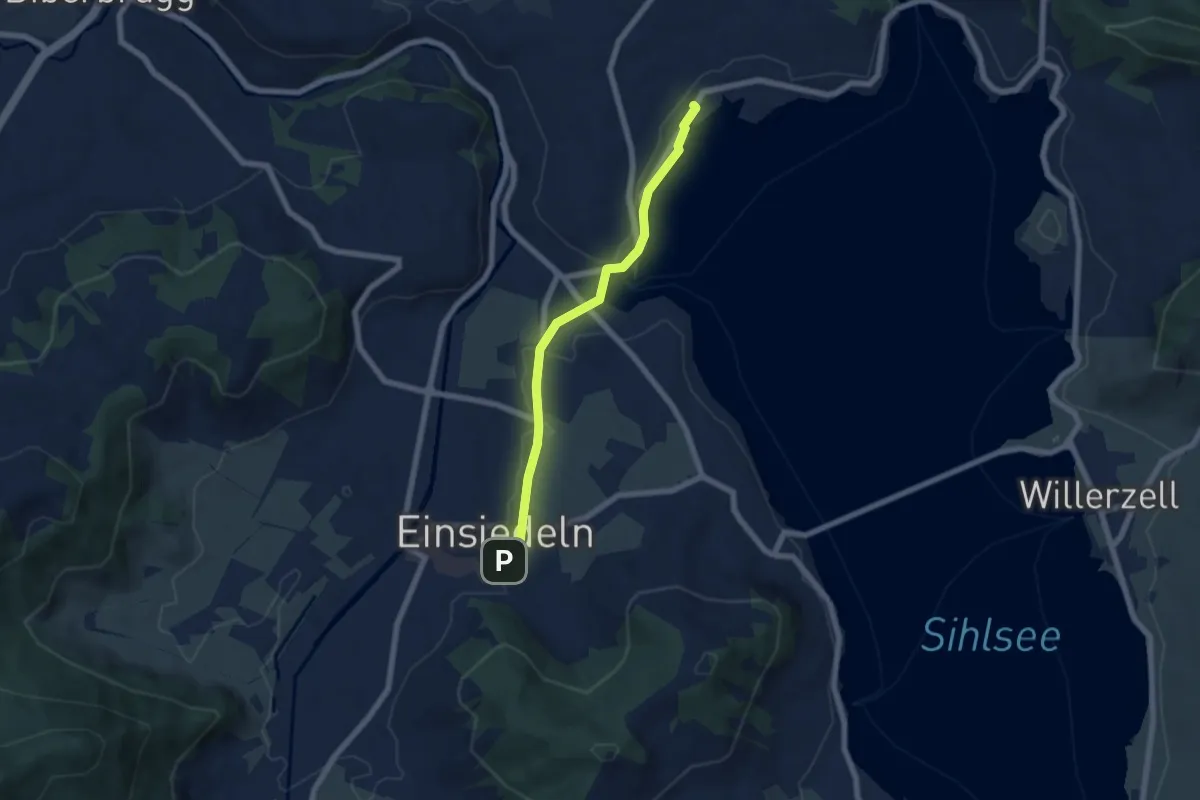
Easy · Trail
Kloster Einsiedeln - Strandbad Einsiedeln
5.8 km · ↑ 42 m · 1 h 28 min
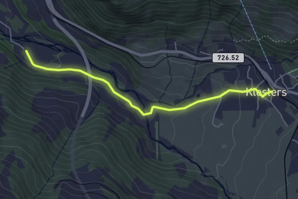
Easy · Trail
Klosters Dorf - Bad Serneus
4.4 km · ↑ 138 m · 1 h 20 min
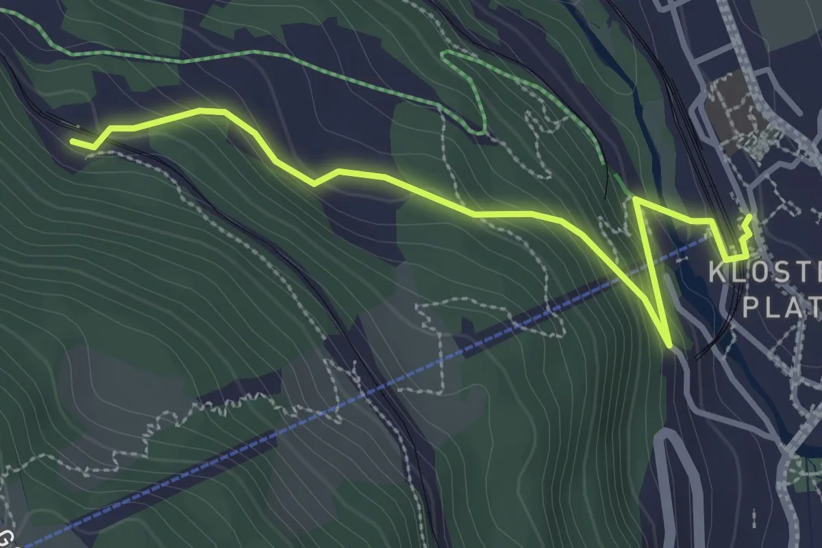
Easy · Trail
Klosters Platz - Cavadürli
3.2 km · ↑ 174 m · 1 h 8 min
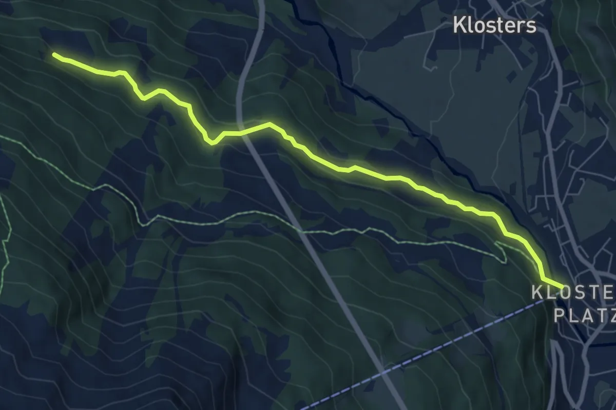
Easy · Trail
Klosters Platz - Grossrüti
7.3 km · ↑ 273 m · 2 h 18 min
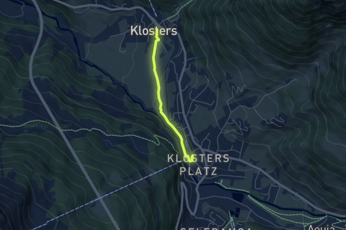
Easy · Trail
Klosters Platz - Klosters Dorf
3.7 km · ↑ 87 m · 1 h 4 min
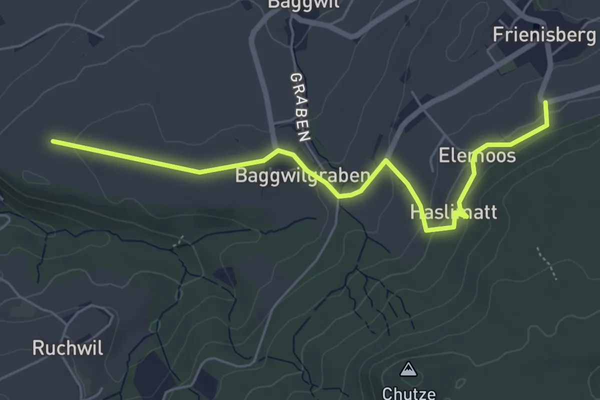
Easy · Trail
Klosterwege Frienisberg
5.5 km · ↑ 145 m · 1 h 37 min
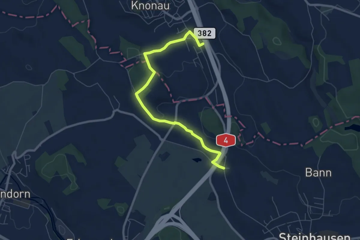
Easy · Trail
Knonau-Bibersee
6.8 km · ↑ 91 m · 1 h 49 min
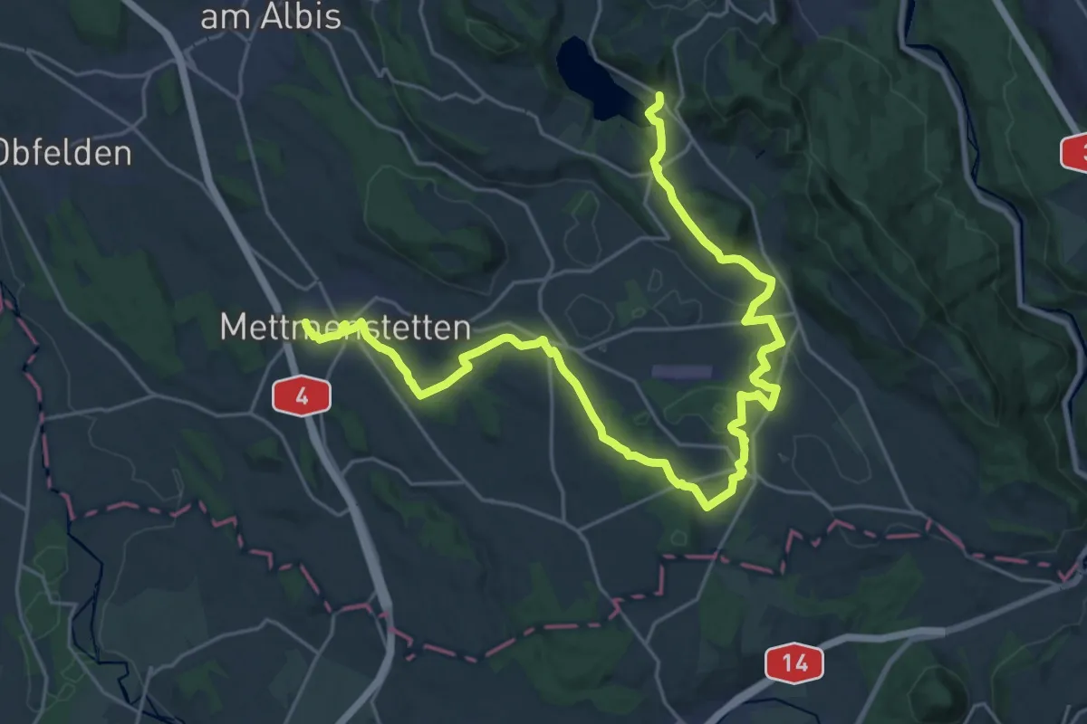
Demanding · Trail
Knonaueramt-Weg
29.1 km · ↑ 428 m · 7 h 47 min
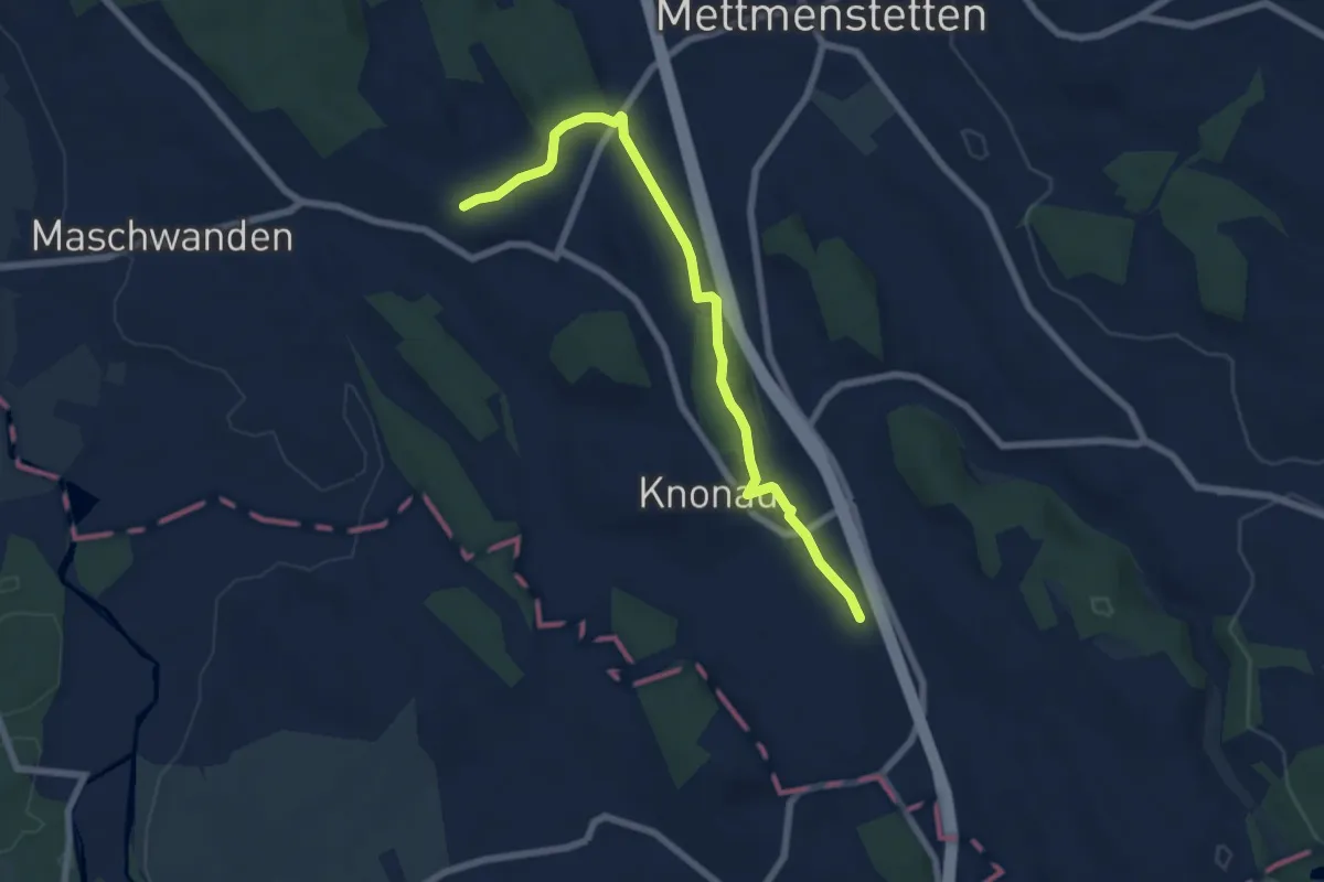
Easy · Trail
Knonau - Hinter-Uttenberg
6.9 km · ↑ 76 m · 1 h 48 min
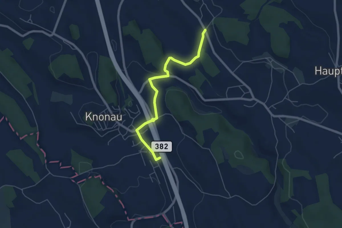
Easy · Trail
Knonau - Wissenbach
5.2 km · ↑ 63 m · 1 h 22 min
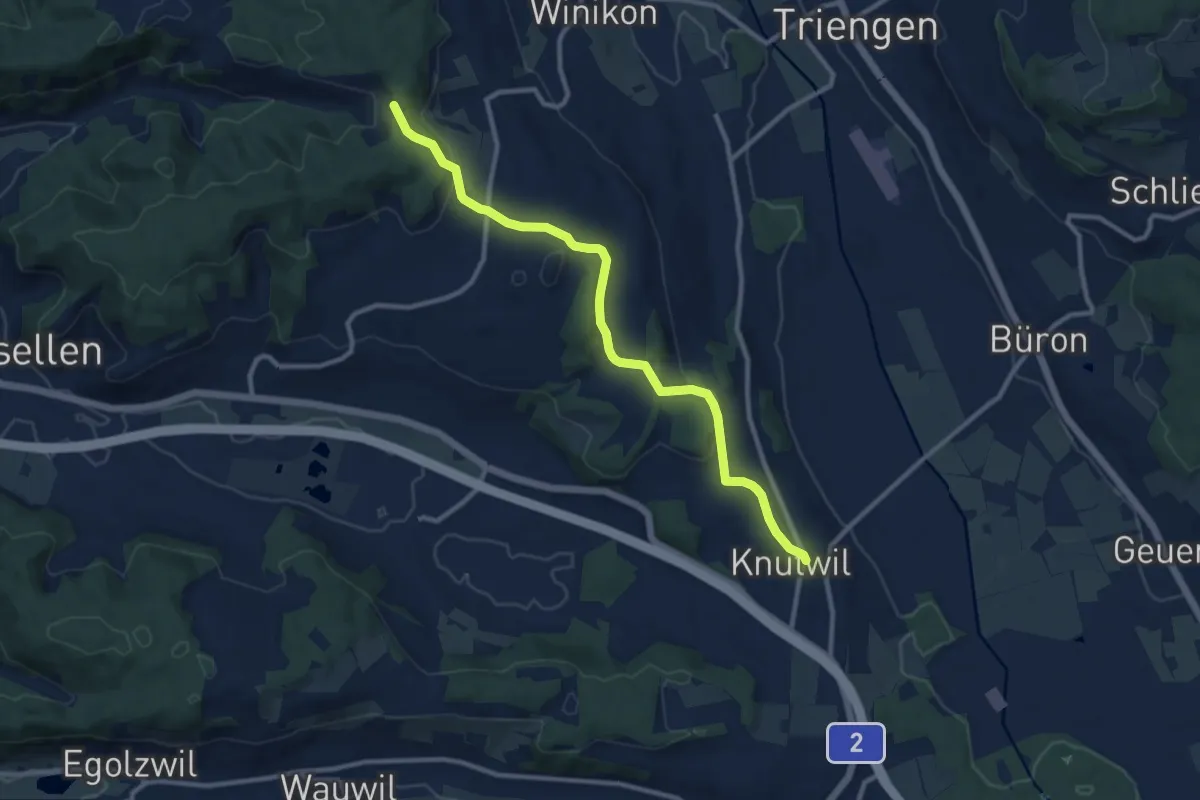
Medium · Trail
Knutwil - Lätten
10.6 km · ↑ 267 m · 3 h 4 min
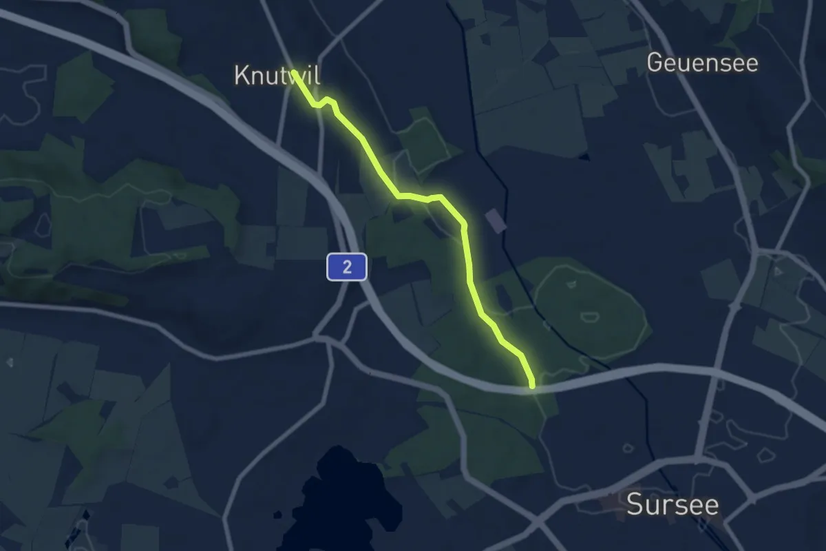
Easy · Trail
Knutwil - Surseerwald
6.1 km · ↑ 82 m · 1 h 37 min
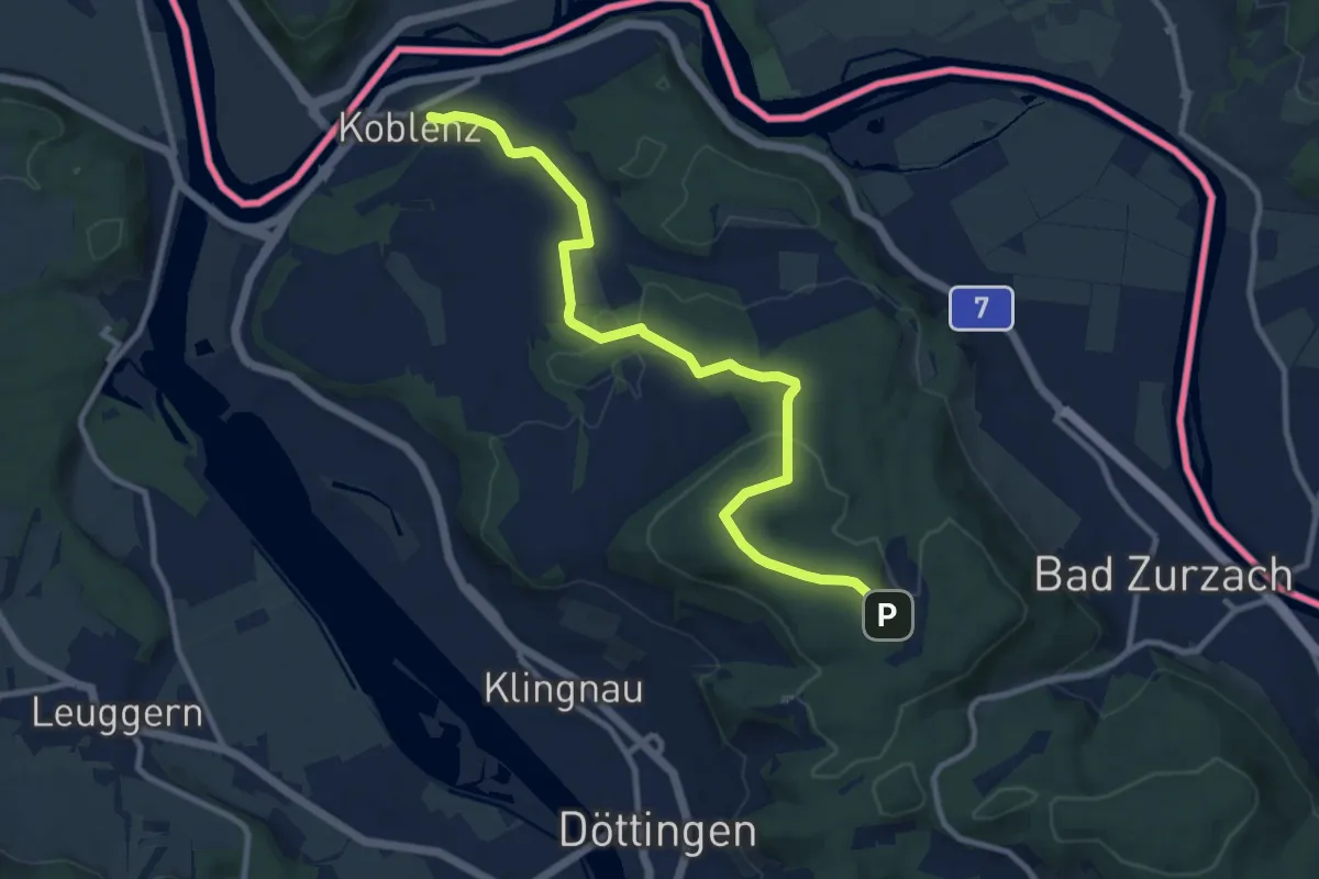
Medium · Trail
Koblenz - Acheberg
10.6 km · ↑ 245 m · 3 h 3 min
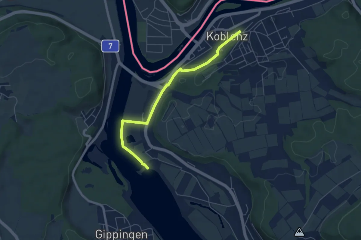
Easy · Trail
Koblenz-Kraftwerk Klingnau
5.3 km · ↑ 32 m · 1 h 19 min
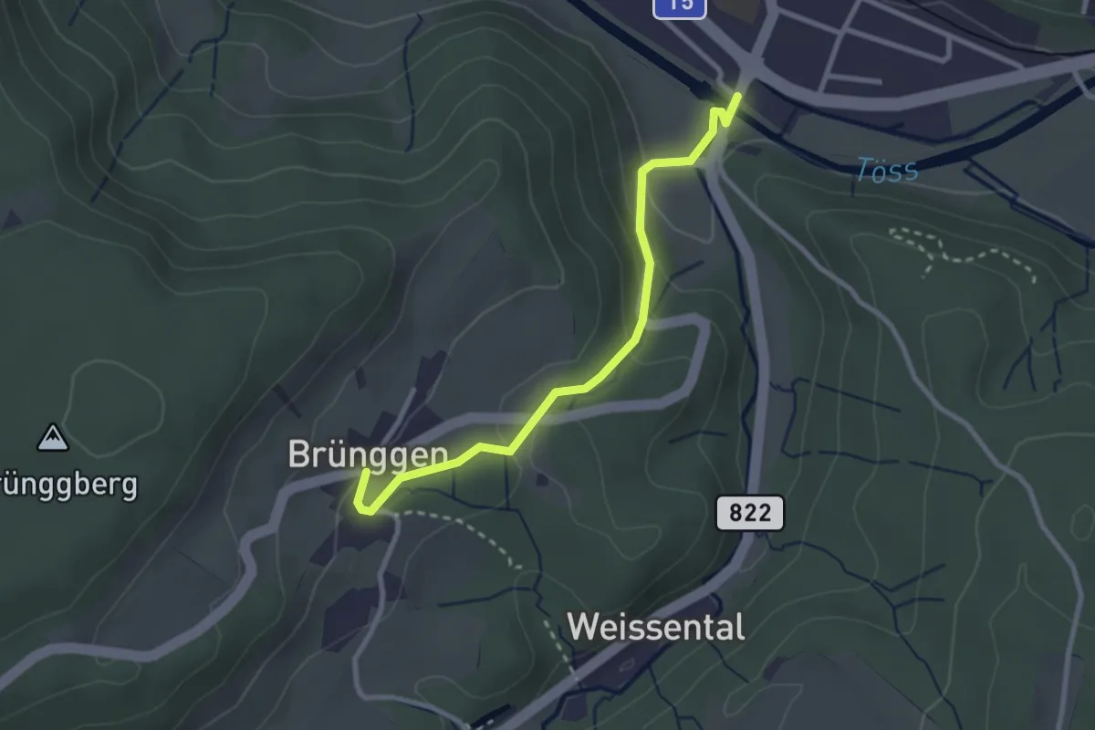
Easy · Trail
Kollbrunn – Brünggen
2.7 km · ↑ 110 m · 52 min
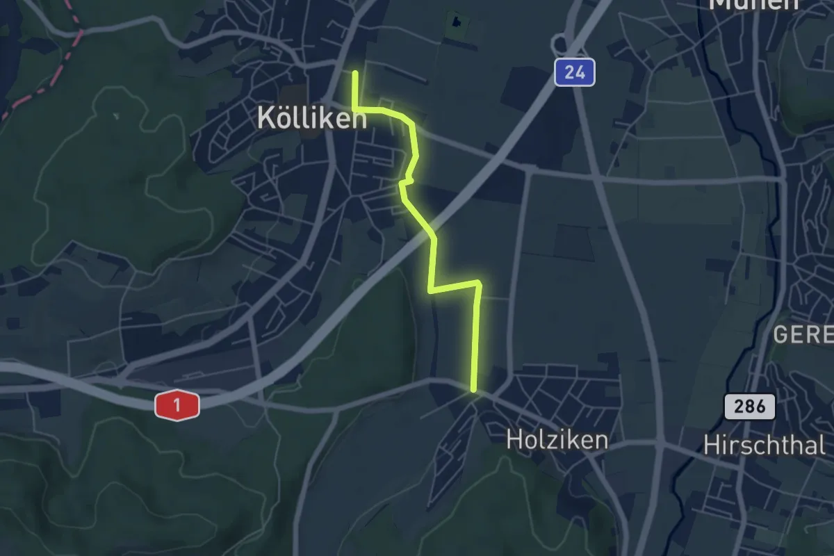
Easy · Trail
Kölliken - Matten - Holziken
4.6 km · ↑ 8 m · 1 h 6 min
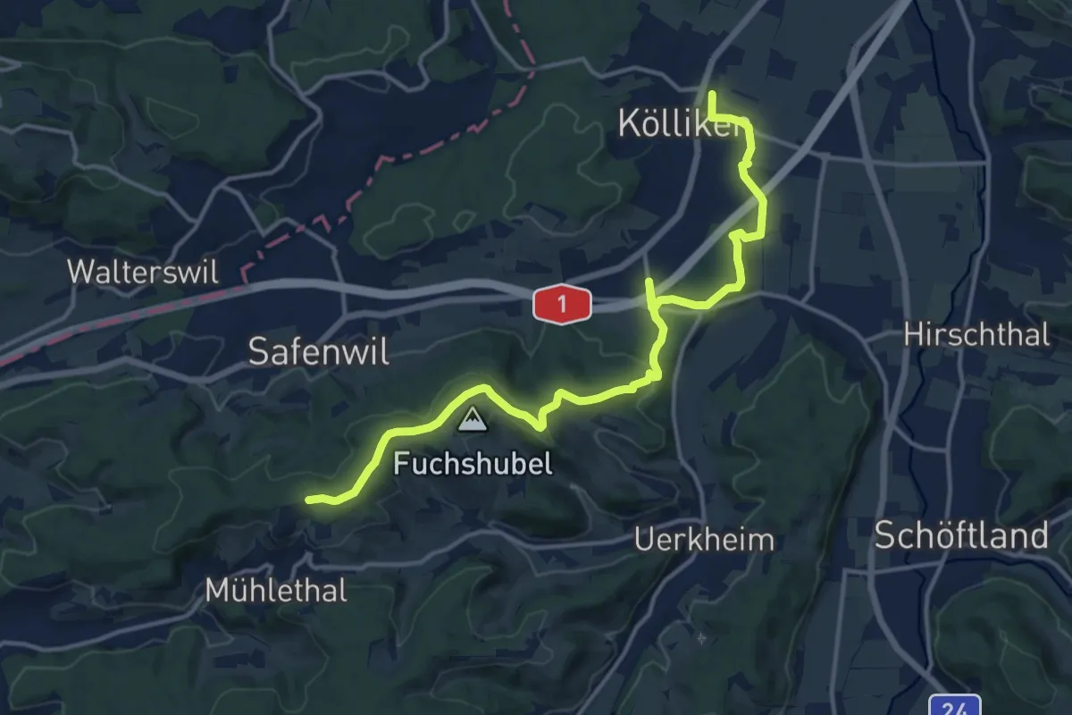
Medium · Trail
Kölliken - Rottannen
15.3 km · ↑ 294 m · 4 h 14 min
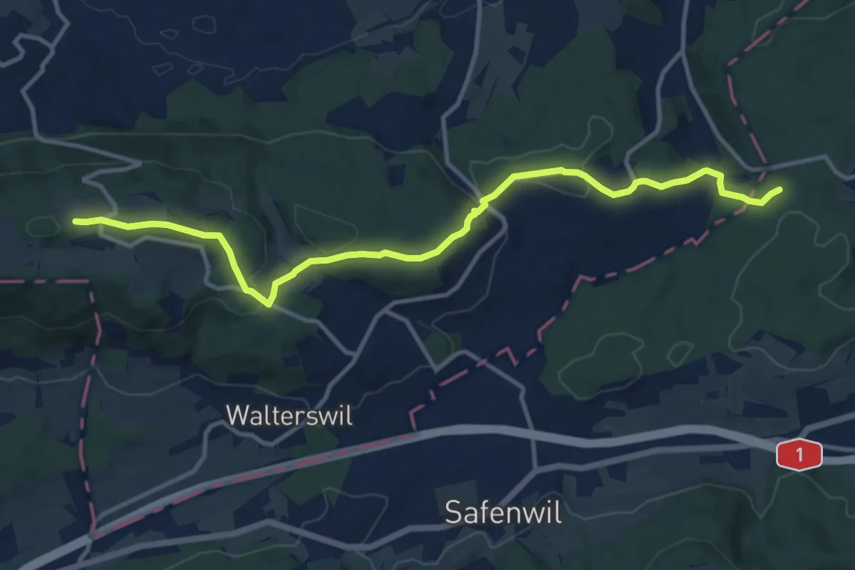
Medium · Trail
Kölliker Tann - Chessel - Engelberg
11.3 km · ↑ 384 m · 3 h 29 min
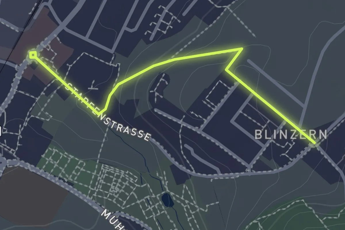
Easy · Trail
Köniz - Blinzeren
2.3 km · ↑ 49 m · 39 min
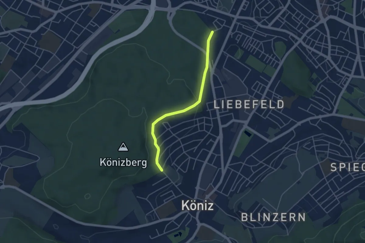
Easy · Trail
Köniz/Ober Buchsee - Fischermätteli
3.8 km · ↑ 89 m · 1 h 5 min