Trails in Switzerland
15,029 hiking trails, each with its route, climb, walking time and grade.
All trails, page 57 of 314
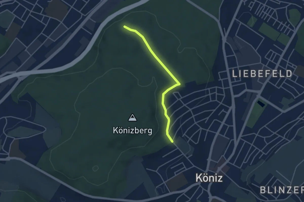
Easy · Trail
Köniz/Ober Buchsee – Pfaffensteig
3.2 km · ↑ 53 m · 52 min
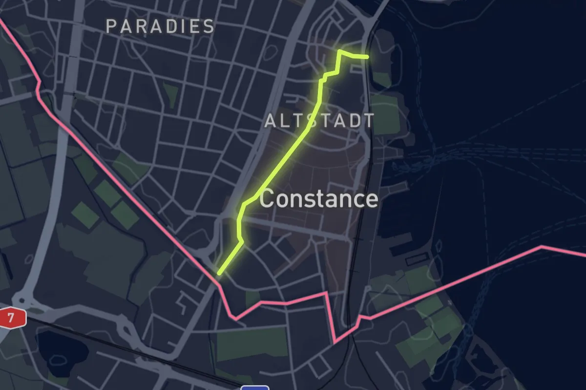
Easy · Trail
Konstanz Susosteig - Kreuzlingen
2.4 km · ↑ 4 m · 35 min
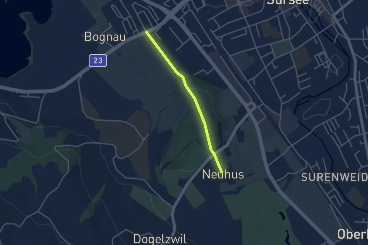
Easy · Trail
Kotten - Neuhus
2.6 km · ↑ 74 m · 46 min
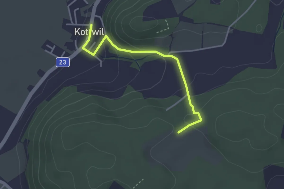
Easy · Trail
Kottwil - Hinterberg
2.9 km · ↑ 136 m · 59 min
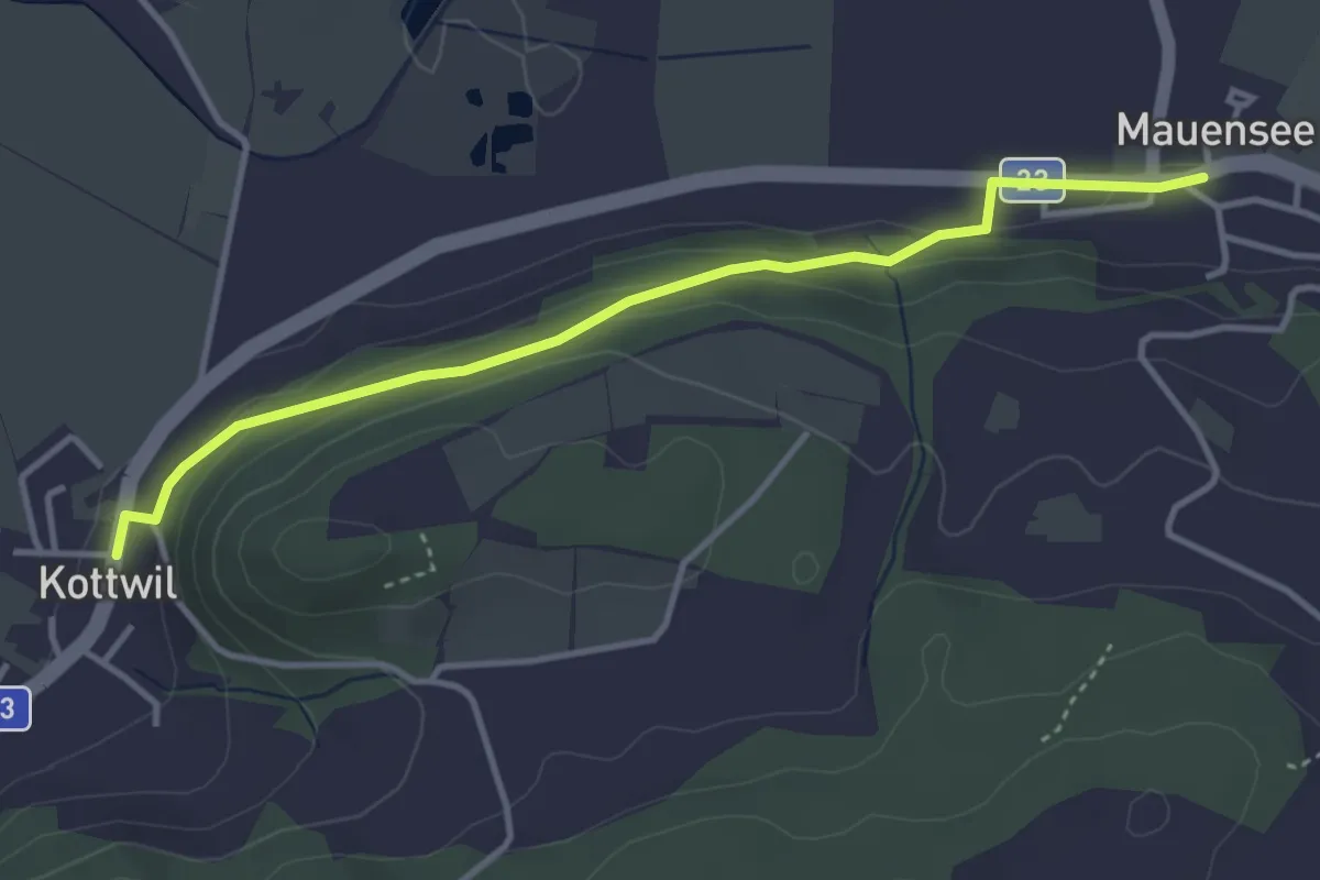
Easy · Trail
Kottwil - Mauensee
3.8 km · ↑ 105 m · 1 h 7 min
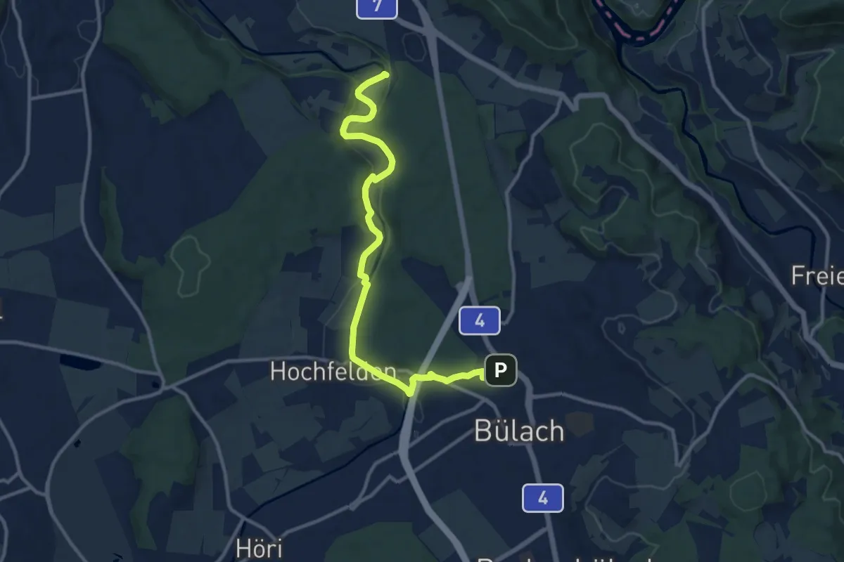
Medium · Trail
Kraft des Wassers an der Glatt
11.9 km · ↑ 230 m · 3 h 18 min
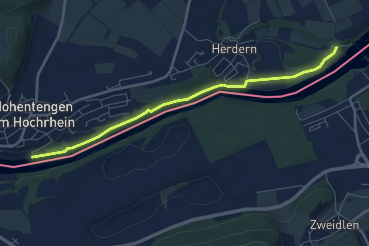
Easy · Trail
Kraftwerk Rheinsfelden - Hohentengen Campingplatz
5.8 km · ↑ 37 m · 1 h 27 min
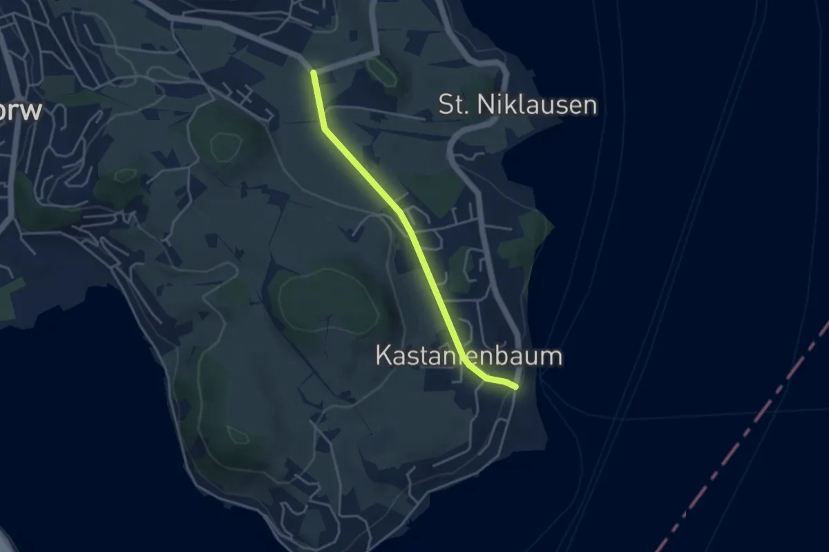
Easy · Trail
Krämerstein - Unterbächen
3.4 km · ↑ 43 m · 53 min
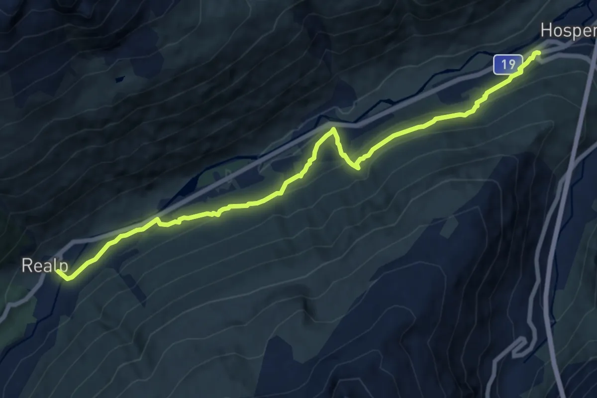
Medium · Trail
Kräuterlehrpfad Hospental-Realp
12.0 km · ↑ 644 m · 4 h 14 min
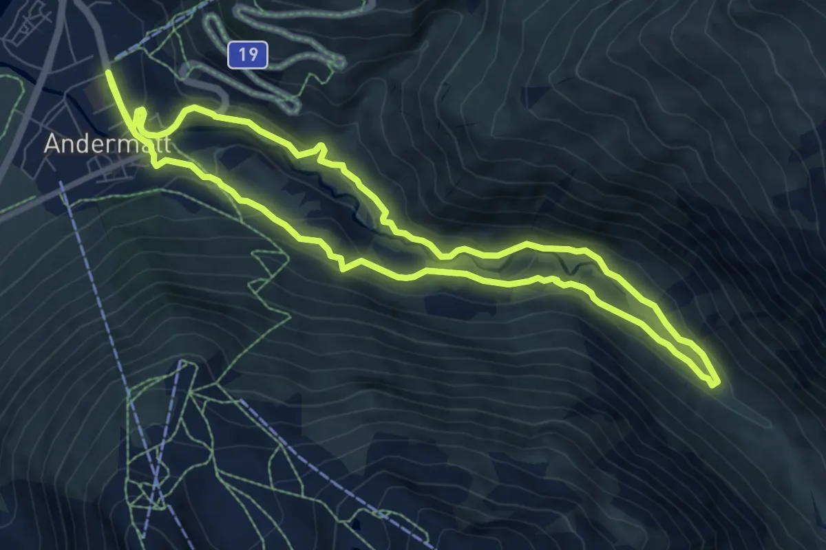
Medium · Trail
Kräuterlehrpfad Mur
7.9 km · ↑ 237 m · 2 h 29 min
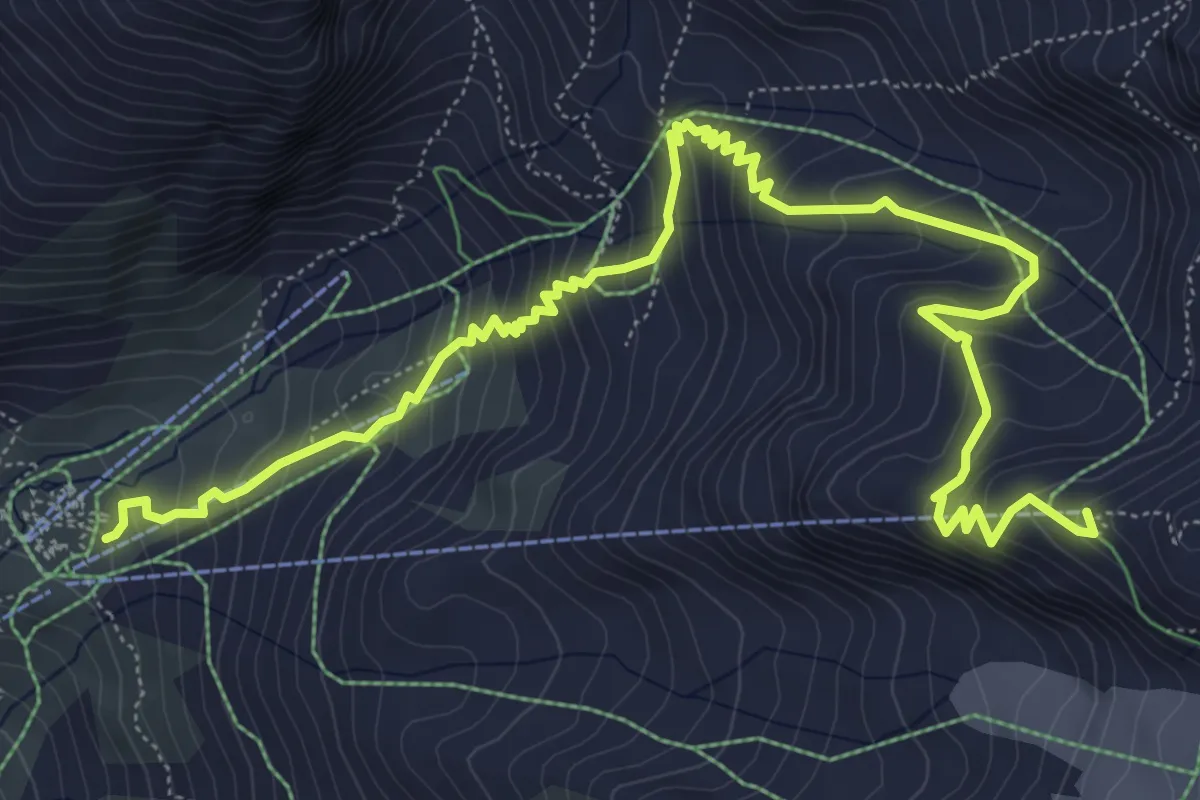
Medium · Cabin
Kreuzboden - Hohsaas
8.7 km · ↑ 723 m · 3 h 38 min
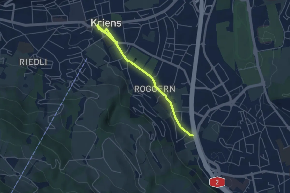
Easy · Trail
Kriens Dorfplatz - Schlund
4.3 km · ↑ 36 m · 1 h 5 min
Easy · Trail
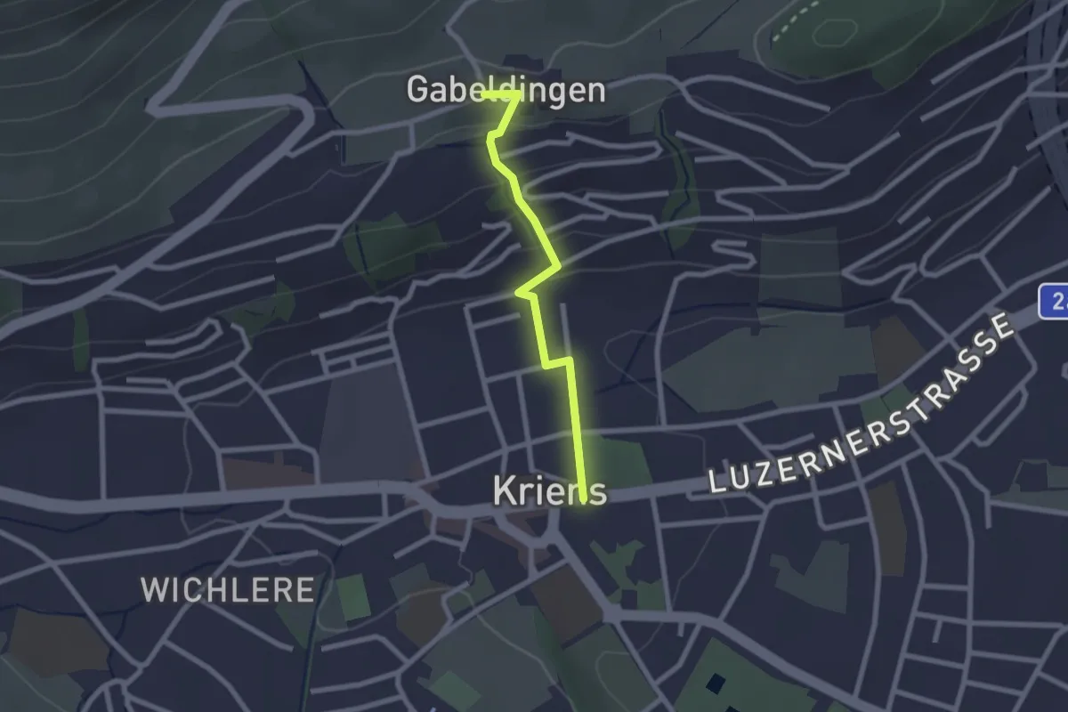
Kriens Hofmatt - Gabeldingen
2.0 km · ↑ 105 m · 42 min
Demanding · Trail
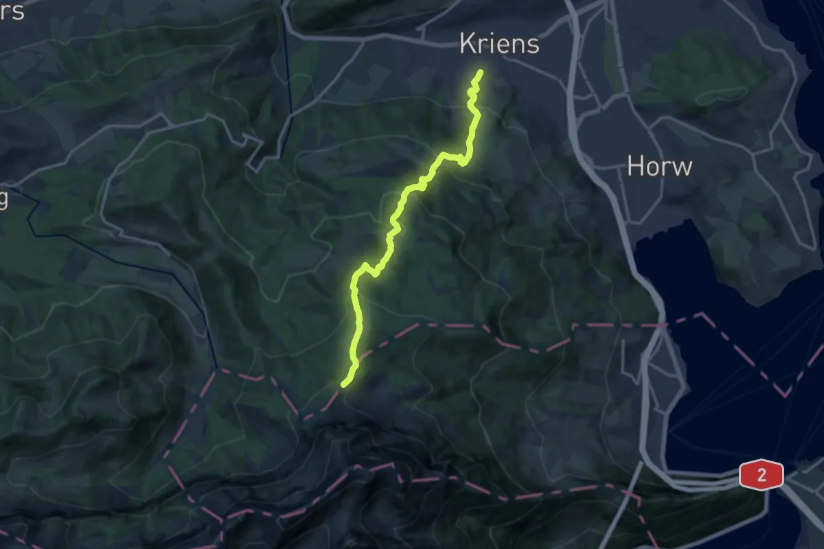
Kriens Pilatus-Bahnen - Fräkmüntegg
12.8 km · ↑ 952 m · 5 h 5 min
Medium · Trail
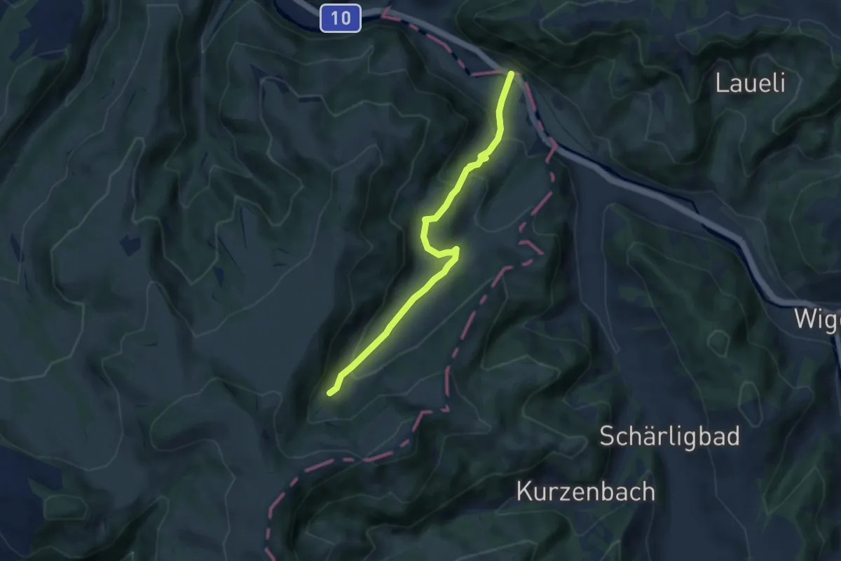
Kröschenbrunnen - Grabenweidli
6.4 km · ↑ 334 m · 2 h 14 min
Easy · Trail
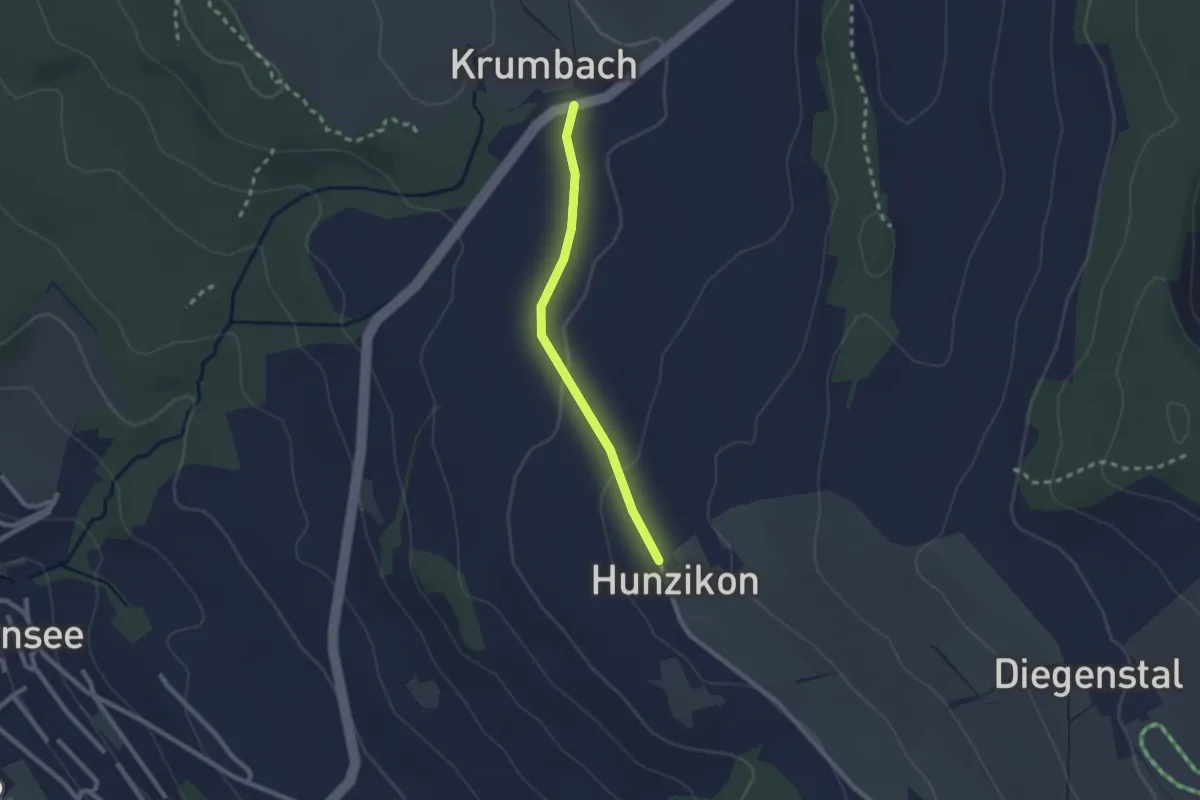
Krummbach- Hunzikon
2.0 km · ↑ 33 m · 33 min
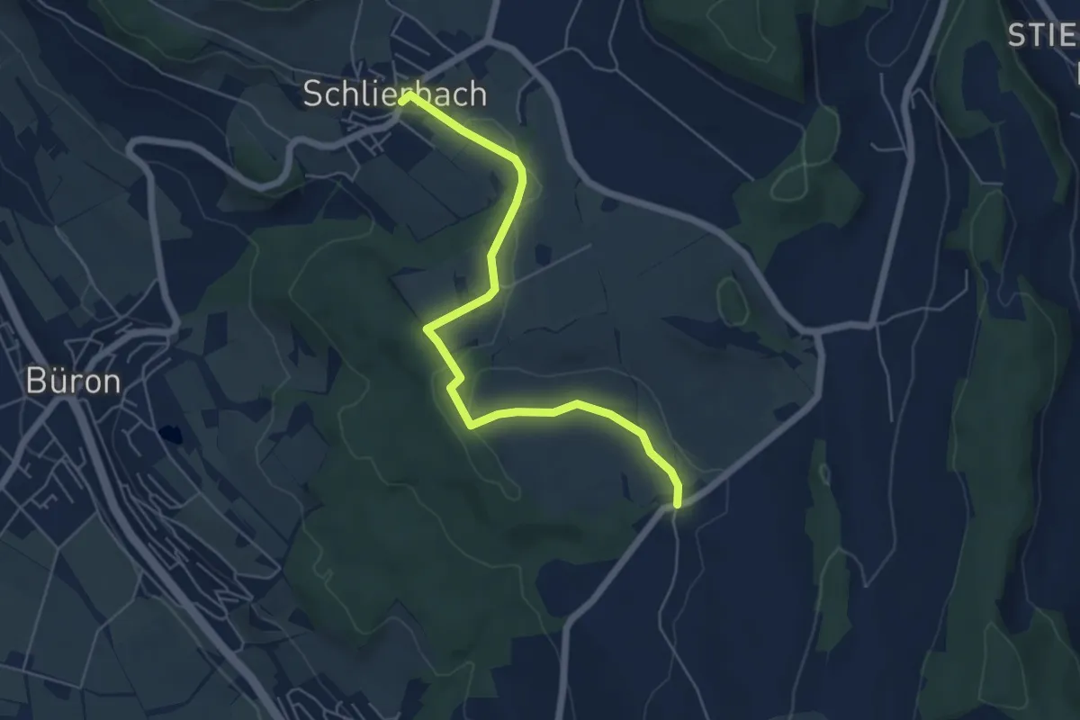
Easy · Trail
Krummbach - Schlierbach
5.6 km · ↑ 60 m · 1 h 27 min
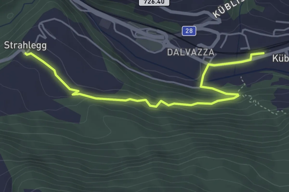
Easy · Trail
Küblis -
4.3 km · ↑ 184 m · 1 h 25 min
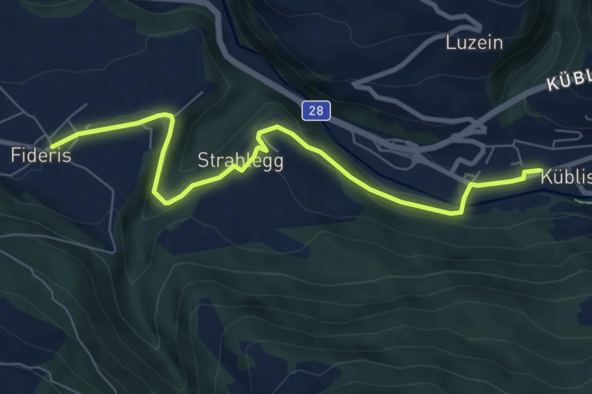
Easy · Trail
Küblis - Fideris
6.4 km · ↑ 148 m · 1 h 50 min
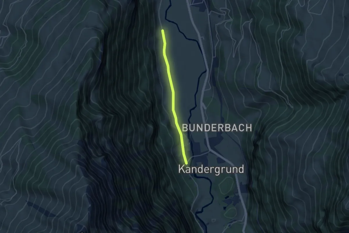
Easy · Trail
Küenzeli - Inner Kandergrund
3.6 km · ↑ 39 m · 57 min
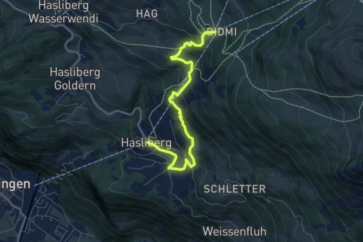
Medium · Trail
Kugelweg
7.0 km · ↑ 452 m · 2 h 38 min
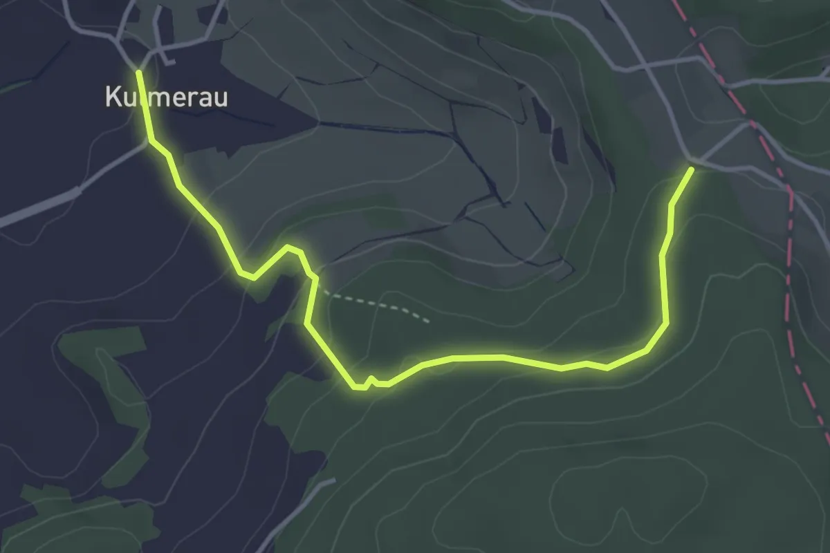
Easy · Trail
Kulmerau - Chare
4.1 km · ↑ 202 m · 1 h 24 min
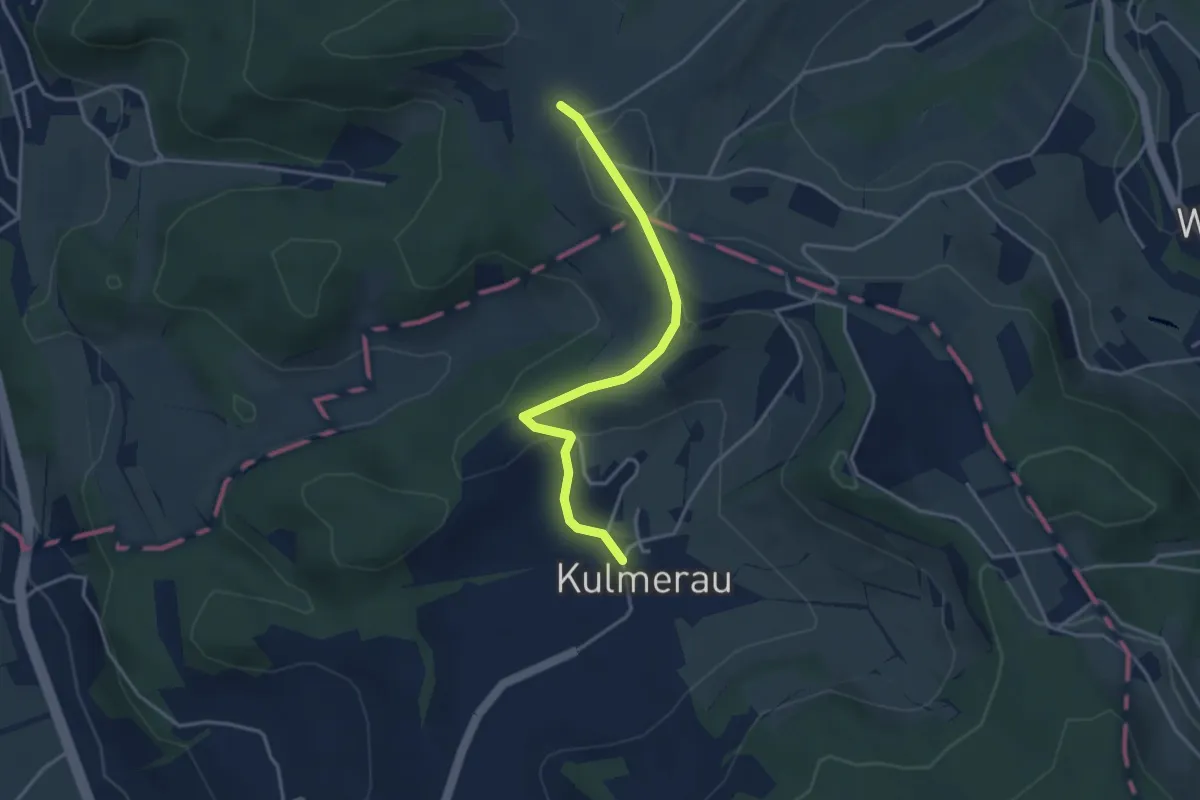
Easy · Trail
Kulmerau - Nütziweid
3.5 km · ↑ 85 m · 1 h 1 min
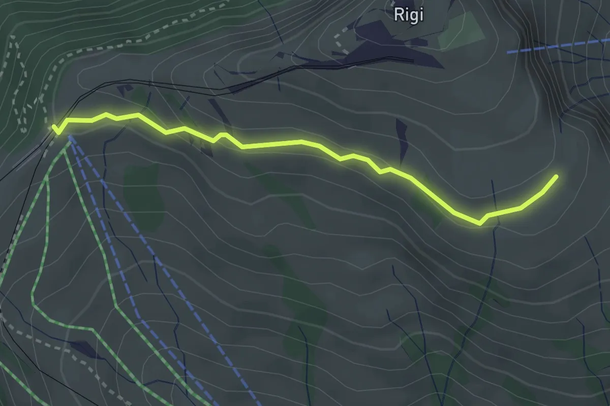
Medium · Trail
Kulmhutte-Rigi Staffel
2.7 km · ↑ 93 m · 51 min
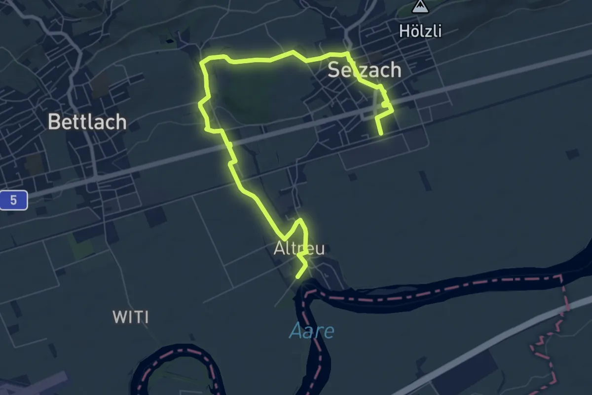
Medium · Trail
Kulturlehrpfad Selzach
9.6 km · ↑ 93 m · 2 h 28 min
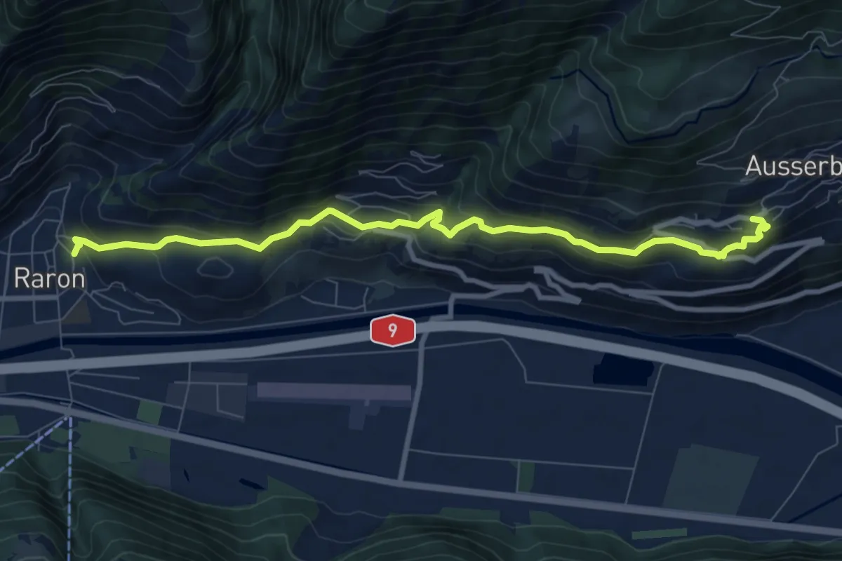
Medium · Trail
Kulturweg
8.9 km · ↑ 449 m · 3 h 4 min
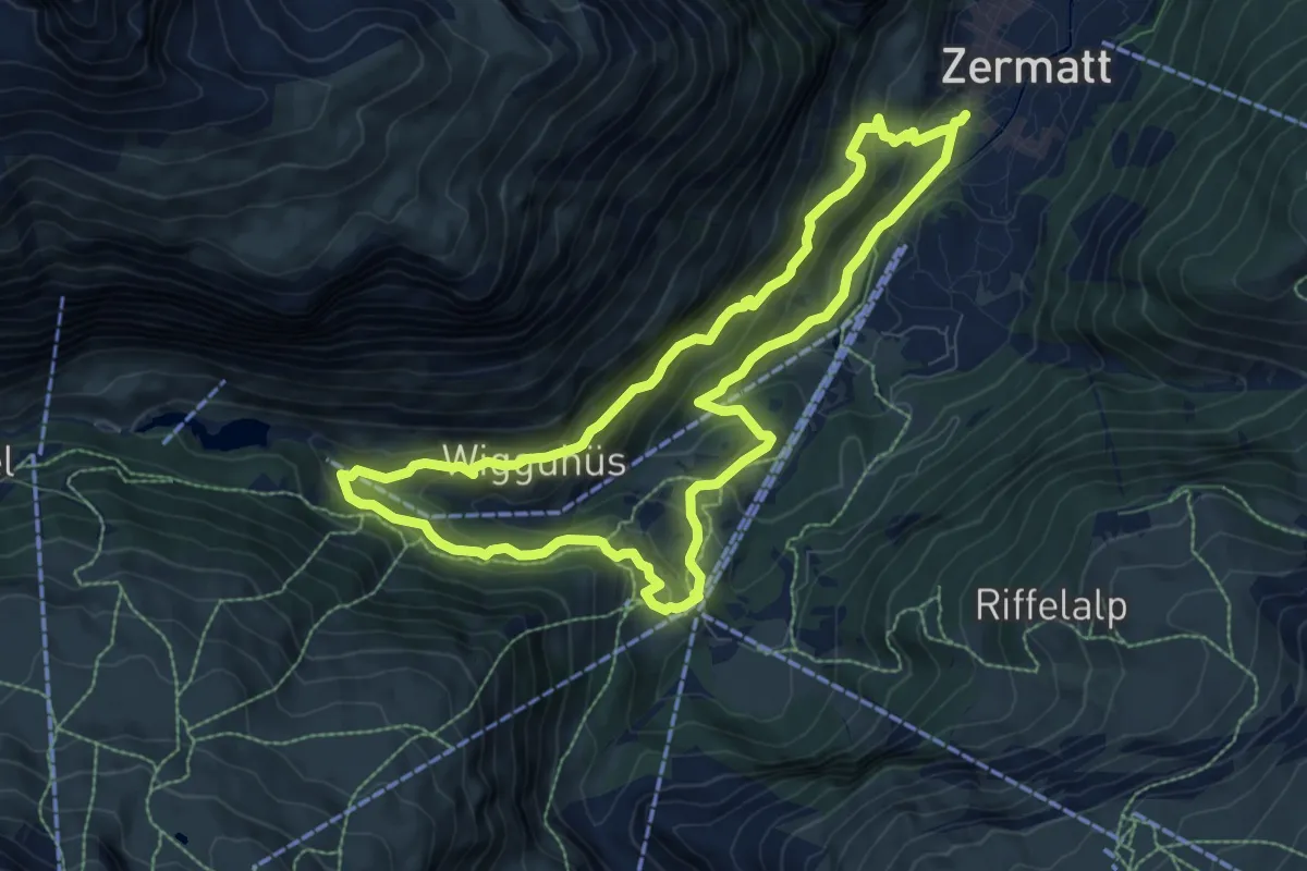
Medium · Trail
Kulturweg
8.3 km · ↑ 521 m · 3 h 12 min
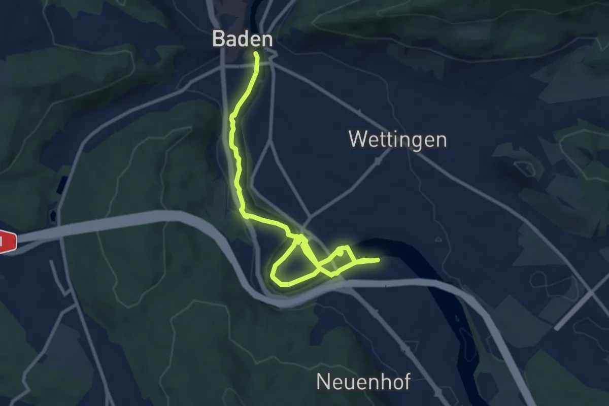
Medium · Trail
Kulturweg Limmat
10.2 km · ↑ 102 m · 2 h 38 min
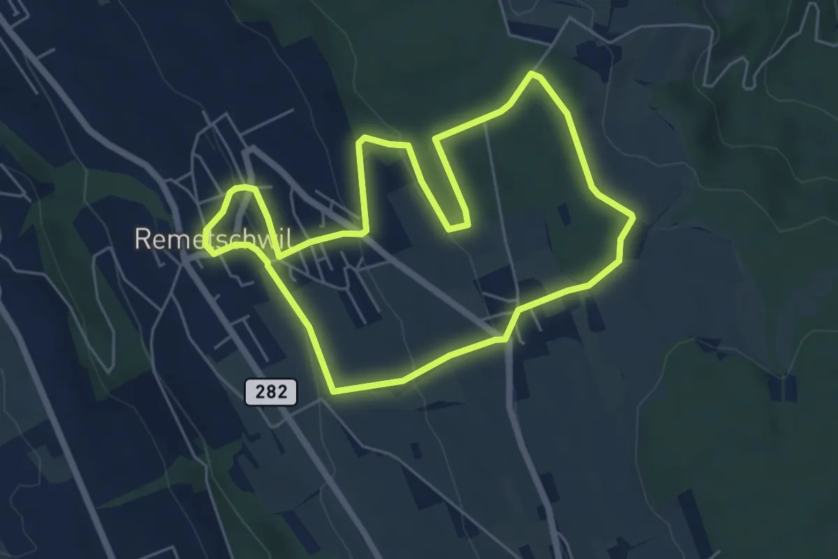
Easy · Trail
Kulturweg Remetschwil Route 1
5.2 km · ↑ 165 m · 1 h 40 min
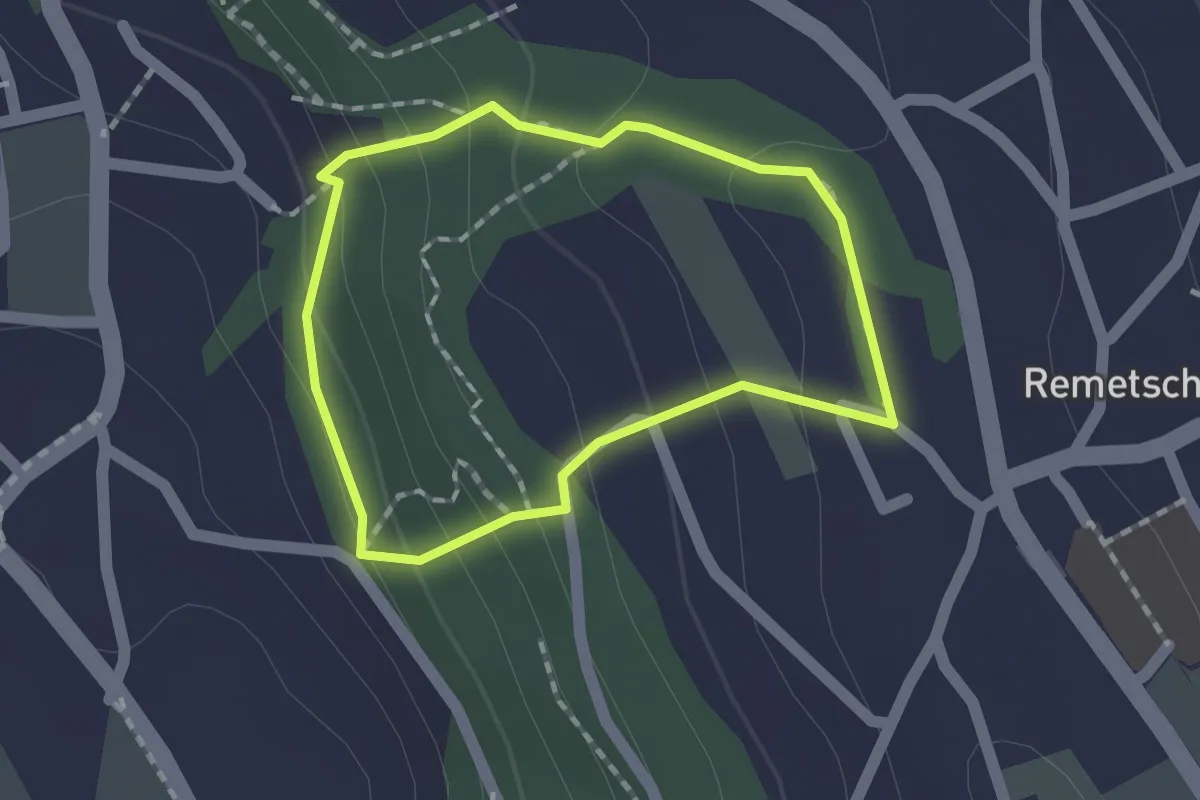
Easy · Trail
Kulturweg Remetschwil Route 2
1.3 km · ↑ 81 m · 30 min
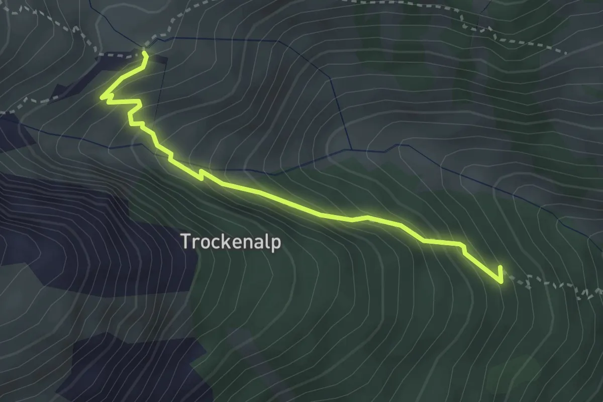
Medium · Trail
Kummenalp - Eistlin
3.1 km · ↑ 343 m · 1 h 29 min
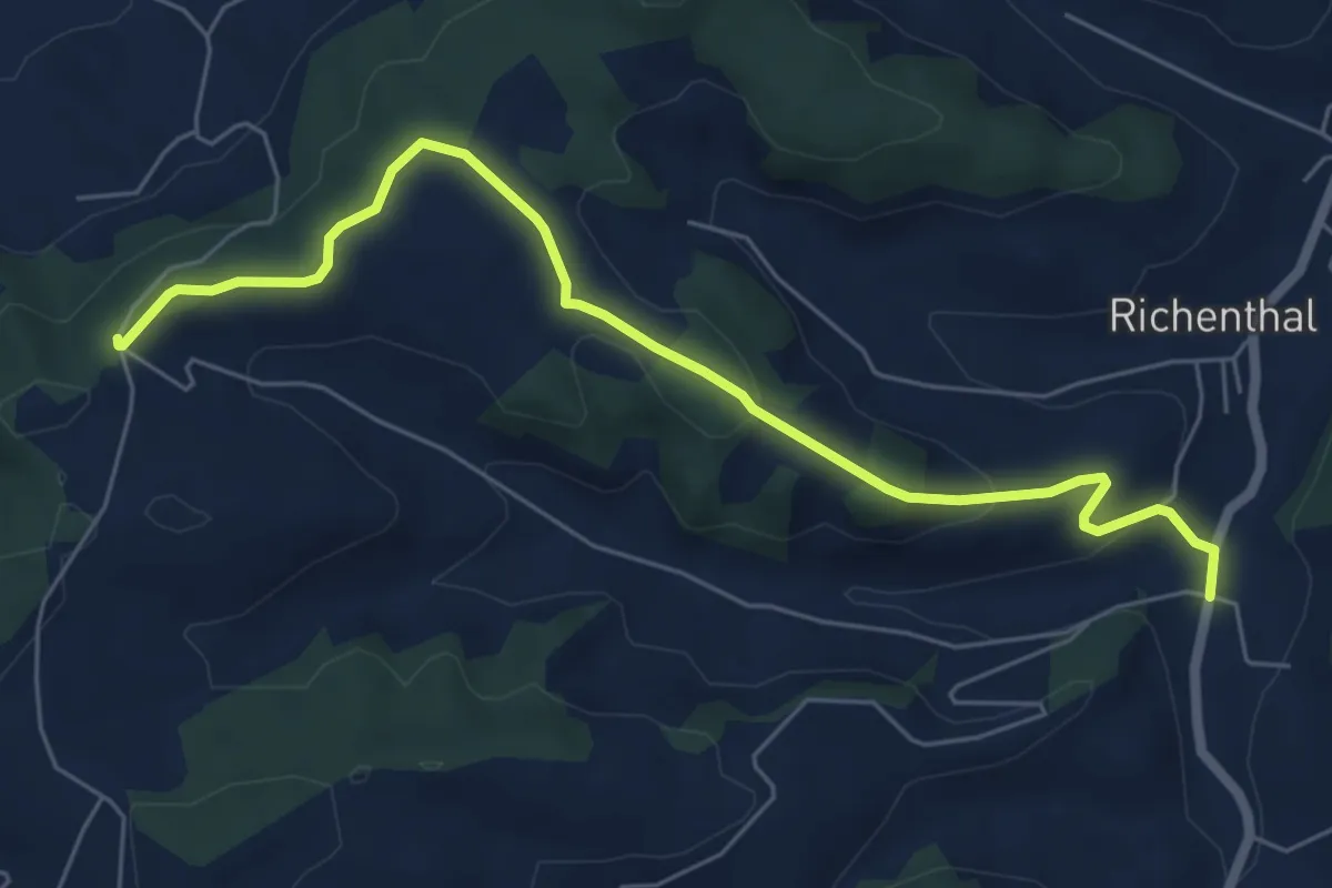
Easy · Trail
Kurhaus Richenthal - Äberdingen
6.6 km · ↑ 188 m · 1 h 59 min
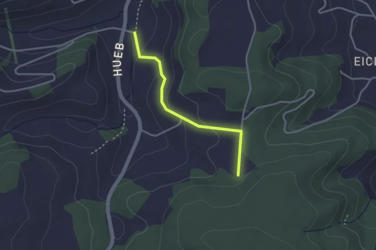
Easy · Trail
Kurhaus Richenthal - Hinter Huebäbni
2.3 km · ↑ 85 m · 44 min
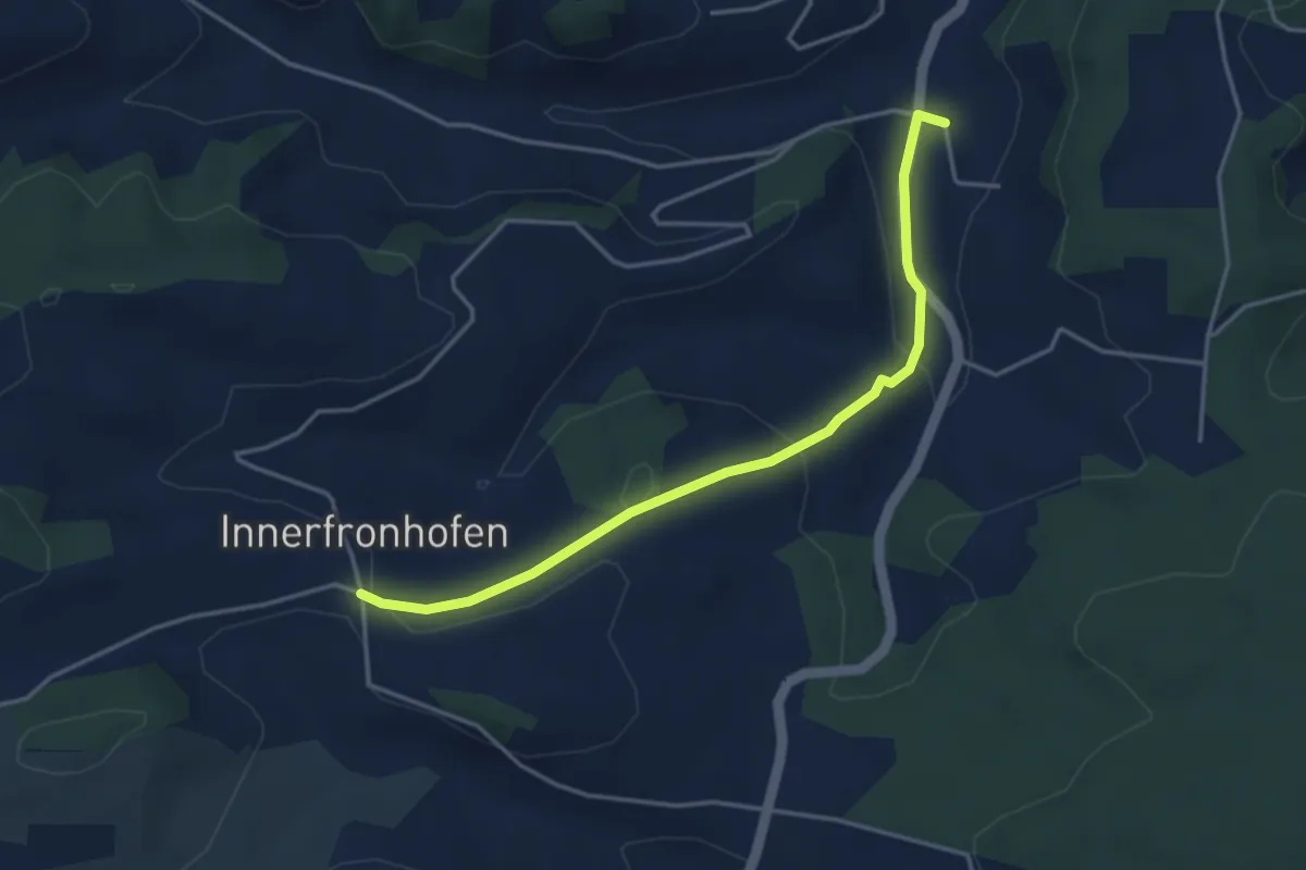
Easy · Trail
Kurhaus Richenthal - Inn. Fronhofe
4.0 km · ↑ 139 m · 1 h 14 min
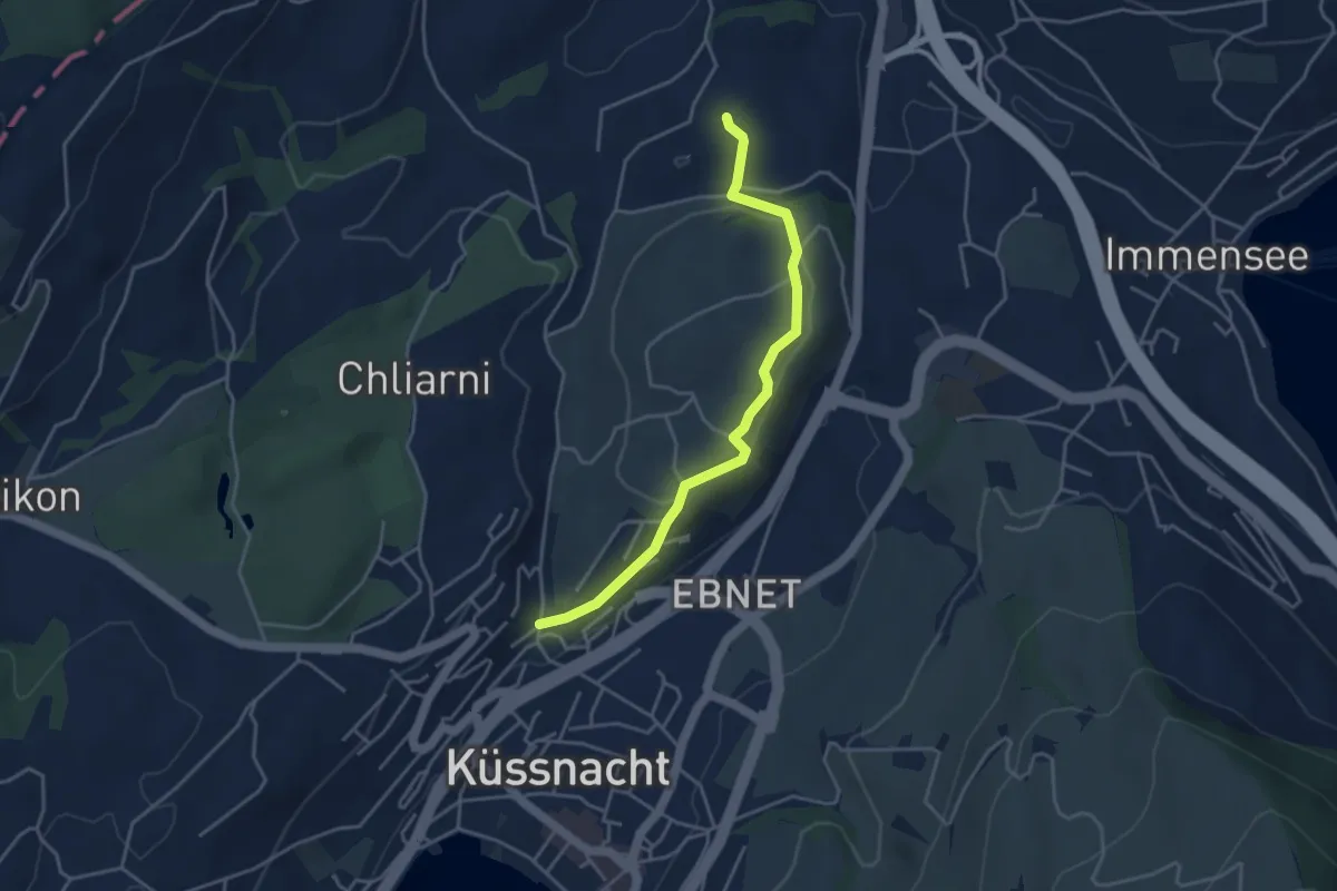
Easy · Trail
Küssnacht - St. Martin
3.9 km · ↑ 69 m · 1 h 5 min
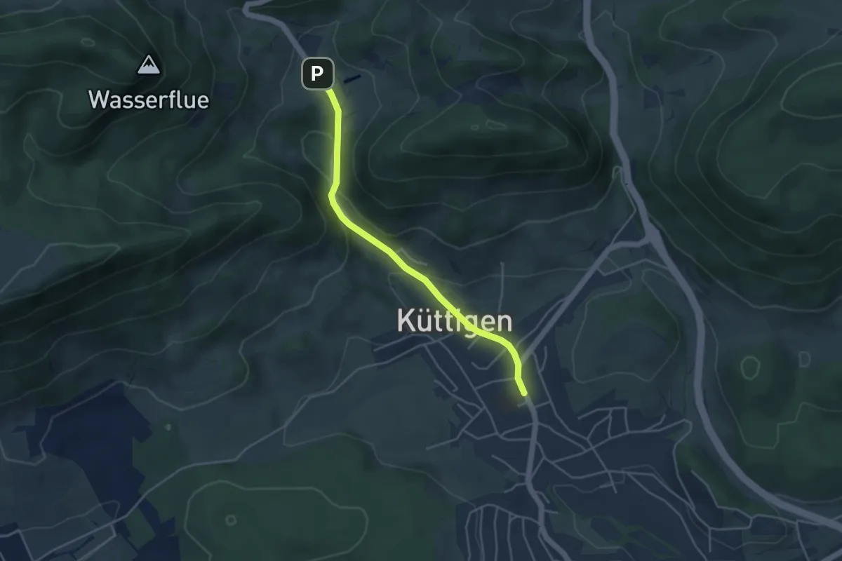
Easy · Trail
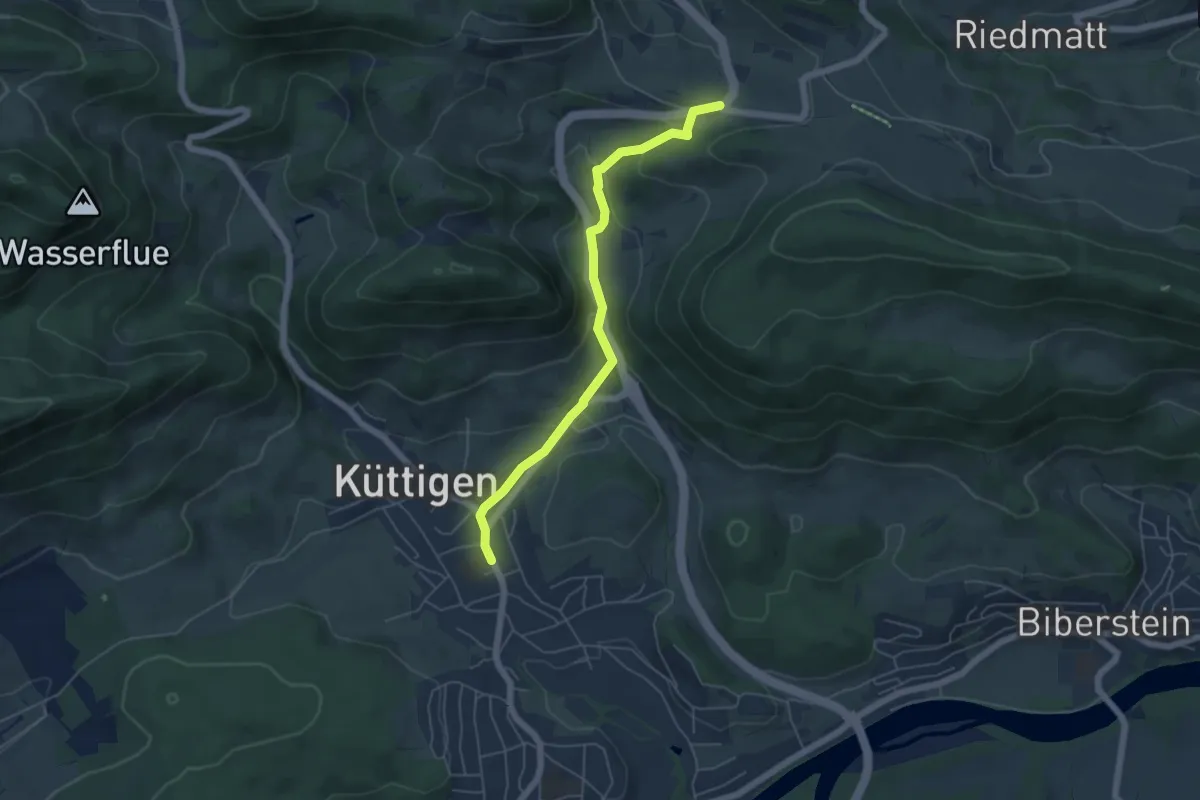
Küttigen - Herrenmatt
3.9 km · ↑ 123 m · 1 h 11 min
Easy · Trail
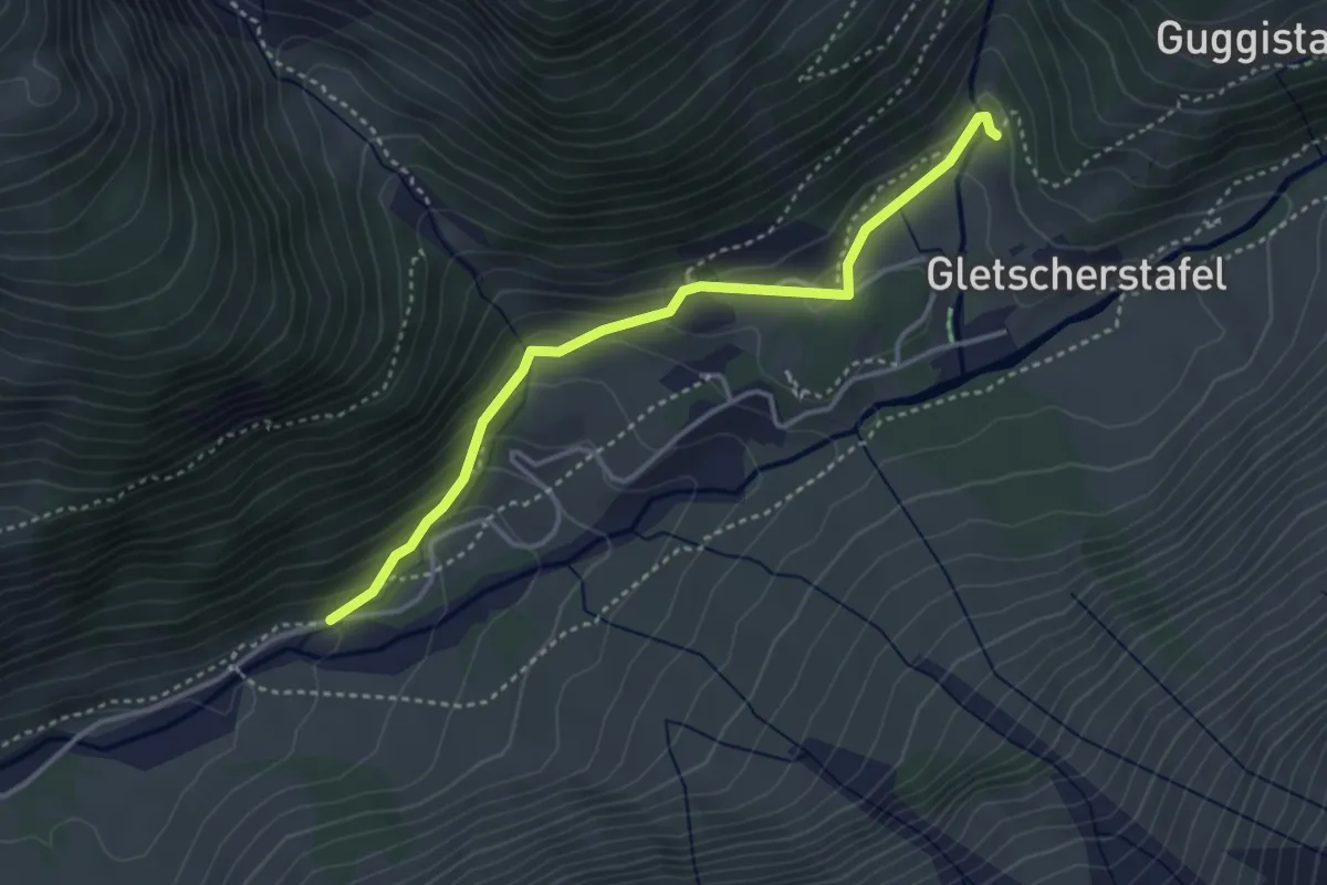
Küttigen - Staffelegg
5.2 km · ↑ 200 m · 1 h 40 min
Medium · Trail
KW-KW
3.6 km · ↑ 211 m · 1 h 18 min
Easy · Trail
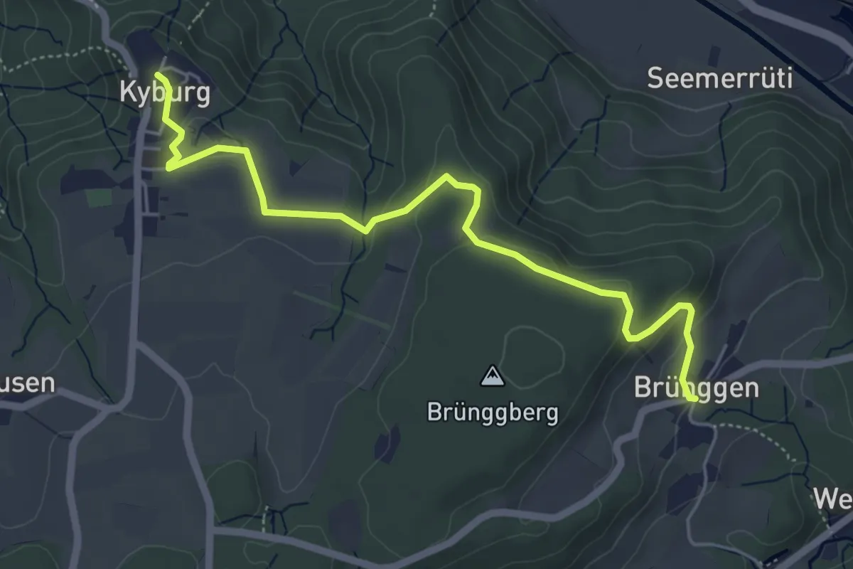
Kyburg – Brünggen
5.4 km · ↑ 161 m · 1 h 37 min
Easy · Trail
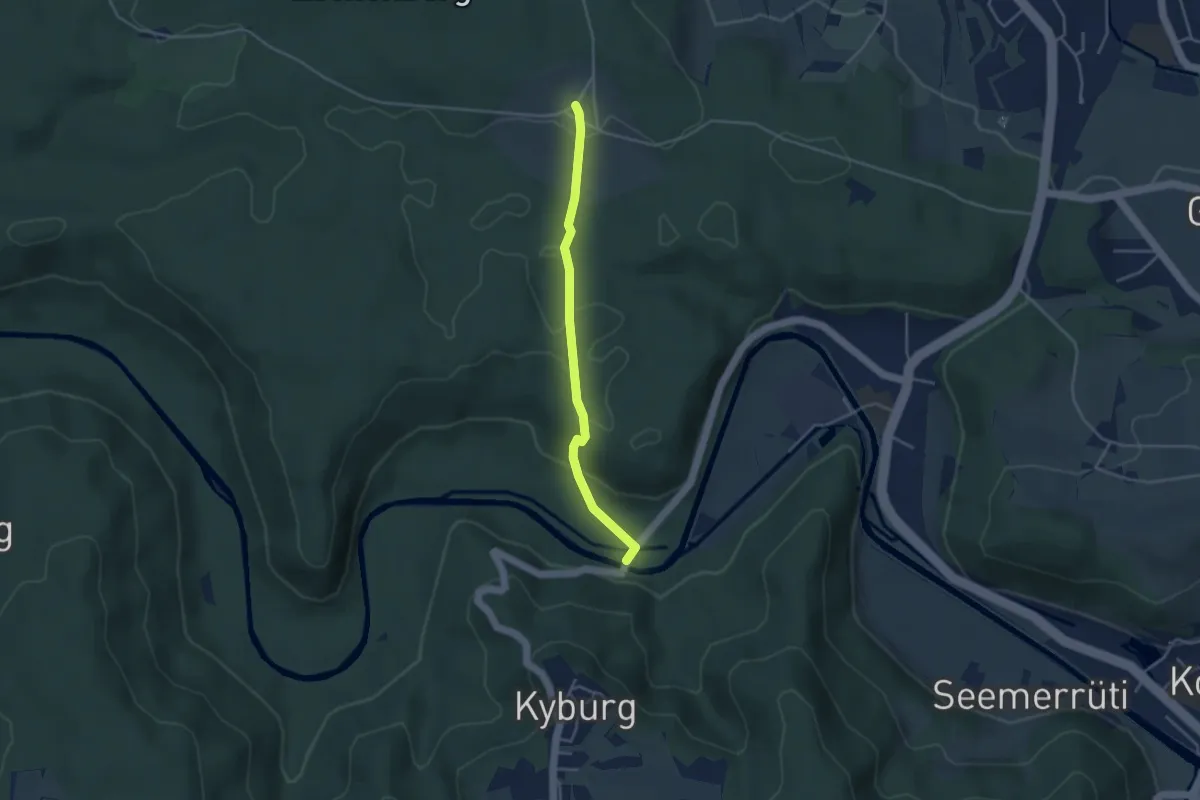
Kyburgerbrugg - Eschenberg Sternwarte
3.5 km · ↑ 111 m · 1 h 4 min
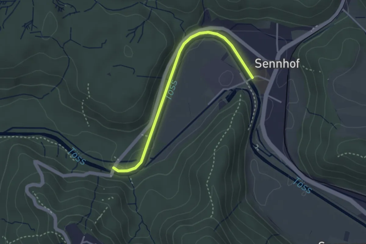
Easy · Trail
Kyburgerbrugg - Sennhof
3.0 km · ↑ 59 m · 50 min
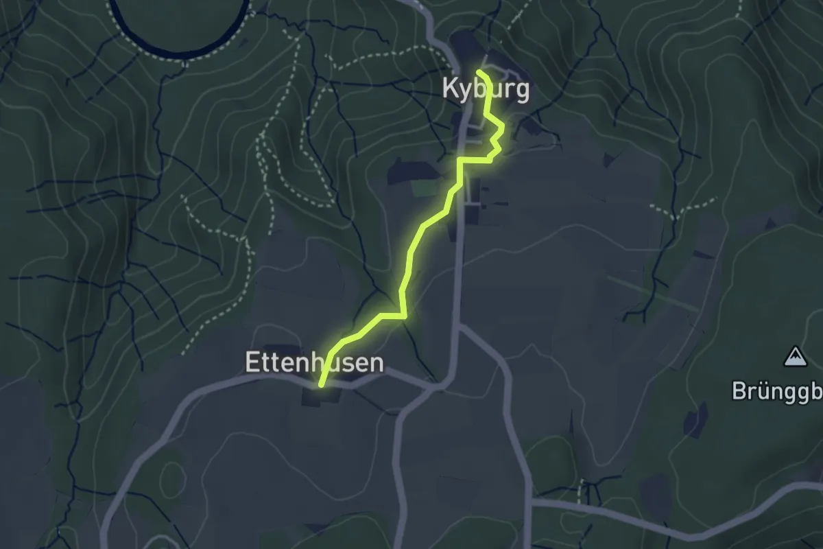
Easy · Trail
Kyburg - Ettenhusen
2.7 km · ↑ 31 m · 42 min
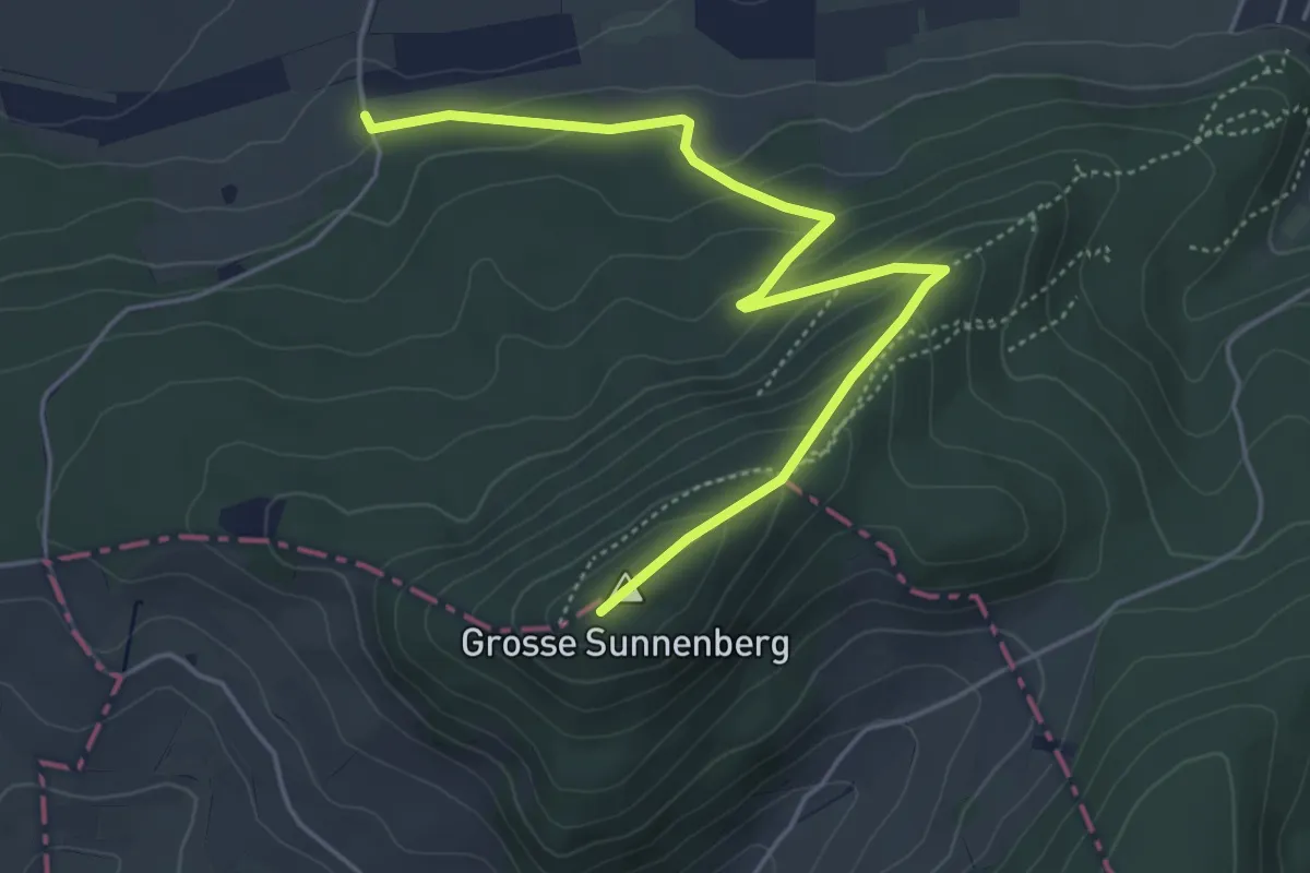
Easy · Summit
Kymshof
5.4 km · ↑ 263 m · 1 h 50 min
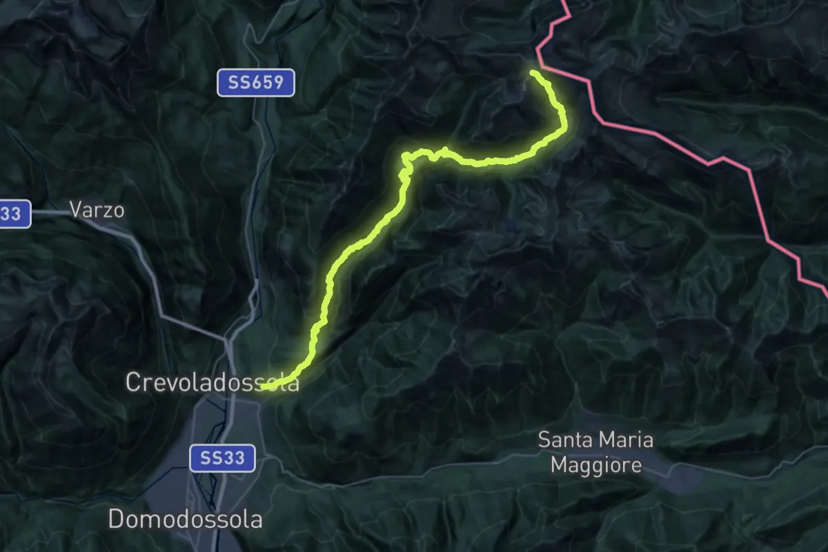
Demanding · Trail
L00 - Da Altoggio alla Bocchetta del Lago Gelato
20.9 km · ↑ 366 m · 7 h
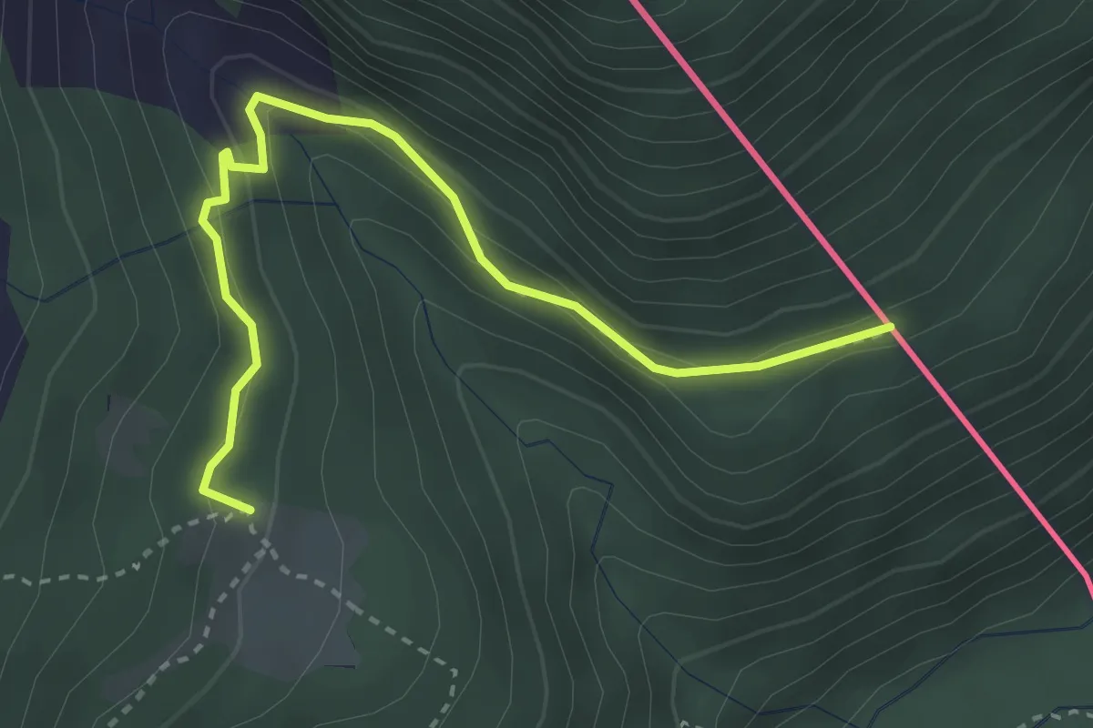
Medium · Trail
L98 - Rifugio Sironi - Passo della Fria - Confine Svizzero
3.4 km · ↑ 125 m · 1 h 4 min
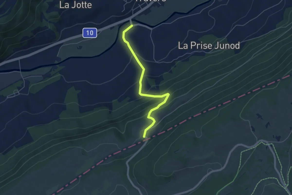
Medium · Trail
La Banderette - Travers
4.9 km · ↑ 336 m · 1 h 53 min
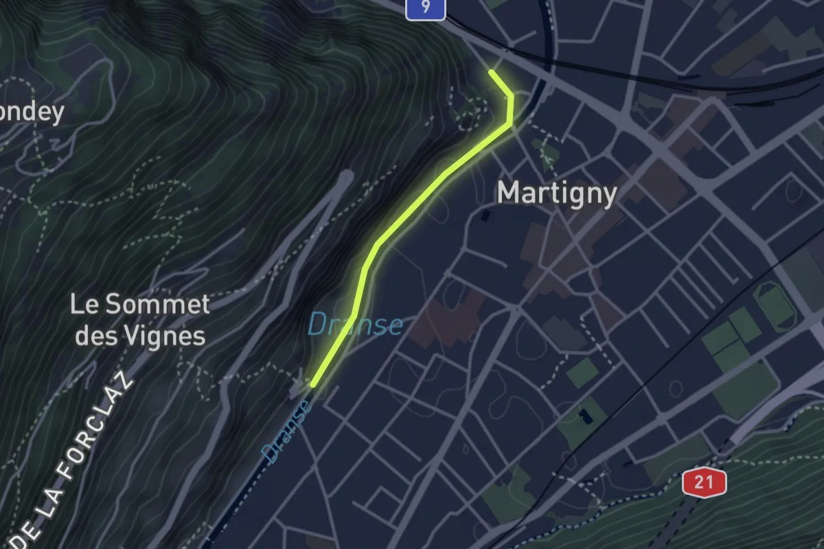
Easy · Trail
La Bâtiaz - Pont de Rossettan
2.4 km · ↑ 58 m · 42 min
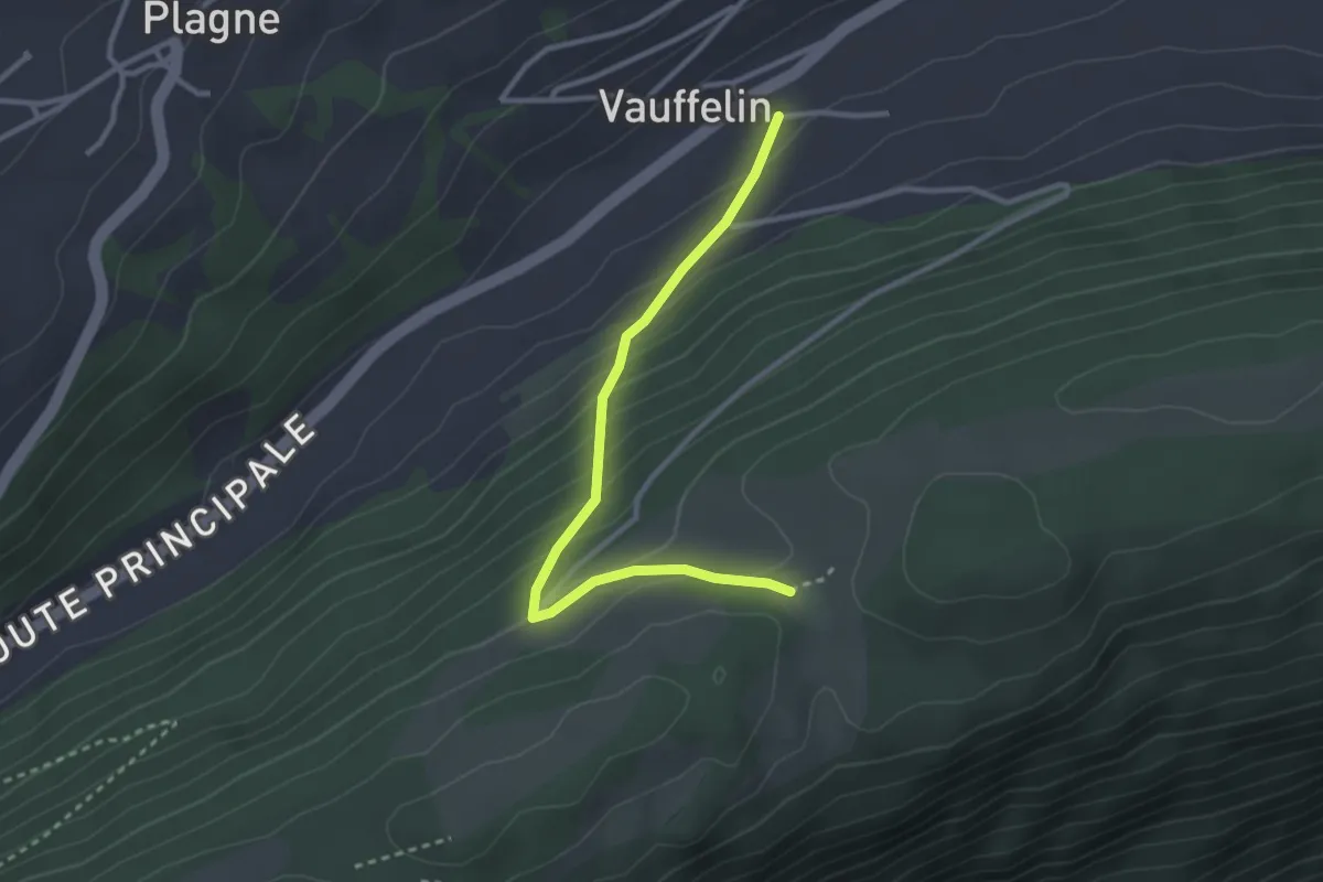
Easy · Trail
La Bergerie - fixme
3.0 km · ↑ 209 m · 1 h 9 min