Trails in Switzerland
15,029 hiking trails, each with its route, climb, walking time and grade.
All trails, page 58 of 314
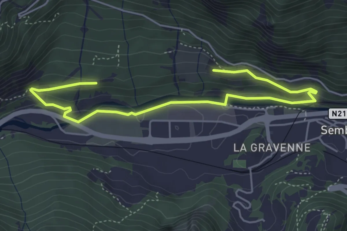
Easy · Trail
LaboNature Entremont
5.6 km · ↑ 195 m · 1 h 45 min
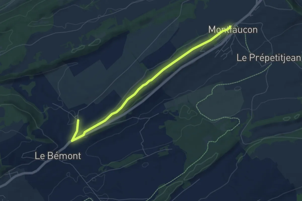
Easy · Trail
La Bosse - Montfaucon
7.1 km · ↑ 120 m · 1 h 57 min
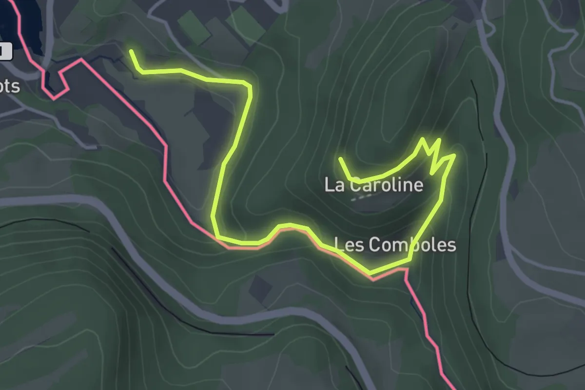
Easy · Trail
La Caroline - fixme
4.9 km · ↑ 292 m · 1 h 47 min
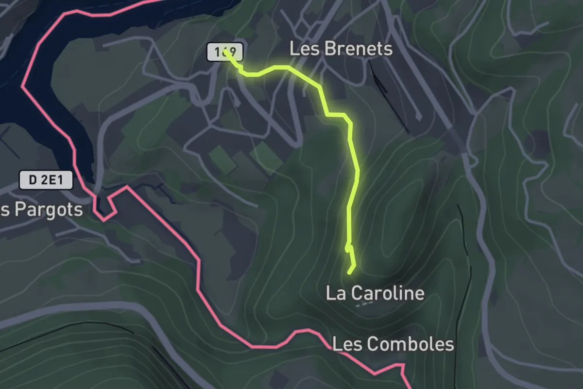
Easy · Trail
La Caroline - fixme
2.3 km · ↑ 136 m · 50 min
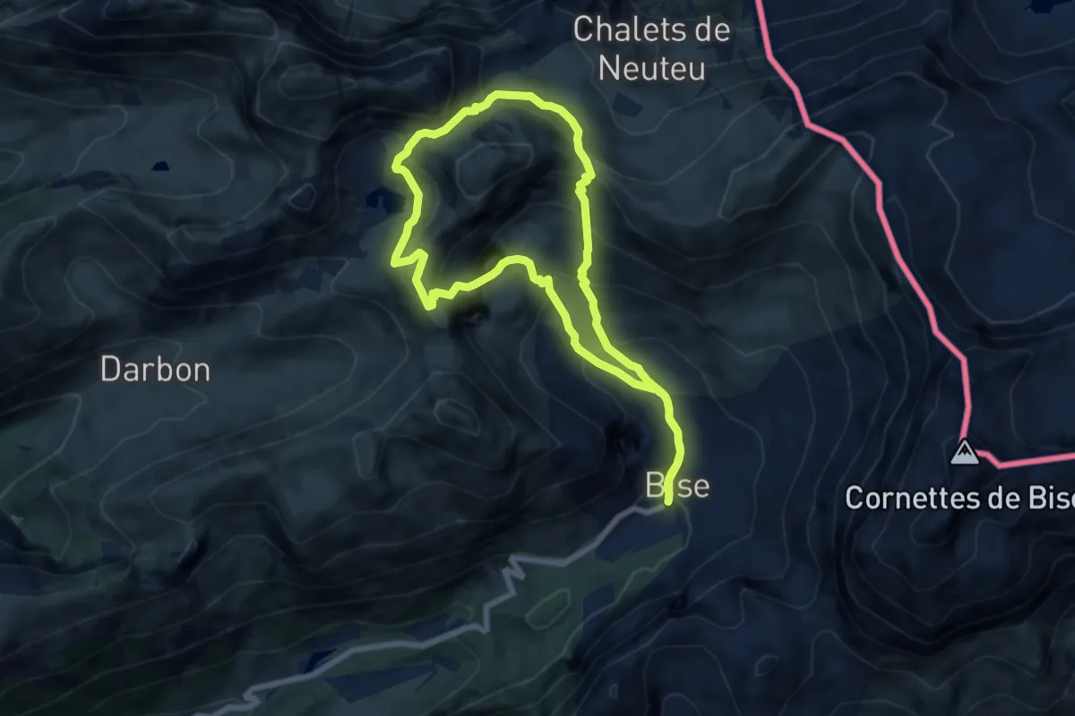
Medium · Summit
Lac de Darbon
6.7 km · ↑ 596 m · 2 h 58 min
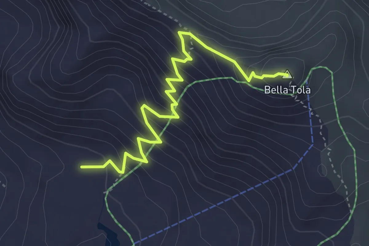
Demanding · Summit
Lac de la Bella Tola-Bella Tola
4.0 km · ↑ 395 m · 1 h 48 min
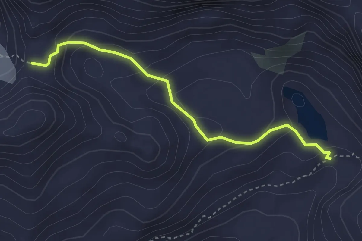
Expert · Trail
Lac du Petit Mont-Fort - Col de la Chaux
3.0 km · ↑ 161 m · 1 h 4 min
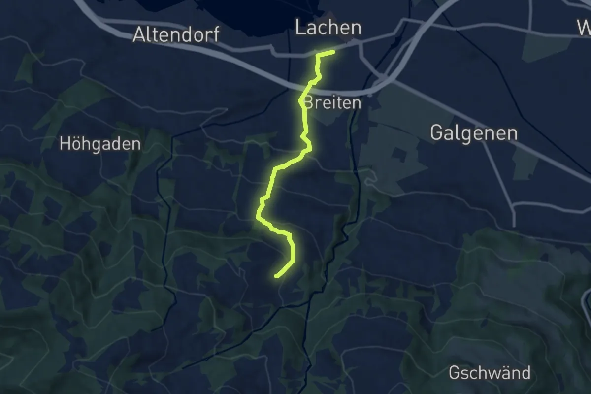
Medium · Trail
Lachen - Bräggerhof
7.0 km · ↑ 400 m · 2 h 31 min
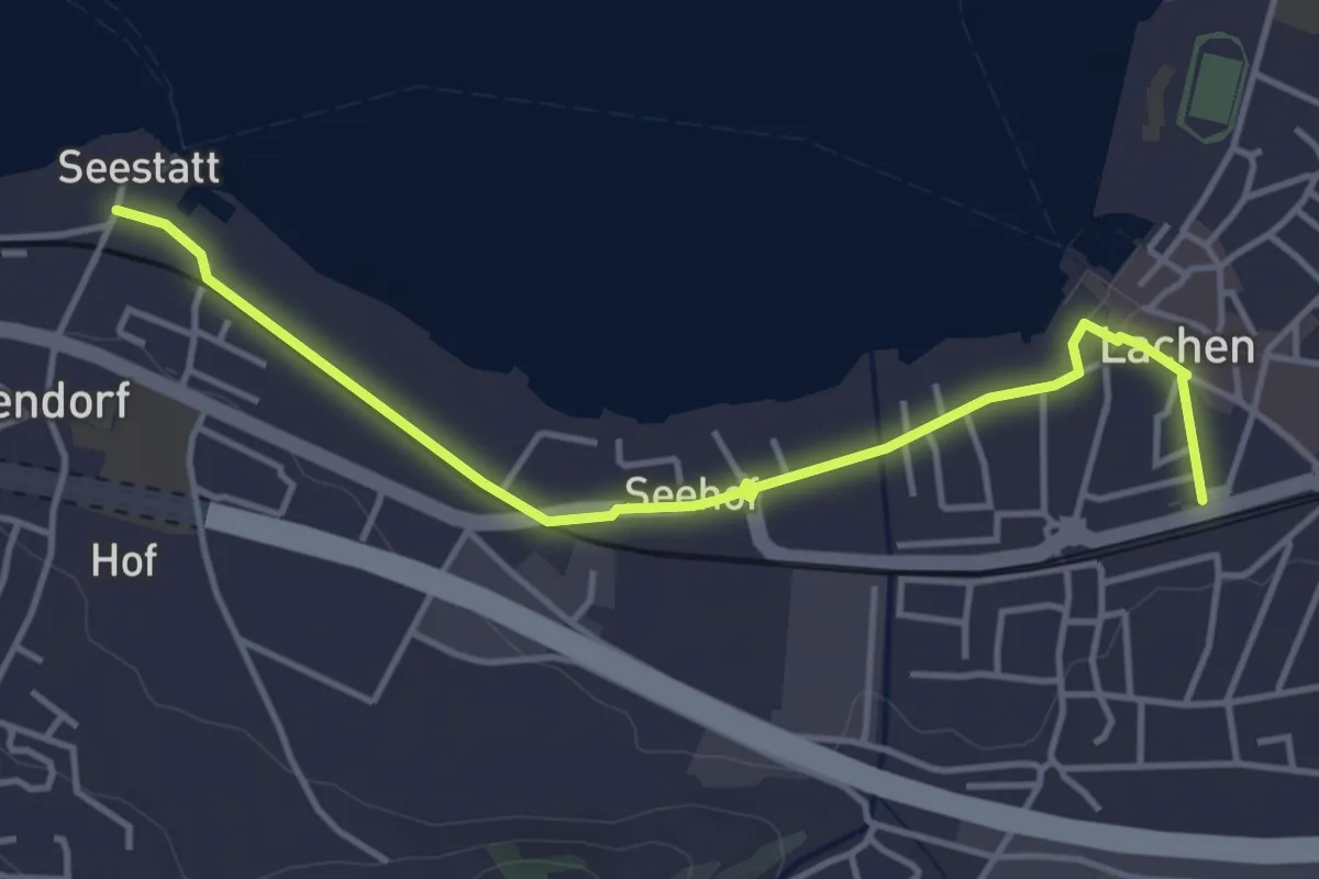
Easy · Trail
Lachen - Seestatt Altendorf
4.3 km · ↑ 13 m · 1 h 3 min
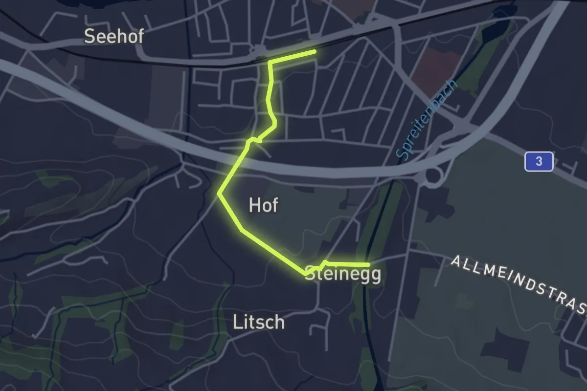
Easy · Trail
Lachen - Steinegg
3.1 km · ↑ 36 m · 48 min
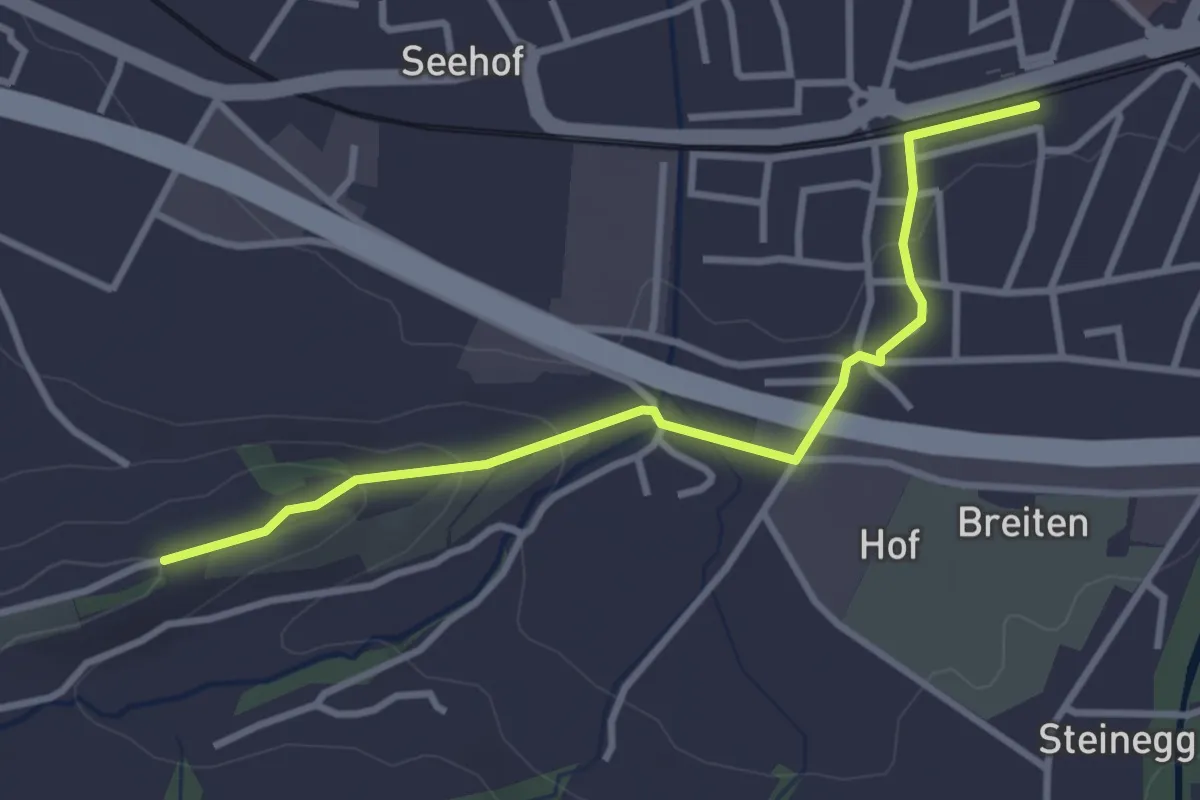
Easy · Trail
Lachen - St. Johann
3.3 km · ↑ 81 m · 57 min
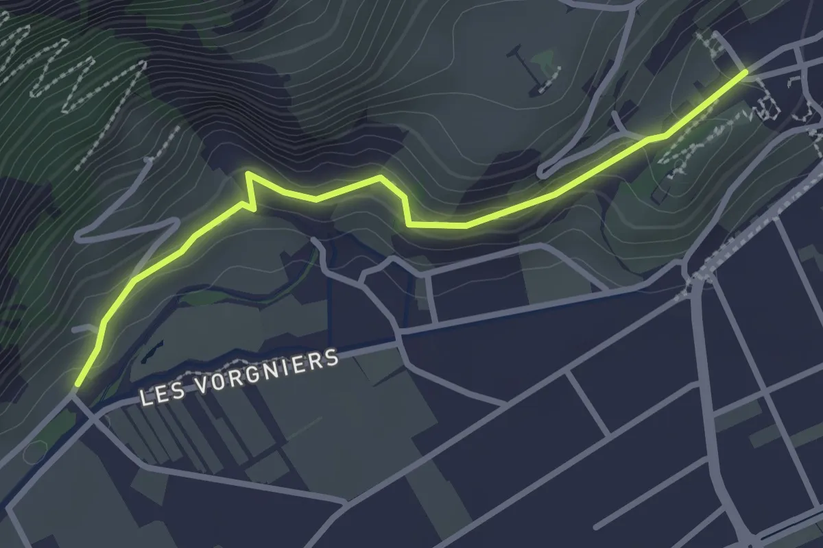
Easy · Trail
La Cleusette - Saillon
2.7 km · ↑ 123 m · 54 min
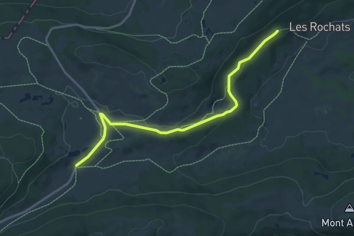
Easy · Trail
La Combaz-Les Rochats
7.0 km · ↑ 120 m · 1 h 55 min
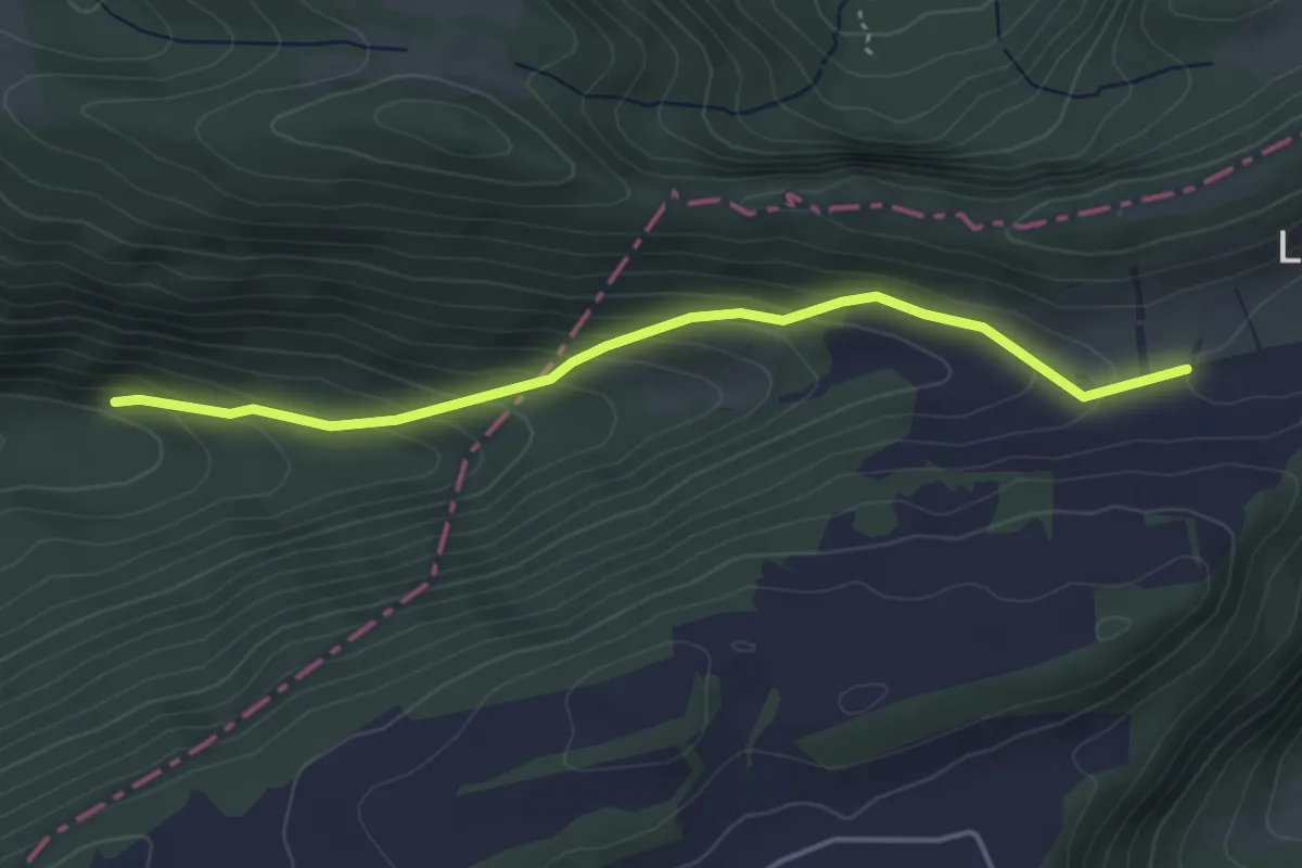
Easy · Trail
La Combe - fixme
4.0 km · ↑ 225 m · 1 h 27 min
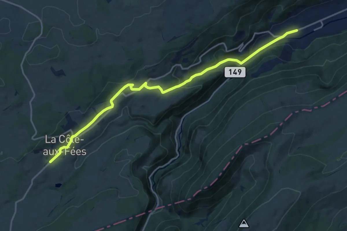
Medium · Trail
La Côte-aux-Fées - Buttes
13.4 km · ↑ 416 m · 4 h 4 min
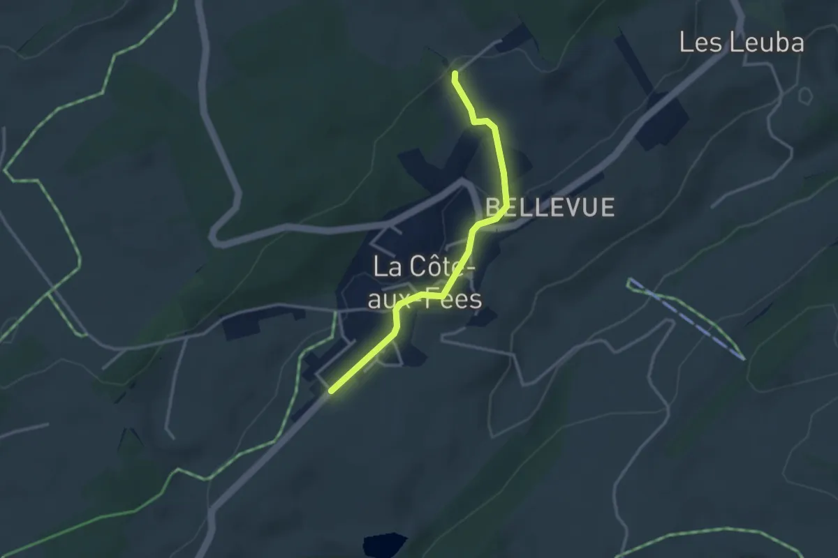
Easy · Trail
La Côte-aux-Fées - fixme
2.8 km · ↑ 66 m · 48 min
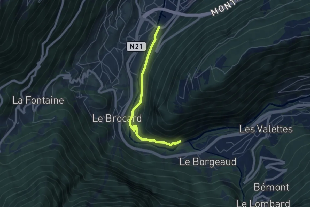
Easy · Trail
La Croix > 582597318
4.4 km · ↑ 163 m · 1 h 23 min
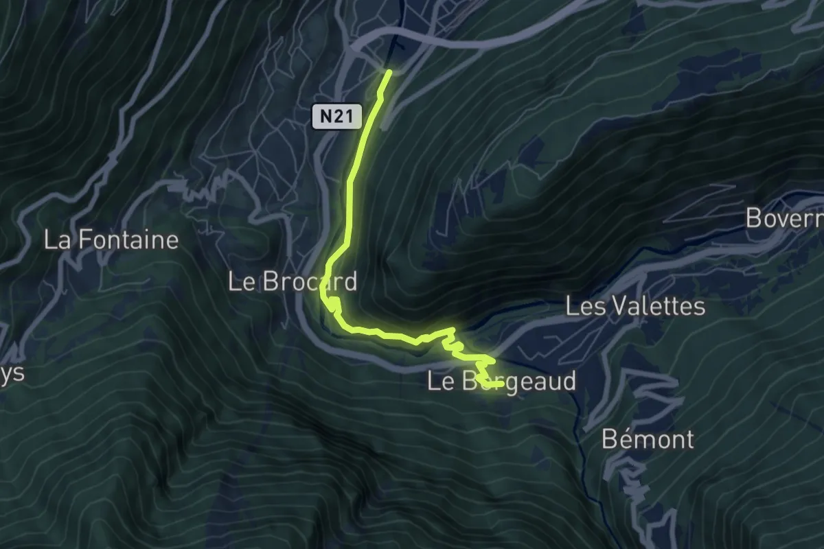
Medium · Trail
La Croix > Le Borgeaud
6.2 km · ↑ 228 m · 1 h 57 min
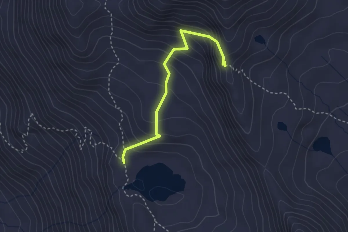
Demanding · Trail
Lacs de Fenêtre > Col du Bastillon
2.7 km · ↑ 278 m · 1 h 14 min
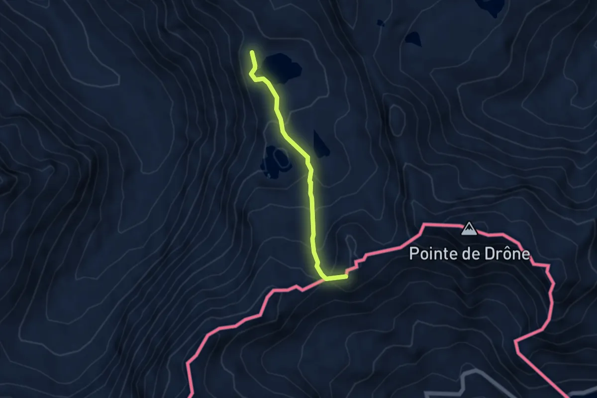
Medium · Summit
Lacs de Fenêtre > Fenêtre de Ferret
3.7 km · ↑ 263 m · 1 h 27 min
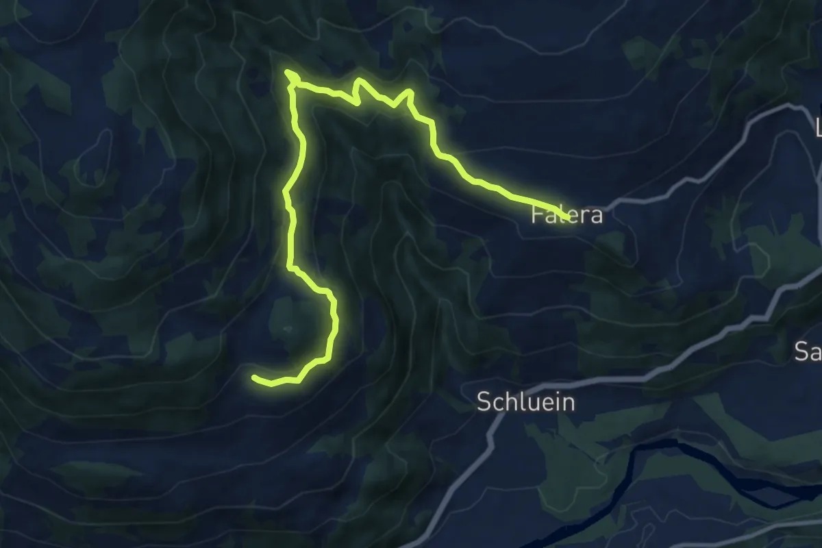
Medium · Trail
Ladir - Falera
11.6 km · ↑ 535 m · 3 h 54 min
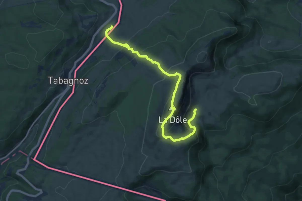
Medium · Summit
La Dôle
5.0 km · ↑ 467 m · 2 h 10 min
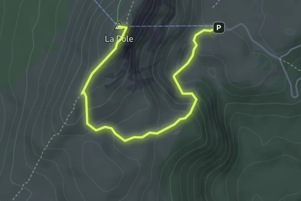
Easy · Summit
La Dôle-Chalet de la Dôle
4.3 km · ↑ 261 m · 1 h 34 min
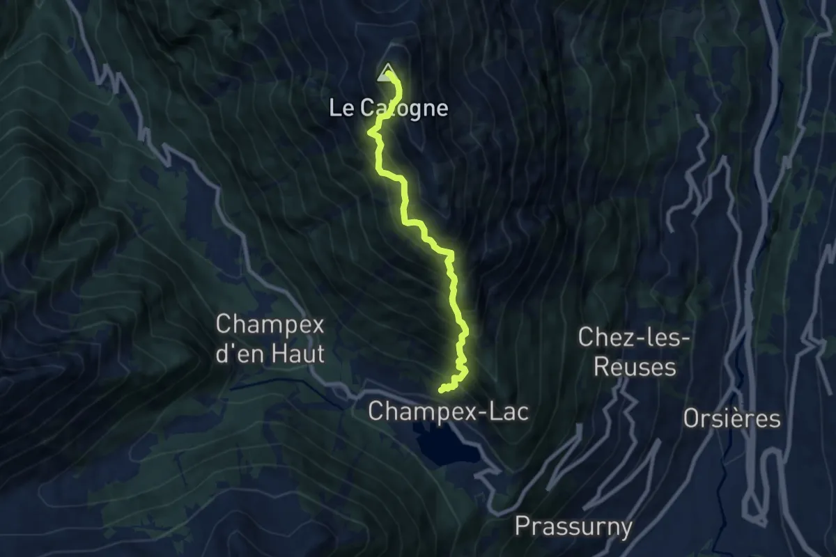
Expert · Summit
L'Adray > Le Catogne
6.8 km · ↑ 1320 m · 4 h 28 min
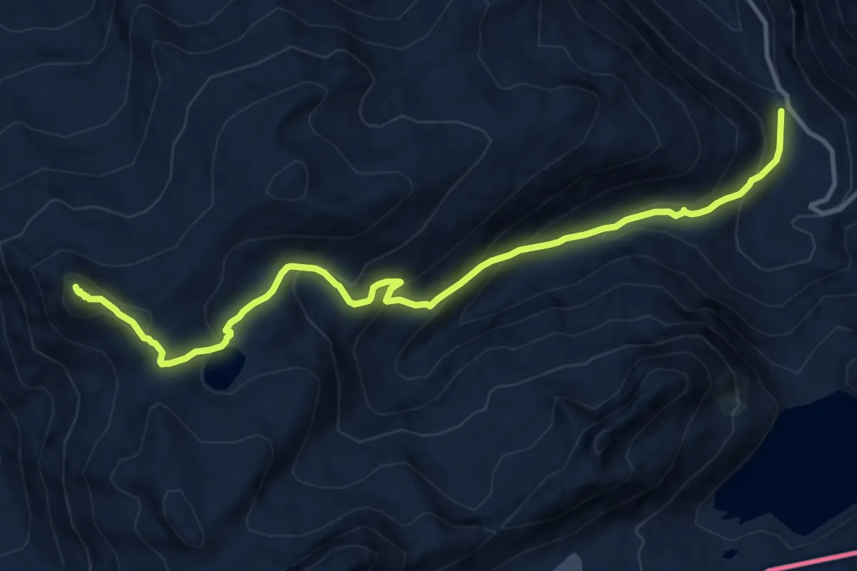
Demanding · Summit
Ladstafel - Brudelhorn
11.8 km · ↑ 835 m · 4 h 36 min
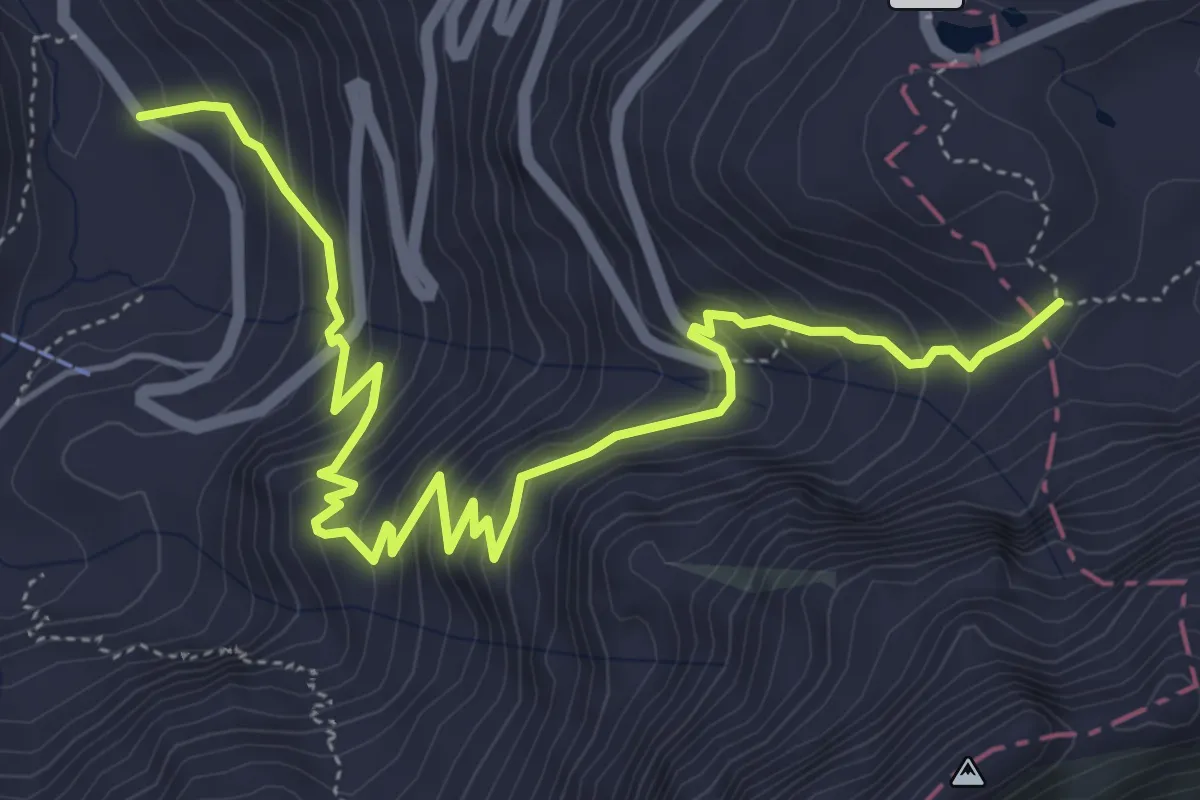
Medium · Trail
Ladstafel - Nufenenpass
6.6 km · ↑ 589 m · 2 h 50 min
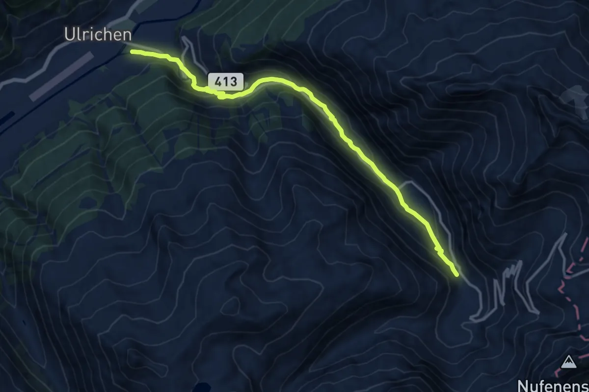
Medium · Trail
Ladstafel-Ulrichen
12.7 km · ↑ 620 m · 4 h 20 min
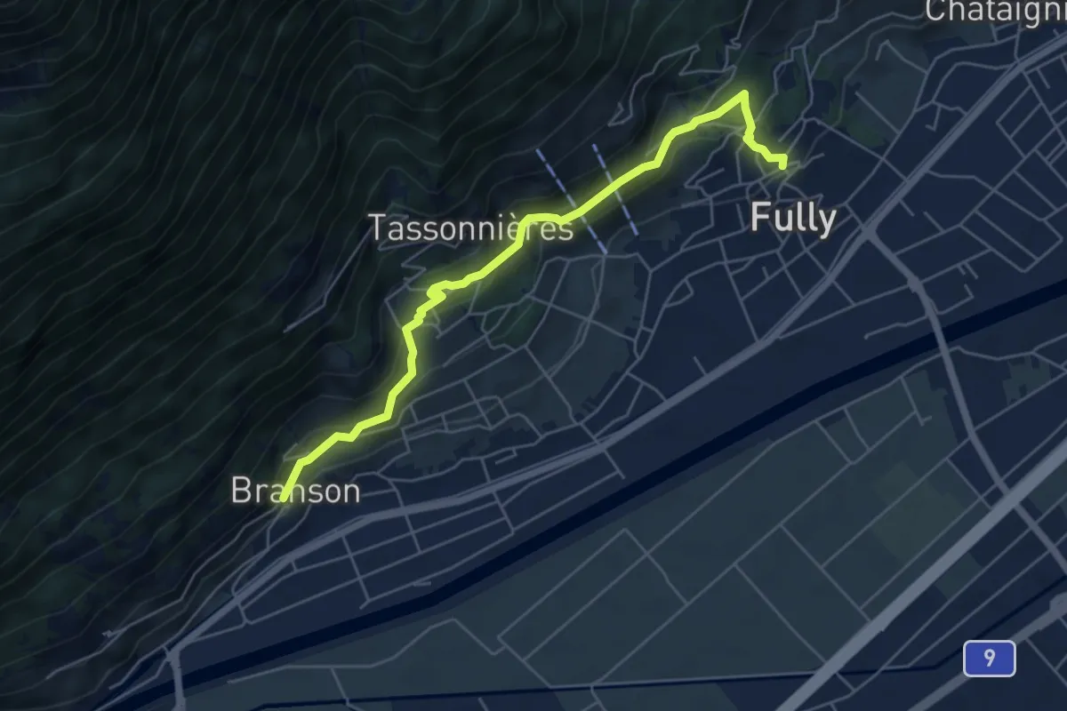
Medium · Trail
La Fontaine > Branson - Village
5.7 km · ↑ 329 m · 2 h 4 min
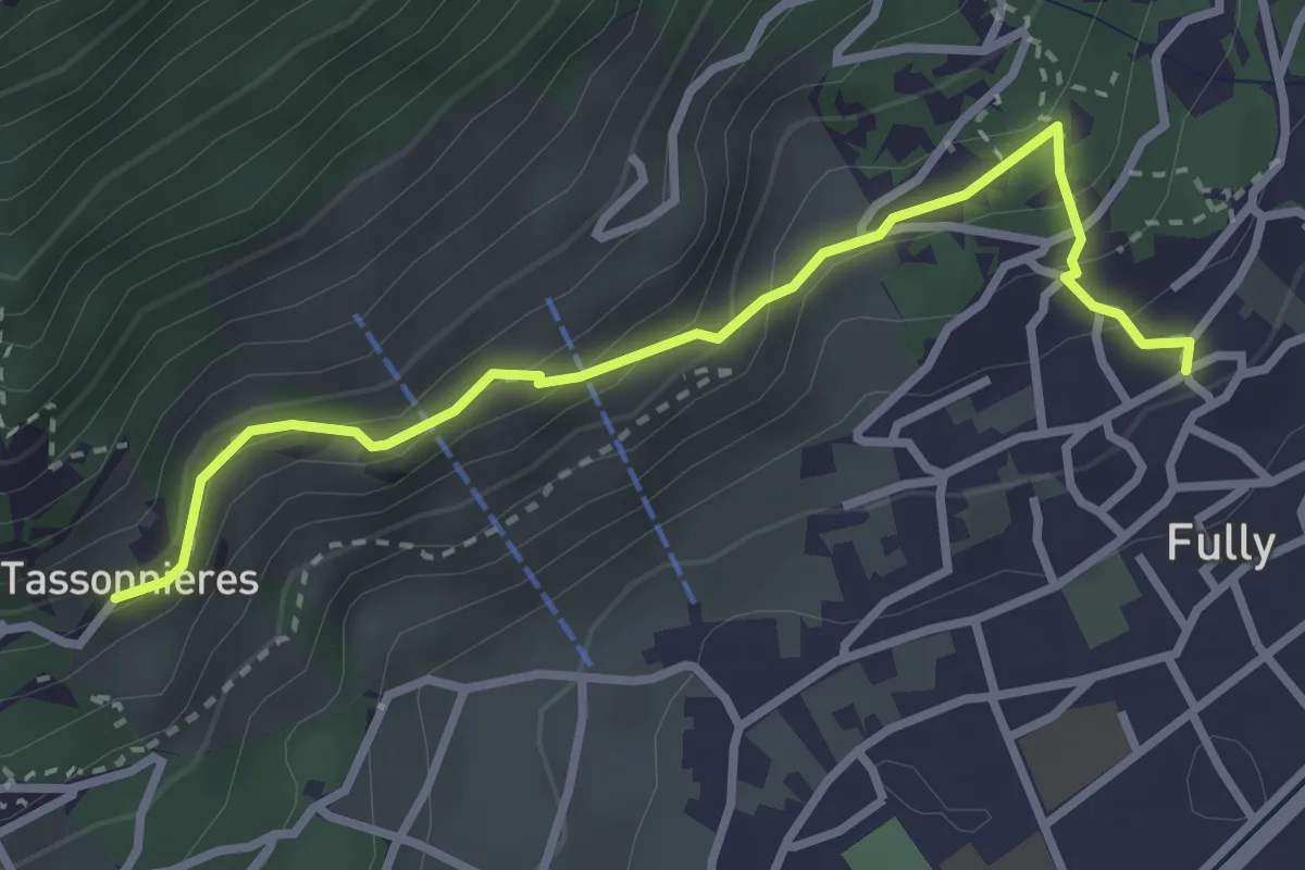
Easy · Trail
La Fontaine > Tassonnières
3.2 km · ↑ 229 m · 1 h 15 min
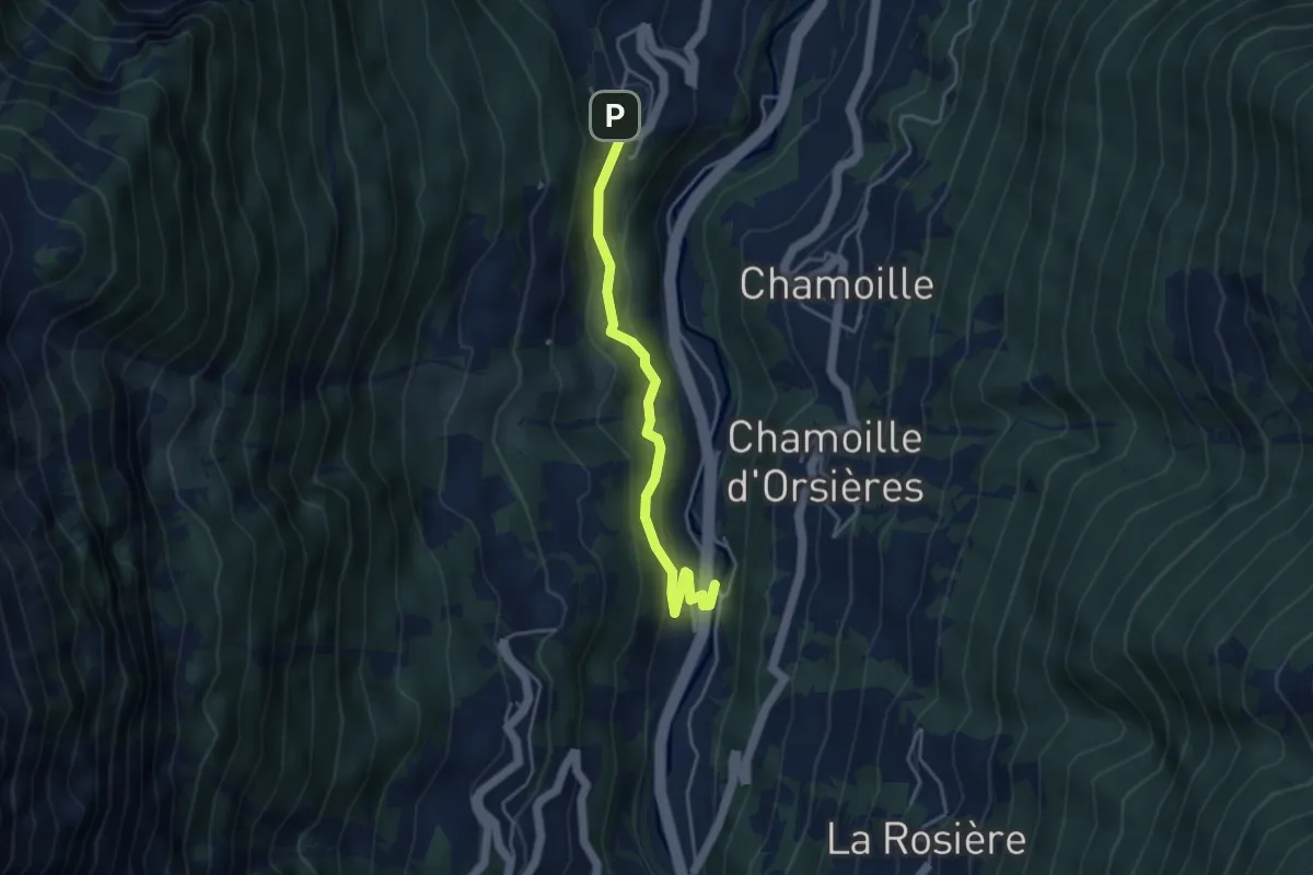
Easy · Trail
La Garde > La Douay
4.0 km · ↑ 256 m · 1 h 29 min
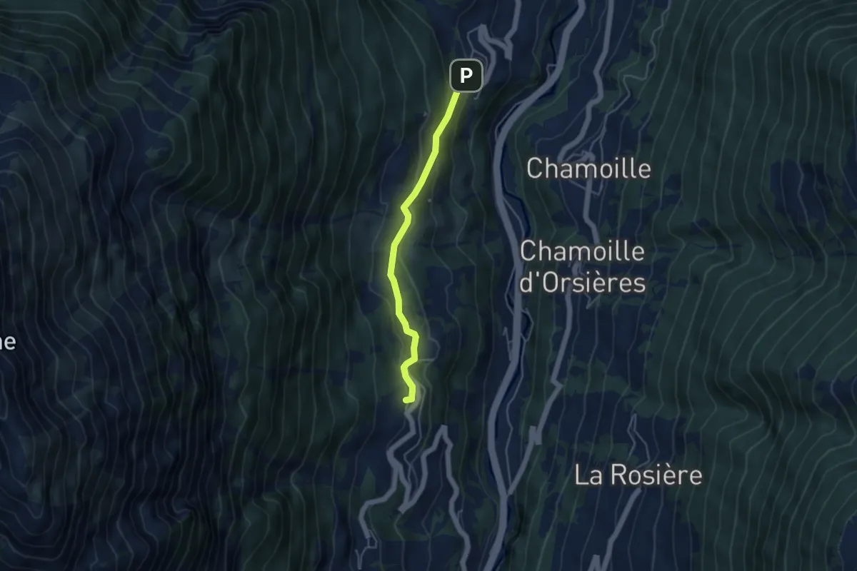
Medium · Trail
La Garde - Soulalex
3.9 km · ↑ 198 m · 1 h 21 min
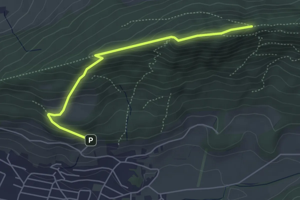
Demanding · Trail
Lägerensattel - Mooshalden
4.6 km · ↑ 294 m · 1 h 43 min
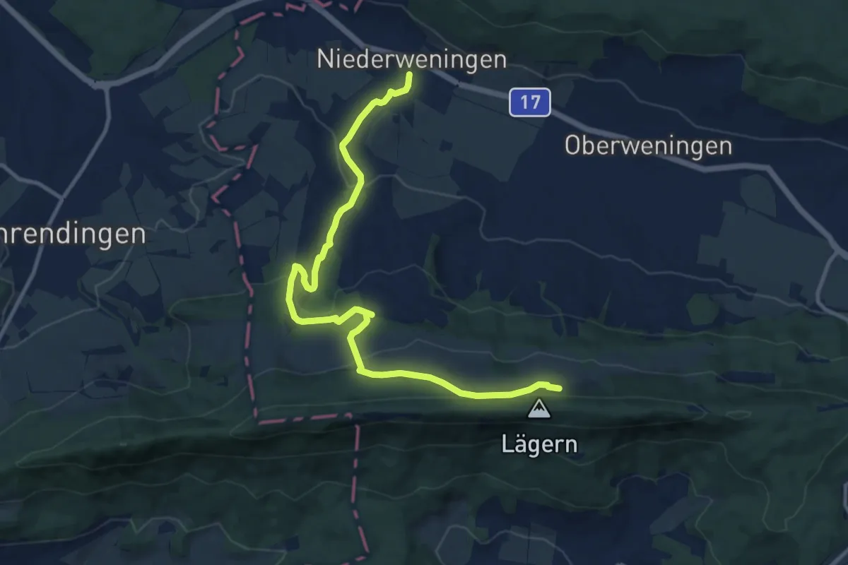
Medium · Trail
Lägerenweid - Niederwenigen
11.9 km · ↑ 391 m · 3 h 39 min
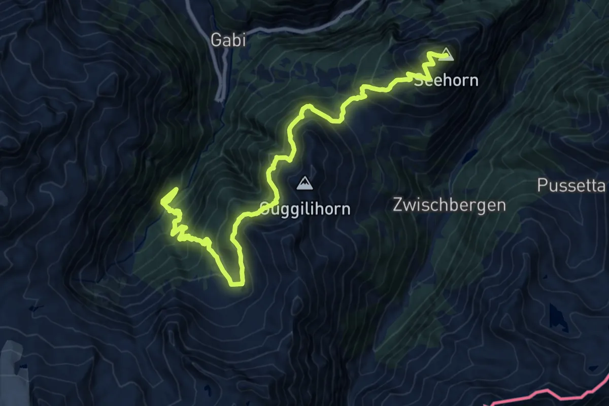
Demanding · Summit
Laggin - Seehorn
21.3 km · ↑ 1956 m · 9 h 16 min
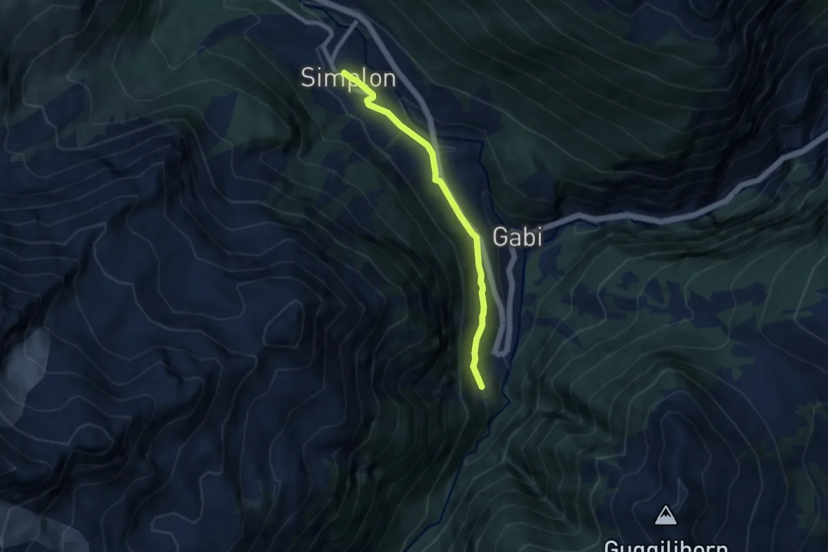
Easy · Trail
Laggin - Simplon Dorf
6.0 km · ↑ 236 m · 1 h 55 min
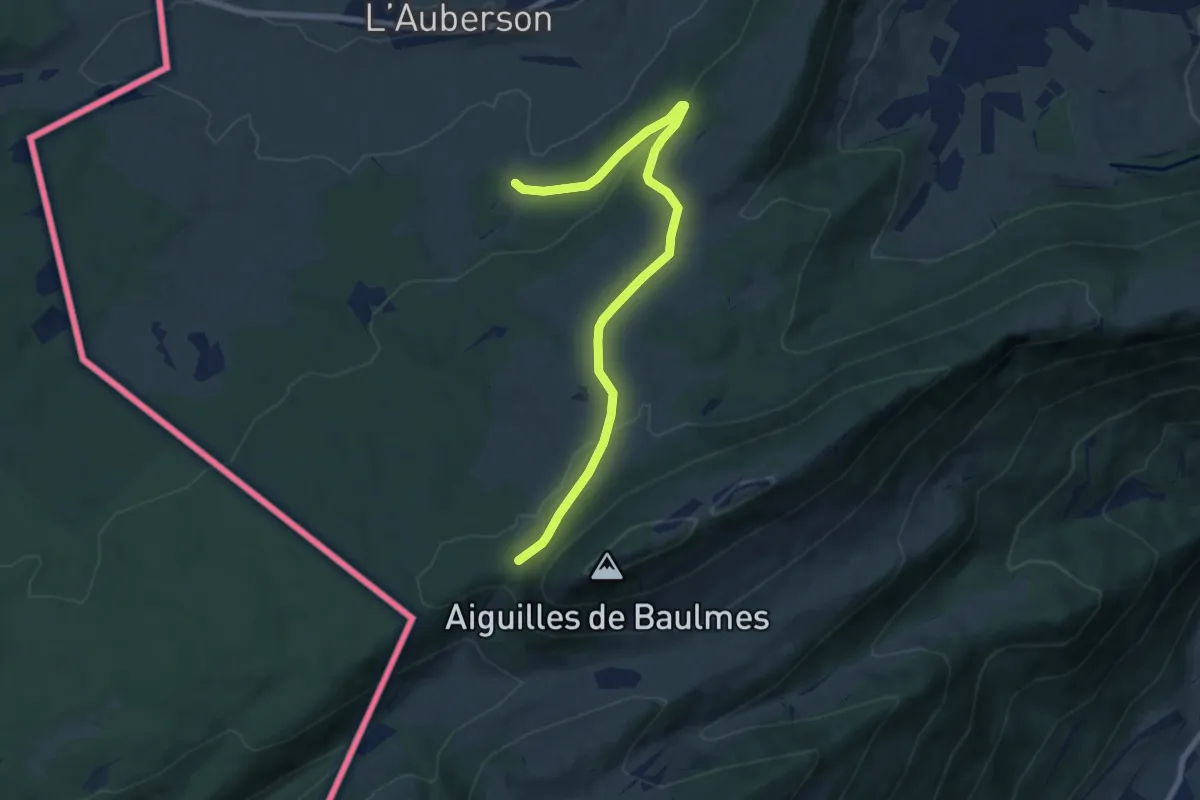
Medium · Trail
La Gittaz-Col de l'Aigullon
8.1 km · ↑ 238 m · 2 h 26 min
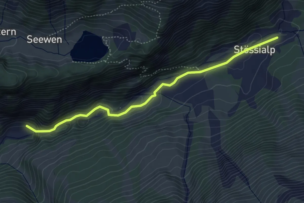
Easy · Trail
Lägni - Balmenschachen
4.9 km · ↑ 179 m · 1 h 33 min
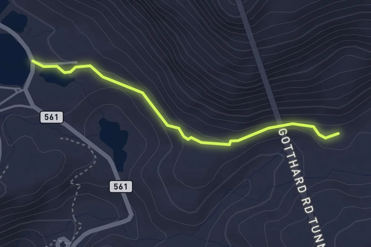
Easy · Trail
Lago della Piaza - Cascina delle Bolla
3.0 km · ↑ 84 m · 53 min
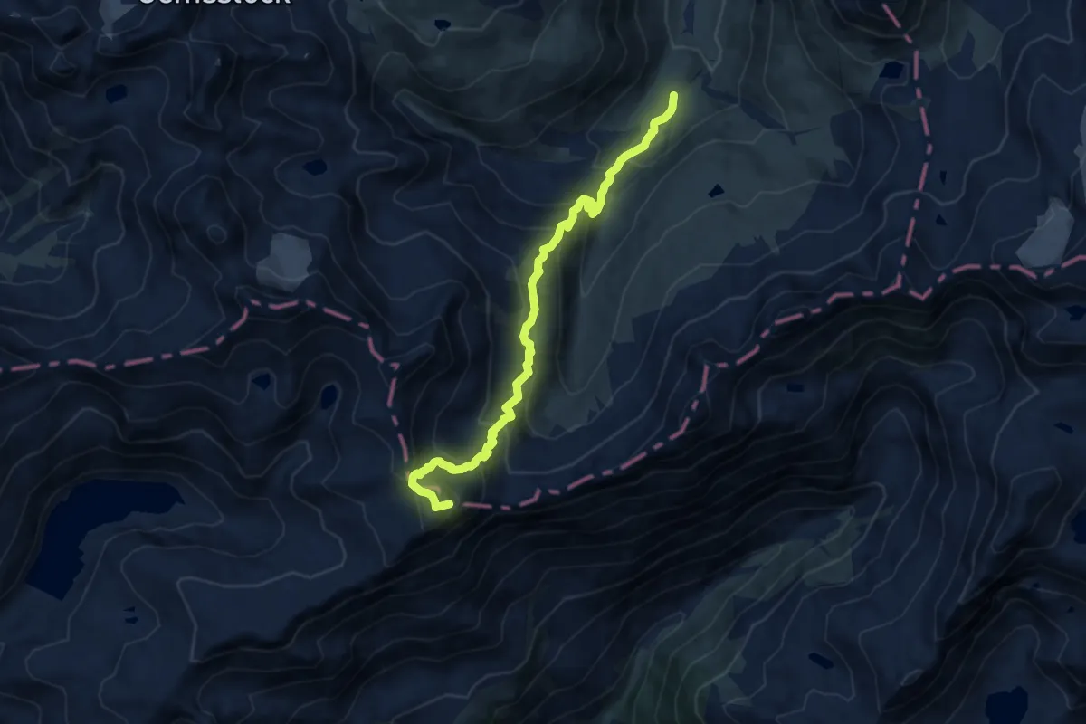
Medium · Summit
Lago della Sella - Sunnsbühl
10.1 km · ↑ 749 m · 4 h
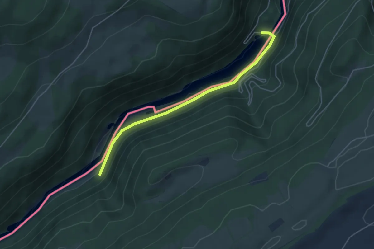
Easy · Trail
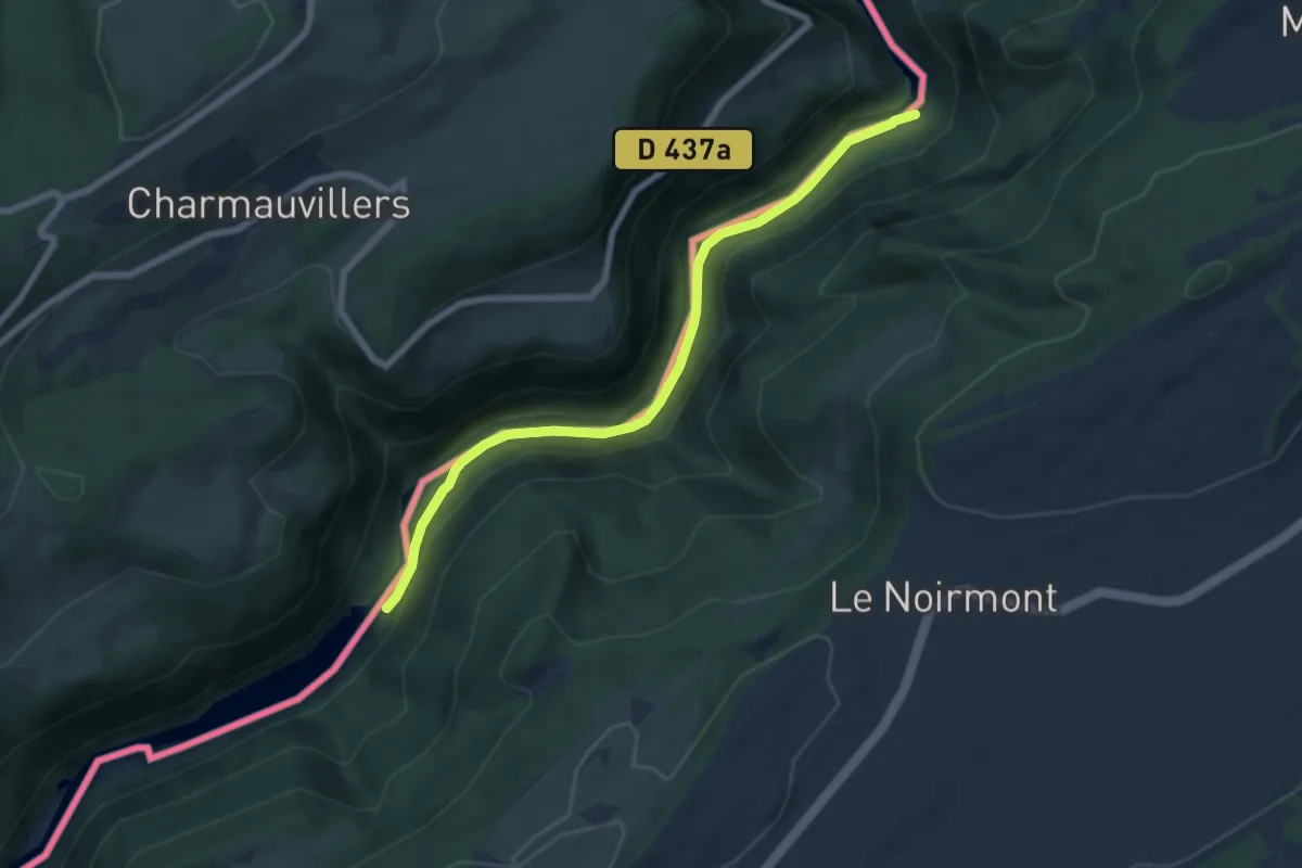
La Goule
4.1 km · ↑ 79 m · 1 h 8 min
Easy · Trail
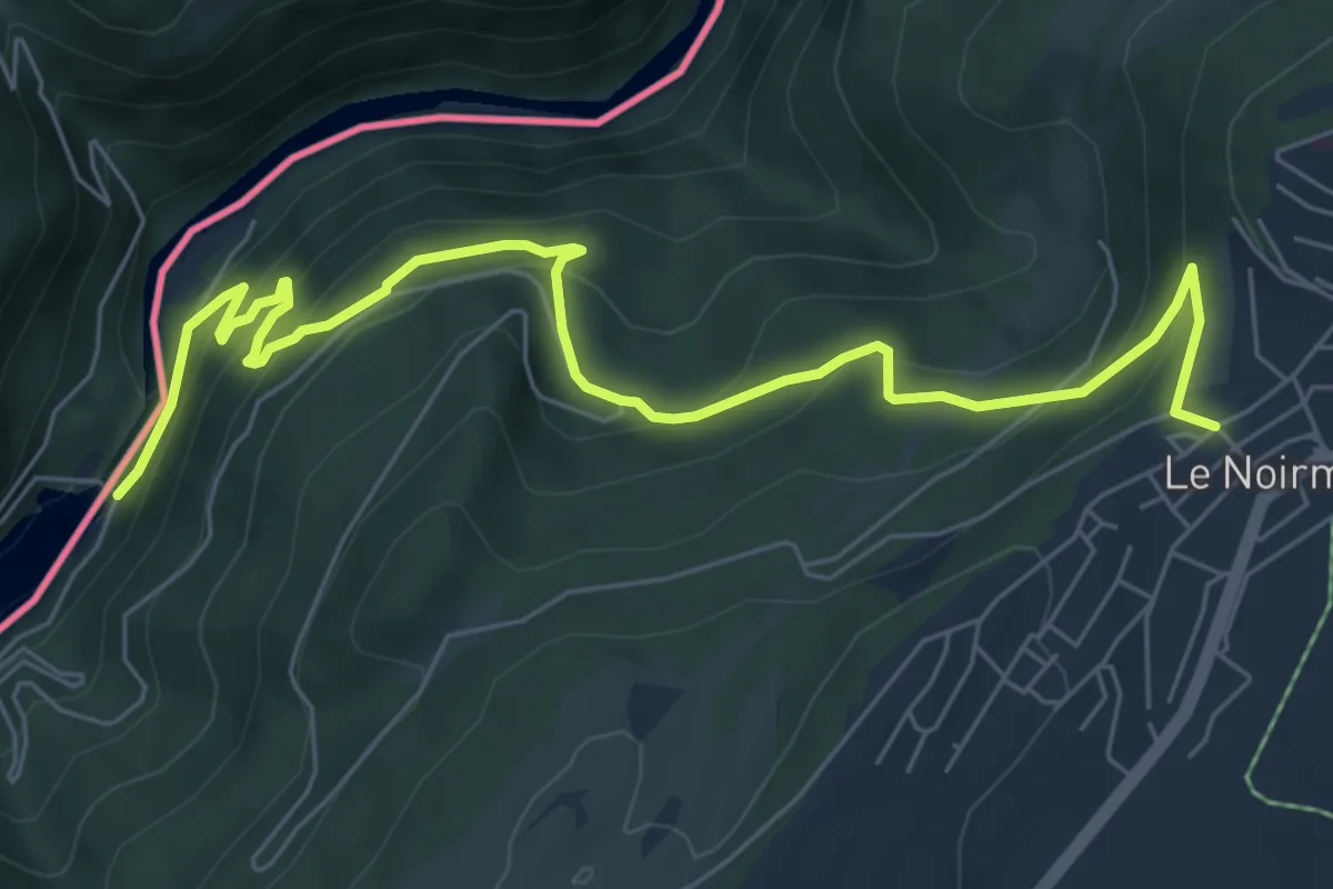
La Goule - fixme
6.7 km · ↑ 192 m · 2 h
Medium · Trail
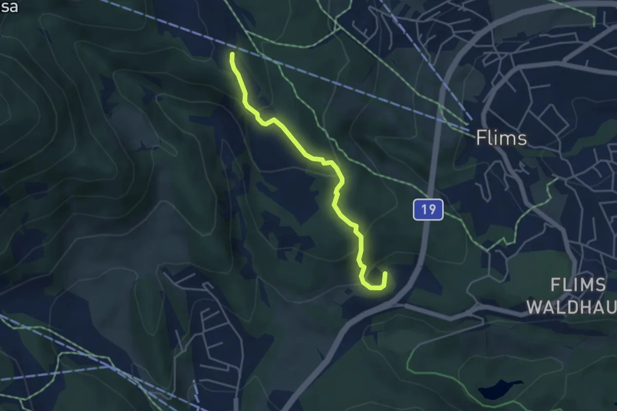
La Goule - fixme
7.8 km · ↑ 527 m · 2 h 59 min
Medium · Trail
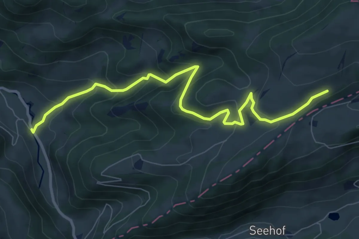
Lag Prau Pulté - Runca
3.7 km · ↑ 192 m · 1 h 17 min
Medium · Trail
La Grande Schönenberg - Envelier
8.1 km · ↑ 479 m · 2 h 57 min
Easy · Trail
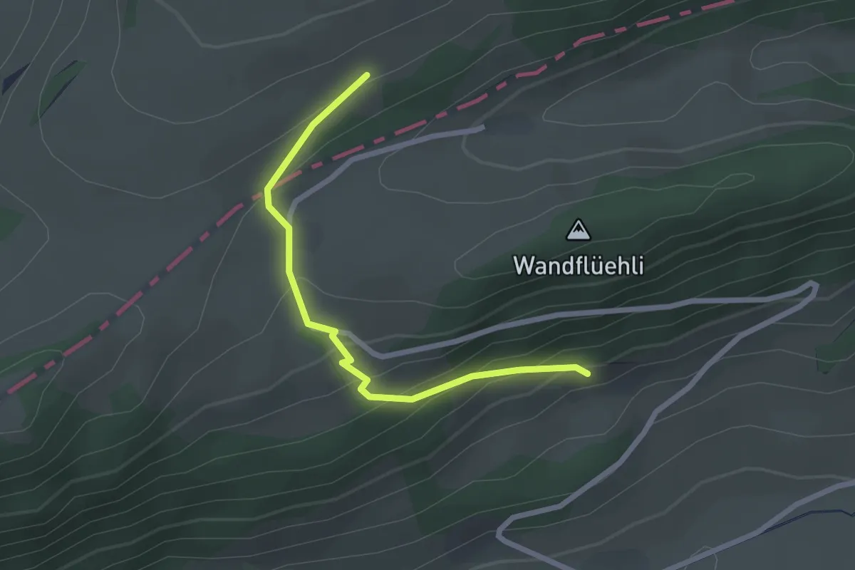
La Grande Schönenberg - fixme
2.3 km · ↑ 170 m · 54 min
Medium · Trail
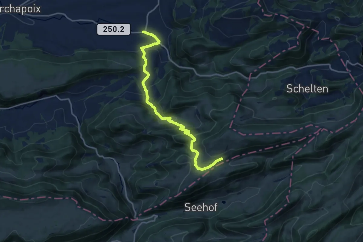
La Grande Schönenberg - Merveilier
12.1 km · ↑ 597 m · 4 h 9 min
Easy · Cabin
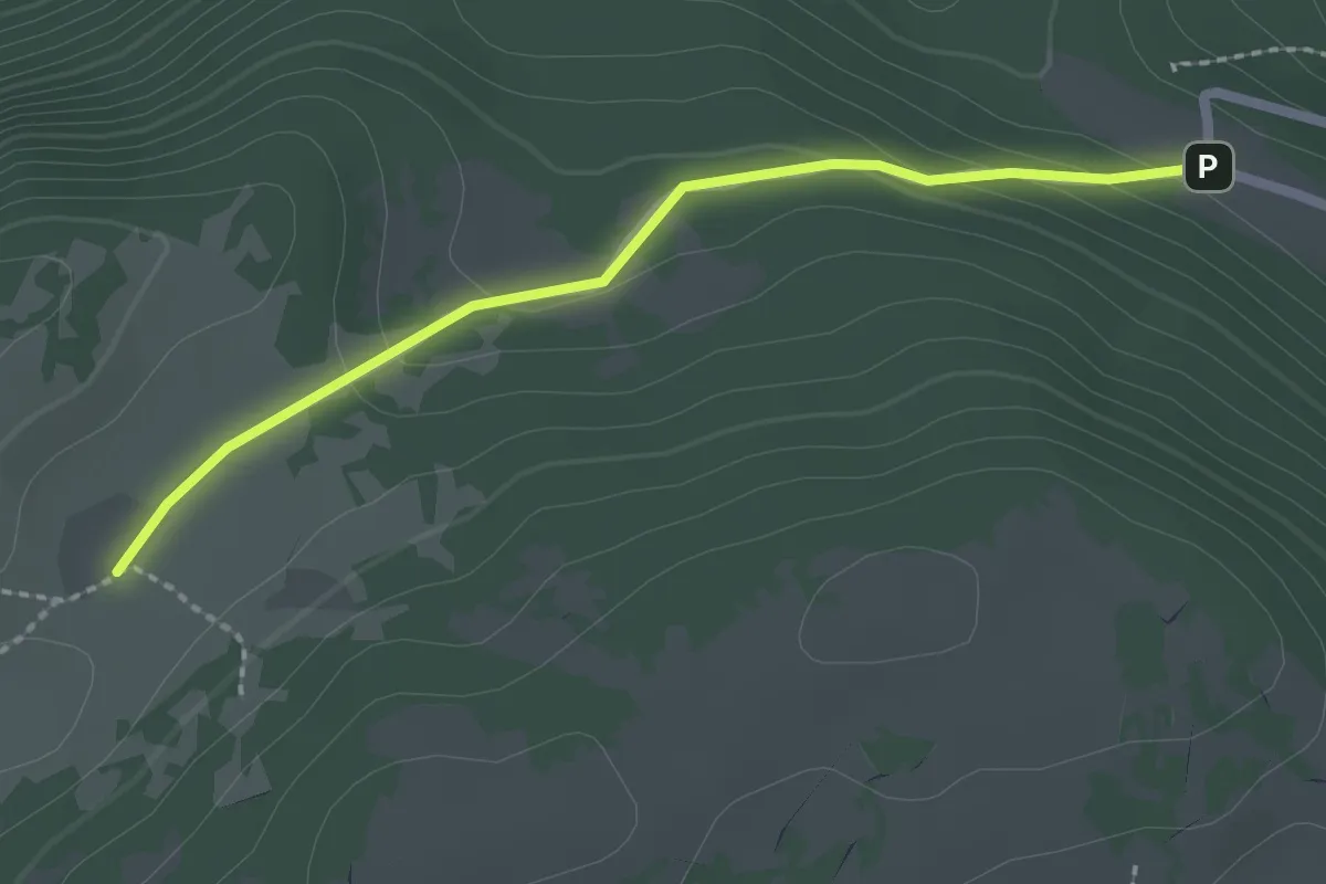
La Grand Vy-Pré au Favre
2.2 km · ↑ 78 m · 41 min
Easy · Trail
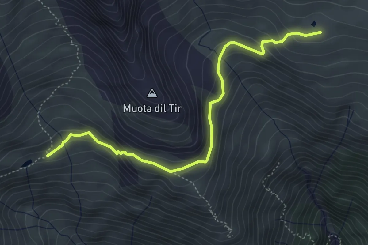
Lag Serein - Lag Crest Ault
5.0 km · ↑ 312 m · 1 h 51 min