Trails in Switzerland
15,029 hiking trails, each with its route, climb, walking time and grade.
All trails, page 59 of 314
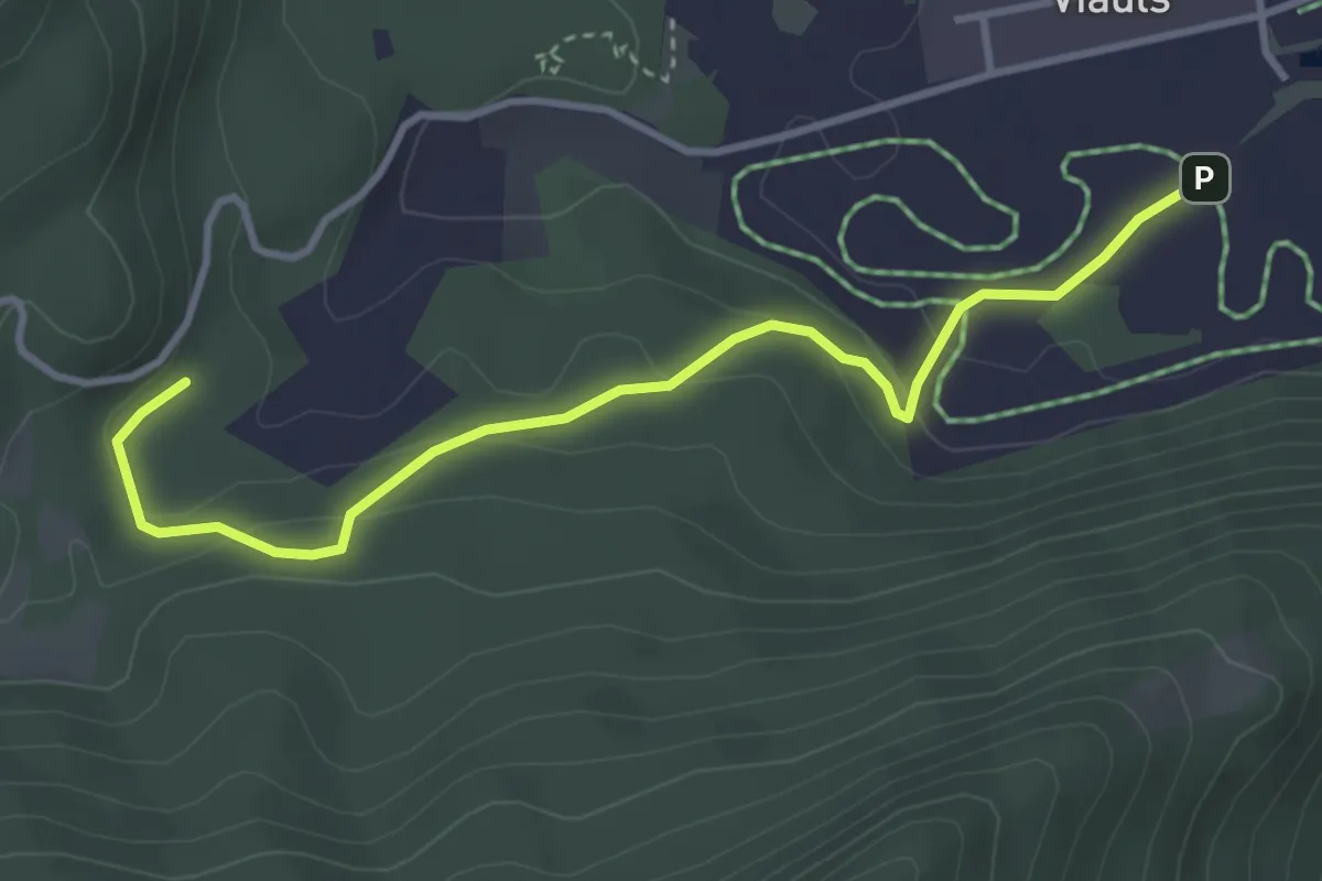
Easy · Trail
Lag-Sigl Ault
3.7 km · ↑ 149 m · 1 h 12 min
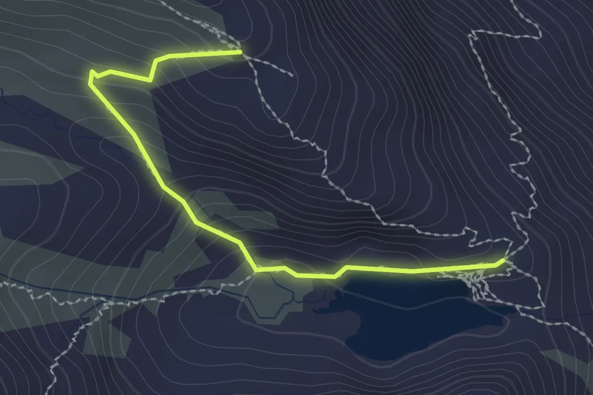
Medium · Cabin
Lai da Tuma - Badhushütte
2.3 km · ↑ 170 m · 54 min
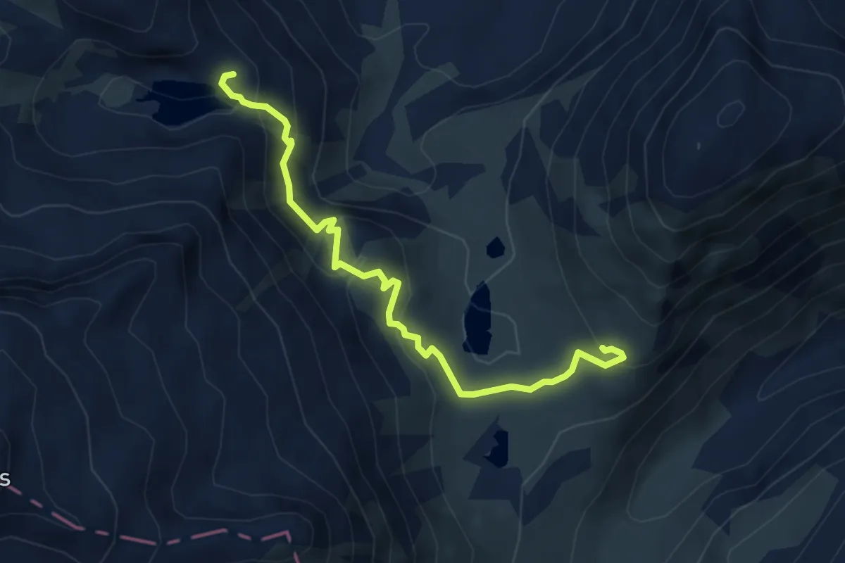
Expert · Cabin
Lai da Tuma - Cabana da Maighels CAS
4.9 km · ↑ 295 m · 1 h 48 min
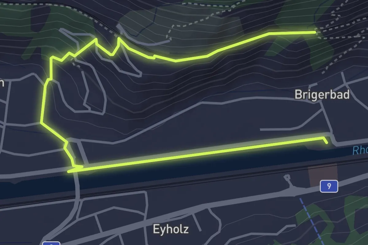
Medium · Trail
Lalden - Brigerbad
6.0 km · ↑ 169 m · 1 h 46 min
Easy · Trail
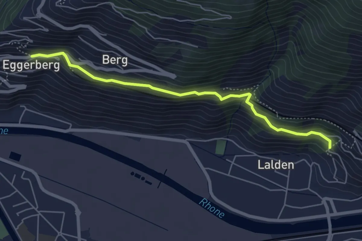
Lalden - Eggerberg
4.9 km · ↑ 273 m · 1 h 45 min
Medium · Trail
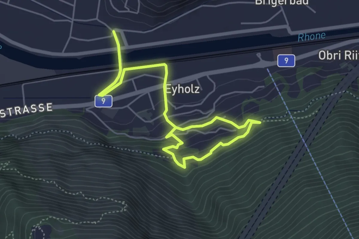
Lalden - Eyholz
6.3 km · ↑ 299 m · 2 h 8 min
Medium · Trail
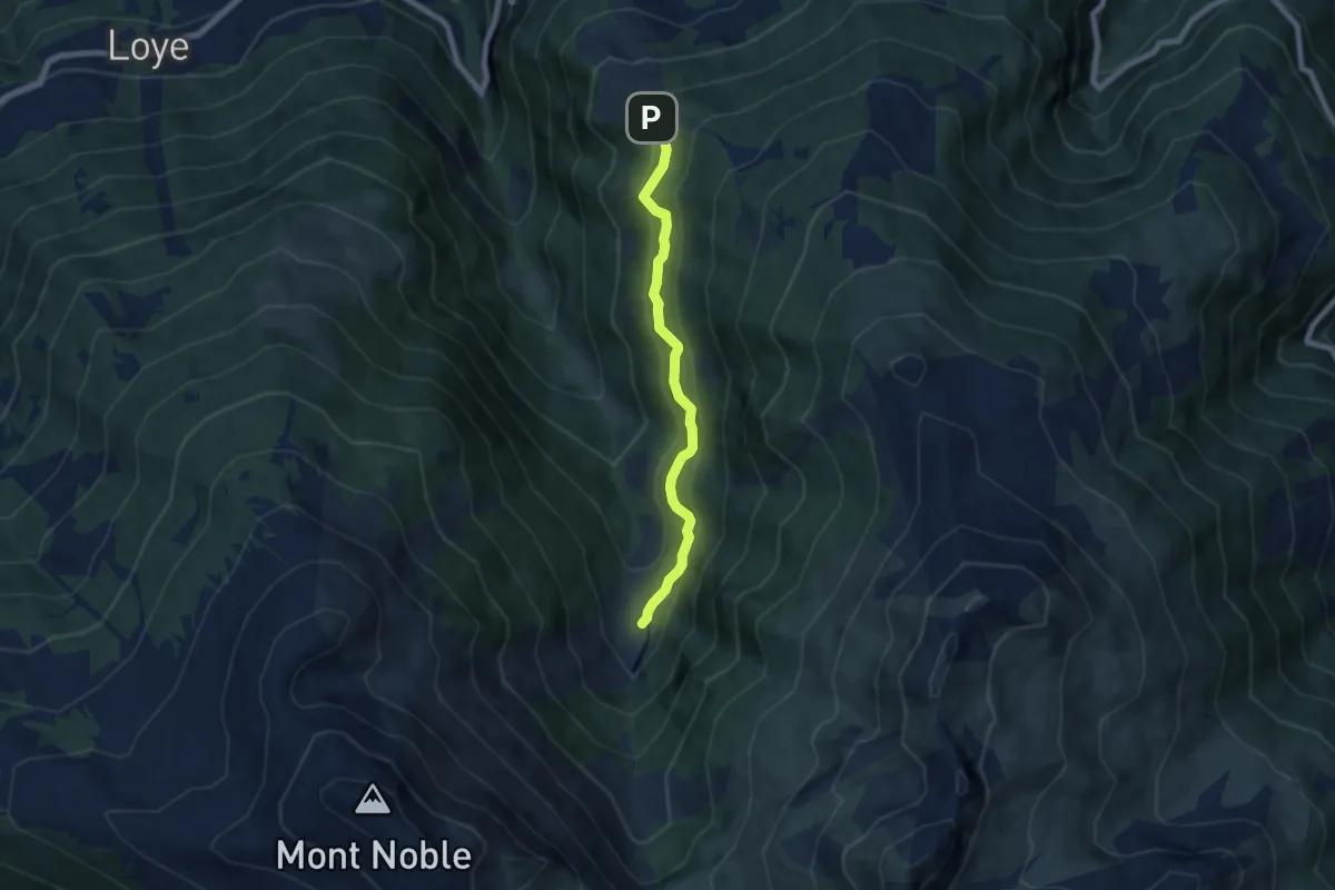
La Lé-refuge du Bisse
6.4 km · ↑ 459 m · 2 h 31 min
Medium · Cabin
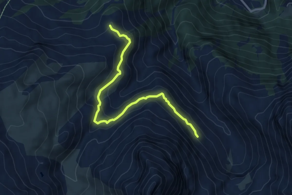
La Maye-Brunet
6.7 km · ↑ 314 m · 2 h 16 min
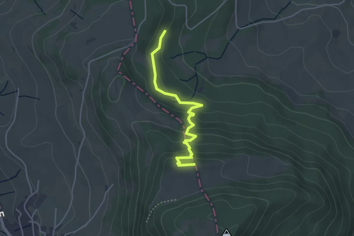
Easy · Trail
Lammetholz - Burgflue
3.5 km · ↑ 171 m · 1 h 11 min
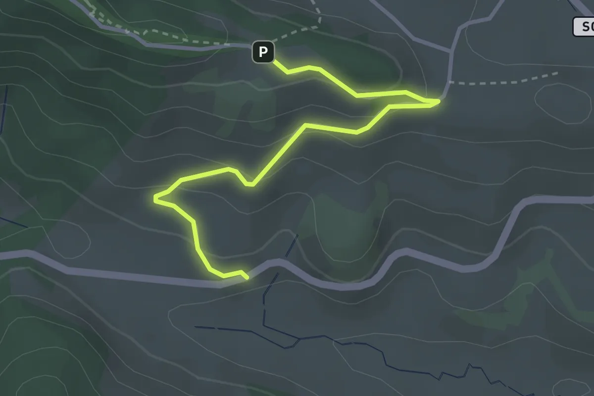
Easy · Trail
Lämmligarten - Mühlrüti? - fixme
3.1 km · ↑ 127 m · 1 h
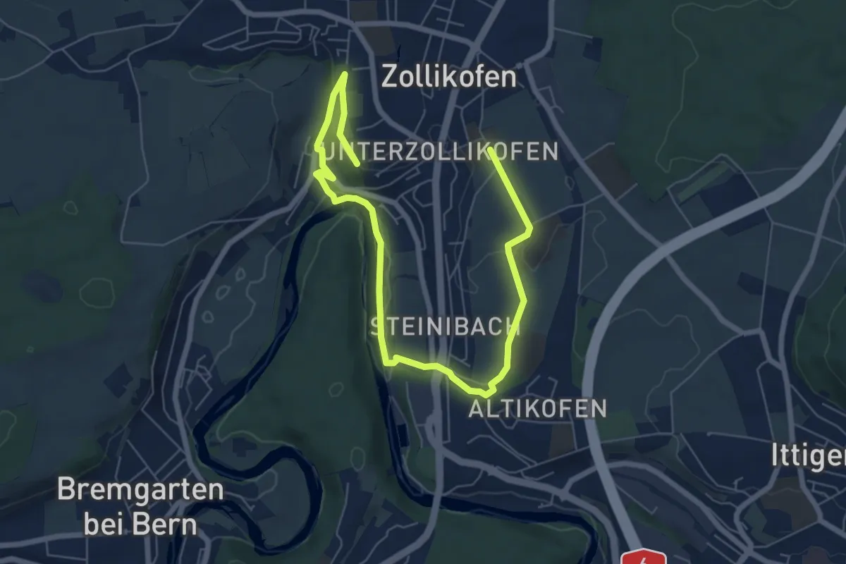
Medium · Trail
Landschaftsweg Zollikofen
8.5 km · ↑ 142 m · 2 h 19 min
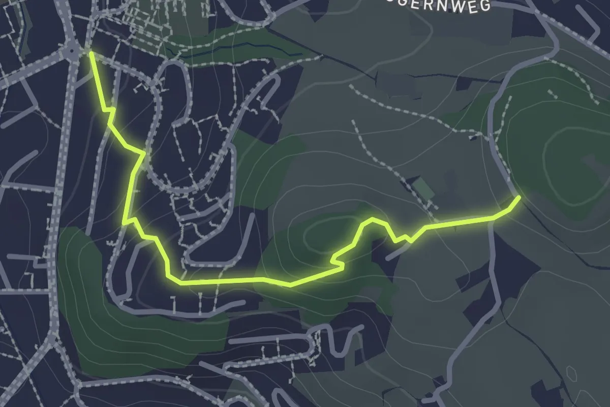
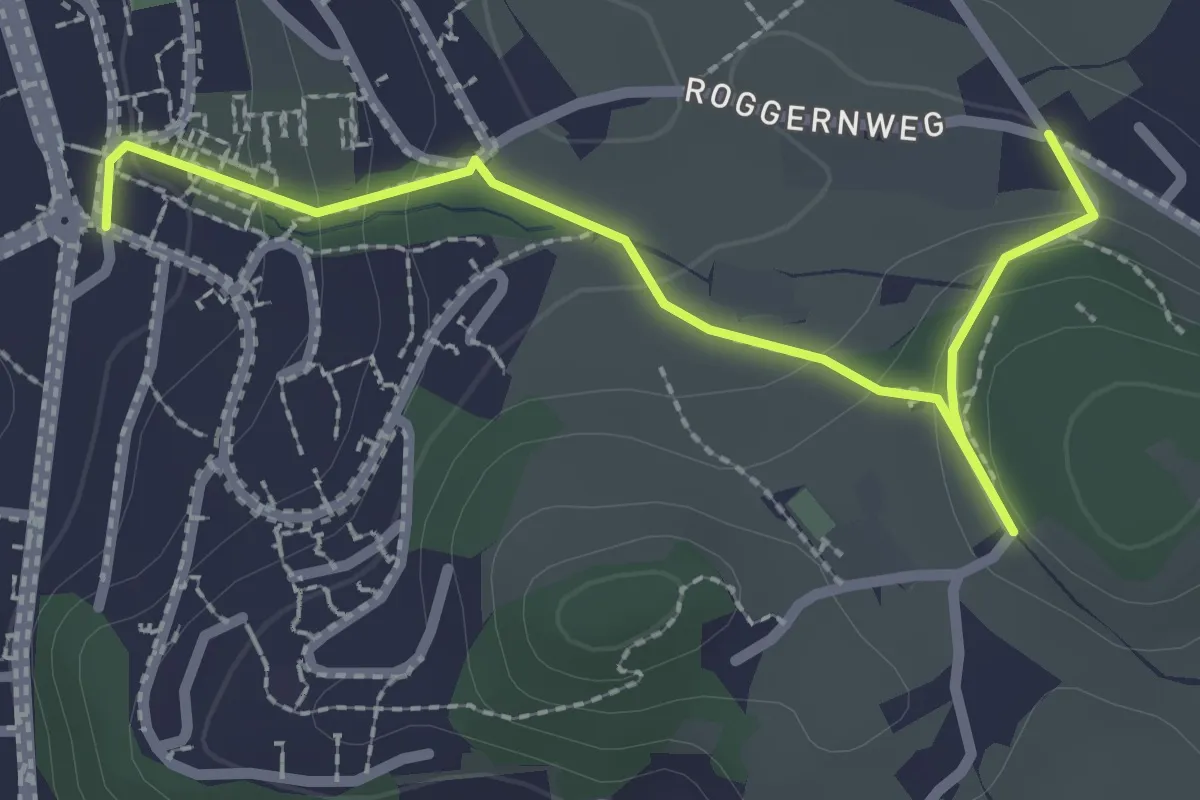
Easy · Trail
Längacher - Horw Post
2.5 km · ↑ 113 m · 50 min
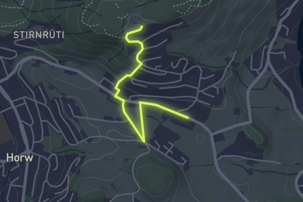
Easy · Trail
Längacher - Horw Post
2.7 km · ↑ 111 m · 53 min
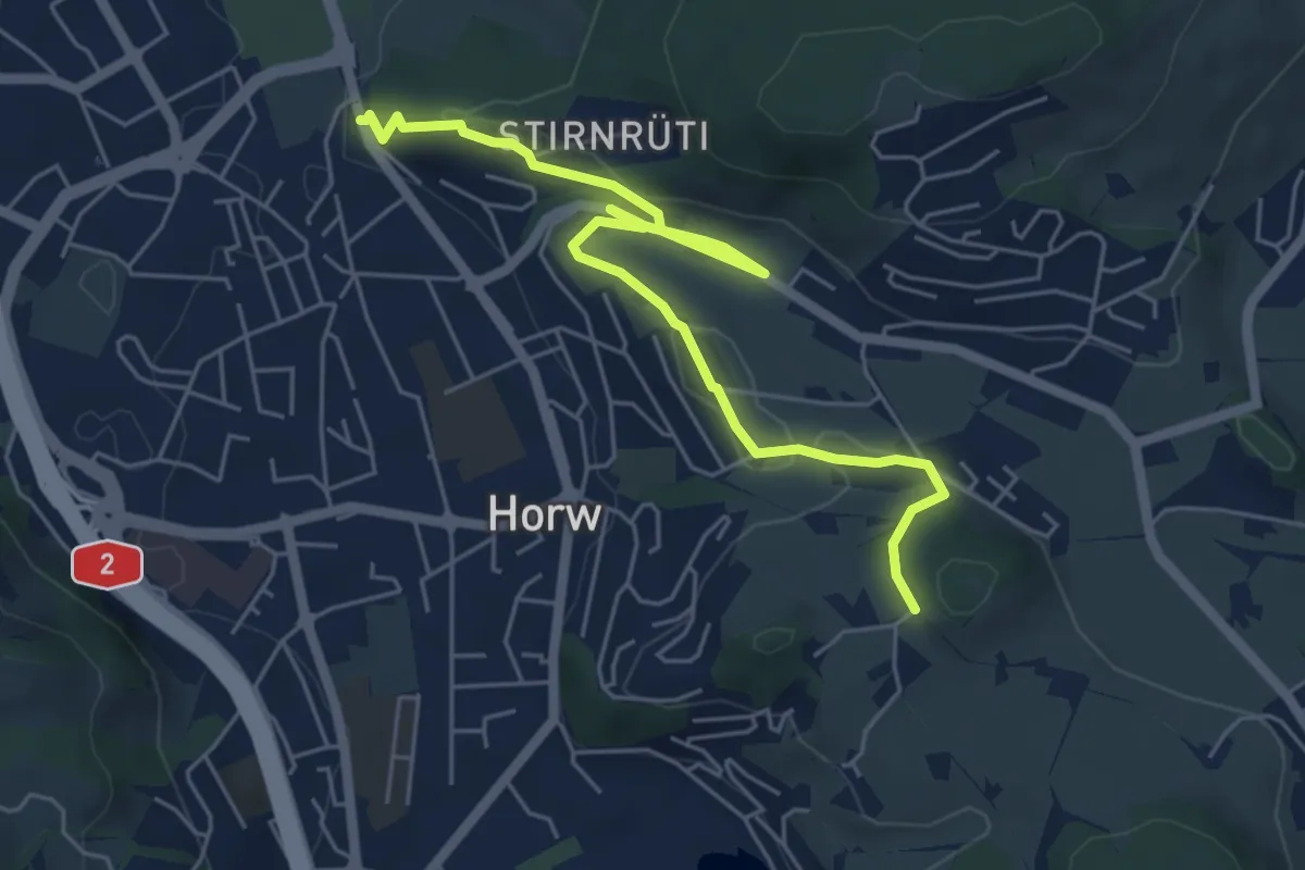
Easy · Trail
Längacher - Stegen
3.6 km · ↑ 132 m · 1 h 8 min
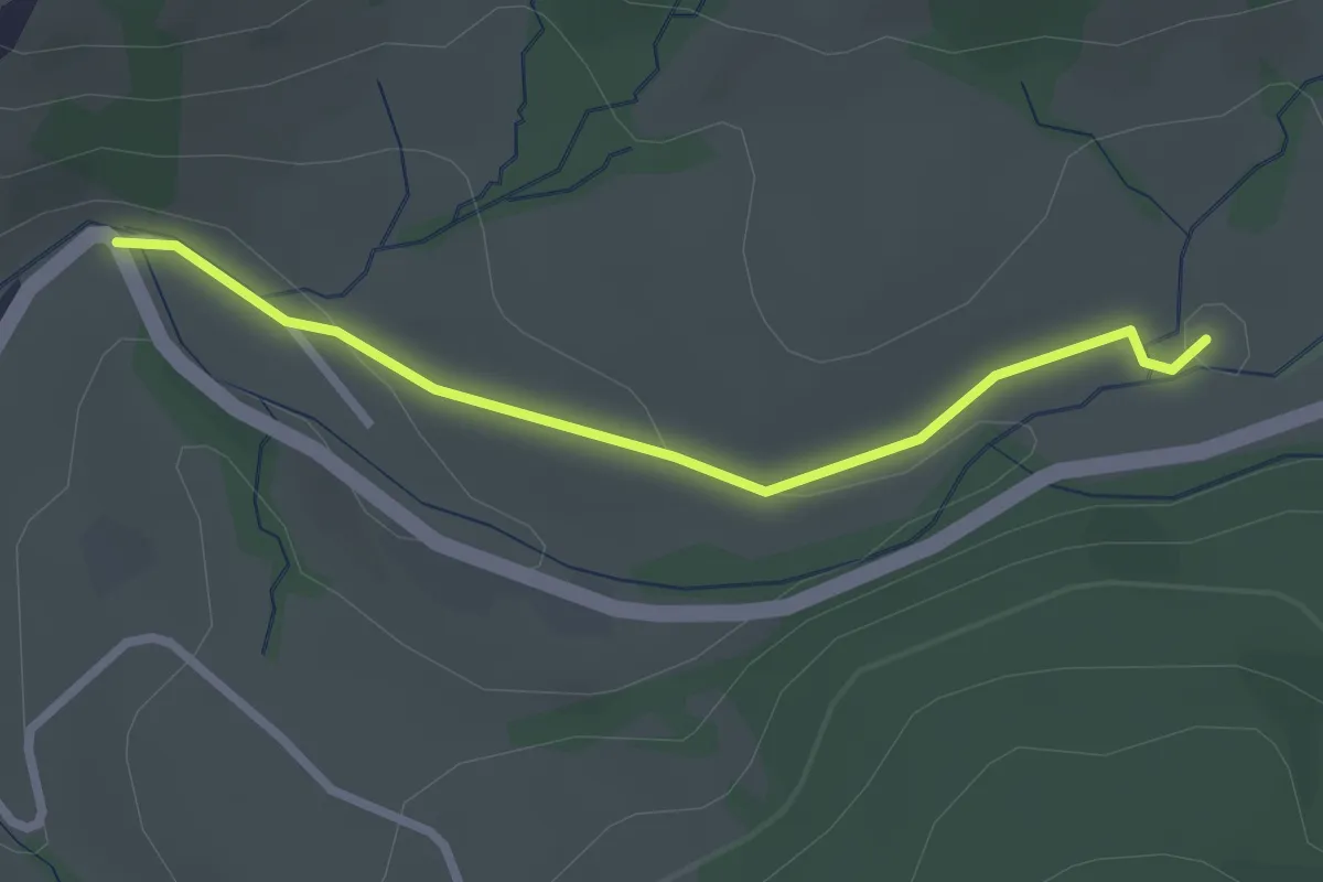
Easy · Trail
Längacher - Waldegg
6.4 km · ↑ 139 m · 1 h 49 min
Easy · Trail
Langblätz - Rickental
2.4 km · ↑ 48 m · 40 min
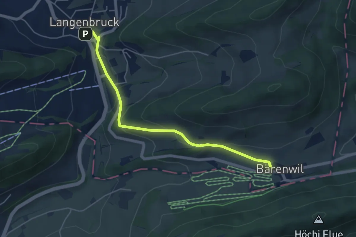
Easy · Trail
Langenbruck - Bärenwil
4.3 km · ↑ 142 m · 1 h 19 min
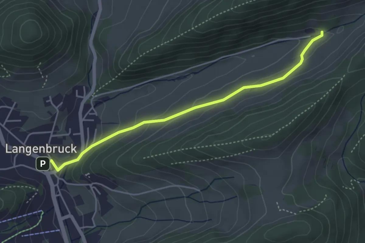
Easy · Trail
Langenbruck - Dürstel
4.1 km · ↑ 165 m · 1 h 19 min
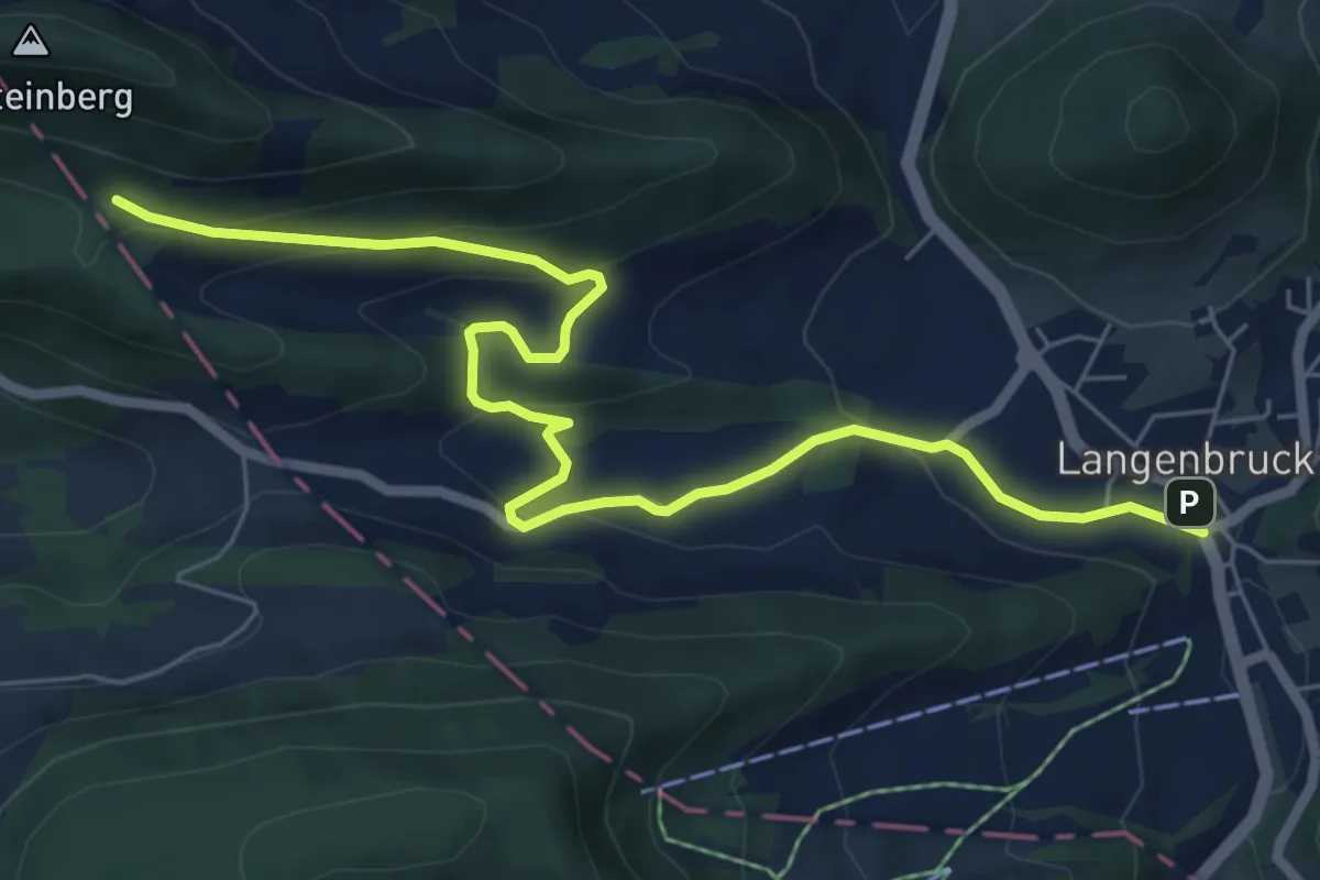
Medium · Trail
Langenbruck - Helfenberg
7.6 km · ↑ 339 m · 2 h 32 min
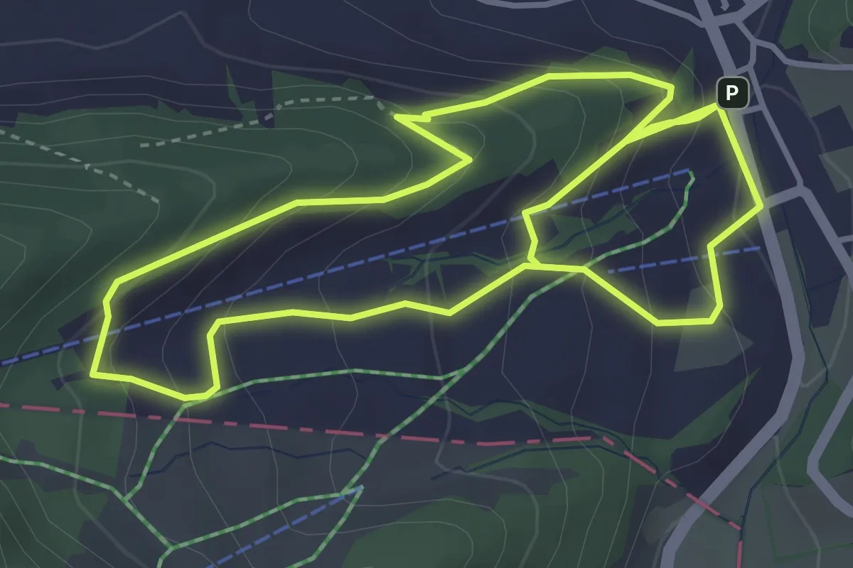
Medium · Trail
Langenbruck Rundweg
7.1 km · ↑ 543 m · 2 h 51 min
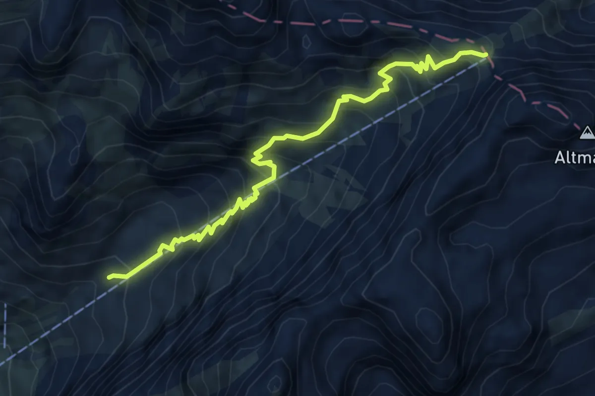
Medium · Cabin
Langenbüel - Rotsteinpass
6.4 km · ↑ 706 m · 3 h 2 min
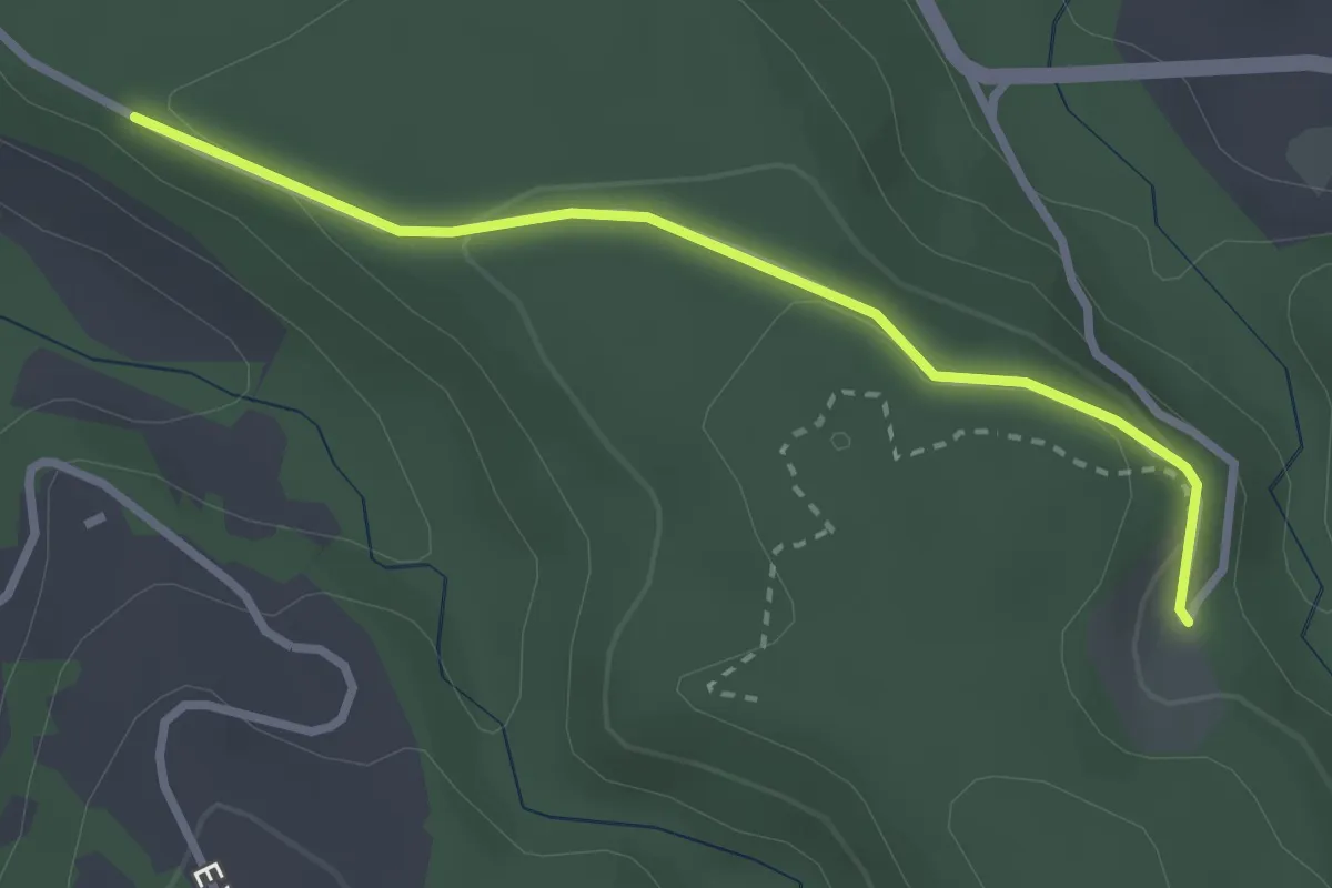
Easy · Trail
Längeneiwald - Längeneibad
2.7 km · ↑ 91 m · 50 min
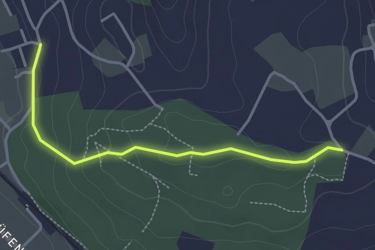
Easy · Trail
Langenloh-Wislen
2.6 km · ↑ 70 m · 46 min
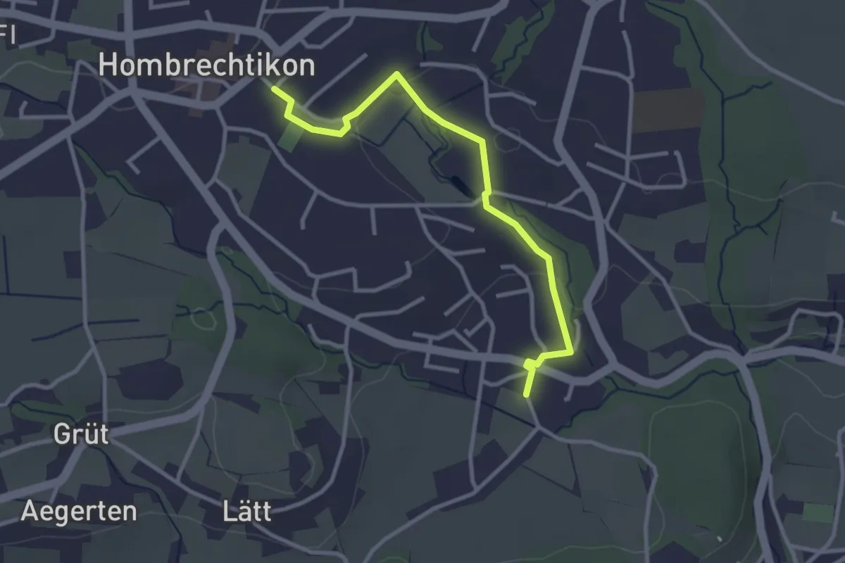
Easy · Trail
Langenriet - Hombrechtikon
3.0 km · ↑ 46 m · 48 min
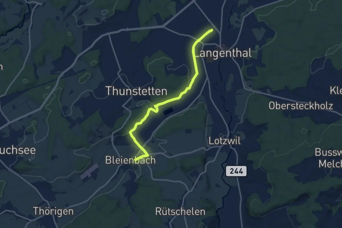
Medium · Trail
Langenthal - Bleienbach
10.8 km · ↑ 125 m · 2 h 49 min
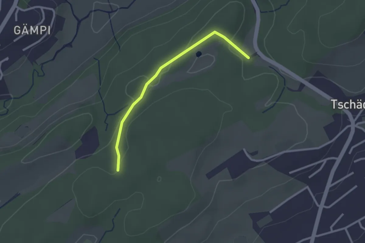
Easy · Trail
Längeried - Meggerwald
2.2 km · ↑ 37 m · 36 min
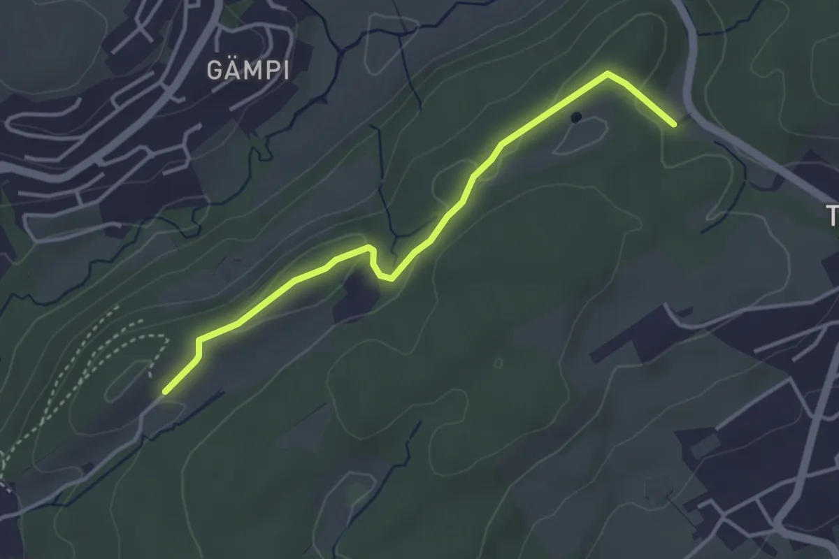
Easy · Trail
Längeried - Mülegg
3.5 km · ↑ 61 m · 58 min
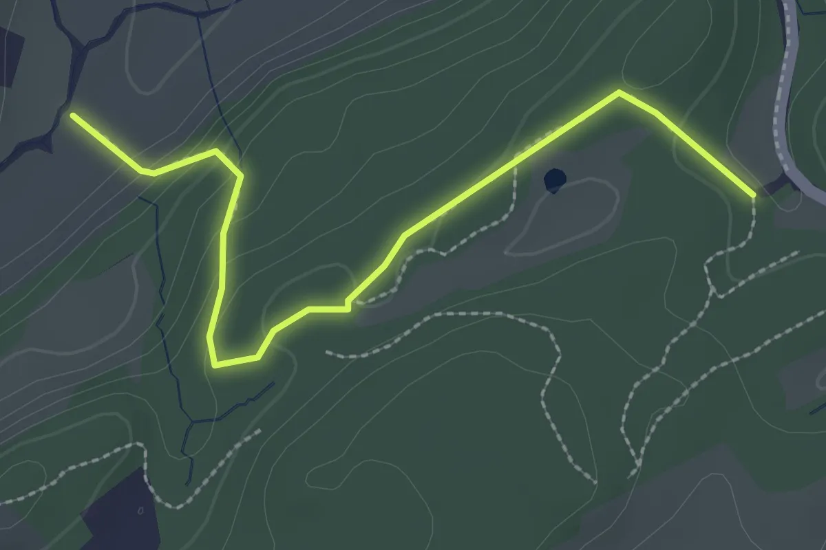
Easy · Trail
Längeried - Risiboden
2.7 km · ↑ 114 m · 53 min
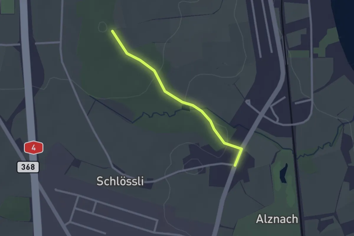
Easy · Trail
Langholz - Langrüti
2.1 km · ↑ 45 m · 35 min
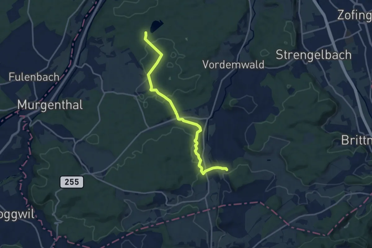
Medium · Trail
Langholz - Ob. Sennhof
11.5 km · ↑ 249 m · 3 h 15 min
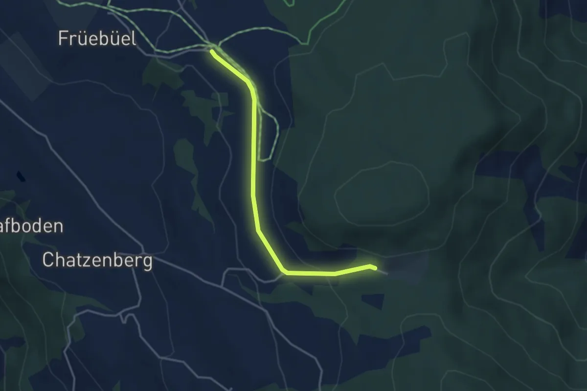
Easy · Trail
Langmösli - Buschenchappeli
3.3 km · ↑ 100 m · 59 min
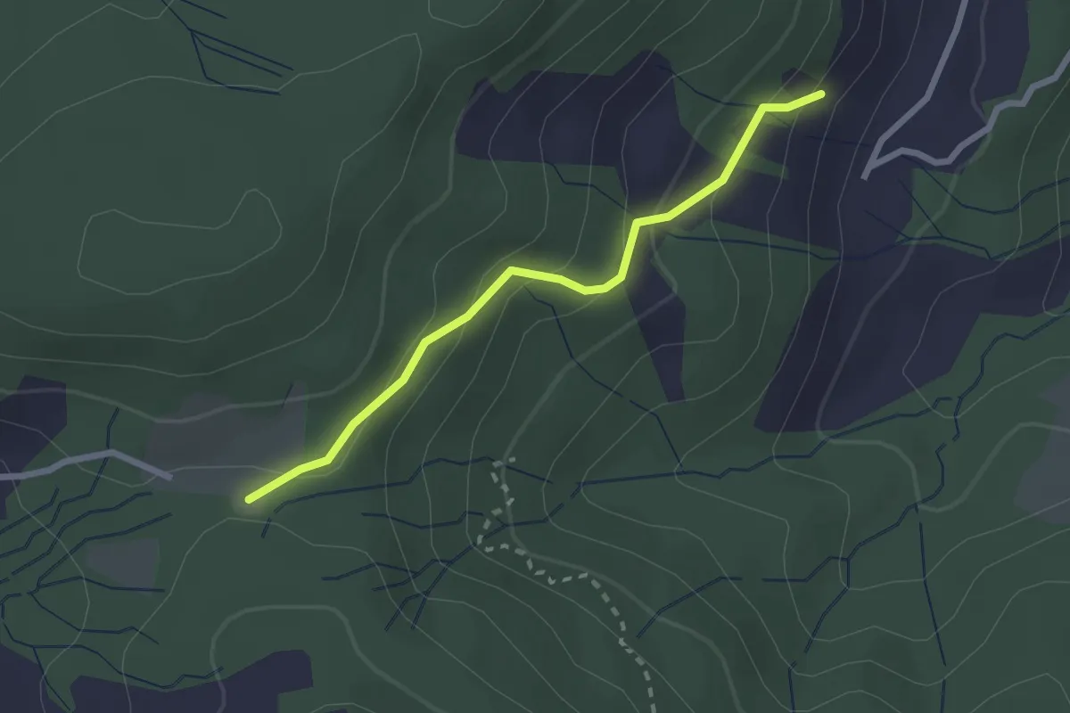
Easy · Trail
Langmösli - Ochsenfeissi - fixme
2.3 km · ↑ 124 m · 48 min
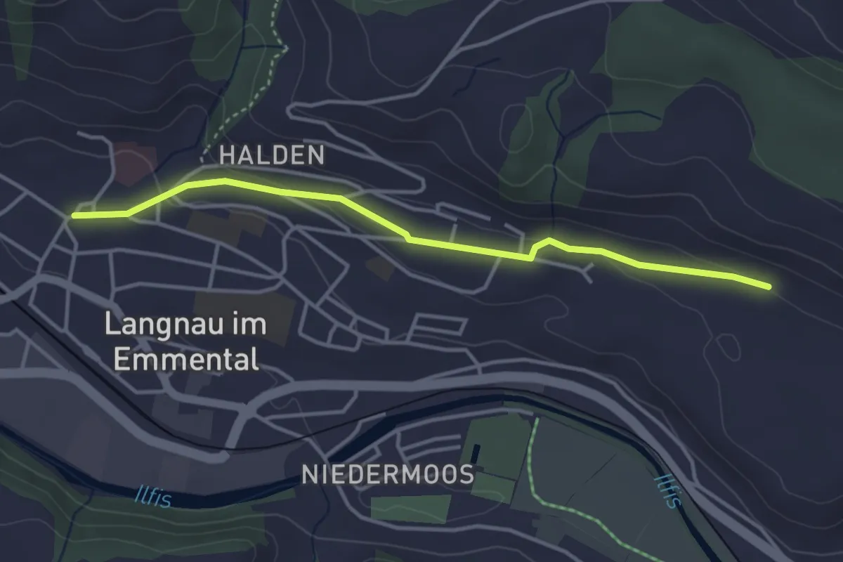
Easy · Trail
Langnau i.E. - Giebel
3.7 km · ↑ 75 m · 1 h 2 min
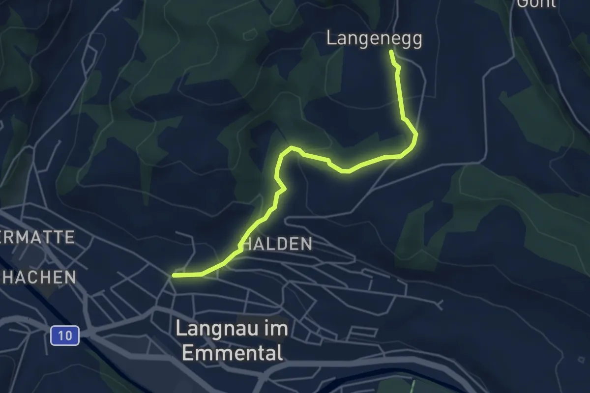
Easy · Trail
Langnau - Mittellangenegg
4.3 km · ↑ 207 m · 1 h 28 min
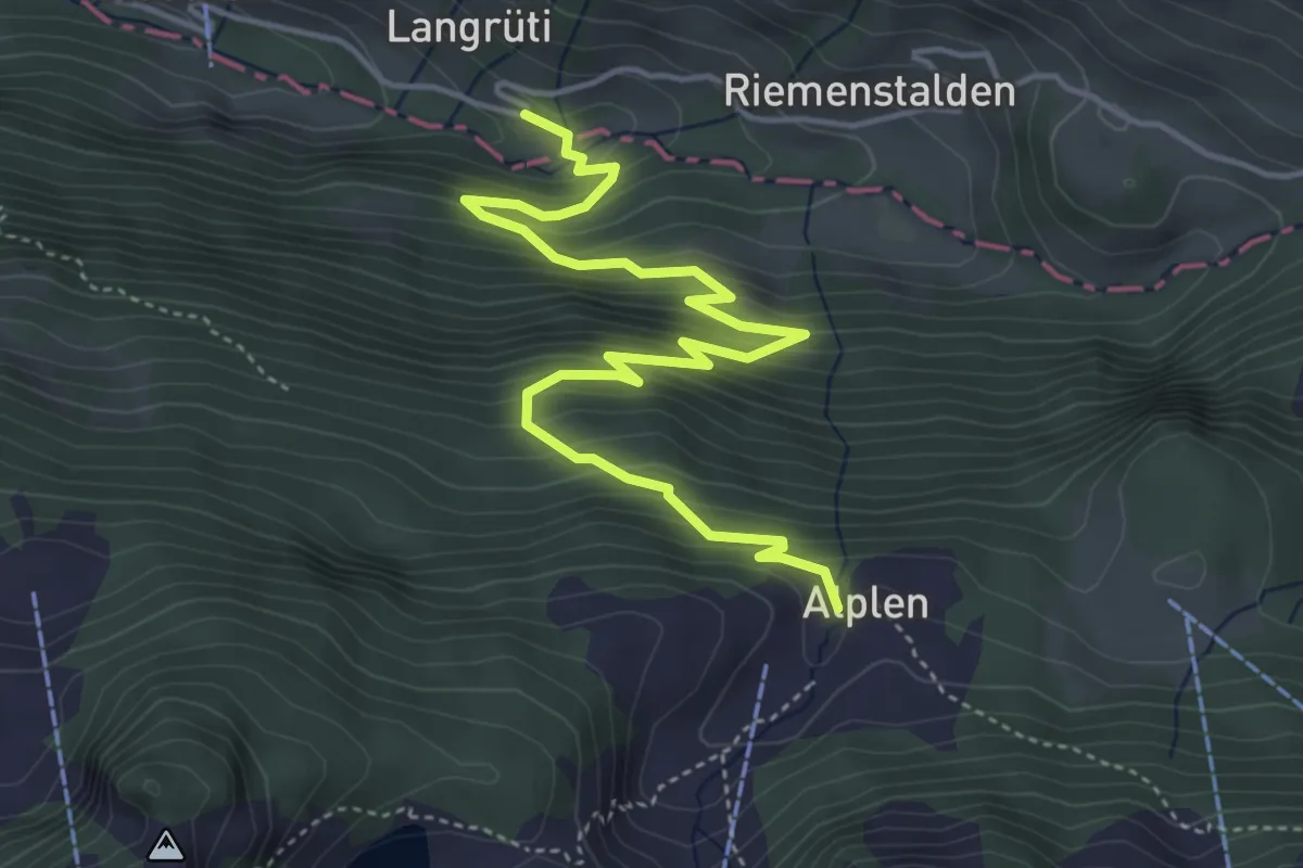
Medium · Trail
Langrüti - Alplen
5.4 km · ↑ 543 m · 2 h 27 min
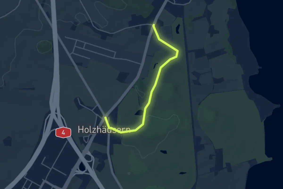
Easy · Trail
Langrüti - Holzhäusern
3.5 km · ↑ 28 m · 54 min
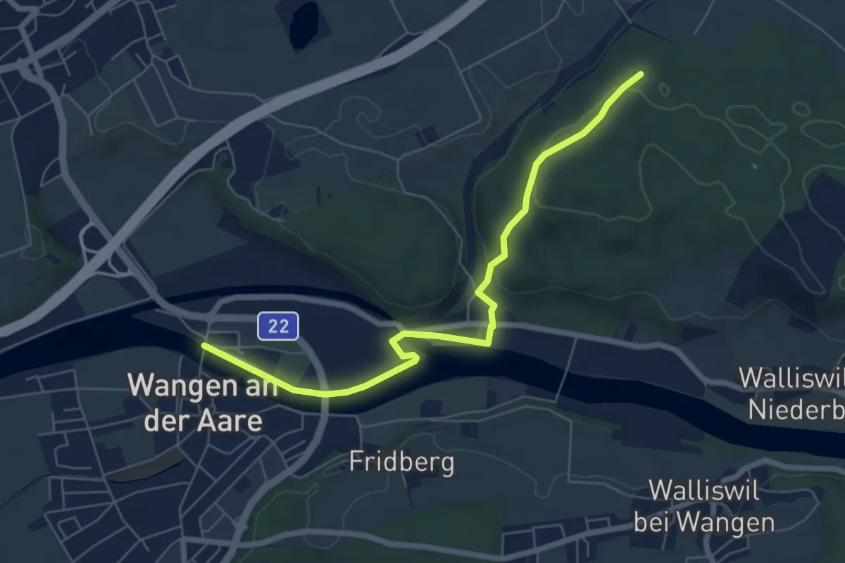
Easy · Trail
Längwald Staldenrain - Wangen an der Aare
6.4 km · ↑ 108 m · 1 h 45 min
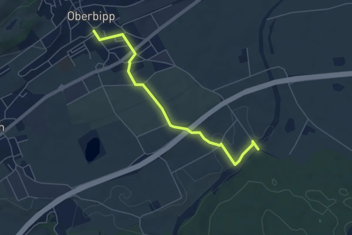
Easy · Trail
Längwald Stalderain - Oberbipp
4.9 km · ↑ 51 m · 1 h 15 min
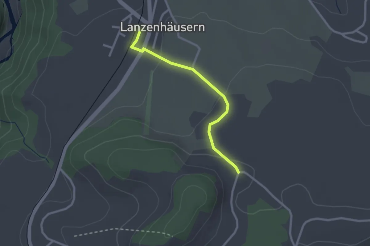
Easy · Trail
Lanzenhäusern - Obereichi
2.1 km · ↑ 58 m · 37 min
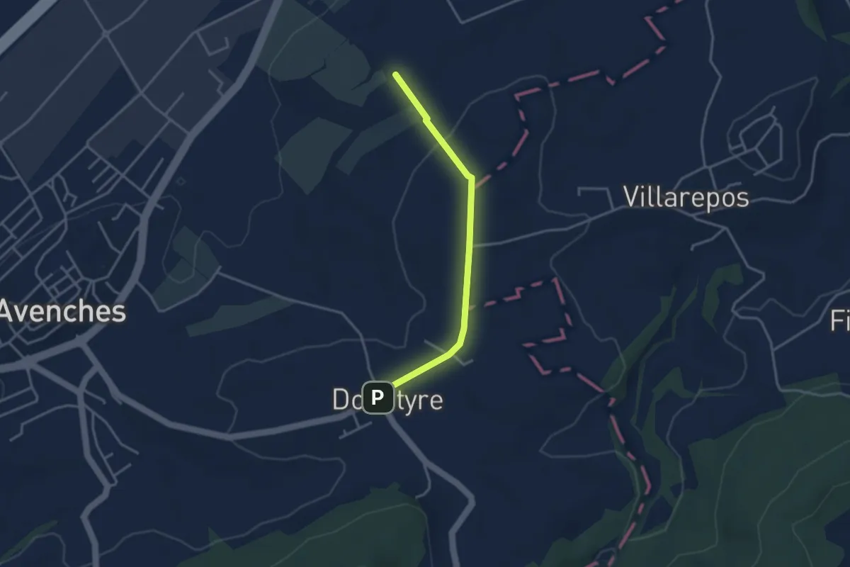
Easy · Trail
La Porte de l'Est - Donatyre
3.1 km · ↑ 36 m · 48 min
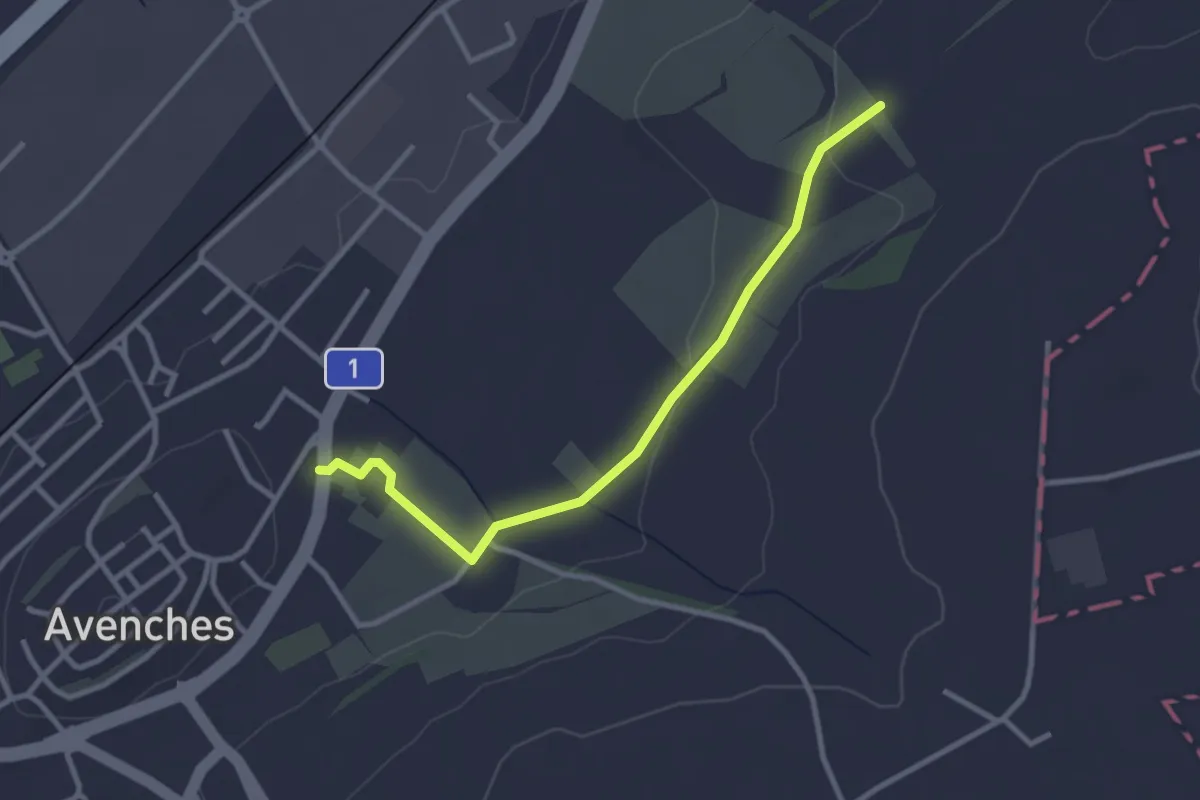
Easy · Trail
La Porte de l'Est - Le Cigognier
3.0 km · ↑ 37 m · 47 min
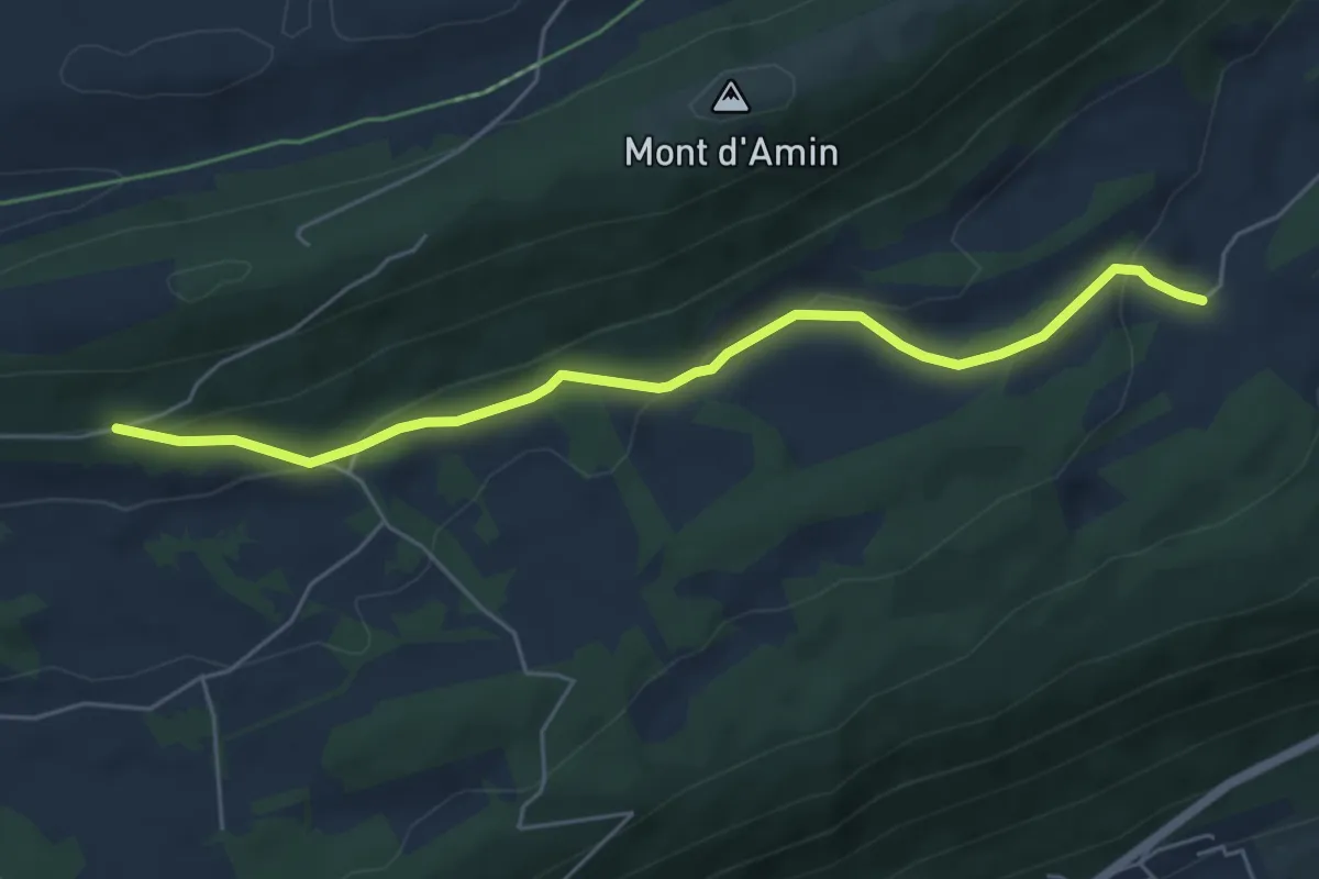
Easy · Trail
La Pouette Mange - Prés Battereau
5.5 km · ↑ 176 m · 1 h 40 min
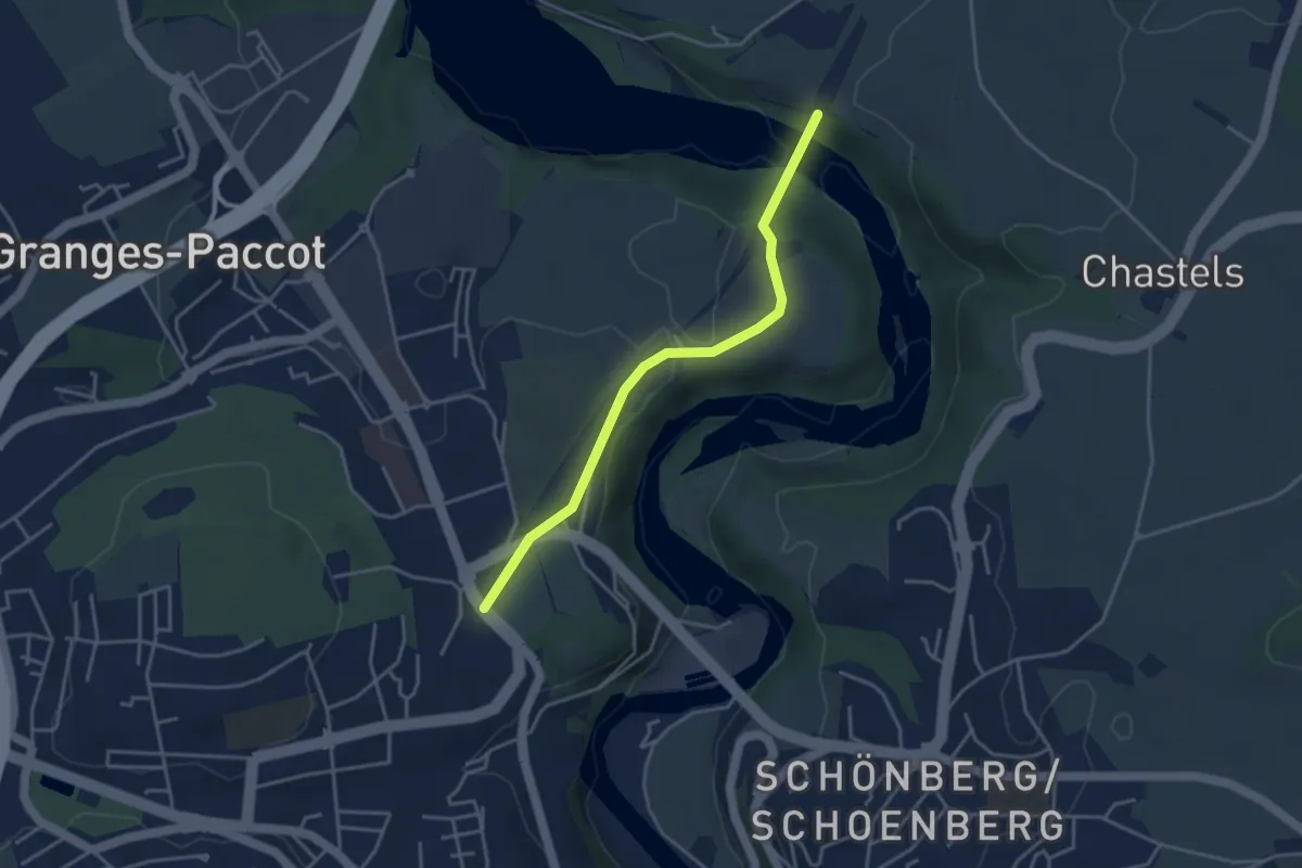
Easy · Trail
La Poya - Grandfey
3.7 km · ↑ 130 m · 1 h 9 min
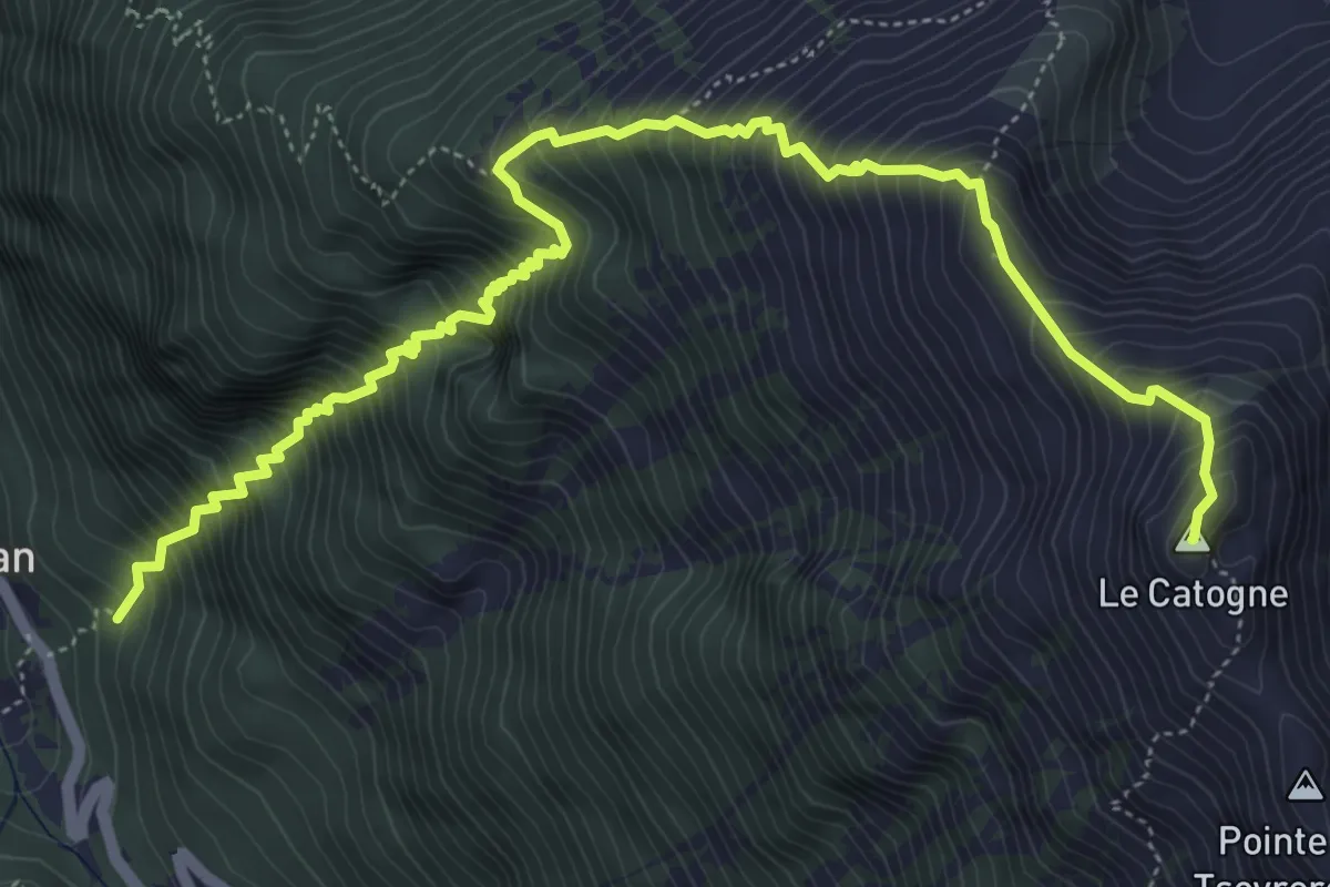
Demanding · Summit
La Poya > Le Catogne
6.9 km · ↑ 1237 m · 4 h 19 min
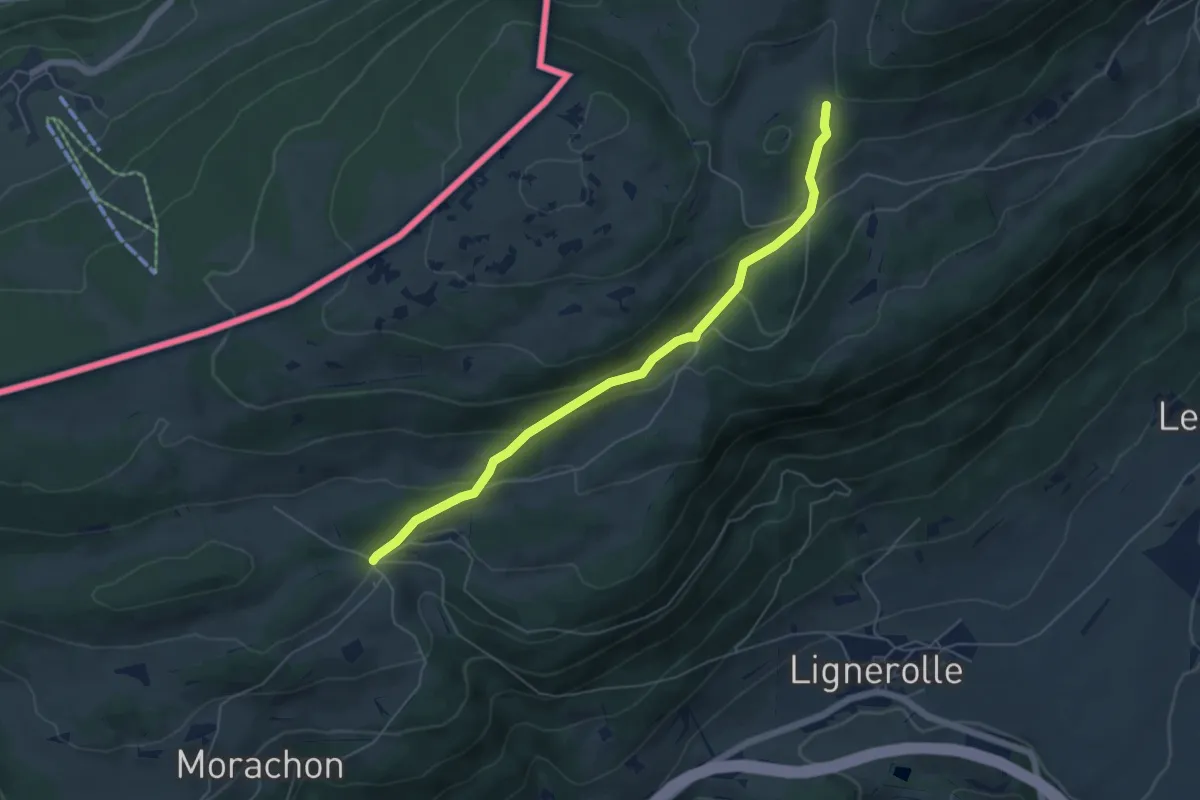
Medium · Trail
La Poyette-La Bessonne
5.7 km · ↑ 277 m · 1 h 56 min
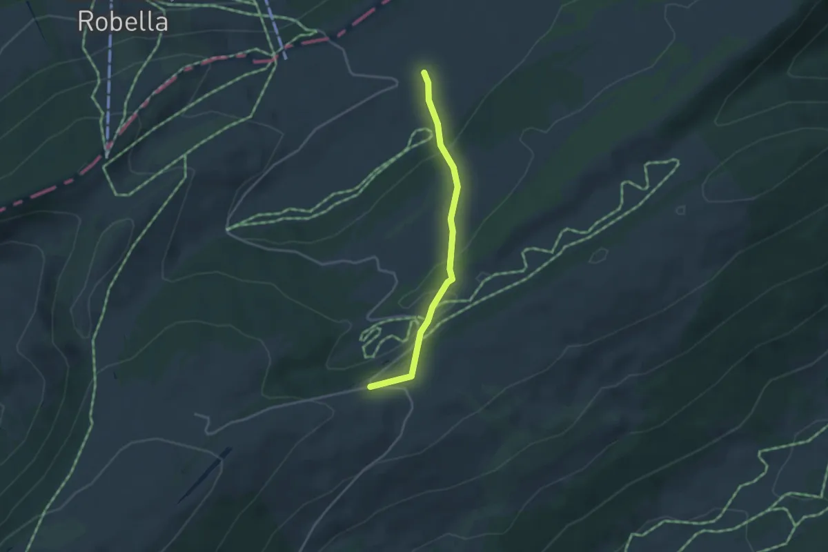
Easy · Cabin
La Preisette-Les Illars
3.1 km · ↑ 111 m · 58 min
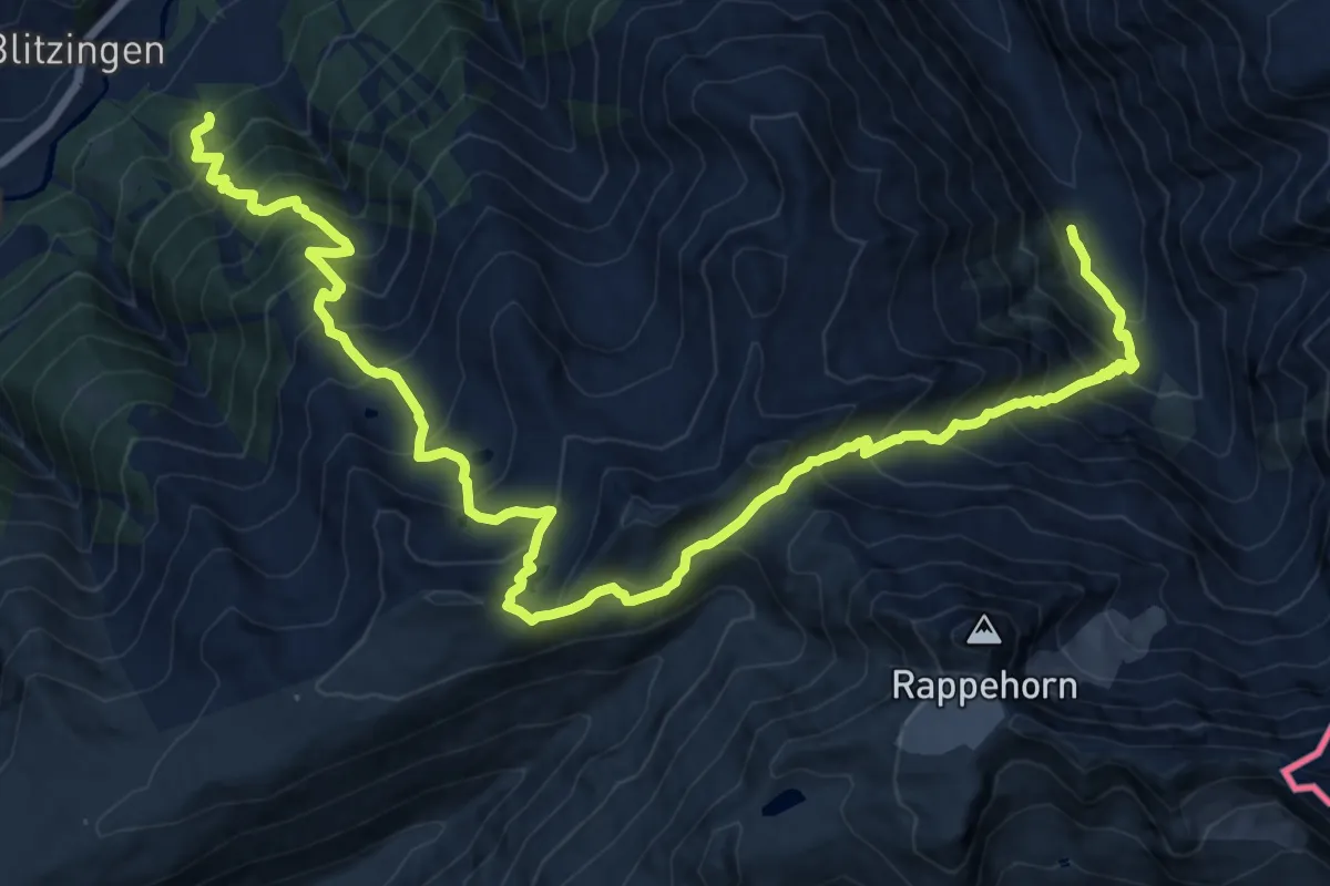
Demanding · Trail
Lärch - Chummefurgge - Blitzingen
10.3 km · ↑ 1284 m · 5 h 8 min
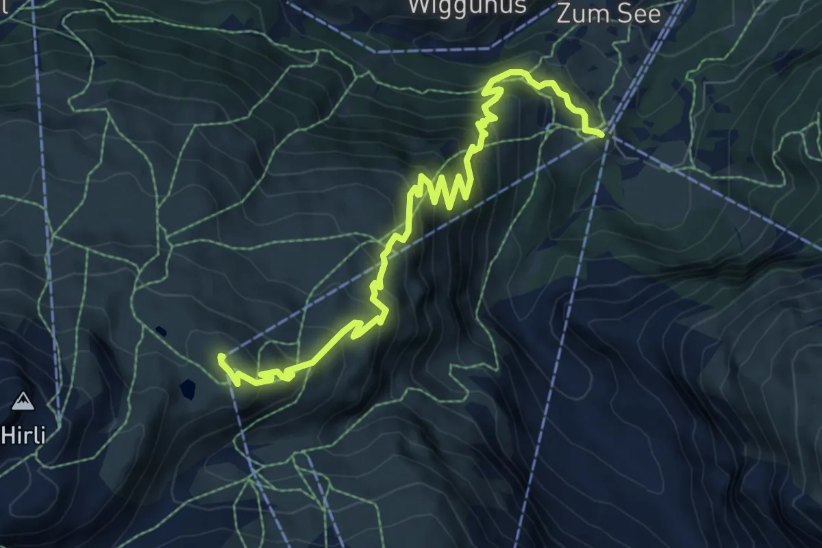
Medium · Trail
Lärchenweg
9.0 km · ↑ 795 m · 3 h 50 min